
MOTORCYCLE
Adventures
Discover Australia’s Top 200 Rides

Self-drive motorcycle rides for sports, tourer, cruiser and adventure bikes
Ride distances
Visitor information centres
Trip highlights
Rides referenced to Australia Road & 4WD Handy Atlas

Motorcycle Adventures

Motorcycle types
Motorcycle Adventures
icons description
Categories of motorcycle:
They say the best bike for any trip or adventure is the one you have now; that aside, there’s no extra points in making a trip harder — where’s the joy in wrestling a Cruiser through sand, flogging up the highway on a dirt bike or droning through the suburbs on a Sports bike?
So, we’ve added some hints about what the best bike/s for each of the rides might be and what you can expect to find along the way.
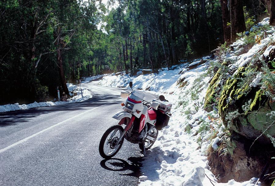
Adventure
Big tanks, luggage, protection, rally towers and a patina of mud, dust and bugs — on rider and bike: think DRs, GSAs, KLRs, Teneres and KTMs.
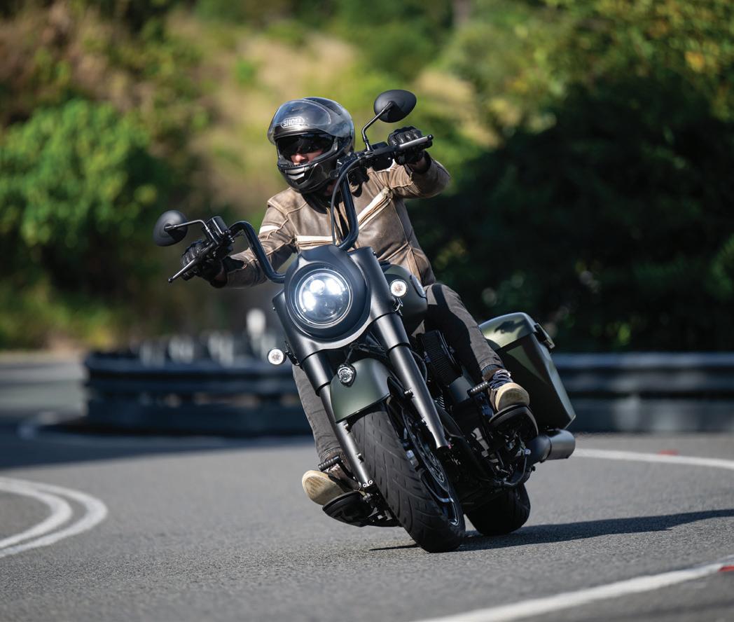
Cruiser
Big, low-slung, heavy, limited ground clearance: think Metric Cruisers and Harleys.
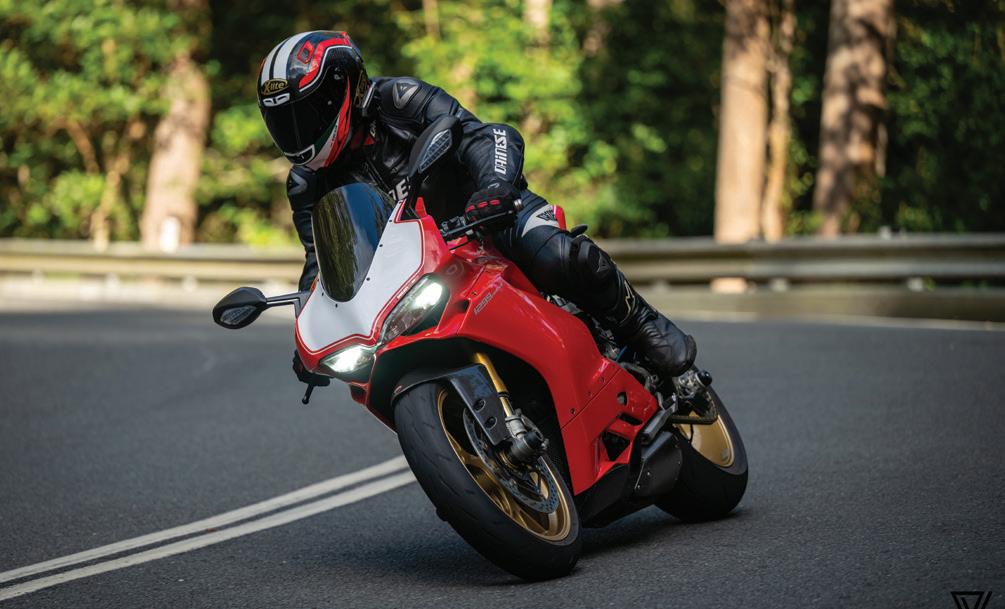
Sports
Heels up, wrists down, fast, light and lean, lots of numbers and letters, with or without the Tupperware: think anything Ducati, GSX-R and RR.
Tourer
All the electronic rider aids, barn-big fairings, GPS, six cylinders and 1000km days, often two-up; think Wings and RTs.

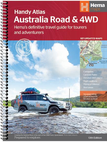
Australia Road & 4WD Handy Atlas is the perfect companion for this guidebook
Perfect Companion Handy Atlas
All the Top 200 rides in this Motorcycle Adventures Guide reference maps from the Hema Australia Road & 4WD Handy Atlas, making it the perfect companion to this guide and your next motorcycle adventure.
Just like this guide, it’s compact in size and has an easy spiral-bound format, so you can leave it open to the map page you want, tuck it face-up in your tank bag and keep your eyes on the road ahead.
You can also use the atlas independently to plan your own touring or adventure ride anywhere in Australia, with the confidence that the maps have been field checked and updated by the Hema Map Patrol team.

Grab your copy from your favourite bookstore or service station or direct from the Hema Maps website: hemamaps.com.au


EXAMPLE BELOW & LEFT:
Ride 8, Mount Tamborine, Map Reference: Map 7: F11-K9
Ride 8 Mount Tamborine
Start/End: Oxenford, O'Reilly’s Rainforest Retreat in Lamington National Park
A cool climb
From Oxenford on the Pacific Highway, it’s a terrific ride up through Coomera and Eagle Heights to North Tamborine. Try not to get stuck behind a car or delivery vehicle; four-wheelers are very slow on this road and passing them is both difficult and risky.
North Tamborine, by the way, is south of Tamborine and Tamborine Mountain, but north of Mount Tamborine. Got that? Then turn south from North Tamborine to Mount Tamborine and drop in at the St Bernards Hotel, which has good meals and brilliant views down across the valley. As might be expected, the whole area is well served with bakeries, cafes, eateries, hotels, pubs and restaurants, and any number of overnight accommodation too.
From this area, riders can take one of the real treats of southeastern Queensland motorcycling, the Main Western Road, which becomes single-vehicle wide in places and changes name to Tamborine Mountain Road about halfway down.
This leads down to the pleasant and prosperous town of Canungra. It can be safely assumed that the Army’s Land Warfare Centre and Kokoda Barracks nearby have something to do with that prosperity.
From Canungra another pleasure awaits, the 36km ride to what was the historic O'Reilly’s Guest House in Lamington National Park, now known as O'Reilly’s Rainforest Retreat. No side roads or anything to interrupt the ride which offers ever-changing views. Just the road twisting its way between the Darlington and
Ride Details
Map Reference: Map 7: F11-K9
Distance: 72km (or 152km circuit via Nerang)
Start/End: Oxenford, O'Reilly’s Rainforest Retreat in Lamington National Park
Information:
Surfers Paradise Ph 1300 309 440 destinationgoldcoast.com
Lamington NP Ph 13 74 68 parks.des.qld.gov.au Don’t miss

A quiet coffee in the back garden of the St Bernards Hotel, with those wonderful views.

COMPANION ATLAS
K'gari (Fraser Is)
Dam fine run
Ride 7 Lunch in the Mountains Ride Details
If you head out on this run on a weekend, or any fine day for that matter, be careful: there’s a good chance you’ll be run down by packs of sports bikes on their way out to Mount Glorious.
This is the best-known and most-used motorcycle road near Brisbane, and it’s policed accordingly. The run through The Gap onto Mount Nebo and eventually Mount Glorious is a swift succession of corners, mostly through D'Aguilar National Park and is the equal of any road in Australia.
Take the opportunity to stop at Mount Glorious because there’s a good chance you’ll find some fine machinery here. Of course, it’s also likely you will find bits of very fine machines strewn by the road on the way up too: some people’s ambitions exceed their talent sometimes.
From Mount Glorious, you’re on the Northbrook Parkway, Route 31.
At the T-intersection with the Wivenhoe-Somerset Road, you can turn right and go through Dundas, Crossdale and Caboonbah, around the northern side of Wivenhoe Dam to Esk. This is almost as much fun as the twin mounts road, but with far fewer other bikes.
Or you can go left, south of the dam on a pretty and less-used road, and stop at the lookout over Wivenhoe’s spillway on the less-interesting Brisbane Valley Highway. Both routes get you to Esk which The Kransky Sisters claim as their hometown.
From Esk it’s 46km up to Hampton and this road is a real treat. It has spectacular scenery and, to keep things interesting, some surprising changes — rainforest to open, mile-wide views. The ride is probably best done twice or even three times over.
Just down from Hampton on the Toowoomba road is the small town of Cabarlah and the Farmers Arms Hotel, which claims to be the oldest pub in Queensland; a much more tangible attraction is the quality of the Sunday roasts.
When it’s time to head home you can retrace your route, but if you’re digesting that big lunch, you’re probably better off with a gentle drift down to Toowoomba and home via the Warrego Highway.
It’s a great way to spend a Sunday!
Map Reference: Map 4 & 12
Distance: 307km (North of Lake Wivenhoe), 319km (South of Lake Wivenhoe)
Start/End: Brisbane CBD
Information: Brisbane
Ph 07 3006 6290
visit.brisbane.qld.au/plan/visitor-essentials/ visitor-information-centre
Don’t miss
Sports bike riders who have run out of talent and left lots of kit-form bodywork by the roadside.

ABOVE: D'Aguilar National Park
(Credit: Jakub/stock.adobe.com)
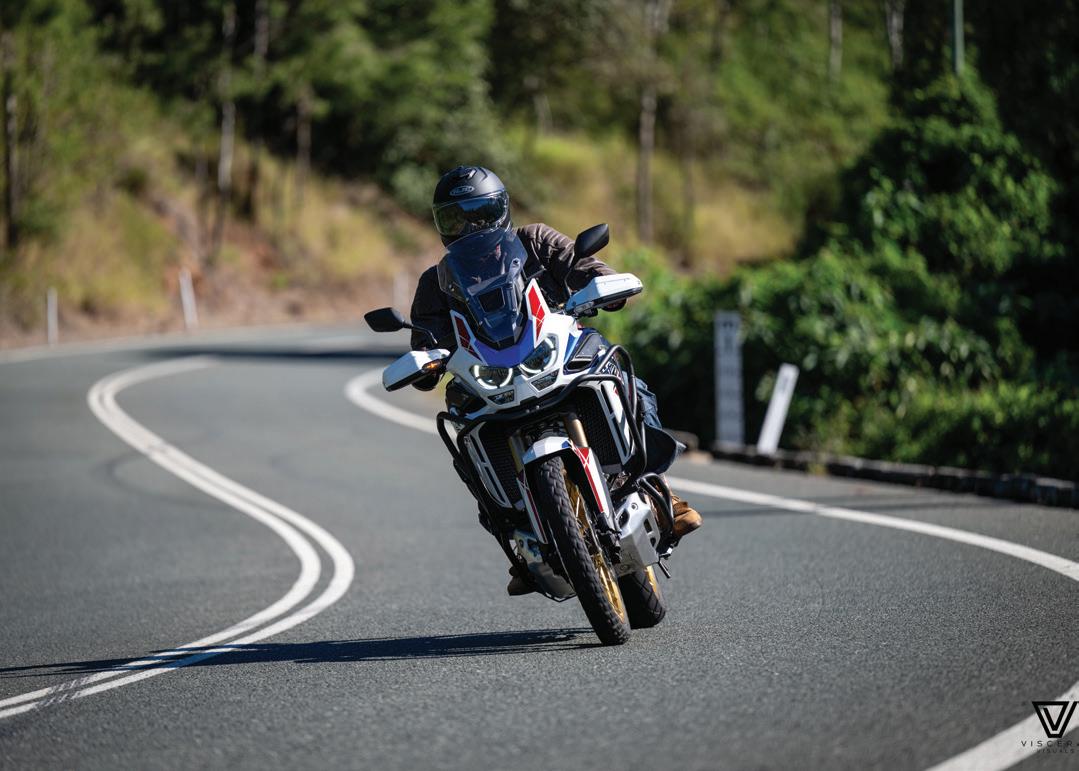
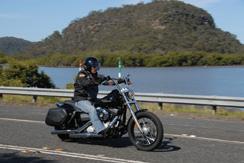
LEFT: Tall and supremely comfortable, this rider upon a Honda Africa Twin adventure bike has chosen first-class seating for the twisty ride up towards the cafe at the peak of Mount Glorious
(Credit: Visceral Visuals)
Ride 8 Mount Tamborine
A cool climb
From Oxenford on the Pacific Highway, it’s a terrific ride up through Coomera and Eagle Heights to North Tamborine. Try not to get stuck behind a car or delivery vehicle; four-wheelers are very slow on this road and passing them is both difficult and risky.
North Tamborine, by the way, is south of Tamborine and Tamborine Mountain, but north of Mount Tamborine. Got that? Then turn south from North Tamborine to Mount Tamborine and drop in at the St Bernards Hotel, which has good meals and brilliant views down across the valley. As might be expected, the whole area is well served with bakeries, cafes, eateries, hotels, pubs and restaurants, and any number of overnight accommodation too.
From this area, riders can take one of the real treats of southeastern Queensland motorcycling, the Main Western Road, which becomes single-vehicle wide in places and changes name to Tamborine Mountain Road about halfway down.
This leads down to the pleasant and prosperous town of Canungra. It can be safely assumed that the Army’s Land Warfare Centre and Kokoda Barracks nearby have something to do with that prosperity.
From Canungra another pleasure awaits, the 36km ride to what was the historic O'Reilly’s Guest House in Lamington National Park, now known as O'Reilly’s Rainforest Retreat. No side roads or anything to interrupt the ride which offers ever-changing views. Just the road twisting its way between the Darlington and Canungra ranges until it finally climbs the McPherson Range. Magic all the way, though a few sections are single-vehicle and there are some tight hairpin bends. Stopping for a breather at the Kamarun Lookout will let the brakes cool down too.
The O'Reilly family pioneered ecotourism in Australia when they began hosting visitors in Lamington National Park in 1915 and began charging for it in 1926. Now it’s a thriving business with a large campsite and very luxurious resort-style accommodation.
When you’re done, you can turn around and ride it all again in the other direction but turn right at Canungra onto the 90 Beaudesert–Nerang Road, or even take the alternative Henri Robert Drive from Mount Tamborine to Mount Nathan and on to Nerang

Ride Details
Map Reference: Map 7: F11-K9
Distance: 72km (or 152km circuit via Nerang)
Start/End: Oxenford, O'Reilly’s Rainforest Retreat in Lamington National Park
Information: Surfers Paradise Ph 1300 309 440
destinationgoldcoast.com
Lamington National Park Ph 13 74 68 parks.des.qld.gov.au
Don’t miss
A quiet coffee in the back garden of the St Bernards Hotel, with those wonderful views.
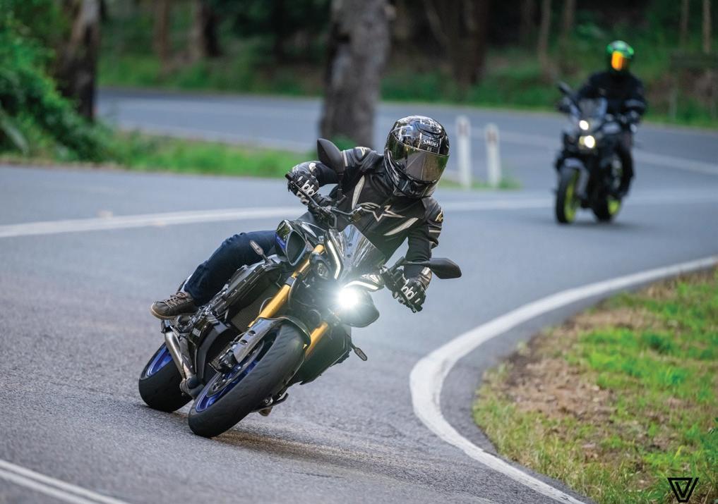
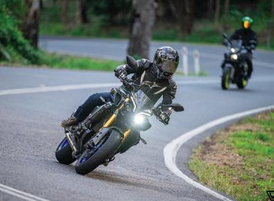
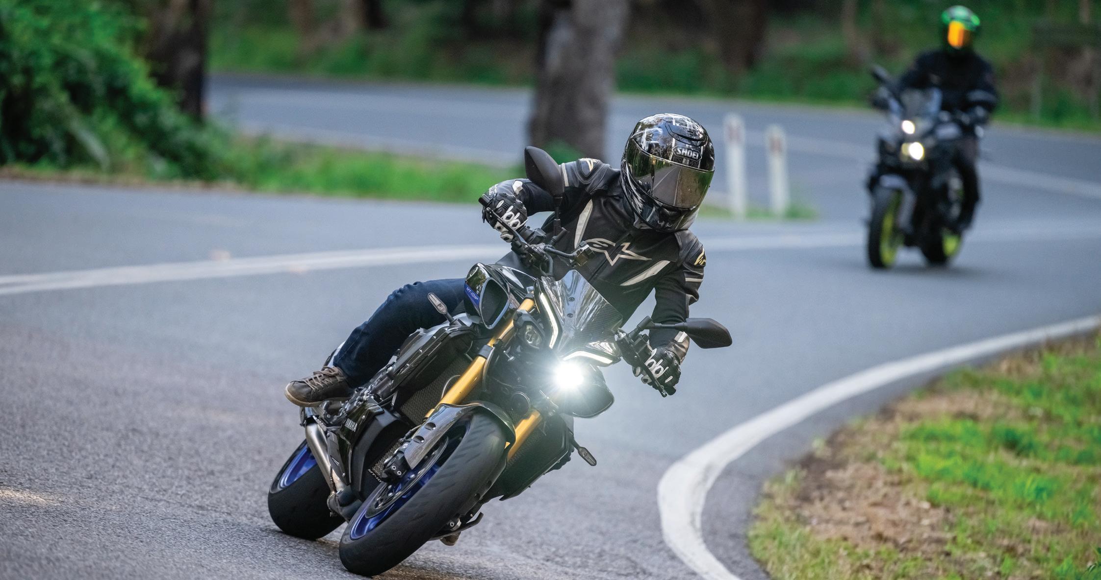
ABOVE: Riders such as these on their Yamaha MT10s are a common sight heading up through the twists of Tamborine towards Canungra (Credit: Visceral Visuals)
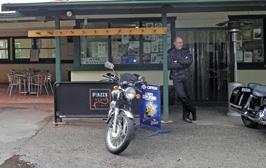
LEFT: Canungra’s Outpost Cafe is a motorcyclist hotspot and common stopping point for many rides through Tamborine, Beechmont and the Gold Coast regions (Credit: Visceral Visuals)

New South Wales
Wee Jasper Road [Ride 51] (Credit: Hema Maps)
Ride 49 Thunderbolts Way
Thundering north
Thunderbolts Way was named after a bushranger and is one of those must-do, bucket-list roads. In the dim distant past, it was a rough, old bit of road, almost more of a track, and the stretch just before Nowendoc coming from Gloucester was a nightmare of big, pointy, loose rocks which would throw just about anything off line.
Happily, Thunderbolts Way is now much better than it was; it’s a major link between Sydney and the north of the state and is mostly sports-bike-smooth asphalt. It’s named after a local bushranger, Frederick Ward — alias Captain Thunderbolt — who wandered these parts in the mid-19th century. He earned a reputation as the ‘gentleman bushranger’ and was the longestroaming bushranger in Australian history but was shot by police when he was 35.
The road across towards Tamworth has been tarred, though Port Stephens Cutting remains narrow and requires care and attention.
Thunderbolts Way is well signposted from Gloucester — just cross the Gloucester River and you’re away. The road is like a giant roller coaster as it heads north to the Manning Valley and then up into the range with some impressive sweeping corners. It’s not flat at the top either, although it is flatter, and there are some great views to the west across the Barnard River and its tributaries.
Nowendoc, off to the left a short way, has a general store but little else. The building itself and the open grassy patch Nowendoc occupies is reminiscent of northwestern USA; half close your eyes, and you could be in Utah or Montana.
The final stretch of road into Walcha is narrower and the corners are not surveyed quite so generously. It’s still fun though, and, of course, it leaves you on the wonderful Oxley Highway.
Eric Carson, a Gloucester sawmiller and road builder, carved the first road through the ranges to bring out hardwood from the forests
Ride Details
Map Reference: Map 55: H9-C8
Distance: 158km
Start/End: Gloucester, Walcha
Information:
Gloucester
Ph 1800 802 692 barringtoncoast.com.au/directory/ gloucester-visitor-centre
Walcha Ph 02 6774 2460 walchansw.com.au
Don’t miss
Carsons Lookout, with its spectacular views of the Great Dividing Range.
on the Great Divide. Carson spent years fruitlessly trying to persuade local politicians that a road should be built from Gloucester to Nowendoc, so he went and built it himself, cutting a 32km route in some of the steepest and most rugged country in NSW; it was finished in 1961. Carsons Lookout commemorates his work between Gloucester and Nowendoc.

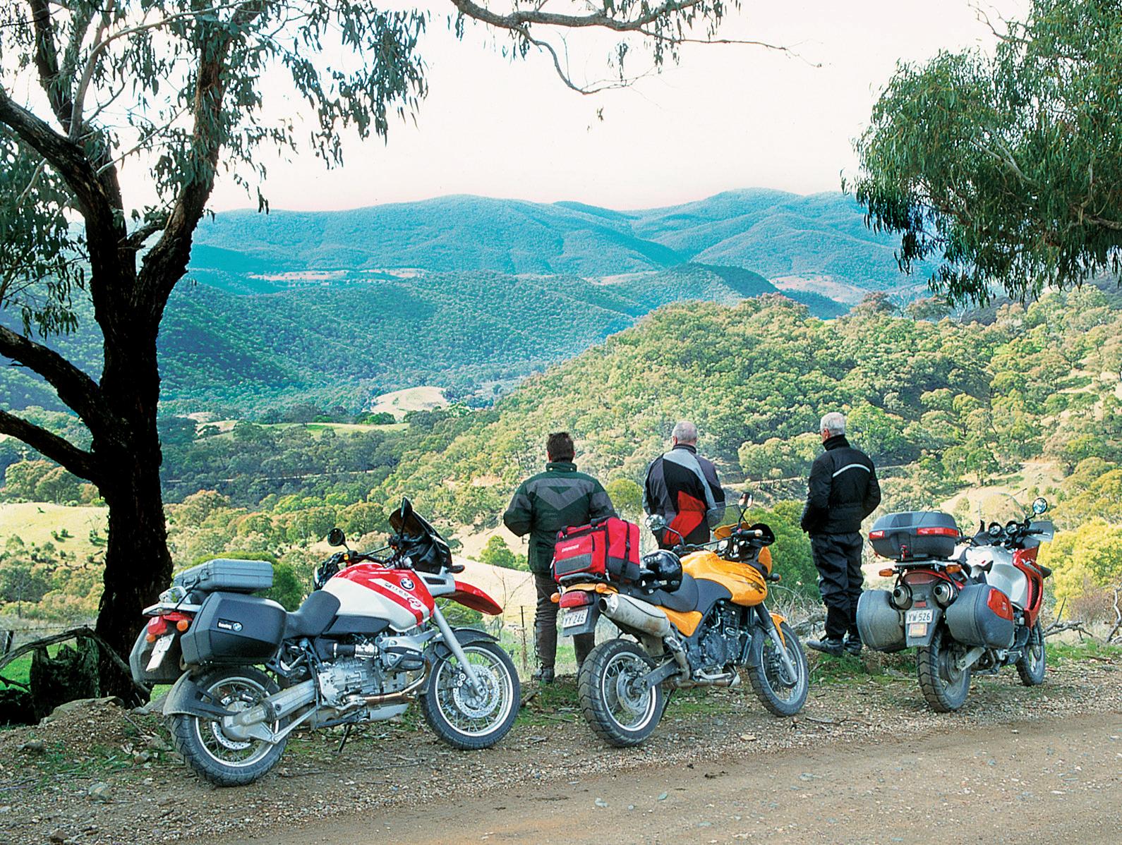
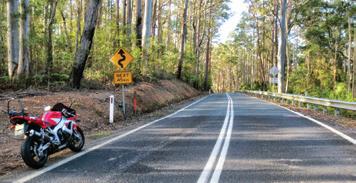
LEFT: Thunderbolts Way is a scenic drive (Credit: Hema Maps) BELOW: Vast open roads on Thunderbolts Way (Credit: Hema Maps)
Ride 50 Waterfall Way (East)
Not so wet
This is only about a quarter of the Waterfall Way, which begins in Armidale and ends on the Pacific Highway at Raleigh. We’ll just go up as far as Dorrigo, because that’s probably the best bit of the road.
If you’re riding north from Sydney to get to the start, consider a detour through Bowraville, the so-called ‘verandah town’, via Macksville
Or you can simply stay on the highway and turn off to Bellingen at Raleigh to start your ride the easy way.
The road along the Bellinger River is pleasant, and Bellingen is a leafy little town. Stockman William Myles arrived in 1840, naming the area with the Gumbaynggirr word for the river. A cartographer mapping the colony mistook an ‘n’ as an ‘r’, so the river became the ‘Bellinger’, while the town stayed ‘Bellingen’. Logging cedar in the 1840s became a major industry, with 20 pit saws operating by 1843; it was estimated more than 2 million feet were extracted each year over several decades.
From Bellingen to Thora and the river crossing, the road passes several nut plantations.
After the small settlement of Thora, the road climbs and for a dozen kilometres or so becomes a perfect bike road. You really need to remind yourself that you should stop and check out the waterfalls — it’s easy to get into a groove and just keep going. Unfortunately, there’s a lot of traffic on this road, so it might be best to tackle it in the morning — early, before school and the workday. It’ll be worth getting on the road early to take in the lovely scenery.
Dorrigo’s name is derived from the Aboriginal word, dondorrigo or dandarrga, meaning ‘stringy bark’. For decades it was believed explorer Major Edward Parke named the region after Spanish General Don Dorrigo with whom Parke fought in the Peninsula War.
Dorrigo’s ‘world’s smallest motorcycle museum’ café is long gone, and while the proposed Railway Museum shows no signs of opening anytime soon, it is one of the largest collections of railroad memorabilia in the world, spanning 1855 to the present.
If you have time, the Eastern Dorrigo Road via Megan, Brooklana, Coramba and Karangi to Coffs Harbour will add 70km and a couple of rewarding hours to your day.
Ride Details
Map Reference: Map 55: A13-A12, Map 59: F12-G13
Distance: 39km
Start/End: Raleigh, Dorrigo
Information: Dorrigo Ph 02 6657 2486 visitnsw.com/destinations/north-coast/coffsharbour-area/dorrigo
Bellingen Ph 02 6655 1522 bellingen.nsw.gov.au/Community/Recreation/ Visitor-Information
Don’t miss
The various waterfalls on the climb up to Dorrigo Mountain.
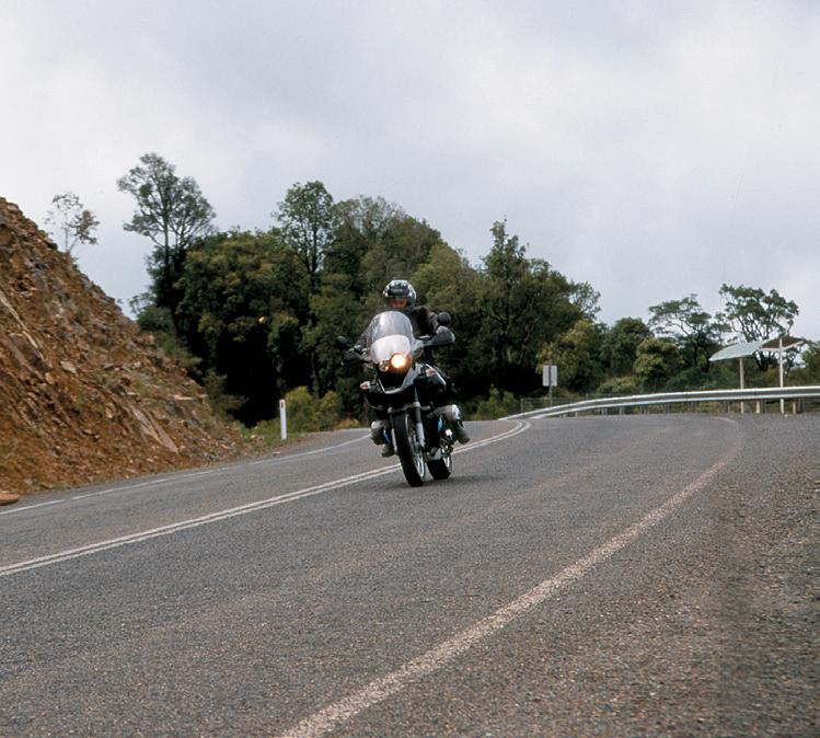
LEFT: Riding Bruxner Highway, near Waterfall Way
(Credit: Hema Maps)
RIGHT: There are some waterfalls on the short stretch of the road
(Credit: Hema Maps)


This new 7th Edition of the bestselling Hema Australia Motorcycle Atlas, now called Motorcycle Adventures, has been updated with the latest ride distances, trip highlights and vital information.
Discover Australia’s TOP 200 rides, organised by state/territory, with details including start and finish points, motorcycle suitability per trip (Adventure, Cruiser, Sports and Tourer bikes), distance and relevant contact information.
Produced in a compact size to fit in your tank bag or pannier, this guidebook is the perfect companion for riders keen to explore and discover our beautiful nation.
ATLAS COMPANION
You may notice that each ride includes a map reference. These reference the Australia Road & 4WD Handy Atlas, which is available for purchase on the Hema Maps website or from participating retailers.


Key Features
• Self-drive motorcycle rides for sports, tourer, cruiser and adventure bikes
• Ride distances
• Visitor information centres
• Trip highlights
• Rides referenced to Australia Road & 4WD Handy Atlas