2 minute read
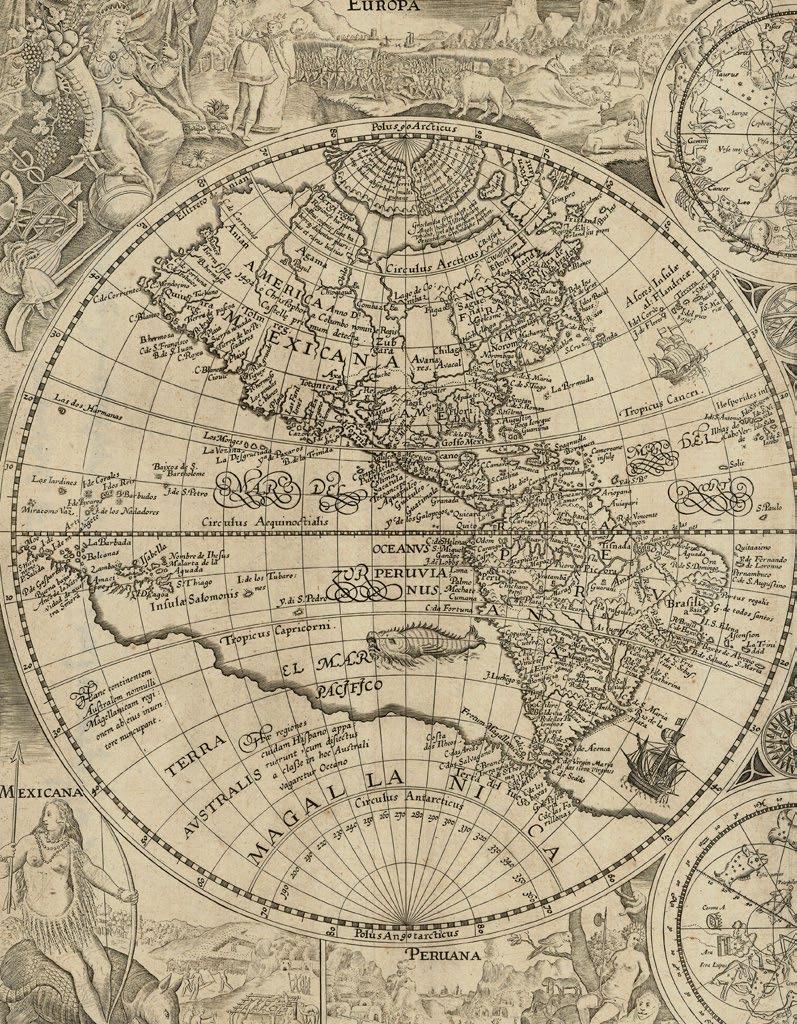
The Harleian or Dauphin map

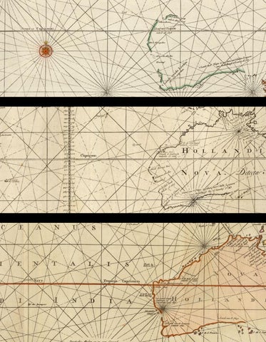
The original manuscript map, on which the current map is based, resides in the British Museum, formerly in the collections of the Harley family, Earls of Oxford, and of Joseph Banks. It was prepared during the reign of Francois I of France (1515-1547), possibly commissioned by, or for, his son, hence its appellation as “The Dauphin Map”. As Dalrymple’s note on the map states: “N.B. This Map has on It. The Arms of the Dauphin of France: and, although without date, appears to have been made early in the 16th Century; Because it has Japan, only vaguely expressed, at a remote distance from the Continent, under the name of Zipangri, from the report of Marco Polo: Whereas in the Map, published at Paris in 1575, in “la Cosmographie Universelle” by A. Thevet, Cosmographer to the King of France, the Japan Islands are represented as adjacent to the Continent, and circumstantially described, etc. 22nd February 1790”. The map “enticingly depicts a new world that awaited maritime enterprise at a moment when Normandy had become the centre of trade with Brazil and the East Indies. The Norman ports developed a flourishing trade in brazilwood to supply the cloth-dyers of Rouen, and Norman seafarers under Jean Parmentier had ventured as far as Sumatra, while in 1524 Italian navigator Giovanni da Verrazzano, leading a French expedition, thought he had found a northern sea passage from the Pacific to the Indies (shown on the map as “Gof anto Mer osto” – Gulf to the South Sea” (King).
Whether the map is indeed based on discovery or supposition remains a bone of contention. Dalrymple, long an ardent advocate for an English funded voyage to the Pacific to test his theories of the existence of a Great South Land, but whose place in history as the “discoverer” of Australia ultimately, and bitterly, fell to Captain James Cook, was certain that it does indeed present the findings of true venture,… not in the least because that would mean that his arch rival had not been the first European to “discover” Australia… In a memoir to this map, Dalrymple writes, with some schadenfreude: “The East Coast of New Holland as we name it, is expressed with some curious circumstances of correspondence to Captain Cook’s MS”.
Rare: no examples offered in available records; only two institutional example found, at the National Library of Australia, and at the State Library of New South Wales.
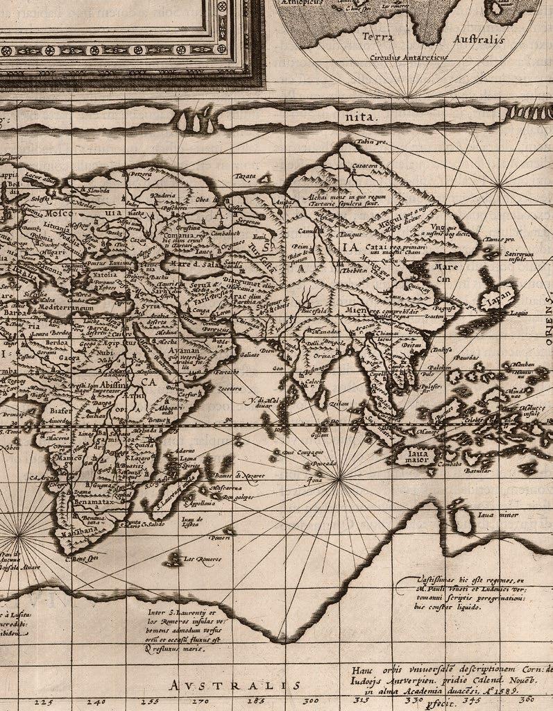
MONTANUS, Benedictus
Arias Pars Orbis… Benedict Arias
Montanus Sacrae Geographiae
Tabulam ex antiquissimorum cultor familiis a Mose recensitis ... Aø. 1571.
Publication
Antwerp, Christopher Plantin, 1571.
Description Double-page engraved map.
Dimensions 400 by 520mm (15.75 by 20.5 inches).
References
Clancy, ‘The Mapping of Terra Australis’, 1995, 5.7; Rudge, ‘The Catholic Encyclopedia’ online; Shirley World 125, plate 1.
This map holds a “special place in the early cartography of Australia” (Schilder). It was issued in the eighth volume of a polyglot Bible, which came to be known as the ‘Sacrae Regia’, printed by Christopher Plantin, and edited by Arias Benedictus Montanus between 1569 and 1572. The bible, with text in Hebrew, Greek, Latin, and Syriac, was dedicated to and largely paid for by King Philip II of Spain. Tragically, a large proportion of the entire printing of the final eighth volume was lost at sea on its way to Spain, so the first issue is very rare.
Based on the cartography of Giacomo Gastaldi, the map purports to show how Noah’s three sons repopulated the earth “apres le deluge”, but also includes a wonderful and mysterious anomaly: a landmass in the region and rough shape of northern Australia but not included in official Dutch records, until it was “sighted” during the voyage of the ‘Dufykin’ in 1606, therefore making a tantalizing claim for the “inclusion of Portuguese discoveries along the northern coastline, without any hypothetical southern land mass” (Clancy).
The current example is the second issue of this double-hemisphere map, with no text on the verso, and the word “Gentes” added to the panel of text lower left.