1 minute read
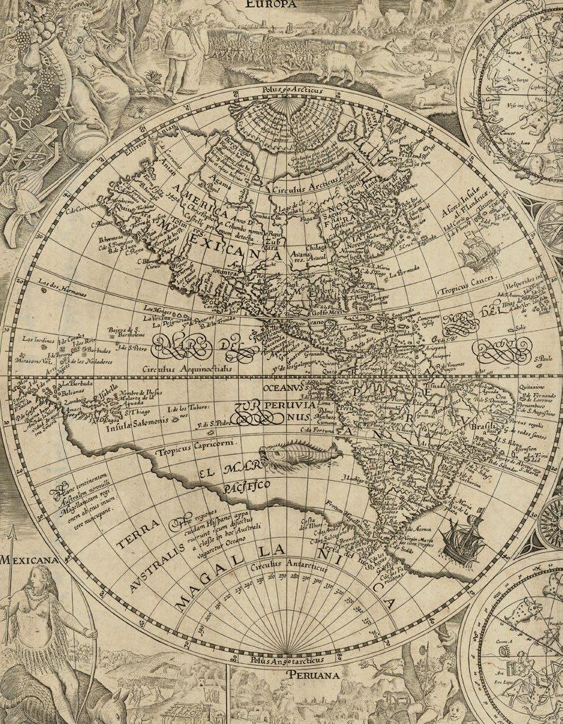
The world on Mercator-like projection

This deceptively simple map shows two views of the world. The main chart is a world map on a rectangular projection, similar to Mercator’s projection (1569), but closer to that of Marinus of Tyre (c70-130), with two small hemispheric maps to either side of the title, which show the western and eastern hemispheres on Roger Bacon’s circular projection.
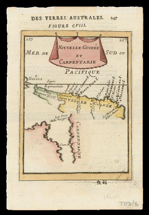
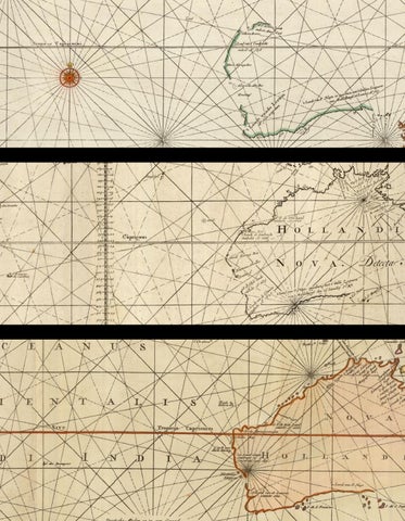
In all three projections, “Terra Australis” appears as a single gigantic southern continent. New Guinea is an island, and the islands of Southeast Asia largely follow the configuration found in Ortelius’s first single sheet map of the world, published in his ‘Theatrum’ (1570). The South American continent is disproportionately wide. The Strait of Anian separates America and Asia.
The imprint at the lower edge states that the map was created by Cornelis de Jode in November 1589 at the Academy of Douai, and published or printed by his father Gerard de Jode, indicating that the map was ready before the completion and publication of the second edition of the de Jodes’s atlas ‘Speculum orbis terrae’ in 1593. Another theory suggests that the map was initially prepared by Gerard much earlier, hence some of the antiquated cartography, and completed by Cornelis, once Gerard was beyond the fine work needed to engrave a map like this.


TORNIELLO, Agostino
Situs Partium Praecipuarum Totius Orbis Terrarum.
Publication Milan, Agostino Torniello, 1609.
Description
Double-page etched map, browned.
Dimensions 370 by 460mm (14.5 by 18 inches).
References Shirley World 267.
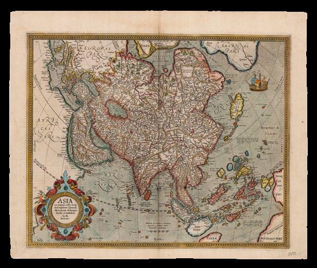
First issue of Agostino Torniello’s map of the world, based on that of Abraham Ortelius, published in his ‘Annales Sacri et Profani’, a history of the world from the Creation to the time of Christ, which first appeared in 1609 and was reissued the next year with additional engraved plates. Subsequent issues of the map include further toponyms.