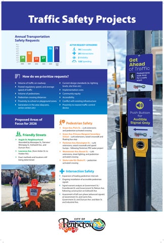
Traffic Safety Projects Annual Transportation Safety Requests 80
ACTIVE REQUEST CATEGORIES
70
70
60 50
20 10 0
70 Crosswalks
48
40 30
71
28 2020
20 Intersections
23 2021
27
2022
2 Visibility 125 Speeding
2023
2024
2025 YTD
How do we prioritize requests? Volume of traffic on roadway Posted regulatory speed, and average speed of traffic
Current design standards (ie. lighting levels, site lines etc) Implementation costs
Volume of pedestrians
Community equity
Pedestrian crossing distances
Accessibility
Proximity to school or playground zones
Conflict with existing infrastructure
Generators in the area (daycares, senior centers etc)
Proximity to nearest traffic control device
Proposed Areas of Focus for 2026
Pedestrian Safety Green Ave./Paris St. – curb extensions and pedestrian activated crossing
Friendly Streets Argyle St. Neighbourhood (bounded by Moosejaw St., Fairview/ Winnipeg St., Eckhardt Ave., and Duncan Ave.) Lawrence Ave. (from Antler Dr. to Holden Rd.) Exact methods and locations still being determined
Green Ave./Princess Margaret Secondary School – curb extensions, raised crosswalk and floating bus stop Penticton Ave./Kensington St. – curb extensions, raised crosswalk and speed humps – following Penticton PRV water project Westminster Ave./Basset St. – curb extensions, street lighting, and pedestrian activated crossing Skaha Lake Rd./Skaha Pl. – pedestrian activated crossing
Intersection Safety Expansion of leading pedestrian intervals Ongoing installation of accessible pedestrian signals Signal warrant analysis at Government St./ Forestbrook Dr. and Government St./Nelson Ave. following construction on Eckhardt Ave. Assessment of left turn phase (advanced signals) at Government St. and Carmi Ave., Government St. and Duncan Ave. and Main St. and Industrial Ave.