1-7 Table 1-1 Make it Chino! 2040 General Plan Elements and Topic Areas
3-8 Table 3-1 Future Land Use Categories
3-13 Table 3-2 Future Land Use Amounts by Acreage and Estimated Developable Dwelling Units at Buildout
3-13 Table 3-3 Zoning Conformity Matrix
6-4 Table 6-1 Water Service Providers in Chino Valley
7-6 Table 7-1 Employment by Industry, Second Quarter 2022, Yavapai County
7-8 Table 7-2 Median Income by Age Cohort, 2021
7-10 Table 7-3 SWOT Analysis
8-4 Table 8-1 Implementation Plan
8-16 Table 8-2 Balance Matrix
8-18 Table 8-3 Mixture Matrix
The Make it Chino! 2040 General Plan is a long-range, comprehensive policy document serving to direct future growth. The plan will be used as a guide for making long-term planning decisions in the coming years. Using overarching goals and implementable policies meant to carry out those goals, the community will be able to bring its vision for the future to life. The General Plan’s guidance is meant to meet the needs of Town residents and ensure sustainable growth and suitable use of land.
Community Context
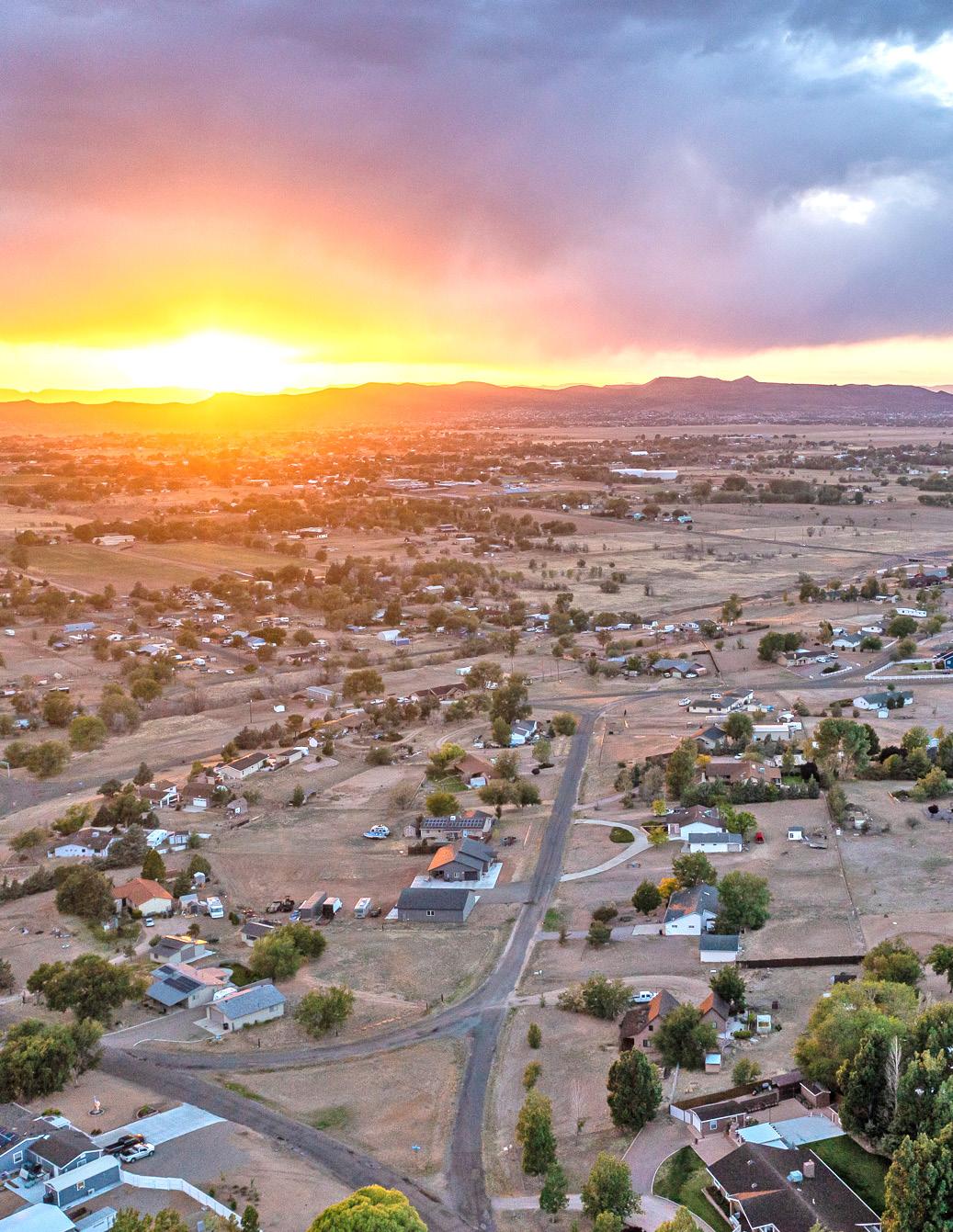
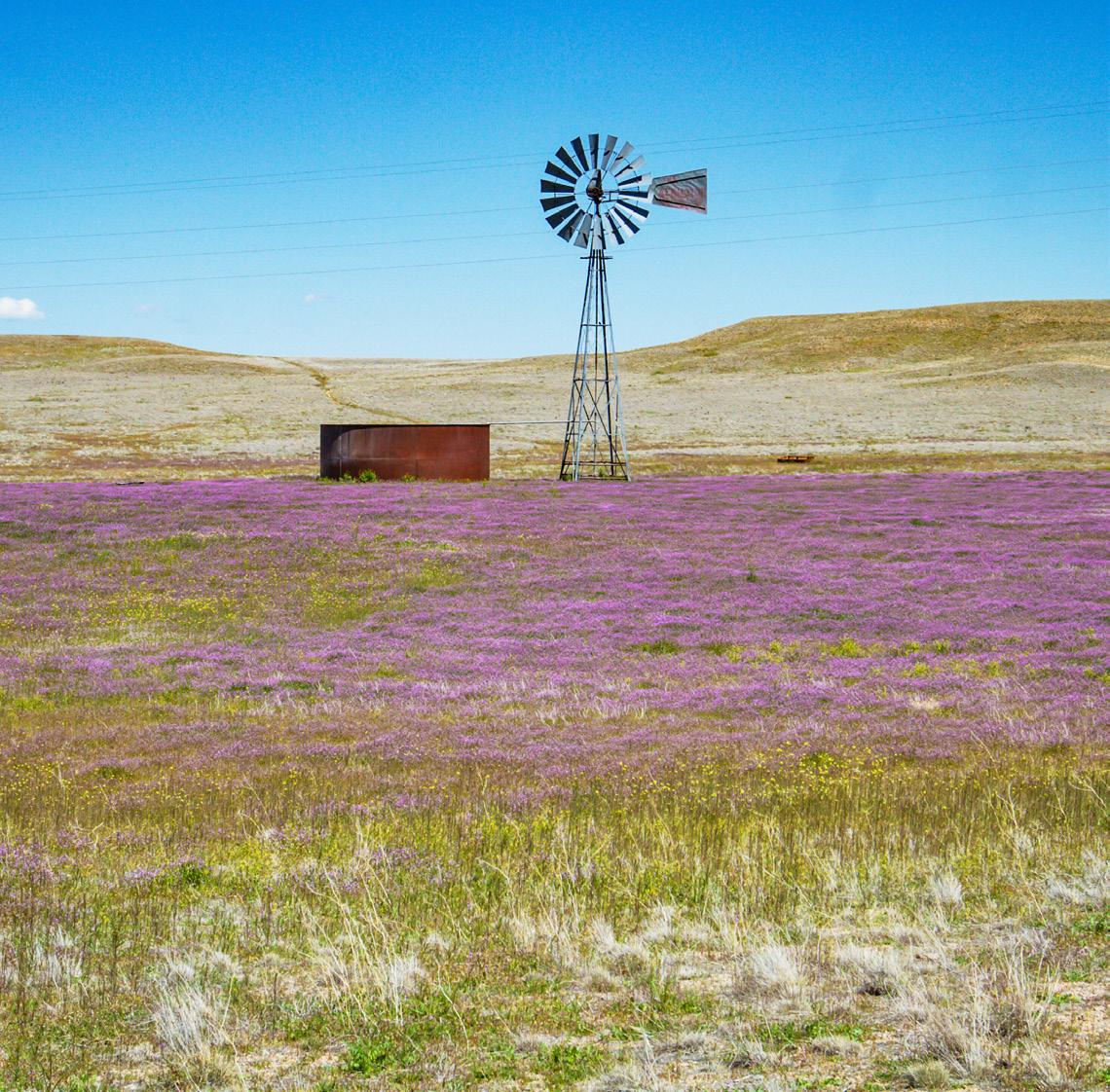
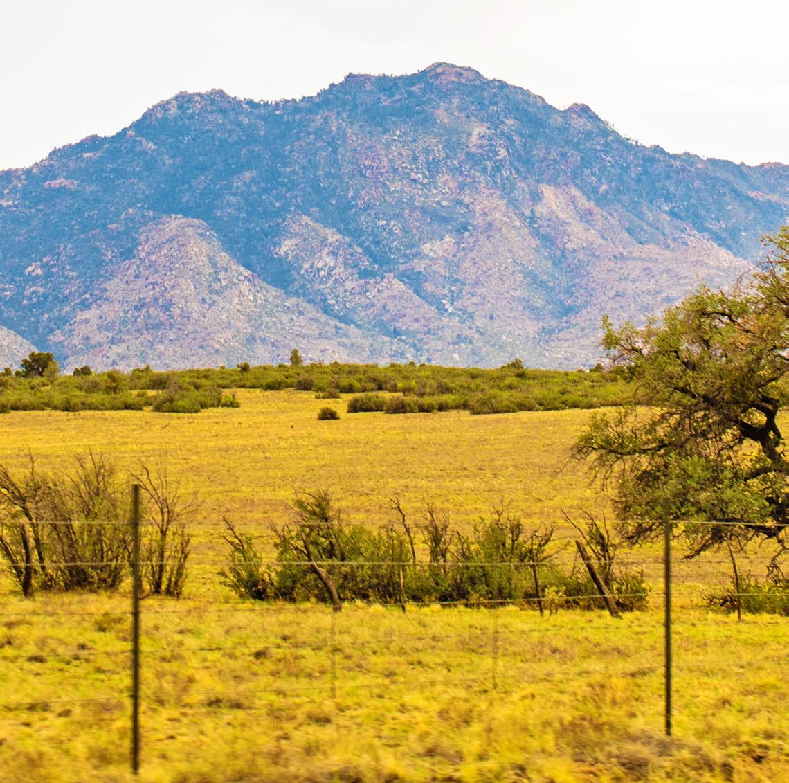
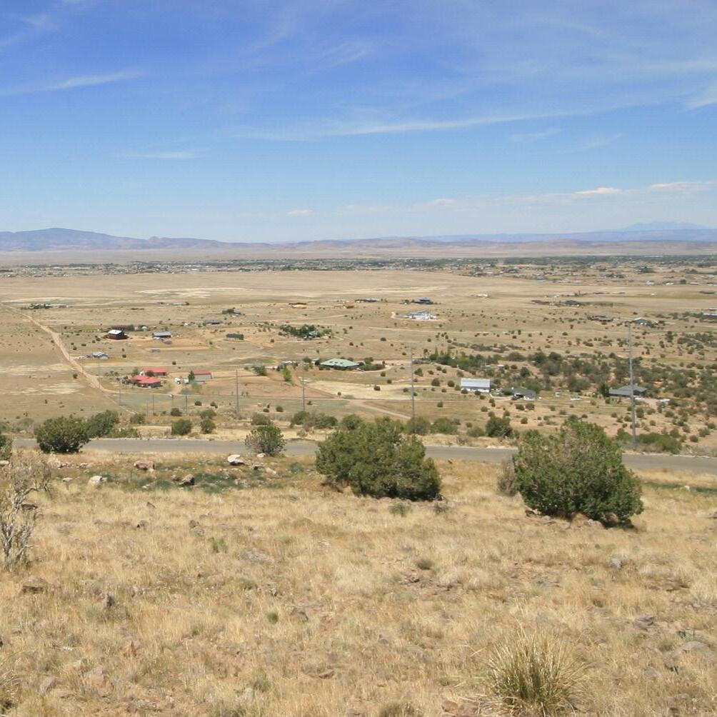
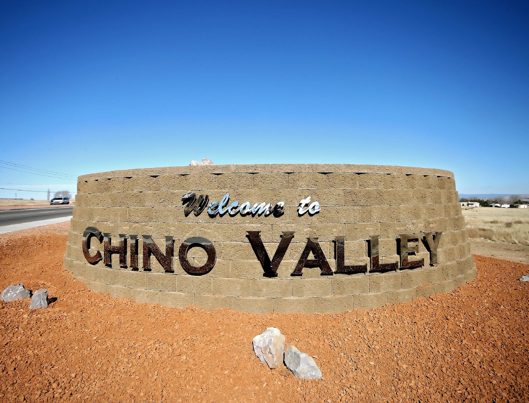
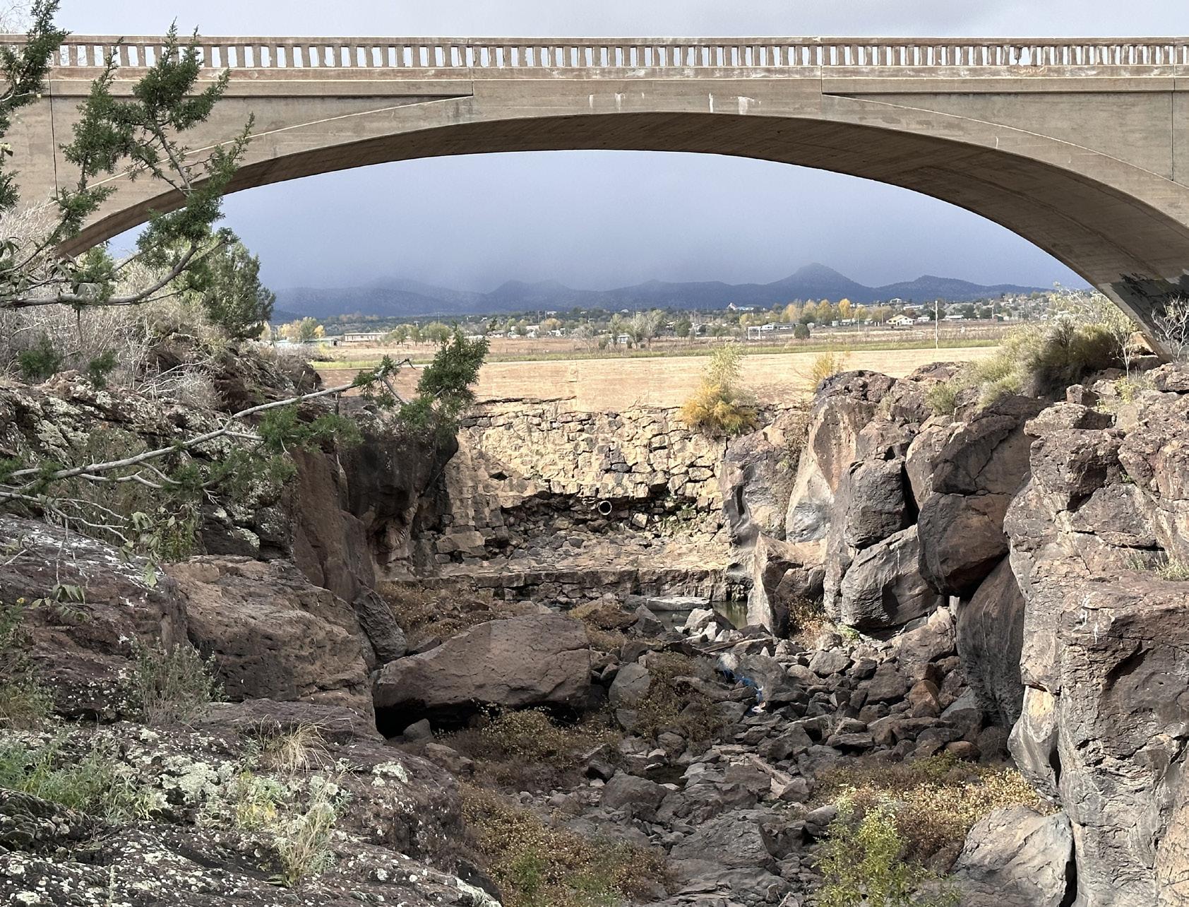
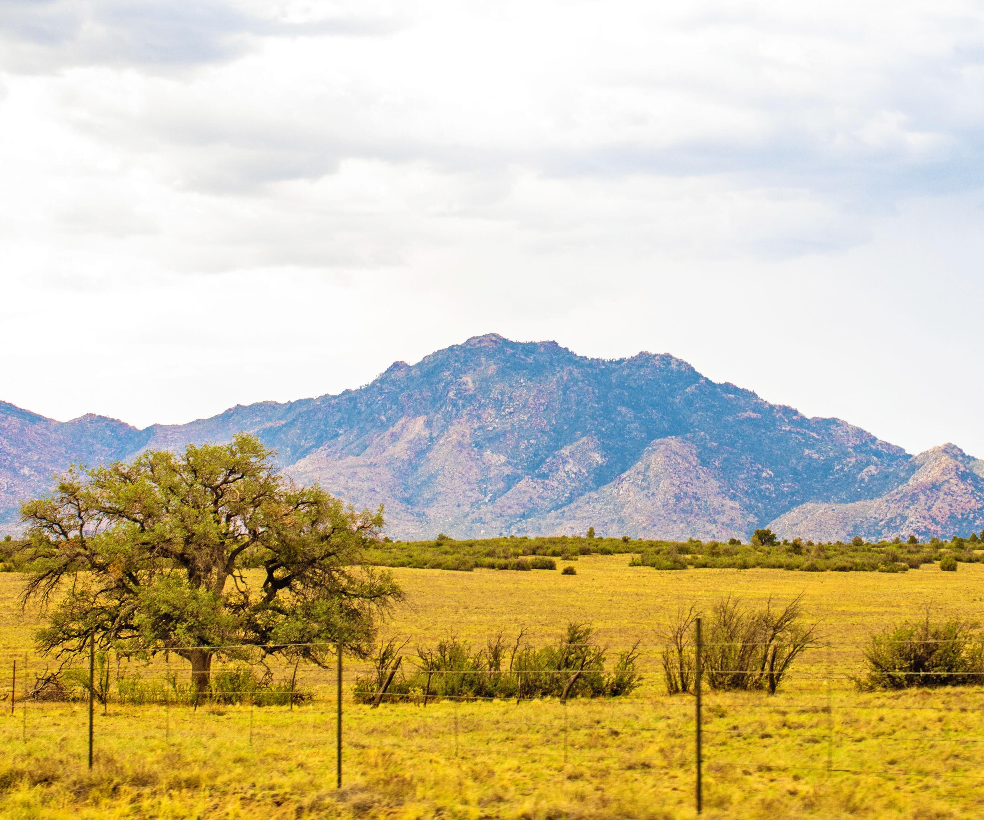
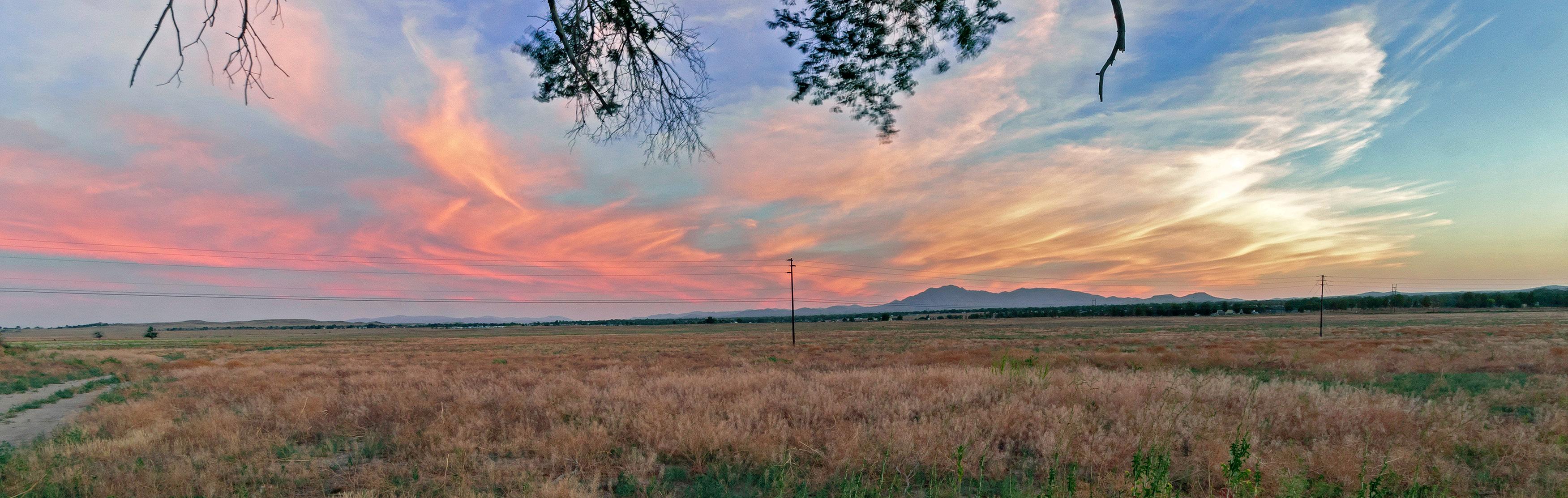
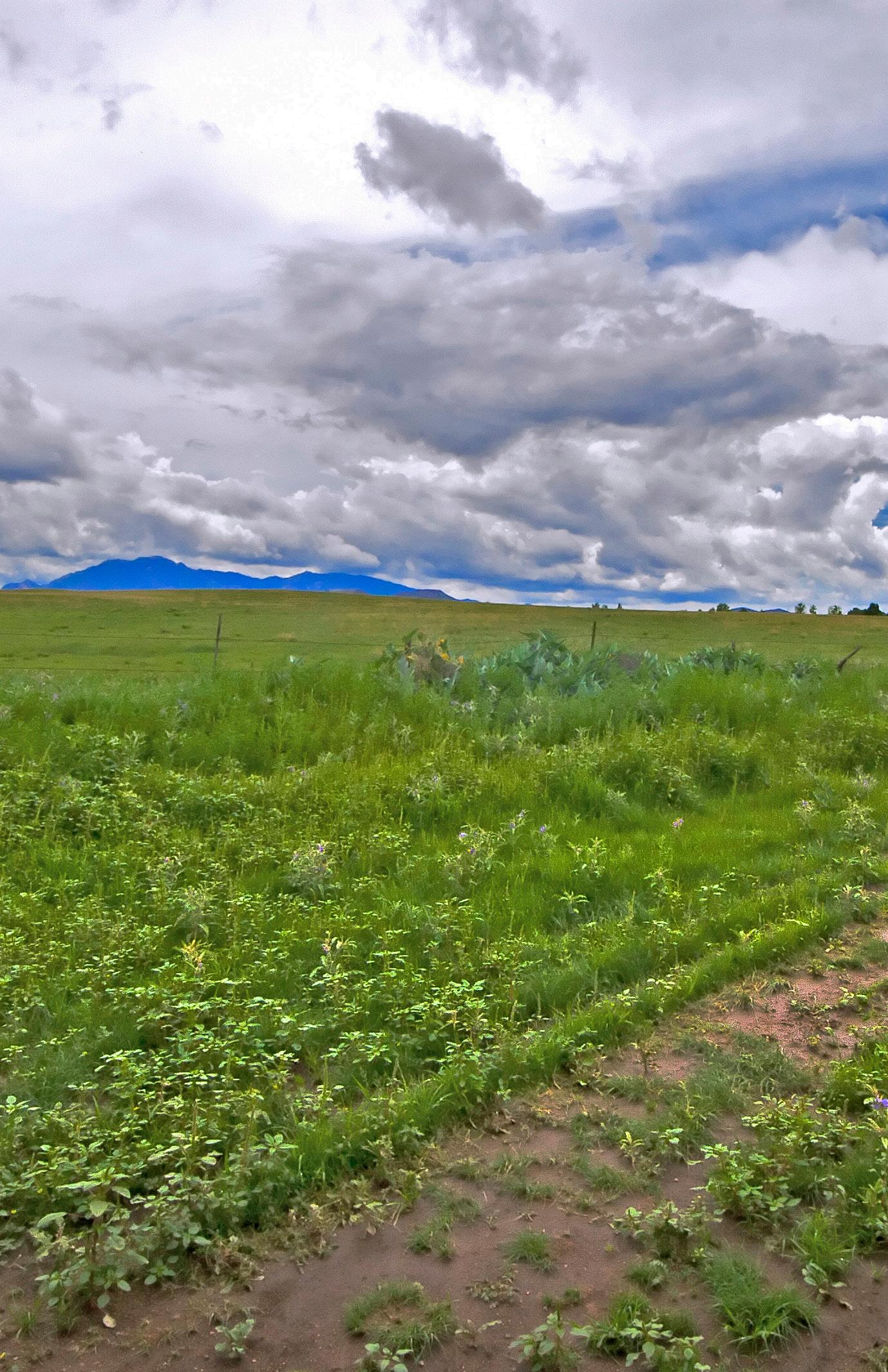
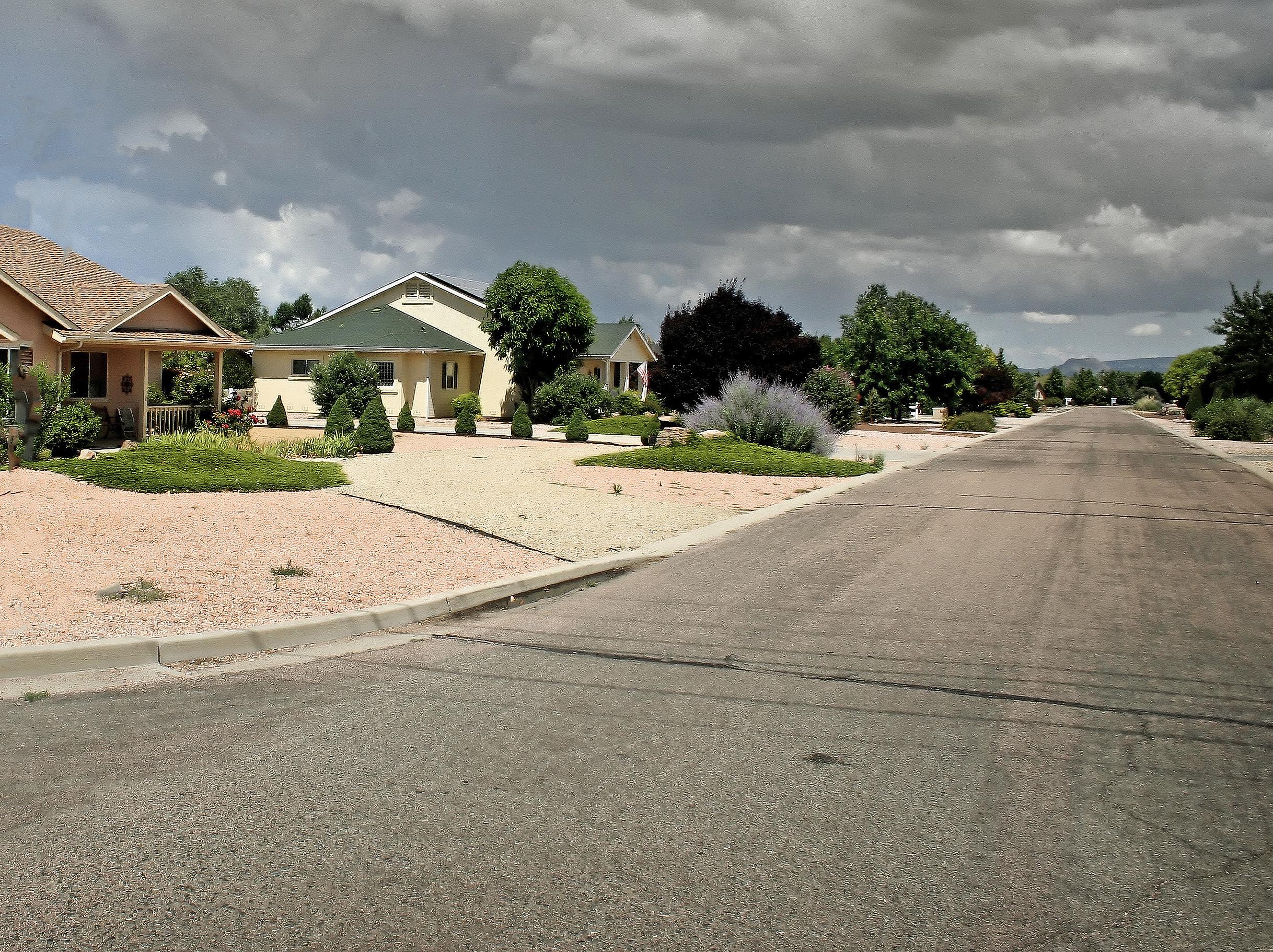
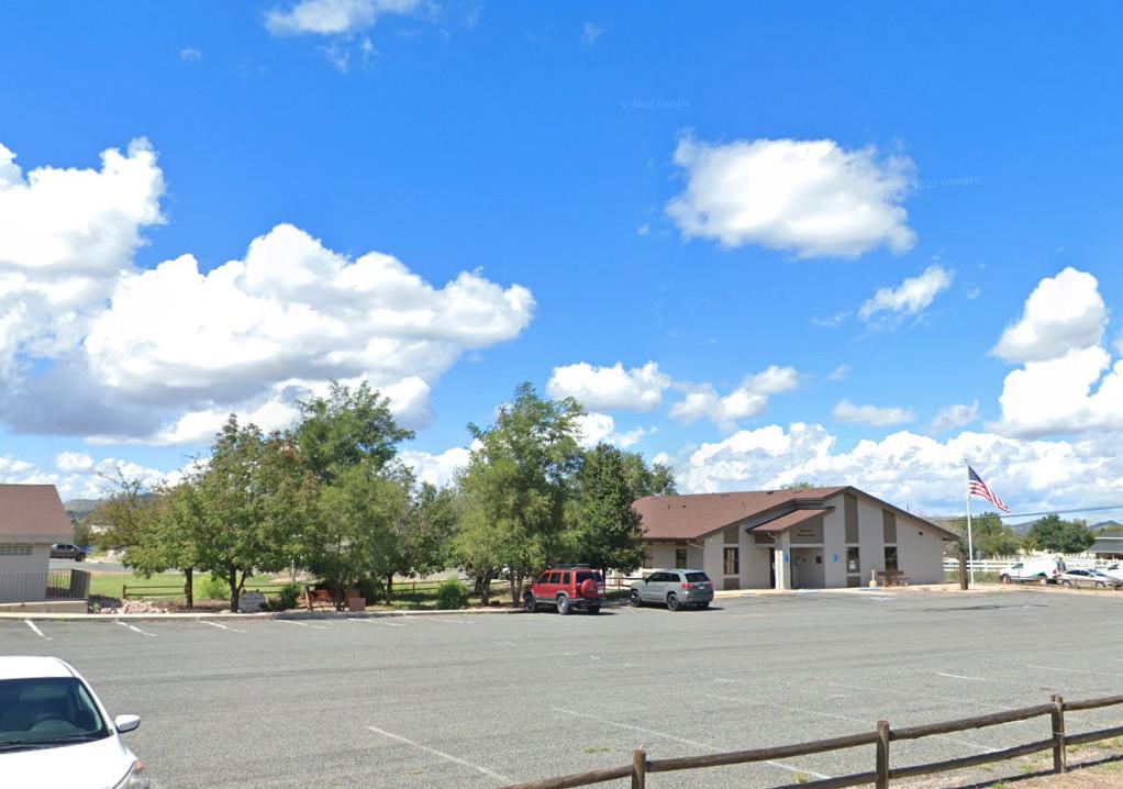
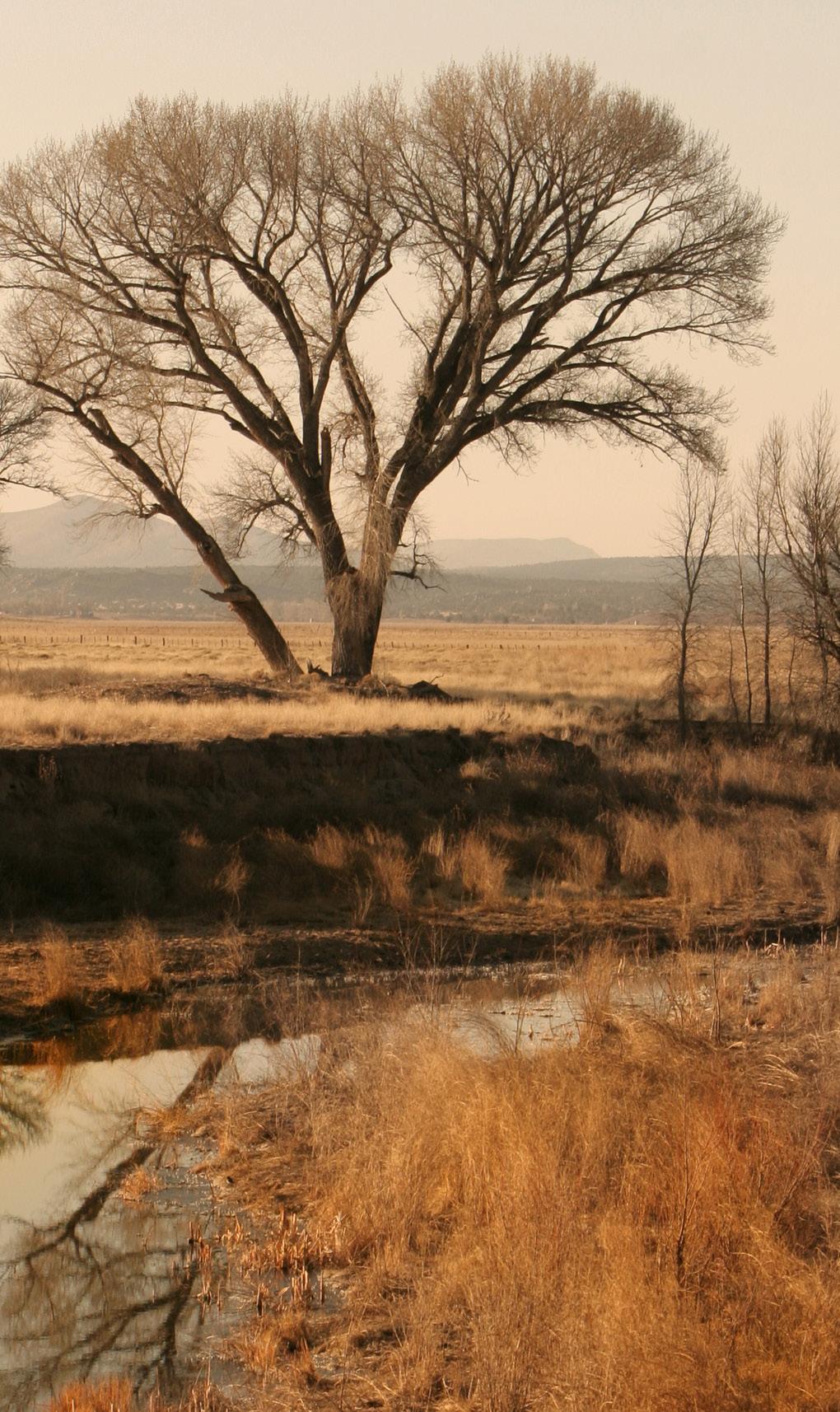
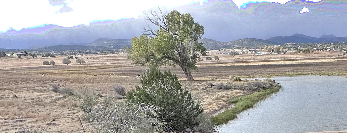
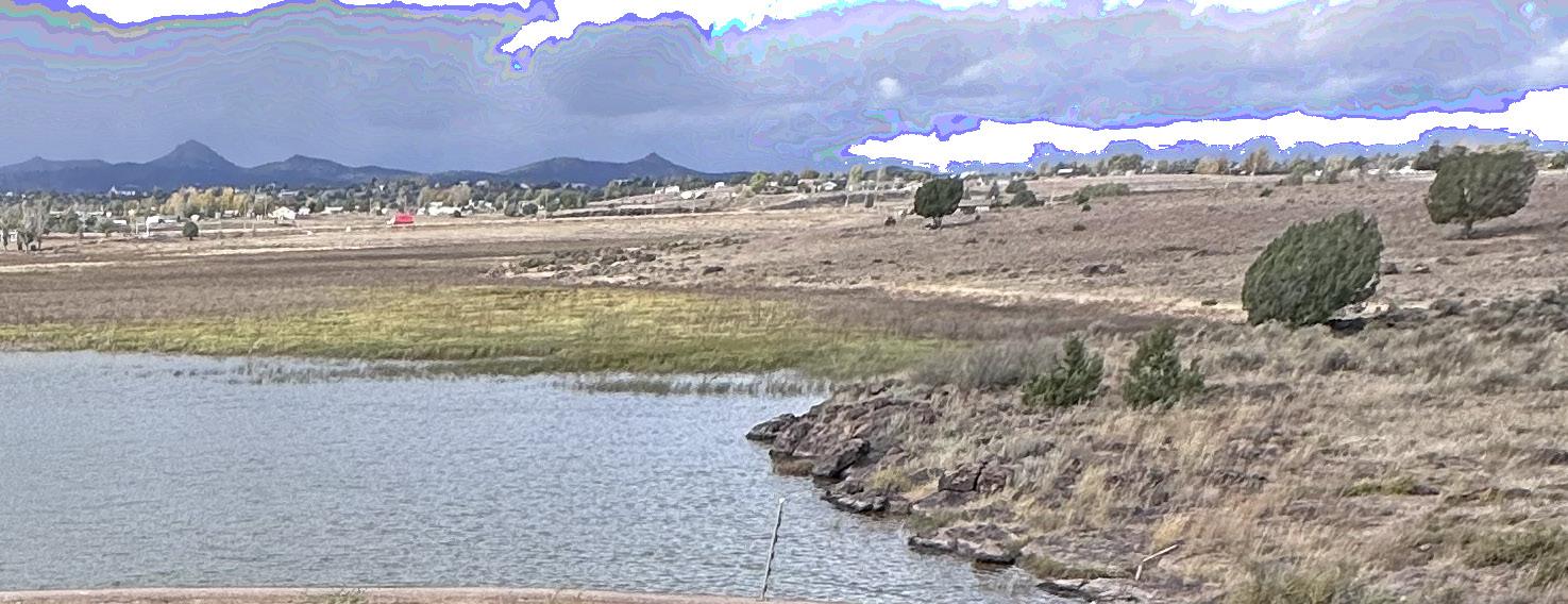
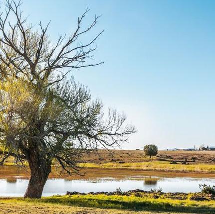
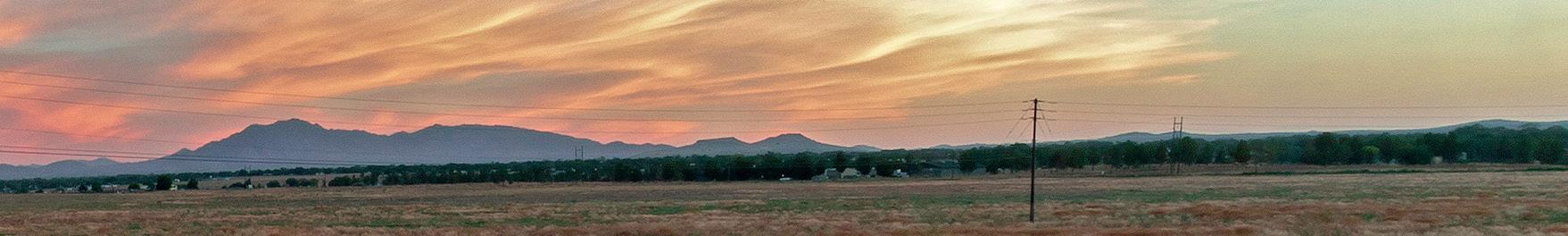
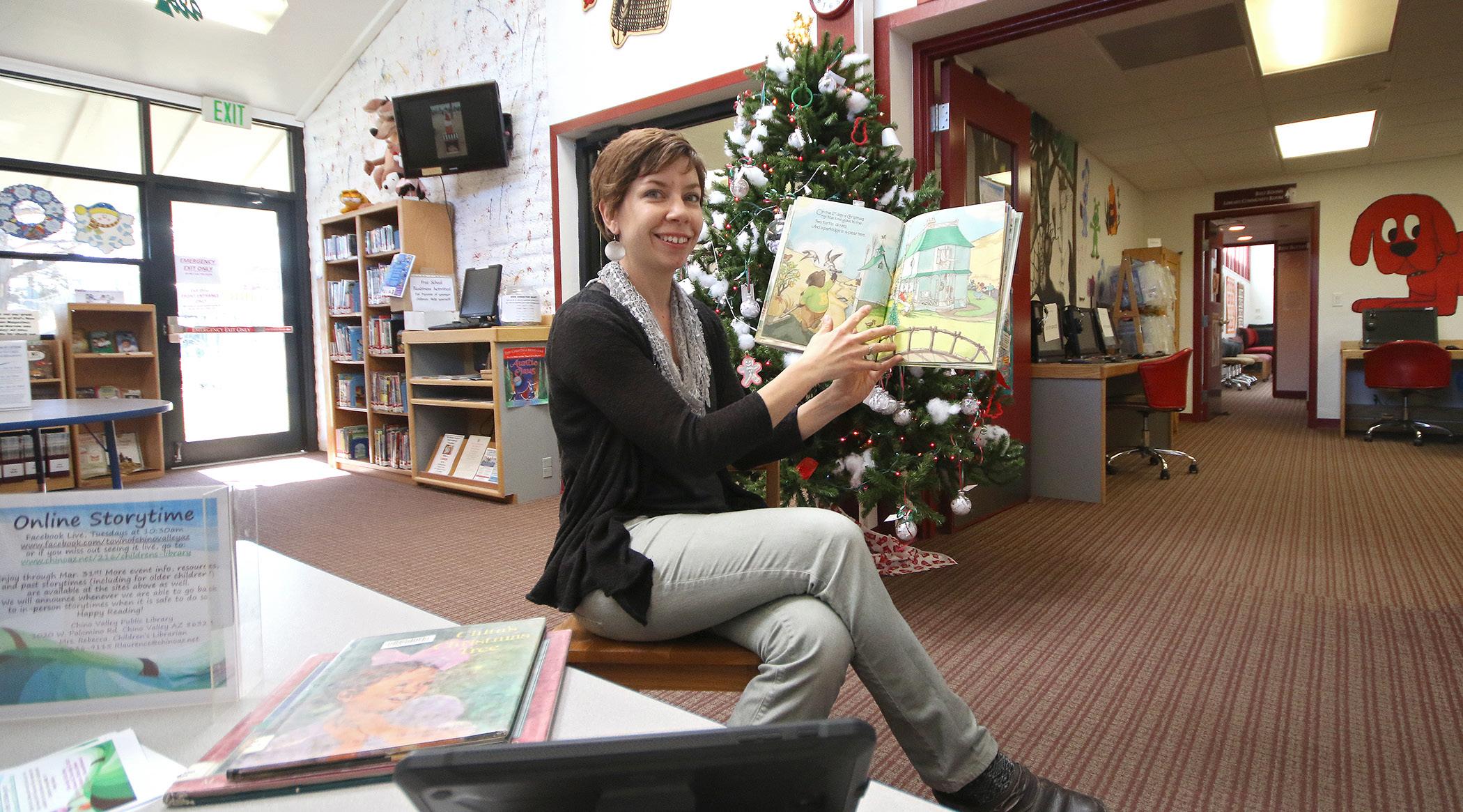
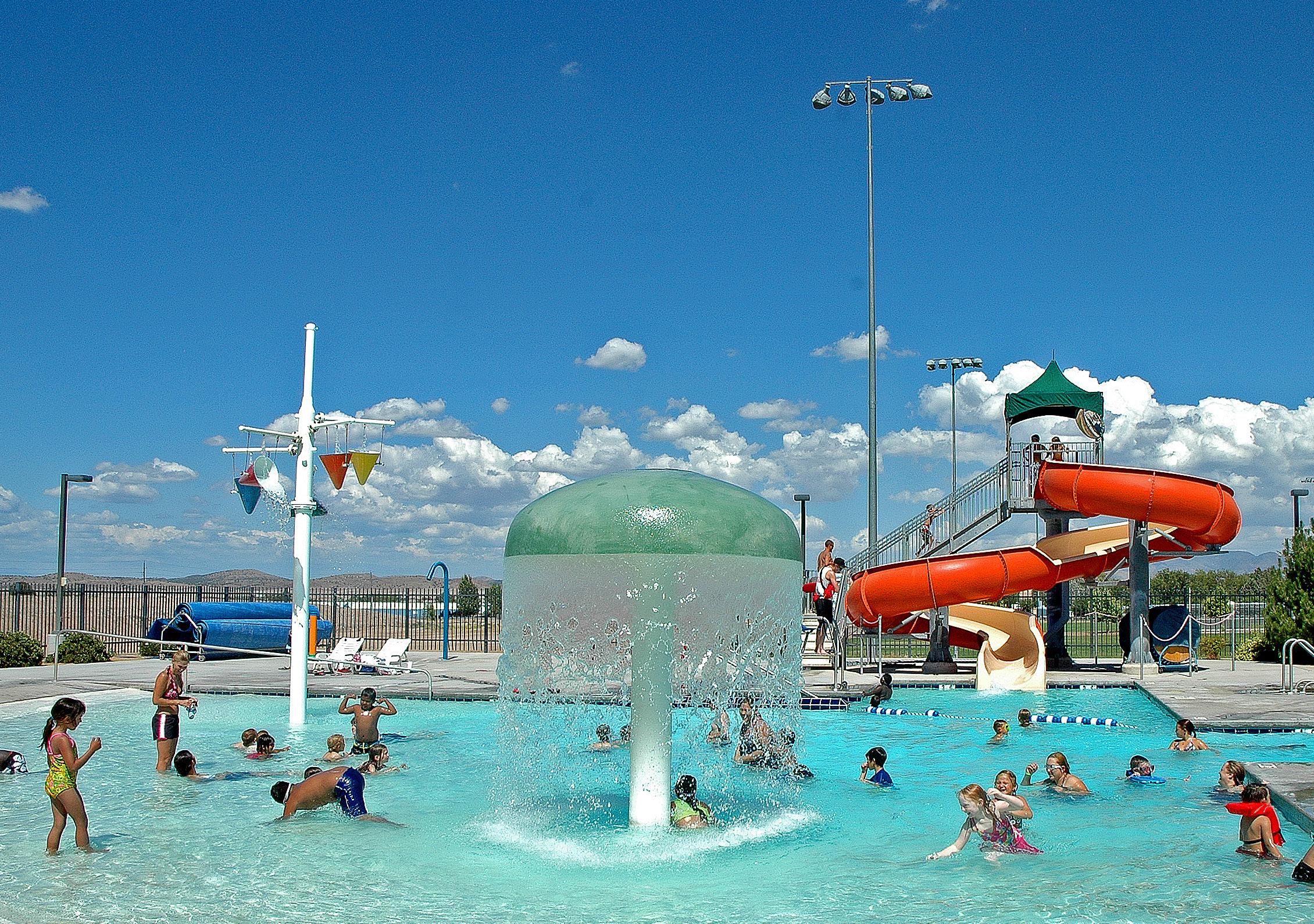
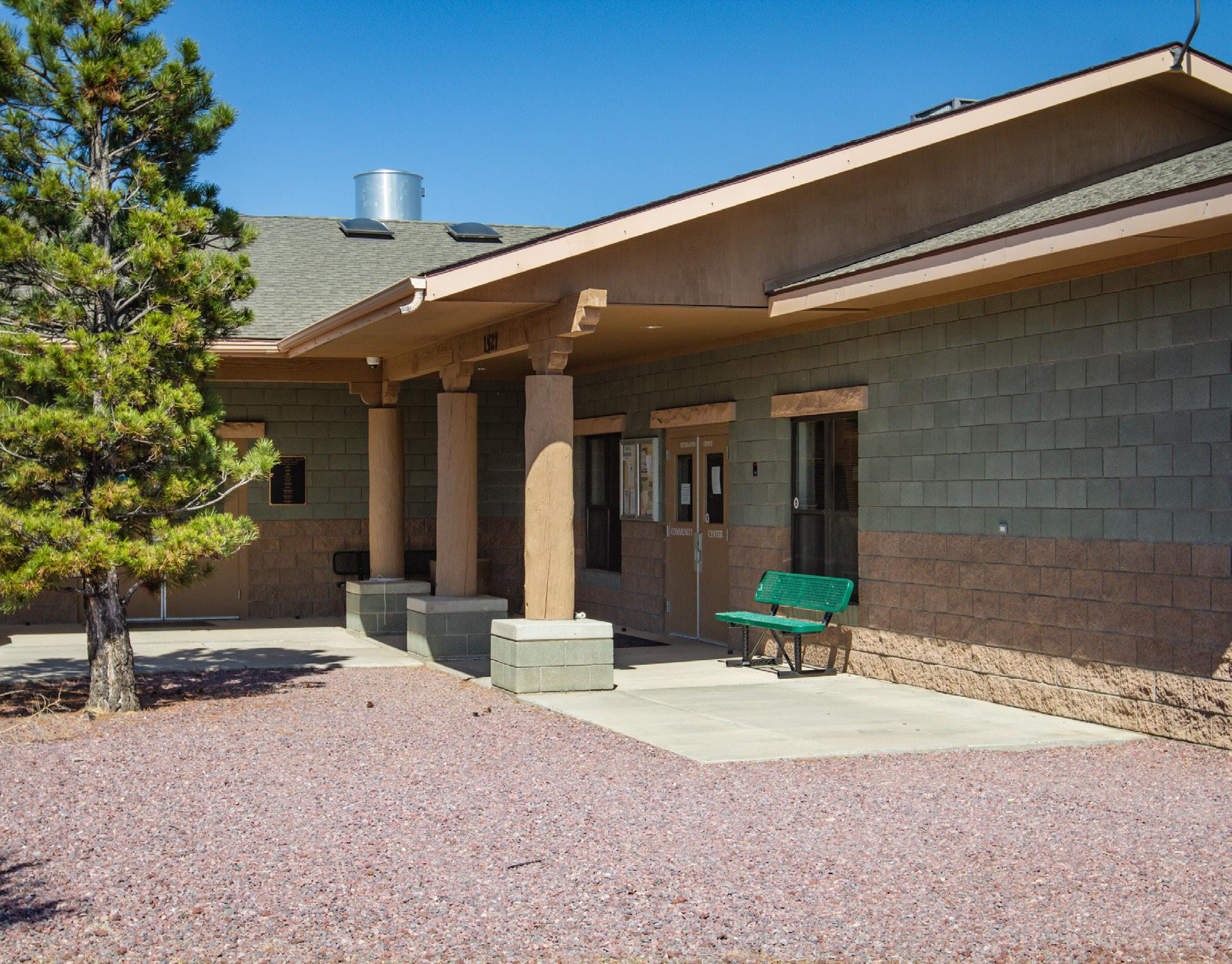
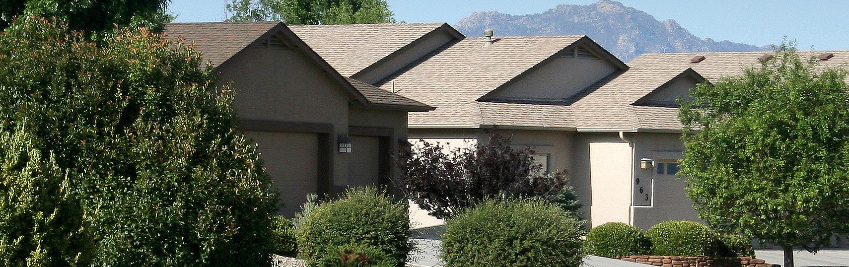
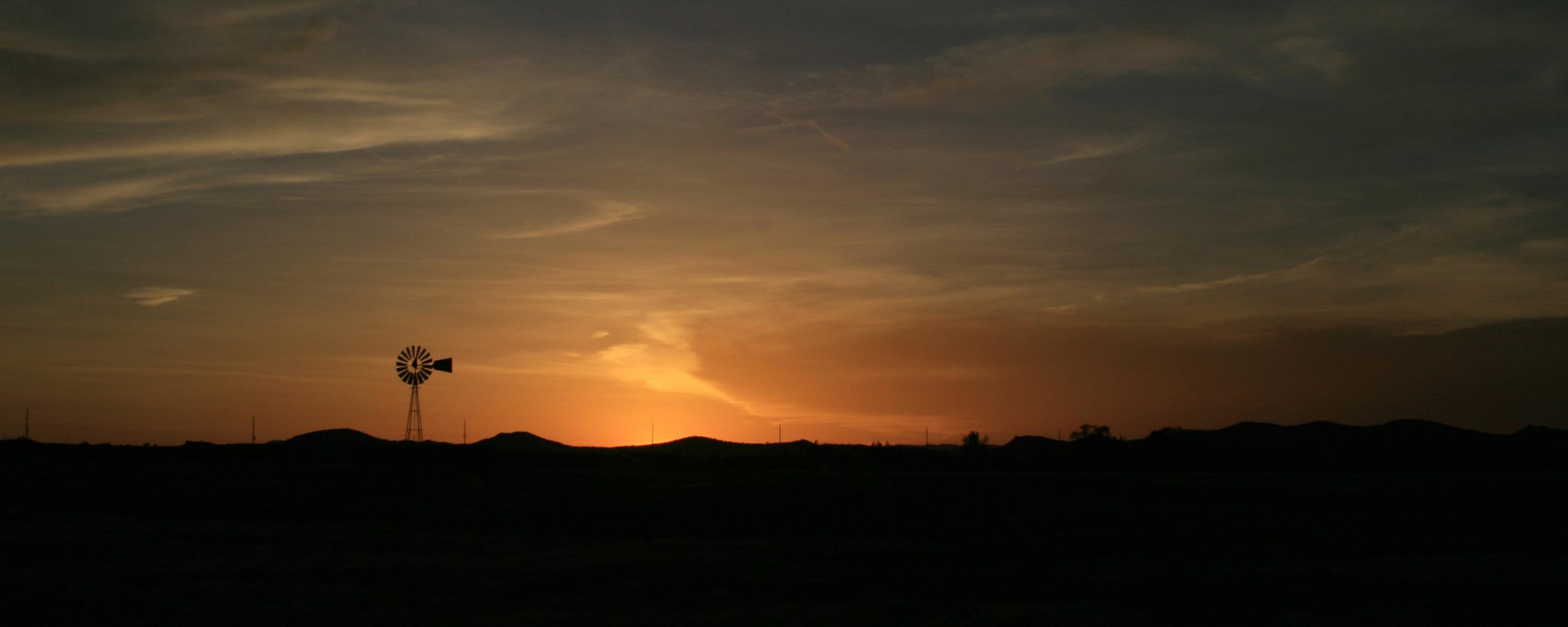
Located in Yavapai County, Chino Valley sits at the geographic heart of Arizona. It is nestled at the base of Sullivan Buttes and Bald Hill, providing its signature expansive vistas. It’s partially surrounded by the Prescott National Forest and is home to the headwaters of the Verde River. Chino Valley residents enjoy four distinct seasons with a relatively mild climate overall. While Chino Valley notably offers a rural lifestyle for its citizens, it also boasts quality small-town amenities such as an aquatic center, a recreation facility, public parks, and proximity to Prescott Regional Airport. In recent years, there has been rapid growth within the town, with the population growth rate outpacing the state and county rates. Of the almost 63 square miles that make up the Town, the area that extends along SR 89 is the most populated, with lower population density on the west side of SR 89, and primarily rural undeveloped land further east near and past Granite Creek.
Remembering Our Past
Chino Valley was settled in the late 1800s, officially incorporated on September 21, 1970, and has continuously retained its peaceful, scenic, and rural character. The town gets its name “chino” from the Spanish name for the abundant grama grass that is indigenous to the area.
Chino Valley honors its past by preserving and embracing tradition. Proclaimed as the original capital of the U.S. Territory of Arizona in 1863, the U.S. Army post known as Fort Whipple oversaw the governance of newly arriving and already arrived settlers. Those who established homesteads saw it as an opportunity to build a future. Drawn by plentiful natural resources, they utilized Del Rio Springs and vast grasslands to build ranches and farms. As the railroad expanded throughout Arizona and eventually into Chino Valley, farmers and ranchers were given more access to economic opportunity. This, combined with a small-town way of life, attracted more people to the territorial capital. Although the capital moved to Prescott in 1864, the population of the area in which Chino Valley exists today continued to grow, and the land
began to take shape as a self-sufficient and independent community. Since the days of Fort Whipple, preserving the unique way of life found in Chino Valley has not been without challenges. Factors such as declining natural resources and economic hardships have all been part of the town’s 160-year history. Ranchers and farmers adapted when change was needed. Because of the resiliency of its residents, Chino Valley has managed to stay the course and grow upon its past.
Chino Valley Today
Although it had residents and infrastructure prior to the 20th century, Chino Valley did not officially become an incorporated town until 1970. Since then, Chino Valley has steadily grown while preserving its traditional roots and character. Areas throughout town, such as Del Rio Springs and local vineyards, have become unique examples of growth and preservation. Farming and ranching have evolved. Different types of plants, as well as dairy products and animals from ranching, have become common exports.
Population
From 2010 to 2020, the Town saw an increase of 20 percent in population, growing from 10,800 residents to 13,020 (2020 US Census), which was a greater growth rate than the County and the State. Overall, the population is trending older, with a median age of 54 in 2020 compared to 48 in 2010. The percentage of residents older than 65 has also increased — from 20 percent in 2010 to 29 percent in 2020. Because of the growing population and the trend of aging residents, Chino Valley will need to meet the demands of a changing demographic.
Housing
Housing is a specific demand that must be met to support a growing population. Currently, a majority of the Town’s population lives within one mile of SR 89 and occupies single-family homes. As of 2020, 91 percent of homes throughout the Town were occupied, with nearly three-quarters of occupied homes owned and one-quarter rented. In 2020, household sizes in Chino Valley were 2.3 people per owneroccupied home and 2.1 per renter-occupied home. Housing types are mostly single-family detached homes, although a significant number of homes within the Town are manufactured homes, which represented 44 percent of all homes in Chino Valley in 2020. More information on housing is found in the Land Use Element.
Vision Statement
Chino Valley’s Vision Statement serves as the foundation upon which the goals and policies are built. The vision statement expresses Chino Valley’s core values in the most cohesive, succinct way. The statement is derived from a variety of values collaboratively contributed through a series of meetings with the Town Council, the Planning and Zoning Commission, the General Plan Steering Committee, the Town’s executive team, and Chino Valley residents and business owners. Nearly 200 individuals weighed in to identify the characteristics and principles that accurately depict their community.
VISION STATEMENT
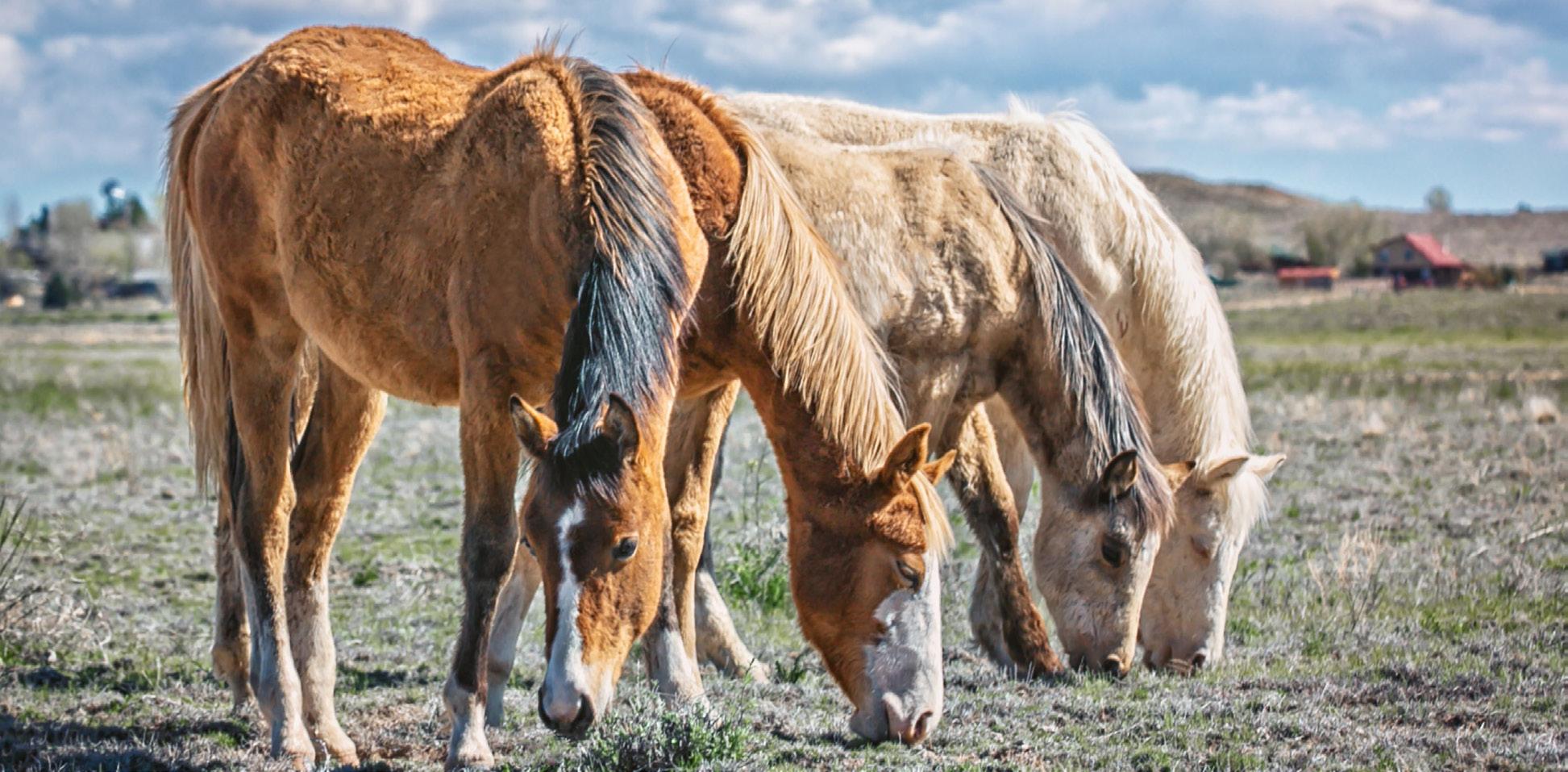
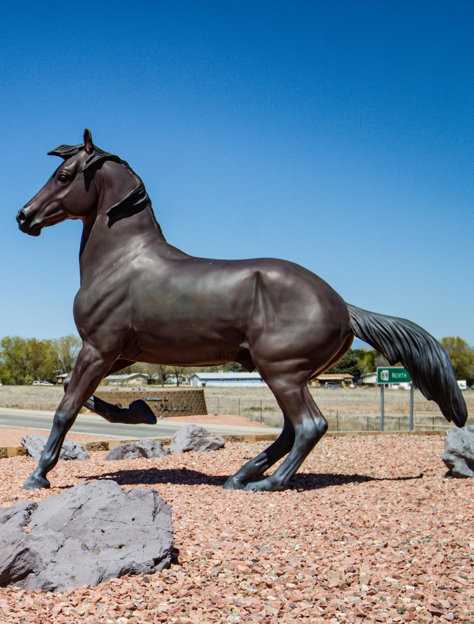
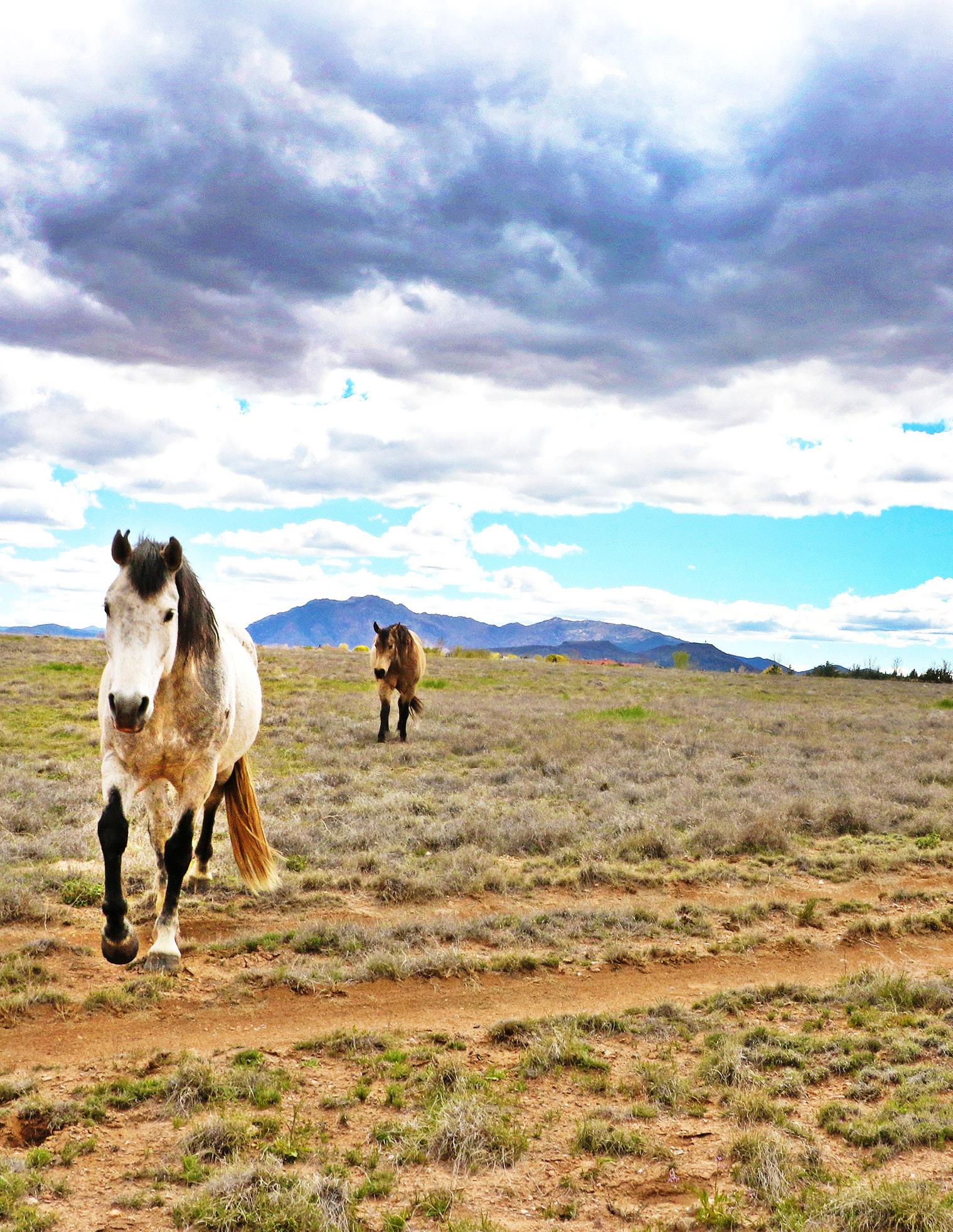
Chino Valley is a peaceful, rural community that supports recreation and regional tourism. We are committed to preserving our community’s expansive vistas, endless grasslands, and starry night skies while supporting limited and sustainable growth. Our proud agricultural and equestrian tradition makes Chino Valley a desirable place to build a future.
General Plan
Chino Valley’s previous General Plan was adopted in 2014. In accordance with the Arizona Revised Statutes, general plans have a 20-year life cycle — but must be either revised or replaced and readopted at the 10-year mark. The Town initiated a General Plan rewrite in June 2022 with the goal of replacing the previous plan to ensure the community’s current and future needs were well served.
Who Uses the General Plan?
n Town Staff - The Plan references and builds on the existing plans of Town departments and community partners. Town staff will consult it when reviewing changes to development ordinances, rezoning requests, and making recommendations for facilities, services, and capital improvements. Department heads will use the Plan to inform the preparation of work plans, budgets, and capital improvement.
n Town Council – Town Council will use the Plan as a guide when making decisions so that the long-term vision for the town is a consistent point of reference.
n Boards and CommissionsMembers of appointed boards and commissions will be able to use the Plan to carry out their work and mission. Some boards, such as the Planning and Zoning Commission, will more regularly consult the Plan for guidance in decision-making.
n Residents - Residents will be able to refer to the Vision Statement, goals, policies, illustrative maps, and implementation actions for assessing the potential for growth in individual areas across the town and when addressing a particular proposal or other matter before the Town Council or appointed boards or commissions. As a common point of reference, the Plan will foster better discussion of the positive aspects of growth and development as well as concerns about the impacts select changes can place on Chino Valley.
n Developers - Developers, property owners, builders, and others involved in contributing to Chino Valley will be able to consult the Plan to develop projects and site plans in a manner that considers the larger context, rather than focusing solely on their individual sites. The Plan will create a starting point for conversation about important issues and questions that will be considered when making decisions about land use changes.
Relationship to Other Town Plans and Regulations
No individual town planning document or regulation stands alone. Instead, these resources are interwoven and mutually informing. The General Plan provides policies to guide growth and development. While it does not directly define other planning and regulatory documents or how to specifically regulate development, it may include policies that will guide, develop, or amend such documents and regulations.
Strong general plans are the secure foundation of a community’s future. They lay the groundwork for an integrated network of more specific plans and regulatory documents, which ultimately builds a sustainable, livable community.
Certificate of Occupancy
Inspection, licenses for compliance with approved detailed plans
Compliance with zoning district standards and site layout
Vision statement and broad policy guidance
Building Plans
Detailed building floor plans and architectural details for compliance with Building Codes Specific zoning categories and regulations address lot sizes, setbacks, heights, and specific uses
Zoning & Corridor Plans
General Plan Elements and Organization
The Make it Chino! 2040 General Plan is organized to ensure ease of comprehension. Each chapter focuses on infographics that contain statistical information pertaining to the existing and projected conditions of Chino Valley, as well as the envisioned goals and policies. Overarching elements contain broad goals and policies that are ready to be implemented by the Town.
DEFINITION: GOAL
Something you want to achieve. It’s the desired result that you, or a group of people, plan and commit to achieving. Goals are often long-term. The end toward which effort is directed.
DEFINITION: POLICIES
A set of ideas, a principle or plan of what to do in particular situations that has been agreed to officially by a group of people, a business organization, a government, or a political party. Policies are actionable tools that carry out a goal.
Statute specifies which General Plan elements are required based on the population and rate of growth of a municipality. The Make it Chino! 2040 General Plan includes all seven elements required by state law based on the town’s population, as well as eight elective elements and topics that address the unique conditions and vision of Chino Valley. Table 1-1 identifies the state-required elements and the elective elements and topics the Town has added. These elements and topic areas are organized into five “plan elements.”
Table 1-1 Make it Chino! 2040 General Plan Elements and Topic Areas
General Plan Organization
The General Plan is organized as follows.
1. Introduction – provides an overview of Chino Valley’s history and character today, what the General Plan is and how it is used, and a summary of the Plan.
2. Community Engagement – describes the community outreach that went into developing the Plan and the role that the Town Council, Planning and Zoning Commission, Town staff, Steering Committee, and residents played in developing the Plan.
3. Land Use Element - defines the densities, intensities, and characteristics of future land uses; includes topics that help guide housing, growth, and development to ensure they are balanced and promote a healthy and vibrant community. This element covers:
n Land Use
n Housing
n Growth Areas
4. Circulation Element - sets up the community to maintain adequate transportation systems to move goods, services, and people safely and efficiently throughout town; addresses vehicle, bicycle, pedestrian, and equestrian modes.
5. Parks, Recreation, and Natural Resources Element - seeks to balance growth and development with the need to provide park and recreation amenities and protect and conserve natural resources to support a healthy environment for generations to come. This element covers:
n Parks and Recreation
n Open Space
n Environmental Planning
n Water Resources
n Wildlife/Habitat
6. Community Services and Facilities Element – summarizes the infrastructure and services that keep the town running and provide quality service to residents; addresses how future growth supports upkeep of services; identifies how resiliency supports residents and sustainability of the town. This element covers:
n Community Services
n Community Facilities
n Cost of Development
7. Economic Development Element - provides existing economic conditions and an assessment of future economic attractors and opportunities to diversify the economy to fit local needs.
8. Implementation and Administration - includes implementable actions for the Town that help accomplish the goals and policies, and ultimately the General Plan’s vision. The implementation actions are organized by element, relevant goal, and timeframe for completion. This chapter also addresses how the General Plan is administered and amended.
Community Engagement 2
A significant part of creating any general plan is obtaining input and participation from the community. Through a robust outreach effort, hundreds of residents voiced their opinions on a variety of topics and in a variety of outlets. Through the project website, interested citizens were able to provide online comments, utilize the online issue mapping tool, and complete
the online community questionnaire. In-person events included two public open houses, along with three joint Town Council and Planning and Zoning Commission meetings.
The Make it Chino! 2040 General Plan incorporates the community’s diverse perspectives and is reflective of Chino Valley.
Project Branding and Website Educational Materials
Town Council and Planning & Zoning Commission Workshops & Public Hearings
COMPONENTS OF ENGAGEMENT
Public Open Houses
Town Staff & Elected & Appointed Officials Engagement
General Plan Steering Committee
Focus Group Engagement
Engaging the community, its leadership, and key focus group members helps build a plan that is embraced, implemented, and supported by the community it serves.
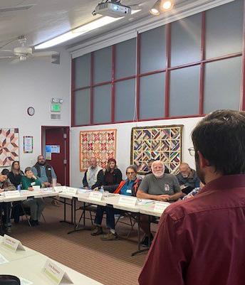
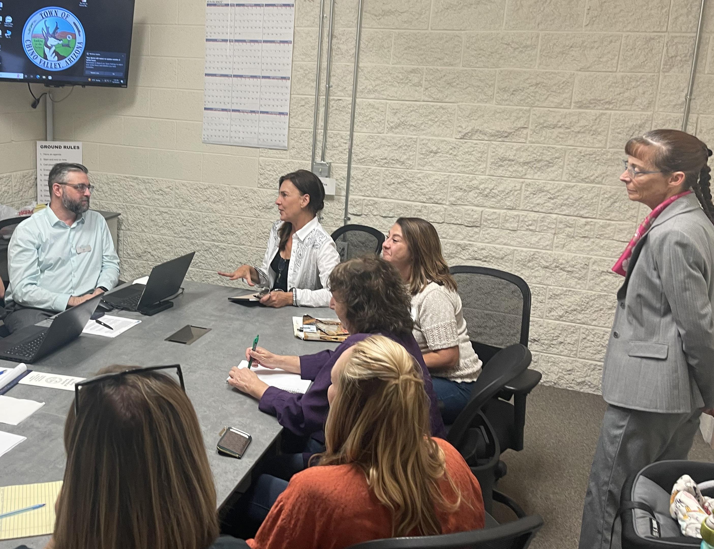
Town Council and Planning & Zoning Commission
The Town Council and the Planning and Zoning Commission were informed and involved throughout the General Plan process. Significant roles of both entities included appointing the Steering Committee members and holding meetings with the project management team to ensure timely progress of the General Plan. Additionally, three joint meetings between the Council and Commission were hosted to encourage collaboration between the groups and provide a platform for them to uniformly represent the community.
Joint Meeting November 3, 2022
The first joint meeting of the Town Council and the Planning and Zoning Commission included a discussion of the General Plan’s characteristics, the project schedule, the public involvement approach, and the vision of the Plan. This meeting set up a structure for the steps that would be taken before the second joint meeting
Joint Meeting
February 28, 2023
The second joint meeting provided an update on the General Plan process, reviewed public engagement efforts, summarized the open house meetings, and answered questions. Direction that was received informed the substantive development of the Plan.
Joint Meeting June 12, 2023
The third meeting was held with the Town Council and the Planning and Zoning Commission to review the comments received during the 60-day Public Draft General Plan review period and the recommendations of the Steering Committee. Discussion at the meeting focused on finalizing the Future Land Use Map and refining policies. The meeting also served as a primer to the Public Hearings held June 26 and 27 to make sure any outstanding questions or concerns were answered for the Council and Commission.
General Plan Steering Committee
The role of the Steering Committee was to serve as liaisons for the community, guide the development of the General Plan, and review draft components. Given that Town residents have the best sense of what happens in their community, the chosen members were instrumental as representatives of the community. Members spearheaded the creation of the vision statement, and participated in the development of land use classifications and the Future Land Use Map by assessing several alternatives. They also advised on current issues and concerns in the community.
October 19, 2022
The Steering Committee was introduced to the General Plan process and provided an overview of their roles and responsibilities. Committee members engaged in an interactive exercise to develop a draft vision statement for the Plan to discuss with the Town Council and the Planning and Zoning Commission.
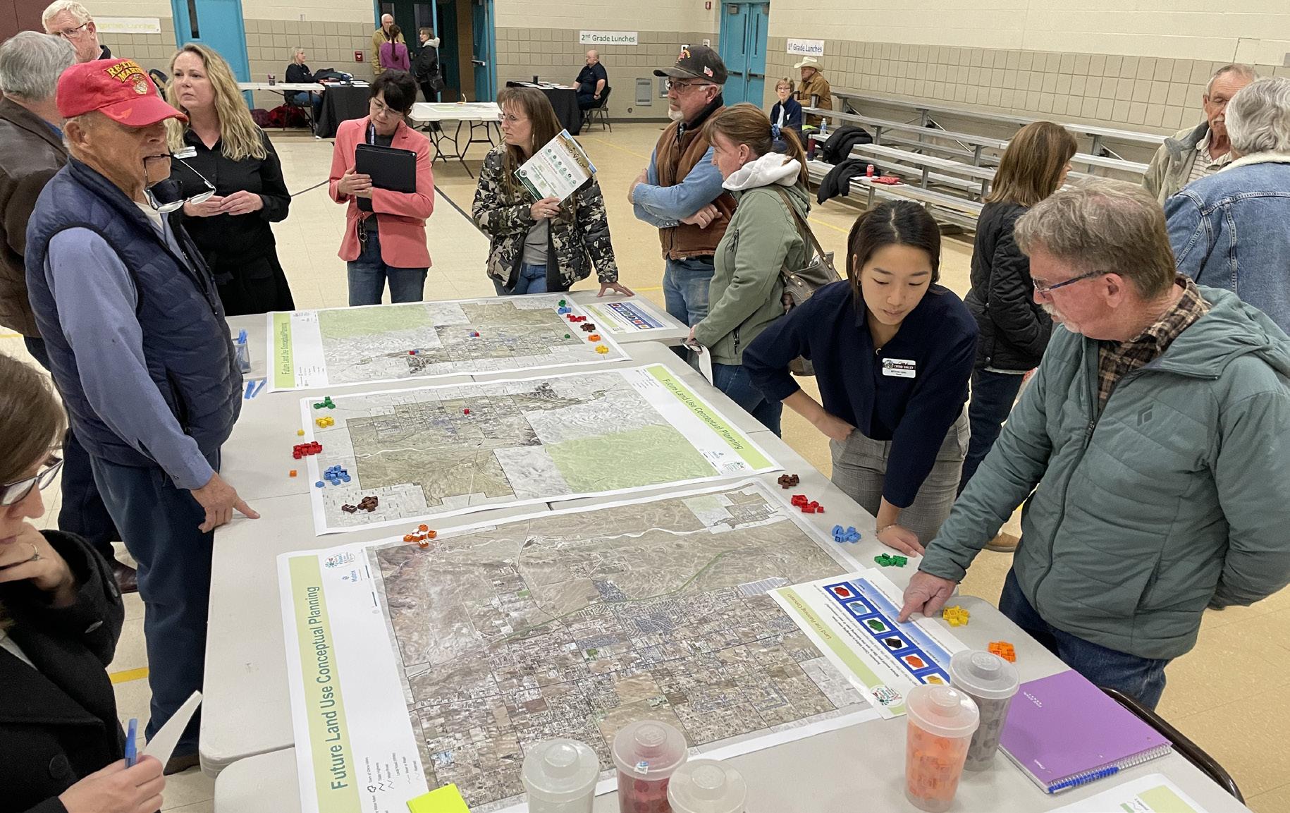
Issue Identification Activity, Steering Committee Meeting, October 18, 2022 Future Land Use Mapping Activity, Steering Committee Meeting, March 9, 2023
March 9, 2023
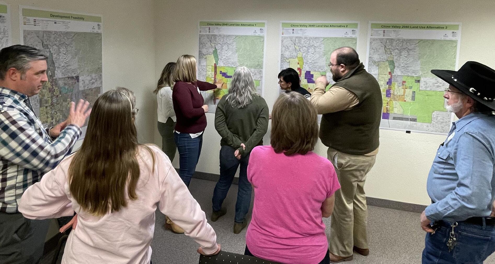
The Steering Committee was presented with an overview of the findings from the second public open house. The focus of this meeting was to review three Future Land Use Map alternatives to recommend moving forward with a preferred alternative, which included components from each of the alternatives. The resulting preferred alternative was recommended for the Public Draft General Plan after refinement.
March 30, 2023
The Steering Committee further reviewed and refined the preferred alternative Future Land Use Map. The resulting refined Future Land Use Map was included in the Public Draft General Plan. The Committee also discussed the draft goals and policies to recommend revisions for the Public Draft.
April 19, 2023
This meeting was held during the Public Draft review period and provided Steering Committee members with several tools and discussion points to serve as General Plan Ambassadors and engage members of the community and support them to review the Public Draft and provide feedback.
June 7, 2023
The Steering Committee reviewed Public Draft General Plan comments and provided recommendations to present to the Town Council and the Planning and Zoning Commission.
June 26, 2023
At the final meeting, the Steering Committee members were provided with information and materials to serve as community ambassadors on the General Plan.
Focus Groups
Focus group participants were selected based on knowledge of specific topic areas. The purpose of the 10 focus group meetings was to engage in smaller group interviews with residents, community activists, organizations, and technical experts. Interview discussions were rich with information relating to specific topics that informed components of the General Plan. By focusing on specific topics, the project management team was able to gain a detailed understanding of local needs and issues to address in the Plan. Meetings were held with the following focus groups.
n Agricultural
n Business Owners
n Chino Alliance
n Chino Unified School District/ Yavapai College
n Development Community
n Economic Development
n Historical Society
n Homeowners Associations
n Water
n Wildlife/ Environmental
Community Contributions
How We Reached Out
The efforts to include as many community members as possible in the General Plan development process were exhaustive. Citizens were provided with a very diverse range of opportunities to participate and have their voices heard. Key elements of the outreach included:
3,400 Postcard Mailers
sent to residents to announce the first public open house in November 2022
80 Responses to the community questionnaire
111 Responses
2,000 Postcard Mailers
6
Newspaper Articles were published
IDPlaces Mapping Tool enabled visitors to identify geographic locations where certain features in town are beneficial or lacking
1,600+
sent to residents to announce the second public open house in February 2023 visits to the Project Website
250+
150 Open House attendees Comments received through the website
Joint Council and Planning & Zoning Commission Meetings
Involved discussion of the General Plan and gave updates on the project schedule, public engagement, and vision of the Plan. As well as reviewed public engagement efforts, summarized open house meetings, and answered any questions.
Steering Committee Meetings
Members were chosen by the Town Council to represent the community in guiding the development of the General Plan and review draft components. Offered advice on current issues and concerns in the community.
Public Open Houses
Facilitated open engagement with the public to gain an understanding of community preferences and priorities. Various visual activities were used to explain and provide opportunities to give input on the General Plan process.
Focus Groups
Engaged smaller groups of participants with specialized knowledge. Focused on specific topic discussions to gain a greater understanding of local needs and issues the General Plan could address.
Community Engagement 2
Community Engagement Opportunities
The pair of open house meetings proved to be a successful demonstration of Chino Valley residents’ active engagement. Each meeting sought the same overarching outcomes: to personally and interactively engage with the community and collect extensive feedback and insights. Notification of the open houses occurred through postcards mailed to residents, press releases, social media posts, public flyers, email lists, and School District outreach.
Public Open House
November 21, 2022
The inaugural open house meeting was guided by three main objectives:
1. Encourage community involvement in crafting a vision statement
2. Gather community preferences using visual aids
3. Establish key community priorities that will shape goal setting
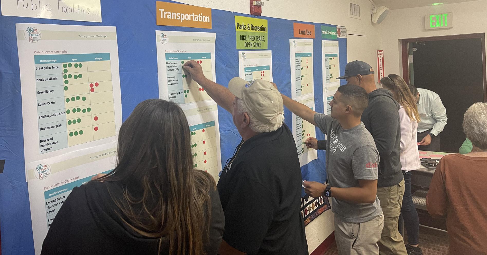
This open house was designed with an array of activities to help the public understand and contribute to the General Plan process. Interactive wall panels sought to glean insights into the participants’ long-term visions and goals for their community, looking two decades ahead, while also assessing the community’s strengths and weaknesses.
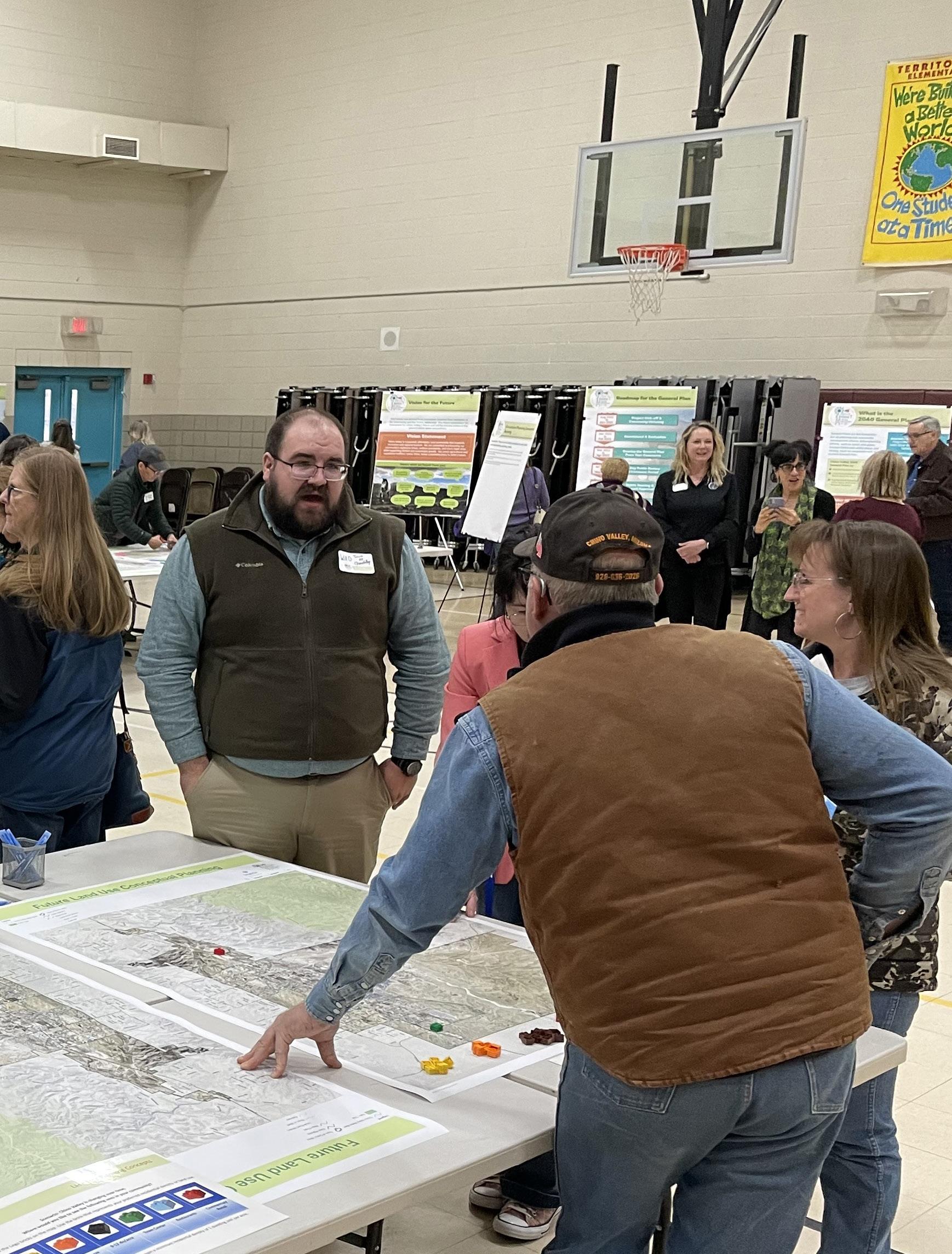
Visual surveys provided an avenue for participants to express their preferences regarding housing types, residential densities, and the inclusion of multi-use trails and paths. This interactive and visually-driven approach was utilized to ensure that all members of the community felt included and that their views were duly noted and considered.
Public Open House February 27, 2023
The second open house, while building on the foundation set by the first, had distinct objectives:
1. Share updates on the progress achieved so far with the community
2. Furnish attendees with a report on the town’s current conditions and trending issues
3. Solicit community feedback on policy proposals for the elements of the General Plan
4. Involve residents in formulating concepts for future land use and road improvement via interactive sessions
5. Enlighten the community members about the process and motivate them to participate and share their views
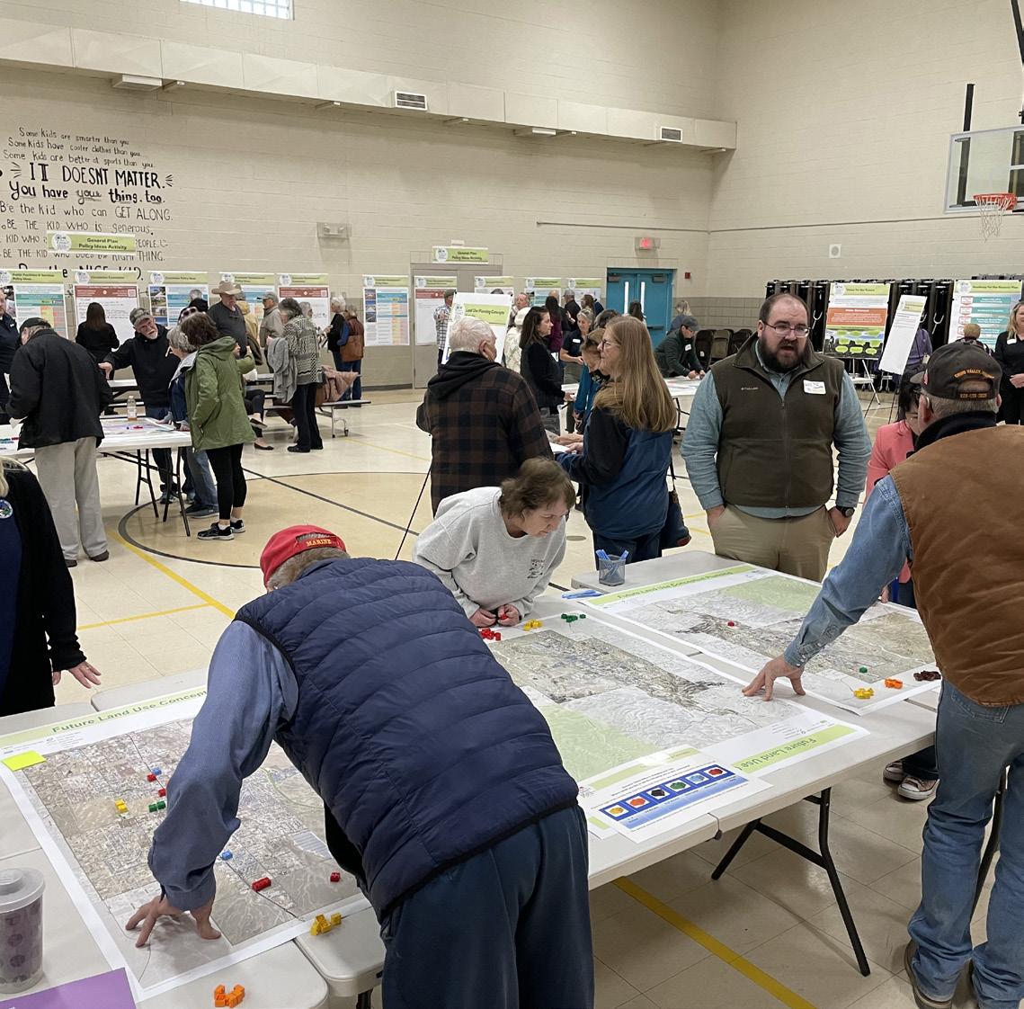
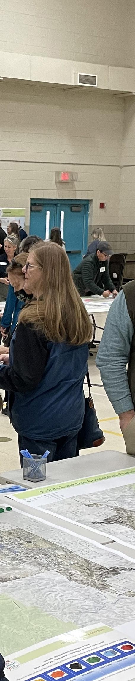
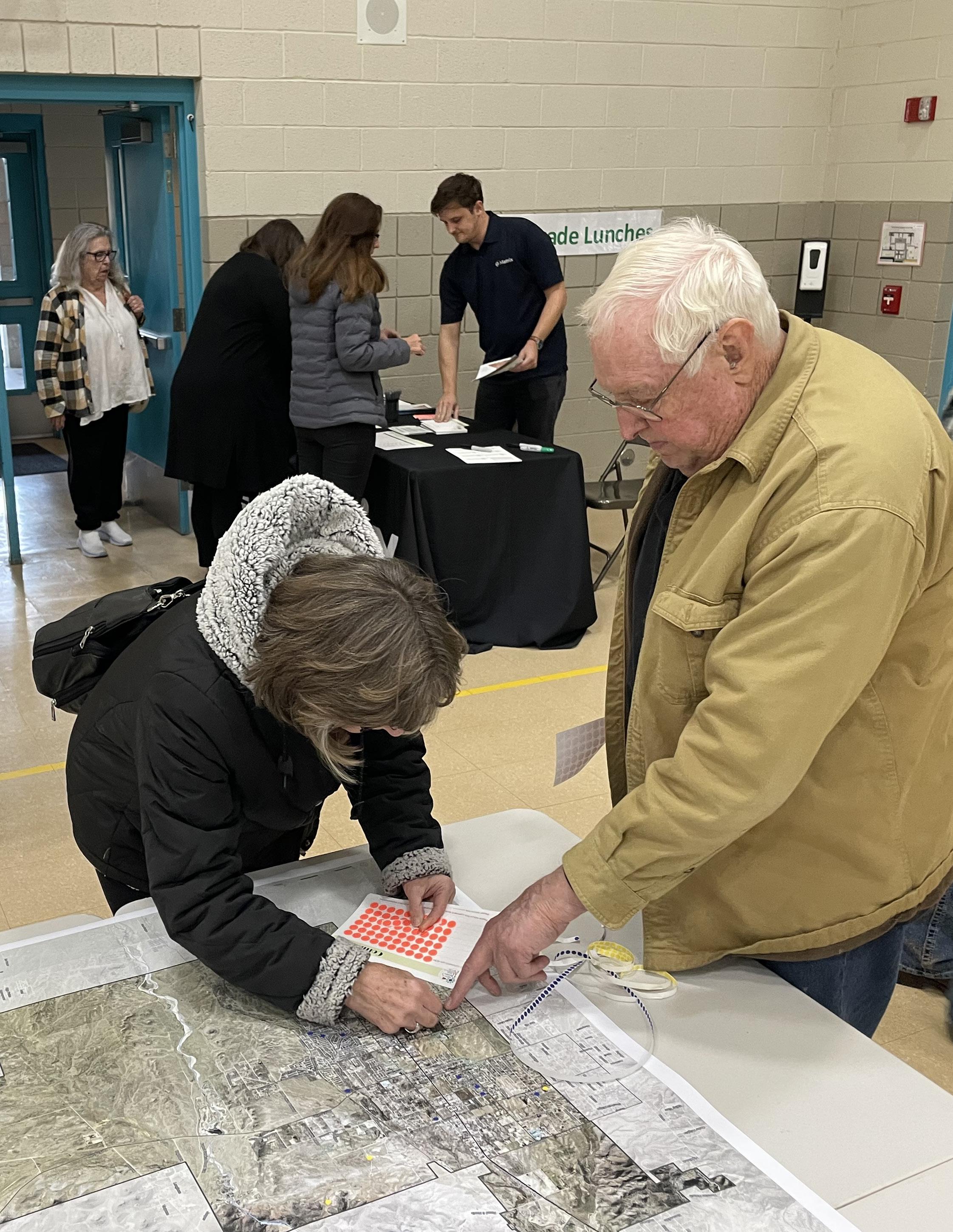
The interactive prompts and activities in this session aimed to dig deeper into the participants’ reactions to preliminary policies related to each aspect of the future plan. Nearly 20 interactive wall panels enabled the community members to voice their opinions on a variety of topics, from highway aesthetics to strategic planning. Two engaging activities were conducted to prioritize infrastructure improvements. The first activity involved the use of string segments representing a limited amount of street maintenance and improvement funding. Participants carefully prioritized which roads need maintenance, where new roads should be laid, and where new trails should be established. A second activity was a hands-on building-block exercise, where individuals use color-coded blocks to visualize their ideal densities and land uses within the town.
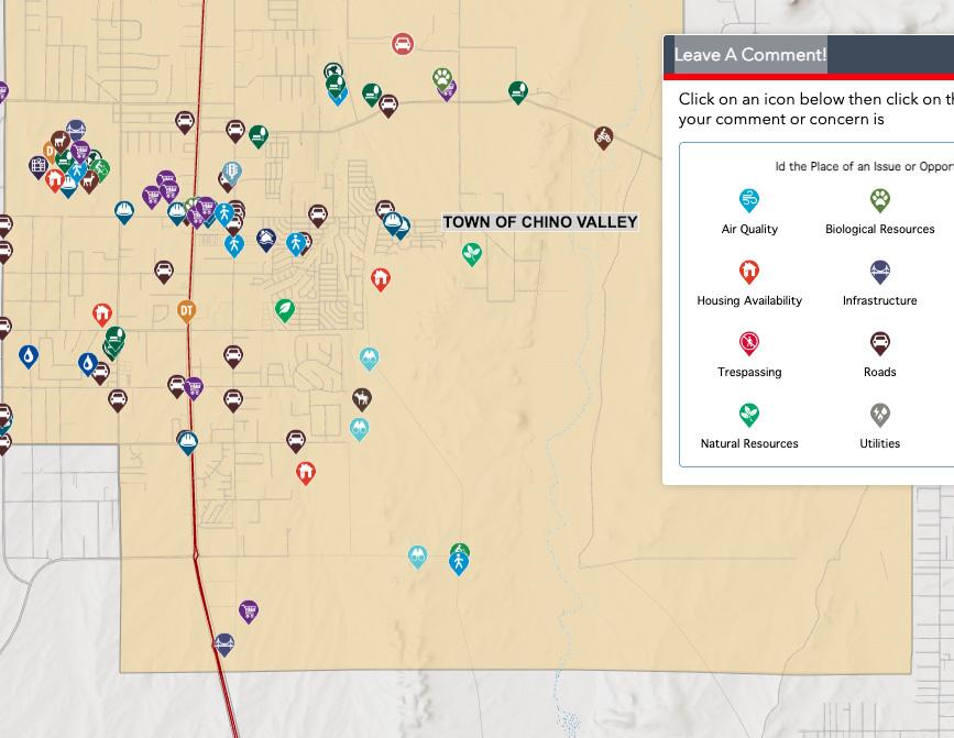
IDPlaces App
The IDPlaces app gave the public and stakeholders the ability to put issues on a dynamic, web-based map and provided the community with multiple ways to voice their opinions on issues related to specific geographic locations. The app allowed participants to mark the geographic area where the issue exists, add comments, or upload images and documents to create a more interactive experience. Comments were then made available for other users to see, creating a collaborative platform.
Community Questionnaire
Make it Chino! General Plan Website
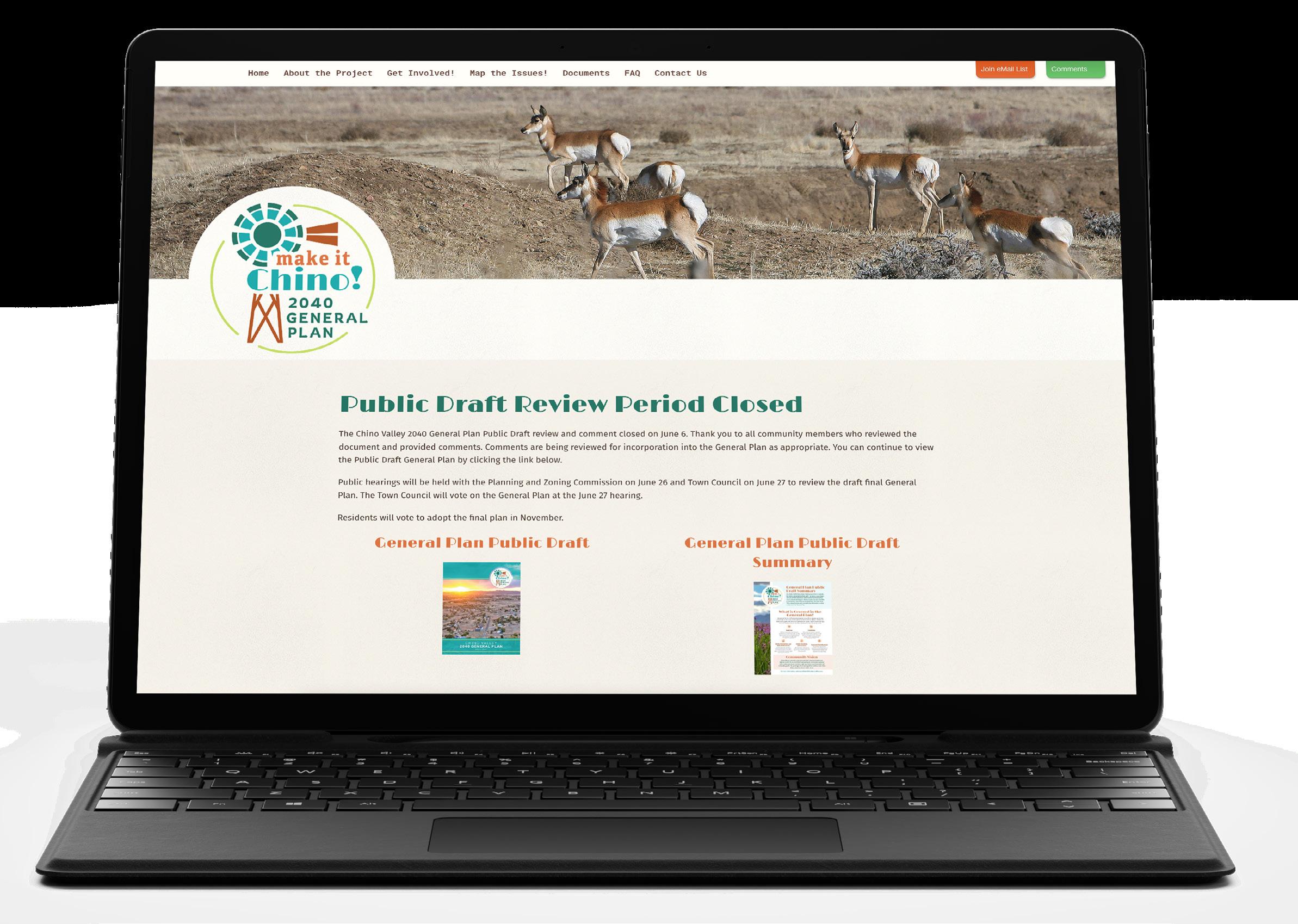
The project website served as a comprehensive resource, housing up-to-date information, tools, and documents. It included details about community meetings, draft documents, research studies, and maps. Additionally, it provided information on opportunities for public engagement, input, and participation.
A community questionnaire allowed residents and businesses to partake in the General Plan process by responding to a series of pertinent questions. It was available on the project website and emailed to public participants. This questionnaire was a convenient opportunity for those unable to attend the in-person meetings to still contribute their insights and participate in the process.
While the questionnaire was primarily accessible online via the project website, physical copies were also made available during the initial community meeting, with responses manually recorded. The feedback gathered through this questionnaire played a critical role in shaping the development of the General Plan and in defining the goals and policies for each of its elements.
Community Outreach Schedule
The development of the General Plan unfolded over a period of 11 months, providing ample opportunity for the public to provide invaluable input.
Chino Valley General Plan Project Schedule
n Steering Committee Meeting
n Focus Group Meetings
n Project Website & Branding
n Joint Town Council and Planning & Zoning Commission Workshop
n Community Meeting
n Focus Group Meetings
n 2 Steering Committee Meetings
n Joint Town Council and Planning & Zoning Commission Workshop
n Community Meeting
n Steering Committee Meeting
60-day Statutory Public Review Period
n Existing Conditions Report
n Planning & Zoning Commission Hearing
n Town Council Hearing
n Joint Town Council and Planning & Zoning Commission Workshop
n 2 Steering Committee Meetings
n Draft Final General Plan
n Final General Plan
Land Use Element 3
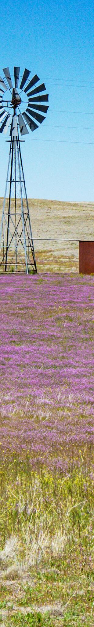
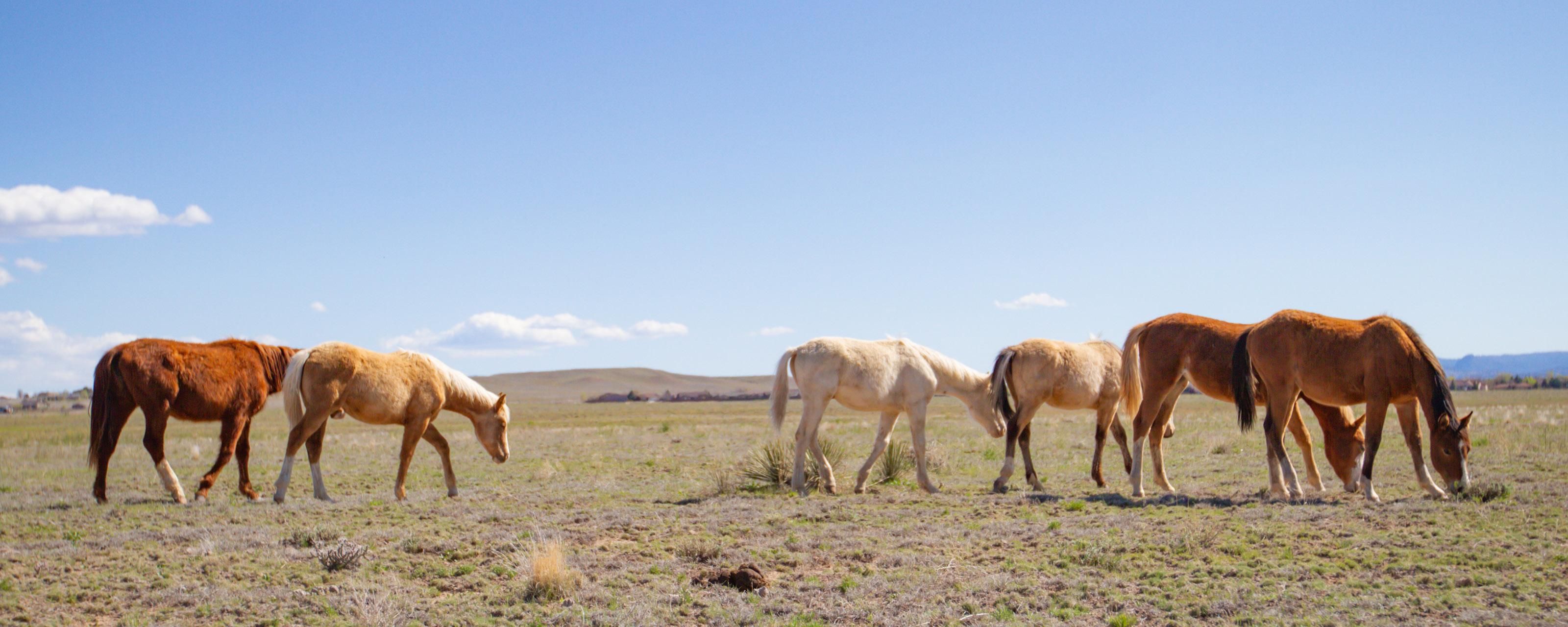
Chino Valley values its peaceful rural character, rich agricultural and equestrian heritage, and expansive vistas. The Land Use Element supports these values by promoting carefully managed low-intensity and sustainable growth compatible with rural living and the open, rural landscape while supporting recreational opportunities and regional tourism. The overarching approach to land use balances the need for managed growth and quality services with the protection of the unique character and beauty of the area, ensuring the long-term viability of the community. This element also promotes the long-term vitality and sustainability of Chino Valley by supporting strategic opportunities for housing options for young adults and families who want to live and work in Chino Valley but may face challenges with access to housing.
Annexation History
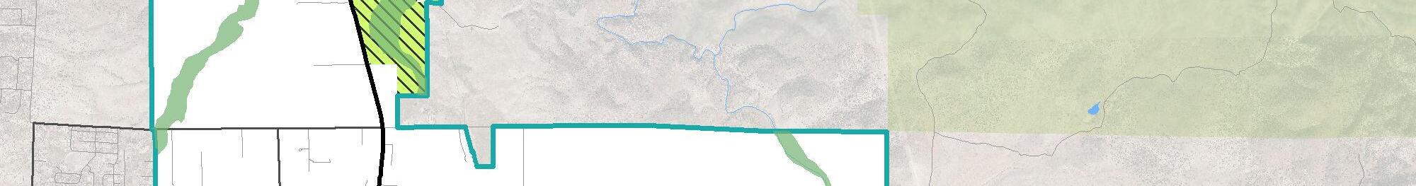
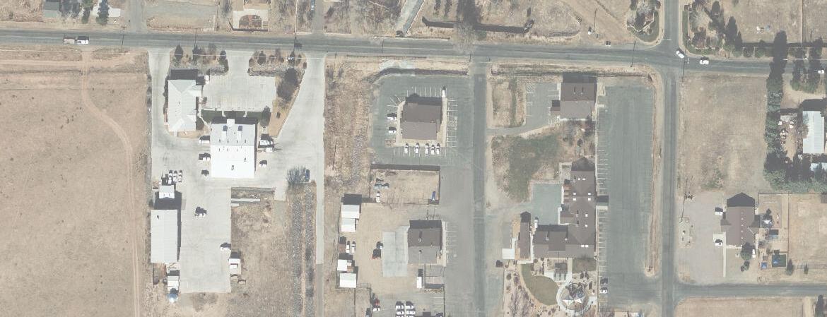
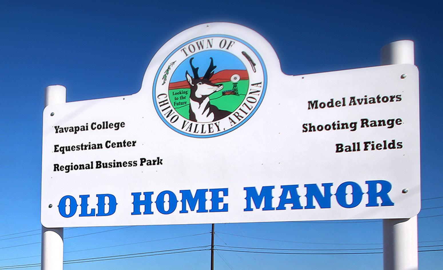
Chino Valley has a history of annexation of nearby land to grow its boundary as new development has occurred. The town was incorporated in 1970 into approximately 11 square miles. That same year, nearly six additional square miles were annexed. Old Home Manor was annexed in 1979, bringing the town to just over 18 square miles. Between 2000 and 2008, five additional annexations occurred that grew the town boundary to 62.5 square miles. Much of this annexed land is vacant land that makes up the eastern portion of town. Fairly unique in Arizona, Chino Valley’s annexed area and Planning Area are identical, giving the community full control of future land use decisions that can affect the community.
Existing Land Use
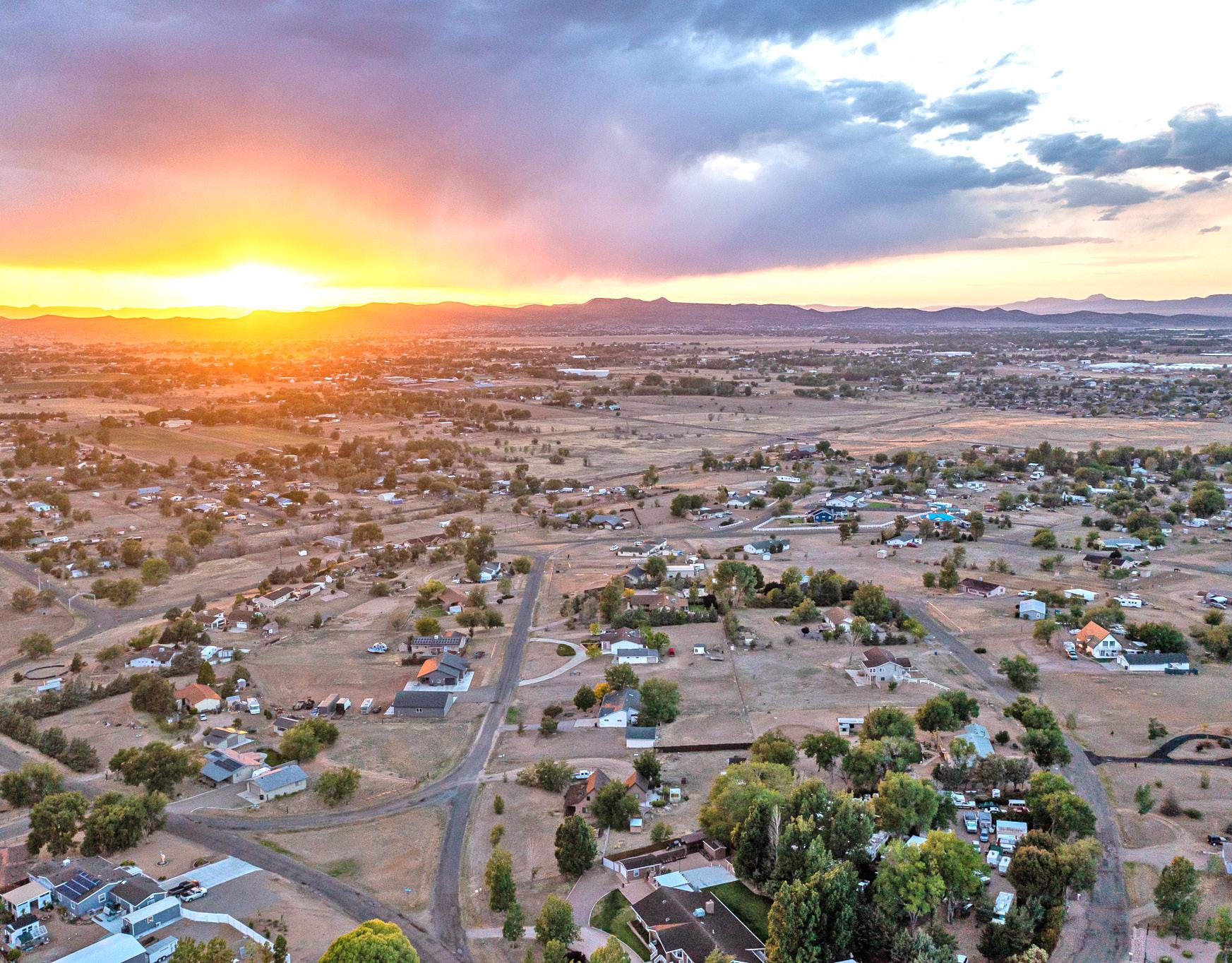
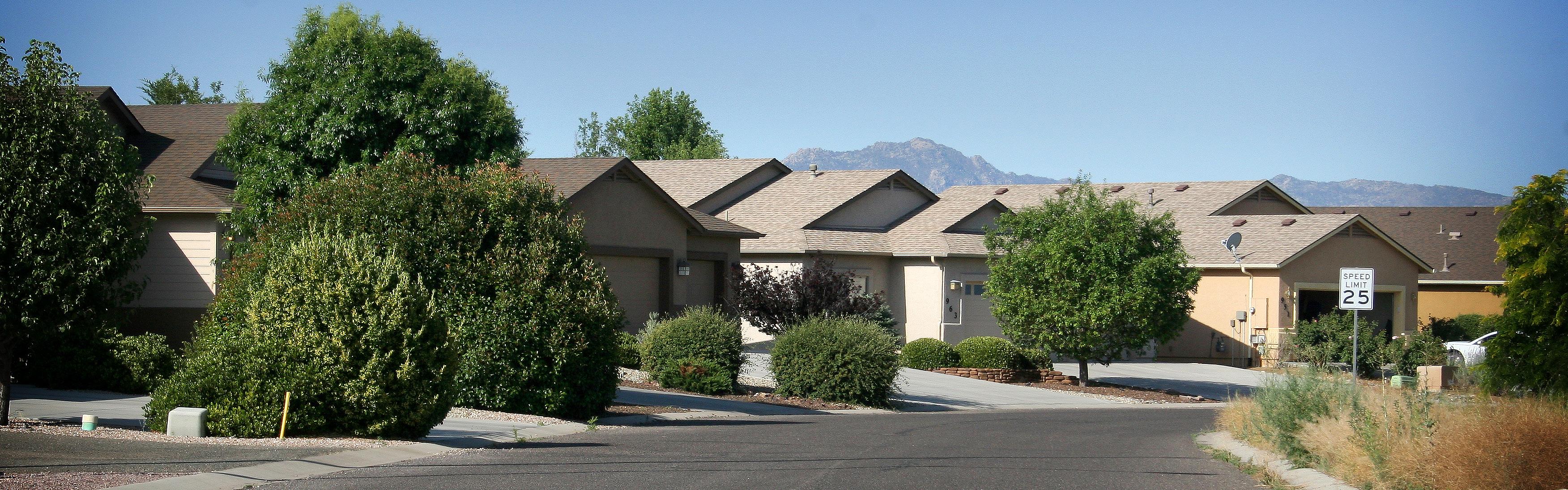
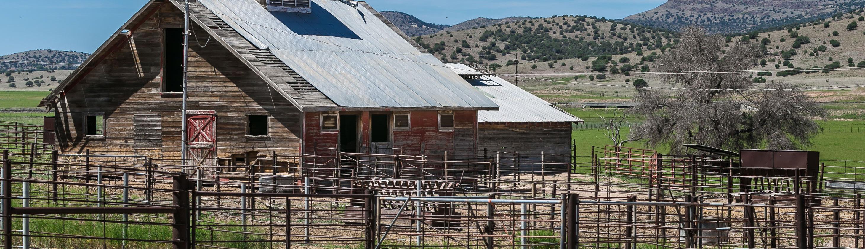
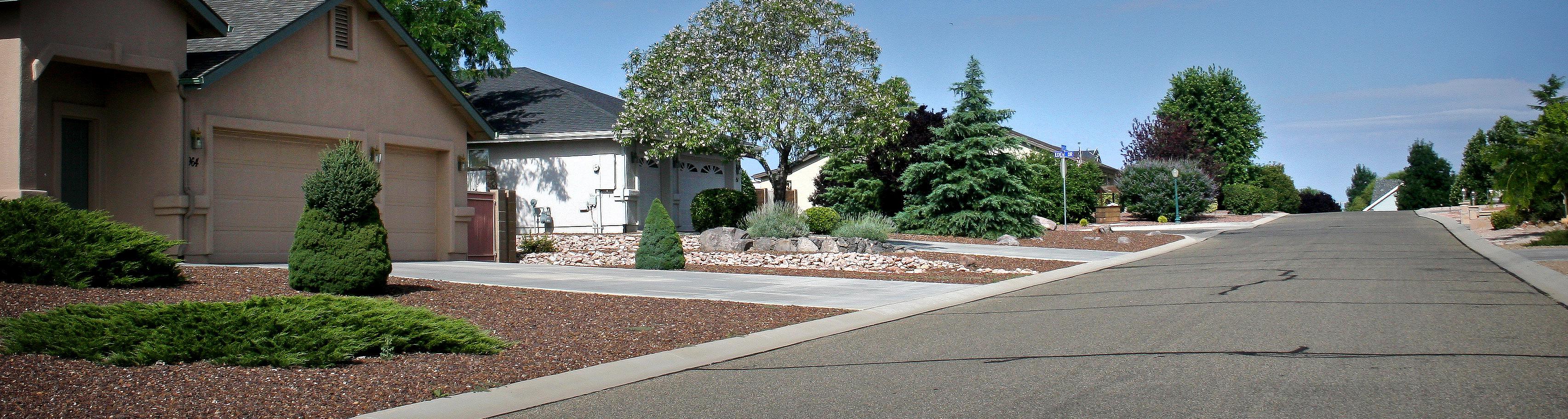
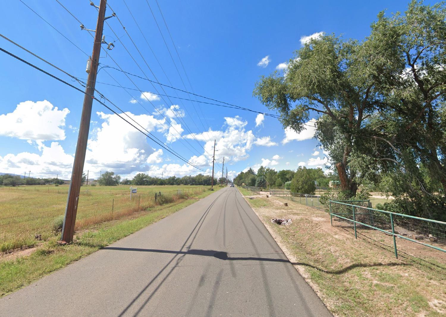
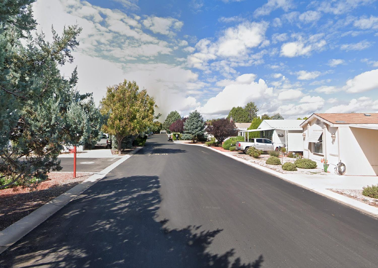
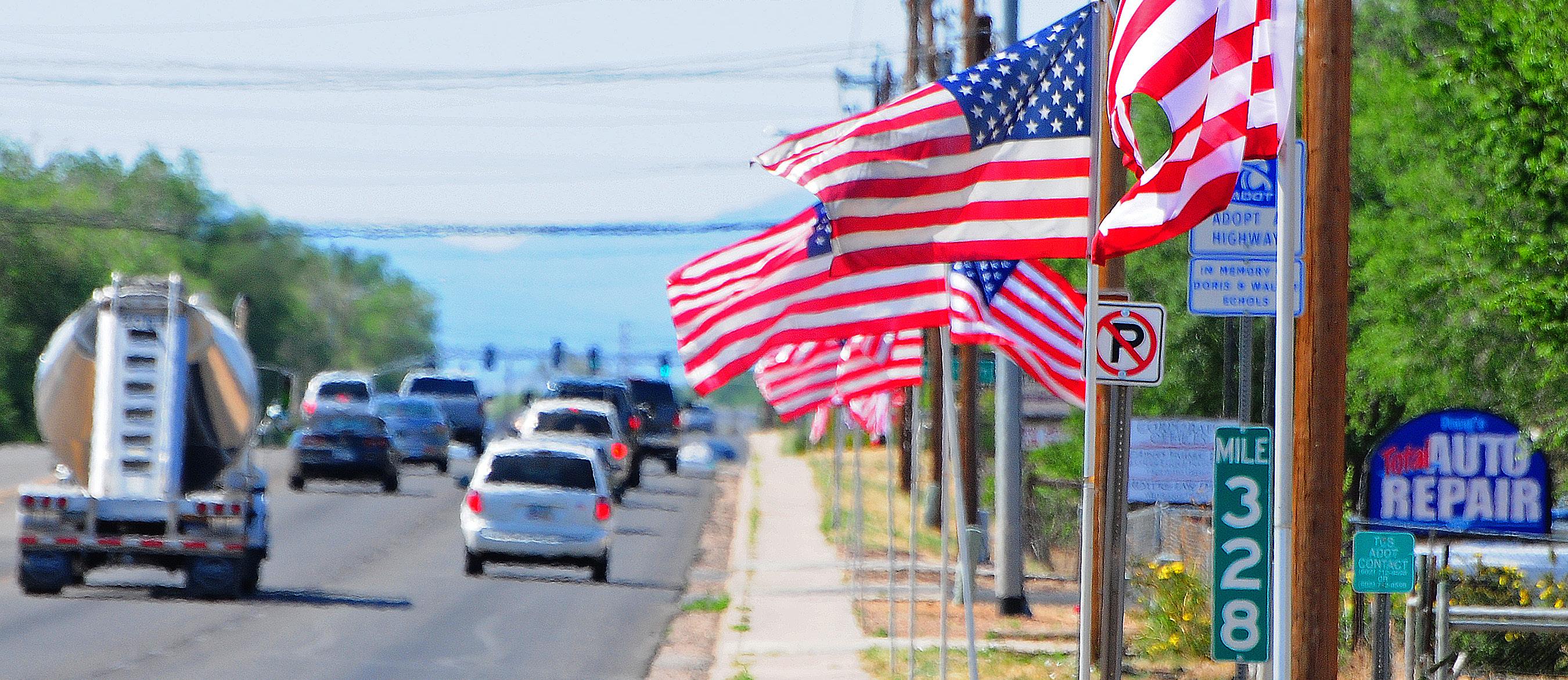
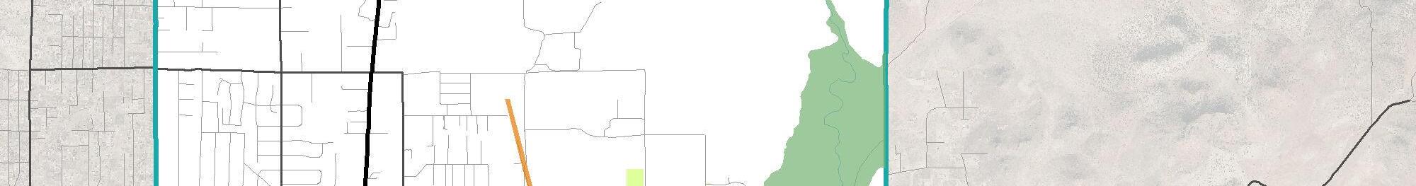
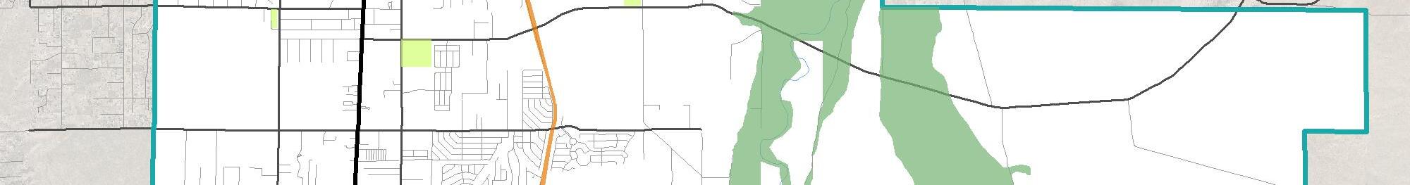
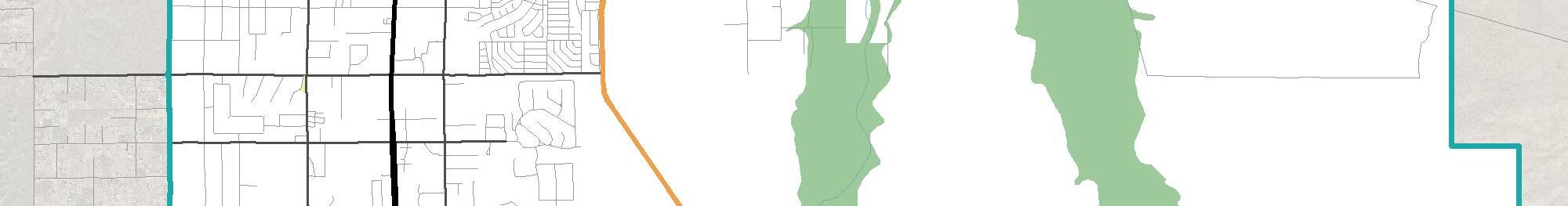
Not unlike many small rural communities, the town’s development pattern is anchored and radiates from a central main road. State Route 89 (SR 89), a major roadway connecting Prescott and Prescott Valley to the south and I-40 to the north, is the principal gateway for Chino Valley. Sporadic neighborhood and community commercial and industrial developments string along SR 89. This pattern quickly transitions westward into large-lot, low-density residential developments of one to several acre-sized lots. Eastward, the pattern is a mix of residential developments with lot sizes from roughly 7,000 square feet to more than five acres.
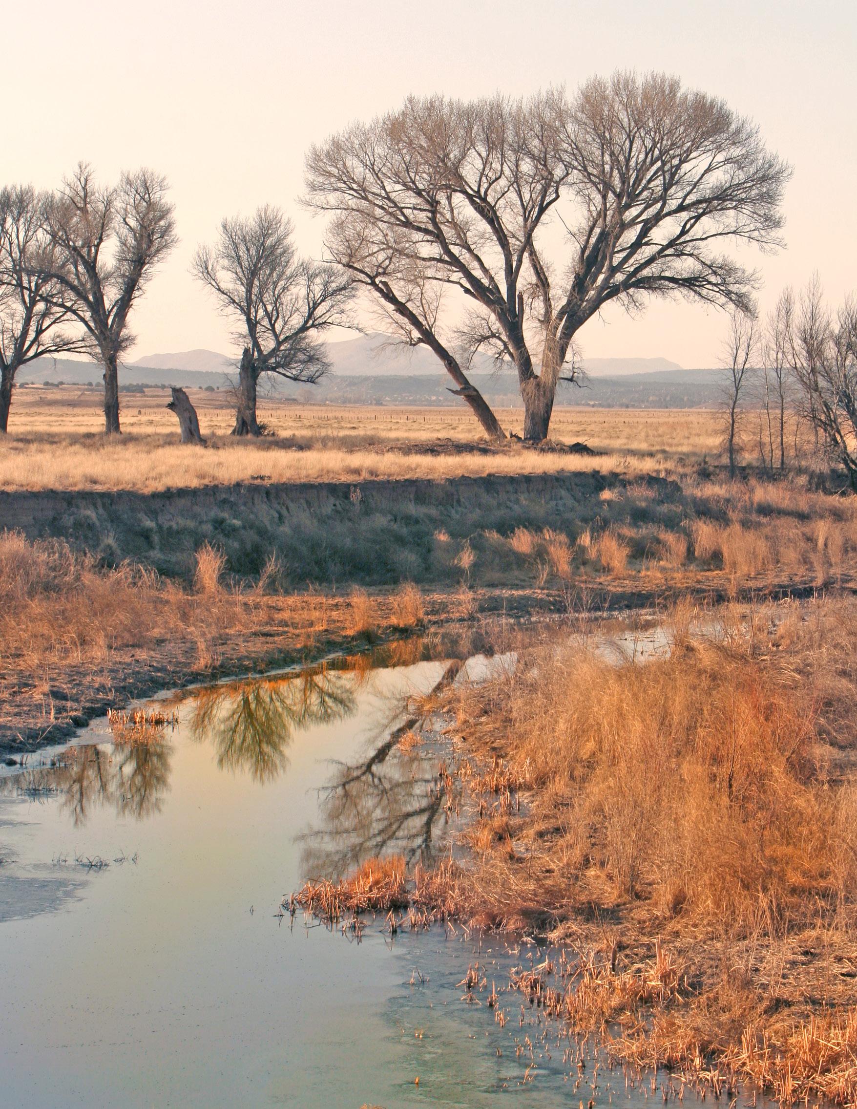
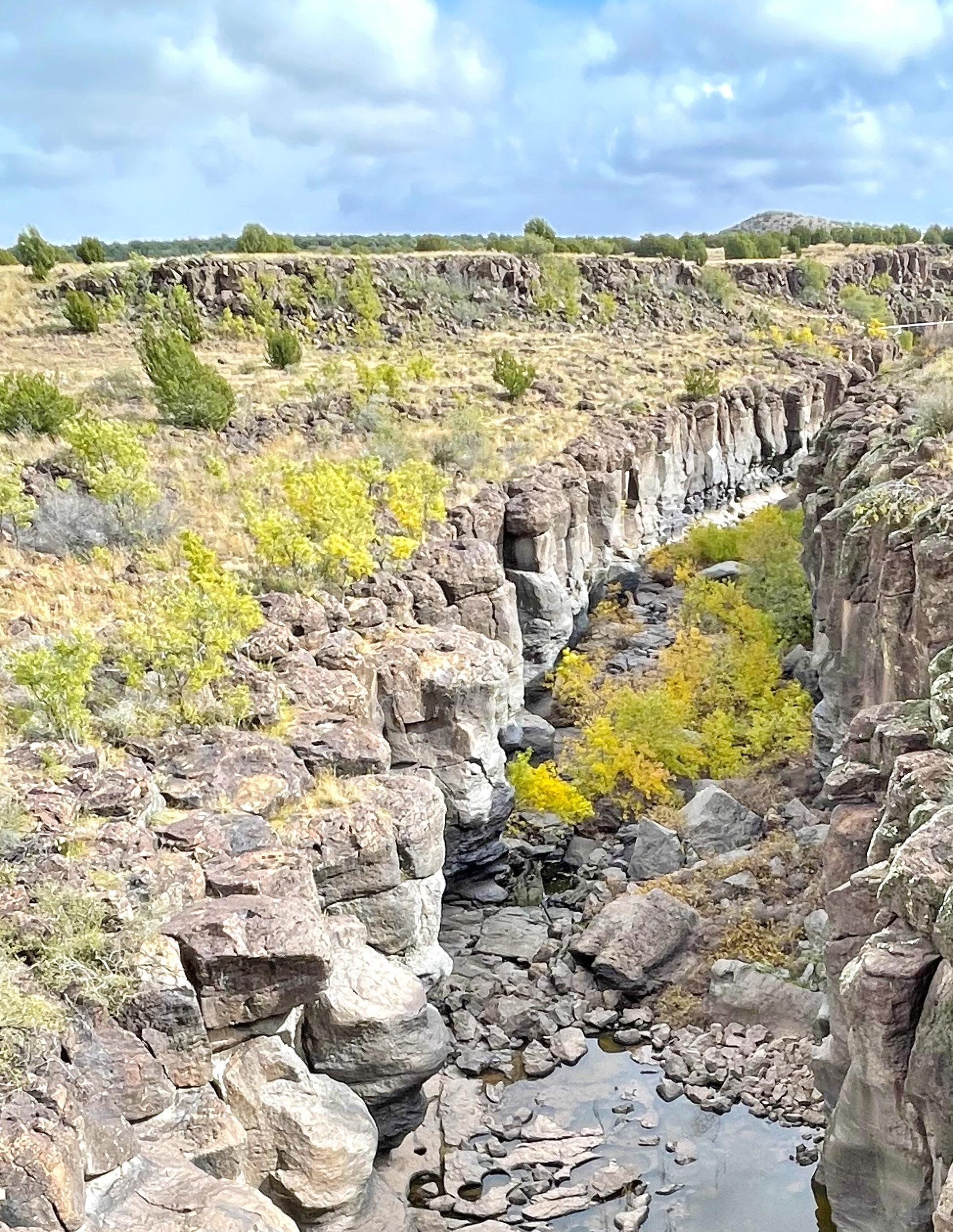
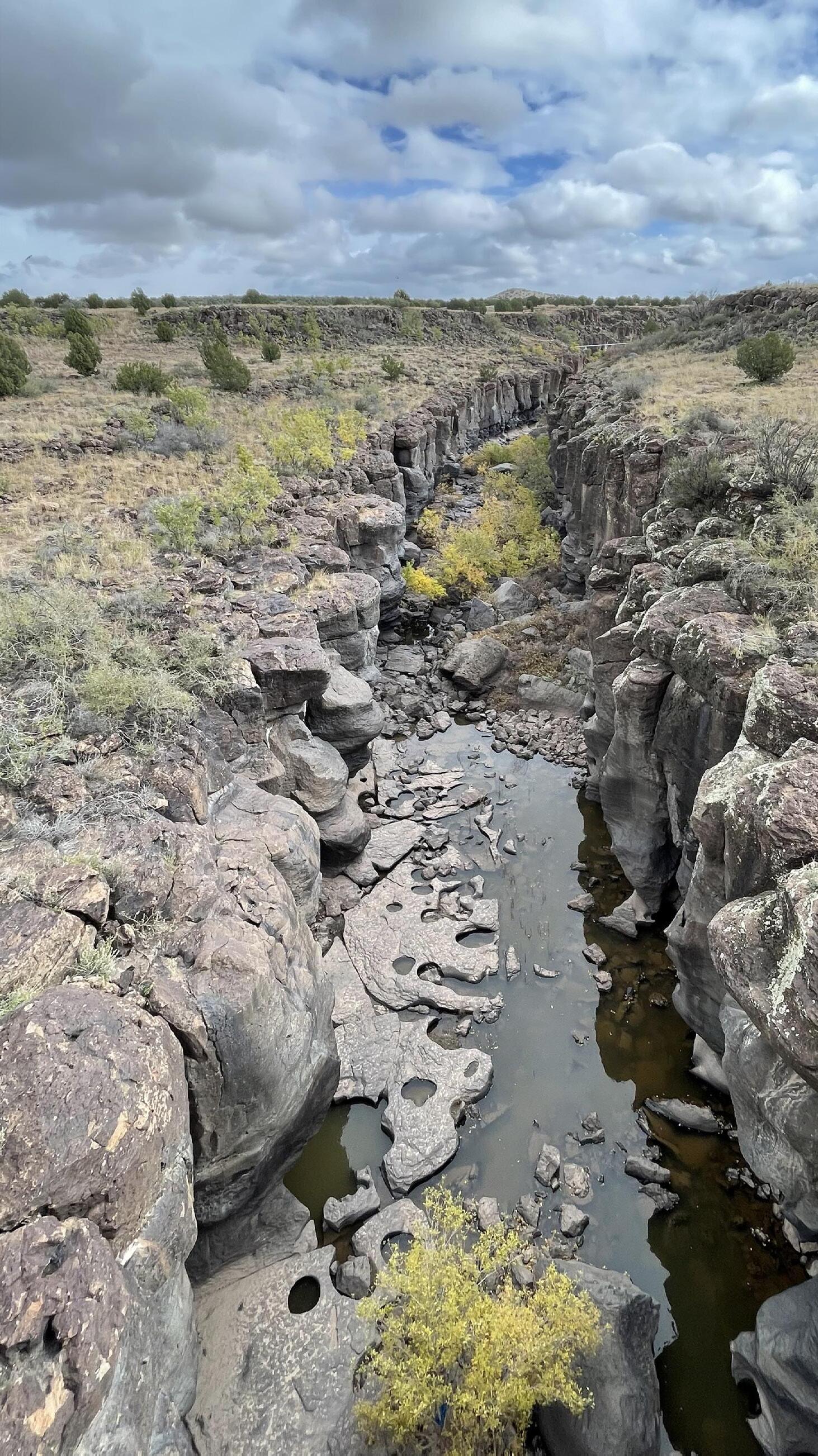
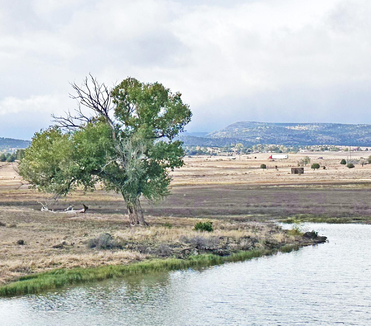
Outside of the SR 89 corridor and the neighborhoods bounding it, large expanses of Chino Valley remain largely in an undeveloped, natural state. Intermittent streams cross these open spaces and lead to quality natural habitat at Sullivan Lake and the Verde River in the far northern reaches of the community.
Throughout all of Chino Valley, detached single-family homes are the predominant style of residential building. This low-density development pattern supports the quiet, rural lifestyle that the community cherishes and wishes to sustain as the community matures.
Future Land Use
During the General Plan development process, residents were asked to provide their thoughts on how they would like to see Chino Valley address current needs and future growth. From this feedback, several predominant themes emerged, including a desire to limit smaller lot residential areas of less than one acre, increase efforts to preserve the rural character of the town, cluster locations of new commercial development, and pursue improved and continued maintenance to existing infrastructure, specifically roads. The community did not desire SR 89 to become a strip of “anyplace” commercial development, and most residents agreed that commercial uses should be clustered into well-planned activity centers. Old Home Manor was identified as a critical opportunity for an activity center with the preferred uses being sports and recreation facilities and commercial and business parks, and with lesser uses being educational facilities and uses to support tourism.
Future Land Use Map
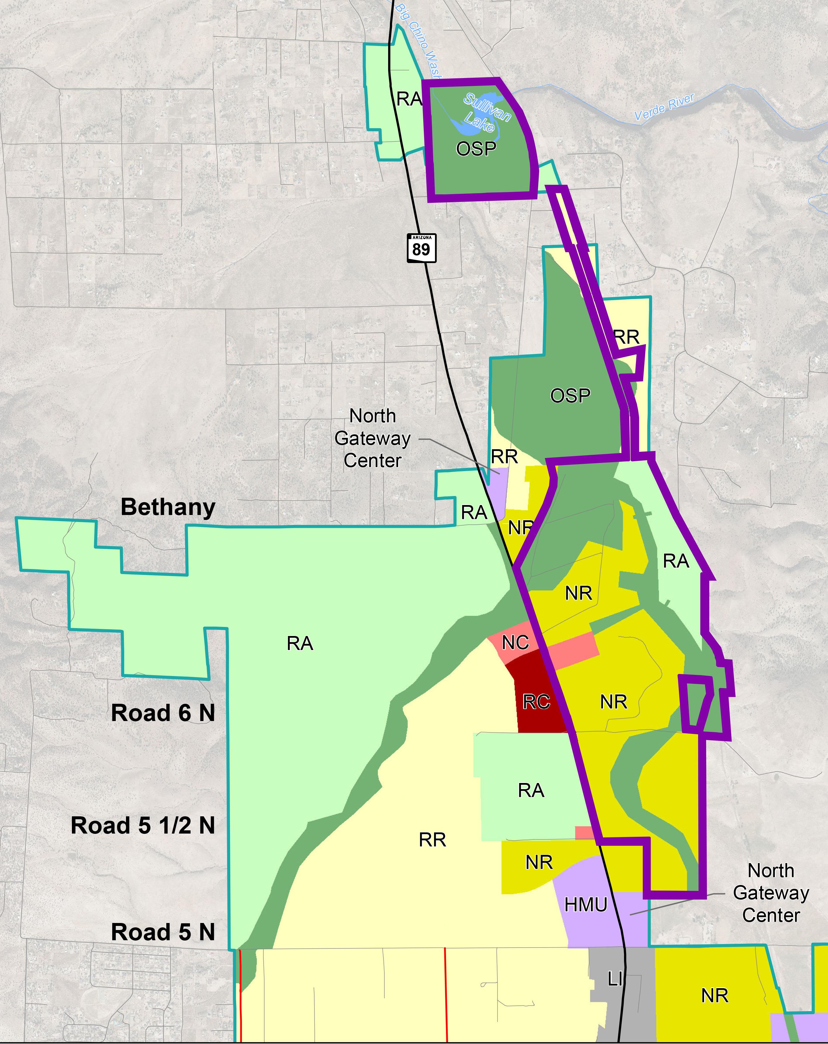
The intensities, types, and locations of future land uses are depicted on the Chino Valley 2040 General Plan Future Land Use Map (FLUM) in nine distinct land use categories. The FLUM illustrates the anticipated land use pattern for the community, aligning with its vision and desired balance of land uses. The land uses are categorized into nine distinct categories, each specifying the allowable uses and referencing the corresponding zoning district(s). Historic assets are included on the FLUM to ensure the continued stewardship of key pieces of the Town’s history.
General Plan Conformance
State law requires that all zoning and rezoning actions shall be consistent with and conform to the adopted General Plan and the respective future land use categories. The Zoning Conformity Matrix (Table 3-3) identifies which zoning districts conform with the specific land use designations of the General Plan. It’s important to note that while the General Plan guides land use decision making, the General Plan is not a regulatory document. The Unified Development Ordinance is the regulatory authority for use, density, intensity, and other development characteristics.
The FLUM is not a zoning map or a regulating document; however, as land is rezoned for development, the rezoning must conform to the land use categories identified on the Future Land Use Map and described in the General Plan. There are many locations throughout Chino Valley where the existing zoning does not align with the Future Land Use Map and vision of this Plan. To realize the vision of the Plan, the Town will assess all zoning change requests for conformity with the Future Land Use Map.
Future Land Use Categories
The nine land use categories capture the existing and visioned rural character of Chino Valley and facilitate responsible and balanced land use planning to secure the high-quality rural lifestyle envisioned for the future. Table 3-1 organizes and describes the purpose and intent of each land use category and identifies the corresponding zoning district(s) for each category.
Agriculture Land Use
The Agriculture category designates a large portion of the undeveloped eastern portion of Chino Valley as the Ranch/Agricultural (RA) category. This supports the continuation of rural, agricultural functions on large parcels of at least four (4) acres. Densities are very low to preserve open space and views, and to minimize infrastructure needs. The RA category applies to areas where development is not anticipated by 2040.
Open Space/Parks Land Use
The Open Space/Parks (OSP) category includes passive and active uses on local, state, and federal land to promote active communities and outdoor tourism with a minimal ecological impact. Much of this land is made up of federally-designated floodplain and floodway but may fall on privately-owned or statemanaged land that is not suitable for public recreation. Instead, it may support wildlife connectivity and open space.
Residential Land Use
There are three residential categories. They are distinguished by “maximum gross density per acre,” expressed as dwelling units per acre (du/ ac). The three categories that support residential use are Ranch/Agricultural (RA) allowing for 0.25 du/ac (also identified under the Agricultural Land Use), Rural Residential (RR) allowing 1 du/ac, and Neighborhood Residential (NR) allowing 4 du/ac. The RA and RR categories are the predominant land uses on the FLUM and provide larger lot development and lower density to maintain
Chino Valley’s open, rural feel. The NR category allows greater density in targeted areas, such as near commercial uses and within walking distance of parks, schools, and employment. This category may also provide housing options like duplexes, attached single-family units, townhomes, and smaller lot single-family detached dwelling units, diversifying the community’s housing options and improving housing attainability for families with children, first-time homebuyers, those on fixed incomes, and working- and middle-class families and individuals.
Commercial Land Use
The Neighborhood Commercial (NC) category is the primary commercial land use category in the Town, located mainly along SR 89. This category supports small-scale commercial developments that are generally compatible with residential land uses and produce minimal operational or visual impacts. This category allows low- to moderate-intensity commercial, service, and office uses.
Horizontal Multi-Use
The Regional Commercial (RC) category is located at the southern and northern ends of SR 89, serving as primary commercial nodes at the entrances to town. This category applies to areas that include moderate- to higher-intensity mixes of commercial uses, service uses, tourism lodging, and office uses that serve visitors and the regional market.
The Horizontal Multi-Use (HMU) category applies to areas that include a compatible and integrated mix of uses from low-intensity business parks and offices to regional and neighborhood commercial uses, parks, and higher density single-family and multi-family residential (8 dwelling units per acre). Areas that are HMU are intended to be predominately non-residential and no more than 25% of any HMU Center can be residential uses. There are six areas identified as HMU Centers on the FLUM.
Land Use Element
The HMU category requires additional master planning and a Development Agreement to define the goals, character, and conditions of the development approval. It is a flexible category that supports entertainment centers, town centers, master-planned communities, campuses, and new economic/employment centers. They are located at Old Home Manor, strategically placed along SR 89, and at the intersection of the Peavine Trail and the proposed Great Western Connector road. The centers are considered growth areas of the community and are more specifically described under Growth Areas on Page 3-16.
Industrial Land Use
The Light Industrial (LI) category includes low-intensity uses that have minimal impact on surrounding properties. This is the principal employment land use in Chino Valley located in the northern part of town along SR 89 and along the future Great Western Connector road to leverage convenient access to regional highways and Prescott Airport.
The Heavy Industrial (HI) category includes primarily manufacturing, fabrication, warehousing, mining, aggregate mining, and other uses that may have moderate to higher impacts on surrounding properties. Uses within this category should be separated from residential uses to the maximum extent practicable.
Table 3-1
Future Land Use Categories
(RA) 0.25 du/acre (1 du/4 acres)
This category supports the continuation of rural agricultural functions customary in Chino Valley on large parcels. Densities are very low to preserve open space and views and to minimize infrastructure needs. This category applies to areas that should not be intensified or developed by 2040. All lots are required to be greater than four acres. Detached single-family homes and accessory dwelling units are allowed along with related garages, sheds, barns, silos, and other agricultural structures. Storage and use of farm implements, equipment, vehicles and materials, livestock, and agricultural elements including animals, pastures, croplands, vineyards, apiaries, “you-pick” farms, solar energy development, agritourism, and agricultural product retail sales are also allowed.
This category includes passive and active local, state and federal parks, multipurpose trails, OHV trails, preserved and conserved public/private open space, wildlife corridors, equestrian trails, nature centers, recreation areas, rivers, streams, floodways and floodplains, outdoor shooting/archery ranges, and other uses that promote active communities and outdoor tourism and have a minimal ecological impact. Up to one dwelling unit per acre is allowed in this land use category as required by Arizona Revised Statute ARS 9-461.06N; however, to maintain the open space character, it is discouraged.
This category supports rural lifestyle living on lots of one to four acres. Uses include detached single-family homes and accessory dwelling units. The streets in these areas typically do not include curbs and gutters, but soft paths/shoulders are provided. Outbuildings, garages, sheds, and barns are allowed. The keeping of animals is allowed, but commercial feed lots, slaughterhouses, fertilizer yards, rendering and other agricultural sales, production, and processing are discouraged.
This category applies to areas that are the primary “small-town” residential neighborhoods in Chino Valley. Properties are connected to community water and sewer systems and are located close to parks, recreation facilities, schools, and commercial and employment land uses. Streets in these areas may include sidewalks, curbs, and gutters. All lots shall be greater than 12,000 square feet. Detached singlefamily homes and customary accessory structures and uses are prevalent in this category. Manufactured homes are also allowed within amenitized manufactured home subdivisions and parks.
Neighborhood Commercial (NC) N/A
This category allows low- to moderate-intensity commercial, service, and office uses that primarily serve market areas closer to residential neighborhoods. This category includes restaurants, retail stores with or without outdoor display and sales areas, grocery stores, fueling stations, offices, financial services, professional services, medical services, and other similar uses. No single-use exceeds 40,000 square feet in gross floor area, and no single development exceeds 80,000 square feet in gross floor area. These are the primary commercial areas of the community and located along SR 89 and in neighborhoods. These uses shall not have primary driveway access to local streets which are developed or planned for residential uses. Uses within the Neighborhood Commercial category are compatible with residential uses and produce minimal operational or visual impacts.
Land Use Element
Table 3-1 Future Land Use Categories (continued)
Regional Commercial (RC) N/A
This category applies to areas that include moderate- to higher-intensity commercial, service, and office uses that serve residents, visitors, and regional market areas. They are located at the southern and northern ends of SR 89, serving as primary commercial nodes at the entrances to town. This category includes all Neighborhood Commercial uses, large-scale or regional retail/office/commercial centers exceeding 80,000 square feet in gross floor area, hospitals and medical campuses, lodging, movie theaters and entertainment uses. All uses are conducted indoors, and limited outdoor storage areas are allowed accessory to the principal uses. Outdoor storage must be screened and buffered from residential uses and public view.
This category applies to areas that are master planned and include a compatible and integrated mix of uses from low-intensity business parks, offices, medical services, and municipal government functions to regional and neighborhood commercial, parks, tourism, and multi-family residential. The placement of additional manufactured homes is not allowed. Development subareas within the HMU category are interconnected by public and private streets, utilities, paths, parks, and shared parking areas, and are designed with common architectural and material characteristics. This category allows a mix of base zoning districts and requires a Development Agreement that specifically defines the goals and character of the development and comprehensively addresses use impacts through buffer and transitioning between dissimilar uses. It is a flexible category that supports entertainment centers, tourism activities, town centers, master-planned communities, campus plans, and economic/employment centers. Multistory buildings are permitted. Areas that are HMU are intended to be predominately non-residential and no more than 25% of any HMU Center can be residential uses.
This is an employment category in Chino Valley and includes clean industrial uses, typically lower-impact and limited-scale indoor industrial uses such as light fabrication, assembly, light manufacturing, contractors’ offices, custom fabrication/assembly, small-scale machine shops, indoor self-storage, outdoor storage of materials, vehicle repair, operable vehicle/equipment storage research and development, and data centers. The use intensity is low to moderate. It is primarily located along the proposed Great Western Connector road to take advantage of convenient access to regional highways, Perkinsville Road, and Prescott Airport. Uses within this category are compatible with and not impacted by airport operations. No primary materials fabrication, smelting, food production, rendering, or production of flammable, explosive, or other hazardous materials is permitted. All outdoor areas are required to be fully screened from public view and residential areas, and they must be located in the rear portions of properties.
This category includes primary manufacturing, fabrication, warehousing, mining, and other uses that have moderate-to-higher light, noise, dust, odor, vibration, traffic, water, wastewater, and other utility impacts. This category also includes food production and processing, dairies, feed lots, egg farms, heavy/large vehicle repair, truck stops, airports, helipads, resource extraction, and similar intense uses. This category should be separated from residential uses to the maximum extent practicable and is only allowed where ongoing resource extraction is present.
Light Industrial (LI) N/A
Heavy Industrial (HI) N/A
Historic Assets
Historic assets are located throughout Chino Valley that are important to state, region, and town history. Six key historic assets are identified on the Future Land Use Map (Figure 3.1) that should be considered for preservation and commemoration as new development occurs. These do not constitute the extent of the historic sites in Chino Valley, but are key assets that should be protected and considered for eligibility on state or federal historic registers.
1
2
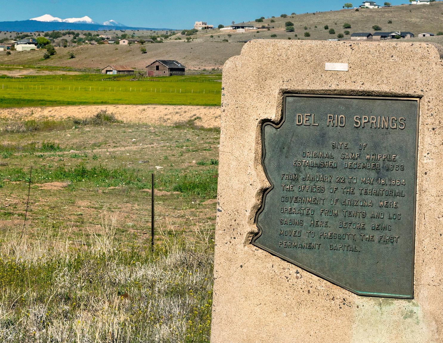
Del Rio Ranch was the site of the first Territorial Government held in that location for about five months (December 1863-May 1864). Built in 1863, the estate covers roughly 3,250 acres. From 1909 to 1956 it was one of several Fred Harvey Farms producing meat, dairy products, and vegetables for Fred Harvey’s famous Restaurant Houses and hotels along popular rail lines.
The Company Well, located at 640 West Road 4 North, was drilled by an earnest group of townspeople in 1930 for communal use for agricultural purposes. At a depth of approximately 480 feet the well proved prolific, pumping up to 800 gallons per minute. The well still produces to this day.
3
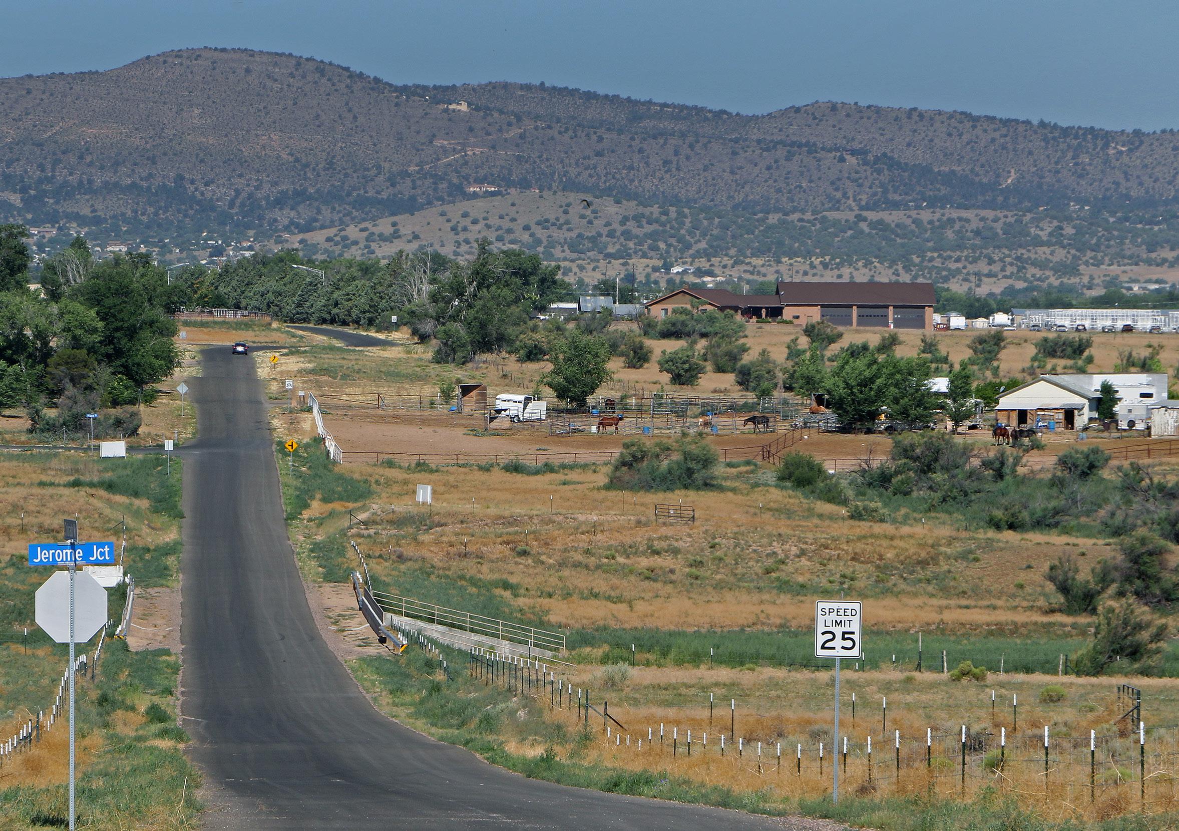
Jerome Junction, located south of the intersection of Jerome Junction Road and Perkinsville Road, was built in 1895 adjacent to a newly built narrow gauge railroad that carried freight and passengers from the town of Jerome to Prescott and Phoenix. The Junction was the actual intersection of the United Verde and Pacific Railroad with the Santa Fe, Prescott and Phoenix Railroad.
4 5 6
The Log Cabin, located at 18 North SR 89, was constructed in 1926 with logs hewn and hauled from Parks, Arizona. While it has served many businesses in its nearly 100year history, The Log Cabin began as a fried chicken restaurant and filling station.
The Hassayampa Alfalfa Farm aka Prescott Farm (now the Cooper Agriculture Center) located at 522 West Center Street, commenced operation in 1914. Originally named the Little Chino Irrigation Project, the founders’ goal was to attract farmers to buy in to the project for small-scale agriculture. The project became a modest success once a large group of Russian farmers arrived in town and began farming land tracts of 20 to 120 acres each.
The Historic Church of Jesus Christ of Latter Day Saints Chapel, located at 101 South SR 89, was completed in 1924 and dedicated in June of that year. The facility ceased use in 1966.
Del Rio Ranch
Land Use Element
Table 3-2
Future Land Use Acreage and Estimated Developable Dwelling Units at Buildout
Table 3-3 identifies the 2023 Unified Development Ordinance (UDO) districts that are allowable in each of the General Plan land use categories.
Table 3-3 Zoning Conformity Matrix
Housing
Chino Valley’s population exceeded 13,000 in 2020, growing over 63 percent since 2000. This is faster than other nearby communities and illustrates the desirability of the area and its rural quality of life. The number of housing units in Chino Valley has increased at a comparable rate to the population, rising from 3,251 units in 2000 to 5,585 units in 2022, for an increase of 72 percent. However, the average home value increased by 174% from 2000 to 2020, making it difficult for many families or individuals to afford homeownership. This large increase in home values mirrors what has occurred across most of Arizona and the U.S. in recent years.
Housing in Chino Valley, like a large portion of Arizona, is in short supply and financially difficult for some residents. Historical development trends have limited the number of residential lots that are less than one acre. While large-lot, low-density residential uses may be favorable to residents looking to preserve the rural lifestyle they have become accustomed to, it does not support housing accessibility through housing diversity.
The limited number of available dwelling units in the housing market has several consequences. There are not enough existing dwelling units in town to support an increase in retail opportunities. Retail operators typically assess new markets based on the number of households in a community to determine if their business will have success. This could be particularly challenging for redevelopment efforts along SR 89 or for attracting a desired second supermarket and expanded commercial offerings.
The limited amount of housing diversity, such as multi-family residential, apartments, and workforce housing, and the high costs of housing in Chino Valley impact the ability of young and/ or lower-income families and individuals to find housing in Chino Valley This trend is clear in Chino Valley as household sizes are shrinking and the median age of the community is increasing.
The availability and affordability of housing are crucial issues that affect both homeowners and renters in Chino Valley. The supply of attainable housing has a greater impact on renters since they have fewer options for mitigating the cost
Construction of new homes in Chino Valley has matched the pace of population growth.
Land Use Element
Home costs are increasing, and rentals are more common.
of housing. According to the 2020 census and the U.S. Department of Health and Human Services, 7.3 percent of Chino Valley’s residents were living below the Federal Poverty Level of $21,720 for a family of three and $26,200 for a family of four. Those living below the poverty level, which may include retired and elderly individuals living on fixed incomes, have the greatest need for safe and adequate housing. This highlights the importance of ensuring a diverse and affordable housing supply in Chino Valley.
Site-built homes account for approximately 56 percent of the housing stock with manufactured and triplexes account for less than 0.08 percent of the housing stock.
Site-built homes account for approximately 56% of the housing stock with manufactured homes comprising just under 44%. Attached housing such as townhomes, duplexes, and triplexes account for less than 0.08% of the housing stock.
Locating mid- to higher-density residential close to schools, commercial areas, and employment areas supports the activity center concept while retaining lower density residential development further away to retain rural character.
The median home value in 2020 was $261,800, which was a 41.3% increase from 2010 and a 174% increase from 2000.
Neighborhood Residential land use functions as a transition between the commercial land uses along the SR 89 corridor and large-lot rural developments reducing the impacts on rural lifestyles further from the town’s central corridor.
Occupied Owner Occupied Vacant
Growth Areas
Growth areas are identified as six “Centers” located around Old Home Manor, the northsouth SR 89 corridor, and the intersection of the Peavine Trail and the proposed Great Western Connector road.
n Old Home Manor Center
n North Gateway Center
n South Gateway Center
n Peavine Center
n Historic Center
n Uptown Center
These Centers are planned to each have a unique character and provide areas of horizontally integrated multi-use development that incorporate office, commercial, municipal, and residential spaces. To enhance an integrated community feel and capitalize on what makes Chino Valley special, development in the centers will be master planned to define unique characteristics of that center. For example, centers along SR 89 are likely to be the biggest draws for tourism and should have designs, themes, or characteristics that portray Chino Valley’s tourism and cultural vision.
A land use and character framework for the centers follows; however, each center should be further assessed and planned through detailed area plans to capture the specific character, land uses, connections, themes, and transitions of each center.
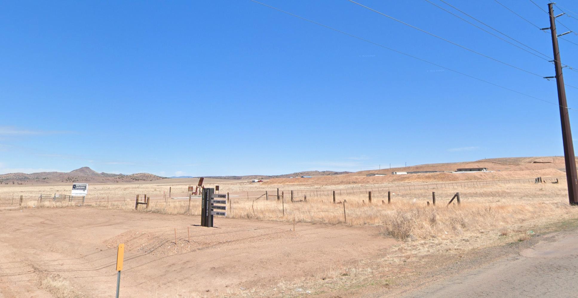
Old Home Manor Center
Owned by the Town, Old Home Manor is a planned employment district with commercial, recreation, education, and public service uses. The town’s wastewater treatment plant and aquifer recharge area are located at Old Home Manor. The vision for the Old Home Manor Center, which covers more land than just what the Town owns, is a master-
planned HMU development that will include a compatible and integrated mix of uses from low-intensity business parks, offices, medical services, and municipal government functions to regional and neighborhood commercial uses, parks, recreation and sports uses, tourism draws for events such as equestrian activities, and multifamily residential uses. The Old Home Manor Center will contain development subareas interconnected by public and private streets, utilities, paths, parks, and shared parking areas, with buildings incorporating common architectural elements and materials.
SR 89 Corridor Centers
The SR 89 corridor will continue to be the commercial heart of the community with intermittent commercial and multi-use nodes dispersed along it. While much of the current development pattern will be preserved, the HMU category will encourage new and diverse uses. Neighborhood commercial uses will be integrated along the corridor, connecting the South Gateway Center, the Historic Center, the Uptown Center, and the North Gateway Center. In addition, the SR 89 corridor will allow for denser and/or multifamily residential units within the Centers. Locating denser and multifamily development close to major roadways and commercial nodes will promote walking to those services, as well as to parks and schools and preserve the other portions of the community for large-lot rural residential development.
n North Gateway Center abuts light industrial to the south and can serve as a transitional center activated by neighborhood and tourism serving retail and restaurants and residential to the north and west. The center can include gateway monumentation and other elements to announce a sense of arrival into Chino Valley.
n South Gateway Center is the southernmost center in Chino Valley. In addition to being the southern themed gateway for Chino Valley, its proximity to Prescott Airport, light industrial and regional commercial future land uses create an opportunity to capitalize on unique tourism-related retail, lodging, and transitional residential and business park uses.
n Historic Center includes several properties and buildings integral to Chino Valley’s history. The center should take care to retain and enhance these assets through restoration and reuse while promoting development that is complementary to those uses such as artisan retail/dining, event and banquet space, live-work spaces, and other uses that celebrate the people and history of Chino Valley.
n Uptown Center is the commercial heart of Chino Valley and should be planned to maximize community and tourismserving retail/dining and integrated transitional medium - to higher-density residential.
Peavine Center
The proposed Great Western Connector will connect to the southern end of the SR 89 corridor, extending eastward. This area is planned as the Peavine Center to function as an employment hub, with a mix of industrial and commercial land uses. The region’s proximity to Prescott Airport and highway access make it an ideal location for light industrial and commercial development. The area is likely to attract workers from within Chino Valley, as well as residents from neighboring communities to the south and east.
Land Use Goals and Policies
Update the Unified Development Ordinance to align with the Future Land Use Map and General Plan.
Policy LU-1.1
Amend the Unified Development Ordinance to include site and architectural design guidelines that reflect Chino Valley’s rural character and implement the vision, goals, and policies of the General Plan.
Policy LU-1.2 Amend the Unified Development Ordinance to eliminate unnecessary or obsolete zoning districts and align zoning districts with the General Plan land use categories.
Policy LU-1.3 Evaluate and amend the Planned Area Development district standards to support development of HMU centers. Modify the district to be a base district, not an overlay district.
Policy LU-1.4 Update the Unified Development Ordinance for compliance with new laws, case law, and federal requirements.
Use Development Agreements to guide master planned and larger developments.
Policy LU-2.1
Use Development Agreements for projects larger than twenty-five (25) acres or more than fifty (50) units and Planned Area Developments so that developments are compatible with and reflect the rural character of Chino Valley. The development agreements should include, at a minimum:
n The duration of the agreement.
n Reference to the associated Planned Area Development district master plan.
n Provisions for reservation or dedication of land for public purposes and provisions to protect environmentally sensitive lands.
n Provisions for preservation and restoration of historic structures.
n Provisions for public infrastructure improvements necessary for the development and in conformance with Facility, Transportation, Water, and Wastewater Master Plans.
n The phasing or time of construction or development on the property.
n Performance requirements, conditions, terms, restrictions, financing, and requirements for public infrastructure and subsequent reimbursements over time.
n Any other matters relating to the development of the property.
Land Use Element 3
Ensure that low-intensity land uses are located, transitioned and buffered from higher-intensity land uses.
Policy LU-3.1 Develop Unified Development Ordinance standards to improve the buffering and transition to lower-intensity residential land uses.
Policy LU-3.2 Evaluate and update development standards to improve land use compatibility through on-site setbacks, landscaping, screening, lot size, and building height.
Policy LU-3.3 Evaluate and update development standards for commercial and industrial development to fully screen, buffer, and transition to protect residential areas and other low intensity land uses.
Housing
Goal
Support attainable housing by using neighborhood density housing options and working with developers to build new homes that meet the needs of families and individuals.
Policy LU-4.1 Support residential densities of one (1) to four (4) dwelling units per acre in established residential areas and up to eight (8) dwelling units per acre where primary access from a major collector or arterial is available. Promote subdivision design to locate smaller-lot single-family residential land uses as a transition to more intense residential uses.
Policy LU-4.2 Evaluate and adopt incentive programs to encourage attainable housing options in desired areas such as development bonuses, alternative standards, and expedited review.
Policy LU-4.3 Conduct a housing study every five years to assess housing attainability and available housing options in accordance with state statute.
Ensure that housing options in Chino Valley serve existing and future residents of all ages, abilities, and needs.
Policy LU-5.1 Promote residential development proposals in areas that are compatible with existing and planned land uses.
Policy LU-5.2 Encourage a range of residential options, such as housing type, housing size, lot size, and densities, to accommodate a range of family sizes, ages, and incomes.
Policy LU-5.3 Evaluate strategies to increase multigenerational housing options, such as attached and detached accessory dwelling units, and accessible housing units that support residents’ ability to age in place.
Policy LU-5.4 Promote senior housing and assisted living options proximate to medical facilities, transit stops, commercial services, and community facilities.
Ensure that the housing stock is attractive and supports healthy neighborhoods.
Policy LU-6.1 Support neighborhood services and amenities within residential neighborhoods.
Policy LU-6.2 Encourage infill residential development in neighborhoods that are already established. Ensure that infill development maintains the character of the existing neighborhood.
Policy LU-6.3 Evaluate residential design guidelines to reinforce the rural, rustic character of Chino Valley and to improve visual cohesion of the community in the form of landscaping, buffers, and architectural design.
Policy LU-6.4 Develop design standards for manufactured homes to ensure they are developed in character with the surrounding area.
Policy LU-6.5 Update the Town’s policy for the minimum age of newly placed manufactured homes to state that they shall be no older than 15 years at the time of placement.
Policy LU-6.6 Prohibit the placement of additional manufactured homes on any parcel abutting SR 89, within HMU designation, or within one-half mile on either side of the centerline of SR 89, whichever is further. This distance should be evaluated in the future to update if deemed necessary.
Policy LU-6.7 Establish an ad-hoc manufactured home committee to evaluate and make recommendations to promote the rural character of the community, the long-term safety, quality, and sustainability of manufactured homes, and the preferred locations for future manufactured homes.
Land Use Element
Growth Areas
Develop growth areas in a manner that promotes efficient use of resources and infrastructure and maintains or improves the rural character and quality of life for residents.
Policy LU-7.1 Evaluate projects and programs within the Capital Improvement Program based on their location in relation to designated growth areas.
Policy LU-7.2 Encourage new development to be located adjacent to or near existing development, streets, and infrastructure to limit impacts to open space and natural areas.
Policy LU-7.3 Evaluate development standards to increase open space and reduce lot coverage on residential lots larger than one (1) acre.
Policy LU-7.4 Require new development to provide a transition between uses with differing densities/intensities by incorporating compatible land use strategies.
Policy LU-7.5 Develop design guidelines for each HMU Center that define themes, architectural design, and colors to promote the intended character of each center. Multiple HMU centers may have the same design guidelines based on location within town. Particular emphasis should be placed on the character of historical areas or sites.
Policy LU-7.6 Minimize residential development at arterial and collector intersections in HMU designations to utilize the intersection frontage for commercial use.
Goal
Ensure that growth areas provide a destination for residents and visitors comprising a concentration and mixture of uses.
Policy LU-8.1 Support future commercial development in growth areas identified in the Future Land Use Map. Strip commercial zoning districts should be discouraged throughout the town.
Policy LU-8.2 Ensure that growth areas are served and connected by major transportation routes and facilitate alternate modes of transportation.
Policy LU-8.3 Support dense residential development (up to 8 du/ac) in Horizontal MultiUse centers to provide workforce housing options. Denser residential should be consistent with the community character and housing needs of the surrounding area and interconnected with other uses in the HMU Center by pedestrian amenities such as sidewalks and paths to promote walkability.
Policy LU-8.4 If the 980 acres are not designated as a state park per state legislation, then the future land use map for the 980 acres will revert to the alternate future land use, illustrated in Figure 3-2.
Figure 3.2 Alternative Land Use
Bethany
Bethany
Bethany
Road 6 N
Road 6 N
Road 6 N
Road 5 1/2 N
Road 5 1/2 N
Road 5 N
Prop osed State Park
Land Use Categories
RA - Ra nch/Ag ricultural (1 du/4+ ac)
RR - Rural Re sidential (1 du/ac)
NR - Neig hborho
Land Use Element 3
Ensure that Old Home Manor is a multi-use area that includes compatible employment, recreational opportunities, and residential, education, public, and tourism-related uses.
Policy LU-9.1 Develop an Area Plan for Old Home Manor to guide development to include government, tourism, and recreational uses for Chino Valley while meeting the needs of the community.
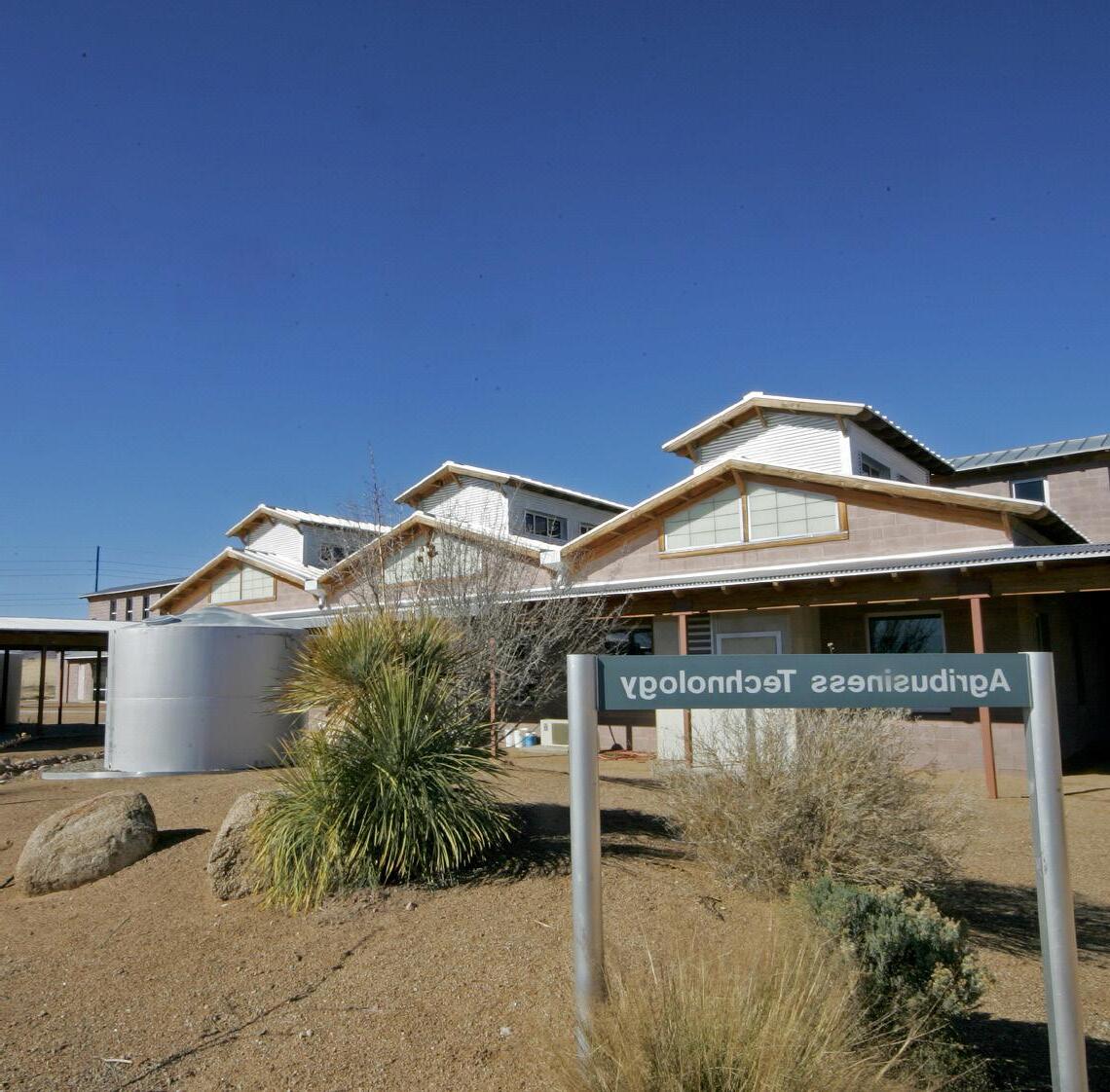
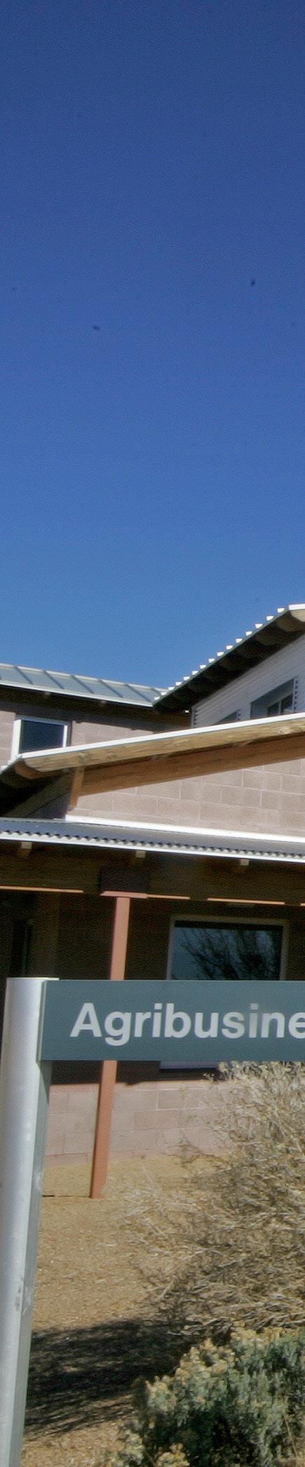
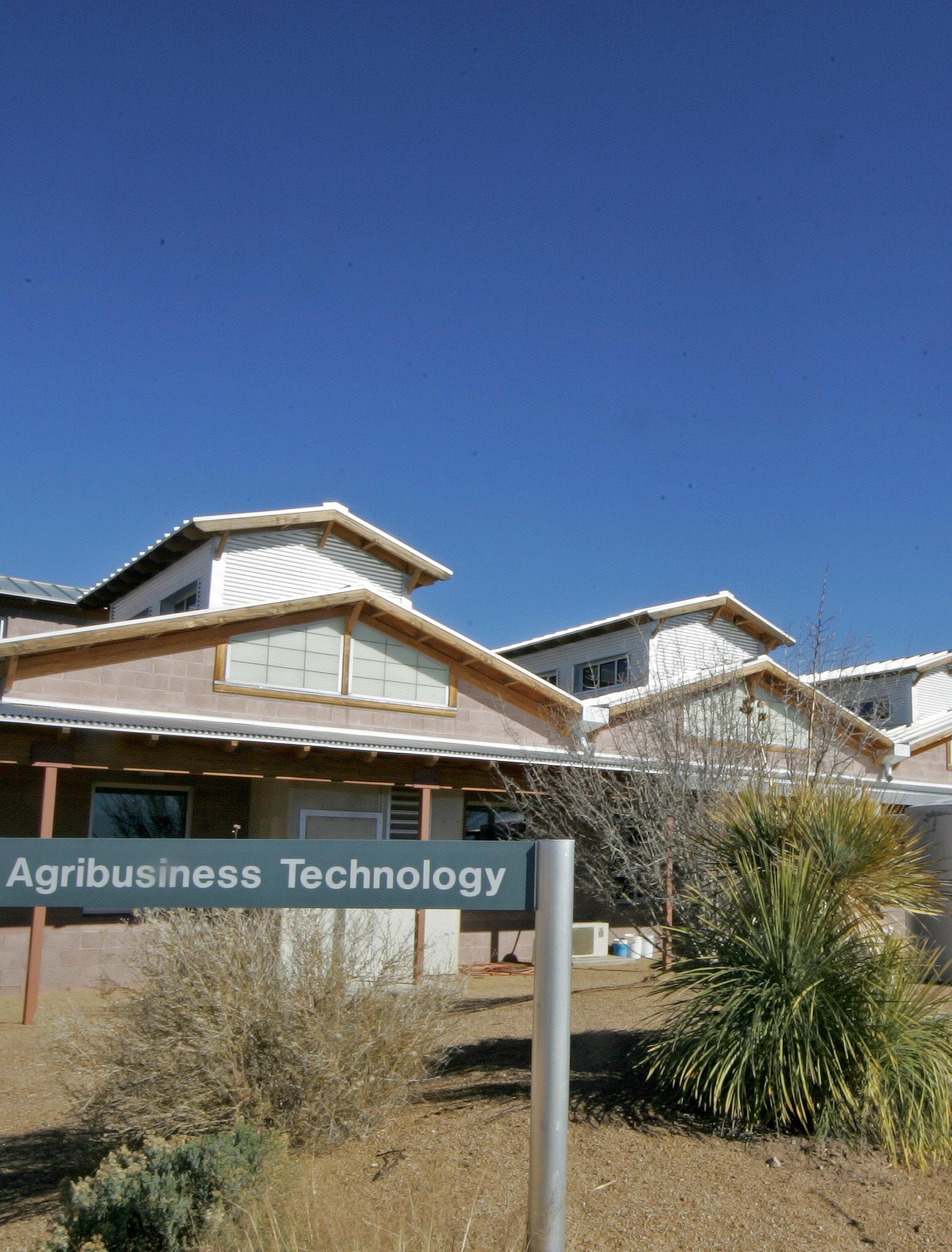
Policy LU-9.2 Develop multifamily density residential uses near the Chino Valley Agribusiness & Science Technology Center for young professionals and students.
Policy LU-9.3: Support and encourage multi-use development in Old Home Manor that:
n Integrates land use, transportation, infrastructure, and design elements into a cohesive, well-planned Town Center.
n Promotes and integrates walkability and proximity between uses, including improved trails and paths between building clusters and connections to regional trails.
Multi-Use Centers are well planned, cohesively designed, and integrated with the community.
Policy LU-10.1 Develop area plans for each multi-use center to determine the specific land use mix, site and building design characteristics, purpose, and goals.
Policy LU-10.2 Design centers to be unique destinations in Chino Valley and regional tourism draws.
Policy LU-10.3 Evaluate the centers to minimize impact and properly transition into the abutting development pattern and future land uses.
Ensure that land use and environmental planning are integrated to conserve and reduce development impacts on natural resources, including natural drainage corridors, native vegetation, riparian areas, known wildlife habitats, and other sensitive natural features of the land.
Policy LU-11.1 Discourage rezoning or development of native or undisturbed open space to preserve known wildlife habitats. Encourage new development to incorporate natural open space into development plans.
Policy LU-11.2 Determine and implement best practices, such as cluster/conservation subdivision design and low-impact development near sensitive lands.
Policy LU-11.3 Employ best practices for developing in conformance with natural site topography to avoid significant alterations of the landscape and to limit grading impacts, especially along Granite Creek and known floodplains.
Goal
LU-12
Goal
LU-13
New development supports existing agricultural and equestrian uses and maintains the natural beauty of the area, while focusing denser residential development closer to the geographic center of town, along busy roadways (e.g., SR 89) and near town-provided water and sewer.
Policy LU-12.1 Support development in the Rural Residential and Ranch/Agricultural land use areas on the periphery of town that preserves large lots and the overall rural character. Use large, open-space buffers to separate residential dwelling units from other residential or nonresidential uses.
Policy LU-12.2 Encourage the continuation of minimal development on land east of Granite Creek to preserve open space.
Policy LU-12.3 Preserve and maintain historic sites and structures to showcase their importance to Chino Valley’s history. Appropriate sites should be considered for submission to state or national historic registers. Any proposed development or redevelopment or historic sites or structures should be reviewed and evaluated by the Chino Valley Historical Society for impacts.
Ensure that neighborhoods are safe and well-maintained and contribute to a high quality of life for residents and visitors.
Policy LU-13.1 Improve community health and the appearance of existing neighborhoods by proactively enforcing compliance with the property maintenance and nuisance codes.
Policy LU-13.2 Explore best practices for programs related to addressing housing rehabilitation, such as emergency repair funds and community maintenance events, to maintain existing housing stock.
Policy LU-13.3 Educate the community on the benefits of property maintenance and enhancement, as well as the property assistance programs available to them.
Policy LU-13.4 Work with neighborhood leaders to evaluate ongoing neighborhood maintenance needs.
Policy LU-13.5 Evaluate and prioritize right-of-way acquisition for the development of sidewalks or multi-use paths for existing neighborhoods to ensure safe pedestrian travel.
Land Use Element 3
Ensure that the community is well-served by commerce and employment, providing goods, services, and jobs that offer livable wages for residents.
Policy LU-14.1 Support land uses in designated employment areas that align with emerging economic conditions and the town’s target industry sectors, such as retail, tourism, and food service.
Policy LU-14.2 Encourage land uses that contribute to the creation of a Town Center.
Policy LU-14.3 Support local, community, and regional scale commercial land uses in future growth areas and the appropriate commercial land use category.
Policy LU-14.4 Preserve and protect areas designated for employment from encroachment by single-family residential or other incompatible land uses.
Aggregates
Ensure aggregate mining operations are compatible with surrounding uses.
Policy LU-15.1 Evaluate the Unified Development Ordinance and establish buffer standards between aggregate mining locations and development that is not compatible with mining operations.
Policy LU-15.2 Evaluate and adopt development standards to maximize compatibility of aggregate mining with adjacent properties, minimize impact to recreation and open space, and require the restoration/reuse of the land once mining has ceased.
Policy LU-15.3 Ensure codes support, per state law existing aggregate mining operations.
Policy LU-15.4 Ensure that future aggregate mining operations are consistent with state law on Arizona Geological Survey information relative to location and geological resources.
Policy LU-15.5 Permit aggregate resource extraction, as identified by state agencies, in accordance with ARS 9-461.05.C.1(g).
This page left intentionally blank.
Circulation Element 4
Designing, funding, and constructing an efficient and connected transportation system are vital and essential to provide for the orderly growth and development of the town. The increased growth requires a circulation system that will enable residents and visitors to travel within and through Chino Valley safely, efficiently, and conveniently to reach destinations within the community and the larger region. This element explores existing and projected transportation facilities and their conditions and provides the framework and guidance to deliver needed transportation facilities supporting mobility and commerce into the future.
Functional Classification of Roads
To maintain an effective transportation system, Chino Valley needs to adequately plan for roadways and minimize through traffic in neighborhoods while creating efficiency in the movement of people and goods. To achieve this, roadways are organized into a hierarchy of functional classifications based on their purpose within the street system. The classifications serve as a basis for establishing speed limits, design standards, and access control. Chino Valley’s existing roadways are categorized into the following functional classes and depicted on Figure 4.2.
State Highways
The national and state highway systems represent the highest functional order, as they are designed to support high-speed travel over long distances and, therefore, offer the greatest mobility while strictly limiting direct access from adjoining parcels. State Route 89 (SR 89) is the only state highway in Chino Valley. It is maintained and operated by the Arizona Department of Transportation (ADOT).
Arterials
Designed for handling substantial traffic volume, arterials serve as the primary eastwest and north-south connections within and across Chino Valley, apart from SR 89. These roadways create a contiguous network, linking land uses, key destinations, and hubs of activity, including the town center, Old Home Manor, multi-use activity centers, and residential neighborhoods. Road 4 North, Road 4 South, M.A. Perkins, Road 2 North, Center Street, and Perkinsville Road are examples of arterials. Arterials are further defined as major, minor, urban, and rural arterials. Future arterials are planned east of the Peavine Trail to connect and support emerging activity centers.
Collectors
Collectors are the critical secondary transportation grid in Chino Valley, directing local road traffic toward and from highways, arterials, and local roads. They also provide access to land and facilitate safe circulation within residential neighborhoods and commercial and industrial areas. Road 5 ½ North, Road 4 ½ North, Road 4 North, Road 3 ½ North, Road 3 South, Road 2 North, Road 1 North, and Road 1 South are examples of collectors.
Local Roads
Local roads are designed for low speeds and low traffic volumes. They primarily provide local access within developments, have frequent private access points/ driveways, and discourage through traffic. Local roads primarily connect with the collector system, although some may have access to the arterial system. Local roads are further distinguished as urban or rural local roads. Local roads should be minimized in undeveloped areas of the town.
B C D E F
Roadway Level of Service
Level of service (LOS) is a qualitative measure used to describe the operational performance of a road or intersection. LOS is used to analyze roadways and intersections by categorizing traffic flow. The quality of operation or service experienced by traffic is then rated according to certain performance measures, e.g., vehicle speed, density of traffic, congestion, delay, and other factors. LOS A represents the best conditions, reflecting free-flowing operations with little to no impedance or friction affecting vehicle movement. LOS F represents the worst conditions, reflecting forced flow or breakdown in traffic operations with highly restricted or even little to no vehicle movement. The six LOS categories are summarized below and illustrated on Figure 4.1.
4.1 Level of Service Definitions for Roadway Segments
Level of Service A
Free-flowing conditions. The operation of vehicles is virtually unaffected by the presence of other vehicles, maneuverability is unimpeded, and operations are constrained only by the geometric features of the highway, driver preferences, or traffic control.
Level of Service B
Reasonably unimpeded operations. However, the presence of other vehicles begins to have a noticeable impact on speeds, maneuverability is slightly restricted, and delays are not bothersome.
Level of Service C
Stable operations with some restrictions. It represents a range in which the influence of traffic density on operations becomes noticeable. The ability to maneuver within the traffic stream is constrained, operating speeds are markedly affected by the presence of other vehicles, and motorists may experience appreciable tension while driving.
Level of Service D
Movements more restricted, queues and delays may occur during short peaks, but lower demand occurs often enough to permit clearing, preventing excessive back ups. Borders on unstable flow. Speeds and ability to maneuver are severely restricted due to traffic congestion, and small increases in traffic volume (i.e., number of users) produce a substantial increase in delay and decreases in speed.
Level of Service E
Borders on unstable flow. Speeds and ability to maneuver are severely restricted due to traffic congestion, and small increases in traffic volume produce a substantial increase in delay and decreases in speed.
Level of Service F
Forced flow or breakdown in flow. Operations occur at extremely low speeds, resulting in severe congestion and high delay.
Figure
According to the Central Yavapai Metropolitan Planning Organization (CYMPO) 2045 Regional Transportation Plan, dated April 2020, as of February 2018, all arterial and collector roads in Chino Valley were rated a LOS of A-C, except for a portion of SR 89 between Rd 4 North and Road 3 North that is rated as D. Projections for 2030 estimate that the arterials and collectors will remain at a LOS rating of A-C, while SR 89 is projected to be rated at D south of Road 2 South and range from D to F north of Road 3 North. This serves as an indicator to the Town for future travel demands and a need to partner with ADOT to align future SR 89 improvements with the Town’s plans.
By adopting LOS guidelines, the Town must consider system improvement and maintenance costs. Any roadway where the level of service falls below LOS C is considered congested and that roadway should be scheduled for review of land use trends, safety, and traffic operations. This could include capacity improvements, geometric changes, traffic movement changes, or other improvements. Recommended improvements would then be programmed for implementation according to policies guiding development of the Town’s Capital Improvement Program (CIP).
Vehicular Travel
Almost all travel within Chino Valley is by vehicle. While many of the roadways are minimally improved rural roads without sidewalk improvements, there is little congestion and great opportunity to improve and extend the existing roads as the town grows. To support continued easy vehicular travel, the Town plans to develop a street network to connect easily to other area towns. However, The town is not without some congestion, mostly near and on SR 89. In response to this, the Town in partnership with the Arizona Department of Transportation (ADOT) began a project in 2021 to improve traffic flow along SR 89. The ADOT 5-Year Transportation Facilities Construction Program details the proposed improvements from 2023 through 2027, including traffic signals, road widening and the addition of passing lanes along 5.7 miles of SR 89 within town. Chino Valley is easy to get around even with traffic increases due to its grid layout. Continued review of roadway performance is critical to maintain this ease of travel. Since 2005, portions of SR 89 have experienced traffic volume increases of 300%.
Roads intersecting with SR 89 such as Road 2 North and Perkinsville Road have seen 40% to 60% increases, respectively.
As the network ages, operations and maintenance costs will increase. Continuing efforts like
partnership with ADOT, will ensure that the town actively plans maintenance and improvements to Chino Valley’s circulation network. During public engagement for the General Plan, the community noted that continued mitigation of traffic congestion and enhancing regular road maintenance are priorities.
ADOT and CYMPO have studied a proposed bypass road called the Chino Valley Extension that would provide an alternative connection from SR 89A south of Chino Valley to Paulden north of the town. This proposal offers the possibility of establishing a controlled access highway right-of-way, ranging from 350 to 400 feet in width, that avoids the need for land from the Prescott National Forest or conservation easement territories. It is expected that travelers will opt for the Chino Valley Extension over SR 89 due to reduced travel time for regional journeys. While developing the General Plan, Town staff and community members identified a preferred alternative route for the Chino Valley Extension, depicted in Figure 4.1 Circulation Network, which better aligns with Chino Valley’s future growth strategies and the development of Old Home Manor. This alternative has not been studied by ADOT or CYMPO, but would better support Chino Valley’s vision.
tion tha t provides g
l public rescott V a lley ( se e F ig ure 1) Services a nd regional de viated flex-route ble on weekdays b etween 8 AM a nd 5 to a published schedule. As noted, a ll customer r equest.
Public Transit
a lm ost five passengers per trip. id ed over 5,000 service hours. Major Downtown Prescott, the Prescott
revenue source is rural 5311 funds; nd restricted to picking-up and unds, YRT receives funding from loca l
Source: Yavapai Regional Transit Route Profiles Appendix D
The government and nonprofit sectors have historically played an important role in the transit network in the Central Yavapai County region. Transit vouchers are available through Northern Arizona Council of Governments and CYMPO to the special-needs population, which includes lowincome families, persons with disabilities, and persons 55 years or older. Transit vouchers can be used as payment for all types of trips.
The nonprofit Yavapai Regional Transit (YRT) system was launched in February 2014, and provides local service (Gold Route) within Chino Valley Monday through Friday and regional service (Green Route) between Chino Valley and Prescott on Monday, Tuesday, Thursday, and Friday. The Gold Route provides local service from 8 a.m. until 6 p.m., starting at the senior center and making stops at Safeway, the American Legion, Dollar Tree, and the library. The Green Route provides four regional service trips from 8 a.m. to 6 p.m., starting at the Chino Valley Safeway and making its way to the Courthouse, Yavapai College, and the Veterans Affairs (VA) hospital in Prescott before making its way back to
Chino Valley, stopping at the Maverick before returning to Safeway.
Additionally, the Blue Route is a deviated “flex route” that operates in a clockwise loop to Prescott Valley to Prescott and then back to Chino Valley. The route begins service at 9:45 a.m. and ends at 6 p.m. and only runs on Wednesdays.
The route runs south and eastbound to Prescott Valley from Chino Valley and then westbound on SR 69 toward Prescott before returning north to Chino Valley. Lastly, the Red Route is a loop like the Blue Route but runs counterclockwise. The service runs along SR 89 south to Prescott and then eastbound to Prescott Valley before returning north to Chino Valley. This route begins service at 8:45 a.m. and ends at 5 p.m. and only runs on Wednesdays. Routes, schedules, and availability of services are sometimes altered as service providers respond to changing usage and ridership. While the YRT system offers options to the community, it unfortunately doesn’t provide the level of service that would benefit commuters town-wide.
Nelson\Nygaard Consulting Associates, Inc. | 8
Figure 3 | Gold Route Ridership by Stop Map
Private Transportation Options
Within the region, Groome Transportation provides a variety of transportation services, including an airport shuttle to Phoenix Sky Harbor International Airport. Other private-sector operators also provides a wide variety of transportation in the region, including airport-shuttle services to Phoenix Sky Harbor Airport, a shuttle service with a flexible route between Prescott and Flagstaff, and reserve-a-ride services for seniors and people with disabilities, as well as nonemergency medical transportation and taxi service.
Pedestrian, Bicycle, and Equestrian Circulation
The Town of Chino Valley’s scenic setting and mild climate are extremely conductive to pedestrian, equestrian, and bicycling activities.
According to the CYMPO 2045 Regional Transportation Plan, trips taken by walking and bicycling make up a modest share of the total commuting trips in the region. Investments in circulation infrastructure to facilitate walking and biking not only result in a more balanced and accessible transportation network, but also aid in alleviating socioeconomic and health disparities, support economic prosperity, and help create a more livable and sustainable community.
Pedestrian travel is a preferred mode by many residents, and is especially important for areas close to schools and activity centers. Currently, sidewalks in Chino Valley are limited to the commercial areas along SR 89. The lack of sidewalks and narrow, rural roadways can create unsafe conditions for pedestrians and discourage walking to destinations.
Bicycling is an essential component of any transportation system and one that provides numerous health benefits to communities and
residents. Although the region largely relies on single-occupancy vehicles, it boasts a vibrant bicycle community consisting of recreational cyclists who primarily engage in biking for leisure or physical exercise. Even though Chino Valley currently has no designated bicycle lanes, the town is supportive of investing in bicycle infrastructure along Peavine Trail, as well as creating multi-modal trails in other areas. The 2045 CYMPO Regional Transportation Plan recommends the installation of shared use paths to include bike lanes in Chino Valley to connect schools and residents, particularly along Rd 1 West, Rd 2 North, Center St, Rd 1 East, and Perkinsville Rd.
Chino Valley is home to many horse owners, and safe riding access is a concern. Most collector roads do not have right-of-way access and are instead flanked by drainage culverts that sit below road grade. This necessitates a trailer to transport horses to a safe recreational destination, making it difficult to enjoy casual horse riding.
In Chino Valley, the Peavine Trail serves as a designated equestrian route, situated parallel and east of SR 89. Spanning roughly 10 miles, this trail has been the subject of numerous community discussions, with residents expressing a preference for stabilized dirt or gravel surfaces for future development or expansion of Peavine Trail. However, the use of stabilized dirt or gravel trails should be avoided for trails closer to the developed areas of town or along roadways as they may not be usable by road-specific bicycles or wheelchairs.
Regional Transportation Planning
The CYMPO is a partnership involving Chino Valley, City of Prescott, Dewey-Humboldt, Prescott Valley, Yavapai County, and ADOT. Established in June 2003, it was federally mandated when the region’s population reached 50,000. CYMPO aims to collaboratively plan the transportation future of the Central Yavapai region, covering the 401.46 square miles within the MPO Planning Boundary. Through this joint endeavor, the participating agencies have committed to their citizens that as the region grows, their multi-modal transportation system will grow with it to accommodate all needs, including roads and highways for cars and trucks, public transit, and pathways for bicycles and pedestrians.
The existing system serving the CYMPO region contains a set of regional roadways that connect the communities and local roadways that serve each municipality. These routes serve as main thoroughfares and connect the region to the rest of Arizona. Regional roadways include I-17, SR 69, SR 89, SR 169, and SR 89A.
Running southeast of the primary population hubs, SR 69 links to I-17 and acts as the main travel route between the CYMPO region and the greater Phoenix area. Within the municipal
boundaries, SR 89 serves as a principal roadway for Prescott and Prescott Valley, featuring significant commercial development along the corridor.
SR 89 serves as a main north-south roadway within Prescott and runs north from Prescott through Chino Valley, ultimately connecting with I-40. SR 169 provides another easterly connection to I-17, primarily for those traveling north to Flagstaff or other parts of eastern Arizona. SR 89A extends eastward, providing connections to the Sedona and Verde Valley areas, and continues northward to Flagstaff. Regional connectivity and travel would be further enhanced by the proposed Great Western Connector that was recently studied by Yavapai County and ADOT. The Great Western Connector is a proposed 9.5-mile route that would run north of SR 89A at or near Glassford Hill Road, and then head west toward Chino Valley at Road 5 South, ultimately connecting up with the proposed Chino Valley Extension or SR 89. If completed, this route would provide additional economic development opportunities for Chino Valley along Road 5 South.
Goals and Policies
Circulation System
Goal C-1
Incorporate alternative modes of transportation into circulation/transportation system improvements.
Policy C-1.1 Develop a Transportation Master Plan that addresses all modes of travel, including passenger vehicles, transit, and freight transport, incorporating intelligent transportation systems.
Policy C-1.2 Improve accessibility by providing design standards for multimodal options for travel.
Policy C-1.3 Support beautification of the SR 89 corridor through a plan to maintain culverts, gutters, and other streetscape elements that improve community aesthetics.
Policy C-1.4 Preserve existing equestrian paths and explore opportunities for new equestrian paths in areas where horse travel is common and there are no paths.
Policy C-1.5 Consider emerging or new alternate transportation means such as electric bicycles or scooters that travel at higher speeds and longer distances than human-powered devices when planning new sidewalks or connected paths to ensure they can safely integrate into the non-vehicular system.
Policy C-1.6 Ensure collector and local road connectivity between development projects to provide additional access to public roadways and neighborhoods, and for future development opportunities on private and State Trust lands.
Sidewalks and Trails
Goal C-2
Ensure that pedestrian connectivity between neighborhoods, schools, jobs, and shopping provides reliable access.
Policy C-2.1 Improve accessibility by updating public right-of-way development requirements to include sidewalks, bicycle lanes, and soft paths on multiuse areas along new collector and arterial roads that enhance public safety, comply with ADA standards, and expand the ability of the streets to support additional businesses.
Policy C-2.2 Create a Pedestrian Safety Plan to provide sidewalks or multi-use trails and paths throughout the community.
Policy C-2.3 Establish a sidewalk development program to address current gaps in the system of sidewalks connecting neighborhoods and activity areas, particularly along arterial roads.
Policy C-2.4 Prioritize roads and access for sidewalks or pathways between schools and neighborhoods to integrate Safe Routes to School initiatives for student safety.
Safety
Goal
C-3
Ensure that roads are safe, accessible, and maintained and that they provide a reliable circulation system for residents and visitors.
Policy C-3.1 Develop an Adopt-A-Roadway maintenance program and identify a priority list for improvements to implement.
Policy C-3.2 Develop roadway functional classification design standards to ensure that new roads are adequately designed and built to serve their classification need.
Policy C-3.3 Continue to coordinate with ADOT, CYMPO, and other regional transportation planning agencies to ensure organized future roadways and future interconnected safety improvements.
Policy C-3.4 Coordinate with ADOT to require an access management plan for new development along SR 89.
Goal
C-4
Focus on providing safety improvements.
Policy C-4.1 Conduct an assessment of streets to identify potential safety issues, assess compliance with federal and state safety standards, prioritize safety investments and resources, reduce potential liability for the town, and promote sustainable transportation.
Policy C-4.2 Develop a street lighting and intersection lighting plan to identify areas most in need of lighting for safety and a phased plan for installation of new street lights and intersection lighting. New streetlights and intersection lighting installed should be dark-sky compliant to preserve the rural environment skies.
Policy C-4.3 Designate truck routes to facilitate the efficient movement of goods, reduce impacts on residential areas, improve safety, and reduce wear and tear on roadways in the town.
Policy C-4.4 Design and utilize standards for driveway curb cuts on all streets.
Maintenance
Goal
C-5
Identify roadway network deficiencies and implement improvement programs in a timely manner.
Policy C-5.1 Develop a classification system for Town of Chino Valley streets that logically defines roadways based on the character of service (i.e., range of mobility and access functions) that each roadway is intended to provide. The classification system should include the roadway network expected to accommodate travel in the future growth areas to ensure that adequate capacity and access are provided as development activity occurs.
Policy C-5.2 Prioritize road maintenance according to road classification, road rating, and usage based on results of the Transportation Master Plan.
Policy C-5.3 Correct roadway and intersection deficiencies by identifying and prioritizing needs and the programming necessary for maintenance and improvement actions.
Policy C-5.4 Explore partnering with nearby jurisdictions to establish an intergovernmental agreement to share capital equipment assets for cost reduction, such as road maintenance equipment and products.
Policy C-5.5 Develop an Access Management Program to provide guidelines for regulating ingress and egress on public roadways from adjoining or abutting properties and to enhance the operational safety and mobility of the town’s street system.
Recreation, and Natural Resources Element
The Parks, Recreation, and Natural Resources Element illustrates the Town’s approach to providing a high-quality parks and recreation system, as well as preserving and enhancing its natural resources. This element considers the changing demographics, recreational trends, and unique environmental assets of Chino Valley to create an enviable, sustainable, diverse, and accessible parks and recreation system. Chino Valley proudly offers a variety of recreational facilities and open space and strives to enhance recreational offerings and protect natural resources as the community grows to enhance the quality of life for its residents.
Parks, Recreation, and Natural Resources Element 5
Parks and Recreation
Chino Valley owns and operates six parks within the community, which are shown on Figure 5.1. These provide residents with amenities, playgrounds, playfields, and trails, as well as access to natural open space. The Town also owns the Peavine Trail providing additional recreation opportunities.
The National Recreation and Park Association (NRPA) has conducted a comprehensive assessment of more than 1,000 parks and recreation agencies to develop nationwide parks and recreation benchmarks in the 2022 NRPA Agency Performance Review. According to the national assessment, the typical parks and recreation agency has an average of 10.4 acres of parkland for every 1,000 residents in its jurisdiction. Chino Valley currently has 86.4 acres of parks, equal to approximately 6.4 acres per 1,000 residents, which is below the national average. However, the Town also owns 111 acres of the Peavine Trail, providing additional recreational opportunities for residents.
Memory Park
Located off Palomino Road and N Road 1 West adjacent to the town library. The park covers 2.4 acres and houses various recreational facilities, including a basketball and bocce court, trails, horseshoe pits, and a playground. It has extensive green areas that include picnic tables, a gazebo, and barbecues. Memory Park is an asset for residents to gather and enjoy an active, healthy lifestyle.
Community Center Park
A heavily utilized park located at Perkinsville Road and Road 1 East. The park covers 37 acres and includes the town’s aquatic center, baseball and softball fields, a playground, soccer fields, volleyball courts, walking trails, restrooms, and a ramada for community outdoor activities.
9/11 Memorial Park
Located off Shooting Range Road and Santa Fe Trail. The four-acre park is a tribute honoring fallen heroes and includes a memorial monument and sign.
Allen Rothlisberg Park
A small shaded area covering 5,000 square feet and used mostly for communal gathering. The park includes a ramada and picnic areas. The land was designated in memory of Allen Rothlisberg, who served as the Chino Valley Librarian and Parks and Recreation Director from 1992 to 1999.
Center Street Park
Located on the west side of the town near SR 89. While the three-acre park currently lacks recreational amenities, it holds promise for increased utilization as a site for outdoor activities such as picnicking and low-impact exercise.
Forgotten Park
A passive undeveloped park covering 40 acres on the northwest corner of Perkinsville Road and North Old Home Manor Drive in a sparsely populated area adjacent to the Old Home Manor Ball Fields and near the planned Old Home Manor RV Park.
Parks, Recreation, and Natural Resources Element
Proposed State Park
The Trust for Public Land, the Nature Conservancy, the State of Arizona, Chino Valley, and other stakeholders have partnered to establish a state park at the headwaters of the Verde River. The 980 acres of land on Del Rio Springs Ranch and around Sullivan Lake on the east side of SR 89 are privately owned. The establishment of the park requires purchase of the private property, and the resulting state park would be managed by the Arizona State Parks and Trails Department. This Verde River headwaters area is a cornerstone for recreation and water resource management, and establishing a state park will boost tourism, protect critical river headwaters, and provide additional recreational opportunities for residents. Chino Valley will continue to actively partner with stakeholders to realize this unique opportunity.
Proposed Trail System Enhancement
Chino Valley desires to enhance its trail system to expand the Peavine Trail into a better connected regional trail and to provide a trail system that connects to the open space along Granite Creek. The proposed trail alignments are shown on Figure 5.1 and are conceptual in nature. Actual trail alignments will be determined at the site planning stage, and any trails on State Trust land or private property will require coordination with ASLD or the property owner and acquisition of a right-of-way.
Natural Resources
From the late 1990s to mid-2002, Arizona’s state statutes, also known as the Growing Smarter legislation, included a mandate for “planning for open space preservation.” As part of the publicengagement process, community members identified the preservation and prioritization of open space as important. The Town of Chino Valley has designated various 100-year floodplains and 980 acres of proposed state park as open space, depicted on Figure 5.1. Open space designations permit one dwelling unit per acre by right.
Environmental Planning
As the population of Chino Valley increases and its infrastructure continues to grow, there will inevitably be impacts on the natural environment from various construction projects, road improvements, developments, and installation of utilities. These impacts could include changes in slopes and drainage from soil disturbance, sheet flooding, aquifer pollution, and effects on the water table, as well as hazards related to droughts and landslides. While not highly likely, wildfires could also affect the outlying grasslands. These environmental concerns could produce cumulative effects for both developed and outlying areas of the town, impacting the residents of Chino Valley.
The cumulative effects on environmental resources occur when the incremental impact of an action is combined with current conditions and planned future projects in the area. These effects can arise from individual minor actions that collectively accumulate over time, resulting in substantial impacts. To address any adverse impacts associated with future development projects, Chino Valley should identify mitigation measures. Coordination with local, state, and federal agencies will be necessary to ensure the success of these projects.
The concept of long-term environmental planning involves the creation of sustainable developments that meet people’s needs while also conserving and protecting the natural environment. This approach is commonly referred to as Triple Bottom Line planning, which takes into account social, economic, and environmental impacts. Environmental planning typically encompasses issues such as air quality, floodplains, stormwater management, and natural hazards.
This page left intentionally blank.
Parks, Recreation, and Natural Resources Element
Floodplains
Floodplains are regions that are likely to undergo flooding during and after storm occurrences. The Federal Emergency Management Agency (FEMA) locates flood-prone areas across the United States and regularly revises and maintains flood maps. These maps furnish vital data on flood-vulnerable zones and serve as valuable tools for assessing and managing risks within communities.
The flood-prone zones in Chino Valley were initially mapped in the 1970s and the current FEMA floodplains designations are from 2010. Due to various factors such as large rainfall or runoff events, erosion and development, water channels have changed over time. Presently, the Yavapai County Flood Control District and the Federal Emergency Management Agency are in the process of creating a new Letter of Map Revision for a flood-hazard area located within the County, comprising the entirety of Chino Valley Tributary 1 and Chino Valley Stream Tributary 2. These updated maps are a valuable resource aiding in the comprehension of flood risks, guiding informed decisions about mitigation, and fostering safer and more resilient communities. To encourage the preservation and protection of these areas, several of the 100-year floodplains within Chino Valley are designated as open space on the Future Land Use Map, Figure 3.1.
In addition to FEMA floodplain designations, there are several areas in Town which may be prone to “sheet flow” flooding. This flooding is not necessarily associated with defined water courses. In sheet flow flooding, the floodwaters inundate lower areas that may be dry for most of the year. These floods are usually slower and shallower than floods in streams and washes, but some of the depths of flow can reach several feet. There have been several studies of these sheet flow areas in Town, the most recent being the Town of Chino Valley Area Drainage Master Study, completed in 2011. The Town uses this document, along with the FEMA designated floodplains to help protect dwellings from floodwaters and to minimize flood risks as much as possible.
Stormwater Management
Managing stormwater is critical for controlling runoff from storm events and preserving and enhancing surface water quality. Developments frequently increase impervious areas with elements such as pavements, roofs, and roads. These added impervious areas not only increase the amount of runoff that enters surface water bodies but also tend to trap contaminants like oil, nutrients, heavy metals, etc. This negatively affects the water quality of the receiving surface water bodies and the riparian habitats associated with them.
By implementing Low Impact Development (LID) and Green Infrastructure, it is possible to replicate natural processes that encourage infiltration, evapotranspiration, and efficient utilization of stormwater. This aids in protecting water quality and the associated riparian habitats.
There are many practices that observe these principles:
n Promoting reduced irrigation needs using xeriscaping and native plants in landscape designs.
n Prioritizing non-turf areas that require less water and maintenance than turf lawns.
n Prioritizing permeable pavements by public and private developments to promote infiltration.
n Employing low-volume watering approaches such as drip irrigation systems to avoid excessive watering.
n Minimizing the use of fertilizers and pesticides in lieu of less toxic alternatives such as composted organic material.
n Using mulch or straw to avoid erosion and reduce weed growth.
n Using less hazardous household products for cleaning, car care, home improvement, etc. and avoiding disposal in storm drain systems.
n Properly disposing of pet and livestock waste, which can be a significant source of runoff pollution, to avoid reaching nearby water bodies or storm drains.
For any project involving ground disturbance greater than one (1) acre, the Town of Chino Valley requires coverage under the Arizona Pollutant Discharge Elimination System Construction General Permit (AZPDES CGP). The permit requires preparation of a Stormwater Pollution Prevention Plan (SWPPP) and identification of best management practices (BMPs) including LIDs and Green Infrastructure to minimize soil erosion and stormwater runoff.
Parks, Recreation, and Natural Resources Element 5
Water Resources
The comprehensive management of water resources is important for a community to meet its current and future water demands for economic growth in the residential, commercial, and industrial sectors. A community should invest in long-term planning not only to efficiently manage the existing resources but also to explore additional resources and practices required to provide a sustainable water supply for future growth and development. The Town of Chino Valley aims to achieve sustainable water resource management through its overarching goal. This entails considering the social, economic and environmental aspects of water usage while also safeguarding and rehabilitating water quality and quantity.
The Town of Chino Valley is within the Prescott Active Management Area (PrAMA) and subject to Arizona Groundwater Code regulations. Given the pivotal role that groundwater plays in ensuring Chino Valley’s water resource sustainability, the town operates an aquifer recharge facility to address long-term water storage and recovery needs. Chino Valley is committed to implementing groundwater
Town Water Sources
Surface Water
conservation strategies that align with the PrAMA 2025 safe-yield goal.
Chino Valley is in the process of formulating an integrated water master plan (IWMP) along with a capital improvement plan (CIP). These plans aim to pinpoint future water resource and infrastructure requirements, as well as devise strategies to fulfill community needs. In 2016, the town’s water system recorded an average daily consumption of 188,000 gallons, with peaks reaching 300,000 gallons. Since then, Chino Valley has witnessed a surge in both commercial and residential growth, which likely led to an increase in daily water demand. Some methods the town could employ to improve its water forecasting capacity include:
n Develop augmentation plans to identify and develop infrastructure that provides long-term reliability in meeting future water supply needs.
n Promote sustainable planning and efficient use of water resources through water conservation and drought planning programs.
In Chino Valley, surface water is not a reliable source of municipal water.
Groundwater
The Basin and Range Aquifers are the main sources of groundwater for Chino Valley. The aquifers have the capability to produce 1,584,000 gallons of water per day at one production facility (PSPF No. 1) and 63,360 gallons of water per day at a second facility (PSPF No. 2).
Water Storage
At PSPF No. 1, water produced can be stored in a 1-milliongallon steel, above-ground storage facility. Additional storage is available at PSPF No. 2 in a 165,000-gallon storage facility.
Water Bodies
Verde River
One of Arizona’s federally designated Wild and Scenic Rivers, the Verde River springs from the ground in the rural community of Paulden, just north of Chino Valley. The river flows southeastward 195 miles (314 kilometers) through private, federal, state, and tribal land before reaching its confluence with the Salt River near Phoenix. The Verde River is a key tributary of the Colorado River and faces risk of over-pumping. The Verde River is part of the Gila River Watershed, which encompasses about half of the State and flows into the Colorado River near Yuma. Overpumping within the Little Chino Sub-Basin is reducing the amount of groundwater that is historically discharged into the Upper Verde River. This has been observed through the decline of Del Rio Springs, which are part of the conduit systems that feed the river. The Big Chino Sub-Basin also provides a large volume of water to the Upper Verde River. A study completed in 2007 by the U.S. Geological Survey suggests that 80 percent of water to the Upper Verde River comes from the Big Chino and 20 percent comes from the Little Chino, which alludes that overdrafting associated with groundwater pumping within the Little Chino has a potential 20 percent effect of the baseflows of the Upper Verde River.
Granite Creek
Granite Creek is a 38-mile (61-kilometer) intermittent tributary of the Verde River. It flows generally north-northeast from the Bradshaw Mountains of west-central Arizona through the City of Prescott and the Granite Dells to meet the river at the north end of the Little Chino Valley east of Sullivan Lake.
Sullivan Lake
Sullivan Lake is a reservoir dammed in the 1930s and located at the north end of Chino Valley near Del Rio Springs. It only has water in it during precipitation events and is empty for the majority of the year. Sullivan Lake is located on private property and is not suitable for recreation or fishing. However, it is included for consideration as part of the proposed state park near Del Rio Springs. The land around Sullivan Lake also provides an optimal opportunity for a proposed water reclamation facility and recharge site to sustainably manage future water importation by Chino Valley.
Parks, Recreation, and Natural Resources
Wildlife/Habitat
The Upper Verde River State Wildlife Area Important Bird Area (IBA) as designated by the Audubon Society is located approximately eight miles north of Chino Valley in Yavapai County and consists of 1,809 acres located along the Upper Verde River and Lower Granite Creek. The IBA includes approximately 3.5 miles of the Upper Verde River, draining easterly from the headwaters past the confluence with Granite Creek to the Prescott National Forest boundary. It also includes 1.5 miles of Granite Creek upstream of its confluence with the Verde River.
In addition to these two major drainages, the Upper Verde River State Wildlife Area IBA includes the associated floodplains, cliffs, and adjacent uplands. Grazing was once prominent within the Upper Verde River State Wildlife Area and, although trespass grazing does occur, the habitat has experienced dramatic recovery and restoration since the Arizona Game and Fish Department purchased the property in 1996.
The Verde River represents the most significant perennial waterway in the northern third of Arizona and a Game and Fish management priority to maintain riparian habitat and the wildlife area’s notable native fish diversity and abundance. In addition to supporting rare/priority riparian-breeding avian species, it also serves as an important stopover and/or wintering grounds for a host of migratory birds. The Upper Verde River State Wildlife Area contains the headwaters of the Verde, a lush, low- to mid-elevation riparian forest, floodplains, cliffs, and adjacent uplands dominated by Pinyon-Juniper forest.
The riparian vegetation is characterized as mixed broadleaf deciduous, dominated by Arizona ash (Fraxinus velutina), box elder (Acer negundo), Arizona walnut (Juglans major) and net leaf hackberry (Celtis reticulata). Tamarisk (Tamarisk pentandra) is occasionally interspersed with native tree species. Goodding’s willow (Salix gooddingii), red willow (Salix laevigata) and Fremont cottonwood (Populus fremontii) are also present. Low floodplain terraces are dominated by large stands of desert willow (Chilopsis linearis), while the highest terraces are vegetated with velvet mesquite (Prosopis velutina). Varying from the above, the Lower Granite Creek supports a well-developed narrowleaf cottonwood (Populus acuminata) riparian forest. These riparian areas are especially important for neotropic migrants like the western yellow-billed cuckoo, yellow warbler, and lucy’s warbler. Certain environmental conservation challenges face the area, but chief among them are prolonged drought and wildfire.
Velvet Mesquite (Prosopis velutina)
Lewis’ Flax (Linum lewisii)
Parks, Recreation, and Natural Resources Element
Goals and Policies
Parks and Recreation
Goal PRN-1
Support the improvement of recreational facilities by identifying areas for new parks, community centers, or other recreation areas that provide diverse recreational programs to engage residents of all ages and abilities.
Policy PRN-1.1 Fund, develop, and implement a Parks, Trails, and Open Space Master Plan providing for comprehensive park development, park management, and recreation programming to serve the population projected by the Future Land Use Map.
Policy PRN-1.2 Create an interim inventory and maintenance plan for existing parks and recreation facilities owned and operated by Chino Valley.
Policy PRN-1.3 Incorporate urban parks into activity centers as they develop.
Policy PRN-1.4 Support the enhancement of the existing parks by adding amenities and elements with higher aesthetic value.
Policy PRN-1.5 Develop an Adopt-a-Park program to encourage residents and/or business owners to donate time or resources for the beautification and cleanup of parks and recreation facilities.
Policy PRN-1.6 Work to expand and connect Peavine Trail throughout Chino Valley. Identify locations for new trailheads as Peavine Trail is expanded or new trails are designated. Trailheads should be marked with information about the trail, and adequate parking should be designed for accessibility.
Policy PRN-1.7 Continue to capitalize on existing relationships and identify new partnerships with local agencies, sports organizations, and support resources to provide additional services and shared programs. Identify local and regional groups, businesses, and individuals for sponsorships and donations to support community events, festivals, and activities.
Policy PRN-1.8 Establish long-term strategies for path and trail linkages between neighborhoods, parks, and natural open space areas; management; and cooperative planning opportunities with adjacent jurisdictions.
Policy PRN-1.9 Require developers to provide active and passive recreational opportunities within stormwater retention basins, where appropriate.
Policy PRN-1.10 Ensure that parks and recreation facilities are Americans with Disabilities Act (ADA) accessible.
Policy PRN-1.11 Expand availability of youth and teen recreation programs and amenities at existing and new Town parks and community centers in response to growth.
Goal
PRN-2 Explore innovative ways to provide for future parks and trails.
Policy PRN-2.1 Explore and identify funding sources for the development of parks, trails, and recreational facilities, including identification of potential revenue sources and increasing public awareness of the cost to build, operate, and maintain parks, trails, and recreational facilities and programs.
Policy PRN-2.2 Partner with private landowners to acquire land for future neighborhood and community parks through land dedications in conjunction with the rezoning and development review process.
Policy PRN-2.3 Establish joint-use agreements with other public and private agencies, such as the Chino Valley Unified School District, for use of recreational facilities.
Policy PRN-2.4 Explore opportunities to develop linear parks and trails through neighborhoods and along drainage channels.
Policy PRN-2.5 Provide for the enhancement and maintenance of parks, trails, and open space through public-public and public-private partnerships, volunteer programs, and other agencies or entities as appropriate.
Policy PRN-2.6 Develop a funding strategy and feasibility analysis to improve and expand public services relative to parks, libraries, community education, and recreation programs. Implement the findings of the study.
Policy PRN-2.7 Coordinate and partner with the Chino Valley Irrigation District to assess the feasibility of utilizing Irrigation District easements to develop pedestrian and equestrian trails.
Policy PRN-2.8 Require new subdivision developments of fifty (50) or more residential lots to provide, develop- and maintain, active, amenitized park space accessible by residents. The size, configuration, and location of the park space should be adequate to serve all homes that are part of the
Parks, Recreation, and Natural Resources Element 5
Open Space
Goal
PRN-3 Ensure that new developments integrate/accommodate the preservation of open space in their design.
Policy PRN-3.1 Require new single-family residential development to provide improved active park space at the ratio of one (1) acre for every one-hundred (100) units (435 square feet per dwelling unit) or an equivalent fee in lieu, for the construction of a programmed park or facility within two (2) miles of the project site.
Policy PRN-3.2 Require single-family residential developments of one (1) acre parcel size and larger to provide equestrian/multi-use paths and/or an equivalent fee in lieu, to be used within two (2) miles of the project site.
Policy PRN-3.3 Consider the adoption of different types of development standards, such as cluster development or conservation subdivisions, to protect open spaces that are environmentally sensitive, are identified as high-risk flood areas or offer significant opportunities for groundwater recharge.
Policy PRN-3.4 Identify, preserve, and manage a connected open space system that provides natural areas with access for residents and visitors.
Policy PRN-3.5 Update the town’s dark-sky ordinance to guide dark-sky compliant outdoor lighting and street lighting to minimize light pollution and impacts to Chino Valley’s rural environment and open space.
Goal
PRN-4 Preserve and enhance riparian areas, protect natural open space, and provide trail linkages.
Policy PRN-4.1 Prioritize open space preservation in new developments and planned area developments.
Policy PRN-4.2 Develop a plan to preserve the Verde River, including its hydrology, and its natural environment as a regional recreation destination. Include regional partnerships, cooperation, and grants to create a high-quality experience for visitors.
Policy PRN-4.3 Support the expansion of a trail system to attract tourism through regional cooperation and the pursuit of grants or community co-ops.
Policy PRN-4.4 Preserve aquifer headlands for environmental and recreational purposes.
Policy PRN-4.5 Consider impacts to known wildlife habitats during development application review. Adopt measures which reduce negative impacts to sensitive habitat areas.
Water Resources
Goal
PRN-5 Ensure that Chino Valley is resilient to natural hazards that may impact the community.
Policy PRN-5.1 Develop a Drought Management Plan, consistent with the Arizona Drought Preparedness Plan, to prepare for potential long-term water shortages during drought conditions.
Policy PRN-5.2 Develop a Stormwater Master Plan to identify areas that are most prone to flooding and flood hazards as well as potential mitigation strategies.
Policy PRN-5.3 Address sheet flooding through a partnership with Yavapai County Flood Control District and FEMA. Mitigation strategies and funding should be prioritized.
Goal
PRN-6 Protect natural resources by promoting sustainable development practices, such as water conservation and the preservation of natural areas.
Policy PRN-6.1 Encourage the implementation of alternative water conservation methods, including stormwater collection systems such as green infrastructure and Low Impact Development principles.
Policy PRN-6.2 Actively educate residents on water conservation best practices through outreach programs such as the Water Use it Wisely program and the Yavapai WaterSmart Program prepared by the Upper Verde River Watershed Protection Coalition.
Goal
PRN-7 Protect Chino Valley’s water sources to ensure that they are reliable and sustainable.
Policy PRN-7.1 Balance development and growth with the town’s resource capacity. Consider the social, economic, and environmental impacts of development and growth on the town’s existing and future resource capacity.
Policy PRN-7.2 Review development proposals to ensure that they will not result in potential adverse impacts to the Town’s water resources portfolio or to the physically available water supplies within the aquifer.
Policy PRN-7.3 Participate in regional and local strategies, programs, and efforts to ensure sustainable water supplies in the area.
Policy PRN-7.4 Explore the establishment of a structured water conservation program, including drought-tolerant irrigation standards, rainwater harvesting, irrigation system water budgeting and reduction, and public programs that encourage water conservation practices.
Goal
Parks, Recreation, and Natural Resources Element
Policy PRN-7.5 Encourage the use of drought-tolerant landscaping in new development. Require the use of xeriscape landscaping and plants with low water needs in appropriate areas of the town.
Policy PRN-7.6 Adopt a One Water philosophy that considers surface water, groundwater, wastewater, potable water, and reclaimed water collectively through an Integrated Water Master Plan.
PRN-8 Take a proactive approach toward water conservation through the development of water conservation strategies.
Policy PRN-8.1 Establish a water conservation program that educates residents on appropriate water conservation strategies.
Policy PRN-8.2 Strengthen relationships with the City of Prescott, Town of Prescott Valley, Yavapai County, and other appropriate agencies to support groundwater protection and conservation.
Policy PRN-8.3 Continue utilizing Indirect Potable Reuse (IPR) of reclaimed water supplies for water demand requirements.
Policy PRN-8.4 Implement a water resource conservation ordinance that identifies standards for water conservation, habitat retention, and pollutant mitigation.
Policy PRN-8.5 Consider a water conservation incentive program for the Town’s water service area to assist more water intensive developments in conserving water.
This page left intentionally blank.
Community Services and Facilities Element
The Community Services and Facilities Element addresses the town’s approach to providing essential services, infrastructure, and facilities to meet the needs of its residents, businesses, and visitors and addresses the cost of development associated with providing services and facilities as the town grows. This element outlines goals and policies to guide the planning, development, and maintenance of services and facilities, such as water and sewer systems and public safety, among others. It also identifies areas where improvements or expansions are necessary to accommodate population growth and economic development. This element serves as a blueprint for ensuring that Chino Valley’s services and facilities remain effective, efficient, and responsive to the evolving needs of the community.
Community Services and Facilities Element
Community Services
Services for Chino Valley residents include water, sewer, and electrical. The Town provides water and sewer service, while municipal and private providers offer additional services.
Water and Sewer Service
The Town of Chino Valley’s Public Works Utilities Division is dedicated to providing essential water and wastewater services to its residents. This division manages the maintenance, operation, repair, and oversight of the Town’s water sources, treatment facilities, wells, and storage units. To ensure the provision of efficient services, the Town is developing an Integrated Water Master Plan and a corresponding Capital Improvement Plan (CIP), which will cover water, wastewater, and reclaimed water systems. These plans will also forecast the needs for water, sewer, and stormwater infrastructure for future development projects. The CIP will help the Town determine the costs associated with the projected needs and prioritize the allocation of funds accordingly. Water and sewer service areas are shown on Figure 6.1.
Public Water Service
Public water service is provided by municipal governments.
Town of Chino
The Town’s water supply is sourced from groundwater wells and treated at one of the Town’s four water treatment plants. Chino Valley’s water system serves 1,133 metered customer accounts, serving a population of 2,742 residents, and provides water to both residential and commercial customers. In anticipation of project growth, the Town has plans to expand its water system and has secured funding from the Arizona Water Infrastructure Finance Authority to complete the construction of a new water treatment plant.
City of Prescott
The City of Prescott provides additional municipal water service to areas of Chino Valley. As of April 2023, Prescott has 1,048 water connections within Chino Valley that serve an estimated population of 2,515 residents. There are some commercial property connections as well. The City of Prescott and Town of Chino Valley executed an intergovernmental agreement in 2020 whereby the City of Prescott has agreed to serve commercial water customers from Road 4 South to Road 4 North and 1,000 feet east and west of SR 89. However, City of Prescott water lines end at Perkinsville Road, so any property owners north of this that want to use City of Prescott water would be responsible for paying for line extensions. Additionally, the City of Prescott and the Chino Valley Irrigation District entered into an agreement in the late 1990s whereby the City agreed to serve one residential dwelling per acre for lands within the Irrigation District lands that converted from agriculture to residential development.
Private Water Services
There are seven active private water companies within the Town of Chino Valley that provide additional water service. These private companies are generally developed for specific subdivisions or manufactured-home parks. The customers served by private providers fall within individual Community Water System (CWS) service areas, each of which is shown on Figure 6.1. Table 6-1 provides a breakdown of the population served by each CWS.
A CWS that serves more than 1,850 residents is classified as a Large CWS. A Small CWS serves fewer than 1,850 residents.
Source: Arizona Department of Water Resources, Community Water System Map - https://azwatermaps.azwater.gov/cws, Town of Chino Valley
Table 6-1 Water Service Providers in Chino Valley
This page left intentionally blank.
Community Services and Facilities Element
Town Sewer Service
The Town of Chino Valley operates a public sewer system that provides service to more than 1,300 residential and commercial customers. The system consists of gravity-fed sewer lines, lift stations, and a wastewater treatment plant. The sewer system is an essential public service that plays a critical role in supporting the town’s growth and economic development and sustainability. Demonstrating this commitment to sustaining water quality, all Town treated wastewater is treated and reclaimed for aquifer recharge without posing any groundwater contamination risk.
The Town of Chino Valley is developing a master plan for its wastewater system to effectively manage wastewater and address the increasing wastewater flows resulting from future connections to the system. As a component of the plan, Chino Valley intends to limit the development of new septic systems and require new development to connect to community service lines.
Private Septic Systems
The Town of Chino Valley’s Unified Development Ordinance requires that the minimum lot size for a private septic system is one acre. Many of the town’s residential lots larger than one acre, particularly those on the periphery portions of town and those not connected to a CWS, utilize private septic systems. Septic systems are not designed to discharge water to the aquifer, and when properly maintained do not impact groundwater quality. The Arizona Department of Environmental Quality (ADEQ) has specific requirements for the siting of septic tanks to ensure that they are located in suitable areas and do not pose a risk to public health or the environment. Additionally, the Town promotes best practices, such as locating trees appropriately to prevent root damage to leach-field lines and septic tank systems.
Water Conservation and Resilience
The Town of Chino Valley lies within the Prescott Active Management Area (PrAMA) and remains committed to implementing groundwater conservation strategies and supporting the PrAMA 2025 safe-yield goal. Safe-yield objectives are a way to assess the health of an aquifer by minimizing longterm water withdrawals and maintaining safe-yield levels to protect the groundwater resource.
The Town is presently working on a drought response plan that will develop different drought levels based on climate conditions and groundwater levels and link them to specific water conservation practices. These practices will help create a resilient and robust water system that can reduce the impact of drought on the community.
Electrical Service
Arizona Public Service (APS) provides electrical service to Chino Valley via the regional power grid. Around the country, many communities are developing “microgrids” connected to the regional power grids to enhance community resiliency, minimize power disruptions, and create redundant power sources for their residents. Microgrids include community-scaled power sources, such as community-scaled solar generating facilities and batteries that fully power the community during regional power disruptions. By partnering with APS, private power-generating companies, and pursuing federal grants, Chino Valley will be able to improve community resiliency in the event of natural or man-made disasters.
Community Facilities
Public facilities play a crucial role in preserving a safe and prosperous community environment, attracting new residents, and retaining existing ones, which, in turn, strengthens the local economy. In Chino Valley, a variety of public facilities are available and easily accessible to residents. The Town manages and maintains several public facilities, including an aquatic center, a library, town hall, and a police department. Fire and medical services for the Town are provided by the Central Arizona Fire and Medical Authority. Figure 6.2 illustrates the location of public facilities.
Several municipal governmental departments — Development Services, Public Works, Fleet Services, Community Services administrative staff, Information Technology, Human Resources, Animal Control, and Municipal Court — are located in dispersed buildings near Memory Park at the southwest intersection of W Road 3 N and N Road 1 W. This lack of a centralized governmental location presents some impacts in operational efficiencies and the interconnectedness of departments. The dispersed facilities also result in a lack of adequately sized meeting space for municipal functions.
Town Hall
The administrative hub of the Town is situated off SR 89, south of Road 2 North, in the Chino Valley Town Hall. The building houses several town departments, such as Town Manager, Town Clerk, Economic Development, Finance, and Water and Sewer customer service offices. The Town Hall facilities are insufficient to accommodate the staff on site and Town Council meeting attendance. Moreover, the small size of Town Hall does results in several departments to be located elsewhere in the community, increasing operating costs, and making inter-departmental collaboration challenging and ineffective.
This page left intentionally blank.
Community Services and Facilities Element
Development Services Department
The Development Services Department is responsible for protecting and enhancing the community’s development, historic, environmental, economic, and cultural resources. The department’s functions include:
n Building permits and inspections,
n Business licensing,
n Code compliance,
Public Works Department
n Geographic Information System (GIS),
n Land use planning, and
n Zoning.
The Public Works Department strives to provide efficient delivery of services to all Town residents to create a thriving, safe, friendly community that cultivates its natural beauty, history, and western culture. The department implements and monitors the financial, operational, and capital budget for the Town’s infrastructure and is responsible for:
n Street maintenance,
n Parks maintenance,
n Fleet maintenance,
n Facilities maintenance,
n Utilities maintenance,
n Engineering,
n Right-of-way inspection, and
n Project management.
Municipal Court
The Chino Valley Municipal Court is responsible for handling cases related to traffic violations, misdemeanor criminal offenses, and civil cases that occur within the Town of Chino Valley. The court has jurisdiction to hear and decide cases where the maximum fine does not exceed $2,500, and the maximum jail sentence does not exceed six months.
The court is presided over by a judge who is appointed by the Town Council and provides services such as traffic school and community service programs. These programs are designed to help individuals who have been found guilty of traffic violations or other offenses to complete their sentences or obligations in a way that benefits the community. The court is committed to providing prompt and efficient service to all parties, including defendants, victims, and witnesses.
Police Stations
The Chino Valley Police Department, situated on Voss Drive, plays a crucial role in maintaining law and order within the town. Its primary mission is to safeguard the lives, properties, and constitutional rights of Chino Valley residents through the just and impartial enforcement of state laws. As of 2023, the department employs a total of 29 sworn officers who are dedicated to providing excellent service to the community. Furthermore, the department is committed to continuously improving its operations and services to ensure the safety and well-being of its citizens. As a result, a new police station was constructed and completed in early 2023 at 220 N. State Route 89, adjacent to Town Hall, to enhance the department’s operational capacity and provide a conducive working environment for the officers.
Community Services and Facilities Element 6
Fire Stations
The Town of Chino Valley does not provide fire service. The Central Arizona Fire and Medical Authority (CAFMA) plays a crucial role in providing emergency fire and medical services to 360 square miles in central Arizona, including the area in which Chino Valley’s residents live. Two CAFMA stations are located within the town limits, including Station 61 on West Road 3 North and Station 62 on East Road 2 South.
Despite an increase in the number of calls annually, from 2017 to 2021, the response times of CAFMA have stayed consistent at around 7 minutes per call. According to the National Fire Protection Association, a recognized agency that sets national fire protection standards, the average fire response time should be 5 minutes and 20 seconds. For medical emergencies, the standard response time is even less, with an expected average response time of approximately 5 minutes or less. With an average response time of around 7 minutes, CAFMA does not meet this national standard.
Library
Chino Valley provides a public library, which is located next to Memory Park and is open six days a week. The library is accessible to all age groups and offers various services such as books, computers, printers, DVDs, Blu-Rays, puzzles, games, and free Wi-Fi. The library also provides phonics game tablets for children, a reservable community room, and opportunities for volunteering. The library offers year-round activities and programs to engage and educate the community, including computer classes, online learning classes, children’s storytimes, board game events, movie nights, and a chess club. Chino Valley Public Library is part of the Yavapai Library Network, which connects patrons to over a million books, DVDs, and CD books, and thousands of e-books and digital audiobooks.
The Friends of the Library volunteer group provides additional important support for the library such as promoting the library’s activities and providing for some of its needs. The group also educates the public about library issues, promotes goodwill, and raises much-needed funds to benefit the library and its patrons.
Community Services and Facilities Element
Aquatic Center
Located near Perkinsville Road and Road 1 East, the Chino Valley Aquatic Center is a popular recreational facility that offers a range of amenities for visitors. Among its highlights are the community pool, which has a zero-depth pool entry and lap swim lanes, along with a waterslide. Additionally, there’s a splash pad, gazebos, tables, and restrooms available on-site. The facility boasts ample parking and is accessible to people with disabilities in compliance with Americans with Disabilities Act (ADA) guidelines. The center offers a variety of programs and activities, including swim lessons, aqua-fit programs, and toddler and adult swim sessions.
Community Center
The Chino Valley Community Center is situated near Perkinsville Road and Road 1 East and is adjacent to the Aquatic Center, the Community Center Park, and the offices of the Chino Valley Recreation Department. The Community Center offers two conference/meeting rooms.
Senior Center
Situated close to Memory Park, the Chino Valley Senior Center caters to the needs of senior citizens through a range of activities, information, and referral services, and on-site meal provisions. The national Meals-On-Wheels program also operates out of this center. Additionally, the Senior Center provides a space for residents to socialize and gather. The building can be rented out for special events, with a seating capacity to accommodate up to 155 people.
Future Community Facilities
The Town of Chino Valley is committed to providing highquality public facilities and services to meet the needs of its residents and visitors. As the town continues to grow and evolve, it is important to anticipate the future demand for public facilities and services and develop a plan to meet those needs. Placement of future public service and facility needs will be determined by factors such as population growth projections, existing and future demand for services, and financial resources to ensure that the town can provide sustainable and efficient services to its residents.
Figure 6.2 shows the location for potential future public facilities based on anticipated growth in the Old Home Manor Center, and can be used as a high-level roadmap for future investment in public facilities and services, including a govern and will ensure that the town can continue to provide excellent services to its community.
As the population of the town grows, it becomes increasingly necessary to establish a new consolidated governmental center that can accommodate the needs of the community and the town’s staff. The future governmental center is proposed to be located within the Old Home Manor Activity Center. This governmental center could house multiple town departments and services under one roof, creating a convenient one-stop-shop facility for town residents and visitors. This would result in significant cost savings for the town, as building a single facility is much more cost-effective than constructing and operating several dispersed buildings. The center could also serve as a cultural hub for community activities and events.
Community Services and Facilities Element 6
Cost of Development
Desirable communities not only adequately fund existing services, infrastructure, and facilities but also effectively plan and finance new infrastructure and services to serve new development. Chino Valley utilizes many funding sources to support operations and could use other financing tools such as bonds, fees, special districts, grants, and development agreements to ensure that development pays for its fair share of new infrastructure and services.
Actions that should be promoted because they are key to supporting established Town infrastructure, services, and facilities and that are brought by new development include the following:
n Identify the level of service standards for the community and the ability of existing facilities and services to maintain that level while supporting future development.
n Determine the financial impact to meet the level of service and maintenance standards.
n Evaluate the per capita costs and benefits to existing and future residents when development new financing sources for infrastructure and services.
n Identify the fair share of costs required for new development.
Developing, regularly updating, and continually managing asset inventories, infrastructure maintenance plans, and capital improvement plans is instrumental to understanding the costs of development. The Town has implemented or may implement the following mechanisms to assist in funding the cost of new development.
Impact Fees
Impact fees are fees assessed on new development to offset the cost of new infrastructure and service delivery to the new development. Between 2002 and 2014 the Town collected and utilized impact fees to offset these costs. Due to the statutory changes to municipal impact fee programs in 2014, which put restrictive performance requirements on the collected fees, the Town of Chino Valley rescinded the impact fee program.
Bonds
n General Obligation Bonds are typically used for funding large public facilities that have a town-wide benefit, such as a community park or open space. Requires voter approval in a general election.
n Revenue Bonds can be issued for public utilities such as sewer and water mains, and recreational facilities such as swimming pools and ball fields. Does not require voter approval.
n Improvement Districts are created through the agreement to be assessed for improvements by at least 50 percent of property owners where a special tax is levied to provide capital facilities specifically for that area.
n Community Facility Districts are usually best-suited for large specific developments where a special tax is established to fund capital improvements through assessments to property owners of the development.
Taxes
n Transaction Privilege Sales Tax is a sales tax within a municipality’s jurisdictional boundaries to fund public services and capital facilities. The rates vary throughout Arizona.
n Franchise Tax is a gross sales tax generated by sales from all public utility providers within a municipality’s jurisdictional boundaries.
n Industry Tax is a tax assessed to a specific industry, such as a hotel bed tax.
Fees
n Permit Fees are commonly imposed for public services such as planning and zoning fees, building permits, plan reviews, subdivision fees, and other uses, permits, and programs.
n User Fees are typically one-time fees for the rental and use of a public facility, such as a pool, park, or event facility, paid by those wishing to use them.
Other Mechanisms
n Dedications are where a municipality may require a developer to dedicate and construct capital facilities, such as roads and water and sewer lines, as needed, to serve a particular development with the required approval of a requested zoning function or subdivision.
n Development Agreements are when a developer is required to enter into an agreement to provide for or to construct the capital facilities needed to serve a new development as a condition of development approval.
n Exactions are a promised payment or dedication for something directly related to the need created by the development, such as a dedication and construction of a half-street adjacent to a development, in return for the right to proceed with a project requiring approval by the Town.
Community Services and Facilities Element
Revenues Available from the State
n State-Shared Revenues are where the State provides shares of the State sales tax collected to cities and towns based on the municipality’s specific population as a percentage of the total State population.
n Income Tax Revenues are where the State distributes a percentage of the collected state income tax to municipalities based on the specific municipality’s population as a percentage of the total state population. The cities and towns do not have the authority to assess the income tax.
n Transportation Revenues, including Highway User Revenue Funds (HURF), Local Transportation Assistance Funds (LTAF) from the State gas tax, State lottery, and vehicle license fees, are provided by the State exclusively for street and highway funding.
State and Federal Grants
A wide variety of state and federal grants exist today that can help a community fund capital facilities and projects, such as government buildings, police and fire stations, public swimming pools, sports fields, community parks, and water and sewer infrastructure. They can also assist in paying for portions of road and street improvements, gateways into communities, community way-finding signage, and a plethora of other facilities and services offered by cities and towns.
State of Arizona Granting Agencies can help cities and towns fund their capital, infrastructure, internet, facilities, and road and street projects. These agencies include:
n Arizona Commerce Authority
n Arizona Community Economic Development
n Arizona Department of Transportation
n Arizona State Broadband
n Arizona Tourism and Economic Development
Federal Granting Agencies annually offer full-funding grants and matching grants to help cities and towns across the United States fund projects that alone are often too large to accomplish without financial assistance. These agencies include:
n Economic Development Administration
n Federal Aviation Administration
n Federal Highway Administration
n Federal Treasury
n Housing and Urban Development
n United States Department of Agriculture.
Goals and Policies
Public Facilities
Goal
CSF-1
Goal
CSF-2
Ensure that quality public services and municipal facilities support and efficiently serve current and future growth in a viable and sustainable manner.
Policy CSF-1.1 Create a Facilities Master Plan to anticipate and accommodate future population needs for public buildings and facilities providing service to residents and businesses.
Policy CSF-1.2 Design and plan public buildings and facilities to have joint-use applications, whenever possible, to increase operational efficiencies and accessibility.
Policy CSF-1.3 Design and construct attractive public buildings and facilities that reflect Chino Valley’s rural community character and heritage.
Policy CSF-1.4 Promote and participate in public-public and public-private partnerships for shared-use facilities and shared-infrastructure development.
Policy CSF-1.5 Partner with public and private entities to support legislation for innovative financing tools to fund infrastructure improvements for economic and community development.
Policy CSF-1.6 Pursue partnerships with public agencies and private interests to provide joint-use facilities for community gathering, recreational, and other public services.
Policy CSF-1.7 Prioritize the pursuit of grant opportunities from government agencies, nonprofit organizations, and private foundations to supplement infrastructure improvements, economic development efforts, and other facility and capital improvements.
Ensure that new development pays its fair and proportionate share for public safety, parks, open space, streets, and utilities.
Policy CSF-2.1 Study and update user fees for town-provided services to maintain and enhance quality service delivery.
Policy CSF-2.2 Ensure that infrastructure extensions and expanded public services needed to support new development are mutually beneficial for the Town and the developer.
Policy CSF-2.3 Evaluate and update development standards to align required dedications and exactions with municipal facility, infrastructure, park, and transportation plans.
Community Services and Facilities Element 6
Public Services
Goal
CSF-3
Goal
CSF-4
Ensure that improvement districts assist in paying for specific projects and improvements such as streets, sidewalks and pathways, multi-use trails, and community beautification.
Policy CSF-3.1 Explore and assess the use of special taxing districts, such as community facility districts and improvement districts, to provide necessary infrastructure funding and maintenance.
Ensure that infrastructure enhancements and extensions are strategically planned, funded, and constructed to provide the greatest community benefit.
Policy CSF-4.1 Develop and regularly update water, sewer, and stormwater Master Plans.
Policy CSF-4.2 Prioritize public facility infrastructure improvements and public service extensions in existing developed areas and where sustainable funding is available for maintenance and operations of the new service or facility.
Policy CSF-4.3 Promote public and private infrastructure expansion that is timely and financially sound.
Policy CSF-4.4 Coordinate the CIP and infrastructure improvements with economic and community development to incentivize desired development in appropriate locations.
Policy CSF-4.5 Require new development to not exceed the capacity of existing infrastructure and develop the infrastructure necessary to meet the towns level of service requirements.
Goal
CSF-5
Ensure that infrastructure costs are planned and secured for both construction and continued maintenance in a sustainable manner.
Policy CSF-5.1 Ensure that sufficient funds are secured in the annual operating budget process, to fund regular operations and maintenance of infrastructure and public services.
Policy CSF-5.2 Update and implement the Town’s 5-year Capital Improvement Program annually.
Policy CSF-5.3 Create and maintain a community asset inventory to guide maintenance and replacement schedules.
Policy CSF-5.4 Require new growth and development to construct and dedicate public street and utility infrastructure to serve the development.
Policy CSF-5.5 Explore and assess the use of development agreements that support cost-sharing and fiscally responsible infrastructure investments.
Policy CSF-5.6 Continuously examine new funding sources to support strategic infrastructure investments.
Water/Wastewater
Goal
CSF-6
Strategically plan public utility infrastructure for water and wastewater to support growth and development in Chino Valley.
Policy CSF-6.1 Develop an integrated utility master plan to identify near-, mid-, and long-term related capital improvements for water and wastewater infrastructure and facilities to support the future population contemplated by this General Plan.
Policy CSF-6.2 Prioritize future water and wastewater infrastructure and facility improvements annually through the Capital Improvement Program.
Policy CSF-6.3 Extend the sewer line down the SR 89 commercial corridor.
Resiliency
Goal
CSF-7
Enhance Town resiliency by seeking redundant sources of power to support stable regional and community-serving utility systems and minimize service disruptions.
Policy CSF-7.1 Evaluate best practices for community-scale solar energy policies to determine if similar policies could benefit the Town of Chino Valley.
Policy CSF-7.2 Require any solar energy generation facilities be developed in a manner that does not impact wildlife movement.
Policy CSF-7.3 Establish a committee to develop guidelines and regulations for solar energy facilities to include performance standards, minimum distances from existing uses or other land use categories, minimum or maximum lot size, taxation, visual impact mitigation and buffering requirements, and wildlife migration.
Policy CSF-7.4 Require any new community- or regional-scale solar energy development proposal to include a reclamation plan that describes how the land will be positioned for redevelopment or restored to its original state.
Policy CSF-7.5 Evaluate microgrid solar energy generation facilities within the Ranch Agricultural (RA) land use category, as well as where allowed by the zoning of the property, that will provide community-scale power directly to properties within Chino Valley.
Policy CSF-7.6 Review utility tax, fees, licenses, or other revenue mechanisms that may be applicable to solar and other power generation facilities.
Community Services and Facilities Element 6
Goal
CSF-8 Enhance Town resiliency by seeking redundant sources of water to support stable regional and community-serving systems and minimize service disruptions.
Policy CSF-8.1 Assess the need for and explore funding options for additional Town water storage tanks to improve system resiliency.
Policy CSF-8.2 Engage with private community service water operators within Chino Valley and pursue funding sources and grants to purchase private community water systems to integrate them into the Town’s water service portfolio.
Policy CSF-8.3 Identify partners such as federal agencies or investors to fund new water infrastructure.
Policy CSF-8.4 Actively coordinate with the Prescott Active Management Area Groundwater Users Advisory Council to partner with surrounding jurisdictions, conserve water, and improve the condition of groundwater resources.
Policy CSF-8.5 Require new development to be responsible for the installation of any infrastructure extensions, beyond what the Town is required to cover, that is necessary to connect to existing Town water lines and any other infrastructure required to support the delivery of adequate water supply to the proposed development.
Policy CSF-8.6 Pursue the acquisition of additional renewable water resources such as groundwater recharge and reclaimed water programs, as appropriate.
Policy CSF-8.7 Pursue Town designation as an assured community water provider.
Policy CSF-8.8 Require all new subdivisions of six or more lots to provide 100-year assured water supply as per A.R.S. 45-576.
Policy CSF-8.9 Explore alternative sources of water for potable and non-potable uses, including reclaimed water, effluent, stormwater, and rainwater.
Policy CSF-8.10 Explore and implement best practices for the efficient and sustainable management of reclaimed water and ensure the highest and best use of this resource.
This page left intentionally blank.
Economic Development Element
The Economic Development Element outlines the strategies and objectives that will guide the Chino Valley’s economic development efforts over the coming years. The town aims to create a thriving business community, attract new businesses and investments, and create job opportunities for residents. This element provides a framework for achieving these efforts in a sustainable and equitable manner, considering the town’s unique characteristics, resources, and needs.
Economic Development Element
Economic Indicators
Population Growth
Population growth is an important indicator of economic growth, and the correlation between the two is strong. However, Chino Valley faces challenges to its future economic growth due to changes in its age distribution. The region has become increasingly popular among retirees over the past few decades, and this trend is likely to continue as the end of the baby boomer generation enters retirement.
Chino Valley’s population increased by 19 percent to just over 13,000 residents between 2010 and 2020, surpassing the growth rates of Yavapai County, the Phoenix metropolitan area, and the state. However, the most significant demographic shift has been the substantial reduction in the 55-andyounger age group, which may pose future economic challenges. Since 2011, this group has grown by a mere 0.3 percent as a percentage of the town’s population. In contrast, the 55-and-older age group has increased by over 50 percent, and now accounts for almost 48 percent of the town’s population, up from 38 percent in 2011.
An aging population can bring economic benefits to the region, such as increased demand for healthcare, retail services, and dining. However, an aging economy can also present challenges to sustained economic growth, particularly in terms of workforce development. If the working-age population continues to decline as a percentage of the overall population, the town may need to recruit its workforce from external sources, as internal replacements become increasingly limited.
Trade Area Growth
Chino Valley’s population has experienced significant growth in the past decade, as has its broader trade area. The town’s trade area extends beyond its municipal boundaries, as commercial establishments tend to concentrate within town limits to capitalize on the advantages of density, thereby attracting customers from surrounding unincorporated regions.
A trade area is the geographic region where consumers who frequent Chino Valley’s retail and dining options reside.
Figure 7.1 illustrates the population growth of each trade subarea within the greater Chino Valley Trade Area, which includes Williamson Valley, northern Prescott Valley, Paulden, Ashfork, and as far north as Williams. The population growth is for the specific subareas of the total Chino Valley Trade Area, and are not reflective of the actual community population, as there is some variation in the geography of the subareas and the municipal or community boundaries. As of 2019, the Chino Valley Trade Area comprises just over 57,000 people and is projected to increase to more than 70,000 by 2024.
Figure 7.1 Chino Valley Trade Area Population Growth, 2019 - 2024
Source: Town of Chino Valley 5-Year Economic Development Strategic Plan, 2020-2025
Leading Industries
Understanding Yavapai County’s employment patterns is crucial for identifying the region’s economic drivers and potential growth opportunities. Although the following employment statistics are for the county, they offer insights into the regional economy, including Chino Valley, and potential areas for economic development in the town. Table 7-1 identifies leading industries in Yavapai County, as the information was not available specific to Chino Valley. The top five industries are retail trade and accommodations & food services (commonly known as the tourism industry), healthcare and social assistance (largely driven by the aging population), construction (a key indicator of economic development), and manufacturing (export-oriented, which brings new dollars into the region, like tourism, but generally offers higher wages).
Location Quotients
Wages and employment concentration, known as location quotients (LQ), are also essential economic variables to track. An industry with an LQ greater than 1, regardless of employment or wages, indicates that the industry is more concentrated in Yavapai County than at the national level.
Location quotients (LQ) are important when identifying regional industries that are performing better locally than nationally. An LQ greater than 1.2 generally indicates a regional industrial specialization.
Of the top five industries, retail trade, accommodation, food services, and construction all have LQs indicating industrial specialization and thus offer higher wages to attract the necessary workforce. With unemployment in the county at just under 3 percent, these industries are compelled to pay higher wages due to their regional demand and limited availability of the workforce. Additionally, other industries that are performing better than the national average include other services, educational services, and real estate and rental and leasing, which all offer wages above the national average.
A skilled and educated workforce is a crucial component of any successful economic development initiative. Without a high-quality workforce, businesses may struggle to grow, and attempting to attract new firms without the necessary workforce is likely to be unsuccessful. Therefore, identifying the industries that the town aims to attract is crucial to developing the required workforce.
Table 7-1 Employment by Industry, Second Quarter 2022, Yavapai County
Source:
Economic Development Element
Unemployment Rate
Unemployment rates play a role in the economic health of communities. Unemployment rates were not available specific to Chino Valley, but a review of Yavapai County’s unemployment provides insights into the region. Figure 7.2 shows Yavapai County’s unemployment rate since 2007. Prior to the Great Recession in 2008, the county maintained an unemployment rate of less than 4 percent, but it peaked in 2010 at just over 10 percent. Throughout the recovery, the county’s rate improved to around 4 percent in 2018. The COVID-19 pandemic caused temporary disruptions and a slight increase in the region’s unemployment rate, but since the county’s reopening, it has reached its lowest labor market level since 2007, with a rate of 2.7 percent as of December 2022 — a positive sign of economic improvement.
Source: Bureau of Labor Statistics. Accessed February 15, 2023
Figure 7.2 Unemployment Rate, Yavapai County, 2007 - 2022 (December)
Median Income
The town’s median income is significantly lower than both the county and national levels. One possible reason for this is the disproportionate impact of the town’s retiree population, who generally have lower income levels but higher levels of disposable income. With nearly 45 percent of Chino Valley’s population over the age of 65, this cohort earns approximately 30 percent less than their national counterparts and 28 percent less than their Yavapai County counterparts. Across the entire community, Chino Valley’s residents earn 47 percent less than their national peers and 20 percent less than other residents of Yavapai County. A comparison of Chino Valley’s median income to that of Yavapai County and the nation is provided in Table 7-2.
Table 7-2
Median Income by Age Cohort, 2021
Source: US Census Bureau, S1903 Median Income in the Past 12 Months (2021 Dollars) 5-year estimates. Date accessed February 21, 2023
Note: The Age Cohort 15 to 24 years is not included in this table due to the low percentage of total distribution (1%) and high margin of error that indicated an unusually high median income level for that Age Cohort.
Cost of Living
A community’s cost of living can impact quality of life and housing options for residents, particularly those living on a fixed or limited income. The site payscale.com estimates that Chino Valley’s cost of living is 16 percent higher than the national average, primarily driven by 10 percent above. Although housing and transportation costs continue to pose challenges, Chino Valley provides excellent value to its residents on fixed incomes.
Chino Valley Cost of Living Index
National Average
Source: Payscale.com. https://www.payscale.com/cost-of-living-calculator/ Arizona-Chino-Valley, Accessed March 5, 2023
Chino Valley Yavapai County, AZ Nation
Economic Development Element
Economic Opportunities
Old Home Manor
The Town of Chino Valley rezoned 200 acres at Old Home Manor to business park zoning in 2019 to expand the town’s employment base and promote economic vitality and sustainability. Old Home Manor is an especially valuable asset for the community as the Town owns the property. The business park model aligns with the community’s economic development vision and goals, and it aims to primarily support small- to large-scale light industrial, office, and public uses. While a business park is currently zoned and remains an option, significant planning work is necessary before its development. Additionally, to attract developers, the town must ensure that the project is feasible and driven by market conditions. Other viable alternatives include recreation, government center, and horizontal multi-use developments.
Tourism Industry
While tourism is already an economic driver throughout the region, Chino Valley is committed to growing this sector and capturing tourism spending that currently leaks out of the region. However, as the town aims to maintain its western culture, it is vital to determine which type of tourism to pursue. With only a few hotels in the town, it is also essential to ensure that Chino Valley can accommodate tourists to retain visitor spending and boost the tax base. The addition of new hotels and increased visitor foot traffic will also create demand for new restaurant and retail
offerings, without compromising the town’s western culture. In fact, a thriving tourism industry can preserve Chino Valley’s culture by promoting and leveraging its western history and heritage, making it a sought-after destination. Sales tax is a primary income source for the Town, so increased tourism activity will greatly benefit the Town’s ability to provide better services for the residents and visitors alike.
To support the growth of the tourism sector and enhance the town’s quality of life, Chino Valley aims to create a dynamic community by expanding public and commercial outdoor recreational activities. A region with a wide range of recreational opportunities can attract like-minded visitors, increasing the number of days they stay in the region and creating opportunities for higher retail and food and beverage sales within the town. In addition, by promoting and investing in beautification activities along SR 89 and in community spaces, the Town can create a sense of place that distinguishes Chino Valley from other similar towns throughout the Southwest.
SWOT Analysis
To help guide the policies outlined in this chapter, a Strengths, Weaknesses, Opportunities, and Threats (SWOT) analysis is provided in Table 7-3. Like all regions, Chino Valley has numerous assets at its disposal, but it also faces challenges that must be addressed to ensure that the town grows consistent with its values.
Table 7-3 SWOT Analysis
S W O T
Strengths
Town-owned land (880 acres)
“First in” opportunity for a larger employer
Chino Valley Agribusiness & Science Technology Center located nearby
Outdoor recreation
Scenic location
Dark skies
Mild climate
Rural atmosphere
Safe and family-oriented
Strategic locationproximity to major interstates (I-40 and I-17) and the middle of the state
BNSF railroad located in Paulden at the Drake plant – transloading and national transport
Flat/gentle sloping topography
Potential workforce – CTEC Campus, Yavapai College, Prescott College, Embry Riddle, and NAU all within 1.5 hours
Quad-Cities collaboration
Future commercial corridor growth areas
Prescott Regional Airport
Weaknesses
Poor roads, lack of infrastructure
Attainable housing
Lack of trained workforce
Disparate broadband availability
Community opinions are split on growth and no-growth
Competition from surrounding communities for workforce and jobs
Poor road conditions to the business park
SR 89 speed limit and driveways and their control by ADOT
Water availability and limited Town water infrastructure
Opportunities
“First in” for a developer
Migration of California companies
Tourism
Business park – attraction Light manufacturing/ distribution
Outdoor recreation component at Old Home Manor for tourism to make business park more attractive
Unrealized economic opportunities
Proximity to BNSF Railroad in Paulden
Threats
Affordability gap between wages paid and safe, attainable housing
Disconnect with respect to understanding how the business park will develop
Poor road conditions
Parks are not adequately located to serve all residents in a walkable distance
Current construction costs are prohibitive to development
No gas line expansions expected
Economic Development Element
Goals and Policies
Business Development
Ensure that the Town’s Business Retention, Expansion and Attraction Programs provide new business opportunities.
Policy ED-1.1 Establish a formal Business Retention and Expansion (BRE) Program wherein the town’s economic development staff regularly engage local businesses and the community to promote shopping locally.
Policy ED-1.2 Develop and implement a formal questionnaire to use during BRE engagements to track local business performance, as well as the effectiveness of the town’s BRE program.
Policy ED-1.3 Focus the majority of business attraction efforts on industries that complement the values and lifestyle of residents, as well as demonstrate regional market demand. These industries include, but may not be limited to, tourism, retail, outdoor recreation, office, food and entertainment, healthcare, light manufacturing, and logistics.
Ensure that development at Old Home Manor supports the town’s economy and vision.
Policy ED-2.1 Develop an Old Home Manor Master Plan that identifies appropriate land uses and locations.
Policy ED-2.2 Utilize the findings and recommendations of the Old Home Manor Master Plan to market and advertise site(s) to the appropriate developers and/or site selectors.
Policy ED-2.3 Issue a request for proposal to the regional development community to solicit private-sector ideas that can help develop interest from local developers and inform the Town of how the private sector views development possibilities.
Policy ED-2.4 Ensure that new development at Old Home Manor provides a mix of commercial, business, residential, municipal, and recreational uses to support the town’s needs.
Foster an entrepreneurial culture.
Policy ED-3.1 Pursue incubators, co-ops, pop-ups, farmers markets and partnerships to promote local entrepreneurship.
Goal
ED-4 Promote a strong community-driven identity based on the town’s culture.
Policy ED-4.1 Develop a comprehensive, themed way-finding sign program to direct residents and tourists to retail facilities, recreation areas, attractions, and other destinations.
Policy ED-4.2 Seek opportunities to enhance and expand the town’s branding throughout the community, including way-finding signage, gateways and other aspects of urban design.
Redevelopment
Goal
ED-5
Goal
ED-6
Ensure that underutilized or unused town facilities and properties are marketed for economic development.
Policy ED-5.1 Develop business incubators, workforce training facilities, and other public-private partnership opportunities on town properties.
Enhance the SR 89 Corridor.
Policy ED-6.1 Develop retail marketing materials outlining the value and benefits the town and region provide to prospective tenants. Develop these materials in consultation with the town’s retail consultant to ensure an attractive value proposition.
Policy ED-6.2 Develop and keep up-to-date a web-based commercial real estate database for all vacant properties located within the town boundaries. Market the database in conjunction with the retail marketing materials to provide prospective tenants with real-time information on availability and rents.
Policy ED-6.3 Improve aesthetics along major roadways by enhancing streetscapes, public spaces, and building architecture.
Economic Development Element
Tourism
Goal ED-7
Goal ED-8
Promote long-term financial stability by growing the tourism industry throughout the region.
Policy ED-7.1 Conduct a visitor-profile survey to better understand the type of tourists visiting the region, including the collection of demographic information from the town’s visitors that will assist the town in developing a targeted marketing campaign.
Policy ED-7.2 Track visitor data, such as hotel stays, average daily rates, revenue per room, and vacancies, to help support and promote the need for additional lodging as the tourism sector grows.
Policy ED-7.3 Promote and support tourism-focused development, including agricultural and equestrian tourism — such as Chino Valley Equestrian Park at Old Home Manor — accommodations, and the expansion of businesses providing goods and services to visitors to attract larger regional events.
Create a vibrant community to support both tourism and the town’s quality of life.
Policy ED-8.1 Improve streetscapes and invest in other beautification projects to develop a sense of place for visitors and to provide a unique visitor experience for different areas.
Policy ED-8.2 Develop a plan to attract services that are limited or don’t exist in town.
Policy ED-8.3 Identify areas of town with limited restaurant or dining options and focus on attracting new dining opportunities. This should also coincide with new growth areas to provide a balance of options for residents and visitors.
This page left intentionally blank.
8
Implementation and Administration
Implementation and administration of the General Plan is authorized in accordance Arizona Revised Statute. The roles and responsibilities of the Development Services Department, Planning and Zoning Commission, and Town Council are noted in those statutes and within the Town of Chino Valley Unified Development Ordinance (UDO). Administration of the General Plan is focused on the nuts and bolts of update and maintenance - when and how to make revisions, the level of public participation, and the timing of the updates. Implementation of the plan is focused on how to meet the goals and accomplish the policies identified within each element. Implementation is only possible if there are available resources. These include funding, staff, and public as well as municipal support.
This final chapter of the General Plan reviews the authorized implementation and administration methods found in the state statutes as well as methods adopted by the Town of Chino Valley.
Implementation Plan
The Implementation Plan includes actions to achieve the goals and policies of the General Plan. This set of actions will be carried out over the next 20 years to help the Town accomplish the vision, goals, and policies adopted in the Make it Chino! 2040 General Plan. The actions should be addressed within specific timeframes to facilitate the continued advancement of the Plan’s goals and policies. Many mid- and long-term actions are dependent on the completion of short-term actions.
Responsible Parties
Several different bodies are responsible for the implementation of the General Plan.
Planning Agency –The Department of Development Services is designated as the town’s Planning Agency. As such, the Department is responsible for developing and maintaining the General Plan, promoting public interest and understanding of the Plan, developing specific plans, reviewing the capital improvement program for conformance with the General Plan, and providing other planning functions. Additionally, the Department is responsible for reviewing and determining conformance for municipal property acquisition and disposition and producing an annual report on the implementation status of the Plan and progress in its application.
Planning and Zoning Commission - The Planning and Zoning Commission plays a significant role in developing and maintaining the General Plan through the review and recommendation of development requests and capital improvement programs. The duties of the Commission are identified in state law and occur in a number of ways:
n Through the development and amendment of the General Plan, the citizen-driven Planning and Zoning Commission ensures that the Plan developed will provide for sustainable development and meets the long as well as short-term needs of the community. The Commission is involved in workgroups focused on specific items of the Plan and through the public hearing process develops a formal recommendation to the Town Council on the General Plan.
n Prior to adoption by Town Council, all rezoning and subdivision proposals are referred to the Planning and Zoning Commission for public hearings and formal recommendations to the Town Council. The commission reviews these requests for consistency with the goals, objectives, and policies of the General Plan.
The Commission holds public hearings and makes recommendations to changes in the General Plan future land uses, goals, and policies. The Commission is also responsible for study, review, and recommendations on changes to the subdivision regulations, UDO, sign code, and other similar local laws governing the development of land in Chino Valley.
Town Council – The Town Council is the primary authority for the implementation of the General Plan. Through annual budget adoption, adoption of policy and strategies, approval of land use actions, and the review and adoption of the Capital Improvement Program, the Town Council sets the course for and is directly involved in the development of the town. The Capital Improvement Plan is a multi-year forecast of planned capital expenditures including streets, sidewalks, trails, bike paths, new parks and town facilities, and one-time funds for the development of plans and programs.
In accordance with state law, the Town Council has the authority to set up a Planning Commission and a Planning Agency, both of which are instrumental in the ongoing administration and execution of the General Plan. These two bodies have indeed been established by the Town Council, thereby ensuring a systematic approach to town development and planning.
Citizens – The citizens of Chino Valley participate in the implementation of the General Plan in a number of ways: workgroup participation, as commission and board members, participating in commerce, industry and construction of the built environment, and through voter ratification of the General Plan.
Implementation Action Timeframes
Actions should be completed within 1 to 4 years of Plan ratification.
Actions should be completed within 5 to 10 years of Plan ratification.
Actions should be completed more than 10 years after Plan ratification.
Actions should occur on a continuous basis once implemented.
Table 8-1 Implementation Plan
Land Use Element
LU.1
Evaluate and regularly update the Unified Development Ordinance to eliminate unnecessary regulations, streamline processes, and conform with new laws and case law.
Relevant Goals LU-1
LU-6
Relevant Goals
Amend the official zoning map and related ordinances for consistency with the Future Land Use Map.
LU.3
Update development processes to require Development Agreement language as well as density targets for applicable projects.
LU.4
Develop design guidelines that describe clear desirable visual styles and themes consistent with the community’s character.
Relevant Goals
LU-2
LU-4
Relevant Goals
LU-1
LU-6
Develop standards for buffers and transitions between dissimilar uses, building heights and siting, and site elements, including loading areas, lighting, parking, and landscaping.
LU.6
Establish and adopt area plans for multi-use Centers along SR 89 ensuring development and land uses consistent with the Future Land Use Map designations.
Relevant Goals
LU-3
LU-6
Relevant Goals
LU-7
LU-8
Note: The order of implementation actions is based on timeframe and not priority.
Table 8-1 Implementation Plan (continued)
Land Use Element (continued)
LU.7
Establish an ad-hoc manufactured home advisory committee to review and recommend design, placement, and development policies and standards for manufactured homes.
LU.8
Create an area plan that will guide the development of Old Home Manor, ensuring its ultimate service to the community.
LU.9
Develop an area plan to define the specific land uses, character, and goals of the Uptown Center.
LU.10
Develop an area plan to define the specific land uses, character, and goals of the Historic Center.
Evaluate the Unified Development Ordinance for aggregate mining operations and protections to confirm they are consistent with Arizona Geological Survey maps.
LU.12
Develop design concepts to match the unique character of each individual Horizontal Multi-Use center that define characteristics such as site elements, architectural design, and colors to celebrate Chino Valley’s history or intended theme of the center.
Relevant Goals
LU-6
Relevant Goals
LU-9
Relevant Goals
LU-9
Relevant Goals
LU-9
Relevant Goals
LU-14
Relevant Goals
LU-7
LU-8
LU-9
Note: The order of implementation actions is based on timeframe and not priority.
Table 8-1 Implementation Plan (continued)
Land Use Element (continued)
Develop an area plan to define the specific land uses, character, and goals of the South Gateway Center.
Relevant Goals LU-9
Adopt land use balance guidelines for the community to ensure a flexible and compatible mix of uses.
Take steps to formally recognize and protect historically significant sites.
Relevant Goals LU-7 LU-8
Relevant Goals LU-11
Develop an area plan to define the specific land uses, character, and goals of the North Gateway Center.
Relevant Goals LU-9
Develop an area plan to define the specific land uses, character, and goals of the Peavine Center.
Note: The order of implementation actions is based on timeframe and not priority.
Relevant Goals LU-9
Table 8-1 Implementation Plan (continued)
Circulation Element
C.1
Partner with adjacent communities and Yavapai County to share capital equipment, align materials purchases, and construction projects to reduce costs.
C.2
Develop, adopt, and implement the Transportation Master Plan with input from all Town departments.
C.3
Establish roadway design standards aligned with the character of the community and to safely accommodate forecasted traffic volumes and types.
C.4
Conduct a comprehensive street infrastructure inventory and assess for condition, safety, performance, and liability
Relevant Goals
C-5
Relevant Goals C-1
Relevant Goals
C-1
Relevant Goals
C-4
C-5
C-4 C.5
Actively pursue grants and alternative revenue sources to fund improved pedestrian and bicycle circulation.
C.6
Partner closely with ADOT to align future roadway improvements with the Transportation Master Plan and the rural community character of Chino Valley.
Relevant Goals
C-3
Relevant Goals
C-3
C-4
Note: The order of implementation actions is based on timeframe and not priority.
Table 8-1 Implementation Plan (continued)
Circulation Element (continued)
C.7
Implement an access management standard to ensure safe, efficient, and compatible access to roadways.
C.8
Develop and implement a street maintenance program to forecast funding needs and ensure all roads are maintained on a routine schedule.
Relevant Goals
C-2
C-3
C-4
Relevant Goals
C-4
C-5
Develop and implement an incentive program to encourage any new development to be more accessible to all modes of travel and include complete sidewalks or safe walking spaces in and around the project.
Note: The order of implementation actions is based on timeframe and not priority.
Relevant Goals
C-2
C-3
C-4
LU-4 C.9
Table 8-1 Implementation Plan (continued)
Parks, Recreation, and Natural Resources Element
PRN-8 PRN.1
Continue to support water conservation programs such as stormwater harvesting and aquifer charging.
PRN.2
Work with the development community to increase open space areas within new developments where feasible and encourage active vs. passive open space.
Relevant Goals
Relevant Goals
PRN-3
PRN-4
LU-7
LU-10
Retain designated FEMA floodplain areas as open space for recreational use and wildlife connectivity.
PRN.4
Update a Parks and Recreation Master Plan to include possible new sites for community recreation, trailheads, and services.
PRN.5
Develop and implement the Integrated Water Master Plan to prepare Chino Valley for future water needs.
Relevant Goals
PRN-2
PRN-3
PRN-4
PRN-5 PRN.3
Relevant Goals
PRN-1
PRN-4
LU-11
Relevant Goals
PRN-6
PRN-7
PRN-8
CSF-7
Fund and implement the Peavine Trail connection to maximize the community asset and regional connectivity.
Note: The order of implementation actions is based on timeframe and not priority.
Relevant Goals
PRN-4
Table 8-1 Implementation Plan (continued)
Parks, Recreation, and Natural Resources Element (continued)
PRN.7
Evaluate and update development regulations to require adequate private and public active park area to support new development.
PRN.8
Apply for federal funding for projects that will minimize the impacts of sheet flooding risk for the town.
U.S. Department of Agriculture, Federal Emergency Management Agency, and the Bureau of Reclamation.
PRN.9
Design and develop trailheads for accessibility and to accommodate vehicles with trailers and staging.
PRN.10
Consider the implementation of a Wildland Urban Interface Ordinance to protect properties on the perimeter of the Town from grassfires and wildfires.
PRN.11
Consider adopting wildlife sensitive development standards including wildlife crossings where appropriate.
Relevant Goals
PRN-2
PRN-3
Relevant Goals
PRN-5
Note: The order of implementation actions is based on timeframe and not priority.
Relevant Goals
PRN-1
Relevant Goals
PRN-5
Relevant Goals
PRN-3
Table 8-1 Implementation Plan (continued)
Community Services and Facilities Element
CSF.1
Employ Capital Improvement Program criteria to prioritize maintenance of existing and development of new public facilities.
CSF.2
Update regulations to require new development to construct and dedicate public infrastructure necessary to serve the project.
CSF.3
Update and implement a Future Public Facilities and Services Plan to accommodate current, entitled, and projected future development.
CSF.4
Develop community facility districts and improvement districts to fund infrastructure development and maintenance in targeted areas.
CSF.5
Identify opportunities for public-private partnerships to reduce service delivery and facility operations costs.
CSF.6
Study the opportunities and funding sources for purchasing private water providers in Chino Valley.
Note: The order of implementation actions is based on timeframe and not priority.
Relevant Goals
CSF-1
CSF-3
CSF-4
Relevant Goals
CSF-1
CSF-3
CSF-4
Relevant Goals
CSF-1
CSF-4
Relevant Goals
CSF-3
CSF-6
Relevant Goals
CSF-1
Relevant Goals
CSF-8
Table 8-1 Implementation Plan (continued)
Community Services and Facilities (continued)
CSF.7
Evaluate opportunities for power and water resiliency and redundancy.
CSF.8
Create a committee to establish design standards and explore financial opportunities associated with solar and other power generation facilities.
CSF.9
Explore community-scale solar and microgrids to reduce power disruptions due to natural and man-made events.
Relevant Goals
CSF-1
CSF-7
CSF-8
Relevant Goals
CSF-7
Note: The order of implementation actions is based on timeframe and not priority.
Relevant Goals
CSF-7
Table 8-1 Implementation Plan (continued)
Economic Development Element
Consider expanding the regional business attraction efforts currently employed.
Relevant Goals ED-1
Prioritize the development of Old Home Manor.
Develop, adopt, and implement an area plan for Old Home Manor to solidify the town’s goals and strategies for development.
Relevant Goals ED-2
Relevant Goals
ED-2 LU-9
Take measures to ensure the Town’s identity is reflected in new developments.
Amend the UDO to allow for non-traditional use of underutilized town facilities to encourage entrepreneurial endeavors.
Relevant Goals ED-3 ED-4
Relevant Goals ED-3 ED-5
Lean-in to tourism marketing opportunities by supporting the “Chino Valley – Cooler Than You Think” initiatives.
Note: The order of implementation actions is based on timeframe and not priority.
Relevant Goals ED-7 ED-8
Plan Administration
General Plan Decennial Update
Although extensive efforts and time are put into developing the General Plan, occasions may arise after adoption that will require an amendment to the Plan outside of the decennial update. Arizona statutes prescribe a comprehensive review and adoption of the General Plan once every 10 years. This decennial update of the General Plan may be a simple readoption for a new 10-year period, or it may be a partially revision, or a complete update. Following this decennial update, the Plan must be ratified by the voters at a general election.
General Plan Amendments
Although extensive efforts and time are put into developing the General Plan, following adoption occasions will arise that will require an amendment to the Plan outside of the decennial update. These take two forms: amendments to the Future Land Use Map of the Land Use Element and updates to narratives, policies, goals, charts, tables, and all other figures and content within any element of the General Plan.
Text Amendment Element Amendments
Any number of factors could prompt the update to an element of the General Plan. New population numbers from the decennial or mid-decade Census could have a significant effect on transportation and utility planning. New regulations, such as the addition of new elements, could also prompt an update of the Plan. These types of amendments follow the standard process for legislative update and may include the involvement of workgroups and public hearings prior to adoption. The scope of citizen participation will be dependent on the scope of the element. For example, an update of the Parks, Recreation and Natural Resources Element is likely to appeal to a broad range of citizens versus an update to the Public Facilities and Services Element, which may interest only the development community.
Map Amendment
Future Land Use Map Amendments
The Future Land Use Map and the Land Use Element are sections of the General Plan that are the most sensitive to changing economic conditions and expectations. At the time of adoption, the Land Use Element provided a vision of development into the future based on the development in place, the needs of the community, and the desires of property owners. It has been found that over time, visions change, and new opportunities arise. Amendments have and will need to occur. Amendments to the Future Land Use Map are required in any situation where a proposed zoning change is not in conformance to the adopted General Plan Future Land Use Map.
Major vs. Minor Amendments
Amendments to the General Plan may be either major or minor depending on the requested change. Amendments may be initiated by the Town or may be requested by private individuals or agencies in accordance with the procedures set forth in state law.
Major Amendments
In accordance with Arizona Revised Statutes (ARS) §9-461.06, an amendment to Chino Valley’s General Plan is to be considered major if the resulting change is “A substantial alteration of the municipality’s land use mixture or balance as established in the agency’s general plan land use element. The agency’s general plan shall define the criteria to determine if a proposed amendment to the plan effects a substantial alteration.” Major amendments will be considered by the Town Council within 12 months of receipt of a complete application and must receive an affirmative two-thirds majority vote of the Town Council in order to be approved.
Minor Amendments
A minor amendment may be addressed by the Town Council at any point in the calendar year according to the regularly scheduled review and hearing process and must receive an affirmative simple majority vote of the Town Council for approval. Examples include corrections or minor changes to the text or map having no major impact on the balance of land uses.
Determination of Amendment Type
Amendments to the General Plan will be reviewed based on the Town’s ability to provide a balance of land uses to meet the needs of the community and the compatibility of the mix of land uses.
Land Use Balance Matrix
An effect on the balance of land uses will be measured by a proposed amendment’s impact on each land use. This is measured by the loss or increase of acreage. The Balance Matrix shown in Table 8-2 defines the impact parameters for each land use with a determination as to the type of amendment that may be necessary subject to assessment with the Mixture Matrix.
Land Use Mixture Matrix
The effect on the mixture of land uses will be determined by reviewing whether the proposal would cause a change in land use designations that would create a significant development intensity difference or incompatibility between two or more neighboring land uses. An example of this would be a change from Neighborhood Residential to Light Industrial abutting or adjoining Rural Residential. Regardless of the type of amendment determined in the Balance Matrix, a Major Amendment is required when a proposed land use change is abutting or adjoining incompatible land uses as defined by the Mixture Matrix. The compatible General Plan land uses can be found in the Mixture Matrix shown in Table 8-3.
Table 8-2
Balance Matrix
Source: Town of Chino Valley, 2023 Plan Amendment Based on Mix of Uses
Land Use
Category
Ranch/ Agricultural (RA)
1 du/4+ acres
Open Space/ Parks (OSP)
1 du/acre
Rural Residential (RR)
1 du/acre
Neighborhood Residential (NR)
4 du/acre
Loss of less than 32 acres and adjacent to compatible land use
Loss of 32 acres to 56 acres and adjacent to compatible land use
Loss of more than 56 acres
Loss of less than 5 acres and adjacent to compatible land use
Loss of 5 acres to 10 acres of Open Space/ Parks and adjacent to compatible land use
Loss of more than 10 acres of Open Space/Parks
Loss or increase of less than 20 acres and adjacent to compatible land use
Loss or increase of 20 acres to 50 acres and adjacent to compatible land use
Loss or increase of more than 50 acres
Loss or increase of less than 5 acres and adjacent to compatible land use
Loss or increase of 5 acres to 12 acres and adjacent to compatible land use
Loss or increase of more than 12 acres
Table 8-2 Balance
Matrix (continued)
Plan Amendment Based on Mix of Uses
Land Use
Category Result of Requested Change
Loss of less than 5 acres and adjacent to compatible land use
Neighborhood Commercial (NC)
Loss of 5 acres to 15 acres and adjacent to compatible land use
Loss of more than 15 acres of Neighborhood Commercial
Loss of less than 5 acres and adjacent to compatible land use
Regional Commercial (RC)
Loss of 5 acres to 25 acres and adjacent to compatible land use
Loss of more than 25 acres of Regional Commercial
Horizontal Multi-Use (HMU)
8 du/acre
Light Industrial (LI)
Loss or increase of less than 10 acres and adjacent to compatible land use
Loss or increase of 10 acres to 20 acres and adjacent to compatible land use
Loss or increase of more than 20 acres of Horizontal Multi-Use
Loss of less than 10 acres and adjacent to compatible land use
Loss of 10 acres to 30 acres and adjacent to compatible land use
Loss of more than 30 acres of Light Industrial
Loss of less than 15 acres and adjacent to compatible land use
Heavy Industrial (HI)
Loss of 15 acres to 40 acres and adjacent to compatible land use
Loss of more than 40 acres of Heavy Industrial
Source: Town of Chino Valley, 2023
Table 8-3 Mixture Matrix
Major Plan Amendment Based on Land Use Compatibility