Whether it’s engineering, construction, environmental science, planning, surveying or land development, the most important element of the projects we undertake is human. Community is the heart of our mission. BGE not only serves our local communities, but we live in them, too. We are deeply connected to our communities, so we aim to provide unique and tailored solutions based on our clients’ goals and budgets. By assisting them in creating the most resilient and sustainable communities, BGE can ensure a prosperous future for our clients and our neighborhoods. We are driven to ensure that our solutions endure for generations. We Are BGE.
Tampa
Sarasota
Vero Beach
West Palm Beach Jacksonville years of engineering excellence employees across southern US offices across 6 states
ENR's 2024 "Top 500 Design Firms"
FAYETTEVILLE, AR
JACKSONVILLE, AR
PHOENIX, AZ
JACKSONVILLE, FL
SARASOTA, FL
TAMPA, FL
VERO BEACH, FL
WEST PALM BEACH, FL
ATLANTA, GA
CHARLOTTE, NC
RALEIGH, NC
AUSTIN, TX (North & South)
DALLAS, TX
FORT WORTH, TX
FRISCO, TX
HALLETTSVILLE, TX
HOUSTON, TX
KATY, TX
SAN ANTONIO, TX
THE WOODLANDS, TX
WACO, TX
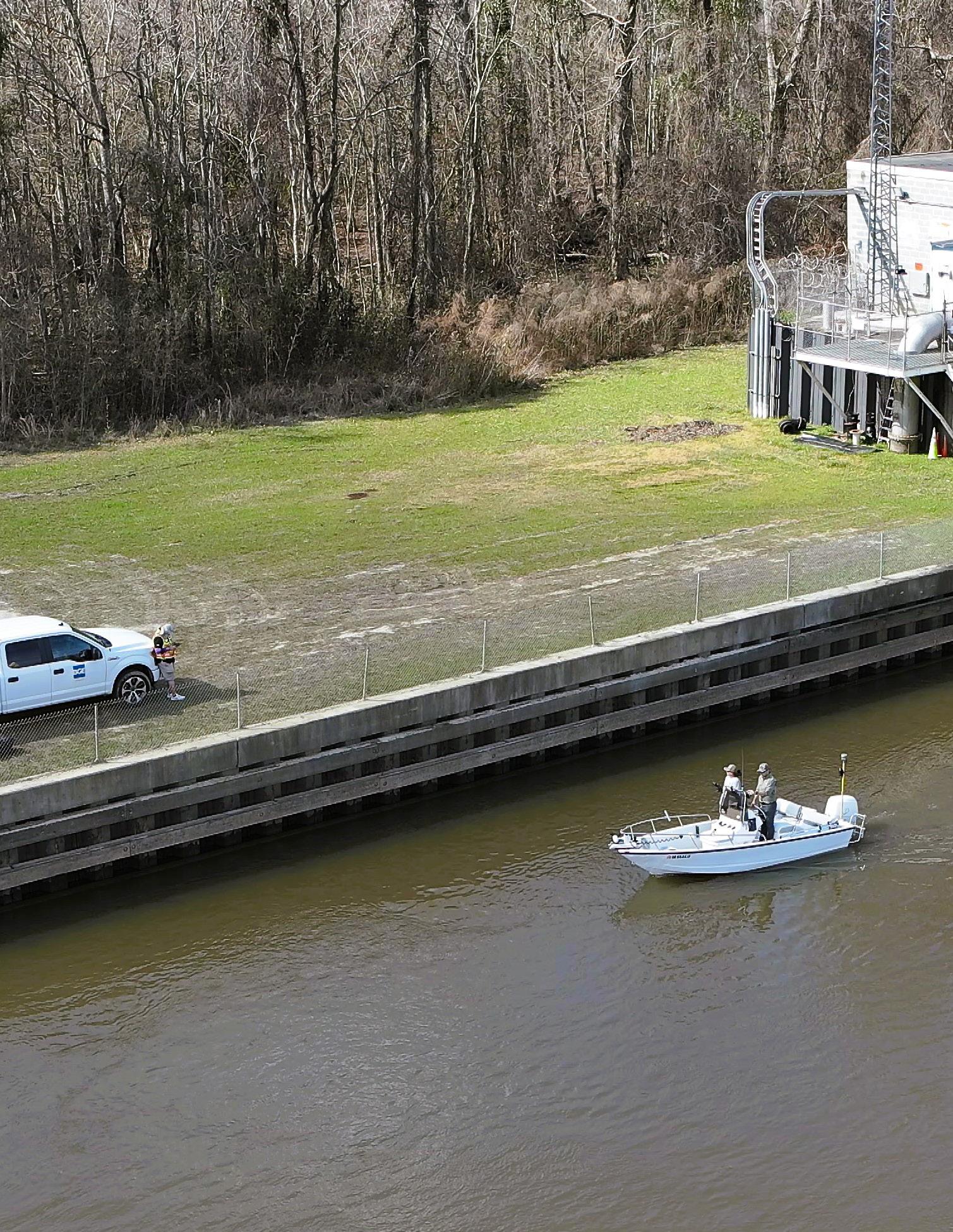
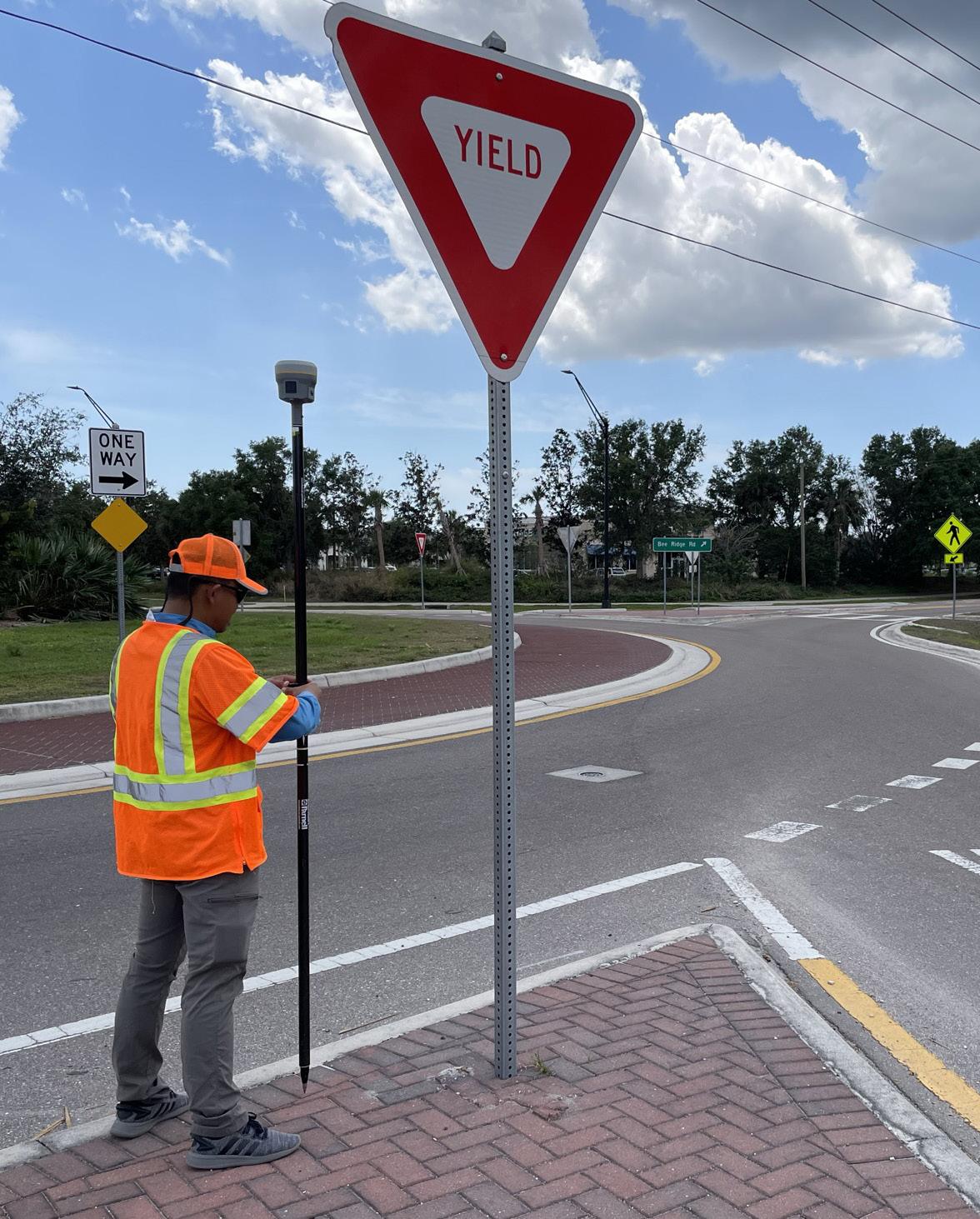
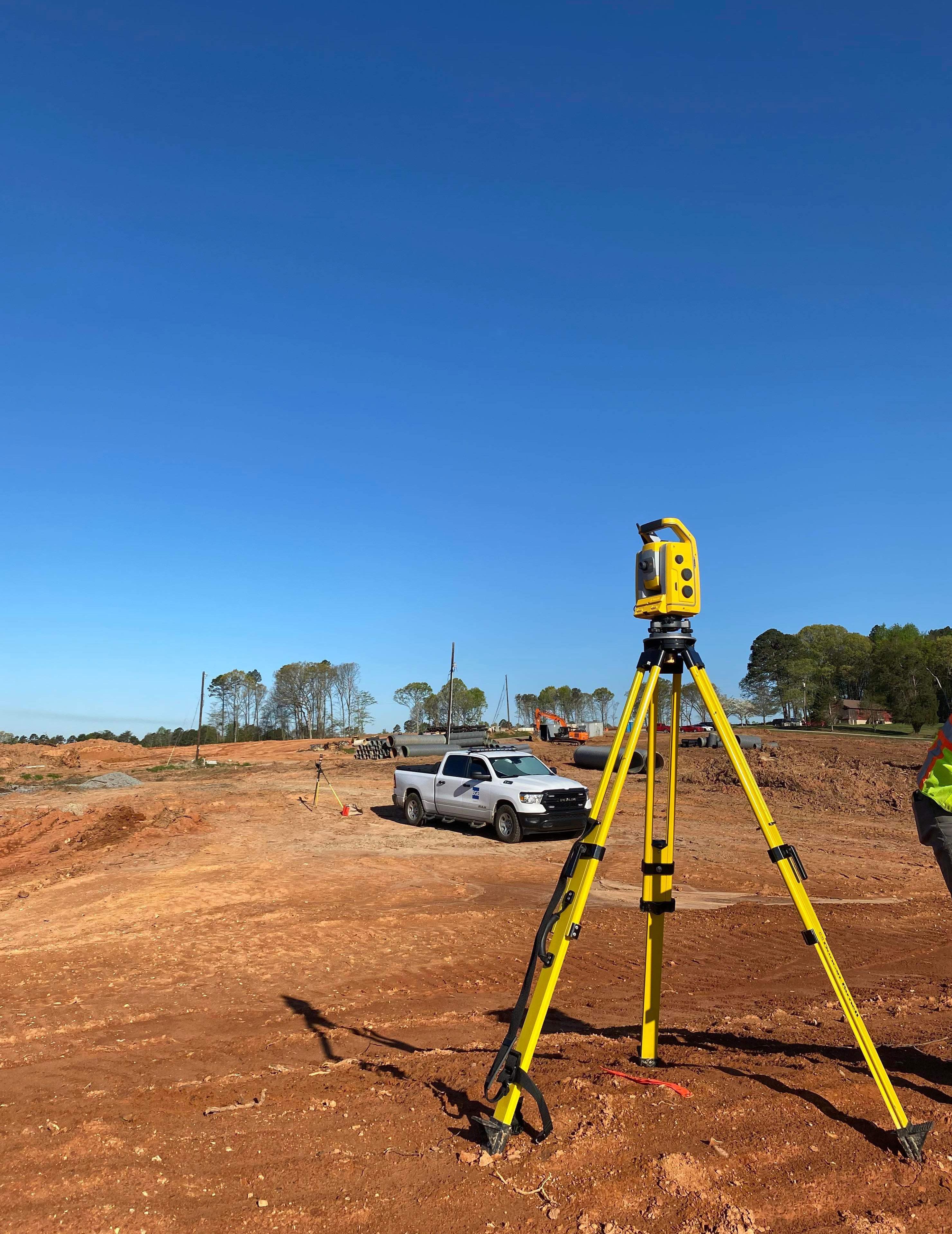
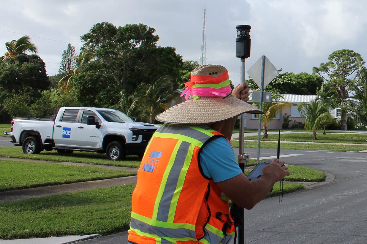
To further ensure the seamlessness of your project, BGE provides in-house surveying services. Delivered with technical and legal precision, this team-based support gives our clients a distinct advantage—an uninterrupted workflow that ensures that everyone is on the same page, quickly and efficiently coordinating efforts.
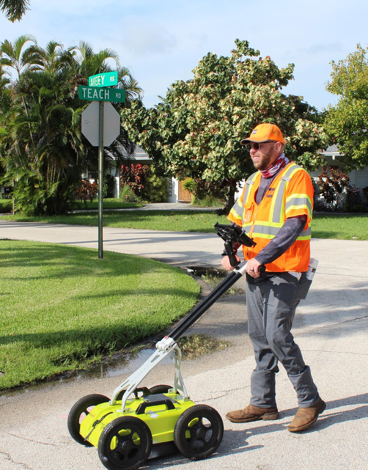
Our surveying and mapping professionals are attuned to the latest industry technology, like robotic total stations, digital levels, electronic data collectors, real-time and static GPS capability, and unmanned aerial systems. With these advanced tools, you can be confident in the accuracy and quality of the service we provide.
SURVEYING SERVICES
• Topographic surveying
• Boundary surveying
• Route surveying
• Subdivision layout
• Construction staking
• As-builts
• Right-of-way mapping
• Legal descriptions
• Improvements surveying
• Hydrographic surveying
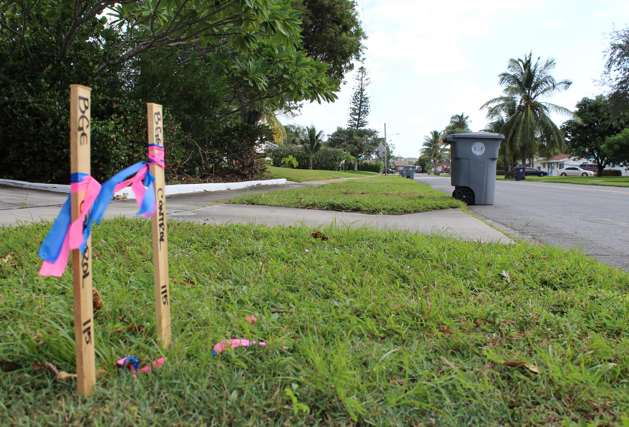
• Control surveying
• Staff guage installation
• GPS real-time surveying
• GIS mapping
• Tree surveying
• Subsurface utility (SUE) surveying
• Terrestrial mobile LiDAR scanning
• Terrestrial static LiDAR scanning
• Platting services
UNMANNED AERIAL SYSTEMS SERVICES (UAS AND UAV)
• Survey and GIS
• Topographic surveys and ortho-imagery mapping
• 3D conceptual data and imagery
• Volume monitoring and calculations
• Aerial LiDAR
At BGE, our team is skilled in identifying and resolving utility conflicts, saving your project time and money. We facilitate communication with affected utility agencies early to alleviate utility conflicts.
Our engineers, planners, designers, inspectors, surveyors, and scientists stay up-to-date on local, state, and federal guidelines. From subsurface utility engineering to conflict analysis to inspections and construction management, our utility coordination team will help ensure a safe and successful project to completion.
• Subsurface utility engineering
• Feasibility studies
• Conflict analysis and resolution
• Forensic investigation
• Utility agency coordination
• Permitting
• Utility relocation design
• Inspections
• Records research
The BGE team is fully committed to make every effort to ensure our employees make it home safely at the end of the day. Safety is and always has been a priority for all BGE projects.

Any land/site development—whether it’s a masterplanned community, an industrial business park, or a mixed-use retail development—requires a deep comprehension of everything from infrastructure design to permitting.
BGE brings that knowledge, adding to it decades of applied experience knowing how all of those complex variables work together. That expertise extends into commercial considerations, like special-purpose financing and developer reimbursement avenues that can transform vision into reality. Our services are tailored to the characteristics of the land and the needs of our clients.
Engineering Services
• Grading and drainage
• Surveying
• Feasibility studies
• Construction administration (owner’s representative)
• Stormwater quality management and sustainability
• Reclamation
• Traffic studies
• Zoning and entitlements
• GIS
• Permitting
• Due diligence
Project Types
• Utilities and streets
• Water and amenity features
• Bridges and structures
• Multi- and single-family residential developments
• Master-planned communities
• Mixed-use
• Commercial
• Retail and office buildings
• Industrial and manufacturing
• Churches and worship centers
• Parks and recreation
• Education and healthcare
Special Development Services
• Community Development District and Special Purpose District creation
• Programming and operation