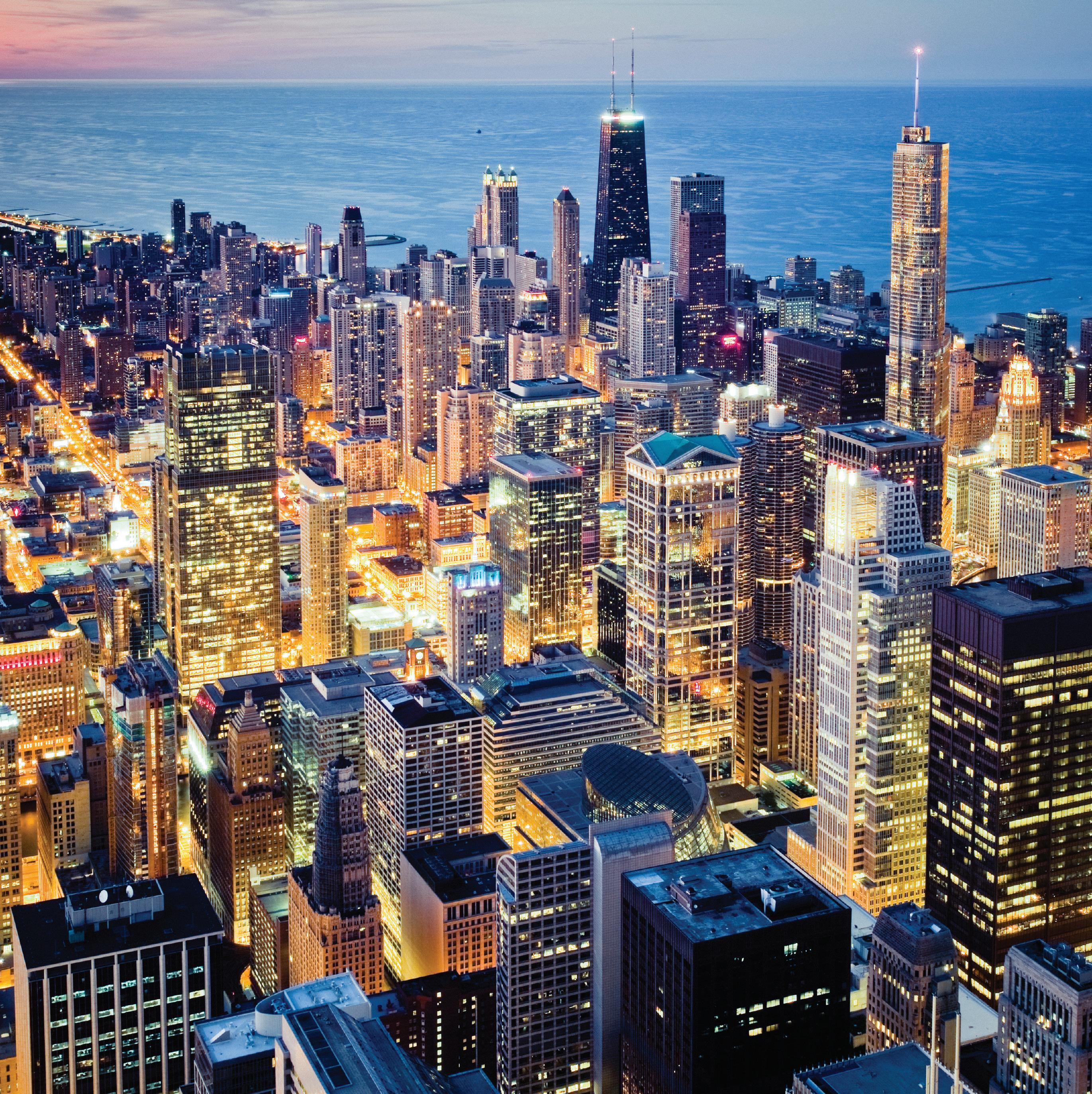
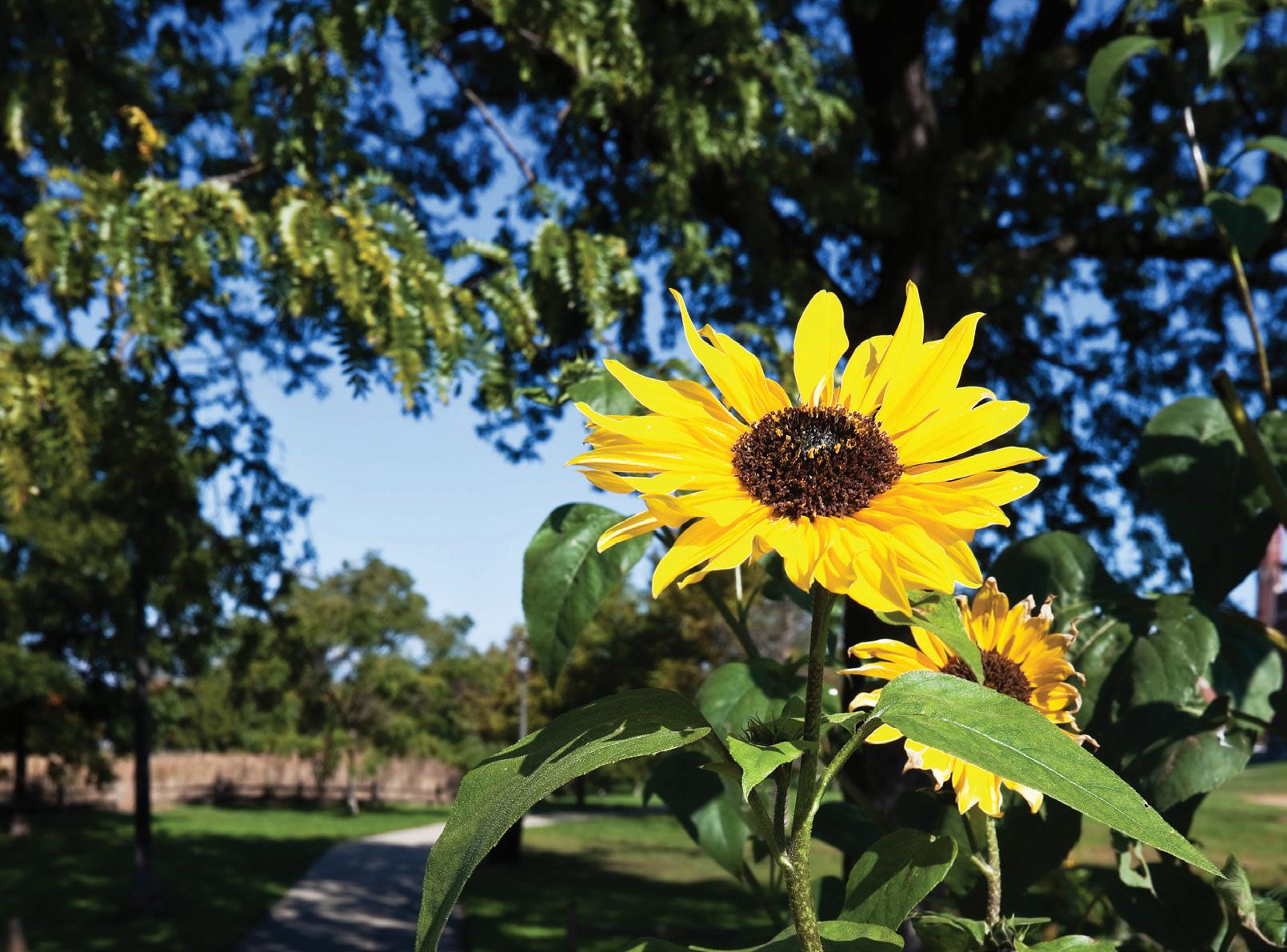
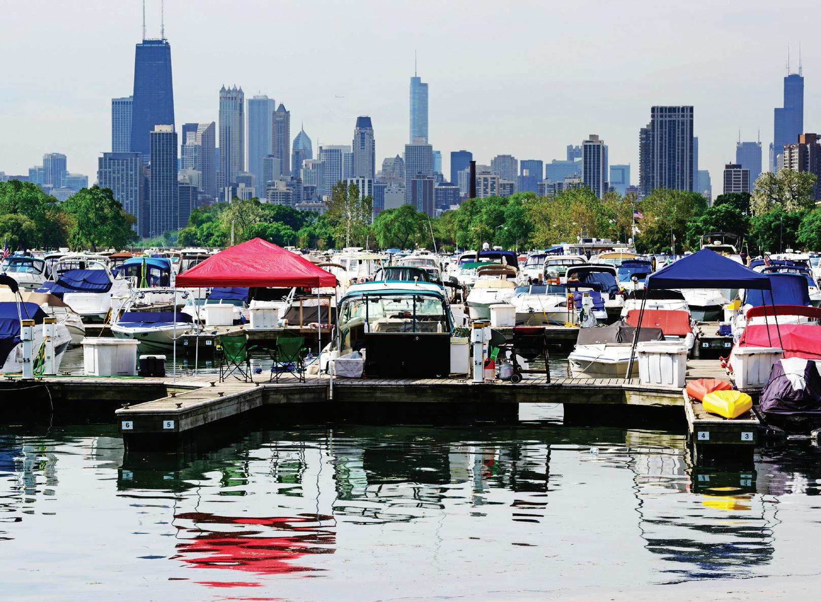
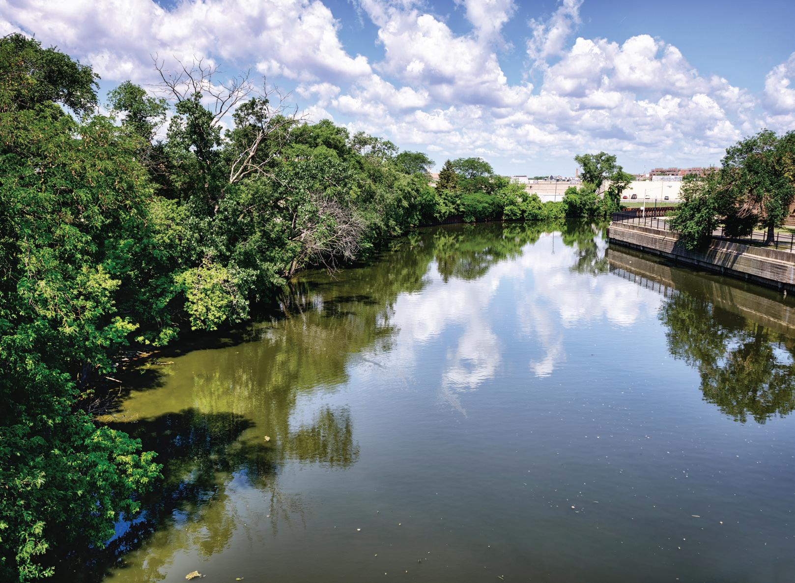
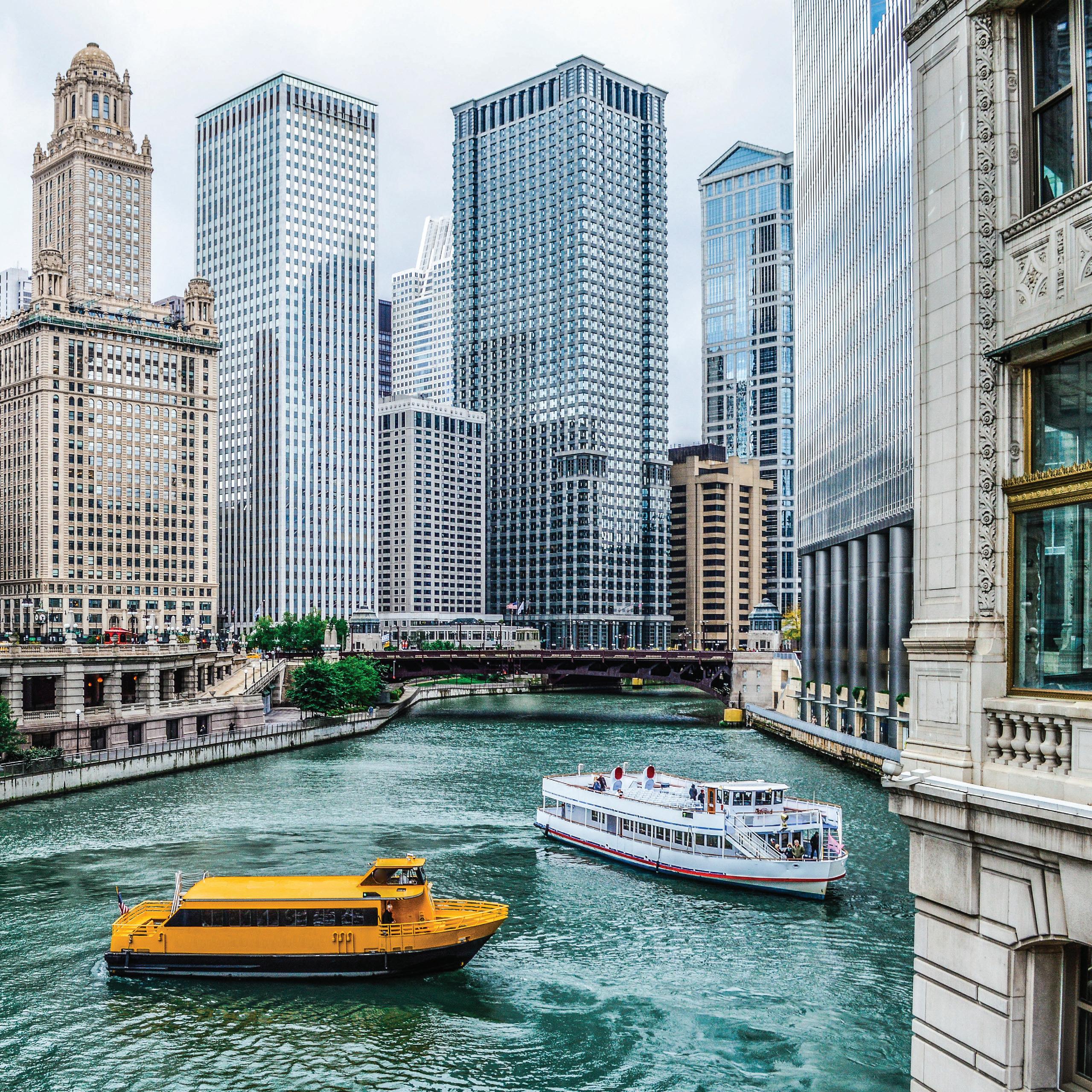
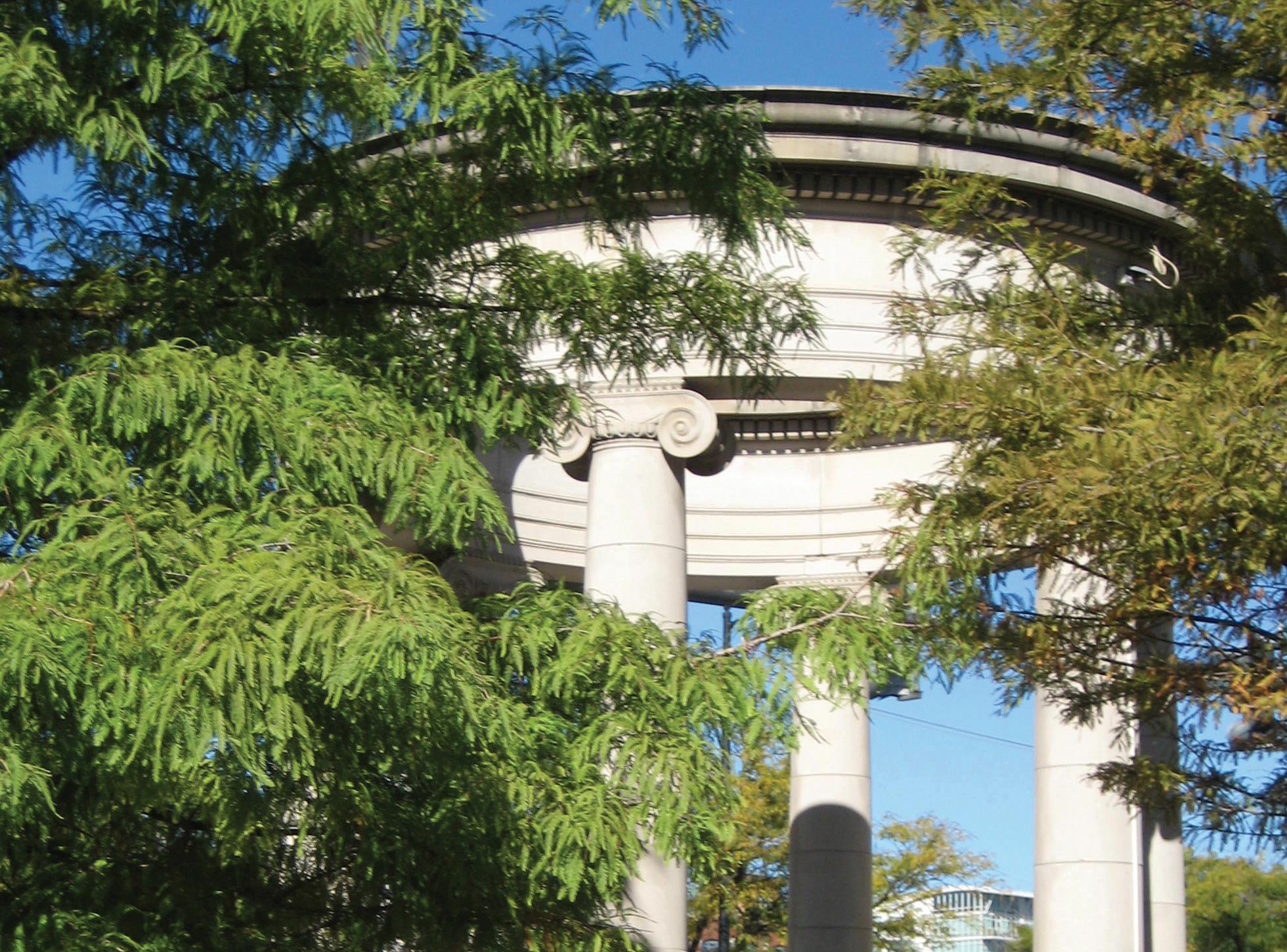
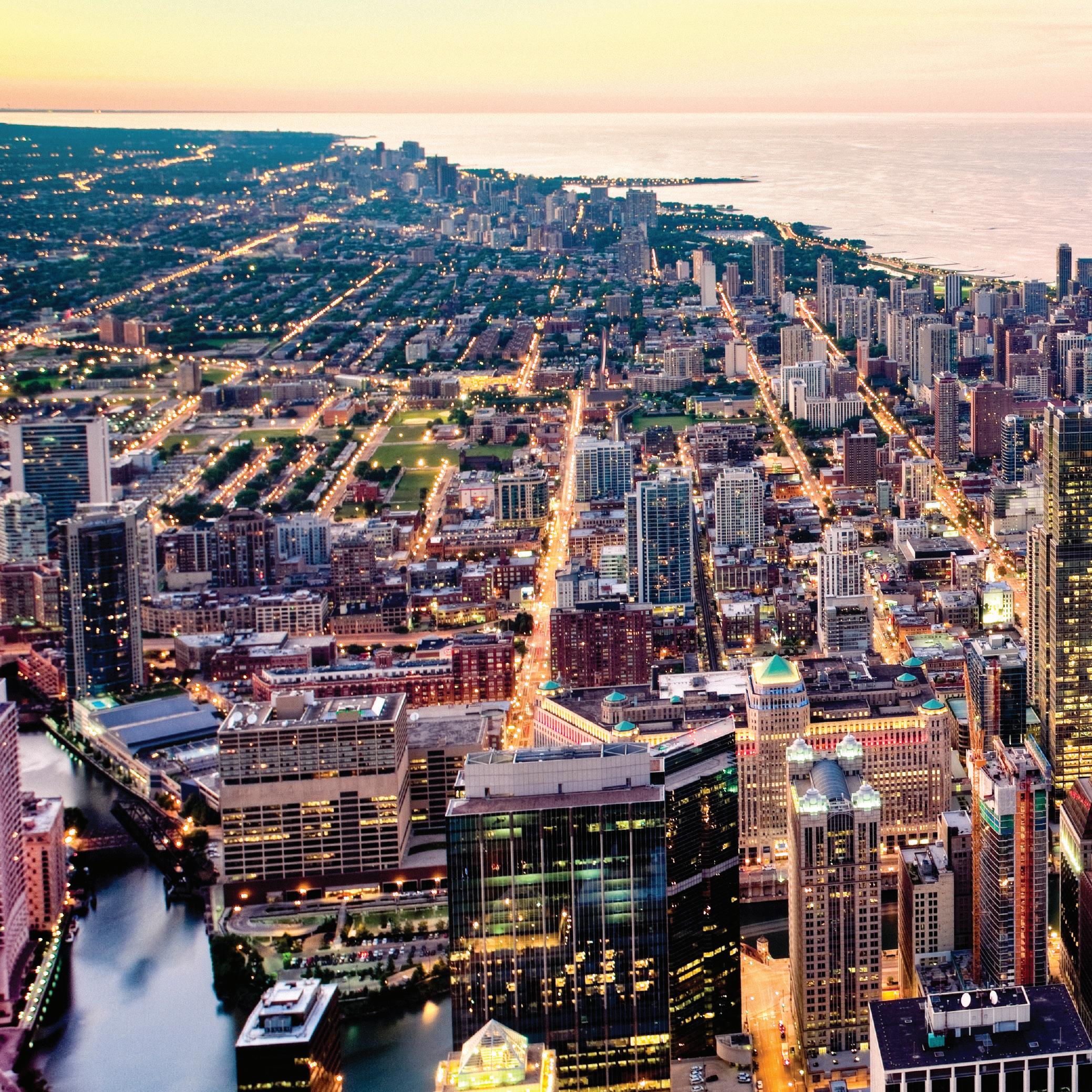
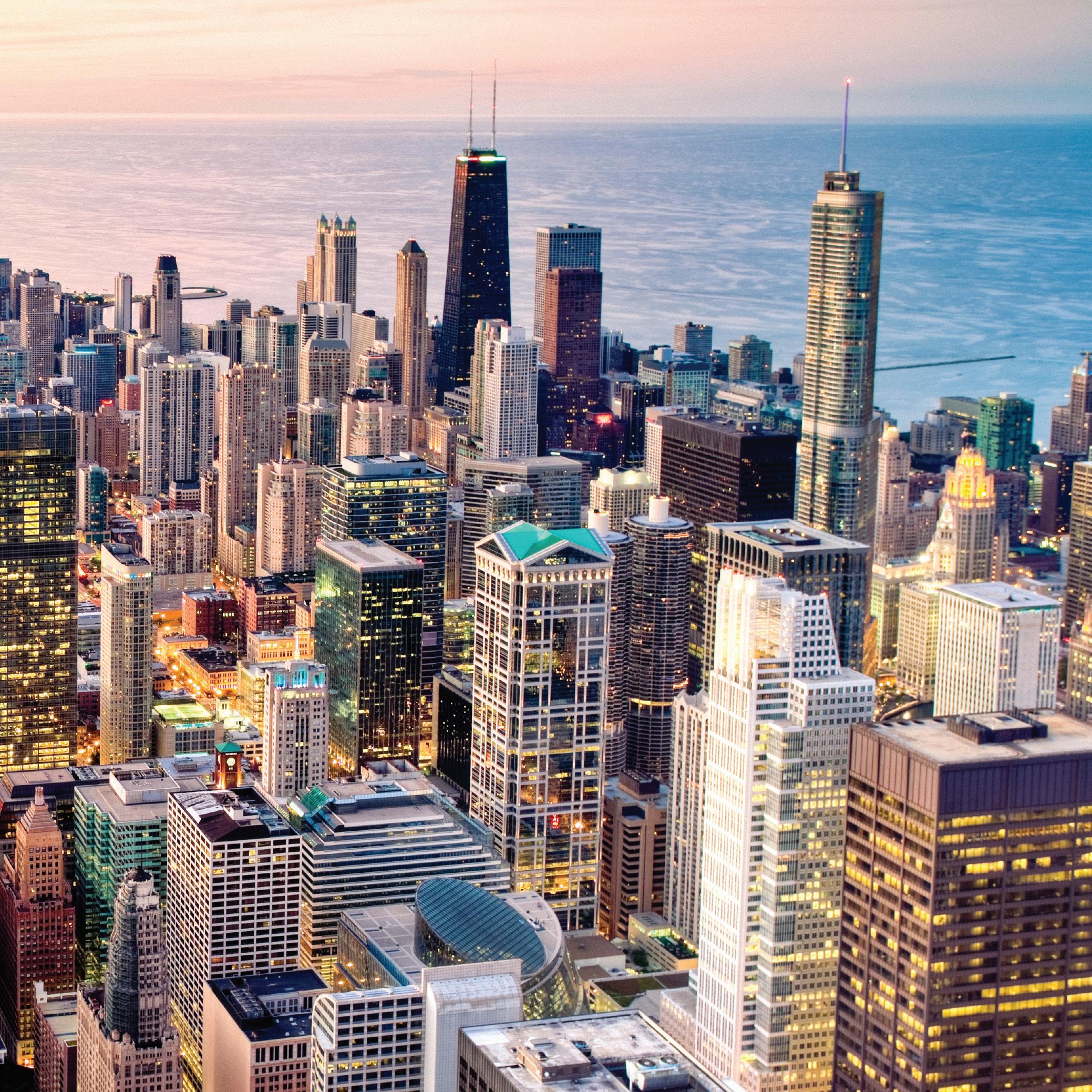
Few places in America compare to Chicago. The city’s incredible neighborhoods frame Lake Michigan in all its majestic beauty. From beaches and marinas to skyscrapers, parks and the river, Chicago easily has something for everyone. A tremendous lifestyle with the best of everything awaits you. You’ll find a limitless array of indoor and outdoor activities, a shopper’s paradise, a culinary kaleidoscope that ranges from food trucks to Michelin starred restaurants and everything in between, and housing options that are as varied as the neighborhoods.
At its heart, real estate is a local business, and we participate in and give back to the communities we live in and love. At Berkshire Hathaway HomeServices Chicago, we are passionate about what we do and continually strive to be the foremost provider of superior real estate services.
Diane Glass Chief Executive Officer
TABLE OF CONTENTS
FAR NORTH
Andersonville
Edgewater
Rogers Park
Uptown
NORTH
Bowmanville
Lakeview
Lincoln Square
North Center
Ravenswood
Roscoe Village
Wrigleyville
NORTHWEST
Albany Park
Belmont Cragin
Edgebrook
Edison Park
Galewood
Old Irving/Irving Park
Jefferson Park
North Park
Norwood Park
Portage Park
Sauganash
NEAR NORTHWEST
Avondale
Bucktown
Hermosa
Humboldt Park
Logan Square
Ukrainian Village
Wicker Park
West Town
Armour Square/Chinatown
Beverly/Morgan Park
Bridgeport
Bronzeville/North Kenwood
Hyde Park/Kenwood
South Shore
Washington Park
Woodlawn
NEAR NORTH
Gold Coast
Lincoln Park/DePaul
New Eastside
Old Town
River North
Streeterville
The Loop
West Loop
NEAR SOUTH
Near West Side
Pilsen
Printer’s Row
South Loop/Dearborn Park
University Village
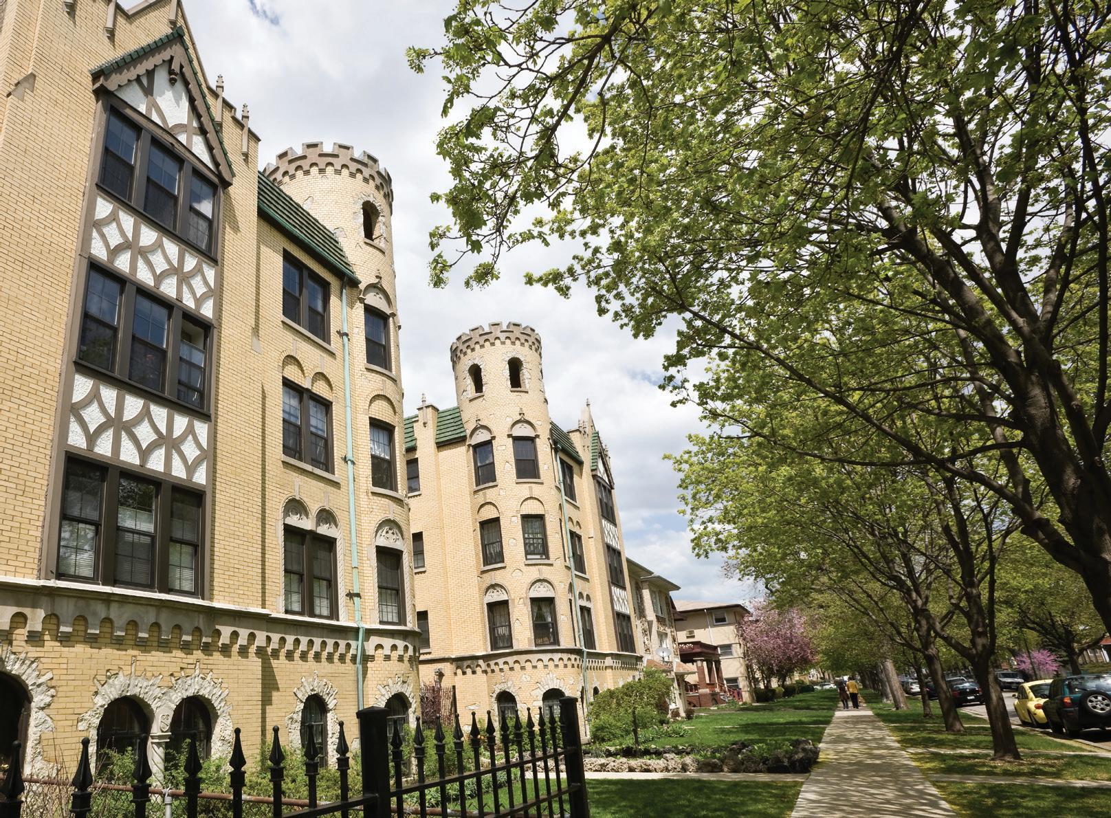
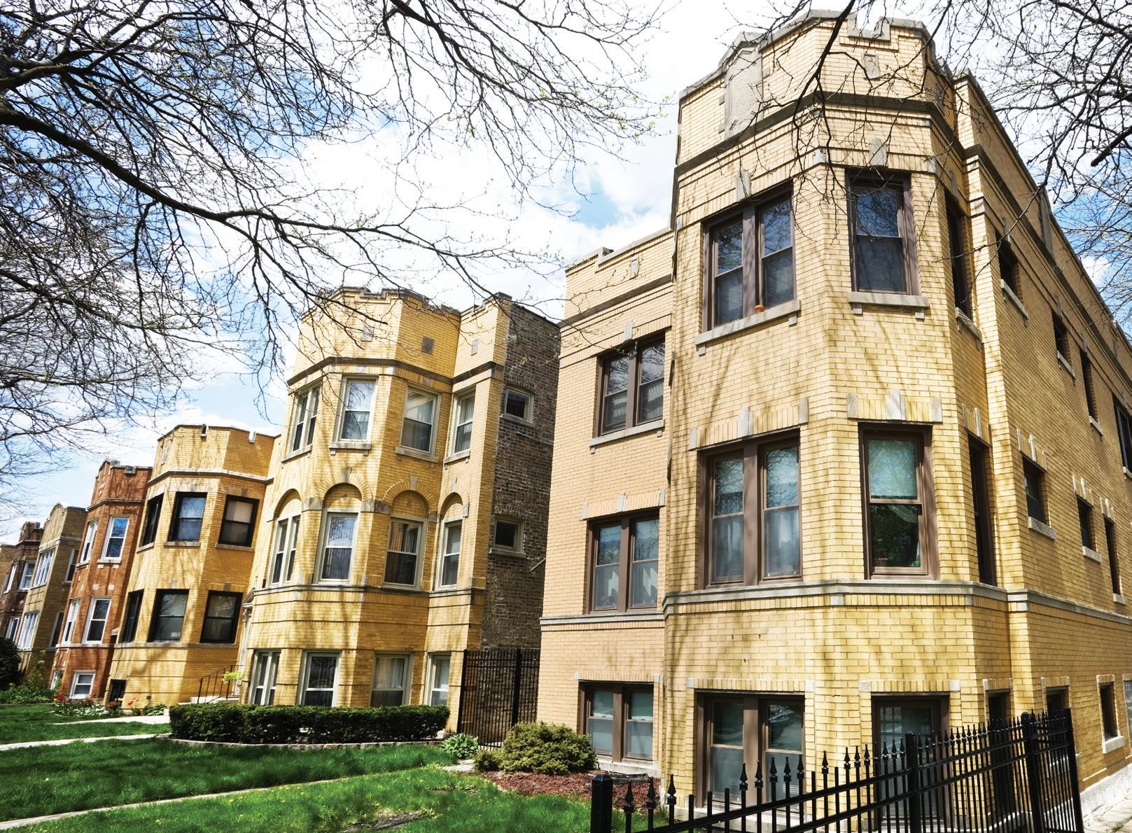
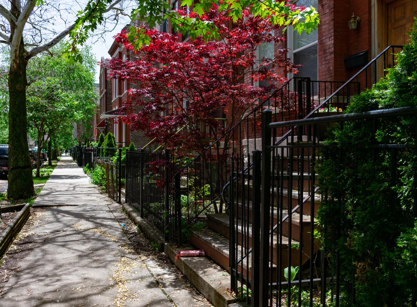
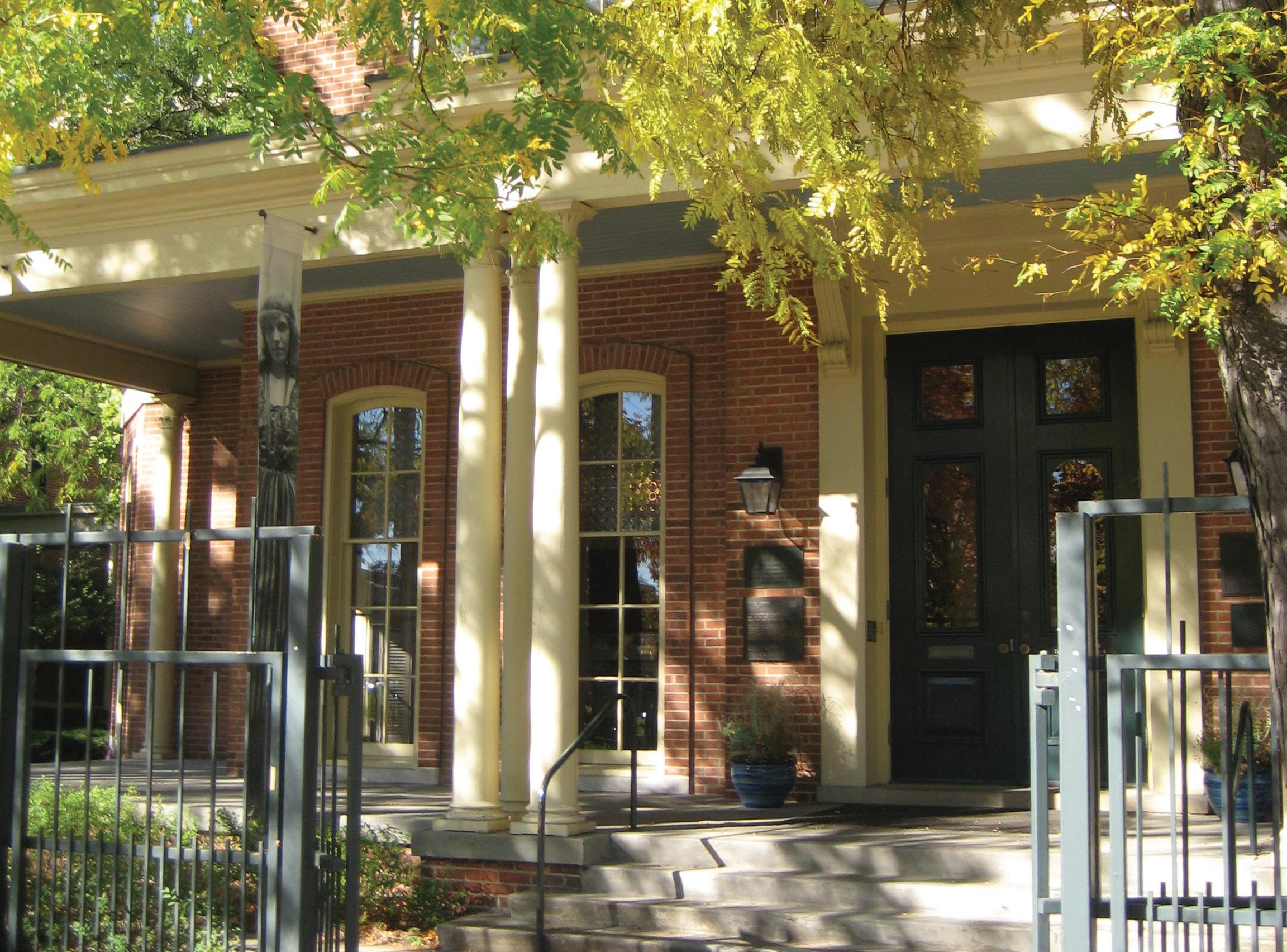
Andersonville, located west of Broadway and stretching over to Ravenswood, and running approximately from Winnemac to Elmdale on the north, is one of the city’s most vital neighborhoods. It was once a quiet village founded by Swedish immigrant farmers who moved north of downtown in the mid-nineteenth-century towards what were then cherry orchards. Today, Andersonville is one of the most diverse neighborhoods on the north side of Chicago. Its Swedish roots are still reflected in the restaurants, delicatessens, and the Swedish American Museum which opened in 1976.
Andersonville is served by the CTA’s Red Line with stops at Bryn Mawr and Berwyn. Several CTA buses also run north-south along Ashland, Clark, Broadway and Sheridan with some express buses running along Lake Shore Drive to the Loop. East-west buses run along Bryn Mawr, Peterson and Foster.
Many recreational opportunities exist in Andersonville and the lakefront is close by to the East.
MILES
CTA’s Red Line and buses run throughout Andersonville.
Edgewater is bounded by Lake Michigan to the east, Foster Avenue to the south, Ravenswood Avenue to the west and Devon Avenue to the north. The neighborhood began in the 1890s as a retreat for members of Chicago’s elite society. Later, the affluence of the area was symbolized most by the Edgewater Beach Hotel that opened in 1916 right on Lake Michigan and Sheridan Road. The extension of Lake Shore Drive from 1951 to 1954 cut the hotel off from the beach and the hotel closed in 1967.
The CTA’s Red Line has stops at Loyola (Devon), Granville, Thorndale, Bryn Mawr and Berwyn. Buses run along Sheridan and Lake Shore Drive. The Metra train stops near Lawrence and Ravenswood. Edgewater is easily accessible to Lake Shore Drive.
Edgewater has five lakefront parks including Osterman Beach, George Lane Park, Berger Park and two others between Ardmore and Devon.
$778,907 $242,476
The CTA Red Line and buses have multiple stops in Edgewater.
$527,284 $191,797
ROGERS PARK
Home to the Loyola University campus, vegetarian cafés and bookstores, Rogers Park has many residential streets that end at the beach. The lakefront neighborhood is a melting pot within the greater city of Chicago, culturally and economically diverse. Devon Avenue’s colorful South Asian and Middle Eastern markets lend to the culturally rich nature of this neighborhood. The boundaries for Rogers Park are Lake Michigan on the east, Devon Avenue on the south, Ridge on the west and Juneway Terrace on the north, bordering Evanston. West Rogers Park starts at Seeley, Bryn Mawr and Peterson Avenues on the south, Kedzie Avenue on the west, and Howard Street on the north.
Drivers can access downtown Chicago via Sheridan Road and Lake Shore Drive. The CTA Red Line train has stops at Howard, Jarvis, Morse, and Loyola.
Rogers Park is also home to Indian Boundary Park, popular for its lagoon and tree lined trails, tennis courts, and playground.
The CTA Red Line has multiple stops in Rogers Park.
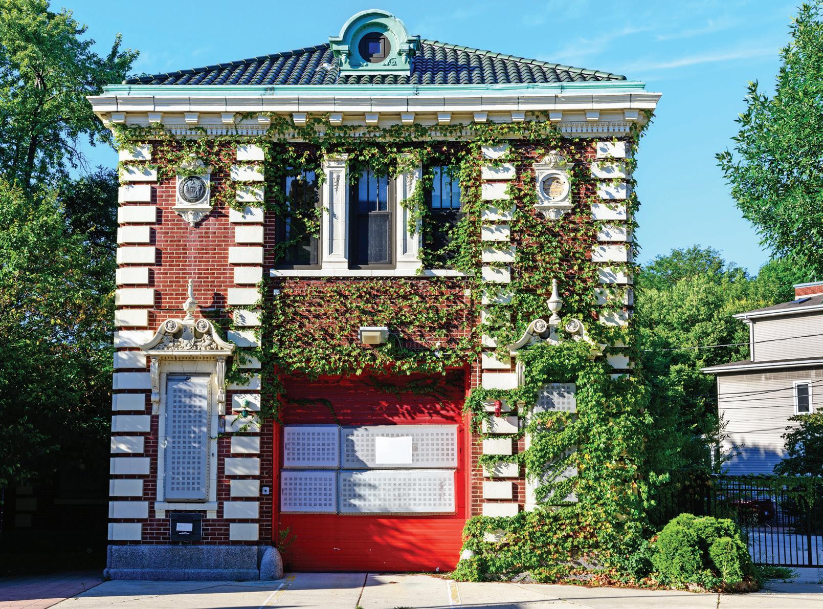
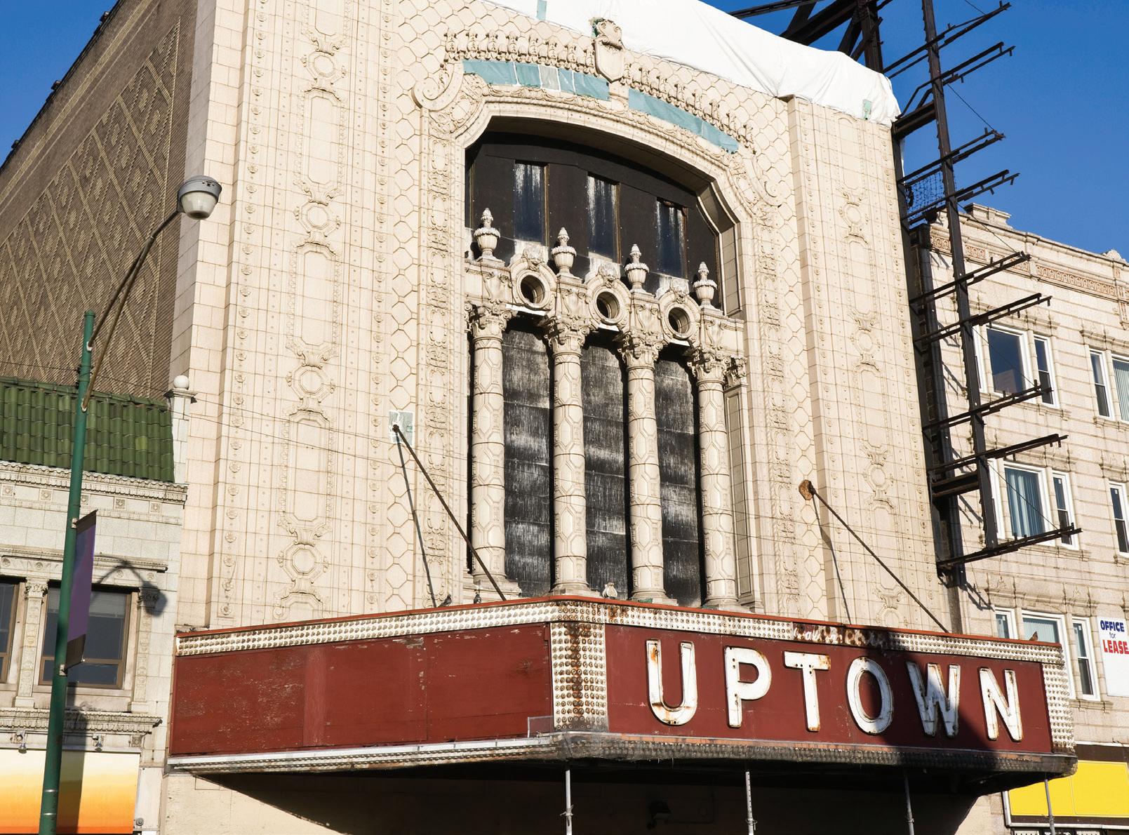
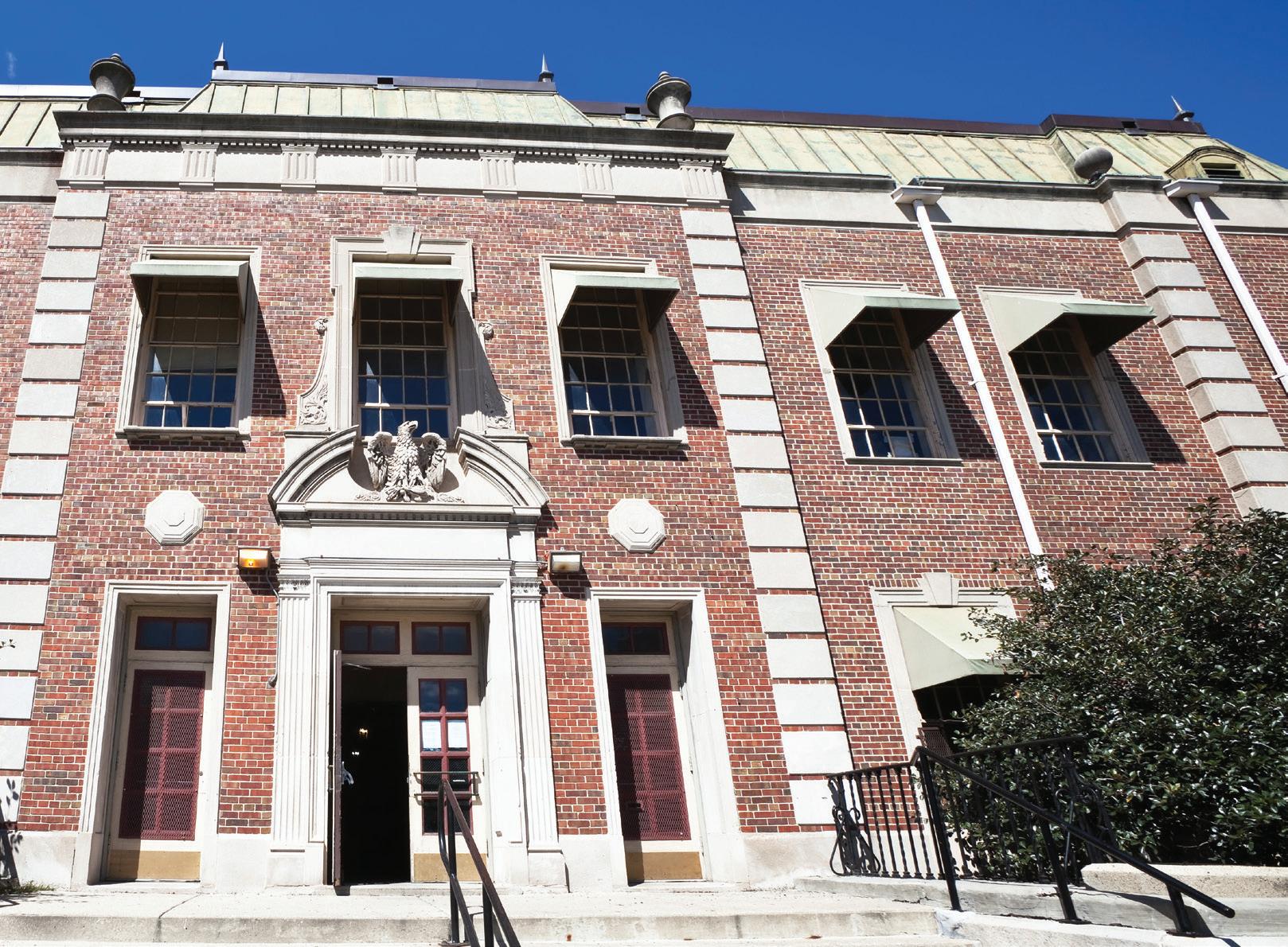
Uptown has always been a community where people from diverse backgrounds come together. Community leaders are transforming that diversity into positive energy for the neighborhood bounded by Montrose Avenue, Foster Avenue, Clark Street and Lake Michigan. Uptown is close to the lakefront so residents and visitors can enjoy the many recreational activities that are available including Montrose Beach, Dog Park and Beach, Montrose Harbor, The Montrose Point Bird Sanctuary and the Sydney R. Marovitz Golf Course.
The CTA’s Red Line serves the area with stops at Berwyn, Argyle, Lawrence, Wilson and Sheridan. Sheridan, Broadway and Lake Shore Drive express buses travel downtown. The Metra commuter train stops at Lawrence and Ravenswood.
Entertainment options include the Black Ensemble Theater, Pegasus Players Theatre, Aragon Ballroom, The Riviera Theater, and The Green Mill Cocktail Lounge, which is legendary for its late- night jazz sets.
The CTA offers Red Line and bus service throughout Uptown. The Metra stops at Lawrence and Ravenswood.
$1,015,445 $288,090 6
The Metra and CTA Brown Line have stops in Bowmanville.
BOWMANVILLE
$382,794 $641,550
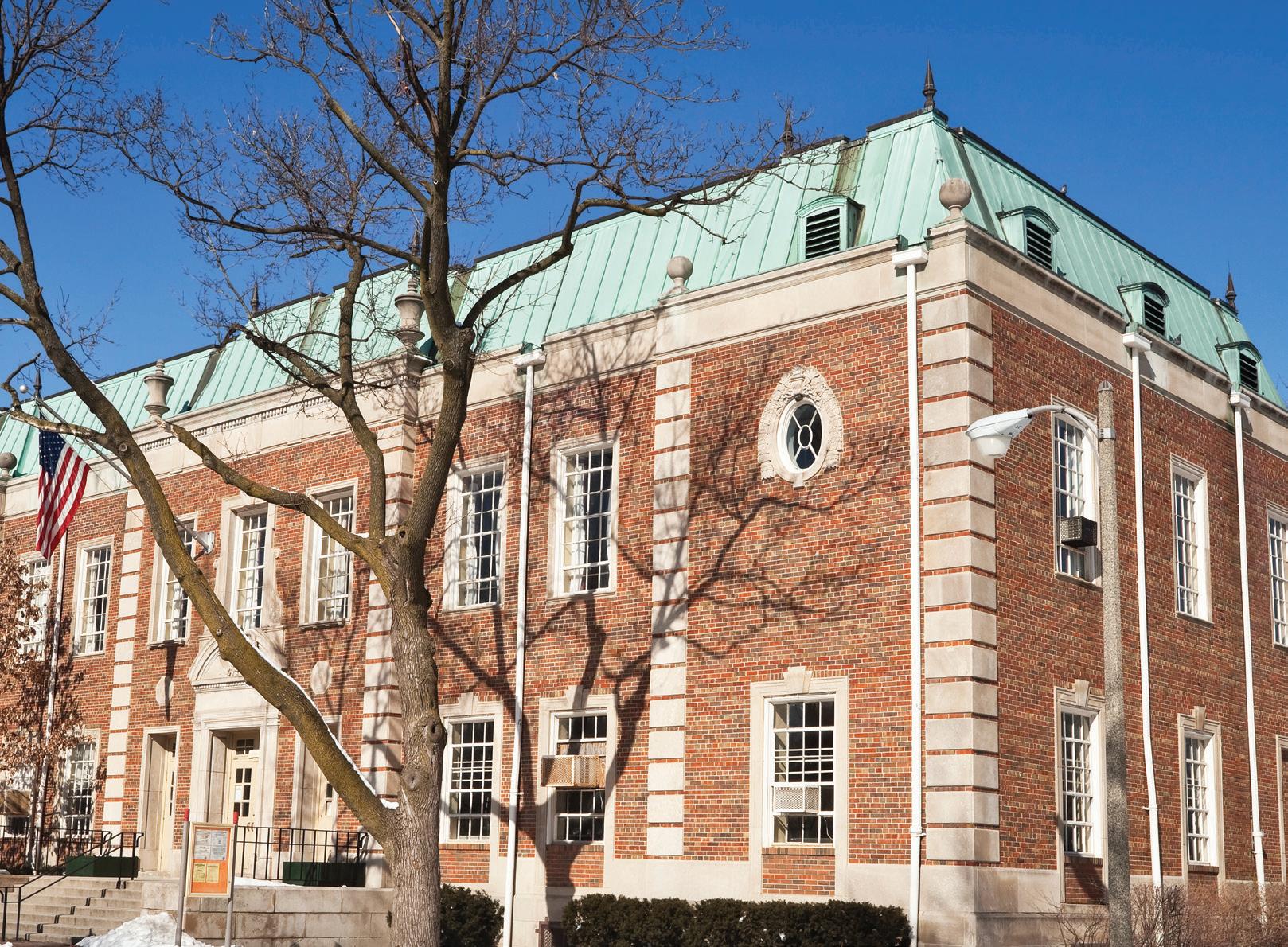
Part of Lincoln Square, little-known Bowmanville, bounded by Ravenswood Avenue, Foster Avenue, Western Avenue and the Rosehill Cemetery, is a quiet, uncongested and primarily residential area with plenty of single-family homes including frame cottages and bungalows. There is also a small but thriving industrial area within the neighborhood. Bowmanville houses various restaurants, retail shops, and small businesses. Chappell Elementary, Amundsen High School, and Rogers Park Montessori School are all schools within the borders of the neighborhood.
The Metra commuter train stops at Lawrence and Ravenswood and the Brown Line stops at Western and Lincoln Avenues. Travel to the Loop on Lake Shore Drive takes about 15 minutes.
LAKEVIEW
Lakeview, just north of Lincoln Park, extends from Lake Michigan to the west branch of the Chicago River, and Diversey Parkway north to Irving Park Road. Clark Street divides the two major sections of the neighborhood, Lakeview East and West Lakeview. Lakeview East includes the lakefront districts of Diversey and Belmont Harbors. The neighborhood thrives with over 300 retail and specialty shops and plentiful dining options.
Taxis, buses, the Red and Brown Line trains make transportation convenient within the city and to and from the surrounding suburbs. The Red Line stops at Addison Street and Wrigley Field. The Marine Drive and Outer Drive Express buses run to and from the Loop. The Kennedy Expressway connects all major arteries and links the neighborhoods to surrounding suburbs.
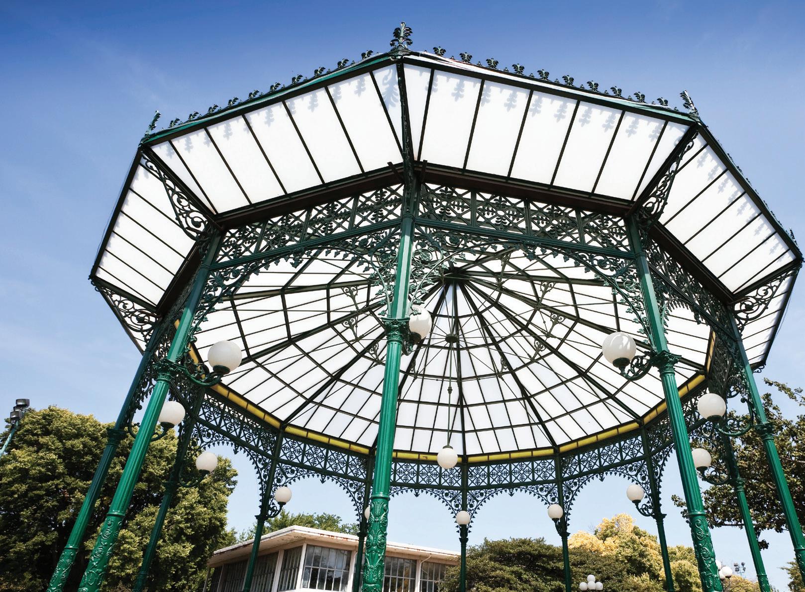
The lakefront offers something for everyone including the Montrose Point Bird Sanctuary, the Sydney R. Marovitz Golf Course, and the Waveland Park Tennis Courts. Within Lakeview is Wrigleyville which is home to the Chicago Cubs baseball team and Wrigley Field.
$394,446
$1,383,972
CTA Red Line, Brown Line, and buses run throughout Lakeview.
$355,136 $838,965
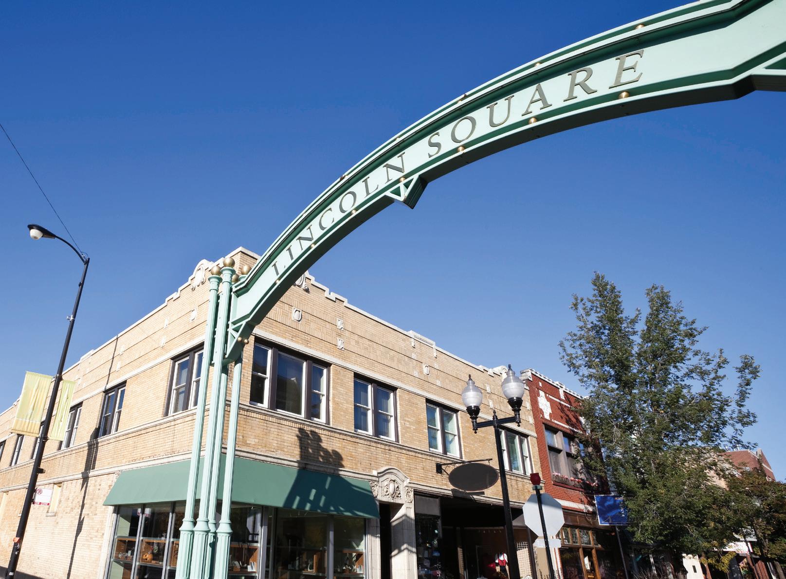
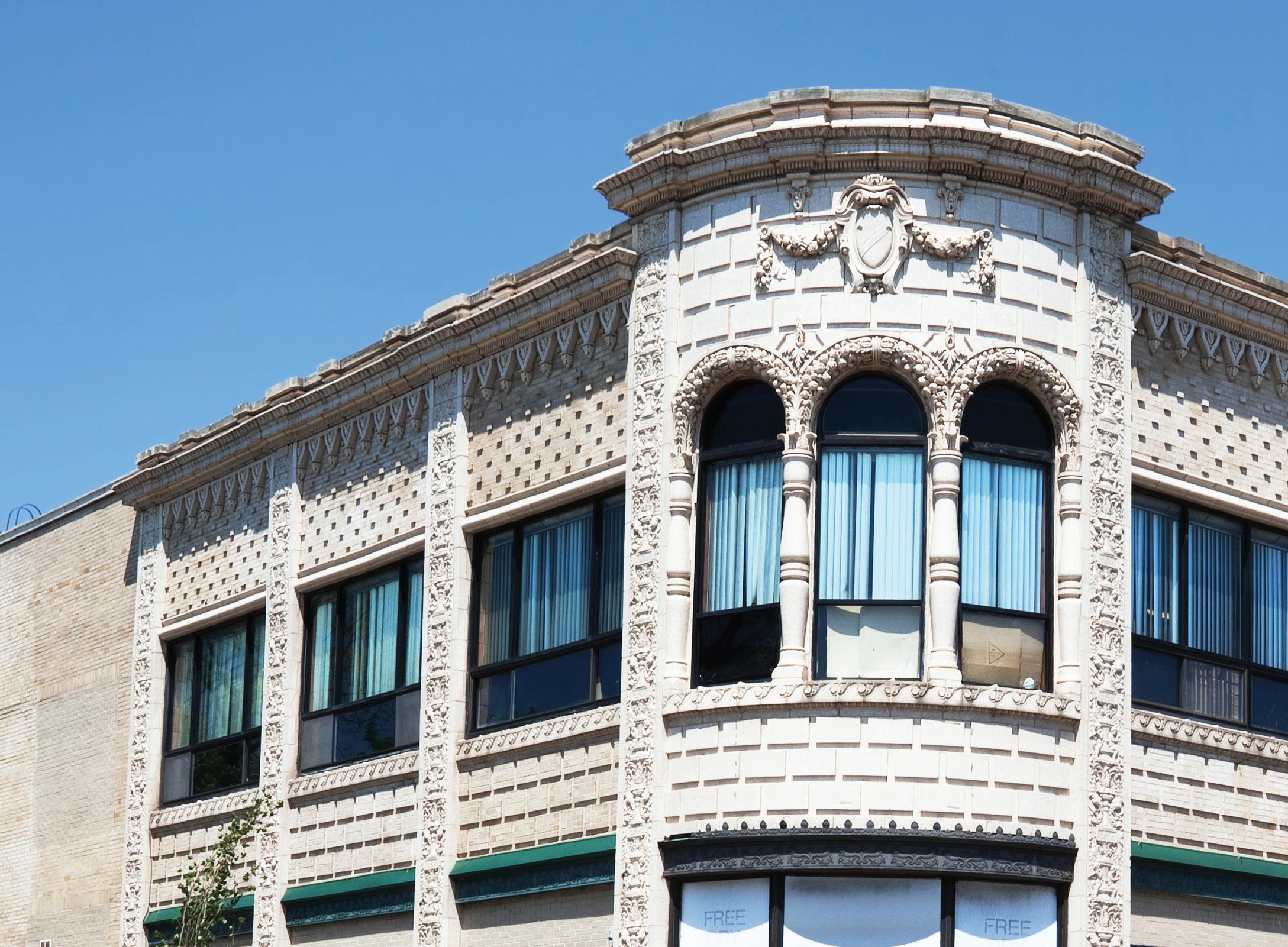
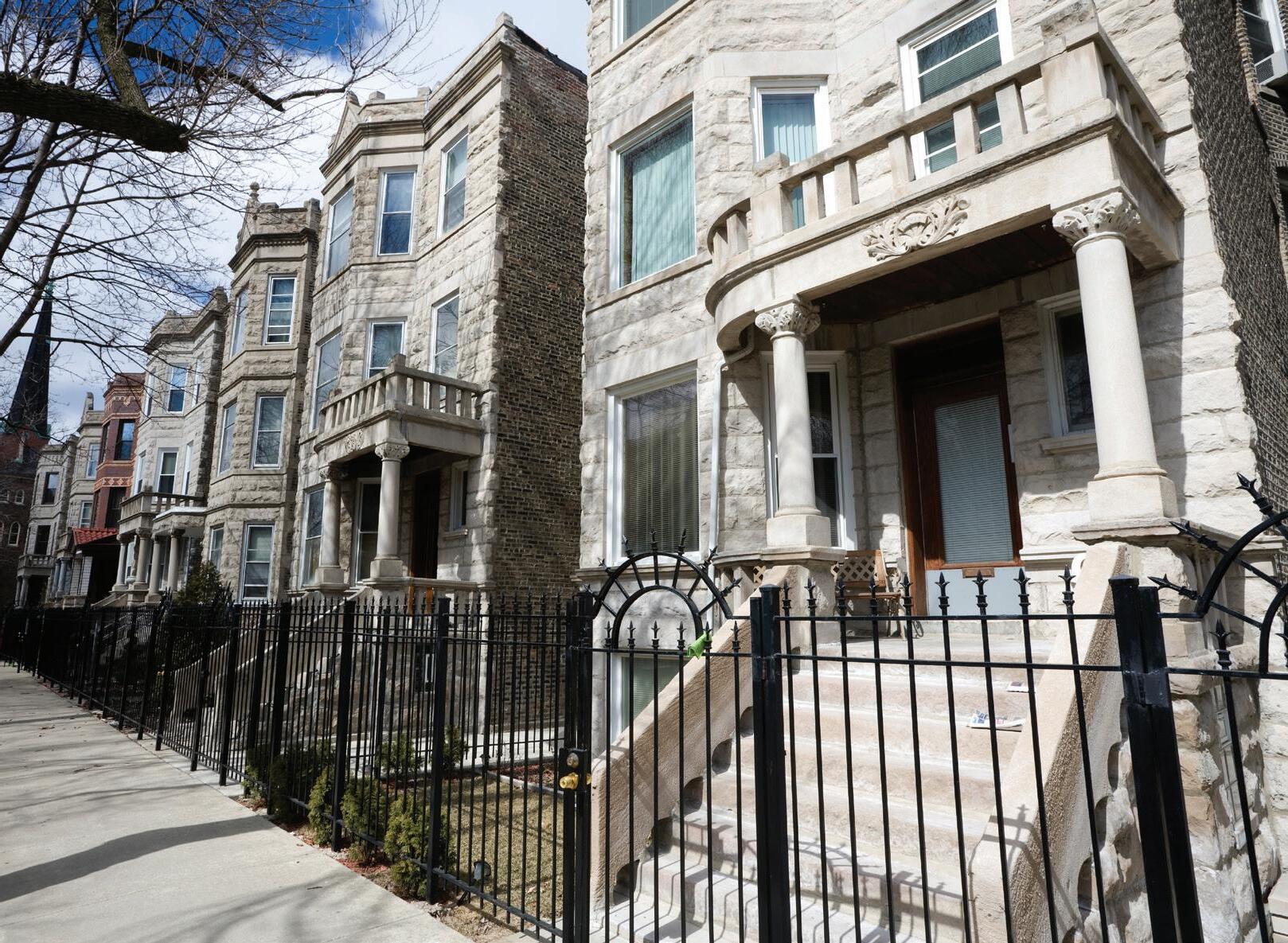
A unique neighborhood on Chicago’s north side, Lincoln Square represents a variety of cultures through its restaurants, cafés, businesses, and boutiques. The boundaries are Ravenswood Avenue to the east, Montrose Avenue to the south, the Chicago River to the west and Bryn Mawr Avenue and Peterson Avenue on the north. The neighborhood has a distinct European or “Old World” ambiance due to throngs of German, Greek, and other Eastern European immigrants who brought their cultures to the area.
The CTA Brown Line train stops at Western Avenue and connects riders to the Loop and the rest of the CTA system. In addition, the Metra’s Union Pacific train, which travels from the suburbs to Ogilvy, has convenient stops located at Lawrence and Ravenswood.
Lincoln Square has a number of annual festivals including Oktoberfest, the Lincoln Square Block Party and Summer Concerts in the Square.
The CTA Brown Line and Metra’s Union Pacific Line have stops in Lincoln Square.
NORTH CENTER
The epicenter of North Center lies at the six-way intersection where Irving Park road meets Lincoln and Damen Avenues. North Center is bordered on the north by Montrose Avenue, on the south by Diversey Parkway, on the west by the Chicago River, and the east by Ravenswood Avenue.
The roots of North Center have cultural influences that include German, Polish, Romanian, Serbian, Greek, Croatian and French.
Whether you are looking for a casual pub to gather with friends, a theater to watch live music, or want to try a new international cuisine, North Center has a number of venues to match anyone’s needs. Bakeries, coffee shops, and delis are also included in the variety of North Center offerings.
7
$1,138,041 $463,692
CTA Brown Line train service is offered in North Center.
MILES
RAVENSWOOD
The Ravenswood neighborhood, actually part of Lincoln Square, is a diverse community with architectural variety. Property owners in Ravenswood, bounded by Foster, Clark, Irving Park Road and the west branch of the Chicago River, carefully rehab the historic homes that abound in this area.
Metra’s Union Pacific trains stop at Lawrence and Ravenswood Avenues. The CTA’s Brown Line stops at Lawrence and Western, Lawrence and Damen, and on Montrose and Irving Park Road. Numerous CTA bus lines serve the area, and the Red Line is a short bus ride from many locations. Lake Shore Drive and the Kennedy Expressway (I-90/94) are only a few miles away.
Ravenswood has multiple parks located within its community for nature lovers.
The CTA’s Brown Line and Metra’s Union Pacific Line have stops in Ravenswood.
ROSCOE VILLIAGE
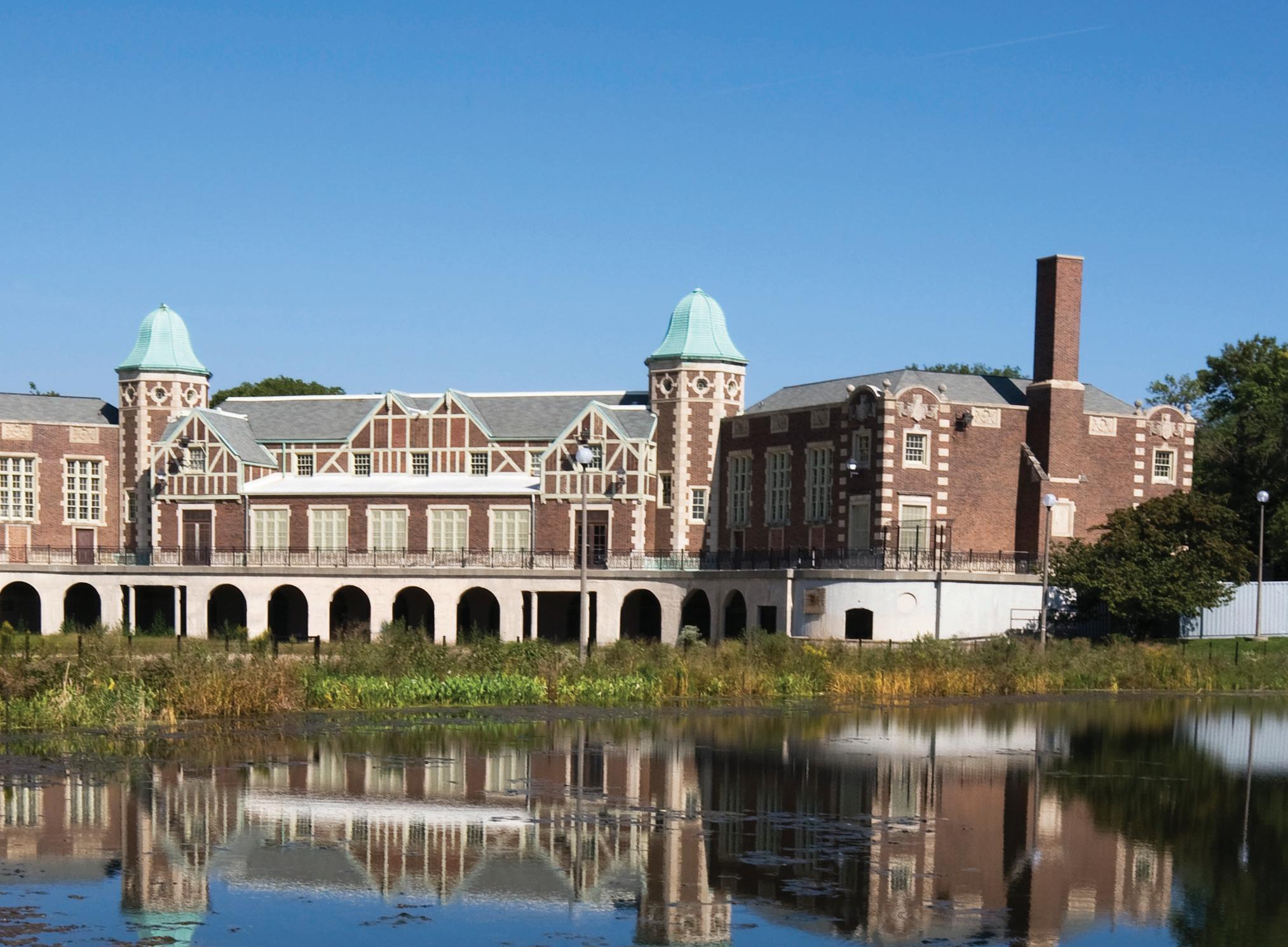
Roscoe Village lies on Chicago’s North Side between North Center and Lakeview. Today, the Roscoe Village Neighbors (RVN) work to ensure the village is well kept and maintained. Known for the annual ‘Retro on Roscoe’ event, as well as smaller neighborhood events, Roscoe Village housing options range from vintage greystones to new construction and everything in between. Its boundaries are roughly Ravenswood Avenue on the east, Belmont Avenue on the south, the north branch of the Chicago River on the west and Addison Street on the north.
Commuters into the city can either drive on I-94, the Kennedy Expressway, or take the CTA Brown Line from the Addison or Paulina stops. There are also many buses that travel to the city center.
Roscoe Village has a variety of shopping boutiques, antique shops and restaurants from which to choose and is about 7 miles away from downtown Chicago and Michigan Avenue.
7 MILES
$1,234,500 $483,989
CTA Brown Line trains and buses run throughout Roscoe Village.
$463,757 $1,999,000
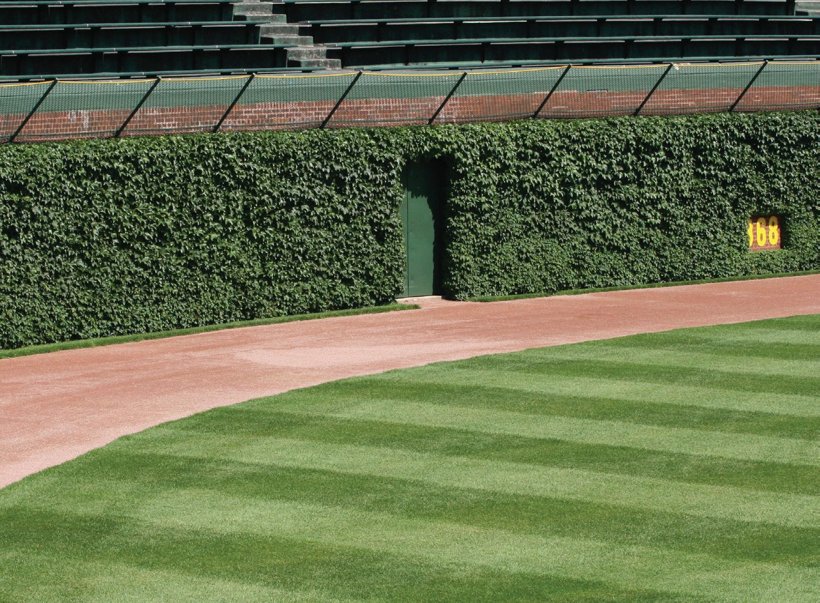
WRIGLEYVILLE
Wrigleyville is bounded by Southport, Halsted, Roscoe and Byron and is home to the World Series champion Chicago Cubs and Wrigley Field. Brought to life by boisterous fans during the baseball season, this neighborhood teems with nightlife and hometown spirit.
The Red Line stops at Addison Street/Wrigley Field. The Marine Drive and Outer Lake Shore Drive Express buses run to and from the Loop. The Kennedy Expressway connects with all major arteries and links the neighborhoods to surrounding suburbs.
A variety of boutiques and shops dot the streets of each neighborhood. Lakeview boasts over 300 stores and specialty shops as well as a number of world-class restaurants.
The CTA offers Red Line train service and bus service in Wrigleyville.
ALBANY PARK
Located on the Northwest Side of the City of Chicago, the Albany Park neighborhood is considered one of the most diverse communities in Chicago and the United States. Albany Park’s boundaries are California Avenue and Sacramento Avenue on the east, Irving Park Road on the south, Elston Avenue and Pulaski Avenue on the west and Foster Avenue and the North Branch of the Chicago River on the north. Residents and visitors enjoy access to a variety of restaurants, markets, bakeries and retail shops.
Residents can catch the CTA train at the Kimball, Kedzie and Francisco stop on the Brown Line or the Irving Park and Montrose stops on the Blue Line. Many bus stops are located within Albany Park and I-94 is another quick way for drivers to get into the city.
There are 13 parks to choose from in Albany Park as well as two community gardens, the Drake Community Garden and the Turtle Park Community Garden.
The CTA offers Brown and Blue Line train stops as well as bus stops.
BELMONT CRAGIN
Belmont Cragin is one of the officially designated neighborhoods in Chicago. Originally railroads were the main draw for workers to the area. In the 1940s, shopping districts were added to the neighborhood. The first business in the neighborhood was a saloon that opened sometime around 1835. Another business on the corner of Armitage and Grand Avenues was called Whiskey Point, which was later converted into a hotel.
A 20 year rural period ensued for the neighborhood until Cragin Brothers & Company moved their iron business into the neighborhood near Whiskey Point. The 1980s and 1990s provided a boom in population for Belmont Cragin.
More recently, the neighborhood has seen a revitalization that has included new residential offerings and business opportunities.
$168,716 $268,677
MILES
The CTA offers bus service in Belmont Cragin.
$515,253 $236,000
EDGEBROOK
Edgebrook is framed by Caldwell Avenue, Dowagiac Avenue, Lunt Avenue, Carpenter Road, Ionia Avenue, Cicero Avenue and the Billy Caldwell Golf Course. Old Edgebrook, a denselywooded section bounded roughly by Prescott Avenue, Mandell Avenue, Louise Avenue and N. Central Avenue, is a Chicago landmark district.
Metra’s Milwaukee Line trains stop at Edgebrook. CTA bus lines run on Touhy, Cicero and Peterson. The Edens Expressway (I-94) is nearby at the intersection of Cicero and Peterson Avenues. The Kennedy Expressway (I-90/94) is a few miles west of the area.
The area’s attractions include three golf courses, public transportation within walking distance and easy access to major city thoroughfares. Several hundred acres of Cook County forest preserves flank the North Branch of the Chicago River providing a recreational anchor for the neighborhood.
The CTA offers bus stops in Edgebrook and Metra’s Milwaukee North Line also stops in the neighborhood.
EDISON PARK
Edison Park is a friendly community on the Far North Side of Chicago bounded on the East and West by the suburbs of Niles and Park Ridge, the Kennedy Expressway (I-90), Harlem, Touhy, Ozanam and Canfield Avenues. Located about 13 miles northwest of the bustling Loop, Edison Park is quiet and peaceful. Originally settled by Germans and Swedes, the quaint neighborhood has charmed residents for 80 years. Businesses and residents join forces every year for the Edison Park Fest, an event that features live music, martial arts displays, juggling, magic and more.
Metra’s Union Pacific trains stop in Edison Park. The CTA’s Blue Line rapid transit stops at Harlem and Higgins. Edison Park residents have easy access to the Kennedy and Edens Expressway (I-90/94).
14
An elaborate system of expressways, taxis, buses, subway and elevated trains makes transportation convenient.
$170,954 $450,326
Metra’s Milwaukee District West line has two stops in the area, and the CTA has a bus that connects to the Green Line.
GALEWOOD
$273,937 $132,777
Galewood is northwest of downtown Chicago within the Austin community and is bordered by the Metra Milwaukee District West line to the north, Harlem Avenue to the west, North Avenue to the south, and Central Avenue to the east. Named after Abram Gale who purchased 320 acres in the 1800s, the community has park offerings under the Chicago Park District that include a walking path, softball fields, a football-soccer field, basketball and volleyball courts, and a soft-surface playground. Mars Chocolate North America has a large factory in the area, and Shriners Hospitals for Children is just slightly north in a neighboring community.
The Metra Mars stop serves the workers of the factory and runs during commuting hours only. There is also a Galewood Metra stop, and the CTA bus connects Galewood to the CTA Green Line’s Ashland stop.
OLD IRVING/IRVING PARK
With beautiful homes and a rich history, Old Irving and Irving Park offer residents a great middle ground between city and suburban living. Located only seven miles northwest of the Loop, the neighborhood has an active commercial district with a variety of housing options from two and three flat condos to frame houses and bungalows. Much of the area’s architecture has survived since the late 19th century and includes Victorian, Queen Anne and Italianate homes. Today the area is a peaceful but exciting residential community packed with culture, restaurants, businesses, stores, and plenty of green space.
The neighborhood is roughly bounded by the North Branch of the Chicago River on the east, Belmont Avenue and Addison Street on the south, Kolmar on the west and Lawrence and Montrose Avenues on the north.
CTA bus routes serve the area as well as the Blue Line train with a stop at the intersection of Irving Park and Pulaski. At one end of the line is the Loop and the other end is O’Hare Airport. The Metra stops at Addison and the Kennedy Expressway.
$204,446 $566,241
The CTA’s buses and Blue Line train as well as the Metra stop in Old Irving and Irving Park.
$342,172 $189,857
JEFFERSON PARK
Jefferson Park, bounded by Montrose, Narragansett and Cicero Avenues and the Milwaukee Railroad tracks, is a residential neighborhood known for its transportation and affordability. As a quiet neighborhood with an abundance of green space, Jefferson Park offers a suburban-feel in the city. Occasionally referred to as the “Gateway to Chicago” because of its importance to travelers and immigrants over time, Jefferson Park has a large Polish-American presence and is also home to many city and county workers. Jefferson Park real estate includes modern condos and many different types of single family homes, with styles including Victorian, Georgian, bungalow, Cape Cod, and ranch houses.
Jeff Park, as residents often call it, is a transportation hub due to close proximity to the Kennedy and Eden’s Expressways, the CTA Blue Line and Metra Union Pacific/Northwest Line. Trains connect riders to the Loop, O’Hare, and the suburbs. The CTA also operates several bus routes in the area.
The neighborhood’s namesake, Jefferson Park, and Wilson Park offer residents many recreational activities including baseball, football, soccer, tennis, tumbling and gymnastics.
The CTA Blue Line and buses stop in Jefferson Park, as well as the Metra Union Pacific Northwest Line.
MILES 10
NORTH PARK
North Park is bordered by the North Shore Channel on the east, the Chicago River North branch and Foster Avenue on the south, Cicero Avenue on the west, and Devon Avenue on the north. The neighborhood has a small town feel and was a originally a Swedish community. It has kept much of its Swedish influence. Peterson Park and the North Park Village provide expansive green space for the area.
North Park Village Center has a 46-acre nature preserve and educational facility which are both on the 155-acre North Park Village campus. Described as a hidden gem within Chicago, the park was thought to have grown wild onion and wild leek during presettlement times. In 2004, the North Park Village Nature Center officially became a part of the Chicago Park District.
$230,573 $422,100
MILES
CTA offers bus service throughout North Park.
Metra’s Union Pacific train, CTA Blue Line and CTA buses stop in Norwood Park.
NORWOOD PARK
$354,905 $191,029
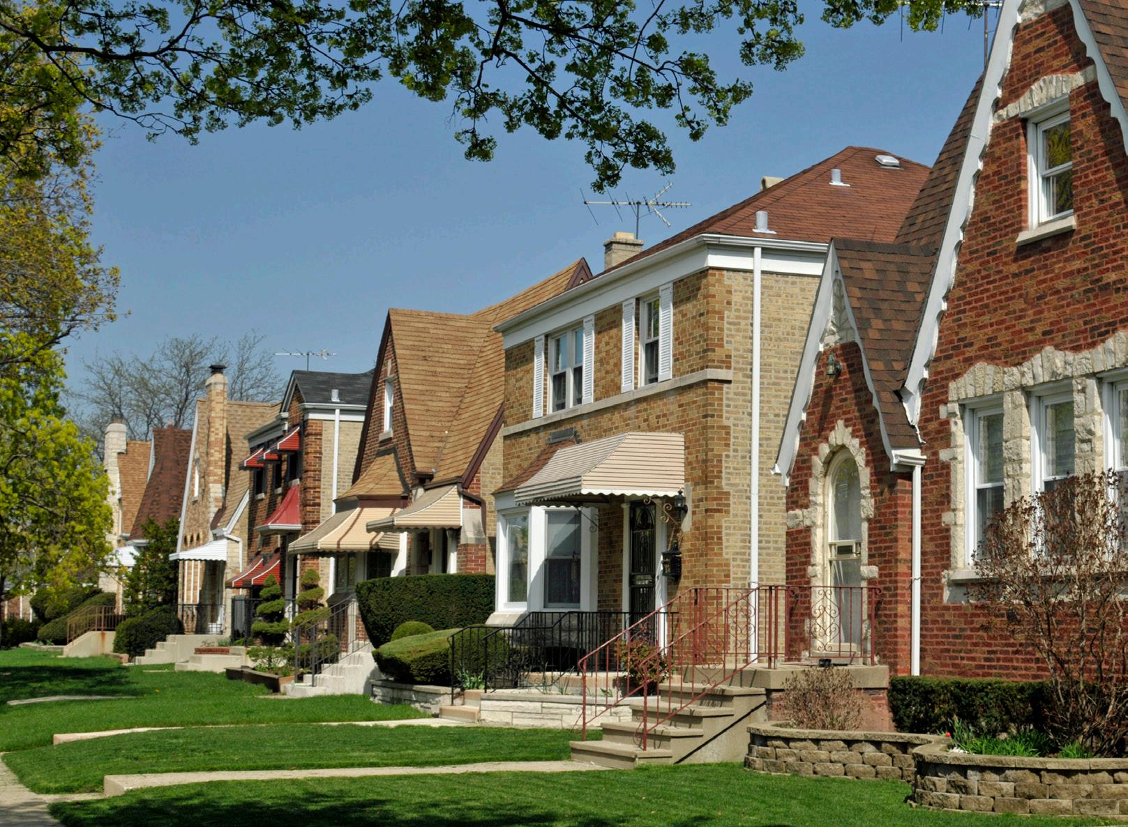
Residents of Norwood Park on Chicago’s far northwest side are proud of its charming residences and good schools. Bounded by Austin Avenue on the east, Albion Avenue on the north, Canfield on the west and Gunnison Street on the south, Norwood Park has homes and commercial properties dating back to the mid-1800s. Newer brick, Georgian, ranch, Tudor and Cape Cod homes line the streets surrounding Circle Avenue. In the oldest section, south of the Union Pacific train station, bright blue, yellow and white Victorian frame homes with shuttered windows occupy deep, wooded lots on the curving East Circle and West Circle Avenues. The town square’s intersection at Nicolet, Nickerson and Nina, the residential main street of Old Norwood Park, is similar to those found in New England.
Metra’s Union Pacific trains stop in Norwood Park. The CTA’s Blue Line and rapid transit trains stop at Harlem and Higgins. CTA buses run on Harlem, Higgins, Foster, Canfield and Talcott. The Kennedy and Edens Expressways (I-90/94) are also easily accessible.
PORTAGE PARK
Named for the nearby park of the same name, Portage Park is bordered by Montrose Avenue to the north, Narragansett Avenue to the west, Roscoe Street to the south, and Cicero Avenue to the east. In the early 1800s, the area was a “portage” used by Native Americans to transport canoes between the Chicago and Des Plaines Rivers. The land was officially given the name Portage Park in 1912.
Portage Park is served by the CTA Blue Line which has two train stops at nearby Montrose and Irving Park and connects riders to O’Hare, the Loop, and the rest of the CTA system. In addition, a number of CTA bus routes serve the area and the Milwaukee District North Line of the Metra train is located close to the Montrose Blue Line stop.
Portage Park’s famous “Six Corners,” at the intersection of Irving Park Road, Cicero Avenue, and Milwaukee Avenue, is a shopping district where most of the area’s commercial activity takes place. Portage Park is a 36.5 acre park with many amenities including an Olympic-size pool, a bike path, five baseball fields, two combination football/soccer fields, a gymnasium and a cultural arts building. Youth activities include sports and music.
$179,860 $358,195
MILES
The CTA offers a train stop on the Blue Line and bus lines. There is also a stop on Metra’s Milwaukee District North Line.
Metra’s Milwaukee Line stops nearby and CTA bus lines run throughout Sauganash.
SAUGANASH
$547,894 $379,333
Sauganash is bounded roughly by Bryn Mawr Avenue, Cicero Avenue, Devon Avenue and the former right-of-way for the Union Pacific Railroad. Area residents have a great deal of civic pride. Homes in Sauganash are known for elaborate and decorative Christmas light displays. Block parties held on neighborhood streets confirm that residents socialize with their neighbors. Generations of families seem to stay in Sauganash because they feel it is such a great place to live.
Metra’s Milwaukee Line trains stop at Edgebrook. CTA bus lines run on Touhy, Cicero and Peterson. The Edens Expressway (I-94) is nearby at the intersection of Cicero and Peterson Avenues. The Kennedy Expressway (I-90/94) is a few miles west of the area.
The area’s attractions include three golf courses, public transportation within walking distance and easy access to major city thoroughfares. Several hundred acres of Cook County forest preserves flank the North Branch of the Chicago River and provide a recreational anchor for the area.
NEAR NORTHWEST
AVONDALE
Avondale is a Northwest neighborhood that is traditionally the heart of Chicago’s Polish community. It is bordered by Addison on the north, the north branch of the Chicago River on the west, and Diversey Avenue on the south. Businesses in the Milwaukee commercial corridor add to the area known as the “Polish Village”. The cuisine offered within Avondale helps to display the diversity within the neighborhood.
The neighborhood is served by the CTA Blue Line train with a stop at Belmont and CTA buses also run multiple routes through Avondale. The Kennedy Expressway is also easily accessible to Avondale.
CTA’s Blue Line train and buses run throughout Avondale.
MILES 8
BUCKTOWN
Bucktown is thought to have been named for the large number of goats that were raised there during the 19th century. First settled by Polish immigrants and later Germans, Bucktown today is a trendy neighborhood that is primarily residential with a mix of single family homes, new high-rises and industrial loft spaces. The neighborhood’s rough boundaries are the Kennedy Expressway on the east, Bloomingdale Avenue on the south, Western Avenue on the west and Fullerton Avenue on the north.
Commuters can either drive on the Kennedy Expressway (I-94), or take the CTA Blue Line from the Western-O’Hare stop. There are also many buses that will take you close to the city center.
Located within minutes of Wicker Park and Damen Street, Bucktown has a variety of shopping boutiques from which to choose. Restaurants, art galleries and nightlife options are plentiful in Bucktown and the surrounding area.
$1,085,853 $478,265
MILES
CTA offers Blue Line train and bus service throughout Bucktown.
HERMOSA
Hermosa’s borders are largely determined by railroad tracks and embankments. Metra’s Milwaukee District West Line forms the southern border, Cicero Avenue is the westernmost border, the Milwaukee District / North Line is the eastern border and Belmont Avenue is the northern border.
While being a smaller community of Chicago, Hermosa, which means beautiful, is densely populated. The neighborhood is the birthplace of Walt Disney and Schwinn Bicycle Company formerly held their headquarters in Hermosa. After Hermosa was annexed into the city of Chicago in the late 1800s, the area grew slowly throughout the 19th century. More recently, Hermosa has seen rising housing prices and business activity.
The CTA offers bus and train service in the neighborhood. The Metra stops in Hermosa at the Healy station.
MILES 9
HUMBOLDT PARK
The Humboldt Park community finds its roots in Latino tradition. One-quarter of Humboldt Park’s residents are Puerto Rican and the cultural influence is demonstrated through the cuisine, artistic murals, and Spanish Colonial architecture. Humboldt Park totals 219 acres and includes a large field house with a fitness center, two gymnasiums, meeting rooms and an impressively designed boat house. The Humboldt Park Stables is a landmark location that now houses the National Museum of Puerto Rican Arts and Culture.
I-90 access is located nearby. CTA offers bus service throughout Humboldt Park.
New dining and craft cocktail options continue to open along Division and California Streets in the neighborhood. Authentic Latin Cuisine, specialty shopping and charming coffee shops help to define Humboldt Park as a thriving eclectic community.
$298,660 $247,675
CTA offers bus service throughout Humboldt Park.
$431,725 $811,479
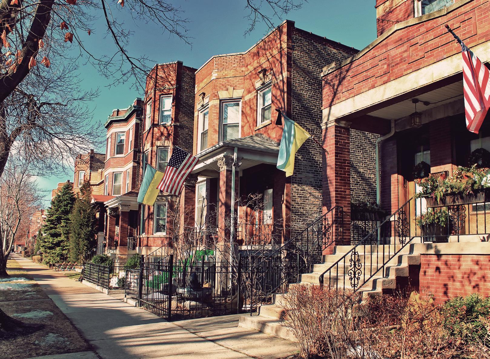
LOGAN SQUARE
Originally named for John Alexander Logan, who fought in the Civil War and was later a United States Senator representing Illinois, the Logan Square neighborhood of Chicago is known for its gourmet coffee, cocktail lounges, popular restaurants and tightknit community. The actual “square” comes together at the intersection of Kedzie and Logan Boulevard, where a circle interchange meets Milwaukee Avenue.
Housing options include stately mansions, greystones, bungalows and more. The rough boundaries of the neighborhood are Western Avenue on the east, Fullerton Avenue on the south, Pulaski Road on the west and Diversey Avenue on the north.
The CTA Blue Line serves the neighborhood. The Dan Ryan Expressway (I-94) runs directly through the neighborhood, allowing for easy access into and out of the city.
The CTA Blue Line trains runs through Logan Square.
UKRAINIAN VILLAGE
Located northwest of the Loop, Ukrainian Village was first settled by immigrants from Germany, the Ukraine and Russia. Some of the beautiful cathedrals built to accommodate the faithful of that time still exist today and are amazing examples of craftsmanship. The Ukrainian culture remains prominent to this day. The Village retains much of the character of a European community, which has attracted many urban pioneers. The neighborhood’s boundaries are roughly Damen Avenue on the east, Chicago Avenue on the south, Western Avenue on the west, and Division Street on the north.
Commuters have easy access to the city by I-94, which can be reached in 5 minutes from the village center, or I-290 W, which can be reached in 10 minutes from the village center. Residents who wish to take CTA into the city have a short 5 minute walk to reach the Blue Line Division stop. There are also many bus stops that provide easy transportation into the city. 4
$1,124,826 $494,179
MILES
CTA Blue Line train and bus service is available in Ukrainian Village.
$515,486 $1,211,948
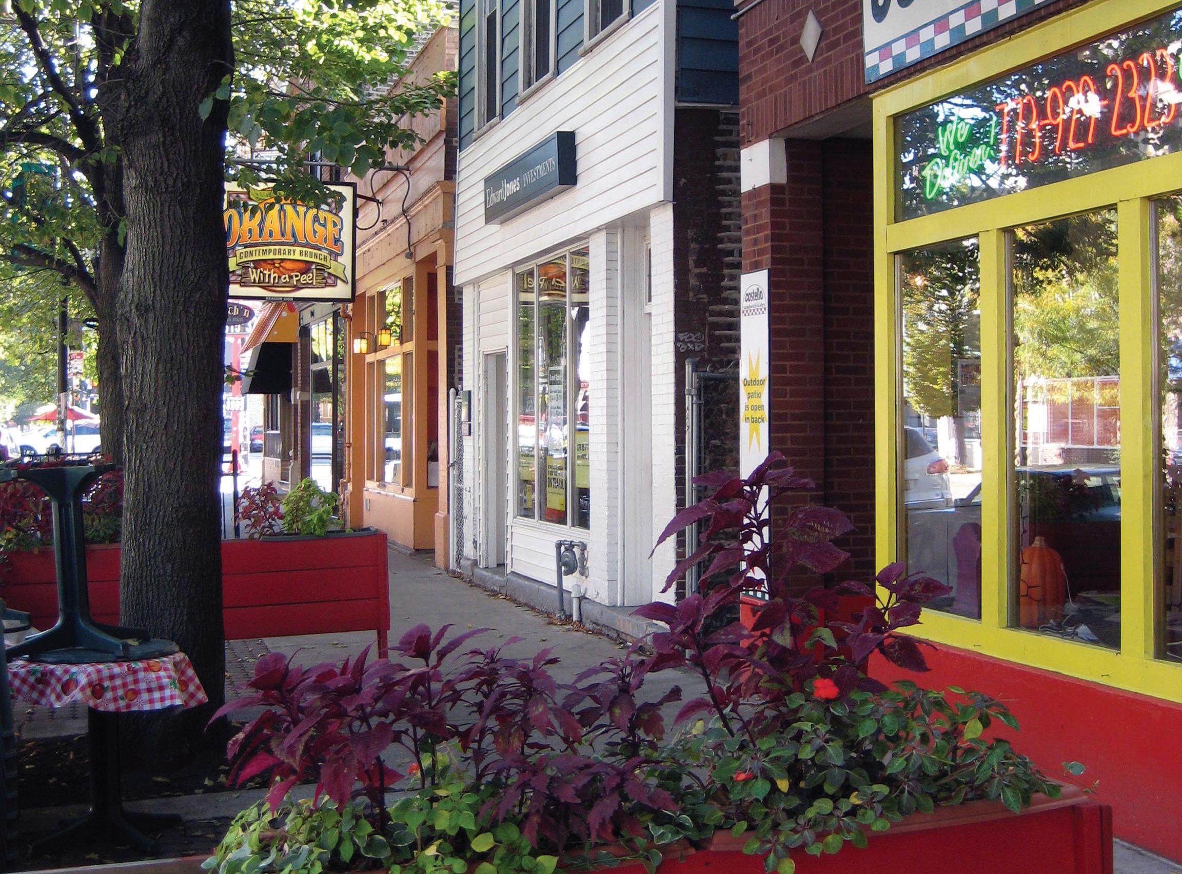
WICKER PARK
Tucked into the eastern corner of the larger community of West Town which extends south to Kinzie Avenue, Wicker Park is bounded by Ashland Avenue on the east, August Boulevard on the south, Western Avenue on the west and Bloomingdale Avenue on the north. Its Historic District features grand mansions. The Six Corners intersection of Damen Avenue, Milwaukee and North Avenues serves as the epicenter of activity. As Wicker Park was previously a relatively inexpensive area, it attracted artists, writers, craftsmen and artisans. Restaurants, small galleries and theaters followed, and today it is a trendy and popular destination.
Wicker Park is less than four miles northwest of the Loop. The CTA Blue Line stops at Damen and Division. CTA buses run on several streets including Milwaukee and North Avenues.
In the park that bears its name, the Wicker Park Garden Club maintains 10,000 square feet of ornamental gardens. Other park facilities include athletic fields and courts, a field house, gymnasium, meeting rooms, community garden and more.
CTA offers Blue Line train service and bus service in Wicker Park.
WEST TOWN
Situated on Chicago’s northwest side, West Town is bordered by the Chicago River to the east, the Union Pacific railroad tracks to the south, the former railroad tracks on Bloomingdale Avenue to the north, and Humboldt Park to the west. The neighborhood includes galleries, retail boutiques, quaint coffee shops, restaurants, bars, and historic churches.
The West Town neighborhood community thrives on the charm created by the diverse and tight knit vibe of the area. Neighborhoods within West Town include: East Village, Eckhart Park, Humboldt Park, Noble Square, River West, Smith Park, Ukrainian Village, Wicker Park and the Division Street corridor and the Grand Avenue Design District.
I-90 passes through West Town and the CTA Blue Line has four stops in the area.
$987,649 $499,010
MILES
CTA offers bus and Blue Line train service in West Town.
NEAR NORTH
0-2
MILES
GOLD COAST
An elaborate system of expressways, taxis, buses, subway and elevated trains makes transportation convenient.
Chicago’s Gold Coast includes the Streeterville and Mag Mile neighborhoods and some of the finest luxury real estate in the city.
An elegant and sophisticated destination for living, working and playing, Chicago’s Gold Coast has the finest shopping west of Park Avenue.
The Gold Coast’s Streeterville neighborhood is a residential pocket located between Michigan Avenue and the lake. The Museum of Contemporary Art is a famous neighbor, with Northwestern University and Lurie Children’s Hospital on the border.
The Lakefront provides an array of activities including swimming, boating, bike trails and jogging paths. Known for it’s extravagant nightlife, clubs are open until the early morning hours and feature rock, rap, blues, jazz and more.
$607,762 $3,682,500
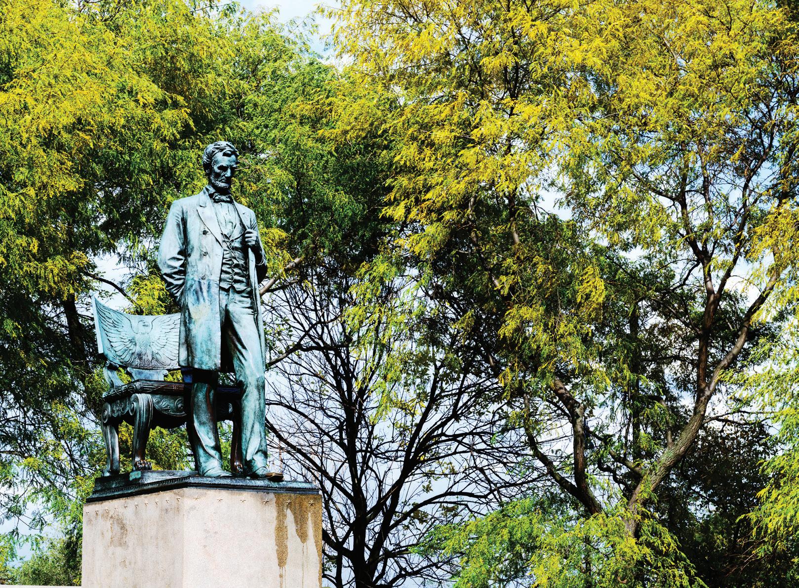
LINCOLN PARK/DEPAUL
North of Chicago’s Loop and Gold Coast neighborhoods, you find Lincoln Park. Lincoln Park’s boundaries stretch from Diversey Parkway on the north to Clybourn Avenue on the west to North Avenue on the south, and Lake Michigan on the east.
Along Lincoln Avenue at Fullerton Avenue, the Lincoln Park community of DePaul takes its name from The University. DePaul offers stately single-family and multi-unit housing, including original Chicago row homes with Victorian façades. Not just a home to students, some of Chicago’s most luxurious properties are located in the DePaul neighborhood.
Lincoln Park offers an assortment of fine restaurants, night spots, boutiques and theaters. It is a refuge for joggers, tennis players, golfers, cyclists, and softball players, as well as home to Lincoln Park Zoo, The Chicago History Museum, The Peggy Notebaert Nature Museum, the Lincoln Park Conservatory, the Alfred Caldwell Lily Pool and the park’s nature preserves, crewing lagoon, and marinas.
$601,511 $1,814,276
The CTA offers Red and Brown Line train service and bus service in the neighborhood.
Commuters have great access to Downtown Chicago as they are located right inside the Chicago Loop. They are walking distance from almost any point in the Loop area and have very easy access to the CTA trains.
NEW EASTSIDE
$535,966
Centrally located, The New Eastside is located with the Chicago River to its north, Grant Park to the south, Lake Michigan to the east, and Michigan Avenue to the west. The neighborhood is located within walking distance to numerous shopping venues, recreational activities, art galleries, theatres and the Lakefront Path.
Michigan Avenue and State Street, both located within The New Eastside, have countless stores for shoppers. Millennium Park, Maggie Daley Park, Grant Park, the Lurie Garden and the Lakefront Trail are all located no more than 5 minutes from The New Eastside.
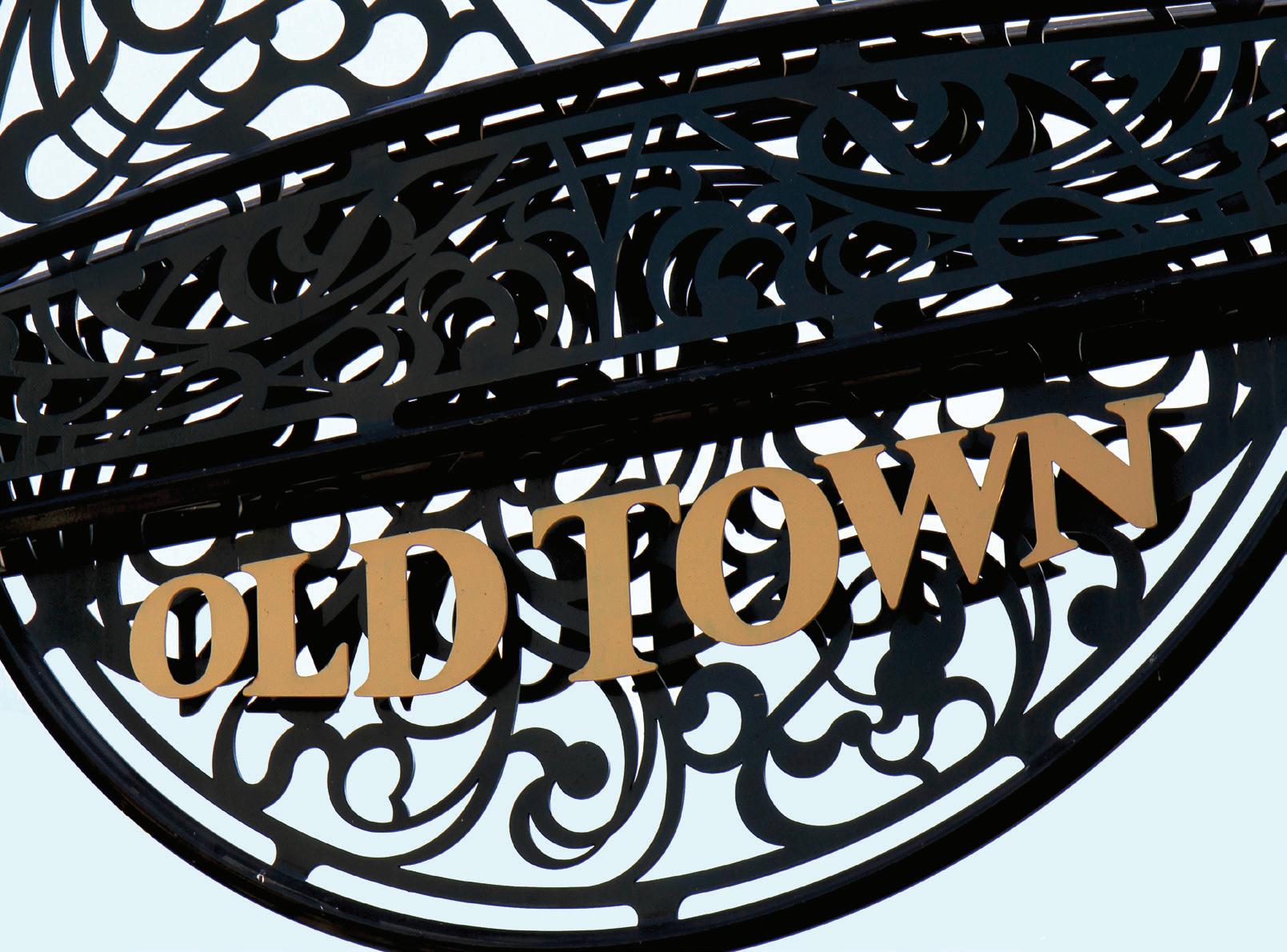
Spanning the eastern parts of Lincoln Park and the Near North area, Old Town is a vibrant community that is considered both affluent and historic. Its boundaries are Clark Street on the east, Division Street on the south, Larrabee Street on the west and North Avenue on the north. The Old Town Triangle starts north of North Avenue and is formed by connecting the points of Sedgwick Street on the west, Armitage Avenue on the north and Lincoln Avenue and Clark Street on the east.
With Lincoln Park, Lincoln Park Zoo, the Alfred Caldwell Lily Pond and the lakefront less than 10 minutes away by foot, individuals looking for outdoor activities will find many options.
The CTA Red Line runs on the outskirts of Old Town with stops at North/Clybourn and Clark/ Division. The CTA Brown Line runs directly through Old Town stopping at Sedgwick.
$1,928,154 $476,702
$1,562,500 $645,648
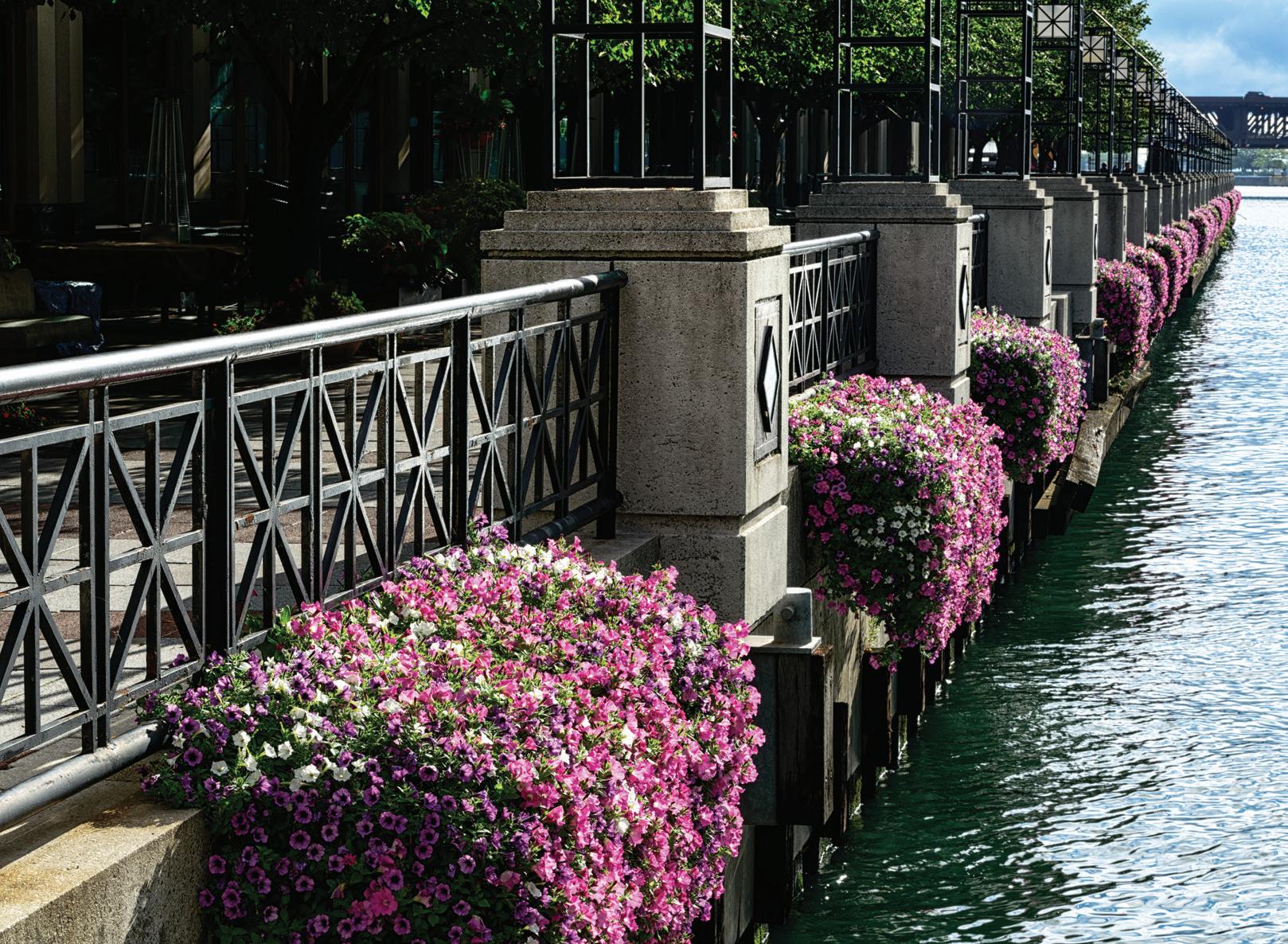
RIVER NORTH
Also known as the Gallery District, River North has experienced many changes during the 21st century with the development of many new high-rise buildings, nightclubs and restaurants. With some of the best shopping, restaurants, art galleries and hotels outside the city center, the River North area has a lot to offer. The boundaries for the neighborhood are Michigan Avenue to the east, the Chicago River to the south and west and Chicago Avenue to the north.
Located less than 10 minutes from Michigan Avenue, shoppers will find everything they need within walking distance.
The CTA Red Line runs through River North with the stops at Chicago and Grand. The CTA Brown Line also runs directly through River North stopping at Chicago and the Merchandise Mart.
STREETERVILLE
Bounded roughly by Lake Michigan on the east, the Chicago River on the south, Michigan Avenue on the west and Grand Avenue on the north, the Streeterville area of the Gold Coast includes such landmark buildings as The Old Chicago Water Tower District which survived the Great Chicago Fire in 1871, and Fourth Presbyterian Church. The area, now home to some of Chicago’s finest real estate, has a colorful history.
Michigan Avenue’s “Magnificent Mile” is among the most elite retail districts in the nation. The Lakefront provides the setting for an endless array of activities, from swimming and boating to bike trails and jogging paths.
An elaborate public transportation system includes the subway and elevated trains. The Edens, Kennedy, Eisenhower, Stevenson, and Dan Ryan Expressways link the area with the rest of the city and suburbs.
$776,545
MILE
The Loop is the hub of the transportation network in Chicago. The Chicago Transit Authority or CTA includes the train system with 7 different color coated routes, and plentiful bus routes. For those traveling by car, access to I-90/94 and I-290 is close by.
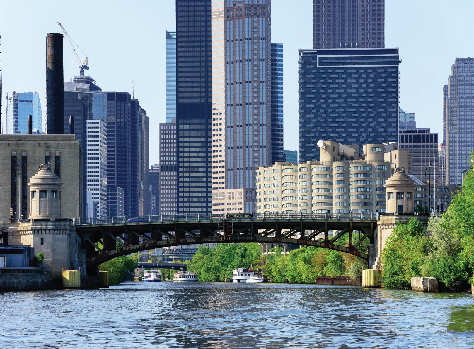
The Loop is between the Chicago River on the North and Roosevelt Road on the South, and from Lake Michigan West to Interstate 90/94. Although Chicagoans do not agree on the origin of the Loop’s name, it is said to take after a streetcar from the 1880s or the CTA “El” tracks that looped through the city. In 1885, at the intersection of Adams and LaSalle streets, the first Chicago skyscraper was born, designed by architect and engineer William LeBaron Jenney. By 1973, the Sears Tower was completed and became known as the world’s tallest building, a title it would hold for a quarter of a century. Today, the 110-story building is known as Willis Tower.
The Loop is blocks from the lakefront, Grant Park and Millennium Park with their endless array of activities from swimming and boating to bike trails and jogging paths.
$416,158
MILE
WEST LOOP
The West Loop of Chicago is one of the fastest growing neighborhoods in the city. Traditionally a commercial and industrial area, the West Loop’s residential possibilities were first discovered by artists who converted the industrial lofts to living spaces and galleries. Now home to a wide mix of young professionals and other urbanites, the area retains its edgy feel, and avant-garde galleries co-exist with upscale restaurants to form the perfect setting for city living. The West Loop restaurant scene is the hottest in the city. Randolph Street’s “Restaurant Row” is where you’ll find the latest in cutting edge cuisine, but traditionalists still flock to Greektown for their famous flaming cheese.
The West Loop is home to two of the top schools in the Chicago Public Schools system— Skinner Classical School and Whitney Young High School.
I-90 access is located nearby. Metra’s Ogilvie Station and Union Station are both within walking distance. The CTA Pink and Green Lines run through the West Loop and bus service is available.
$604,875
1 MILE
NEAR SOUTH
The Blue Line CTA serves the area. The Loop is only a few minutes away via the Eisenhower Expressway (I-290). O’Hare Airport is about 35 minutes via the Kennedy Expressway (I-90/94). The Dan Ryan Expressway (I-94) is nearby.
NEAR WEST SIDE
The Near West Side is a blend of tradition and technology, the old and the new. The neighborhoods west of the Kennedy Expressway, Dan Ryan Expressway and Eisenhower Expressway interchange are home to the University of Illinois at Chicago (UIC), the sprawling West Side Medical Center, Chicago Technology Park, and some of the city’s finest landmark turn-of-century homes. Its boundaries are roughly the South Branch of the Chicago River on the east, 16th and 18th Streets on the south, between California and Western Avenues on the west, and Kinzie Street on the north.
The United Center hosts a range of events from Chicago Blackhawk hockey games to Chicago Bulls basketball games to concerts that suit any taste. Restaurants and other night life are plentiful.
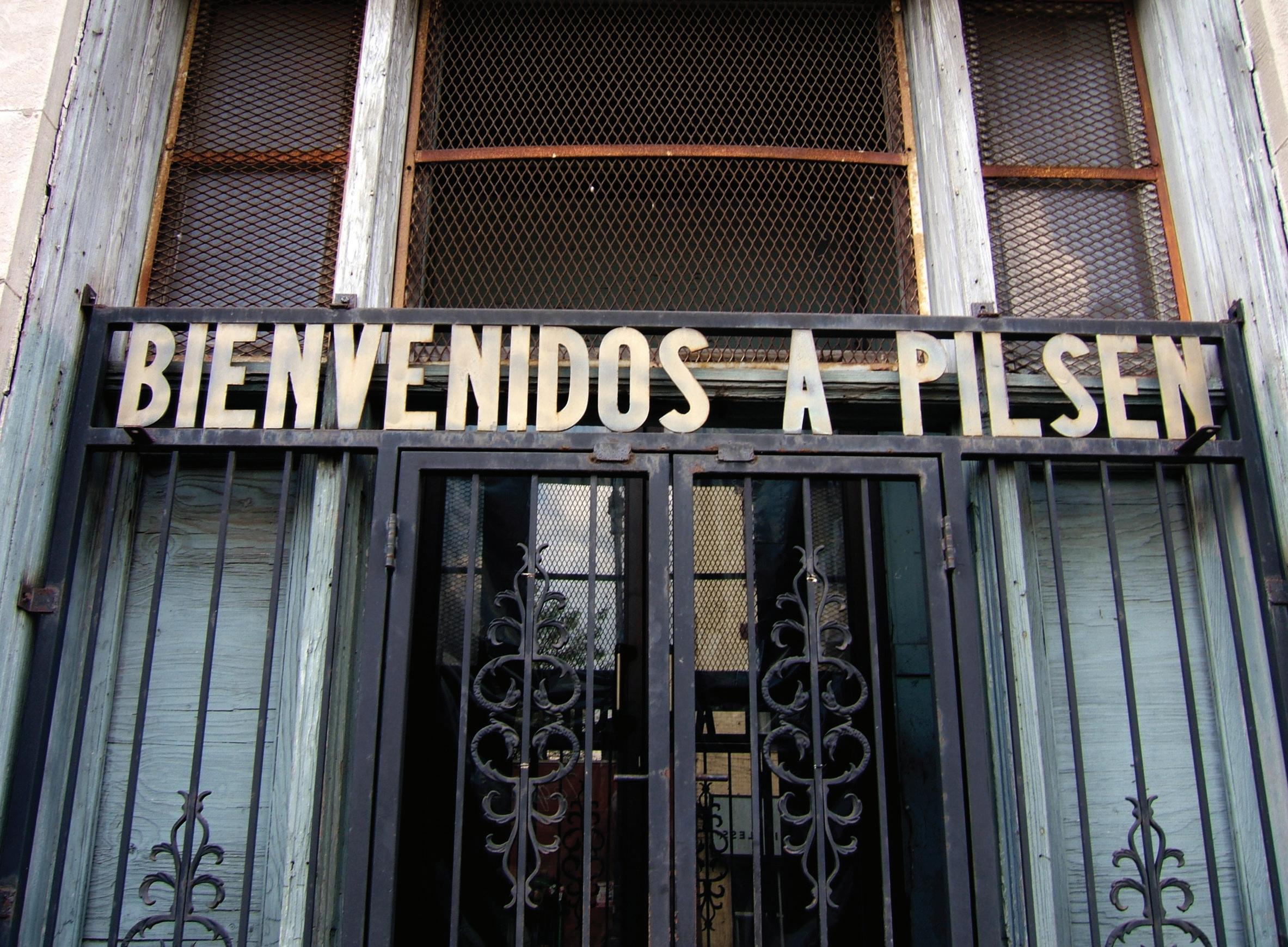
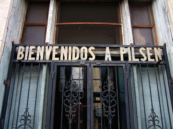
Originally a Czech neighborhood, and later influenced by Irish, German, Polish, Eastern European and Mexican immigrants, Pilsen today continues to reflect many traditions. The eastern side of the neighborhood is one of Chicago’s largest art districts, and home to the National Museum of Mexican Art as well. The boundaries are roughly considered to be Canal Street on the east, Cermak Road on the south, Damen Avenue on the west, and 16th Street on the north.
Harrison and Dvorak Parks offer gymnasiums, baseball fields, volleyball and tennis courts, swimming pools, playgrounds, horseshoe pits, an auditorium and more. Dining options in the area are plentiful.
Commuters have easy access to the city by I-90, which can be reached in 5 minutes from the village center. Residents who wish to take the CTA train into the city have a 5 minute walk to reach the Pink Line at 18th Street. There are also many bus stops that provide transportation into the city.
Commuters have easy access to I-90, the CTA Pink Line and many bus stops.
$391,247 $428,397
Great urban and suburban transportation networks include buses, trains, subways, elevated trains and expressways run from downtown to nearly every corner of the city and many suburban locations.
Printer’s Row is a Historic District in the South Loop neighborhood that is bounded by State Street on the east, Polk Street on the south, Clark Street on the west and Congress Parkway on the north. Printer’s Row took its name from the printing and publishing businesses originally in the neighborhood. Today, many of the buildings have been renovated and converted into lofts or live/work space.
Located in The Loop, individuals have one of the best urban and suburban transportation networks in the nation. Buses, trains, cabs, subways, elevated trains and expressways run from downtown to nearly every corner of the city, and plus many suburban locations.
Printer’s Row is mere blocks from the lakefront, Grant Park and Museum Campus that includes the Shedd Aquarium, Field Museum of Natural History and Adler Planetarium. Events at Northerly Island offer something for everyone.
$300,480
SOUTH LOOP/DEARBORN PARK
The South Loop, just south of Chicago’s Loop, is ideal for those who want to take advantage of Grant Park, the Art Institute of Chicago, the Chicago Symphony Center, the Shedd Aquarium, the Field Museum of Natural History, the Adler Planetarium, Northerly Island and Soldier Field. The neighborhood offers incredible views of the Chicago’s skyline and lakefront. The landmark Prairie Avenue Historic District is on the National Register of Historic Places and includes Glessner House and The Clarke House, Chicago’s oldest house, both now museums.
The rough boundaries of the South Loop are Lake Michigan on the east, Cermak Road on the south, the south branch of the Chicago River on the west and Polk on the north. Dearborn Park’s boundaries, within the South Loop, are roughly State Street on the east, 18th Street on the south, Clark Street on the west and Polk Street on the north.
1-2
MILES
Buses, trains, cabs, subways, elevated trains and expressways run from downtown to nearly every corner of the city and many suburbs.
$409,677
$1,209,166
$951,605 $354,424
UNIVERSITY VILLAGE
The University of Illinois at Chicago (UIC) campus and the Illinois Medical Center are at the heart of University Village. The neighborhood was also known as Little Italy due to the large number of Italian immigrants who called it home in the late 19th century. The University Village boundaries are roughly the Dan Ryan Expressway (I-90) on the east, 16th Street on the south, west of Western Avenue on the west, and the Eisenhower Expressway (I-290) on the north.
The CTA Blue Line “L” serves the neighborhood and The Loop is only a few minutes away via the Eisenhower Expressway (I-290). O’Hare Airport is 35 minutes away via the Kennedy Expressway (I-90/94) and the Dan Ryan Expressway (I-94) is nearby.
UIC offers a wide range of activities, gymnasiums, athletic fields and courts, and meeting space. The National Italian American Sports Hall of Fame is located on Taylor Street. Great restaurants, trendy boutiques and specialty shops make University Village popular with students, residents and visitors.
The CTA offers Blue Line transit and is close to I-290, I-90/94 and O’Hare.
$313,696 $354,000
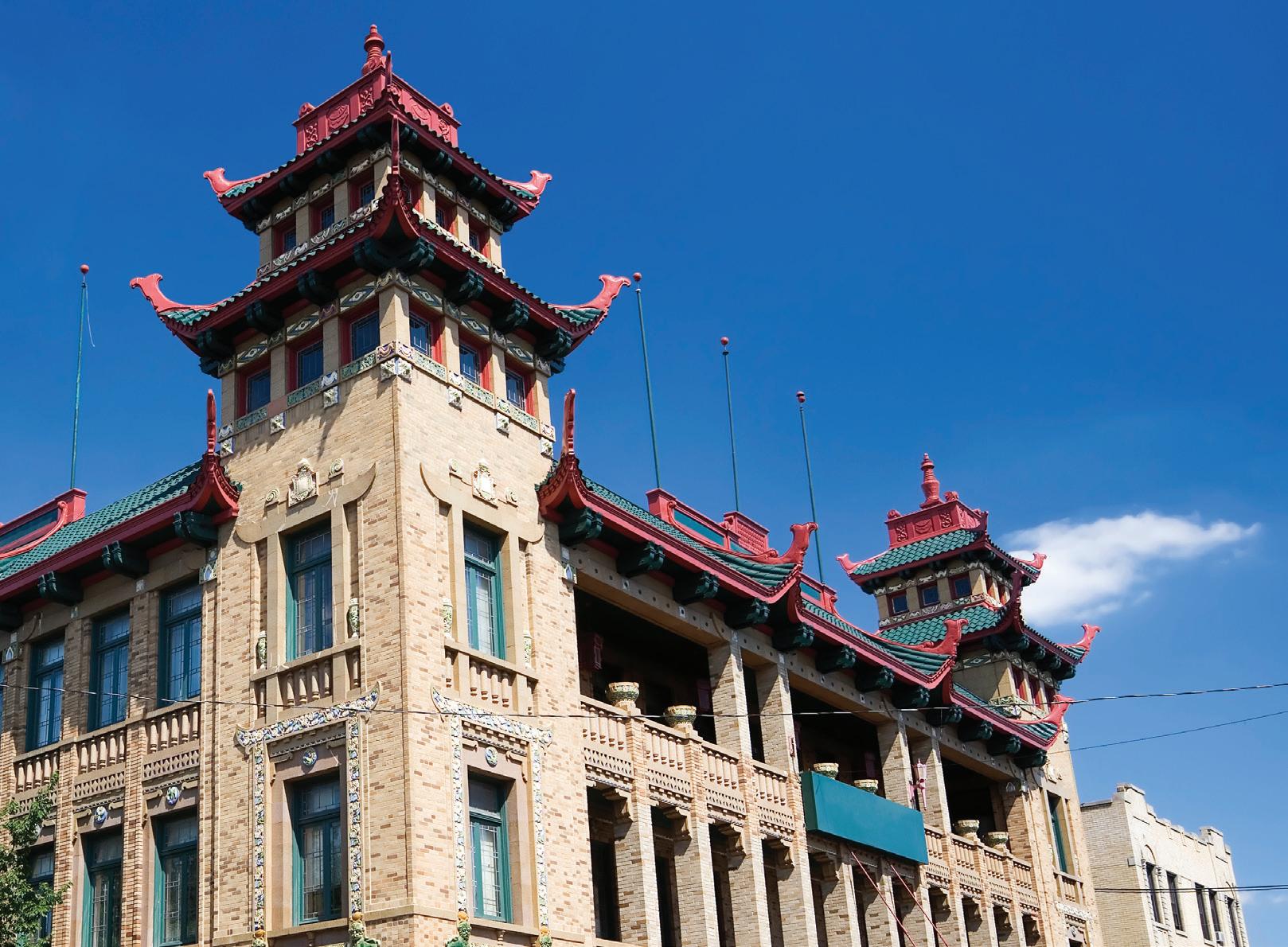
ARMOUR SQUARE/CHINATOWN
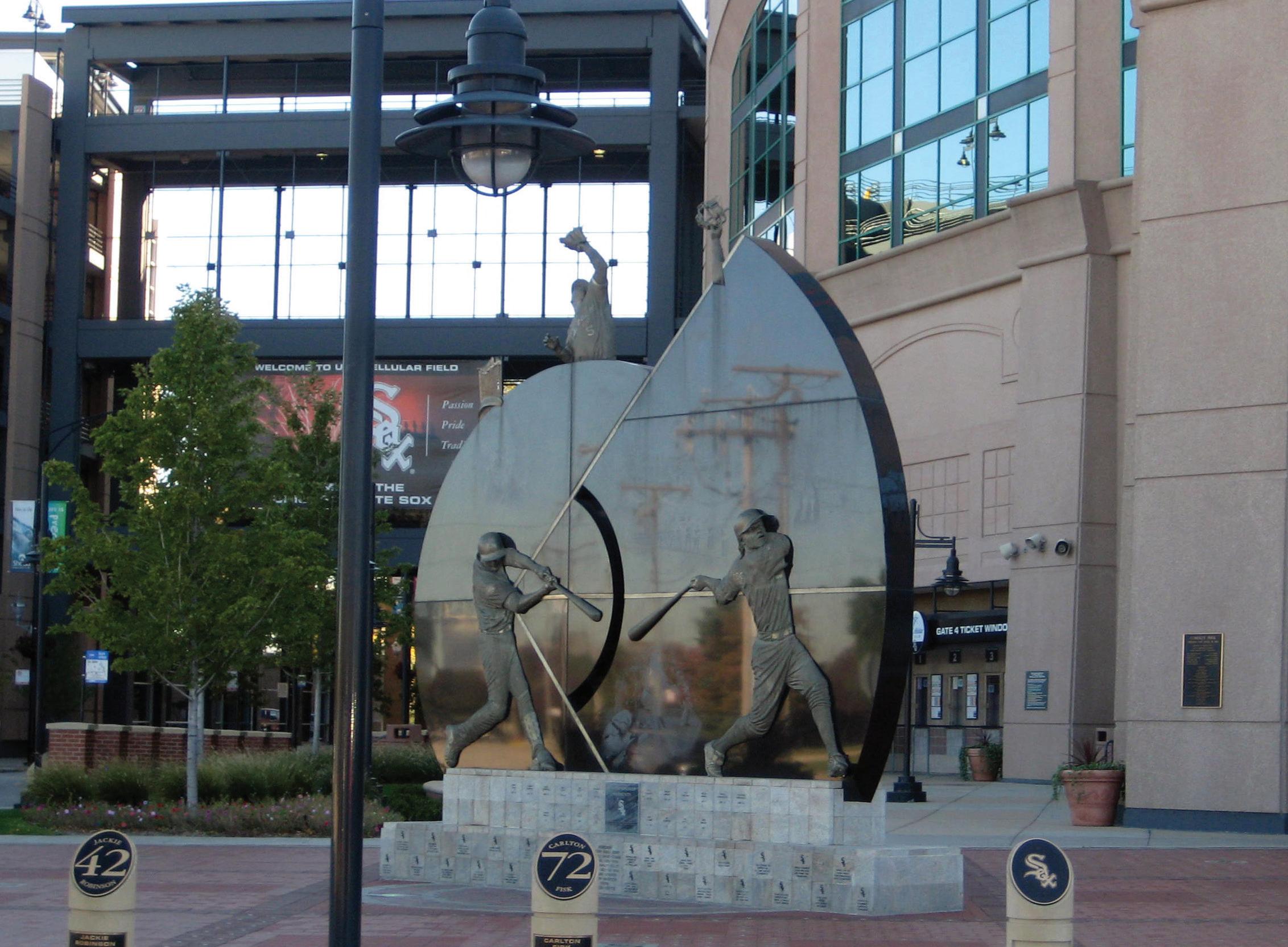
Armour Square, which includes Chinatown, is a Chicago neighborhood on the South Side that is bordered by Bridgeport to the west, Bronzeville to the east, Pilsen to the north, and Fuller Park to the south. Armour Square’s most recognizable landmarks are the Armour Square Park and Guaranteed Rate Field, where the Chicago White Sox play.
Armour Square Park spans over 10 acres and has a fitness center, two gymnasiums, and an auditorium.
Chinatown is centered on and around Cermak and Wentworth Avenues and has a number of Chinese restaurants, shops and groceries. The Pavilion is at the epicenter of Chinatown.
Armour Square and Chinatown are accessible by the CTA Red Line train and bus stops. Chinatown is also accessible by a water taxi that stops at the Pavilion.
The CTA offers Red Line train and bus service in Armour Square and Chinatown.
BEVERLY/MORGAN PARK
The Beverly and Morgan Park neighborhoods are often considered an urban oasis with large, spacious lots, and a variety of architectural styles. Beverly’s boundaries are roughly South Beverly Avenue and South Longwood Drive on the east, 99th and 107th Streets on the south, S. Western Avenue on the west and the Dan Ryan Woods on the north. Morgan Park’s boundaries are roughly S. Halsted Street and S. Ashland Avenue on the east, 115th and 119th Streets on the south, east of Mount Hope Cemetery, west of Mount Olivet Catholic Cemetery and east of Mount Greenwood Cemetery on the west and 107th Street on the north.
Parks and recreational facilities offer banquet halls, tennis courts, baseball fields, a fitness center, pool, auditorium, and gymnasium. The Beverly Arts Center is a nonprofit organization focused on art, music, and dance. The South Side Irish Parade is a neighborhood tradition.
The CTA and Metra systems offer routes in the neighborhoods.
15-17
Metra and CTA bus service provide transportation for these neighborhoods.
$265,834 $113,658
The CTA Red and Orange Line trains and CTA buses serve the area. The I-55 and I-90/94 expressways are nearby. 4
The one-time residence of five Chicago mayors, Bridgeport has a diverse culture and long history. The Chicago White Sox baseball team plays at Guaranteed Rate Field, formerly known as Comiskey Park. In the 1830s, Irish immigrants came to Chicago to work on the Illinois and Michigan Canal but were issued land strips in lieu of cash. Many of the workers bought land where the north end of the canal met the south branch of the Chicago River. Today, Bridgeport is primarily a residential neighborhood. Quiet, tree-lined streets reveal a mix of old and new architecture. Housing options consist of single family homes, bungalows, two- and three-flats as well as contemporary condominiums.
Bridgeport residents have easy access to the Stevenson Expressway (I-55) and the Dan Ryan Expressway (I-90/94). The Red and Orange CTA train lines, and a number of CTA buses serve the area as well.
$490,162 $306,510
MILES
BRONZEVILLE/NORTH KENWOOD
Bronzeville has a long history beginning in 1779 with the migration of the first African American resident of Chicago, Jean Bapiste Point DuSable. Home to the Illinois Institute of Technology, the editors of This Old House named Bronzeville a “Best Old House Neighborhood” for 2013. Bronzeville’s boundaries are Lake Michigan and S. Cottage Grove on the east, 51st Street on the south, S. LaSalle Street on the west and south of 25th Street on the north. North Kenwood’s boundaries are Lake Shore Drive on the east, 47th Street on the south, Cottage Grove on the west and 43rd Street on the north. Bronzeville and North Kenwood offer countless opportunities for the nature lover.
The Green and Red Line CTA trains run through Bronzeville and North Kenwood. Lake Shore Drive is located on the east side and the Dan Ryan Expressway (I-90/94) is located on the west side.
$228,177 $491,370
Green and Red Line CTA trains serve the area and access is easy to Lake Shore Drive and the Dan Ryan Expressway (I-90/94).
4-6
MILES
HYDE PARK/KENWOOD
Architecture buffs marvel at the Rockefeller Memorial Chapel and Frank Lloyd Wright’s Robie House. Hyde Park’s boundaries are Lake Michigan on the east, the Midway Plaisance on the south, Cottage Grove Avenue/Washington Park on the west and 51st Street on the north. Kenwood extends north of Hyde Park to 43rd Street. A wide range of housing styles is available including vintage and new construction. 6-7
$234,989 $728,277
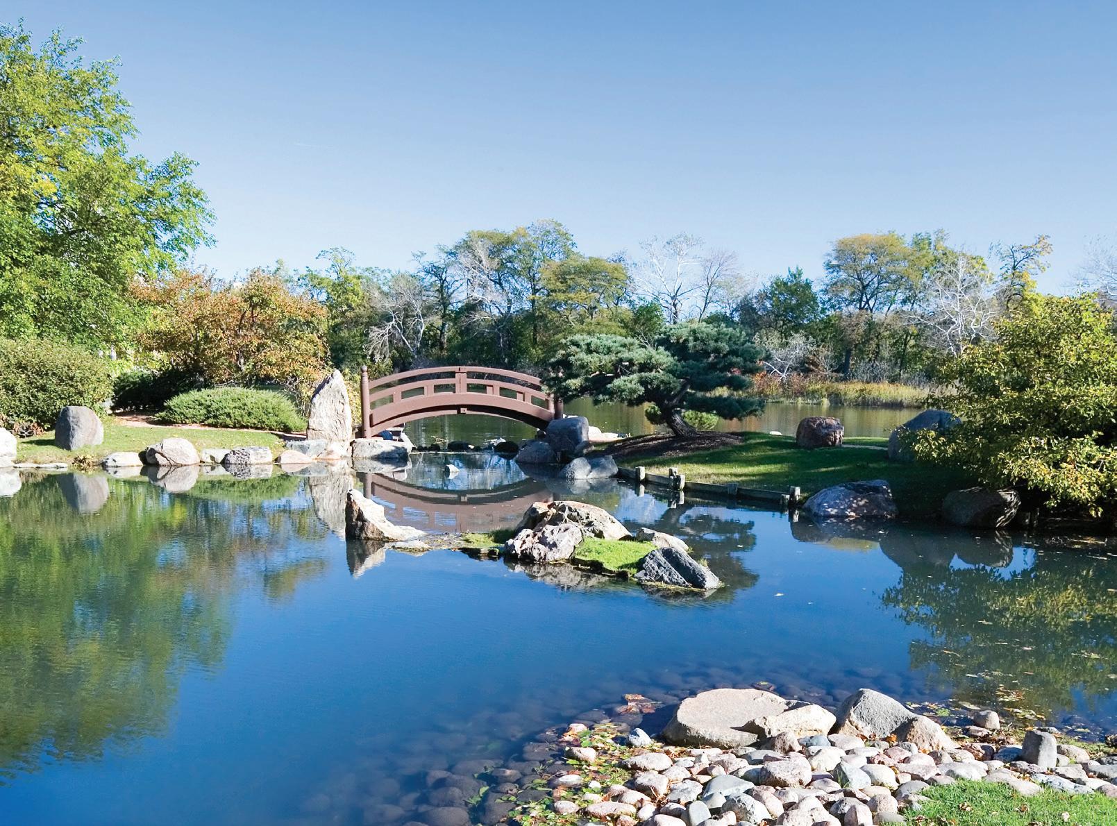
Hyde Park is home to one of Chicago’s most recognizable institutions, the Museum of Science and Industry. The building was created in 1893 for the World’s Columbian Exposition and was then known as the Palace of Fine Arts. Jackson Park, the site of the Exposition, is a 600-acre park that today includes a fitness center, ice rink, a golf course, harbors, paths and gardens galore. A lesser-known vestige from the Fair, the Osaka Garden was a gift from Japan that continues to delight residents and visitors to this day. The highly acclaimed University of Chicago is also located in Hyde Park.
CTA offers bus and train service. Metra trains stop in Hyde Park, Kenwood and South Shore.
SOUTH SHORE
The South Shore was one of the sites of the 1893 World’s Columbian Exposition. Home to the South Shore Cultural Center, once the exclusive South Shore Country Club, the 65-acre lakefront facility is on the National Register of Historic Places and has Chicago Landmark status. Scenery includes beaches, wetlands, prairie and grasslands, dunes and gardens. Visitors enjoy walking and jogging paths, a bird sanctuary, an art gallery, a theater and more. The Cultural Center offers a nine-hole course. Housing options include a range of options from modest to upscale single family homes, condominiums and apartments. The boundaries are Lake Michigan on the east, 79th Street on the south, Stony Island Avenue on the west, and 67th Street on the north.
CTA buses and trains as well as the Metra serve South Shore. The CTA Red Line stops at Garfield Boulevard and 63rd Street. Lake Shore Drive is nearby.
$154,224 $89,029
CTA buses, trains and the Metra serve the area. Lake Shore Drive is nearby.
Home to the noteworthy DuSable Museum of African American History, Washington Park is overflowing with history and culture. Washington Park itself was designed in 1871 by the same architects that created New York’s Central Park. The 367-acre park offers lagoons, ponds, walking paths, and an arboretum. Amenities include gymnasiums, indoor and outdoor pools, athletic fields, tennis and basketball courts, playgrounds, kids’ programs and more. The neighborhood is primarily residential with offerings that include vintage apartment buildings, condominiums and some single family homes. The boundaries of the neighborhood are S. Cottage Grove Avenue and S. Martin Luther King Drive on the east, 60th, 61st and 63rd Streets on the south, west of Federal Street, Perry Avenue and State Street on the west and 51st Street on the north.
CTA bus service and Green Line “L” trains serve the area. Lake Shore Drive and the Stevenson, Dan Ryan, and Eisenhower Expressways are easily accessible for drivers.
The CTA bus and Green Line “L” train serve the area. Lake Shore Drive, Stevenson Expressway, Dan Ryan Expressway, and Eisenhower Expressway are easily accessible for drivers.
WOODLAWN
Woodlawn is a neighborhood on the South Side of Chicago and is bordered by Lake Michigan on the east, 60th Street on the north, S. Martin Luther King Drive to the west, and 67th Street to the south. A large portion of the area’s eastern portion is occupied by Jackson Park. Jackson Park spans over 542 acres and hosts numerous events over the course of the year. It will also be the site of the Obama Presidential Center.
The northern edge of Woodlawn contains a part of the campus of the University of Chicago. The neighborhood has attracted opportunities for investment and residential options.
The CTA offers transportation to Woodlawn through its Green Line train and bus service.