1 minute read
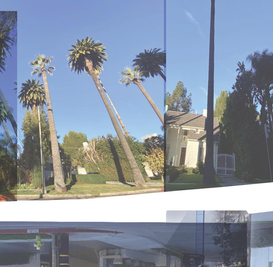
Doheny Dr. Transect


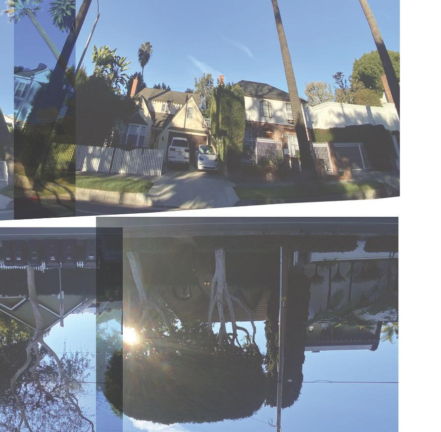


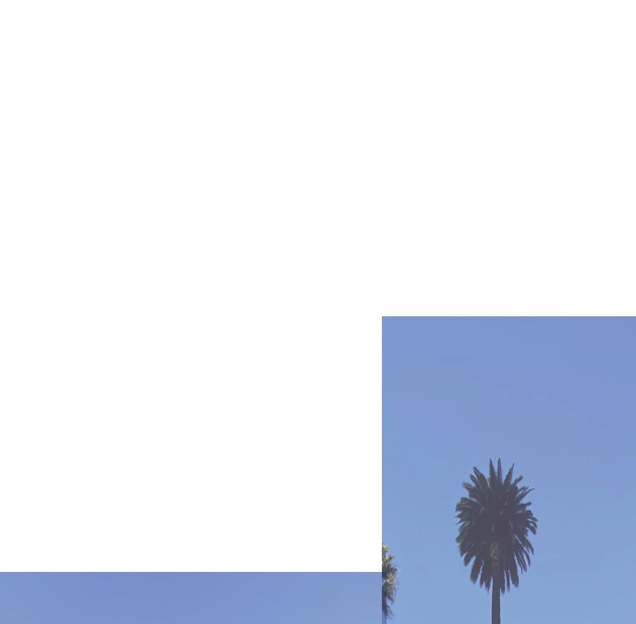
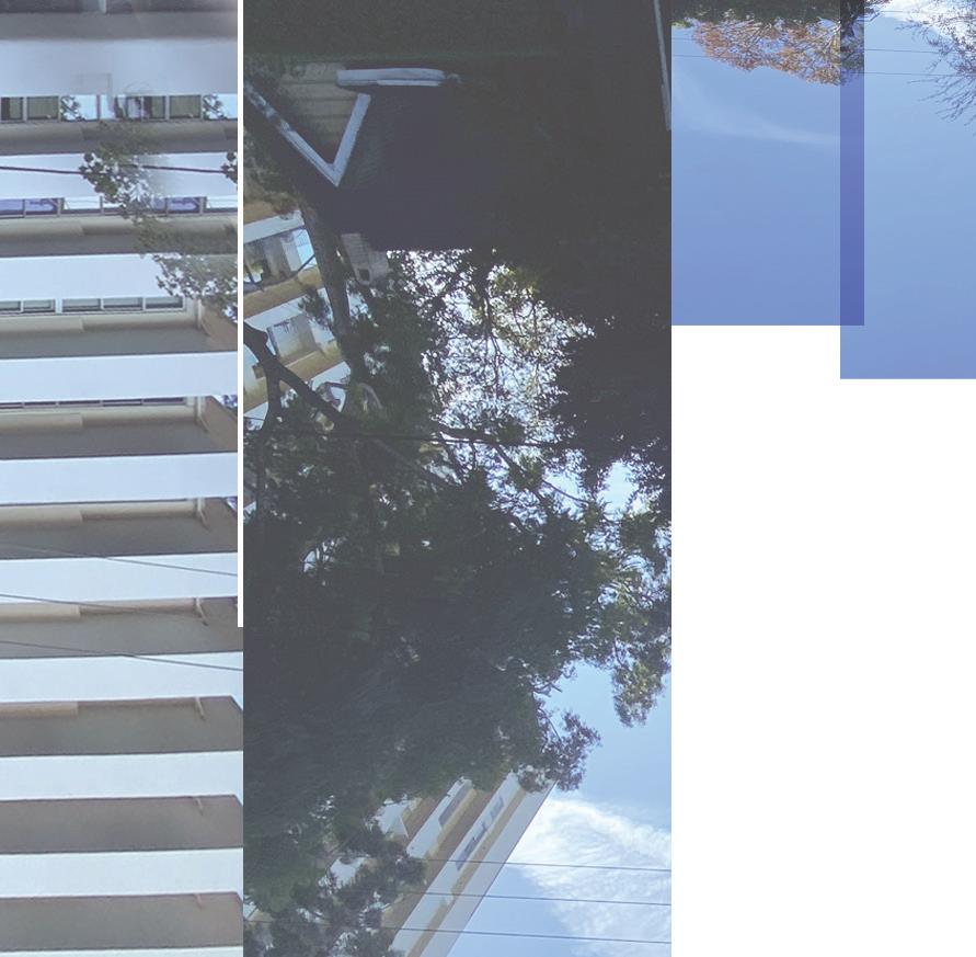
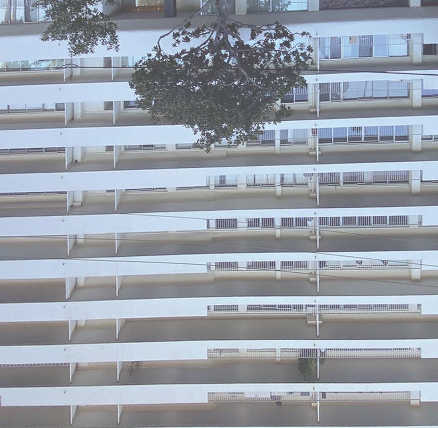
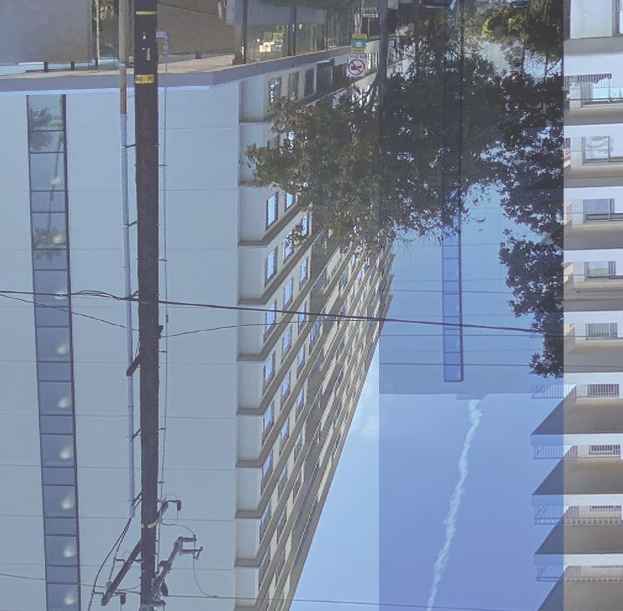
One of many arteries that connects the glittery Sunset Strip and the Hollywood Hills above it to lively Santa Monica Boule-vard. Along this Drive is a line of resdential properties ranging from single family homes to High rise apartments with some of the best views of Los Angeles.
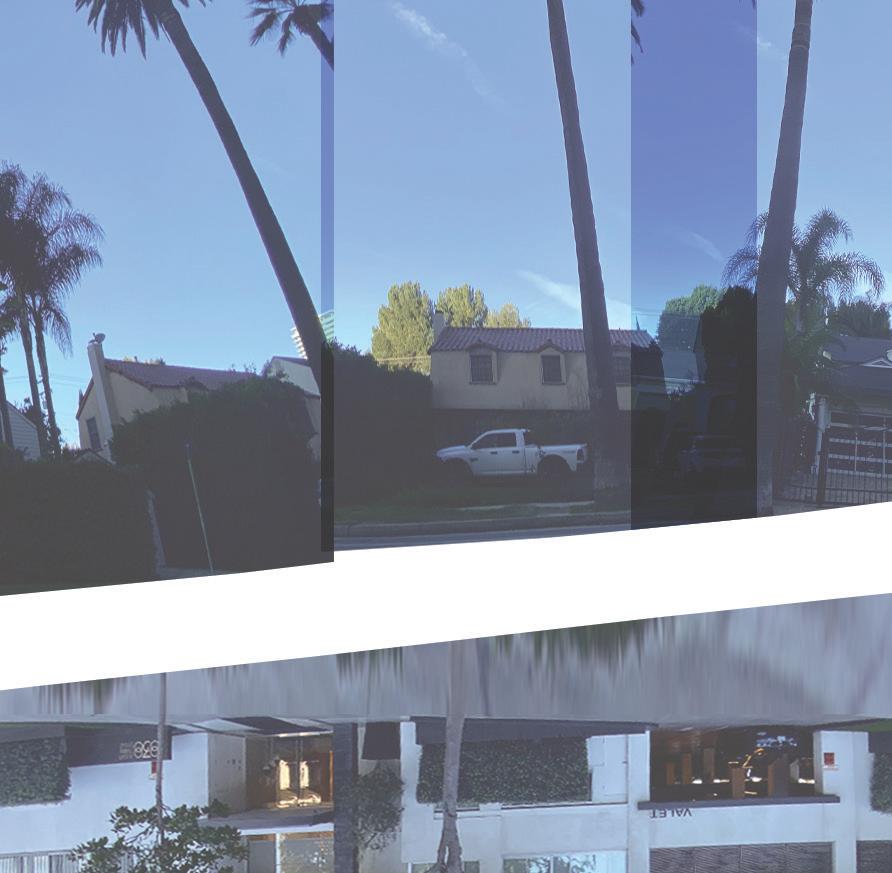
Doheny Drive starts south of Cashio Street, in a residential cul-de-sac near the Beverlywood neighborhood of Los Angeles. After crossing Pico Boulevard and the neighborhood of Pico-Robertson, it enters Beverly Hills at Whitworth Drive and crosses Olympic Boulevard. After crossing Wilshire Boulevard, Santa Monica Boulevard, Sunset Boulevard and other east/west arteries, Doheny Drive ends north of Swallow Drive in the Holly-wood Hills West neighborhood at another residential cul-de-sac. It forms the boundary of West Hollywood and Beverly Hills between Beverly Boulevard and Phyllis Street.
Doheny encounters few traffic lights, making it a relatively quick north–south trip. From Santa Monica Boulevard to Sunset Boulevard condominiums and houses predominate. Doheny Drive forms the western end of the Sunset Strip, with Laurel Canyon Boulevard−Crescent Heights Boulevard the eastern end.
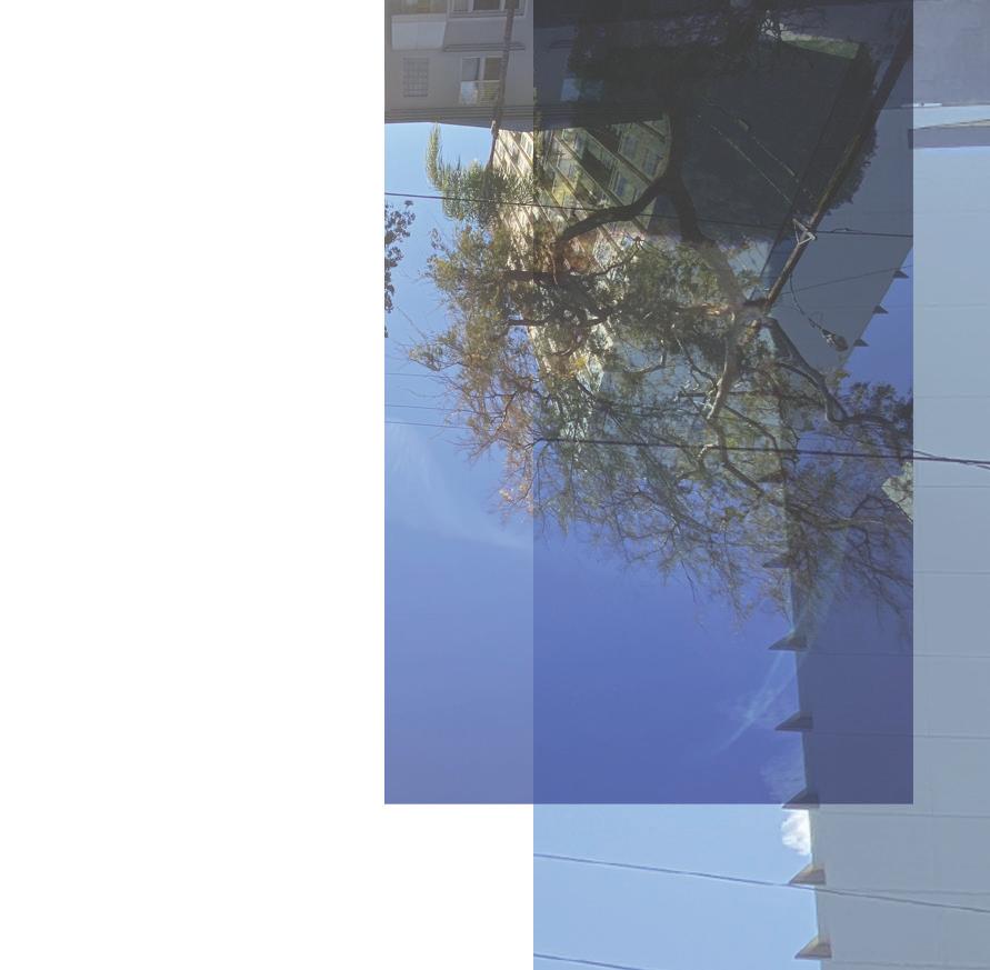
For the sake of consistency I have decided to only cov er a distance 4,200 feet, as I did on Sunset Boulevard, starting from Norma Blvd. to a little beyond Cordell Dr.