1 minute read
Sunset Strip Transect


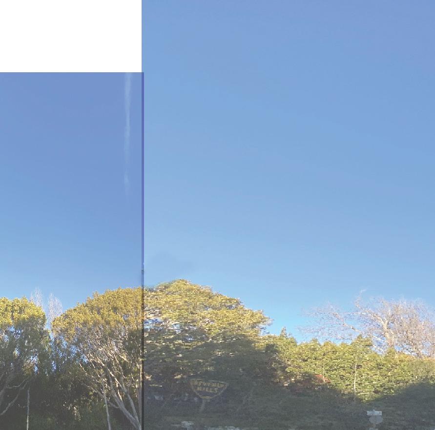


This series of drawings aspires to capitalize on the age old Angeleno tradition of being a tourist in your own city and taking as many photographs as possible. These photographs are meant to be instrumentalized to gain a greater understanding of the hisotrically and currently signficant Sunset Boulvard. We began this process of elevational documentation adjacent to Atla Drive, methodically snapping pictures from the back seat of my car with a mounted wide angle lense. This is the starting point due to the importance of capturing the ecotone, a transi-tionary environment, between the Garden-like planning of Bev-erly Hills and the commercially aggressive gates of the Sunset Strip. The upper elevation is caturing the North side of Sunset while the lower elevation is capturing the South Side. Altutitude is documented every 175 feet. The Dotted lines are meant to act as a guid for relative height of buildings from the strip. The total distance travelled was 4,200 feet.
The locals and tourists alike treat Sunset as a thoughfare and this moment of transition is seemingly the most jarring and always manages to catch one off gaurd. At one moment one drives by a sprawling Beverly Hills estate and the next one is confronted by its high-rise commercial neighbor. It takes a few moments to acclimatize to this sudden shift in pressure, and yet it makes sense the fairytale that is Beverly Hills ends some-where and that ending arrives hard and fast. But, right when you think its over something becomes apparent once one emerges from the drab capilalistic endeavors at the start of the strip. A constant game of musical chairs from one buidling to the next, a mix of old and new; big and small; monochrome and colorful; understated and loud, graphic and reserved. It begins to feel like things are out of place or maybe better out of tune, but a cohe-sive and welcome rythmn starts to form and one can only accept it and continue their journey to God knows where.