Design Portfolio

Yeunchan Kim
Education :
706-540-8012
Hello, my name is Yeunchan Kim. I am studying landscape architecture at the University of Georgia. I have great knowledge in basic concepts of landscape architecture, stormwater management, engineering, and plant materials. My goal is to create and design a space that are convinient for people with eco-friendly to the environment. I am passionate about hand graphics and digital graphics. In addition to that, creating different views of landscape design and incorporating broad perspectives from different countries is another passion of mine.

2020 - 2024 University of Georgia Athens, GA l Bachelor of Landscape Architecture
Bilingual (English and Korean)
Experience :
Cashier l American Deli 2019-2022
Since 2019, I worked at a franchise restaurant as a cashier.worked as a cashier and a cook.
Teacher’s Assistant l Athens Korean Culture School 2017-2020
Volunteered as a teacher’s assistant in Korean school, where I helped teach elementary students learn Korean culture and language.
Activities :
Member of GSLA (Georgia Students of Landscape Architecture)

Member of ASLA (American Society of Lanscape Architects)
Study Abroad in Croatia 2022 (Historic Preservation Summer Study Abroad)
Hoschton Charette 2021
Special Skills :
AutoCAD
Adobe Illustrator
Adobe Indesign


Adobe Photoshop

SketchUp
ArcGIS


Primar y Roads
Preliminar y trails
Conceptual greenway path
Many trails beside primary roads can be potenitally be used as nature trails with recreational purposes. Trails on the southern area near city Americus can be used as dirt bike trails, mountaing biking, polaris mud pits, or horseback riding trails. On the northern side, near city Colombus, public parks, and events could be incorporated on the trails.


Preliminar y trails
Flat (0˚)
Nearly level (1˚)
Gentle level (2˚)
Gently sloping (3˚-5˚)
Strongly sloping (6˚-10˚)
Near the Colombus City and Lake Oliver has flat slope where it can potentially used as camp sites, picnic area or nature walk trails. Some of the steep slop areas can be used as mountain biking trails.


Primar y Roads
Preliminar y trails
Main sub network rail line
Abandoned rail line
Out of ser vice rail line
Non-mainline ac tive rail line
4L Highway Output
The railroad is still partially in use making it dicult to utilize in our design. There are higher rates of crime surrounding the railroad so the focus of our design is centered away from the railroad tracks.
Preliminar y trails
There is a Lake Oliver runs through Colombus city that connects to Chattahoochee River where its near the trail system. It could be used as camping sites, or water sports. Suspension bridges can be incorporated if needed near the water bodeis.


Southern Micromobility System trail is located in Southwest Georgia between two cities, Columbus and Americus. Our goal and objective of this system is to redesign the trails for people to reconnect with the environment. Interacting more with the environments promotes the healthier community. Diversity of the programs throughout the trail encourages for all ages of people to enjoy and experience Southwest Georgia.


The Georgia Square Mall is located on Hwy. 78 West, just past the perimeter in Athens. The site has approximately 110 acres in sizes and located beside Atlanta Highway. The site is designed as a retail-commercial area with apartment complexes. It is designed towards sustainability with environments and pedestrian friendly. It is designed for people to easily access to retail/ commercial and restaurant areas with walking.
It is designed with many parking lots for people to park easily and access to the stores. There are many plantings, stormwater drainage, and open greenspace for recreation purposes with resting areas.


The purpose of redesigning the site is to provide multi-purpose community with multistory buildings. The site contains variety of retail spaces, restaruants, stores and greenspaces.
 View of the streets
View of the small plaza
View of the streets
View of the small plaza

The site is located in 295 Hill Street, approximately 0.4 acre lot that is located behind Piedmont College. It is designed for an infill housing site, especially foWr an elderly empty-nest couple. It is a one-story house for its convenience. The designed site has one-car garage with large back yard. It contains pergola with seating areas and small stairs that connects to open greenspace. There are many vegetations for gardening, a shed for tools, and firepit with seating area.

The clients are an empty-nester family nearing retirement age. It is designed for them to enjoy their food with good weather. It is a big space for guests and friends. The site contains many plantings, vegetations with providing habitats for variety of birds.


This site is graded for stormwater and flood management. There is a slope going up towards the backside, and it is designed for stormwater drainage and swale with wetland gardens. On the backyard, incorporating retaining walls helped flat out the ground. The plan is designed for the water to flow easily to the drainage and wetland garden.


Moss Creek Site

Moss Creek Site is located beside Jefferson Road and Moss Side Drive. The site contains huge preserved forests with a lake that can potentially be used for recreational and residence area.
Surrounding area of Moss Creek Site, there are single family houses, medical offices, and public properties. The site can be used as residence areas with preserved forests.
From the analysis of this site, there are three main soil types. For the slope and elevation of this map, it gets steeper near the lake. But, there are many areas with flat slope that can be used as roads and residence area (pocket neighborhoods).


There are 75 feet buffer zone around the lake, which tells those area are off limits. Also, there are one existing stream that flows into the lake that are off limits.
Site inventory and analysis of this site helped me how and where I should design the pocket neighborhoods. There are many spaces that are off limits for the design such as the buffer zone and steep slope area.
My goal of this design was to create senior community (pocket neighborhoods) with preserving forests while reducing the negative impact on environments by minimizing impervious surfaces.


All residents have access to the two community docks and pavilions that are laid beside the pond along the walking trail for people to enjoy the view of the nature and the wildlife. Residents could relax, exercise or connect with eacher other while enjoying the preserved forest.

Pocket neighborhoods are joined with open green space along the walking trails for outdoor activities for residents to enjoy. Every pocket neighborhood has a community house to provide variety of activities and socialization to connect with each others.

Moss side pocket neighborhood master plan’s goal was to create senior community with preserving land while reducing the negative impact on the environment by minimizing impervious surfaces. This conservation subdivision contains 5 pocket neighborhoods with 8 to 10 clusters of residence housing units. Each pocket neighborhoods shares communal greenspace with walking trail for outdoor activity, socializing along with the community house.
All residents have access to nature walking trail that leads to Moss Side Pond with community dock and pavilion for recreation and socialization. All preserved lands serve as conserved forests and nature walks to enjoy the nature views with wildlife. The subdivision was able to preserve big amounts of forest for residents to experience quiet, community space with nature.


 View of the forest View of the pond View of the pond


Existing site of Thomson Family
YMCA has many empty spaces with parking lots with gravels. The site is designed with new parking lots with many plantings and greenspaces. For existing forest area, it is designed with new pedestrian pathways, bikelanes with stroll gardens. Many seating areas and open greenspaces are incorporated for people to enjoy and rest in the space.
This site is designed to be spaces with recreational purposes. I wanted to design this place where people of all ages could come and enjoy. I incorporated new spaces with stability perspective, aesthetic perspective and educational perspectives. The design for the site have many pathways, greenspaces, community garden, stroll garden, and seating area.


Start working on circulations of the pathway. Add new parking lot and cross walks.

Incorporate plantings along the pathways, community gardens and other structures.
Work on the greenspace area. Incorporate new plantings in the stroll garden. Construct the pavilions and wooden bridge along the site.


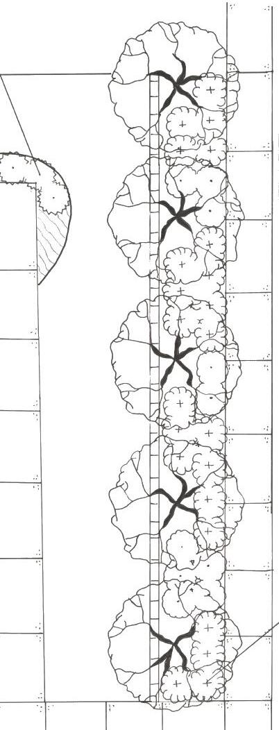
University of Georgia International Education Office has open greenspace infront of the building. The purpose of this site’s planting design was to create aesthetic and convenient spaces for students to enjoy.This planting design is more focused on maintenence for all four seasons. There is an attribution chart for all the plantings in the site showing the numbers, sizes, names, forms, textures and colors throughout the seasons. The design is more focused on forms, textures and sizes of trees and shrubs.


For the planting details, it shows how many plant species are used in the site. Planting schedule shows each plant species, and its sizes, notes and spacing for each plants. Deciduous trees, deciduous shrubs, evergreen shrubs, perennials and turf grass are used in the site design.


 Bottlebrush Buckeye
Blue-eyed Grass Bridalwreath Spiraea Japanese Sweet Flag Liriope
Dwarf Gardenia
Slender Hinoki Falsecypress
Japanese Plum Yew Korean Dogwood Boxwood
Bottlebrush Buckeye
Blue-eyed Grass Bridalwreath Spiraea Japanese Sweet Flag Liriope
Dwarf Gardenia
Slender Hinoki Falsecypress
Japanese Plum Yew Korean Dogwood Boxwood
