McKenzie Magazine


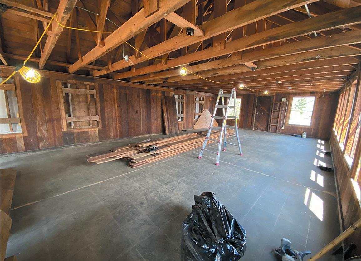
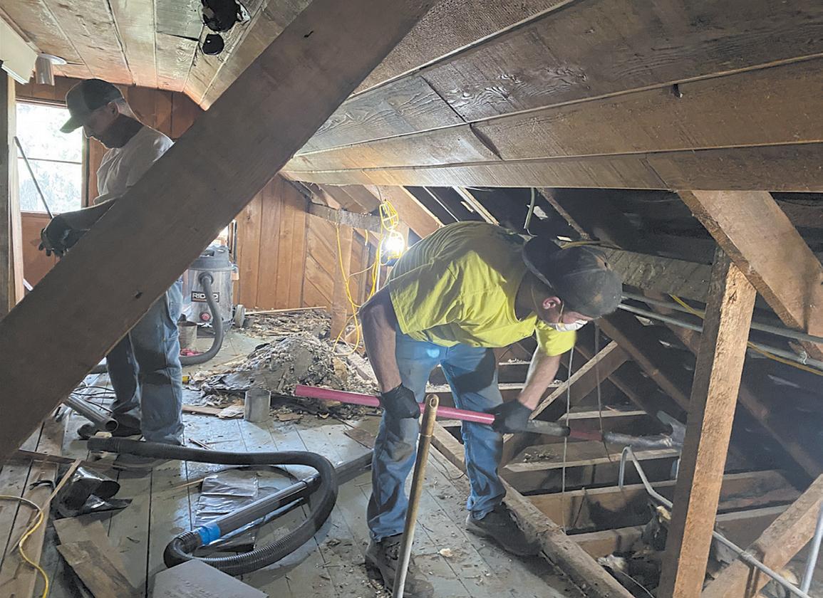
Volunteers working to restore the Santiam Pass Ski Lodge report their progress is continuing and they are optimistic after their 2022 work season was completed. That was in contrast to difficulties experienced in 2021 - which included worker shortages, price increases, and delays for construction supplies.
Built in 1939 by the Civilian Conservation Corps, the Santiam Pass Ski Lodge was developed in response to public interest for increased recreation opportunities that could be accessed from residents of the Willamette Valley. A 1938 survey party expedition focused on scouting out potential ski areas that could be accessible from the then-new State Highways 20 and 22.
Once the site was selected, fifty men, between the ages of 18 to 23, worked between July 1939 and February 1940 to construct the lodge, returning nightly to the Mary’s Creek Camp at Detroit, and sometimes to a side camp at Fish Lake.
In its first year, over 10,000 people came to the new facility to recreate while enjoying cross-country trails and even night skiing. Although the location was ideal in terms of topography and accessibility, the elevation was too low to ensure dependable snow for skiing. Eventually it became too costly to continue to operate. In 1958, a Presbyterian Church Council obtained a special use permit from the US Forest Service and the site became a year-round youth camp.
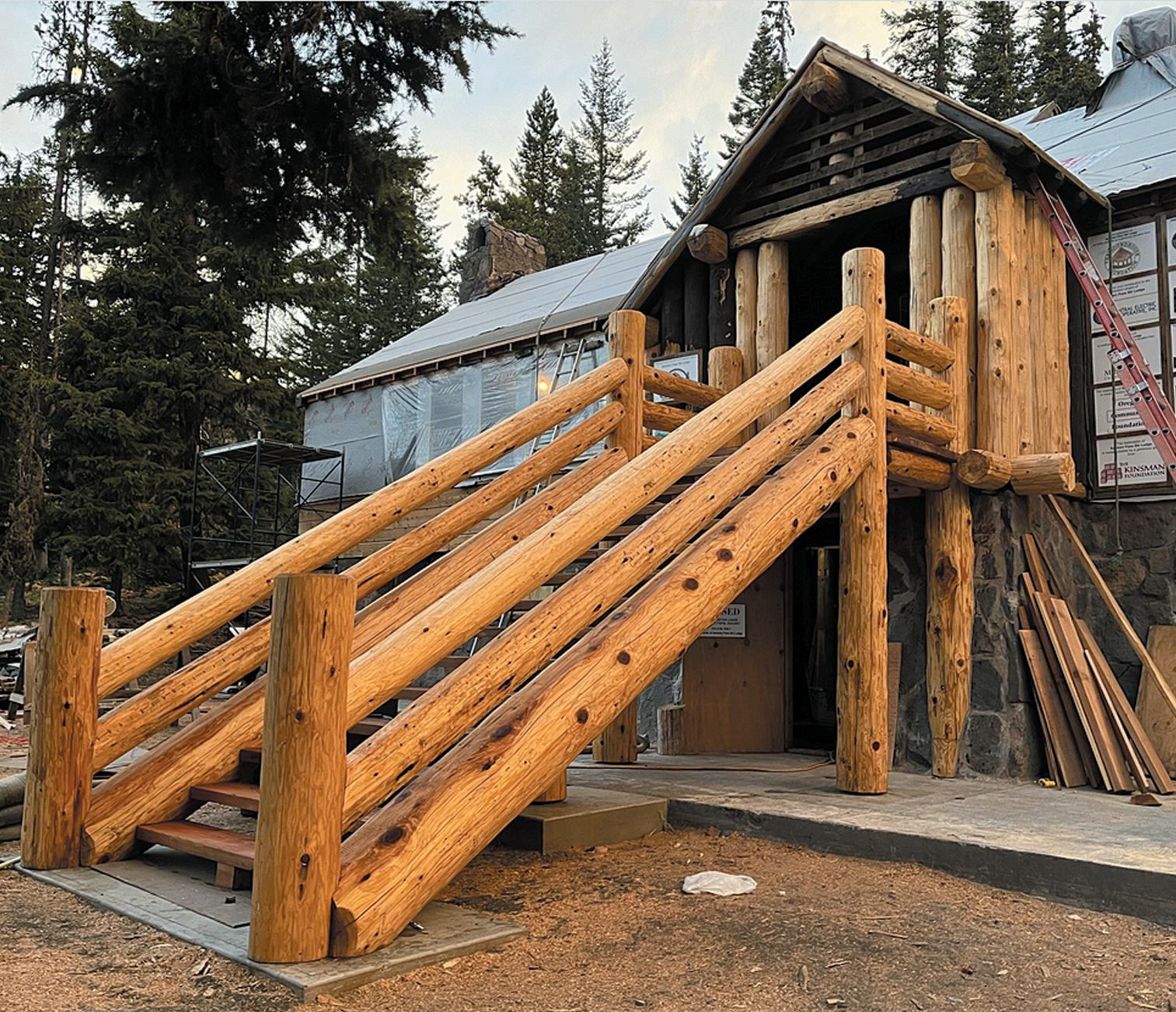
Some of the Santiam Lodge restoration work this summer was focused on the front entryway where a covered area had been added. When crews removed it they found the porch itself had been damaged and some vertical logs were missing. In addition, the porch section was tilting away from the building.
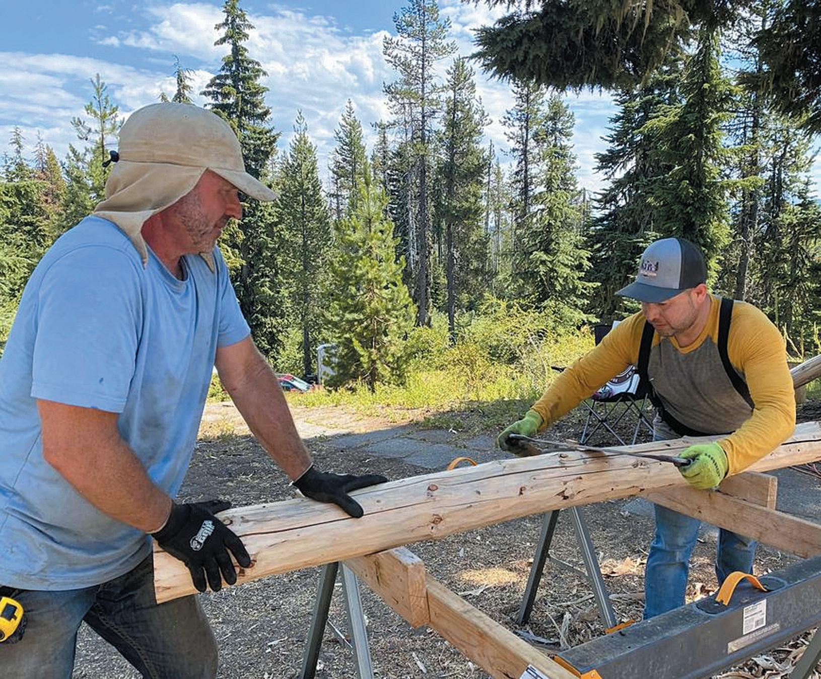
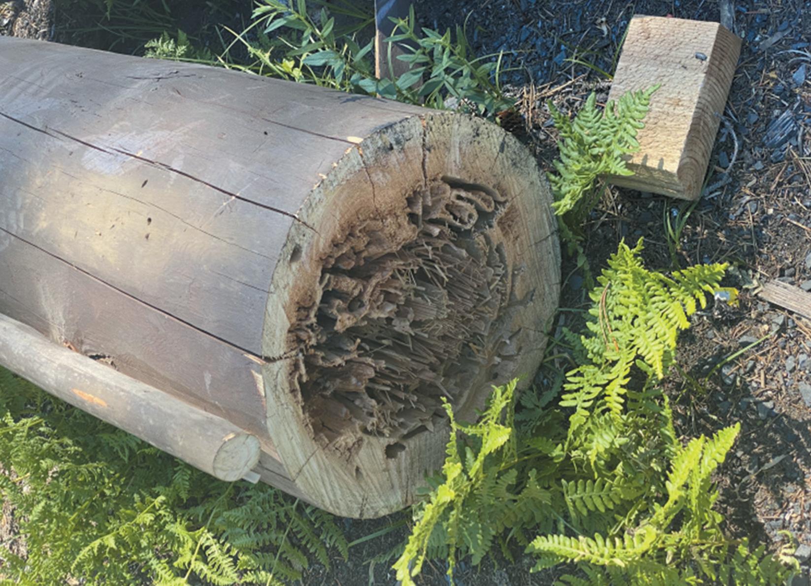
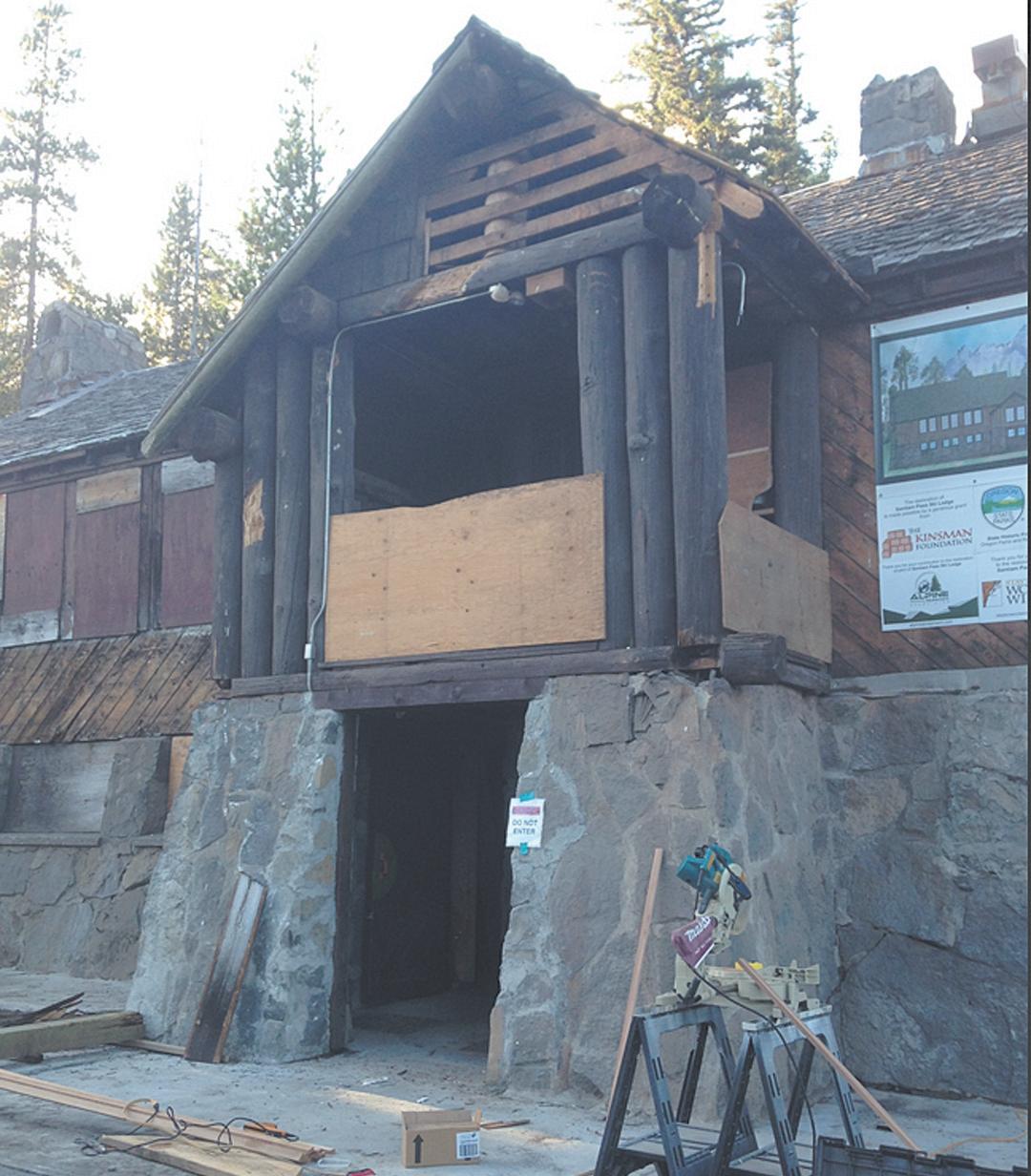
While restorers hoped to retain much of the original look as possible, they were required to work within current building codes for commercial buildings. Those specifications included details like stair height, tread depth, and Americans with Disabilities Act requirements.
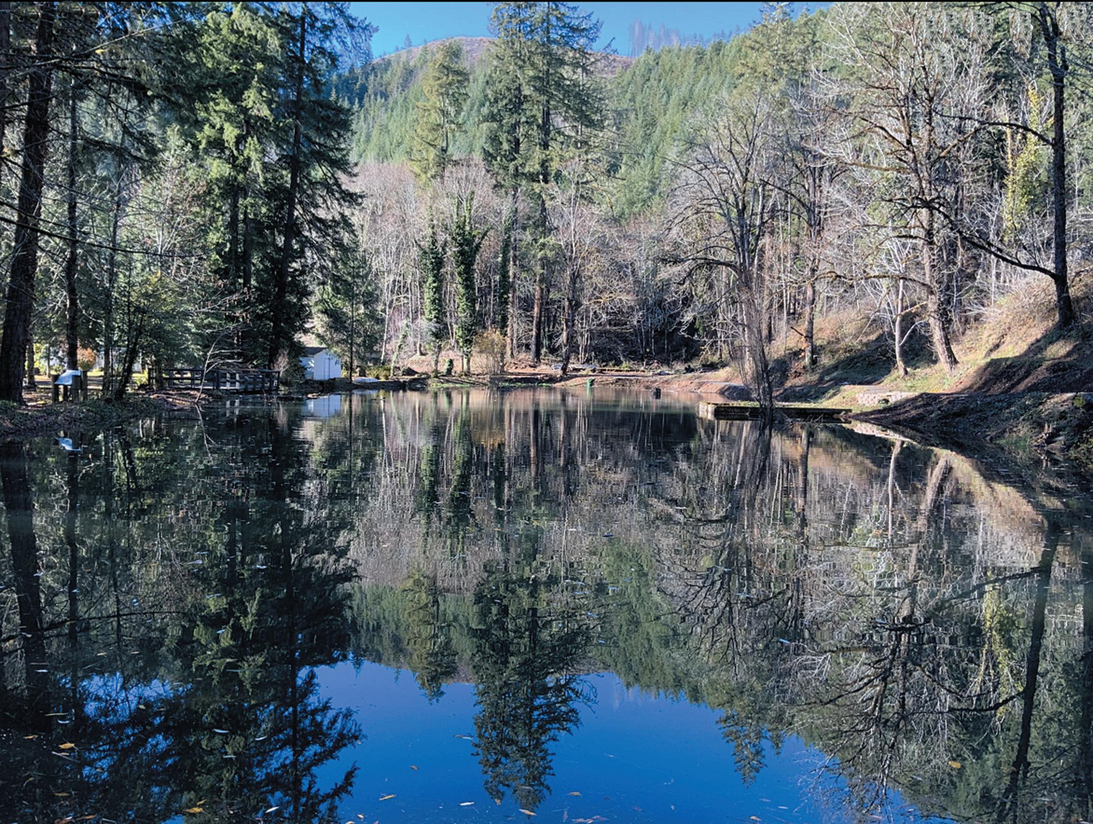
At the McKenzie River Discovery Center - on the grounds of the Old McKenzie Fish Hatchery at Leaburg Lake - a fish rearing pond has been restored thanks to a grant from the Oregon Dept. of Fish & Wildlife. The project restored an historically significant asset and will offer a chance for people to get their hands wet trying out new skills - whether it’s fly-fishing, traditional bait fishing, or learning how to identify native fish and keep them alive for catch-and release.
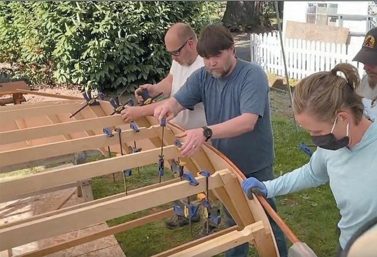
In April, the popular five-day hands-on boat building workshop taught by Jayson Hayes of Hayes Custom Boats will return to the site. This year participants will build two traditional 16 x 48s - the McKenzie River classic. First designed and built on the McKenzie by Woods (Woodie) Noble Hindman in 1948, this boat design set the standard for navigating the country’s wild rivers.



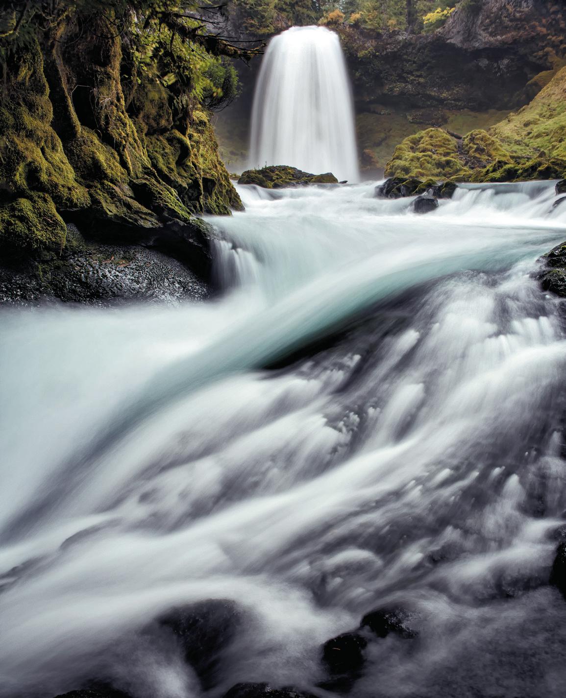


The headwaters of the McKenzie River begin with the Great Springs at Clear Lake, about 18 miles east of McKenzie Bridge. The navigable reach of the river begins at Olallie Boat Launch, located east of McKenzie Bridge at Olallie Campground.
Several campgrounds that include day use picnic areas are located along the river corridor. The 26.5-mile long McKenzie River National Recreation Trail closely follows the river. Sanitation facilities are located at all boat launches; however, river users are asked to pack out all their trash.
The upper portion of the river between Paradise Campground and Blue River is more technical, requiring some skill to navigate between boulders and Class II-III rapids. The lower river, below Leaburg Dam, is calmer, with mostly Class II riffles and one exciting Class III run.
It is state law that each person carries a life preserver for use when floating the river; a noncompliance fine might otherwise be levied by the Oregon State Police.

Floating and fishing the river can be a fun adventure for those prepared for the challenges whitewater can bring. Class II and III rapids, combined with natural obstacles such as fallen trees and stumps, require river users to anticipate and scout hazards and dynamic conditions. Visitors who want to learn more about the classification of the river should talk to local guides or read one of the many publications or online sites that describe the navigable portions of the McKenzie River, as well as other rivers in Oregon.
Water levels change throughout the summer season. A good place to check for current river flow information is the USGS’s Vida streamflow and gauge readings posted at: tinyurl.com/4ke9zwm4.
Only permitted river outfitters and guides are authorized to operate commercially on the upper McKenzie River,
under special use permit with the Willamette National Forest. Professional guides will provide the equipment, experience, knowledge and skills necessary to safely and enjoyably navigate the river.
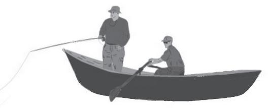
When navigating a river with whitewater rapids, it is important to have an idea of what to anticipate. To clarify this process, all whitewater rapids are rated on a scale of Class I to Class VI.
A Class I rapid is considered the easiest and safest to navigate, whereas Class VI rapids are the most difficult and dangerous.
Classification of whitewater rivers is not an exact science, and may vary with fluctuating water levels.
The upper portion of the McKenzie River, for example, is more difficult to navigate later in the summer - from Olallie to Paradise - because rocks and boulders have less water flowing over them, making them more difficult to maneuver over, or around. Some rapids may be more challenging for kayaks than rafts, and vice versa. Therefore, classification systems should be used as a guide only.
The upper McKenzie River, as with most navigable rivers, is a combination of the classifications and has varying degrees of difficulty and challenge on different segments.
Class I - Moving water with few riffles and small waves. There are generally few obstructions or obstacles to maneuver around.
Class II - Rapids with smaller waves, usually with a defined channel that is obvious without scouting. Some maneuvering may be required.
Class III - Rapids with higher, and irregular waves, often with narrow passages that require precise maneuvering. Some scouting may be required to determine best passage and changed conditions due to fluctuations in water level or natural hazards such as downed trees.
CAMP BELKNAP - the home of the company for the past three years and five months - is located on the McKenzie Highway about midway on the route between the Willamette Valley and eastern Oregon. Built near the banks of the beautiful McKenzie River in the Willamette National Forest, the Camp is hidden in a grove of pine and fir, and the surrounding territory is as rugged and wild as is found in the state. High mountain peaks rear their heads up into the clouds, and so close to camp is their base that they challenge the men of Company 927 to scale their peaks for marvelous views. Fishing in the McKenzie River is excellent sport and in deer season the section is a hunter’s paradise. Hundreds of parties of tourists and visitors frequent the section all summer.

The company was organized at Vancouver Barracks, May 5, 1933. On May 11 an advanced detachment under Capt. K. S. Whittemore, 7th Inf., left to erect a temporary tent camp at Canton Creek. The permanent camp was soon constructed nearby at a place called Steamboat. The present foreman of the telephone crew, Mr. Frank Whittaker, moved the company at this time. On September 21 the same year twentyfive men went to Reedsport to construct a winter camp there, and by October 19 the transfer from Steamboat to Reedsport was complete.
After six months doing forestry work at Reedsport the company moved to Camp Belknap, by this time an experienced organization in the work required of forestry men. The large rustic sign was built at the camp entrance and the flagpole was set up in May 1934. About this time a water fountain was constructed and the camp improved generally. The company strength at this writing is one hundred and eighty-four enrollees, practically all Oregon men.
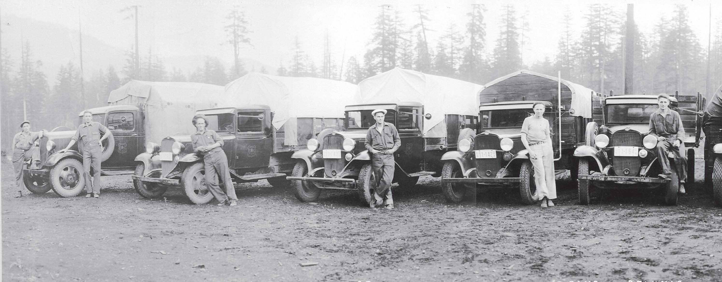

The company commander, Captain Elmer H. Stambaugh, succeeded Captain Edward von Seeth about the first of October 1927, Lieut. Glen P. Nell, second in command, and Dr. G. S. Bawden, the company surgeon, having come to the organization during the summer. Mr. John T. Crockett, educational adviser, started with the company October 11. Under the leadership of these experienced and able men, with Mr. J. R. Mitchell, the project superintendent, directing all its labors, CCC Company 927 should continue to be an outstanding organization in
Jim Drury of McKenzie Bridge recalled his work as leader of a trail and telephone maintenance crew from 1934 to 1935 in an oral history he gave in 1984:
“I had four boys with me and we started out in the spring of the year at the bottom end of the Indian Ridge Trail, known then as Jeffrey’s Point (now under Cougar Reservoir). We started there and we worked up to Indian Ridge, out over Hiyu and Chucksney, down to Box Canyon, across the McBee Trail, out around Irish Mountain, on to Mink Lake, Cliff Lake, and around to Horse Lake. By that time it was fall and we came out down to the McKenzie Ranger Station.
That was the first time that all of the logs that were in the trails were cut out. They were bucked out and rolled out of the way. Before that if the log was four foot through they just chopped a notch in it enough that a horse could step over it and that was considered maintained.
We were moved by old Ed Woods or old Dee Wright - the packers. They would take all our camp gear and our food from one camp to the next.
In those days there were no radios, but there were telephone lines almost everywhere. And they had these old mine phones, cast iron phones that were set up at trail junctions on the side of a tree.
If there wasn’t a telephone set up like a lookout or a guard station or these mine phones, you had a test set and you got out there on the line, tied on there, and you got a ground ... something where it was wet ... a piece of copper wire or something to throw in there and then you could talk to the ranger station. It was a little old test set that had a crank on it, clipped on to the wire, put the ground wire in a muddy place... crank ‘em up.”
Another worker related his experiences with building campground furniture and the material needed for campground structures that was prepared
Some of the 184 “Boys” of the Civilian Conservation Corps’ Campthe district.
One of the notable accomplishments of the organization to date is Clear Lake Forest Camp for vacationists, on the shore of Clear Lake. A 30-man side camp at Fish Lake is putting the finishing touches on this campground, which has been provided with every convenience for making outdoor life enjoyable. A community kitchen, with large stone fireplace, many other stone fireplaces at various points for smaller groups of campers, many rustic bench stone fountains from which the purest crystal clear mountain water flows, attractive rustic signs, very novel rubbish containers and other conveniences, in a setting of natural loveliness not to be found even in remote places. Camp Paradise is located but a mile east of CCC Camp Belknap, and is in the course of construction. When finished it will be the equal, it now seems, of Clear Lake Forest Camp.
In their younger days men working out of McKenzie Bridge learned some life-long skills. They also constructed some of the area’s best loved trails, picnic areas, and structures - among them the Dee Wright Observatory, Santiam Lodge, and Camp White Branch. At a commemorative ceremony for Camp Belknap in 202, some of them returned - including Ralph Keeney, Wes Upton, Elmer Henderson, Jim Drury, Henry Carlson, Thurman Lanning, Emil Sabol, and Raymond Miller.


using the “Chinese sawmill” at Camp Belknap.
Dale Carlson, who was in charge of the sawmill from 1937 to 1938, described the process in an oral history conducted in 1984:
“We cut the logs for the campground furniture, and I should say we ripped the logs. The crew that was logging would bring the logs in to us, always cedar logs.
Continued On Page 10
The third campground built by the company is Camp McKenzie at McKenzie Bridge, three miles below Camp Belknap. It is nearly completed, extensive in size and a model vacationists’ and camper’s layout. This campground is but fifty-three miles east of Eugene, Oregon. Being the best known, it is the most popular of all campsites, parties from all over the Northwest and California frequenting it.
Five cabins have been built which are available without charge at all, for over-night use. At the lower end of the campground the river divides to form Triangle Island. It is reached by crossing a rustic bridge and is a romantic spot. A sylvan park through virgin timber and trailing moss, with the sound of the river all along it, leads to the bridge. The camp is a great asset the Willamette National Forest.
The Dee Wright Observatory, named after a pioneer of the national forest, is being erected by the men of the company at the summit of the Cascade Mountains on the McKenzie Highway. Nearby lava beds provide the material, for the structure, which provides comfort and shelter to the traveler while he views the scenery through apertures cut in the walls. By means of a peak finder he can identify the many peaks of the Cascade Range. The project is to be completed this year.
Continued On Page 11
Continued From Page 9


They were usually a foot through, a little less or a little more, depending on what we were making.
For the tables we would stand an eight-foot log upright. We had a scaffold. We’d mark this on each side. And we’d take two men up there and start cutting that log to those lines and rip it in two so there’d be slabs, two pieces eight feet long.

It was just back and forth with the old cross cut saw until that log was cut from one end to the other. After we cut for ten or fifteen minutes we’d have to move our scaffold plank down a couple of feet. We’d do that all day long. That, if you ever wondered, is how those logs were cut.
After we had put the slabs together as a table surface, we’d grasp the bit of the axe, where the handle and the bit came together, and use that as a sort of plane - push it along to take chunks off the cedar. It peeled off pretty easily if you had a good sharp axe. When we had performed that duty as well as we could, we would take a regular jack plane and go over the whole thing and get it real nice and smooth.”
Inductees received a 40-page manual with the usual overviews of the Civilian Conservation Corps administration and its goals when they arrived at Camp Belknap in 1937. But there were also some “humor pages” that encouraged them to build relationships and share reminiscences.
Continued From Page 9
The development Of White Branch Winter Sports area, which included the clearing of several fine ski runs, and a tavern for the convenience of winter sports enthusiasts during the day, was also built by the men of the company, near Lost Creek Ranch on the McKenzie highway and sixty-five miles from Eugene.

In the work of fire suppression, CCC Company 927 has made a real name for itself. They first answered the call on the destructive Simm’s fire in September 1935, and fought on the rocky hillsides until the last. During the weeks of the coast fires of 1936 in Coquille, Bandon and elsewhere, firefighters from the company were on the line with men from other Oregon camps.
Since the Simm’s fire of 1935, no major fire has occurred in the McKenzie district due largely to the untiring efforts and the skill Raymond Engles, the ranger, and his assistant, Laference Baxter, as well as to the efforts of Project Superintendent Joseph R. Mitchell and his foremen, Fountain, Wright, Bloomer, Dunning, Sparks, and Whittaker.
Under the direction of John T. Crockett, a veteran educational adviser, a staff of eighteen teachers consisting of ten foresters, two officers, a doctor, an assistant educational adviser and four members are teaching classes in camp. These classes help the men to do better work and to get a job when their terms in the CCC are over. There are classes in timber falling, road building, campground construction, caterpillar operation, carpentry, forestry, acetylene welding, auto mechanics, cooking, baking, surveying and CCC administration. Regular school subjects such as arithmetic, spelling, writing and citizenship are taught. The members may obtain grammar school or high school credit for these classes. Such hobbies as knife making, leather work, photography, and woodworking are taught. The men eagerly attend all these classes.
In addition to the staff listed above two WPA teachers are employed to teach shop work and grade school subjects. Two school buildings house a seven hundred-volume library, forty regular magazines, four local and metropolitan newspapers, a typing room, woodworking shop, darkroom, adviser’s office and six classrooms for the use of the members.
Fortunate are the Oregon boys who live and work in and about Camp Belknap, for here is as fine scenery, pure water, healthful conditions and pleasant associations as one could desire. When they have reached full manhood they will then more fully appreciate what their life in CCC Company 927 has done for them. They will more fully appreciate the friendships they have made and how rapidly they developed into full manhood under the guidance of their able leaders.
In September of 2021, volunteers from the Colorado-based HistoriCorps and the Northwest Youth Corps restored a heritage structure at the headwaters of the McKenzie River.

During the Great Depression, Civilian Conservation Corps crews built a picnic shelter at Clear Lake that is still in use today. As a poverty relief program that put young men to work on public benefit projects, Corps members received three square meals per day, and $30 per month – $25 of which was given directly to their families.

In contrast, HistoriCorps’ field staff travel all across the U.S. to lead crews of volunteers, students, and veterans in hands-on preservation work to save historic buildings and structures for public benefit. The organization’s field staff includes a wide variety of crafts people and outdoor chefs.
“Our work is important, simply because if we forget our history, we really won’t have any direction for our future, “ according to John Bales, a HistoriCorps Project supervisor.
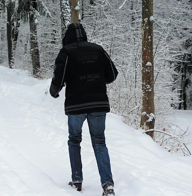
Outdoor recreation during winter present safety challenges. Sometimes travelers put themselvevans in unsafe situations including vehicles stuck on snow-covered roads or in overcrowded parking areas. Officials say illegal parking has even put public safety at risk by slowing traffic and blocking access routes for emergency vehicles
Careful planning pays off, whether it’s downhill skiing at a developed area, snowshoeing on open trails, or making tracks with an off road vehicle.
“Take the time to put together a kit of extra gear, including water, food, warm gloves and clothes, headlamps or flashlights, sleeping bag, and a fire starter,” says Shawnee Hinman, the recreation special uses program manager for the Forest Service’s Pacific Northwest Region.
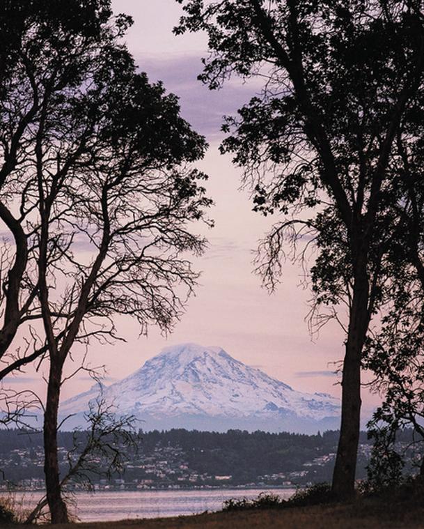
Preparations, for Weather and More
• Research the weather forecast prior to your trip. Weather conditions can vary greatly, especially on the mountain passes. The National Weather Service website is a good place to start. Also check NOAA. Use SNOTEL to view daily and seasonal snow data, by station or basin.
• Ensure your snow play activity is permitted at your destination.
• Plan to arrive early to your destination and avoid peak hours, as parking lots fill up quickly. Consider arriving in the afternoon when the first wave of visitors may be leaving. If your destination is unavailable, have a plan B and a plan C.
• Let someone who isn’t traveling with you or your group know where you’re going and when you expect to return.
Traveling
• Check road conditions before to heading to your destination. Re-
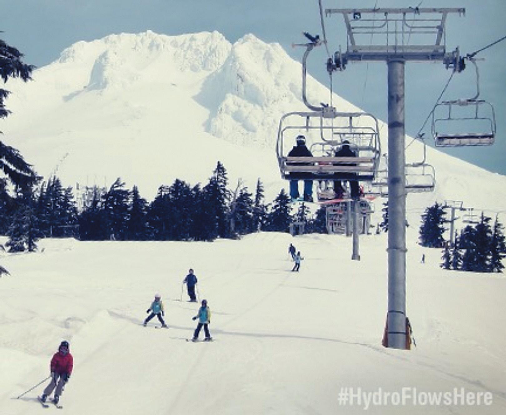
Did you know that the snowpack that makes for great conditions in winter also provides fuel for the region’s rivers and hydroelectric system? Hydropower actually begins on snowcapped mountains. Learn more: https://go.usa.gov/xPHSb #HydroFlowsHere Bonneville Power Administration
view Oregon’s tripcheck.com with live webcams.
• Check for avalanche conditions through the Northwest Avalanche Center.
• Equip your vehicle for winter travel—with tire chains, shovel, first aid kit, blankets, and flashlights. Traveling through mountain passes may require tire chains; make sure your chains fit your vehicle.
• Travel on a full tank of gas and stop frequently for fill-ups; keep your tank at least half-filled as you travel. Fuel stations can be few and far between in some areas. Plan your next stop before you leave your current one.
• If you find yourself stranded, stay in your car, put on your flashers, call for help, and wait until help arrives.
• Park in authorized areas, only. Do not park along highways.
Gear
• Dress in layers of warm, waterproof clothing, and pack extra layers.

• Make sure you have the right gear in your car, including an emergency kit with extra food and water in case you become stranded. If going into the backcountry, carry avalanche beacons.
• Bring a paper map. Don’t rely on your phone for navigation as coverage may be unavailable. Online services, such as Google Maps and Apple Maps, may suggest a route that’s closed by snow. You can download USGS and USFS maps to your electronic device using an app, such as Avenza, but you may not be able to recharge your device if you are stranded.
If you are the current owner of property located within the Holiday Farm Fire perimeter that sustained structural damage or destruction, you may be eligible for up to $35,000 in grant funding to help repair or replace your septic system.


Funding is offered through Lane County and the Oregon Department of Environmental Quality (DEQ) Onsite Financial Aid Program, utilizing federal funds from the American Recovery Plan Act (ARPA). Lane County and DEQ have chosen to partner with EWEB* to distribute funds to affected residents.




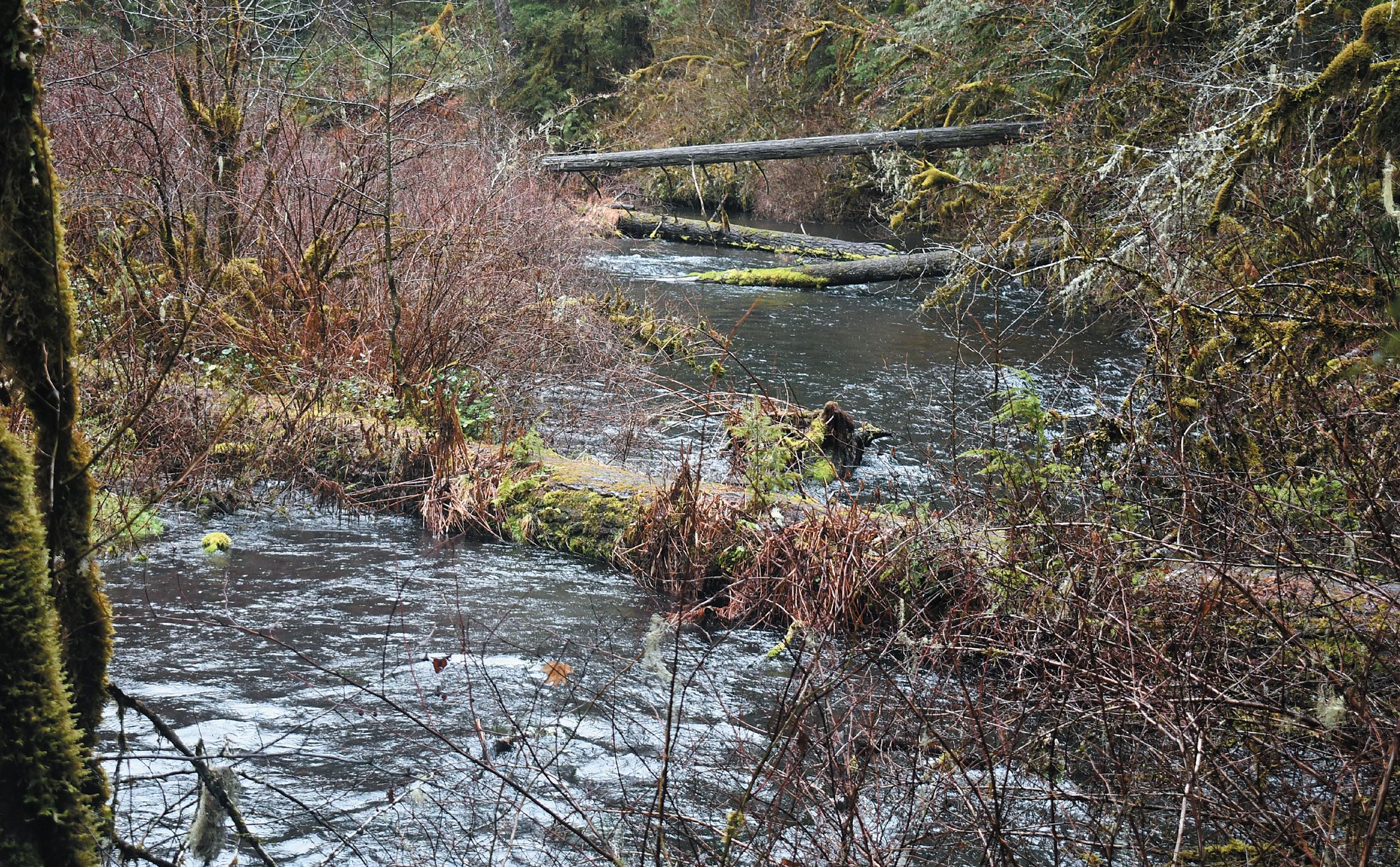
Mature trees down to the water’s edge are a common characteristic of streambanks along McKenzie River tributaries in the higher elevations of its eastern basin. So too are downed logs that have remained in place so long they’ve become moss covered. Below the surface of those cold clean streams a threatened species that was listed under the U.S. Endangered Species Act in 1998 has formed a stronghold.
Bull trout, or Salvelinus confluentas, were reclassified as their own species in 1980 - after long being consideredds Dolly Varden (Salvelinus malma) - because of similar physical traits. The difference is that as an anadromous species - Dolly Varden - migrate to the ocean and back. Bull trout remain inland during their lives.
As a groundwater dependent species the Bulls require cold and silt-free water in order to reproduce. Optimal fry growth occurs between 39.2 to 40.1 degrees.
It turns out that these fish could be really good geologists, choosing areas in the upper McKenzie where the massive aquifer provides a high volume of cold water springs that few places on the globe can match.
“If I were a Bull trout I’d want to live on the McKenzie,” according to Gordon Grant, a fluvial geomorphologist with the agency’s Pacific Northwest Research Station. “All the precipitation and snow that
falls on the volcanic landscape in the higher elevations goes into 100 to 200 foot deep aquifer and travels along cryptic pathways - only to be seen when it comes out in the springs.”
Grant says one advantage of having a river “that’s sourced from very high value springs is that the bed of the river is remarkably stable and just never floods. That creates classic Bull trout habitat, like Olallie Creek.”
Jeff Ziller is the Oregon Dept. of Fish & Wildlife’s Upper Willamette District fish biologist. In 1991 he helped form the Bull Trout Working Group when only three spawning populations remained in the area - all along the McKenzie River. Since then agencies including ODFW, USFS, OSU, Army Corps of Engineers, and EWEB - along with private groups - have initiated programs to improve habitat, ameliorate threats, and reintroduce Bull trout to formerly occupied habitat areas, along with capturing and the upstream transport of adult Bull trout downstream of Hills Creek Dam.
Other work has involved those collected at a fish passage facility that have been trucked above Cougar Dam.
Today, Ziller says annual basin-wide spawning ground surveys have identified from 175 to 250 redds (spawning nests), which likely translates into
about 2&1/2 adults per redd, for an Upper Willamette area population of around 500.
“The population has been stable and they’re thriving for the most part,” notes Matt Helstab, USFS fish biologist with the McKenzie River Ranger District.
While some might think 500 fish might seem low like a low number, Helstab points out that even in a healthy overall population, Bull trout are predators, as opposed to prey. “They have a much lower number to begin with and even when healthy, they’re still relatively rare - being as they’re more susceptible to potential angling or water quality issues. There’s always going to be fewer Bull trout than there are Chinook or steelhead because they’re the largest resident.”

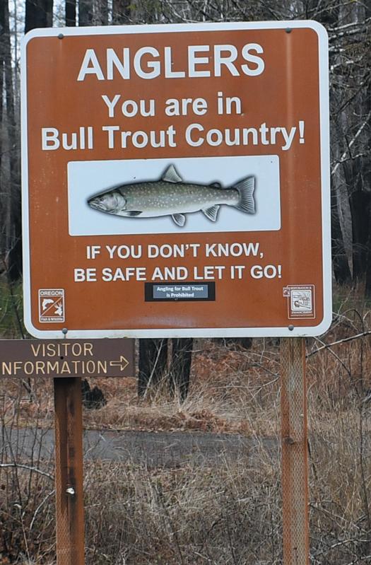
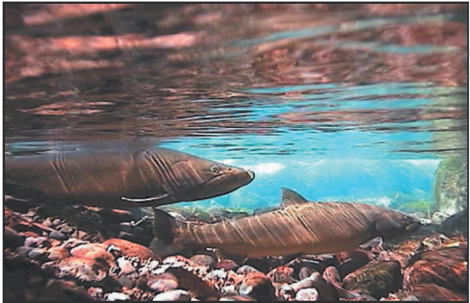
To help preserve Bull trout numbers, it’s important that anglers recognize and then release them. The name “Bull” probably comes from their unusually large head and mouth as well as being a predator that’s often bigger than other fish in a given stream. While the coloration of a Bull trout can be variable, they’re usually gray or shaded with green. Small white or pale yellow spots on their bodies help identify them, along with yellow, orange, or salmon-colored spots on their backs. Their sides may be deep orange to red and the leading edges of fins along their bellies are white.
Five stream segments along the McKenzie River provide the clean and cold environment where Bull trout redds have been found. They all share similar characteristics that would seem to predict their presence. One outlier, however, is Lost Creek - despite having a largely undisturbed channel with little silt combined with the preferred cold stream temperatures. Ziller says to date, no surveys have found evidence of their spawning and the reasons why remain unknown.
An increased range can be credkted to the Bull Trout Working Group’s efforts to restore habitat and re-introduce them to their historic territory in the Middle Fork of the Willamette.
Helstab points to the work of the group as “a really positive story and an excellent example of how collaborative efforts of many different groups of people can carry their work forward.”
A bull trout’s dorsal fin lacks light or dark markings, but some may have a few light areas along the base of their fin.ODFW
MARKET & DELI
Riverview Market & Deli 35286 Camp Creek Rd 541-747-0321
NEWSPAPER

McKenzie River Reflections 59059 Old McK. Hwy. 541-822-3358
ONLINE
McKenzie River Reflections alturl.com/9fcy7 541-822-3358
PHOTOGRAPHY
Luke Dow lukedowphotography.com
PHOTOGRAPHY
Danielle Denham thePDXphotographer www.thepdxphotographer. com
REAL ESTATE
Judy Casad Real Estate Broker Windemere Real Estate 541-968-2400
RESORTS & CABINS Caddisfly Resort 56404 McKenzie Hwy 541-822-3556
Eagle Rock Lodge 49198 McKenzie Hwy 541-822-3630
River Roofing 1484 South B St, Springfield 541-746-5000 STATE GOVERNMENT Representative Charlie Conrad Rep.CharlieConrad@ oregonlegislature.gov 503-986-1412
UTILITIES Lane Electric Coop 787 Bailey Hill Road Eugene, OR 541-484-1151
Eugene Water & Electric 4200 Roosevelt Blvd. Eugene, OR 541-685-7000
