7.9 OREBODY MODELLING III (GEOL3051A) (FOR 3RD YEAR MINING ENGINEERING STUDENTS)
7.10 GEOLOGY HONOURS
7.10.1 GENERAL GEOLOGY COURSE
7.11 GEOPHYSICS HONOURS (GEOP4000)
7.12 PALAEONTOLOGY HONOURS: (PALP4000)
7.13 MSC HYDROGEOLOGY
7.14 MSC ECONOMIC GEOLOGY COURSE CODES
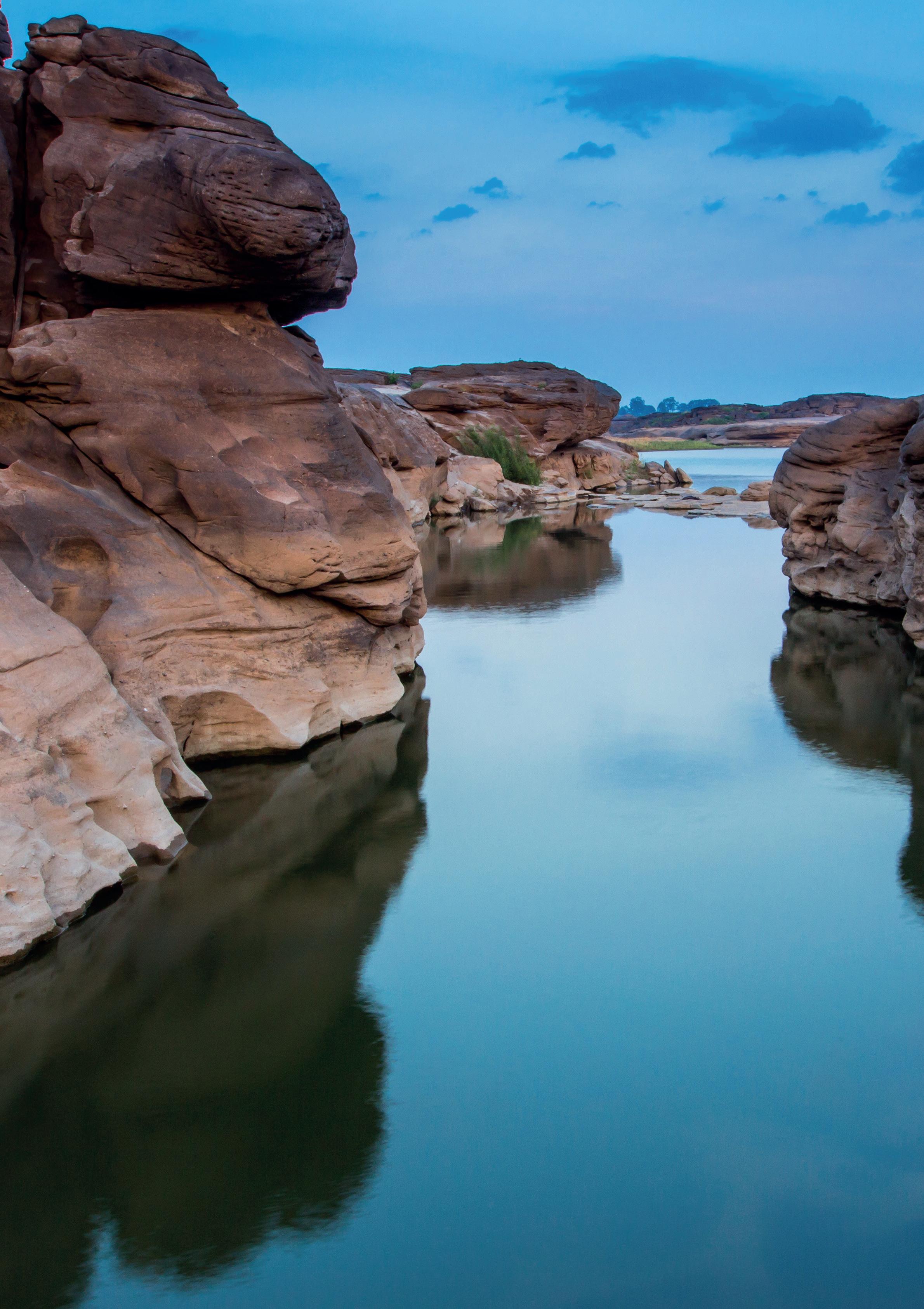
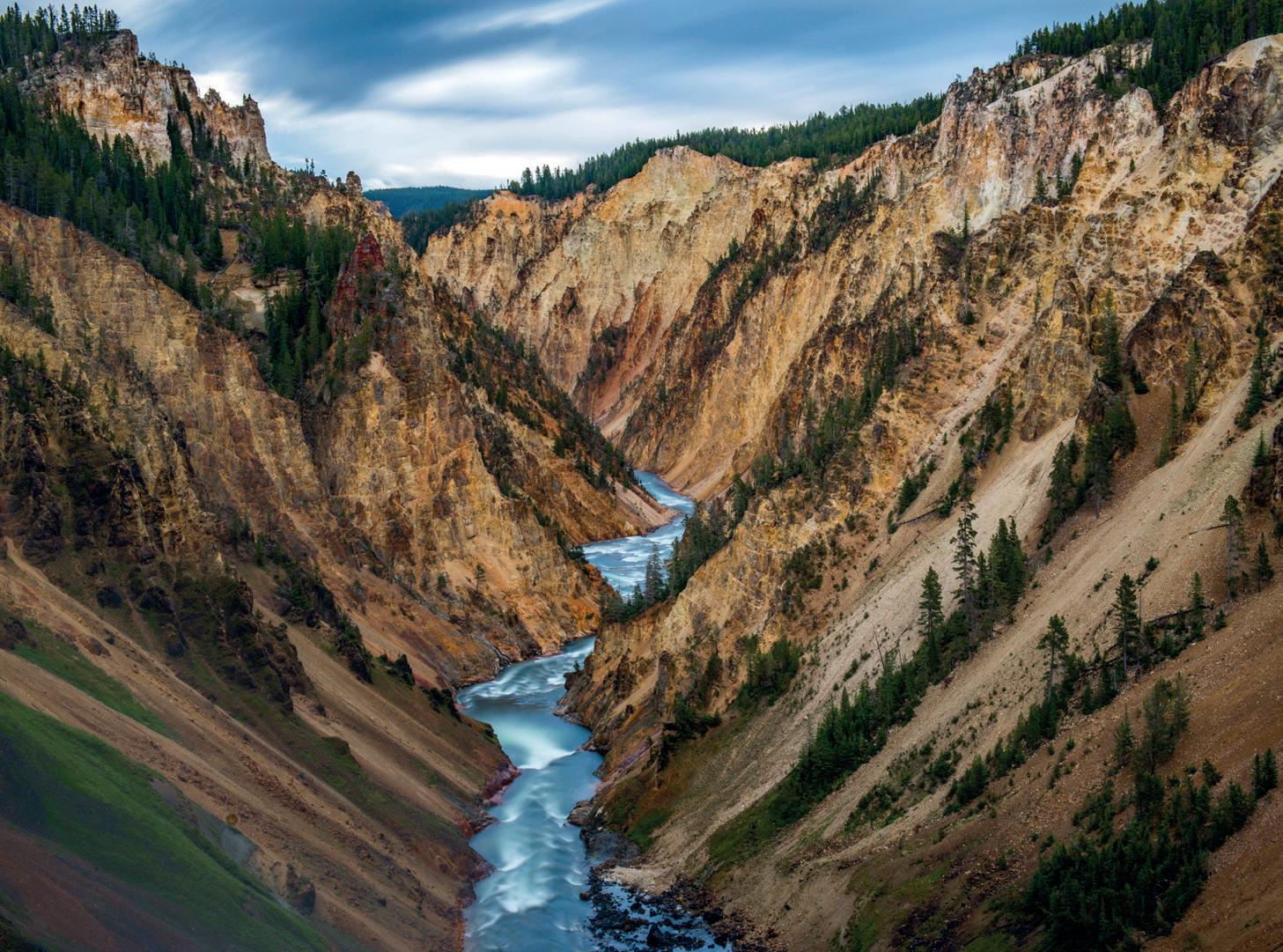
Grand Canyon Chiang Mai - Thailand
1. INTRODUCTION
The School of Geosciences incorporates the teaching departments of Geology and Geophysics, and utilises staff in the Evolutionary Studies Institute to teach specialist courses in Palaeontology. In addition, the School houses the Economic Geology Research Institute and co-hosts (with UJ) the DST/NRF Centre of Excellence in Integrated Mineral and Energy Resource Analysis (CIMERA). The School is particularly known for its research in petrology, geochemistry, economic geology, impact cratering, African tectonics, sedimentology and lithospheric studies.
Undergraduate teaching in the School is designed around the BSc Geology Programme which leads into 4 main Honours degree courses (General Geology Honours; Geology Honours specialising in Environmental Earth Science or Geochemistry; Palaeontology Honours). Additional specialist Palaeontology and Geophysics courses are offered at Honours level to students who qualify with required majors in Life Sciences and Physics and/or Mathematics, respectively.
2. CONTACT NUMBERS
Head of School
Prof. G Drennan
011 717 6570
gillian.drennan@wits.ac.za
Head of Teaching
Dr S Enslin 011 717 6547
stephanie.scheiber@wits.ac.za
Geology Honours
Dr B Hayes 011 717 6572 ben.hayes@wits.ac.za
Geophysics Honours
Dr M Manzi 011 717 6593 musa.manzi@wits.ac.za
Palaeontology Honours
Dr Julien Benoit 011 717 6687
julien.benoit@wits.ac.za
3. INTRODUCTORY NOTE
REGARDING THE CREDIT SYSTEM
IN THE FACULTY OF SCIENCE
The School of Geosciences is part of the Faculty of Science and the structure of the degree programme in the School is guided by Faculty of Science policies and rules. The Faculty of Science offers a three-year undergraduate programme leading to a BSc degree, followed by a one-year postgraduate programme leading to a BSc (Honours) degree. In addition, MSc by Coursework and Research Report (MScCWRR), MSc by Research and PhD programmes are offered.
To complete the BSc programme, a student has to follow a minimum number of courses at each year of study. To assess the relative weighting of courses, Faculty allocates credits to each course in the BSc structure. At present 36 credits are awarded for a full first-year level course, 48 for a second-year level course and 72 for a third-year level course. In some courses credit allocations have been broken down to smaller units of 9, 12 or 18 credits that constitute the course (e.g. GEOL2019A, GEOL2021A). This allows greater flexibility in curriculum design and the possibility of doing only a portion of a larger course. Since 2018 the School has been following the new national HEQSF-aligned BSc structure that requires students to complete coursework totaling 144 credits each year. This is the equivalent of 4 First Year, 3 Second Year and two Third Year courses, giving a total of 432 credits. (Students who registered before 2018 require 396 credits, of which 144 must be at Third Year level and only 156 can be at First Year level.) In order to meet the national requirements, a new Second Year course, Applied Geology II (GEOL2026A) is now available, allowing students to complete 96 credits in the School of Geosciences. The remaining 48 credits must be selected from another School (usually GAES, CHEM or APES), depending on the student’s original First Year course selection.
Although the Second and Third Year courses for the full year, they are made up of component courses that have their own course codes; e.g., GEOL2025A (Geology II) consists of 4 component courses (GEOL2020A/2023A/2023A/2024A). Full details of all courses in the School of Geosciences will be found in this booklet. This allows smaller units to be taken as standalones, but only with the permission of the Head of School.
4. COURSES OFFERED WITHIN THE SCHOOL
The following courses are offered by teaching departments within the School:
First Year Courses:
Geology I for Geologists
Geology I for Mining Engineers
Second Year Courses:
Geology II
Applied Geology II: Introduction of Geochemistry Techniques
Applied Geology II: Mapwork
Applied Geology II: Statistics
Geology for Civil Engineers
Third Year Courses:
Geology III
Applied Geology III
Honours Courses:
GEOL1000A
GEOL1006A & 1007A
This is the mainstream first year course.
GEOL1006A and GEOL1007A are taught in the 1st and 2nd semester, respectively.
GEOL2025A
GEOL2021A
GEOL2019A
This is the mainstream second year course.
This course consists of 1 practical per week for the full year, and an excursion.
This course consists of a field trip and lectures and practicals
STATS2013A Run through the school of Statistics
GEOL2027A
GEOL3049A
GEOL3050A
Only available to EBE students in 2nd Yr Civil Engineers
This is the mainstream third year course.
This course consists of 1 practical per week for the full year, and an excursion.
Geology
GEOL4000
This course can be done as a oneyear full-time or two-year part-time course. Specialisation is available in Environmental Sciences or Geochemistry.
Full time candidates are required to complete 4 compulsory, 2 elective and 1 Research Report in one year. Part time candidates are required to complete 4 courses and part 1 of their Research Report in year 1 and 2 courses and part 2 of their Research Report in year 2.
Full time candidates are required to complete 3 compulsory, 3 elective courses and 1 research report in one year. Part time candidates are required to complete 3 compulsory, 3 elective courses and part 1 of their research report in year 1 and part 2 of their research report in year 2.
The undegraduate and Honours geology courses are structured to build students knowledge for the yearly field trips. Below are the three field trips (KZN, Vredefor and Bushveld) and the associated modules
Vredefort Bushveld
5. RULES RELATING TO COURSES
OFFERED WITHIN THE SCHOOL OF GEOSCIENCES
The general rules for degree programmes in the Faculty of Science are detailed in the Faculty of Science Rules and Syllabuses Handbook, which is updated annually. This includes rules applying to courses offered within the School of Geosciences. Certain rules, which relate specifically to courses offered in the School, are reproduced here for your information, but the Faculty Handbook is the ultimate authority and should be referred to at all times.
1.1 Admission to Undergraduate Courses
1. General
If a student wants to obtain a BSc degree with a major in Geology (i.e., he/ she wants to be admitted to Geology III), he/she must complete Geology I and II and normally also have obtained 36 credits each at First Year level in Mathematics and Chemistry. From 2018, students must also complete the 12-credit course STAT2013 (Statistics for the Natural Sciences) in Second Year together with Applied Geology II. Exceptions to any of these requirements can only be made with permission of the Head of School.
A student wishing to enter Geology II must have passed both Geology I and Chemistry I. A student wishing to graduate with a BSc Degree in the field of Geosciences must have successfully completed Mathematics I in addition to all other courses.
1.2
Additional requirements for undergraduate courses
1. Vacation work, field trips and excursions
The practical mapwork and fieldwork courses GEOL2019A and GEOL3037 are compulsory for students wishing to major in Geology. When a student fails to attend field visits or excursions, he/she may be refused permission to register for a subsequent course in the subject.
Course credits and exam marks
Course credits are awarded if a student achieves a final course mark of at least 50%. For each course in the School of Geosciences, an average class mark (based on work conducted in class, practical tests and on field trips during the course of the year) and an average exam mark (based on the overall average of all written examinations) is obtained. The class mark and the exam mark each contribute 50% to the final mark. The main exceptions to this are the practical skills-focused courses GEOL2019A, GEOL2021A and GEOL3037, and courses involving a strong computer component.
In addition to this, a student must obtain an average exam mark of at least 35% over the year in order to pass the course and obtain credit.
2. Satisfactory participation
In terms of Rules G.9(1), G.9(2) and X.GA, a student will not be qualified to present himself/herself for an examination if the Head of School, in consultation with the lecturer(s) responsible, decides that the student has not participated satisfactorily in the work of the class.
Criteria for assessing satisfactory performance (from Senate Standing Orders on Examinations and Tests) include:
1) Attendance:
The School requires an 80% minimum attendance at all Geosciences lectures, tutorials, practicals, and a 100% attendance of field trips. A student who misses a practical test, field excursion or assignment deadline because of illness or any other emergency is required to submit written proof (medical certificate) to the lecturer and course coordinator within 3 days of their return to the University. Failure to do this will lead to a loss of marks and possible refusal of permission to write the course exam. In cases of a family emergency or funeral attendance for a close family member, wherever possible prior arrangement should be made with the lecturer. Documentary proof may be required.
2) Levels of participation and performance in all forms of class-work:
All class-work (including tutorial exercises, essays, projects, seminars, field work/assignments, practical classes, tests and any other assignments during the year) must be handed in on time and must meet suitable standards as determined by lecturer(s) in consultation with the Head of School. Late submissions without a valid excuse will not be marked and the student will receive a zero mark.
3) Any other factors the Head of School considers important:
This includes misbehaviour in class or on field excursions, theft and any behaviour that might endanger other members of the School or that may bring the School and or the University into disrepute.
1.3 Admission to Honours courses
The following requirements are prescribed for admission:
1. Geology:
The applicant must have completed their BSc double major, with Geology III, and obtained credits equivalent to a full year in one course in Mathematics and Chemistry. In addition, applicants must have obtained a pass of at least 60% in Geology III. The applicant must have completed the mapping courses GEOL2019A and GEOL3042A. Exceptions to these requirements can only be made with permission of the Head of School.
2. Geophysics:
Pre-requisite courses are: Geology 2, Physics 2 and Geology 1. The student must pass any two of the following: Computational and Applied Mathematics III, Geology III, Mathematics III or Physics III. A pass of 60% in each of these courses is required. Students may enter via the Maths III + Physics III BSc programme, in which case Geology I (GEOL1000A) or an equivalent course is required. If a student has no credits in Geology I when registering for Geophysics Honours, he/she will be admitted if he/she registers concurrently for a First Year course in Geology. Subject to the approval of the Head of School, certain courses may be replaced by courses chosen from relevant courses offered by other departments.
3. Palaeontology:
The candidate must have a BSc degree with at least Zoology III or Plant Sciences III.
4. Palaeontology and Geology
The candidate must have a BSc degree with Geology III and Zoology III or Plant Sciences III.
1.4
Planning your degree
There is a large selection of courses and course and topic combinations that can lead to the award of the BSc degree. In deciding which combination is best for you, several factors need to be considered. Of prime importance are your own interests, as these will dictate the general direction in which you study and the resulting career path. It is thus imperative that you think ahead and plan your degree carefully. In addition to in-depth study in a particular area of interest, it is essential that you include in your curriculum courses and topics that will complement your major field of study. If you are in doubt about which courses these are, discuss the matter with a staff member. Avoid taking courses simply because they have a reputation of being “easy options”.
The object of attending University is not simply to obtain a degree, but to obtain an education. All graduates who have completed a particular Third-year course are not equivalent in their knowledge or skills - those who have included in their curriculum other additional, major and sub-major, courses which complement the major field of study are inevitably the more versatile and competent. Indeed, the School places such importance on this principle that certain ancillary courses are compulsory and must be taken with the major subjects if the student wishes to obtain a professional geosciences qualification. Furthermore, the teaching of several disciplines (e.g., Geophysics, Palaeontology, Mining and Exploration Geology) only commences in advanced years of study, so that the student can obtain the necessary background before commencing specialist studies. For the majority of these fields of study, the prerequisite courses are stipulated, and are listed under the Rules Section in this Handbook. In this regard, you should be aware that, whilst the School requires only a single year of study
in courses like Chemistry and Mathematics, selection of auxiliary Mathematics and Physics does not allow students to continue studies in these subjects at Second-year level, and some courses, such as Chemistry II, have additional requirements than a simple pass of the First-year qualifying course. This is obviously important if students wish to proceed to, for instance, Geophysics Honours but, more immediately, in the selection of three Second-year major courses required towards the BSc degree.
Many students come to University with only a vague idea of the direction in which they wish to study. This is especially so in the Geosciences, as these subjects are generally inadequately covered at high school. In such cases, it is often advisable to select a first year curriculum that will allow the greatest choice of fields of study in subsequent years.
During this first year, students will be exposed to a variety of disciplines, and interests will undoubtedly develop in one of these areas. Some suggested course combinations in Geosciences and a summary organogram are presented below:
Geology:
This is the most popular study path within the School. Students must take at least one course in Chemistry and Mathematics, in addition to Geology I. The most recommended fourth course choice is Physics I or Geography I. The combination Geology I + Chemistry I + Mathematics I + Physics I, known as the Geological Sciences Programme, allows candidates the option of following the BSc Mining and Exploration Geology programme and also of moving into Geophysics Honours instead of Geology Honours, but it is only taken by a minority of students who meet the rigorous Maths requirements. The more popular option is to register for Auxiliary Maths I (MATH1041A). This can be combined with Auxiliary Physics I (PHYS1001A), however, as neither of these courses provides entry into related Second Year courses, most students select Geography I. The latter combination allows Geology II and Applied Geology II to be taken with either Geography II or Chemistry II.
The following are the most popular First Year course combinations with Geology I:
Chemistry I, Physics I, Mathematics I
GEOL1000A + Chemistry I, Auxiliary Mathematics I, Geography I Chemistry I, Auxiliary Mathematics I, Life Science
In addition, numerous combinations are available with auxiliary courses in Mathematics and Physics. These courses do not allow automatic entry into second year courses in the respective Schools (see individual School websites for more information), but students may proceed with Geology II if they pass first year, subject to places being available in this restricted course.
Geophysics:
This Honours option is unique to Wits University. Studies in Geophysics commence in the Honours year. Enrolment in this course requires a minimum of credits in second year level courses in Mathematics and Physics, as well as in Geology I. Geophysics modules are also presented in the Geology III, AES III and Geology Honours courses.
Palaeontology:
This Honours option is unique to Wits University. Although topics in this discipline are included in the undergraduate Life Sciences and Geology courses, specialist studies only fully commence in Honours. A pre-requisite for advanced studies in plant or animal sciences is a strong background in the biological sciences. Majors in Plant Sciences and Zoology, or one of these together with an earth science subject, provide suitable background. Students wishing to pursue the Palaeontology and Geology Honours programme must also have completed Geology III.
Ruins of an ancient citadel of Inkas on the mountain, Pisac, Peru
Geological Sciences Curriculum Planning
• Geological Sciences offers a double major in Geology III (GEOL3049A) and Applied Geology III (GEOL3050A), but other combinations are available, depending on prerequisites and timetable (diagonals A-E, in brackets).
• Entry into Geology II (GEOL2025A) requires passes in CHEM1012 and either MATH1041A or MATH1034A/MATH1036A.
• Applied Geology II (GEOL2026A) and Applied Geology III (GEOL3035A) are both applied and field-based co-majors;
• Applied Geology II consists of GEOL2019A, GEOL2021A and STAT2013A (a compulsory Basic Statistics for Natural Science course);
• Applied Geology III consists of GEOL3042A, GEOL3044A, GEOL3045A and GEOL3048A, but these courses may also be combined with selected Geography III courses.
1st Year
(4 x 36 pts)
2nd Year
(3 x 48 pts)
3rd Year
(2 x 72 pts)
GEOL1000A (C)
GEOL2025A (B)
GEOL3049A (D)
CHEM1012A (A,B,E)
GEOL2026A (C,D)
GEOL3050A (B)
MATH1034A/6A (D,E) or MATH1041A (B,E)
CHEM II / GEOG II / MATH II / PHYS II
CHEM III / GEOG III PHYS III / MATH III
PHYS1000A (D) or PHYS1001A (A) or GEOG1000A (E) or BIOL1000A (D) or ARCL1000A (D)
NOTE ABOUT HONOURS DEGREE PROGRAMMES IN GEOSCIENCES: Entry into Honours in Geology, Geochemistry or Environmental Earth Science (courses shared between Geology and Geography Honours) requires minimum 60% in GEOL3049A; Honours in Geophysics Geology I, Mathematics II (or Computational and Applied Mathematics II) and Physics II and any two of: Geology III, Mathematics III, Computational and Applied Mathematics III and/or Physics III; Honours in Palaeontology requires at least Zoology III or Plant Sciences III; Honours in Geology and Palaeontology requires Geology III and Zoology III or Plant Sciences III.
NOTE 1: It is important to note that students who registered prior 2018 and who complete 4 first year courses, each worth 36 credits, 2 second year courses, each worth 48 credits, and 2 third year courses (72 credits), will receive a total of 384 credits, which is 12 credits short of the 396 credits for the BSc degree. The courses GEOL2026A, which is compulsory for all Geology II students, and GEOL3037, which is compulsory for Geology III students, provide an extra 24 credits. This is 12 more than is necessary to meet the non-aligned degree requirements. Students who registered in 2018 onwards (HEQSF aligned courses) are required to complete 4 first year, 3 second year and 2 third year courses totaling 432 credits.
NOTE 2: Do not underestimate the importance of the decision you make when you select your First Year curriculum, as it will have far-reaching consequences for you. If you are uncertain, discuss the matter with staff members at registration. Students who opt for Physics Auxiliary and Maths Auxiliary should note that this severely limits their subsequent study options and that Geology courses have restricted numbers, which means that places cannot be guaranteed even to students who qualify, if their marks are not good enough.
NOTE 3: Senate has approved the following class size limits for GEOL1000A (110), GEOL2025A (60) and GEOL3049A (40).
Arranged rocks covered in moss
6. PLAGIARISM POLICY
1.1 Definition
Plagiarism refers to the copying of passages in the written work of other people (e.g. authors of books or articles, other students) without acknowledgement. An essay or other assignment which is substantially copied from one or more sources (including web sites), with little or no original contribution from the student submitting it, is plagiarised and represents a dishonest effort.
1.2 Plagiarism
In more general terms plagiarism is the “failure to acknowledge the ideas or writing of another” or “presentation of the ideas or writing of another as one’s own” and should be read to cover intentional and unintentional failure to acknowledge the ideas of others. In this context “others” means any other person including a student, academic, professional, published author or other resource such as the Internet. The University of the Witwatersrand, believes that failing to acknowledge the use of ideas of others constitutes an important breach of the values and conventions of the academic enterprise.
Academic staff and school responsibility
Academic staff, especially those who work with first year students, are responsible for a process of induction into their disciplines. This includes an induction into what constitutes acceptable use of the ideas of other people. Schools should engage in a developmental process with their students that at least includes making explicit information available to students in first lectures and tutorials, publishing requirements with respect to referencing conventions, providing opportunities for students to practice the conventions, and providing limited opportunities for students to resubmit work if the conventions are not followed. It is the responsibility of the school to ensure that there is as little ambiguity as possible within the above process and that members of the school staff adhere to the same level of expectations with respect to all of the above. The aims of this process are to ensure that:
• Students understand the concept of plagiarism - by explaining what it is and by outlining what kinds of practices constitute plagiarism in the discipline concerned.
• Students know what conventions to use when using material from other people, books, journals or the Internet.
• Students are provided with training (with structured feedback) on the use of these conventions within the context of real assignments for the discipline.
• Students sign an appropriate declaration to be submitted with all written work or to be submitted annually after registration for each discipline.
Management of suspected cases of plagiarism in the first instance
In all instances of dealing with plagiarism it is the responsibility of the individual academic to initially assess the seriousness of the infringement - this could be done in consultation with others. Action is dependent on the seriousnessfirst, minor infringements should be managed developmentally while serious or repeat offences should be handled with more gravity. In all instances, a record of the infringement and of the action taken should be kept within the school and forwarded to the student registry. This will ensure that students who have been given appropriate developmental opportunities are held accountable for future infringements. Wits recognizes that plagiarism is a serious threat to academic quality, but that many students initially commit plagiarism as they do not have the information or skills they need to negotiate the academic context.
1.3 Levels of infringements
Level
One: Minor, first time
A Level One infringement is an infringement of pre-published academic conventions that involves the unacknowledged or inaccurately acknowledged use of the ideas and/or writing of others. These infringements are minor and are first offences and are considered to have been unintentional. The staff member concerned, who may impose a penalty of up to 100% of the mark for the work in question and may require the student to resubmit the work concerned, handles these infringements.
Should the student wish to appeal the penalty a written account of the penalty should be given to the appropriate committee, but if the student is willing to accept the penalty no records are required.
Level Two: repeated minor or first time major offences that may not have been intentional
This level refers to repeated offences of a minor nature, or to first time, major offences. These are handled in the first instance by a School Plagiarism Committee (SPC), provided that they deem the offence not to be such that it might suggest a penalty more severe than the loss of a (Satisfactory Performance), and requires that records be kept of the decision and offence. These decisions are subject to appeal to the Dean who may refer the matter back to the SPC or to the University central disciplinary process.
Level Three: repeated offences and/or major offences that are possibly intentional or are serious enough to suggest collusion or deliberate dishonesty
These are serious offences which the SPC has deemed as requiring consideration by a University disciplinary committee. These are major offences and/or repeat offences that indicate that the penalties imposed by the SPC have not had the intended effect of curbing the behaviour. All plagiarism at postgraduate level (except for the first assignment in an Honours programme) is considered to occur at Level Three.
1. A staff member who is of the opinion that a plagiarism offence at Level One has been committed, should manage the situation themselves by ensuring that a developmental approach is taken which can include requiring resubmission of the work and/or penalties of up to 100% of the mark. If the student accepts the penalty the matter ends there. (Guidelines as to the extent of the loss of marks must be published by Schools and be made available to the students).
2. If a student wishes to appeal the penalty imposed by an individual staff member he or she may do so by referring the matter to the SPC.
3. If the staff member is of the opinion that the offence is a repetition of a minor infringement, or that the infringement is major he or she should refer the matter to the SPC.
4. If it can be established that the infringement, although major, was unintentional (Level Two), the SPC can impose a penalty of loss of marks up to a maximum of 100%, plus refuse the student permission to write the examination or equivalent (loss of Satisfactory Performance) and record the offence and penalty on the student record. Similarly, evidence of repeated minor offences could be handled with the same penalty. The record of any student appearing before an SPC should be consulted as a prior record of unintentional major and/or repeated plagiarism will enable the determination that the infringement in the instance before the SPC is not unintentional. It would be essential that the record of earlier infringements was accurate and detailed.
5. If it is suspected that the offence is a Level Three offence (serious, or repeated or clearly intentional), the case shall immediately be referred to the appropriate University processes.
6. In all cases falling into Level Two (and appeals against Level One decisions) the student concerned must be asked if he/she wishes to appear before the School Committee, and shall be provided with written reasons for any sanctions imposed on them. If the committee considers the offence to be a Level Three offence they may refer the matter to the University committee, and do not have to ask the student if he/she wishes to appear before them, but must provide the reason for referring the matter to the University committee to the student in writing.
7. If, after hearing an appeal by a student against the penalty imposed by a staff member, the School Committee is satisfied that an offence has in fact not been committed, the Committee shall withdraw the penalty and advise the staff member who laid the complaint accordingly. The decision of the committee with respect to these Level One offences is final.
8. In the handling of Level Two offences a student may request that the matter be handled by a University committee in the first instance and not by the School. Students must be informed of this right and must waive it in writing if they choose to do so. A School committee is only empowered to penalize students up to 100% of their marks, require resubmission of the work, remove the Satisfactory Performance for that course and record the penalty and offence at central level or refer the matter to a University Committee.
9. Appeals against the decisions of the SPC are made to the University committee. Decisions of the University committee on these appeals are final.
10. Suspected Level Three offences must be referred to the University committee.
1.5 Managing serious plagiarism incidents centrally Serious incidents are referred to the existing disciplinary structures which function in terms of the procedures laid down in The Rules for Student Discipline with particular reference to sections 7 and 8. The penalties that can be imposed will be in line with section 6.5 of The Rules.
A student shall have the right to appeal to the Appeals Committee of the University (Section 8 of The Rules).
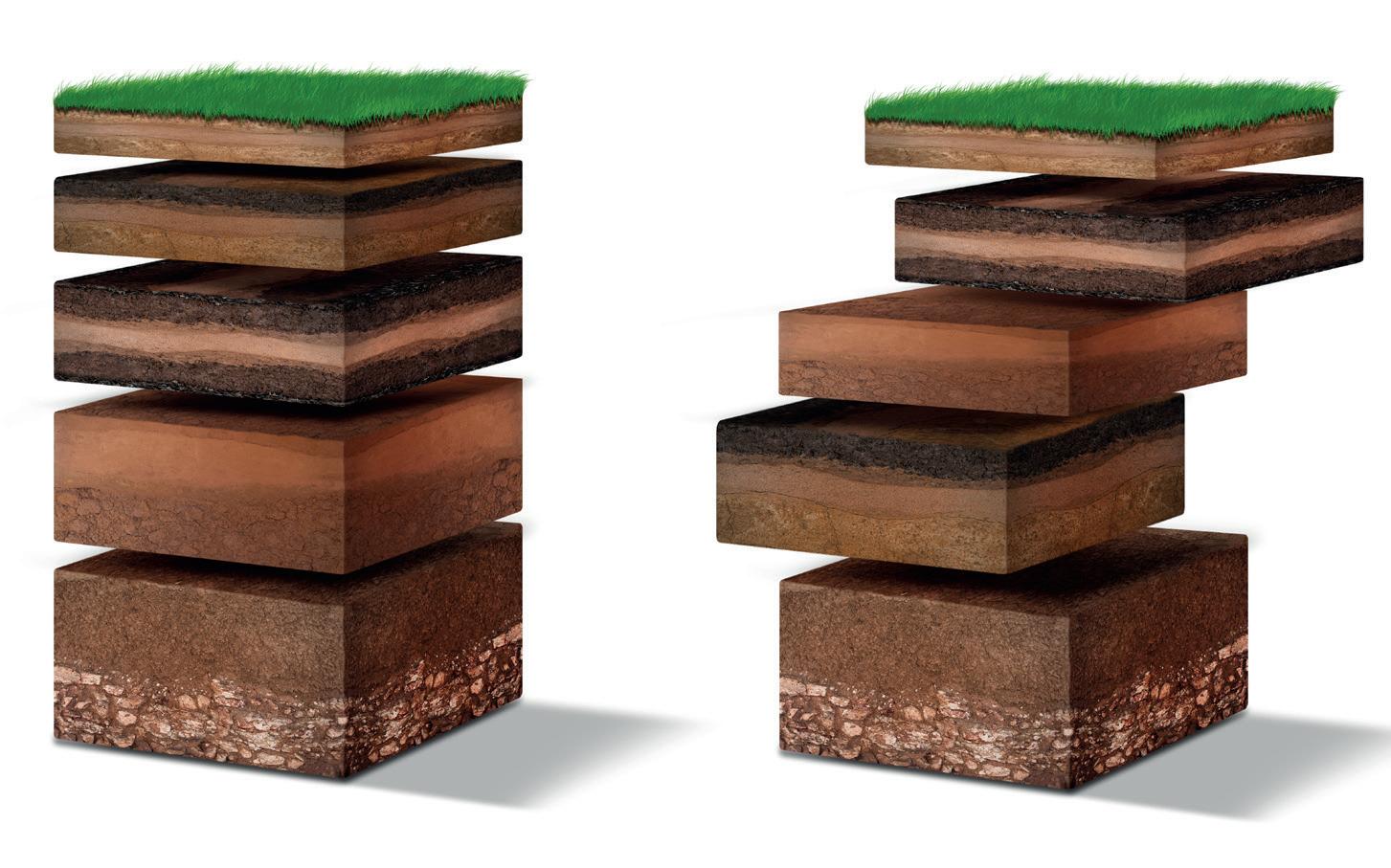
Isometric Soil Layers diagram
Aerial view of Dongchuan Red Land - China
7. COURSE INFORMATION
Green and grey marble
7.1 GEOLOGY I (GEOL1000A)
Course Coordinator: Dr Zubair Jinnah
Room G1114
Tel 717 6554
zubair.jinnah@wits.ac.za
This course serves as a qualifying course for the second year of study in Geology II and Applied Geology II. It is recommended as a first course for students intending to specialise in Geology, Mining and Exploration Geology, Geochemistry, Environmental Earth Science, Palaeontology, Geology, and Geophysics, and is also a valuable course for students intending to major in Geography, Archaeology and/or Biological Sciences, as well as Palaeontology Honours. This course aims to present a broad overview of the Earth as the home of mankind. It explores the origin and uniqueness of Earth, the raw materials from which the Earth is made, its internal constitution, the forces which shape its interior and surface, the history of its life forms, South African stratigraphy, and important mineral deposits of southern Africa. A strong focus is placed on the development of skills essential for a practicing scientist and geoscientist.
Course content:
Introductory Geology - our universe, solar system, Earth’s internal processes, impact craters, Surface Processes - modifications to Earth’s surface due to surface processes, Origins of Life - Palaeontology and Palaeo-Anthropology, Earth Materials - Crystals, minerals, rocks and rock-forming processes, Stratigraphygeological history of South Africa, interpretation of geological maps, ore deposits of southern Africa.
Tutorials:
Tutorials will be arranged online for small-group activities and are optional, unless required by the course coordinator. These tutorials are designed to assist students in developing skills necessary for all practicing geologists and are an integral part of the course work. Further information will be provided during the first weeks of online lectures.
Practicals:
Practical classes will be undertaken on Mondays (14:15 – 17:00) from Room G1, Ground Floor, Geosciences Building.
Venue:
Lectures will be held in G101 (Room 101, First Floor,Geosciences Building)
Recommended Text Books:
“Earth: Portrait of a Planet” by Stephen Marshak
“The Story of Earth and Life” by Terence McCarthy & Bruce Rubidge
“Field Guide to Rocks & Minerals” by Bruce Cairncross
Examinations and determination of marks:
The final year mark for Geology I consists of:
June Class Mark 25%
November Class Mark 25%
June examination: 25%
November examination: 25%
The total class mark, obtained from projects, reports, and tests, will comprise the following:
1st SEMESTER [25%]
Blocks 1 & 2 Continuous Assessments
2nd SEMESTER [25%]
Blocks 3 & 4 Continuous Assessments
Earth Materials Test, Mapwork Test
Blocks 1 & 2 Theory & Practical Tests
Field Trips & Field Trip assessments
The June and November examinations are each three hours in duration and comprise sections covering what was dealt with in the preceding semester.
FIELD TRIPS 2023 (Provisional dates; subject to change)
This course is designed to provide basic geological training for students intending to major in Mining Engineering or Surveying and runs for the first two blocks only, ending in June. This course is a pre-requisite for GEOL1007A.
Course Content:
Earth’s Building Blocks
Introduction to the common ore and gangue minerals and their crystal structure; Igneous rocks (focusing on layered igneous complexes and granites and associated ores); Sedimentary rocks (clastic and chemical sedimentary rocks as hosts to secondary and replacement ores); Metamorphic rocks (remobilisation of ores and stability problems).
12 Lectures and 6 Practicals
Earth’s Processes
Introduction to the surface of the Earth including the number and positions of plates; driving forces behind plate motion (plumes and the internal make-up of the planet); modification of the Earth’s surface (physical and chemical weathering and the hydrological and carbon cycles).
21 Lectures
Examinations and determination of marks:
The final year mark for GEOL1006A consists of:
June examination mark: 50%
Class mark: 50%
The total class mark, obtained from projects, reports, and tests, will comprise the following:
BUILDING BLOCKS
A formal exam of two hours duration will be held in June. This exam will consist of four sections.
Section A: Minerals: Prof Rais Latypov
Section B: Rocks: Dr Sara Burness
Section C: Surface Processes: Dr Sharad Master
Section D: Internal Processes: Prof Rais Latypov
Deferred and Supplementary exams will be written in June/July 2023 and in January 2024, respectively.
Prescribed Reading
Field Guide to Rocks and Minerals of Southern Africa (Pbk) (2004 edition) ISBN: 1868729850 Author: Cairncross, B.
Earth: Portrait of a Planet (Pbk) (2005 edition) ISBN: 0393160653
Author: Marshak, S.
The Story of Earth & Life (Pbk) (2005)
Authors: McCarthy, T.S. & Rubidge, B. Publisher: Struik.
7.3 GEOLOGY I (MINING ENGINEERING) (GEOL1007A)
Course Coordinator: Dr Sharad Master sharad.master@wits.ac.za
This course is designed to provide basic geological training for students intending to major in Mining Engineering or Surveying and runs for the third and fourth blocks only, ending in November.
Course Content:
Earth’s Structure
Geological structures and deformation processes, interpreting geological maps, structural contouring and simple mine plans (block models and maps); principles of stratigraphy, South African stratigraphy.
30 Lectures and 13 Practicals
Earths Resources
This course provides a basic introduction to the principles of economic geology, mining geology, and some of processes involved in the formation of magmatic, hydrothermal, and sedimentary ore deposits. There will be a focus on ore deposits across Southern Africa throughout this course.
30 lectures
Examinations and determination of marks: The final year mark for GEOL1007A consists of:
November examination mark: 50%
Class mark: 50%
The total class mark, obtained from projects, reports, and tests, will comprise the following:
EARTH’S STRUCTURE
Mapwork practical assignments 80%
Structures Test 10%
Stratigraphy Test 10%
A formal exam of two hours duration will be held in November. This examination will consist of three sections:
Section A: Earth’s structure Prof. Roger Gibson
Section B: Stratigraphy Dr Sharad Master
Section C: Earth’s resources Dr Ben Hayes
Section C will be weighted at 50% of the total exam mark and Sections A and B at 25% each.
Deferred and Supplementary exams will be written in November/December 2023 and in January 2024, respectively.
Prescribed Reading
Mineral Resources of South Africa: A Handbook. 16th (1998 edition) ISBN: 1875061525
Author: Wilson, M.G.C. & Anhaeusser, C.R.
An Introduction to Geological Structures and Maps
Author: Bennison, G.M. and Moseley, K.A.
The Story of Earth & Life (Pbk) (2005)
Authors: McCarthy, T.S. & Rubidge, B. Publisher: Struik.
Remains of La Sergente neolitic tomb, bailiwick of Jersey, Channel Islands
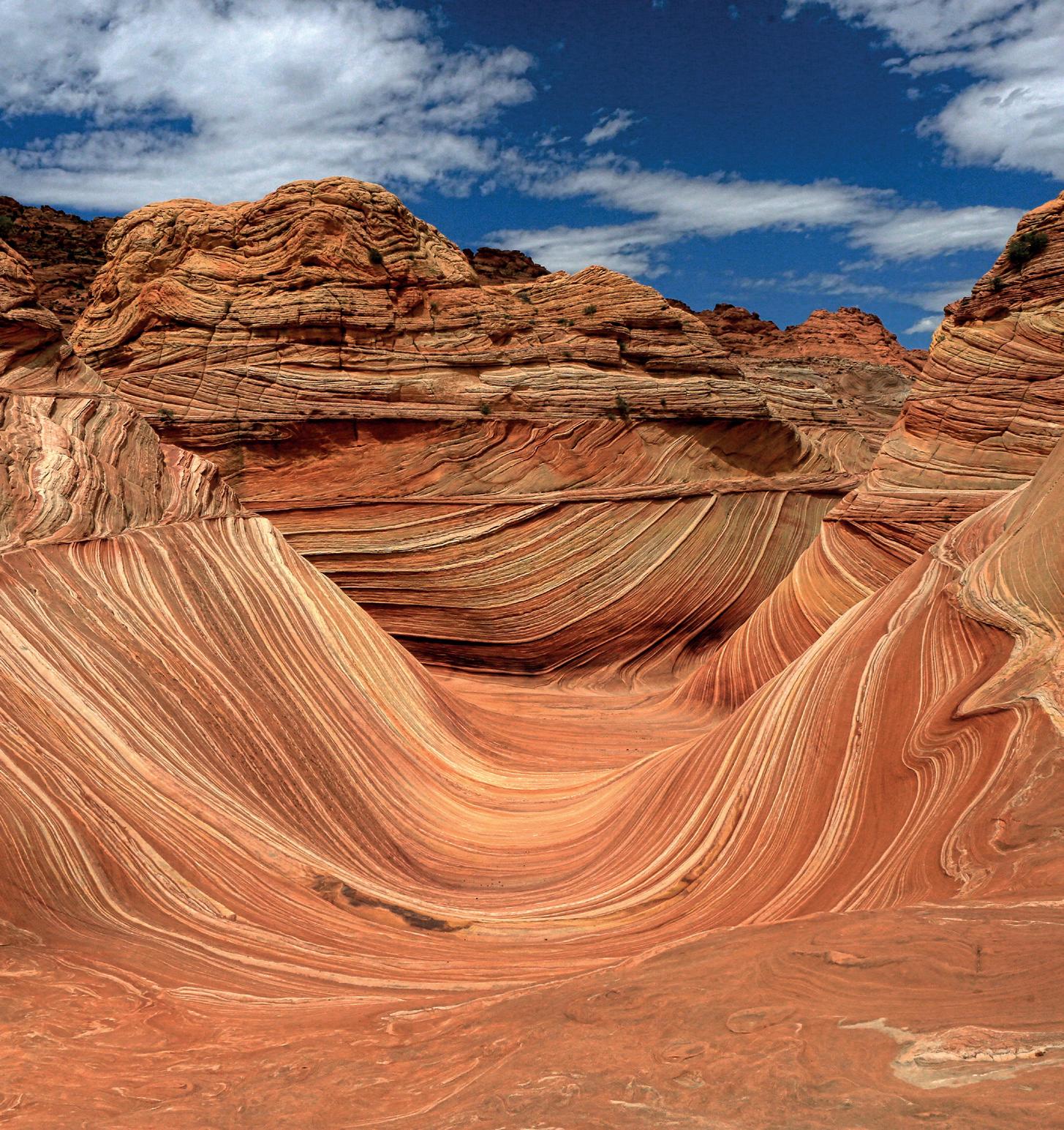
The Wave Navajo Sand Formation in Arizona USA
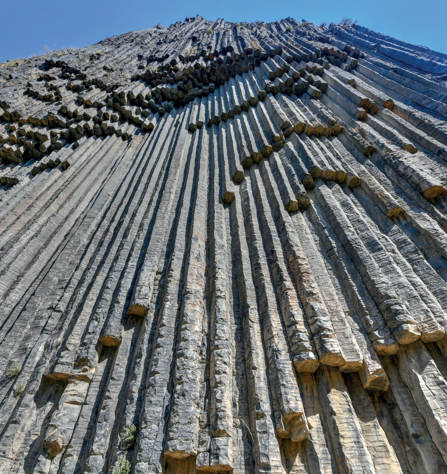
Symphony of the Stones near Garni, Armenia
7.4 GEOLOGY II (GEOL2025A)
Course coordinator: Prof. Lew Ashwal
Room G5
Tel 717 6652
lewis.ashwal@wits.ac.za
This 48-credits, second year level course forms the first part of a two-year programme (Geology II and III) that examines the theoretical background to geological processes and methodology in the earth sciences and provides practical experience in field and laboratory techniques. Prerequisite for participation in this course is successful completion of GEOL1000A AND CHEM1012. It is most commonly taken in conjunction with the 48-credit course GEOL2026A (Applied Geology II), which consists of GEOL2021A (12 credits), GEOL2019A (24 credits) and STAT2013A. All natural sciences students are required to complete STAT2013A. Except without special permission of the Head of School, students intending to major in Geology and complete Geology Honours are required to register for the 24-credit course GEOL2021A concurrently with GEOL2025A.
Course Content:
The Geology II course includes 4 modules: Mineralogy II, Sedimentology, Stratigraphy and Palaeontology II, Igneous Petrology II, and Metamorphic Petrology II. It is taught on the B diagonal.
Mineralogy and Optical Mineralogy II (GEOL2023A) includes elements of crystallography, optical mineralogy, crystal chemistry and systematic mineralogy. A major outcome of this course will be the students’ ability to use the polarizing microscope to identify minerals in transmitted light.
Sedimentology, Stratigraphy and Palaeontology II (GEOL2024A) involves description and classification of sedimentary rocks; modern and ancient sedimentary environments and the interplay between Life and environments through time; geochemistry; and architectural element analysis.
Igneous Petrology and Processes II (GEOL2020A) covers description, classification and interpretation of igneous minerals, rocks and textures; concepts of melting and crystallization of igneous rocks; simple projection techniques to represent rock compositions and mineral crystallization sequences; and petrography.
Metamorphic Petrology and Processes II (GEOL2023A) covers description, classification and interpretation of metamorphic minerals, rocks and textures; the basic controls of metamorphism; simple projection techniques to represent rock compositions and mineral parageneses; and petrography.
Lecture and Practical venues: Lectures are held in Room G101 and Practicals in the G11 LAB. Practicals will commence at 13:30. Details about these necessities and final practical times will be communicated at the first lecture in Mineralogy. This first lecture is partly dedicated to logistics and instruction on many different aspects of the course
itself, and of university ethics in general. It is therefore essential that students do not miss this first lecture.
Attendance at all lectures and practicals is compulsory. Attendance lists will be kept and DP requirements observed.
Examinations and determination of marks:
The final year mark for Geology II consists of:
June examination: 25%
November examination: 25%
Class mark: 50%
The total class mark, obtained from projects, reports and tests comprises the following:
Mineralogy and Optical Mineralogy II 25%
Sedimentology, Stratigraphy and Palaeontology II 25%
Igneous Petrology and Processes II ` 25%
Metamorphic Petrology and Processes II 25%
NB: Repeating Students will not be given credit for any portion of the practical and lecture course and are expected to participate in all practical work, and complete all assignments.
Two, 3-hour examinations will be written, each covering the course content in the preceding semester:
Paper 1 (3 hours, June): Mineralogy and Optical Mineralogy II + Sedimentology, Stratigraphy and Palaeontology II
Paper 2 (3 hours, November): Igneous Petrology and Processes II + Metamorphic Petrology and Processes II
Candidates will be expected to answer multiple questions, which will cover the entire course content.
Prescribed Reading
Principles of Sedimentology and Stratigraphy. 4th (2005 edition) ISBN: 0131547283 (Pbk)
Author: Boggs, S Jr
A Colour Atlas of Rocks & Minerals in Thin Section. 6th (1994 edition) ISBN: 1874545170 (Pbk)
Author: Mackenzie, WS & Adams, AE
The Story of Earth & Life. (2005 edition) ISBN: 1770071482 (Pbk)
Author: McCarthy, T & Rubidge, B
Introduction to Mineralogy. ISBN: 0195106911
Author: Nesse, WD
The Geology of South Africa. (2006 edition) ISBN: 1919908773
Author: Johnson, MR; Anhaeusser, CR & Thomas, RJ
Principles of Igneous and Metamorphic Petrology. 2nd (2010 edition)
ISBN: 10; 0321592573 / 9780321592576
Author: Winter, JD
Strongly Recommended Petrology: Igneous, Sedimentary and Metamorphic. 3rd (2006 edition)
ISBN: 10; 0716737434 / ISBN: 13; 9780716737438
Author: Blatt, H; Tracy, RJ & Owens, BE
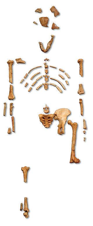
Reconstruction of the fossil skeleton of “Lucy” - Australopithecus afarensis
Model of “Lucy” - Australopithecus afarensis
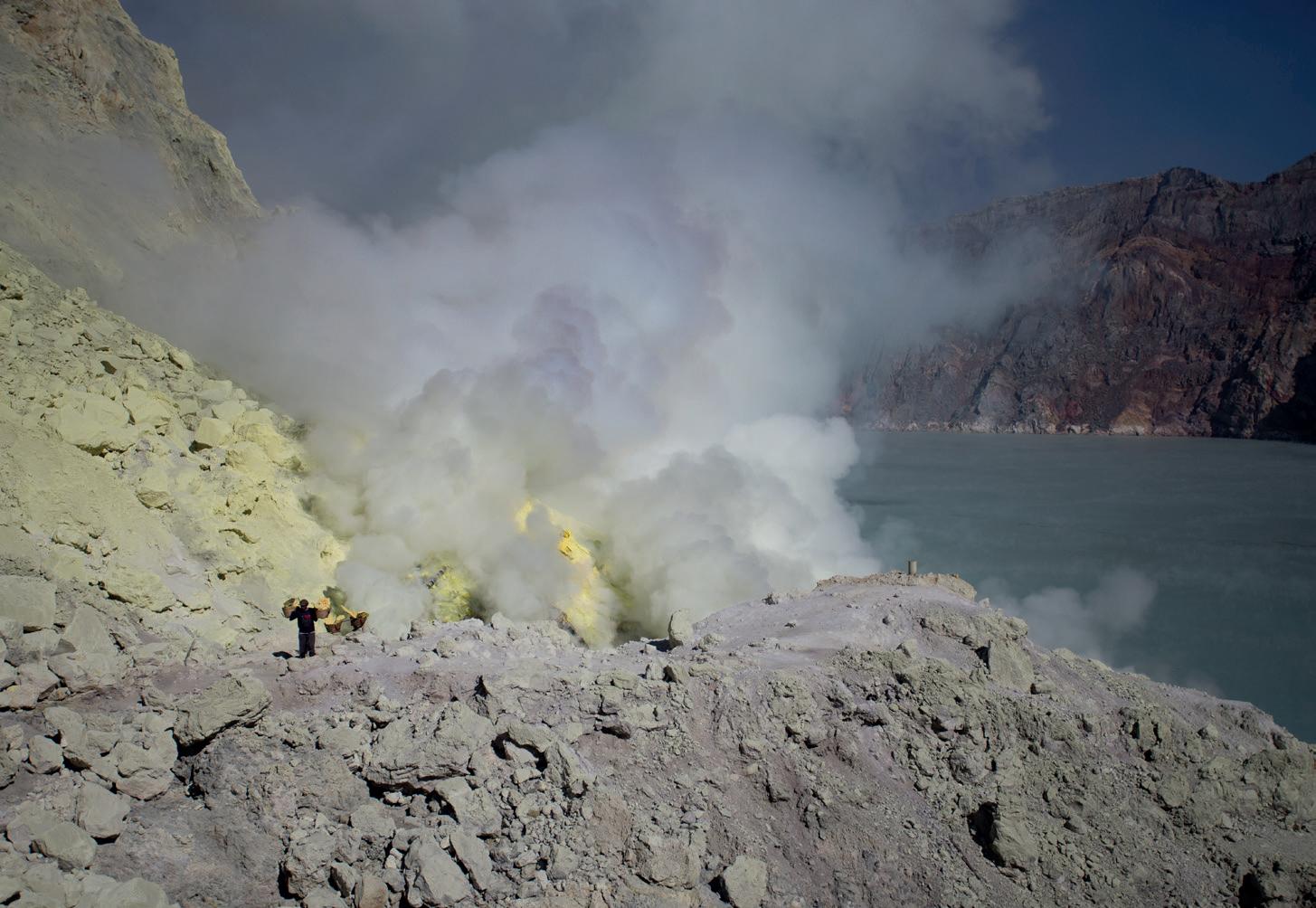
Sulfur mine with workers in Kawah Ijen, Java, Indonesia
7.5 APPLIED GEOLOGY II (GEOL2026A)
Course coordinator: Dr Grant Bybee Room G102; Tel 011 717 6633 grant.bybee@wits.ac.za
This course is taken concurrently with Geology II (GEOL2025A) and is compulsory for students planning to apply for Geology Honours or Geochemistry Honours. This is an applied course aimed at developing skills in geological field mapping and rock identification, 3-D geological map, aerial photograph and basic satellite image interpretation, geological research report writing, and geochemistry and geochemical data management, presentation and interpretation. All of these skills are fundamental aspects for any career in the geosciences. The course includes a compulsory field mapping school in the winter vacation where crucial field techniques are developed.
The overarching Applied Geology II major (48 credits) is composed of three courses: 1. Geological Mapping Techniques (GEOL2019A – 24 credits) which includes the Winter Field Mapping School, 2. Introduction to Geochemical Techniques (GEOL2021A – 12 credits) and 3. Basic Statistics for Natural Sciences (STAT2013A – 12 credits), which is compulsory for all Natural Sciences Second Year students and which is taught by the School of Statistics and Actuarial Science.
Slots: STAT2013 runs in the A slot, only in the 1st Semester. Depending on your comajor subject, GEOL2019 lectures/practicals are held at 08:00 – 10:00 (D slot) or 10:15 – 12:15 (C slot) on Thursday throughout Semester 1, in the G1 Laboratory in the Geosciences Building. GEOL2021A is held during the 2nd semester in the C slot on Monday, Wednesday and Friday. Tutorials to assist you in preparing the field school report and final map will be held in Block 3.
Geological Mapping Techniques (GEOL2019A):
The course comprises rock classification and identification, interpretation of geological maps and aerial/satellite imagery interpretation (Blocks 1 and 2), a field mapping school in the July vacation and geological map creation and geological report writing skills (Block 3).
Field Mapping School:
The field excursion is usually scheduled for the last two weeks of the July vacation during July (specific dates to be confirmed). You will learn crucial field-based mapping techniques that are fundamental skills for all geoscientists and geoscientific careers. You will also be exposed to an array of sedimentary, igneous and metamorphic rocks in their field settings. The Field School continues with exercises and tutorials in the 3rd teaching block, culminating in the submission of a final geological map and report on the first day of Block 4 (after the research break).
Mark breakdown:
Introduction to Geochemical Techniques (GEOL2021A):
The Introduction to Geochemical Techniques course is aimed at providing students with a comprehensive understanding of various geochemical tools, procedures and techniques that are required in many disciplines within the Geosciences, including igneous and metamorphic petrology, sedimentary and surficial geoscience, hydrogeology, and economic geology. These tools and techniques include whole-rock major, minor and trace element behaviour, mineral/crystal chemistry, aqueous and surficial geochemical principles as well as an introduction to principles of radiogenic and stable isotopes. A focus of this course is the handling and interpretation of geochemical data that apply to all Earth and planetary materials including, rock, soil, air, water, meteorites and fossils.
Mark breakdown:
Recommended Textbooks:
● Bennison, George M., Olver, Paul A. & Moseley Keith A. An introduction to geological structures and maps. Routledge, 2013.
● Lisle, R. J. (1996). Geological structures and maps: a practical guide. Butterworth-Heinemann.
● Lisle, R. J., Brabham, P., & Barnes, J. W. (2011). Basic geological mapping (Vol. 42). John Wiley & Sons.
This second-year Ievel course (48 points) is a pre-requisite for students wishing to proceed with Geotechnical Engineering I. It is taught entirely by the staff of the School of Geosciences.
Course content:
The GEOL2027A course consists of the following topics:
● Introduction to minerals and rocks
● Soil characteristics, internal and surface Processes
● Introduction to the geology of RSA, and introduction to geological maps
Entry into this course requires credits in Physics 1 (or Applied Maths). The course is a precursor to CIVN3004A: Geotechnical Engineering I. Therefore, the formation and types of minerals and rocks are emphasized. Equally important is the development of soils and topographic features combined with interpretation of geological maps and structures.
Mark Breakdown:
Practical’s and Tests: 60%
Exam: 40%
Field trips:
A 1-day excursion is held in the second teaching block. Details of the field excursion are provided during the second teaching block.
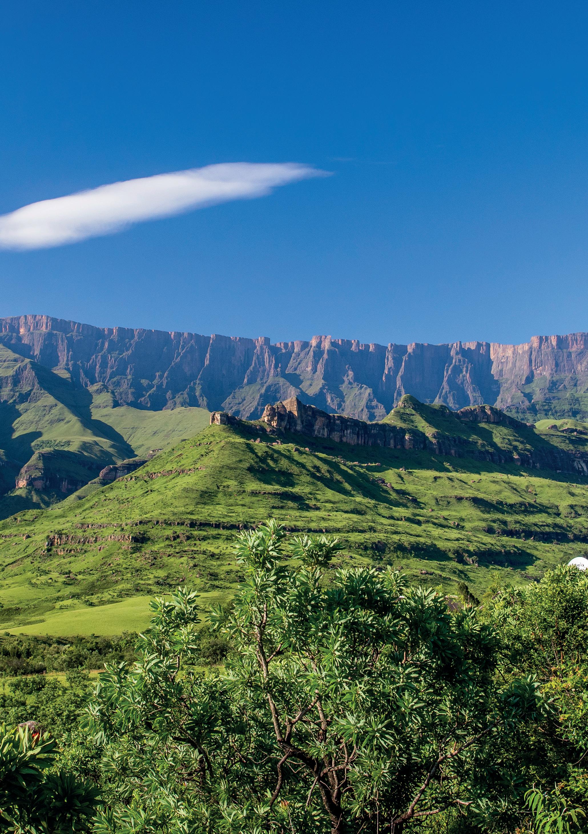
Thabana Ntlenyana Peak, the Drakensberg range, South Africa
Thabana Ntlenyana
11 May 12 May
GSA and Maps
and Maps 18 May
May GSA and Maps
and Maps 25 May
May GSA and Maps
and Maps
June
GSA and Maps GSA and Maps
The majestic Seceda dolomite mountains - Italy
7.7 GEOLOGY III (GEOL3049A)
Course Coordinator: Prof. Rais Latypov
Room G103
Tel 717 6612
rais.latypov@wits.ac.za
Course content:
This third-year level course (72 points) consists of the following four topics, each having equal weighting:
Structural Geology; Advanced Petrology; Physics of the Earth and Plate Tectonics; and Economic Geology and Ore Petrology.
Advanced Petrology covers igneous, metamorphic and sedimentary rocks. The igneous petrology component deals with crystallisation processes, igneous geochemistry, magma differentiation and chemical diversity. The emphasis is on the evolution of the Bushveld Complex, South Africa. The metamorphic petrology component deals with constraining P-T-t paths and metamorphic geochronology, heat flow, anatexis, and petrotectonics. The practical component of the metamorphic section will integrate these theoretical topics with practical exercises from the metamorphic aureole of the Bushveld Complex. The sedimentary petrology deals with the use of sedimentary petrography, geochemistry and mineralogy to determine sediment provenance.
Structural Geology covers the concepts of stress, strain and rheology, and the identification, classification and interpretation of deformation structures in rocks.
Economic Geology and Ore Petrology introduces students to the use of reflected light microscopy for the study of opaque (ore) minerals and their inter-relationships at the microscopic level (Ore Petrology). The course further provides an overview of ore deposits and their classification, and the importance of minerals in the South African economy. Magmatic, sedimentary and hydrothermal types of ore deposits are considered. For each type, classic world localities and the best South African occurrences are used as examples. Suites of samples from representative deposit types are studied in the laboratory using hand specimens and thin and polished microscope sections.
Physics of the Earth and Plate Tectonics provides an introduction to the physical properties of the Earth as a whole and how these properties have contributed towards our understanding of how the Earth works as an integrated system (The Theory of Plate Tectonics).
Lectures are scheduled for Room G101. Students are required to complete one compulsory practical per week on Tuesday afternoon. Practicals are held in Lab G11.
The marks for each topic are made up as follows:
Examination mark 50%
Year mark 50% (consisting of tests, practical assignments and other exercises appropriate to each topic)
Details of the composition of the year mark are provided by topic presenters at the commencement of each topic.
There are two, 180-minute (3 hr) examinations, one in June and two in November. The June examinations cover the topics Structural Geology and Advanced Petrology, and the November examinations, the topics Physics of the Earth and Plate Tectonics and Economic Geology and Ore Petrology. Questions in each topic consist of a combination of compulsory and elective components.
Igneous Petrology
Reading material for theme: Layered Intrusions/Bushveld Complex
● Blatt, H. and Tracy, R.J. (1997). Petrology. Freeman. Chapter 6: Evolution of magmas.
● Cawthorn, R.G., Eales, H.V., Walraven, F., Uken, R. and Watkeys, M.K. (2006). The Bushveld Complex. In: Johnson, M.R., Anhaeusser, C.R. and Thomas, R.J. (Eds.). The Geology of South Africa. Geological Society of South Africa, Johannesburg/Council for Geoscience, Pretoria, 261-282.
● Cox, K.G., Bell, D. and Pankhurst, R.J. (1979). Interpretation of Igneous Rocks. QE 461.COX Chapters 4 and 5, p. 83-88, 113-115, 120-121. Chapter 6. Chapter 13.
● Winter, J.D. (2001). An Introduction to Igneous and Metamorphic Petrology. Prentice Hall, New Jersey. QE 461. WIN, Chapter 12.
● Phase Diagrams (especially ternary diagrams): Philpotts, A.R. (1980). Principles of Igneous and Metamorphic Petrology, Prentice Hall, New Jersey. Pages 151-187, especially 168-170, 173-175, 177-179.
Phase Diagrams
● Cox, K.G., Bell, D. and Pankhurst, R.J. (1979). Interpretation of Igneous Rocks. QE 461.COX
● Chapters 4 and 5, p. 113-115, 120-121, 123-130, 133-135.
● Philpotts, A.R. (1980). Principles of Igneous Petrology. QE 461.PHI Pages 168-170, 180-181.
● Philpotts, A.R. and Ague, J.J. (2009). Principles of Igneous and Metamorphic Petrology. QE 461.PHI, Pages 374-380.
Metamorphic Petrology
Introductory:
● Yardley, B.W. (1989) An Introduction to Metamorphic Petrology. Longman, 248 pp. [general introductory textbook]
● Blatt, H. and Tracy, R.J. (1996) Petrology- Igneous, Sedimentary and Metamorphic. 2nd Edition, Freeman, 529 pp. [general introductory text, with 7 chapters on metamorphic petrology]
Intermediate:
● Best, M.G. (2003) Igneous and Metamorphic Petrology, 2nd Edition, Blackwell, 729 pp. [a modern, comprehensive text for both igneous & metamorphic petrology]
● Winter, J.D. (2009) Principles of Igneous and Metamorphic Petrology, 2nd Edition, Prentice Hall, 720 pp. [another excellent comprehensive text for igneous & metamorphic petrology]
Advanced:
● Spear, F.S. (1993) Metamorphic Phase Equilibria and Pressure-Temperature-Time Paths. Mineralogical Society of America Monograph 799 pp. [comprehensive source book for modern metamorphic petrology, focusing on determination of P-T-t paths]
Sedimentary Petrology
● Tucker, M.E. (2001) Sedimentary Petrology: an introduction to the origin of sedimentary rocks. Blackwell Science.
● Adams, A.E. et al. (1984) Atlas of sedimentary rocks under the microscope. Longman
● Garzanti, E. (2019) Petrographic classification of sand and sandstone. Earth Science Reviews volume 192, pages 545-563.
Structural Geology
(1) Lecture
a) Prescribed Reading
● Davis, G.H. & Reynolds, S.J. (1996) Structural geology of rocks and regions. John Wiley & Sons, 500 p. 2nd edition or later
b) Recommended
● Fossen, H. (2010) Structural geology. Cambridge University Press, 480 p. (highly recommended): related website: http://www.geo.uib.no/struct/emodules.html
● Ramsay, J.G. & Huber, M.I. (1983) The techniques of modern structural geology, Vol.1 Strain Analysis; Vol. 2 Folds and Fractures; highly recommended
c) Useful
● Ragan, D.M. (1985) Structural geology, 3rd Ed.
● Phillips, F.C. ( 1960) The use of stereographic projection in structural geology
Economic
Geology
and Ore Petrology
● Robb, L. (2020). Introduction to Ore-Forming Processes. Blackwell Publishing.
Physics of the Earth and Plate Tectonics
● Davids, G. (2011). Mantle Convection for Geologists. Cambridge University Press, U.K., 232 p.
● Kearey, P., Klepeis, K.A., Vine, F.J. (2009). Global Tectonics. Wiley, 496p. Fowler, C. M. R., The solid earth: an introduction to global geophysics. https://innopac.wits.ac.za/search?/Xthe+solid+earth&SORT=AZ/
7.8 APPLIED GEOLOGY III (GEOL3050A)
Course coordinator: Dr Robert Bolhar robert.bolhar@wits.ac.za
This course is taken concurrently with Geology III (GEOL3049AA). The mapwork component (GEOL3042A) is compulsory for students planning to apply for Geology Honours or Geochemistry Honours. This is an applied course aimed at developing skills in geological field mapping and rock identification, 3-D geological map, aerial photograph and basic satellite image interpretation, hydrogeology, exploration methods geological research report writing. All of these skills are fundamental aspects for any career in the geosciences. The course includes a compulsory field mapping school in the winter vacation where crucial field techniques are developed.
The overarching Applied Geology III major (72 credits) is composed of three courses:
1. Hydrogeology and Water Resource Management (GEOL3044A – 18 credits)
2. Exploration Methods (GEOL3045A – 18 credits)
3. Advanced Mapping Techniques which includes the Winter Field Mapping School (3042A – 18 credits)
4. GIS and Remote Sensing (GEOL3048A – 18 credits)
The schedule for these three courses can be found on the timetable on the next page. Applied Geology III will be on the B slot.
Hydrogeology and Water Resource Management (GEOL3044A):
Lecturer: Khuliso Masindi
Hydrogeology and Water Resources Management III course is designed to include two syllabuses:
The first part of the syllabus includes: Hydrologic Cycle and Processes, Water Balance, Basin Analysis, Groundwater Flow, Hydrogeological Parameters, and Water Quality.
The second part of the syllabus includes: The Need for Water Resources Management, Water Management Strategies, Hydrogeology and Water Resource Management in Africa and South Africa, Transboundary Water Resource Management, Climate Change and Water Resources Management, Water Conservation Strategies, and Water Demand Management.
Exploration Methods (GEOL3045A):
Lecturer: Robert Bolhar
The course will equip geoscience graduates with knowledge of principles underlying the nature and spatial distribution of mineral resources, and the common methods employed for their detection, exploration and characterisation. Other aspects relating to exploration include: legislation, practices and codes, geochemistry and (geo)statistics. The course will be taught using both a factual and process-orientated approach, including case studies, individual student or group-based project work.
The Exploration Method III course will cover the following subjects:
● Case Studies (using trace metal and isotope geochemistry applied to alteration and hydrothermal/epithermal systems)
● Mineral Economics (commodity prices and world markets, demand & supply, recycling, sustainability, expenditure)
Geophysics
● The different geophysical methods used for exploration (gravity, magnetics, resistivity, seismics, and electromagnetics)
● Case studies of such methods
Mark
Advanced Mapping Techniques (GEOL3042A):
Lecturer: Roger Gibson and Scott Maclennan
The course comprises a field mapping school in the July vacation and geological map creation and geological report writing skills (Block 2 and 3).
Field Mapping School:
The field excursion is usually scheduled in the September vacation (specific dates to be confirmed). You will learn crucial field-based mapping techniques that are fundamental skills for all geoscientists and geoscientific careers. You will also be exposed to an array of sedimentary, igneous and metamorphic rocks in their field settings. The Field School culminating in the submission of a final geological map and report.
Mark breakdown:
Class assignments
Field work (report and participation)
GIS and Remote Sensing (GEOL3048A):
Lecturer: Gordon Cooper
The GIS component covers the following;
● History of GIS and basic concepts. Datums, coordinate systems, projections and projected coordinate systems
● An overview of ArcMap, ArcCatalog, and ArcToolbox. Georeferencing images. Creating, storing and managing shapefiles in ArcCatalog.
● Digitizing geological units (polygons) and faults/contact types (polylines).
● Editing shapefile attribute tables. Editing line and polygon shapefiles in ArcMap. Symbology and labelling.
The Remote Sensing component of the course covers:
● Concepts and foundations of remote sensing: introduction to the electromagnetic spectrum; electromagnetic energy interactions with Earth’s surface features; spectral reflectance curves of Earth’s surface feature types; data acquisition and digital image concepts.
● Multispectral remote sensing.
● False colour composites; band ratios.
● Geological remote sensing using LandSat and ASTER, with case studies.
● Hyperspectral geological remote sensing
● Histogram modification and colour space, space domain convolution kernels and sun-shading, and textural analysis;
● Hough transforms and feature identification. Classification
The course is a blended course as it is partly online and partly face to face. Practicals using Matlab and ArcMap will reinforce the theoretical concepts.
Mark breakdown:
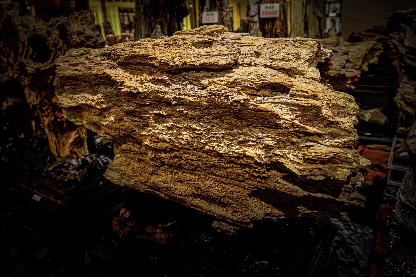
Petrified wood
7.9 OREBODY MODELLING III (GEOL3051A) (for 3rd year Mining Engineering students)
Course Coordinator: Dr Linda Iaccheri
Room: G007a
Tel: 76651
linda.iaccheri@wits.a.c.za
Description
This course provides 3rd year Mining Engineering students a background in orebody modelling, the mining value chain and classification of mineral deposits. The orebody modelling portion of the course addresses essential interaction between the disciplines of geology and mining engineering. The mining value chain and classification of mineral deposit components provides a comprehensive introduction into ore mineralization and its influence to mineral exploration, estimation and reconciliation. This course runs for Blocks 3 and 4 and includes five lectures and one practical every week.
Goals and desired outcomes
The overall aim of this course is to provide third-year students with a comprehensive introduction into orebody modelling encompassing formation and evaluation of mineral resources. By the end of this course, students are expected to have:
● Detailed knowledge of Southern African’s major mineral fields and resources, their genesis and suitability for exploitation
● An understanding of the socio-economic drivers for mining and exploration activities.
● An understanding of the roles of a mining engineer in the mining and exploration industries.
● Knowledge of the mining value chain.
Course content
Theory:
● Essential components of the ore-forming process
● Classification of mineral deposits: Igneous, magmatic-hydrothermal, hydrothermal, surficial/supergene, and sedimentary ore-forming processes
● Resource/reserve classification
● Socio-economic drivers of demand for ore commodities (and implications for supply and price)
● Geological mapping and modelling
● Exploration strategies and techniques
● Mineral law and economics
● Geology, mineralogy, geochemistry, paragenesis, tectonic setting, characteristic ages and proposed genetic models of Southern African’s ore deposits, e.g.:
o Orthomagmatic deposits (Cr, PGE, Cu/Ni, Fe/Ti/V): Bushveld Igneous Complex
o Granite-associated mineralisation (greisen-bordered veins, pegmatites etc.): Bushveld Igneous Complex
o Orogenic and epithermal gold deposits: The Barberton Greenstone Belt
o Sediment-hosted stratiform deposits (Cu ± Pb, Zn, Ag, Co): Central African Copper Belt
o Iron Oxide-Copper-Gold extended class of deposits;
o Placer deposits: The Witwatersrand gold Province
o Chemical sediments (Fe, Mn): Transvaal Supergroup
Practical sessions/projects
● Practical classes will be undertaken on Tuesdays (14:15 – 17:00).
● Practical will include 1 written report on either an ore deposit/s or an applied mining/exploration geology topic, and 1 orebody modelling project.
Venue:
● Lectures and Practical will be held in GLT (Geoscience Lecture Theatre), Ground Floor, Geosciences Building, East Campus.
Lecturers
Block 3: Dr. Linda Iaccheri (linda.iaccheri@wits.ac.za)
Block 4: Dr. Linda Iaccheri (linda.iaccheri@wits.ac.za
Examinations and compilation of marks
● A 2-hour examination will be held in November.
The final year mark for GEOL3051A consists of:
● November examination mark: 50%
● Class assessments mark: 50%
Recommended Textbooks, Papers and Articles
• Goovaerts, P/ 1997. Geostatistics for Natural Resources Evaluation, Oxford University Press, New York, 1997.
• Marjoribanks, R. 2010. Geological Methods in Mineral Exploration and Mining (Second Edition). Springer: Heidelberg. 238 pp.
• Robb, L. 2005. Introduction to Ore-forming Processes. Blackwell Publishing, Oxford. 373 pp.
• Rossi, M. and Deutsch, C.V. 2014. Mineral Resource Estimation, Springer, Dordrecht, 2014.
• The South African Code for the Reporting of Exploration Results, Mineral Resources and Mineral
• Viljoen, R. P. and Wilson, M. G. C. (Editors) 2016. The Great Mineral Fields of Africa. Episodes, Volume 39-2. 380pp. http://www.episodes.org/journalArchive.do
Bourke’s Luck Potholes, Blyde River Canyon Nature Reserve, Mpumalanga, South Africa
L6 Orthomagmatic chromitites
L7 Orthomagmatic Ni-Cu-PGE deposits
L9 Orthomagmatic deposits in pegmatites
Orthomagmatic kimberlites
Hydrothermal ore deposits -
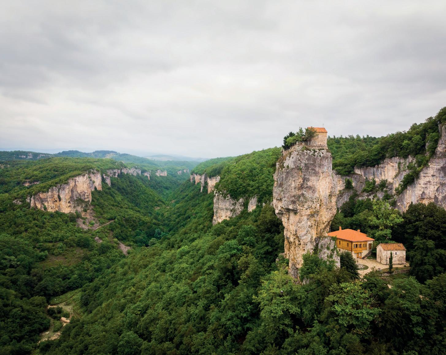
Man’s monastery near the village of Katskhi.
church and the abbot cell on
rocky cliff. Imereti, Georgia, Caucasus, Asia
7.10 GEOLOGY HONOURS
Course coordinator: Dr Ben Hayes
Room G213
Tel 011 717 6572
Email: ben.hayes@wits.ac.za
Admission into the Honours programmes in the School of Geosciences is subject to a student meeting all the entry requirements laid down by the School, and to space being available. Each course has limits on student numbers.
There are 4 options available for students wishing to study for an Honours degree in Geology and related disciplines:
i) Geology Honours General Course (Full-time or Part-time)
ii) Palaeontology and Geology Honours
Eligibility:
a) Admission requirements to Honours courses are outlined in section 5.3. For automatic admission to the Geology Honours course, applicants must have met the basic requirements for a BSc degree at Wits within three years and have obtained a minimum 60% pass in Geology III and mapping and geochemical components of Applied Geology II and III, as well as credits at the first year level in Chemistry and Mathematics. Applicants who fail to meet these requirements may apply to the Head of School for special consideration.
b) Students are encouraged to register for Honours on a full-time basis (1 year), to commence at the beginning of the first term.
c) Subject to places being available a part-time option, to commence either at the beginning of the first or second teaching blocks of the first semester, is available for students and for geologists with a minimum of 2 (and preferably more) years’ experience in the workplace, and who hold a BSc or equivalent qualification and who have strong support from their company. Students complete two teaching blocks in their first year of study and the remaining two blocks in their second year of study. A commitment of four to five months per year is required, during which students will be in full-time attendance at the University. Part-time students must complete the course within a maximum of two years.
d) Prospective part-time students who are over the age of 25 and have been working as geologists for at least two years, but who do not have the normal admission requirements may apply for a mature student exemption. Application for exemption is extremely competitive and only a few such applications are taken, and only on condition places are available. A maximum of 4 part-time students will be admitted in any one academic year.
Mark allocations:
Examinations are written at the end of the 1st, 2nd, 3rd, and 4th teaching blocks. Students are required to be available for an interview with the external examiner, if requested, after the November examinations have been completed.
The final mark consists of a class mark, research project mark, and exam mark which are weighted approximately as follows towards the final mark:
Class mark: 33%
Exam mark: 33%
Research project mark: 33%
Note that the weightings of the class and exam marks may vary slightly depending on individual courses.
The research project mark will be broken down as follows: School evaluation of proposal presentation (5%); Supervisor evaluation of written proposal (5%); Supervisor evaluation of draft project (10%); School evaluation of final project presentation (20%); Supervisor evaluation of final written report (30%); Examiner evaluation of final written report (30%).
Note:
Students are required to obtain a minimum aggregate mark of 50 %, and a subminimum mark of 35% in their written examinations, and a minimum mark of 50% for their final Honours project report, in order to obtain the Geology Honours degree. Furthermore, a student will not qualify for a first class pass unless they have attained 75% or more for their Honours Project.
7.10.1 GENERAL GEOLOGY COURSE
Course coordinator: Dr Ben Hayes
Room G213
Tel: 011 717 6572
Email: ben.hayes@wits.ac.za
Course structure:
The Honours course is divided into 4 teaching blocks each of 6-7 weeks duration. Seven compulsory teaching topics plus a Research Project make up the Geology Honours General Course.
Block 1
Advanced Petrology and Geochemistry (GEOL4025A)
Block 2
Hydrogeology (GEOL4014A)
GIS and Remote Sensing in Geology (GEOL4028A)
Structural Geology and Mineralisation Processes (GEOL4030A)
Block 3
Geophysics for Geologists (GEOP4009A)
Exploration, Mining, Economics, and Entrepreneurship (GEOL4027A)
Block 4
Earth Evolution and Global Tectonics (GEOL4026A)
Research Project (GEOL4029A)
NOTES:
1. The 7 teaching topics are equally weighted.
2. Each teaching topic comprises ~30 contact hours.
3. A 2-week field trip is compulsory and forms part of the requirements of the Structural Geology and Mineralisation Processes topic.
4. An Honours project is compulsory (see below).
5. Subjects can be substituted with Geography or Palaeontology topics subject to permission from the School of Geosciences.
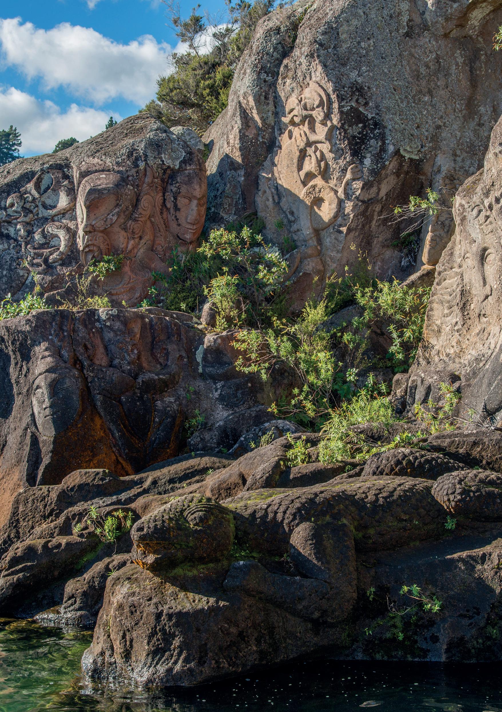
Maori rock carvings - Lake Taupo - New Zealand
Advanced petrology and geochemistry (GEOL4025A)
This course covers the handling and interpretation of geochemical data to understand the petrology (origin) of igneous and metamorphic rocks in different tectonic environments, from the convecting mantle to lithosphere. Geochemical data, including major, minor, and trace elements, as well as, radiogenic and stable isotopes, is used to illustrate the pathways of melt formation from the mantle to crust. The geochemistry and thermal characteristics of the mantle are investigated through xenoliths, and the origin and transportation of melt in the mantle is discussed. The petrology of igneous rocks is addressed by chemical and mineralogical classification, and discussing their formation through parental magma formation and composition, magma transportation and emplacement, as well as, magma crystallisation, differentiation, and solidification in crustal magma chambers.
Hydrogeology (GEOL4014A)
The Hydrogeology course (GEOL4014A) for the Geology Honours program is designed to assist graduate students working toward the MSc and PhD degrees specializing in Hydrogeology or apply in mining, water supply and engineering sectors. Both surface and underground mines cannot safely operate without sound management of groundwater and hence, students who could potentially join different mining sectors will benefit a lot from the course. In designing this content, it was taken into consideration the fact that students have already attended at least one hydrogeology course at an undergraduate level. For those who did not attend the course, the introductory section presents the comprehensive hydrogeological principles. The course consists of the following topics: Introduction to hydrogeological principles; Water balance and groundwater recharge estimation; Groundwater occurrence and exploration; Hydrogeochemistry; Isotope hydrology; and Groundwater in South Africa.
Geographic Information Systems and Remote Sensing in Geology (GEOL4028A)
This course focuses on the use of Geographic Information Systems (GIS) and Remote Sensing (RS) to solve problems in the Earth Sciences. It begins with an introductory phase in the use of mainstream GIS and RS software and then progresses to data analysis. The course covers the application of GIS and RS in structural geology, environmental geology, and hydrogeology. Candidates use geological datasets to quantify geological events.
This course builds on structural principles to cover processes of mineral deposit formation for igneous-hydrothermal, and hydrothermal deposits, focusing on areas of overlap and transitions between different deposit styles. There will be a refresher on the principles of brittle deformation, including the well-established theories of brittle failure. There will be some focus on the structural controls of lode gold mineralisation. The course will examine constraints on ore deposit formation in terms of metal and energy fluxes and transporting mechanisms with a particular focus on magmatic conduits/ chonoliths. Ore deposits in which there is still major controversy over their formation are considered, and the merits of different genetic models are examined. This includes deposits not studied at BSc level, including iron-oxide copper-gold deposits (IOCG),
Carlin-type gold deposits and skarn systems. An introduction to metallogenesis and mineral systems science is included to provide a spatial, structural, and temporal consideration of global mineral deposits. A field component integrates structural and mineralisation processes to look at specific deposits as well as regional metallogeny in South Africa through a series of field outcrop and mine project visits.
Geophysics for Geologists (GEOP4009A)
This course builds on concepts introduced in second and third year and covers the main aspects and applications of four geophysical methods: magnetics, gravity, seismic, and resistivity. These methods are used to introduce candidates to planning, collecting, interpreting, and integrating geophysical datasets as applied to the exploration for a variety of resources. Examples include the search for South African and global resources such as water, diamonds, gold, and platinum. Real datasets from geophysical surveys are used to stress the importance of good field practice and to learn techniques for handling imperfect data.
Exploration, Mining, and Mineral Economics (GEOL4027A)
The concept of the 4th industrial revolution is becoming a strategic determinant of sustainability, success, and competitiveness in the modern mining sector. The importance of digital transformation in the mining industry has long been a debated topic, hampered in part by the conservative implementation of new techniques. Much of the debate has focused on choosing suitable mining techniques that provide acceptable levels of ore/waste selectivity, the scale of implementation, cost reduction, and suitable metallurgical extraction techniques. In addition, the overall trend in the supply of raw materials has been a societal cultural shift towards supplychain robustness, localised sufficiency, reducing geopolitical tension and increasing supply sustainability. In addition, the future. In his course, we will address some of the pertinent issues in the exploration, mining, sustainability and shift towards automation/digitalisation using a combination of theoretical framework and computerbased modelling. We will achieve this goal using extensive use of case histories on: (i) geoscientific exploration of primarily Sub-Saharan deposits and suitable exploration strategies for currently underexplored regions within Africa; (ii) current issues related to natural resource exploitation such as illegal mining, smuggling, mining rights, worker safety, and other socio-political issues; (iii) development of mining policies and the connection between mining, the economy and the globalised market in various countries; (iv) financial valuation of mining assets; and (v) introduction to data analytics and machine learning applied to geosciences.
Earth Evolution and Global Tectonics (GEOL4026A)
This course covers principles of geochronology and tectonostratigraphy, with an emphasis on the geochronology and tectonic development of Africa. Using examples of African terranes, the course examines the tectonic evolution of cratons, mobile belts, the sedimentary basins along with their sedimentary cover/fill. Concepts in tectonostratigraphy are analysed using African and global examples.
Research Project (GEOL4029A)
Candidates undertake a Geology Honours Project, under the supervision of an appropriately qualified supervisor. The project entails a literature review (thorough examination and synthesis of original literature), identification of a scientific problem/ issue to be addressed, selection of suitable methods and the collection and interpretation of data. Candidates are required to present their project proposals and final results to the School and produce a detailed report of their findings.
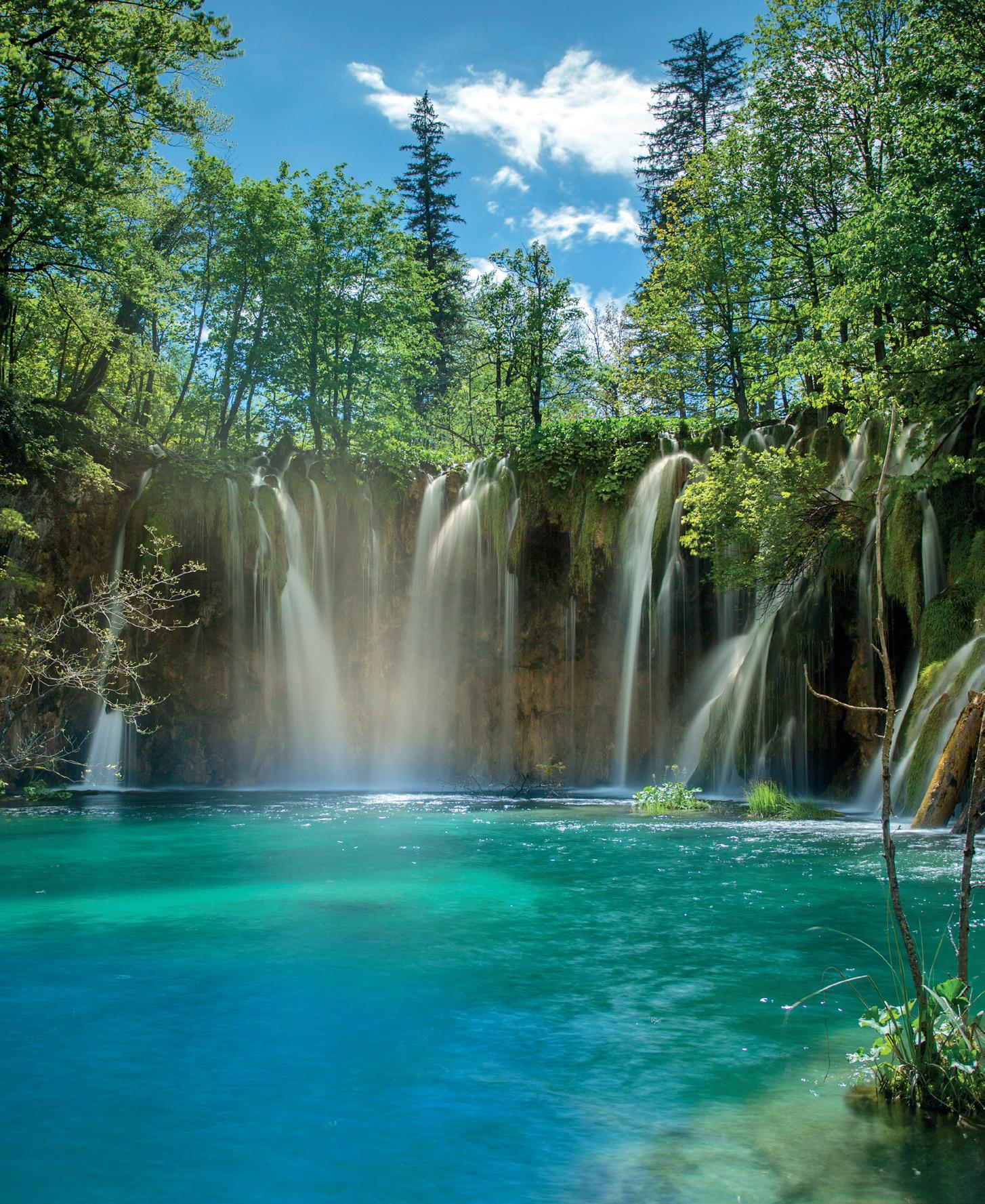
Plitvice lakes - Croatia
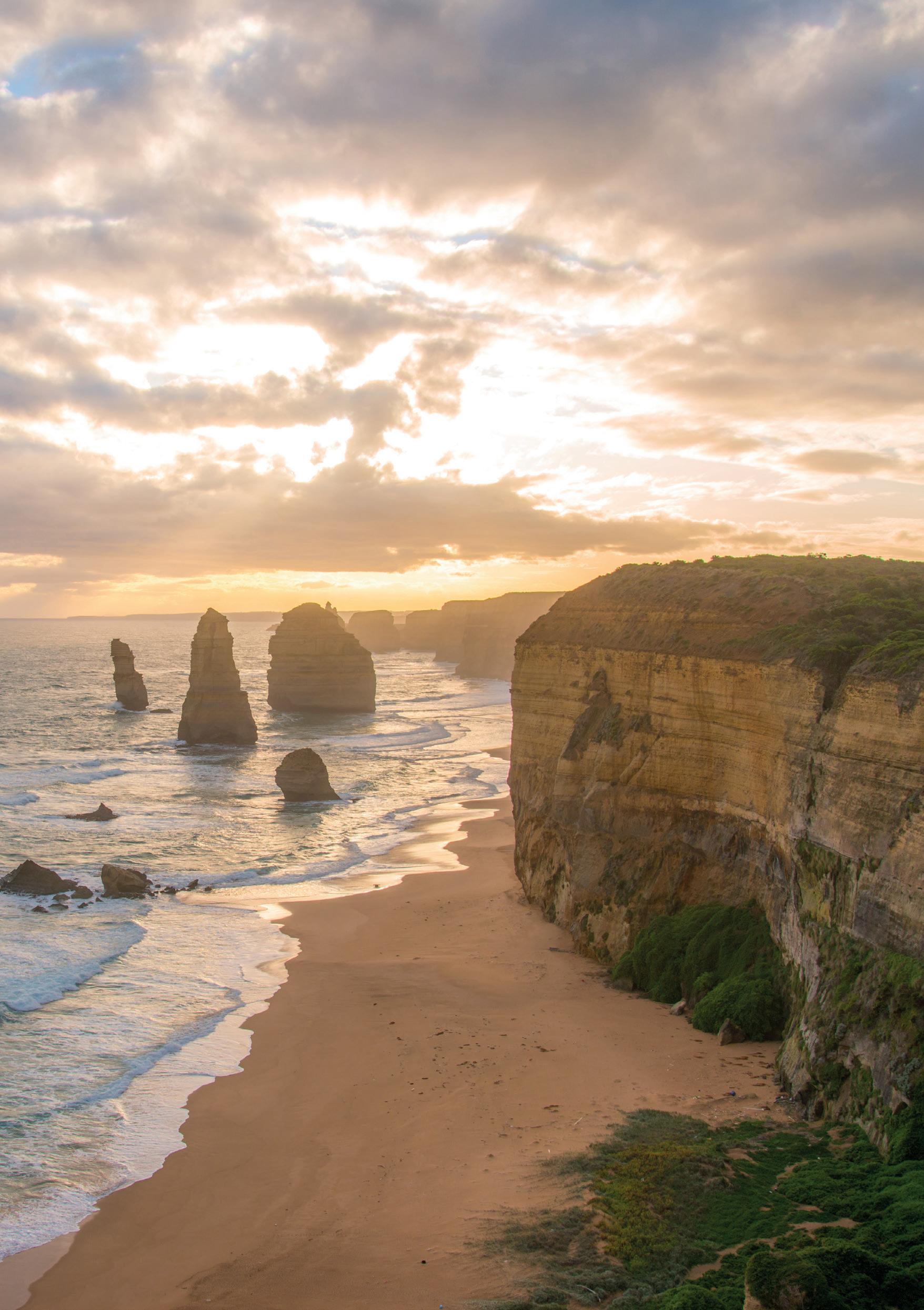
Twelve Apostle rock formation in the Great Ocean Road of Victoria state, Australia
7.11 GEOPHYSICS HONOURS (GEOP4000)
Course Co-ordinator: Dr Musa Manzi
Room: 203F
Tel: 011 717 6593
musa.manzi@wits.ac.za
OVERVIEW
Geophysics is the application of physics to problems in Earth Science. Physics principles, mathematical concepts and are advanced technologies are used to study the properties, structure, composition and evolution of the Earth. The geophysics Honours course provides graduates with a sound theoretical base, training in applied geophysics and knowledge of how the Earth works. Successful completion of the Honours course is considered to be the minimum academic requirement for a professional southern African geophysicist.
ENTRANCE REQUIREMENTS
Minimum pre-requisites are a BSc degree with passes in Geology I, Mathematics II and Physics II. In the third year of BSc an average of at least 60% must be achieved in any two of the following subjects: Geology III, Mathematics III, or Physics III. Subject to the approval of the Head of School, Geology I can be taken concurrently with the Honours course.
COURSE CONTENT
The geophysics Honours course includes formal lectures and associated assignments, seminars and tutorials. There are five core theoretical topics (listed below), the AfricaArray Field School and an Honours project. The final mark is made up as follows:
Core lecturing topics: 80 credits
Field School: 10 credits
Honours Project: 30 credits
TOTAL 120 credits
Examinations are held twice yearly, in June and November. To pass the year a minimum average of 50% is required for each module, a subminimum of 35% is required for written examinations, and the candidate must achieve a minimum mark of 50% for the Honours project. An external examiner monitors the standard of the examinations and the marking of the scripts.
ORIENTATION PROGRAMME
All geophysics students are required to attend the orientation programme commencing on the date and time of which will be issued by email at the beginning of each year. The venue will be Room 121, Geosciences Building. Students will be provided with an introduction to University policies, research guides and the geophysics course. Students should refer to details regarding the programme that will have been distributed.
LECTURING TOPICS
There are five core lecturing topics:
Mathematical and Computational Methods in Geophysics (GEOP4004A)
Fundamental mathematical and computational knowledge are required by geophysicists and this course provides important background in these areas and for most of the other geophysical courses. The course includes current theories of image processing, inverse theory, signal processing and wavelet theory, with applications to gravity, geomagnetism and resistivity. Students are introduced to computer hardware and operating systems and are taught programming.
Global Geophysics (GEOP4010A)
This course presents an introduction to planetary physics and the main branches of geophysics (including gravity and geodesy, geomagnetism, seismology, electrical and electromagnetic methods, heat flow and radiogenic isotope physics). It shows how these methods are employed to understand the physics and composition of the Earth’s interior and the process of plate tectonics.
Advanced Potential Theory (GEOP4005A)
Gravity and geomagnetism are core topics in geophysical exploration. The course starts with a discussion of the fundamentals of potential field theory in two and three dimensions. This is followed with particulars of exploration methods employing the gravity and geomagnetic methods (including instrumentation, field procedures and data interpretation). More in-depth discussions of the applications of gravity and magnetism to the Earth as a whole are presented.
Seismology (GEOP4006A)
Seismology is fundamentally important for geophysical exploration and understanding the deep structure and workings of the Earth. The course covers important aspects of instrumentation, survey design, data collection and data interpretation in exploration using refraction and reflection seismology. Rock mechanics and mine seismology are particularly relevant to the mining industry in South Africa and this constitutes an important component of the course. Global seismicity and teleseismology are used to develop a more detailed knowledge of the Earth’s internal structure.
Electrical and Electromagnetic Methods (GEOP4007A)
These methods deal with the propagation of electrical currents and of electromagnetic fields within the Earth and its atmosphere. This course provides background in fundamentals of geo-electricity and electromagnetism. A strong emphasis is placed on geophysical applications in the mining, geo-hydrology, engineering and environmental disciplines.
Africaarray field school (geop4011a)
The AfricaArray Field School is a compulsory component of the Honours course and is also offered to selected international students. It involves training in survey design and tendering for contracts, extensive field work on an actual mine or exploration project, use of most modern geophysical methods, data interpretation and a project report. It provides hands-on training for practical geophysicists and consultants.
HONOURS RESEARCH PROJECT
A research project, with a time commitment of roughly six weeks, is a compulsory component of the Honours course. It is considered to be essential in preparing the student for future independent research or project work, including planning of a project, conducting a literature survey, conducting scientific research, interpreting results, presenting the findings orally, and writing a research report. The subject of the research work is drawn from the wide range of research activities in the School. A list of projects is normally given to the students and a student is expected to pick a project of his/her own interest. Students are also encouraged to bring their own research projects.
Prescribed Reading
· The fourth edition of SEG’s Encyclopedic Dictionary of Applied Geophysics https://wiki.seg.org/wiki/Encyclopedic_Dictionary_of_Applied_Geophysics Dentith and Mudge (2014), Geophysics for the mineral exploration geoscientist. Cambridge University Press https://wits.summon.serialssolutions.com/?#!/search/ document?ho=t&include.ft.matches=f&l=en&q=geophysics%20for%20 the%20mineral%20exploration%20geoscientist&id=FETCHMERGED-wits_ catalog_b180257053
· Fowler, CMR (2005), The solid earth: an introduction to global geophysics 2nd edition, Cambridge University Press. https://innopac.wits.ac.za/search?/Xthe+solid+earth&SORT=AZ/
Mineral Deposits Cascading Down a Thermal Hot Spring - Bagni di san Felippo - Tuscany
7.12 PALAEONTOLOGY HONOURS: (PALP4000)
Course Coordinator: Dr Julien Benoit
Room 106, Palaeosciences Building
Tel: 717 6687
julien.benoit@wits.ac.za
The discipline of Palaeontology aims to shed light on the evolution of life on Earth through a variety of different fields of study but mainly through the fossil record.
The very rich geological and fossil heritage of South Africa gives this country a geographic advantage in understanding the development of Life. The large number of internationally significant fossil forms that have been discovered in the country have made international news headlines and are a source of national pride and inspiration for all SA citizens.
South Africa’s uniquely rich and diverse fossil record documents the origins of many important evolutionary transitions such as the earliest evidence of life, a diversity of ancient fish, one of the oldest tetrapods, the earliest land-living trees, and the origins of dinosaurs, tortoises, and mammals as well as humans. Because of its diverse fossil heritage, the world-class research facilities of the University of the Witwatersrand and the international status of its palaeontologists make it an exciting place to embark on a career in Palaeontology.
The Wits Evolutionary Studies Institute (ESI) at the University of the Witwatersrand is the largest palaeontological/ palaeoanthropological research entity in Africa and one of the largest of its kind in the world. Amongst other exciting discoveries, Wits palaeoscientists are undertaking game-changing research on dinosaurs (eg. Ledumahadi mafube), the most distant ancestry of mammals, tortoises, and human evolution (Homo naledi, Australopithecus sediba, Little Foot), as well as groundbreaking research in stratigraphy and basin analysis.
The ultimate goal of this programme is to train the next generation of South African palaeontologists to carry on this world-class research in continuity with this institute’s tradition of excellence and equity.
Structure of the year
The year will begin with a compulsory two week Orientation Period. This period is two weeks before the starting date of Block 1. Lectures will include the following: welcome, presentation of the lecturers, structure of the Honours course, scientific writing, use and understanding of scientific collections, the evolution of life with emphasis on the South African palaeontological record, epistemology and history of science, science communication and public engagement, introduction to fossil preparation, and an introduction to the use of graphics and visualization. Finally, use of libraries, plagiarism and ethics will be coordinated with the Honours Geology course, and will most likely take place during the second week.
After the Orientation Week, coursework that is subject to examination will begin as a series of modules. There will be eight compulsory modules in total. The year is divided into four lecture blocks and two exam periods, the dates of which are presented in Table 1.
Timetable:
Semester
1
2
Orientation for Honours 7 Feb
I Lectures Osteology; Hominid 28 Feb – 14 Apr
II Lectures Karoo Pal; Phylog; Fieldtrips 20 Apr – 7 Jun
Exams 13 June - 4 July
Vac – Project work 5 Jul – 22 Jul
III Stats and GM; other 25 Jul – 9 September
IV Lectures – electives 19 Sept – 31 Oct
Deadline Project 4 November
Exams 7 Nov – 25 Nov
NB: Attendance of scheduled lectures for all modules is compulsory
The fossilized “Big John” triceratops skeleton found in South Dakota in 2014
Lecturers Responsible: Dr.Julien Benoit (julien.benoit@wits.ac.za), and Dr. Shaw Badenhorst (shaw.badenhorst@wits.ac.za)
Course outline: Knowledge of anatomy are indispensable when studying fossil remains from palaeontological and archaeological assemblages, and they are also useful for anyone interested in general animal skeletal structure and evolution. This course aims at giving the students i) a basic knowledge of comparative anatomy using modern mamalian species and ii) the background story of vertebrate skeletal evolution throughout the fossil record. A particular focus will be given to the South African fossil record, giving the students a unique knowledge of their own palaeontological local heritage.
- Knowledge of methods of analyses, taphonomy, quantification, aging and sexing.
- The ability to distinguish between the skeletons of the major extant faunal Orders and Families found in southern Africa, namely Bovidae, Equidae, Suidae, Carnivores and Primates.
- Basic knowledge of the African and South African fossil record
- Origins and evolution of major skeletal structures
Expectations/Aim of course: This course aims to provide you with knowledge about faunal studies, methods of analyses, taphonomy, quantification, aging, sexing, as well as the ability to distinguish between the major extant faunal Orders and Families found in southern Africa, namely Bovidae, Equidae, Suidae, Carnivores and Primates. It is paralleled with a Vertebrate Palaeontology class which will provide you with the evolutionary history of the vertebrate body plan.
Requirements: 2 faunal practical test; final examination.
Primary readings:
- Benton, M. J. (2014), Vertebrate Palaeontology, 4th ed. Blackwell Science Ltd;
- Bonnan, M. F. (2016) The Bare Bones: An Unconventional Evolutionary History. Indiana University Press. 528 pages; Walker, R. 1985. A guide to post cranial bones of East African animals; White, T.D. & Folkens, P.A. 2005. Human Bone Manual. Academic Press.
- Hillson, S. 1992. Mammal bones and teeth. An introductory guide to methods of identification. University College London: London.
- O’Connor, T. 2000. The archaeology of animal bones. Texas A&M University Press: College Station.
- Plug, I. 2014. What bone is that? A guide to the identification of southern African mammal bones. Rosslyn Press: Pretoria.
- Reitz, E. J. and Wing, E. S. 2008. Zooarchaeology. Cambridge University Press: Cambridge.
- Schmid, E. 1972. Atlas of animal bones for prehistorians, archaeologists and quaternary geologists. Elsevier Publishing Company: New York.
- Walker, R. 1985. A guide to post-cranial bones of East African animals Hylochoerus Press: Norwich.
- White, T. D. and Folkens, P. A. 2005. The human bone manual. Elsevier Academy Press: New York.
Module Name: Statistics and Geometric Morphometrics (1st block) (PALP4012)
Lecturers Responsible: Dr Kathleen Dollman (dollman@esrf.fr)
Course outline: Morphometrics • Multivariate statistics • Discriminant function analysis, principle component analysis. • Principles of Geometric morphometrics • Basics of Radiology • Surface Scanners and 3D visualization software. • R. Requirements: Morphometric Class Test; final examination.
Lecturers Responsible: Prof. Roger Smith (rsmith@iziko.org.za) and Dr. Julien Benoit (julien.benoit@wits.ac.za)
Course outline: This course includes:
- A South African perspective on taphonomy, biostratigraphy and palaeoenvironmental reconstructions with special focus on the Karoo basin and the End-Permian mass extinction.
- An overview of the rich fossil record of “mammal-like reptiles” (Therapsida), their evolution, their use in biostratigraphy, and the origins and evolutionary radiation of mammals.
- A five-day fieldtrip through the Karoo Supergroup and beyond, visiting fossil bearing rocks of Carboniferous to Cenozoic age, finishing with a Late Pleistocene spring site. Led by Prof Smith and other scientists. The dates to be arranged between students and Prof. Smith.
At the end of this course the student will be trained in latest Karoo palaeontology field research techniques: including the ability to measure and log a sedimentological section, find fossils and identify them in the field, taphonomically log these fossils, record their position using GPS, deduce depositional palaeoenvironment, deduce biozonation and reconstruct the evolutionary history of a taxon.
Requirements:
1. Essay on an aspect of synapsid evolution, biostratigraphy and/or taphonomy
2. Fieldbook documenting the sites visited on the field trip, including all data collected
3. Prac test
4. Final examination
Primary readings:
Behrensmeyer, A.K. 1978. Taphonomic and ecological information from bone weathering. Paleobiology. 4(2): 150-162;
Catuneanu, O., Wopfner, H., Eriksson, P.G., Cairncross, B., Rubidge, B.S., Smith, R.M.H., Hancox , P.J., 2005 The Karoo basins of south-central Africa. Journal of African Earth Sciences 43, 211–253; Kemp, T. S. 2005. The Origin and Evolution of Mammals. Oxford University Press.
Rogers, R.R., Kidwell, S.M. 2007 A conceptual framework for the genesis and analysis of vertebrate skeletal concentrations in Raymond R. Rogers, David A. Eberth, Anthony R. Fiorillo eds. Bonebeds: genesis, analysis, and paleobiological significance. University of Chicago Press.
Rubidge, B.S., Erwin, D.H., Ramezani, J., Bowring, S.A., and de Klerk, W.J. 2013. High-precision temporal calibration of Late Permian vertebrate biostratigraphy: U-Pb zircon constraints from the Karoo Supergroup, South Africa. Geology, published online as doi:10.1130/G33622;
Smith, R.M.H. and Botha-Brink, J. 2014 Anatomy of a mass extinction: sedimentological and taphonomic evidence for drought-induced die-offs at the Permo-Triassic boundary in the main Karoo Basin, South Africa. Palaeogeography, Palaeoclimatology, Palaeoecology, 316: 99-118
Tankard A., Welsink, H. , Aukes, P., Newton R., Stettler, E. 2009 Tectonic evolution of the Cape and Karoo basins of South Africa Marine and Petroleum Geology 26 1379–1412.
Module Name: Phylogenetics (2nd block) (PALP4011)
Lecturer Responsible: Prof. Jonah Choiniere (jonah.choiniere@wits.ac.za)
Course outline: Characters-data matrix; search for most parsimonious trees; optimization and weighting; consensus and support; time calibration and phylogenetic fit to stratigraphy; optimization of discrete and continuous data onto trees.
Requirements: A test including theoretical questions and a practical component; final examination.
Primary readings:
Goloboff, P. A., Farris, J. S. and Nixon, K. C. 2008. TNT, a free program for phylogenetic analysis. Cladistics 24: 774-786; Hawkins, J. A. 2000. A survey of primary homology assessment: different botanists perceive and define characters in different ways. In Scotland R. and Pennington, R. T. (eds), Homology and Systematics. Taylor and Francis, pp. 22-53; Hovenkamp, P. 2005. Branch support; Lipscomb, D. 1998. Basics of Cladistic Analysis. George Washington University; O’Leary, M. A. and Kaufman, S. 2011. MorphoBank: phylophenomic in the “cloud”. Cladistics 27: 529-537;
Wiley, E. O., Siegel-Causey, D., Brooks, D. R. and Funk, V. A. 1991. The compleat cladist. A primer of phylogenetic procedures. The University of Kansas Museum of Natural History Special Publication 19.
Module Name: Hominin Evolution and Osteology (4th Block) (PALP 4013)
Lecturer Responsible: Dr. Bernhard Zipfel (bernhard.zipfel@wits.ac.za) and Paloma de la Peña (paloma.delapenaalonso@wits.ac.za)
Course outline: As contemporary humans, we are a product of our evolutionary past. That past can be directly observed through the study of the human fossil record, archaeological artefacts, comparative anatomical study and the DNA of living and extinct human populations. This course will provide an overview of human evolutionary history from the last common ancestor with the living great apes to the present--contemporary human variation in a comparative context. Emphasis will be placed on major evolutionary changes in the development of humans and the approaches used by paleoanthropologists and related investigators to develope that knowledge.
We will then look at how the human lineage first began to be distinguished from apes, the rise and extinction of early hominin species, the origin and dispersal of the genus Homo, and the evolutionary changes associated with the development from huntergatherer lifestyles to agricultural practices in the past 200,000 years.
Course Objectives:
● Provide a structured overview of human evolution.
● Highlight contrasting interpretations of human evolution and how these reflect the historical and social contexts in which they were formulated.
● Encourage students to share their ideas and develop critical arguments.
Course outcomes:
● Identify important fossils relevant to the study of human evolution.
● Understand the general progress of evolution from one hominid species to another
● Understand the characteristics which make humans a unique species.
● Chart when these characteristics arose on an evolutionary timescale.
● Understand how contrasting interpretations of human evolution reflect the historical and social contexts in which they were formulated
Course assessment:
1. Assignment x1 (30%)
2. Class Test x1 (30%)
3. Final examination (40%)
Module Name: Archosaur Evolution (PALP4017)
Lecturer Responsible: Prof. Jonah Choiniere (jonah.choiniere@gmail.com)
Course outline: Relationships, evolution, and palaeobiology of the major archosaurian groups; focus on origins of two living archosaurian clades; focus on contributions of South African material to understanding archosaurian evolution; review of outstanding research problems in archosaurian evolution. This course will involve extensive readings and discussion of current primary literature.
Requirements: Essay on evolution of an archosaurian group represented in the South African fossil record; final exam question.
Primary readings: Selected pages from: Nesbitt, S. 2011. The early evolution of archosaurs: relationships and the origin of major clades. Bulletin of the American Museum of Natural History, 352; Makovicky, P. J., Zanno, L. E. 2011. Theropod Diversity and the Refinement of Avian Characteristics. In: Living Dinosaurs: The Evolutionary History of Modern Birds, Dyke, G and Kaiser G, eds. John Wiley and Sons.
Module Name: Palaeoecology and Terrestrial Ecosystems (PALP4019)
Lecturer Responsible: Prof Marion Bamford (marion.bamford@wits.ac.za)
Course outline: This module includes an overview on the origin of past environments with an emphasis on the vegetation, Karoo palaeoecology and Neogene palaeoecology in relation to hominin evolution. The focus will be on South Africa for the Karoo flora and on East and South Africa for the Neogene. Expectations/Aim of course:
- Understand how ecosystems evolved and the rrelationships between the climate, flora and fauna.
- Understand what is palaeoecology, and its significance during the Pliocene and Pleistocene in Africa
- Gain information about the rich African palaeontological record
- Being able to identify and understand proxies used for palaeoenvironmental reconstructions through continental and marine records
- Understand the evolution of grasses and grasslands
Course outcomes:
At the end of this course the student will be trained in palaeoecological theoretical and applied research: including the importance of understanding the complexity of past and extant habitats when conducting palaeoecological studies; gain information on theoretical frameworks for reconstructing past environments; deduce past environmental conditions trough different applied proxies.
Requirements: essay for class mark; final examination.
Primary readings:
Winfried Henke, Ian Tattersall (eds.) Handbook Of Paleoanthropology. New York :Springer, 2007.
Crutzen, P. J. (2002). Geology of mankind. Nature, 415 (6867), 23-23.
Sepulchre, P., Ramstein, G., Fluteau, F., Schuster, M., Tiercelin, J. J., & Brunet, M. (2006). Tectonic uplift and Eastern Africa aridification. Science, 313 (5792), 1419-1423.
Demenocal, P. B. (2004). African climate change and faunal evolution during the Pliocene–Pleistocene. Earth and Planetary Science Letters, 220(1-2), 3-24.
Potts, R. (2013). Hominin evolution in settings of strong environmental variability. Quaternary Science Reviews, 73, 1-13.
Reed, K. E. (1997). Early hominid evolution and ecological change through the African Plio-Pleistocene. Journal of human evolution, 32(2-3), 289-322.
Sankaran, M., Hanan, N. P., Scholes, R. J., & Ratnam, J. (2005). Determinants of woody cover in African savannas. Nature, 438(7069), 846.
Cerling, T. E., Wynn, J. G., Andanje, S. A., Bird, M. I., Korir, D. K., Levin, N. E., ... & Remien, C. H. (2011). Woody cover and hominin environments in the past 6 million years. Nature, 476(7358), 51-56.
Edwards, E. J., Osborne, C. P., Strömberg, C. A., Smith, S. A., & C4 Grasses Consortium. (2010). The origins of C4 grasslands: integrating evolutionary and ecosystem science. science, 328(5978), 587-591.
Taylor, T.N., Taylor. E., Krings, M., 2009. Palaeobotany. The biology and evolution of fossil plants. Academic Press.
Module Name: Micropalaeontology and Invertebrate Palaeontology (PALP 4015)
Lecturer Responsible: Dr. Frank Neumann (frank.neumann@wits.ac.za)
Course outline: introduction to palynology; extraction, identification and interpretation of pollen samples from terrestrial deposits; case studies from the Karoo, Cretaceous and Cenozoic strata; general introduction to extraction, identification and biostratigraphic interpretation of marine microfossils – acritarchs, diatoms, dinoflagellates, foraminifera, ostracods, chitinozoans, etc.
Invertebrates include approximately 66% of all described species with some of the most fascinating, and bizarre morphologies, lifestyles and life-histories. This course covers and tracks the evolution of these fascinating organisms from the Archean Asgardian bacteria, through the earliest eukaryotes in the Proterozoic, the Ediacaran Fauna, “so called” Cambrian Explosion to the extant phyla, including the omnipresent Arthropoda. It focuses on the contributions which fossils and phylogenomics have made to our understanding of invertebrate evolution and evolutionary processes in general. It considers the South African fossil invertebrate record and the importance of invertebrates over time as indicators of environmental and climatic change.
Requirements: practical work for class mark; a presentation and essay on a topic of the course subject; final examination.
Primary readings: Jansonius and Hill 1996; Traverse, 1988; 2006; Brasier, M.D., 1980. Microfossils. George Allen and Unwin, London. McMillan, I.K., Stevenson, I.R., 1998. A sedimentation, tectonic and high resolution stratigraphic history of the Orange Basin. Bot Assoc. Pal. GSJ, 2, 1-38.
Ensenada Zaratiegui Bay in Tierra del Fuego National Park, Patagonia, Argentina
Research reports: PALP 4024
The intended aim of this course is to establish whether individuals have the capacity to conduct research. As such, your project work must be done in your own time throughout the year. No ‘official’ time has been allocated for such work, which makes it your soul prerogative to manage your time appropriately; in between blocks is an ideal time, but start immediately!
You will be required to present, both orally and in writing, a pre-¬proposal, proposal and final write up. The purpose of this is to allow other staff and students to identify any potential problems, or aspects of your research that may have been overlooked. The pre-proposal presentation will be in March, whereas proposal presentation will be given at the end of May or beginning of June.
You will receive advice from the supervisor on methods relating to data acquisition, analysis, presentation and interpretation. You are strongly advised to hand in all written sections to your supervisor for comment well before the required submission dates. This will ensure that both you and your supervisor have sufficient time to make any suitable adjustments or corrections. Also kindly ensure, to the best of your abilities, that your work is free of spelling, grammatical, editing and/or referencing errors. This can easily be easily achieved by setting your computer language option to English U.K, which highlights any errors; getting as many people as you can to read your work, and being open to constructive criticism. Supervisors are you academic advisors, not editors.
The final research report should show:
1 The aims and objectives of the study
2 A scientific literature survey, covering the material addressed in the project
3 The methods used to acquire the data
4 Presentation of the data/evidence in an appropriate manner
5 The interpretation and possible limitations of the data/evidence
Please note, your written submissions are required a minimum of a week prior to the date on which you shall formally present the information to Department. Dates for written submissions are non-negotiable. The ability to present information to deadline, and according to a given word count is absolutely fundamental to being a good scientist, and like all things requires practice. Diarise the dates below immediately, and start planning accordingly.
1 Preroposal Hand -in: end March 2023
2 Preproposal Presentation: end March 2023
2 Proposal Hand -in: end April 2023
4 Proposal Presentation: end April 2023
5 Final Hand -in: November 2023
6 Final Presentation: November 2023
Plagiarism
Plagiarism is a serious offence to ethics and won’t be tolerated. An introduction to the university’s anti-plagiarism policy will be presented during Orientation week.
Location
You have been allocated shared office space in the Palaeosciences Building, and will be required to pay a key deposit of R200 to the secretary, Ms Nelly Nkosi. The deposit will be refunded to you at the end of the year upon return of the keys.
Marking Scheme
For each module you shall complete various assignments and tests to determine a ‘class-mark’ plus you will write an exam paper on each module. The class mark and exam mark have equal weighting of 50% towards your total ‘module’ mark. Towards the end of each block you might be required to orally present a single selected course work topic to the Department.
The total Honours mark will comprise class assessments, tests, exams, presentations and project marks. Each module accounts for 10 of a total of 120 credits. The eight modules will thus represent 80 of the 120 credits. The Research Project will account for the remaining 40 credits. The Class Mark (a combination of assignments, essays, tests, etc) and the final Examination mark make up the Module mark and are averaged. The mark of the essay might consider the oral presentation as well.
NOTE: Students are required to obtain a minimum mark of 50% for the Honours Project in order to be awarded the BSC Honours degree (Palaeontology).
Note that in several modules there are lots of other bits of work that are assessed and the course work marking scheme for these modules will be adjusted accordingly. Pmin is usually 40-47% (with the average for the year still being above 50%) and the exam mark must be above 35%.
Essay Writing
The essays that you will have to write should be written in the format of a scientific paper, with a title, abstract, body of the text (divided into subsections as appropriate) and references. We would like you to use the instructions for authors for Palaeontologia africana as your style guide. Please note that we expect you to consult the primary literature (journal articles, and to a lesser extent, books) in writing your essay. The internet can be a great starting point to find useful references BUT DO NOT RELY ON IT. Good scientific writing is clear and to the point. There is a twenty page limit (double spaced) on essays, including the references. The deadlines for each essay will be three days before the oral presentation.
Students are required to present with the essay a plagiarization software report. (turnitin) available on SAKAI.
Presentations
The presentations, one topic at the end of each block, will be given to staff and students of the Department and Institute. A time limit of 10 minutes will be imposed, with five minutes for questions and comments afterwards. The audience will mark your performance as a speaker, use of Powerpoint slides, and the content of your talk. The marks will be averaged by the Honours coordinator and posted to you afterwards (along with any constructive comments that were given).
Friday meetings
On most Fridays during the academic year, we will have a discussion group meeting immediately after tea. At each meeting we will discuss and analyse one or more current scientific papers of broad scientific relevance. Attendance is obligatory and to present at least one article during the course of the year is mandatory. Other attendees of the discussion group include members of the academic staff, Masters and PhD students, as well as researchers from other departments at the University.
A Few Final Words
Morning tea is somewhat of a tradition within the ESI, and is an amazing platform to interact with students, lecturers and our many visiting researchers. Talks are given regularly by invited researchers. Attendance is mandatory. All Honours students are also expected to attend the Departmental morning tea. The tea bell sounds daily at 9:50, and tea is ready at 10:00. All occupants of the building (including yourselves) are required to contribute a small annual fee towards the tea and coffee that are consumed in our building. Kindly speak to our Secretary Nelly Nkosi to arrange payment.
I can assure you that this year will be the most academically challenging of your life. On completion of this course you would have been on at least one fieldtrip, submitted at least eight pieces of original written work, given six formal presentations, taken four class tests, and completed a total of seven exams.
Despite the tremendous pressure, this can and hopefully will be a richly rewarding and extremely enjoyable year.
Ice Caves in Glacier at Jokulsarlon, Iceland
7.13 MSc HYDROGEOLOGY
Course Coordinator: Prof. Tamiru Abiye
Room G8
Tel: 011 717 6586
tamiru.abiye@wits.ac.za
The concern about the availability of fresh water to meet the needs of future generations in South Africa has significantly increased owing to increased population demands, prolonged drought and the threat of long-term climate change. In South Africa surface water resources are nearly 100% allocated, but only between a quarter and a half of our groundwater resources are utilized. Quantification of the important role groundwater plays in the overall water budget and water management strategies in water stressed areas is, thus, crucial for future food security and sustained economic growth in the country. Groundwater occurrences in South Africa are characterised by a large variety of geological structures and settings, and are located in different climatic regions that condition the regional hydrogeological settings, all of which must be understood in order to maximize sustainable future utilization.
The main objectives of this program are to:
• increase the scale and focus of groundwater research to promote an environmentally sustainable use of groundwater, including in mining and irrigation areas;
• build capacity among the South African groundwater professionals by providing both high quality postgraduate and post-doctoral training environments and short bridging courses for professionals working in the water sector; and
• establish the School as a point of interaction among higher education institutions, government, industry and the private sector in the country in the groundwater sector.
The program:
A Master of Science (MSc) in Hydrogeology by Course Work and Research Report involving 4 core courses and 2 elective courses can be completed either full time (one year) or part time (2 years).
a) Core courses:
GEOL7029 Hydrological Processes
GEOL7022 Hydrogeochemistry
GEOL7023 Environmental Isotopes
GEOL7024 Physical Hydrogeology
b) Elective courses:
GEOL7027 Contaminant Hydrogeology (2023)
GEOL7025 Hydrogeophysics
GEOL7026 Geochemical Toolbox for Hydrogeology
GEOL7030 Water Resources Management (2023)
GEOL7031 Applied Structural Geology
Selection of elective courses needs approval by the programme coordinator.
c) GEOL7028 Research Report (Full Time) or GEOL 7051 Research Report Part 1 (Part time year 1)
GEOL7052 Research Report Part 2 (Part time year 2)
Full time applicants should register for 4 core courses, 2 elective courses and Research Report (Geol7028). Part time students should register for 4 courses and Research Report Part 1 (GEOL7051) in year 1 and for the remaining two courses and Research Report Part 2 (GEOL7052) in year 2.
Each course is worth 15 credits within the HEQSF framework. Candidates are required to complete 90 credits by course work and 90 credits via the research project (180 credits).
The course is limited to 12 students per year. Applicants for this program must have a Bachelor of Science with Honours degree (4 years) in Geology with hydrogeology background. Applicants are required to prepare their own project as part of the Research Report. Acceptance into certain courses may be restricted to applicants with relevant undergraduate course credits and field experience.
Application Link: www.wits.ac.za/applications
Visit: www.wits.ac.za/postgraduate
Angkor Wat temple - Cambodia
7.14 MSc ECONOMIC GEOLOGY
Course Coordinator: Dr Linda Iaccheri
linda.iaccheri@wits.ac.za
Over the past two decades, Africa has experienced a mineral and energy resources exploration boom, driven by demand for raw materials. In the modern era, with most mineral exploration for resources occurring in the Developing World, international exploration and mining companies recognize the strategic economic, social and political value of partnering with local communities to build capacity within the countries in which they operate. Apart from its infrastructural challenges, Africa poses particular challenges with regard to developing the necessary home-grown high level skills required to:
- utilise the cutting-edge technologies that increasingly need to be employed to find new resources, and
- extract and better manage resources that are particularly geologically complex, in order to maximise their lifespans and their economic value.
At the heart of the skills challenge is the nature and quality of training of geoscience professionals on the Continent. In responding to the needs of the Continent for further training on aspects of economic geology, ore deposits and mining, the School of Geosciences is offering an MSc course in Economic Geology made up of a combination of compulsory and optional modules by either part-time or full-time study. This proposed Course is seen as a key strategy for upskilling of the geological labour force to meet the increasingly complex demands for finding new mineral deposits and for successfully managing deposits with lower profit margins. This is an integral aspect of the mission of the Centre of Excellence (CIMERA) that is jointly hosted by the University of Johannesburg and Wits, to provide a hub in southern Africa for research excellence and training in Economic Geology.
The main objectives of this programme are to:
● Create an enhanced understanding of the nature and distribution of various ore deposit types in different parts of the world,
● promote knowledge transfer and build capacity among geology graduates by providing high quality postgraduate training to upgrade skills for industry and government personnel,
● provide confidence in understanding minerals in both the mining and exploration sector as a basis to sound decision-making,
● promote exploration and ore deposit development in a responsible and environmentally sustainable manner, and
● offer an alternative to an MSc by research to meet the high-level skills development of the next generation of geoscientists.
The programme:
A Master of Science (MSc) in Economic Geology by Course Work and Research Report combines three compulsory units and the Research Report, with three optional credits from a choice of 20 other modules, some of which are offered in other Schools. No more than two courses from other Schools can be counted for the MSc in Economic Geology. The course can be completed either full time (one year) or part time (2 years). Owing to the significant number of part-time and international students, the timetable is finalised once all registered students have made their course selections.
Each course will last one week and include lectures, laboratory practicals and seminars. The course is limited to 20 students.
Full time applicants should register for 3 core courses, 3 elective courses and Research Report (GEOL7048A).
Part time students should register for the 3 compulsory courses and Research Report (GEOL7049A) Part 1 in year 1 and for the remaining 3 courses and Research Report Part 2 (GEOL7050A) in year 2.
Each taught course is worth 20 credits within the HEQSF framework. Candidates are required to complete 120 credits by course work and 120 credits via the research project (240 credits).
Formal examinations will be held approximately two to four weeks after the completion of a module. Essay assignments may be also part of each module, as are oral presentations to the group for each module. Final marks will comprise both class assignments (50%) and the exam mark (50%).
Depalis macrurus prehistoric fossilized fish eating other fish in stone
GEOL7032A
Introduction to ore deposit geology Compulsory
GEOL7033A GIS and remote sensing Compulsory
GEOL7034A Structural controls on ore deposits Compulsory
GEOL7035A
Magmatic ore deposits Optional
GEOL7036A Sedimentary ore deposits Optional
GEOL7037A
GEOL7030A
GEOL7038A
GEOL7039A
GEOL7040A
GEOL7041A
GEOL7042A
Hydrothermal ore deposits Optional
Water Resources Management Optional
Exploration methods in geochemistry Optional
Exploration methods geophysics Optional
Geometallurgy and reflected light microscopy Optional
Geological modelling Optional
Platinum group element deposits Optional
GEOL7043A Gold deposits Optional
GEOL7044A Uranium deposits Optional
GEOL7045A Iron and manganese deposits Optional
GEOL7046A Critical Raw Materials Optional
GEOL7047A The Central African Copperbelt Optional
GEOL7053A
MINN7092
MINN7007
MINN7006
MINN7012
MINN7025
CHMT7029
GEOL7048A
GEOL7049A
GEOL7050A
Geology and Exploitation of Coal Optional
Mine Financial Valuation Optional
Statistical valuation of ore reserves Optional
Geostatistical methods in mineral evaluation Optional
Sustainable development in mining and industry Optional
Mining and the environment Optional
Mineral beneficiation Optional
Research Report – full time Compulsory
Research Report – part-time (part 1 – year 1) Compulsory
Research Report – part-time (part 2 – year 2) Compulsory Courses offered
Admission requirements
Applicants for this program must have an Honours degree in Geology or equivalent degree recognised by the Faculty of Science, or a BSc degree in Geology plus 4 years professional experience in mining or exploration. Applicants will be notified of their acceptance onto the course in early November.