THE CHANGING OF OUR ENVIRONMENT WITHIN TAINUI WAKA
Te Hurihanga Taiao o Tainui Waka

Ka maatakitaki iho au ki te riu o Waikato
Aanoo nei hei kapo kau ake maaku ki te kapu o taku ringa,
Ka whakamiri noa i toona aratau
E tia nei he tupu pua hou.
Kia hiwa ake au i te tihi o Pirongia, Inaa, hei toronga whakaruruhau moona ki tooku tauawhirotanga.
Anaa! Te ngoto o toona ngawhaa i ngoona uma kiihai i aarikarika
a Maungatautari, a Maungakawa, ooku puke maunga, ngaa taonga tuku iho.
Hoki ake nei au ki tooku awa koiora me ngoona pikonga
He kura tangihia o te maataamuri
E whakawhiti atu ai i te koopuu maania o Kirikiriroa, Me ngoona maara kai, te ngawhaa whakatupu ake o te whenua moomona,
Hei kawe ki Ngaaruawaahia, te huinga o te tangata
Araa, te pae haumako, hei okiokinga moo taku Upoko, Hei tirohanga atu maa raro i ngaa huuhaa o Taupiri
Kei reira raa, kei te oroko hanganga o te tangata, Waahia te tuungaroa o te whare, te whakaputanga moo te Kiingi
I look down on the valley of Waikato, as though to hold it in the hollow of my hand and caress its beauty, like some tender verdant thing.
I reach out from the top of Pirongia, as though to cover and protect its substance with my own
See how it bursts through the full bosoms of Maungatautari and Maungakawa, hills of my inheritance: The river of life, each curve more beautiful than the last
Across the smooth belly of Kirikiriroa, its gardens bursting with the fullness of good things, towards the meeting place at Ngaaruawaahia
There on the fertile mound I would rest my head , and look through the thighs of Taupiri
There at the place of all creation... let the King come forth
Kia hiwa raa, Kia hiwa raa
Kia hiwa raa, ki teenei tuku
Kia hiwa raa, ki teenaa tuku
Kei whakapurua koe ki te toto
Whakapuru tonu, whakapuru tonu
Kia hiwa raa, kia hiwa raa
Kia hiiritia a Kiingi Tuuheitia Pootatau Te Wherowhero Te Tuawhitu.
Te pou herenga waka
Te pou herenga taangata
Paimaarire
Kia poroporoakingia ngaa mate taaruuruu nui o runga i ngaa
marae maha
Haere, haere, haere atu raa
Kei ngaa marae maha o Waikato-Tainui
Teenaa matika, maranga mai ki ngaa tohu o te Taiao.
He tainui, he tairoa, he taiope
Ngunguru te poo
Ngunguru te ao
Ka hau ngaa tai ki uta
Ore ao
Ko tuu te winiwini
Ko tuu te wanawana
Ko tuu whakaputaina ki te whei ao
Ki te ao maarama.

arae have an inseparable connection between marae and their specially when it comes to natural hazards Our marae have side our landscape for countless generations, developing a of their taiao. They are attuned to the subtle signs in nature ave, the changes in plant life, or the shift in weather – that omething unusual is about to happen This knowledge –passed down through generations, helps our marae predict ts like storms, floods, inundation long before they arrive It’s a just about observing our taiao but about living in harmony our marae know how to respond when the land shifts or the covery isn’t just about bouncing back; it’s about being change continues to alter environmental conditions By plars of tohu, we hope to show how marae can incorporate nd habitat recovery into their marae climate change plans, oaches when needed, helping marae be better prepared for t.
ural hazards exist, this booklet focuses on those driven by are currently impacting Te Whakakitenga marae.
ks to natural hazard data information to determine whether a natural hazard area, including web-links on Maaori and Iwi g signals to natural hazards for further reading in the reference
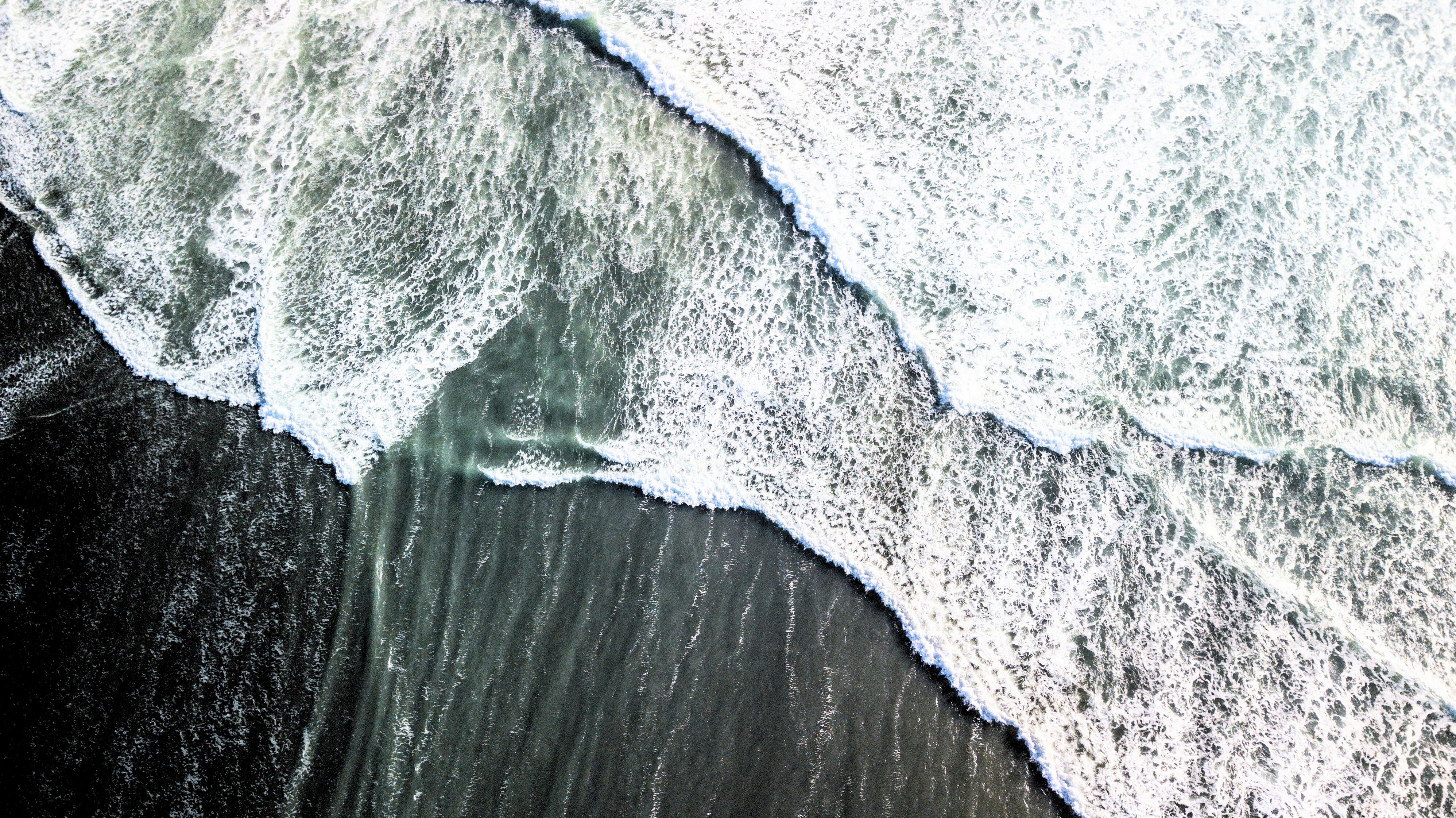
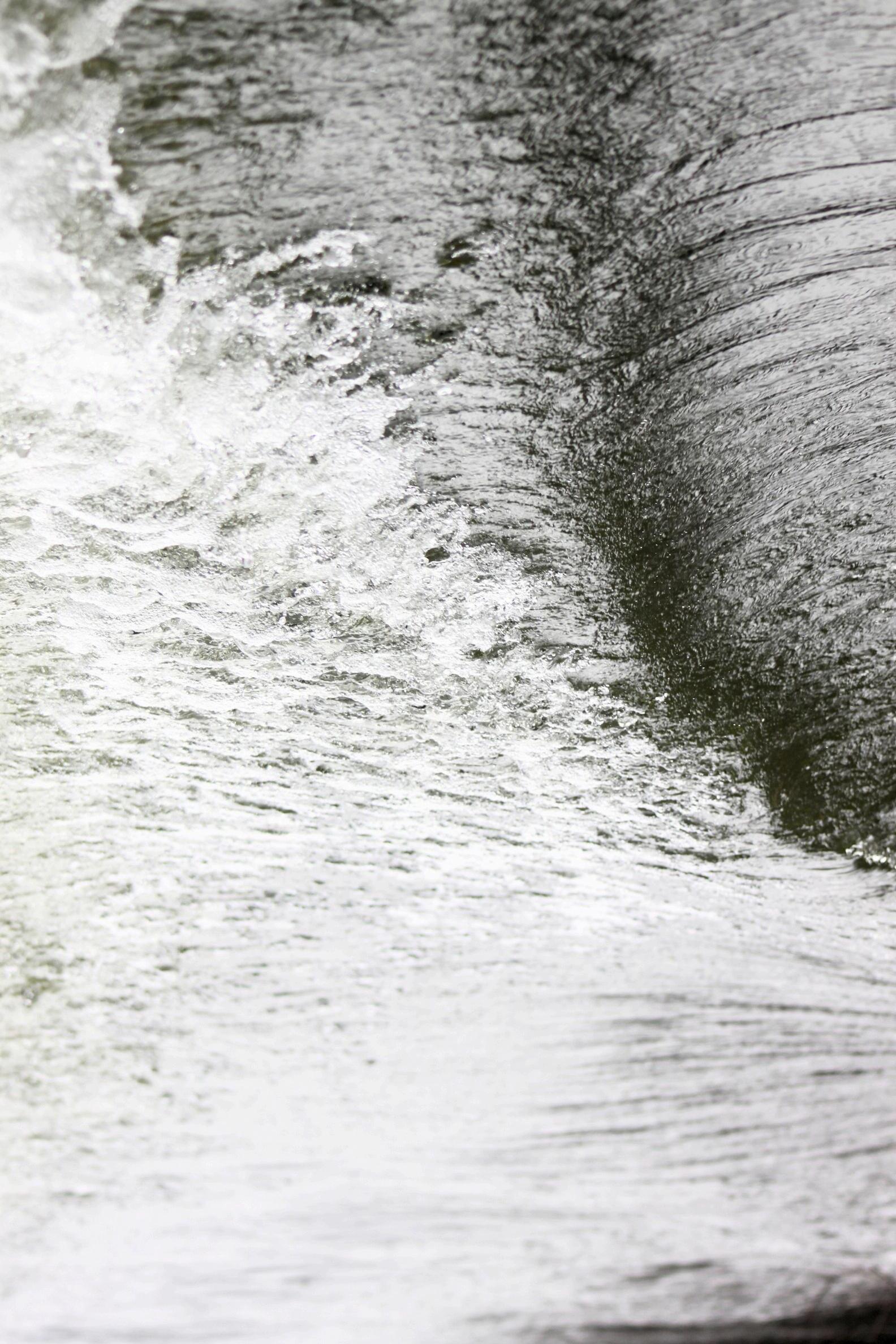
A flood happens when heavy rainfall overwhelms the capacity of natural or designed drainage systems Floods become dangerous if the water is very deep or travelling very fast or if flood waters have risen very quickly, or, if they contain debris like tree branches and sheets of iron
Te Whakakitenga-o-Waikato marae landscape is susceptible to storms of tropical origin As a result of the projected effects of climate change, more heavy rainfall will increase the risk of inland flooding in the west Increased sea levels (due to sea level rise) will also increase the risk of river and flooding in rivers and harbours that are influenced by sea level, such as those that drain to the sea.
Some observational examples can include the following:
Ngaa Momo Kapua (Cloud Types)
The ability of iwi to identify different cloud types were very important as some clouds acted as indicators for more dangerous and potentially threatening storm systems Certain clouds were carefully observed especially if they got bigger, darker and flattened off at the top Maaori communities observed clouds accumulating over water sources, suggesting imminent heavy rainfall For example, Ngaati Naho knew that Maungaroa can indicate when rain will fall, when small clouds seem to gather from the west upon the summit of Maungaroa (Cowan, 1987).
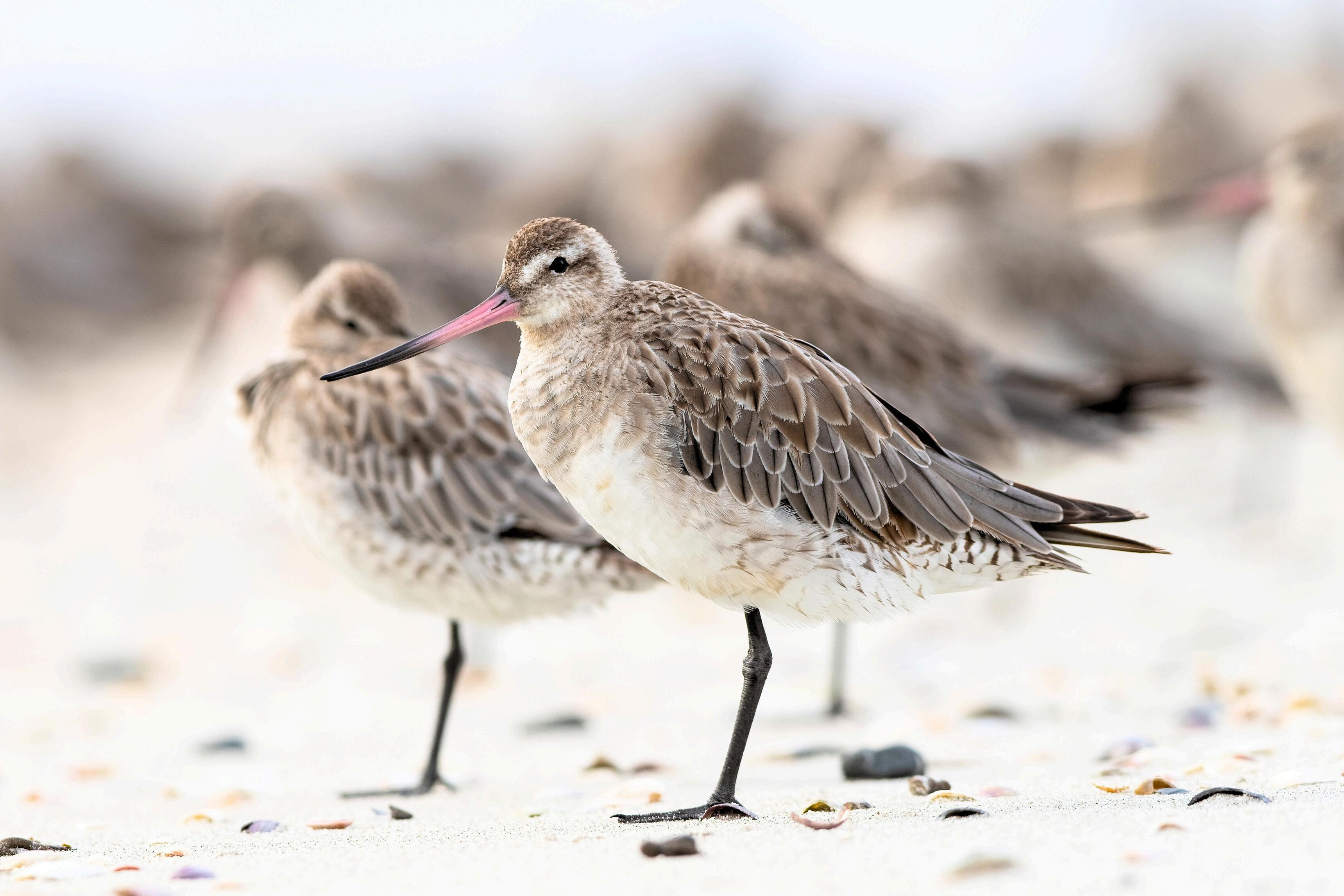
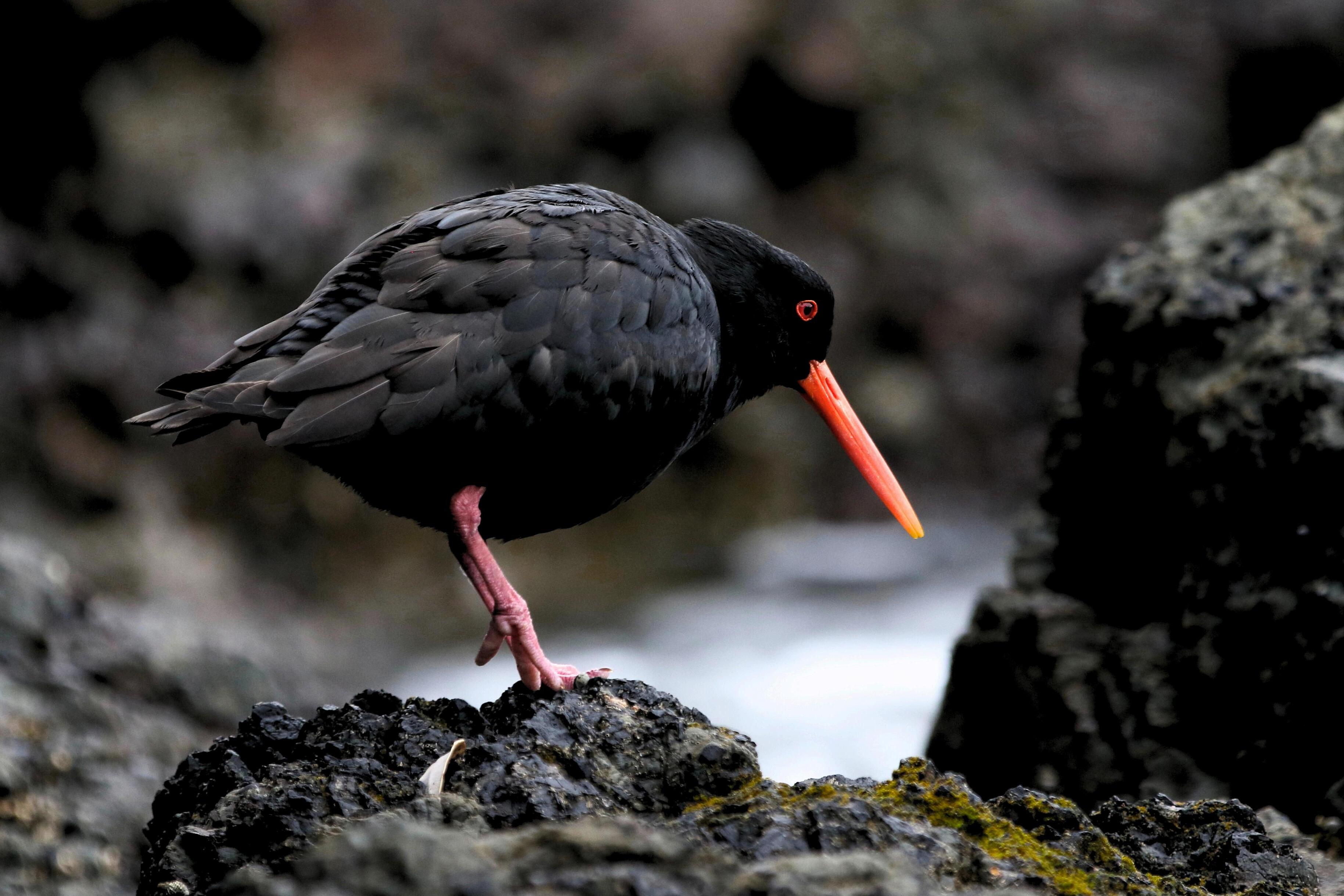
Pacific Island communities, as noted by Nunn (et al, 2024) observed the behaviour from certain species of fish, such as parrotfish moving to deeper waters or clustering, as a potential sign of rising water levels or increased rainfall. Maaori have observed that tuna in rivers become restless and surface more frequently before floods Increased chirping or restless behaviour of birds like tuuii and the increased presence of pekapeka (native bat) have traditionally been seen as a response to changes in atmospheric pressure, often preceding heavy rains and potential floods (Broughton, 2000)
The flowering patterns of certain plants, such as puuriri trees, have been linked to upcoming rains Some iwi use the flowering of tii koouka to make predictions about the weather with early and profuse flowering indicating a long hot summer will follow (sciencelearn org nz) Also when plants produce a larger than normal amount of seeds – it has been linked to changes in temperature. When flowering is abundant, it may indicate a wetter-than-usual season.
After flooding, Maaori have observed the slow restoration of native plants as they adapt to the changes in soil moisture and nutrient levels. Noting which plants recover quickly can provide insights into soil health (Harmsworth, 2002)
After floodwaters recede, tracks of displaced animals may be visible around the marae landscape, coastal and riverbanks These tracks offer insights into animal behaviour and habitat shifts, which can inform conservation efforts
weather
using Maaori environmental knowledge ty ate
ctives of EcosystemsNZ Tracker
Habitat Recovery Examples
Replanting native Vegetation
Maaori have long used revegetation techniques to restore riparian zones and riverbanks following flooding. The replanting of native species helps stabilise soil, control erosion, and restore the habitat for native wildlife (Harmsworth, 2002) Maaori have also focused on planting kahikatea along riverbanks to improve water quality and maintain biodiversity
Enhancing wetland areas
Following flooding, wetland restoration is key to habitat recovery. Maaori have traditionally removed invasive species, then reintroducing native plants that provide habitats for birds and aquatic life Wetlands also act as kidneys that help purify floodwaters and stabilise the surrounding ecosystem
Recovery Examples
Marae in Waikato work alongside regional councils to restore harakeke beds along riverbanks after flood events, helping to control erosion and re-establish habitats for native species (Rakena & Bodmin, 2015)
Links to Further Reading
Indigenous environmental knowledge and perspective on ecosystem management
Te reo o te repo: The voice of the wetland
Restoration of Maurea Island, Waikato River
Links to flood data and maps
Flood maps within the Waikato region can be viewed via Waikato Regional Hazards Portal
Flood maps within the Taamakimakaurau region can be viewed via Taamakimakaurau Hazard Viewer
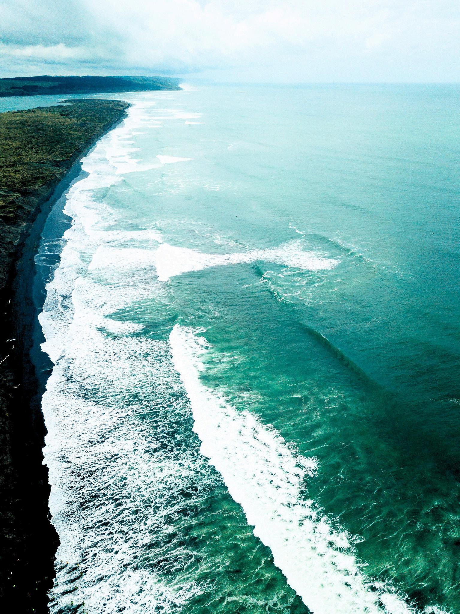
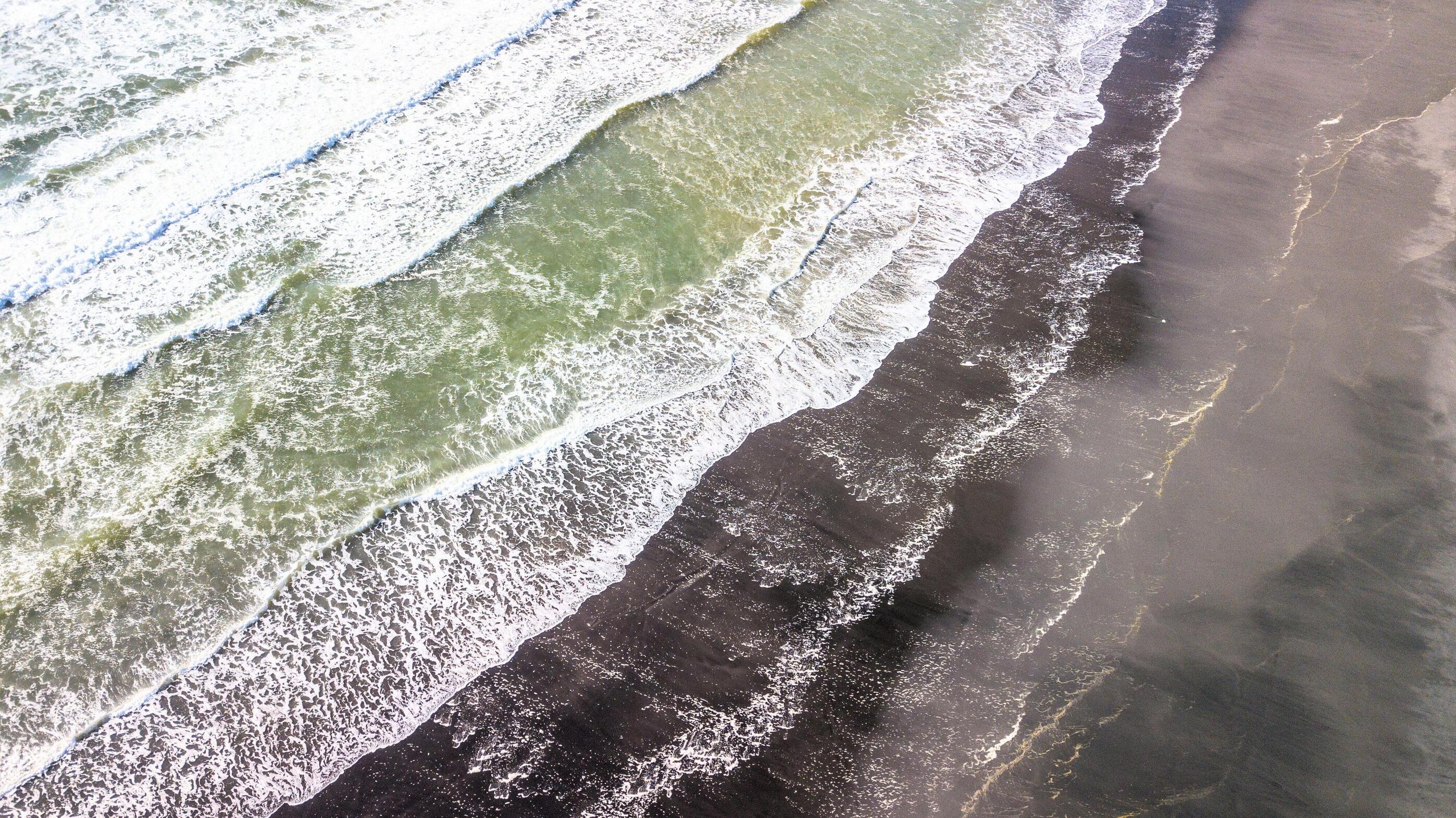
Coastal inundation is more likely when waves, storms, wind and tides combine (storm surge) The areas that experience inundation are expected to increase and flood more frequently because of climate change
Ngaa Tohu o Waipuke ki Tai
Changes in Tide and Swell Behaviour
Coastal Maaori and Pacific Island communities watch for unusually high tides or receding tides that may indicate an upcoming coastal surge (Johnston, 2024) Rising sea foam and choppy waves are also noted as indicators (King D, 2006).
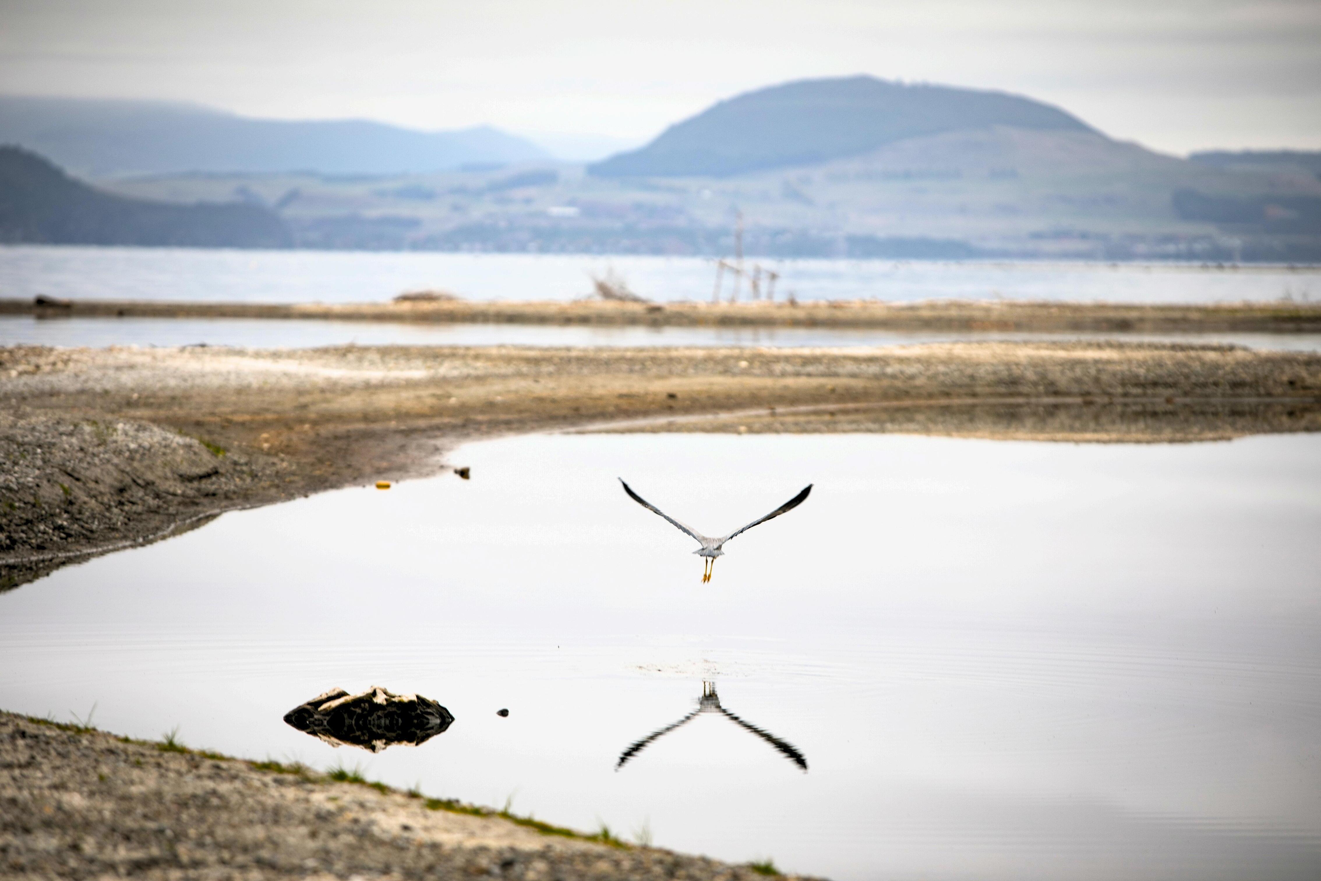
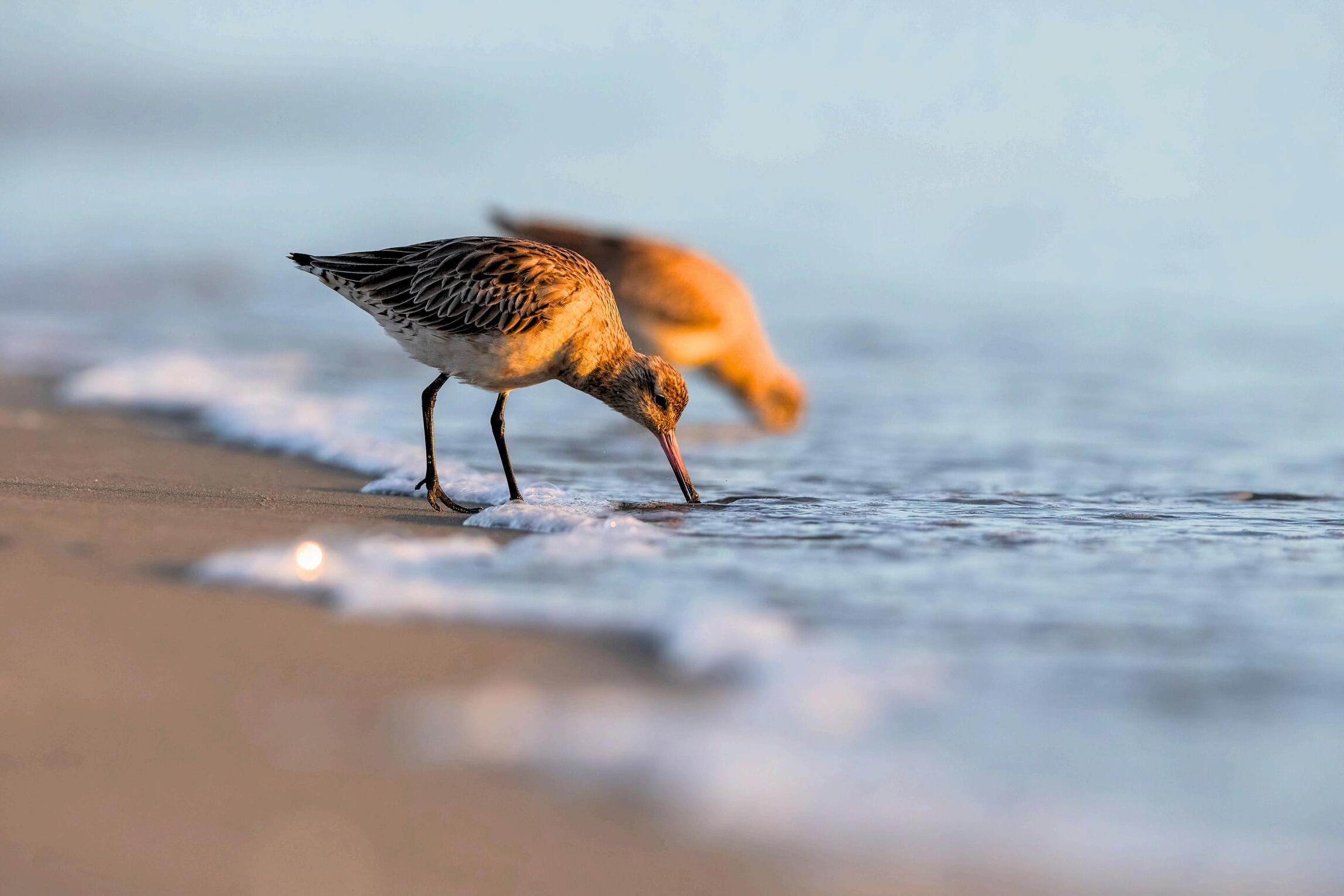
Seabird Flight Patterns
Seabirds flying inland can indicate that the sea is turbulent and that coastal waters are rough (Granderson, 2017)
Ocean Colour
Maaori monitor ocean colour changes, which can signal impending weather shifts that might lead to coastal flooding (King, 2006).
Changes in Tide and Swell behaviour
Rapidly changing water levels and strong wave patterns alert residents to seek shelter (King, 2006).
Animal behaviour
Behaviour of coastal invertebrates (e g , crabs etc) moving inland, which is interpreted as a response to unusual tidal changes and potential inundation (Granderson, 2017)
Links to Further Reading
A Kaupapa Maaori Disaster Risk Reduction Framework
Traditional Knowledge in Building Adaptive Capacity for Climate Change: A Vanuatu Perspective
Understanding local weather and climate using Maaori Environmental Knowledge
Te Hurihanga Taiao o Tainui Waka | Page 6
Habitat Recovery Examples
Replanting Indigenous vegetation
In Aotearoa, Maaori use indigenous vegetation like piingao (golden sand sedge) and spinifex for coastal dune stabilisation, helping prevent sand erosion In low-lying areas, riparian planting with native vegetation is used to absorb floodwaters and maintain soil stability (King, 2006)
Sediment Stability
Sediment traps in estuaries are used to mitigate sand displacement, allowing coastal flora to recover post-inundation (King, 2006)
Restoring mangroves and Coral Reefs
Mangroves and coral reefs act as natural barriers against coastal inundation In Tonga, local communities restore coral reefs to enhance natural breakwaters and plant seagrass to stabilise the sea floor (SPREP, 2011).
Links to Further Reading
Understanding local weather and climate using Maaori Environmental Knowledge
Good coastal management practices in the Pacific Islands
Links to Coastal data and maps
Aotearoa Coastal Change Dataset - Aotearoa’s Coastal Change Dataset CoastSat transects (including NZ) - CoastSat transects (including NZ) (uoa-eresearch github io)
ki Tai
Landslides are becoming more common with climate change Landslides are more likely when the ground is wet, and this is more likely to occur as groundwater levels become higher with sea level rise and increased rainfall Rising sea levels will also increase coastal erosion and cliff collapse, affecting sites of significant areas, archaeological sites, marae, papakaainga, and urupaa.
Ngaa Tohu o Horowhenua ki Tai
Changes in Ocean and Wave Patterns
Maaori observed shifts in wave energy and direction as indicators of coastal instability (Skipper et al, 2020) Studies have shown that long-term wave dynamics contribute to coastal erosion (Hume et al , 1999)
Tidal variations
Variations on tides are observed by coastal indigenous groups, who rely on their knowledge to detect subtle changes For example, Torres Strait Islanders monitor tidal anomalies as part of their environmental understanding (Nunn et al , 2016)
The loss of plants such as poohutukawa trees or mangroves signals increased erosion. Research supports this, showing that vegetation loss weakens natural barriers against erosion (Simpson, 1994) Habitat shifts from kelp forests to kina barrens is increasingly recognised as an issue affecting coastal reefs in Aotearoa (Sustainable Seas, 2024)
Unusual Plant Growth Patterns
Maaori notice when coastal plants shift inland or grow sparsely such as piingao Studies confirm that coastal retreat often forces plant ecosystems to migrate landward (Feagin et al., 2005).
Behaviour of marine and Coastal Animals
The Yolŋu people in Australia, link animal behaviours – like changes in crab or bird activities – to environmental disruptions (Bohensky et al , 2013) This aligns with studies noting species shifts due to habitat changes from erosion (Schlacher et al , 2008) Maaori link pipi bed and flounder behaviours to environmental disruptions caused by coastal erosion (Maxwell, 2016).
For centuries, coastal peoples have associated the disappearance of shellfish or seabirds with degradation of shorelines, a relationship supported by marine biology research (Barbier et al , 2011)
Te Hurihanga Taiao o Tainui Waka | Page 8
Maaori observes changes in sedimentary formations like dunes and sandbars as early signs of erosion. These observations are backed by geomorphological studies, which indicate that sediment redistribution is an erosion precursor (Hesp, 2002)
Changes in Winds and Weather Patterns
Indigenous communities often track wind changes as part of their environmental awareness. For instance, the Sámi people of northern Europe monitor shifting wind patterns as environmental indicators, a practice supported by meteorological studies (Helander-Renvall, 2010)
Sediment Clouding in Water
Indigenous groups in the Pacific Islands associate sediment-laden waters with erosion and reef degradation Research highlights that suspended sediment is a direct consequence of coastal erosion processes (Ogston & Sternberg, 1999).
Frequent or Intense Storms
Coastal Maaori, recognise increased storm activity as a precursor to erosion Research confirms that storm surge and wave action exacerbate erosion (Masselink & Van Heteren, 2014)
Links to Further Reading
Ko Te Kawa Tuupanapana i ngaa Hau Tupua a Taawhirimaatea
Aboriginal Memories of Inundation of the Australian Coast
Poohutukawa and Biodiversity
Coastal dunes & wetlands
The Value of estuarine and coastal ecosystem services
Oral histories about changes in marine fauna observed locally in Hauraki Gulf and Otago-Catlins Coast, NZ (1926-2008)
Post Flood erosion raises concerns at Umupuia urupaa
Habitat Recovery Examples
Restoration of Coastal vegetation
Coastal marae in Waikato, such as Ngaati Whakamarurangi hapuu have long practised coastal wetland and dune restoration (Manaaki Whenua, 2024) For dune restoration, Maaori communities have historically used native grasses, like piingao and spinifex, to stabilise sand dunes after coastal erosion These plants trap sand and rebuild dunes naturally, creating a buffer against future storms (Hesp, 2002); The Fijians, have long practiced mangrove replanting to stabilise coastlines after erosion Mangroves protect shorelines by dissipating wave energy and trapping sediment, allowing the land to recover Scientific studies confirm the effectiveness of mangroves in reducing erosion and fostering habitat recovery (Watling, 2021)
Marine Ecosystem Recovery
Raahui where certain coastal or marine areas are declared off-limits for fishing or harvesting after environmental damage (LegaSea, 2023) This temporary restriction allows fish and marine ecosystems to recover and replenishes biodiversity Research in the Cook Islands shows ra ’ui areas experience a significant return of fish populations within a few years (Brambridge, 2016).
Reef Restoration
Waikato-Tainui tribal beneficiaries created Peara Reef interlocking and stacked system that is designed to act as a regenerative reef system (Deep Dive Division).
Pacific Island communities actively engage in coral reef recovery by planting coral fragments in damaged areas This technique helps rebuild habitats for marine life and stabilises the coastal environment, a process supported by studies on coral rehabilitation (Edwards & Gomez, 2007)
Shellfish Bed Restoration
Coastal indigenous groups, such as the Coast Salish peoples in the Pacific Northwest, restore shellfish beds as natural wave buffers Shellfish beds not only reduce wave energy but also improve water quality and create habitats for marine life Research supports these efforts, demonstrating that shellfish restoration enhances coastal resilience (Barbier et al., 2011).
Stone Walls and Groynes
Hawaiian communities have used traditional fishpond systems (loko i‘a) that include stone walls along coasts These walls, built to enclose and protect marine habitats, also reduce wave energy and help in recovering coastal areas affected by erosion (Nature Conservancy, 2022).
Riparian Planting
Planting riparian vegetation to stabilise riverbanks and reduce sediment flow into coastal areas, aid in the recovery of nearby habitats (NIWA, 2010)
Te Hurihanga Taiao o Tainui Waka | Page 10
Links to Further Reading
Ngaati Whakamarurangi hapuu restoration for Toreparu Wetland
Foredunes and blowouts
Best practice mangrove planting for Fiji
The Raahui: Legal pluralism in Polynesian traditional management of resources and territories
Respecting raahui is good for conservation
Deep Dive Division: Regenerative Infrastructure
From Kina Barrens to Kelp Forests - assessing potential recovery solutions
From the Mountains to the Sea
Poohutukawa and Biodiversity
Severe winds are a common occurrence in Auckland and the west coast within the Waikato region and are typically associated with storm events that can occur at any time of the year The greatest danger during severe wind events is from flying debris and falling trees The most severe localised wind damage is caused by tornadoes, which, while infrequent, have recently occurred across the Taamakimakaurau region and Waikato.
Sky Patterns
Maaori observe reddish sunsets, or “kura,” which often precede strong winds (Nunn, 2024)
Tree Movements
The bending of certain trees in unusual ways can be an indicator of upcoming severe wind (Guye et al., 2022).
Insect behaviour
Noticing insects clustering in sheltered areas or ants migrating to higher ground; bees migrating to lower ground is often interpreted as a sign of incoming winds or storm (Johnston, 2015).
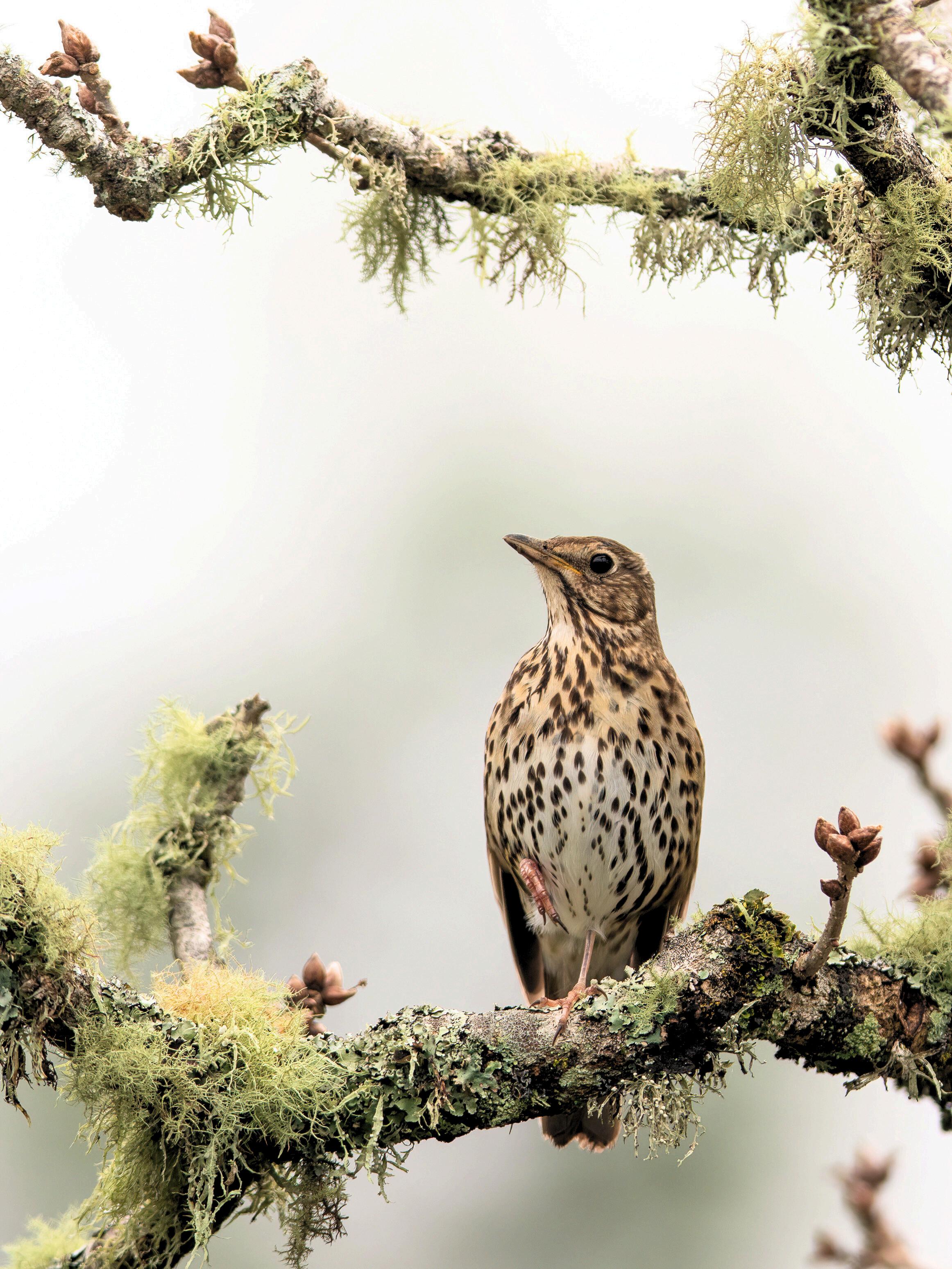
Bird Movements
Sightings of coastal birds that have moved inland for shelter (Nunn, 2024).
Debri Movement
Objects being blown away or moved significantly by wind forces During high winds, Pacific Island communities observe tree stability to determine if land clearing or other protective actions may be necessary (Nunn, 2024).
Links to Further Reading
Indigenous Weather forecasting among Gugii pastoralists in southern Ethiopia: Towards monitoring drought
Traditional warning signs of cyclones on remote islands in Fiji and Tonga.
Traditional knowledge for climate resilience in the Pacific Islands
Te Hurihanga Taiao o Tainui Waka | Page 12
Habitat Recovery Examples
Seed collection and replanting
A new life for taonga and fallen tupuna trees by collecting seed collection and recording of whakapapa (Auckland Council, 2023)
Shelterbelts and native restoration
Maaori plant wind-resistant native vegetation such as harakeke and maanuka to stabilise soil and provide natural windbreaks (Auckland Council, 2023)
Riparian Planting
Indigenous shrubs and grasses are replanted along waterways to reduce sediment runoff caused by land clearing during cyclones (Nunn et al., 2024).
Mangrove Restoration
Communities in Fiji and Tonga prioritise restoring mangrove forests to stabilise coastal zones and protect against future cyclones Mangroves act as natural barriers, reducing wind and wave impacts (Johnston, 2024; Nunn et al., 2024).
Links to Further Reading
Te Haumanu taiao: Restoring the natural environment in Taamakimakaurau
Traditional knowledge for climate resilience in the Pacific Islands
Links to Wind data and maps
A visualisation of global wind conditions forecast by supercomputers updated every three hours Map powered by https://earth nullschool net/
Forecast wind that will show the brightness and direction of the wind contours that represents surface wind speed and direction. Map powered by https://majicweather com/nz/index html
Predict wind displays animated and interactive maps. These are higher resolution. Map courtesy from https://www.weatherwatch.co.nz/mapsradars/wind/wind-forecast
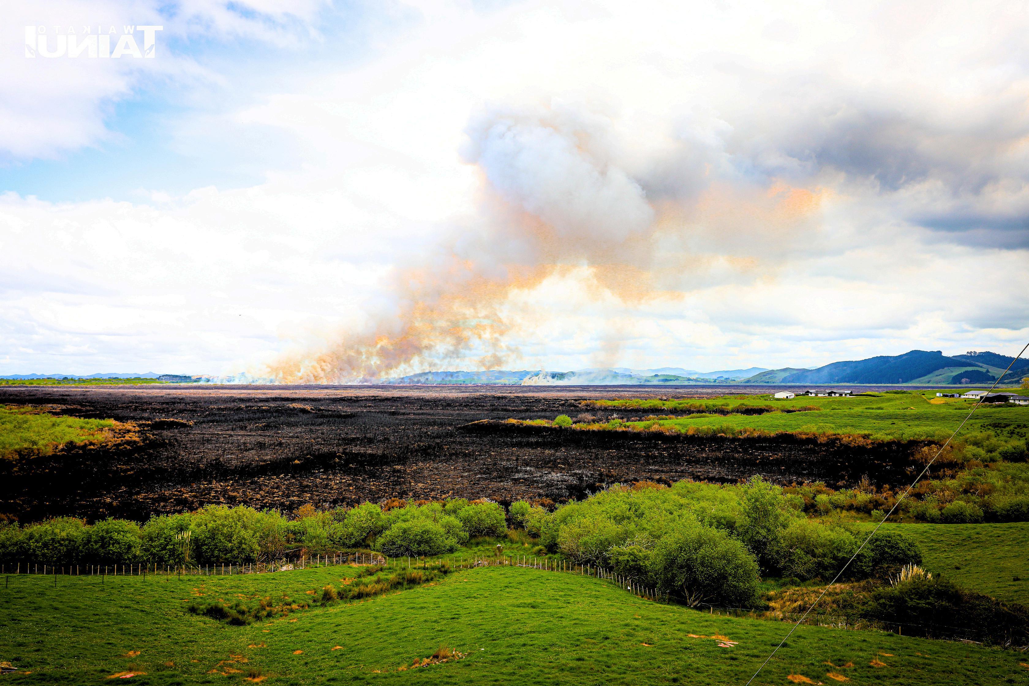
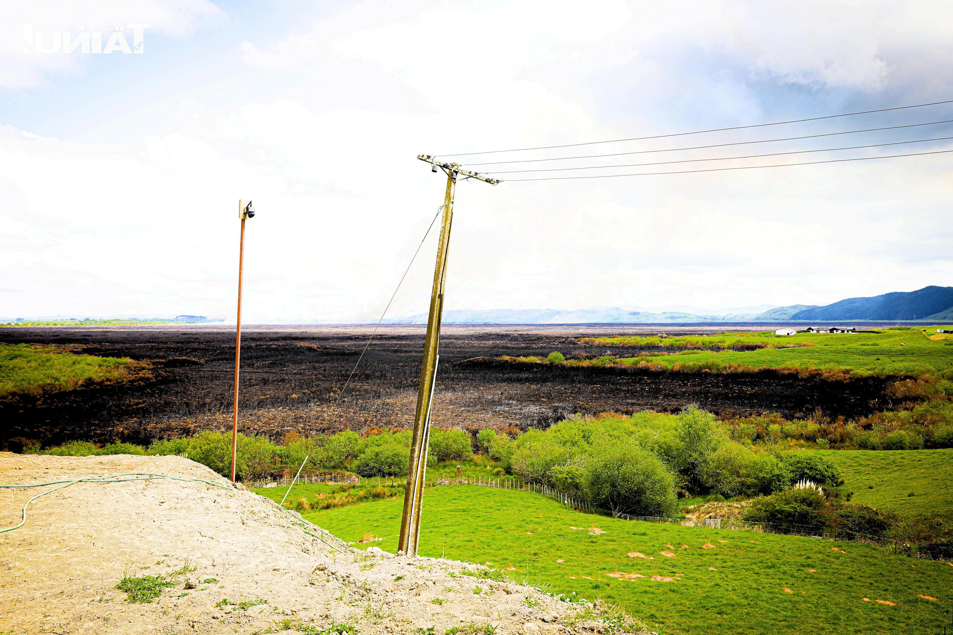
In Aotearoa, the peak fore season typically begins in January and lasts around 15 we k h Taamakimakaurau and Waikato region wildfire hazard levels are high This means th greater than a 50% chance of encountering weather that could support a significant w likely to result in both life and property loss in any given year Waikato recorded the hi of rural fires with the most recent occurrence occurring at Whangamarino wetlands i 2024.
Projections of future climate identify a likely increase in the frequency of fire weather both regions. This would be due to a combination of less rainfall, higher temperatures winds in both areas, driving a higher number of “ severe ” fire weather days In areas af wildfire hazard, the fire season is likely to increase in duration and include a greater n with weather that could support fire spread because of longer periods without rain du season Fires of the future could behave more aggressively – and prove tougher to pu past few years in Aotearoa has been seeing an increasing number of wildfires threate farmland properties, but also lifestyle blocks and homes on city fringes. The past few seen a dramatic increase in the number of houses being lost and people evacuated in 2017 the summer blazes above Whitianga where more than 30 houses were lost or d
This means that some of our marae will be more vulnerable in the future due to its lo may also mean that as more exotic forestry such as pine and eucalyptus forest varie planted through programmes like the government billion trees initiative or the further pest wilding pines, spraying and diseases like myrtle rust, could leave vast tracts of d and shrub lands ready to burn Even many of our scrub vegetation types, like gorse an (caused by continued growth of maanuka honey industry) are some of our most flam types.
With rural and urban areas increasingly overlapping, there is an obvious need for mor planning. As most rural marae requires access to available water sources to aid in wa marae before help can arrive Some marae currently can only rely on what is available tanks if a wildfire do break out
Ngaa Tohu o Ahi
The Yorta Yorta nation in Australia has documented how animals, like kangaroos will change behaviour in response to approaching fire (Brough et al , 2003) Other Indigenous groups, like the Warlpiri people in central Australia, observe the movements and sounds of animals to predict weather and fire conditions (Baker, 2013)
The Cree Nation in Canada, have observed weather patterns and used them to anticipate wildfires Cree knowledge includes understanding the "fire weather" dry winds and high temperatures which are strong indicators of fire risk Their long-standing oral histories also describe how specific wind directions can be tied to weather patterns that precede fire events (Barberstock, 2024).
The Kuna people of Panama have long recognised that prolonged dry seasons lead to increased wildfire risk. Their agricultural practices and seasonal calendars are built on such observations, often guiding when to burn specific areas to avoid destructive wildfires (Houghton, 2000)
The Yurok Nation in Northern California have long understood that the appearance of smoke in the air often from fires burning in distant parts of the forest signals potential danger These signals are also tied to the movement of seasonal winds, which can help predict the spread of smoke and fire (Anderson (2006)
The Karuk Tribe in Northern California has noted that certain plants, like the blackberry bush, show early or abnormal growth during drought conditions. These changes are linked to heightened fire risk, as such vegetation can easily ignite during dry periods (Lake, 2013)
Many Indigenous communities in Australia and North America have developed detailed knowledge about which species are fire-adapted, such as eucalyptus in Australia, which can regenerate quickly after fire These species are considered "fire-signs," indicating the land’s ability to recover or signalling the approach of a fire depending on their proximity to populated areas (Bowman et al , 2004)
Observation of the whenua“signs”
Many Indigenous cultures, like those of the Haida Nation in the Pacific Northwest, believe that the land itself sends messages through subtle changes in the environment These include shifts in the landscape’s "feel" or the sound of the forest, indicating an impending fire or other natural event (Turner, 2005)
Links to Further Reading
Law for Country: The Structure of Warlpiri Ecological Knowledge and its Application to Natural Resource Management and Ecosystem Stewardship
Forest Stewardship: First Nations' traditional Practices in Mitigating Wildfires and Carbon SInks.
Understanding local weather and climate using Maaori environmental knowledge
Habitat Recovery Examples
Indigenous peoples have long practiced and understood the ecological principles of habitat recovery following wildfires, relying on their deep knowledge of the land. These practices often promote the renewal of ecosystems in ways that help restore balance and health after fire events Here are some examples of habitat recovery from an Indigenous perspective following wildfires:
The Plains Nations (e g , Blackfeet, Assiniboine) in North America, have practiced controlled burning (or "cultural burning") to promote habitat regeneration after wildfires These controlled burns encourage the growth of certain plant species that thrive after fire, such as grasslands or fire-adapted plants like manzanita in California or bush tomatoes in Australia (Long et al, 2021).
The Koorie people in Australia use traditional fire-stick farming techniques, which involve using low-intensity fires to promote the regeneration of fire-resistant species. For example, eucalyptus trees, which are adapted to fire, regenerate after fire and can be used to restore woodlands and provide a habitat for native animals (Bowman et al, 2004)
The Zuni people of the American Southwest have a long tradition of managing water resources and landscapes in ways that aid recovery after wildfires. They recognise that wildfires can damage riparian areas (the interface between land and water), which are critical for biodiversity After fire events, the Zuni have practiced specific restoration techniques, such as planting native species along riverbanks, and the careful management of water flow to prevent erosion and further degradation (Nabhan, 1998).
Te Hurihanga Taiao o Tainui Waka | Page 16
Soil Restoration and Erosion Control
Maaori have traditional methods to restore soil health following a fire, often focusing on erosion control After wildfires, Maaori have been known to use indigenous plant species to stabilise the soil and prevent erosion These plants are quick to establish and have roots that help bind the soil, reducing the impact of water runoff (NIWA, 2010; Auckland Council, 2023).
The Warlpiri people of central Australia recognise that fires can open-up areas for certain animals like kangaroos or emus to thrive Post-fire, they use traditional ecological knowledge to direct the recovery of habitats for these animals, planting shrubs and creating new shelters or food sources (Baker, 2013).
Further Reading
ortance of Indigenous cultural burning in forested regions of the Pacific West, USA.
on recovery following fire in the Whangamarino Wetland
manu taiao: Restoring the natural environment in Taamakimakaurau
Anderson, M. K. (2006). Tending the Wild: Native American Knowledge and the Management of California’s Natural Resources. University of California Press.
Baker, R. (2013). "Fire and Ecology: Warlpiri Knowledge of Fire and Land Management." Indigenous Fire Management in Australia, 97-114.
Barbier, E. B., Hacker, S. D., Kennedy, C., et al. (2011). The value of estuarine and coastal ecosystem services. Ecological Monographs, 81(2), 169-193. https://doi.org/10.1890/10-1510.1
Berkes, F. (2008). Sacred Ecology: Traditional Ecological Knowledge and Resource Management. Routledge.
Bohensky, E. L., Butler, J. R. A., & Davies, J. (2013). Integrating indigenous ecological knowledge and science in natural resource management: Perspectives from Australia. Ecology and Society, 18(3), 20. https://doi.org/10.5751/ES-05846-180320
Bowman, D. M. J. S., et al. (2004). "Fire in the Australian Landscape." Global Environmental Change, 14(3), 307-318. https://www.sciencedirect.com/science/article/abs/pii/S0959378004000290
Brough, S. et al. (2003). "Indigenous Fire Management Practices and Fire Regimes." Australian Journal of Environmental Management.
Broughton, D. (2000). Māori perspectives on the natural environment. Te Whare Wānanga o Awanuiārangi.
Ellison, J. C. (1998). Impacts of sediment burial on mangroves. Marine Pollution Bulletin, 37(8-12), 420-426. https://doi.org/10.1016/S0025-326X(98)00138-2
Feagin, R. A., Sherman, D. J., & Grant, W. E. (2005). Coastal erosion and the importance of vegetation. Frontiers in Ecology and the Environment, 3(7), 369-374. https://doi.org/10.1890/15409295(2005)003[0369:CEATIO]2.0.CO;2
Granderson, A. A. (2017). The role of traditional knowledge in building adaptive capacity for climate change: Perspectives from Vanuatu. Weather, Climate, and Society, 9(3), 545-561. https://doi.org/10.1175/WCAS-D-16-0094.1
Guye, M., Legesse, A., & Mohammed, Y. (2022). Indigenous weather forecasting among Gujii pastoralists in southern Ethiopia: Towards monitoring drought. Pastoralism, 12, 43. https://doi.org/10.1186/s13570-022-00258-0
Harmsworth, G. (2002). Indigenous environmental knowledge and perspectives on ecosystem management. Landcare Research New Zealand.
Helander-Renvall, E. (2010). Animism, personhood, and the nature of reality: Sámi perspectives. Polar Record, 46(236), 44-56. https://doi.org/10.1017/S0032247409008603
Hesp, P. A. (2002). Foredunes and blowouts: Initiation, geomorphology, and dynamics. Geomorphology, 48(1-3), 245-268. https://doi.org/10.1016/S0169-555X(02)00184-8
Hiilei, J., & Ao, K. (2018). Hawaiian coastal heritage in peril: Traditions as tools for erosion awareness. Island Studies Journal, 13(2), 45-57. https://doi.org/10.24043/isj.58
Houghton, R. A., & Goodall, P. (2000). "Traditional Ecological Knowledge and Fire Management." Indigenous Knowledge and Development Monitor, 8(1).
Hume, T. M., Bell, R. G., & Hicks, D. M. (1999). Coastal sediment dynamics and hazards. Coastal Management, 27(4), 245-256. https://doi.org/10.1080/089207599263883
Te Hurihanga Taiao o Tainui Waka | Page 18
Hume, T. M., Bell, R. G., & Hicks, D. M. (1999). Coastal sediment dynamics and hazards. Coastal Management, 27(4), 245-256. https://doi.org/10.1080/089207599263883
Johnston, I. (2024). Traditional warning signs of cyclones on remote islands in Fiji and Tonga. Weather, Climate, and Society, 9(3), 545-561. https://journals.ametsoc.org/view/journals/wcas/9/3/wcas-d-160094_1.xml
King DNT, Skipper A, Ngamane H, Tawhai BW (2006). Understanding local weather and climate using Maori Environmental Knowledge. (Available online via https://niwa.co.nz/water-atmosphere/vol14-no2june-2006/understanding-local-weather-and-climate-using-maori-environmental-knowledge ).
Lake, F. K. (2013). "Traditional Ecological Knowledge and Fire Management in California." Journal of Forestry, 111(1), 19-24.
Masselink, G., & Van Heteren, S. (2014). Storms, storm surges, and coastal erosion. Journal of Coastal Research, 31(4), 895-912. https://doi.org/10.2112/JCOASTRES-D-13-00137.1
Memon, P. A. (1999). "Indigenous Knowledge and Environmental Management: Maori Perspectives." Environmental Management, 23(4), 481-496. https://www.springer.com/journal/220
Nabhan, G. P., & Edmonds, K. (1998). "The Zuni and Water Management: Traditional Practices for Sustainability." Hawk Mountain Sanctuary Journal. https://www.hawkmountain.org/
National Institute of Water and Atmospheric Research (NIWA). (2006). Traditional Māori and Pacific Island knowledge of natural hazards. Retrieved from https://niwa.co.nz/sites/default/files/niwa_report_akl2006-055.pdf
NIWA. (2010). Waikato River Independent Scoping Study. NIWA Client Report: HAM2010-032. Retrieved from https://niwa.co.nz/freshwater/waikato-river-independent-scoping-study-wriss
Nkuba, M. R., Chanda, R., Mmopelwa, G., Mangheni, M. N., Lesolle, D., & Kato, E. (2020). Indigenous knowledge systems and indicators of rain: Evidence from Rwenzori Region, Western Uganda. Weather, Climate, and Society, 12, 213–234. https://doi.org/10.1175/WCAS-D-19-0027.1
Nunn, P. D., & Kumar, R. (2024). Observations of bird migration and environmental cues for climate adaptation in the Pacific. Weather, Climate, and Society, 12(2), 180-195. https://journals.ametsoc.org/view/journals/wcas/12/2/wcas-d-19-0027.1.xml
Nunn, P. D., & McNamara, K. E. (2024). Traditional knowledge for climate resilience in the Pacific Islands. Retrieved from https://sprep.org/attachments/Publications/GoodCoastMgtPacific.pdf
Nunn, P. D., & Reid, N. J. (2016). Aboriginal memories of inundation of the Australian coast: A review of their potential value to climate science. Australian Geographer, 47(1), 11-47. https://doi.org/10.1080/00049182.2015.1093103
Ogston, A. S., & Sternberg, R. W. (1999). Sediment-transport events on the northern California continental shelf. Marine Geology, 154(1-4), 69-82. https://doi.org/10.1016/S0025-3227(98)00112-7
Rakena T, Bodmin K (2015). Restoration of Maurea Island, Waikato River: Year 2 and final report WRA12-054 and WCEET 2013-19. Prepared for Waikato River Authority, June 2015. Also available online via: https://waikatoriver.org.nz/wp-content/uploads/2011/07/Final-Maurea-report-FINAL.pdf
Roberts, M., Norman, W., Minhinnick, N., Wihongi, D., & Kirkwood, C. (2006). Kaitiakitanga: Māori perspectives on conservation. Pacific Conservation Biology, 12(2), 113-120. https://doi.org/10.1071/PC060113
Riki Tuakiritetangata, D., & Ibarra-Lemay, A. (2021). Tūhonotanga—A Māori perspective of healing and well-being through ongoing and regained connection to self, culture, kin, land, and sky. Genealogy, 5(2), 55. https://doi.org/10.3390/genealogy5020055
Te Hurihanga Taiao o Tainui Waka | Page 19
Secretariat of the Pacific Regional Environment Programme (SPREP). (2024). Good coastal management practices in the Pacific Islands. Retrieved from https://www.sprep.org/attachments/Publications/GoodCoastMgtPacific.pdf
Smith, T., & Jones, R. (2024). A new life for fallen Tūpuna trees: Seed collection and whakapapa restoration in Māori communities. Journal of Indigenous Knowledge and Practices, 5(2), 100-115. Retrieved from https://www.mdpi.com/2313-5778/5/2/55
Turner, N. J. (2005). Plants of the Pacific Northwest Coast: Washington, Oregon, British Columbia, and Alaska. Timber Press.

QR Code to links for further readings.