Our Waawiindamaagewin
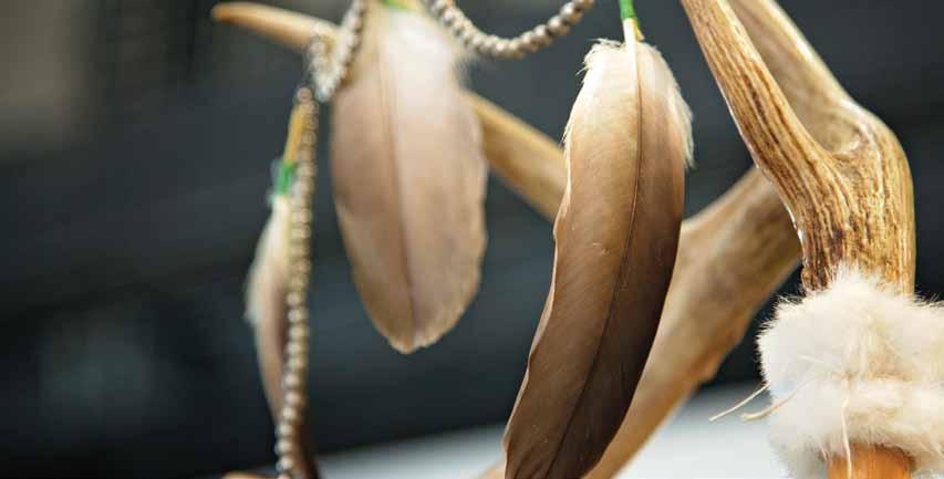
Treaty Use and Occupancy: Gearing up for Community Interviews By Cheryl Recollet
The Robinson Huron Waawiindamaagewin is undertaking a Treaty-wide research project to understand how our people are using and caring for our lands. This mapping project will provide valuable information for our Nations. The resulting data sets can be used in several different applications to protect our Anishinabek rights and interests, assert our jurisdictions, and provide baselining to monitor changes. We are happy to provide an update on our project. Phase One of the project includes nine of our communities in our territory’s eastern and southern area, including Nipissing, Dokis, Wasauksing, Shawanaga, Magnetawan, Henvey, Pointe Grondine, Wahnapitae and Atikameksheng. The first step in our research project has been the research design phase. Summer 2021: Research Design Phase Our Research design phase included having one day indepth workshops with land users in each of our phase one communities; 9 workshops were held. The research design process is necessary to determine the questions that we will be putting in our survey. Our survey will be used for the interviews with our land users. During each workshop, we reviewed the parameters of the project, such as who to interview, species identified, locations, timeframes and why. Once we completed all the research design workshops, Terry Tobias, of Tobias and Associates, our Use and Occupancy Mapping expert will then develop our data collection manual and survey. During the research design phase, we are also busy preparing our base maps. The base maps will be used during the one-on-one interviews to identify locations of use and occupancy. Fall 2021: Methodology Pre-Test Phase Once our data collection manual and survey have been completed, we will be testing the survey by interviewing two people from each community. Going through actual 34
| E-Wiindamaagejig: The Robinson Huron Treaty Times
interviews with the survey and base maps we created will help us see any unclear questions or areas where our survey needs improvement. This methodology pre-test will have 18 strong land users go through the survey’s interview process. Terry will then go back and make improvements to the survey and base maps. We will then be ready for our data collection phase. Winter 2021/2022: Data Collection Blitz Our data collection blitz will be scheduled for the winter of 2022 and will have Terry and his team going out to each of our communities to survey our land users. The interview process can take roughly 1-3 hours and will be one-onone. All COVID-19 precautions will be carried out. We are looking to identify the names of people who should be interviewed. If you are interested or know a harvester who might be, please get in touch with us.
If you are interested in participating in our project, please reach out to your lands and resources departments or contact: Stefanie Recollet, Use and Occupancy Analyst, Stefanie@waawiindamaagewin.com, or Cheryl Recollet, Director of Research and Communications, Cheryl@waawiindamaagewin.com