Sponsored by UIC Center for Climate and Health Equity (CECHE)
Aesha Vinit Acharya
Ashley McKnight
Aubrey Hills
Clare Colvin
Disha Abhay Chande
George Perkins Anene
John Lamberton Mack
Kshitij Sriperambuduru
Zi Tang
Sevin Yildiz
Phil Enquist
April Jackson
Symphony Malveaux
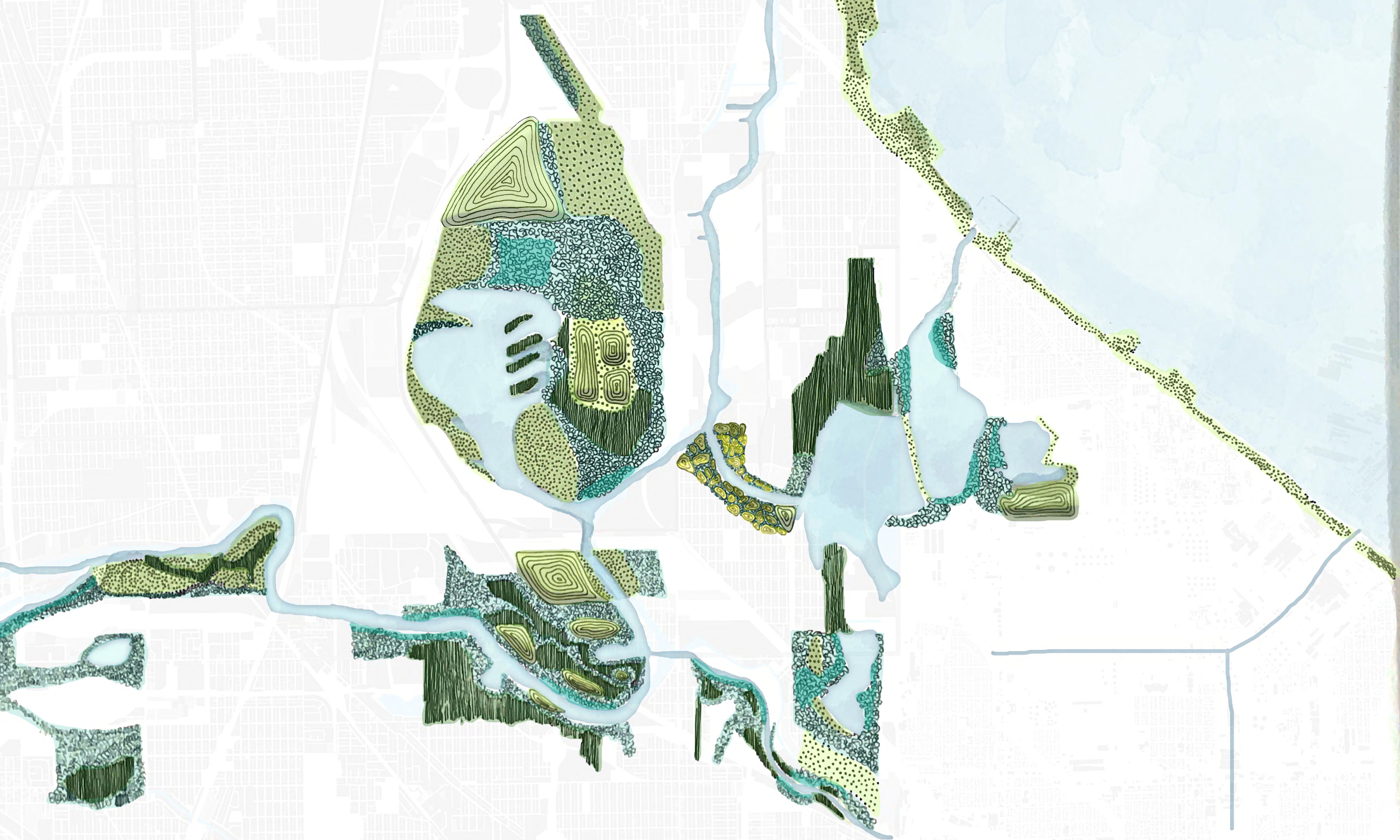
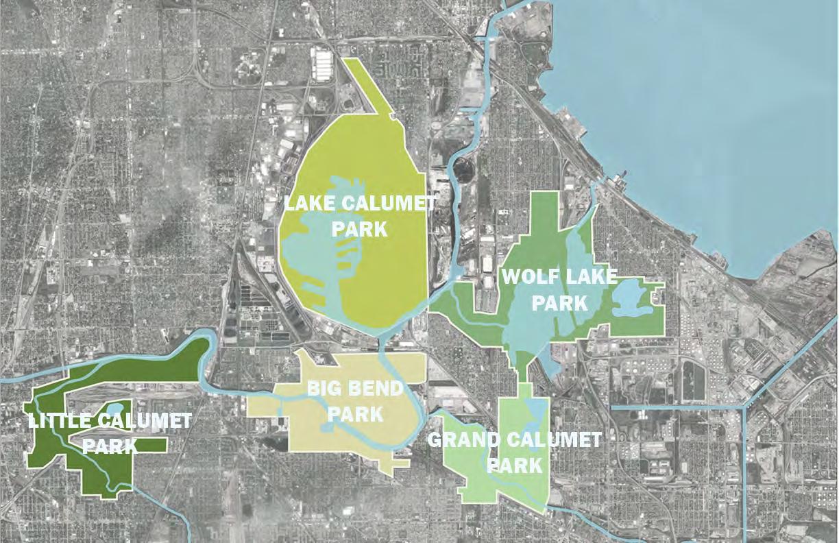
CALUMET THROUGH THE AGES
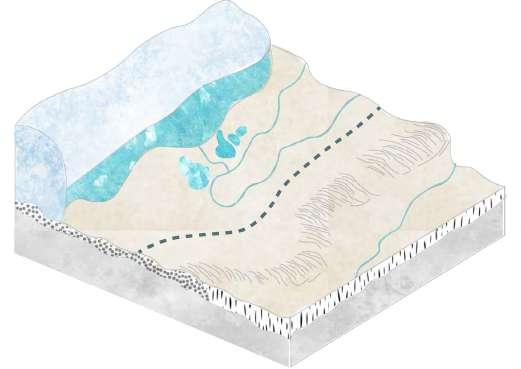
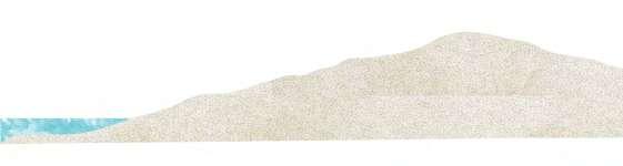
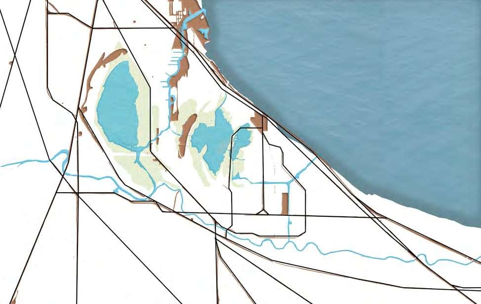
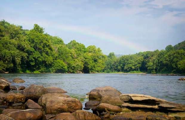
During the last Ice Age, glaciers shaped the Chicago region, creating a diverse mosaic of wetlands, prairies, beach ridges, and dune-swale habitats that supported abundant biodiversity and complex ecosystems. The Valparaiso Moraine, a ridge of glacial debris, formed the continental divide that split watersheds flowing to Lake Michigan and the Mississippi River. This divide later drove canal construction to connect waterways and support trade and industry.
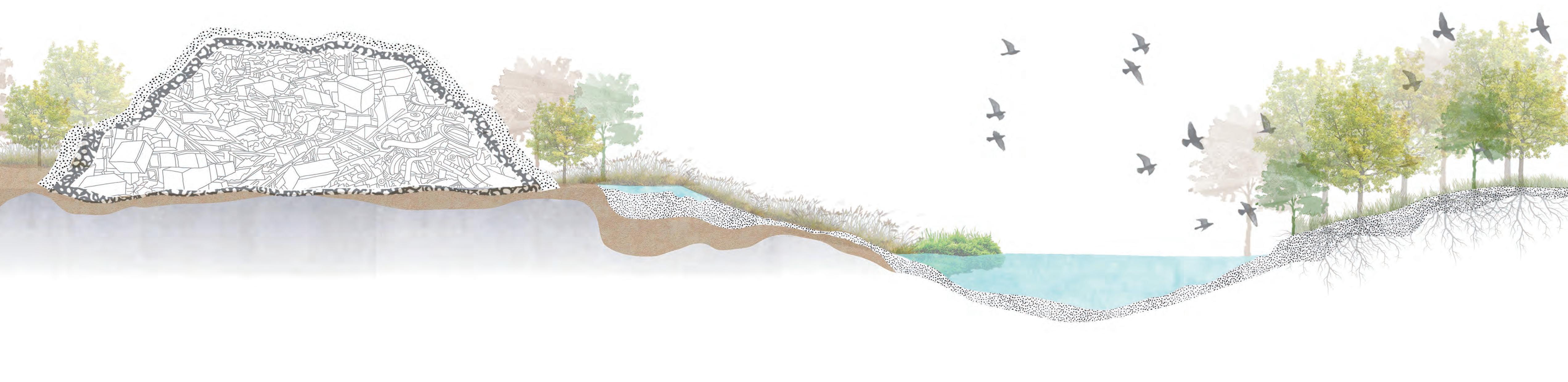
ALTERATIONS TO THE LANDSCAPE
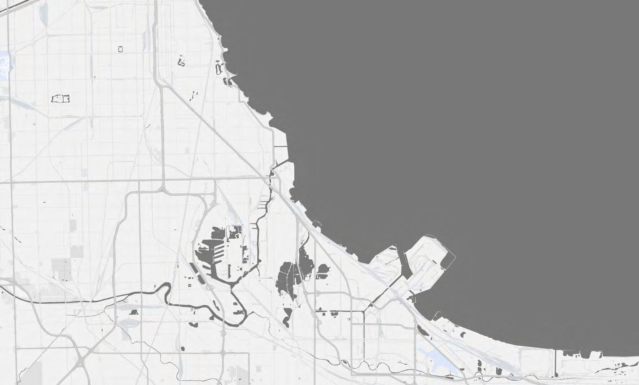
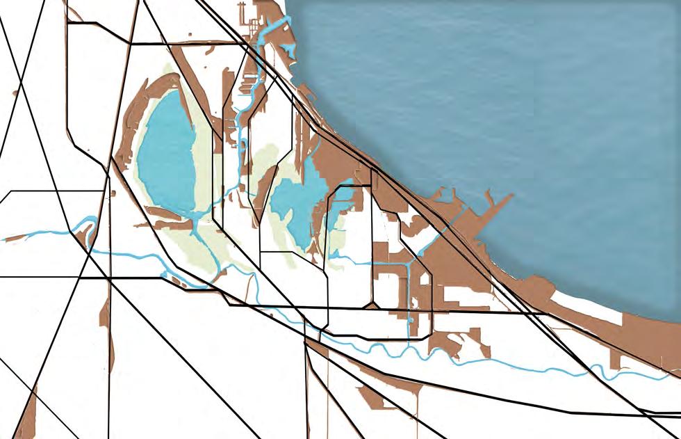
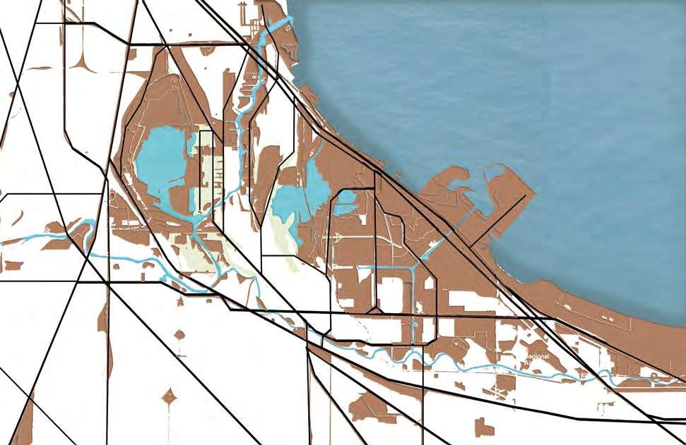
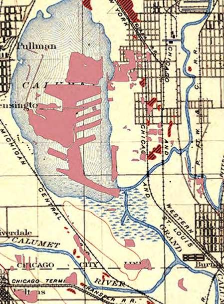
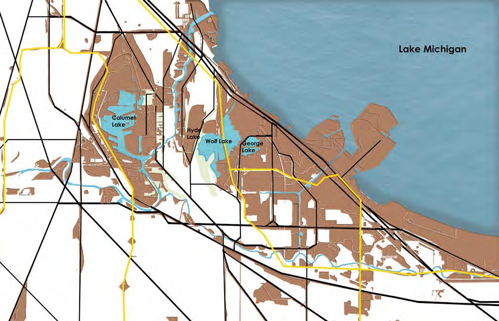
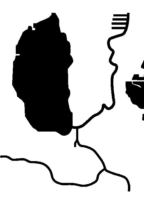
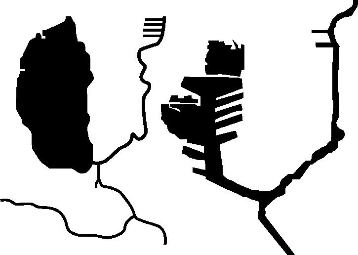
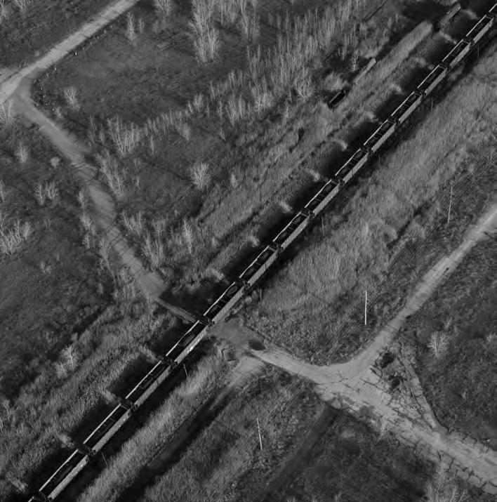
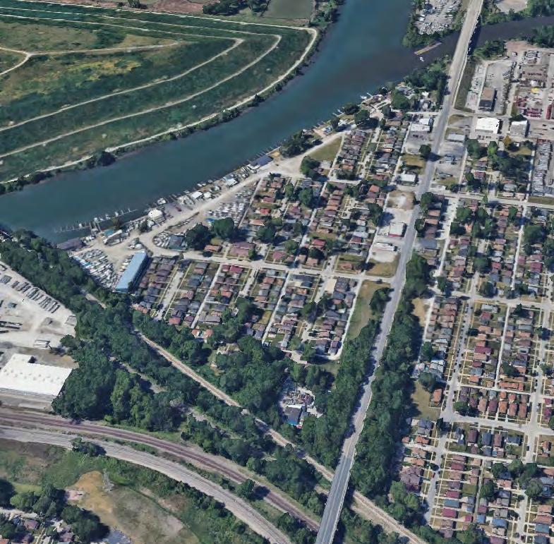
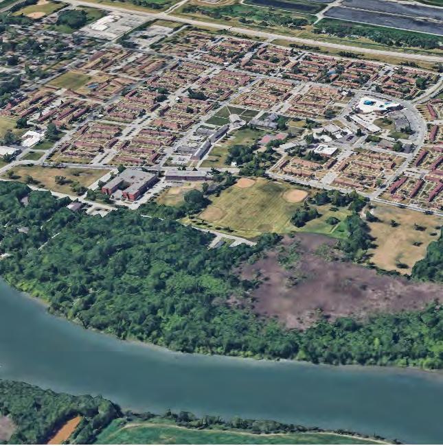
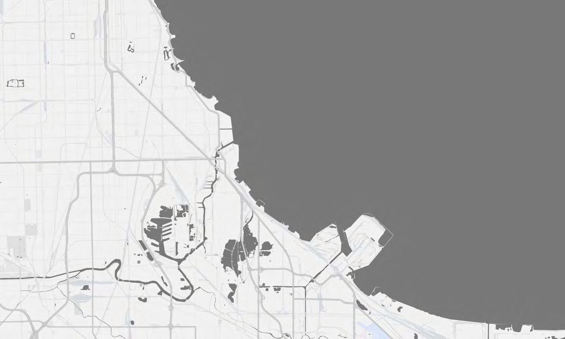
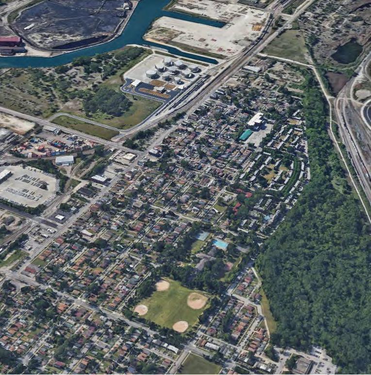
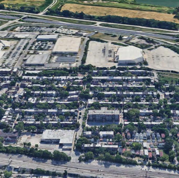
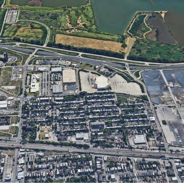
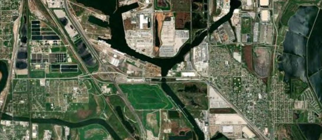
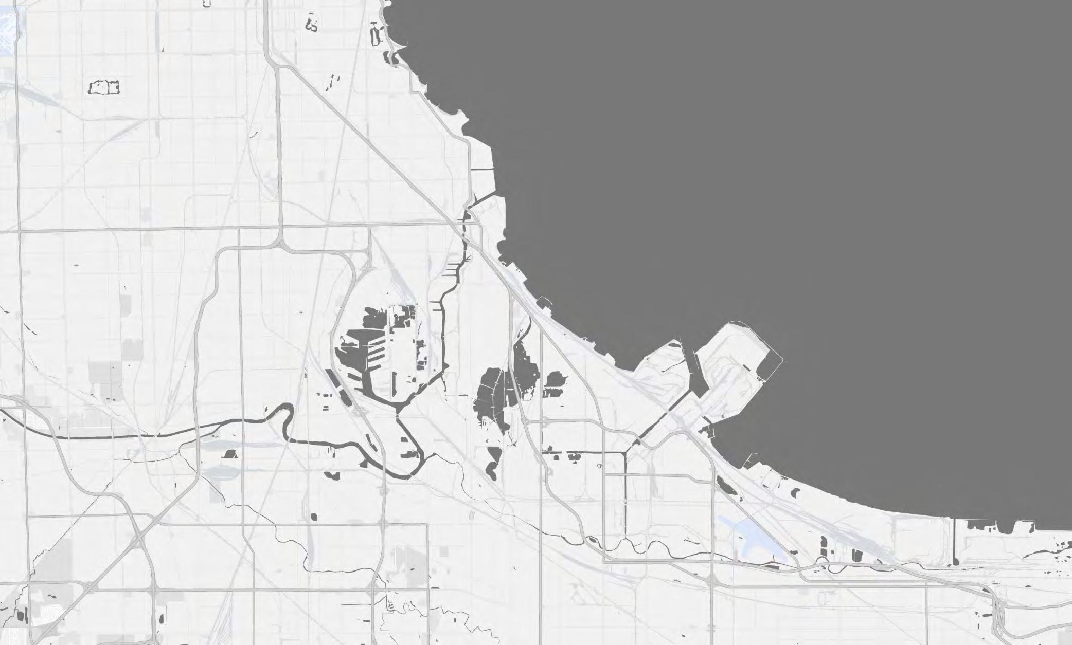
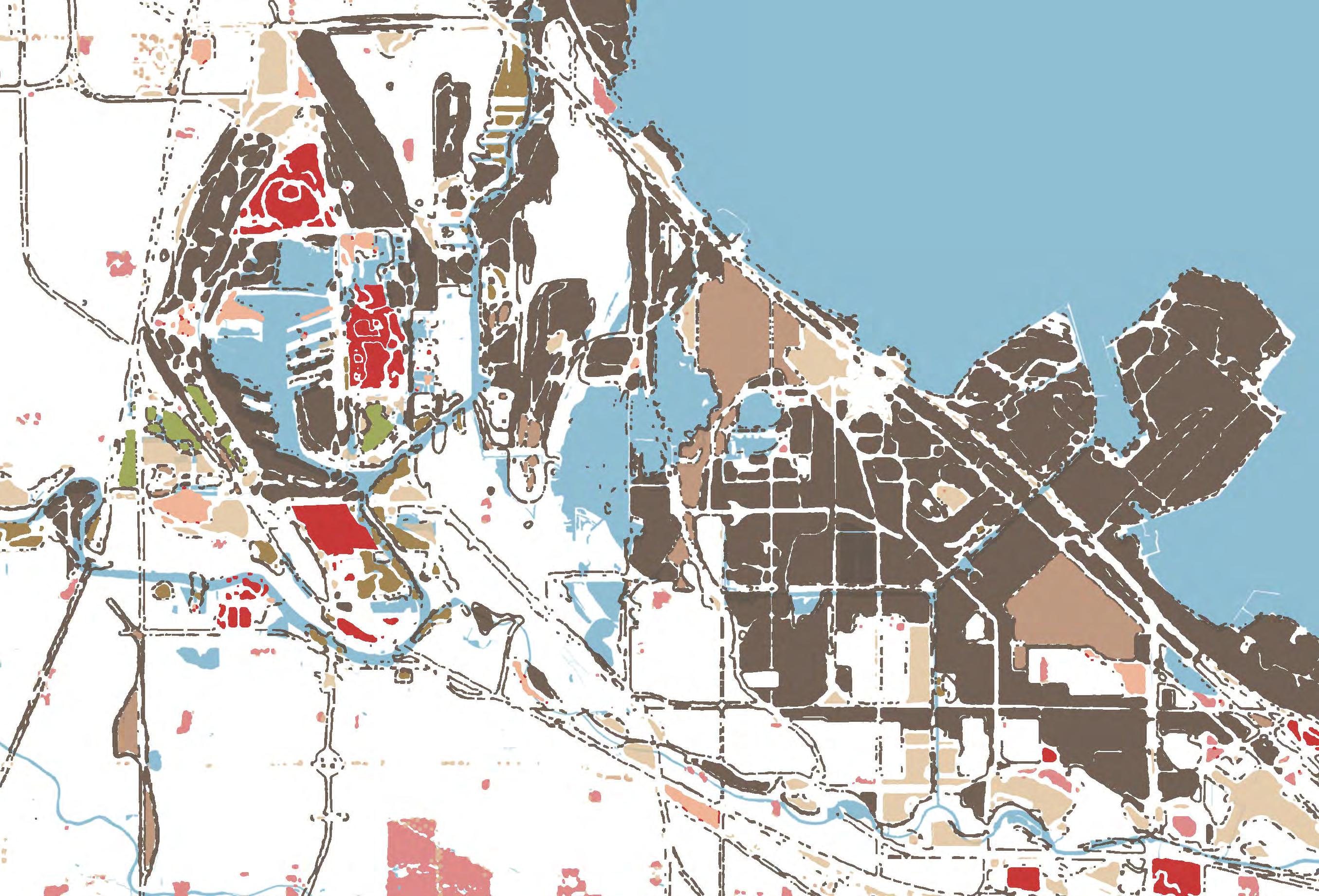
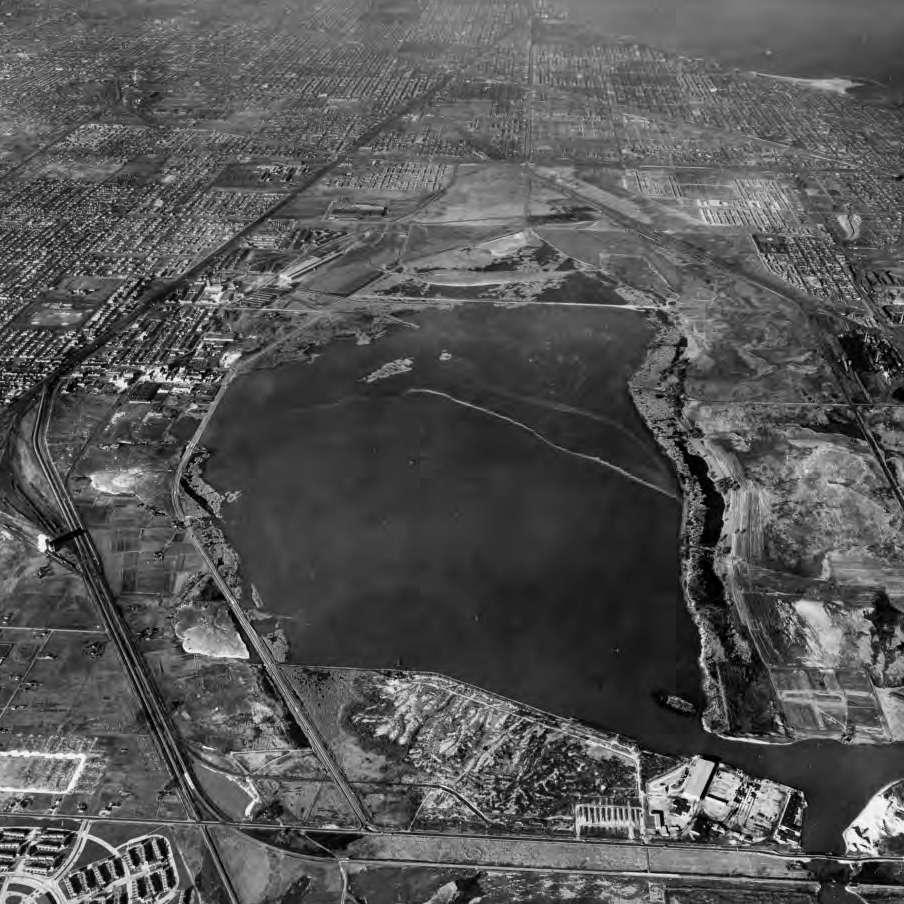
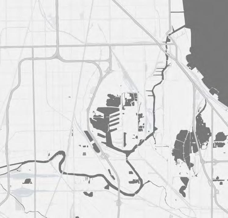
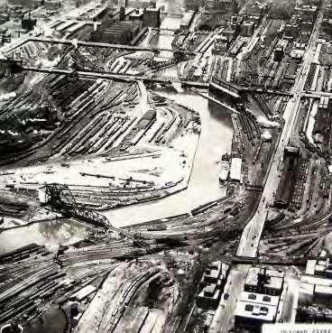
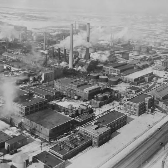
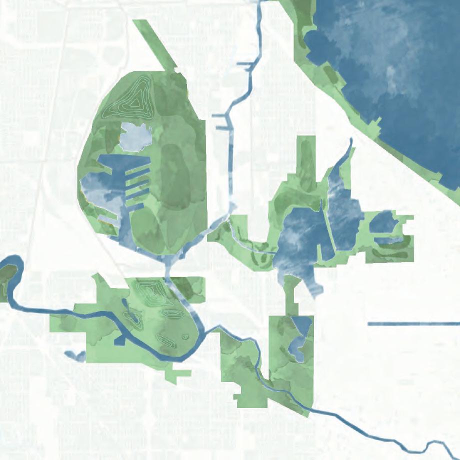
The following images show the transformation of the Calumet region’s landscape by railroads, channelized rivers, and extensive industrial landfilling using slag and sand. These changes expanded industrial land, erased lakes like Hyde and Berry, and, by the mid-20th century, highways further fragmented the natural wetlands and shoreline.
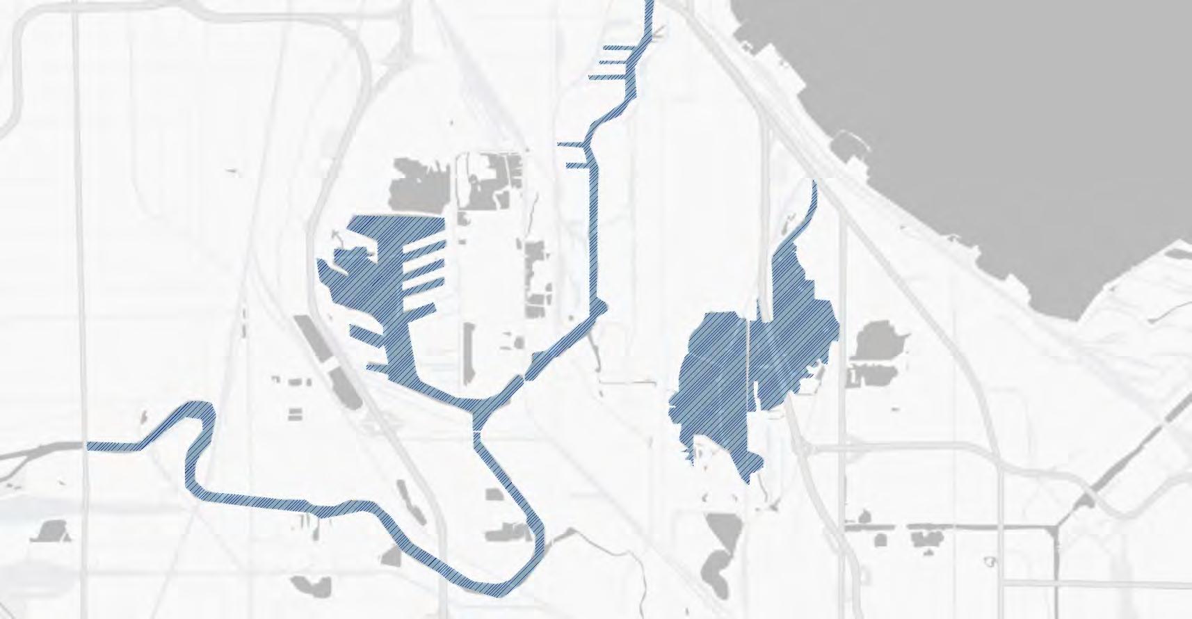
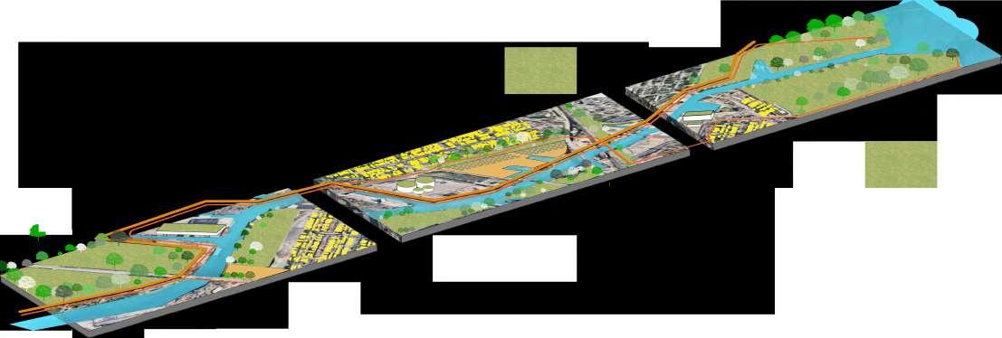
THE EVOLUTION OF CALUMET'S WATERWAYS
LOCAL VOICES AND HISTORIES
Retreating Glacier
Glacial Lake
Valpraiso Morraine/
Bedrock Continental Divide Glenwood Shoreline
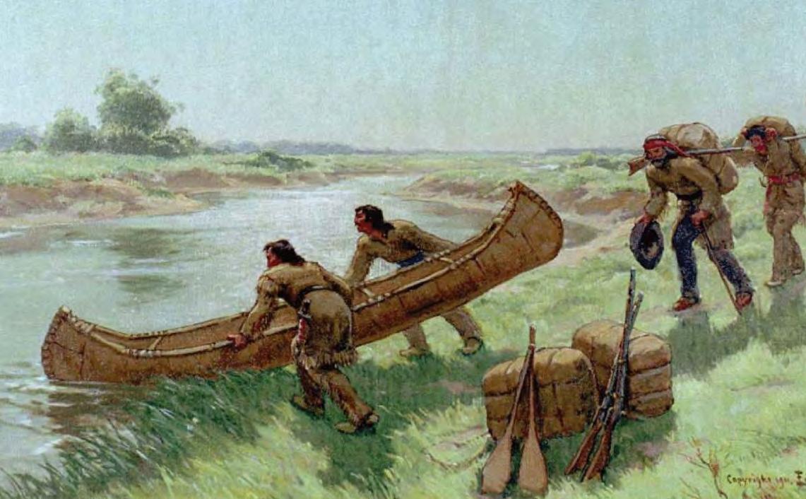
Potawatomi, Miami, and other tribes used rivers and wetlands for fishing, hunting, and seasonal settlement.
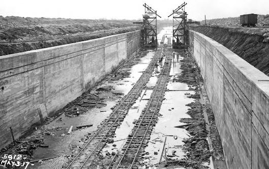
River dredging during the construction of the O'Brien Lock and Dam (1965)
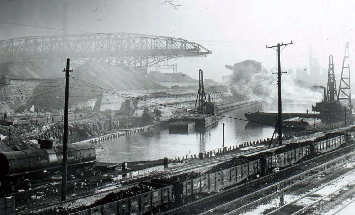
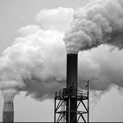
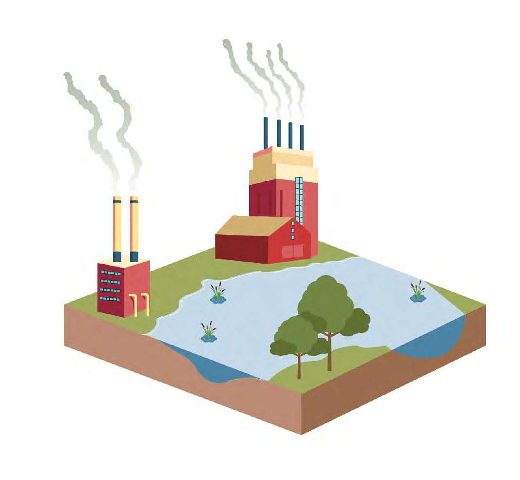
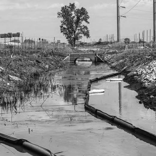
With the rise of industry, the waterways became heavily polluted by steel mills, factories, and shipping.
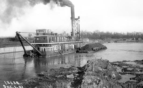
Construction of the Cal-Sag Channel (1922)
The Calumet Harbor was authorized by the Illinois State Legislature to facilitate industrial shipping, helping to establish Chicago as a key port for heavy cargo
contributing to the region's industrial growth.
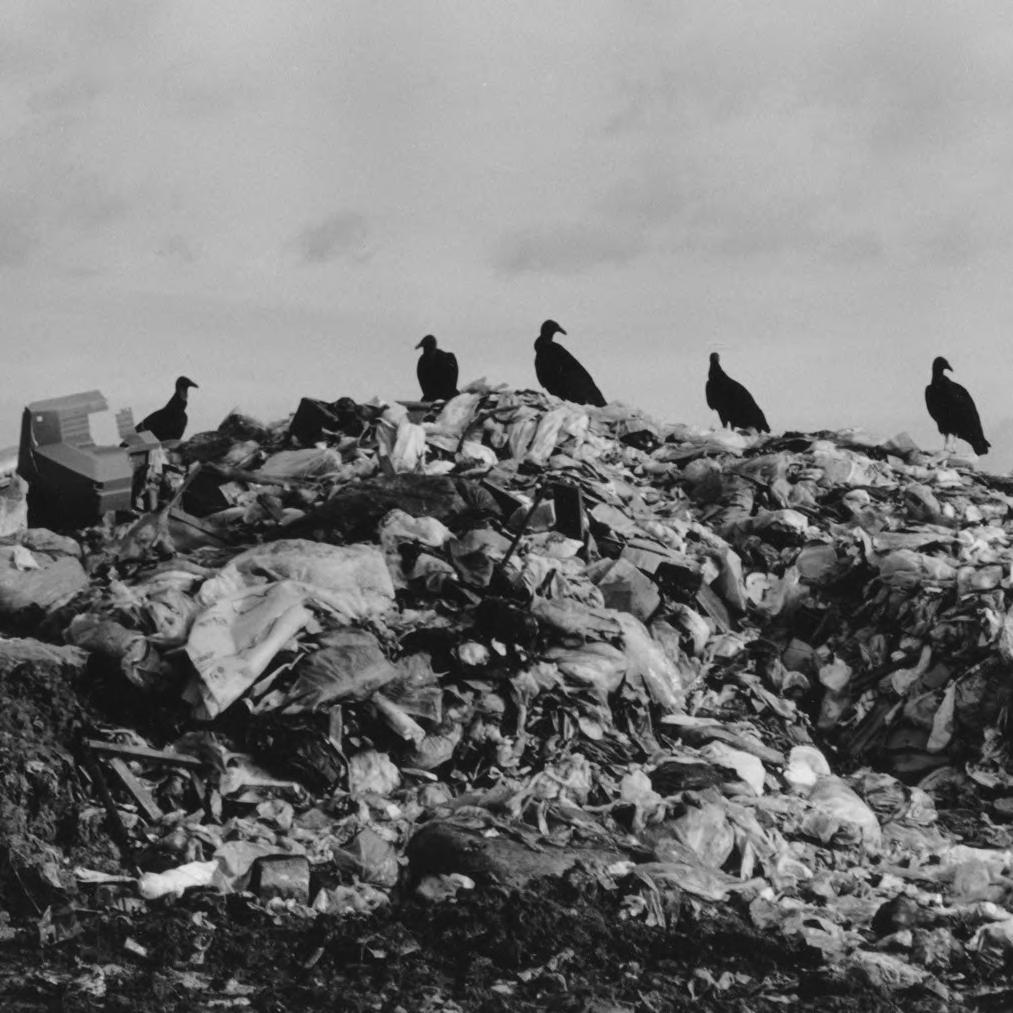
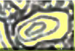
ECOLOGY
THREATS TO BIODIVERSITY
"It is hard to say which is more remarkable about the Calumet region: Degradation on a scale unheard of even in other parts of our metropolis, or the underlying resilience of an ecosystem so rich that some small protected areas have more biodiversity than entire national parks."
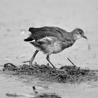
BIRD MIGRATION
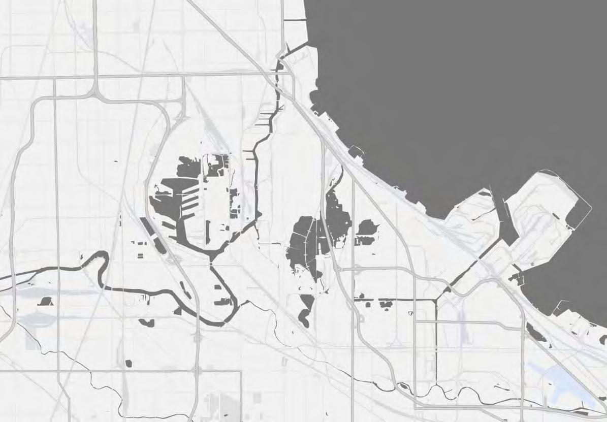
DEGREE OF ISLANDING
more connected less connected
Hegewisch
Well-connected to green spaces, rivers, and other natural resources.
They often feature large public parks, recreational areas, and riverfronts that are integrated into urban design.
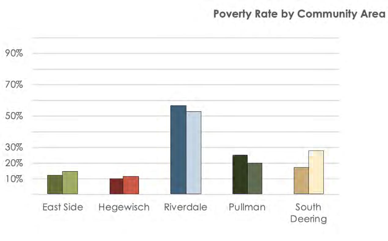
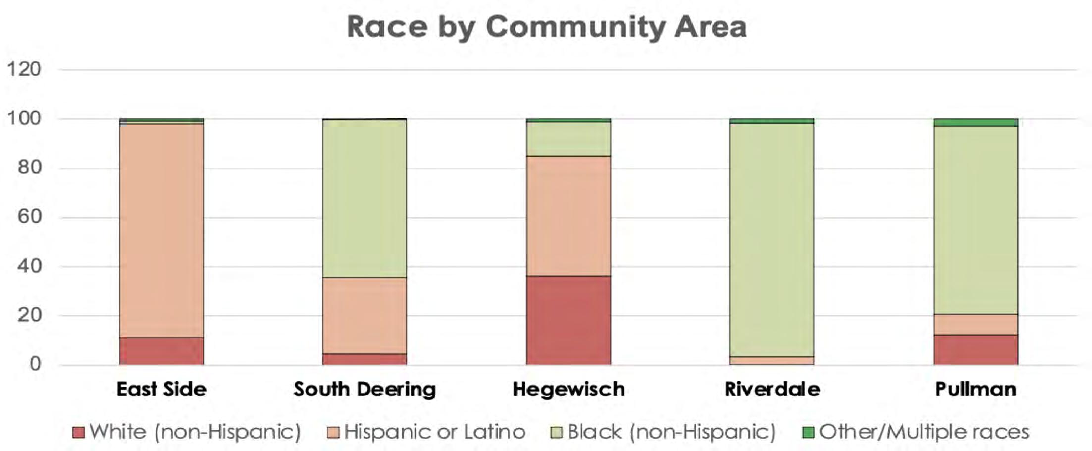
SOCIAL VULNERABILITIES
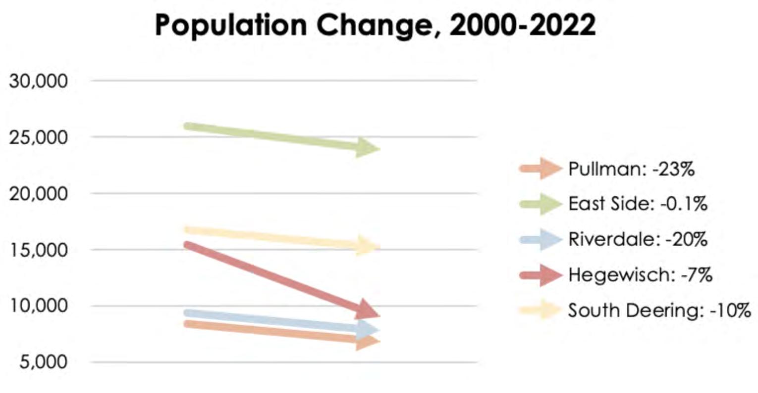
The Calumet communities are rich in diversity and culture, however they have also experienced years of disinvestment leading to significant social vulnerabilities today.
Riverdale
These areas have access to green spaces and rivers but it might be less frequent or more difficult to access. Green spaces could be smaller or less well-connected to the surrounding environment.
South Deering
These areas have minimal access to green spaces and rivers. Parks might be small, poorly maintained, or located far from residential areas.
There may be few or no direct connections to rivers or natural areas.
Pullman
These areas are isolated from any meaningful access to green spaces or rivers. Residents have little to no opportunity to enjoy nature, and the surrounding environment is dominated by urban sprawl, industrial zones, or heavily built-up areas.
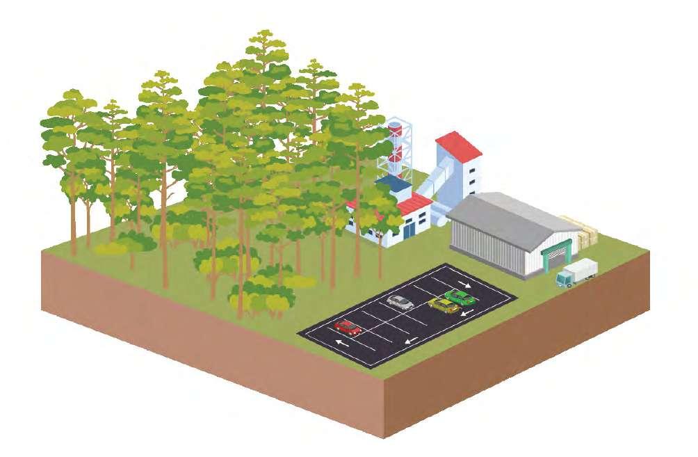
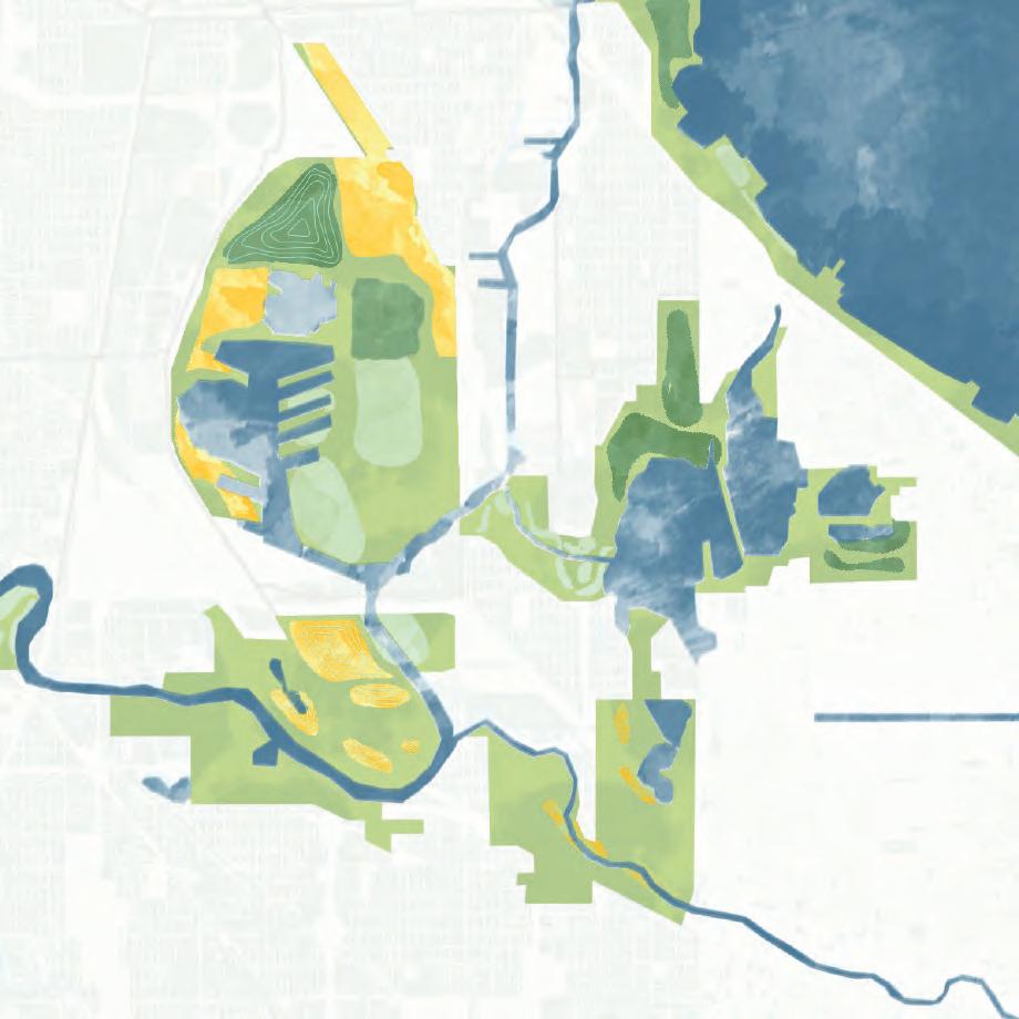
LAND USE
COMPETING LAND USES
PRINCIPLES CHALLENGES
The 5 principles—Clean, Connect, Cultivate, Create, and Coexist—provide a framework for guiding environmental recovery, rebuilding social ties, fostering creative placemaking, and ensuring that natural systems and human communities can thrive together.
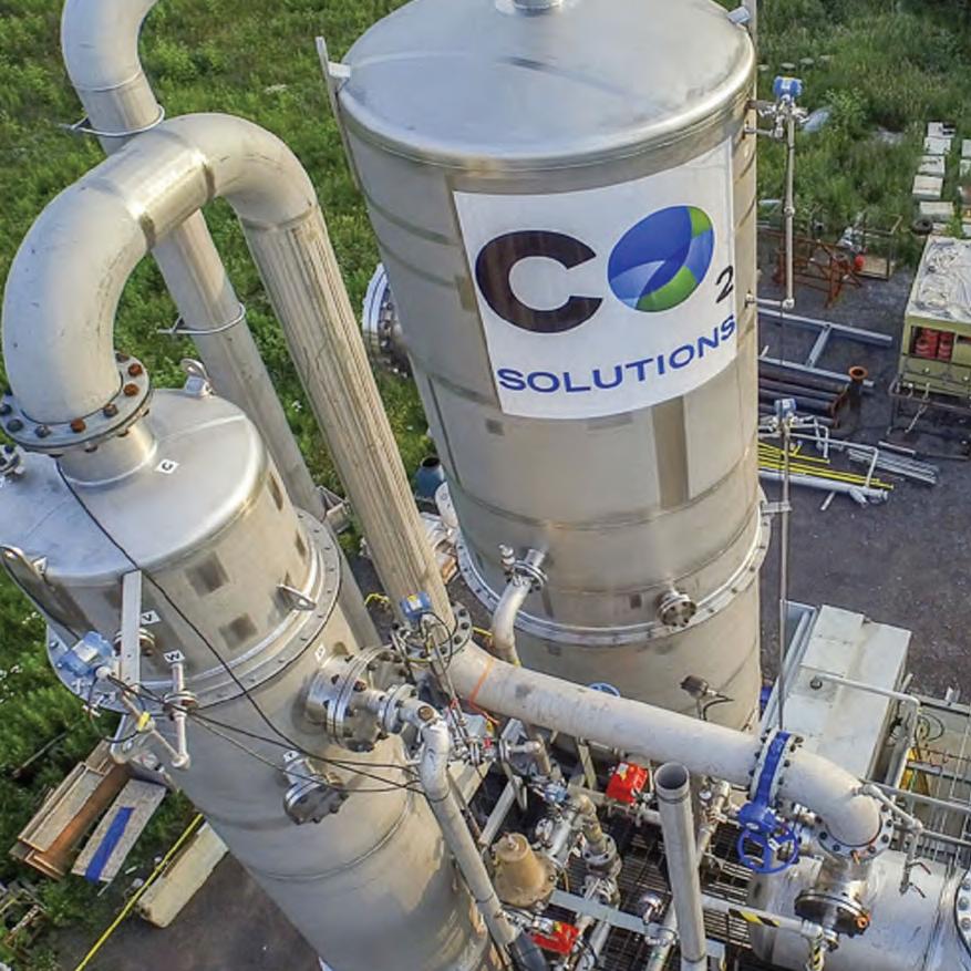
CLEAN is a vision for environmental recovery.This entails reversing the harmful impacts of industrialization, and removing pollutants to restore the natural environment supporting ecological vitality and human well-being.
CONNECT emphasizes connecting the Calumet Region by fostering physical links among people and nature through reconnecting fragmented ecosystems.
CULTIVATE refers to the cultivation of opportunities for people to play, explore, and reconnect with nature and each other.
The Calumet Region has endured significant environmental and social disruption caused by industrialization, urbanization, and environmental neglect. Fragmented communities, widespread landfill sites, urban flooding, and legacy pollution have weakened neighborhood ties and degraded natural ecosystems.
Despite these challenges, the Calumet Region holds opportunities for recovery. Reconnecting fragmented green spaces, restoring ecological networks, and addressing pollution can revitalize both nature and communities. Innovative planning that prioritizes environmental repair and social equity can transform Calumet into a model for coexistence between thriving ecosystems and resilient urban life.
FragmantedCommunities
Industrial barriers and poor connectivity have divided Calumet’s neighborhoods, weakening social and economic ties.
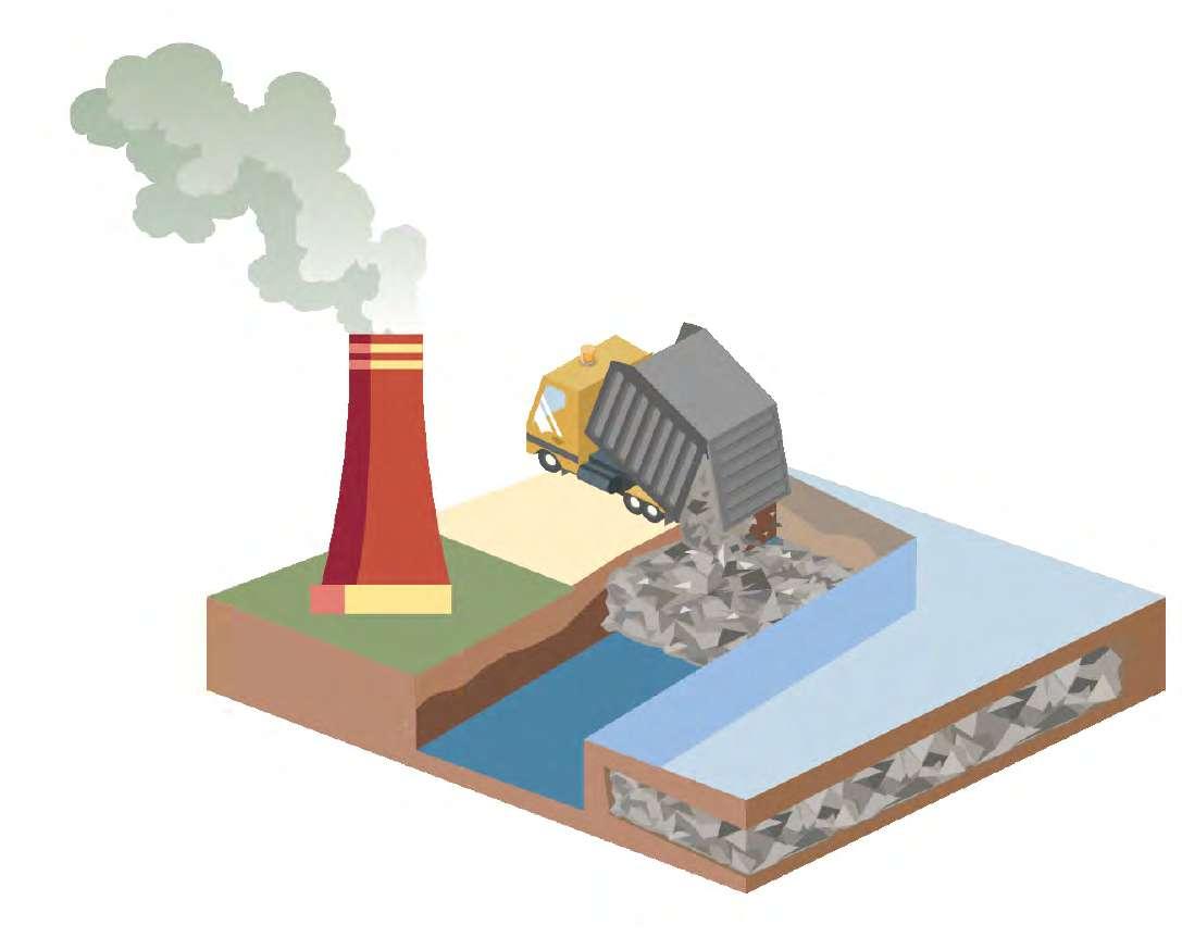
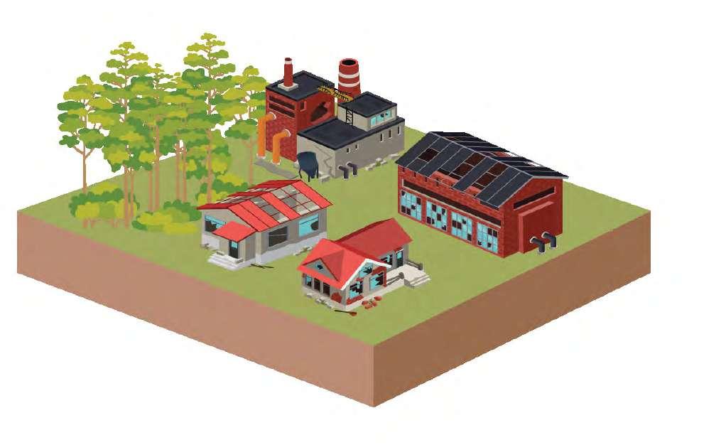
Former industrial sites and landfills cover much of Calumet, creating toxic, underused spaces.
CREATE reflects a new delta of culturally rich, artistic, and identity-driven spaces that render the region into a vibrant destination.
COEXIST calls for innovative approaches where industry, housing, and public spaces are planned with nature and communities.
Urbanization and habitat loss have sharply reduced native species in the region.
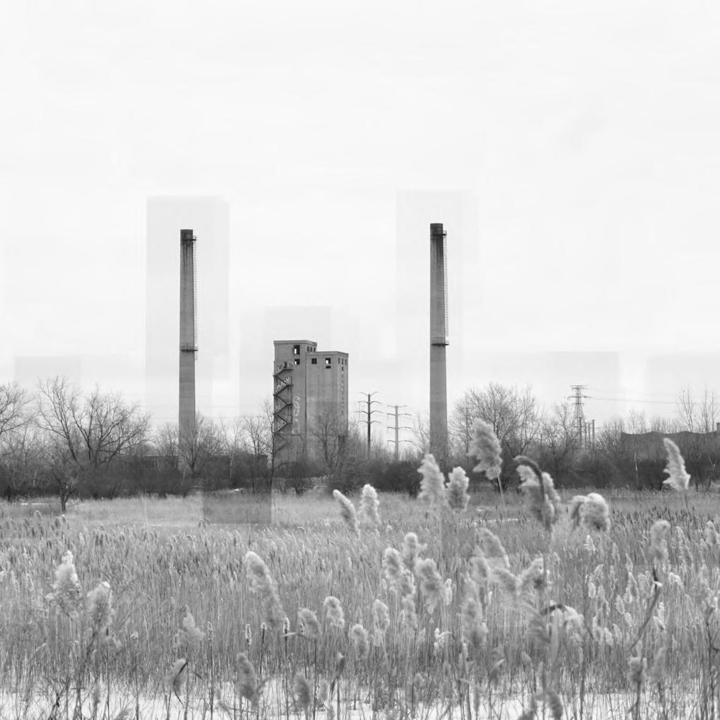
Legacy pollution from industry continues to harm air, water, and soil quality.
green spaces limit ecological health and wildlife movement in Calumet.
Disconnected
Paved surfaces and poor drainage make Calumet highly prone to urban flooding.
Pollution
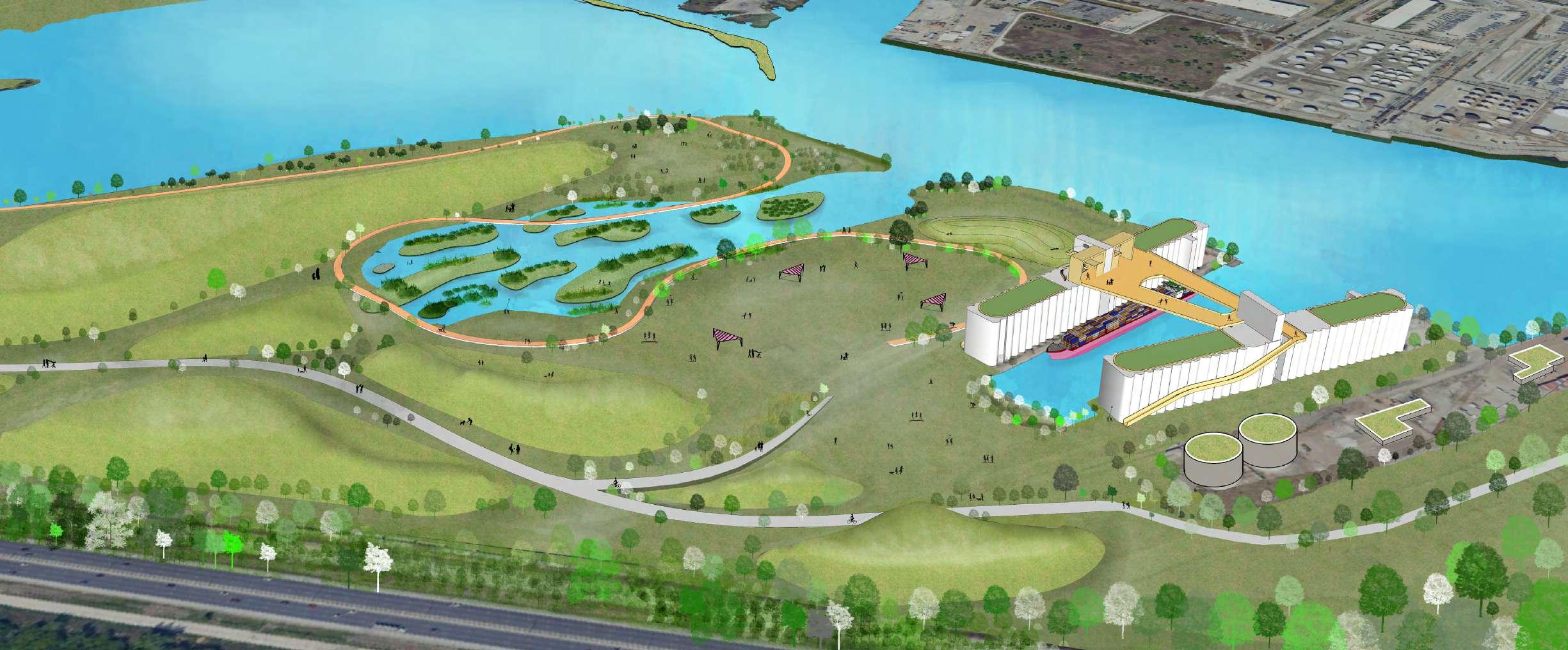
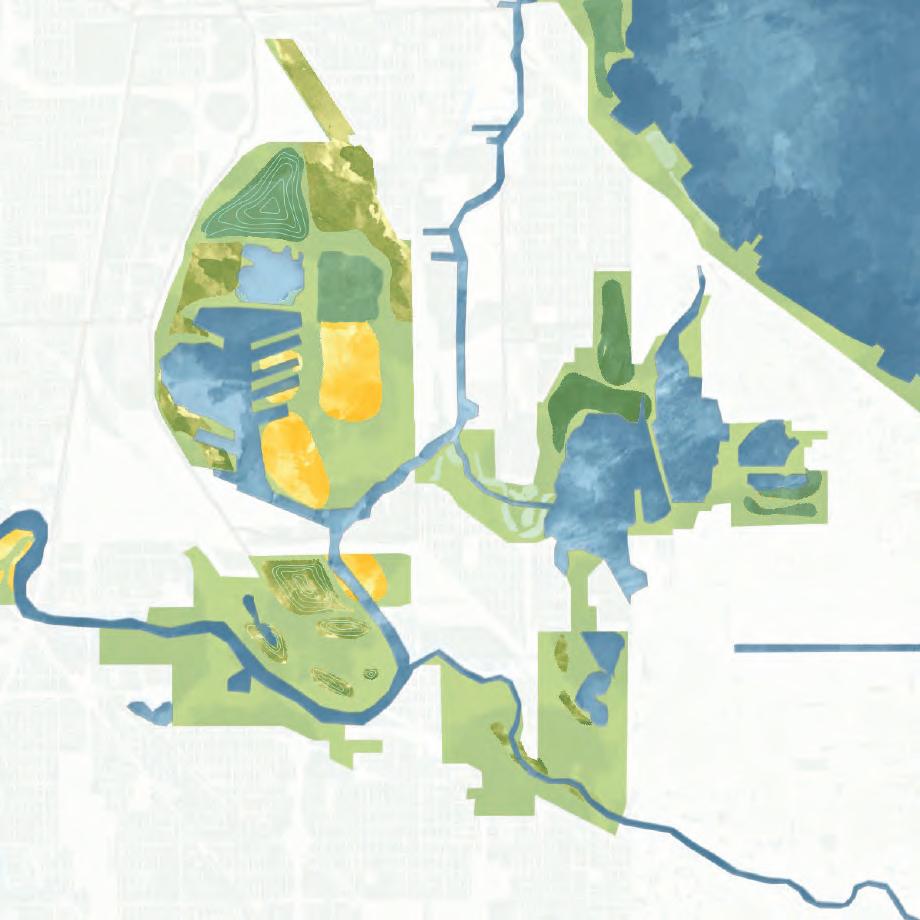
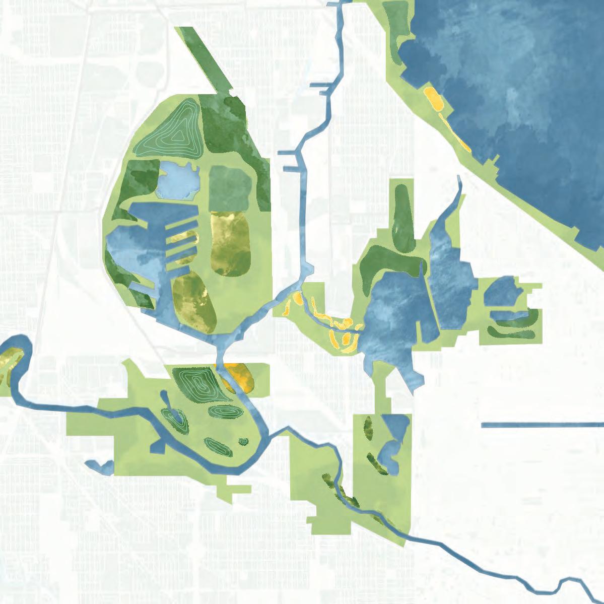
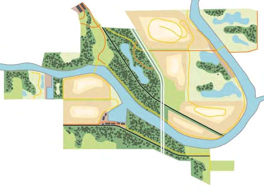
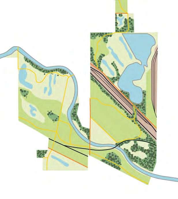
THE DELTAIC CALUMET
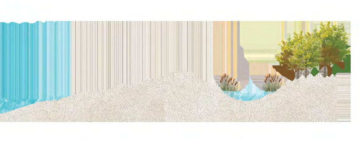
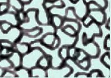
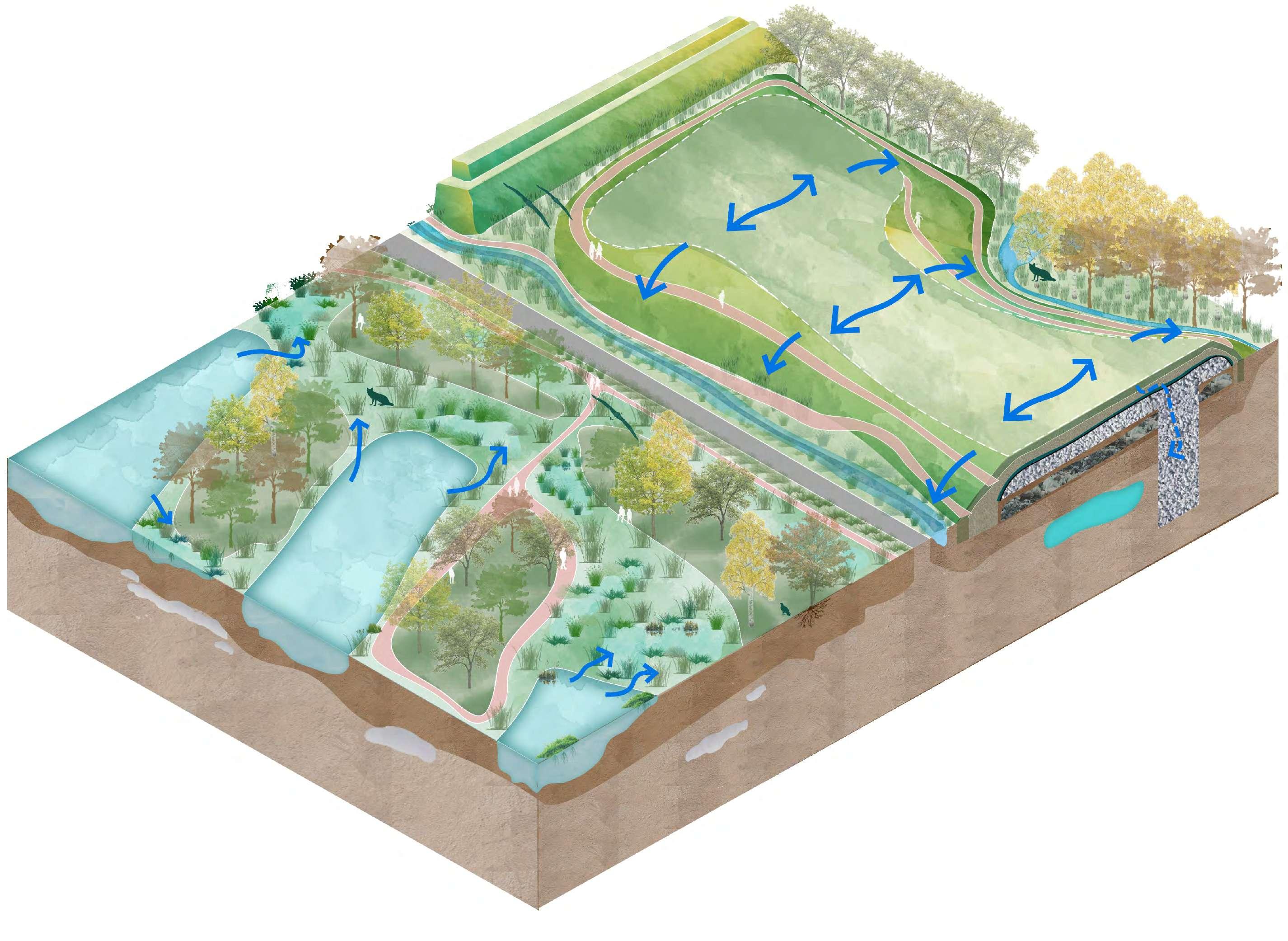
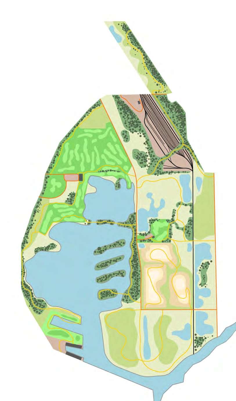
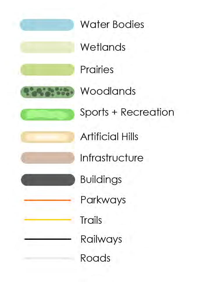
LANDSCAPE TYPOLOGIES
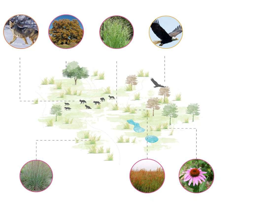
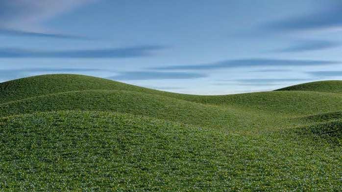
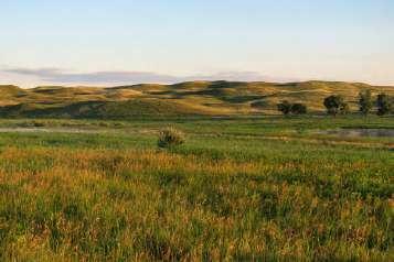
Prairies – Resilient grasslands with low-rooted native shrubs thrive on capped slag soils, stabilizing the surface and reintroducing biodiversity.
Hills –of the park, offering panoramic views and supporting
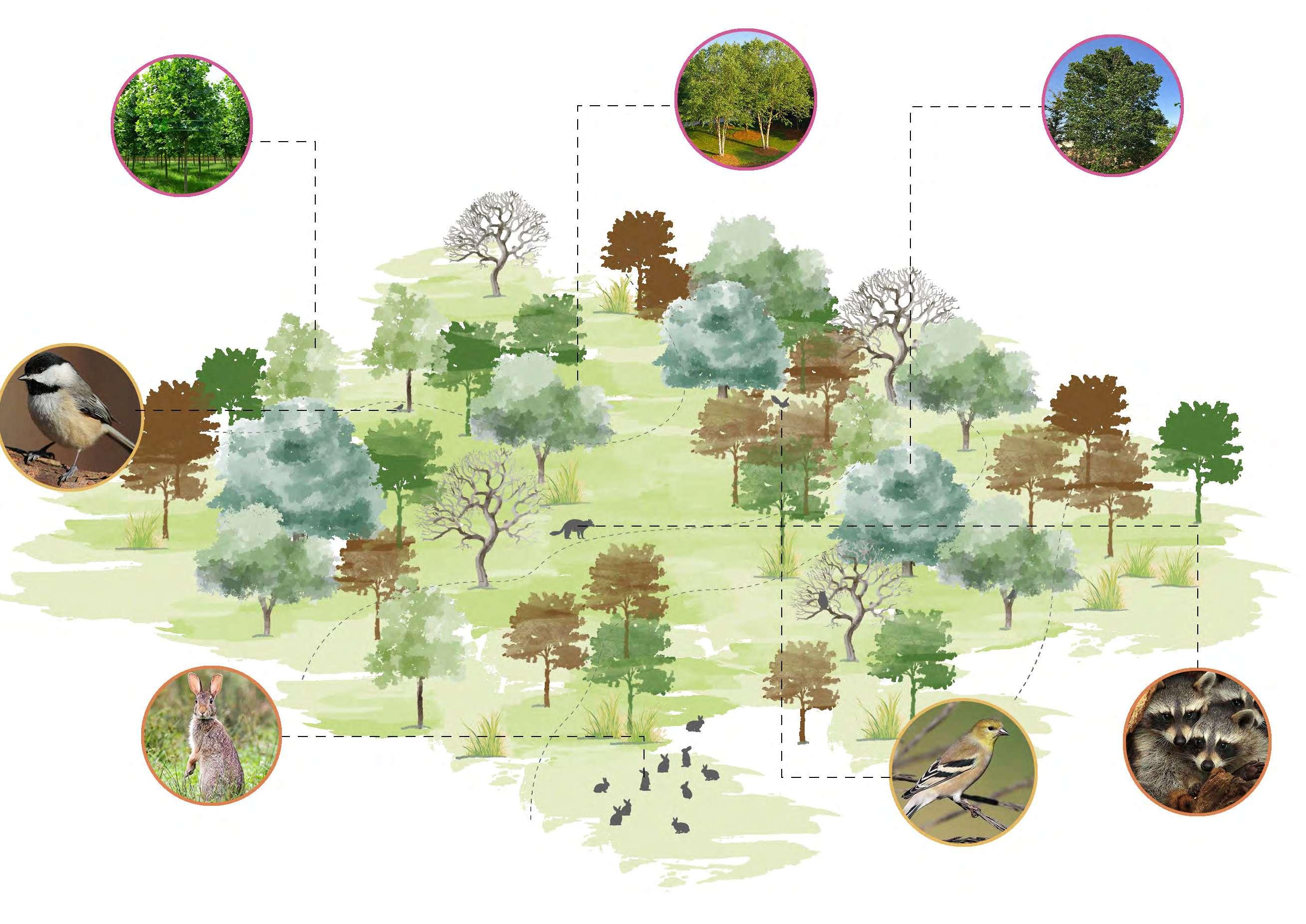
Woodlands – Dense plantings of native tree species on clean soil zones activate phytoremediation and create vital habitat for local mammals and birds.
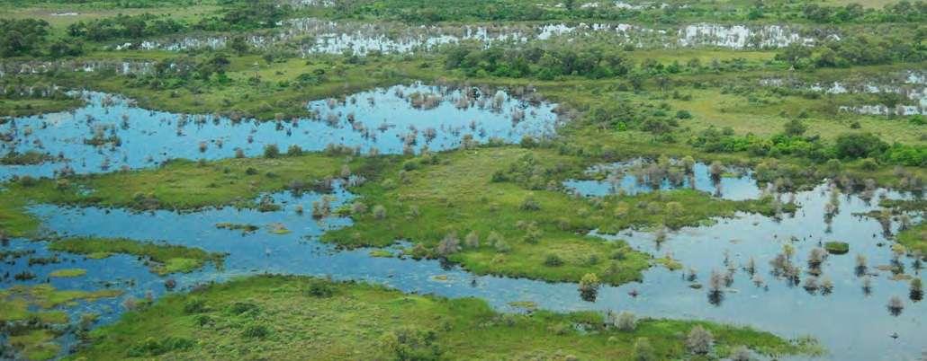
Wetlands –zones, these restored wetlands function as natural
Wetland Hills Prairie Undulating Surfaces Woods
A LIVING LANDSCAPE
WOODLANDS
FORESTATION ON CLEAN SOIL
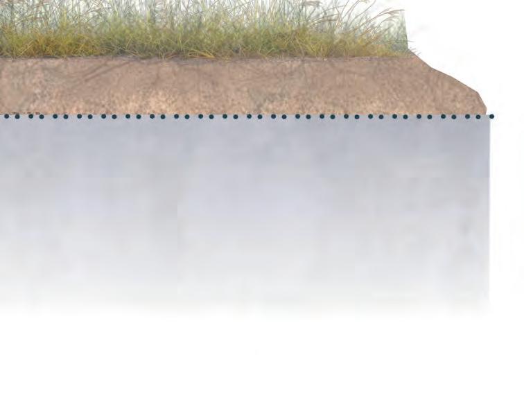
Proposed native woodlands use deep-rooted species to clean soil through phytoremediation, control erosion, purify runoff, and remediated landscape.
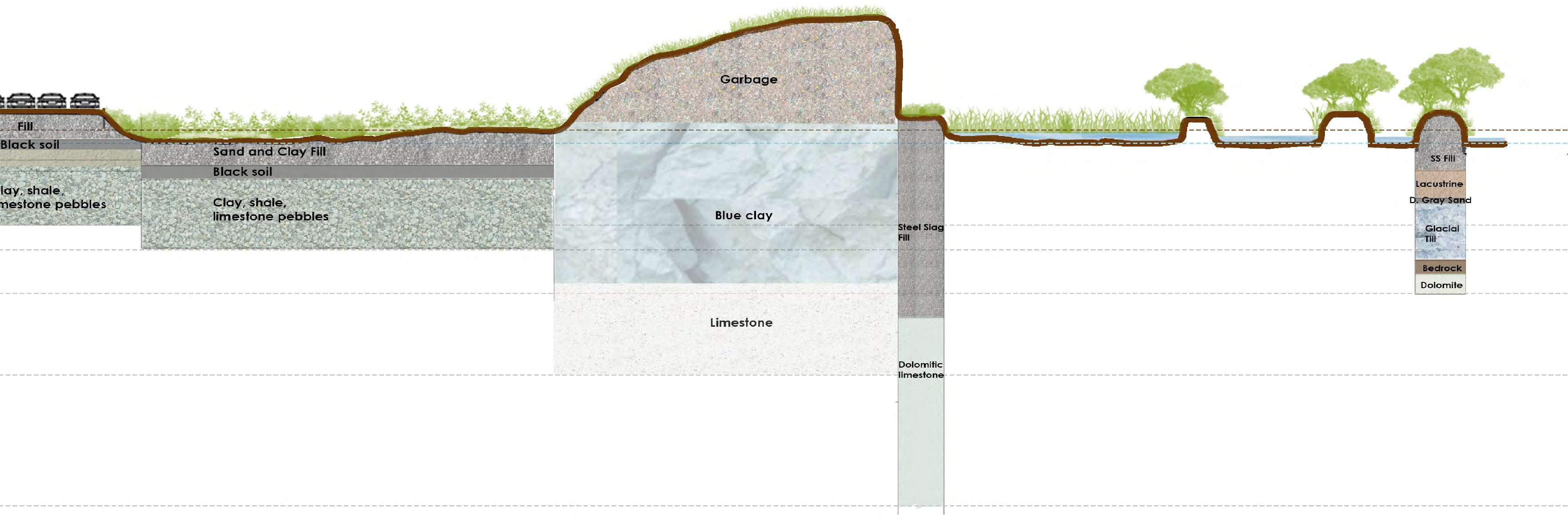
THE HILL
Engineered caps on the leachate and methane through integrated treatment systems, while the reshaped mounds serve as topographic features within the broader park landscape.
HILLS
PRAIRIES
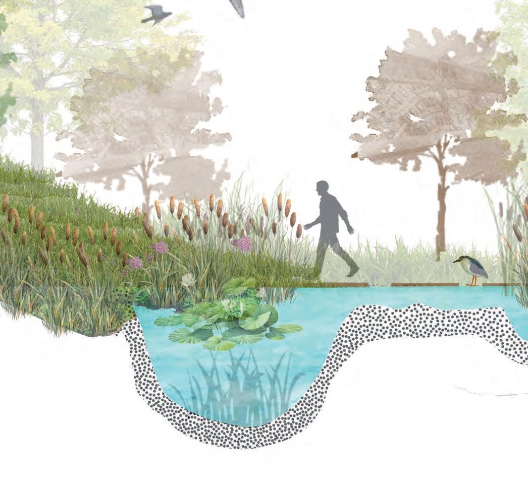
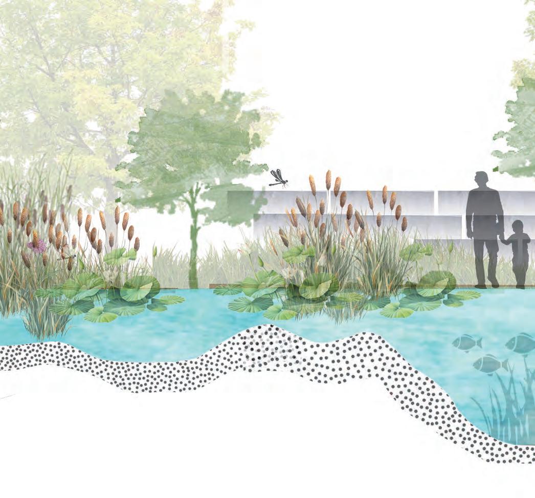
RESTORED WETLANDS
Wetlands are planned along the lake and river system, within
create a soft, absorbent edge on the clean soil.
BIOSWALE NETWORK
Stormwater runoff from the through an integrated system of retention ponds and bioswales, designed to onsite water quality.
WETLANDS
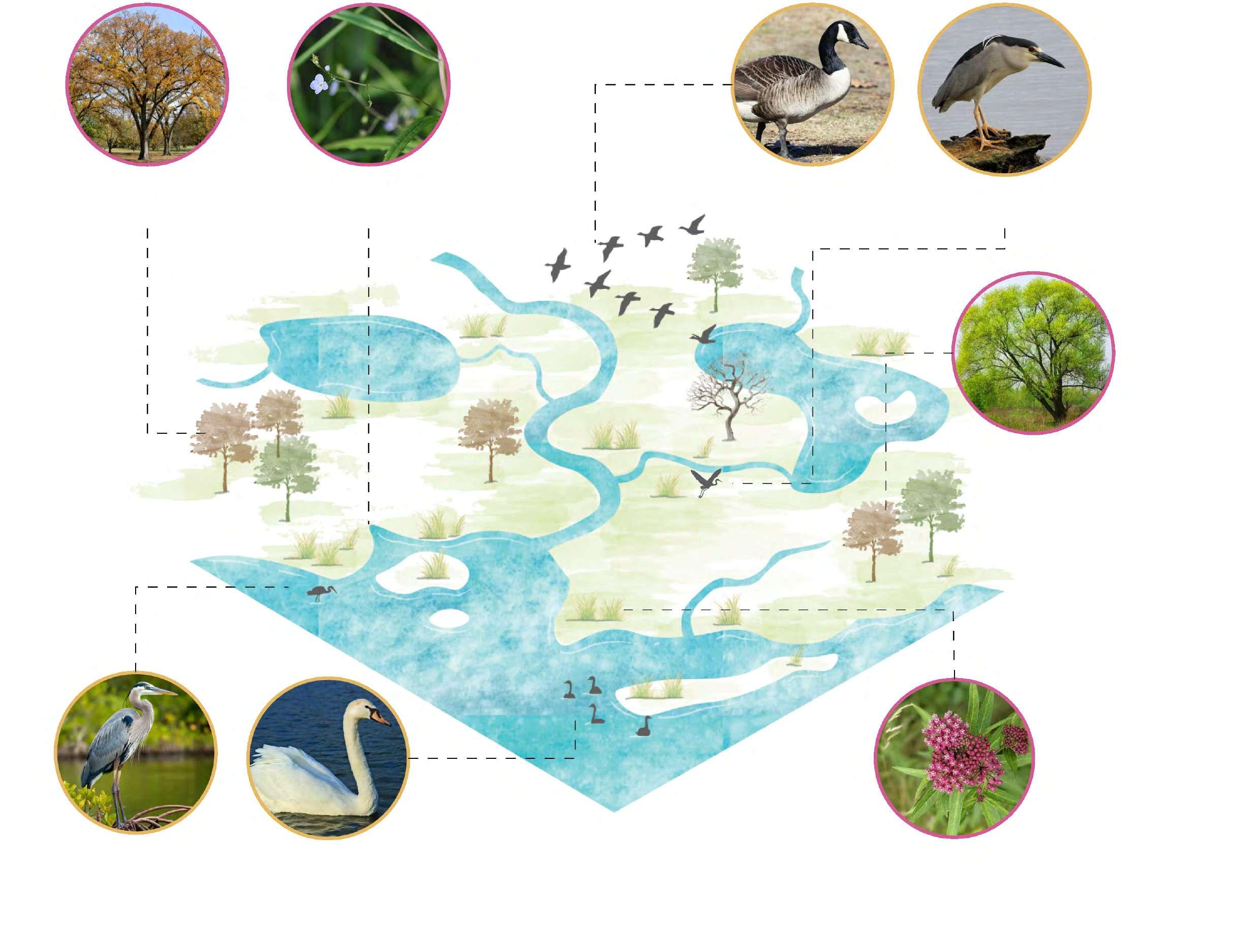
Platanus occidentalis Sycamore (Buttonwood)
Coyote Quercus Macrocarpa (Burr Oak) Panicum Virgatum (Switchgrass) Bald Eagle
Sorghastrum Nutans (Indiangrass) Echinacea
Schizachryium Scoparium (Little Bluestem)
Rudbeckia hirta (Black eyed susan) Populus deltoides (Eastern Cottonwood) Salix Nigra (Black Willow)
Andropogon gerard (Big Bluestem)
White Tailed Deer
Savanna Sparrow
Ulmus Americana (American Elm) Veronica Scutellata (Marsh Speedwell) Canada Goose Black Crowned Night Heron
Salix Nigra (Black Willow)
Asclepias Incarnata (Swamp Milkweed)
Mute Swan Great Blue Heron
Red Tailed HawkPrairie Warbler (Migrating)
Red Fox Deermouse
Betula Nigra (River Birch) Populus deltoides (Eastern Cottonwood)
Web Carolina Chikadee
Cottontail Rabbits
American Raccoons
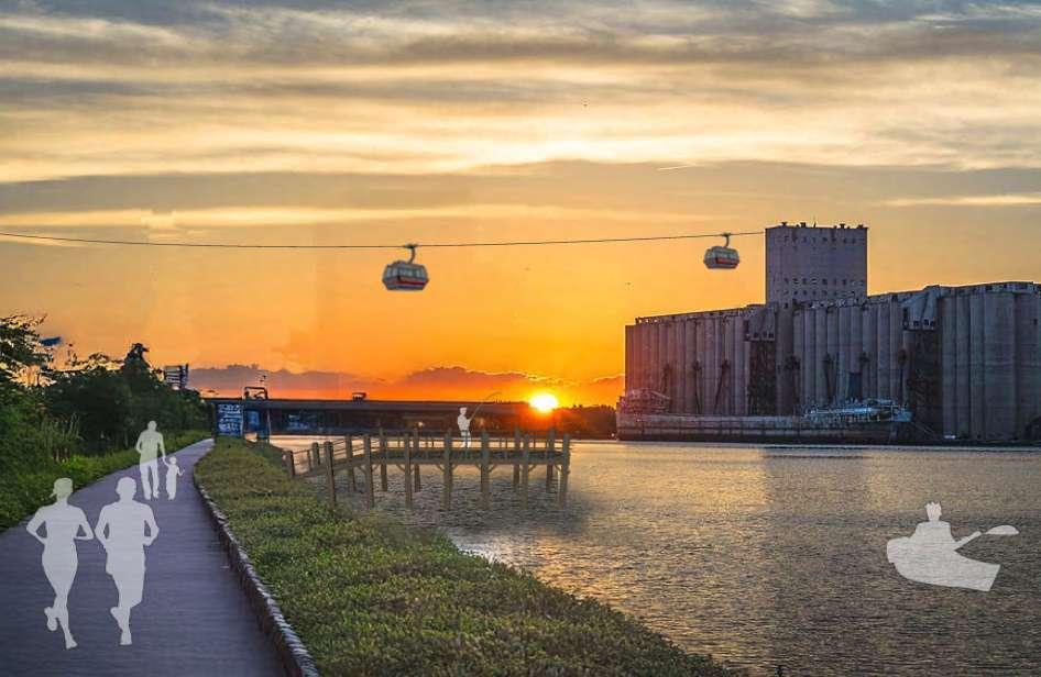
130 MILES
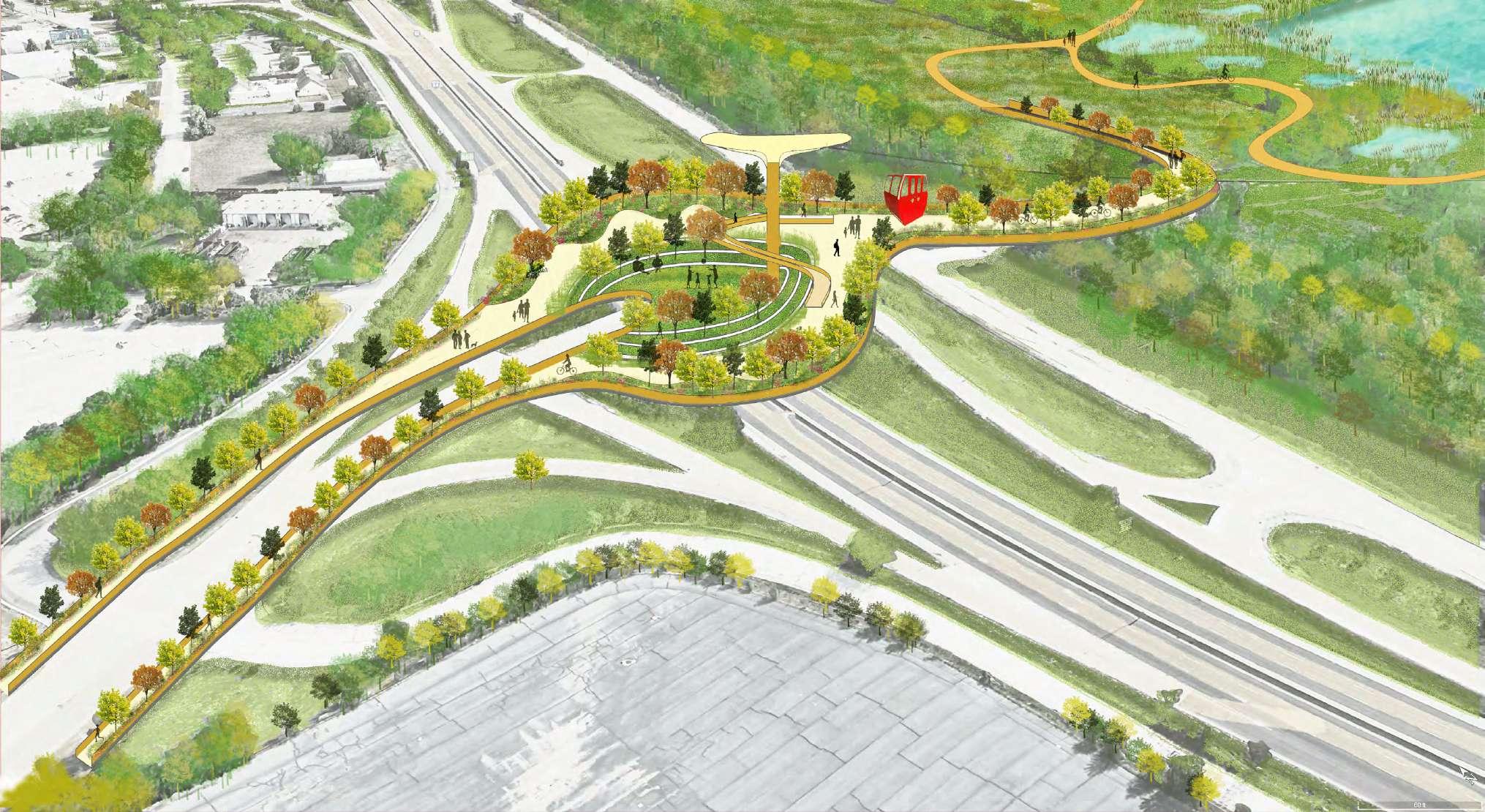
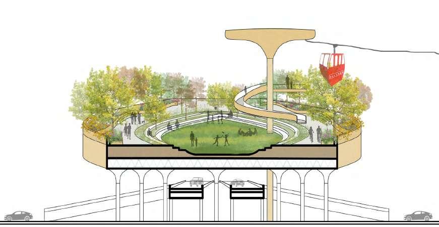
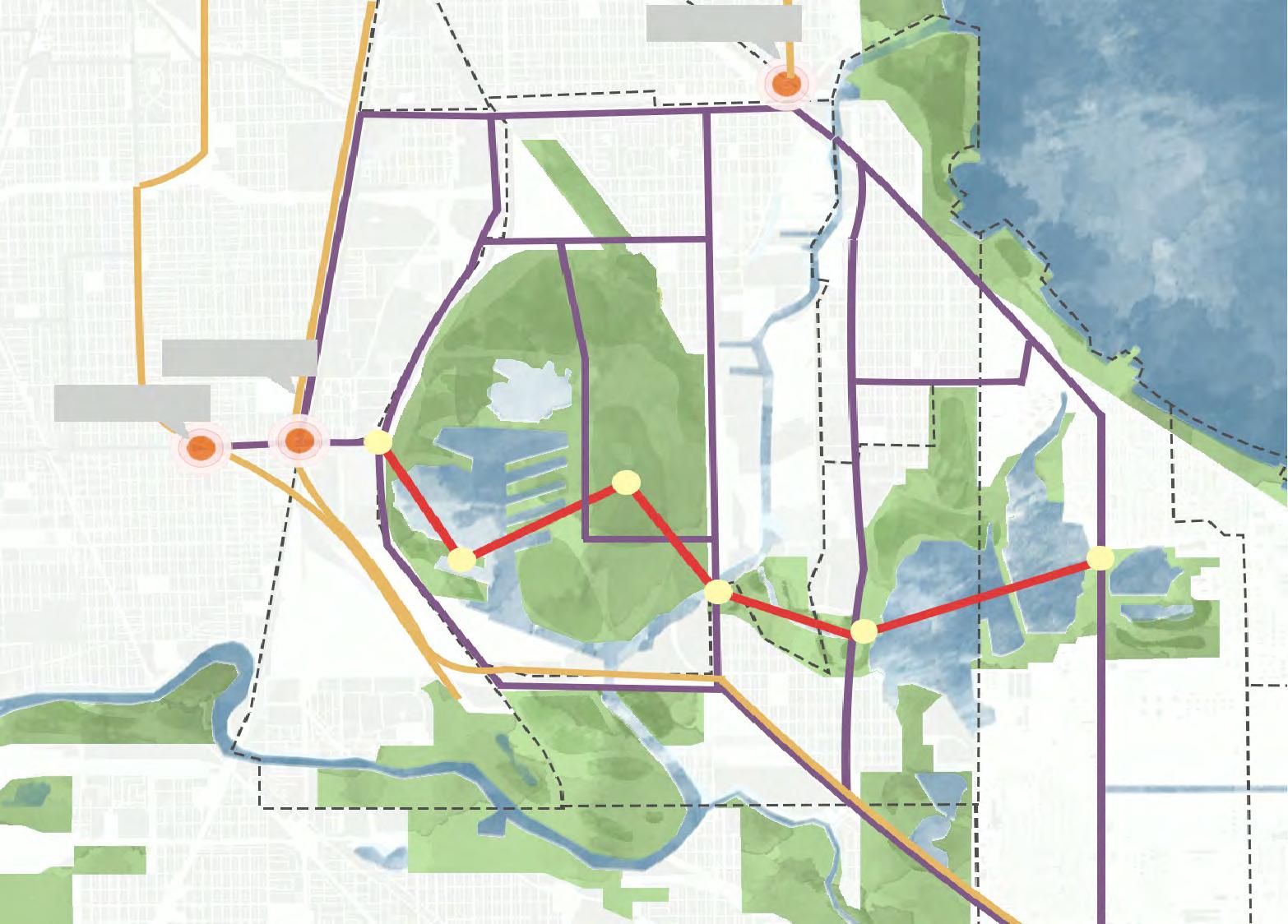
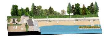
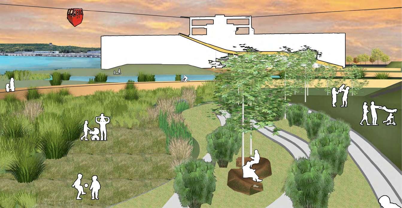
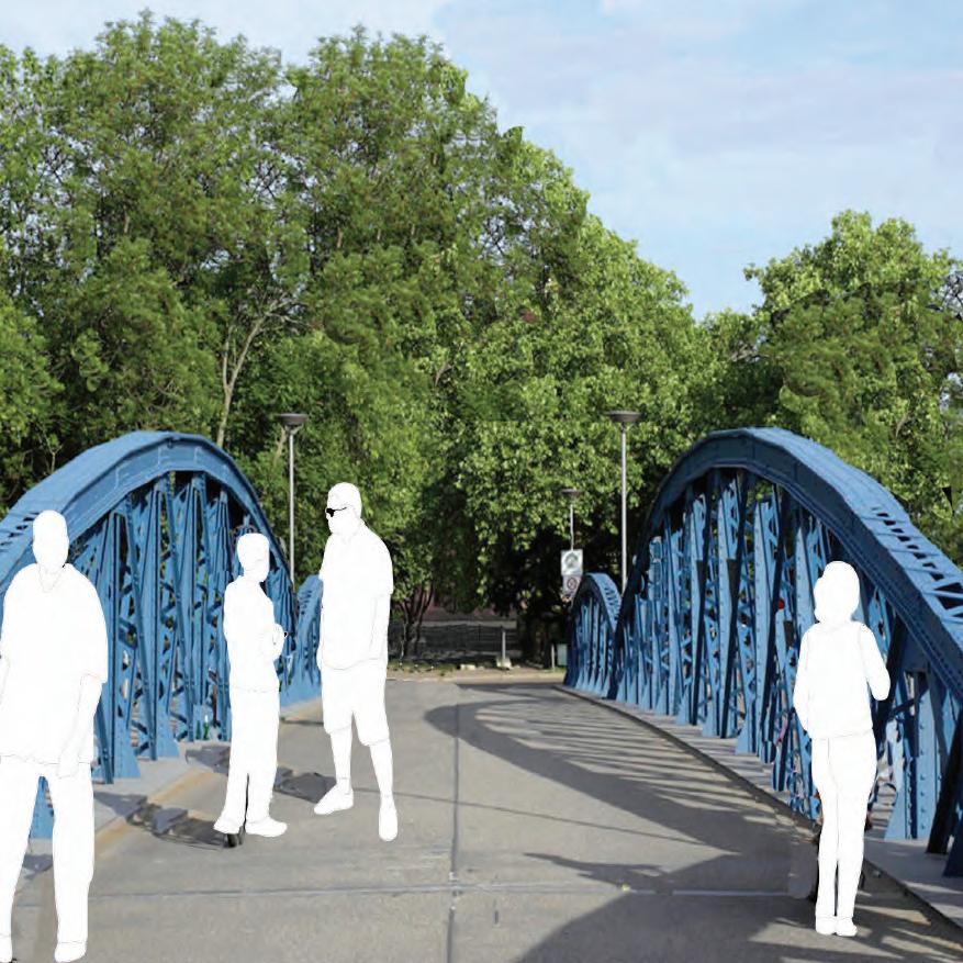
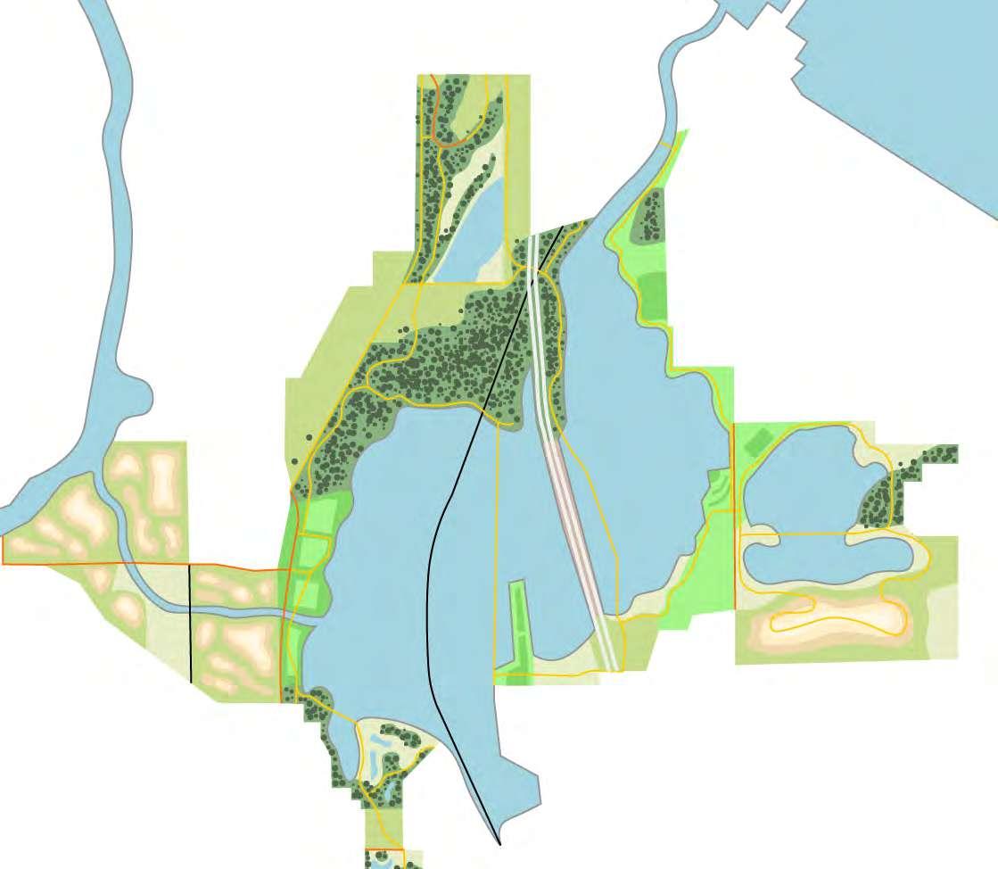
THE PULLMAN BRIDGE : HAZEL’S GARDEN
The Pullman Bridge reconnects the historic Pullman neighborhood to the Lake Calumet park. By integrating transportation networks and pedestrian-friendly pathways, this project bridges the gap between the community and the waterfront, creating a seamless connection for both locals and visitors.
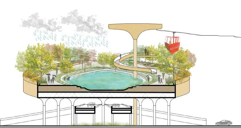
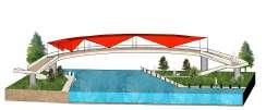
Hazel’s Garden honors Hazel Johnson, a pioneer in environmental justice. Located at 115th Street and Interstate 94, this floating garden and plaza provides a space for community gathering and recreation. It will also serve as the first stop for the new gondola transit service, acting as a gateway to the Calumet region while offering a serene environment for all.
Hazel’s Garden is designed to manage heavy rainfall. During storms, the garden’s permeable surface absorbs and stores rainwater to prevent flooding. The water is slowly released, ensuring the space stays functional while managing stormwater.
FINDING HEALTH IN PLAY
CLOUDBURST SECTION
Red Line
Station Pullman
Station
Garden
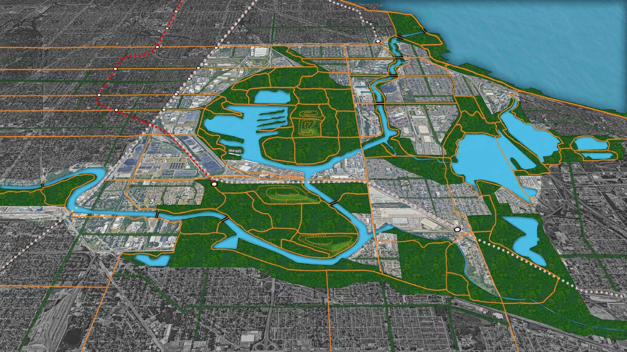
Calumet Park
Shore Line
New Earth Park - Recreation space on remediated landfills
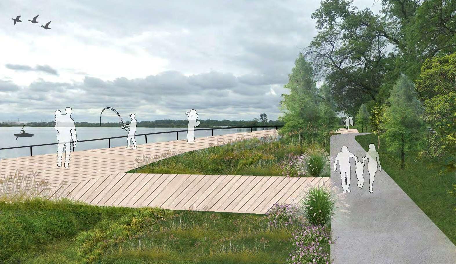
Lake Calumet Boardwalk - A peaceful path through Calumet’s beauty
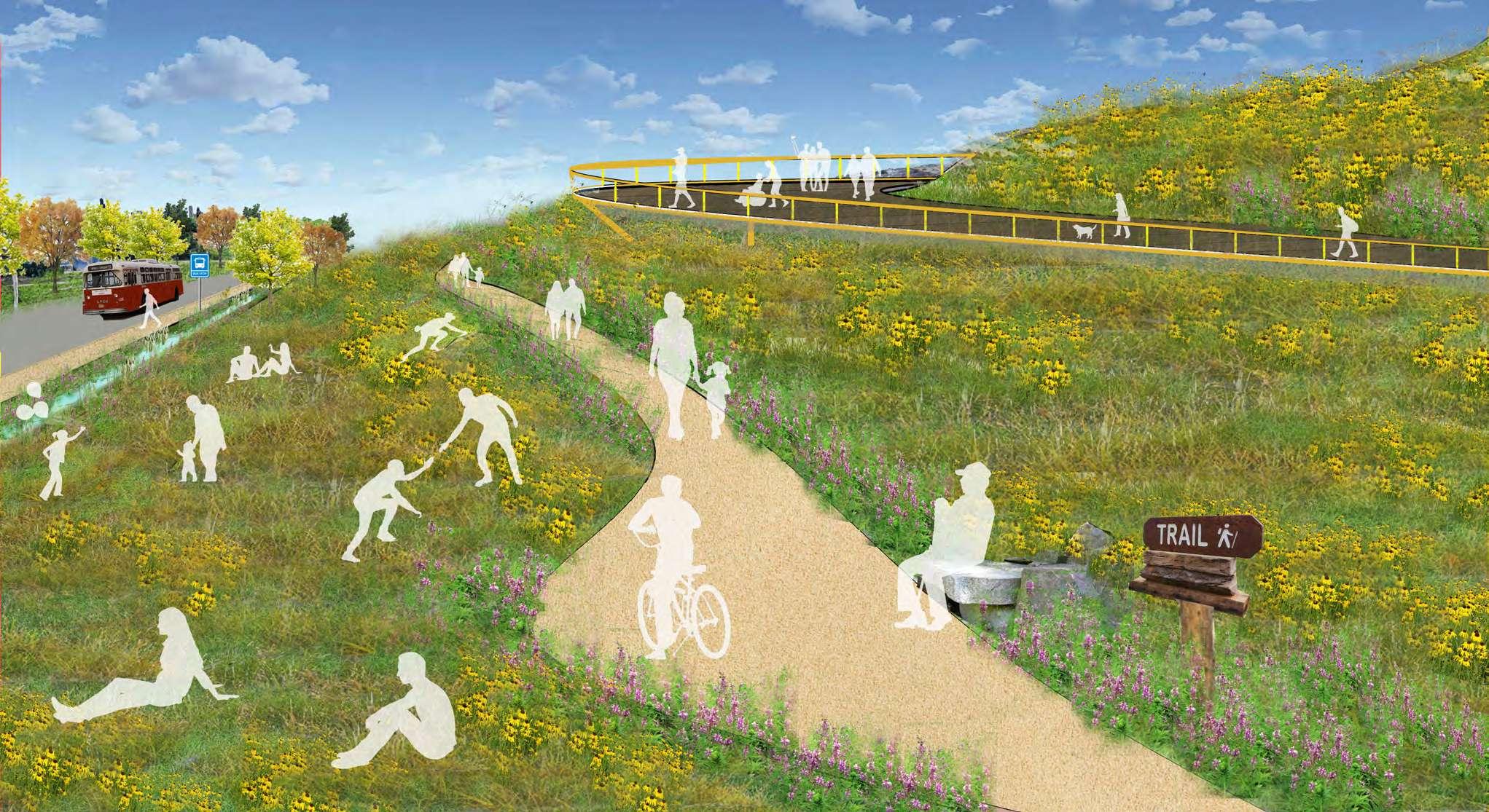
Wolf Lake Nature Ridge - Recreation at edge of the lake
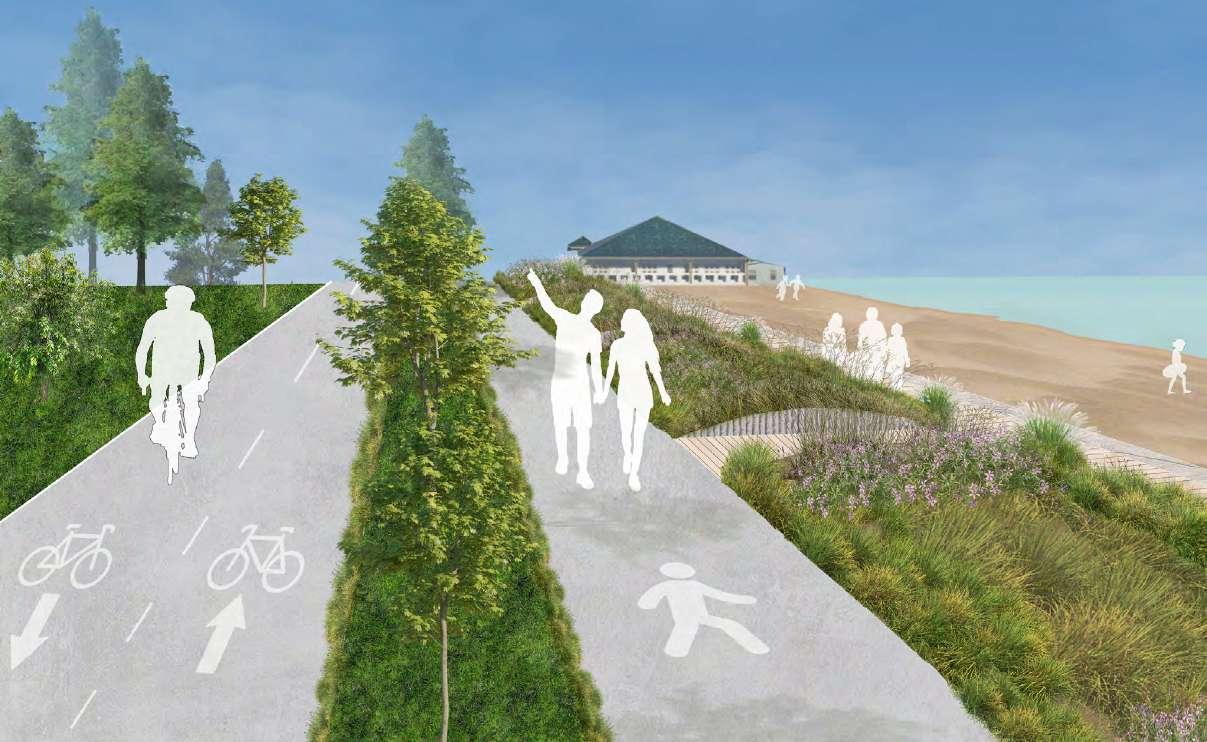
Lakefront Trail - Linking urban spaces to nature along Lake Michigan
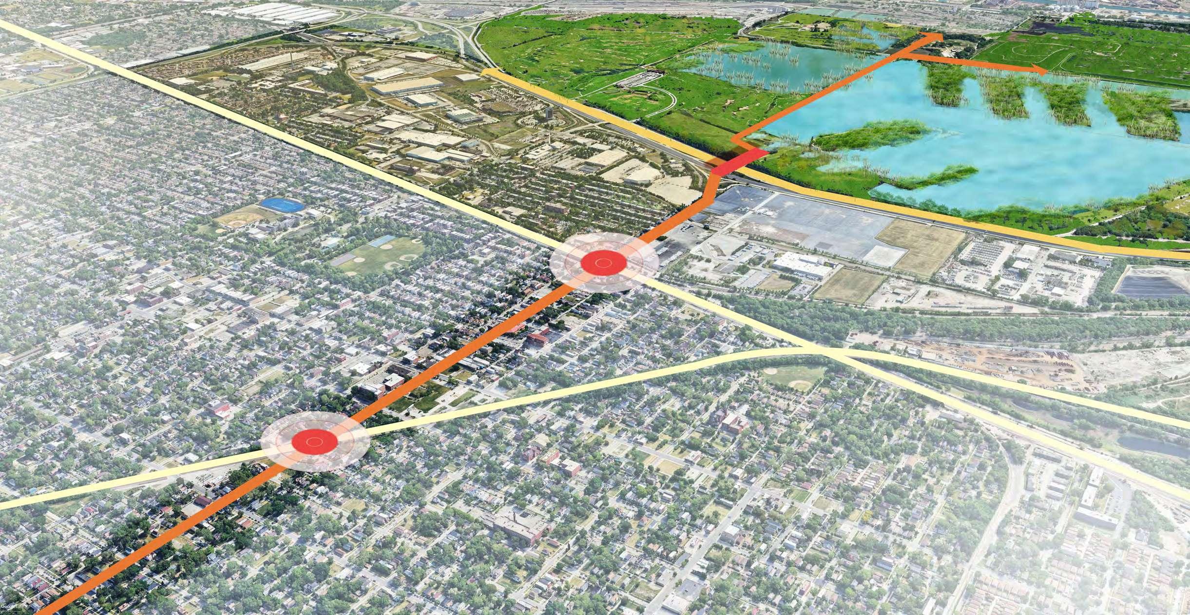
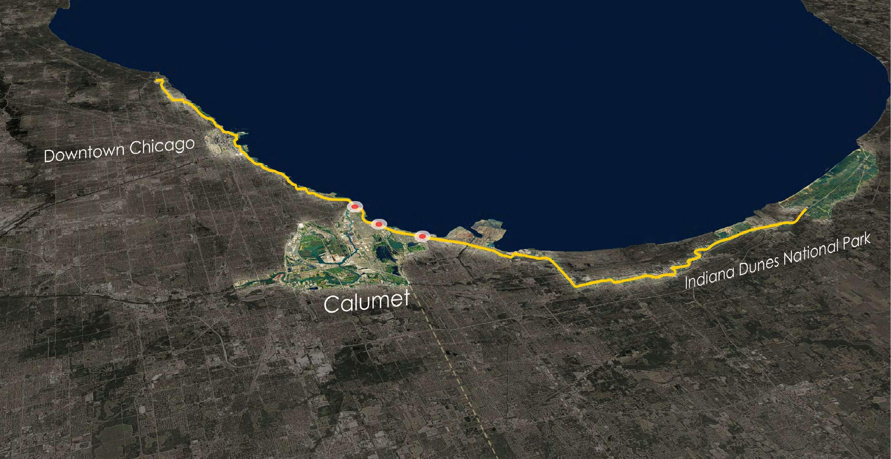
01 NEXT STOP: CALUMET NEXT STOP: CALUMET
130 MILES OF TRAILS
LAKEFRONT TRAIL EXTENSION: TRAIL TO THE DUNES
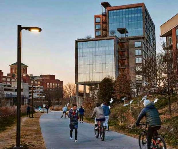
The Lakefront Trail is a cherished path along Lake Michigan, connecting people to nature and movement. Extending south past 71st Street to Indiana Dunes National Park adds 30 miles to the existing 18.5 mile route, linking downtown Chicago, the Calumet region, and the dunes. This extension blends natural beauty with urban access, offering a trail for all to explore, engage, and enjoy while promoting both recreation and environmental appreciation.
CULTIVATING COMMUNITY SPACES
CALUMET CULTURAL CENTER
CREATING COMMUNITY BENEFITS
Cultural Center: Adaptive re-use of silos imagined as a community space with access to
These new, but natural landscapes are reclaimed from
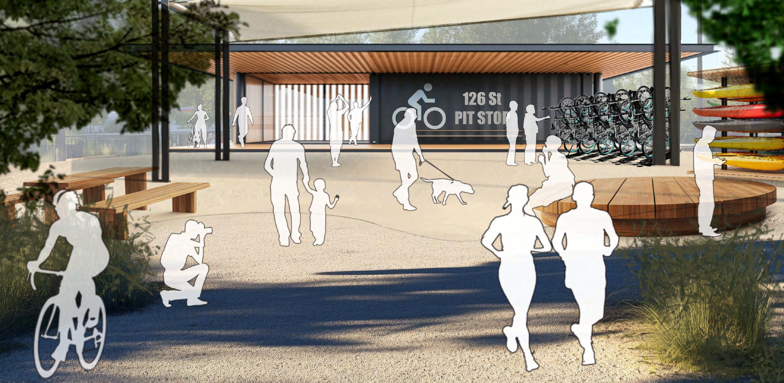
126th Pit Stop: New development will prioritize polluted and undeveloped sites and reimagine them into thriving locations for connecting, playing, and wealth building. This as acts like a bike stop with services and activities.
Ford Bishop Freeway
Calumet
Viewing Deck
Short Grass Mounds Wetlands
River
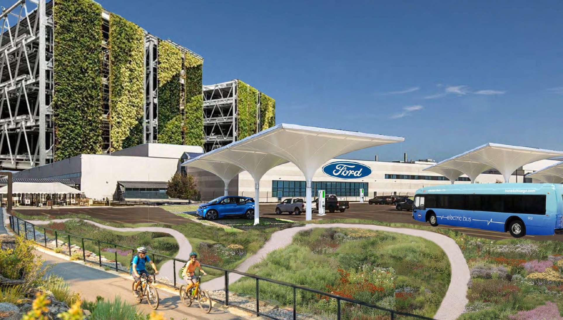
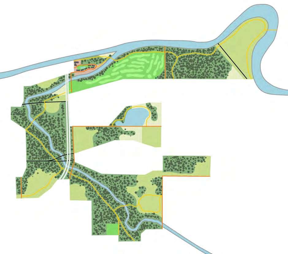
REIMAGINING INDUSTRY: THE FORD PLANT
NOVEL ECOSYSTEMS
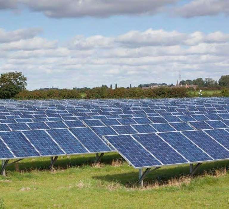
These sections show the restoration of a hemimarsh through invasive species removal, native planting, and hydrologic controls, creating diverse habitats of open water and emergent vegetation for native wildlife. Alongside this, bioremediation of a former landfill improves soil and water quality while capturing methane for energy to heat homes. Together, these projects improve ecosystem health, creating productive soils, clean water, and diverse habitats that support native wildlife.