
VOLUME 1 MASTERPLAN

LEWISHAM SHOPPING CENTRE
DESIGN & ACCESS STATEMENT
Document Control
Job Title Lewisham Shopping Centre
Job Number 0386
Document Title Design & Access Statement - Volume 1
Document Name 0386-ZZ-ZZ-RP-A-PL0001
Revision P01
Date of Issue 18.10.24
Purpose of Issue For Planning
Compiled By
Reviewed By AF /
Date Reviewed 17.10.24
document contains
INTRODUCTION
EXECUTIVE
SUMMARY
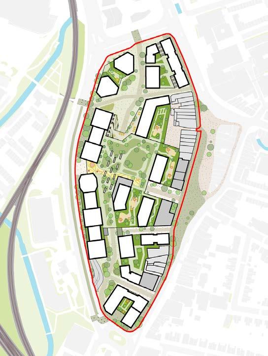
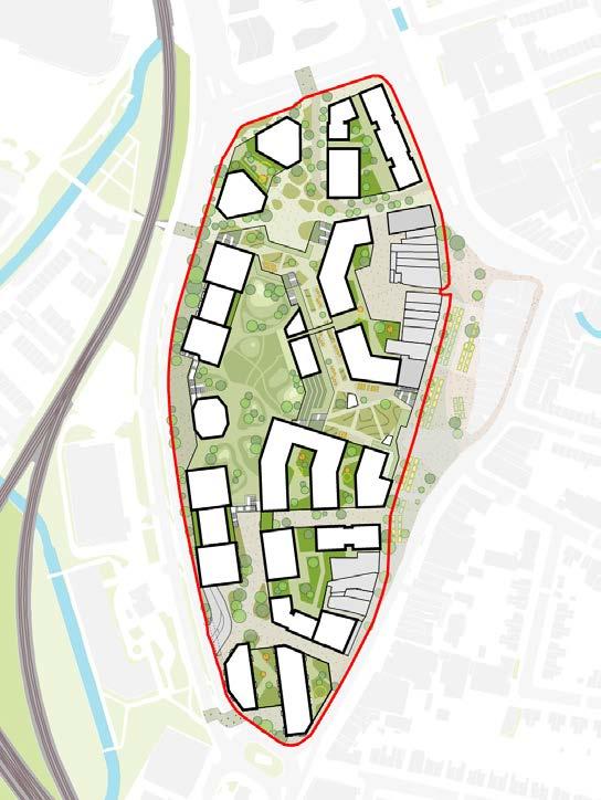
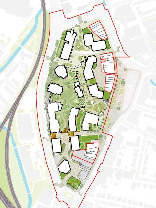
The proposal seeks a hybrid planning application for the comprehensive, phased redevelopment of land at Lewisham Shopping Centre and adjacent land, comprising:
• A full planning application for a mixed-use development including the erection of a Co-Living building (Plot N1), and a residential building (Plot N2), and existing shopping centre interface works (the ‘Phase 1a Finish Works’).
• Outline planning application (all matters reserved) for a comprehensive, phased redevelopment, comprising demolition of existing buildings, structures and associated works to provide a mixed-use development including living uses, comprising residential and student accommodation, town centre uses, community and cultural uses, and a multi-level public realm.
This Design and Access Statement focuses on the Outline component in the main body and appendices. There is also an Appendix for the Phase 1a Finish Works, which is applied for in Detail.
INTRODUCTION
The application seeks approval for the redevelopment of Lewisham Shopping Centre, on behalf of the applicant Landsec Lewisham Ltd.
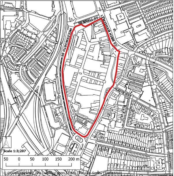
The Site is bound to the west and south by Molesworth St (A21), the east by Lewisham High St and the north by Rennell Street (A20). West of Molesworth St is the railway line and Ravensbourne River as well as a mix of green space, residential and commercial buildings.
The Hybrid Planning Application
The planning application comprises of both an outline component as well as a detailed component. The outline planning permission will be governed by control documents including Parameter Plans, a Design Code, and the Development Specification. These documents are supplemented by illustrative information, including this document. Detailed Plots N1 and N2 will be described by their own DAS volumes.
This Design and Access Statement (‘DAS’) has been prepared having regard to the requirements of the Town and Country Planning (Development Management Procedure) (England) Order 2015 as well as the guidance set out in the Planning Practice Guidance (PPG) / Making an Application / National Information Requirements / Design and Access Statements paragraphs 029 - 032.
This DAS explains how the design principles and concepts have been applied to the Lewisham Shopping Centre development and how issues relating to access have been dealt with.
This DAS comprises a number of separate Volumes which address different aspects of the proposed development and have been prepared by the relevant architect or Landscape architect for each plot/landscaping. Information on the accessibility of the proposals is provided in relation to the buildings and public realm, and forms a separate Section in each Volume, or as an Appendix. Please note that all figures are for illustrative purposes only unless otherwise stated.
Design and Access Statement
Information Parameter Plans Design Code Development Specification
Future reserved matters applications will be required to adhere to the control documents set out in the outline component
Outline Component
Reserved Matters Application
Control Documents
Hybrid Planning Application
Detailed Component
Detailed Plots
N1 N2
Phase 1a Finish Works
Illustrative
Illustrative Drawings
DOCUMENT STRUCTURE
The opposite table sets out the Design and Access Statement and its separate volumes for the outline and detail components of the development, alongside the accompanying control documents.
This volume, Volume 1, provides supplementary illustrative detail for information to be read alongside the Development Specification, parameter plans, Design Code and Phase 1 Public Realm Scheme drawings.
Application Drawings - Plot N1
Application Drawings - Plot N2
Application Drawings - Phase 1a Finish Works
Appendix 1 - Access Statement
Appendix 2 - Lighting Assessment
Appendix 3 - Fire Statement
Appendix 4 - Ventilation Approach
PROJECT TEAM
Client
LandsecU+I
LandsecU+I are a specialist mixed-use regeneration developer. Our purpose is to improve people’s lives, in the places we build, in the positive impact we have on communities, in everything we do. Asking the right questions about people, place and planet, we imagine, design, build, co-create and operate sustainable urban places that work for communities today and evolve and adapt for tomorrow.
Urban Design, Architecture, Landscape
Studio Egret West (SEW)
Since its establishment in 2005, SEW has delivered high quality place making through the symbiosis of memorable architecture, strategic urban design and ecology-driven landscape. The strand that ties our thinking and design work together is the fundamental principle of storytelling. It is through strong narrative that the coherent design of places emerges, our ability to think at the varying scales of masterplan, public realm/ landscape strategy and architectural detail allows us to embed memorable, value adding narrative into the DNA of the place.
Engineering
Town Planning
WSP are one of the world’s leading engineering and professional services firms. Our 69,300 passionate people are united by the common purpose of creating positive, long-lasting impacts on the communities we serve through a culture of innovation, integrity, and inclusion. With over 9,000 professionals across the UK and Ireland, we are dedicated to our local communities and propelled by international brainpower.
Quod is a dynamic independent consultancy at the cutting edge of planning, development economics, social economics and environmental planning based in London and Leeds. Founded in May 2010, Quod has experienced sustained growth, attracting well established professionals, and providing specialist expertise. Thinking through the best strategy at the outset is key. Our clients value this approach, and we enjoy helping them to grow their businesses. We offer what you should expect from all good consultancies – incisive thinking, attention to detail and honest commercial advice by a team of professionals committed to getting it right.

Townscape
Founded in 1921, we have been a key player in the UK property and real estate industry for more than a century. Over the years, the firm has grown and evolved from a predominantly Valuation and Rating business to a multidisciplinary practice.
Services include those related to Planning and Historic Environment and Commercial & Agency.
Sustainability
Bioregional
Bioregional was founded as a charity and social enterprise in 1994 by Sue Riddlestone OBE and Pooran Desai OBE, two environmental entrepreneurs based in South London, who wanted to develop more sustainable ways of living.
We provide a range of sustainability consultancy services that make it easier for people to live sustainable lives within the planet’s boundaries.
Architect - Plot N1

Architect - Plot N2
Mæ are the general project lead and have designed the architectural form and appearance of the building. As the recent 2023 Stirling Prize Winners for Morden College and authors of the London Housing Design Guide, Mæ has a track record of exceptional residential architecture. Studio Multi is a boutique practice with big practice experience, with the recent experience of designing and delivering co-living projects in London, and have led the brief development and internal configuration of spaces.
We were founded with a mindset that design should be used to tackle major societal challenges. We seek out opportunities to progressively shape a better, more sustainable and more inclusive world for now, and for future generations. We listen and respond to the everyday issues people face in their neighbourhoods because we recognise that good design can have a transformative impact on physical and emotional health.
Montagu Evans
Mae & Studio Multi
Archio
WSP
Quod
VISION
PROJECT VISION
Throughout this process, we’ve gained a deeper understanding of the strong connection between the local community and Lewisham town centre. We’ve seen first-hand the vital and diverse role the town centre plays in residents’ daily lives. We’ve learned how different communities and age groups engage with the area in unique ways, and we’ve listened to the aspirations of those who want Lewisham to reclaim its place as one of London’s most dynamic neighbourhoods.
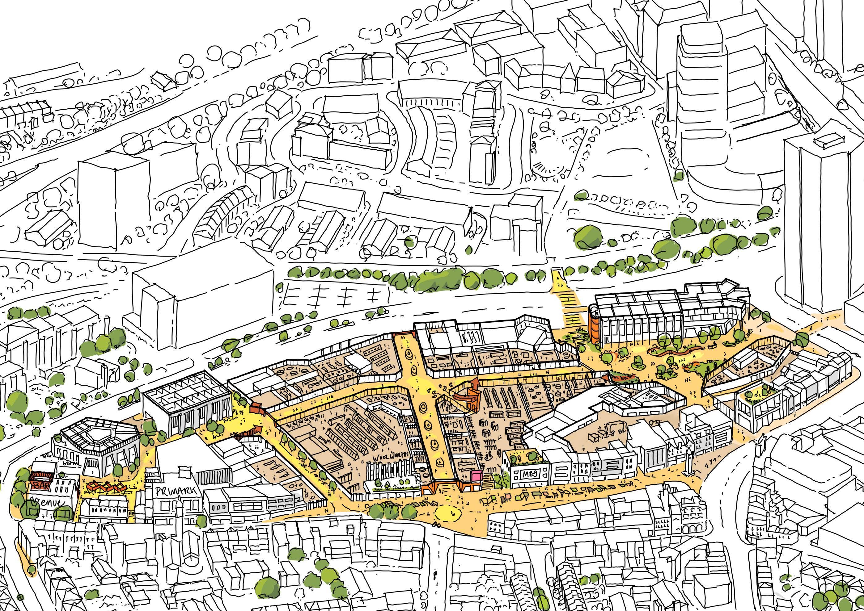
At the moment the town centre meets the basic needs of the local communities. The retail, leisure uses and public realm is adequate for some, but there is an exciting opportunity to amplify all that is currently offered, setting a new standard for Lewisham. This proposal has the ability to make Lewisham Town Centre not just the place local residents use, but a destination for the whole of London.
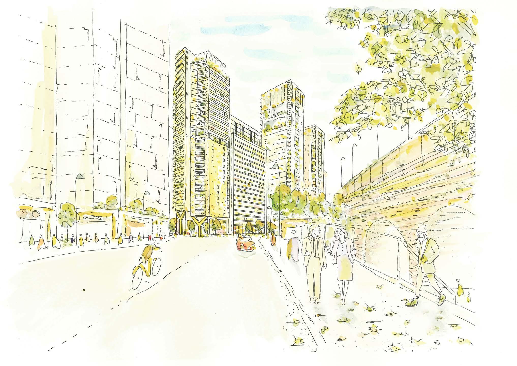
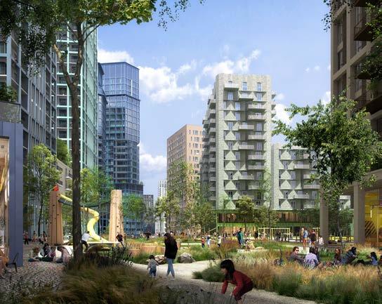
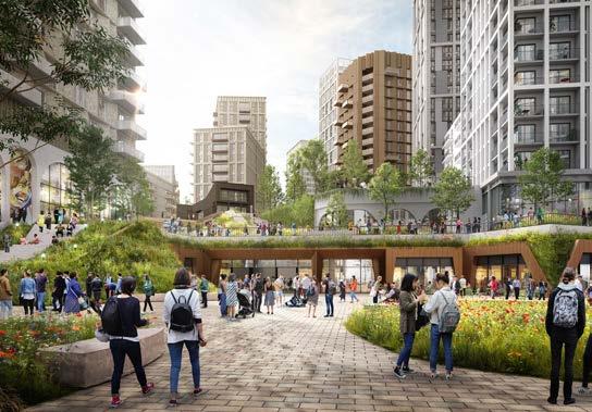
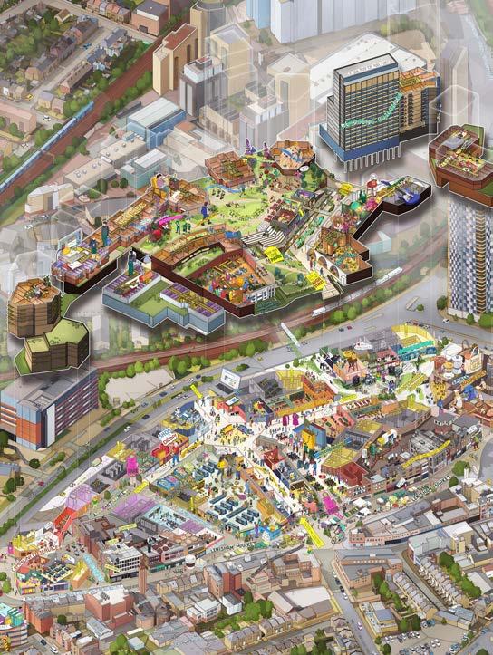
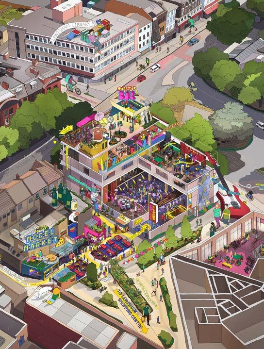
This vision goes beyond simply reconfiguring the shopping centre or adding much-needed homes. We propose creating an array of new public spaces that will integrate access to nature into everyday life. Drawing inspiration from Lewisham’s history as a meadowland at the meeting point of the Quaggy and Ravensbourne rivers, we envision a contemporary meadow that includes a new public park, a civic square, and a reimagined shopping environment, all connected through a multilevel landscape.
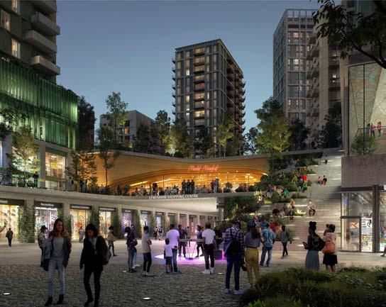
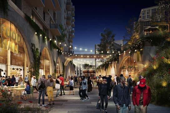
We believe that transforming Lewisham into a nature-led destination will help the town centre thrive, reinvigorating retail and introducing dedicated areas for restaurants, bars, and event spaces to elevate the leisure experience. A new community music venue will anchor a vibrant evening economy.
This redevelopment won’t just make Lewisham a place to visit - it will become a neighbourhood where people live, work, and connect. More than just a location, it will be a vibrant space for communities to come together, remaining central to residents’ daily lives while offering so much more in a nature-focused setting.

THIS IS MORE THAN A
PLACE.
PLACE OBJECTIVES
A NEW PARK
A MUSIC AND CULTURAL VENUE
OVER 7 ACRES OF PUBLIC SPACE
TRANSFORMING THE HIGH STREET
JOB CREATION
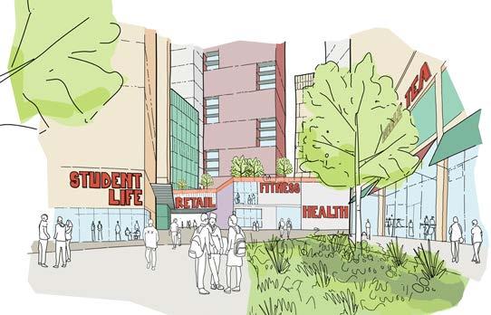
RETENTION OF THE SHOPPING CENTRE
A NEW MODEL MARKET
FOOD ECONOMY
UP TO 1,700 HOMES
15-20% AFFORDABLE HOUSING
ADDITIONAL HOMES FOR SHARED LIVING AND STUDENTS
A 21ST CENTURY
SHOPPING AND LEISURE DESTINATION
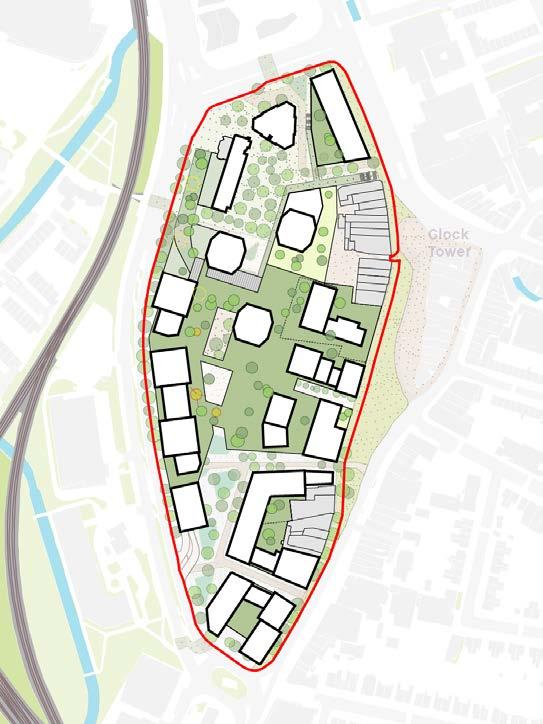
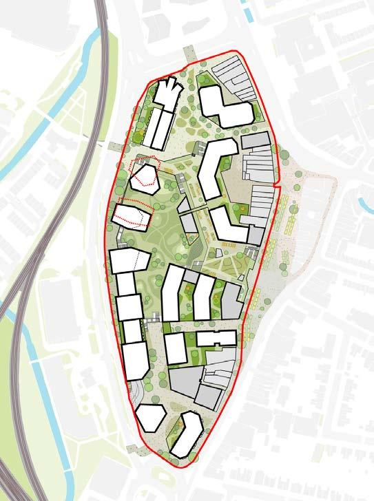
SITE ASSESSMENT
CONTEXT
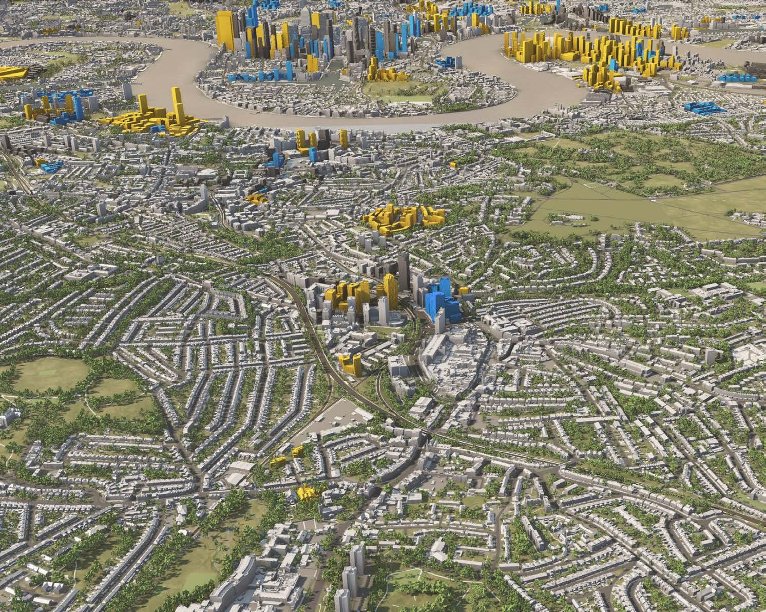
WIDER CONTEXT
The site is located in the London Borough of Lewisham in SouthEast London, towards the north of the Borough. The Borough itself is bordered by Greenwich to the east, Southwark to the west, Bromley to the south and the River Thames to the north.
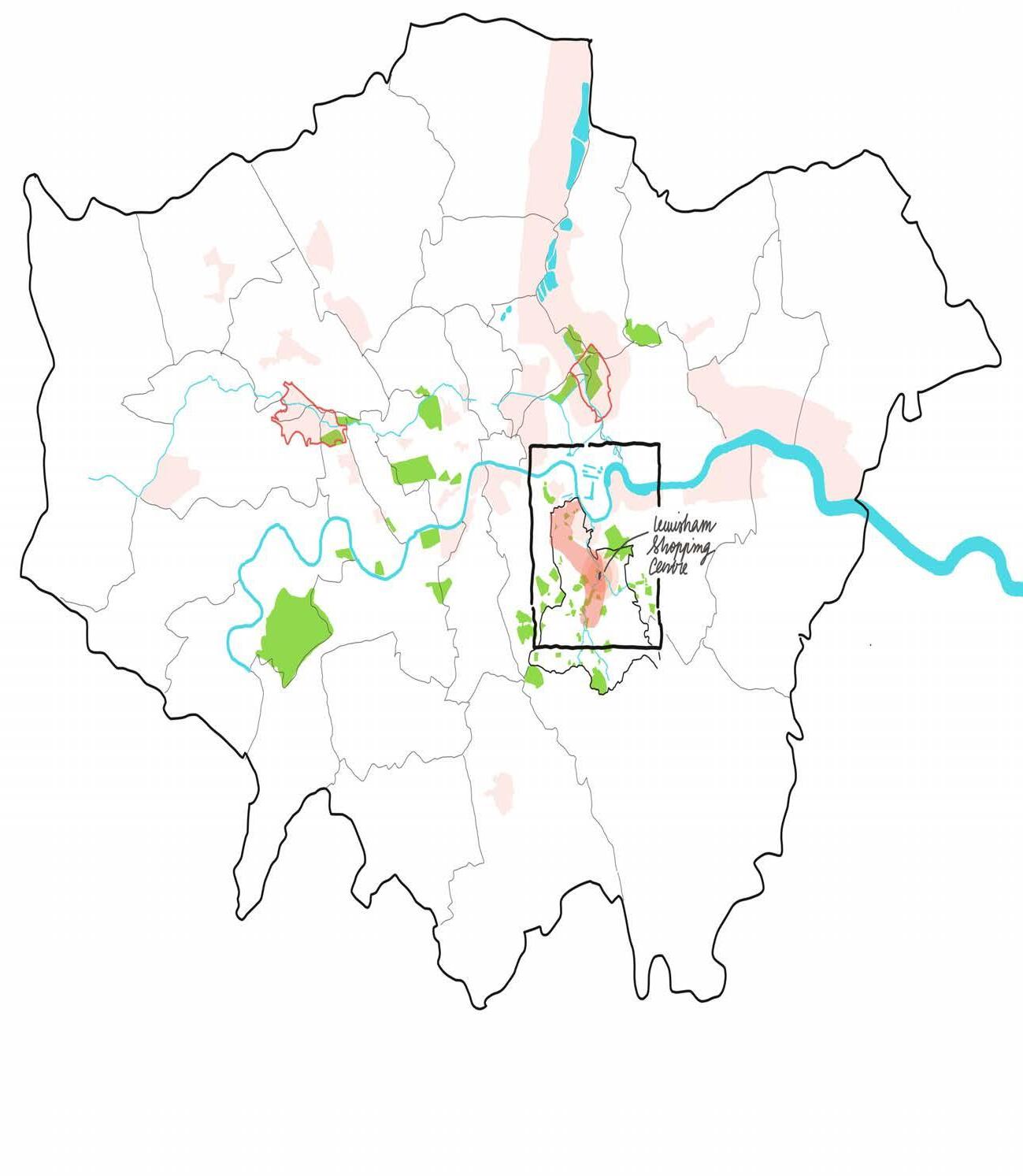
BOROUGH CONTEXT
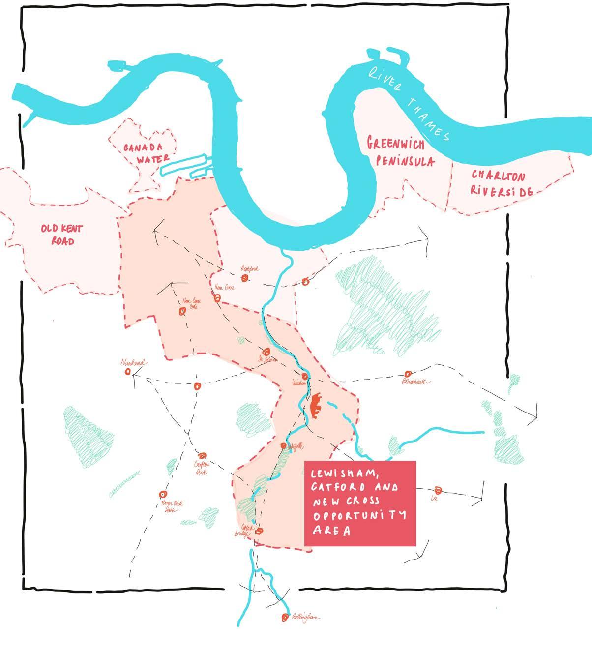
The site, at the heart of Lewisham town centre, has been identified as a London Plan opportunity area (Lewisham, Catford and New Cross) with an ambition to become a new metropolitan centre.
DEVELOPMENT CONTEXT
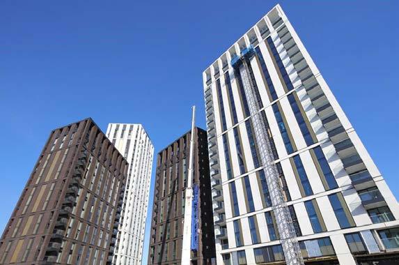
The site sits amongst significant consented development in the wider area.
Renaissance is a mixed-use development in Lewisham to the north west of the site. The project features over 750 homes across 10 buildings, with retail spaces at street level, a district heating centre, and the Glass Mill leisure centre. The Lewisham Gateway development north of the application site is also under construction and almost complete.
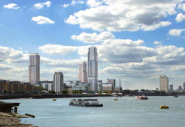
Convoys Wharf to the north of the borough will create a link to Deptford’s historic town centre and High Street. Further north the Greenwich Peninsula masterplan is consented with early phases either complete or under construction.
Lewisham Shopping Centre
Lewisham Gateway
Convoys Wharf
North Greenwich Peninsula Development Renaissance Development
Convoys Wharf - Deptford
LOCAL CONTEXT
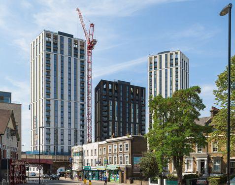
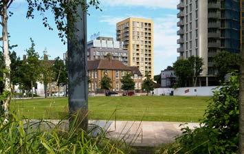
Lewisham as a town centre has a been part of an evolving urban fabric in recent years. New development is currently underway to the north of the site surrounding the station, with other sites to the south identified for development within the local plan.
This transformation is driven by large-scale regeneration projects, including the Lewisham Gateway initiative, proposing to introduce contemporary residential and commercial spaces. As the borough expands, these new developments are being integrated into the existing urban landscape, reinforcing Lewisham’s position as a vibrant and thriving centre.
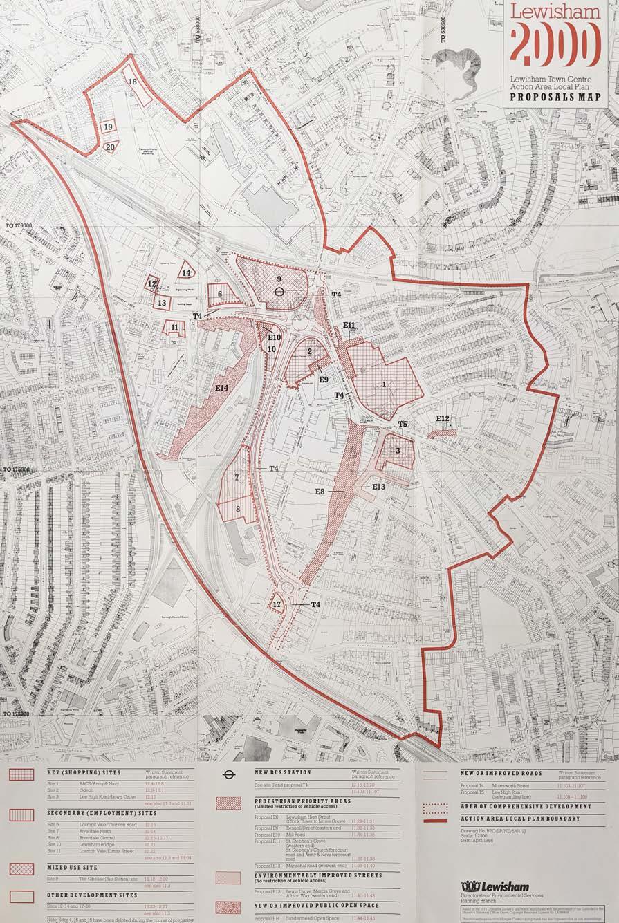
LEWISHAM 2000 & GATEWAY
It is important to recognise the role of ‘Lewisham 2000’ on the site’s local context, which created fundamental changes to Lewisham’s Town Centre in the 1990s. Some of the key changes at the time were as follows:
• A new roundabout was installed at the former Obelisk site, demolishing retail buildings to the north of the shopping centre.
• Molesworth Street was widened into a dual carriageway with cycle route, taking traffic away from the High Street.
• The Bus Station and bridges over Lewisham Way were upgraded.
• The DLR was extended to Lewisham.
• Riverdale Gardens and Quaggy Park were created.
• The Library was built.
The demolition of the Obelisk Buildings removed a large and historically significant area of the High Street and disconnected the Town Centre from the Station. By 2005, Lewisham Gateway proposals were emerging to help address this.
What is now known as the Gateway Development aims to provide a more direct route to the station, with a mix of leisure and retail along this key route including a cinema.
Lewisham Gateway Proposed and Built images
Lewisham 2000 Proposals Plan
TOWN CENTRE
CONTEXT
The adjacent plan identifies the existing location of predominant residential and town centre uses in the site’s wider context, demonstrating the shopping centre is the heart of the town centre.
Town Centre Uses: Lewisham Shopping Centre currently marks a clear active and centralised zone within its wider context for town centre retail and leisure Uses. Beyond the site boundary, town centre uses are primarily found along Lewisham High Street and Lee High Road.
Emerging developments surrounding the station have also begun to expand town centre uses to the north and west of the site and High Street.
Residential: Existing housing surrounds the site away from the main roads. The majority of this is provided through traditional terraced and semi-detached housing. A large number of residential homes are also situated in emerging residential-led developments to the north and west of the site, where homes are provided at higher levels over town centre uses at ground floor.
C2
C3
E(a)
E(b)
E(c)
E(d)
E(e)
E(f)
E(g)
F1
F2
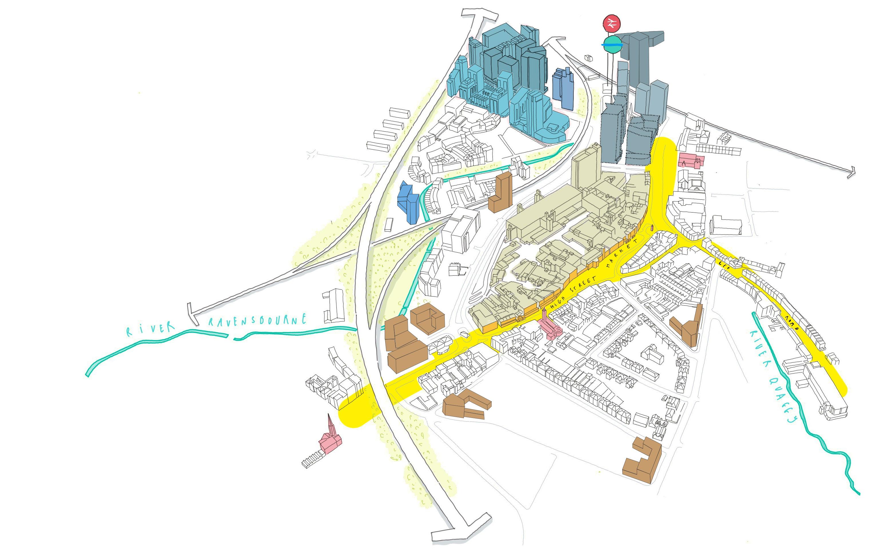
IMMEDIATE CONTEXT
The site’s immediate context is a rich mix of Town Centre functions.
To the north, recent residential-led developments are now mostly complete or under construction. This creates an evolving urban context for the proposals to respond to.
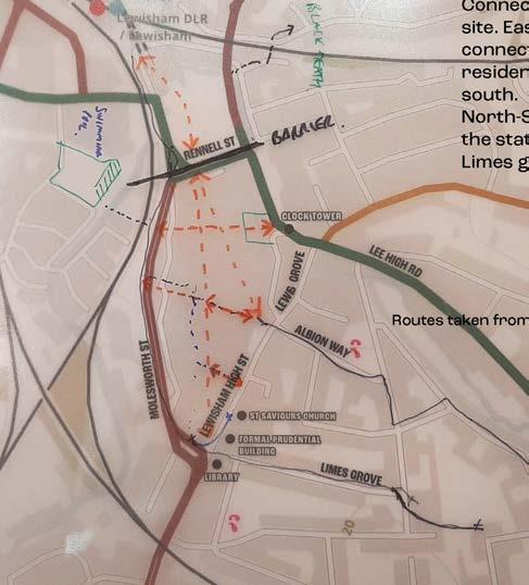
Rennell Street currently provides a singular crossing which aligns with the emerging North-South route through Lewisham Gateway.
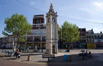
To the east, the historic High Street and Market form a popular destination for visitors throughout the week. This is partially pedestrianised and includes historically significant structures including the Clock Tower.
To the west, the site is bound by Molesworth Street that acts as the main vehicular route running north-south in the town centre. The site is further split from its western context by the railway line and River Ravensbourne.
Molesworth Street functions primarily as a transport link for cars, buses and HGVs, with occasional crossing points and a planted central reservation to serve pedestrians, as well as a two-way cycle route. The public realm experience is considered to be lacking due to the following reasons:
• The frequent passing of buses or HGVs servicing the town centre are detrimental for noise and air quality.
• No active frontage & limited legibility
• Town centre activity limited to shopping centre thresholds
• Footpaths mostly hard landscape
• Soft landscape limited to semi-mature street trees and planting along central reservation
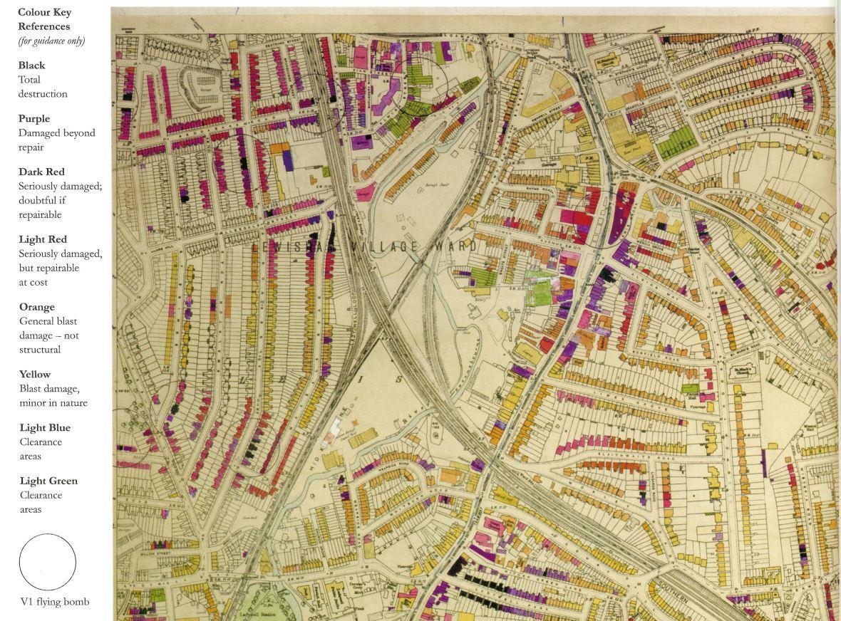
SITE HISTORY
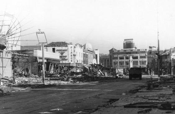
1940S
LEWISHAM MARKET BOMBING
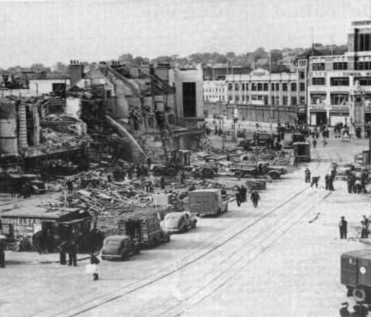
V1 Flying Bomb lands on Lewisham Market. Large-scale damage in town centre across 500ft of the High Street frontage including M&S.
LEWISHAM MARKET RECOVERY
Lewisham Market begins recovery, operating with 55 licensed stalls. The High Street as a whole would not recover until the mid-1950s.
1950S
M&S TEMPORARY STORE OPENS
Temporary M&S is opened on same site as previous building, using retained ground floor steel frame from original 1929 store. Permanent replacement is completed on 26th October 1956.
SAINSBURY’S MOVES TO HIGH STREET STORE
Sainsbury’s moves from historic 1888 store at the Obelisk to 132-136 Lewisham High Street.
28 JULY 1944
1960S
LONDON BOROUGH OF LEWISHAM CREATED
Lewisham was administratively part of Kent until 1889, then formed part of the Metropolitan Borough of Lewisham in the County of London. The modern boundary combined historically rural Lewisham with industrial Deptford for the first time.
LEWISHAM FLOODS
Widespread flooding occurs across Lewisham as River Quaggy, Ravensbourne and Pool all overflow.
1970S
CONSTRUCTION ON SHOPPING CENTRE BEGINS
Construction begins on site by Grosvenor Developments
LEWISHAM CLOCK TOWER IS LISTED
Lewisham Clock Tower becomes a Grade II Listed structure
LEWISHAM SHOPPING CENTRE OPENS
Riverdale Centre opens to the public, as one of London’s major shopping locations and one of the UK’s six largest covered shopping centres. As part of redevelopment, Lewisham House is built to house Citibank and the High Street faces redevelopment. Sainsbury’s is closed in 1975 and moved to its current location in the shopping centre.
1980S
FIRST PLANS OF LEWISHAM 2000 ARE SEEN
Initial plans to redesign Lewisham’s Town Centre under ‘Lewisham 2000’ are released. The £35million project is funded by the Department of Transport and includes major road reconfiguration including a new large roundabout at the Obelisk and redesign of Lewisham’s High Street Strategic sites for redevelopment are also identified. Work is first known to have begun in 1987.
1990S
CONSTRUCTION BEGINS ON TOWN CENTRE
Lewisham 2000 Town Centre improvement scheme begins construction on new road network and rail bridges. Planning team move to 39 Lewis Grove to be closer to the Shopping Centre and allow for community consultation
HIGH STREET PROPOSALS LAUNCHED
High Street design proposals are launched at People’s Day for consultation. The designs are finalised in October for works to begin in Spring 1994.
1 APRIL 1965
15-16
RIVERDALE SCULPTURE PARK OPENS
Commissioned by Citibank as part of Lewisham 2000, to be sited in the new Riverdale Gardens on Molesworth Street. When opened it housed work by over 16 artists.
MOLESWORTH STREET OPENS TO TRAFFIC
Molesworth street opens as a new dual carriageway connecting to the north roundabout, re-routing traffic away from Lewisham’s High Street. This allows the pedestrianisation of the High Street to begin in Spring 1994.
BUILDING WORK UNCOVERS WW2 BUNKERS
Lewisham 2000 improvement works uncover 12 halls (covering 3000sqft and able to host 600 people) of WW2 air raid shelters in the High Street in the run-up to VE Day.
FIRST TOWN CENTRE MANAGER APPOINTED
Patrick Codd is appointed by Lewisham Council, under joint direction of the Council, town centre businesses and Met Police to “effectively co-ordinate private and public sector interests...to create a successful town centre for the benefit of all”. His key targets included promoting town centre activities, maintaining management standards and implementing the new CCTV system.
HIGH STREET WORKS COMPLETED
Pedestrianisation of the High Street, improvement of the market and the repositioning of the clock tower are largely completed.
LEWISHAM
HISTORY WALL IS OPENED
LSC Manager Richard Merry opens a 40ftx12ft mural on Molesworth Street to celebrate 2000 years of the borough’s history, as part of the LSC’s 21st anniversary celebrations.
2000S - 2020S
Lewisham Gateway Riverdale Hall [Leisure Box] Closure Police station Opening 2011 London riots Black Lives Matter & George Floyd EU Referendum
Battle of Lewisham Anniversary Events
Battle of Lewisham Mural at Goldsmiths
Return of Leisure Facilities - including Cinemas Migration Museum move to Lewisham Coronavirus Pandemic
1950s Model market opening and closing Borough of Culture 2022 events
Goldsmiths ‘Post War Lewisham / in living memory’ Research & Lewisham Memory Bank
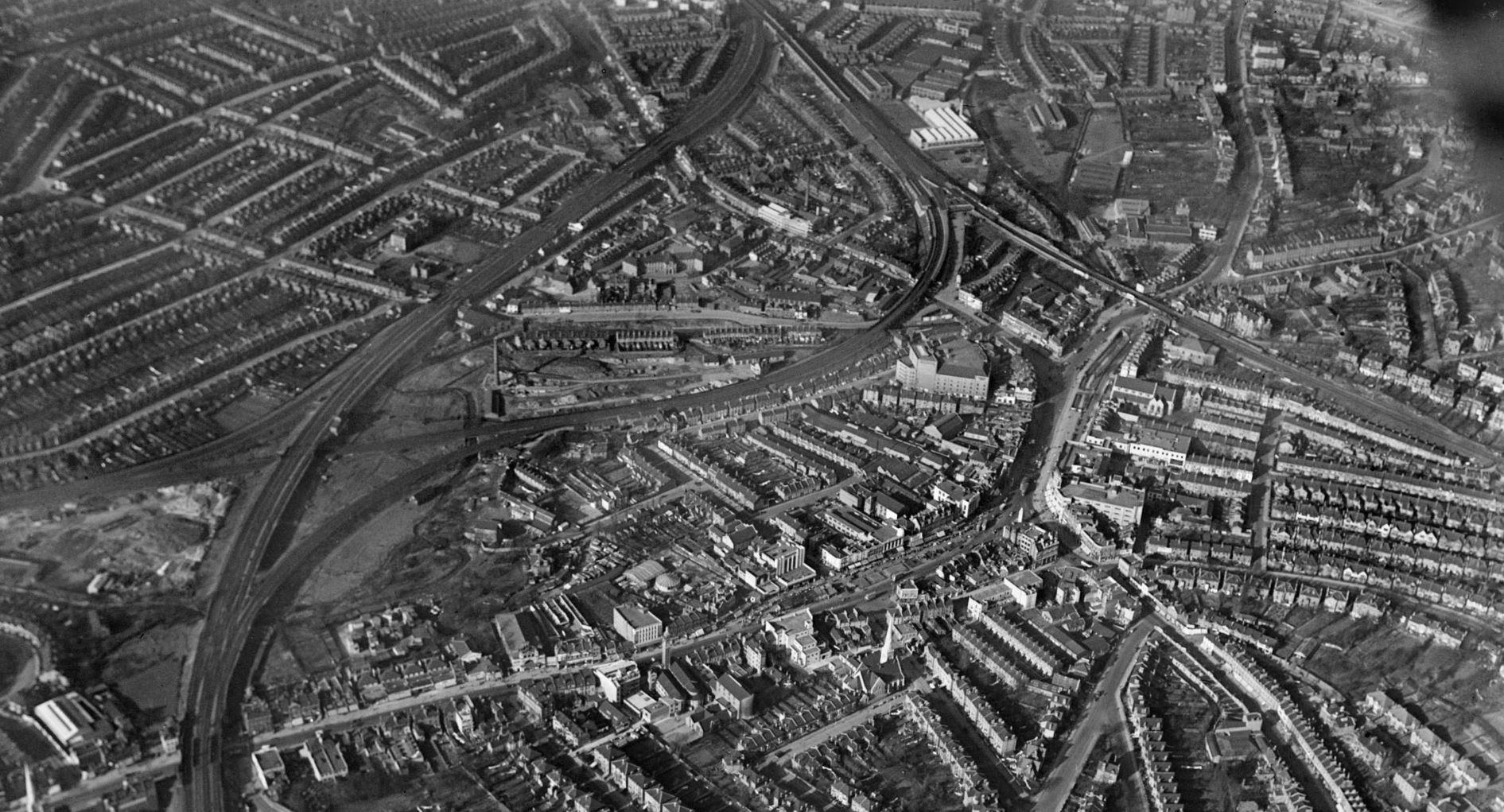
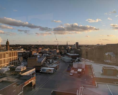
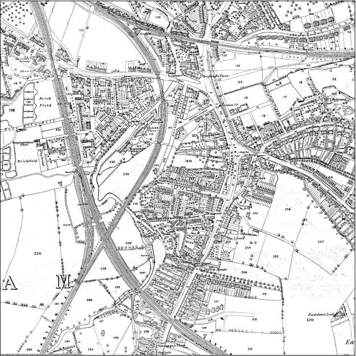
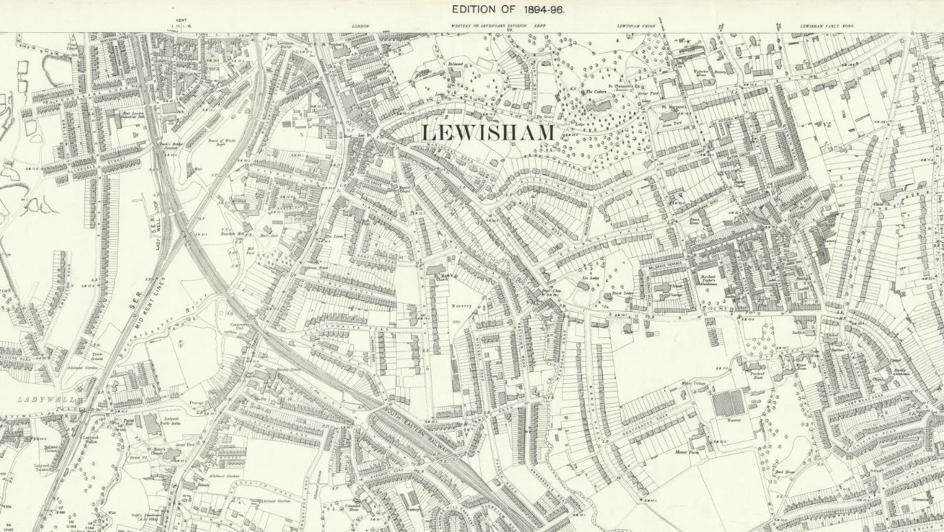
Aerial view, 1939
SITE HISTORY
The High Street
Overview
Lewisham’s Town Centre has transformed into a key urban area in South-East London over the past 200 years, and has hosted a variety of retail, leisure and amenity functions for its residents.
The High Street has been a constant and evolving structure within this, forming the backdrop to everyday life and shifting in function as the ways people relaxed, shopped and travelled changed over the 19th and 20th centuries. Lewisham’s High Street was historically predominantly residential, but by the 1880s it was becoming an established retail hub.
A V2 flying bomb landed on Lewisham Market in July 1944, causing damage to many High Street buildings. Infill buildings were completed to rehouse the retail, resulting in Sainsbury’s moving to the High Street and a new building for M&S.
The construction of Lewisham Shopping Centre fundamentally changed the character of the town centre, by demolishing the dense network of private houses west of the High Street, removing the historic Romer Avenue and increasing traffic on Molesworth Street.
Lewisham 2000 brought huge public realm changes, pedestrianising the High Street and turning Molesworth Street into a dual carriageway.
In recent years, the roundabout has been replaced with a new junction and the emerging development of Lewisham Gateway, which aims to repair the lost connection to the Station. The market, Clock Tower and Shopping Centre remain key features in Lewisham town centre.
Building Line
Over time, Lewisham’s historic High Street frontage has edged forward, with front gardens and breaks in the elevation being in-filled and reducing greenery in the centre. Lewisham Shopping Centre further solidified this hard building line. The High Street forms a continuous line from north to south, however, the new large junctions and widened carriageways at Molesworth Street and Rennell Street have disrupted this continuity.
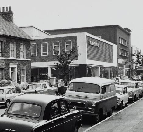
Former Sainsburys on Romer Avenue, 1964
Bomb damage to the High Street, July 1944
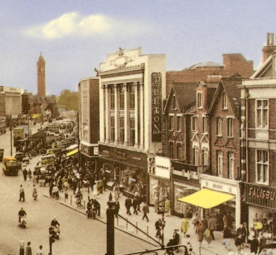
Post-war buildings along Lewisham High Street, c.1960s
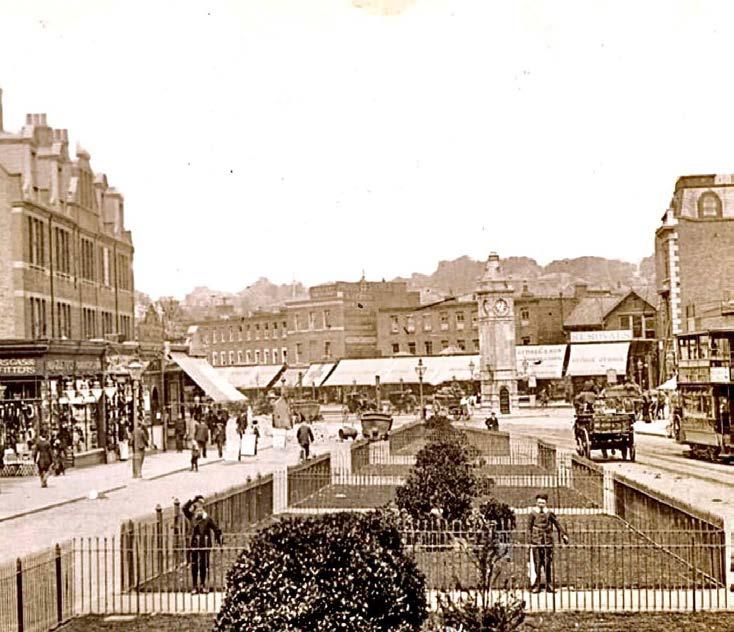
Lewisham High Street c.1910, showing gardens lining road
SITE HISTORY
Lewisham Market
Lewisham Market has been established within the centre of Lewisham for at least 120 years, and is now one of London’s last remaining six-day markets.
It was first opened in 1906, surrounding the recently completed Lewisham Clock Tower (built in 1900 to mark Queen Victoria’s Diamond Jubilee). Prior to this, unlicensed market trading was known to take place in the area, suggesting the history of Lewisham market is earlier than its official opening.
For the last century the market has been a constant and unique feature to Lewisham’s centre. Other than a brief halt from 1944-1950 following it being hit by a bomb, the market has remained open. In the 1990s the site was further pedestrianised to provide additional space to market sellers.
In more recent years, through Central government funding Lewisham Council have received Levelling Up funding to enhance the existing High Street market. Lewisham Council have begun consulting with market traders to develop a future vision for the Market. The process has brought about a series of High Street improvements including artwork, refurbishment of market stalls, improvements to public realm and creation of a new permanent Market House and open market canopy.
The proposal was granted planning permission in July 2024.
Historic images of Lewisham Market
Bomb damage to Lewisham Market
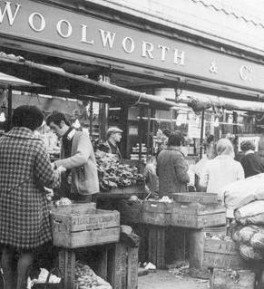
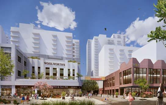
Market adjacent to former Woolworths building
New permanent Market House and open market canopy proposal
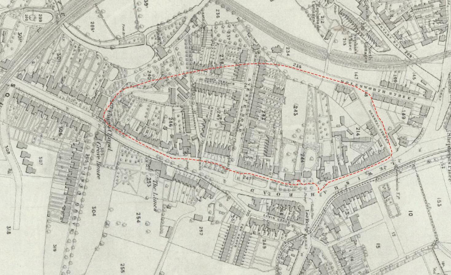
SITE HISTORY
The Shopping Centre
‘Riverdale, The Lewisham Centre, officially opened on 24th May 1977, is one of London’s major shopping locations and of the six largest covered shopping centres in the United Kingdom.’ (Grosvenor Estate Commercial Developments Limited).
The creation of the Lewisham Centre required the demolition of the dense network of private houses west of the High Street, the uprooting of many families, and the elevation of Molesworth Street into a major road. On the High Street itself the chief result of these changes was the disappearance of Romer Avenue, replaced by the main entrance of the shopping centre.
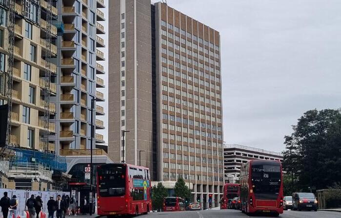
Construction of the shopping centre completed in May 1977. As part of the redevelopment, a multi-storey car park was constructed, alongside office building Lewisham House for Citibank.
At a later date the centre sunken cafe was removed and filled in, and glazed rooflights were added to sections of the concourse.
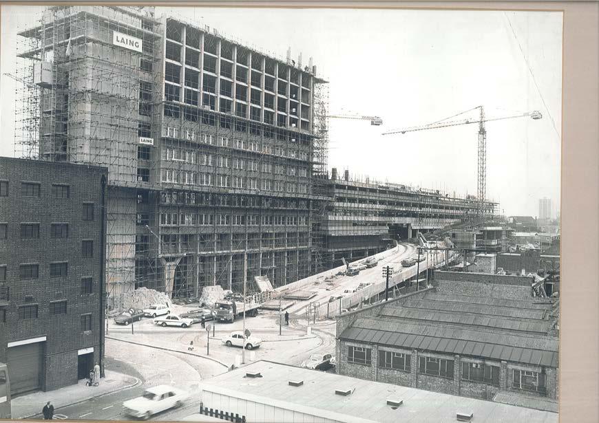
Construction of Lewisham Shopping Centre & Lewisham House
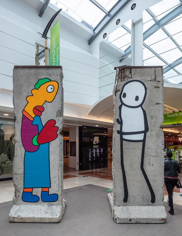
Public Art in central glazed concourse, 2023
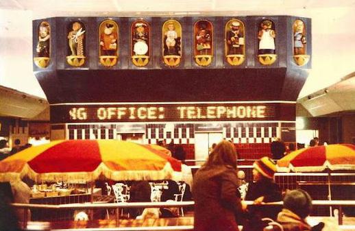
Historic Lewisham Shopping Centre clock
THE SITE
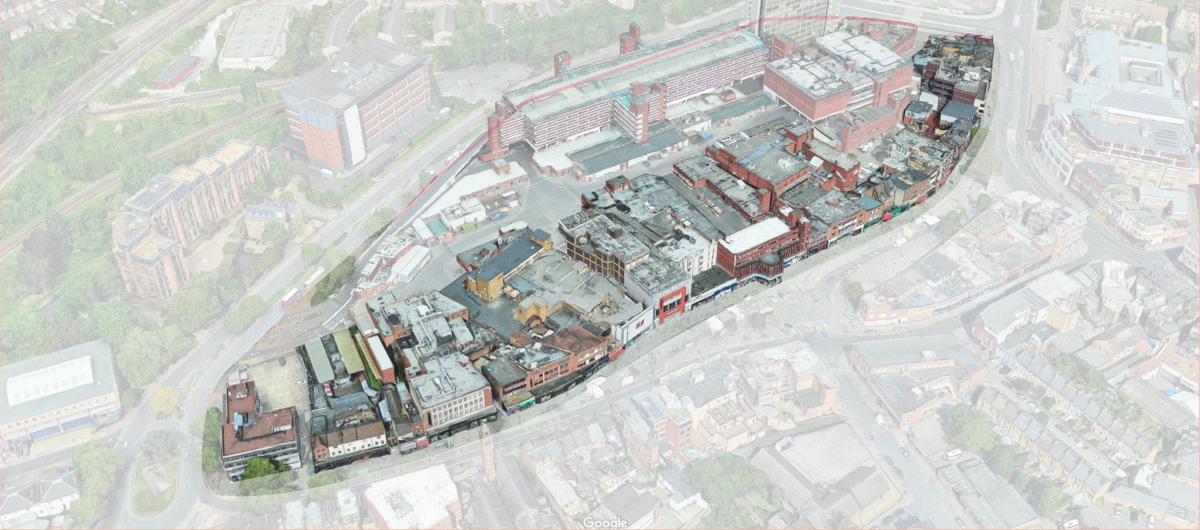
THE EXISTING HIGH STREET
The site’s Eastern Elevation is made up of a large area of Lewisham’s High Street frontage. This extends from Rennell Street in the north, along the primary frontage to Lewisham Market and down to the southern end of Molesworth Street.
Lewisham
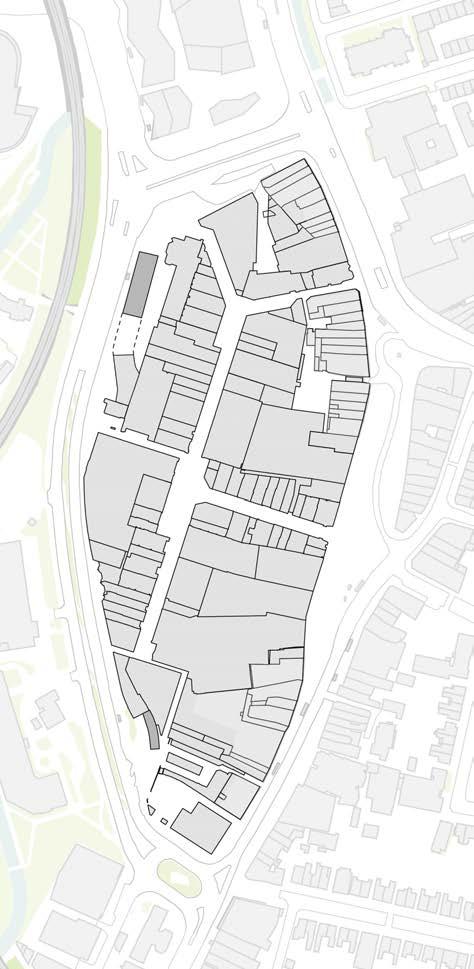
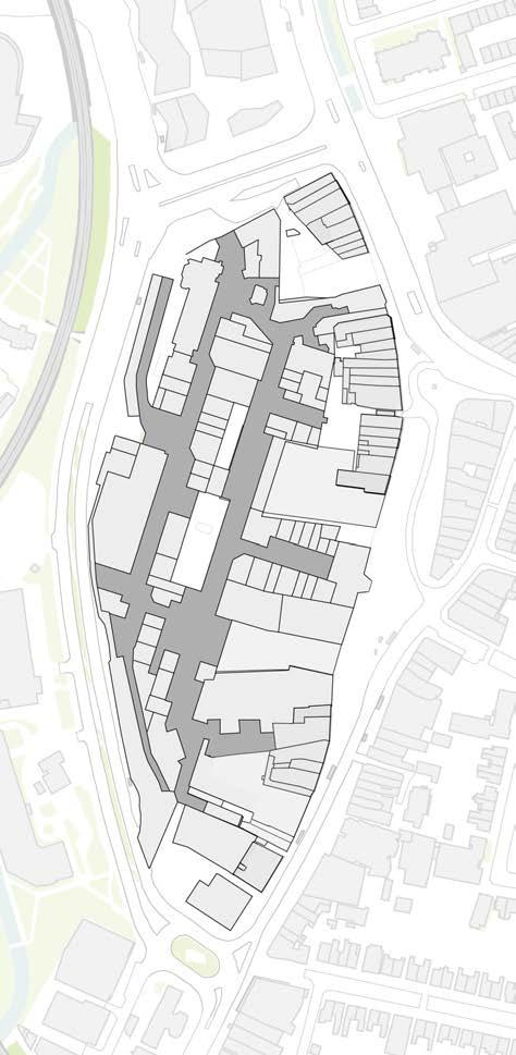
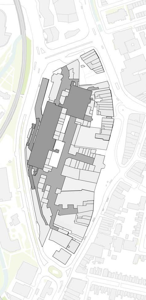
THE EXISTING SHOPPING CENTRE
Layout & Access
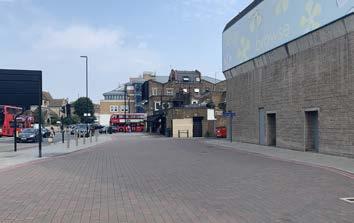
The Site is bound to the west and south by Molesworth St (A21), the east by Lewisham High St and the north by Rennell Street (A20).
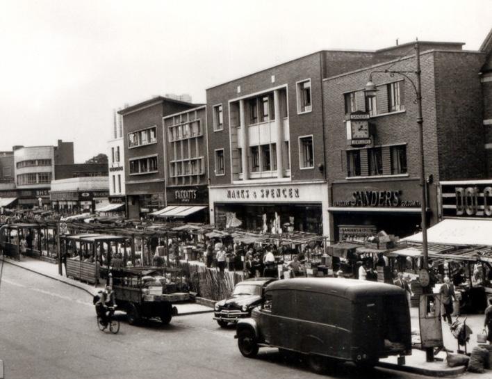
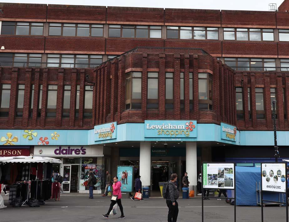
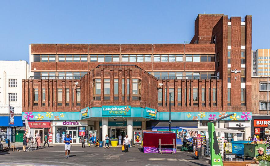
The existing Lewisham Shopping Centre, built in 1977, is a large, enclosed retail space and home to a mix of businesses at ground level and an easy layout that encourages movement between different stores and services.
The shopping centre has multiple entrances, with the primary ones located on Lewisham High Street, Rennell Street and Molesworth Street. These entrances lead directly to the main shopping centre concourse and are easily accessible from the surrounding streets and public transport links.
The internal layout is primarily single-level. It’s wide and spacious corridors accommodate heavy foot traffic. At the heart of the shopping centre is a large atrium acting as a focal point for promotional events and temporary displays and provides a sense of openness within the enclosed environment.
Retail units are zoned according to categories, such as fashion, or home goods, with major anchor stores, like M&S and Primark, positioned at key points to draw people into the centre.
THE EXISTING SHOPPING CENTRE
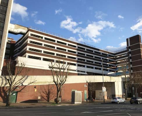
The Service Deck
The Service Deck forms a complex first floor structure spanning the majority of the site that services the shopping centre below. This includes facilities for deliveries, waste management and staff access.
The existing deck sits at circa 5.8 metres above ground level. This frees the ground floor of servicing movement and vehicles, enhancing the pedestrian experience across the site at ground level.
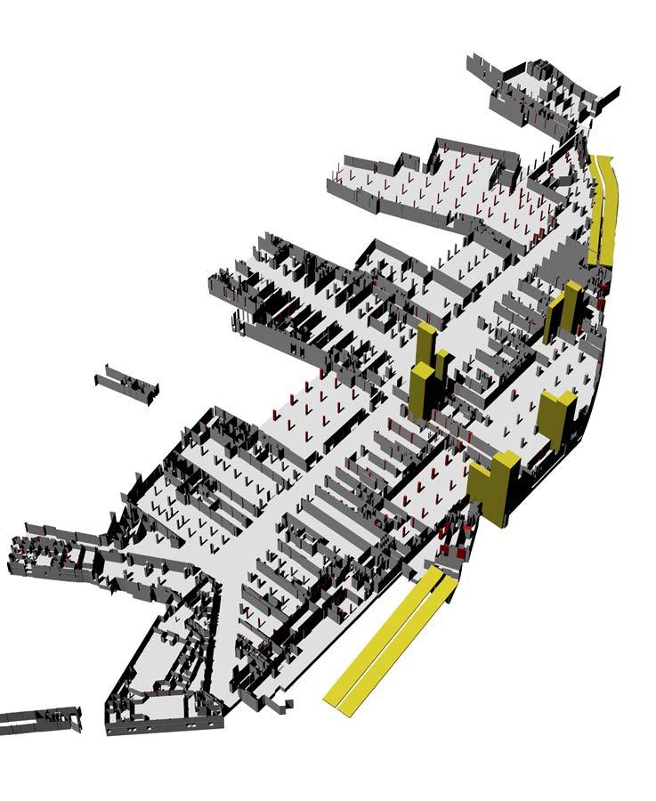
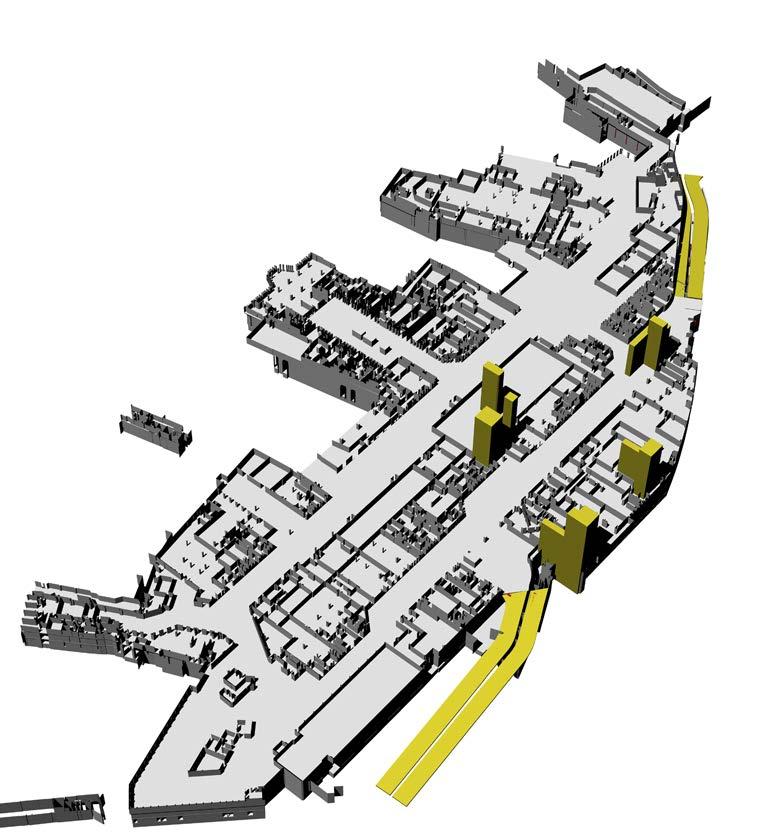
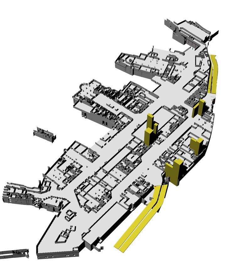
Lewisham Shopping Centre Car park and Leisure Box Overlay Axonometric
THE EXISTING SHOPPING CENTRE
Appearance
The 1970s shopping centre reflects a contemporary, functional design with a focus on creating a practical and accessible environment.
The main entrances are marked by wide, automatic glass doors that lead directly into the shopping centre. These entrances are often framed by large signage are sheltered by canopies or overhangs.
Along Lewisham High Street, the shopping centre features active street-level shop fronts. The shopping centre is integrated within its urban surroundings; a mix of older buildings and newer developments.
Prominent features include:
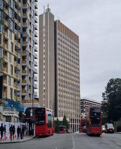
• Lewisham House - an existing high-rise office building previously occupied by Citi Bank and now vacant.
• The Leisure Box - a derelict structure that sits above the service deck to the north of the site. The building was previously used as a leisure centre and indoor bowling alley, and has been vacant for over 20 years, resulting in its poor current condition.
• Access Ramps and Service Deck - two ramps along Molesworth Street provide vehicle access to a level 01 Service Deck, allowing servicing of the retail units within the Shopping Centre below.
CONSTRAINTS
Overview
The development of the Lewisham Shopping Centre site faces several key constraints to be addressed in the design process.
There are many environmental factors to be considered in the redevelopment of the site, such as the air quality and flood risk.
The redevelopment must also navigate the complexities of maintaining a functioning shopping centre during construction, managing noise, preserving heritage buildings on the High Street, and responding to the established street level.
These factors collectively present a complex and challenging environment for redevelopment.
Phasing & Cut Lines: The scale of the masterplan development and the varying existing building typologies on the site present a challenge for construction, to be managed through a clearly defined phasing strategy.
Maintaining a functioning shopping centre: The shopping centre should be available for public use at all times during the construction of the masterplan. A phased approach to development and temporary shopping centre entrance will enable this to happen.
Infrastructure severance & noise considerations: Arterial roads present a barrier to movement and poor pedestrian environment. The site is physically constrained by railways and major roads, creating severance from surrounding areas as well as increasing noise pollution.
High Street Heritage: There are buildings of heritage value and local merit along Lewisham High Street. These buildings should be respected and integrated within the development along the High Street.
Air Quality: Air quality is another concern, particularly due to the heavy pollution from Molesworth Street, which also acts as a barrier between the site and adjacent green spaces.
Flood Risk: A significant portion of the site lies within Flood Zone 3, posing flood risk challenges.
Ladywell Road
CourthillRoad
Phasing and Cut Lines constraints
Maintaining
OPPORTUNITIES
Comprehensive redevelopment of the site can deliver a significant amount of new housing together with modern retail space, leisure, culture and community facilities to support the long-term vitality and viability of the town centre.
A fast-changing part of Lewisham
The ongoing regeneration of the town centre is transforming the place. Increasing amounts of development within Lewisham surround the site, establishing a strong foundation for change.
Framing the opportunity
The Shopping Centre is an introverted structure that creates a fortresslike environment along Molesworth Street.
The site offers the opportunity to increase permeability, allowing for more porous connections through to areas sitting beyond it’s boundary.
Re-instating connections
There is the opportunity to create better connections across adjacent vehicular streets to the wider town centre, and add further greening to improve air quality conditions.
Public realm assets
The site is adjacent to a successful local market and pedestrianfocused public realm to the east. The undervalued river Ravensbourne corridor lies to the west.
Access to open space
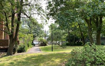
Little green space is available within close proximity of the site, and none on the site currently. Larger green spaces are located 20 minutes walk from the site.
Enhanced retail experience
Opportunity to upgrade the retail offer in the shopping centre by creating a more diverse selection of shops, food and beverage.
PLANNING POLICY CONTEXT
NATIONAL & REGIONAL POLICY
National Policy
National Planning Policy Framework (December 2023)
The National Planning Policy Framework (‘NPPF’) sets out the Government’s planning policies for England and how these are expected to be applied. The NPPF is a material consideration in planning decisions.
The NPPF is underpinned by a presumption in favour of sustainable development. Paragraph 11 of the NPPF states that decisions should apply a presumption in favour of sustainable development and approve development proposals that accord with an up-to-date development plan without delay.
Paragraph 124 describes how planning decisions should encourage multiple benefits from both urban and rural land, including through mixed-use schemes and taking opportunities to achieve net environmental gains; give substantial weight to the value of using suitable brownfield land within settlements for homes and other identified needs; and promote and support the development of underutilised land and buildings.
Paragraph 131 states that the creation of high quality, beautiful and sustainable buildings and places is fundamental to what the planning and development process should achieve. It notes that good design is a key aspect of sustainable development as it creates better places in which to live and work and helps make development acceptable to communities.
Regional Policy
The London Plan (March 2021)
The London Plan (‘LP’) was published in March 2021 and forms the overall strategic plan for London providing city wide policy and guidance for London for the period 2021 to 2041.
Policy GG2 ‘Making best use of land’ seeks to create sustainable mixeduse places that make the best use of land. This must be achieved through enabling development of brownfield land and sites which are well-connected to public transport and amenities for higher density development; and applying a design-led approach to determine the optimum development capacity of sites.
Policy D3 ‘ Optimising site capacity through the design-led approach’ states that all developments “must” make the best use of land by following a design-led approach “that optimises the capacity of sites, including site allocations”.
The London Plan identifies the Site within the New Cross/Lewisham/ Catford Opportunity Area for 13,500 homes and 4,000 jobs by 2041. It is identified as a location with significant development capacity to accommodate new housing, commercial development and infrastructure (of all types), linked to existing or potential improvements in public transport connectivity and capacity.
Lewisham is identified as a Major Town Centre, with night-time economy classification of NT3, low commercial growth, high residential growth potential and a strategic area for regeneration. Lewisham is proposed to grow in function and population and has to become a town centre of Metropolitan importance.
London Plan Opportunity Area - New Cross/Lewisham/ Catford Opportunity
Lewisham will grow in function and population and has potential to become a town centre of Metropolitan importance. The town centre retail and commercial functions are being intensified, rationalisation of the public highway will create improved pedestrian routes, and significant residential developments surrounding the town centre are underway, including Lewisham Gateway. The potential for further growth at Lewisham will be supported by the arrival of the Bakerloo line at Lewisham Interchange. This will bring enhanced access to central London and encourage the delivery of employment, leisure, service and community uses that serve the local and sub-regional population.
Figure A1.1 - Future Potential Changes To The Town Centre Network
LOCAL POLICY
Lewisham Town Centre Local Plan
2014
Lewisham has an aspiration to become the metropolitan centre within the wider borough. This boundary defines the wider extents of the High Street beyond the site boundary and the role of the site as the primary shopping area. Lewisham’s Town Centre Local Plan (2014) shows additional detail on how the Town Centre is defined by the council.
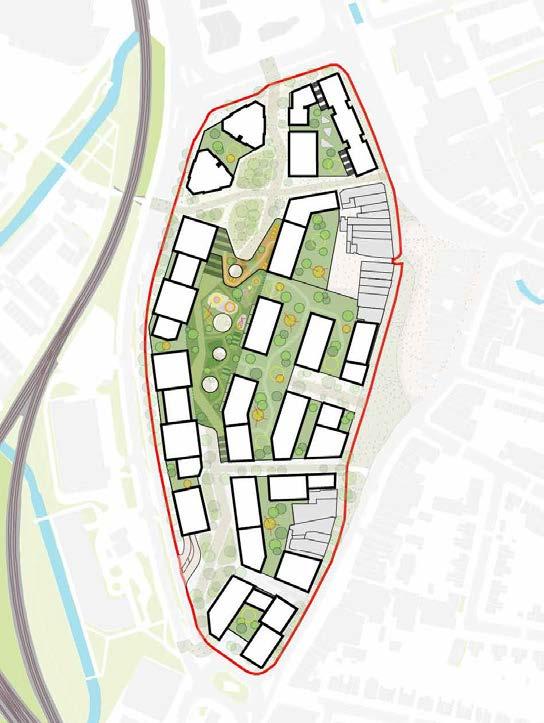
Site Allocation
Comprehensive mixed-use redevelopment comprising compatible main town centre, commercial, community and residential uses. Redevelopment of existing buildings and reconfiguration of spaces to facilitate a street-based layout with new and improved routes, both into and through the site, along with public realm and environmental enhancements.
D R A F T
Lewisham Shopping Centre
Emerging Site Allocation
Draft Local Plan (para. 14.9) Lewisham’s Central Area
3.9 TALL BUILDING SUITABILITY MAP
Lewisham Shopping Centre is noteworthy given its scale and prominent position at the heart of the centre. Its redevelopment is essential to improving accessibility and circulation within the centre as well as to enhance the amenity of Lewisham Market, an important visitor destination in its own right.
3.9.1 The adjacent plan is a composite of all the suitability plans which have been presented in this section of the report. This includes:
• High PTAL
Comprehensive mixed-use redevelopment comprising compatible main town centre, commercial, community and residential uses. Redevelopment of existing buildings and reconfiguration of spaces to facilitate a street-based layout with new and improved routes, both into and through the site, along with public realm and environmental enhancements
• 12 minute walk from a Bakerloo station
• Major and district town centre
• Opportunity areas
• Growth areas
• Existing cluster of tall buildings
D R A F T
Draft Site Allocation Development Guidelines:
3.9.2 The suitability plans have been layered on top of one another to create a ‘heat map’ style plan which indicates areas which are more suitable for tall buildings.
Positive and active ground floor frontages
3.9.3 Those areas which are darker are considered most suitable due to the layering of multiple attributes.
Taller building elements may be appropriate at the northern end of the site and to the west along Molesworth Street
Range of footprint sizes to accommodate a variety of uses
3.9.4 Major and district centres, well served by public transport, which are located within Opportunity Areas are seen to be locations considered most suitable in principle. Local heritage, townscape and other sensitivities will however need to be carefully considered as any proposals come forward on a case by case basis.
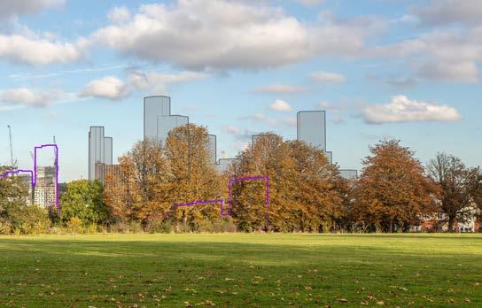
3.9.5 Notwithstanding their respective potential sensitivities to the impacts of new tall buildings, the most suitable locations for tall building in the Borough of Lewisham area identified as being the commercial centres of Lewisham, Catford and New Cross with northern-most regeneration areas of the Borough and the Bell Green regeneration area also considered to show relatively high levels of potentially suitability.
3.9.6 However, a location’s in-principle suitability for tall buildings does not take account of any local sensitivities that might be relevant. The following section provides analysis of these potential sensitivities which, when weighing up the relative merits of tall building proposals, will need to be considered alongside a site’s suitability.
D R A F T
D R A F T
Lewisham Town Centres
Lewisham Shopping Centre
Existing Site
RELATIONSHIP TO EXISTING FLOORSPACE
Lewisham Shopping Centre comprises c.28,000 sqm (NIA) of which over a third is vacant, at risk of vacancy or occupied on a short term let or concessionary basis.
70% of the floorspace is at ground floor, with 30% at first or second floor. Most of the centre is in retail use, with only a very limited food and beverage offering. There is also c.6,800sqm (GIA) of vacant buildings comprising the former Riverdale Hall (c.1,700sqm) and former leisure box (c.4,500sqm) both of which are disused and have been vacant for many years.
Defined by Lewisham Local Plan Main Town Centre Uses Retail development (including warehouse clubs and factory outlet centres); leisure, entertainment and more intensive sport and recreation uses (including cinemas, restaurants, drive-through restaurants, bars and pubs, nightclubs, casinos, health and fitness centres, indoor bowling centres and bingo halls); offices; and arts, culture and tourism development (including theatres, museums, galleries and concert halls, hotels and conference facilities). See also National Planning Policy Framework.
2This includes all vacant floorspace including Lewisham House, Riverdale Hall and shop units
3Defined as let for 24 months or less
HERITAGE CONTEXT
HISTORIC MAPS
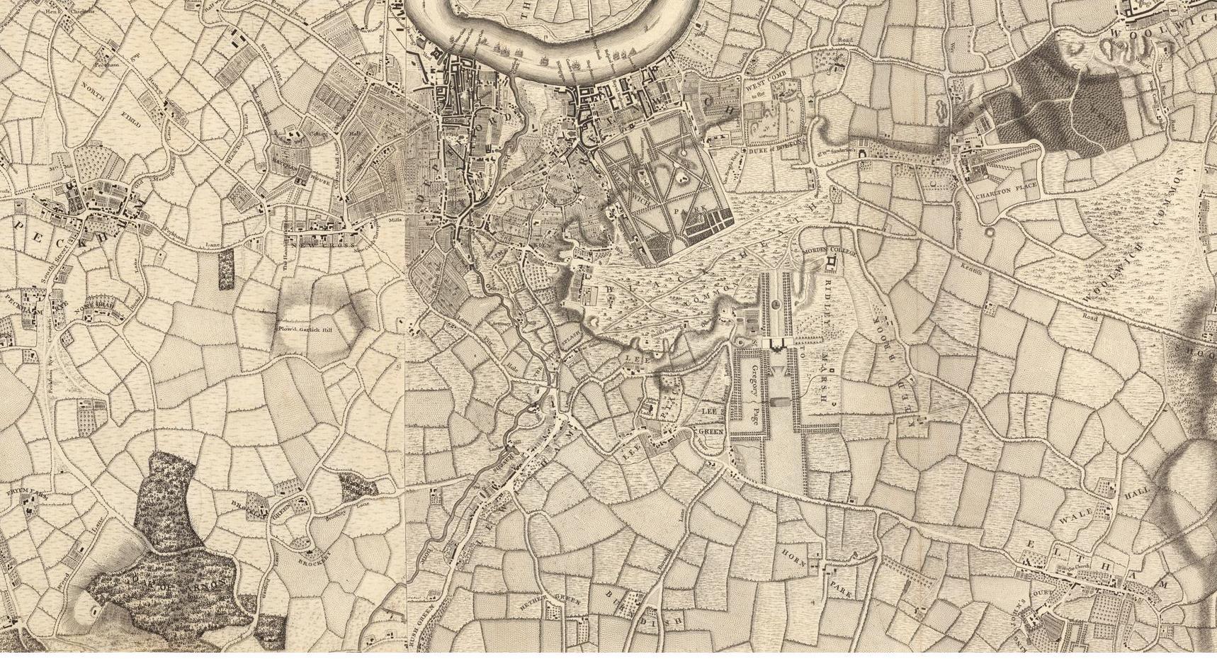
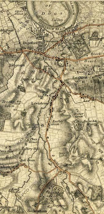
The Evolution of Lewisham
These historic maps show how the built form of Lewisham developed over the past 280 years. The introduction of the major highways and railways defined the centre of Lewisham, and supported the local markets and businesses, which then conjured up local housing and community buildings, many of which can still be seen today.
THE HISTORIC BUILDING LINE
Over time, Lewisham’s historic High Street frontage has moved forward, as front gardens and breaks in the elevation were in-filled. Lewisham Shopping Centre solidified this building line along the site edge.
The loss of Romer Avenue, creation of Molesworth Street and redevelopment of Lewisham Gateway has further disconnected the High Street buildings along the site from the wider High Street to the North and South.
EXISTING URBAN CHARACTER
The buildings along Lewisham High Street form a varied mix of building ages and styles; compromising Victorian, Art Deco and postwar elements. This mix is fairly typical of most London High Streets. Building types have steadily evolved across multiple decades in a piecemeal way, sped up through bomb damage in the 1940s.
Character analysis of Lewisham High Street (West)
CONSERVATION AREAS & HERITAGE
The site itself does not comprise of any designated heritage assets, including buildings in conservation areas. However, there are a number of statutorily listed buildings within 500m of the Site alongside conservation areas and ASLCs in close proximity.
Conservation Area
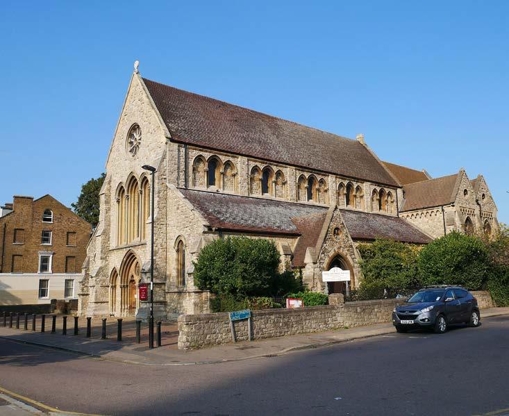
The eastern boundary of the St Stephen’s Conservation Area runs along Lewisham High Street, opposite the northern portion of the site. Proposals must address impacts on the significance of this heritage asset and its setting, including the impact on views from within the Conservation Area.
The Grade II Listed Clock tower should remain discernible and continue to function as a significant landmark and way finding feature.
Areas of Special Local Character (ASLC)
Areas of Special Local Character (‘ASLCs’) are areas that, while not designated as formal conservation areas, are recognised for their distinctive historical, architectural, or cultural characteristics that contribute to the local identity and are valued by the community.
The area around the clock tower on Lewisham High Street has been designated as an ASLC in the Local Plan, and encompasses buildings on the western edge of the High Street outside of the application boundary.
The Site is located within the Lewisham and Catford/Rushey Green Archaeological Priority Area (APA) designated by LBL for potential to contain remains of medieval settlement that grew beside the Ravensbourne River, often used for powering mills.
Blackheath
Ladywell
St Mary’s
St John’s
Belmont
Mercia Grove
Brookmill Road
St Stephens Silk Mills
Loampit Hill
Dermody
LISTED BUILDINGS
Former Church of Transfiguration
There are a number of non-designated heritage assets located (both locally listed buildings and buildings of townscape merit), as well as an area of special local character, located along Lewisham High Street and within the Site.
The closest designated heritage asset is the grade II listed Lewisham Clock Tower, located at the northern end of Lewisham High Street.
Within the site boundary, several locally listed buildings line the High Street frontage. Furthermore, the A21 Development Framework (published March 2022) has identified a number of Buildings of Townscape Merit along this edge.
Lewisham
Bridge Primary School
The Priory
Church of St Stephen & War Memorial
LISTED BUILDINGS
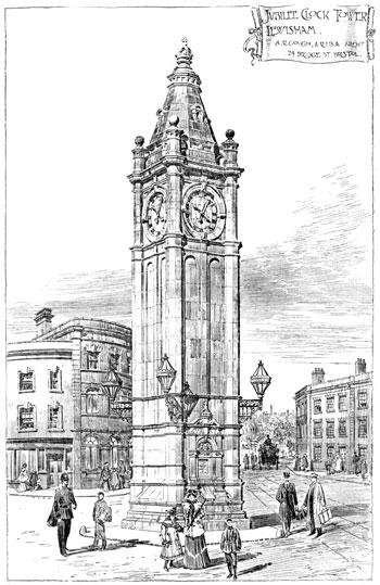
Lewisham Clock Tower, c. 1900
Saint Stephen’s Church Lewisham
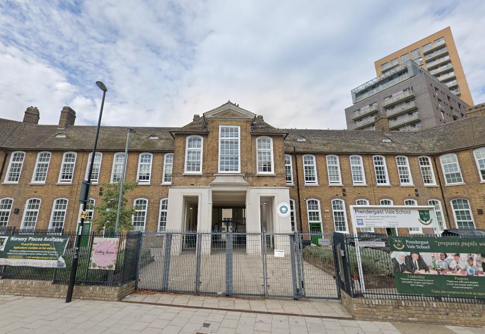
Lewisham Bridge Primary School, now Prendergast Vale School
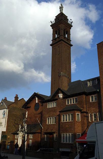
St Saviour’s Church - Lewisham
SITE ANALYSIS
MOVEMENT & CONNECTIONS
Wider Road Network
The site is located at the intersection of multiple key vehicular routes. Molesworth Street and Rennell Street provide the main vehicle routes along the site’s western and northern sides, alleviating Lewisham High Street’s role as an arterial route through the borough. These routes enable easy vehicle movement throughout south London and beyond, connecting the site to surrounding local centres and key employment, education, leisure and open space destinations. However, the adverse impacts on noise, air quality and pedestrians/cycle movement need consideration within the proposals.
10 MIN
MOVEMENT & CONNECTIONS
Pedestrian Movement
Pedestrian movement largely follows the pedestrianised area of the High Street and roads connecting to key public transport nodes and open spaces. An expanded pedestrianised area sits to the east of the site serving Lewisham Market. Rennell Street and Molesworth Street have been identified as forming a significant barrier to local pedestrian movement to the north and west.
RavensbourneRiver
MOVEMENT & CONNECTIONS
Cycle Network
National Cycle Route 21 (known as the Waterlink Way) runs in close proximity to the site, alongside the river corridor to the west. This route extends from Greenwich, via East Grinstead and Eridge to Heathfield and Eastbourne. Opportunities for the site to provide more direct connections to this route could be explored to improve locals and visitors access to open space.
Waterlink Way
National Cycle Route 21
From Greenwich to Crawley, then via East Grinstead and Eridge to Heathfield and Eastbourne.
RavensbourneRiver
MOVEMENT & CONNECTIONS
Public Transport Network
The site is well served by public transport due to its central location on Lewisham High Street and the wider borough.
Large numbers of bus routes are situated adjacent to the site, primarily along its Molesworth Street edge. In addition, Lewisham Station is located only a short distance from the site (170m), providing DLR services to Central London. The nearest National Rail station is Lewisham, located 240m north of the Site.
The potential future extension of the Bakerloo Line to Lewisham will further increase access to Central London.
To St Johns
To Blackheath
To Hither Green
RavensbourneRiver
RIVERS & FLOOD RISK
The main sources of flood risk at the Lewisham Shopping Centre site include fluvial, pluvial, sewer, and infrastructure-related flooding.
The northern part of the site is at significant risk of fluvial flooding. Due to the sites proximity to the Rivers Ravensbourne and Quaggy, a portion of the site sits within Flood Zone 3. Proposals need to carefully consider the potential impact to below ground and basement structures within these areas.
Surface water (pluvial) flooding is also a concern, particularly in the northern area, due to poor drainage and sewer surcharging, while the site is also located within a local critical drainage area. There is limited potential for groundwater flooding, and tidal flooding is not a risk. The site may experience flooding from reservoir breaches, although the likelihood is low due to stringent safety measures. Mitigation measures for fluvial flooding will address these additional risks.
UTILITIES
The existing site is bound by utilities at is northern, western and eastern boundaries that run in the pavements of the main carriageways, including HV cables on the western edge and up along Rennell Street.
The centre of the site primarily contains LV cables that serve the retail units in the shopping centre.
NOISE & AIR POLLUTION
Rennell Street and Molesworth Street are key vehicular routes along the site’s northern and western edge, and act as a significant contributor to air pollution within Lewisham. The street edge is predominantly hard surface, which does not mitigate the problem, as trees or planting might. The site’s northern and western edges also suffer from increased noise levels due to heavy traffic flows.
MICROCLIMATE
The site is narrowest at its southern extents, limiting opportunities for sunlight to reach the whole site throughout the day. Due to the site’s close relationship to low-rise buildings (especially to the east), proposals also have to carefully consider the impact of overshadowing to neighbours.
ECOLOGY
Whist the existing site does not form part of any statutory or nonstatutory nature conservation sites, there is a network of green spaces within the vicinity of the site and the town centre generally.
Cornmill Gardens lies to the west of the river Ravensbourne, and the new Confluence Place sits to the north as part of the Lewisham gateway development. The largest open space is located further north east in Blackheath.
Hilly Fields
Blackheath
Ladywell Fields
Lewisham Park
Gilmore Road Park
Manor Park
Brookmill Park
Cornmill Gardens
Confluence Place
TREES
While the vast majority of the site is hard landscaping or developed land, a number of existing mature deciduous trees border the site boundary, particularly along Molesworth Street.
Key Red Line Boundary Maple Oak Lime Sycamore Cherry Pine
ANALYSIS FINDINGS
Through detailed contextual and site analysis, findings have set out the starting point to determine the first principles and concepts that have been applied to the scheme that are fundamental to consider.
Retention First
Whilst the redevelopment of the shopping centre is integral to maximising the potential of the site, the retention of as many buildings as possible, particularly on the High Street, should be considered.
Open Space
The existing site does not provide any meaningful open space for the public. How can we introduce this?
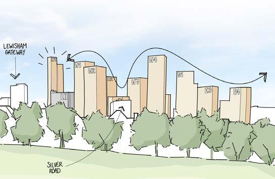
Distribution of Heights
The site has potential for taller buildings as identified in the emerging Local Plan. Where should these be located?
A New Shopping Centre
Can the best bits of the existing shopping centre be retained and enhanced?
Healing the High Street
Where new interventions on the High Street are required, how do they interface with the existing character and enhance their surroundings?
Routes & Connections
The site is in the heart of Lewisham but currently does not allow for permeability through the site when the shopping centre is closed.
Molesworth Street
The existing condition along Molesworth Street in particular can be improved for pedestrians.
Creating a Destination
Can the site act as a destination for the people of Lewisham to shop, relax and entertain?
CONSULTATION & EVOLUTION
INTRODUCTION
Statutory Consultees
The following stakeholders have been consulted throughout the design process, including continuous collaboration with Lewisham Council:
• Lewisham Council
• Greater London Authority
• Transport for London
• Metropolitan Police
• Environment Agency
• Historic England
• Greater London Archaeology Advisory Service
• Quality of Life Foundation
Lewisham Council
Through collaboration with Lewisham Council we consulted and engaged with a wide range of departments and specialisms, including the following:
• Planning
• Transport
• Housing
• Heritage
• Landscape
• Flood Risk
• Energy/Sustainability
• Design Review Panel
↘ For more information related to the public bodies consulted please refer to the Planning Statement
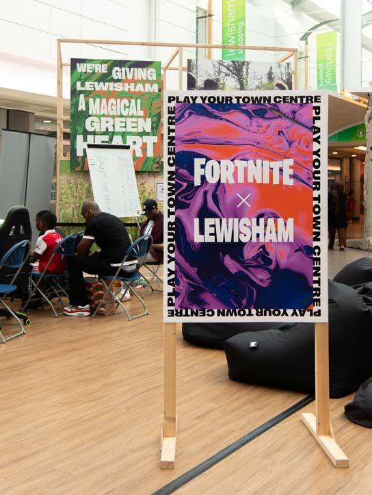
Community Engagement
Alongside the pre-application process of consulting with public bodies, an extensive programme of consultation with the public has been ongoing for the past three years, taking form through the following activities. These have targeted hard to reach groups to get a wide range of opinions and feedback.
• Creation of a group of Design Champions
• Surveys (written, online and in-person)
• Newsletters
• Public Consultation events including e-gaming
• Themed public workshops
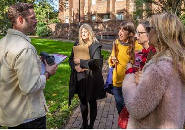
• Existing Site Tours
• Engagement with local youth group Circle Collective
Design Champions
Set up in September 2022, the Design Champions are a carefully selected group of 16 local residents, appointed to provide feedback on a range of topics to shape the evolution of the masterplan. Over 300 applications were received and the final group chosen to represent a wide range of interests. These workshops included but were not exclusive to:
• Introductory site walk
• Movement
• Public Realm
• Meanwhile Uses
• Vision
• Northern Square Design
↘ For more information related to the public consultation process and outcomes please refer to the Statement of Community Involvement
of Lewisham
EVOLUTION TIMELINE
This section will provide a concise overview of the design development of the proposal.
The project has evolved through comprehensive consultation with local authorities, statutory public bodies, and the public through meaningful, wide-ranging consultation.
The timeline on the following spreads summarises the design related engagement to date to the point of the planning submission.
Design Evolution
Pre-App Design Meetings
Lewisham Design Review Panel
Other Statutory Consultees & Pre-Apps
Community Engagement
Major Consultation Event
Focused Workshop
Design Champion Workshop
Pre-App Design Meetings
Lewisham Design Review Panel
Other Statutory Consultees & Pre-Apps
Community Engagement
Major Consultation Event
Focused Workshop
Design Champion Workshop
Townscape, heights &
Pre-App Design Meetings
Lewisham Design Review Panel
Other Statutory Consultees & Pre-Apps
Community Engagement
Major Consultation Event
Focused Workshop
Design Champion Workshop
Survey GLA
Design Evolution
Pre-App Design Meetings
Lewisham Design Review Panel
Other Statutory Consultees & Pre-Apps
Community Engagement
Major Consultation Event
Focused Workshop
Design Champion Workshop
Pre-App Design Meetings Community Engagement
Other Statutory Consultees & Pre-Apps
EVOLUTION SUMMARY
This section outlines the key time slices of the development of the design throughout the pre-application discussions.
This focuses on engagement with the Local Authority but also captures feedback from public consultation.
We have chosen a selection of key moments along the evolution process to provide an understanding of meaningful change and development in the proposal.
Competition Entry
In early 2020, Landsec tendered for a design-lead architectural practice to propose a new masterplan for their site in the heart of Lewisham town centre, Lewisham Shopping Centre – one of the largest and most exciting town centre regeneration opportunities currently in London.
The vision for the site in the brief was to create a new destination in the town centre including new cultural and leisure attractions, vibrant retail and food markets and spaces for new and existing businesses, as well as a new residential neighbourhood with a high quality public realm and integrated public transport links to wider parts of the vicinity and to central London and beyond.
Studio Egret West subsequently submitted a winning bid response for the site, with key design aspects as follows:
• Comprehensive re-development of shopping centre site including demolition of all High Street buildings
• Creation of a new cultural hub at the centre of the site
• Lewisham House retained, extended and converted to residential use
• Covered shopping centre replaced with external streets running through the site, extending the existing High Street market into the site
• A mixed-use approach including commercial, student, co-living and residential uses with up to 3,000 homes
Early Ideas
The early part of the evolution of the proposal built on the principles of the competition entry, an initial vision for the project emerged based around seven place ‘pillars’.
This gained momentum in the summer of 2020 alongside initial consultation with local people, and engagement with the council and later with the GLA. Early ideas built on the competition and included proposals to retain and re-purpose the existing Leisure Box on the site, and celebrate the existing Woolworth’s building.
The formal pre-app process then began in November 2021, as outlined on the next page.
Sketch proposal to re-purpose Leisure Box, 2020
Pre-Application Meetings
Pre-App 01 - November 2021
Quantum of town centre uses reduced from
Re-provision of existing 1st floor service deck arrangement, but with loss of multi storey car park
03 Ramps from north and exit to south to 1st floor servicing replaced by single in-out service ramp from the south 04 Conversion of redundant northern service ramp into public space
05 No development proposed for Lewisham House 06 Mix of retention/redevelopment along High Street
2nd floor green spaces provided as resi. amenity
Circa 2,500 residential (C3) homes above
Buildings up to 40 storeys
10 Existing leisure box demolished: significant challenges for re-use, limited embodied carbon savings
Feedback on Design:
• Concern over quality of covered spaces
• Lack of clarity on what is retained/demolished
• Compromised legibility of N/S route from the north
• Clarity/rationalisation of routes required
• Consideration needed for other complementary town centre uses
Summary of key changes since Pre-App 01: 01 Heal the High Street by reducing adjacent building heights
Removal of one of the central towers improving microclimate
Reduce height of towers on Molesworth Street by creating infill sections
Feedback on Design:
• Encouraged by general layout changes including removal of a tower, Molesworth St infill and increase in types of block forms
• Scale/massing and transitions are a concern
• East/West connections to the market could be stronger
• Explore a public open space on top the podium, must provide improved public realm
Lewisham House & Adjacent Plots
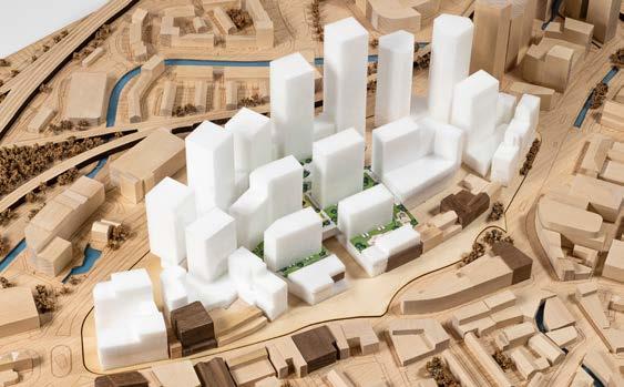
The north of the site contains two of the largest existing buildings on the site – Lewisham House and the former Leisure Centre. Both buildings are long term vacant and currently unsuitable for occupation. However the original brief from Landsec was to try to find solutions that left these buildings intact and re-purposed in the case of the Leisure Centre (as this was and is owned by Landsec). This approach of re-use and re-purpose is a good starting point for sites with existing uses.
The original competition approach reflected this brief and identified only one potential significant development parcel in the northern part of the site, which was proposed to be a tower set fairly centrally on the south of Rennell Street. Given this lack of development capacity in the north, density and height were focused in the central and southern zones of the site.
At early pre-application meetings, consultation and technical testing progressed, it became clear that this approach would not be supported by the LPA, and that the most suitable zones of the masterplan for height and density would be west along Molesworth Street and north, close to where tall, high density development has already been delivered at the Gateway and other schemes.
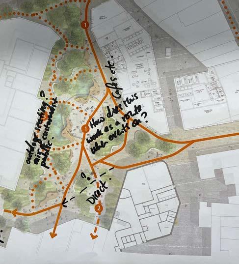
It also became clear that a centrally located tower on Rennell Street, sat opposite the existing pedestrian crossing and new pedestrian route through the Gateway scheme to the station (as shown on the previous page), would also not be supported by the LPA for lack of line of sight and legibility. The proposed masterplan needed to provide a continuance of this route to facilitate circulation between the High Street, shopping centre, Gateway and station as clearly as possible.
We therefore moved to a strategy which was based on redevelopment rather than retention in the north, focusing density in the most appropriate location and assuming that both the Leisure Centre and Lewisham House would need to redeveloped more comprehensively in order to optimise delivery across the masterplan both of built form but also coherent public space.
The revised approach of concentrating height and density in the north and west allowed the removal of buildings placed centrally in the scheme. This released land and allowed the inclusion of two key benefits which were derived from public consultation and received very strong levels of public support – a covered shopping centre, and a new public park.
In the absence of the redevelopment of Lewisham House and the Leisure centre in the context of the final masterplan proposals, significant height and density would need to be added elsewhere in the plan (which would have significant environmental impacts and would not be supported by the Local Planning Authority) or would necessitate the loss of the shopping centre and central park (which would not be supported by any stakeholder including the local community). The approach involving comprehensive redevelopment in the north of the site is the only realistic way to achieve site optimisation and a range of objectives from the development plan policy, including the overall site capacity for homes.
Given this, we explored the demolition of Lewisham House, and redevelopment of land on which Lewisham House and the existing leisure centre sit. This was fundamental in delivering a comprehensive approach and achieving existing and emerging policy objectives.
The next step and final solution became a ‘hybrid’ approach, which retains much of the concrete of the existing building (and therefore the embodied carbon) and extends the building to the north. This has achieved the same level of overall site optimisation by merging Lewisham House with neighbouring land. This emerges in the Evolution Summary section in September 2023, as Plot N3 in the proposal.
Pre-App 07 - July 2022
Summary of key changes since Pre-App 06: Extensive evidence-based framework to revise scheme:
01 Lewisham House demolished along with northern service deck ramp which optimises density in least sensitive part of the site and allows for height and massing reductions elsewhere
02 A new community hall and mixed-use hub in the first phase
03 Increased retention along the high street
04 Woolworths facade retention
05 2nd floor green space extended and made publically accessible
Feedback on Design:
• Welcome review of framework and evidence-based approach
• Supported redevelopment of Lewisham House & ramp
• Welcome increased High Street retention & widened eastern entrance
• Concern for emerging intensity of buildings in the middle of the scheme
Pre-App 08 - August 2022
Summary of key changes since Pre-App 07:
01 Central building on podium removed to create larger public realm
02 Reduction of infill massing along Molesworth Street
Feedback on Design:
• Support removal of building & increased park generosity
• Support height stepping with the exception of N2 & W3
• Welcome clearer break in massing along Molesworth St.
Visual of Woolworth’s facade from Pre-App 07
Pre-App 10 - March 2023
Summary of key changes since Pre-App 09: Revised evidence-based framework from public engagement to revise scheme.
01 Multi-level meadow introduced as a destination landscape
02 Introduction of L01 F&B street and Eastern Terrace, maximising town centre use
03 Internalised shopping centre
04 Community building in the Park - the House in the Meadow
Feedback on Design:
• Welcome changes to break down levels in multilevel way
• Support southern connections
• Support increased Molesworth Street footpath
Pre-App Heights Workshop 04 - September 2023
Summary of key changes since Pre-App 10:
01 Lewisham House retained and extended with no loss of development quantum vs demolish and replace with two towers options
02 Re-distribution of massing/height on Molesworth Street & general reduction in residential scale
03 Further high street buildings retained to the north east, introduction of Co-Living plot
04 Plot to the south of the site omitted to reduce central density.
Feedback on Design
• Support retention of Lewisham House
• Notionally support the height approach and distribution
Pre-App 12 - November
Summary of key changes since Pre-App Workshop:
• Introduction of second staircase to residential (C3) plots as a result of fire safety review in line with emerging regulatory changes
Feedback on Design:
• Concern regarding the impact of changes on the massing and form of the plots
Pre-App Workshop - January 2024
Summary of key changes since Pre-App 12:
01 Residential building at south of site replaced with retained buildings including Watch House pub.
Corporation of London office building converted into live music venue
02 Student building facing onto High Street omitted
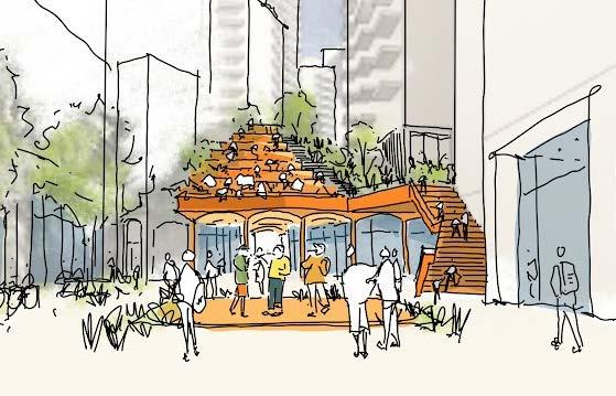
03 New east-west route through the site and People’s Platform stepped landscape up to the Park
04 Review of plot footprints to address concerns in Pre-App 12
Feedback on Design:
• Welcome changes to the south of the site with retained buildings
• New east west route is encouraged to improve visibility and safety through the site
• Pleased with the direction of building footprints review
Pre-App 14 - March 2024
Summary of key changes since Workshop:
01 Detail plot Architects (N1 & N2) appointed
02 Height of Plot N3 extension reduced, building heights closest to High Street reduced and re-distributed
03 Review of plot footprints concluded
Feedback on Design:
• Welcome developments in responding to plot Architects designs, particularly N2
• Overall height and massing strategy agreed in principle for outline component
Sketch of the new music venue from Pre-App 12
Sketch of the People’s Platform from Pre-App 12
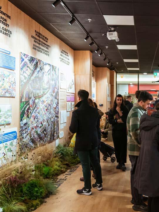
Public Consultation
Launch
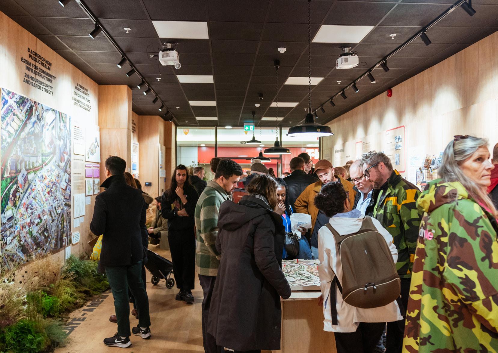
- November 2023 to January 2024
In November 2023, a public exhibition launched the designs and plans for the Lewisham Shopping Centre for the first time. The exhibition shared plans for the new shopping centre, including proposals for the park and green spaces, play and civic spaces, as well as new shops, restaurants, bars and new homes. Architectural models and the Vision video were also displayed.
The drop in sessions were held at Unit No.25, the dedicated engagement hub, totalling 40 hours of engagement. 1231 residents, businesses and other stakeholder attended the exhibition, providing 154 feedback forms, with an additional 80 surveys completed online.
(Re)launch - May to June 2024
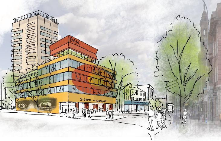
The second public exhibition (re)launched the Lewisham masterplan after feedback from workshops and the previous exhibition. The Masterplan relaunched launched from May 2024June 2024. The exhibition included information on the main changes since the last exhibition, new public spaces and connections, as well the emerging designs of the new music venue after discussions with local group Sister Midnight. The exhibition showcased detailed designs of the Northern Square and two residential buildings, N1 and N2.
The presented scheme responded to feedback at the Launch as adjacent.
Responding to Feedback at Launch:
• Heights of buildings altered
• Replacement model market re-incorporated into scheme
• Introduction of new public spaces to better connect the south end of the masterplan
• The Southern Quarter identity was developed as a space for younger people; a more vibrant space to relax compared to the more calm Northern Square
• Introduction of a music & community co-designed with local music collective Sister Midnight, to respond to the need for more night-time venues
• Retention of buildings on the High Street including no loss of pubs.
• Materiality of detailed plots presented
Community Engagement Summary
Round One
(Summer 2020)
• Six week consultation period
• 10,000 newsletters
• Contact with 115 community groups
• Contact with market traders
• 2 ‘Virtual Village Halls’
Round Two
(2021)
• Public exhibition
• 116 feedback forms
• Digital engagement Commonplace
• Lewisham Town Centre Consultation Group month meetings
• Circle collective engagement with young people
Round Three
(Early 2022)
• Public exhibition
• 742 respondents provided feedback to this consultation round. 208 of those were hard copy forms submitted by respondents at exhibition events or afterwards.
534 respondent provided feedback on the website
Round Four
Stage 1 (2022 - 2023):
• Lewisham People’s Day
• Community Building Workshops
• 1-1 Meetings with local community groups
• Design Champions workshops
• Walkabout
• Lewisham Living Room Event/Exhibition
Stage 2 (2023):
• Design Champion workshops: Meanwhile uses, Vision
• Focus Groups: young parents group, Women’s group, Elderly persons group with Lewisham Pensioners Forum, Disability group, young person’s group with young Lewisham Project
Stage 3 (2023 - 2024):
• Public Exhibition: 1231 attendees, contributing 234 feedback forms
• Design Champion workshops: Northern Square designs (x2)
Stage 4 (2024):
• Community Polling with young people
• Community workshops: A green space like no other, Reflecting community heritage, A town centre for all
• Public Exhibition 2: 1438 attendees, contributing 302 feedback forms
• Designing for Neuro-diversity workshop with Speak Up Lewisham
• Women and Gender diverse people workshop with Sister Midnight
Design Champion Workshops
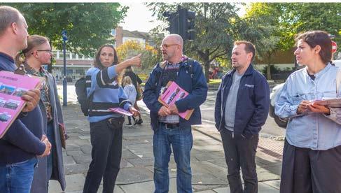
Site Walk Movement
Key outcomes:
• Lewisham town centre is not a ‘negative space’ but there are not enough amenities / things to do to consider it a positive space.
• The town centre is used for its utilities, it is not a civic heart of the area.
• Multiple East / West routes would help break down big urban blocks which limit movement around the site.
• Streets can be a mixture of covered and open to the sky streets within the proposals.
• Ensure successful business strategy, do not want to walk through streets of shuttered / closed down shops.
Key outcomes:
• Maintain a North / South connection and an East / West route through the site open 24 hours.
• Enable a connection towards the Ravensbourne river, Water Link Way, existing cycle route in the area.
• Connect to wider green spaces within the Town Centre, bring green space into the town centre through the scheme.
• Shopping Centre is used as a cut through when it is raining. Internal streets useful in this situation, but generally avoided otherwise.
• Shopping centre is seen as a barrier for movement.
Green Spaces
Key outcomes:
• Nature and greenery as a main priority throughout the scheme, as Lewisham is heavily lacking in greenery
• Green pockets/spaces should be interwoven throughout the town centre.
• Multi-functional/flexible spaces which encourage social interaction between different types of people. Inter/multigenerational spaces
• Spaces to rest and pause
• Interactive/play streets for children - that feel intentionally designed
• Incline should be gradual and accessible, broken up with greenery/seating. It must have something which draws people to it e.g.. Cafe/garden
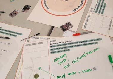
Northern Square
Key outcomes:
• The space was viewed as a positive welcome point to the town centre.
• Use of the space for different groups i.e. families for play, workers as a space to sit and eat lunch, or shoppers to rest.
• Events and activities: the group generally agreed the space is better for a flexible/ multi-use, informal events space.
• Water infrastructure: Cascading water, water basins to collect rainwater and sprinklers, may create an element of risk being close to Rennell St.
• Street furniture/seating – the group explored who and how different seating can be used
• Ways to bring in greenery into the space such as planters and trees
Summary of Findings
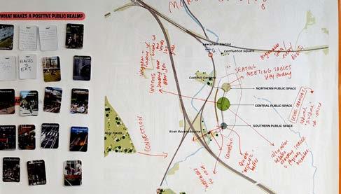
WHAT MAKES LEWISHAM UNIQUE
FUNCTION VS DESTINATION
• The market brings a sense of community which is unique to the people of Lewisham. It is a key reference point, as well as a part of local people’s daily life, as traders and consumers.
• Historical civic and community spaces, such as the old marketplace, an old ice rink and a recreational space in the centre were remembered as spaces unique to Lewisham’s heritage.
• Locals and residents have a strong affinity with the local cafés and restaurants, where they build relationships within the local community.
• Lewisham Town Centre is seen as a place which serves functional needs, rather than an active destination point.
• The town centre is often used as a ‘cut through’ for other destinations, for example the train station.
• The shopping centre is visited mostly for everyday necessities to those who live close by but not a place for occasional or causal visits.
• There are not many amenities or spaces to nourish community and social cohesion.
• There is a lack of civic spaces which encourage people to sit, rest and socialise.
GREEN AND OPEN SPACES
MOVEMENT AND CONNECTIVITY
• Lewisham lacks well maintained and properly managed green spaces and public open spaces.
• People have a strong desire for both open green spaces for relaxation and improved mental health, as well as green routes through the town centre – including more trees and planting.
• People feel there is no connection to nature in Lewisham, and that it is currently a very hard landscape that needs to be softened.
• People said green spaces should feel accessible to all through being properly integrated into the town centre.
• Currently the shopping centre acts as a barrier to movement, feeling like an impermeable structure that is not a desirable through route.
• There is a desire for better permeability through the centre, particularly east-west connections through the shopping centre that encourage social interactions, relaxation and offer green spaces.
• Transport and movement infrastructure currently feels ‘messy’ and ‘illogical’.
• Traffic is a significant barrier to movement and a reason why locals choose to avoid the town centre.
SAFETY AND WELL-BEING
• It was mentioned that the town centre can feel unsafe, with routes that would only be taken in the daytime, it was said that better lighting at night could improve feelings of safety.
• People commented that spaces to sit and rest were needed to improve Lewisham to be more people centric.
• A variety of rest spaces were desired, including ‘formal’ seating, such as benches, as well as green spaces and gardens to sit, rest and socialise. It was mentioned that these spaces could build intergenerational connections and tackle loneliness.
LEWISHAM FOR EVERYONE
• Lewisham is proud of it’s diversity –there is opportunity to preserve and enhance the local identity through the redevelopment.
• Many people called for more initiatives which teach people about the diverse culture of Lewisham and people’s heritage, such as the Migration Museum
• More engagement with art and local artists was mentioned.
• There is a desire for spaces which build intergenerational connections, as well as spaces catering to older demographics, children and young people.
A NEW TOWN CENTRE EXPERIENCE
• People desire a shopping experience which is diverse, enjoyable during both the daytime and the night time, with a stronger night time economy.
• People want to see more local and independent stores, restaurants and cafés as opposed to chain shops. There is a strong desire to maintain a local or ‘village’ feel to Lewisham, which is rooted in its local people and culture.
• People want a much wider range of shops, which cater to a diverse range of interests and activities; including music, art, books, gaming; as well as adding to the retail which is currently offered.
A CHANGING TOWN CENTRE
• Some residents associate high-rise buildings with negative impact, including unfamiliar aesthetics, unaffordability of housing and wind tunnelling and overshadowing.
• Residents are keen that new developments give something back to the community
• People are optimistic about the benefits of regeneration and what it could bring to the local area.
• Some see regeneration as a process making the local area unaffordable, particularly shops and housing.
LEARNING FROM EVOLUTION & CONSULTATION
Our overarching vision for Lewisham Shopping Centre, and the masterplan principles that have shaped our proposals, have been developed in response to three years of engagement with local people and a broad mix of community stakeholders.
Analysis, Evolution & Consultation Outcomes
Physical
Celebrate the physical and social history through retention of memorable structures and revived social infrastructure
Social
Public
Create a more diverse and inclusive town centre with an increased variety of uses, safe green open spaces and improved connections
Community
Existing Policy and Draft
Site Allocation
Pre-application
Comprehensive approach to a mixeduse town centre redevelopment which facilitates improved routes, public realm and environmental enhancements
Evidence - Based Principles
RE-ESTABLISH THE FRAMEWORK...
Introduce key connections reflecting how Lewisham is navigated today
ROOTING IN PLACE...
Promoting Lewisham’s built and social heritage
AMPLIFY THE TOWN CENTRE...
Create a thriving new Metropolitan Town Centre, inclusive and accessible to all
GROWING A DESTINATION...
Concentrating public space to create an accessible safe and unified destination for Lewisham
RE-ESTABLISH THE FRAMEWORK...
Working with the Design Champions, we reviewed the network of routes which the local community desire.

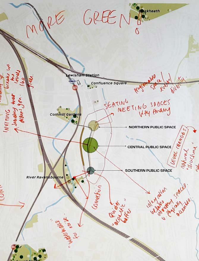
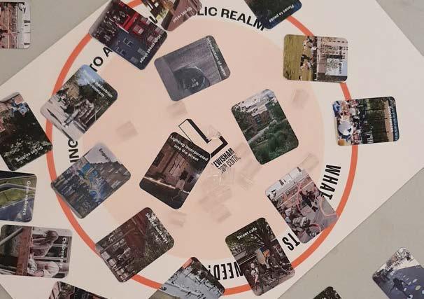
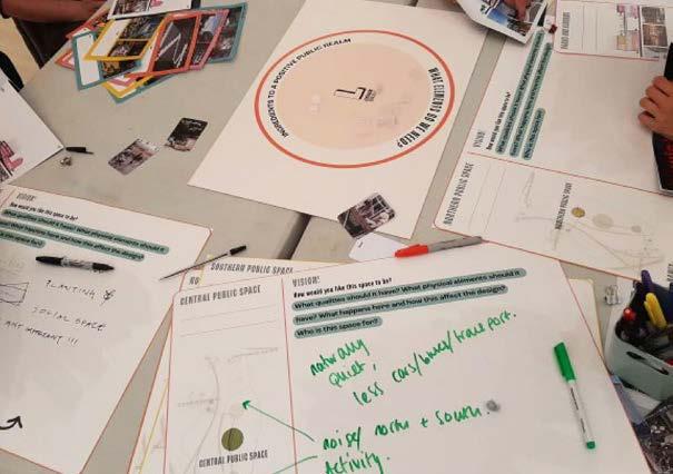
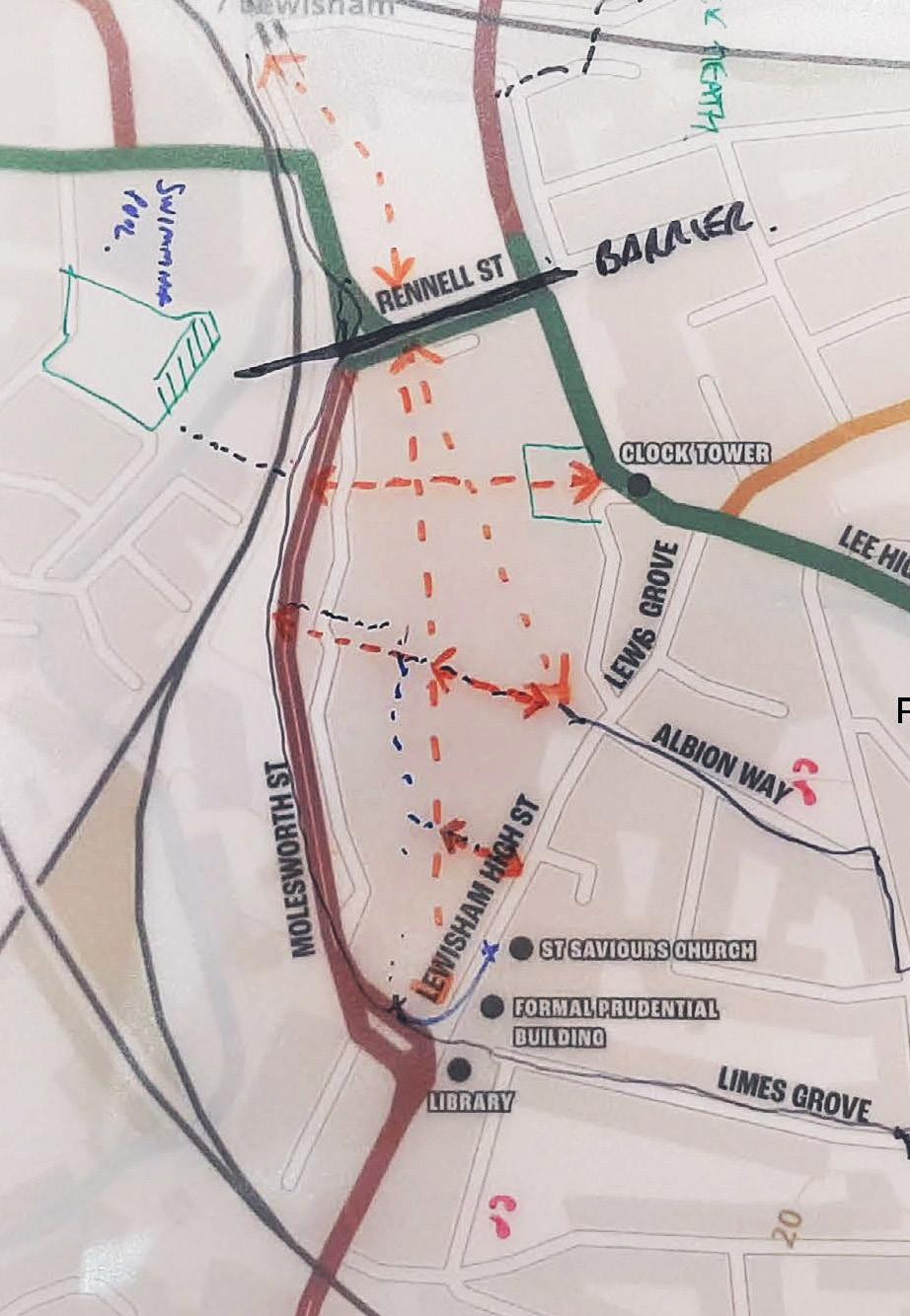
ROOTING IN PLACE...
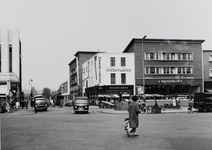
Removing the current Shopping Centre on the High Street breaks down physical barriers, provides spaces for social interaction and reinstates the historic permeability.
Recognising
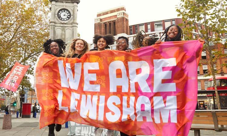


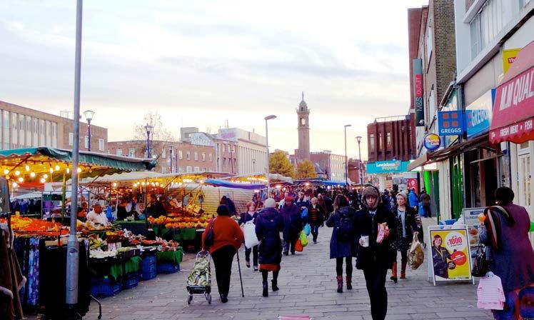
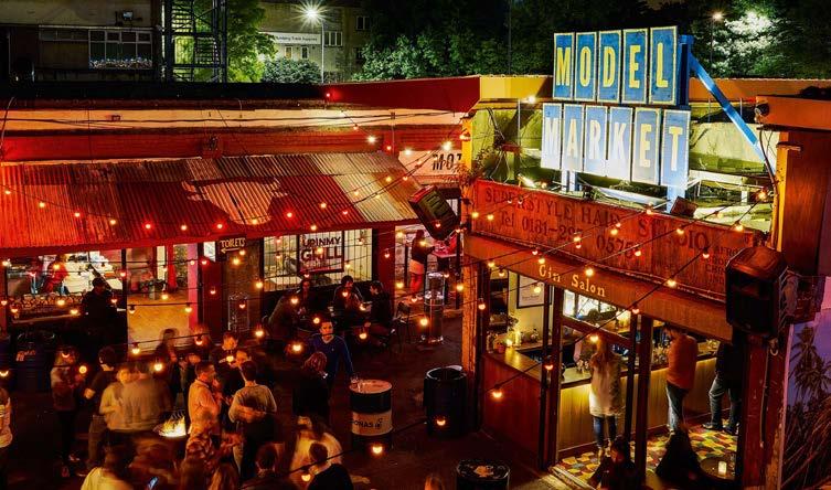
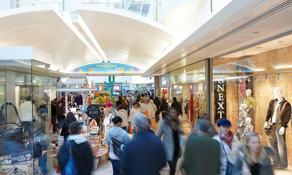
GROWING A DESTINATION...

In ancient Saxon records, Lewisham is called Levesham, meaning the house among the meadows. Creating more than just a park, the site should encompass a holistic green approach. A destination in it’s own right, referencing the historic landscape character of the area.
ILLUSTRATIVE MASTERPLAN
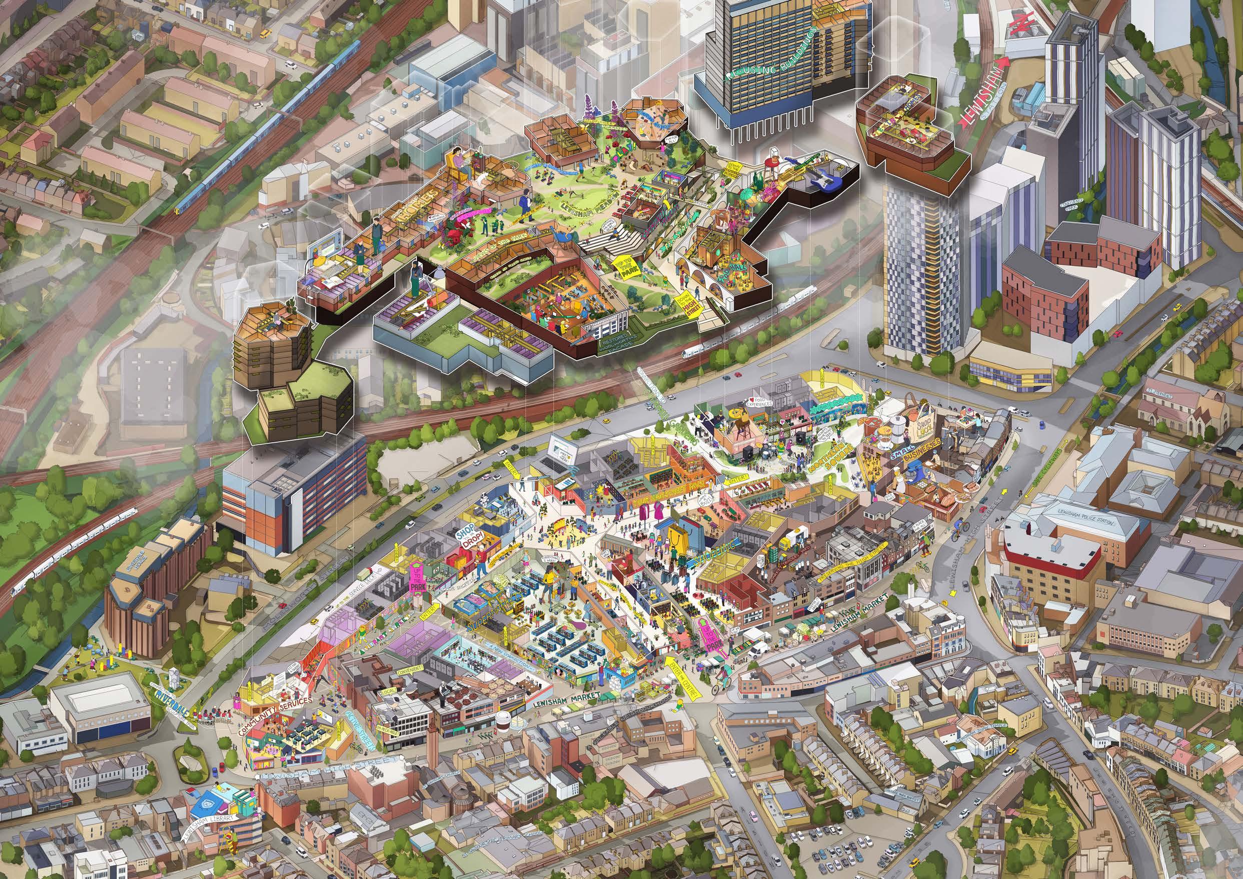
PLACEMAKING PRINCIPLES
RE-ESTABLISHING THE FRAMEWORK
In response to the input of local people through early consultation, we are-instating elements of Lewisham’s historic urban grain through the site with enhanced public east-west routes.
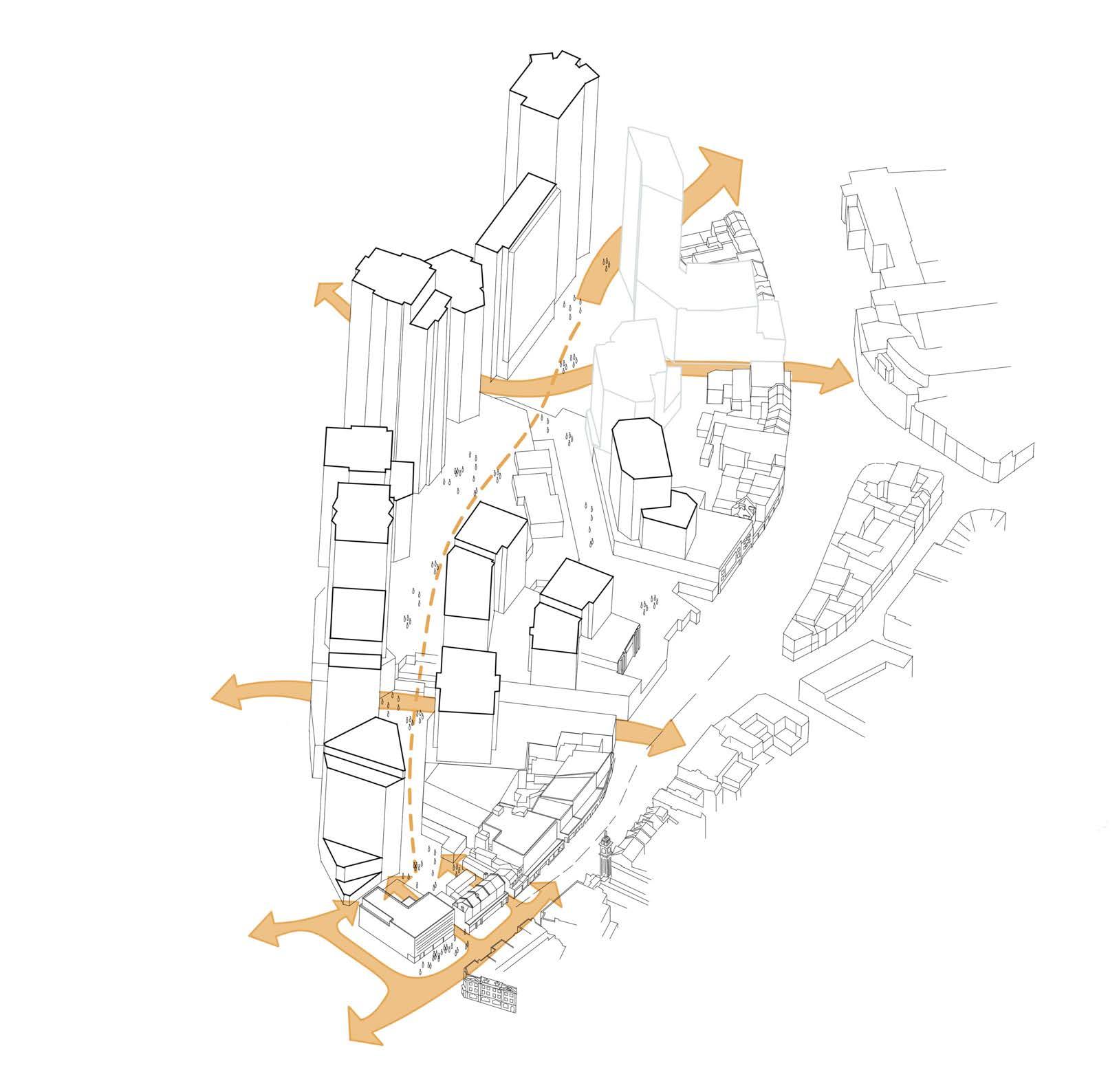
HIGH STREET ROUTES
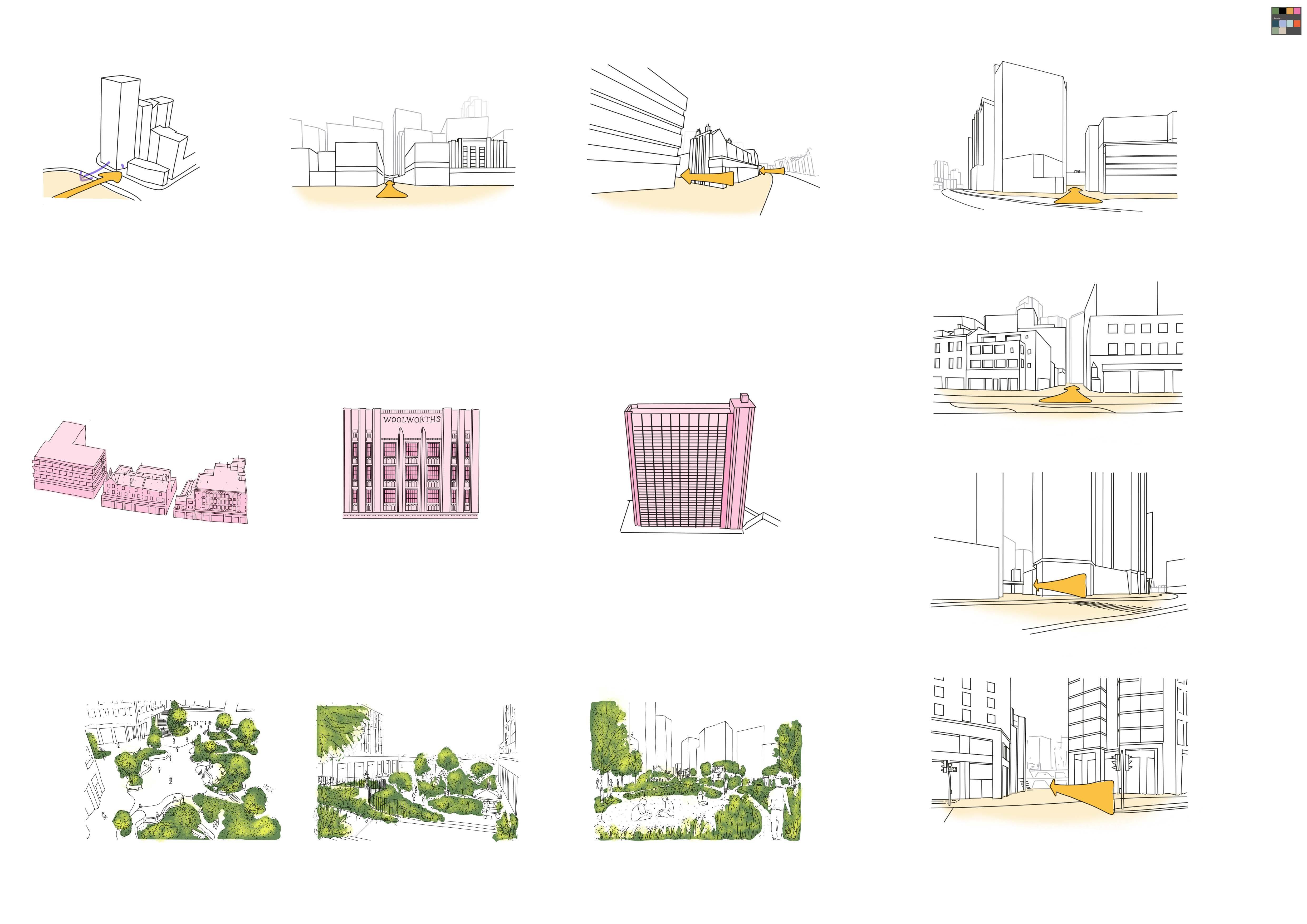
CORNMILL GARDENS LINK SCULPTURE PARK CONNECTION
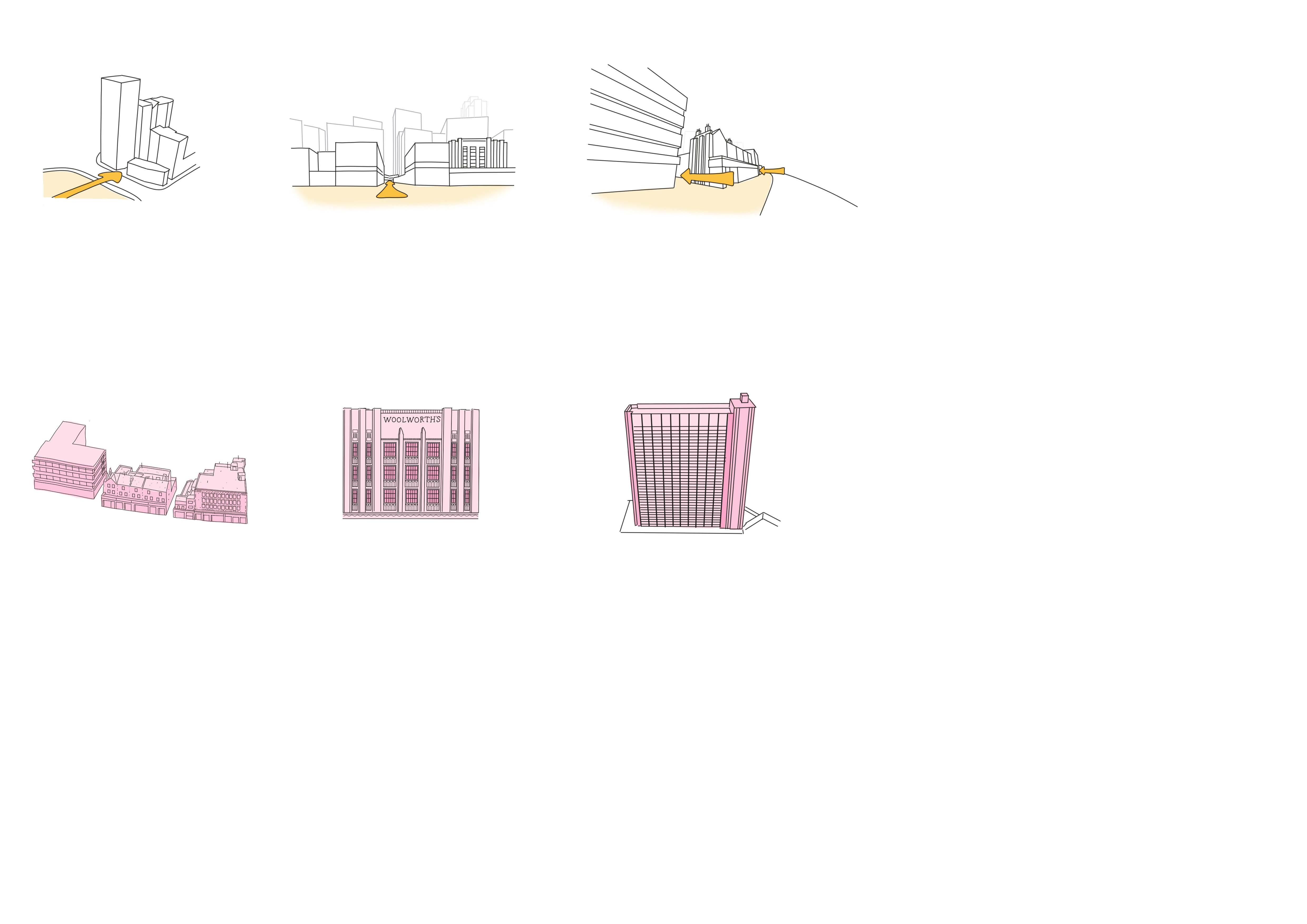
ROOTING IN PLACE
Re-designing the current shopping centre on the High Street breaks down physical barriers, provides spaces for social interaction and reinstates the historic permeability.
Respecting the historic urban character and independent retailers by retaining high street buildings.
Retaining existing buildings on site and re-purposing them for community and residential uses.
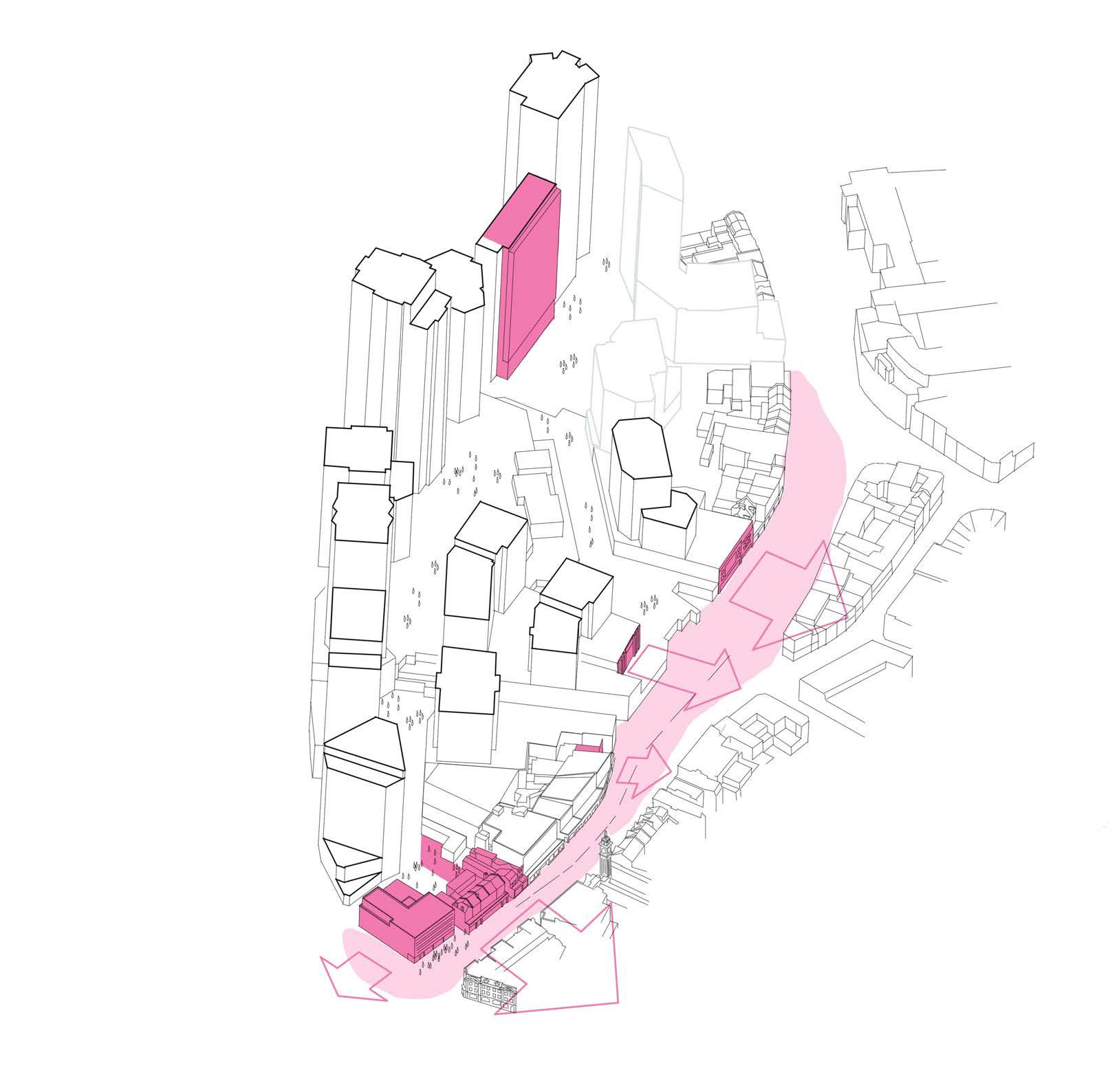
Lewisham House
AMPLIFY THE TOWN CENTRE
Recognising successful contributors of today and maximising a diverse offering to the Town Centre.
• Amplify the lost culture of live music on the High Street with a new venue, creating an anchor which drives footfall to the south of the site and a night-time economy
• Amplify Lewisham’s business ecosystem by re-instating the Model Market, anchored by the music and community venue
• Magnify The Podium Park and Shopping Centre entrance, improving accessibility and legibility
• A new community park building at the heart of the proposal
• Programmable new public spaces
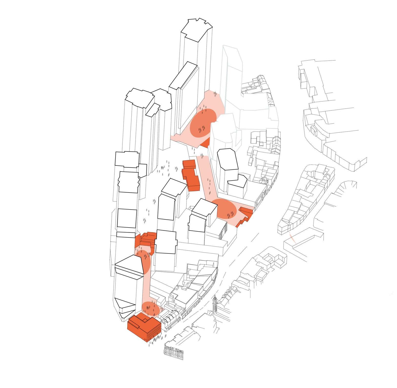
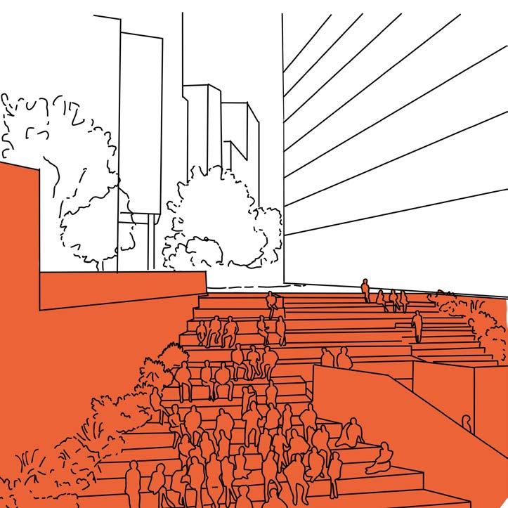
PEOPLE’S PLATFORM
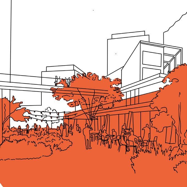
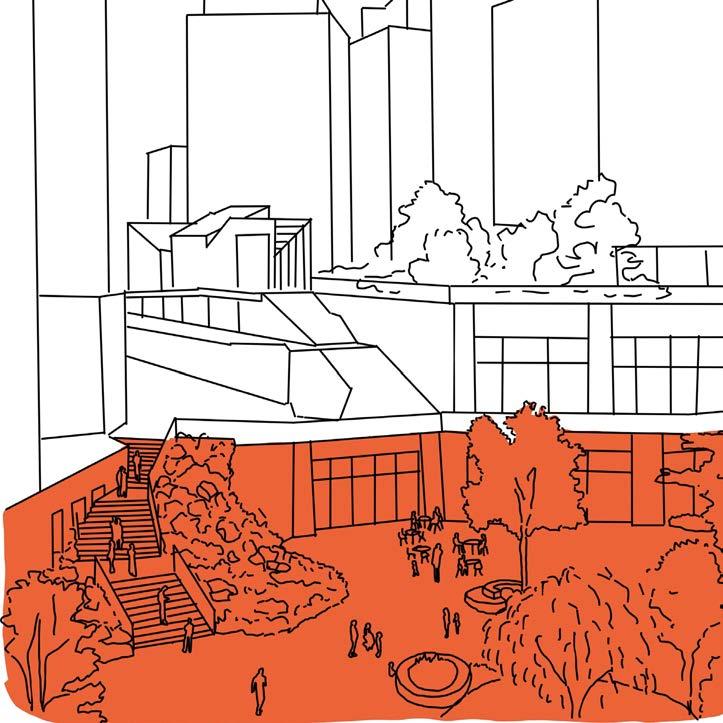
THE STREET THE NORTHERN SQUARE
GROWING A DESTINATION
Creating more than just a park, the site encompasses a holistic green approach. A destination in it’s own right, referencing the historic landscape character of the area.
The Levesham meadow concept runs through all public spaces in the scheme, creating a destination landscape that links to Lewisham’s past.
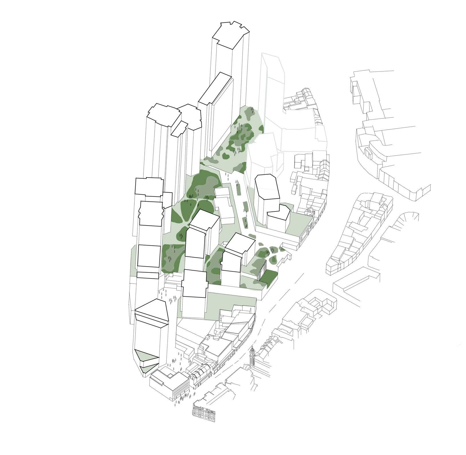
DESIGN MOVES
The following pages build on the evidence-based principles to generate the key design moves on the site that have informed the layout of the masterplan.
Healing the High Street
Respecting the existing street line with sensitive infills and creating a backdrop of buildings
Public Permeability
New routes through the site with public spaces at their intersections
House in the Meadow
Community building (Plot M1) anchors the centre of the multi-layered landscape
Sculpture Park
Cornmill Gardens
Lewisham Gateway
Unique Plot Roles
Responding to specific contextual requirements
Skyline Gaps
Creating larger distances between Molesworth Street buildings to address the wider townscape
Molesworth Markers
Taller buildings anchoring the site in its wider context
LEWISHAM MEADOWS
In ancient Saxon records, Lewisham is called Levesham, meaning the house among the meadows. The area was previously an area of open marsh land at the confluence of the River Ravensbourne and River Quaggy. The overarching concept for the project and the landscape design is to create a sequence of meadow spaces called Levesham Meadows, inspired by the sites former history and Lewisham’s historic name.
Meadows have a number of practical benefits that make them particularity suitable to urban conditions; they are highly biodiverse, they capture significant carbon, they are generally hardy and thrive in poor soil conditions, and they can be low maintenance. They also have powerful atmospheric qualities including vibrant changes of colour and texture at different times of the year, qualities of movement, sound and scent. These qualities, combined with meadows practical capabilities, can ensure that landscape contributes to the Lewisham Shopping Centre becoming a destination within London.
During the summer of 2022 a wild flower meadow was installed outside the Tower of London. The installation created a dramatic floral display that constantly changed throughout the summer months. The dynamic nature of the planting was enough to create a destination for both residents and tourists visiting the city, becoming a great example of the potential impact of urban meadows in London.
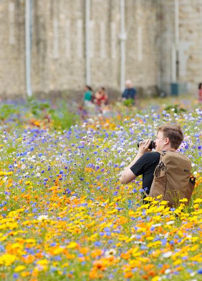
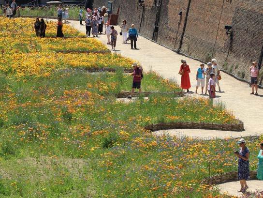
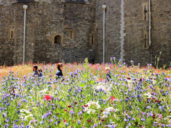
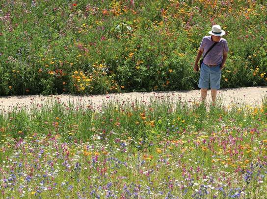
Images of Super Bloom installation at Tower of London. This project shows the potential for a high quality meadow design to be become a destination.
CELEBRATING LEVELS
The landscape and public realm connect multiple different levels from ground, to a first floor landscape and an upper second floor landscape. There is a total level change of circa 14 metres between these different areas. The landscape design aims to celebrate and utilise these level changes to a create a unique and dynamic experience.
Little Island in New york is a new 1ha park that has a similar 14m level change from it lowest point to it highest point. The designers have purposefully created this level change because it creates an interesting experience for users. Curving ramps, stepping boulders, planted banks and terraces all add the to dramatic experience of moving through The Podium Park. The Lewisham Meadows landscape is similar in both size and level change to Little Island, with the potential to achieve an equally unique experience of open space. The level changes allow for views between each space, interesting and fun vertical circulation, as well as separation for different uses, programmes and characters.
The multi level, public nature of Lewisham meadows, combined with the dramatic meadow plating approach, will create truly unique destination in London that will contribute to the character of Lewisham Town Centre.
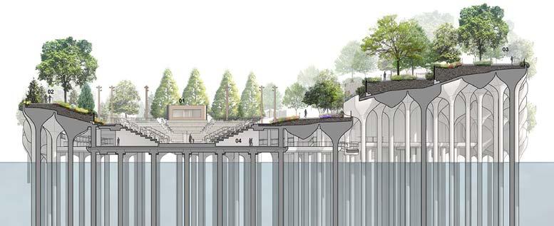
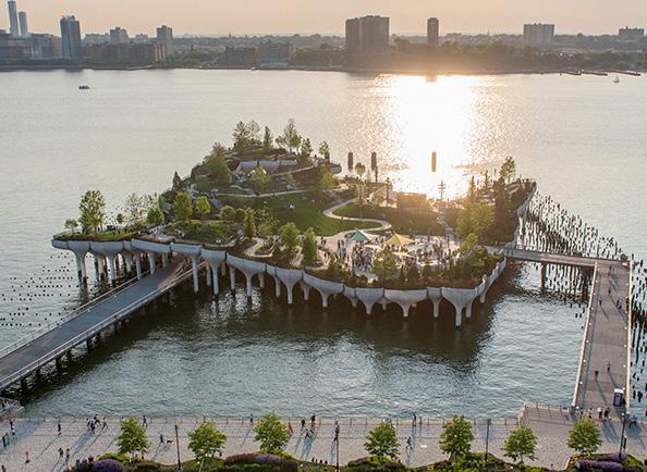
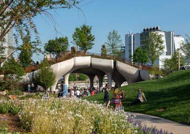
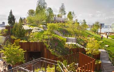
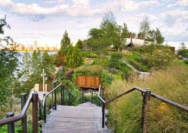
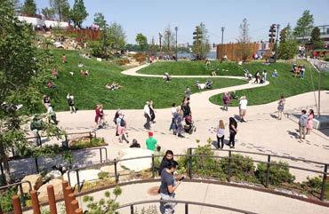
Diagram illustrating a similar level change at Lewisham Shopping Centre and Little Island, New york
Images illustrating the purposefully created, and successful, multi level landscape of Little Island, New york
LAYERING THE PLACE
One of the key considerations for the layout of the landscape has been the interface between ground level, first floor and The Podium Park at upper level. A series of design moves (outlined below) ensure that the multiple levels of the landscape aide connectivity, activation and variety of experience.
Provide a park connecting into the Arrival Space, High Street and Market
Create ‘The Street’ which interconnects the spaces
Steps to provide a multi-level experience
Activate the multi-levels
Community and Play at the heart of the scheme and The Podium Park
Points of access along key routes
A MULTI-LEVEL APPROACH
A cohesive landscape approach knits the different public realm spaces with existing areas outside the site. Frontages onto these are highly animated to create activation throughout the day and evening.
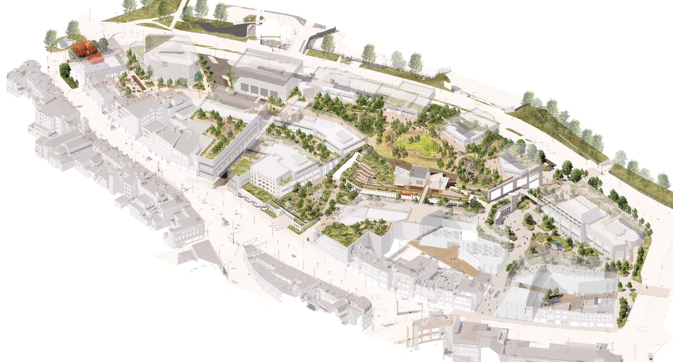
LewishamHighStreet
Molesworth Street
Rennell Street
HIGH STREET APPROACH
GENERAL PRINCIPLES
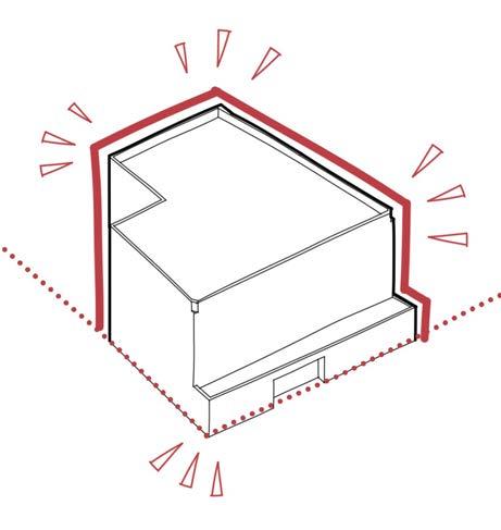
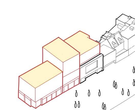
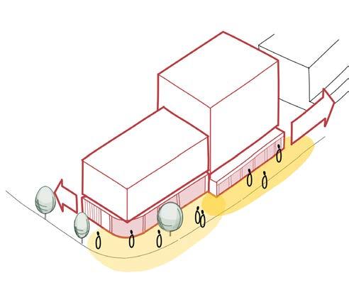
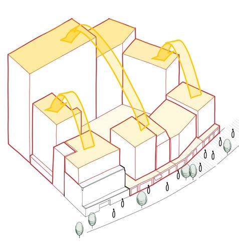
RETAIN REBUILD REACTIVATE RESPECT
Buildings of heritage value are retained, where possible.
New in-filled plots repair the High Street edge. Plots along the frontage use building breaks, height variations and elevation treatment to mirror the scale of the existing High Street.
The ground floor of plots form a continuous frontage of active town centre along the High Street. Prominent corners at new entry points are also delineated by new plots.
Building heights step away from the High Street, positioning tall buildings further west on the site. Buildings along the High Street mirror the height of existing buildings to safeguard the setting of heritage assets.
HIGH STREET PLOTS
The proposal for the site has been informed by the improvement of its character, appearance and function, framed around the morphological framework and retention of buildings of heritage value.
The diagram highlights the existing retained High Street buildings and the new proposed plots that have a High Street presence.
Former Woolworths
High Street Marks and Spencer’s 122-126 High Street
RETAIN
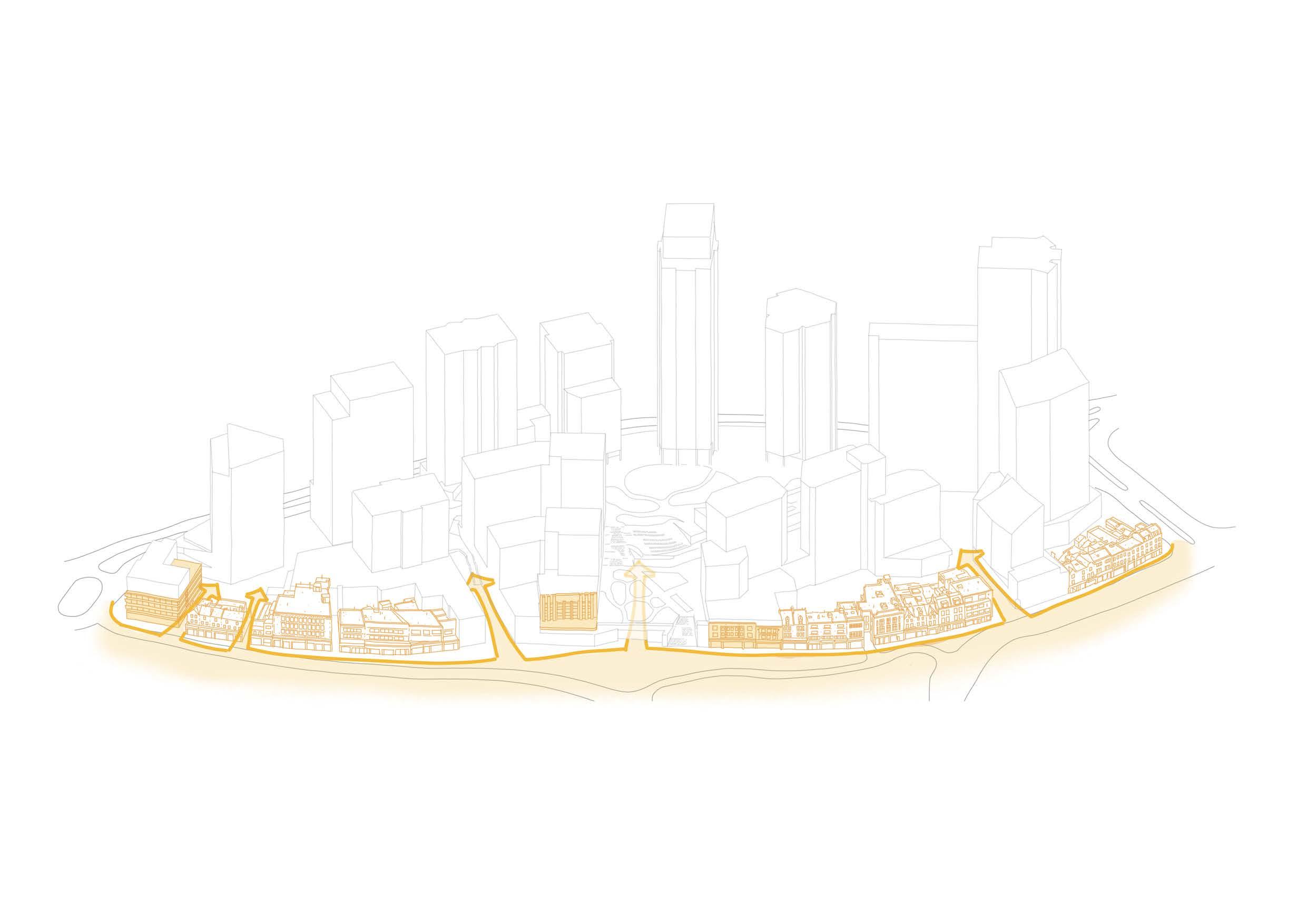
Our proposed approach to retention on Lewisham High Street prioritises the preservation of buildings with heritage value wherever feasible. The extent of retention varies based on a case-by-case basis. In most cases, buildings are preserved in their entirety, with no significant alterations. However, in some instances, partial retention may be necessary, involving the removal of extensions or the preservation of only the façade, while other elements are demolished. This flexible strategy allows us to balance heritage conservation with other placemaking principles.
The selective demolition of certain High Street buildings will also enable the creation of new East-West routes through the site, improving connectivity and access.
L E W I S H A M H I G H S T R E E T
New Model Market Shopping Centre
The Northern Square
REBUILD
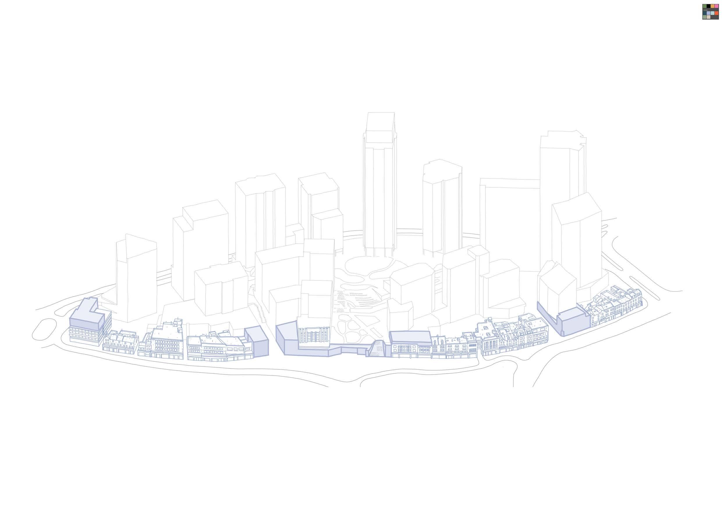
New in-filled plots will restore the continuity of the High Street frontage, using strategic building breaks, height variations, and elevation treatments to reflect the existing scale and character of the street.
The Eastern Terrace ShoppingCentre Ent rance Existing HighStreetDatum L E W I S H A M H I G H S T R E E T
Music Venue
REACTIVATE
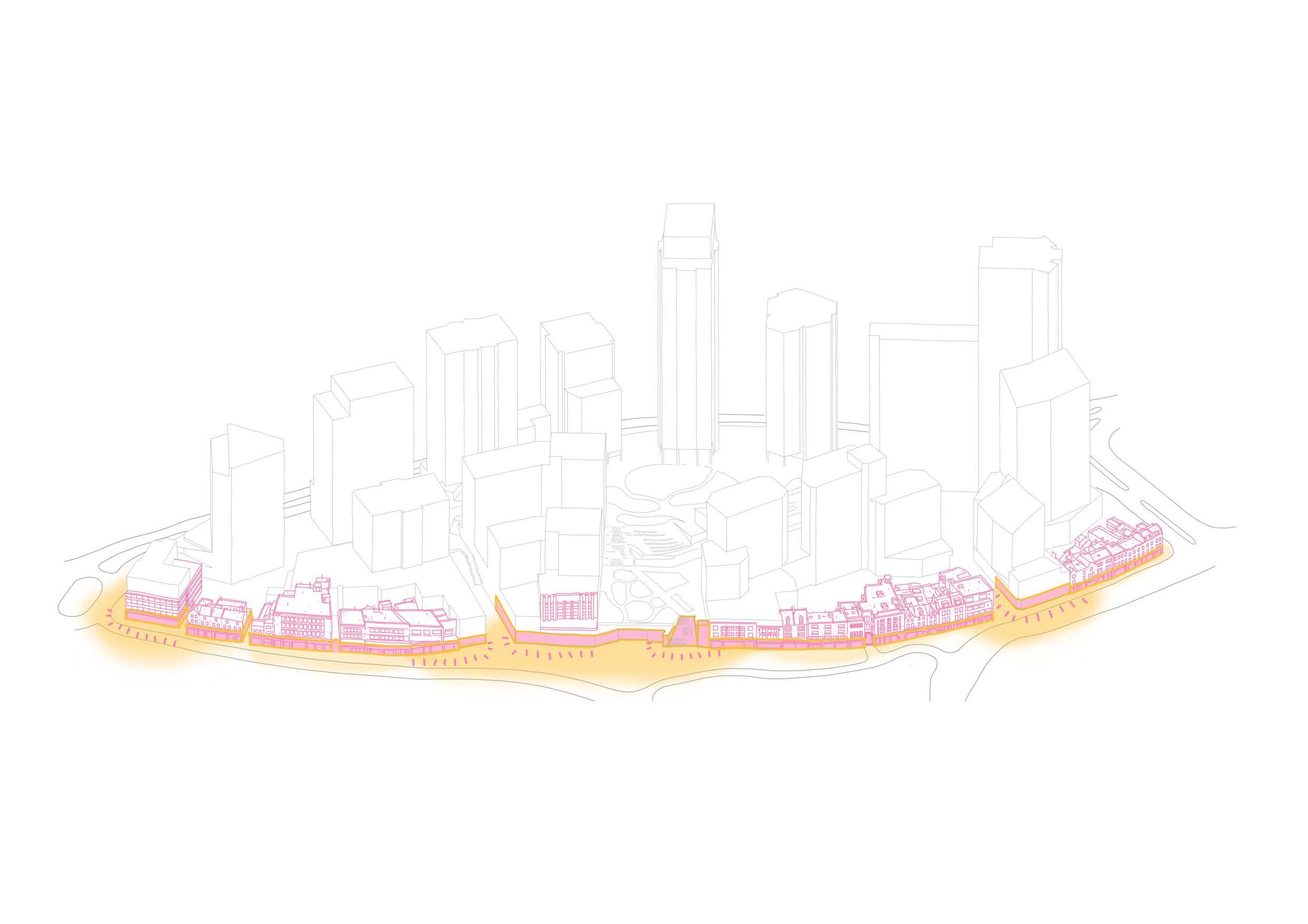
The ground floors of the new plots create a continuous, active town centre frontage along the High Street, with prominent corners at key entry points defined by these new developments.
The introduction of East-West routes establishes a series of entrances along the High Street, transforming buildings that were previously exposed on only one side into prominent corner structures. These buildings now require activation along multiple frontages, enhancing their visibility and engagement with the surrounding streetscape. L E W I S H A M H I G H S T R E E T
RESPECT
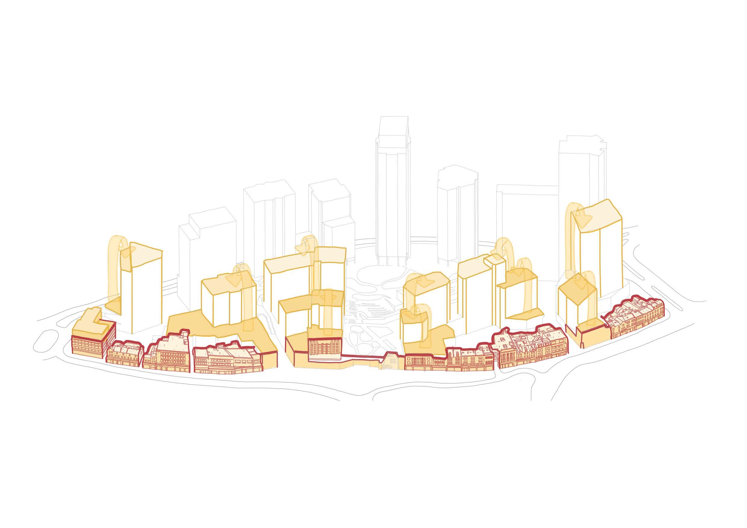
Building heights are carefully scaled to step away from the High Street, with taller buildings positioned deeper within the masterplan site.
Along the High Street, the building heights are designed to reflect the scale of existing structures and protect the setting of heritage assets.
The tallest buildings are concentrated along Molesworth Street and Rennell Street, where their visual impact on the High Street is minimised, ensuring a harmonious relationship between new developments and the existing urban fabric.
L E W I S H A M H I G H S T R E E T
LAYOUT
FRONTAGES
Ground Level
The illustrative scheme has been developed to create as much active frontage at ground level as possible, in particular facing onto at grade public realm.
Primary active frontages are focused on key pedestrian routes and spaces, notably the northern square and new model market.
ACTIVE FRONTAGES
Level 01
Active frontages at this level are focused around The L01 Street and Eastern Terrace.
Other primary active frontages include town centre uses facing onto the High Street, and the southern entrance to the shopping centre to help with natural surveillance.
ACTIVE FRONTAGES
Level 02
Active frontages at Level 02 are intended to activate the podium park. Retail units and residential amenity spaces will face onto The Podium Park in the residential plots, and Plot M1 will provide an active anchor at the centre of the public realm.
RESIDENTIAL ENTRANCES
Ground Level
Due to the nature of the multi-level landscape approach, residential plots typically have more than one entrance.
Primary entrances are located at ground level where possible, to ensure 24-hour access and natural surveillance from building receptions is provided.
For plots connected to the central shopping centre, secondary entrances are typically located at upper levels with direct access to the service deck, and L01 and L02 public open spaces.
RESIDENTIAL ENTRANCES
Level 01
Plots facing onto the eastern terrace have an entrance at L01. For Plot C1 this is the primary entrance, with the ground level entrance acting as a secondary access used when the eastern terrace is closed at night.
RESIDENTIAL ENTRANCES
Level 02
Level 02 serves as a residential transitional zone, facilitating distribution to homes, external and internal shared amenities, and the podium park.
BUILDINGTO-BUILDING DISTANCES
The layout of the masterplan has been developed to ensure primary facades of buildings are spaced at a minimum distance of 18m. A small number of secondary aspects are less than this, and where this is the case, typically occurs for only a small area of building facades.
Buildings along Molesworth Street have a generous distance to neighbouring context to the west, and as such have been identified as the location for taller buildings in the masterplan.
RESIDENTIAL ASPECT
Throughout the evolution of the scheme, the number of single aspect homes has been reduced through adjustments to building form.
Where it has not been possible to design out single aspect homes, they are mainly orientated south, or east/west where views onto public or private amenity space is possible
Enhanced aspect homes shown on the plan provide aspects in more than one direction.
Dual aspect units: 42.9%
Single & enhanced aspect units: 57.1%
Single aspect north facing units: 5.7%
GLA Guidance
In applying the standards set out in the LPG, the GLA state that the extent to which proposed developments depart from the approach set out in the LPG, should be taken into account in decision makinghowever the LPG should not be applied mechanistically. The weight to attach to any departure from standards in the LPG is ultimately a matter for the decision maker.
RESIDENT JOURNEY
As well as pedestrian movement through the site, the illustrative scheme has been developed to consider the journey of residents to each plot and how they access amenity.
Ground Level
As previously outlined the majority of primary residential entrances are located at ground level. All primary entrances have a generous lobby space before circulating up the building.
RESIDENT JOURNEY
Level 01
Residential amenity spaces start to appear at Level 01, typically located facing onto public space. Residential refuse stores are also located at this level for plots that adjoin the service deck.
RESIDENT JOURNEY
Level 02
At Level 02, residential entrances and amenity space are located facing onto the public realm.
CYCLES
Cycle stores are generally located at Level 01 and Level 01 mezzanine, to maximise active frontage at ground floor. Through the ambition of improving cyclist safety at night, cyclists will predominantly use the main residential entrance to each plot to access cycle lifts to the cycle store. From the store residents can then access the main core to continue the journey to their home.
In the event of cycle lifts being out of action, residents can use the main core to access the store as a temporary measure.
Cycle spaces in the public realm are typically located at the site perimeter or edge of public spaces.
CYCLES
Whilst the majority of cycle stores are at Level 01 and associated mezzanine, Plot S1 has its store at L02. This allows the lower levels to maximise active frontage onto the public open space to the east and north.
Cyclist
VEHICLES & PARKING
Residential parking for all plots is restricted to blue badge parking only in line with planning policy.
All residential parking is located on the L01 service deck, accessed by the southern vehicle ramp.
Blue badge parking for the town centre uses in the development are located at ground level, predominantly in the southern squares.
SERVICING
The centre of the site is serviced from the L01 service deck, accessed by the two-way ramp to the south of Molesworth Street.
A southern service route at grade is used to predominantly serve Plots S1, S4 and MV which are not served by the service deck. This is a one way route entering off Lewisham High Street and existing onto Molesworth Street.
The northern service route serves detail plots N1 and N2, and outline Plot C1. This one way route enters off Rennell Street, running through the service yards of Plots N1 and N2, before turning and exiting onto Lewisham High Street.
EMERGENCY VEHICLES
Ground Level
Fire tender access from Molesworth Street, Romer Place and the southern service route enables ground level access to all residential plots. Plot C1 is accessed via the service yard to the north. Firefighting operations cannot be conducted from the High street here due to larger travel distances to get to the singular central core.
For residential evacuation purposes, protected lobbies on the ground and first floors provide access to the northern service zone shared with N2 and L01 street, respectively.
EMERGENCY VEHICLES
Level 01
Evacuation routes are provided for Plots C1 and C2 onto the eastern terrace.
Level 02
Evacuation routes are provided for all plots that have either public or private external amenity access at this level.
CRIME PREVENTION
The design of the masterplan and individual plots follow Secured by Design (SBD) principles, although it is not proposed to seek formal a formal SBD award, and there is no SBD design guide specific to shopping centres or public spaces. We have therefore drawn upon;
• The Secured by Design Homes Guide (2024) and Commercial Guide (2023)
• Approved document Q
• Landsec group policies including the Landsec Group Security Policy 2023/24
The multi-level approach to public realm has been carefully considered with inclusivity and security in mind. Public vertical access points (including lifts and stairs) are provided on all sides of the site where this landscape meets the ground. The management strategy for the opening of these public spaces is also considered to ensure the safety of residents and members of the public in the evenings and through the night.
↘ Please refer to the Designing Out Crime Statement in the Appendix for more detail.
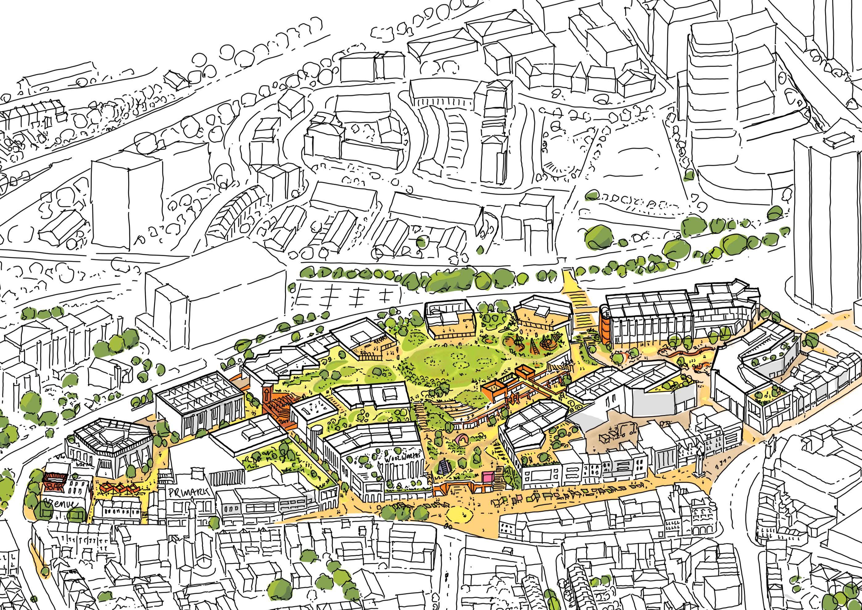
USE & AMOUNT
QUANTUM OF DEVELOPMENT
The following tables summarise the illustrative outline masterplan areas by use class, as well as a breakdown of the indicative residential accommodation mix.
DISTRIBUTION OF USES
With the proposed shopping centre at ground level, the lower levels are predominantly town centre uses with a high level of active frontage onto the public realm.
Even where plots do not connect directly to the shopping centre and podium park, residential uses typically start from the podium park level upwards.
PROPOSED MASSING
HEIGHT STRATEGY
The proposed heights strategy for the scheme has been developed on the four principles below.
Healing the High Street
• Approach to retain as many buildings as possible on the High Street
• Retained buildings within application boundary enhanced through improvements and treatment to facades
• Any new interventions on the High Street to 4 storeys or less
Creating a High Street Backdrop
• Small collection of buildings set back from the High Street but in relative close proximity
• Typically no more than 10 storeys
A central mid-range spine
• Linear collection of north-south orientated buildings through the centre of the site
• Typically ranging from 10-15 storeys
Taller buildings on Molesworth Street
• Taller buildings on the site along its western boundary, where immediate context is less sensitive than the eastern edge
• Variation is proposed in height from 15 up to 35 storeys
• To avoid the perception of a ‘wall’ of tall development on Molesworth Street, a hierarchy of the height of these taller buildings is proposed between 15 and 35 storeys
• The tallest building C4 acts as The Podium Park Anchor from views to the east.
HEIGHT STRATEGY
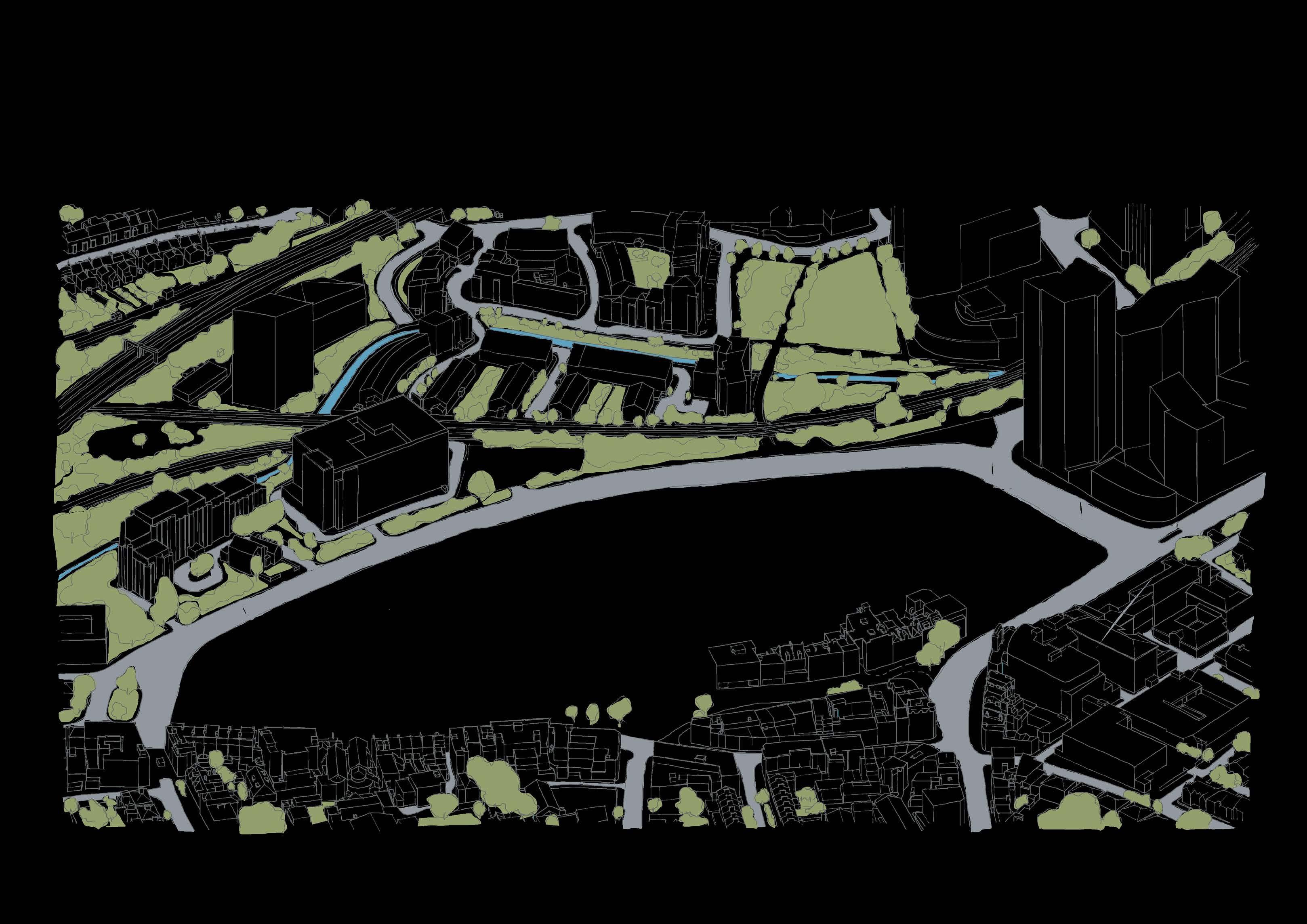
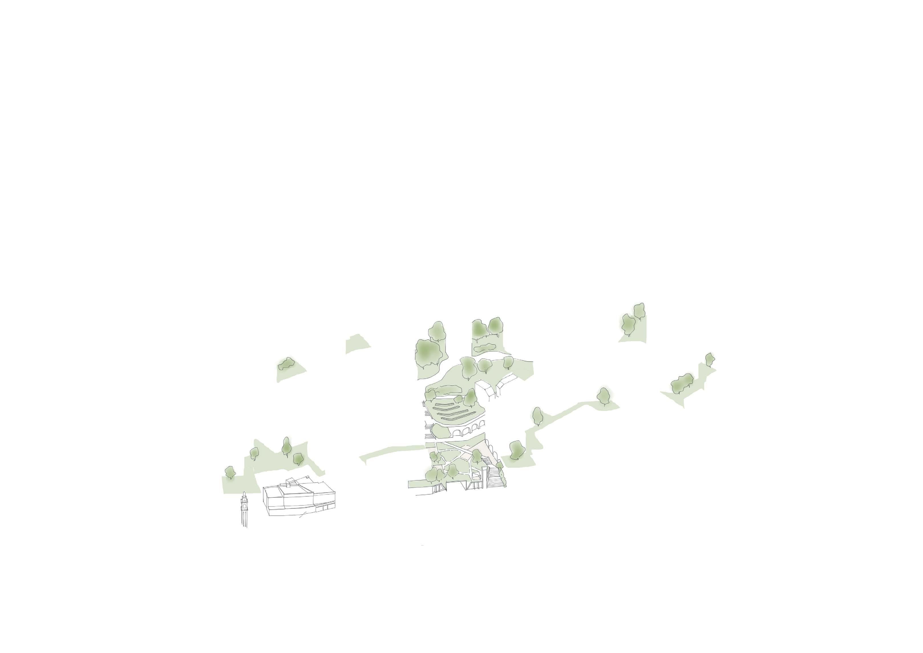
TALLER BUILDINGS
APPROACH
To relate the taller buildings to both their immediate and longer distance contexts, datums are used to harness both the meadow landscape and relationships between buildings.
The proposed heights strategy for the scheme has been developed on the four principles below.
Base: Building landings
Buildings are expressed as grounding on Molesworth Street. This is particularly important where buildings meet the shopping centre which is typically set back from the plots on Molesworth Street.
Middle
A distinction is made between the building’s base and its middle section, through change in materiality or expression. This is typically where the residential accommodation starts.
Central Datums
Datums between buildings are expressed to create strong relationship between the middle and tops of the buildings.
Top
The tallest elements of buildings are expressed with a lightness and set backs in massing.
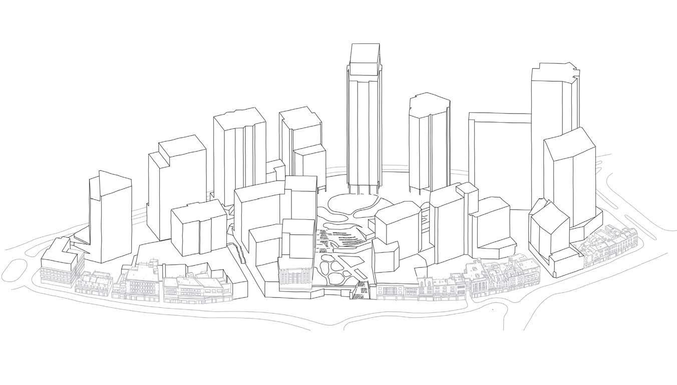
TOWNSCAPE & VISUAL IMPACT
Overview
The proposals impact on townscape and its wider setting has been assessed throughout the pre-application process and formed an integral part of the evolution of the design.
The framework for assessment of townscape and visual impact has been prepared using the Guidelines for Landscape and Visual Impact Assessment, Third Edition (Landscape Institute and Institute of Environmental Management and Assessment, 2013) (‘GLVIA3’).
The two components of townscape and visual assessment are:
01 The assessment of townscape effects: assessing effects on the townscape as a resource in its own right; and
02 The assessment of visual effects: assessing effects on the general visual amenity experienced by people. Specific views are also assessed where they form strategic views designated in the development plan, or where agreed with the competent authority.
Verified Views
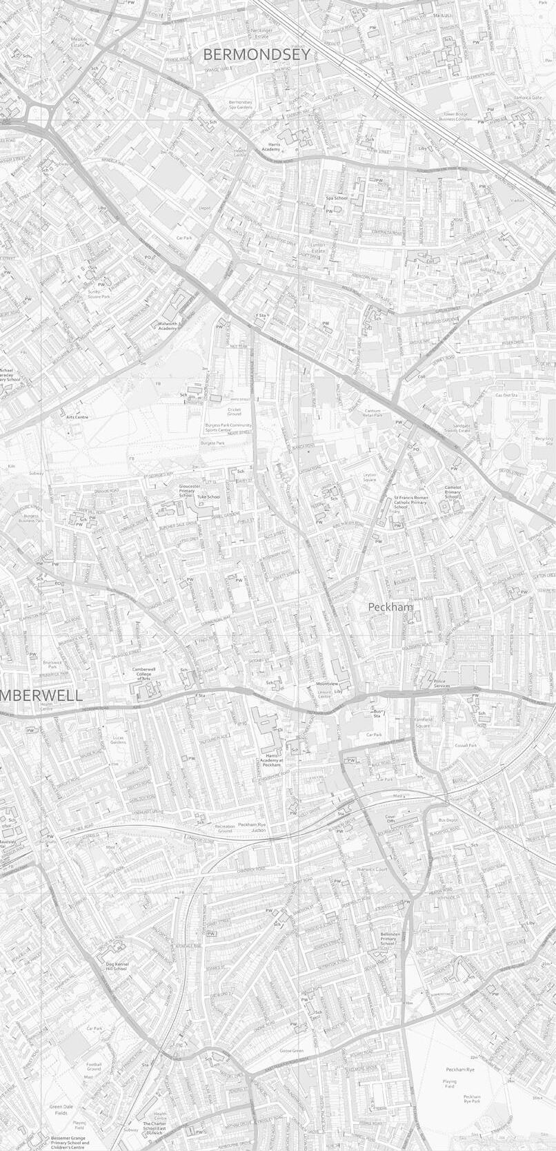
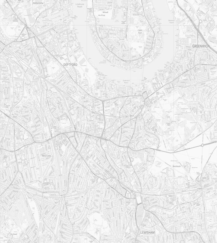
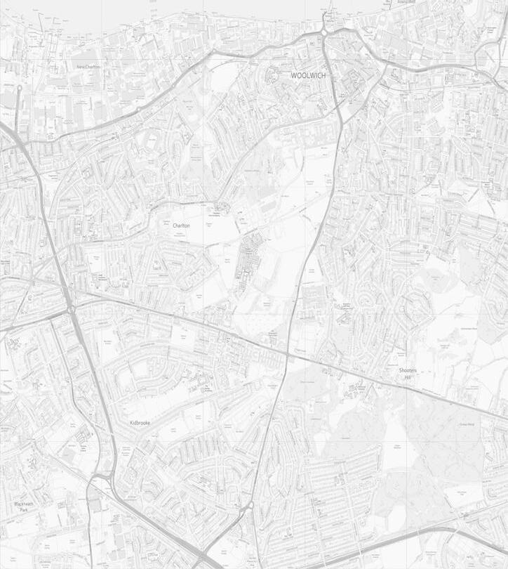
The proposal has been assessed against a series of verified views against the existing, proposed and cumulative conditions. Enclosed are a selection of views of the cumulative scenario, with the full extent of views shown on the location map opposite.
↘ Refer to the Townscape and Visual Impact Assessment (TVIA) and Visual Impact Study for the detailed methodology, conclusions and full suite of Verified Views.
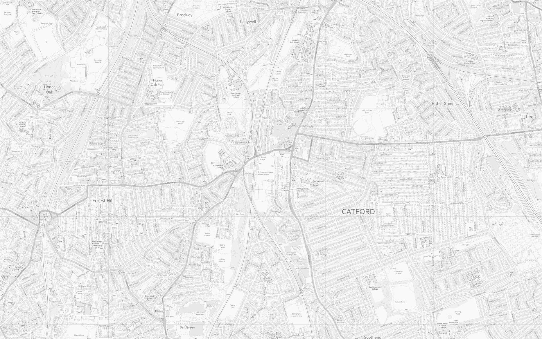
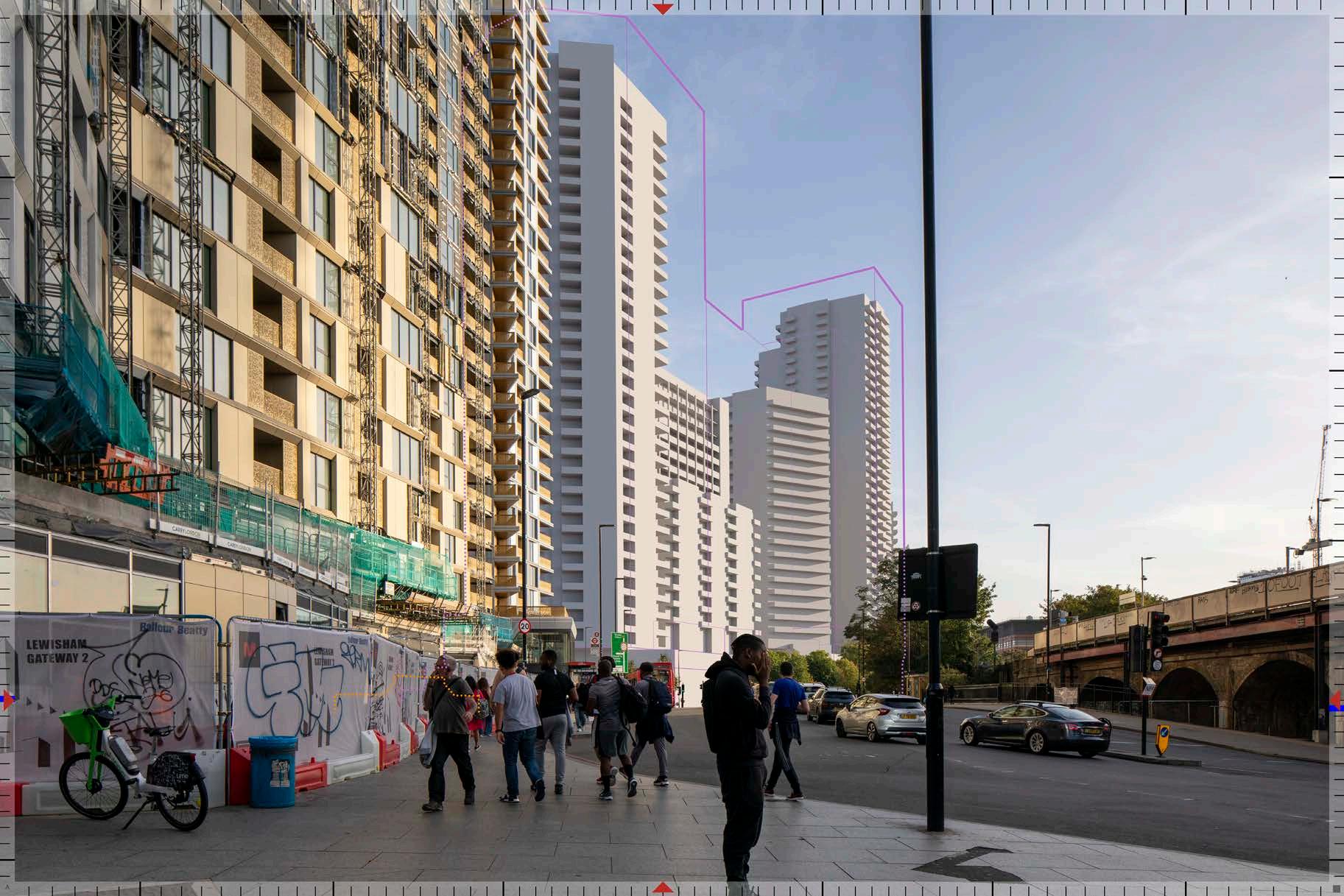
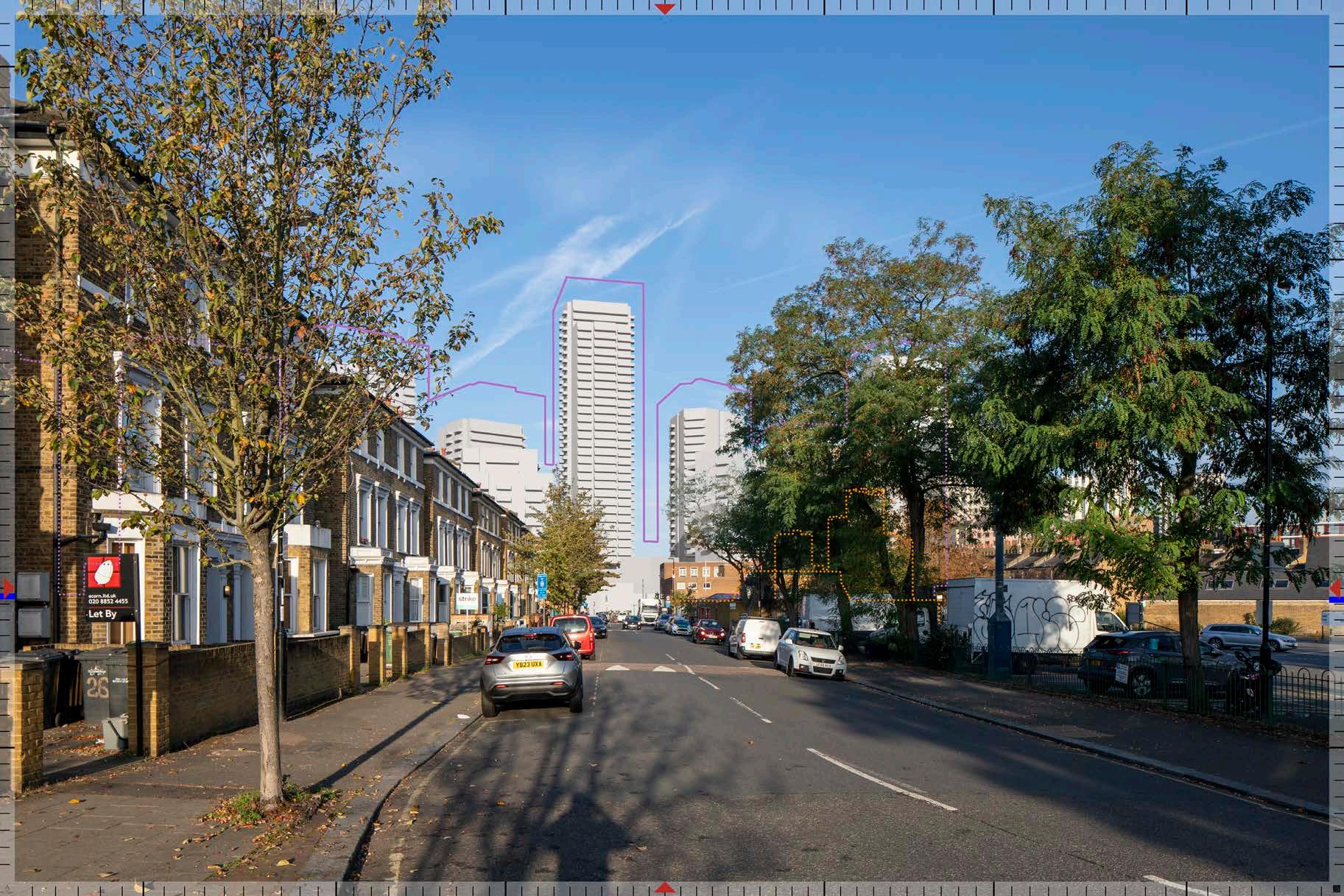
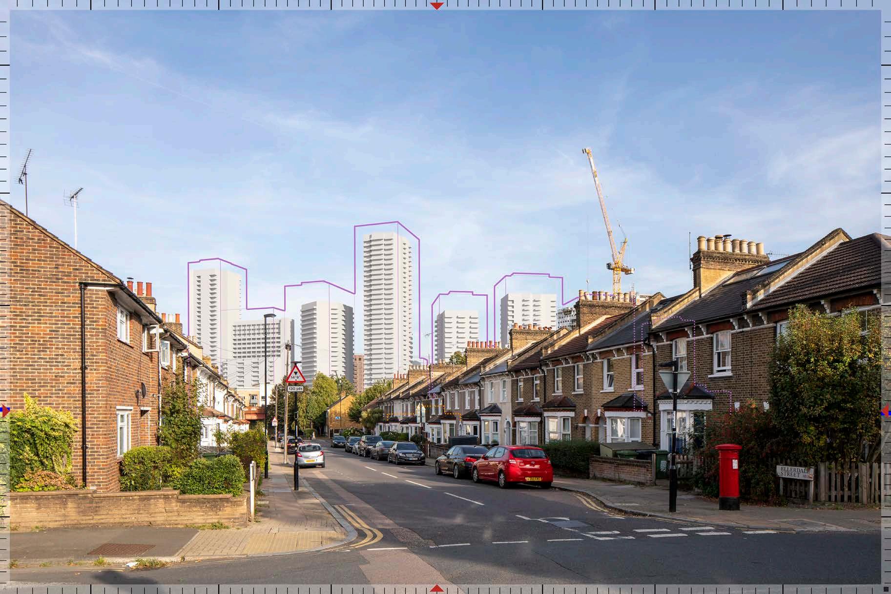
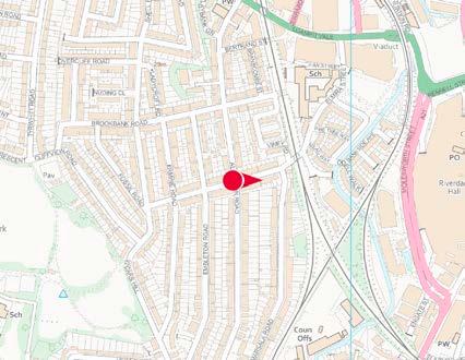
Ellerdale Street
View 05.2 - Ellerdale Street
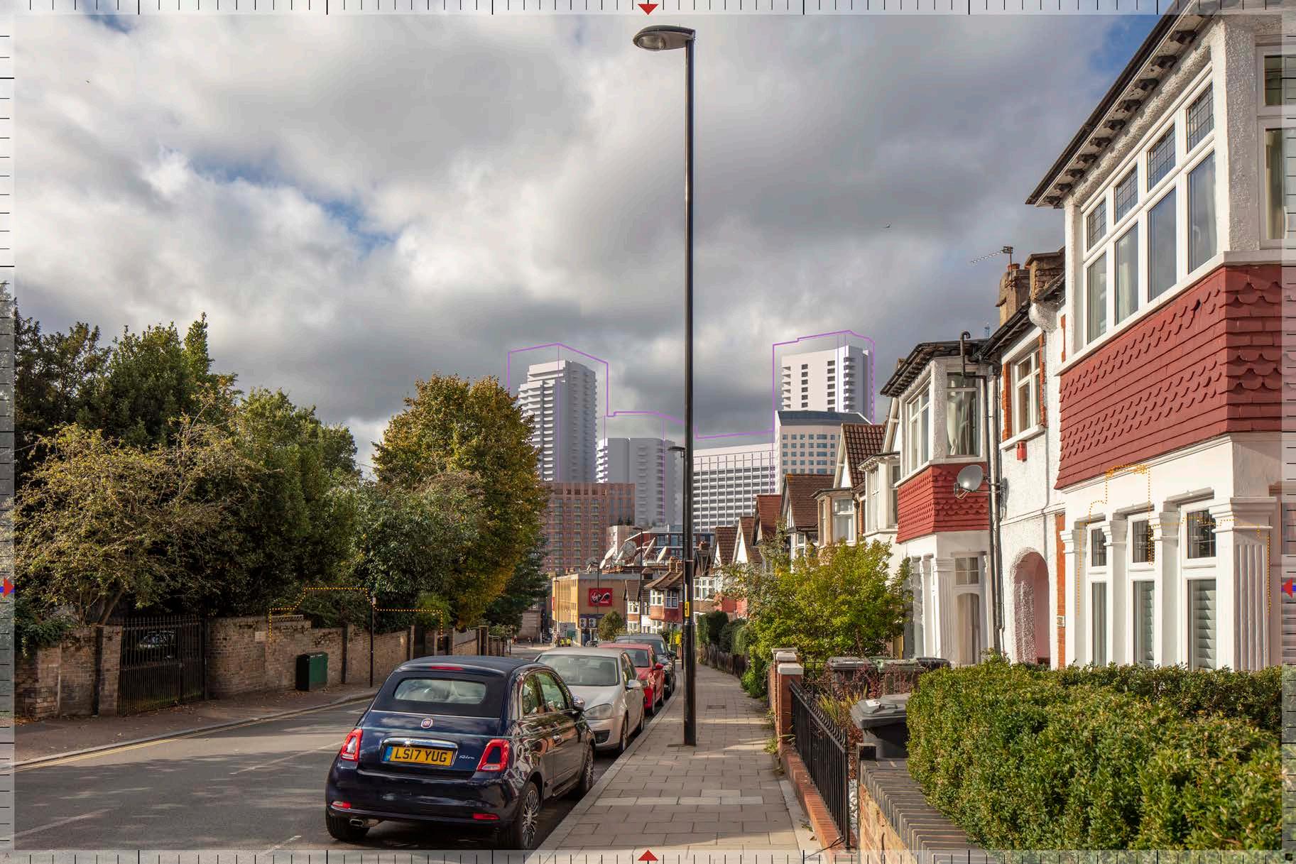
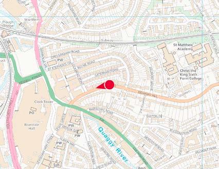
Hill
Hill
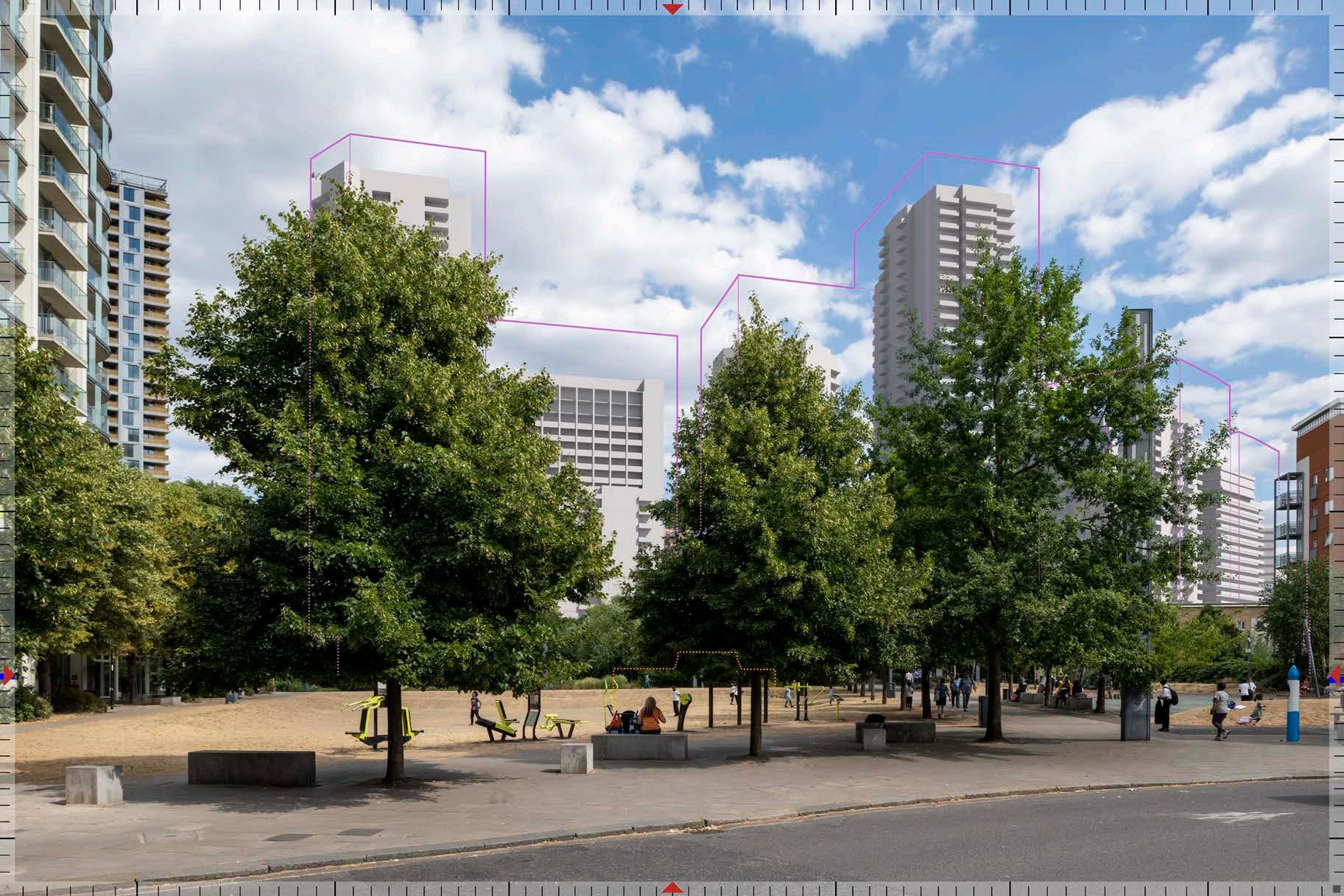
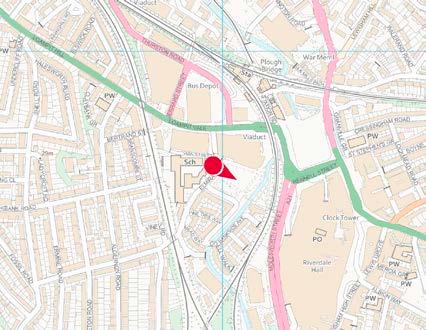
CHARACTER
Building on the placemaking principles that have set out the overarching masterplan layout and massing, The adjacent character ‘scales’ have been developed to inform the development of the Architectural character of the masterplan.
The following pages demonstrate how these scales relate to the layering of the place; a multi-level approach.
HUMAN SCALE
Starting with the strength of Levesham meadow, and extending to the integral role of the ‘House in the Meadow’
HIGH STREET SCALE
Building on the importance of the High Street’s role to Lewisham Town Centre and its prominence in the masterplan
URBAN
SCALE
Using the mid-rise buildings running north to south through the masterplan acting as a ‘Brick Spine’
WIDER
SCALE
Celebrating the role of marker buildings and their wider townscape setting, complimented by adjacent background buildings along Molesworth Street
HUMAN SCALE
Levesham Meadow
The multi-level approach sets the underlying character of the masterplan.
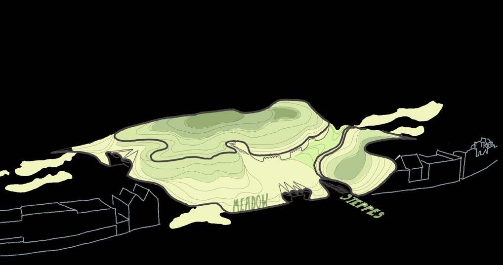
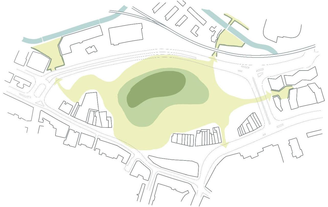
HUMAN SCALE
Town Centre Experience
Routes through, over and across the meadow enable a varied experience for pedestrians through the site and access to a wide range of town centre uses.
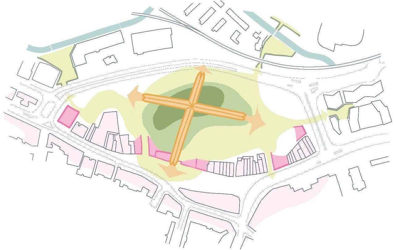
HUMAN SCALE
House in the Meadow
The central House in the Meadow (Plot M1), and vertical access points through stairs and lifts, provide an opportunity for colourful interventions and wayfinding tools across the site.
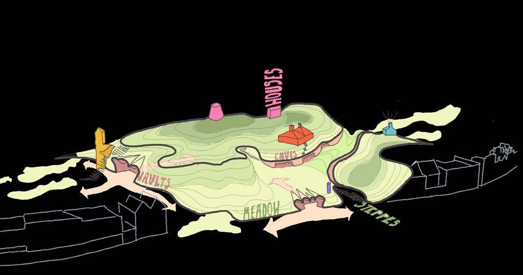
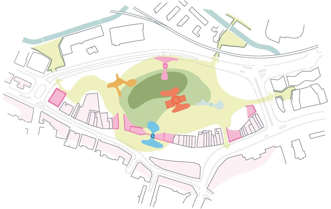
HIGH STREET SCALE
High Street Healing
Buildings and facades are retained along the High Street, and new interventions help to reinforce and strength the building lines along the western side of the High Street.
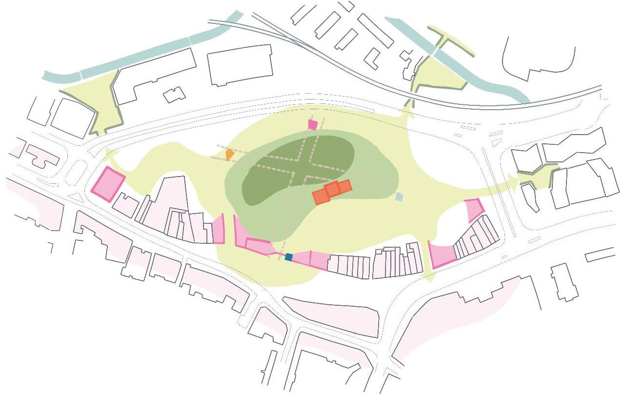
HIGH STREET SCALE
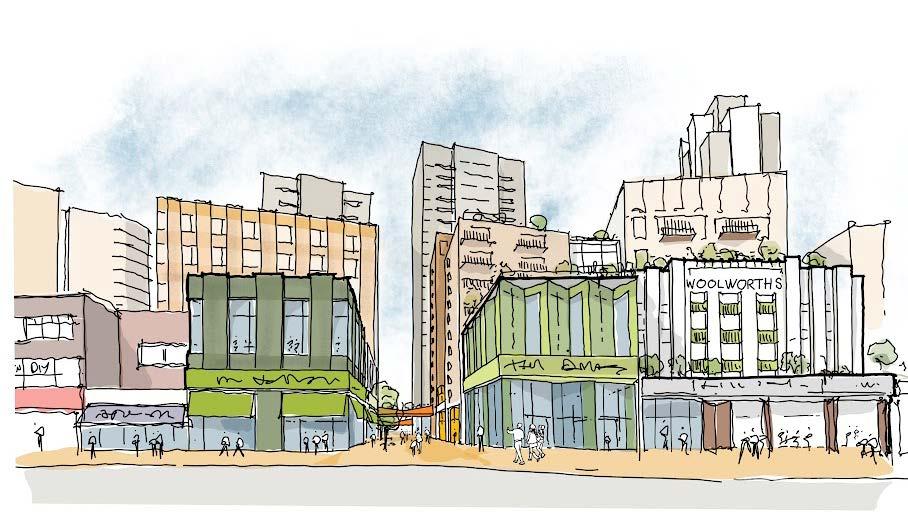
URBAN SCALE
The Masterplan’s Brick Spine
Central buildings through the masterplan are characterised by similar tones in brick to stitch the masterplan together and provide a robust backdrop to the multi-level landscape below.
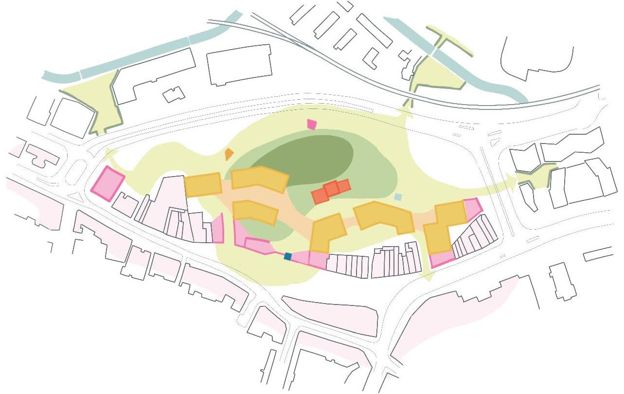
WIDER SCALE
Marker Buildings
Plots N3, C4 and S4 anchor the site and create a wider town centre presence.
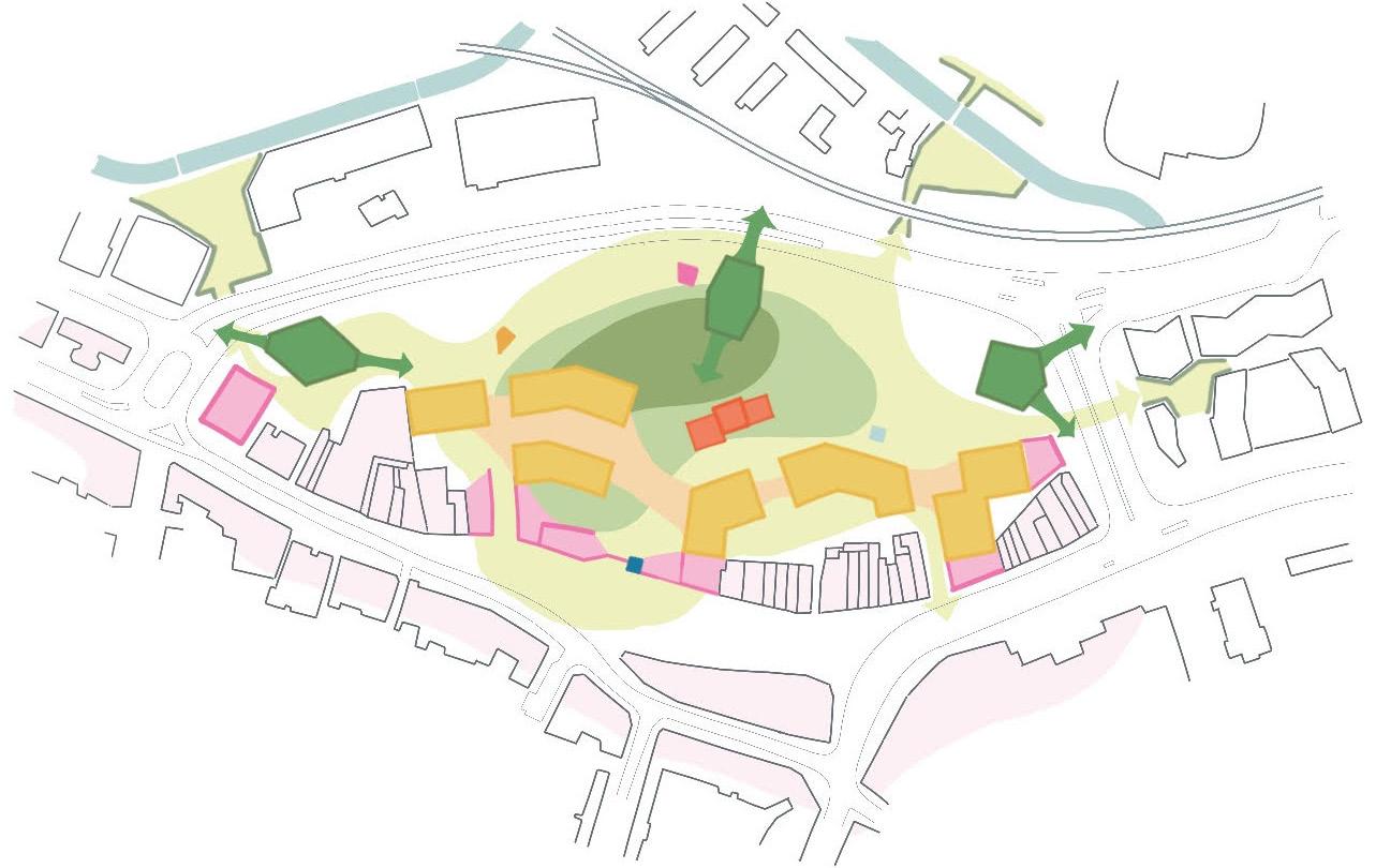
WIDER SCALE
Completing the Masterplan
Infill buildings along Molesworth Street finish the masterplan with a hierarchy of taller buildings along the site’s western edge.
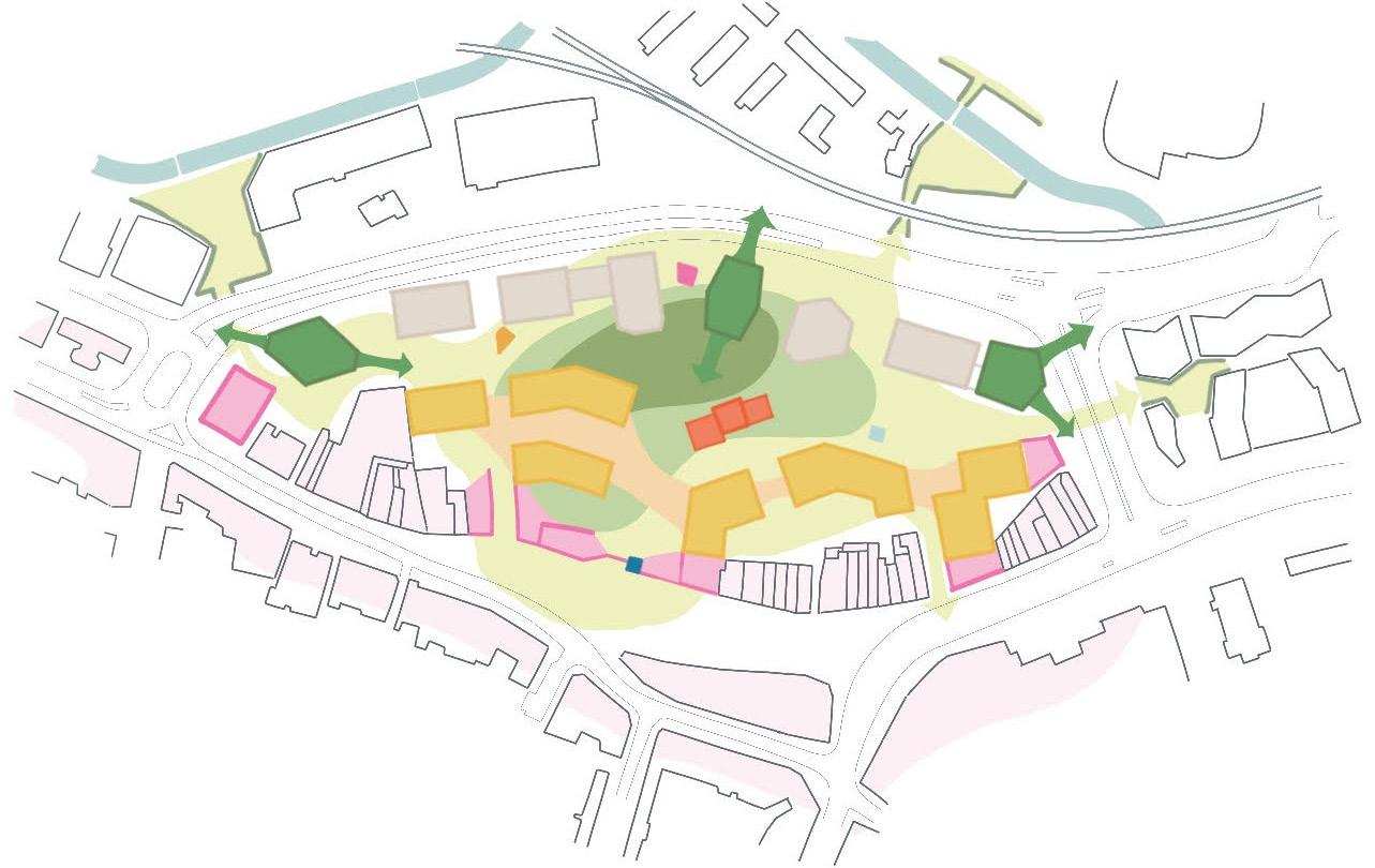
PLOT ROLES
INTRODUCTION
The masterplan’s unique approach to layout, massing and character has resulted in important and equally unique roles for many of the Plots.
This section highlights some of the key plots in the masterplan and how they’ve responded to their unique setting and constraints.
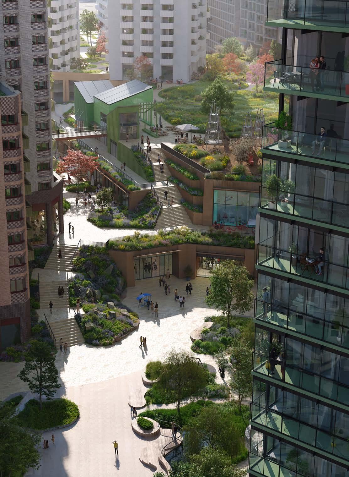
PLOT M1
‘The House in the Meadow’
The overarching concept for the masterplan hinges on the historic meaning of Lewisham as Levesham: The House Among the Meadows. Plot M1 anchors this concept in the centre of the site by taking on this role as the ‘house in the meadow’ and is vital as a unique building in tying the masterplan as a whole. There is an exiting opportunity for the building itself to be designed via an Architectural competition and/ or through co-design.
The plot’s role can be summarised as follows:
01 A central marker building that provides a physical link between the shopping centre and The Podium Park.
02 It is an important local asset to the masterplan, safeguarded for community use
03 An external visual link across the stepped landscape from key public spaces to the north, south and east
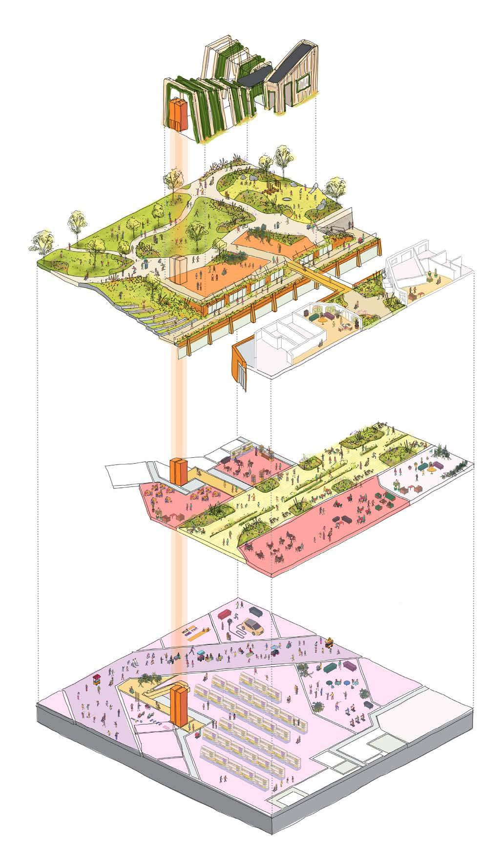
The
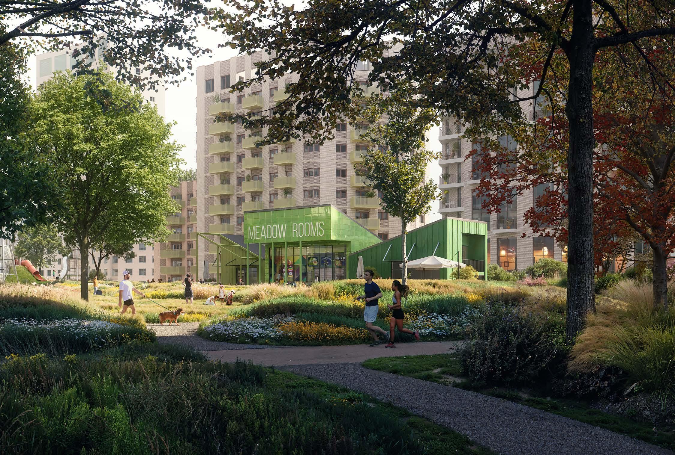
PLOT MV


Plot MV utilises the existing commercial building to create a new music venue and cultural offering at the south of the site. The ambition for the programming is for a community led offering, with additional uses on upper floors such as recording studios.
The ground floor will provide an aspect both onto the High Street and to the New Model Market at the rear. A new rooftop bar is proposed to create a visual marker for the masterplan as a whole from the southern end of the High Street.
The plots key urban design role is summarised below:
01 Retention First: Demolish low quality rear extension and retain as much of primary building as possible
02 Build back double height space to rear to create music venue activating the ground floor
03 Use upper levels to provide further community/music uses in existing building L-shaped upper levels
04 Creation of a new rooftop bar to activate south eastern corner of the site
05 Create a relationship between the ground floor uses and the New Model Market to ensure it is a public space used into the evenings
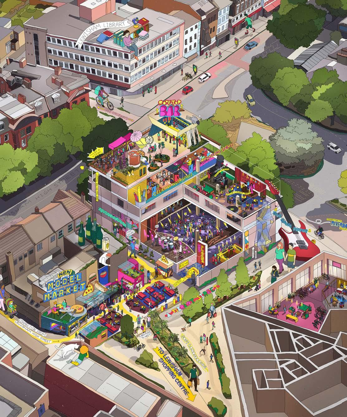
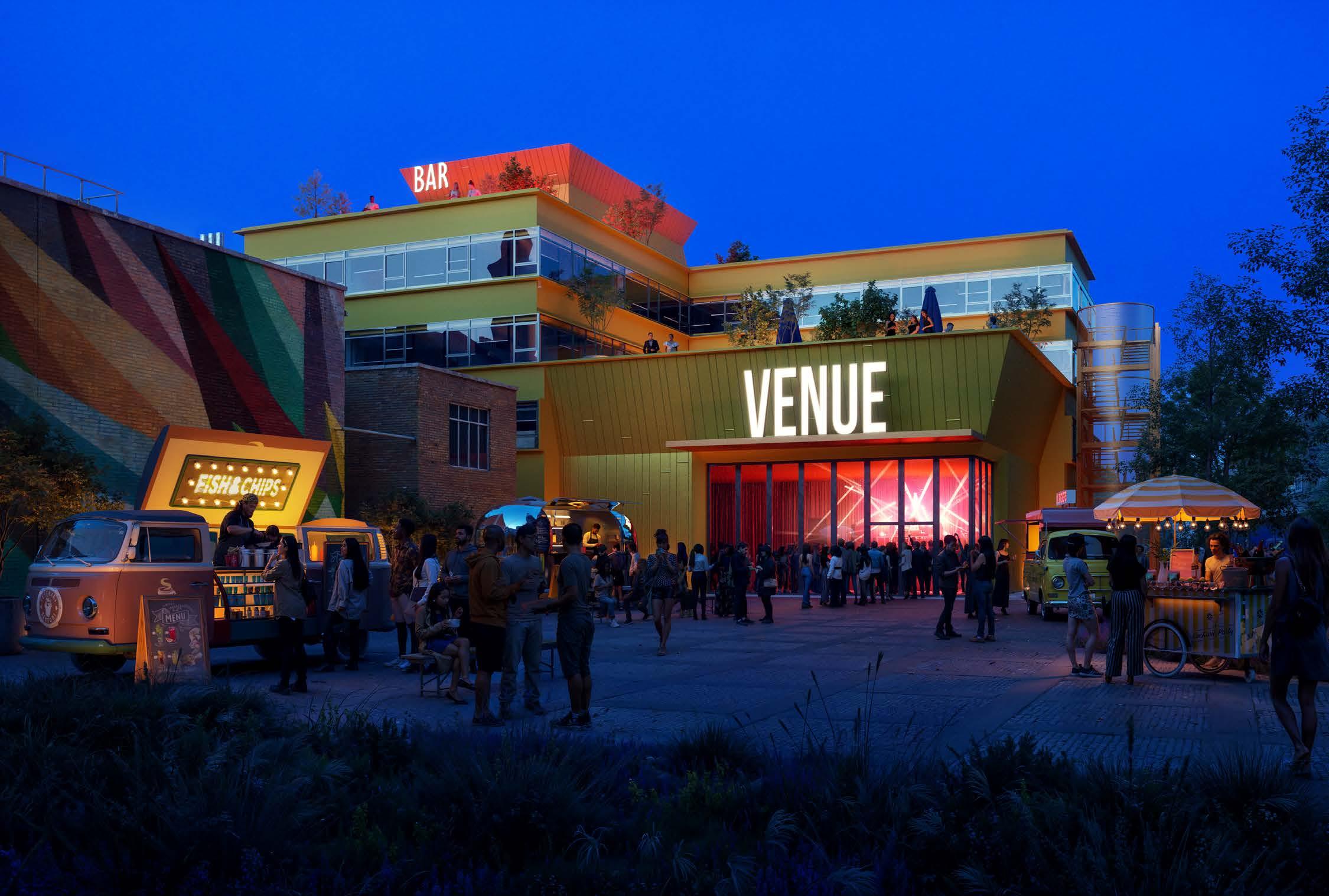
PLOT N3
Plot N3 sits to the north of the site and completes the first phase of the masterplan, alongside detailed plots N1 and N2. This unique plot, in a similar strategy to Plot MV, retains elements and extends an existing building; in this instance Lewisham House. This creates a unique solution at both the north and the south of the site and bookends the masterplan with elements of retention.
The majority of the structural frame of the existing commercial building looks to be retained. This is then extend to the west, and to the north with a taller extension which acts as a masterplan marker. A ground level podium then completes the block and pushes out to form an active edge to Molesworth Street.
Further urban design roles are listed below:
01 Retention First: Demolish connected elements whilst retaining primary structural frame of Lewisham House
02 Extend the existing frame to create east and west facing homes
03 Introduce taller extension addressing Gateway Cluster of development
04 Manipulate extension massing to optimise aspect/outlook of homes and address longer distance views from the north
05 Lift up massing to the north to create more generous public realm, and extend out podium level to west to Molesworth Street edge
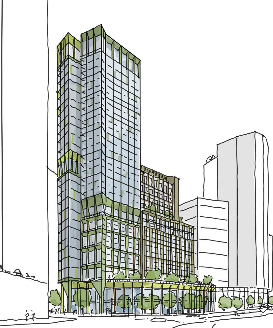
View of Plot N3 from Lewisham station
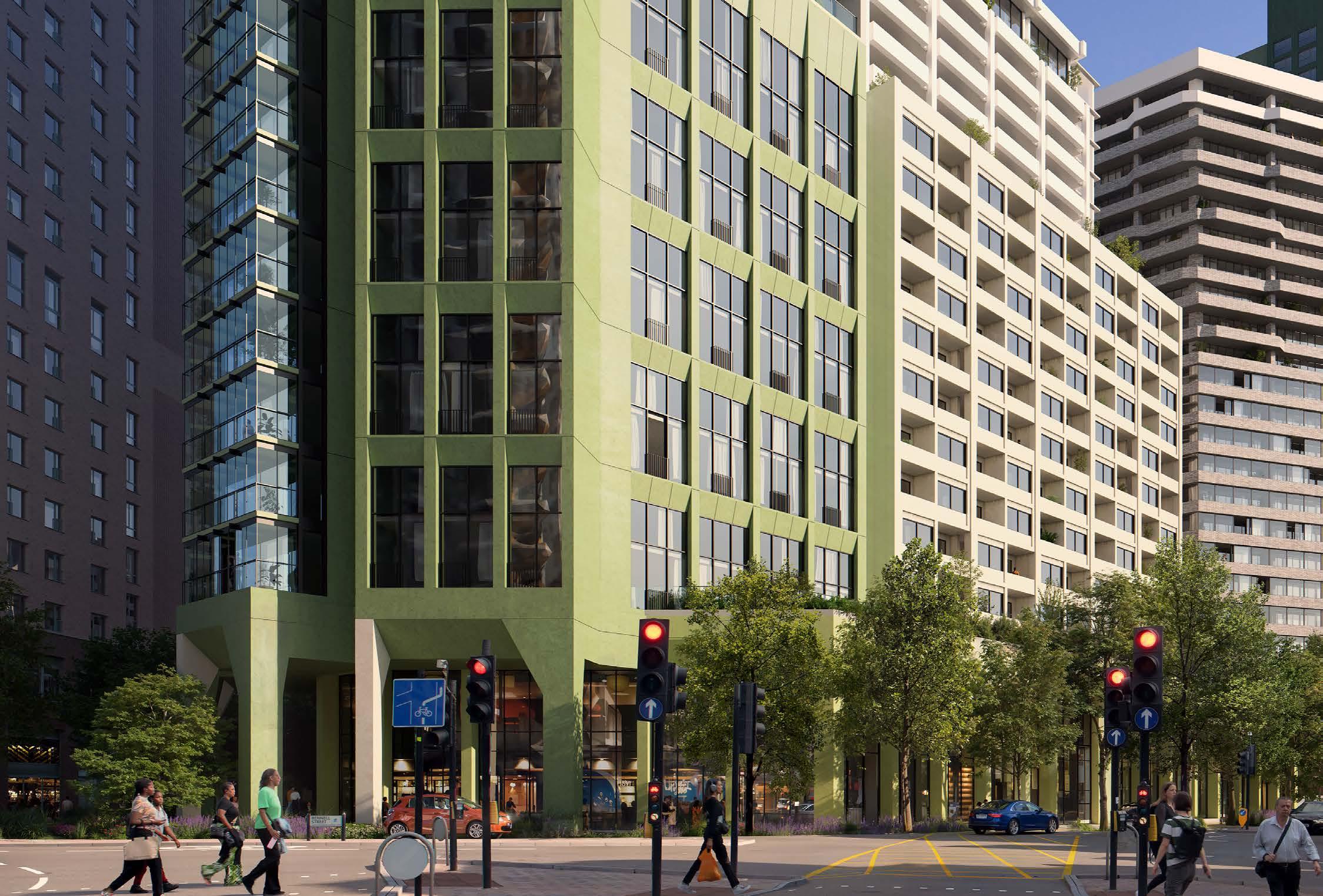
CGI illustration of Plot N3 from Lewisham
PLOT C1
This plot is read as a pair alongside plot N2 (part of the detailed application). This creates a strong backdrop to The Podium Park at their western edge, and a backdrop to buildings along the High Street from the east. Together a private amenity space is created between them, with direct access to The Podium Park via a bridge over The Street.
A key role of Plot C1 is its requirement to have residential entrances across three levels. This ensures that residents have 24-hour access to their homes during the night when The Street and The Podium Park are closed, through the retained Lloyd’s building façade on the High Street.

The eastern elevation of this plot has an important role as it is a prominent façade from the High Street.
01 Retention First: Retain the facade of the existing Lloyd’s building on the High Street to respect the character of the High Street
02 Pair with neighbouring plot N2 to frame The Podium Park and provide a backdrop to the High Street
03 Position the entrances to create multi-level residential accesses
04 Chamfered massing to enhanced aspect of homes
05 Celebrate the lower shoulder of the building and its prominence in relation to the High Street
06 Use podium levels to provide external amenity spaces for residents, including access to The Podium Park
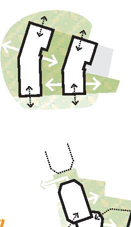
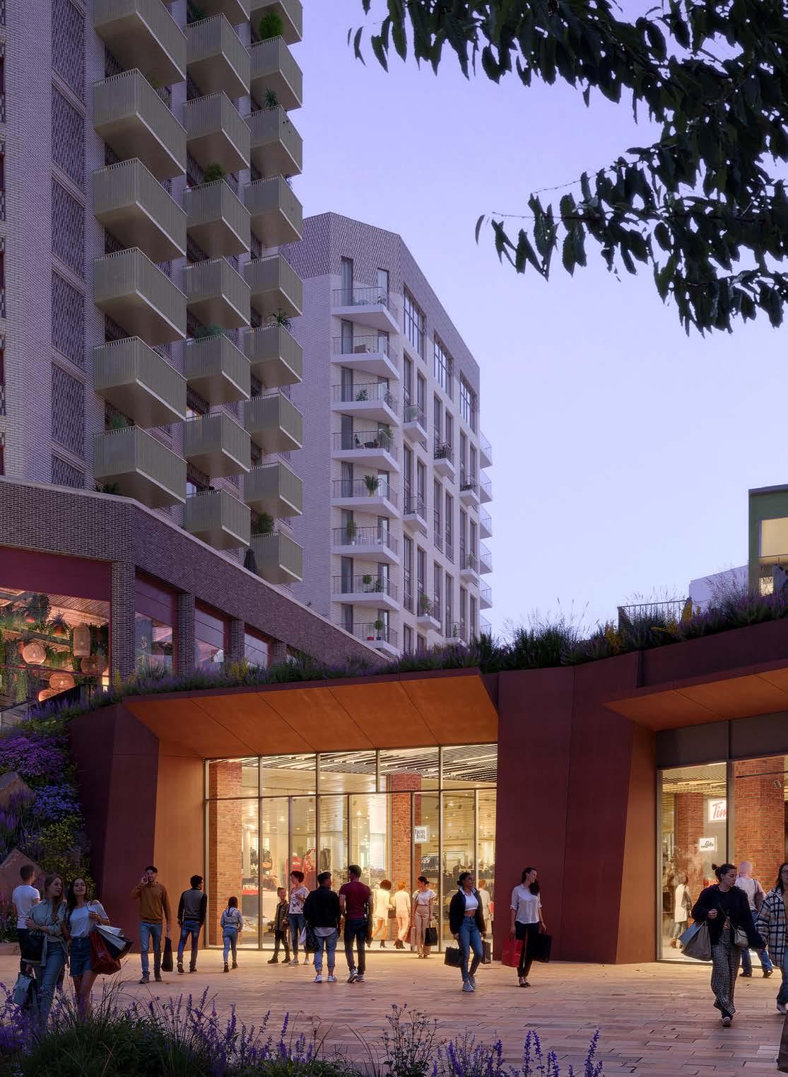
View from The Northern Square, looking south towards the Plot N2 (left) and C1 (right)
PLOT C2

These north-south linear residential plots (alongside C2.2) are central to the masterplan’s brick spine of buildings, and again is defined by retained elements of the existing site.
The Art Deco façade of the Woolworths building is retained and celebrated. This defines the character of the new residential plots behind which step up towards the Molesworth Street buildings. There is an opportunity for a larger town centre use behind the Woolworths façade that activates the Eastern Terrace.
A route at Park level will connect the communal amenity space between plots C2.1 and C2.2 to The Podium Park itself. This route should be visually open but secure.
01 Retention First: The plot retains and restores the existing Art Deco Woolworths Facade; Healing the High Street
02 Massing shape & orientation split into distinct parts with taller component at the north to respond to Woolworths façade line and form edge of Eastern Terrace
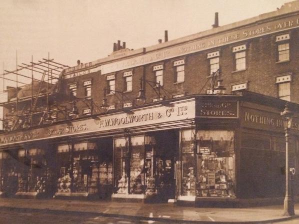
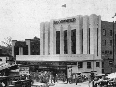
03 Northern components of massing respond Architecturally to the Woolworths vertical facade language
04 Stepping up of massing away from the high street
05 Duality of entrances from south at ground level, and north from eastern terrace
06 Further entrance at The Podium Park level provides link through to private amenity space
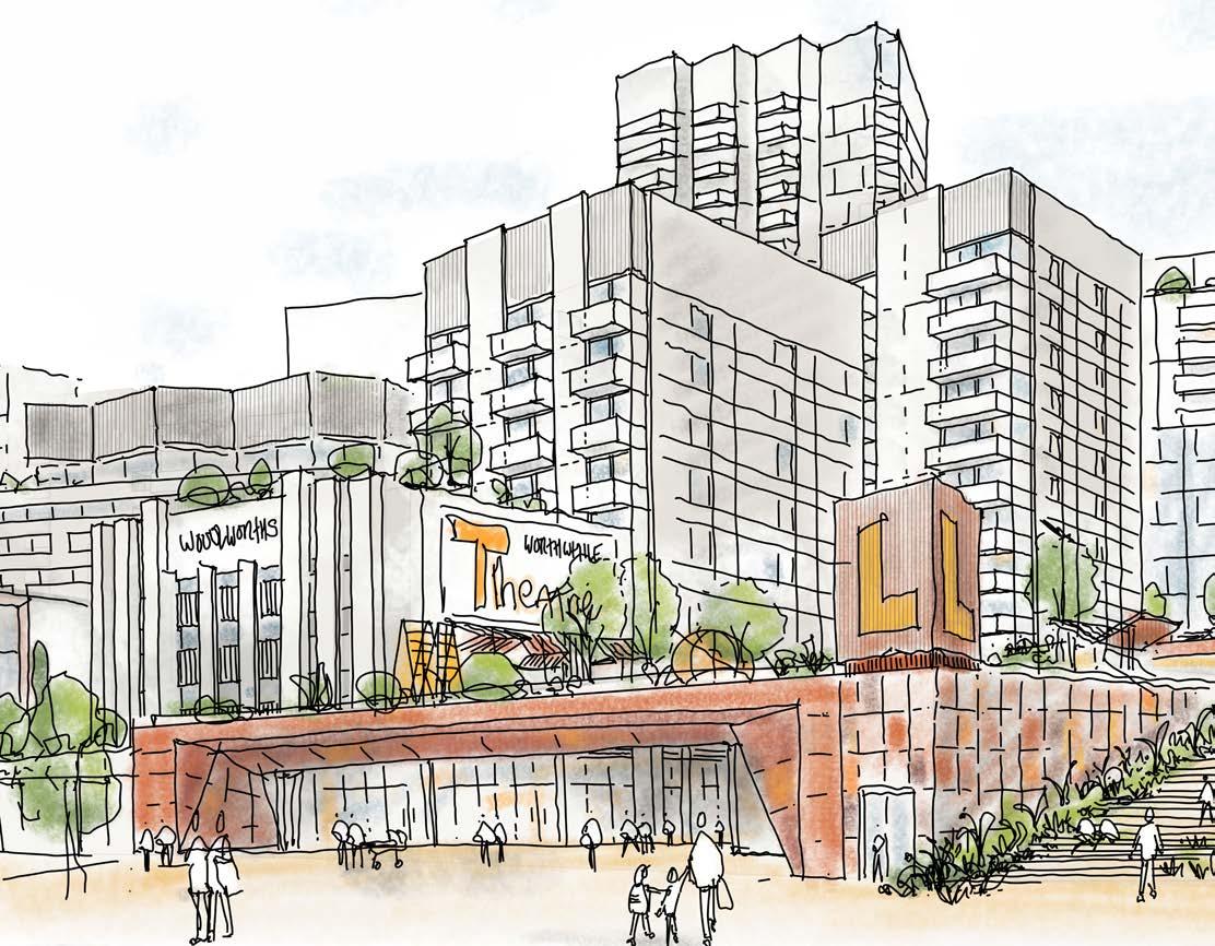
Sketch of Plot C2 from High Street
Historic Images of Woolworth’s Art Deco Facade


PLOT C3
This plot can be described as more of a background building, flanked on Molesworth Street by taller neighbours C4 and S2. A small set back links the building to Plot S2 and encloses the southern area of The Podium Park.
As with other residential plots that address both The Podium Park and Molesworth Street, the primary residential entrance is provided at ground level, with a secondary access at Park level.
C3 incorporates a set back at upper levels in its massing, to maximise daylight levels into The Podium Park. This set back ‘shoulder’ has a visual relationship with the taller component of Plot C2.2, and the central Park facing datum of Plot C4.
01 Manipulate massing to ensure comfortable building-to-building distances
02 Duality of residential entrances at Level 00 and Level 02
03 Physical connection to building to Plot S2 to provide shelter for The Podium Park area behind.
04 Park-facing upper level set-back to relate to adjacent C2 and C4 and introduce a park level set-back to create colonnade, maximising public realm
05 Improving aspect for single aspect homes
06 Potential to incorporate duplex homes on The Podium Park frontage to increase the variety of homes
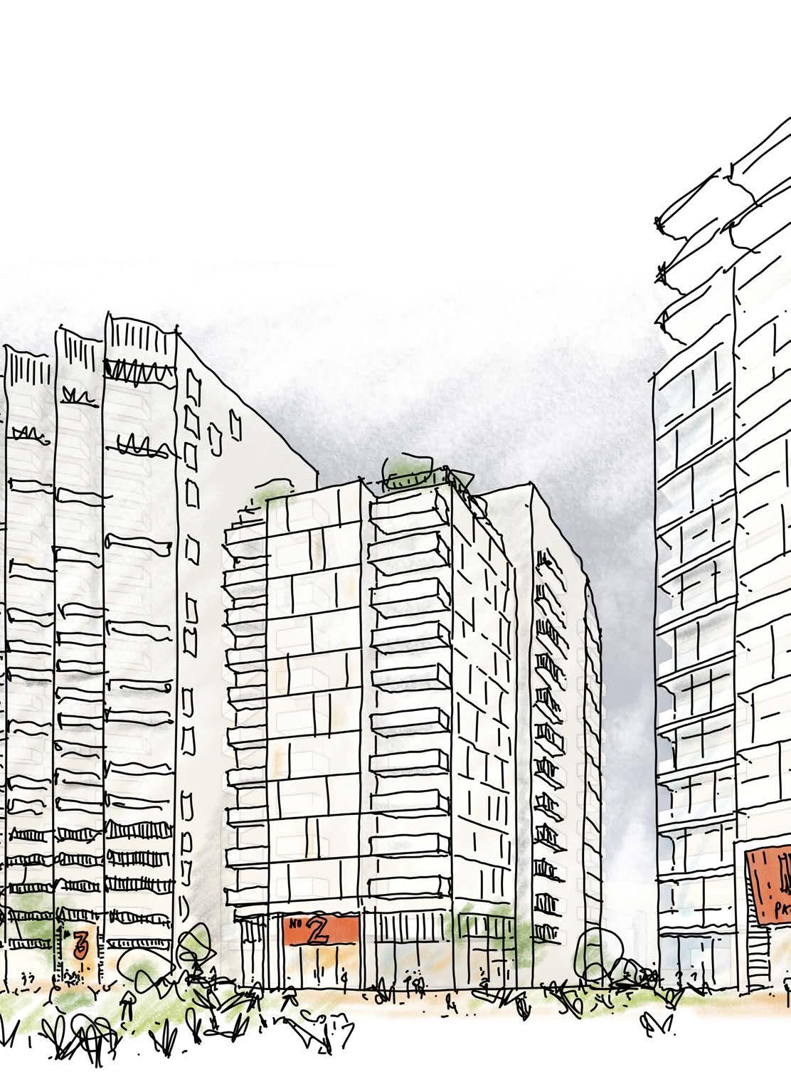
Sketch view of Plot C3
PLOT C4
This plot has an extremely important role through its definition as the tallest building on the site. This is warranted to through its wider townscape setting, and its role in anchoring itself in The Podium Park from views to the east.
The building uses design principles for its base, middle and top and draws reference for these datums from neighbouring plots. As part of the suite of Molesworth Marker buildings (alongside N3 northern extension and S4) There is an opportunity to introduce colour, particularly at the buildings base and top, and explore aggregated forms in its massing and footprint.
Manipulate rectangular footprint typology to suit orientation and setting of neighbouring plots
Park-facing upper level set-back to address The Podium Park, alongside Park level set-back to create colonnade and maximise public realm
Integrate a vertical access point from the shopping centres western
Enhance aspect of central single aspect homes to create
05 Introduce elevational datums to respond to neighbouring plots and apply tall building design principles
06 Integrate a vertical access point from the shopping centres western entrance up to The Podium Park
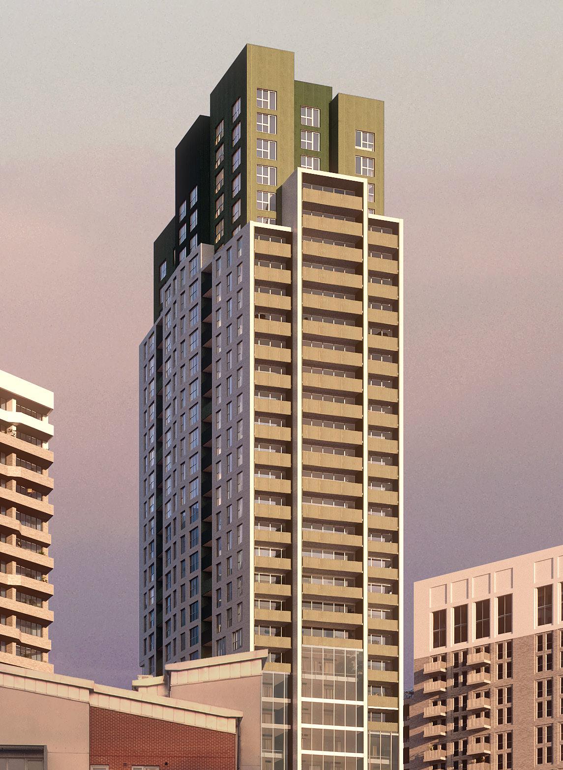
PLOT C5
Plot C5 has a triangular footprint in response to its constrained location. This enables adequate distances to neighbouring plots N3 and C4, and orientates itself towards The Podium Park. It is set in from Molesworth Street to allow for a generous arrival point at the Cornmill Gardens crossing, and create a generous route into the Northern Square to the north.
As with other Molesworth Street plots, homes respond to microclimate conditions with either winter gardens, inset balconies or oversized apartments.
01 Triangular footprint responds to neighbouring plots C4 and N3 and addresses The Podium Park
02 Park level set-back to create colonnade and maximise public realm
03 Integrate a vertical access external stair from Molesworth Street up to The Street along its northern elevation
04 Enhance aspect of central single aspect homes to create aggregated plan form
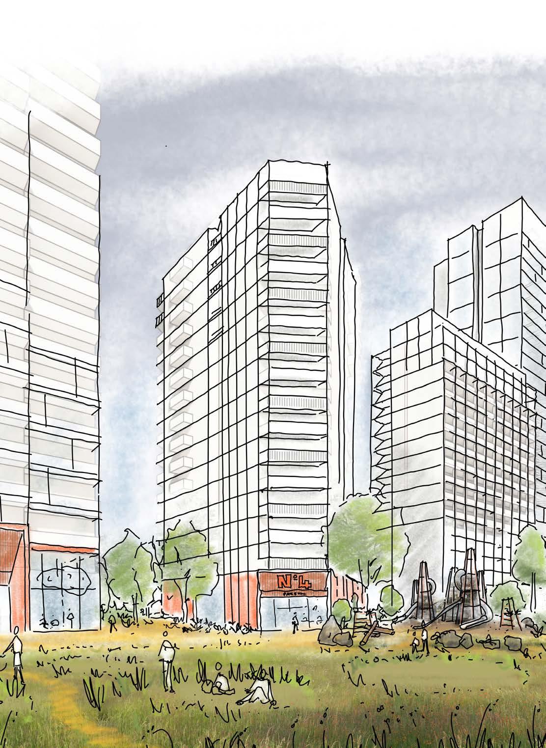
PLOT S1
Plot S1 acts as a standalone plot in the south of the site, with the challenging role of integrating the two-way vehicular servicing ramp from Molesworth up to the Level 01 service deck. The ramp becomes a bridge link to S2 as it arrives at Level 01.
This simple rectangular student accommodation plot incorporates a step in its massing at roof level to transition in height between neighbouring plots S4 and S2.
01 Align to Plot S3 opposite and set back to frame the public space between the two plots.
02 Integrate the service deck ramp within its Architectural form with a bridge link to Plot S2
03 Step in massing at its southern elevation to transition in height on Molesworth Street
04 Eastern facing primary entrance to activate new public space
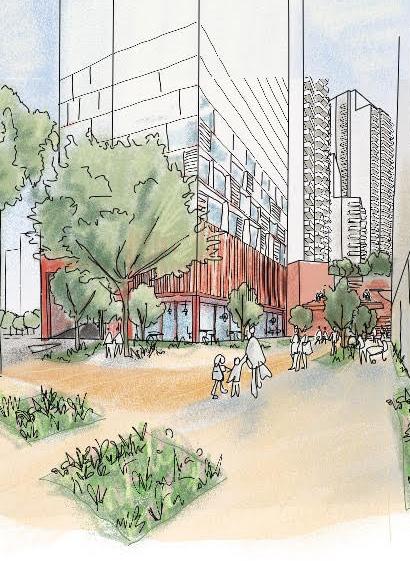
PLOT S2
Similarly to Plot S1, this plot incorporates the service deck ramp as it meets Level 01.
A simple rectangular footprint in principle, its north-south elevations incorporate a faceted expression to direct and enhance views north and south.
Alongside Plot C3, the plot has a duality of residential entrances and a set-back residential link building.
The plot sits slightly taller than neighbouring plots C3 and S1 to avoid creating an overly curated townscape diagram.
01 Thin the building form to maximise public realm
02 Discreet link building to Plot C3
03 Duality of residential entrances at Level 00 and Level 02
04 Faceted expression of north-south elevations to direct views from homes to key public spaces
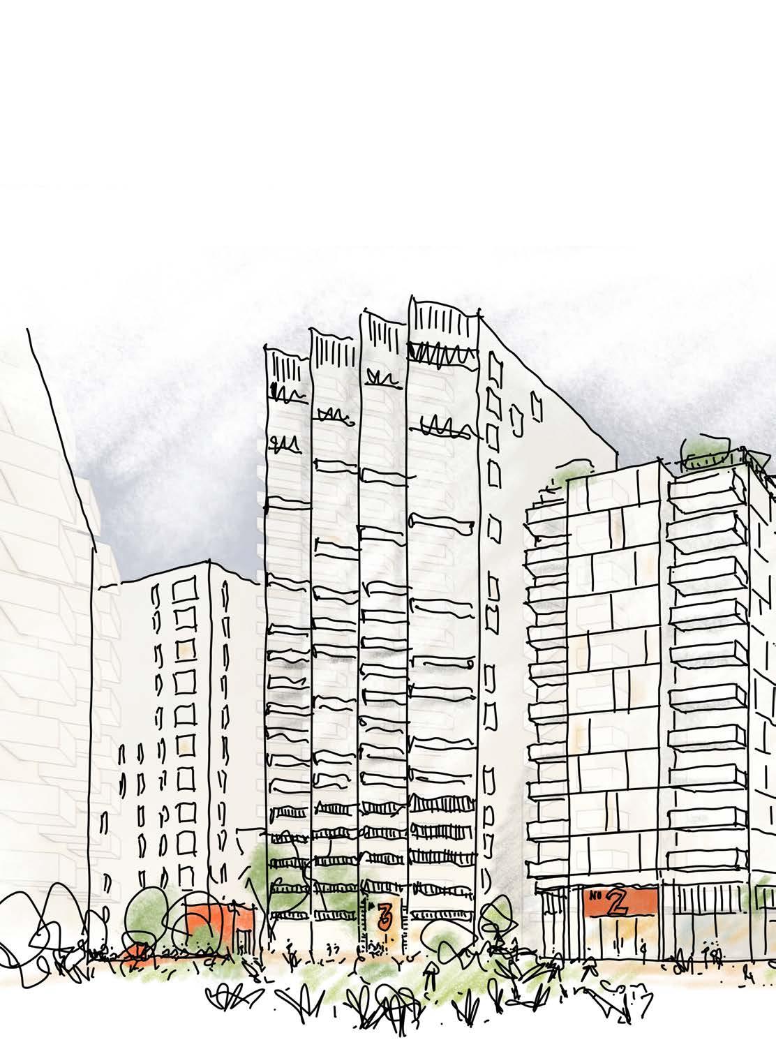
Sketch view of Plot S2 from The Podium Park
PLOT S3
This plot, whilst being detached from The Podium Park, has a dedicated private amenity space at upper level that extends out to the High Street. As such it is well suited as a residential plot for affordable tenures.
At lower levels the plot extends out to the High Street, where there is an opportunity to create a bold intervention at the corner of New Romer Place, adjacent to Plot C2.
The plot is required to integrate a bridge link into Plot SC from the north for the servicing of Primark.
01 Frame New Romer Place route with Plot C2
02 Set back from People’s Platform to maximise daylight into this public space
03 Create bold intervention on the High Street with architecture that offers homes multiple aspects
04 Create large private amenity space for residents at Level 02
05 Integrate bridge link and public stairs to Plot SC and The Podium Park
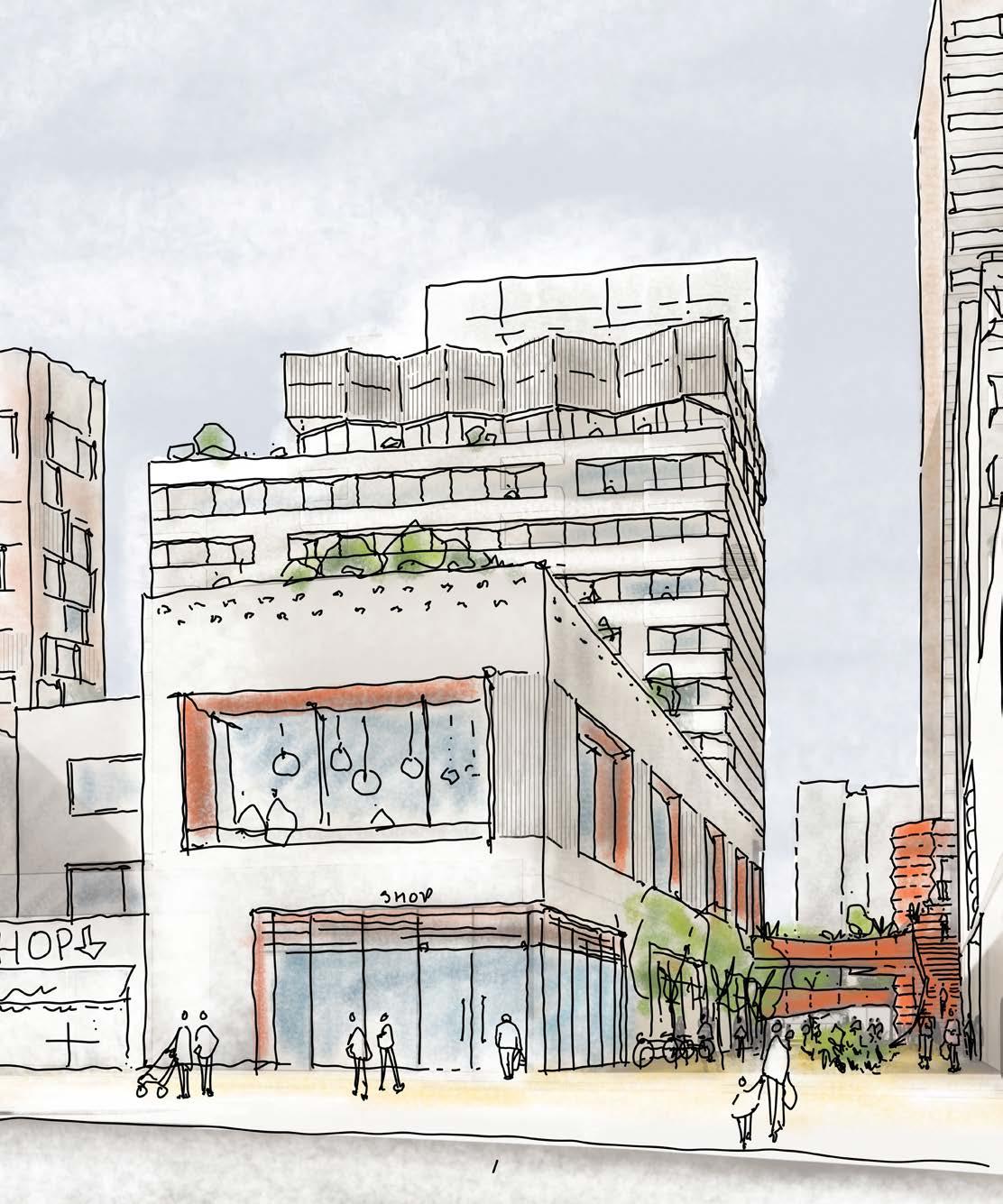
Sketch view of Plot S3 from the High Street
PLOT S4
Plot S4 completes the suite of Molesworth Marker buildings with N3 and C4. It has an important townscape role as a taller building visible from south of the site, and its constrained location next to the New Model Market and the service deck ramp generate a distinct triangular form.
At is southern point, the massing steps back to its upper levels, reducing its mass towards the High Street and framing the route through to the Riverdale Sculpture Park opposite the site here.
01 Along with the other Marker buildings, this building introduces colour in its elevations with the concentration at is base and top.
02 Starting point of triangular typology due to its adjacent constraints.
03 Stepping back of massing up the building to reduce its mass on the skyline and the southern portion of the High Street.
04 Create active uses to the south and east to mark the southern entrance to the site and frame the New Model Market.
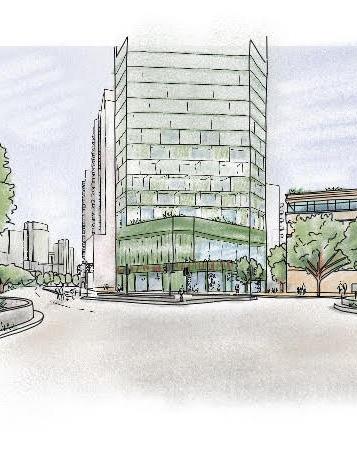
PLOT SC
Externally, the plot has an important role as the most publically accessible plot, that will attract visitors to the site beyond the residents. For the purposes of this document, it forms the extent of the podium in the centre of the site, ground level and Level 01 inclusive. Relevant plots above then start at Level 02 upwards.
At ground level, shopping centre entrances are typically recessed from adjacent plots, incorporating areas of external cover to provide relief for shopping centre users. Other areas typically respond to the Architecture of the plots above, and is dictated mainly by Site-Wide codes for Façades and Frontages.
At upper levels, the stepped meadow landscape is integral with the plot design. Entrances through into retail spaces are designed with depth and relief to give a sense of heaviness: holding up the dense landscape above.
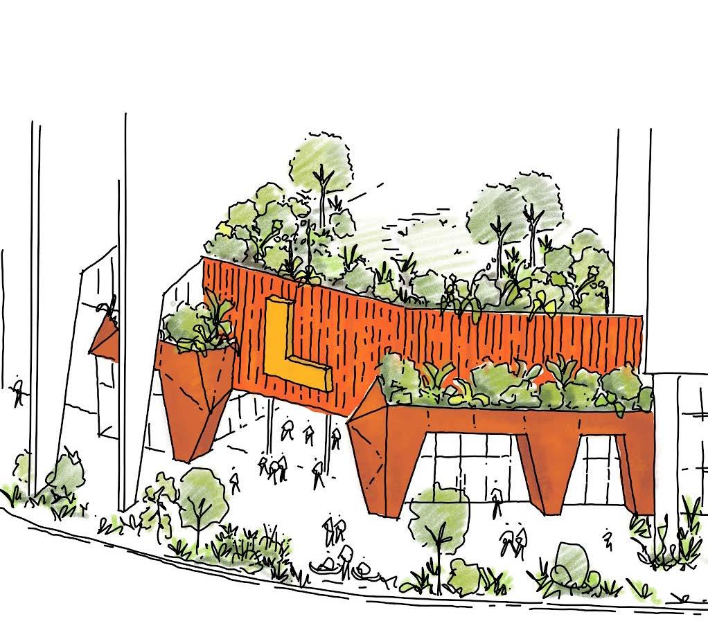
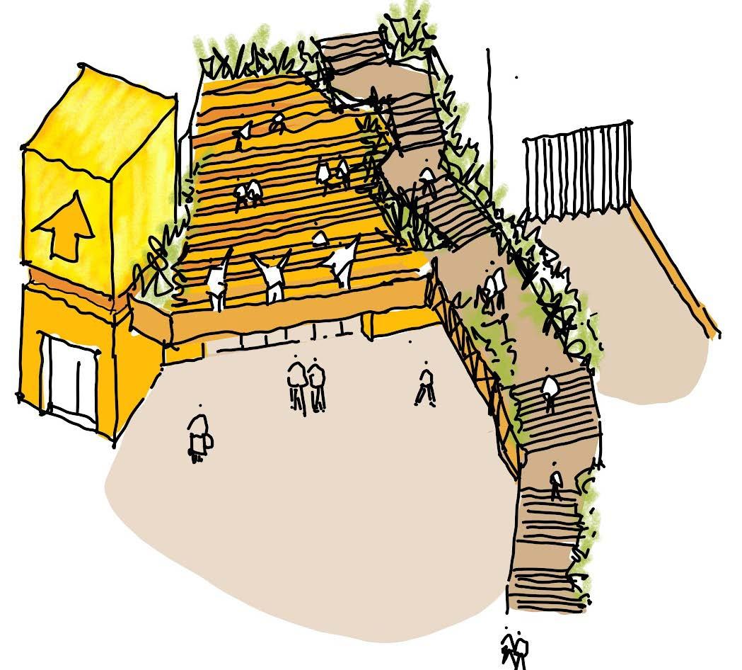
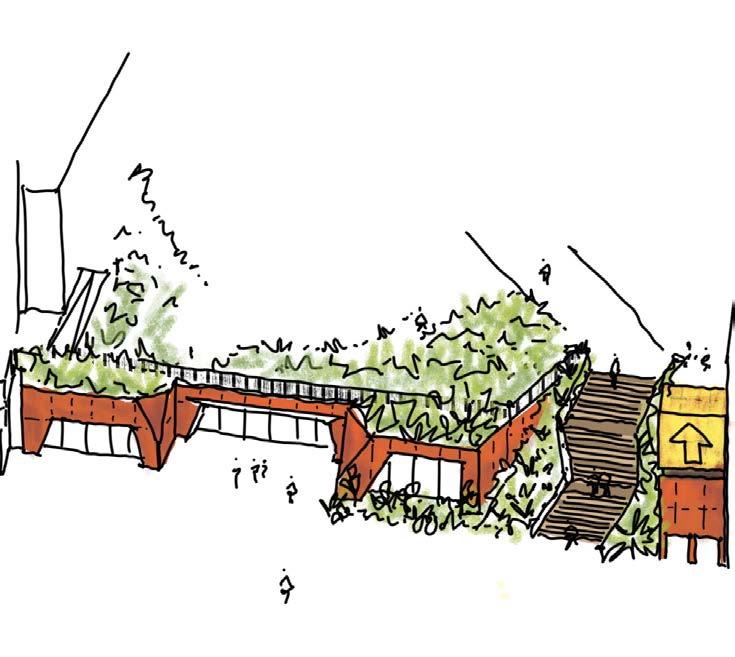
View of Plot SC western entrance
View of Plot SC southern entrance
View of Plot SC eastern entrance
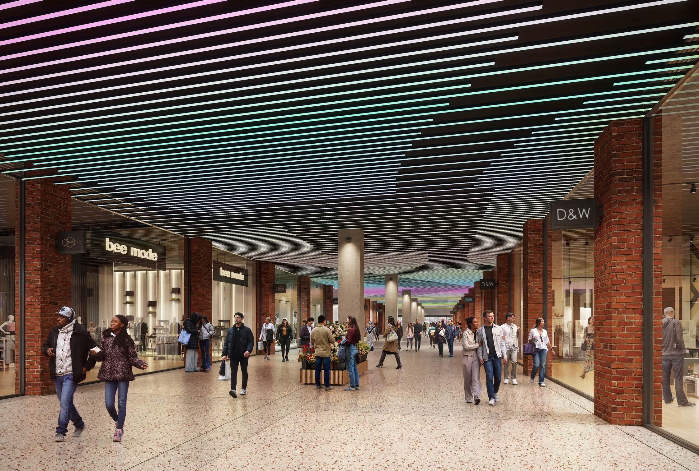
APPEARANCE
OVERVIEW
Much of the focus of the illustrative Masterplan has been around the relationship to Lewisham High Street. In this vain, the materiality and character of interventions on the High Street is designed to celebrate its diversity, whilst maintaining and reference the common thread of brickwork.
Generally, the lower levels of plots have a strong character in terms of material and tone, chiming with the High Street approach. This is extended to the shopping centre type which has its own strong character.
Buildings above are generally muted brickwork tones, design to provide a family of buildings as a backdrop to the lower levels and multi-level landscape. There is an opportunity to differentiate between these ‘background’ types in the central spine and Molesworth Street, where buildings are taller.
Marker buildings introduce more colour responding to their townscape role, and vertical access points such as external lifts also provide an opportunity for boldness and the introduction of public art.
The plan opposite and the image on the next spread demonstrate this and its relationship to the plots.
LEWISHAM HIGH STREET
The plots along the high street intend to respect but also celebrate the diversity of the existing buildings and public activities along the route.
There is a continual theme of brickwork but with a bolder primary material selection, using colour or texture to enhance the character of the high street.
This is achieved through:
• Bright or glazed brickwork
• Bold building detailing

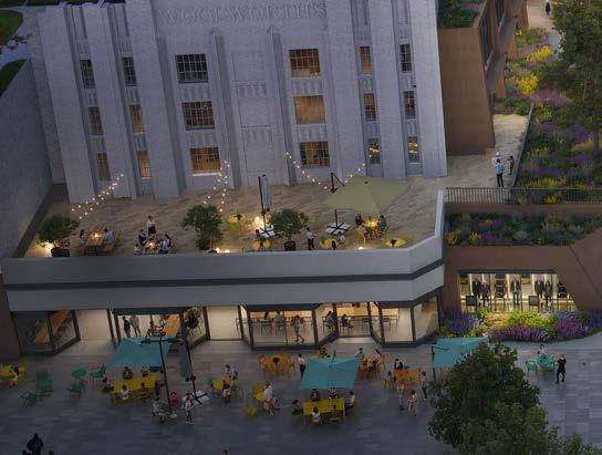
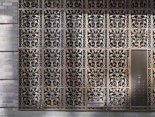
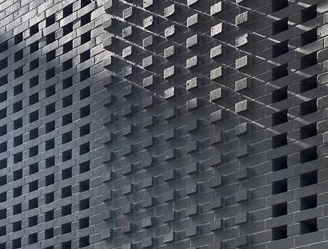
Upper Richmond Road, AHMM
Illustrative view of High Street façade
Beak Street, Stiff & Trevillion Hit & Miss, Projecting Brickwork Detailing
Royal Albert Wharf, Maccreanor Lavington
Artillery Row, Make
LOWER LEVELS
The lower levels of the masterplan reflect the main community and town centre provisions throughout the masterplan. Therefore the material selection is bold in tone and texture, contrasting to the upper levels. This focuses the architecture on emphasising the public spaces.
This is achieved through:
• Coloured concrete
• Bright brickwork
• Earthy tones
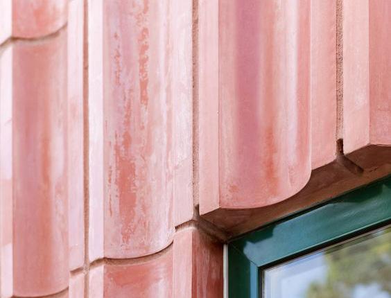
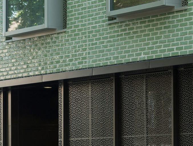
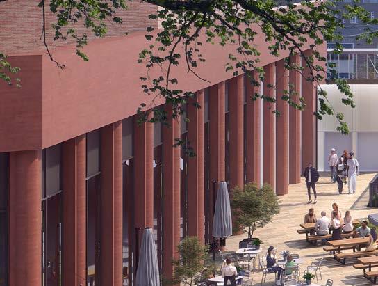
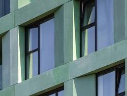

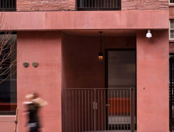
Illustrative view of Plot C1 adjacent to Eastern Terrace
Chimes, Mae
Overcast House, Office S&M
Jane Street, David Chipperfield
Earthy Brickwork
WOODS, Binst Architects
SHOPPING CENTRE
The distinct materiality of the Shopping Centre aims to create a focal point at the main entrances and recognise its role as on of the most public areas on the site.
This is achieved through:
• Weathered metal cladding
• Bright coloured concrete
• Glazed brickwork
• Earthy tones
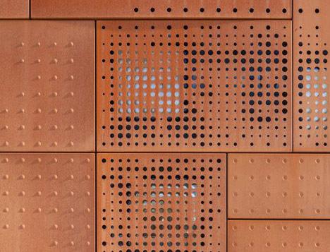
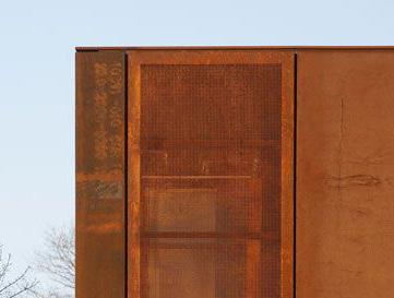
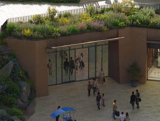
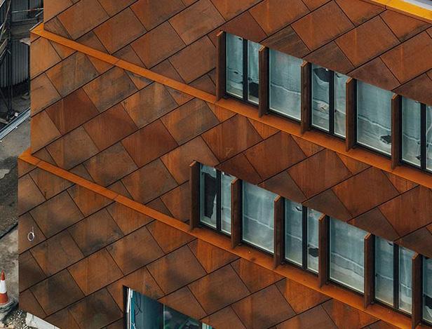
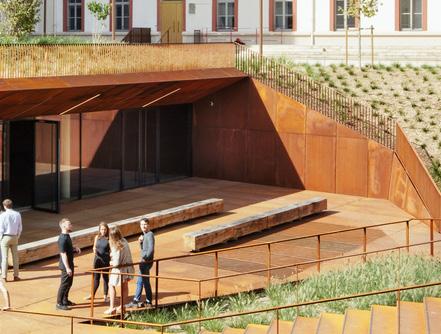
Lourcine Barracks, Chartier Dalix
Illustrative view, shopping centre entrance
Bruges Library, Studio Farris
Hackney Marshes, Stanton Williams
Building C2, Mole Architects
Great Eastern Quays, Maccreanor Lavington
CENTRAL SPINE
The Central Spine buildings share a familiar brick primary material on all external facades. Their lighter tones allow for a visual transition between the High Street and the taller buildings on Molesworth Street, keeping the wider focus on the public lower levels.


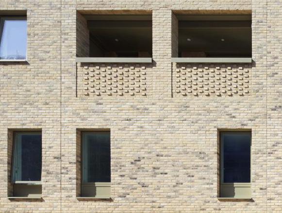

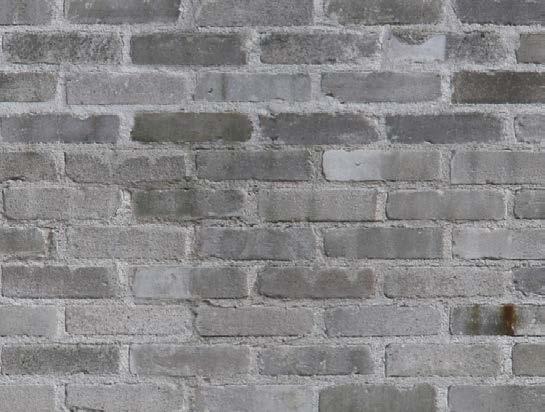
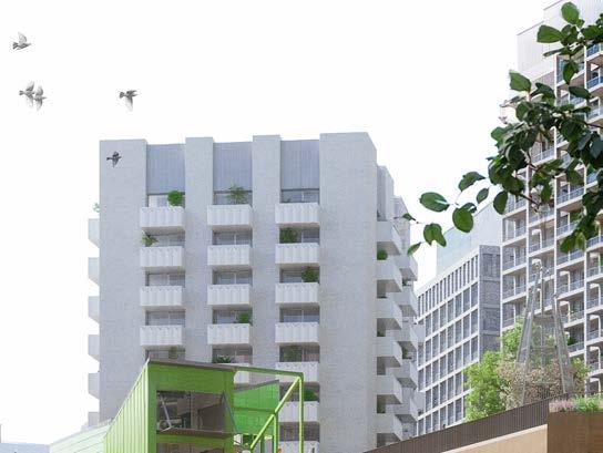
Illustrative view, plot C2.2
Brambling House, Urban Projects Bureau
Illustrative material palette
MOLESWORTH STREET
The material selection for the infill buildings along Molesworth Street respond to their location and role within the masterplan. The slightly darker toned brickwork forms a close relationship to the Central Spine buildings.


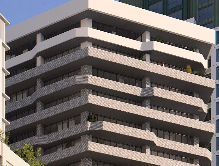


Belle Vue, Morris & Company
Illustrative view, Plot C5
Illustrative material palette
MARKER BUILDINGS
Several buildings in the masterplan act as key marker buildings, highlighting important townscape or public roles. The subtle colour and building detailing therefore recognises their role in the wider townscape setting, while the subtle green and yellow tones augment and celebrate the meadow landscape.

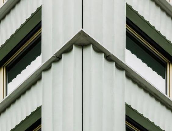
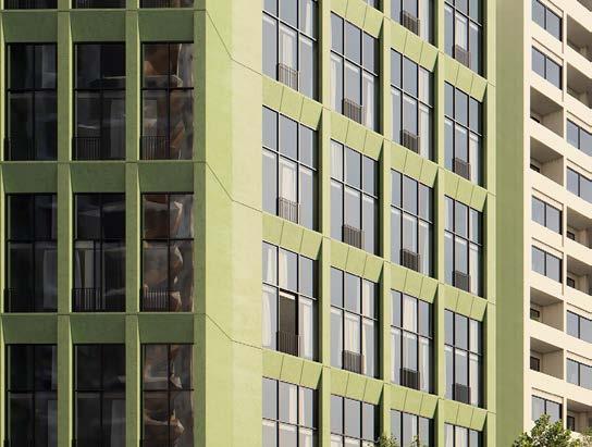


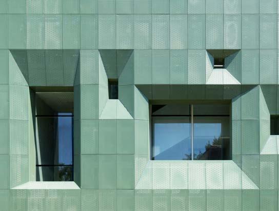
Illustrative reference palette
Illustrative view, Plot N3
Office building, Harry Gugger
VERTICAL ACCESS
POINTS
Vertical access points are important wayfinding markers to take members of the public to the upper levels of public space. This is emphasised through the materiality and opportunity for public art and collaborative interventions.
This is achieved through:
• Painted public art on brickwork
• Backlit glazing and signage


Illustrative reference palette
Existing mural on the site
SUSTAINABILITY
OVERVIEW
This page outlines the sustainability principles that form the basis of the Sustainable Development Framework.
Refer to the Sustainability Strategy, Energy Assessment and other relevant documents for a full understanding of the project’s sustainability approach.

Embodied Carbon
Reducing Whole Life Carbon (WLC) throughout building design and public realm through material choices, optimised grid sizes and slab thickness, avoiding basements, efficient design

Biodiversity
Maximising Urban Greening Factor and Biodiversity Net Gain across the site through unified meadow planting approach, retainment of majority of existing trees, increase in trees and planting

Mobility
Increasing pedestrian access throughout the site, encouraging use of public transport networks and providing cycle facilities for building users

Operational Energy & Carbon
Reducing Energy Use Intensity and space heat demand through efficient design. Aspiring to achieve net zero carbon for regulated and unregulated energy for the masterplan

Water & surface water run-off
Improving water efficiency across the site, for example, using rainwater harvesting in the landscape strategy. Addressing flood risk by using permeable surfaces and nature-based SuDS

Air quality
Minimising impact on air quality across the site by providing walking routes and electric vehicle charging points at any new parking spaces. Using nature to reduce impact on air quality and no gas combustion on site for heating and hot water

Climate change resilience
Prioritising passive design solutions where feasible and ensuring buildings and public realm are designed to be resilient to future climate scenarios

Health & well-being
Designing buildings that provide suitable daylight, acoustic, thermal comfort conditions for building users. Creating inclusive spaces for all as well as places for recreation and play in the landscape

Materials, circular economy & waste
Optimising material reuse opportunities across the site where possible and specifying low embodied carbon materials
PHASING
EXISTING SITE
With a strategy to keep the shopping centre open in some capacity throughout the build, phasing lines typically relate to the existing shopping centre, notably the existing concourse, and high street buildings.
PHASING STRATEGY
The phasing is split into three main phases, starting at the north of the site, before undertaking the second phase in the south. The third phase is arranged so as to demolish and re-build the main extent of the shopping centre in sub-phases, with the ambition of keeping the shopping centre functional in some capacity throughout the duration of construction.
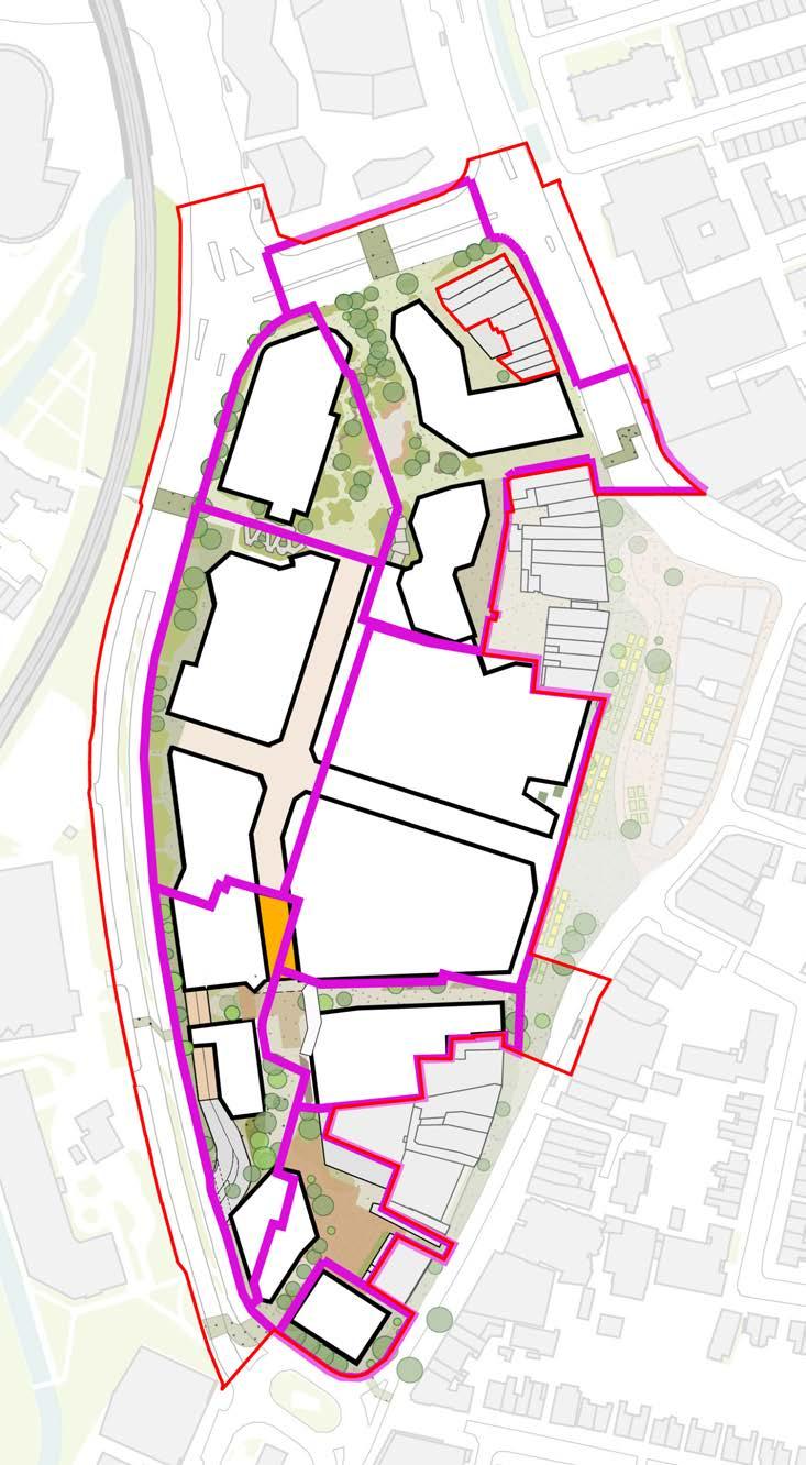
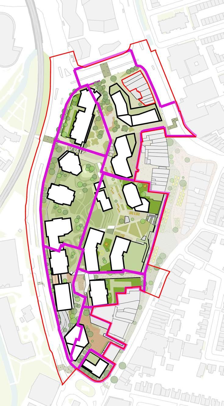
PHASE 1A
Plots N1, N2, Northern Square & Music Venue refurbishment
01 86-102 Lewisham High Street will be divided: the eastern half will remain as existing town centre and residential use, while the western half will be demolished to create a construction zone and service yard for Plot N1. This demolition will include Riverdale Hall, the leisure box and Boots.
02 On the western boundary, demolition will extend to the service strip adjacent to the eastern elevation of Lewisham House at the service deck level. The phasing line will be moved as far west as possible to create a larger public space with a mix of permanent and temporary landscape works
03 A new shopping centre entrance will be created at the south of the northern square, including a retail entrance into Plot N2 that will be replaced by the landscaped steps in the final scheme.
04 The existing CoL building at the south of the site will be refurbished to include music venues and workspaces for creative industries on the upper levels.
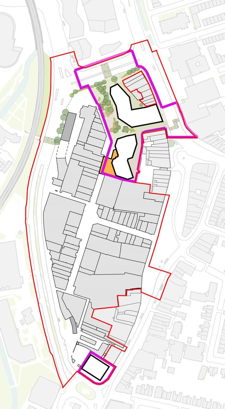
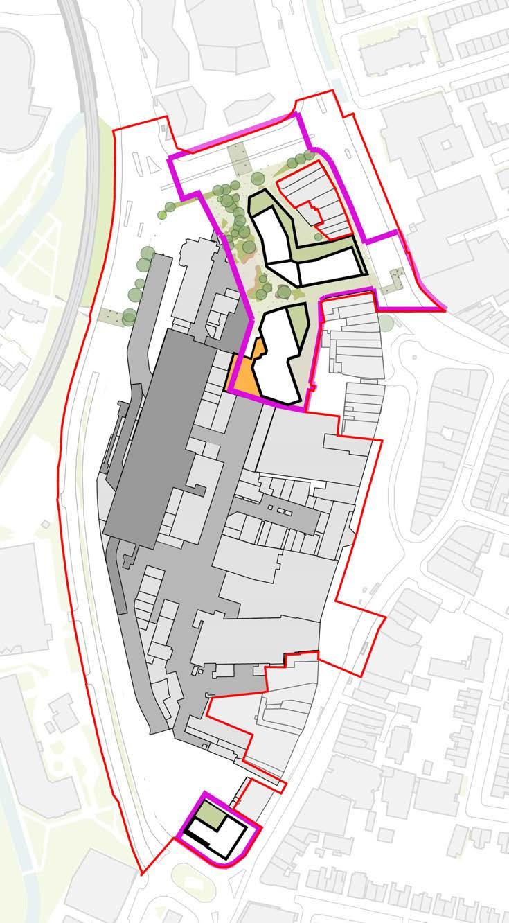
PHASE 1B
Plot N3 & Northern Square
Completion
01 A temporary ramp will be installed on the south side of the site to serve the service deck.
02 Once the southern temporary ramp is operational, demolition of the northern core of Lewisham House and the Northern Ramps will proceed.
03 Following this, main construction works for Plot N3 will commence.
04 The remaining area of the northern square adjacent to Plot N3 can be completed.
05 A new temporary route through to Molesworth Street will be created between plot N3 and the retained multi-storey car park
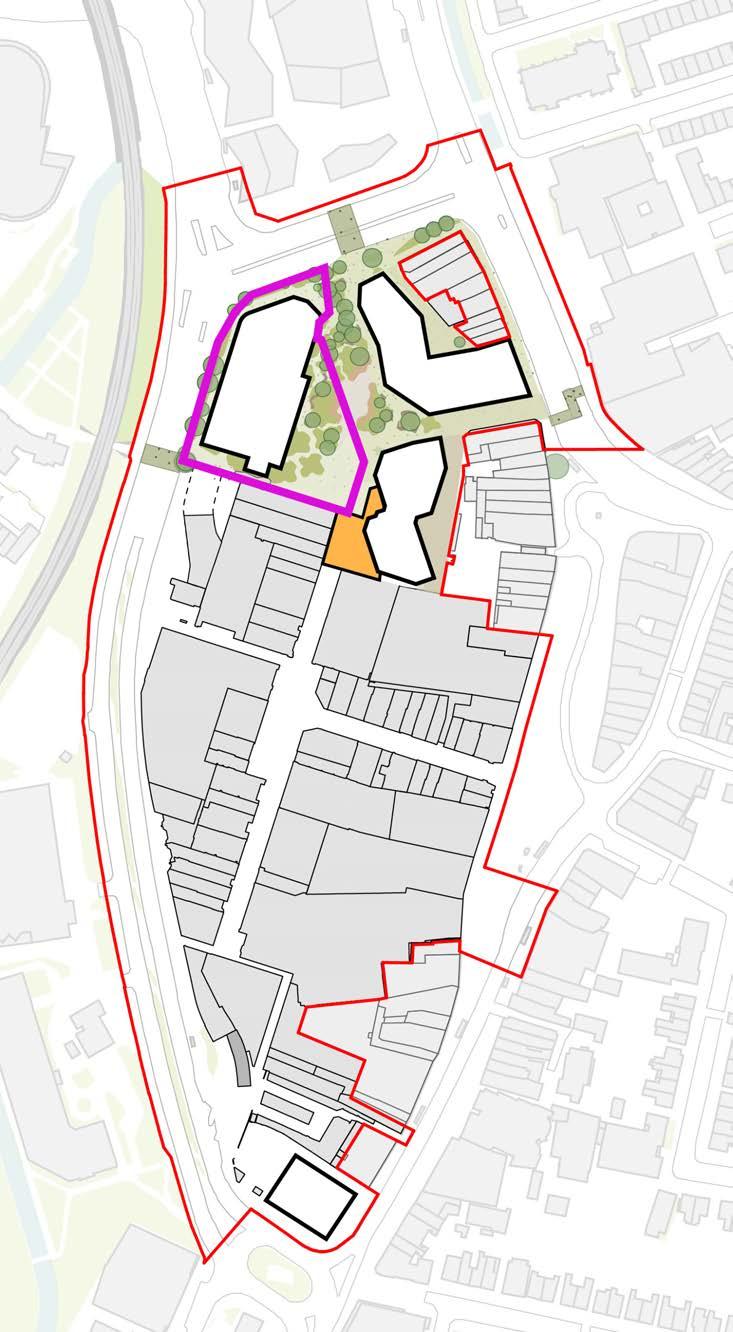
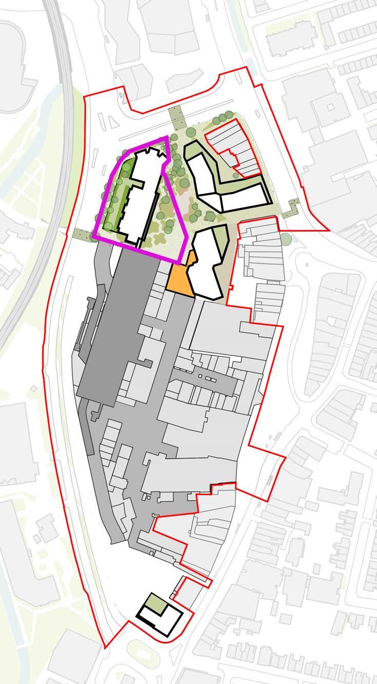
PHASE 1B
End of Phase 1B Proposed Shopping Centre entrance
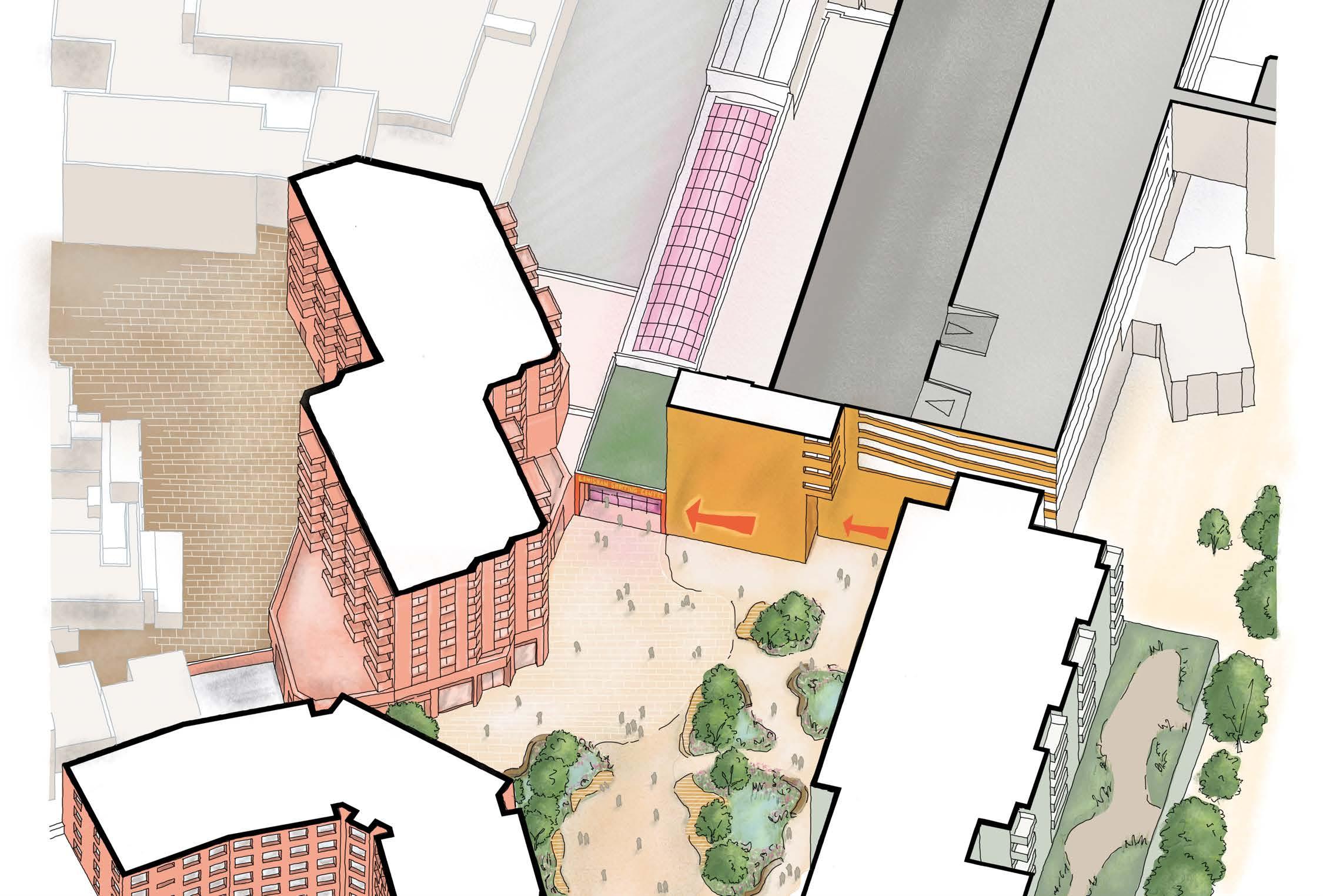
Car
PHASE 2A
Plots S1, S2 and permanent southern ramp
01 The southern part of the MSCP will be reduced to allow for the construction of Plot S2 and a new southern ramp which is integrated into the base of the plot.
02 One S1 and S2 are completed the new permanent ramp can be used and the temporary ramp will be removed.
03 Temporary landscaping work east of Plots S1 and S2 will be needed until Phase 2B completes.
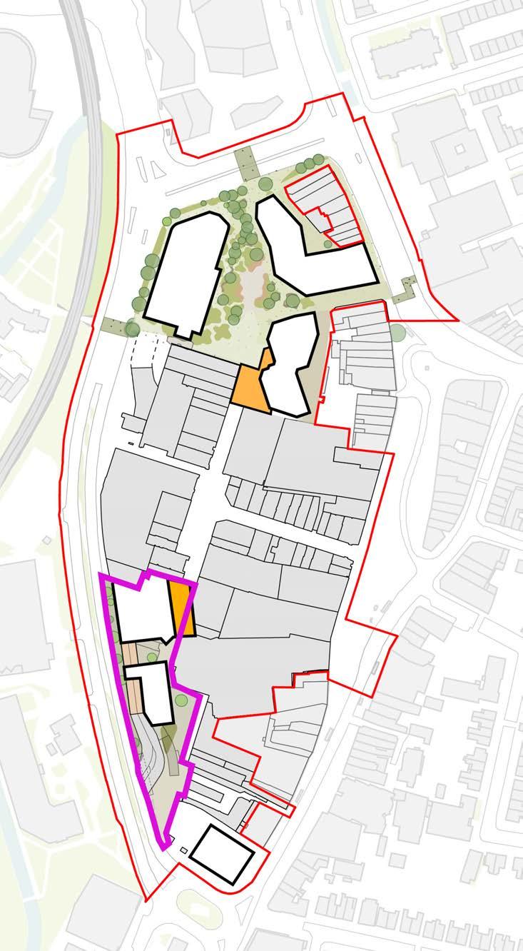
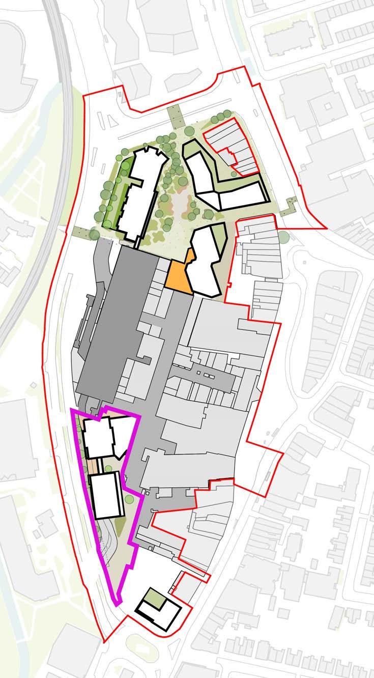
PHASE 2B (PART 1)
Plot S3, Temporary southern entrance to the shopping centre
01 After demolition of the shopping centre in this area, Plot S3 with its private external amenity space will be constructed.
02 The permanent public area for the east-west route connecting the high street to Molesworth Street will be built (New Romer Place).
03 This will enable a temporary entrance to the south of the shopping centre will be established, similar to that now operational in Phase 1a.
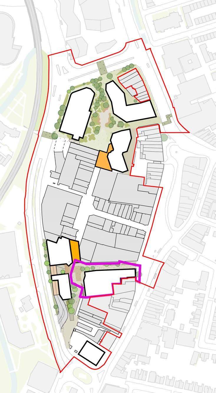
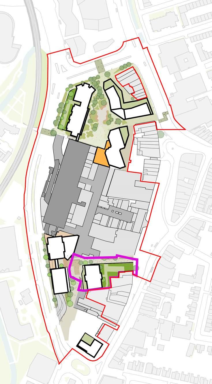
PHASE 2B (PART 2)
Plot S4 & completion of phase 2
public realm
01 Plot S4 can now be constructed adjacent to the permanent ramp.
02 Phase 2 public realm works will be completed with the creation of Model Market Square and improvements to the rear of the existing Primark building, which will feature kiosks for active use along this facade.
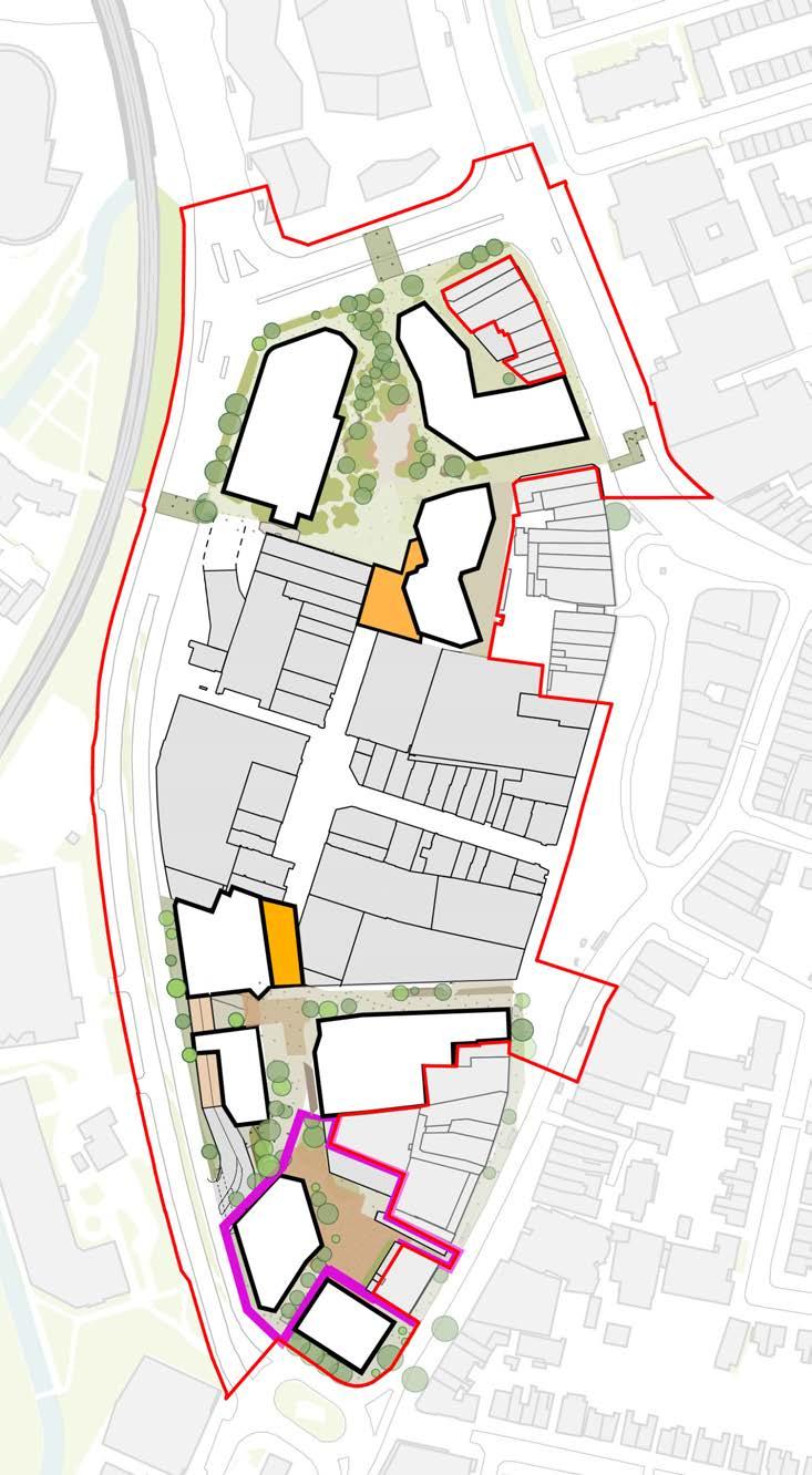
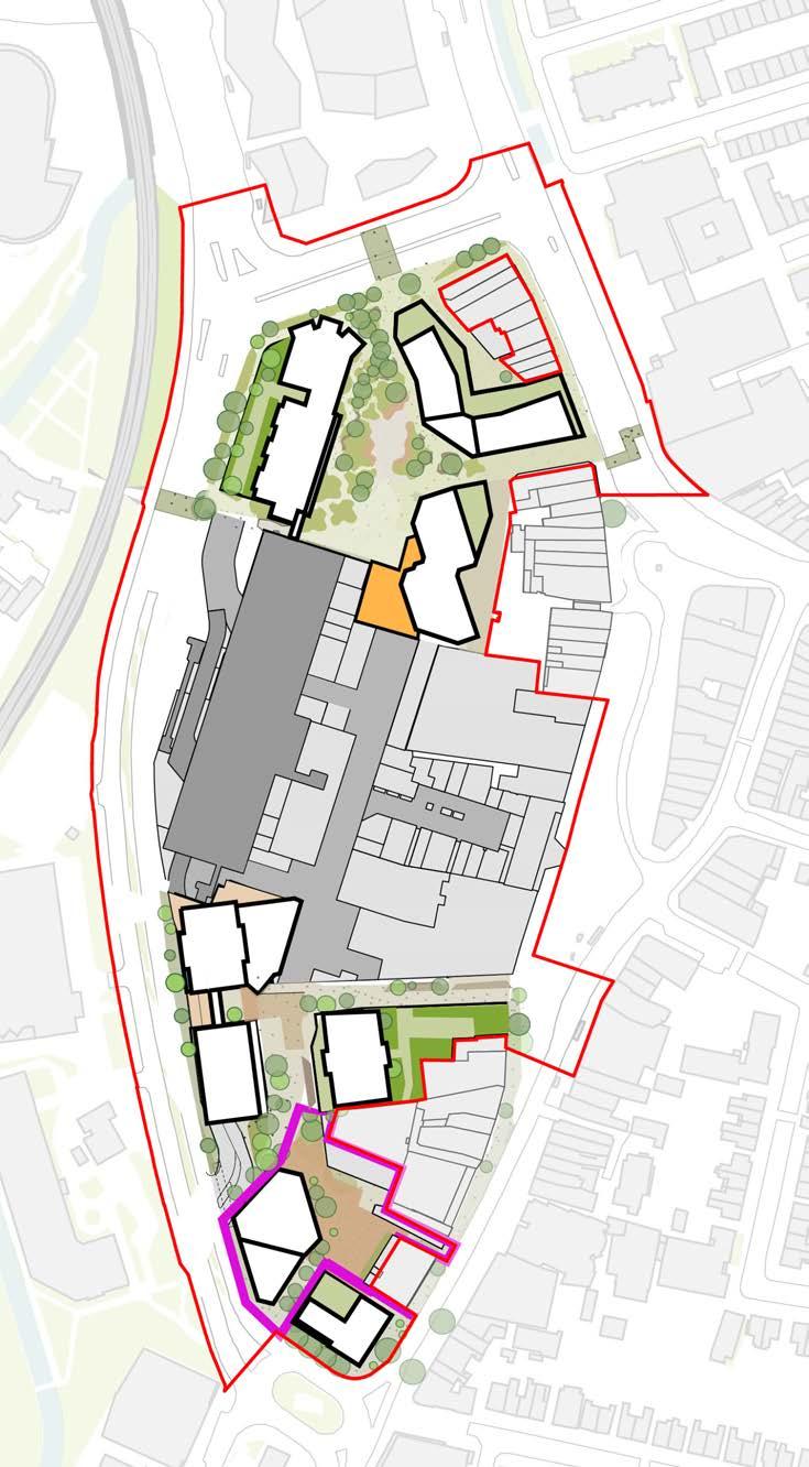
PHASE 3A
Plots C1, C2, Eastern Terrace
01 To ensure the shopping centre continues operating, a hoarding line will be placed along the eastern edge of the existing concourse. The eastern portion will be demolished, while the western portion operates with the new northern and southern temporary entrance and the existing western entrance.
02 Plots C1, C2.1, and C2.2 will then be constructed along with the eastern half of the new shopping centre
03 The eastern terrace at level 01 and the southern portion of the F&B street at level 01 will be completed in their permanent conditions.
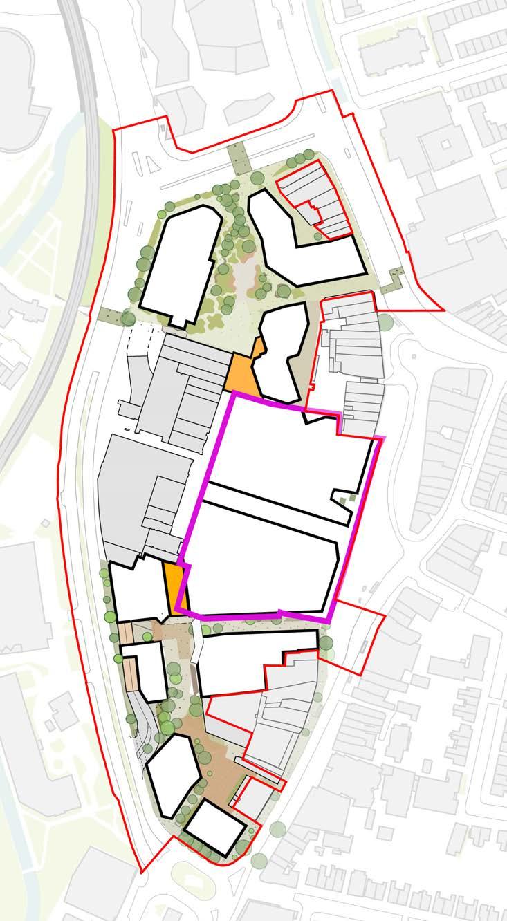
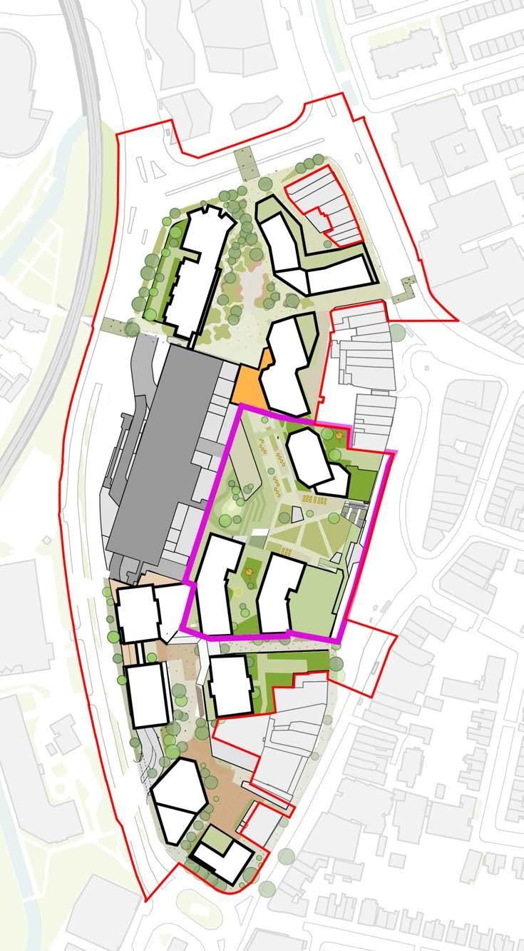
PHASE 3B
Plots C3, C4, C5, L02 podium park and completion of L01 F&B street
01 The western portion of the shopping centre can now be re-built whilst the new eastern area is in operation
02 After demolition, Buildings C3, C4, and C5 will be constructed sequentially from south to north
03 Permanent entrances will be built at the north and south ends of the shopping centre, along with the level 02 podium park.
04 The remaining portion of the L01 street can also be completed, opening up the route from the northern square to the eastern terrace
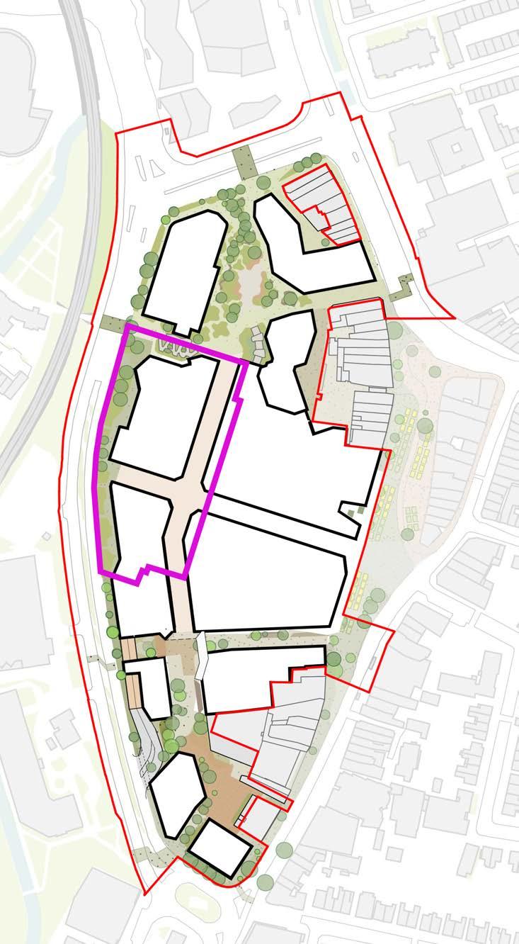
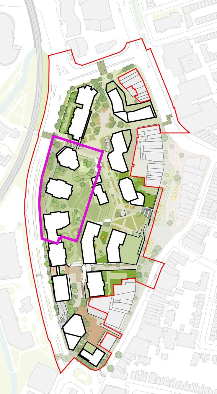
LANDSCAPE
INTRODUCTION
Lewisham Meadows
As described in the introduction chapter to this document, the landscape design is focused on creating Lewisham Meadows. The landscape design proposes a sequence of meadow landscapes inspired by the ancient Saxon name for Lewisham, which meant house amongst the meadow. The proposals are multi level, utilising terraced open spaces to create a unique, playful and dynamic urban landscape.
Further detail on this concept is described in the introductory chapter to this document. The following landscape chapter aims to provide further detail on how Lewisham Meadows is achieved through the landscape and public realm design.
To begin with, this chapter provides further analysis of the current site (continuing from chapter 2) with regards to the site’s adjacency to the rivers, amenity provision, and the impact on air quality due to the surrounding road network.
An exploration of the framework layout is then broken down into the access strategy for pedestrians, vehicles, and wider connections. This is followed by the look and feel of the key public spaces or character areas, described by using a combination of plans, sketches, visualisations , precedents and scale comparisons.
The chapter concludes with landscape strategies to address a wide range of technical parameters and design considerations. These include soft landscape, trees, hard landscape, features and furniture, play, amenity and microclimate, drainage, ecology, lighting and maintenance.
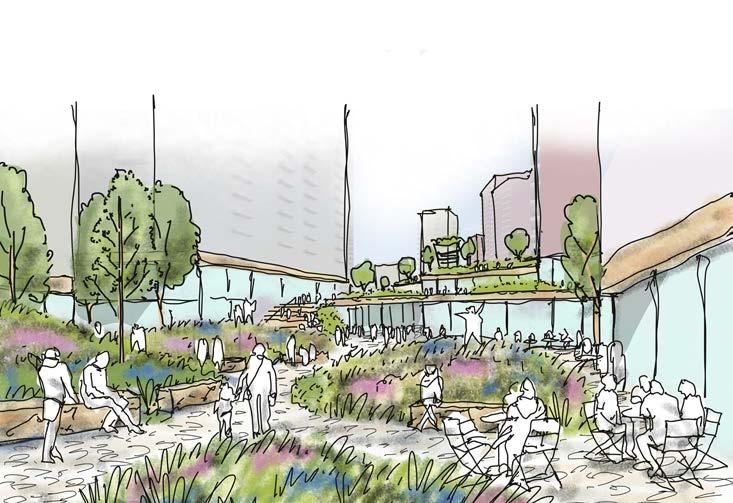
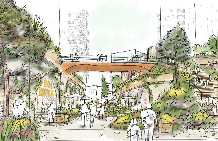
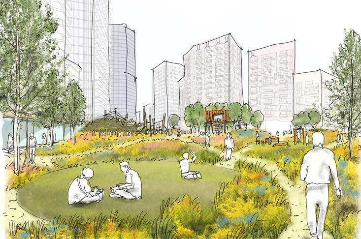
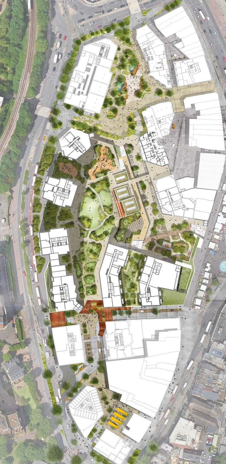
RIVER CONTEXT
The River Ravensbourne and the River Quaggy join to the north of the Lewisham Shopping Centre. These form part of the wider Ravensbourne River Valley which has a specific hydrology, set of ecological habitats and geological make up. The river corridor also forms a valuable recreational use, connecting to an extensive network of green spaces and parks within Lewisham and the wider south London area. These green spaces are connected by a designated pedestrian and cycle route called the Waterlink Way that extends from the river Thames to Kent House.
The shopping centre site has an opportunity to connect to the river corridor, extending ecological habitats towards to the centre of Lewisham and creating better physical access to the Waterlink Way and the associated wider network of green spaces connected to the river.
Lewisham Shopping Centre sits within the flood zone of both the River Ravensbourne and the River Quaggy and the landscape design must respond to this condition. Integrating sustainable urban drainage features within the landscape, and considering the sites connection to water, are integral to the landscape approach at Lewisham Shopping Centre.
Fluvial flood risk
SFRA flood map
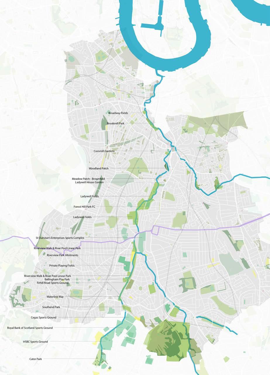
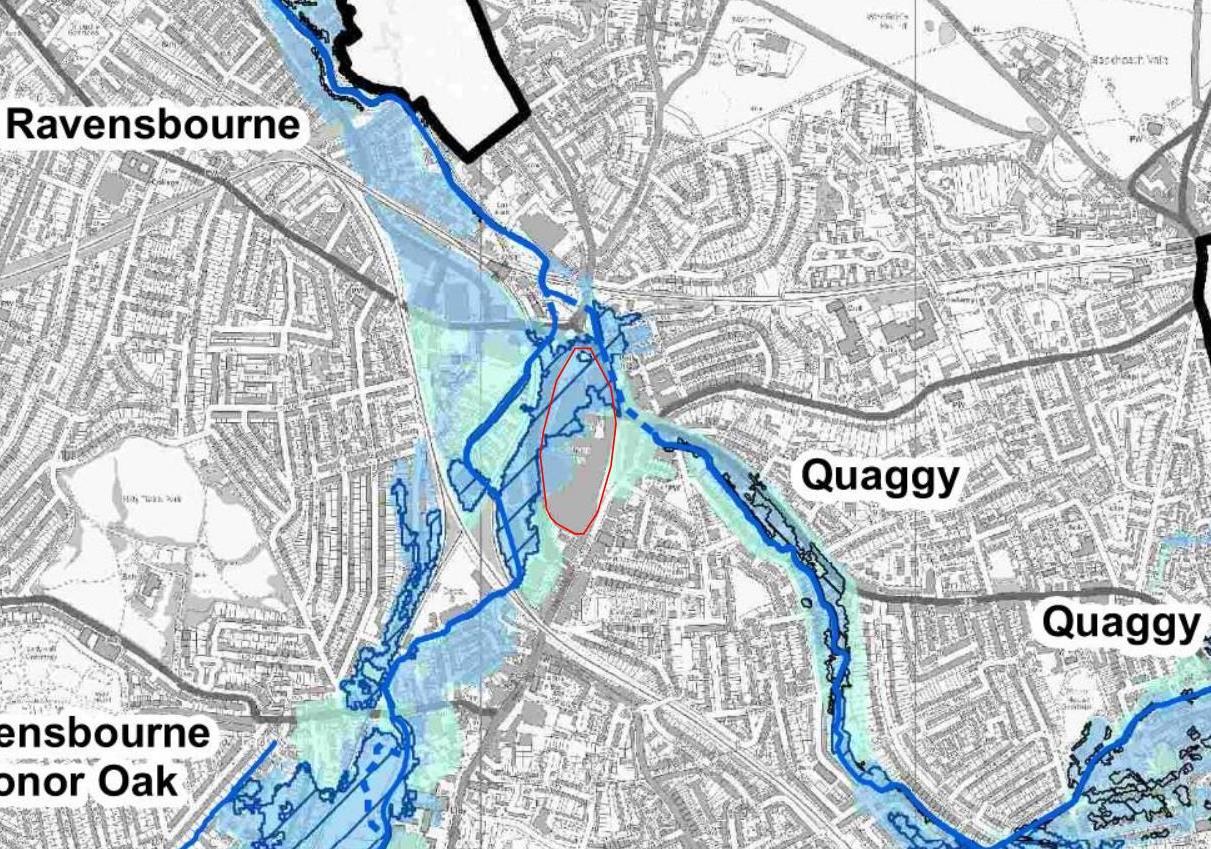
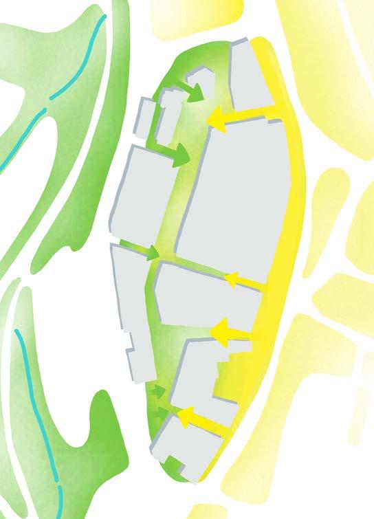
Map illustrating the sites proximity to the River Ravensbourne and associated wider network of green spaces Diagram of site connecting both high street and river corridor
Diagram illustrating the sites relationship to river flood zones
EXISTING CHALLENGES
There are a number of challenges within Lewisham Town Centre that impact the health and well-being of local residents. Lewisham has the greatest number of young people of all the London boroughs. Despite this, there is a very small amount of play and sports spaces within the town centre, particularly in close proximity to Lewisham Shopping Centre. GLA accessibility requirements for children younger than 5 is 100m, for children between 5-12 the distance is 400m and for children between 12-18 the distance is 800m. The adjacent diagram illustrates the deficit of play space for all age ranges, with Cornmill Gardens being one of the only significant play spaces within the local proximity of the town centre.
• Under 5s : 100m (Currently no provision)
• 5-11 year olds: 400m (Cornmill Gardens Play Area)
• 12+: 800m (Cornmill Gardens Outdoor Gym, Community Sports Pitch)
The streets that surround Lewisham Shopping Centre have extremely poor air quality, with the town centre sitting within a designated ‘Air quality focus area’. Given these challenges, the landscape proposals aim to consider how new publicly accessible amenity and play space can be created within an environment that has good air quality. New landscape proposals will help to provide much needed play space and green space within the town centre.
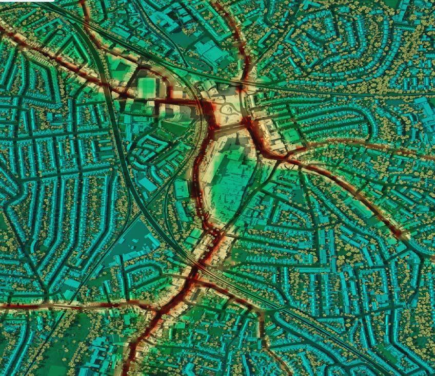
LAYOUT
A PLACE OF MANY PARTS
Landscape character areas are aligned with carefully curated uses to create a diverse town centre offering for Lewisham and the wider South London community. Key spaces include:
• Northern Square - Water Meadow
• The Street - Meadow Walk
• Eastern Terrace - High Street Meadow
• The Park - Wildflower Meadow
• Southern Squares
The individual qualities and character of these spaces are described in the following pages.
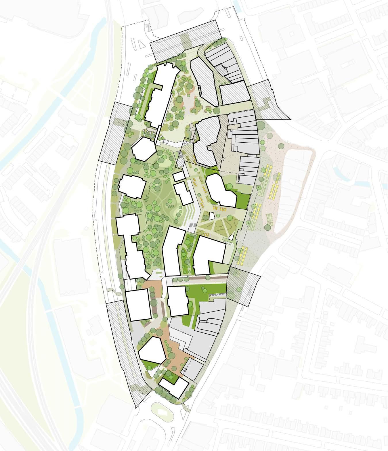
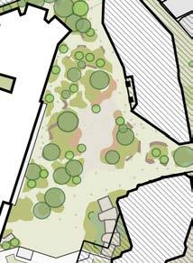
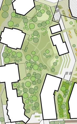
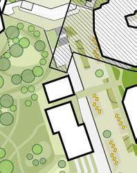
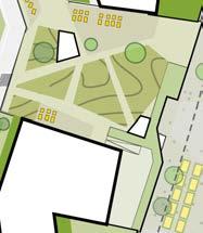
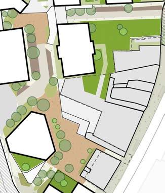
The Street
Northern Square
The Park
Eastern Terrace
Southern Squares
PEDESTRIAN ROUTES
Porosity is increased through the site by creating links between new open spaces and Lewisham Gateway, the Sculpture Park, Cornmill Gardens and Lewisham High Street.
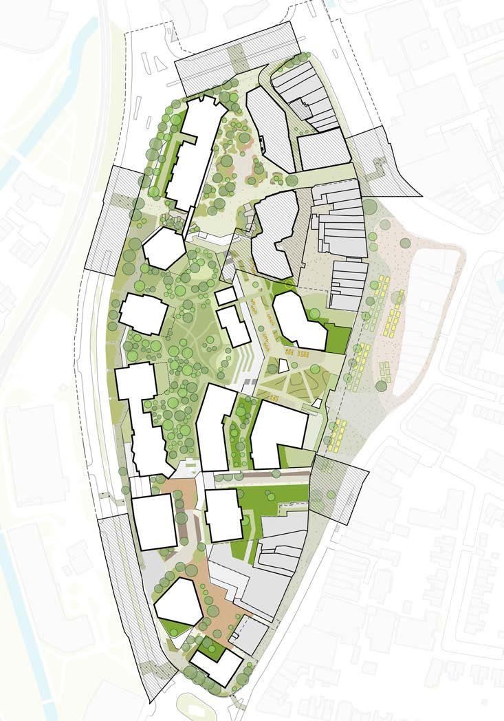
Lewisham Gateway
Cornmill Gardens
Lewisham High Street (South)
Lewisham High Street (Central)
Lewisham High Street (North)
Sculpture Park
Stops
VERTICAL ACCESS
Movement up to L01 The Street and L02 Podium Park is legible from entry points into the development. There are a number of vertical circulation points throughout the scheme to provide multiple opportunities to access each level.
Lewisham Gateway
Cornmill Gardens
Lewisham High Street (South)
Lewisham High Street (Central)
Lewisham High Street (North)
Sculpture Park Market Bus Stops
VEHICLE MOVEMENTS
Plots will be serviced from surrounding entry points off Lewisham High Street and Molesworth Street. The masterplan will also accommodate blue badge parking and loading bays within the public realm. Refer to site wide section for upper level servicing.
Cornmill Gardens
Lewisham High Street (South)
Lewisham High Street (Central)
Lewisham High Street (North)
Sculpture Park
Stops
WIDER CONNECTIONS
New entry points for the development will facilitate direct access to the key public spaces and bus stops. The footpaths will also accommodate access for short stay cycle parking adjacent to building entrances.
Sculpture
CHARACTER AREAS
NORTHERN SQUARE ‘WATER MEADOW’
The Northern Square ‘Water Meadow’ is an urban arrival square combining generous circulation space, building spill out zones, seating areas and a central gathering space, with an intensity of meadow style planting. Permanent water bodies and integrated SuDS features are important to the character of the square.
As the northern square sits adjacent to the River Ravensbourne and within the flood zone of the river, the design has been inspired by organic patterns and shimmering pools of water meadows.
1. Existing trees retained along Molesworth Street
2. New crossing to Cornmill Gardens
3. Gathering space
4. Vertical access up to Level 01 ‘The Street’
5. Permanent water bodies to create sense of water meadow all year round
6. Spill out zones
7. Shopping Centre entrance
8. Arrival point from Rennell Street crossing
9. Connecting sculptural bench
10. Stepped and ramped access to Molesworth Street
11. Connection to High Street.

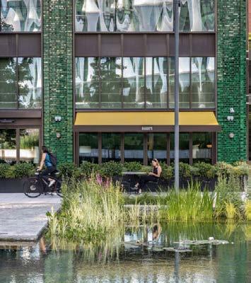


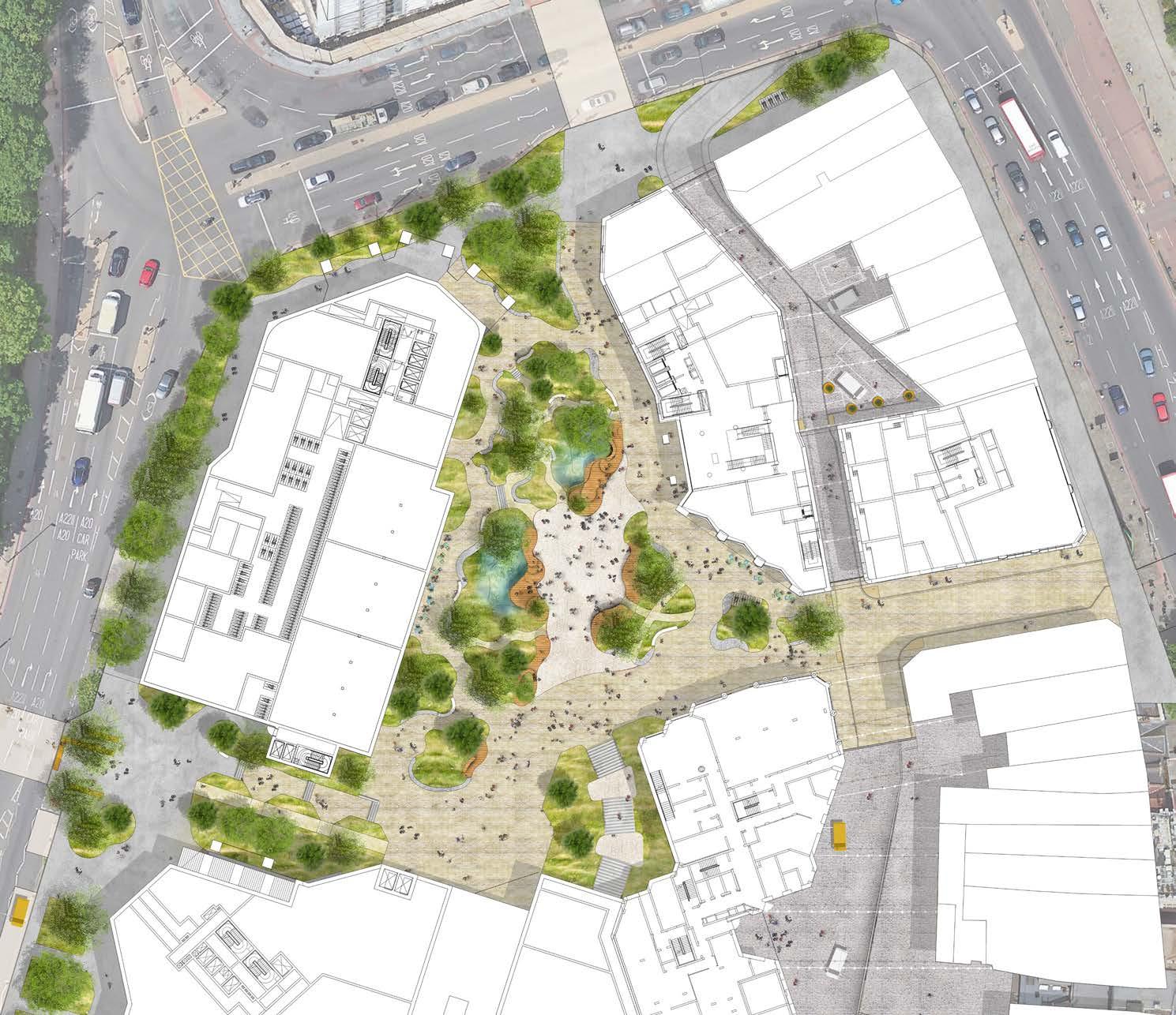
NORTHERN SQUARE
‘WATER MEADOW’
Principle Diagrams
The Northern Square design has been developed to accommodate large levels of pedestrian footfall as users will be moving through the space to access the shopping centre, as a short cut between surrounding streets, and to visit the square as a destination. Wide, direct footpaths have been designed to accommodate east west and north south movements. These wider routes will take the majority of footfall as users move between the Lewisham Station, the High Street, Molesworth Street and the shopping centre. Smaller secondary routes will allow users to explore the square, connecting building entrances and areas of seating. These routes are less direct, encouraging a slower pace for people spending time in the square.
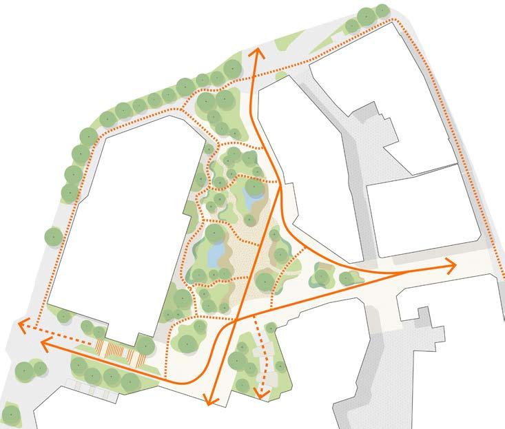
The Northern Square has been designed to accommodate outdoor seating areas from cafés, bars and restaurants at ground floor. It is important the buildings that frame the square help to animate and enliven the space throughout the day and evening. Working with the architectural teams, two key areas for spill out seating have been identified either side of the main active space within the square.
The Northern Square has been designed to accommodate occasional emergency and maintenance vehicles. The layout of the square and the surrounding public realm enables these vehicles to get close to building façades. More regular servicing vehicles will access the courtyard behind N1 and N2, as well as the servicing bay at the north of Molesworth Street. The layout of plant beds ensures the tracking and turning of these vehicles can take place as per the diagram below.
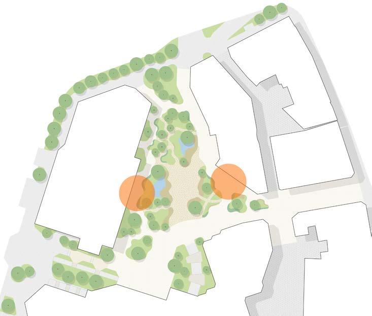
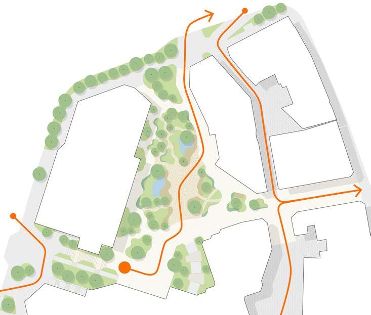
Pedestrian movement diagram showing primary
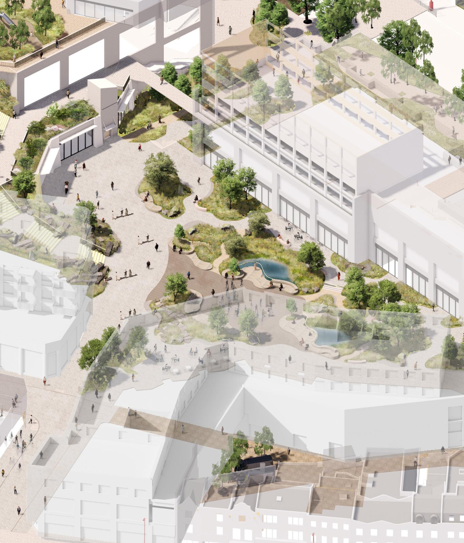
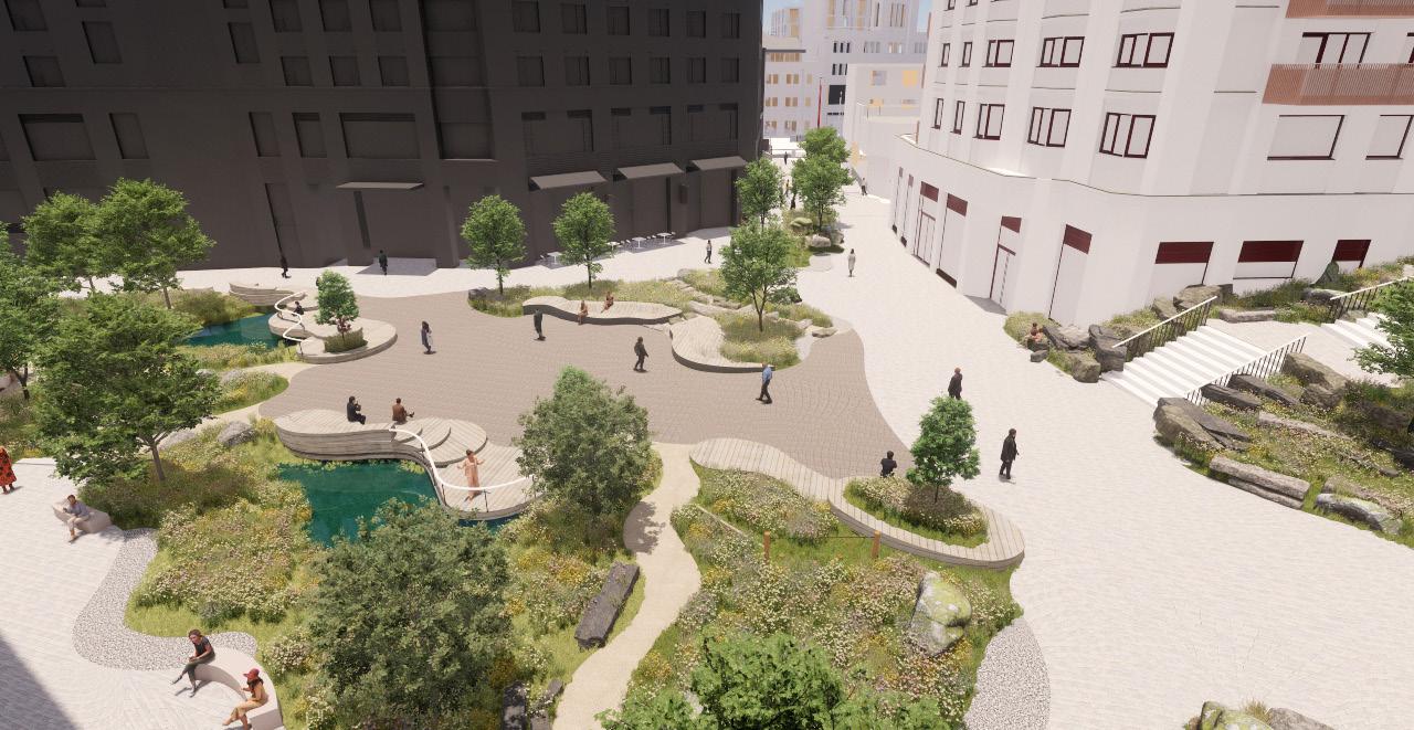
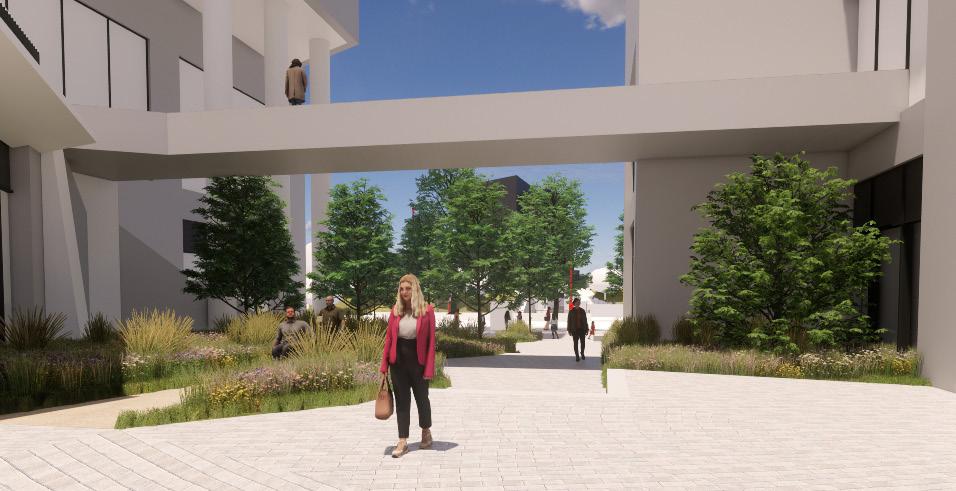
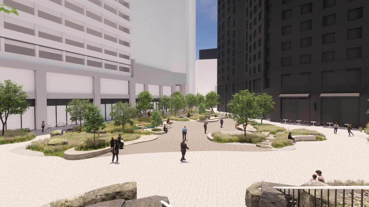
NORTHERN SQUARE ‘WATER MEADOW’
Scale Comparison
Piazza Vecchia in Bergamo is a similar scale to the Northern Square at Lewisham Shopping Centre. Every year Bergamo hosts a landscape festival, with Piazza Vecchia being a focal area for a planted installation. The adjacent images show an installation by British planting designer Nigel Dunnet. The design illustrates how an intensity of meadow style planting can work in combination with a busy city centre square that accommodates events and large amounts of pedestrian movement. The square is surrounded by cafés and restaurants, with the planting creating a positive setting for these businesses.
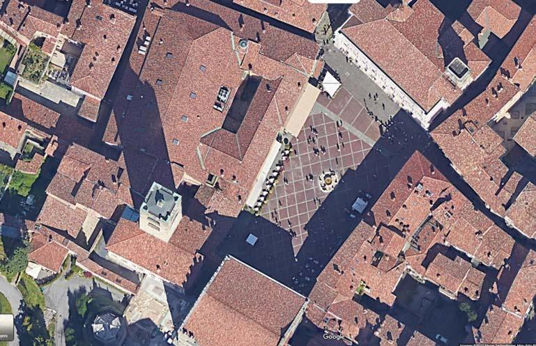
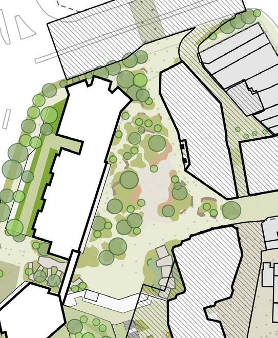
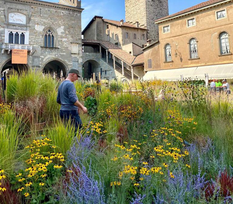
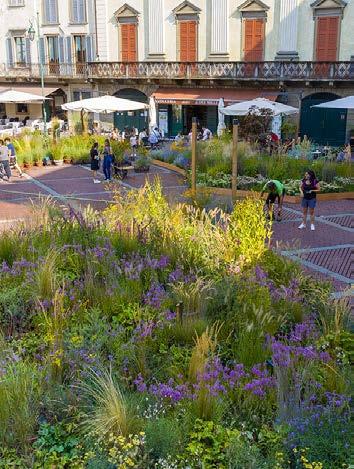
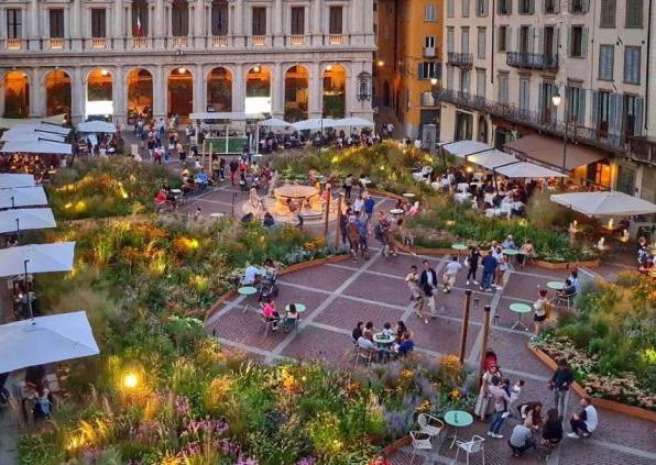
Images of Piazza Vecchia, Bergamo
NORTHERN SQUARE ‘WATER MEADOW’
Experiencing water
An important aspect of the Northern Square design is for users to experience water. The plant beds utilise a shallow, impermeable gravel edge to help the square transform during times of high rain fall. When the conditions are dry, the gravel edge will be visible.
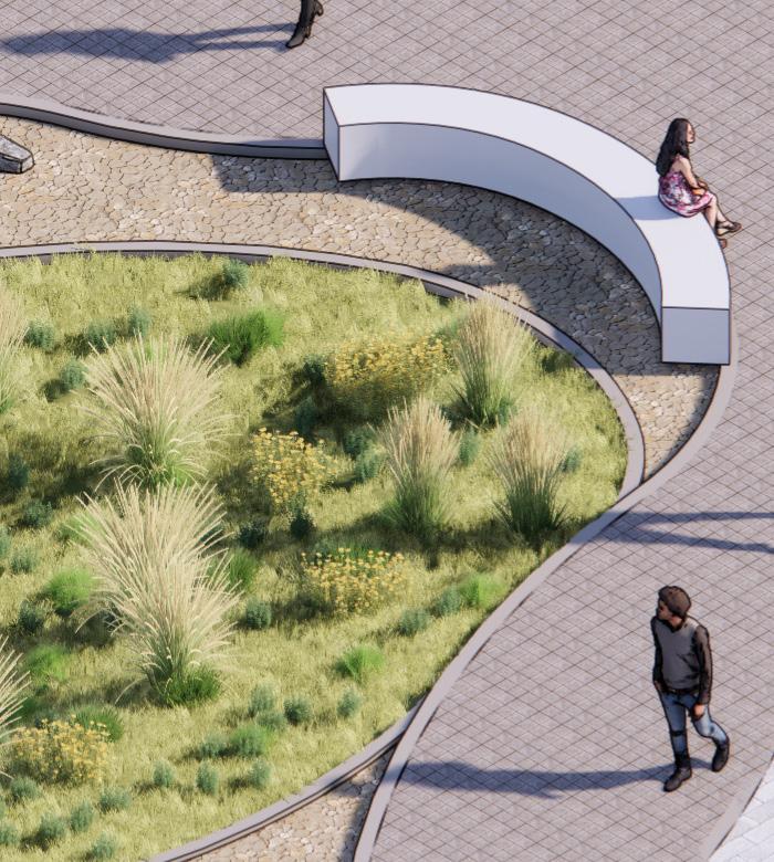
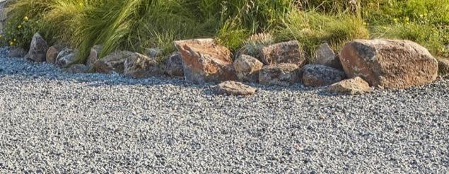
During periods of high rainfall the gravel edge will quickly fill with water, creating a series of shimmering pools across the square. If the rain stops, these pools of water will naturally evaporate over time.
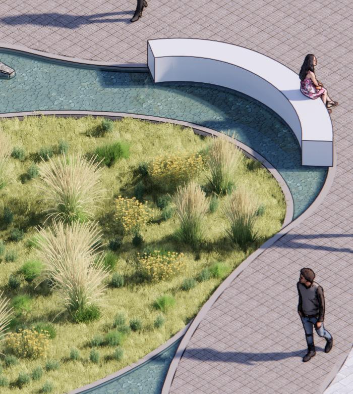
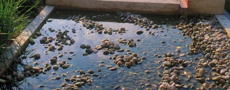
If the rain continues the gravel edge will overflow into the adjacent plant bed. The plant bed will be designed to collect and hold the water as part of a wider network of connected sustainable urban drainage features.
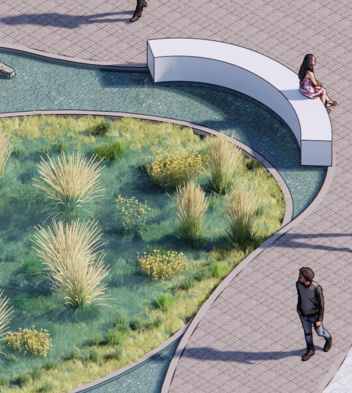
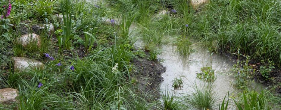
Diagram illustrating the gravel edge condition when dry
Diagram illustrating the gravel edge condition following a period of rainfall
Diagram illustrating the overflow of the gravel edge condition during sustained rainfall
Example image of gravel edge condition when dry Example image of edge condition
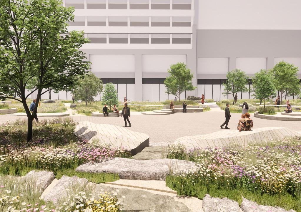
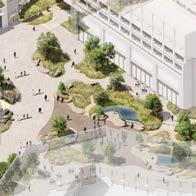
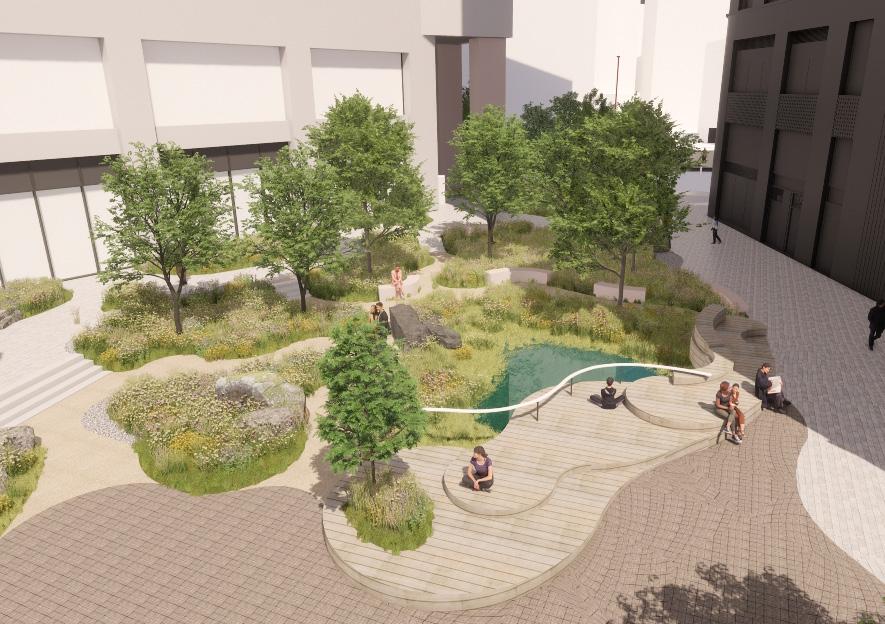
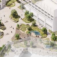
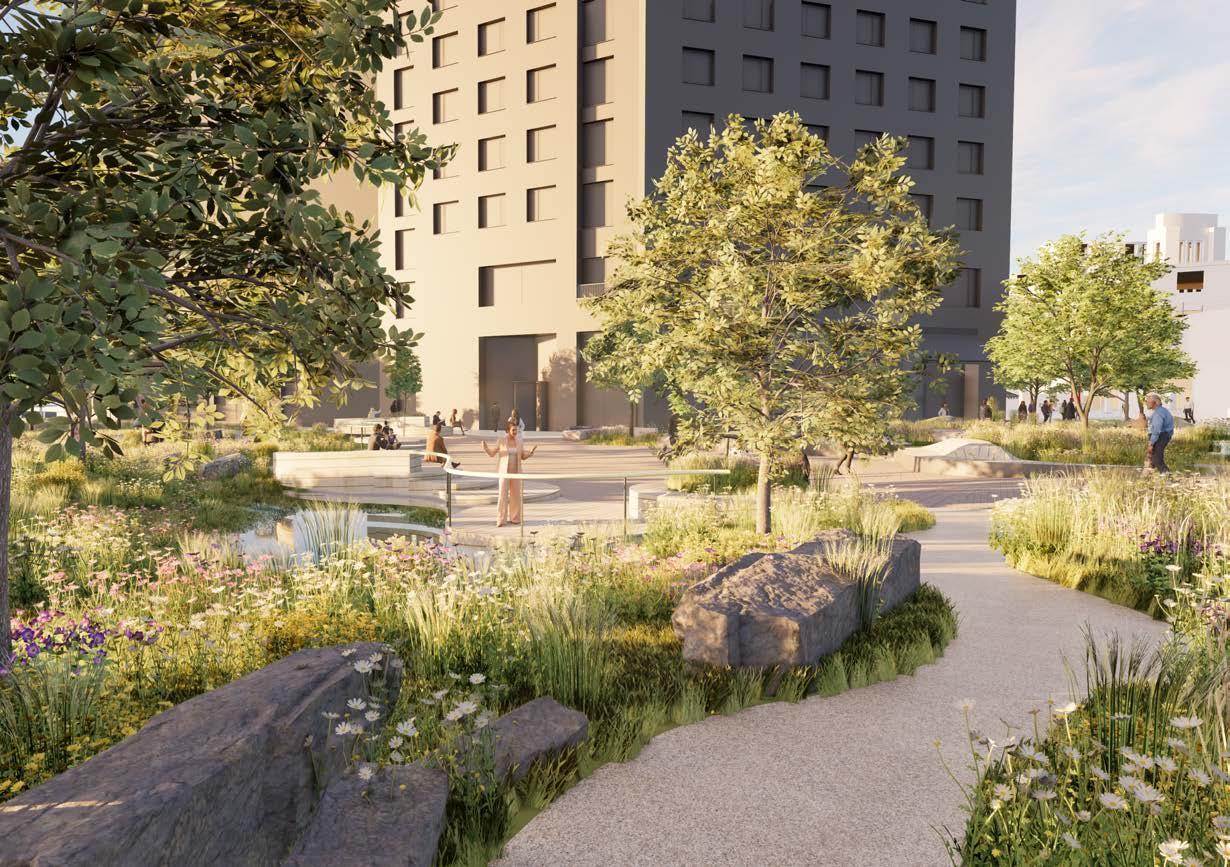
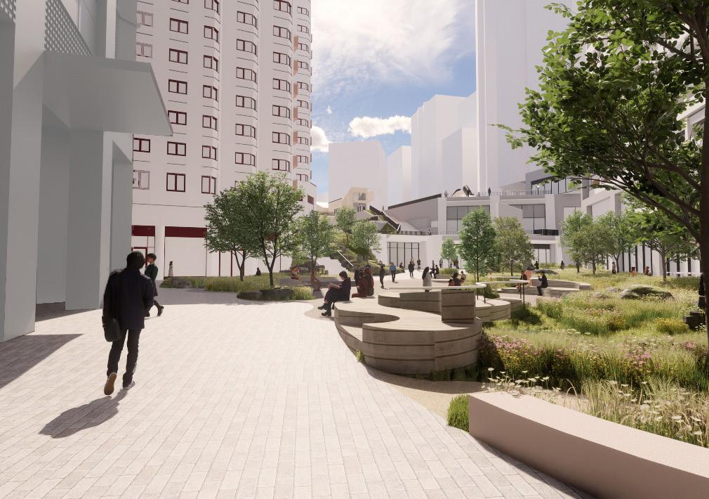
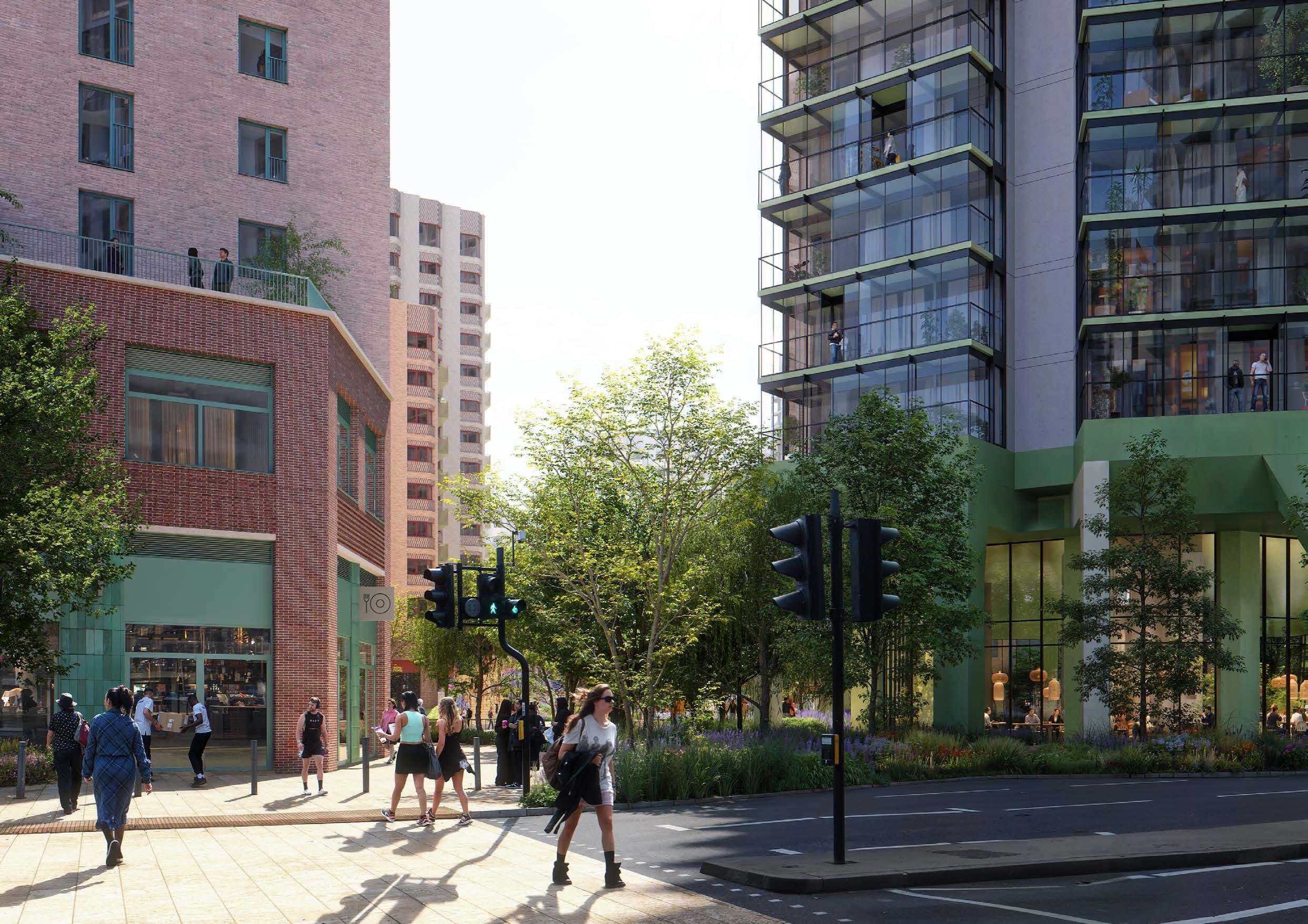
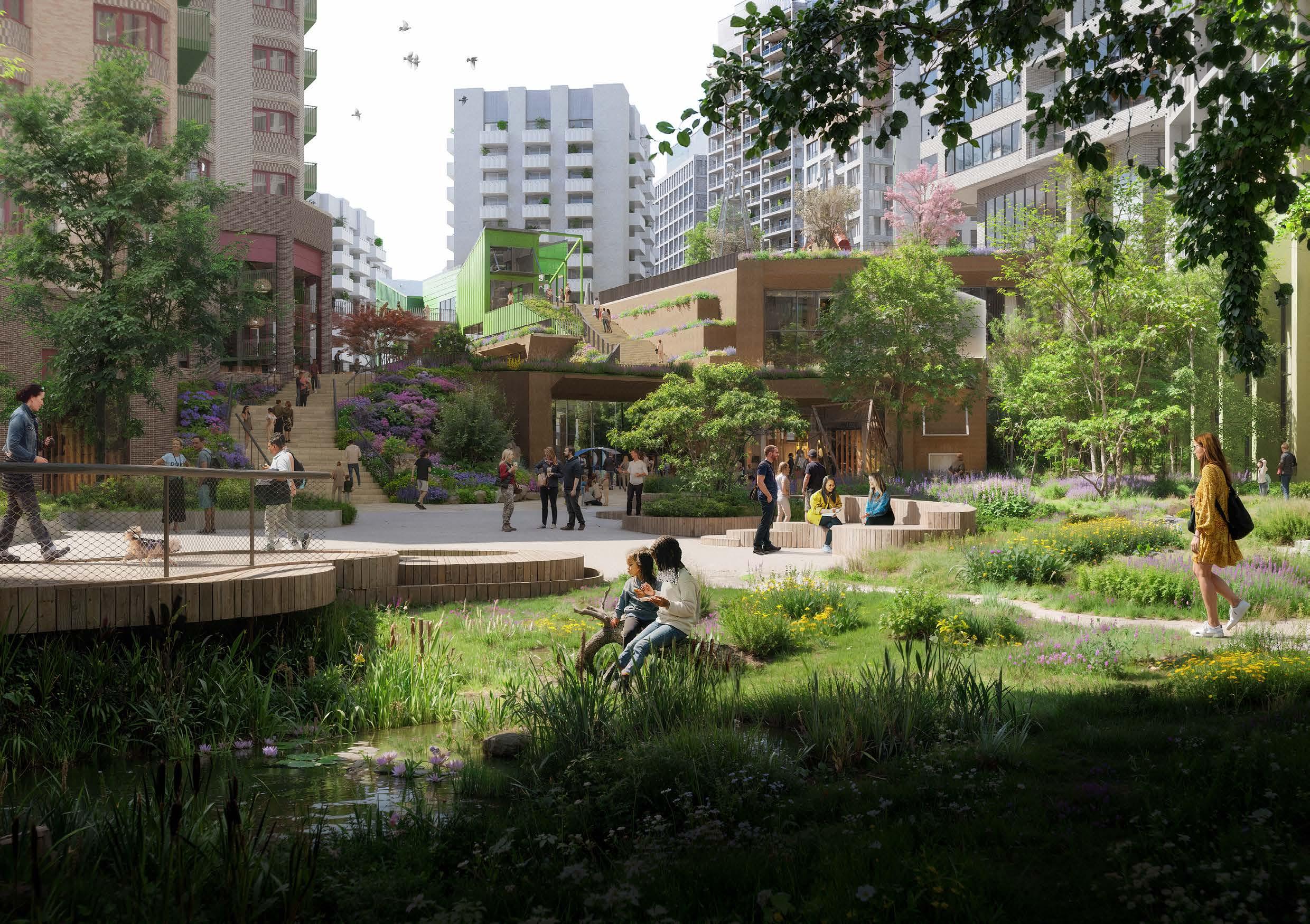
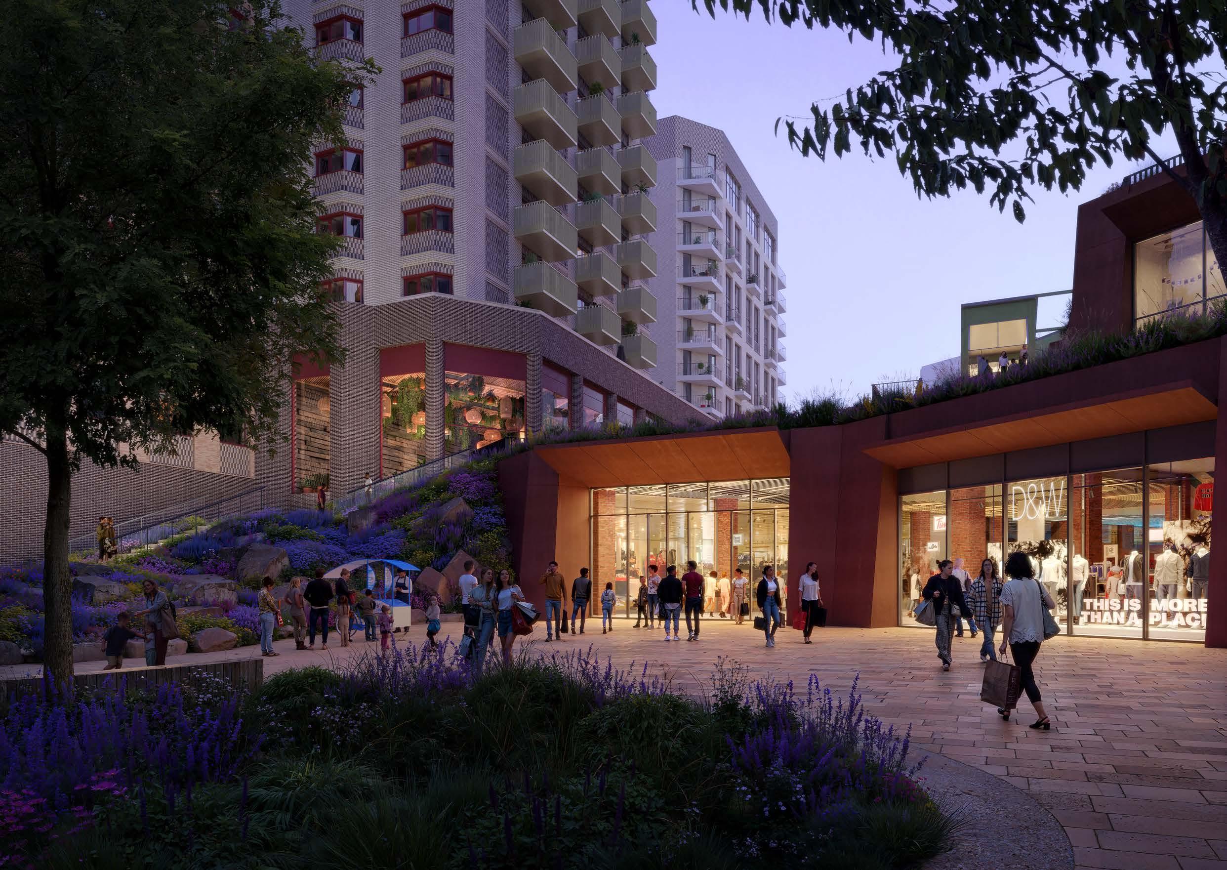
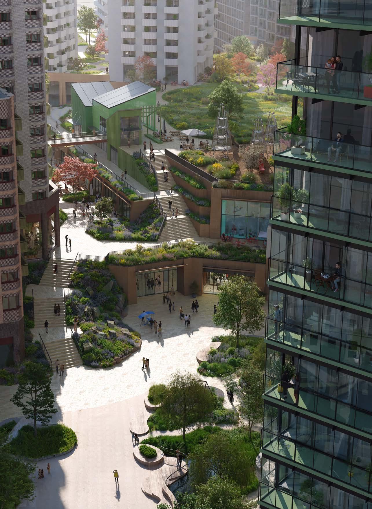
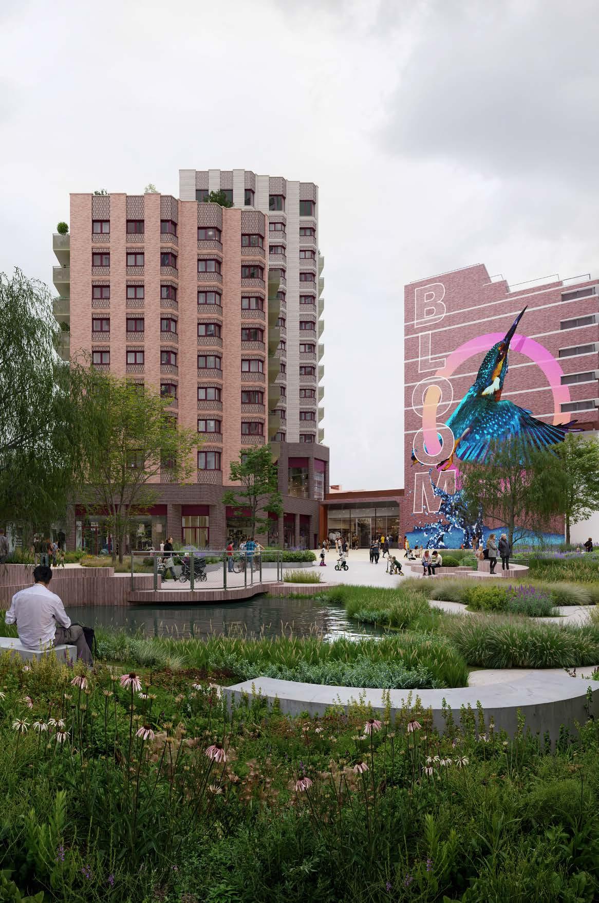
View of Northern Square
View of Northern Square
EASTERN TERRACE ‘HIGH STREET MEADOW’
The Eastern Terrace is an elevated square facing onto Lewisham High Street with a focus on providing space for young people. Active edges and seating structures amongst planting create a variety of social opportunities. An intensity of planting ensures the character of Lewisham Meadows cascades from the park to the High Street.
1. Rocky heath meadow planting ensures the meadow concept extends to the high street, providing a tranquil green space in the a key town centre location.
2. Large south facing spill out and seating area adjacent to places to eat and drink.
3. Spill out and gathering space adjacent to potential cultural, community and leisure use animating the southern side of The Eastern Terrace.
4. Prominent stair to the park level and extensive terracing with views onto The Eastern Square and Lewisham High Street.
5. Retained and integrated Woolworth’s building with potential for more leisure or community use.
6. A place for young people. Interesting and bespoke structures where young people are welcome to hang out and feel safe and welcome. Ideally, these structures would be co-designed with the young people who will use them.
7. Boardwalk that makes direct connection between lower and upper levels.
8. Lift access between The Eastern Square and The Park. 9. Escalator and stepped access between Lewisham High Street and The Eastern Terrace.
10. Intermediate planting level, extending the meadow to Lewisham High Street.
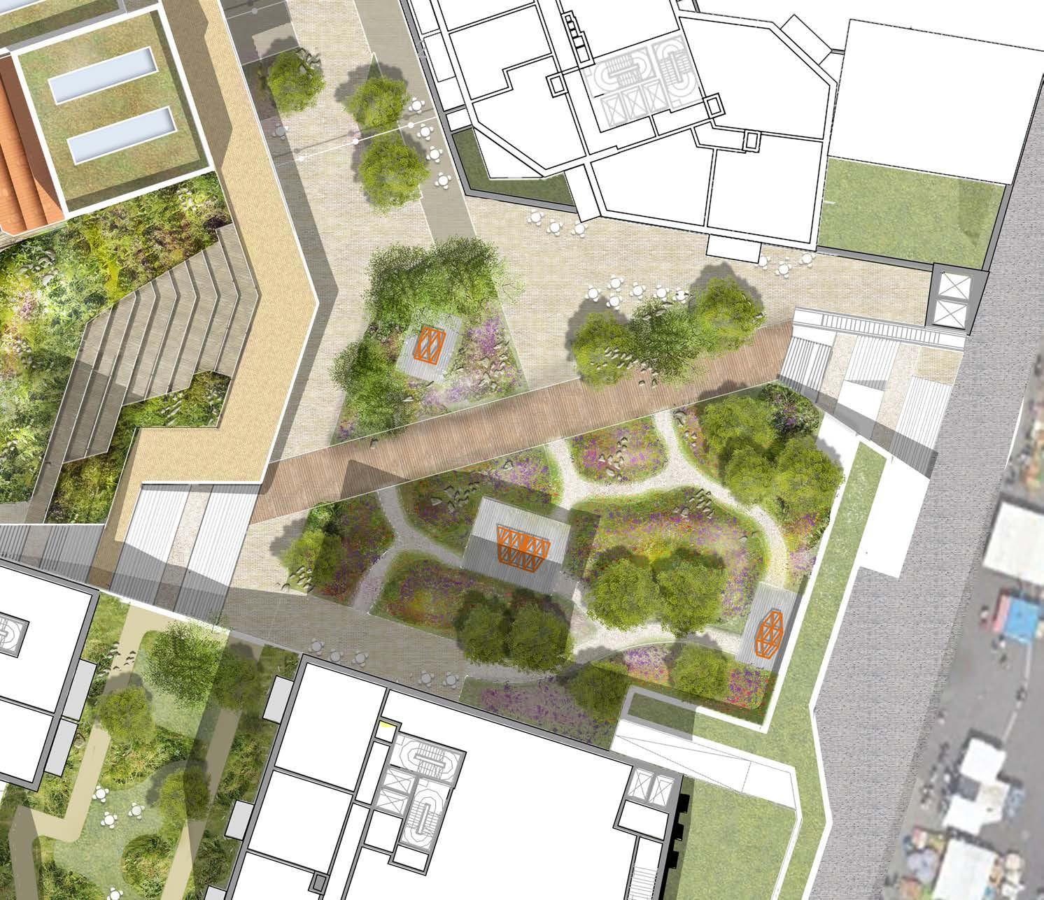
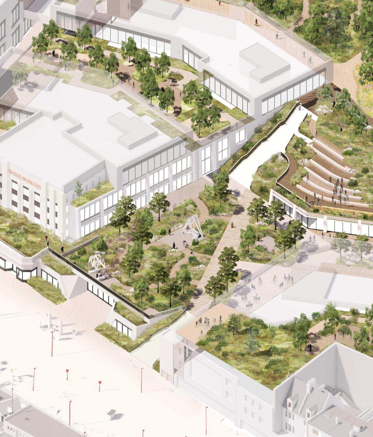
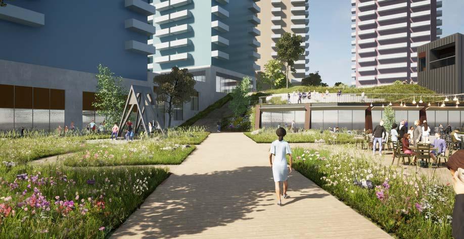
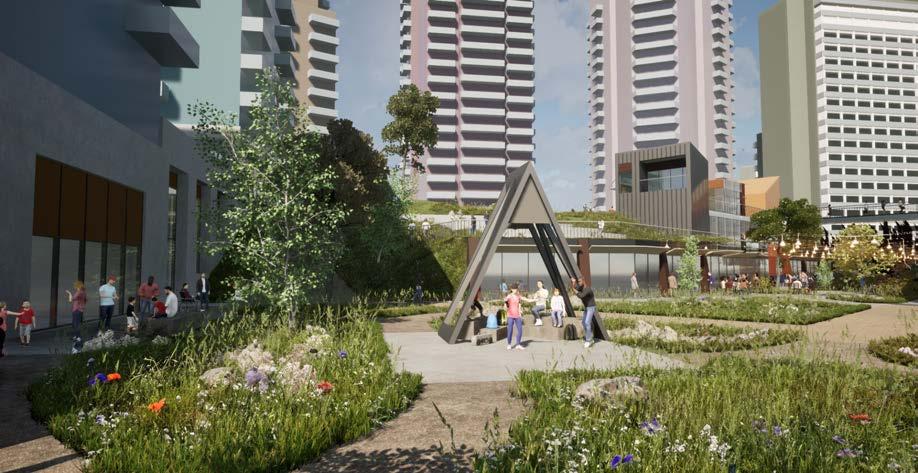
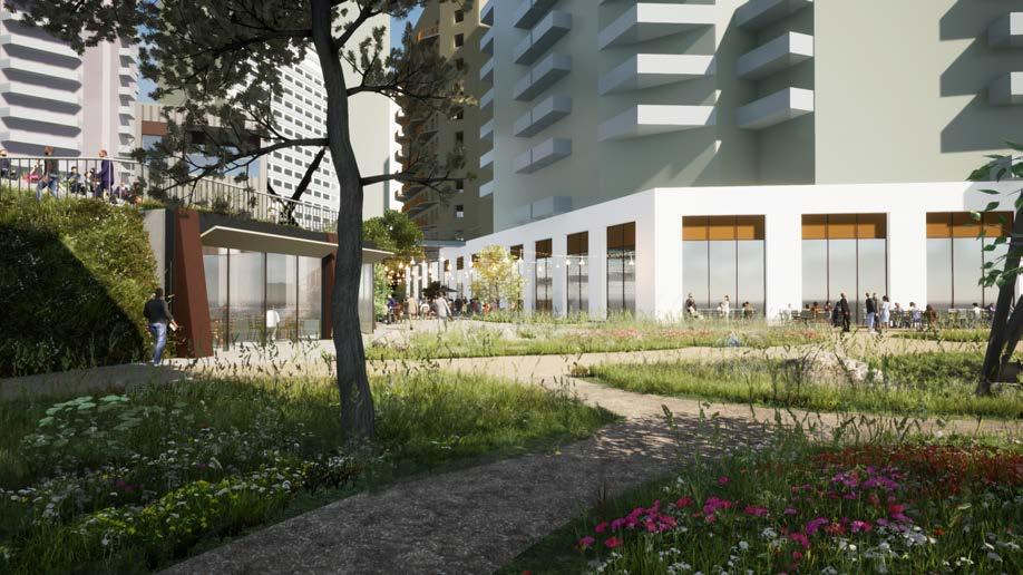
EASTERN TERRACE ‘HIGH STREET MEADOW’
Scale Comparison
Salling Rooftop in Aarhus is an example of an active public space elevated above a department store and looking over a high street. The design celebrates the level change with walkways, a viewing platform, and stepped seating. A selection of places to eat and drink help to enliven and animate the space during the day and in the evening. A variety of public seating areas ensure a variety of people use the space, both users of the department store and people visiting the high street.
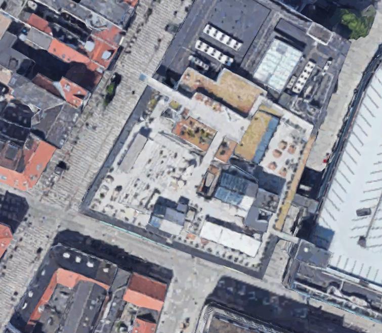
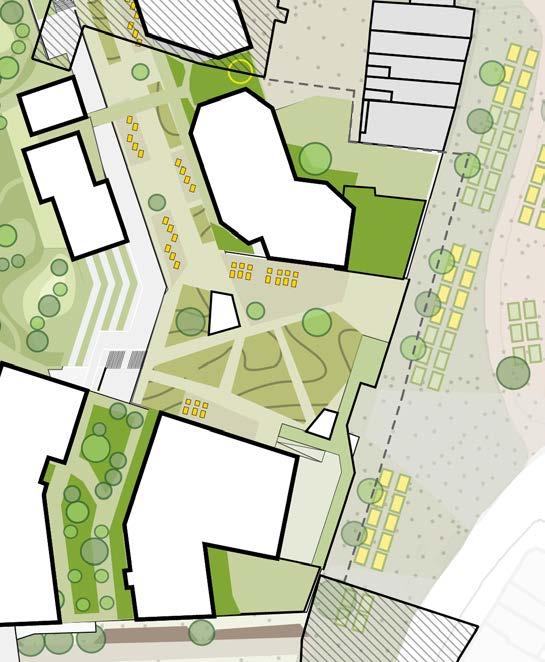
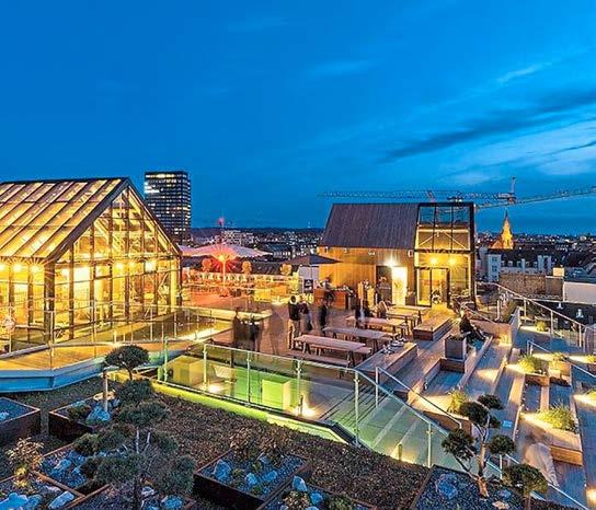
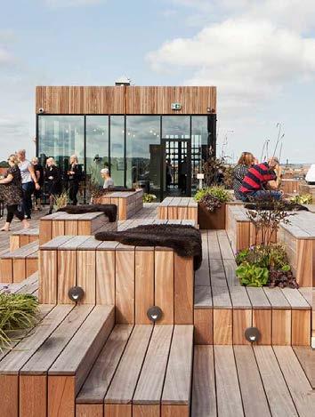
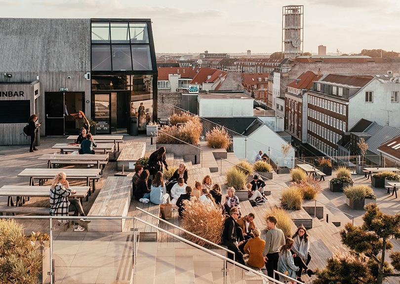
Images of Salling Rooftop, Aarhus
Diagram illustrating dimensions of The Eastern Square
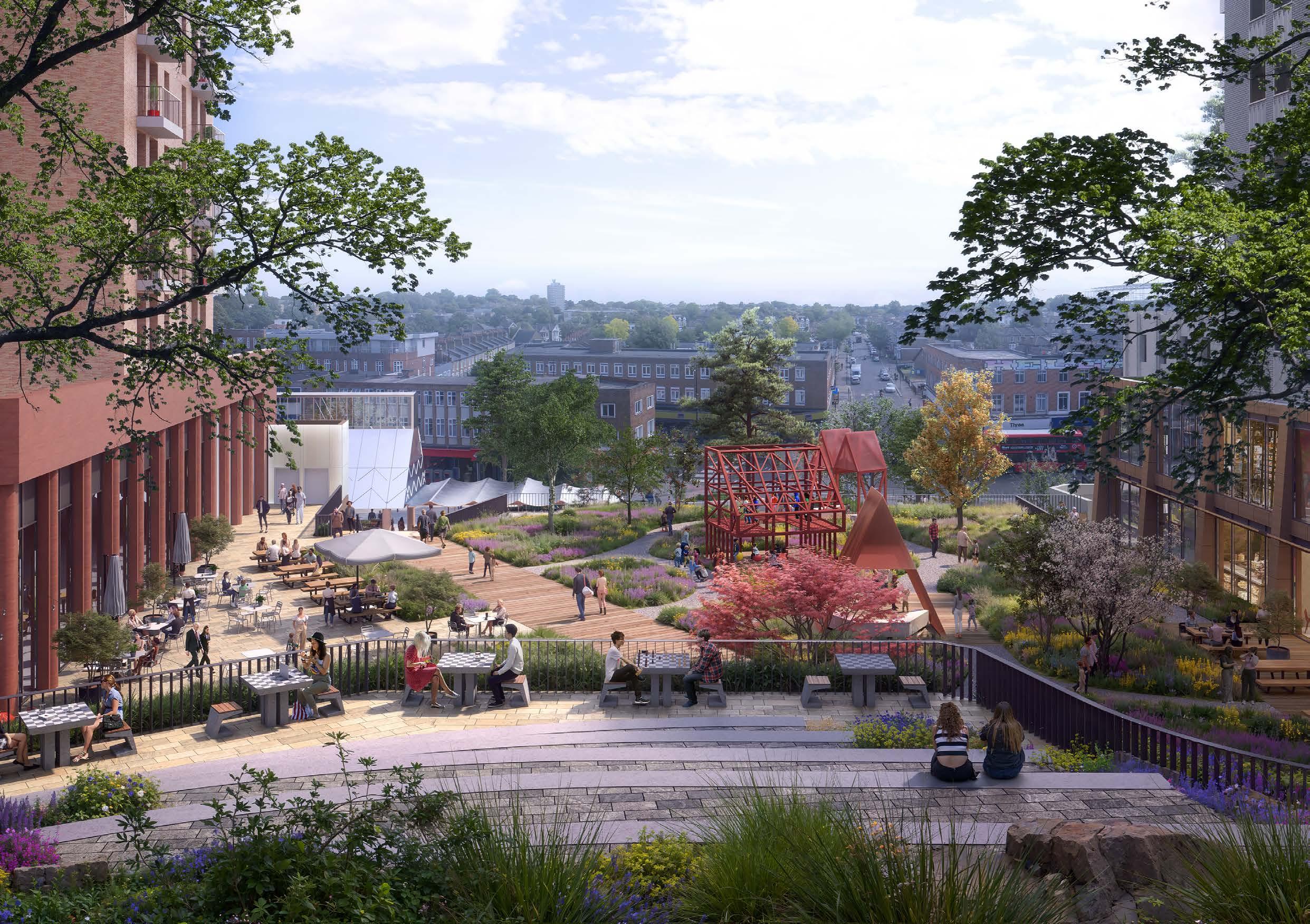
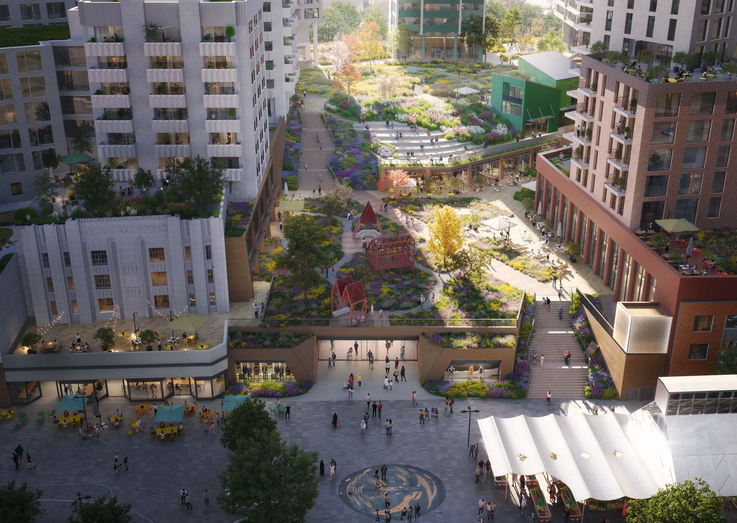
THE STREET
‘MEADOW WALK’
The Street is an active, linear route connecting the squares. The Street provides a food and drink destination within the town centre. Somewhere people can pick up lunch and also stay later into the evening for dinner and drinks. The robust public realm aims to support these uses by allowing for spill out whilst maximising planting where possible. The robust rocky heath meadow character supports this greater level of footfall and activation. The Street also forms an important connecting route, so a clear central zone is maintained to allow easy circulation.
1. Continuous active frontages of food, drink and leisure on both sides.
2. Spill out areas for seating from restaurants and bars.
3. Clear circulation route for pedestrian movement that is clear of activity on both sides.
4. Additional mid level terrace between street and park with potential for additional, elevated active frontage.
5. Residential connection to the park at upper level.
6. Verdant planting and trees add variety to the linear nature of the space, creating purposefully meandering routes that encourage people to stop and spend time in the street.
7. Hanging lighting to create an ambient atmosphere in the evening and minimise clutter in the public realm.
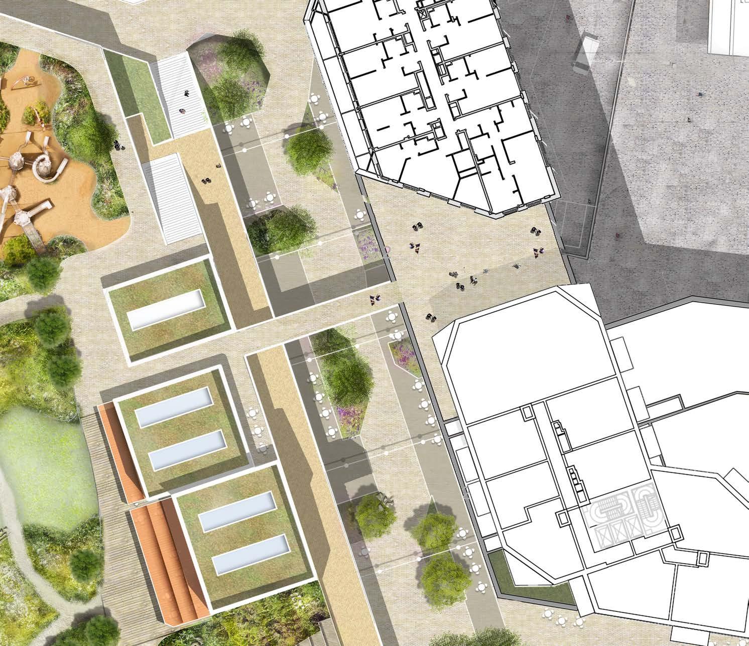
THE STREET
‘MEADOW WALK’
Case Studies
The Street is approximately the 70m long and 14m wide. These proportions ensure generous space for outdoor seating, circulation and planting, whilst the length allows a significant density of active ground uses. The level of ground floor activation combined with the considered width of 14m will ensure a lively and vibrant atmosphere within The Street. The adjacent case studies look at examples with similar proportions and levels of activity, creating a similar atmosphere.
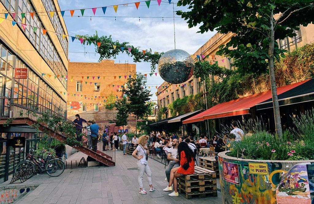
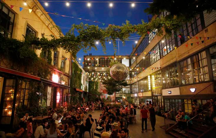
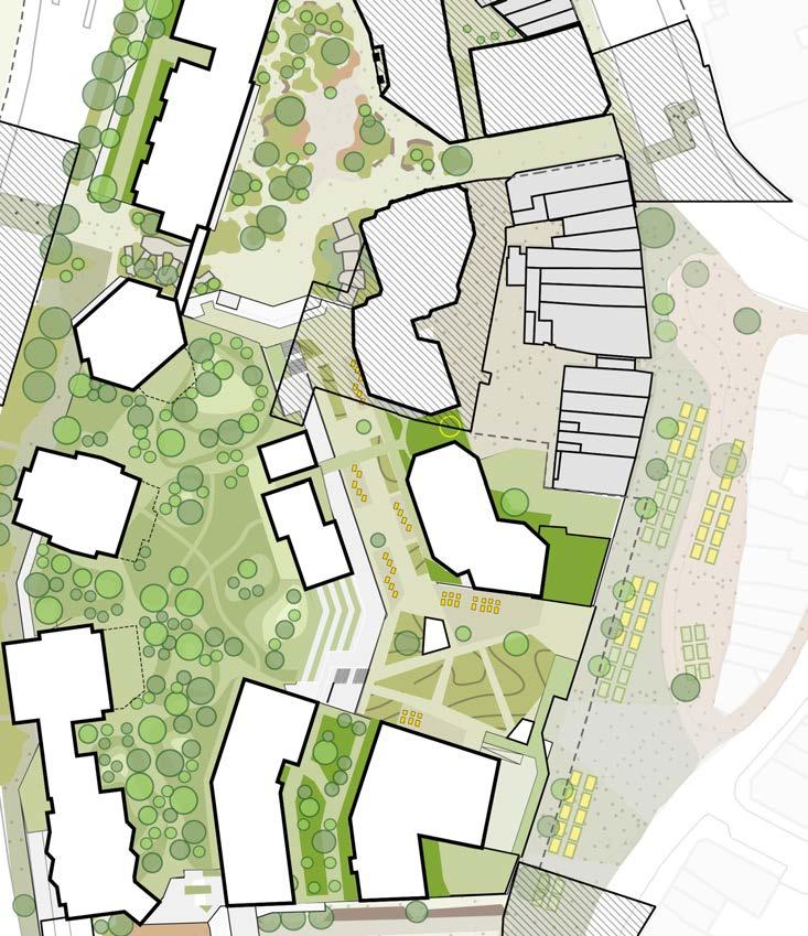
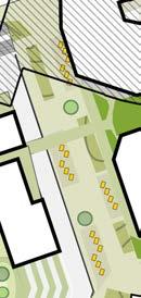
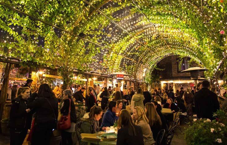
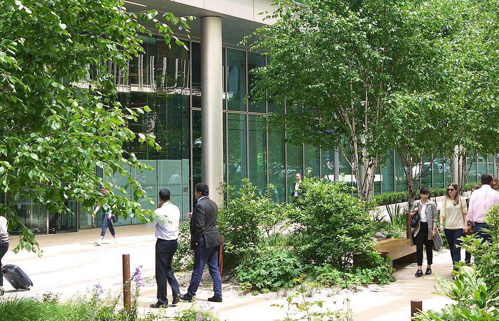
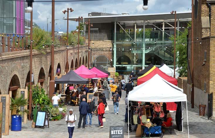
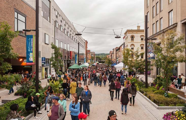
Fabrika, Tbilisi
Fabrika, Tbilisi
Ground of Alexandria, Alexandria, Australia
Deptford Market yard, Deptford
Kingdom street, Paddington
Ithica commons, New york
Diagram illustrating dimensions of The Street
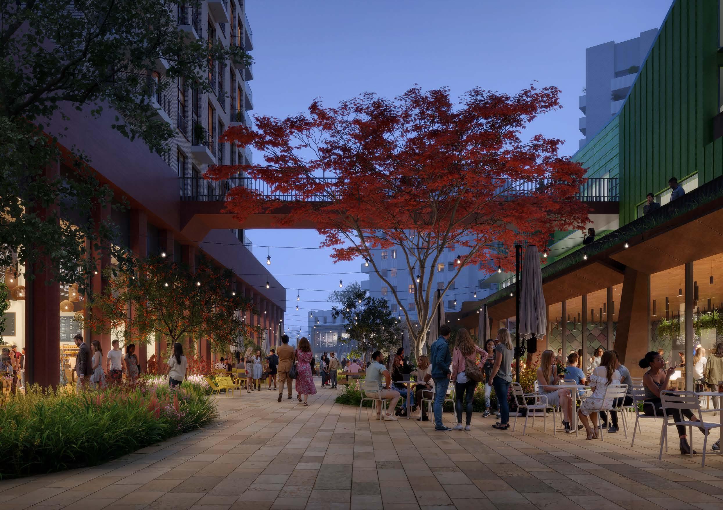
THE PARK
‘WILDFLOWER MEADOW’
The Park is a generous, elevated green space at the heart of the proposals for Lewisham Shopping Centre. It provides a much needed green space within the town centre. A place to relax, away from the busy activity of the high street and ground level squares. The planting aims to be the most vibrant meadow in this location, allowing people to sit amongst an ever changing display of seasonal meadow species. The more flexible, heavily planted meadow is activated by a destination play space to north of the park, a community pavilion to the east, a social use to the south such as a nursery, and residential entrances to the west. The park is composed of the following elements:
01 Designed as a space to stop and spend time in. Carefully mounded wildflower planting ensures the park is protected, creating spaces that are suitable for sitting and picnics.
02 An open clearing is located at the centre of the park. The wildflower meadow is cut short in this location, allowing a more flexible area for people to sit or play informal sports.
03 Directional paths allow fully accessible routes across the space, connecting stepped and lift access points to residential cores.
04 The house amongst the meadow. The community pavilion provides direct access by lift to other levels, and supports park use by providing baby change facilities, WCs and buggy storage. External hard standing and canopies allow activity of the pavilion to spill out into the park.
05 Significant destination play space to north of the park, visible from the northern square below. The play space is split to provide an area in a sunny environment and one in a less exposed, more shady environment.
06 Buffer planting mitigating the noise and pollution of Molesworth Street.
07 Integrated stepped seating looking over The Eastern Terrace and Lewisham High Street.
08 Mid level walkway access.
09 Ecological planting zone to the south of the park. This area is less programmed allowing an quieter space to sit amongst nature. A greater number of trees and scrub planting create important town centre habitats.
10 Social uses, such as a nursery, help to activate the south of the park.
11 Direct stepped access to park level.
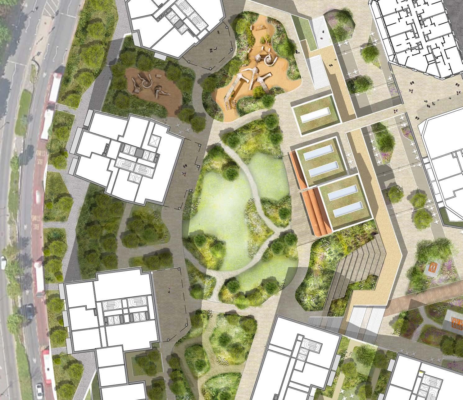
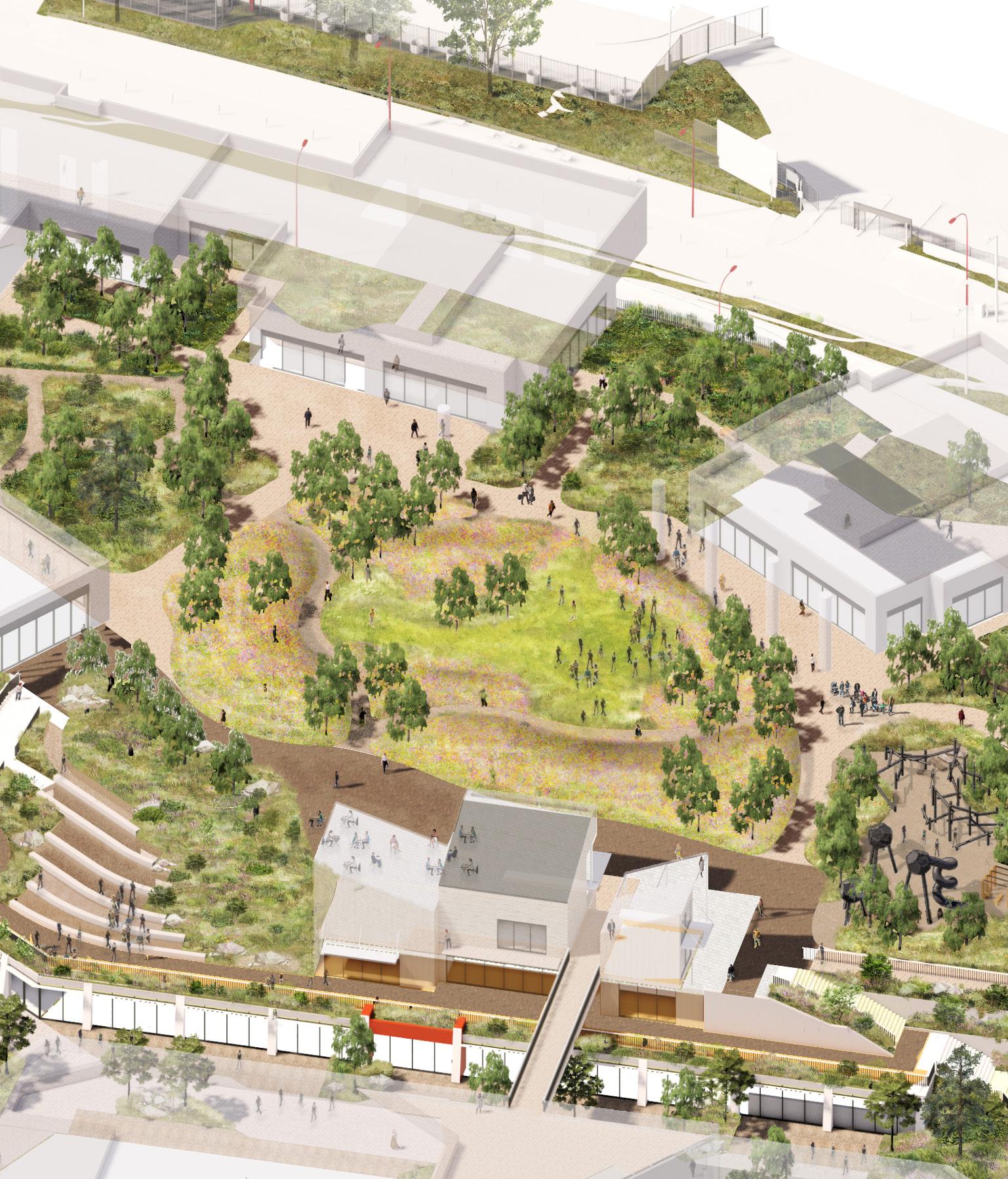
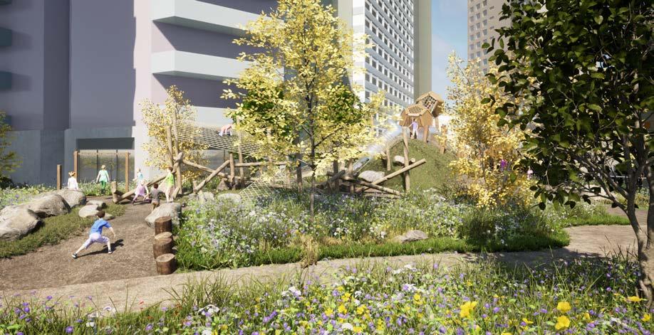
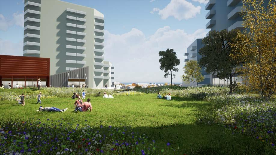
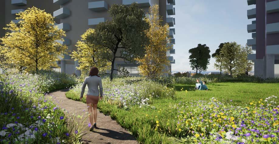
THE PARK ‘WILDFLOWER MEADOW’
Principles
A clear hierarchy of footpaths are arranged to provide access across the park. Wider, more direct routes connect arrival points into the park to building entrances and key features such as the play space. Smaller secondary routes allow users to cut across the centre of the park and explore more heavily planted areas.
A rolling topography is proposed across the park to help created a protected clearing at the centre of the space. Mounded plant beds at the edge of the park frame views into the central space whilst also providing additional soil volume for tree planting. The mounded plant beds contain tall, ornamental wildflower species, whilst the clearing in the middle is composed of a shorter meadow so it can be utilised for seating and informal sports.
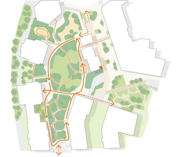
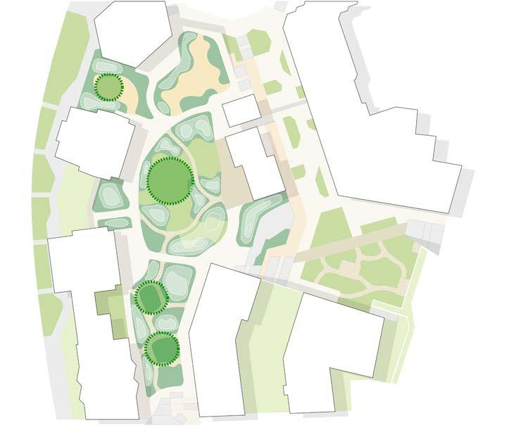
A number of programmed spaces within the park provide a range of uses that will attract different users. Destination equipped play is located in the north of the park, with a smaller section of play located in a more shady adjacent space. A community pavilion is located on the eastern edge of the park, with an external hard area allowing the activity of the building to spill into the park. Building entrances and a nursery are located at the base of buildings to help animate the square and ensure a consistent flow of people through the space. A more tranquil, heavily planted zone is located in the south of the park.
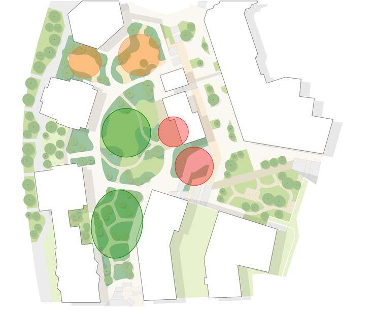
Pedestrian movement diagram showing primary and secondary routes
THE PARK ‘WILDFLOWER MEADOW’
Scale Comparison
Waterline Square in New york is a contemporary urban park very similar in scale to the park at Lewisham Meadows. It is a useful comparison as the park has a significant level change at its edges, using terraced planting and a play space to navigate the levels. The park also has a significant amount of meadow character planting, with a more open programmed lawn space in the centre. The edges of the park are activated by places to eat and drink, as well as residential entrances.
The park is located in central New york, illustrating how a combination of programmed space and heavily planted space can be combined within a busy urban environment.
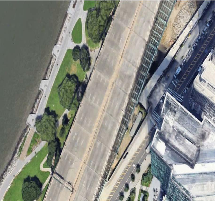
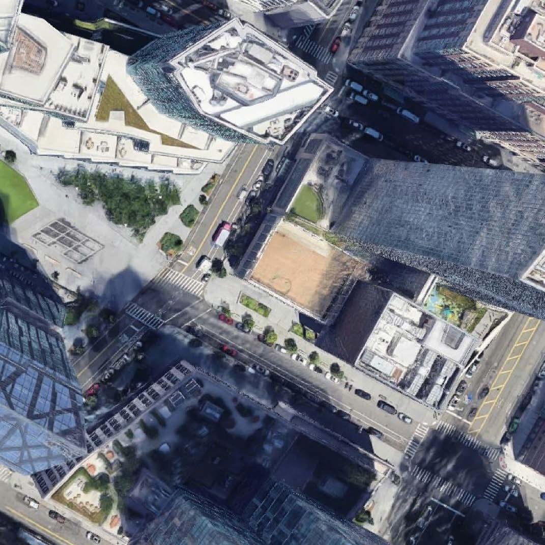
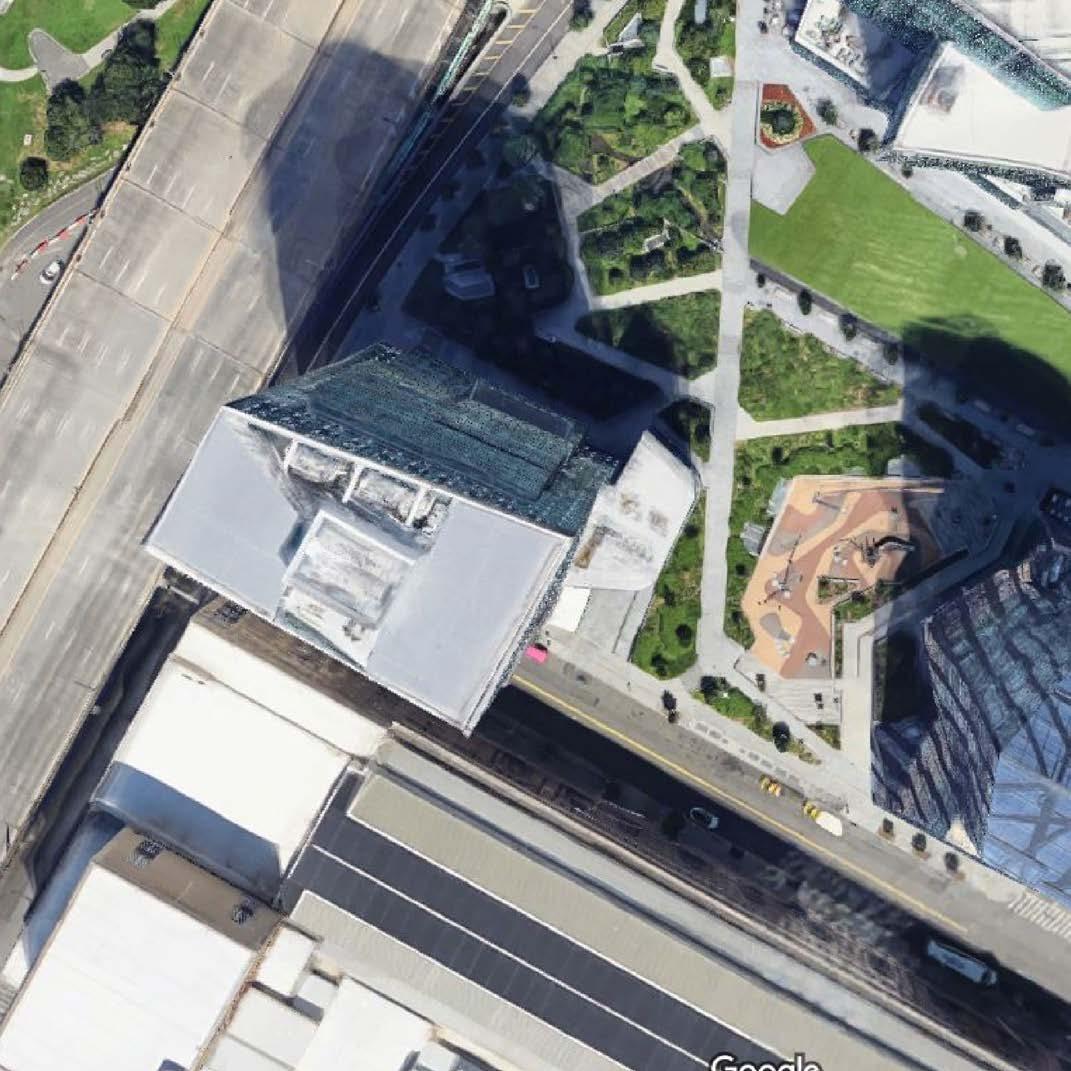
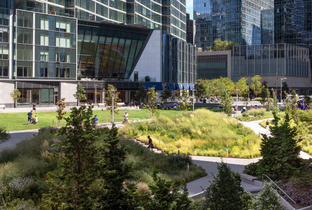
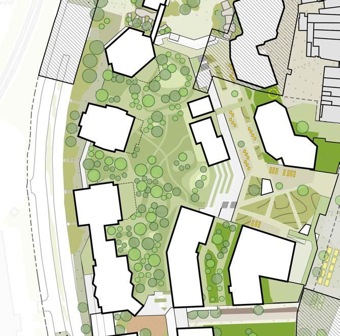
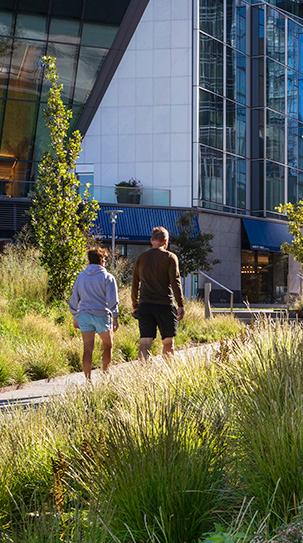
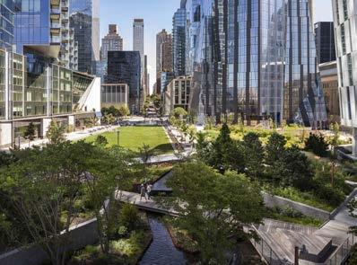
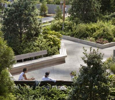
Images of Waterline Square
Plan of Waterline Square and The Park at Lewisham Meadows
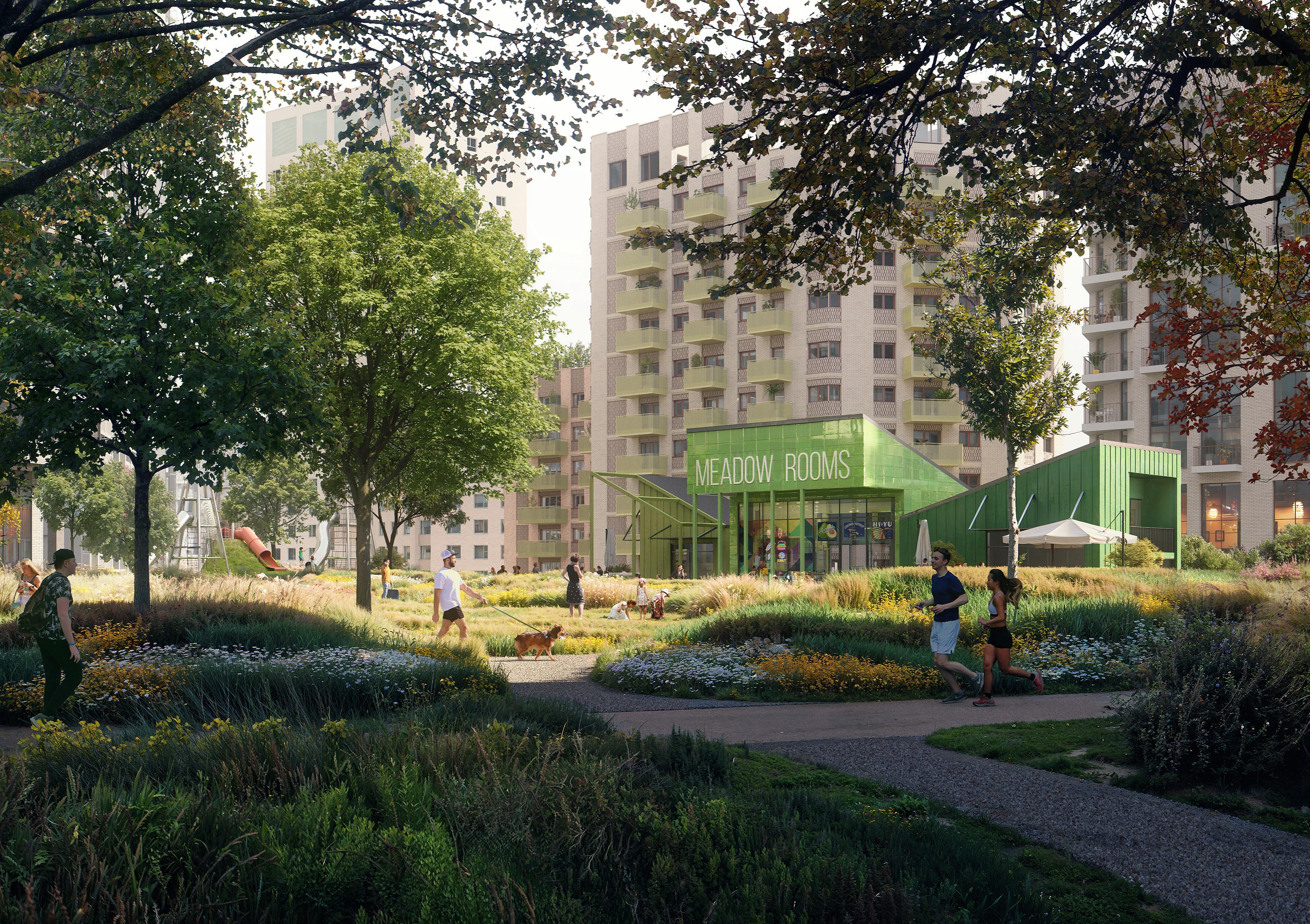
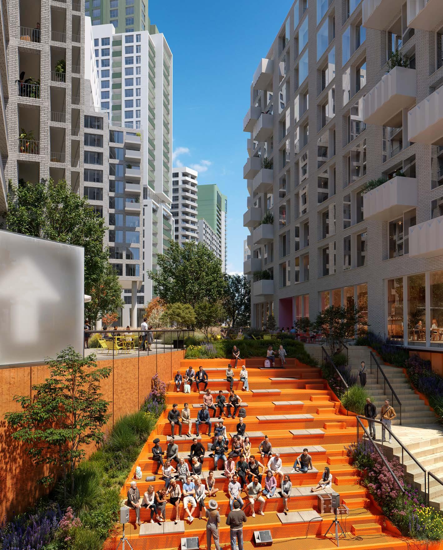
THE SOUTHERN SQUARES
The Southern Squares form an important role within the masterplan, providing access to the south of the shopping centre, creating important pedestrian routes between Lewisham High Street and Molesworth Street, and providing a flexible square for markets and evening events.
1. Rhyme Square, named after a historic street in the same location, provides southern access to shopping centre and a space for meet and gather.
2. Access to park level.
3. South facing seating area animating the connection between park level and street level.
4. Romer Place - east-west pedestrian route connecting Lewisham High Street and Molesworth Street.
5. Consistent surface material to create sense of high quality public realm that prioritises pedestrians.
6. Carriageway for vehicle movement defined by low kerb.
7. Areas for parking and loading.
8. Control point allowing limited servicing and emergency access into square.
9. New Model Market Square - hosting markets and events.
10. Square defined by recycled materials and new tree planting.
11. Access to servicing ramp.
12. Connections to Lewisham High Street.
13. Pedestrian access to Molesworth Street.
14. Additional planting and existing trees within surrounding street to create buffer adjacent to road.
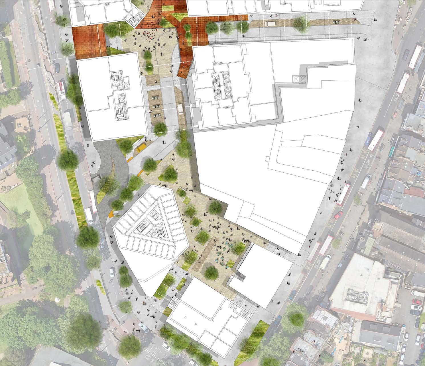
THE SOUTHERN SQUARES
Principles
Two key areas of public realm anchor the southern portion of the masterplan. The largest, most active public space is the New Model Market, located to the south of the masterplan. This flexible hard space builds on the legacy of the former Model Market, proving a space for markets and events to take place. The square is adjacent to the Sister Midnight building and aims to accommodate evening activity associated with this use. Rhyme Square is another public space located at the entrance of the shopping centre, demarcating this as a key entrance, and accommodating space for people to meet.
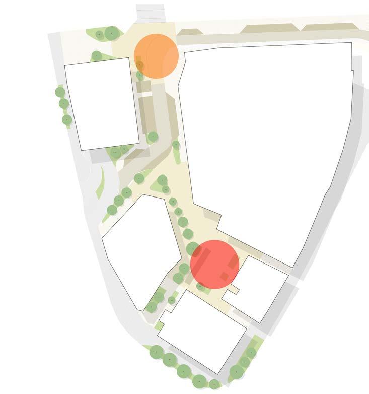
A network of pedestrian streets and lanes connect the south of the masterplan, increasing the ability to easily move between Molesworth Street and Lewisham High Street. Two of the streets accommodate vehicles, although in relatively low numbers. These streets utilise consistent surface materials to create sense of high quality public realm that prioritises pedestrians.
A number of blue badge parking areas are provided for visitors to the shopping centre. These are located with the streets, minimising vehicle movements in key areas of public realm. Loading areas are also located in the streets to serve the adjacent buildings. Limited access into the New Model Market Square is provided via a control point of drop bollards. This ensures servicing and emergency access whilst minimising regular vehicle movements within this key public space.
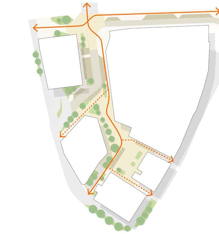
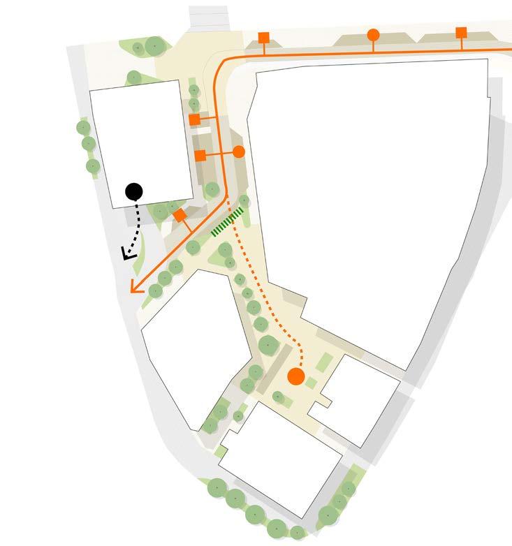
Diagram indicating key areas of public realm
Diagram showing
THE SOUTHERN SQUARES
Case Studies
New Model Market Square is designed to accommodate a range of events, markets and spill out from adjacent buildings. The square is 28 by 30 metres and framed on all sides by buildings with various levels of activation.
The adjacent project examples aims to reflect a similar scale, character and programming of space to New Model Market Square. Through the use of materials, and the relationship to the adjacent Sister Midnight building, the character of the square aims to reflect the imperfect, ad-hoc, exciting energy of the previous model market
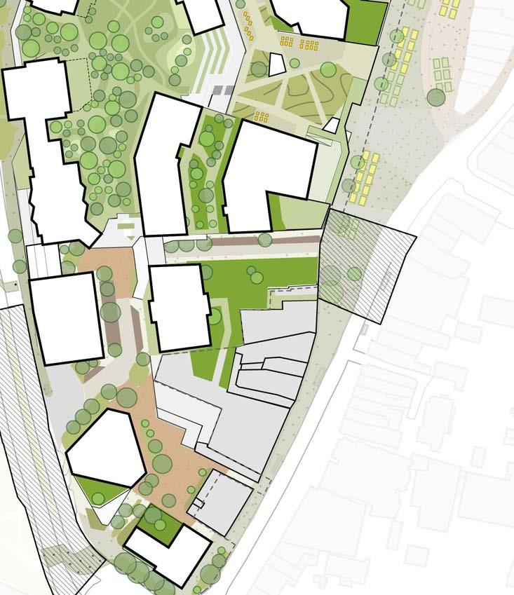
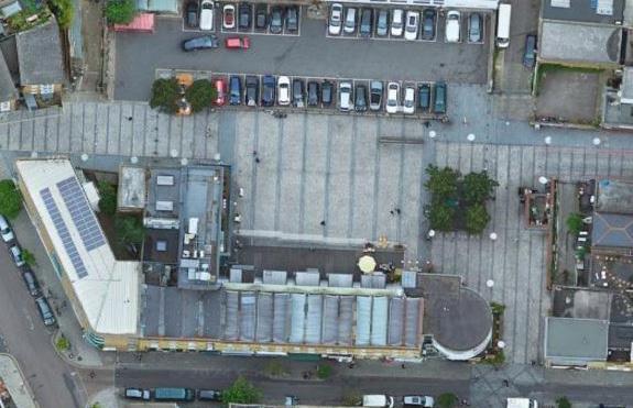
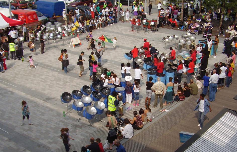
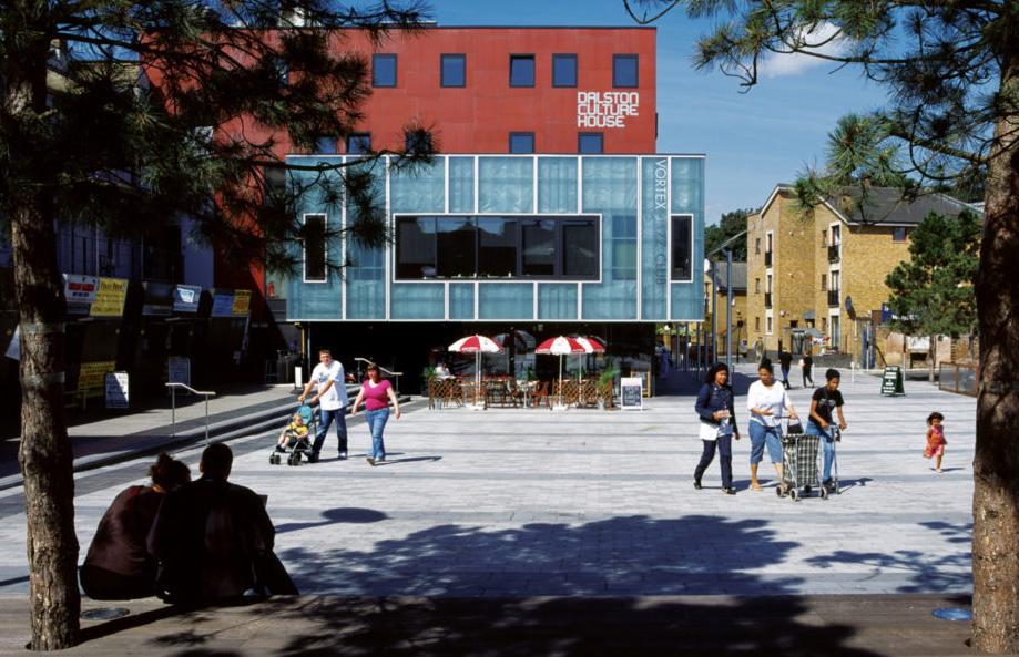
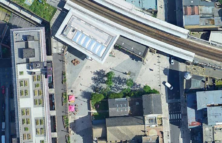
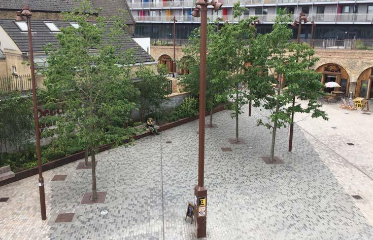
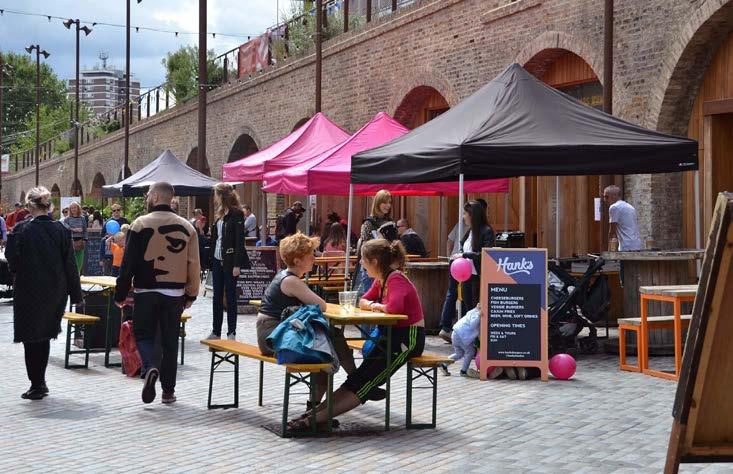
Gillett Square, Dalston, London
Deptford Market yard, Deptford, London
Gillett Square used for performance
Deptford Market yard opposite train station
Everyday town centre uses within Gillett Square
yard
Diagram illustrating dimensions of The Street
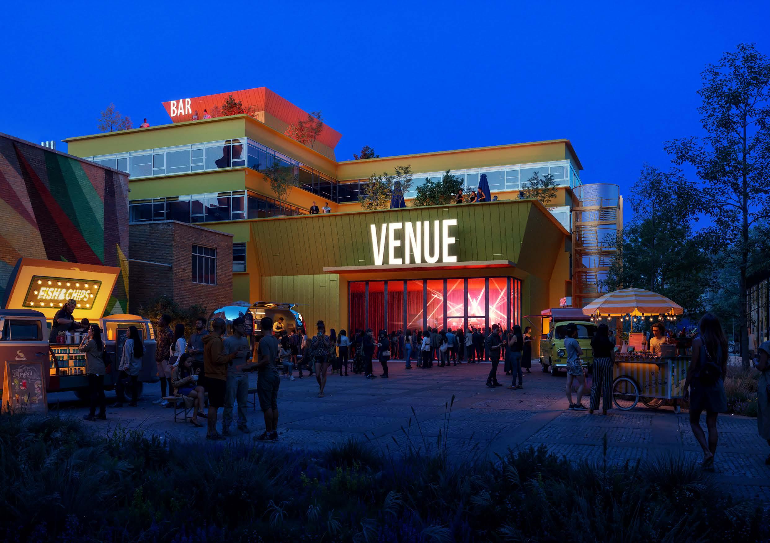
STRATEGIES
PLANTING STRATEGY
Lewisham Meadows Concept
A study of Lewisham’s geomorphology and etymology reveals its early settlement was once linked to meadows, suggesting the development of the town relied upon its adjacent rivers and managed grasslands to provide for, and enrich the livelihood of its people.
This proposal takes inspiration from the historic connotations of meadows to define a clear landscape led concept, and grow Lewisham Meadows as a destination in its own right. Behind this approach is an exploration of the relationship between meadows, people and nature. This is followed by forming a planting strategy that will play on various interpretations of meadow planting given the sites urban context.
Why Meadows?
Anthropological significance - Meadows are expanses of grassland habitats, commonly made by clearing of shrub or woodland for growing crops, hay or livestock. The principle of meadow creation and management today is not too dissimilar from farming practices during the establishment of earlier settlements. Meadows are therefore much more than a means to an end, rather they evoke a shared historical connection that is engrained within our ancestral memory. The proposed scheme pays homage to this notion by creating a series of designed ecologies using different interpretations of meadow. The habitat types will also play an important role in combating the challenges of dense urban environments and site-specific constraints.
Environmental and ecological benefits - Meadows are appropriate in their resilience to urban environments, adapted to thrive in low nutrient soils, weather variation and require low maintenance. In dense civic centres, meadows can capture pollutants and silt, helping to improve air quality and mitigate pollution build up in water systems. Furthermore, they bring immense biodiversity value.
Sensory experience - Meadows provide more than just functional benefits to ecological and environmental systems. The semi-natural habitat also supports a multi-layered social infrastructure; providing a person with visual amenity, a sensory quality, spatial arrangement for activities, and a sense of connection with nature.
The proposal will pay homage to meadow landscapes by creating a series of designed meadow ecologies. These can be composed of either wildflower meadow seed mixes, or herbaceous perennial planting in the style of a meadow.
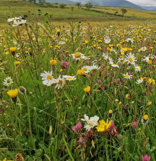
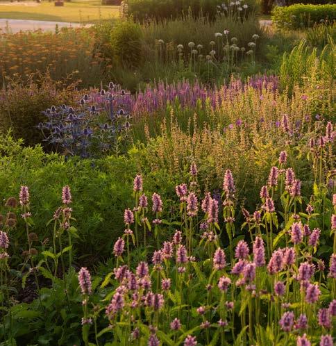
VSEnvironmental and ecological benefits:
Urban condition resilient
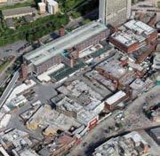
Sensory experience:
Pollution trap
Soil tolerant Moderately thirsty Birds and bees


The hay meadows of Eycott Hill nature reserve in Cambria, blossom in June-July. They have been restored by Cambria Wildlife Trust since 2015.
The meadows at Oudolf Garden Detroit, on Belle Isle, Michigan, are carefully designed by Piet Oudolf, using bold drifts of herbaceous perennials and grasses.
Dense cushion planting
Moves with the wind Big blossom effect Natural rhythm
Sense of Freedom
PLANTING STRATEGY
Lewisham Meadow Journey
The planting strategy looks to create a continuous pedestrian experience, using the overarching Lewisham Meadow concept to unify the network of streets and spaces at multiple levels. This journey creates an engaging public realm, made up of different habitat zones which are inspired by interpretations of meadow. Variation in colour, composition, form, and blossom-effect will invite people through the squares, up to podium landscapes and back down to grade.
The four key meadow characters are Water Meadow, Rocky Heath Meadow, Wildflower Meadow and Pioneer Meadow; with each character responding to the type of public space created, geomorphology and microclimate. Each character area will have its own visual nuances in planting approach, to curate and encourage a journey through the landscape. Diversity in plant communities will also create diversity in wildlife, attracting a range of birds and invertebrates to maximise the ecological value of an urban environment.
The meadow characters will also help to inform other strategies described in this chapter such as materials, drainage and ecology.
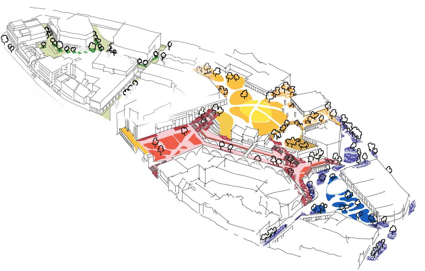
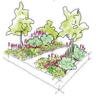
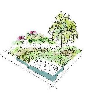
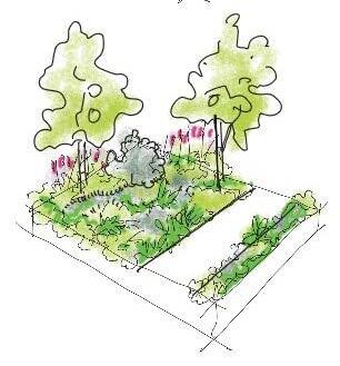
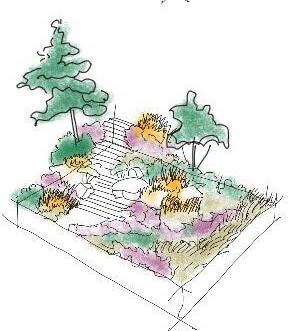
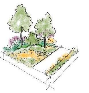
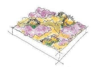
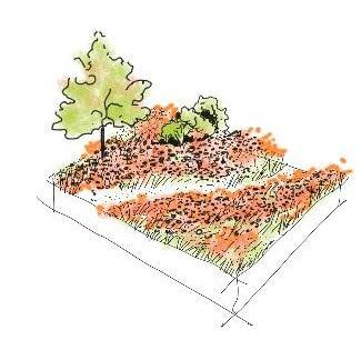
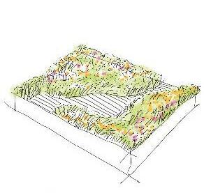
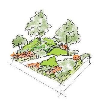
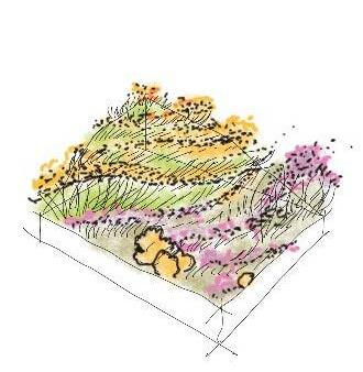
Wildflower Meadow
Lewisham High Street (South)
Terrace
Lewisham High Street (Central)
Lewisham High Street (North)
Sculpture Park
SOFT LANDSCAPE
Water Meadow Character
The Northern Square planting strategy is characterised as a Water Meadow to celebrate the connection between nature, water and people. The extent of floodzones in the northern end of the development calls for a water conscious public realm, supported with robust blue and green infrastructure. To help manage and mitigate flood risk, the square will prioritise sustainable urban drainage to soak up stormwater, create water bodies that support aquatic planting, and design areas of hardstanding that will be future-proofed for flood events.
Creating a wet meadow requires permanent water-bodies with a tiered soil profile to maximise the diversity of aquatic and marginal plant species. Plant selection will vary, depending on their adaptation to permanent water, occasional submersion, and moist soil conditions. Planting will also play an integral role in the square to facilitate a holistic drainage strategy, by creating a network of rain gardens, using robust herbaceous perennials with particular physical traits of wetland habitats.
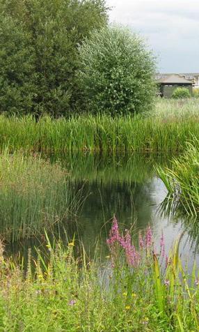
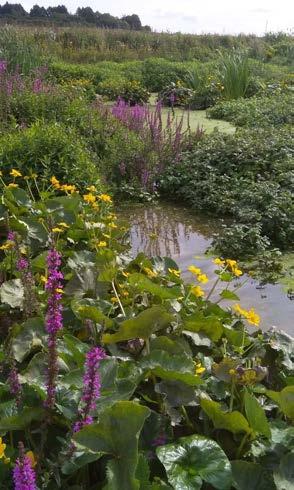
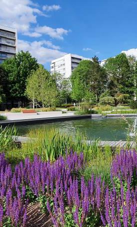
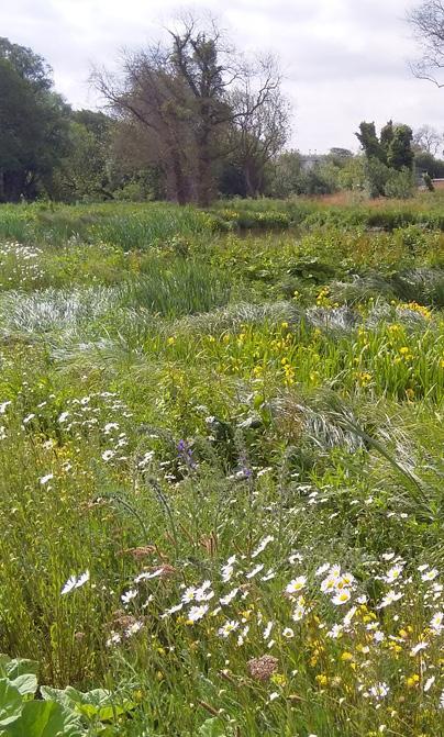
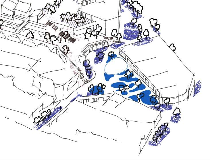
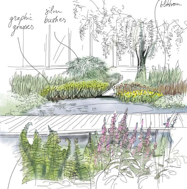
Diagram of the Water Meadow in the Northern Square on the ground floor
Impression of Water Meadow wetland habitat planting composition
Precedent images of Water Meadow planting, ranging from wetland habitat, to marginal and urban planting beds
Lewisham Gateway
Cornmill Gardens Connection
Northern Square
Lewisham High Street (North)
SOFT LANDSCAPE
Water Meadow Section
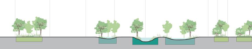
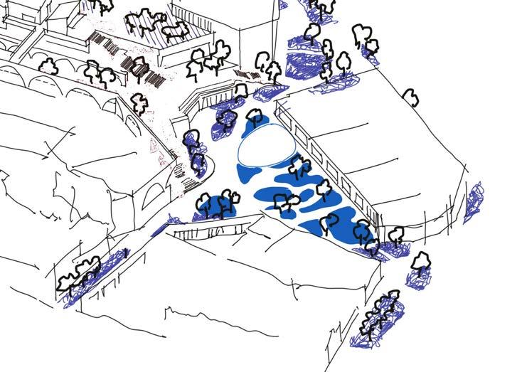
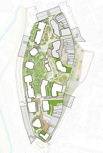
SOFT LANDSCAPE
Water Meadow Palette
I. Partial shade under trees
II. Plant tolerant moist soil
III. Pollution resistant
IV. Occasionally flooded
V. Moist to damp soil
Mix of wet tolerant planting:
• Veronicatsrum virginicum
• Stachys palustris
• Digitalis lutea
• Salix rosmarinifolia
• Matteuccia struthiopteris
• Sagitaria sagitifolia
• Carex riparia
• Lysimachia vulgaris
• Euphorbiua palustris
• Lythrum salicaria (sunnier)


Few trees:
• Alnus cordata
• Alnus glutinosa
I. Around a small depth water-body
II. Sun to partial shade
III. Aquatic and marsh plant
IV. Pollution resistant
V. Permanently flooded to damp soil
Mix of aquatic and marsh planting:
• Iris pseudacorus
• Juncus effusus
• Alisma plantago
• Carex elata
• Nyphea alba
• Menta aquatica
• butomus ombellatus
• Hippuris vulgaris
• Sparganium erectum


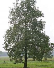


Few trees:
• Salix babylonica
I. Urban context heavy traffic
II. Partial shade under trees
III. Neutral soil
IV. Pollution resistant
V. Dry to moist soil
VI. Could be irrigated
Mix of hardy planting:
• Salvia x sylvestris ‘Mainacht’
• Cenolophium denudatum
• Eriocapitella hupehensis
• Baptisia (sunnier)
Grasses:
• Descampsia cespitosa
• Stipa tenuissima
• Hakonechloa macra


Shrubs:
• Cornus mas
• Eunymus europeaus
• Viburnum in varieties


2. Open wetland meadow
1. Shaded Planting Bed
3. Urban Planting
SOFT LANDSCAPE
Rocky Heath Meadow Character
The public realm at first floor will utilises banks, steps and terraces to form a Heath-inspired landscape connecting the civic spaces at ground floor, and green spaces at second floor. A unique planting character, with high visual amenity will help to attract residents and visitors up to first floor and beyond. The Rocky Heath Meadow will be inspired by natural habitats typically found at higher altitudes, such as open heathland and planting adapted to mountainous or banked conditions.
Heathland is interpreted as a form of meadow; hardier and more robust than a wildflower meadow, and characterised as bushy and low-lying. For this habitat type to be accessible in an urban context, comfortable pockets with seating will be created within the planting. The intricate steps and plateaus of Lewisham Meadow at first floor provide an opportunity to create distinctive rocky heath and open heathland characters, facilitated by varying the soil PH. The planting on The Street ‘Meadow Walk’ and The Eastern Terrace ‘High Street Meadow’ will be more ornamental, lush and hardy, while still inspired by heath planting.

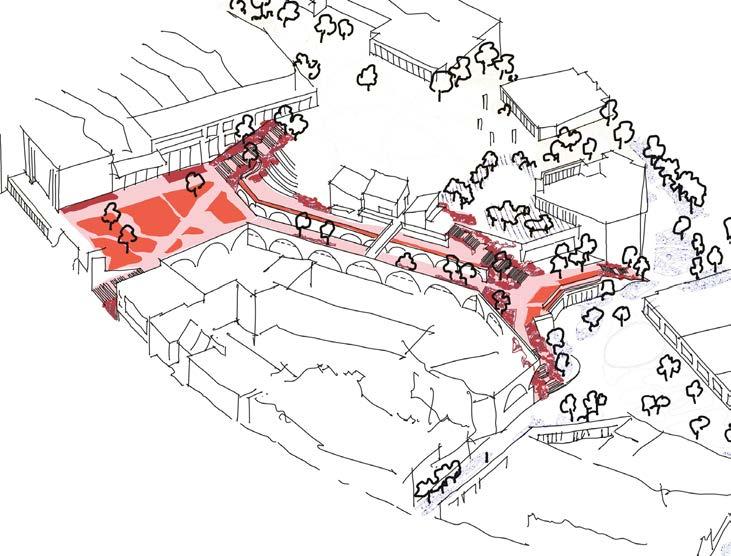
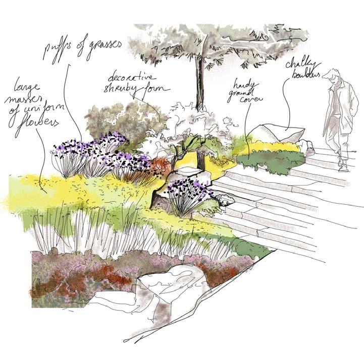
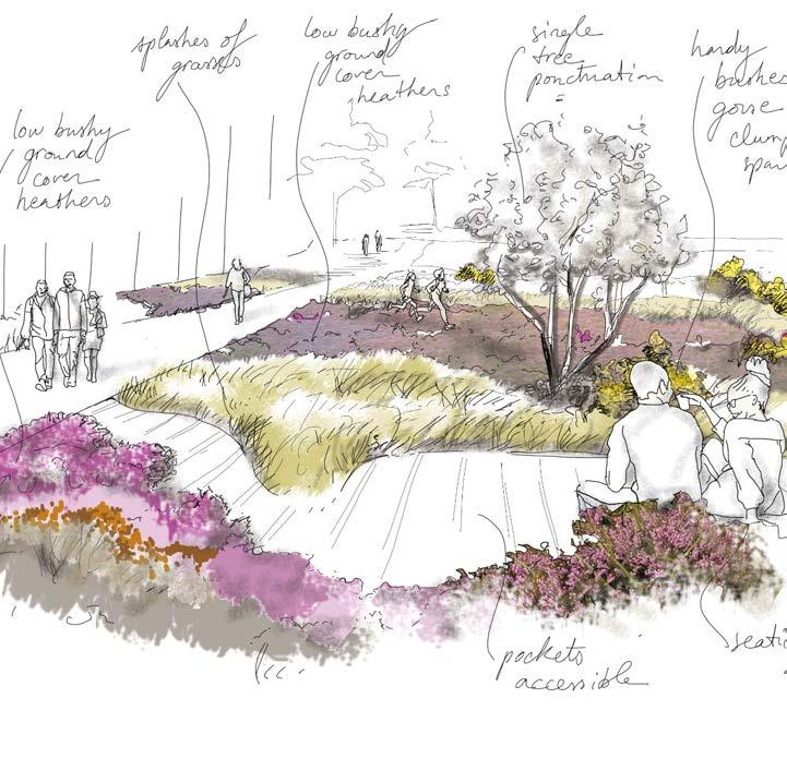
Diagram of the Rocky Heath Meadow on The Street and Eastern Terrace on first floor
Impression of Open Heathland planting composition
Impression of Rocky Meadow planting composition
Precedent images of Rocky Heath planting, ranging from rocky meadow, open heathland to heath inspired planting
SOFT LANDSCAPE
Rocky Heath Meadow Section
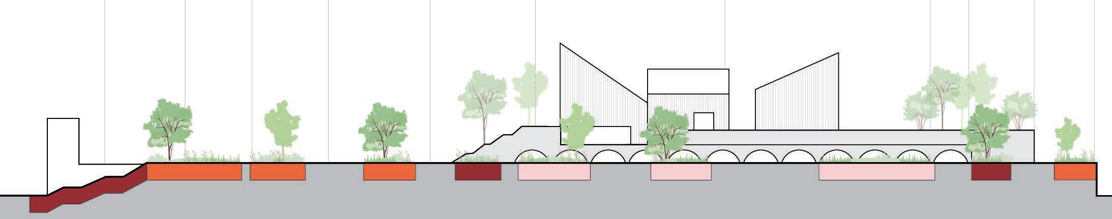
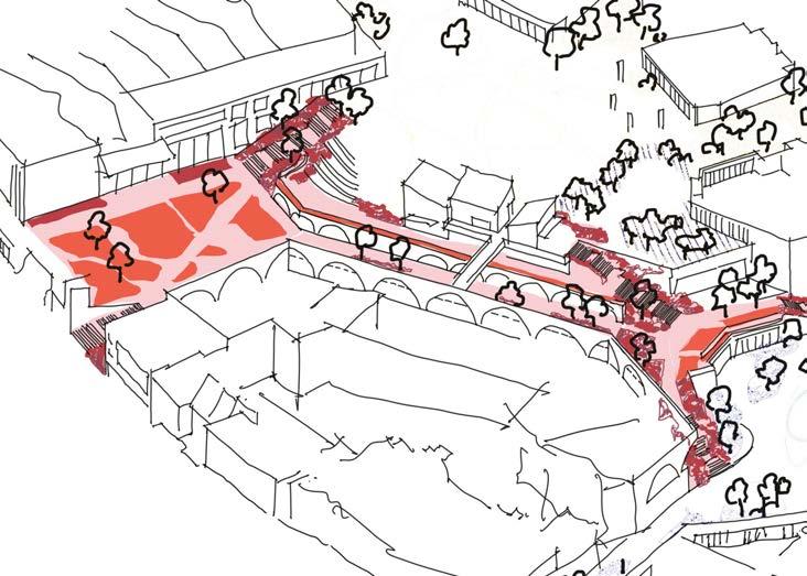
SOFT LANDSCAPE
Rocky Heath Meadow Palette
I. Open grassland (on a roof)
II. very few bushes
III. Nutrient poor soil
IV. Acidic sandy soil
V. Well draining
Mix of typical heath, low bushy plants:
• Ulex europaeus
• Cytisus scoparius
• Erica vulgaris
• Calluna vulgaris ‘Alicia’PBR
• Daboecia × scotica ‘William Buchanan’
Heath grasses:
• Deschampsia flexuosa
• Holcus lanatus
• Molinia caerulea subsp. caerulea ‘Moorhexe’

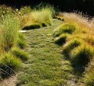
• Stipa pennata
• Alopecurus pratensis
• Phleum pratense
• Antennaria dioica ‘Alex Duguid’
• Achillea millefolium
• Pteridium aquilinum Bushes and trees:
• Hamamelis
• Amelanchier lamarckii
• Quercus rubra
• Magnolia soulangeana
• Rhus typhina
• Betula in varieties
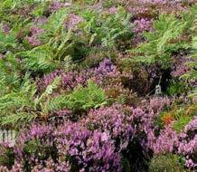


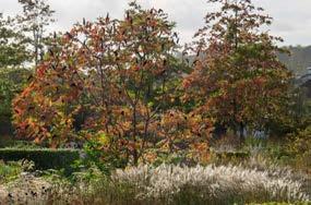


I. Mounds, steps and walls
II. Crevices and stone gaps
III. Nutrient poor
IV. Chalky pockets
V. Alkaline soil pockets to acidic
VI. Use of rock gardens plants
VII. Use of alpine plants
Mix of typical rock garden and alpine plants:
• Armeria maritima
• Ajuga reptans
• Campanula petiolata
• Campanula macrantha
• Saponaria ocymoides rhs
• Aubrieta ‘Blaumeise’
• Alyssum montanum
• Iris ‘Cliffs of Dover’ and varietiies
• Veronica prostrata ‘Spode Blue’
• Nepeta x fassenii


• Aster alpinus ‘White Beauty’
• euphorbia mysynites and varieties
• Catananche caerulea
• Nerine Bowendii
• Erigeron karvinskianus
Bushes and trees:
• Erica arborea
• Pinus nigra
• Cornus mas ‘aurea’
I. In the street, heavy footfall
II. Shady area due to tall buildings
III. Imitating colours of heath plant
IV. Imitating ground cover behaviour of heath plant
V. Imitating upright shapes of meadow plant
VI. Neutral soil
Mix of shady plants with blossom:
• Cimicifuga simplex ‘Brunette’
• Astible japonica ‘Etna’
• Digitalis grandiflora
• Tellima grandiflora
• Astrantia major
Shady ground cover:
• Heuchera vilosa ‘Caramel’
• Asperula taurina
Ornamental grasses:


• Hakonechloa macra
• Molinia caerulea ‘Heidebraut’


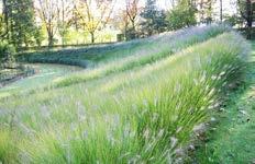

1. Open Heathland
2. Rocky Meadow
3. Heath Inspired Meadow
SOFT LANDSCAPE
The Park on the second floor is centred on the Wildflower Meadow. Designed as the focal green space at the heart of the development, the Podium Park will have a balance of biodiverse species mixes and functional lawn areas for people to use. This typology takes inspiration from expansive grasslands and semi-shaded glades, with high species diversity and flowering interest for pollinators.
The designed meadow comprises of a dominant species planted en masse with a palette of contrasting specimens to provide richness and variety. Meadow plants can be a combination of grasses and herbaceous plants, while having different life cycles (annuals, biannuals and perennials).
Meadows traditionally work by mowing at strategic times. The proposed planting will mimic this controlled environment, to maximise ecological value while also providing amenity space for people. By contrast, durable perennials with longer lifespans and resemblance to meadow plants will be used to create more permanent swathes of dense vegetation. Wildlfower seed mixes will also be utilised at the edges of the space.
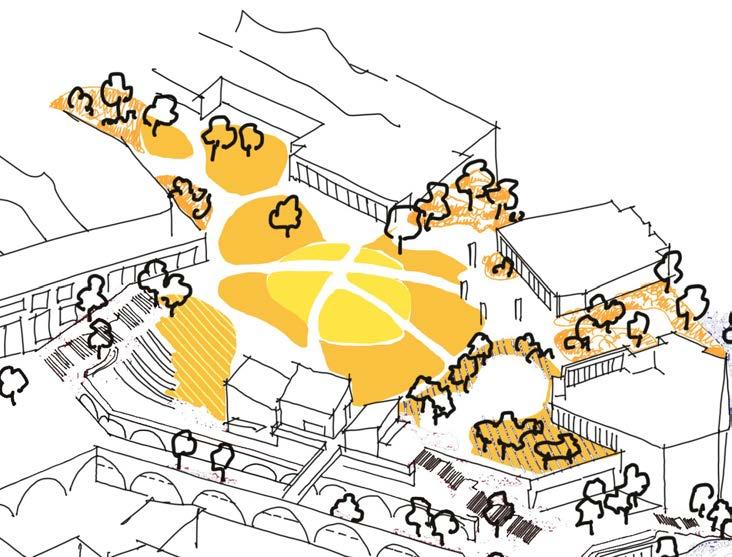
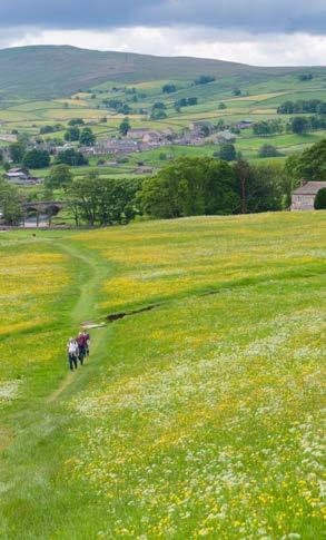
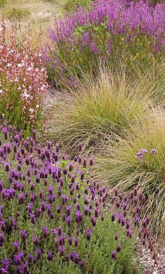


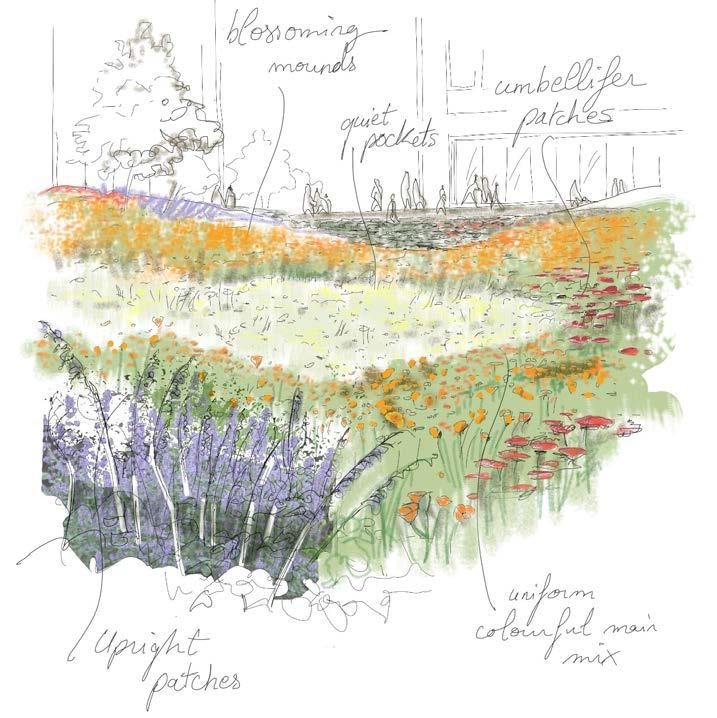
Wildflower Meadow Character
Diagram of the Wildflower Meadow in the Podium Park on second floor
Impression of Wildflower Meadow glade planting composition
Precedent images of Wildflower Meadow planting, ranging from meadow glade, flowery lawn to meadow edge planting
The Park
Eastern Terrace
The Street
SOFT LANDSCAPE
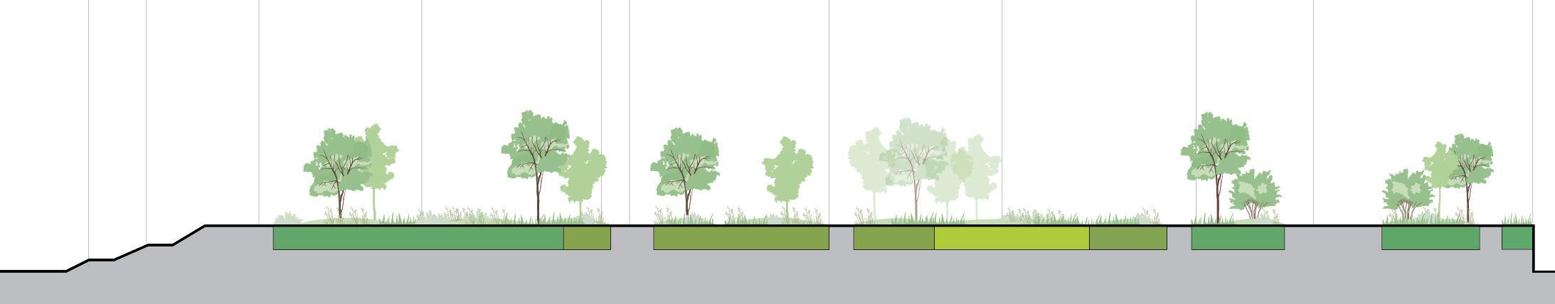
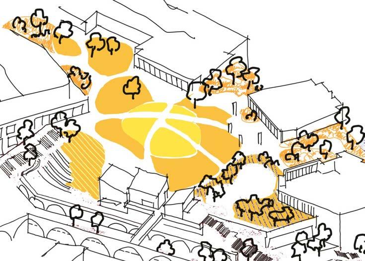
Wildflower Meadow Section
Flowering glade
Wildflower meadow glade Meadow edges Meadow edges
Wildflower meadow glade
SOFT LANDSCAPE
Wildflower Meadow Palette
I. Seasonal superbloom
II. Open grassland (on a roof)
III. On mounds & glades
IV. Mix grass, annual wildflower & perennials
V. Poor nutrient soil
VI. Sandy light soil, PH neutral
Mix of classic wildflowers:
• Lupinus spp.
• Helianthus spp.
• Achillea millefolium
• Centaurea nigra
• Filipendula vulgaris
• Galium album or Galium mollugo
• Leucanthemum vulgare
• Origanum vulgare
• Plantago lanceolata
• Primula veris
• Rhinanthus minor
• Rumex acetosella
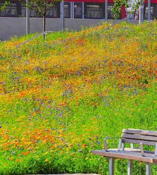


Superbloom:
• Eschscholzia californica
Strong grasses
• Briza media (weter spots)
• Cynosurus cristatus
• Festuca ovina
• Festuca rubra
• Koeleria macrantha (weter spots)
Perennials
• Nepeta grandiflora
• Knautia macedonia


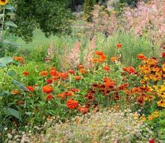

I. Classic flowering lawn mix
II. Open grassland (on a roof)
III. Mostly strong grass 80%
IV. On a poor nutrient soil
V. Sandy light soil
VI. PH neutral
Mix of strong grasses:
• Agrostis capillaris
• Cynosurus cristatus
• Festuca rubra
• Phleum bertolonii
• Poa pratensis
• Lolium perenne
Wildflower mix:
• Leucanthemum vulgare
• Ranunculus acris
• Trifolium repens
• Tanacetum vulgare
• Coreopsis lanceolata
• Sedum Kamtschaticum
• Rudbeckia ‘Goldsturm
• Buphthalmum salicifolium
• Galium verum
• Rhus typhina
• Betula in varieties
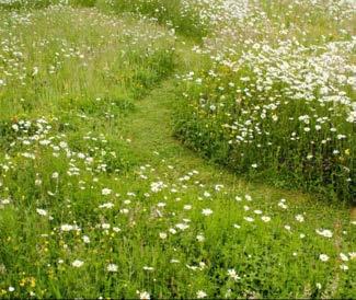


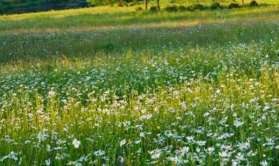
I. In the street, heavy footfall
II. Shady area due to tall buildings
III. Imitating colours of heath plant
IV. Imitating ground cover behaviour of heath plant
V. Imitating upright shapes of meadow plant
VI. Neutral soil
Mix of strong grasses:
• Agrostis capillaris
• Cynosurus cristatus
• Festuca rubra
• Phleum bertolonii
• Poa pratensis
• Lolium perenne
Shade tolerant wildflowers:
• Achillea millefolium in varieties
• Digitalis in varieties
Ornamental shade tolerant species:
• Perovskia atriplicifolia
• Anemone × hybrida ‘Honorine Jobert’
• Hakonechloa macra (grass)
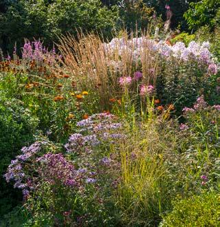


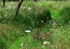


2. Flowering Glade
1. Wildflower Meadow Glade
3. Meadow Edges
SOFT LANDSCAPE
Looking at the history and culture of Lewisham town centre has helped to inform the design of The Southern Squares, whereby a network of proposed streets and spaces provide opportunities for performance, socilaising and entertainment. With circularity in mind, a focus on re-use of materials will help to distinguish the southern public realm from the north. The Pioneer Meadow planting approach adheres to this change in quality and texture by taking inspiration from naturally occurring ecologies found in brownfield, post-industrial and derelict sites.
Coloniser species thrive in low nutrition, minimal growing medium, and require less water and maintenance when compared with conventional planting in public realm schemes. The Pioneer Meadow looks to celebrate open mosaic habitats throughout the hard working, efficient streets and spaces in the southern masterplan.

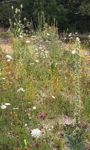
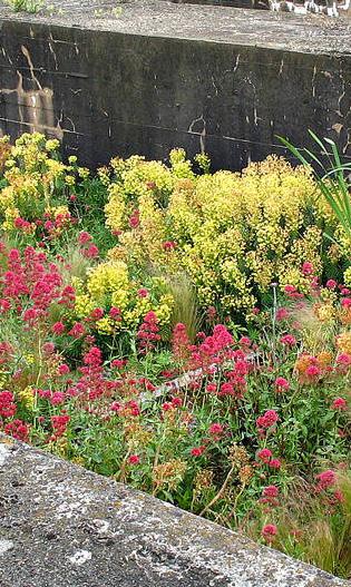
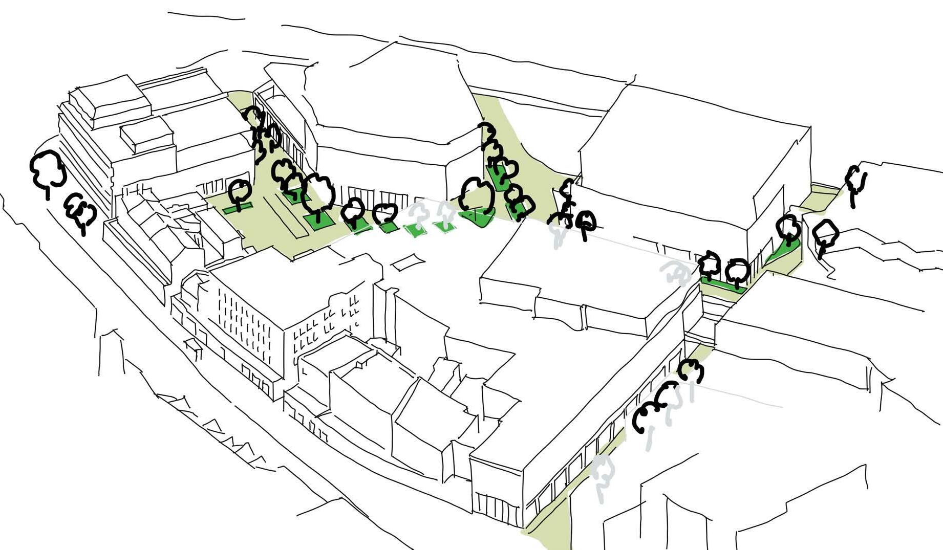
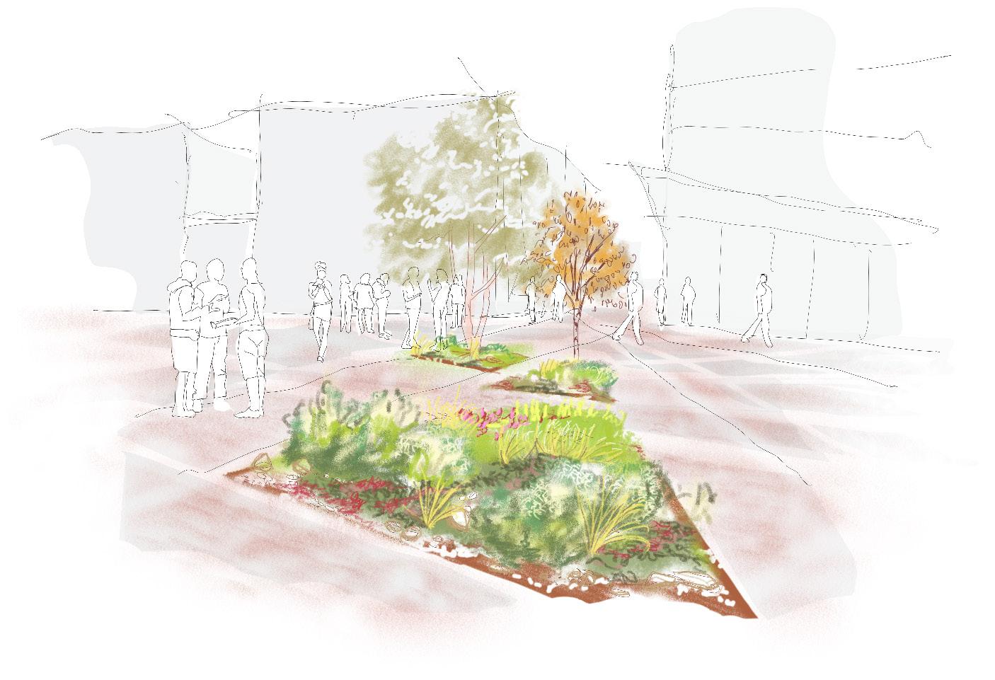
Pioneer Meadow Character
Diagram of the Pioneer Meadow in the Southern Squares on the ground floor
Impression of Pioneer Meadow planting composition
Precedent images of Pioneer Meadow planting, ranging from open mosaic meadow, to emergent planting beds
Lewisham High Street (South)
New Model Market
Rhyme Square
Romer Place
Sculpture Park
SOFT LANDSCAPE
Pioneer Meadow Section
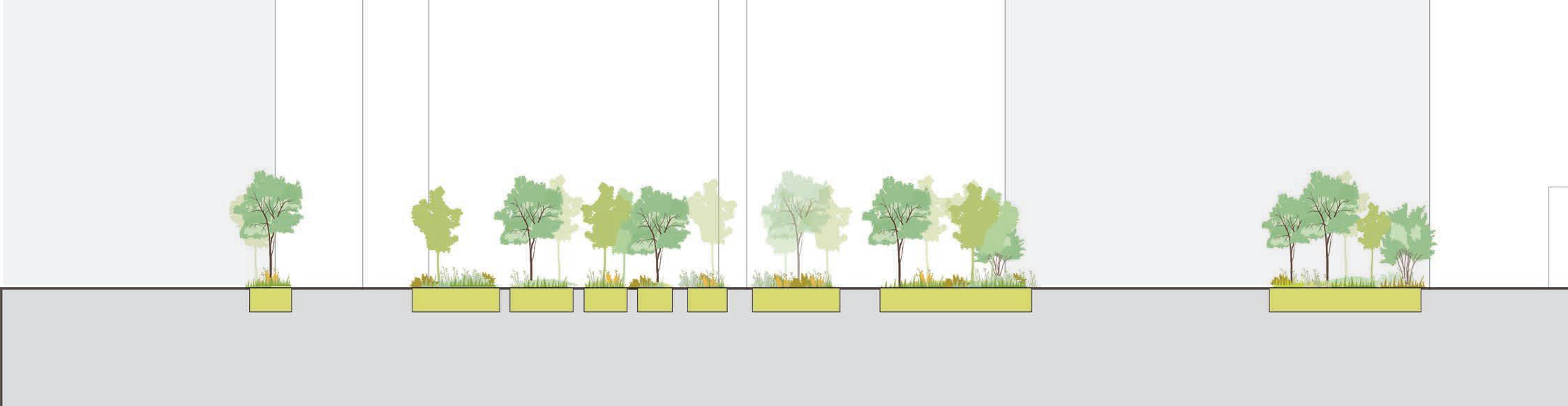
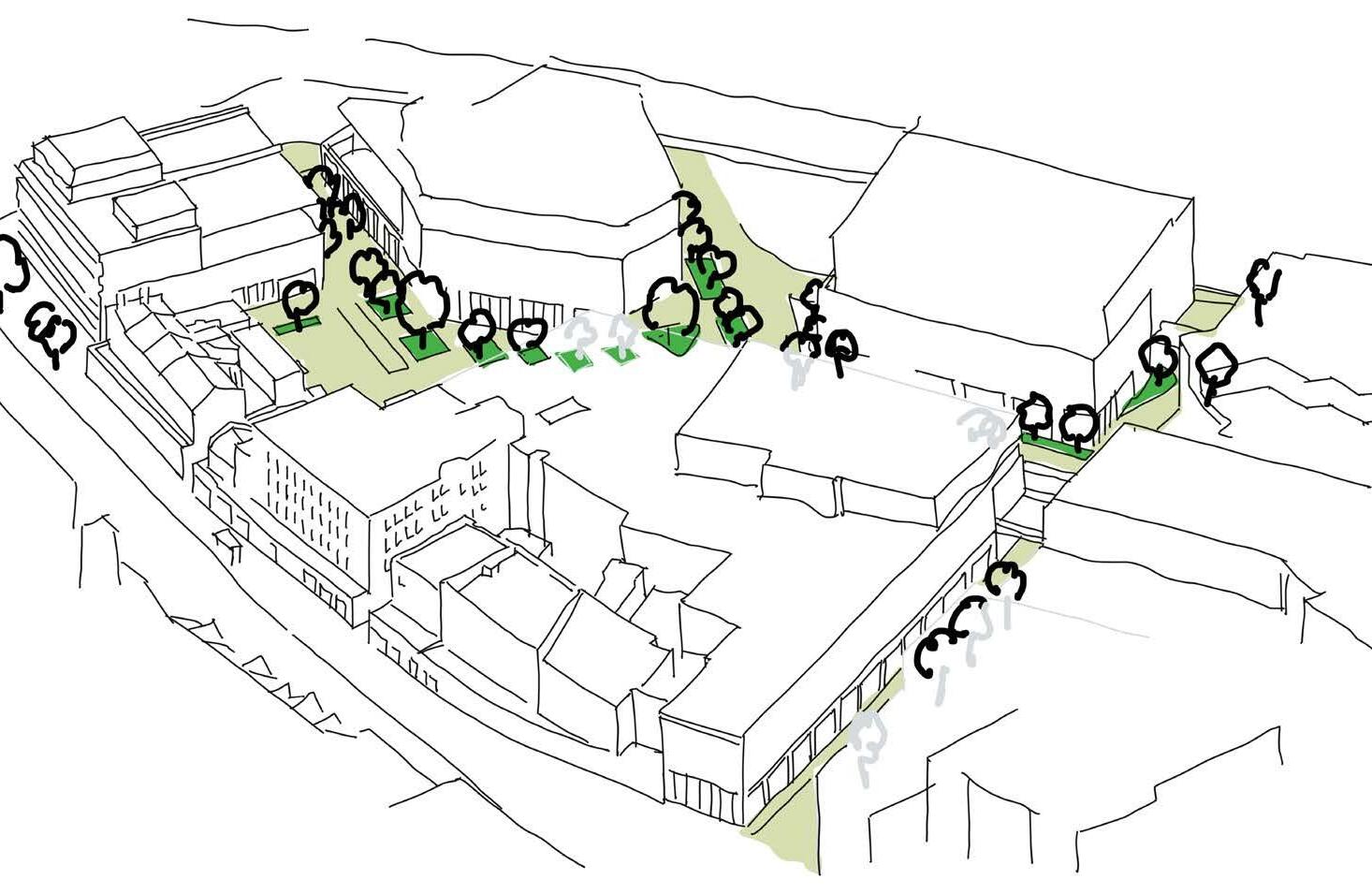
Ruderal meadow
Lewisham High Street
New Model Market
Romer Place
Sculpture Park
Rhyme Square
SOFT LANDSCAPE
Pioneer Meadow Palette
1. Ruderal meadow planting
I. Thrive in various aggregates soil
II. Low height planting
III. On a poor nutrient soil
IV. Effect of a sparse ground cover
V. Urban self propagating plant
Mix of grasses:
• Carex eburnea
• Melica uniflora f. albiflora
• Sesleria autumnalis
Mix of euphorbias:
• Euphorbia corallioides
• Euphorbia cyparissias
• Euphorbia polychroma purpurea
Mix of urban wild plants:
• Acaena buchananii
• Cymballaria pallida or Linaria pallida
• Sedum spurium ‘Fuldaglut’
• Solidago virgaurea
• Matricaria dioscoidea
• Amaranthus deflexus
• Erodium cicutarium
• Draba verna
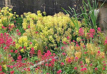


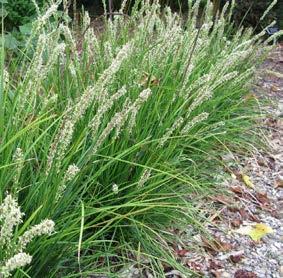


SOFT LANDSCAPE Meadow Case Study
The
By Hoerr Shcaudt Landscape architect
What we can learn from:
• The loading constraints of the existing roof: they created an innovative ultra-lightweight soil mix, carefully designed with a green roof specialist, to support larger perennials and grasses.
• Ensuring establishment: the supplier created and maintained a test mock up on the roof for one growing season prior to construction.
• The large scale: Over 40,000 individual plants delivered to the roof
• Starting small: The designer sourced mostly small plug plants, inserted into a biodegradable erosion mat, treating the site as a nursery.
• Water storage: these meadows perform as a giant sponge, intercepting over 300K gallons of storm water, helping to divert it from entering the city’s sewer system.
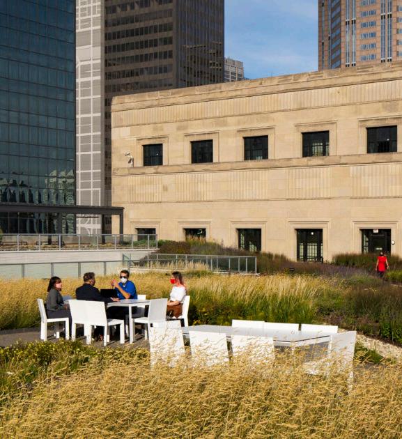
Meadow at Old Chicago Post Office, Illinois, USA
SOFT LANDSCAPE
Tree Strategy
As with meadows, trees hold extensive value to people and the built environment in environmental, ecological and sensory context. In order to maximise Urban Greening Factor and Biodiversity Net Gain, the entire masterplan looks to propose circa 300+ trees within key public spaces and streets at grade, on podium and residential roof terraces.
Trees are also integral to reinforcing the narrative of Lewisham Meadows. Selected species support each of the meadow characters, while responding to technical challenges such as microclimate, build ups, drainage, soil fertility & climate resilience. The following diagram shows the distribution of trees, with example images of tree species for each meadow character.
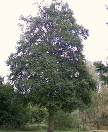
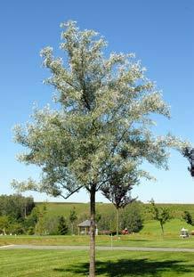
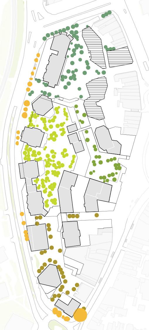
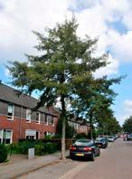
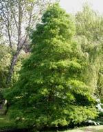

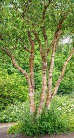
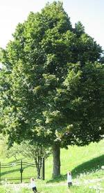
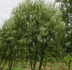
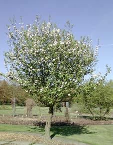
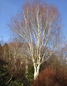
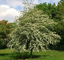
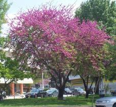

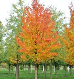
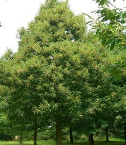
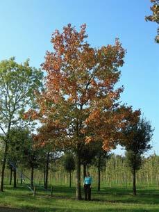
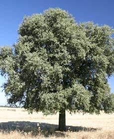

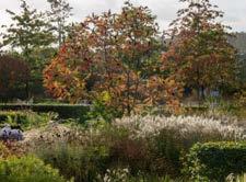


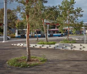
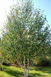
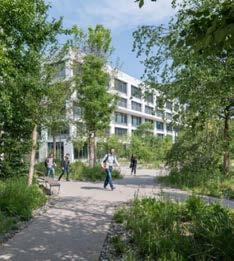
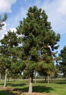
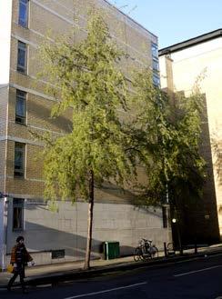
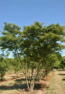
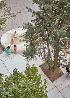
Wildflower Meadow Water Meadow
Rocky Heath Meadow
Pioneer Meadow
Salix babylonica tortuosa, Eleagnus angustifolia, Alnus incana, Taxodium dystichum, Betula alsbosinenesis, Tilia platyphyllos
Malus sylvestris, Betula utilis ‘jaquemontii’, Crataegus monogyna, Cercis siliquastrum, Koelreuteria paniculata, Acer sacharum
Pinus nigra, Quercus ilex, Amelanchier lamarkii, Rhus typhina, Cornus mas, Erica arborea, Hammamelis
Pinus nigra, Betula utilis, Carpinus japonica, Populus tremula, Catalpa bignonioides
HARD LANDSCAPE
Surface Materials
The existing paving materials found along the surrounding streets of the site consist of concrete block in red and grey tones, with large stone paving slabs in grey and natural colours. These tones can also be identified within the facing materials of the existing shopping centre.
Studying the site has helped to inform the material strategy for the public realm, by using high quality block paving in different forms, finishes and bonds to define a hierarchy of spaces. Using familiar materials in a range of formats can improve the coherence and legibility of the town centre, whilst respecting the fabric of the existing streets.
In greener spaces where pedestrians will be moving at a slower pace, granular stone surfacing will be introduced in lieu of block paving, to break up and diversify the use of space within the Northern Square and on The Park (level 02).
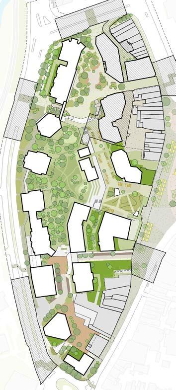
Existing palette of materials
Suggested palette of materials
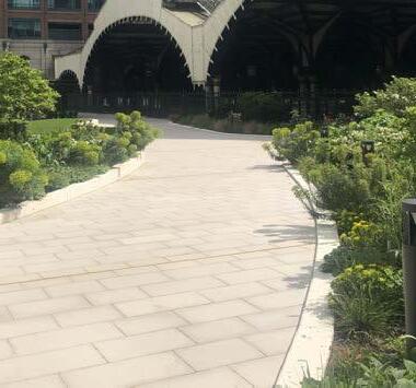
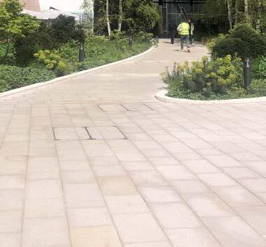
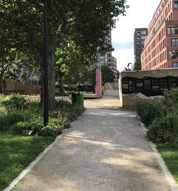
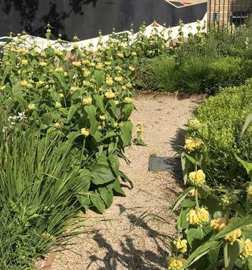
Natural stone paving along Lewisham High Street Concrete
Adoptable paving materials along the site’s perimeter; natural stone and concrete block
Aggregate based surface within green spaces in the Northern Square and on the Podium Park
Red concrete block paving along Molesworth Street
Textured concrete facade to the Shopping Centre Brick facade to the Shopping Centre
HARD LANDSCAPE
Circularity
The build out of the development will likely produce an abundance of material from the shopping centre demolition works. In response to this, there is an opportunity to place material reclamation, reuse and recycling as a core design consideration for the construction and appearance of the public realm. This in turn helps to reduce the embodied carbon of the landscape design.
With circularity in mind, the landscape and public realm has the potential to combine sustainability and innovation with high quality design. To do this, a survey will firstly establish what and how materials can be reused. Whether brick, clay, concrete or steel, reclaimed materials will help to add distinctiveness and character to the public realm; creating a place that is rooted within Lewisham and distinctive within the masterplan.
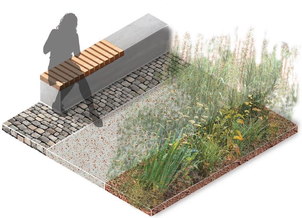
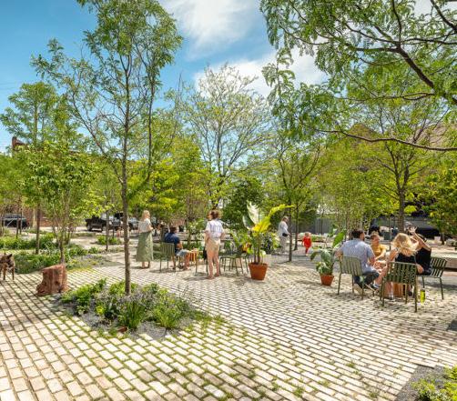
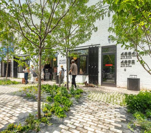
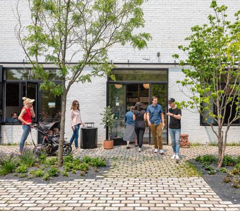
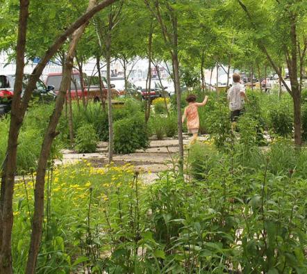
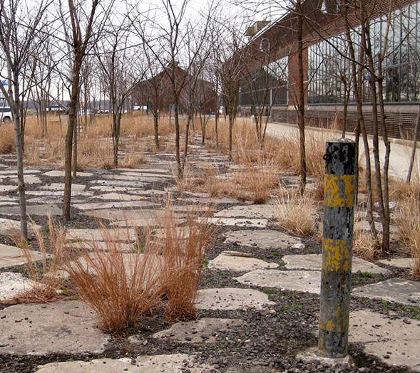
Crushed brick used as planting mulch
Crushed materials utilised within concrete mixes
Reclaimed structural slabs and beams
Reclaimed natural stone
HARD LANDSCAPE
Features and furniture
The development looks to provide a safe and inclusive public realm for a wide range of users, of varying ages, abilities and neurodiverse conditions. A consistent approach to materials for features and furniture will help to form a cohesive urban landscape throughout the masterplan. Furniture can also differ slightly from one character area to another (by varying formats, sizes and finishes) to reinforce the designated landscape meadow character.
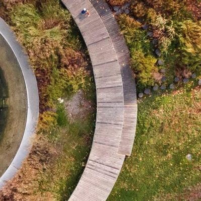
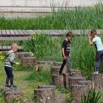
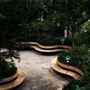
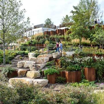
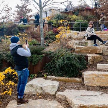
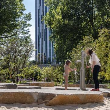
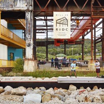
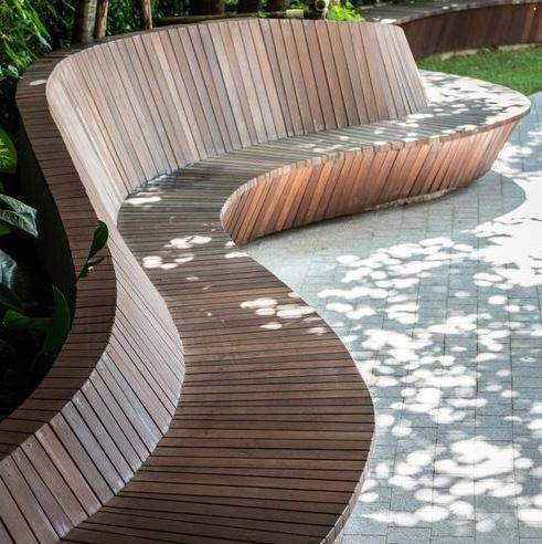
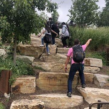
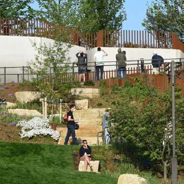
Timber Seating & Decking
Timber provides a comfortable surface for people of all ages and abilities to sit on. It is also complimentary as a deck or platform against water, typically found on waterfronts and beside rivers or ponds. This is evident in the Northern Square where timber platforms are designed in a cascading arrangement to maximise recreational use and play value for everyone.
Large boulders embedded within the landscape can provide visual and sculptural value that will help to reinforce the landscape meadow characters for each zone. They can also be selected and arranged for informal seating, or as stepping or climbable features within a playable landscape.
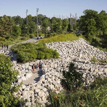
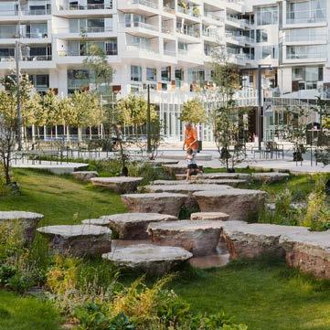
Reclaimed materials
The partial demolition of the shopping centre presents an opportunity to reduce the embodied carbon of the landscape be salvaging construction material, to be reused as either landscape features, play items or furniture.
Natural stone features
PLAY
Approach to play
The masterplan looks to create an engaging, inclusive and safe public realm. This can be achieved by designing for a wide range of users that will populate and animate public spaces. Play is fundamental in creating an inclusive environment by inviting people of all ages, abilities and backgrounds to explore, foster interaction, learn and develop skills.
The play experience at Lewisham Shopping Centre will range from playable landscapes and opportunistic play features, to small pocket playgrounds and a destination play space. A diverse offering such as this will help ensure the entire masterplan provides various levels of play value.
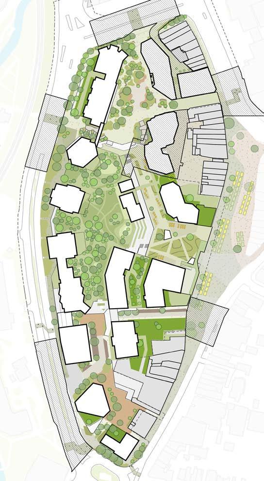
Types of Play Provision
Waterside play
Sculptural play
Natural parkland play
Equipped play
Doorstep play
Non-prescriptive town centre/ streetscape play
Outdoor gym & exercise equipment
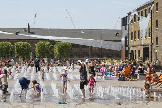
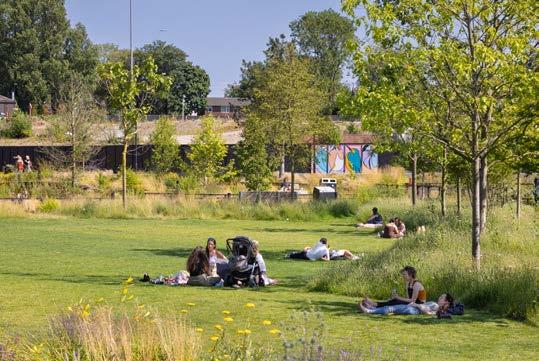
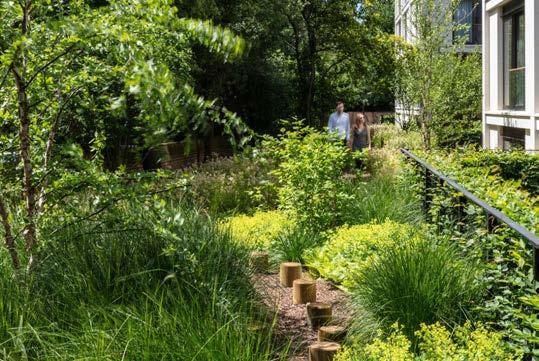
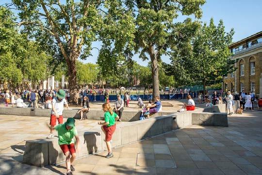
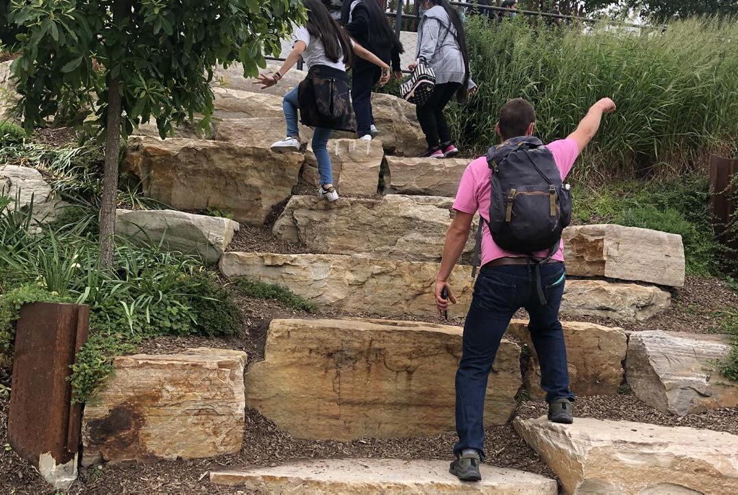
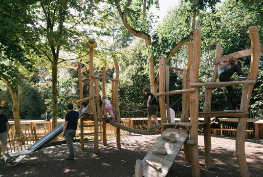
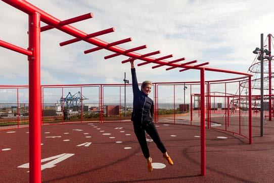
PLAY
Play Space Requirements
The illustrative masterplan development provides 28,400 sqm of publicly accessible open space.
Using the GLA play space calculator, the proposed tenure mix determines the masterplan should provide 2,356sqm of play space for all children and young adults aged 0-17 years on site.
This makes up 8% of the total open space provision; ensuring there is a significant surplus of landscape, public realm and walkable streets to serve the local community and visitors of Lewisham shopping centre. There is no loss of existing open space as a result of the proposed design.
The detailed component of the hybrid application includes a play strategy for the anticipated children of N2. Play opportunities for the youngest of age groups 0-4 years will be accessible directly from the shared amenity roof. Older children will utilise the key public spaces, such as the park and eastern terrace for play provision.
For more information please refer to the N2 Design and Access Statement, within the detailed component of the hybrid application.
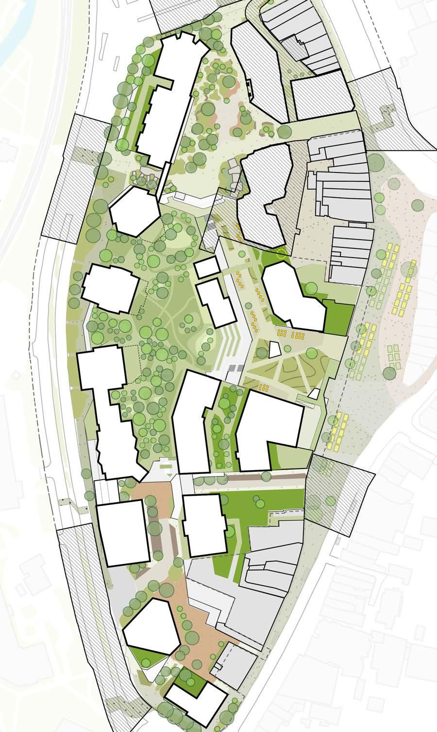
Illustrative
PLAY
Amenity and Microclimate
Daylight & sunlight studies show the public realm throughout the masterplan does comply with the BRE guidance, whereby 50% of amenity areas will receive at least two hours of direct sunlight on the 21st March. The diagrams to the right show the extent of sunlight split into the three key public levels (00, 01 and 02).
Light studies also help to inform the location of key public spaces and play areas, demonstrating a minimum standard for light is met for children, parents and carers to use the space comfortably, particularly during the darker and colder months of the year.
While it is crucial to meet light requirements to benefit the quality of public spaces and increase the likelihood of their use, the masterplan design also acknowledges the importance of shade during the hotter and sunnier months of the year. The soft landscape strategy therefore looks to maximise tree planting at grade and on podium levels for this reason.
Refer to the DL/SL report for more information.
SUSTAINABLE URBAN DRAINAGE (SUDS)
and climate resilience
Lewisham town centre sits within a flood zone, as identified in the Site Assessment Chapter of this document. This is primarily due to the confluence of two rivers (Quaggy and Ravensbourne) at the northern end of the masterplan where the levels are naturally at their lowest. Additionally, the town centre will need to address the challenges emerging from the impacts of climate change. It is therefore essential for landscapes, people and nature to embrace climate resilience and adaptability to thrive and succeed in the long term.
An integrated approach to drainage is outlined between the landscape architect, flood risk engineer and civil engineer. The public realm design therefore maximise SUDS features wherever possible at ground level to address fluvial flooding and heavy rainfall events by providing a variety of ways to attenuate water and reduce rates of flow into the sewer network. The hard and soft landscape will work together as an interconnected system to hold water above ground, guide water into planting beds, capture silt and pollutants in rain gardens.
Refer to the Drainage Strategy report for more information.
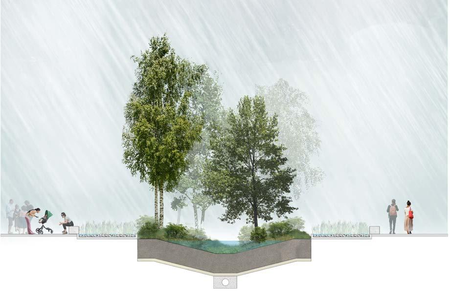
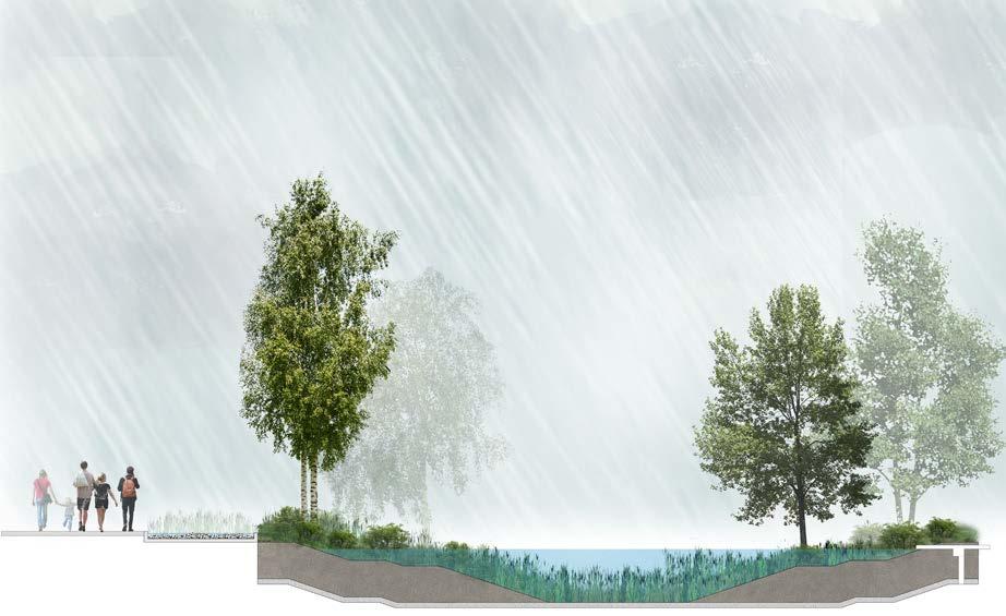


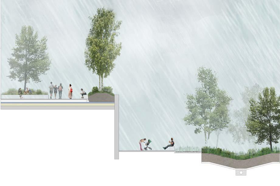
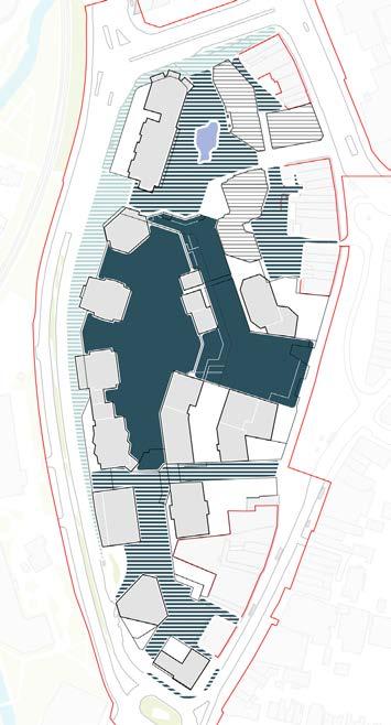
ECOLOGY
UGF and BNG
Urban Greening Factor is a method used to evaluate the quality and quantum of urban greening for developments in accordance with the GLA’s “London Plan Policy G5”. UGF is calculated based on a range of planting typologies and greening features (see table below). The London Plan recommends a target score of 0.4 for residential schemes and 0.3 for commercial schemes. The current design achieves an UGF score of 0.4. The UGF boundary excludes road crossings and as a result does not match the planning application boundary. The boundary below extends up to the back of kerb as this is the area where it is possible to improve green infrastructure. It is not possible to add additional planting to road crossings.
Furthermore, the proposed scheme totals to 5.97 Habitat Units, which amounts to a 247% biodiversity net gain from the existing condition measured at 2.42 Habitat Units. Refer to ecology consultant’s report for further information.
Both of these calculations are based on the outline illustrative landscape design and show one way in which policy targets can be achieved. The design could be adapted in the future as long as policy requirements are still met.
Types of Play Provision
Green roofs with PVs. Calculated as 50% planting.
Residential amenity terraces. Calculated as 60% planting.
Mixed use amenity terraces. Calculated as 30% planting
Meadow planting. Calculated as intensive green roof as landscape sits above concrete slab.
Cut meadow planting or species rich lawn. Calculated as intensive green roof as landscape sits above concrete slab.
Flower-rich perennial planting. Layout as per illustrative design.
Semi-natural vegetation composed of native scrub and species rich wildflower meadow.
Wetland or open water (seminatural; not chlorinated) maintained or established on site.
Hedges (line of mature shrubs one or two shrubs wide). Located adjacent to roads to capture pollutants.
Existing trees. Canopy sizes calculated as per the arboriculture surveys.
Large tree. Mature canopy size of 30m2.
Medium tree. Mature canopy size of 20m2.
Small tree. Mature canopy size of 10m2.
Vertical greening on pergola structures.
Greening Factor Calculator
Urban Green Factor Calculation Table for the illustrative outline landscape design.
LIGHTING
Hierarchy of illuminance
The site wide lighting strategy shall be designed to support the placemaking principles of the masterplan. This is done by attributing the hierarchy of spaces and routes to levels of illumination, which in turn help to inform the type of features specified.
The public realm requires a flexible and dynamic light system to host an array of town centre uses, ranging from day-to-day use by residents and shoppers, to monthly and seasonal events. The introduction of new night time economy activities in Lewisham town centre will also depend on a holistic lighting approach, ensuring the public realm is accessible, inclusive and safe to use for all residents, visitors and workers.
Key spaces and pedestrian routes must allow for a lighting approach that will accommodate active and passive use in response to varying
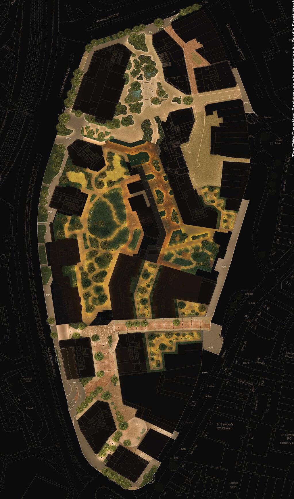
light levels throughout the year. The external environment must also provide sufficient lighting for blue badge parking users, servicing vehicles and emergency tracking.
Where possible, lighting sources shall favour hidden and recessed lighting, or light spill from buildings as a means to declutter the number of lighting features throughout the public realm. Secondary spaces and routes will have more flexibility to use alternative lighting features such as bollards, uplighters and catenary lighting.
Refer to the Lighting Report for more information.
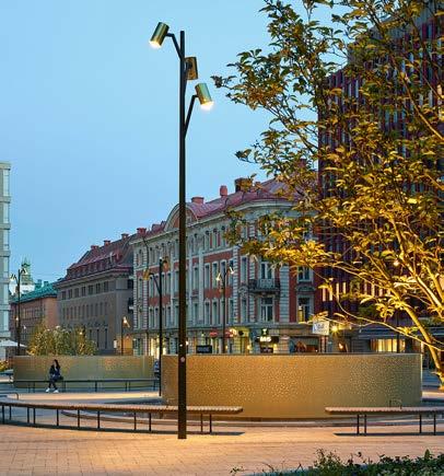
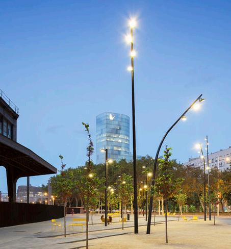
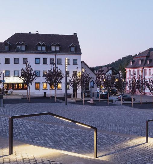
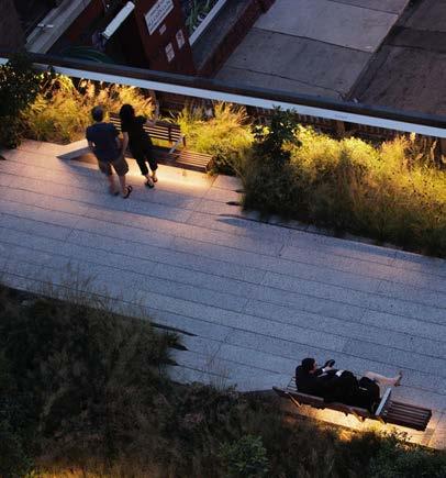
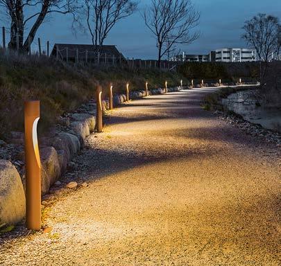
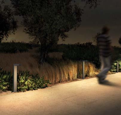
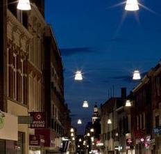
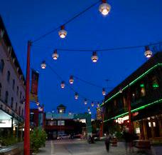
Illustration of lighting strategy (refer to the Lighting Report) Lighting
MAINTENANCE
Outline strategy
Lewisham Meadows aspires to become a benchmark development for town centre regeneration and place-making. The long-term success of the development will lean heavily on the maintenance of the landscape and public realm. A comprehensive maintenance and management strategy will be required by the estate management team to ensure the quality of spaces is consistent throughout the phased construction, completion and project lifespan of the entire masterplan.
Hard landscape
A maintenance and management regime must take into account the expected footfall of various town centre users, servicing requirements and vehicle movements. This will inform the level of resource and equipment that will be needed to repair and replace the hard landscape, which includes seating, lighting fixtures, balustrades and paving.
Cleaning and maintaining hard landscape elements (to suppliers’ recommendations) will in theory maximise the lifespan before the end of their product lifecycle. By maximising lifespan and therefore reducing the rate of replacement, the benefit is not solely practical but also environmental, by reducing the embodied carbon of the project.
Soft landscape
A successful planting design is integral to the identity and placemaking principles of Lewisham Meadows. A healthy and thriving soft landscape will depend on gardeners and maintenance teams that are skilled in horticultural understanding and management. This will uphold the developments commitment to delivering the biodiversity targets for the outline component of the hybrid application (Urban Greening Factor and Biodiversity Net Gain).
As with hard landscape, the value in maintaining the planting design goes beyond place-making and practicality. Rather, it is vital that trees, shrubs and plants can live and thrive for as long as possible to provide maximum environmental benefits (biodiversity value, green infrastructure, pollutant capture, carbon capture, urban cooling, SUDS) in addition to reducing replacement, and therefore embodied carbon.
Irrigation
The design team has worked collaboratively to test an irrigation strategy that prioritises the reuse of rainwater collected on-site.
The primary method of achieving this is through the use of the latest smart weather-controlled technology to harvest rainwater from the storm water attenuation tanks, without the need for dedicated storage and associated cost and embodied carbon implications. Expedition Engineering have calculated the predicted irrigation needs to show that harvesting rainwater from the three main stormwater attenuation tanks would meet all podium landscape irrigation in an average year, and almost 70% of the demand on a drought year. Harvesting of rainwater would require a break tank, distribution pumps, filtration system and a control system in a plantroom. This would be broadly comparable to the equipment that would be required for irrigation of the podium landscape if it was supplied from potable water. In addition to the use of rainwater harvesting tanks, the demand for irrigation is further reduced due to the selection of drought-tolerant plants.
Waterbodies
The Northern Square focusses on water, with a number of permanent ponds, SuDS features and floodable planter edges. For these systems to work they must be regularly maintained, kept free of rubbish and silt. Any standing water must be aerated using gravity and pumps.
APPENDIX
MASTERPLAN CGIs
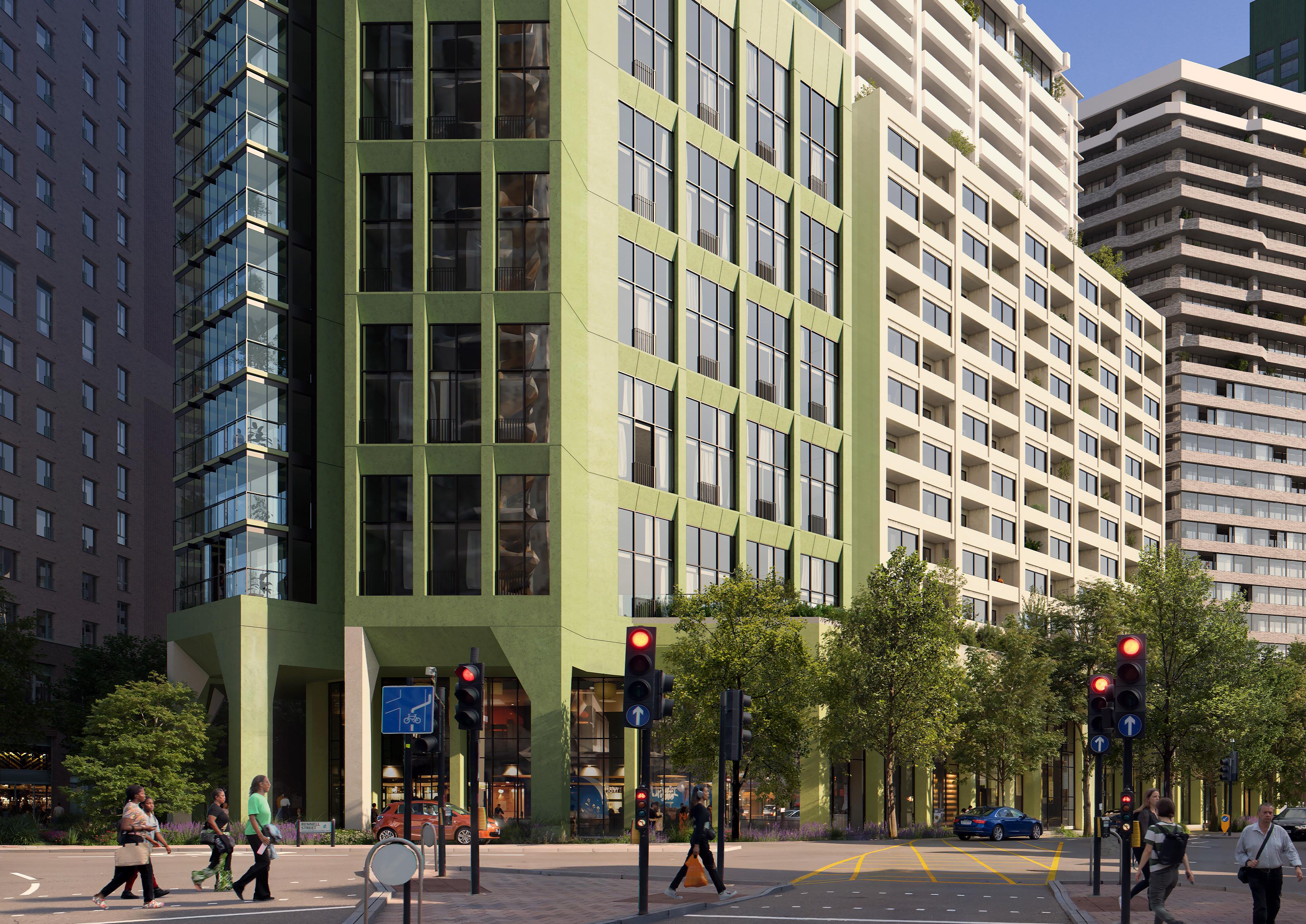
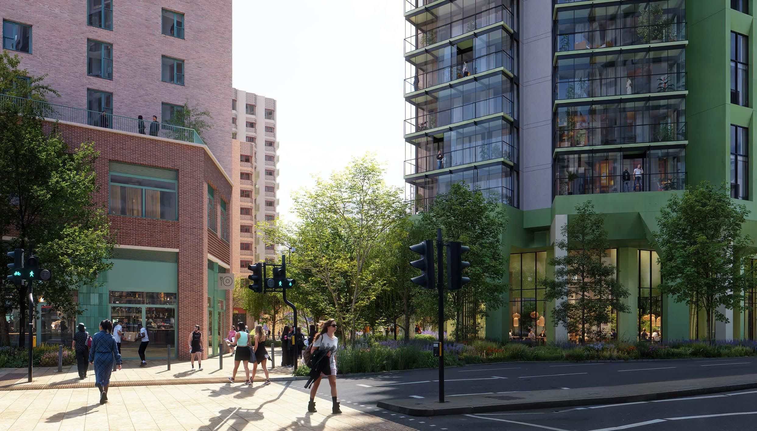
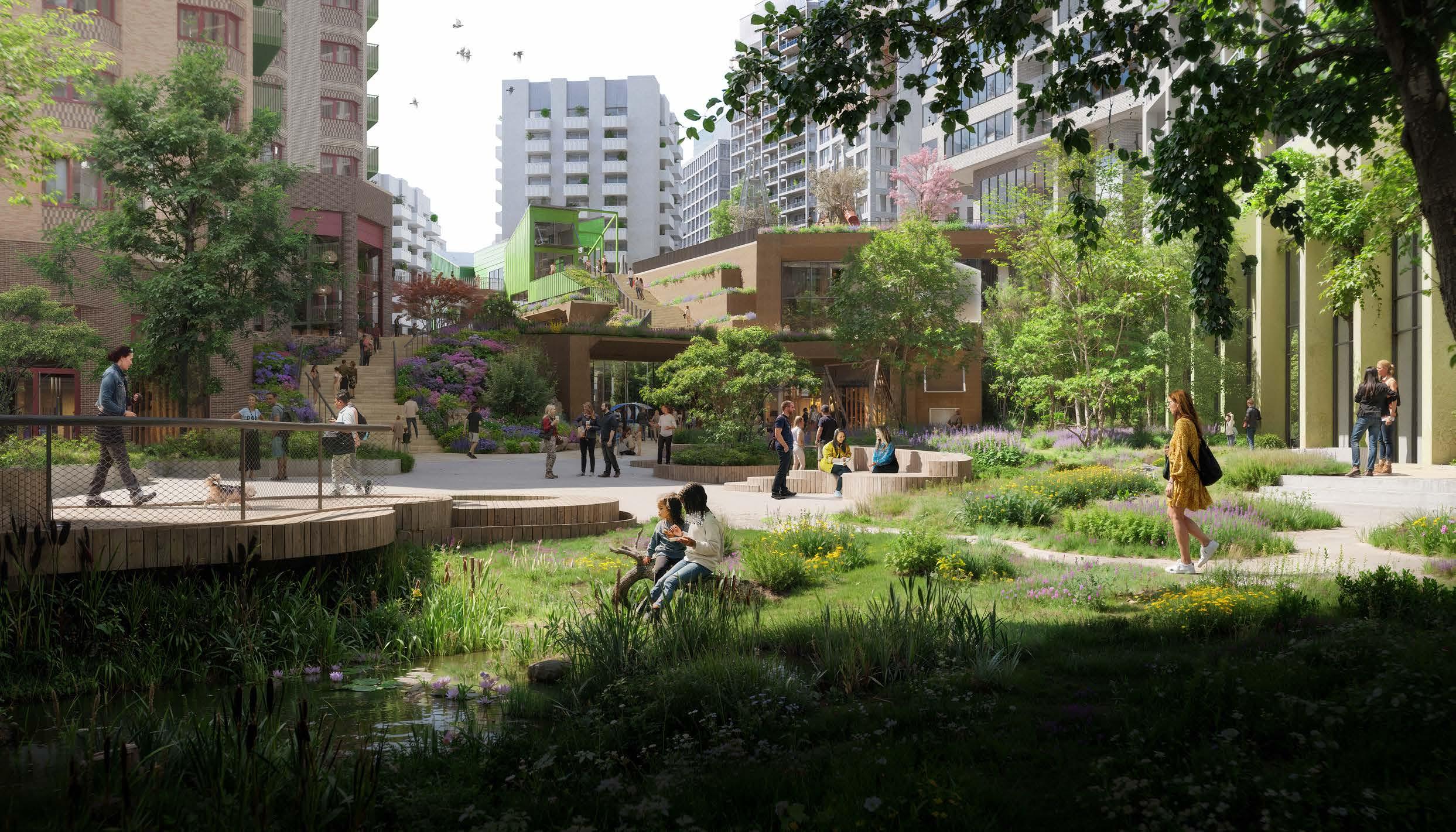
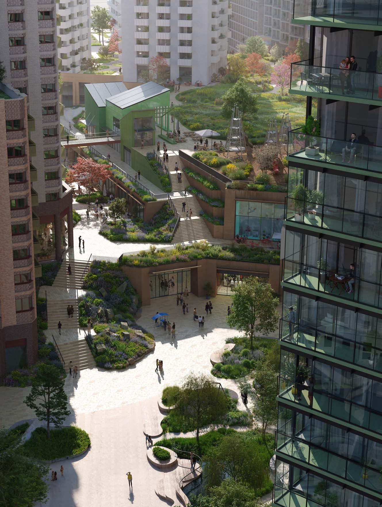
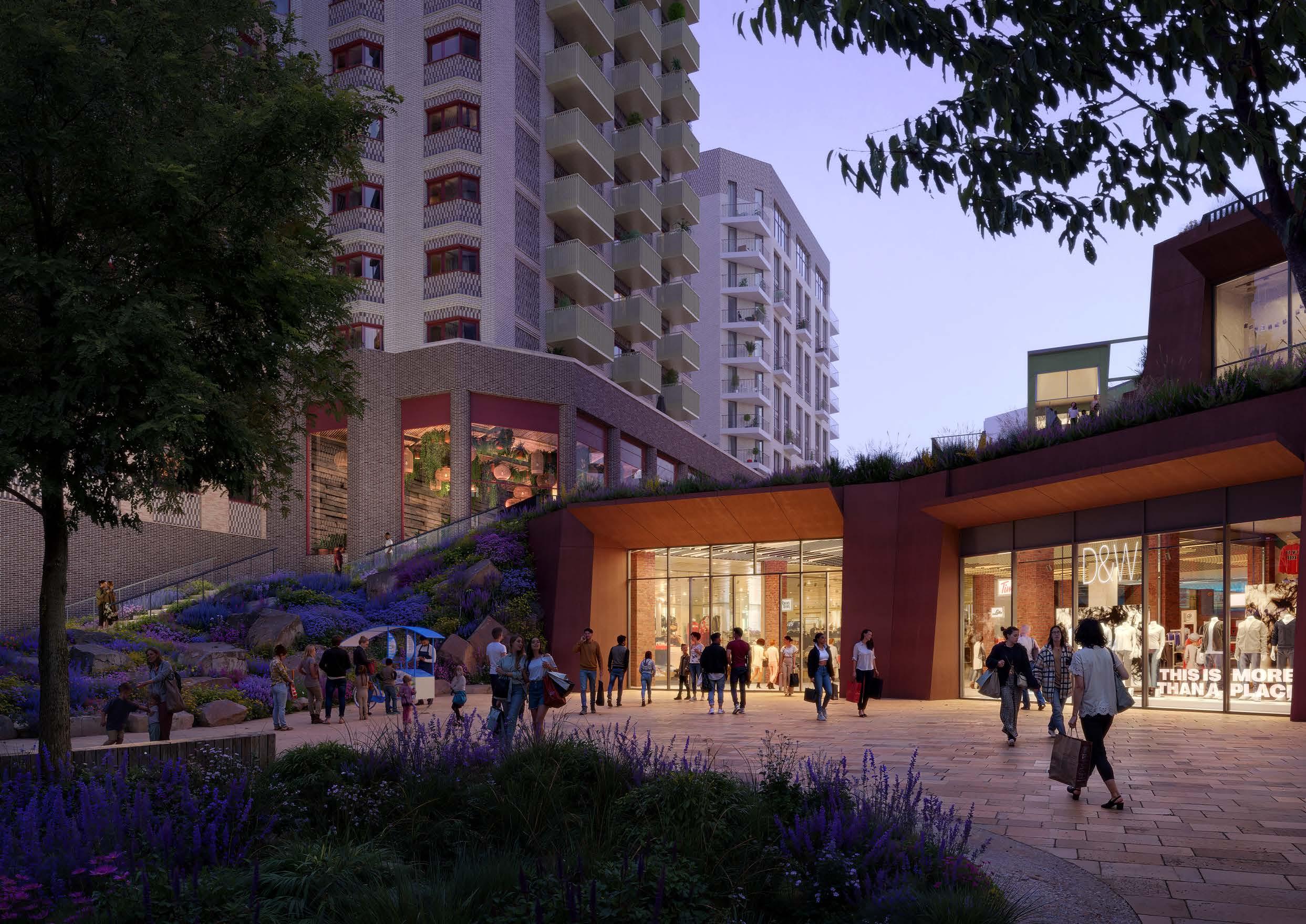
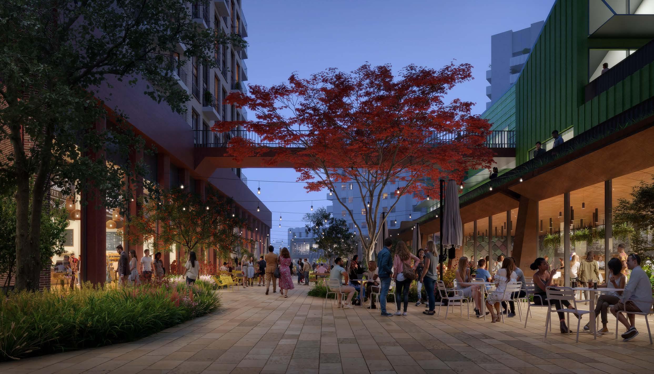
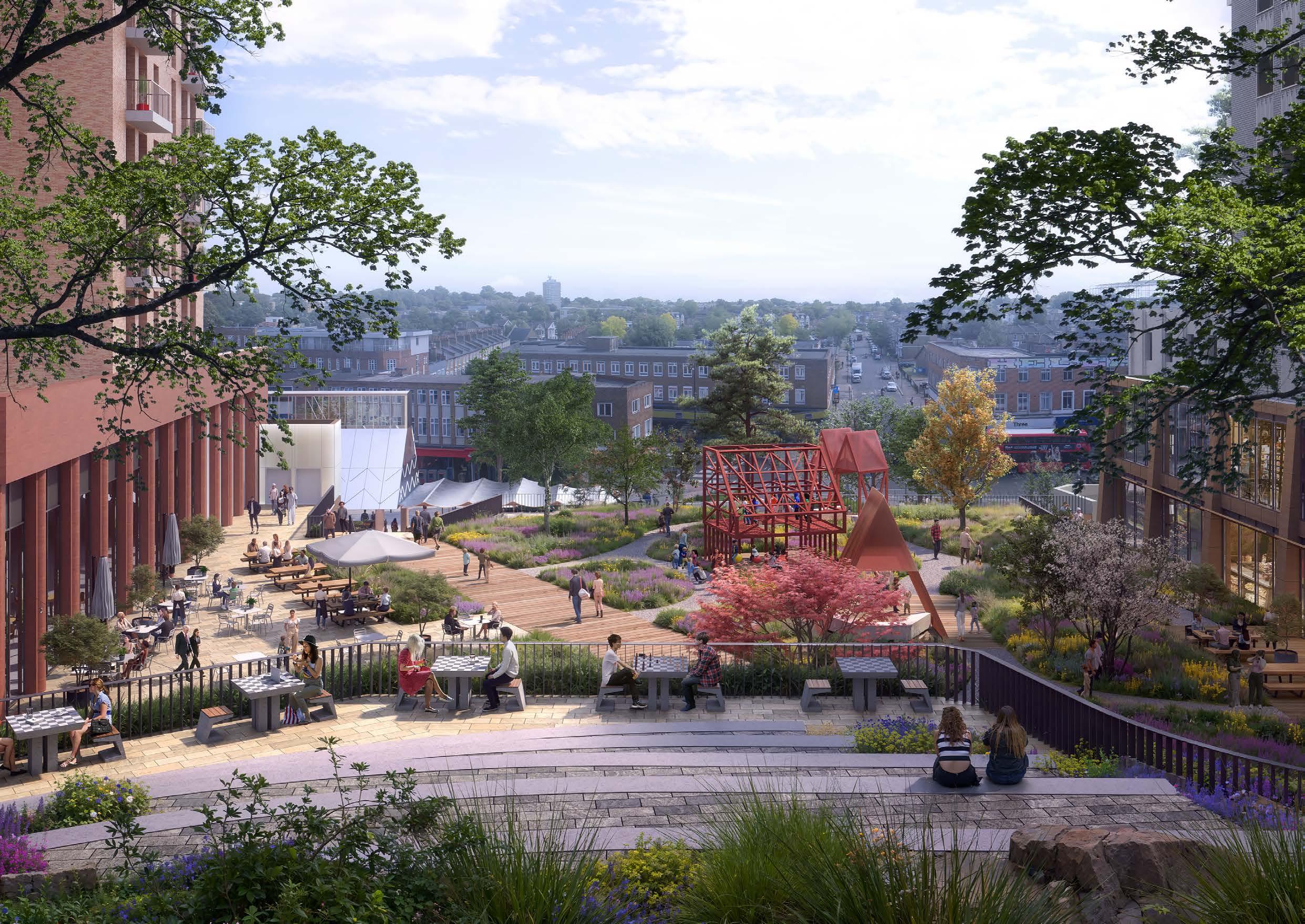
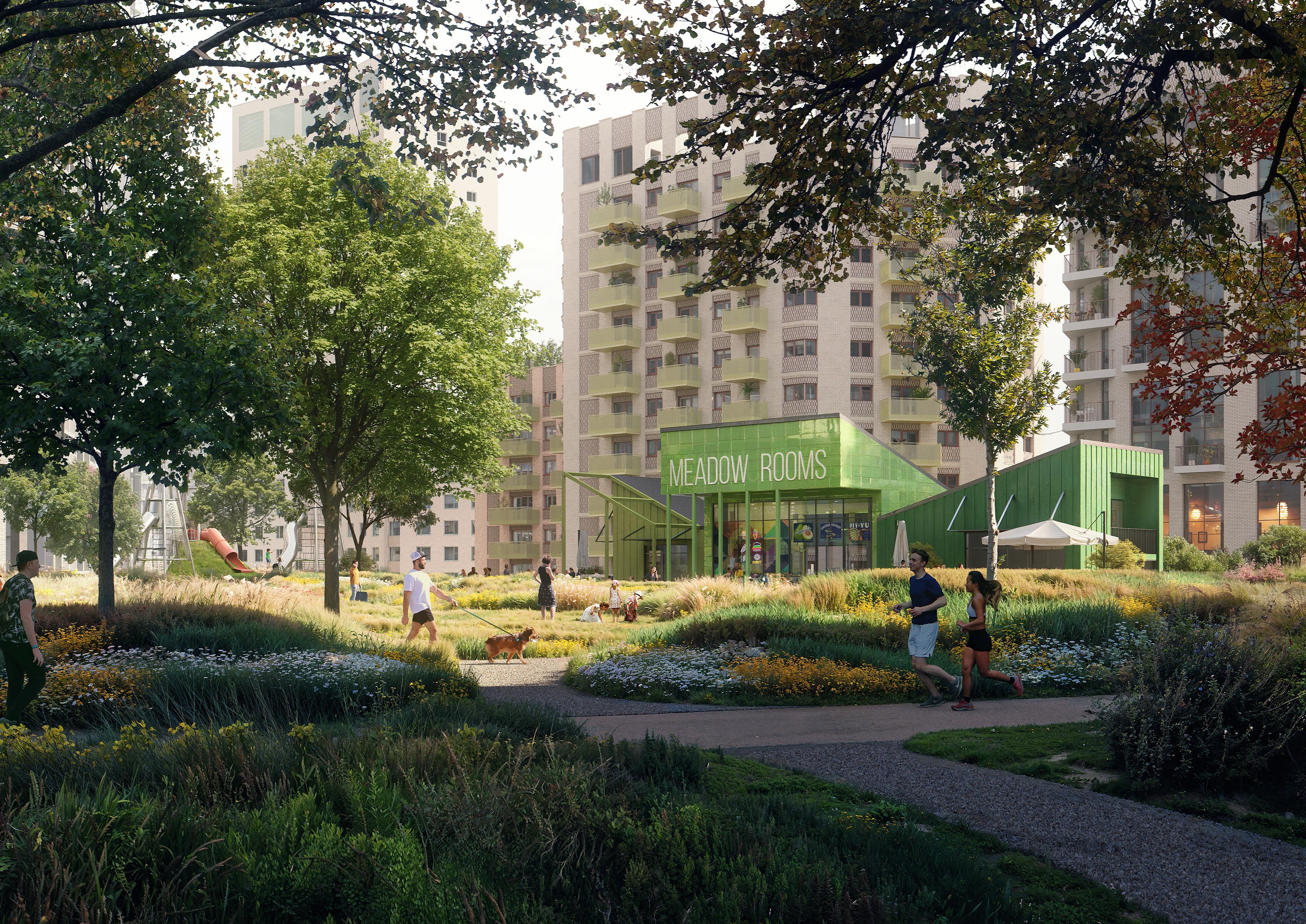
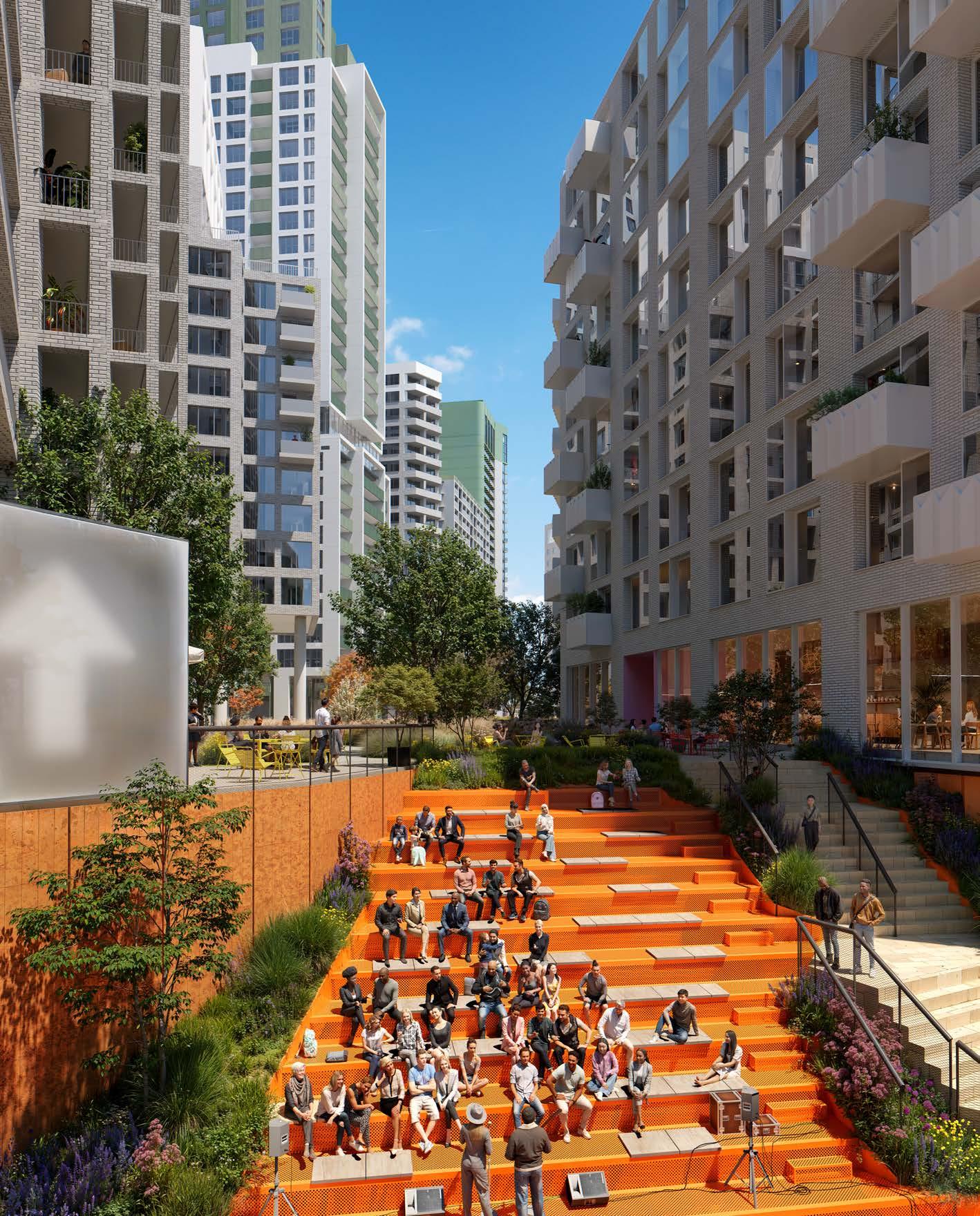
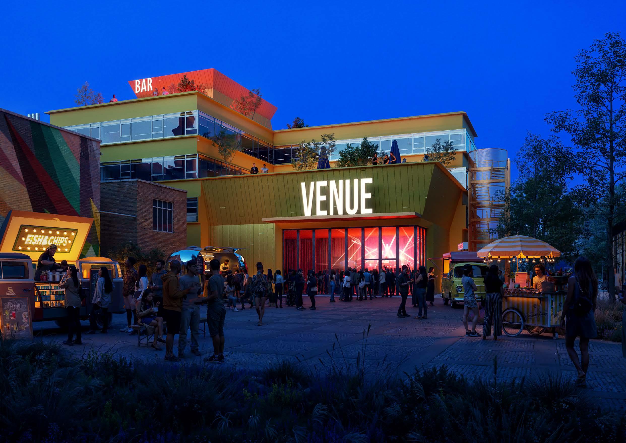
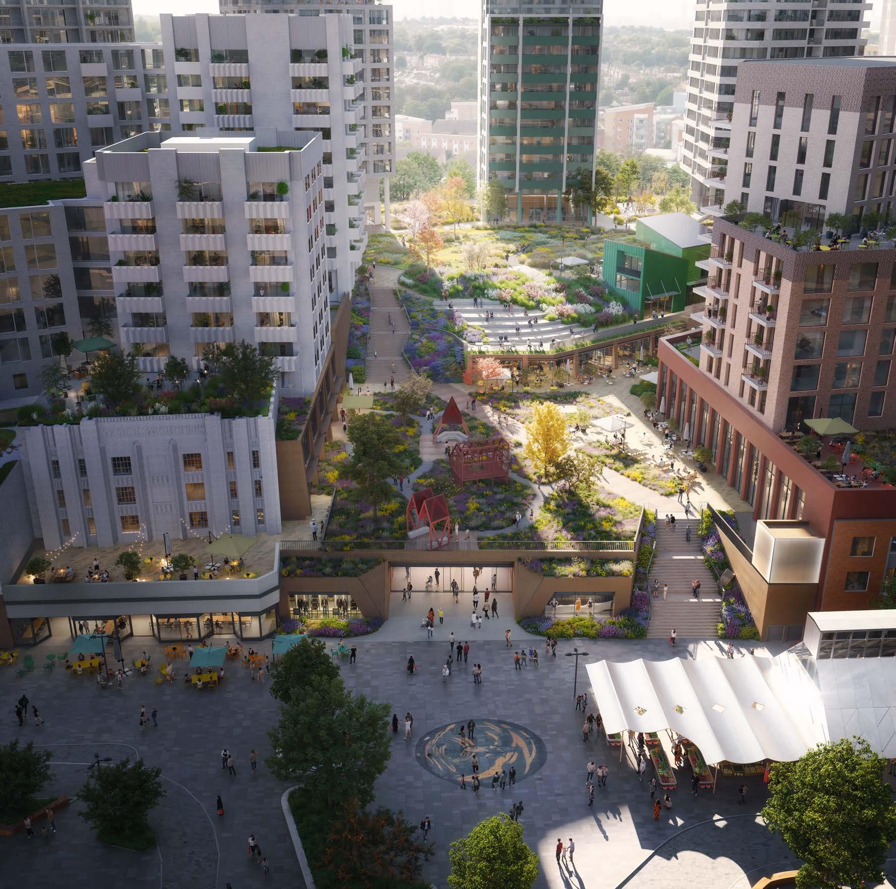
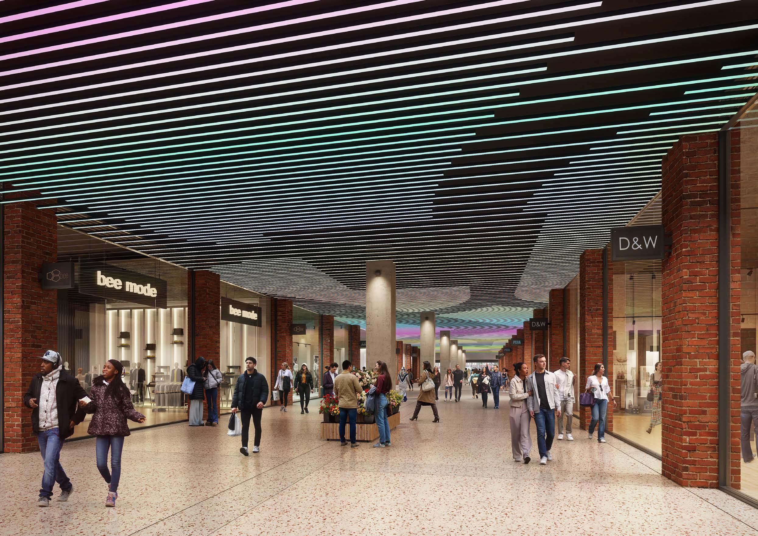
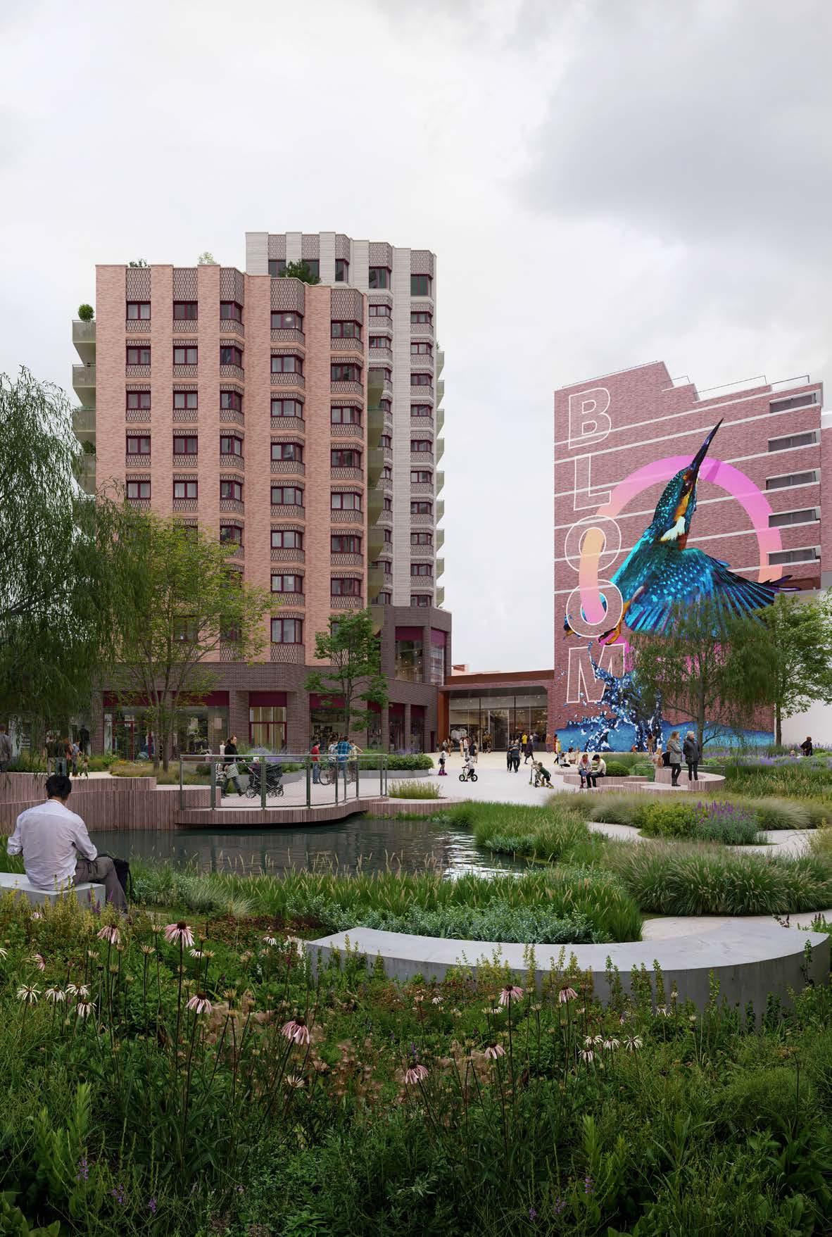
PHASE 1A FINISH WORKS
INTRODUCTION
This section describes the Phase 1a Finish Works.
Plot N2 is part of Phase 1a and is therefore part of the Detailed Component. It is the first plot to manage the complex role of delivering the development in its permanent form, while providing a connection to the remaining existing shopping centre during the construction works. Plot N2 will need to provide a revised entrance and part of the shopping mall which will allow the shopping centre to continue to operate (and to allow customers to move north and south through the site) during the construction phase and through to when the works are completed and the development is occupied. This revised structure will need to remain in place unless and until it is demolished/replaced or amended when Phase 3 is brought forward.
Plot N2 will also incorporate a ground floor entrance to the first floor retail unit for Phase 1a. This structure will also remain in place unless and until it is demolished/replaced or amended when Phase 3 is brought forward. At this stage it is anticipated by the outline masterplan proposals that the entrance to the first floor retail in N2 will be at first floor when the Phase 3 landscaping is completed. It is anticipated that the ground floor entrance will no longer be required and this structure will be demounted and remodelled as part of the Phase 3 works.
The “Phase 1a Finish Works” are required to connect the existing shopping centre and public realm into the permanent and completed finished state of building N2. It is envisaged that these Phase 1a Finish Works will be replaced or amended when the reserved matters for Phase 3 are submitted in due course. This is to ensure that when the final design of Phase 3 is known, there will be an appropriate interface with building N2.
↘ Refer to Chapter 2 of main volume for information on the existing site, site analysis and the proposal for the completed Illustrative Scheme. This chapter also sets out the complex phasing arrangement of the illustrative scheme, and how the Phase 1a Finish Works sits within this.
Design and Access Statement Illustrative Drawings
Illustrative Information Parameter Plans Design Code Development Specification Framework
Reserved Matters Application
(Future reserved matters applications will be required to adhere to the control documents set out in the outline component.
Outline Component
Control Documents
Hybrid Planning Application
Detailed Component
Detailed Plots N1 N2
Phase 1a Finish Works
THE PROPOSAL
Use
The proposed use of the Phase 1a Finish Works is set out below:
• To provide a new northern entrance to the existing shopping centre, connecting in to the existing shopping centre concourse which runs north-south
• A new retail unit between the concourse and Plot N2, accessed via the concourse Both internal spaces are capture as Town Centre Use.
Amount
The proposed amount of development is set out in the table below:
Layout
The extent of the proposal is shown in the blue outline on the plans below. The green hatched area to the north shows the Phase 1a Public Realm Scheme - the extent of proposed landscaping to the north of the Phase 1a Finish Works - as applied for in the outline component. There is an opportunity to use the roof of the retail unit as a terrace to connect to Level 01 of Plot N2.
Scale
The proposal is designed to tie into the existing shopping centre. The scale is therefore matching with the existing single storey concourse and shops. The roof level of the retail unit matches the finished floor level 01 of Plot N2.
Landscape
The permanent landscaping proposals for the masterplan as a whole are to be applied for as part of the outline component.
In the Phase 1a Finish Works, there is an opportunity to provide temporary landscaping to the roof of the new shopping centre concourse at the Northern Entrance. This will be subject to further structural investigations around the existing shopping centre.
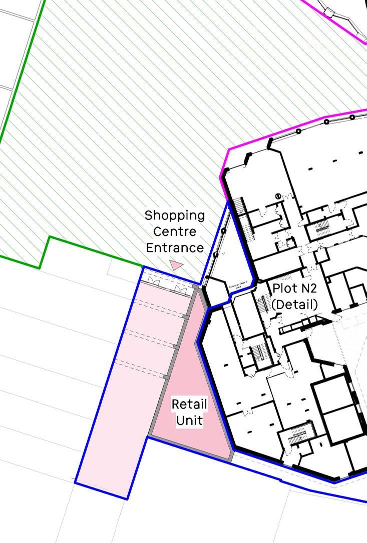
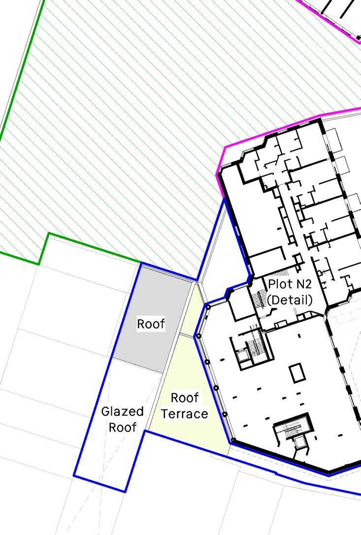
Appearance
The external appearance of the Phase 1a Finish Works is focused on the new northern entrance to the shopping centre.
Here, a glazed external elevation will be set back slightly to provide a narrow sheltered zone before entering the shopping centre.
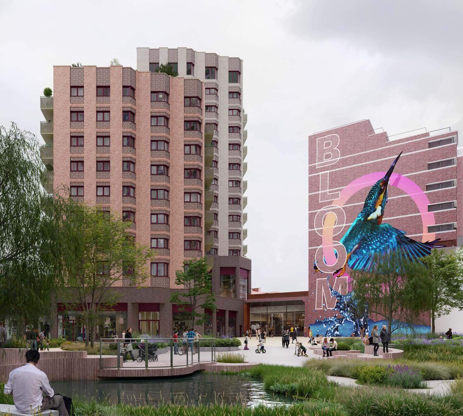
Plot N3
Plot N1
Car Park Stair Core
Car Park
Temporary Retail Frontage
Plot N2
Phase 1a Finish Works
Terrace
DESIGNING OUT CRIME STATEMENT
Introduction
Landsec is one of the largest designers and operators of mixed use estates in the UK, hosting millions of visitors to enjoy shops, offices, homes and public spaces each year. As a group Landsec have a significant in house expertise and capability in managing safety and security matters for the public.
In a town centre and mixed use context, almost any safety and security issue can arise. Our approach is to proactively manage these issues through a risk assessment led approach, but never to let our day to physical and operational strategies overwhelm the need to create an inclusive environment where everyone feels welcome.
The design of the masterplan and individual plots follow Secured by Design (SBD) principles, although it is not proposed to seek formal a formal SBD award, and there is no SBD design guide specific to shopping centres or public spaces. We have therefore drawn upon;
• The Secured by Design Homes Guide (2024) and Commercial Guide (2023)
• Approved document Q
• Landsec group policies including the Landsec Group Security Policy 2023/24
This statement reflects high level principles across the hybrid scheme. The Design and Access Statements for plots N1 and N2 pick up additional plot specific matters, as will reserved matters applications for future plots.
In line with London Plan policy D11 – ‘Safety, security and resilience to emergency’, the design of the Proposed Development has been informed by a security specialist. The Project Approach on Inclusive and Secure Design Principles is as opposite.
The statement has been prepared following a Secure by Design preapplication meeting with the Designing Out Crime Officer and Counter Terrorism Security Adviser held in July 2024.
SECURE PLACES
Arrangement
• Clear, legible, generous and well lit primary circulation routes.
• Focussed seating areas to consolidate larger groups of people gathering.
• Utilising levels change to create clear separation between private, semi private and public spaces.
Planting
• Raised tree canopies to allow for clear sight lines
• Meadow character minimise shrub and hedge planting
Activity
• Clear definition of programmed space
• Overlooking of public space from adjacent buildings.
• Separation between vehicles and key pedestrian areas.
INCLUSIVE PLACES
Accessibility
• Increasing permeability through the site
• Multiple points & types of vertical access to multi-level landscape
• Suitable furniture, play equipment and surface materials for all users
• Spaces with different levels of activity for various neurodivergent needs
Amenity
• Enhancing shopping centre offer with evening and night time uses
• ‘House in the Meadow’ community use
• Community-owned music venue
Sense of Belonging
• Public spaces of varying characters targeting age groups as a result of consultation
• Learning from Mayfield Park
Principles
We will deliver a safe environment through;
• Ensuring that the estate is inclusive in its design and management, so that all visitors and residents feel welcomed and also have a sense of ownership. We will create a place which local people wish to protect.
• Adopting good design practices, following Secured by Design principles, including suitable lighting, clear sight lines, and appropriate access control
• Ensuring that physical protection measures, such as hostile vehicle mitigation, are proportionate and only negatively impact the public realm where necessary
• Specifying best in class security systems including CCTV, PAVA and smart lighting
• Maintaining our spaces and systems to a high standard so that they are always secure, not just on day 1
• Working closely with partners, including the Metropolitan Police, Lewisham Council and the Safer Business Network
These principles will be deployed using a ‘defence in depth’ layered security philosophy, which once established will aim to ensure (in conjunction with any future operational security management regimes developed) provision of a safe and secure environment for residents, workers, and visitors operating within the development. This layered approach has been indicated within the graphical representation shown below.
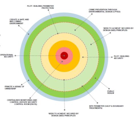
Operational Management
Critical to the successful management of security across the new estate will be the continuity of the existing centralised management systems approach. The current shopping centre has a secured control room from which various systems are managed and this will continue in the redeveloped estate. A new control room will be provided during the build of phase 2 before the existing control room is decommissioned in phase 3, ensuring continuity of management.
The existing management approach will become more complex in the future arrangement as the site moves from a predominantly retail only location to a mix of uses. This will require an expansion of both operational systems and the size of the management team. This growth will happen on a phased basis as they scale of security needs expands over time.
The ‘common parts’ of the estate and shopping centre will be managed by Landsec, but it is possible that residential buildings could have a variety of management organisations depending amongst other things on the residential tenure of those buildings. Individual building systems will connect where appropriate to central ones to ensure that a seamless approach is taken regardless of the potential complexities of mixed use.
Access
Access across the estate and into buildings will be managed on a layered basis. The classifications of different layers are as follows;
Public, 24/7 Northern Square
Public, not 24/7 (external) Podium Park / The Street
Public, not 24/7 (internal) Shopping Centre
Residential Lobbies Plot N2 lobby
Residential Private Cycle stores
access control required. Spaces will be monitored by CCTV and security team foot patrol.
No public access after publicised closing times. ‘Soft’ measures preferred eg Tensa barrier and enforced by patrol teams aided by CCTV. Additional physical barriers if proposed to be specified at reserved matters stage.
Doors closed at publicised closing time. No access to public after this time. Access still available to staff as required using key fobs.
During concierge hours no key fob required. Key fob required to move into secure areas at all times
Individual key fobs required to enter secure residential areas on a layered basis giving access to shared areas, individual floors and individual homes
Other Private Estate Management Only accessible with key fob issued by estate management or building management teams.
Surveillance
Natural surveillance is currently poor in the town centre due to inappropriate design and broken sightlines, and the lack of footfall in the town centre in the evening. This situation will change radically as the development progresses with a masterplan delivered on Secured by Design principles and with a significant change in residential and evening uses much increasing footfall throughout the evening and night time.
• Nevertheless a fully integrated CCTV system will be delivered through all public spaces. CCTV will;
• Deliver 100% coverage across the estate with no ‘black spots’
• Be managed centrally for all public spaces
• Record in evidential quality full colour imagery
• Store all footage for 30 days
• Be monitored 24/7
• Be enabled for facial recognition and ANPR