


For more authentic wilderness experiences, explore trails less trodden. These include the McCully Creek Trail (1812) east of
and pack bear spray.
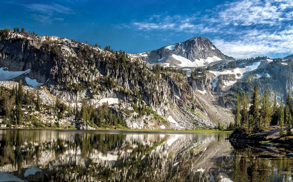
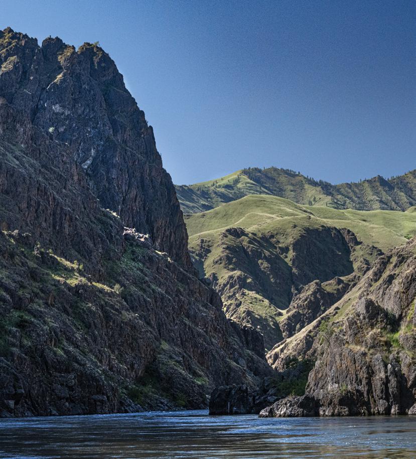
The glacially carved valleys host ponderosa and lodgepole pine, Douglas fir, grand fir and Engelman spruce. Higher elevations sport alpine fir and whitebark pine.
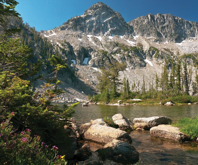
Some 534 miles of trails explore Eagle Cap Wilderness’ rivers, forests and alpine landscapes. The Wallowa Mountains Office in Joseph can offer advice on trails, road conditions and backcountry destinations, and also sells maps and books.
Trails on the north side, including the Wallowa River Trails, Hurricane Creek Trail and Lostine River Trail, provide relatively easy access to the scenic Lakes Basin at the foot of Eagle Cap Mountain. But they, and the Lakes Basin, are also the most popular and overcrowded, offering less wilderness quiet and solitude, and less opportunity for camping than other options.