With our hearts in our hands, we thank our teachers for guiding us along the path and never leaving us alone, our colleagues for their support, but above all, thank you to our parents for being a pillar in our professional development.
Jimena Gallardo Emilio Sánchez Oliver Wilson
Jimena Gallardo González
Emilio Sánchez Moreno
Wendall Oliver Wilson
Participatory Architecture of Medium Complexity
School of Architecture, Art and Design
Tecnológico de Monterrey, Campus Querétaro
Febrero-Junio 2024
Diana García Cejudo
Rodrigo Pantoja Calderón
Daniela Cruz Naranjo
Viviana Margarita Barquero Díaz Barriga
Roberto David Cevada González
Pedro Mendoza Hernández
Andrea Maria Parga Vázquez
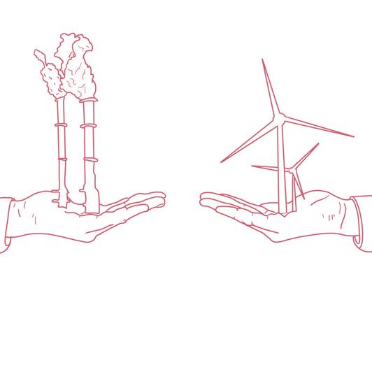
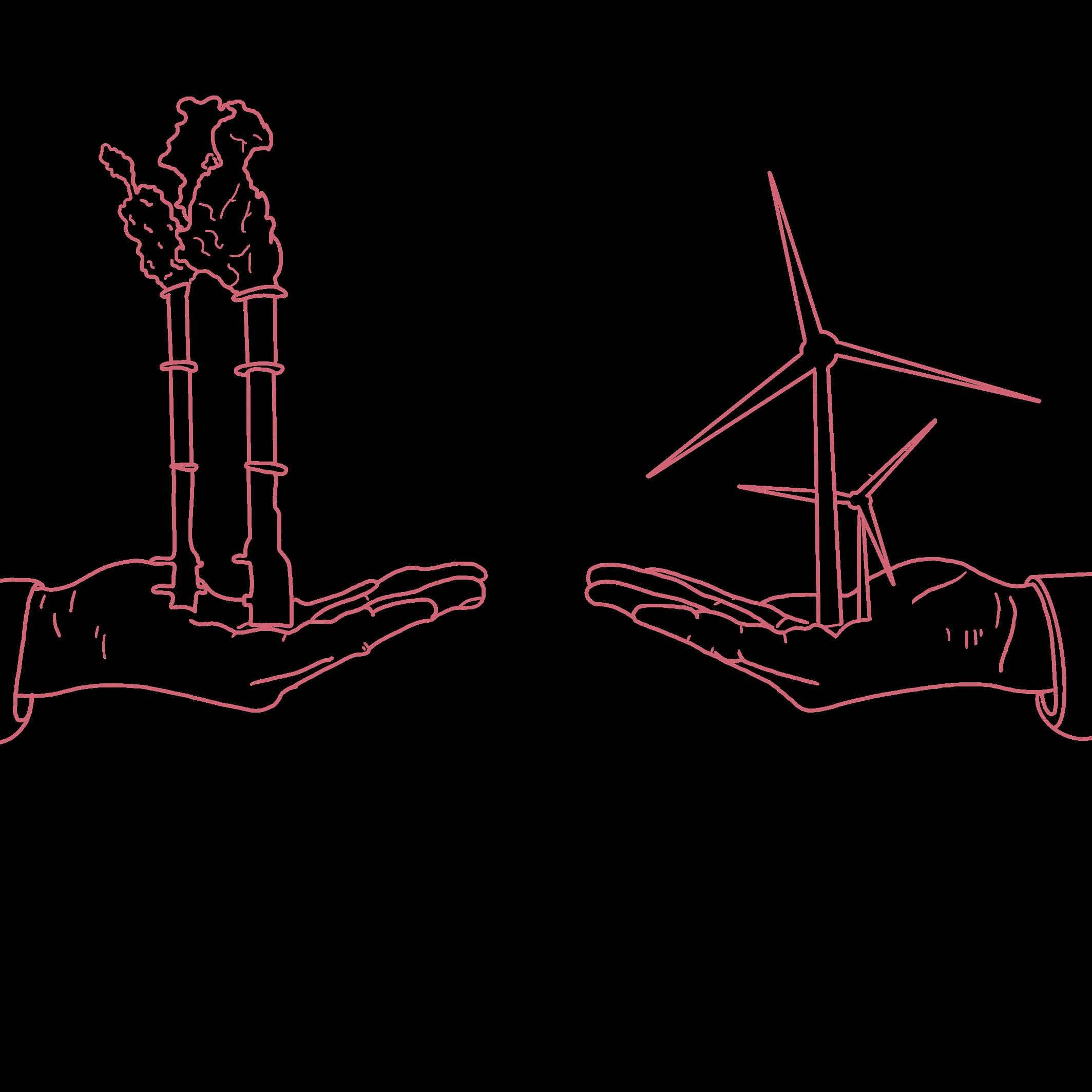
Paradigm shift
Design genesis
From ground to sky
From ground to sky
Connection nodes
1. Paradigm shift
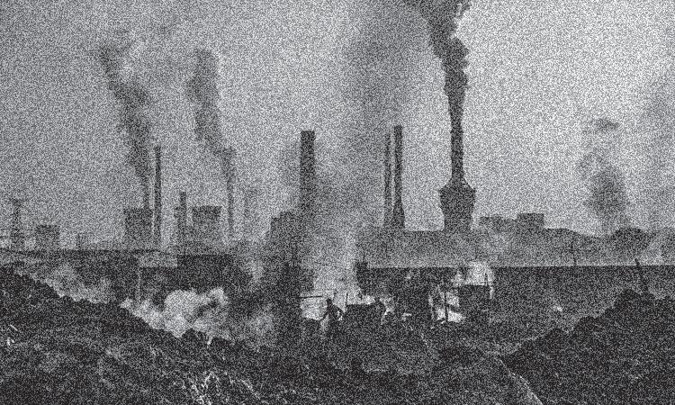
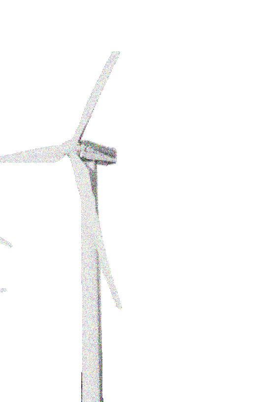
Energy transition refers to the orderly and planned process of transformation in electricity generation, aimed at shifting from conventional sources towards clean energy with sustainability criteria. This process seeks to establish an energy generation model that is environmentally more sustainable, reducing carbon emissions, and socially more inclusive. In other words, the energy transition involves the progressive adoption of new sources of electricity generation, accompanied by the necessary procedures to increase the use of clean and renewable energies as fundamental components in various productive sectors, especially those linked to electricity generation and the socioeconomic development of the country. All of this with the aim of carrying out this transition in an effective, efficient, equitable, innovative, and sustainable manner.
Definition Energy transition Renewable energy Polluting energy
Decarbonization
What does this mean?
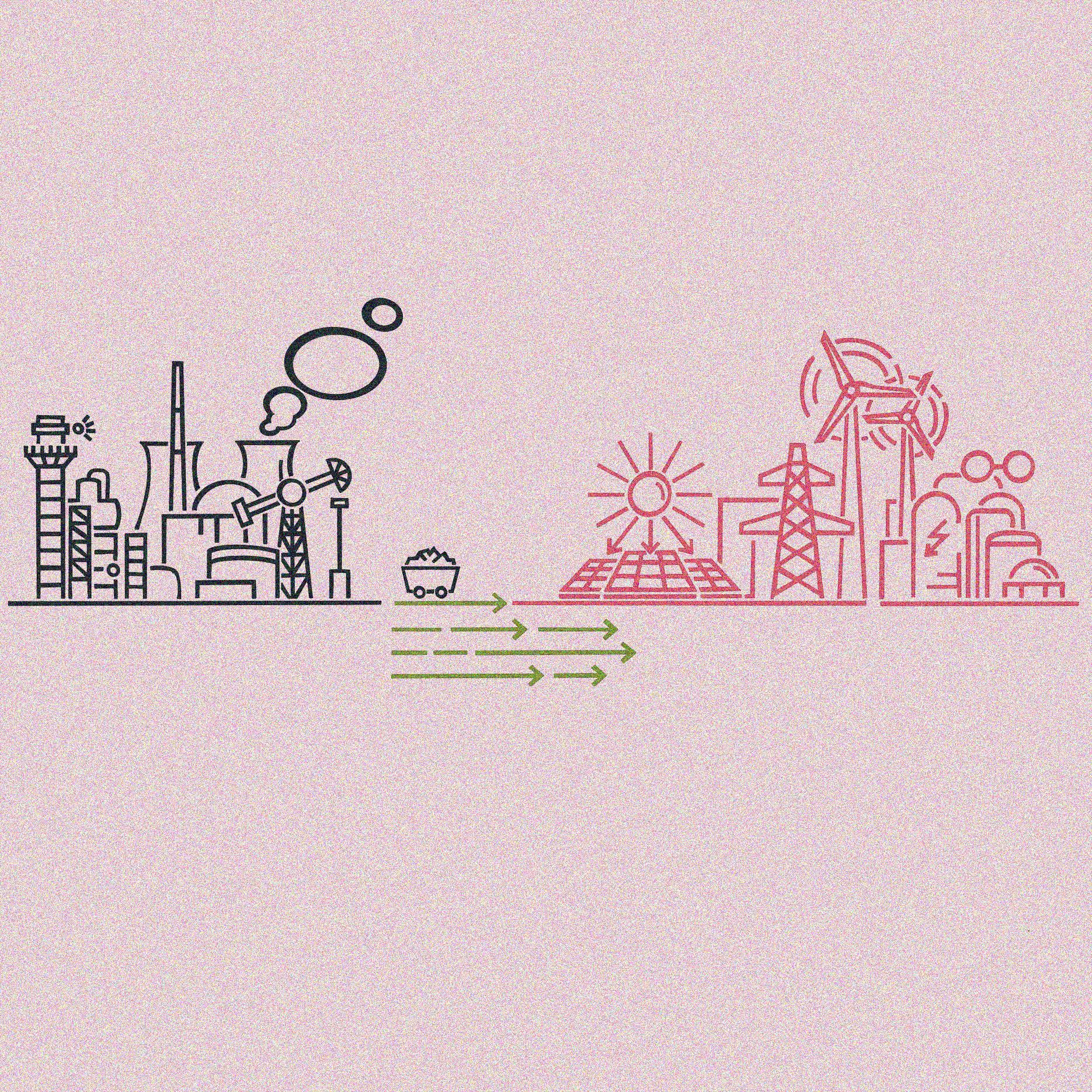
Decarbonization is defined as the process of reducing carbon emissions, mainly carbon dioxide (CO2), in the atmosphere. This approach aims to establish a global economy with low emissions to achieve climate neutrality through an efficient and sustainable energy transition.
The energy transition is a fundamental pillar in this decarbonization process. It consists of a structural change that aims to progressively eliminate the use of carbon in energy production. To achieve this goal, electrification of the economy through clean alternative energy sources is essential, ensuring emissions are in line with the planet’s absorption capacity.
This vision oriented towards decarbonization and energy transition reflects an active commitment to environmental sustainability and the mitigation of the impacts of climate change, paving the way towards a more resilient and equitable future for future generations.
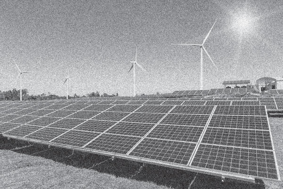
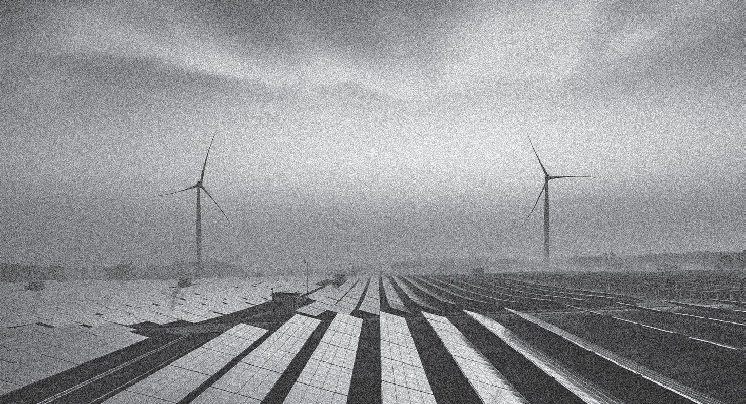
Use of solar panels
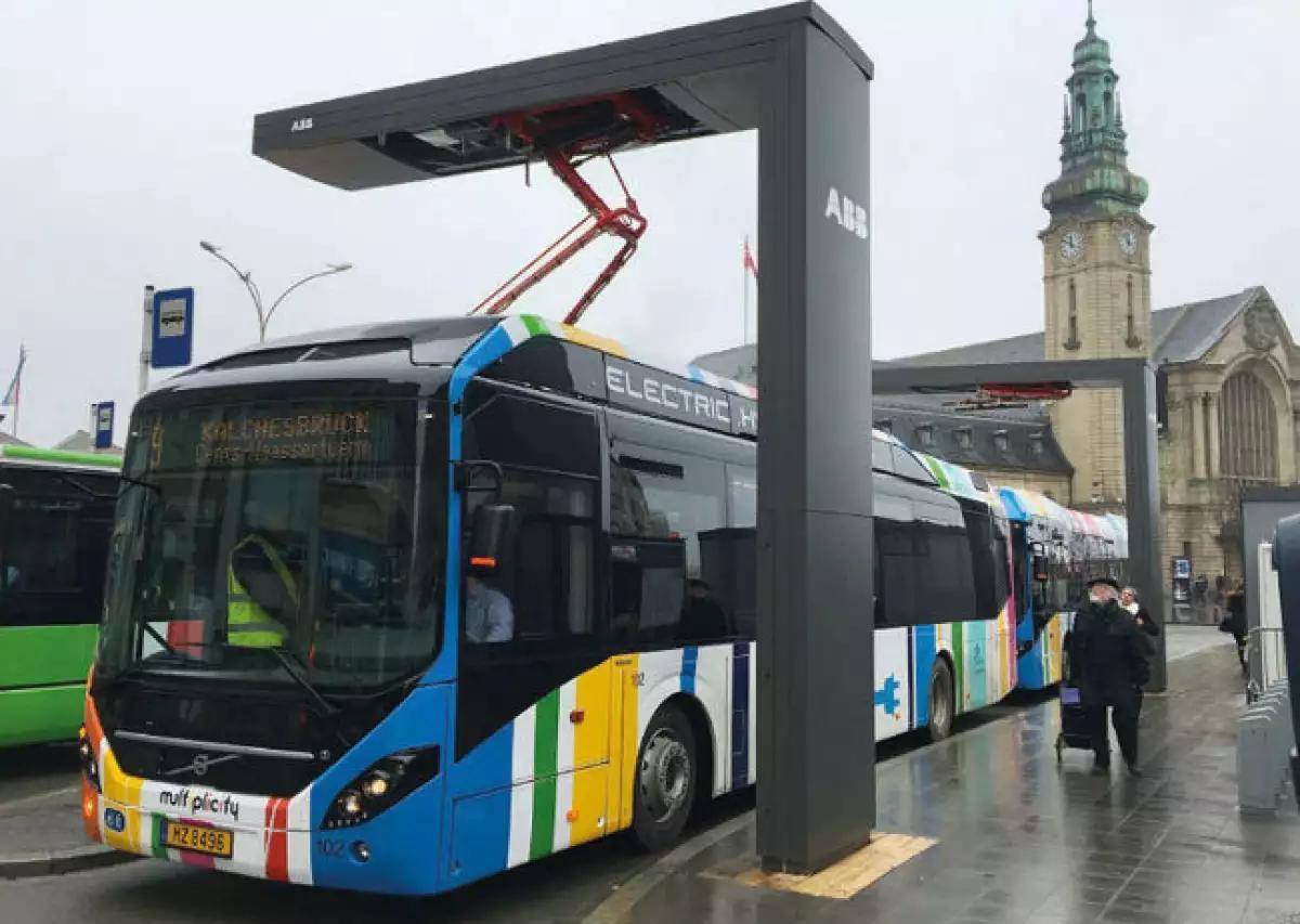
Electrification of public transport CO2 capture parks
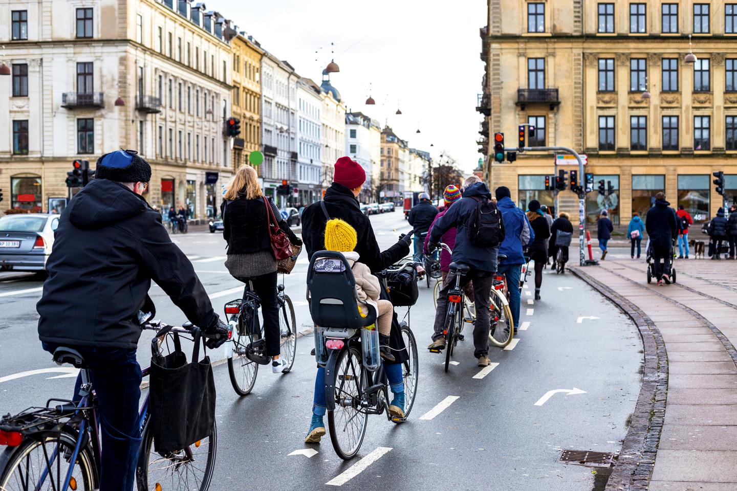
Reuse of bags Prioritize bicycle use
Graphic: Own elaboration
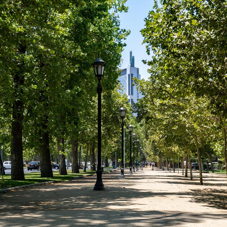
Urban transition
Cities role
Cities play a crucial role in driving the energy transition, as they are significant consumers of energy and sources of greenhouse gas emissions. Setting ambitious renewable goals to invest in sustainable infrastructure towards more energy-efficient buildings and transportation systems, fueled by renewable energy is what cities need to do.
Cities that are able to adapt and carry out the necessary transformations efficiently will end up being more competitive (that is, more capable of generating sustainable economic activity and social well-being).
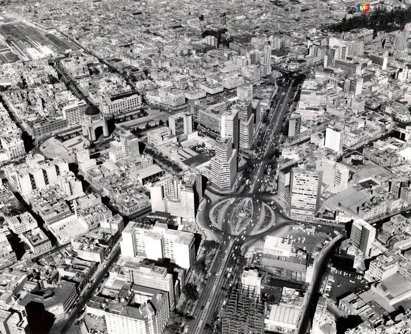
Mexico City 60´s
Paseo de la Reforma
Mexico City 2000´s
Image: Mexicana Aerofotos
Energy reform
Make the change
The energy reform establishes a minimum participation of 35% of clean energy in the generation of electrical energy by 2024 and establishes as one of its main objectives to promote the sustainable development of the electricity industry, as well as compliance with the public and universal service obligations of Clean Energy and the reduction of polluting emissions. (AMDEEE, 2005)
Graphic: Own elaboration
2. From ground to sky
20 Vall 24 ejo
Collage: Own elaboration
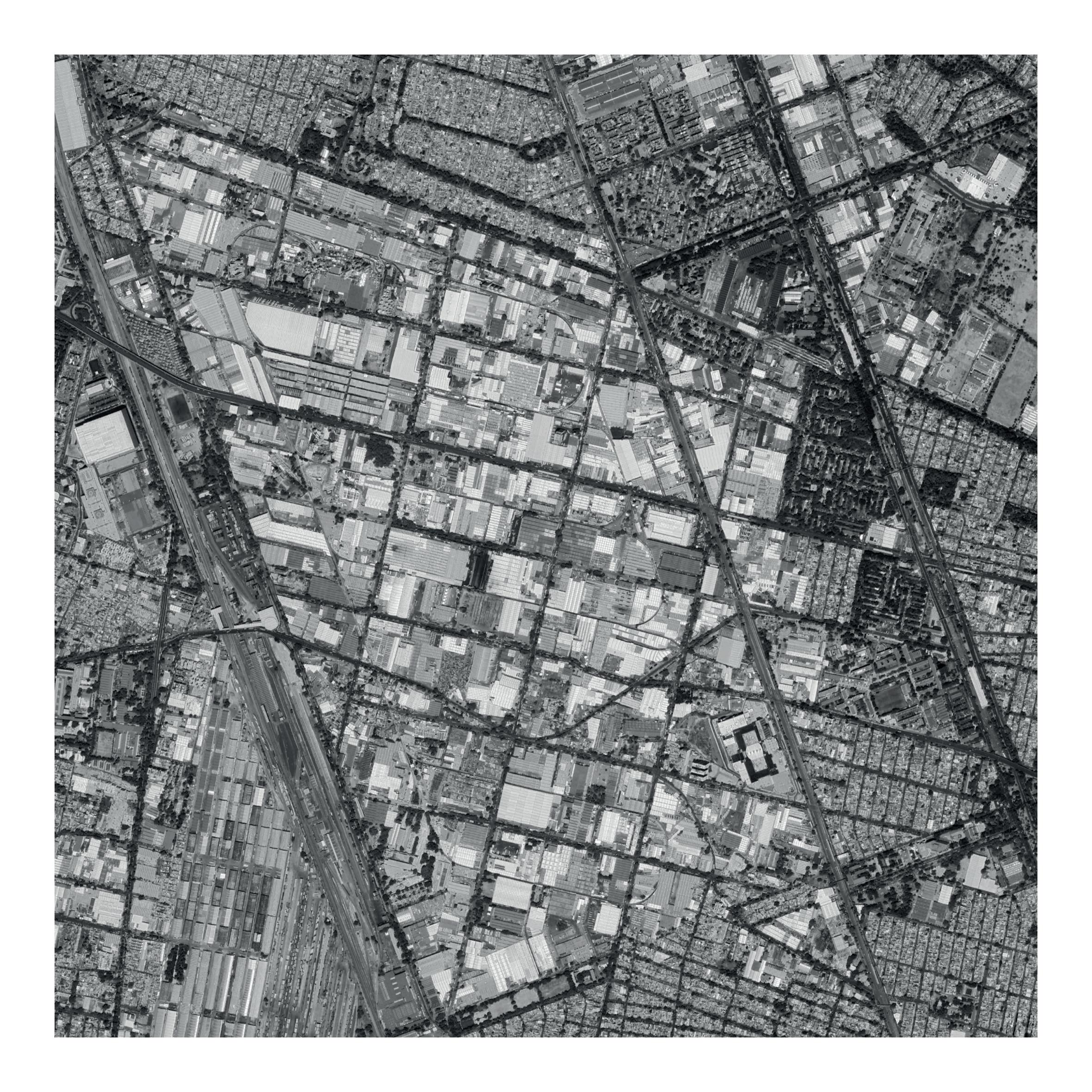
Site context
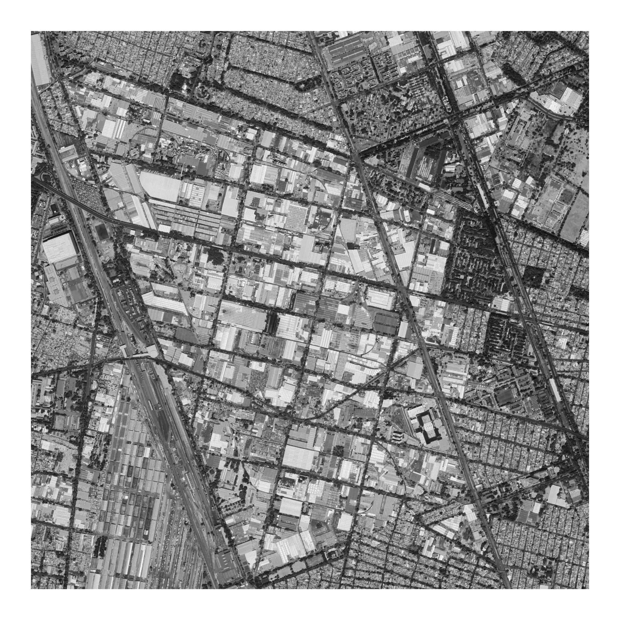
Vallejo Industrial Zone
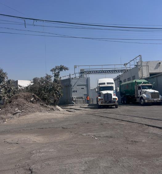
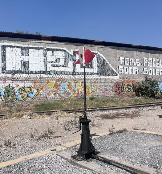
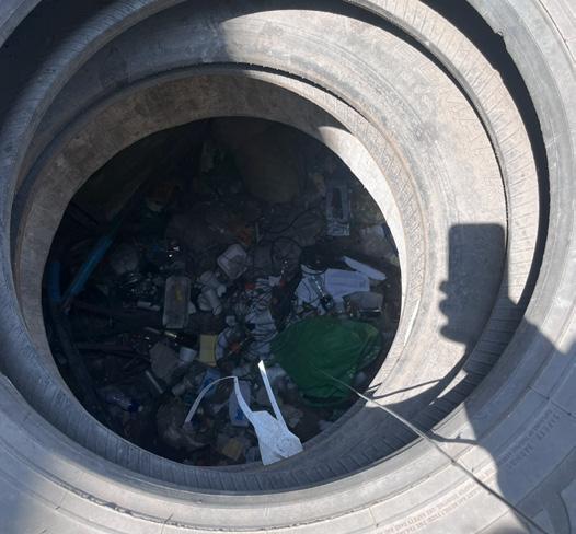
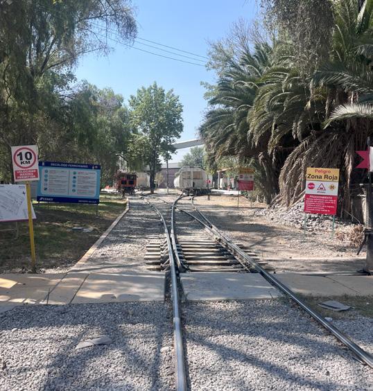
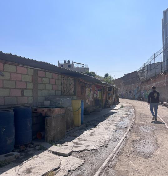
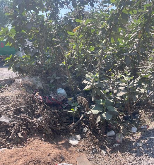
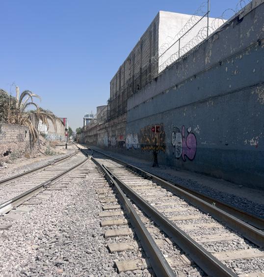
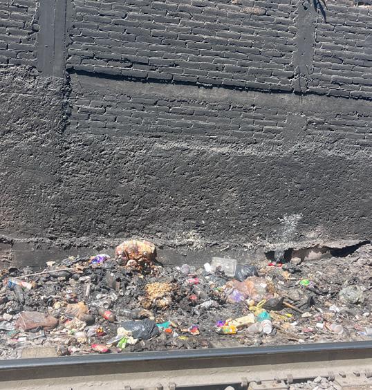
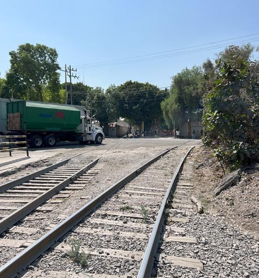
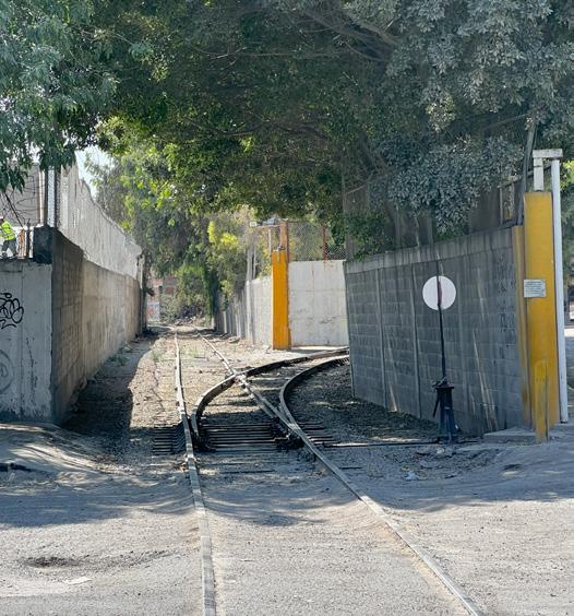
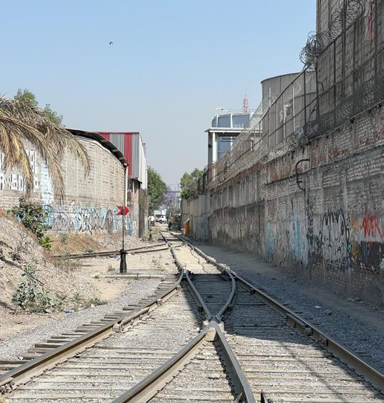
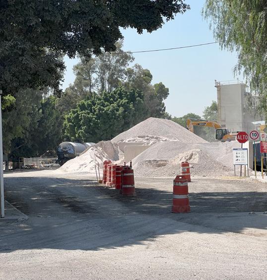
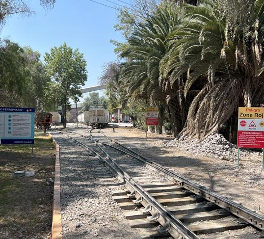
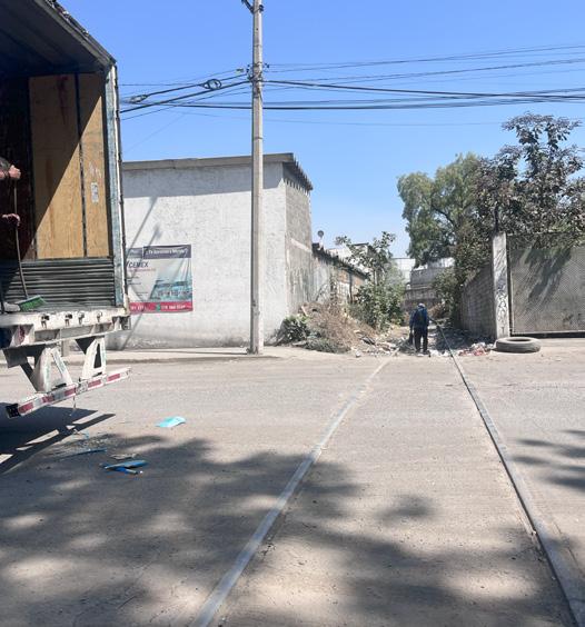
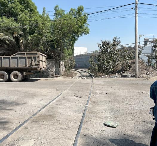
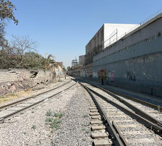
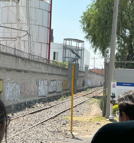
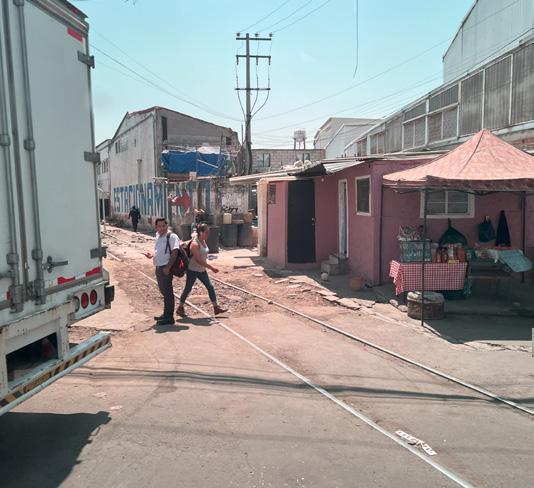
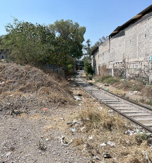
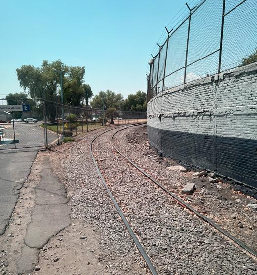
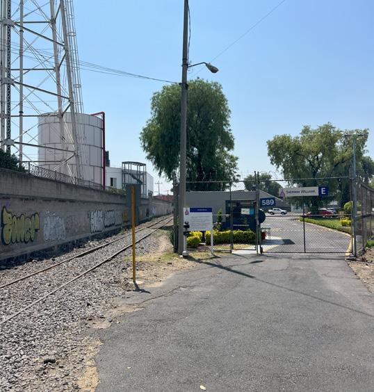
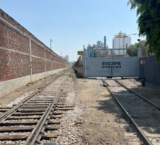
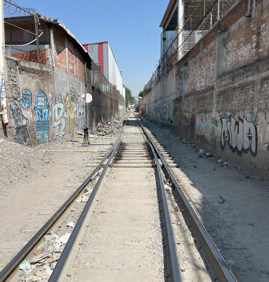
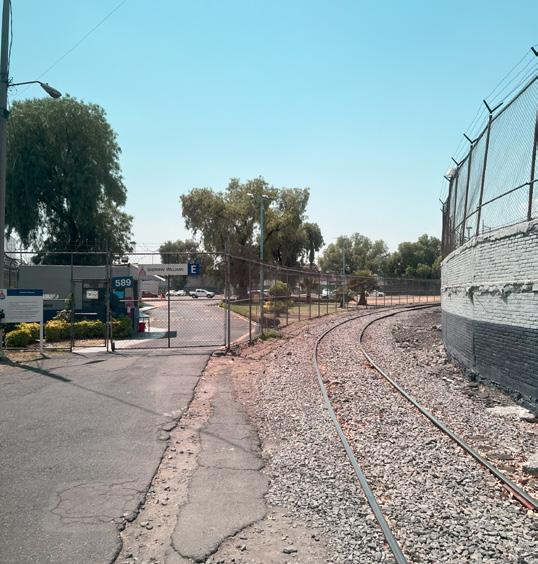
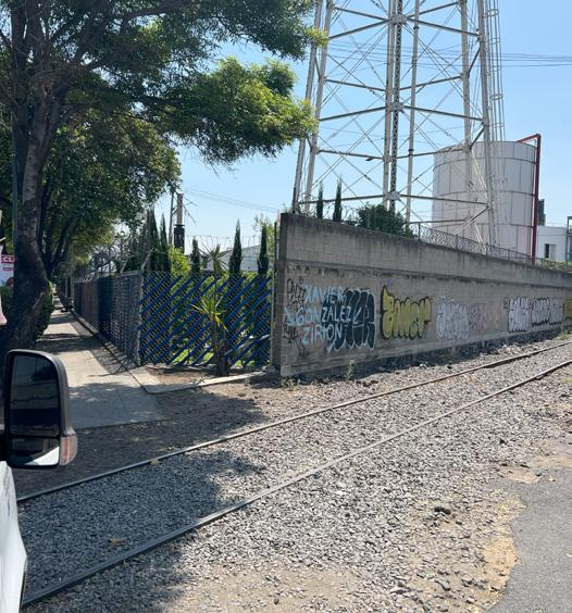
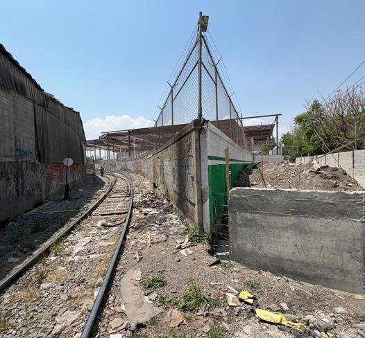
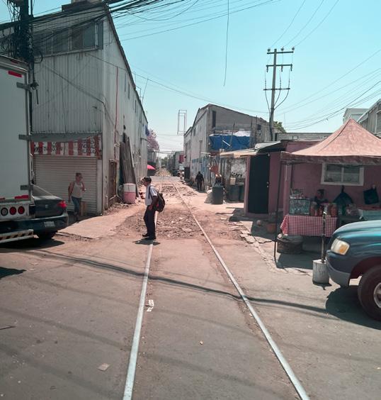
The Vallejo Industrial zone is located in the north of Mexico City, almost bordering the State of Mexico. It is an industrial zone of utmost importance for the country since its Gross Domestic Product is comparable to that of entire countries. It has around 500 hectares of land and is home to around 760 economically active companies. It has informal housing areas but its conditions are not worthy for a person to live there. It has a train track that is infrequently used but that in the 70’s, was the main means of transportation for company supplies.
Vallejo site
Scale: 1:25000
Site context
Public transport
The Vallejo Industrial Zone covers an area of 500 hectares of land and is home to approximately 760 industries, employing a workforce of around 50,000 people. Despite this significant industrial activity and the substantial number of workers, the availability of public transportation in the area is limited compared to the demand from users.
Bus routes are indicated by yellow lines on the map, while the metro route is marked in pink and the metrobus line is highlighted in green. Although access to the area is relatively straightforward from various points in the city, users face difficulties in moving within it due to the limited public transportation options. Furthermore, the roads are primarily designed for private vehicles, freight trucks, and trailers, further complicating the mobility of those reliant on public transport in the area.
Recreational Equipment Site Context
In Vallejo, there’s a significant demand for sporting equipment, primarily supplied by private industries within their employeecentric shared spaces. However, publicly accessible facilities are often situated on the outskirts of the industrial area. This arrangement underscores the employees’ keen interest in such amenities, highlighting sports and recreational activities as integral components of the social and communal fabric within the industrial zones of the metropolitan area. Notably, the sole provision for children’s recreational equipment is a playground near the Vallejo Metro station.
Scale: 1:25000
Sports complex
Site Context
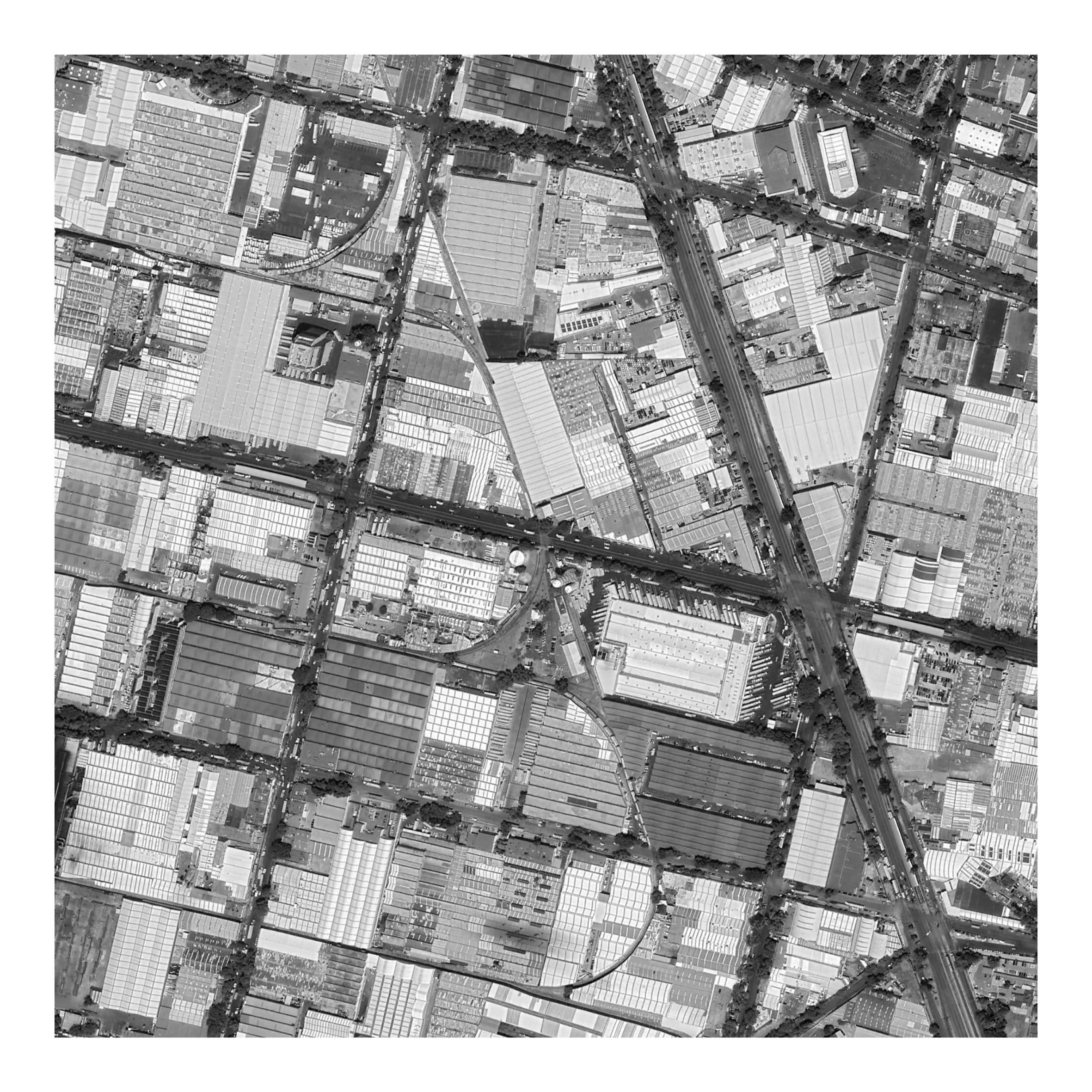
Location of the site
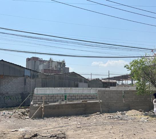
The chosen site corresponds to a parking lot owned by the Sherwin Williams factory, covering an area of 10 hectares and having an irregular shape. The strategic selection of this site is based on its direct connection to the railway tracks, which offers numerous possibilities for its reuse. Additionally, its proximity to main roads such as Calzada Vallejo adds significant value.
This vacant space, formerly used as a parking lot, along with the railway tracks, is seen as an extension of underutilized areas that currently represent social barriers in the area.
Scale: 1:25000
Site Vallejo site
Sun and wind path
The trajectory followed by the sun is consistently from East to West. However, during the Winter season, this path manifests distinctly as it descends below the horizon line in relation to the specified location. Conversely, in Summer, the sun’s trajectory ascends above the designated site, presenting a contrasting position and angle in the sky. This, not only defines the length of daylight and darkness but also profoundly impacts the thermal regimes, energy inputs, and climatic nuances experienced at the selected site.
The prevailing wind consistently flows from the southwest to the northeast, traversing the designated location. This directional pattern is a consistent feature, contributing significantly to the climatic conditions and environmental dynamics of the area. Thus, understanding and analyzing the behavior of this southwest-to-northeast wind flow is essential for comprehensively assessing the environmental characteristics and patterns within the specified geographical context.
Site analysis Flood zone
Based on climatological data, which encompasses records spanning at least three decades pertaining to rainfall patterns, Mexico City experiences an annual average precipitation ranging from 600 to 800 millimeters, with July exhibiting the highest accumulation throughout the year. Similarly, Vallejo, situated in the northern vicinity of Mexico City, displays a comparable rainfall pattern. Notably, it is imperative to underscore that one of the most flood-prone areas within the industrial complex lies north of the designated intervention site.
Site analysis Public transport
The designated area, marked in pink, is located in the vicinity of major roadways, allowing for the visualization of the various transportation methods used by users to access it. In pink, the metrobus route is identified, green highlights the metro lines, and blue outlines the local bus transportation routes. The white circles represent the stops corresponding to each of the aforementioned transportation methods.
Map: Own elaboration
Access map Site context
Regarding the site’s location, it has been previously mentioned that it is situated between main thoroughfares, as evidenced by the map where the various entrances are clearly highlighted: pedestrian entrances, identified in blue; entrances for trucks and cargo transport, highlighted in pink; and finally, commercial areas, represented in yellow.
It is worth noting that, in this distribution, the emphasis seems to be more on the entrances for cargo vehicles and commercial establishments, relegating pedestrian entrances to a secondary position. This fact is particularly relevant given the limited development of public transportation in the area, which implies that the majority of users are forced to travel on foot to reach their workplaces or other destinations. This situation poses a significant challenge in terms of accessibility and safety for pedestrians, who should occupy a prioritized position in urban planning and the design of road infrastructure.
Scale: 1:7000
Own elaboration
3. Design genesis
Analogous example
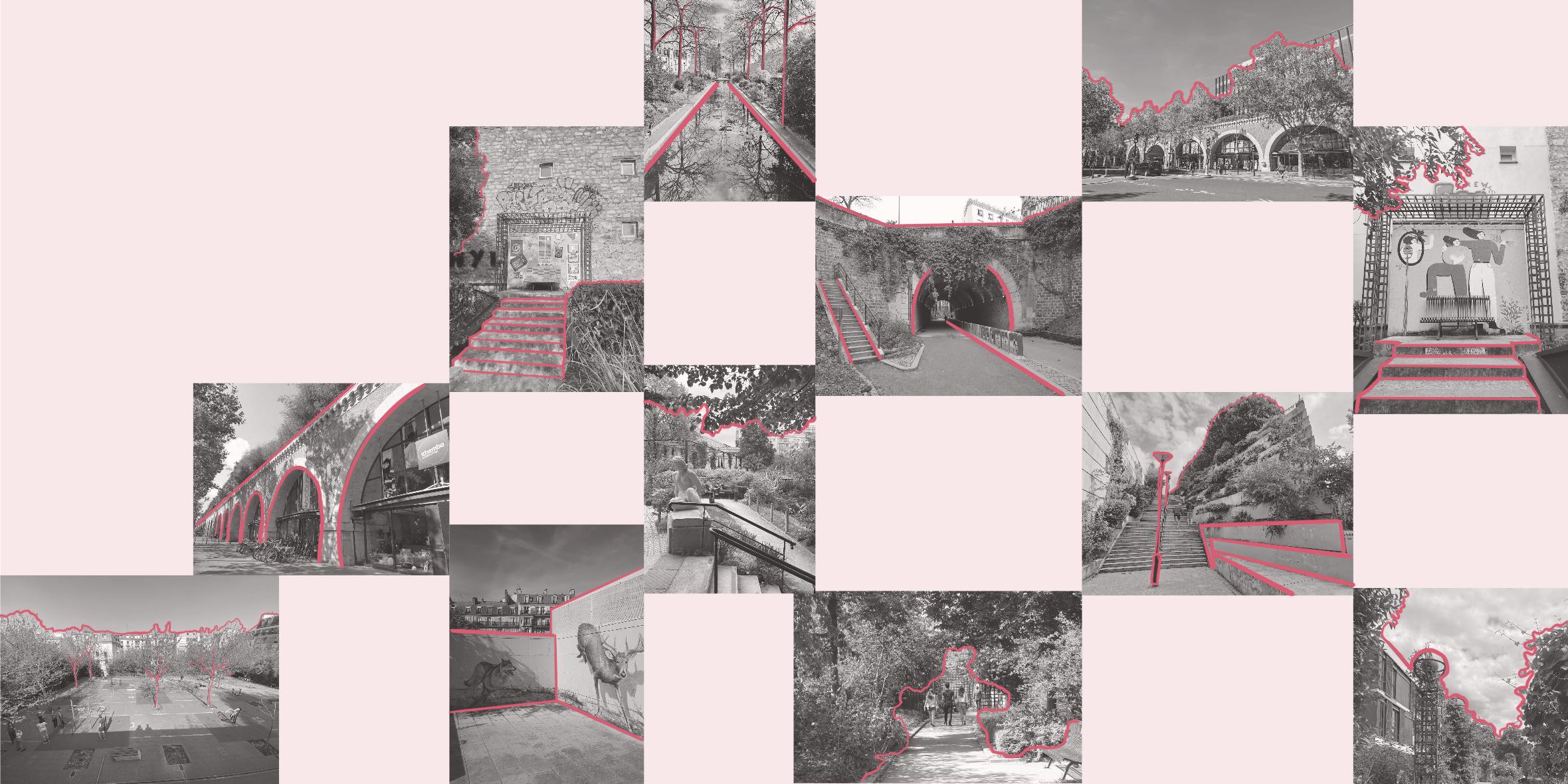
Coulée verte René-Dumont
It is located in Paris, France. It was created in 1988 by Philippe Mathieux and Jacques Vergely on the site of an old railway line. It combines spaces of wild vegetation that were invading the area that was disused, with modern landscaping. It has a commercial part, followed by tunnels and ditches. The walk is 4.5 km long. It has 4 different gardens and is mixed with street art.
Collage: Own elaboration
Analogous example
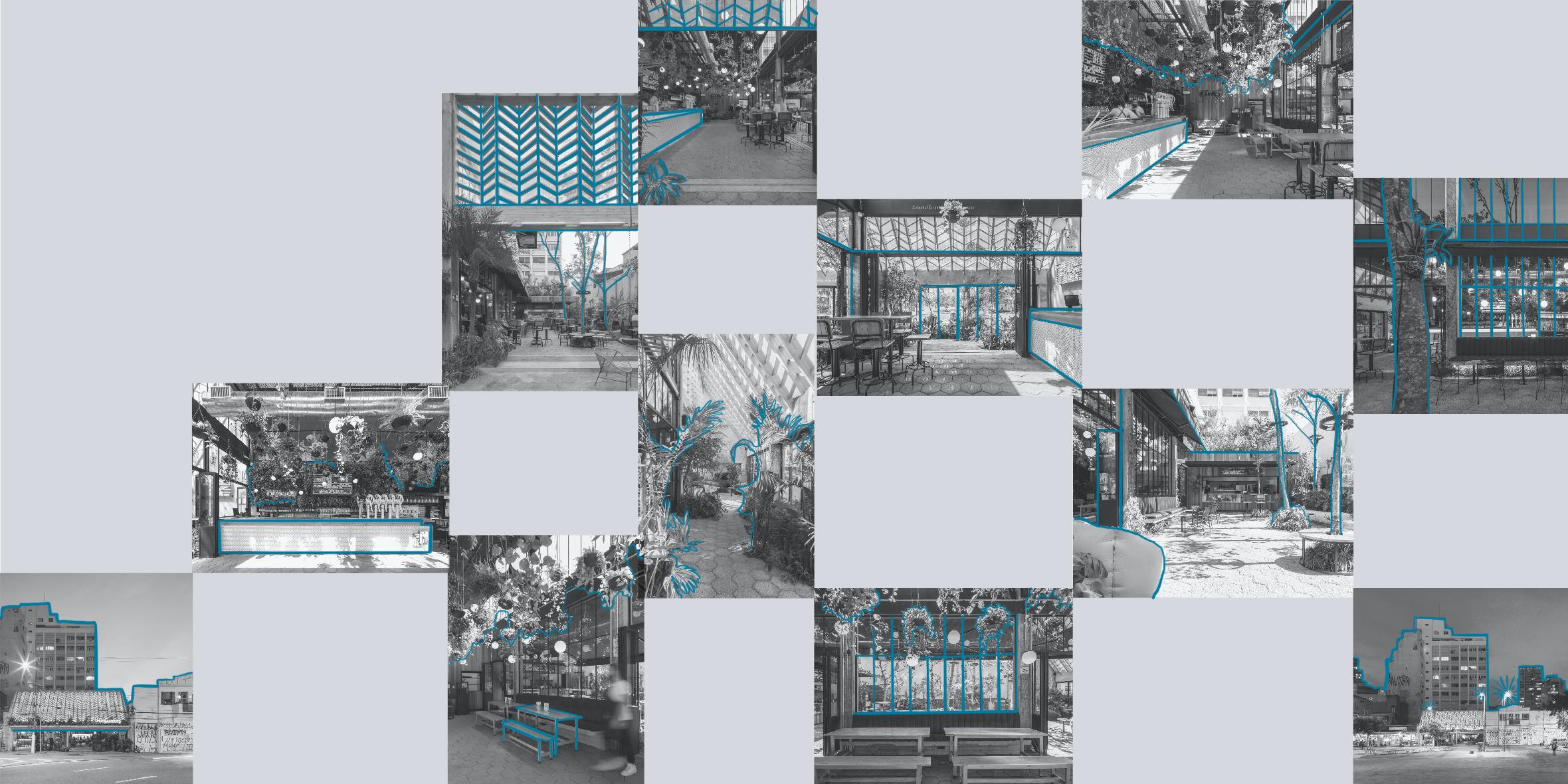
Bar Hoegaarden
The space was designed by Metamoorfose Studio, in Brazil in 2019. It is located in a quite diverse region with constant movement and development. It consists of a bar made within vernacular nursery structures (greenhouses). It has an area of 360 m2 and has the capacity to accommodate 200 users, it has 264 plants of 38 species, it is a space created for people to connect with nature and forget the daily hustle and bustle a little.
Collage: Own elaboration
Analogous example
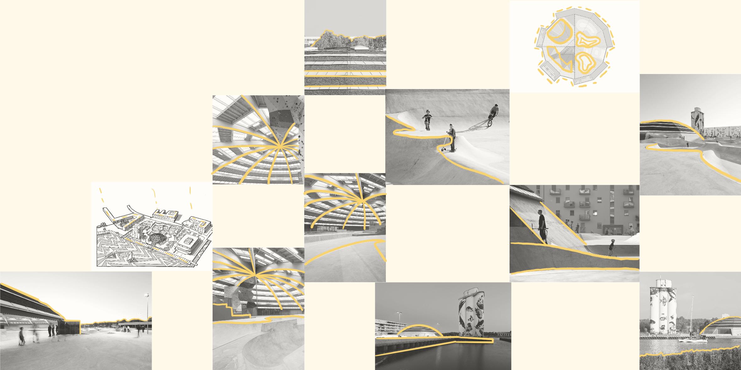
StreetDome
StreetDome is a unique urban landscape created by CEBRA and Glifberg+Lykke on the harbour front of Haderslev in southern Denmark. It is a multi park and cultural centre for street sports. The overall ambition of the project is to set new standards for urban arenas for unorganized sports. To reduce costs, the hall is unheated and lit through daylight while the building’s has been minimized through its dome shape. The roof spans around 40 meters.
Collage: Own elaboration
Unleash Earths Potential
Even Ground For All Every Meter Counts Change < Evolve Unleash Earths Potential
Even Ground For All Every Meter Counts Change < Evolve