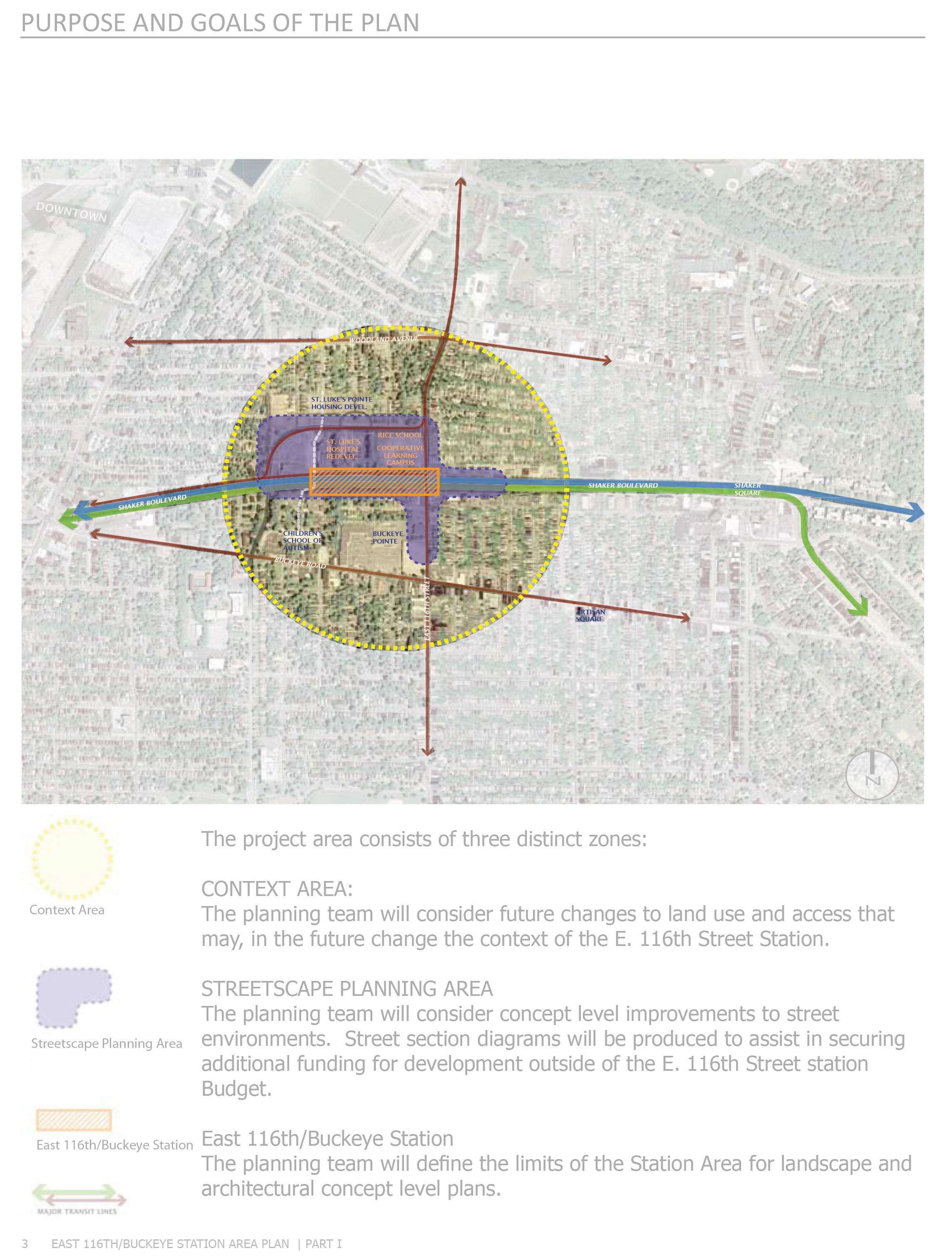
Seven Proposals for Buckeye
Buckeye-Shaker, Cleveland, Ohio Fall 2013
Physical Planning Workshop
Taubman College of Architecture & Urban Planning
University of Michigan
Buckeye-Shaker, Cleveland, Ohio Fall 2013
Physical Planning Workshop
Taubman College of Architecture & Urban Planning
University of Michigan
Buckeye-Shaker, Cleveland, Ohio Fall 2013
Physical Planning Workshop
Taubman College of Architecture & Urban Planning
University of Michigan
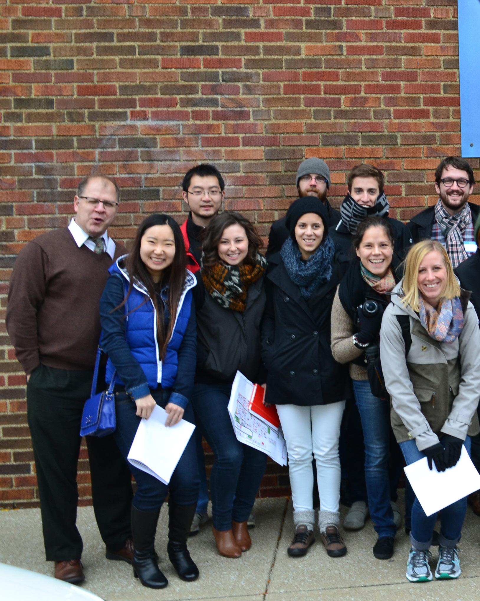
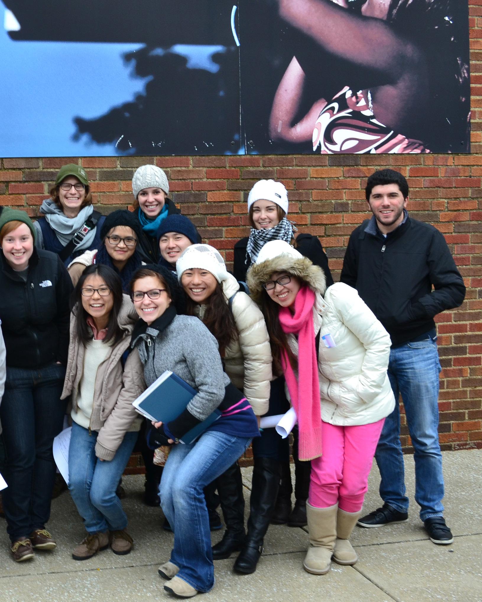
We would like to thank our partners in Cleveland and acknowledge the faculty and PhD students at Taubman College who so generously contributed their time, expertise, and guidance to this project.
Partners / Client
Buckeye Shaker Square Area Development Corporation, Cleveland, OH
LANDstudio, Cleveland, OH
Taubman College Guest Critics
David Bieri, Assistant Professor of Urban and Regional Planning
Scott Campbell, Associate Professor of Urban and Regional Planning
Patrick Cooper-McCann, PhD candidate, Urban Planning
Phil D’Anieri, Lecturer in Urban and Regional Planning
Margi Dewar, Professor of Urban and Regional Planning
Harley Etienne, Assistant Professor of Urban and Regional Planning
Robert Fishman, Professor of Architecture and Urban and Regional Planning
Robert Goodspeed, Assistant Professor of Urban and Regional Planning
Leslie Hoey, Assistant Professor of Urban and Regional Planning
Larissa Larsen, Associate Professor of Urban and Regional Planning
June Manning Thomas, Professor of Urban and Regional Planning
Kit McCullough, Lecturer in Architecture
Ana Paula Pimentel, Assistant Professor of Urban and Regional Planning
Nick Rajkovich, PhD candidate, Urban Planning
Anya Sirota, Assistant Professor in Architecture
Roy Strickland, Professor of Architecture
Claudia Wigger, Lecturer in Architecture
Visiting Critics
Lynell Washington, Buckeye Shaker Square Development Corporation
Stephen Holowicki, Buckeye Shaker Square Development Corporation
Erin Guido, LAND studio
Vince Reddy, LAND studio
Anna Swaberg, LAND studio
Keith Campbell, RTKL Chicago
Instructor
María Arquero de Alarcón, Assistant Professor of Architecture, and Urban and Regional Planning
Students & Authors
Aly Andrews
Grant Block
Mohamad Diab
Nelida Escobedo Ruiz
Sergio Escudero
Jia Fang
Yu-Hung Hsiung
Eric Huntley
Elsa Ibarra Albizu
Katie Knapp
Yujia Liu
Christian Roadman
Elise Ross
Katy Ryan
Alexandria Stankovich
Kevin Shelton
Paige Shesterkin
Yun Shi
Simiao Wang
Xiao Wen
Cheng Xing
Research
Tissue
A_ Transitioning into the future
Elise Ross, Yun Shi, Simiao Wang
B_ Fish Fry and Fancy Free
Katie Knapp, Christian Roadman, Yujia (Rachel) Liu
C_Get on your Feet
Nelida Escobedo Ruiz, Sergio Escudero, Alex Stankovich
D_A Spine along Buckeye
Katie Ryan, Cheng Xing
E_ Permeable Buckeye
Kevin Shelton, Paige Shesterkin
F_ Buckeye Momemtum
Grant Block, Mohamad Diab, Yu-Hung Hsiung
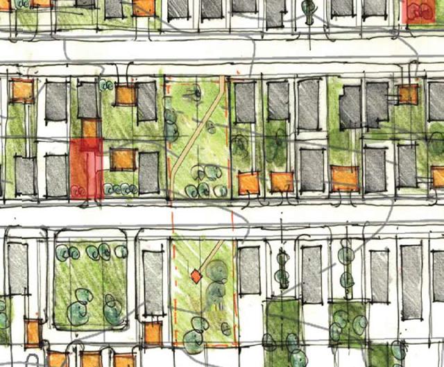
G_ Amplify! Buckeye
Aly Andrews, Eric Huntley, Elsa Ibarra Albizu
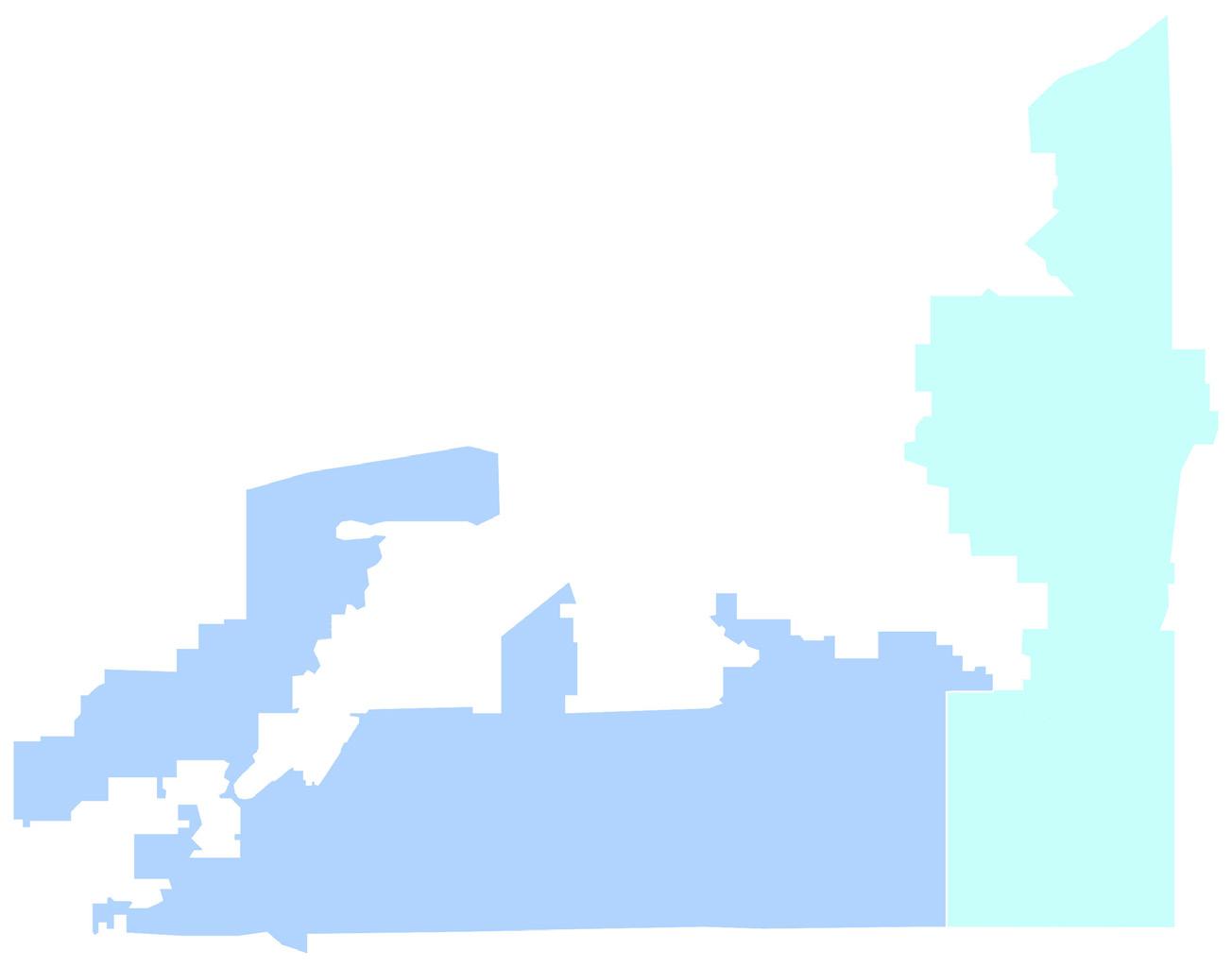
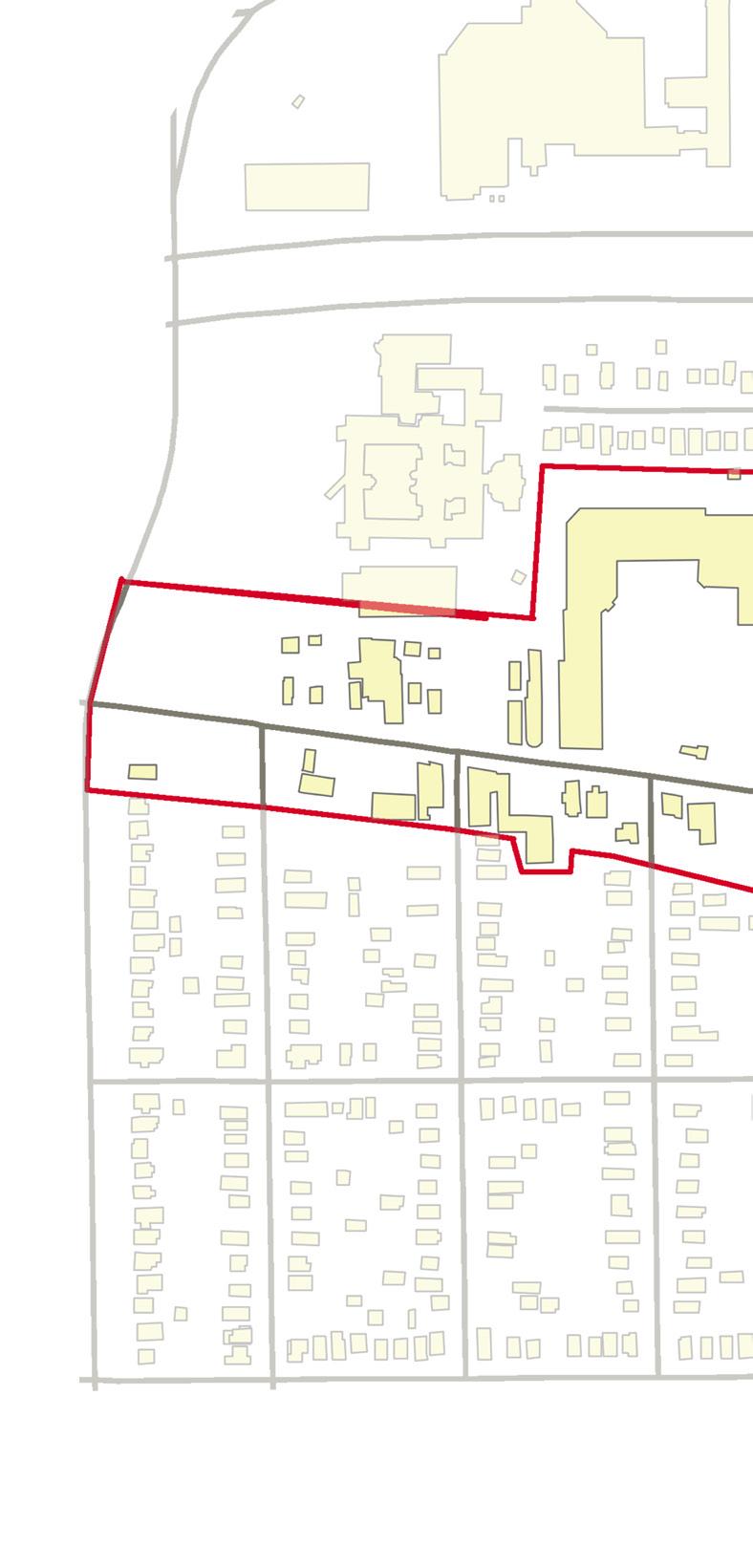
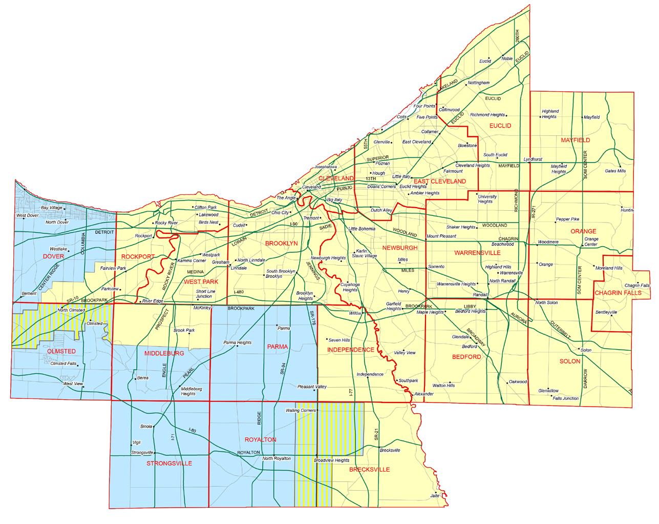
This report is intended as a resource for the Buckeye Shaker Square Development Corporation (BSSDC), in the ongoing planning efforts in the Buckeye-Shaker area, Cleveland. This inner city-defined neighborhood unit is home to three commercial corridors that serve their surrounding residential fabric: Larchmere Boulevard, Shaker Road, and Buckeye Road. While all are, in their own ways, promising districts with distinct histories, Buckeye Road lags behind the others in identity and investment. Because of this, and as part of the ongoing planning process, the BSSDC sees the stabilization and improved vitality of the Buckeye Road Commercial Corridor as a key component in the revival of the entire neighborhood. While BSSDC primarily serves the residents and business community of the BuckeyeShaker neighborhood, the effects of its efforts extend into surrounding neighborhoods like Woodland Hills, Mount Pleasant, and University Circle.
The report, organized in two independent sections, summarizes the student work developed during the Fall 2013 Semester in assistance to the BSSDC mission. The first section contextualizes the Buckeye-Shaker neighborhood in its metropolitan context, through the following lenses: regulatory frameworks, environmental infrastructure, socio-economic structure, cultural landscape, and the urban tissue.The second section presents seven visions and strategies to reinvigorate Buckeye Road, formulated by the students and guided by the insight and experience of BSSDC.
The engagement with the BSSDC has been facilitated by LAND Studio, an a local non-profit focused on the creation of inspiring places, public space programming, and design advocacy in Cleveland. Its leadership and guidance has been instrumental to enable the course experiential learning component with the City of Cleveland as a laboratory for the study of complex urban phenomena in the Great Lakes Region.
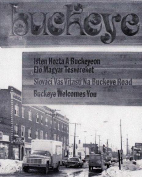
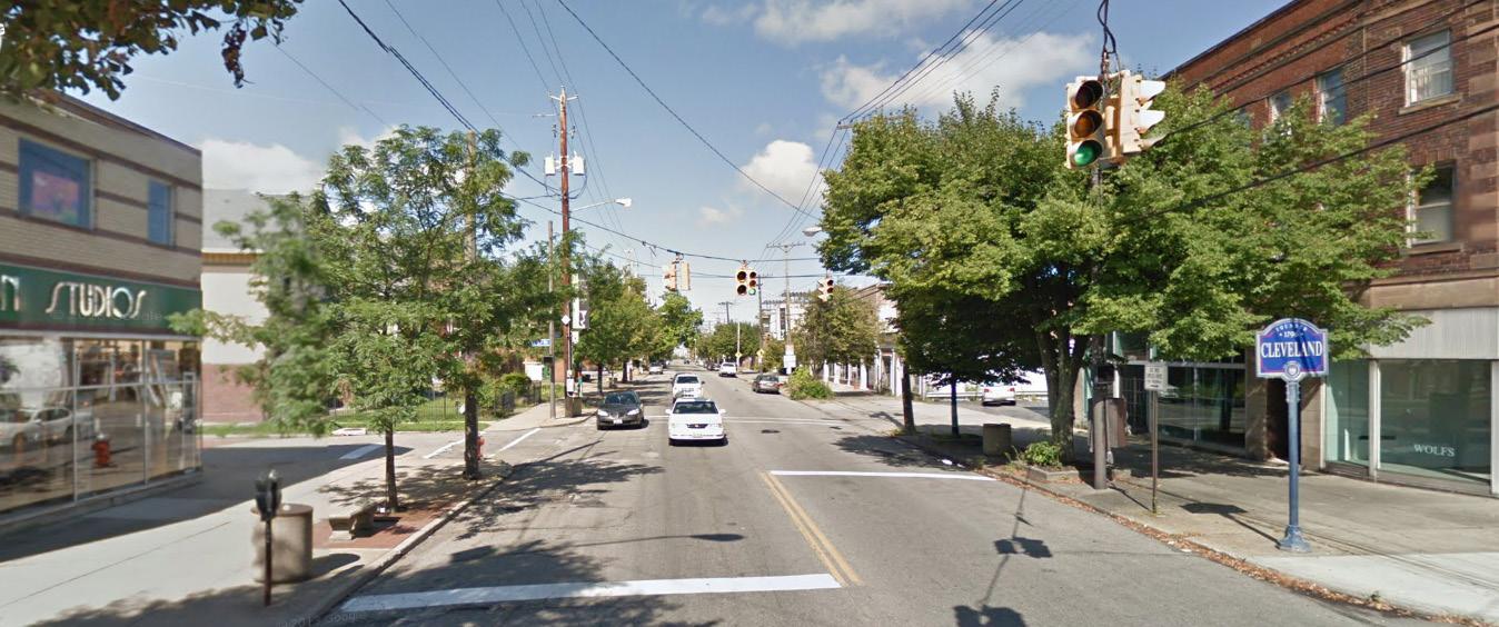
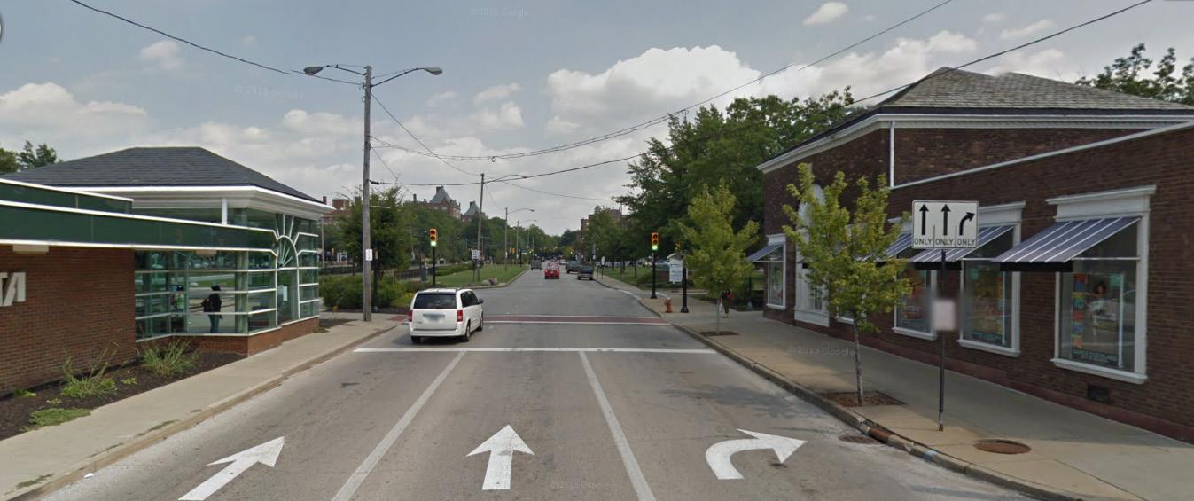
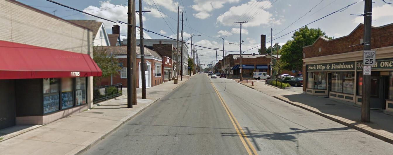
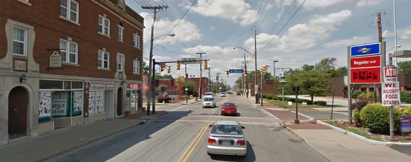
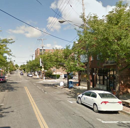
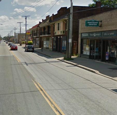
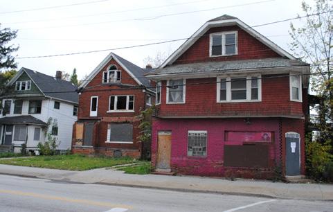
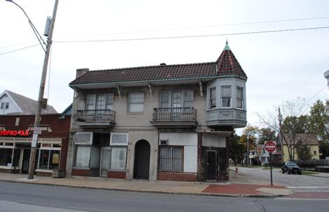
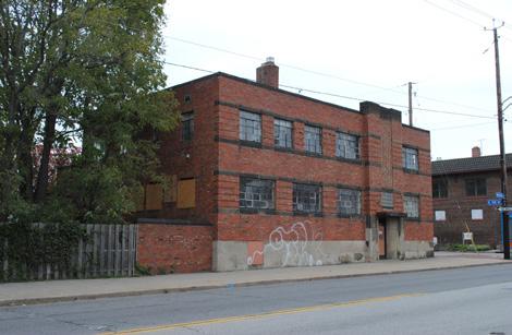
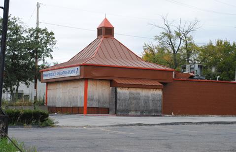
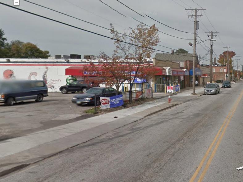
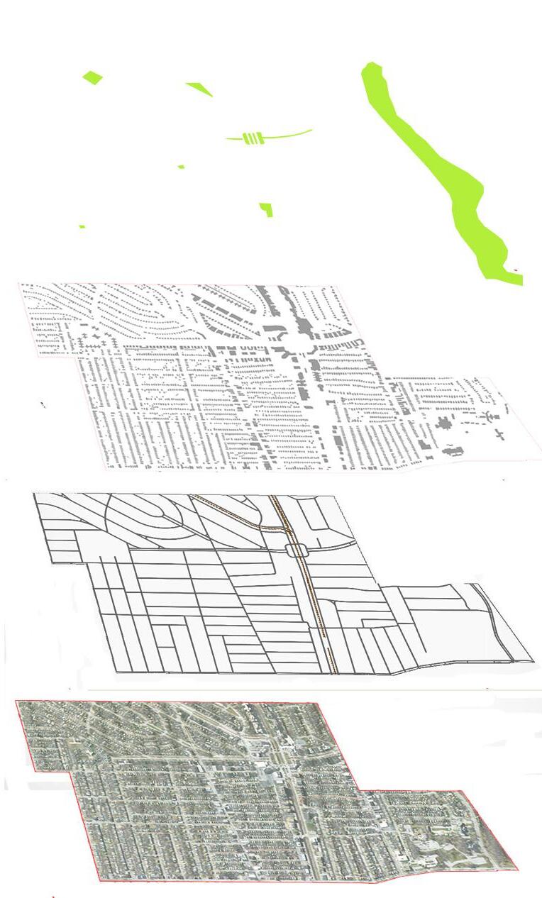
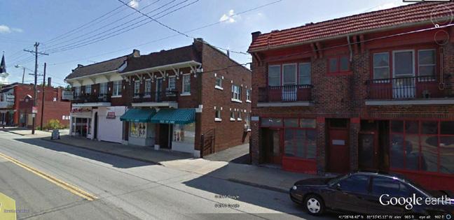
Located in the heart of the Buckeye-Shaker neighborhood in Cleveland, Buckeye Road is rich with history and potential. What remains along this once bustling corridor only hints to the people, places, and experiences that shaped the neighborhood. Despite economic decline and disinvestment, the community is working to restore and rebuild its physical and social fabric.
The neighborhood’s commercial roots are present in the architecture of its buildings, made visible in the remaining shops and building façades. These and more recent accumulated layers of meaning add complexity to the built environment: the buildings have been altered, appropriated, and personalized by residents over time. Not all of the changes have been positive, however. Safety concerns, physical barriers, and locked doors now contribute to a feeling of placelessness along Buckeye Road.
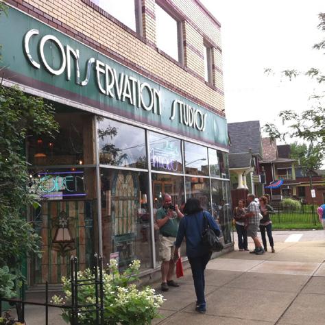
With the right resources, investment, and alliances, the current residents and business owners can revitalize the area and create a new identity that blends the community’s cultural heritage with socially and environmentally sustainable interventions. The new pocket park and Buckeye Shaker Square Development Corporation offices along 118th Street are a first attempt at anchoring the corridor. This area has the potential to breathe life and vitality into stressed businesses and vacant storefronts along Buckeye Road, a potential put on display in the neighborhood’s popular jazz festival, held annually in the park.
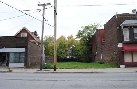
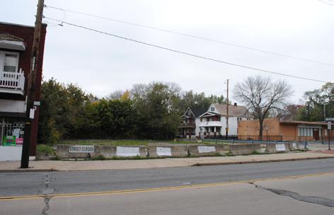
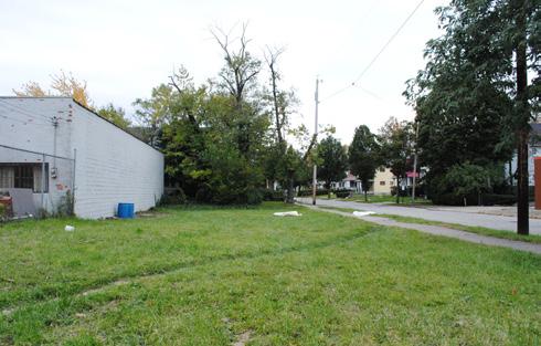
Along Buckeye Road itself, small apartments peer out onto the street from their perch above remaining businesses. Vacant lots call out for meaningful repurposing, perhaps as community gardens or playgrounds. Working with the Buckeye Shaker Square Development Corporation, the community is working to capitalize on existing neighborhood assets and recent investment that have led to increased safety, connectivity, and neighborhood pride. Residents and business owners can combat prevalent issues of poverty, inequality, and crime with intergenerational cooperation. Local partnerships and programming can fight vacancy and abandonment while cultivating opportunities for education, beautification, and job training.
The key to success is identifying and amplifying these partnerships through the pursuit of available funding, strong planning, and collective effort.
CDC Service Area
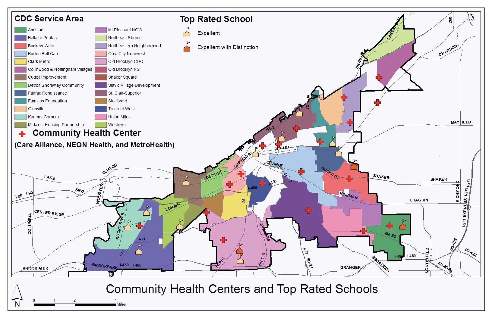
Top Rated School
Community Health Center Care Alliance, NEON, Health, MetroHealth
Krumholz, N. and Hexter, K. (2012). Re-Thinking the Future of Cleveland's Neighborhood Developers: Interim Report. Cleveland State University.
Beginning in the 1970s, Community Development Corporations (CDCs) came to the aid of Cleveland neighborhoods stripped of resources in the wake of urban renewal, race conflict, white flight, and redlining by mortgage lenders and insurance companies. In the beginning most of their efforts focused on the real estate market, particularly housing unit rehabilitation, new residential development, and mortgage subsidy programs. These initiatives were aided by the Home Mortgage Disclosure Act of 1974 and the Community Reinvestment Act of 1977. CDCs were also able to direct public and private investment into new retail, commercial, and industrial space. Since the 2008 housing market collapse, the role of CDCs in Cleveland and several Midwest manufacturing cities has changed dramatically. Given this changing landscape, CDCs have been forced to reevaluate their organization, strategies, partnerships, and budgets to become more flexible and more holistic.
In determining their role and priorities, CDCs must consider a host of factors including: consolidation of neighborhood resources, harnessing community assets such as parks, theaters and human capital (including youth volunteers), their own operational capacity, changing neighborhood demographics, and the role of institutions such as schools, libraries, and community health centers. CDCs increasingly must act as the bridge between community needs and strategic initiatives worthy of public-private capital financing.
While some CDCs have been criticized for being small, fragmented, and unproductive, many of Cleveland’s CDCs, including the Buckeye Area Development Corporation, have successfully adopted models of collaboration and community empowerment. Today the ‘development’ in community development is first and foremost about developing partnerships to offer programs and services and to garner capital and operational support. Ultimately, “the goal is to put neighborhoods on track to long-term sustainability, to move from a culture based on transactions to one based on transformation” (Krumholz et al. 2011).
Krumholz, N. and Hexter, K. (2012). Re-Thinking the Future of Cleveland's Neighborhood Developers: Interim Report. Cleveland State University.
History of Planning Policy
Land Use Strategies
Land Banking
City-wide Vacancy Strategies
Area Vacancy and Assets
Neighborhood Planning Context
Buckeye-Shaker
Neighborhood Plan
Current and Future Projects
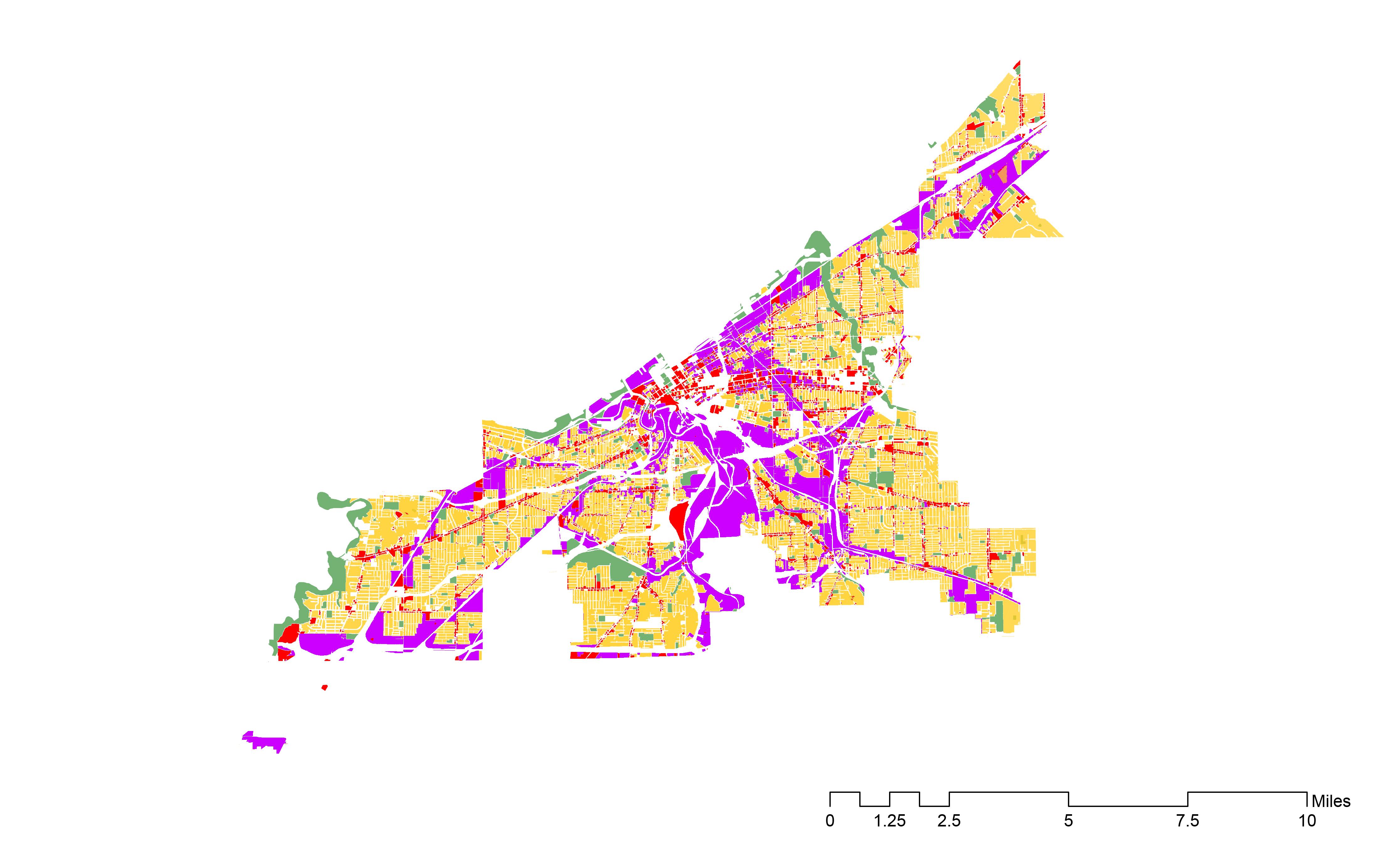
Neighborhood Present and Proposed Land Use
Programs + Activities
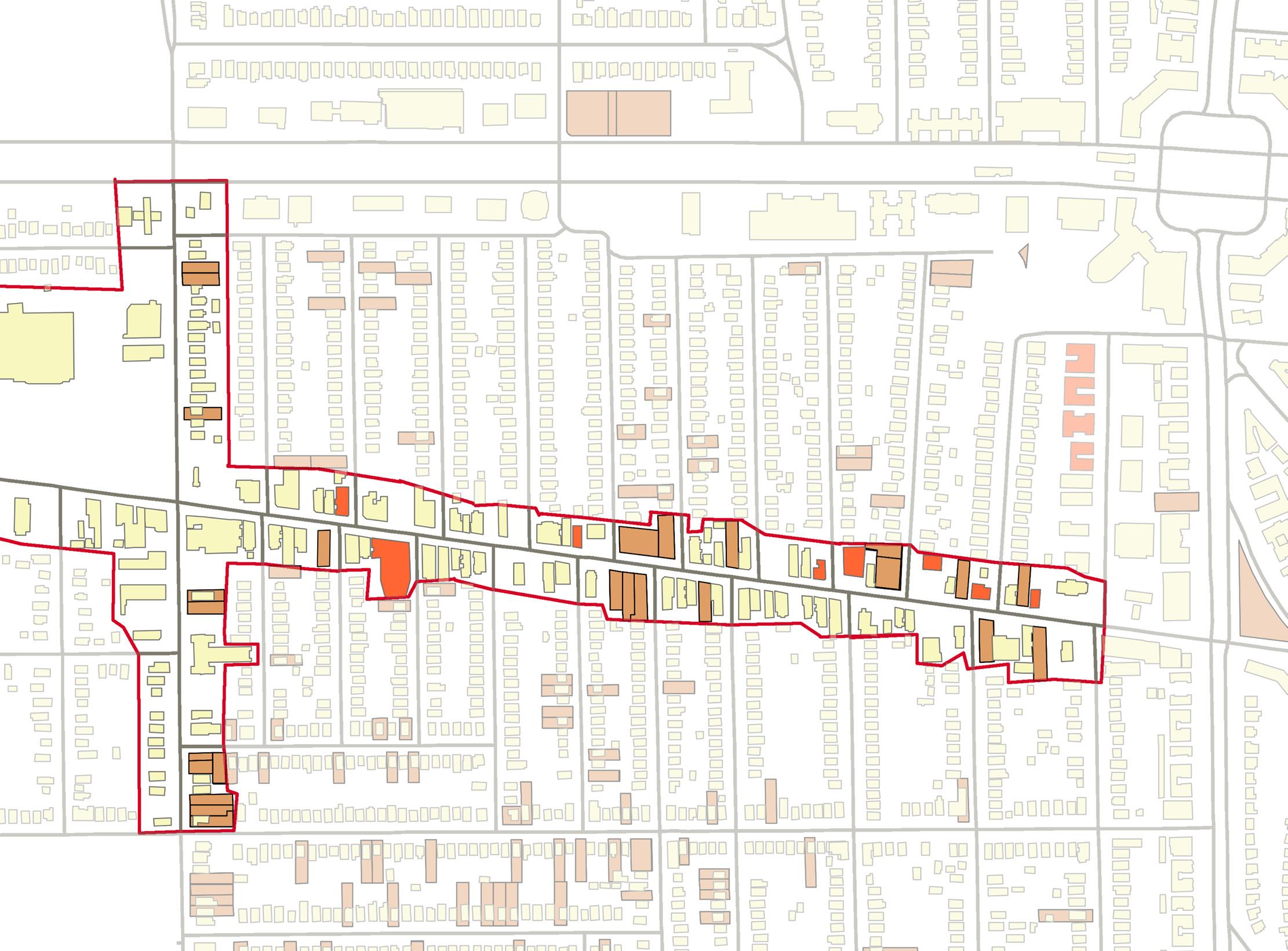
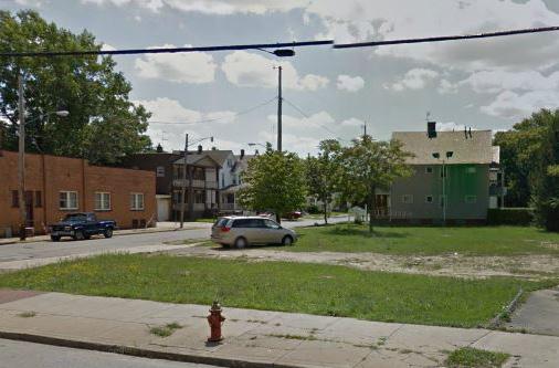
Vacancies along Buckeye Road
Pedestrian Retail Overlay District along Buckeye Road
Buckeye-Shaker Over Time Hungarian Immigrants in Buckeye-Shaker City-wide Foundations and Non-Profit Organizations Associations: the social networks Food Systems Education
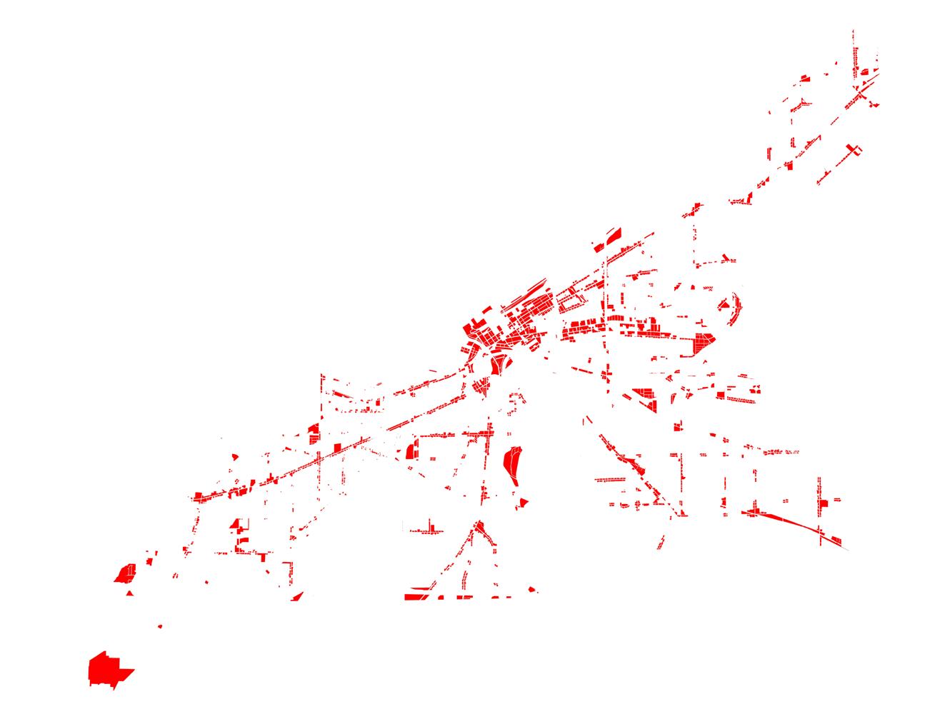
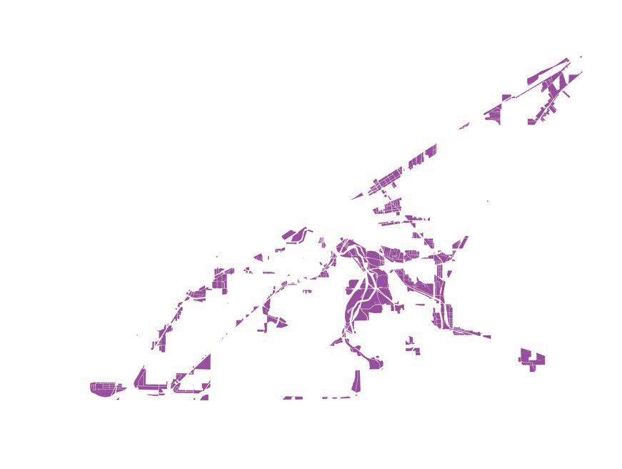
The historical progression of architectural styles in Cleveland
Age of the Building Stock
Residential Housing Economic Environment
Commercial Real Estate
Market
Architecture Styles
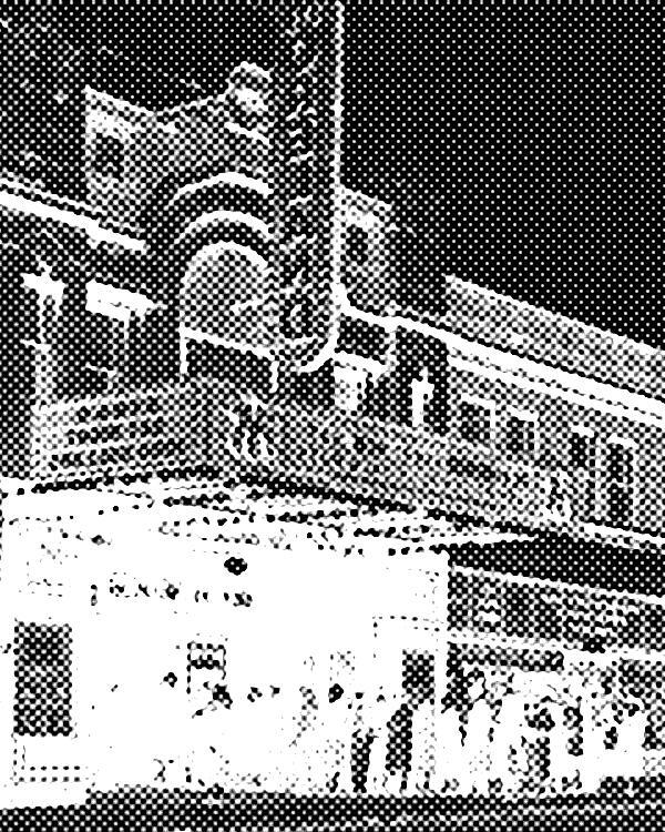
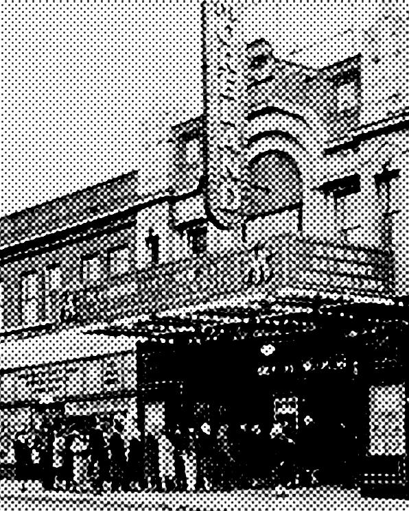
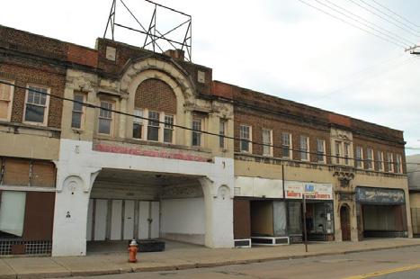
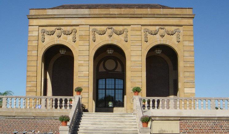
The Moreland Theatre
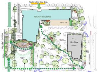
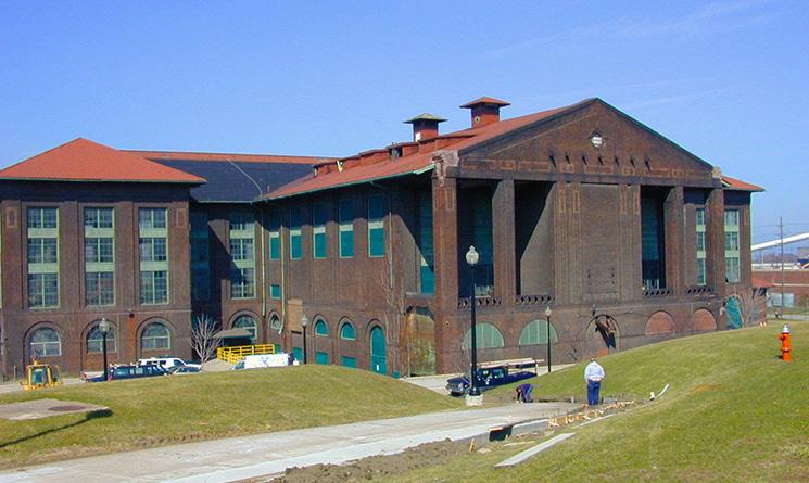
The Learning Campus
The face of Buckeye Road

Cities are shaped both by the hands that build them and the policies that guide them. These policies may be local, regional, or federal in scale. They may exist across generations and are influenced by national and global events. At the city level, official land use plans and zoning regulations impact development patterns, local activity, the environment, and human health.
Built projects are physical manifestations of planning and policy. They have formed the identity of the Buckeye-Shaker neighborhood and can create momentum for its successful future. The Buckeye-Shaker neighborhood boasts three commercial corridors, proximity to the thriving University Circle neighborhood, and a rail link to both downtown and the
eastern suburbs. It also faces the challenge of redeveloping or productively reusing vacant land. Moving forward, recognizing these strengths and challenges will help the neighborhood as it plans and advocates for optimal programming, alternative zoning, and development.
Buckeye-Shaker Over Time
Hungarian Immigrants in Buckeye-Shaker
City-wide Foundations and Non-Profit Organizations
Associations: the social networks
Food Systems
Education
The historical progression of architectural styles in Cleveland
Age of the Building Stock
Residential Housing
Economic Environment
Commercial Real Estate
Market
Architecture Styles
The Moreland Theatre
The Learning Campus
The face of Buckeye Road
Buckeye-Shaker Neighborhood
Buckeye-Shaker neighborhood becomes one of the nation’s first shopping areas and a prototype for past and present transit-oriented development The neighborhood is characterized by the the row of apartment buildings lining rapid transit tracks running to downtown.
City of Cleveland State of Ohio & US Federal
N. Baker (D) 1912-1916
H. Davis 1916-1919
W. Fitzgerald 1920-1921
F.Kohler 1922-1923
W. Hopkins 1924-1929
Originally conceived as the capital of New Connecticut, the city was laid out in 1796 by surveyors with Moses Cleveland’s expedition. The plat, a faithful reproduction of a New England town, with its characteristic commons, failed to treat either river or lakefront as a public amenity.
Railroads reach the city, occupying valuable lakefront property, and promoting industrialization.
The Group Plan, a partially realized city beautiful plan that called for Cleveland’s organization around a central mall, is unveiled.
Standard City Planning and Zoning Enabling Act
Neighborhood Unit Concept first developed by Clarence Perry in NY
1924 National Conference on Outdoor Recreation
Great Depression
World War II
The Van Sweringen brothers, developers of Shaker Heights, take over the project and name it Shaker Square. They set aside valuable land for the schools and churches that would serve as organizational centers for the neighborhood. Shaker village included a light rail system
Plans for a commercial district are approved.
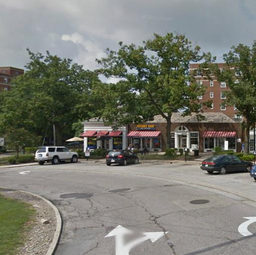
Construction of Shaker Square begins. The suburban shopping center, set around a traffic circle is located at the intersection of Shaker Boulevard, Moreland Boulevard, and Shaker Heights’ Rapid Transit stop.
The Hungarian community begins to settle Larchmere Boulevard, just north of Shaker Square.
D. Morgan
1930-1932
R. Miller 1932-1933
H. Davis
1934-1935
H. Burton 1936-1940
E. Blythin 1941
F. Lausche 1942-1945
Cleveland’s first zoning ordinance passed
T. Burke 1946-1953
A model for public housing is adopted by the Ohio Legislature. Cedar-Central Apartments open to tenants. Nation’s first Public Housing estate
State of Ohio & US Federal
E. Bohn J. Howard
Cleveland adopts first comprehensive plan Preoccupied with transit, it focuses on the city as a site for efficiency rather than beauty.
Village of Euclid v. Ambler
272 U.S. 365. Decision to uphold the legality of zoning.
Federal Housing Authority created Wagner-Steagall Housing Act
Housing and Home Financing Agency
AHPA “Planning the Neighborhood”
Funding from the Veterans Association and the Federal Housing Administration, intending to spur middle-class home ownership, begins to encourage sprawl
Taft Ellender Wagner Housing Act
Riots
The Ludlow Community Association is formed to stabilize the neighborhood and becomes a success story of national racial integration.
Shaker Square Development Corporation, a nonprofit development group, begins to advocate for the preservation of Shaker Square’s character.
Shaker Square is listed in the National Registry of Historic Places
City of Cleveland
A. Celebrezze 1954-1961
Department of Urban Renewal created.
R. Locher 1962-1967
C. Stokes 1968-1971
Using Federal urban-renewal funds, Cleveland begins the $250 million Eerieview project.
R. Perk 1972-1977
D. Kucinich 1977-1979

1980-1989
While spurring economic development, new highways exacerbated traffic while also destroying neighborhoods and facilitating the flight to the suburbs that eroded the city’s tax base
State of Ohio & US Federal
1956 Federal Highway Act becomes law.
Pasage of the US Economic Opportunity Act creates the Community Action Program.
National Historic Preservation Act passed.
Housing & Community Development Act
Urban Development Action Grant Program Community Reinvestment Act
Urban Development Action Grant Program
M. White 1990-2001
Beginning in the 1980s, the USDOT and FHA began to fund design-build programs that rolled construction and design into a single contract in the name of project efficiency. By the 1990s, this practice had gained wide acceptance and funded hundreds of projects throughout the United States.
Mayor Voinovich’s and Planning Director Morrison begin development of the lake front and Euclid Avenue.
The State of Ohio legislature adds Chapter 1710 to the Ohio Revised Code, permitting the designation of Business Improvement Districts in cities and townships throughout Ohio
U.S. housing prices peak
Financial liquidity crisis begins Buckeye-Shaker Neighborhood
Stock market peaks in October Great Recession
Lehman Brothers files for bankruptcy
Proposed merger of the Shaker Square Area Development Corporation and the Buckeye Area Development Corporation.
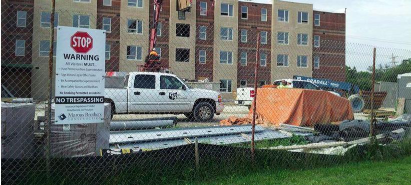
Construction begins on permanent supportive housing at East 116th Street and Buckeye Road.
City of Cleveland
Cleveland Civic Vision Citywide Plan proposed.
Open Space and Recreation Zoning Districts adopted that allow the city to reserve land for parks, recreational facilities, and open space including swimming pools, recreational centers, marinas and cemeteries.
State of Ohio & US Federal
Passes Urban Garden Zoning District, allowing the city to set aside land for garden and small-scale agriculture. Also establishes “market gardens” that permit the sale of produce at farmers markets.
Ohio Revised Code Bicycle Laws passed, affecting both cyclists and motorists. Bicyclists are required to adhere to particular rules.
City begins construction of the Inner Belt Bridge, known as CG2. The bridge is a major part of the Connections 2035 Plan. The bridge’s estimated end of construction is in 2014.
Adopted citywide “chicken and bee“ zoning, allowing residents to keep up to six chickens, ducks, or rabbits (one per 800 ft2) and two beehives in a back yard or on small vacant lots. Requires licensing by the city Department of Public Health as well as larger setbacks and greater land area for large livestock.
City adopts agricultural zoning in residential districts that permits agriculture as a principal use on all vacant residentially zoned areas. This includes, conditionally, the sale of produce from farm stands.
Economic Stimulus Act
Federal Reserve starts the first round of quantitative easing
Federal Reserve starts the second round of quantitative easing
Federal Reserve announced a third round of quantitative easing Ohio adopts Statewide Rail Plan
State Adopts Urban Agriculture Overlay District City may designate areas for large scale farming. Requires special designation through rezoning.
Buckeye-Shaker Neighborhood
Wheelchair accessible apartments built at Woodland Road and East 115th Street.
The HEAL Initiative and Buckeye Shaker Square Area Development plant 52 backyard gardens in Buckeye-Shaker and Woodland Hills.
Project to reimagine Buckeye Road.
City of Cleveland
City adopts Northeast Ohio’s Long-range Transportation Plan. The plan includes significant transportation upgrades throughout the region, including major roads, bridges, bike lanes and trails.
City adopts the Northeast Ohio Areawide Coordinating Agency’s Regional Bicycle Plan, advancing a vision of bicycling as a viable mode of transportation in the region.
The Connecting Cleveland Citywide Plan is adopted as part of a broader initiative that incorporating plans for Cleveland’s waterfront and downtown.
State of Ohio & US Federal
2010-2020
According to its 2020 master plan, Cleveland is working to make better use of its assets by improving connectivity throughout the city and its region. Additional bridge and highway projects, some of which are already underway, respond to this goal.
Highways bisecting primarily industrial industrial areas provide mobility and connectivity connect industry with the city. Despite the decline in industrial use since the city’s heyday as a manufacturing center, there has been little change in the area zoned for industry; this implies an abundance of space to accommodate growth in the manufacturing sector.
There are seven major thoroughfares, mainly consisting of commercial zones, which connect downtown to outlying districts. These roads function as arteries that support economic activity in the core.
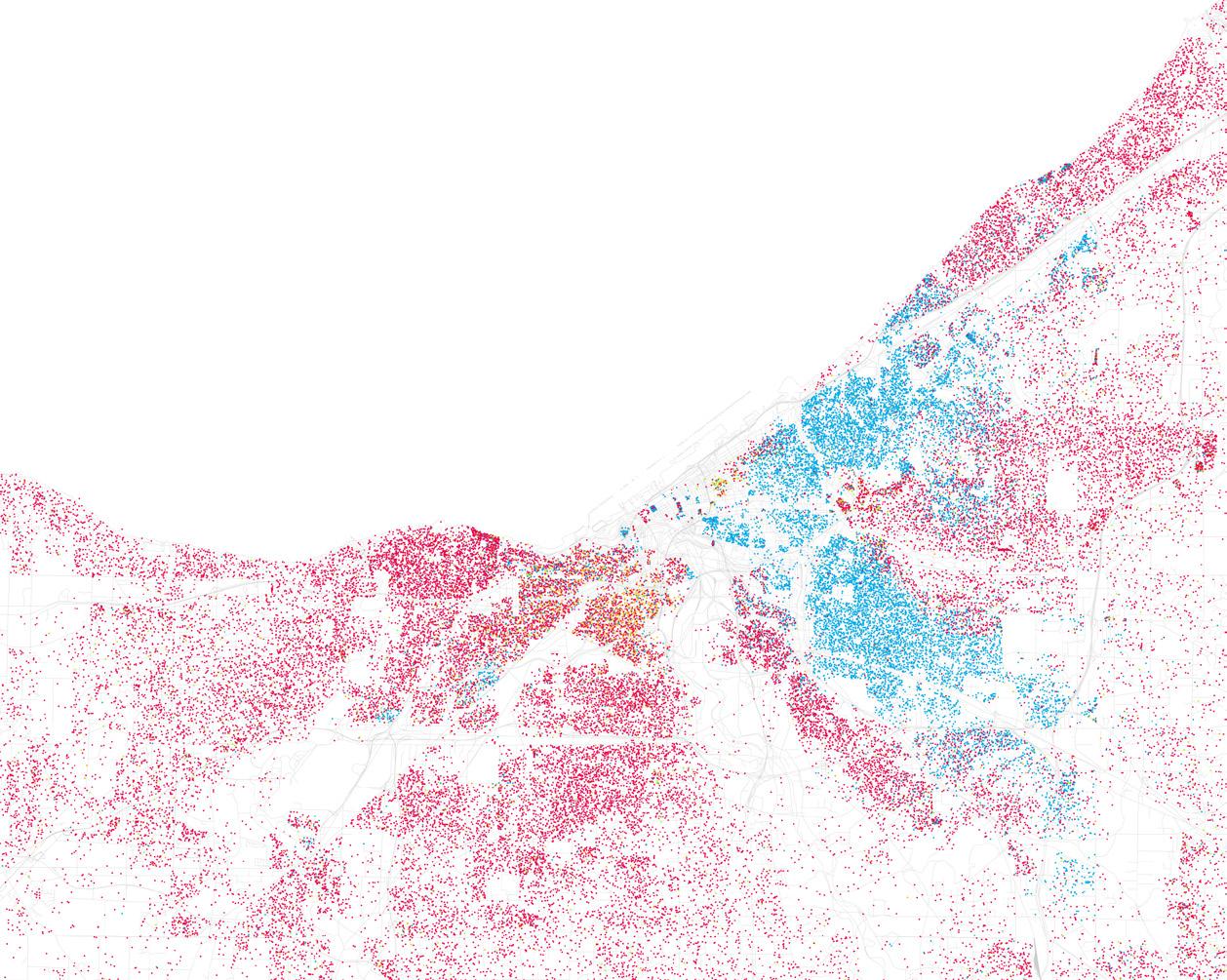
Although segregation in Cleveland is not as severe as in some other major American cities, it is still a fact of life for many Cleveland residents. Western Cuyahoga county is predominantly white, which contrasts with the large African-American population on its East side, a pattern replicated on the city scale with the possible exception of its less segregated downtown.
residential zones
city of cleveland boundar y cluster of neighborhood with over 75% black population
cluster of neighborhood with over 89% white population

Source: Buckeye-Shaker Neighborhood Maps, Connecting Cleveland 2020 Citywide Plan
Cluster of neighborhoods with over 75% white population
Cluster of neighborhoods with over 75% black population
Residential zones within the city of cleveland boundary
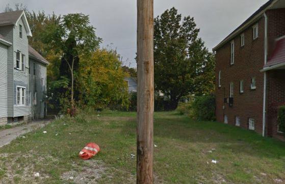
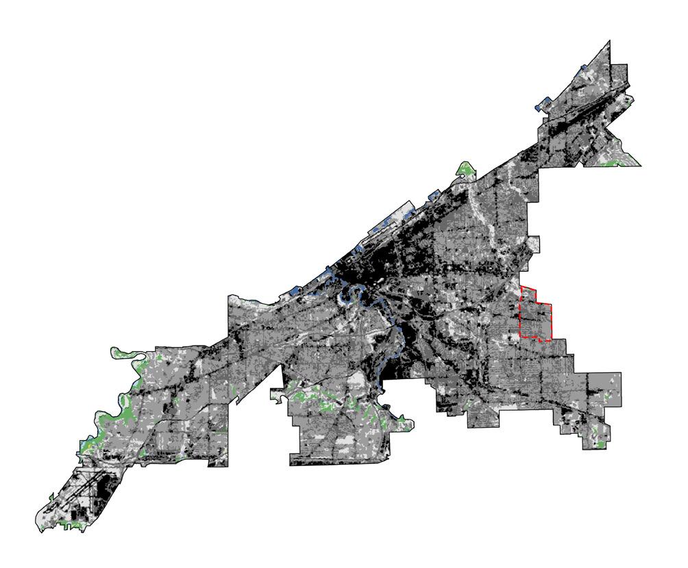
The majority of Cleveland’s vacancy appears to be situated in the eastern portion of the city, where large swaths of land were left unoccupied by departing manufacturers and housing that used to accommodate workers now sits vacant.
Recent planning initiatives in the city have explored opportunities to address vacancy by promoting its use as park and urban agricultural land. In addition, there are plans for an ambitious green infrastructure framework throughout the metropolitan area that may further imbue vacant partials with possibility.
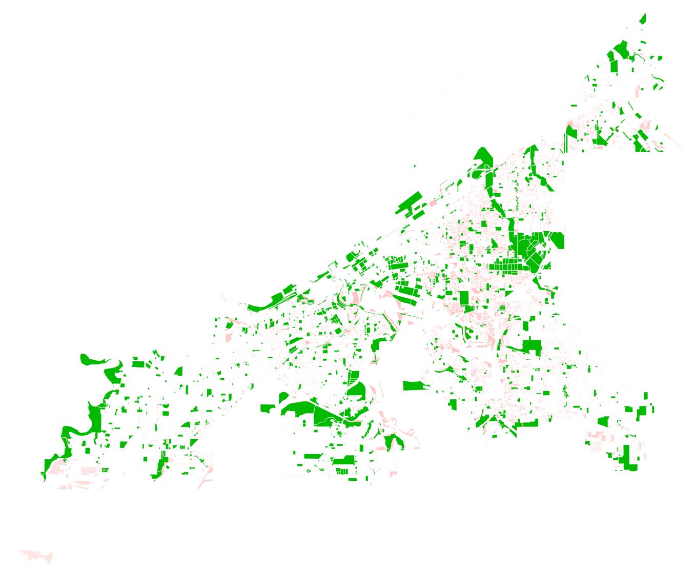
The nationwide foreclosure crisis hit Cuyahoga County and Cleveland particularly hard. In response, the Cuyahoga Land Bank (CLB) was formed in 2009. The CLB is a non-profit with close ties to local governments that seeks to make productive use of vacant and abandoned properties in communities like Buckeye-Shaker for purposes of economic development, ecological improvement, and increased quality of life.
After acquiring foreclosed properties (largely those that are vacant or abandoned), the CLB may then either rehabilitate and sell the properties or assemble them for new purposes.
Vacant properties: Cleveland
Vacant properties: Buckeye Shaker
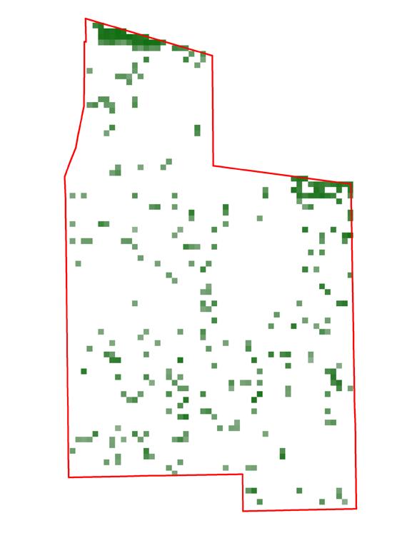
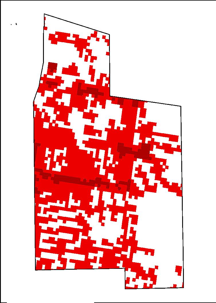
Vacancy significant shapes the landscape of Buckeye-Shaker. This map identifies vacant parcels in the community by present ownership. It is worth noting that a significant portion of the parcels are held in public ownership and thus are more easily transformed into beneficial, landscape-based community spaces.
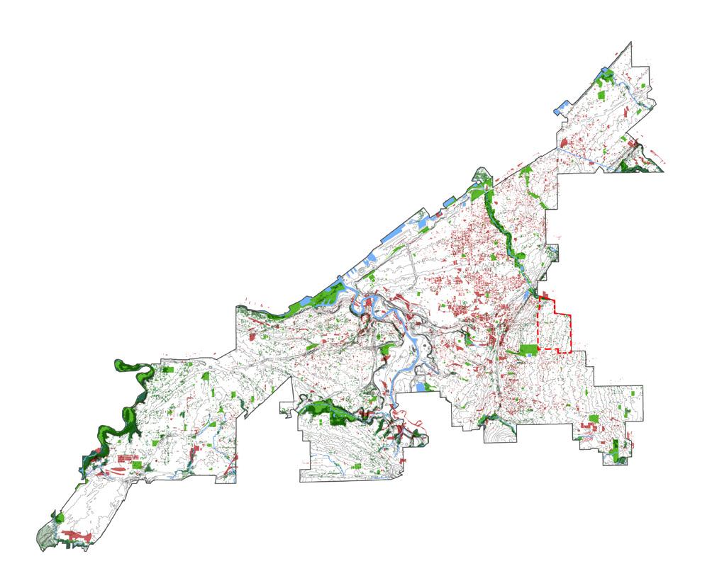
Within the City of Cleveland, the issue of vacancy and the need for creative and sustainable responses in an active point of discussion. On of the primary voices within this discussion is The Cleveland Urban Design Collaborative (CUDC). CUDC has not only cataloged vacancy across Cleveland, but also generated landscape-based design responses to the issue. These design responses are sensitive to their local context and aim to improve social and environmental conditions through community building and economic opportunities. A selection of such landscape solutions to vacancy are included on the follow page.
http://www.cudc.kent.edu/projects_research/ research/reimagining_cleveland.html
The Buckeye-Shaker neighborhood compares fairly well with other parts of the city in terms of vacant parcels. The location of vacant parcels, as well as area assets like schools and parks, requires analysis of their spatial distribution at multiple scales.
The vacant areas also offer opportunities. The Cleveland Urban Design Collaborative’s ‘Re-Imagining a More Sustainable Cleveland’ report highlights the potential for environmentally beneficial interventions on vacant urban land.
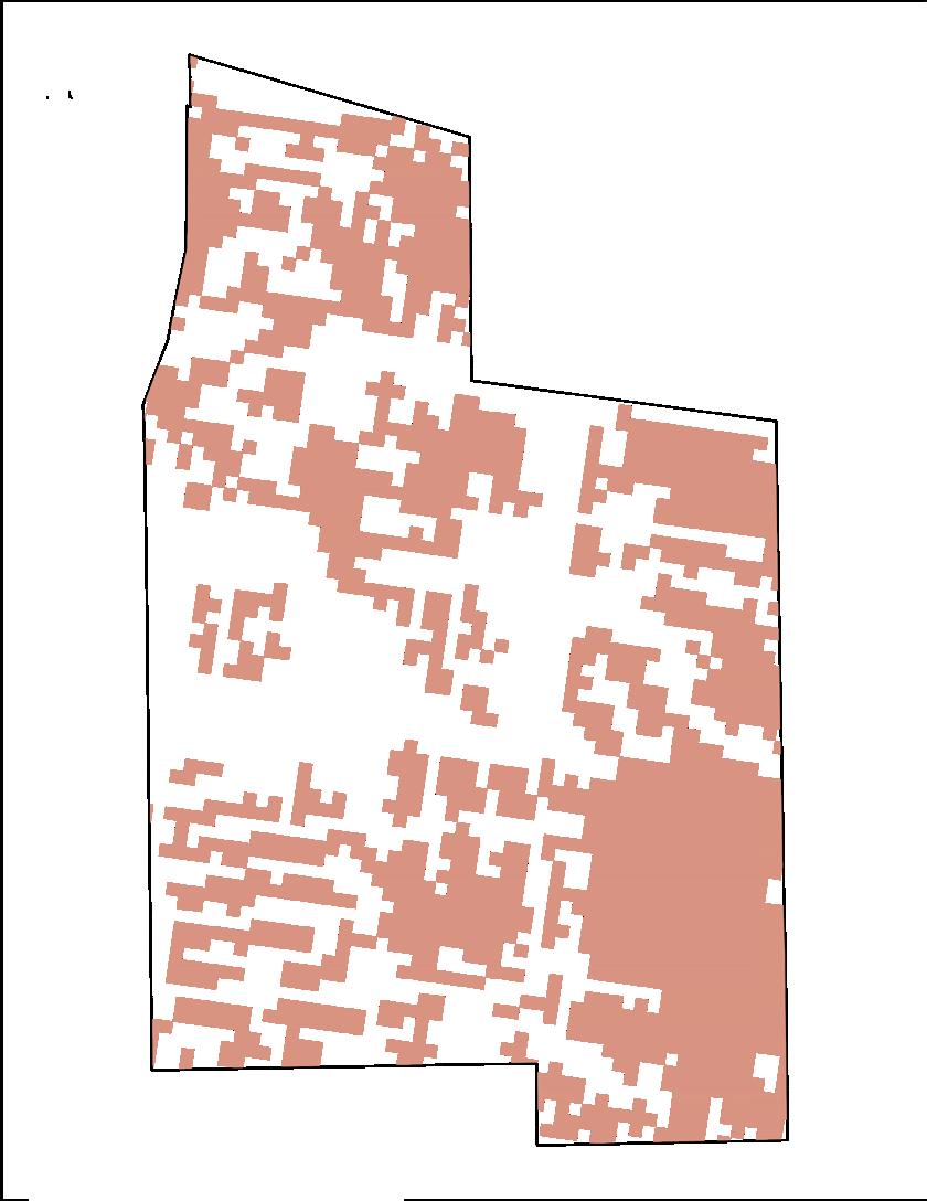
Percentage of Neighborhood Land Area Occupied by Parcels Listed as Vacant
Clustering of vacant parcels is evident in the southern half of the BuckeyeShaker neighborhood with similar clusters distributed selectively to the west and in the south. The spatial distribution of vacant parcels within Buckeye-Shaker highlights urgent issues of equity in prioritizing development and planning initiatives. While the neighborhood may not be doing poorly as a whole, are visible in this analysis.
Buckeye-Shaker and Its Surroundings
The cluster of health and education institutions in University Circle stands in contrast to the lack of such uses in the BuckeyeShaker neighborhood. This disparity demonstrates the need for strong connections between the two neighborhoods. Their proximity allows residents of each neighborhood to access to the assets of the other.
Buckeye-Shaker has the opportunity to draw University Circle residents to areas throughout Buckeye-Shaker, and by doing so spur economic development.
Recognition of opportunities (both present and future), accounting for outside influences, and understanding the relationships between neighborhood stakeholders are all important parts of the planning process. Buckeye-Shaker has the benefit of a community development corporation, commercial hubs/ corridors, and proximity to nearby University Circle. Effective coordination between BuckeyeShaker’s stakeholders and city planners would help to capitalize on these resources.

Buckeye-Shaker may have an opportunity to leverage the popularity of neighboring University Circle University Circle is home to Case Western Reserve University, cultural centers like the Cleveland Botanical Gardens, and facilities of the Cleveland Clinic and University Hospital If Buckeye-Shaker can cultivate spillover investment, it may face a challenge in spreading the benefits equitably throughout the neighborhood.
In 2012, a proposed merger between Buckeye-Shaker’s two community development corporations failed. Cleveland funding intermediary Neighborhood Progress, Inc (NPI) supported the proposed merger. When Shaker Heights Area Development Corporation (SHAD) rejected merging with Buckeye Area Development Corporation (BADOC), it lost city and foundation funding through NPI.
SHAD continues to exist, though with diminished capacity, but BADOC became Buckeye Shaker Square Development Corporation (BSSDC) and now serves the entire neighborhood.

The Connecting Cleveland 2020 Citywide Plan proposes zoning updates to the commercial corridors of Larchmere Boulevard and Buckeye Road. Both corridors currently exhibit a number of vacant storefronts. Mixed-use and live-work zoning would represent a shift from the traditional retail zoning currently prevalent.
It is important to note that Shaker Square is privately owned, and therefore may require intentional engagement for pursuit of community goals in the area. Remains Retail Zoning
The City of Cleveland Planning Commission is dedicated to improving quality of life for all Clevelanders and creating economic vitality throughout the city and its region. The Commission and its staff pursue these goals by promoting the highest standards for development and revitalization in all of Cleveland’s neighborhoods and employment centers.
The City of Cleveland Planning Commission, established in 1915, is supported by a staff of professional planners and architects. The city Charter gives the Commission responsibility for preparing plans to guide “development and improvement“ of the City and its neighborhoods, and for reviewing all legislation and other matters that concern the “use or development of land.”
City Planning Commission
Source: Mayor’s Office of Capital Projects and Sustainability, City of Cleveland. 2012 Complete & Green Streets Report Card, 2013. PDF file.
Appointed by the Mayor Member of City Council
• Shaker Square, one of the most unique places in Cleveland.
• The Larchmere Boulevard antiques district.
• The Buckeye retail district.
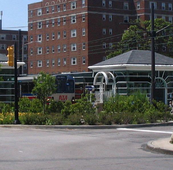
• RTA’s Blue and Green rapid transit lines.
• Historic multi-family and single-family neighborhoods
• Schools that accommodate special needs children such as the Sunbeam School and the Alexander Graham Bell School.
• Finding alternative uses for portions of Buckeye Road no linger viable for retail.
• Addressing the impact of perceived criminal activity on Shaker Square and the Larchmere antiques district.
• Concentrations of twofamily homes in poor condition south of Buckeye and east of East 116th.
• Improving regional roadway access.
• Develop Buckeye as a premier neighborhood retail corridor through streetscape and storefront improvement initiatives that will encourage entrepreneurship and investment.
• Offers housing options of varied types and price points.
• Connect the Buckeye neighborhood to recreational facilities found in Cleveland and outlying communities.
• Capitalize on institutional partnerships to provide physical and social development resources to the surrounding community
• Create an arts and cultural district along Buckeye Road to promote history and heritage, provide entertainment, and develop local artistic talent.
• Work to maintain the unique retail mix that makes Larchmere and Shaker Square regional destinations


While it is important to recognize the boundaries of the BuckeyeShaker neighborhood, planning and investment in neighboring areas must also be considered and integrated into neighborhood initiatives.
Despite decades of disinvestment, Community Development Corporations, nonprofits, and city and county governments are now working together to develop projects that will benefit the Buckeye-Shaker community at large.
A comprehensive strategy for redeveloping the street, capitalizing on its evident assets and developing a new mix of commercial uses, spearheaded by Buckeye Area Development Corp. with design and planning help from Cleveland Urban Design Collaborative.
This learning campus, including a $16 million two-story grade school, a $6 million library, a playground and gardens, is the result of collaboration between Cleveland Metro School District, Cleveland Public Library, Saint Luke’s Foundation, the Cleveland Foundation, Neighborhood Progress Inc., ParkWorks, and Cleveland Public Art.
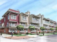
Intended to reintroduce market-rate housing along Buckeye Road, the project will include 25 market rate housing units, help create an arts district, and incorporate public art and green space. The project, intended to be a live/work node, was designed by Square One Architects and supported by Buckeye Area Development Corp.
4
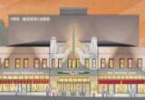
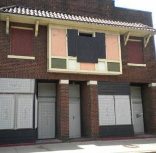
Buckeye Area Development Corp. has proposed the redevelopment of this historic, but currently vacant, theater building into a flexible, multi-purpose entertainment venue. It will include retail space as well as banquet rooms that can host arts and cultural events.
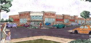
Buckeye Area Development Corp., in partnership with New Village, proposes a 29,000 sq. ft. shopping center on East 116th Street and Buckeye Road.
6
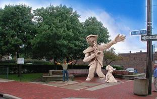
Building on the Art and Soul theme of the neighborhood’s vision, Buckeye Area Development Corp. has planned a series of art installations and pocket parts throughout the Area. This one is being developed in collaboration with ParkWorks, Cleveland Public Art and RTA. 7 Saint Luke’s
This $56.3 million multi-use project is converting this hospital into low-income senior apartments, a charter school, a Boys and Girls Club, office space, and a community clinic. It is a collaboration between Buckeye Area Development Corp., Neighborhood Progress, Inc., and Penrose Properties.
8 Proposed Eastside
The greenway will connect parks and town centers throughout East Cleveland with a network of trails. The project, to be developed over the coming years, is a collaboration between LANDstudio, Cleveland Metroparks, Cleveland State University, and surrounding municipalities.
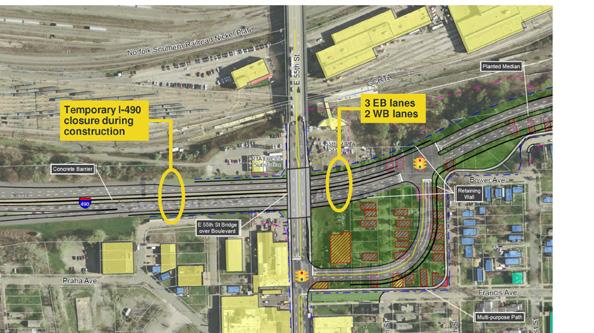
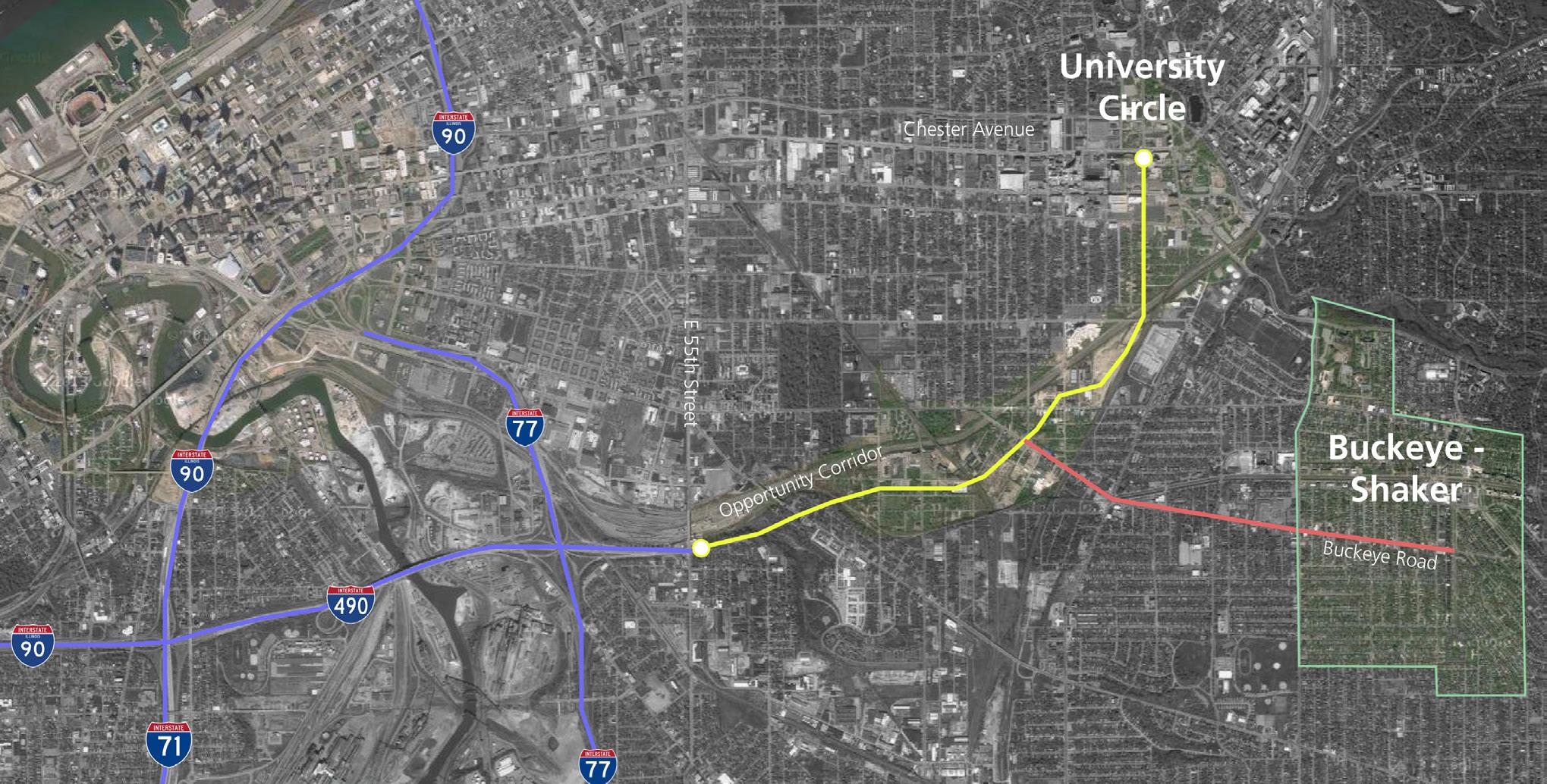
9 Proposed Opportunity Corridor
The opportunity corridor is a controversial transportation and economic development project that would connect I-490 to the University Circle neighborhood. The Ohio Department of Transportation has put forth the proposal, which it says will improve accessibility and spur economic development.
The Northeast Ohio Regional Sewer District will construct $3 billion of stormwater-related sewage infrastructure over the next 25 years, including a massive sewer tunnel that will be constructed underneath University Circle and Buckeye-Woodhill.
The 2000 land use plan for the Buckeye-Shaker neighborhood features three major commercial corridors that are separated from residential and open space.
2020
The proposed 2020 plan for the neighborhood rezones significant portions of the three corridors for live-work mixed use space to enable more a more varied and vibrant economy along their lengths.
Source:
Buckeye-Shaker Neighborhood Maps, Connecting Cleveland 2020 Citywide Plan Picture: Google Map
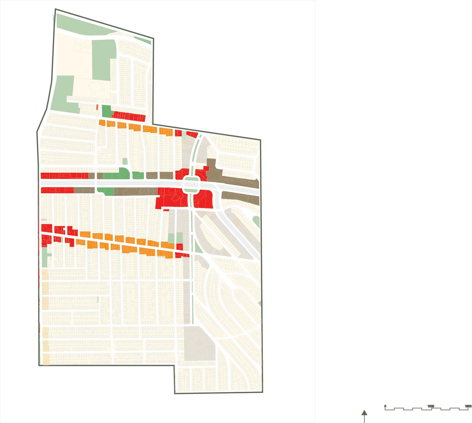
Multiple Family Residential Legend of Zoning
Single, or Double Family Residential
Commercial
Live-Work Mixed Use
Open Space / Institutional
Transportation/ Public Utilities
Changed Zoning Area
• Unique mix of independent businesses, retailers and restaurants.
• Cleveland’s art and antiques shopping district.
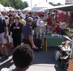
• Sidewalk Sales.
• Porch Fest.
• First Fridays.
• Retail square.
• Transportation hub.
• Saturday Farmer’s Market.
• Wednesday Senior Coffee Day.
• The Coral Company developed and continues to manage the retail center since 2004.
• Half-a-mile of commercial land use.
• High vacancy rates.
• Public art installation to deter violence and crime (E.118th St and Buckeye Rd).
Housing
A 2006 Plan for the BuckeyeShaker neighborhood identified priorities that fell into four categories: housing, economic development, safety and security, and neighborhood amenities. After seven years, progress is evident, if inconsistent.
Buckeye Shaker Development Corporation cites $113,500,000 of investment in various neighborhood projects as proof of the community’s momentum. However, though a number of housing and beautification projects have been carried out, economic development has been more elusive.
Planning consultants J-QUAD produced the 2006 “BuckeyeLarchmere Focused Area Plan” and have also agreed to produce a five-year land use plan for the neighborhood.

Home repair, maintenance, rehabilitation.
Quality, residential construction across income levels.
Property maintenance & upkeep, management of vacant lots & homes.
Code enforcement.
Homeownership education & counseling.
Implementation
Quality, residential construction across income levels:
St. Luke’s Manor senior housing.
Emerald Alliance Permanent Supportive Housing.
Accessible housing at 114th and Woodland.
Affordable Housing on MLK Boulevard.
Home repair, maintenance, rehabilitation:
Curb Appeal, Healthy Homes, and Model Block improvement programs.
Economic Development Safety and Security Neighborhood Amenities
Employment opportunities.
Greater retail diversity.
Collaborative business resources.
Support for new business start-ups.
Youth job training, tutoring, and employment.
Police protection and visibility.
After school/summer activities and organizations.
Neighborhood involvement in crime prevention.
Enforce community ordinances.
Enhance resident’s sense of security and safety.
Programs for children and teens.
Recreational & cultural activities.
Social service agencies and programs.
Neighborhood branding and identification.
Social interaction/activities among neighbors & neighborhood associations.
New business:
Plasmacare plasma collection center.
Protection & visibility:
Securitas mobile patrol.
Commercial corridor security cameras.
Neighborhood involvement in crime prevention:
Bimonthly public safety and security meetings.
After school/summer activities & organizations:
Harvey Rice Library.
Recreational & cultural activities and programs for children and teens:
Harvey Rice Library.
Harvey Rice School.
Buckeye urban farm.
Neighborhood branding and identification:
RTA Buckeye Woodhill station
Tilework at Harvey Rice School & Library
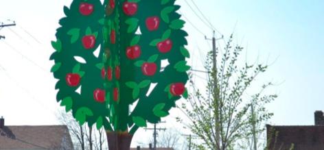
Kite sculpture at E. 119th & Buckeye
Tree sculpture at Woodland&Mt. Carmel
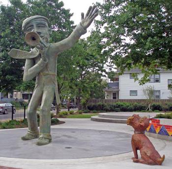
Trumpeter pocket park
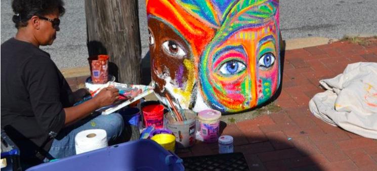
Painted garbage cans & sidewalk branding on Buckeye Road
Storefront improvements on Larchmere
Community
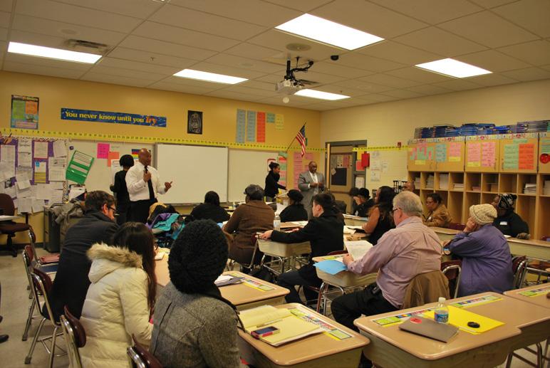
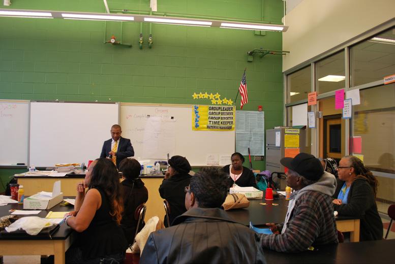
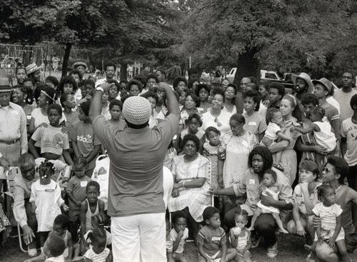
Under the leadership of the Buckeye Shaker Square Development Corporation, the community is engaging in a neighborhood planning process throughout the fall of 2013. We had the privilege of attending a community meeting on October 24, in which residents were divided into groups invited to discuss three broad topics: economic development, neighborhood and community, and transportation and infrastructure.
For each topic, J-QUAD employees asked discussants to first develop an inclusive list of relevant priorities; this list was then discussed by participants and eventually narrowed to five key priorities.
After the breakout sessions, the groups were brought to together to vote what five main priorities would serve as the primary concerns of the planning process.
From these priority lists, we have selected specific improvements and programming issues unique to the Buckeye-Shaker neighborhood.

1. Economic Development
2. Neighborhood & Community
3. Transportation & Infrastructure
1. Transportation & Infrastructure 2. Economic Development 3. Neighborhood & Community
Neighborhood & Community 2. Transportation & Infrastructure
Neighborhood & Community
Community Gardens
Age appropriate playgrounds Rehab/Demo
Open/vacant Land Reuse
Diverse Housing Opportunities
Neighborhood & Community
Identity/Image,
Basic attributes: clean streets, lighting
Small Business Center: job skills, finance
education, incubation
Commercial Corridor Revitalization
Appropriate Retail
Programming & Institutional Changes
Economic Development
Review Zoning
Transportation & Infrastructure
Neighborhood Image
Trash Collection/Clean Up
Signage
Sidewalk Improvements
Lighting and Security
Accessibility/Pedestrian Safety
Widening the Road
On-Street Parking/Road Improvements
Community Centers
Community Facilities: laundry, Internet
Transportation & Infrastructure

Enforcement
Collection Service for Abandoned Houses/
Block Watch/Channel 8/City Clean Up
Transportation Schedule Revision
Goals, Objectives, and Prioritization
Phase I (Programming and prioritization)
Goal 1
Create a safe environment for residents, business owners, and visitors.
Goal 2
Create an academically, emotionally, and psychologically supportive environment for youth.
Goal 3
Foster a positive, appealing environment for business and entrepreneurship.
Goal 4
Contribute to an aesthetically pleasing and functional environment that creates a sense of place and an identity for the Buckeye Corridor.
Phase II (Requires capital and partnerships)
Phase III (Requires significant planning and capital investment)

1. Organize getting-to-know-yourneighbor events
2. Create a notification system
3. Improve code enforcement
4. Address security issues through community collaboration
1. For an identity/image for the neighborhood
2. Review zoning code
3. Acquire basic attributes (clean streets, lighting)
1. Improve neighborhood image through measures such as trash collection and clean up
2. Implement way finding and signage to create a sense of place
3. Address service collection for abandoned houses through a block watch and local media outlets such as Channel 8
4. Revise transportation schedule and routes

1. Enhance social programming including parenting classes and after school programs
2. Establish a “neighborhood education” program
3. Prioritize rehabilitation/demolition projects
1. Utilize open/vacant land for community gardens and age appropriate playgrounds
2. Demand diverse housing opportunities
1. Create a small business center with programs such as job skill development and finance education, as well as incubation space for startups
1. Focus on commercial corridor revitalization and ensuring appropriate retail options are located there
1. Prioritize sidewalk improvements
2. Increase lighting and security
3. Focus on accessibility for all users and pedestrian safety
1. Widen and repair roads
2. Add on-street parking
3. Increase access to community centers and community facilities with laundry services and Internet access.
Source: www.street-sense.org
Environmental infrastructure (city systems at the interface of natural and urban ecologies) present challenges to every city: maintenance and operating costs can drain city resources, accessibility, equity, and efficiency, can represent competing political urgencies, and political support may wax and wane with administrative changes. Cleveland is no different and the city is currently attempting to cope with
its outdated and inadequate infrastructure. While the city is rich in environmental assets, it must upgrade its systems to remain viable. However, the city and Cuyahoga county are attempting to holistically address these insufficiencies. Plans are in place to upgrade the city’s existing systems;. Furthermore, these upgrades attempt to simultaneously manage transportation, blue and green infrastructure, and land cover,
while also increasing the availability of green space, improving quality of life, and incorporating placemaking practices.

Buckeye-Shaker Over Time
Hungarian Immigrants in Buckeye-Shaker
City-wide Foundations and Non-Profit Organizations
Associations: the social networks
Food Systems
Education
The historical progression of architectural styles in Cleveland
Age of the Building Stock
Residential Housing
Economic Environment
Commercial Real Estate
Market
Architecture Styles
The Moreland
The
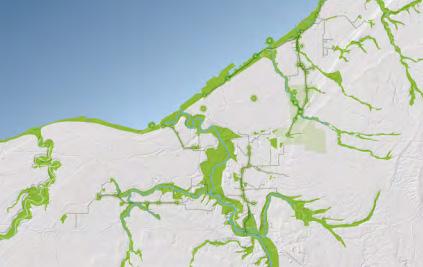
Cleveland is located along the south shore of Lake Erie, while the Cuyahoga River runs through the city. Most of Cleveland’s primary roadways and railways follow the water, reflecting the city’s industrial heritage: waterways once were and, to a lesser extent, still are crucial infrastructure for the shipping of industrial goods.
legend
Primary Limited Acess or Interstate
Prim ary Limited Ac es s or I nterstate
Prim ary US and St at e H ighways
Primary US and State Highways
Secondary State and County Highways
Secondary State and County Highways
Local, neighborhood, rural or City S treet
4W D
Local, neighborhood, rural or city street 4WD
Ot her Ram p
Other Ramp
Cul-de-sac
Cul-de-sac
Traffic Circle
Traffic circle
Freeway Ramp Service Dive
Freeway Ram p Service Driv e
Ferry
Ferry
Ot her Thoroughfare
Other Thoroughhfare
Pedestrian Walkway
Pedestrian Walkw ay
Alley
Alley
Driveway
Driveway
Parking A rea Road
Parking Area Road
RA ILROAD
ClevelandBoundary
Railroad Cleveland
The Cleveland Opportunity Corridor, proposed by the Ohio Department of Transportation and the Federal Highway administration, is a roadway project that would construct an urban boulevard between I-490 and University Circle. The purposes of the project hopes to improve transportation connectivity, enhance mobility, and support economic development. However, the project is not without controversy; local opposition is mounting throughout the city.
This document does not explicitly endorse or reject the project, but wishes to acknowledge it as a project that could transform, for good or for ill, economic realities in the Buckeye-Shaker corridor.
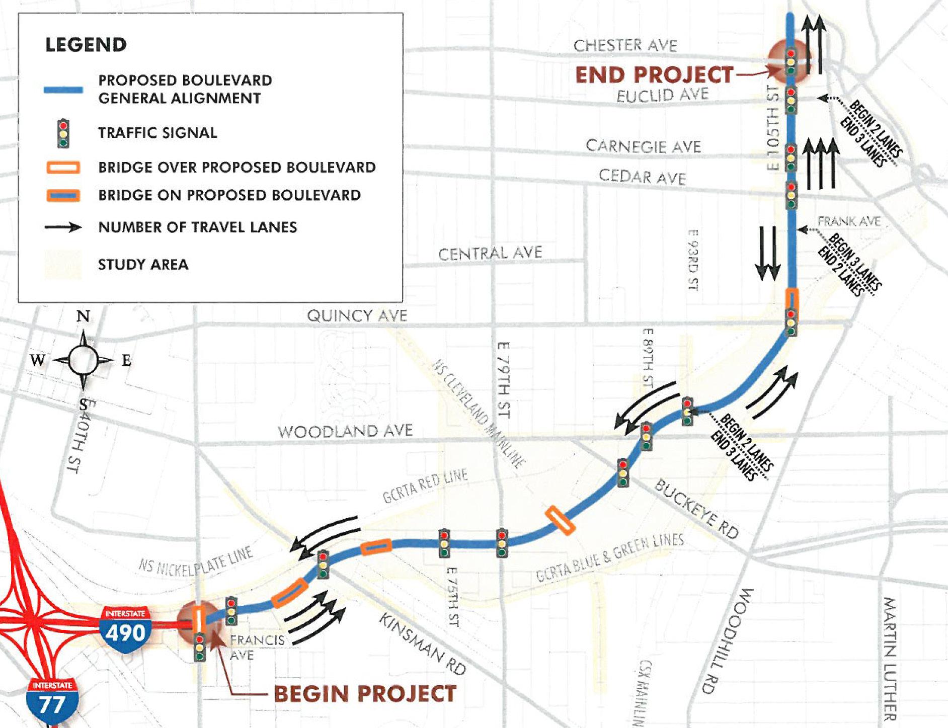
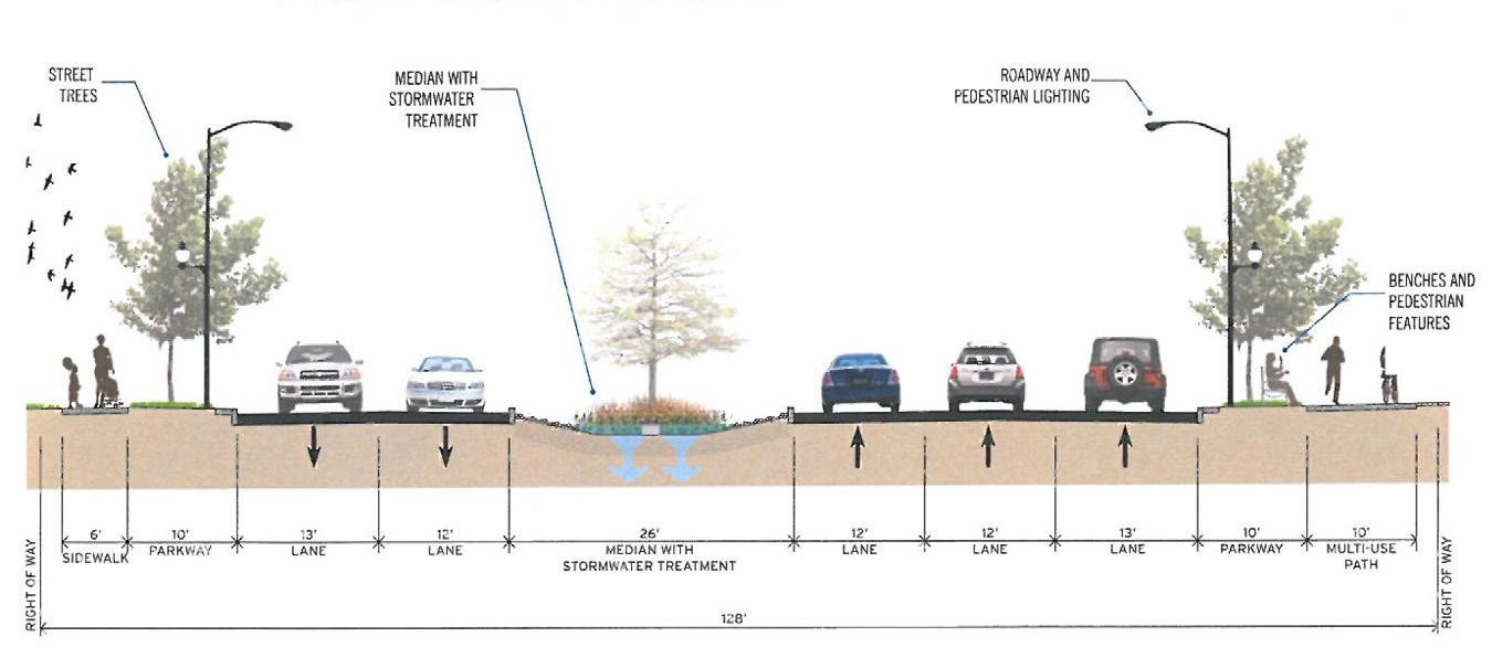
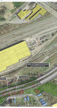
Source: Ohio Department of Transportation
Overall Connection Strategy

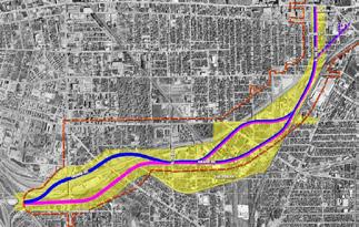
Preferred Alternative: closer look at the section between E55th St. and E 93th St.
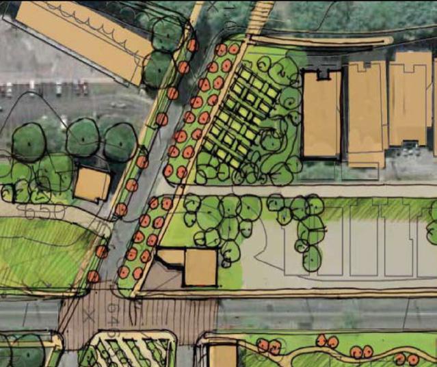
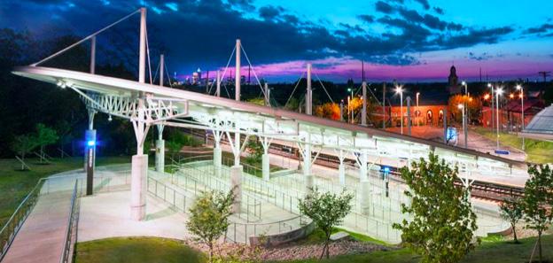
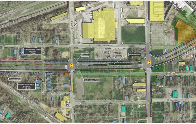
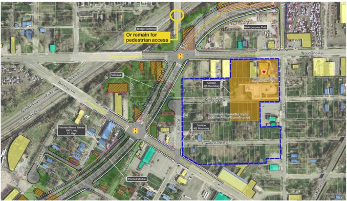
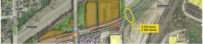
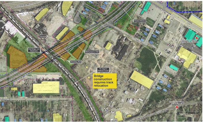
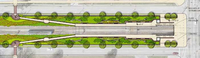
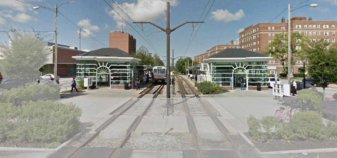
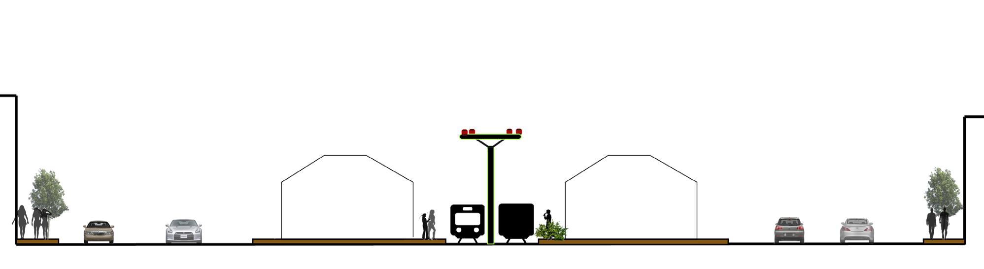
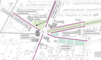
The E. 116th Street Station Area and Sustainability Plan extends the planning vision beyond the transit station’s immediate surroundings by including adjacent neighborhoods; the plan suggests that the station could have a transformative, revitalizing impact on the community, while also increasing transit use in the region. The plan addresses three scales: the station, the streetscape, and its broader context.
The station plan identifies pedestrian paths that best serve residents, businesses, and the Learning Campus. It reflects community identity and proposes transit experience improvements that include sustainable technologies. The Streetscape Planning Area includes improvements to streets, sidewalks, and pathways that will better serve transit users, pedestrians and cyclists. The context area plan reinforces current planning initiatives and directs future land use decisions, encouraging compact sustainable communities and widespread transit ridership.
Source: CKS Architecture and Urban Design, Greater Cleveland, Regional Transit Authority EAST 116TH / BUCKEYE STATION AREA PLAN, Cleveland, Ohio
The Plan Concept


Founding & Partnership
The Buckeye Area Development Corporation
The Cleveland Foundation
The Greater Cleveland Regional Transit Authority
The Northeast Ohio Area Coordinating Agency
The Neighborhood Progress, Inc.
Shaker Square Area Development Corporation
Cleveland Public Art
CKS Architecture and Urban Design
On Going Project:
1. St. Luke’s Pointe (Legacy)
2. St. Luke’s Hospital Building Reuse
3. Buckeye Road
4. Retail Project at East 116th Street and Buckeye Road
5. Buckeye Plaza
6. Methyl Avenue Neighborhood
7. Shaker Boulevard Redevelopment
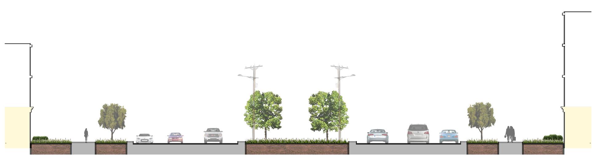
Complete Street Policy: 2012 installation & outcome
The City of Cleveland is working to create a network of complete green streets. By providing complete and green streets, the city hopes to improve the economic, environmental, and social well-being of its citizens. This network will accommodate pedestrians, cyclists, motorists and transit riders while also incorporating best green infrastructural management practices.
Source: Mayor’s Office of Capital Projects and Sustainability, City of Cleveland. 2012 Complete & Green Streets Report Card, 2013. PDF file.
Objective: Reduce the number of pedestrian and bicyclist injuries and fatalities; the city’s long-term goal is to to have the lowest rates per capita state-wide.
Objective: Design all road projects to increase mobility for non-motorized users and, where possible, create links to larger bicycle, transit and pedestrian networks.
Objective: Increase the total mileage of streets designed to minimize negative environmental impacts.
Pedestrian:
$1,329,824 $62,297 $1,204,635
• # of pedestrian refuge island installed = 3
• # of intersection countdown signals installed = 42
• Miles of multi-purpose paths installed = 1.3
• # of ADA-compliant ramps installed = 752
• Miles of bicycle lances added = 0.3
• Miles of multi-purpose paths installed = 1.3
• # of treelawns unpaved = 1,000 sq ft
• Amount of pervious pavement used= 3,448 tons
• Amount of asphalt pavement used = 18,102 tons
• Amount of concrete pavement used = 17,491 tons
Injury Rate:
injuries --- 134 injuries (2011) (2012) Bicycle Commuter Rate:
-- 1.2%workers (2010) (2011)
Amount of recycled pavement used: 35,593 tons
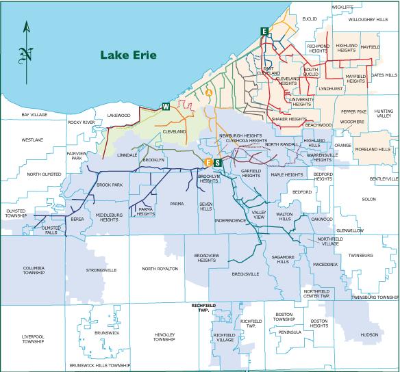
According to Cleveland’s master plan, they are trying to encourage Transit Oriented Development in the Buckeye-Shaker neighborhood. Transit Oriented Development (TOD), as defined by the American Public Transit Association (APTA), is “compact, mixed-use development near new or existing public transportation infrastructure that serves housing, transportation and neighborhood goals. Its pedestrian-oriented design encourages residents and workers to drive their cars less and ride mass transit more.” The public transit system in this neighborhood is relatively well-developed; both green and blue rain lines connect the neighborhood to downtown and the eastern suburbs, while several bus routes provide additional connectivity.
Cleveland’s rail system is well-used and becoming more so every year. In 2012, the RTA boasted 48.2 million trips, a 4.8% increase from 2011. Bus use is also increasing, showing a 3.5% increase over the same time frame.
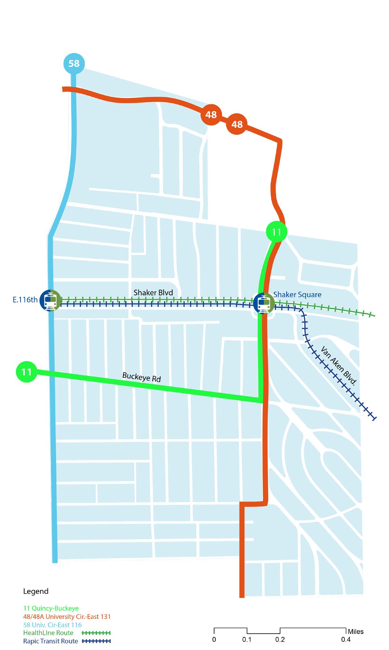
Route 4:00am-12:00am 10-30mins
Blue Route 4:00am-12:00am 10-30mins
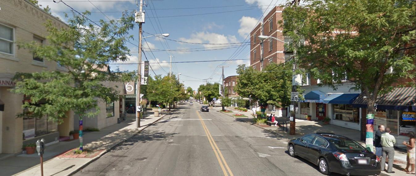
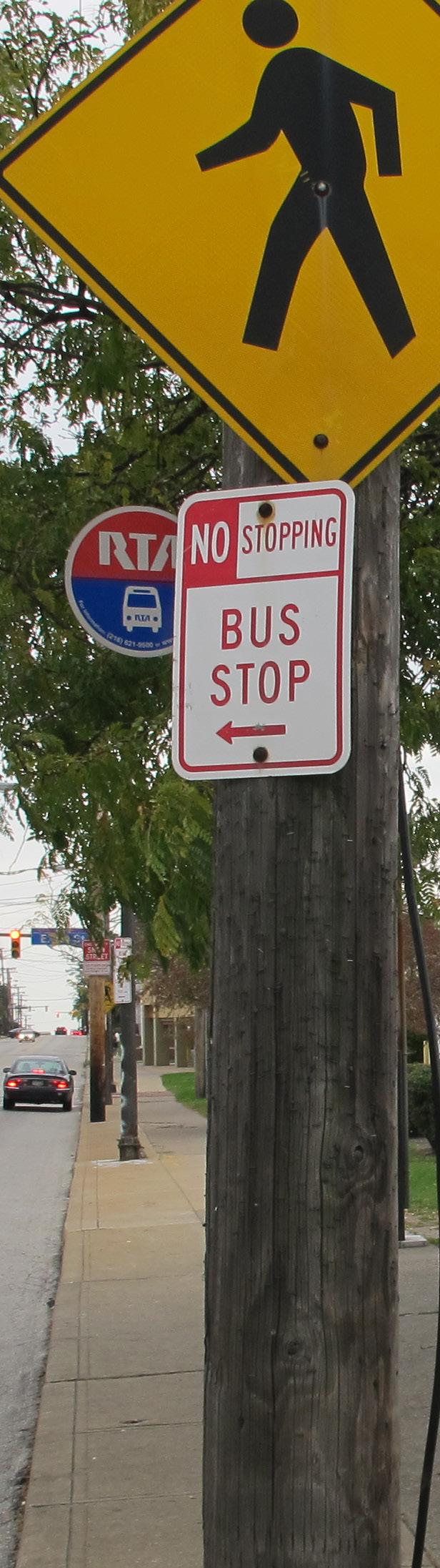
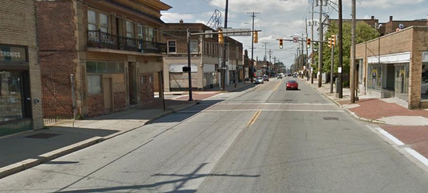
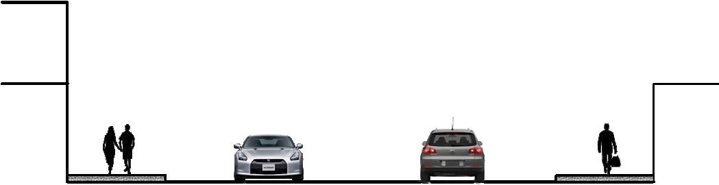
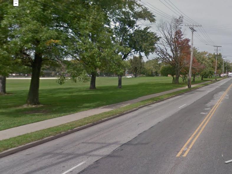
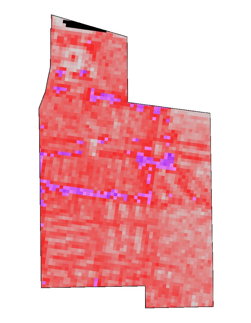
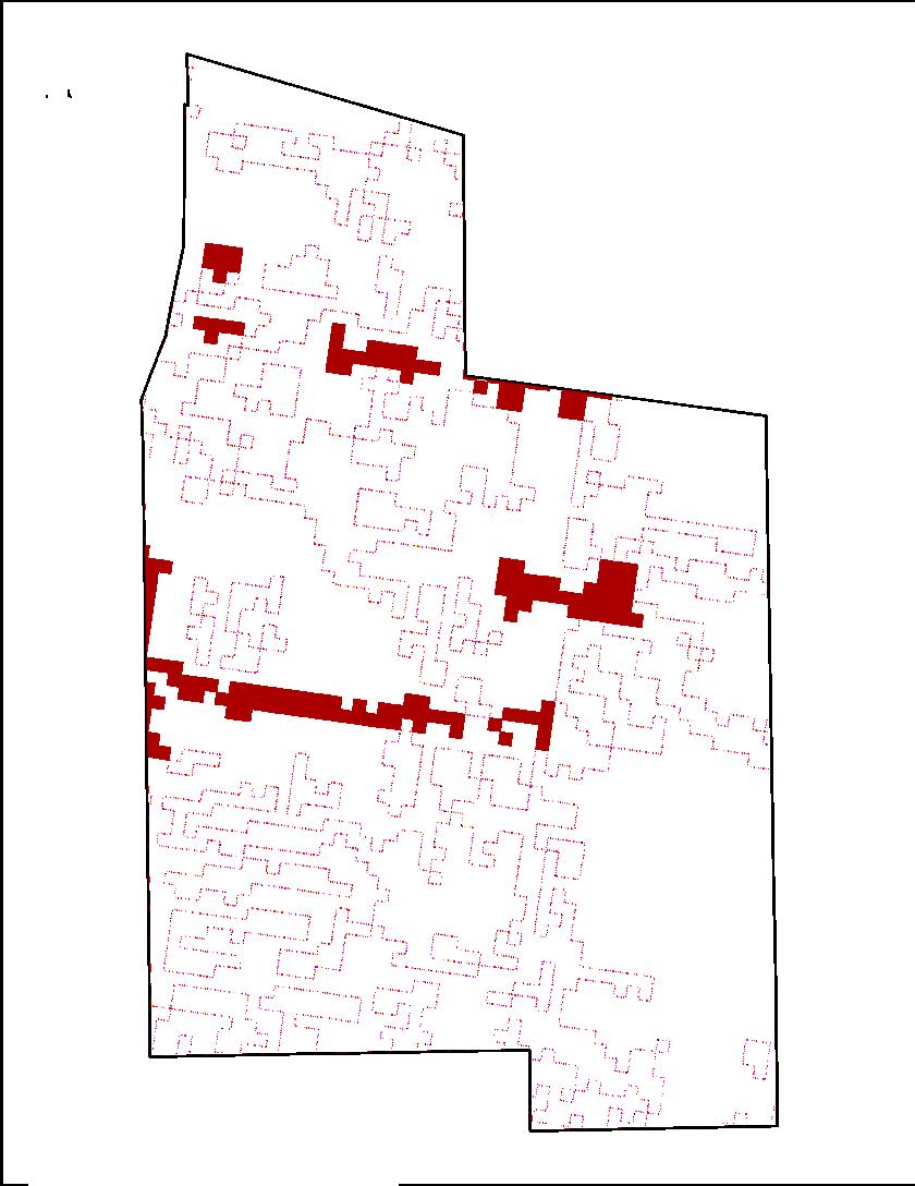
Though public transit access is abundant in the community, bike lanes are less well-distributed, appearing only on stretches of Larchmere and 116th.Complete sidewalks, represented as dotted pink lines, are similarly inconsistent. The pedestrian environment also leaves much to be desired; on Buckeye Road, there are few trees on either side of the road and the poorly maintained sidewalk contributes to an atmosphere easily perceived as unsafe.

Transportation
Streetscapes
Transportation
Travel mode analysis
Despite a fairly well-developed transit system, the primary mode of transportation in Buckeye-Shaker is still the personal automobile. What follows are comparative analyses of travel times that describe the technical, pragmatic reasons for the automobile’s continued dominance.
In moving between two points, he distance traveled by bus, and thus the traveled time, is generally longer, a problem exacerbated by the transfers and wait times that are a necessary evil of bus transit. Increasing directness of bus routes and making changes to bus scheduling that reduce wait times and transfer counts would likely increase ridership.


Commute from the Buckeye Neighborhood to:
General Hospital
A spot in neighborhood route by car
Destination route by public transportation
bus transfer spot Buckeye Shaker Cleveland City
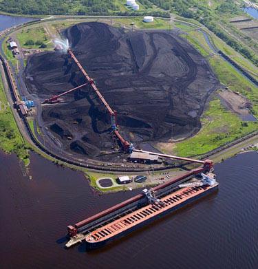
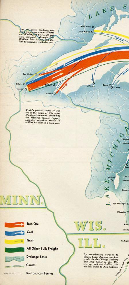
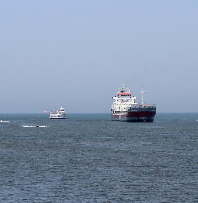
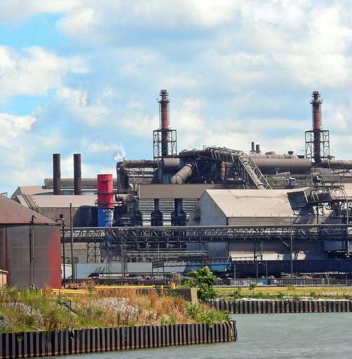
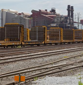
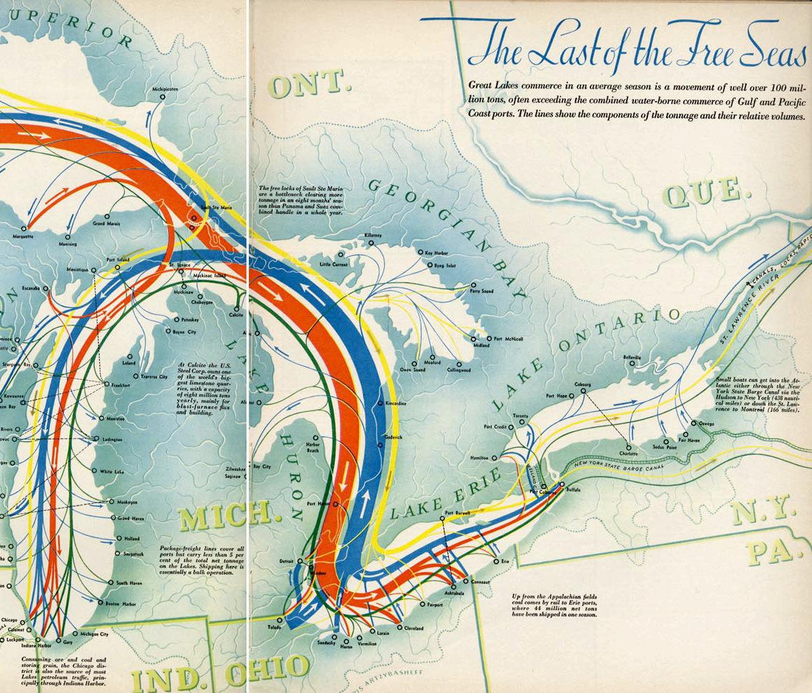
Situated on the banks of Lake Erie and at the convergence of numerous railroad lines, the iron and steel industries benefited of Cleveland’s significant locational advantages. These industries continue to be an economic mainstay of Greater Cleveland. In 1992, the primary metal industries in Cuyahoga County employed 14,690 people, while almost twice that number (27,978) were employed in the manufacture of fabricated metal products. The Great Lakes system continues to provide an important link between the supply of iron ore in Northern Minnesota, Wisconsin and Michigan’s Upper Peninsula and the coal mines in Ohio and Pennsylvania.
[1] Loading coal in Port of Duluth, MN
[2] Entering the Cuyahoga River
[3] Mittal Steel Cleveland Works steel mills
[4] Freight trains carrying steel products
[5] Industrial commerce along waterway (www.chicagoist.com)
Green/Blue Infrastructure
Cleveland’s water comes from Lake Erie. The quality of its water is impacted by localized environmental conditions and industrial pollution, as well as industrial and shipping activities in the larger Great Lakes system. Northeast Ohio Regional Sewer District (NEORSD) was organized in July 1972 to administer Cuyahoga County’s water pollution control program. The treatment of sewage in Cleveland began in 1922 with the opening of the Westerly wastewater treatment plant. In 1925 the Easterly plant began treatment and 3 years later the Southerly plant was in operation. Cleveland initiated sewage charges in 1938 levied on those connected with the system to defray the cost of improvements. Suburban customers were charged higher rates than those in the city, and the justice of this continuing rate differential was disputed by the suburbs from time to time.
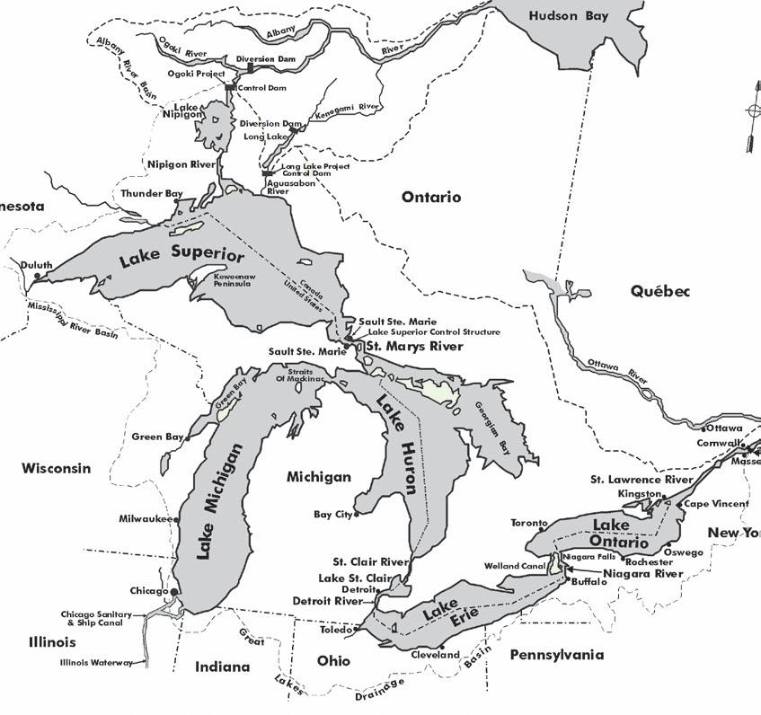
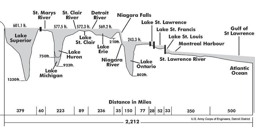
The Great Lakes system flows generally southeast towards the Atlantic Ocean. There is a 170 foot drop in water level between Lake Erie and Lake Ontario as it goes over Niagara Falls.
The distance from Duluth, MN to the Atlantic is 2,342 miles. Of the five Great Lakes, Lake Erie is the shallowest lake.
(techalive.mtu.edu)
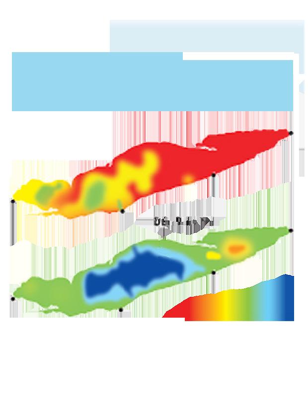
Lake Erie Dead Zone: Algae spreads across the shallow central basin of the lake in the summer, dies and settles. Decomposing algae consumes much of the oxygen in the water and creates a dead zone where fish cannot live.
Sewer District of Northeast Ohio Region (www.neorsd.org)


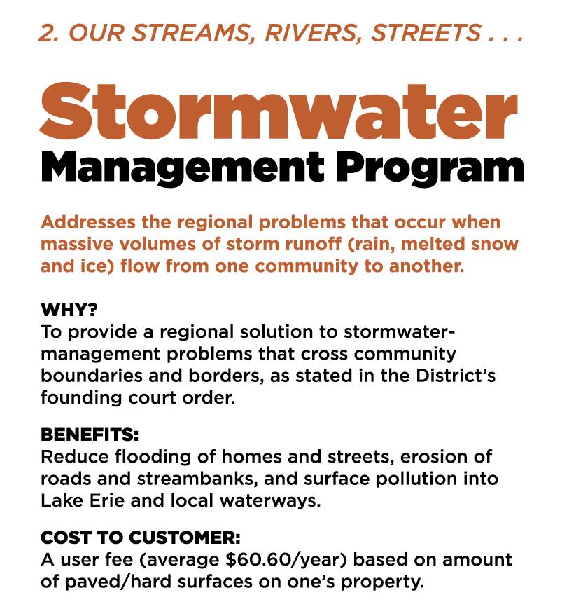
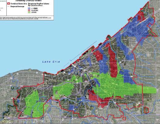
Poorly managed stormwater causes combined sewer systems to overflow (combined sewer overflows, or CSOs). But it also creates other serious problems outside of the sewers that are best addressed by a separate, regional stormwater program. Northeast Ohio has initiated “Project Clean Lake” and Stormwater Management Programs to address these issues.
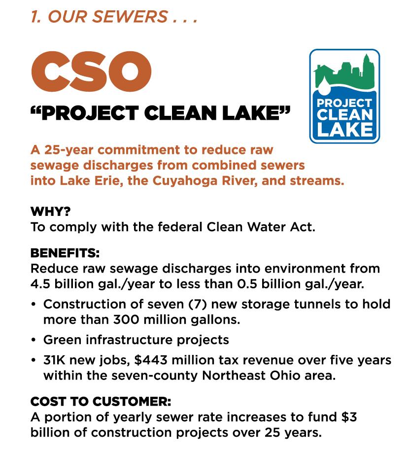
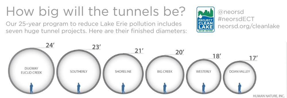
Major large diameter CSO and storage tunnel project progress since 2005
Cleveland is one of the 772 US cities with a combined sewer overflow (CSO) system. Under typical conditions, wastewater is transported through the system to a treatment plant before is it is discharged into Lake Erie. During heavy rainfall the system capacity may become overloaded and the wastewater overflows into streams and rivers.
As the city continues to develop, there is not only more wastewater, but more impervious surfaces which contribute to stormwater run-off. Cleveland is responsible for meeting the EPA’s environmental standards for CSOs as part of the Clean Water Act; what follows are approaches to meeting these standards.
Water Line Replacement Program provides complete repair or replacement coverage for the water line that runs from your home to the main line. $3.25 per month
Sewer Line Replacement Program provides $7,500 per occurrence in repair coverage, including unclogging for the sewer or septic line that runs from your home to the main line or septic tank. $4.75 per month
Preferred Restoration is an upgrade to the Water or Sewer Line Programs that provides $1,000 in additional coverage for landscaping after a water or sewer line repair. $1.50 per month for Water Restoration and $1.75 for Sewer Restoration.
In-Home Plumbing Repair Program provides $1,500 in annual coverage for repairs to all water supply and drain lines in your home. $8.50 per month
(www.clevelandwaterlineprograms.com)
Utility’s Responsibility Industry’s Responsibility
Combined Sewer and Stormwater Pipe
Combined Sewer Overflow
Stormwater Management Green/Blue Infrastructure
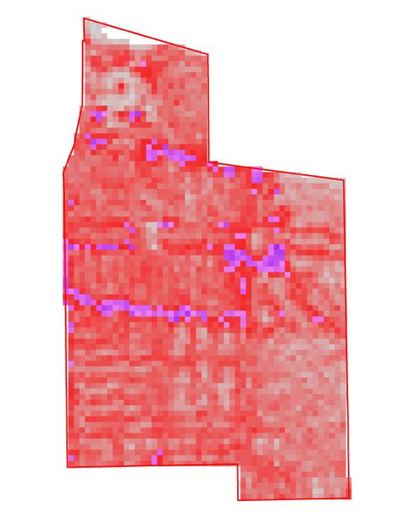
The Doan Brook watershed is a tributary that flows to Lake Erie; however, over time much of the stream has been redirected into underground pipes. In Cleveland, stormwater and sanitary sewers are combined into a single system. As the amount of impervious surfaces grows across the city, flooding and runoff become a serious problem. The Northeast Ohio Regional Sewer District had a program that collected fees from property owners for stormwater control, based on percentage of impervious control, but a 2013 decision by the 8th District Court of Ohio deemed the fee unconstitutional, saying that runoff does not fall within the definition of waste water. It also leaves communities wondering what will happen with $12 million already collected from property owners.
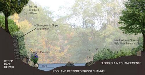
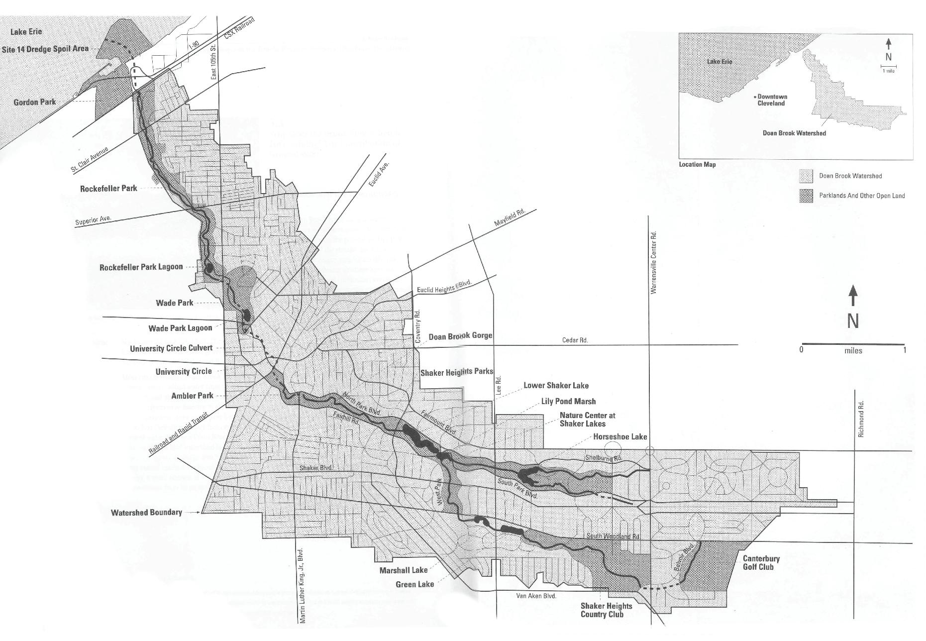
The Northwest Ohio Regional Sewer District is spearheading a series of traditional gray infrastructure initiatives, combined with long-term green infrastructural solutions. Because of an agreement with the EPA regarding control measures, green infrastructure must be located where it can control an additional 44 million gallons of CSO.
Five acres of green infrastructure are proposed in the BuckeyeShaker area, including a ‘Green Street’ which may utilize several of the GI types described in this section.
Catchment Areas with 1-MG or more of CSO after the implementation of the Planned Gray Infrastructure


Short term detention of stormwater, with a controlled slow release from the outlet structure at a desired flow rate
A permanent pool of water typically a minimum of 3 feet where runoff from each rain event is detained and slowly released from the outlet at a desired flow rate
Treatment is enhanced through the wetland plants that promote infiltration and evapotranspiration
Runoff is detained in a permanent pool with the ability to pump water for surrounding irrigation areas such as golf courses, sports fields, or parks
Gravel media and sediment collectors allow for filtration of stromwater prior to entering the ground water system
Intercept runoff from impervious surfaces to slow & filter stormwater through engineered soil substrate & selected plant material. Stormwater is retained for no more than 24 to 48 hours
Allows stormwater to filter through a drivable or walkable surface & be either irrigated into ground or piped slowly back to the sewer system. Can provide retention, infiltration, and treatment
Drainage/ Surface Area
More than 20 million gallons of overflow volume is needed in the Buckeye-Shaker area after grey infrastructure improvements are completed.
1:15 to 1:20
1:15 to 1:20 1:15 to 1:20 1:15 to 1:20 1:5 to 1:50
1:5 to 1:10
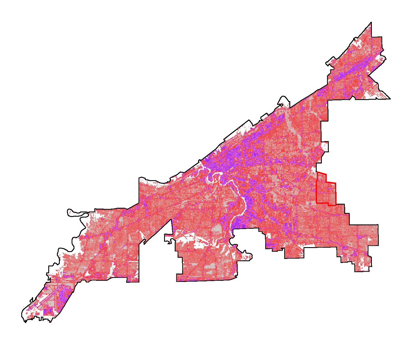
X 1 M illion Per Year
Buckeye Shaker’s provision of open space and its allowance for water permeability is less than in Cleveland as a whole. This has significant implications for both the urban ecosystem and quality of life. Higher levels of impermeability keep water from reentering the water table. The high impermeability of the neighborhood redirect the stormwater into Cleveland’s overtaxed combined sewer system, causing overflows.
By repurposing vacant parcels, Buckeye-Shaker might reassert the presence of natural systems in neighborhood open space. By maintaining such parcels, or even allowing some of them to revert to a “natural” state, BuckeyeShaker can increase its supply of open land with very little effort or investment.

Materials selected for pavement and construction have significant implications for stormwater collection and mitigation of the socalled “heat island effect.”
Stormwater Pollution Level: the material’s impact on the water quality.
Stormwater Harvesting Level: the material’s capacity of collecting storm water.
Albedo: the measure of the ability of a surface material to reflect sunlight on a scale of 0 to 1 (0.0: surface absorbs all solar radiation; 1.0:total reflectivity).
Heat Island Mitigation: higher albedo has higher mitigation capacity.
Data Source:
National Land Cover Database 2006; NLCD2006 Percent Developed Imperviousness, National Land Cover Database 2006
Reference: EPA, 2003, CoolingSummertimeTemperature


Large Scale Park
Three & Shrub (semi-natural growth)
Community Parks & Playground
Arbor & Shrub (artificial cultivation)
Building Roof (Residential Builiding)
Metal (corrugated roof)
Building Roof (Commercial Builiding)
Asphalt (flat roof)
Network
Asphalt or Cement
Sidewalk Cement
Private Garden & Public Greening
Shrub & Lawn (artificial cultivation)
Stormwater Pollution Level: Low
Stormwater Harvesting Level: High
Heat Island Mitigation: High
Stormwater Pollution Level: Low-Medium
Stormwater Harvesting Level: High
Heat Island Mitigation: High
Stormwater Pollution Level: Low
Stormwater Harvesting Level: Low
Heat Island Mitigation: High
Stormwater Pollution Level: High
Stormwater Harvesting Level: Low
Heat Island Mitigation: Low
Stormwater Pollution Level:Medium-High
Stormwater Harvesting Level: Low
Heat Island Mitigation: Low
Stormwater Pollution Level:Medium-High
Stormwater Harvesting Level: Low
Heat Island Mitigation: Moderate
Stormwater Pollution Level: Low-Medium
Stormwater Harvesting Level: High
Heat Island Mitigation: High
The higher rates of Imperviousness in urbanized areas generate higher volumes of stormwater under wet weather, and continue to challenge the Combined Sewage Infrastructure serving Cleveland. Over 10% impervious rates, the water quality gets compromised.
These images represent material qualities of these abstract indicators as we find them in the neighborhood.
High Intensity Developed Area
Highly developed areas where people reside or work in high numbers.
Land Use: Apartment, Row Houses, Commercial/Industrial.
Medium Intensity Developed Area
Areas with a mixture of constructed materials and vegetation
Land Use: Single-Family Housing
Low Intensity Developed Area Open Space Developed Area
Areas with a mixture of constructed materials and vegetation
Land Use: Single-Family Housing
Areas with a mixture of some constructed materials, but mostly vegetation in the form of lawn grasses.
Land Use: Single-Family Housing (large lot), Park, Golf Courses, Vegetation (for recreation, erosion control,etc)

Ohio currently produces some oil and natural gas, but is expected to increase its production of these fossil fuels substantially over the next several years as the Marcellus and Utica shale formations increase drilling and production using hydraulic fracturing technology. Coal and natural gas generate almost 85 percent of the state’s electricity. Nuclear power generates most of the remainder with renewable energy accounting for less than 2 percent. Its average retail electricity price is moderate and below the national average, which likely increases consumption.
However, the state is attempting to make better use of alternative energy. Ohio’s alternate energy portfolio standard requires investor owned utilities to generate 25 percent of their electricity from alternate forms of energy with 12.5 percent coming from renewable energy by 2024, 0.5 percent of which must be solar.
Cuyahoga County
PUCO Regulated Natural Gas Companies

Source: Public Utilities Commission of Ohio

Source: Energy Information Administration
Source: Energy Information Administration, Electric Power Monthly
Residual Fuel
Other Petroleum
Nuclear Electric Power
Hydroelectric Power Biomass
Other Renewable
Ohio Energy Consumption Estimates, 2011
Net Interstate Flow of Electricity
Source: Energy Information Administration, State Energy Data System
Ohio Net Electricity Generation Shares, 2012 (Percent)
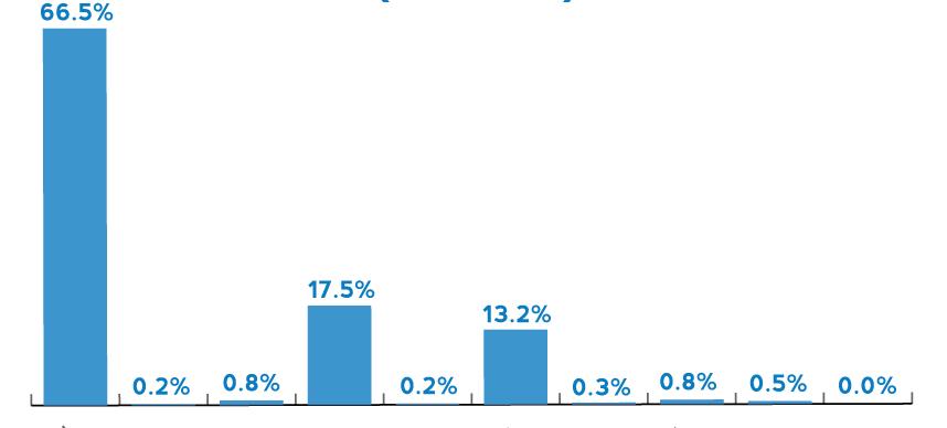
Ohio is rich in coal and offshore wind energy potential but has relatively few other energy resources.
The Appalachian Basin, which crosses the eastern part of the State, holds considerable reserves of coal and small deposits of oil and conventional natural gas. The Basin’s Marcellus shale formation also contains unconventional shale gas. Winds offshore in Lake Erie reach the highest energy potential classification. With a large population and a heavily industrial economy, Ohio is among the states most ravenous for energy. The industrial sector dominates energy consumption, largely due to the presence of energy-intensive industries, including chemicals, glass, metal casting, and steel.

Buckeye-Shaker Neighborhood Cleveland
Cuyahoga County, OH
Source: U.S. Energy Information Administration
Power Plants in the Cuyahoga County
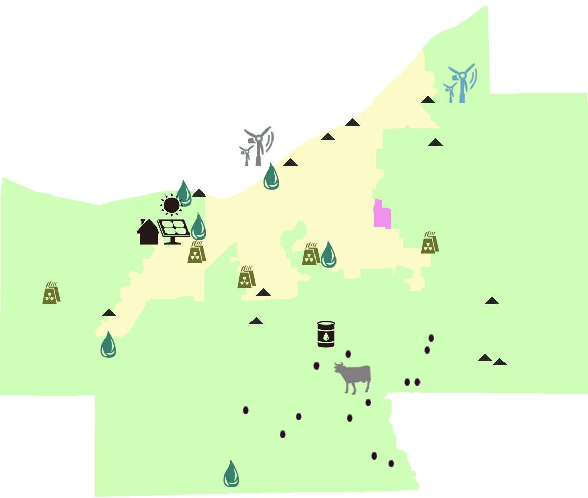

Solar Power Plant
Existing Wind Power Plant
Proposed Wind Power Plant
Biomass Power Plant
Petroleum
Although Ohio’s crude oil production is minor, the State has the second-highest refining capacity in the Midwest. Nearly all of Ohio’s crude oil output is derived from stripper wells (wells producing fewer than 10 barrels per day) in the eastern part of the State.
Natural Gas
Ohio produces a small amount of natural gas. Most of its supply is brought in via several major interstate pipelines from western Canada and the Gulf Coast region. Ohio has major natural gas storage capacity, that is used to meet peak demand during the winter.

Although Ohio is a moderate producer of coal, it ranks fourth in the United States in coal consumption. Ohio’s coal mines, concentrated in the Appalachian basin in the eastern part of the State, supply less than one-third of State coal consumption. Although one of the Nation’s top generators of electricity, Ohio is also among the major importers of electricity due primarily to the State’s energy-intensive industrial sector, which accounts for more than one-third of the State’s electricity consumption. The residential sector consumes around one-fourth of the State’s electricity, with nearly one-fifth of Ohio households relying on electricity as their primary source of energy for home heating.
In June 2008, the City of Cleveland adopted a citywide Advanced Energy Portfolio Standard. The standard ensures that 15% of Cleveland Public Power’s energy comes from advanced or renewable sources by 2015, 20% by 2020, and 25% by 2025.
The Renewable Energy Policy Project has estimated that a federal renewable energy portfolio standard mandating a 25% reduction in CO2 by 2025, would create 51,269 wind, solar, geothermal, and biomass manufacturing jobs in Ohio alone.
Cleveland Future Advanced or Renewable Energy Consumption Estimates


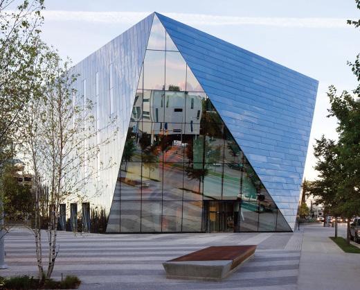
Ground Source Heat Pumps (geothermal wells) are used to heat and cool the museum by geothermal wells located under the adjacent plaza.
Image: MOCA Cleveland
Source: Sustainable Cleveland 2019
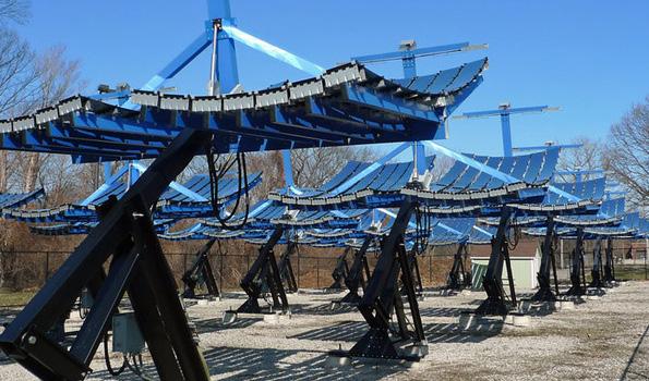
Parabolic mirrors can focus sunlight and produce electricity and thermal energy to heat the greenhouse.
Image: Solar Photovoltaic Concentrator System at the Rockefeller Park Greenhouse in Cleveland, Ohio.
Source: http://www.gcbl.org
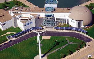
Onshore wind turbine w/ peak output of 225KW at wind speeds of 31 mph.
Solar array canopy producing an annual average of 100KWh/day at the Great Lakes Science Center, Cleveland.
Image: Great Lakes Science Center, Cleveland
Source: Sustainable Cleveland 2019
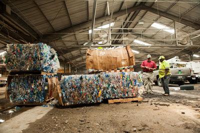
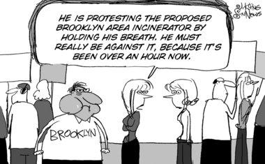
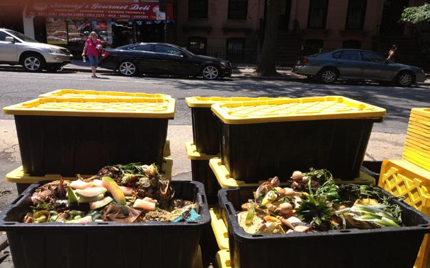
Waste management is one of Cleveland’s strategic action lines established in the Sustainable Cleveland 2019 Plan. The new waste management focus includes a “waste for profit” approach, and a“zero waste” strategy to reduce solid waste sent to landfills and expands recycling and composting programs.
Cleveland is a part of the Cuyahoga Solid Waste Management District (SWMD). Specifically, the city is in charge of collecting municipal solid waste, elaborating recycling plans and presenting 5 year performance reports to the SWMD.
Landfills receiving Cuyahoga County Solid Waste
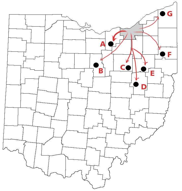
Percentages
Management District in 2012
A. Lorain County
B. Richland
C-D-E. Wayne-Tuscarawas-Starck
F. Mahoning County
G. Ashtabula
Others
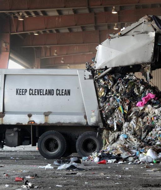
Total Residential Landfilled Solid Waste in 2012
144,248 tons
Total recycled 15,532 tons
Recycling Rate 11 %
Sustainable Cleveland 2019 Plan Timeline Waste Management
Ohio Solid Waste Disposal Act
Statewide regulatory and planning process to manage solid waste in order to protect natural resources and increase recycling.
1988
2006
Commercial Recycling Program
Free commercial recycling program for commercial uses, restaurants and organizations.
Curbside Recycling Pilot Project
Started with 15,000 households for automated trash collection system.

Pilot Projects
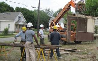
Partnered with neighborhoods to deconstruct vacant homes and recycle materials.

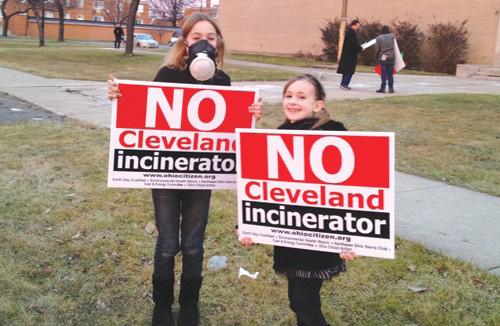
Municipal Solid Waste-to Energy Plant
Initiative to build a $200 million municipal wasteto-energy facility at Cleveland’s Ridge Road Transfer Station.
West Side Market Composting Pilot
Aimed to gather data about compostable material produced, landfill diversion and community recycling engagement.
Municipal Solid Waste-toEnergy Plant
Cleveland withdraws application to build waste-toenergy plant due to court decision to no longer exempt these facilities from being labeled as pollutant.

History
Land
Land
City-wide
Area
Neighborhood
Buckeye-Shaker
Neighborhood
Neighborhood
This research illustrates the distribution of various population groups, their potential needs, and possible development pressures. Age structure, race, educational attainment, means of transportation, location and types of healthcare facilities are also documented. Such information will help neighborhoods recognize assets and challenges. It also indicates if more healthcare
facilities or schools are needed, the presence of racial segregation, or the benefits a neighborhood might glean from better pedestrian access and more public spaces. These insights shed light on design and planning initiatives.
While Cleveland’s population decreased in the last two decades, the proportion of black residents increased. During the same period, the main industry shifted from
manufacturing to services. This was accompanied by an increase in the rate of university education. Compared to other neighborhoods in its district, Buckeye-Shaker has a higher density and (perhaps surprisingly) household income.

Buckeye-Shaker Over Time
Hungarian Immigrants in Buckeye-Shaker
City-wide Foundations and Non-Profit Organizations
Associations: the social networks
Food Systems Education
The historical progression of architectural styles in Cleveland
Age of the Building Stock
Residential Housing
Economic Environment
Commercial Real Estate
Market
Architecture Styles
The Moreland Theatre
The Learning Campus
The face of Buckeye Road
Population Growth and the Change in Racial Structure
The city of Cleveland and the majority of its suburbs witnessed population decline in the last two decades. In most affected areas, this shrinkage was accompanied by changes in neighborhood racial structure. In east Cleveland and its eastern suburbs, the AfricanAmerican population increased in proportion to other demographics.
1990: 2010: 506,000 409,000
When compared to the demographics of Cuyahoga County, those of BuckeyeShaker provides insight on the potentially different needs of the neighborhood.
Density tends to be highest around Shaker Square, which indicates both the stability of that area and the stabilizing power of commercial agglomeration.
23-32 /acre 32-70 /acre 10-16 /acre 16-23 /acre
Shaker Neighborhood Focus Area
Min: 460
Max: 1772
Median: 831
Max: 6368
Min: 1
0-600
600-800
800-1200
Median: 1101
Max: 66 /acre
Min: 8 /acre
Max: 30 /acre
Median: 17 /acre
Min: 0.001 /acre
0-14 /acre
Cleveland City 14-19 /acre
1200-1800 24-32 /acre
Group 19-24 /acre
Median: 9 /acre
In Cleveland and most of its suburbs, the proportion of people aged 25 and above with a bachelor’s degree or higher has increased in the last two decades. Simultaneously, employment in the service sector has increased in the wake of manufacturing decline. In one sense, this is hopeful; perhaps the decline in the manufacturing sector has spurred higher education, responding to the human capital needs of the service sector.
However, it is still the case that the university-educated population in Cleveland is significantly lower than in the surrounding region.
Percentage of population aged 25+ with bachelor’s degree or higher:
Percentage of population aged 25+ with bachelor’s degree or higher:
8%
13%
1990: 2010: 8% 13%
Sectors by Employment
Percentage of population aged 25+ with bachelor degree or higher
Percentage of population aged 25+ with bachelor’s degree or higher
Gender and Racial Distribution
Compared to Ohio writ large, and Cuyahoga county, Cleveland and the Buckeye-Shaker neighborhood have a slightly greater male population, as well as a significantly larger African American population.
White
Poverty
Chil dren Pov erty
per cen t age o f ch i ld ren un d er 18 i n p o ver ty
5% - 32%
33% - 43% 44% - 49%
The 2012 federal definition of poverty is a household income less than $23,000 a year. Childhood poverty, measured in terms of food security, and household income, reached record highs in 2013. Incredibly, Cleveland’s rate of childhood poverty more than doubles the national average. The state of Ohio ranks third in the nation in childhood poverty poverty rates, behind Louisiana and Kentucky.
50% - 67%
68% - 83%
Buckeye-S haker Dist rict 5
0 2 4 1 Miles
Black
Buckeye-Shaker District 5
Buckeye-Shaker District 5
Buckeye-Shaker District 5
Buckeye-Shaker District 5
Relative to the American standards, Cleveland, in aggregate, is more egalitarian than the national average. Buckeye-Shaker in particular is consistent with those trends, though there is a smaller gender-income disparity, and larger share of normalized minority income share. Across the three racial groups, Buckeye-Shaker is similar in terms of socio-economic status.
Median
White Households, 2010 Dollars
2,500 - 15,00
District 5
Buckeye-Shaker
District 5
Hispanic Households, 2010 Dollars
2,500 - 15,00
16,00 - 30,000
31,000 - 40,000
41,000 - 50,000
Buckeye-Shaker
District 5
District 5
Black Households, 2010 Dollars
2,500 - 15,00
16,00 - 30,000
31,000 - 40,000
Buckeye-Shaker
District
District 5
Share of Income / Gender
Buckeye-Shaker District 5
Total Share of Income
85¢ per $
Slightly greater gender-pay parity
Share of Household Income / Race White
Buckeye-Shaker District 5
53% Black
High Concentration of Urban Black Population in Cleveland
Gini Coefficient
Ranging from 0 (complete equality) to 100 (complete inequality). Higher values indicate that the metro area is more unequal in terms of how income is distributed among the population. Lower values mean that income is more equally distributed.
41.7
47.5
41.0
Median Income Difference between Males and Females 2010 Dollars
Buckeye-Shaker does not stand out as an at risk location, especially when compared to national levels of government assistance. Nor does it suffer from exceedingly high levels of unemployment. The labor force is comprised of more women than men, who are also slightly more prone to unemployment. Compared to the rest of Cleveland’s fifth district, African-American men in Buckeye-Shaker are less likely to be unemployed.
Unemployment Rate % of civilians 16 years old and over unemployed
Female Labor Force
Female Unemployed
Male Labor Force
Male Unemployed
Buckeye-Shaker District 5
Labor Force / Gender / Unemployment
Unemployed
Unemployment / Race
Buckeye-Shaker District 5
At Risk Households
Buckeye-Shaker District 5
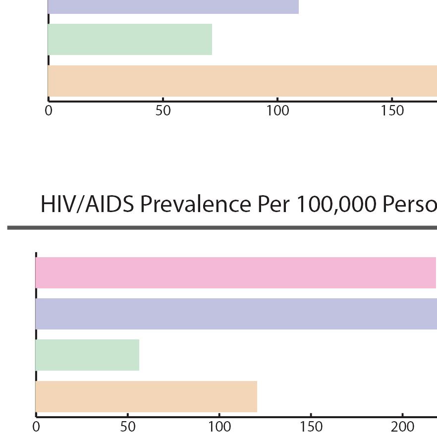
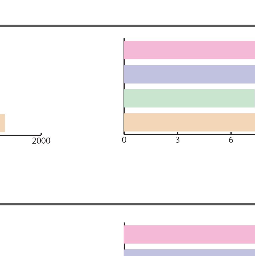
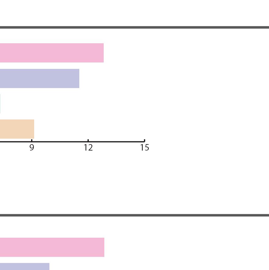
These charts indicate causes of mortality for infants and seniors, alongside other relevant statistics. These populations are both vulnerable and tend to require both more healthcare and a more accommodating built environment to promote longevity.
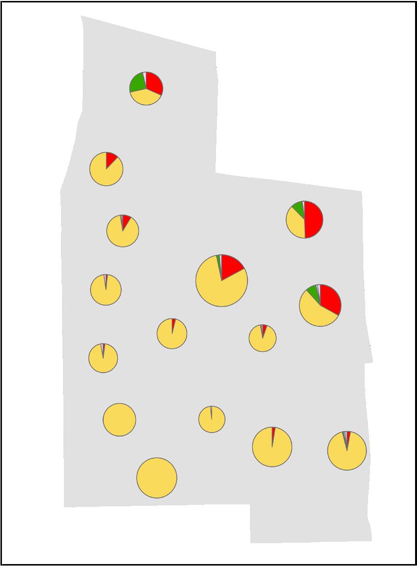
Prevalence of Asthma in Cleveland Neighborhoods 2005-2009
Prevalence of Obesity in Cleveland Neighborhoods 2005-2009
Low Weight Births
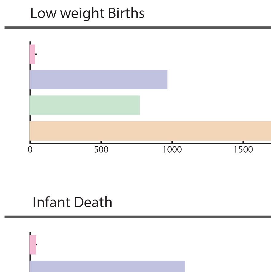
Infant Death
Average Annual Per 100 Birth
Average
AIDS Prevalence 100,000 Person
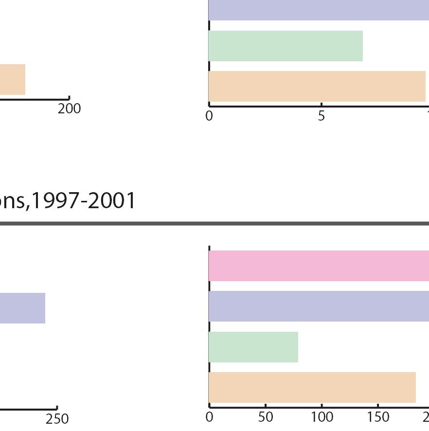
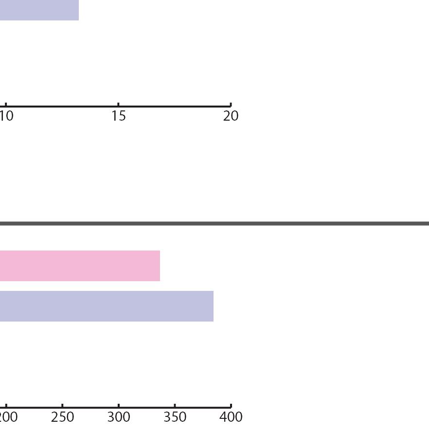
Aged-Adjusted Mortality Rates Per 100,000 Person, 1997-2001
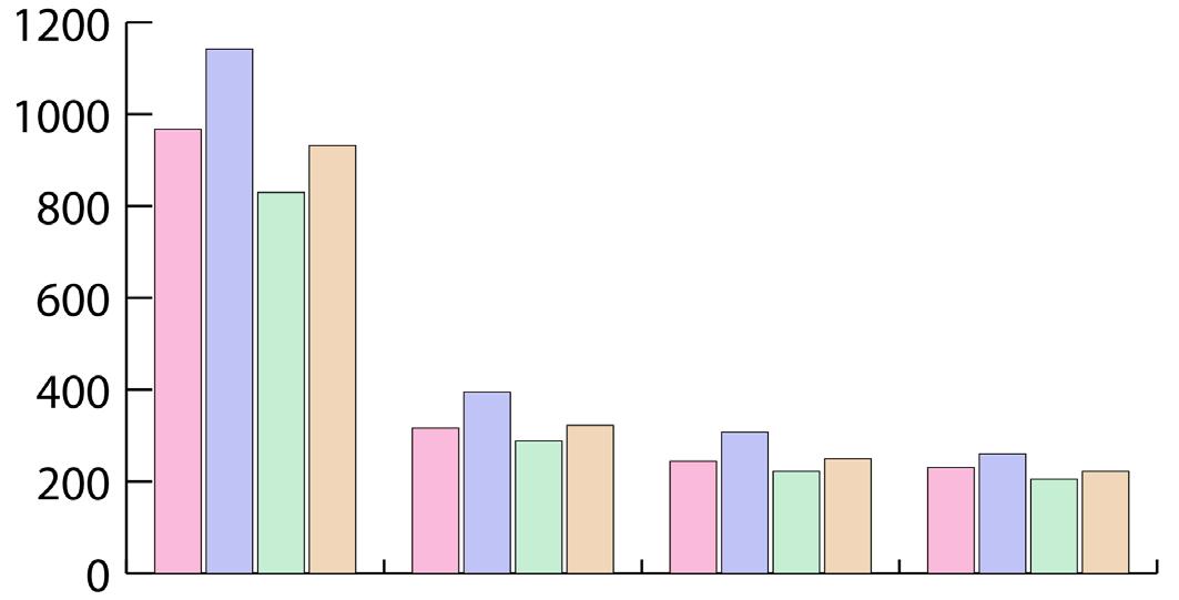

Compared to other neighborhoods in its district, Buckeye-Shaker has a relatively higher density. About 14,000 people inhabit its 1.2 square mile area. The neighborhood also has a relatively higher median household income ($27,650), though this figure is still small in absolute terms.
Buckeye-Shaker features several healthcare facilities including a private integrated hospital for daily care as well as an elderly service organization dedicated to the care of that community. The neighborhood’s elderly (> 64 yrs) and infant (< 5 yrs) population is substantial, rendering the services of Fairhill Partner and the Hospital essential.
The neighborhood needs more health care facilities for infants and senior people.
• Private hospital
• Transitional health care
• Anti abuse of alcohol and drug
• Improve community safety
• Non-profit agency
• Mental and physical care
• Non-profit organization
711
6%
1,830
15%
The neighborhood features a significantly higher proportion of African-American an residents (80.1%) than either the city or county
The data collected on commuting choice indicates the huge dependence on private cars. This represents an opportunity to explore the implementation of complete streets, increasing options of public transportation as well as an improving pedestrian infrastructure.


The majority of age 25 or greater a high school education or less, a fact reflected in the neighborhood’s relatively low income. These statistics, however, vary significantly throughout the neighborhood.
Block groups adjacent to Buckeye Road are of fairly consistent density. However, households located in the southwestern blocks tend to have a larger household size, while educational attainment is tends to be higher further east along the corridor.
Crime seems to be an especially pressing concern near the intersection of Buckeye Road and 116th Street and to the south of Shaker Boulevard between 126th Street and Moreland Boulevard, where thefts are often reported.
Education Level for population aged 25 and above
Median Household Income
Bachelor’s degree
Master’s degree
Professional school degree
Doctoral degree
This map took the population from16 and 19 years old as the target and interpreted amount of students who had dropped out of high school and who had accomplished certification. This information would indicate the need for education development. The condition seems more serious when it comes to show the elementary education of this neighborhood. Nearly onethird of children are enrolled in school, including K-8 school or pre-elementary school.


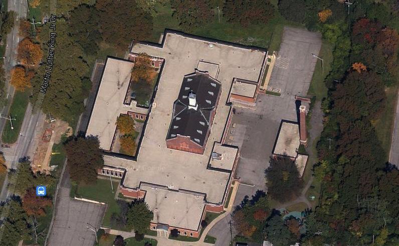


10,027 3/4 Student Dropped High school Children Need SCHOOL of neighborhood

During the global recession, as unemployment and foreclosure rates rose, income and property tax revenues fell. Cleveland was ranked with the 5th highest foreclosure rates in the nation. As Ohio reduced its revenue sharing with Cleveland in order to balance its own budget, the City was forced to restructure and lay off personnel. In the past two years, Cleveland’s unemployment rate has fallen almost 1% and its housing prices are moving toward market rate. In May of 2012, the Horseshoe Casino opened downtown, serving as a catalyst for the local and regional economy. Cleveland’s efforts to shift its tax base to health care, technology, and service industries are part of a strategy toward recovery.
The City of Cleveland’s budget is composed of several different funds, each with a specific purpose. The different sources of revenue and budgets within each type of fund add to the complexity of Cleveland’s budget.
To provide professional financial management services and protect the fiscal integrity of the City; by maximizing the collection of revenue, judiciously investing public monies and practicing generally accepted financial management principles in a manner consistent with the guidelines required by the Codified Ordinances of Cleveland, City Council, the Mayor’s Office, and other governmental units.
General Special Revenue
Restricted Income Tax
Streets
General operating expenses of the city
Capital improvements and debt service payments
Street maintenance and repair
Reserved for: economic fluctuations for general operating expenses
Reserve for: economic downturns and one time obligations
Payment for transactions involved in debt financing
Source: Cleveland Department of Finance
The purpose of the general fund is to support basic operations, such as waste collection, park maintenance, and fire protection. There are many sources of revenue for these expenditures. Each year the city rolls over any remaining balance between revenue and expenditures. Due to this rollover, even though the city’s current expenditures exceed its revenue, it projects a balance of $3,456,727 at the end of 2013.
Cuyahoga County Taxes
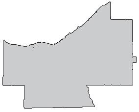
$2.4B


Cleveland’s General Fund Distribution
While property tax is typically the major source of revenue for local government, as property values have fallen in recent years, their tax has not been a great enough source of revenue for the city. Cleveland’s general fund is mostly supported by income tax. This is a 2% tax on wages and earnings of Cleveland residents and those that work within the city. Therefore, there is a direct relationship between the services provided by the general fund and the health of the local economy. Of total income tax, 1/9 is devoted to the restricted income tax fund and the remainder supports the general fund.
A city is unable to successfully operate if it cannot ensure the safety of all its residents. For this reason, the majority of Cleveland’s expenditures are on public safety. The Cleveland Department of Public Safety is comprised of 5 divisions: Police, Fire, Emergency Medical Service, Animal Control Services, and Corrections. The services provided by these divisions are especially necessary in urban communities, which are densely populated. The commitment to public safety enables Cleveland to prevent, protect, and respond to dangers.
Since local governments tend to face resistance to tax increases, taxes alone are not sufficient to adequately supply city services. Cleveland utilizes other revenue streams in addition to receiving assistance from intergovernmental transfers. Some of these methods of financing support capital improvement projects, which are vital to the city’s infrastructure.
Municipal bonds are a form of loan to the city by bond purchasers as a method to fund capital projects. Their principal is repaid on the maturity date by the city’s revenues and backed by the full faith and credit of the city.
Grants are contributions by higher level governments or other organizations provided to support a particular function.
Fees are charges to a party who directly benefits from a city service.
e.g. General Obligation Bond
Source: Cleveland Department of Finance

e.g. Community Development Block Grant
e.g. Waste Collection Fee
Capital Improvement Plan 2013 - 2017
Capital Improvement Plan 2013-2017

Pavement Management Program Facilities Plan


cost >$5K lifespan>5yrs job creation housing maintenance project criteria


66%
BASIC SERVICES
$128,825,075
Citywide Capital Program Expenses
MAJOR ENTERPRISES $333,669,596
The Buckeye-Shaker neighborhood is a combination of two distinct historical identities: that of the Hungarian community located on and around Larchmere Boulevard, and Shaker Square, one of the oldest shopping centers and transit oriented developments in the nation to the northeast. Like many other neighborhoods, BuckeyeShaker saw explosive population growth and development in
the late nineteenth and early twentieth century, followed by increased racial segregation, a severely diminished tax base, and massive disinvestment. Today, a large number of communityrooted associations and nonprofits provide the organizational infrastructure on which Clevelandlike cities have increasingly relied for neighborhood service provision since the 1970s.

Buckeye-Shaker Over Time Hungarian Immigrants in Buckeye-Shaker City-wide Foundations and Non-Profit Organizations
Associations: the
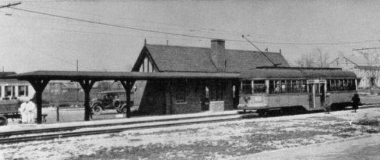
Plans for a Tudor-style shopping center are conceived at the site of the rapid transit stop at Shaker Boulevard and Coventry Road.
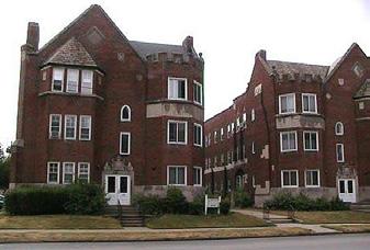
High-density apartments are constructed around the square, increasing the population of the district.
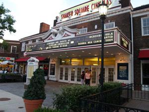
Van Sweringen, developer of Shaker Heights, takes over the project, naming it Shaker Square. The Colony Theater is added to the square.
Within the last 100 years, the Buckeye-Shaker neighborhood has experienced significant change. The neighborhood has a rich heritage and bears the memories of its first population boom in the 20s, racial integration and tension in the 60s, and disinvestment in the 80s and 90s, that provide context for current rehabilitation.
Plans for a commercial district are approved. The square is intended to serve as a commercial gateway to the Moreland Circle residential area seen in the distance in this aerial photo.
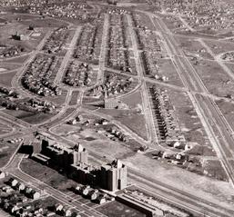
Detailed Look: 1920 - 1930 pages 7 to 8
Detailed Look: 1954 - 1968 pages 9 to 10
Detailed Look: 2000 - 2012 pages 11 to 12
Shaker Square opens. A hardware store, a florist, a drug store, a gift shop, a restaurant and a beauty shop were among its first tenants.
Construction of Shaker Square begins. It originally laid out as a suburban shopping center around a traffic circle at the intersection of Shaker Boulevard and Moreland Boulevard, and the junction of the Shaker Heights Rapid Transit.
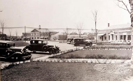
The Hungarian community begins to settle Larchmere Boulevard, just north of Shaker Square.
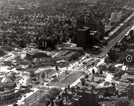
This aerial view looks southwest towards the dense residential neighborhood along Buckeye Avenue, which runs parallel south of Shaker Boulevard. Not part of the Van Sweringens’ Shaker Square development, this neighborhood was originally the center of Cleveland’s Hungarian community and is now populated largely by African-Americans, who moved into the area after large numbers of whites left for the suburbs in the 1970s.
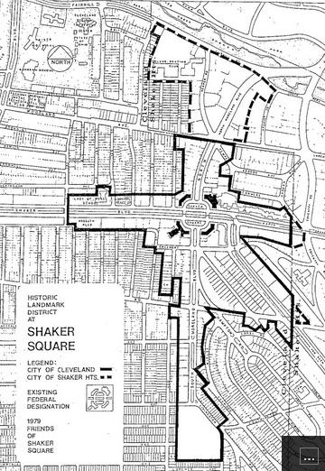
A nonprofit development group, Friends of Shaker Square, later named Shaker Square Development Corporation, was formed to promote the preservation of the shopping center’s original character. The square is added to the National Register of Historic Places for being the oldest shopping district in Ohio and the second oldest in the nation.
The Ludlow Community Association forms to stabilize their neighborhood through inclusiveness, and became a national success story in integration.
The Ludlow School District, lying half in Shaker Heights and half in the BuckeyeShaker neighborhood, is the first in the area to integrate, immediately following the Supreme Court decision for Brown v. Board of Ed.
City of Cleveland ranked as the poorest big city in the nation by the U.S. Census Bureau.
Race riots brake out in Hough, a neighborhood three miles from Buckeye-Shaker. Lasting five days, the riots killed 4, critically injured 30, and resulted in 275 arrests and more than 240 fires.
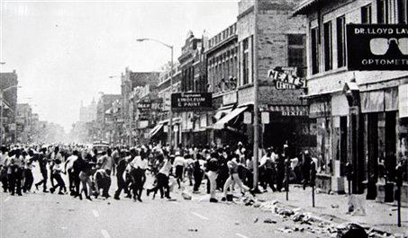
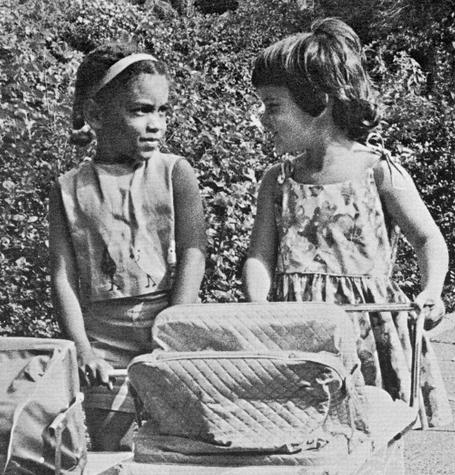
Shaker Square Area Development Corporation and the Buckeye Area Development Corporation consider merging but ultimately fail to do so.
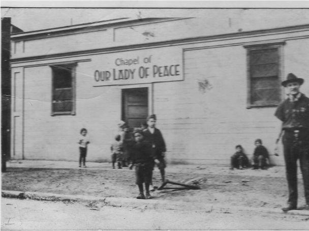
Our Lady of Peace Catholic Church constructed.
Sunbeam Elementary School built.
Plans for a Tudor-style shopping center are conceived.
The 1920 through 1940s witnessed rapid development and population growth in ShakerSquare. A large amount of major construction happened during this period, including the construction and completion of Shaker Square.
The Van Sweringens completed the Shaker Height rapid transit which provided service on Moreland (later Van Aiken) and Shaker Boulevards to public square.
Jossiah Kirby began building the luxurious Moreland Courts apartments condominiums north of Shaker Blvd.
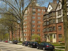
Van Sweringen, takes over the Tudor-style project, naming it Shaker Square.
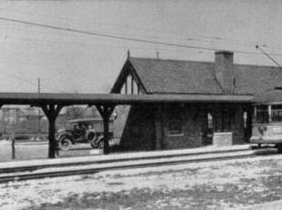
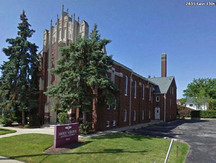
Grove Baptist Church Completed.
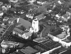

Second Trinity Baptist Church Completed.
Second New Hope Baptist Church & Academy Completed.

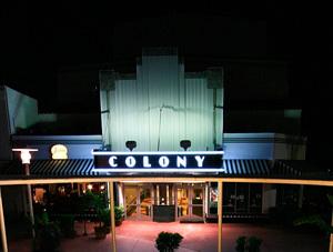
The COLONY THEATER (later Shaker Square Cinemas) brings theater and cultural activity to shaker square.
House of God completed.
Construction of Shaker Square begins. It originally laid out as a suburban shopping center around a traffic circle.
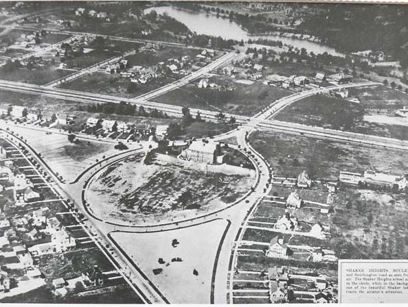
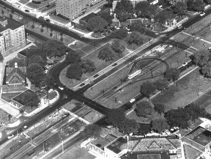
The construction of the Shaker Square Completed. Constructed Completed Completed
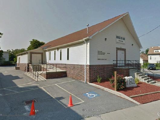
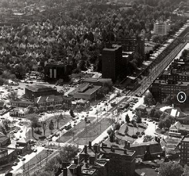
In the 1950s and 60s, the neighborhood was nationally recognized for its school and neighborhood integration efforts. However, these successes were often overshadowed by racial violence in nearby neighborhoods.
This aerial view looks southwest towards the dense residential neighborhood along Buckeye Avenue, which runs parallel south of Shaker Boulevard. Not part of the Van Sweringens’ Shaker Square development, this neighborhood was originally the center of Cleveland’s Hungarian community, and is now populated largely by African-Americans, who moved into the area after large numbers of whites left for the suburbs in the 1970s.
The Ludlow Community Association forms to stabilize their neighborhood through inclusiveness, and becomes a national success story in integration.
An explosion disturbed the quiet suburban neighborhood of Ludlow. Someone had planted a bomb in the garage of John G. Pegg, an African American lawyer who was building a new house on Corby Road. The raciallymotivated attack sparked a biracial movement in this quiet Cleveland neighborhood that united the community in support of racial integration.
Perfect Peace Baptist Church completed.
Despite LCA’s efforts, local real estate brokers would not show Ludlow homes to white home buyers, describing the neighborhood as a “lost cause,” making “white flight” seem more and more like a reality.
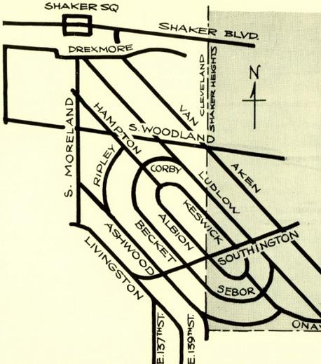
The Ludlow School District, lying half in Shaker Heights and half in the Buckeye-Shaker neighborhood, is the first in the area to integrate, immediately following the Supreme Court decision for Brown v. Board of Ed.
Faith Temple Church of God completed.
To overcome the inability of white home buyers to get financing in what banks considered a “black neighborhood”, the LCA incorporated Ludlow Co. and publicly sold thousands of dollars worth of stock as shortterm second mortgages to prospective white home buyers.
Black Clevelanders throughout Cleveland launched a year-long protest to end defacto segregation and discrimination in Cleveland public schools.
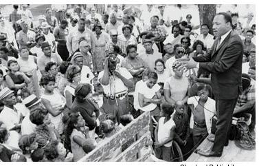
Martin Luther King Jr. comes to Cleveland to convince African-Americans to vote in the upcoming Mayoral election and to promote peaceful resistance.
Largely because of the LCA’s efforts, the Ludlow neighborhood begins to stabilize at 50% white, 50% black. This racial diversity is reflected in the Ludlow Elementary School where integration is proving to be successful. A proposed freeway threatened to cut through the neighborhood along Larchmere Boulevard. Opposition from the Stokes Mayoral administration successfully convinced the governor to stop the project.
Congress passes Civil Rights Act, Title VI, linking federal funds to non-discrimination and desegregation activities.
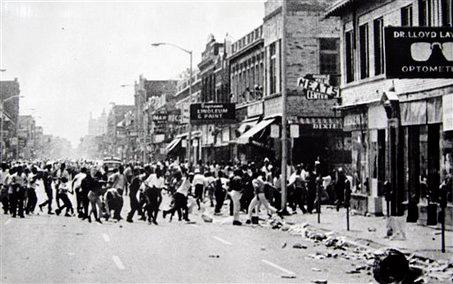
Race riots brake out in Hough, a neighborhood three miles from Buckeye-Shaker. The riots were caused by decades of racism, disinvestment, and lack of jobs and social assistance for residents which were (and still are) almost exclusively African American. Lasting five days, the riots killed four, critically injured 30, and resulted in 275 arrests and more than 240 fires.
A violent shootout erupted in Glenville, a primarily black neighborhood four miles from Buckeye-Shaker. The two-day shootout killed seven and wounded 15. Following the event the mayor decided that there would no longer be white police officers in Glenville.
The residential housing value in Shaker Square is $12,500 higher than the Cleveland average at $65,600.
City of Cleveland ranked as the poorest big city in the nation by the U.S. Census Bureau.
The Coral Company takes buys Shaker Square.
A bank takes over ownership of Shaker Square.
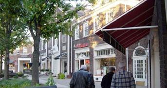
In the early 2000s, as a means of coping with residential vacancy, the neighborhood joined many nationwide in embracing agricultural use within the urban context. Enabled by the passing of local legislation and the launching of several food-centric non-profits and initiatives, Buckeye-Shaker’s embrace of urban agriculture and localized food systems is well underway.
Median Household Income in Buckeye-Shaker drops 4% from 1990: $25,340 in 2000.
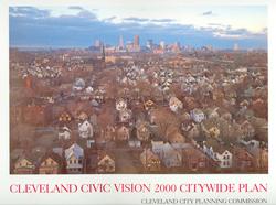
Cleveland Civic Vision Citywide Plan (the master plan) proposed.
City of Cleveland adopts the Urban Garden Zoning District.
City of Cleveland adopted Open Space and Recreation Zoning District.
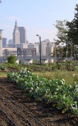
Ohio Revised Code Bicycle Laws become effective.
City of Cleveland adopts “chicken and bee“ zoning.
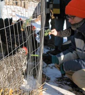
Alexander Grand Bell School closes. The school was built in 1969 and served both regular and impaired hearing students.
City of Cleveland adopts agriculture in residential districts and Urban Agriculture Overlay Districts.
Ohio begins construction of the Inner Belt Bridge in Cleveland, known as CG2.
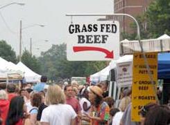
North Union Farmers Market recognized by American Farmland Trust as one of the Top 20 Large Farmers Market in the U.S.
The proposal to merge Shaker Square Area Development Corporation and the Buckeye Area Development Corporation into a new organization called the BuckeyeShaker Community Alliance.
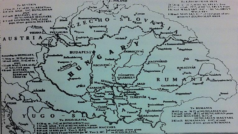
Louis Kossuth, president of Hungary during the revolution visits Cleveland.
Hungarian Society of Cleveland.
Ladies Hungarian Society of Cleveland.
Louis Black becomes the first Hungarian to be elected to the Cleveland City Council. A count of 9558 Hungarians in Cleveland. More than 90% in Buckeye Shaker.
Mere decades after first Hungarian migration of Buckeye-Shaker in the early 20th century, the neighborhood had become the densest concentration of Hungarian people outside Budapest. This concentration of ethnic culture and its relative isolation formed a unique Hungarian-American subculture in the neighborhood. By mid-century, demographics had begun to shift, and today Buckeye-Shaker’s Hungarian roots are threatened, though still visible in some storefronts along the corridor.
Theodore Kundtz, a Hungarian immigrant becomes the most successful industrialist in Cleveland.
Many of the newcomers were temporary migrants that would travel to the US in the winter to work on the steel mills, and return to their homes during the harvest.
Szabadsag First printed newspaper entirely in Hungarian.
The Buckeye Road community is a Hungarian city with many thousands of inhabitants, several churches, schools, newspapers and organizations.
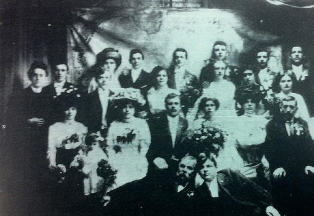
Many Hungarians return to Europe, the ones that stay struggle with the social discrimination of the time.
An extended wish to Americanize and prove their loyalty.
The quota system is established.
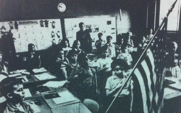
The labor movement gets to Cleveland’s Hungarian population which is very vulnerable at the moment due to war and immigration issues.
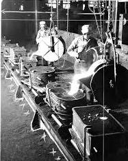
Most of the Hungarian population was by this time settled very well. Their enrollment in the Second World War was very high.
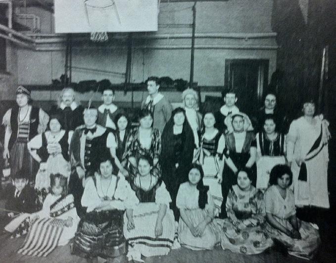
1/2 of the Municipal Court of Cleveland Judges were Hungarian.
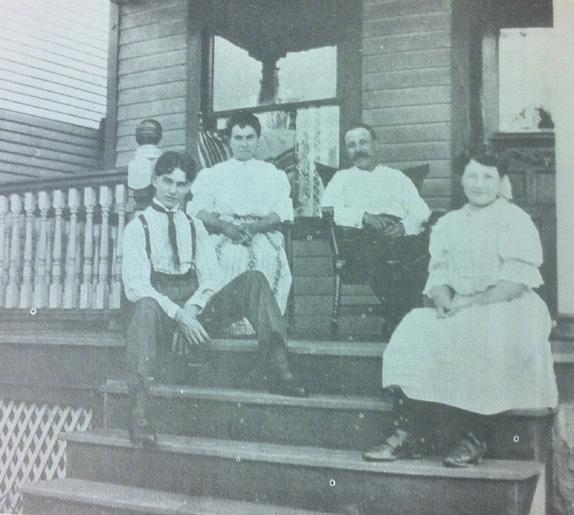
The community after over two decades of settling and having fewer newcomers has developed a unique HungarianAmerican subculture.
35.000 out 40.000 inhabitants in the neighborhood are Hungarians. For decades Cleveland was said to be the city with the second-highest Hungarian population in the world, second only to Budapest.
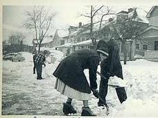
Hungarians designated “exenemies” by the US government. With this, many displaced people come back along a new generation.
Neighborhood school offers nation’s first advanced high school level courses in Hungarian Studies.
With rapid population growth, the community struggles to provide adequate services. The neighborhood responds by creating kitchens, places to sleep and English schools.
The West Side Hungarian School of Cleveland is created.
After the second world war, Immigration laws softened and a new wave of Hungarians arrive in the neighborhood. This new generation settles in quickly with the help of previous generations. In the 1970s and 80s, improved socioeconomic conditions lead to the outmigration of Hungarians to the city’s eastern suburbs, leaving the neighborhood’s Hungarian heritage in the hands of select restaurants and institutions that carry forth the legacy.
Educational institutions begin to form, and HungarianAmerican literature comes into its own, creating a need for publishers and printers. The needs of the community were not basic anymore.
Revolution in Hungary. A massive new wave of Hungarians arrives in Cleveland.

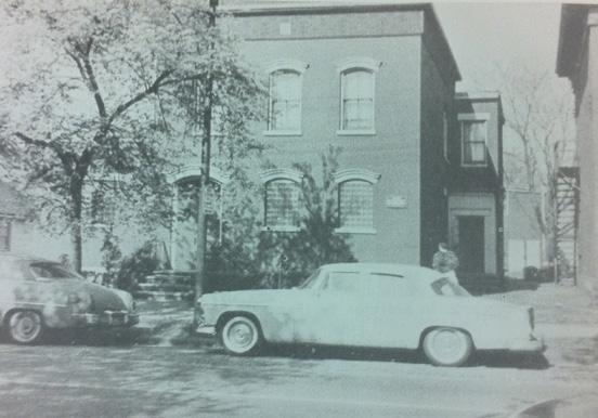
The wealthier members of the community begin moving to the suburbs.
By this time there were twelve millionaires of Hungarian descent in the area.
There is a massive move out into the suburbs. The Hungarians that remain are mostly elderly or newcomers with few resources.
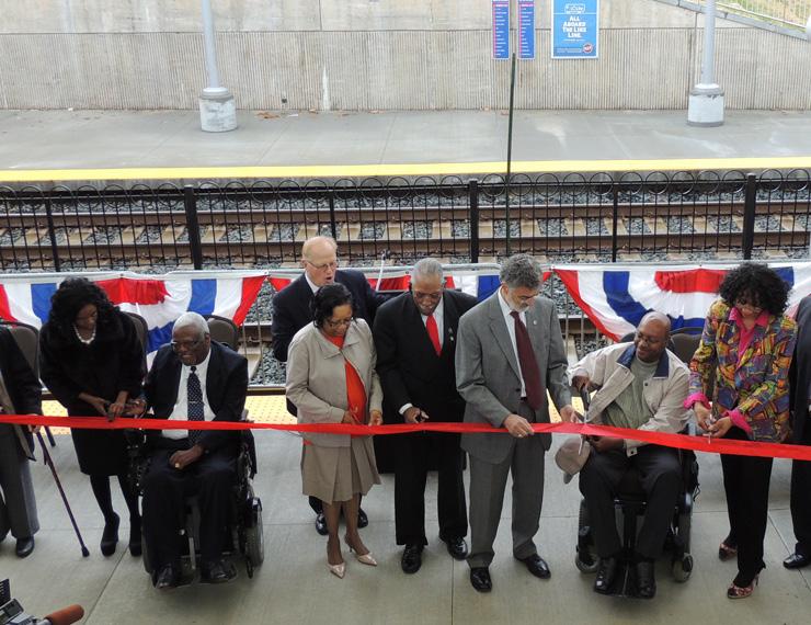
By this time 20% of Hungarian residents had attended university and 43% are US citizens.
The Hungarian community has largely moved out and been replaced by a new population of African Americans. Hungarian influence is still felt in the community, though through institutions more than through residents.
Churches, schools, and restaurants in the neighborhood are still frequently by Hungarians who come from elsewhere in the city.
Throughout the 20th century, much (though by no means all) philanthropic activity in Cleveland has sought to build the capacity of non-profit institutions run by professionals, not only in medicine and social work but also in education and the fine arts; in keeping with the principle that philanthropy should help people help themselves, these institutions draw most of their income from payments (by individuals and by governments) in exchange for services.


Neighborhood Sources of Funding from City-level Philanthropies
The Cleveland Foundation
The Cleveland Foundation has helped citizens give back to their community since 1914. Two-thirds of flexible grant dollars support projects in 6 priority areas to create significant, widespread impact.
Year Ended 2012:
Total assets: $1.87B
Grants authorized: 3,097 grants
Value of grants authorized: $91M
New gifts received: $52M
Operating expenses: $11.7M
Number of employees: 72
The George Gund Foundation
The George Gund Foundation was established in 1952 and provides grants in the areas of education, human services, economic and community development, the environment and the arts.[2] The Foundation has made grants totaling more than $538 million since its inception.
Year Ended 2012:
Total assets: $454M
Grants authorized: 264 grants
Value of grants authorized: $25.6K
Sisters of Charity Foundation
The Sisters of Charity Foundation of Cleveland works to improves the live of those most in need with special attention to families, women and children living in poverty in Cleveland’s Central Neighborhood.
The foundation has identified specific areas of need for addressing poverty: Reducing health and education disparities in Cleveland’s Central Neighborhood. Reducing homelessness by increasing supportive housing in Cuyahoga County.
Environmental Mission
There are numerous Environmental groups and associations working to improve the environmental quality of Cleveland. By merging smaller programs into single, larger organizations, these groups have been better able to fund projects and avoid program redundancy.
Multiple plans have been written to further guide these organizations in the years to come as well as to provide metrics by which success can be evaluated.

The GreenCityBlueLake Institute is a sustainability research and advocacy center associated with the Cleveland Museum of Natural History. The institute researches sustainability practices, participates in community initiatives, disseminates best practices, and advocates publicly for change.
Established to perform research, offer education, and curate collections of naturalscientific artifacts related to anthropology, archaeology, astronomy, botany, geology, paleontology, wildlife biology, and zoology.
This collaborative works to reduce the region’s carbon footprint, to increase energy efficiency in multiple markets, and to create high quality jobs.
Cleveland 2030 is a coalition of building owners, service professionals, and community stakeholders that work together to rapidly transform the city’s built environment through large-scale reductions in energy and water use, the GHG-emissions of buildings, and carbon dioxide emissions from transportation.

Sustainable Cleveland 2019 is a 10-year initiative that engages people from all walks of life that work together to design and develop a thriving and resilient Cleveland region that leverages its wealth of assets to build economic, social, and environmental well-being for all.
Cuyahoga County is filled with a wide variety of associations and foundations that work on multiple scales, connecting initiatives across the county, the City of Cleveland, and Buckeye-Shaker.
The distribution of religious, healthcare and educational associations throughout the county tends to closely mirror the distribution of residences; hospitals, however, tend to exhibit both more locational variation and a tendency to cluster in medical campuses that create their own districts within the city.
While the city’s financial difficulties have led to school closures that disproportionately affect alreadystruggling communities, religious associations tend to remain and work to assuage negative impacts of disinvestment.
The associations serving BuckeyeShaker can be grouped into six categories: educational, recreational, healthcare, religious, and environmental.
Educational associations include both public and charter schools. Environmental associations include regional and grassroots organizations working toward preservation and sustainability. Buckeye-Shaker is home to three healthcare institutions: a hospital, an institute for the elderly, and a substance abuse clinic. Throughout the neighborhood, recreational organizations offer dance, sports, and arts programming, while religious associations, primarily Baptist churches, offer both religious services and faith-based programming.
City Fresh (Buckeye-Shaker stop)
Local, affordable produce
Every Tuesday between June and October
Cost-share program
North Union Farmers Market
Local produce, baked-goods, and crafts
Every Saturday between April and December
Rockefeller Park (Fairhill Road) Serves Cleveland Link in a chain of city parks
Community Housing Solutions
Buckeye Area Development Corp.
Founded in 1973
Non-Pro t
US Post Office Serves Cleveland
Assists low/moderate income families maintain affordable housing
Rockefeller Park (Fairhill Road) Serves Cleveland Link in a chain of city parks
Social Security Administration Serves Ohio
Community Housing Solutions Founded in 1973
Shaker Square Development Corp
Non-Profit
Assists low/moderate income families obtain/maintain affordable housing
Provide the people and businesses Square area with the leadership and needed to foster well-maintained, strong neighborhoods.
Buckeye Area Development Corp Founded in 1965
Social Security Administration Serves Ohio
Shaker Square Development Corp.
Coordinates resources and activties will empower the community to enhance the quality of life through revitalization, stabilization and growth
Provide the people and businesses of the Shaker Square area with the leadership and action needed
US Post Of ce Serves Cleveland
Fairhill Institute for The Elderly Non-profit Organization
Started at 1987
Total Revenue: $1,916,838 (2008) Mental Service Social & Mental Service
Substance Abuse Initiative
Non-profit agency
Provide alcohol, tobacco, and other drug prevention programs and services to promote drug free communities in northeast Ohio. Drug Free Zones; Prevention Fairs; Red Ribbon Activities
Kindred Hospital - Cleveland For profit
Started at 2008
Transitional care hospitals: Provides an acute hospital level of care to patients who require a long hospitalization.
Administrator: Michelle Mullen 546,000 patients and residents in 2012
Rockefeller Park (Fairhill Road) Serves Cleveland
Link in a chain of city parks
Community Housing Solutions
Groundworks Dance Theatre
Founded in 1973
Founded in 1988
Non-Pro t
Connected to Cleveland City Dance, and 2 associations in the urban district, and 15 associations within the metropolitan region
Assists low/moderate income families maintain affordable housing
Social Security Administration Serves Ohio
Cleveland City Dance & Dance Cleveland
Founded in 1965
Shaker Square Development Corp
Connected Groundworks dance Theatre, Shaker Square Cinema and Shaker Square Summer Live Music Concerts
Provide the people and businesses Square area with the leadership and needed to foster well-maintained, strong neighborhoods.
Passport Project Global Community Arts Project
Buckeye Area Development Corp
Founded in 1998
Founded in 1965
Connected to Global Cleveland, located in the urban district
Coordinates resources and activties will empower the community to enhance the quality of life through revitalization, stabilization and growth
Reality Sport Inc
Founded in 1990
US Post Of ce Serves Cleveland
Connected to 3 associations in the urban district, and connected to 7 businesses and foundations in the metropolitan region
Schools as Neighborhood Resources through Neighborhood Leadership Institute
Harvey Rice School
Founded in 2001
Connected to 19 associations in the urban district, and connected to 2 associations in the metropolitan region
Second Trinity Baptist Church Built in 1926
Perfect Peace Baptist Church Built in 1959
Our Lady of Peace Catholic Church Built in 1920, 1925, 1949
Holy Grove Baptist Church Built in 1925
Christian Valley Missionary Baptist Church Built in 1980
Grace Fundamental Baptist Church Built in 1918
Church of the Living God Built in 1900
Gladstone Baptist Church Built in 1938
Second New Hope Baptist Church & Academy Built in 1930
Morelight Mission Baptist Church Built in 1915
Ministers Missionary Baptist Church Built in 1916
GEISA Society Built in 1930
Congregation of Jehovah’s Witnesses Built in 1969
Faith Temple Church of God Built in 1961
Salvation Baptist Church Built in estimated 1920’s
Baptist Christ Star Missionary Built in 1910
House of God Built in 1929
While today, neighborhood churches are predominantly English-speaking Baptist congregations, Buckeye-Shaker used to be home to Italian Baptist churches and Jewish synagogues. At least two current churches, Second Trinity Baptist Church and Church of God, are sited in buildings formerly occupied by the aforementioned faiths.
0.50.5mi mi
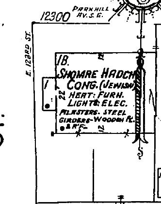
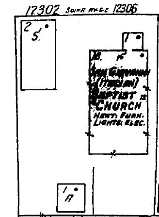
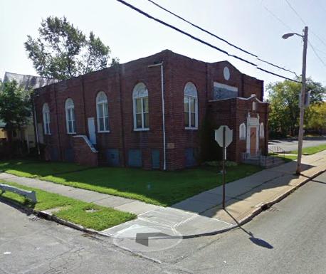
12300 Parklake Road
1926: Shomre Hadch Congregation (Jewish)
2013: Second Trinity Baptist Church
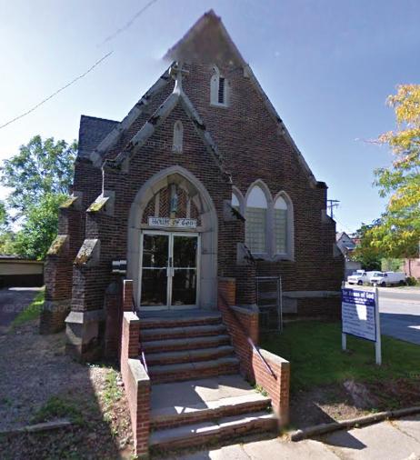
12302 Sokia Avenue
1926: San Giovanni (Italian) Baptist Church
2013: House of God
Areas that feature dense clusters of community-based organizations are highlighted in the map on this page, while also representing the pedestrian accessibility of said organizations.
The chart on the following page attempts to quantify these clusters, by measuring the number of associations in each census-defined block group. Also displayed is the age make-up of each block group. Taken together these data highlight what age groups are being best provided for as well as potential gaps in service provision.
In 2011, Cleveland adopted some laudable urban agriculture policies, such as allowing the raising of chickens, bees and livestock, and allowing agricultural and farm stands on vacant lots in residential districts. However, some have argued that these steps, while admirable, are insufficient: the city also needs to resolve long-term issues like land ownership and access to water.
An effort called ReImagine a More Sustainable Cleveland envisions how to convert some of Cleveland’s 3,000 parcels of vacant land into green space, farms, storm water parks or renewable energy sites.


The Cleveland - Cuyahoga County Food was formed in 2007 to help bring about public and private policy changes that foster a healthier food system. The coalition has based its work on assessments of how food can impact the health of individuals, communities, the economy, and the environment.
The George Gund Foundation and the Cleveland Foundation awarded the Coalition grants to expand its capacity through staff, interns, and other resources.
The Urban Community School uses community supported agriculture as an educational opportunity for low-income students on the near-west side of town. UCS partners with local farms to allow the students there to learn about where their food comes from and why fresh produce is more healthful than processed food.
Community Supported Agriculture (CSA) is an alternative economic model for agriculture and food distribution that supports smaller-scale local farmers by distributing the risks and benefits inherent in agricultural production. A CSA also refers to the network of individuals that agree to pay for a seasons’ worth of produce at the beginning of the season in exchange for weekly shares of vegetables and fruit.
Food Deserts in Cuyahoga County
Orange squares are grocery stores greater than 25,000 square feet. Red dots are fast food restaurants. Dark blue areas are where residents have fast food closer (half-mile away) and grocery stores further (one mile). Data and maps produced by the Cuyahoga County Planning Commission in 2008.
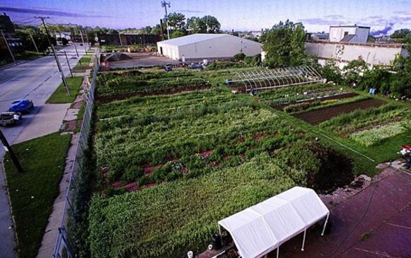
Local Farms and CSAs
Bay Branch Farm http://baybranchfarm.com/
Blue Pike Farm
http://www.bluepikefarm.com/
Central Roots Farm
http://www.centralroots.com/
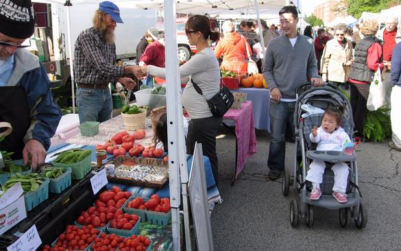
City Rising Farm
http://www.cityrisingfarm.com/
Urban Growth Farms
http://www.urbangrowthfarms.com/
Cleveland Botanical Gardens http://www.cbgarden.org/green_corps.html
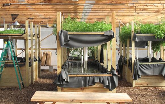
Erie’s Edge Farm http://eriesedgefarm.com/
EcoVillage Produce http://ecovillageproduce.com/
Old Husher’s Farm
Urban Agriculture Innovation Zone
The original Harvey Rice Elementary School was built in 1904 and educated the children of Cleveland, Newburg City, and two adjacent Shaker neighborhoods. In 1912, the annexation of Newburg city (pop. 10,000) and changes in districting significantly shaped the provision of education in the neighborhood.
A 1916 study of the public schools, funded by the Cleveland Foundation, revealed that 70 percent of Rice School students came from homes where English wasn’t the primary language, reflecting the historic immigrant character of the neighborhood.
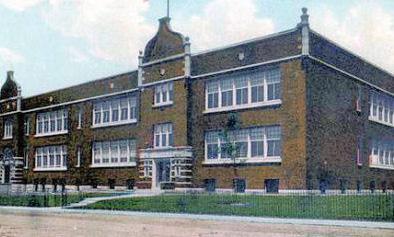
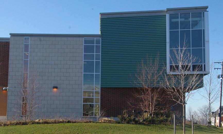
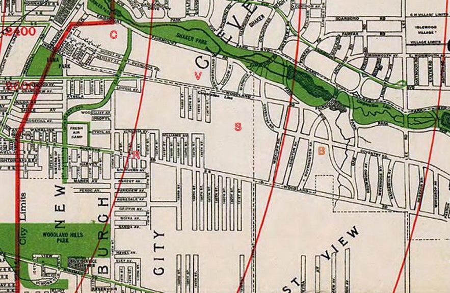
Cleveland
Cleveland groups its schools into “academic neighborhoods” centered on comprehensive high schools. In eight out of 10 neighborhoods, at least two-thirds of the schools are rated by the state as being on academic watch or in academic emergency.
Failing schools dominate in some neighborhoods
Percentage of schools on Academic Watch or Academic Emergency by school area
Schools with City-wide Draw
Cleveland School of the Arts
John Hay High (3 schools)
Valley View Academy
Warner Academy
Douglas MacArthur
Garrett Morgan School
Ginn Academy
Jane Addams Business Career
Kenneth Clement Academy
Martin Luther King Jr. High
Max S. Hayes High
Success Tech Academy
Tremont Elementary
Option Comples
Neighborhood high schools
Whitney Young
Carl F. Shuler
John D. Rockefeller
John W. Raper
Mary B. Martin
Mary M. Bethune
“Our goal is to ensure every child in the city attends an excellent school and every neighborhood has a multitude of great schools from which families can choose, Cleveland seeks to reinvent our public education system. Our plan is based on an emerging national model that profoundly changes the role of the school district. This approach, or portfolio strategy is showing promising results in cities such as Baltimore, Denver, Hartford, New York and others. In fact, Cleveland is one of 23 school districts involved in the Portfolio School District Network, facilitated by the Center for Reinventing Public Education.”
-from The Cleveland Plan
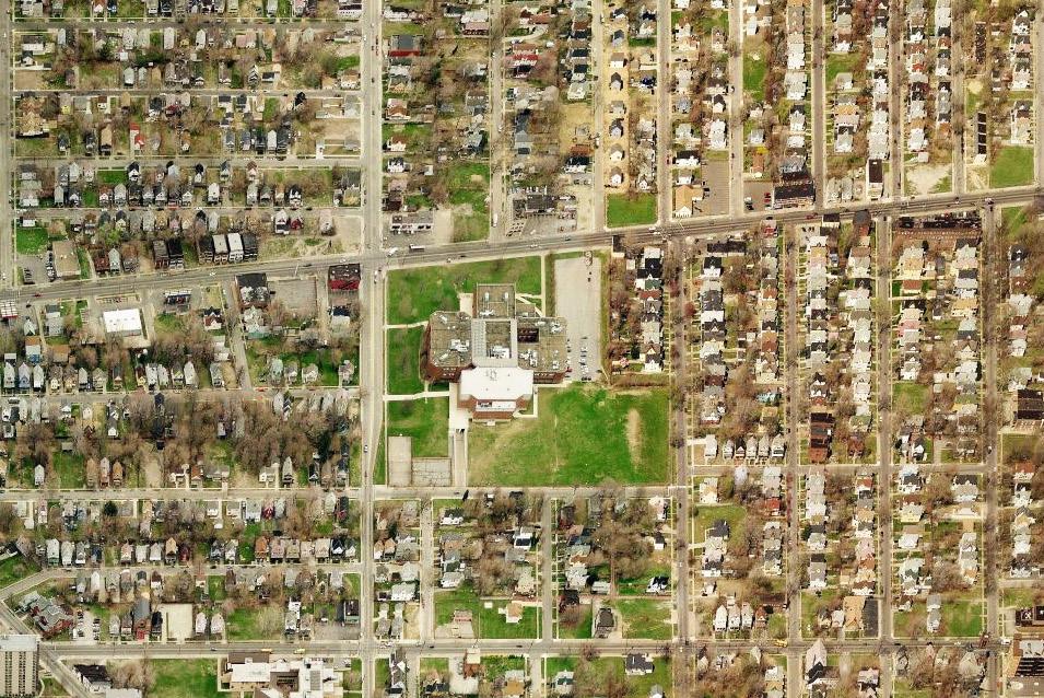
On June 10, 2010 East High was closed by the 2010 Academic Transformation Plan that was issued by the Cleveland School System.
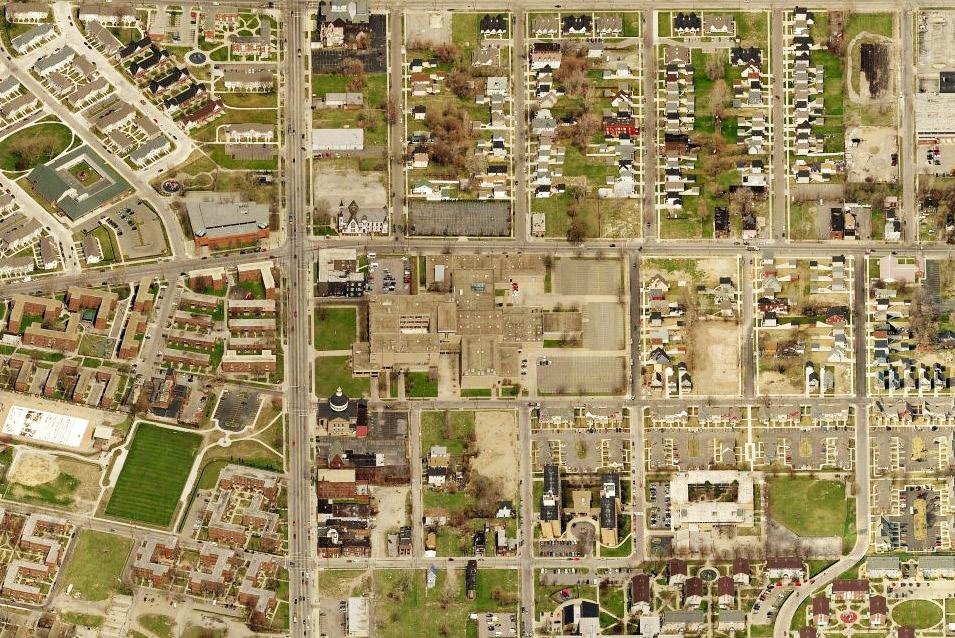
Demographics
East High School utilized a small school concept. The three small schools once housed on East’s Campus were: School of Applied Science and Technology, Academy of Creative Expression, and Institute of Business, Law and Technology
Project-based learning (PBL) is at the heart of our instructional approach. PBL uses technology and inquiry to engage students with issues and questions that are relevant to their lives. In New Tech classrooms, teachers design rigorous projects aligned to state and district standards and customize them to their location and the interests of students. Students then work in teams to acquire and apply knowledge and skills to solve problems.
Cleveland Early College High School
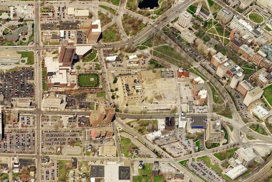
Demographics Am. Indian / Alaskan Native
or Pacific Islander
Report
Rigorous, college preparatory high school that provides three-year and four-year graduation options with a focus on STEM education and access to the Post Secondary Enrollment Options Program (PSEOP).
Partners:
• American University of Pariscollaborative project utilizing distance learning to focus on climate change
• Cleveland Clinic - distance learning focusing on bioethics
• Ohio State Extension - resources for support of school garden
• Tucker, Ellis, and West - 3R’s program
Science + Medicine
Cleveland School of Architecture + Design Cleveland School
Demographics
Am. Indian / Alaskan Native
or Pacific Islander
Report Card
Report Card
College preparatory curriculum for serious students who plan to leave their mark on the world through their innovative design talents. Students are encouraged to explore their aptitude for design as it relates to changing their environment and enriching their community.
Partners:
• Cleveland Museum of Art
Offers a college-preparatory education for motivated, high-achieving students interested in entering science or healthrelated professions.
Partners:
• Cleveland Clinic
• Case Western Reserve University
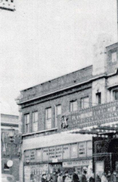
The Buckeye-Shaker neighborhood has various architectural styles each imbued with its own historic meaning. Among these styles are Log Cabin, New England Late Colonial, Greek Revival, French Style and Italianate. This section illustrates and explores the wide range of architectural styles present within five focus areas: Shaker Boulevard, Buckeye Road, Griffing Avenue, Moreland Road and Ashwood Road. A
comparison of street length, block organization, and building style is done for each of the areas to demonstrate the architectural diversity that exists in BuckeyeShaker.
Two anchor buildings in the neighborhood have the potential to focus revitalization efforts: the Moreland Theatre and the Learning Campus.
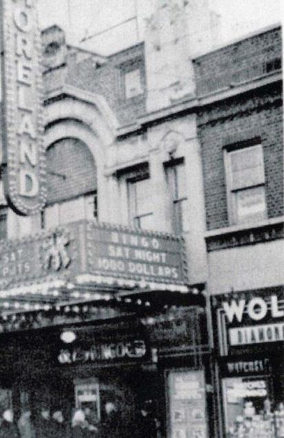
Buckeye-Shaker Over Time
Hungarian Immigrants in Buckeye-Shaker
City-wide Foundations and Non-Profit Organizations
Associations: the social networks
Food Systems
Education
The
progression of architectural styles in Cleveland
The dominant housing types in Buckeye-Shaker have shifted many times over the years. An analysis of housing age shows that 30% of current residential structures were constructed between 19001920, while 50% were constructed between 1920-1940, a distribution reflected in the predominant styles of existing homes. Cleveland’s most characteristic civic buildings remain those of the classical period, and especially the Group Plan ensemble.
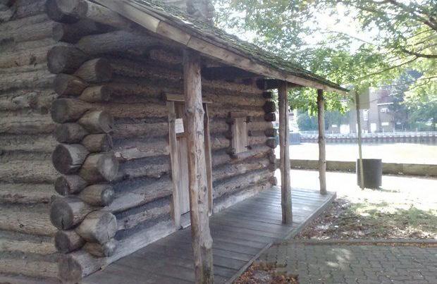

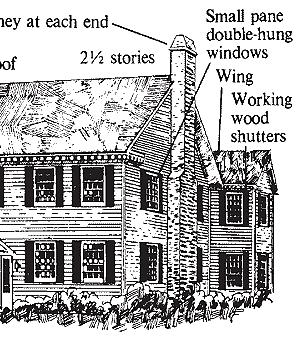
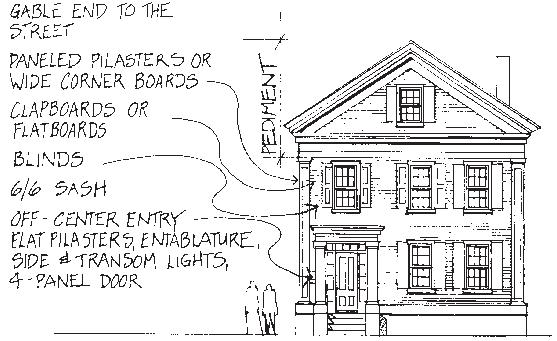
Typified by even numbers of columns along the front. References Roman architectural styles. Found along Euclid Ave.
Cleveland is incorporated as a city.
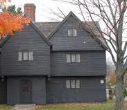
Worker housing constructed with a standard frame and gable and a small stoop. Indistinguishable from farm houses in the surrounding area.
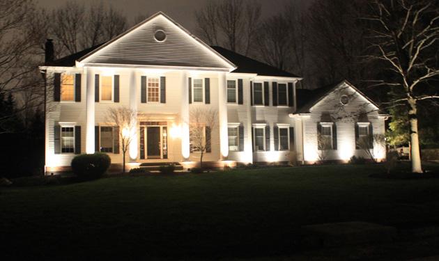
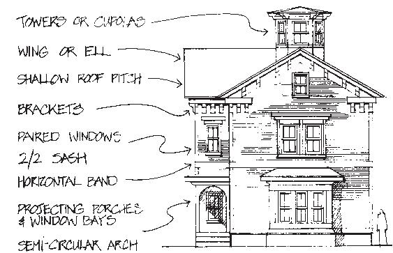
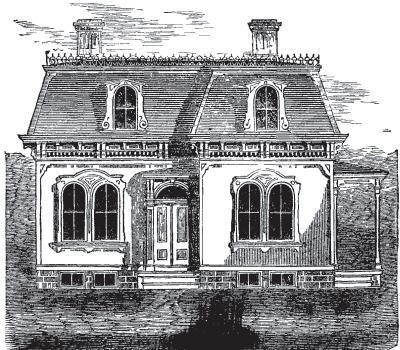
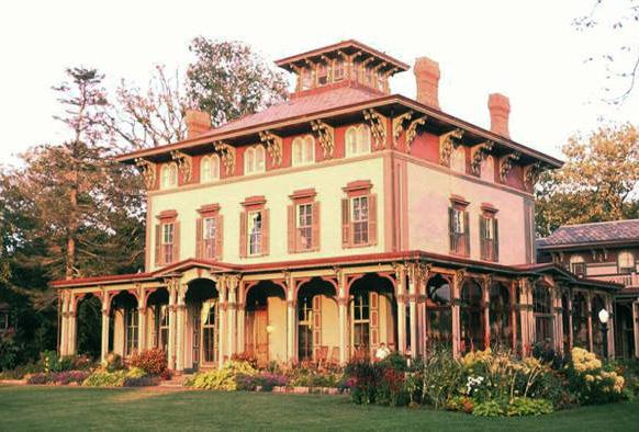
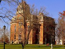
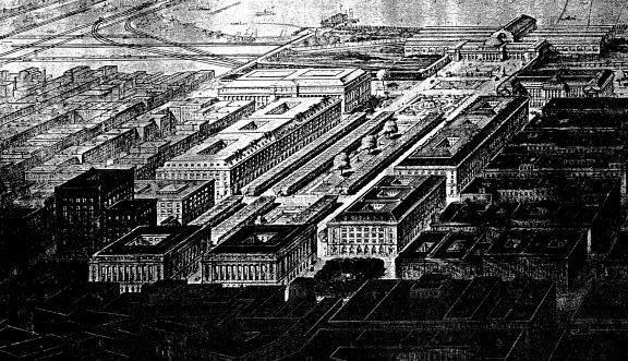
Tasked with designing a new civic center for Cleveland, the Group Plan Commission established offices in New York City and studied the designs and plans of great civic centers in Paris, London, Vienna and Florence. In 1903 Burnham, Carrere and Brunner returned to Cleveland and presented “The Group Plan of the Public Buildings of the City of Cleveland”, commonly referred to the Group Plan of 1903.
Platted subdivisions were created for the working class. Rampant development of these subdivisions lead Cleveland to be built out to its city limits by 1925.
A duplex style that was replicated all over the city allowing two families to live in one house. Typically one family would purchase the home to live in and act as a landlord to another family that moves in.
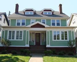
The typical 1910 suburban house was a longer horizontal block with a low or hipped roof, broad imposing front, and a detached garage that acted as a stable.
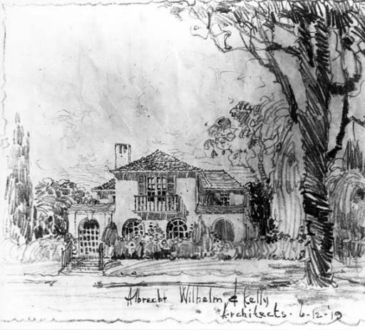
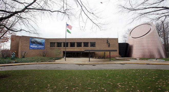
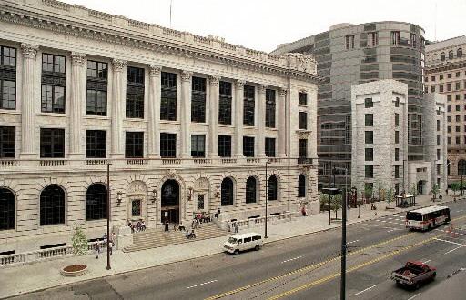
Public Square is the four-block central plaza of downtown Cleveland, Ohio. Based on an 18th century New England model, it was part of the original 1796 town plat overseen by Moses Cleveland, and remains today as an integral part of the city's center.
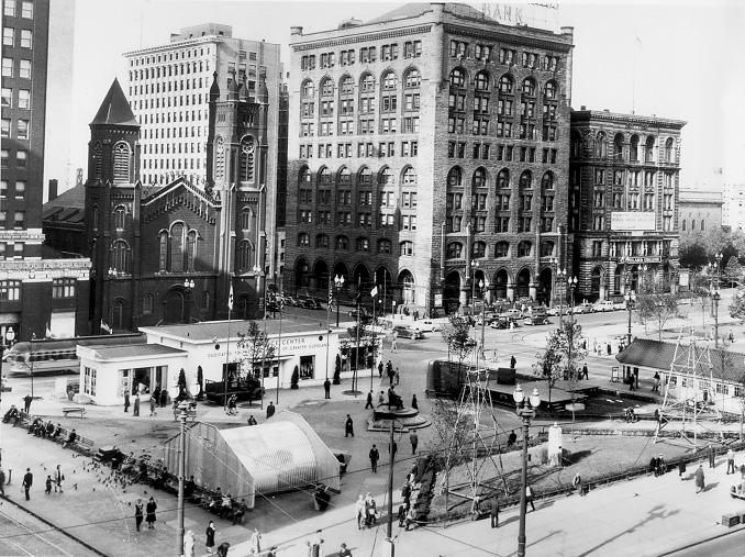
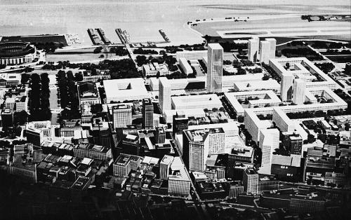
The plan designated the entire block east of the Mall and the Public Auditorium for a massive square federal office building adhering to the cornice line of the Group Plan buildings. As built in 1967, however, it became a 31-story office tower of utterly flat reflective surfaces of stainless steel and glass.
A blend of classicism and modernism was contrived by New York architect Malcolm Holzman for the new east wing of the Cleveland public library.
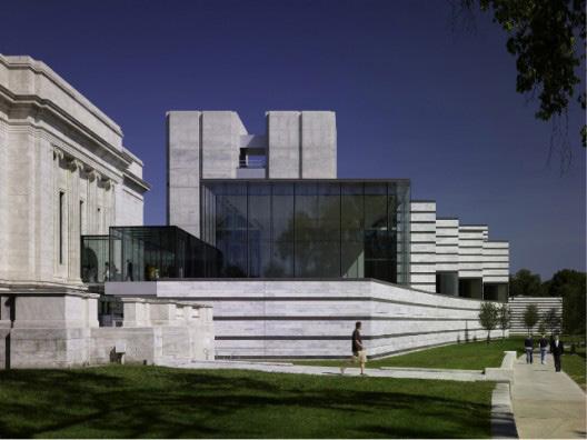
The majority of Buckeye-Shaker’s structures were built during a period of concentrated residential and commercial development between 1900 and 1920. This is striking, especially when compared to Cleveland as a whole, whose building stock is much more evenly distributed across the 20th century. This speaks to several facets of the neighborhood’s built history. First, it identifies the time at which the outward-moving wave of urban development reached Buckeye-Shaker. Second, it speaks to the durability and quality of the building stock Third, It indicates a relative lack of interest in new development within Buckeye Shaker since the 1960s.
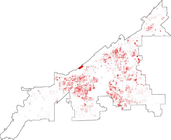
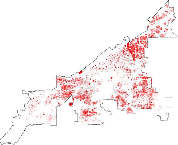
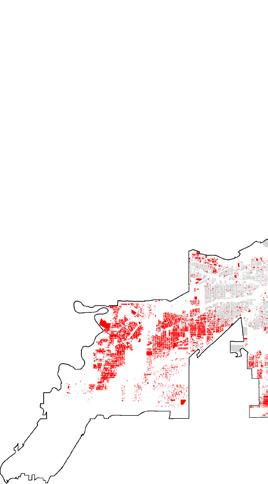
Source: City Planning Commission
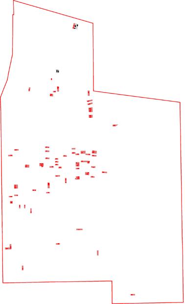
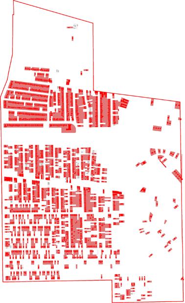
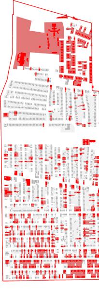
% of Building Stock Built in Two-Decade Period
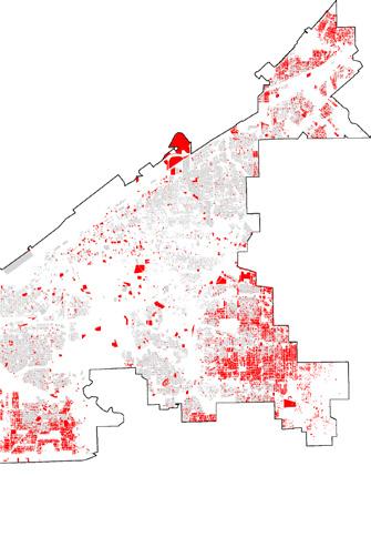
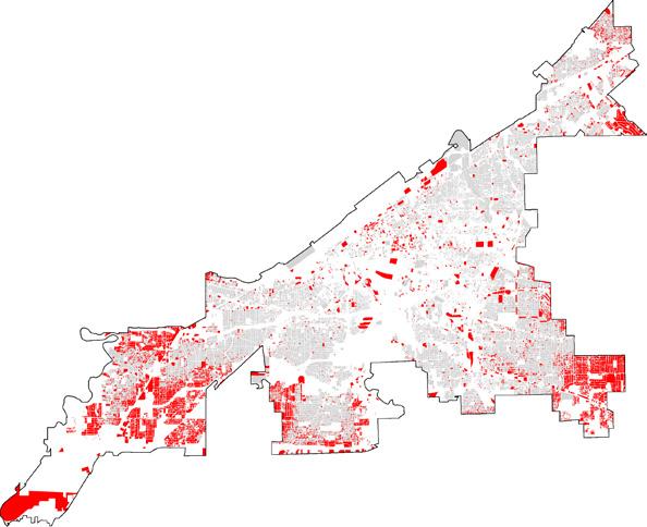

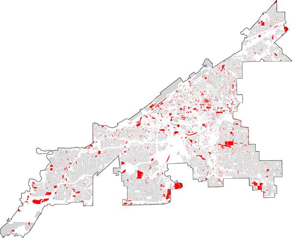
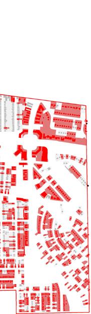
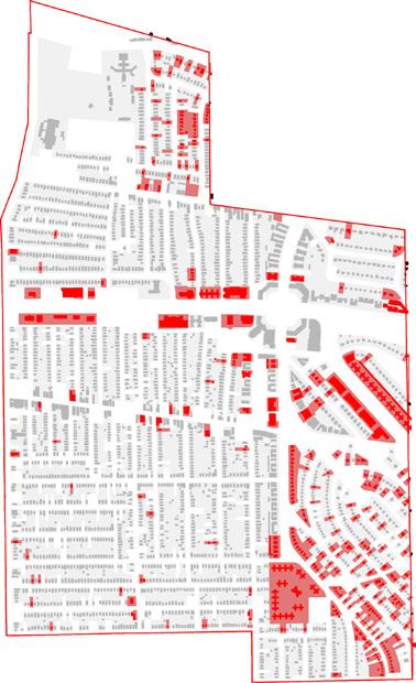
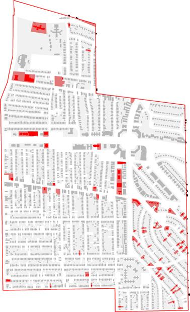
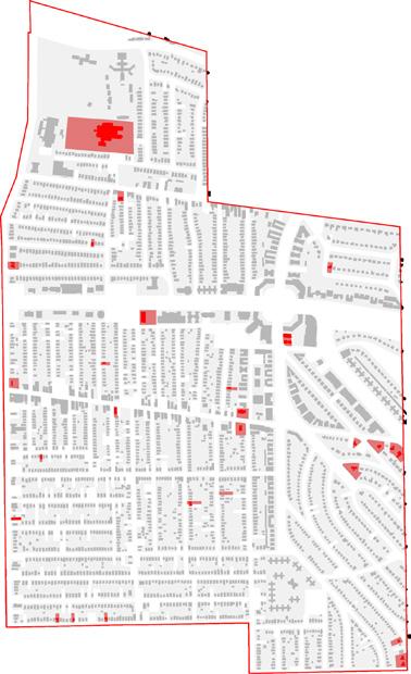
The majority of Cleveland residents rent their homes; in BuckeyeShaker, a full 65% of residential units are rentals. This high rental rate suggests that BuckeyeShaker’s population is fairly transient, creating challenges for economic development.
Furthermore, the neighborhood’s housing stock is aging. The majority of the houses are between 90 and 100 years old with a degree of upkeep that varies widely. This contributes to low housing values and a challenging real estate climate.
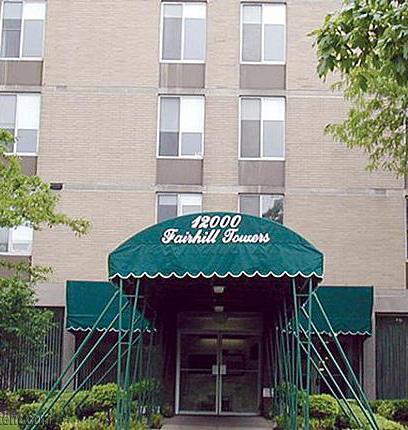
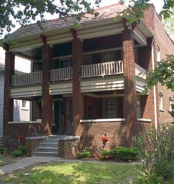
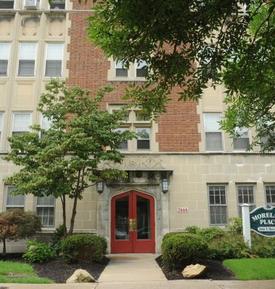
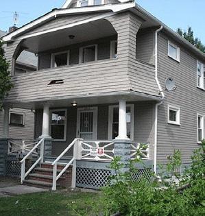
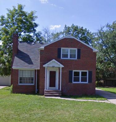
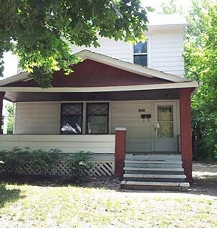
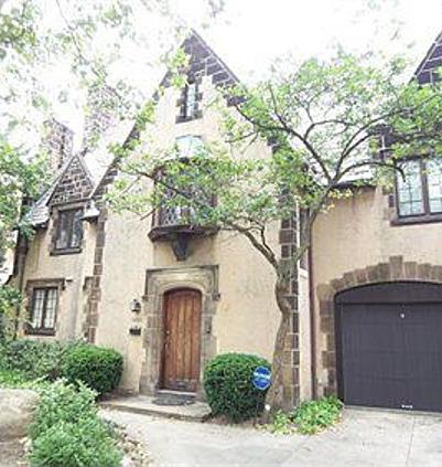
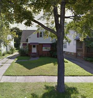
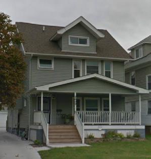
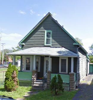
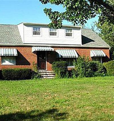
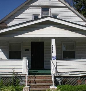
Cleveland’s commercial real estate market faces many of the challenges of its housing market. This is evident in the BuckeyeShaker neighborhood. Over the last three years commercial retail properties have sold at prices ranging from as little as $3/ square foot to over $200/square foot. The price of property in the neighborhood often has little to do with its location; many high value properties are adjacent to low value properties.
Additionally, Cleveland has one of the highest commercial vacancy rates in the United States, a fact that translates directly into low capitalization rates. Capitalization rates are a real estate developer’s tool for analyzing the properties value in comparison to the future revenue it could generate. Properties in areas with low capitalization rates struggle to improve because developing the property is very risky and unappealing to bank lenders.
Sources: Loopnet, Google Earth
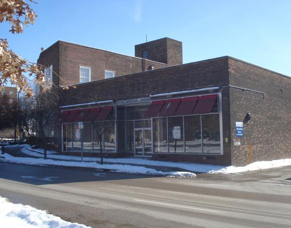
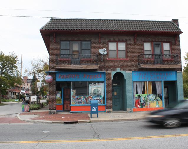
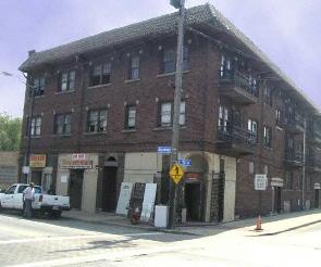
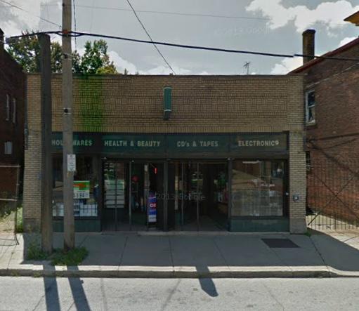
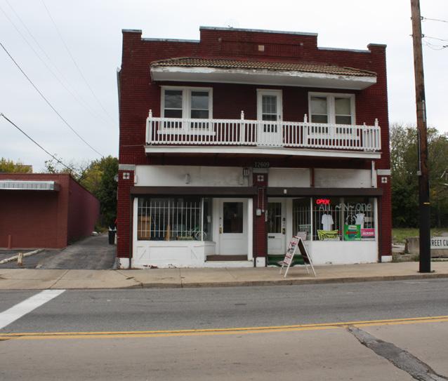
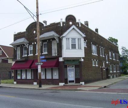
Shaker Boulevard
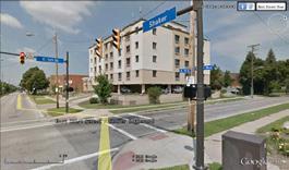
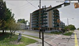
Shaker Boulevard is the main transportation artery of the Buckeye-Shaker neighborhood. Along this street and around Shaker Square there is a concentration of dense, high-rise apartment buildings combined with sparse commercial areas and religious institutions.
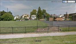
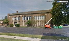
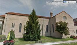
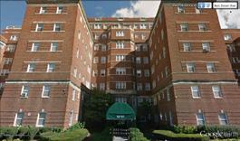
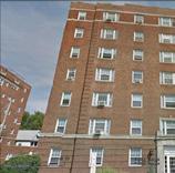
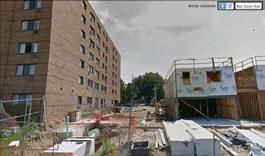

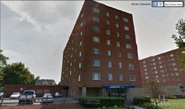
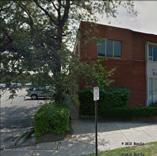
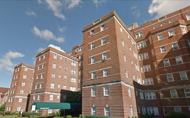
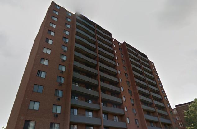
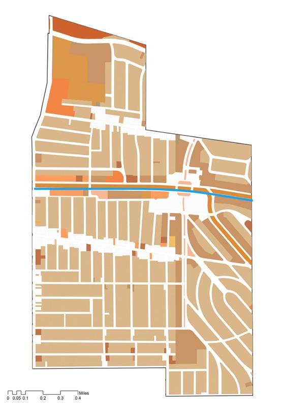
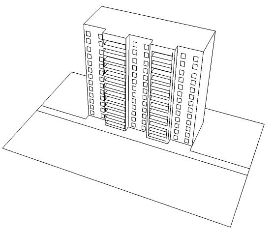
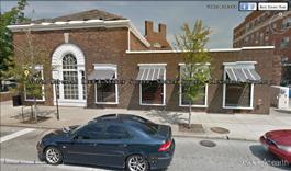
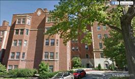
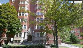
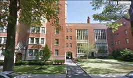
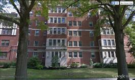
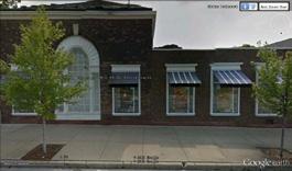
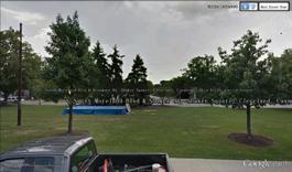
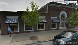
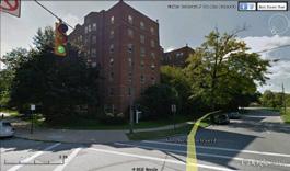
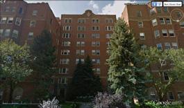
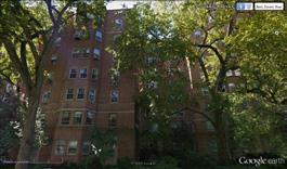
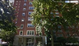
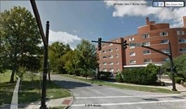
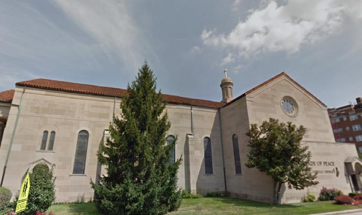
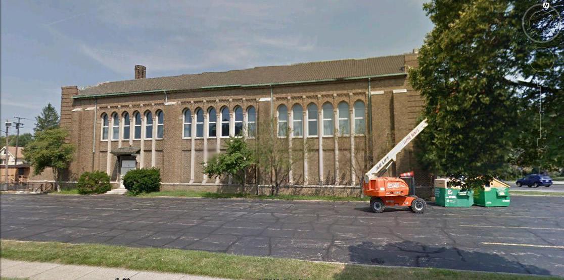
Along Buckeye Road, buildings are primarily two-to-three story mixeduse structures with first-floor commercial space and residential units above.
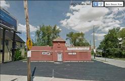
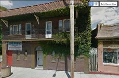
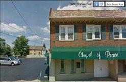
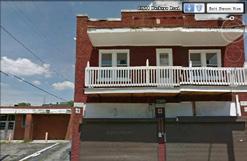
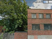
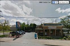
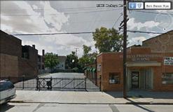
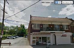
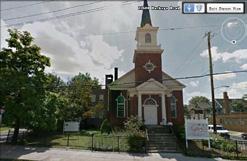
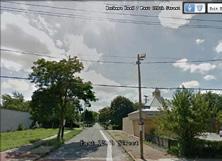
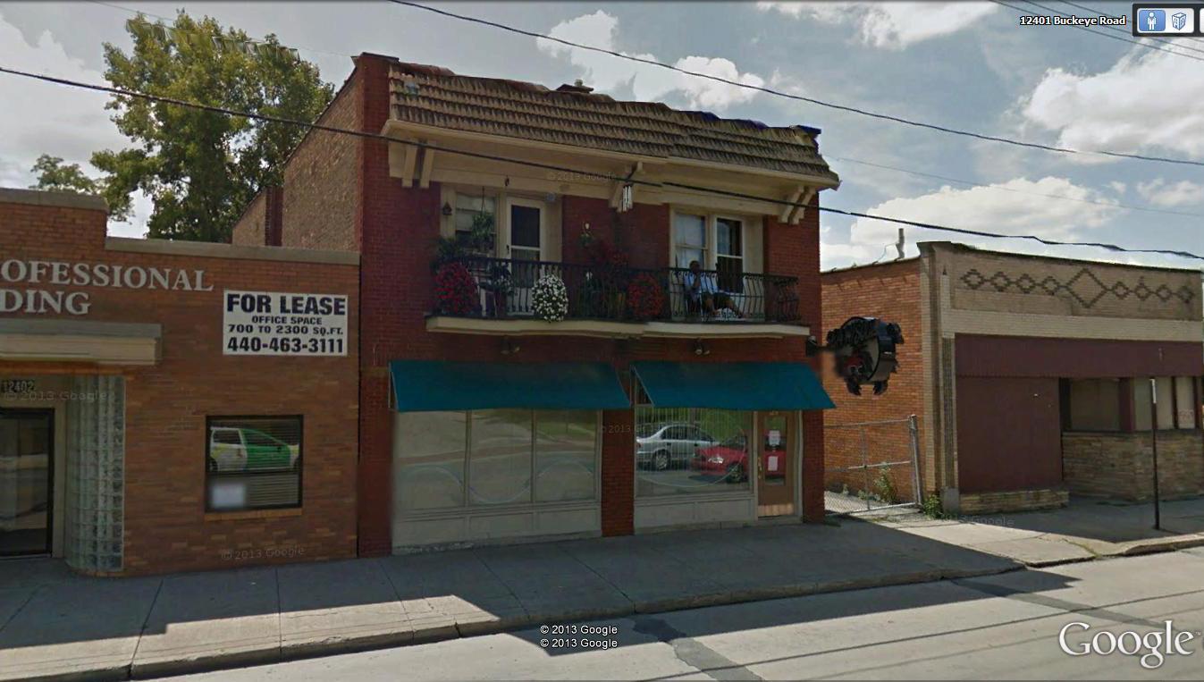

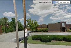
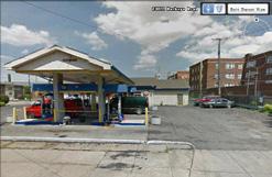
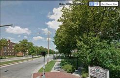
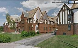
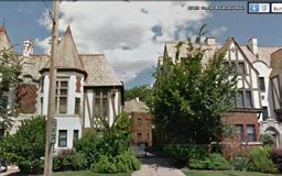
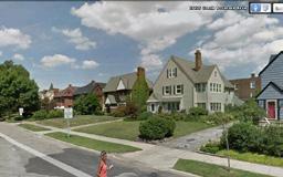
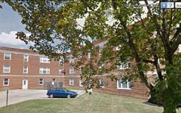
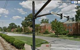
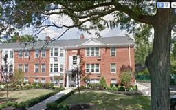
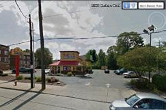
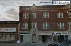
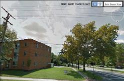
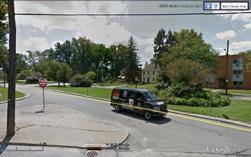
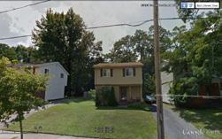
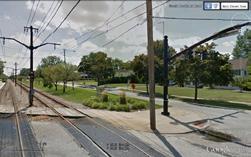
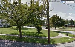
Mix-Use Building
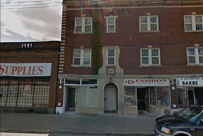
Institution: Beech Brook
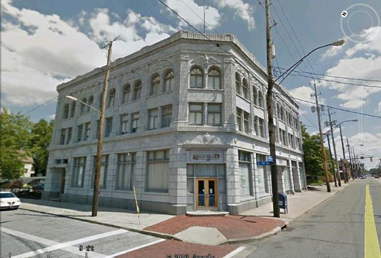
Institution: Grace Fundamental Baptist Church
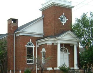
Residences along Griffing are primarily Fairwood and Buckeye Housing and small garden apartment-style multi-family housing.
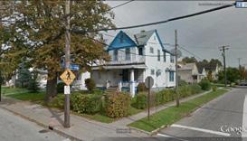
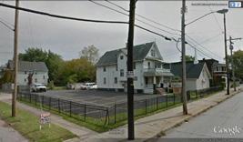
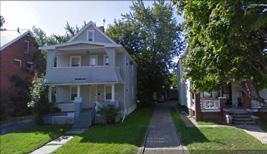
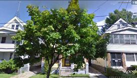
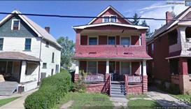
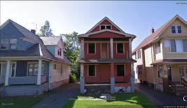
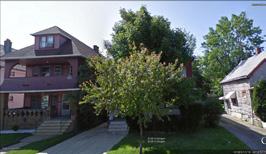
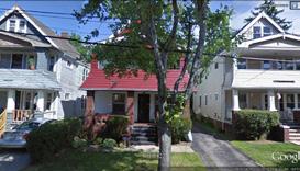
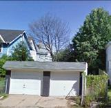
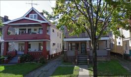
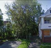
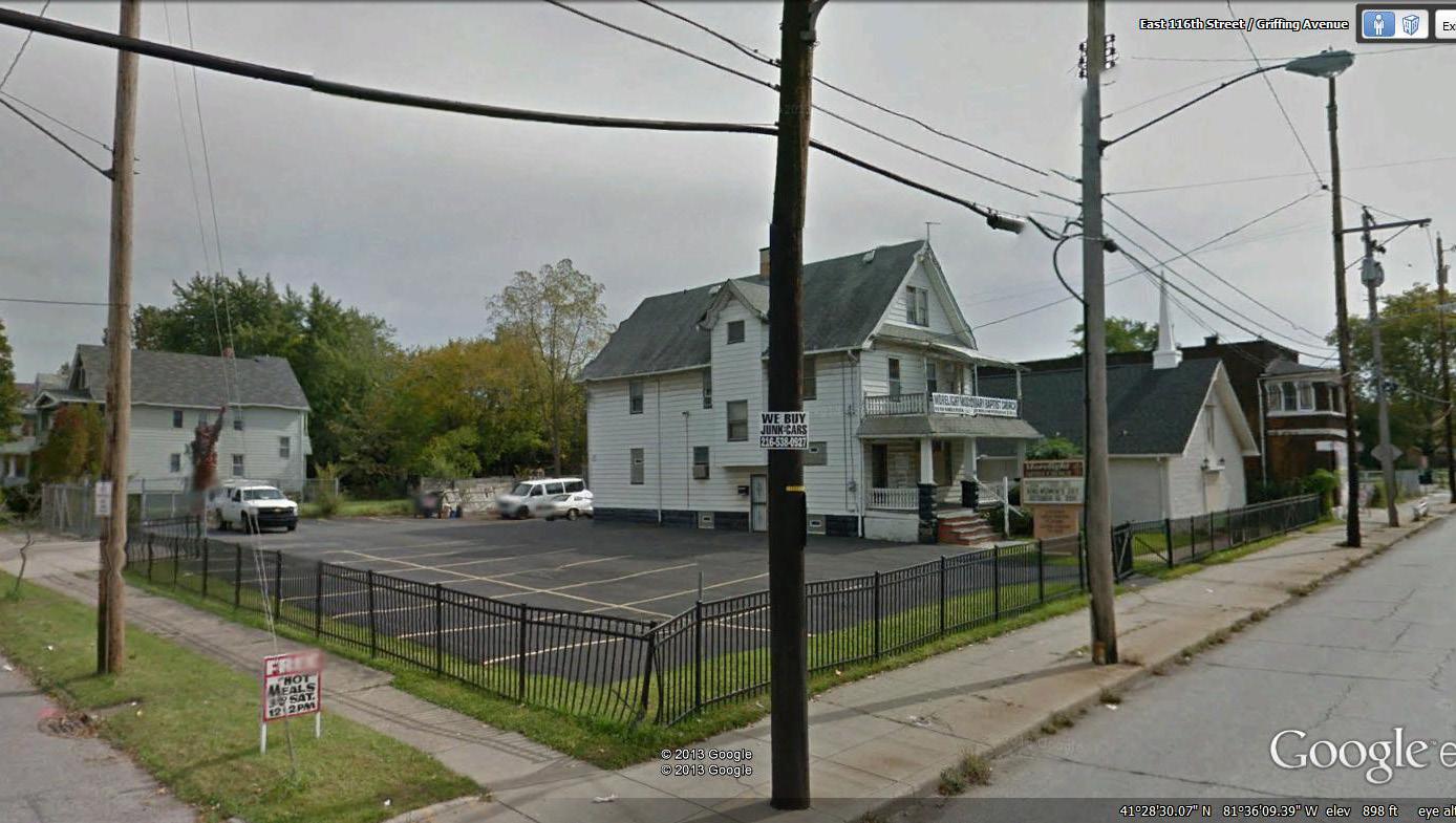

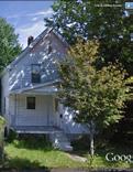
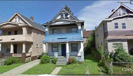
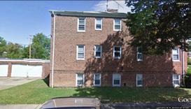
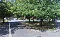
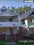
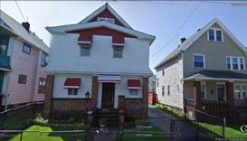
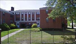
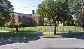
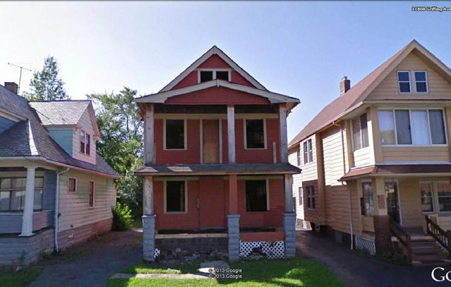
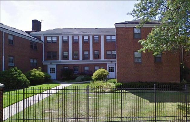
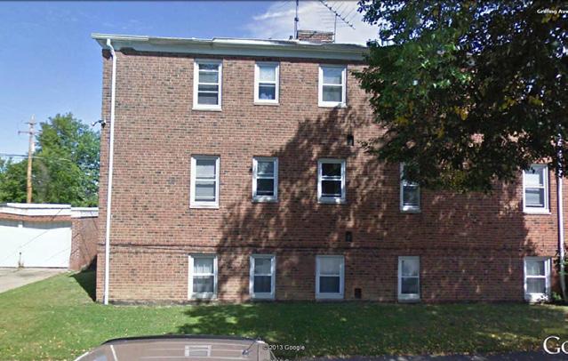
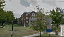
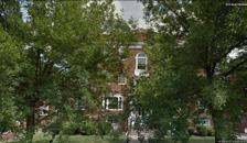
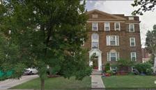
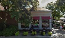
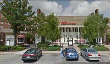
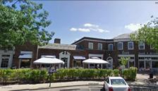
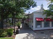
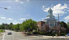
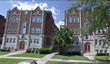

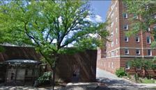
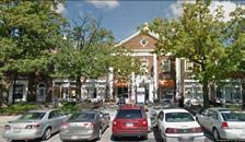
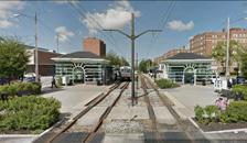
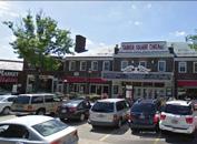
Moreland Road features stylish apartments that are part of a designated historic district from north to south.
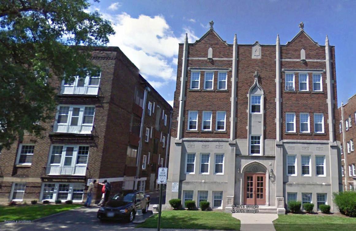
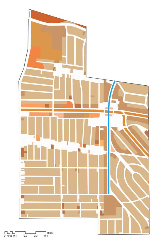
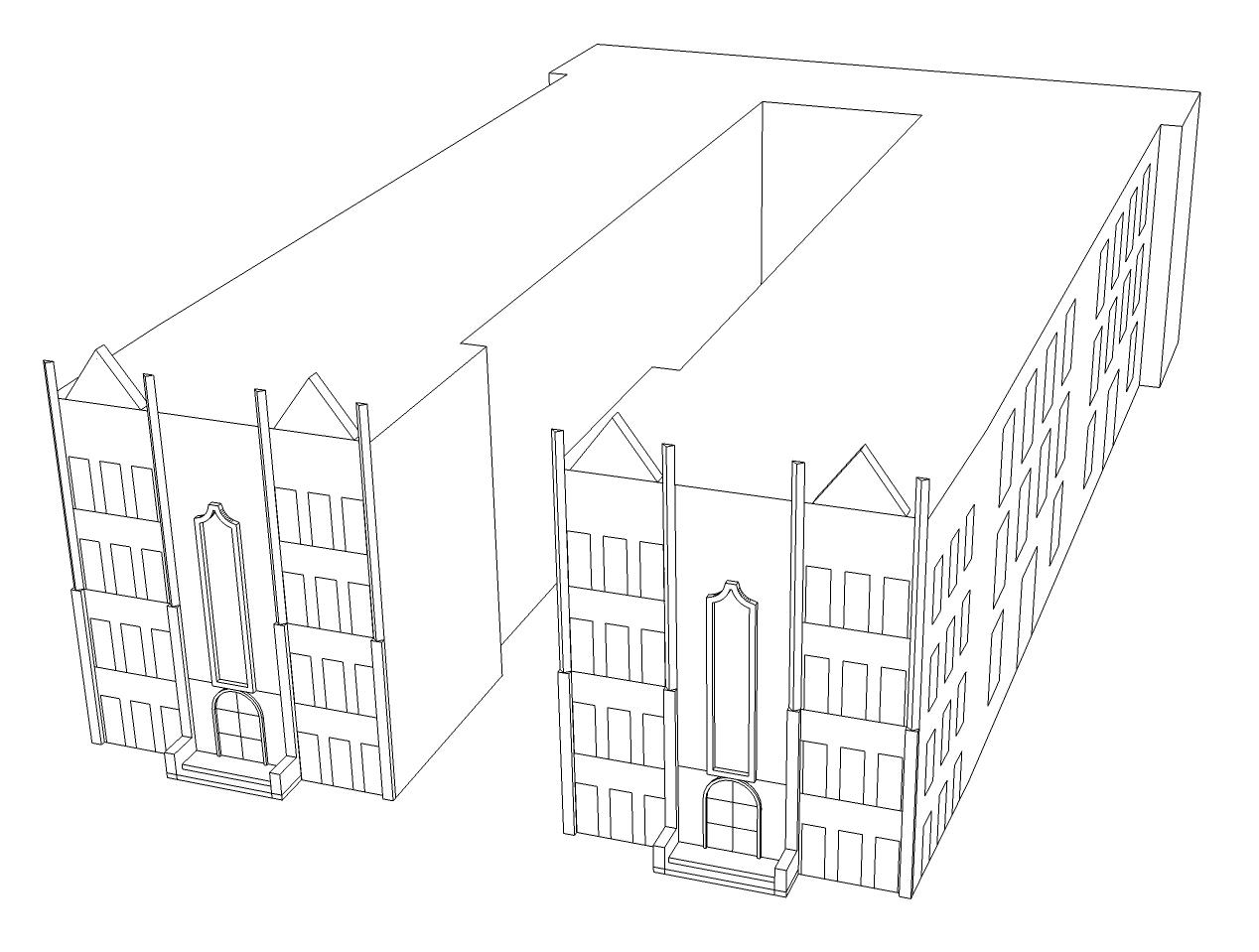

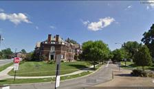
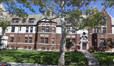
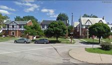
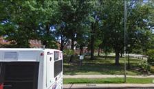
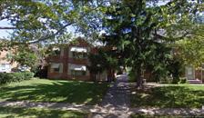
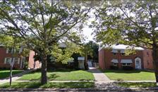
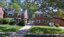
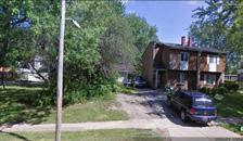
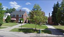
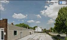

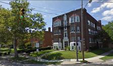
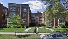
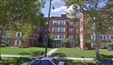
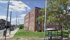
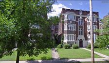
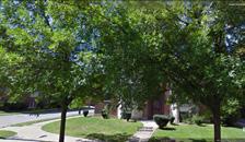
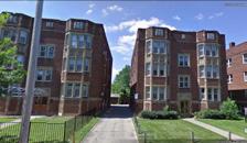
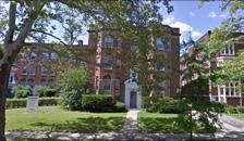
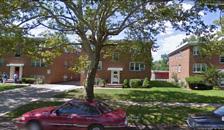
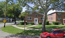
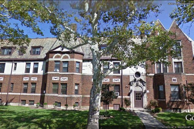
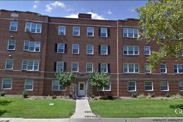
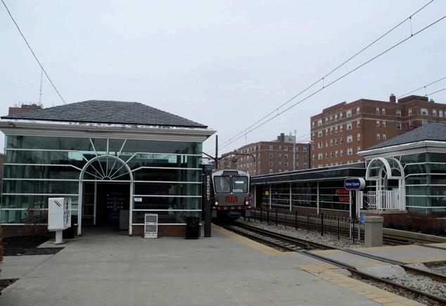

This road mainly includes varied single-family homes and six-story Apartments.
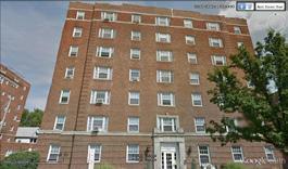
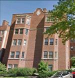
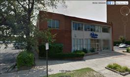
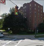
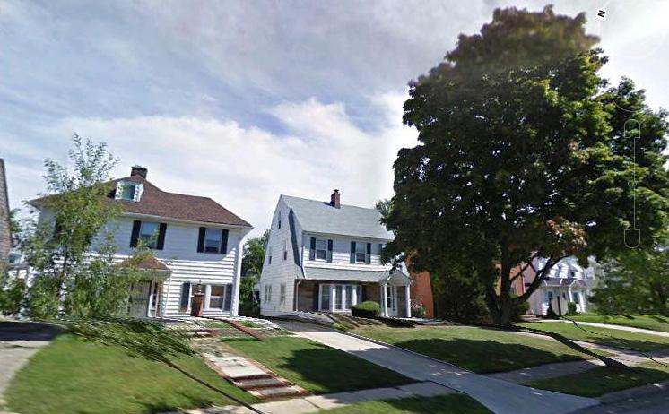

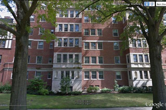
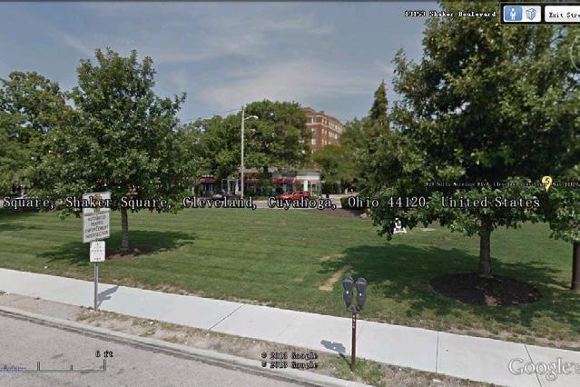
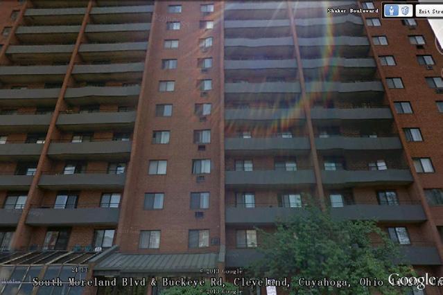
The Moreland Theater is of great historical significance as a part of the Buckeye neighborhood’s cultural legacy. The theater was constructed in 1927 and served as a movie theater and performance space. Before World War II, most neighborhoods had at least one movie theater; they performed social functions arguably as important as those of churches and schools Today, the Moreland is one of Cleveland’s few surviving mixeduse theaters, comprised of both commercial and theater space. The Moreland served a prominent role in the social and cultural life of the neighborhood’s historic Hungarian community. Even today, community members still recall fondly the theater’s magnificence and importance. Buckeye stakeholders desire a community anchor that encourages neighbors to gather for educational, recreation and entertainment programs.
Basic data:
Location: 11820 Buckeye Road
Construction year: 1927
Architect:
Braverman & Havermaet Architects and Engineers.
Original uses: 1296 seats movie/vaudeville theater.
4 retail space in the ground floor
5 Office suites in the upper floor
2 apartment units in the upper floor.
Total area: 35,553 sqf
Style:
Eclectic late 19th early 20th century revival.
Structure:
Steel frame, brick and stone walls and ceramic tile roof.
Conceptual Background:
The Moreland’s architectural significance along Buckeye Rd presents an opportunity to provide a neighborhood anchor. Furthermore, the building’s retail and office space is sufficient to serve a variety of programs that can establish the Buckeye corridor as a destination and home.
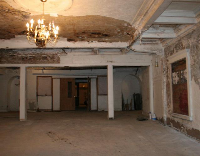
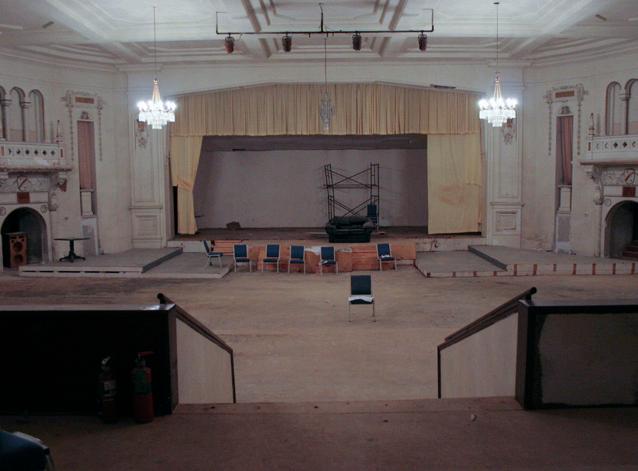
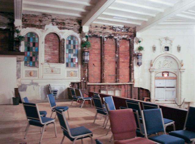
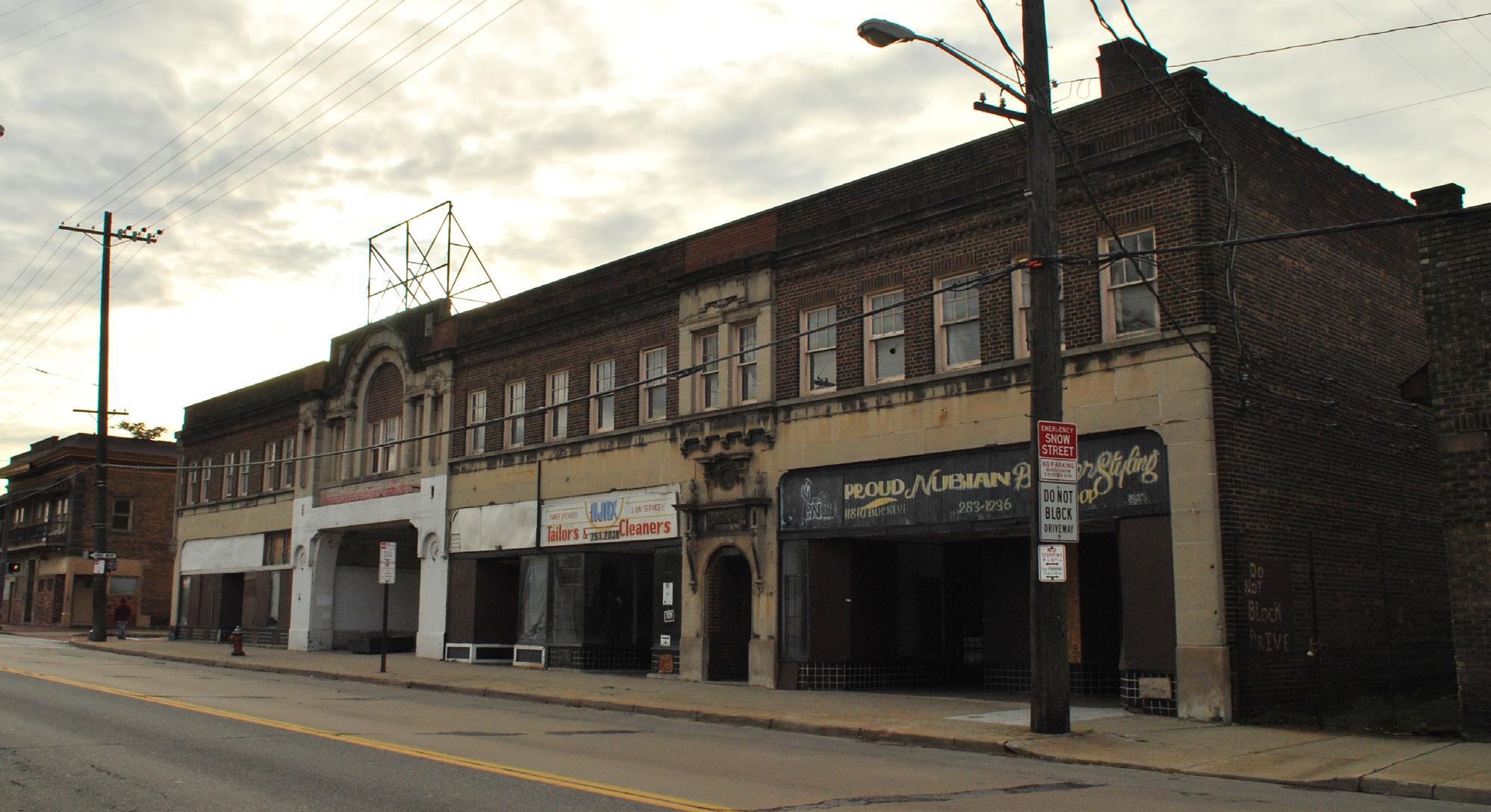
The Buckeye Community Development Corporation currently owns the building and is expecting to rehabilitate it in the coming years.
In order to evaluate the building’s condition, they have commissioned feasibility studies that were carried out by GSI Architects, Inc. and Westlake, Reed, Leskosky Architects.
New proposed uses:
- Theater/Nightclub/Banquet Space/ Community Cultural Center.
- Bar/restaurant in the ground floor.
- Small retail/Coffee shop in the ground floor.
- Office space upstairs/ Studio spaces
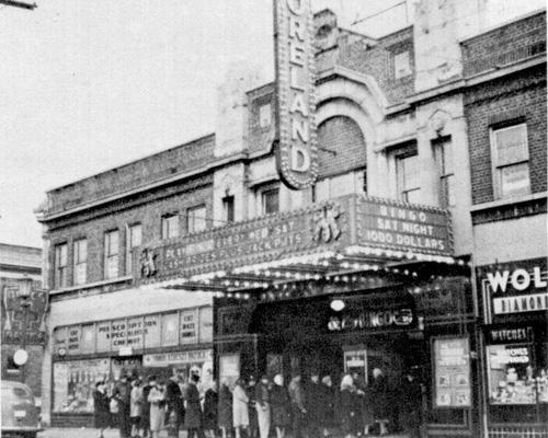
The Harvey Rice Learning Campus is a 5-acre, shared-site project that includes the Rice Branch Library and Harvey Rice School. This $22 million investment is located in the heart of the neighborhood, just north of the RTA station and east of Saint Luke’s Manor. Completed in 2010, the campus is a result of collaboration between the community and the Cleveland Metropolitan School District, Cleveland Public Library, Saint Luke’s Foundation, Cleveland Foundation, Neighborhood Progress Inc., ParkWorks, and Cleveland Public Art. While the project’s design demonstrates environmentally sound principles, it is the programmed events and activities that bring the buildings to life as community assets.
Both institutions offer different programs to engage community members of different ages: children, teenagers, adults and senior citizens can all benefit from the campus’ free programming.
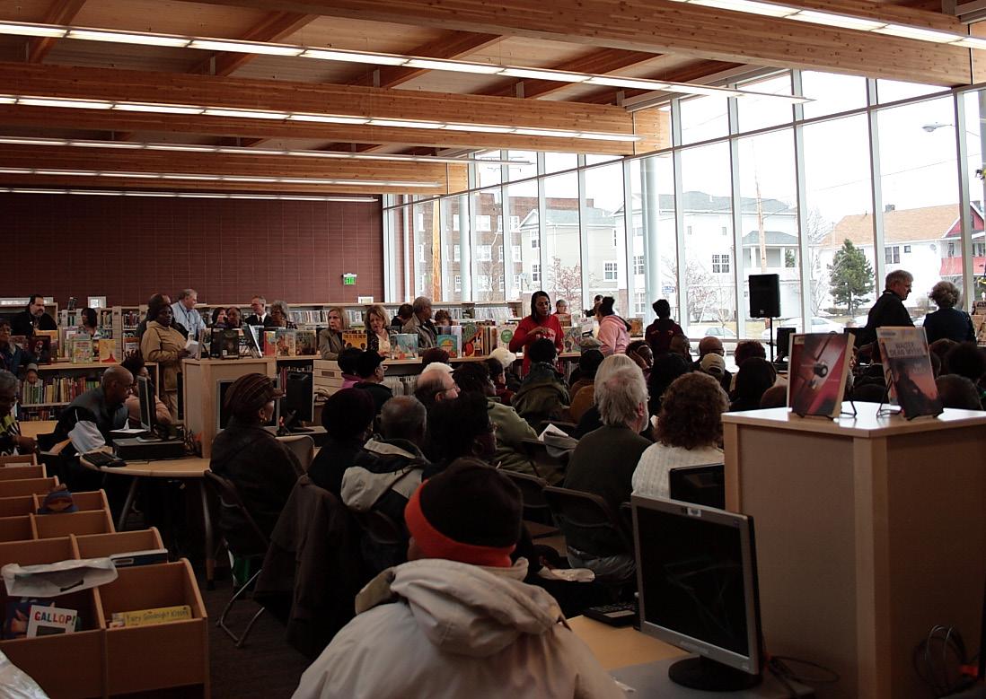
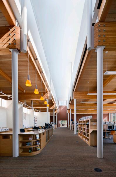


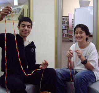

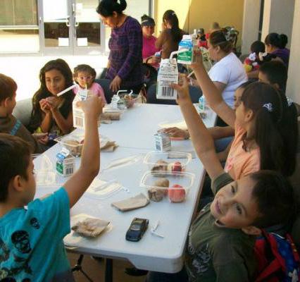
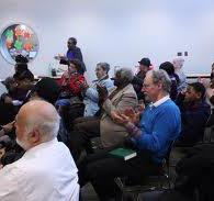


Building frontages along Buckeye reveal both its issues - vacancy, decaying building stock, aesthetically displeasing façades - and its assets - intermittent moments of truly high quality built fabric, and the neighborhoods’ palpably rich built history.
By exploring the corridor as a continuous entity, approaches to street improvement can be devised at a more holistic scale than would otherwise be possible.
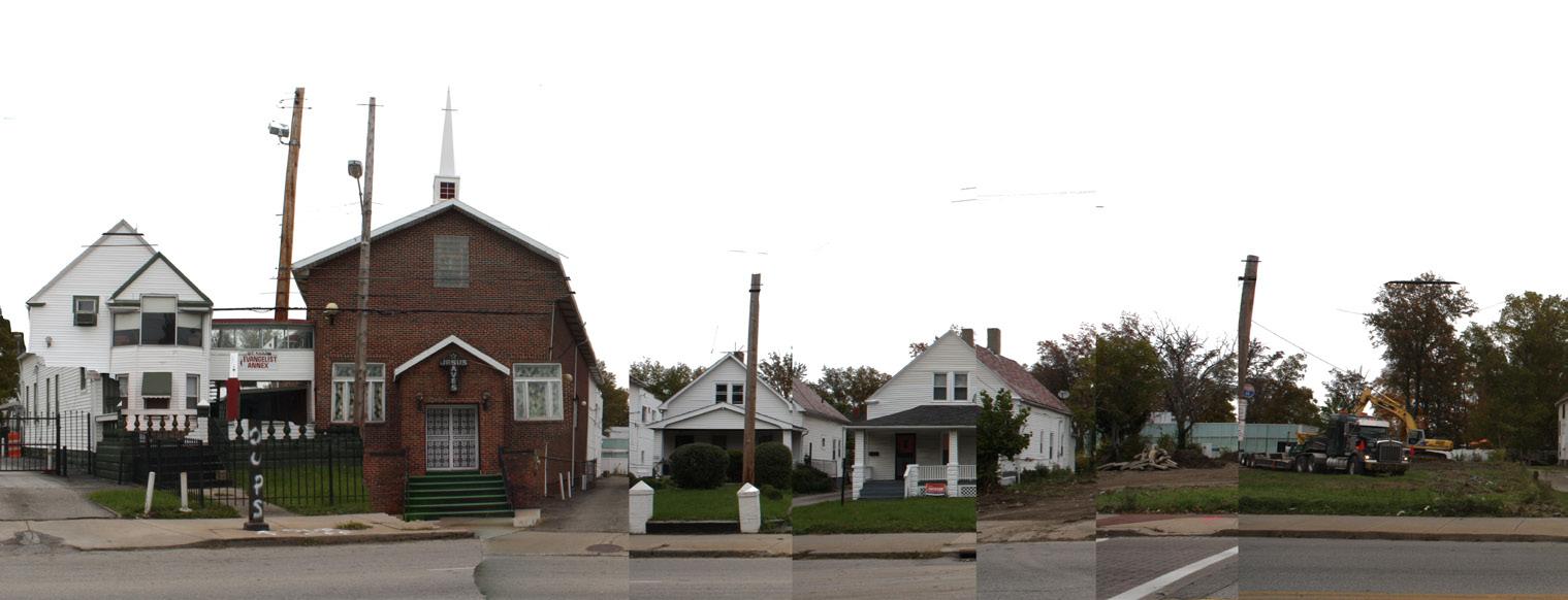
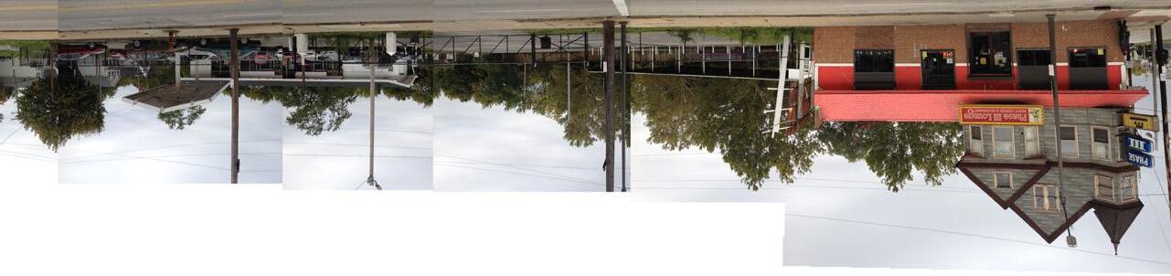
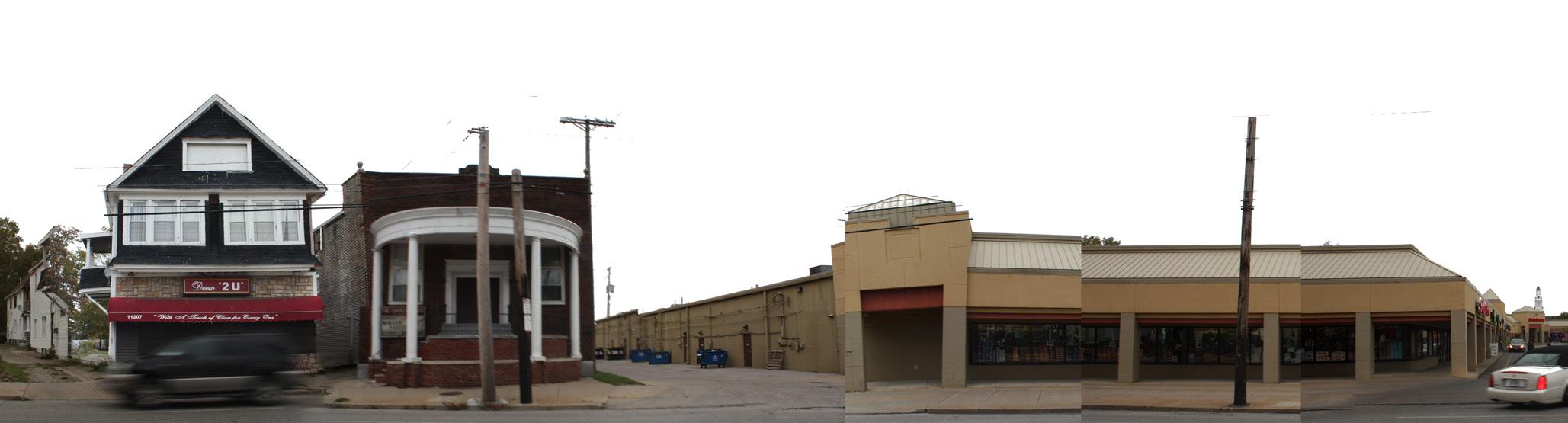
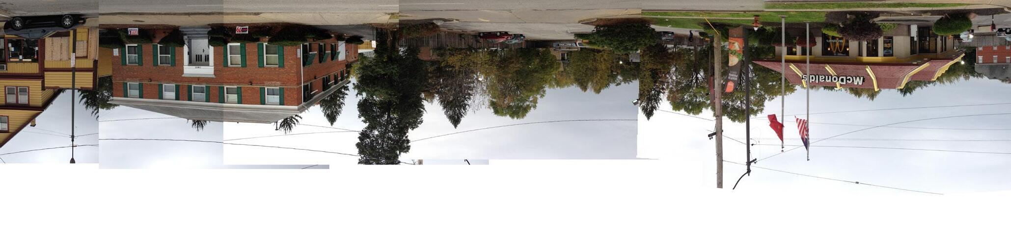
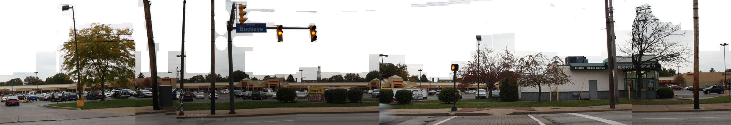
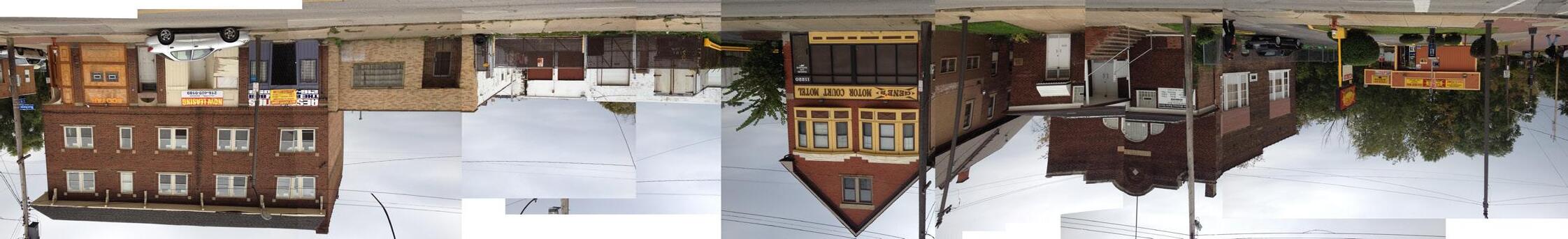
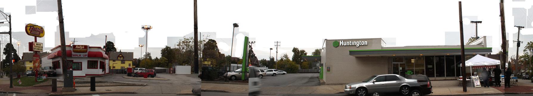
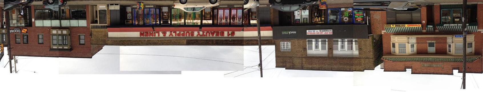


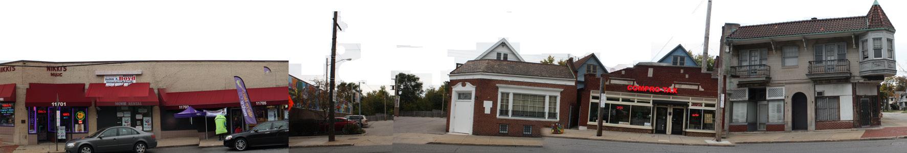
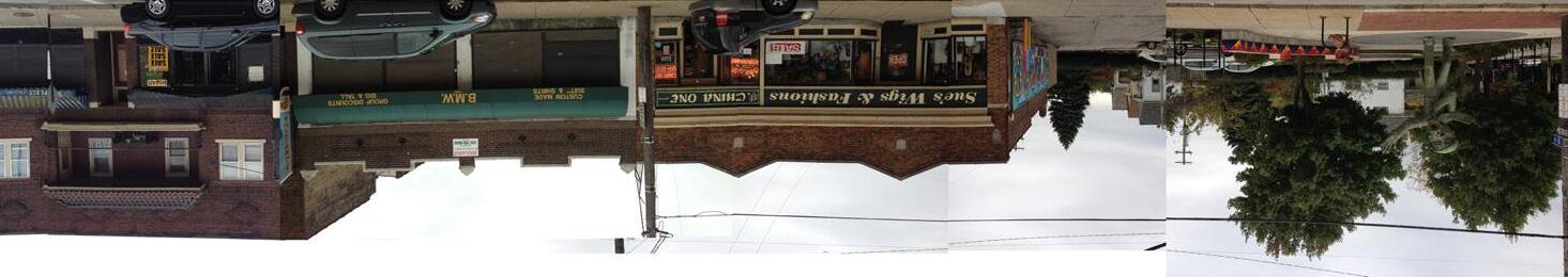
118th Street
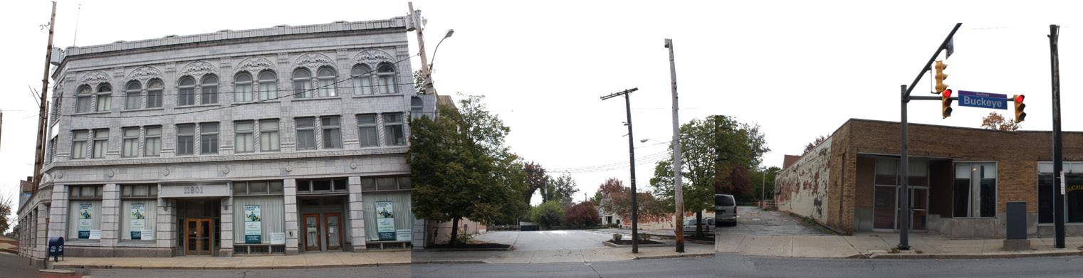
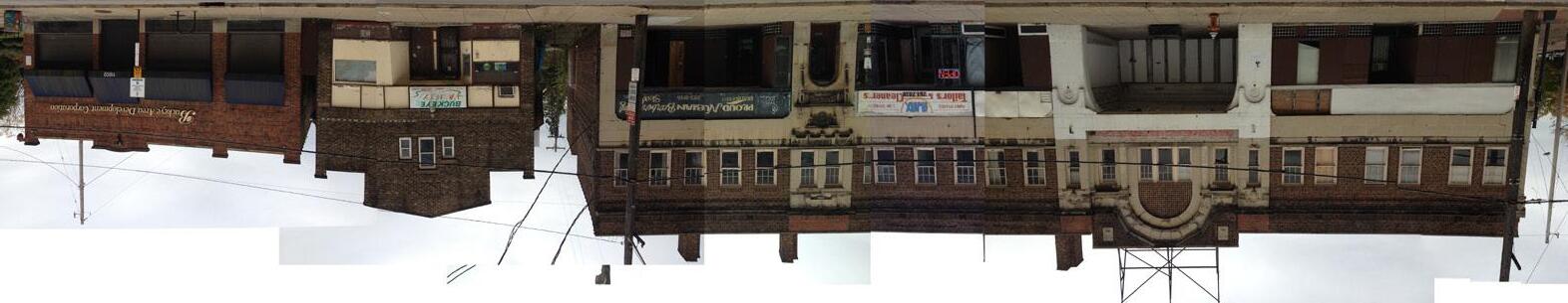
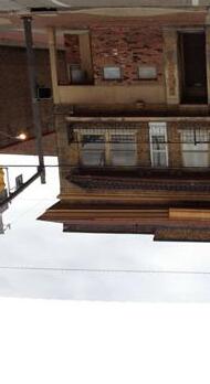
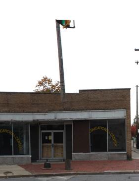
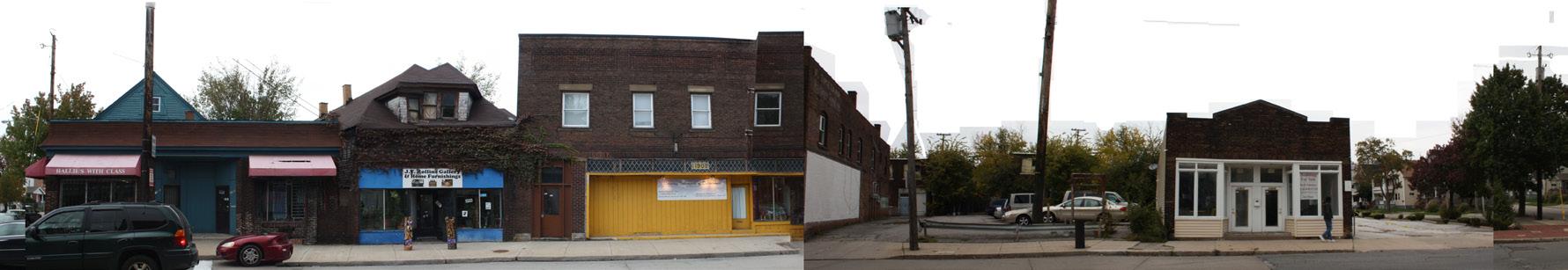
120th Street
The 3D model visualizes the primary spatial characteristics of Buckeye-Shaker and the Buckeye corridor. It provides the research team with a sandbox that can serve as the basis for planning and design proposals. It also helps us to deliver legible and vivid images of Buckeye, reinvigorated.
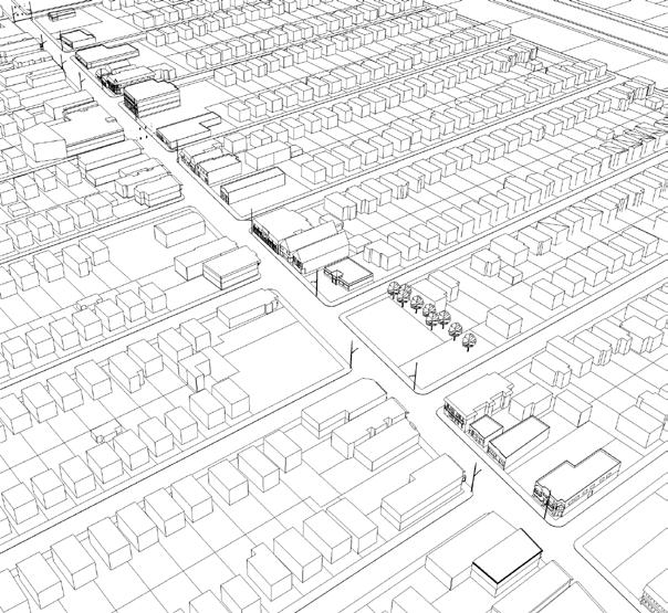
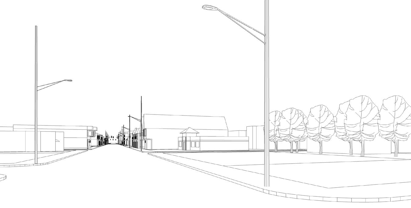
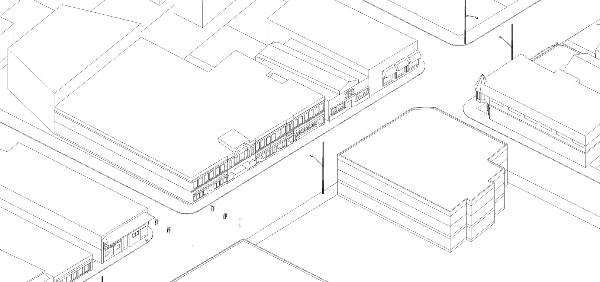
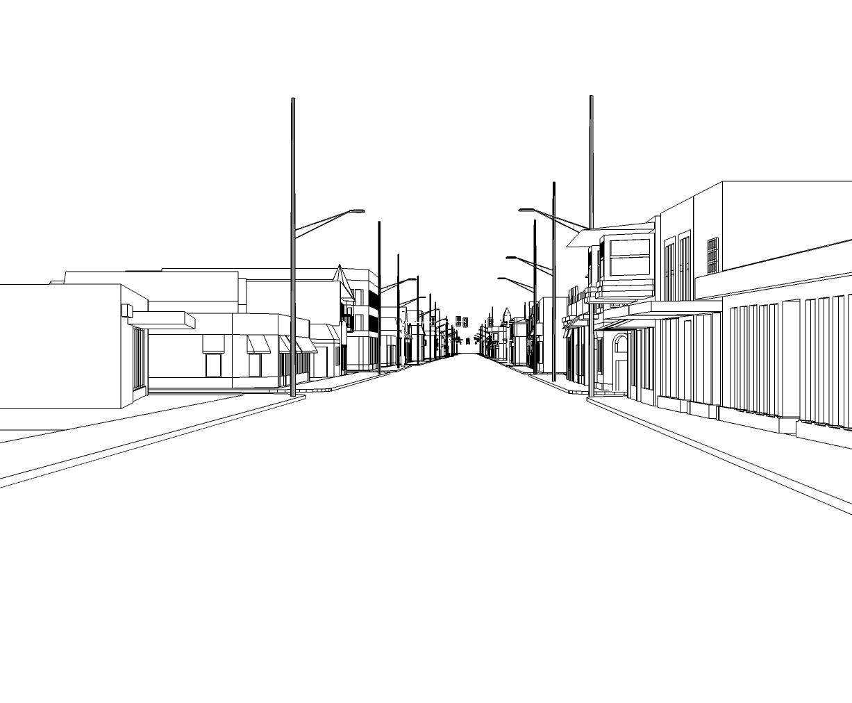
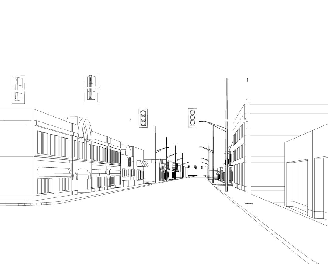
October 27, 2013