Research Prospectus
Turning great ideas into real-world impact for Somerset’s wildlife and landscapes
Turning great ideas into real-world impact for Somerset’s wildlife and landscapes
The race to protect nature has never been more urgent. Our ambition is clear: by 2030, at least 30% of Somerset’s land and sea must be managed positively for nature and we must reverse the devastating decline in wildlife. This is a bold and necessary goal, but it will only be achieved if our actions are rooted in the strongest possible evidence. As a science-led organisation, Somerset Wildlife Trust is committed to gathering, analysing and applying the highest quality evidence to guide every decision we make.
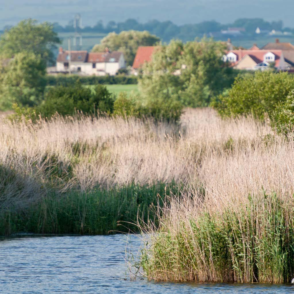
Somerset’s landscapes are under unprecedented pressure. Ash dieback is transforming the Mendips, pollution is threatening the internationally important wetlands of the Somerset Levels and Moors, and climate change is reshaping our entire county, most dramatically along our fragile coastline. These challenges are immense, yet our response is hindered by a striking shortage of comprehensive data and by the urgent need to translate existing knowledge into actionable solutions.
We believe that innovation, collaboration and openness are essential. As part of a vibrant learning community, we are determined to work hand in hand with academics, researchers and knowledge producers across the public and private sectors. Together we can build an open, shared and world-class data resource fuelled by the best science, that will empower transformative conservation action for Somerset and beyond.
Our target is 30% of land and sea managed positively for nature by 2030
For over sixty years Somerset Wildlife Trust has stood at the heart of the county’s efforts to protect and restore its natural heritage. We manage over 2,000 hectares of land, across almost every Somerset landscape for the benefit of wildlife and people, guided by expert staff, supported by the energy of almost 24,000 members and powered by the tireless dedication of our volunteers. This long history has given us a deep and practical understanding of how to work with nature and how to inspire others to do the same.
Our strength lies not only in the land we care for but in the relationships we have built. From local community projects to ambitious landscapescale programmes, we bring together landowners, managers, government agencies, non-governmental organisations and a wide spectrum of stakeholders. These collaborations, rooted in trust and shared purpose, deliver the outcomes set out in our Wilder Somerset 2030 strategy, drawing on funding from charitable trusts, government initiatives and industry partners.
We are also home to the Somerset Environmental Records Centre (SERC), the county’s principal hub for biodiversity and geological data. Established in 1986, SERC now holds over 6 million records. This data and information provides the resource that is essential for evidencing change, including informing planning and shaping conservation action. With unique insight into Somerset’s habitats, from monitoring rare species to supporting Local Wildlife Site and Local Geological Site programmes, SERC’s work provides the solid foundation on which effective nature recovery depends. You can read more about academic data requests in our Academic Data Request Policy which can be found here: www.somerc.com/request-data/
Our 68 landholdings, spread across the county’s varied geologies, landscapes and communities, are living laboratories. They offer spaces to test new ideas, demonstrate effective land management and engage people directly in conservation. At Honeygar and Westhay Moor, for example, we are pioneering approaches to peatland restoration that deliver benefits for both wildlife and people. At Sharpham and Westhay we are exploring how biodiversity markets can be harnessed for positive outcomes. Across our four priority landscapes we are taking a strategic, connected approach to maximise the impact of nature recovery.
Our influence extends beyond our own work. Through the Somerset Local Nature Partnership (LNP), we sit at the table where environmental, cultural, political, economic and social priorities meet. The LNP brings together leaders from across sectors to champion the value of Somerset’s natural assets and embed them in decision-making. Our active role ensures that the needs of wildlife and the benefits of a healthy environment remain central to the county’s future.
We are also part of The Wildlife Trusts, a powerful federation of 46 local conservation charities working together to protect nature across the UK. This connection gives us access to shared expertise, collaborative research, national campaigns and the combined influence of a movement managing over 2,600 reserves and engaging nearly a million members.
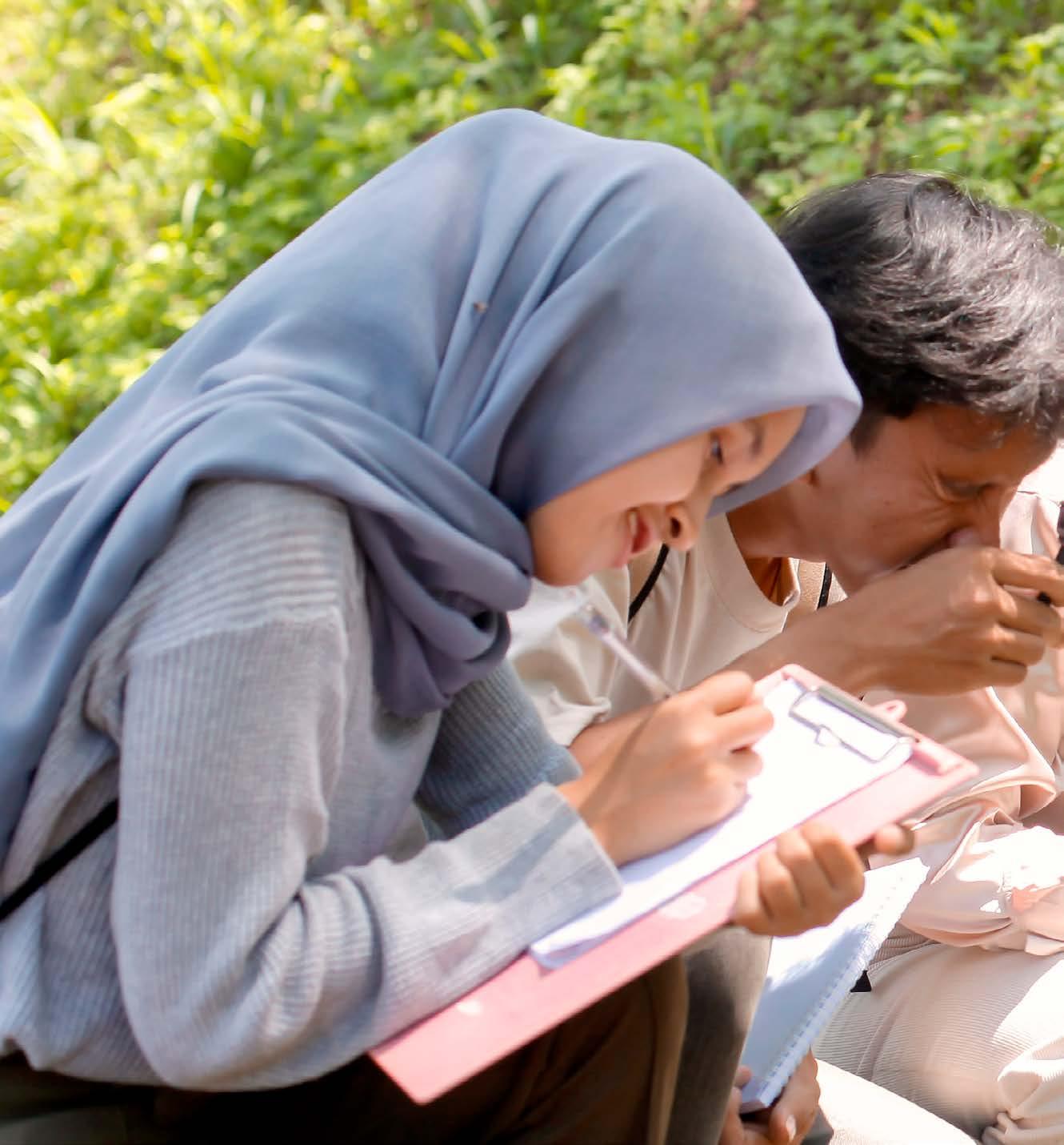
Finally, we see ourselves as educators and enablers. Whether it is working with students on field research, supporting land managers in sustainable practices and innovating rewilding approaches, or empowering communities to take action for nature, we believe in sharing knowledge widely. By connecting people to the tools, skills and understanding they need, we help ensure that nature’s recovery is a collective effort and a shared success.
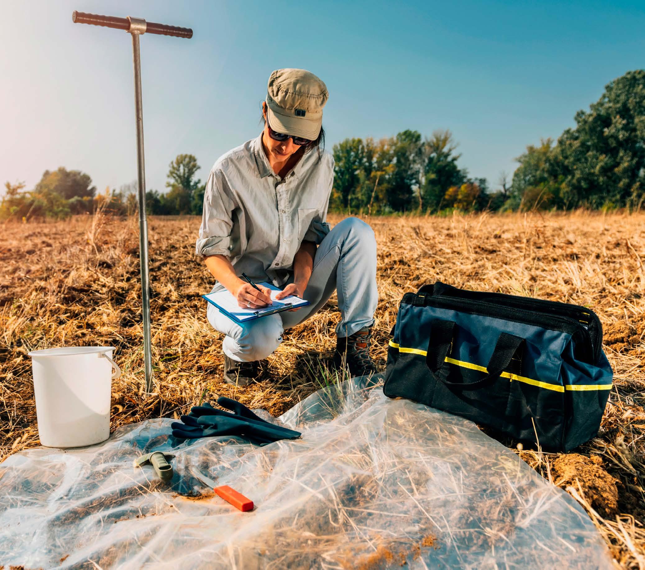
Somerset Wildlife Trust has a long track record of partnering with academics and practitioners to turn good science into practical outcomes. Honeygar encapsulates this more than anywhere else. In the past four years it’s become our proving ground for collaboration, hosting over 20 undergraduate, master’s and PhD projects from multiple universities. Between them, these cover peatland carbon dynamics, hydrology, biodiversity, water quality and social sciences, with a focus on ensuring results feed straight back into management practices.
That research focus is widened through our work with specialist groups and partner networks, such as Recorders
of the Avalon Marshes, The Somerset Botany Group and our many other bird, bat, mammal and invertebrate recorders, so projects and the wider landscape benefit from deep local knowledge and long-term datasets. Alongside universities and specialist groups, we work with researchfocused companies, including Wilder Sensing, The eDNA Consultancy, and WSP to bring cutting-edge tools into real landscapes. Together, this means researchers can plug into active restoration and monitoring programmes to help ideas land where they matter most.
The following case studies highlight a small subset of the work that Somerset Wildlife Trust has carried out in collaboration with researchers.
Hadeer Elgendy, PhD
University of the West of England
The loss of ancient carbon from peatland soils, one of the most effective natural sinks of atmospheric carbon, is often irreversible (Evans et al. 2022). In the Somerset Levels, historical drainage is documented as early as the medieval period, with substantial intensification occurring during World War II to accommodate mechanised agriculture and increased food production demands (Acreman et al. 2011).
In response to widespread peatland degradation, the Somerset Wildlife Trust, along with partners across the Avalon Marshes, has emerged as a leader in landscape-scale restoration across the region’s lowland peat deposits. One of its iconic sites, Westhay Moor National Nature Reserve (NNR), underwent further restoration in September 2023, involving a multiphase technique, targetting the vegetation, hydrological remediation and the re-establishment of native plant communities to enhance peatland function and resilience (Lindsay, Clough, and Birnie 2014; Lunt et al. 2010).
This project investigates the stability of peatland carbon across five research sites in the Somerset Levels, the most extensive lowland peatland system in southern britain. It explores how historical drainage, agricultural intensification, and restoration efforts have shaped carbon dynamics in these landscapes. The study sites span a degradationrestoration continuum across three peatlands: Westhay Moor, Catcott

Lows, and Honeygar. Westhay Moor NNR, a largely intact ombrotrophic mire, serves as a control due to its minimal degradation. Catcott South, a restored wet fen, has experienced low disturbance over the past 30 years. Honeygar includes two moderately degraded sites undergoing rewetting since 2021, while Westhay South represents a recently purchased by the Trust, highly degraded former maize field.
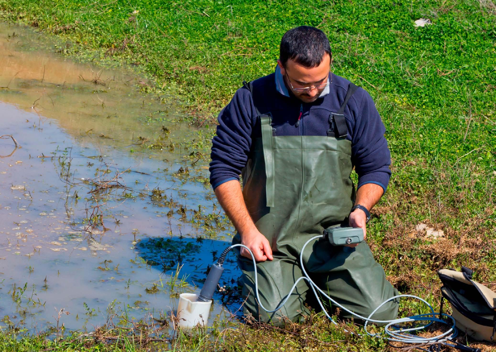
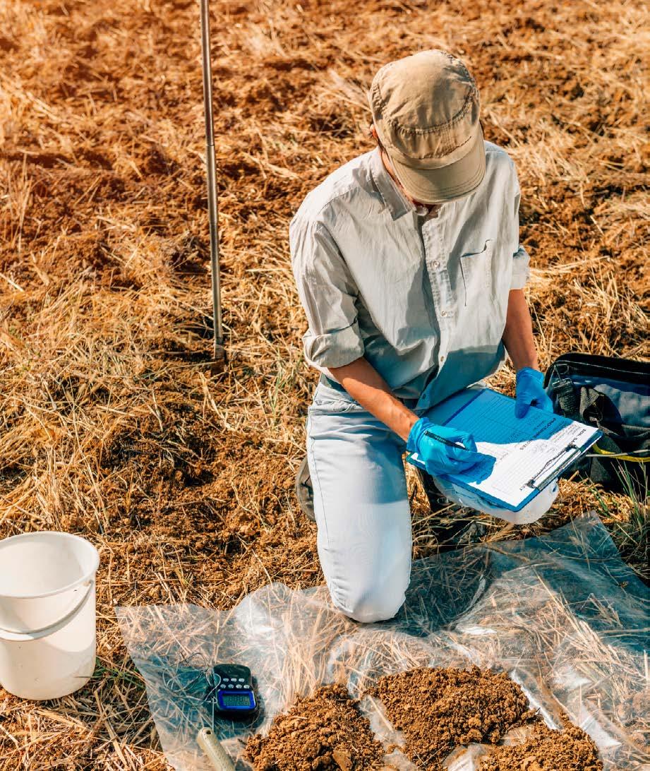
Since 2023, water table depth (WTD) has been continuously recorded at each site using installed dipwells. Monthly sampling of ditch and dipwell water (n=3), gas fluxes, and peat cores (2.9-3.2 m depth, n=3) enables assessment of both carbon stocks and active fluxes.
Initial findings show that while all sites contain high soil organic carbon (SOC: 49.61-52.07%), degraded sites like Westhay South show lower SOC, elevated bulk density, and altered C/N ratios. Dissolved organic carbon (DOC) quality, measured via SUVA254, indicates more humified, aromatic carbon in intact sites and mixed microbial-

humic DOC in degraded areas. Future analyses include PyrolysisGC-MS, radiocarbon dating, and stable isotope (13C) measurements to trace carbon age and source. Additionally, FTIR spectroscopy will be explored as a cost-effective method to assess shifts in soil organic matter and DOC composition. These findings aim to inform restoration practices and carbon monitoring across peatland systems.
I was so pleased to have the opportunity to work closely with the Trust’s research and land management team at Honeygar. With some thorough and supportive Greenhouse gas (GHG) monitoring training, and with guidance from of one of the Trust’s volunteers, I was able to contribute to the monthly GHG measurement at this very special peatland site. I also had brilliant logistical and technical support from the wider team at Honeyar. I now have really solid skills to independently measure gas fluxes across my PhD sites.
Laura Weldon
The eDNA Consultancy
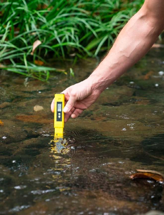
The Adapting the Levels Landscape Recovery Project lies within the Brue Valley and part of the Avalon Marshes, covering over 1,000ha, and 15 landowners, along with nearly 200km of drainage ditches. Before species recovery actions for European eel (Anguilla anguilla) in the Brue Valley could take place, baseline surveys were required to assess the distribution of eel, barriers to eel movement, water quality evaluations and descriptions of ditch habitat. The eDNA Consultancy Ltd. was contracted for six months by Somerset Wildlife Trust in March 2024, to conduct surveys to assess eel habitat, barriers to movement and collect eel eDNA samples for analysis.
A comprehensive data set was generated to describe water chemistry and eel eDNA distribution within five categories of ditch and channel within the project area. Water control structures were recorded and an assessment of seasonal and temporary barriers made during walkover surveys. Ditch habitat assessments were undertaken (adapted from a simplified Buglife methodology). The eel eDNA survey took place in spring and by repeating in summer revealed both spatial and seasonal changes in A. anguilla activity throughout all ditch categories. In spring, eel eDNA quantities were higher and detections more frequent in all ditches across the project area. By summer, the data showed significantly less eDNA quantities and the eel eDNA detections were largely
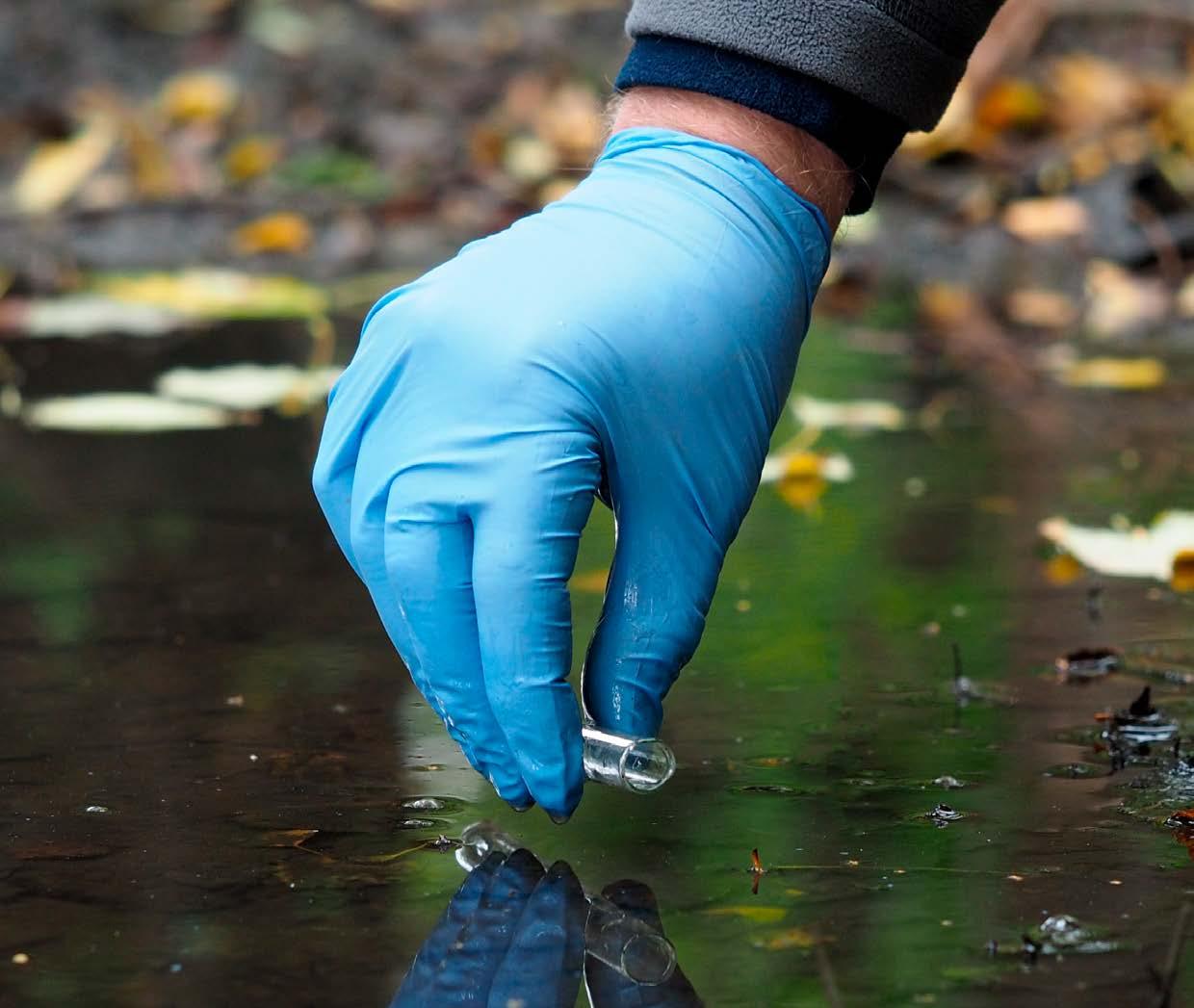
confined to the main drains and connecting ditches. At the same time, the data also highlighted a reduction in available habitat for eel, and no mitigation measures were identified on water control structures, ensuring eel movements were restricted as water levels dropped. By summer, 15% of the ditches that were sampled in spring had dried out completely. Eel eDNA was still detected amongst the smaller ditches in the raised water level area, (Tealham and Tadham moors) suggesting raising the water levels in key ditches during summer could have a positive impact for eel. Water chemistry data highlighted the frequent occurrence of elevated water chemistry concentrations, detecting levels of ammonia, nitrate, phosphates and suspended solids that are harmful to fish and other aquatic organisms. Further analyses revealed that extreme elevated phosphate concentrations are the primary predictor of reduced A. anguilla eDNA detections, having a significant and detrimental effect. For more information please contact info@theeDNAconsultancy.co.uk.
Working with Somerset Wildlife Trust has been an immensely positive and rewarding experience, characterised by genuine collaboration, shared expertise, and a deep commitment to safeguarding the county’s natural heritage. All team members we encountered combined professionalism with passion, fostering an environment where innovative ideas and practical conservation measures were able to flourish – a truly positive and enriching partnership experience.
Exploring the links between history, science and politics in context of the role peatland restoration
Nye Merril-Glover, PhD Bristol University
In the UK and in Europe, peatland restoration is rapidly gathering momentum as a ‘nature-based solution’ to the intertwined climate and biodiversity crises. Peatlands however have storied environmental pasts, often seen as wasteful, empty spaces, ripe for exploitation and development. In such contexts, present-day attempts to restore or rewet peatlands, whether as a means of curtailing carbon dioxide emissions or of boosting biodiversity, must inevitably pay heed to the cultural and economic value of these landscapes, and not merely to their ecological fragility and complexity.
Drawing on field research at four lowland peat restoration sites (two in the UK—including the Somerset Levels—and two in Estonia), the Peatscapes project investigates these dynamics, looking at how history, science and politics interact on peatlands. It aims to open up broader conversations about how restoration can help tackle climate change while at the same time respecting longer-standing ways of understanding and valuing these cherished landscapes on the ground. A core method of the Peatscapes project is to conduct interviews with diverse ‘stakeholders’ of the restoration process, including peatland scientists, landowners local to conservation sites, restoration professionals, and volunteers. The purpose of these interviews is to try to understand how restoration works structurally, as a process which is as much social as it is ecological.

The research focuses on three main questions:
Firstly, it aims to understand what the implications of global climate and biodiversity imperatives are for pre-existing ways of understanding peatlands, particularly agricultural ones. Which is simply to say, what does peatland restoration mean for communities local to restoration sites?
Secondly, it aims to understand how these climate and biodiversity imperatives give rise to particular understandings of what successful restoration looks like, and how an expansion in restoration could best be incentivised and managed over time.
Finally, looking towards the future, the project hopes to use these first two questions to help answer a third, how might scientists and restoration organisations collaborate with a wider range of non-expert communities to co-produce placespecific visions of what healthy
peatland landscapes should look like? That is, how might conversations around the future of peatlands, in Somerset and beyond—be opened up to benefit from the fullest possible range of both scientific and nonscientific forms of expertise?
Peatland restoration has recently become the subject of growing enthusiasm as an apparently ‘easy win’ in efforts to meet national and international net zero emissions targets. Restoring peatlands to act as effective ‘natural climate solutions’ however is not a ‘one size fits all’ job— not only are these landscapes hugely complex and varied ecologically, they have also played host to diverse economic and cultural histories. This research demonstrates the importance of sensitivity to place in context of devising restoration approaches which balance benefits for the climate with more local interests and concerns. CASE STUDY
Fin Ring-Hrubesh, PhD
Bristol University
Peatlands are key ecosystems for climate regulation, representing the largest terrestrial carbon store in the world. In the UK, peatlands cover approximately 3 million hectares, about 12% of the land area, but only 22% are in a natural or rewetted condition. The Somerset Levels includes some of the largest remaining fragments of lowland peatland in the UK, though most have been drained for agricultural use and grazing, resulting in significant ecosystem alterations and increased greenhouse gas (GHG) emissions. Rewetting peatlands is a key restoration strategy aimed at raising the water table and reducing GHG emissions.
To better understand the ecological outcomes of these restoration strategies, particularly in nutrientenriched systems, our research focuses on microbial community dynamics in rewetted peatlands. We aim to understand how microbial communities change in agriculturally modified peatlands undergoing restoration.
We have two ongoing research projects partnering with the Somerset Wildlife Trust: At Honeygar, hydrological restoration has been implemented by blocking drainage ditches to raise the water table. The water in this area has been impacted by long-term nutrient contamination from agriculture, particularly nitrogen (N) and phosphorus (P). The site provides a unique opportunity to compare blocked and unblocked ditches
Working with the Somerset Wildlife Trust team has provided a unique opportunity to conduct research in a real-world restoration setting. The team has been incredibly supportive, offering access to long-term monitoring data, site knowledge, and logistical help that has been essential for setting up fieldwork. Collaborating with them has also made it possible to link academic research with practical land management, allowing us to test scientific questions that are directly relevant to restoration outcomes. CASE STUDY
side by side, allowing us to explore how restoration efforts interact with nutrient pollution to shape microbial community dynamics, GHG emissions and carbon stocks.
Across the Somerset Levels we are running a multi-site comparison study, examining restored peatland sites which have undergone restoration to differing degrees and with a range of approaches. We are interested in how the landuse history of peatlands continues to shape microbial communities, over what timescales microbes respond to restoration, and which management approaches are most effective in restoring peatland ecosystem function.
We are seeking partnerships with organisations whose vision, values and skills complement our own. Partners who share our commitment to ambitious, evidenceled action for nature. By working together, we can achieve outcomes that none of us could deliver alone.
While our staff and volunteers bring an impressive range of skills and experience, we recognise the exceptional value of collaboration. Strong partnerships open the door to specialist knowledge and equipment, generate new data and research to build the evidence base for action, and provide a deeper understanding of user needs and experiences. They offer insight into what motivates people and organisations to engage positively with nature, and they help unlock the funding needed to deliver projects at scale.
This prospectus is an evolving document. It sets out our key organisational goals, shares examples of projects already contributing to these ambitions, and offers a glimpse of specific initiatives that are ready to welcome the expertise, resources and energy of new partners.
Our vision for a Wilder Somerset is a countywide Nature Recovery Network that creates more space for wildlife, benefits everyone, and plays its part in helping to reverse biodiversity loss and tackle the climate crisis.
Our key ambition under this goal is to design and deliver effective restoration pathways for nature recovery, guided by the best available scientific evidence. This ambition is underpinned by the 2021 Environment Act and shaped by the policy direction of the Environment Improvement Plan, which includes a mandate for every county in England to produce a Local Nature Recovery Strategy (LNRS) and to reverse the decline in wildlife populations.
The Nature Recovery Networks described by the LNRS have the potential to unite landowners, farmers and communities across Somerset and beyond. They will not only require robust research to develop and implement natural solutions, but also a strong understanding of the social and economic conditions that will enable their long-term adoption. While DEFRA guidance takes a habitat-led approach, it also recognises the importance of considering individual species to ensure that interventions reflect the intricate relationships between species and their habitats.
These ecological networks focus on enhancing the quality of nature reserves and wildlife sites, strengthening their resilience by buffering and connecting them into the wider landscape. The recommended measures will restore natural processes, contribute to climate adaptation and mitigation, create landscapes that can withstand environmental pressures and deliver nature-based solutions for carbon and water storage, alongside improvements in soil health.
A vital element of these networks will be the promotion of nature-friendly farming practices in areas outside the most natural landscapes. Such practices are essential for reconnecting fragmented habitats and reducing external impacts on sensitive sites. We already have strong relationships with a network of farmers and landowners eager to diversify their land use—from wilding less productive land to trialling regenerative agriculture, including leading on the development of a 1,000ha Landscape Recovery project bringing together 15 landowners. Through these relationships, we understand the practical and economic challenges of adopting new approaches, and we can broker connections between land managers and researchers to co-design studies that generate practical, evidence-based solutions.
Meanwhile, the planning and regulatory environment for housing, construction, and infrastructure has changed, transforming the way developers interact with nature. The statutory requirement for all developments to deliver at least 10% Biodiversity Net Gain (BNG), reduce pollution and provide accessible green space means that planning for nature must be integrated into every decision, whether in urban, peri-urban, or rural settings. Achieving this demands better data on the current state of ecological systems, as well as a clear understanding of the pathways for mitigating the often-substantial disturbances caused by development. Equally important is research into the effectiveness of mitigation measures after they are implemented, to determine which strategies truly support nature recovery and minimise long-term impacts.
Creating the change needed to make a real difference requires far more than the work of those directly managing the land. The choices each of us makes are critical, whether we live in rural Somerset or in the heart of an urban centre. Our society and economy are fundamentally dependent on the resources and processes we derive from the natural world: our natural capital. The Office for National Statistics’ recent natural capital accounts estimate this value at £1.4 trillion. This figure, while already vast, is still only a partial measure of nature’s true economic worth. This includes the breadth of ecosystem services, from providing food, energy and water and regulating the climate, to cultural services – predominantly recreation, tourism and improved health and wellbeing. While methods are improving, these figures are still only partial estimates of the true economic value of the natural world; research is needed to make these estimates more accurate and even more research to optimise the ecosystem services that nature provides.

Understanding value is key to fostering a sense of ownership and responsibility for the environment. Whether it is the food we choose to eat, how we use and conserve energy, how we deal with our waste, or the respect we show to local parks and wildlife, individual decisions add up to a collective impact. Raising awareness is only the first step - we must inspire people to move from awareness to action. Demonstrating the tangible benefits of connecting with nature, particularly its proven positive impact on wellbeing, can be a powerful driver for this shift.
If just
25% of the population visibly take action, it can be enough to change the behaviour of the majority
Through Team Wilder, we are building a grassroots movement to make this change happen. For nature to recover, we need many more people on nature’s side. Science shows that if just one in four people, 25% of the population, visibly take action, it can be enough to change the behaviour of the majority. Every visible act for nature, no matter how small, has an impact and invites more wildlife back into our lives. Team Wilder empowers individuals, communities, schools and businesses to take those actions, turning awareness into real-world projects and lasting behaviour change. By working alongside our partners and local networks, we can amplify these efforts and share evidence of their impact, helping to ensure that nature recovery becomes part of the cultural fabric of the county.
Sustaining this momentum will require innovative approaches, strong partnerships, targeted research, and long-term investment. But with collective action across society - from policymakers and farmers to scientists and schoolchildren - we can create the societal shift needed to ensure nature’s recovery and secure the benefits it brings for generations to come.
While there is much nationally held data on the state of nature in the UK, the information available at a local scale which gives the granularity need to guide local action is often patchy and of poor quality. The diversity of landscapes and land uses across the UK means that effective conservation requires detailed, place-specific knowledge. Without high-quality local data, we cannot confidently direct action or build on the outcomes achieved. Research should be user-led and primarily application-oriented, designed to inform realworld decision-making. The use of the best and most appropriate recording and monitoring technologies will enable us to establish clear baselines and measure the true impact of change over time. This includes capturing positive outcomes from effective land management and mitigation, as well as understanding negative changes brought about by pressures such as climate change, habitat degradation and disease.
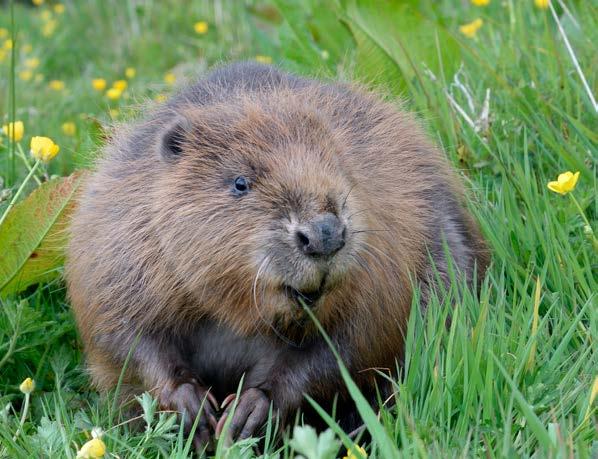
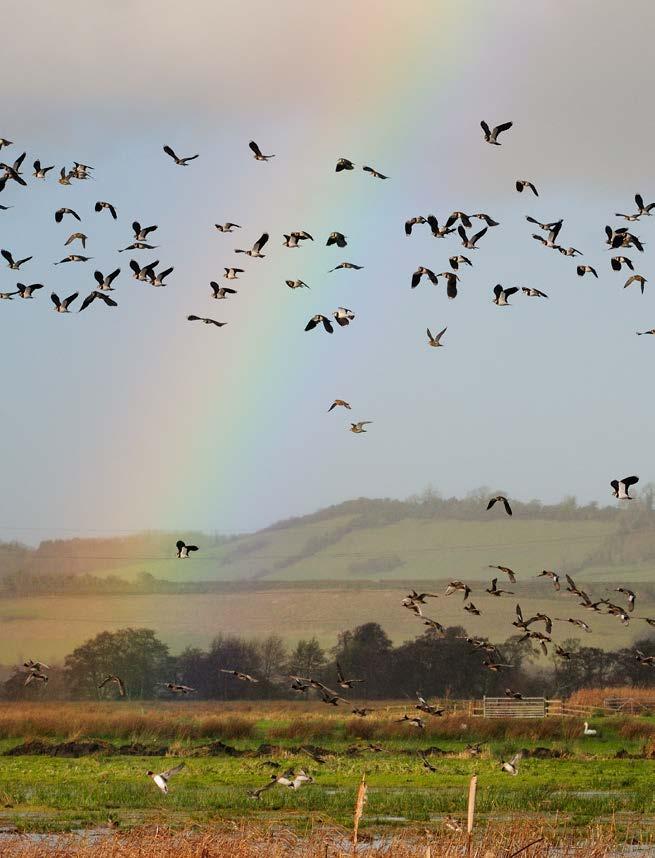
In 2023, Somerset Wildlife Trust published the county’s first State of Nature Report—a landmark assessment of how biodiversity is faring locally. Drawing on data from the Somerset Environmental Records Centre (SERC), partner organisations, and citizen scientists, the report revealed both stark challenges and signs of hope. It highlighted serious declines in species and habitats, including the loss of grasslands, sharp reductions in butterfly distributions and falling numbers of birds such as lapwings, alongside deteriorating river quality and the spread of invasive species. Yet it also showed that targeted restoration works. Beavers have returned, reedbeds are expanding, and some wetland bird populations are growing. Somerset Environmental Records Centre already holds over 6 million records of species present in the county, including many rare or protected species. However, these records are often skewed towards high-quality habitats that attract survey attention. There are significant gaps in our knowledge, not only of species typically considered common, such as hedgehogs, bumblebees and blackbirds, but also of species in less-studied areas of the wider landscape. Building this knowledge base is essential for developing targeted and effective protection strategies in the face of intensified pressures on biodiversity.
We also need more than simple presence–absence data. Information on species abundance, diversity and the full range of ecological processes is critical. The services that nature provides can be harnessed in different ways and through nature-based solutions (NbS). This approach works with and learns from nature, including enhancing protection from flood risk and erosion, naturally removing pollution from waterways, stabilising land to protect infrastructure and binding carbon in soil and vegetation to mitigate climate change. Many of these NbS are still novel and not yet universally trusted. Building robust scientific evidence for their effectiveness will help to embed them in policy and practice.
As we look forward to monitoring the delivery of the Local Nature Recovery Strategy, an action that we aim to align with the production of the second Somerset State of Nature Report, a notable gap for the region lies in our understanding of the marine environment. Addressing this will require targeted studies as well as projects that adopt a whole-catchment approach, integrating terrestrial, freshwater, and marine systems.
To translate research into action, we need to understand and embrace the human dimension. We seek to support research into people’s connection to nature, exploring how this connection forms, how it can be strengthened, and how it drives positive environmental behaviours. Science tells us that there are ‘tipping points’, where a threshold level of community engagement triggers widespread shifts in behaviour. Understanding these dynamics— along with the value people place on nature and place—has the potential to influence both government policy and local investment in nature recovery.
As custodians of our land, data and through our skilled staff and active partners in many projects across Somerset, we have a good understanding of the gaps in knowledge that we need to address to accelerate nature’s recovery. Drawing on insights from across the Trust, we have identified some of the most pressing research and evidence needs for our work. Outlines of these proposals, open for shaping through engagement with partners, can be found via our online research platform. We are also eager to collaborate with others who share our ambitions and who can help refine and deliver these proposals. While we have identified priority areas, we know our perspective is not complete—fresh ideas and innovative approaches are always welcome through our application portal.
Our process is simple: if you have an idea for research or collaboration or would like to view our ideas, please submit it through our online form somersetwildlife.org/ research-prospectus We review submissions regularly and will follow up with all contributors. If you would like to discuss your proposal before submitting, please email research@somersetwildlife.org with a short description, and we will get back to you.
Our research priorities are grouped into five themes that reflect the breadth of challenges and opportunities in Somerset’s nature recovery. Each theme addresses a critical area where evidence, innovation and collaboration can deliver tangible impact, from understanding biodiversity change and mapping the habitats that sustain it, to harnessing cuttingedge technology, developing nature-based solutions for climate resilience and deepening the connections between people, policy and the natural world. While these themes are presented separately, we recognise that they represent parts of a system and there will be overlaps, synergies and conflicts that will mean a bigger picture view will always be needed. Together, these themes form a framework for research and action that is firmly rooted in local needs but with relevance far beyond Somerset.
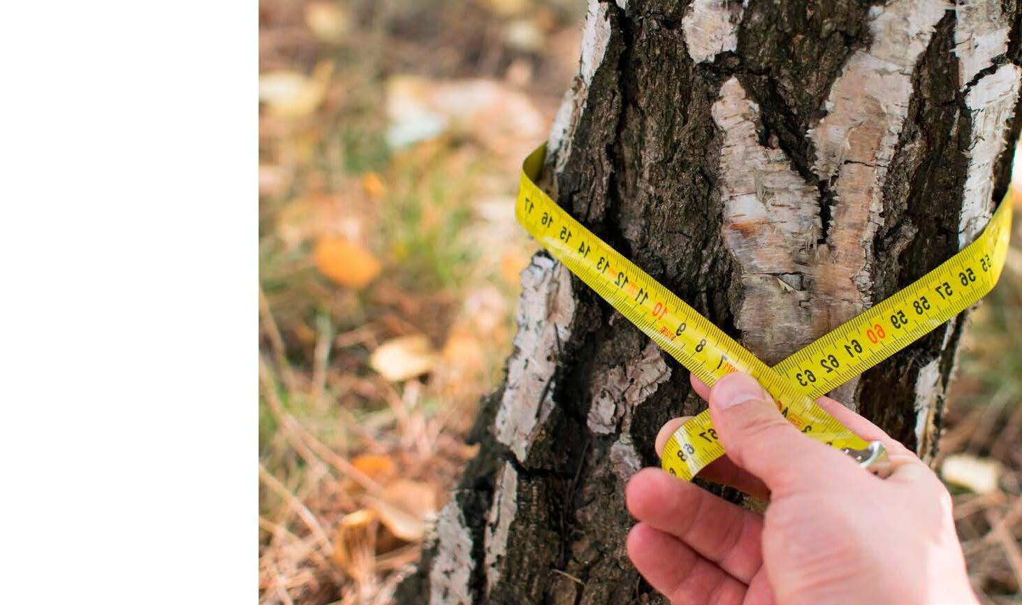
Robust biodiversity monitoring is the foundation of effective conservation. We need to establish consistent, repeatable surveys across habitats and species to create reliable long-term datasets that can detect trends and understand their drivers, including emerging threats. This will allow us to evaluate the effectiveness of interventions and adapt through a learning approach. A step change is needed, moving beyond simply recording species presence to capturing abundance, diversity, ecological and other system interactions. We are particularly keen to improve coverage in underrecorded habitats and for species often assumed to be common, where declines can go unnoticed until they are severe. By combining expertled surveys with citizen science, and ensuring high data quality, we can build a comprehensive picture of ecological change in Somerset and target action where it will make the most difference.
To plan for nature recovery at scale we need an accurate, up-to-date understanding of where different habitats are, what condition they are in and the ecological functions they provide. Standardised habitat classification and high-resolution mapping will allow us to identify priority areas for restoration, assess connectivity, and understand the role each habitat plays in supporting biodiversity and ecosystem services. We are particularly interested in approaches that bring together and integrate data from different sources. An example could include combining remote sensing, field validation and ecological modelling to produce dynamic habitat maps that can be updated as landscapes change. Understanding habitat function, not just structure, is critical for designing networks that can be adaptive and resilient to pressures such as climate change and invasive species.
Advances in data science and artificial intelligence have the potential to transform our ability to collect, process and interpret environmental data. Automated image and sound recognition, predictive modelling and machine learning can help us detect patterns and trends far faster than traditional methods. Innovative technologies such as environmental DNA (eDNA), drone-based monitoring, and sensor networks offer new ways to measure a range of environmental factors such as water quality and movement in the soil, soil health, climate and biodiversity (e.g. species presence or absence) in order to provide information on current habitat condition and future trends. We are looking to explore how these tools can be adapted for local use, integrated with existing datasets, and made accessible to practitioners, researchers and citizen scientists alike. These new toolkits will provide practitioners with opportunity to act more quickly, allocate resources more effectively, and improve conservation outcomes.
Nature-based solutions are central to both biodiversity recovery and climate adaptation. Interventions such as using the restoration of peatlands and wetlands to sequester carbon, and designing woodland and grassland systems to support natural flood management, can deliver multiple benefits for wildlife, people and the economy. However, many approaches remain novel and require rigorous testing to build trust and secure long-term investment. We aim to work with partners to test out some of these new approaches, helping to refine their utility across Somerset’s varied landscapes, providing confidence in their effectiveness in, for example, storing carbon, reducing flood risk, improving water quality and supporting biodiversity. In doing so, we can develop scalable models that as well as enhancing ecological resilience and community wellbeing, contribute to evidence needed for ‘green markets’ providing investment and jobs to support a new and growing sector of the economy.
Lasting change depends on people. We want to better understand how individuals and communities connect with nature and how these connections influence behaviour. This will provide the foundation for influencing policy development to support and amplify this engagement. Research into public attitudes, motivations and barriers to action will help us design interventions that move people from awareness to meaningful, sustained change. This includes exploring the ‘tipping points’ in community engagement where widespread behaviour shifts become possible. Our role in policy forums, including the Somerset Local Nature Partnership, means that research can directly inform decision-making at local and regional levels, ensuring that nature’s value is embedded in local and national government. This includes essential guidance for planning and development, action around climate and biodiversity targets at a national and local level, and responses to an increasingly dynamic policy landscape.
The research ideas presented here are drawn from Somerset Wildlife Trust’s deep knowledge of the natural environment and communities of the county. They are shaped by decades of hands-on conservation and close collaboration with partners. Representing a selection of the most pressing questions and opportunities we see for building the evidence base needed to drive nature’s recovery, strengthen climate resilience and inspire lasting change, each proposal is rooted in local priorities but carries wider relevance. This offers scope for academic inquiry, applied research, and innovation including through partnership with the private sector. We share the ideas not as a fixed list, but as an open invitation, to refine, adapt, and expand them in partnership, so that together we can generate the knowledge that turns ambition into action. The full list of ideas can be accessed via the online portal linked at the end of this document.
1: Where have the Mendips Dormice gone?
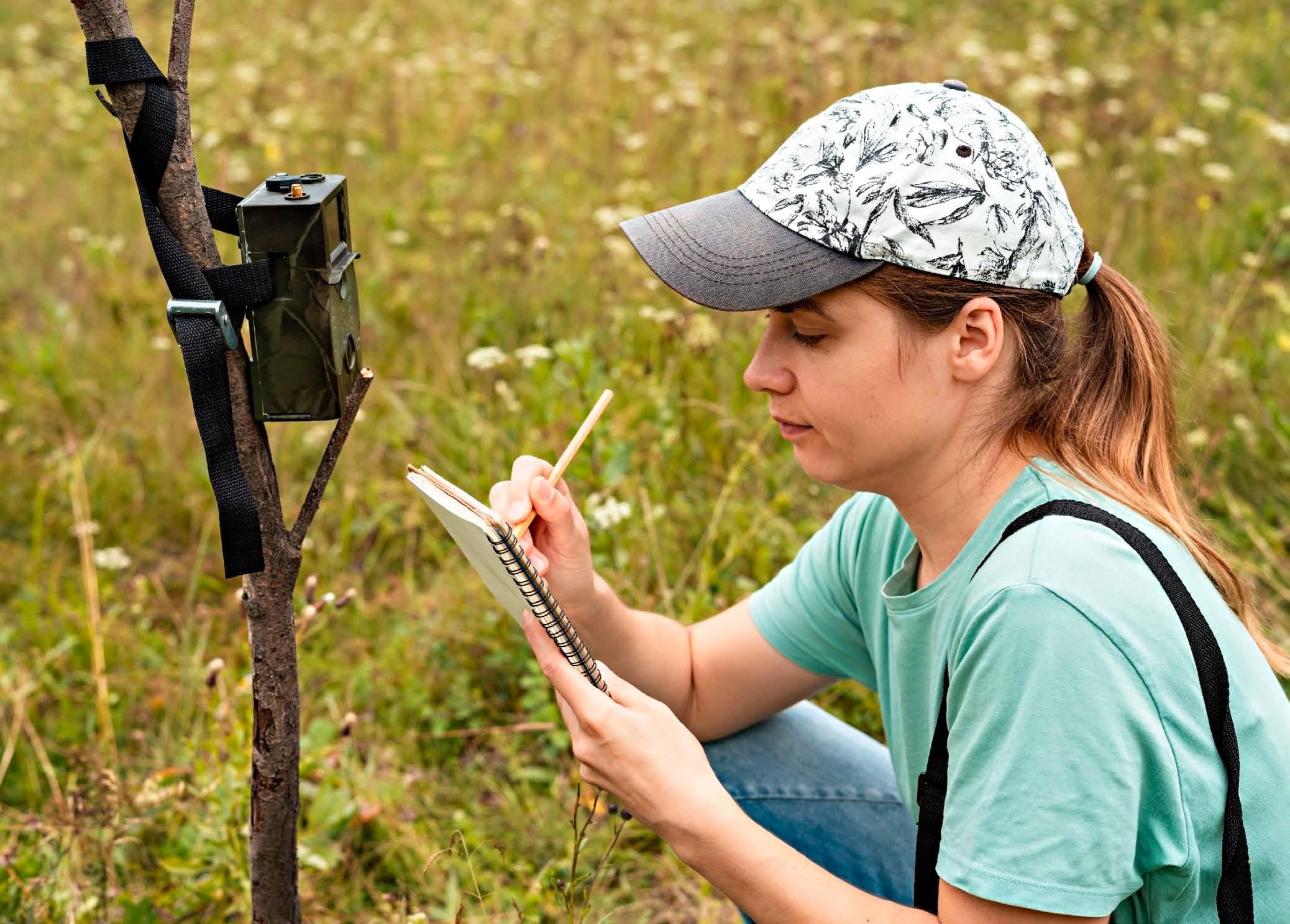
The hazel dormouse (Muscardinus avellanarius) has experienced significant declines across the UK, with the 2023 People’s Trust for Endangered Species State of Britain’s Dormice report estimating a 70% reduction in numbers since 2000. The Mendip Hills have historically been an important stronghold, accounting for approximately 55% of Somerset Environmental Records Centre (SERC) dormouse records between the 1980s and 2017. Longterm monitoring in the Mendips, primarily through nest box checks conducted by Somerset Wildlife Trust and partner organisations, indicates a recent decline in recorded numbers, though a few sites appear stable.
Somerset Wildlife Trust’s current Farming in Protected Landscapes (FiPL)-funded project is trialling footprint tunnels to detect dormouse presence at multiple sites. This method, which does not require a dormouse survey
licence, offers a practical alternative to nest boxes and tubes, though it cannot estimate abundance. Expanding footprint tunnel surveys across more sites could reveal patterns in areas of decline versus stability, and allow analysis of potential correlating factors such as woodland size, habitat management, adjacent land use, deer browsing, and pheasant density. Given resource constraints, additional methods are being considered, including acoustic monitoring of small mammals using static bat recorders. This technique, developed by the British Trust for Ornithology, requires minimal field effort but involves detailed call analysis, with potential for incorporating machine-learning identification tools as they become available. Such work presents an opportunity for student-led projects in mammal ecology, focusing on refining acoustic detection methods and linking presence data to ecological and management variables.
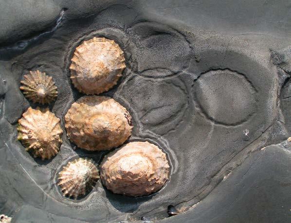
2: The impact of raised sea temperatures at Hinkley Point (from cooling water) on growth and/or reproductive strategy of intertidal gastropod molluscs Historic research has shown that turbine coolant water discharged from the now-decommissioned Hinkley A and B power stations led to localised increases in seawater temperature, resulting in altered species composition, changes in growth rates, and shifts in reproductive strategies of intertidal organisms. With the commissioning of Hinkley C, similar thermal impacts are anticipated, although the use of offshore outlet pipes may moderate these effects. This project will review existing and historic research undertaken by EDF Energy and academic institutions and conduct targeted field sampling of selected intertidal species, such as limpets (Patella spp.) and flat topshells (Steromphala umbilicalis), to detect changes in population structure, growth rates, and reproductive patterns. The aim is to establish an updated evidence base to inform ongoing monitoring and assess potential long-term ecological consequences of thermal effluent on local intertidal habitats.
3: Beaver Population Monitoring and Breeding Success in the Avalon Marshes: A collaborative approach Beavers (Castor fiber) have reestablished across the Avalon Marshes, but their current status remains uncertain. Natural England have recently released a call to investigate this. This study could examine four linked questions: (i) What is the present population size across the Avalon Marshes? (ii) Where, if anywhere, is breeding occurring? (iii) How successful are breeding attempts? and (iv) How might population size and dispersal change under alternative management scenarios? To address these, partner reserves staff could undertake winter sign-based surveys, with environmental DNA (eDNA) used to triage sites and guide camera-trap deployment, recognising that eDNA and camera data may indicate presence rather than abundance. Anticipated outputs include indicative population estimates, mapped breeding territories, preliminary metrics of reproductive success, and a spatially explicit modelling framework to explore future trajectories.
4: Consequences of Ash
Dieback (Hymenoscyphus fraxineus) for Saproxylic Invertebrate Communities in Deciduous Woodlands Ash dieback has had a devastating impact on woodland ecosystems, particularly across Mendip reserves and increasingly throughout Somerset. While the broader ecological consequences are overwhelmingly negative, one group of organisms, saproxylic invertebrates (those dependent on decaying wood), may experience a temporary benefit from the increased availability of dead and dying ash trees.
This project aims to explore the responses of saproxylic insect communities to Ash dieback, examining shifts in diversity, abundance, and habitat use. It will provide valuable insight into the complex ecological consequences of tree disease and could form a compelling case study for the Somerset State of Nature report, highlighting how even widely negative environmental events can have unexpected ecological nuances.
Data Science, AI, and Innovative Technologies
1: Improving Inference from Presence–Absence Species Records: Bias Correction for Enhanced Distribution Modelling
Existing species presence–absence datasets are subject to significant reporting biases, often arising from uneven survey effort, observer behaviour, and preferential recording in high-quality habitats. These biases can distort analyses of past and present species distributions, undermining the reliability of outputs such as State of Nature reports and assessments of conservation interventions at the species level. This project will explore methods to quantify and correct for these biases, focusing on estimating the probability that a lack of recorded presence reflects a true absence rather than a lack of detection. Building on an earlier, unpublished methodological framework, the study will apply statistical and probabilistic approaches to improve confidence in absence records. This work has strong potential as a doctoral research project, with applications in ecological monitoring, conservation planning, and biodiversity reporting.
2: Unlocking Honeygar: A DataDriven Assessment of Ecological Change on Restored Peatland
Since acquiring Honeygar in 2021, Somerset Wildlife Trust has implemented a range of innovative restoration techniques on this key peatland site. An unprecedented volume of data has been collected, including over 3 million acoustic bird records (analysed using AI), alongside surveys on hydrology, bumblebees, butterflies, eels, lichens, flora, greenhouse gases and more. This project would synthesise these diverse datasets to explore how biodiversity and ecosystem processes are responding to restoration interventions. The goal is to uncover trends, detect early signals of recovery or stress, and demonstrate the power of long-term, multi-taxa monitoring in evaluating landscape-scale restoration.
This project proposes the use of Maxent (Maximum Entropy) modelling to predict the habitat suitability and potential distribution of pond-dwelling species, with an initial focus on the great crested newt (Triturus cristatus). Species distribution data from SERC (Somerset Environmental Records Centre), combined with over 550 pond eDNA samples, offers a robust dataset for model training and validation. By identifying ponds with high suitability but no current species records, this approach can guide targeted field surveys, uncover overlooked populations, and inform conservation prioritisation. Furthermore, integrating these predictive outputs into planning processes could help flag sites of potential ecological importance, ensuring better protection of priority species and habitats. The methodology could be scaled to other species of conservation concern, positioning Maxent as a core predictive tool for biodiversity monitoring and landscape-scale planning under Goal 1 of the Somerset Wildlife Trust Strategy 2030.
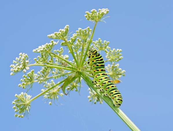
4: Evaluating the Use of DroneBased Remote Sensing to Assess Milk Parsley (Peucedanum palustre) Abundance in the Somerset Levels and Moors This project will assess the effectiveness of drone-based imagery and analysis in detecting and quantifying populations of milk parsley (Peucedanum palustre) across wetland reserve landscapes. As a critical larval food plant for the swallowtail butterfly (Papilio machaon), understanding its distribution is essential for evaluating habitat suitability and informing future reintroduction strategies. The study will test various drone-mounted sensors (e.g., RGB, multispectral) and image classification techniques to distinguish milk parsley from similar vegetation, with the goal of developing a scalable, repeatable method for monitoring this key species across complex wetland environments. This could be used for assessing the viability of swallowtail butterfly reintroductions.

Habitat Classification, Mapping & Function
1: Evaluating Edge Effects on Habitat Diversity and Pollinator Resources in Fragmented Woodland Landscapes
The legacy of the Enclosure Acts and subsequent land-use intensification has led to increased fragmentation and homogenisation of woodland habitats, often resulting in reduced structural and floristic diversity from the edge inward. This phenomenon, known as edge effect, can significantly impact biodiversity, especially for species reliant on transitional habitats such as pollinators. This project proposes an investigation into the spatial patterns of habitat diversity across woodland edges in Somerset. It will assess how edge effects influence plant composition, microclimate, and the availability of resources for pollinators and other taxa. The research will also identify opportunities for habitat buffering, such as hedgerow management, woodland expansion, or targeted planting to enhance structural complexity and ecological resilience. Findings from this study could guide habitat restoration strategies aimed at improving pollinator connectivity and ecosystem health across fragmented landscapes, directly contributing to Goal 1 of Somerset Wildlife Trust’s Strategy 2030.
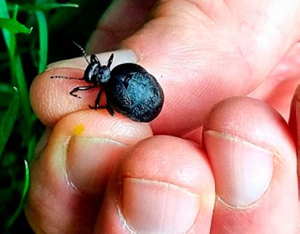
2: Distribution, Habitat Preferences, and Conservation Status of the rugged oil beetle (Meloe rugosus) in Somerset, UK
The rugged oil beetle (Meloe rugosus) is a rare and understudied species in the UK, closely associated with wildflower-rich habitats and dependent on solitary bees for its complex lifecycle. In Somerset, its presence was historically known from only a single site near Bruton. However, a recent undergraduate thesis by Beccy Walters revealed several additional populations, suggesting the species may be more widespread than previously thought.
This project proposes a systematic survey and habitat assessment to map the current distribution of M. rugosus across Somerset. It will also investigate its habitat preferences, potential threats, and conservation status. Results will inform habitat management practices to support the species and may contribute to broader pollinator conservation efforts. This work would be highly suitable for a dissertation or postgraduate research project.
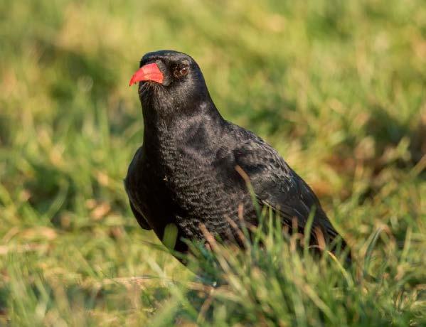
3: Habitat Suitability Assessment for red-billed chough (Pyrrhocorax pyrrhocorax) on the Somerset Coastline and Limestone Gorges The chough was in decline across the UK from the 18th Century onwards, due to over-hunting and changes in farming practises, which saw grazing animals moved away from open coastal cliffs to inland pastures. With fewer sheep, cattle and ponies roaming the coastline to keep grass and other vegetation short, the chough’s preferred habitat of open, closely grazed land with easy access to soil and animal dung (where their insect food supply lives), shrank significantly. By 1947 choughs had disappeared from the British countryside, aside from Cornwall where one breeding pair survived. The chough population is now beginning to expand its numbers and range in both Cornwall / Southwest and in South Wales and projects are being developed to bolster its population across the UK, for example in Kent. This research project would identify the needs and requirements for a potential future reintroduction in Somerset by assessing current habitat conditions and identifying land management changes that might be required to enable a reintroduction for Somerset and bolstering of the national population.
The lowland peatland on Somerset Levels and Moors (SLM) is degraded. Through re-wetting and restoring peat, there are many possible benefits in terms of carbon storage and biodiversity improvement of restored peatland habitat. However, there is potential that re-wetting and restoring peatland habitat could result in the subsequent flushing nutrients from the peat into the wider fresh water system, adding to the existing problems with nutrient pollution and jeopardising RAMSAR and SSSI designated features. Furthermore, nutrient enrichment, in particular phosphates, are of particular concern for the SLM given the downgrading of the SSSIs by Natural England in 2020. Understanding of the broader outcomes of peat restoration is critical in order to mitigate the potential for negative consequences on these vulnerable sites.
Nature-Based Solutions & Climate Resilience
1: Confirming and Prioritising Climate Refugia in Somerset Building on the 2014 Natural England/ University of Exeter report, this project aims to validate and refine the mapping of climate refugia across Somerset, areas that are expected to maintain suitable conditions for vulnerable species and habitats as the climate changes. The study will integrate updated climate projections, habitat and species distribution data, and fine-scale environmental variables to confirm the location and extent of these refugia. It will assess their degree of overlap with existing protected areas, evaluate their current ecological condition, and identify under-protected refugia that should be prioritised for future conservation action.
A key component of the project will be the development of a decisionsupport framework to guide Somerset Wildlife Trust’s land acquisition, restoration, and management strategies, contributing directly to our 30x30 targets under Goals 1 and 3. The findings will also provide evidence for embedding climate adaptation priorities into LNRS and regional planning policy. By combining geospatial analysis, field-based ecological assessment, and stakeholder engagement, this work will produce a practical, science-based roadmap for safeguarding Somerset’s most climateresilient habitats for the long term.
2: Somerset Levels and Moors - Understanding the Future Viability of Peatland Habitats
Peatland ecosystems in the Somerset Levels and Moors are increasingly threatened by greater variability in water availability. These hydrologically complex wetland habitats depend on a finely balanced mix of direct rainfall and indirect inputs from the surrounding ditch and drainage network. Climate change is disrupting both sources, reducing hydroperiod stability and increasing the risk of peat drying, oxidation, and long-term habitat degradation.
This project will investigate the
hydrological resilience of priority peatland blocks under projected climate change and management scenarios. Key objectives include: (1) evaluating the capacity, connectivity, and function of the drainage network; (2) assessing the vulnerability of different peatland areas to changes in water supply; (3) quantifying critical tipping points, identifying rainfall or drawdown thresholds at which degradation becomes likely, and estimating when these thresholds may be reached; and (4) modelling the influence of surrounding land-use practices on peatland resilience or susceptibility to damage.
By combining field hydrology measurements, remote sensing, climate modelling, and landuse analysis, the study will generate actionable insights for conservation planning, agrienvironment scheme design, and peatland restoration strategies. The findings will be essential for developing adaptive management approaches to safeguard these carbon-rich, biodiversitysupporting habitats in the face of accelerating climate change.
3: Assessing the Potential for Atlantic Rainforest Habitat in Somerset’s Mendip Hills
The Atlantic Rainforest is a globally rare woodland type, rich in mosses, liverworts, lichens, and ferns. Although Somerset lies at the edge of its known UK range, parts of the Mendip Hills may still support remnants or offer the environmental conditions for successful restoration. This project will assess habitat suitability through surveys of indicator species and key environmental variables such as humidity, canopy cover, and slope aspect. It will map existing fragments, evaluate their condition, and identify priority areas for restoration and expansion.
Restoring Atlantic Rainforest in the Mendips could deliver significant nature-based solutions: locking up carbon in soils and biomass, regulating local microclimates, reducing run-off and improving water quality. In doing so, it would also strengthen ecological networks, helping wildlife adapt to climate change. The findings will provide a practical blueprint for targeted woodland management and creation, supporting Somerset’s wider nature recovery and climate resilience goals.
4: Quantifying the Carbon Footprint of Grazing Animals in Grassland Conservation Management
Grazing animals are essential to maintaining the structure, diversity and ecological function of grassland ecosystems, yet their role in carbon dynamics is complex. While wellmanaged grazing can enhance soil carbon sequestration through improved plant productivity and nutrient cycling, livestock also produce greenhouse gas emissions, and the balance between these effects is not well understood. This project will investigate how to accurately account for grazing animals within grassland carbon budgets. It will assess the carbon benefits and costs of different grazing regimes, evaluate which livestock species are most suited to varying landscapes and conservation objectives, and factor in the carbon footprint of associated management activities such as animal welfare checks and supplementary feeding. Building on The Wildlife Trusts’ grazing strategy, the research will provide evidence-based recommendations for climate-smart conservation grazing, enabling land managers to balance biodiversity gains with climate mitigation objectives. The findings will directly inform practical guidance for grassland restoration, rewilding, and low-carbon land management across Somerset and beyond.
1: Assessing Coastal Recreational Disturbance and Visitor Behaviour in Somerset
This study will explore the drivers and potential ecological impacts of human recreational behaviour along Somerset’s coastal and intertidal zones, with a focus on understanding the origins, expectations and influences on visitor activity.
Key areas of investigation include:
Visitor origin: Are users local, semi-local, or visiting from outside the county? How do travel patterns affect pressure on specific coastal sites?
Behavioural expectations: What visible cues (e.g., dog waste bins, signage, ranger presence) shape visitor conduct?
Management implications: How can subtle interventions or enhanced facilities reduce recreational disturbance while supporting positive visitor experiences?
This project will support Goals 1 and 2 of Somerset Wildlife Trust’s Strategy 2030 by informing policies that promote sustainable public access while protecting fragile coastal ecosystems.
2: Public Perception and Brand Resonance of Somerset Wildlife Trust
This study will investigate how Somerset Wildlife Trust is perceived by the wider public, focusing on awareness of its mission, perceived activities, and emotional connection with the brand. It will evaluate:
Brand warmth and trust among different community groups.
Recognition of Somerset Wildlife Trust’s role in nature conservation versus public expectations.
Effectiveness of engagement tools, services, and campaigns across audiences.
Findings will inform more inclusive and targeted communications, helping ensure that Somerset Wildlife Trust’s work resonates broadly and deeply, supporting Goal 3 of Strategy 2030: Telling Somerset’s Story and growing a movement for nature.
Mapping Nature Engagement
Across Somerset: Actions for Nature Omnibus Survey
A county-wide survey designed to quantify the scale and impact of nature-related behaviours, with a focus on identifying “super actions”, those with high impact or social influence. This research would also segment respondents based on their propensity to act for nature, and develop audience personas, including preferred messaging styles, communication channels, and behavioural drivers. Outputs would inform Somerset Wildlife Trust’s audience development and engagement strategy under Goal 2: Building a Movement for Nature.

As communities adopt naturebased solutions, such as rain gardens, water butts, tree planting, green roofs, and permeable surfaces, to adapt to climate change, there is an increasing need for simple, affordable ways to measure their effectiveness. Quantifying benefits such as reduced surface water flooding, improved water retention, local cooling, and enhanced biodiversity is essential for sustaining momentum, attracting funding, and informing future action. This project will identify and evaluate practical monitoring tools and low-cost technologies that community groups, schools and local organisations can use without specialist training. Potential approaches include citizen science protocols, smartphonebased environmental sensors, temperature and moisture loggers and participatory mapping
techniques. By piloting selected tools in Somerset communities already engaged in adaptation projects, the research will assess ease of use, data quality and potential for long-term adoption.
The outcomes will directly support Somerset Wildlife Trust’s community resilience goals and Goal 2: Building a Movement for Nature, equipping local groups with the means to demonstrate the real-world impact of their actions. In doing so, the project will strengthen public engagement, empower communities to take informed decisions, and create a replicable model for grassroots climate adaptation monitoring across the UK.
While there are many different organisations and individuals with strengths and specialisms working to support nature’s recovery in Somerset, we believe in the power of partnership. Expert knowledge and skills, combined with a common purpose and an understanding of how to shape and drive action, will allow us together to make the changes that are needed to halt and ultimately reverse the decades long decline in nature and biodiversity in the UK. We invite researchers, students, and practitioners to join us in building the evidence that will drive lasting change. Our process is simple: if you have an idea for research or collaboration, or would like to explore our current proposals, please submit it through our online form: somersetwildlife.org/research-prospectus We review submissions regularly and will follow up with all contributors.
If you’d like to discuss your proposal before submitting, please email research@somersetwildlife.org with a short description, and we will get back to you. Together, we can turn great ideas into real-world impact for Somerset’s wildlife and landscapes.
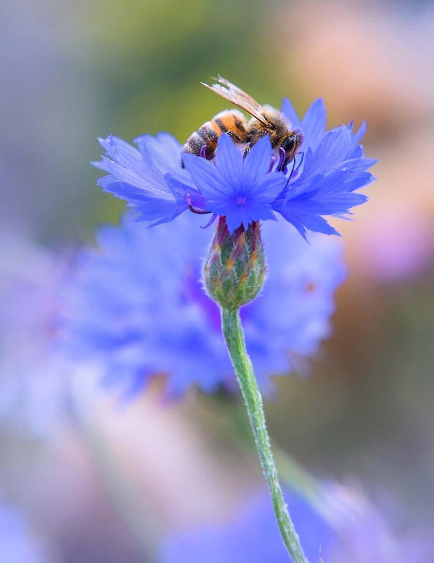
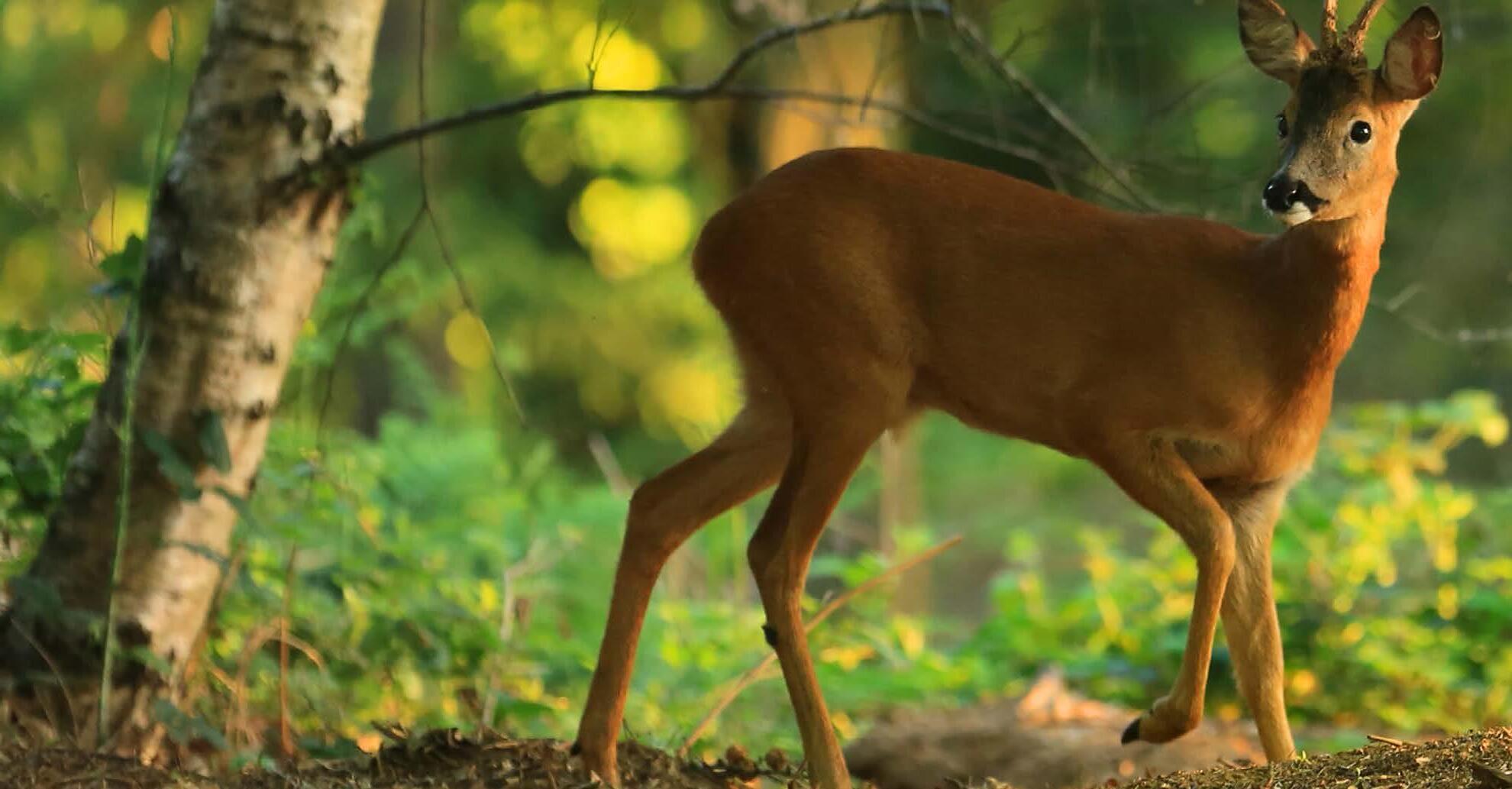
PICTURES: Cover: bee: Jon Hawkins/ Surrey Hills Photography, Shapwick Heath: Ross Hoddinott/2020VISION, roe deer: Jon Hawkins/Surrey Hills Photography
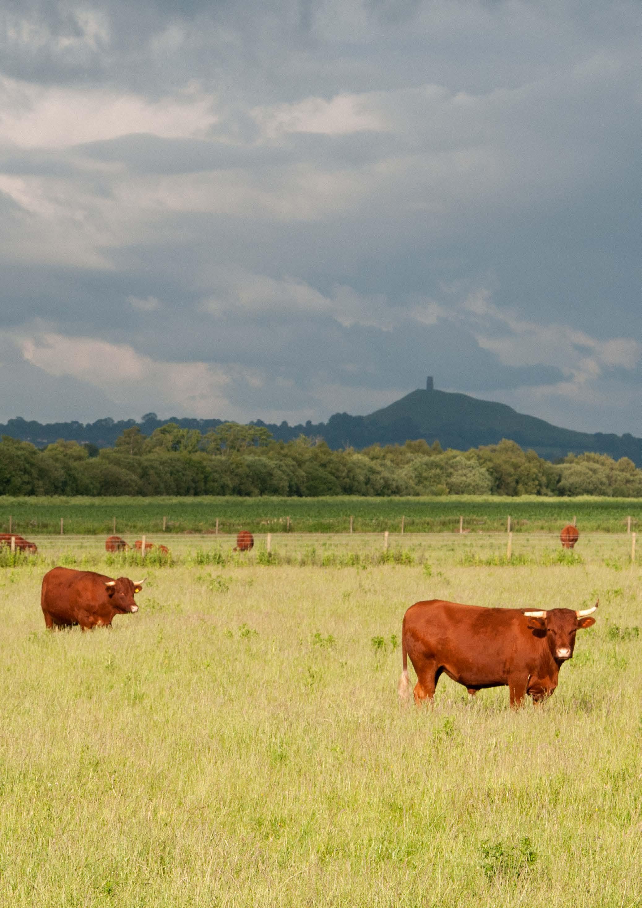
P2: Pine Marten: Terry Whittaker/2020 VISION, Glastonbury Tor: Guy Edwardes/2020VISION
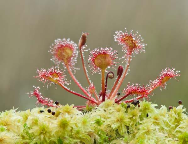
P5: sundew: Mark Hamblin/2020VISION
P7: peat: Mark Hamblin/2020VISION
P9: ladybird: Guy Edwardes/2020VISION
P10: farmland: Ross Hoddinott/2020VISION
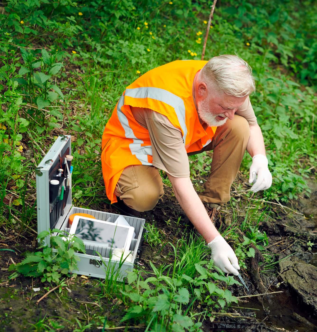
P12: woman: Tom Hibbert
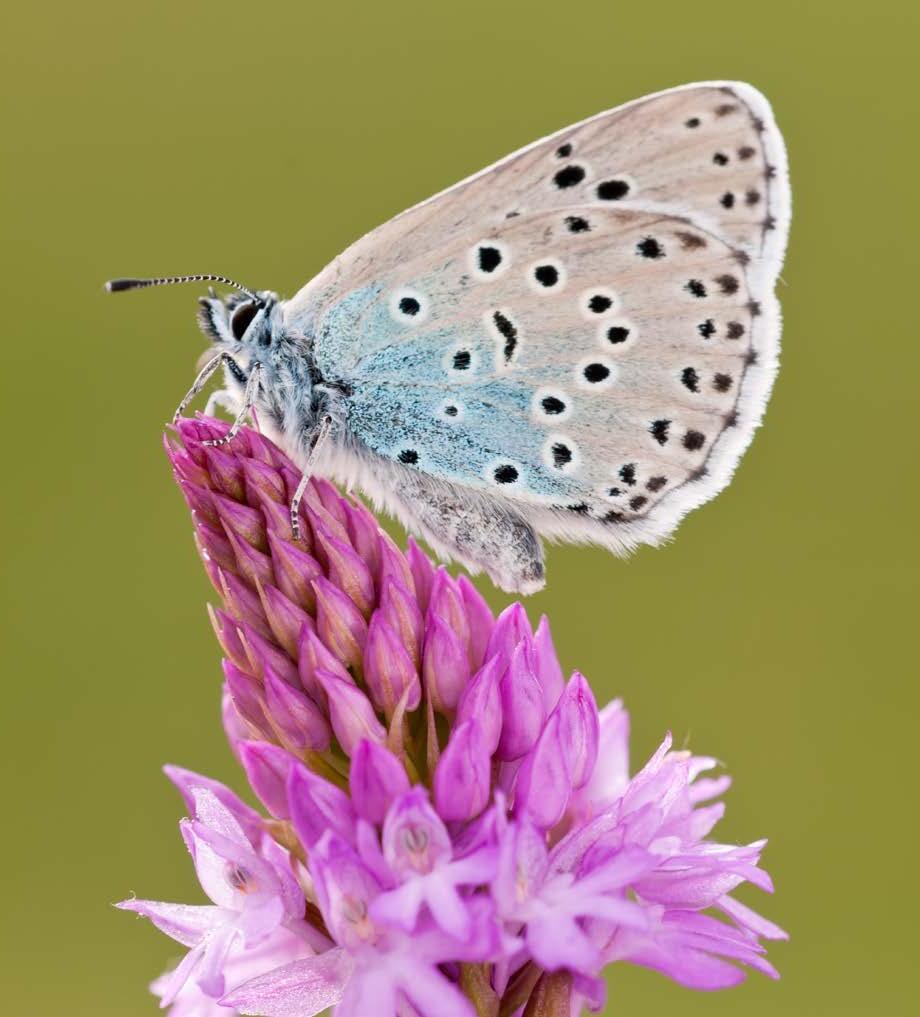
P13: large blue butterfly: Ross Hoddinott/2020VISION
P14: Somerset landscape: Guy Edwardes/2020VISION
P15: cowslips: Guy Edwardes/2020VISION, cranes: Nick Upton/2020VISION/naturepl.com
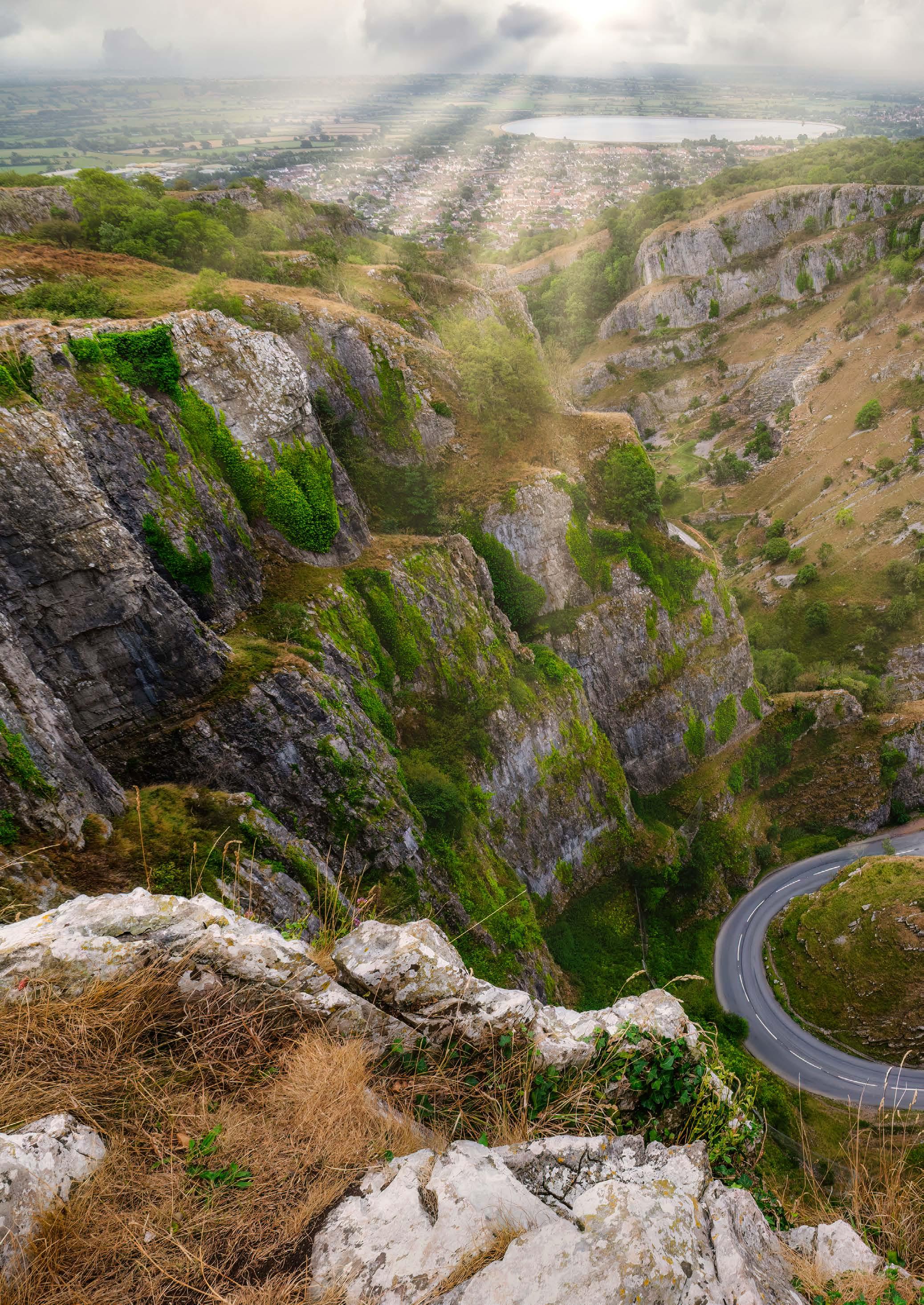
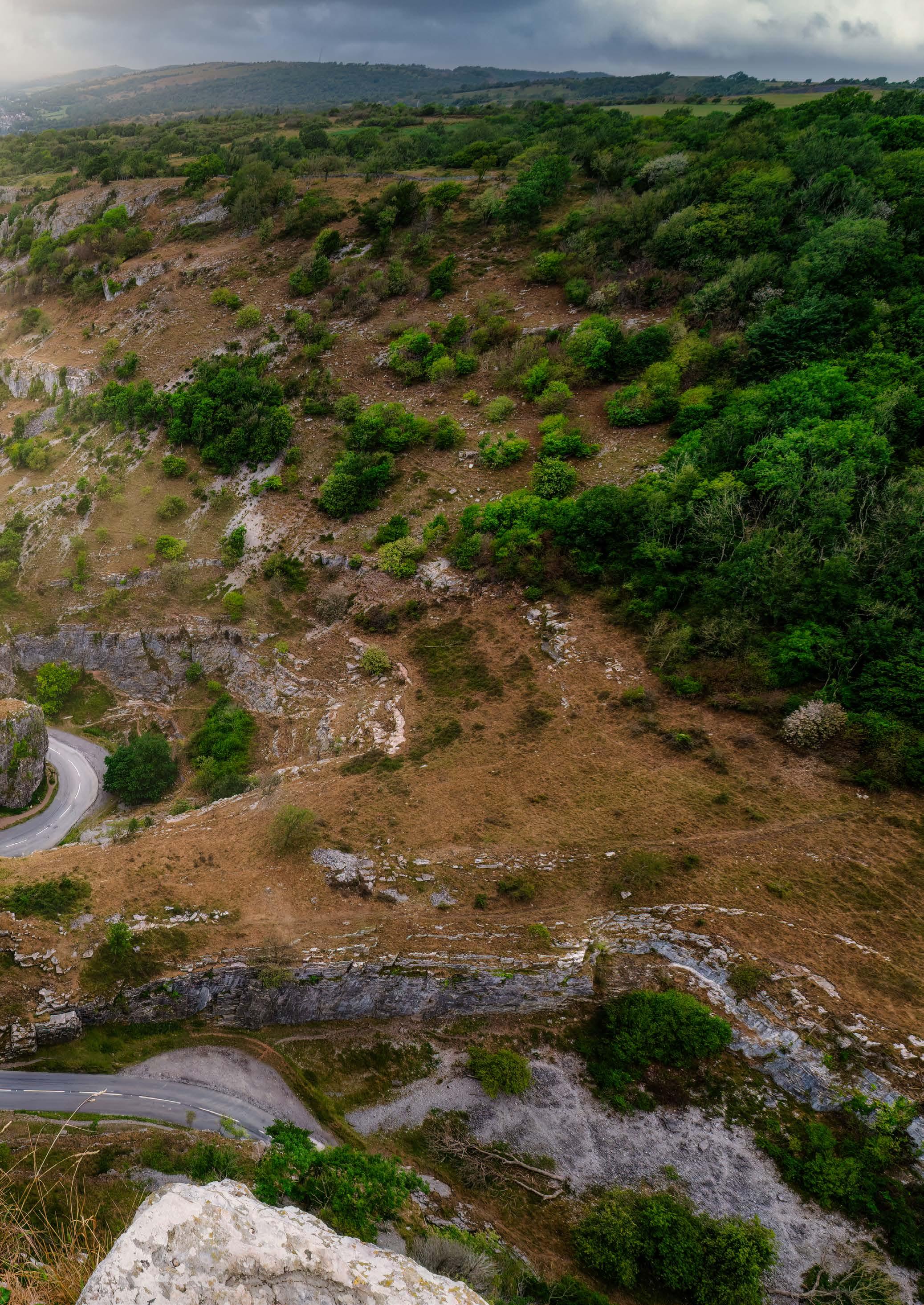
P18-19: Cheddar Gorge: istock
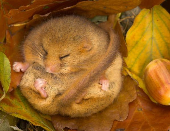
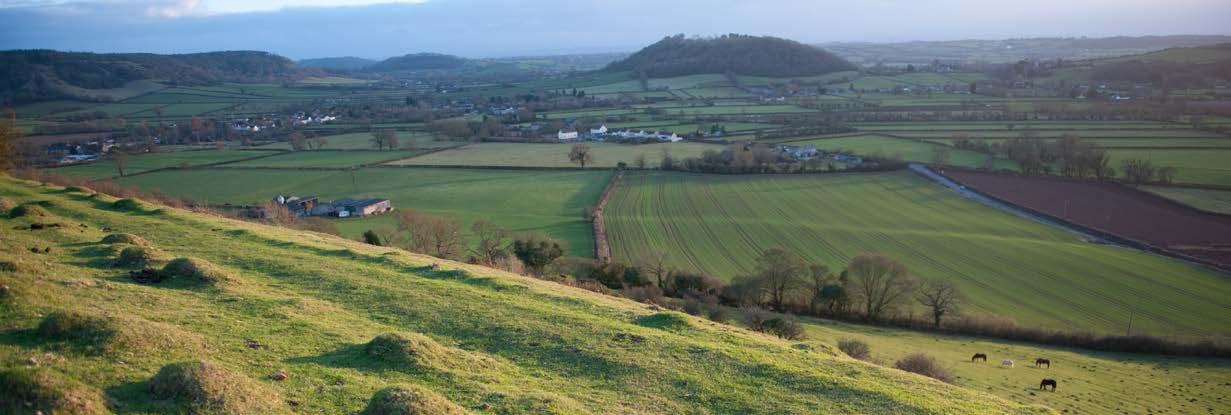
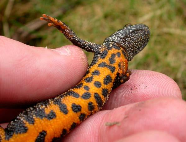
P20: dormouse: Danny Green, Somerset landscape: Paul Harris/2020VISION, P21: limpets: Richard Burkmar, beaver: Nick Upton, ash tree: Ben Porter
P22: buff-tailed bumble bee: Jon Hawkins/Surrey Hills Photography, great crested newt: Philip Precey
P23: milk parsley: Terry Whittaker/2020VISION, Somerset Levels: Guy Edwardes/2020VISION
P24: rugged oil beetle: Becky Walters, chough: Janet Packham
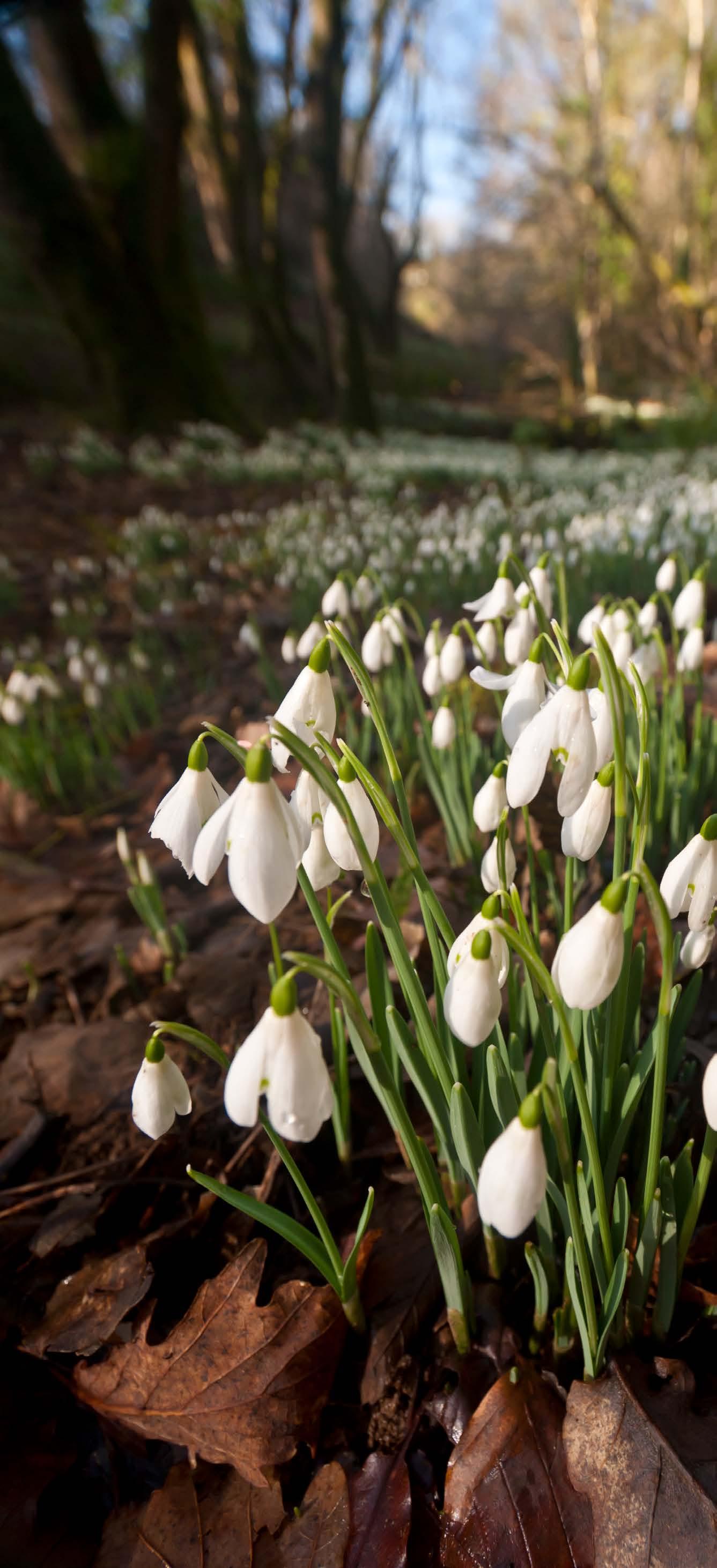
P25: sundew: Guy Edwardes/2020VISION, Exmoor snowdrops: Ross Hoddinott/2020VISION
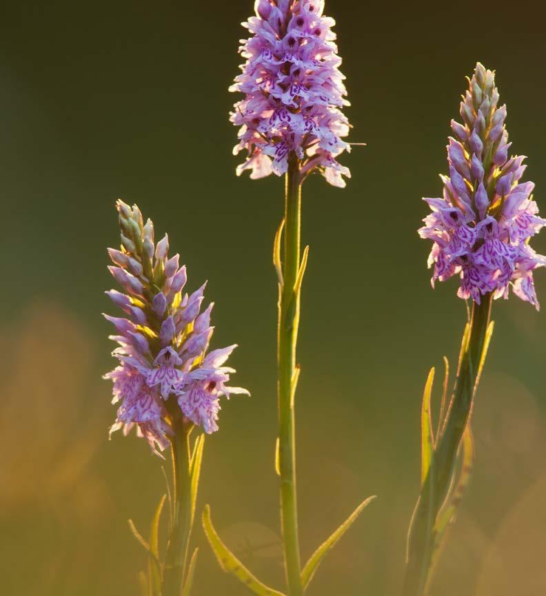
P30: lapwings: Nick Upton/2020VISION, commonspotted orchid: Guy Edwardes/2020VISION
Back page: Somerset landscape: Guy Edwardes/2020VISION