Sacramento Historic District Plans


Final - November 2019


Final - November 2019
Prepared for: City of Sacramento Community Development Department 300 Richards Boulevard, Third Floor Sacramento, California 95811 www.cityofsacramento.org
Prepared by: Page & Turnbull, Inc. 2401 C Street, Suite B Sacramento, California 95816 www.page-turnbull.com

Darrell Steinberg, Mayor
Eric Guerra, Vice Mayor – District 6
Anglique Ashby – District 1
Allen Warren – District 2
Jeff Harris – District 3
Steve Hansen – District 4
Jay Schenirer – District 5
Rick Jennings, II – District 7
Larry Carr – District 8
Jackie Whitelam, Chair
Alice Valania, Vice-Chair
Caru Bowns
Ryan Miller
David Lemon
William Carter
Christine Miller-Cruiess
Cornelious Burke
Jia Wang-Connelly
Douglas Covill
William Farrell
Nicolina Hernandez
Todd Kaufman
Lynn Lenzi
Darryl Lucien
Alix Ogilvie
Phil Pluckebaum
Kendra Reed
Joseph Yee
Ryan DeVore – Director
Tom Pace – Planning Director
Bruce Monighan – Urban Design Manager
Carson Anderson – Preservation Director
Sean de Courcy – Preservation Planner
Michelle Trujillo – Preservation Intern
Irving Huerta – Preservation Intern
John Cannon
Michael Dobyns
Kourtney Burdick
Preservation Sacramento Midtown Association
American Institute of Architects, Central Valley
Sara Lebastchi
William Burg
Jameson Parker
Jon Marshak
Torin Dunnivant
Marni Leger
Josh Daniels
Martha Damjanovic
Eric Knutson
Wesly Fangundes
Sean Manwaring
Jackie Whitelam
Jean Nilsson
Patty Kleinknecht
Sarah Ellis
Craig Hausman
Bay Miry Jessica Sorensen
Corey Brown
Eric Grane
Bob Chase
David Herbert
Prepared by Page & Turnbull, Inc.
Ruth Todd – Principal
Melisa Gaudreau – Director
Maggie Smith – Project Manager
Clare Flynn – Cultural Resources Planner
Greg Yanito – Urban Designer
Caitlin Turner – Graphic Designer
Michelle van Meter – Intern
Sacramento Historic District Plans FinalIntroduction
What
What Historic Historic Historic Contexts
Where
Section 1: Sacramento’s Historic Historic
City-Wide Historic State World War
1200-1300 Q Street 67 20th and N Streets 78
Alkali Flat Central, North, South, and West 89
Boulevard Park Bungalow Row
C Street Commercial
C Street Industrial
Capitol
Capitol Mansions Cathedral Square East End
Fremont Park 212
Marshall Park
Merchant Street 234
New Washington School Newton Booth North 16th Street Oak Park
Old Washington School
Plaza Park [Cesar Chavez Plaza]
Poverty Ridge
R Street.............................................................329
South Side
Winn Park
Bibliography
Appendix A: Sacramento City Code Chapter 17.604 Historic
Appendix B:
Appendix C: Historic Preservation
Glossary of
Additional Resources......................................402
Property Types Historic
What Is the Purpose of the Historic District Plans?
Sacramento is full of historic places that contribute to the city’s unique character and identity and enhance its livability. Among the city's most important historic places are its historic districts, areas that contain resources that have been identified as holding collective historic value, integrity, and an association to an important theme(s) in Sacramento history.
Sacramento has 30 historic districts that are officially recognized and listed on the Sacramento Register of Historic and Cultural Resources (Sacramento Register), in addition to individual Landmark properties. The City Council has found that, "The preservation and continued use of historic resources are effective tools sustain and revitalize neighborhoods and business districts within the city, enhance the city's economic, cultural and aesthetic standing, its identity and its livability, marketability and urban character."1
The Historic District Plans are an important part of the City's historic preservation program. They plans advance the City's goals to recognize and preserve its significant and diverse historic districts, and thereby foster an understanding of local heritage, promote public health and safety, and further the economic and general welfare of the citizens of Sacramento. The plans seek to provide a basis for managing growth and change in many of the city's historic districts by guiding alterations to existing buildings and new development that respect the historic character that defines these special places.
A. The preservation commission shall promulgate and recommend to the council for adoption a historic district plan for each preservation area existing as of the date of enactment of Ordinance No. 2006-063, and for each historic district designated pursuant to this chapter. Each historic district plan shall include:
1. A statement of the goals for review of development projects within the historic district;
2. A representation of the historical development of land uses, existing land uses, and any adopted plans for future land uses;
3. A statement of findings, including the following:
a. The historical or pre-historical period to which the area is significant;
b. The predominant periods or styles of the structures or features therein;
c. The significant features and characteristics of such periods or styles, as represented in the historic district, including, but not limited to, structure height, bulk, distinctive architectural details, materials, textures, archeological and landscape features and fixtures; and
d. A statement, consistent with article II, of the standards and criteria to be utilized in determining the appropriateness of any development project involving a landmark, contributing resource or noncontributing resource within the historic district.
Refer to Appendix A for the full sections of the Sacramento City Code.
1 Sacramento City Code § 17.604.100 Findings and declaration of purpose, Ord. Ord. 2013-0007
Sacramento Historic DistrictThis document includes Historic District Plans for 27 of the historic districts in the City. Three historic districts are currently in the process of having separate historic district plans developed or are not within the City’s jurisdiction, and therefore are not included in the enclosed Historic District Plans.
2
Many of the existing historic districts are in geographical proximity to each other, within the Central City, and are facing evolving planning and development objectives. To serve the community and the City’s planning staff, and to encourage best practices in preservation and design, the Historic District Plans provide design standards and criteria that are intended to manage change in the historic districts in a way that protects Sacramento’s history and character. The Historic District Plans will help residents, property owners, City staff, and members of the design community understand the significance of each historic district so that they can develop design approaches that consider the historic context early in the design process. Implementation of the design standards and criteria within the Historic District Plans will bring greater clarity about what kind of development is compatible for each historic district.
Ordinance No.
1 1200-1300 Q Street 85-076
2 20th and N Street 85-076
3 Alkali Flat Central 2004-048
4 Alkali Flat North 85-076
5 Alkali Flat South 2004-048
6 Alkali Flat West 2004-048
7 Boulevard Park 85-076
8 Bungalow Row 2004-009
9 C Street Commercial 85-076
10 C Street Industrial 85-076
11 Capitol 85-076
12 Capitol Mansions 2004-009
13 Cathedral Square 85-076
14 Central Shops 2007-103
15 East End (formerly Capitol Avenue) 85-076
16 Fremont Park 85-076
17 Historic City Cemetery 2012-038
18 Marshall Park 85-076
19 Merchant Street 85-076
20 New Washington School (formerly Washington School) 85-076 Newton Booth 2015-0012 North 16th Street 2011-011 Oak Park 2007-094
24 Old Washington School (formerly Washington) 85-076
25 Plaza Park [Cesar Chavez Plaza] (formerly [Cesar Chavez Memorial] Plaza Park/CBD Historic District) 85-076
26 Poverty Ridge 85-076 R Street 85-076
28 Sacramento City College 96-009 South Side 85-076 Winn Park 2004-009
Sacramento Historic District Plans Final 2 A separate historic district plan is being completed for the Central Shops Historic District, and a separate historic landscape plan is being prepared the Historic City Cemetery Historic District. The Sacramento City College Historic District is not under City jurisdiction.
A Historic District Plan is a historic preservation and project planning tool for residents, property owners, City staff, and members of the design community. For each historic district, a Historic District Plan provides the brief historic district context, significance, period of significance, predominant architectural styles and property types from the period of significance, character-defining features, contributing and noncontributing resources, and design standards and criteria to guide further development that is appropriate within the context of the district. An individual, district-specific Historic District Plan from Section 2 of this document is only complete with Section 1, which includes the Historic District Standards & Criteria Common to Sacramento's Historic Districts and other pertinent information.
The following concepts are fundamental elements in the Historic District Plans.
While the historic districts relate to larger, city-wide historic contexts and even nation-wide contexts, each has its own individual history. A Historic District Plan begins with a brief historic district context catered to the area to provide a narrative and understanding of how the historic district developed and any events, trends, designs, persons, or periods important to Sacramento history. Most essentially, the district context helps determine the significance evaluation.
 What Historic
Sacramento Historic District Plans Final
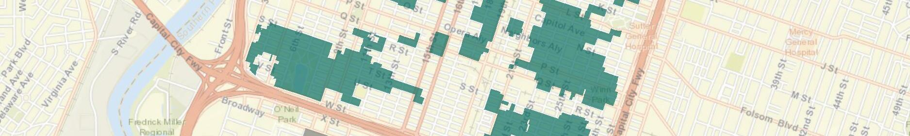
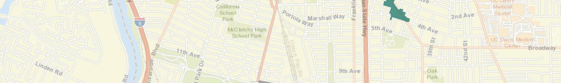
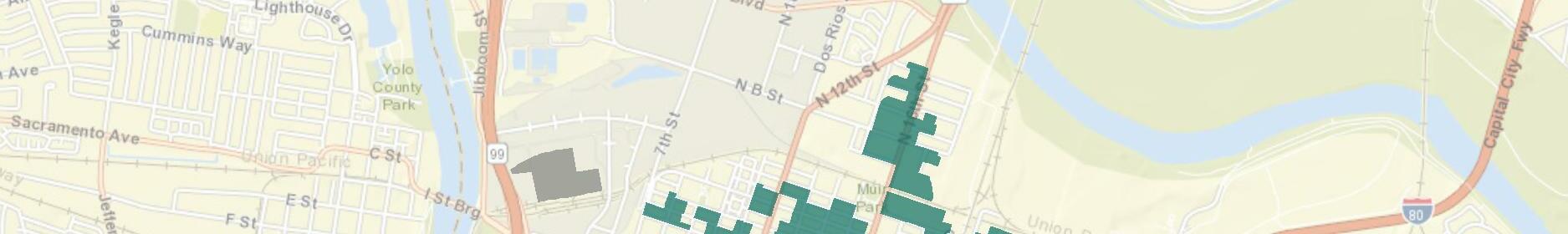
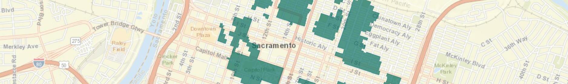
Figure 1. Map of the 30 historic districts listed on the Sacramento Register, labeled per previous table. Source: Page & Turnbull and City of Sacramento, 2019.
What Historic
Sacramento Historic District Plans Final
Figure 1. Map of the 30 historic districts listed on the Sacramento Register, labeled per previous table. Source: Page & Turnbull and City of Sacramento, 2019.
B. Listing on the Sacramento Register—Historic districts. A geographic area nominated as a historic district shall be listed on the Sacramento Register as a historic district if the city council finds, after holding the hearing required by this chapter, that all of the requirements set forth below are satisfied:
1. Requirements.
a. The area is a geographically definable area; or
b. The area possesses either:
i. A significant concentration or continuity of buildings unified by: (A) past events or (B) aesthetically by plan or physical development; or
ii. The area is associated with an event, person, or period significant or important to city history; or
c. The designation of the geographic area as a historic district is reasonable, appropriate and necessary to protect, promote and further the goals and purposes of this chapter and is not inconsistent with other goals and policies of the city.
2. Factors to be considered. In determining whether to list a geographic area on the Sacramento Register as a historic district, the following factors shall be considered:
a. A historic district should have integrity of design, setting, materials, workmanship and association;
b. The collective historic value of the buildings and structures in a historic district taken together may be greater than the historic value of each individual building or structure.
Refer to Appendix A for the full section of the Sacramento City Code.
What is a Historic
With an understanding of the historic district context, the significance section in the Historic District Plan explains why the historic district is important to Sacramento history. The section provides a current evaluation of significance for the historic district according to the requirements and factors for listing on, and deletion from, the Sacramento Register set forth in the city code. Historic districts must satisfy all of the criteria under this code section to be listed on the Sacramento Register.
Sacramento City Code § 17.604.210(C) Criteria and requirements for listing on, and deletion from, the Sacramento Register.
Integrity is defined by the California Office of Historic Preservation as “the authenticity of an historical resource’s physical identity evidenced by the survival of characteristics that existed during the resource’s period of significance,” or more simply defined by the National Park Service as “the ability of a property to convey its significance.”1 Per the Sacramento City Code, six variables, or aspects, that define integrity are used to evaluate a historic district’s integrity— location, design, setting, materials, workmanship, and association.
Location is the place where the historic property was constructed. Integrity of location refers to whether the property has been moved or relocated since its construction;
Design is the combination of elements that create the form, plan, space, structure, and style of the property;
Setting addresses the physical environment of the historic property inclusive of the landscape and spatial relationships of the building(s);
Materials refer to the physical elements that were combined or deposited during a particular period of time and in a particular pattern or configuration to form the historic property;
Workmanship is the physical evidence of the crafts of a particular culture or people during any given period in history or prehistory; and
Association is the direct link between an important historic event or person and the historic property.
After the significance of a historic district is determined, a period of significance should be established. The period of significance is the time span during which the historic district attained its historic significance. It is based on the historic district context.
The terms “original” and “historic” are often used interchangeably in everyday conversation; however, they mean subtly different things. For the purposes of this document, the term original describes elements or features that date to the contributing resource’s initial date of construction. The term historic, on the other hand, describes elements or features that date to the historic district’s period of significance, which, in many cases, may span several years or even decades. A feature or element may be considered historic even if it is not original to the resource.
The character-defining features are the essential physical elements from the period of significance that enable a historic district and its contributing resources to convey their collective historic identity and the historic district’s significance. They must be evident for a historic district and its contributing resources to retain their status on the Sacramento Register. A historic district and its contributing resources must clearly contain enough of those characteristics to be considered a true representative example of a particular type, period, or method of construction, and these features must also retain a sufficient degree of integrity. These distinctive physical traits commonly recur in property types, architectural styles, property landscapes, and streetscapes. Characteristics can be expressed in terms such as form, proportion, structure, plan, style, or materials.
Each historic district has a list of contributing and non-contributing resources, which are determined according to the requirements and factors for listing on, and deletion from, the Sacramento Register set forth in the Sacramento City Code. The historic district contexts, significance, period of significance, character-defining features, field survey, and previous survey assessments provide information to assist with the criteria assessment. Properties must satisfy all five of the criteria under this code section to be listed on the Sacramento Register as a contributing resource to the historic district. Contributing and noncontributing resources may also be listed as individual landmarks according to the Sacramento City Code section for "Listing on the Sacramento Register— Landmarks."
A contributing resource is significant and adds historic
What Sacramento Historic District Plans Final 1 California Office of Historic Preservation, Technical Assistance Series No. 7: How to Nominate a Resource to the California Register of Historical Resources (Sacramento: California Office of State Publishing, 4 September 2001), 11; National Park Service, National Register Bulletin 15: How to Apply the National Register Criteria for Evaluation (Washington, DC: National Park Service, 1995), 44.value to the historic district. It was constructed during the historic district’s period of significance and retains integrity. Contributing resources may at times be referred to as “contributing buildings” or “contributing properties” to add clarity to individual design guidelines that are intended to address only a building or the property as a whole.
A non-contributing resource is not significant and does not add historic value to the historic district. It was either constructed outside of the period of significance or its primary features have been so altered that it no longer retains integrity. However, because changes to non-contributing resources have the potential to affect the character of the historic district, proposed changes are reviewed for compatibility.
The design standards and criteria for the historic districts and their contributing and non-contributing resources recognize a distinction between the “public” and “private” realms of properties. The public realm generally refers to the portion of a property that is visually accessible from the street. Views of a proposed project from the public realm typically include the front yard, front façade, roof, and portions of the side façades and side yards. They may also include elements within the public realm, such as street trees and park strips. There are commercial and civic buildings that have publicly accessible interior spaces, such as lobbies, that may also be considered part of the public realm.
The private realm generally refers to the interior of privately-owned buildings that are not publicly accessible (primarily residential, industrial, and office buildings) while semi-private refers to the side and rear exterior areas, such as those that are visible from the alley. These areas are private to the property owner and/or resident, and do not directly contribute to the experience of the historic district by the public. Nonetheless, what occurs at the rear and side of the building and property may have the potential to affect neighboring properties. For instance, a large accessory dwelling unit (ADU) could overlook a neighboring yard or block the windows of a neighboring building.
The design of alterations and additions made in the semi-private realm are allowed greater flexibility than those in the public realm. Interior alterations of private residences, industrial buildings, or office buildings, which do not generally contain publiclyaccessible interiors, are not considered “development projects” per the Historic Preservation chapter of the Sacramento City Code and are thus not reviewed under the design standards and criteria. Work inside commercial or civic buildings involving significant, publicly accessible interiors, however, is considered a “development project” and is subject to preservation review.
What is a Historic
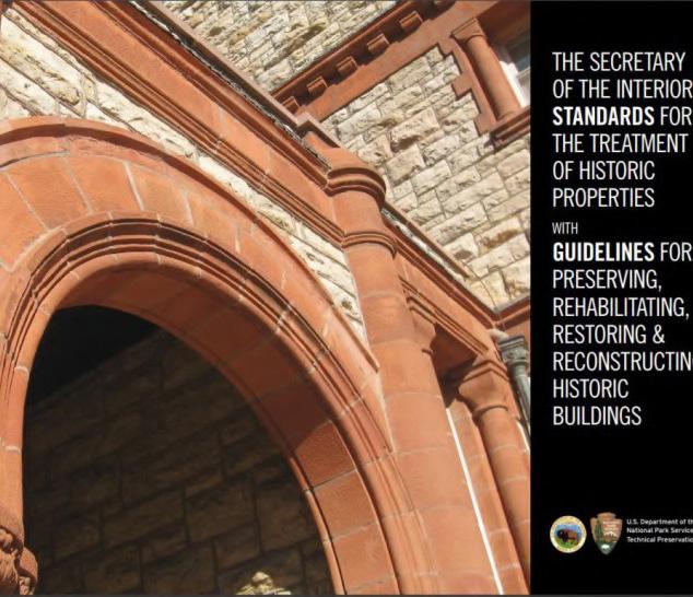
Sacramento Historic District Plans FinalThe design standards and criteria within the Historic District Plans expand on, and are consistent with, the Secretary of the Interior’s Standards for the Treatment of Historic Properties (Secretary's Standards), and the associated Guidelines for Preserving, Rehabilitating, Restoring and Reconstructing Historic Buildings (Secretary’s Guidelines).
Established by the U.S. Department of the Interior and National Park Service, the Secretary’s Standards and Guidelines are nationally-recognized best practices for historic preservation. Federal agencies use the
Secretary’s Standards and Guidelines in carrying out their historic preservation responsibilities. State and local officials use them in reviewing both federal and non-federal rehabilitation proposals.
The Secretary’s Standards are a series of concepts about maintaining, repairing, and replacing historic materials, as well as designing new additions or making alterations. The Secretary’s Standards address four treatments for historic properties: preservation, rehabilitation, restoration, and reconstruction.
The Secretary’s Guidelines offer general design and technical recommendations to assist in applying the Secretary’s Standards to a specific property while the design standards and criteria within the Historic District Plans provide guidance specific to Sacramento’s historic districts and community values and expectations.
The design standards and criteria for Sacramento’s historic districts are written to be consistent with the Secretary’s Standards and Guidelines, so projects found to conform with the Historic District Plans generally are considered in conformance with the Secretary’s Standards. A project does not need to meet all of the Secretary’s Standards and design standards and criteria in the Historic District Plans in order to be approved.
Preservation is the act or process of applying measures necessary to sustain the existing form, integrity, and materials of a historic property. Work generally focuses on ongoing maintenance and repairs of historic materials and features rather than extensive replacement or new construction.
Rehabilitation is the act or process of making possible a compatible use for a property through repair, alterations, and additions while preserving those portions or features which convey its historical, cultural, or architectural values.
Restoration is the act or process of accurately depicting the form, features, and character of a property as it appeared at a particular period of time by means of the removal of features from other periods in its history and reconstruction of missing features from the restoration period.
Reconstruction is the act or process of depicting, by means or new construction, the form, features, and detailing of a non-surviving site, landscape, building, structure, or object for the purpose of replicating its appearance at a specific period of time and in its historic location.
Figure 2. The Secretary of the Interior’s Standards for the Treatment of Historic Properties with Guidelines for Preserving, Rehabilitating, Restoring and Reconstructing Historic Buildings, https://www.nps. gov/tps/standards.htm.
 Sacramento Historic District Plans Final
1. A property will be used as it was historically or be given a new use that requires minimal change to its distinctive materials, features, spaces and spatial relationships.
2. The historic character of a property will be retained and preserved. The removal of distinctive materials or alteration of features, spaces and spatial relationships that characterize a property will be avoided.
3. Each property will be recognized as a physical record of its time, place and use. Changes that create a false sense of historical development, such as adding conjectural features or elements from other historic properties, will not be undertaken.
4. Changes to a property that have acquired historic significance in their own right will be retained and preserved.
5. Distinctive materials, features, finishes and construction techniques or examples of craftsmanship that characterize a property will be preserved.
6. Deteriorated historic features will be repaired rather than replaced. Where the severity of deterioration requires replacement of a distinctive feature, the new feature will match the old in design, color, texture and, where possible, materials. Replacement of missing features will be substantiated by documentary and physical evidence.
7. Chemical or physical treatments, if appropriate, will be undertaken using the gentlest means possible. Treatments that cause damage to historic materials will not be used.
8. Archeological resources will be protected and preserved in place. If such resources must be disturbed, mitigation measures will be undertaken.
9 New additions, exterior alterations or related new construction will not destroy historic materials, features and spatial relationships that characterize the property. The new work will be differentiated from the old and will be compatible with the historic materials, features, size, scale and proportion, and massing to protect the integrity of the property and its environment.
10. New additions and adjacent or related new construction will be undertaken in such a manner that, if removed in the future, the essential form and integrity of the historic property and its environment would be unimpaired.1
1 The Secretary of the Interior’s Standards for Rehabilitation, accessed November 21, 2018, https://www.nps.gov/tps/standards/four-treatments/ treatment-rehabilitation.htm
Standard 9 of the Secretary of the Interior’s Standards for Rehabilitation states that new additions, exterior alterations, or related new construction “shall be differentiated from the old and shall be compatible with the massing, size, scale, and architectural features to protect the historic integrity of the property and its environment.”

direction for the design of appropriate new work in historic districts, while also allowing for creative flexibility and new artistic visions.
2
The standard’s intent is to provide guidance on the broad factors that determine whether a new construction project is appropriate for a historic property or not. The concept of creating a design that is both compatible with and differentiated from historic properties in a historic district may initially seem contradictory; however, historic districts, themselves, are often useful examples of this concept.3 Many historic districts contain buildings that were constructed in different architectural styles during different periods of time, but the buildings are compatible with one another because they share the same underlying principles of proportion, composition, articulation, and materials, and they respect established setbacks, street frontage, rhythm, and circulation patterns. Like contributing buildings in a historic district from different time periods, compatible new projects use “the influence of place to create continuity of character regardless of style.”4
The concept of compatible and differentiated provides
2 The Secretary for the Interior’s Standards for Rehabilitation.
3 According to the Oxford English Dictionary , the definition of "compatible," is "able to exist or occur together without problems or conflict."
4 Preservation Alliance for Greater Philadelphia, “Sense of Place: Design Guidelines for New Construction in Historic Districts,” 2007, 10, accessed November 28, 2018, http://www.preservationalliance.com/publications/ SenseofPlace_final.pdf.
A compatible design for new additions or infill should consider and reflect the surrounding contributing resources in massing, size, scale, and spatial relationship.
• Buildings on the same street that were built in different styles and during different eras may be compatible if they share the same overall underlying principles of proportion, composition, and spatial relationships.
Compatible does not mean it is necessary to replicate the style, form, massing, materials, features, or architectural detailing of a contributing resource.
• It is important that the contributing resource remains visually distinguishable from any new work in order to prevent new elements from being interpreted as historic elements.
• The differences between new and historic features can be subtle, but they must be clear.
New work (including additions and new buildings) that is differentiated or distinguishable from the contributing resource(s) should remain subordinate to the contributing resource(s).
• New work should not be so different from the historic features that it becomes the primary focus or visually competes with the contributing resource(s).
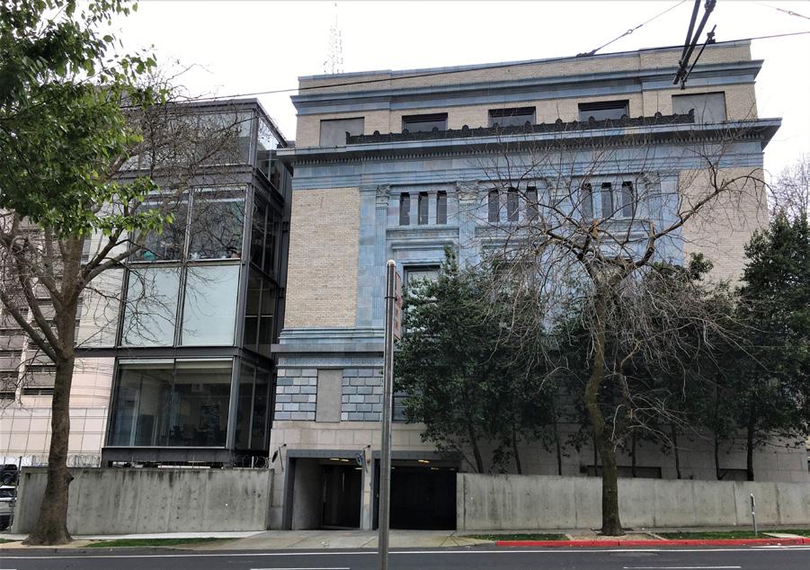
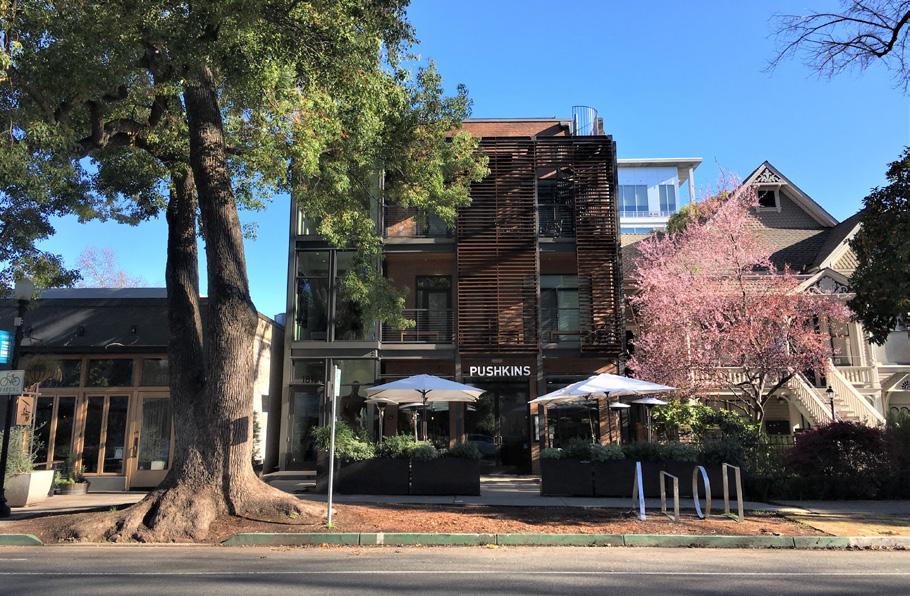
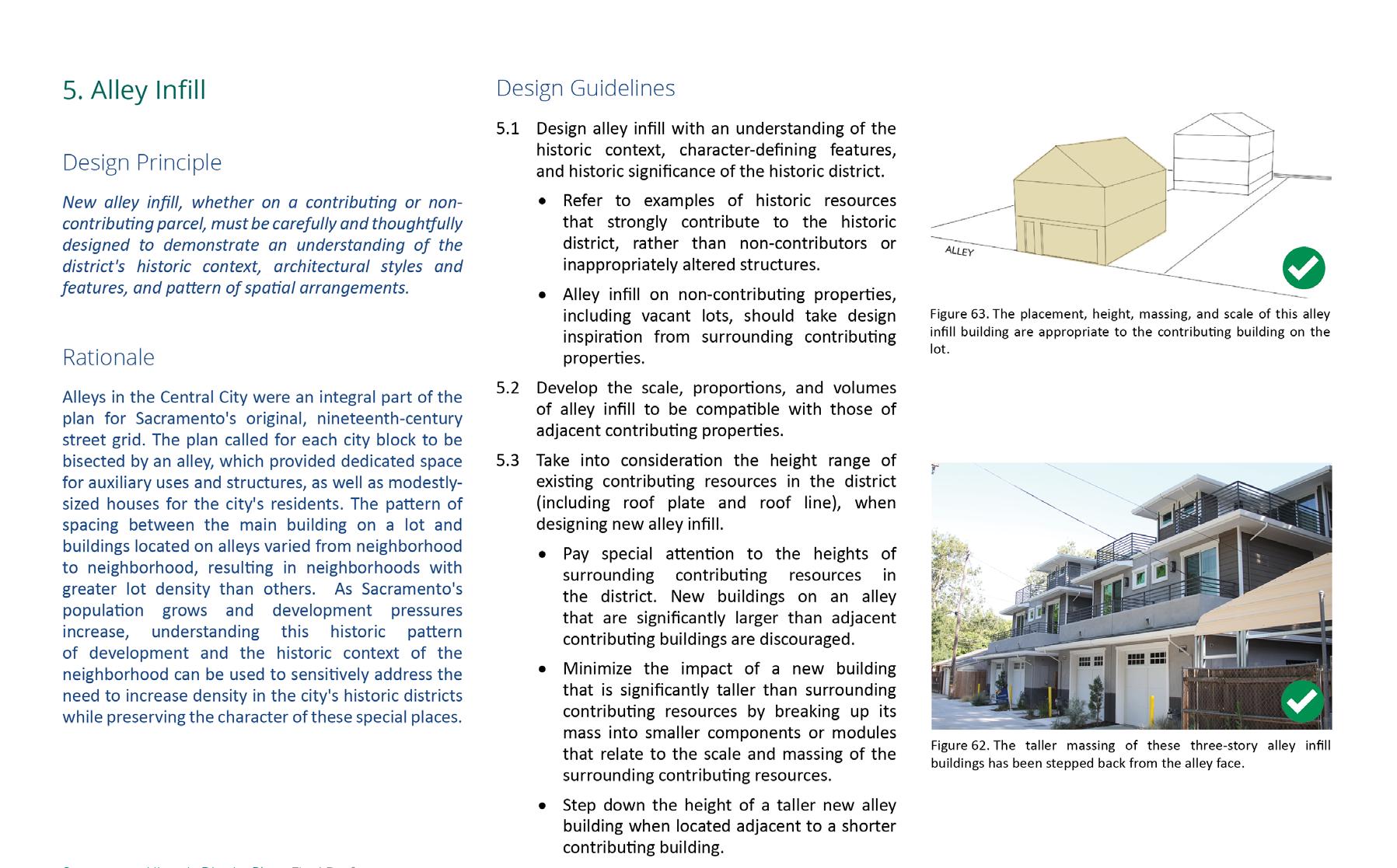
Figure 3. 1813 Capitol Avenue is an example of an infill development that is both compatible with and differentiated from surrounding historic properties in the East End Historic District. Figure 4. The Hall of Justice building includes an example of a compatible and differentiated addition to a historic building.How Were these Historic District Plans Developed?
From 2018-2019, Page & Turnbull prepared Historic District Plans for the following 27 historic districts: 1200-1300 Q Street, 20th and N Street, Alkali Flat Central, Alkali Flat North, Alkali Flat South, Alkali Flat West, Boulevard Park, Bungalow Row, C Street Commercial, C Street Industrial, Capitol, Capitol Mansions, Cathedral Square, East End, Fremont Park, Marshall Park, Merchant Street, New Washington School, Newton Booth, North 16th Street, Oak Park, Old Washington School, Plaza Park [Cesar Chavez Plaza], Poverty Ridge, R Street, South Side, and Winn Park.
Page & Turnbull prepared the Historic District Plans in collaboration with City of Sacramento staff, the City’s Preservation Commission, members of the public, architectural historians, and architecture and planning professionals. Page & Turnbull focused on 29 of Sacramento’s locally listed historic districts (two have since been delisted due to lack of integrity), which required updated documentation to meet the city code requirements. The Historic District Plans were developed in two primary phases: the Historic Contexts & Surveys phase and the Standards & Criteria phase. Throughout the course of this project, the City and Page & Turnbull sought and incorporated public input from various meetings, workshops, online platforms, and comment periods. Work completed for the two phases is summarized below. For a more detailed methodology, please see Appendix B.
Page & Turnbull and the City of Sacramento took all photographs and created all drawings in 2018 and 2019, unless otherwise noted. All maps were created by the City of Sacramento with assistance from Page & Turnbull.
For the Historic Contexts & Surveys phase of the project, Page & Turnbull began by reviewing existing planning policies and documents, historic contexts, and available background information. Page & Turnbull summarized the city-wide historic context and developed individual historic contexts, significance evaluations, and periods of significance for the districts based on the review of existing documentation and additional research. This was then used to inform the 2018 historic districts surveys that ultimately confirmed the significance and period of significance; determined the character-defining features and contributing and non-contributing resources; and shaped recommendations for the historic districts. Recommendations that resulted from this phase of work were provided to the City for incorporation into the Sacramento Register.
For the Standards & Criteria phase of the project, Page & Turnbull began by reviewing the city’s existing design standards and guidelines documents, as well as other strong precedents, such as the “Interim Principles for the Protection of Historic Districts and Landmarks with Respect to Infill Development within the Central City.” The document review, the Historic Contexts & Surveys Portion, and the Secretary of the Interior’s Standards for the Treatment of Historic Properties with Guidelines for Preserving, Rehabilitating, Restoring and Reconstructing Historic Buildings were all then utilized to develop the Standards & Criteria Common to Sacramento’s Historic Districts in Section 1 and the District-Specific Standards & Criteria for each historic district in the individual Historic District Plans of Section 2.
Sacramento Historic District PlansThe Historic District Plans apply to all properties in City-designated historic districts, with the exception of the Central Shops, Historic City Cemetery, and Sacramento City College historic districts, which are governed by separate historic district plans, design guidelines, or other preservation review processes.
A different range of design guidelines within the Historic District Plans are used for contributing versus non-contributing resources in each historic district, which are listed in the individual historic district plans for each historic district in Section 2.
The Historic District Plans are intended to help property owners and members of the design community plan for and design projects within Sacramento’s historic districts. They should be reviewed as early in the planning process as possible in order to ensure that the proposed work will preserve and be compatible with the characteristics that define the historic district.
While the Historic District Plans provide essential guidance for these types of projects, they should also be used in conjunction with the Sacramento City Code, such as the Zoning Code and Building Code, and other laws and regulations pertaining to development projects, including the California Environmental Quality Act and the California Historical Building Code, as appropriate.
Only when a property owner proposes a specific project do the Historic District Plans and their standards and criteria apply. Changing the paint color of a building, undertaking routine maintenance, or altering interior spaces (with the exception of significant publicly-accessible interiors) are not regulated by the standards and criteria. Additionally, there is no requirement for property owners to change their existing buildings or to bring their buildings into alignment with the standards and criteria.
Unless and until property owners bring forth proposed changes, the Historic District Plans require no action.
Sacramento Historic District Plans FinalEach subsection within the Standards & Criteria is organized to include the following elements:
The design principles represent the overall concepts that are required/mandatory. They are the underlying objectives of good project planning and design. They will be referenced by the City to determine compliance with this document. Principles are broad in scope and allow for flexibility in approach and alternative design solutions.
The rationales are included for the principles to assist in clarifying why the principle was adopted, and why it is important to the overall purpose of this document.
The design guidelines are suggested approaches to meeting the principle. The text and figures are presented as examples, but do not illustrate all possible solutions applicable to all situations.
There are alternative approaches that, in a set of circumstances, could be a more appropriate way to meet the principle.
Each section within the Standards and Criteria is supplemented by drawings and photos that are intended to provide visual support for the principles and guidelines. Graphics may also be used to indicate a good or bad example.
How do the Historic District Plans Work with the Design Review Process? HistoricPrior to European settlement, Nisenan (Southern Maidu) and Plains Miwok Indians lived in the Sacramento area. Similar to other California cities, the earliest recorded European exploration of the area was by Spanish explorers and missionaries.1 In 1808, Gabriel Moraga became the first recorded European to visit the Sacramento Valley while searching for suitable sites for a future mission. Although Moraga did not settle in the area, he named the valley and river Sacramento, after the Spanish word for the Holy Sacrament, and opened up new possibilities for discovery. At this time, the confluence of the American and Sacramento rivers consisted mainly of an oak-studded grassland, which frequently flooded.2
For the next two decades, various travelers explored the Sacramento River and its surroundings but did not establish any permanent settlements. Finally in 1839, John Sutter, along with a few Hawaiian and European settlers, established a fort on the land known as New Helvetia, which was given to them as part of an agreement with the Mexican government.3 Sutter’s Fort served defensive as well as commercial purposes due to the ever-increasing number of immigrants arriving in the area.4 In addition to raising herds of horses and cattle, Sutter introduced the first horticultural enterprises to the area by planting
1 Thor Severson, Sacramento, An Illustrated History: 1839-1874, From Sutter’s Fort to Capital City (San Francisco: California Historical Society, 1973), 17.
2 Albert L. Hurtado, “John A. Sutter and the Indian Business,” in River City and Valley Life: An Environmental History of the Sacramento Region, Christopher J. Castaneda and Lee M.A. Simpson, ed. (Pittsburgh: University of Pittsburgh Press, 2013), 20-21.
3 Severson, 21-31.
4 Kenneth N. Owens, “River City: Sacramento’s Gold Rush Birth and Transfiguration,” in River City and Valley Life: An Environmental History of the Sacramento Region, Christopher J. Castaneda and Lee M.A. Simpson, ed. (Pittsburgh: University of Pittsburgh Press, 2013), 42.
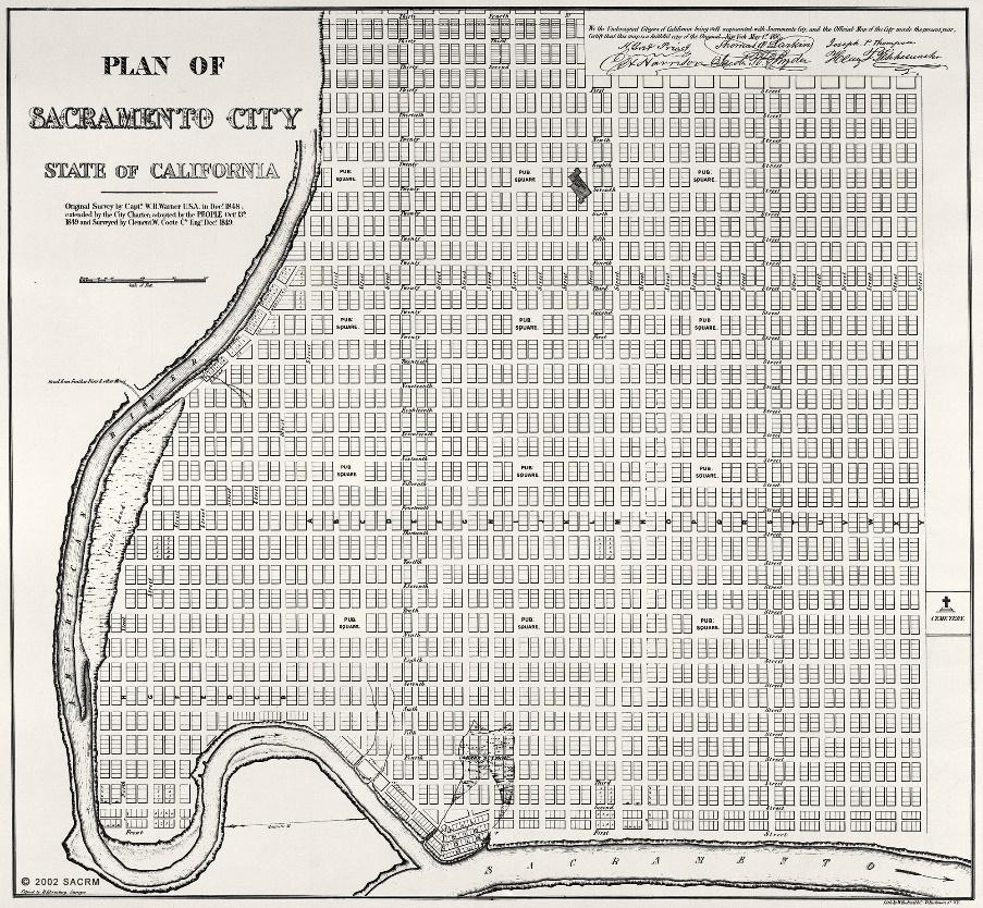
Sacramento Historic District Figure 1. Facsimile copy of Captain W.H. Warner’s 1848 survey map of Sacramento with 1849 extensions (1849). Source: Special Collections of the Sacramento Public Library.fields of grain and corn.5 In an attempt to expand his valley empire, Sutter erected a sawmill at Coloma, which led to the accidental discovery of gold in the area in 1848. The subsequent Gold Rush brought a massive influx of miners and other immigrants. This event quickly overturned the ranch economy and led to Sacramento’s rapid growth into a city.6 The proximity to the mouth of the American River made Sacramento an ideal port for goods coming upriver from San Francisco en route to the gold fields.7
5 Severson, 36.
6 Hurtado, 26.
7 William Burg, Sacramento’s K Street: Where Our City Was Born (Charleston, SC: The History Press, 2012), 18-20.
By 1848, Sutter had amassed substantial debts and was at risk of losing his rancho. His son, John August Sutter, Jr., commissioned the U.S. Army Corps of Topographical Engineers to survey and plat the land between the embarcadero and the fort into lots that he could sell off to repay his father’s debts. The plan worked and established the gridiron plan.8 Eightyfoot-wide streets traveling east to west were named for the letters of the alphabet, while those traveling north to south were numbered from one to 31. Each
8 Nathan Hallam, “’We Must Give the World Confidence in the Stability and Permanence of the Place:’ Planning Sacramento’s Townsite, 1853-1870,” in River City and Valley Life: An Environmental History of the Sacramento Region, Christopher J. Castaneda and Lee M.A. Simpson, ed. (Pittsburgh: University of Pittsburgh Press, 2013), 64.
block measured 320 feet wide by 340 feet in length and was bisected by a 20-foot-wide alley.
The lots sold quickly, and the city’s population rose rapidly from 150 in 1849 to 9,087 in the following year. In 1850, California was admitted to the Union, and for the first several years of statehood, the state government moved from city to city as various municipalities - including San Jose, Vallejo, Benicia, and Sacramento - vied to become the new state’s capital. Sacramento emerged as the logical choice because of its rising population and potential as an economic and transportation hub; it was chosen as the permanent capital city of California in 1854.9 But while the city’s location offered many advantages, it also exhibited a host of problems that threatened the city’s success and position as the state capital. Between 1850 and 1893, ten major floods devastated the city.10 Fires were a constant worry as well. The most devastating fire occurred in 1852 when 55 blocks of the city’s business district, approximately 70 percent the city’s building stock, went up in smoke. Another fire in 1854 destroyed 12 city blocks. These conflagrations led to the reconstruction of much of the city using fireproof brick or stone.11
As a result of such disasters, early development centered around flood and fire protection. The establishment of the city’s first volunteer fire company and the construction of its first levee occurred in 1850.12 Looking for a more permanent solution, the
9 Hallam, 68-69.
10 Karen Wilson, A Century of Protecting Natomas: The History of Reclamation District 1000, 1911-2011 (Virginia Beach, VA: Donning Company Publishers, 2011), 9-14.; Owens, 56.
11 Owens, 50; Special Collections of the Sacramento Public Library, Sacramento’s Alkali Flat (Charleston, SC: Arcadia Publishing, 2010), 7.
12 Severson.
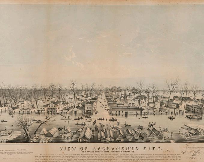
Sacramento Historic District Plans Final Figure 2. View of Sacramento during the flood of 1850 (1850). Source: California History Room, California State Library, Sacramento, California.city raised the street levels of the business district after back-to-back floods in 1852 and 1853, and again after particularly devastating floods in the winter of 1861-1862. These efforts ultimately raised the city’s grade to approximately 10 to 12 feet above the natural topography. First stories became basements, and “hollow sidewalks” were created in the process of filling and rebuilding streets up to the new grade.13 The undertaking was funded by taxes on property owners, who realized that stabilizing the city was a shared investment that would protect and benefit their personal fortunes.14 From 1864 to 1868, the city undertook the even more impressive feat of rerouting the American River through dry slough beds to a
13 Hallam, 66-68, 75.
14 Ibid., 62.
location approximately a mile north of Sutter Lake. The project improved the flow of the river and took pressure off the levees to the north of the city that had been repeatedly breached by floodwaters.15
On the domestic front, the 1852 and 1854 fires had created a blank slate for new building within the young city.16 From the late 1850s onward, new buildings in the city reflected the current trends in architecture that were imported from East Coast pattern books and the influx of new architects that arrived during the Gold Rush. While ethnic minorities and seasonal workers often lived near the factories and railyards in the West End neighborhood—roughly the area west of the Capitol to the Sacramento River between I and
15 Ibid., 72. 16 Owens, 50.
R streets—houses for more established residents were constructed in the fashionable designs of the times just north of the downtown business district in the elite residential neighborhood of Alkali Flat.17
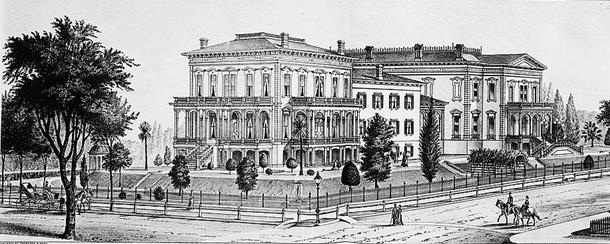
Like other California cities, Sacramento became filled with homes in a myriad of styles that reflected the latest architectural trends. Initially, residential architecture in Sacramento favored the older Classically-inspired Greek Revival style. In the 1870s and 1880s, Italianate became the most popular style for new houses in the city, as reflected in two of the city’s largest architectural homes, the Crocker mansion (now the Crocker Art Museum) and the Fogus-Stanford mansion (now Leland Stanford
 Sacramento Historic District Plans Final
17 GEI Consultants, Inc., “Mid-Century Modern in the City of Sacramento Historic Context Statement and Survey Results” (2011), 2-1.
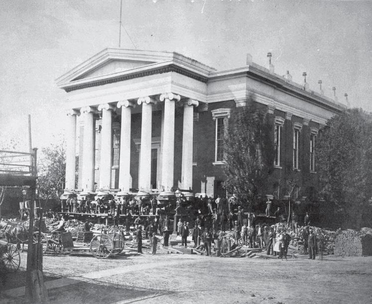
Figure 3. Sacramento’s second county courthouse being raised (ca. 1870). Source: Center for Sacramento History, Sacramento Bee Collection, 1983/001/SBPM02400.
Figure 4. Drawing of the Crocker Residence from Thompson and West’s Illustrated History of Sacramento Co. (1880). Source: Library of Congress, Prints & Photographs Division, HABS CAL,34-SAC,20--1.
Sacramento Historic District Plans Final
17 GEI Consultants, Inc., “Mid-Century Modern in the City of Sacramento Historic Context Statement and Survey Results” (2011), 2-1.
Figure 3. Sacramento’s second county courthouse being raised (ca. 1870). Source: Center for Sacramento History, Sacramento Bee Collection, 1983/001/SBPM02400.
Figure 4. Drawing of the Crocker Residence from Thompson and West’s Illustrated History of Sacramento Co. (1880). Source: Library of Congress, Prints & Photographs Division, HABS CAL,34-SAC,20--1.
Mansion State Historic Park), both by architect Seth Babson. At the end of the century, the Queen Anne style dominated residential construction.18 Architects and designers adapted these styles to Sacramento’s unique environmental challenges, creating a characteristic “floodplain” or “Delta” architecture in which long flights of stairs led to the primary living or business quarters on a raised first story built above a high basement. This arrangement allowed houses to be inundated by 10 to 12 feet of water with little damage during floods.19
In the late nineteenth century, the increasing industrialization of Sacramento’s downtown, influx of low-income laborers into the central city, and introduction of streetcar service led to the development of new residential neighborhoods on the fringes of Sacramento’s original 1848 city limits. Affluent middle- and upper-class residents migrated to these new neighborhoods, many of which incorporated modern urban planning principles and landscaping to create clean, orderly, and parklike living environments. By the early twentieth century, these new neighborhoods featured “modern homes” constructed in the new Craftsman and Prairie styles that appealed to middle-class families along treelined streets and near parks. Many neighborhoods followed a common pattern of development in which large homes for affluent residents lined major eastwest streets, while more modestly-sized houses were located on numbered streets. Stables and cottages for servants and laborers, meanwhile, were Donald S. Napoli and H. Ruth Todd, “Central City Historic Structures Inventory, Part I: Findings and Recommendations” (1996), 3-1. 19 Owens, 58.
frequently built facing the alleys.20 Crucially, these new neighborhoods—such as Boulevard Park, Winn Park, Bungalow Row, Capital Mansions, Oak Park, and Newton Booth—were situated along streetcar lines that gave residents access to workplaces downtown and east of the city.21 The emergence of Sacramento’s streetcar suburbs coincided with a national trend at a time when transit-focused residential development flourished in cities across the country. New transportation infrastructure radically improved urban residents’ mobility and allowed middle- and upperclass households to build houses in the suburban periphery, where land was cheaper, while still having access to urban amenities. Streetcar suburbs around the country developed in outward extensions from the urban core, as developers expanded city grids to parallel new streetcar lines.22 Sacramento’s turn-ofthe-century streetcar suburbs were the beginning of a trend that continued throughout the course of the twentieth century as the city’s continuous growth and the rise of the automobile spurred the relocation of residents to ever-newer and more modern suburbs at increasing distances from the city center.23 The twenty-first century has experienced a reversal of this pattern, as more people move back into Sacramento’s central neighborhoods to take advantage of its walkable streets, historic architecture, and cultural amenities.
The City of Sacramento’s 2035 General Plan included historic context statements for four primary themes that have influenced Sacramento’s development: the agricultural industry; the railroads; state government; and World War II, transportation, and redevelopment. In 2017, a Mid-Century Modern historic context statement was also completed. The following sections offer an expanded discussion of those five historic contexts.
24
20 Evaluation Committee of Sacramento Heritage, Inc., 307.
21 Nathan Hallam, “The Evolution of Sacramento’s Central City Street Grid,” (master’s thesis, Sonoma State University, 2003), 63-64.
22 Linda Flint McClelland, National Register of Historic Places Multiple Property Documentation Form: Historic Residential Suburbs in the United States, 1830-1960. Washington, D.C.: National Park Service, 2002, 18-20.
23 William Burg, Sacramento’s Streetcars (Charleston, SC: Arcadia Publishing, 2006), 7-8.
24 Central Core Design Guidelines, 2nd Edition (2018), 2-2.
Sacramento Historic District Plans FinalAgricultureSacramento is located in the Sacramento Valley, the northern portion of the California’s Central Valley, which contains approximately 500 miles of some of the richest agricultural land in the world. When John Sutter arrived in 1839 and established the settlement of New Helvetia, he tended wheat fields on the rancho and expanded Sutter’s Fort so that it could accommodate herds of cattle and horses. Grain cultivation and grazing continued to dominate land use in the Sacramento area until the turn of the twentieth century, when commercial crops – such as citrus fruits, olives, almonds, figs, tomatoes, and more – took over. The frontage along the Sacramento River, meanwhile, developed into a nearly continuous line of orchards. The shift reflected evolving and growing demands from people across the U.S. for produce from the Sacramento Valley.25
The city’s proximity to the state’s rich producing regions, rivers that could provide an unlimited supply of water, transportation options, and a rapidly growing population quickly transformed Sacramento into the commercial and manufacturing hub of California’s agricultural industry. Goods and products were shipped between Sacramento and San Francisco and the wider region by steamboats that plied the Sacramento River daily, and, with the completion of the first transcontinental railroad in 1869, transported by train from Sacramento to
25 Winfield Davis, “Sacramento County,” in Transactions of the California State Agricultural Society during the Year 1901 (Sacramento: Office of State Printing, 1903), 322-334.
markets across the United States.26 Manufacturers quickly took advantage of the city’s location. Canneries, dairies, flour mills, breweries, and packaging manufacturers were constructed along the
26 “Railroads and Agriculture,” California State Railroad Museum, accessed 10 December 2012, http://www.csrmf.org/explore-and-learn/railroadhistory/california-calls-you/railroads-and-agriculture.
Sacramento and American rivers and rail lines that traversed the city to make the packing and shipping of produce as efficient as possible. Employment opportunities in the city’s burgeoning agricultural industries and railyards attracted large populations of laborers from the eastern U.S. and countries around the world. Workers from China, Mexico, Ireland, Germany, and other countries established
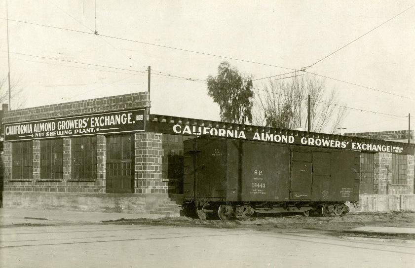
Sacramento Historic District Plans Figure 5. California Almond Growers Exchange nut shelling plant (ca. 1914). Source: Center for Sacramento History, 1981/06/6212.ethnic communities throughout the city, largely determined by their proximity to available work and discriminatory housing covenants that prevented them from settling elsewhere. Alkali Flat evolved into a predominately Mexican neighborhood, while St. Rose of Lima Church, now part of the Merchant Street Historic District, was the center of Sacramento’s Irish community. A vibrant Chinatown developed along the I Street banks of Sutter Lake between 2nd and 6th Streets. Many other ethnic communities were located in areas of the West End that were razed during the redevelopment projects of the 1950s and 1960s.27
Because of its prominence in the agriculture industry, Sacramento was chosen as the permanent home of the California State Fair in 1861. The decision necessitated the construction of dedicated fairgrounds. The first state fairgrounds were located in what is today the Boulevard Park neighborhood, with other facilities scattered throughout the central city.28 In 1909, the fairgrounds were relocated and consolidated to an area at the city’s southeast corner, near Stockton Boulevard and 2nd Avenue.29
Since 1968, the fair has taken place at the Cal Expo grounds, located on a previously undeveloped 356acre tract of land north of the American River.30
The primary historic themes and events which characterize the history of agriculture in Sacramento include:
• “Changing land uses and agricultural production and transport methods reflected the demand for Sacramento Valley produce from the nation and beyond;
• Sacramento’s prominence in agriculture and related industries made it the permanent home of the California State Fair;
• Sacramento became home to many important agriculture-related manufacturing and shipping operations, and the agriculture industry was a major force in the city’s economic and population growth; and
• Influx of laborers who worked on farms and in packing plants in the area and operated manufacturing plants in Sacramento established ethnic communities.”31
• The transportation of agricultural goods via the railroad resulted in a common development pattern in the Central City in which industrial buildings with utilitarian design were clustered around railroad lines.
27 General Plan Technical Background Report, Appendix B (2013), 6.3-13-15. 28 Severson, 131-134.
29 Marty Relles, “Walking to the Old California State Fair,” Valley Community Newspapers, 19 May 2011, accessed 8 January 2013, http://www. valcomnews.com/?p=4108.
30 Debbie Arrington, “State Fair builds on 160 years of fun, learning,” Sacramento Bee, July 8, 2013.
31 General Technical Background Report, 6.3-29.
Sacramento Historic District Plans FinalBefore the arrival of the railroad, steamboats traveling on the Sacramento River and wagon trains from the east were the primary means of transporting goods and people to and from Sacramento.32 The city’s first steam railroad and common carrier railroad west of the Mississippi River was the Sacramento Valley Railroad, which began construction in 1850.33 Its tracks ran from a ticket counter on the waterfront, south along the river, and then east along R Street for 22 miles to Folsom. Competing companies soon emerged. The Central Pacific Railroad, owned by four businessmen who became known as “the Big Four,” surpassed them all when it was chosen in 1862 to construct the western portion of the transcontinental railroad with its western terminus located in Sacramento.34
The completion of the transcontinental railroad and competition between the railroad companies was one of the most important factors in the development of Sacramento. The railroad companies constructed buildings and infrastructure throughout the city that were an integral part of their operation, including passenger depots, tracks that crisscrossed the city, and complexes of industrial shops where railcars were manufactured and repaired. They also altered the natural landscape. The Central Pacific and Southern Pacific railroad companies dumped railroad refuse
32 Severson, 166-170.
33 “The Railroad Stations of Sacramento,” California State Railroad Museum (2011), accessed 10 December 2012, http://www.csrmf.org/visitorinformation/other-california-state-park-sattractions-in-old-sacramento/ central-pacificrailroad-passenger-station/the-railroad-stations-ofsacramento.
34 Library of Congress, “Pacific Railway Act,” Primary Documents in American History,” 30 July 2010, accessed 23 December 2013, http://www.loc.gov/ rr/program/bib/ourdocs/PacificRail.html.
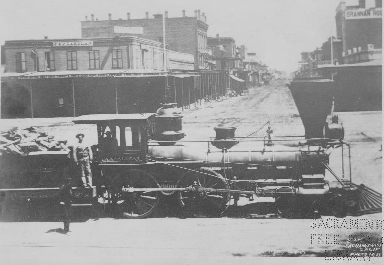
Figure 6. A Central Pacific Railroad locomotive travels through Sacramento (1865). Source: Special Collections of the Sacramento Public Library.
into Sutter Lake, a swampy lake on the northern edge of the city nicknamed “China Slough” because of Sacramento's Chinatown that was located on its south bank. As part of the expansion of the Southern Pacific rail yard, and because of complaints about its polluted waters, the Southern Pacific Railroad Company filled
in Sutter Lake in 1908.35 The railroad companies also constructed and maintained levees on the rights-ofway that the city had granted to them. The railroads
35 ”City of Sacramento, “Early Site History,” accessed 26 July 2018, https:// www.cityofsacramento.org/Public-Works/Sacramento-Valley-Station/ Background/Early-Site-History.
Sacramento Historic Districtbecame a catalyst for the development of agricultural and industrial businesses throughout the city.36 Many factories, canneries, and manufacturing plants were strategically situated along rail lines where fresh produce could be easily shipped in for processing and packaging and then transported directly to market.37
The railroads played an instrumental role in the migration of people into and out of the city. When they were first constructed, the railroads attracted large numbers of people from diverse backgrounds to Sacramento with the prospect of work. The workforces who constructed the first railroads in the 1850s and 1860s were almost entirely made up of Irish and Chinese immigrants.38 Mexican immigrants began arriving in large numbers around 1910 and again during World War II in response to labor shortages in the railroad and agricultural industries.39 Many of these groups remained in Sacramento and settled near the rail yards where they had easier access to employment opportunities.
By the late nineteenth century, streetcar lines proliferated across the city, leading to the creation of the first residential subdivisions and the migration of residents outside of the city. Starting in the early twentieth century, Sacramento also had four electric interurban railroads that provided passenger service
36 Huffman, The Placerville Branch of the Southern Pacific.
37 William Burg, “The Big Tomato,” Midtown Monthly (11 March 2011), accessed 10 December 2012, http://www.midtownmonthly.net/life/thebig-tomato/; C.W. Geiger, “Libby, McNeill & Libby’s Sacramento Cannery,” Canning Age (January 1921), 12.
38 Dawn Emord and David Bushong, “The Workers of the Central Pacific,”
The Transcontinental Railroad: Different Faces Behind “The Work of the Age, accessed 10 December 2012, http://bushong.net/dawn/about/ college/ids100/workers.shtml.
39 Armando Navarro, Mexicano Political Experience in Occupied Aztlan: Struggles and Change (Walnut Creek, CA: Alta Mira Press, 2005), 375.
and contributed additional railroad buildings and infrastructure to the urban landscape. The interurban railroads were cleaner and cheaper, with more frequent trains and stops than the steam railroad and faster and heavier than city streetcars. They allowed people living in small towns or rural areas to visit businesses in Sacramento’s downtown core.40
The migration of residents further from the city center accelerated over the course of the century as the automobile replaced trains and streetcars as the primary mode of transportation and enabled people to live further from their workplaces.41
Although streetcar service ended in 1947, the railroads persisted.42 In the 1970s, the majority of rail passenger service was transferred to Amtrak, which is operated by the National Railroad Passenger Corporation. In 1987, the Sacramento Regional Transit District began light rail service, portions of which continue to operate on historic railroad corridors.43
The primary historic themes and events which characterize the history of railroads in Sacramento include:
• Urban growth spurred by the completion of the transcontinental railroad and competing railroad companies
• Development of industrial areas within the city as a result of railroad construction
• Expansion of railroad service to agricultural and industrial facilities
• Electrification of the railways, for both freight and passenger/commuter services44
• The movement of people and creation of new residential neighborhoods spurred by the expansion of streetcar lines and interurban railroads
40 William D. Middleton, The Interurban Era (Milwaukee, WI: Kalmbach Publishing, 1961), accessed 10 December 2012, http://libsysdigi. library.illinois.edu/oca/Books2009-06/interurbanera00midd/ interurbanera00midd_djvu.txt , 12.
41 Center for Sacramento History, Images of America: Old Sacramento and Downtown (San Francisco: Arcadia Publishing, 2006).
42 William Burg, Sacramento’s K Street: Where Our City Was Born (Charleston, SC: The History Press,2012), 107.
43 General Plan Technical Background Report, 6.3-75.
44 Ibid., 6.3-75.
Sacramento Historic District Plans FinalThe City of Sacramento was chosen to be California’s capital in 1854 after growing rapidly during the Gold Rush into the new state’s transportation, agricultural, and manufacturing hub. Although devastating floods and fires repeatedly threatened the city’s success and newfound political status, large-scale flood control projects—such as the construction of levees, decision to raise the grade of the city above the floodplain, and rerouting of the American River—brought stability to the city that solidified its position.45 Initially, government services took place in boats docked along the embarcadero, but as the state government grew, these services were relocated to buildings near the waterfront.46 Among them were the B.F. Hastings building, where the first State Supreme Court met, and the county courthouse, which served as the first State Capitol building.47
The state’s present Classical Revival style Capitol Building was constructed between 1860 and 1874, but the state government quickly outgrew it. To accommodate the growing government, a Capitol Area was developed with supplementary state and federal office buildings concentrated on the blocks surrounding the Capitol. In 1872, the four blocks of land that the city had initially allotted for the Capitol were expanded to ten to allow for the creation of a landscaped park that would provide a suitably grand entrance to the new building. As the government continued to grow in the early decades of the twentieth
45 Barbara Lagomarsino, “Early Attempts to Save the Site of Sacramento by Raising its Business District,” (master’s thesis, Sacramento State College, 1969), 15, 28.
46 Hallam, 62.
47 General Plan Technical Background Report, 6.3-40-43.
century, additional state buildings and offices were constructed to the west of the Capitol along M Street (Capitol Avenue). Meanwhile, new civic and private buildings were constructed downtown, many in the Beaux-Arts and Neoclassical styles that were part of the popular City Beautiful Movement of the time.48
48 Sacramento Heritage, Inc., “Sacramento’s City Hall Area Walking Tour,” 2011, accessed December 2013, http://www.sacramentoheritage.org/ files/Downtown_Tour_City_Hall_Area_Writeup_booklet.pdf.
Construction projects and city improvements continued at a slow pace during the Great Depression thanks to federal funding and the construction of military facilities at McClellan Field, Mather Field, and the Sacramento Army Depot. In the 1930s and 1940s, state and federal building projects shifted to the parcels surrounding Capitol Park. The state government’s continuous growth accelerated during
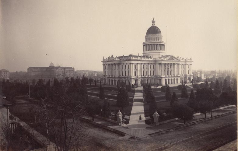
Sacramento Historic District Figure 7. The California State Capitol Building in Sacramento with railroad tracks of the Central Pacific Railroad in the foreground and Agricultural Hall in the background (ca. 1880). Source: California History Room, California State Library, Sacramento, California.the post-World War II boom. In 1949, the East Annex was added to the Capitol Building and planning for the Capitol Mall began with an urban redevelopment plan created by architects Richard Neutra and Robert Alexander. Although their plan was never realized, it prompted the City to create a Civic Improvement District around Capitol Park and the mall from 7th Street to the river.49
Starting in the 1950s, state government buildings and functions, which had previously been concentrated around the Capitol and Capitol Park, began to shift to the blocks adjacent to the Capitol Mall and later became dispersed throughout the city.50 In the 1960s and 1970s, a desire to clean up Sacramento’s blighted downtown and present the city as a beautiful and well-planned capital city spurred large redevelopment projects. Redevelopment around the Capitol began with the 1960 California State Capitol Plan, which proposed purchasing 42 blocks of city streets and demolishing the existing buildings to create seven pedestrian superblocks. As a result, large swaths of housing around the Capitol were demolished to create high-rise office buildings and parking structures that dramatically reduced the downtown residential population from 4,000 to 1,000. Ronald Reagan’s election as governor in 1967 curtailed the plan before it could be fully implemented, leaving the city with blocks of razed, empty lots. Rather than construct new buildings according to the 1960 plan, Reagan encouraged the State to lease existing properties for state use, a practice that expanded with the relocation of several regional offices to Sacramento. Recognizing the need to ensure “smart growth” around the
49 General Plan Technical Background Report, 6.3-45.
50 “Sacramento’s City Hall Area Walking Tour.”
Capitol, in 1978 the Department of General Services (DGS) and the Capitol Area Development Agency (CADA) were chosen to administer the residential elements of an updated 1977 Capitol Area Plan, with the goal of attracting residents back to the city center by rebuilding cleared areas and introducing mixed-use properties. Although the recession in the 2000s slowed further expansion, the California State Government remains the largest employer in Sacramento and occupies approximately ten million square feet in the downtown area. The city’s 2035 General Plan encourages the implementation of sustainable practices in future development projects.
The primary historic themes and events which characterize the history of state government in Sacramento include:
• “State governmental buildings followed developmental trends in the city: businesses and services migrated from the Sacramento River Embarcadero to structures in immediate proximity to the river and were subsequently relocated to more permanent, purpose-built structures.
51
51 General Plan Technical Background Report, 6.3-47-50.
• Building infrastructure (e.g. flood control plan) and maintaining services (e.g. fire department) were crucial for Sacramento to remain the State Capital.
• Development of a Capitol Area – concentrating state office buildings around the State Capitol building, Capitol Park and, later, Capitol Mall, and providing new residential communities –driven by urban planning concepts including the City Beautiful movement, mid-century redevelopment, and more recent sustainable development efforts.”52
52 General Plan Technical Background Report., 6.3-50.
Sacramento Historic District Plans FinalWorld War II had a profound impact on the development of Sacramento. It shifted the focus of Sacramento’s economy, which had been founded on the agricultural and railroad industries, to one based on state and federal government, military bases, and transportation. Sacramento’s population expanded rapidly during the Depression and World War II as new residents, attracted by the availability of jobs in agriculture and at the nearby military bases, flowed into the region. At the same time, the increasing popularity and availability of automobiles allowed workers to live farther from their place of work, leading to an exodus of people from the city center and the development of new suburban communities.53
The war also had a profound impact on the cultural landscape and demographics of the city. Over the course of the war more than 7,000 Japanese residents from Sacramento were forced to abandon their homes and businesses and sent to internment camps; only 59 percent returned to the city after the war. Many African-Americans, whose population in Sacramento swelled to 1,500 even as segregation continued at the region’s military bases, moved into the homes and businesses that the Japanese had left behind. Meanwhile, the U.S. Government established the Bracero Program in an effort to fill job vacancies left by enlisted Americans and interned Japanese residents with “guest laborers” from Mexico. As a result of the program, Mexican workers made up 40 to 45 percent of the labor force at Sacramento’s
53 Ibid., 6.3-82.
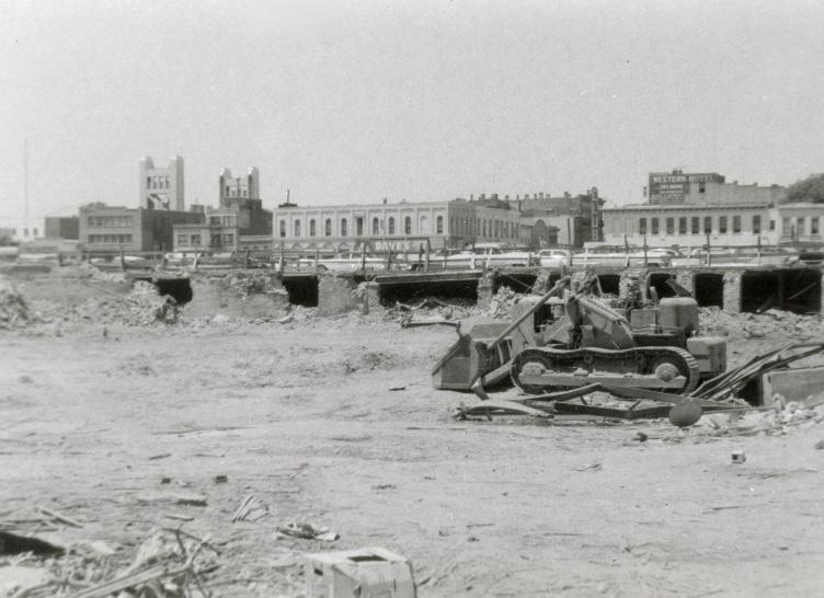
Figure 8. A demolished area of the West End as a result of the Capitol Mall and West End redevelopment project (1960). Source: Center for Sacramento History, Frank Christy Collection, 1998/722/1480.
canneries in the 1940s and a Mexican community was established in the Alkali Flat neighborhood and around 12th Street.54
54 Ibid., 6.3-90-92.
By the 1970s, cities around the country, including Sacramento, had become sprawling metropolises.55 The influx of new residents and rise of “car culture” stressed the city’s infrastructure and created traffic
55 CalTrans, Tract Housing in California, 17 -8.
56
congestion that further deterred people from traveling downtown. Businesses also began to relocate outside of the central city where larger parcels of land were available for cheaper prices. From the 1950s to the 1970s, the ongoing issue of traffic congestion prompted Sacramento to construct freeways and interstate highways through the downtown core. While the freeways decreased traffic, they also redirected people from the downtown area and physically cut off some of Sacramento’s oldest sections, such as Old Sacramento and the Pocket neighborhood, from the rest of the city.
Between 1950 and 1970, the population of the Central City dropped from 58,000 to 27,000 people. Virtually no new single-family houses were constructed during this period, because many downtown neighborhoods, which were typically home to ethnic minority communities and considered economically unstable, were “redlined” and, thus, deemed ineligible for postwar subsidized home loans. Meanwhile, thousands of older houses that were in redevelopment zones were demolished.
Even as the population of the Central City decreased, hundreds of small apartment buildings were built to replace older houses, many of which were intended for entry-level state government employees.57
The City adopted planning programs and policies that would simultaneously address the need for more housing while eliminating deteriorated or “substandard” housing. Starting in the mid-1950s, City zoning codes encouraged higher density
56 Ibid., 2-14.
57 William Burg, Sacramento Renaissance: Art, Music, and Activism in California’s Capital City (Charleston, SC: The History Press, 2013), 20-21.
residential uses in the Central City, the “Old “City,” while maintaining newer neighborhoods outside the original city limits as areas for light density, single-family housing.58 Neighborhoods that were located near the downtown business district or along commercial corridors—such as Washington, Washington School, Winn Park, Capitol Mansions, and areas around H Street—were zoned as high density residential areas, while neighborhoods located further from the downtown business district—such as South Side, Poverty Ridge, Newton Booth, Boulevard Park, Marshall School, Richmond Grove, and New Era Park— were zoned as medium density residential areas. These zoning codes resulted in the pattern of mid-twentieth-century apartment buildings located next to earlier nineteenth- and early twentiethcentury houses that is visible throughout many neighborhoods in the Central City.59
According to the city’s 2035 General Plan, “The economic shift from the industries of agriculture and railroads to state government and freeways also led the city to obtain federal redevelopment money to address “slum” neighborhoods that bordered the Sacramento River in the city’s West End.”60 As previously described in the State Government section, the West End in the 1950s was populated primarily by low-income minority communities and seasonal laborers who worked in the railyards, canneries, and agricultural industries that were located downtown. Hoping to beautify the entrance to the city and present Sacramento as a modern, clean, and well-planned
58 “The Sacramento General Plan, Section One,” 1974, 2-5.
59 “General Plan, Sacramento, California,” 1965; “A Community Plan for the Old-City,” 1964.
60 Ibid., 6.3-82.
state capital, the city designated the West End as a blighted area and began buying up land, demolishing existing buildings, and displacing residents.61
Notable redevelopment projects that took place in Sacramento’s downtown during the 1950s and 1960s as a result of the clearance of the West End include the creation of the Capitol Mall, K Street Pedestrian Mall, Downtown Plaza Mall, and Old Sacramento Historic District.62 In addition to the Capitol Area Development Authority projects that encouraged the preservation and development of mixed-use and residential projects around the Capitol, during the 1970s, the city also adopted redevelopment plans for the Alkali Flat and Oak Park neighborhoods in an effort to extend revitalization efforts to downtrodden neighborhoods outside of Sacramento’s downtown core. In Alkali Flat, this resulted in the replacement of 62 substandard dwelling units and blighted warehouses on the blocks between 8th, 10th, D, and E streets with Washington Square, 143 new apartments for low- and moderateincome families. It also included site improvements around the new development, including new streets, curbs, and gutters. In Oak Park, City redevelopment efforts led to the rehabilitation of approximately 26 single-family residences in a three-block area in the northern section of Oak Park, bounded by 37th Street, 3rd Avenue, Santa Cruz Way, and the property alignment between 1st and 2nd avenues. Redevelopment also incorporated street and sidewalk improvements in a second target area between 14th Avenue, 16th Avenue, the South Sacramento Freeway, and 34th Street.63
61 Idem.
62 Ibid., 6.3-119-120.
63 Ibid., 6.3-111-112.
Sacramento Historic District Plans FinalThe loss of many of Sacramento’s historic buildings in the postwar period spurred the emergence of an active preservation community in the 1970s. In particular, the demolition of the 1927 Moorish style Alhambra Theater in 1972 became the catalyst and rallying cry for the mobilization of Sacramentans who sought to preserve the city’s built heritage. That year, the City appointed a Historically Significant Buildings Committee, Charlene Rasmussen wrote a report on the “Factors affecting Historic Structures in the City of Sacramento, and the Sacramento Old City Association (SOCA) was founded. SOCA began its efforts to preserve Sacramento’s architectural heritage by purchasing and rehabilitating historic houses throughout the Central City, saving many important historic buildings from demolition.64 Sacramento Heritage, Inc., a nine-member board appointed by the City, was founded in 1975 with the charge to “promote the preservation and rehabilitation of significant historic buildings in Sacramento.”65 Both SOCA, renamed Preservation Sacramento in 2015, and Sacramento Heritage, Inc. continue to advocate for the protection of Sacramento’s historic places.66
The City of Sacramento’s preservation program was formally established in 1975, resulting in the creation of the Preservation Board and adoption of the Preservation Ordinance, Sacramento’s primary implementation mechanism for preservation. The City established a separate Preservation Office, led by a full-time Preservation Director and preservation planning staff, in 1996.67
64 City of Sacramento General Plan, 1988, 10-31 – 10-37; Avella, 151-152.
65 City of Sacramento General Plan, 10-34.
66 Preservation Sacramento, accessed November 8, 2018, http://www. preservationsacramento.org/.
67 City of Sacramento General Plan, 10-31 – 10-37.
The primary historic themes and events which characterize the history of World War II, redevelopment, and transportation in Sacramento include:
• “The shift from an economy focused on agriculture and railroad industries to one founded on state and federal government offices, military bases, and highway/freewaybased transportation;
• The influx of people from outside California who were drawn to Sacramento by available jobs;
• The exodus of people and businesses from the city center to newly developed suburban communities and annexed districts;
• Large-scale clearance and new construction projects funded by federal monies, including federal redevelopment programs;
• The increasing popularity and availability of automobiles, the “car culture,” influenced how and where people lived, worked, and shopped, and led to the construction of a network of highways that reshaped the city’s design;”68
• The emergence of Sacramento’s preservation community as a result of the loss of historic buildings.
68 General Technical Background Report, 6.3-116.
Sacramento Historic District Plans FinalResidential and commercial development across the United States slowed during World War II, including Sacramento, but it also initiated a period of unprecedented growth to the region. The reopening of two local airbases, Mather Field and McClellan Air Force Base, to aid the war effort encouraged large numbers of people to relocate to the Sacramento area in search of employment at the bases and related industries. The military bases continued to be one of Sacramento’s main employers in the postwar period. Meanwhile, the transition to a full-time state legislature, centralization of state agencies in Sacramento, and overall expansion of the California state government also generated new employment opportunities that attracted more people to the city. The annexation of developing neighborhoods in surrounding areas further increased the city’s population.
Sacramento’s growing population created a housing shortage. While a scarcity of building materials initially slowed new residential development, federal programs, including the GI Bill and the Federal Housing Authority’s (FHA) insurance of private mortgages, stimulated the construction of single-family houses and housing developments in the postwar period and paved the way to homeownership for thousands of Americans.
Many of the houses that were built to meet the immediate postwar demand for housing favored the one-story Minimal Traditional style, which featured small, compact gabled or hipped roofs and stud construction. As the demand decreased and the
national economy took off, however, many people began to trade up for larger houses that were built more for comfort and affordability than style. New suburban housing developments full of houses built in new Mid-Century Modern styles emerged in the areas surrounding Sacramento.
While much of the Mid-Century Modern residential
development in the Sacramento area took place outside of the Central City, Mid-Century Modern architecture was introduced to the Central City, most often in the form of commercial properties—such as office buildings, motels, banks, gas stations, and stand-alone restaurants and shops—that were built along major roadways and as part of redevelopment
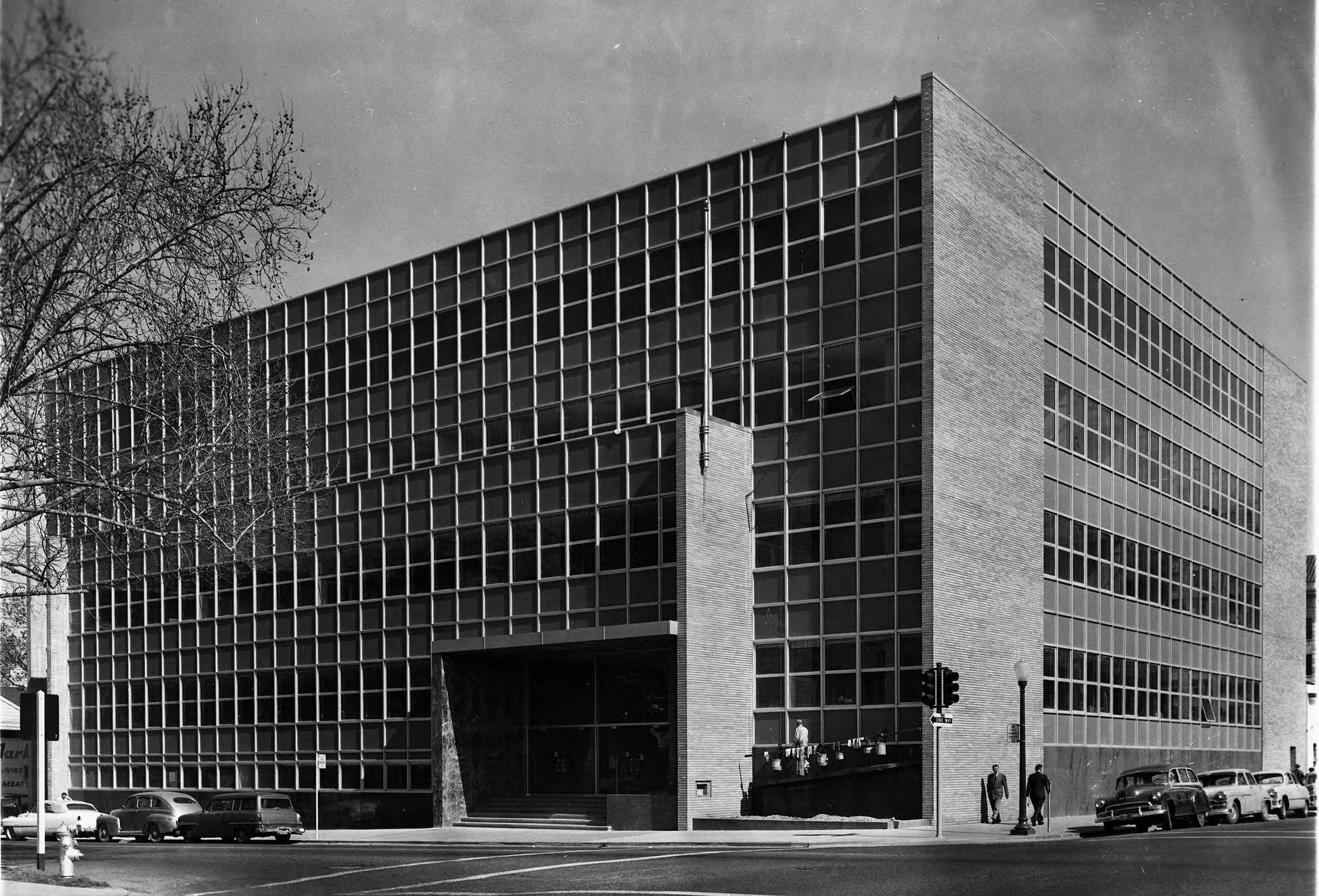 Sacramento Historic District
Figure 9. County of Sacramento Administration Building, designed by Harry Devine (1956). Source: Sacramento Public Library, Sacramento Room.
Sacramento Historic District
Figure 9. County of Sacramento Administration Building, designed by Harry Devine (1956). Source: Sacramento Public Library, Sacramento Room.
or infill projects between the 1940s and 1970s.69
Businesses competing for the attention of drivers passing by on the busy roadways frequently looked to eye-catching features such as neon signage and decorative exteriors to attract potential customers.70
The strict standards that the FHA required for its housing mortgages, however, also led to the “redlining” of many older neighborhoods near city centers that were considered less desirable and economically unstable, including Sacramento’s West End.71 Redlining contributed to racial and socio-economic segregation in the Central City, as many of Sacramento’s older neighborhoods were also typically home to the city’s most ethnically diverse populations, which had been prevented from buying homes in newer residential suburbs by racial covenants. Over time, the practice of redlining neighborhoods led to the widespread divestment and arrested development in urban centers across the country and the redevelopment of the West End in the mid-twentieth century, as described in the World War II, Transportation, and Redevelopment context in the previous section.72
The primary historic themes and events which characterize the history of Mid-Century Modern architecture in Sacramento include:
• Sacramento’s growing population during and after World War II created a demand for new housing that was addressed by federal programs;
• These federal programs, such as the GI Bill and Federal Housing Authority loans, accelerated residential development in the Sacramento area but also led to widespread divestment from and redevelopment of older, ethnically diverse Central City neighborhoods;
• Mid-Century Modern architecture within the Central City was most common in commercial properties, as the majority of residential growth shifted to new outlying suburban neighborhoods.
69 GEI Consultants, 5-4.
70 Ibid., 2-15-17.
71 The term "redlining" refers to the practice of withholding home-loan funds from neighborhoods considered poor economic risks. MeriamWebster.com.
72 Ibid., 2-3-3.
Sacramento Historic District Plans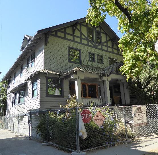
Per the Sacramento City Code, a historic district plan must be adopted for each City-designated historic district that addresses “the goals for review of development projects within the historic district” and “the standards and criteria to be utilized in determining the appropriateness of any development project involving a landmark, contributing resource or noncontributing resource” within the historic district.
The standards and criteria are based on, and written to be consistent with, the Secretary of the Interior’s Standards for the Treatment of Historic Properties and the associated Guidelines for Preserving, Rehabilitating, Restoring and Reconstructing Historic Buildings. In addition, many of Sacramento’s historic districts developed during a similar time period and share similar physical characteristics. As such, many of the standards and criteria are universal and apply to projects within any historic district.
The following Standards & Criteria Common to Sacramento's Historic Districts have been developed to create clear and consistent guidance for the development of projects within Sacramento’s locallylisted historic districts.
Of the four treatments listed in the Secretary of the Interior’s Standard’s for the Treatment of Historic Properties, the Standards for Rehabilitation allow for the most flexibility and are the most commonly applied to proposed projects. The Standards & Criteria Common to Sacramento's Historic Districts build specifically upon the Standards for Rehabilitation to provide guidance for projects related to contributing resources within Sacramento’s historic districts.
Standards and criteria that address the specific and unique characteristics of the individual historic districts are included at the end of each district's individual historic district plan in Section 2.
When planning a project involving modifications to a contributing resource in a historic district, retain and preserve its historic features and materials and, in particular, the character-defining features associated with the architectural style and with the historic district in which the property is located. A historic district’s character-defining features are listed in its individual historic district plan.
Historic features, and especially character-defining features, are essential to establishing the visual character of a contributing resource or historic district. Alterations to historic features have the potential to significantly change an individual resource’s character and impact the overall character of the historic district.
Best practices in historic preservation encourage approaching projects with a treatment hierarchy that starts with the least invasive interventions and progresses to those that involve the most change. Property owners should also be mindful of the minimum maintenance requirements that are prescribed under Sacramento City Code.
Section 1: Sacramento’s Historic Context and Standards & Criteria Standards & Criteria Common to Sacramento's Historic Districts 34 Sacramento Historic District Figure 10. The window and door frames of this house have been replaced with new wood frames that match the original.
1.1 Maintain, repair, and restore historic exterior features, whenever possible, before considering replacement.
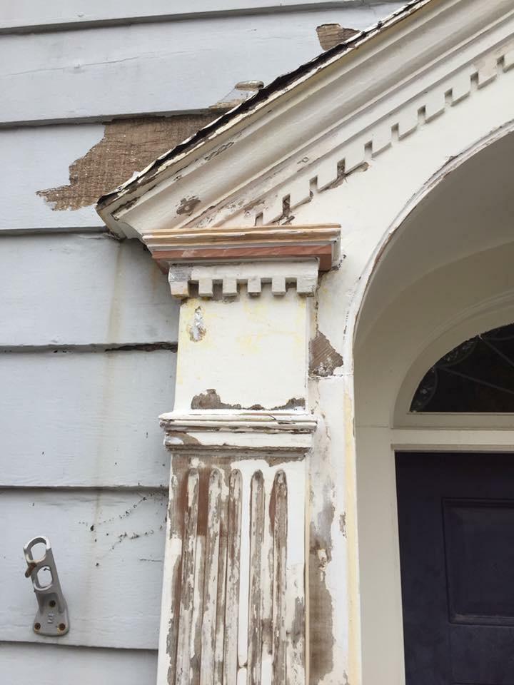
• Patching, piecing-in, splicing, or consolidating existing deteriorated materials, using recognized preservation methods, is encouraged.

1.2 Maintain the size, form, proportions, material, and arrangement of historic features.
1.3 Replace historic features that are deteriorated beyond repair in-kind, to the extent feasible.
• In-kind replacement refers to the replacement of a historic feature with matching material, design, proportion, composition and finish.
• Use replacement only where portions or elements of a historic feature are deteriorated beyond repair.
• If a majority of a non-historic material needs to be repaired or replaced (such as roofing or siding), it is recommended to replace all of the non-historic material so that it matches the historic condition to the extent feasible.
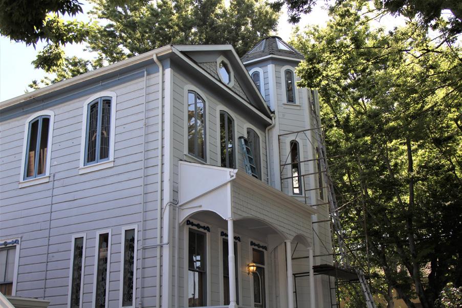
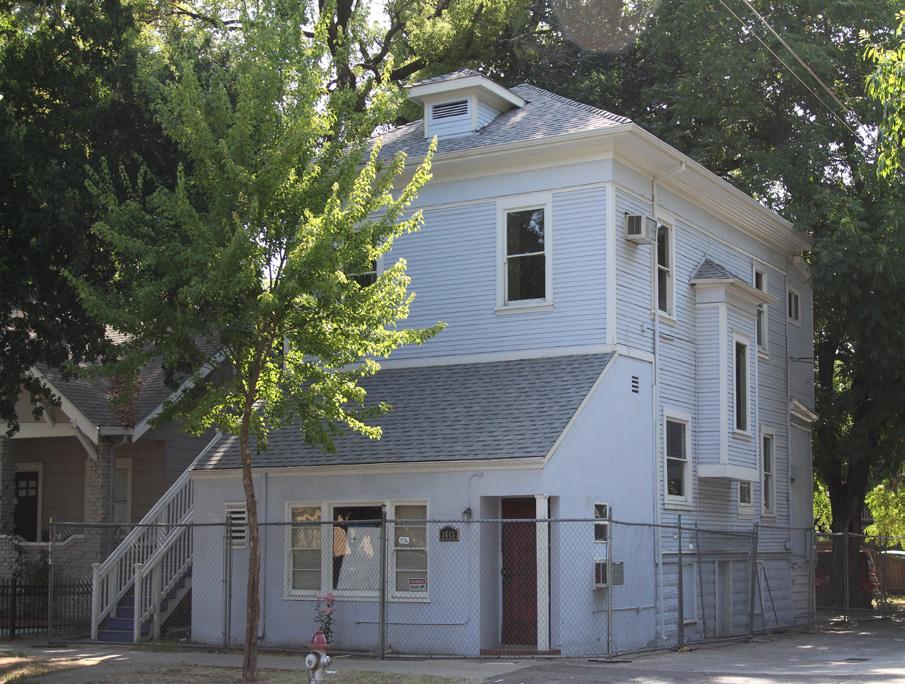
1.4 Avoid introducing new architectural elements or details where they did not exist historically.
• The addition of new features or stylistic elements based on conjecture or that represent a different time period or architectural style than the existing property is discouraged.
Section 1: Sacramento’s Historic Context and Standards & Criteria Standards & Criteria Common to Sacramento's Historic Districts Sacramento Historic District Figure 11. A new pilaster cap replaced with new wood to match the historic, damaged feature. Figure 12. A new turret, porch, and window openings have been added to this house. Figure 13. The porch and primary façade of this house have been covered by a later addition.1.5 Avoid covering or obscuring character-defining features.
1.6 Avoid the use of vinyl windows and false divided lites.
1.7 Protect architectural details from moisture accumulation and infiltration that may cause damage.
1.8 Use methods that minimize damage to the historic materials when disassembly of a historic element is necessary for its restoration.
• When necessary, document the location of a historic feature that will be disassembled so that it may be repositioned accurately after restoration is complete.
1.9 Use procedures for cleaning, refinishing, and repairing historic architectural materials that will maintain the historic material and finish.


• Use the gentlest means possible that will achieve the desired results without damaging the historic materials.
1.10 Replace features that are altered, missing, or non-historic with new features that match the building's original features if adequate evidence exists to determine its historic appearance and material.
• For example, it is appropriate to replace nonoriginal aluminum or vinyl windows where wooden single or double-hung windows existed historically as proven by historic photographs.
1.11 When adequate evidence of an altered, missing, or non-historic feature’s original appearance and materials is not available, design new, replacement features to be compatible with the character of the contributing resource and historic district.
• For example, the replacement of a nonhistoric entry may incorporate a new awning or raised porch if appropriate to the architectural style of the contributing property and the character of the historic district.
1.12 Preserve significant publicly-accessible interior spaces and features which are characterdefining.
• Industrial buildings generally do not include publicly-accessible interior spaces.
1.13 Preserve and retain ground floor features of historic commercial storefronts such as bulkhead panels, kick plates, configuration of display windows, and recessed entryways.
1.14 Consider removing non-historic alterations that are not consistent with the historic design of a commercial storefront and overall architectural style.
• Where a historic storefront is no longer extant, consider rehabilitating the storefront with a design that is a contemporary interpretation of the original historic storefront or surrounding historic storefronts.
feature/material compatible withthe character of the historic districtcompatible with the character of the historic district.
Section 1: Sacramento’s Historic Context and Standards & Criteria Standards & Criteria Common to Sacramento's Historic Districts HistoricCarefully plan building systems upgrades to minimize impacts on the integrity of the historic property and historic district, while enhancing the natural heating and cooling features inherent to historic buildings.
integrated into the planning process.
1.15 Repair and maintain historic energy-saving features, wherever possible.
• Retain historic features that allow for natural climate control, such as roof overhangs, operable windows, shutters, porches, and awnings.
The desire to modernize mechanical systems is one of the most common reasons to alter a historic building. Although historic features such as tree canopies, roof overhangs, porches, and attic ventilation are useful in mitigating the effects of high temperatures, standards of interior climate comfort levels have changed over the last few centuries, and upgrading historic buildings so that they are comfortable for today’s users is necessary to ensure that these buildings continue to be used and maintained. The replacement of older mechanical systems with new heating, ventilation, or air conditioning systems (HVAC) is thus a common goal for buildings in historic districts.
Additionally, increased awareness of energy efficiency and conserving resources involve reconsideration of how people live comfortably and responsibly. Repairing and retaining existing historic features is, itself, an inherently “green” approach, because it saves energy and materials. Building system upgrades, “green” building approaches, and the preservation of a building’s significant historic characteristics are not mutually exclusive and can work in tandem when
• Where feasible, use plants, including shade trees, to provide natural cooling without affecting the historic property.
• If windows are deteriorated beyond repair, install new operable windows.
• Most heat loss related to older windows is the result of air leakage through gaps that have developed because of a lack of maintenance. Repair historic single-pane windows so they function properly and are tight fitting, and consider installing weather stripping or glazing film, rather than replacing windows with double pane or thermal pane units.
1.16 Explore improvements that enhance the performance of historic energy-saving features.
• Install operable systems such as curtains or shades, insulated coverings, or window films that lower heat radiation to enhance the performance of historic windows and doors.
Figure 14. New double-hung windows have been installed on this house.
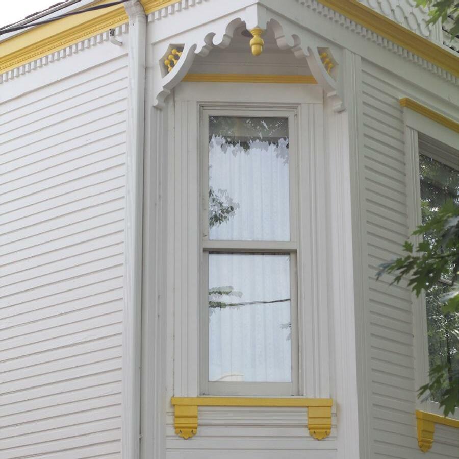 Section 1: Sacramento’s Historic Context and Standards & Criteria Standards & Criteria Common to Sacramento's Historic Districts
• Provide insulation below raised floors, in attic space or within accessible wall cavities to provide valuable insulation to the building envelope.
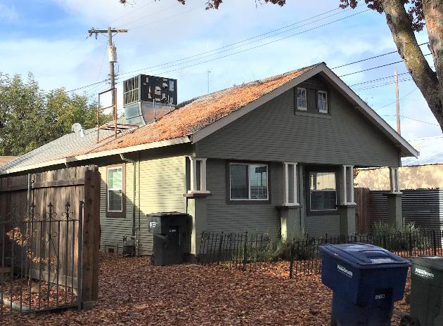
• Install draft stoppers in chimneys.
• Use plantings that provide shade.
• Promote ventilation with operable windows, house fans, and low-profile attic vents.
1.17 Place mechanical equipment in areas that are minimally visible from the street and neighboring properties.
• Mechanical equipment should be placed at ground level, or to the rear or side of the property and screened from view.
• Where possible, install new ductwork within basement and wall voids rather than within attic spaces to improve efficiency.
• If equipment, such as solar panels, must be placed on the roof, configure panels to the extent feasible parallel to the roof plane, with a minimal profile, with no overhang, and no alteration of the existing roof lines.
• Where infeasible to install a conventional cooling system, install ground-mounted condensers that feed an interior “ductless” cooling system. If ground-mounted condensers are not an option, wall- or roofmounted condensers should not be visible from the street or neighboring properties.
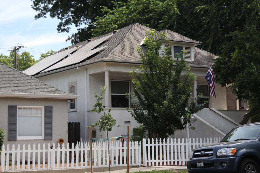
• Window-mounted air-conditioning units on front facades are prohibited.
• Equipment mounted directly on a building should be attached using the least invasive method and without damaging characterdefining features.
• Install new electric, water, and gas meters so they are not visible from the street, where feasible.
• Consider equipment systems that do not require visible, exterior equipment.
1.18 Consider sustainable materials and energy efficient strategies while planning exterior alterations, where possible.
Section 1: Sacramento’s Historic Context and Standards & Criteria Standards & Criteria Common to Sacramento's Historic Districts 38
Sacramento Historic District
Figure 15. The solar panels and attic vents on the roof of this house are appropriately mounted so that they have a low profile and are minimally visible from the street.
Figure 16. An example of roof-mounted mechanical equipment that is highly visible from the street.
Contributing resources must remain in their historic locations unless practical considerations necessitate relocation. If a resource is moved, every effort must be made to reestablish its historic orientation, immediate setting, and general environment in the new location and ensure its continued use.
1.19 Avoid moving a contributing resource unless there is no feasible alternative for preservation at its historic location.
1.20 Relocate contributing resources within the same historic district, whenever possible.
• The relocation of a contributing resource should support or enhance the historic streetscape pattern and context of its new location.
The collective grouping of contributing resources and their relationships to one another is essential to the character of historic districts. The removal or relocation of contributing resources destroys the historic relationship between buildings and the landscape.
1.21 If it is necessary to move a contributing resource to another historic district, the resource should be compatible with the architectural styles and period of significance of the historic district to which it will be moved.
1.22 Consider and respect impacts on characteristic landscape features and surrounding contributing resources when relocating a building.
1.23 Relocate a historic resource so that its new location and orientation are consistent with the setbacks, side-to-side spacing pattern, and street-facing orientation that characterize its proposed new location.
Section 1: Sacramento’s Historic Context and Standards & Criteria Standards & Criteria Common to Sacramento's Historic DistrictsProjects proposed for a contributing resource in Sacramento’s historic districts may involve the construction of additions and accessory buildings. Additions shall be planned sensitively in order to have a minimal impact on the historic district’s characterdefining features. The guidelines in this section are intended to accommodate change—yet also help safeguard a contributing resource’s distinctive form, historic character, and relationship to its historic district.
Additions must be respectful of the existing characterdefining features of the property and be designed in a manner that is compatible with the historic character of the contributing resource and the historic district. The impact to the individual resource’s features and to the public view of the resource will be important factors in approving proposed designs. Appropriate scale and massing are important considerations to ensure that an addition does not overwhelm the primary building. Additions should be of their time and distinguished from the resource’s historic features, yet not in a manner that distracts from the resource.
Figure 17. The use of step backs at roof top additions is recommended.
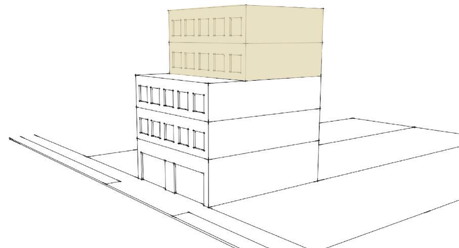
This strategy maintains the historic visual impression of the building, as well as the overall streetscape pattern as experienced in the public realm. For a contributing resource to maintain its historic status, its historic and architectural integrity cannot be diminished or undergo significant impacts. A sensitive addition that respects the historic material, is compatible, and is differentiated helps the contributing resource retain its integrity.
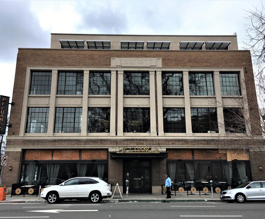 Section 1: Sacramento’s Historic Context and Standards & Criteria Standards & Criteria Common to Sacramento's Historic Districts
Figure 18. This rooftop addition does not detract from the character of the historic building, because it is setback from the primary facades.
Section 1: Sacramento’s Historic Context and Standards & Criteria Standards & Criteria Common to Sacramento's Historic Districts
Figure 18. This rooftop addition does not detract from the character of the historic building, because it is setback from the primary facades.
2.1 Refrain from obscuring, altering or demolishing character-defining features in order to accommodate new additions.
• Whenever possible, elect instead to make alterations and additions in areas that are not visible to the public.
• Avoid demolishing character-defining features, particularly at primary and secondary facades visible from the public right-of-way.
• Existing additions and alterations that occurred during the period of significance for the historic district may contribute to the resource’s historic character and should be assessed.
2.2 Locate additions to minimize their visibility from the public right-of-way and maintain the primacy of the main building.
• Construct additions at the rear of a contributing resource whenever possible.
• Avoid making additions to primary façades.
• Incorporate a clear setback for vertical additions; rooftop additions are ideal if not visible from the street.
• Set back side additions clearly from the primary façade to distinguish the historic building and minimize impacts to the streetscape. Side additions should not project forward of the primary façade.
• Horizontal additions may consider using a “hyphen” to connect the two volumes.
2.3 Respect the massing and scale of the main building when designing an addition.
• The existing height and width of the main building should be perceivable regardless the size of the addition.
2.4 Draw inspiration from the contributing resource’s character-defining features when designing the new addition.
• Consider using complementary materials, datum lines and articulation.
• The solid-to-void pattern of an addition should generally be consistent with that of the contributing resource.
• Design new dormers on residential buildings and upper-story additions on all buildings in a style that is compatible with the architectural vocabulary of the contributing resource.
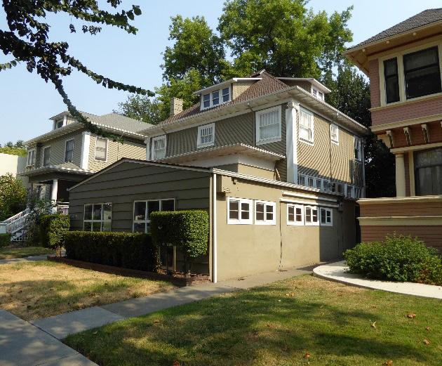
• Consider using a change of plane to differentiate an addition from the historic building.
Figure 19. The rooftop addition on this house has been setback from the front facade.
Figure 20. This addition has been added over the building's primary, street-facing facade and porch.
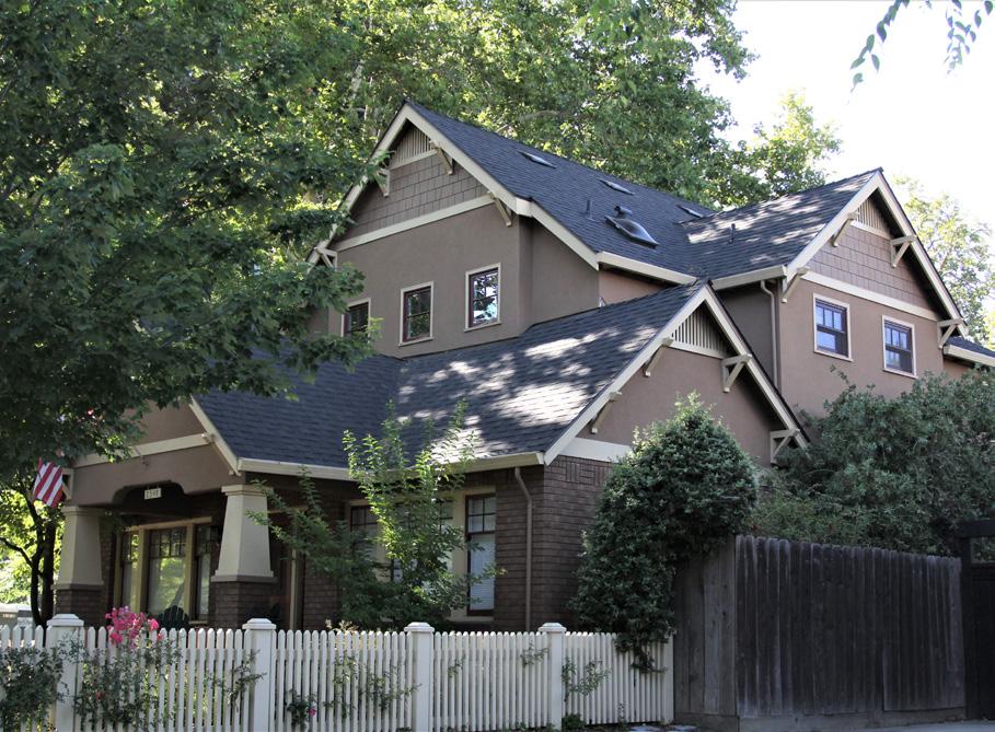 Section 1: Sacramento’s Historic Context and Standards & Criteria Standards & Criteria Common to Sacramento's Historic Districts
Sacramento Historic District
Section 1: Sacramento’s Historic Context and Standards & Criteria Standards & Criteria Common to Sacramento's Historic Districts
Sacramento Historic District
2.5 Avoid matching the addition too closely to the architectural style of the contributing resource and creating a false impression that the addition is historic construction.
2.6 When additions will destroy or obscure original door and window openings, carefully dismantle these openings, and relocate these features to the new exterior wall.
2.7 Salvage and reuse existing siding, trim, and other architectural elements to the extent feasible when removal is required as part of a alteration or addition to a contributing building.
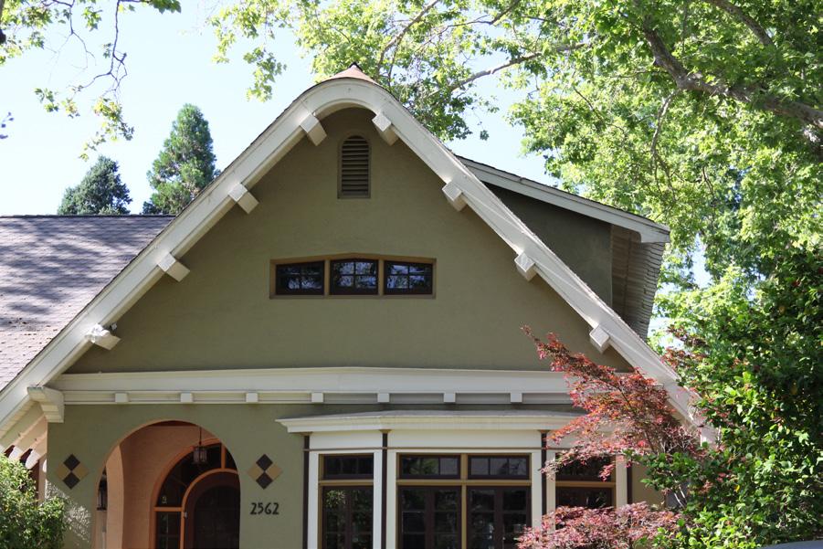
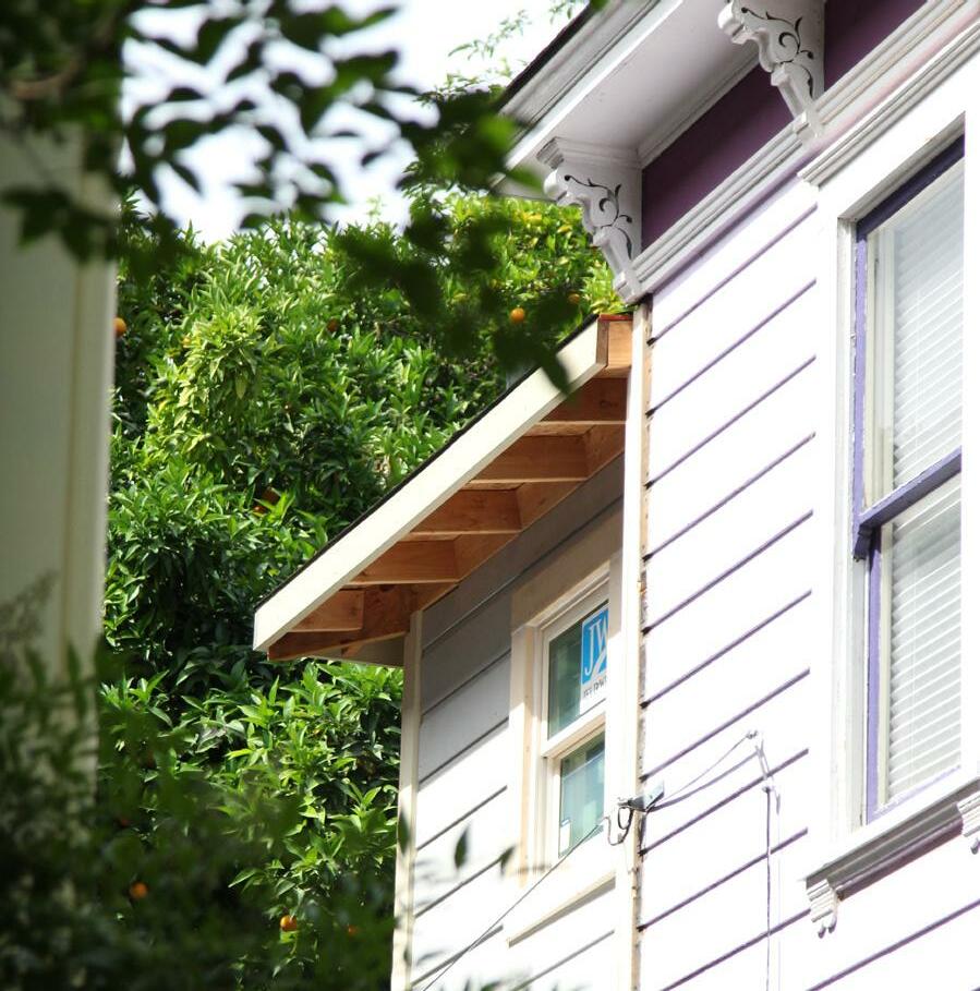
2.8 When demolition of a historic resource is necessary to ensure the health, safety, or welfare of the public, salvage historic architectural elements to the extent feasible and make these available for reuse on other projects in the district.
Figure 22. A change of plane differentiates this addition from the historic building.
Section 1: Sacramento’s Historic Context and Standards & Criteria Standards & Criteria Common to Sacramento's Historic Districts 42
Sacramento Historic District
Figure 21. The new dormer on the right is compatible with the design of the original building.
Construction of detached secondary dwelling units, garages, and storage structures (accessory buildings) shall be designed in a manner that is compatible with and differentiated from the contributing resource in order to preserve the character of the historic district while increasing density or accommodating the property owner’s needs.
2.9 Refrain from obscuring or negatively impacting character-defining features, volumes, and spatial relationships in order to accommodate secondary dwelling units and accessory buildings.
2.10 Locate detached secondary dwelling units and accessory buildings at the rear of the property and preserve the primacy of the contributing resource.
• Attached secondary dwelling units and accessory buildings should be located where there is minimal visual impact to the contributing resource’s primary façade, preferably along the alley at the rear of a property.
Property owners may wish to add a secondary dwelling unit or accessory building, such as a garage or storage structure, to a lot within a historic district. The addition of new secondary buildings or structures can have significant impacts on the historic spatial relationships and appearance of the contributing building. It is important to design such buildings so that the contributing building remains the primary focal point and its integrity is not impaired.
This section addresses detached secondary dwelling units that are not located along an alley and accessory buildings. For infill projects, including secondary dwelling units, that are located on an alley, refer to the section on Alley Infill.
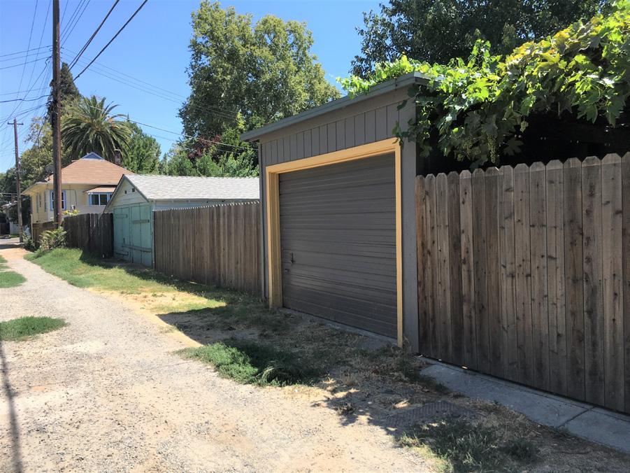
• Avoid designing secondary dwelling units and accessory buildings that are flush with or extend forward from the primary façade of a contributing resource.
2.11 Build secondary dwelling units and accessory buildings in a scale that is compatible with and does not overwhelm the contributing resource.
• Avoid designing a secondary dwelling unit or accessory building that is significantly taller than the contributing resource or that is highly visible from the street.
Figure 23. This secondary dwelling unit (highlighted) is appropriately located at the rear of the property; however, its height causes it to visually dominate the main house on the lot.
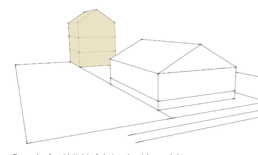
Refer to Section 2 for additional standards and criteria regarding setbacks and building heights in individual historic districts.
Figure 24. This new garage is appropriately located at the rear of the property and scaled to the surrounding residential properties.
Section 1: Sacramento’s Historic Context and Standards & Criteria Standards & Criteria Common to Sacramento's Historic Districts
Sacramento Historic
• It is recommended that the height of new secondary dwelling units and accessory buildings, including roof plate and roof line, generally fall within the height range of existing contributing resources in the district.
• Minimize the impact of a new building that is taller than surrounding contributing resources by breaking up its mass into smaller components or modules that relate to the scale and massing of the surrounding contributing resources and stepping it back.
2.12 Design secondary dwelling units and accessory buildings to be compatible with the design of contributing resource.
• Consider incorporating proportions and profiles into the design of the new accessory building that are compatible with the scale, massing, and proportions of the primary building.
• Consider using a more restrained use of architectural style and features so that the accessory structure does not visually compete with the contributing resource and is clearly subordinate to it. Replicating the architectural style of the contributing resource is not required.
• Landscaping, if feasible, that enhances the building and street and/or alley is encouraged.
• When feasible, provide space for utility units inside new alley accessory buildings to promote a pedestrian friendly environment.
2.13 When adding a new building or structure to a lot, respect and consider the prevailing pattern, location, and ratio of building-to-open-space lot coverage that is characteristic of contributing parcels in the district.
• Siting of new accessory buildings and secondary dwelling units should also carefully consider the impact on buildings on adjacent parcels and avoid aligning with wall openings on adjacent buildings.
2.14 Provide entrances, fenestration, and lighting on the street or alley, unless incompatible with use.
Section 1: Sacramento’s Historic Context and Standards & Criteria Standards & Criteria Common to Sacramento's Historic DistrictsConsider raising a historic building where a flood basement exists or where there is no other alternative to accomplish the project objectives. A building may be raised only if the overall character of the historic building will remain intact.
2.15 Avoid raising a building unless there is an existing flood basement or there is no other alternative for achieving a legal code requirement, particularly for ground floor units.
• Contributing buildings with an existing floor, or high, basement may be raised in order to convert the basement into a new ground floor unit.
• Raising buildings designed in architectural styles in which low, horizontal massing or small scale is a distinctive characteristic, such as most Craftsman, Minimal Traditional, or Ranch style houses, is generally discouraged.
2.19 Minimize the visual impact of stair extensions that result from raising a building.
• Preserve and maintain historic porch and stair details, forms, and configurations.
Many buildings in Sacramento were constructed in the nineteenth century with a flood basement. This resulted in the city’s distinctive “Delta style” house form in which primary residential spaces were located above a raised basement and accessed by a long wooden staircase leading up from the sidewalk. While there is a historic precedent for raising buildings in some of Sacramento’s historic districts, this tradition only applied to certain architectural styles and would not be appropriate for architectural styles that did not feature vertical massing and tall heights. Raising a building also alters the arrangement and appearance of porches and front staircases, which are also prominent character-defining features in many historic districts.
2.16 Minimize the visual impacts of raising a building on surrounding properties and the overall streetscape.
• The raised building should be in proportion to other adjacent contributing buildings.
• Align new window openings with historic window openings in the historic building as closely as possible.
2.17 Use subtle changes in material or detailing to differentiate the addition from the historic building.
2.18 Consider whether a building’s integrity will remain intact if it is raised.
• The overall design of character-defining features such as porches and stairs should be preserved.
• Consider digging out a basement, rather than raising a building, to avoid modifications to front stairs and changes to the building’s overall height in relation to surrounding contributing buildings.
• An extended staircase should not impact the important features of the site.
• Avoid turning stairs to accommodate raising a building if the stairs originally faced the street.
Section 1: Sacramento’s Historic Context and Standards & Criteria Standards & Criteria Common to Sacramento's Historic DistrictsThis section provides standards and criteria for construction of infill development for residential, commercial and mixed-use projects that apply generally to Sacramento's historic districts. Guidelines that apply specifically to a certain historic district are identified in its historic district plan.
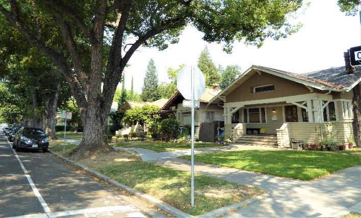
New construction should be reflective of its time and be harmonious with existing historic buildings in terms of setting or site layout, building massing, architectural character, and building materials. Infill development should be developed in such a way as to respect, reflect, or enhance the surrounding historic fabric in each district.
Alterations to existing buildings and new construction must support the historic setbacks, setting, location, and site layout of the historic district in which it is located. This can be accomplished by siting buildings on their lots to reflect historic development and streetscape patterns.
Building setbacks and site layout determine the overall rhythm and visual continuity of a street and vary between different areas of Sacramento. Buildings in the Central City have historically been oriented within the city’s original 1848 street grid to face the street, creating a pedestrian-friendly public environment. Primarily commercial or industrial historic districts, meanwhile, often have a strong street wall of buildings that are built to the front lot line, while primarily residential historic districts are usually characterized by deeper yet consistent setbacks and typically have some open yard space at the rear. Such setbacks reinforce the rhythm and visual cohesiveness of the street and surrounding area as a whole. Areas outside the Central City follow different patterns of site layout and building setbacks that are reflective of their district uses and periods of development. The site design of infill development should reinforce these existing historic patterns.
Figure 28. The site placement of the new building does not respect the setbacks of the adjacent contributing buildings.
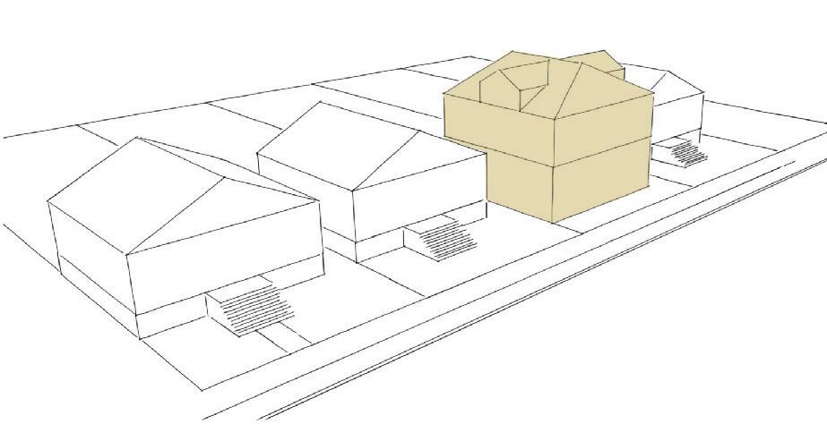
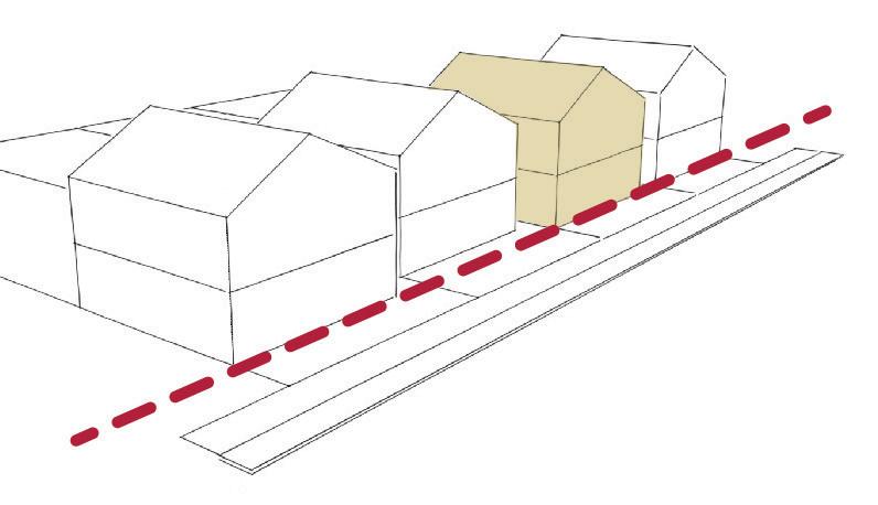
Figure 29. Maintain the historic pattern of circulation from adjacent blocks.
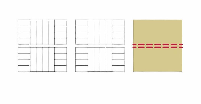 Section 1: Sacramento’s Historic Context and Standards & Criteria Standards & Criteria Common to Sacramento's Historic Districts Historic
Figure 27. The setback of the new house falls within the range of setbacks of neighboring contributing resources.
Figure 26. The houses in the Bungalow Row Historic District are set back a uniform distance from the street to create a consistent block face.
Section 1: Sacramento’s Historic Context and Standards & Criteria Standards & Criteria Common to Sacramento's Historic Districts Historic
Figure 27. The setback of the new house falls within the range of setbacks of neighboring contributing resources.
Figure 26. The houses in the Bungalow Row Historic District are set back a uniform distance from the street to create a consistent block face.
3.1 Refrain from visually impairing the primary front façade of a contributing resource.
3.2 Mitigate views from new construction into adjacent residential structures.
• Strategically place windows, balconies, and roof decks to protect the private realm of adjacent properties.
• Use landscaping or screening features to respect privacy of semi-private outdoor spaces.
3.3 Orient the primary facades and entries of new construction to primary street(s) or alleys in residential and commercial districts in the Central City.
• Corner parcels should follow the existing development pattern of adjacent or nearby contributing properties.
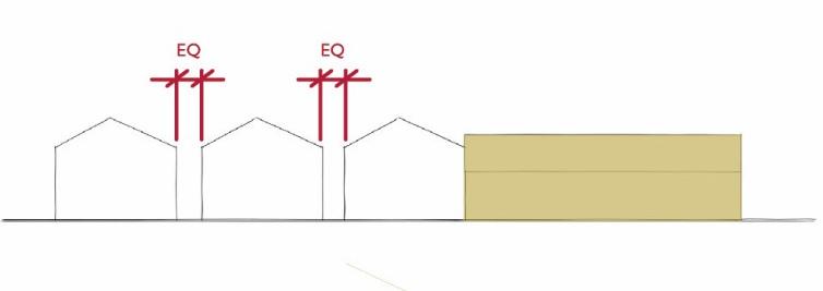
• Courtyard properties should include sidewalk-facing features and elements that address the street and neighborhood pattern.
3.4 Set back new buildings to be consistent with the setback pattern of adjacent contributing properties in order to maintain a continuous street wall and delineation of public spaces.
• Where the setbacks of neighboring contributing resources vary, the setback of new construction should fall within the established range of setbacks of contributing resources in the historic district.
3.5 Provide side setbacks that are consistent with the historic pattern of spacing between adjacent contributing buildings on the same block.
3.6 Provide adequate space between new infill buildings and existing buildings to preserve historic development patterns and prevent overcrowding.
• When adding a new building to a lot, respect and consider the prevailing pattern, location, and ratio of building-to-open-space lot coverage that is characteristic of contributing parcels in the district.
• Siting of new infill building should also carefully consider the impact on buildings on adjacent parcels and avoid blocking existing wall openings in adjacent buildings.
3.7 Allowable encroachments into the setback zone include fences, sidewalks, porches and stoops, so long as existing street wall is maintained by the front façade.
3.8 Maintain a street grid or circulation system that ties into the surrounding pattern of streets and pathways at infill construction that conjoins more than one parcel and allows for pedestrian or vehicular circulation through the conjoined site.
3.9 In predominantly residential areas, include a landscaped front yard that is compatible in size to the front yards of neighboring contributing resources.
3.10 When feasible, include a walkway from new buildings facing the street to maintain the traditional visual connection of buildings to the street.
Section 1: Sacramento’s Historic Context and Standards & Criteria Standards & Criteria Common to Sacramento's Historic Districts 47 Figure 30. The new building on the right does not respect the existing pattern of space and side setbacks between adjacent contributing resources.Design new infill construction so that its massing, scale, and form is compatible with the contributing buildings within the historic district. Pay special attention to the block face where the infill project is located.
3.11 Design new buildings with an understanding of the historic context, character-defining features, and historic significance of the historic district.
• Refer to examples of historic resources that strongly contribute to the historic district, rather than non-contributors or inappropriately altered structures.
Buildings that respect the massing, scale, and form of the historic built fabric reinforce and enhance the visual continuity and quality of the historic districts.
• Infill on non-contributing properties, including vacant lots, should take design inspiration from surrounding contributing properties.
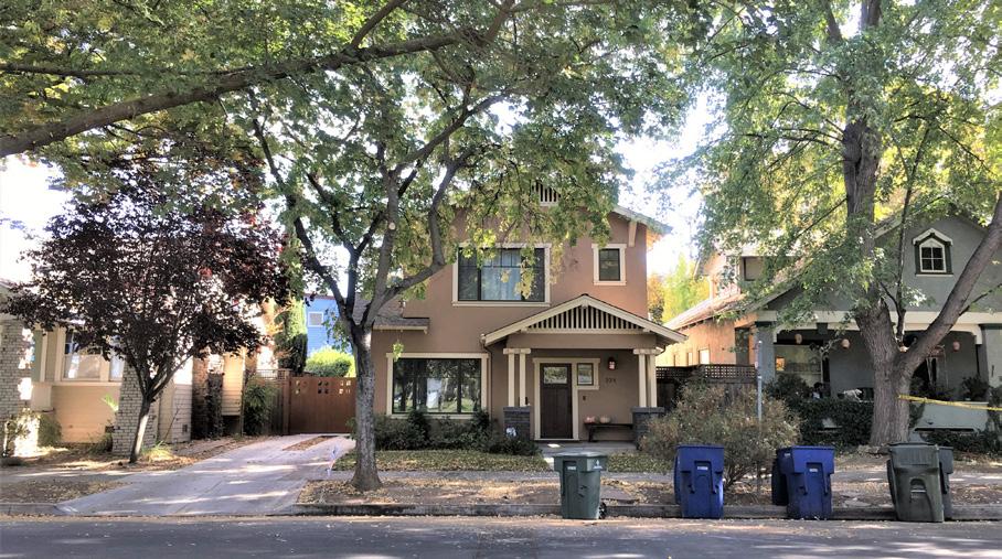
3.12 Develop the scale, proportions, and volumes of new buildings to be compatible with those of adjacent contributing properties.
• New buildings that are significantly larger than contributing buildings on the same block are discouraged.
3.13 When designing new buildings, take into consideration the height range of existing contributing resources in the district (including roof plate and roof line).1
• Pay special attention to the heights of contributing resources on the block face or where the infill project is located.
Figure 31. The height and massing of the new building does not respect those of the surrounding contributing buildings.
1 City code section 17.180.030 defines the height of a building as "the vertical dimension measured from the average elevation of the finished lot grade at the front of the building to the plate line, where the roof meets the wall."
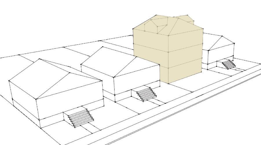 Section 1: Sacramento’s Historic Context and Standards & Criteria Standards & Criteria Common to Sacramento's Historic Districts
Figure 32. The height, massing, scale, and form of this new house is compatible with the historic houses on either side.
Section 1: Sacramento’s Historic Context and Standards & Criteria Standards & Criteria Common to Sacramento's Historic Districts
Figure 32. The height, massing, scale, and form of this new house is compatible with the historic houses on either side.
• Minimize the impact of a new building that is significantly taller than surrounding contributing resources by breaking up its mass into smaller components or modules that relate to the scale and massing of the surrounding contributing resources.
• Masses that are taller than contributing resources in the district should be stepped back from the primary street-facing facade(s).
3.14 Draw broad inspiration for the design of new buildings from contributing buildings of the same type (single- or multi-family residential, commercial, industrial, civic) in the historic district.
• New construction should be reflective “of its time” and avoid mimicking historic styles.
3.15 Step down the height of a taller new building when located adjacent to a shorter contributing building.
3.16 Taller buildings may be appropriate at terminus, corner sites or important commercial corridors.
3.17 Orient primary facades and entries of new construction in residential and commercial districts in the Central City to primary street(s).
Figure 33. These new apartment buildings match the setback, scale, and street-facing orientation of adjacent contributing buildings.
Figure 34. The larger massing of this multi-family residential building has been broken down into smaller modules that relate to the surrounding neighborhood.
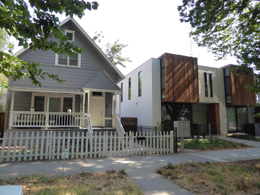
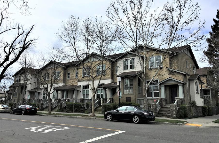 Section 1: Sacramento’s Historic Context and Standards & Criteria Standards & Criteria Common to Sacramento's Historic Districts
Sacramento Historic District
Section 1: Sacramento’s Historic Context and Standards & Criteria Standards & Criteria Common to Sacramento's Historic Districts
Sacramento Historic District
New architecture must enhance the visual compositional quality of a historic district by exploring new creative, artistic visions that respect and respond to the area’s established historic character, range of attributes, and context.
3.18 Avoid imitating or replicating historic styles in new construction in a manner that could be falsely interpreted as historic.
The variety of architectural styles in a historic district is one of the key physical attributes that contribute to the visual character and appealing quality of these areas. New building designs that ignore the historic built fabric in a district may significantly alter and detract from this experience. New designs and creativity that respect and respond to their surrounding historic context can enhance the existing relationships within the historic district and should be encouraged.
3.19 Consider the incorporation or contemporary interpretation of design features of nearby or adjacent historic buildings into public facing facades to strengthen important relationships that exist between properties. Use modern methods and materials to incorporate architectural characteristics of nearby or adjacent historic styles without mimicking.
3.20 Consider incorporating traditional commercial storefront elements—such as a kickplate, display windows, recessed primary entrance, and door and storefront transom windows—in the design of new storefronts.
• Recess the primary entrance door back an adequate amount from the front facade to establish a distinct threshold for pedestrians.
3.21 Design building components and features to be of a compatible scale and placement to those of surrounding contributing properties.
3.22 Design new buildings with passive cooling features found in historic districts.
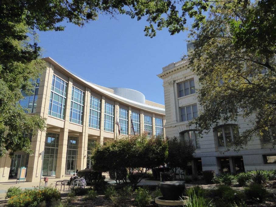
• When not possible, utilize the average datum lines of contributing properties.
• Consider incorporating operable windows, covered porches, high ceilings, and perimeter foundations with ductwork run below the building.
Figure 35. The City Hall extension features a contemporary design that respects and enhances the character of the surrounding historic district.
Section 1: Sacramento’s Historic Context and Standards & Criteria Standards & Criteria Common to Sacramento's Historic DistrictsChoose building materials used in new construction that are appropriate to its architectural style and of a quality, scale, color and texture that is compatible with the character of the historic district.
3.23 Use exterior materials similar to or compatible with those found on adjacent or nearby contributing properties within the district.
3.24 Use high quality, environmentally friendly building materials that are consistent with the materials of adjacent or nearby contributing properties within the district.
3.25 Avoid obviously synthetic materials that mimic traditional building materials.
The materials and finishes of a building help to define its style, quality, relationship to human scale and the color and texture of a neighborhood. Appropriate material selections offer a distinctive way to provide visual cohesion within the block or district.
Figure 37. The incorporation of traditional materials, such as wood siding, into new designs can help infill with a contemporary design blend in with a historic neighborhood.
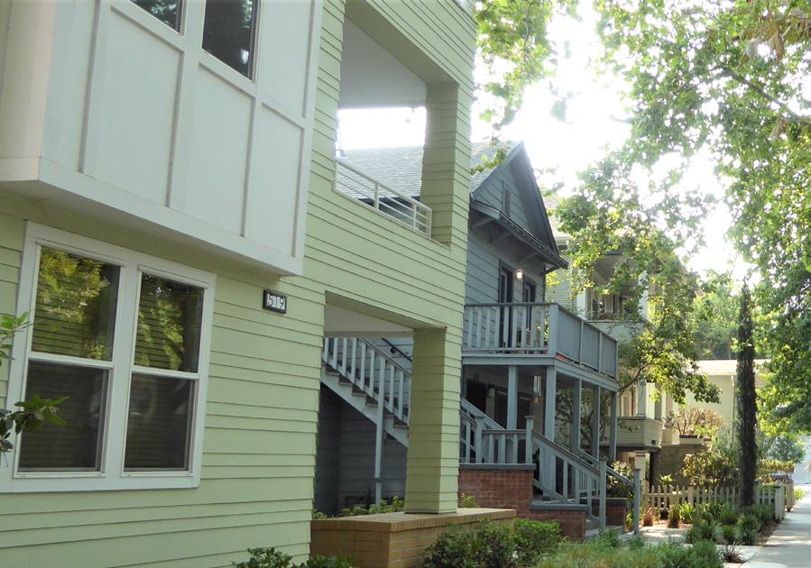
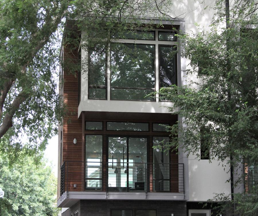 Section 1: Sacramento’s Historic Context and Standards & Criteria Standards & Criteria Common to Sacramento's Historic Districts 51 Historic District
Figure 36. The materials of the new infill on the left echo the horizontal wood siding and features on the adjacent contributing building.
Section 1: Sacramento’s Historic Context and Standards & Criteria Standards & Criteria Common to Sacramento's Historic Districts 51 Historic District
Figure 36. The materials of the new infill on the left echo the horizontal wood siding and features on the adjacent contributing building.
Window and door openings shall reinforce the patterns of pedestrian circulation, visual connection, and solidto-void ratios of adjacent or nearby contributing resources within the block.
3.26 Incorporate window and door datum lines that are compatible with those of adjacent contributing resources.
3.27 Consider location of doorways and circulation patterns along street with new proposed entryways.
3.28 Use window and door materials that match or are sympathetic with the historic fabric of surrounding contributing resources.
Windows and doors are primary features that help to define the connection between the street and the building, as well as depth, scale and rhythm of a building. These openings provide articulation and transparency to a façade.
3.29 Use proportions, depth, and materiality at window and door openings that are reflective of those found in nearby or adjacent contributing buildings within the historic district.
Figure 38. The use of vinyl frame windows with false divided lights are not compatible with the wood frame windows of the contributing building on the left.
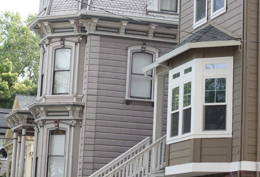
Figure 40. The proportions, depth, and materiality of the window and door openings of these infill buildings reflect those of many contributing buildings found throughout Sacramento's historic districts.
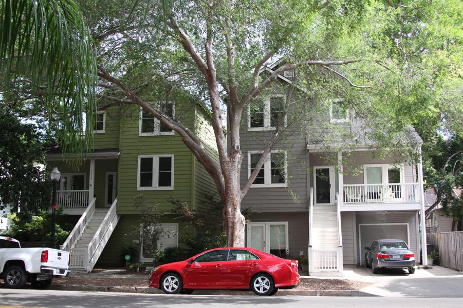
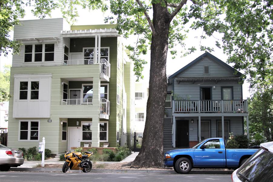 Section 1: Sacramento’s Historic Context and Standards & Criteria Standards & Criteria Common to Sacramento's Historic Districts Historic
Figure 39. The horizontal window and opening datum lines of the infill on the left are aligned with those of the contributing building on the right.
Section 1: Sacramento’s Historic Context and Standards & Criteria Standards & Criteria Common to Sacramento's Historic Districts Historic
Figure 39. The horizontal window and opening datum lines of the infill on the left are aligned with those of the contributing building on the right.
Site features, streetscape, and landscaping are critical components in forming the character of a historic district. Everything from the overall streetscape, street pattern, and relationships between buildings and open spaces, and the front yards to the public sphere of streets, sidewalks, and parks, contribute to the historic district’s character and sense of place.
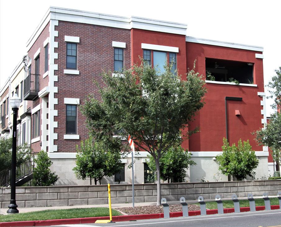
Much of the public realm—the street grid, streets, and street trees—is overseen by the City of Sacramento. However, property owners can have a large impact on the character of a historic district through landscaping, fences and walls, and driveways and walkways in front of individual properties. It is important, therefore, that such work respects the character-defining features of the district, while also adhering to other City ordinances, codes, and regulations.
Fencing and screening features must preserve historic patterns of visually separating public and private spaces while considering overall impacts on the historic district’s streetscape.
4.1 Preserve and maintain historic fences and site walls, wherever possible.
• Replace only portions of historic fences or site walls that have deteriorated beyond repair.
Fences are a character-defining feature of many of Sacramento’s historic districts, particularly those that are primarily residential in nature. Historically, fences in Sacramento were generally low in height, approximately three-feet-tall; supported by low brick piers or mounted on a stone or concrete curb; and made of wrought iron, wire, or wood. The use of fences created a clear, visual delineation in the broader neighborhood streetscape between the public realm of the sidewalk and street and the private realm of an individual property while remaining subordinate in scale to the building itself. Most were designed to be transparent in nature and, because they were low in height, permitted views of the individual properties that contributed to the visual interest of the street.
Because of the impact fences and other types of screening features can have on the overall character of a historic district, special consideration should be made when planning projects that involve these features.
• Protect historic fences and screening features through regular maintenance, such as painting or staining historic wood fences to protect them against weather or repointing walls with a mortar mix that matches the historic in composition, color, and finish.
Section 1: Sacramento’s Historic Context and Standards & Criteria Standards & Criteria Common to Sacramento's Historic Districts Figure 41. A historic wall has been preserved and been incorporated into the design of this new housing development.• Recycling historic materials, such as brick, to create new fencing of a non-historic design is discouraged, except in rare instances when there is no other way to preserve the feature or material.
4.2 Design new fencing and screening elements so they are consistent with the scale, style, and materials of the historic property and overall historic district.
• New designs should be compatible with the historic features that are visible at surrounding contributing resources in the same historic district.
• The use of materials that are not consistent with the character of the neighborhood— such as chain link, vinyl, and plastic—is prohibited in most instances.
• New fencing designs should be scaled relative to the scale of the building structure and allow views of the primary façade from the public right-of-way, as well as views of the street by the building occupants.
• Replicating historic fencing designs is discouraged, where there is no documented evidence of their existence.
4.3 Scale fences and screening features to avoid obscuring views of historic properties, architectural features, or streetscapes.
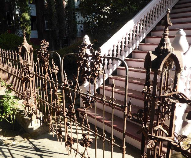
Figure 44. The scale of this fence is appropriate to the scale of the house; however, the use of chain link is not compatible with the predominately wood materials of the house and overall historic district.
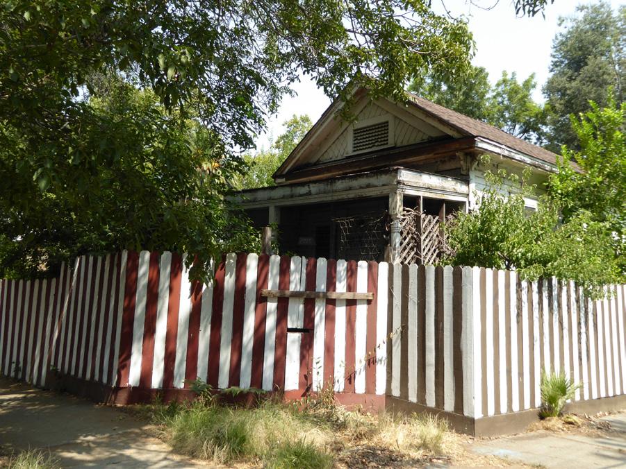
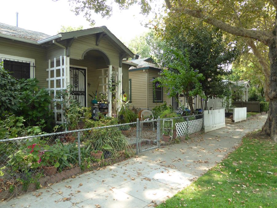
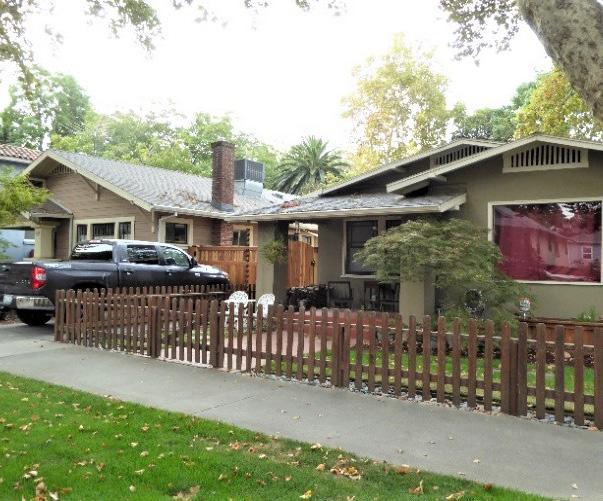 Section 1: Sacramento’s Historic Context and Standards & Criteria Standards & Criteria Common to Sacramento's Historic Districts 54
Sacramento Historic District Plans Final
Figure 42. The scale, materials, and location of this new fence have been appropriately designed to match the property.
Figure 43. This historic wrought iron fence has been preserved in place.
Figure 45. The height and opaque quality of this fence prevents views of the building's primary facade from the public right-of-way, as well as views of the street by the building occupants.
Section 1: Sacramento’s Historic Context and Standards & Criteria Standards & Criteria Common to Sacramento's Historic Districts 54
Sacramento Historic District Plans Final
Figure 42. The scale, materials, and location of this new fence have been appropriately designed to match the property.
Figure 43. This historic wrought iron fence has been preserved in place.
Figure 45. The height and opaque quality of this fence prevents views of the building's primary facade from the public right-of-way, as well as views of the street by the building occupants.
• Fences and screening elements located in front of the primary façade(s) of a building should be transparent in nature and subordinate in scale to the historic features of the property to maintain views of the property that contribute to the overall streetscape.
4.4 Place fences and screening features to maintain the visual progression from public to private spaces.
• Fencing and screening features should be placed along property boundaries.
• Solid fences or walls located at the side of a property should be set back from the primary building façade to maintain historic patterns of open space between individual buildings.
• Side fences or walls may be taller than those located in front of a property, but taller portions should be set back behind the front plane of the building.
Section 1: Sacramento’s Historic Context and Standards & Criteria Standards & Criteria Common to Sacramento's Historic Districts 55 Historic District
Figure 46. The height and opaque design of this block views of the house from the street.
Maintain and enhance historic patterns of plantings, views, and openness that characterize the transition between the street and individual properties in the historic district. New planting must respect and not destroy historic landscape patterns.
Landscape design is an important feature that ties together the built environment of Sacramento’s historic districts. It affects the pedestrian experience in front of all types of properties, creates or softens the public-private transition between the street and individual properties, and enhances the character of a historic district’s overall streetscape.
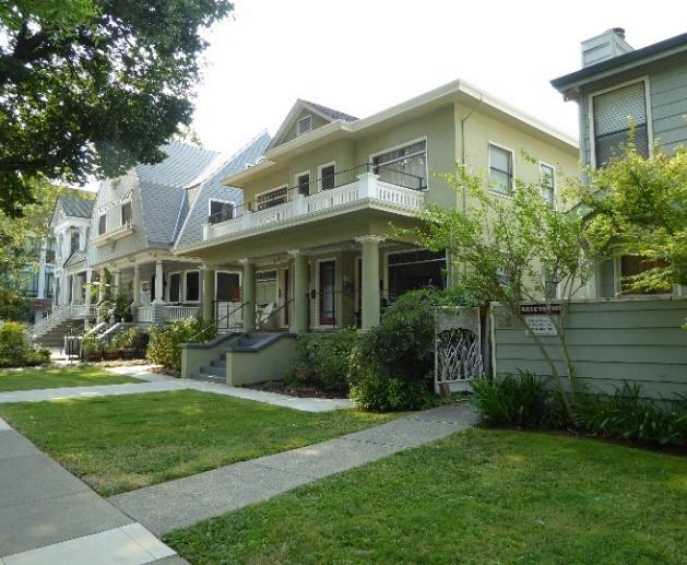
4.5 Preserve and maintain historic landscape features and patterns, wherever possible.
• Avoid altering a property’s historic lot grade.
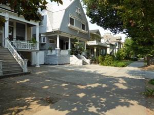
• If known, historic plantings—particularly historically significant protected trees, shrubs, and garden designs—should be preserved and maintained.
• Avoid installing hard surface paving or synthetic ground coverings in areas that were planted historically and are visible from the street, such as front yards and park strips (the planting strip between the sidewalk and the street).
4.6 Design new landscape features to be consistent with the character of the historic district.
• Consider low-lying landscape material where adjoining neighboring lawns, planted areas or sidewalks.
• Consider using permeable surfaces comprised of natural materials (i.e., stone, gravel) or explore native, drought-resistant plant varieties and arrangements to convey a lush character.
• Consider the use of synthetic grass (turf) only when it is of high-quality, has a high pile, and is installed by a qualified landscape professional.
• Avoid impacting views and streetscapes with landscape features that are overly large or out of scale with the neighborhood.
• Consider neighborhood plant and tree species when selecting new plantings.
• Supplementing existing tree and shading coverage is encouraged where breaks exist in larger landscape patterns.
4.7 Design landscaping that will shade the southern elevation and outdoor space.
Section 1: Sacramento’s Historic Context and Standards & Criteria Standards & Criteria Common to Sacramento's Historic Districts 56 Figure 47. Planted front lawns create a distinctive visual pattern on this block. Figure 48. Lawns in front of these properties have been paved over.Lighting and signage shall preserve and respond to the character of the historic district while enhancing the public experience.
4.8 Preserve and restore historic lighting and signage, wherever possible.
• Historic signage on all visible facades of the building should be maintained and preserved, when not damaged beyond repair, including painted wall signs and “ghost” signs that may be located on secondary side or rear facades.
Lighting and signage pay essential roles in enhancing the character and functionality of a historic district. Lighting is important for public safety and for the security of a property. Exterior lighting can also be used to accentuate landscape design and the overall setting. Signage, meanwhile, provides direction that facilitates the movement of people and creates an attractive and inviting atmosphere, particularly in historic districts with commercial uses.
Lighting and signage are thus key design considerations that should be addressed when planning a project in a historic district.
• Repair, rather than replace damaged historic lighting or signage. If necessary, replace only parts of historic light fixtures and signage that are deteriorated beyond repair.
4.9 Design new lighting or signage to compliment or enhance the architectural composition and features of the building and the overall character of the historic district.
• New lighting or signage should be designed as an integral part of the building façade and composition.
• Lighting and signage should be placed to enhance and, where possible, fit within existing architectural features. Designs that block or obscure character-defining features are not appropriate.
• Lighting and signage should be designed to be in scale and proportion with the building in order to avoid dominating the building’s appearance.
• New designs should use materials that are compatible with the style and character of the building and historic district.
Figure 49. The original marquee of the Crest Theater is a good example of a preserved and restored historic lighting feature that is unique to its property type.
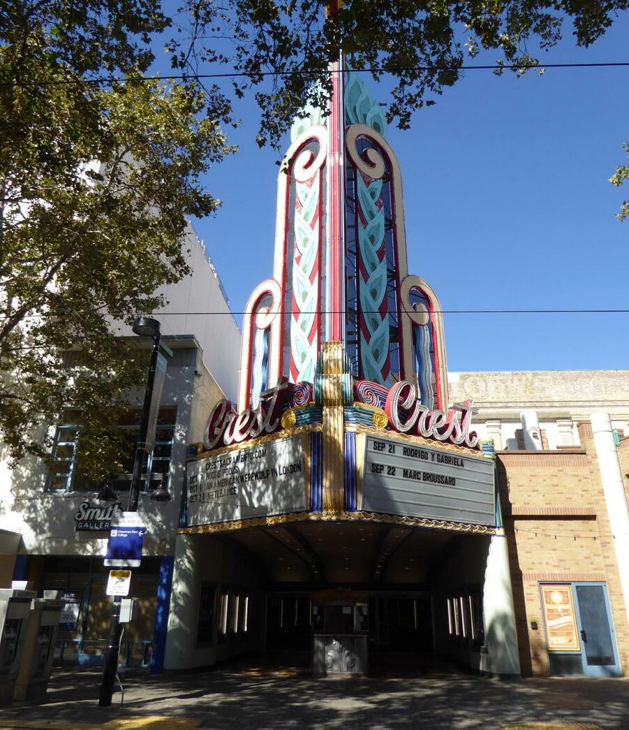 Section 1: Sacramento’s Historic Context and Standards & Criteria Standards & Criteria Common to Sacramento's Historic Districts Historic
4.10 Design signage and lighting that is pedestrianoriented and at a human scale.
• Signs should be legible when viewed from the sidewalk.
• The placement of signage should follow historic patterns of sign placement in the historic district.
4.11 Design illumination levels to achieve a complimentary balance between the architecture of the building, character of the historic district, and the design of the sign itself.
• The use of shielded and focused light sources that direct light toward a sign or onto the ground is recommended.
• High intensity light sources that overpower the building or street edge are discouraged.
4.12 Consider the effect of new exterior lights on the historic environment.
• Select fully shielded exterior light fixtures that emit no light upward and are dark sky compliant.
• When installing Light Emitting Diode (LED) light fixtures and bulbs, select “warmwhite” or filtered LEDs to minimize blue light emission.
Section 1: Sacramento’s Historic Context and Standards & Criteria Standards & Criteria Common to Sacramento's Historic Districts 58 Sacramento Historic District Figure 50. This sign has been designed to be compatible with the historic building in scale, proportion, materials, and placement. Figure 51. “Ghost” signs add character and visual interest to historic districts.Projects in a historic district that include parking must analyze and respond to the historic circulation patterns found in the historic district. This section focuses on siting or landscaping related to driveways, parking, and service areas. For standards and criteria related to the construction of new carports, garages, or storage structures, refer to the Additions & Accessory Structures section.
4.13 Avoid adding paved parking pads and large expanses of paving to front yards in residential districts found in the Central City.
• When this is not possible, use pervious materials that allow for turf to screen the paving surface.
• Avoid displacing lawn, landscaping or site features with parking.
Driveways, parking, and service areas shall supplement the character of the historic district’s streetscape by respecting historic development and circulation patterns.
4.14 Preserve historic patterns of driveways, service areas, and vehicle storage in the historic district.
4.15 In the Central City, locate new curb cuts for vehicular access at alley or numbered streets, whenever possible.
• In the Central City, driveways on lettered streets should be considered after driveways on alleys and numbered streets prove infeasible.
The pattern of driveways, parking, and service areas in a historic district is often reflective of the primary time period during which the district developed. Historic properties within Sacramento’s Central City typically developed during the 19th and early 20th centuries and frequently do not feature driveways or parking areas. In these areas, ancillary uses, such as carriage storage and automobile parking, historically occurred on the alleys. In contrast, historic properties that developed primarily in the mid-twentieth century were often oriented around the automobile and incorporate driveways and dedicated parking areas into their design. These patterns contribute to conveying the broad historic character of the district.
• Existing, historic one-car driveways, and the best examples of garages and carriage houses that date to the historic district’s period of significance and retain the basic physical features that convey the district’s historic significance should remain in their historic locations whenever possible.
• In the Central City, avoid creating or expanding driveways on street frontages in excess of one-car-width (10’ wide) across
• Avoid creating a new driveway on a street frontage that negatively affects the character of the historic district
Section 1: Sacramento’s Historic Context and Standards & Criteria Standards & Criteria Common to Sacramento's Historic Districts Figure 52. Parking and service areas are appropriately located along the alley at the rear of these properties.4.16 In historic districts in the Central City, minimize the visual impact of parking and service areas— including driveways, garages, parking lots, and trash storage—on neighboring historic properties as much as possible.
• Entrances to parking lots, garages, or service areas should be located on the alley, when feasible, or to the rear of the property with access via a side driveway, when alley access is not available.
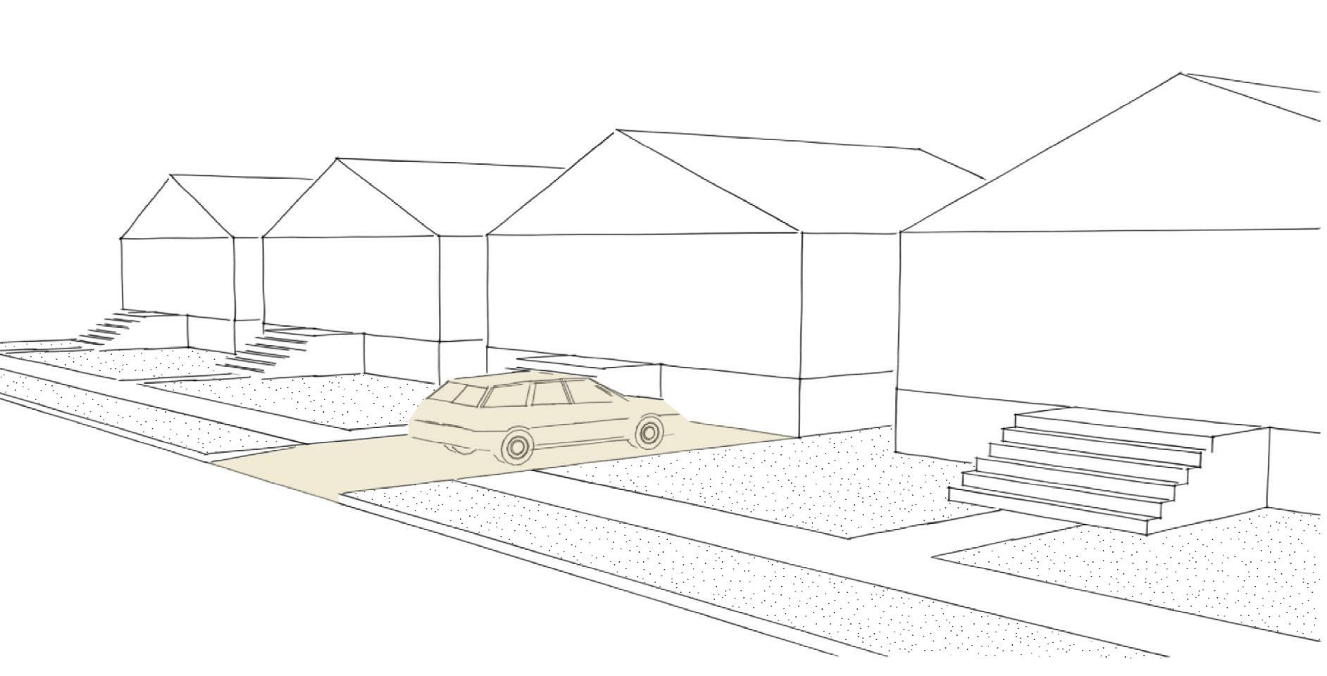
• Screen parking or service areas with fencing, vegetation, or other landscaping features when possible.
• Consider materials and configurations that minimize visual impacts, such as ribbon driveways that consist of two paved driving strips with turf between the strips.
Section 1: Sacramento’s Historic Context and Standards & Criteria Standards & Criteria Common to Sacramento's Historic Districts Historic District
Figure 54. Avoid adding paved parking pads and large expanses of paving to front yards in residential districts found in the Central City.
Figure 53. Climbing plants have been used to screen this parking area from view.
Preserve and protect site elements in the public rightof-way that define the historic district’s established and distinctive streetscape.
Many site elements that are in the public rightof-way—such as sidewalks, walkways, and street trees—are vital to creating the unique character of Sacramento’s historic districts. Although these elements are in the public-right-of-way and maintenance is often under the charge of the City, the relationship and potential effect of projects within historic districts are necessary to consider.
The City of Sacramento has established that “trees are a signature of the city and are an important element in promoting the well-being of the citizens of Sacramento…[and] that it is in the public interest to protect and manage tree resources within the city in order to preserve and maintain the benefits that they provide to the community.”2
Sacramento is often referred to as the “City of Trees” due to the abundance of mature trees that line many streets in the Central City and surrounding neighborhoods. Many of these trees were planted when the neighborhoods in which they are located were originally developed, making them as historic and essential to the visual character of many of Sacramento’s historic districts as the buildings themselves.
4.17 Preserve and maintain mature trees, wherever possible.
4.18 Replace mature trees that have been removed in-kind or with a compatible species.
• When feasible, replace a removed mature street tree with a specimen of the same species. If replacement in-kind is not feasible, it is recommended to replace the removed tree with a tree that will have a similar form and size when mature.
• Replacement street trees should be planted such that the pattern and spacing between established street trees on the same block is maintained.
4.19 Preserve and maintain the traditional pattern of street trees and park strips, wherever possible.
• Avoid replacing areas that were historically planted, such as park strips, with hard and or impervious surfaces.
• Avoid planting species of trees or shrubs in park strips that are inconsistent with the historic landscaping patterns and character of the neighborhood.
• Restore park strips by removing driveways or other paving that have interrupted the continuous park strip.
2 Sacramento City Ordinance #2016-0026 § 4.
Section 1: Sacramento’s Historic Context and Standards & Criteria Standards & Criteria Common to Sacramento's Historic Districts Figure 55. Parking strips planted with rows of mature street trees are a character-defining feature of many of Sacramento’s historic districts. Figure 56. Many mature street trees in Sacramento date back to the neighborhood’s initial period of development.Although sidewalks are in the public right-of-way, the Sacramento City Code and state law require property owners to maintain and repair public sidewalks in front of their property. The City of Sacramento maintains all curbs, gutters, and pedestrian ramps, as well as any drains that may need reconstruction when curb or gutter repairs are performed.3
The visual appearance of sidewalks is closely tied to the quality of a historic district’s streetscape and public realm.
4.20 Preserve historic sidewalks and granite curbs, wherever possible.
• Replace only those portions of historic sidewalks or street curbs that are deteriorated beyond repair.
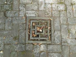
• If a portion of the sidewalk is too deteriorated to repair, consider replacement paving materials that match the historic as closely as possible.
4.21 Maintain the visual progression between public to private spaces.
• In residential areas, the typical tradition of “semi-private” walkways between the “public” sidewalk and a residence’s front entrance should be maintained.
4.22 Maintain the existing historic pattern of public sidewalks running parallel to streets.
• Avoid creating new sidewalk shapes and patterns that do not correspond to historic patterns, except where it is necessary to preserve mature trees.
3 “Sidewalks, Curbs, and gutters,” City of Sacramento, accessed November 26, 2018, http://www.cityofsacramento.org/Public-Works/MaintenanceServices/Sidewalks-Curbs-Gutters.
Section 1: Sacramento’s Historic Context and Standards & Criteria Standards & Criteria Common to Sacramento's Historic Districts 62 Sacramento Historic District Plans Historic sidewalks contribute to the character of a Figure 58. A historic granite curb.Hitching posts, upping stones, and cobblestone paving are visual reminders of the days of horse-drawn transportation in Sacramento. Surviving examples have become rare as many have been removed over time.
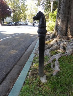
4.23 Preserve historic hitching posts, upping stones, and cobblestones wherever possible.
• If these rare features are in conflict with projects that cannot be avoided, relocation to a compatible site on private property is preferable to demolition.
• If these features must be removed because they are deteriorated beyond repair or pose a safety hazard, consider documenting the historic features, replacing them in-kind to match the originals, or relocating them to a safe location on private property.
4.24 Avoid introducing hitching posts, upping stones, or other elements that are not original to the property or were not documented as having been present during the historic district’s period of significance in order to avoid creating a false sense of historical development.
Utilities are essential to modern-day living but can visually interrupt the character and cohesiveness of a historic district when they are prevalent.
4.25 Avoid placing above-ground power transformers along primary streets.
• Use below grade vaults or locate within secondary streets, alleys, or landscaped areas.
4.26 Screen or mask above-ground utility boxes from views along sidewalks or primary streets.
• Coordinated screening techniques, such as the Capitol Box Art Project, are encouraged.
Section 1: Sacramento’s Historic Context and Standards & Criteria Standards & Criteria Common to Sacramento's Historic Districts 63 Sacramento Historic District Plans Figure 59. Hitching posts (top) and carriage upping stones (bottom) are visual reminders of Sacramento’s horse-drawn carriage days.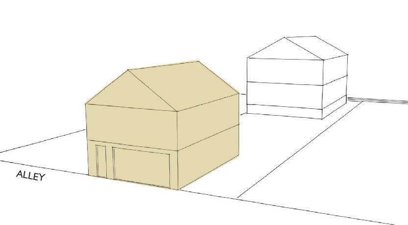
New alley infill, whether on a contributing or noncontributing parcel, must be carefully and thoughtfully designed to demonstrate an understanding of the district's historic context, architectural styles and features, and pattern of spatial arrangements.
5.1 Design alley infill with an understanding of the historic context, character-defining features, and historic significance of the historic district.
• Refer to examples of historic resources that strongly contribute to the historic district, rather than non-contributors or inappropriately altered structures.
Alleys in the Central City were an integral part of the plan for Sacramento's original, nineteenth-century street grid. The plan called for each city block to be bisected by an alley, which provided dedicated space for auxiliary uses and structures, as well as modestlysized houses for the city's residents. The pattern of spacing between the main building on a lot and buildings located on alleys varied from neighborhood to neighborhood, resulting in neighborhoods with greater lot density than others. As Sacramento's population grows and development pressures increase, understanding this historic pattern of development and the historic context of the neighborhood can be used to sensitively address the need to increase density in the city's historic districts while preserving the character of these special places.
• Alley infill on non-contributing properties, including vacant lots, should take design inspiration from surrounding contributing properties.
5.2 Develop the scale, proportions, and volumes of alley infill to be compatible with those of adjacent contributing properties.
5.3 Take into consideration the height range of existing contributing resources in the district (including roof plate and roof line), when designing new alley infill.
• Pay special attention to the heights of surrounding contributing resources in the district. New buildings on an alley that are significantly larger than adjacent contributing buildings are discouraged.
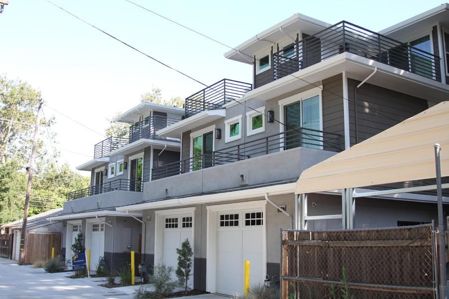
• Minimize the impact of a new building that is significantly taller than surrounding contributing resources by breaking up its mass into smaller components or modules that relate to the scale and massing of the surrounding contributing resources.
• Step down the height of a taller new alley building when located adjacent to a shorter contributing building.
Section Sacramento’s Historic Context and Standards Criteria Common to Sacramento's Historic Figure 62. The taller massing of these three-story alley infill buildings has been stepped back from the alley face. Figure 61. The placement, height, massing, and scale of this alley infill building are appropriate to the contributing building on the lot.5.4 Consider implementing a more restrained use of historic architectural styles and features present in the historic district so that the alley infill does not visually compete with and is clearly subordinate to the district's contributing resources.
• New construction should be reflective “of its time” and avoid mimicking historic styles.
5.5 When designing alley infill on a parcel with a contributing resource, draw inspiration from the contributing resource’s character-defining features.
• Consider using materials, datum lines, and facade articulation that complement the contributing resource.
• The solid-to-void pattern of door and window openings should generally be consistent with that of the contributing resource on the parcel.
5.6 Provide adequate space between new alley infill buildings and existing buildings to preserve historic development patterns and prevent overcrowding.
• When adding a new alley infill, respect and consider the prevailing pattern, location, and ratio of building-to-open-space lot coverage that is characteristic of contributing parcels in the district.
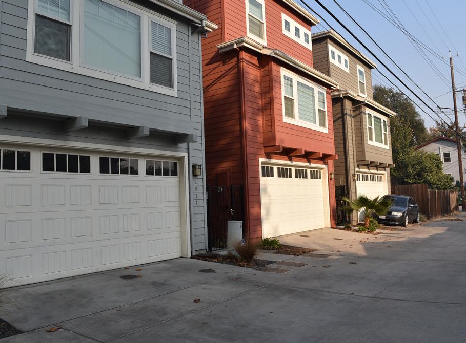
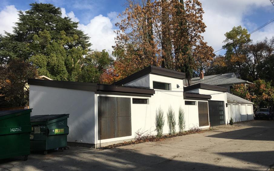
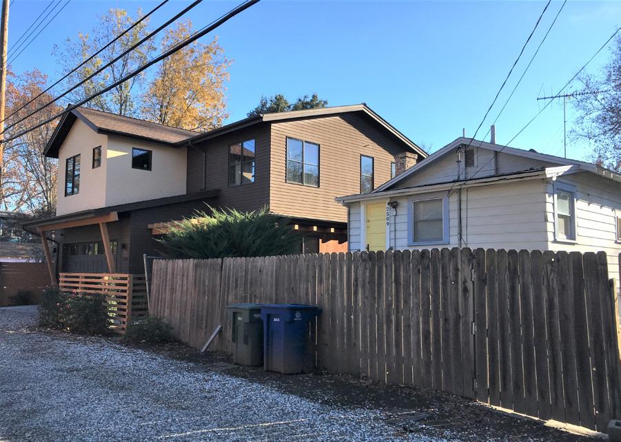
5.7 Siting of new alley infill should also carefully consider the impact on buildings on adjacent parcels and avoid blocking existing wall openings in adjacent buildings.
5.8 Provide side setbacks that are consistent with the historic pattern of spacing between adjacent contributing buildings on the same block.
5.9 Orient front entrances, fenestration, balconies, and lighting of new buildings on the alley, unless incompatible with use.
5.10 Mitigate views from alley infill into adjacent residential properties.
• Strategically place windows, balconies, and roof decks to protect the private realm of adjacent properties.
• Consider using landscaping or screening features to respect privacy of semi-private outdoor spaces.
5.11 When feasible, provide space for utility units inside new alley infill buildings to promote a pedestrian friendly environment.
5.12 Landscaping that enhances the building and alley is encouraged when feasible.
Figure 64. The alley infill on the left features a contemporary design that is also compatible with the typical scale, massing, and form of houses in the surrounding neighborhood. It is also well-oriented toward the alley.
Figure 63. The contemporary design of this alley infill building is compatible with the surrounding neighborhood because of the building's small scale and alley-facing orientation.
Figure 65. Windows and entries facing the alley are recommended. The taller massing of these buildings has also been broken down into smaller components to reflect the scale of buildings in the surrounding neighborhood.
Section 1: Sacramento’s Historic Context and Standards & Criteria Standards & Criteria Common to Sacramento's Historic Districts Sacramento Historic District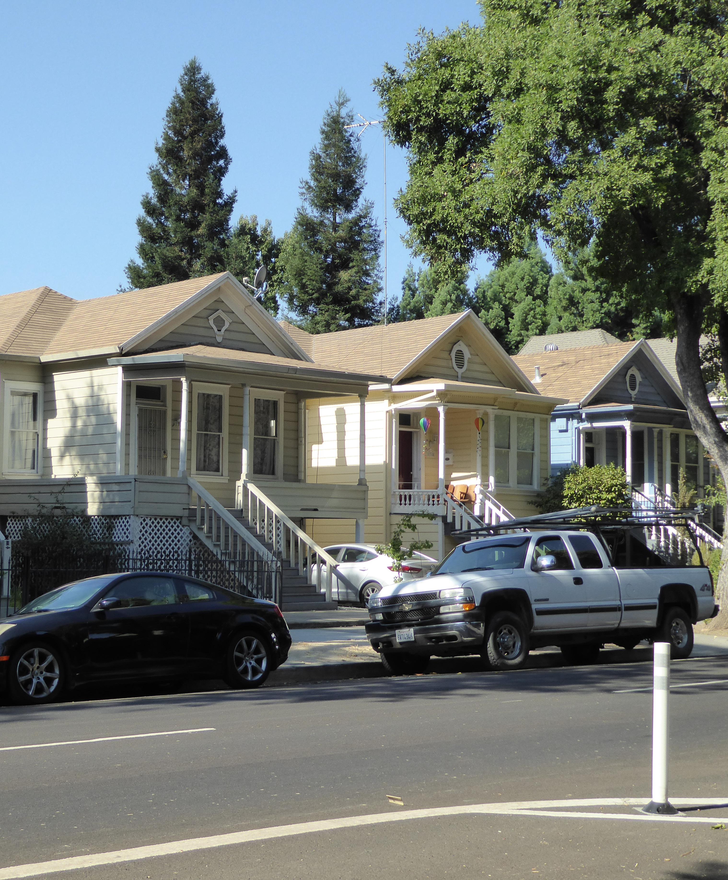
Section 2: Individual Historic District Plans 1200-1300 Q Street Historic District Plan 68
The 1200-1300 Q Street Historic District is located within Sacramento’s original 1848 street grid and consists of approximately one-and-a-half city blocks bounded by the tracks of the Regional Transit light rail to the south on Whitney and Quill alleys, a parking lot to the east of 13th Street, and recent apartment building infill to the north along Q Street and to the east on 14th Street. The district primarily consists of a grouping of late nineteenth- and early twentiethcentury single-family houses arranged along the south side of Q Street, as well as three houses of a similar age and style that were relocated from Alkali Flat to 14th Street.
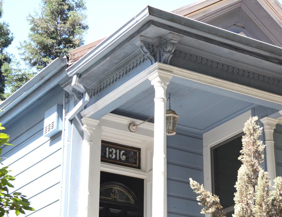

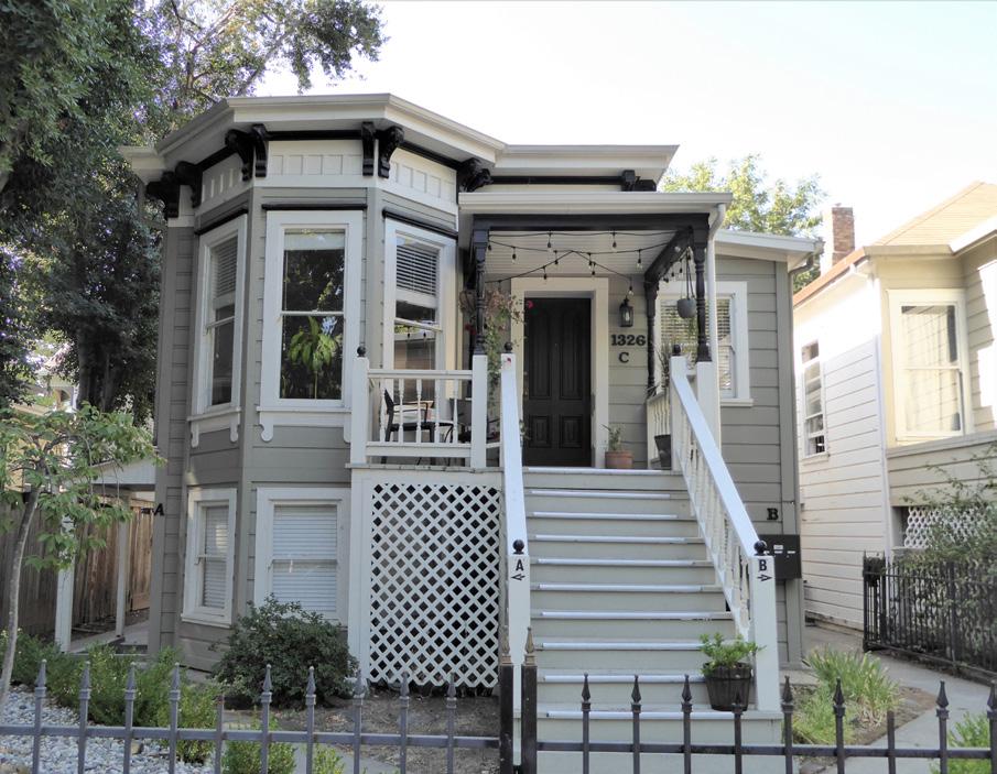
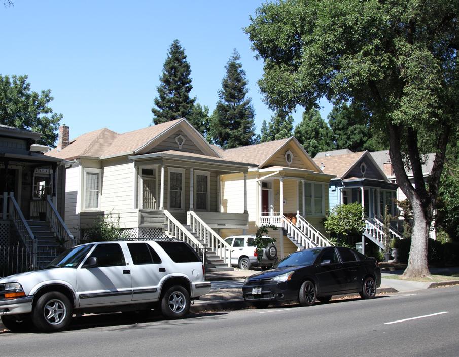 Sacramento Historic District Plans Final
Figure 1. Row of houses on the 1300 block of Q Street.
Figure 2. Row of houses relocated from Alkali Flat to 14th Street.
Figure 3. An Italianate style house at 1326 Q Street.
Figure 4. Decorative wood detailing and stained glass transom at a historic house in the district.
Sacramento Historic District Plans Final
Figure 1. Row of houses on the 1300 block of Q Street.
Figure 2. Row of houses relocated from Alkali Flat to 14th Street.
Figure 3. An Italianate style house at 1326 Q Street.
Figure 4. Decorative wood detailing and stained glass transom at a historic house in the district.
Section 2: Individual Historic District Plans 1200-1300 Q Street Historic District Plan 69
The 1200-1300 Q Street Historic District contains a grouping of high basement houses that offers a glimpse of what many of Sacramento’s streets looked like in the late nineteenth century. Although Sacramento’s 1848 city grid officially extended as far south as Y Street (present-day Broadway) in the nineteenth century, R Street represented the de facto southern city limit.1 The Sacramento Valley Railroad (SVRR) ran along the top of a levee at R Street, which had been constructed in 1854 as part of efforts to protect Sacramento from the floods that periodically devastated the city.2 With the R Street levee in place, Q Street became the southernmost street upon which Sacramentans might build their family houses. The levee, however, did not have the effect city planners intended. During particularly severe floods in the winter of 1861-1862, it trapped floodwaters within the city, worsening the effects of the floods.3
Throughout the rest of the 1860s, the city carried out several projects to address the issue of flooding, including strengthening levees and completing a redirection of the American River through a new channel to the north by the end of 1868.4 At the same time, increasing railroad activity downtown and the city’s growing population caused the city’s downtown, where many Sacramentans lived, to
1 William Burg, “Southside Park” (National Register of Historic Places Draft Registration Form, California Office of Historic Preservation, 2017), 10.
2 “R Street Levee,” Sacramento Daily Union, February 24, 1854, https://cdnc. ucr.edu/cgi-bin/cdnc?a=d&d=SDU18540224.2.5&srpos=11&e=------185-en-20--1--txt-txIN-%22R+Street%22+Levee+Sacramento-------1
3 Richard J. Orsi, “Railroads and the Urban Environment: Sacramento’s Story,” in River City and Valley Life: An Environmental History of the Sacramento Region, ed. Christopher J Castaneda and Lee M. A. Simpson (Pittsburgh: The University of Pittsburgh Press, 2013), 82.
4 “City Intelligence,” Sacramento Daily Union, June 11, 1868; Rick Bettis, “A Brief Overview with Historical Vignettes,” Sacramento Area Creeks Council, March 8, 1998, http://saccreeks.org/know-your-creeks/.
become increasingly overcrowded, polluted, and crime-ridden. Sacramentans began to build their houses in previously uninhabitable or outlying areas in search of cleaner, quieter, and safer in which to build their family homes.5
By 1871, painters, carpenters, laborers, and other working-class men and women had settled on the 1200-1300 block of Q Street, just one block north of the R Street levee.6 The beginning of streetcar service on P Street in 1892 made the area even more attractive to residents who needed a means to travel to their places of work downtown, increasing residential development in the area.7 By 1895, all but two of the parcels on Q Street from 12th to 14th streets were filled with wood-framed single-family houses. The city’s alleys often served as auxiliary residential streets in the nineteenth century, and several smaller dwellings occupied the parcels behind Q Street along Whitney and Quill Alleys. The nearest commercial operations were the Siller Bros. lumber sheds on 14th Street between P and Q streets.8 Residents included many employees of the Southern Pacific rail yards—such as painters, carpenters, machinists—who worked in the car shops in the northwest corner of the city.9
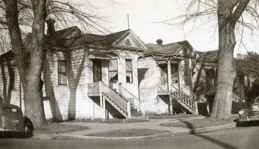
Industrial development increased directly to the south of Q Street in 1907 when the Western Pacific Railroad built a competing set of railroad tracks along Whitney and Quill alleys, parallel to the old SVRR
5 Orsi, 89.
6 City Directory, Sacramento, California, 1871, accessed August 29, 2018, www.ancestry.com.
7 “Poles for P Street,” Sacramento Daily Union, February 9, 1892.
8 Sanborn Map Company, Sacramento, California [map], sheet 37, 1895.
9 1893 Sacramento, California City Directory, “U.S. City Directories, 18211989,” indexed database and digital images, Ancestry.com, accessed August 29, 2018, www.ancestry.com.
route on R Street, which was by then owned by the Southern Pacific Railroad.10 Freight service began on the line in 1909, and passenger service followed in 1910.11 The new railroad line attracted industrial and commercial businesses but also brought noise and pollution, transforming the once quiet residential neighborhood. By 1915, one-story dwellings, which had been built along the quiet alley in the nineteenth century and which then faced the bustling railroad tracks, had been removed.12
Meanwhile, Q Street continued to evolve as the population density increased. Developers attracted potential homeowners to Q Street’s “cottages modern” by advertising amenities such as elm shade trees, multiple rooms, large closets, indoor baths,
10 Page & Turnbull, “R Street Corridor Historic District” (National Register of Historic Places Draft Registration Form, California Office of Historic Preservation, 2013), 5.
11 William Burg, Sacramento’s K Street (Charleston, SC: The History Press, 2012), 62-64.
12 Burg, “Southside Park,” 10.
Sacramento Historic District Plans Final Figure 5. Houses along Q Street between 12th and 13th streets (1950). Source: Center for Sacramento History Eugene Hepting Collection, 985/024/4959.gas, and electricity.13 Residents included musicians, gardeners, clerks, the city’s harbormaster, and working women—who held jobs as clerks and music teachers.14
The advent of the automobile also changed the physical landscape. By 1915, a two-story garage had been built on the alley behind 1208 and 1212 Q Street. In 1931, it was replaced by a larger one-story brick warehouse that was used as an automobile repair shop.15 In spite of increasing automobile use, Q Street was still unpaved in 1921 when protests from local residents caused the City’s Commissioner of Streets to abandon plans to pave the street from 2nd to 22nd streets.16 As the automobile increased in popularity, the demand for streetcar service decreased. In 1940, streetcar service on Line 5, which ran down P Street, ended and was replaced by a bus route.17
Irreversible fragmentation of the formerly cohesive grouping of single-family houses on the 1200 block of Q Street occurred in the middle of the twentieth century. Between 1957 and 1964, two of the houses in front of the brick warehouse were demolished.18 By 1970, an additional garage, machine and welding shop, parking lot, and shop had been constructed on the parcels near the 1930s-era automobile repair
13 “‘Q’ Street Cottage,” Sacramento Union, March 19, 1909.
14 1900 Sacramento, California City Directory, “U.S. City Directories, 18211989,” indexed database and digital images, Ancestry.com, accessed August 29, 2018, www.ancestry.com; “John McArthur Named as New Harbormaster,” Sacramento Union, August 10, 1912.
15 Sanborn Map Company, 1895; Sanborn Map Company, Sacramento, California [map], sheets 58-59, 1915.
16 “Abandon Paving Plan,” Sacramento Union, March 25, 1921.
17 William D. Bourne, “Sacramento: Part One-Utility to Authority,” Motor Coach Age 62, no. 1 & 2, January-June 2011, 10-12.
18 Environmental Science Associates, “R Street Corridor Historic District Survey Report” (report, City of Sacramento Preservation Commission, 2017), 28.
shop.19
Redevelopment projects in other neighborhoods of the city also affected Q Street. In 1984, the Capital Area Development Authority (CADA) relocated three high-basement Victorian-era houses from Alkali Flat and one high-basement Craftsman bungalow from 16th Street to the northwest corner of 14th and Q streets in 1984.20 The houses were built in a similar style to those that were built on Q Street in the late nineteenth century and added to the new 1200-1300 Q Street Historic District, which the City designated in 1985.21
In the 1980s, construction began on Sacramento Regional Transit’s new light rail system, which would run along the Western Pacific Railroad’s right-of-way down Whitney and Quill alleys and include a stop at 13th Street. Passenger service began in 1987. Although the light rail introduced an important new amenity to the city, the resulting noise and crime along its route led some residents to vacate houses located directly beside its tracks, including those along Q Street.22 In 2005, “dangerous site structures” at 1218 Q Street, including the last residence in front of the 1930s automobile repair shop, were demolished and replaced by a second parking lot.23 In 2014, Research America, whose headquarters are located on the site
19 “Downtown Specific Plan Environmental Impact Report, Appendix H: Hazards” (report, Sacramento Community Development Department, 2017), 8.
20 “Capitol Area Plan Progress Report” (report, Department of General Services, 2010), 17.
21 “2.2.1 1200-1300 Q Street Historic District” (Ordinance #85-076, Sacramento Register of Historic and Cultural Resources, July 30, 1985).
22 Bob Shallit, “Another you-haul-it-away home offer,” Sacramento Bee, April 14, 2007.
23 Sacramento Community Development Tracker, accessed August 30, 2018. https://sacramento.civicinsight.com/.
Section 2: Individual Historic District Plans 1200-1300 Q Street Historic District Plan 70
of a former corner store at 1232 Q Street, purchased 11 properties on the 1200 block of Q Street and the 1700 block of 12th Street with the intention of using them as parking space for the business’s employees.24 At least one building on the block remained vacant in 2017.25
24 Hudson Sangree, “Most of prime downtown block changes hands,” Sacramento Bee, August 8, 2014.
25 “Downtown Specific Plan Environmental Impact Report, Appendix H: Hazards,” 8.
Sacramento Historic District Plans FinalSection 2: Individual Historic District Plans
1200-1300 Q Street Historic District Plan 71
The 1200-1300 Q Street Historic District was designated for listing on the Sacramento Register of Historic and Cultural Resources by the City Preservation Commission in 1985 in Ordinance #85076.
The following table provides a current evaluation of significance under the requirements and considers the factors based on the above historic district context and the 2018 historic district survey. Additionally, this historic district relates to the Railroad Context Statement of the city’s General Plan Technical Background Report.
(a) The 1200-1300 Q Street Historic District meets requirement (a) for listing on the Sacramento Register, because it is a geographically definable area.
(b)(i) The 1200-1300 Q Street Historic District meets requirement (b)(i) for listing on the Sacramento Register as an area that possesses “a significant concentration or continuity of buildings unified by: (A) past events or (B) aesthetically by plan or physical development.”
The buildings within the district are unified aesthetically by their physical development as part of a distinctive grouping of modest, high-basement houses that were constructed along Q Street between 12th and 14th streets in the late nineteenth and early twentieth centuries. The majority of the houses in the district were built in the Queen Anne style, and even those that diverge from this style exhibit a similar scale, era, use of materials, texture, height, and setback, which contributes to their cohesiveness as a grouping. The presence of mature street trees and the addition of four moved houses of a similar style and age to the northwest corner of Q and 14th streets further enhance this visual unity. The district also contains a rare surviving example of a small cottage built along the alley, a formerly common housing type in the nineteenth century when the alleys served as auxiliary housing areas.
(b)(ii) The 1200-1300 Q Street Historic District meets requirement (b)(ii) for listing on the Sacramento Register as an area “associated with an event, person, or period significant or important to city history.”
The district is an example of the development of residential neighborhoods on the outskirts of Sacramento’s city limits toward the end of the nineteenth century. By this time, older neighborhoods near Sacramento’s downtown were becoming increasingly crowded, polluted, and dangerous, leading many residents to search for cleaner and quieter areas in which to build their homes. Flood improvements and the expansion of streetcar service opened up formerly uninhabitable or outlying areas of the city, such as the 1200 and 1300 blocks of Q Street to residential development, leading to the creation of new neighborhoods further from the city center.
(c) The 1200-1300 Q Street Historic District meets requirement (c) for listing on the Sacramento Register as it aligns with the goals and purposes of historic preservation in Sacramento, as well as the city’s other goals and policies. Per the Sacramento City Code, the preservation of the district enhances the “city’s economic, cultural and aesthetic standing, its identity and its livability, marketability, and urban character.”
Sacramento Historic DistrictSection 2: Individual Historic District Plans 1200-1300 Q Street Historic District Plan 72
The period of significance for the 1200-1300 Q Street Historic District begins with the improvement of flood control measures in Sacramento after the redirection of the American River in 1868 and ends with the start of passenger service on the Western Pacific Railroad tracks on Whitney and Quill alleys in 1910, which brought increasing industrialization to the once quiet neighborhood and began its gradual fragmentation.
(2)
(a) Factor (2)(a) states that “a historic district should have integrity of design, setting, materials, workmanship and association.” The 1200-1300 Q Street Historic District retains sufficient integrity to meet this factor for consideration as a historic district.
(b) Factor (2)(b) states that “the collective historic value of the buildings and structures in a historic district taken together may be greater than the historic value of each individual building or structure.” The 1300 block of Q Street within the 1200-1300 Q Street Historic District meets this factor because its buildings and structures represent a significant and distinguishable entity whose collective historic value is greater when taken as a whole. However, the 1200 block of Q Street within the same district does not appear to meet this factor, because of their fragmentation from the rest of the district due to the replacement of historic buildings with parking lots.
Section 2: Individual Historic District Plans
1200-1300 Q Street Historic District Plan 73
Use
• Single-family residences, some converted into multi-family units
• Small houses, accessory structures, parking and auxiliary uses located along alley
Ornamentation
• Queen Anne details, including incised brackets under roof eaves; slender, turned porch posts and balusters; and stained-glass windows, especially on transoms over primary entrance
Mass & Form
• Predominately two-story houses with high basements
• High basement, or Delta, style buildings with staircases leading up to the primary living spaces on a raised first story
• Nineteenth-century houses built on long, narrow plots and exhibit vertical massing
• Early twentieth-century houses built on wider plots and exhibit horizontal or cuboid massing
• Concentration of houses with Prairie and Classical Revival details on the corner of Q and 14th streets
Cladding
• Predominately wood siding, typically wide-width channel rustic siding, three or four lap siding, or shingles, often of varying shapes and patterns on gabled ends
Property Landscape
• Classical Revival details, including fluted square columns and pilasters, modified Ionic columns, and dentils along cornice
• Prairie details, including wide overhanging eaves and horizontal massing
• Brick pier fences or low brick retaining walls around small front lawns or gardens
• Generally uniform setback of approximately 20-30 feet from the sidewalk to primary, street-facing house facades with approximately seven-foot-wide wide parking strips and seven-foot-wide sidewalks
• Some narrow driveways leading to landmarked houses
Roofs
• Prominent front-facing gabled roofs, often with a centrally placed circular vent; some low-pitched hipped roofs with multiple dormers
• Brick or clinker brick chimneys
Entries & Doors
• Delta-style configuration with staircases leading to primary entrances above a high basement
• Paneled wood doors, often with a transom above, or integrated glazing
Streetscape
• Rows of mature, evenly spaced, deciduous street trees— most often sycamore, palm, and walnut trees—planted in a parking strip along the street curb. Generally uniform setback of approximately 20-30 feet from the sidewalk to primary building facades with approximately seven-footwide wide parking strips and seven-foot-wide sidewalks
Windows
Porches
• Wood-frame double-hung windows
• Prominent full or half-width porches accessed by a wooden staircase
• Brick or clinker brick porch walls and column bases
The following map shows the boundaries and location of the 1200-1300 Q Street Historic District.
To view the statuses of individual properties as contributing or non-contributing resources to the historic district, refer to the Sacramento Register of Historic and Cultural Resources. St Ave
Section 2: Individual Historic District Plans 1200-1300 Q Street Historic District Plan 75
Carefully and thoughtfully plan projects in the 12001300 Q Street Historic District to minimize visual impacts that would disrupt the highly cohesive character of the district contributors.
1.1 Maintain, preserve, and, where necessary, repair and restore historic elements associated with the predominate Delta style of residential architecture, especially historic staircases, porches, and doors.
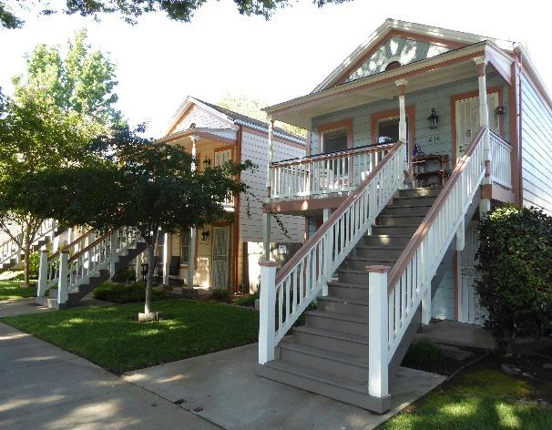
The 1200-1300 Q Street Historic District contains a particularly cohesive grouping of houses, the majority of which share a similar architectural style, building scale, massing, use of materials, siting, and landscaping. Because of the small geographic scale and high level of architectural uniformity of the district, any physical changes will have disproportionate impact on the consistency and character of the district.
In addition to the Standards & Criteria Common to Sacramento's Historic Districts in Section 1, the following district-specific standards and criteria apply when planning a project in the 1200-1300 Q Street Historic District.
Figure 8. Preserve and maintain characteristic wood features, including decorative exterior ornamentation.
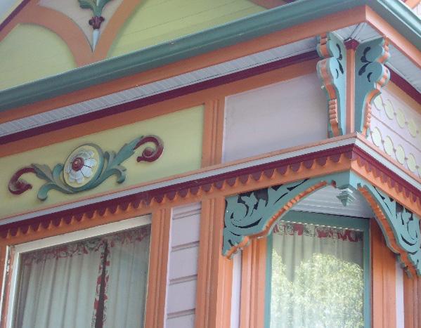 Sacramento Historic District Plans Final
Figure 7. The replaced staircases and porch railings of these houses are compatible with the historic character of the houses and the wider historic district.
Sacramento Historic District Plans Final
Figure 7. The replaced staircases and porch railings of these houses are compatible with the historic character of the houses and the wider historic district.
Section 2: Individual Historic District Plans Street
2.1 Design additions with proportions that do not visually dominate the modest scale and long, narrow, massing of contributing buildings in the district.
2.2 Avoid additions that cause a building’s height to exceed that of the surrounding contributing buildings.
2.3 Discourage additions that alter the historic district’s dominant pattern of front-facing gabled roofs.
• Additions that add height to the property should be located well behind front gable roof volume.
2.4 Maintain open porches and front-facing stairways.
3.1 Avoid constructing new buildings that are taller than contributing buildings, to the extent feasible.
• It is recommended that the height of new buildings should fall within the range of heights of surrounding contributing buildings.
3.2 Preserve the historic pattern and articulation of long, narrow 40’ x 160’ parcels, wherever possible.
• Consider breaking down the massing of large infill developments into smaller masses that reflect the historic lot pattern.
3.3 Design infill to be sympathetic to the historic district’s dominant pattern of front-facing gabled roofs.
3.4 Provide street-facing, covered front porches or entries at new infill development.
Figure 9. Additions and new construction should avoid altering the consistent scale, massing, setbacks, and building forms that characterize much of the historic district.
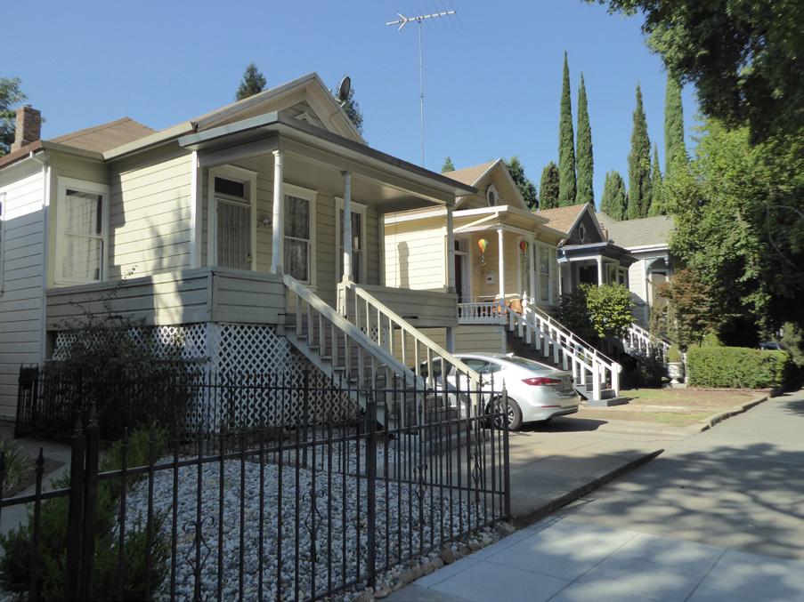
4.1 Avoid creating new curb cuts on Q Street.
• Locate driveways and parking access on numbered streets or at the rear of lots via Quill Alley.
5.1 On a typical unsplit parcel, set back alley infill buildings a minimum of 30 feet from the primary building on the parcel. If a parcel is split, set back alley infill buildings a minimum of 15 feet from the lot split.
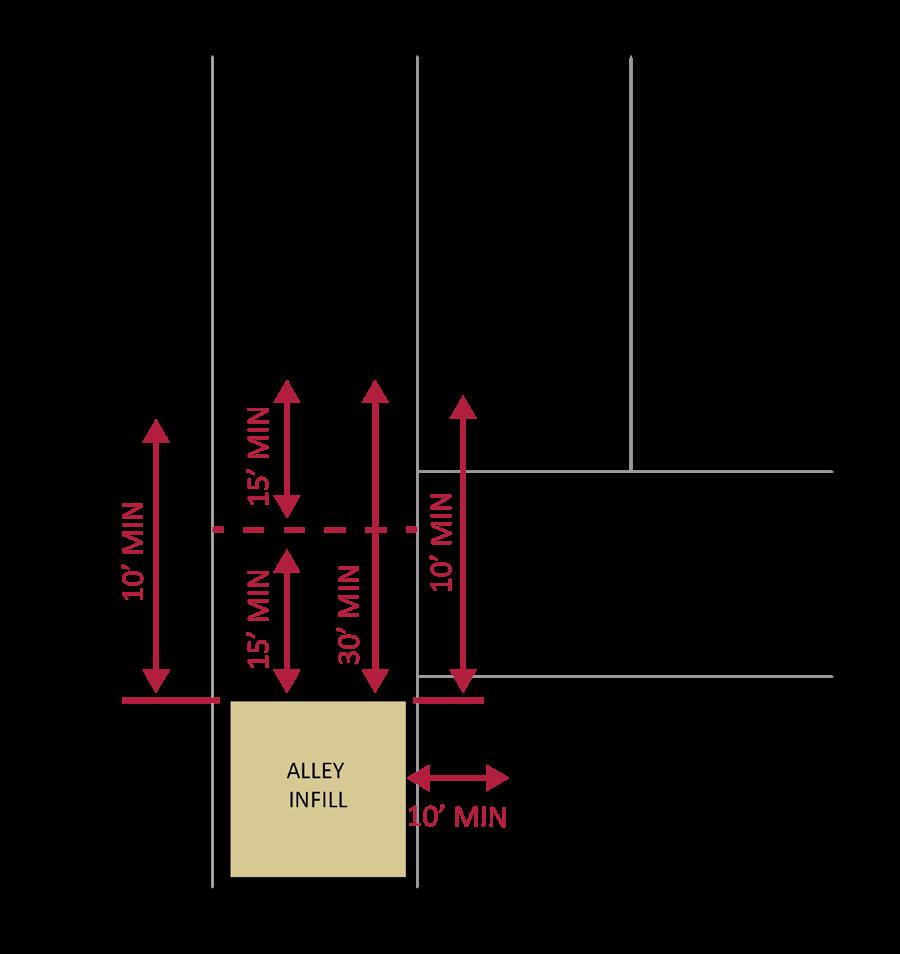
5.2 Aim to locate alley infill so that it is a minimum of 10 feet from contributing buildings on adjacent parcels.
5.3 It is recommended that the height of alley infill should fall within the range of heights of surrounding contributing buildings.
Section 2: Individual Historic District Plans 1200-1300 Q Street Historic District Plan 77
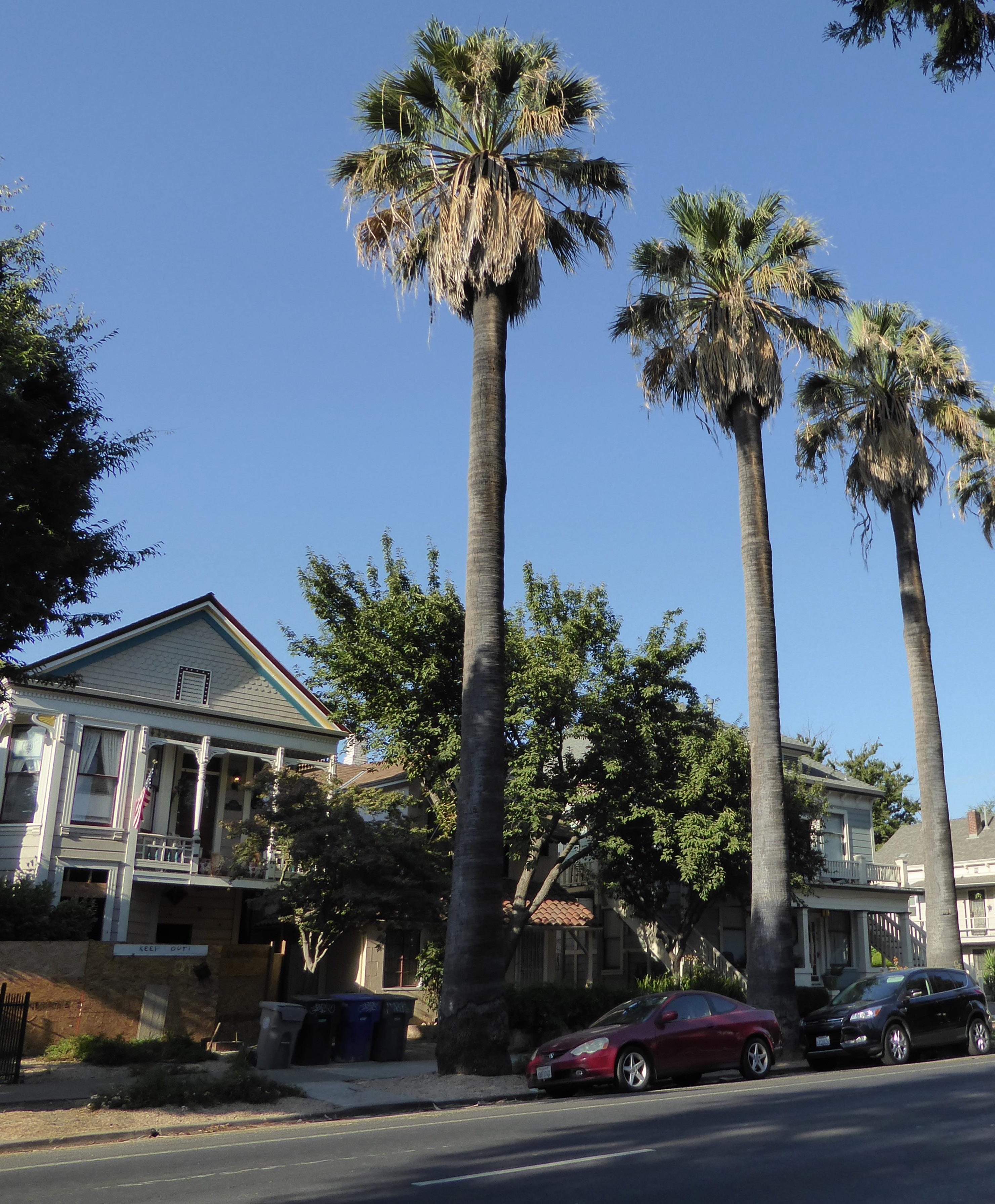
The 20th and N Streets Historic District is situated in the middle of Sacramento’s original 1848 street grid and features a distinctive collection of late nineteenth- and early twentieth-century buildings. As its name suggests, the district’s parcels are oriented around the intersection of 20th and N streets. The boundary of the district loosely parallels 21st Street to the east, Matsui Alley to the north, the Western Pacific Railroad to the west, and Neighbors Alley to the south.
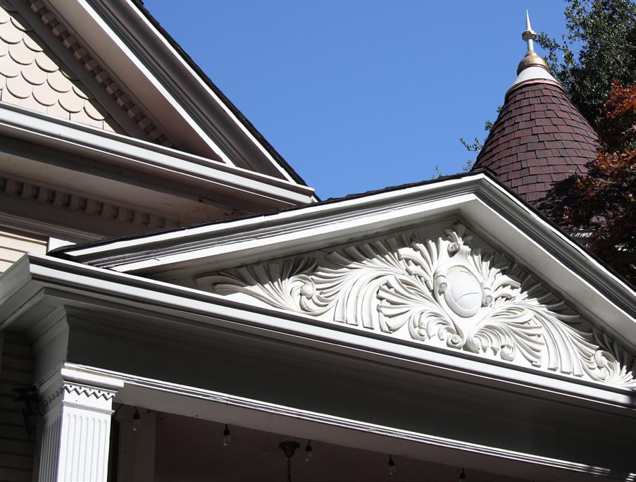
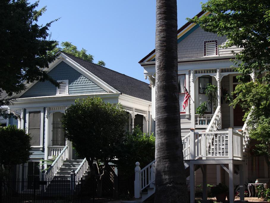
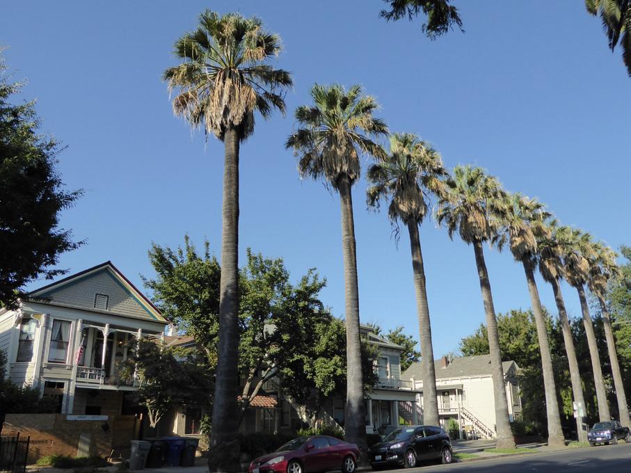
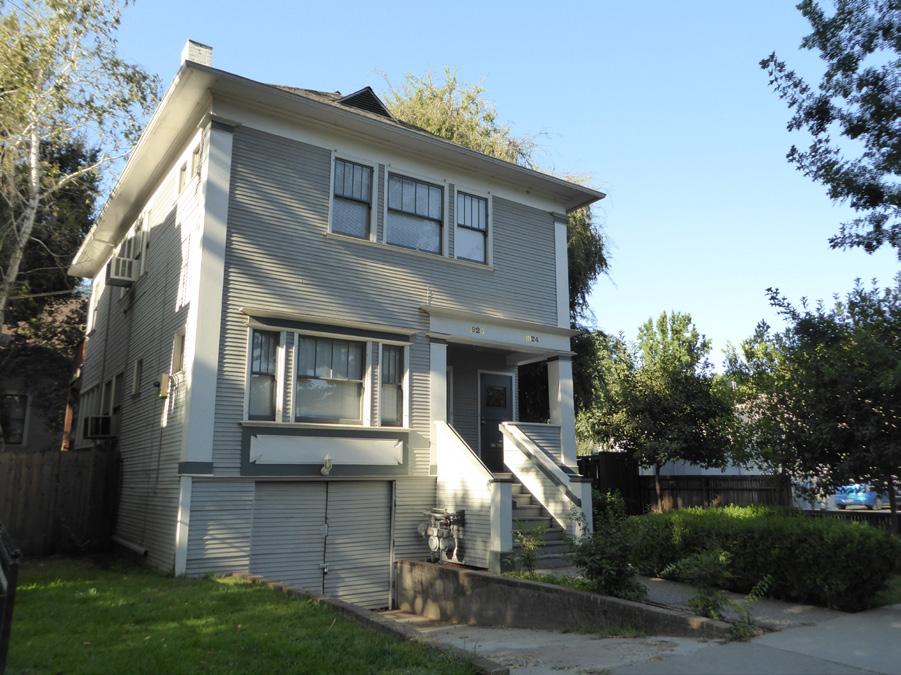 Section 2: Individual Historic District Plans 20th and N Streets Historic District Plan
Sacramento Historic District Plans Final
Figure 10. A Classic Box house beside the former Western Pacific Railroad tracks that form the historic district's western boundary.
Figure 11. Rows of palms line sections of N Street.
Figure 12. Decorative woodwork adorns a Queen Anne style house in the historic district.
Figure 13. Victorian-era houses on 20th Street.
Section 2: Individual Historic District Plans 20th and N Streets Historic District Plan
Sacramento Historic District Plans Final
Figure 10. A Classic Box house beside the former Western Pacific Railroad tracks that form the historic district's western boundary.
Figure 11. Rows of palms line sections of N Street.
Figure 12. Decorative woodwork adorns a Queen Anne style house in the historic district.
Figure 13. Victorian-era houses on 20th Street.
Section 2: Individual Historic District Plans
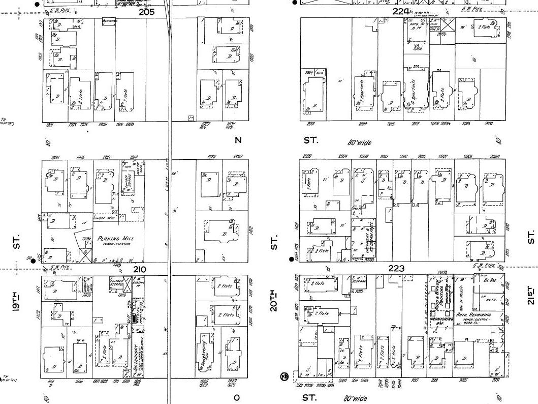
20th and N Streets Historic District Plan 80
The 20th and N Streets Historic District preserves a small cluster of late nineteenth- and early twentiethcentury buildings located between the East End Historic District and Winn Park Historic District. The district’s core buildings were erected over an approximately twenty-two-year period, between 1888 and 1910. Until the final decades of the nineteenth century, the area in question was situated at the eastern edge of the most developed parts of the city, far removed from the dense residential and commercial areas that marked Sacramento’s crowded West End. By 1895, the area surrounding 20th and N streets was densely populated with residents and businesses.1
The growth of this section of the city can be attributed to the completion of streetcar lines that connected the Old City of Sacramento to the soonto-be neighborhoods of Midtown and the East End, so named because of its location east of the Capitol. The electrified routes along M and P streets, which both began their operations during the early 1890s, and the subsequent streetcar extensions along 20th and 21st streets, provided convenient transportation access to the area.2 Aside from a few homes that were constructed during the late 1880s, such as that of 1320 20th Street, the residences of the 20th and N Streets Historic District were built during the 1890s and the first years of the twentieth century.3 This pattern of development aligns with trends nationwide as residents in cities across the country migrated from dense urban centers to streetcar suburbs that emerged along streetcar around the turn of the
1 Sanborn Map Company, Sacramento, California [map], 1895.
2 William Burg, Midtown Sacramento: Creative Soul of the City (Charleston, SC: The History Press, 2014), 36
3 Sanborn Map Company, Sacramento, California [map], 1915.
Figure 14. Portion of a map published by the Sanborn Map Company in 1915, showing the intersection of 20th and N streets (1915). Source: Sacramento Public Library, edited by Page & Turnbull.
century.4
The neighborhood changed dramatically with the introduction of the Western Pacific Railroad. In 1907,
4 Linda Flint McClelland, National Register of Historic Places Multiple Property Documentation Form: Historic Residential Suburbs in the United States, 1830-1960. Washington, D.C.: National Park Service, 2002.
the railroad company was granted the right to build a second set of transcontinental railroad tracks through the city on an 80-foot right-of-way between 19th and 20th streets, the present western boundary of the district. Freight service began on the new rail line in
 Sacramento Historic District Plans
1909, and passenger service followed a year later.5
The properties near the intersection of 20th and N streets attracted working-class individuals and families, particularly after the arrival of the railroad. Though most of the homes within the district began as single-family dwellings, many were converted into apartments by 1915.6 Listings in the Sacramento Union advertised numerous furnished flats and housekeeping rooms, accommodations that often served single men and women employed in low-wage industries.7 The ads touted the wholesome character of the neighborhood and its proximity to streetcars.8
With the multitude of transportation channels servicing the vicinity of the district, commercial ventures emerged alongside residences at the turn of the century. One such enterprise was that of Clarence M. Griffeth’s ice cream and butter factory, formerly located at 2008 N Street. Clarence, the son of prominent M Street grocer Melbourne B. Griffeth, began his business in 1910. By 1911, he had established a manufacturing facility at the rear of 2008 N Street.9 The creamery went out of business just five years later, but the district’s current assortment of mixeduse residential and retail establishments preserves its
character as a node of localized commercial activity.10
The twentieth-century trajectory of the 20th and N Streets Historic District remained closely linked with transportation. In 1913, the Lincoln Highway, one of the first cross-country roads in the country, was completed and included a route through Sacramento that ran down 12th Street and then along 15th Street before turning east along M Street, less than a block from the northern boundary of the district.11
Subsequent to the highway and other street improvement projects, automobile garages replaced carriage barns along the alleys within the districts.12 As automobile ownership increased, many residents who could afford to do so relocated to residential suburbs outside of the outskirts of city. The demand for streetcars gradually declined and by 1947 all routes throughout Sacramento had ended.13
Section 2: Individual Historic District Plans
20th and N Streets Historic District Plan 81
5 William Burg, Sacramento’s K Street: Where Our City Was Born (Charleston, SC: The History Press, 2012), 62-64.
6 Sanborn Map Company, 1915.
7 Paul Groth, Living Downtown: The History of Residential Hotels in the United States (Berkeley: University of California Press, 1994), 125-126.
8 “To Let—Rooms Furnished,” Sacramento Union, May 7, 1913, https://cdnc. ucr.edu/cgi-bin/cdnc?a=d&d=SU19130507.2.265.6&srpos=3&e=-------en-20--1--txt-txIN-%221412+20th+Street%22+Sacramento-------1
9 William Ladd Willis, History of Sacramento County, California, with Biographical Sketches of the Leading Men and Women of the County Who Have Been Identified With Its Growth and Development From the Early Days to Present, (Los Angeles: Historic Record Company, 1913), 664, https:// archive.org/details/historyofsacrame00will
10 “Bankrupt Sale: Groceries and Fixtures,” Sacramento Union, August 4, 1916, https://cdnc.ucr.edu/cgi-bin/cdnc?a=d&d=SU19160804.2.87.3&srpos =1&e=-------en--20--1--txt-txIN-Sacramento+%222008+N+Street%22-------1
11 Lincoln Highway Association Map Committee, “Official Map of the Lincoln Highway,” accessed August 27, 2018, https://www.lincolnhighwayassoc.org/ map/.
12 Sanborn Map Company, 1915.
13 William Burg, Sacramento’s Streetcars (Charleston, SC: Arcadia Publishing, 2006), 8.
Sacramento Historic District Plans FinalSection 2: Individual Historic District Plans and N Streets Historic District
The 20th and N Streets Historic District was designated for listing on the Sacramento Register of Historic and Cultural Resources by the City Preservation Commission in 1985 in Ordinance #85-076.
The following table provides a current evaluation of significance under the requirements and considers the factors based on the above historic district context and the 2018 historic district survey. Additionally, this historic district relates to the Railroad Context Statement of the city’s General Plan Technical Background Report.
(a) The 20th and N Streets Historic District meets requirement (a) for listing on the Sacramento Register, because it is a geographically definable area.
(b)(i) The 20th and N Streets Historic District meets requirement (b)(i) for listing on the Sacramento Register as an area that possesses “a significant concentration or continuity of buildings unified by: (A) past events or (B) aesthetically by plan or physical development.”
The 20th and N Streets Historic District consists of modest-scale Victorian-era buildings situated around the intersection of 20th and N streets. The predominant architectural styles are Queen Anne and Classic Box. The Classic Box was a particularly common building type that was constructed along streetcar lines at the turn of the century.14 Though many of the buildings have been altered, they share a similar massing, setback, Deltastyle high basements, and gabled or hipped roofs.
(b)(ii) The 20th and N Streets Historic District meets requirement (b)(ii) for listing on the Sacramento Register as an area “associated with an event, person, or period significant or important to city history.”
The 20th and N Streets Historic District is associated with the settlement of Sacramento’s Midtown and East End as part of the city’s gradual expansion to the east and south at the end of the nineteenth century. This pattern of development aligns with a wider national trend of individuals and families migrating out of dense urban areas to newer streetcar suburbs around the turn of the century. Similarly, the creation of extensive streetcar networks in Sacramento during this period allowed residents to move away from older neighborhoods in the city’s increasingly overcrowded and unhealthy West End to undeveloped areas on the city’s periphery. Near the intersection of 20th and N streets, the introduction of streetcar lines on M, P, 20th, and 21st streets brought new residents to the area, transforming it into a vibrant mix of residences and neighborhood commercial businesses.
(c) The 20th and N Streets Historic District meets requirement (c) for listing on the Sacramento Register as it aligns with the goals and purposes of historic preservation in Sacramento, as well as the city’s other goals and policies. Per the Sacramento City Code, the preservation of the district enhances the “city’s economic, cultural and aesthetic standing, its identity and its livability, marketability, and urban character.”
14 Susan Cerny, “Rows of early 20th century homes line early streetcar lines,” The Berkeley Daily Planet (Berkeley, CA), November 2, 2002, http://www. berkeleydailyplanet.com/issue/2002-11-02/article/15862?headline=Rows-of-early-20th-century-homes-line-early-streetcar-lines--By-Susan-Cerny-
Sacramento HistoricThe period of significance for the 20th and N Streets Historic District begins with the construction of the first residence within the district in 1888 and concludes with the start of passenger service on the Western Pacific Railroad in 1910. The introduction of the railroad dramatically altered the setting and character of the district, which was originally a continuation of the residential neighborhoods to the west of the tracks. Types from the Period
(a) Factor (2)(a) states that “a historic district should have integrity of design, setting, materials, workmanship and association.” The 20th and N Streets Historic District retains sufficient integrity to meet this factor for consideration as a historic district.
(b) Factor (2)(b) states that “the collective historic value of the buildings and structures in a historic district taken together may be greater than the historic value of each individual building or structure.” The 20th and N Streets Historic District meets this factor because its buildings and structures represent a significant and distinguishable entity whose collective historic value is greater when taken as a whole.
Section 2: Individual Historic N Streets
Use
Mass & Form
• Historically single-family residences, some converted into multi-family units
• Parking and auxiliary uses located along alleys
• Buildings primarily one to two stories tall
• Some houses with Delta-style high basements and raised first story
• High concentration of Classic Box-form houses
Cladding • Predominately wood siding, three lap, channel rustic, or shingle siding
Roofs • Front-facing gabled, cross-gabled, and hipped roofs, often with centrally-placed dormers
Entries & Doors • Delta-style configuration with staircases leading to primary entrances above a high basement
• Central or offset front doors with little ornamentation
• Brick stairs
Windows
• Wood-frame double-hung windows
• Single- and multi-story bay windows present on many Victorian-era homes
Porches • Prominent full- or half-width porches accessed by a staircase
Ornamentation
• Decorative shingles on gabled ends
• Classical Revival details, including fluted pilasters, columns, dentils, and pedimented porticoes
Property Landscape
Streetscape
• Consistently large setback on lettered streets, measuring approximately 40 feet from the street curb
• Inconsistent, but generally narrower setback on numbered streets
• Shallow front yards, some gated with metal fences that incorporate original brick piers
• Some brick patios and walkways
• Hitching posts and evidence of removed hitching posts in the form of L-shaped concrete strips next to street curb, particularly on 20th Street
• A mix of deciduous and palm trees planted in grassy parking strips lining the street front
• Varying sidewalk widths to accommodate street trees
The following map shows the boundaries and location of the 20th and N Streets Historic District. To view the statuses of individual properties as contributing or non-contributing resources to the historic district, refer to the Sacramento Register of Historic and Cultural Resources. St 19th St 21st St 20th St
Legend District Boundary
Figure 15.
Historic 100 200 300 Feet
Sacramento Historic DistrictSection 2: Individual Historic District Plans 20th and N Streets Historic District Plan 86
Protect the integrity of contributing properties in the district by respecting their historic fabric and the character-defining features of the historic district.
1.1 Avoid alterations that result in the removal, relocation, or reconfiguration of bay windows and rooftop dormers.
The 20th and N Streets Historic District contains a grouping of historic single-family residences, a number of which have been converted for commercial use. Many of the buildings have been physically altered, but collectively the character-defining features, including setback and landscaping, remain intact so that the character of the historic district is preserved.
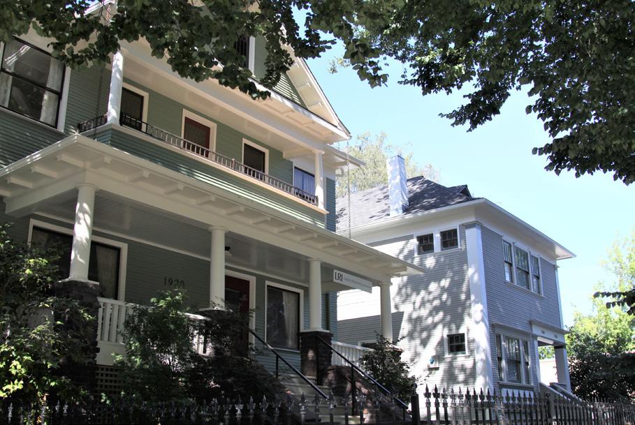
In addition to the Standards & Criteria Common to Sacramento's Historic Districts in Section 1, the following district-specific standards and criteria apply when planning a project in the 20th and N Streets Historic District.
Figure 16. Alterations, additions, and infill should respect the characteristic massing of contributing buildings built in the Classic Box form.
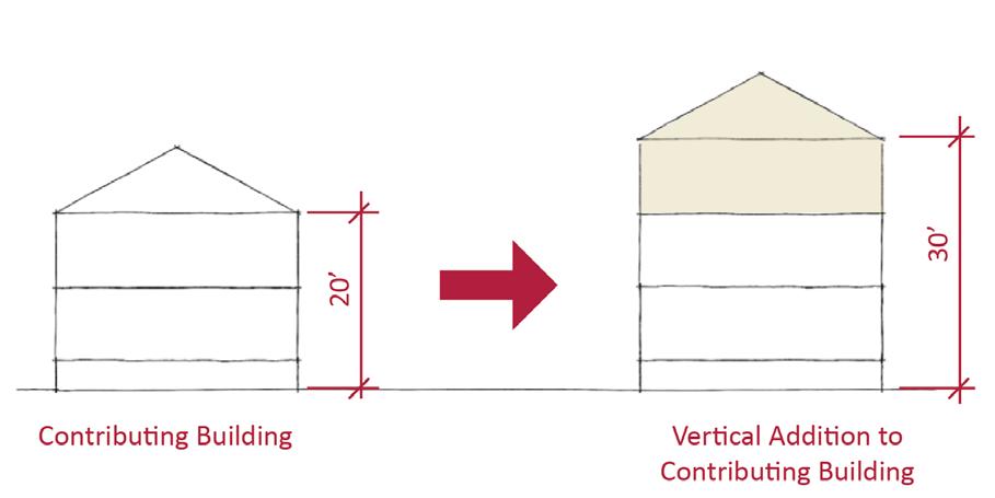
2.1 Design additions with proportions that maintain the characteristic massing of contributing Classic Box style buildings and vertical massing of Victorian-era buildings.
2.2 Avoid additions that cause a contributing building’s height to exceed 150% of its historic height.
• Use step backs to maintain the existing street façade height.
Figure 17. Additions should not cause a building's height to exceed 150% of its historic height.
Sacramento Historic3.1 Design the scale, massing, and proportions of new construction to be compatible with those of adjacent contributing buildings, which are predominately box shape or narrow and vertically massed.

• Where additional height is considered, the height of new buildings should be no more than 150% of the height of surrounding contributing buildings.
• Consider using step backs for taller buildings to maintain the existing street façade height of adjacent contributing buildings.
3.2 Maintain the pattern of deep front setbacks on N Street and shallower setbacks along 20th Street.
3.3 Preserve the historic pattern and articulation of long, narrow 40’ x 160’ parcels, wherever possible.
• Consider breaking down the massing of large infill developments into smaller masses that reflect the historic lot pattern.
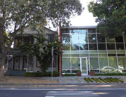
4.1 Where street trees consist of a row of trees of the same species, such as palms, replace removed or diseased trees in kind with the same species or a compatible species at regular intervals in order to maintain the historic tree planting pattern.
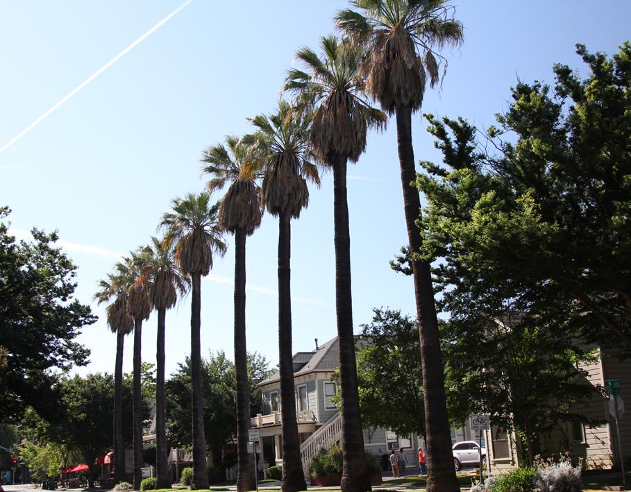
4.2 Preserve and maintain historic hitching posts and carriage barns in their original locations.
4.3 Avoid creating new curb cuts along N Street.
• Locate parking and service access along alleys, and use landscaping features to screen it from the public right-of-way, wherever possible.
Figure 18. The height of new buildings should be no more than 150% of the height of surrounding contributing buildings.
Figure 19. The new office building does not have an appropriate site setback from the historic building.
Figure 20. Rows of trees along 20th Street.
5.1 On a typical unsplit parcel, set back alley infill buildings a minimum of 30 feet from the primary building on the parcel. If a parcel is split, set back alley infill buildings a minimum of 15 feet from the lot split.
5.2 Aim to locate alley infill so that it is a minimum of 10 feet from contributing buildings on adjacent parcels.
5.3 The height of alley infill should be no more than 150% of the height of surrounding contributing buildings.
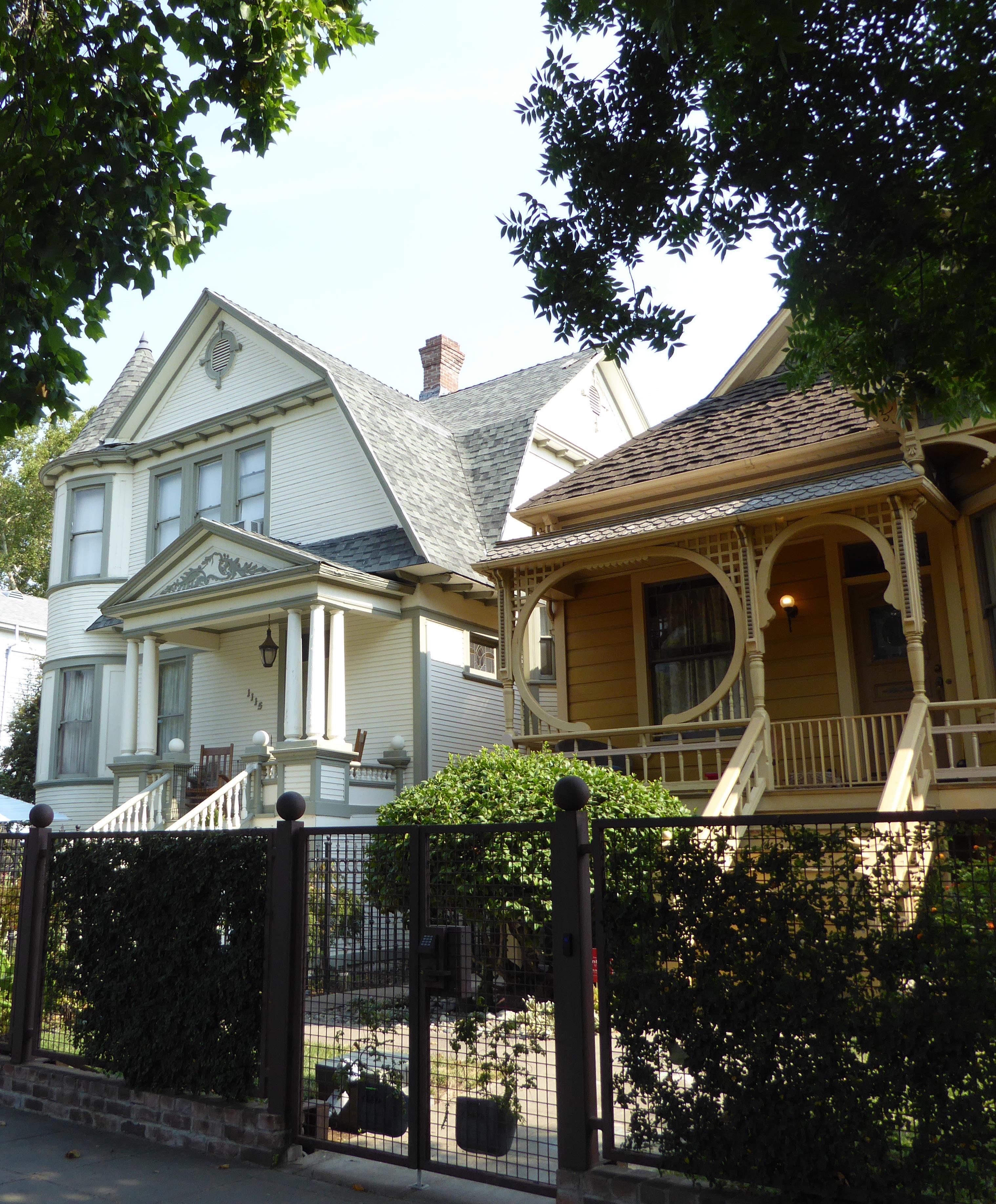
The Alkali Flat Central Historic District, Alkali Flat North Historic District, Alkali Flat South Historic District, and Alkali Flat West Historic District are located in the northwest corner of Sacramento’s original 1848 city limits. The districts are included in the same section of this document, because they were historically part of the same neighborhood, known as Alkali Flat, which was bordered to the north by B Street, to the east by 13th Street, to the south by H Street, and to the west by the tracks of the Central Pacific, later the Southern Pacific, Railroad.1 Although the districts are geographically broken up by recent infill development, they share a common history and pattern of development, which is described in the Brief Historic District Context section below.
The Alkali Flat Central Historic District is roughly bounded by 9th, E, 11th, and G streets. The Alkali Flat North Historic District is roughly bounded by Chinatown Alley, 12th Street, Democracy Alley, and 11th Street. The Alkali Flat South Historic District contains a row of houses on G Street between 11th and 12th streets. The Alkali Flat West Historic District is roughly bounded by 7th, E, 99h, and F streets.
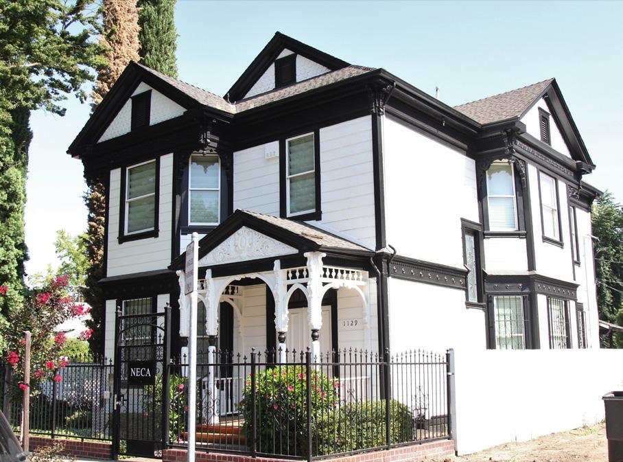
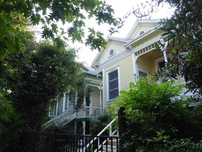
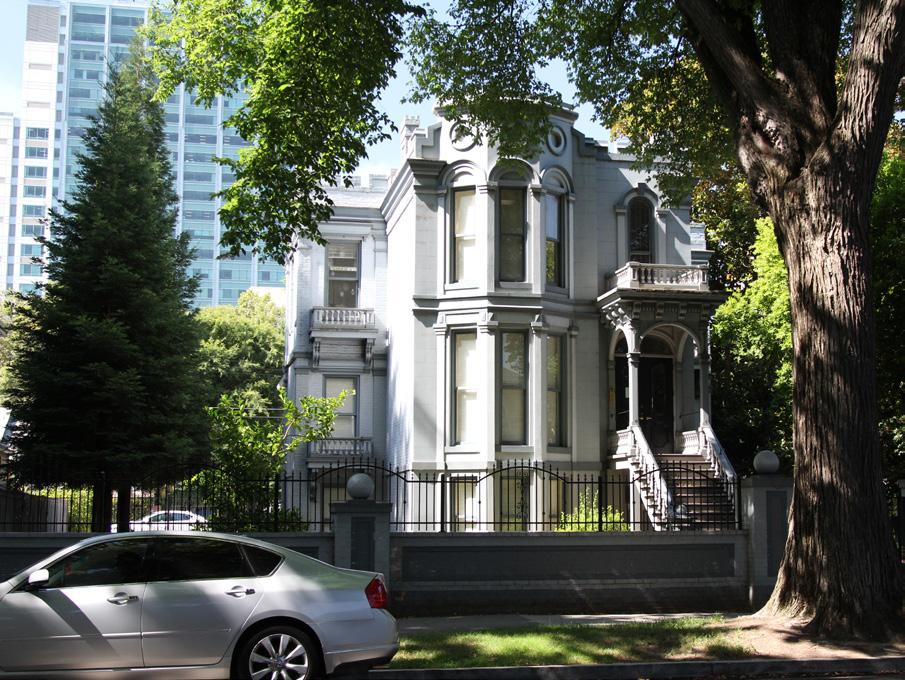
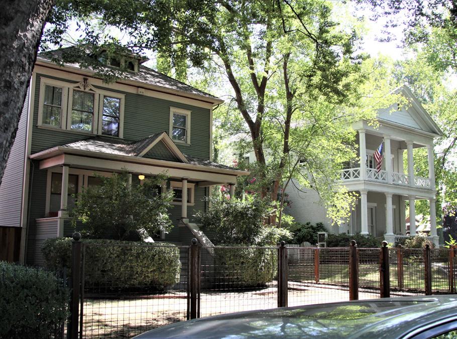 Section 2: Individual Historic District Plans
Alkali Flat Central, North, South, and West Historic District
Sacramento Historic District Plans Final
1 Sacramento’s Alkali Flat (Charleston, SC: Arcadia Publishing, 2010), 7.
Figure 21. Alkali Flat Central Historic District contains a variety of architectural styles. The Greek Revival J. Neely Johnson house, right, is next to a Classic Box style house with Classical Revival influences on F Street.
Figure 22. The Isaac Martin Hubbard House at 1010 F Street in the Alkali Flat Central Historic District.
Figure 23. A row of nearly identical Queen Anne houses on 11th Street in the Alkali Flat North Historic District.
Figure 24. A large Queen Anne style house on D Street in the Alkali Flat North Historic District.
Section 2: Individual Historic District Plans
Alkali Flat Central, North, South, and West Historic District
Sacramento Historic District Plans Final
1 Sacramento’s Alkali Flat (Charleston, SC: Arcadia Publishing, 2010), 7.
Figure 21. Alkali Flat Central Historic District contains a variety of architectural styles. The Greek Revival J. Neely Johnson house, right, is next to a Classic Box style house with Classical Revival influences on F Street.
Figure 22. The Isaac Martin Hubbard House at 1010 F Street in the Alkali Flat Central Historic District.
Figure 23. A row of nearly identical Queen Anne houses on 11th Street in the Alkali Flat North Historic District.
Figure 24. A large Queen Anne style house on D Street in the Alkali Flat North Historic District.
Alkali Flat is Sacramento’s oldest existing residential neighborhood. Once part of a dry lakebed, it was named after the chalky, white deposits of alkali that were left on the streets after the floods that periodically affected the area.2 After a devastating fire in 1852 destroyed 70 percent of Sacramento, the city began to rebuild, often in fireproof brick. This included some houses in the new residential neighborhood of Alkali Flat, which emerged on the undeveloped land north of G Street.
Thanks to its convenient location near the city’s central business district, Alkali Flat became the home of Sacramento’s elite throughout the mid- to late nineteenth century. Governors, legislators, business and industry leaders, newly wealthy merchants, artists, physicians, and all manner of the local gentry settled in Alkali Flat.3 Among them was J. Neely Johnson, the fourth governor of California whose Greek Revival home still stands at 1029 F Street.
Alkali Flat’s affluent and influential residents filled the neighborhood with mansions and stately homes that were built in the most fashionable architectural styles of the time, many on lots with verdant gardens surrounded by wrought iron or picket fences.4
Sacramento’s well-to-do residents built homes in the southern sections of Alkali Flat, while workingclass residents settled in the neighborhood’s northern sections closer to the Central Pacific (later
2 “Past Historic Home Tour-Alkali Flat,” Preservation Sacramento, accessed July 19, 2018. http://www.preservationsacramento.org/hometour.
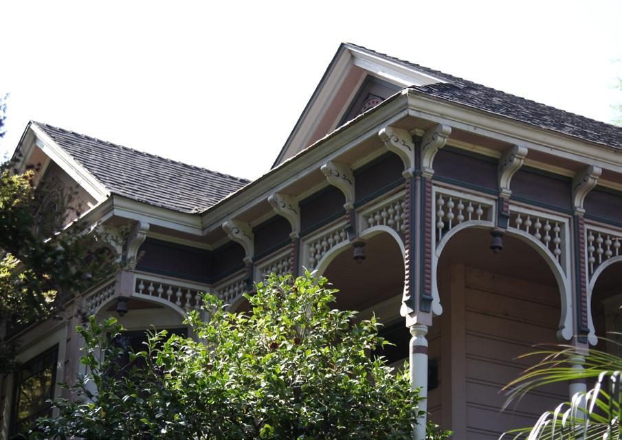
3 Sacramento’s Alkali Flat, 7.
4 “Alkali Flat/Mansions Flats Strategic Neighborhood Action Plan,” City of Sacramento, 2005, 5.
Figure 25. A row of late nineteenth- and early twentieth-century houses in the Alkali Flat South Historic District forms a cohesive grouping on G Street, between 11th and 12th streets. Many of the houses have low wrought iron fences with brick piers.

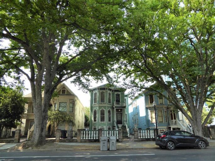
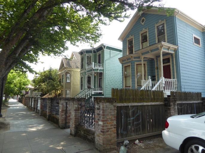 Sacramento Historic District Plans
Figure 26. Evenly spaced street trees (mostly sycamores) create a canopy over the houses in the Alkali Flat South Historic District.
Figure 27. Houses in the Alkali Flat West Historic District were built in a variety of Victorian styles, including Second Empire and Queen Anne, such as these houses on 8th Street between E and F streets.
Figure 28. Decorative woodwork on a house in the Alkali Flat West Historic District.
Sacramento Historic District Plans
Figure 26. Evenly spaced street trees (mostly sycamores) create a canopy over the houses in the Alkali Flat South Historic District.
Figure 27. Houses in the Alkali Flat West Historic District were built in a variety of Victorian styles, including Second Empire and Queen Anne, such as these houses on 8th Street between E and F streets.
Figure 28. Decorative woodwork on a house in the Alkali Flat West Historic District.
the Southern Pacific) rail lines, some of which is preserved in the Alkali Flat North Historic District. Cottages with high basements were constructed in the area, primarily during two periods: first in the 1860s and 1870s, and later around 1895. The earlier houses were built in the Italianate style, while the later houses were built in the Queen Anne and Eastlake styles. Among the residents of this section of Alkali Flat was Maria Hastings, a saloon and hotel owner, whose 1860 house at 1119 D Street remains a centerpiece of the neighborhood today.5
Sacramento’s first streetcar line began operation in 1870 and ran through Alkali Flat along H Street from the Central Pacific Railroad depot to the State Agricultural Society’s California State Fairgrounds at 20th and G streets.6 In 1893, an electric streetcar line that traveled down G Street to McKinley Park
replaced the route on H Street. The streetcar service attracted more residential development to Alkali Flat and increased the value of properties located along the line.7
As the nineteenth century progressed, the Alkali Flat neighborhood welcomed an increasing number of industries as its population grew and the Central Pacific Railroad, later the Southern Pacific Railroad, gained power at its railyards to the south. Breweries, dairies, grain and lumber mills, and other industries all opened in Alkali Flat, attracting laborers to the area. Meanwhile, civic, academic, and religious institutions were also constructed to meets the needs of the neighborhood’s growing and diversifying population. Most of these industrial, civic, religious, and academic establishments have since been demolished.
Alkali Flat’s increasing industrialization and the resulting influx of laborers drove many of the original, elite families out to the newer residential neighborhoods and suburbs that were being built to the east of Sacramento’s crowded downtown at the turn of the twentieth century.8 As lower income laborers moved in, many of them immigrants, Alkali Flat’s large single-family dwellings were subdivided into smaller units that could be rented out to several families at a time. No new single-family houses appear to have been built after 1910. Subsequent new construction focused primarily on building smaller residential units and apartment buildings to accommodate the neighborhood’s growing population of working-class residents.
7 “Running on G Street,” Sacramento Daily Union, March 7, 1893.
8 Krissy Holt, “A walk in Alkali Flat is a step back in time,” Sacramento Press, November 4, 2011, https://sacramentopress.com/2011/11/04/a-walk-inalkali-flat-is-a-step-back-in-time/.
The Great Depression affected all of Sacramento’s main industries, leading to widespread unemployment. Large numbers of workers at the city’s canneries, railyards, and state government offices lost their jobs, and transient workers arrived in large numbers in search of seasonal agricultural work. The growing number of homeless and unemployed workers settled in shantytowns that formed along the city’s rail lines and levees, which bordered Alkali Flat to the north. One such encampment, called Shooksville, was located near the city incinerator in Alkali Flat and was home to nearly 1,000 people.9
Meanwhile, ridership on Sacramento’s streetcars was declining and the automobile had increased in popularity. In 1936, streetcar service along G Street ended and was replaced by bus service.10 The loss of streetcar service removed a vital link between Alkali Flat and the rest of the city, isolating the neighborhood and reducing development and property values.
Alkali Flat’s low rents and proximity to downtown’s industries and businesses made it a popular destination for immigrants and ethnic minorities after World War II, particularly the city’s MexicanAmerican residents who established a community in the neighborhood. The Royal Chicano Air Force, an art collective founded in 1969, based many of its activities in Alkali Flat and became one of the most dominant and influential groups in Sacramento and the national Chicano art movement.11
9 Gray Crechin and Lee M. A. Simpson, “Unseen Investment: New Deal Sacramento,” in River City and Valley Life: An Environmental History of the Sacramento Region, ed. Christopher J. Castaneda and Lee M.A. Simpson (Pittsburgh: University of Pittsburgh Press, 2013), 186-187.
10 William Burg, Sacramento’s Streetcars (Charleston, SC: Arcadia Publishing, 2006), 34. 11 Holt.
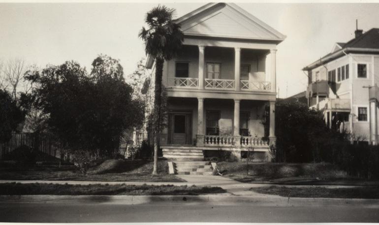 Sacramento Historic District Plans Final
Figure 29. The J. Neely Johnson House at 1029 F Street (1935).
Source: California History Room, California State Library, Sacramento, California.
Sacramento Historic District Plans Final
Figure 29. The J. Neely Johnson House at 1029 F Street (1935).
Source: California History Room, California State Library, Sacramento, California.
By the 1970s, Alkali Flat’s once-grand nineteenth century houses and buildings were in such a severe state of decay that many were uninhabitable and were demolished. A new movement emerged to preserve the neighborhood’s remaining historic architecture, led by local residents and members of the Sacramento Old City Association and Sacramento Heritage, Inc. Much of the neighborhood’s existing nineteenth-century architecture has survived as a result of their efforts.12 In 1972, the Sacramento City Council adopted a redevelopment plan for Alkali Flat, and between 2006 and 2009, $60 million in private and public funding was invested into Alkali Flat in an effort to revitalize the neighborhood. The plan included new residential and transit-oriented development along 12th Street, such as the La Valentina mixeduse development; preservation and rehabilitation of the area’s historic housing stock; and promotion of new development while working to enhance existing businesses.13 Today, the neighborhood remains an ethnically and socioeconomically diverse residential neighborhood, and many of its historic houses have been restored.14
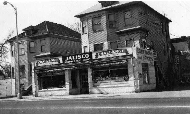 Section Individual Historic District Plans
Alkali Flat Central, North, South, and West Historic District
Sacramento Historic District Plans Final
12 Sacramento’s Alkali Flat, 11. “Alkali Flat-Mansions Flats Strategic Neighborhood Action Plan,” 8-9. Holt.
Figure 30. The Jalisco Market at 318-322 12th Street (1950). Source: Center for Sacramento History. Eugene Hepting Collection, 1985/024/0001.
Section Individual Historic District Plans
Alkali Flat Central, North, South, and West Historic District
Sacramento Historic District Plans Final
12 Sacramento’s Alkali Flat, 11. “Alkali Flat-Mansions Flats Strategic Neighborhood Action Plan,” 8-9. Holt.
Figure 30. The Jalisco Market at 318-322 12th Street (1950). Source: Center for Sacramento History. Eugene Hepting Collection, 1985/024/0001.
Alkali Flat contains four separate historic districts, rather than a single, cohesive district, due to recent infill development that fragments the neighborhood. The North Alkali Flat Historic District was designated for listing on the Sacramento Register of Historic and Cultural Resources by the City Preservation Commission in 1985 in Ordinance #85-076 and renamed the “Alkali Flat North Historic District” in 2004 in Ordinance #2004-048. The Alkali Flat Central Historic District, Alkali Flat South Historic District, and Alkali Flat West Historic District were designated for listing on the Sacramento Register in 2004 in Ordinance #2004-048. At the time of their designations, the districts were determined to meet all three of the requirements and both of the factors for listing as defined by Sacramento City Code.
The Alkali Flat Central Historic District, Alkali Flat North Historic District, and Alkali Flat South Historic District have also received national designation as historic districts and were listed on the National Register of Historic Places in 1984. Because these districts are listed on the National Register, they are also automatically listed on the California Register of Historical Resources.
The following table provides a current evaluation of significance under the requirements and considers the factors based on the above historic district context and the 2018 historic district survey. Additionally, these historic districts relate to the Railroad Context Statement and State Government Context Statement of the city’s General Plan Technical Background Report.
(a) The Alkali Flat Central Historic District, Alkali Flat North Historic District, Alkali Flat South Historic District, and Alkali Flat West Historic District meet requirement (a) for listing on the Sacramento Register, because they are geographically definable areas.
(b)(i) The Alkali Flat Central Historic District, Alkali Flat North Historic District, Alkali Flat South Historic District, and Alkali Flat West Historic District requirement (b)(i) for listing on the Sacramento Register as areas that possesses “a significant concentration or continuity of buildings unified by: (A) past events or (B) aesthetically by plan or physical development.”
Together, the four historic districts contain a collection of buildings that reflect the variety of architectural styles and types of residences that were characteristic during the peak of development in Alkali Flat between the mid-nineteenth century and early twentieth century.
Reflecting the neighborhood’s initial development as an enclave for many of Sacramento’s most prominent residents in the mid-nineteenth century, the Alkali Flat Central Historic District contains a number of houses that were built for notable individuals, including governors, business owners, wealthy merchants, and other members of the local elite. The largest component of the Alkali Flat Central Historic District consists of nineteenth-century Queen Anne and Stick/Eastlake houses, but the district also contains houses built in popular styles from the early twentieth century, including the Colonial Revival and Craftsman styles.
The Alkali Flat North Historic District contains a small concentration of houses that are unified aesthetically by their physical development as working-class cottages during the city’s building boom after the fires and floods of the 1850s and 1860s. The houses were largely built during two main periods: an initial period in the 1860s and 1870s, characterized by the Greek Revival and Italianate styles, and a later period around 1895, characterized by a mixture of Queen Anne and Stick/Eastlake styles. Despite the difference in age, the houses share a similar scale, form, setback, and architectural design details, such as high basements, that serve to create an aesthetically cohesive whole that recalls the peak period of development in Alkali Flat.
Sacramento Historic District PlansThe Alkali Flat South Historic District consists of a row of small Italianate and Queen Anne houses that were built in a similar size, scale, and overall form. The buildings also share an aesthetic consistency in their display of visual features, such as fenestration and smaller design details, that together helps to create a visually cohesive whole. Two later Craftsman style, Classic Box houses continue the row to the east, reflecting the evolution of styles in the neighborhood.
The Alkali Flat West Historic District contains a range of buildings types and styles from the mid-eighteenth to early twentieth century, including a National Register-listed example of a prefabricated house that was shipped to Sacramento in the earliest years of its establishment; a cohesive row of houses on E Street that were constructed in a similar size, scale, and form; and several larger turn-of-the-twentieth-century apartment buildings. Together, the assemblage is representative of the various phases of residential development that characterized the larger neighborhood of Alkali Flat from its establishment in the 1850s to its transition into a predominately working class and ethnic neighborhood in the first few decades of the twentieth century.
(b)(ii) The Alkali Flat Central Historic District, Alkali Flat North Historic District, Alkali Flat South Historic District, and Alkali Flat West Historic District specifically meet requirement (b)(ii) for listing on the Sacramento Register as areas “associated with an event, person, or period significant or important to city history.”
The Alkali Flat Central Historic District, Alkali Flat North Historic District, Alkali Flat South Historic District, and Alkali Flat West Historic District are pieces of the larger neighborhood of Alkali Flat, the oldest extant residential neighborhood in Sacramento. The districts’ surviving historic buildings are representative of the boom period of development that took place as the city expanded and matured after the devastation of the 1852 fire and improvement of flood control measures in the 1860s. The districts contain the remnants of what was once Sacramento’s premiere residential neighborhood, where the city’s most influential and prominent figures built large family homes in the most popular architectural styles of the day. The affluent and elegant neighborhood reflected Sacramento’s rebirth into one of the state’s most important agricultural, commercial, industrial, and transportation centers at the end of the nineteenth century, while the variety of architectural styles and housing types echo the neighborhood’s transition into a working-class residential area in the early twentieth century.
15 Sacramento’s Alkali Flat, 7-8.
15
SacramentoThe period of significance for the Alkali Flat Central Historic District, Alkali Flat North Historic District, Alkali Flat South Historic District, and Alkali Flat West Historic District begins with Sacramento’s efforts to rebuild after the fire of 1852 and concludes with the end of streetcar service to the neighborhood in 1936, which increased the neighborhood’s isolation from the rest of the city and contributed, along with the effects of the Great Depression, to declining development and investment in the neighborhood. The transition also coincided with Alkali Flat’s evolution into a predominately working-class neighborhood.
(c) The Alkali Flat Central Historic District, Alkali Flat North Historic District, Alkali Flat South Historic District, and Alkali Flat West Historic District meet requirement (c) for listing on the Sacramento Register as they aligns with the goals and purposes of historic preservation in Sacramento, as well as the city’s other goals and policies. Per the Sacramento City Code, the preservation of these districts enhances the “city’s economic, cultural and aesthetic standing, its identity and its livability, marketability, and urban character.”
(a) Factor (2)(a) states that “a historic district should have integrity of design, setting, materials, workmanship and association.” The Alkali Flat Central Historic District, Alkali Flat North Historic District, Alkali Flat South Historic District, and Alkali Flat West Historic District retain sufficient integrity to meet this factor for consideration as historic districts.
(b) Factor (2)(b) states that “the collective historic value of the buildings and structures in a historic district taken together may be greater than the historic value of each individual building or structure.” The Alkali Flat Central Historic District, Alkali Flat North Historic District, Alkali Flat South Historic District, and Alkali Flat West Historic District meet this factor because their buildings and structures represent significant and distinguishable entities whose collective historic value is greater when taken as a whole.
Sacramento HistoricUse
• Single-family residences, some converted into multi-family units, and some apartment buildings
• Public recreational use centralized at the J. Neely Johnson Park
• Parking and auxiliary uses located along alleys
Ornamentation
Mass & Form
• Predominately one- to two-story houses with Delta-style high basements and raised first story
• Modestly-sized cottages interspersed with larger, more ornate residences
Cladding
• Predominately wood siding, typically wide-width channel rustic siding, three- or four-tier drop panels, or shingles, often of varying shapes and patterns on gabled ends
• Some rare but significant brick buildings
Roofs
• Predominantly front-facing gabled roofs with some flat or hipped roofs
• Brick chimneys
Entries & Doors • Delta-style configuration with staircases leading to primary entrances above a high basement
• Paneled wood doors, often with a transom above, and/or integrated glazing
Property Landscape
Streetscape
• Italianate, Stick/Eastlake, and Queen Anne details, including incised brackets under roof eaves; decorative, carved woodwork around windows and doors; slender, turned porch posts and balusters; quoins on building corners; patterned shingles on gabled ends; rounded windows; and stained-glass windows, especially on transoms over primary entrance
• Classical Revival details, including fluted square columns and pilasters, modified Ionic columns, quoins on building corners, and dentils along cornice
• Craftsman details, including exposed rafter and purlin tails, wood braces, tapered square columns, and low shed dormers
• Low fences in front of many houses, mostly wood picket or wrought iron, often with brick piers
• Varying building setbacks, with houses located in the center of lettered streets generally set back further than those located at street corners or along numbered streets
• Rows of mature, evenly spaced, deciduous street trees— most often sycamore, palm, and walnut trees—planted in a parking strip along the street curb
Windows
Porches
• Wood-frame, double-hung windows
• Front- and side-facing bay windows
• Prominent full- or half-width porches accessed by a wood staircase
• Varying sidewalk widths to accommodate large street trees
Use
• Single-family residences, some converted into multi-family units, commercial businesses, or institutional buildings
• Commercial uses concentrated along 12th Street
• Parking and auxiliary uses located along alleys
Mass & Form
Cladding
• Predominately one- or two-story houses with Delta-style high basements and raised first story
• Predominately wood siding, typically wide-width channel rustic siding, three- or four-tier drop panels, or shingles, often of varying shapes and patterns on gabled ends
• One brick building
Roofs
• Predominantly front-facing gabled roofs with some side flat or hipped roofs
• Brick chimneys
Entries & Doors • Delta-style configuration with staircases leading to primary entrances above a high basement
• Diagonal corner entrances on some commercial buildings
• Paneled wood doors, often with a transom above, and/or integrated glazing
Property Landscape
Streetscape
• Low fences in front of many houses, mostly wood picket or wrought iron, often with brick piers
• Some brick patios
• Varying building setback, ranging from no setback in front of the commercial buildings on 12th Street, to generally uniform setback of 20 feet on 11th Street, and more than 100 feet in front of the Maria Hastings House on D Street
• Rows of mature, evenly spaced, deciduous street trees— most often sycamore or elm trees—planted in a parking strip along the street curb.
• Varying building setback, ranging from no setback in front of the commercial buildings on 12th Street, to generally uniform setback of 20 feet on 11th Street, and more than 100 feet in front of the Maria Hastings House on D Street
• Varying sidewalk widths to accommodate large street trees
Windows
• Wood-frame, double-hung windows
• Front- and side-facing bay windows
Porches • Prominent full or half-width porches accessed by a wood staircase
Ornamentation
• Italianate, Stick/Eastlake, and Queen Anne details, including incised brackets under roof eaves; decorative, carved woodwork around windows and doors; slender, turned porch posts and balusters; and patterned shingles on gabled ends
Use
• Historically single-family residences, some converted into multi-family units
• Parking and auxiliary uses located along alleys
Mass & Form • Two-story houses with Delta-style high basements and raised first story
Cladding
• Predominately wood siding, typically wide-width channel rustic siding, three- or four-tier drop panels, or shingles, often of varying shapes and patterns on gabled ends
• Low fences in front of many houses, mostly wrought iron and often with brick piers
Streetscape • Rows of deciduous street trees of varying size and type— most often sycamores—planted in a parking strip along the street curb
Roofs
• Prominent front-facing gabled roofs; some low-pitched hipped roofs with dormers
• Brick chimneys
Entries & Doors • Delta-style configuration with staircases leading to primary entrances above a high basement
• Paneled wood doors, often with a transom above, and/or integrated glazing
• Varying building setback with nineteenth-century Victorian-era houses set back approximately 20 feet from the sidewalk and the later twentieth-century Craftsman style houses set back approximately 10 feet from the sidewalk
Windows
Porches
Ornamentation
• Wood-frame, double-hung windows
• Front- and side-facing bay windows
• Prominent full or half-width porches accessed by a wood staircase
• Italianate, Stick/Eastlake, and Queen Anne details, including incised brackets under roof eaves; slender, turned porch posts and balusters; decorative, carved woodwork around windows and doors; and patterned shingles on upper stories or gabled ends
• Craftsman details, including exposed rafter and purlin tails, wood braces, tapered square columns, and low shed dormers
Use
• Single-family residences, some converted to multi-family units, and apartment buildings
• Parking and auxiliary uses located along alleys
Mass & Form • One- to three-story houses with Delta-style high basements and raised first story
Cladding
• Predominately wood siding, typically wide-width channel rustic siding, three- or four-tier drop panels, or shingles, often of varying shapes and patterns on gabled ends
• Some brick on lower stories
Roofs • Predominantly front-facing gabled roofs with some sidefacing gabled, flat, or low hipped roofs with dormers and one mansard roof
• Brick chimneys
Entries & Doors • Delta-style configuration with staircases leading to primary entrances above a high basement
• Paneled wood doors, often with a transom above, and/or integrated glazing
Ornamentation
• Italianate, Stick/Eastlake, and Queen Anne details, including incised brackets under roof eaves; slender, turned porch posts and balusters; decorative, carved woodwork around windows and doors; rounded windows; and patterned shingles on upper stories or gabled ends
• Craftsman details, including exposed rafter and purlin tails, wood braces, tapered square columns, and low shed dormers
Windows
• Wood-frame, double-hung windows
• Front- and side-facing bay windows
Porches • Prominent full, half-width, or wraparound porches accessed by a wood staircase
Property Landscape
• Low fences in front of many houses, mostly wood picket or wrought iron, occasionally with brick piers
• Some brick patios
• Remnants of low concrete fence bases
• Clear views of the levee, railroad tracks, and railyards
Streetscape
• Rows of deciduous street trees of varying size and type, most often sycamore, elm, or palm streets—planted in parking strips
• Varying building setbacks
• Varying sidewalk widths to accommodate large street trees
The following map shows the boundaries and location of the Alkali Flat Central Historic District.
To view the statuses of individual properties as contributing or non-contributing resources to the historic district, refer to the Sacramento Register of Historic and Cultural Resources.
The following map shows the boundaries and location of the Alkali Flat North Historic District. view the statuses of individual properties as contributing or non-contributing resources to the historic district, refer to the Sacramento Register of Historic and Cultural Resources.
The following map shows the boundaries and location of the Alkali Flat South Historic District.
To view the statuses of individual properties as contributing or non-contributing resources to the historic district, refer to the Sacramento Register of Historic and Cultural Resources. St
Legend District Boundary
Map of the Alkali Flat South Historic District. City of Sacramento and Page & Turnbull, 2019.
Sacramento Historic HistoricThe following map shows the boundaries and location of the Alkali Flat West Historic District.
To view the statuses of individual properties as contributing or non-contributing resources to the historic district, refer to the Sacramento Register of Historic and Cultural Resources.
Sacramento HistoricDesign alterations, additions and infill to seamlessly blend into this grand historic residential neighborhood.
1.1 Protect carved, turned, or shaped wood treatments that are important features to the architectural style.
Alkali Flat Central is the largest of the historic districts in the Alkali Flat neighborhood, which was once the neighborhood of choice for many of Sacramento’s most prominent citizens. The historic district contains a large collection of residential buildings, which exhibit several architectural styles, proportions, massing, and landscaping that is unified by an overall high quality of design and architectural detailing. The existing neighborhood is a well-preserved area of Sacramento.
In addition to the Standards & Criteria Common to Sacramento's Historic Districts in Section 1, the following district-specific standards and criteria apply when planning a project in the Alkali Flat Central Historic District.
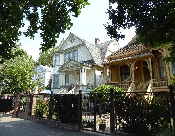
Figure 32. Many historic houses in Alkali Flat Central feature elaborate, decorative woodwork.
2.1 Avoid additions that cause a contributing building’s height to exceed 150% of its historic height.
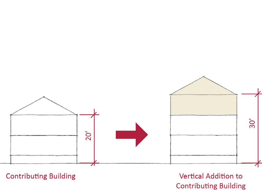
• Use step backs to maintain the existing street façade height.
Figure 33. Additions should not cause a building's height to exceed 150% of its historic height.
Section 2: Individual Historic District Alkali Flat Central, North, South, and West Historic District Sacramento Historic District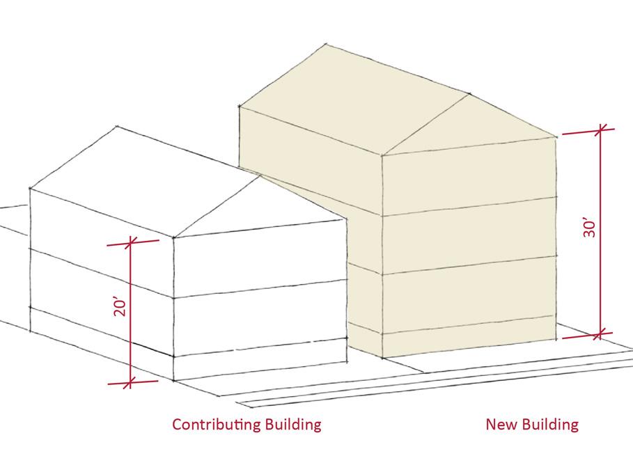
3.1 Design the scale, massing, and proportions of new construction to be compatible with those of adjacent contributing buildings on the same block.
• Where additional height is considered, it is recommended that the height of new buildings be no more than 150% of the height of surrounding contributing buildings.
• Consider using step backs for taller buildings to maintain the existing street façade height of adjacent contributing buildings.
3.2 Preserve the historic pattern and articulation of long, narrow 40’ x 160’ parcels wherever possible.
• Consider breaking down the massing of large infill developments into smaller masses that reflect the historic lot pattern.
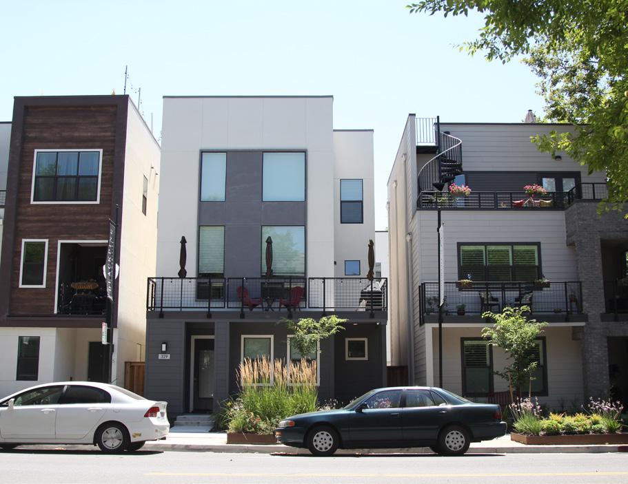
3.3 Consider providing covered front porches or entries at new infill development to preserve the historic district’s visual pattern of porches.
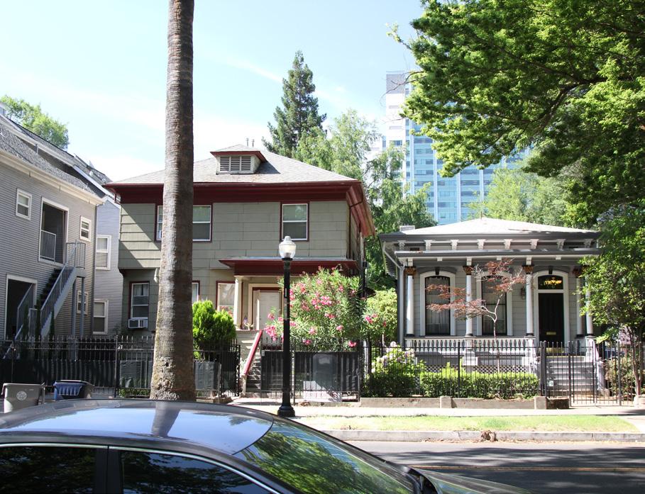
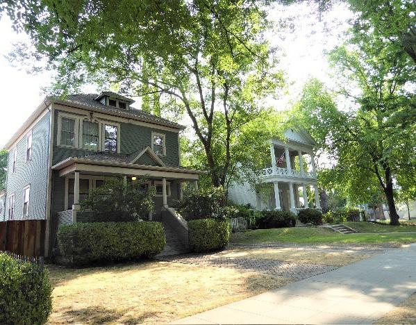 Sacramento Historic
Figure 34. The height of new buildings should be no more than 150% of the height of surrounding contributing buildings.
Figure 35. The historic district contains houses that display a variety of architectural styles and massing.
Figure 36. Building setbacks vary from street to street but are particularly deep on F Street.
Figure 37. Entries to these new infill buildings include covered porches over entries.
Sacramento Historic
Figure 34. The height of new buildings should be no more than 150% of the height of surrounding contributing buildings.
Figure 35. The historic district contains houses that display a variety of architectural styles and massing.
Figure 36. Building setbacks vary from street to street but are particularly deep on F Street.
Figure 37. Entries to these new infill buildings include covered porches over entries.
4.1 Design new landscape features to be compatible with the pedestrian-oriented landscaping within the district.
4.2 Avoid creating new curb cuts on lettered streets in the historic district.
• Locate parking and service access along alleys, and use landscaping features to screen it from the public right-of-way, wherever possible.
5.1 On a typical unsplit parcel, set back alley infill buildings a minimum of 30 feet from the primary building on the parcel. If a parcel is split, set back alley infill buildings a minimum of 15 feet from the lot split.

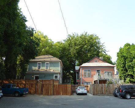
5.2 The height of alley infill should be no more than 150% of the height of surrounding contributing buildings.
Figure 38. Parking has been appropriately located at the rear of these contributing properties.
Sacramento HistoricIntegrate new residential, commercial, and transitoriented development, particularly along 12th Street, with the Alkali Flat North Historic District’s historic character as one of Sacramento’s oldest residential neighborhoods.
1.1 Preserve cohesive rows of houses, such as 405415 11th Street.
1.2 Protect carved, turned, or shaped wood treatments that are important features to the architectural style.
The Alkali Flat North Historic District is part of one of Sacramento’s earliest still-standing residential neighborhoods, dating from the mid-nineteenth to the early twentieth century. While the historic district is primarily residential in nature, it is also shaped by commercial development on 12th Street, a historic commercial corridor and busy arterial highway. Additionally, the historic district contains a number of vacant parcels that offer the potential for future new development within its boundaries. Because of the small geographic size of the district, any physical changes will have an amplified impact on the overall integrity and cohesiveness of the district.
1.3 Maintain, preserve, and, where necessary, repair and restore historic elements associated with the Delta style of residential architecture, especially historic staircases, porches, doors, and bay windows.
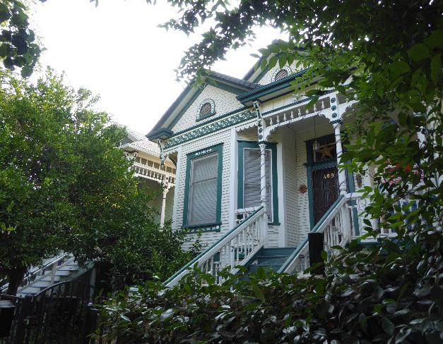
2.1 Design additions with proportions that do not visually dominate the modest scale and massing of contributing buildings in the district.
• Design building proportions of additions to commercial buildings be compatible with the primarily low, horizontal massing of contributing commercial buildings in the district.
2.2 Avoid additions that cause a contributing building’s height to exceed 150% of its historic height.
• Use step backs to maintain the existing street façade height.
In addition to the Standards & Criteria Common to Sacramento's Historic Districts in Section 1, the following district-specific standards and criteria apply when planning a project in the Alkali Flat North Historic District.
Figure 39. The ornate houses at 405-415 11th Street create a particularly cohesive grouping of houses that should be carefully preserved.
Figure 40. Additions should not cause a building's height to exceed 150% of its historic height.
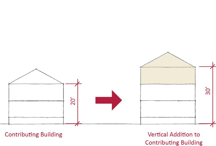 Sacramento Historic District
3.1 Focus commercial and mixed-use development on 12th Street, and maintain the historic residential character of D and 11th Streets.
• Where commercial properties are sited directly adjacent to residential properties, provide a side setback and articulate side facades to avoid solid party walls facing residential properties.
3.2 Design the scale, massing, and proportions of new residential construction to be compatible with the narrow, vertical massing typical of contributing residential buildings.
• If larger buildings are considered, break up the plane of the primary facade to emulate the pattern of narrow, vertical massing found in the district.
3.3 Design the scale, massing, and proportions of new commercial construction to be compatible with the low, horizontal massing of adjacent contributing commercial buildings.
3.4 Where additional height is considered, the height of new buildings should be no more than 150% of the height of surrounding contributing buildings.
• Consider using step backs for taller buildings to maintain the existing street façade height of adjacent contributing buildings.
• Maintain the pattern of small front yards in front of residential properties on D and 11th Streets.
• Maintain zero lot line setback of commercial properties on 12th Street.
• Minimal or no spacing may be appropriate between commercial properties on 12th Street to match the relationship between contributing historic buildings.
3.5 Encourage the inclusion of corner entrances for commercial development located at street intersections along 12th Street.
3.6 Preserve the historic pattern and articulation of long, narrow 40’ x 160’ parcels on D Street, wherever possible.
• Consider breaking down the massing of large infill developments into smaller masses that reflect the historic lot pattern.
Figure 42. The height of new buildings should be no more than 150% of the height of surrounding contributing buildings.
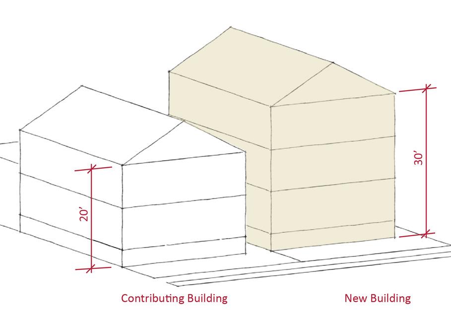
Figure 41. Contributing residential properties are typically sited with a shallow setback from the street.
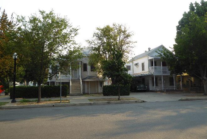
Figure 43. Commercial development should be located along 12th Street and be designed to be compatible with historic commercial historic buildings in the historic district.
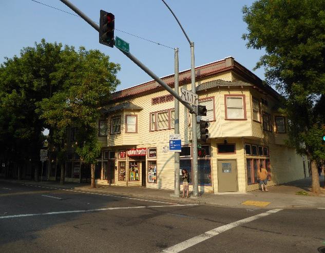
4.1 Where street trees consist of a row of trees of the same species, replace removed or diseased trees in kind with the same species or a compatible species at regular intervals in order to maintain the historic tree planting pattern.
4.2 Avoid creating new curb cuts on numbered streets in the historic district.
• Locate parking and service access along alleys, and use landscape features to screen it from the public right-of-way, wherever possible.
• Where possible, remove driveways and restore the continuous park strip to enhance the pedestrian experience.
4.3 Replace chain link fences and razor wire with fencing that is compatible in material and height to historic fencing in the district.
5.1 On a typical unsplit parcel, set back alley infill buildings a minimum of 30 feet from the primary building on the parcel. If a parcel is split, set back alley infill buildings a minimum of 15 feet from the lot split.
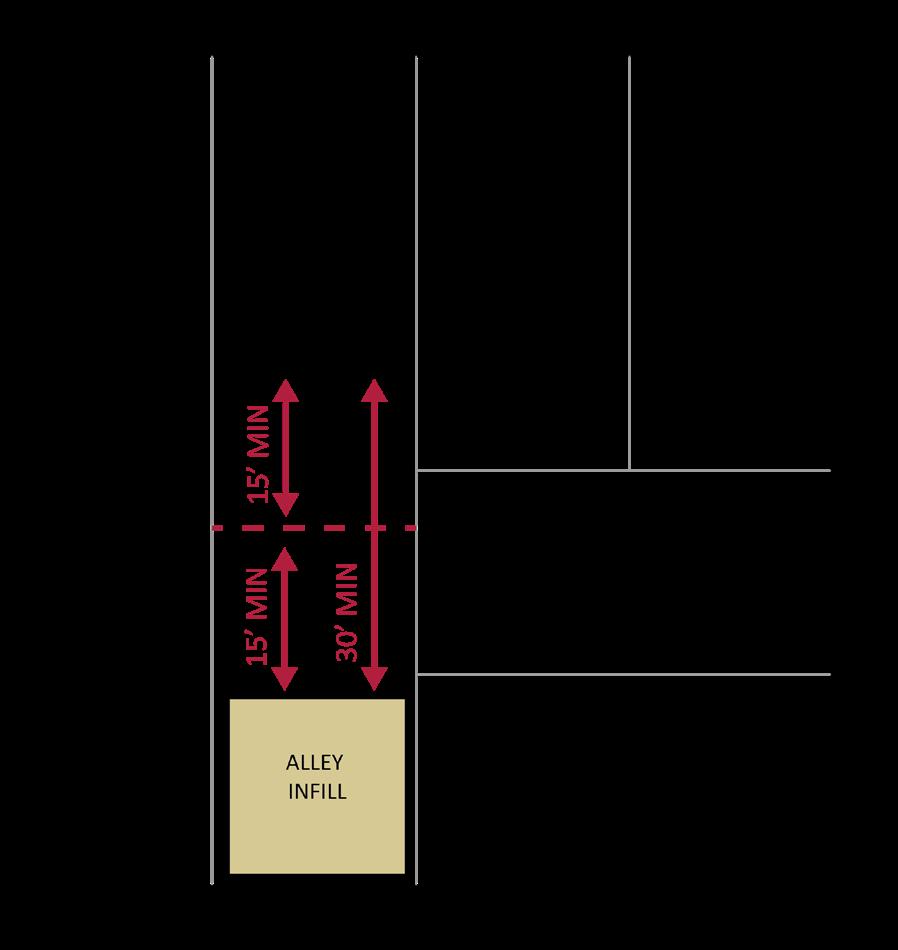
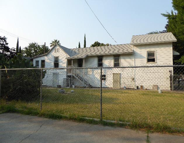
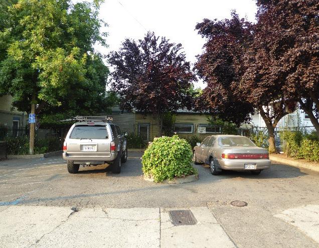
5.2 The height of alley infill should be no more than 150% of the height of surrounding contributing buildings.
Figure 44. Parking should be located along the alleys and screened from view.
Section Individual Historic District Plans Alkali Flat Central, North, South, and West Historic District Sacramento Historic District Figure 45. The use of chain link fences is prohibited.
Projects in the Alkali Flat South Historic District should be carefully and thoughtfully planned to minimize visual impacts that would disrupt the highly cohesive character of the historic district.
1.1 Protect carved, turned, or shaped wood treatments that are important features to the architectural style.
The Alkali Flat South Historic District contains a particularly cohesive grouping of houses, the majority of which share a similar architectural style, building scale, massing, use of materials, siting, and landscaping. Because of the high level of architectural uniformity and small geographic scale of the district, any physical changes will have an amplified impact on the cohesiveness of the district.
1.2 Maintain, preserve, and, where necessary, repair and restore historic elements associated with the Delta style of residential architecture, especially historic staircases, porches, doors, and bay windows.
In addition to the Standards & Criteria Common to Sacramento's Historic Districts in Section 1, the following district-specific standards and criteria apply when planning a project in the Alkali Flat South Historic District.
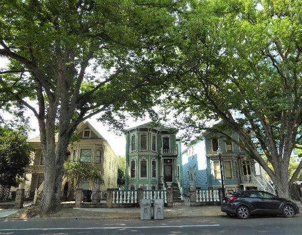 Section Historic District
Alkali Central, North, South, West Historic
Sacramento Historic
Figure 46. The similar size, height, massing, materials, siting, and landscaping of contributing properties in the historic district create a particularly cohesive grouping.
Section Historic District
Alkali Central, North, South, West Historic
Sacramento Historic
Figure 46. The similar size, height, massing, materials, siting, and landscaping of contributing properties in the historic district create a particularly cohesive grouping.
2.1 Design additions with proportions that are compatible with the massing of the main contributing property and adjacent contributing properties.
• Side additions that widen the narrow, vertical massing of the houses on the west side of the historic district are discouraged.
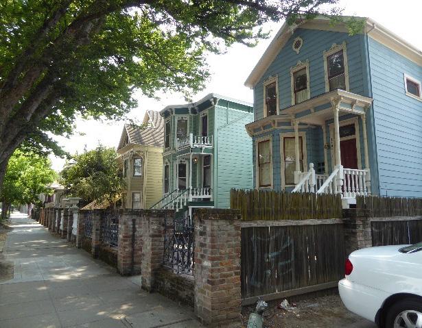
2.2 Avoid additions that cause a building’s height to exceed that of adjacent contributing buildings.
• Where additional height is considered, use step backs to maintain the existing street facade height of adjacent contributing buildings.
3.1 It is recommended that the height of new buildings should fall within the range of heights of surrounding contributing buildings.
3.2 If larger buildings are considered, break up the plane of the primary facade to emulate the pattern of narrow, vertical massing found in the district.
3.3 Orient primary facades and entries of new construction to G Street.
3.4 Preserve the historic pattern and articulation of long, narrow 40’ x 160’ parcels, wherever possible.
• Consider breaking down the massing of large infill developments into smaller masses that reflect the historic lot pattern.
3.5 Avoid creating new curb cuts along G Street.
• Locate parking and service access along alleys, and use landscaping features to screen it from the public right-of-way, wherever possible.
3.6 Consider providing covered front porches or entries at new infill development to preserve the historic district’s visual pattern of porches.
4.1 If it becomes necessary to replace mature sycamore street trees, replace them in kind with the same species or a compatible species that will grow to a similar height, size, and form.
4.2 Screen parking lots from view using fencing and screening elements that are compatible with the historic district.
Figure 47. The contributing properties in the district share a similar setback from the street and use of low front fences.
5.1 On a typical unsplit parcel, set back alley infill buildings a minimum of 30 feet from the primary building on the parcel. If a parcel is split, set back alley infill buildings a minimum of 15 feet from the lot split.
5.2 It is recommended that the height of alley infill should fall within the range of heights of surrounding contributing buildings.

Preserve and maintain the existing historic character of the Alkali Flat West Historic District as a remnant of one of Sacramento’s oldest standing residential neighborhoods while encouraging compatible new development that enhances this character and improves the historic district’s connection to the wider Alkali Flat neighborhood.
1.1 Protect carved, turned, or shaped wood treatments that are important features to the architectural style.
2.1 Design additions with proportions that are compatible with the narrow, vertical massing that is typical of contributing buildings in the district.
Alkali Flat West is part of one of Sacramento’s earliest still-standing residential neighborhoods dating from the mid-nineteenth to the early twentieth century. The district is fragmented by large swaths of vacant lots directly adjacent to contributing historic buildings and poses many opportunities for new development in close proximity to Downtown Sacramento.
In addition to the Standards & Criteria Common to Sacramento's Historic Districts in Section 1, the following district-specific standards and criteria apply when planning a project in the Alkali Flat West Historic District.
1.2 Maintain, preserve, and, where necessary, repair and restore historic elements associated with the Delta style of residential architecture, especially historic staircases, porches, doors, and bay windows.
• If larger buildings are considered, break up the plane of the primary facade to emulate the pattern of narrow, vertical massing found in the district.
2.2 Avoid additions that cause a contributing building’s height to exceed 150% of its historic height.
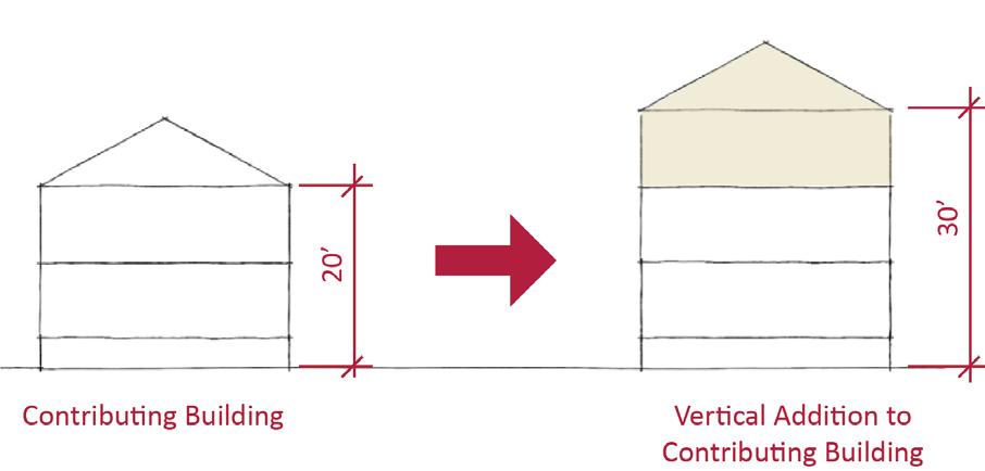
• Consider using step backs to maintain the existing street façade height of adjacent contributing buildings.
Figure 48. Additions should not cause a building's height to exceed 150% of its historic height.
Sacramento Historic3.1 Design building proportions to be compatible with adjacent contributing buildings, which are predominately narrow and vertically massed or wide and horizontally massed.
• Broader, more robust buildings may be appropriate at street corners where there is a historic precedent for siting larger buildings.
• Break larger masses into smaller modules that relate to the surrounding contributing buildings.
3.2 Preserve the historic pattern and articulation of long, narrow 40’ x 160’ parcels, wherever possible.
• Consider breaking down the massing of large infill developments into smaller masses that reflect the historic lot pattern.
3.3 Avoid creating new curb cuts along E, F, and 8th streets.
• Locate parking and service access along alleys, and use landscaping features to screen it from the public right-of-way, wherever possible.
3.4 Avoid constructing new buildings that are significantly taller than contributing buildings.
• Where additional height is considered, the height of new buildings should be no more than 150% of the height of surrounding contributing buildings.
• Consider using step backs for taller buildings to maintain the existing street façade height of adjacent contributing buildings.
Figure 49. The height of new buildings should be no more than 150% of the height of surrounding contributing buildings.
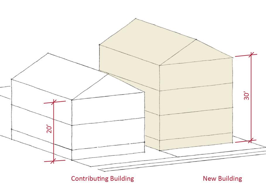
Figure 51. Alkali Flat West displays a mix of historic single- and multi-family housing types that can be used as design inspiration for new infill.
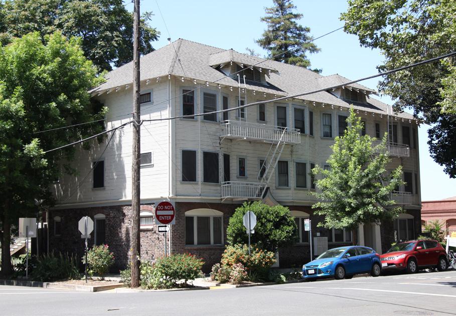
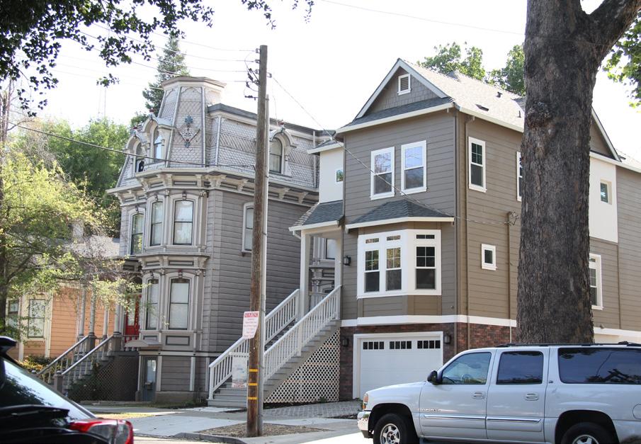 Figure 50. The majority of contributing buildings in the district exhibit narrow, vertical massing.
4.1 Design new landscape features to be compatible with the pedestrian-oriented landscaping within the district.
• Where possible, remove driveways and restore the continuous park strip to enhance the pedestrian experience.
4.2 Where only a fence foundation or piers survive, restore the fence to be compatible with the historic, removed fence, or surrounding historic fences.
4.3 Where street trees consist of a row of trees of the same species, replace removed or diseased trees in kind with the same species or a compatible species at regular intervals in order to maintain the historic tree planting pattern.
4.4 Remove chain link fences where possible.
• Replace chain link fences with fences that are of a compatible material and height to historic or compatible new fences at contributing properties in the historic district.
Figure 52. Preserve historic fencing elements, including concrete foundations.
5.1 On a typical unsplit parcel, set back alley infill buildings a minimum of 30 feet from the primary building on the parcel. If a parcel is split, set back alley infill buildings a minimum of 15 feet from the lot split.
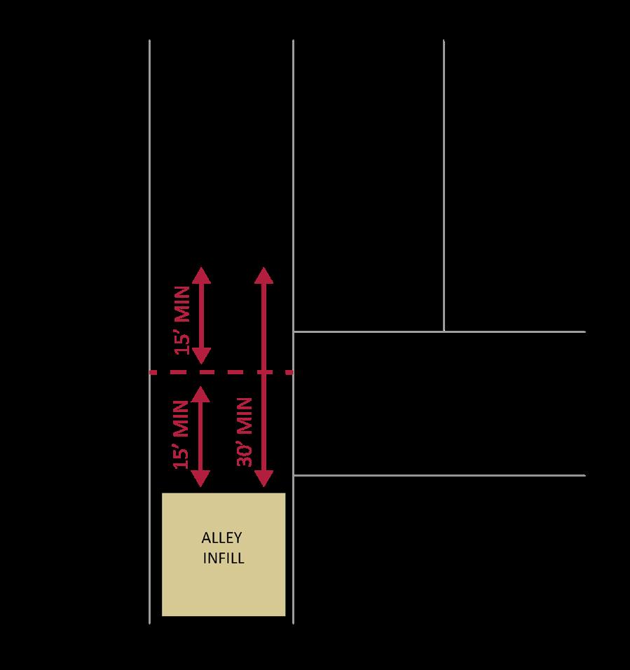
5.2 The height of alley infill should be no more than 150% of the height of surrounding contributing buildings.
Figure 53. The use of chain link fences is prohibited.
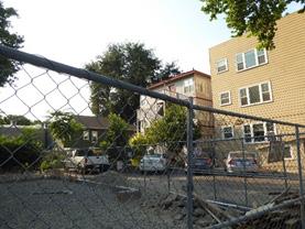 Sacramento Historic
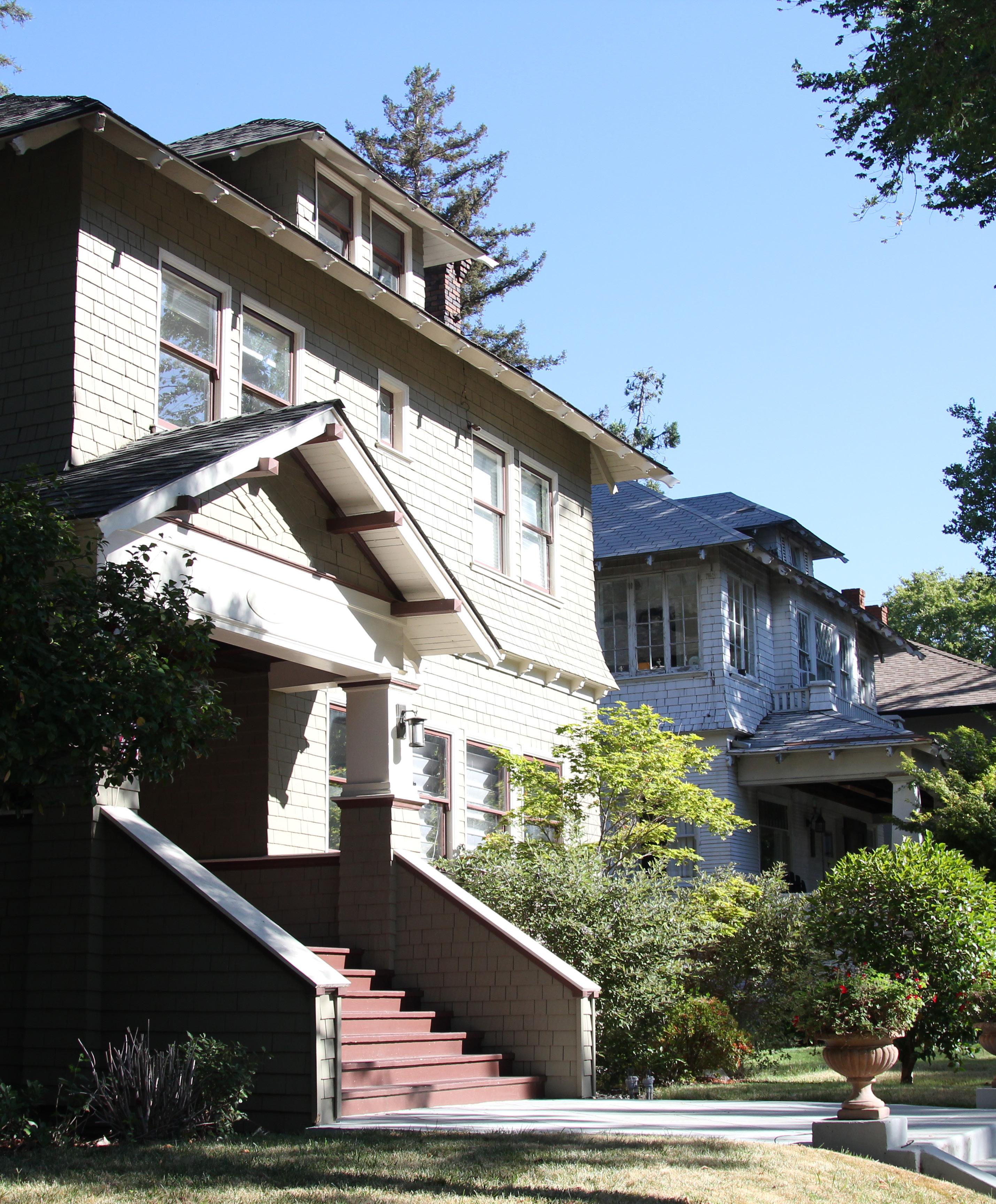
The Boulevard Park Historic District is a residential neighborhood located within Sacramento’s original 1848 street grid. It consists of approximately 20 blocks located generally between B Street and Improv Alley on the north and south and between 20th Street and halfway between 22nd and 23rd streets on the east and west. At Government Alley, the district extends east for two blocks to 25th Street before turning south across H and I streets to rejoin Improv Alley.
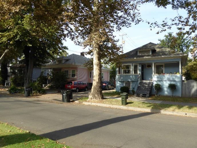
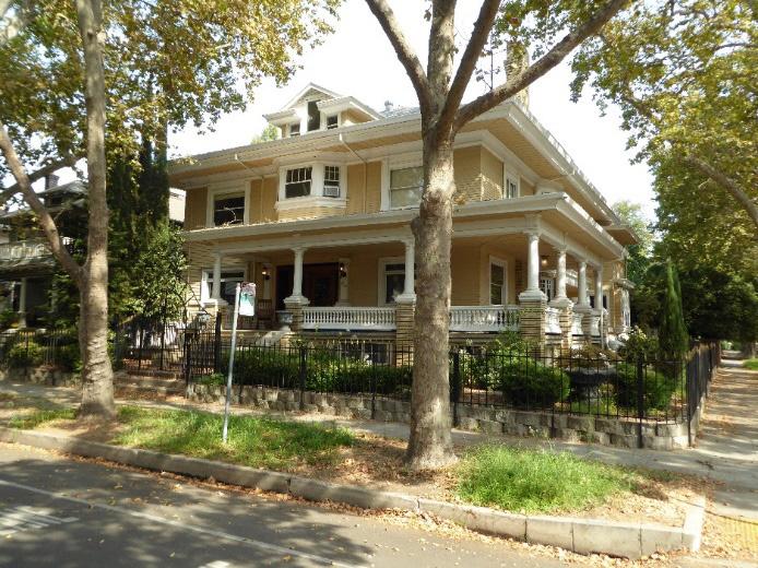
The district is situated around 21st and 22nd streets, two wide streets down the middle of which run a series of landscaped medians that give the neighborhood its name. These streets terminate at the one-block Grant Park at the district’s northern border. Mature trees and grassy parking strips line the streets throughout the neighborhood, and three small “alley parks” are located behind the houses between 21st, 22nd, F, and H streets, giving the neighborhood a park-like atmosphere.
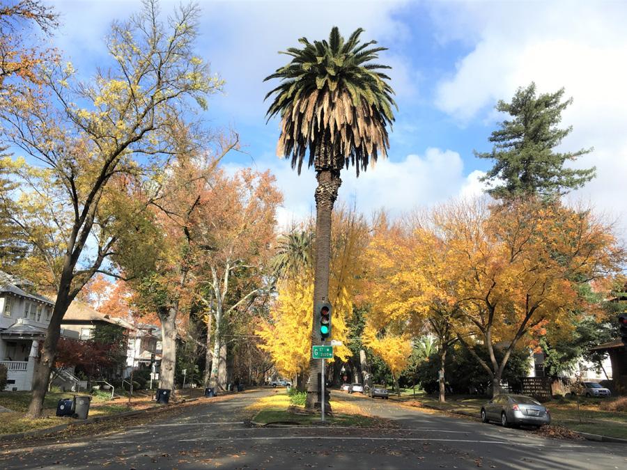 Sacramento Historic District Plans
Figure 55. Landscaped medians are part of the characteristic streetscape of 21st and 22nd streets.
Figure 56. The alley parks that were part of the Wright and Kimbrough planned subdivision survive on three blocks behind the houses on 21st Street between G and H streets.
Figure 57. Many of the largest houses in the district are located on street corners, such as this house on 22nd and F streets.
Figure 58. A grouping of modestly-sized houses on 21st Street between D and E streets in the northern section of the district.
Sacramento Historic District Plans
Figure 55. Landscaped medians are part of the characteristic streetscape of 21st and 22nd streets.
Figure 56. The alley parks that were part of the Wright and Kimbrough planned subdivision survive on three blocks behind the houses on 21st Street between G and H streets.
Figure 57. Many of the largest houses in the district are located on street corners, such as this house on 22nd and F streets.
Figure 58. A grouping of modestly-sized houses on 21st Street between D and E streets in the northern section of the district.
Development of the blocks that became Boulevard Park began with the State Agricultural Society’s decision to make Sacramento the permanent home of the State Fair in 1861. At that time, a plot of land – bounded by E, H, 20th, and 22nd streets – was set aside as the location for the State Fair’s fairgrounds. The fairgrounds included a racetrack and stock grounds and were quickly expanded in 1862 to include an additional six blocks between B, E, 20th , and 22nd streets. A new horse-drawn streetcar line was constructed in 1871 to improve access to the fairgrounds, which brought visitors from the Central Pacific passenger depot downtown to the fairgrounds on H Street.1
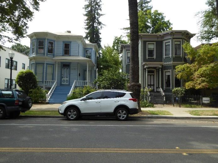
The start of streetcar service down H Street spurred Sacramento’s eastward expansion. Residential development up until this period had been primarily concentrated in the central business district downtown, where the commercial waterfront, railyards, industries, and state government offices were located. The availability of employment opportunities attracted large numbers of people to the downtown area who not only worked in the businesses downtown but often lived in the immediate area. The introduction of streetcars in the late nineteenth century shifted residential development to outlying areas of the city.22 New residences and businesses, including some of the most prominent homes in Sacramento, sprang up along the streetcar line on H Street. The emergence of residential suburbs to the east of downtown accelerated with the electrification
1 William Burg, “Boulevard Park” (National Register of Historic Places Draft Registration Form, California Office of Historic Preservation, 2011), 8.2. 2 GEI Consultants, Inc., “Mid-Century Modern in the City of Sacramento Historic Context Statement and Survey Results” (report, City of Sacramento Community Development Department, 2011), 2.1.
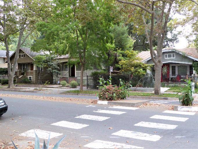
Figure 61. Scenes from the racetrack at Agricultural Park, later the site of Boulevard Park (1894). Source: Center for Sacramento History, 1985/152/272.
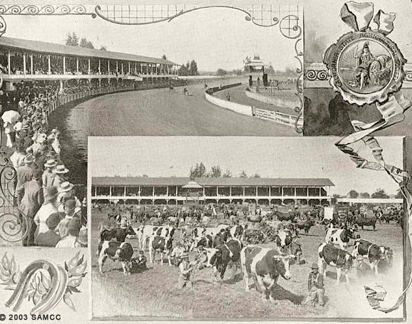 Section
Sacramento Historic District Plans Final
Figure 59. Many Victorian-era houses line the former streetcar route on H Street.
Figure 60. Small Craftsman bungalows, such as these houses on D and 23rd streets, are characteristic on blocks to the east of Wright and Kimbrough’s Boulevard Park subdivision and the National Register district’s boundaries.
Section
Sacramento Historic District Plans Final
Figure 59. Many Victorian-era houses line the former streetcar route on H Street.
Figure 60. Small Craftsman bungalows, such as these houses on D and 23rd streets, are characteristic on blocks to the east of Wright and Kimbrough’s Boulevard Park subdivision and the National Register district’s boundaries.
of the city’s streetcar system in 1890.33
In 1905, the State Fair moved to newer, larger fairgrounds southwest of the city, and the old fairgrounds were sold to the Park Realty Company. The fair’s relocation left behind an ideal situation for the creation of a new residential neighborhood: several lots of available land inside the city limits, in an already established neighborhood with ready access to streetcar service, city sewers, and city water supplies. Together with real estate firm Wright and Kimbrough, the company took charge of subdividing and selling lots in the new development. Lots on the southern end, which were closer to the streetcar line, were larger and more expensive than those that were farther north and close to the Southern Pacific Railroad tracks. In a time when zoning restrictions had not yet come into existence, deed restrictions were placed on the four largest blocks in the southern end in order to encourage the creation of a quiet, uniform, residential neighborhood. The restrictions prohibited non-residential development, the construction of multi-family properties, and relocation of older houses. They also stipulated that houses had to be set back twenty-five feet from the sidewalk and no closer than three feet to the lots on either side.44
Wright and Kimbrough’s design for Boulevard Park also called for several notable landscaped features that reflected the influence of the “City Beautiful” movement, which had been introduced at the Chicago World’s Fair in 1893 and sought to create modern, ordered, park-like cities and neighborhoods. In accordance with these principles, Boulevard Park 8.2-8.3.
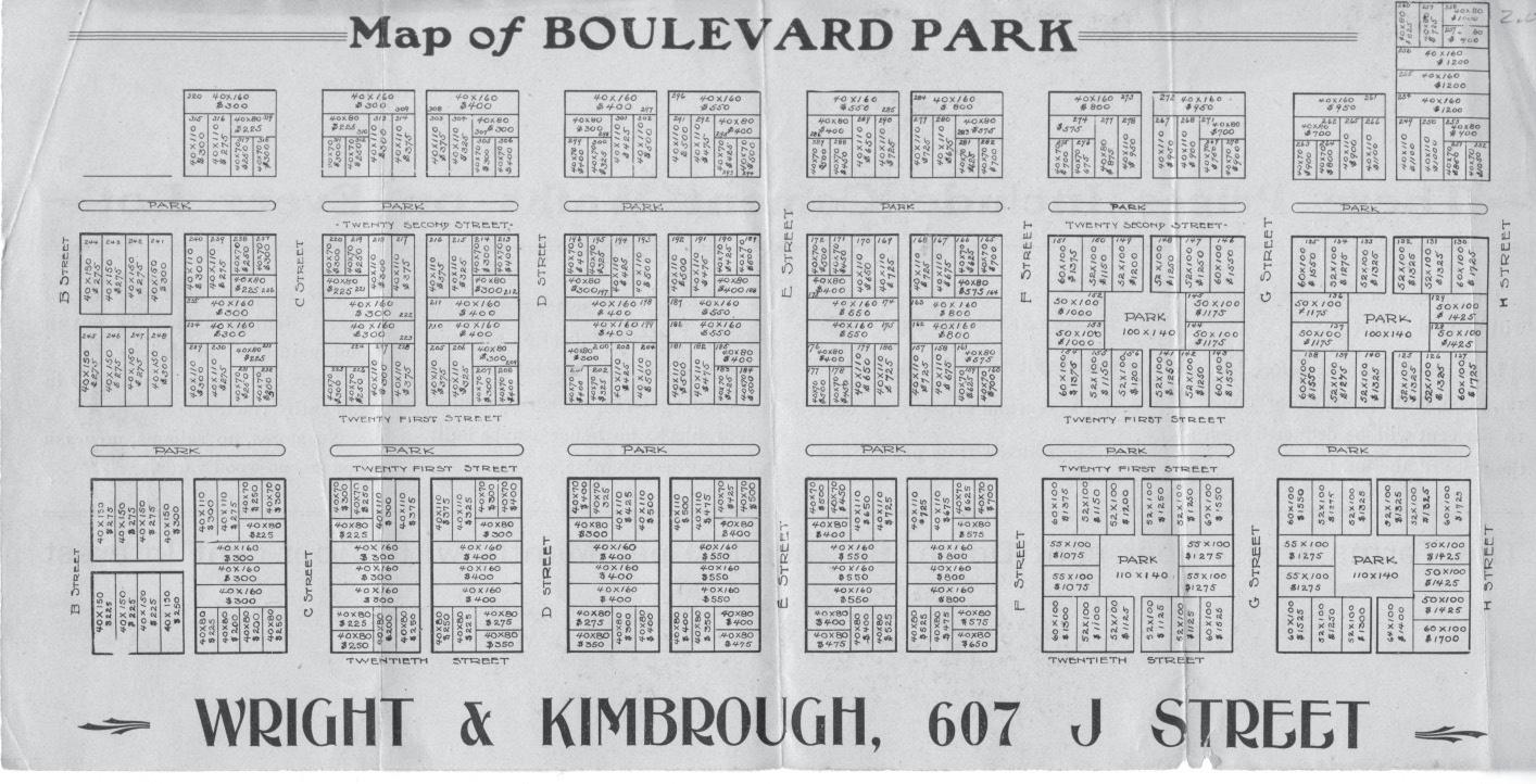
was laid out along two wide boulevards, 21st and 22nd streets, each of which featured landscaped central medians that were planted with Canary Island date palms, Gingko biloba trees, and Mexican fan palms. The streets were also lined with landscaped parking strips in which rows of street trees were planted. English elms and sycamores were the most common trees planted along the streets, but other vegetation was also used. Among the most innovative elements of plans for the subdivision was the decision to create small 100 by 140-foot parks in the center alleys behind the four largest blocks on the subdivision’s south end. Ultimately, only three of these “alley parks” were completed, all of which have survived in the present
historic district. Additional greenspace was provided by turning a block between C, B, 21st, and 22nd streets, which had been donated to the City by John A. Sutter Jr. in the nineteenth century for use as a public plaza, into Grant Park.55

Boulevard Park’s “City Beautiful” design also integrated Progressive reform ideals. While lots on the development’s southern edge, which were larger and closer to the streetcar lines, were intended to attract affluent residents, the smaller, less expensive lots on its northern edge offered working-class residents the opportunity to enjoy the benefits of suburban living
5 Burg., 8.8.
Sacramento Historic District Plans Final Figure 62. Map of Boulevard Park (1920). Source: Special Collections of the Sacramento Public Library, edited by Page & Turnbull.at an affordable price. In addition, the subdivision enjoyed access to modern amenities, such as paved streets and sidewalks, modern plumbing, and use of the city’s sewers and water lines.66
Wright and Kimbrough’s designs for a quiet, pastoral neighborhood were impeded by the expansion of streetcar and railroad services, which brought more noise and industrial development to the area. In 1907, the main freight line of the Northern Electric Railway began operation down C Street through Boulevard Park and added a second streetcar line as part of the lease agreement. Two years later, the Western Pacific Railroad opened a new transcontinental line that ran between 19th and 20th streets. As a result, several light industrial businesses were built on lots adjacent to the B Street rail line at the neighborhood’s northern edge. In spite of the disruption, the neighborhood was almost completely built up by 1915.
Because most of the parcels in Boulevard Park were developed during a relatively short and condensed period of time between 1905 and 1915, houses in the neighborhood were primarily built in the Arts and Crafts and Revival styles that were popular in the early twentieth century. Many of these were constructed in the Foursquare style, creating a unique concentration of these housing types in Sacramento.
Over the subsequent decades, several duplexes, apartments, and flats were constructed and a few older houses that predated the neighborhood were moved into Boulevard Park. Although these buildings did not conform to the original developer’s intention to create a neighborhood with a uniform character
6 Ibid., 8.8-8.11.
Figure 63. View looking north on 21st Street from G Street (ca. 1910). Source: Center for Sacramento History, 2001/059/01155.
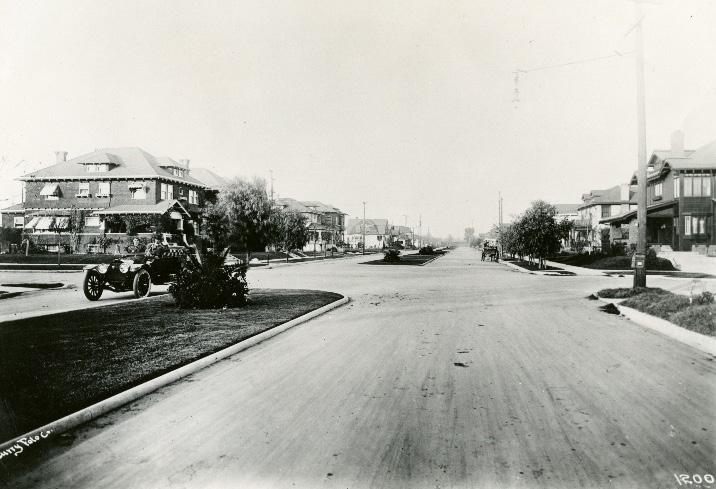
and design, the newly introduced buildings were compatible in scale and character to the rest of the neighborhood.77 In the decades after World War II, the end of streetcar service to the area in 1946 and exodus of affluent residents from the city center to suburbs outside the city limits transformed Boulevard
7 Ibid., 8.3-8.4.
Park from a mixed-income suburb into a working class neighborhood.88
8 Ibid., 8.7.
Sacramento Historic District Plans FinalThe Boulevard Park Historic District was designated for listing on the Sacramento Register of Historic and Cultural Resources by the City Preservation Commission in 1985 in Ordinance #85-076. The portion of the district that contains the original Wright and Kimbrough subdivision—roughly bounded by 21st Street, G Street, the B Street levee, and 23rd Street—has also been nationally designated as a historic district and was listed on the National Register of Historic Places as the Boulevard Park Historic District in 2011. Because it is listed on the National Register, the Boulevard Park Historic District is also automatically listed on the California Register of Historical Resources
The following table provides a current evaluation of significance under the requirements and considers the factors based on the above historic district context and the 2018 historic district survey. Additionally, this historic district relates to the Agriculture Context Statement and the Railroad Context Statement of the city’s General Plan Technical Background Report.
(a) The Boulevard Park Historic District meets requirement (a) for listing on the Sacramento Register, because it is a geographically definable area.
(b)(i) The Boulevard Park Historic District meets requirement (b)(i) for listing on the Sacramento Register as an area that possesses “a significant concentration or continuity of buildings unified by: (A) past events or (B) aesthetically by plan or physical development.”
Boulevard Park is significant as a district that embodies the characteristics of early twentieth-century suburban neighborhood design and residential architecture. In particular, the subdivision’s design reflects the principles of the “City Beautiful” movement, which sought to create clean, modern residential neighborhoods in parklike settings. Elements of this design included the arrangement of houses along wide boulevards that were paved, lined with street trees, and landscaped with grassy medians down the center, as well as the creation of “alley parks” and a one-block public park to serve local residents. Progressive reform ideals also influenced planning for the subdivision, which included modern plumbing and access to the City’s sewers and water.
Because the houses in the Boulevard Park subdivision were constructed over a relatively short ten-year period from 1905 to 1915, they also represent a cohesive collection of architecture from the early twentieth century. The most popular styles of the period—including Classical Revival, Prairie, and Craftsman—are wellrepresented in the neighborhood. Despite the variety of architectural styles, the neighborhood possesses a visual consistency, because of deed restrictions and other controls that were put in place to create an overall uniformity of building scale, quality, land use, and street design. This consistency of design and historic architecture survives today.
The section of the district that runs along H street is also significant as an area that reflects residential development patterns and architectural styles that predate the subdivision of Boulevard Park. New residential neighborhoods that emerged as Sacramento grew to the east and south of the central city developed primarily along streetcar lines. The streetcar line on H Street was one of the city’s first and became the destination for many of Sacramento’s most prominent citizens in the late nineteenth and early twentieth centuries. This pattern is still evident along the street, which is lined with elegant Italianate, Queen Anne, Stick/Eastlake, Shingle, and Classical Revival houses from the period.
Sacramento Historic DistrictThe period of significance for the Boulevard Park Historic District begins with the establishment of the streetcar line on H Street in 1871, which spurred early residential development in the area, and concludes with the end of streetcar service to the area in 1946.
(b)(ii) The Boulevard Park Historic District meets requirement (b)(ii) for listing on the Sacramento Register as an area “associated with an event, person, or period significant or important to city history.”
The district is significant as one of the first streetcar suburbs built within Sacramento’s city limits. It is also representative of the wider development of streetcar suburbs across the country as the expansion of public transportation at the turn-of-the-century allowed citizens to live farther from their places of work. While Sacramento’s early residential neighborhoods had been situated close to the central business district along the waterfront, the establishment of a streetcar line and the presence of the State Fair grounds at 20th and H streets attracted new residential development to the city’s outlying eastern areas along H Street and, later, to the Boulevard Park subdivision that replaced the fairgrounds in 1905. The addition of other streetcar and railroad lines through the neighborhood further accelerated the migration of people into the neighborhood in the early twentieth century. The end of streetcar service through the neighborhood in 1946 and the postwar migration of middle-class residents to newer automobile suburbs father from the central city contributed to Boulevard Park’s transition into a working-class neighborhood after World War II.
(c) The Boulevard Park Historic District meets requirement (c) for listing on the Sacramento Register as it aligns with the goals and purposes of historic preservation in Sacramento, as well as the city’s other goals and policies. Per the Sacramento City Code, the preservation of the district enhances the “city’s economic, cultural and aesthetic standing, its identity and its livability, marketability, and urban character.”
(a) Factor (2)(a) states that “a historic district should have integrity of design, setting, materials, workmanship and association.” The Boulevard Park Historic District retains sufficient integrity to meet this factor for consideration as a historic district.
(b) Factor (2)(b) states that “the collective historic value of the buildings and structures in a historic district taken together may be greater than the historic value of each individual building or structure.” The Boulevard Park Historic District meets this factor because its buildings and structures represent a significant and distinguishable entity whose collective historic value is greater when taken as a whole. of Significance: 1871-1946
Use • Historically single-family homes, some converted into multi-family units, interspersed with apartment buildings and courtyard apartments dating to the period of significance
• Parking and auxiliary uses located along alleys
Mass & Form
• Generally larger houses south of G Street—three stories with or without a basement is common
• Generally smaller houses on blocks north of F Street—mostly one story or one story with a raised basement Craftsman Bungalows or Neoclassical Rowhouses, interspersed with Minimal Traditional-style homes outside of the period of significance
• Classic Box-style homes on 21st and 22nd streets between F and H streets, and along H and I streets near former streetcar routes
• Largest, most elaborate houses located on the corners of blocks on 21st and 22nd streets
Mass & Form (continued)
• Older, Victorian-era homes to the south of the Boulevard Park subdivision that were likely part of an earlier phase of development linked to the H Street streetcar line, the Union Park racetrack, and State Fair grounds
• Some large apartment buildings built within the period of significance scattered throughout the district
Cladding • Predominately wood siding, typically false bevel, narrow width channel rustic, and lap siding; brick; or stucco
Roofs • Front-facing gabled, cross-gabled, and hipped roofs, often with dormers
• Low-pitch or flat rooflines on homes within the Boulevard Park subdivision boundaries
• Prominent clinker brick chimneys
Entries & Doors
• Delta-style configuration with staircases leading to primary entrances above a high basement
• Terrazzo, wood, concrete, cast stone, or brick stairs
• Paneled wood doors framed with side and transom windows
Windows • Wood-frame double-hung, casement, paired, ribbon, cottage, and leaded glass windows
• Single and multi-story bay windows
Porches • Full, half, or central porches with overhangs supported by classical, square tapered, paired, and turned columns
• Second-story balconies directly above first-story porches
SacramentoOrnamentation
• Patterned shingles on the gabled ends, dormers, and portions of siding
• Classical Revival details, including fluted pilasters, columns, dentils, and pedimented porticoes
• Craftsman details, including wide overhanging eaves, exposed rafter tails, wood braces, tapered square columns, and low shed dormers
• Apartment buildings with flat metal and swirled colored glass awnings over central entrance
Property Landscape
• Large, sloping front lawns
• Brick patios with herringbone pattern and decorative cement grates
• 12- to 16-foot-deep yards within the Boulevard Park subdivision boundaries
• 20-foot-deep yards on H Street
• Three alley parks behind homes facing 21st and 22nd streets near the southern terminus of the Boulevard Park subdivisions
Streetscape
• Landscaped 16-foot-wide boulevard medians down the center of 21st and 22nd streets
• Ginkgo trees in middle sections of boulevard medians, bookended by palms on north and south ends
• Rows of palms lining H Street
Sacramento Historic District PlansThe following map shows the boundaries and location of the Boulevard Park Historic District. view the statuses of individual properties as contributing or non-contributing resources to the historic district, refer to the Sacramento Register of Historic and Cultural Resources.
Maintain the unique site plan aspects the Boulevard Park Historic District and encourage design that supports the highly cohesive architectural character and significant landscape features of the historic district.
1.1 Maintain, preserve, and, where necessary, repair and restore historic elements associated with the Delta style of residential architecture, especially historic staircases, porches, and doors.
The Boulevard Park Historic District is a visually cohesive residential district aligned along two landscaped boulevards, a planned residential community from the early twentieth century featuring lot sizes and open space amenities not found in other areas of Sacramento. Large Classic Box houses and Victorian-era houses predominate along blocks in the south end of the district, while smaller, single-story bungalows and Craftsman style houses are more common north of E Street. In spite of this scale variation, Boulevard Park is one of the city’s most visually cohesive historic districts because of the consistent use of architectural styles, materials, siting, and landscaping. Additionally, the district contains few non-contributing resources. Because of the high level of integrity, visual uniformity, and defined scale of the district, physical changes may have a disproportionate impact on the character of the district.
In addition to the Standards & Criteria Common to Sacramento's Historic Districts in Section 1, the following district-specific standards and criteria apply when planning a project in the Boulevard Park Historic District.
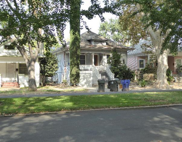
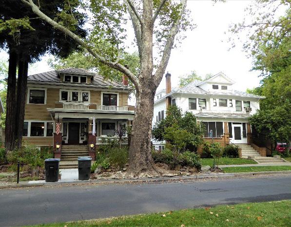 Section Individual Historic District
Boulevard Park Historic District
Sacramento Historic District Plans Final
Figure 65. Large, Classic Box style houses with box-like massing are common on many blocks in the district.
Figure 66. The pattern of small, one-story houses on many streets in the district should be maintained.
Section Individual Historic District
Boulevard Park Historic District
Sacramento Historic District Plans Final
Figure 65. Large, Classic Box style houses with box-like massing are common on many blocks in the district.
Figure 66. The pattern of small, one-story houses on many streets in the district should be maintained.
2.1 Design additions with proportions that are compatible with the proportions and massing that are typical of contributing buildings on the same block.
• Minimize the effect of additions on symmetrical building facades or compositions.
2.2 Avoid additions that cause a contributing building’s height to exceed 150% of its historic height.
• Use step backs to maintain the existing street façade height.
2.3 Avoid designing rear or side alterations that extend into historic alley parks.
3.1 Where additional height is considered, the height of new buildings should be no more than 150% of the height of surrounding contributing buildings.
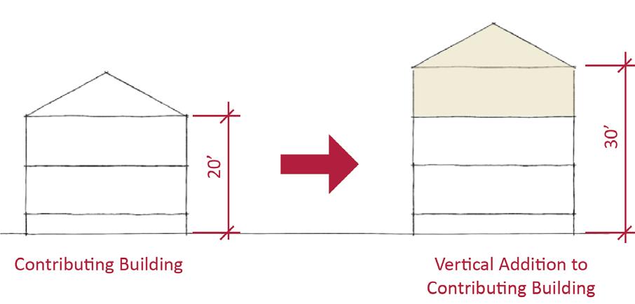
• Consider using step backs for taller buildings to maintain the existing street façade height of adjacent contributing buildings.
• Larger buildings with box massing are generally appropriate on H Street and 21st and 22nd streets south of F Street, while smaller buildings with horizontal massing are generally appropriate on lettered streets and 21st and 22nd streets north of F Street.
3.2 Buildings along H Street should have a 20-footdeep setback; buildings along 21st and 22nd streets should have a 12- to 16-foot-deep setback.
3.3 Draw inspiration for the design of multi-family residential properties from contributing multifamily residential properties in the district.
• Courtyard apartments and two-story buildings with symmetrical facades and street-facing entries are appropriate historic precedents.
Figure 68. The height of new buildings should be no more than 150% of the height of surrounding contributing buildings.
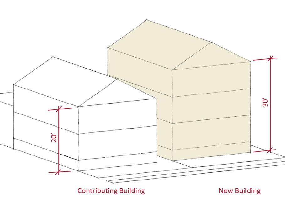
Figure 67. Additions should not cause a building's height to exceed 150% of its historic height.
3.4 Consider providing covered front porches or entries at new infill development to preserve the historic district’s visual pattern of porches.
Figure 69. Two-story apartment buildings with street-facing entries provide a historic example for integrating multi-family residential buildings into the district.
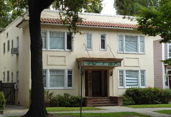
4.1 Preserve, maintain, and where necessary, repair or replant historic features and plantings of the landscaped medians on 21st and 22nd streets.
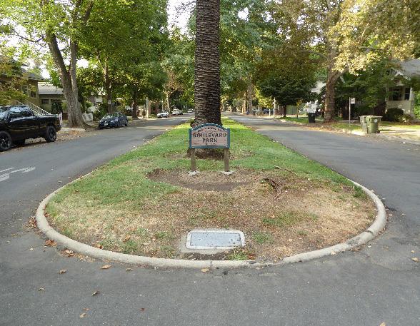
• If it is necessary to replace a historic tree (such as a palm or gingko tree) or planting in the landscaped medians, replace it in-kind or, if suffering from disease, select a similar species to maintain the historic planting pattern.
4.2 Preserve and maintain the open, planted character of alley parks.
• Alterations, additions, or building accessory structures that extend into alley parks are inappropriate.
• Parking and paved driveways should be avoided.
• Encourage natural pathways, park seating and pedestrian-oriented features to support passive activities in the alley parks.
4.3 Preserve and maintain the historic open, planted, size, and grade of front yards, especially at the large, sloping lawns in front of properties on 21st and 22nd streets.
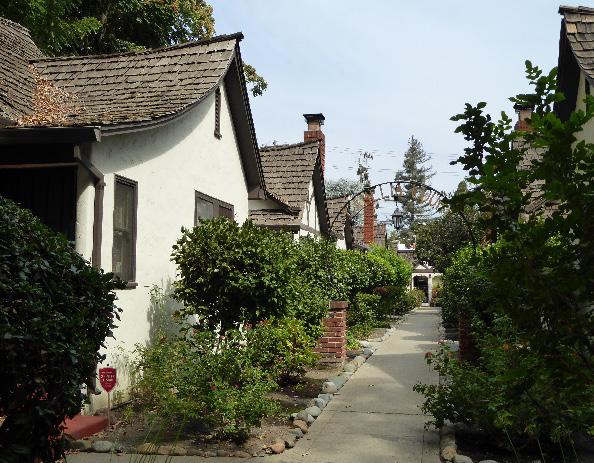
4.4 Preserve and maintain historic hitching posts and carriage barns in their original locations.
4.5 Avoid creating new curb cuts or driveways in front of properties along 21st, 22nd, and H streets.
• Locate parking and service access along alleys, and use landscaping features to screen it from the public right-of-way, wherever possible.
Sacramento Historic District
Figure 70. Courtyard apartments also provide a historic example for integrating higher density residential housing into the district.
Figure 71. The landscaped medians on 21st and 22nd streets are a character-defining feature of the district that should be preserved and maintained.
Figure 72. Alley parks behind houses on 21st and 22nd streets are part of the original planned design of Boulevard Park.
5.1 On a typical unsplit parcel, set back alley infill buildings a minimum of 30 feet from the primary building on the parcel. If a parcel is split, set back alley infill buildings a minimum of 15 feet from the lot split.

5.2 Aim to locate alley infill so that it is a minimum of 10 feet from contributing buildings on adjacent parcels.
5.3 The height of alley infill should be no more than 150% of the height of surrounding contributing buildings.
5.4 Design secondary dwelling units to include windows and entries facing alleys and alley parks.
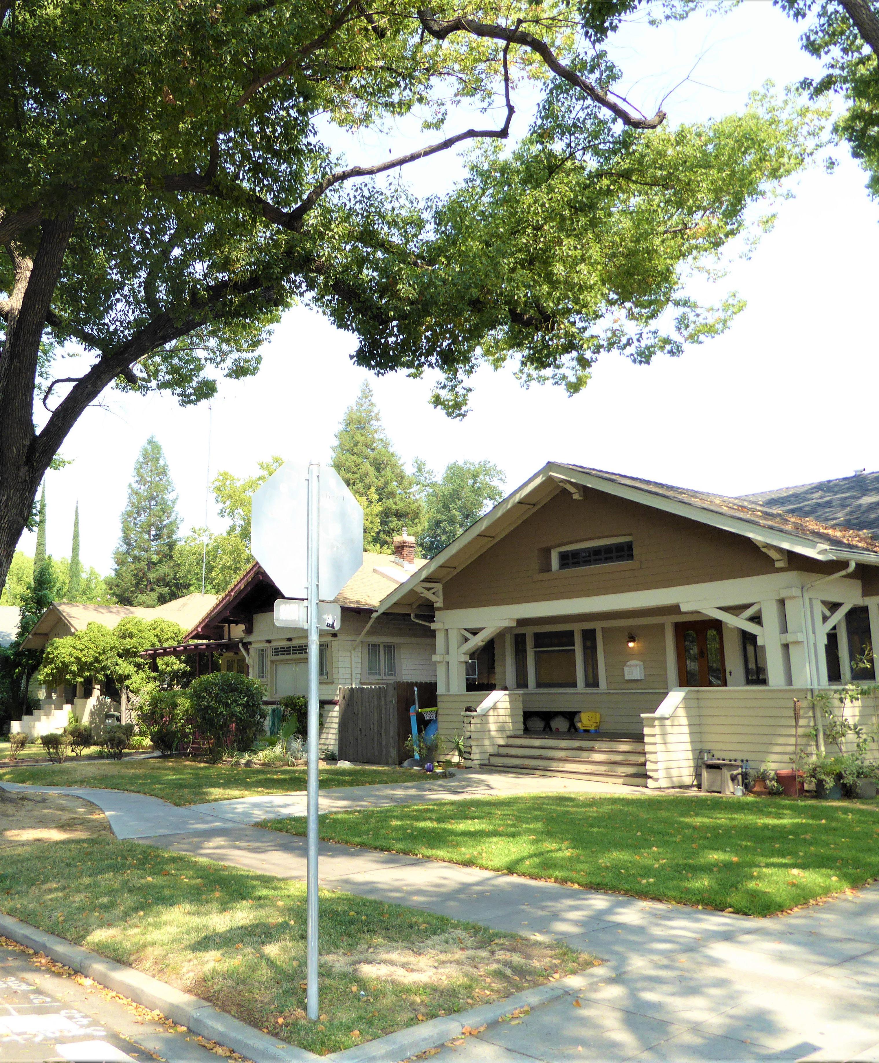
The Bungalow Row Historic District is located within Sacramento’s original 1848 street grid and consists of approximately one block of modestly sized Craftsman bungalows on Q Street, roughly bounded by Quill Alley, 25th Street, Powerhouse Alley, and 26th Street. The larger Winn Park Historic District surrounds the Bungalow Row Historic District to the west, north, and east.
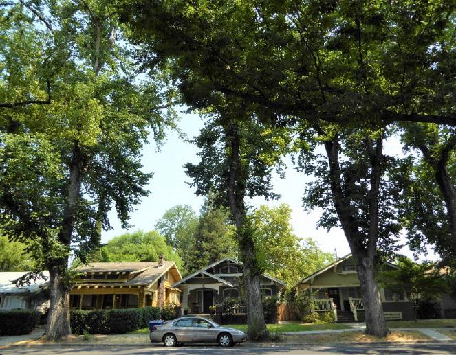
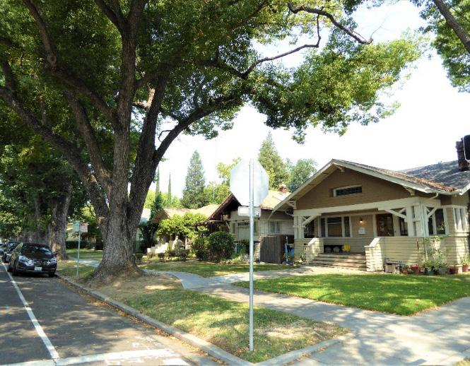 Section 2: Individual Historic District Plans
Bungalow Row Historic District
Sacramento Historic District Plans Final
Figure 73. The Bungalow Row Historic District is dominated by Craftsman style bungalows, most of which were built with a uniform setback from the street on Q Street between 25th and 26th streets.
Figure 74. Mature elm trees planted in grassy parking strips create a canopy over Q Street.
Section 2: Individual Historic District Plans
Bungalow Row Historic District
Sacramento Historic District Plans Final
Figure 73. The Bungalow Row Historic District is dominated by Craftsman style bungalows, most of which were built with a uniform setback from the street on Q Street between 25th and 26th streets.
Figure 74. Mature elm trees planted in grassy parking strips create a canopy over Q Street.
The Bungalow Row Historic District preserves a cohesive concentration of Craftsman bungalows situated along Q, 25th, and 26th streets. The houses were part of the wider development of streetcar suburbs at the turn of the twentieth century as middleclass residents began to move out of the overcrowded, dirty, and crime-ridden West End neighborhood in the downtown core in search of houses in cleaner, quieter, and more modern neighborhoods.1 The emergence of streetcar suburbs such as Bungalow Row aligned with a nationwide trend of cities growing outward along streetcar lines.2
Bungalow Row developed on the city’s eastern border, in an area where streetcar service was plentiful. Advertisements for houses in the neighborhood touted their proximity to the “P” line of the streetcar system just one block to the north.3 Maps show that by 1923, the neighborhood was surrounded by streetcar lines, with additional lines running down 28th, T, and 21st streets, in addition to P Street.4 One block to the south, the Southern Pacific Railroad’s rail line ran down R Street, where a number of industrial businesses, including a lumber mill and construction materials yard, were located.5 Easy access to streetcars appealed to middle-class homebuyers, who sought
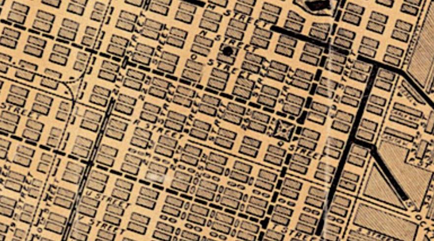
1 Nathan Hallam, “’We Must Give the World Confidence in the Stability and Permanence of the Place:’ Planning Sacramento’s Townsite, 1853-1870,” in River City and Valley Life: An Environmental History of the Sacramento Region, Christopher J. Castaneda and Lee M.A. Simpson, ed. (Pittsburgh: University of Pittsburgh Press, 2013), 63-64.
2 Linda Flint McClelland, “Historic Residential Suburbs in the United States, 1830-1960,” (National Register of Historic Places Multiple Property Documentation Form, National Park Service, 2002).
3 Wright and Kimbrough advertisement, Sacramento Union, August 31, 1911.
4 C.G. Brown, “Map of the City of Sacramento,” Center for Sacramento History, 1923.
5 Sanborn Map Company, Sacramento, California [map], vol. 2, sheet 129, 1915.
the benefits of living farther from the city center but needed the means to travel to their workplaces downtown or at the canneries and other businesses east of the city.
The design of Bungalow Row was also part of its appeal. All of the houses on the block were built between 1900 and 1915 in the Craftsman style, which was then at the peak of its popularity. The style was particularly attractive to middle-class homeowners because of its more modest scale and simple design than those of the Victorian-era houses from previous decades. Their open and airy layout and full-length porches with wide, overhanging eaves were also well-suited to Sacramento’s hot, dry summer climate, allowing residents to enjoy an indoor-outdoor lifestyle that took full advantage of the cooling effects of the
shade and Delta breeze.6
The block was known as “Bungalow Row” from the start. Real estate sales firms used the name to advertise houses in the area, invoking the picturesque image of a harmonious row of “modern homes” to appeal to potential buyers. Advertisements also touted the houses’ “individuality,” uniform street setbacks that permitted “a splendid lawn,” and location surrounded by “some of Sacramento’s handsomest homes.”
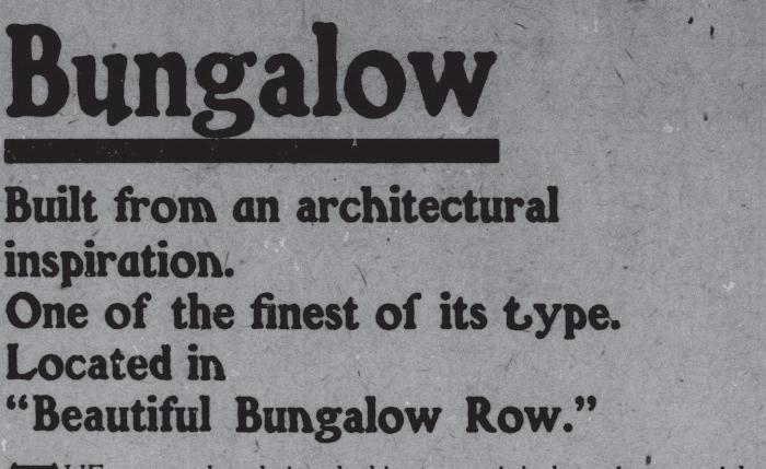
7
Bungalow Row became part of a larger middle-class neighborhood, settled by small businesses owners, railroad workers, and other tradespeople. The district’s residential character and historic houses remain well intact today.8
6 Michael Ryan Hibma, “Historic District Nomination for the Newton Booth Neighborhood, City of Sacramento, Sacramento County, California,” (master’s thesis, California State University, Sacramento, 2007), 26-28.
7 Wright and Kimbrough advertisement, 16.
8 Brandon Darnell, “Historic homes to open for tour,” Sacramento Press, August 26, 2010. https://sacramentopress.com/2010/08/26/historic-homesto-open-for-tour/
Sacramento Historic District Figure 75. A section of a 1923 map of Sacramento’s streetcar lines (dotted lines) and highways (solid line) showing the 2500 block of Q Street at the center with orange marker (1923). Source: Center for Sacramento History, 1979/X-003/00005, edited by Page & Turnbull. Figure 76. 1911 Wright and Kimbrough ad (1911). Source: California Digital Newspaper Collection, Center for Bibliographic Studies and Research, University of California, Riverside, <http://cdnc.ucr.edu>.The Bungalow Row Historic District was designated for listing on the Sacramento Register of Historic and Cultural Resources by the City Preservation Commission in 2004 in Ordinance #2004-009. At that time, it was determined to meet all of the requirements and factors for listing as defined by Sacramento City Code.
The following table provides a current evaluation of significance under the requirements and considers the factors based on the above historic district context and the 2018 historic district survey. Additionally, this historic district relates to the Railroad Context Statement of the city’s General Plan Technical Background Report.
(a) The Bungalow Row Historic District meets requirement (a) for listing on the Sacramento Register, because it is a geographically definable area.
(b)(i) The Bungalow Row Historic District meets requirement (b)(i) for listing on the Sacramento Register as an area that possesses “a significant concentration or continuity of buildings unified by: (A) past events or (B) aesthetically by plan or physical development.”
The buildings within the district are unified aesthetically by their physical development as part of a distinctive grouping of Craftsman bungalows that were built, side-by-side, on a one-block stretch of Q Street between 1900 and 1915. In addition to their cohesive architectural styles, scale, and use of materials, the houses also feature a uniform setback from the street and grassy front lawn that further serve to unify the buildings, in spite of small variations in their individual designs and decoration.
(b)(ii) The Bungalow Row Historic District meets requirement (b)(ii) for listing on the Sacramento Register as an area “associated with an event, person, or period significant or important to city history.”
The district is associated with the development of new residential neighborhoods in outlying areas of Sacramento’s original street grid as a result of the expansion of the city’s streetcar system in the late nineteenth and early twentieth centuries. Bungalow Row developed in an area on the eastern border of Sacramento’s original city limits that was serviced by a number of streetcar lines. Its proximity to public transportation that could take residents to their workplaces downtown, while also offering them the benefits living in a newer, cleaner, and more modern neighborhood at the eastern edge of the Central City, made it an attractive location for Sacramento’s middleclass community. Such residential neighborhoods are representative of Sacramento’s development in response to its growing population at the turn of the twentieth century. They also signal the beginning of a larger trend of affluent residents migrating to newer residential neighborhoods at increasing distances from the city center throughout the course of the twentieth century.
(c) The Bungalow Row Historic District meets requirement (c) for listing on the Sacramento Register as it aligns with the goals and purposes of historic preservation in Sacramento, as well as the city’s other goals and policies. Per the Sacramento City Code, the preservation of the district enhances the “city’s economic, cultural and aesthetic standing, its identity and its livability, marketability, and urban character.”
Sacramento Historic DistrictBungalow Row Historic District 135
The period of significance for the Bungalow Row Historic District coincides with the period in which the contributing buildings were constructed, beginning in 1900 and ending in 1915.
(a) Factor (2)(a) states that “a historic district should have integrity of design, setting, materials, workmanship and association.” The Bungalow Row Historic District retains sufficient integrity to meet this factor for consideration as a historic district.
(b) Factor (2)(b) states that “the collective historic value of the buildings and structures in a historic district taken together may be greater than the historic value of each individual building or structure.” The Bungalow Row Historic District meets this factor because its buildings and structures represent a significant and distinguishable entity whose collective historic value is greater when taken as a whole.
Use
• Single-family residences
• Parking and auxiliary uses located along alleys
Mass & Form • Houses one- to two-story houses tall
• Some houses with Delta-style high basements and raised first story
Cladding • Predominately wood siding, typically three lap siding or shingles
Roofs • Low-pitched front-, side-, or cross-gabled roof with overhanging eaves
• Brick or clinker brick chimneys
Entries & Doors • Delta-style configuration with staircases leading to primary entrances above a high basement
• Paneled wood doors, often with a transom above, or integrated glazing
Windows • Multi-lite, wood-frame, double-hung windows
Porches • Prominent full or half-width porches accessed by a staircase
• Wood balustrades
• Brick or clinker brick porch foundations and column bases
Ornamentation
• Craftsman details, such as exposed rafter tail, wood brackets, tapered square columns, and low shed dormers
• Some Classical Revival details, such as modified Ionic columns
Property Landscape
Streetscape
• Front lawns in front of houses
• Rows of large, mature, evenly spaced, deciduous street trees—most often elm trees— planted in a parking strip
• Generally uniform setback of approximately 20-25 feet from the sidewalk to primary, street-facing house facades
• Varying sidewalk widths to accommodate street trees
The following map shows the boundaries and location of the Bungalow Row Historic District.
To view the statuses of individual properties as contributing or non-contributing resources to the historic district, refer to the Sacramento Register of Historic and Cultural Resources.
Sacramento Historic District
Protect the existing residential character of the Bungalow Row Historic District, a highly cohesive collection of one-story Craftsman bungalow buildings in a setting in which design changes could be highly visible.
1.1 Refrain from reconfiguring or enclosing historic porches or porticos.
1.2 Avoid painting historic chimneys.
1.3 Refrain from enclosing exposed, overhanging eaves.
The Bungalow Row Historic District is one of Sacramento’s most visually cohesive districts, consisting of a group of Craftsman bungalow buildings that were built side-by-side over a short time period on little more than a one-block area. The properties share a similar architectural style, building scale, massing, use of materials, siting, and landscaping that is more consistent than many other historic districts in the city. Because of the high level of integrity, visual uniformity, and small geographic scale of the district, any physical changes will have disproportionate impact on the cohesiveness of the district.
In addition to the Standards & Criteria Common to Sacramento's Historic Districts in Section 1, the following district-specific standards and criteria apply when planning a project in the Bungalow Row Historic District.

Figure 78. Bungalow Row is a particularly cohesive historic district, and most physical changes will have a large impact.
2.1 Design additions and accessory structures with proportions that are compatible with the low, horizontal massing and modest scale of contributing houses in the district.
• Avoid additions that cause a building’s height to exceed that of the surrounding contributing buildings.
2.2 Avoid raising individual houses or building rooftop additions that will cause the houses to become taller or more vertically massed than surrounding contributing houses.
• Place additions at the rear of the property to reduce visibility from the street.
Section 2: Individual Historic Row Historic Sacramento Historic District Plans3.1 Avoid constructing new buildings that are taller than contributing buildings, to the extent feasible.
• It is recommended that the height of new buildings should fall within the range of heights of surrounding contributing buildings.
3.2 Design building proportions to be compatible with the low, horizontal massing of the contributing houses in the district.
3.3 Consider providing covered front porches or entries at new infill development to preserve the historic district’s visual pattern of porches.
4.1 Avoid planting tall trees or shrubs on front lawns to maintain the historic open character, size, and grade of front lawns.
4.2 Avoid adding fencing or screening features in front of properties.
4.3 If it becomes necessary to replace mature elm street trees, replace them in kind with the same species or a compatible species that will grow to a similar height, size, and form.
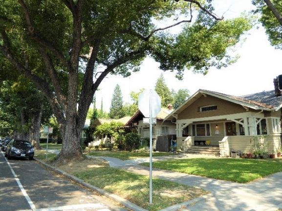
4.4 Avoid creating new curb cuts along Q Street.
• Locate parking and service access along alleys, and use landscaping features to screen it from the public right-of-way, wherever possible.
Figure 79. Consistent setbacks, open lawns, and large elms planted in grassy park strips contribute to the overall cohesive character of the historic district.
5.1 On a typical unsplit parcel, set back alley infill buildings a minimum of 30 feet from the primary building on the parcel. If a parcel is split, set back alley infill buildings a minimum of 15 feet from the lot split.
5.2 Aim to locate alley infill so that it is a minimum of 10 feet from contributing buildings on adjacent parcels.
5.3 It is recommended that the height of alley infill should fall within the range of heights of surrounding contributing buildings.
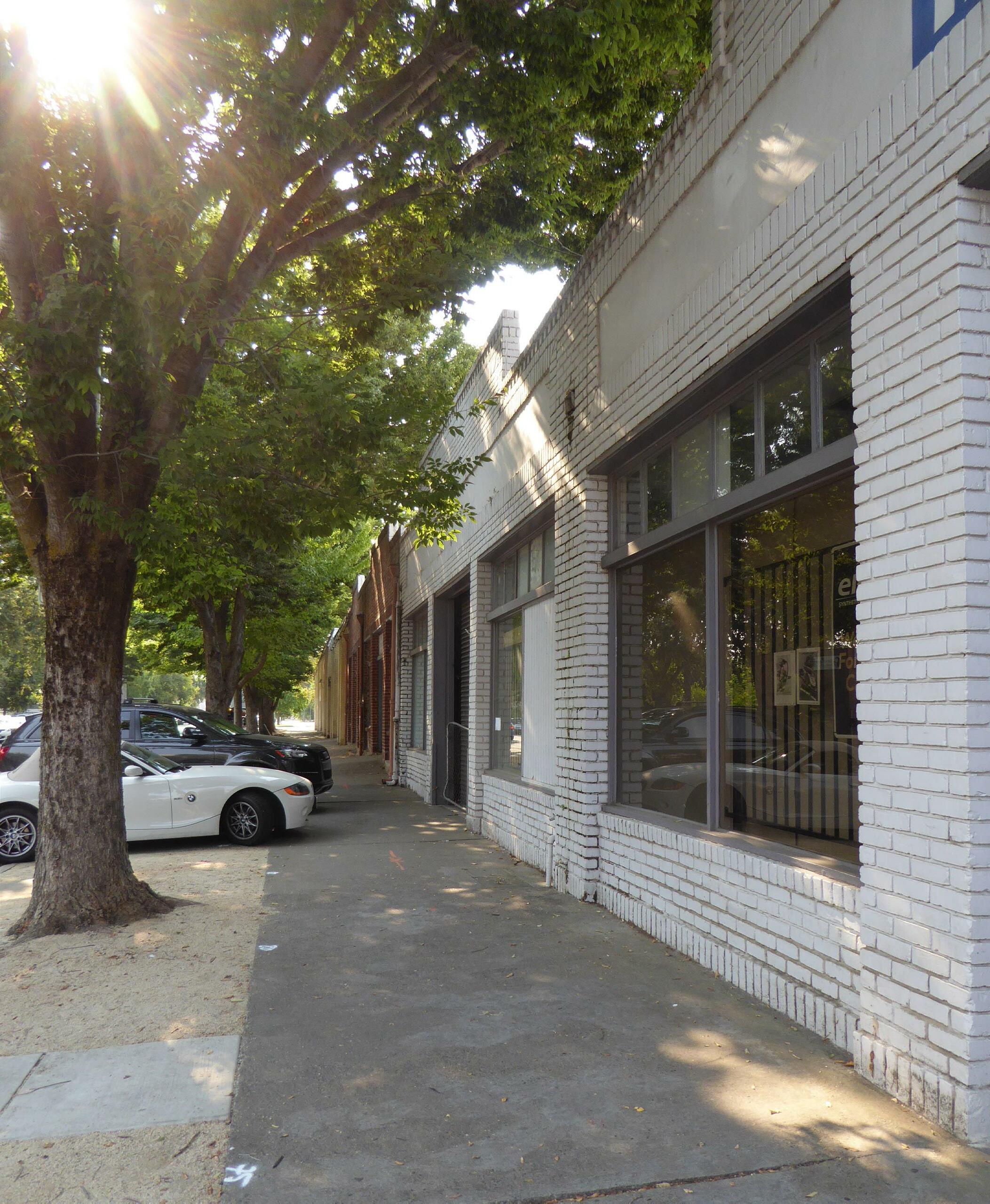
The C Street Commercial Historic District is located in the northwest corner of Sacramento’s original 1848 street grid. The district is comprised of a collection of early to mid-twentieth-century commercial buildings that are situated along C Street between 12th and 13th streets.
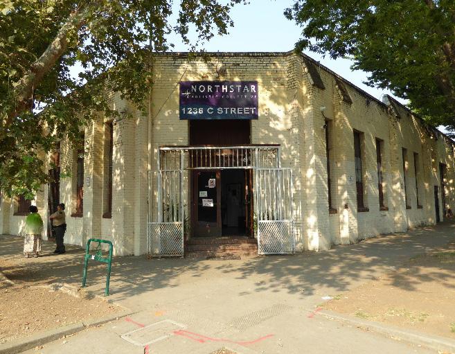
Figure 80. A row of One-Block Commercial Block type buildings creates a cohesive grouping on the south side of C Street between 12th and 13th streets.
 Section 2: Individual Historic District
C Street Commercial Historic District
Sacramento Historic District Plans
Figure 81. A former warehouse with a corner entrance faces the intersection of C and 13th streets.
Section 2: Individual Historic District
C Street Commercial Historic District
Sacramento Historic District Plans
Figure 81. A former warehouse with a corner entrance faces the intersection of C and 13th streets.
The C Street Commercial Historic District preserves a small row of brick buildings that reflect the commercial and industrial character of Sacramento’s northwest corner in the first half of the twentieth century. 12th Street has long been one of Sacramento’s principal transportation, communication, and commercial corridors. During the Gold Rush, it operated as one of the early routes from the city to the gold fields of the north.1
C Street, meanwhile, developed into one of the city’s industrial hubs. Early in the city’s history, the 1200 block of C Street was part of Alkali Flat, Sacramento’s oldest standing residential neighborhood. While the neighborhood initially attracted the city’s elite residents, Alkali Flat became increasingly industrial toward the turn of the century due to its proximity to the Central Pacific (later the Southern Pacific) depot and railroad tracks. Many of these industrial businesses were located along the railroad tracks that formed the neighborhood’s northwest corner along B Street. By 1915, the north side of C Street consisted of two grain and flour mills and warehouses that were used to store agricultural implements and wine.2
Alkali Flat’s increasing industrialization and the resulting influx of laborers drove its affluent middleand upper-class residents out to the newer residential neighborhoods that were developing to the south and east.3 Meanwhile, the automobile was becoming increasingly popular in the first decades of the
1 Evaluation Committee of Sacramento Heritage, Inc., “Phase I: Central City Historic Resources Inventory, New Identified Historic Resources” (Planning Division, Sacramento Community Development Department, 2000), 271.
2 Sacramento’s Alkali Flat (Charleston, SC: Arcadia Publishing, 2010), 7.
3 Krissy Holt, “A walk in Alkali Flat is a step back in time,” Sacramento Press, November 4, 2011, https://sacramentopress.com/2011/11/04/a-walk-inalkali-flat-is-a-step-back-in-time/
World War II was a high point for activity on C Street, as the various industries located along the corridor worked to meet the demands of the war effort. While gasoline rations hampered the use of personal automobiles, the streetcars running down C Street were constantly busy, transporting workers to the
12th Street StreetAfter the war, the automobile became increasingly popular, and ridership on the streetcars decreased. By Postwar development on C Street reflected this shift, as automobile service shops, large industrial motor freight stations, and truck repair shops were Street. The concentration of these buildings reflected C Street’s
Interurban railroads also contributed to the development of C Street. In 1928, Sacramento’s interurban railroads combined into a single entity: the Sacramento Northern.6 In addition to passenger service, the Sacramento Northern interurban railroad also carried freight on an industrial belt line that traveled around the edge of the city. A portion of this freight line ran along C Street from 18th Street to 31st Street to serve the industrial areas along the city’s
4 “Official Map of the Lincoln Highway,” Lincoln Highway Association, accessed August 8, 2018. https://www.lincolnhighwayassoc.org/map/
5 Sacramento, California City Directory, 1934, 1936, 1937; Sanborn Map Company, Sacramento, California [map], vol. 1, 1915-Jan. 1951.
6 William Burg, Sacramento’s Streetcars (Charleston, SC: Arcadia Publishing, 2006), 75.
based industries to those based on long-distance freight truck shipping.10
In the 1960s, a number of factors pulled transportation and shipping-related activity away from C Street. In 1963, a deep-sea channel opened at the Port of Sacramento, shifting trucking and shipping activity to West Sacramento.11 Construction of a new system of interstate highways that circumnavigated the city
7 Burg, 85-86.
8 Richard Rodda, “Sacramento’s Streetcars 1930,” Golden Notes, Sacramento County Historical Society, 1987.
9 Burg, 8.
10 Sanborn Map Company, 1915-Jan. 1951.
11 Steven M. Avella, Sacramento: Indomitable City (San Francisco, CA: Arcadia Publishing, 2003), 124.
 Sacramento Historic District Plans
Figure 82. 1950s Sanborn Map Company map, showing the south side of C Street between 12th and 13th streets (ca. 1950). Source: Sacramento Public Library, edited by Page & Turnbull.
Sacramento Historic District Plans
Figure 82. 1950s Sanborn Map Company map, showing the south side of C Street between 12th and 13th streets (ca. 1950). Source: Sacramento Public Library, edited by Page & Turnbull.
proceeded through from the 1950s to 1970s, pulling automotive and trucking traffic away from older transportation corridors through the city center.12
Although the industrial businesses that characterized the western portion of C Street in the first half of the twentieth century have closed, the area’s transportation and automobile-oriented use has
12 “General Plan Technical Background Report,” (report, City of Sacramento, 2005), 6.3-113; Avella, 122-123.
persisted into the twenty-first century. The 1920s-era brick buildings between 12th and 13th streets continue to be used for commercial purposes and include a specialty automobile repair and supply shop on the corner of 12th and C Streets.
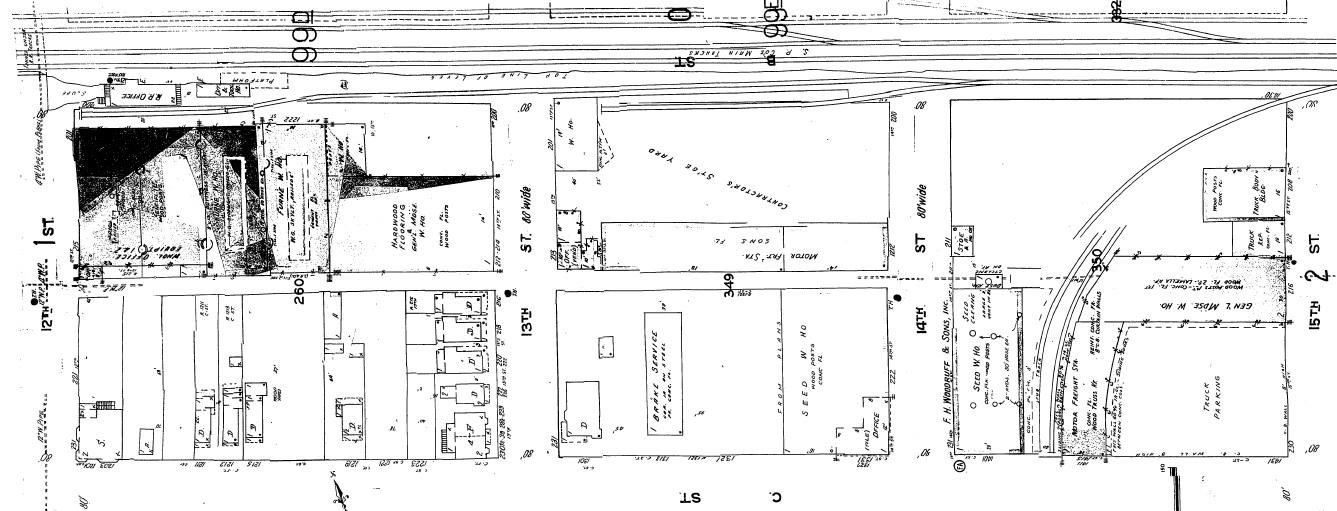 Sacramento Historic District Plans Final
Figure 83. A 1950s map published by the Sanborn Map Company shows the concentration of industrial and automotive development along C Street between 12th and 15th streets (shaded in light blue). Source: Sacramento Public Library, edited by Page & Turnbull.
Sacramento Historic District Plans Final
Figure 83. A 1950s map published by the Sanborn Map Company shows the concentration of industrial and automotive development along C Street between 12th and 15th streets (shaded in light blue). Source: Sacramento Public Library, edited by Page & Turnbull.
Section 2: Individual Historic District Plans Street Commercial Historic District
The C Street Commercial Historic District was designated for listing on the Sacramento Register of Historic and Cultural Resources by the City Preservation Commission in 1985 in Ordinance #85076.
The following table provides a current evaluation of significance under the requirements and considers the factors based on the above historic district context and the 2018 historic district survey. Additionally, this historic district relates to the Railroad Context Statement and the World War II, Transportation, and Redevelopment Context Statements of the city’s General Plan Technical Background Report.
(a) The C Street Commercial Historic District meets requirement (a) for listing on the Sacramento Register, because it is a geographically definable area.
(b)(i) The C Street Commercial Historic District meets requirement (b)(i) for listing on the Sacramento Register as an area that possesses “a significant concentration or continuity of buildings unified by: (A) past events or (B) aesthetically by plan or physical development.”
The C Street Commercial Historic District contains a continuity of buildings that are unified aesthetically by their development as transportation-oriented commercial and industrial buildings from the early- to midtwentieth century. The buildings on C Street between 12th and 13th form a particularly cohesive grouping. Built in a vernacular One-Part Commercial Block style, these one-story brick buildings feature low pitched or flat roofs and minimal ornamental detailing, limited primarily to roofline cornices bracketed with simple parapets. The buildings have large windows on their principal C Street facades and central entrances.
The design of these buildings also reflects their orientation toward automobile-based trades and services. With the exception of the property at the corner of 12th and C streets, the buildings occupy the front portion of each parcel, facing C Street, while the back portions along Chinatown Alley contain open parking lots. Garage doors on the front and rear facades would have given automobiles easy access to the buildings, either for service or to load and unload goods.
The buildings display a general uniformity of age, scale, materials, and style and show minimal alterations. Together, they form a cohesive grouping that reflects the transportation-oriented character of the 12th and C Street corridors from the early to mid-twentieth century.
Sacramento Historic DistrictThe period of significance for the C Street Commercial Historic District spans the period in which the contributing buildings were constructed, from 1920 to 1930.
(b)(ii) The C Street Commercial Historic District meets requirement (b)(ii) for listing on the Sacramento Register as an area “associated with an event, person, or period significant or important to city history.”
The district is associated with the development of C Street as an automotive and freight transportation corridor in Sacramento from the early to mid-twentieth century. As with other industrial- and transportation-related corridors in the city, businesses related to the automotive and trucking industries were drawn to the street during this period because of the density of transportation routes in the vicinity, notably the main tracks of the Southern Pacific Railroad on the B Street levee, freight line of the Northern Electric interurban railroad, and the highway routes on 12th and 16th streets. Automotive and trucking activity remained constant along C Street until the completion of a deep-water ship channel and new highway system that circumnavigated the city center in the 1960s.
(c) The C Street Commercial Historic District meets requirement (c) for listing on the Sacramento Register as it aligns with the goals and purposes of historic preservation in Sacramento, as well as the city’s other goals and policies. Per the Sacramento City Code, the preservation of the district enhances the “city’s economic, cultural and aesthetic standing, its identity and its livability, marketability, and urban character.”
(a) Factor (2)(a) states that “a historic district should have integrity of design, setting, materials, workmanship and association.” The C Street Commercial Historic District retains sufficient integrity to meet this factor for consideration as a historic district.
(b) Factor (2)(b) states that “the collective historic value of the buildings and structures in a historic district taken together may be greater than the historic value of each individual building or structure.” The C Street Commercial Historic District meets this factor because its buildings and structures represent a significant and distinguishable entity whose collective historic value is greater when taken as a whole.
Use Commercial businesses related to transportation industries
Mass & Form Buildings one story in height
• Simple, utilitarian architectural design with rectangular plans Horizontal massing
Cladding Brick cladding
Roofs Flat or low-pitched gabled roofs
Entries & Doors Central, first-story entrances with transoms
• Occasional diagonal corner entrances
Windows Steel frame picture and multi-lite windows
• Transom windows
• Large shopfront windows on first stories
Ornamentation Square or stepped parapets
• Utilitarian design with minimal ornamentation Features associated with transportation such as garage doors, driveways, and/or vehicular shipping docks and bays, often with rolling metal doors facing the street or alley and concrete tire guards at entrances
Property Landscape Minimal or no property landscaping
Streetscape Minimal or no street trees—those that exist are medium-sized Minimal or no setback from sidewalk
• Raised driveways leading to garage doors
• Large paved areas for automobile or truck parking
The following map shows the boundaries and location of the C Street Commercial Historic District.
To view the statuses of individual properties as contributing or non-contributing resources to the historic district, refer to the Sacramento Register of Historic and Cultural Resources. 12th St C St 13th St D St TBD
Historic District Boundary 50 100 150 200 Feet
Sacramento Historic District Plans FinalSection 2: Individual Historic
Preserve and maintain the existing historic character of the C Street Commercial Historic District while encouraging rehabilitation and development that improves connections from 12th Street and surrounding residential neighborhoods.
1.1 Make every effort to preserve, repair, and maintain any surviving steel or wood frame windows, which significantly contribute to the commercial character of the district.
The C Street Commercial Historic District contains a collection of historic buildings related to the development of C and 12th streets as major transportation and light industrial corridors. The buildings share similar materials, features, and zerolot-line siting that unifies the grouping. Due to its high integrity, continued use, and proximity to the 12th Street corridor and Alkali Flat and the Washington neighborhoods, the district has the potential to maintain its historic significance as a working example of Sacramento’s commercial heritage, while providing opportunities to enhance connections to the surrounding neighborhood.
In addition to the Standards & Criteria Common to Sacramento's Historic Districts in Section 1, the following district-specific standards and criteria apply when planning a project in the C Street Commercial Historic District.
• Re-instate multi-lite steel or wood frame windows, where they have been removed, if there is adequate documentation and if feasible.
1.2 Avoid filling in or obstructing historic window or door openings.
1.3 Re-open historic window and door openings that have been filled in.
• Use compatible new windows and door materials, types, and forms.
1.4 Avoid painting or applying new finishes on historically unpainted exterior masonry.
• Consider removing paint or finishes from historically unpainted exterior masonry, using the gentlest methods possible, during exterior repairs or renovations.
• Maintain paint on exterior masonry where likely to be the historic condition.
1.5 Maintain existing transom windows, skylights, roof monitors, or other features intended to provide daylight to large scale buildings, to the extent feasible.
2.1 Design additions with proportions that are compatible with the primarily single-story, horizontal massing of contributing buildings in the district.
• Place additions on secondary rear and side elevations, to the extent feasible.
• Where rooftop additions are desired, use step backs to maintain the existing street facade height of adjacent contributing buildings.
• Avoid obscuring existing large window and door openings.
• Minimize the effect of additions on symmetrical building facades or compositions
2.2 Use durable, high-quality materials that are compatible with the materials of adjacent contributing buildings in the district such as brick masonry, concrete, steel, corrugated metal, and industrial materials.
Sacramento Historic District3.1 Preserve the historic pattern of siting new buildings with a zero-lot-line setback from the street.
3.2 Consider using step backs on buildings that are taller than contributing buildings to maintain the existing street façade height of adjacent contributing buildings.
3.3 Align windows, doors, and variations in façade treatments to the extent feasible with that of adjacent contributing buildings in order to maintain the existing pattern of door and window openings found on the block face.
• When not possible, utilize the average datum lines of contributing properties.
3.4 Consider using materials that are compatible with the materials of contributing buildings in the district such as brick masonry, concrete, steel, corrugated metal, and industrial materials.
3.5 Avoid off-street parking that abuts the public street right-of-way (Refer to Central City Core Design Guidelines).
Figure 85. Contributing buildings in the historic district have a zerolot-line setback.
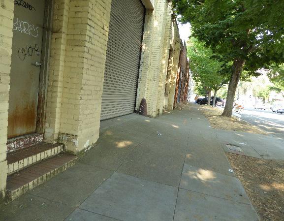
4.1 Pursue a “complete street” approach that enhances pedestrian safety while preserving the historic district’s commercial character.
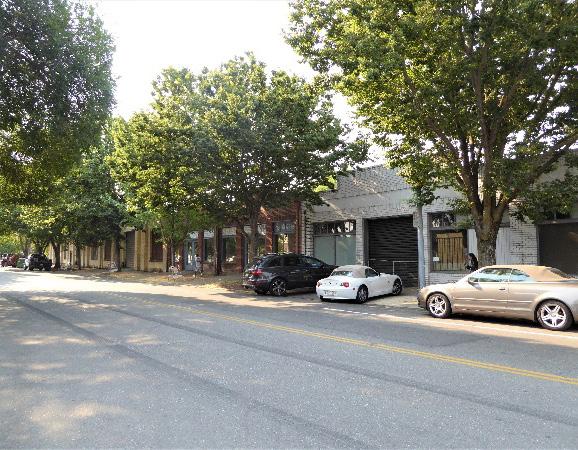
4.2 Encourage street lighting along C street within the district to be compatible with historic style street lighting in adjacent districts.
Figure 86. The pattern of wide window and door openings facing the street is a key characteristic of the historic district.
Sacramento Historic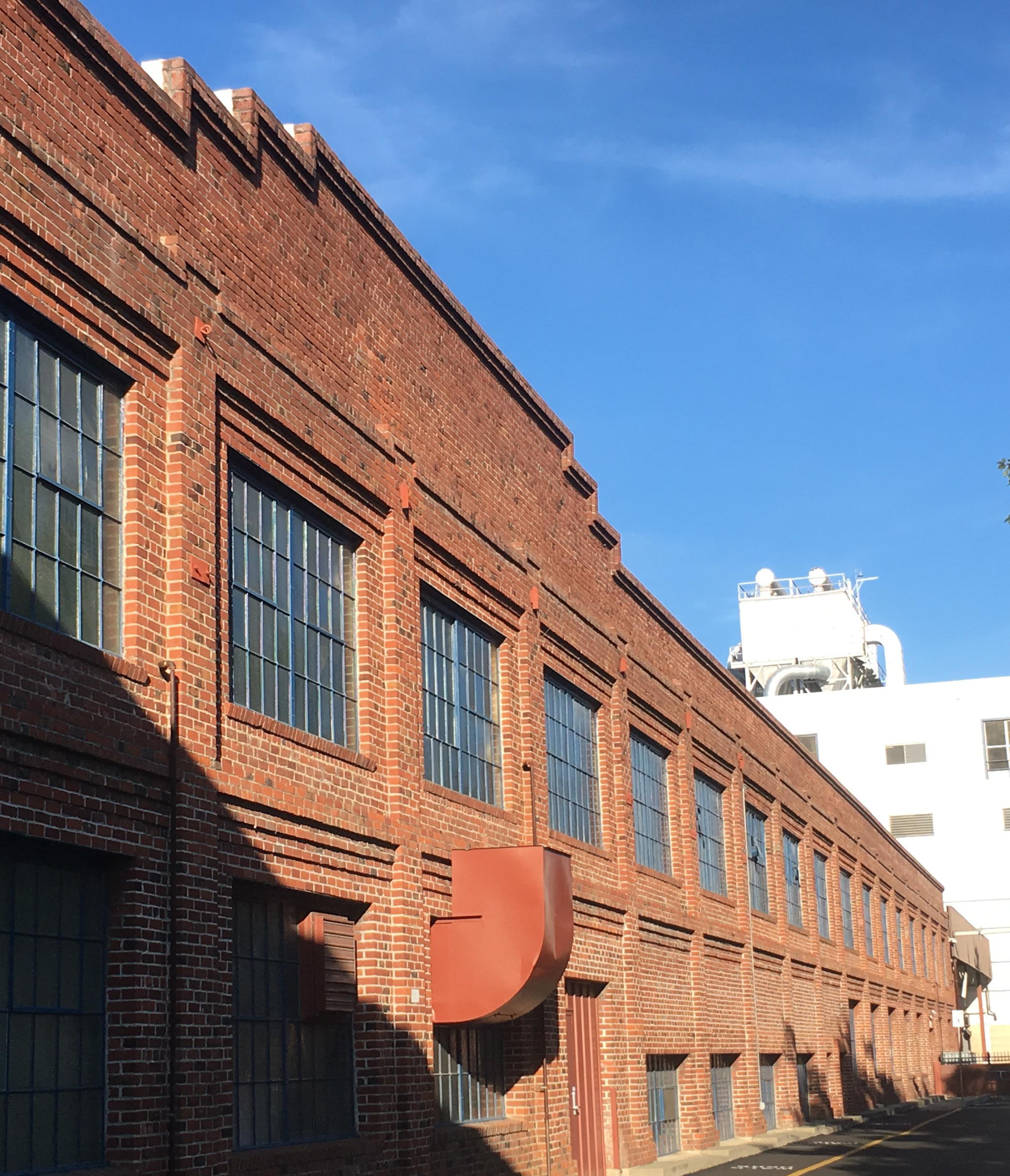
The C Street Industrial Historic District is located along the northern edge of Sacramento’s original 1848 street grid and is roughly bounded by 16th Street and Muir Park to the west, the railroad tracks to the north, 19th Street to the east, and C Street to the south. The district incorporates a collection of industrial buildings that were constructed for the California Almond Growers Exchange (now Blue Diamond Growers) and California Packing Company from the early to midtwentieth century.
 Section Individual Historic District Industrial Historic District
Sacramento Historic District Plans Final
Figure 87. The former Calpak No. 11 cannery is now part of the Blue Diamond Growers’ complex on C Street.
Figure 88. Industrial and administrative buildings built for the California Almond Growers Exchange (now Blue Diamond Growers) are still in operation along C Street.
Section Individual Historic District Industrial Historic District
Sacramento Historic District Plans Final
Figure 87. The former Calpak No. 11 cannery is now part of the Blue Diamond Growers’ complex on C Street.
Figure 88. Industrial and administrative buildings built for the California Almond Growers Exchange (now Blue Diamond Growers) are still in operation along C Street.
The C Street Industrial Historic District preserves a concentration of buildings that have formed the epicenter of an industrial hub located at the intersection of C and 16th streets since the early twentieth century. The intersection attracted industrial development after the turn of the century because of its proximity to several of Sacramento’s principal transportation corridors. The railroad tracks of the Southern Pacific Railroad ran along a levee at B Street. Sixteenth Street to the west was the halfway point in the city’s original street grid and developed into one of the city’s busiest transportation corridors in 1915, when it became part of the Lincoln Highway, the first coast-to-coast road in the country, and later the U.S. Route 40 and SR 160 freeways.1 In 1907, the Sacramento Northern Railway, an electric interurban railroad, began operation along C Street. The Sacramento Northern carried freight in addition to passengers and traveled through Sacramento’s industrial areas along an “industrial belt line” that ran around the edges of the city. A section of this belt line ran down C Street from 18th to 31st streets.2 The confluence of key transportation networks created an attractive setting for Sacramento’s growing agricultural industries.
Industrial development along C Street to the east of 16th Street began in the first decade of the twentieth century. In 1914, the California Almond Growers Exchange (CAGE), a corporation of small almond growers founded in 1910, constructed its first almond hulling and shelling plant in Sacramento along a spur of
1 Historic Environment Consultants, “River District Architectural and Historical Property Survey Update” (update to historical property survey, City of Sacramento, 2009), 9-10.
2 William Burg, Sacramento’s Streetcars (Charleston, SC: Arcadia Publishing, 2006), 85-86.
the Southern Pacific railroad tracks at the intersection of C and 18th streets.3 Parcels to the immediate north, east, and west remained largely undeveloped, while those to the south were primarily filled with the modest single-family houses and multi-family flats of a working-class residential neighborhood where employees of the area’s major industries settled.4
Industrial development along C Street accelerated during the economic boom period of the 1920s and continued into 1930s. Between 1922 and 1929, CAGE expanded its facilities considerably. The company built additional facilities for processing and canning almonds at its C Street location, and in 1938, added
new corporate offices adjacent to the main factory.5
Additional agricultural industries emerged on the blocks immediately to the west and east of the CAGE facilities during the same period. The Golden State Milk Products Company was established along the railroad tracks at 19th Street in the 1920s.6 In 1925, the California Packing Company (Calpak) constructed a cannery for its Del Monte brand of products on the blocks along C Street between 16th and 18th streets. The complex, named Calpak Plant No. 11, employed approximately 2,500 workers during the busiest seasons and was one of the largest fruit canneries in the world. In the 1930s, Calpak constructed an additional canning facility on the north side of the railroad tracks. Tunnels under the B Street levee connected the operations within this new building to those within Calpak Plant No. 11.7 Of the four Del Monte canneries that Calpak built in Sacramento, only Plant No. 11 survives today.8
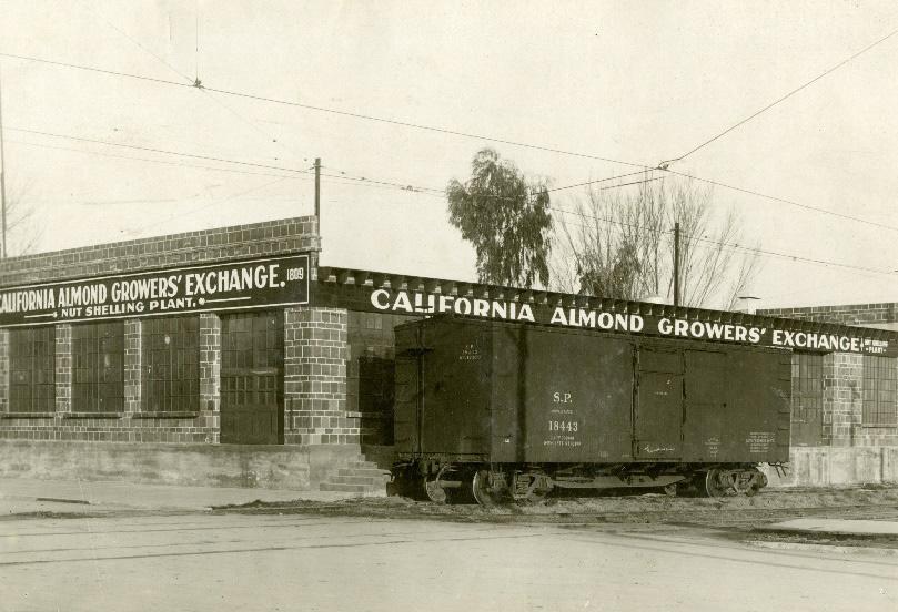
As the popularity of the automobile increased in the middle of the twentieth century and residents of the central city began to move to new residential suburbs outside the city center, the demand for other forms of transportation decreased. The Sacramento Northern ended its operations in 1941, and local streetcar service throughout the city ended in January 1947.9 Industrial businesses, including CAGE, responded to
5 “General Plan Technical Background Report”, 6.3-21.
6 Sanborn Map Company, Sacramento, California [map], vol. 1, 1915-Jan. 1951; State of California Department of Agriculture, “Report of Stallion Registration for the Fiscal Year Ending June 30, 1926” (Sacramento: California State Printing Office, 1926), 45.
3 “General Plan Technical Background Report,” (report, City of Sacramento), 6.3-21.
4 Sanborn Map Company, Sacramento, California [map], vol. 1, 1915; Shawn Scarborough, “Boulevard Park Corridor: C Through I Streets,” in Sacramento’s Streetcars, 29.
7
8 General Plan Technical Background Report, 6.3-21; Paula Boghosian, “Calpak Plant No. 11” (National Register of Historic Places Inventory Nomination Form, California Office of Historic Places, 1984), 8-1. 9 Burg, 100.
Sacramento Historic District Plans Final Figure 89. California Almond Growers Exchange nut shelling plant served by a spur track of the Southern Pacific Railroad (ca. 1914). Source: Center for Sacramento History, 1981/06/6212.the changes and reoriented their operations around truck shipping rather than railroad transportation. In 1957, CAGE constructed an expansive storage complex on the north side of the railroad tracks.
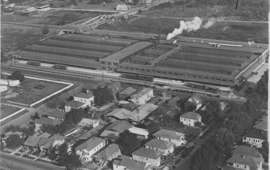
While 50 percent of California’s almonds were still produced in the Sacramento Valley in 1950, by 1970 the major areas of almond production had shifted to the San Joaquin Valley.10 CAGE constructed additional distribution and warehouse facilities on the north side of the B Street levee in 1971; however, this appears to have been the last major new building that CAGE constructed as part of its industrial facilities in Sacramento.11
CAGE continued to evolve over the subsequent decades. In 1980, the corporation was renamed Blue Diamond Growers.12 Looking to expand its facilities further, Blue Diamond purchased Plant No. 11 from the California Packing Company in 1982 and used it to add more office space, manufacturing facilities, a gift shop, and visitor center.13
Blue Diamond continues to operate as an active almond processing plant at its original location along C Street, making it the oldest agricultural cooperative in California and one of the state’s most successful agricultural businesses.14 The facilities occupy about 11 city blocks north of Sacramento’s midtown area
10 Daniel Geisseler and William R. Horwath, “Almond Production in California,” 2016, accessed October 10, 2018, https://apps1.cdfa.ca.gov/ FertilizerResearch/docs/Almond_Production_CA.pdf.
11 “General Plan Technical Background Report”, 6.3-21. 12 Blue Diamond Growers, “Our History,” accessed 7 August 2018. from https://www.bluediamond.com/history.
15 Mark Anderson, “Blue Diamond renovating historic Sacramento almond roasting plant,” Sacramento Business Journal (June 4, 2015), https://www. bizjournals.com/sacramento/news/2015/06/04/blue-diamond-renovatinghistoricsacramento-almond.html.
13 “General Plan Technical Background Report”, 6.3-21. 14 Sacramento Archives and Museum Collection Center and the Historic Old Sacramento Foundation, Sacramento’s Midtown (Charleston, SC: Arcadia Publishing, 2006), 31. and are continually upgraded and renovated to meet the company’s evolving needs.15
Sacramento Historic District Plans Final Figure 90. An aerial view of the California Packing Company’s plant in 1932, looking north from C Street with 16th Street on the left and the Southern Pacific tracks on the B Street levee behind (1932). Source: Special Collections of the Sacramento Public Library.The C Street Industrial Historic District was designated for listing on the Sacramento Register of Historic and Cultural Resources by the City Preservation Commission in 1985 in Ordinance #85-076.
The following table provides a current evaluation of significance under the requirements and considers the factors based on the above historic district context and the 2018 historic district survey. Additionally, this historic district relates to the Railroad Context Statement, Agricultural Context Statement, and the World War II, Transportation, and Redevelopment Context Statements of the city’s General Plan Technical Background Report.
(a) The C Street Industrial Historic District meets requirement (a) for listing on the Sacramento Register, because it is a geographically definable area.
(b)(i) The C Street Industrial Historic District meets requirement (b)(i) for listing on the Sacramento Register as an area that possesses “a significant concentration or continuity of buildings unified by: (A) past events or (B) aesthetically by plan or physical development.”
The buildings in the district form a strong and cohesive grouping due to their shared development as part of the major industrial operations of the California Almond Growers Association and California Packing Company’s Del Monte cannery. This shared history is visually reflected in the buildings’ orientation, style, materials, and design. The buildings were strategically located along spurs of the Southern Pacific Railroad and Sacramento Northern interurban electric railway to efficiently transport goods to market. Reflecting their industrial use, they were constructed with fireproof materials, such as brick, and exhibit regular, rectilinear plans and minimal ornamentation. The buildings remain in use as part of Blue Diamond Growers’ Sacramento headquarters and active food processing plant. Despite decades of use and renovations to meet evolving industry demands, the buildings continue to reflect their historic character.
Sacramento Historic DistrictThe period of significance for the C Street Industrial Historic District begins with construction of the first industrial facility of the California Almond Grower’s Exchange in 1914 and concludes with the construction of additional warehouse and distribution facilities on the north side of the levee in 1971, the last new, large-scale buildings constructed as part of CAGE’s industrial development in Sacramento as almond production shifted away from the Sacramento Valley. CAGE and the California Packing Company constructed industrial buildings on both sides of the railroad tracks during this period, and several buildings include tunnels or bridges across the levee that connected the operations in facilities on one side of the tracks to those on the other.
(b)(ii) The C Street Industrial Historic District meets requirement (b)(ii) for listing on the Sacramento Register as an area “associated with an event, person, or period significant or important to city history.”
The historic district is significant for its association with Sacramento’s emergence as a powerful center for the agricultural industries of the Sacramento Valley and the state of California. From the earlyto mid-twentieth century, the blocks along C Street between 16th and 19th streets were a hotbed of industrial activity where facilities for some of the city’s largest and most successful agricultural industries were constructed, including the Blue Diamond Growers (founded in the same location in 1910 as the California Almond Grower’s Exchange) and the California Packing Company’s Del Monte brand. Major industrial facilities for these industries were constructed on C Street where they had easy access to the Southern Pacific Railroad tracks on the B Street levee. Both the Blue Diamond Growers and Del Monte brands remain in use today, with Blue Diamond Growers continuing to operate out of its historic facilities at C Street. At the time of its construction, the California Packing Company’s Calpak Plant No. 11, purchased by Blue Diamond in 1982, was one of the largest fruit canneries in the world. As the last operating cannery in Sacramento’s original central grid, it represents a significant survivor of one of the city’s most important employers and industries.
(c) The C Street Industrial Historic District meets requirement (c) for listing on the Sacramento Register as it aligns with the goals and purposes of historic preservation in Sacramento, as well as the city’s other goals and policies. Per the Sacramento City Code, the preservation of the district enhances the “city’s economic, cultural and aesthetic standing, its identity and its livability, marketability, and urban character.”
(a) Factor (2)(a) states that “a historic district should have integrity of design, setting, materials, workmanship and association.” The C Street Industrial Historic District retains sufficient integrity to meet this factor for consideration as a historic district.
(b) Factor (2)(b) states that “the collective historic value of the buildings and structures in a historic district taken together may be greater than the historic value of each individual building or structure.” The C Street Industrial Historic District meets this factor because its buildings and structures represent a significant and distinguishable entity whose collective historic value is greater when taken as a whole.
Use • Large grouping of industrial and administrative buildings constructed for the almond and fruit canning industries
Mass & Form
• Buildings generally two stories tall, although a few are three- to five- stories high
• Simple, utilitarian architectural design with regular, rectangular plans
Cladding • Predominately brick, reinforced concrete, corrugated metal, or other fire-proof material
• Concrete foundations
Roofs • Flat roofs
• Stepped parapets
Entries & Doors • Central, first-story entrances
• Covered metal bridges spanning the railroad tracks to connect with associated industrial facilities on the north side of the levee
Windows • Projecting or picture windows with steel frames
• Strips of glass block windows
Ornamentation • Utilitarian design Facades contain series of regular bays with recessed rectangular panels and minimal ornamentation with occasional Classical Revival or Streamline Moderne elements
• Features associated with transportation such as garage doors, driveways, and/or vehicular shipping docks and bays, often with rolling metal doors facing the street or alley and concrete tire guards at entrances
• Wide metal awnings over loading areas
Property Landscape
• Black, wrought-iron fences at entrances from city streets
Streetscape • Minimal or no setback from sidewalk
• Buildings concentrated along the railroad tracks on the B Street levee
• Spacing between primary buildings follows original width and orientation of C Street
• Rows of street trees—most often sycamore and palm trees—and hedges around perimeter of Blue Diamond Growers property and lining principal roads
The following map shows the boundaries and location of the C Street Industrial Historic District. view the statuses of individual properties as contributing or non-contributing resources to the historic district, refer to the Sacramento Register of Historic and Cultural Resources.
Balance efforts to preserve and rehabilitate the historic district’s contributing buildings in a manner that will ensure their continued use as a major center for agricultural food processing in the region.
The C Street Industrial Historic District contains a significant concentration of industrial buildings related to Sacramento’s railroad and agricultural historic contexts, most of which have been continuously owned and operated by the California Almond Growers Exchange (now Blue Diamond Growers) since their construction in the early twentieth century. Due to the concentration of historic industrial buildings, the district has the potential to maintain its historic significance as a working example of Sacramento’s industrial heritage.
1.1 Preserve and enhance the historic street-facing orientation of primary building facades and entrances.
1.2 Make every effort to preserve, repair, and maintain any surviving steel frame windows, which significantly contribute to the industrial character of the district.
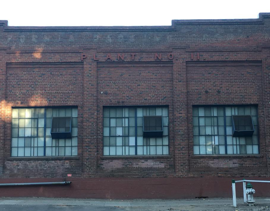
• Replace removed historic street-facing windows where feasible, if there is adequate documentation to inform design.
1.3 Avoid painting or applying new finishes on historically unpainted exterior masonry, particularly where historic painted signs (ghost signs) are present.
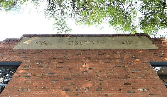
1.4 Restore window and door openings that have been covered or filled in, where appropriate, particularly to enhance safety along 16th Street.
1.5 Maintain and preserve existing historic loading platforms, particularly near the intersection of C and 16th streets.
1.8 Retain existing tunnels and bridges under and over railroad tracks, wherever possible.
In addition to the Standards & Criteria Common to Sacramento's Historic Districts in Section 1, the following district-specific standards and criteria apply when planning a project in the C Street Industrial Historic District.
1.6 Retain existing historic awnings where possible, particularly near the intersection of C and 16th streets.
1.7 Retain existing historic signage where possible, particularly along C and 16th streets and midblock at the historic California Almost Growers Exchange building.
Section Sacramento Historic District Figure 92. Historic multi-lite steel frame windows contribute to the character of the historic district. Figure 93. Historic signage survives on several buildings in the district.2.1 Design additions with proportions that are compatible with the primarily horizontal massing of contributing buildings in the district.
• Place additions on secondary rear and side elevations, when possible.
2.2 Respect historic open areas that are part of historic configuration or building siting, such as open areas at loading or service zones, to the extent feasible.
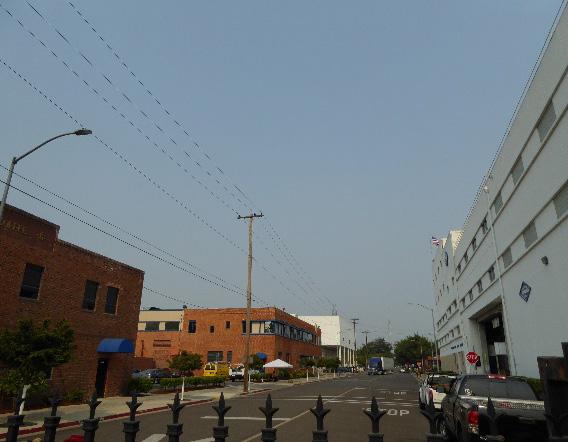
3.1 Preserve the historic pattern of siting new buildings with a zero-lot-line setback from the street.
3.2 Maintain the visibility of varying building profiles, shapes and forms in the historic district.
• Avoid designs that result in rows of identical new buildings.
3.3 Use materials that are compatible with the industrial or commercial character of adjacent contributing buildings.
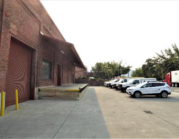
• Introduce brick, corrugated metal, steel casement windows and other utilitarian materials that are visible on adjacent contributing buildings.
3.4 Design roofs to maintain the visual profile of roof lines exhibited by contributing buildings, including clerestory, sawtooth, or flat roofs with square, stepped, or rounded parapets.
3.5 Follow patterns of punched openings and regularly spaced architectural bays.
3.6 Incorporate awnings that reference the form, scale, and materials of historic awnings.
Figure 94. Shed awnings and loading platforms are common in the district. Figure 95. Contributing buildings in the historic district exhibit a variety of heights and sizes4.1 Pursue a “complete street” approach that enhances pedestrian safety while preserving the historic district’s minimally landscaped industrial character.
4.2 Consider a street furnishing and lighting palette that is industrial in character, scale, and material.
4.3 Preserve and enhance the visibility of surviving physical elements that are associated with the railroad spurs that historically serviced the area (i.e. tracks, siding, end-of-track bumpers).
4.4 Remove chain link fences and barbed wire where possible.
• Replace chain link fences with fences that are of a compatible material and height to historic or compatible new fences throughout the historic district
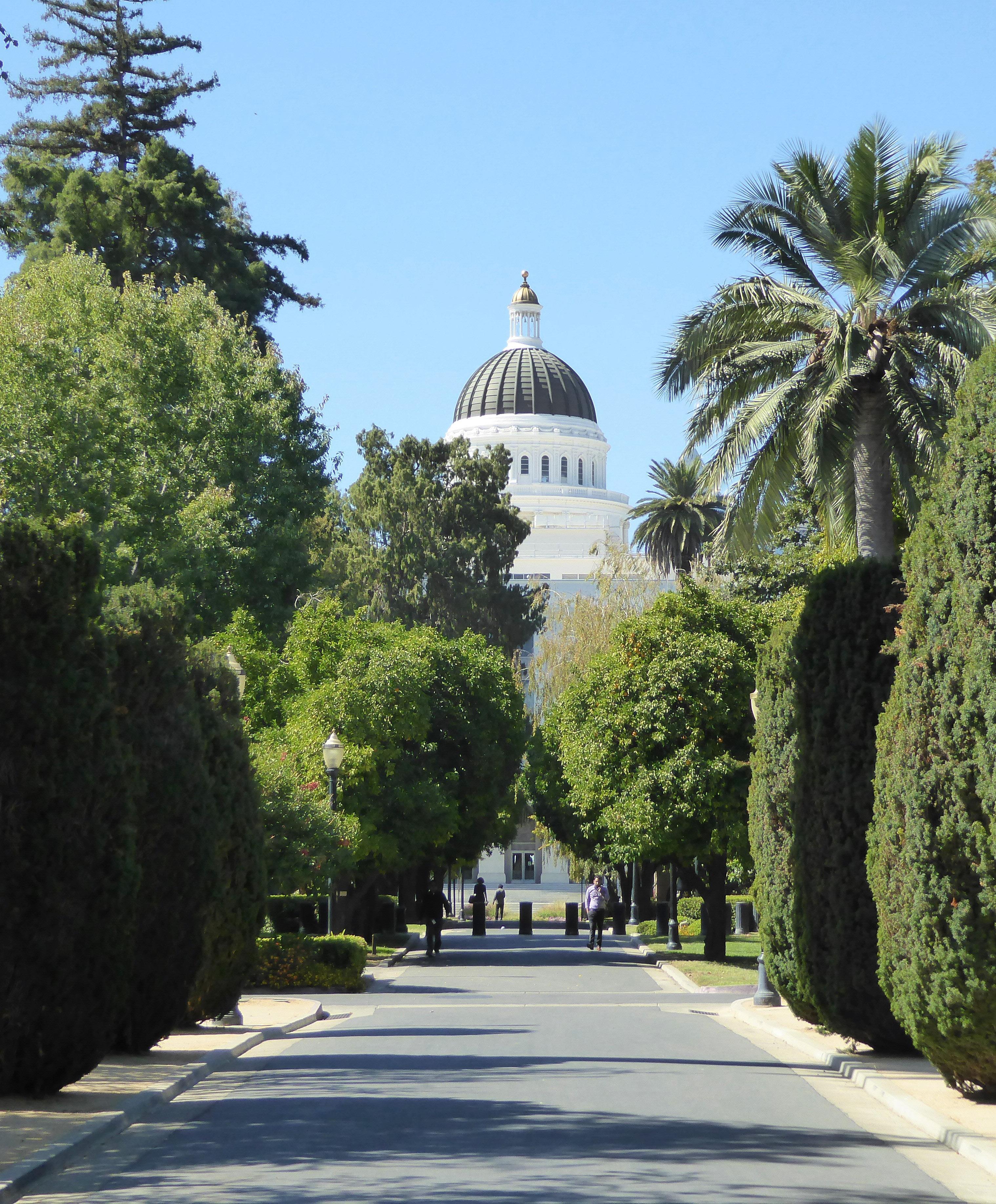
The Capitol Historic District is located within Sacramento’s original 1848 street grid and centers around the 12 city blocks bounded by L, N, 9th, and 15th streets that contain the State Capitol building, Capitol Park, and Capitol Extension Group. The district preserves a significant concentration of buildings that are representative of state government-related development in Sacramento and is characterized by large, state government buildings as well as several smaller, privately-owned buildings that were drawn to the streets around Capitol Park because of the benefits and prestige of an address across from the State Capitol. The district is bounded by multi-story commercial buildings on the north side of L Street, 1950s redevelopment-period development to the west of 9th Street, recent government office buildings on the east side of 15th Street, and surface parking lots along O Street.

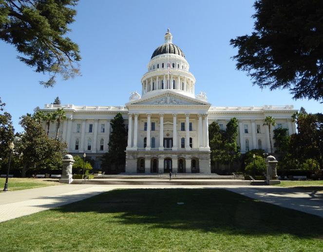
Figure 98. Three Streamline Moderne style state government buildings, dating to the 1930s, border Capitol Park to the south of N Street. Directly across from these buildings, rows of evenly spaced palms line the perimeter of Capitol Park.
Figure 99. The tracks of the Sacramento Regional Transit light rail and several parking lots line O Street to the south of the district.
 Section
Sacramento Historic District Plans Final
Figure 96. The Capitol Building, surrounded by Capitol Park. Figure 97. State Office Building No. 1 (now the Jessie M. Unruh State Office Building), part of the Capitol Extension Group, is situated beside a circular fountain.
Section
Sacramento Historic District Plans Final
Figure 96. The Capitol Building, surrounded by Capitol Park. Figure 97. State Office Building No. 1 (now the Jessie M. Unruh State Office Building), part of the Capitol Extension Group, is situated beside a circular fountain.
Sacramento was chosen as the state capital of California in 1854 because of its central location, accessibility by steamships traveling up the Sacramento River, and the availability of accommodations for state legislators.1 In order to lure the capital to Sacramento amid fierce competition from other cities, the Sacramento City Council offered the state a public plaza on the block between I, J, 9th, and 10th streets (now Cesar Chavez Park) to serve as the site for the new State Capitol building. A lack of funding and lawsuits over the legality of the arrangement prevented the capitol from being constructed on the plaza, forcing the City to identify a new site for the building.2 In 1860, a new, four-block site, bounded by L, N, 10th, and 12th streets, was deeded to the state for the construction of the state capitol. The new site was advantageously located two blocks away from the city’s business district and centered on M Street (later renamed Capitol Avenue), the city’s widest street.3
Groundbreaking for the California State Capitol building, designed by architect Reuben Clark, took place in 1860. The Classical Revival style building was designed to house the chambers of the state’s legislative, executive, and judicial branches.4 Construction progressed slowly because of funding and supply shortages during the Civil War and
1 Nathan Hallam, “‘We Must Give the World Confidence in the Stability and Permanence of the Place:’ Planning Sacramento’s Townsite, 1853-1870,” in River City and Valley Life: An Environmental History of the Sacramento Region, ed. Christopher J. Castaneda and Lee M.A. Simpson. (Pittsburgh: University of Pittsburgh Press, 2013), 68.
2 Thor Severson, Sacramento, An Illustrated History: 1839-1874, From Sutter’s Fort to Capital City (San Francisco: California Historical Society, 1973), 186-191.
3 Hallam, 69-70.
4 “California State Capitol History Part Two: Construction: Concept to Reality,” California State Capitol Museum, accessed September 13, 2018. http://capitolmuseum.ca.gov/architecture-and-history/california-statecapitol-history-part-two.
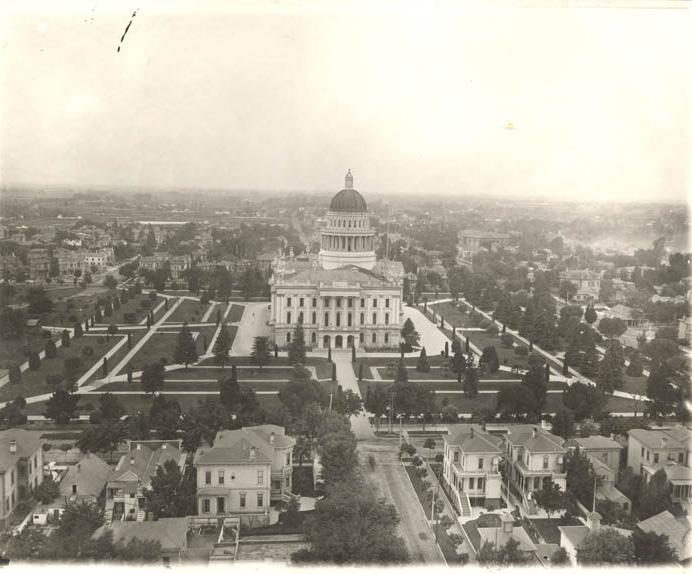
devastating floods during the winter of 1861-1862, which required the building’s foundation to be raised by six feet.5 Government activity began in the new building in 1869, although the building wasn’t finally declared complete until 1874.6
In the meantime, the Board of State Capitol Commissioners, which had been created to oversee the project, decided that the Capitol grounds should be expanded to create a suitably grand and parklike setting for the new capitol building. The resulting Capitol Park would occupy ten city blocks between L, N, 10th, and 15th streets. The commissioners first
5 Severson, 193.
6 “Capitol Mall State Buildings,” Historic Resources Technical Report, 2017, 4-2.
acquired the block between L, N, 14th, and 15th streets in 1870 to serve as the site for the future governor’s mansion and then began the process of acquiring the remaining five blocks to the east of the Capitol. The last block became part of Capitol Park in 1872.7 The governor’s mansion was completed on the northeast corner of the park as planned; however, no governor ever lived there, because legislators refused to fund decorations or furnishings for it. The building was converted into the State Printing Office and later demolished in the 1920s.8
The landscaping of Capitol Park proceeded through the 1870s.9 By the end of the decade, its lawns were considered to be “unsurpassed in the State,” and were “the subject of praise by all strangers visiting the State’s property.”10 The park was planted with 800 trees and flowering shrubs and designed in a typical Victorian style, with lanes laid out between beds of annual flowers and an elliptical carriage drive between the Capitol building, State Printing Office, and the Agricultural Pavilion, which was built on the southeast corner of the park in 1884 as an exhibition hall for the annual state fair. Surviving English elm and California fan palms that were planted along the carriage path preserve its route through the presentday park.11
7 Hallam, 70.
8 Jeff Kearns, “A tale of two mansions,” Sacramento News & Review, December 5, 2002, accessed October 16, 2018, https://www.newsreview. com/sacramento/tale-of-two-mansions/content?oid=13731.
9 Hallam, 70.
10 “Capitol Grounds Improvements,” Sacramento Daily Union, June 16, 1877.
11 “California State Capitol Museum: Capitol Park Monument and Memorial Guide” (guide, California State Parks, 2016), 2-3; Cheryl Anne Stapp, “The First State Ag Pavilion,” last modified July 13, 2017. https://cherylannestapp. com/state-ag-pavillions/.
Sacramento Historic District Plans Final Figure 100. State Capitol building, looking south (ca.1890). Source: California History Room, California State Library, Sacramento, California.Figure 101. Plan for Capitol Park landscaping (1878). Source: “The State Capitol Park,” Sacramento Daily Union, November 25, 1878, California Digital Newspaper Collection, Center for Bibliographic Studies and Research, University of California, Riverside, <http:// cdnc.ucr.edu>.
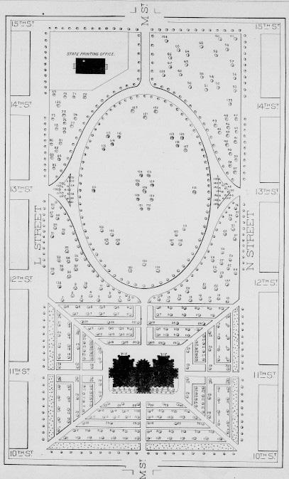
The construction of the Capitol grounds coincided with Sacramento’s gradual expansion eastward and increased the value of surrounding properties in what was then considered to be the outskirts of town. By 1895, rows of wood-framed, single-family houses filled the parcels surrounding Capitol Park.12 As the city’s population continued to grow at the start of the twentieth century, many of these single-family houses were converted into flats or apartment buildings that could accommodate multiple families.13 Purposebuilt apartment buildings were also constructed during this period. The Thayer Apartments and Lewis Apartments, completed in 1914 and 1925, respectively, are remnants of the residential character of the blocks surrounding Capitol Park in the early twentieth century. The elegant apartment buildings attracted high-ranking government officials, such as the superintendent of the state motor vehicle department and the governor’s private stenographer, who chose to create a family home there.14
Just as the city continued to grow, so did the California state government. By the 1910s, it was apparent that the State was in desperate need of additional facilities, and in 1917, the two blocks directly to the west of the State Capitol were acquired for the purpose of building new spaces for the State Supreme Court, State Library, and other scattered state departments. Construction began on the Library and Courts building and State Office Building No. 1 in 1922, and they were in use by 1928. The buildings’ Neoclassical design, orientation along the central axis of M Street, and cohesive landscaping of fan palms reflected the
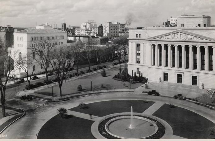
12 Sanborn Map Company, Sacramento, California [map], vol. 1, 1895.
13 Sanborn Map Company, Sacramento, California [map], vol. 1, 1915.
14 “Mr. and Mrs. French Return,” Sacramento Union, September 19, 1916.
influence of the City Beautiful Movement as well as the intention that this new “Capitol Extension Group” be considered part of Capitol Park.15
Although construction slowed throughout the city during the Great Depression, the 1930s were a period of significant development on the blocks surrounding the Capitol thanks to federal funding and city planning efforts that allowed state government construction to continue through the decade. Between 1936 and 1939, the Department of Motor Vehicles Building, Department of Public Works Building, and Business and Professional Building were all constructed on the south side of N Street in a variation of the Streamline Moderne style, sometimes known as Public Works Administration (PWA) Moderne, that is characteristic of public buildings constructed during the Great Depression.16
16 “Capitol Mall State Buildings.”
Sacramento Historic District Plans 15 Dorothy F. Regnery, “Capitol Extension Group” (National Register of Historic Places Inventory Nomination Form, California Office of Historic Preservation, 1983). Figure 102. State Office Building No. 1 and the Sutter Club (1931). Source: California History Room, California State Library, Sacramento, California.The state government expanded rapidly in the 1940s to meet the demands of World War II, creating a larger demand for additional government facilities in the postwar period. In 1949, the Capitol’s original nineteenth-century apse was removed as part of the construction of the East Annex, which created new office space for the governor and other state officials.17 Still, more space was needed. In the 1950s, additional multi-story annexes were added to the rear of the Depression-era government buildings on N Street. The last of these annexes was constructed in 1957 for the Department of Veteran Affairs. Although they were constructed almost two decades later, these new annexes reflected the style and massing of the earlier buildings on N Street and represented the last state government buildings constructed around the perimeter of Capitol Park until the twenty-first century.
The 1950s marked a major shift of state governmentrelated development, as the construction of new state buildings moved west to blocks surrounding Capitol Mall. The completion of a grand row of modern state government buildings along the street was part of a redevelopment plan to turn the West End neighborhood, which the Sacramento Redevelopment Agency had identified as blighted, into a grand entrance to the Capitol grounds. In 1950, the area west of the Capitol Extension Group was designated as Redevelopment Area No. 1, and the construction of new state government offices along
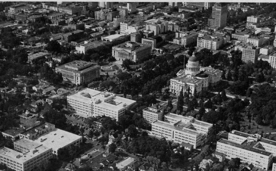
Capitol Mall began shortly thereafter.18
The building boom of the 1950s did not bring an end to the State’s constant need for more space. By the 1970s, the East Annex was full, and additional space for government offices was once again needed. State officials considered demolishing the Capitol building and replacing it with an entirely new building, but ultimately decided to restore the original nineteenthcentury building. In 1975 and 1980, the State passed bills to restore the Capitol, the largest restoration project in North America at the time. After six years of work, the building reopened in 1982.19
17 “California State Capitol History Part Three: Growth,” California State Capitol Museum, accessed September 13, 2018. http://capitolmuseum. ca.gov/architecture-and-history/california-state-capitol-history-part-three
18 Lee M.A. Simpson and Lisa C. Prince, “The Invention of Old Sacramento: A Past for the Future,” in River City and Valley Life: An Environmental History of the Sacramento Region, ed. Christopher J. Castaneda and Lee M.A. Simpson. (Pittsburgh: University of Pittsburgh Press, 2013), 297; Capitol Mall State Buildings,” 4-7.
19 “California State Capitol History Part Four: Restoration,” California State Capitol Museum, accessed September 14, 2018. http://capitolmuseum. ca.gov/architecture-and-history/california-state-capitol-history-part-four.
Sacramento Historic District Plans Final Figure 103. Aerial view of Sacramento, showing the Capitol Extension Group to the west of Capitol Park and the complete Business and Professional Building, Department of Motor Vehicles Building, and Department of Public Works Building along N Street (1940). Source: Special Collections of the Sacramento Public Library.Section 2: Individual Historic District Plans Historic District Plan 167
The Capitol Historic District was designated for listing on the Sacramento Register of Historic and Cultural Resources by the City Preservation Commission in 1985 in Ordinance #85-076. The Capitol Extension Group has also received national designation as a historic district and was listed on the National Register of Historic Places in 1984 as the Capitol Extension District. Because it is listed on the National Register, the Capitol Extension Group is also automatically listed on the California Register of Historical Resources.
The following table provides a current evaluation of significance under the requirements and considers the factors based on the above historic district context and the 2018 historic district survey. Additionally, this historic district relates to the State Government Context Statement of the city’s General Plan Technical Background Report.
(a) The Capitol Historic District meets requirement (a) for listing on the Sacramento Register, because it is a geographically definable area.
(b)(i) The Capitol Historic District meets requirement (b)(i) for listing on the Sacramento Register as an area that possesses “a significant concentration or continuity of buildings unified by: (A) past events or (B) aesthetically by plan or physical development.”
The buildings in the district are unified aesthetically and thematically by their association with Sacramento’s role as the state capital of California and the physical development of the Capitol building and Capitol Park. The majority of the buildings and contributing resources in the district were constructed for the purpose of housing the various offices, meeting chambers, libraries, storage spaces, and other facilities of the California state government. The Classical Revival design of the Capitol building, constructed between 1860 and 1874, heavily influenced the design of the government buildings that were built around Capitol Park as the role and function of the California state government expanded in the twentieth century. Ranging from the later Neoclassical style of the Capitol Extension Group immediately west of the Capitol to the utilitarian expression of Classical design visible in the Streamline Moderne style state office buildings along N Street, all of the state government buildings in the district reflect the Classical design and monumental scale of the Capitol building.
Sacramento Historic District Plans FinalThe period of significance for the Capitol Historic District begins with the start of construction on the State Capitol building in 1860, includes the construction of the Capitol building’s East Annex in 1951, and ends with the completion of the Veterans Affairs building at 1227 O Street in 1957. Types from the Period
(b)(ii) The Capitol Historic District meets requirement (b)(ii) for listing on the Sacramento Register as an area “associated with an event, person, or period significant or important to city history.”
The Capitol Historic District is associated with the early period of state government-related development that took place in Sacramento in the late nineteenth century until the 1950s in response to the rapid and continuous expansion of the California state government. During this period, the construction of state government buildings and facilities was concentrated around the streets that immediately bordered the Capitol building and Capitol Park. The presence of the Capitol building also heavily influenced the architectural style and orientation of these newer state government buildings, which were designed to complement the Neoclassical style Capitol.
Starting in the 1950s, the construction of state government buildings shifted west, to the blocks surrounding Capitol Mall, whose initial planning in the 1940s and development in the 1950s coincided with the City’s plans to redevelop the central city. The buildings from this period were constructed in Mid-Century Modern styles that reflected this new phase of development.
(c) The Capitol Historic District meets requirement (c) for listing on the Sacramento Register as it aligns with the goals and purposes of historic preservation in Sacramento, as well as the city’s other goals and policies. Per the Sacramento City Code, the preservation of the district enhances the “city’s economic, cultural and aesthetic standing, its identity and its livability, marketability, and urban character.”
(a) Factor (2)(a) states that “a historic district should have integrity of design, setting, materials, workmanship and association.” The Capitol Historic District retains sufficient integrity to meet this factor for consideration as a historic district.
(b) Factor (2)(b) states that “the collective historic value of the buildings and structures in a historic district taken together may be greater than the historic value of each individual building or structure.” The Capitol Historic District meets this factor because its buildings and structures represent a significant and distinguishable entity whose collective historic value is greater when taken as a whole.
Section 2: Individual Historic District Historic
Use • Predominately large, institutional/civic buildings mixed with a smaller number of high-style multi-family apartment, commercial, and recreational buildings situated around Capitol Park
Mass & Form • Buildings generally two- to seven-stories tall, with none taller than the Capitol building
• H-shaped building plans
• Monumental scale
• Frontages of state government buildings often extend nearly the full-width of an entire block
• Privately-owned buildings built on narrow parcels more characteristic of the rest of the city
• State government buildings horizontally massed with wide, street-facing frontages
• Apartment buildings more often vertically massed
• Symmetrical facades with prominent central entrances, often flanked by long wings with evenly-spaced rows of windows and doors
Cladding & Foundation Predominately granite, stone, stucco, or painted cement
Roofs • Dome and dual pitched hipped roof of the Capitol
• Predominately flat roofs with low parapets
• Few steeply pitched hipped roofs covered with red clay tiles
Entries & Doors Paneled wood or metal-framed doors with integrated glazing
• Most entries centrally located
Windows
• Long, narrow casement, double-hung, or picture windows with steel or wood frames
Ornamentation • Decorative stone, terracotta, or copper ornamentation
• Classical Revival and Neoclassical design details, including architraves, friezes, cornices, and pediments with figural statuary supported by evenly spaced rows of Ionic or Corinthian columns; pilasters; arched windows; cornice line dentil courses; egg and dart molding; acroterion, and rusticated bases
• Italian Renaissance style details, overhanging eaves supported by decorative brackets, round arches above doors or porches, entrances accented by small classical columns or pilasters, and rusticated first stories
• Streamline Moderne style details, such as flat metal awnings with rounded corners, metal casement and glass block windows arranged in long, continuous bands
• Orderly arrangement of trees in front of the principal, west-facing façade of the Capitol building, beginning with the row of California fan palms along the street, followed by camellia trees planted along the sidewalk; large, mature deodar cedars on the sloping lawn, and southern magnolias and low, shaped hedges on the last tier on the front of the Capitol
• Clusters of smaller palm tree varieties at corners of Capitol building
• Grove of coast redwoods along rear of Capitol building
• Park planted with a wide variety of native and non-native trees but generally dominated by varieties of redwood, cedars, magnolia, cypress, camphor, oak, and citrus trees
• Surviving English Elm and California Fan Palms planted along the nineteenth-century carriage path in Capitol Park
• Landscaping punctuated by free-standing monuments, memorials, and memorial garden
• Capitol Extension Group grounds planted with a variety of cedar, cypress, redwood, juniper, and camphor trees and situated around a circular, central fountain and traffic roundabout
Streetscape
• Buildings oriented to face a central axis formed by the Capitol Mall, Capitol building, and Capitol Avenue
• Perimeter of Capitol Park and L and N streets lined with evenly-spaced rows of California fan palms, planted in sixfoot-wide parking strip, around perimeter
• Principal paths at main east-west axis along the line of the Capitol Mall and corresponding to north-south line of city streets with smaller spurs of meandering paths running at diagonals
• Eight-foot-wide sidewalks around perimeter of Capitol Park
• Low, rounded curbs around Capitol Park with some granite curbs on N Street
Sacramento Historic District PlansThe following map shows the boundaries and location of the Capitol Historic District. view the statuses of individual properties as contributing or non-contributing resources to the historic district, refer to the Sacramento Register of Historic and Cultural Resources.
Sacramento Historic DistrictSection 2: Individual Historic
Preserve and enhance the historic relationships and interplay between building architectural styles, siting, landscaping, and overall composition that contribute to the Capitol Historic District’s central role in Sacramento.
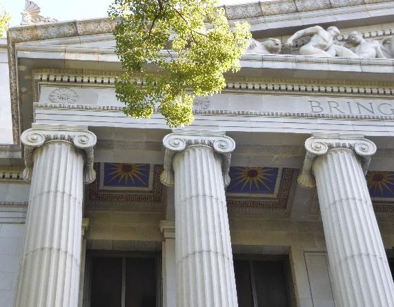
1.1 Maintain, preserve, and, where necessary, repair and restore historic elements associated with the Classical Revival, Neoclassical, and Late Moderne styles of architecture
The Capitol Historic District is the focal point of Sacramento, containing the city’s most recognizable landmark in the State Capitol and a high-integrity grouping of state government buildings arranged around Capitol Park. Minimal infill has taken place in the historic district, preserving the pattern of early state government related development in Sacramento with few modern intrusions
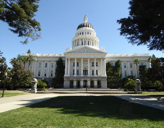
1.2 Utilize proper treatments for maintaining and, when necessary, repairing historic stone, stucco, wood, terracotta, copper, or decorative exterior features.
2.1 Design additions with proportions that maintain the characteristic symmetry and massing of contributing Classical Revival, Neoclassical, and Late Moderne style buildings.
2.2 Avoid additions that cause a contributing building’s height to significantly overshadow adjacent contributing buildings.
In addition to the Standards & Criteria Common to Sacramento's Historic Districts in Section 1, the following district-specific standards and criteria apply when planning a project in the Capitol Historic District.
Sacramento Historic District Plans Figure 105. Stone and design features that draw inspiration from Classical architecture are common in the historic district. Figure 106. Contributing buildings in the district share symmetrical designs with the Capitol building.3.1 Draw inspiration for the design of new construction from the Capitol Building.
3.2 Consider contemporary interpretations of Classical Revival, Neoclassical, or Late Moderne architectural styles.
3.3 Consider buildings with symmetrical facades.
3.4 Avoid breaking up facade planes into small modules that do not reflect the grand scale of contributing buildings in the district.
4.1 Preserve, maintain, and, where necessary, repair and restore historic plantings and landscaping features in Capitol Park and around the Capitol Extension Group, including pathways, memorials, historic lights, and historic structures.
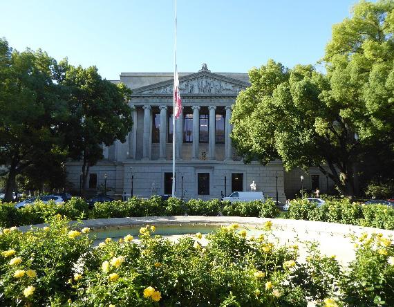
4.2 Preserve and maintain the historic open, planted character, and configuration of Capitol Park and Capitol Mall.
4.3 If it becomes necessary to replace mature perimeter palms, replace them in kind with the same or similar species that will grow to a similar height, size, and form at regular intervals in order to maintain the historic tree planting pattern.
4.4 Consider important views and vistas when implementing improvements to site and landscape features.
Section 2:
Sacramento Historic
Figure 107. Historic plantings and landscape features around the Capitol Extension Group should also be carefully preserved and maintained.
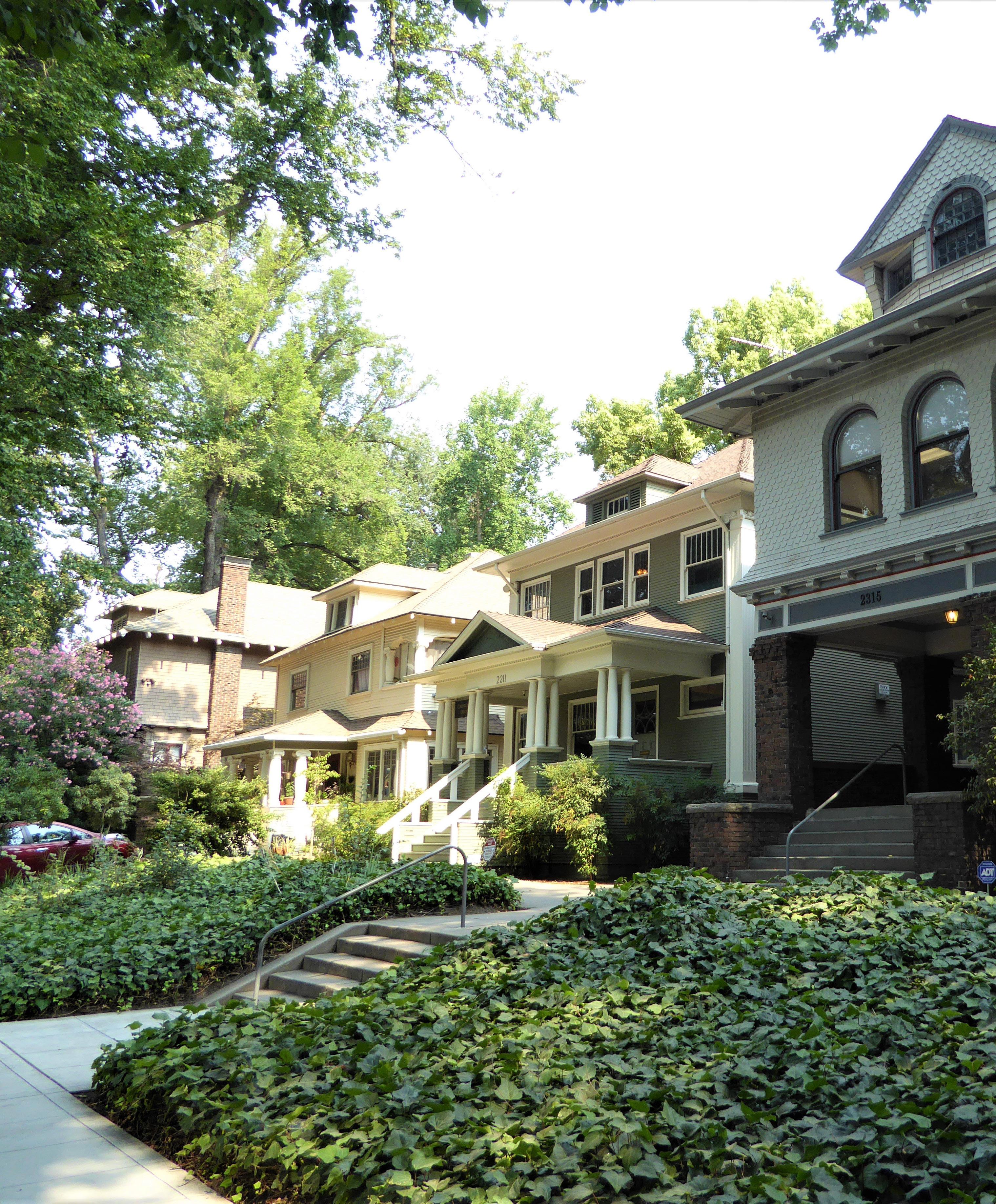
The Capitol Mansions Historic District is located within Sacramento’s original 1848 street grid between Capitol Park and Sutter’s Fort. The district consists of approximately 12 city blocks and is roughly bounded by K Street to the north, 27th Street to the east, Matsui Alley to the south, and 21st Street to the west. The district contains a mixture of late nineteenth- and early twentieth-century residences, many of which have been converted into multi-family residences, offices, or businesses. The district also contains a few institutional buildings, such as churches and schools.
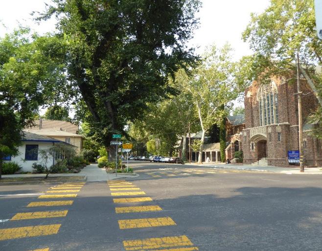
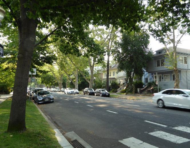
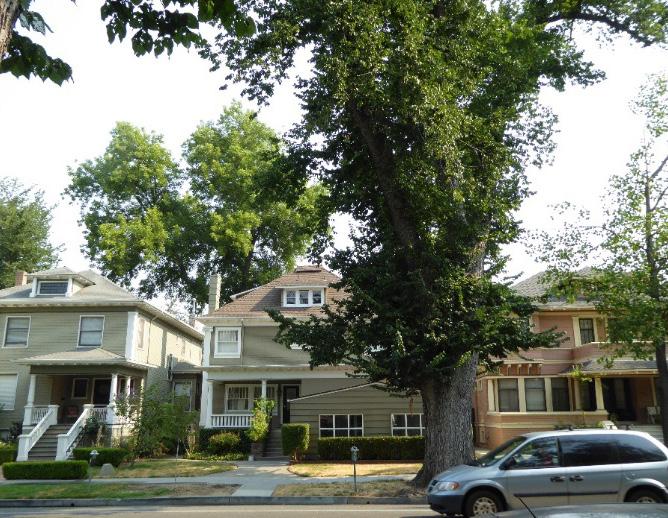
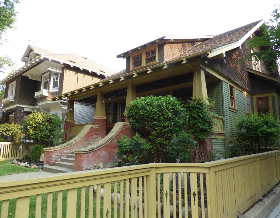 Section Historic Mansions
Sacramento Historic District Plans Final
Figure 108. Large houses located on Capitol Avenue often display a variety of architectural style influences applied to a Classic Box form.
Figure 109. A variety of architectural styles are present in the district, including the Craftsman style.
Figure 110. Mature street trees planted in parking strips form a canopy over streets in the district.
Figure 111. A few civic/institutional and commercial buildings, such as the First Baptist Church (right) and this hair salon (left) on the corner of 24th and L streets are interspersed throughout the primarily residential district.
Section Historic Mansions
Sacramento Historic District Plans Final
Figure 108. Large houses located on Capitol Avenue often display a variety of architectural style influences applied to a Classic Box form.
Figure 109. A variety of architectural styles are present in the district, including the Craftsman style.
Figure 110. Mature street trees planted in parking strips form a canopy over streets in the district.
Figure 111. A few civic/institutional and commercial buildings, such as the First Baptist Church (right) and this hair salon (left) on the corner of 24th and L streets are interspersed throughout the primarily residential district.
The Capitol Mansions Historic District is so named because of the large, stately residences that line Capitol Avenue (originally M Street) and L Street. When Sacramento’s street grid was laid out in 1848, M Street was designed to be the city’s widest, measuring 100 feet across.1 With the expansion of Capitol Park in 1872 and the completion of the Capitol building in 1974, M Street became the primary thoroughfare that led directly to the Capitol from the east and the west. As a result, the street was known as both M Street and Capitol Avenue throughout the late nineteenth century.2
Development in the Capitol Mansions neighborhood was limited until the last decades of the nineteenth century, when Sacramento’s affluent middle- and upper-class residents began to migrate out of the increasingly overcrowded and industrialized neighborhoods near the city’s waterfront embarcadero and West End business district to new neighborhoods that were emerging on undeveloped tracts to the south and east.3 Street construction and improvement projects spurred the initial period of residential development to these areas. The process of extending M Street eastward, between the Capitol grounds and the County Hospital on “the Stockton road,” began in 1874, attracting some of the area’s first residents.4 The introduction of a streetcar line down M Street between 15th and 28th streets in 1890 further accelerated development toward the end of the century by offering residents easy and efficient
1 Nathan Hallam, “The Evolution of Sacramento’s Central City Street Grid,” (master’s thesis, Sonoma State University, 2003), 33.
2 Catherine Turrill Lupi, “Capitol Mansions Historic District Historic Home Tour,” (brochure, Preservation Sacramento, 2018), 1.
3 Hallam, 63-64.
4 “City Intelligence,” Sacramento Daily Union, October 27, 1874.
transportation to the businesses and workplaces downtown.5 In 1895 the neighborhood was a patchwork of undeveloped parcels and generouslysized, wood frame dwellings, many with stables and small cottages for working-class residents located along the alleys that bisected each city block.6 By the start of the twentieth century, M Street had become one of “the very best streets in Sacramento,” praised by the Sacramento Union newspaper for its “many handsome residences,” “improved transportation facilities,” and “best type of pavement.”7
Meanwhile, Sacramento’s eastward growth had
begun to encroach upon the ruins of Sutter’s Fort, the settlement where the city had begun in the 1840s. By the 1880s, the fort had been abandoned and neglected for several decades, and the majority of the complex had severely deteriorated or collapsed. While the parcels in the Capitol Mansions neighborhood to the west were filling up with new residences, the lots to the south of the fort remained vacant fields. The city’s street grid, which had been laid out in 1848, seemed to anticipate the fort’s demise, cutting headlong through the fort’s footprint so that its southwest corner protruded into L Street.
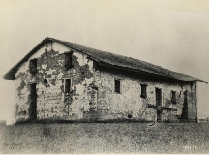
The Native Sons of the Golden West, a fraternal organization founded by early California settlers and their children, recognized Sutter’s Fort’s significance to the state’s history and began to raise funds to purchase the blocks on which the fort stood in order to reconstruct it to its appearance during the
5 William Burg, “Sacramento’s Streetcar Suburbs, Part 4: East Sacramento and Elmhurst,” Sacramento History (blog), September 5, 2007, http:// sacramentohistory.blogspot.com/2007/09/sacramentos-streetcar-suburbspart-4.html.
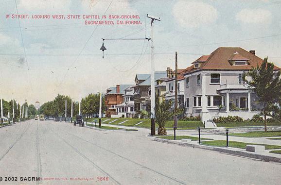
6 Sanborn-Perris Map Company Ltd., Sacramento, California [map], vol. 1,1895.
7 Evaluation Committee of Sacramento Heritage, Inc., “Phase I: Central City Historic Resources Inventory, New Identified Historic Resources” (Planning Division, Sacramento Community Development Department, 2000), 323; “A Meeting and a Moral,” Sacramento Union, July 25, 1906.
Sacramento Historic District Plans Final Figure 112. A postcard showing a view of M Street, looking west (1907). Source: Special Collections of the Sacramento Public Library. Figure 113. Sutter’s Fort prior to restoration (1879). Source: California History Room, California State Library, Sacramento, California.Gold Rush. The Sacramento Chamber of Commerce supported the plan, recognizing its value as a means of attracting homebuyers to the area and establishing a much-needed park for the new neighborhoods that were forming nearby. In 1907, the state purchased the blocks between L, 26th, M, and 28th streets and rerouted L Street around the fort’s reconstructed southwest corner.8
By 1915, the large, single-family dwellings that had characterized the neighborhood’s first period of development had been joined by multi-family apartment buildings and flats. Automobile service and repair garages also appeared, a sign of the automobile’s growing popularity. As the city’s population grew over the subsequent decades and middle- and upper-class residents continued to move further east, many of the large residences were converted to commercial uses, such as boarding houses, bed and breakfasts, and offices, while others were subdivided into apartments.9 More recently, new office and apartment buildings have been constructed within the district as infill developments.
8 Hallam, 70-73.
9 “2018 Preservation Sacramento Historic Home Tour,” Preservation Sacramento, accessed July 20, 2018. http://www.preservationsacramento. org/hometour
Sacramento Historic District Plans FinalThe Capitol Mansions Historic District was designated for listing on the Sacramento Register of Historic and Cultural Resources by the City Preservation Commission in 2004 in Ordinance #2004-009. At that time, it was determined to meet all of the requirements and factors for listing as defined by Sacramento City Code.
The following table provides a current evaluation of significance under the requirements and considers the factors based on the above historic district context and the 2018 historic district survey. Additionally, this historic district relates to the Railroad Context Statement of the city’s General Plan Technical Background Report.
(a) The Capitol Mansions Historic District meets requirement (a) for listing on the Sacramento Register, because it is a geographically definable area.
(b)(i) The Capitol Mansions Historic District meets requirement (b)(i) for listing on the Sacramento Register as an area that possesses “a significant concentration or continuity of buildings unified by: (A) past events or (B) aesthetically by plan or physical development.”
The Capitol Mansions Historic District is characterized primarily by large, stately houses that were built as part of a prestigious neighborhood for Sacramento’s wealthy residents at the turn of the century. The majority of the houses were built between 1895 and 1910 as single-family residences in the multi-gabled Queen Anne, Craftsman, Classical Revival, and Colonial Revival styles. They share a similar scale, age, setback, and common design features – such as high basements, wood detailing, and elegantly developed front stairs and porches –that create an overall cohesive grouping.
The arrangement of these houses also preserves a long-standing pattern of residential development in Sacramento, in which the homes of the city’s wealthiest residents were constructed on the east-west streets, while more modestly-sized houses were built on the north-south streets, and stables and simple cottages for laborers were built along the alleys.
Sacramento Historic DistrictThe period of significance for the Capitol Mansions Historic District coincides with its development into one of Sacramento’s most prestigious neighborhoods, beginning with the extension of M Street from Capitol Park to Stockton Boulevard in 1874 and ending in 1939 when streetcar service on M Street stopped and city’s affluent residents began migrating to new suburbs further from the original 1848 street grid. Types from
(b)(ii) The Capitol Mansions Historic District meets requirement (b)(ii) for listing on the Sacramento Register as an area “associated with an event, person, or period significant or important to city history.”
The concentration of large, single-family residences along Capitol Avenue and L Street reflects the period of Sacramento’s history in which affluent middle- and upper-class residents began migrating away from older neighborhoods in the city center to new residential neighborhoods that were developing on the city’s eastern and southern peripheries at the turn of the century. Like many cities around the country in this period, these new neighborhoods emerged primarily along streetcar lines that radiated from the city center. The conversion of many single-family houses in the neighborhood into apartments or flats over subsequent decades reflects the growing density of the neighborhood as the city continued to expand outward. The rise of the automobile and end of streetcar service to the Capitol Mansions neighborhood in the 1930s signaled a second migration of affluent residents, this time out of Capitol Mansions and into even newer neighborhoods outside Sacramento’s original city limits.
(c) The Capitol Mansions Historic District meets requirement (c) for listing on the Sacramento Register as it aligns with the goals and purposes of historic preservation in Sacramento, as well as the city’s other goals and policies. Per the Sacramento City Code, the preservation of the district enhances the “city’s economic, cultural and aesthetic standing, its identity and its livability, marketability, and urban character.”
(a) Factor (2)(a) states that “a historic district should have integrity of design, setting, materials, workmanship and association.” The Capitol Mansions Historic District retains sufficient integrity to meet this factor for consideration as a historic district.
(b) Factor (2)(b) states that “the collective historic value of the buildings and structures in a historic district taken together may be greater than the historic value of each individual building or structure.” The Capitol Mansions Historic District meets this factor because its buildings and structures represent a significant and distinguishable entity whose collective historic value is greater when taken as a whole. of Significance:
Section 2: Individual Historic District
Capitol Mansions Historic District
Use • Historically single-family residences, some converted into multi-family units
• Interspersed churches and apartment buildings dating from the period of significance
• Parking and auxiliary uses located along alleys
Mass & Form
• Varying building heights ranging from one- to four- stories tall with Delta-style high basements and raised first story
• Horizontal or square massing of homes facing lettered streets, particularly Capitol Avenue
• Smaller homes located on numbered streets
Cladding
• Predominately wood siding, typically wide and narrow channel rustic, wood lap, and shingles of varying shapes; brick; and stucco
• Brick or clinker brick foundations, column bases, and chimneys
Roofs • Prominent front-facing gabled or hipped roofs, often with a centrally placed dormer
Entries & Doors • Delta-style configuration with staircases leading to primary entrances above a high basement
• Wood, brick, or terrazzo steps
• Paneled wood doors, often with a transom above, or integrated glazing
Windows • Wood-frame double-hung, casement, paired, ribbon, cottage, and leaded glass windows
• Single- and multi-story bay windows in semi-hexagonal, squared, and rounded forms
Ornamentation
• Typical ornamentation for the various architectural styles listed in the section above
• A wide selection of column types, including squared, tapered, turned, Egyptian, and Tuscan
• Classical Revival details, including fluted pilasters, scrolls, dentils, and garlands
Porches
• Prominent full- or half-width porches accessed by a staircase
Property Landscape
• Wrought iron fences with brick piers or low brick retaining walls around small front lawns or gardens
• Brick patios with decorative bond patterns
Streetscape • Uniform setback for single-family houses, tending to be widest on Capitol Avenue
• Narrower setback on numbered streets
• Rows of mature, evenly spaced, deciduous street trees— most often elms and sycamores interspersed with rows of palms—planted in a parking strip
• Iron hitching posts with horseheads and evidence of removed hitching posts in the form of L-shaped concrete strips next to street curbs
• Some concrete upping blocks engraved with family names
• Varying sidewalk widths to accommodate street trees
The following map shows the boundaries and location of the Capitol Mansions Historic District. view the statuses of individual properties as contributing or non-contributing resources to the historic district, refer to the Sacramento Register of Historic and Cultural Resources.
Section 2: Individual Historic Mansions Historic District
Treatment of contributing resources and new development in the Capitol Mansions Historic District must respect and draw inspiration from the precedents of scale, massing, setback, materials, and landscaping set by the contributing historic buildings in the district.
1.1 Protect carved, turned, or shaped wood treatments that are important features to the resource's architectural style.
The collection of large, Classic Box style houses that line Capitol Avenue are the most well-known feature of the Capitol Mansions Historic District. However, the district also contains a mixture of late nineteenthand early twentieth-century houses and a few historic churches and apartment buildings that add to the variety of architectural styles, heights, and massing in the district. In spite of the differences between individual properties, the district maintains a feeling of cohesiveness due to overall similarities in scale, setback, common design features, and landscaping.
1.2 Maintain, preserve, and, where necessary, repair and restore historic elements associated with the Delta style of residential architecture, especially historic staircases, porches, bay windows, and doors.
2.1 Avoid additions that make contributing buildings constructed in horizontally massed or box shape architectural styles, such as Prairie or Classic Box, more vertical or that make vertically massed Victorian-era buildings more horizontal.
2.2 Avoid additions that cause a building’s height to exceed 150% of the height of surrounding contributing buildings.
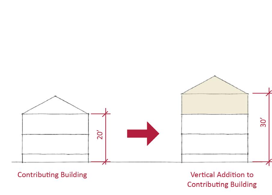
• Use step backs to maintain the existing street façade height.
In addition to the Standards & Criteria Common to Sacramento's Historic Districts in Section 1, the following district-specific standards and criteria apply when planning a project in the Capitol Mansions Historic District.
Figure 115. Rows of Classic Box style houses of similar height, scale, and massing on Capitol Avenue contribute to the district’s cohesive streetscapes.
Figure 116. Additions should not cause a building's height to exceed 150% of its historic height.
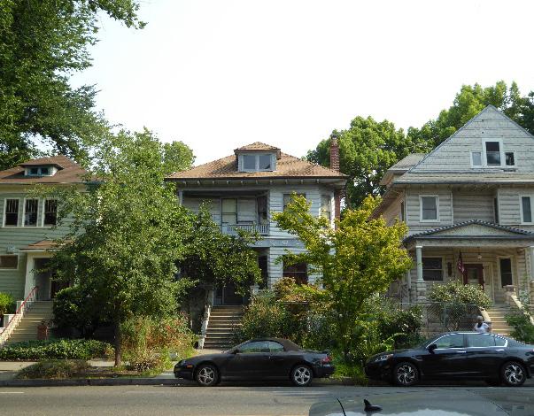 Sacramento Historic District
3.1 Design building proportions on Capitol Avenue to be compatible with the uniform scale and box-like massing of contributing buildings along the street.
3.2 Where additional height is considered, the height of new buildings should be no more than 150% of the height of surrounding contributing buildings.
• Consider using step backs for taller buildings to maintain the existing street façade height of adjacent contributing buildings.
3.3 Maintain the visibility of varying building profiles, shapes, and forms on streets surrounding Capitol Avenue.
• Avoid designs that result in rows of identical new buildings.
3.4 Design new non-residential construction to be as compatible with the scale, height, massing, orientation, materials, architectural character, and pedestrian-oriented landscaping of the historic district as possible.
• Break larger masses down into smaller modules that relate to the massing of surrounding contributing buildings.
3.5 Maintaining the deep, uniform setbacks and wide front lawns along Capitol Avenue.
Figure 119. The height of new buildings should be no more than 150% of the height of surrounding contributing buildings.
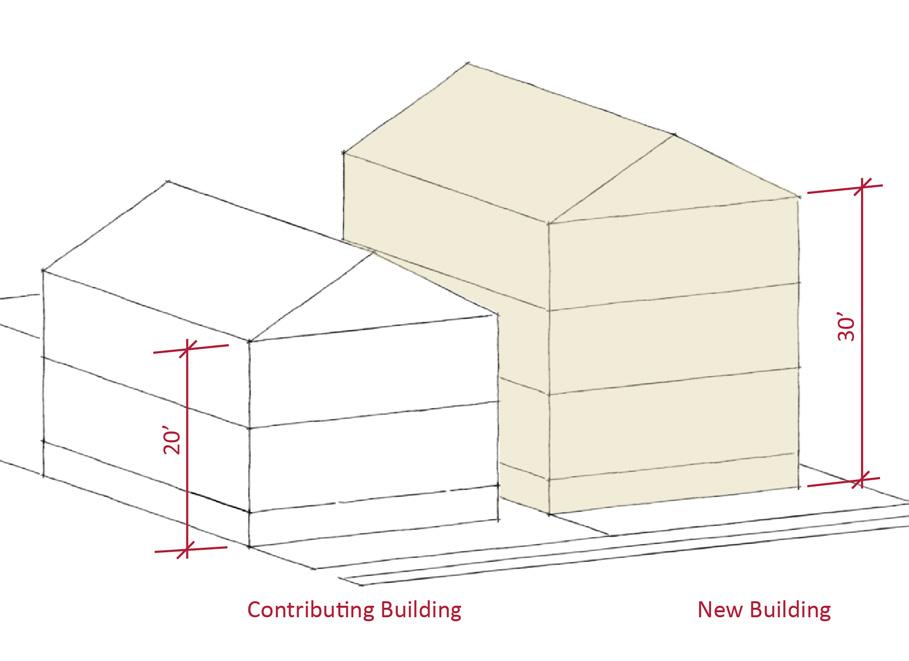
Figure 117. Although Classic Box style houses are prevalent on Capitol Avenue, houses that exhibit other architectural styles and forms add to the district’s visual richness.
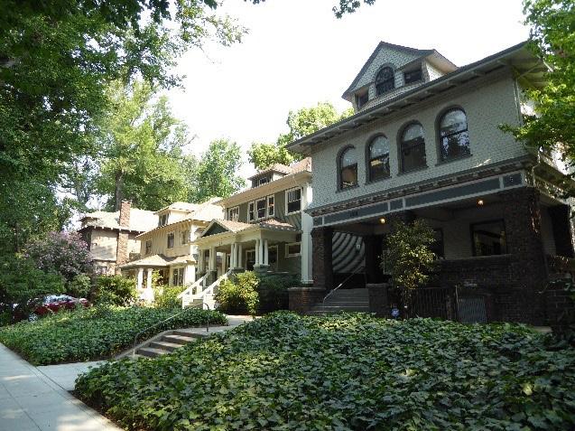
Figure 118. Uniform, deep setbacks allow for open, planted lawns in front of houses on Capitol Avenue.
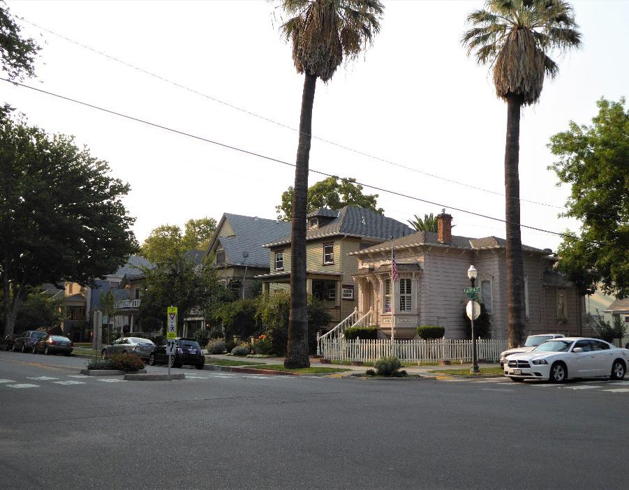 Section
Sacramento Historic District
Section
Sacramento Historic District
3.6 Preserve the historic pattern and articulation of long, narrow 40’ x 160’ parcels, wherever possible.
• Consider breaking down the massing of large infill developments into smaller masses that reflect the historic lot pattern.
3.7 Consider providing covered front porches or entries at new infill development to preserve the historic district’s visual pattern of porches, wherever possible.
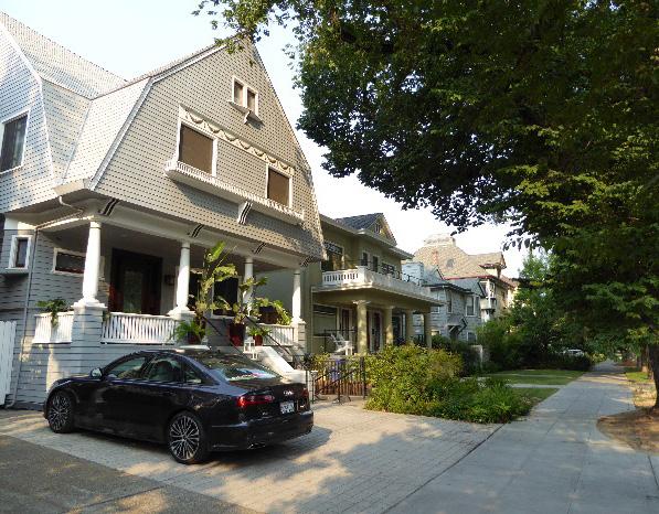
4.1 Preserve and maintain the historic open, planted character, size, and grade of front yards.
• Avoid paving front yards to create parking pads.
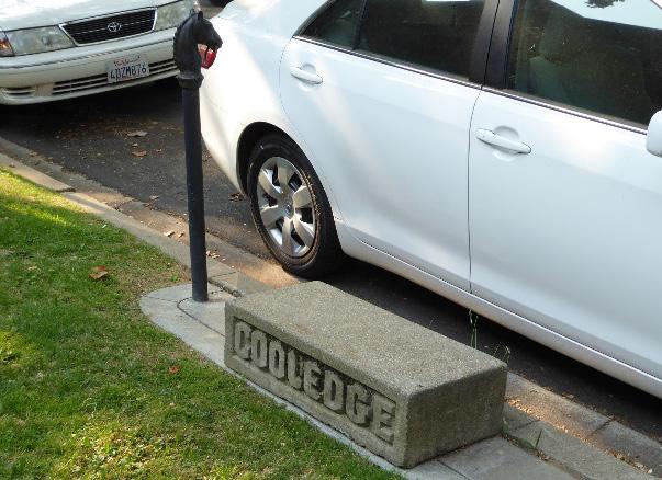
4.2 Avoid adding fences or screening features in front of properties along Capitol Avenue.
4.3 Avoid creating new curb cuts on Capitol Avenue.
• Locate parking and service access along alleys, and use landscaping features to screen it from the public right-of-way, wherever possible.
4.4 Preserve and maintain historic hitching posts, upping stones, and carriage barns in their historic locations.
5.1 On a typical unsplit parcel, set back alley infill buildings a minimum of 30 feet from the primary building on the parcel. If a parcel is split, set back alley infill buildings a minimum of 15 feet from the lot split.
5.2 Aim to locate alley infill so that it is a minimum of 10 feet from contributing buildings on adjacent parcels.
5.3 The height of alley infill should be no more than 150% of the height of surrounding contributing buildings.
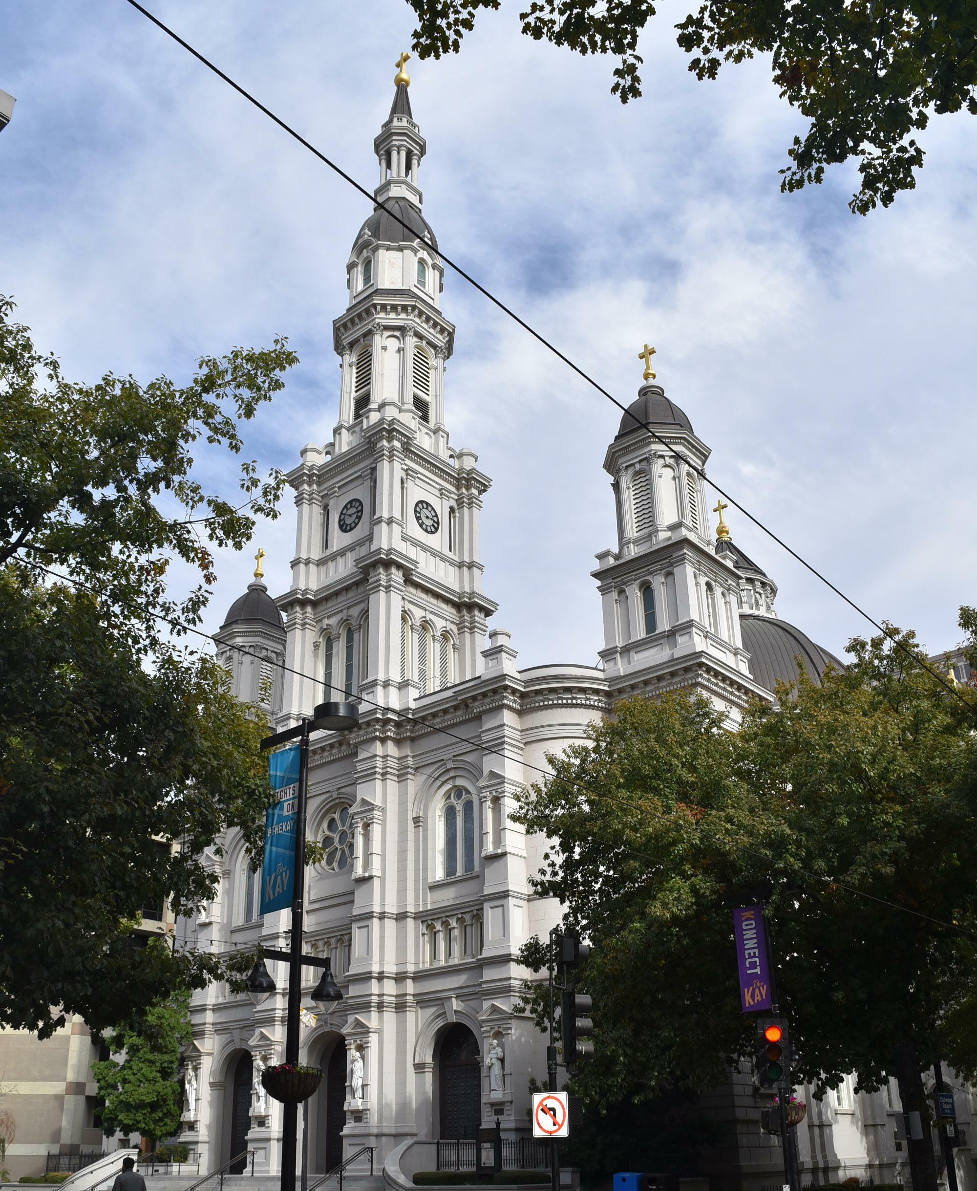
The Cathedral Square Historic District is located at the heart of Sacramento’s original street grid, as laid out in 1848, and comprises a portion the city’s historic central business district. The Cathedral of the Blessed Sacrament, completed in 1889, serves as the visual and symbolic anchor of the district.
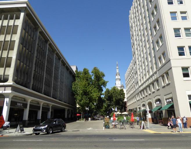
The surrounding properties are characterized by late nineteenth- and early twentieth-century commercial and civic buildings that reflect the area’s identity as a fashionable shopping and entertainment center.
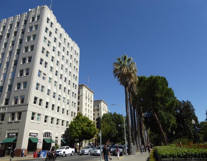
The district’s properties are situated around the intersection of K and 11th streets and are roughly bounded by 12th Street to the east, Jazz Alley to the north, 10th Street to the west, and L Street to the south.
Figure 124. A view looking west along K Street from 11th Street, showing the range of architectural styles in the district, including the Italian Renaissance and Prairie styles.
Sacramento Historic District Plans Final Figure 122. The spire of the Cathedral of the Blessed Sacrament is the focal point of the district. Figure 123. The former Weinstock Lubin department store (right) is across from the cathedral on K Street. Figure 125. The former Medico-Dental Building (left) and Senator Hotel (center) face Capitol Park and form the southern end of the district.K Street has been one of the most heavily trafficked business corridors in all of Sacramento since the city was platted.1 During the Gold Rush, argonauts arrived by riverboat at the western terminus of K Street where the city met the Sacramento River.2 While neighboring J Street established itself as the primary route leading to the gold fields in the foothills of the Sierras, K Street was associated with California’s fledgling stagecoach network.3 For this reason, K Street had a running start to becoming the commercial core of the city.
Businesses and homes rapidly spread eastward during the early years of settlement, but expansion was not without its obstacles. The crippling floods of 1861 and 1862, which left much of Sacramento underwater, convinced city officials to prioritize improved public infrastructure. Moving more-or-less west to east over the course of a decade, streets were raised to the level of Plaza Park (now Cesar Chavez Park), the highest point within the developed portion of the street grid.4 The elevated streetscape resulted in hollow sidewalks, sections of which are confirmed to be intact at 1013 K Street.5
The evolution of the city’s streetcar system also played an important role in molding K Street into a powerful commercial force during the late nineteenth century. Sacramento’s first mule-drawn streetcar line, started circa 1858, travelled from the intersection of Front and K streets to the Sacramento Valley Railroad depot
1 Page & Turnbull, “Raised Streets & Hollow Sidewalks,” (survey report, Sacramento, CA, 2009), 7.
2 William Burg, Sacramento’s K Street: Where Our City Was Born (Charleston, SC: The History Press, 2012), 18.
3 Ibid., 19-20.
4 Page & Turnbull, “Raised Streets & Hollow Sidewalks,” (survey report, Sacramento, CA, 2009), 12-13.
5 Ibid., 25.
Figure 126. View of the Cathedral of the Blessed Sacrament and Capitol building looking south along 11th Street (1926). Source: California History Room, California State Library, Sacramento, California.
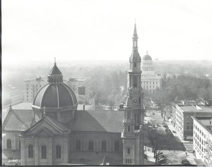
at 3rd and R streets. The enterprise was short-lived, for its tracks were destroyed by the flood of 1861.6 The first permanent streetcar did not appear until Sacramento’s downtown streets had been raised. The City Street Railway was established on August 20, 1870.7 Its course began at the Central Pacific Railroad depot on Front Street and followed K Street eastward to the intersection of 9th Street where it proceeded north to H Street. This route solidified K Street’s status as Sacramento’s “Main Street.”
K Street also attracted civic and institutional development. In 1889, the Cathedral of the Blessed Sacrament was constructed at the intersection of K and 11th streets. Reverend Patrick Manogue,
6 William Burg, 44. 7 Ibid., 44.
a native of Ireland, was appointed Bishop of the newly formed Diocese of Sacramento in 1886.8 His personal ambition was to build a cathedral modeled after the Holy Trinity church of Paris.9 Its site and design were deliberately chosen to compliment the Capitol building, located one block to the south.10 San Francisco architect Bryan J. Clinch was selected for the project.11 The massive basilica-form structure features an imposing central tower, rounded arch entrances and windows, and a broad dome atop the nave. Being the second tallest building in the city after the Capitol at that time, the grand church represented not only a triumph for local Catholics, but a symbol of civic pride for all Sacramentans.12
By 1895, the area was still a patchwork of multifamily dwellings and small commercial structures. Not surprisingly, the supremacy of the horse-drawn travel was visible within the district. The majority of businesses, particularly those at the intersections of 11th and K streets, were related to the sale or repair of carriages and wagons.13 To the east of 11th Street, the district was occupied by the cathedral, the Christian Brothers School, and residences.14 As the focus of Sacramento’s retail and entertainment activity
8 Sacramento Archives and Museum Collection Center and the Historic Old Sacramento Foundation, Old Sacramento and Downtown (Charleston, SC: Arcadia Publishing, 2006), 76.
9 Steven M. Avella, Sacramento: Indomitable City (Charleston, SC: Arcadia Publishing, 2003), 70.
10 Ibid., 70.
11 John E. Boll, “The Bishop Builds His Cathedral: Bishop Patrick Manogue,” Sacramento Diocesan Archives vol. 2, no. 36, 2, https://www.scd.org/sites/ default/files/2017-06/Vol_2_No_36_The_Bishop_Builds_his_Cathedral_ Bishop_Patrick_Manogue.pdf
12 Steven M. Avella, Sacramento: Indomitable City (Charleston, SC: Arcadia Publishing, 2003), 76.
13 Sanborn Map Company, Sacramento, California [map], sheets 14a and 15, 1895.
14 Ibid.
Sacramento Historic District Plansmoved eastward from the waterfront, shops and frame houses were replaced by larger commercial structures. By the turn of the century, the epicenter of Sacramento’s commercial activity was shifting away from the “wholesale district” of the West End to more
desirable locations near the Capitol.15
Financial prosperity and patriotism during World War I combined to redefine the built fabric of downtown Sacramento during the first three decades of the twentieth century. By 1915, the wagon shops had disappeared from the district, carriage houses on alleys had been converted to automobile garages, and standalone houses were few and far between.16
Three industries dominated the area during this era of growth: hotels, department stores, and theaters.17
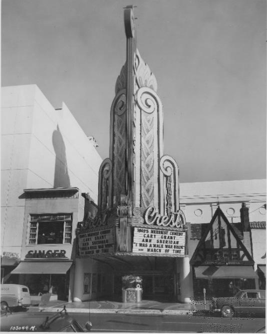
Because of their proximity to state offices, lodgings such as the Howe Apartments, the Hotel Regis, and the Senator provided a “rendezvous for legislators.”18 It was commonplace for government representatives to make semi-permanent homes in the hotels adjacent to the Capitol grounds during legislative sessions.19 Likewise, the Weinstock, Lubin & Co. department store (constructed on the site of the Christian Brothers School at 1130 K Street) and the Empress Theatre (later known as the Hippodrome and Crest Theatre) designated this section of K Street as Sacramento’s fashionable shopping and entertainment destination for the masses.
In keeping with the area’s heightened sense of refinement and expounding off the highly-stylized Cathedral of the Blessed Sacrament, the buildings constructed during this early twentieth-century
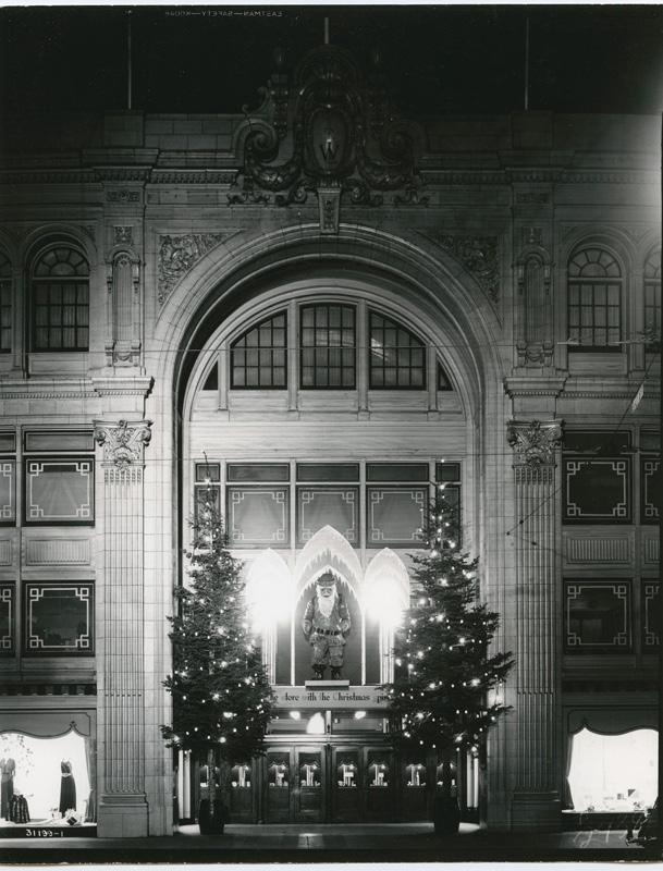
15 Annette Kassis, Weinstock’s: Sacramento’s Finest Department Store (Charleston, SC: The History Press, 2012), 69.
16 Sanborn Map Company, Sacramento, California [map], sheets 27, 28, 37, and 38, 1915.
17 Ibid.
18 “New Dry Agent is Most Active,” Madera Tribune (Madera, CA), October 27, 1924, https://cdnc.ucr.edu/cgi-bin/cdnc?a=d&d=MT19241027.2.20&s rpos=3&e=------192-en--20--1--txt-txIN-%22Hotel+Senator%22+Sacramen to-------1
19 Burg, 54.
period took inspiration from the latest trends and famous European examples. The design of Weinstock’s, for instance, was based on the wellknown Parisian department store Le Printemps.20 The exterior’s terracotta and marble tile cladding, ornamental medallions, abundant display windows, and impressive central vault entrance contribute to
20 Kassis, 71.
Sacramento Historic District Plans Final Figure 127. The Weinstock, Lubin & Co. department store decorated for Christmas (1935). Source: California History Room, California State Library, Sacramento, California. Figure 128. The Hippodrome reopened as the Crest Theatre in 1949 (1949). Source: Special Collections of the Sacramento Public Library.the building’s stately presence at the corner of K and 12th streets.
Over the next fifty years, the area underwent several dramatic transformations in the face of economic downturns, world wars, and the ubiquitous flight to the suburbs. The Great Depression put a pause on Sacramento’s building boom. Though activity never completely ceased, retailers were forced to recast their business strategies for a cost-conscious market. Department stores directed their focus away from European finery towards American products, brands, and popular culture.21 K Street establishments gradually recovered, and sales returned to their preDepression average by the mid-1930s.22 Defenserelated industries tied to World War II stimulated the local economy during the following decade, and the postwar period brought renewed commercial spending to downtown.23
During the mid-twentieth century, migration to newer residential neighborhoods, increased automobile ownership, and the construction of suburban malls and theaters led to a creeping decline in urban commercial activity. By 1947, the city’s extensive streetcar network was fully dismantled.24 Seeking to compete with new entertainment venues opening in suburban developments, the Hippodrome Theater was renovated to include modern amenities, such as air conditioning, and reopened as the Crest Theatre in 1949. The Crest was one of the last theaters to open on K Street and one of the last to remain in
21 Ibid., 81. 22 Ibid., 81. 23 Ibid., 90-91.
24 William Burg, Sacramento’s Streetcars (Charleston, SC: Arcadia Publishing, 2006), 8.
operation.25
In 1955, K and L streets were converted into oneway thoroughfares, connecting the Tower Bridge to U.S. Route 40.26 Finally in 1968, Interstates 5 and 80 were completed through downtown Sacramento and resulted in the diversion of automobile traffic away from the city to outlying areas.27
Concerns regarding the future of Sacramento’s downtown led to a series of redevelopment projects during the 1960s and 1970s. The K Street pedestrian mall, constructed in 1969 between 7th Street and 13th Street, rendered the district closed to automobile traffic, entirely. The reimagined landscape sought to attract visitors with walkable outdoor spaces, public art, and a wide selection of shops and restaurants. In the manner of the bygone streetcars, the Sacramento Regional Transit Light Rail was installed on K Street in 1987.28 Though the area has never fully regained its prominence as the regional commercial center of the Sacramento Valley, the area’s many offices, shops, and entertainment venues cater to the individuals who live, work, and visit downtown.
25 Sacramento Archives and Museum Collection Center, 103.
26 William Burg, Sacramento’s K Street: Where Our City Was Born (Charleston, SC: The History Press, 2012), 117.
27 Ibid., 137.
28 Sacramento Archives and Museum Collection Center and the Historic Old Sacramento Foundation, Sacramento’s Midtown (Charleston, SC: Arcadia Publishing, 2006), 99.
Sacramento Historic District Plans FinalThe Cathedral Square Historic District was designated for listing on the Sacramento Register of Historic and Cultural Resources by the City Preservation Commission in 1985 in Ordinance #85-076.
The following table provides a current evaluation of significance under the requirements and considers the factors based on the above historic district context and the 2018 historic district survey. Additionally, this historic district relates to the Railroad Context Statement and World War II, Transportation, and Redevelopment Context Statement of the city’s General Plan Technical Background Report.
(a) The Cathedral Square Historic District meets requirement (a) for listing on the Sacramento Register, because it is a geographically definable area.
(b)(i) The Cathedral Square Historic District meets requirement (b)(i) for listing on the Sacramento Register as an area that possesses “a significant concentration or continuity of buildings unified by: (A) past events or (B) aesthetically by plan or physical development.”
The Cathedral Square Historic District preserves a variety of high-style examples of commercial and civic/ institutional architecture that characterized Sacramento’s downtown area during the late nineteenth and early twentieth centuries. The buildings were constructed along K Street, historically Sacramento’s primary commercial and entertainment thoroughfare, between two of the city’s most prominent landmarks: the State Capitol building and the Cathedral of the Blessed Sacrament. The commercial buildings in the district echo the grandeur and prestige of these buildings in their scale, massing, and use of materials. The combination of shared features further enhances the unity of the overall composition of buildings. They also present a representative grouping of many of the most popular architectural styles for commercial, civic, and institutional buildings from the 1890s to 1940s, including Italian Renaissance, Beaux Arts, Prairie, and Art Deco.
(b)(ii) The Cathedral Square Historic District meets requirement (b)(ii) for listing on the Sacramento Register as an area “associated with an event, person, or period significant or important to city history.”
The Cathedral Square Historic District is significant for its association with the history of Sacramento’s commercial development for over more than one-hundred years. The commercial roots of K Street, the primary thoroughfare of the district, extend as far back as the city’s early settlement during the mid-nineteenth century. Extant hollow sidewalks in the district preserve a key moment in the city’s early history when the streets in the downtown business district were raised to protect the city against periodic floods. The city’s newfound stability allowed it to grow outward at a rapid pace. The surviving mix of buildings within the Cathedral Square Historic District reflect not only K Street’s development into Sacramento’s premier cultural, retail, and entertainment corridor, but also Sacramento’s emergence as a major metropolitan city during the first half of the twentieth century.
Sacramento Historic DistrictThe period of significance for the Cathedral Square Historic District begins with the raising of the district’s streets in 1868 and ends with the reconfiguration of the Hippodrome as the Crest Theatre in 1949.29 The Crest represents one of the last theaters to open on K Street, as urban venues found it increasingly difficult to compete with their suburban counterparts. The Crest also serves as an architectural bookend for the district, exhibiting many characteristic features of the Art Deco and Late Moderne styles. from
(c) The Cathedral Square Historic District meets requirement (c) for listing on the Sacramento Register as it aligns with the goals and purposes of historic preservation in Sacramento, as well as the city’s other goals and policies. Per the Sacramento City Code, the preservation of the district enhances the “city’s economic, cultural and aesthetic standing, its identity and its livability, marketability, and urban character.”
(a) Factor (2)(a) states that “a historic district should have integrity of design, setting, materials, workmanship and association.” The Cathedral Square Historic District retains sufficient integrity to meet this factor for consideration as a historic district.
(b) Factor (2)(b) states that “the collective historic value of the buildings and structures in a historic district taken together may be greater than the historic value of each individual building or structure.” The Cathedral Square Historic District meets this factor because its buildings and structures represent a significant and distinguishable entity whose collective historic value is greater when taken as a whole. of Significance: 1868-1949
Sacramento HistoricUse • A mix of civic, commercial, and residential buildings
• Historically commercial and recreational buildings primarily situated along K Street
• Hotels and apartments located on 11th and L streets
Mass & Form • Vertically-oriented Two- and Three-Part Block commercial buildings on L Street facing the Capitol grounds
• Horizontally-oriented Two- and Three-Part Block commercial buildings on the primary K Street thoroughfare
• Symmetrical facades
• Central placement of the Cathedral of the Blessed Sacrament within the district
Ornamentation
• Classical Revival details, including fluted columns and pilasters, balustrades, dentils, pedimented window hoods, circular medallions, cartouches, and niches
• Italian Renaissance details, including widely overhanging eaves supported by decorative brackets, round arches above doors or porches, entrances accented by small classical columns or pilasters, and rusticated first stories
• Decorative exterior sculpture work
• Abstracted botanical details incorporated into friezes, column capitals, brackets, and framing around vestibules, doors, and windows
• Prairie and Art Deco geometric patterns and vertical motifs
Cladding
• Predominately brick, stone, terracotta, or stucco
• Decorative cladding on primary façade(s) and raw, exposed cladding, usually brick or concrete block, on side or rear facades
Roofs
• Predominately flat rooflines, often with a straight-line parapet or broad overhanging eaves and ornamented soffits
• Domed roofs of the cathedral
• Red clay tiles on some roof overhangs
Entries & Doors • Wide, recessed entrances facing K and L streets
• Smaller entrance porticos facing numbered streets
Windows • Large shopfront display windows, some topped with bands of multi-lite transoms
• Wood-frame casement and double-hung sash windows on upper stories
Property Landscape
Streetscape
• Neon signs and marquees above primary entrances and at building corners
• Lighted metal awnings and canopies at the street level
• Ghost signs on exposed brick surfaces
• Minimal or no property landscaping
• Rows of young deciduous trees planted in parking strips and planter boxes lining the sidewalks
• Minimal or no setback
• Unobstructed views of the Capitol looking south on 11th Street
• Extant hollow sidewalks and sunken alleyways dating to the street raising campaigns of the 1860s
The following map shows the boundaries and location of the Cathedral Square Historic District.
To view the statuses of individual properties as contributing or non-contributing resources to the historic district, refer to the Sacramento Register of Historic and Cultural Resources. 10th St J St 12th St 11th St District
Sacramento Historic District Plans Legend District Boundary
Maintain and preserve the historic character of the district while integrating new development and uses that enhance K Street’s role as part of Sacramento’s premier, historic cultural, retail, and entertainment corridor.
1.1 Avoid filling in or obstructing historic window or door openings.
1.2 Re-open historic window and door openings that have been filled in.
The Cathedral Square Historic District contains a concentration of grand commercial and institutional buildings that reflect K Street’s historic role as Sacramento’s commercial and cultural center from the late nineteenth to the mid-twentieth centuries. The spires of the Cathedral of the Blessed Sacrament and Capitol building form visual focal points to the north and south and influence the scale and grandeur of the contributing buildings in the historic district, many of which were designed in the Renaissance Revival style.
• Use compatible new window and door materials, types, and forms.
In addition to the Standards & Criteria Common to Sacramento's Historic Districts in Section 1, the following district-specific standards and criteria apply when planning a project in the Cathedral Square Historic District.
Figure 131. Some contributing buildings contain significant public spaces that should be maintained and preserved.
Section Sacramento Historic District Figure 130. Decorative exterior ornamentation contributes to the textures and visual richness of the district.2.1 Minimize the effect of additions on symmetrical building facades or compositions.
• Where rooftop additions are desired, consider using step backs in order to maintain the existing street façade height of adjacent contributing buildings.
2.2 Design additions such that the primacy of the Capitol building and Cathedral of the Blessed Sacrament is maintained.
2.3 Use durable, high-quality materials that are compatible with the materials of adjacent contributing buildings in the district such as brick, stone, terracotta, or stucco.
3.1 Preserve the historic pattern of siting new buildings with a zero-lot-line setback from the street.
3.2 Design new buildings such that the primacy of the Capitol building and Cathedral of the Blessed Sacrament is maintained.
3.3 Step down taller buildings to maintain the existing street façade height of adjacent contributing buildings,
3.4 Align windows, doors, and variations in façade treatments to the extent feasible with that of adjacent contributing buildings in order to maintain the pattern of Two- and Three-Part Block buildings in the district.
• When not possible, utilize the average datum lines of contributing properties.
• Refer to definition of Two-Part and ThreePart Commercial Block buildings in Appendix C.
3.5 Use materials that are compatible with the materials of contributing buildings in the district, such as brick, stone, terracotta, or stucco.
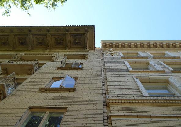 Figure 132. The Cathedral of the Blessed Sacramento is the visual centerpiece of the district.
Figure 133. Wide overhanging eaves are a common feature of many contributing buildings in the district.
Figure 132. The Cathedral of the Blessed Sacramento is the visual centerpiece of the district.
Figure 133. Wide overhanging eaves are a common feature of many contributing buildings in the district.
3.6 Consider the use of overhanging eaves that are compatible in scale and proportion to adjacent contributing buildings.
3.7 Consider incorporating a base, shaft, and crown into the design of new infill development. Consider providing one or more wide, recessed entry that faces the primary street as the primary entrance of the new building.
4.1 Avoid site features or landscaping that obstruct views of the Capitol and Cathedral of the Blessed Sacrament.
4.2 Maintain, preserve, and, where necessary, repair and restore historic lighting and signage features.
4.3 Use signage methods, materials, and proportions that are reflective of those of historic signage used on contributing properties within the district.
4.4 Preserve and enhance the pedestrian-only siting and landscaping of 11th Street.
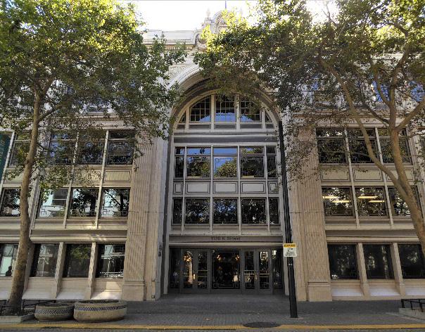
Figure 134. Recessed entries provide a historic precedent for the design and placement of building entrances.
Figure 135. Historic signage, including a number of ghost signs, contribute to the character of the district.
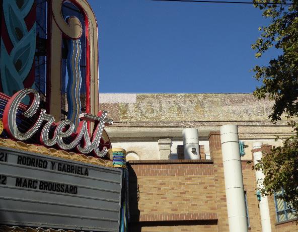 Sacramento Historic District Plans
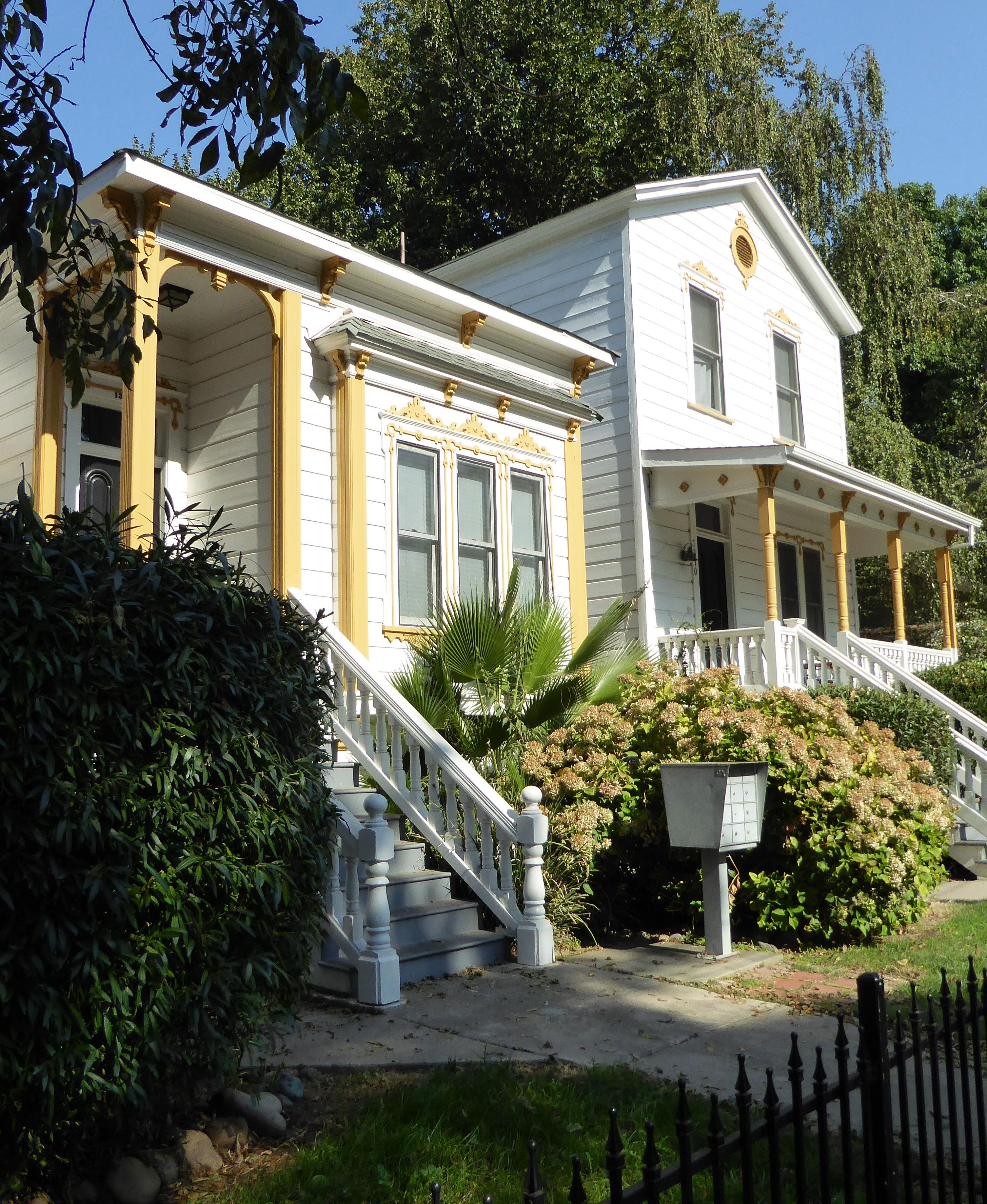
The East End Historic District (formerly Capitol Avenue Historic District) is located within Sacramento’s original 1848 street grid and consists of approximately ten city blocks bounded to the west by recent apartment building infill along 17th Street, commercial development to the north along L Street, the railroad tracks along 19th Street to the east, and the former Western Pacific Railroad tracks south of Q Street.
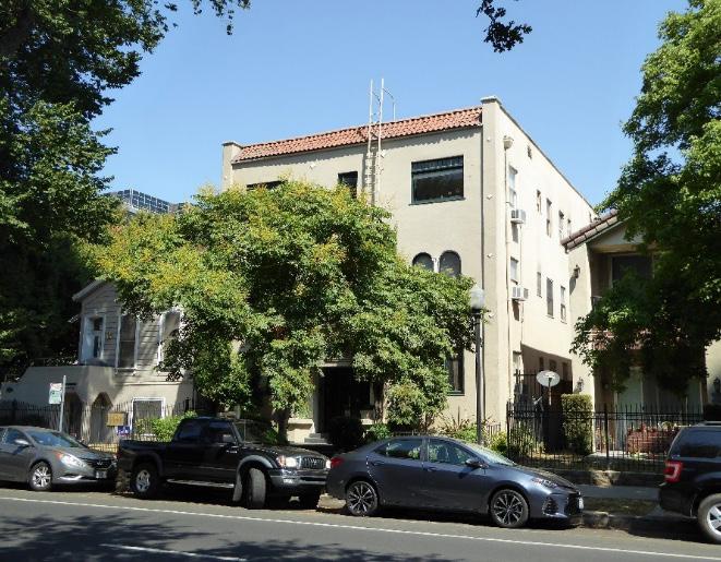
The district contains a well-preserved collection of houses that were constructed in a wide variety of architectural styles in the late nineteenth and early twentieth century, interspersed with apartment buildings from the same period and more recent infill. A concentration of small commercial buildings clustered along Capitol Avenue at the north end of the district provide additional variety to the district.
Figure 136. Large and elaborate turn-of-the-century houses in a variety of architectural styles line Capitol Avenue.
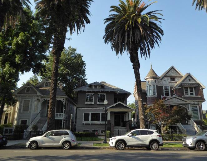
Figure 137. The Arnold Building, now a restaurant, is one of several One-Part Commercial Block style commercial buildings that are clustered around Capitol Avenue. Infill housing developments (visible in the background) border the district to the north.
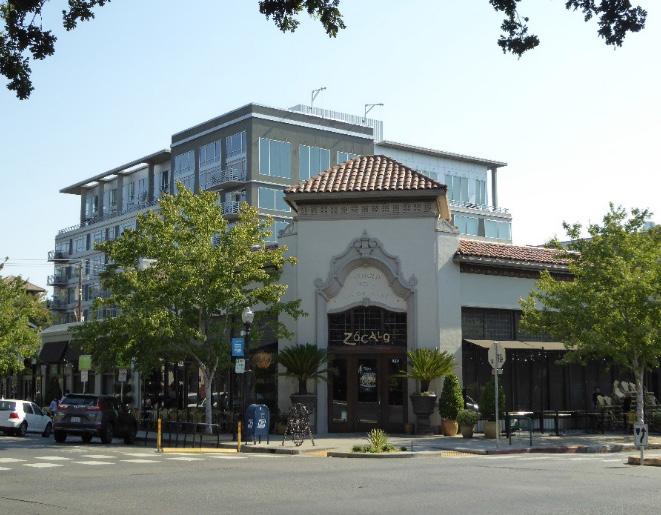
Figure 138. A mix of apartment buildings, some dating to the period of significance, are interspersed throughout the district.
Figure 139. Groupings of Victorian-era houses with high basements, such as these Queen Anne houses on 17th Street, are characteristic of the East End Historic District.
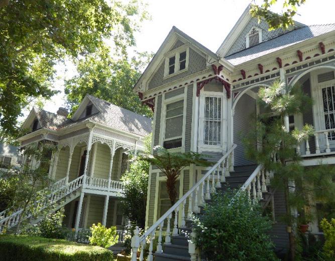 Sacramento Historic District Plans
The East End Historic District preserves a mixed-use neighborhood within Sacramento’s larger Midtown area, located immediately to the east of the State Capitol grounds. Capitol Avenue was laid out as part of the city’s original street grid in 1848. Then known as M Street, it was designed to be Sacramento’s widest street; while the rest of the city’s streets were 80 feet wide, M Street was planned to measure 100 feet across.1
When Sacramento became California’s state capital in 1854, M Street’s grand scale made it the ideal location for the state’s new State Capitol building, which began construction on the four blocks around M Street between L, N, 10th, and 12th streets in 1860. In 1872, six additional city blocks were added to the east of the State Capitol grounds to create Capitol Park.2 Local newspapers declared the 30-acre public park to be “a great ornament” to the city of Sacramento that “would certainly enhance the cash value of the property surrounding it.”3
The areas to the east and south of the city’s waterfront business district were initially sparely populated, but in the late nineteenth century, overcrowding and the introduction of modern amenities—such as streetcars, paved streets, and public parks—attracted Sacramentans to begin moving to undeveloped parcels to the east. As the local newspapers predicted, the completion of the State Capitol building and Capitol Park were two such
1 Nathan Hallam, “’We Must Give the World Confidence in the Stability and Permanence of the Place:’ Planning Sacramento’s Townsite, 1853-1870,”
in River City and Valley Life: An Environmental History of the Sacramento Region, ed. Christopher J. Castaneda and Lee M.A. Simpson. (Pittsburgh: University of Pittsburgh Press, 2013), 64.
2 Hallam, 69-70.
3 “The City and Capitol Grounds,” Sacramento Daily Union, January 23, 1874.
amenities that brought new residents to the area in the 1870s.4 The increase in development in the area toward the end of the nineteenth century coincided with transportation improvements. In 1891, the Street Improvement Company graveled P Street. The group of “enterprising citizens” sought no payment for their work and “made it possible to have many miles of street work done at a reasonable figure.”5 The following year, construction began on a new streetcar line, which ran down P Street from 3rd Street to 28th Street.6 By 1900, an additional line had been constructed along M Street to 28th Street.7
Access to streetcar service increased the desirability and accessibility of land east of the Capitol, an area
4 Sacramento Branch of the American Association of University Women, Vanishing Victorians: A Guide to the Historic Homes of Sacramento (Sacramento: Fong & Fong Printers and Lithographers, 1973), 47.
5 “Graveling of P Street,” Sacramento Daily Union, May 25, 1891.
6 “Poles for P Street,” Sacramento Daily Union, February 9, 1892; “Running on P Street,” Sacramento Daily Union, April 16, 1892.
7 William Burg, “Sacramento’s Streetcar Suburbs, Part 4: East Sacramento and Elmhurst,” Sacramento History (blog), September 5, 2007, http:// sacramentohistory.blogspot.com/2007/09/sacramentos-streetcar-suburbspart-4.html
which became known as the East End. Sanborn maps show that by 1895, single-family houses filled almost all of the lots in the East End immediately to the east and south of the Capitol.8 The predominately residential neighborhood was interspersed with family-owned businesses, such as the East End Cash Store at the corner of 18th and M streets, which featured shopfronts on the first story and residences for the shop owners on the second story.9 The Eagle Winery was located on several parcels on 18th Street between P Street and O streets.
10
The arrival of the Western Pacific Railroad in Sacramento in the first decade of the twentieth century further impacted the neighborhood’s development. In 1907, the railroad company received the right to build a second set of transcontinental railroad tracks through the city on an 80-foot rightof-way between 19th and 20th streets. Freight service
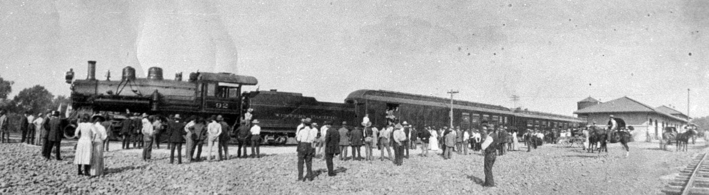
8 Sanborn Map Company, Sacramento, California [map], vol. 1, 1895.
9 Patricia J. Johnson, “Capitol Corridor: L, M, and N Streets,” in Sacramento’s Midtown (Charleston, SC: Arcadia Publishing, 2006), 62.
10 Sanborn Map Company, 1895.
Sacramento Historic District Plans Final Figure 140. A crowd waits outside a train at the Western Pacific Railroad depot between 19th and 20th streets (1909). Source: California State University, Chico, Meriam Library Special Collections.began on the new rail line in 1909, and passenger service followed a year later.11
By 1915, many single-family houses on the blocks adjacent to the railroad tracks had been converted into apartments, flats, boarding houses, or housekeeping rooms that could accommodate multiple families. The four blocks between M, O, 17th, and 19th streets alone contained eight houses that had been adapted into housekeeping rooms.12 Accommodations such as these typically served single men or women who had fallen on hard times financially, but unlike individuals in similar circumstances in the West End, were generally of European descent and born in the United States. Tenants in housekeeping rooms could expect to rent a one- or two-room suite and share a common kitchen and bathroom with the rest of the building’s tenants.13 The advent of the automobile brought additional changes to the neighborhood.
In 1913, the cross-country Lincoln Highway (U.S. Route 40 in California) was completed and included a route through Sacramento that ran down 15th Street and east along M Street.14 Subsequently, M Street developed into a major transportation route through the city. Garages replaced carriage and livery stables along the alleys, and several automobile-oriented businesses were established in the area.15 In 1925, the Hudson Essex automobile company built the Arnold Building at the corner of 18th and M streets to serve as a new company dealership. In 1940, M
11 William Burg, Sacramento’s K Street: Where Our City Was Born (Charleston, SC: The History Press, 2012), 62-64.
12 Sanborn Map Company, Sacramento, California [map], vol. 1, 1915.
13 Paul Groth, Living Downtown: The History of Residential Hotels in the United States (Berkeley: University of California Press, 1994), 125-126.
14 “Official Map of the Lincoln Highway,” The Lincoln Highway Association, accessed August 8, 2018. https://www.lincolnhighwayassoc.org/map/
15 Sanborn Map Company, 1915.
Figure 141. 1915 map by the Sanborn Map Company, showing many of the houses between M, O, 17th, and 19th streets converted into flats, apartments, or housekeeping rooms (1915). Source: Sacramento Public Library, edited by Page & Turnbull.
 Sacramento Historic District Plans Final
Street was officially renamed Capitol Avenue as part of a beautification project that sought to transform the city’s widest street into the grand thoroughfare to the Capitol building that the city’s nineteenth-century planners had originally intended.16
As automobile ownership increased, many of Sacramento’s more affluent residents relocated to newer residential suburbs outside of the central city. The demand for streetcar service declined as a result.17 In 1939, streetcar service on Line 4 down M Street ended and was replaced by a new bus route.18
By the 1980s, however, younger generations of Sacramentans had returned to the East End, and the population began to grow for the first time in 30 years.19 Capitol Avenue emerged as a popular location for restaurants and small commercial businesses. In 2006, the Arnold Building was rehabilitated for use as a restaurant. Its success attracted the development of additional dining and food-related establishments on the immediately surrounding properties.20 In the first decades of the twenty-first century, the blocks adjacent and to the south of Capitol Avenue have presented a vibrant mixture of historic, turnof-the-century houses that stand side-by-side with restaurants, breweries, and neighborhood stores.
16 Johnson, 57.
17 William Burg, Sacramento’s Streetcars (Charleston, SC: Arcadia Publishing, 2006), 8.
18 William D. Bourne, “Sacramento: Part One-Utility to Authority,” Motor Coach Age 62, no. 1 & 2, January-June 2011, 9.
19 William Burg, Sacramento Renaissance: Art, Music, and Activism in California’s Capital City (Charleston, SC: The History Press, 2013), 135-136.
20 Hillary Louise Johnson, “The Place Maker,” Sactown Magazine, April-May 2017, http://www.sactownmag.com/April-May-2017/The-Place-Maker.
Sacramento Historic District Plans FinalThe Capitol Avenue Streets Historic District was designated for listing on the Sacramento Register of Historic and Cultural Resources by the City Preservation Commission in 1985 in Ordinance #85076.
The following table provides a current evaluation of significance under the requirements and considers the factors based on the above historic district context and the 2018 historic district survey. Additionally, this historic district relates to the Railroad Context Statement of the city’s General Plan Technical Background Report.
(a) The East End Historic District meets requirement (a) for listing on the Sacramento Register, because it is a geographically definable area.
(b)(i) The East End Historic District meets requirement (b)(i) for listing on the Sacramento Register as an area that possesses “a significant concentration or continuity of buildings unified by: (A) past events or (B) aesthetically by plan or physical development.”
The East End Historic District is significant for its concentration of houses and commercial buildings that were constructed in Sacramento’s East End while the State Capitol grounds were completed in the late nineteenth century and the city continued to expand outward in the early twentieth century. The houses in the district reflect common and popular architectural styles during this period with minimal modern intrusions, while the concentration of commercial buildings along Capitol Avenue (formerly M Street) reflect the street’s evolution into the entrance to the Capitol grounds and a major transportation corridor through the city.
(b)(ii) The East End Historic District meets requirement (b)(ii) for listing on the Sacramento Register as an area “associated with an event, person, or period significant or important to city history.”
The district is associated with the development of new residential neighborhoods to the east of Sacramento’s waterfront business district as a result of the expansion of the city’s streetcar system and introduction of new amenities in the late nineteenth and early twentieth centuries. The completion of the State Capitol building and Capitol Park on ten blocks of M Street (now Capitol Avenue) in the 1870s were early catalysts for residential development in the East End. The inauguration of streetcar service on M and P streets attracted more residents to the area in the last decades of the nineteenth century, transforming the blocks to the east and south of the State Capitol grounds into a mixed residential and commercial neighborhood. In this respect, the neighborhood’s development also corresponds to broader national trends in which new residential neighborhoods were being established along streetcar lines outside of traditional city centers.
(c) The East End Historic District meets requirement (c) for listing on the Sacramento Register as it aligns with the goals and purposes of historic preservation in Sacramento, as well as the city’s other goals and policies. Per the Sacramento City Code, the preservation of the district enhances the “city’s economic, cultural and aesthetic standing, its identity and its livability, marketability, and urban character.”
Sacramento HistoricThe period of significance for the East End Historic District begins with the expansion of the State Capitol grounds in 1872 to create Capitol Park, an act that created a new public park that attracted residents to the area, and concludes with the end of streetcar service on M Street in 1939.
(a) Factor (2)(a) states that “a historic district should have integrity of design, setting, materials, workmanship and association.” The East End Historic District retains sufficient integrity to meet this factor for consideration as a historic district.
(b) Factor (2)(b) states that “the collective historic value of the buildings and structures in a historic district taken together may be greater than the historic value of each individual building or structure.” The East End Historic District meets this factor because its buildings and structures represent a significant and distinguishable entity whose collective historic value is greater when taken as a whole.
Sacramento Historic DistrictUse • Predominately single-family residences, some of which have been converted into multifamily units, mixed with small apartment and commercial buildings
• Parking and auxiliary uses located along the alleys
• Commercial buildings concentrated on Capitol Avenue and at street intersections
• Commercial uses located on publicly-accessible first stories with some commercial or residential use on upper stories
Mass & Form • Some diversity of building height and massing, but most buildings are typically one- to three-stories tall
• Delta-style high basement buildings with raised first story
• Varying parcel widths, resulting in some variety of building widths
• Larger, more elaborate buildings often located on street corners
Cladding • Predominately wood siding, typically narrow or wide-width channel rustic siding, twoor three-lap siding, or shingles, often of varying shapes and patterns on gabled ends
• Brick or clinker brick foundations, column bases, and chimneys
Roofs • Predominately prominent hipped or front-facing gabled roofs, often with dormers; some cross-gabled
• Some with balconies, roof decks, or turrets
• Commercial buildings with square or stepped parapets
• Brick chimneys
Entries & Doors • Delta-style configuration with staircases leading to primary entrances above a high basement
• Paneled wood doors, often with a transom above, or integrated glazing
• Commercial buildings typically have corner entrances when located at street intersections
• Wood or terrazzo steps
Windows • Wood-frame double-hung windows, some grouped
• Front- and side-facing bay windows; some box bays
• Some stained-glass windows, especially on transoms over primary entrances
Porches • Prominent full- or half-width porches
Ornamentation
• Mixture of details and ornamentation reflect the variety of architectural styles in the district
• Moldings along porch eaves
• Italianate and Queen Anne details, including incised brackets under roof eaves; slender, and turned porch posts and balusters
• Classical Revival details, including fluted square columns and pilasters, modified Ionic columns, and dentils along cornice
• Craftsman details, including exposed rafter and purlin tails, wood braces, and/or tapered square columns
Property Landscape
Streetscape
• Many lots with small front yards
• Low fences in front of many houses, mostly wood picket or wrought iron with brick piers
• Varying setback of ten-20 feet from sidewalk to primary street-facing building façade, allowing for green space in front of buildings; further variation between those with stairs extending to the sidewalk and others that are setback further
• Rows of mature, evenly spaced, deciduous street trees—most often elm, sycamore, palm, and walnut trees—planted in a parking strip
• Some surviving granite street curbs
• Evidence of removed hitching posts in the form of L-shaped concrete strips next to the street curb
• General lack of driveways on east-west streets, but slightly more frequent on northsouth streets
Sacramento Historic DistrictThe following map shows the boundaries and location of the East End Historic District.
To view the statuses of individual properties as contributing or non-contributing resources to the historic district, refer to the Sacramento Register of Historic and Cultural Resources.
Sacramento District
Projects in the Capitol Avenue District shall minimize impacts to the integrity of contributing properties and the overall district.
1.1 Protect carved, turned, or shaped wood treatments that are important features to the architectural style.
The East End Historic District contains a mixture of moderately scaled single- and multi-family residential buildings, alley commercial uses, and commercial buildings which exhibit varying architectural styles, proportions, massings, and landscaping. New development on the perimeter of the historic district and on 18th Streets highlights the need to protect the remaining historic character of this district. At its northern end, Capitol Avenue provides a variety of uses and a direct visual connection to the Capitol.
The district also contains a number of neighborhoodserving corner store retail uses.
1.2 Avoid painting or applying new finishes on historically unpainted exterior masonry.
1.3 Maintain, preserve, and, where necessary, repair and restore historic elements associated with the Delta style of residential architecture, especially historic staircases, porches, and doors.
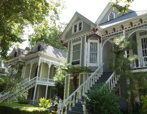
In addition to the Standards & Criteria Common to Sacramento's Historic Districts in Section 1, the following district-specific standards and criteria apply when planning a project in the East End Historic District.
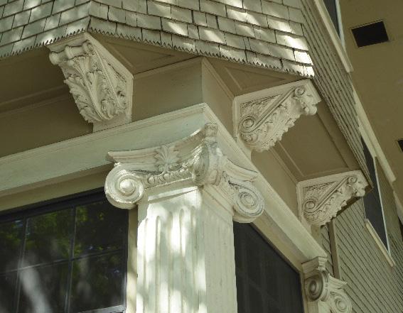 Sacramento Historic District
Figure 143. Many of the buildings in the district feature elaborate, decorative exterior features that contribute to the visual richness of the district.
Figure 144. Many blocks contain groupings of Delta-style buildings.
Sacramento Historic District
Figure 143. Many of the buildings in the district feature elaborate, decorative exterior features that contribute to the visual richness of the district.
Figure 144. Many blocks contain groupings of Delta-style buildings.
2.1 Avoid additions that make contributing buildings constructed in horizontally massed or box shape architectural styles, such as Prairie or Classic Box, more vertical or that make vertically massed Victorian-era buildings more horizontal.
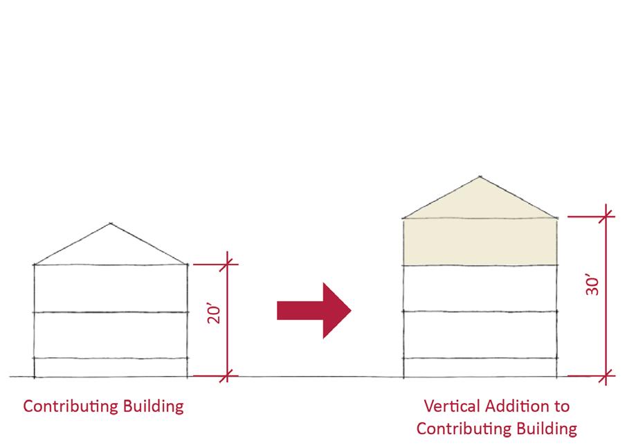
2.2 Avoid additions that cause a contributing building’s height to exceed 150% of its historic height.
• Use step backs to maintain the existing street façade height.
3.1 Design new buildings with massing, scale, and proportions that are be compatible with those of contributing buildings on the same block.
• The height of new buildings should be no more than 150% of the height of surrounding contributing buildings.
• Where additional height is considered along Capitol Avenue, reference the existing façade heights of existing historic contributors within the same block.
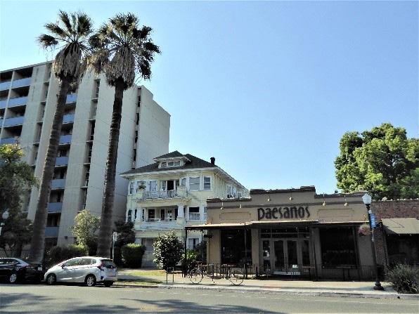
• Consider using step backs for taller buildings to maintain the existing street façade height of adjacent contributing buildings.
3.2 Avoid placing garage doors along the primary street façade.
3.3 Use window openings that are compatible in scale and materials to those of adjacent contributing buildings.
3.4 Draw inspiration for the design of multi-family residential properties from contributing multifamily residential properties in the district.
3.5 Draw inspiration for the design of new commercial or mixed-use properties from contributing commercial or mixed-use properties in the district.
Figure 145. Additions should not cause a building's height to exceed 150% of its historic height.
Figure 146. The height of new buildings should be no more than 150% of the height of surrounding contributing buildings.
 Figure 147. The height, massing, and materials of the building on the left are incompatible with the historic buildings on the right.
3.6 Consider providing covered front porches or entries at new infill development to preserve the historic district’s visual pattern of porches.
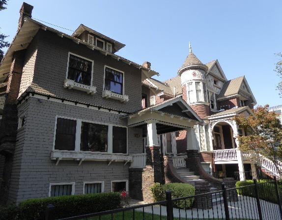
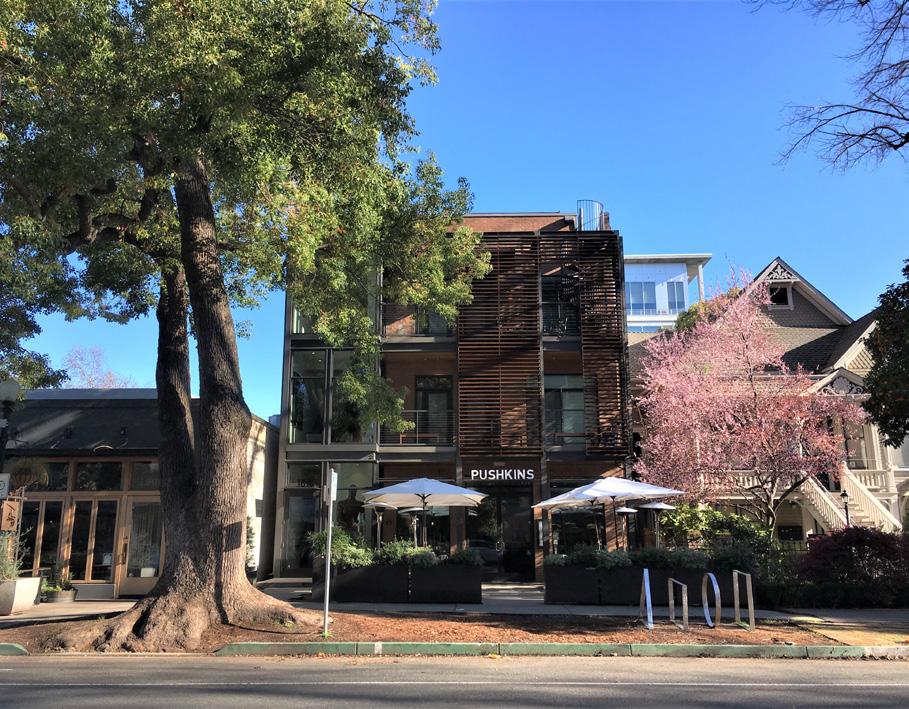
4.1 Preserve and maintain historic fences, especially historic wrought iron fences.
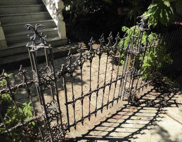
• Where only a foundation or piers survive, restore the fence to be compatible with the historic, removed fence, or surrounding historic fences.
4.2 Avoid creating new curb cuts on lettered streets in the historic district.
• Locate parking and service access along alleys, and use landscaping features to screen it from the public right-of-way, wherever possible.
4.3 Design new signage and lighting that is compatible with the scale, vertical massing, materials, and street-level orientation of historic signage in the district.
Figure 148. This infill building at 1813 Capitol Avenue is set back to align with the historic house on the right and has a height and material palette that compliments the neighboring contributing resources.
Figure 149. Although the district’s contributing buildings exhibit a variety of architectural styles, shapes, and heights, similar setbacks and use of materials visually tie them together.
Figure 150. An original wrought iron fence at a property in the East End Historic District.
Sacramento Historic District Plans Final5.1 On a typical unsplit parcel, set back alley infill buildings a minimum of 30 feet from the primary building on the parcel. If a parcel is split, set back alley infill buildings a minimum of 15 feet from the lot split.

5.2 Aim to locate alley infill so that it is a minimum of 10 feet from contributing buildings on adjacent parcels.
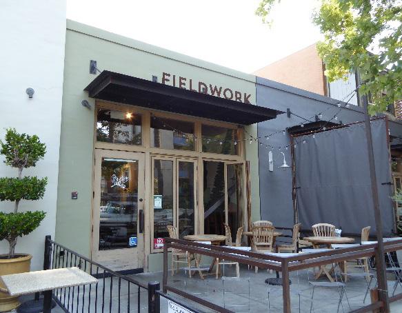
5.3 The height of alley infill should be no more than 150% of the height of surrounding contributing buildings.
Sacramento Historic District
Figure 151. The scale, materials, and placement of this new sign is compatible with the character of the historic building.
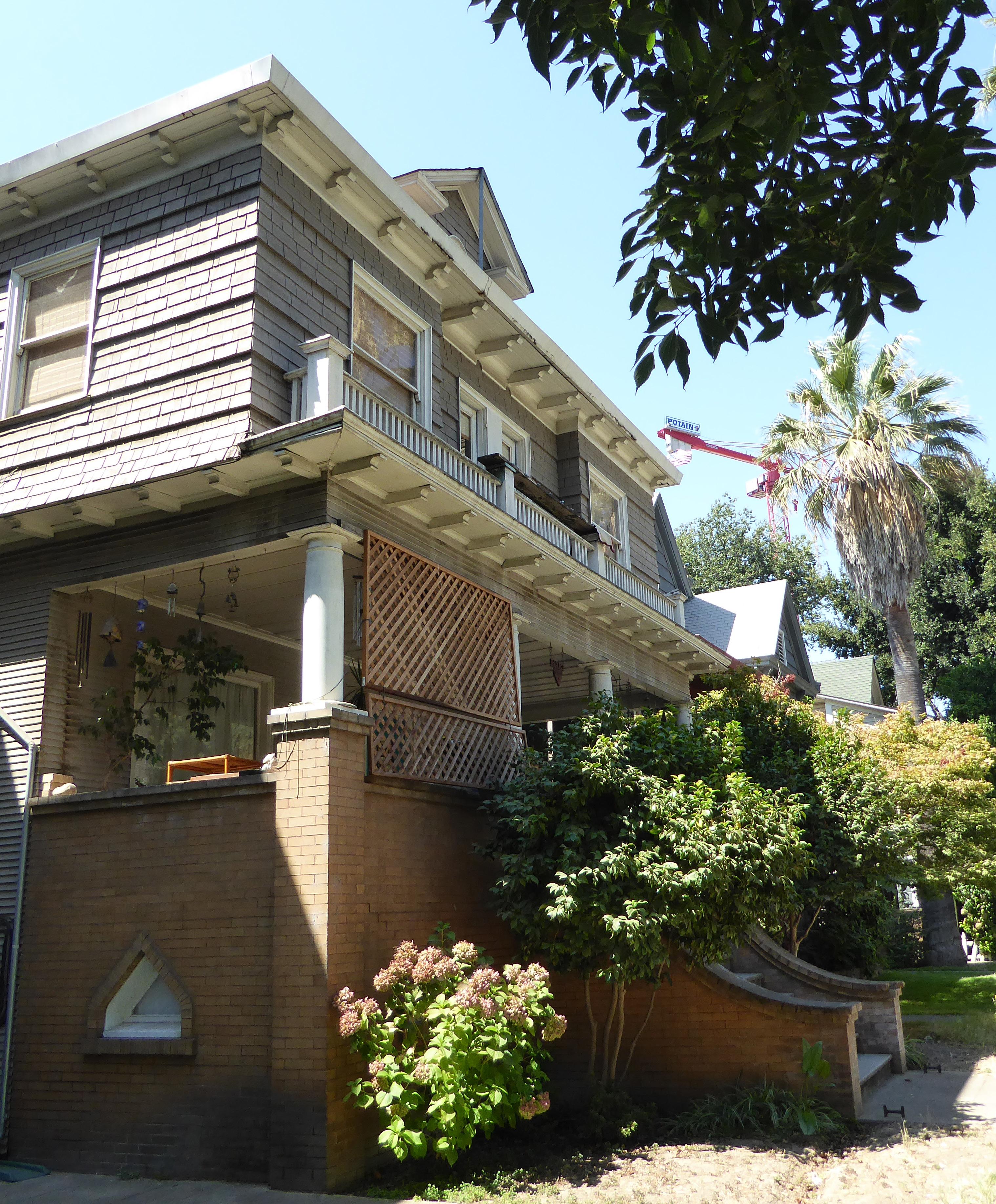
The Fremont Park Historic District is situated in the southeastern section of Sacramento’s 1848 street grid and features one of the city’s original one-block plazas, John C. Fremont Park. The district is situated along Q Street and confined by 15th Street to the west, P Street to the north, 16th Street to the east, and the Sacramento Regional Transit light rail line along Quill Alley to the south.
The district is comprised of a concentrated group of late nineteenth- and early twentieth-century houses that are arranged on the half block south of Q Street, directly across from Fremont Park.
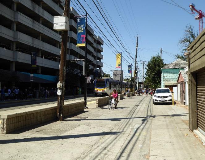
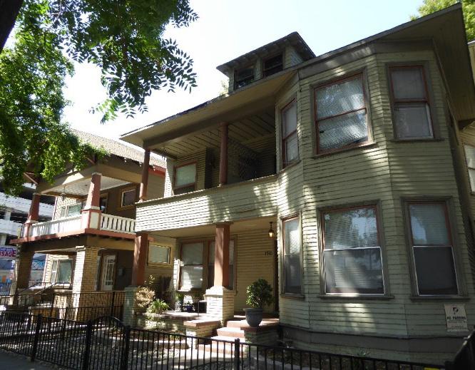
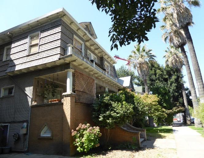 Section Historic District
Fremont Park Historic District
Sacramento Historic District Plans Final
Figure 152. Houses face Fremont Park on Q Street between 15th and 16th streets.
Figure 153. A view of Fremont Park, looking northwest.
Figure 154. Converted multi-unit houses with a mixture of Craftsman and Prairie styles on 16th Street.
Figure 155. The infill development and the tracks of the Sacramento Regional Transit light rail form the district’s south boundary.
Section Historic District
Fremont Park Historic District
Sacramento Historic District Plans Final
Figure 152. Houses face Fremont Park on Q Street between 15th and 16th streets.
Figure 153. A view of Fremont Park, looking northwest.
Figure 154. Converted multi-unit houses with a mixture of Craftsman and Prairie styles on 16th Street.
Figure 155. The infill development and the tracks of the Sacramento Regional Transit light rail form the district’s south boundary.
The Fremont Park Historic District preserves a single block of predominately late Victorian-era homes situated on Q Street between 15th and 16th streets. The residences were constructed at the crossroads of two early streetcar routes, the P Street line and 15th Street extension of the K Street line. The district is consistent with the development of Midtown at the turn of the twentieth century as wealthy and middleclass residents began to move out of Sacramento’s crowded West End.1 Despite the area’s current mixeduse environs, this section of Q Street was historically a contiguous residential area of primarily single-family homes.
The core buildings of the Fremont Park Historic District were constructed over a 35-year period, between 1880 and 1915.2 For much of the second half of the nineteenth century, the area in question was situated at the southeastern edge of the city, bounded by largely undeveloped land to the east and the R Street railroad levee to the south. An 1870-perspective view of Sacramento depicts the sporadic pattern of residential development east of 15th Street.3 By 1895, the same sector was a dense residential neighborhood and the present buildings at 1500, 1504, 1508, 1512, and 1522 Q Street and 1714 16th Street had been erected.4
1 Nathan Hallam, “We Must Give the World Confidence in the Stability and Permanence of the Place: Planning Sacramento’s Townsite, 1853-1870,” in River City and Valley Life: An Environmental History of the Sacramento Region, ed. Christopher J. Castaneda and Lee M.A. Simpson (Pittsburgh: University of Pittsburgh Press, 2013), 63-64.
2 Sanborn Map Company, Sacramento, California [map], 1915.
3 Fire Department of the City of Sacramento, A Birds-eye view of Sacramento Capitol of the State of California [map], 30 1/4 inches x 35 inches, 1857, “California History Section, Picture Catalog,” California State Library, http:// catalog.library.ca.gov/F/NETX6MY4UVD6PJF2TY7CDCRV7LN7F78AGKTF NFKMKR229GYXJ5-37463?func=full-set-set&set_number=001266&set_ entry=000001&format=999
4 Sanborn-Perris Map Company, Sacramento, California [map], 1895.
Figure 156. The Old Enos Grocery store at 1500 Q Street (1951).
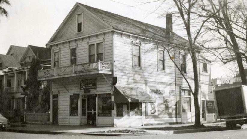
Source: Center for Sacramento History, Eugene Hepting Collection, 1985/024/5020.
The growth of Midtown and the East End (the stretch of land positioned east of the Capitol grounds) was spurred by the establishment of horse-drawn streetcar lines along K, 20th, and O streets during the 1870s.5 The completion of the P Street line in 1892 allowed for more efficient access to Fremont Park area.6 During the 1890s, the neighborhood’s proximity to the plaza and the streetcar line was highlighted in newspaper real estate advertisements.7
The first residents of Fremont Park were upper and middle-class individuals from diverse backgrounds. One of these individuals was Manuel I. Enos, an immigrant from the Azores who opened the Enos
Grocery Store at 1500 Q Street in 1894.8 The store served as the commercial anchor of the surrounding neighborhood and as a convenient stop for streetcar passengers and travelers leaving town.9 The property remained in the Enos family until 1994.10
Another appealing amenity of the neighborhood was John C. Fremont Park, named for well-known Western explorer John C. Fremont. The park, one of the original plazas donated to the city by John Sutter, Jr. in 1848, remained undeveloped prior to 1900.11 The area’s new inhabitants compelled municipal officials to make improvements to the space. In 1913, local philanthropist Cornelia E. Fratt, who resided at 1511 P Street, gave $2,500 to the city to build a comfort station and band stand on the site.12
Throughout the twentieth century, transportation continued to play an important role in shaping the physical context of the area. In 1907, the Western Pacific Railroad opened a new railroad line on the Q/R Alley (Quill Alley), half a block north of the Southern Pacific’s tracks on R Street.13 Meanwhile, the increasing popularity of automobiles over streetcars resulted in significant changes to the blocks adjacent to the park, a transformation that accentuates the present-day boundaries of the district. Maps
8 Sacramento Archives and Museum Collection Center and the Historic Old Sacramento Foundation, Sacramento’s Midtown (Charleston, SC: Arcadia Publishing, 2006), 89.
5 William Burg, Midtown Sacramento: Creative Soul of the City, (Charleston, SC: The History Press, 2014), 36.
6 “Running on P Street,” Sacramento Daily Union, April 16, 1892, https:// cdnc.ucr.edu/cgi-bin/cdnc?a=d&d=SDU18920416.2.71&srpos=1&e=--1880--1892--en--20-SDU%2cST%2cSU-1--txt-txIN-%22p+street%22+car-------1.
7 “For Sale,” Sacramento Daily Union, April 12, 1893, https://cdnc.ucr.edu/ cgi-bin/cdnc?a=d&d=SDU18930412.2.83.3&srpos=6&e=-------en--20--1--txttxIN-%221522+Q+Street%22+Sacramento-------1
9 Sacramento Branch of the American Association of University Women, Vanishing Victorians: A Guide to the Historic Homes of Sacramento (Sacramento: Fong & Fong Printers and Lithographers, 1973), 69.
10 Ibid.
11 Sanborn-Perris Map Company, 1895.
12 “Public Comfort Station Dedicated: Mrs. Fratt Makes Magnificent Gift to City,” Sacramento Union, August 4, 1913, https://cdnc.ucr.edu/cgi-bin/cdnc ?a=d&d=SU19130804.2.19&srpos=2&e=-------en--20--1--txt-txIN-%22Fremo nt+Park%22+Fratt-------1
13 Page & Turnbull, 8.4.
Sacramento Historic District Plans Finalpublished by the Sanborn Map Company between 1915 and 1952 document the gradual replacement of residences along 15th and 16th streets with automobile repair shops and car garages, including several in establishments within the area that have since been demolished.14
Many streets in Midtown were converted into high speed, one-way channels leading to newlyconstructed transcontinental highways.15 The Lincoln Highway was routed in 1913 and cut through downtown Sacramento via 15th Street and later 16th Street.16 To this day, 15th and 16th streets remain Midtown’s primary arteries between U.S. Route 40 and Interstate 80. Just as the streetcars prompted residents to move out of the West End during the late nineteenth century, the highways allowed the wealthy to move farther into the suburbs during the mid-nineteenth century.17 By the 1950s many of the large single-family residences within the district were converted into flats and apartments to accommodate residents displaced by redevelopment projects.18
In the twenty-first century, the Fremont Park Historic District and the surrounding neighborhood incorporate a mix of uses. In the place of single-family homes and transportation-related businesses outside of the district, large apartment buildings have been constructed on the west, north, and east borders of the park; the railroad tracks on the Q/R Alley have been converted for use by the Sacramento Regional
14 Sanborn Map Company, Sacramento, California [map], 1915-1952.
15 Burg, Midtown Sacramento: Creative Soul of the City, 36.
16 “Official Map of the Lincoln Highway,” The Lincoln Highway Association, accessed August 8, 2018. https://www.lincolnhighwayassoc.org/map/
17 Burg, Midtown Sacramento: Creative Soul of the City, 30. 18 Sanborn Map Company, 1915-1952.
Transit light rail. Within the district, many of the buildings serve as multi-unit residences. The former Enos Grocery Store remains commercial in use and currently houses a coffee shop.
Fremont Sacramento Historic District Plans FinalThe Fremont Park Historic District was designated for listing on the Sacramento Register of Historic and Cultural Resources by the City Preservation Commission in 1985 in Ordinance #85-076.
The following table provides a current evaluation of significance under the requirements and considers the factors based on the above historic district context and the 2018 historic district survey. Additionally, this historic district relates to the Railroad Context Statement of the city’s General Plan Technical Background Report.
(a) The Fremont Park Historic District meets requirement (a) for listing on the Sacramento Register, because it is a geographically definable area.
(b)(i) The Fremont Park Historic District meets requirement (b)(i) for listing on the Sacramento Register as an area that possesses “a significant concentration or continuity of buildings unified by: (A) past events or (B) aesthetically by plan or physical development.”
The Fremont Park Historic District preserves a one-block assemblage of large late nineteenth and early twentieth-century houses across from Fremont Park. The predominate architectural style of the district is Queen Anne.19 The buildings share a similar massing, raised entrances, and prominent front-facing gables that unify them as a group. In addition, the district features a Craftsman-style apartment building on the corner of Q and 16th streets and a large Italianate residence that was moved to its present location at 1526 Q Street in 1901.20 The landscape also adds to the visual cohesion of the district. Each of the buildings on Q Street share a similar setback with grassy front lawns and planted parking strips. Across the street, a row of mature palms line the southern perimeter of Fremont Park.
(b)(ii) The Fremont Park Historic District meets requirement (b)(ii) for listing on the Sacramento Register as an area “associated with an event, person, or period significant or important to city history.”
The Fremont Park Historic District is associated with the settlement of Sacramento’s Midtown and East End at the end of the nineteenth century. The creation of extensive streetcar networks allowed for wealthy and middle-class residents to move east and south from the city’s overcrowded and crime-ridden West End. This development is closely linked with the national trajectory of individuals and families migrating out of urban areas in search of newer residential neighborhoods over the course of the following decades.
(c) The Fremont Park Historic District meets requirement (c) for listing on the Sacramento Register as it aligns with the goals and purposes of historic preservation in Sacramento, as well as the city’s other goals and policies. Per the Sacramento City Code, the preservation of the district enhances the “city’s economic, cultural and aesthetic standing, its identity and its livability, marketability, and urban character.”
19 “2.2.19 Fremont Park Historic District,” (Ordinance #85-076, Sacramento Community Development Department, July 30, 1985, updated May 2014), 2. 20 Ibid.
Sacramento Historic DistrictThe period of significance for the Fremont Park Historic District begins with the construction of the earliest surviving house in the district in 1880 and ends with the construction of the last building in the district in 1925. Types from the Period of Significance Styles from the
(a) Factor (2)(a) states that “a historic district should have integrity of design, setting, materials, workmanship and association.” The Fremont Park Historic District retains sufficient integrity to meet this factor for consideration as a historic district.
(b) Factor (2)(b) states that “the collective historic value of the buildings and structures in a historic district taken together may be greater than the historic value of each individual building or structure.” The Fremont Park Historic District meets this factor because its buildings and structures represent a significant and distinguishable entity whose collective historic value is greater when taken as a whole.
Use
• Historically single-family residences, some converted into multi-family units, interspersed with a few mixed-use residential and commercial buildings
• Parking and auxiliary uses located along alleys
Mass & Form
Cladding
• A cohesive block of vertically-oriented buildings
• Predominately two-story houses with Delta-style high basements and raised first story
• Predominately wood siding, typically three or four lap, channel rustic, or shingle siding
Roofs • Prominent front-facing gabled roofs
• Flat, cross-gabled, and hipped roofs in a variety of pitches
Entries & Doors • Delta-style configuration with staircases leading to primary entrances above a high basement
Windows • Wood-frame, double-hung windows
• Front- and side-facing bay windows
Porches • Prominent full- or half-width porches accessed by a staircase
Ornamentation • Italianate and Queen Anne details, including incised brackets under roof eaves, rounded windows, and patterned shingles on gabled ends
• Classical Revival details, including Ionic columns and dentils along cornice
• Prairie details, including wide overhanging eaves, tapered square and paired square columns, horizontal massing, and brick chimneys and porches
Landscape
Streetscape
• Large fir and deciduous trees throughout Fremont Park and palms lining sections of the park perimeter
• Axial pathways intersecting at the fountain at the center of Fremont Park
• 14 historic lights in Fremont Park
• Rows of mature, evenly spaced, deciduous street trees—most often palms—planted in a parking strip
• Evidence of removed hitching posts along Q Street in the form of L-shaped concrete strips next to street curb
• Unobstructed views of Q Street and Fremont Park
The following map shows the boundaries and location of the Fremont Park Historic District.
To view the statuses of individual properties as contributing or non-contributing resources to the historic district, refer to the Sacramento Register of Historic and Cultural Resources.
Sacramento Historic District
Projects in the Fremont Park Historic District must minimize further impacts on the integrity of contributing properties in the district and sympathetically integrate the historic district with the transportation-related development on Quill Alley, commercial development on 16th Street, and orientation of buildings toward Fremont Park.
1.1 Protect carved, turned, or shaped wood treatments that are important features to the architectural style.
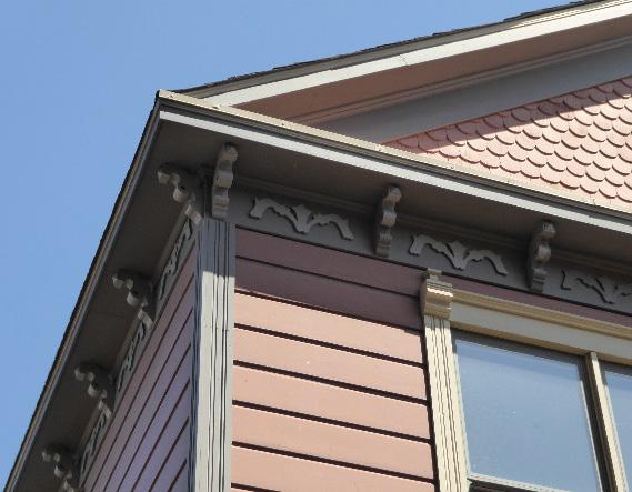
1.2 Maintain, preserve, and, where necessary, repair and restore historic elements associated with the predominate Delta style of residential architecture, especially historic staircases, porches, and doors.
The Fremont Park Historic District contains a grouping of historic single-family residences oriented to face Q Street and Fremont Park, many of which have been converted for commercial use. Many of the buildings have been physically altered, but in general, the character-defining features, including setback and landscaping, remain intact so that the character of the historic district is preserved.
In addition to the Standards & Criteria Common to Sacramento's Historic Districts in Section 1, the following district-specific standards and criteria apply when planning a project in the Fremont Park Historic District.
Figure 158. Many of the contributing houses in the historic district feature decorative exterior woodwork that should be maintained and preserved.
2.1 Design additions with proportions that are compatible with the scale and massing of the main contributing building on the parcel
• Narrow, vertical massing is appropriate on Q Street, while broader, horizontal massing is appropriate on 15th and 16th streets.
2.2 Avoid additions that cause a contributing building’s height to exceed 150% of its historic height.
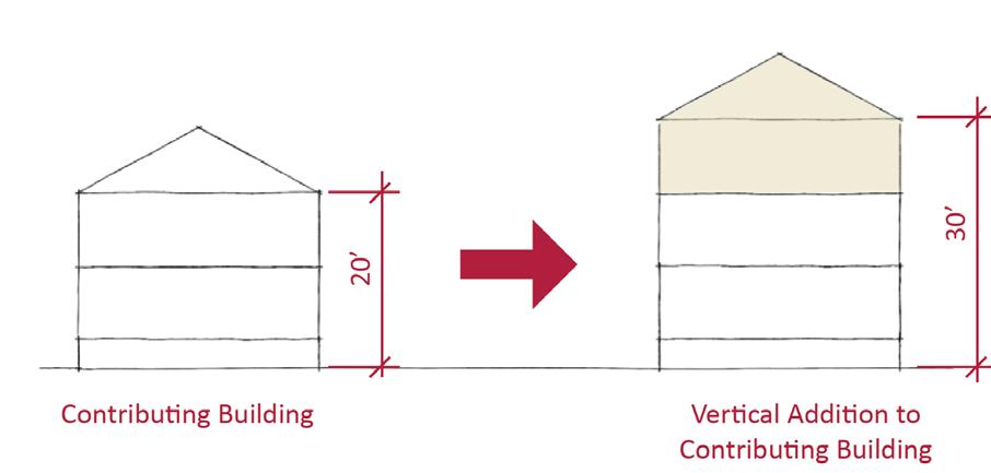
• Use step backs to maintain the existing street façade height.
2.3 Design secondary dwelling units to include windows and entries facing Quill Alley to improve safety and visibility of the light rail station.
Figure 159. Additions should not cause a building's height to exceed 150% of its historic height.
Sacramento Historic District Plans3.1 Design new construction to be compatible with the scale and massing of adjacent contributing properties.
• Vertically-massed buildings are recommended on Q Street Horizontallymassed buildings are recommended on 15th and 16th streets.
3.2 Where additional height is considered, the height of new buildings should be no more than 150% of the height of surrounding contributing buildings.
• Consider using step backs for taller buildings to maintain the existing street façade height of adjacent contributing buildings.
3.3 Consider providing street-facing, covered front porches or entries at new infill development.
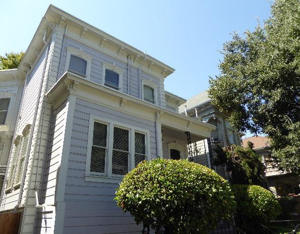
4.1 Preserve, maintain, and, where necessary, repair and restore historic plantings and landscaping features in Fremont Park, including axial pathways and historic lights.

4.2 Where street trees consist of a row of trees of the same species—such as palms—replace removed or diseased trees in kind with the same species or a compatible species at regular intervals in order to maintain the historic tree planting pattern.
Figure 160. Contributing buildings on Q Street are predominately vertically massed.
Figure 161. The height of new buildings should be no more than 150% of the height of surrounding contributing buildings.
Figure 162. A uniform setback between contributing buildings and the street contributes to the cohesive streetscape.
Sacramento Historic
4.3 Avoid adding new curb cuts on Q Street.
• Locate driveways and parking access at rear of lots via Quill Alley, and use landscaping features to screen them from the public right-of-way, wherever possible.
5.1 On a typical unsplit parcel, set back alley infill buildings a minimum of 30 feet from the primary building on the parcel. If a parcel is split, set back alley infill buildings a minimum of 15 feet from the lot split.
5.2 The height of alley infill should be no more than 150% of the height of surrounding contributing buildings.
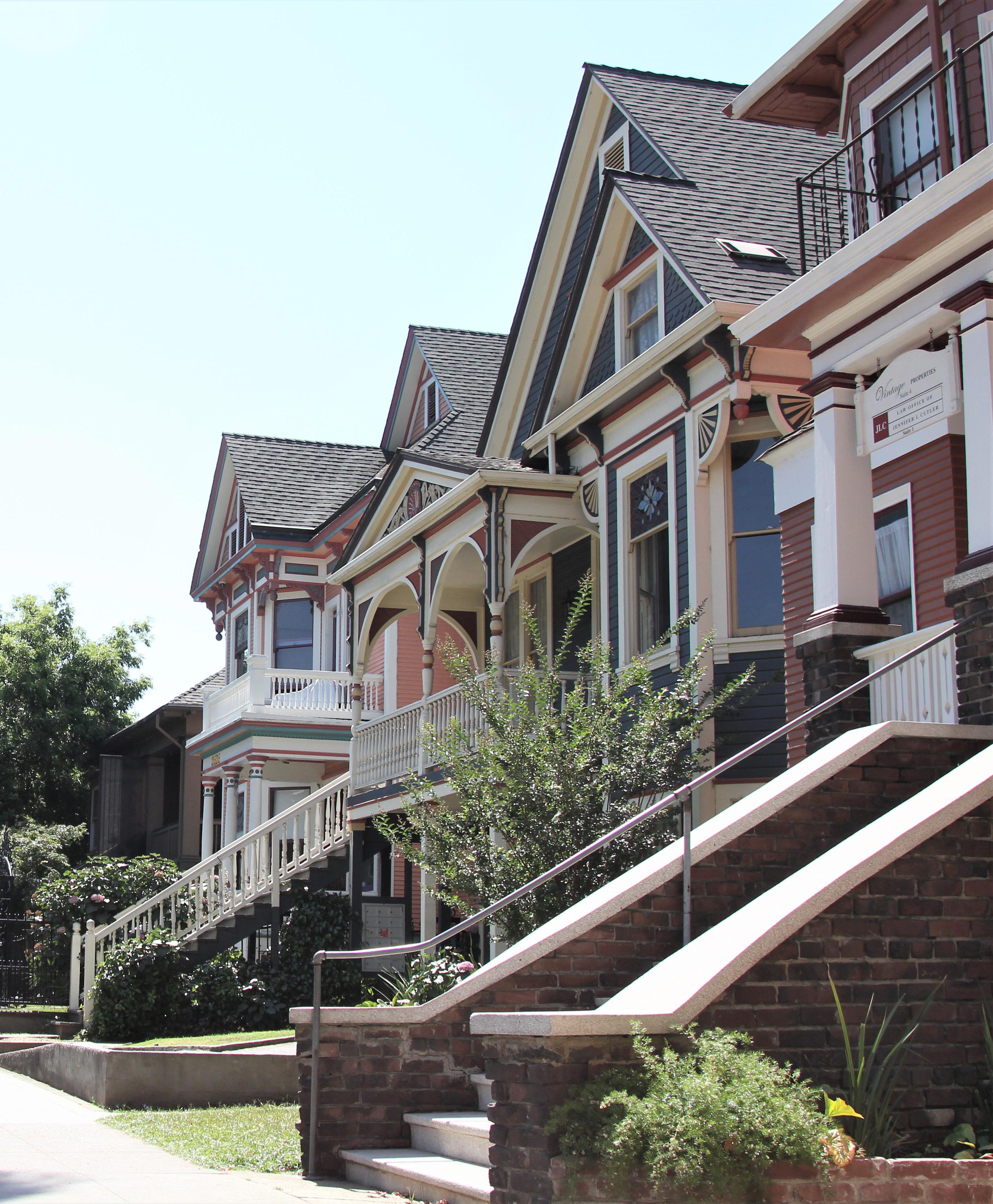
The Marshall Park Historic District is located within Sacramento’s original 1848 street grid and consists of historically residential properties situated around Marshall Park. The district is bounded by I, J, and 28th streets, which form the north, south, and east borders of Marshall Park, and extends roughly one block west of the park to 26th Street and half a block south to Jazz Alley.
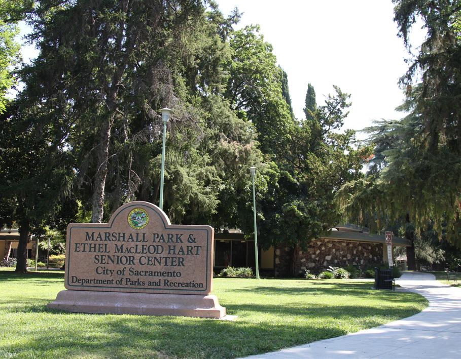
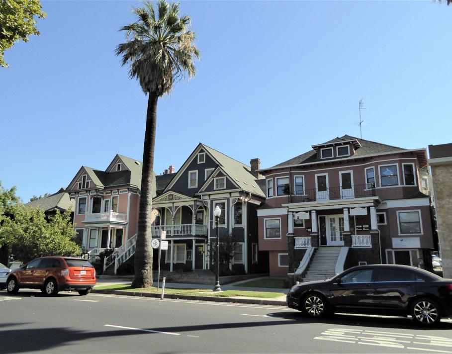
Figure 164. Houses in a variety of late nineteenth- and early twentieth-century architectural styles line J Street to the west of Marshall Park. Many have been converted into commercial businesses.
Section 2: Individual
Marshall Park Historic Sacramento Historic District Plans Final Figure 165. View of Marshall Park, looking northwest.The Marshall Park Historic District preserves a small but cohesive grouping of houses that were constructed around Marshall Park in the late nineteenth and early twentieth centuries. The 2.5- acre park is named after James Marshall, whose discovery of gold at John Sutter’s sawmill in Coloma kicked off the California Gold Rush in 1848.1 The park—located on the block bounded by I, J, 27th, and 28th streets— is one of ten one-block plazas that John A. Sutter, Jr. donated to Sacramento for use as a public park when the young city was first laid out that same year. Located at the city’s eastern periphery at the time of its establishment, the area around Marshall Park remained sparsely populated until the late nineteenth century when Sacramento’s expanding population began to spill out into new streetcar suburbs that were emerging on the city’s borders.2
The development of new neighborhoods to the east of Sacramento’s central business district was aided by the extension of streetcar lines to these areas, which allowed residents to enjoy the benefits of living outside the increasingly overcrowded and dirty city center while offering them the means to travel to their places of work downtown.3 These new “streetcar suburbs” followed a wider national trend as the expansion of streetcar service spurred the
1 Thor Severson, Sacramento, An Illustrated History: 1839-1874, From Sutter’s Fort to Capital City (San Francisco: California Historical Society, 1973), 45-47.
2 Paul J. P. Sandul, “Both ‘Country Town’ and ‘Bustling Metropolis:’ How Boosterism, Suburbs, and Narrative Helped Shape Sacramento’s Identity and Environmental Sensibilities,” in River City and Valley Life: An Environmental History of the Sacramento Region, ed. Christopher J. Castaneda and Lee M.A. Simpson (Pittsburgh: University of Pittsburgh Press, 2013), 172-173.
3 Nathan Hallam, “‘We Must Give the World Confidence in the Stability and Permanence of the Place:’ Planning Sacramento’s Townsite, 1853-1870,” in River City and Valley Life: An Environmental History of the Sacramento Region, ed. Christopher J. Castaneda and Lee M.A. Simpson (Pittsburgh: University of Pittsburgh Press, 2013), 63-64.
outward growth of cities across the country.4 By the start of the twentieth century, streetcars served the blocks surrounding Marshall Park on lines that ran down J and 28th streets.5 The Central Street Railway established a horse-drawn streetcar line that ran on these as part of its route from the Central Pacific Depot on 2nd and H streets to Oak Park in 1887. Electric
streetcar service began in 1891.6 A resident explained the value of electric streetcars operating on J and 28th streets in a letter to the Sacramento Daily Union prior to the start of service: “Your home is convenient and made of greater value by the street cars being within a block of you,” he wrote, “but it is enhanced in value much more by the cars going past your door.”7
By 1895, Sanborn fire insurance maps show that development had begun on the blocks around Marshall Park. The one-story Marshall Primary School, built in 1878, occupied the southern half of the park, and three single-family houses with alley-facing outbuildings had been constructed on the block immediately to its east.8 In 1900, the city decided to return the land on which the school sat to its originally intended role as a public plaza, and the Marshall School relocated two blocks north to a new site at 28th and G streets.9 The new building, completed in 1903, continued to serve the families in the area, which became known as the Marshall School neighborhood.10
The neighborhood developed quickly at the start of the twentieth century. By 1915, all of the parcels
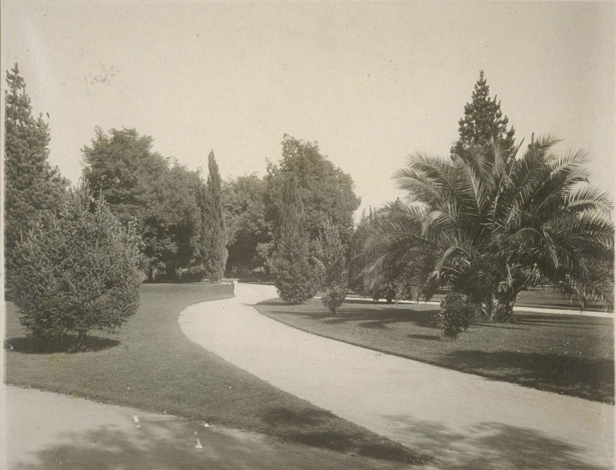
6 William Burg, “Sacramento’s Streetcar Suburbs, Part 2: Central Street Railway,” Sacramento History (blog), September 5, 2007, http:// sacramentohistory.blogspot.com/2007/08/sacramentos-streetcar-suburbspart-2.html; Kathleen Forrest and Genevieve Entezari, “Shiloh Baptist Church,” (National Register of Historic Places Draft Registration Form, California Office of Historic Preservation, 2011).
4 Linda Flint McClelland, National Register of Historic Places Multiple Property Documentation Form: Historic Residential Suburbs in the United States, 1830-1960. Washington, D.C.: National Park Service, 2002, 18-20.
5 William Burg, “Sacramento’s Streetcar Suburbs, Part 4: East Sacramento and Elmhurst,” Sacramento History (blog), September 5, 2007, http:// sacramentohistory.blogspot.com/2007/09/sacramentos-streetcar-suburbspart-4.html
7 “Horses, or Nothing. The Failure of Electric Cars in San Jose,” Sacramento Daily Union, July 13, 1889, https://cdnc.ucr.edu/cgi-bin/cdnc?a=d&d=SDU 18890713.2.22&srpos=28&e=-------en--20-SDU%2cST%2cSU-21--txt-txIN%22j+street%22+streetcar-------1
8 Sanborn Map Company, Sacramento, California [map], vol. 1, 1895.
9 “36th Annual SOCA Home Tour, Marshall School Neighborhood,” (brochure, Sacramento Old City Association, 2011).
10 Bill Lindelof, “Negotiations to begin over old Marshall school site in Midtown,” Sacramento Bee, November 17, 2016. https://www.sacbee.com/ news/local/education/article115429268.html.
Sacramento Historic District Plans Final Figure 166. Landscaping at Marshall Park (date unknown). Source: Parks and Buildings of Sacramento, Calif., BANC PIC 1905.05264-PIC. Courtesy of The Bancroft Library, University of California, Berkeley.surrounding Marshall Park were filled with singlefamily dwellings. These wood-framed houses were constructed in a similar scale to one another, with 40foot frontages and a generally uniform setback from the street. A few apartment buildings also dotted the neighborhood.11
Over the subsequent decades, the advent of the automobile transformed the blocks around Marshall Park. Streetcars running on multiple lines and an increasing number of automobiles whizzed down J Street, which had become part of the state’s growing highway system by 1923. An additional streetcar line had also been established nearby on H Street.12
The increasing popularity of the automobile led to the gradual end of streetcar service to Marshall Park and throughout much of Sacramento in the 1930s and 1940s. Service down 28th Street was replaced by an extension of the T Street bus line in 1936.13 The H Street streetcar line was gone by 1943.14 By the end of 1946, all streetcar service on J Street, one of the Sacramento’s earliest and longest-running streetcar routes, had also ended.15
By the middle of the century, the formerly quiet neighborhood of single-family homes had transitioned into a densely-populated, mixed-use area. Nearly all of the turn-of-the-twentieth-century houses on the blocks next to the park were adapted into multi-family flats or apartments. Automobile garages replaced
11 Sanborn Map Company, Sacramento, California [map], vol. 2, 1915.
12 Cyrus G. Brown Maps and Aero Views Commercial Artists, “Map of the City of Sacramento” [map] 1923.
13 William D. Bourne, “Sacramento: Part One - Utility to Authority,” Motor Coach Age 62, no. 1 & 2, January – June 2011, 6.
14 Ibid., 12.
15 Ibid., 16.
outbuildings on the alleys, and apartment complexes and commercial businesses, including a rug cleaning establishment and paint shop, were built in the place of earlier houses.16
Mid-century city redevelopment projects also impacted the area. In 1961, the Sacramento Senior Citizens Center opened in the center of Marshall Park. The building remains in use as the Ethel MacLeod Hart Senior Center.17 In 1968, the Interstate 80 highway was completed one block east of the park, creating a boundary between the original city and newer neighborhoods to the east around which large-scale commercial development proliferated.
Marshall Park in the early decades of the twenty-first century includes the Hart Senior Center, a children’s play area, horseshoe pit, and adult fitness stations.18 The surrounding blocks are characterized by some surviving turn-of-the-twentieth-century houses, which are bordered by more recent development, including restaurants, retail shops, infill housing, and professional offices.
Figure 167. Memorabilia from the dedication of the City of Sacramento Senior Citizens Center in 1961, now the Ethel MacLeod Hart Senior Center (1961). Source: Sacramento Public Library, Sacramento Room.
16 Sanborn Map Company, Sacramento, California [map], vol. 2, 1915 – Dec. 1950.
17 “City of Sacramento Senior Citizens Center,” (program, Sacramento Public Library, 1962), http://cdm15248.contentdm.oclc.org/cdm/ref/collection/ p15248coll3/id/2163.
18 “James Marshall Park,” City of Sacramento, accessed September 4, 2018. https://www.cityofsacramento.org/ParksandRec/Parks/Park-Directory/ Central-City/Marshall-Park.
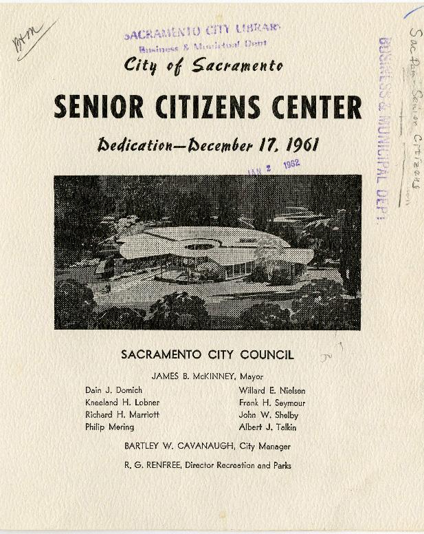 Sacramento Historic District Plans Final
The Marshall Park Historic District was designated for listing on the Sacramento Register of Historic and Cultural Resources by the City Preservation Commission in 1985 in Ordinance #85-076.
The following table provides a current evaluation of significance under the requirements and considers the factors based on the above historic district context and the 2018 historic district survey. Additionally, this historic district relates to the Railroad Context Statement of the city’s General Plan Technical Background Report.
(a) The Marshall Park Historic District meets requirement (a) for listing on the Sacramento Register, because it is a geographically definable area.
(b)(i) The Marshall Park Historic District meets requirement (b)(i) for listing on the Sacramento Register as an area that possesses “a significant concentration or continuity of buildings unified by: (A) past events or (B) aesthetically by plan or physical development.”
The Marshall Park Historic District is comprised of a cohesive grouping of houses that were constructed as part of the development of the Marshall School neighborhood as a turn-of-the-century streetcar suburb. Although Marshall Park was one of the ten public squares that were platted out in Sacramento’s 1848 street grid, the surrounding area remained sparsely populated until the late nineteenth century, when streetcars began running to the area down J, H, and 28th streets. Like many streetcar suburbs across the country, the presence of public amenities, such as the Marshall Park and Marshall School, also attracted new residents to the area. The concentration of single-family houses in the area reflect the area’s development as a primarily middleclass neighborhood. The buildings exhibit a similar age, scale, and use of materials and display the range of architectural styles characteristic of the Marshall School neighborhood’s peak period of development from the late nineteenth to early twentieth century.
(b)(ii) The Marshall Park Historic District meets requirement (b)(ii) for listing on the Sacramento Register as an area “associated with an event, person, or period significant or important to city history.”
The district is associated with the period of streetcar development in outlying areas of Sacramento’s original street grid that is significant to the city’s history of expansion. Like many cities across the country, overcrowded and dirty conditions in Sacramento’s oldest residential neighborhoods near the central business district encouraged residents to look for new neighborhoods in which to live. Access to streetcar service and modern amenities, such as public green space and schools, attracted residential development to areas on the city’s periphery, including the Marshall School neighborhood, which not only had a one-block public park at its center but was also serviced by streetcar lines on J, H, and 28th streets. As a result, the majority of the surviving residential buildings in the area date to the period when streetcars regularly traversed the neighborhood from the late nineteenth century to the 1930s.
Sacramento Historic DistrictThe period of significance for the Marshall Park Historic District begins with the start of streetcar service along J and 28th streets in 1887, which attracted new residential development to the area, and concludes with the end of streetcar service on 28th Street in 1936, which signaled the start of an exodus of many residents to newer automobileoriented suburbs outside the city.
(c) The Marshall Park Historic District meets requirement (c) for listing on the Sacramento Register as it aligns with the goals and purposes of historic preservation in Sacramento, as well as the city’s other goals and policies. Per the Sacramento City Code, the preservation of the district enhances the “city’s economic, cultural and aesthetic standing, its identity and its livability, marketability, and urban character.”
(a) Factor (2)(a) states that “a historic district should have integrity of design, setting, materials, workmanship and association.” The Marshall Park Historic District retains sufficient integrity to meet this factor for consideration as a historic district.
(b) Factor (2)(b) states that “the collective historic value of the buildings and structures in a historic district taken together may be greater than the historic value of each individual building or structure.” The Marshall Park Historic District meets this factor because its buildings and structures represent a significant and distinguishable entity whose collective historic value is greater when taken as a whole. of Significance:
Use
• Historically single-family residences, some converted into multi-family units or commercial businesses
• Parking and auxiliary uses located along alleys
Mass & Form
• Predominately two- to three-story single-family houses with Delta-style raised basements and raised first story
• Smaller number of three-story apartment buildings
Cladding
• Predominately wood siding, typically wide and narrow width channel rustic siding, three- or four-lap siding, or shingles; occasional use of brick, stucco, or a combination of these materials
Ornamentation
• Italianate, Queen Anne, and Eastlake details, including incised brackets under roof eaves; slender, turned porch posts and balusters and patterned shingles on gabled ends
• Classical Revival details, including Tuscan or modified Ionic columns and dentils along cornices
• Craftsman and Prairie details such as wide, overhanging eaves, exposed rafter and purlin tails, wood braces, tapered square columns, and low shed dormers
Property Landscape
• Sloping lawns, particularly in front of houses on I Street between 26th and 27th streets; many with low brick walls and cement stairs
Roofs
• Predominately front-facing gabled or hipped roofs, often with a centrally placed dormer
• Brick or clinker brick chimneys
Entries & Doors • Delta-style configuration with staircase leading to primary entrance above a high basement
• Paneled wood doors, often with a transom above, side lites, or integrated glazing
• Wood or terrazzo stairs
Windows • Wood-frame double-hung, casement, paired, ribbon, and leaded glass windows
• Single and multi-story bay windows in semi-hexagonal, squared, and rounded forms
Streetscape
• Rows of mature, evenly spaced palms planted around the perimeter of Marshall Park
• Generally uniform setback of approximately 20-25 feet from the sidewalk to primary, street-facing building facades with 8-foot-wide wide parking strips and sidewalks
• Rows of mature, evenly spaced, deciduous street trees— most often sycamore, elm, and palm trees—planted in a parking strip along the street curb
• Evidence of removed hitching posts in the form of L-shaped concrete strips next to street curbs, especially on J Street between 26th and 27th streets
Porches
• Prominent full or half-width porches accessed by a staircase
• Brick or clinker brick porch or column bases
The following map shows the boundaries and location of the Marshall Park Historic District.
To view the statuses of individual properties as contributing or non-contributing resources to the historic district, refer to the Sacramento Register of Historic and Cultural Resources.
Sacramento Historic District
Alterations or additions to contributing properties and new infill development must seamlessly blend with the well-preserved historic architecture of the historic district.
1.1 Protect carved, turned, or shaped wood treatments that are important features to the architectural style.
The Marshall Park Historic District contains a grouping of historic single-family residences clustered around Marshall Park, some of which have been converted to multi-family use. Some of the buildings have been physically altered, but in general, the characterdefining features, including setback and landscaping, remain intact so that the character of the historic district is preserved.
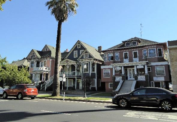
1.2 Maintain, preserve, and, where necessary, repair and restore historic elements associated with the predominate Delta style of residential architecture, especially historic staircases, porches, and doors.
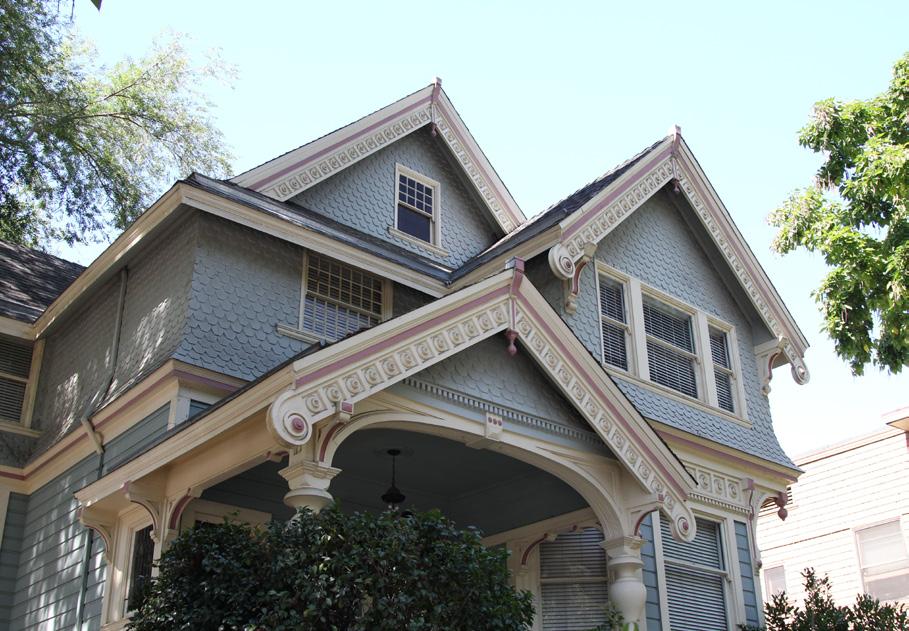
1.3 Restore window and door openings that have been covered or filled in, where appropriate.
In addition to the Standards & Criteria Common to Sacramento's Historic Districts in Section 1, the following district-specific standards and criteria apply when planning a project in the Marshall Park Historic District.
Sacramento Historic District Figure 169. Many contributing buildings in the district have decorative exterior ornamentation that should be maintained and preserved. Figure 170. Houses with prominent front-facing gabled roofs characterize streetscapes in the district.
2.1 Avoid additions that cause a contributing building’s height to exceed 150% of its historic height.
• Use step backs to maintain the existing street façade height.
2.2 Avoid additions that alter the historic district’s dominant pattern of front-facing gabled or hipped roofs.
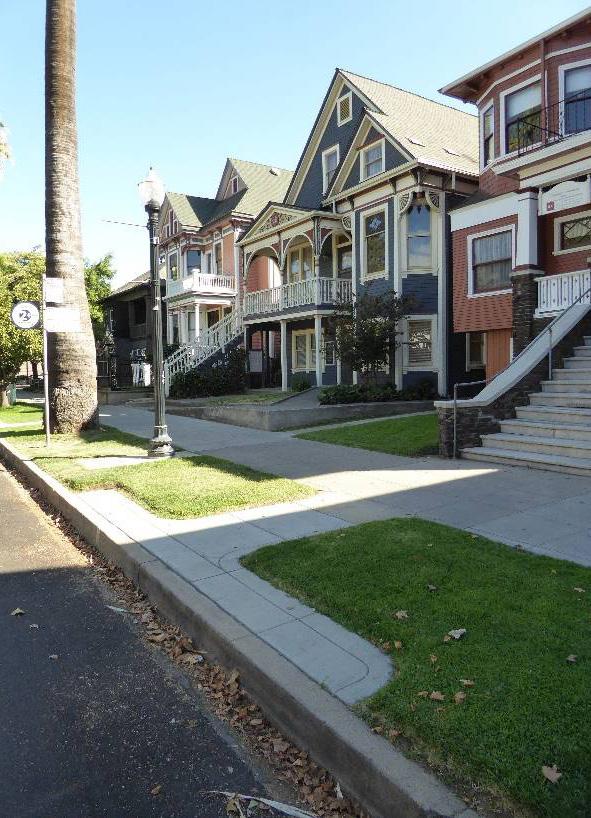
3.1 Design the scale, massing, and proportions of new construction to be compatible with those of adjacent contributing buildings on the same block.
• Where additional height is considered, the height of new buildings should be no more than 150% of the height of surrounding contributing buildings.
• Consider using step backs to maintain the existing street façade height of adjacent contributing buildings.
3.2 Draw inspiration for the design of multi-family residential properties from contributing multifamily residential properties in the district.
3.3 Preserve the historic pattern and articulation of long, narrow 40’ x 160’ parcels, wherever possible.
• Consider breaking down the massing of large infill developments into smaller masses that reflect the historic lot pattern.
Figure 172. The height of new buildings should be no more than 150% of the height of surrounding contributing buildings.
Figure 171. Additions should not cause a building's height to exceed 150% of its historic height.
3.4 Design new construction that is sympathetic to the historic district’s dominant pattern of frontfacing gabled or hipped roofs.
3.5 Consider providing street-facing, covered front porches or entries at new infill development.
Figure 173. Contributing buildings on the same block often have a similar setback from the street.
4.1 Preserve, maintain, and, where necessary, repair and restore historic plantings and landscaping features in Marshall Park.
4.2 Pursue a “complete street” approach that enhances pedestrian safety while preserving the historic district’s surrounding residential character.
4.3 Where street trees consist of a row of trees of the same species, such as palms, replace removed or diseased trees in kind with the same species or a compatible species at regular intervals in order to maintain the historic tree planting pattern.
4.4 Avoid creating new curb cuts or driveways along 27th, I and J Streets.
• Locate parking and service access along alleys, and use landscaping features to screen it from the public right-of-way, wherever possible.
5.1 On a typical unsplit parcel, set back alley infill buildings a minimum of 30 feet from the primary building on the parcel. If a parcel is split, set back alley infill buildings a minimum of 15 feet from the lot split.
5.2 The height of alley infill should be no more than 150% of the height of surrounding contributing buildings.
Sacramento Historic District Plans Final
Figure 174. Historic landscaping features, such as this retaining wall, contribute to the character of the district.

The Merchant Street Historic District is located within Sacramento’s original 1848 street grid and is bounded roughly by 7th Street to the west, Improv Alley to the north, 8th Street to the east, and Kayak Alley to the south.
The district contains a portion of Sacramento’s downtown core and consists primarily of late nineteenth-century and early twentieth-century commercial buildings, situated along J and K streets, and Ali Youssefi Square.
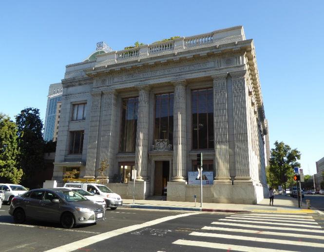 Section Individual Historic District
Merchant Street Historic District
Sacramento Historic District Plans Final
Figure 175. The Neoclassical D.O. Mills Bank building at the corner of 7th and J streets.
Figure 176. Pioneer Hall, sandwiched between the Capital National Bank building and Merchants National Bank on 7th Street.
Figure 177. Ali Youssefi Square.
Figure 178. Commercial buildings and light rail tracks running on K Street face Ali Youssefi Square.
Section Individual Historic District
Merchant Street Historic District
Sacramento Historic District Plans Final
Figure 175. The Neoclassical D.O. Mills Bank building at the corner of 7th and J streets.
Figure 176. Pioneer Hall, sandwiched between the Capital National Bank building and Merchants National Bank on 7th Street.
Figure 177. Ali Youssefi Square.
Figure 178. Commercial buildings and light rail tracks running on K Street face Ali Youssefi Square.
The Merchant Street Historic District preserves a portion of Sacramento’s central business district, which centered around J and K streets as early as the 1840s. The district is named for Merchant Street, the narrow alley between J, K, 7th, and 8th streets around which many of Sacramento’s most prominent commercial and civic buildings were constructed in the late nineteenth and early twentieth centuries. Most notably, the stretch of 7th Street between J and K streets became an epicenter for banking, where monumental banking halls lined the street.
J and K streets were the principal threads along which Sacramento developed as its population grew after the outbreak of the California Gold Rush in 1848, the same year the city’s grid was laid out. K Street sat at the foot of the levee where passengers disembarked from riverboats on the Sacramento River and became the center of California’s stagecoach network, while J Street was the primary route to the gold fields to the east. Discerning entrepreneurs set up businesses along these routes, recognizing the profit they could make selling goods to gold seekers who were heading east in droves.
1
In 1852, a fire destroyed almost all of the city of Sacramento, most of which had been constructed of wood and canvas. The fire engulfed J Street as far as 9th Street and K Street to 12th Street. As part of the city’s efforts to prevent future fires from destroying its downtown, blocks within the central business district were zoned within the city’s “fire limits,” an area in which buildings were required be constructed of fireresistant materials, such as brick or stone. Because
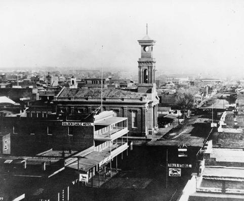
1 William Burg, Sacramento’s K Street: Where Our City Was Born (Charleston, SC: The History Press, 2012), 18-20.
Figure 179. St. Rose of Lima Church, looking east along K Street (1869). Source: Center for Sacramento History, Frank Christy Collection, 1998/722/1323.
of the high cost of building with such materials, commercial and civic development dominated blocks within the city’s fire limits.2
The corner of K and 7th streets was also a hotbed of cultural activity. The new brick building of the St. Rose of Lima Church was completed on a half-acre of land at the intersection’s northeast corner in 1861. As the city’s only Catholic church until 1887, it became the heart of Sacramento’s Irish community and is the namesake for the public plaza that is located on the site today.3
Disaster struck Sacramento again in the winter of 1861-1862 when devastating floods left much of the city underwater for three months. In response, the city undertook a number of major projects to protect itself from future floods. From 1863 to 1868, Sacramento’s streets were raised by as much as 14 feet.4 Seventh Street between J and K streets and K Street from 4th to 10th streets were raised to the new high level in 1868.5 Portions of the hollow sidewalks that were built as part of this process survive, and many are accessible from the basements of existing buildings.
The construction of Pioneer Hall at 1011 7th Street coincided with the raising of the city’s streets in 1868. The building was designed by Nathaniel Goodell, architect of the Governor’s Mansion, to be the headquarters of the Sacramento Society of California Pioneers. The society, now the Sacramento Pioneer Association, has owned the building since its construction, making it the oldest continuously owned building in Sacramento. As membership rose and fell over subsequent decades, Pioneer Hall was leased out and used as a cigar store, shoe shop, barber shop, dance studio, saloon, bar, and the offices of the Sacramento Housing and Redevelopment Agency. The building was renovated in 1987 and continues to be owned by the Sacramento Pioneer Association.6
Sacramento’s improved stability after the flood control improvements of the 1860s and 1870s and
2 Sanborn Map Company, Sacramento, California [map], vol. 1, 1895; “Fire Limits,” Encyclopedia of Chicago, accessed September 7, 2018. http://www. encyclopedia.chicagohistory.org/pages/457.html.
3 Steven Avella, Sacramento: Indomitable City (San Francisco, CA: Arcadia Publishing, 2003), 44.
4 Page & Turnbull, “Raised Streets & Hollow Sidewalks,” (report, Sacramento, CA, 2009), 7.
5 Ibid., 13.
6 “Sacramento Pioneer Association Pioneer Hall,” Sacramento Pioneer Association, accessed September 7, 2018. http://www.sacramentopioneer. org/pioneerhall.html
Sacramento Historic District Plans Final7
the introduction of new transportation options encouraged new commercial development in the city’s central business district. Electric streetcar lines began operation on J and K streets in 1891 and were joined soon after by interurban railroads. The Northern Electric interurban railroad depot was located 8th and J streets, and the depot of the Central California Traction, another interurban railroad, opened half a block south in 1909. The interurban railroads offered passenger service from outlying towns and rural areas and brought increasing numbers of people to Sacramento’s burgeoning commercial corridor around J and K streets.7
By 1895, the blocks around these streets were filled with narrow, two-story commercial buildings with saloons, restaurants, drug stores, and other small commercial businesses located on the first story and lodgings for shop owners on the second story.8 A wellpreserved example of the commercial development of the period is the Ochsner Building, located directly east of Ali Youssefi Square. The first three stories were designed by architect Rudolph Herold and completed in 1904; an additional two stories were added in 1922.9
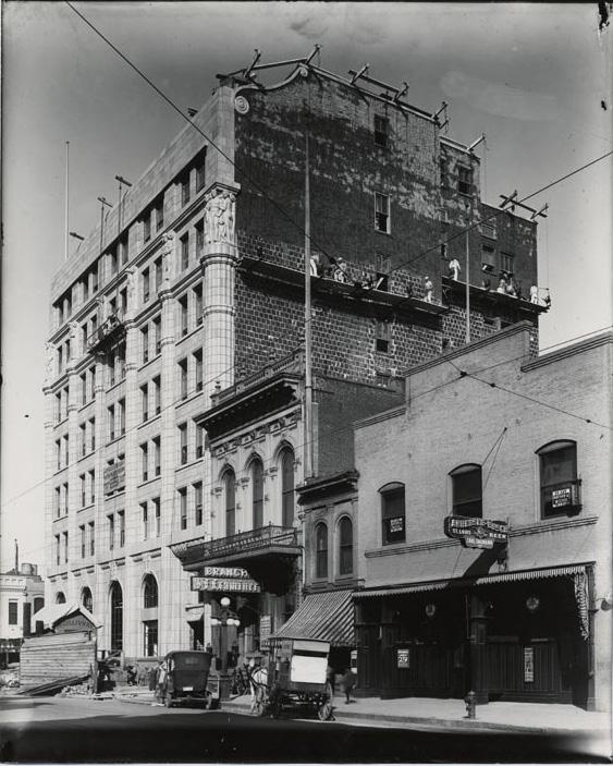
Large-scale civic construction also took place at the turn of the century. In 1891, St. Rose of Lima Church was demolished, and in 1894, a new Richardsonian Romanesque post office building with a red sandstone exterior opened on the site. The building was expanded from 1910 to 1912, by which time it included a seven-story meteorological observation tower and was also in use as a federal office building.10
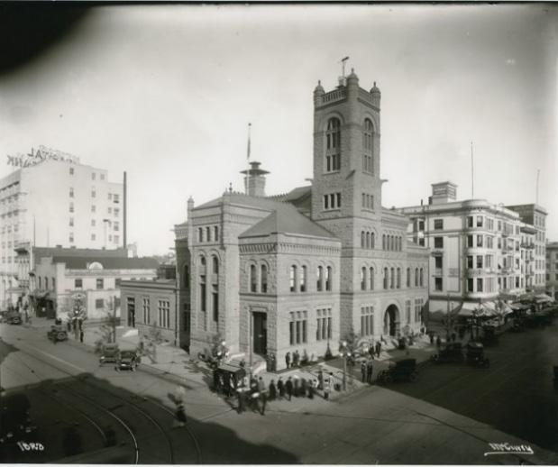
Seventh Street, meanwhile, developed into Sacramento’s banking center with grand banking halls designed by prominent local architects lining the street. A Neoclassical banking hall designed by Willis Polk for the National Bank of D.O. Mills and Company opened on the northwest corner of J and 7th streets in 1912. Three years later, the Capital National Bank Building, designed by Rudolph Herold, was completed on the corner diagonally across from it.11 The Classical
8 Sanborn Map Company, 1895.
9 “Ochsner Building,” [photograph], 1940, 8x10 in, Sacramento Public Library, Sacramento Room, accessed September 7, 2018. http://cdm16362. contentdm.oclc.org/cdm/ref/collection/p15248coll1/id/1498.
10 Sandra M. Walton, “Post Office, 7th and K Streets, Sacramento, Sacramento Co.,” Historic American Buildings Survey, 1961, 1-2; Sanborn Map Company, Sacramento, California [map], vol. 1, 1915.
11 Sanborn Map Company, 1915.
Revival-style Merchant’s National Bank building, by architect H.H. Winner, was completed in 1921 at 1015 7th Street.12
The peak period of development around 7th, J, and
12 “Merchants National Bank of Sacramento,” (National Register of Historic Places Registration Form, California Office of Historic Preservation, 1996), 3-6.
Sacramento Historic District Plans Final Figure 180. The Post Office building, looking northeast on K and 7th streets. The National Capital Bank building, Pioneer Hall, and Ochsner building are visible in the background (1916). Source: California History Room, California State Library, Sacramento, California. Figure 181. Capital National Bank under construction with Pioneer Hall and other nineteenth-century commercial buildings in the foreground (1916). Source: California History Room, California State Library, Sacramento, California.K streets coincided with the popularity of streetcar service in Sacramento, which peaked in the 1920s.13 Built up during the era of pedestrian and streetcar travel, the blocks were ill-suited for the transition to automobile traffic as almost none of the businesses had parking lots or parking garages. As automobile ownership accelerated after World War II and commercial businesses began to relocate to new suburbs outside the city center, the demand for public transportation declined. Regular passenger service on the Northern Electric interurban railroad and riverboat service to San Francisco ended in 1940. By 1947, all streetcar service in the city had also ceased.14
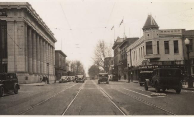
In 1948, the sandstone of the post office at the corner of K and 7th streets had eroded to the point that the building had become a safety hazard, and the tower and some of the exterior ornamentation were selectively removed. The building continued to deteriorate and was demolished in 1967.15 The cleared site was converted into a public plaza and renamed St. Rose of Lima Plaza.16
Redevelopment projects in the 1960s altered the landscape surrounding the 700 blocks of J and K streets. In 1967, construction began on the Downtown Plaza shopping mall that stretched down K Street from 4th to 7th streets. Two years later, K Street from 7th to
13 Reed Parsell, “Going Public,” Sacramento Magazine, July 21, 2006, http:// www.sacmag.com/Sacramento-Magazine/August-2006/Flashback-GoingPublic/.
14 Burg, 107.
15 Sacramento Archives and Museum Collection Center and the Historic Old Sacramento Foundation, Old Sacramento and Downtown (San Francisco: Arcadia Publishing, 2006), 123.
16 Frank Christy, photographer, “Post Office at 7th and K Street is gone,” [photograph], 1967, Center for Sacramento History, https://sacramento. pastperfectonline.com/photo/43DDA8F7-8ECC-4473-8311-405328781786
13th streets was redeveloped into a pedestrian mall. Meanwhile, the completion of Interstate 5, Interstate 80, and Highway 50 through the city diverted traffic away from the historic central business district and pulled commercial traffic to new shopping centers in outlying suburban developments.17
The twenty-first century has brought reinvigorated commercial development to the blocks around J, K, and 7th streets. In 2016, the Golden One Center sports and entertainment facility and Downtown Commons development replaced much of the Downtown Plaza mall that borders the historic district west of 7th Street. The D.O. Mills Bank building has been adaptively reused as a restaurant, and the row of nineteenth- and early twentieth-century commercial buildings on the south side of the 700 block of K Street have been incorporated into The Hardin housing and commercial development project.18 In 2019, St. Rose of Lima Plaza was renamed Ali Youssefi Square after a local developer who specialized in affordable housing.
17 Burg, 137-183.
18 Mark Glover, “Historic downtown bank building converted to food, beer showplace,” Sacramento Bee, March 10, 2017, https://account.sacbee. com/static/paywall/stop?resume=137841488; Ryan Lillis, “Golden 1 Center downtown Sacramento development,” Sacramento Bee, Jun 2, 2018, https:// account.sacbee.com/static/paywall/stop?resume=212297119
Sacramento Historic District Plans Final Figure 182. 7th and J streets, looking north, with the D.O. Mills Bank building visible on the left (1938). Source: California History Room, California State Library, Sacramento, California.The Merchant Street Historic District was designated for listing on the Sacramento Register of Historic and Cultural Resources by the City Preservation Commission in 1985 in Ordinance #85-076.
The following table provides a current evaluation of significance under the requirements and considers the factors based on the above historic district context and the 2018 historic district survey. Additionally, this historic district relates to the Railroad Context Statement of the city’s General Plan Technical Background Report.
(a) The Merchant Street Historic District meets requirement (a) for listing on the Sacramento Register, because it is a geographically definable area.
(b)(i) The Merchant Street Historic District meets requirement (b)(i) for listing on the Sacramento Register as an area that possesses “a significant concentration or continuity of buildings unified by: (A) past events or (B) aesthetically by plan or physical development.”
The buildings within the district are unified aesthetically by their physical development as part of Sacramento’s main commercial district on J and K streets. All of the surviving buildings in the district were built for commercial uses and constructed with fire-resistant materials that reflect their location within the city’s fire limits. Buildings that were constructed in the nineteenth century are characteristic of commercial construction of the period with public shopfronts on the first story and evidence of residences for business owners on the upper stories. Later-period construction reflects 7th Street’s identity as the city’s banking center, starting in the first decade of the twentieth century. A number of monumental banking halls that were designed by prominent early twentieth-century architects are located along the street from K to J streets. These buildings are unified by their similar use, age, monumental scale, marble and granite exteriors, and incorporation of Classical design details.
(b)(ii) The Merchant Street Historic District meets requirement (b)(ii) for listing on the Sacramento Register as an area “associated with an event, person, or period significant or important to city history.”
The district is associated with the period of Sacramento’s history in which the city developed from a burgeoning Gold Rush town into a modern twentieth-century city, as reflected by the emergence of J and K streets as Sacramento’s primary commercial corridors. Surviving hollow sidewalks in the district recall the city’s efforts to protect the city from periodic devastating floods by raising its streets in the 1860s, a project that allowed for a boom in development in the city’s central business district in the subsequent decades. The district preserves several examples of nineteenth-century commercial buildings that were constructed in the period immediately after the streets were raised, as well as monumental banking halls that made up the city’s banking center, which was concentrated around 7th Street in the early decades of the twentieth century.
The period of significance for the Merchant Street Historic District begins in 1868, when efforts to raise the street levels to protect the city from floods introduced stability that encouraged new development on J and K streets, and ends in 1948, when demolition of the U.S. Post Office building on K and 7th streets began and the commercial building at 726 K Street was remodeled into its current configuration.
(c) The Merchant Street Historic District meets requirement (c) for listing on the Sacramento Register as it aligns with the goals and purposes of historic preservation in Sacramento, as well as the city’s other goals and policies. Per the Sacramento City Code, the preservation of the district enhances the “city’s economic, cultural and aesthetic standing, its identity and its livability, marketability, and urban character.”
(a) Factor (2)(a) states that “a historic district should have integrity of design, setting, materials, workmanship and association.” The Merchant Street Historic District retains sufficient integrity to meet this factor for consideration as a historic district.
(b) Factor (2)(b) states that “the collective historic value of the buildings and structures in a historic district taken together may be greater than the historic value of each individual building or structure.” The Merchant Street Historic District meets this factor because its buildings and structures represent a significant and distinguishable entity whose collective historic value is greater when taken as a whole. of Significance:
Use • Commercial uses located on publicly-accessible first stories with some commercial or residential use on upper stories
Mass & Form
• Predominately two- or three-story commercial buildings
• One five-story building and one seven-story building
• Two- or Three-Part Commercial Block style buildings typically vertically massed
• Classically-styled buildings typically horizontally massed
Cladding • Predominately brick, stone, or other fire-proof materials
Roofs • Flat roofs, many with simple, square parapets
Entries & Doors • Entrances face principal street and are commonly recessed and centrally located; although some are situated at corners or placed to one side
• Wood or metal doors with integrated glazing
Windows • Picture, double-hung, or casement windows with steel or wood-frames
Ornamentation
• Neoclassical details, such as Greek or Doric columns, pilasters, roofline balustrades, dentil or bracket courses along cornice, Classical statuary, floral garlands, flat roofs, and arched windows
• Italianate and Queen Anne style details, such as turrets, cutaway bay windows, hood molded windows, and overhanging eaves supported by brackets
Property Landscape
• Minimal or no property landscaping
Streetscape • Rows of medium-sized sycamore trees planted along 7th Street and K Street
• Extant hollow sidewalks and sunken alleyways dating to the street raising campaigns of the 1860s
Sacramento HistoricThe following map shows the boundaries and location of the Merchant Street Historic District.
To view the statuses of individual properties as contributing or non-contributing resources to the historic district, refer to the Sacramento Register of Historic and Cultural Resources.
Sacramento Historic District
Maintain and preserve the contributing resources in the historic district while encouraging the integration of new uses that enhance its character as part of the historic heart of commercial activity in Sacramento.
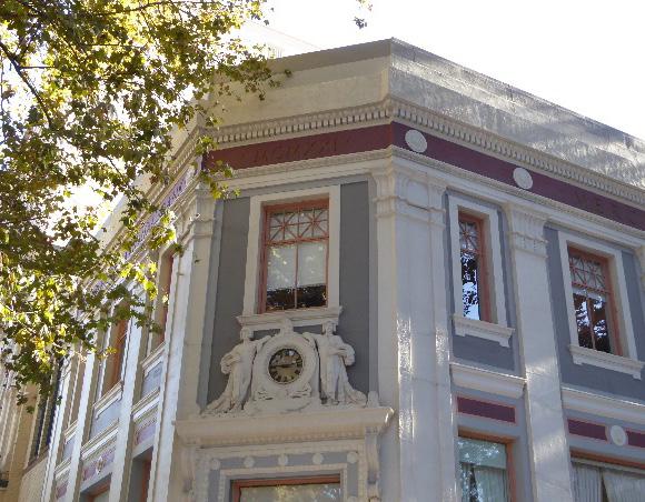
1.1 Maintain, preserve, and, where necessary, repair and restore historic facade features, especially decorative ornamentation.
The Merchant Street Historic District contains a group of commercial buildings that date from the late nineteenth and early twentieth centuries, many of which are related to the history of banking in Sacramento. The contributing buildings vary in scale and height, but share a similar commercial focus, zero-lot-line setback, and use of high-quality masonry materials. The district also contains Ali Youssefi Square, the former site of a church and federal post office. As Downtown Sacramento continues to evolve and grow, the contributing buildings in the district provide opportunities to introduce new uses that enhance the character of J and K Streets the historic center of commercial and cultural activity in Sacramento.
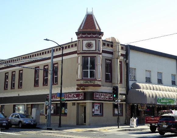
1.2 Make every effort to preserve, repair, and maintain any surviving steel or wood frame windows, which significantly contribute to the commercial character of the district.
• Re-instate multi-lite steel or wood frame windows, where they have been removed, if there is adequate documentation and if feasible.
1.3 Avoid filling in or obstructing historic window or door openings.
1.4 Re-open historic window and door openings that have been filled in.
• Use compatible new windows and door materials, types, and forms.
1.5 Avoid painting or applying new finishes on historically unpainted exterior masonry.
In addition to the Standards & Criteria Common to Sacramento's Historic Districts in Section 1, the following district-specific standards and criteria apply when planning a project in the Merchant Street Historic District.
Figure 185. Many of the historic exterior features of this contributing building have been preserved and maintained; however, the windows and front facade have been partially covered by a ventilation duct.
Sacramento Historic District Figure 184. Many contributing buildings in the district feature decorative ornamentation on their facades.2.1 Where rooftop additions are desired, use step backs in order to maintain the existing street façade height of the contributing building.
2.2 Use durable, high-quality materials that are compatible with the materials of adjacent contributing buildings in the district such as stone or brick.
3.1 Preserve the historic pattern of siting new buildings with a zero-lot-line setback from the street.

3.2 Design the scale, massing, and proportions of new construction to be compatible with those of adjacent contributing buildings on the same block.
• Where taller buildings are desired, consider using step backs in order to maintain the existing street façade height of adjacent contributing resources.
3.3 Draw inspiration for the design of multi-family residential properties from contributing multifamily residential properties in the district
3.4 Align windows, doors, and variations in façade treatments to the extent feasible with that of adjacent contributing buildings in order to maintain the existing pattern of door and window openings found on the block face.
• When not possible, utilize the average datum lines of contributing properties.
3.5 Consider using materials that are compatible with the materials of contributing buildings in the district, such as brick or stone and steel or wood framed windows.
3.6 Consider corner entries that face the primary street frontages for the primary entrance of a new building that is sited at an intersection of two streets or abuts a public plaza.
3.7 Design awnings that reference the form, scale, and materials of historic awnings.
Figure 186. Contributing buildings exhibit a range of heights but share a similar material palette, zero-lot-line setback, and orientation to the street.
4.1 Maintain, preserve, and, where necessary, repair and restore historic lighting and signage features.
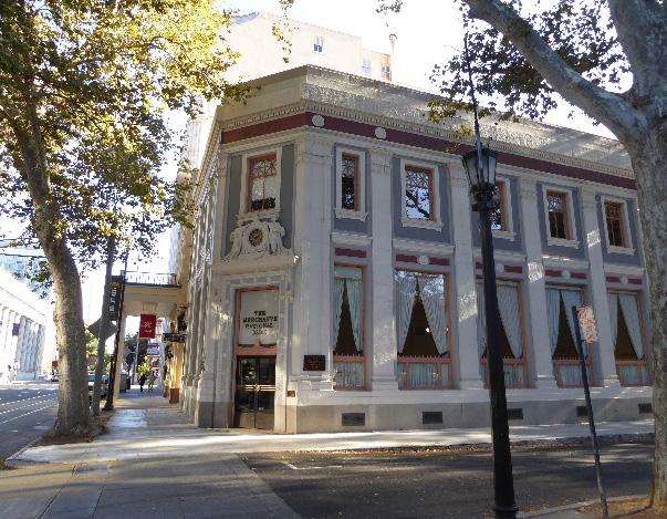
4.2 Use signage methods, materials, and proportions that are reflective of those of historic signage used on contributing properties within the district.
4.3 Encourage a streetscape palette, including lighting, street furniture and street tree planting pattern, that is compatible with the materials, scale, and architectural character of the district.
Section Historic Sacramento Historic District Plans Final Figure 187. Corner entrances are common on contributing buildings in the district that are located at street intersections.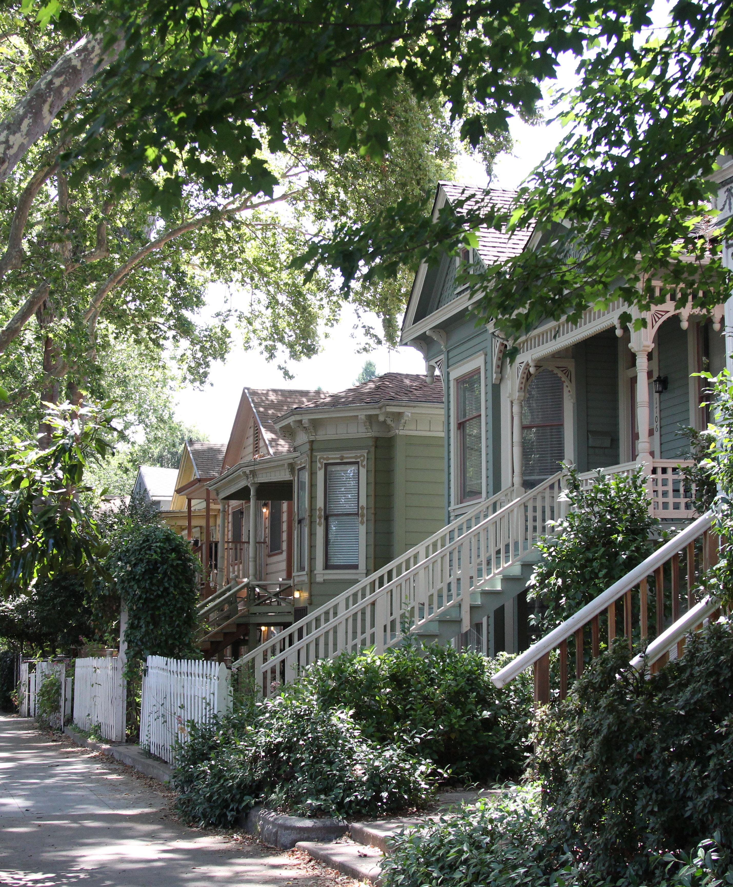
The New Washington School Historic District (formerly Washington School Historic District) is located within Sacramento’s original 1848 street grid and is roughly bounded to west by commercial development along 16th Street, to the north by the Blue Diamond Growers industrial facilities, to the east by the railroad tracks between 19th and 20th streets, to the south by mixed commercial and institutional development along H Street.
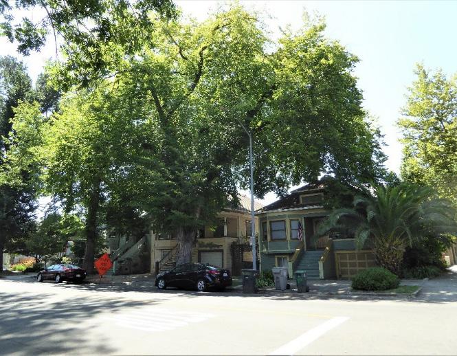
Figure 188. Modestly-sized houses, such as these Neoclassical Row Houses on 19th and D streets, are common on the northern border of the district.
Figure 189. The current Washington School building occupies the block between E, F, 17th, and 18th streets.
Figure 190. The largest houses in the district, such as these on F and 17th streets, are often located on street corners.
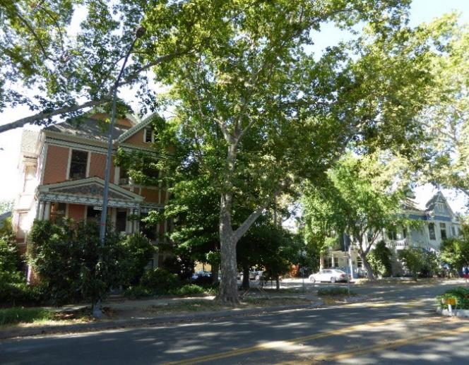
Figure 191. A few two-story apartment buildings sit side-by-side on G Street.
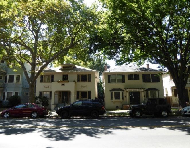 Section Individual Historic District Washington School Historic District
Sacramento Historic District Plans Final
Section Individual Historic District Washington School Historic District
Sacramento Historic District Plans Final
The New Washington School Historic District preserves one of Sacramento’s oldest residential neighborhoods that developed along the city’s first streetcar lines in the late nineteenth and early twentieth centuries. The neighborhood is named after the Washington Elementary School, which moved from its original location at 13th and G streets to the intersection of 18th and E streets in 1916.1
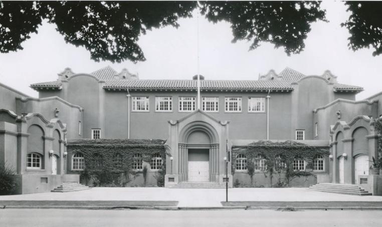
Sacramento’s first streetcar line began service in August 1870 under the ownership of the City Street Railway. The line consisted of horse-drawn cars that ran from the Central Pacific Railroad station on Sacramento’s waterfront at Front and K streets and down H Street to the State Agricultural Society’s California State Fairgrounds at 20th and G streets.2 Like the Mansion Flats neighborhood to the west (the Old Washington School Historic District), access to streetcar service attracted middle-class residents to the area, who relied on the streetcars to travel to their places of work downtown. As a result, the neighborhood was largely settled by employees of the Southern Pacific Railroad and the city’s other industries, who built modestly-sized houses on the blocks north of H Street.3
The expansion of streetcar service corresponded to the neighborhood’s growth in the late nineteenth century. The H Street line was discontinued in 1892; the following year, it was replaced by a new line of electric streetcars operated by the Central Electric
1 William Burg, “Mansion Flats Home Tour,” Sacramento Press, September 13, 2013, https://sacramentopress.com/2013/09/13/mansion-flats-hometour/
2 Burg, “Mansion Flats Home Tour.”
3 William Burg, “Sacramento’s Streetcar Suburbs,” Sacramento History (blog), August 22, 2007, http://sacramentohistory.blogspot.com/2007/08/ sacramentos-streetcar-suburbs.html.
Railroad Company, which ran along G Street from 7th to 19th streets. The line was considered “a great convenience to people residing in the northern and northeastern portions of the city, who had been without a railway ever since the H-street line was discontinued,” and was believed to “greatly enhance the value of property in that portion of the city.”4
The arrival of the Western Pacific Railroad in Sacramento also had an impact on the neighborhood’s physical development in the early twentieth century. In 1907, the railroad company received the right to build a second set of transcontinental railroad tracks through the city by purchasing an 80-foot right-of-way from property owners between 19th and 20th streets. The plan was met with resistance from residents who believed that the route would destroy “the very best
4 “Running on G Street,” Sacramento Daily Union, March 7, 1893.
Sacramento Historic Figure 192. The Washington School at 18th and E Streets (date unknown) prior to demolition. Source: California History Room, California State Library, Sacramento, California.residence district” in the city.5 The Western Pacific proposed mitigating the effects of a rail line running through the center of the city by landscaping the right-of-way into a parkway and building elevated pedestrian crossings, but the landscaping proposals were never realized. Freight service began on the new rail line in 1909, and passenger service followed a year later.6
In 1916, Washington Elementary School relocated from the corner of 13th and G streets to the block bounded by E, F, 17th, and 18th streets, giving its name to the surrounding neighborhood. A new Mission
5 “Southside People Now Protest Against Western Pacific,” Sacramento Union, September 16, 1907.
6 William Burg, Sacramento’s K Street: Where Our City Was Born (Charleston, SC: The History Press, 2012, 62-64.
Revival style building was completed on the site shortly after. The school’s relocation was an indication of the area’s growing population and the need to provide public services to the local community.
By the 1920s, major transportation corridors had developed that roughly correspond to the presentday historic district’s boundaries. In 1923, streetcar lines ran down G Street to 19th Street and along D Street between 15th and 19th streets, then north along 19th Street to C Street. Sixteenth Street, which formed the neighborhood’s western boundary, and a portion of D Street had also been incorporated into the state highway system by this period. The Western Pacific rail tracks marked the neighborhood’s eastern boundary.7
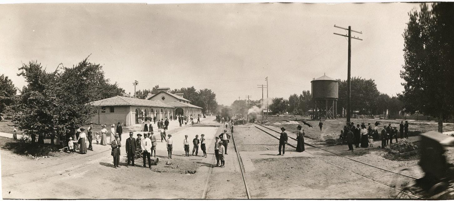
7 Cyrus G. Brown Maps and Aero Views Commercial Artists, “Map of the City of Sacramento [map], 1923.
Residents continued to consist primarily of middleclass workers, such as clerks, printers, stenographers, electricians, and carpenters, who lived in modest single-family houses or multi-unit flats.8 Residential development slowed during the Great Depression. The economic downswing, combined with the rising popularity of the automobile, led to the decline of streetcar lines across the city. In 1936, streetcar service along G Street ended and was replaced by bus service.9 After World War II, many residents migrated out of the city’s central grid to newer residential suburbs outside the city limits and were replaced by lower-income residents. Multi-unit apartment buildings were constructed in greater numbers over the following decades in response to the demographic shift.
In 1975, Washington Elementary School building was demolished; the following year, it was replaced by a new building at the same location. In 2013, the City closed the school in an effort to save money in the face of budget cuts after years of declining enrollment. Local residents responded to the decision with grassroots opposition efforts and lawsuits, and, in 2016, the school reopened with a new STEAM (science, technology, engineering, arts, and math) curriculum. City leaders viewed the school’s reopening as “a vital step” in its efforts to attract families back into the central city.10
8 Sacramento City Directory, Sacramento Directory Co., 1921.
9 Burg, Sacramento’s Streetcars, 34.
10 Loretta Kalb and Ryan Lillis, “Washington Elementary School set to reopen in 2016 in midtown Sacramento,” Sacramento Bee, June 15, 2015, https:// www.sacbee.com/news/local/education/article24520912.html.
Sacramento Historic District Plans Final Figure 193. View looking north along the Western Pacific Railroad tracks between 19th and 20th streets with the railroad’s depot on the left (1910). Source: Library & Archives, California State Railroad Museum Library, Sacramento, CA.The New Washington School Historic District was designated for listing on the Sacramento Register of Historic and Cultural Resources by the City Preservation Commission in 1985 in Ordinance #85076 as the Washington School Historic District.
The following table provides a current evaluation of significance under the requirements and considers the factors based on the above historic district context and the 2018 historic district survey. Additionally, this historic district relates to the Railroad Context Statement of the city’s General Plan Technical Background Report.
(a) The New Washington School Historic District meets requirement (a) for listing on the Sacramento Register, because it is a geographically definable area.
(b)(i) The New Washington School Historic District meets requirement (b)(i) for listing on the Sacramento Register as an area that possesses “a significant concentration or continuity of buildings unified by: (A) past events or (B) aesthetically by plan or physical development.”
The district is significant for its collection of late nineteenth- and early twentieth-century houses that were built as part of a middle-class neighborhood that emerged directly to the east of Sacramento’s older residential neighborhoods as streetcar lines expanded outward from the city center. While the establishment of a streetcar line on H Street in the 1870s and on G Street in the 1890s initially attracted the larger houses of the city’s affluent residents, areas further to the north of the streetcar lines were filled with the smaller houses of employees of the city’s railyards and other industries. The relocation of the Washington School from G and 13th streets to the block between E, F, 17th, and 18th streets in 1916 indicates the neighborhood’s burgeoning population in the early twentieth century. Meanwhile, the construction of the Western Pacific Railroad’s tracks on a right-of-way between 19th and 20th streets in 1907 created a physical barrier that continues to define the neighborhood’s eastern boundary. The range of architectural styles present in the district, ranging from Victorian-era Italianate and Queen Anne style houses to 1930s Minimal Traditional cottages, reflects the area’s peak period of development prior to the departure of the streetcars in 1936 and the exodus of residents to newer automobile-oriented suburbs further from the city center.
Sacramento HistoricThe period of significance for the New Washington School Historic District begins with the start of streetcar service to the area in 1870, which attracted residential development to the area, and concludes in 1936, when streetcar service ended along G Street. Types from the Period
(b)(ii) The New Washington School Historic District meets requirement (b)(ii) for listing on the Sacramento Register as an area “associated with an event, person, or period significant or important to city history.”
The district is associated with the development of new residential neighborhoods along the city’s streetcar lines from the late nineteenth to mid-twentieth century. The neighborhood grew alongside Sacramento’s first streetcar line, which began operation in 1870 and initially ran down H Street before shifting to G Street in 1893. Prior residential development in Sacramento had been primarily concentrated in the central business district downtown, where the commercial waterfront, railyards, industries, and state government offices were located. The availability of employment opportunities attracted large numbers of people to the downtown area who not only worked in the businesses downtown but often lived in the immediate area. As these areas became increasingly overcrowded and polluted, neighborhoods to the east, such as the Washington neighborhood, became attractive alternatives. Streetcars enabled workers who were employed by businesses downtown to live further from the city center, resulting in the establishment of new residential areas further to the east and the beginning of an exodus of residents from the downtown area. The relocation of the Washington School in 1916, approximately five blocks east of its former location to a one-block site within the present New Washington School Historic District, reflects the movement of Sacramento’s population further to the east in the early twentieth century.
(c) The New Washington School Historic District meets requirement (c) for listing on the Sacramento Register as it aligns with the goals and purposes of historic preservation in Sacramento, as well as the city’s other goals and policies. Per the Sacramento City Code, the preservation of the district enhances the “city’s economic, cultural and aesthetic standing, its identity and its livability, marketability, and urban character.”
(a) Factor (2)(a) states that “a historic district should have integrity of design, setting, materials, workmanship and association.” The New Washington School Historic District retains sufficient integrity to meet this factor for consideration as a historic district.
(b) Factor (2)(b) states that “the collective historic value of the buildings and structures in a historic district taken together may be greater than the historic value of each individual building or structure.” The New Washington School Historic District meets this factor because its buildings and structures represent a significant and distinguishable entity whose collective historic value is greater when taken as a whole. of Significance: 1870-1936
Use
• Historically single-family residences, some converted into multi-family units, interspersed with a few multi-unit apartments and commercial businesses
• Parking, infill development, and auxiliary uses located along alleys
Ornamentation
• Italianate, Queen Anne, Stick/Eastlake details, including incised brackets; spindlework; turned columns; patterned shingles at gabled ends; and rounded windows
• Classical Revival details, including Tuscan columns
Mass & Form
• Typically, one-to-two stories tall over a raised basement
• Some larger, three-story multi-unit apartment buildings
• Predominately houses with Delta-style high basement and raised first story
• Largest, most elaborate houses situated on corner lots
Cladding
• Predominately wood siding, typically wide and narrow width channel rustic siding, three- or four-lap siding, or shingles, especially on upper stories and gabled ends
Property Landscape
• Craftsman details, including exposed rafter and purlin tails, wood braces, tapered square columns, and low shed dormers
• Gardens, lawns, or patios in front of houses
• Low fences in front of many houses, mostly wood picket or wrought iron and some with brick piers
• Some brick paved front patios
• Few surviving iron letterboxes
Streetscape
Roofs
• Front-facing gabled, hipped, or jerkinhead roofs, often with a low, centrally placed dormer
• Brick or clinker brick chimneys
Entries & Doors • Delta-style configuration with staircases leading to primary entrances above a high basement
• Paneled wood doors, often with a transom above, or integrated glazing
• Wood, terrazzo, or brick stairs
Windows • Wood-frame double-hung windows
• Bay windows, both front- and side-facing
• Stained glass and spiderweb windows as occasional decorative accent
• Varying setbacks ranging from 25 feet or less in front of apartment buildings to 40 feet in front of some older Italianate houses; in general setbacks are smaller on numbered streets (approximately 30 feet) and larger on lettered streets (more than 30 feet)
• Rows of deciduous street trees of varying types and sizes— most often sycamore, elm, and palm trees—planted in a parking strip along the street curb; some blocks with surviving, cohesive rows of mature elm or sycamore trees
• Some brick-paved parking strips
• Horse-head hitching posts and evidence of removed hitching posts in the form of L-shaped cement strips next to the street curb, especially on F and G streets
Porches
• Prominent full or half-width porches accessed by a staircase
• Brick or clinker brick chimneys, foundations, and column bases
The following map shows the boundaries and location of the New Washington School Historic District. view the statuses of individual properties as contributing or non-contributing resources to the historic district, refer to the Sacramento Register of Historic and Cultural Resources.
Sacramento Historic DistrictSection 2: Individual Historic District Washington District
Preserve and maintain the contributing resources and features that define the district while encouraging new development that enhances its historic residential character and livability.
1.1 Maintain, preserve, and, where necessary, repair and restore historic elements associated with the predominate Delta style of residential architecture, especially historic staircases, porches, and doors.
The New Washington School Historic District contains a collection of single- and multi-family residential buildings that are part of a historic neighborhood that dates back to the late nineteenth century. It also includes Washington Park and the Washington School. While the contributing buildings exhibit a mix of architectural styles, the similar use of materials, scale, setback, landscaping, and siting unite the grouping as a whole. The district’s location between two major transportation corridors, 16th Street and the railroad tracks between 19th and 20th streets, introduce potential development pressures to the east and west.
In addition to the Standards & Criteria Common to Sacramento's Historic Districts in Section 1, the following district-specific standards and criteria apply when planning a project in the New Washington School Historic District.
2.1 Avoid additions that cause a contributing building’s height to exceed 150% of its historic height.
• Use step backs to maintain the existing street façade height.
Figure 195. Additions should not cause a building's height to exceed 150% of its historic height.
3.1 Design the scale, massing, and proportions of new construction to be compatible with those of adjacent contributing buildings, which are predominately narrow and vertically massed or wide and horizontally massed.
• Where additional height is considered, the height of new buildings should be no more than 150% of the height of surrounding contributing buildings.
• Consider using step backs for taller buildings to maintain the existing street façade height of adjacent contributing buildings.
• Broader, more robust buildings may be appropriate at street corners where there is a historic precedent for siting larger buildings.
3.2 Preserve the historic pattern and articulation of long, narrow 40’ x 160’ parcels, wherever possible.
• Consider breaking down the massing of large infill developments into smaller masses that reflect the historic lot pattern.
3.3 Consider providing covered front porches or entries at new infill development to preserve the historic district’s visual pattern of porches.
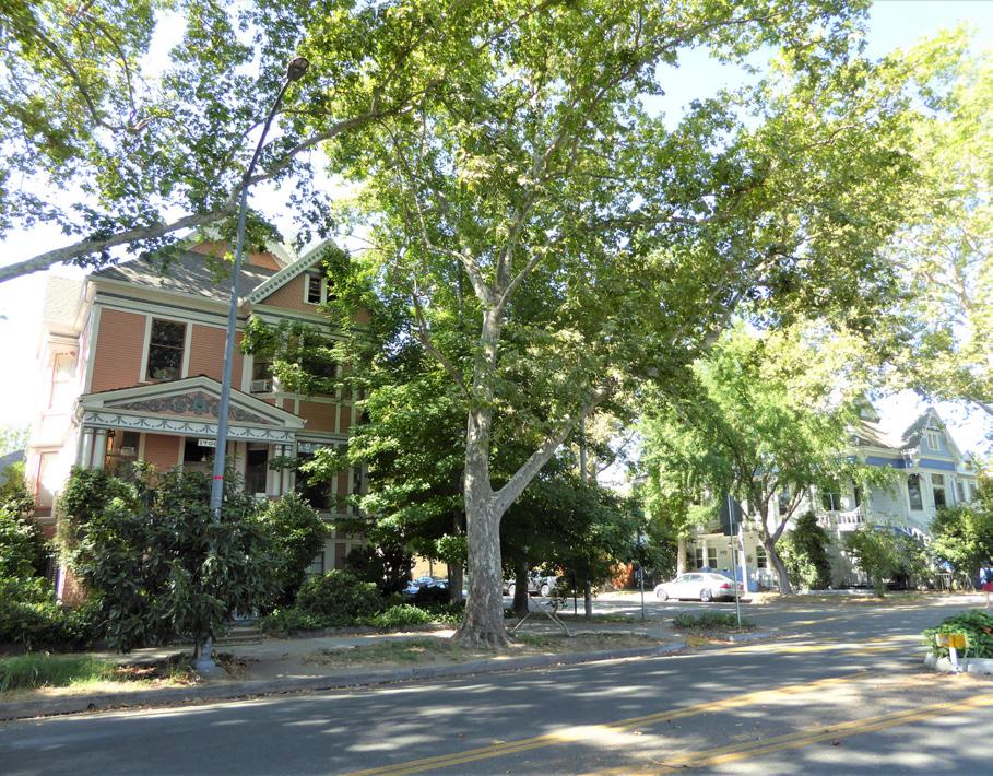
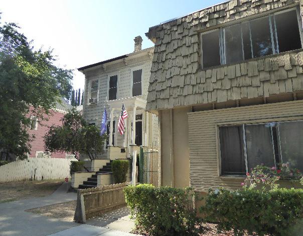
Figure 196. The height of new buildings should be no more than 150% of the height of surrounding contributing buildings.
 Section Historic
Sacramento Historic
Figure 197. Larger buildings have historically been located at street corners in the district.
Figure 198. The apartment building on the right does not align with the setback of the historic house on the left.
Section Historic
Sacramento Historic
Figure 197. Larger buildings have historically been located at street corners in the district.
Figure 198. The apartment building on the right does not align with the setback of the historic house on the left.
4.1 Where street trees consist of a row of trees of the same species, such as elm trees, replace removed or diseased trees in kind with the same species or a compatible species at regular intervals in order to maintain the historic tree planting pattern.
4.2 Preserve and maintain, and, where necessary, repair and restore, historic brick patios in front of properties.
4.3 Preserve and maintain historic hitching posts and carriage barns in their original locations.
4.4 Avoid creating new curb cuts on lettered streets in the historic district.
• Locate parking and service access along alleys, and use landscaping features to screen it from the public right-of-way, wherever possible.
• Where shared courtyard approach is used for subdivision of properties into multifamily use, utilize a single curb cut at the courtyard entrance if parking is included at the courtyard.
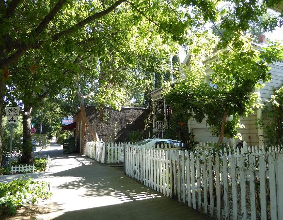
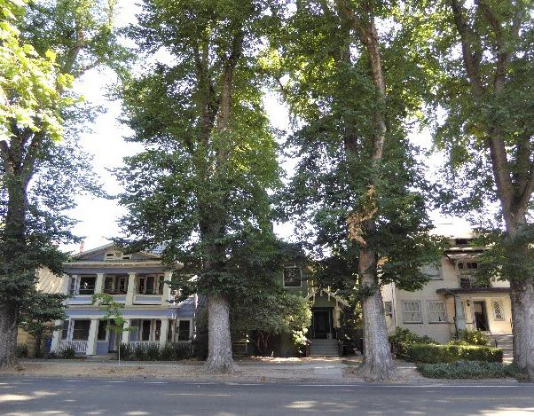
4.5 Remove chain link fences where possible.
• Replace chain link fences with fences that are of a compatible material and height to historic or compatible new fences at contributing properties in the historic district.
5.1 On a typical unsplit parcel, set back alley infill buildings a minimum of 30 feet from the primary building on the parcel. If a parcel is split, set back alley infill buildings a minimum of 15 feet from the lot split.
5.2 The height of alley infill should be no more than 150% of the height of surrounding contributing buildings.
Section 2: Individual Historic District Plans
New Washington School Historic District
Sacramento Historic District Plans Final
Figure 199. Rows of evenly spaced, mature elm trees are a distinctive feature along some streets.
Figure 200. Low wood picket fences are consistent with historic character of the district
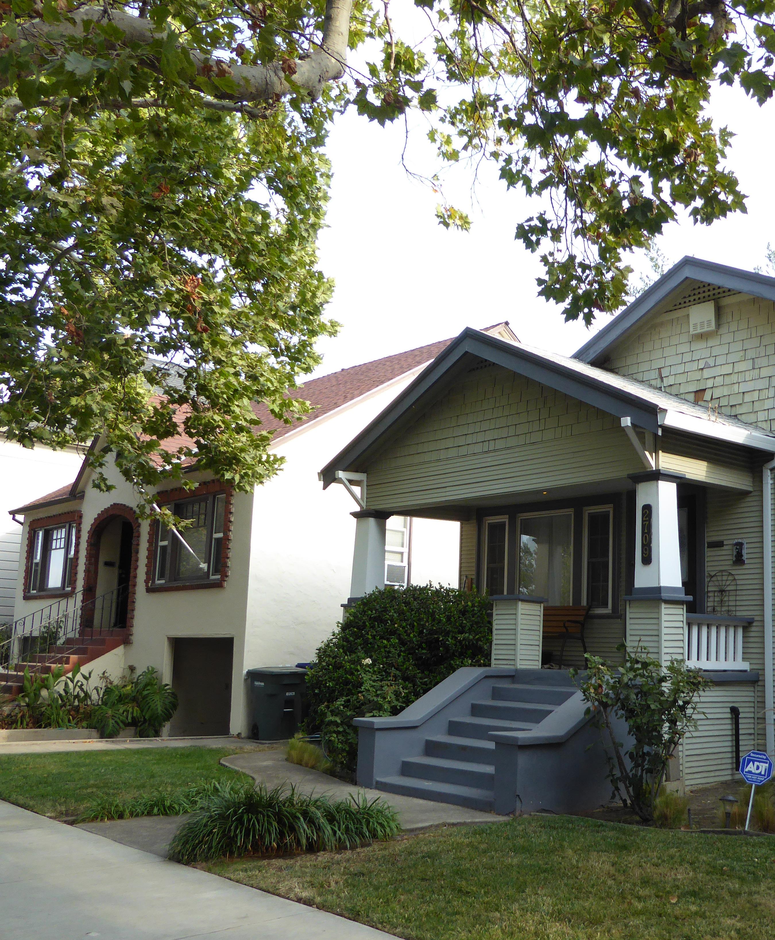
The Newton Booth Historic District is located in the southeast corner of Sacramento’s original 1848 street grid, immediately northwest of the major interchange of the U.S. Route 50 and the Capital City Freeway. The district is roughly bounded by 23rd Street to the west, S Street to the north, 28th Street to the east, and W Street and U.S. Route 50 to the south.
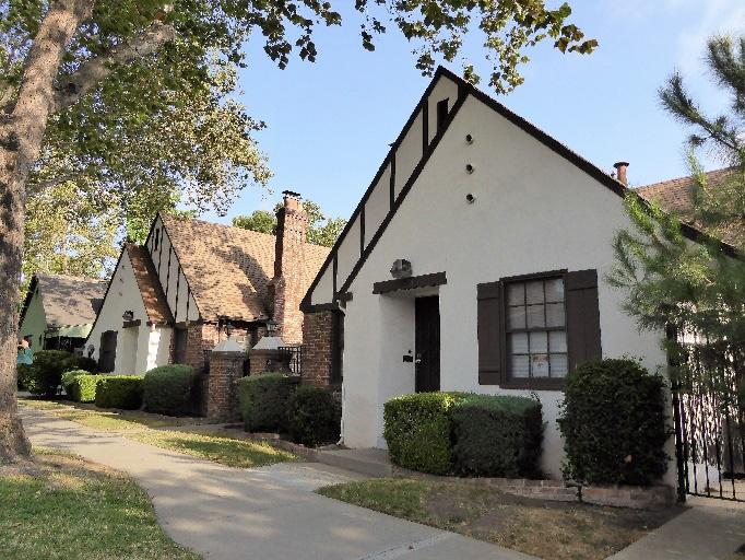
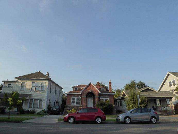
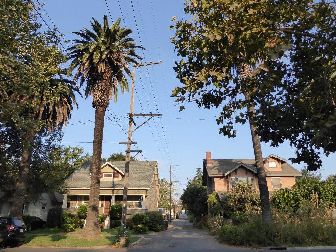
The district consists of a predominately residential neighborhood with houses in a range of architectural styles, dating from the late nineteenth century to the period just after World War II. The former Newton Booth Assembly School, now a private school, is a key focal point of the neighborhood.
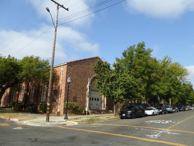 Section
Newton Booth Historic
Sacramento Historic District Plans
Figure 201. Craftsman bungalows, such as these on 24th Street, are common in the district.
Figure 202. A variety of architectural styles are present in the Newton Booth Historic District.
Figure 203. Many residences in the district were built in the Tudor style, including these courtyard apartments on T Street.
Figure 204. The former Newton Booth Assembly School building is a focal point within the district.
Section
Newton Booth Historic
Sacramento Historic District Plans
Figure 201. Craftsman bungalows, such as these on 24th Street, are common in the district.
Figure 202. A variety of architectural styles are present in the Newton Booth Historic District.
Figure 203. Many residences in the district were built in the Tudor style, including these courtyard apartments on T Street.
Figure 204. The former Newton Booth Assembly School building is a focal point within the district.
The Newton Booth Historic District preserves a primarily residential neighborhood that emerged on the southeast border of Sacramento’s original street grid around the turn of the century. Development in the area was initially limited, because of the area’s low-lying position that was prone to flooding. Stagnant pools of water acted as breeding grounds for mosquitoes and created a perception that the area was unhealthy.1
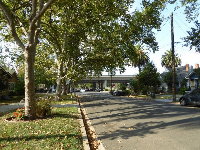
The neighborhood began to be subdivided in the 1890s, around the same time that Poverty Ridge and Oak Park were being built up to the immediate west and east.2 Electric streetcars began running along 28th Street the same year, helping to attract early buyers to the area. In spite of these developments, earlier perceptions about the area’s unhealthy conditions persisted, and the neighborhood remained sparsely populated until the early 1900s.3
Development increased after the start of the twentieth century. In 1903, the R Street levee, which had prevented water from draining from parts of the city, was removed, improving conditions in the neighborhood. Shortly after, in 1909, the “T” Line of the city’s streetcar system was completed with a stop at 28th and T streets. The conveniently located stop allowed residents living in the outlying neighborhoods, such as Newton Booth, to easily travel downtown for work.4 As in many cities across the country, the streetcar lines brought additional
1 Michael Ryan Hibma, “Historic District Nomination for the Newton Booth Neighborhood, City of Sacramento, Sacramento County, California,” (master’s thesis, California State University, Sacramento, 2007), 25.
2 Kara Brunzell, “Newton Booth Neighborhood Historic Context Statement & District Nomination,” 2014, 15. 3 Hibma, 25. 4 Ibid., 25-26.
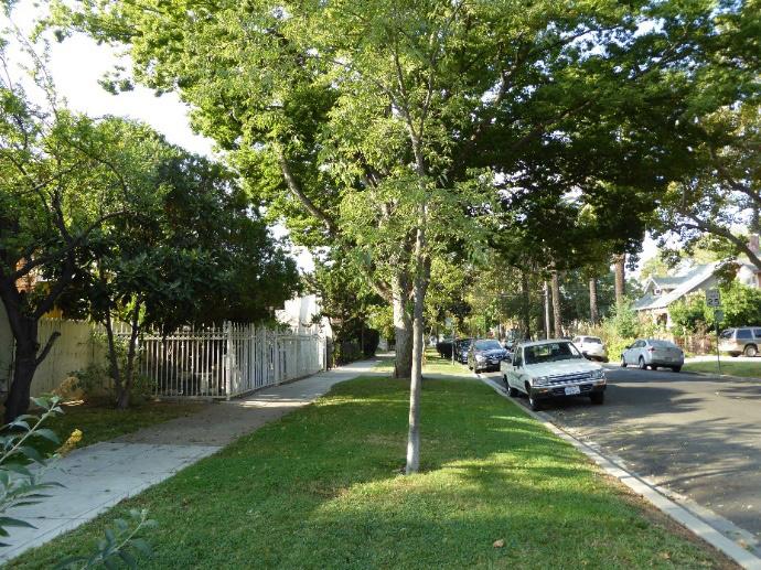
Figure 207. Sacramento streetcar running to 28th and T streets (1929). Source: California History Room, California State Library, Sacramento, California.
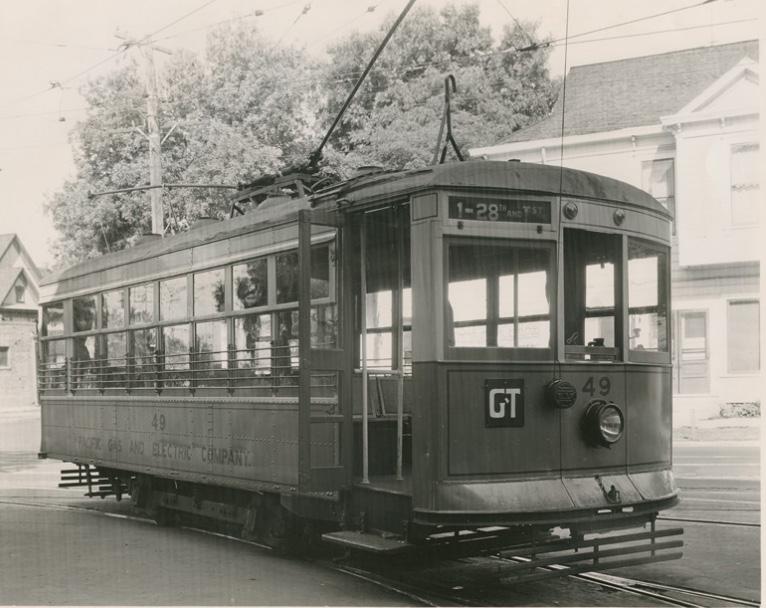 Newton
Sacramento Historic District Plans
Figure 205. Wide parking strips and narrow sidewalks are characteristic of some streets in the district, including 24th Street.
Figure 206. Street trees, often sycamores and palm trees, line the streets. The U.S. Route 50 highway (background) forms the southern boundary of the district.
Newton
Sacramento Historic District Plans
Figure 205. Wide parking strips and narrow sidewalks are characteristic of some streets in the district, including 24th Street.
Figure 206. Street trees, often sycamores and palm trees, line the streets. The U.S. Route 50 highway (background) forms the southern boundary of the district.
residential development to the neighborhood. 5
Newton Booth’s attractive combination of affordable and plentiful land away from the bustling city center and easy access to public transportation made it a desirable area in which to settle. New houses sprang up as new residents flocked into the area. The neighborhood quickly attracted a mix of low-income and middle-class workers who were employed in the railyards, waterfront industries, state government offices, and canneries that were located downtown and to the east of the city. Blue-collar workers – such as machinists, mechanics, and cannery workers –often lived in one house with their extended families to save housing costs, while middle- to upper-level management employees – including shop foremen, accountants, bank officers, civil servants, and other professionals – lived in single-family homes on the same block.6
The new buildings that were constructed throughout the neighborhood reflected its rapid growth in the first decades of the twentieth century. In 1921, the Newton Booth Assembly School was constructed at the intersection of 26th and V. The school was named after the eleventh governor of California and was the inspiration for the neighborhood’s name, which until then had only been known by its street intersections. Meanwhile, the neighborhood’s population continued to grow. While new residences were built in a variety of architectural styles, the Craftsman bungalow became the most prevalent style during the neighborhood’s most intense period
5 Linda Flint McClelland, “Historic Residential Suburbs in the United States, 1830-1960,” (National Register of Historic Places Multiple Property Documentation Form, National Park Service, 2002). 6 Ibid., 28-29.
of development. The modest, functional houses appealed to Newton Booth’s middle-class residents, while their full-length porches and open, airy plans suited the indoor-outdoor lifestyle that was necessary during Sacramento’s stifling summers.7
The building boom lasted until 1949, just after the end of World War II. Increasingly, residents were migrating to newer suburbs that were developing on former agricultural land outside the city. Between 1950 and 1970, Newton Booth and the Poverty Ridge neighborhood directly to the west lost one third of their populations.8 Meanwhile, as the city expanded outward and dependency on automobiles increased, leading to the end of streetcar service in Sacramento in 1947. In spite of the declining population of the central city, hundreds of small apartment buildings were constructed in older neighborhoods. In Newton Booth, a significant number of older houses were demolished to make way for these apartments. In 1949, 76 apartments were constructed on the 2500 block of S Street alone. This apartment construction included the large, extant Art Moderne apartment building at 2513-2519 S Street.
In the 1960s, construction of the Elvas Freeway between 29th and 30th streets and U.S. Route 50 between W and X streets led to the demolition of additional houses that had been part of Newton Booth and cut the neighborhood off from affluent neighborhoods to the east and south.9 Over the following decades, much of the employment base of Newton Booth’s working-class population began
7 Ibid., 26-28.
8 Brunzell, 38.
9 Ibid., 38.
Section 2: Individual Historic
Newton Booth District 260
to unravel. The railyards and canneries that had employed so many residents in the area declined in the 1980s, and Sacramento’s three military installations left between 1991 and 2001.10 Since the early 2000s, however, the increasing popularity of urban neighborhoods has brought middle class residents and a new period of development to Newton Booth.
10 Brunzell, 38.
Sacramento Historic District Plans FinalThe Newton Booth Historic District was designated for listing on the Sacramento Register of Historic and Cultural Resources by the City Preservation Commission in 2015 in Ordinance #2015-0012. At that time, it was determined to meet all of the requirements and factors for listing as defined by Sacramento City Code.
The following table provides a current evaluation of significance under the requirements and considers the factors based on the above historic district context and the 2018 historic district survey. Additionally, this historic district relates to the Railroad Context Statement of the city’s General Plan Technical Background Report.
(a) The Newton Booth Historic District meets requirement (a) for listing on the Sacramento Register, because it is a geographically definable area.
(b)(i) The Newton Booth Historic District meets requirement (b)(i) for listing on the Sacramento Register as an area that possesses “a significant concentration or continuity of buildings unified by: (A) past events or (B) aesthetically by plan or physical development.”
The variety and distribution of architectural styles represented in the district reflect the building boom that took place during the first several decades of the twentieth century as new residents flowed into the area. Victorian buildings make up less than ten percent of properties in the district, reflecting the limited amount of development that occurred in the area before the twentieth century. The majority of buildings in the district date to the early decades of the twentieth century, at the peak of the neighborhood’s development. During this period, a little more than a quarter of the extant properties were built in the Tudor Revival, Spanish Eclectic, and Colonial Revival styles, many with a Classic Box form, but by far the most popular style of the time was the Craftsman bungalow, which characterizes over half of the district’s existing properties.11
The concentration of Craftsman bungalows in Newton Booth is one of the district’s most notable features. The simple, functional style appealed to the modest means and lifestyles of the blue collar and middle-class residents who called the neighborhood home. With their full-length porches and open, airy layouts, Craftsman bungalows were also particularly suited to Sacramento’s hot summer climate. The popularity of the Craftsman style peaked in the first two decades of the twentieth century, coinciding with the most intense period of development in Newton Booth.12 Art Modern, Prairie, and Traditional buildings from the Depression and World War II periods make up the rest of the district’s properties.13
11 “Newton Booth Historic District,” (Ordinance #2015-0012, Sacramento Register of Historic and Cultural Resources, 2015), 2.
12 Hibma, 26-28.
13 “Newton Booth Historic District,” 2.
Sacramento Historic DistrictThe period of significance for the Newton Booth Historic District begins when the first unimproved lots in the neighborhood were sold in 1890 and concludes in 1949, the year the Art Moderne apartment building at 2513-2519 S Street was constructed. Its construction signified a shift in the period immediately after World War II from building single-family houses and bungalow courts to constructing larger multi-family apartments, as residents were increasingly migrating out of the neighborhood to newer automobile suburbs outside the city limits. At the same time, many older houses in the neighborhood were demolished and replaced with newer apartment buildings.
(b)(ii) The Newton Booth Historic District meets requirement (b)(ii) for listing on the Sacramento Register as an area “associated with an event, person, or period significant or important to city history.”
The district is associated with the development of streetcar suburbs on previously rural, agricultural land of outlying areas within Sacramento’s original street grid. The development is primarily a result of the expansion of the streetcar system in the late nineteenth and early twentieth centuries. Until this period, development in Sacramento had been primarily concentrated in the central business district downtown, where the commercial waterfront, railyards, industries, and state government offices were located. The availability of employment opportunities attracted large numbers of people to the downtown area who not only worked in the businesses downtown but often lived in the immediate area. Newton Booth became an attractive neighborhood for residents seeking to live away from the noise and dirt of the city center. The streetcar enabled workers who were employed by businesses downtown to live further from the city center, resulting in the establishment of Sacramento’s first residential subdivisions and the beginning of an exodus of residents from the downtown area that accelerated after World War II.
(c) The Newton Booth Historic District meets requirement (c) for listing on the Sacramento Register as it aligns with the goals and purposes of historic preservation in Sacramento, as well as the city’s other goals and policies. Per the Sacramento City Code, the preservation of the district enhances the “city’s economic, cultural and aesthetic standing, its identity and its livability, marketability, and urban character.”
(a) Factor (2)(a) states that “a historic district should have integrity of design, setting, materials, workmanship and association.” The Newton Booth Historic District retains sufficient integrity to meet this factor for consideration as a historic district.
(b) Factor (2)(b) states that “the collective historic value of the buildings and structures in a historic district taken together may be greater than the historic value of each individual building or structure.” The Newton Booth Historic District meets this factor because its buildings and structures represent a significant and distinguishable entity whose collective historic value is greater when taken as a whole.
The following table is based on the list of character-defining features in Ordinance #2015-0012 and revised based on the 2018 historic district survey.
Use • Primarily residential, dominated by single-family residences, some converted into multi-family units or commercial businesses, interspersed with a few apartment and commercial buildings that were built during the period of significance
• Neighborhood situated around one historic school building
• Parking and auxiliary uses located along alleys
Mass & Form • Predominately one- to two-story houses interspersed with a smaller number of two- to three-unit flats, courtyard apartments, and one three-story apartment building
• Cohesive scale with 40-foot frontages
• First stories are typically built flush with the ground level; although some houses with Delta-style high basements are also present
Cladding • Predominately wood siding, typically two or three lap siding or shingles; brick, occasionally laid in varying colors and decorative patterns; stucco; or a combination of the three
Roofs • Front- and side-facing gabled or hipped roofs, often with a centrally placed dormer
• Brick or clinker brick chimneys
Entries & Doors • Paneled wood doors, often with integrated glazing
• Predominately concrete or terrazzo stairs and some wood stairs
Windows
Porches
• Wood-frame double-hung windows
• Paired or ribbon windows
• Prominent full or half-width porches
• Brick or clinker brick porch and column bases
Sacramento HistoricOrnamentation
• Italianate and Queen Anne details, including incised brackets; slender, turned porch posts and balusters; and transoms over primary entrance
• Classical or Colonial Revival details, including fluted pilasters, modified Ionic columns, porticos, and dentils along cornice
• Tudor details, including brick or stucco cladding, Tudor arches, and half timbering on gabled ends
• Spanish Revival details, including stucco cladding, rounded arches, and red tile clay roofs
• Craftsman details, including exposed rafter and purlin tails, wood braces, tapered square columns, and low shed dormers
• Prairie details, including wide overhanging eaves and horizontal massing
Property Landscape
Streetscape
• Generous building setback leaves space for lawns or gardens in front of houses
• Rows of deciduous street trees of varying types and sizes planted in a parking strip, but generally not large enough to create a canopy over the street
• Generous, approximately 15-foot-wide, parking strips, particularly on blocks toward the west of the district; narrower, approximately seven-foot-wide parking strips on blocks to the north and east
• East-west streets wide enough for one full lane of traffic in each direction; north-south streets are generally narrower in width
• Generally uniform setback of approximately 20 feet from the sidewalk to primary, street-facing house facades with narrow, approximately six-foot-wide sidewalks
• Sidewalk widths vary to accommodate street trees
• Narrow driveways next to many houses
Sacramento Historic District PlansThe following map shows the boundaries and location of the Newton Booth Historic District. view the statuses of individual properties as contributing or non-contributing resources to the historic district, refer to the Sacramento Register of Historic and Cultural Resources.
Sacramento Historic District
Projects in the Newton Booth Historic District must preserve the character of the historic district by respecting and drawing inspiration from the characteristic small building scale and massing, uniform setbacks, historic materials, and landscaping of the historic district’s contributing resources.
1.1 Preserve, maintain, and continue to encourage compatible use of the historic Newton Booth School building.
The Newton Booth Historic District is characterized by its collection of small single-family houses centered around the landmark Newton Booth School building. The historic district’s contributing buildings exhibit a wide range of architectural styles, but their consistent small scale (individual buildings are rarely more than two stories tall), typical 40-foot frontages, and uniform setbacks from the street give the historic district a sense of overall visual coherence.
1.2 Maintain, preserve, and, where necessary, repair and restore historic elements associated with the Delta style of residential architecture, especially historic staircases, porches, bay windows, and doors.
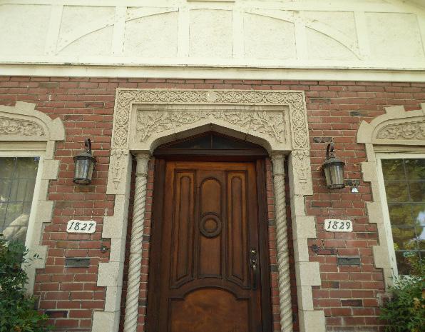
In addition to the Standards & Criteria Common to Sacramento's Historic Districts in Section 1, the following district-specific standards and criteria apply when planning a project in the Newton Booth Historic District.
Figure 210. Rooftop additions that are set back from the primary façade visually preserve the small scale and low heights of the historic district’s contributing buildings.
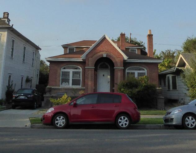 Section 2: Individual Historic
Newton Booth Historic
Sacramento Historic District Plans
Figure 209. Historic materials and decorative exterior features should be carefully preserved and maintained.
Section 2: Individual Historic
Newton Booth Historic
Sacramento Historic District Plans
Figure 209. Historic materials and decorative exterior features should be carefully preserved and maintained.
2.1 Design additions with proportions that do not visually dominate the modest scale and massing that is typical of contributing buildings in the district.
• Place additions on secondary rear and side elevations, to the extent feasible.
• Where additional height is considered, the height of new buildings should be no more than 150% of the height of surrounding contributing buildings.
• Consider using step backs to maintain the existing street façade height of adjacent contributing buildings
3.1 Design the proportions of new buildings to be compatible with the modest scale and typical 40-foot frontages of contributing buildings in the historic district.
3.2 Design the scale, massing, and proportions of new construction to be compatible with those of contributing buildings on the same block.
• Where additional height is considered, the height of new buildings should be no more than 150% of the height of surrounding contributing buildings.
• Consider using step backs for taller buildings to maintain the existing street façade height of adjacent contributing buildings.
3.3 Maintain the visibility of varying building shapes, heights, rooflines, and forms in the historic district.
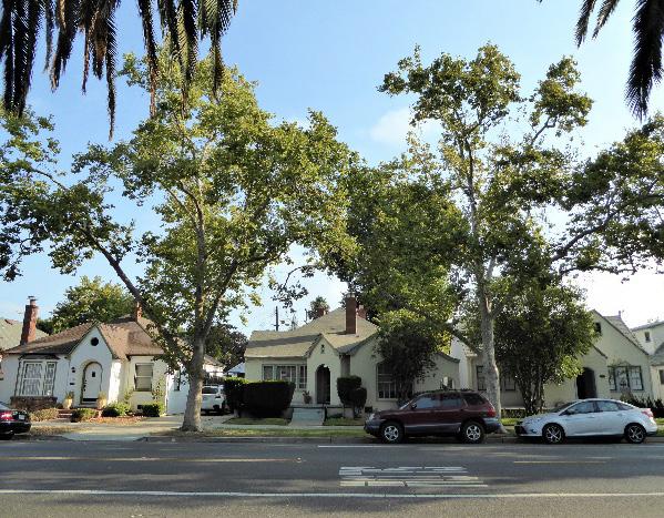
• Avoid designs that result in rows of identical new buildings.
3.4 Draw inspiration for the design of multi-family residential properties from contributing multifamily residential properties in the district.
• Courtyard apartments with street-facing entries are appropriate historic precedents.
Figure 213. The height of new buildings should be no more than 150% of the height of surrounding contributing buildings.

 Figure 211. Additions should not cause a building's height to exceed 150% of its historic height.
Figure 212. Newton Booth is primarily characterized by small, oneto two-story houses with 40-foot frontages facing the street.
Figure 211. Additions should not cause a building's height to exceed 150% of its historic height.
Figure 212. Newton Booth is primarily characterized by small, oneto two-story houses with 40-foot frontages facing the street.
3.5 Site new buildings to generally align with the setback of adjacent contributing buildings to maintain the district’s deep, uniform setbacks (approximately 20 feet) and wide front lawns.
3.6 Preserve the historic pattern and articulation of long, narrow 40’ x 160’ parcels, wherever possible.
• Consider breaking down the massing of large infill developments into smaller masses that reflect the historic lot pattern.
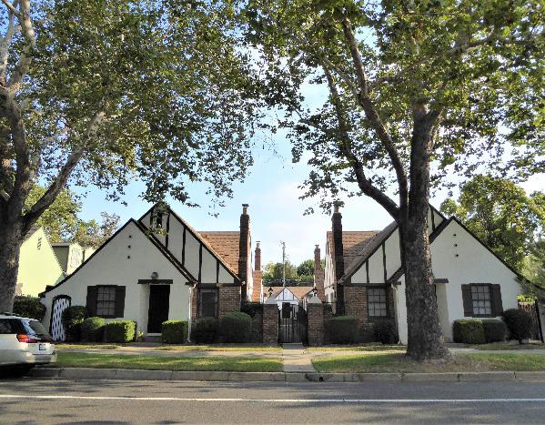
4.1 Preserve and maintain the historic open, planted character, size, and grade of front lawns.
• Avoid paving front lawns to create parking pads.
4.2 Preserve and maintain the narrow width of historic driveways and curb cuts.
4.3 Preserve and maintain the historic width and planted character of wide park strips.
4.4 Preserve and maintain the historic pattern of wide east-west streets and narrower northsouth streets.
5.1 On a typical unsplit parcel, set back alley infill buildings a minimum of 30 feet from the primary building on the parcel. If a parcel is split, set back alley infill buildings a minimum of 15 feet from the lot split.
5.2 The height of alley infill should be no more than 150% of the height of surrounding contributing buildings.
Newton
Sacramento Historic District Plans Final
Figure 214. Courtyard apartments provide a historic example for integrating higher density residential housing into the historic district.
Figure 215. Wide, planted park strips characterize many streets in the district.
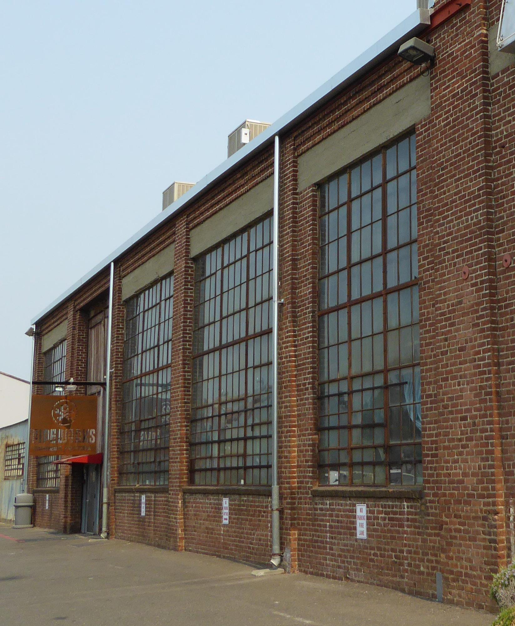
The North 16th Street Historic District is located in the northern portion of Sacramento’s original 1848 street grid along the blocks surrounding North 16th Street. The district is roughly bounded by former spurs of the Southern Pacific railroad tracks along Ahern Street to the west, Sproule Avenue to the north, the Blue Diamond Growers complex along 18th Street to the east, and the railroad tracks and levee on B Street to the south.
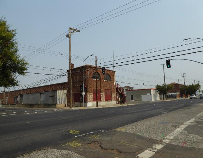
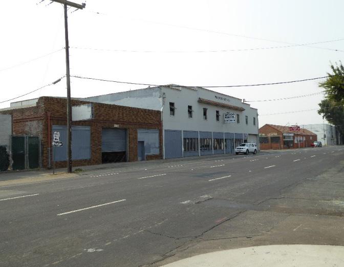
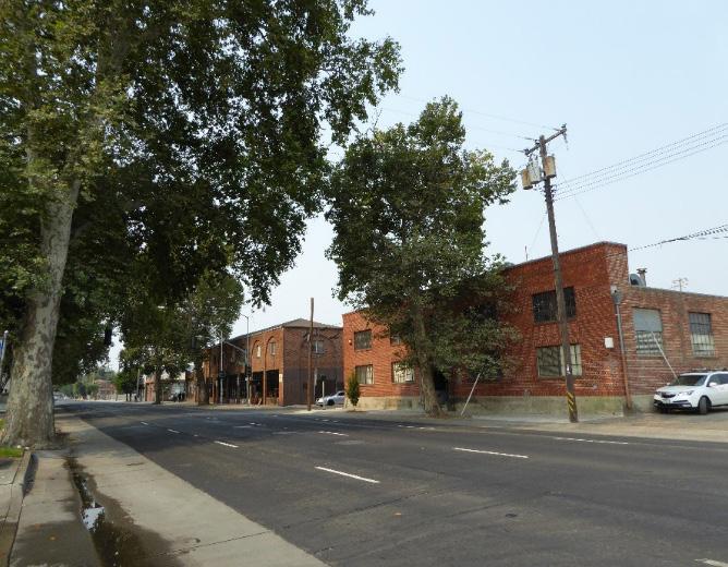
Figure 218. A row of one-story brick warehouses with raised concrete loading docks on North C Street, once part of the Triangle Produce Company.
 Section 2: Individual Historic District Plans North 16th Street Historic District Plan 270
Sacramento Historic District Plans Final
Figure 216. View, looking southwest along North 16th Street.
Figure 217. View, looking southeast along North 16th Street with the W.A. Ward Seed Company building in the middle.
Figure 219. The U-shaped Sacramento Produce Terminal building on North 16th Street.
Section 2: Individual Historic District Plans North 16th Street Historic District Plan 270
Sacramento Historic District Plans Final
Figure 216. View, looking southwest along North 16th Street.
Figure 217. View, looking southeast along North 16th Street with the W.A. Ward Seed Company building in the middle.
Figure 219. The U-shaped Sacramento Produce Terminal building on North 16th Street.
Section 2: Individual Historic District Plans
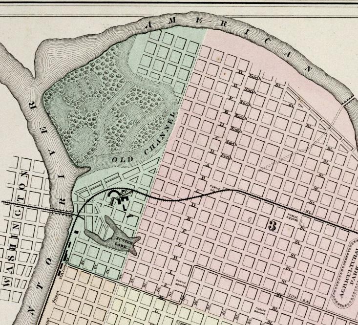
North 16th Street Historic District Plan 271
The North 16th Street Historic District preserves a concentration of buildings that were once part of a busy industrial and automotive corridor that grew up on the blocks surrounding North 16th Street to the north of Sacramento’s central city and directly east of the Central/Southern Pacific Railroad’s workshops.
Unlike most areas within Sacramento’s original street grid, North 16th Street never attracted substantial residential or commercial development. The street and its surrounding blocks were located near the channel of the American River, where flooding was common. After particularly devastating floods in the winter of 1861-1862, the Central Pacific Railroad, later renamed the Southern Pacific Railroad (S.P.R.R.) in the 1880s, agreed to construct a new northern levee along B Street to aid the city’s flood control efforts in return for the right to lay the tracks of its primary transcontinental route along a right-of-way on B Street.1 The levee and railroad tracks created a physical and visual barrier that cut North 16th Street off from the rest of the city, limiting transportation and access to the area. Additional efforts to protect the city from floods by redirecting the channel of the American River north in 1868 created a flood plain between this new channel and the city where North 16th Street was located. Because of its flood prone nature, development remained limited until 1905, when the original channel of the American River and the swamplands to the north of the river were reclaimed in the early twentieth century.2
1 Richard J. Orsi, “Railroads and the Urban Environment: Sacramento’s Story,” in River City and Valley Life: An Environmental History of the Sacramento Region, ed. Christopher J. Castaneda and Lee M.A. Simpson (Pittsburgh: University of Pittsburgh Press, 2013), 83-84.
2 Historic Environment Consultants, “River District Architectural and Historical Property Survey Update,” (report, City of Sacramento, 2009), 9-10.
Source: Library & Archives, California State Railroad Museum, Sacramento, CA, edited by Page & Turnbull.
Land reclamation efforts and improved transportation and access to the area north of the levee spurred development along North 16th Street. In 1915, the 16th Street Bridge was constructed across the American River as part of the Lincoln Highway, which included a section running down North 16th Street through the heart of Sacramento. The highway was the first coast-to-coast road in the United States
Sacramento Historic District Plans Final Figure 220. 1874 map of Sacramento, showing the original and new channels of the American River and north section of the city (1874).Section 2: Individual Historic District Plans
North 16th Street Historic District Plan 272
Source: Center for Sacramento History, Frank Christy Collection, 1998/722/0299.
and transformed 16th Street into a busy corridor for automobile and truck travel. Automobile camps and businesses oriented toward the automobile and trucking industries sprang up along the road to serve travelers.3 These included the headquarters for two major commercial trucking companies, the Mack Truck International Corp. and F.B. Hart Trucking Co., which occupied the building at 470 North 16th Street at separate times from 1929 until the late 1950s.4 Automotive repair shops, parts distributors, and gas and oil stations—such as the Western Body Co. at 235 North 16th Street, Russell Brothers Company at 215217 North 16th Street, and Flying “A” gas station at 318
3 Ibid., 9-10.
4 Paula Boghosian, “Mack Truck International Corp., Crest Carpet Co.,” (DPR 523, California Office of Historic Preservation, 2009).
North 16th Street—were also common along the busy automotive thoroughfare.5
Although some small residential subdivisions emerged in the area around North 16th Street, its proximity to the Southern Pacific Railroad’s workshops—and the railroad company’s increasingly noisy, congested, polluting, and dangerous industrial activities—made the street and its environs undesirable to most residents or commercial establishments and dictated that industrial development would dominate the area.6 Warehousing and distribution facilities were built in the early decades of the twentieth century, many of which served the agricultural industry and contributed to North 16th Street’s transformation into the principal produce distribution center for the region.7 The 1920s were a particularly busy period in which many agricultural companies constructed buildings in the area. In 1925, the W.A. Ward Seed Company built a storage, milling, and cleaning facility for agricultural seeds at 221 North 16th Street. The following year, the Triangle Produce Company occupied several buildings on North C Street, and the Sacramento Produce Terminal opened at 200 North 16th Street as a distribution hub for local produce companies.8
5 Paula Boghosian, “Western Body Company,” (DPR 523, California Office of Historic Preservation, 2009); Paula Boghosian, “Russell Brothers Company,” (DPR 523, California Office of Historic Preservation, 2009); Paula Boghosian, “Flying ‘A’ Gas Station Building,” (DPR 523, California Office of Historic Preservation, 2009).
6 “Railroads and the Urban Environment,” 89-90; Historic Environment Consultants, 10.
7 Paula Boghosian, “Sacramento Produce Terminal Building,” (DPR 523, California Office of Historic Preservation, 1998), 2.
8 Paula Boghosian, “W.A. Ward Seed Company,” (DPR 523, California Office of Historic Preservation, 2009); Paula Boghosian, “Triangle Produce Building,” (DPR 523, California Office of Historic Preservation, 2009); Paula Boghosian, “1501 N. C Street,” (DPR 523, California Office of Historic Preservation, 2009); Paula Boghosian, “Sacramento Produce Terminal Building.”
Other industries also moved into the area in the 1920s and 1930s, drawn by its easy access to several major transportation routes, including the primary tracks of the Southern Pacific Railroad and the Lincoln Highway, which later became State Route 160 and U.S. Route 40. Many of these distribution buildings and warehouses were constructed beside spurs of the Southern Pacific Railroad’s tracks and designed with curving sides to conform to the tracks.9 Schaw, Ingram, Batcher & Company (later the Sacramento Pipe Works), a steel pipe manufacturing plant, operated at the corner of North 16th and North B streets from 1923 through the 1970s.10 Other businesses in the area included beverage distribution companies, a manufacturing plant for heavy-duty scales, and oil storage facilities.11
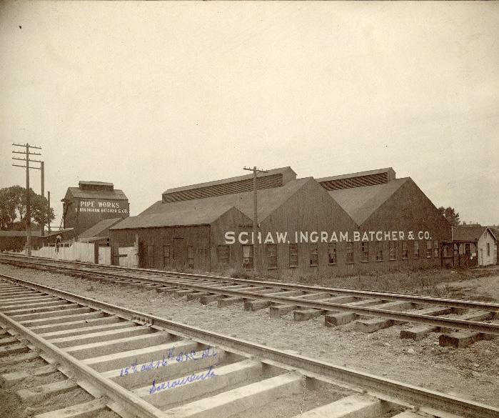
Tenants came and went over the decades, but fire insurance maps published by the Sanborn Map Company in 1952 show that an agricultural and industrial character persisted through the middle of the twentieth century. By then, the California Packing Corporation’s canning operations had expanded from its site on C Street to several buildings on North 16th Street, including the former Triangle Produce Company complex. The Sixteenth Street Bean and Grain Cleaner occupied facilities on the same block.12 Many automotive businesses continued to line the corridor, especially to the north where North 16th Street connected to two major freeways.
9 Boghosian, “Sacramento Produce Terminal Building,” 1.
10 Paula Boghosian, “Sacramento Pipe Works,” (DPR 523, California Office of Historic Preservation, 2009).
11 Paula Boghosian, “Acme Beverage Co.,” (DPR 523, California Office of Historic Preservation, 2009); Paula Boghosian, “1610-1620 North C Street,” (DPR 523, California Office of Historic Preservation, 2009).
12 Sanborn Map Company, Sacramento, California [map], vol. 1, 1915-Jan. 1951.
Sacramento Historic District Plans Final Figure 221. The Schaw, Ingram, Batcher & Co pipeworks situated along a spur of the Southern Pacific Railroad tracks (ca. 1900).North 16th Street’s status as a major distribution point for agricultural produce and automotive center began to shift in the 1960s. In 1963, the deep water channel of the Port of Sacramento opened in West Sacramento.13 The Port was built to serve as an inland port for the agricultural industry and specialized in the movement of agricultural goods.14 Its completion drew this kind of activity away from traditional shipping and distribution centers in Sacramento.15 Meanwhile, the construction of interstate highways around the city diverted automotive traffic from older transportation corridors, such as North 16th Street.16 By 1966, the railroad spurs that had played an integral role in the development of an industrial corridor along North 16th Street were taken out of service and removed.17
By the 1980s, many of the industries that had contributed to North 16th Street’s vibrance were declining. In 1981, the California Packing Company closed its Del Monte canning facilities, which had employed many Sacramentans. Blue Diamond Growers moved into the company’s canning facilities along the B Street levee a few years later. Also in 1981, the Southern Pacific Railroad’s workshops, which had driven much of the industrial development of North 16th Street, began to shrink in size and labor force. The
13 Steven Avella, Sacramento: Indomitable City (San Francisco: Arcadia Publishing, 2003), 124.
14 “Sacramento Deep Water Ship Channel Limited Reevaluation Report (LRR) with Project Economic Analysis,” (report, US Army Corps of Engineers, 2011), https://www.spn.usace.army.mil/portals/68/docs/srdwsc/appendix_e.pdf.
15 Environmental Science Associates, “R Street Corridor Historic District Survey Report,” (report, City of Sacramento Preservation Commission, 2017), 8.
16 William Burg, Sacramento’s K Street: Where Our City Was Born (Charleston, SC: The History Press, 2012), 137-183.
17 Dudek, “Cultural Resources Report for the Blue Diamond Growers (BDG) A Street Annex Building Project,” 2018, 20.
workshops finally closed in 1999.18
Throughout its history, North 16th Street’s predominately industrial character and isolation from the city had attracted homeless, transient, and offseason agricultural workers to the area, a characteristic that persists in the twenty-first century. The proximity of the Southern Pacific Railroad depot contributed to the influx of homeless men to the area, due to the subculture of “hobos” who traveled the country by jumping on and off freight trains.19 During the Great Depression, Hoovervilles of makeshift shelters sprang up along the American River, levees, and railroad tracks north of Sacramento. These encampments were home to thousands of unemployed workers.20
Drawn by the population of homeless and transients residing in the area, religious and charitable organizations, such as Loaves and Fishes, moved into several buildings along North 16th Street after the industrial and agricultural tenants moved out in the 1980s and began serving the surrounding community. They continue to occupy a large portion of the historic district, particularly the former industrial buildings on North C Street.21 Meanwhile, commercial and recreational businesses have replaced earlier agricultural and industrial tenants on North 16th Street.
Section 2: Individual Historic District Plans
North 16th Street Historic District Plan 273
18 Avella, 147-148.
19 Historic Environment Consultants, 12.
20 Gary Brechin and Lee M.A. Simpson, “Unseen Investment: New Deal Sacramento,” in River City and Valley Life: An Environmental History of the Sacramento Region, ed. Christopher J. Castaneda and Lee M.A. Simpson (Pittsburgh: University of Pittsburgh Press, 2013), 187.
21 Historic Environment Consultants, 13.
Sacramento Historic District Plans FinalSection 2: Individual Historic District Plans
North 16th Street Historic District Plan 274
The North 16th Street Historic District was designated for listing on the Sacramento Register of Historic and Cultural Resources by the City Preservation Commission in 2011 in Ordinance #2011-011. At that time, it was determined to meet all of the requirements and factors for listing as defined by Sacramento City Code.
The following table provides a current evaluation of significance under the requirements and considers the factors based on the above historic district context and the 2018 historic district survey. Additionally, this historic district relates to the Agricultural; Railroad; and World War II, Transportation, and Redevelopment Context Statements of the city’s General Plan Technical Background Report.
(a) The North 16th Street Historic District meets requirement (a) for listing on the Sacramento Register, because it is a geographically definable area.
(b)(i) The North 16th Street Historic District meets requirement (b)(i) for listing on the Sacramento Register as an area that possesses “a significant concentration or continuity of buildings unified by: (A) past events or (B) aesthetically by plan or physical development.”
The properties in the district are unified aesthetically and thematically by their development in one of Sacramento’s primary industrial centers. The design and development of the buildings reflect their original industrial function and share similar patterns of development and design. They were strategically located along spurs of the railroad and the major highway connection of North 16th Street in order to efficiently transport goods to market. Reflecting their utilitarian use, the buildings were constructed largely out of unpainted brick in vernacular styles with minimal decoration or embellishment. Many buildings include loading bays and curve to conform to the adjacent railroad tracks. The continuous use of several of these buildings for industrial or commercial purposes is a testament to the functionality of their design. Despite decades of use, renovations, and in some cases neglect, the buildings continue to reflect their historic character.
(b)(ii) The North 16th Street Historic District meets requirement (b)(ii) for listing on the Sacramento Register as an area “associated with an event, person, or period significant or important to city history.”
The historic district preserves a collection of buildings that are representative of Sacramento’s role as the main terminal and produce distribution point for the region’s agricultural industry from the early- to mid-twentieth century. In particular, the resources in the district reflect the invaluable connection between the establishment of the Central and Southern Pacific Railroads in Sacramento and the growth of these agricultural industries, both of which represented the major employers for the city’s workforce and contributed to Sacramento’s development into a major metropolitan city.
(c) The North 16th Street Historic District meets requirement (c) for listing on the Sacramento Register as it aligns with the goals and purposes of historic preservation in Sacramento, as well as the city’s other goals and policies. Per the Sacramento City Code, the preservation of the district enhances the “city’s economic, cultural and aesthetic standing, its identity and its livability, marketability, and urban character.”
Sacramento Historic DistrictThe period of significance for the North 16th Street Historic District begins with the reclamation of the former channel of the American River and surrounding area by 1905, after which development of the industrial corridor began, and ends with the opening of the Port of Sacramento in 1963, which diverted agricultural shipping and distribution activity away from North 16th Street.
(a) Factor (2)(a) states that “a historic district should have integrity of design, setting, materials, workmanship and association.” The North 16th Street Historic District retains sufficient integrity to meet this factor for consideration as a historic district.
(b) Factor (2)(b) states that “the collective historic value of the buildings and structures in a historic district taken together may be greater than the historic value of each individual building or structure.” The North 16th Street Historic District meets this factor because its buildings and structures represent a significant and distinguishable entity whose collective historic value is greater when taken as a whole.
Section 2: Individual Historic District Plans
North 16th Street Historic District
The following table is based on the list of character-defining features in Ordinance #2011-011 and revised based on the 2018 historic district survey.
Use • Primarily industrial buildings with some commercial buildings concentrated along 16th Street
Mass & Form • Various sized one- to two-and-and-one-half story buildings (with high floor to ceiling dimensions), ranging from large footprint warehouse/distribution/manufacturing buildings to smaller accessory or commercial buildings
• Some exterior walls curve along adjacent rail spur alignments
• Interiors of many are large open areas
Cladding • Predominately unpainted brick, corrugated metal, reinforced concrete, concrete block, plaster, or wood siding
• Wood timber truss or metal support structures
Roofs • Flat or bowed roofs, often with stepped, arched, or variously shaped parapets
• Corrugated metal or clay tile roofs
Entries & Doors • Large truck bays, concrete loading docks, truck ramps primarily located along the eastwest streets
Windows
• Industrial metal sash windows
• Some commercial buildings with large, showroom windows on first stories, generally along North 16th Street
Ornamentation
• Spanish Revival details, such as clay tile ornaments
• Decorative cornices
• Blind arches
Property Landscape
Streetscape
• Most buildings and structures are built to property lines and oriented to transportation alignments, whether streets or railroad tracks for car-, truck-, or rail-related operations
• Minimal or no property landscaping
• Most east-west streets and rail spur alignments dominated by transportation and loading functions and are not developed with standard curbs, gutters, sidewalks, planter strips, or street trees
• Railroad tracks of the rail spurs
The following map shows the boundaries and location of the North 16th Street Historic District. view the statuses of individual properties as contributing or non-contributing resources to the historic district, refer to the Sacramento Register of Historic and Cultural Resources.
Section 2:
North 16th Historic
Preserve the defining visual characteristics of this historic industrial and commercial corridor while encouraging a diverse range of businesses and mixeduse development that increases use and improve safety and walkability.
1.1 Preserve and enhance the historic street-facing orientation of primary building facades and entrances.
1.3 Avoid painting or applying new finishes on historically unpainted exterior masonry, particularly where historic painted signs (ghost signs) are present.
The North 16th Street Historic District contains a significant concentration of industrial and commercial buildings related to Sacramento’s railroad and agricultural history that has the potential to become a vibrant mixed-use neighborhood like the R Street Historic District. While the buildings are generally large in scale and share similar utilitarian materials and design features, they also exhibit a variety of floorplan shapes, roof forms, and façade treatments that create a visual richness from which future development in the area could draw inspiration. Underutilized buildings, vacant parcels, and parking lots in the historic district present opportunity sites for future development; however, the district’s location along a busy arterial highway, presence of homeless services and tent cities, and minimal streetscape improvements has historically depressed development that would increase foot traffic and introduce new uses to the area.
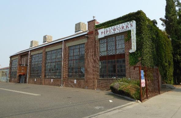
In addition to the Standards & Criteria Common to Sacramento's Historic Districts in Section 1, the following district-specific standards and criteria apply when planning a project in the North 16th Street Historic District.
1.2 Preserve, repair, and maintain any surviving steel frame windows, which significantly contribute to the industrial character of the district.
• Reinstate multi-lite steel or wood frame windows, where they have been removed, if there is adequate documentation and if feasible.
• Replace missing historic street-facing windows where feasible, if there is adequate documentation to inform design.
• Consider removing paint or finishes from historically unpainted exterior masonry, using the gentlest methods possible, during exterior repairs or renovations.
• Maintain paint on exterior masonry where likely to be the historic condition.
1.4 Restore window and door openings that have been covered or filled in, where appropriate.
1.5 Preserve and reuse historic loading platforms.
• Encourage reuse of these platforms as part of streetscape improvements to enhance the pedestrian experience.
• Recreate historic loading platforms using concrete or other compatible material.
1.6 Retain existing historic awnings, where possible.
Sacramento Historic District Figure 223. Building facades and entrances in the district are oriented toward the street. Figure 224. Steel frame windows have been preserved and maintained in this adaptively re-used building.2.1 Design additions with proportions that are compatible with the primarily low, horizontal massing of contributing buildings in the district.
• Additions on secondary rear and side elevations are preferred in most situations.
• Where rooftop additions are desired, use step backs in order to maintain the existing street façade height of the contributing building.
• Respect open areas that are part of historic configuration or building siting, such as open areas at loading or service zones, to the extent feasible.
3.1 Orient taller building masses and primary facades of new construction toward North 16th Street.
• Use step backs to maintain the existing street façade height of adjacent contributing resources.
3.2 Maintain the visibility of varying building profiles, shapes, and forms in the historic district.
• Avoid designs that result in rows of identical facades or buildings.
3.3 Preserve the historic pattern of siting new buildings with a zero-lot-line setback from the street.
3.4 Use materials that are compatible with the industrial or commercial character of adjacent contributing buildings.
• The use of brick, corrugated metal, steel casement windows and other utilitarian materials that are visible on adjacent contributing buildings is encouraged.
3.5 Incorporate awnings that reference the form, scale, and materials of historic awnings.
3.6 Draw inspiration for building footprints from the variety of footprints that are visible in contributing buildings in the historic district, ranging from rectilinear to curved or U-shaped.
Figure 225. Open areas, such as the courtyard in this U-shaped produce distribution building, reflect their historic use as spaces for vehicle maneuvering.
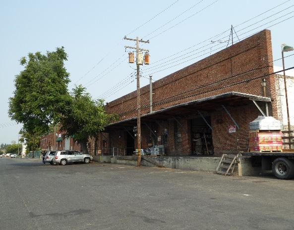
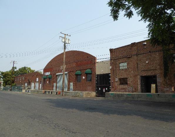
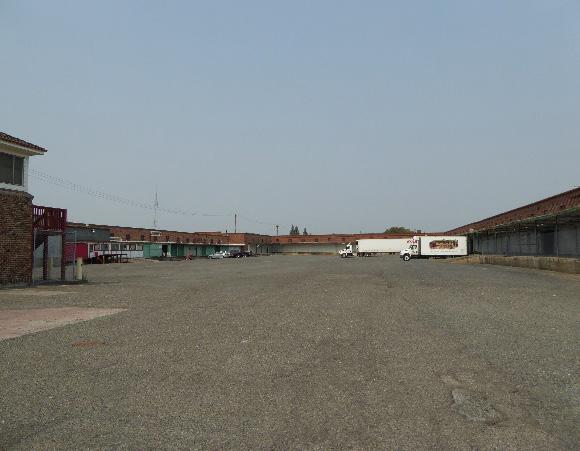
Figure 226. Buildings in the district have little or no setback from the street and exhibit a variety of roof shapes.
Figure 227. Historic awnings on contributing buildings may serve as an inspiration for the addition or design of compatible new awnings.
3.7 Design roofs to maintain the visual variety of roof lines exhibited by contributing buildings, including medium- or low-pitched gabled, flat, or rounded roofs, and square, stepped, or rounded parapets.
3.8 Follow pattern of large garage door openings that open out onto raised platforms (historically loading bays).
3.9 Set back or break down new construction into smaller modules to preserve the historic use of open areas as vehicle maneuvering spaces, while allowing for a more active use.
4.1 Pursue a “complete street” approach that enhances pedestrian safety while preserving the historic district’s minimally landscaped industrial character.
4.2 Explore the addition of public art that corresponds to the district’s industrial scale.
4.3 Add sidewalks that are compatible with the district’s industrial character to improve pedestrian safety and encourage additional foot traffic.
• Develop a street furnishing and lighting palette that is industrial in character, scale, and material.
4.4 Preserve and enhance the visibility of surviving physical elements that are associated with the railroad spurs that historically serviced the area (i.e. tracks, siding, end-of-track bumpers).
• Explore developing pedestrian paths and circulation around former railroad track routes.
4.5 Provide site and landscape features that address curved building facades where railroad spurs influenced building shape.
4.6 Remove chain link fences and barbed wire where consistent with the property's use.
• Replace chain link fences with fences that are of a compatible material and height to historic or compatible new fences at contributing properties in the historic district
Figure 228. Features associated with the historic presence of railroad spurs enhance the historic character of the district.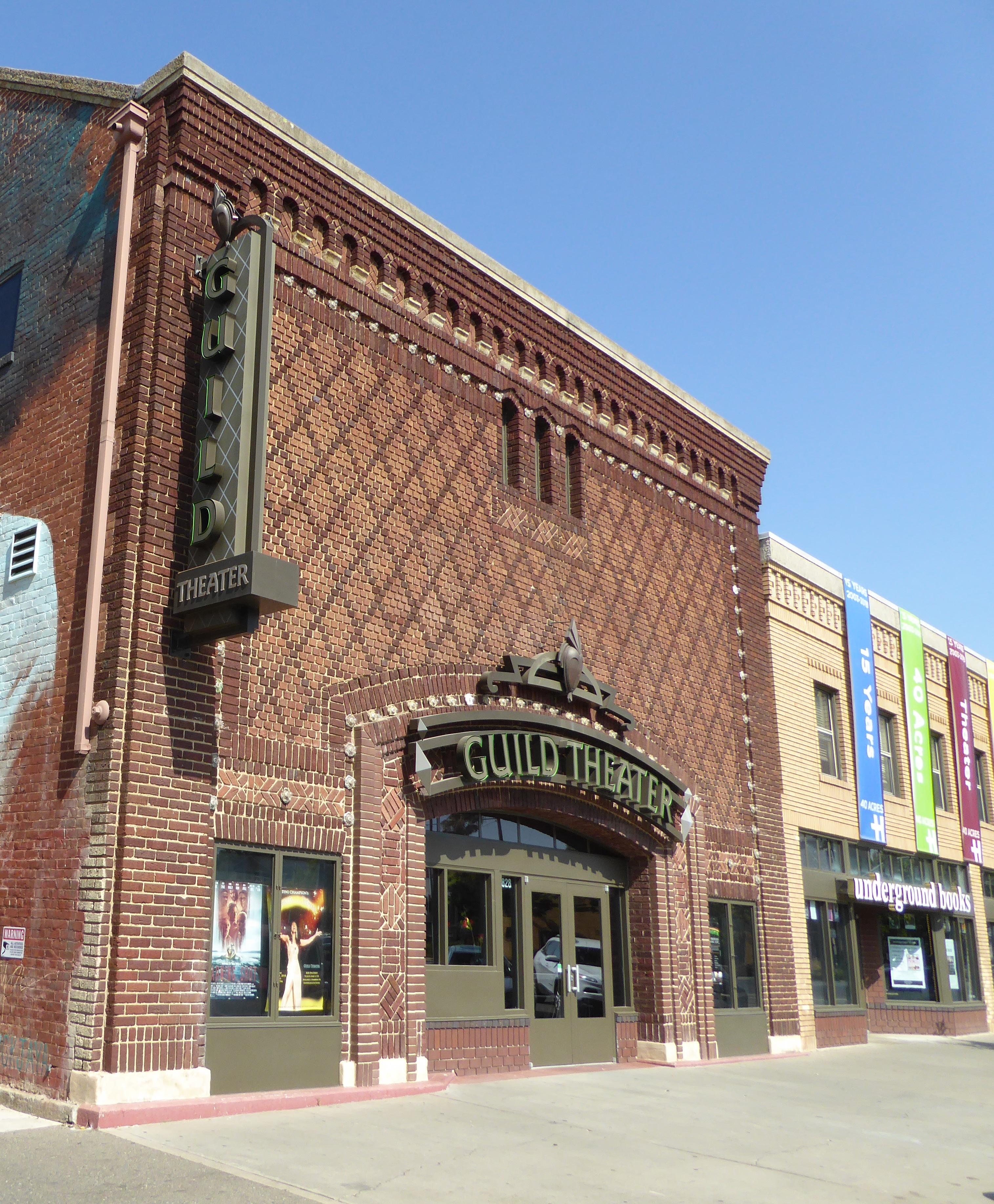
The Oak Park Historic District is located to the southeast of Sacramento’s original 1848 city limits and consists primarily of a commercial corridor and a few perimeter single-family houses that are situated on the blocks immediately surrounding Broadway between 33rd and 36th streets. The district is bounded on the west by 33rd and 34th streets and on the northeast by a zig-zagging line that weaves along Broadway at 2nd, 3rd, and 4th avenues before turning northwest along 4th Avenue and up 34th Street to 3rd Avenue.
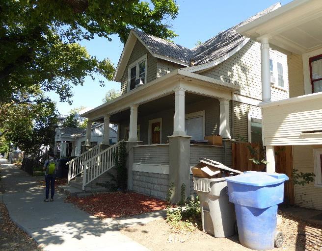
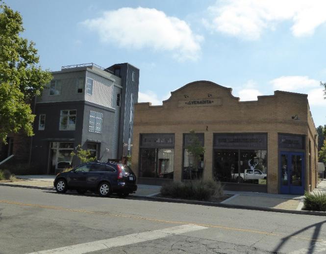
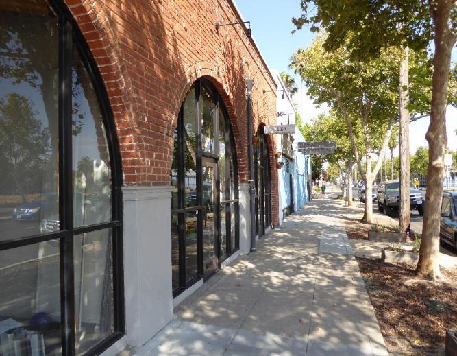
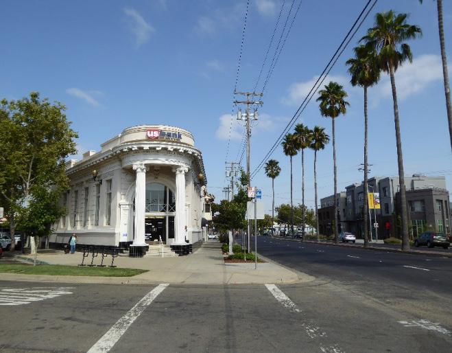 Sacramento Historic District Plans Final
Figure 229. Bank building at the corner of Broadway and 3rd Avenue. To the right, narrow medians, planted with rows of palms, run down the center of Broadway.
Figure 230. A variety of one-story commercial buildings, mostly brick, line Broadway.
Figure 231. A One-Part Commercial Block building with a Missionstyle parapet sits next to an infill housing development.
Figure 232. Commercial development on Broadway gives way to single- and multi-family residences on the perimeter of the district.
Sacramento Historic District Plans Final
Figure 229. Bank building at the corner of Broadway and 3rd Avenue. To the right, narrow medians, planted with rows of palms, run down the center of Broadway.
Figure 230. A variety of one-story commercial buildings, mostly brick, line Broadway.
Figure 231. A One-Part Commercial Block building with a Missionstyle parapet sits next to an infill housing development.
Figure 232. Commercial development on Broadway gives way to single- and multi-family residences on the perimeter of the district.
The Oak Park Historic District was originally part of the 230-acre William Doyle ranch, located outside and to the southeast of Sacramento’s 1848 city core. In 1887, real estate developer, Edwin K. Alsip, subdivided the ranch and renamed it “Oak Park” after an eight-acre grove of oak trees that grew in its center. Alsip, who also owned the Central Street Railway Company, extended the streetcar line from 2nd and H streets downtown to Oak Park – where it terminated at a public park, also known as Oak Park (now McClatchy Park) – thus creating Sacramento’s first streetcar suburb.
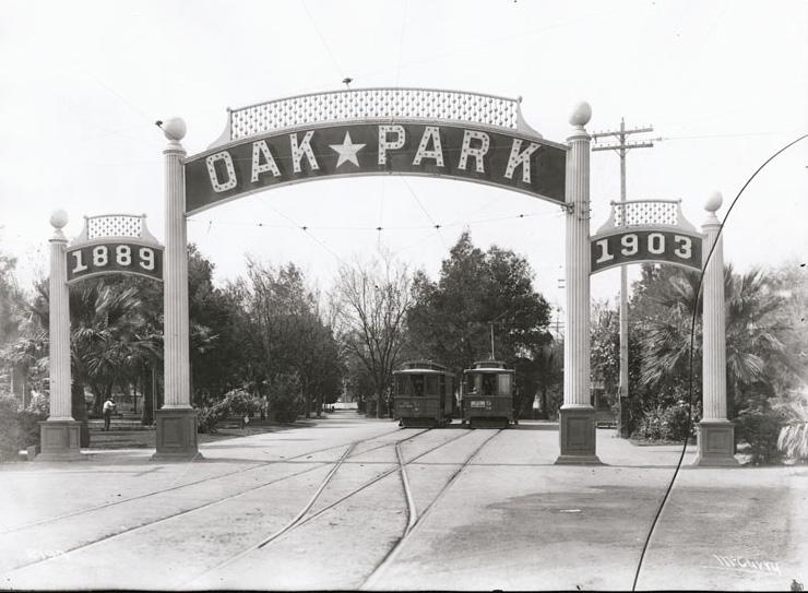
Development was slow in the beginning. The first parcels were purchased by real estate speculators, who held onto the land with the intention of reselling it at a higher price, and because Oak Park was not part of the City of Sacramento, it did not have access to the city’s sewer and water systems. Low-income residents moved in first, attracted by the low price of land and the lure of “no city taxes.”1 Hoping to lure more residents to the area, the investors of the Central Street Railway Company built an amusement park at the streetcar line’s terminus at Oak Park in 1894. Known as Joyland, the park included a dance floor, concert pavilion, concession stand, and later an outdoor theater, roller-skating rink, and other attractions.2
In 1906, the California State Fair relocated from downtown to a new fairground on Stockton Boulevard, east of Oak Park. This, along with the addition of another streetcar line operated by the Central
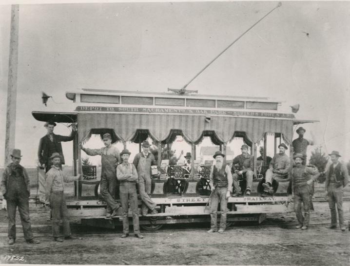
1 William Burg, “A Brief History of Oak Park,” Midtown Monthly, February 1, 2010, http://www.midtownmonthly.net/life/a-brief-history-of-oak-park/ 2 Niki Kangas, “Joyland,” Midtown Monthly, 1 February 2010, http://www. midtownmonthly.net/life/joyland/
California Traction Co., and the general improvement of economic conditions after 1900 brought more people to the area. In 1911, with the population expanding and pressures growing to address water and sewage issues, Oak Park was finally annexed into the City of Sacramento along with several other outlying neighborhoods. It was the first expansion of the city since it was platted in 1848.3
Oak Park developed into a middle-class residential suburb with its own commercial district centered around Sacramento Avenue (now Broadway) from 31st to 35th streets. Brick shopfronts, theaters, and other cultural and institutional buildings sprang up along the streetcar line that traversed the 100-footwide main artery, replacing older, fire-prone wooden buildings. Local residents found employment nearby at the California State Fair Grounds, Libby, McNeil & Libby cannery on Alhambra and Stockton Boulevard, and the California Highway Commission at 34th and R streets.4 After the Depression and World War II, many of Oak Park’s middle-class families and businesses relocated to automobile suburbs farther from the city center. The migration of middle-class residents opened the door to African American residents, who were being pushed out of their previous homes in the West End by redevelopment projects and prohibited from settling in other neighborhoods by discriminatory housing covenants. As a result, Oak Park developed a new cultural identity as an African American neighborhood. The Shiloh Baptist Church relocated from downtown to Oak Park in 1957, and in 1958 George Seabron, who worked for fair
3 Burg.
4 “Oak Park Historic District,” (Ordinance #2007-094 and #2008-11, Sacramento Register of Historic and Cultural Resources, 2014), 2.
Figure 234. Streetcar tracks leading to the entrance to Oak Park (1910). Source: California History Room, California State Library, Sacramento, California.
Sacramento Historic District Plans Final Figure 233. Central Street Railway streetcar to Oak Park (ca. 1890). Source: California History Room, California State Library, Sacramento, California.housing with the NAACP and Urban League and on the campaigns of Governor Edmund “Pat” Brown and Hubert Humphrey, began selling real estate in Oak Park to Sacramento’s African American community. Other social organizations and cultural institutions followed, such as the Sacramento Observer, a weekly African American newspaper; Women’s Civic Improvement Club; and Sacramento Black Panther Party.
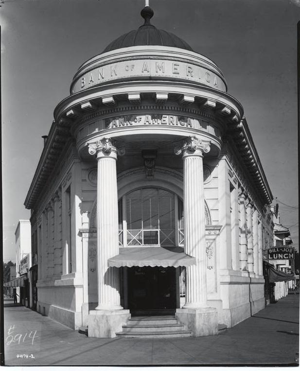
The end of streetcar service in 1946, combined with the construction of U.S. Highway 50 and U.S. Highway 99 in the 1950s and 1960s, cut Oak Park off from the rest of the city and exacerbated growing social issues caused by increasing levels of poverty. In 1968, the State Fair relocated to its current location at CalExpo, removing another major economic driver from the area. Social tensions erupted in confrontations between local residents and the police, first in the 1969 Oak Park Riots and again in 1970 after the shooting of a police officer resulted in the arrest of four Black Panther Party members.5 After the riots, several of Oak Park’s long-standing businesses, including Steen’s Bar and Clarence Azevedo’s clothing store, closed down and never reopened. Meanwhile, urban renewal projects led to the demolition of most of Oak Park’s historic business district along 35th Street.
More recently, Oak Park has experienced a period of urban revitalization. An influx of Latino and Asian residents and an increase in white collar jobs, especially at the nearby U.C. Davis Medical Center, have shifted the neighborhood’s demographics and brought new residents and businesses to the area. The City has adopted a master plan for McClatchy Park, and redevelopment projects, such as the restoration of the Guild Theater and Lewis Building, now focus on historic preservation and infill development with the goal of creating a socially and ethnically diverse community.6
5 Burg.
6 Robin Datel, “Central Oak Park Walking Tour, Sacramento, California,” (brochure, California State University Sacramento, Department of Geography), 5.
Sacramento Historic District Plans Final Figure 235. The Bank of America building at the corner of Broadway and 3rd Avenue (1944). Source: California History Room, California State Library, Sacramento, California.The Oak Park Historic District was designated for listing on the Sacramento Register of Historic and Cultural Resources by the City Preservation Commission in 2007 in Ordinance #2007-084 and revised in 2008 in Ordinance #2008-011. At the time of its designation, the district was determined to meet all three of the requirements and both of the factors for listing as defined by Sacramento City Code.
The following table provides a current evaluation of significance under the requirements and considers the factors based on the above historic district context and the 2018 historic district survey. Additionally, this historic district relates to the Railroad Context Statement of the city’s General Plan Technical Background Report.
(a) The Oak Park Historic District meets requirement (a) for listing on the Sacramento Register, because it is a geographically definable area.
(b)(i) The Oak Park Historic District meets requirement (b)(i) for listing on the Sacramento Register as an area that possesses “a significant concentration or continuity of buildings unified by: (A) past events or (B) aesthetically by plan or physical development.”
The district contains a concentration of buildings that are unified by their association with Oak Park’s development as a streetcar suburb that became a uniquely self-sustaining community outside of Sacramento’s 1848 core. Oak Park was first subdivided in 1887, but the majority of development did not take place until after the neighborhood was annexed into the city of Sacramento in 1911. Commercial, civic, and cultural buildings were concentrated along the Central Street Railway streetcar line, which connected residents to downtown Sacramento. The line operated through Oak Park along Sacramento Avenue (Broadway) and turned down 35th Street to its terminus at the Joyland amusement park. These buildings, most of them constructed in brick during the 1910s and 1920s, replaced earlier wooden buildings and represented many of Oak Park’s most important businesses and institutions. The concentration of important businesses along a busy, central artery formed a second downtown with a main street like those in many California towns in the early twentieth century. The Oak Park Historic District contains the remnants of this once vital commercial and recreational corridor, as well some of the residences that were built in the neighborhood during its development in the late nineteenth and early twentieth century.
Sacramento Historic DistrictThe period of significance for the Oak Park Historic District begins with the neighborhood’s subdivision in 1887 and concludes with the Oak Park Riots in 1969, after which many long-standing businesses closed and never reopened. Types
(b)(ii) The Oak Park Historic District meets requirement (b)(ii) for listing on the Sacramento Register as an area “associated with an event, person, or period significant or important to city history.”
The district is associated with the development of streetcar suburbs on previously rural, agricultural land of outlying areas outside of Sacramento’s original street grid. Oak Park became Sacramento’s first streetcar suburb when Edwin K. Alsip subdivided the land that had previously been part of William Doyle’s farm and extended the Central Street Railway streetcar line to it in 1887. The neighborhood’s first residents were attracted by the availability of affordable and plentiful land, lack of city taxes, and access to streetcar service that could transport them to their places of work downtown. By 1911, Oak Park and several other residential neighborhoods outside Sacramento had grown enough that they were formally annexed into the city. The incorporation of these new neighborhoods into Sacramento was the first formal expansion of the city’s boundaries since it was first laid out in 1848 and represented the beginning of a trend that continued throughout the rest of the century as the growing city continued to annex additional, surrounding suburbs and subdivisions.
Additionally, Oak Park is significant for its association with the 1969 Oak Park Riots during which Sacramento police engaged in a shootout with the Sacramento chapter of the Black Panther Party. The event led to the closure of many longstanding businesses in the neighborhood and departure of residents from the area.
(c) The Oak Park Historic District meets requirement (c) for listing on the Sacramento Register as it aligns with the goals and purposes of historic preservation in Sacramento, as well as the city’s other goals and policies. Per the Sacramento City Code, the preservation of the district enhances the “city’s economic, cultural and aesthetic standing, its identity and its livability, marketability, and urban character.” of Significance:
(a) Factor (2)(a) states that “a historic district should have integrity of design, setting, materials, workmanship and association.” The Oak Park Historic District retains sufficient integrity to meet this factor for consideration as a historic district.
(b) Factor (2)(b) states that “the collective historic value of the buildings and structures in a historic district taken together may be greater than the historic value of each individual building or structure.” The Oak Park Historic District meets this factor because its buildings and structures represent a significant and distinguishable entity whose collective historic value is greater when taken as a whole.
SacramentoThe following table is based on the list of character-defining features in Ordinance #2007-094 and revised based on the 2018 historic district survey.
Use • Predominately late nineteenth- and early twentiethcentury commercial buildings mixed with a few residential, institutional, civic, and recreational buildings
Mass & Form
Cladding
Roofs
Entries & Doors
Windows
• Residential buildings primarily located on streets radiating off Broadway to the north and south
• One- and two-story commercial, recreational, and residential buildings
• Commercial buildings typically have storefronts on first story and residential units above
• Exteriors of commercial, civic/institutional, and recreational buildings predominately brick, sometimes in decorative patterns or covered in stucco
• Exteriors of residential buildings predominately clad in wood siding, typically two- or three-lap siding or shingles
• Predominately flat roofs, often with square or Missionstyle parapets; few side-gabled roofs
• Houses with prominent front-facing gables
• Some red clay tile roofs
• Recessed, central entrances facing Broadway
• Corner or flatiron-style entries facing the intersection of cross streets
• Wood or metal-framed storefront windows, many with multi-lite transoms
• Punched, double-hung wood windows on upper floors
Ornamentation
• Neoclassical details on some commercial buildings, including Corinthian columns, rusticated first stories, and dentils along cornice
• Prairie details on some commercial buildings, including wide overhanging eaves and geometrical motifs
• Queen Anne and Stick/Eastlake details on some residential buildings, including incised brackets under roof eaves; slender, turned porch posts and balusters; patterned shingles on gabled ends, and turrets
• Craftsman details on some residential buildings, such as exposed rafter tails, wood braces, tapered square columns, and low shed dormers
Property Landscape
Streetscape
Oak Historic
• Minimal or no property landscaping
• Angled cut of Broadway through grid, creating the opportunity for “Flatiron” style corner buildings
• Rows of mature, evenly spaced, California fan palms planted in narrow medians down the center of Broadway
• Rows of mature, evenly spaced, deciduous street trees planted in parking strips along north-south residential streets
The following map shows the boundaries and location of the Oak Park Historic District.
To view the statuses of individual properties as contributing or non-contributing resources to the historic district, refer to the Sacramento Register of Historic and Cultural Resources.
Sacramento Historic District
Preserve and maintain the historic character of the Oak Park Historic District as the core of Sacramento’s earliest streetcar suburb outside the Central City, while encouraging compatible new development that enhances this character.
1.1 Make every effort to preserve, repair, and maintain any surviving metal or wood frame windows, which significantly contribute to the commercial character of the district.
The Oak Park Historic District preserves the historic commercial core and several adjacent residential properties of the Oak Park neighborhood, a streetcar suburb that developed outside Sacramento’s original street grid in the late nineteenth century. The contributing buildings in the district are wellpreserved and many have been continuously adapted and re-used, forming a vibrant cultural and commercial center for the surrounding neighborhood. The district has experienced an increase in recent development and reinvestment, which, along with the strong stock of historic buildings and number of vacant parcels and parking lots, present the opportunities that are likely to continue to attract new development to the area.
In addition to the Standards & Criteria Common to Sacramento's Historic Districts in Section 1, the following district-specific standards and criteria apply when planning a project in the Oak Park Historic District.
• Re-instate multi-lite metal or wood frame windows, where they have been removed, if there is adequate documentation and if feasible.
1.2 Avoid filling in or obstructing historic window or door openings.
1.3 Re-open historic window and door openings that have been filled in.
• Use compatible new windows and door materials, types, and forms.
1.4 Avoid painting or applying new finishes on historically unpainted exterior masonry, particularly where historic painted signs (ghost signs) are present.
• Consider removing paint or finishes from historically unpainted exterior masonry, using the gentlest methods possible, during exterior repairs or renovations.
• Maintain paint on exterior masonry where likely to be the historic condition.
2.1 Design additions with proportions that are compatible with the primarily horizontal or box-like massing of contributing buildings in the district.
• Place additions on secondary rear and side elevations, when possible.
• Where rooftop additions are desired, use step backs in order to maintain the existing street façade height.
2.2 Use durable, high-quality materials that are compatible with the materials of adjacent contributing buildings in the district such as stone or brick.
Figure 237. Commercial buildings with brick cladding are characteristic of the district.
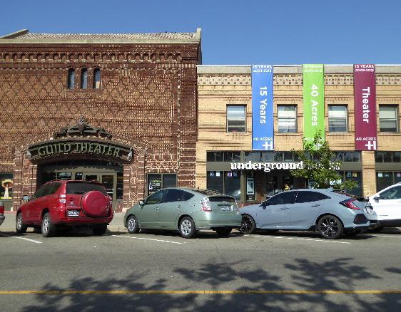 Sacramento Historic
3.1 Provide a building setback that generally aligns with and is reflective of the existing pattern of setbacks in front of contributing commercial and residential buildings in the district.
3.2 Design new commercial construction to be as compatible with the scale, height, massing, orientation, materials, architectural character, and pedestrian-oriented landscaping of the historic district as possible.
• Where buildings taller than the surrounding contributing buildings are proposed, consider using step backs to maintain the existing street facade height of adjacent contributing buildings.
• Taller heights and larger masses may be appropriate for buildings sited at street corners along Broadway.
3.3 Draw inspiration for the design of new commercial and mixed-use properties from contributing commercial and mixed-use properties in the district.
3.4 Consider corner entries that face the primary street frontages for the primary entrance of a new building that is sited at an intersection of two streets or abuts a public plaza.
4.1 Preserve, maintain, and where necessary, repair or replant historic features and plantings in the landscaped medians on Broadway.
• If it becomes necessary to replace mature palm street trees, replace them in kind with the same species or a compatible species that will grow to a similar height, size, and form.
4.2 Maintain, preserve, and, where necessary, repair and restore historic lighting and signage features.
Figure 238. These new buildings reference the height, scale, materials, and flatiron form of contributing historic buildings in the district.
4.3 Use signage methods, materials, and proportions that are reflective of those of historic signage used on contributing properties within the district.
4.4 Encourage a streetscape palette, including lighting, street furniture and street tree planting pattern, that is compatible with the materials, scale, and architectural character of the district.
4.5 Preserve and maintain historic horse rings in their historic locations.
4.6 Avoid creating new curb cuts along Broadway.
• Locate parking and service access along side streets and alleys, and use landscaping features to screen from the public right-ofway wherever possible.
4.7 Consider dedicating recaptured right-of-way space for plaza use, similar to 3rd Avenue and Broadway.
Figure 239. This new signage is compatible with the scale, materials, and pedestrian-orientation of the district.
Figure 240. The regular rows of palms in the medians and diagonal alignment of Broadway are a character-defining features of the district.
 Sacramento Historic District
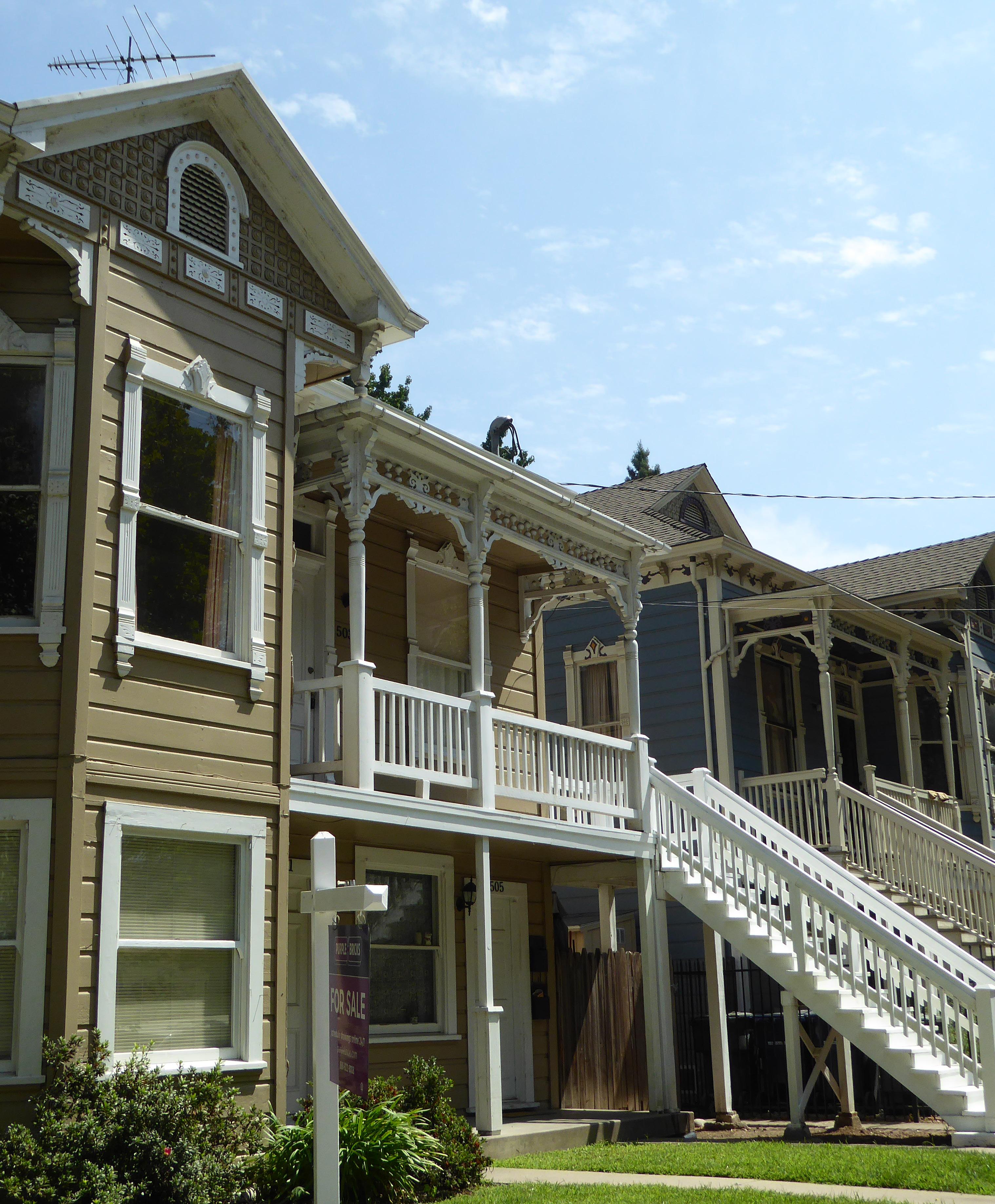
The Old Washington School Historic District (formerly Washington Historic District) is a primarily residential area located within Sacramento’s original 1848 street grid and is roughly bounded to the east and west by commercial development along 12th and 16th streets, to the north by industrial development along C Street, and to the south by mixed commercial and institutional development along G Street.
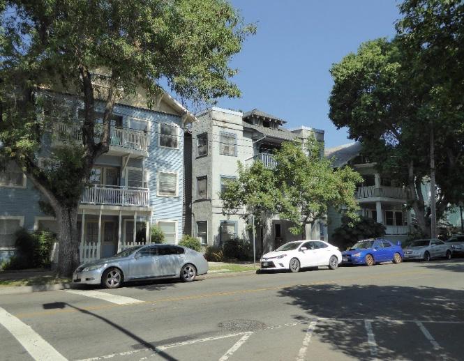
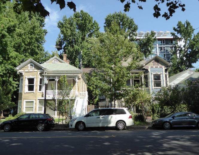
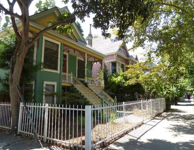
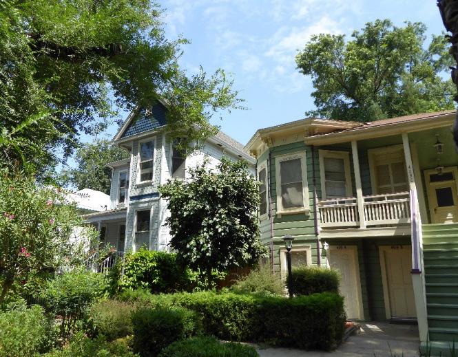 Section Individual Historic District Old Washington School Historic District Plan
Sacramento Historic District Plans Final
Figure 241. The Old Washington School Historic District contains houses built in a variety of Victorian styles.
Figure 242. A row of Queen Anne style houses on 15th Street between E and F streets.
Figure 243. Modern infill (background) borders the district to the east.
Figure 244. A group of tall, turn-of-the-century apartment buildings on G and 14th streets.
Section Individual Historic District Old Washington School Historic District Plan
Sacramento Historic District Plans Final
Figure 241. The Old Washington School Historic District contains houses built in a variety of Victorian styles.
Figure 242. A row of Queen Anne style houses on 15th Street between E and F streets.
Figure 243. Modern infill (background) borders the district to the east.
Figure 244. A group of tall, turn-of-the-century apartment buildings on G and 14th streets.
The Old Washington School Historic District preserves a portion of the Washington neighborhood, one of Sacramento’s oldest residential neighborhoods that developed along the city’s first streetcar lines in the 1870s. The neighborhood is named after the Washington Elementary School, which moved from its original location at 13th and G streets to the intersection of 18th and E streets, now a part of the New Washington School Historic District, in 1916.1
Sacramento’s first streetcar line began service in 1870 under the ownership of the City Street Railway. The line consisted of horse-drawn cars that ran from the Central Pacific Railroad station on Sacramento’s waterfront at Front and K streets down H Street to the State Agricultural Society’s California State Fairgrounds at 20th and G streets. Streetcar service attracted prominent local business owners to settle along H
Street, including brewery owner Frank Ruhstaller and longtime Huntington-Hopkins Hardware manager Albert Gallatin. H Street became known as “Merchants’ Row” as a result. The concentration of stately homes in the area, meanwhile, gave the surrounding neighborhood another name: Mansion Flats.2
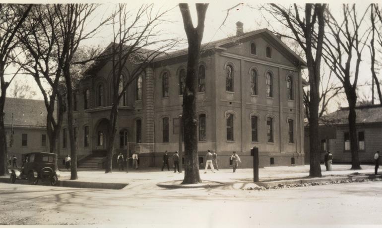
The name “Mansion Flats,” however, belies the reality that the neighborhood was a predominately middleclass residential area. Employees of the Southern Pacific Railroad and the city’s other industries lived in smaller houses on the blocks to the north of G Street that make up the present-day Old Washington School Historic District. Unlike the wealthy elites living along H Street, many of whom owned their own private carriages, the streetcar line provided a vital service to the workers who lived in the neighborhood and used it to travel to their places of work downtown.3
1 William Burg, “Mansion Flats Home Tour,” Sacramento Press, September 13, 2013, https://sacramentopress.com/2013/09/13/mansion-flats-hometour/
As the neighborhood grew in the late nineteenth century, streetcar service continued to expand. The H Street line was discontinued in 1892; the following year, it was replaced by a new line of electric streetcars operated by the Central Electric Railroad Company, which ran along G Street from 7th to 19th streets. The line was considered “a great convenience to people residing in the northern and northeastern portions of the city, who had been without a railway ever since the H Street line was discontinued,” and was believed to “greatly enhance the value of property in that portion of the city.”
2 Ibid.
4
3 William Burg, “Sacramento’s Streetcar Suburbs,” Sacramento History (blog), August 22, 2007, http://sacramentohistory.blogspot.com/2007/08/ sacramentos-streetcar-suburbs.html
4 “Running on G Street,” Sacramento Daily Union, March 7, 1893.
Figure 246. 1923 map of Sacramento’s streetcar lines (dotted lines) and highways (solid lines), showing the variety of transportation options around the Washington neighborhood. The location of the Old Washington School Historic District is outlined in green. Source: Center for Sacramento History, 1979/X-003/00005, edited by Page & Turnbull.
By 1923, the Washington neighborhood—named after the relocation of the Washington Elementary School in 1916—was bordered by several major transportation corridors. Streetcar lines ran down G Street and 15th Street, which was also part of the state highway system along with the neighborhood’s western boundary at 12th Street.5 Residents continued to consist primarily of middle-class workers, such as clerks, printers, stenographers, lens grinders,
5 C.G. Brown, “Map of the City of Sacramento” [map], 1923, Center for Sacramento History.
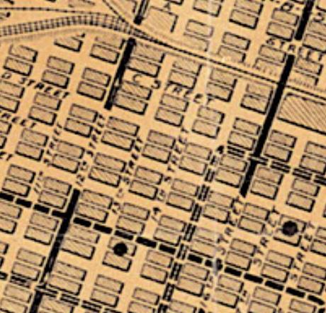 Sacramento Historic District
Figure 245. The Washington School at its original location at the corner of 13th and G streets (1936). Source: California History Room, California State Library, Sacramento, California.
Sacramento Historic District
Figure 245. The Washington School at its original location at the corner of 13th and G streets (1936). Source: California History Room, California State Library, Sacramento, California.
electricians, and carpenters.6
Residential development slowed during the Great Depression. The economic downswing, combined with the rising popularity of the automobile, led to the decline of streetcar lines across the city. In 1936, streetcar service along G Street ended and was replaced by bus service.7 After World War II, many residents migrated out of the city’s central grid to newer residential suburbs outside the city limits and were replaced by lower-income residents. Multi-unit apartment buildings were constructed in greater numbers over the following decades in response to the demographic shift. More recently, infill projects have brought new residential development to the Washington neighborhood at the start of the twenty-first century. In 2008, loft apartments were constructed on C Street using “green” building technology.8
8 Burg, “Mansion Flats Home Tour.”
Sacramento Historic District Plans Final 6 Sacramento City Directory, Sacramento City Directory, Co., 1921. 7 William Burg, Sacramento’s Streetcars (Charleston, SC: Arcadia Publishing, 2006), 34.The Old Washington School Historic District was designated for listing on the Sacramento Register of Historic and Cultural Resources by the City Preservation Commission in 1985 in Ordinance #85076 as the Washington Historic District.
The following table provides a current evaluation of significance under the requirements and considers the factors based on the above historic district context and the 2018 historic district survey. Additionally, this historic district relates to the Railroad Context Statement of the city’s General Plan Technical Background Report.
(a) The Old Washington School Historic District meets requirement (a) for listing on the Sacramento Register, because it is a geographically definable area.
(b)(i) The Old Washington School Historic District meets requirement (b)(i) for listing on the Sacramento Register as an area that possesses “a significant concentration or continuity of buildings unified by: (A) past events or (B) aesthetically by plan or physical development.”
The district is significant for its collection of late nineteenth- and early twentieth-century houses that were built directly to the east of Sacramento’s older residential neighborhoods to the west as streetcar lines expanded outward from the city center. The Washington neighborhood, alternately known as Mansion Flats, grew alongside Sacramento’s first streetcar line, which began operation in 1870 and initially ran down H Street before shifting to G Street in 1893. Easy access to transportation attracted both wealthy business owners and middle-class employees to build houses close to the streetcar line. While more affluent residents built the mansions along H Street that gave the neighborhood its nickname, the blocks to the north that comprise the Old Washington School Historic District were filled with the smaller houses of employees of the city’s railyards and other industries. The existing buildings in the area reflect the range of architectural styles that were popular for new residential development during this peak period of development in the neighborhoods. The end of streetcar service through the neighborhood in 1936 was an early transition point that signaled a wider shift in the city’s demographics and development, as the affluent residents began to relocate to newer residential suburbs outside of the central city, aided by the increasing availability and popularity of automobiles.
Sacramento Historic DistrictThe period of significance for the Old Washington School Historic District begins with the start of streetcar service to the area in 1870, which attracted residential development to the area, and concludes in 1936, when streetcar service ended along G Street. Types Period
(b)(ii) The Old Washington School Historic District meets requirement (b)(ii) for listing on the Sacramento Register as an area “associated with an event, person, or period significant or important to city history.”
The district is associated with the development of new residential neighborhoods along the city’s streetcar lines from the late nineteenth to early twentieth century. Much of Old Washington School Historic District’s development is related to the expansion of streetcar lines to the area, first on H Street in the 1870s and later on G Street in the 1890s. Prior residential development in Sacramento had been primarily concentrated in the central business district downtown, where the commercial waterfront, railyards, industries, and state government offices were located. The availability of employment opportunities attracted large numbers of people to the downtown area who not only worked in the businesses downtown but often lived in the immediate area. As these areas became increasingly overcrowded and polluted, neighborhoods to the east, such as the Washington neighborhood, became attractive alternatives. Streetcars enabled workers who were employed by businesses downtown to live further from the city center, resulting in the establishment of Sacramento’s early residential subdivisions and the beginning of an exodus of residents from the downtown area.
(c) The Old Washington School Historic District meets requirement (c) for listing on the Sacramento Register as it aligns with the goals and purposes of historic preservation in Sacramento, as well as the city’s other goals and policies. Per the Sacramento City Code, the preservation of the district enhances the “city’s economic, cultural and aesthetic standing, its identity and its livability, marketability, and urban character.”
(a) Factor (2)(a) states that “a historic district should have integrity of design, setting, materials, workmanship and association.” The Old Washington School Historic District retains sufficient integrity to meet this factor for consideration as a historic district.
(b) Factor (2)(b) states that “the collective historic value of the buildings and structures in a historic district taken together may be greater than the historic value of each individual building or structure.” The Old Washington School Historic District meets this factor because its buildings and structures represent a significant and distinguishable entity whose collective historic value is greater when taken as a whole. of Significance: 1870-1936
Section 2: Individual
Use
• Historically single-family houses, some of which have been converted into multi-unit apartments or commercial businesses
• Parking and auxiliary uses located along alleys Mass & Form
• Predominately one- or two-story houses with Deltastyle high basements and raised first story
• Some larger, three-story multi-unit apartment buildings
• Houses with almost identical design often located on the same block, possibly built by the same person
• Concentration of large houses in the southern section of the district, particularly on F Street and the immediately surrounding blocks
• Smaller houses on blocks near industrial development along the district’s northern boundary
Cladding
• Predominately wood siding, typically wide and narrow width channel rustic siding, three- or four-lap siding, or shingles of varying shapes, especially on gabled ends
Ornamentation
• Italianate, Queen Anne, and Stick/Eastlake details, including incised brackets; spindlework; slender, turned porch posts and balusters; and patterned shingles on gabled ends
• Classical Revival details, including fluted, square pilasters, Tuscan columns, and decorative garlands
Property Landscape
Streetscape
• Gardens, lawns, or patios in front of houses
• Low fences in front of many houses, mostly wood picket or wrought iron, often with brick piers
• Generally uniform setback of approximately 30 feet from the street to building facades on lettered streets, often with wide parking strips and sidewalks, both of approximately eight feet in width
• Rows of deciduous street trees of varying types and sizes—most often sycamore, elm, and palm trees— planted in a parking strip along the street curb
• Wide streets with two full-size traffic lanes
Roofs
• Front-facing gabled or hipped roofs, often with a low, centrally placed dormer
• Brick chimneys
Entries & Doors
• Delta-style configuration with staircases leading to primary entrances above a high basement
• Paneled wood doors with integrated glazing or framed by side or transom windows
• Wood stairs
Windows
Porches
• Wood-frame double-hung windows
• Bay windows, both front- and side-facing
• Prominent full or half-width porches accessed by a staircase
The following map shows the boundaries and location of the Old Washington School Historic District. view the statuses of individual properties as contributing or non-contributing resources to the historic district, refer to the Sacramento Register of Historic and Cultural Resources.
Sacramento
Preserve and maintain the contributing resources and features that define the district while encouraging new development that enhances its historic residential character and livability.
1.1 Maintain, preserve, and, where necessary, repair and restore historic elements associated with the predominate Delta style of residential architecture, especially historic staircases, porches, and doors.
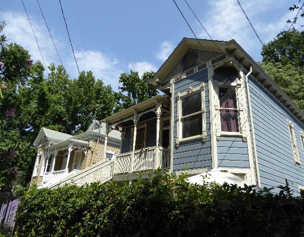
The Old Washington School Historic District contains a large collection of single- and multi-family residential buildings that are part of a historic neighborhood, dating back to the late nineteenth century. While the contributing buildings exhibit a mix of architectural styles, the similar use of materials, scale, setback, landscaping, and siting unite the grouping as a whole. Recent development on the edges of the district highlights the need to balance the preservation of the character of the district with increasing housing density.
In addition to the Standards & Criteria Common to Sacramento's Historic Districts in Section 1, the following district-specific standards and criteria apply when planning a project in the Old Washington School Historic District.
Figure 248. Many contributing buildings exhibit decorative exterior woodwork.
2.1 Avoid additions that cause a contributing building’s height to exceed 150% of its historic height.

• Use step backs to maintain the existing street façade height.
Figure 249. Additions should not cause a building's height to exceed 150% of its historic height.
Section Sacramento Historic District3.1 Design the scale, massing, and proportions of new construction to be compatible with those of contributing buildings on the same block.
• Where additional height is considered, the height of new buildings should be no more than 150% of the height of surrounding contributing buildings.
• Consider using step backs for taller buildings to maintain the existing street façade height of adjacent contributing buildings.
3.2 Preserve the historic pattern and articulation of long, narrow 40’ x 160’ parcels wherever possible.
• Consider breaking down the massing of large infill developments into smaller masses that reflect the historic lot pattern.
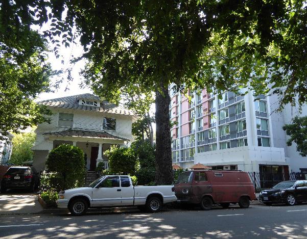
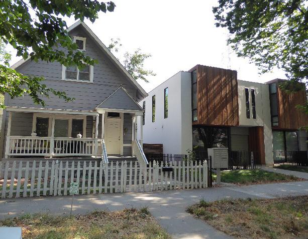
• Where shared courtyard approach is used for subdivision of properties into multi-family use, minimize width of courtyard entrance.
4.1 Avoid creating new curb cuts on lettered streets in the historic district.
• Locate parking and service access along alleys, and use landscaping features to screen it from the public right-of-way, wherever possible.
• Where a shared courtyard approach is used for the subdivision of properties into multifamily use, utilize a single curb cut at the courtyard entrance if parking is included at the courtyard.
Figure 250. The height of new buildings should be no more than 150% of the height of surrounding contributing buildings.

Figure 251. These new apartment buildings match the setback, scale, and street-facing orientation of adjacent contributing buildings.
Figure 252. The height, materials, massing, and setback of the building on the right are not appropriate next to the contributing house on the left.
5.1 On a typical unsplit parcel, set back alley infill buildings a minimum of 30 feet from the primary building on the parcel. If a parcel is split, set back alley infill buildings a minimum of 15 feet from the lot split.
5.2 The height of alley infill should be no more than 150% of the height of surrounding contributing buildings.

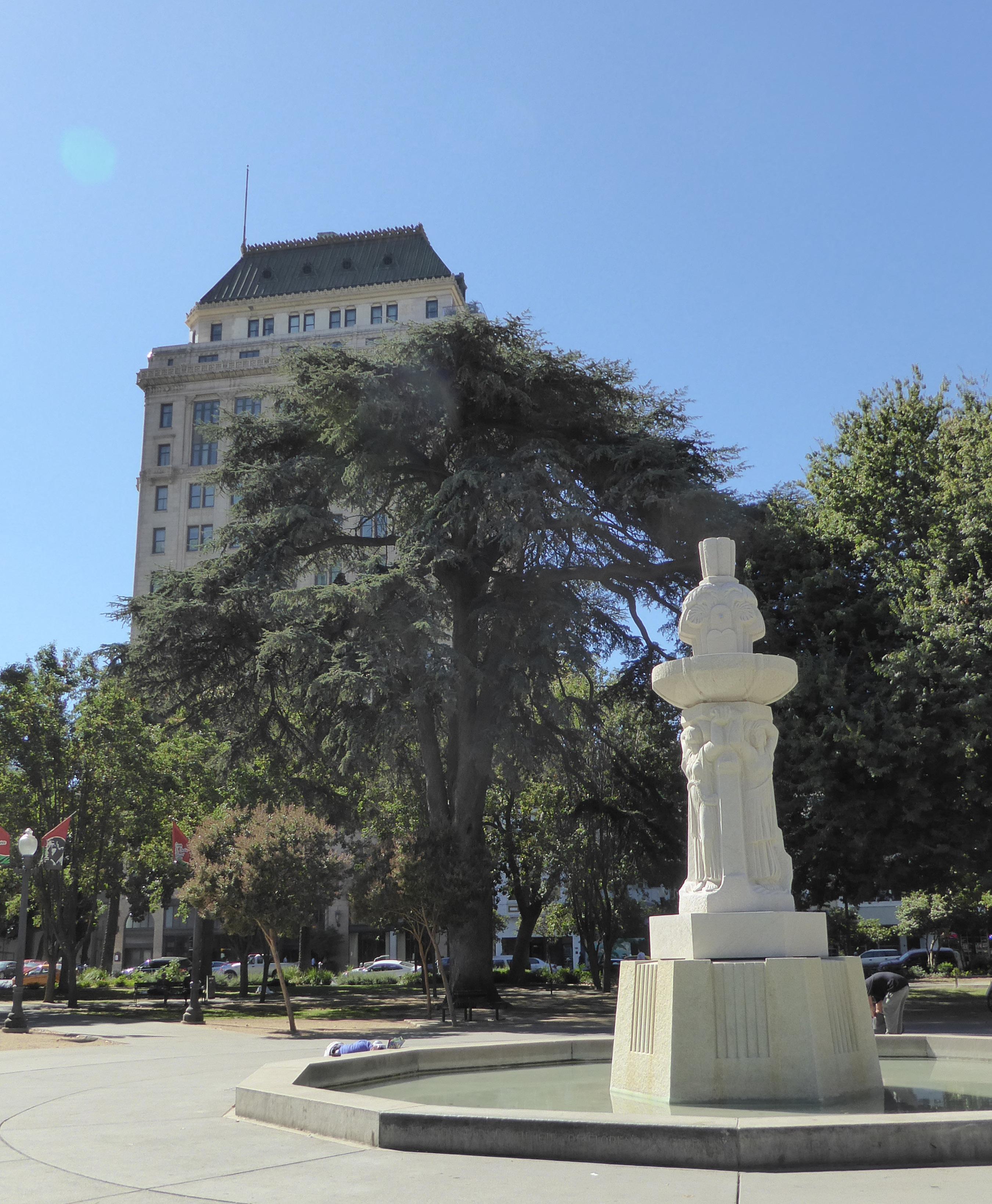
The Plaza Park [Cesar Chavez Plaza] Historic District (formerly [Cesar Chavez Memorial] Plaza Park/CBD Historic District) is situated in the northwest quadrant of Sacramento’s 1848 street grid and features one the city’s original one-block public squares. The district’s name references several names held by the plaza over the course of its history, while “CBD” is an abbreviation for “Central Business District,” a title sometimes given to Sacramento’s downtown core.
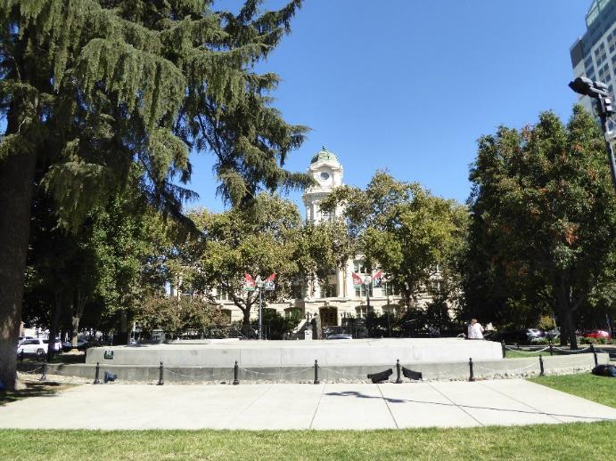
In addition to the plaza, the district consists of a mix of late nineteenth- to mid-twentieth-century commercial and civic buildings, some of monumental scale. The district is roughly bounded by H Street to the north, 8th Street to the west, L Street to the south, and 11th Street to the east.
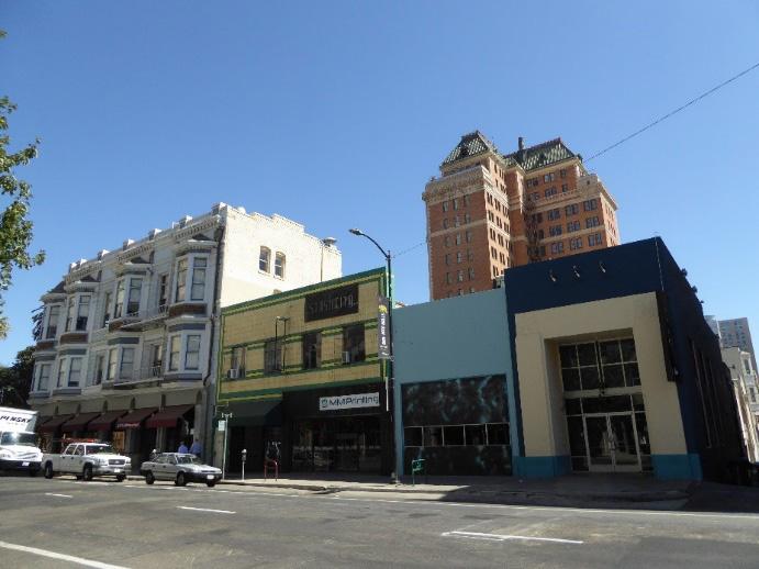
 Section 2: Individual Historic District Plans Plaza Park [Cesar Chavez Plaza] Historic District Plan 305
Sacramento Historic District Plans Final
Figure 253. The Beaux Arts City Hall building as viewed from Cesar Chavez (formerly Plaza Park).
Figure 254. The Italian Renaissance style Sacramento Public Library and a modern addition (visible to the right) are shaded by rows of sycamore trees.
Figure 255. View of City Hall with the New City Hall building behind it.
Figure 256. The district contains commercial buildings that display a wide variety of architectural styles and forms, such as these buildings on 9th Street.
Section 2: Individual Historic District Plans Plaza Park [Cesar Chavez Plaza] Historic District Plan 305
Sacramento Historic District Plans Final
Figure 253. The Beaux Arts City Hall building as viewed from Cesar Chavez (formerly Plaza Park).
Figure 254. The Italian Renaissance style Sacramento Public Library and a modern addition (visible to the right) are shaded by rows of sycamore trees.
Figure 255. View of City Hall with the New City Hall building behind it.
Figure 256. The district contains commercial buildings that display a wide variety of architectural styles and forms, such as these buildings on 9th Street.
The Plaza Park [Cesar Chavez Plaza] Historic District has witnessed nearly 170 years of Sacramento’s history and features an equally broad spectrum of architectural periods and styles. Sacramentans have referred to the plaza by a number of names over the course of its history, including its such early appellations as City Plaza, Plaza Park, or simply, “the Plaza,” and its current name, Cesar Chavez Park. The one-block lot, was one of ten public squares donated to the City by John A. Sutter, Jr. in 1848 as part of the laying out of his father’s rancho into Sacramento’s original street grid.1 After Sacramento attained its status as the state capital in 1854, it was proposed that the plaza be used for the site of the Capitol building, a scheme that was later abandoned.2
The square remained undeveloped open space for several decades, to the point that local newspapers described it as an “omnium gatherum of wagons and weeds.”3 In 1872, Street Commissioner John Rider was “determined to fill-in the plaza and reclaim it from the circus, the strayed animal, the dump cart and the winter’s waters.”4 The square was filled an average of five feet with material taken from the bed of the American River.5 John Keating was hired to
1 Page & Turnbull, “Raised Streets & Hollow Sidewalks,” (report, Sacramento, CA, 2009), 7.
2 Winfield J. Davis, An Illustrated History of Sacramento County, California: Containing a History of Sacramento County from the Earliest Period of its Occupancy to the Present Time, together with Glimpses of its Prospective Future; with Profuse Illustrations of its Beautiful Scenery, Full-Page Portraits of Some of its most Eminent Men, and Biographical Mention of Many of its Pioneers and also of Prominent Citizens of To-day (Chicago: The Lewis Publishing Company: 1890), 203-204.
3 “An Instance of Rapid Improvement,” Sacramento Daily Union, March 16, 1878, https://cdnc.ucr.edu/cgi-bin/cdnc?a=d&d=SDU18780316.2.55& srpos=18&e=------187-en--20--1--txt-txIN-”Ninth+Street”+Plaza+Sacramen to-------1
4 Ibid.
5 Ibid.
design the landscape of the park. Keating’s axial plan is still visible in the plaza’s present layout.
The improvement of the plaza was a major endeavor that coincided with the raising of street levels in downtown Sacramento. The devastating floods of 1861 and 1862 prompted the local government to improve the public infrastructure of the city. Not only was the street raising project undertaken in the interest of safeguarding Sacramento residents, but also as a measure to ensure that Sacramento remained a viable location for the State Capitol and an attractive destination for the terminus of the transcontinental railroad.6
From 1868 through 1869, street levels were raised as much as 14 feet on K Street between 4th and 10th streets, I Street between 5th and 10th streets;
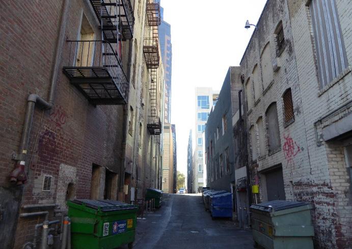
6 Page & Turnbull, 24.
8th Street between I and K streets; and 9th and 10th streets between I and J streets.7 As a whole, the streets were raised to be level with the plaza, which was the highest land mass in the city.8 The resulting streetscape included hollow sidewalks, many of which are still intact within the area.
The plaza is surrounded on all sides by multi-story institutional and commercial buildings. While the majority of the area’s core buildings date from the late-1890s through the 1930s, some date to the earlier commercial development of downtown Sacramento.9 The two-story brick building located at 904 J Street was constructed in 1856, making it the oldest extant structure in the district and one of the oldest in the
7 Ibid., 13. 8 Davis, 205.
Section Individual Historic District Plaza Park [Cesar Chavez Plaza] Historic District Sacramento Historic District 9 “2.2.18 Chavez Memorial] Plaza Park/CBD Historic District,” (Ordinance # 85-076, Sacramento Register of Historic and Cultural Resources, July 30, 1985, updated May 2014), Figure 257. View looking south along 9th Street, showing the increase in building scale and mass toward the south end of the district. Figure 258. Alleys dip down to the original city grade, prior to the street raising campaigns of the 1860s.city. During the mid-nineteenth century, J Street was the primary route for travelers passing through on their way to the gold fields in the foothills of the Sierras. Here, wagon trains were able to restock their provisions before exiting the city at 12th Street.10 The building at 904 J Street was occupied by a drug store under various names and proprietors from as early as its construction until the mid-twentieth century.11
Throughout the remainder of the nineteenth century, the parcels adjacent to the plaza were characterized by a multitude of uses, such as that of the “Old Reliable” drug store at 904 J Street.12 A map of Sacramento published by the Sanborn Map Company in 1895 depicts a mix of single-family dwellings, stables, manufacturers, shops, junk yards, and hotels situated on the major commercial thoroughfares of I, J, K, and L streets.13 Some of the notable buildings that were constructed during this period include the Hale Brothers Department Store at 825 K Street, the I.O.O.F. Temple at 1025 9th Street, and the Ruhstaller Building at 900 J Street. The Ruhstaller Building was constructed in 1898 for Frank J. Ruhstaller and housed a taproom for the Buffalo Brewing Company, Elks Hall, doctors’ offices, and commercial businesses.14
The first decades of the twentieth century ushered in a building boom unlike anything Sacramento had
10 Page & Turnbull, 7.
11 “Your Liver,” Sacramento Daily Union, October 7, 1897, https://cdnc.ucr. edu/cgi-bin/cdnc?a=d&d=SDU18971007.2.49.3&srpos=1&e=-------en--20SDU-1--txt-txIN-%22Gogings%22+Plaza+Sacramento-------1
12 Ibid.
13 Sanborn Map Company, Sacramento, California [map], 1895.
14 Paula Boghosian, “Ruhstaller Building,” (National Register of Historic Places Draft Registration Form, California Office of Historic Preservation, 1981), 8, 1.
Section 2: Individual Historic District Plans Plaza Park [Cesar Chavez Plaza] Historic District Plan Sacramento Historic District Plans Figure 259. Close-up of a map published by the Sanborn Map Company in 1895, showing the block to the west of Plaza Park filled with a mixture of commercial businesses (1895). Source: Sacramento Public Library, edited by Page & Turnbull.witnessed since the Gold Rush.15 The CaliforniaWestern States Life Insurance Building, constructed in 1925 at the corner of the corner of J and 10th streets, remains a testament to this era of growth and prosperity. The classical motifs of the skyscraper compliment the Beaux Arts and Renaissance Revival municipal buildings that were also built during this period. Because of its proximity to the State Capitol grounds, the area was increasingly civic-oriented after the turn of the twentieth century. The ornate City Hall and Sacramento City Library, both located at the northern terminus of the district, were constructed in 1911 and 1918, respectively.
The area felt the effects of the Great Depression but did not cease to be a center of activity in the city.
The Federal Courthouse and Post Office Building, constructed in 1933, was one of many federallyfunded projects that employed Sacramentans during the Depression.16 Likewise, the Hart Brothers Cafeteria, located at 1016-1020 10th Street, served thousands of meals per day to the area’s large unemployed and transient populations. At the height of the Depression, the restaurant offered free coffee and bread every evening.17
During World War II, defense-related industries brought thousands of new residents to Sacramento. The staggering population growth felt by the greater metro-area brought with it renewed commercial
15 Steven M. Avella, Sacramento: Indomitable City (Charleston, SC: Arcadia Publishing, 2003), 90.
16 Sacramento Archives and Museum Collection Center and the Historic Old Sacramento Foundation, Old Sacramento and Downtown (Charleston, SC: Arcadia Publishing, 2006), 42.
17 Michael Dolugushkin, “Featured: Sacramento Restaurants,” Sacramento Room Digital Sacramento Public Library, accessed September 10, 2018. http://cdm15248.contentdm.oclc.org/cdm/featured
spending to downtown.18 The Baby Boom Generation flocked to department stores on J and K streets. Among the enterprises within the area were the Hale Brothers Department Store and S.H. Kress and Company. These businesses stood as pillars of the postwar city by catering to the “pent-up consumer demand” of the region’s rapidly expanding middle class.19
Section 2: Individual Historic District Plans
Plaza Park [Cesar Chavez Plaza] Historic District Plan 308
18 Annette Kassis, Weinstock’s: Sacramento’s Finest Department Store (Charleston, SC: The History Press, 2012), 90-91. 19 Ibid., 90.
The district changed dramatically with the rise of Sacramento’s suburbs. In 1954, the shops and major department stores on K Street accounted for 75.6 percent of the county’s sales tax base. That figure had dropped to 19.6 percent by 1965.20 The long-standing establishments of the district opened suburban branches throughout the 1950s and 1960s, many of which were more profitable than their downtown locations.21 The first regional mall in the vicinity of Sacramento, the Country Club Center, was opened in 1951.22 The Country Club Center and other new malls offered a more convenient shopping experience for the rapidly expanding suburban population.
The decline in urban commercial activity during the mid-twentieth century was directly linked to the increased efficiency of automobile transportation. The transformation was slow, at first. In 1947, the city’s extensive streetcar network was shut down in favor of buses and personal vehicles, a change that impacted the pedestrian character of downtown. In 1955, K and L streets were converted into one-way thoroughfares connecting the Tower Bridge to U.S. Route 40.23 The final setback to the once thriving central business district came in 1968 with the completion of the Interstates 5 and 80 through downtown Sacramento, diverting automobile traffic away from city streets, entirely, and on to outlying shopping malls and newer residential areas.24
The plaza played an important role in the revitalization
20 William Burg, Sacramento’s K Street: Where Our City Was Born (Charleston, SC: The History Press, 2012), 130-131.
21 Ibid., 131.
22 Avella, 133. 23 Burg, 117. 24 Ibid., 137.
Sacramento Historic District Plans Final Figure 260. View of the California-Western States Life Insurance Building and Plaza Park (right), looking south along 10th Street (1920). Source: California History Room, California State Library, Sacramento, California.of the central business district towards the end of the twentieth century. In 1989, the Plaza Park Steering Committee worked with People for Public Places. Inc. to conduct an evaluation of the park. Their study led to the development of a popular restaurant in the park.25 In 1995, the Downtown Sacramento Partnership established the state’s first propertybased improvement district, which has brought countless community events and programs to the plaza over the years.26 In 1999, the plaza was renamed Cesar Chavez Plaza after the labor rights activist and founder of the United Farm Workers of America.27
25 “Cesar Chavez Park and Plaza: Sacramento, California,” American Planning Association, 2012, https://www.planning.org/greatplaces/spaces/2012/ cesarchavezpark.htm 26 Ibid. 27 Ibid.
 Section 2: Individual Historic District Plans Plaza Park [Cesar Chavez Plaza] Historic District Plan
Sacramento Historic District Plans Final
Figure 261. View looking west along K Street, with the Hale Bros. department store on the right and the Montgomery Ward and Kress buildings on the left (1938). Source: California History Room, California State Library, Sacramento, California.
Section 2: Individual Historic District Plans Plaza Park [Cesar Chavez Plaza] Historic District Plan
Sacramento Historic District Plans Final
Figure 261. View looking west along K Street, with the Hale Bros. department store on the right and the Montgomery Ward and Kress buildings on the left (1938). Source: California History Room, California State Library, Sacramento, California.
Section 2: Individual Historic District Plans
Plaza Park [Cesar Chavez Plaza] Historic District Plan 310
The Plaza Park [Cesar Chavez Plaza] Historic District was designated for listing on the Sacramento Register of Historic and Cultural Resources by the City Preservation Commission in 1985 in Ordinance #85076 as the [Cesar Chavez Memorial] Plaza Park/CBD Historic District.
The following table provides a current evaluation of significance under the requirements and considers the factors based on the above historic district context and the 2018 historic district survey. Additionally, this historic district relates to the Railroad Context Statement and World War II, Transportation, and Redevelopment Context Statement of the city’s General Plan Technical Background Report.
(a) The Plaza Park [Cesar Chavez Plaza] Historic District meets requirement (a) for listing on the Sacramento Register, because it is a geographically definable area.
(b)(i) The Plaza Park [Cesar Chavez Plaza] Historic District meets requirement (b)(i) for listing on the Sacramento Register as an area that possesses “a significant concentration or continuity of buildings unified by: (A) past events or (B) aesthetically by plan or physical development.”
The Plaza Park [Cesar Chavez Plaza] Historic District is significant for its concentration of buildings that reflect over a century of civic and commercial development in Sacramento’s central business district. The diversity of buildings and uses within the district also reflect changing tastes in commercial and civic architectural styles over time. Early twentieth-century civic and institutional buildings, including City Hall and the Sacramento City Library, are characteristic examples of the Beaux Arts and Italian Renaissance styles, respectively. Conversely, the design of the Federal Courthouse and Post Office, which was constructed at the low point of the Great Depression, is representative of federally funded WPA buildings of the period. The district’s many commercial buildings, meanwhile, range from small nineteenth-century brick commercial buildings to the larger department stores of major national brands that remained a vibrant part of the city through the middle of the twentieth century.
(b)(ii) The Plaza Park [Cesar Chavez Plaza] Historic District meets requirement (b)(ii) for listing on the Sacramento Register as an area “associated with an event, person, or period significant or important to city history.”
The Plaza Park [Cesar Chavez Plaza] Historic District is significant for its association with Sacramento’s evolution from burgeoning Gold Rush town to modern metropolitan city. Cesar Chavez Plaza, formerly the City Plaza, was, itself, one of the public squares donated by John A. Sutter, Jr. to the City as part of the laying out of his father’s rancho into the city’s existing street grid. It was also the first of these squares to be developed as a park. Its present form still exhibits some of the elements of John Keating’s original landscape design from 1872, such as its axial walkway plan. Additionally, the district contains several high-integrity sections of hollow sidewalks that were created when the city’s streets were raised during the 1860s to protect the city from floods. The effort stabilized Sacramento and allowed the city to continue to expand. Moderately-sized brick buildings on the edges of the plaza recall early commercial development in Sacramento’s central business district in the nineteenth century, while the concentration of grand civic buildings—including Sacramento’s City Hall, City Library, and Federal Courthouse and Post Office—and larger early to mid-twentieth-century commercial buildings on K Street reflect Sacramento’s growth into a modern city.
Sacramento HistoricSection 2: Individual Historic District Plans
Plaza Park [Cesar Chavez Plaza] Historic District Plan 311
The period of significance for the Plaza Park [Cesar Chavez Plaza] Historic District spans from 1848, when Sacramento’s original street grid and public plazas were laid out, to 1951, when the Country Club Center was erected as Sacramento’s first regional mall, drawing commercial activity away from downtown. The suburban mall, along with increased automobile and home ownership during the postwar period, forever changed the ways in which residents interacted with the central business district.28 Large shopping malls outside of Sacramento’s downtown grid attracted mobile, middle-class individuals who were no longer dependent localized services and retail.
(c) The Plaza Park [Cesar Chavez Plaza] Historic District meets requirement (c) for listing on the Sacramento Register as it aligns with the goals and purposes of historic preservation in Sacramento, as well as the city’s other goals and policies. Per the Sacramento City Code, the preservation of the district enhances the “city’s economic, cultural and aesthetic standing, its identity and its livability, marketability, and urban character.”
(a) Factor (2)(a) states that “a historic district should have integrity of design, setting, materials, workmanship and association.” The East End Historic District retains sufficient integrity to meet this factor for consideration as a historic district.
(b) Factor (2)(b) states that “the collective historic value of the buildings and structures in a historic district taken together may be greater than the historic value of each individual building or structure.” The Plaza Park [Cesar Chavez Plaza] Historic District meets this factor because its buildings and structures represent a significant and distinguishable entity whose collective historic value is greater when taken as a whole.
Sacramento Historic DistrictSection 2: Individual Historic District Plans
Plaza Park [Cesar Chavez Plaza] Historic District Plan 312
Use
• Commercial and civic buildings of varying ages and styles oriented around 9th Street and Cesar Chavez Plaza
• Changes in use and character between the north and south ends of the district—large civic buildings concentrated on I and 9th streets at the northern terminus of the district, modest One- and Two-Part Block commercial buildings on the south edge of the plaza, and large department stores located on K Street (i.e. Hale Brothers, Kress, and Montgomery & Ward)
Mass & Form • Horizontally massed civic buildings and vertically massed commercial buildings
• Tallest buildings frequently situated on corner parcels
Ornamentation
• Minimal wall surface ornamentation
• Classical Revival details, such as egg-and-dart trim, dentil bands, medallions, and garlands
• High density of Art Deco-style elements near the intersection of 9th and K streets
• Columns and pilasters topped with Ionic or Corinthian capitals and Roman or segmental arches with prominent voussoirs and keystones
• Ghost signs on the exposed sides of older brick buildings
Materials
Roofs
• Predominately brick, stone, terracotta, and concrete masonry
• Predominately flat roofs with protruding cornices and ornamented soffits
• Commercial buildings with flat or geometric parapets, particularly those facing the south edge of the plaza
Entries & Doors • Recessed entrances, particularly on One-Part Commercial Block buildings
• Presence or evidence of garage doors for vehicular access on numbered streets and alleys
Windows • Large shopfront windows at street level
• Multi-story boxed, semi-hexagonal, and rounded bay windows
• Wood-frame, double-hung windows on the upper stories of mixed-use buildings
Property Landscape
• Minimal or no property landscaping due to zero-lotline buildings
• Axial pathways intersecting at the Coleman Fountain at the center of Cesar Chavez Plaza
Streetscape • Deep, south-facing setbacks in front of City Hall and the Federal Courthouse and Post Office building
• Minimal or no setback in front of commercial buildings throughout the district
• Rows of mature, evenly spaced, deciduous street trees—most often sycamore, palm, and walnut trees—planted in planters or small parking strips lining the sidewalks
• Large gilded lampposts at the primary entrances of civic buildings
• Extant hollow sidewalks and sunken alleyways dating to the street raising campaigns of the 1860s
• Some cobblestones and granite curbs along street edges
The following map shows the boundaries and location of the Plaza Park [Cesar Chavez Plaza] Historic District.
To view the statuses of individual properties as contributing or non-contributing resources to the historic district, refer to the Sacramento Register of Historic and Cultural Resources.
Sacramento Historic District
Maintain and strengthen the grand civic and commercial character of this district as part of Sacramento’s historic civic core.
1.1 Make every effort to preserve, repair, and maintain existing steel or wood frame windows, which contribute to the commercial or civic character of the district.
The Plaza Park [Cesar Chavez Plaza] Historic District contains many of the city’s most iconic civic and commercial resources, ranging from Sacramento’s first civic institutions and its first developed park in the late nineteenth century to iconic commercial buildings constructed in the early and mid-twentieth century. The area represents the city’s symbolic center, consisting of a variety of buildings and public spaces that contained the activities that defined city life. The district continues to serve as the city’s civic core and is connected by important commercial and transportation corridors along 9th and 10th streets to the Capitol and J and K streets to Downtown, the intermodal transit facility, outlining freeways, and the city’s outlining neighborhoods. The preservation of the contributing resources which convey the district’s historic significance and the strengthening of its civic identity is vital for a thriving downtown.
• Re-instate multi-lite steel or wood frame windows, where they have been removed, if there is adequate documentation and if feasible.
• Replace removed historic street-facing windows where feasible, if there is adequate documentation to inform design.
1.2 Avoid filling in or obstructing historic window or door openings.
1.3 Re-open historic window and door openings that have been filled in.
• Use compatible new windows and door materials, types, and forms.
1.4 Preserve and restore articulated storefronts with recessed entries on contributing buildings.
1.5 Avoid painting or applying new finishes on historically unpainted exterior masonry, particularly where historic painted signs (ghost signs) are present.
In addition to the Standards & Criteria Common to Sacramento's Historic Districts in Section 1, the following district-specific standards and criteria apply when planning a project in the Plaza Park [Cesar Chavez Plaza] Historic District.
• Consider removing paint or finishes from historically unpainted exterior masonry, using the gentlest methods possible, during exterior repairs or renovations.
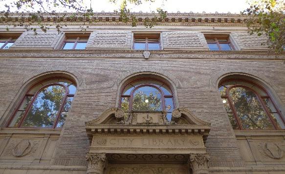
• Maintain paint on exterior masonry where likely to be the historic condition.
Figure 264. The historic facades, exterior materials, windows, and entries of several buildings on J Street have been covered with incompatible non-historic cladding and additions.
 Section 2: Individual Historic
Plaza Park [Cesar Chavez Plaza] Historic
Sacramento Historic District
Figure 263. Historic exterior cladding and decorative ornamentation contribute to the character of the district as a whole.
Section 2: Individual Historic
Plaza Park [Cesar Chavez Plaza] Historic
Sacramento Historic District
Figure 263. Historic exterior cladding and decorative ornamentation contribute to the character of the district as a whole.
2.1 Where rooftop additions are desired, consider using step backs in order to maintain the existing street façade height, especially facing Cesar Chavez Plaza.
2.2 Maintain existing recessed entries where they exist to preserve the characteristic street frontage pattern.
2.3 Use durable, high-quality materials that are compatible with the materials of adjacent contributing buildings in the district such as stone, cast-stone, masonry, concrete, metal, and wood.
3.1 Preserve the historic pattern of siting new buildings with a zero-lot-line setback from the street.
3.2 Where buildings taller than the surrounding contributing buildings are proposed, consider using step backs to maintain the existing street facade height of adjacent contributing buildings.
• Taller heights and larger masses may be appropriate for buildings sited at street corners.
• New buildings adjacent to 926 J Street should be lower in height and set back to protect visibility of the contributing high-rise building.
3.3 Consider the alignment of windows, doors, and variations in façade treatments to be compatible with adjacent contributing buildings in order to maintain the existing pattern of door and window openings within the block.
3.4 Use durable, high-quality materials that are compatible with those in the historic district.
3.5 Incorporate awnings that reference the form, scale, and materials of historic awnings at ground level of primary street frontages.
 Section 2: Individual Historic District Plans Plaza Park [Cesar Chavez Plaza] Historic District Plan 315 Historic
Figure 265. The addition to City Hall incorporates materials, height, scale, and a generous setback that are compatible with the historic building and maintain its primacy in the wider streetscape.
Figure 266. The California-Western States Life Insurance Building at 926 J Street is a visual focal point of the district.
Section 2: Individual Historic District Plans Plaza Park [Cesar Chavez Plaza] Historic District Plan 315 Historic
Figure 265. The addition to City Hall incorporates materials, height, scale, and a generous setback that are compatible with the historic building and maintain its primacy in the wider streetscape.
Figure 266. The California-Western States Life Insurance Building at 926 J Street is a visual focal point of the district.
4.1 Maintain and preserve existing historic landscape plan and features at Cesar Chavez Plaza, including axial pathways and statues.
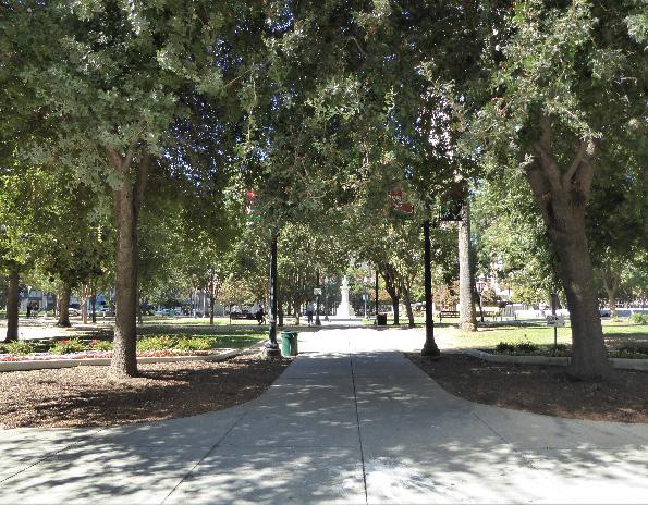
4.2 Preserve historic street and alley grades, when feasible.
4.3 Maintain and preserve existing historic cobblestones and street paving.
4.4 Maintain, preserve, and, where necessary, repair and restore historic lighting and signage features.
4.5 Use signage methods, materials, and proportions that are reflective of historic signage used on contributing properties within the district.
4.6 Encourage a streetscape palette including lighting, street furniture, and street tree planting along 9th Street to Capitol Avenue that is compatible with that used at Cesar Chavez Plaza.
4.7 Encourage a streetscape palette at J Street surrounding Cesar Chavez Plaza that is compatible with that along 9th Street.
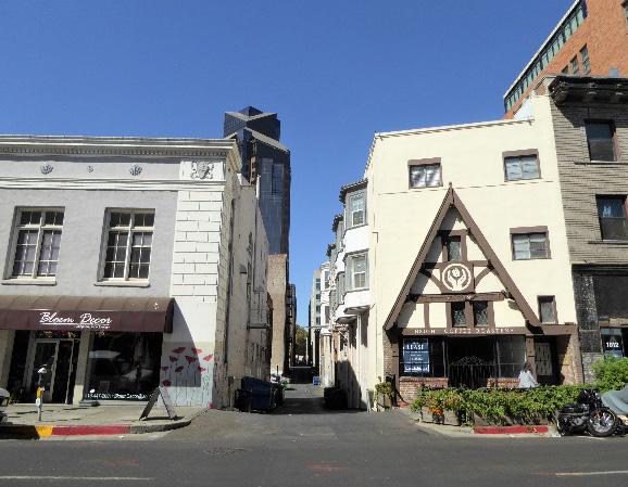 Section 2: Individual Historic District Plans Plaza Park [Cesar Chavez Plaza] Historic District Plan 316
Sacramento Historic District Plans Final
Figure 267. Axial pathways are historic features of Cesar Chavez Park.
Figure 268. Dipping alley grades are a remnant of the city’s original street levels.
Figure 269. Historic cobblestones survive in some parts of the district.
Section 2: Individual Historic District Plans Plaza Park [Cesar Chavez Plaza] Historic District Plan 316
Sacramento Historic District Plans Final
Figure 267. Axial pathways are historic features of Cesar Chavez Park.
Figure 268. Dipping alley grades are a remnant of the city’s original street levels.
Figure 269. Historic cobblestones survive in some parts of the district.
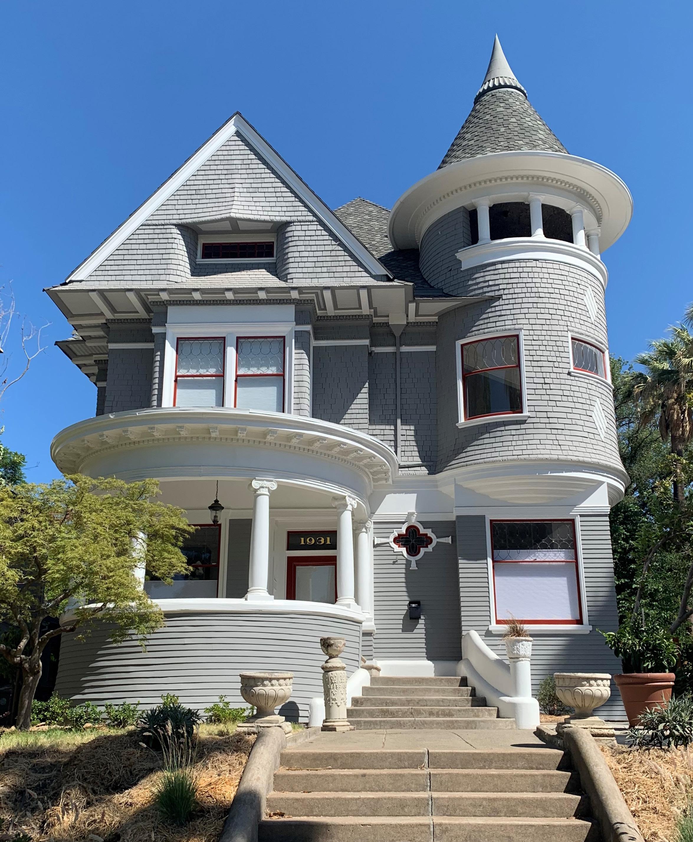
The Poverty Ridge Historic District is located within Sacramento’s original 1848 street grid and is roughly bounded by 21st Street to the west, S Street to the north, 23rd Street to the east, and W Street and U.S. Route 50 to the south. The district also incorporates the block bounded by 20th, 21st, S, and T streets.
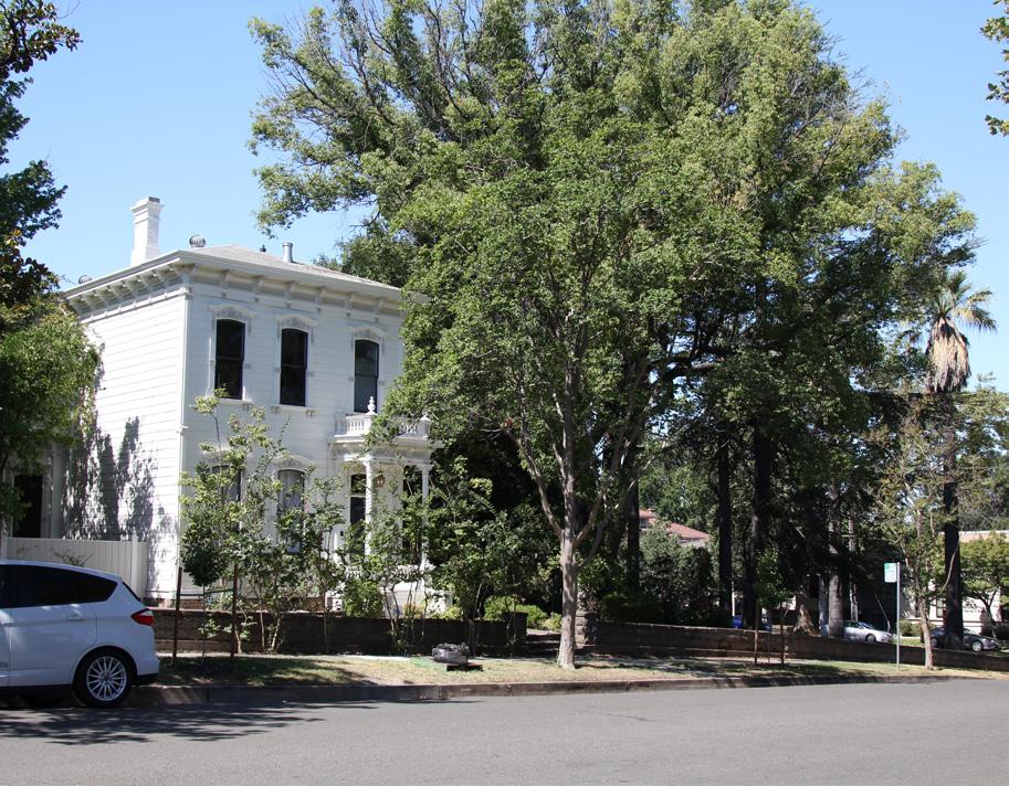

The district contains a collection of houses in a variety of architectural styles that were part of one of Sacramento’s wealthiest and most prestigious neighborhoods in the late nineteenth and early twentieth centuries. The district’s largest and most elaborate houses are arranged around two northsouth streets, 21st and 22nd streets, while several smaller houses are concentrated along the district’s southern and eastern borders.
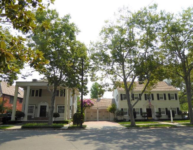
Figure 270. The former Charles McClatchy residence at 2112 22nd Street, now the McClatchy Library. Many houses in the district, especially those planted on the “ridge” that gives the Poverty Ridge Historic District its name, have sloped lawns and low masonry retaining walls.
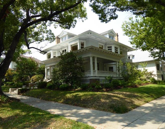 Sacramento Historic District Plans Final
Figure 271. Houses on 21st Street, such as this Italianate house at 21st and U streets, were constructed on generously-sized lots.
Figure 272. The Roan-Didion House at the corner of 22nd and T streets. The largest and most decorative houses in the district are often located on street corners.
Figure 273. The district contains a variety of architectural styles, including Colonial Revival.
Sacramento Historic District Plans Final
Figure 271. Houses on 21st Street, such as this Italianate house at 21st and U streets, were constructed on generously-sized lots.
Figure 272. The Roan-Didion House at the corner of 22nd and T streets. The largest and most decorative houses in the district are often located on street corners.
Figure 273. The district contains a variety of architectural styles, including Colonial Revival.
The Poverty Ridge Historic District preserves an area that was considered to be Sacramento’s wealthiest neighborhood in the late nineteenth and early twentieth centuries. The neighborhood is located on a slight rise in the southeast quadrant of Sacramento’s original 1848 city limits. Because it was one of the only elevated areas within the city, residents often fled to this area for safety during the floods that periodically devastated Sacramento in the nineteenth century. People camping out on the ridge looked so poor that locals nicknamed the area “Poverty Ridge.”1
Despite the area’s advantageous location and its reputation as “the most beautiful eminence in the city,” Poverty Ridge remained sparsely populated until the late nineteenth century. 2 Burns Slough, which ran between 18th and 19th streets, often turned the blocks between the ridge and 14th Street into “an almost impassable quagmire,” preventing potential residents from reaching the area.3 Beginning in 1868, the city carried out several projects to address the issue of flooding around Burns Slough, initially strengthening levees and later redirected through a system of underground sewers and drainage tunnels.4
Residential development began in Poverty Ridge in the late nineteenth century. By then, increasing industrialization, the influx of low-income workers, and the expanding impact of the Southern Pacific Railroad on the environment and local politics had
1 Shawn Scarborough, “Poverty Ridge Corridor: O Street Through Broadway,” in Sacramento’s Midtown (Charleston, SC: Arcadia Publishing, 2006), 85.
2 A Resident, “The Cross Levee Once More,” Sacramento Daily Union, January 14, 1868.
3 Ibid.
4 “City Intelligence,” Sacramento Daily Union, June 11, 1868; Rick Bettis, “A Brief Overview with Historical Vignettes,” Sacramento Area Creeks Council, March 8, 1998, http://saccreeks.org/know-your-creeks/.
turned the city’s downtown core into an overcrowded, polluted, dirty, and crime-ridden area. Seeking quieter, cleaner, and safer places to live, Sacramento’s affluent middle- and upper-class residents began to migrate to new neighborhoods, such as Poverty Ridge, that were emerging on the city’s undeveloped tracts to the south and east.5
Poverty Ridge became the neighborhood of choice for Sacramento’s wealthiest and most influential citizens. Residents included Buffalo Brewery founder Herman Grau, Pioneer Box Company president John Stevens, and Sacramento Bee editor Charles K. McClatchy, among others. In 1893, developers attempted to
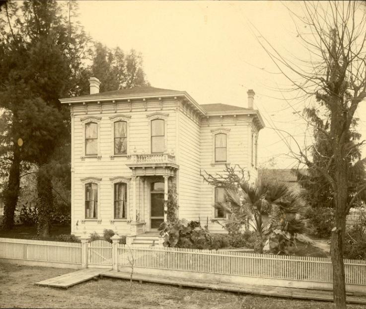
5 Nathan Hallam, “The Evolution of Sacramento’s Central City Street Grid,” (master’s thesis, Sonoma State University, 2003), 63-64.
rebrand the neighborhood as “Sutter Terrace.” An article in the Sacramento Daily Union reveals the attitude of some local residents toward the proposal:
The resident property-owners in the high district bounded generally by Twentieth and Twenty-third, P and W Streets are getting to be aristocratic in their notions, and from their hights [sic] are inclined to look down patronizingly on the balance of the city. They have about come to the conclusion that the names “Poverty Ridge,” “Nob Hill,” etc. are entirely too common, and that hereafter these names shall be relegated to the “days of ‘49,” and the hights [sic] in question known as “Sutter Terrace.”6
The new name did not stick, and the neighborhood continued to be known as “Poverty Ridge.”
Poverty Ridge’s principal blocks between 21st, T, 23rd, and V streets featured generously sized lots on which large, single-family houses could be built. Many of the houses on these blocks were designed by highly-regarded local architects and reflect the most fashionable architectural styles of the time. Charles McClatchy’s Beaux Arts style house at 2112 22nd Street was built in 1910 and designed by distinguished local architect Rudolph Herold. In 1940, the McClatchy family donated the house to the City of Sacramento, and it remains in use as a public library today. Next door at 2100 22nd Street, Herold designed his own house in the Prairie style.7 More modest houses and apartment buildings for middle-class residents were built on smaller lots around the periphery of Poverty
6 A Resident, “The Cross Levee Once More.”
7 Jose Esparza, “Poverty Ridge Walking Tour,” (brochure, Sacramento Heritage, Inc., 2018).
Sacramento Historic District Plans Figure 274. Residence of John Stevens, president of the Pioneer Box Factory, at 2115 21st Street (ca. 1890). Source: California History Room, California State Library, Sacramento, California.Section 2: Individual Historic Ridge
Figure 276. Sacramento City Lines streetcars traveling along 21st Street on their route between the Southern Pacific Railroad depot and Oak Park (1944). Source: Center for Sacramento History, CITY, SAMCC Gifts to Share Collection, 2006/017/039.
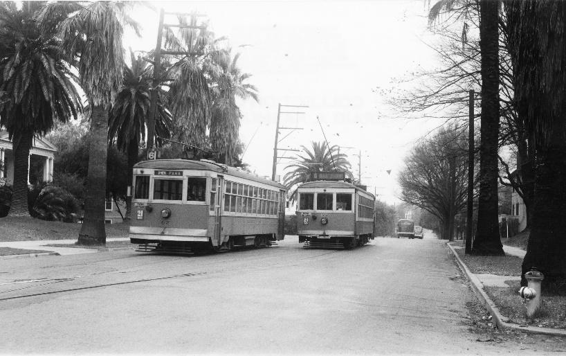
Ridge.8
Like many of Sacramento’s turn-of-the-century residential neighborhoods, proximity to streetcar lines was one of the qualities that attracted residents to Poverty Ridge. Streetcars ran through the neighborhood down 21st and T streets, allowing residents to easily travel to their places of work downtown. After World War II and as automobiles gained in popularity, however, residents of neighborhoods within Sacramento’s central grid, such as Poverty Ridge, began to relocate to newer, more modern suburbs outside of the city. The demand for streetcar service declined and finally ended in January 1947.9
Nevertheless, Poverty Ridge retained a prestigious reputation, thanks in part to the people who lived there. Internationally celebrated author Joan Didion lived in two houses in the neighborhood, including the Roan-Didion House at 2000 22nd Street, during her adolescence in the 1940s and 1950s.10 In the 1960s, several houses in Poverty Ridge were demolished as part of the construction of U.S. Highway 50, which borders the district to the south.11 More recently, infill projects that were halted during the economic recession of the early 2000s have been completed. The largest recent urban infill project is Tapestri Square, a housing development of single-family
8 “Poverty Ridge Historic District,” (Ordinance # 85-076, Sacramento Register of Historic and Cultural Resources, July 30, 1985, updated May 2014), 2.
9 William Burg, Sacramento’s Streetcars (Charleston, SC: Arcadia Publishing, 2006), 56.
10 William Burg, “Historic Home Tour in Poverty Ridge Neighborhood,” Sacramento Press, September 10, 2012, https://sacramentopress. com/2012/09/10/historic-home-tour-in-poverty-ridge-neighborhood/.
11 Cyrus G. Brown Maps and Aero Views Commercial Artists, “Map of the City of Sacramento” [map], 1923.
townhouses that borders the district on the east side of 21st Street.12
12 Burg, “Historic Home Tour in Poverty Ridge Neighborhood.”
Sacramento Historic District Plans Final Figure 275. The McClatchy Library, formerly the Charles McClatchy house (1951). Source: Center for Sacramento History, Frank Christy Collection, 1998/722/1366.The Poverty Ridge Historic District was designated for listing on the Sacramento Register of Historic and Cultural Resources by the City Preservation Commission in 1985 in Ordinance #85-076.
The following table provides a current evaluation of significance under the requirements and considers the factors based on the above historic district context and the 2018 historic district survey. Additionally, this historic district relates to the Railroad Context Statement of the city’s General Plan Technical Background Report.
(a) The Poverty Ridge Historic District meets requirement (a) for listing on the Sacramento Register, because it is a geographically definable area.
(b)(i) The Poverty Ridge Historic District meets requirement (b)(i) for listing on the Sacramento Register as an area that possesses “a significant concentration or continuity of buildings unified by: (A) past events or (B) aesthetically by plan or physical development.”
The district is significant for its concentration of large, single-family houses that were constructed as part of the development of the Poverty Ridge neighborhood, one of Sacramento’s wealthiest and most prestigious residential neighborhoods in the late nineteenth and early twentieth centuries. The grandest houses in the neighborhood were built primarily between 1870 and 1915 on broad lots along 21st and 22nd streets. Many were designed by highly-regarded local architects, who were hired to design houses that would reflect the homeowners’ wealth and status. Corner lots often featured the largest and most impressive houses in the neighborhood. In the 1920s and 1930s, smaller houses and multi-family apartment buildings were constructed on lots around the neighborhood’s borders, where pressure from industrial development was greater. This variation in housing scale and patterns remains apparent in the historic district today.
The variety of architectural styles that are visible within the Poverty Ridge Historic District are representative of the styles that were most popular during the neighborhood’s primary period of development from the late nineteenth century to the early decades of the twentieth century. The buildings range from elaborate Queen Anne and Italianate Victorians; to Beaux Arts, Classical Revival, and Prairie style houses; to smaller Craftsman style bungalows. The size, style, quality, and setting of the buildings reflect Poverty Ridge’s past as one of Sacramento’s wealthiest and most fashionable neighborhoods at the turn of the twentieth century.
Sacramento HistoricThe period of significance for the Poverty Ridge Historic District begins in 1868, when city projects addressed flooding around Burns Slough and allowed for residential development to begin in the area, and concludes with the end of streetcar service in 1947 as part of the postwar migration of city residents to new automobile-oriented residential suburbs outside Sacramento’s historic urban core.
(b)(ii) The Poverty Ridge Historic District meets requirement (b)(ii) for listing on the Sacramento Register as an area “associated with an event, person, or period significant or important to city history.”
The district is associated with the development of streetcar suburbs on previously rural, agricultural land of outlying areas within Sacramento’s original street grid. Much of Poverty Ridge’s development is related to the expansion of streetcar lines to the area on T and 21st streets in the late nineteenth and early twentieth centuries. Until this period, development in Sacramento had been primarily concentrated in the central business district downtown, where the commercial waterfront, railyards, industries, and state government offices were located. The availability of employment opportunities attracted large numbers of people to the downtown area who not only worked in the businesses downtown but often lived in the immediate area. Poverty Ridge became an attractive neighborhood for residents seeking to live away from the noise and dirt of the city center. The streetcar enabled workers who were employed by businesses downtown to live further from the city center, resulting in the establishment of Sacramento’s first residential subdivisions and the beginning of an exodus of residents from the downtown area that accelerated after World War II.
(c) The Poverty Ridge Historic District meets requirement (c) for listing on the Sacramento Register as it aligns with the goals and purposes of historic preservation in Sacramento, as well as the city’s other goals and policies. Per the Sacramento City Code, the preservation of the district enhances the “city’s economic, cultural and aesthetic standing, its identity and its livability, marketability, and urban character.”
(a) Factor (2)(a) states that “a historic district should have integrity of design, setting, materials, workmanship and association.” The Poverty Ridge Historic District retains sufficient integrity to meet this factor for consideration as a historic district.
(b) Factor (2)(b) states that “the collective historic value of the buildings and structures in a historic district taken together may be greater than the historic value of each individual building or structure.” The Poverty Ridge Historic District meets this factor because its buildings and structures represent a significant and distinguishable entity whose collective historic value is greater when taken as a whole.
Use • Historically single-family residences, some converted into multi-family units or commercial businesses
• One civic building, constructed for the Sacramento Fire Department
• Parking and auxiliary uses located along alleys
Mass & Form • Generous parcel sizes on 21st and 22nd streets with plentiful space between houses
• Small, one-story single-family houses generally located on the blocks along the district’s south border and increasing in height and overall scale to larger, two- to three-story houses as the blocks proceed to the north
• Largest, most elaborate houses are frequently situated at street corners and on the elevated areas of the ridge
• Some houses with Delta-style high basement and raised first story
Cladding • Predominately wood siding (typically three- or four-lap siding or shingles, most commonly on upper stories), brick, and stucco, or a combination of these materials
• Brick or clinker brick often on first stories
Roofs • Low hipped roofs with wide overhanging eaves, front- or side-facing gabled roofs, often with a centrally placed dormer
• Brick or clinker brick chimneys
Entries & Doors • Delta-style configuration with staircases leading to primary entrances above a high basement
• Central or offset front doors framed with side or transom windows
• Wood or terrazzo stairs
Windows • Wood-frame double-hung windows
Porches • Prominent full-width or wraparound porches accessed by a staircase
• Brick or clinker brick porch bases
Sacramento HistoricOrnamentation
• Italianate and Queen Anne details, including incised brackets under roof eaves; decorative, carved woodwork around windows and doors; slender, turned porch posts and balusters; turrets; patterned shingles on gabled ends; rounded windows; and stained-glass windows, especially on transoms over primary entrance
• Classical Revival details, including Tuscan columns and dentils along cornice
• Craftsman details, including exposed rafter and purlin tails, wooden braces, and tapered square columns
• Space between and in front of houses often filled with large, grassy lawns or gardens
• Sloping lawns with shallow steps and landings in front of houses located on the ridge
• Brick or masonry retaining walls built around properties at the base of the ridge
• Use of vegetation as fencing or privacy screens
Streetscape
• Rows of mature, evenly spaced, deciduous street trees—most often sycamore or palm trees—planted in a parking strip
• Concrete upping stones engraved with family names
• Iron hitching posts and evidence of removed hitching posts in the form of L-shaped concrete strips next to the street curb
• Generous setback of approximately 30 to 40 feet from the street to the primary, streetfacing house facades
• Wide parking strips (approximately 15 feet wide) along east-west streets; narrower parking strips (approximately 7 feet wide) along north-south streets
• Varying sidewalk widths
• Many houses constructed toward the end of the period of significance
• Wide north-south streets (21nd and 22st streets), with enough space for two cars to easily pass and sometimes with small medians or dividers in the center
• East-west streets (U and V streets) are generally narrower, particularly toward the southern end of the district
Sacramento Historic DistrictThe following map shows the boundaries and location of the Poverty Ridge Historic District. view the statuses of individual properties as contributing or non-contributing resources to the historic district, refer to the Sacramento Register of Historic and Cultural Resources.
Sacramento Historic DistrictSection 2: Individual Historic Ridge Historic
Projects in the Poverty Ridge Historic District must result in minimal visual impacts that will not disrupt the highly cohesive architectural character and significant streetscape design of the historic district.
1.1 Maintain, preserve, and, where necessary, repair and restore historic elements associated with the Delta style of residential architecture, especially historic staircases, porches, bay windows, and doors.
While the north and west boundaries of the Poverty Ridge Historic District have been impacted by modern infill development, the majority of the historic district retains a remarkable level of integrity. Continuous rows of stately houses with deep setbacks and large front lawns create a sense of visual uniformity, even as the architectural styles vary from block to block. As indicated by the historic district’s name, topography is also a significant character-defining feature of Poverty Ridge. The neighborhood’s elevated topography contributed historically to the presence of sloped lawns, retaining walls, streets, and alleys, which create a streetscape environment that is unlike any other in Sacramento.
In addition to the Standards & Criteria Common to Sacramento's Historic Districts in Section 1, the following district-specific standards and criteria apply when planning a project in the Poverty Ridge Historic District.
2.1 Avoid additions that make contributing buildings constructed in horizontally massed or boxlike architectural styles, such as Craftsman or Classic Box, more vertical or that make vertically massed Victorian-era buildings more horizontal.
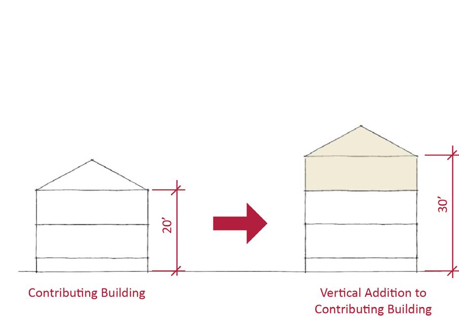
2.2 Avoid additions that cause a contributing building’s height to exceed 150% of its historic height.
• Use step backs to maintain the existing street façade height.
• Buildings with a wider floor plan or taller height may be appropriate at street corners where there is a historic precedent for siting larger buildings.
Figure 279. Additions should not cause a building's height to exceed 150% of its historic height.
Sacramento Historic District Figure 278. Wood, brick, and terrazzo are common materials used in historic architectural features in the historic district.3.1 Design the scale, massing, and proportions of new construction to be compatible with those of adjacent contributing buildings on the same block.
• Where additional height is considered, the height of new buildings should be no more than 150% of the height of surrounding contributing buildings.
• Consider using step backs for taller buildings to maintain the existing street façade height of adjacent contributing buildings.
• Buildings with a wider floor plan or taller height may be appropriate at street corners where there is a historic precedent for siting larger buildings.
3.2 Site new buildings to generally align with the setback of adjacent contributing buildings to maintain the district’s deep setbacks (approximately 30- to 40-feet-wide) and wide front lawns.
3.3 Preserve the historic pattern and articulation of large parcels and open space, wherever possible.
• Consider breaking down the massing of large infill developments into smaller masses that reflect the historic lot pattern.
Figure 280. The height of new buildings should be no more than 150% of the height of surrounding contributing buildings.
4.1 Preserve and maintain the historic open, planted character, size, and grade of front lawns.
• Avoid paving front or side lawns.
4.2 Preserve and maintain features associated with historic sloping front lawns, including the historic property grade, brick or masonry retaining walls, and shallow concrete or terrazzo steps and landings.
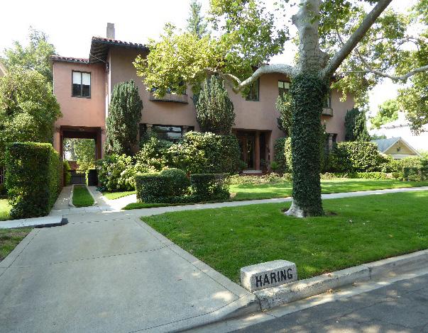
4.3 Avoid adding fences or screening features in front of properties where fencing did not exist historically.
• If privacy is desired, consider using vegetation as a screening feature along property lines.
4.4 Preserve and maintain the size and planted character of wide park strips.
4.5 Where street trees consist of a row of trees of the same species, such as palms, replace removed or diseased trees in kind with the same species or a compatible species at regular intervals in order to maintain the historic tree planting pattern.
4.6 Preserve and maintain the historic pattern of wide north-south streets and narrower eastwest streets.
4.7 Avoid the addition of new curb cuts on 21st and 22nd streets.
Figure 281. Deep, uniform setbacks; wide, planted park strips; and upping stones contribute to the distinctive streetscape of the historic district.
• Locate parking and service access along alleys, and use landscaping features to screen it from the public right-of-way, wherever possible.
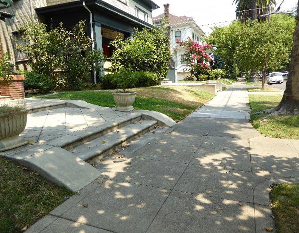
4.8 Preserve and maintain historic hitching posts and upping stones in their historic locations.
4.9 Preserve historic property, street, and alley grades.
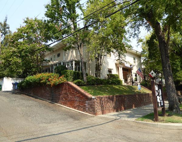
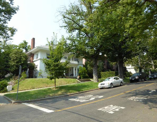
5.1 The height of alley infill should be no more than 150% of the height of surrounding contributing buildings.
Figure 285. Rows of palms contribute to the historic district’s streetscapes.
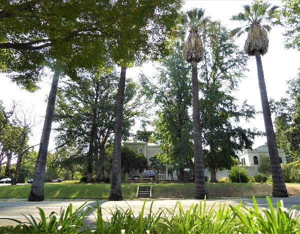 Sacramento Historic District Plans Final
Figure 282. Poverty Ridge’s sloping topography contributes to the unique character of individual property landscaping and public streetscapes.
Figure 283. Historic brick or masonry retaining walls may be found in front of many contributing properties.
Figure 284. Shallow steps and landings are common in front of properties with sloping front lawns.
Sacramento Historic District Plans Final
Figure 282. Poverty Ridge’s sloping topography contributes to the unique character of individual property landscaping and public streetscapes.
Figure 283. Historic brick or masonry retaining walls may be found in front of many contributing properties.
Figure 284. Shallow steps and landings are common in front of properties with sloping front lawns.
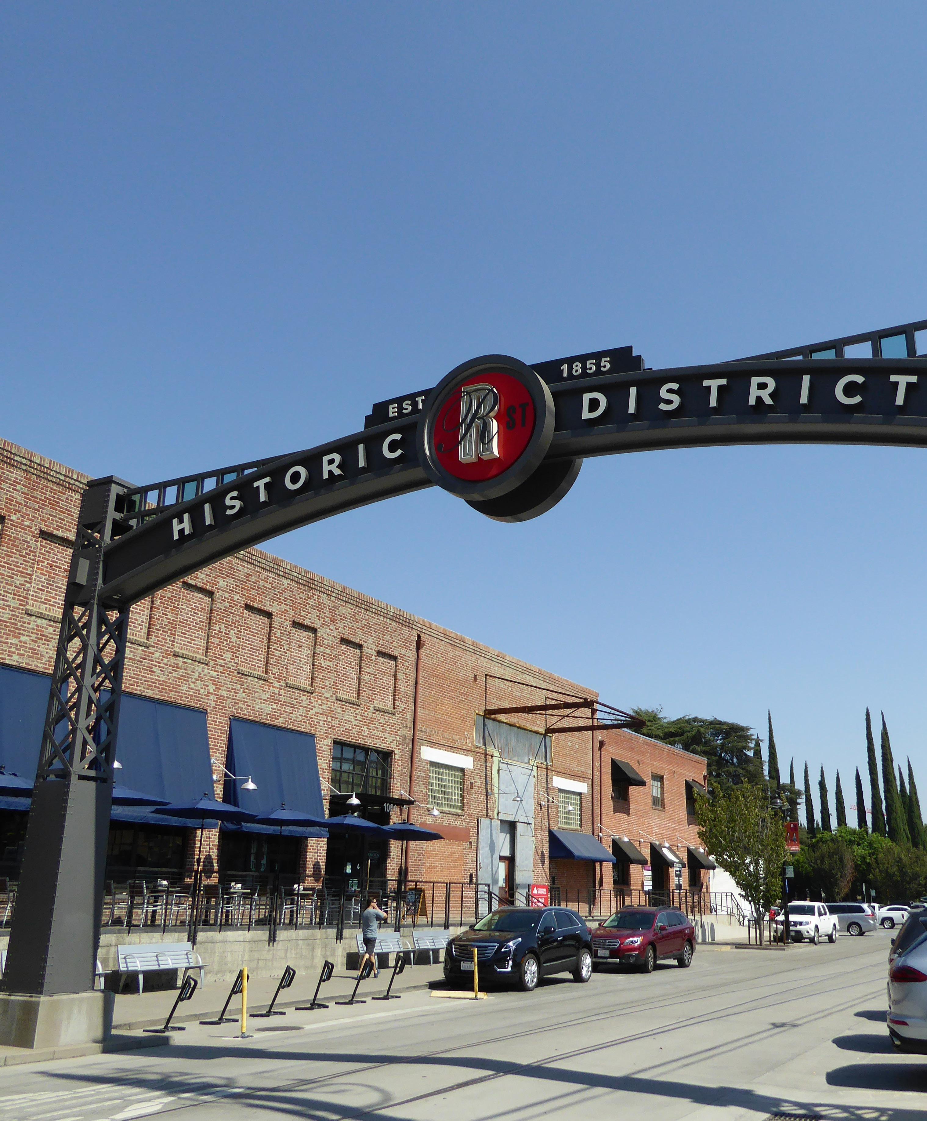
The R Street Historic District is located in Sacramento’s original 1848 street grid, approximately four blocks south of the State Capitol. The district consists of former warehousing, commercial distribution, and light industrial buildings that are situated along R Street between 10th Street to the west, Quill Alley to the north, 12th Street to the east, and Rice Alley to the south.
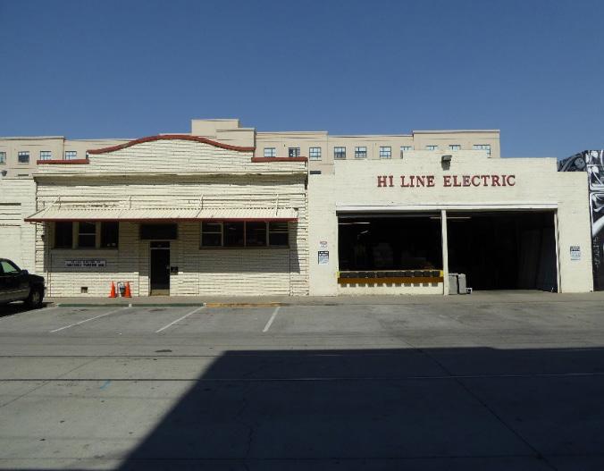
Figure 286. Adaptively reused warehouses and industrial buildings on R Street.
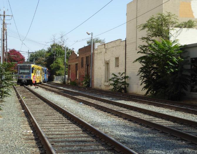
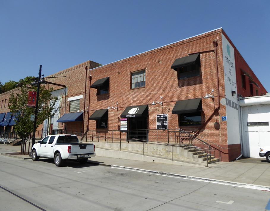
Figure 287. Buildings that served as warehouses and distribution centers, including the Lawrence Warehouse (middle) and Rochdale building (right), are common on R Street. The building on the far left is the Warehouse Artist Lofts, a recent housing infill development project.
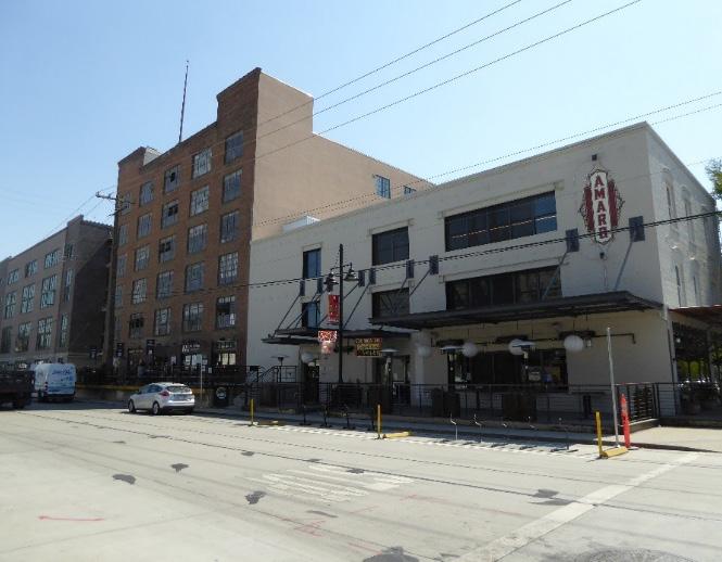 Section Historic Street Historic District
Sacramento Historic District Plans Final
Figure 288. Two brick One-Part Commercial Block buildings with garage door openings along R Street.
Figure 289. Loading docks face the former route of the Western Pacific Railroad tracks, which were converted for light rail service in 1987.
Section Historic Street Historic District
Sacramento Historic District Plans Final
Figure 288. Two brick One-Part Commercial Block buildings with garage door openings along R Street.
Figure 289. Loading docks face the former route of the Western Pacific Railroad tracks, which were converted for light rail service in 1987.
The R Street Historic District is a former industrial corridor whose development is closely tied to the evolution of railroads in the city of Sacramento. In 1855, the City of Sacramento granted a right-of-way on R Street to the Sacramento Valley Railroad, the first common carrier and first steam carrier railroad west of the Mississippi. Railroad companies were required to construct and maintain levees along their rights-ofway to assist the young city’s efforts to protect itself from periodic flooding. In accordance, the Sacramento Valley Railroad constructed a levee along R Street prior to laying its tracks along the corridor. However, the levee did not have the intended effect and, in fact, exacerbated the effects of flooding in Sacramento. During particularly devastating floods in the winter of 1861-1862, the levee trapped floodwaters within the downtown area for months, and parts of it had to be removed to allow the waters to drain from the city.1
When it opened in 1856, the Sacramento Valley Railroad’s route was the first rail line in California. The 22-mile route stretched from the Sacramento Valley Railroad depot on the waterfront at Front Street, south along the Sacramento River, and then east along R Street to Folsom (then known as Granite City). The route was surveyed by Theodore Judah, who later helped complete the first transcontinental railroad as chief engineer of the Central Pacific Railroad.2 The Central Pacific Railroad purchased the Sacramento
1 Page & Turnbull, “R Street Corridor Historic District,” (National Register of Historic Places Draft Registration Form, California Office of Historic Places, 2013), 8.2.; Richard J. Orsi, “Railroads and the Urban Environment: Sacramento’s Story,” in River City and Valley Life: An Environmental History of the Sacramento Region, ed. Christopher J. Castaneda and Lee M.A. Simpson (Pittsburgh: University of Pittsburgh Press, 2013), 82.
2 Environmental Science Associates, “R Street Corridor Historic District Survey Report” (report, City of Sacramento Preservation Commission, 2017), 6.
Valley Railroad in 1865, and later sold it to the Southern Pacific Railroad in 1884. The Sacramento Valley Railroad continued to operate a rail line on R Street.
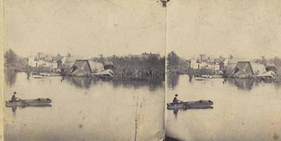
By the turn of the century, the City had completed the construction of a new system of levees and flood improvement, and the levee on R Street was no longer necessary. In 1903, the levee was removed and the Southern Pacific Railroad’s tracks were rebuilt at grade. Three years later, in 1907, a competing railroad company, the Western Pacific Railroad, opened a separate, parallel line on the Q/R Alley (Quill Alley), half a block north of the Southern Pacific’s tracks.3 The concentration of rail lines on and around R Street transformed it into a center of industrial activity so 3 Page & Turnbull, 8.4.
that by 1914, it was recognized as the industrial hub of Sacramento. Warehouses, commercial distribution centers, and light industrial businesses, ranging from one to six stories in height, sprang up along the R Street corridor to take advantage of the unparalleled availability of shipping and transportation opportunities there. These buildings were typically clad in brick or concrete blocks and featured open, rectilinear plans that reflected their utilitarian use. Many were served by spurs of the neighboring railroad tracks: buildings on the south of R Street used the tracks of the Southern Pacific, while those on the north used the tracks of the Western Pacific. Industrial development continued along R Street through the end of the nineteenth century and into the early twentieth century in response to the growth of domestic shipping, increase in local manufacturing and commercial development, and demands of World War I.4
R Street remained Sacramento’s center for freight shipping through World War II. After the war, commercial transportation began to shift away from the railroads toward truck-based shipping as an increasing number of state highways were completed. In Sacramento, the businesses along R Street reoriented themselves to accommodate this new type of transportation. While earlier buildings were oriented toward the railroad tracks and had loading docks on R Street, buildings constructed in the mid- to late twentieth century featured loading docks that fronted the surface streets to give trucks easier access. This reorientation allowed R Street to remain an active shipping and distribution center
4 Ibid., 8.5-8.6.
Sacramento Historic District Plans Final Figure 290. Photograph taken from the R Street levee during the flood of 1862 (1862). Source: California History Room, California State Library, Sacramento, California.until the 1960s.
In 1963, a deep-water sea port opened at the Port of Sacramento in West Sacramento. Its completion redirected shipping activity from its historic centers at Front and R streets to West Sacramento.5 By the end of the decade, many of the businesses that had operated on R Street for decades had closed, including Carlaw Granite and Marble Works, which had been in business on the corridor since 1879. Rail passenger service had also declined since the end of the war, and in 1971, the Western Pacific and Southern Pacific railroad companies discontinued their passenger service and transferred it to Amtrak.
Freight traffic continued on R Street for a few more years, but the end was near. In 1974, the Southern Pacific railroad began to retire its tracks on the R
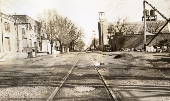
5 Environmental Science Associates, 8; Steven Avella, Sacramento: Indomitable City (San Francisco, CA: Arcadia Publishing, 2003), 124.
Street corridor from 5th to 21st streets. The Western Pacific’s freight line, running north-south between 19th and 20th streets was acquired by the Union Pacific railroad in 1982. Although freight activity had ended, tracks were again in service along the corridor in 1987 when the former Western Pacific tracks on the Q/R Alley were converted into a section of the Sacramento Regional Transit’s light rail line.6
R Street has experienced a significant revitalization in the twenty-first century, transforming into one of Sacramento’s most vibrant commercial and recreational corridors. Many of the former industrial buildings in the area have been rehabilitated and are occupied by restaurants and local businesses. In 2015, the Lawrence Warehouse building reopened as the Warehouse Artist Lofts, a mixed-use apartment complex with 116 affordable housing units marketed to members of Sacramento’s artist community.7
Figure 292. View of the Lawrence Warehouse from 11th and R streets with a line of cars parked next to the railroad tracks (1915). Source: California History Room, California State Library, Sacramento, California.
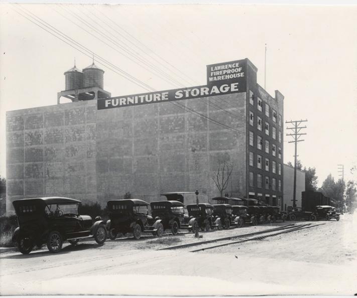
6 Page & Turnbull, 8.7.
7 Nour Coudsi, “Warehouse Artists Lofts Offer Affordable Community for Sacramento Artists.” Capital Public Radio, accessed October 19, 2018, http:// www.capradio.org/news/the-view-from-here/2018/01/09/warehouseartists-lofts-offer-affordable-community-for-sacramento-artists/.
Sacramento Historic District Plans Final Figure 291. View of R Street, looking east from 10th Street with the W.P. Fuller Company warehouse on the left and Carlaw Bros. Stoneyard on the left (1941). Source: Center for Sacramento History, Eugene Hepting Collection, 1985/024/4807.The R Street Historic District was designated for listing on the Sacramento Register of Historic and Cultural Resources by the City Preservation Commission in 1985 in Ordinance #85-076. In 2011, the R Street Historic District was determined to be eligible for listing on the National Register of Historic Places.
The following table provides a current evaluation of significance under the requirements and considers the factors based on the above historic district context and the 2018 historic district survey. Additionally, this historic district relates to the Railroad Context Statement and Agricultural Context Statement of the city’s General Plan Technical Background Report.
(a) The R Street Historic District meets requirement (a) for listing on the Sacramento Register, because it is a geographically definable area.
(b)(i) The R Street Historic District meets requirement (b)(i) for listing on the Sacramento Register as an area that possesses “a significant concentration or continuity of buildings unified by: (A) past events or (B) aesthetically by plan or physical development.”
The R Street Historic District features a collection of industrial buildings that are associated with R Street’s development into a busy industrial, shipping, and transportation corridor from the nineteenth to twentieth century. Buildings constructed in the district reflect their primary usage as warehousing, manufacturing, or distribution facilities that were built along a rail, rather than pedestrian corridor. The primary building facades are located on the numbered streets, rather than facing R Street, where the railroad tracks were located. The buildings also exhibit utilitarian designs—including rectangular floor plans, brick or concrete construction, and commercial features— that reflect the unique needs of the companies for which they were built. Most indicative of their orientation, first toward the railroad activity on R Street and the Q/R Alley, and later around truck-based transportation, the buildings in the district include freight and/or garage openings that reveal the continued importance of the corridor for freight transportation for more than one hundred years.
Sacramento Historic DistrictThe period of significance for the R Street Historic District begins with the removal of the R Street levee and reconstruction of the Southern Pacific Railroad’s tracks at grade in 1903 and ends with the opening of the Port of Sacramento in 1963, which diverted shipping activity away from R Street.
• Industrial
•
•
(b)(ii) The R Street Historic District meets requirement (b)(ii) for listing on the Sacramento Register as an area “associated with an event, person, or period significant or important to city history.”
The district is significant for its association with Sacramento’s emergence as the center for the railroad industry on the West Coast, as well as the railroad’s role in spurring industrial and transportation-related development in Sacramento. Beginning with the construction of the Sacramento Valley Railroad’s tracks on the right-of-way at R Street in the middle of the nineteenth century, industrial businesses sprang up along R Street to take advantage of the ease of shipping products to and from the port and markets further afield. Industrial development on the corridor reached its peak in the early twentieth century during the height of freight shipping in the United States. The construction of a second, parallel rail line for the Western Pacific Railroad in 1909 on an alley immediately to the north of R Street created a unique concentration of rail lines and unparalleled shipping opportunities that attracted more businesses to the area. R Street became a hub of industrial activity, where warehouses, light industrial buildings, and distribution centers were concentrated along the two rival rail lines and built to face them.
Additionally, the district reflects the transition and evolution of traditional distribution and shipping centers to truckbased shipping after World War II. Businesses along the R Street corridor reoriented themselves to accommodate this new form of commercial transportation, constructing truck bays and loading docks in the place of railroad siding. Many remained in operation until the late 1960s, when the opening of the Port of Sacramento redirected shipping traffic to West Sacramento.
(c) The R Street Historic District meets requirement (c) for listing on the Sacramento Register as it aligns with the goals and purposes of historic preservation in Sacramento, as well as the city’s other goals and policies. Per the Sacramento City Code, the preservation of the district enhances the “city’s economic, cultural and aesthetic standing, its identity and its livability, marketability, and urban character.”
(B) Listing on the Sacramento Register – Historic districts
(2) Factors to be considered
(a) Factor (2)(a) states that “a historic district should have integrity of design, setting, materials, workmanship and association.” The R Street Historic District retains sufficient integrity to meet this factor for consideration as a historic district.
(b) Factor (2)(b) states that “the collective historic value of the buildings and structures in a historic district taken together may be greater than the historic value of each individual building or structure.” The R Street Historic District meets this factor because its buildings and structures represent a significant and distinguishable entity whose collective historic value is greater when taken as a whole.
The following table is based on the list of character-defining features in the 2017 historic district survey that was completed for the Central City Specific Plan and revised based on the 2018 historic district survey.
Use • Warehouses and manufacturing, shipping, and/or processing facilities, most converted into commercial businesses
Mass & Form • One- to six-story buildings
• Rectangular plan
• Oriented to central track of sidings
Cladding
• Predominately brick, reinforced concrete, corrugated metal, or other fire-proof material
Roofs • Flat, shallow-arched, monitor, or saw-tooth roofs
• Square, stepped, or rounded parapets
Entries & Doors • Rail and/or vehicular shipping docks and bays, often with rolling wood or metal doors
• Freight and garage door openings face R Street or the Q/R Alley
• Primary facades and entrances face numbered streets
Windows • May contain limited fenestration, often industrial steel sash windows with multiple panes
Ornamentation • Simple, utilitarian architectural design
Property Landscape • Minimal or no Property
• Landscape
Streetscape • Linear features, such as remaining railroad tracks and siding that align with the former routes of the Southern Pacific Railroad and Western Pacific Railroad
Sacramento Historic DistrictThe following map shows the boundaries and location of the R Street Historic District.
To view the statuses of individual properties as contributing or non-contributing resources to the historic district, refer to the Sacramento Register of Historic and Cultural Resources. 10th St 9th St 12th
Sacramento Historic District Plans Historic District Legend District Boundary
Preserve and maintain the contributing resources of the R Street Historic District while encouraging compatible new uses and development in the area that enhance its character as a historic industrial and transportation-related corridor.
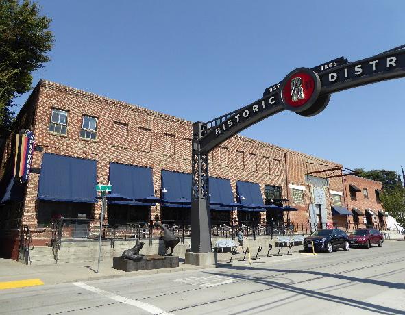
1.1 Preserve and enhance the historic street-facing orientation of primary building facades and entrances.
1.3 Avoid filling in or obstructing historic window or door openings.
1.4 Re-open historic window and door openings that have been filled in.
• Use compatible new windows and door materials, types, and forms.
The R Street Historic District preserves a historic industrial and transportation corridor that developed along the route of two parallel railroad tracks from the nineteenth to mid-twentieth centuries. Adaptive reuse and redevelopment of the historic industrial buildings that line the corridor and sensitively-designed infill projects have helped transform the area into one of Sacramento’s most vibrant commercial, cultural, and entertainment centers. With interest and investment in the area expected to continue, it will be crucial to balance new development with the preservation of the contributing resources and historic character of the district.
1.2 Make every effort to preserve, repair, and maintain any surviving steel frame windows, which significantly contribute to the industrial character of the district.
• Re-instate multi-lite steel frame windows, where they have been removed, if there is adequate documentation and if feasible.
1.5 Avoid painting or applying new finishes on historically unpainted exterior masonry, particularly where historic painted signs (ghost signs) are present.
• Consider removing paint or finishes from historically unpainted exterior masonry, using the gentlest methods possible, during exterior repairs or renovations.
• Maintain paint on exterior masonry where likely to be the historic condition.
In addition to the Standards & Criteria Common to Sacramento's Historic Districts in Section 1, the following district-specific standards and criteria apply when planning a project in the R Street Historic District.
Figure 294. Buildings are typically oriented to R Street and have window and door openings that face the street.
Figure 295. A loading platform at 1001 R Street is used to provide restaurant seating and access to the building.
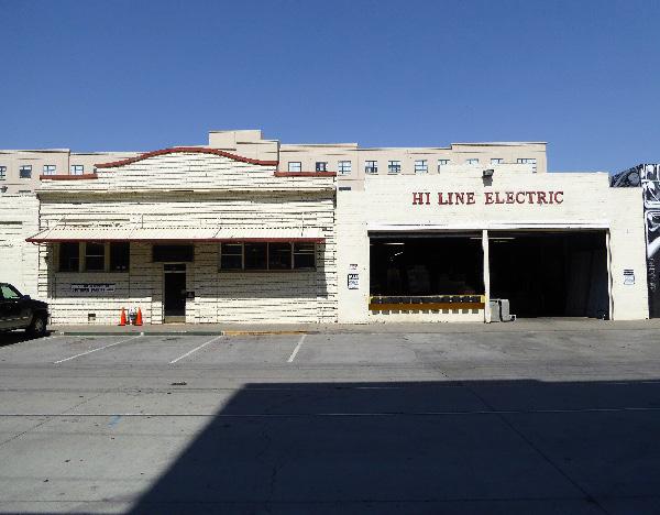 Section
Sacramento Historic District
Section
Sacramento Historic District
1.6 Preserve and reuse historic loading platforms.
• Encourage reuse of these platforms as part of streetscape improvements to enhance the pedestrian experience.
• Recreate historic loading platforms using concrete or other compatible material.
1.7 Retain existing historic awnings, where possible.
1.8 Remove chain linked fences and barbed wire where possible.
• Replace chain link fences with fences that are of a compatible material and height to historic or compatible new fences at contributing properties in the historic district.
2.1 Where rooftop additions are desired, use step backs in order to maintain existing street façade height.
2.2 Respect historic open areas that are part of historic configuration or building siting, such as open areas at loading or service zones, to the extent feasible.
• Incorporate historic open areas into project site plan for an outdoor use, such as dining enclosures.
3.1 Design the scale, massing, and proportions of new construction to be compatible with those of adjacent contributing buildings on the same block.
• Break larger masses into smaller modules that relate to the surrounding contributing buildings.
• Where additional height is proposed, consider using step backs for taller buildings to maintain the existing street façade height of adjacent contributing buildings.
Figure 296. Increased building heights and masses are appropriate next to contributing buildings that are taller and larger in scale.
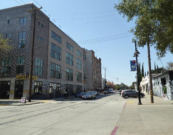 Sacramento Historic District
3.2 Align windows, doors, and variations in façade treatments to the extent feasible with that of adjacent contributing buildings in order to maintain the existing pattern of door and window openings found on the block face.
• When not possible, utilize the average datum lines of contributing properties.
3.3 Preserve the historic pattern of siting buildings with a zero-lot-line setback from the street..
4.1 Pursue a “complete street” approach that enhances pedestrian safety while preserving the historic district’s minimally landscaped industrial character.
4.2 Preserve and enhance the visibility of surviving physical elements that are associated with the railroad that historically serviced the area, including track alignments and loading bays that open onto tracks.
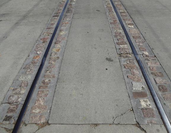
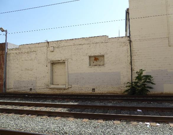
4.3 Continue the pattern and orientation of sidewalks.
4.4 Develop a street furnishing and lighting palette that are compatible with the industrial character, scale, and materials of contributing resources in the district.
Figure 298. Historic railroad tracks contribute to the character of the district.
Sacramento Historic Figure 297. Historic loading bays convey the character of the district as a historic transportation corridor.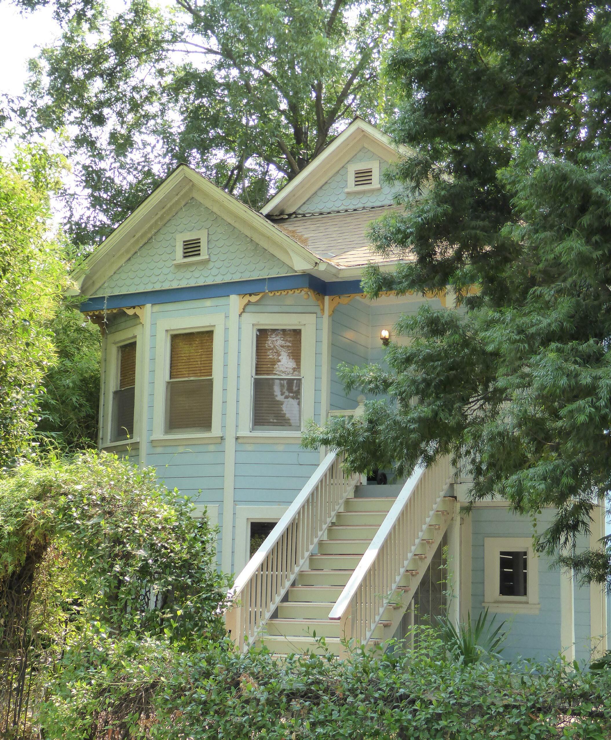
The South Side Historic District is located within Sacramento’s 1848 street grid plan but is situated beyond the city’s original de facto southern limit, which was formerly delineated by the R Street railroad levee until its removal in 1902.1 The presentday neighborhood is roughly bounded by Rice Alley to the north, 16th Street to the east, W Street to the south, and 3rd Street to the west. As Sacramento’s largest historic district, South Side features a broad range of building types, styles, and uses, as well as the historic Southside Park, the district’s namesake.
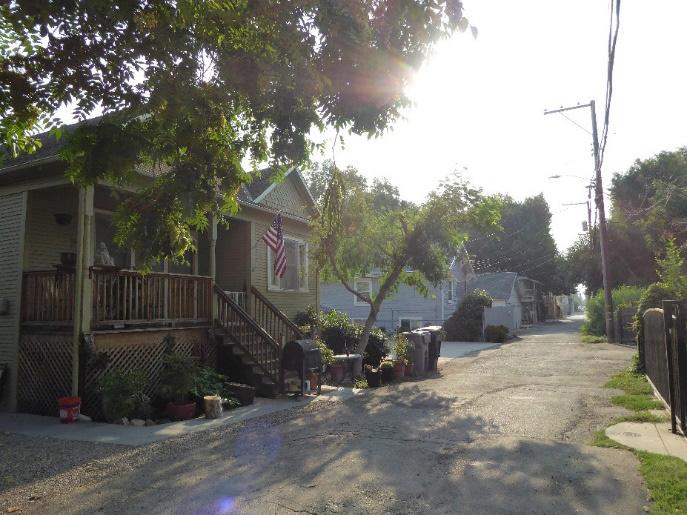
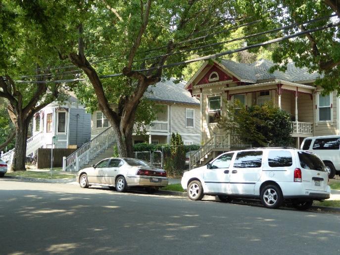
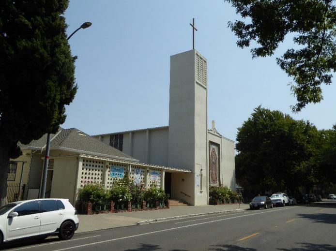
 Section Individual Historic District Side Historic
Sacramento Historic District Plans Final
1 William Burg, “Southside Park,” (National Register of Historic Places Draft Registration Form, California Office of Historic Preservation, 2017), 10.; William Burg, Sacramento’s Southside Park (San Francisco: Arcadia Publishing, 2007), 21.
Figure 299. A view of the lake in Southside Park, looking east. Figure 300. Our Lady of Guadalupe Church faces Southside Park.
Figure 301. Victorian-era houses, such as these on 4th Street between S and T streets, appear throughout the district but are more common west of Southside Park.
Figure 302. A few houses, such as this house on Solons Alley, survive in the alleys to the west of Southside Park.
Section Individual Historic District Side Historic
Sacramento Historic District Plans Final
1 William Burg, “Southside Park,” (National Register of Historic Places Draft Registration Form, California Office of Historic Preservation, 2017), 10.; William Burg, Sacramento’s Southside Park (San Francisco: Arcadia Publishing, 2007), 21.
Figure 299. A view of the lake in Southside Park, looking east. Figure 300. Our Lady of Guadalupe Church faces Southside Park.
Figure 301. Victorian-era houses, such as these on 4th Street between S and T streets, appear throughout the district but are more common west of Southside Park.
Figure 302. A few houses, such as this house on Solons Alley, survive in the alleys to the west of Southside Park.
The South Side Historic District preserves a vibrant, mixed-use neighborhood in the southwestern quadrant of Sacramento’s original 1848 street grid. At the time of the city’s initial settlement in the midnineteenth century, this area was characterized by agricultural fields and low-lying marsh land.2 Two major infrastructure developments helped to shape the evolution of the South Side during this early period, the first of which was the construction of the R Street levee on the city’s southern edge in 1854.3 Although it was intended to protect the young city from periodic flooding, it had the opposite effect. During particularly devastating flooding in the winter of 1861-1862, the R Street levee trapped floodwaters within the city for several months.4 Because of the presence of the levee and the constant threat of flooding, the area to the south of R Street remained sparsely populated until the end of the nineteenth century.5
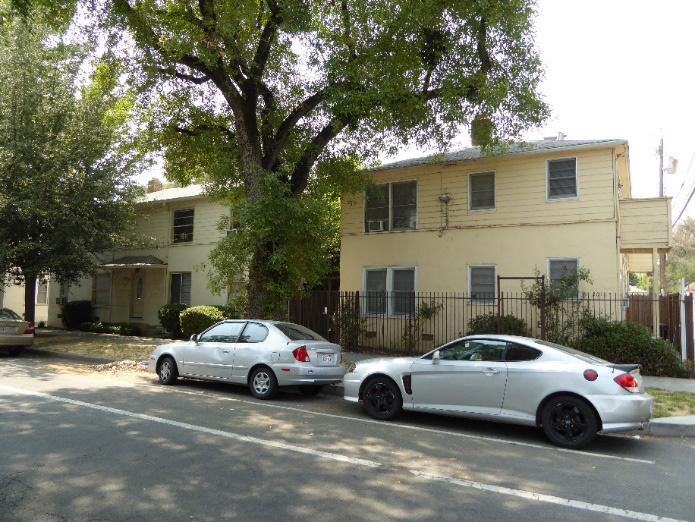
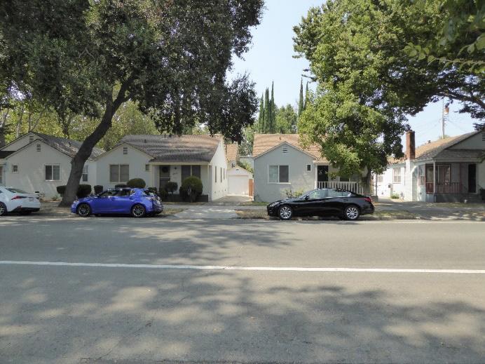
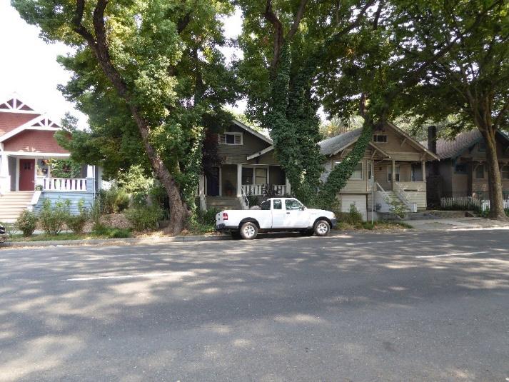
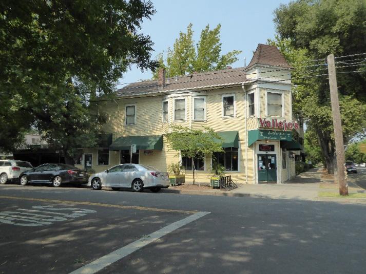
The second major development was the establishment of the Sacramento Valley Railroad, which constructed its route along the top of the R Street levee and began its operations in 1856. The S.V.R.R. was California’s first railroad line and spanned 22 miles between
2 Fire Department of the City of Sacramento, A Birds-eye view of Sacramento Capitol of the State of California [map], 1857, 30 1/4 inches x 35 inches, “California History Section, Picture Catalog,” California State Library, NFKMKR229GYXJ5-37463?func=full-set-set&set_number=001266&set_ entry=000001&format=999
3 Richard J. Orsi, “Railroads and the Urban Environment: Sacramento’s Story,” in River City and Valley Life: An Environmental History of the Sacramento Region, ed. Christopher J Castaneda and Lee M. A. Simpson (Pittsburgh: The University of Pittsburgh Press, 2013), 80-81. 4 Orsi, 83.
5 Historic Environment Consultants, “Southside Park: Historical Architectural and Landscape Survey,” (report, City of Sacramento, 2012), 6.
Sacramento Historic District Plans Figure 303. Small commercial buildings are scattered throughout the and at Figure 304. A row of Craftsman style bungalows on 15th Street between T and U streets. Figure 305. Minimal Traditional style houses are more frequent to Figure 306. Mid-century apartments add to the variety of residential buildings in theSacramento and Folsom.6 Following the construction of an improved levee system on Y Street in 1878, the R Street levee was removed and the railroad tracks, by then owned by the Southern Pacific Company, were rebuilt at ground-level in 1903.7
A majority of industrial development in the South Side area occurred along the waterfront to take advantage of access to riverboats traveling up and down the river daily and employed large numbers of people.8 The remainder of land beyond the levee was occupied by moderately sized homes, small garden plots, and uncultivated marsh land, including a slough between
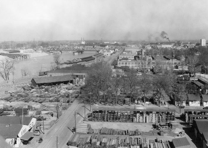
6 Steven M. Avella, Sacramento: Indomitable City (San Francisco: Arcadia Publishing, 2003), 53.
7 Page & Turnbull, “R Street Corridor Historic District,” (National Register of Historic Places Draft Registration Form, California Office of Historic Preservation, 2013), 3. 8 Burg, “Southside Park,” 8.12.
Sacramento Historic District Plans Final
Section 2: Individual Historic District Plans Side Historic District Plan 343
9th Street 10th Street 11th Street 12th Street
Figure 308. Close-up of blocks east of 8th Street from an 1895 map published by the Sanborn Map Company, showing increased development (1895). Source: Sacramento Public Library, edited by Page & Turnbull.
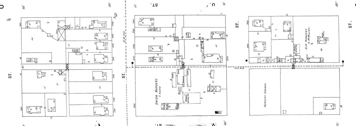
6th and 8th streets that would later become the site of Southside Park.9 In 1871, the Sacramento City Street Railway extended its line south along 10th Street to the City Cemetery on Y Street.10 By 1900, another streetcar line would be added that ran east along T Street from 3rd Street to 28th Street.11 A map published by the Sanborn Map Company in 1895 illustrates the resulting increase in development, especially to the east of 8th Street.12
The gradual influx of residents to South Side led to the establishment of the Southside Improvement Association around 1900.13 The focus of the
9 Ibid.
10 William Burg, Sacramento’s Streetcars (Charleston, SC: Arcadia Publishing, 2006), 9.
11 William Burg, “Sacramento’s Streetcar Suburbs, Part 4: East Sacramento and Elmhurst,” Sacramento History (blog), September 5, 2007, http:// sacramentohistory.blogspot.com/2007/09/sacramentos-streetcar-suburbspart-4.html.
12 Sanborn Map Company, Sacramento, California [map], sheet 40, 1895.
13 Burg, “Southside Park,” 8.10.
organization was to lobby for the removal of the R Street levee and the beautification of the slough land between R and Y streets. After the levee’s removal in 1903, the Southside Improvement Association, led by many of the South Side’s landowners, shifted its efforts to the creation of a multi-block park that it hoped would attract more residents to the area. The project was an early example of a communityled improvement project that aimed to increase neighborhood density.14
By 1907, the City’s Board of Trustees had approved plans for the creation of Southside Park, which were to be carried out by architect Rudolf Herold, engineer George Randal, and landscape architect John McLaren, designer of San Francisco’s Golden Gate
14 Nathan Hallam, “The Evolution of Sacramento’s Central City Street Grid,” (master’s thesis, Sonoma State University, 2003), 68.
Linda Flint McClelland, National Register of Historic Places Multiple Property Documentation Form: Historic Residential Suburbs in the United States, 18301960. Washington, D.C.: National Park Service, 2002, 68.
Figure 307. View looking north along the Sacramento River from T Street, showing industrial development next to the river below R Street (1929). Source: Center for Sacramento History, David L. Joslyn Collection, 1970/001/0092.Park. The design of Southside Park was influenced by the nineteenth-century principles of urban planning and park development exhibited by the works of Frederick Law Olmsted and his contemporaries.15 The completed park covered eight city blocks, totaling 26 acres in size.
A massive building boom in South Side marked the years that followed. Numerous newspaper articles and advertisements touted the area’s charm and the recreational amenities. A listing in the Sacramento Union from 1909, in the midst of the park’s construction, described Southside Park as “Sacramento’s show garden” and declared that adjacent property values would “soar sky high”
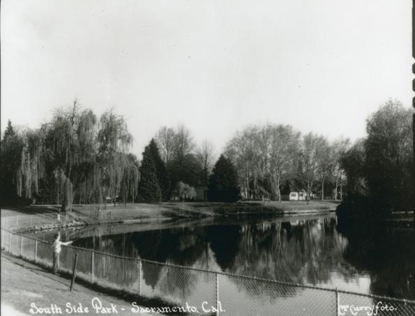
15 Burg, “Southside Park,” 8.11.
because of their proximity to the new park16 While larger homes were built on the land closest to the park, the majority of the newly subdivided parcels were developed for modestly scaled homes in architectural styles characteristic of the period, such as the Craftsman and Classical Revival styles.
South Side was an attractive location for local residents who were vacating Sacramento’s overcrowded city center. Additionally, because South Side was one of the few neighborhoods where racial covenants did not restrict homeownership, it was settled by the many immigrant and ethnic groups that arrived in Sacramento during the first half of the twentieth century.17 By the 1920s, South Side could already be characterized as a multicultural neighborhood. The area’s unique cultural milieu brought about the construction of many churches and societal halls that contributed to the neighborhood’s architectural character.18
While many of South Side’s earliest inhabitants were Irish immigrants, it was primarily a neighborhood of Portuguese and Italian immigrants prior to the 1950s.19 The local Portuguese community was centered around 3rd and T streets. Its cultural and spiritual heart were the ODES Hall (Ordem do Divino Espirito Santo, or Order of the Divine Holy Spirit) at 514 W Street and St. Elizabeth’s Church at the corner of 12th and S Street. Italians settled along S and T streets as far east as 19th Street and attended St.
16 “Southside Park Frontage 160x160,” Sacramento Union, November 30, 1909, https://cdnc.ucr.edu/cgi-bin/cdnc?a=d&d=SU19091130.2.144.7&srp os=143&e=-------en--20--141--txt-txIN-%22Southside+Park%22+Sacramen to-------1.
17 Burg, Sacramento’s Southside Park, 31. 18 Ibid.
19 Burg, “Southside Park,” 8.12.
Mary’s Church, which was originally located at 8th and N and relocated to the corner of 7th and T streets in 1915.
A new influx of ethnic groups flowed into the South Side neighborhood in the 1950s as a result of the redevelopment of Sacramento’s West End, located immediately to the north. Many displaced Japanese, Chinese, Latino, and African American residents relocated to South Side during this period.20 A Mexican community grew along 4th and 5th streets, southward toward Y Street (now Broadway). The community centered around El Centro Mexicano, dedicated in 1948 and located next to Southside Park at 6th and W streets, and Our Lady of Guadalupe Church, built in 1958 at 711 T Street.21
Highway construction in the middle decades of the twentieth century forever altered the South Side neighborhood. Demolition for U.S. Route 50, planned to run east to west between W and X streets, began in 1965 and resulted in the destruction of a quarter of Southside Park, hundreds of houses, and significant community buildings, including the ODES Hall. The completed highway also effectively cut South Side off from the newer, wealthier neighborhoods of Curtis Park and Land Park that had developed to the south of Y Street (now Broadway) in the early twentieth century. Meanwhile, the construction of Interstate 5, running north to south between Front and 3rd streets, in the 1960s severed the neighborhood’s connection to the river waterfront. The highway project devastated the industrial corridor along the Sacramento River and the Portuguese business district
20 Burg, “Southside Park,” 8.13. 21 Ibid., Section 8, 15-16.
Sacramento Historic District Plans Final Figure 309. Southside Park (1927). Source: California History Room, California State Library, Sacramento, California.located along 3rdStreet.22 South Side fell into disrepair, and residents with the means to relocate moved to newer residential suburbs outside of Sacramento.23
In the twenty-first century, South Side has retained its identity as an inclusive, multicultural neighborhood. Students and young professionals have moved into the neighborhood, attracted by its combination of inexpensive housing, proximity to Southside Park, shady street trees, and historic architecture, and turned many of its single-family homes into shared living spaces. Infill projects, such as the 1990s cohousing project at 5th and T streets, have filled in many vacant lots leftover from redevelopment projects, while historic preservation efforts, led by local homeowners and the City of Sacramento, have resulted in the restoration of historic houses in the neighborhood.24
22 Ibid., Section 8, 17. 23 Burg, Sacramento’s Southside Park, 117. 24 Ibid., 123-124.
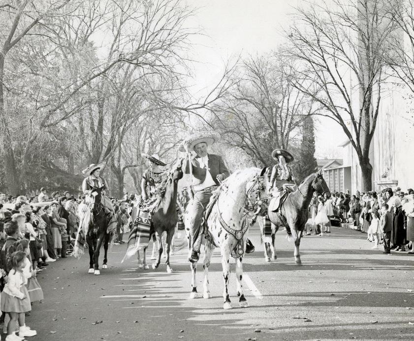 Section 2:
Sacramento Historic District Plans Final
Figure 310. Parade of Chicano horseback riders in front of Our Lady of Guadalupe Church (1964). Source: Center for Sacramento History, Trinidad Sanchez Collection, 1998/098/001.
Section 2:
Sacramento Historic District Plans Final
Figure 310. Parade of Chicano horseback riders in front of Our Lady of Guadalupe Church (1964). Source: Center for Sacramento History, Trinidad Sanchez Collection, 1998/098/001.
The South Side Historic District was designated for listing on the Sacramento Register of Historic and Cultural Resources by the City Preservation Commission in 1985 in Ordinance #85-076.
The following table provides a current evaluation of significance under the requirements and considers the factors based on the above historic district context and the 2018 historic district survey. Additionally, this historic district relates to the Railroad Context Statement of the city’s General Plan Technical Background Report.
(a) The South Side Historic District meets requirement (a) for listing on the Sacramento Register, because it is a geographically definable area.
(b)(i) The South Side Historic District meets requirement (b)(i) for listing on the Sacramento Register as an area that possesses “a significant concentration or continuity of buildings unified by: (A) past events or (B) aesthetically by plan or physical development.”
Due to South Side’s rapid development during the first decades of the twentieth century, the district represents a stylistically unified collection of residential and commercial buildings. Buildings within the district boundaries share complimentary architectural styles, scale, and materials. To the west of Southside Park, the district is characterized by a cohesive grouping of simple, high-basement cottages. To the east of the park, the district is comprised of similar high-basement cottages punctuated by larger homes with more elaborate ornamentation.25
(b)(ii) The South Side Historic District meets requirement (b)(ii) for listing on the Sacramento Register as an area “associated with an event, person, or period significant or important to city history.”
The South Side Historic District is significant for its association with early twentieth-century community-led movements to increase neighborhood density. Unlike Sacramento’s one-block parks that were incorporated as part of the city’s original grid plan, Southside Park was a community-driven improvement project, led by the Southside Improvement Association, that was intended to enhance the natural appeal of the neighborhood and draw homeowners from the densely-populated city center.26 The ensuing development of South Side attracted residents from diverse backgrounds, many of whom were recent immigrants to Sacramento.
(c) The South Side Historic District meets requirement (c) for listing on the Sacramento Register as it aligns with the goals and purposes of historic preservation in Sacramento, as well as the city’s other goals and policies. Per the Sacramento City Code, the preservation of the district enhances the “city’s economic, cultural and aesthetic standing, its identity and its livability, marketability, and urban character.”
25 “2.2.29 South Side Historic District,” (Ordinance # 85-076, Sacramento Register of Historic and Cultural Resources, July 30, 1985, updated May 2014), 2. 26 Ibid.
Sacramento HistoricThe period of significance for the South Side Historic District begins with the inauguration of streetcar service down 10th Street to Y Street in 1871 and ends when demolition for the construction of Highway 50 began in 1965. The district has an expansive period of significance to incorporate the area's initial period of physical development as well as the significant physical and demographic changes that took place in the mid-twentieth century, which contribute to the unique architectural character and cultural significance of the district.
(a) Factor (2)(a) states that “a historic district should have integrity of design, setting, materials, workmanship and association.” The South Side Historic District retains sufficient integrity to meet this factor for consideration as a historic district.
(b) Factor (2)(b) states that “the collective historic value of the buildings and structures in a historic district taken together may be greater than the historic value of each individual building or structure.” The South Side Historic District meets this factor because its buildings and structures represent a significant and distinguishable entity whose collective historic value is greater when taken as a whole.
Sacramento HistoricUse
• Historically single-family residences, some converted into multi-family units
• Small commercial businesses, typically located on street corners
• Parking and auxiliary uses located along alleys
Mass & Form • Civic and institutional buildings—such as churches, schools, and community organizations—concentrated around community “gathering place” of Southside Park
• Buildings generally one-to-three stories tall
• Some houses with Delta-style high basements and raised first story
• Predominately cuboid or horizontal massing; although older houses often exhibit vertical massing
• Larger houses generally located on lettered streets, with smaller houses more typically located on numbered streets, especially toward the district’s southern boundary near U.S. Route 50
• Many houses in the Classic Box form located along the route of a former street car line on T Street
Cladding
• Predominately wood siding, typically three-lap, channel rustic, or shingle siding of varying shapes, especially on upper stories and gabled ends
• Occasional use of brick, stucco, or a combination of the two
• Stucco cladding as a common alteration, often combined with clay or cement tile roofs
Roofs
• Front-facing gabled, hipped, or jerkinhead roofs, often with centrally-placed hipped or shed dormers
• Brick and clinker brick chimneys
Entries & Doors • Delta-style configuration with staircases leading to primary entrances above a high basement
• Paneled wood doors, often with a transom above, or integrated glazing
• Wood or terrazzo stairs
Windows • Wood-frame double-hung windows
• Front- and side-facing bay windows
Porches • Prominent full, half, or central porches with Classical, square tapered, paired, or turned columns accessed by stairs
Ornamentation
• Queen Anne, Eastlake, and Classical Revival details, including incised brackets; spindlework; turned or Tuscan columns, patterned shingles, and rounded bay windows
• Craftsman details, including exposed rafter and purlin tails, wood braces, tapered square columns, and low shed dormers
Property Landscape
Streetscape
• Small lawns or gardens in front of many houses
• Generally uniform setback from street to property line of approximately 16 feet from sidewalks to primary building facades with an eight-foot-wide sidewalk and eight-footwide grass parking strip on lettered streets, and a slightly narrower measurements on numbered streets
• Rows of mature, deciduous street trees—most commonly sycamore, elm, walnut, and cork trees and some rows of evenly spaced palms—planted in a parking strip along the street curb
• Evidence of hitching posts in the form of L-shaped concrete strips next to street curbs in front of some turn-of-the-century houses
• Narrow driveways leading to garages that are built into the first story of a house, attached to the side of a house, or constructed as free-standing structures on the alley.
Sacramento Historic DistrictThe following map shows the boundaries and location of the South Side Historic District.
To view the statuses of individual properties as contributing or non-contributing resources to the historic district, refer to the Sacramento Register of Historic and Cultural Resources.
Preserve and maintain the existing historic character of the South Side Historic District as one of Sacramento’s most architecturally and ethnically diverse neighborhoods while encouraging compatible new development that enhances this character and improves the historic district’s connection to surrounding neighborhoods.
1.1 Preserve, maintain, and continue to encourage compatible re-use of the contributing historic civic, institutional, and commercial buildings.
The South Side Historic District is one of Sacramento’s largest and most ethnically and architecturally diverse historic districts, consisting of a collection of historic residential, commercial, civic, and institutional buildings, dating from the late nineteenth to midtwentieth centuries. The neighborhood is somewhat cut off from other parts of the city by Highway 50 to the south and larger scale commercial development and parking lots that spill over from the R Street corridor to the north. South Side retains a broad feeling of visual coherence, in spite of its wide range of architectural styles and building types, due to a similar use of materials and landscaping and the gradual shift in building scale, massing, and architectural styles as the historic district progresses from west to east.
In addition to the Standards & Criteria Common to Sacramento's Historic Districts in Section 1, the following district-specific standards and criteria apply when planning a project in the South Side Historic District.
1.2 Maintain, preserve, and, where necessary, repair and restore historic elements associated with the Delta style of residential architecture, especially historic staircases facing the street, porches, bay windows, and doors.
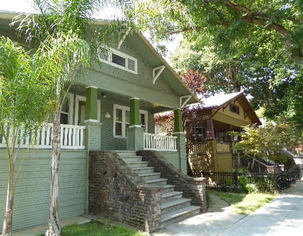 Section
Sacramento Historic District Plans
Figure 312. Wood and brick are common historic materials on contributing buildings throughout South Side.
Section
Sacramento Historic District Plans
Figure 312. Wood and brick are common historic materials on contributing buildings throughout South Side.
2.1 Avoid additions that make contributing buildings constructed in horizontally massed or boxlike architectural styles, such as Craftsman or Classic Box, more vertical or that make vertically massed Victorian-era buildings more horizontal.
2.2 Avoid additions that cause a contributing building’s height to exceed 150% of its historic height.
• Use step backs to maintain the existing street façade height.
3.1 Design the scale, massing, and proportions of new construction to be compatible with those of contributing buildings on the same block
• Larger buildings with box-like massing are generally appropriate on lettered streets, particularly along T Street, while smaller buildings with horizontal massing are generally appropriate on lettered streets, particularly on the south edge of the historic district.
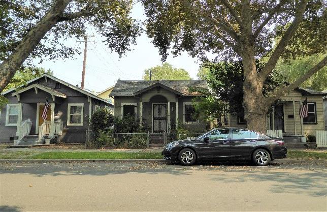
• Pay special attention to compatibility of height and massing when locating new construction adjacent to a row of contributing buildings that exhibit the same height and mass.
3.2 The height of new buildings should be no more than 150% of the height of surrounding contributing buildings.
Figure 314. The height of new buildings should be no more than 150% of the height of surrounding contributing buildings.
Figure 313. Additions should not cause a building's height to exceed 150% of its historic height.
Figure 315. Rows of houses of similar height and scale create distinctive, visually cohesive groupings on some blocks.
3.3 Maintain the visibility of varying building profiles, shapes and forms in the historic district.
• Avoid designs that result in rows of identical new buildings.
3.4 Focus commercial and mixed-use development to street corners and along 10th Street.
• Where commercial properties are sited directly adjacent to residential properties, provide a side setback and articulate side facades to avoid solid party walls facing residential properties.
• Consider drawing design inspiration from contributing commercial buildings in the historic district.
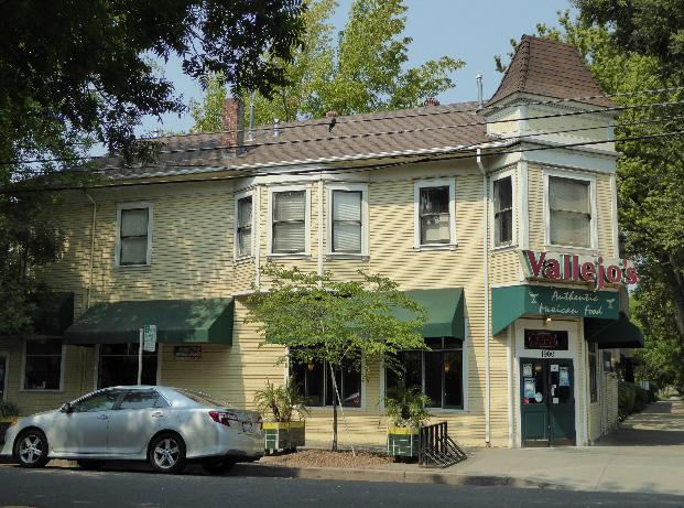
3.5 Preserve the historic pattern and articulation of long, narrow 40’ x 160’ parcels, wherever possible.
• Consider breaking down the massing of large infill developments into smaller masses that reflect the historic lot pattern.
3.6 Consider providing covered front porches or entries at new infill development to preserve the historic district’s visual pattern of porches.
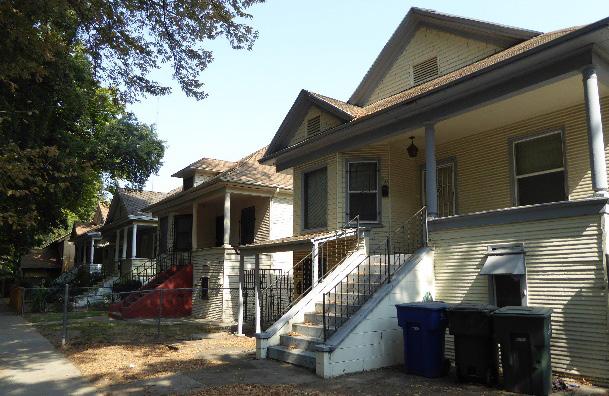
Figure 316. Contributing commercial buildings in the historic district are often located at street corners and may provide a useful context for new commercial infill.
4.1 Preserve, maintain, and, where necessary, repair and restore historic plantings and landscaping features in Southside Park, such as the bandstand and lake.
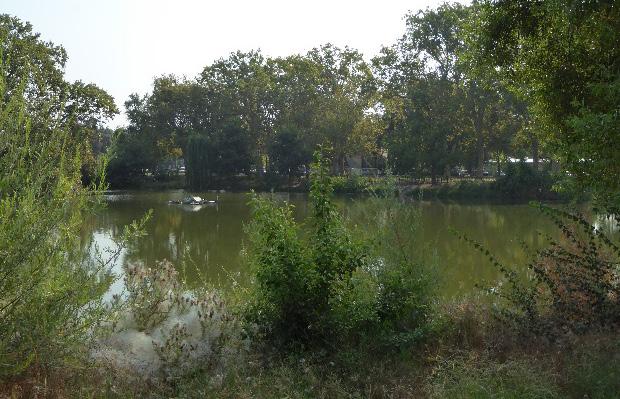
4.2 If it becomes necessary to replace a mature street tree, replace it with the same species of tree or a compatible species that will grow to a similar height, size, and form.
4.3 Where street trees consist of a row of trees of the same species, such as palms, replace removed or diseased trees with the same species or a compatible species at regular intervals in order to maintain the historic tree planting pattern.
4.4 Remove chain link fences and barbed wire where possible.
Section Sacramento Historic District Plans Final Figure 317. Uniform setbacks add to the visual cohesiveness of the architecturally varied historic district. Figure 318. The lake in Southside Park is a historic landscaping feature of the park.• Replace chain link fences with fences that are of a compatible material and height to historic or compatible new fences at contributing properties in the historic district.
5.1 The height of alley infill should be no more than 150% of the height of surrounding contributing buildings.
5.1 Draw inspiration for the design of secondary dwelling units on alleys from historic examples of residential buildings located on alleys within the historic district.
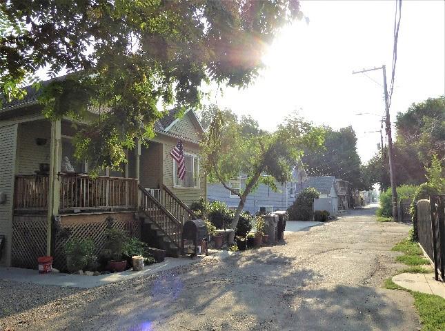 Sacramento Historic District
Figure 319. Contributing buildings along alleys in the district provide a historic example for development along alleys.
Sacramento Historic District
Figure 319. Contributing buildings along alleys in the district provide a historic example for development along alleys.
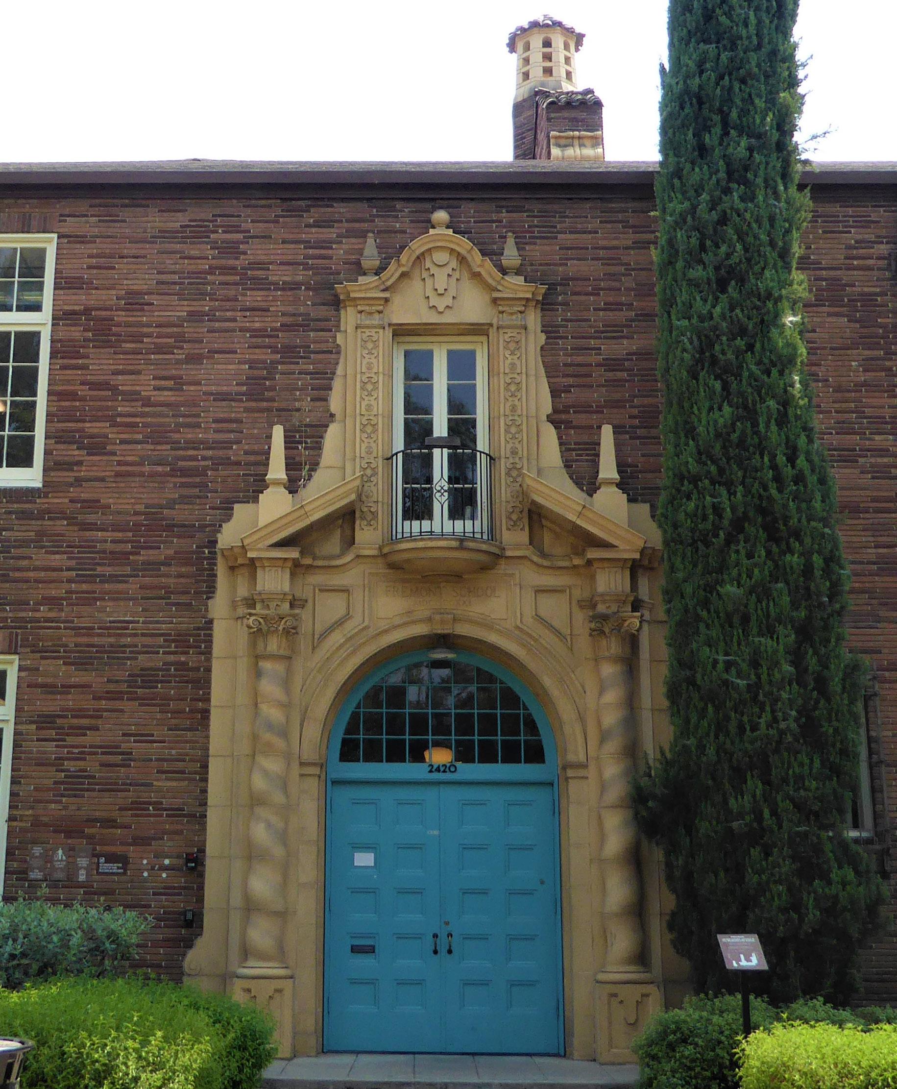
The Winn Park Historic District is a predominately residential neighborhood located in the eastern section of Sacramento’s original 1848 street grid. The district is bounded roughly by N, 29th, R, and 21st streets. In April 2018, the Winn Park Historic District was expanded to include 1616, 1620, and 1624 21st Street, also known as Sacramento’s “Painted Ladies.”1
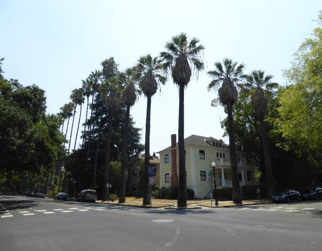
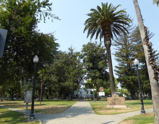
The district consists of a public park and primarily residential neighborhood, largely composed of treelined streets filled with single-family houses and apartment buildings that display a wide variety of architectural styles consistent with their construction from the late nineteenth century to 1940s.
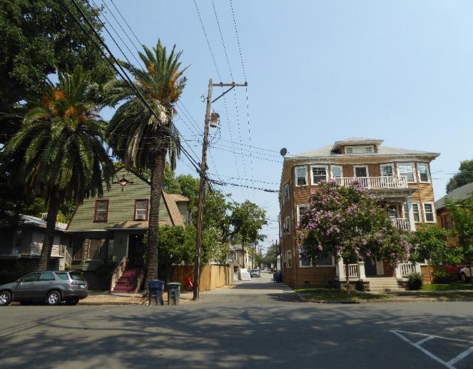
Figure 322. The district contains single- and multi-family residential buildings built in a variety of architectural styles.
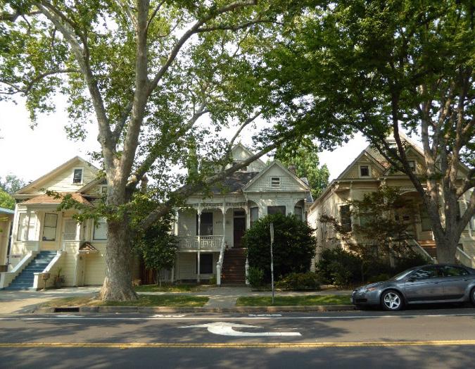 Sacramento Historic District Plans Final
1 “Welcome to the Winn Park Association,” Winn Park Historic District Association, accessed July 19, 2018. https://winnparkassociation.org.
Figure 320. A view of Winn Park, looking northwest.
Figure 321. Three Queen Anne style houses on N Street between 21st and 22nd streets.
Figure 323. Rows of evenly spaced palms are planted in parking strips in front of many houses in the district.
Sacramento Historic District Plans Final
1 “Welcome to the Winn Park Association,” Winn Park Historic District Association, accessed July 19, 2018. https://winnparkassociation.org.
Figure 320. A view of Winn Park, looking northwest.
Figure 321. Three Queen Anne style houses on N Street between 21st and 22nd streets.
Figure 323. Rows of evenly spaced palms are planted in parking strips in front of many houses in the district.
The Winn Park neighborhood and the public park around which it was built were named in honor of General A.M. Winn, the founder of the Native Sons of the Golden West and an early president of Sacramento’s first City Council.2 The park is one of ten one-block plazas that John A. Sutter, Jr. donated to the city for use as a public park when Sacramento was first laid out in 1848. Located at the city’s eastern periphery at the time of its establishment, Winn Park and the lots surrounding it were undeveloped until the late nineteenth century when Sacramento’s expanding population began to spill out into new residential developments that were emerging on the city’s borders.
The development of new “modern” neighborhoods to the east of Sacramento’s central business district was aided by the extension of streetcar lines to these areas. Winn Park, itself, was serviced by a number of streetcar lines. The closest ran down P Street and terminated at the park on 28th Street. Additional lines bordered the neighborhood at M Street (Capitol Avenue) and 28th streets. Easy streetcar access was one of the features that attracted Winn Park’s first residents to the area. By the late nineteenth century, Sacramento’s downtown had become overcrowded, dirty, and crime-ridden, and middle-class residents began to leave in search of houses in cleaner and quieter neighborhoods with modern amenities. Streetcars allowed residents to enjoy the benefits of living outside the city center while offering them the means to travel to their places of work downtown or
Figure 324. Winn Park (ca. 1930). Source: Parks and Buildings of Sacramento, Calif., BANC PIC 1905.05268--PIC. Courtesy of The Bancroft Library, University of California, Berkeley.
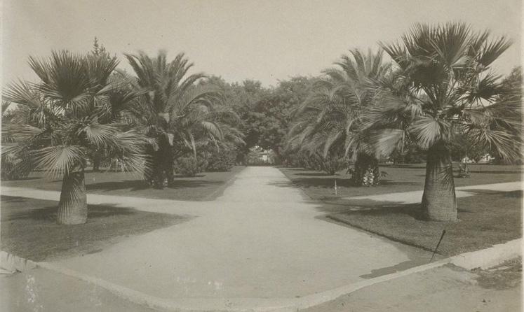
at the canneries or other businesses to the east.3
The real estate sales firm Wright and Kimbrough
2 “All Sacramento Aids in N.S.G.W. Preparations,” San Francisco Chronicle, September 7, 1917, 2.
3 Nathan Hallam, “‘We Must Give the World Confidence in the Stability and Permanence of the Place:’ Planning Sacramento’s Townsite, 1853-1870,” in River City and Valley Life: An Environmental History of the Sacramento Region, ed. Christopher J. Castaneda and Lee M.A. Simpson (Pittsburgh: University of Pittsburgh Press, 2013), 63-64.
encouraged customers to purchase houses in the Winn Park neighborhood by advertising them as part of a “high-class home section” with modern features, such as macadamized streets and paved sidewalks.4
4 Wright and Kimbrough, “The site for that handsome home,” Sacramento Union, November 20, 1911; Wright and Kimbrough advertisement, Sacramento Union, May 17, 1910.
Sacramento Historic District Plans FinalThe neighborhood’s proximity to Winn Park, touted by real estate firms as “one of the city’s beauty places,” also increased its desirability.5 In the early twentieth century, the park hosted public events, such as performances of the city’s summer municipal concert series.6 In 1917, the dedication exercises of the Native Sons and Daughters of the Golden West took place there as part of Admission Day celebrations, an event which attracted the largest crowd of visitors to Sacramento since its founding in the mid-nineteenth century.7 Twenty years later, a fire alarm relay station was built at the center of the park for Sacramento’s fire stations.
Through World War II until the end of streetcar service in the 1946, Winn Park maintained its identity as a wealthy middle-class enclave. In the 1930s and 1940s, houses in the popular Revival styles of the time were built next to the earlier Queen Anne and Craftsman style houses.8 Office buildings and other small businesses were also constructed. After the war, however, affluent residents began migrating away from older neighborhoods in the central city in increasing numbers to newer automobile-oriented suburbs that were developing outside Sacramento. 9 With their departure, lower-income residents moved in to Midtown neighborhoods, such as Winn Park, during the postwar period. Multi-unit apartment
5 Wright and Kimbrough, “The site for that handsome home.”
6 “Winn Park Selected for Sunday Concert,” Sacramento Union, June 15, 1915.
7 “All Sacramento Aids in N.S.G.W. Preparations.”
8 “Ordinance Expanding the Boundaries of the Winn Park Historic District to Include 1616 21st Street, 1620 21st Street, and 1624 21st Street on the Sacramento Register as Contributing Resources (M18-001),” (ordinance, Sacramento City Council, April 10, 2018).
9 Steven M. Avella, Indomitable Sacramento (San Francisco, CA: Arcadia Publishing, 2003), 119-120.
buildings were constructed in greater numbers in response to the demographic shift. New apartment complexes have been constructed at the start of the twenty-first century, as well, as residents have begun to return to the city center. Care has been taken to sensitively design these new infill buildings to be compatible with the size, scale, and form of the neighborhood’s existing buildings.10
10 “Key Initiatives – Primary Goals of the Association,” Winn Park Historic District Association, accessed July 20, 2018. https://winnparkassociation. org/key-initiatives
Sacramento Historic District Plans FinalThe Winn Park Historic District was designated for listing on the Sacramento Register of Historic and Cultural Resources by the City Preservation Commission in 2004 in Ordinance #2004-009. At that time, it was determined to meet all of the requirements and factors for listing as defined by the Sacramento City Code.
The following table provides a current evaluation of significance under the requirements and considers the factors based on the above historic district context and the 2018 historic district survey. Additionally, this historic district relates to the Railroad Context Statement of the city’s General Plan Technical Background Report.
(a) The Winn Park Historic District meets requirement (a) for listing on the Sacramento Register, because it is a geographically definable area.
(b)(i) The Winn Park Historic District meets requirement (b)(i) for listing on the Sacramento Register as an area that possesses “a significant concentration or continuity of buildings unified by: (A) past events or (B) aesthetically by plan or physical development.”
The district contains a public park and a primarily middle-class residential neighborhood, which is characterized by a concentration of houses and a few apartment buildings that were constructed in an outlying area of Sacramento’s street grid as the city expanded outward from the late nineteenth to mid-twentieth century. The neighborhood developed around and received its name from Winn Park, one of the ten original public squares that John A. Sutter, Jr. donated to the City in 1848.
The architectural styles, building types, and elaborate design details found on buildings within the district reflect its development as a middle-class enclave and reveals the evolution of architectural tastes through the 1940s. These middle-class houses ranged from late nineteenth-century Queen Anne residences and turn-ofthe-century Craftsman bungalows to houses that incorporated elements of the Classical and Colonial Revival styles that were popular in the 1930s and 1940s. Elaborate and expensive details – such as ornate porch eaves, decorative brick porch surrounds, and fluted pilasters – further reflect Winn Park’s history as an affluent middleclass neighborhood. Multi-family apartment buildings were also constructed during the neighborhood’s peak period of development, ranging from Tudor style courtyard apartments to larger apartment buildings that incorporated elements of the Streamline Moderne style.
(b)(ii) The Winn Park Historic District meets requirement (b)(ii) for listing on the Sacramento Register as an area “associated with an event, person, or period significant or important to city history.”
The district is associated with the emergence of new residential neighborhoods along streetcar lines that extended to formerly outlying areas of Sacramento’s street grid as the city rapidly expanded outward and emerged as a modern, twentieth-century city. The Winn Park area was undeveloped until the late nineteenth century when the completion of streetcar lines allowed individuals and families in search of newer, cleaner places to live to migrate out of older overcrowded neighborhoods near the city’s downtown business district.
Winn Park maintained its identity as a middle-class neighborhood until the postwar period, when many residents began to move to newer automobile suburbs that were developing outside of Sacramento’s city limits.
Sacramento Historic DistrictThe period of significance for the Winn Park Historic District begins with the neighborhood’s establishment in 1890 and concludes with the end of streetcar service to the neighborhood in 1946, which coincided with the migration of residents out of the area to newer automobile suburbs outside Sacramento’s city limits.
(c) The Winn Park Historic District meets requirement (c) for listing on the Sacramento Register as it aligns with the goals and purposes of historic preservation in Sacramento, as well as the city’s other goals and policies. Per the Sacramento City Code, the preservation of the district enhances the “city’s economic, cultural and aesthetic standing, its identity and its livability, marketability, and urban character.”
(a) Factor (2)(a) states that “a historic district should have integrity of design, setting, materials, workmanship and association.” The Winn Park Historic District retains sufficient integrity to meet this factor for consideration as a historic district.
(b) Factor (2)(b) states that “the collective historic value of the buildings and structures in a historic district taken together may be greater than the historic value of each individual building or structure.” The Winn Park Historic District meets this factor because its buildings and structures represent a significant and distinguishable entity whose collective historic value is greater when taken as a whole. Significance:
Use • Historically single-family residences, some converted into multi-family units
• Interspersed churches and apartment buildings
• Parking and auxiliary uses located along alleys
Mass & Form • Variable height of buildings, ranging from one to four stories
• Some houses with Delta-style high basement and raised first story
• Horizontal or square massing of homes facing lettered streets
• Smaller homes located on numbered streets
Cladding
• Predominately wood siding, typically wide- and narrowwidth channel rustic siding, three- or four-lap siding, or shingles
• Some brick or stucco
Roofs • Prominent front-facing gabled or hipped roofs, often with a centrally placed dormer
• Brick or clinker brick chimneys
• Some red clay tile roofs on Spanish Revival style buildings
Entries & Doors • Delta-style configuration with staircases leading to primary entrances above a high basement
• Paneled wood doors, often with a transom above, or integrated glazing
• Wood, brick or terrazzo steps leading to primary entrances
Windows • Wood-frame double-hung, casement, paired, ribbon, and leaded glass windows
• Single and multi-story bay windows in semi-hexagonal, squared, and rounded forms
Ornamentation
• Queen Anne and Stick/Eastlake details, including incised brackets under roof eaves; slender, turned porch posts and balusters; patterned shingles on gabled ends
• Classical Revival details, including fluted pilasters; Tuscan columns, dentils along cornice, and garland decorations
• Craftsman and Prairie details, such as wide overhanging eaves, exposed rafter tails, wood braces, tapered square column, and low shed dormers
• Tudor details, including half-timbering
• Spanish Revival details, such as stucco facing, rounded arches, and terracotta ornamentation around entrances and cornices
Property Landscape
• Wrought iron fences with brick piers or low brick retaining walls around small front lawns or gardens
• Some brick patios with decorative bond patterns
• Axial pathways intersecting at the fire alarm relay station at the center of Winn Park
• Rows of mature, evenly spaced palms planted around the perimeter of Winn Park
Streetscape
• Uniform setback for single-family houses, tending to be wider along lettered streets
• Narrower setback on numbered streets
• Rows of mature, evenly spaced, deciduous street trees— most often elms or sycamore interspersed with rows of palms—planted in a parking strip along the street curb
• Varying sidewalk widths to accommodate street trees
• Iron hitching posts with horseheads and evidence of removed hitching posts in the form of L-shaped concrete strips next to street curbs
Porches
• Full-width, half-width, or central porches with Classical, square tapered, paired, or turned columns
• Brick and clinker brick column or porch bases
• Concrete upping stones engraved with family names
The following map shows the boundaries and location of the Winn Park Historic District.
To view the statuses of individual properties as contributing or non-contributing resources to the historic district, refer to the Sacramento Register of Historic and Cultural Resources.
Sacramento
Projects in the Winn Park Historic District shall minimize further impacts on the historic district’s overall integrity by respecting and drawing design inspiration from its existing contributing resources and character-defining features.
1.1 Preserve, maintain, and continue to encourage compatible use of the historic Fremont School building.
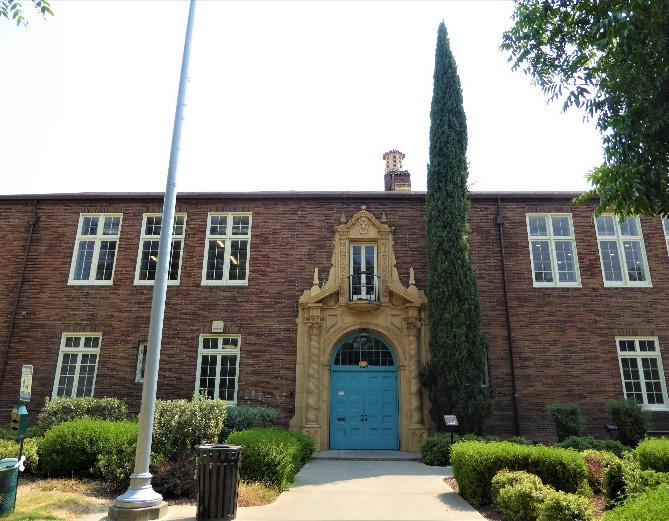
Winn Park is one of Sacramento’s largest and most architecturally varied historic districts, with a collection of historic houses and apartment buildings dating from the late nineteenth to midtwentieth centuries situated around a public park and the historic Fremont School building. Perhaps to a greater degree than many of Sacramento’s other historic districts, Winn Park has been impacted by the construction of apartment buildings during the midtwentieth century. However, in spite of the addition of newer buildings and variety of architectural styles, Winn Park’s streetscapes retain a broad feeling of visual coherence due to a similar use of materials, building scale and massing, setbacks from the street, and landscaping that visually tie its contributing resources together.
1.2 Maintain, preserve, and, where necessary, repair and restore historic elements associated with the Delta style of residential architecture, especially historic staircases, porches, bay windows, and doors.
In addition to the Standards & Criteria Common to Sacramento's Historic Districts in Section 1, the following district-specific standards and criteria apply when planning a project in the Winn Park Historic District.
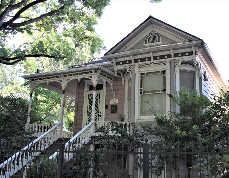 Section 2: Historic Historic
Sacramento Historic District Plans Final
Figure 326. The Fremont School building is a visual and cultural focal point of the historic district.
Figure 327. Delta style houses are common in the historic district.
Section 2: Historic Historic
Sacramento Historic District Plans Final
Figure 326. The Fremont School building is a visual and cultural focal point of the historic district.
Figure 327. Delta style houses are common in the historic district.
2.1 Avoid additions that make contributing buildings constructed in horizontally massed or boxlike architectural styles, such as Craftsman or Classic Box, more vertical or that make vertically massed Victorian-era buildings more horizontal.

2.2 Avoid additions that cause a contributing building’s height to exceed 150% of its historic height.
• Use step backs to maintain the existing street façade height.
3.1 Design the scale, massing, and proportions of new construction to be compatible with those of contributing buildings on the same block.
• Where additional height is considered, the height of new buildings should be no more than 150% of the height of surrounding contributing buildings.
• Consider using step backs to maintain the existing street facade height of adjacent contributing buildings.
3.2 Maintain the visibility of varying building profiles, shapes, and forms in the historic district.
• Avoid designs that result in rows of identical new buildings.
3.3 Draw inspiration for the design of multi-family residential properties from contributing multifamily residential properties in the district.
• Contributing courtyard apartments and twostory buildings with street-facing entries are appropriate historic precedents.
3.4 Preserve the historic pattern and articulation of long, narrow 40’ x 160’ parcels, wherever possible.
• Consider breaking down the massing of large infill developments into smaller masses that reflect the historic lot pattern.
Figure 328. Additions should not cause a building's height to exceed 150% of its historic height.
Figure 329. The height of new buildings should be no more than 150% of the height of surrounding contributing buildings.
Figure 330. Two-story apartment buildings with street-facing entries provide a historic example for integrating multi-family residential buildings into the district.
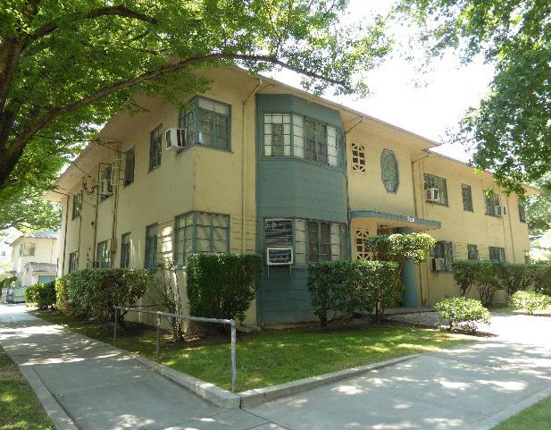
3.5 Consider providing covered front porches or entries at new infill development to preserve the historic district’s visual pattern of porches.
4.1 Preserve, maintain, and, where necessary, repair and restore historic plantings and landscaping features in Winn Park, including rows of perimeter palms, axial pathways, and historic lights.
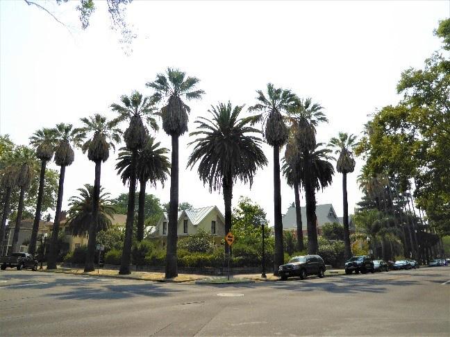
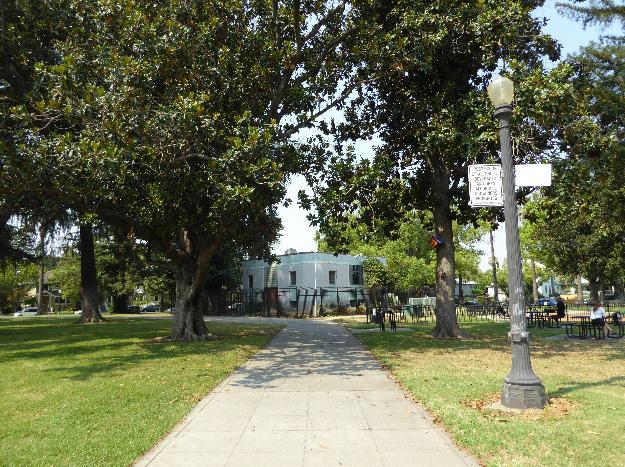
4.2 Where street trees consist of a row of trees of the same species, such as palms, replace removed or diseased trees in kind with the same species or a compatible species at regular intervals in order to maintain the historic tree planting pattern.
4.3 Preserve and maintain, and, where necessary, repair and restore, historic brick patios in front of properties.
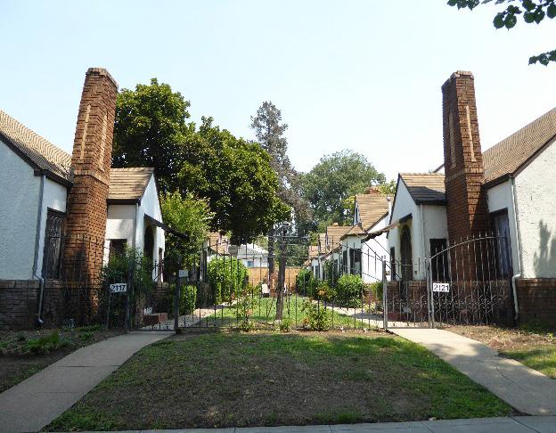
4.4 Avoid creating new curb cuts on lettered streets in the historic district.
• Locate parking and service access along alleys, and use landscaping features to screen it from the public right-of-way, wherever possible.
Section 2: Historic District
Winn Park Historic District
Sacramento Historic District Plans Final
Figure 331. Courtyard apartments also provide a historic example for integrating higher density residential housing into the district.
Figure 333. Axial pathways and historic lights are historic landscaping features of Winn Park.
Figure 332. Rows of palms contribute to the historic district’s streetscapes.
5.1 On a typical unsplit parcel, set back alley infill buildings a minimum of 30 feet from the primary building on the parcel. If a parcel is split, set back alley infill buildings a minimum of 15 feet from the lot split.
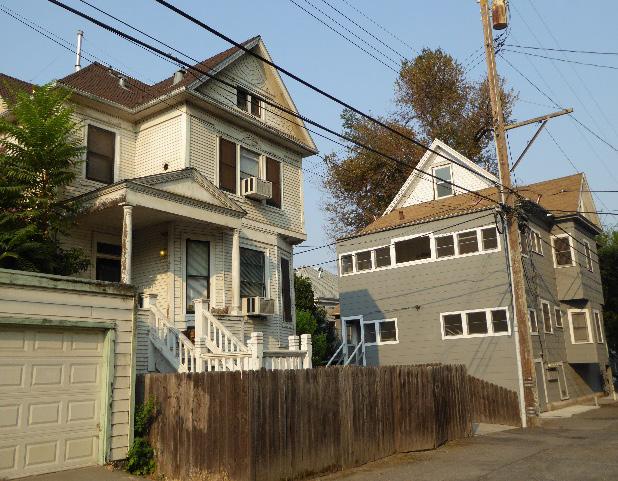
5.2 Aim to locate alley infill so that it is a minimum of 10 feet from contributing buildings on adjacent parcels.
5.3 The height of alley infill should be no more than 150% of the height of surrounding contributing buildings.
5.4 Draw inspiration for the design of secondary dwelling units on alleys from historic examples of residential buildings located on alleys within the district.
Figure 334. Historic buildings along alleys in the district provide a historic example for development along alleys.
“17.604.210 Criteria and requirements for listing on, and deletion from, the Sacramento Register.” Sacramento City Code. Accessed July 11, 2018. http://www.qcode.us/codes/ sacramento/view.php?topic=17-vi-17_604ii-17_604_210.
“Classical/Classical Revival/Neo-Classical: an architectural style guide.” RIBA Architecture. Accessed October 12, 2018. https:// www.architecture.com/knowledge-andresources/knowledge-landing-page/ classical-classical-revival-neo-classical.
Avella, Steven M. Sacramento: Indomitable City. San Francisco, CA: Arcadia Publishing, 2003.
Baker, George Holbrook. A Bird’s-eye view of Sacramento Capitol of the State of California [map]. Scale not given. Sacramento: Fire Department of the City of Sacramento, 1857. California State Library. http://catalog.library.ca.gov/F/N5 1QEK8S9KPLUELYET5XKY7QUQL3PEPRD JMXQ8R1GBIN9VBXDC-36688?func=fullset-set&set_number=004887&set_ entry=000001&format=999.
Bettis, Rick. “A Brief Overview with Historical Vignettes.” Sacramento Area Creeks Council, March 8, 1998. http://saccreeks.org/knowyour-creeks/.
Bourne, William D. “Sacramento: Part One-Utility to Authority.” Motor Coach Age 62, no. 1 & 2 (January-June 2011).
Brown, Cyrus G. Map of the City of Sacramento [map]. Scale not given. Sacramento: Cyrus G. Brown Maps and Aero Views Commercial Artists, 1923. Center for Sacramento History. https://www.sacramentohistory.org/search. php?imageid=778.
Burg, William. “Mansion Flats Home Tour.” Sacramento Press, September 13, 2013. https://sacramentopress.com/2013/09/13/ mansion-flats-home-tour/.
Burg, William. Midtown Sacramento: Creative Soul of the City. Charleston, SC: The History Press, 2014.
Burg, William. Sacramento’s K Street: Where Our City Was Born. Charleston, SC: The History Press, 2012.
Burg, William. Sacramento’s Streetcars. Charleston, SC: Arcadia Publishing, 2006.
Burg, William. “Sacramento’s Streetcar Suburbs.” Sacramento History (blog), August 22, 2007. http://sacramentohistory.blogspot. com/2007/08/sacramentos-streetcarsuburbs.html.
Burg, William. “Sacramento’s Streetcar Suburbs, Part 4: East Sacramento and Elmhurst.”
Sacramento History (blog), September 5, 2007. http://sacramentohistory.blogspot. com/2007/09/sacramentos-streetcarsuburbs-part-4.html.
Burg, William. “Southside Park.” National Register of Historic Places Registration Form, California Office of Historic Preservation, 2017.
“City Intelligence.” Sacramento Daily Union, June 11, 1868.
City of Los Angeles. “Dingbat.” In Draft Preservation Plan Workbook: Architectural Styles, 2003.
de Courcy, Meg. “R Street Corridor Historic District.” National Register of Historic Places Draft Registration Form, California Office of Historic Preservation, 2013.
Environmental Science Associates. “R Street Corridor Historic District Survey Report.” Report, City of Sacramento Preservation Commission, 2017.
Evaluation Committee of Sacramento Heritage, Inc. “Phase I: Central City Historic Resources Inventory, New Identified Historic Resources” Report, Planning Division, Sacramento Community Development Department, 2000.
GEI Consultants, Inc. “Mid-Century Modern in the City of Sacramento Historic Context Statement and Survey Results.” Report, City of Sacramento Community Development Department, 2011.
Groth, Paul. Living Downtown: The History of Residential Hotels in the United States. Berkeley: University of California Press, 1994.
Hallam, Nathan. “The Evolution of Sacramento’s Central City Street Grid.” Master’s thesis, Sonoma State University, 2003.
Hallam, Nathan. “‘We Must Give the World Confidence in the Stability and Permanence of the Place:’ Planning Sacramento’s Townsite, 1853-1870.” In River City and Valley Life: An Environmental History of the Sacramento Region, edited by Christopher J. Castaneda and Lee M.A. Simpson. Pittsburgh: University of Pittsburgh Press, 2013.
Harris, Cyril M. American Architecture: An Illustrated Encyclopedia. New York: W.W. Norton & Company, 1998.
Harris, Cyril M. Dictionary of Architecture and Construction. San Francisco: McGraw-Hill, 2006.
Hibma, Michael Ryan. “Historic District Nomination for the Newton Booth Neighborhood, City of Sacramento, Sacramento County, California.” Master’s thesis, California State University, Sacramento, 2007.
Holt, Krissy. “A walk in Alkali Flat is a step back in time.” Sacramento Press, November 4, 2011. https://sacramentopress.com/2011/11/04/ a-walk-in-alkali-flat-is-a-step-back-in-time/
Insurance Maps of Sacramento California [map]. New York: Sanborn-Perris Map Co., 1895.
Insurance Maps Sacramento California [map]. New York: Sanborn Map Company, 1915.
Insurance Maps Sacramento California [map]. New York: Sanborn Map Company, 1915 – Jan. 1951.
Insurance Maps Sacramento California [map]. New York: Sanborn Map Company, 1915, republished 1952.
Kassis, Annette. Weinstock’s: Sacramento’s Finest Department Store. Charleston, SC: The History Press, 2012.
Longstreth, Richard. The Buildings of Main Street: A Guide to American Commercial Architecture. Walnut Creek, CA: Alta Mira Press, 2000.
McClelland, Linda Flint. “Historic Residential Suburbs in the United States, 1830-1960.” National Register of Historic Places Multiple Property Documentation Form, National Park Service, 2002.
“Official Map of the Lincoln Highway.” The Lincoln Highway Association. Accessed August 8, 2018. https://www.lincolnhighwayassoc. org/map/.
Orsi, Richard J. “Railroads and the Urban Environment: Sacramento’s Story.” In River City and Valley Life: An Environmental History of the Sacramento Region, edited by Christopher J. Castaneda and Lee M.A. Simpson. Pittsburgh: University of Pittsburgh Press, 2013.
Page & Turnbull. “Raised Streets & Hollow Sidewalks.” Report, Sacramento, CA, 2009.
“Poles for P Street.” Sacramento Daily Union, February 9, 1892.
“Running on G Street.” Sacramento Daily Union, March 7, 1893.
Sacramento Archives and Museum Collection Center and the Historic Old Sacramento Foundation. Old Sacramento and Downtown. Charleston, SC: Arcadia Publishing, 2006.
Sacramento Archives and Museum Collection Center and the Historic Old Sacramento Foundation. Sacramento’s Midtown. Charleston, SC: Arcadia Publishing, 2006.
Sacramento’s Alkali Flat. Charleston, SC: Arcadia Publishing, 2010.
Sacramento Historic District Plans Final“37th Annual SOCA Home Tour featuring Poverty Ridge.” Brochure, Sacramento Old City Association, 2012.
“38th Annual SOCA Home Tour: Featuring the Mansion Flats Neighborhood.” Brochure, Sacramento Old City Association, 2013.
“39th Annual SOCA Home Tour: Featuring Fabulous Midtown Sacramento.” Brochure, Sacramento Old City Association, 2014.
“40th Annual Historic Home Tour Featuring the Neighborhood of Richmond Grove.” Brochure, Preservation Sacramento, 2015.
“41st Historic Home Tour Featuring the Neighborhood of Elmhurst.” Brochure, Preservation Sacramento, 2016.
Appendix B. In “General Plan Technical Background Report,” Report, Sacramento City Council, 2013.
Burg, William. “The Big Tomato.” Midtown Monthly, March 11, 2011. http://www. midtownmonthly.net/life/the-big-tomato.
Burg, William. Sacramento’s K Street: Where Our City Was Born. Charleston, SC: The History Press, 2012.
Burg, William. Sacramento’s Streetcars. Charleston, SC: Arcadia Publishing, 2006.
“Central Core Design Guidelines,” 2nd Edition. Report, Sacramento City Council, 2018.
City of Sacramento. “Preservation Element of the City of Sacramento General Plan,” 2000.
“A Community Plan for the Old-City,” 1964.
Davis, Winfield. “Sacramento County.” In Transactions of the California State Agricultural Society during the Year 1901. Sacramento: Office of State Printing, 1903.
“Early Site History.” City of Sacramento. Accessed July 26, 2018. https://www.cityofsacramento. org/Public-Works/Sacramento-ValleyStation/Background/Early-Site-History
Emord, Dawn and David Bushong. “The Workers of the Central Pacific.” In The Transcontinental Railroad: Different Faces Behind The Work of the Age. Accessed December 10, 2012. http://bushong.net/dawn/about/college/ ids100/workers.shtml.
GEI Consultants, Inc. “Mid-Century Modern in the City of Sacramento Historic Context Statement and Survey Results.” Report, City of Sacramento Community Development Department, 2011.
Geiger, C.W. “Libby, McNeill & Libby’s Sacramento Cannery.” Canning Age, January 1921.
“General Plan, Sacramento, California,” 1965
Hallam, Nathan. “The Evolution of Sacramento’s Central City Street Grid.” Master’s thesis, Sonoma State University, 2003.
Hallam, Nathan. “‘We Must Give the World Confidence in the Stability and Permanence of the Place:’ Planning Sacramento’s Townsite, 1853-1870.” In River City and Valley Life: An Environmental History of the Sacramento Region, edited by Christopher J. Castaneda and Lee M.A. Simpson. Pittsburgh: University of Pittsburgh Press, 2013.
Hope, Andrew. “Tract Housing in California, 19451973: A Context for National Register Evaluation.” Report, California Department of Transportation, 2011.
Huffman, Wendell. The Placerville Branch of the Southern Pacific. Palo Alto, CA: Stanford University Press, 2003.
Hurtado, Albert L. “John A. Sutter and the Indian Business.” In River City and Valley Life: An Environmental History of the Sacramento Region, edited by Christopher J. Castaneda and Lee M.A. Simpson. Pittsburgh: University of Pittsburgh Press, 2013.
Lagomarsino, Barbara. “Early Attempts to Save the Site of Sacramento by Raising its Business District.” Master’s thesis, Sacramento State College, 1969.
McClelland, Linda Flint. “Historic Residential Suburbs in the United States, 1830-1960.” National Register of Historic Places Multiple Property Documentation Form, National Park Service, 2002.
Middleton, William D. The Interurban Era. Milwaukee, WI: Kalmbach Publishing, 1961. http://libsysdigi.library.illinois.edu/ oca/Books2009-06/interurbanera00midd/ interurbanera00midd_djvu.txt.
“Midtown Streetcar Tour: J Street & 28th Street.” Brochure, Sacramento Heritage, Inc.
Napoli, Donald S., and H. Ruth Todd. “Central City Historic Structures Inventory, Part I: Findings and Recommendations.” Report, City of Sacramento Redevelopment Agency, 1996.
Navarro, Armando. Mexicano Political Experience in Occupied Aztlan: Struggles and Change Walnut Creek, CA: Alta Mira Press, 2005.
Owens, Kenneth N. “River City: Sacramento’s Gold Rush Birth and Transfiguration.” In River City and Valley Life: An Environmental History of the Sacramento Region, edited by Christopher J. Castaneda and Lee M.A. Simpson. Pittsburgh: University of Pittsburgh Press, 2013.
“Pacific Railway Act.” Primary Documents in American History, Library of Congress. Accessed December 23, 2013. http://www.loc.gov/rr/ program/bib/ourdocs/PacificRail.html.
“The Railroad Stations of Sacramento.” California State Railroad Museum. Accessed December 10, 2012. http://www.csrmf. org/visitor-information/other-californiastate-park-sattractions-in-old-sacramento/ central-pacificrailroad-passenger-station/ the-railroad-stations-of-sacramento.
“Railroads and Agriculture.” California State Railroad Museum. Accessed December 10, 2012. http://www.csrmf.org/explore-and-learn/ railroad-history/california-calls-you/ railroads-and-agriculture.
Relles, Marty. “Walking to the Old California State Fair.” Valley Community Newspapers (Sacramento), May 19, 2011. http://www. valcomnews.com/?p=4108
City of Sacramento General Plan, 1988.
Sacramento Archives and Museum Collection Center and the Historic Old Sacramento Foundation. Old Sacramento and Downtown. Charleston, SC: Arcadia Publishing, 2006.
“Sacramento Capitol Area Walking Tour.” Brochure, Sacramento Heritage, 2012.
“Sacramento City Hall Area Walking Tour.” Brochure, Sacramento Heritage, Inc., 2011.
“Sacramento J and K Street Commercial Corridor Walking Tour.” Brochure, Sacramento Heritage, Inc., 2013.
“Sacramento’s City Hall Area Walking Tour.” Brochure, Sacramento Heritage, Inc., 2011. http:// www.sacramentoheritage.org/files/ Downtown_Tour_City_Hall_Area_Writeup_ booklet.pdf.
Severson, Thor. Sacramento, An Illustrated History: 1839-1874, From Sutter’s Fort to Capital City. San Francisco: California Historical Society, 1973.
Sullivan, Dennis. “Bungalow Courts: Designed for California Living.” Redondo Beach Historical Society. Accessed November 9, 2018. http:// www.redondohistorical.org/?page_id=552.
Wilson, Karen. A Century of Protecting Natomas: The History of Reclamation District 1000, 19112011. Virginia Beach, VA: Donning Company Publishers, 2011.
“17.604.210 Criteria and requirements for listing on, and deletion from, the Sacramento Register.” Sacramento City Code. Accessed July 11, 2018. http://www.qcode.us/codes/ sacramento/view.php?topic=17-vi-17_604ii-17_604_210.
“2.2.1 1200-1300 Q Street Historic District.” Ordinance #85-076, of Historic and Cultural Resources, July 30, 1985.
Sacramento Historic District Plans Final“Abandon Paving Plan.” Sacramento Union, March 25, 1921.
Bettis, Rick. “A Brief Overview with Historical Vignettes.” Sacramento Area Creeks Council, March 8, 1998. http://saccreeks.org/knowyour-creeks/.
Bourne, William D. “Sacramento: Part One-Utility to Authority.” Motor Coach Age 62, no. 1 & 2 (January-June 2011).
Burg, William. Sacramento’s K Street: Where Our City Was Born. Charleston, SC: The History Press, 2012.
Burg, William. “Southside Park.” National Register of Historic Places Registration Form, California Office of Historic Preservation, 2017.
“Capitol Area Plan Progress Report.” Report, Department of General Services, 2010.
“City Intelligence.” Sacramento Daily Union, June 11, 1868.
de Courcy, Meg. “R Street Corridor Historic District.” National Register of Historic Places Draft Registration Form, California Office of Historic Preservation, 2013.
Directory for Sacramento City and County for 1893. San Francisco: F.M. Husted, 1893. In U.S. City Directories, 1822-1995. Ancestry.com.
“Downtown Specific Plan Environmental Impact Report, Appendix H: Hazards.” Report, Sacramento Community Development Department, 2017.
Environmental Science Associates. “R Street Corridor Historic District Survey Report.” Report, City of Sacramento Preservation Commission, 2017.
Insurance Maps of Sacramento California [map]. New York: Sanborn-Perris Map Co., 1895.
Insurance Maps Sacramento California [map]. New York: Sanborn Map Company, 1915.
“John McArthur Named as New Harbormaster.” Sacramento Union, August 10, 1912.
Orsi, Richard J. “Railroads and the Urban Environment: Sacramento’s Story.” In River City and Valley Life: An Environmental History of the Sacramento Region, edited by Christopher J. Castaneda and Lee M.A. Simpson. Pittsburgh: University of Pittsburgh Press, 2013.
“Poles for P Street.” Sacramento Daily Union, February 9, 1892.
“‘Q’ Street Cottage.” Sacramento Union, March 19, 1909.
“R Street Levee.” Sacramento Daily Union, February 24, 1854. https://cdnc.ucr.edu/cgi-bin/cdnc ?a=d&d=SDU18540224.2.5&srpos=11&e=-----185-en--20--1--txt-txIN-%22R+Street%22+ Levee+Sacramento-------1.
Sacramento Community Development Tracker. Accessed August 30, 2018. https:// sacramento.civicinsight.com/.
Sacramento Directory: A Complete List of the Names, Address and Occupations of the Residents of Sacramento City and County for the Year 1900. Sacramento: Sacramento Home Directory Company, 1899. In U.S. City Directories, 1822-1995. Ancestry.com.
The Sacramento Directory, for the Year Commencing January, 1871. Sacramento: H.S. Crocker & Co., 1871. In U.S. City Directories, 18221995. Ancestry.com.
Sangree, Hudson. “Most of prime downtown block changes hands.” Sacramento Bee, August 8, 2014.
Shallit, Bob. “Another you-haul-it-away home offer.” Sacramento Bee, April 14, 2007.
“17.604.210 Criteria and requirements for listing on, and deletion from, the Sacramento Register.” Sacramento City Code. Accessed July 11, 2018. http://www.qcode.us/codes/ sacramento/view.php?topic=17-vi-17_604ii-17_604_210.
Sacramento Historic District Plans Final
“Bankrupt Sale: Groceries and Fixtures.” Sacramento Union, August 4, 1916. https://cdnc.ucr.edu/ cgi-bin/cdnc?a=d&d=SU19160804.2.87.3&s rpos=1&e=-------en--20--1--txt-txIN-Sacrame nto+%222008+N+Street%22-------1.
Burg, William. Midtown Sacramento: Creative Soul of the City. Charleston, SC: The History Press, 2014.
Burg, William. Sacramento’s K Street: Where Our City Was Born. Charleston, SC: The History Press, 2012.
Burg, William. Sacramento’s Streetcars. Charleston, SC: Arcadia Publishing, 2006.
Cerny, Susan. “Rows of early 20th century homes line early streetcar lines.” The Berkeley Daily Planet (Berkeley, CA), November 2, 2002. http://www. berkeleydailyplanet.com/issue/2002-11-02/ article/15862?headline=Rows-of-early-20thcentury-homes-line-early-streetcar-lines-By-Susan-Cerny-.
Groth, Paul. Living Downtown: The History of Residential Hotels in the United States. Berkeley: University of California Press, 1994..
Insurance Maps of Sacramento California [map]. New York: Sanborn-Perris Map Co., 1895.
Insurance Maps Sacramento California [map]. New York: Sanborn Map Company, 1915.
“Official Map of the Lincoln Highway.” The Lincoln Highway Association. Accessed August 8, 2018. https://www.lincolnhighwayassoc. org/map/
“To Let—Rooms Furnished.” Sacramento Union, May 7, 1913. https://cdnc.ucr.edu/cgi-bin/cdnc?a =d&d=SU19130507.2.265.6&srpos=3&e=------en--20--1--txt-txIN-%221412+20th+Street %22+Sacramento-------1.
Willis, William Ladd. History of Sacramento County, California, with Biographical Sketches of the Leading Men and Women of the County Who Have Been Identified With Its Growth and Development From the Early Days to Present. Los Angeles: Historic Record Company, 1913. https://archive.org/details/ historyofsacrame00will.
“17.604.210 Criteria and requirements for listing on, and deletion from, the Sacramento Register.” Sacramento City Code. Accessed July 11, 2018. http://www.qcode.us/codes/ sacramento/view.php?topic=17-vi-17_604ii-17_604_210.
“Alkali Flat Central Historic District.” Ordinance #2004-048, Sacramento Register of historic and cultural resources, 2004.
“Alkali Flat/Mansions Flats Strategic Neighborhood Action Plan.” Report, City of Sacramento, 2005.
“Alkali Flat South Historic District.” Ordinance #2004048, Sacramento Register of historic and cultural resources, 2004.
“Alkali Flat West Historic District.” Ordinance #2004048, Sacramento Register of historic and cultural resources, 2004.
Burg, William. “Mansion Flats Home Tour.” Sacramento Press, September 13, 2013. https://sacramentopress.com/2013/09/13/ mansion-flats-home-tour/. Burg, William. Sacramento’s Streetcars. Charleston, SC: Arcadia Publishing, 2006.
Brechin, Gary and Lee M. A. Simpson. “Unseen Investment: New Deal Sacramento.” In River City and Valley Life: An Environmental History of the Sacramento Region, edited by Christopher J. Castaneda and Lee M.A. Simpson. Pittsburgh: University of Pittsburgh Press, 2013.
Evaluation Committee of Sacramento Heritage, Inc. “Phase I: Central City Historic Resources Inventory, New Identified Historic Resources” Report, Planning Division, Sacramento Community Development Department, 2000.
Sacramento Historic District Plans FinalHolt, Krissy. “A walk in Alkali Flat is a step back in time.” Sacramento Press, November 4, 2011. https://sacramentopress.com/2011/11/04/ a-walk-in-alkali-flat-is-a-step-back-in-time/
“Past Historic Home Tour-Alkali Flat.” Preservation Sacramento. Accessed July 19, 2018. http://www.preservationsacramento.org/ hometour
“Running on G Street.” Sacramento Daily Union, March 7, 1893.
Sacramento’s Alkali Flat. Charleston, SC: Arcadia Publishing, 2010.
“17.604.210 Criteria and requirements for listing on, and deletion from, the Sacramento Register.” Sacramento City Code. Accessed July 11, 2018. http://www.qcode.us/codes/ sacramento/view.php?topic=17-vi-17_604ii-17_604_210.
Burg, William. “Boulevard Park.” National Register of Historic Places Draft Registration Form, California Office of Historic Preservation, 2011.
GEI Consultants, Inc. “Mid-Century Modern in the City of Sacramento Historic Context Statement and Survey Results.” Report, City of Sacramento Community Development Department, 2011.
“17.604.210 Criteria and requirements for listing on, and deletion from, the Sacramento Register.” Sacramento City Code. Accessed July 11, 2018. http://www.qcode.us/codes/ sacramento/view.php?topic=17-vi-17_604ii-17_604_210.
Brown, Cyrus G. Map of the City of Sacramento [map]. Scale not given. Sacramento: Cyrus G. Brown Maps and Aero Views Commercial Artists, 1923. Center for Sacramento History. https://www.sacramentohistory.org/search. php?imageid=778.
Darnell, Brandon. “Historic homes to open for tour.” Sacramento Press, August 26, 2010. https:// sacramentopress.com/2010/08/26/historichomes-to-open-for-tour/.
Hallam, Nathan. “‘We Must Give the World Confidence in the Stability and Permanence of the Place:’ Planning Sacramento’s Townsite, 1853-1870.” In River City and Valley Life: An Environmental History of the Sacramento Region, edited by Christopher J. Castaneda and Lee M.A. Simpson. Pittsburgh: University of Pittsburgh Press, 2013.
Hibma, Michael Ryan. “Historic District Nomination for the Newton Booth Neighborhood, City of Sacramento, Sacramento County, California.” Master’s thesis, California State University, Sacramento, 2007.
Insurance Maps Sacramento California [map]. New York: Sanborn Map Company, 1915.
McClelland, Linda Flint. “Historic Residential Suburbs in the United States, 1830-1960.” National Register of Historic Places Multiple Property Documentation Form, National Park Service, 2002.
Wright and Kimbrough advertisement. Sacramento Union, August 31, 1911.
C Street Commercial Historic District
“17.604.210 Criteria and requirements for listing on, and deletion from, the Sacramento Register.” Sacramento City Code. Accessed July 11, 2018. http://www.qcode.us/codes/ sacramento/view.php?topic=17-vi-17_604ii-17_604_210.
Avella, Steven M. Sacramento: Indomitable City. San Francisco, CA: Arcadia Publishing, 2003.
Burg, William. Sacramento’s Streetcars. Charleston, SC: Arcadia Publishing, 2006.
Evaluation Committee of Sacramento Heritage, Inc. “Phase I: Central City Historic Resources Inventory, New Identified Historic Resources” Report, Planning Division, Sacramento Community Development Department, 2000.
Sacramento Historic District Plans“General Plan Technical Background Report.” Report, City of Sacramento, 2005.
Holt, Krissy. “A walk in Alkali Flat is a step back in time.” Sacramento Press, November 4, 2011. https://sacramentopress.com/2011/11/04/ a-walk-in-alkali-flat-is-a-step-back-in-time/.
Insurance Maps Sacramento California [map]. New York: Sanborn Map Company, 1915 – Jan. 1951.
North Sacramento City Directory 1936. Sacramento, Sacramento Directory Co., 1936. In U.S. City Directories, 1822-1995. Ancestry.com.
“Official Map of the Lincoln Highway.” The Lincoln Highway Association. Accessed August 8, 2018. https://www.lincolnhighwayassoc. org/map/.
Rodda, Richard. “Sacramento’s Streetcars 1930.” Golden Notes, Sacramento County Historical Society, 1987.
Sacramento City Directory 1934. Sacramento, Sacramento Directory Co., 1934. In U.S. City Directories, 1822-1995. Ancestry.com.
Sacramento City Directory 1937. Sacramento, Sacramento Directory Co., 1937. In U.S. City Directories, 1822-1995. Ancestry.com.
Sacramento’s Alkali Flat. Charleston, SC: Arcadia Publishing, 2010.
“17.604.210 Criteria and requirements for listing on, and deletion from, the Sacramento Register.” Sacramento City Code. Accessed July 11, 2018. http://www.qcode.us/codes/ sacramento/view.php?topic=17-vi-17_604ii-17_604_210.
Anderson, Mark. “Blue Diamond renovating historic Sacramento almond roasting plant.” Sacramento Business Journal, June 4, 2015. https://www.bizjournals.com/sacramento/ news/2015/06/04/blue-diamondrenovating-historicsacramento-almond. html.
Boghosian, Paula. “Calpak Plant No. 11.” National Register of Historic Places Inventory Nomination Form, California Office of Historic Preservation, 1984.
Burg, William. Sacramento’s Streetcars. Charleston, SC: Arcadia Publishing, 2006.
Geisseler, Daniel, and William R. Horwath, “Almond Production in California.” University of California, Davis, June 2016. https://apps1. cdfa.ca.gov/FertilizerResearch/docs/ Almond_Production_CA.pdf.
“General Plan Technical Background Report.” Report, City of Sacramento, 2005.
Historic Environment Consultants. “River District Architectural and Historical Property Survey Update.” Report, City of Sacramento, 2009.
Insurance Maps Sacramento California [map]. New York: Sanborn Map Company, 1915.
Insurance Maps Sacramento California [map]. New York: Sanborn Map Company, 1915 – Jan. 1951.
“Our History.” Blue Diamond Growers. Accessed 7 August 2018. https://www.bluediamond. com/history.
“Report of Stallion Registration for the Fiscal Year Ending June 30, 1926.” Report, State of California Department of Agriculture, 1926.
Scarborough, Shawn. “Boulevard Park Corridor: C Through I Streets.” In Sacramento’s Streetcars. Charleston, SC: Arcadia Publishing, 2006.
“17.604.210 Criteria and requirements for listing on, and deletion from, the Sacramento Register.” Sacramento City Code. Accessed July 11, 2018. http://www.qcode.us/codes/ sacramento/view.php?topic=17-vi-17_604ii-17_604_210
“2.2.14 Capitol Historic District.” Ordinance #85-067, Sacramento Register of historic and cultural resources, 1985.
Sacramento Historic District Plans FinalBeard, Vicky R. “Sutter Club.” National Register of Historic Places Registration Form, California Office of Historic Preservation, 2015.
“California State Capitol History Part Four: Restoration.” California State Capitol Museum. Accessed September 14, 2018. http://capitolmuseum.ca.gov/architectureand-history/california-state-capitol-historypart-four.
California State Capitol History Part Three: Growth.” California State Capitol Museum. Accessed September 13, 2018. http://capitolmuseum. ca.gov/architecture-and-history/californiastate-capitol-history-part-three.
“California State Capitol History Part Two: Construction: Concept to Reality.” California State Capitol Museum. Accessed September 13, 2018. http://capitolmuseum.ca.gov/ architecture-and-history/california-statecapitol-history-part-two.
“California State Capitol Museum: Capitol Park Monument and Memorial Guide.” Guide, California State Parks, 2016.
“Capitol Area Walking Tour.” Brochure, Sacramento Heritage Inc., 2012.
“Capitol Grounds Improvements.” Sacramento Daily Union, June 16, 1877.
“Capitol Mall State Buildings: Historic Resources Technical Report.” Report, City of Sacramento, 2017.
“Club History.” Sutter Club. Accessed September 13, 2018. https://www.sutterclub.org/history.
Hallam, Nathan. “‘We Must Give the World Confidence in the Stability and Permanence of the Place:’ Planning Sacramento’s Townsite, 1853-1870.” In River City and Valley Life: An Environmental History of the Sacramento Region, edited by Christopher J. Castaneda and Lee M.A. Simpson. Pittsburgh: University of Pittsburgh Press, 2013.
Insurance Maps of Sacramento California [map]. New York: Sanborn-Perris Map Co., 1895.
Insurance Maps Sacramento California [map]. New York: Sanborn Map Company, 1915.
Kearns, Jeff. “A Tale of Two Mansions.” Sacramento News & Review, December 5, 2002. Accessed October 16, 2018. https://www.newsreview. com/sacramento/tale-of-two-mansions/ content?oid=13731.
“Mr. and Mrs. French Return.” Sacramento Union, September 19, 1916.
Regnery, Dorothy F. “Capitol Extension Group.” National Register of Historic Places Inventory Nomination Form, California Office of Historic Preservation, 1983.
Severson, Thor. Sacramento, An Illustrated History: 1839-1874, From Sutter’s Fort to Capital City. San Francisco: California Historical Society, 1973.
Simpson, Lee M.A., and Lisa C. Prince, “The Invention of Old Sacramento: A Past for the Future.” In River City and Valley Life: An Environmental History of the Sacramento Region, edited by Christopher J. Castaneda and Lee M.A. Simpson. Pittsburgh: University of Pittsburgh Press, 2013.
Stapp, Cheryl Anne. “The First State Ag Pavilion.” Last modified July 13, 2017. https:// cherylannestapp.com/state-ag-pavillions/.
“17.604.210 Criteria and requirements for listing on, and deletion from, the Sacramento Register.” Sacramento City Code. Accessed July 11, 2018. http://www.qcode.us/codes/ sacramento/view.php?topic=17-vi-17_604ii-17_604_210.
“2018 Preservation Sacramento Historic Home Tour.” Preservation Sacramento. Accessed July 20, 2018. .http://www.preservationsacramento. org/hometour.
Burg, William. “Sacramento’s Streetcar Suburbs, Part 4: East Sacramento and Elmhurst.” Sacramento History (blog), September 5, 2007. http://sacramentohistory.blogspot. com/2007/09/sacramentos-streetcarsuburbs-part-4.html.
“City Intelligence.” Sacramento Daily Union, October 27, 1874.
Evaluation Committee of Sacramento Heritage, Inc. “Phase I: Central City Historic Resources Inventory, New Identified Historic Resources” Report, Planning Division, Sacramento Community Development Department, 2000.
Hallam, Nathan. “The Evolution of Sacramento’s Central City Street Grid.” Master’s thesis, Sonoma State University, 2003.
Insurance Maps of Sacramento California [map]. New York: Sanborn-Perris Map Co., 1895.
Lupi, Catherine Turrill. “Capitol Mansions Historic District Historic Home Tour.” Brochure, Preservation Sacramento, 2018.
“A Meeting and a Moral.” Sacramento Union, July 25, 1906.
Burg, William. Sacramento’s K Street: Where Our City Was Born. Charleston, SC: The History Press, 2012.
Burg, William. Sacramento’s Streetcars. Charleston, SC: Arcadia Publishing, 2006.
Doyle, Eleanor “The Bishop Builds His Cathedral: Bishop Patrick Manogue.” Catholic Herald, September 16, 1976. Reprinted in Sacramento Diocesan Archives. https:// www.scd.org/sites/default/files/2017-06/ Vol_2_No_36_The_Bishop_Builds_his_ Cathedral_Bishop_Patrick_Manogue.pdf.
Kassis, Annette. Weinstock’s: Sacramento’s Finest Department Store. Charleston, SC: The History Press, 2012.
Insurance Maps of Sacramento California [map]. New York: Sanborn-Perris Map Co., 1895.
“17.604.210 Criteria and requirements for listing on, and deletion from, the Sacramento Register.” Sacramento City Code. Accessed July 11, 2018. http://www.qcode.us/codes/ sacramento/view.php?topic=17-vi-17_604ii-17_604_210.
Avella, Steven M. Sacramento: Indomitable City. San Francisco, CA: Arcadia Publishing, 2003.
Insurance Maps Sacramento California [map]. New York: Sanborn Map Company, 1915.
“New Dry Agent is Most Active.” Madera Tribune (Madera, CA), October 27, 1924. https:// cdnc.ucr.edu/cgi-bin/cdnc?a=d&d=MT1924 1027.2.20&srpos=3&e=------192-en--20--1-txt-txIN-%22Hotel+Senator%22+Sacramen to-------1.
Page & Turnbull. “Raised Streets & Hollow Sidewalks.” Report, Sacramento, CA, 2009.
Sacramento Archives and Museum Collection Center and the Historic Old Sacramento Foundation. Old Sacramento and Downtown. Charleston, SC: Arcadia Publishing, 2006.
Sacramento Archives and Museum Collection Center and the Historic Old Sacramento Foundation. Sacramento’s Midtown. Charleston, SC: Arcadia Publishing, 2006.
“17.604.210 Criteria and requirements for listing on, and deletion from, the Sacramento Register.” Sacramento City Code. Accessed July 11, 2018. http://www.qcode.us/codes/ sacramento/view.php?topic=17-vi-17_604ii-17_604_210.
Bourne, William D. “Sacramento: Part One-Utility to Authority.” Motor Coach Age 62, no. 1 & 2 (January-June 2011).
Burg, William. Sacramento Renaissance: Art, Music, and Activism in California’s Capital City. Charleston, SC: The History Press, 2013.
Burg, William. “Sacramento’s Streetcar Suburbs, Part 4: East Sacramento and Elmhurst.” Sacramento History (blog), September 5, 2007. http://sacramentohistory.blogspot. com/2007/09/sacramentos-streetcarsuburbs-part-4.html.
Burg, William. Sacramento’s Streetcars. Charleston, SC: Arcadia Publishing, 2006.
Sacramento Historic District Plans Final“The City and Capitol Grounds.” Sacramento Daily Union, January 23, 1874.
“Graveling of P Street.” Sacramento Daily Union, May 25, 1891.
Groth, Paul. Living Downtown: The History of Residential Hotels in the United States Berkeley: University of California Press, 1994.
Hallam, Nathan. “‘We Must Give the World Confidence in the Stability and Permanence of the Place:’ Planning Sacramento’s Townsite, 1853-1870.” In River City and Valley Life: An Environmental History of the Sacramento Region, edited by Christopher J. Castaneda and Lee M.A. Simpson. Pittsburgh: University of Pittsburgh Press, 2013.
Insurance Maps of Sacramento California [map]. New York: Sanborn-Perris Map Co., 1895.
Insurance Maps Sacramento California [map]. New York: Sanborn Map Company, 1915.
Johnson, Hillary Louise. “The Place Maker.” Sactown Magazine, April-May 2017. http://www. sactownmag.com/April-May-2017/ThePlace-Maker.
Johnson, Patricia J. “Capitol Corridor: L, M, and N Streets.” In Sacramento’s Midtown. Charleston, SC: Arcadia Publishing, 2006.
McClelland, Linda Flint. “Historic Residential Suburbs in the United States, 1830-1960.” National Register of Historic Places Multiple Property Documentation Form, National Park Service, 2002.
“Official Map of the Lincoln Highway.” The Lincoln Highway Association. Accessed August 8, 2018. https://www.lincolnhighwayassoc. org/map/.
“Poles for P Street.” Sacramento Daily Union, February 9, 1892.
“Running on P Street.” Sacramento Daily Union, April 16, 1892.
Sacramento Branch of the American Association of University Women. Vanishing Victorians: A Guide to the Historic Homes of Sacramento. Sacramento: Fong & Fong Printers and Lithographers, 1973.
“17.604.210 Criteria and requirements for listing on, and deletion from, the Sacramento Register.” Sacramento City Code. Accessed July 11, 2018. http://www.qcode.us/codes/ sacramento/view.php?topic=17-vi-17_604ii-17_604_210.
“2.2.19 Fremont Park Historic District.” Ordinance #85076, Sacramento Community Development Department, July 30, 1985, updated May 2014.
Baker, George Holbrook. A Bird’s-eye view of Sacramento Capitol of the State of California [map]. Scale not given. Sacramento: Fire Department of the City of Sacramento, 1857. California State Library. http://catalog.library.ca.gov/F/N5 1QEK8S9KPLUELYET5XKY7QUQL3PEPRD JMXQ8R1GBIN9VBXDC-36688?func=fullset-set&set_number=004887&set_ entry=000001&format=999.
Burg, William. Midtown Sacramento: Creative Soul of the City. Charleston, SC: The History Press, 2014.
“For Sale.” Sacramento Daily Union, April 12, 1893. https://cdnc.ucr.edu/cgi-bin/cdnc?a=d&d=S DU18930412.2.83.3&srpos=6&e=-------en-20--1--txt-txIN-%221522+Q+Street%22+Sacr amento-------1.
Hallam, Nathan. “‘We Must Give the World Confidence in the Stability and Permanence of the Place:’ Planning Sacramento’s Townsite, 1853-1870.” In River City and Valley Life: An Environmental History of the Sacramento Region, edited by Christopher J. Castaneda and Lee M.A. Simpson. Pittsburgh: University of Pittsburgh Press, 2013.
Insurance Maps of Sacramento California [map]. New York: Sanborn-Perris Map Co., 1895.
Insurance Maps Sacramento California [map]. New York: Sanborn Map Company, 1915.
Insurance Maps Sacramento California [map]. New York: Sanborn Map Company, 1915, republished 1952.
“Official Map of the Lincoln Highway.” The Lincoln Highway Association. Accessed August 8, 2018. https://www.lincolnhighwayassoc. org/map/.
“Public Comfort Station Dedicated: Mrs. Fratt Makes Magnificent Gift to City.” Sacramento Union, August 4, 1913. https://cdnc.ucr.edu/cgibin/cdnc?a=d&d=SU19130804.2.19&srpos= 2&e=-------en--20--1--txt-txIN-%22Fremont+ Park%22+Fratt-------1.
“Running on P Street.” Sacramento Daily Union, April 16, 1892. https://cdnc.ucr.edu/cgi-bin/cdnc ?a=d&d=SDU18920416.2.71&srpos=1&e=-1880---1892--en--20-SDU%2cST%2cSU-1-txt-txIN-%22p+street%22+car-------1.
Sacramento Archives and Museum Collection Center and the Historic Old Sacramento Foundation. Sacramento’s Midtown. Charleston, SC: Arcadia Publishing, 2006.
Sacramento Branch of the American Association of University Women. Vanishing Victorians: A Guide to the Historic Homes of Sacramento. Sacramento: Fong & Fong Printers and Lithographers, 1973.
“17.604.210 Criteria and requirements for listing on, and deletion from, the Sacramento Register.” Sacramento City Code. Accessed July 11, 2018. http://www.qcode.us/codes/ sacramento/view.php?topic=17-vi-17_604ii-17_604_210.
“36th Annual SOCA Home Tour, Marshall School Neighborhood.” Brochure, Sacramento Old City Association, 2011.
Bourne, William D. “Sacramento: Part One-Utility to Authority.” Motor Coach Age 62, no. 1 & 2 (January-June 2011).
Brown, Cyrus G. Map of the City of Sacramento [map]. Scale not given. Sacramento: Cyrus G. Brown Maps and Aero Views Commercial Artists, 1923. Center for Sacramento History. https://www.sacramentohistory.org/search. php?imageid=778.
Burg, William. “Sacramento’s Streetcar Suburbs, Part 2: Central Street Railway.” Sacramento History (blog), September 5, 2007. http:// sacramentohistory.blogspot.com/2007/09/ sacramentos-streetcar-suburbs-part-2.html.
Burg, William. “Sacramento’s Streetcar Suburbs, Part 4: East Sacramento and Elmhurst.” Sacramento History (blog), September 5, 2007. http://sacramentohistory.blogspot. com/2007/09/sacramentos-streetcarsuburbs-part-4.html
.
“City of Sacramento Senior Citizens Center.” Program, Sacramento Public Library, 1962. http:// cdm15248.contentdm.oclc.org/cdm/ref/ collection/p15248coll3/id/2163.
Forrest, Kathleen, and Genevieve Entezari. “Shiloh Baptist Church.” National Register of Historic Places Draft Registration Form, California Office of Historic Preservation, 2011.
Hallam, Nathan. “‘We Must Give the World Confidence in the Stability and Permanence of the Place:’ Planning Sacramento’s Townsite, 1853-1870.” In River City and Valley Life: An Environmental History of the Sacramento Region, edited by Christopher J. Castaneda and Lee M.A. Simpson. Pittsburgh: University of Pittsburgh Press, 2013.
“Horses, or Nothing. The Failure of Electric Cars in San Jose.” Sacramento Daily Union, July 13, 1889. https://cdnc.ucr.edu/cgi-bin/cdnc?a =d&d=SDU18890713.2.22&srpos=28&e=------en--20-SDU%2cST%2cSU-21--txt-txIN%22j+street%22+streetcar-------1.
Insurance Maps of Sacramento California [map]. New York: Sanborn-Perris Map Co., 1895.
Insurance Maps Sacramento California [map]. New York: Sanborn Map Company, 1915.
Insurance Maps Sacramento California [map]. New York: Sanborn Map Company, 1915 – Dec. 1950.
Sacramento Historic District Plans Final“James Marshall Park.” City of Sacramento. Accessed September 4, 2018. https://www. cityofsacramento.org/ParksandRec/Parks/ Park-Directory/Central-City/Marshall-Park
Lindelof, Bill. “Negotiations to begin over old Marshall school site in Midtown.” Sacramento Bee, November 17, 2016. https://www. sacbee.com/news/local/education/ article115429268.html.
Sandul, Paul J. P. “Both ‘Country Town’ and ‘Bustling Metropolis:’ How Boosterism, Suburbs, and Narrative Helped Shape Sacramento’s Identity and Environmental Sensibilities.” In River City and Valley Life: An Environmental History of the Sacramento Region, edited by Christopher J. Castaneda and Lee M.A. Simpson. Pittsburgh: University of Pittsburgh Press, 2013.
Severson, Thor. Sacramento, An Illustrated History: 1839-1874, From Sutter’s Fort to Capital City. San Francisco: California Historical Society, 1973.
“17.604.210 Criteria and requirements for listing on, and deletion from, the Sacramento Register.” Sacramento City Code. Accessed July 11, 2018. http://www.qcode.us/codes/ sacramento/view.php?topic=17-vi-17_604ii-17_604_210.
Avella, Steven M. Sacramento: Indomitable City. San Francisco, CA: Arcadia Publishing, 2003.
Burg, William. Sacramento’s K Street: Where Our City Was Born. Charleston, SC: The History Press, 2012.
Christy, Frank. “Post Office at 7th and K Street is gone” [photograph]. 1967. Center for Sacramento History. https://sacramento. pastperfectonline.com/photo/43DDA8F78ECC-4473-8311-405328781786.
“Fire Limits.” Encyclopedia of Chicago. Accessed September 7, 2018. http://www. encyclopedia.chicagohistory.org/pages/457. html
Glover, Mark. “Historic downtown bank building converted to food, beer showplace.” Sacramento Bee, March 10, 2017. https:// account.sacbee.com/static/paywall/ stop?resume=137841488.
Insurance Maps of Sacramento California [map]. New York: Sanborn-Perris Map Co., 1895.
Insurance Maps Sacramento California [map]. New York: Sanborn Map Company, 1915.
Lillis, Ryan. Golden 1 Center downtown Sacramento development.” Sacramento Bee, Jun 2, 2018. https://account.sacbee.com/static/paywall/ stop?resume=212297119.
“Ochsner Building” [photograph]. 1940. Sacramento Room, Sacramento Public Library. http:// cdm16362.contentdm.oclc.org/cdm/ref/ collection/p15248coll1/id/1498
Page & Turnbull. “Raised Streets & Hollow Sidewalks.” Report, Sacramento, CA, 2009.
Sacramento Archives and Museum Collection Center and the Historic Old Sacramento Foundation. Old Sacramento and Downtown. Charleston, SC: Arcadia Publishing, 2006.
“Sacramento Pioneer Association Pioneer Hall.” Sacramento Pioneer Association. Accessed September 7, 2018. http://www. sacramentopioneer.org/pioneerhall.html
Walton, Sandra M. “Post Office, 7th and K Streets, Sacramento, Sacramento Co.” [photograph]. Historic American Buildings Survey. 1961.
“17.604.210 Criteria and requirements for listing on, and deletion from, the Sacramento Register.” Sacramento City Code. Accessed July 11, 2018. http://www.qcode.us/codes/ sacramento/view.php?topic=17-vi-17_604ii-17_604_210.
Sacramento Historic District Plans FinalBrown, Cyrus G. Map of the City of Sacramento [map]. Scale not given. Sacramento: Cyrus G. Brown Maps and Aero Views Commercial Artists, 1923. Center for Sacramento History. https://www.sacramentohistory.org/search. php?imageid=778.
Burg, William. “Mansion Flats Home Tour.” Sacramento Press, September 13, 2013. https://sacramentopress.com/2013/09/13/ mansion-flats-home-tour/.
Burg, William. “Sacramento’s Streetcar Suburbs.” Sacramento History (blog), August 22, 2007. http://sacramentohistory.blogspot. com/2007/08/sacramentos-streetcarsuburbs.html.
Burg, William. Sacramento’s K Street: Where Our City Was Born. Charleston, SC: The History Press, 2012.
Kalb, Loretta, and Ryan Lillis. “Washington Elementary School set to reopen in 2016 in midtown Sacramento.” Sacramento Bee, June 15, 2015. https://www.sacbee.com/news/local/ education/article24520912.html.
“Running on G Street.” Sacramento Daily Union, March 7, 1893.
Sacramento City Directory 1921. Sacramento, Sacramento Directory Co., 1921. In U.S. City Directories, 1822-1995. Ancestry.com.
“17.604.210 Criteria and requirements for listing on, and deletion from, the Sacramento Register.” Sacramento City Code. Accessed July 11, 2018. http://www.qcode.us/codes/ sacramento/view.php?topic=17-vi-17_604ii-17_604_210.
Hibma, Michael Ryan. “Historic District Nomination for the Newton Booth Neighborhood, City of Sacramento, Sacramento County, California.” Master’s thesis, California State University, Sacramento, 2007.
“Newton Booth Historic District.” Ordinance #20150012, Sacramento Register of historic and cultural resources, 2015.
“17.604.210 Criteria and requirements for listing on, and deletion from, the Sacramento Register.” Sacramento City Code. Accessed July 11, 2018. http://www.qcode.us/codes/ sacramento/view.php?topic=17-vi-17_604ii-17_604_210.
Avella, Steven M. Sacramento: Indomitable City. San Francisco, CA: Arcadia Publishing, 2003.
Boghosian, Paula. “1501 N. C Street.” DPR 523, California Office of Historic Preservation, 2009.
Boghosian, Paula. “1610-1620 N. C Street.” DPR 523, California Office of Historic Preservation, 2009.
Boghosian, Paula. “Acme Beverage Co.” DPR 523, California Office of Historic Preservation, 2009.
Boghosian, Paula. “Flying ‘A’ Gas Station Building.” DPR 523, California Office of Historic Preservation, 2009.
Boghosian, Paula. “Mack Truck International Corp., Crest Carpet Co.” DPR 523, California Office of Historic Preservation, 2009.
Boghosian, Paula. “Russell Brothers Company.” DPR 523, California Office of Historic Preservation, 2009.
Boghosian, Paula. “Sacramento Pipe Works.” DPR 523, California Office of Historic Preservation, 2009.
Boghosian, Paula. “Sacramento Produce Terminal Building.” DPR 523, California Office of Historic Preservation, 1998.
Boghosian, Paula. “Triangle Produce Building.” DPR 523, California Office of Historic Preservation, 2009.
Boghosian, Paula. “W.A. Ward Seed Company.” DPR 523, California Office of Historic Preservation, 2009.
Sacramento Historic District Plans FinalBoghosian, Paula. “Western Body Company.” DPR 523, California Office of Historic Preservation, 2009.
Brechin, Gary and Lee M. A. Simpson. “Unseen Investment: New Deal Sacramento.” In River City and Valley Life: An Environmental History of the Sacramento Region, edited by Christopher J. Castaneda and Lee M.A. Simpson. Pittsburgh: University of Pittsburgh Press, 2013.
Burg, William. Sacramento’s K Street: Where Our City Was Born. Charleston, SC: The History Press, 2012.
Environmental Science Associates. “R Street Corridor Historic District Survey Report.” Report, City of Sacramento Preservation Commission, 2017.
Historic Environment Consultants. “River District Architectural and Historical Property Survey Update.” Report, City of Sacramento, 2009.
Insurance Maps Sacramento California [map]. New York: Sanborn Map Company, 1915 – Jan. 1951.
Orsi, Richard J. “Railroads and the Urban Environment: Sacramento’s Story.” In River City and Valley Life: An Environmental History of the Sacramento Region, edited by Christopher J. Castaneda and Lee M.A. Simpson. Pittsburgh: University of Pittsburgh Press, 2013.
“Sacramento Deep Water Ship Channel Limited Reevaluation Report (LRR) with Project Economic Analysis.” Report, US Army Corps of Engineers, 2011. https://www.spn. usace.army.mil/portals/68/docs/srdwsc/ appendix_e.pdf.
Oak Park Historic District
“17.604.210 Criteria and requirements for listing on, and deletion from, the Sacramento Register.” Sacramento City Code. Accessed July 11, 2018. http://www.qcode.us/codes/ sacramento/view.php?topic=17-vi-17_604ii-17_604_210.
Burg, William. “A Brief History of Oak Park.” Midtown Monthly, February 1, 2010. http://www. midtownmonthly.net/life/a-brief-history-ofoak-park/.
Datel, Robin. “Central Oak Park Walking Tour, Sacramento, California.” Brochure, California State University Sacramento, Department of Geography.
Kangas, Niki. “Joyland.” Midtown Monthly, 1 February 2010. http://www.midtownmonthly.net/ life/joyland/.
“Oak Park Historic District.” Ordinance #2007-094 and #2008-11, Sacramento Register of historic and cultural resources, 2014.
Brown, Cyrus G. Map of the City of Sacramento [map]. Scale not given. Sacramento: Cyrus G. Brown Maps and Aero Views Commercial Artists, 1923. Center for Sacramento History. https://www.sacramentohistory.org/search. php?imageid=778.
Burg, William. “Mansion Flats Home Tour.” Sacramento Press, September 13, 2013. https://sacramentopress.com/2013/09/13/ mansion-flats-home-tour/.
Burg, William. “Sacramento’s Streetcar Suburbs.” Sacramento History (blog), August 22, 2007. http://sacramentohistory.blogspot. com/2007/08/sacramentos-streetcarsuburbs.html
Burg, William. Sacramento’s Streetcars. Charleston, SC: Arcadia Publishing, 2006.
“Running on G Street.” Sacramento Daily Union, March 7, 1893.
“2.2.18 [Cesar Chavez Memorial] Plaza Park/CBD Historic District.” Ordinance # 85-076, Sacramento Register of historic and cultural resources, July 30, 1985, updated May 2014.
Sacramento Historic District PlansAvella, Steven M. Sacramento: Indomitable City. San Francisco, CA: Arcadia Publishing, 2003.
Boghosian, Paula. “Ruhstaller Building.” National Register of Historic Places Draft Registration Form, California Office of Historic Preservation, 1981.
Burg, William. Sacramento’s K Street: Where Our City Was Born. Charleston, SC: The History Press, 2012.
“Cesar Chavez Park and Plaza: Sacramento, California.” American Planning Association, 2012. https://www.planning.org/greatplaces/ spaces/2012/cesarchavezpark.htm.
Davis, Winfield J. An Illustrated History of Sacramento County, California: Containing a History of Sacramento County from the Earliest Period of its Occupancy to the Present Time, together with Glimpses of its Prospective Future; with Profuse Illustrations of its Beautiful Scenery, Full-Page Portraits of Some of its most Eminent Men, and Biographical Mention of Many of its Pioneers and also of Prominent Citizens of To-day. Chicago: The Lewis Publishing Company: 1890.
Dolugushkin, Michael. “Featured: Sacramento Restaurants.” Sacramento Room Digital Sacramento Public Library. Accessed September 10, 2018. http://cdm15248. contentdm.oclc.org/cdm/featured.
Insurance Maps of Sacramento California [map]. New York: Sanborn-Perris Map Co., 1895.
Kassis, Annette. Weinstock’s: Sacramento’s Finest Department Store. Charleston, SC: The History Press, 2012.
Page & Turnbull. “Raised Streets & Hollow Sidewalks.” Report, Sacramento, CA, 2009.
Sacramento Archives and Museum Collection Center and the Historic Old Sacramento Foundation. Old Sacramento and Downtown. Charleston, SC: Arcadia Publishing, 2006.
“Your Liver.” Sacramento Daily Union, October 7, 1897. https://cdnc.ucr.edu/cgi-bin/cdnc?a= d&d=SDU18971007.2.49.3&srpos=1&e=------en--20-SDU-1--txt-txIN-%22Gogings%22+P laza+Sacramento-------1
“17.604.210 Criteria and requirements for listing on, and deletion from, the Sacramento Register.” Sacramento City Code. Accessed July 11, 2018. http://www.qcode.us/codes/ sacramento/view.php?topic=17-vi-17_604ii-17_604_210.
Bettis, Rick. “A Brief Overview with Historical Vignettes.” Sacramento Area Creeks Council, March 8, 1998. http://saccreeks.org/knowyour-creeks/.
Brown, Cyrus G. Map of the City of Sacramento [map]. Scale not given. Sacramento: Cyrus G. Brown Maps and Aero Views Commercial Artists, 1923. Center for Sacramento History. https://www.sacramentohistory.org/search. php?imageid=778.
Burg, William. “Historic Home Tour in Poverty Ridge Neighborhood.” Sacramento Press, September 10, 2012. https:// sacramentopress.com/2012/09/10/historichome-tour-in-poverty-ridge-neighborhood/. Burg, William. Sacramento’s Streetcars. Charleston, SC: Arcadia Publishing, 2006.
“City Intelligence.” Sacramento Daily Union, June 11, 1868.
Esparza, Jose. “Poverty Ridge Walking Tour.” Brochure, Sacramento Heritage, Inc., 2018.
Hallam, Nathan. “The Evolution of Sacramento’s Central City Street Grid.” Master’s thesis, Sonoma State University, 2003.
“Poverty Ridge Historic District.” Ordinance # 85-076, Sacramento Register of historic and cultural resources, July 30, 1985, updated May 2014.
A Resident. “The Cross Levee Once More.” Sacramento Daily Union, January 14, 1868.
Scarborough, Shawn. “Poverty Ridge Corridor: O Street Through Broadway.” In Sacramento’s Midtown. Charleston, SC: Arcadia Publishing, 2006.
Sacramento Historic District Plans Final“17.604.210 Criteria and requirements for listing on, and deletion from, the Sacramento Register.” Sacramento City Code. Accessed July 11, 2018. http://www.qcode.us/codes/ sacramento/view.php?topic=17-vi-17_604ii-17_604_210.
Avella, Steven M. Sacramento: Indomitable City. San Francisco, CA: Arcadia Publishing, 2003.
de Courcy, Meg. “R Street Corridor Historic District.” National Register of Historic Places Draft Registration Form, California Office of Historic Preservation, 2013.
Environmental Science Associates. “R Street Corridor Historic District Survey Report.” Report, City of Sacramento Preservation Commission, 2017.
Orsi, Richard J. “Railroads and the Urban Environment: Sacramento’s Story.” In River City and Valley Life: An Environmental History of the Sacramento Region, edited by Christopher J. Castaneda and Lee M.A. Simpson. Pittsburgh: University of Pittsburgh Press, 2013.
“17.604.210 Criteria and requirements for listing on, and deletion from, the Sacramento Register.” Sacramento City Code. Accessed July 11, 2018. http://www.qcode.us/codes/ sacramento/view.php?topic=17-vi-17_604ii-17_604_210.
“2.2.29 South Side Historic District.” Ordinance # 85076, Sacramento Register of historic and cultural resources, July 30, 1985, updated May 2014.
Avella, Steven M. Sacramento: Indomitable City. San Francisco, CA: Arcadia Publishing, 2003.
Baker, George Holbrook. A Bird’s-eye view of Sacramento Capitol of the State of California [map]. Scale not given. Sacramento: Fire Department of the City of Sacramento, 1857. California State Library. http://catalog.library.ca.gov/F/N5 1QEK8S9KPLUELYET5XKY7QUQL3PEPRD JMXQ8R1GBIN9VBXDC-36688?func=fullset-set&set_number=004887&set_ entry=000001&format=999.
Burg, William. “Sacramento’s Streetcar Suburbs, Part 4: East Sacramento and Elmhurst.” Sacramento History (blog), September 5, 2007. http://sacramentohistory.blogspot. com/2007/09/sacramentos-streetcarsuburbs-part-4.html.
Burg, William. Sacramento’s Streetcars. Charleston, SC: Arcadia Publishing, 2006.
Burg, William. Sacramento’s Southside Park. San Francisco: Arcadia Publishing, 2007.
Burg, William. “Southside Park.” National Register of Historic Places Registration Form, California Office of Historic Preservation, 2017.
de Courcy, Meg. “R Street Corridor Historic District.” National Register of Historic Places Draft Registration Form, California Office of Historic Preservation, 2013.
Hallam, Nathan. “The Evolution of Sacramento’s Central City Street Grid.” Master’s thesis, Sonoma State University, 2003.
Historic Environment Consultants. “Southside Park: Historical Architectural and Landscape Survey.” Report, City of Sacramento, 2012.
Insurance Maps of Sacramento California [map]. New York: Sanborn-Perris Map Co., 1895.
Orsi, Richard J. “Railroads and the Urban Environment: Sacramento’s Story.” In River City and Valley Life: An Environmental History of the Sacramento Region, edited by Christopher J. Castaneda and Lee M.A. Simpson. Pittsburgh: University of Pittsburgh Press, 2013.
“Southside Park Frontage 160x160.” Sacramento Union, November 30, 1909. https://cdnc. ucr.edu/cgi-bin/cdnc?a=d&d=SU19091130 .2.144.7&srpos=143&e=-------en--20--141-txt-txIN-%22Southside+Park%22+Sacramen to-------1.
“17.604.210 Criteria and requirements for listing on, and deletion from, the Sacramento Register.” Sacramento City Code. Accessed July 11, 2018. http://www.qcode.us/codes/ sacramento/view.php?topic=17-vi-17_604ii-17_604_210.
“All Sacramento Aids in N.S.G.W. Preparations.” San Francisco Chronicle, September 7, 1917.
Evaluation Committee of Sacramento Heritage, Inc. “Phase I: Central City Historic Resources Inventory, New Identified Historic Resources” Report, Planning Division, Sacramento Community Development Department, 2000.
Hallam, Nathan. “‘We Must Give the World Confidence in the Stability and Permanence of the Place:’ Planning Sacramento’s Townsite, 1853-1870.” In River City and Valley Life: An Environmental History of the Sacramento Region, edited by Christopher J. Castaneda and Lee M.A. Simpson. Pittsburgh: University of Pittsburgh Press, 2013.
“Key Initiatives – Primary Goals of the Association.” Winn Park Historic District Association. Accessed July 20, 2018. https:// winnparkassociation.org/key-initiatives
“Ordinance Expanding the Boundaries of the Winn Park Historic District to Include 1616 21st Street, 1620 21st Street, and 1624 21st Street on the Sacramento Register as Contributing Resources (M18-001).” Ordinance, Sacramento City Council, April 10, 2018.
“Welcome to the Winn Park Association.” Winn Park Historic District Association. Accessed July 19, 2018. https://winnparkassociation.org.
“Winn Park Selected for Sunday Concert.” Sacramento Union, June 15, 1915.
Wright, and Kimbrough. “The site for that handsome home.” Sacramento Union, November 20, 1911.
Wright and Kimbrough advertisement. Sacramento Union, May 17, 1910.
A. The city council finds and declares that significant aspects of the city’s rich and diverse historic resources deserve recognition and preservation to foster an understanding of our heritage, and to promote the public health and safety and the economic and general welfare of the people of the city. The preservation and continued use of historic resources are effective tools to sustain and revitalize neighborhoods and business districts within the city, enhance the city’s economic, cultural and aesthetic standing, its identity and its livability, marketability and urban character.
B. The city council further finds and declares that the purpose of this chapter is as follows:
1. To establish a city preservation program, commission and staff, to implement the preservation element of the city’s general plan;
2. To provide mechanisms, through surveys, nominations and other available means, to identify significant historic, prehistoric and cultural resources, structures, districts, sites, landscapes and properties within the city;
3. To provide mechanisms and procedures to protect and encourage the preservation of the city’s historic and cultural resources; and
4. To provide standards, criteria and processes, consistent with state and federal preservation standards and criteria, for the identification, protection and assistance in the preservation, maintenance and use of historic and cultural resources.
C. The city council further finds and declares that the administrative responsibilities of the preservation program established under this chapter shall be assigned to a preservation commission, a preservation director, and preservation staff as follows:
1. The preservation commission’s primary responsibilities are to develop and recommend to the council preservation policies appropriate for inclusion in the general plan and other regulatory plans and programs of the city and to provide oversight relative to the maintenance and integrity of the Sacramento Register of historic and cultural resources. The preservation commission shall review, nominate and make recommendations to the council on properties eligible for listing in the Sacramento Register as landmarks, historic districts and contributing resources as set forth in this chapter. The preservation commission’s role in reviewing development projects shall be limited to hearing projects of major significance and appeals of the preservation director’s decisions as set forth in this chapter.
2. The primary responsibilities of the preservation director shall be to manage the preservation program; conduct surveys; make preliminary determinations relative to properties’ eligibility for listing on the Sacramento Register, the potential for listing on the California Register relative to discretionary development project review under CEQA, and maintain and update the Sacramento Register; review and take action on development project applications as set forth in this title; manage incentive programs as established by the council; and advise property owners, the public, city departments, and other governmental agencies on preservation standards and incentives.
3. The primary responsibilities of the preservation staff under the general direction of the preservation director shall be to coordinate surveys, inventories, and nominations to the Sacramento Register, make recommendations to the preservation director on the eligibility of properties for listing on the Sacramento Register and California Register relative to discretionary development project review and relative to proposals to demolish structures 50 years old and older, and review and take action on development project applications, as set forth in this chapter.
B. Listing on the Sacramento Register—Historic districts. A geographic area nominated as a historic district shall be listed on the Sacramento Register as a historic district if the city council finds, after holding the hearing required by this chapter, that all of the requirements set forth below are satisfied:
a. The area is a geographically definable area; or
b. The area possesses either:
i. A significant concentration or continuity of buildings unified by: (A) past events or (B) aesthetically by plan or physical development; or
ii. The area is associated with an event, person, or period significant or important to city history; or
c. The designation of the geographic area as a historic district is reasonable, appropriate and necessary to protect, promote and further the goals and purposes of this chapter and is not inconsistent with other goals and policies of the city.
2. Factors to be considered. In determining whether to list a geographic area on the Sacramento Register as a historic district, the following factors shall be considered:
a. A historic district should have integrity of design, setting, materials, workmanship and association;
b. The collective historic value of the buildings and structures in a historic district taken together may be greater than the historic value of each individual building or structure.
C. Listing on the Sacramento Register—Contributing resources. A nominated resource shall be listed on the Sacramento Register as a contributing resource if the council finds, after holding the hearing required by this chapter, that all of the following requirements are satisfied:
1. The nominated resource is within a historic district;
2. The nominated resource either embodies the significant features and characteristics of the historic district or adds to the historical associations, historical architectural qualities or archaeological values identified for the historic district;
3. The nominated resource was present during the period of historical significance of the historic district and relates to the documented historical significance of the historic district;
4. The nominated resource either possesses historic integrity or is capable of yielding important information about the period of historical significance of the historic district; and
5. The nominated resource has important historic or architectural worth, and its designation as a contributing resource is reasonable, appropriate and necessary to protect, promote and further the goals and purposes of this chapter.
D. Deletions from the Sacramento Register. An application to delete a listed historic resource from the Sacramento Register may be approved if the city council finds, after holding the hearings required by this chapter, that the listed historic resource no longer meets the requirements set forth above; provided that where a landmark or contributing resource is proposed for deletion due to a loss of integrity, the loss of integrity was not the result of any illegal act or willful neglect by the owner or agent of the owner.
A. The preservation commission shall promulgate and recommend to the council for adoption a historic district plan for each preservation area existing as of the date of enactment of Ordinance No. 2006-063, and for each historic district designated pursuant to this chapter. Each historic district plan shall include:
1. A statement of the goals for review of development projects within the historic district;
2. A representation of the historical development of land uses, existing land uses, and any adopted plans for future land uses;
3. A statement of findings, including the following:
a. The historical or pre-historical period to which the area is significant;
b. The predominant periods or styles of the structures or features therein;
c. The significant features and characteristics of such periods or styles, as represented in the historic district, including, but not limited to, structure height, bulk, distinctive architectural details, materials, textures, archeological and landscape features and fixtures; and
d. A statement, consistent with article II, of the standards and criteria to be utilized in determining the appropriateness of any development project involving a landmark, contributing resource or noncontributing resource within the historic district.
B. The preservation commission shall conduct a public hearing or hearings on the proposed historic district plan. The procedures set forth in article II shall govern the preservation commission’s review and action on any proposed historic district plan. At the conclusion of the hearing, the preservation commission may affirm, modify or rescind any portions of the proposed historic district plan. A notice of decision and recommendations in support thereof shall be filed in the office of the preservation director.
C. The preservation director shall transmit the preservation commission’s recommended historic district plan to the city clerk for the council’s review. The procedures set forth in article II shall govern the city council’s action on any proposed historic district plan. No historic district plan shall be considered adopted unless it has been approved by the council.
Page & Turnbull prepared the Historic District Plans in collaboration with the City of Sacramento staff, the City’s Preservation Commission, members of the public, architectural historians, and architecture and planning professionals. This Sacramento Historic District Plans document utilizes and is based upon the terminology, criteria, requirements, and definitions set by the 2018-2019 Sacramento City Code. It does not draw conclusions or make recommendations based on terminology that was used during survey work in the 1970s or in the 1985 preservation ordinance.
At the start of the Historic District Plans project, Sacramento had 32 historic districts. Page & Turnbull focused on 29 of those districts (two have since been delisted due to lack of integrity), which required updated documentation to meet the Sacramento City Code requirements. The Historic District Plans was completed in two phases: the Historic Contexts & Surveys phase and the Standards & Criteria phase, which have been primarily combined in Sections 1 and 2 of the document.
Page & Turnbull and the City of Sacramento took all photographs and created all drawings in 2018 and 2019, unless otherwise noted. All maps were created by the City of Sacramento with assistance from Page & Turnbull.
The following methodology discusses the different components of the process in detail.
The Historic Contexts & Surveys phase of the project addressed the need for a consistent approach to defining each of the historic districts’ historic context, significance evaluation, period of significance, predominant architectural styles and property types from the period of significance, character-defining features, and contributing and non-contributing resources. This information helps design professionals and members of the design community understand how each district developed over time so that they can create design approaches that consider the historic context early in the design process.
To develop this portion of the Historic District Plans, Page & Turnbull began by reviewing existing planning policies and documents, historic contexts, and available background information. Page & Turnbull summarized the city-wide historic context and developed individual historic contexts, significance evaluations, and periods of significance for the districts based on the review of existing documentation and additional research. This was then used to inform the 2018 historic districts surveys that ultimately confirmed the significance and period of significance of each district; determined character-defining features and contributing and non-contributing resources; and shaped recommendations for the historic districts that were provided to the City. This was all compiled in the Administrative Draft of the Sacramento Historic District Plans: Historic Contexts & Surveys Portion.
Page & Turnbull prepared the brief historic district contexts for each of the historic districts using existing documentation and additional research collected at various local repositories, including the Sacramento Community Development Department; Sacramento County Assessor’s Office; and Sacramento Public Library, Sacramento Room; as well as various online sources, including the California Digital Newspaper Collection, Ancestry.com, SacramentoHistory. org, LincolnHighwayAssoc.org, CAHighways.org, CapitolMuseum.ca.gov, and Sacramento Community Development Tracker. Key primary sources consulted and cited include Sanborn-Perris Map Company and Sanborn Map Company fire insurance maps, Sacramento city directories, historic newspaper and magazine articles, city and state planning documents, and historic photographs from several repositories.
In order to provide a current evaluation of significance for each historic district based on the brief historic context, Page & Turnbull referred to the criteria and requirements for listing on, and deletion from, the Sacramento Register set forth in the Sacramento City Code, as well as existing ordinances and previous historic evaluations.
Sacramento Historic DistrictA period of significance is the time span during which the historic district attained its historic significance. Page & Turnbull developed the period of significance for each historic district based on the brief historic district context, as well as existing ordinances and previous historic evaluations that had identified a period of significance. Page & Turnbull confirmed these dates after reviewing the historic district survey results.
Page & Turnbull worked with City staff to develop a digital platform that integrated existing assessor’s and GIS data for use in a new in-field survey effort of the historic districts and for later integration into the City’s database. Between July and September 2018, Page & Turnbull surveyed the historic districts after drafting individual district historic context statements. Four different types of surveys were conducted, depending upon the quality and availability of data that had already been compiled for each district:
• For “property by property” surveys, a team conducted in-field documentation at each parcel to note property type, architectural style, categorization of high or low level of physical integrity based upon integrity thresholds, and any distinctive alterations or elements of note. In addition, a digital photograph was taken of each property and representative relationships, streetscapes, public/open space
•
1 1200-1300 Q Street 85-076 7/30/1985 Property by property
2 12th Street Commercial 85-076 7/30/1985 Property by property
3 20th and N Street 85-076 7/30/1985 Property by property
4 Alkali Flat Central 2004-048 9/7/2004 Reconnaissance
5 Alkali Flat North 85-076 7/30/1985 Property by property
6 Alkali Flat South 2004-048 9/7/2004 Reconnaissance
7 Alkali Flat West 2004-048 9/7/2004 Reconnaissance
8 Boulevard Park 85-076 7/30/1985 Property by property
9 Bungalow Row 2004-009 3/23/2004 Reconnaissance
10 C Street Commercial 85-076 7/30/1985 Property by property
11 C Street Industrial 85-076 7/30/1985 Property by property
12 Capitol 85-076 7/30/1985 Property by property
13 Capitol Mansions 2004-009 3/23/2004 Reconnaissance
14 Cathedral Square 85-076 7/30/1985 Property by property
15 Central Shops 2007-103 12/11/2007 Historic District Plan is being completed as part of redevelopment project
16 East End (formerly Capitol Avenue) 85-076 7/30/1985 Property by property
17 Fremont Park 85-076 7/30/1985 Property by property
18 Historic City Cemetery 2012-038 9/4/2012 Historic Landscape Plan is being completed by working group
19 Marshall Park 85-076 7/30/1985 Property by property
20 Memorial Auditorium 85-076 7/30/1985 Property by property
21 Merchant Street 85-076 7/30/1985 Property by property
22 New Washington School (formerly Washington School) 85-076 7/30/1985 Property by property
23 Newton Booth 2015-0012 7/12/2015 No survey-review and photograph only
24 North 16th Street 2011-011 2/15/2011 No survey-review and photograph only
25 Oak Park 2007-094 12/4/2007 No survey-review and photograph only
26 Old Washington School (formerly Washington) 85-076 7/30/1985 Property by property
and features of the historic district.
• For “reconnaissance surveys,” a team conducted a windshield survey to confirm previous survey findings and document relevant character-defining features of the district. Digital photographs were taken of representative relationships, streetscapes, public/open spaces and features of the historic district. Individual properties were not photographed.
• For “no survey, review and photograph only,” a team took digital photographs of representative relationships, streetscapes, public/open space and features of the historic district. Individual properties were not photographed.
• “Exempt” properties were those that have sufficient information, are in the progress of having their historic district plans developed, and/or are not within the City’s jurisdiction.
27 Plaza Park [Cesar Chavez Plaza] (formerly [Cesar Chavez Memorial] Plaza Park/CBD Historic District) 85-076 7/30/1985 Property by property
28 Poverty Ridge 85-076 7/30/1985 Property by property
29 R Street 85-076 7/30/1985 No survey-review and photograph only
30 Sacramento City College 96-009 4/2/1996 Exempt – City does not have jurisdiction
31 South Side 85-076 7/30/1985 Property by property
32 Winn Park 2004-009 3/23/2004 Reconnaissance
Sacramento Historic District Plans FinalCharacter-defining features are essential physical elements that enable a historic district and its contributing resources to convey their collective historic identity. These features must be evident for contributing resources to retain their status on the Sacramento Register. These distinctive physical traits commonly recur in property types, architectural styles, property landscapes, and streetscapes. A historic district and its contributing resources must clearly contain enough of those characteristics to be considered a true representative example of a particular type, period, or method of construction, and these features must also retain a sufficient degree of integrity. Characteristics can be expressed in terms such as form, proportion, structure, plan, style, or materials. Page & Turnbull developed the character-defining features for each district based on the district’s historic context, significance evaluation, period of significance, field survey, existing ordinances, and previous historic evaluations.
Page & Turnbull also used information compiled from the district’s historic context, significance evaluation, period of significance, field survey, character-defining features, existing ordinance, and previous evaluations to produce a list of contributing and non-contributing resources for each district. Eighteen of the surveyed districts required a new list of contributors; six
required confirmation of an earlier, existing list of contributors; and five had a current and up-to-date list of contributors. For each of the districts that required a new list of contributors, Page & Turnbull referred to the section of the Sacramento City Code for listing contributing resources on the Sacramento Register to determine contributing and non-contributing resources. Properties are required to meet all of the criteria under this code section to be designated as contributors to the historic district.
The second phase of the project consisted of the Standards & Criteria phase. Many of the City of Sacramento’s existing historic districts are in geographical proximity to each other, within the Central City areas, and are facing new development pressures. To serve the City’s planning efforts and better align with best practices in preservation, the standards and criteria are provided to manage change in the historic districts in a way that protects Sacramento’s history and character.
Based on the district’s historic context, significance evaluation, period of significance, field survey, character-defining features, and list of contributing resources, Page & Turnbull offered recommendations (when appropriate) for revisions to the district’s boundaries, name, period of significance, and character-defining features. In some cases, the recommendations called for the removal of a district from the Sacramento Register due to lack of integrity. These recommendations were provided in order to satisfy the criteria set forth in the Sacramento City Code.
For this phase of the project, Page & Turnbull began by reviewing the city’s existing design standards and guidelines documents as well as other strong precedents, such as the “Interim Infill Principles for the Protection of Historic Districts and Landmarks with Respect to Infill Development within the Central City.” Additional information sources – including field observations, historic photographs, and Sanborn fire insurance maps – were used to inform standards and criteria for specific types of alterations or developments, such as setbacks for alley infill.
The document review, the Historic Contexts & Surveys Portion, and the Secretary of the Interior’s Standards for the Treatment of Historic Properties with Guidelines for Preserving, Rehabilitating, Restoring and Reconstructing Historic Buildings were all then utilized to develop the Standards & Criteria Common to Sacramento’s Historic Districts in Section 1 and the District-Specific Standards & Criteria for each historic district in the individual Historic District Plans of Section 2. The Historic Contexts & Surveys Portion was joined with the Standards & Criteria Portion
Work completed as part of the Historic Contexts & Surveys phase and the Standards & Criteria phase was joined to create the Administrative Draft of the Sacramento Historic District Plans. The Public Draft of the Sacramento Historic District Plans was published in May 2019, followed by a Final Draft in August 2019 to address public comments. The final document of the Sacramento Historic District Plans was published in September 2019.
Throughout the course of this project, the City and Page & Turnbull incorporated input from the local community. On June 20, 2018, Page & Turnbull presented the project scope and approach before the Preservation Commission. The City sent notices to property owners in the historic districts that would be surveyed to inform them of the project. Over a period of several months, City staff conducted public outreach meetings with neighborhood associations, local preservation organizations, and members of the design community to introduce the project and seek input on values and priorities to be addressed in the Historic District Plans. An online survey was also made available on the City’s website to seek additional input from the community.
On December 6, 2018, the City and Page & Turnbull hosted the first of two public workshops. The project team gave a presentation on the Historic District Plans, including an overview, approach, and summary of findings based on the Public Draft of the Sacramento Historic District Plans: Historic Contexts & Surveys Portion. Afterwards, two group activities
provided the project team with public feedback on the Historic Contexts & Surveys Portion as well as the then developing Standards & Criteria Portion.
On May 15, 2019, the City and Page & Turnbull presented the Public Draft of the Sacramento Historic District Plans, which included the Standards & Criteria Portion, to the Preservation Commission for review and comment. This was followed by a second public workshop on May 30, 2019, during which the project team presented the Public Draft of the Sacramento Historic District Plans to members of the local community. Two group activities and a Q&A session that followed allowed the project team to gather feedback from the public about the proposed standards and criteria. This feedback was carefully considered by the project team and used to inform and produce the final draft and final documents of the Sacramento Historic District Plans.
Sacramento Historic District Plans Final Figure 1. The public participated in a workshop in December 2018.Awning window: A top-hinged window that swings the bottom edge outward; designed especially to admit air while excluding rain.
Baluster: Small turned or cut out posts that form a railing.
Bay window: The common term for a minor projection containing a window that extends beyond the surrounding façade plane.
Bracket: A feature that supports, or appears to support, a projecting element such as cornice, eave, or window hood.
Building, height of: The vertical dimension measured from the average elevation of the finished lot grade at the front of the building to the plate line, where the roof meets the wall (Sacramento City Code § 17.108.030)
Cartouche: A decorative relief located on a façade, often of molded stucco and representing a shield or crest
Casement window: A window with the sash hinged on the jamb (vertical side member).
Clerestory window: A high section of a wall that contains windows above eye level; the purpose is to admit light, fresh air, or both.
Clinker brick: A very hard-burnt brick whose shape is distorted, owing to nearly complete vitrification.
Cornice: The common name for the decorative projecting element at the top of a façade; commonly bracketed and located above a frieze.
Dentils: Small tooth-like blocks set in rows (dentil courses) used in Classical cornices.
Dormer: A minor projection on a pitched roof, usually bearing a window on its front face. Dormers can have a variety of roof forms.
Eave: The lower edge of a roof slope that intersects with the exterior wall.
Façade: An exterior building face.
Façade plane: The predominant plane at which the physical features of a façade are arranged.
Fenestration: The physical arrangement of windows on a building’s exterior walls.
Fixed window: A window sash that does not move or open.
Gable: The upper area of an exterior wall that is located between the roof slopes.
Half-timbering: Exposed wood framing infilled with contrasting materials, such as plaster or masonry. In the Tudor Revival style, false half-timbering is used for aesthetic rather than structural purposes.
High basement: A basement that has been built partly or entirely above grade.
Hipped roof: A roof form where all sides slope between the roof ridge and eaves.
Historicist architecture: Architecture that is heavily influenced by past movements, sometimes freely interpreted.
Hitching post: A fixed post to which a horse or other animal may be tethered to prevent it from straying.
Hollow sidewalk: A sidewalk built over a hollow, often vaulted, space formed by a street retaining wall, building wall, two end walls, ceiling, and floor.
Hung sash window: A window in which one or more sashes move vertically.
Hyphen: A minor volume that connects two larger volumes.
Infill: New construction located within an existing, historic setting.
Landscape: The physical and aesthetic setting of a place, typically defined by natural features but also incorporating spatial relationships, views, furnishings, and circulation routes.
Lap siding, Clapboard siding: A siding material consisting of narrow wood boards applied horizontally, with the lower edge overlapping the board below.
Lite: A piece of glass located within a window.
Massing: The distribution of a building’s volume through space.
Muntin: A narrow member that separates the lites within a window sash.
Parapet: The area of a building’s exterior walls where they extend above a roof; it can be flat or stepped/ shaped.
Parking strip: The narrow area containing grass, plantings, or paving that is located between a roadway and its parallel sidewalk.
Pier: An upright support, either free standing or part of a wall.
Pilaster: Decorative features that imitate engaged piers but are not supporting structures, as a rectangular or semicircular member used as a simulated pillar in entrances and other door opening; often contains a base, shaft, and capital; may be constructed as a projection of the wall itself.
Porch: A component of a building that shelters a building entrance and contains occupiable space.
Portico: An exterior structure that shelters a building entrance; it is differentiated by a porch because it covers only the entrance and stoop and does not contain occupiable space.
Post and beam: A type of timber construction in which vertical posts and horizontal beams create a framework that carries both the floor and roof loads.
Purlin: A piece of timber laid horizontally on the principal rafters of a roof to support the common rafters on which the roof covering is laid.
Rafter tail: The exterior expression of a roof structure below the eaves. Rafter tails are sometimes applied decorative elements and commonly have shaped or scrolled ends.
Ribbon window: On the façade of a building, a horizontal band of at least three windows, separated only by mullions.
Rusticated: Cut stone having strongly emphasized recessed joints and smooth or roughly textured block faces.
Setback: The distance between a property line and a building, especially at the front of a lot.
Shed roof: A roof form characterized by a single slope. Sidelight: Any window that flanks a door; typically a tall narrow window that spans the full height or partial height of the door.
Spatial relationship: The three-dimensional arrangement and patterns of built and natural features that define and create visual links, barriers, open spaces, and groupings or clusters of buildings.
Spindlework: Wood details having circular cross sections, such as balusters turned on a lathe.
Streetscape: The visual character of a roadway’s setting, including paving, plant life, and adjacent buildings and structures.
Stucco: An exterior finish composed of some combination of portland cement, lime and sand, which are mixed with water and applied to a wall in a wet coating and allowed to dry.
Surface-to-void ratio: The proportional relationship between solid wall areas and window/door openings.
Tongue and groove: A type of wood siding in which each board has a thin ridge along one edge (the “tongue”) and a slot (the “groove”) on the other; the boards fit close together, nearly flush.
Transom: A horizontal member, usually of wood or stone, that separates a door from a window, fanlight, or panel above it; or a window located directly above a door.
Upping stone: A block of stone or concrete, often placed near the edge of the street, that aided a passenger in mounting or dismounting a horse or carriage.
Window frame: The overall framework that surrounds and supports the entire window (including the window sash) - comprised of the head (top), jambs (sides), and sill (bottom).
Window sash: The frame that contains the glazing (glass panes); the window sash may be operable (movable).
Wrought-iron work: Iron that is hammered or forged into shape, usually decorative, either when the metal is hot or cold.
The Secretary of the Interior’s Guidelines for Preserving, Rehabilitating, Restoring and Reconstructing Historic Buildings (Secretary’s Guidelines) offer general design and technical recommendations to assist in applying the Secretary’s Standards to a specific property.
Together with the Secretary’s Standards, they provide a framework and guidance for decision-making about changes to a historic property. Again, the Rehabilitation Guidelines are the ones most often used, but principles from each can guide specific aspects of project. For example, if the project is reconstructing an original element that has been lost, the Reconstruction Guidelines would be most relevant.
For more information, please see:
• Secretary’s Standards: https://www.nps.gov/ tps/standards.htm
• Standards for Rehabilitation, https://www. nps.gov/tps/standards/four-treatments/ treatment-rehabilitation.htm
• Secretary’s Guidelines, https://www.nps.gov/ tps/standards/treatment-guidelines-2017.pdf
• Guidelines on Sustainability, https://www.nps. gov/tps/standards/rehabilitation/guidelines/ index.htm
The National Park Service (NPS) prepared guidance on how to interpret and apply the Secretary’s Standards and Guidelines. These publications include Preservation Briefs, Preservation Tech Notes, and Interpreting the Standards (ITS) Bulletins available on the NPS website: https://www.nps.gov/tps/ standards.htm. They provide valuable guidance to supplement the Historic District Plans and the public is encouraged to consult them while planning projects. The following are selected NPS publications.
Energy Efficiency:
• Weatherization and Improving Energy Efficiency of Historic Buildings, https://www. nps.gov/tps/sustainability/energy-efficiency/ weatherization.htm
Exterior Woodwork:
• Tech Note: Paint Removal from Wood Siding. Alan O’Bright. 1986, https://www.nps.gov/ tps/how-to-preserve/tech-notes/Tech-NotesExterior02.pdf
Historic Districts:
• Working on the Past in Local Historic Districts, https://www.nps.gov/tps/education/ workingonthepast/index.htm
• Preservation Brief 47: Maintaining the Exterior of Small and Medium Size Historic Buildings, https://www.nps.gov/tps/how-to-preserve/ briefs/47-maintaining-exteriors.htm
Masonry (brick, stone, concrete, etc.):
• A Glossary of Historic Masonry Deterioration Problems and Preservation Treatments, https://www.nps.gov/tps/how-to-preserve/ preservedocs/Historic-Masonry-Deterioration. pdf
• Keep It Clean: Removing Exterior Dirt, Paint, Stains, and Graffiti from Historic Masonry Buildings, https://www.nps.gov/tps/how-topreserve/preservedocs/Keeping-It-Clean.pdf
• ITS 51: Installing New Systems in Historic Buildings, https://www.nps.gov/tps/ standards/applying-rehabilitation/itsbulletins/ITS51-HistoricBuilding-NewSystems. pdf
• Preservation Brief 14: New Exterior Additions to Historic Buildings: Preservation Concerns, https://www.nps.gov/tps/how-to-preserve/ briefs/14-exterior-additions.htm
• ITS 37: Rear Additions to Historic Houses, https://www.nps.gov/tps/standards/applyingrehabilitation/its-bulletins/ITS37-HousesRearAdditions.pdf
• Solar Panels on Historic Properties, https:// www.nps.gov/tps/sustainability/newtechnology/solar-on-historic.htm
• ITS 52: Incorporating Solar Panels in a Rehabilitation Project, https://www.nps.gov/ tps/standards/applying-rehabilitation/itsbulletins/ITS52-SolarPanels.pdf
• Preservation Brief 13: The Repair and Thermal Upgrading of Historic Steel Windows, https:// www.nps.gov/tps/how-to-preserve/briefs/13steel-windows.htm
• Tech Note: Maintenance and Repair of Historic Aluminum Windows. Karen R. Staveteig. 2008, https://www.nps.gov/tps/how-to-preserve/ tech-notes/Tech-Notes-Windows22.pdf
• “Saving Windows, Saving Money.” Preservation Green Lab of the National Trust for Historic Preservation. http://forum.savingplaces.org/ HigherLogic/System/DownloadDocumentFile. ashx?DocumentFileKey=bf32a244-b322-3e11a93c-2d3a1d4ed243&forceDialog=0
• “Repair and Upgrade Windows and Doors.” National Park Service. https://www.nps. gov/tps/sustainability/energy-efficiency/ weatherization/windows-doors.htm
• “Replacement Windows that Meet the Standards.” National Park Service. https:// www.nps.gov/tps/standards/applyingrehabilitation/successful-rehab/windowsreplacement.htm
California Historic Building Code. California Code of Regulations, Title 24, Part 8.
California Solar Rights Act. California Civil Code. Section 714 and 714.1.
California Public Resource Code, Division 15, Chapter 12 – Solar Shade Control, 25980-25986.
Sacramento City Code. Chapter 17.604 – Historic Preservation.
Sacramento Historic District PlansThis section provides information on the common property types, architectural styles, and characterdefining features of contributing resources within the historic districts.
The following list contains the common property types that were included in the 2018 Historic District Plans survey. These property types were used to record the historic and current use of individual properties within the surveyed historic districts. In some cases, more than one property type may apply to an individual property.
The architectural styles listed below represent those frequently found in Sacramento’s historic districts and therefore noted during the 2018 historic districts surveys. The names and terminology used to describe these styles are derived from Virginia Savage McAlester’s A Field Guide to American Houses and Richard Longstreth’s The Buildings of Main Street. The architectural style of a building often shows its original designer’s or builder’s concern for following the fashions of the time, while a building’s form, as summarized in the following section, relates to its general shape and size. One or more architectural style may be applied to a particular building form.
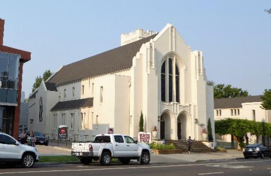
Greek Revival 1850-1860
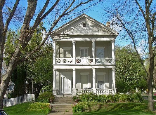
• A romantic style based on the classic orders of architecture
• Simple detailing
• Flat-arched openings
• Low-pitched gable roofs, often front-facing
• Wide entablatures and eave returns
• Classical decorative elements, such as porticos or porches supported by Classical columns
• The style was frequently employed for institutions, commercial and domestic buildings
Gothic Revival 1850-1925
• A revival style inspired by medieval European religious architecture
• Pointed arched openings for both doors and windows
• Asymmetrical massing
• Steeply pitched gable roofs
• Decorative bargeboards at the eaves
• Moldings and hoods over the doors and windows
• Gothic decorative elements such as tracery
Italianate
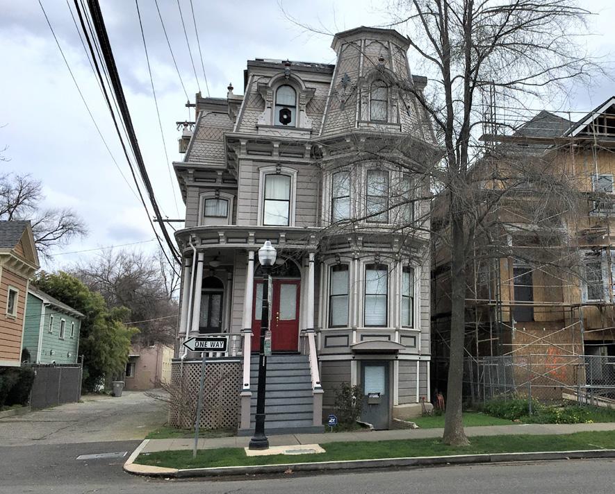
1870s- 1880s • Victorian style that uses elements of Roman or Italian classical decoration
• Straight rooflines
• Dominant two-story angled bay windows
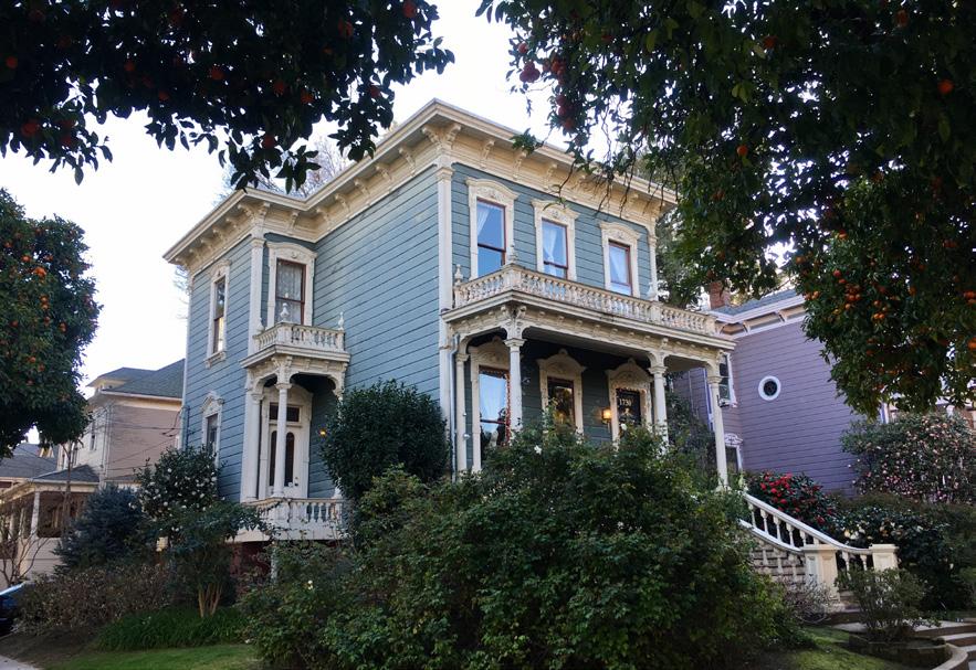
• Low-pitched roofs with overhanging eaves and decorative brackets beneath
• Picturesque asymmetry
• Moldings and hoods over doors/windows
• Windows commonly arched or curved above
• Horizontal wood siding
Second Empire
1855-1885 • A Victorian style
• Mansard roof with dormer windows on steep lower slope
• Molded cornices normally bound the lower roof slope above and below
• Decorative brackets beneath eaves
• Some have rectangular or square towers
• Paired windows
Sacramento Historic DistrictStick/Eastlake
1880s-1890s
• A Victorian style
• Geometrical, flat ornament
• Dominant two-story square bay windows
• Brackets or braces, including extended brackets
• Superficial cross bracing, half-timbering and diagonal bracing on the exterior (stickwork)
• Front-facing gables with decorative trusses at apex
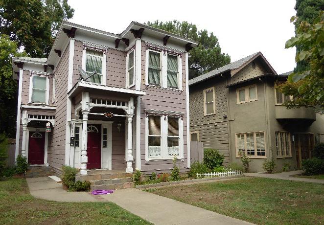
• Incised ornament
• Turned columns that are rarely Classical
• Turned wood work, like spindles, beads and buttons
Queen Anne 1880s-1900 • A Victorian style
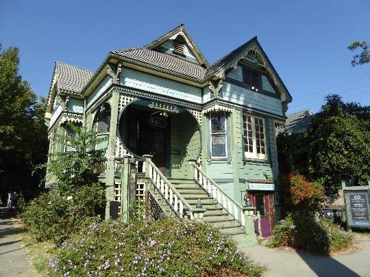
• Steep roofs of irregular shape
• A variety of siding, including patterned and fishscale shingles
• Square, round, and octagonal towers
• Plaster and wood clad exteriors, sometimes with floral or sunburst motifs
• Turned porch posts and spindlework
• Stained and leaded glass windows in diverse shapes
• One-story porches
Sacramento Historic DistrictShingle
1880-1915 • A Victorian style
• Wood shingle siding with no interruption at corners
• General symmetry with bulges and projections
• Steeply pitched roofs
• Intersecting gables
• Restrained, small-scale
• Ornamentation
• Decorative details with a Classical flavor, such as Palladian windows
Romanesque Revival
1880s-1900s • A revival style
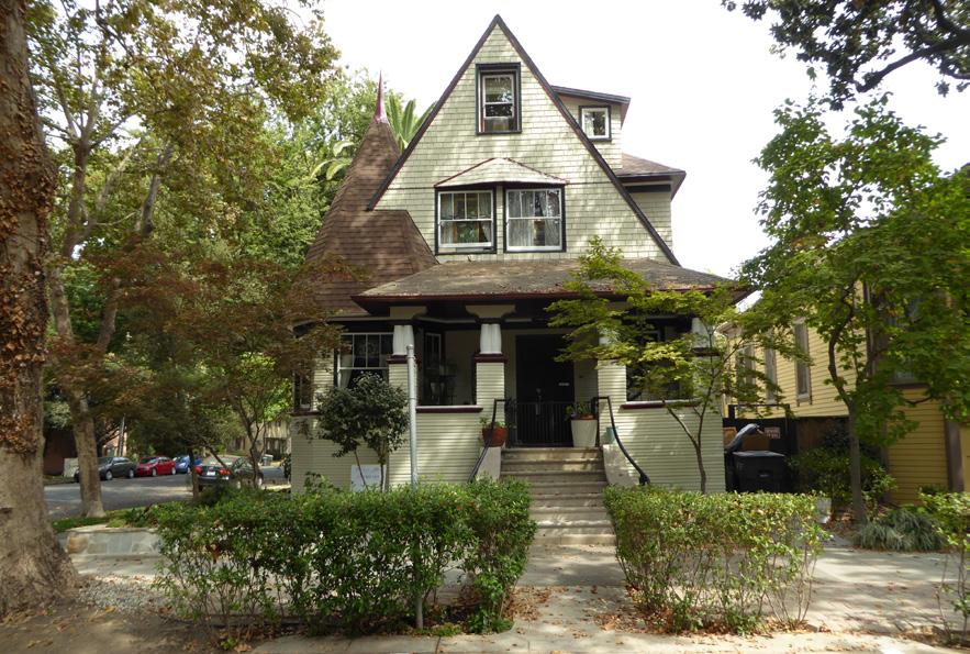
• Round arched openings
• Masonry walls, usually rough-faced
• Corbels and corbel tables
• Ornament derived from European churches
• Red brick with terra cotta trim as siding
• Rusticated bases
• The style was used for commercial buildings, churches, schools, hospitals, institutions, houses and apartment buildings
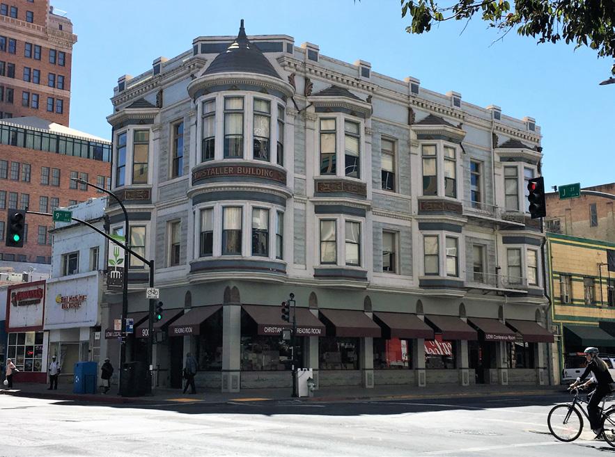
Folk Victorian 1870-1910
• A Victorian style
• Porches with spindlework or flat, jig-saw cut trim
• National Folk (post-railroad) house form
• Symmetrical façade
• Cornice-line brackets
Colonial Revival 1880-1955 • A revival style inspired by American Colonial architecture of the 17th and 18th centuries
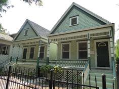
• Classical ornamentation
• Strict symmetry with a central entry
• Prominent entries with decorative hoods or porticos featuring pilasters or columns, sidelights and fanlights
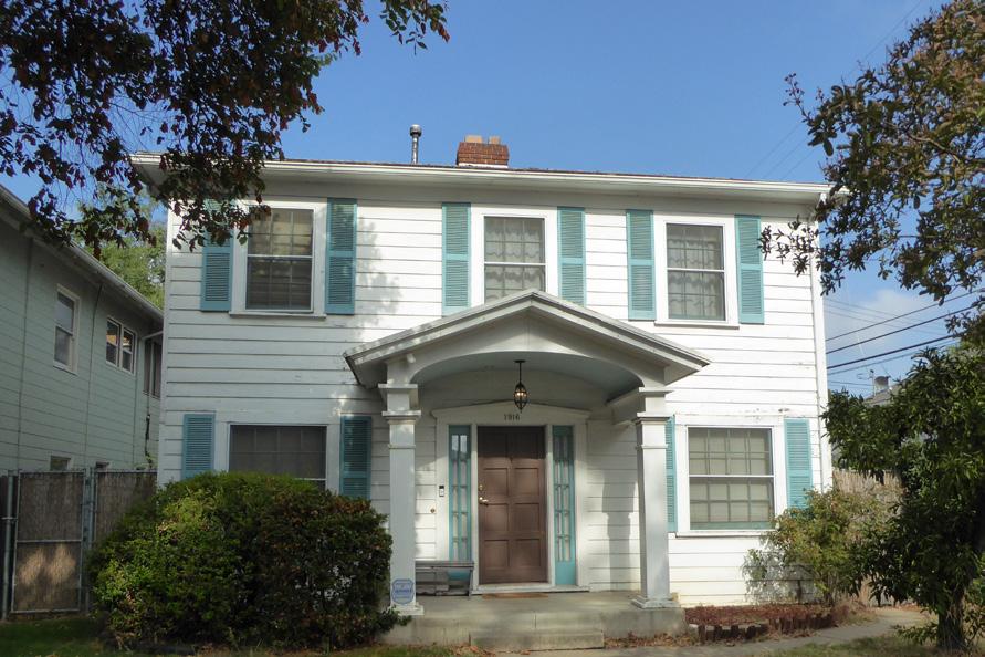
• Double-hung windows with multi-pane glazing
• Windows frequently in adjacent pairs
• Side-gabled roofs
• Brick or wood lap siding
Neoclassical 1895-1955
• Greek or Roman-inspired architecture typically used in civic or institutional settings
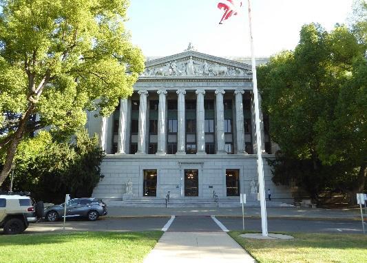
• Broad, symmetrical profiles
• Multi-story columns with Doric, Ionic, or Corinthian capitals
• Dominant temple-front porticos with large triangular pediments
• Balustraded cornices
• May have a central dome1
1 classical.
Classical Revival
1850-1955
• A revival style with an emphasis on the Classical orders of architecture
• Symmetry and simple wall surfaces with minimal ornamentation
• Doric, Ionic, Corinthian, or Tuscan columns
• Large windows with lintels or pediments
• Can be found in high-style and vernacular varieties, such as the Neoclassical Rowhouse
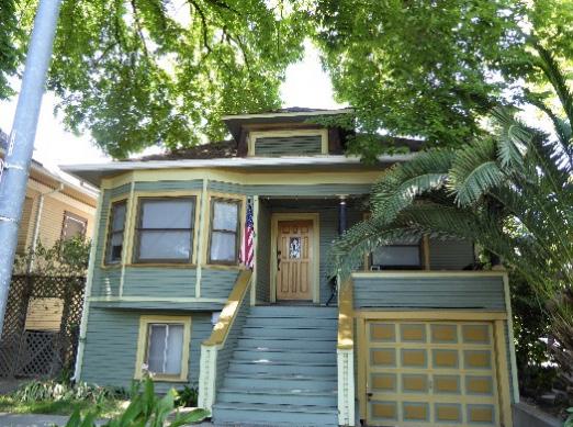
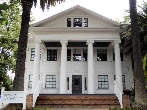
Tudor 1890s-1940
• A revival style that derives elements from Elizabethan-era architecture
• Steeply pitched, side-gabled roofs with prominent cross gables, and close-cropped eaves
• Roofs clad with slate, clay tiles, or shake shingles
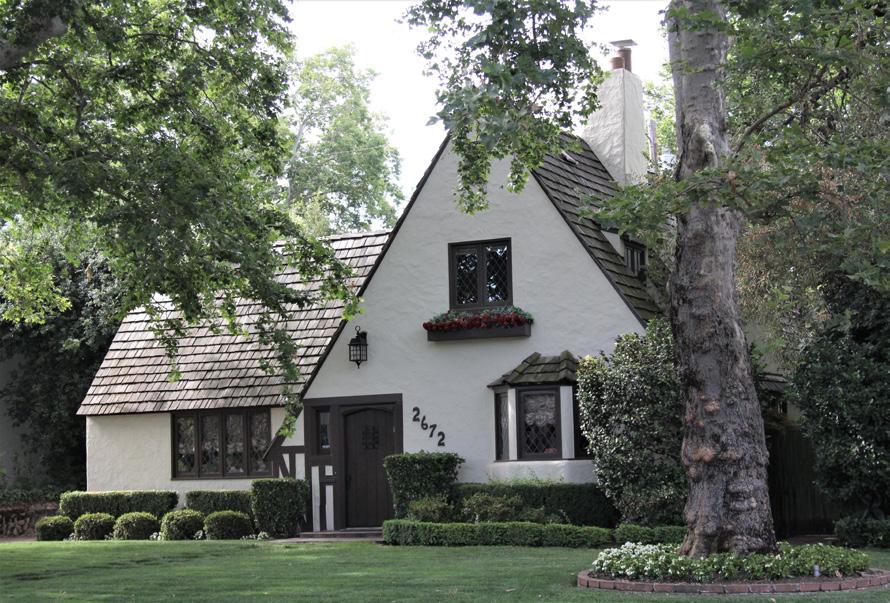
• Decorative half timbering, parapeted gables and bargeboards
• Diverse wall cladding, including smooth or textured stucco, brick and/or stone and wood clapboard or shingles
• Tall, narrow casement windows in groups with multi-paned glazing
• Massive chimneys, sometimes crowned by decorative chimney pots
• Front door or entry porch with round or Tudor arch
Beaux Arts
1880s- 1920s • Style derived from the classical architecture of Greece and Rome with an architectural vocabulary that includes both the substantial traditional Classical elements and more delicate and ornate motifs
• Symmetrical façade and building plan
• Stone, brick, or concrete masonry
• Wall surfaces with decorative garlands, floral patterns, and shields
• Façade with quoins, pilasters, or columns
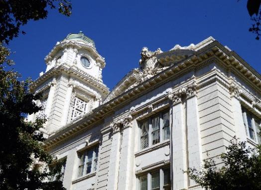
• Egg and dart moldings, Greek key fretwork
• Cornices with modillions and dentils
• Commonly associated with institutional buildings, public buildings, schools, and occasionally houses
Sacramento HistoricFrench Eclectic
1915-1945 A revival style inspired by French domestic architecture
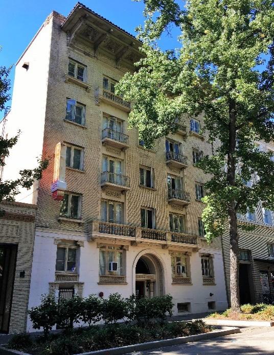
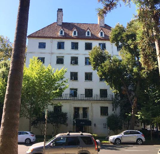
• Tall, steeply pitched roof (usually hipped) without dominant front-facing cross gable
• Eaves commonly flared upward at roof-wall junction
• Segmental arch on doors, windows, or dormers
• Brick, stone, or stucco wall cladding, sometimes with decorative half-timbering
Italian Renaissance
1880s-1935 A revival style that plays on the aesthetics of the Italian Renaissance
• Rectilinear facades
• Round arched windows
• Windows surmounted by pediments of varying or alternating shapes (round or triangular)
• Quoining at the corners
• Belt courses
• High basement or ground stories
• Rusticated bases
• Classical ornamentation like columns and entablatures
• Low-pitched hipped roof covered with ceramic tiles and widely overhanging eaves
• Upper windows smaller than lower windows
Mission 1890-1920 • A revival style that applies elements of Spanish Colonial religious architecture
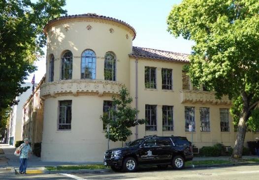
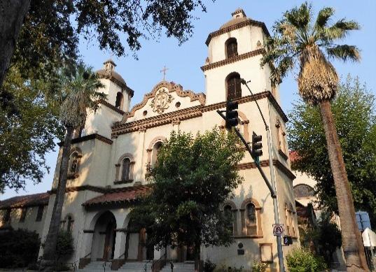
• Mission-shaped dormer or roof parapets
• Red tile roof covering
• Broad, overhanging eaves, usually open
• Porch roofs supported by large, square piers, typically with arched openings
• Smooth stucco wall surfaces
Spanish Revival
1915-1940 • A revival style that combines many types of Spanish architecture, including Moorish, Byzantine, Gothic, and Renaissance
• Low-pitched roofs clad in red tiles
• Asymmetrical primary façade
• Smooth stucco wall surface
• Arched window and door surrounds
• Wood plank doors
• Arcaded covered porch
• Decorative vents on gabled ends
• Twisted spiral columns
• Ornamental plaques
Sacramento HistoricMonterey 1925-1955 • A revival style based on Anglo-influenced Spanish Colonial architecture found in Northern California
• Typically two stories in height
• Low-pitched gable roof, occasionally hipped
• Broad, dominant second-story balcony, usually cantilevered and covered by principal roof
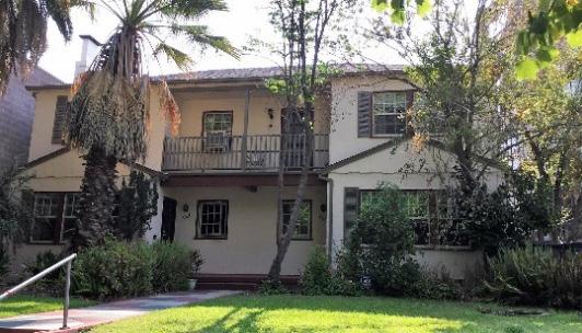
• Smooth stucco wall surfaces
Mediterranean Revival 1920s-1950s
• A revival style that draws its general form and details from Mediterranean villas
• Clay tile roofs or shaped parapets
• Stucco clad walls, often stark white or pastel colored
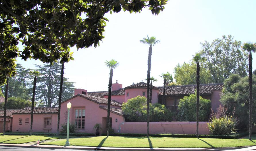
• Exterior ornament that includes ornate doors, door surrounds, unique window patterns, and applied medallions
• Bay or bow windows
• Wrought iron balconies or balconettes2 York: W.W. Norton 211.
Sacramento Historic District PlansPrairie 1910-1920
• An early-modern style first popularized by Frank Lloyd Wright and his contemporaries in the suburbs of Chicago
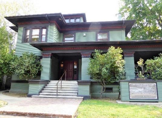
• Low-pitched roof, usually hipped
• Broad, overhanging eaves, typically boxed
• Two stories with one-story wings, porches, and porte cocheres
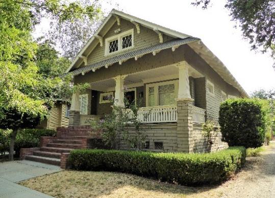
• Eaves, cornices, and façade details emphasizing horizontal lines
• Massive, square porch supports
Craftsman
1900-1930
• An early-modern style rooted in the Arts and Crafts movement
• Broad overhanging eaves
• Rafter and purlin tails, roof beams, and knee brackets
• Windows with asymmetrical muntin patterns
• Wood lap or shingle siding or other natural cladding materials
• Tapered porch piers
• Exterior chimneys clad in stone or clinker bricks
Sacramento HistoricArt Deco
1920s-1930s
• A modernistic style characterized by smooth wall surfaces, usually stucco
• Sharp or angular lines
• Stylized geometric decoration, including zigzags, chevrons, and botanical motifs
• Towers and vertical projections above the roofline
• Ornamental designs derived from a variety of sources including Egyptian, Mayan and “Oriental” art and architecture
Streamline Moderne
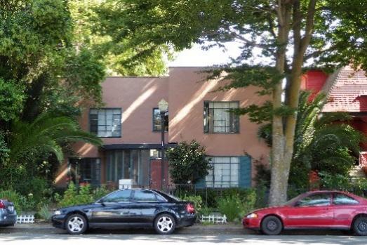
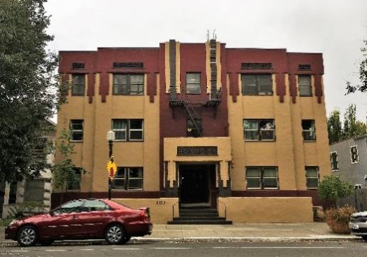
1930s-1940s
• A modernistic style, sometimes also called Art Moderne
• Smooth wall surfaces, usually stucco
• Flat roofs
• Horizontal grooves or lines in wall surfaces (speedlines)
• Horizontal awnings and balustrades
• Rounded corners, portal windows
• Glass block inserts
• Asymmetrical facades
Minimal Traditional 1935-1950 • Small-scale, generally one-story houses associated with suburban expansion around the time of WWII
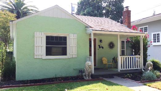
• Minimal amounts of added architectural detail and general simplicity of exterior design
• Low- or intermediate-pitched roof, more often gabled
• Roof eaves usually have little or no overhang
• Double-hung windows, typically multi-pane or one-over-one
• Platform steps leading to a concrete slab or brick front porch
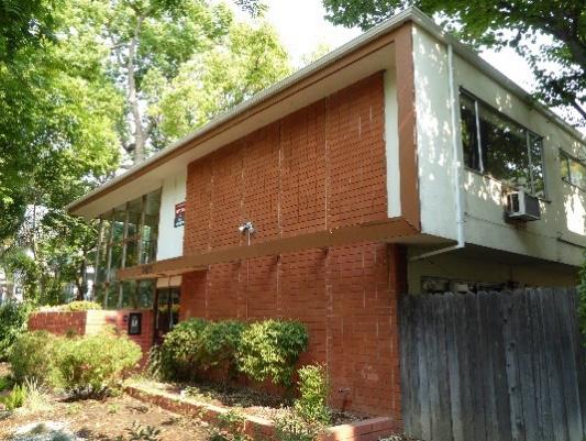
International 1937-1970 • A modernistic style
• Flat rooflines
• Minimalist, lack of ornamentation
• Rectangular, block-like massing with square corners
• Horizontal and vertical elements
• Windows set flush with the exterior wall
• Windows arranged in bands (ribbon windows), floor-to-ceiling openings
• Simple railings along decks and balconies
• Structural system (concrete or steel) expresses form and function
Sacramento Historic District PlansMid-Century Modern
1940s-1970s
• A modernistic style
• Variety of natural and manufactured materials
• Cantilevered, flat, shed, or low-pitched roofs
• Deep overhanging eaves
• Canted and large expansive windows
• Variety of building materials
• Lack of ornamentation
• Repetition of glass and structural members
Late Moderne
1945-1960s
• A modernistic style
• Flat rooflines
• Angular and box-like massing with horizontal emphasis
• Smooth exterior walls (concrete or stucco)
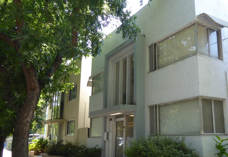
• Canopies over entryways
• Fenestration consisting of punched windows or horizontal bands of steel-frame windows, often wrapping around corners
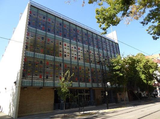
• Windows with projecting surrounds
• Muted curved details
Googie/Exaggerated Modern
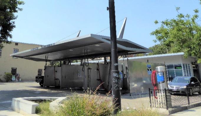
1950s-1960s
• A modernistic style
• Exaggerated rooflines, including folded, curvilinear, butterfly, swooping, boomerang, or hyperbolic shapes
• Irregular rectangular massing with abstract, angular, and curved portions
• Asymmetrical facades
• Flush-mounted expanses of steel or aluminum frame glass
• Variety of building materials
• Colorful accents
• Space-age and scientific motifs
• Prominent, freestanding commercial signage integrated with building design
Recent 1980-present • Recently constructed buildings
• Late twentieth- and early twenty-first century styles including Post Modern, Millennium Mansion, and New Traditional
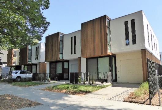
Vernacular Built regard Simple geometric Uncomplicated Unadorned porch Stylistic details not Walls clad with dominant material
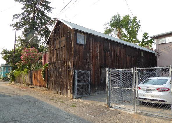
Landscape
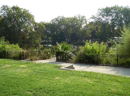 Sacramento Historic District Plans
The list of building forms in the following table provides an introduction to some of the most common buildings types in Sacramento’s Central City. One or more architectural style may be applied to an individual form. Not all of these forms were recorded during the 2018 property-by-property survey efforts. Some of the names and terminology used to describe these forms are derived from the Preservation Element of the City of Sacramento General Plan (2000) and McAlester’s A Field Guide to American Houses.
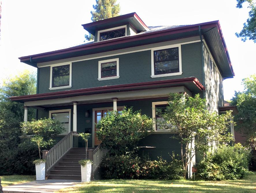
Delta Type
Classic Box (American Foursquare)
1850-1910s
• A general form typical of the Sacramento River Delta area that arose in response to conditions of frequent flooding and long, hot summers
• A frame house with a raised basement or ground floor, exterior stairways, and a front porch
• Most often feature a gabled or hipped roof
• May be elaborated upon with a variety of Queen Anne, Stick/Eastlake, Italianate, Classical Revival, or other architectural style details
1890-1915
• A popular residential form during the early twentieth century, notable for its square front elevation and cubic quality
• Hipped roofs with a central dormer
• Broad, overhanging eaves
• Full-façade, partial-façade, or wraparound porches with simple round or square pillars
• Pilasters, commonly found running the full height of the building
• Central or offset first-story entrances
• Symmetrical window patterns
• Exterior may be clad in wood clapboard, shingles, brick, stone, stucco, or a combination of materials
• May be elaborated upon with a variety of Colonial Revival, Classical Revival, Craftsman, Prairie, or Mission details
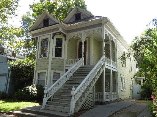 Sacramento Historic District Plans Final
Bungalow/Cottage
1905-1925
• A small one-story or sometimes two-story house with a low-pitched roof, often with a hipped or shed dormer
• Broad, gabled porch
• Wood frame construction
• Relatively low in cost in the early twentieth century because they could be built according to plans taken from available pattern books, or could be purchased as early as 1908 as precut boards and timbers ready for assembly3
• Typically elaborated with Craftsman, Prairie, Classical Revival, or Minimal Traditional details
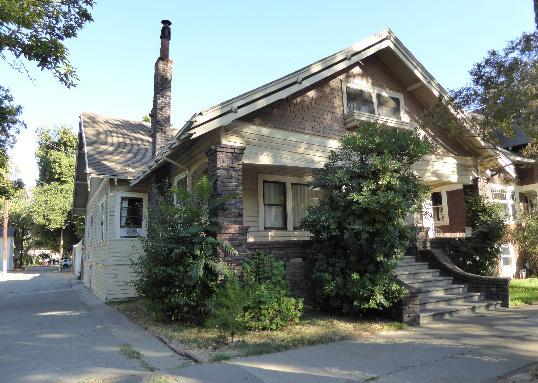
3
Courtyard Apartment/Bungalow Court 1910s-1930s
• A group of three or more one-story, single-family dwellings, arranged around a landscaped central courtyard
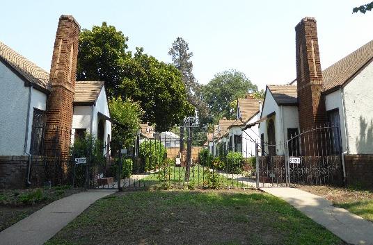
• Courtyard often entered and secured from public access by an iron gate
• Typically elaborated with Tudor, Spanish Revival, or other revival style details4
Dingbat5 1950s-1970s
• Rectangular apartment buildings, typically two or three stories tall
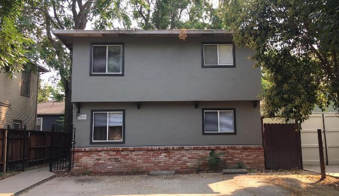
• Flat roofs
• Often have stucco siding and flush mounted aluminum slider plate glass windows, but can incorporate other architectural styles
• Many feature mansard roods clad with cedar shingles
• Recessed parking areas below and to the rear
Sacramento Historic DistrictThe commercial typologies in the following table are based on Richard Longstreth’s book, The Buildings of Main Street, and are based on common forms and physical characteristics of commercial buildings to which architectural styles may be applied. During the field survey, one of the following typologies was selected along with the appropriate architectural style(s) from the previous table.
Temple Front 1820s-1940s Facades derived from temples of Greek and Roman antiquity
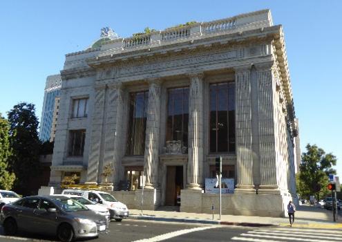
• One compositional unit
• Typically two to three stories in height
• Portico across front or recessed entrance with twin columns
• Mostly for banks and public, institutional, and religious buildings
One-Part Commercial Block 1850-present • Single-story in height
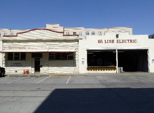
• Simple box with decorated façade
• Urban undertones
Sacramento Historic District PlansTwo-Part Commercial Block
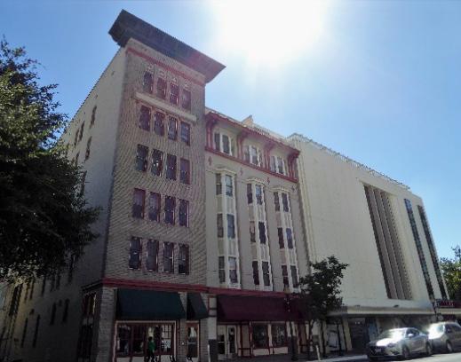
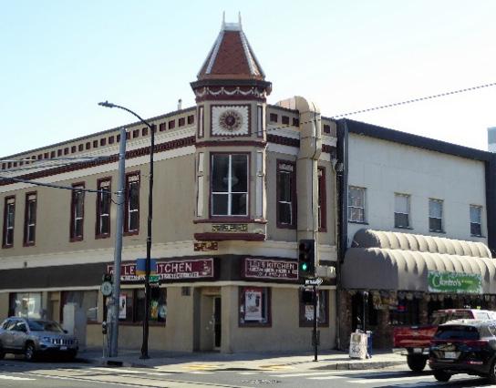
1850-1950
• Most common type of commercial architecture
• Limited to structures that are two to four stories in height
• Horizontal division into two distinct zones, usually reflecting differences of use (public on bottom, private on top)
Three-Part Vertical Block
1850s-1920s
• Three parts, roughly analogous to the divisions of classical column: base, shaft, and capital
• Similar to the Two-Part Vertical Block but has upper zone of one to three stories
• Top may be an intricate crown of setback masses, particularly in Art Deco examples
Sacramento Historic District Plans FinalStacked Vertical Block
Two-Part Vertical Block
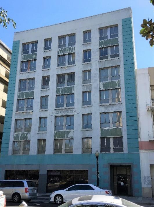
1850s – 1880s • Reads as a series of layers, rather than coherent whole
• At least five stories, with at least three horizontal divisions
• 1850s-1870s – each story is similar but treated as a separate layer
• After the 1860s – treatment varies for each layer
1850s-1930s
• At least four stories in height
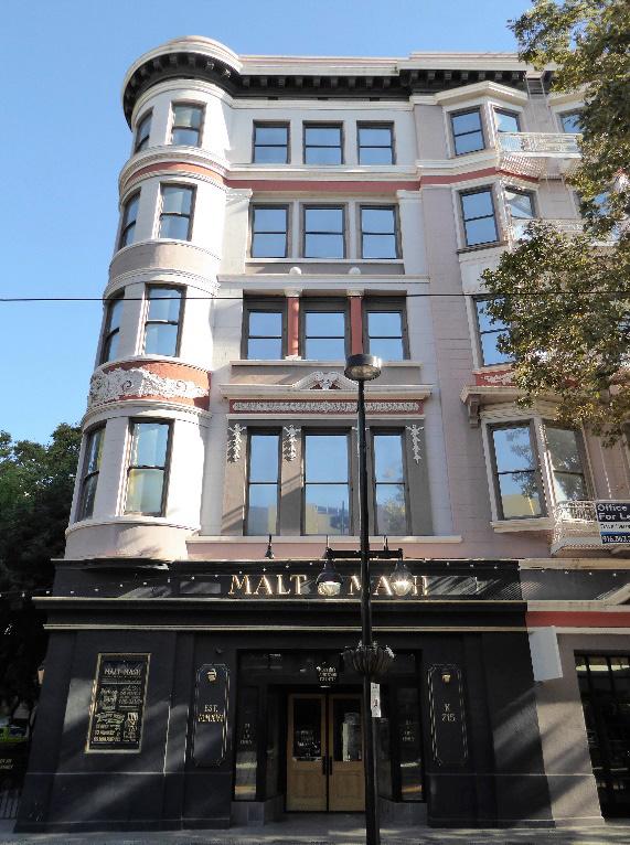
• Prominent upper zone, which is treated as a unified whole and portrays a sense of verticality
• Two parts: lower zone is one to two stories in height and forms the base of the upper zone, or “shaft”
Sacramento Historic District PlansVault 1900-1940s
• Typically two to three stories in height
• Façade penetrated by a large, tall, narrow center opening
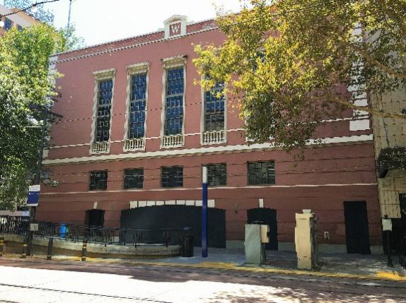
• Massiveness and enclosure emphasized, as opposed to enframing open interior spaces (as in Enframed Window Wall type)
Enframed Block
1900-1920s
• Typically two to three stories in height
• Façade punctured by columns, pilasters, arcades, or treatment suggestive of classical elements
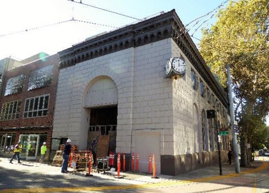
• Main section bracketed by narrower end bays to form continuous wall plane
• Simple surround
Sacramento Historic DistrictArcaded Block
Enframed Window Wall
1900-1930s
• Typically two to three stories in height
• Series of tall, evenly spaced, round arched openings, extending across wide façade
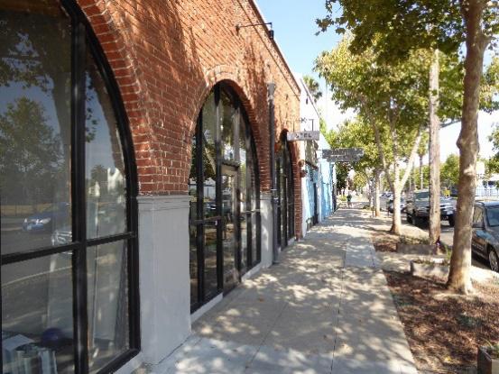
• No separate bracketing elements at ends
• Historical references to Italian, French, or English classical buildings, sometimes Romanesque or Gothic
1900-1940s
• Large, center section enframed by a wide, continuous border, which is treated as a single, compositional unit
• Large, glazed display area or lobby
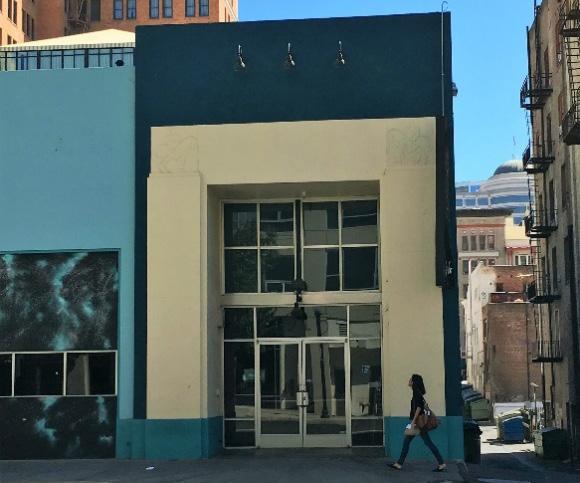 Sacramento Historic District Plans
Appendix C: Historic Preservation Tips & Tools 430
While an exhaustive effort has never been undertaken to determine all of Sacramento’s master architects and builders, the following is a list of architects and builders considered to have made significant contributions to the built environment in Sacramento.6
Gustav E. Ahl
C.K. Aldrich
John Azevedo
Seth Babson A.A. Bennet
Leonard D. Blackford Bliss and Faville Blomberg Building Materials
Arthur Brown, Jr. Allyn Burr
Frederic Butler
Peter Cadel Lee de Camp Alden W. Campbell
Grant Caywood & Associates Campbell Construction Reuben Clark Brian Clinch
Coffman, Sahlberg and Stafford E.A. Corum and Son
Clarence Cuff W.K. Daniels
William David James Dean Dean and Dean Harry Devine, Sr. Maury Diggs
James C. Dodd, Sr. Dreyfuss and Blackford
Albert M. Dreyfuss Alfred Eichler
Joseph Eichler
Frederick Emmons Alfred Fisher
Raymond Franceschi Nathaniel D. Goodell Herbert Goodpastor
Lawrence Halprin
Edward Charles Hemmings Hemmings and Starks
Charles A. Henderlong
Rudolph Herold Ernest Hoen
George D. Hudnutt Thomas Hunt Jones & Emmons
Joseph Jozens
Charles Kaiser
William C. Keating Construction Company Lawrence J. Klein William Koblik
G. Albert Lansburgh Sooky Lee Lawrence and McCarthy George B. MacDougall Kenneth McDonald Robert Metcalf Julia Morgan
Moss and Moss George Muraki
Daniel Nacht
Jens Peterson Willis Polk Powers and Ahnden Rickey and Brooks Loring Rixford W.G. Saunders
James Seadler Seadler and Hoen Seller Brothers and Company
George Sellon Carter Sparks Leonard Starks
Starks and Flanders Streng Brothers
Charles F. Unger
Dean Frederick Unger Weeks and Day
Francis P. “Squeaky” Williams Alma Winn
H.H. Winner
Woolett and Lamb Wright and Kimbrough
Brother Adrian Wewer
William Wurster
Wurster, Bernardi and Emmons
6 GEI Consultants, Inc., “Mid-Century Modern in the City of Sacramento Historic Context Statement and Survey Results” (report, City of Sacramento Community Development Department, 2011), 3-16 – 3-34; Sacramento Heritage, Inc., “Sacramento J and K Street Commercial Corridor Walking Tour,” 2013; Sacramento Heritage, Inc., “Sacramento City Hall Area Walking Tour,” 2011; Sacramento Heritage, Inc., “Sacramento Capitol Area Walking Tour,” 2012; Sacramento Old City Association, “37th Annual SOCA Home Tour featuring Poverty Ridge,” 2012; Sacramento Heritage, Inc., “Midtown Streetcar Tour: J Street & 28th Street;” Sacramento Old City Association, “38th Annual SOCA Home Tour: featuring the Mansion Flats Neighborhood,” 2013; Sacramento Old City Association, “39th Annual SOCA Home Tour featuring fabulous Midtown Sacramento,” 2014; Preservation Sacramento, “40th Annual Historic Home Tour featuring the neighborhood of Richmond Grove,” 2015; Preservation Sacramento, “41st Historic Home Tour featuring the neighborhood of Elmhurst,” 2016.
Sacramento Historic District Plans FinalPlease contact Sean de Courcy
Associate Preservation Planner Community Development Department City of Sacramento sdecourcy@cityofsacramento.org

2401 C Street, Suite B Sacramento, California 95816