1 minute read
OTHER OPEN SPACES

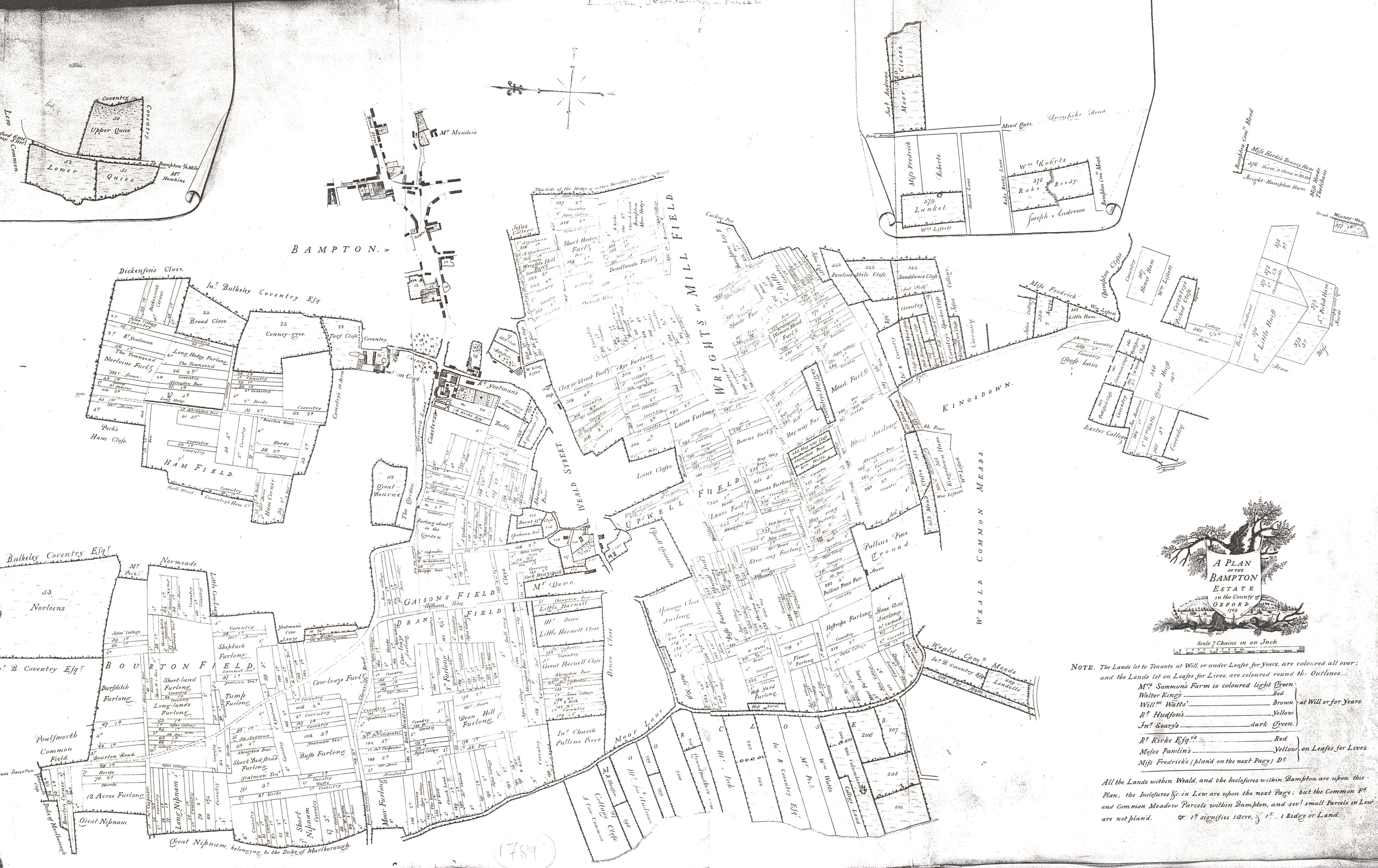
Open spaces, largely preserved until the advent of modern roadbuilding, performed an important role throughout Bampton’s history as the location for the annual horse fair. This fair was hosted along the upper part of Broad Street and along Church Lane (modern Church View). Bridge Street being used to ‘run’ horses to prove their soundness before sale. The fair itself can be traced to the 13th century so its continued presence in this specific part of Bampton may represent a relic of considerably older practices.

Advertisement
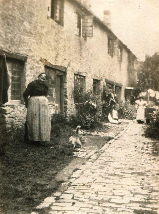
There are other places shown on these early Ordnance Survey maps that have almost completely disappeared from modern memory. A good example is the area continuously named as Wright’s Hill; known on early Ordnance Survey mapping as situated immediately to the south of the Shillbrook where it is forded (now bridged) by Cheyne Lane and on the very fringe of what could be considered the settlement core. It once consisted of a handful of cottages and agricultural buildings, named for the pre-enclosure field adjacent to which it sat.
At enclosure the field disappeared into the modern field system, and within a generation or two so did the need to describe this peripheral area as a distinct settlement. The cottages standing here were cleared as early as the 1920s. As a name for this part of modern Bampton, it has now therefore effectively disappeared, perhaps in the space of as little as 100 years.