8°45'30"N
11°58'30"W
11°58'0"W
11°57'30"W
11°57'0"W
11°56'30"W
11°56'0"W
11°55'30"W
11°55'0"W
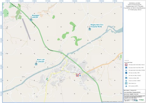
SIERRA LEONE ERCI Field Suport Magburaka ICT, Health Facilities & NGO Distribution 17 February 2015
Mayagba UNICEF Magburaka Gov. Hospital MoH
8°44'0"N
8°44'30"N
8°45'0"N
11°59'0"W
8°43'30"N
MoH / UK / UNICEF
8°43'0"N
Concern
Date Created: 17 February 2015
8°42'30"N
Coord.System/Datum: Geographic/WGS84 Data Sources: UNMEER, OSM, WHO The boundaries and names and the designations used on this map do not imply official endorsement or acceptance by the United Nations.
Map created by:
© OpenStreetMap (and) contributors, CC-BY-SA
jkm 021715