10°48'0"W
10°46'0"W
10°44'0"W
10°42'0"W
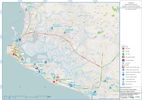
LIBERIA ERCI Field Suport Greater Monrovia Health Facilities & NGO Distribution 01 March 2015
6°22'0"N
Redemption hospital TBD
New Georgia Community TBD
6°20'0"N
Bardnersville Hospital TBD
Star of the Sea TBD
UNMIL WFP
WHO Liberia # 130-6
CRS # 152-2
6°18'0"N
T&M Neighbour TBD
James Davis hospital TBD ChildFund # 109-23
Bishop John Collins TBD
ChildFund # 109-21
MoH/WHO JFK JFK hospital hospital MoH/WHO TBD
Catholic hospital TBD
Concern
Concern # 120-4
International Medical Corps # 123-2
6°16'0"N
CRS # 152-1
0
0.5
1
2
3
Miles 4
N/A
Duport Road TBD MoD N/A
MoD 2 WFP/Swedish FMT
Sowein TBD UNMEER SKD 2 German RC/German Armed Forces
Date Created: 01 March 2015 Coord.System/Datum: Geographic/WGS84 Data Sources: UNMEER, OSM, WHO The boundaries and names and the designations used on this map do not imply official endorsement or acceptance by the United Nations.
SKD 1 IRC
Map created by:
© OpenStreetMap (and) contributors, CC-BY-SA
J Myhre 030115