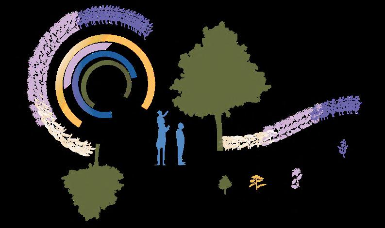
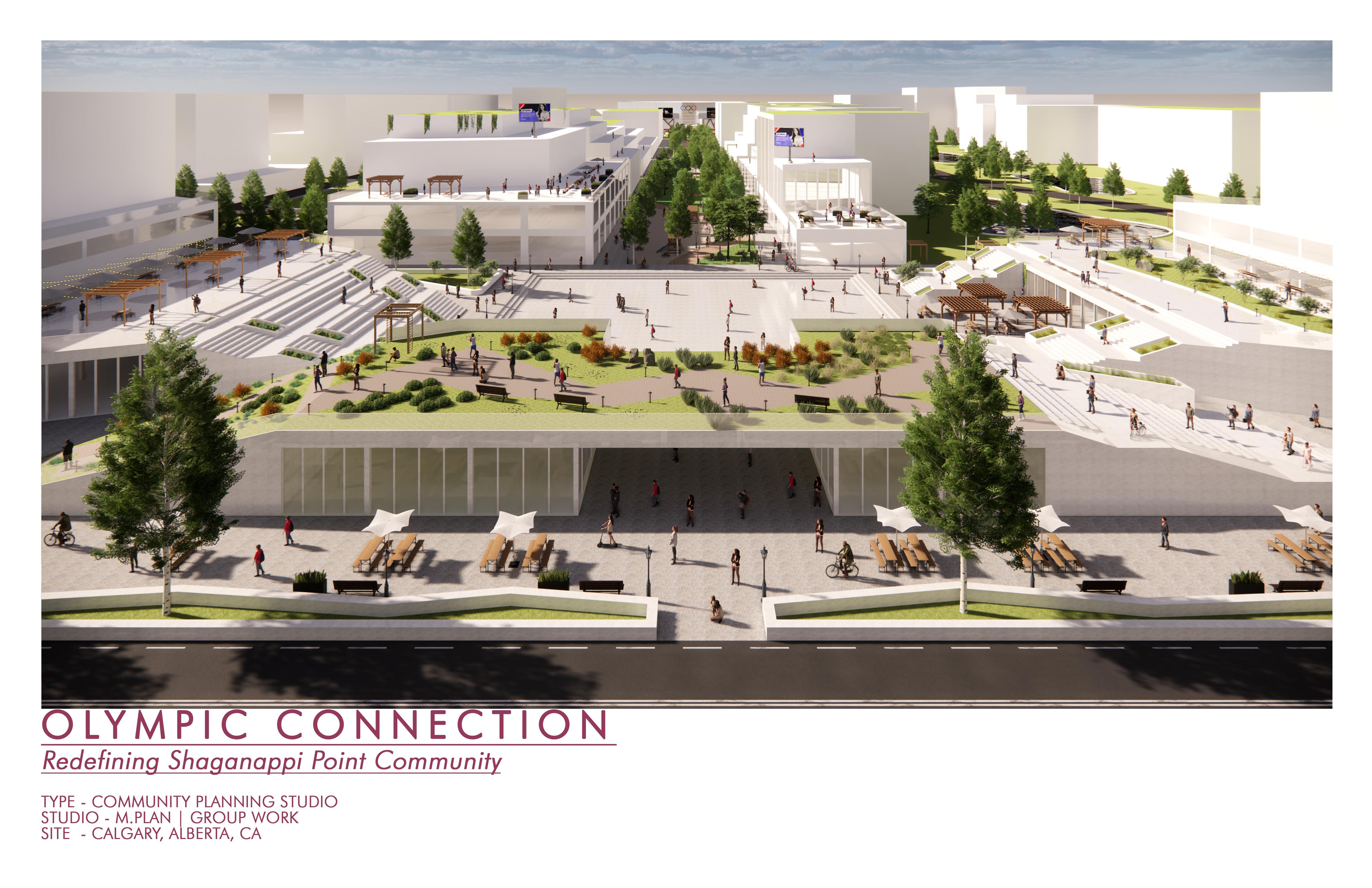
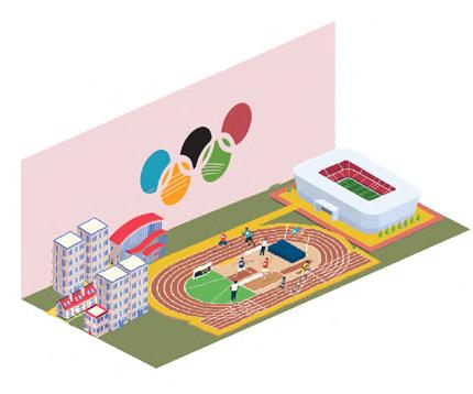
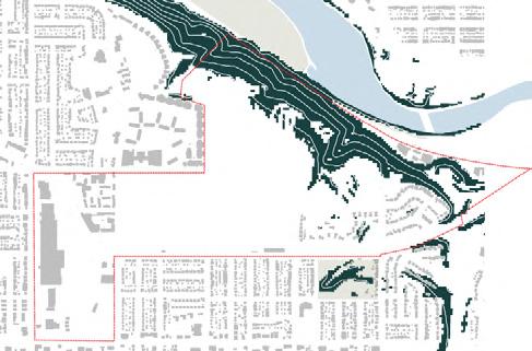
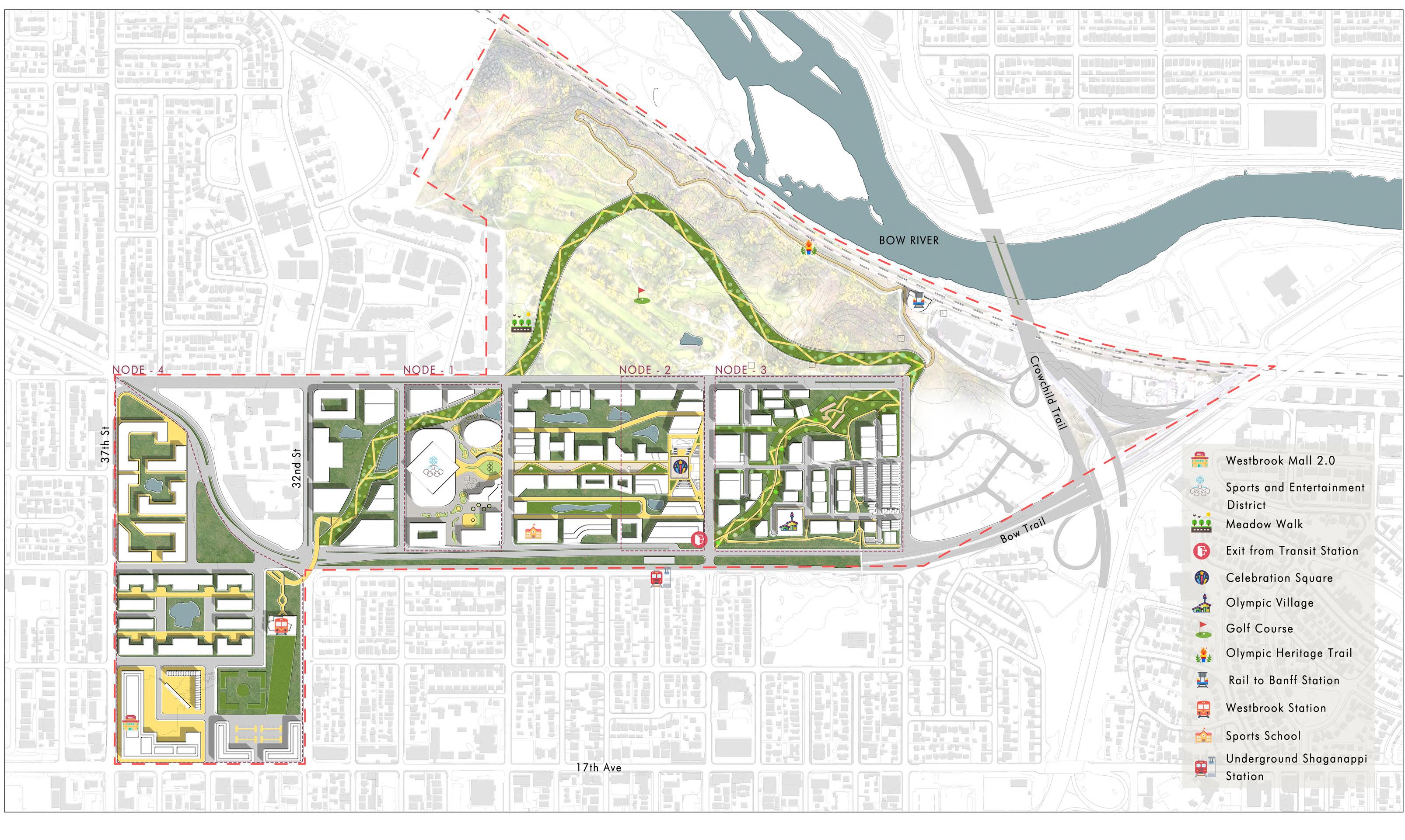
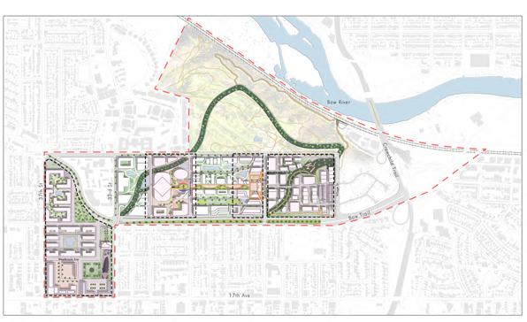
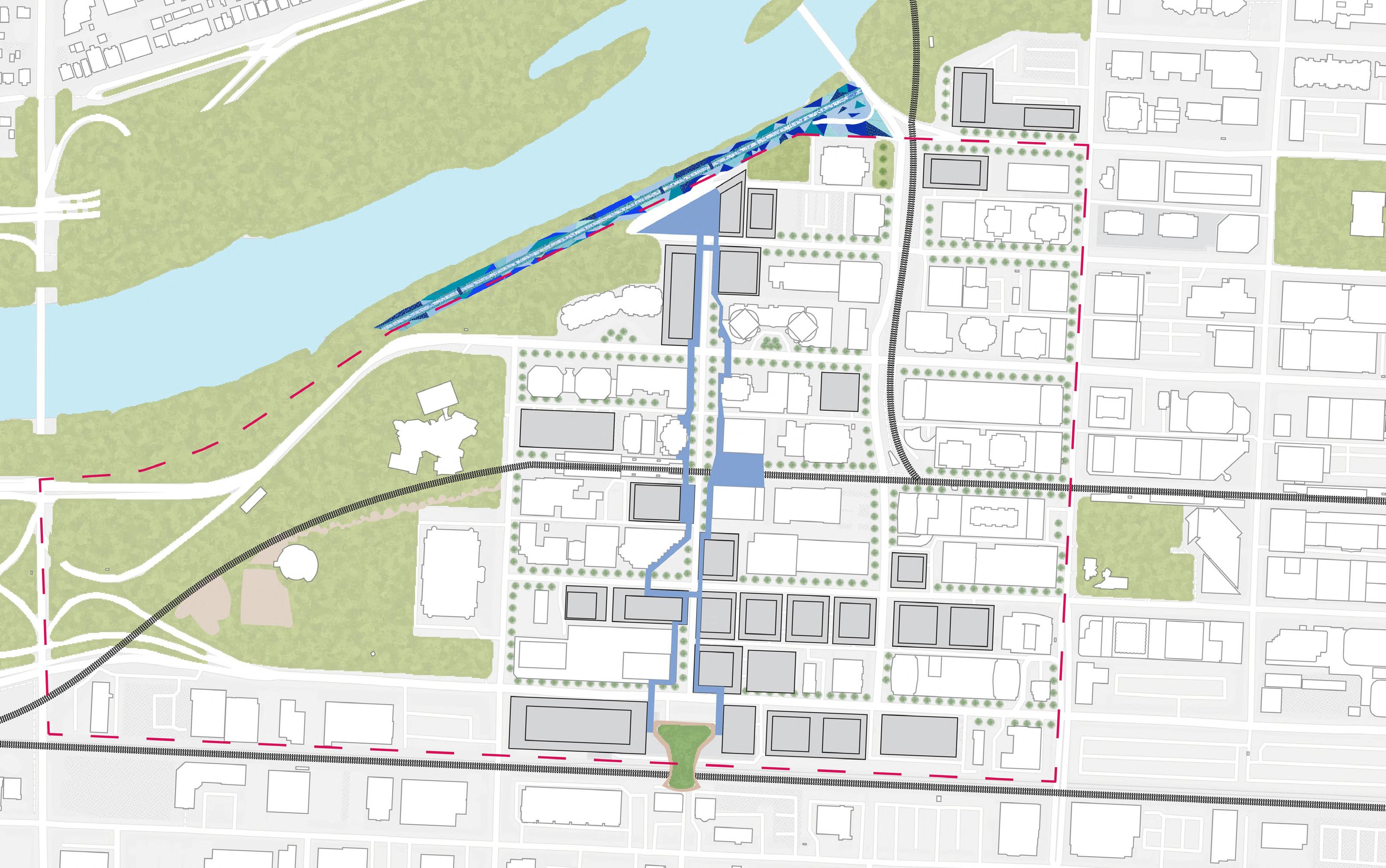
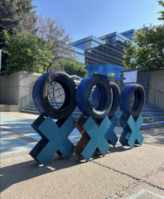
Olympic Heart
Ignite the Olympic Spirit in Calgary by offering new competitive and recreational sports facilities & create a main athlete village.
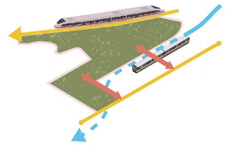
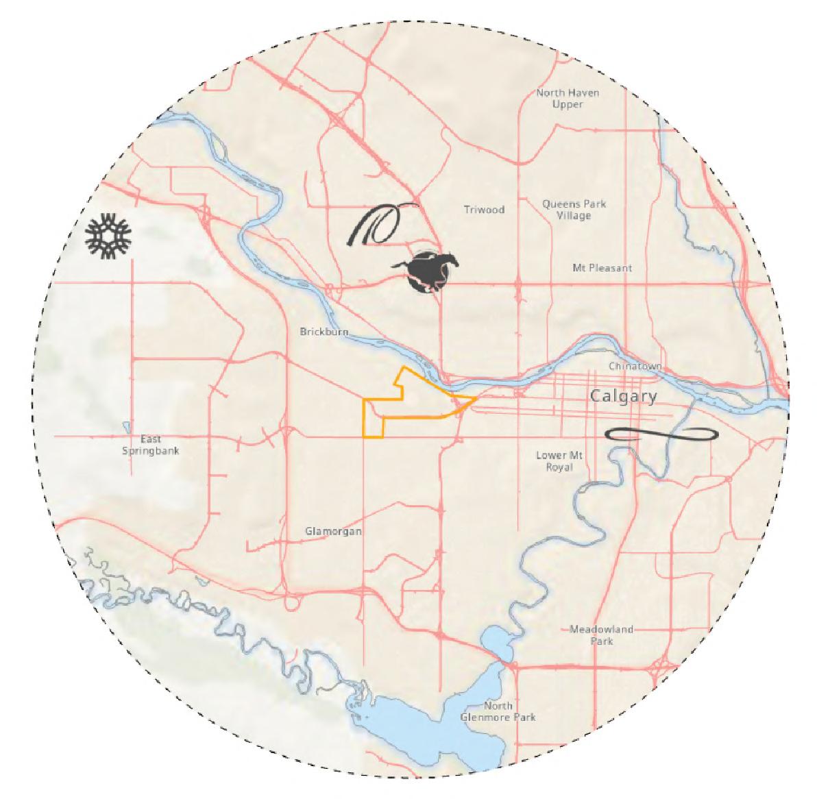
Summit Connection
Provide meaningful connection to the surrounding area, sink the LRT and redesign Bow Trail, and capitalize on the growing momentum of the Calgary Airport to Banff Rail project that passes through the site.
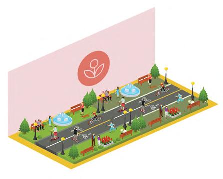
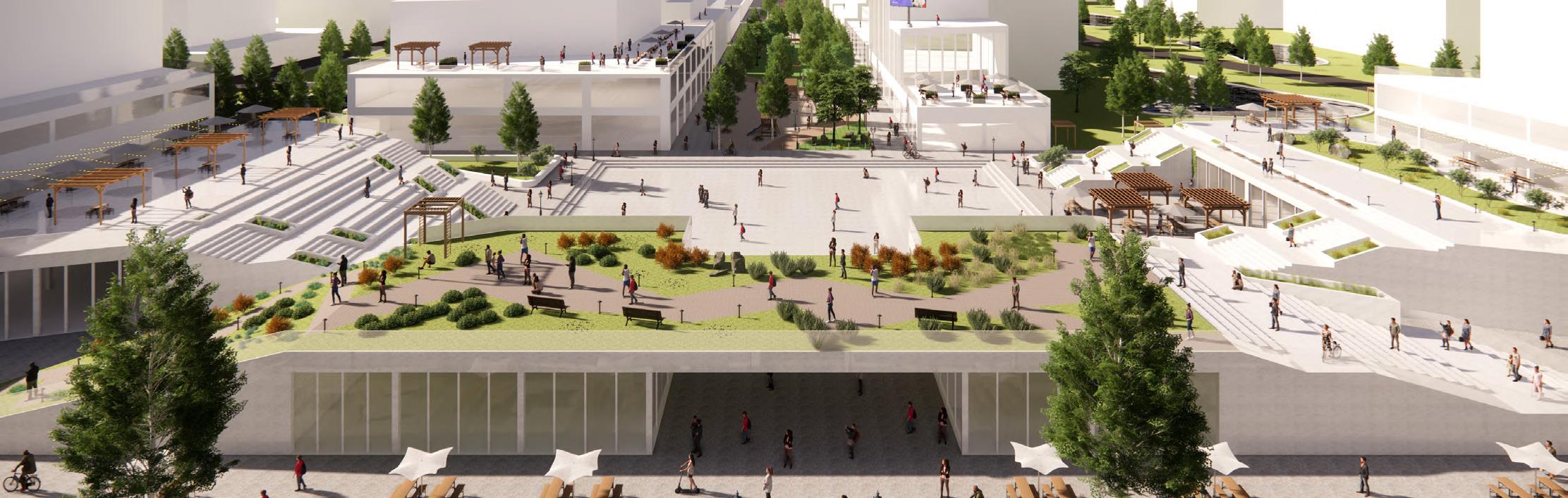
Meadow Walk
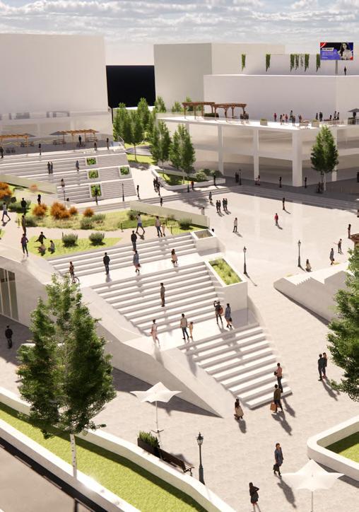
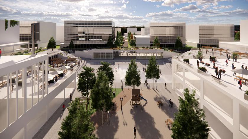
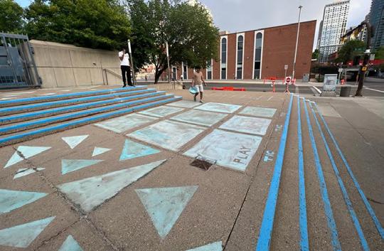
Offer meaningful place making, by prioritizing pedestrian and cycling through the site with a dedicated green way
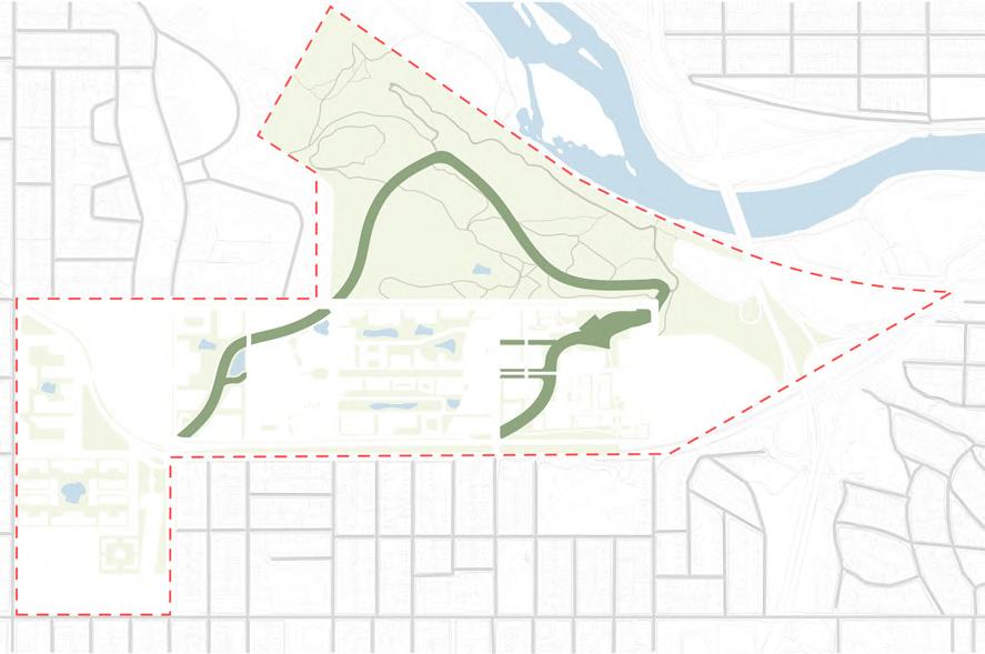
Slopes Beyond 15%
Unbuildable slope
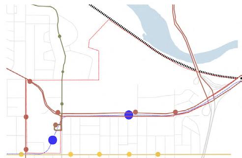
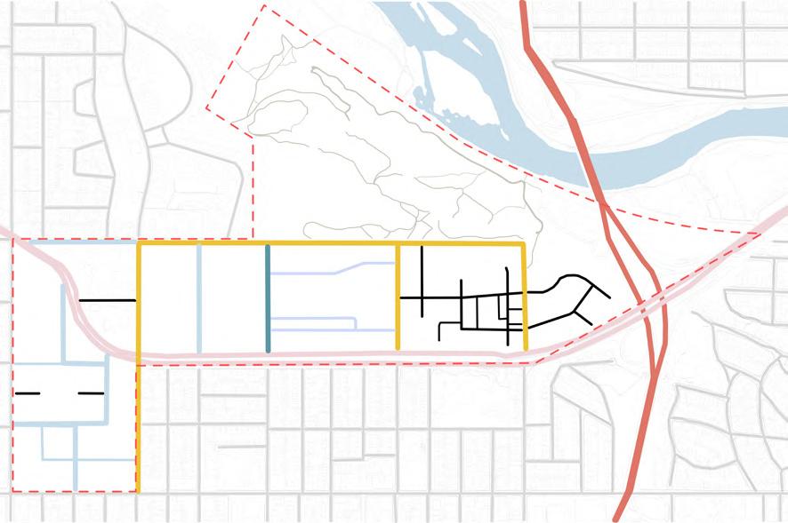
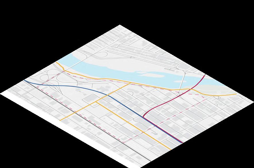
Transit Routes
Cliff Bungalow Route
Bow Trail Route
17th Ave Bus Route CP Rail
LRT Blue Line

Existing Road Typology
Skeletal Road
Arterial Road Neighbourhood BLVD Local Streets

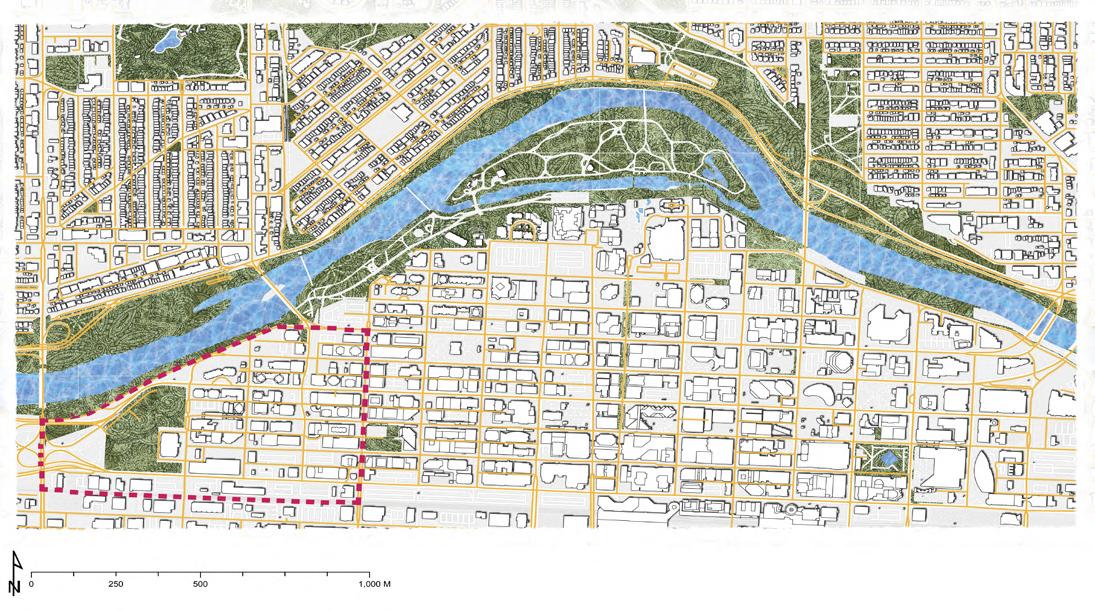
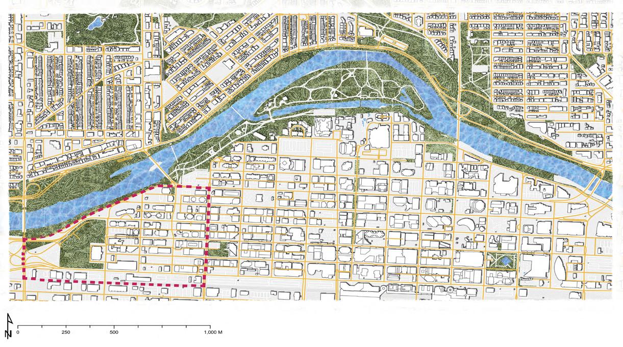
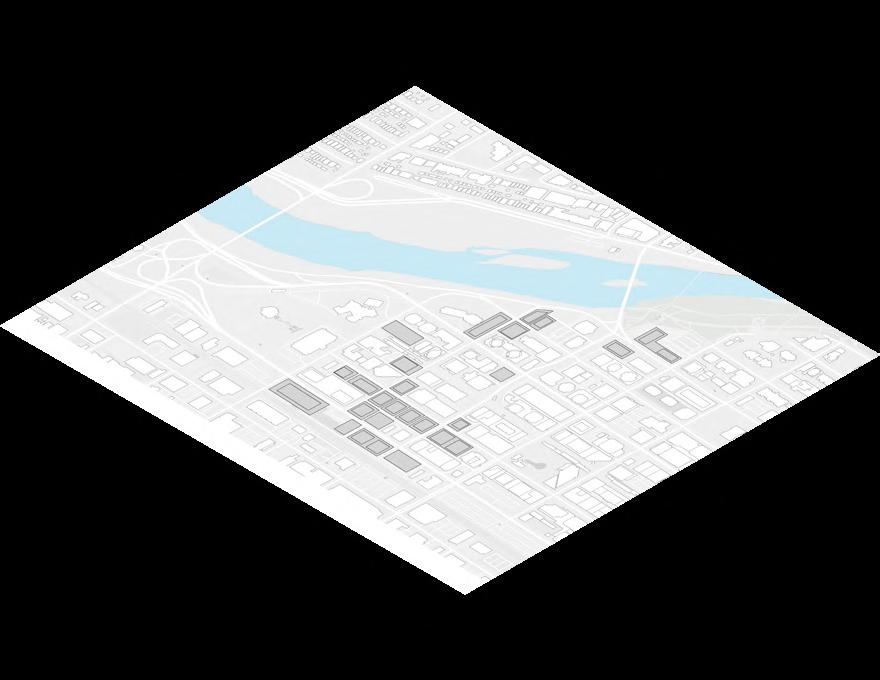
Figure Ground and Existing Road Network
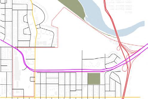
N
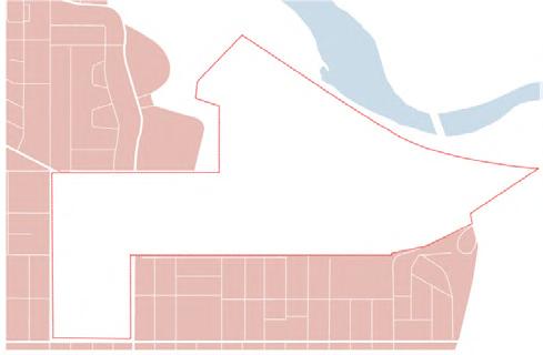
Existing Neighbourhood Blocks N
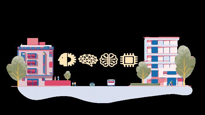
Canada’s Sports Market
Government Funding $897 mil
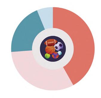
Formal Sports $1978 mil
Education Sports $1432 mil
Sports Market
Alberta’s Calgary $500 mil Creates 14000 jobs in Alberta

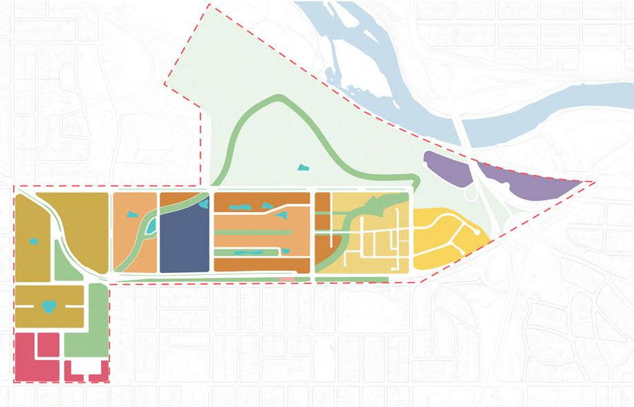


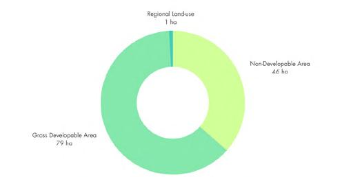
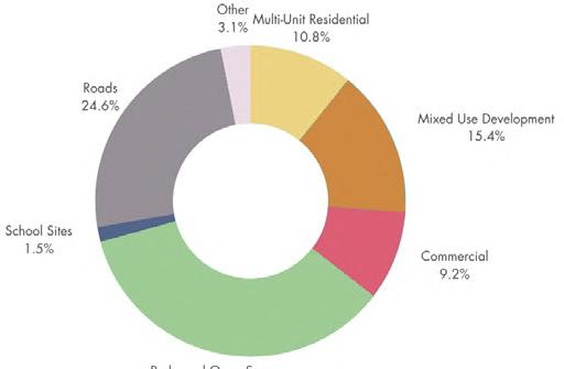
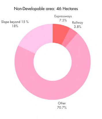
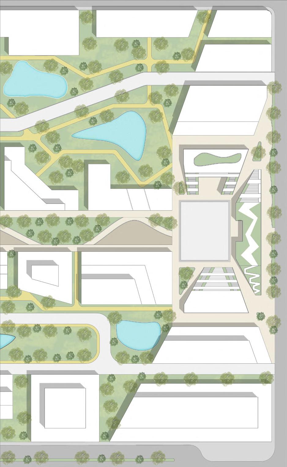
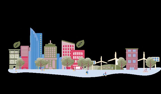
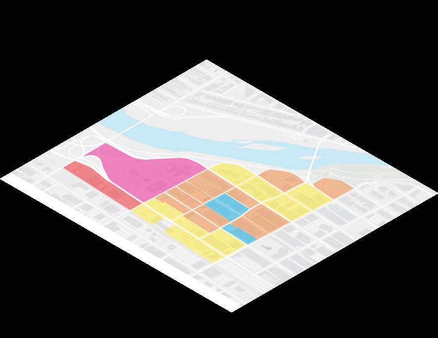
ICE HOCKEY (5,000 capacity) MULTI-SPORT FIELD HOUSE (10,000 capacity) OLYMPIC VILLAGE (760 units) LAND USE High Density Residential Mid Density Residential Low Density Residential High Density Mixed Use Mixed Use Sports Arena Retail Industrial Parks/Recreation Water Body N Meadow Walk Park/Open Space GREEN AREAS AND OPEN SPACE EXISTING INFRASTRUCTURE N % BREAK DOWN OF LAND USE Unbuildable: 46 ha Buildable: 89 ha Total Area: 135 ha ROAD NETWORK AND HIERARCHY N Crowchild Trail Bow Trail Fieldhouse Street Celebration Street Skeletal Road Arterial Road Primary Collector Rd. Activity Centre St. Collector St. Residential St. Back Alley St.


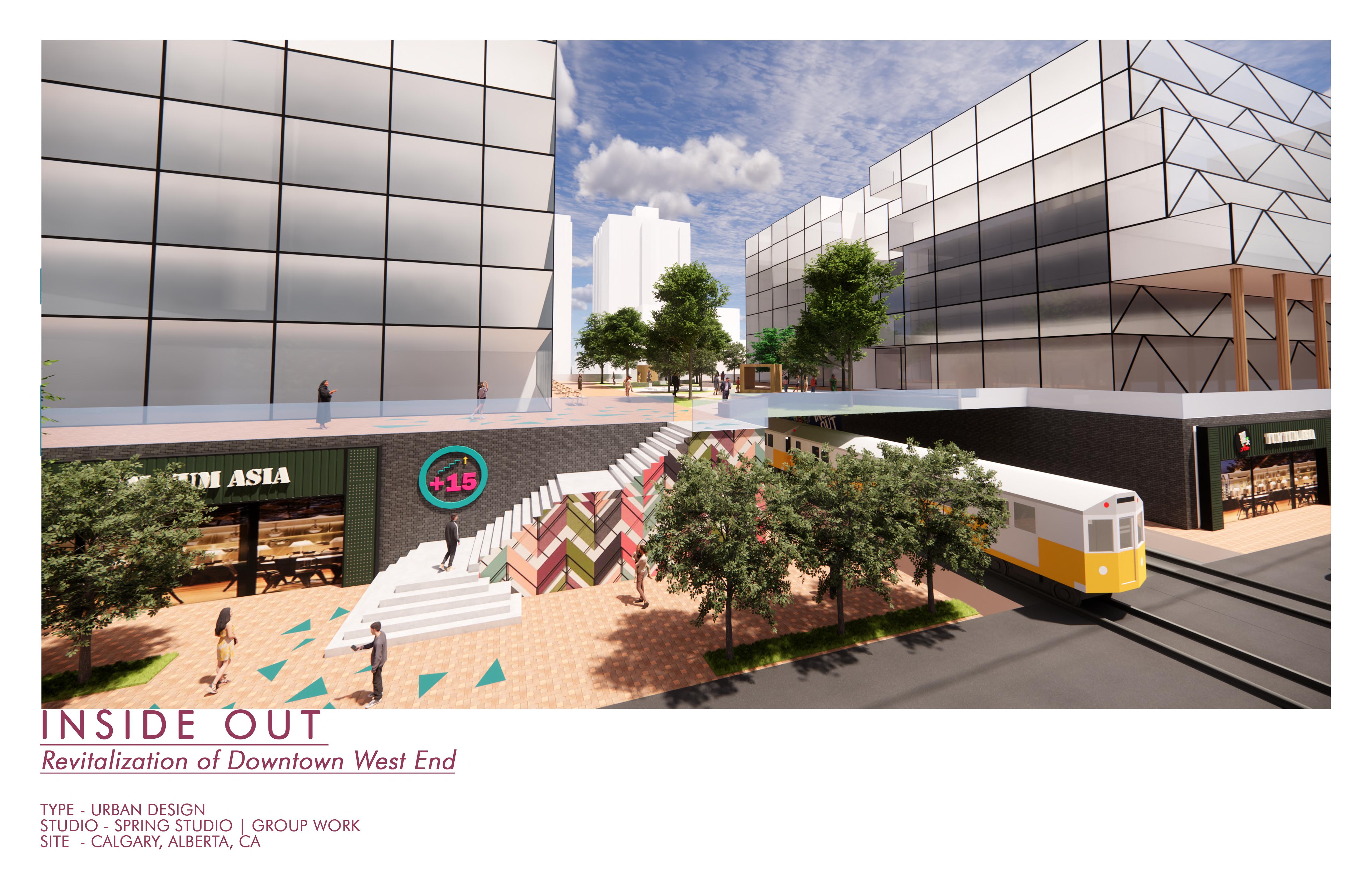
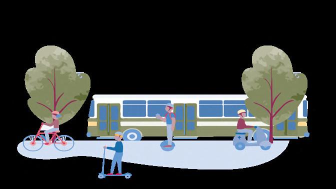
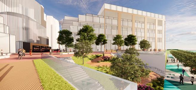
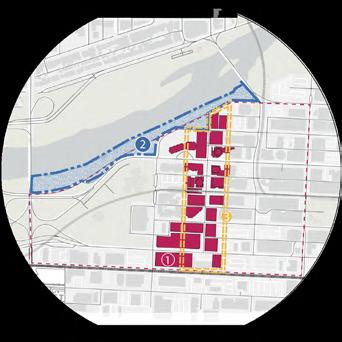
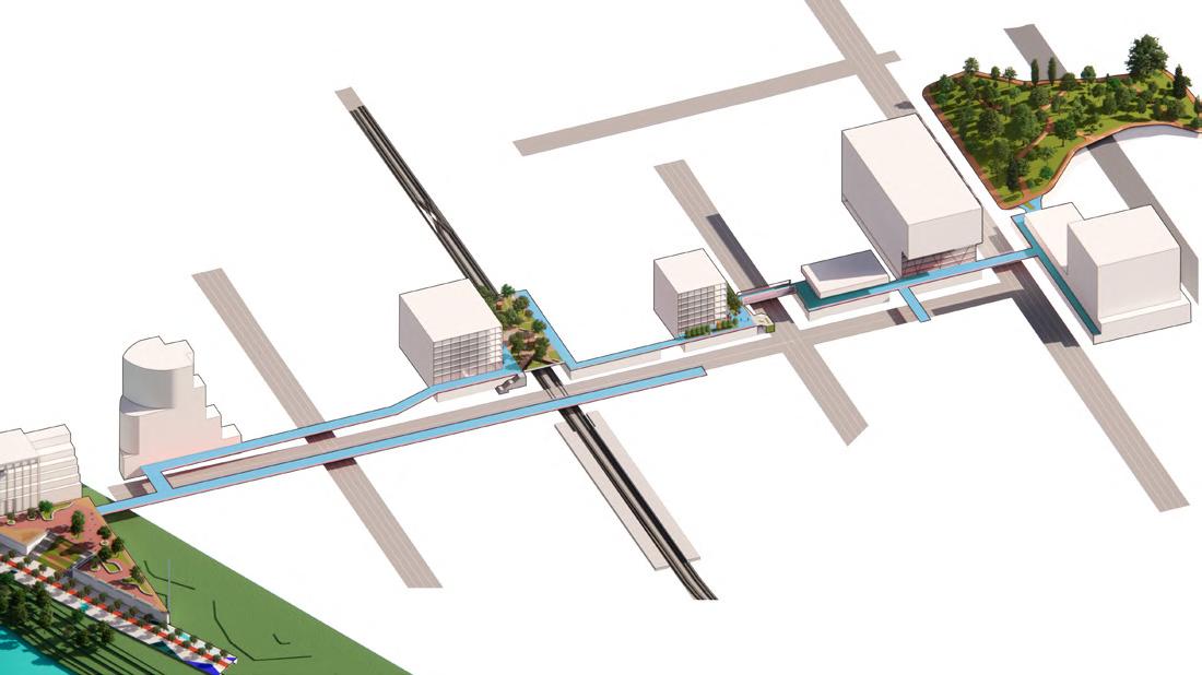
Multimodal Transportation
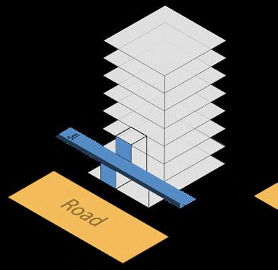
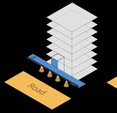
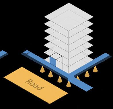
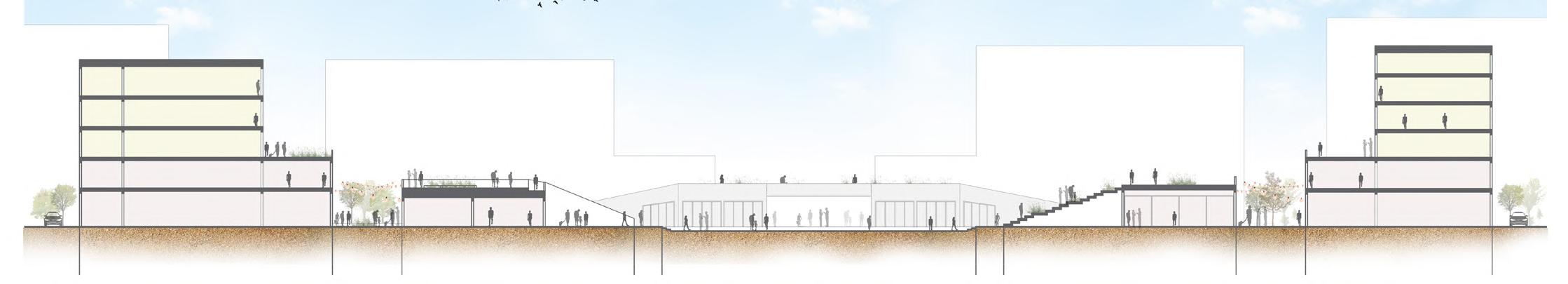
Building ABuildings along plus 15 corridor wishing to integrate may construct with 2nd storey column allowing for 5m walkway.
Building BBuildings may integrate with cantilevered/externally supported approach where plus 15 wraps around 2nd storey.
Building CBuildings may integrate with cantilevered/externally supported approach where plus 15 wraps around 2nd storey.
Provision of lighting under system is encouraged. (public lighting = property tax incentives)
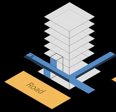
Building B -
Uses on first and second story must be street/systemoriented and may include cafes, restaurants, patios, shops, vendors, markets, daycares, and other commercial ventures.
Space under system remains open for active uses and programming.
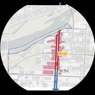

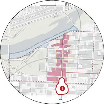
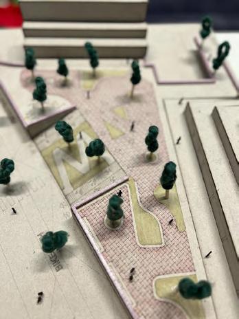
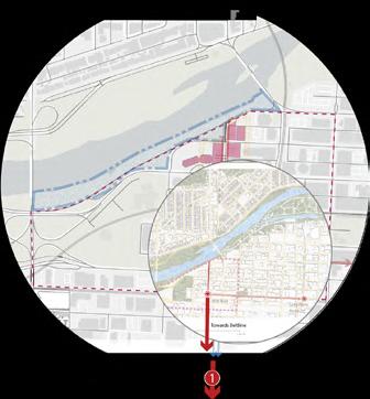
IDENTITY 0 - 5 Years CONNECT 5 10 Years - Densi cation of Westend - Promenade or river path construction - Construction of elevated plaza - Creation of two new spine connections - Construction of Plus 15 elevated shared campus space 1 2 3 - Extension of Plus 15 to beyond 9th Avenue 1 2 3 INTEGRATE 10 - 15 Years GREEN 15 - 20 Years EXTEND Beyond 20 Years - Integration of Plus 15 from 8th Avenue unto Stephen Avenue to coincide with city development timeline for Stephen Avenue. 1 - Development of park on South side of site. 1 - Extension of plus 15 to Beltline 1 PHASING NODES
2
3 4
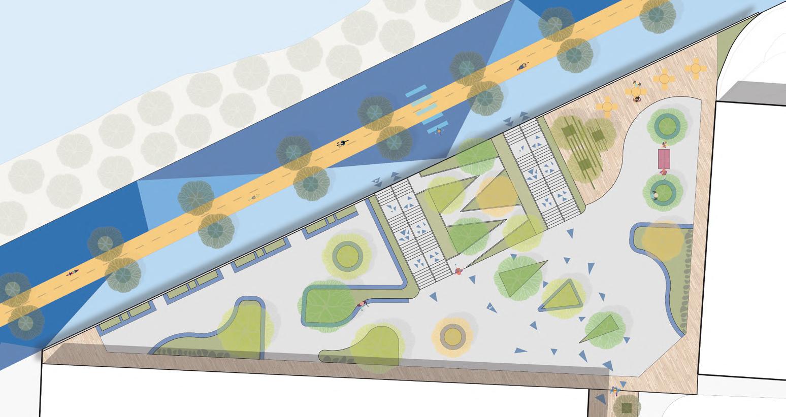
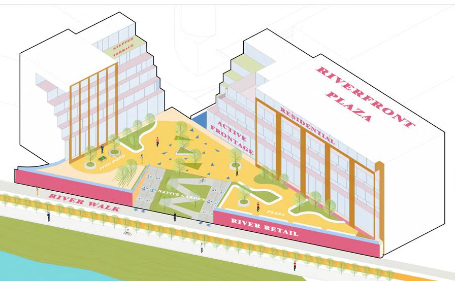
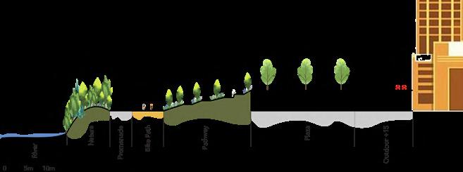
1. The Riverfront Parkway will feature a new bike lane surrounded by walking paths, native gardens, and a beautiful, programmed social plaza. This will connect to the new, outdoor +15 system where people can head south.
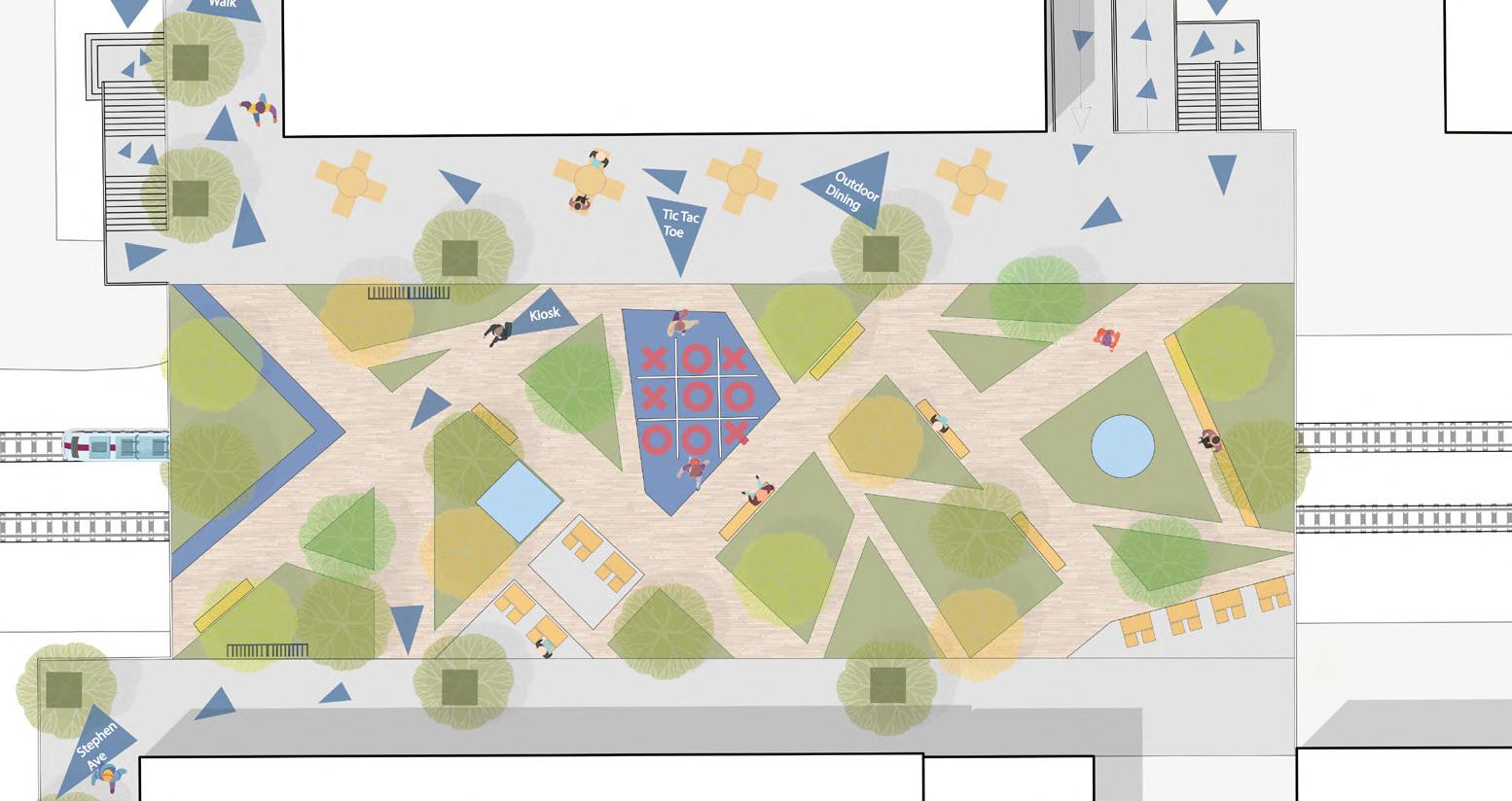
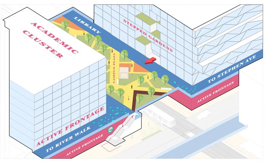
2. The Sky Campus is where the fun begins! An elevated courtyard will provide students and other pedestrians with outdoor games, a library, and seating for studying for just hanging out with friends.
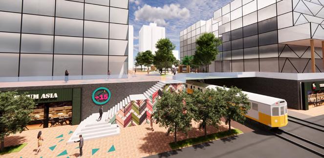
3. The Stephen Ave Connection will create an amazing space in the future. Once Stephen Ave has been extended to the West End, this +15 system will have a grand entrance and bridge over the pedestrian street where the street level and elevated level and mingle.
Primary Commercial
Movement Landuse Density +15System