© July 2019 | IJIRT | Volume 6 Issue 2 | ISSN: 2349-6002
Groundwater Prospectus Map for Suryanagar Subwatershed Chalapathi k1, Mohammed Badiuddin Parvez 2, Dr.M.Inayathulla3 1 Assistant Professor, Department of Civil Engineering, CITECH, Bangalore - 563101.Karnataka, India 2 Research Scholar, Department of Civil Engineering, UVCE, Bangalore University, Bangalore, Karnataka, India 3 Associate Professor, Department of Civil Engineering, UVCE, Bangalore-560056.Karnataka, India AbstractIn developing accurate hydro geomorphological analysis, monitoring, ability to generate information in spatial and temporal domain and delineation of land features are crucial for successful analysis and prediction of groundwater resources. However, the use of RS and GIS in handling large amount of spatial data provides to gain accurate information for delineating the geological and geomorphological characteristics and allied significance, which are considered as a controlling factor for the occurrence and movement of groundwater used IRS LISS II data on 1: 50000 scale along with topographic maps in various parts of India to develop integrated groundwater potential zones. The present work is an attempt to integrate RS and GIS based analysis and methodology in groundwater potential zone identification in the Suryanagar sub watershed, Urban Bangalore, study area. The information on geology, geomorphology, soil, slope, rainfall, water level and land use/land cover was gathered, in addition, GIS platform was used for the integration of various themes. The composite map generated was further classified according to the spatial variation of the groundwater potential. Five categories of groundwater potential zones namely poor, moderate to poor, moderate, good and very good were identified and delineated. The spatial variation of the potential indicates that groundwater occurrence is controlled by geology, land use / land cover, slope and landforms. Index terms- Sub-watersheds-Hydrological studiesGroundwater-water, Groundwater prospectus map
INTRODUCTION Geophysical methods are conventionally employed for groundwater prospecting though there are several methodologies to locate and map the occurrence and
IJIRT 148443
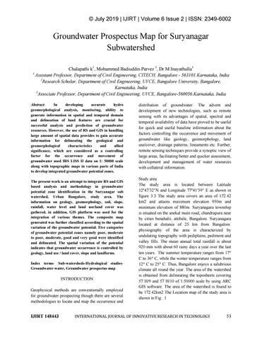
distribution of groundwater. The advent and development of new technologies, such as remote sensing with its advantages of spatial, spectral and temporal availability of data have proved to be useful for quick and useful baseline information about the factors controlling the occurrence and movement of groundwater like geology, geomorphology, land use/cover, drainage patterns, lineaments etc. Further, remote sensing techniques provide a synoptic view of large areas, facilitating better and quicker assessment, development and management of water resources with collateral information. Study area The study area is located between Latitude 12º47′32″N and Longitude 77º41′59″ E as shown in figure 3.3 The study area covers an area of 172.42 km2 and attains maximum elevation 950m and minimum elevation of 880m. Suryanagara township is situated on the anekal main road, chandrapura near by cities benahalii, attibele, Bangalore. Suryanagara located at distance of 25 km from Bangalore. physiography of the area is characterized by undulating topography with pediplains, pediment and valley fills. The mean annual total rainfall is about 920 mm with about 60 rainy days a year over the last ten years.. The summer temperature ranges from 17° C to 36° C, while the winter temperature ranges from 12° C to 25° C. Thus, Bangalore enjoys a salubrious climate all round the year. The area of the watershed is obtained from delineating the toposheets covering 57 H/9 and 57 H/10 of 1:50000 scale by using ARC GIS software. The area of the watershed is found to be 172.42km2 The Location map of the study area is shown in Fig: .1
INTERNATIONAL JOURNAL OF INNOVATIVE RESEARCH IN TECHNOLOGY
53