8 minute read
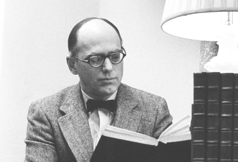
UNDERSTANDING OREGON’S CLIMATE FUTURE: AN EXPERT PERSPECTIVE FROM DR. PAUL LOIKITH

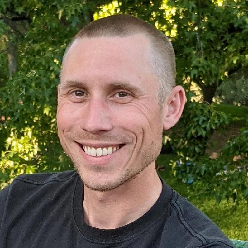
by Joe Riedl, Mazama Conservation Committee member, with Dr. Paul Loikith of PSU’s Climate Science Lab
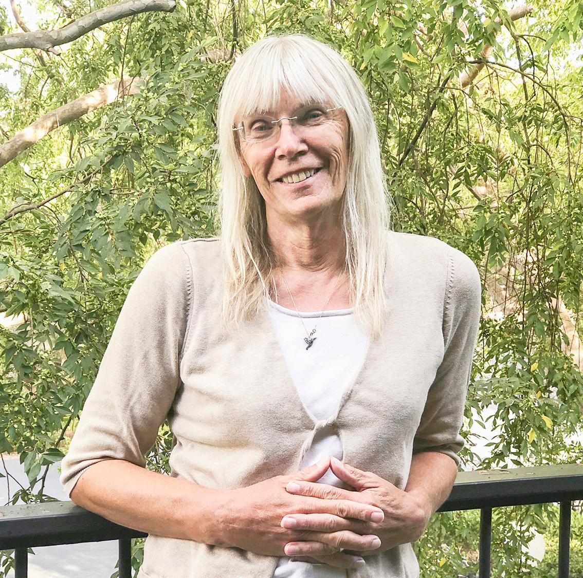
Dr. Paul Loikith, Associate Professor at Portland State University, was trained in climate science and meteorology at Rutgers University. Following his studies, he went to work at NASA’s Jet Propulsion Lab in Pasadena. He eventually made his way to Portland where he began teaching weather and climate science at Portland State University. It was there that I met him and eventually became one of his graduate students. There, I worked as a research assistant in his lab. I learned very quickly that he was not just an expert in climate science but also in communicating the science clearly and for a wide-ranging audience. I also learned of his deep commitment to his students and to the outdoors. I recently reached out to Paul with several questions regarding Oregon’s climate, Portland State, and his love for getting outside.
We often hear that Oregon is going to get hotter and wetter because of climate change. Is it that simple? Are we seeing those changes already?
It is fairly straightforward that Oregon is getting warmer. Summers are warming faster than winters in Oregon, but all seasons are getting warmer. This makes hot extremes hotter and cold extremes less cold. We've seen a fairly dramatic decrease in the frequency and severity of extreme cold and a notable increase in the frequency and severity of extreme heat, when compared with the past.
For precipitation it is much more complex. Climate models generally show that most of Oregon should get wetter overall in the future. This is most pronounced in the fall through spring wet season with drying projected in the summer, over western Oregon. We are not, however, seeing this trend in observed data at this point. There has been very little in the way of observed changes in precipitation across Oregon at all, and specifically in the Portland region this lack of trend is clear.
You studied the June 2021 heat dome extensively. Can you talk a bit about that event? What surprised you the most about it? Will it happen again?
The 2021 heat wave [across Oregon, Washington, and British Columbia] was one of the most extreme weather events ever observed, globally. I'm using the term extreme as a reference to how far it departed from the long-term average, not how impactful it was. The meteorology that led to this event was remarkable. Almost every feature one could imagine to bring extreme heat to the region came together at the same time in the perfect location(s) to bring us what has been estimated to be possibly a 1 in 10,000 year event. The main driver of the heat wave was a very large, strong ridge of high pressure in the upper atmosphere centered over central British Columbia (this was the "heat dome"). This combined with several other more minor factors, each adding a little more heat, to smash all time high temperature records. Will we experience this again? Well, if it happened once, it can happen again. However, the likelihood of such an unusual atmospheric configuration happening in a similar way again is very low. But, as the climate warms we won't need such an unusual weather pattern to bring such high temperatures. So in several decades, a pattern that, today, could be considered a 1 in 10 year event may be enough to cause similar temperatures that were observed in June 2021. There is no evidence at this point that the weather pattern that drove the 2021 heat wave will become more common due to climate change, but studies have shown that climate change made the heat we experienced up to a few degrees hotter than it would have been in the absence of human caused climate change. That may not sound like a big deal, but it is, especially if you extrapolate that into the future when the climate will be even warmer.
What are the biggest misconceptions when it comes to climate change in Oregon?
I run into a lot of misconceptions about climate change in Oregon, some of which are pretty firmly entrenched. One big misconception I run into a lot is that extreme cold is getting more frequent or more severe. It is very much the opposite. Oregon used to see cold so extreme it would blow people's minds today! For example, in February 1950, Portland Airport dropped to -3 degrees Fahrenheit. Climate change is contributing to a dramatic loss of our extreme cold, not an increase. We've also seen no notable change in ice or snow, although we expect to see a decrease overall in both as winters get warmer.
Another one I've run into for the 10 years I've worked at PSU is that it rains harder now than it used to. There is no evidence of this. In fact if you look at Portland data, there's been a small, but insignificant, decrease in rainfall intensity over the last several decades. People are quite convinced of this one, but it just isn't supported by data or evidence.
There are many others, but these two are the most common for Portland in my experience.
Tell me a bit about your role at Portland State. Have you seen any big changes in the institution and in your research since you started there?
At Portland State I direct a research and teaching lab called the Climate Science Lab (CSL) which has been active since 2016. The CSL is and has been composed of an amazingly talented group of graduate students (PhD and Master's) and sometimes postdoctoral scholars. We also host undergraduate researchers from time to time. We conduct research on a variety of topics around the atmospheric science of extreme and impactful weather events including what causes them and how they will change in the future. While we don't solely focus on the Pacific Northwest, a lot of our research attention is regional.
The main change in the research landscape that I've experienced is the sudden and dramatic reduction in federal support for research that has taken place since the start of the current administration. Our lab relies almost entirely on federal grants to support student researchers and the research outcomes we produce. These grants are mostly from NASA and the National Science Foundation. The cuts to federal research funding threaten our ability to conduct weather and climate research and puts the crucial support needed for graduate students to learn and grow into the next generation of scientists at extreme risk. This presents us and our entire scientific community with a great challenge and a lot of uncertainty about the future. I think it might be underappreciated how important federal funding for research is for training the next generation of scientists whether they be undergraduate students, graduate students, or postdoctoral scholars. So it’s not just the research itself that is being affected, but the impacts of a reduced investment will be felt well into the future as fewer students are able to pursue research-focused degrees.
Lastly, you recently hiked Cactus to Clouds (to Cactus). Could you tell me a bit about your training process for that hike? What were your favorite spots while you trained? Any big trips coming up?
Well I just returned from a week of hiking with my wife Natasha Hodas (who is a Mazama!) in Northern California where we covered 116 miles and climbed over 26,000 vertical feet in 7 days. So I think we'll take it easy for a week or two!
For Cactus to Clouds to Cactus ... this was a very challenging day hike. The hike begins a few hundred feet above sea level in Downtown Palm Springs and goes to the top of Mt. San Jacinto, which is roughly 10,800 feet. Most people then hike down 2,500 feet to the Palm Spring Aerial Tram and use that to return to the bottom (Cactus to Clouds). However, in May when we did this, we skipped the tram and hiked all the way back down for a 30 mile and roughly 11,000 vertical feet day of hiking. We started and ended in the dark (ending in the dark was not the greatest idea) and in total took about 15 hours to complete the hike. This was truly epic and a great personal accomplishment for both of us. To train, we increased our mileage and vertical gain each weekend leading up to the hike on local trails. Being early in the season, we were limited by snow in how high we could climb. So we would find hikes where we could go up and down at lower elevations enough to build our endurance.
Our last training hike was the Mt.Defiance/ Starvation Creek loop where we completed the loop and then climbed half way up Mt. Defiance again for a total of 8,000 vertical feet of climbing. I think the training paid off, but the C2C2C hike was still extremely challenging!