Visual Urbanity
Maryam Al Naamani


Maryam Al Naamani


The images illustrate the process of developing a logo and slogan for a project. A variety of concepts were presented to give the client the freedom to select the most suitable options. As a result, the final logo and slogan have not yet been finalized.


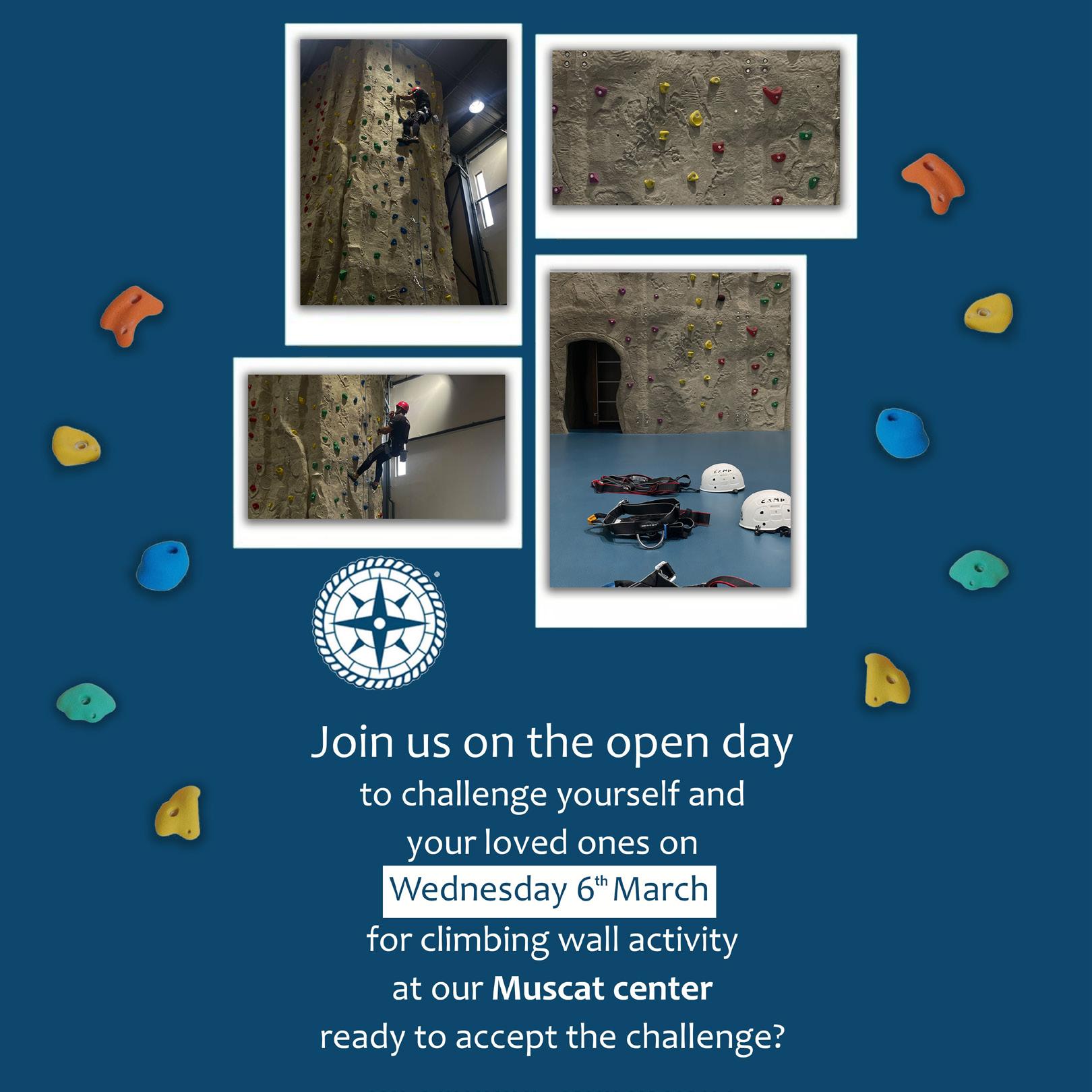
The poster was designed using Photoshop for a company in Muscat to promote an upcoming event. Its purpose is to effectively communicate the time, location, and activities involved. Additionally, the photos featured were taken by me.
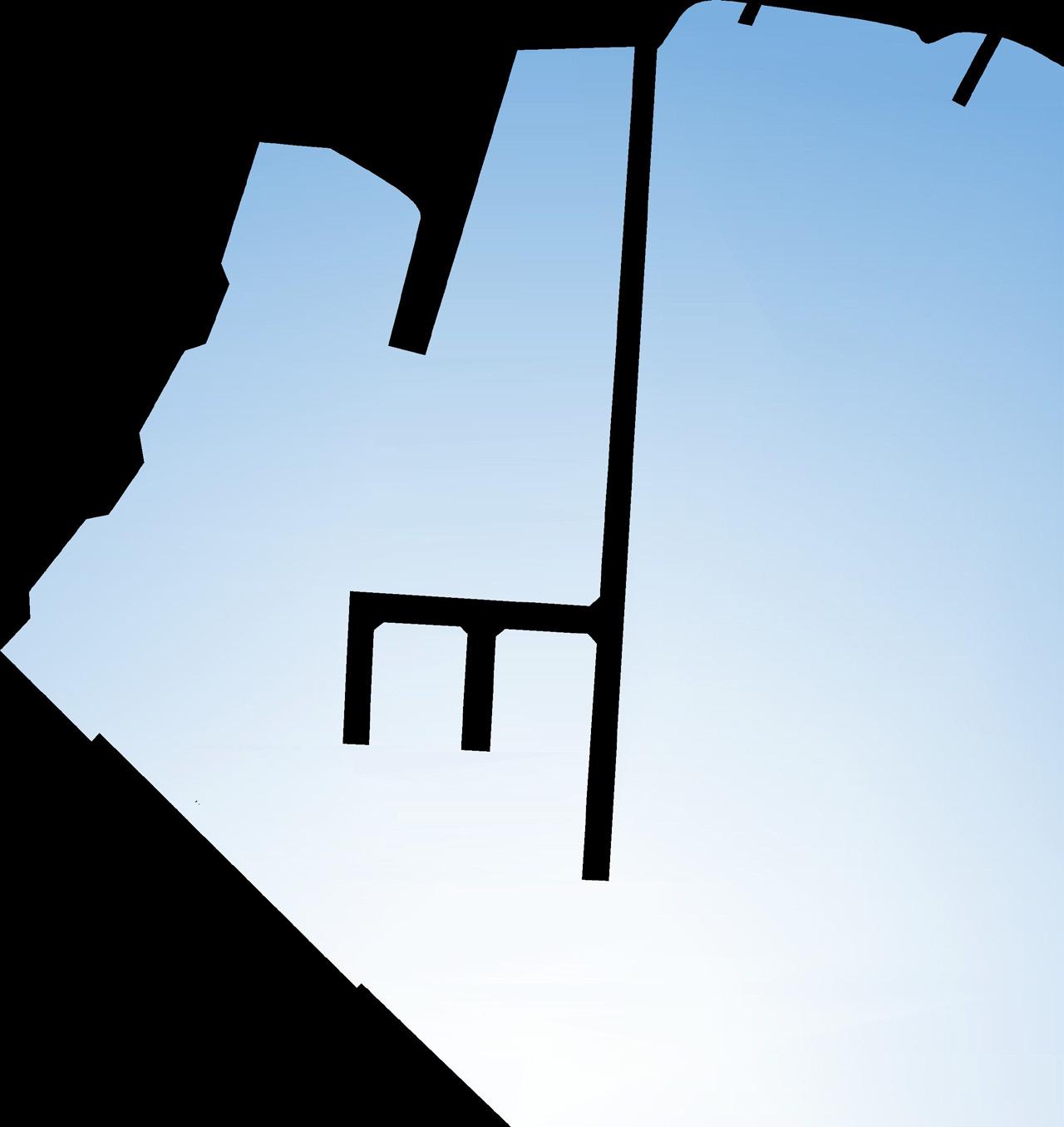
Site Plan
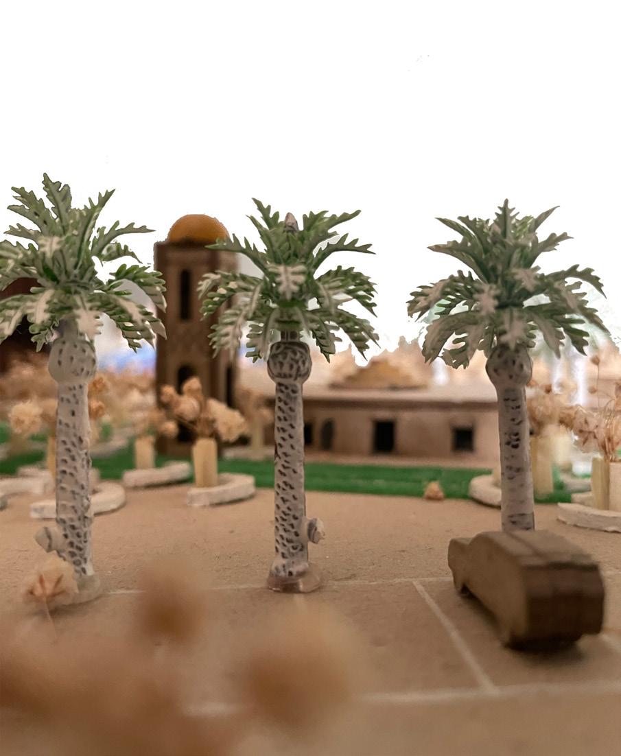
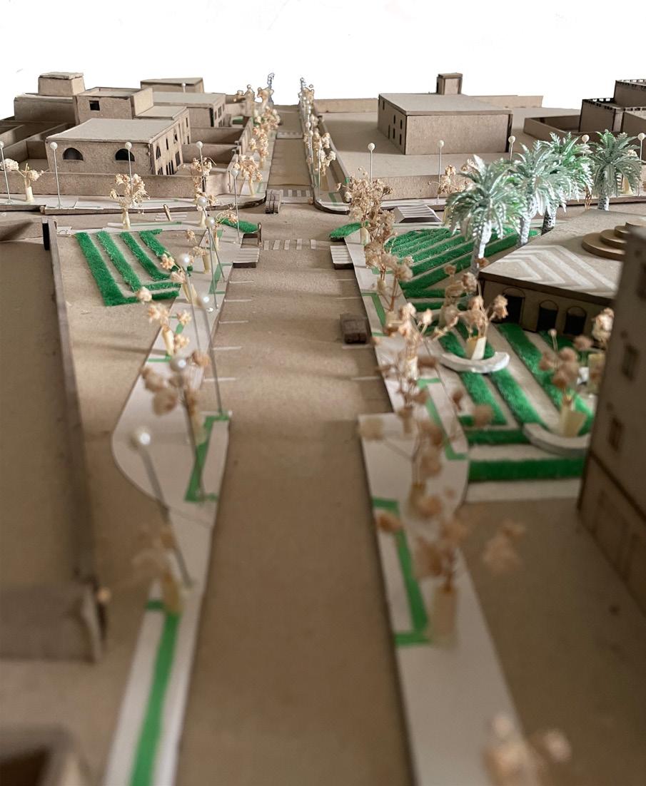
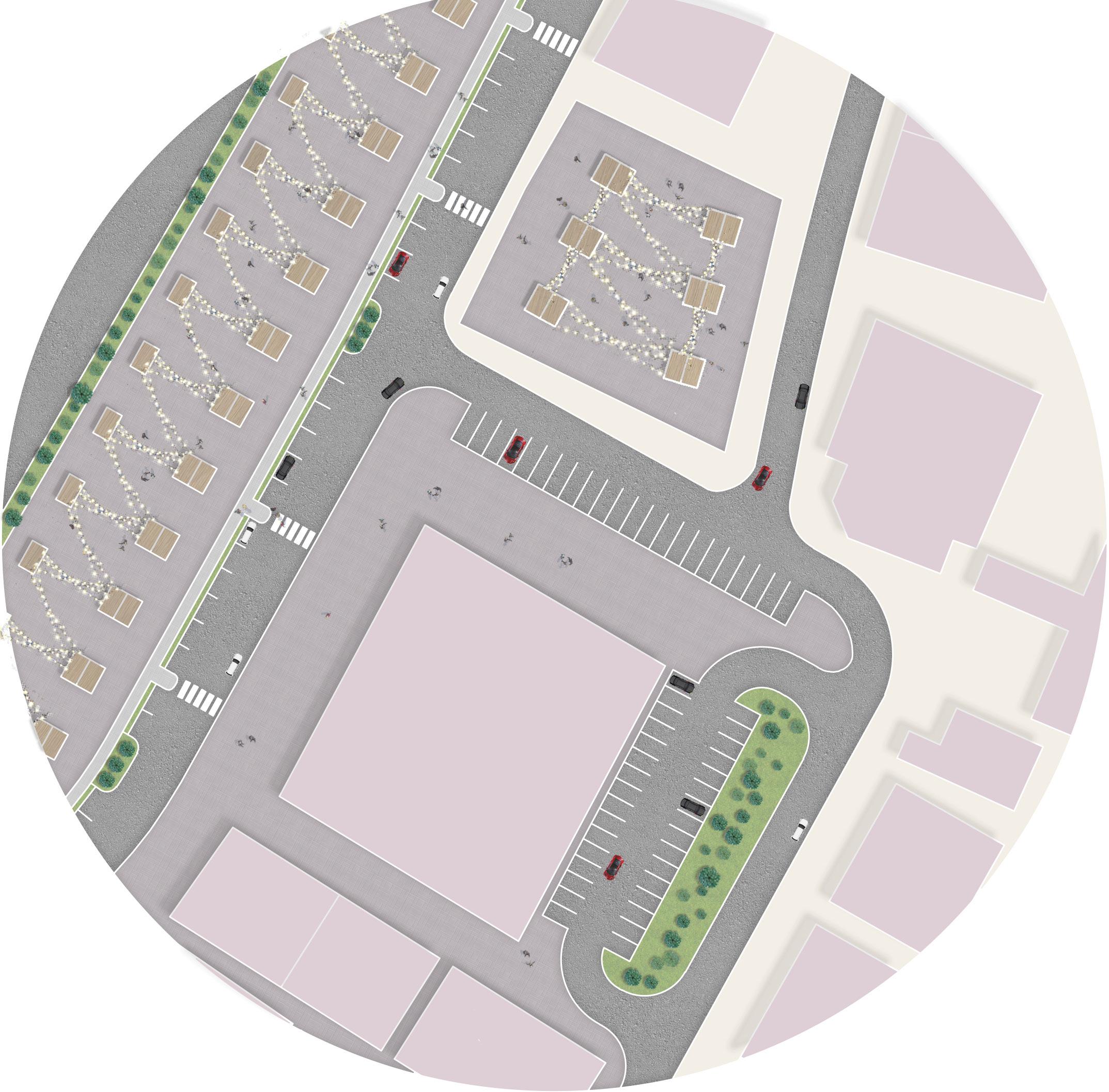
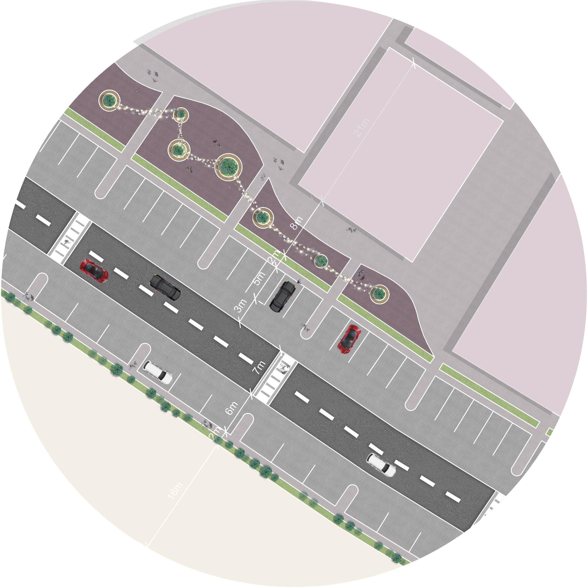
Urban regeneration is an initiative that produced by the Ministry of Housing, it aims to renovate public facilities and old streets in different locations. The site maps show some of my work in the initiative’s working group that located in Tharmad, Al Batinah Governorate.
Site Plan
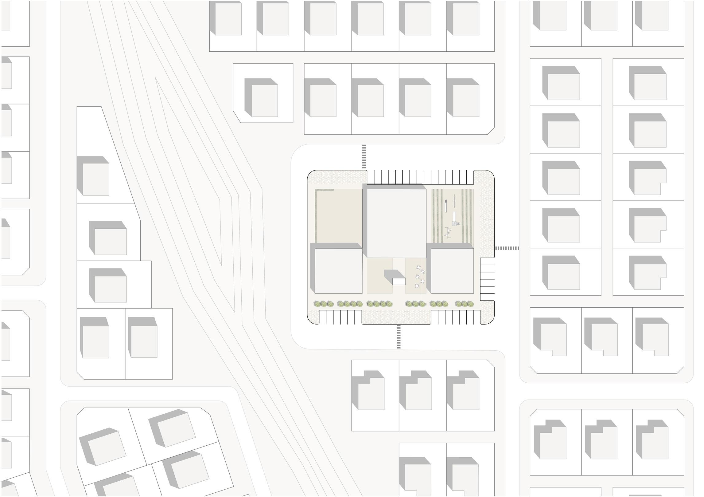
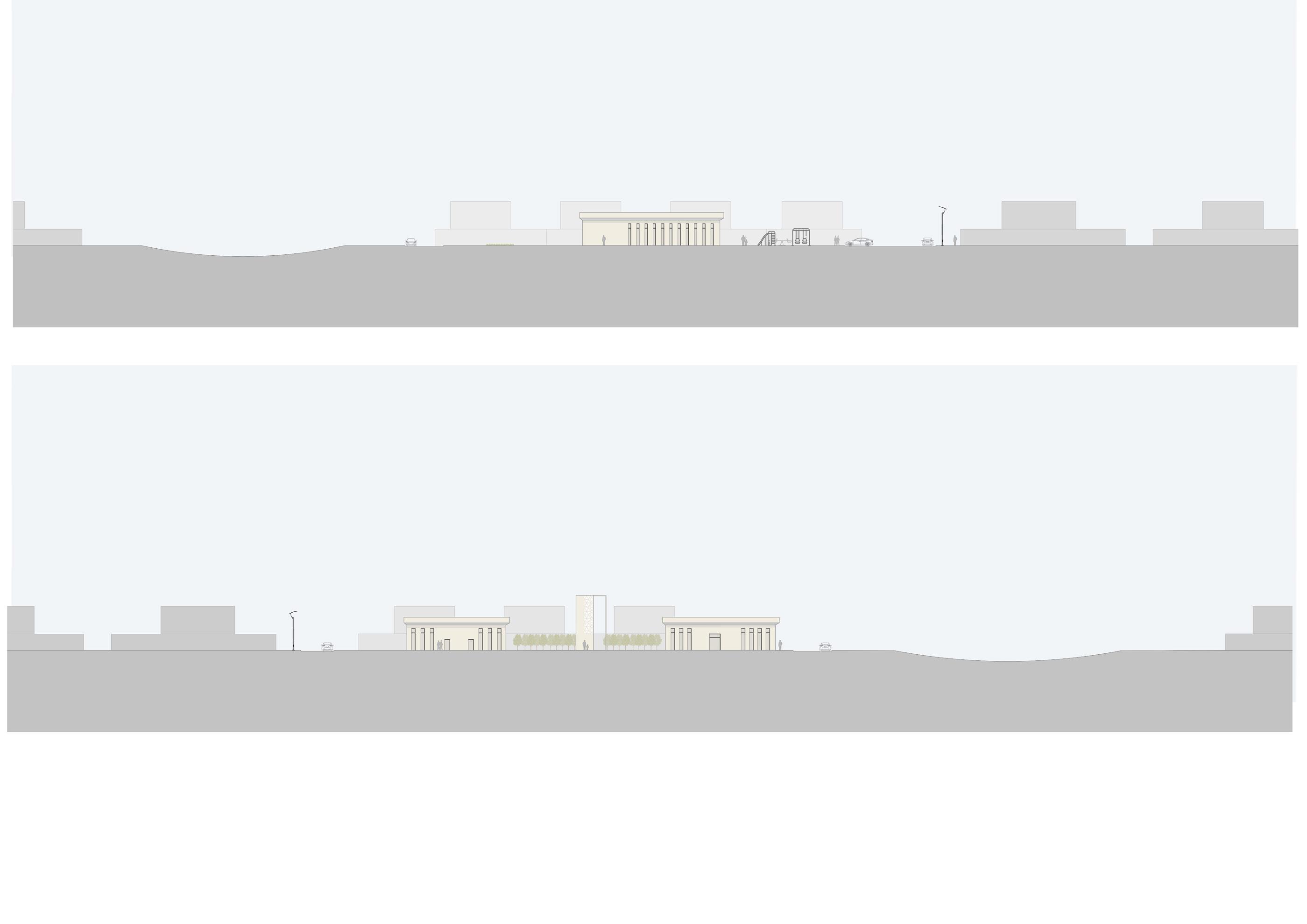
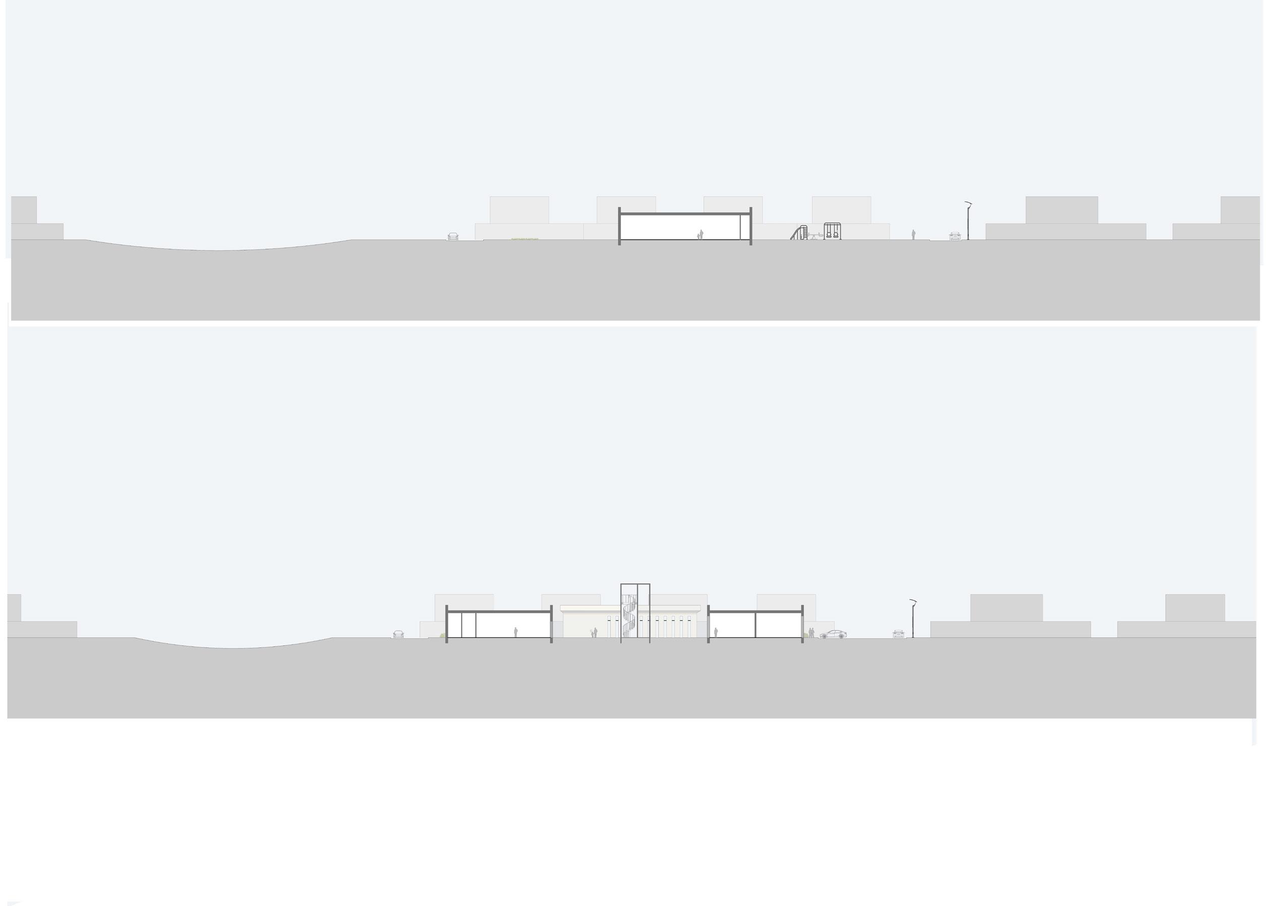
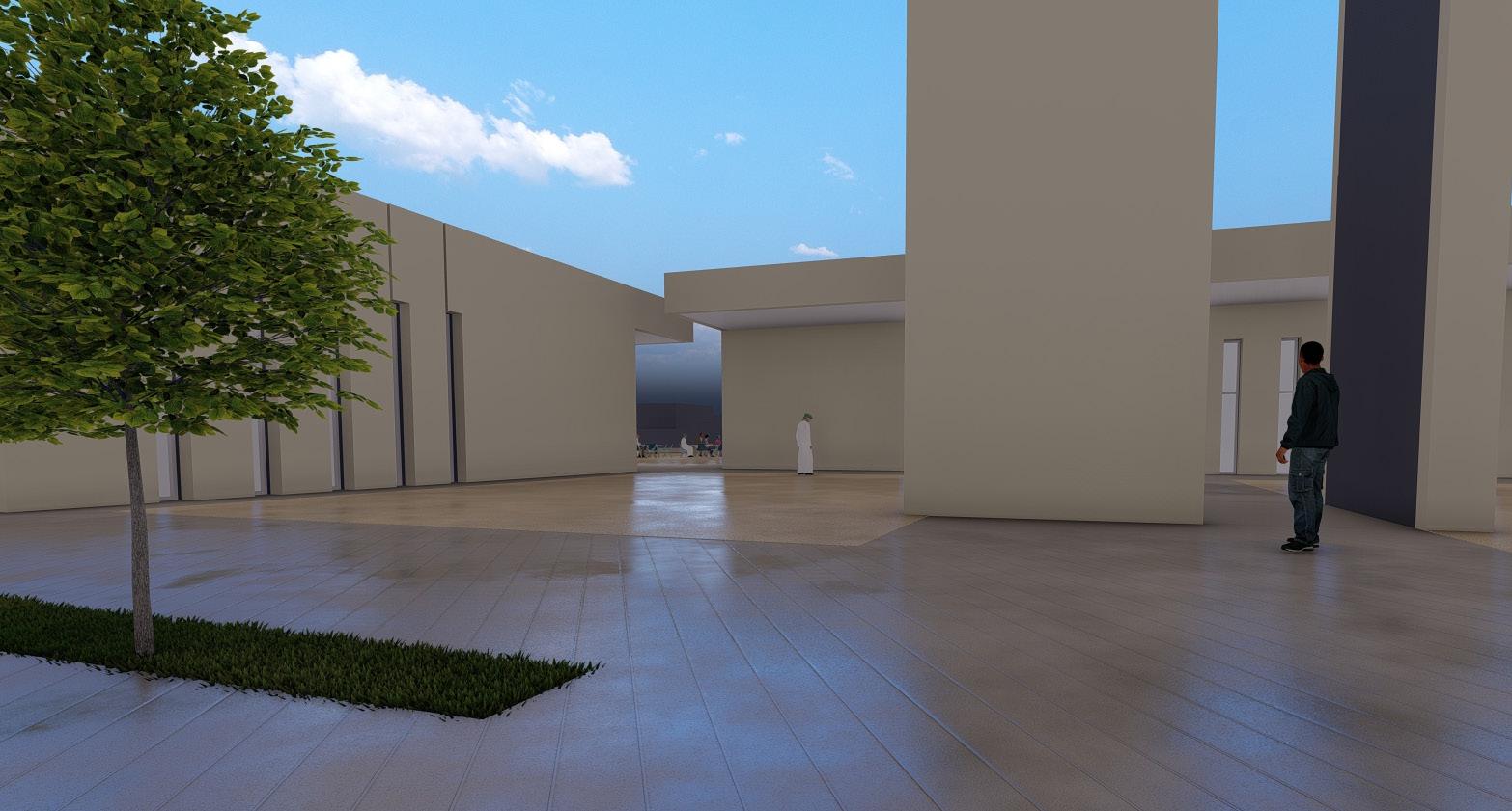
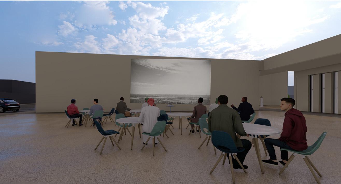
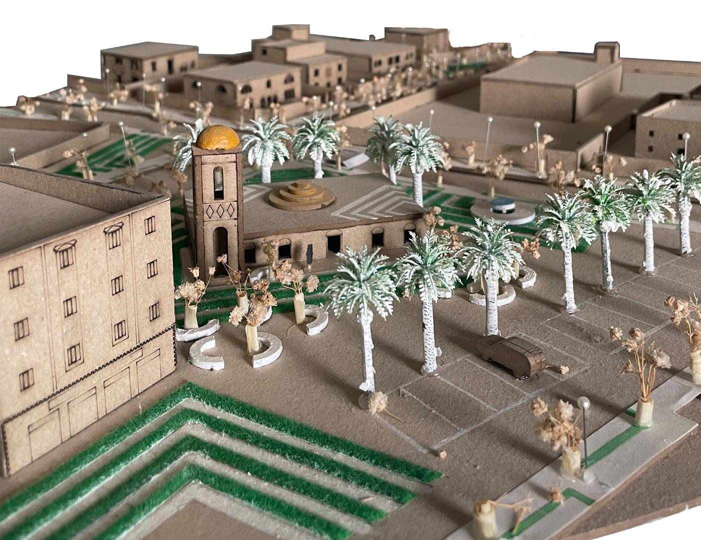
Dar Al Atta association designed a neighborhood that contains 36 houses for the families who lost their houses in the tragedy of Shaheen cyclone. our duty as students are to design a commercial hub for the neighborhood, which contains a mosque, majlis, and commercial building to serve the residents.


Site Plan


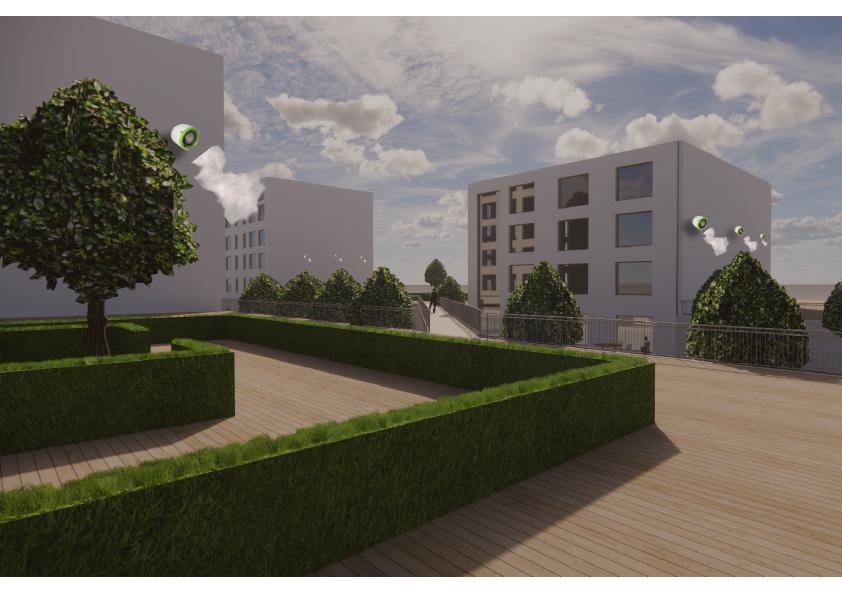
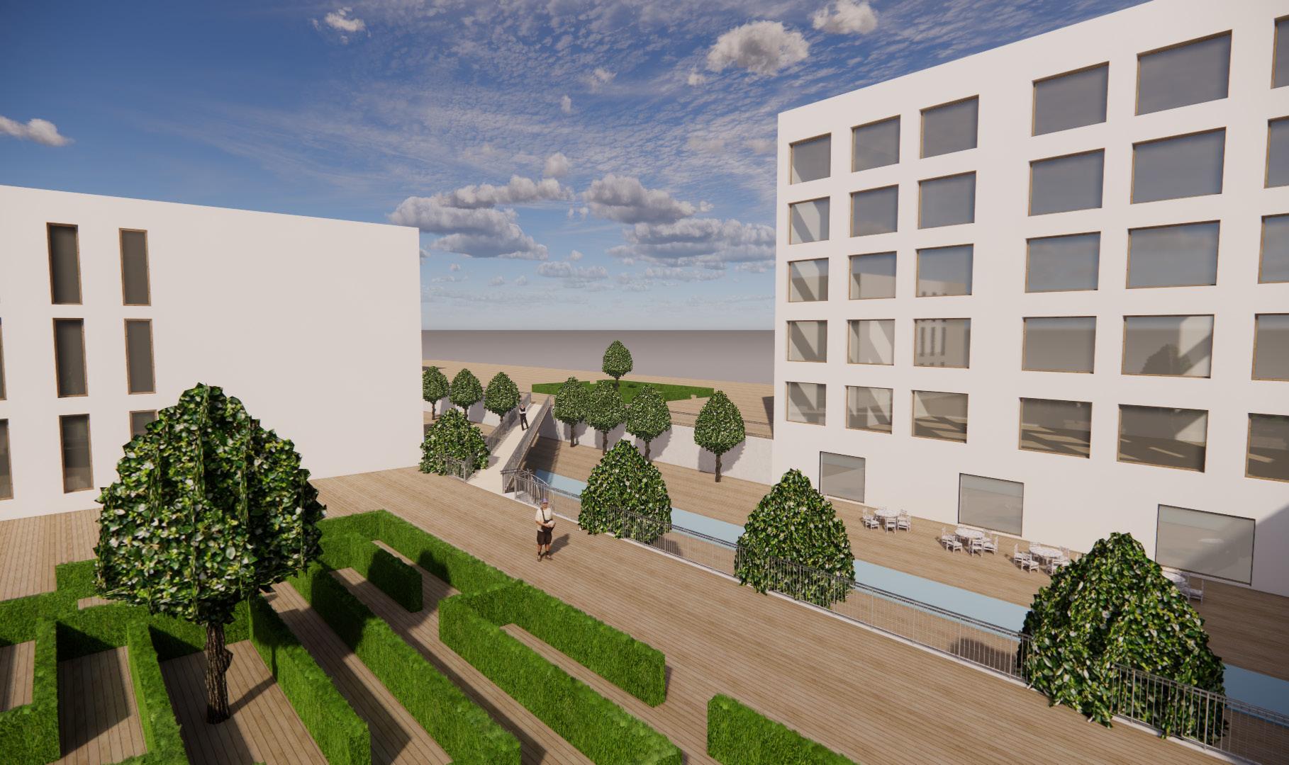
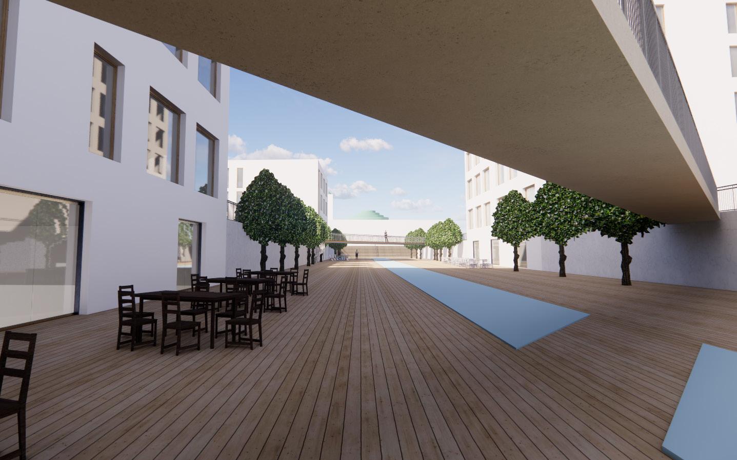
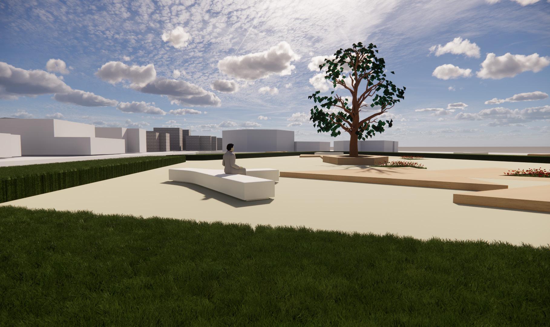
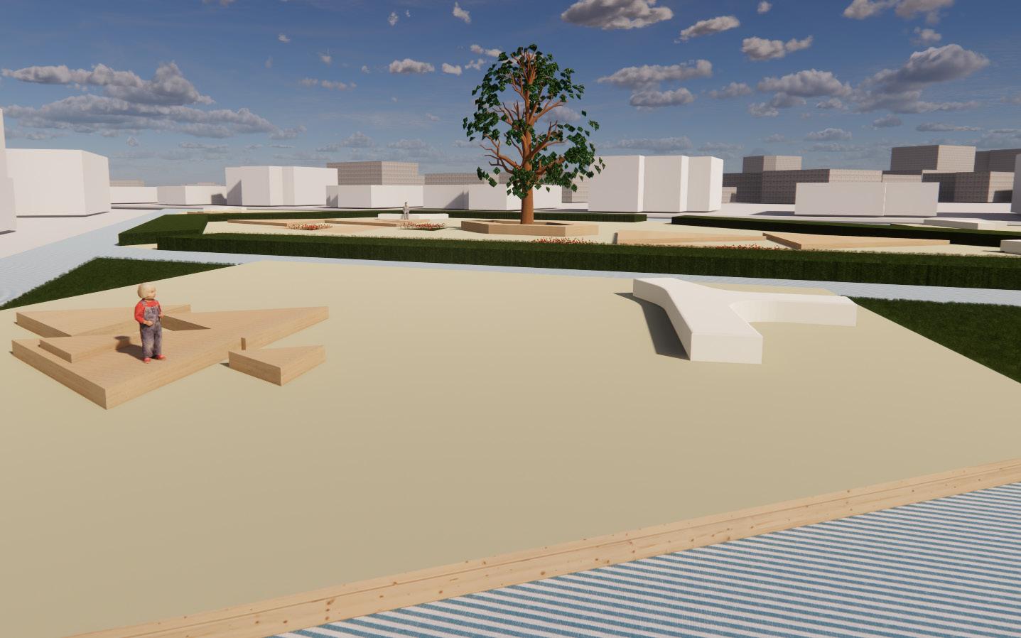
The sunken boulevard located in gutech campus. It is a commercial zone that gathers between religion, education, and entertainment functions with a nature blessing all along the pathway. It is a mixture between our history and modernity, as the idea was inspired by the falaj (water channel in the old veleges)
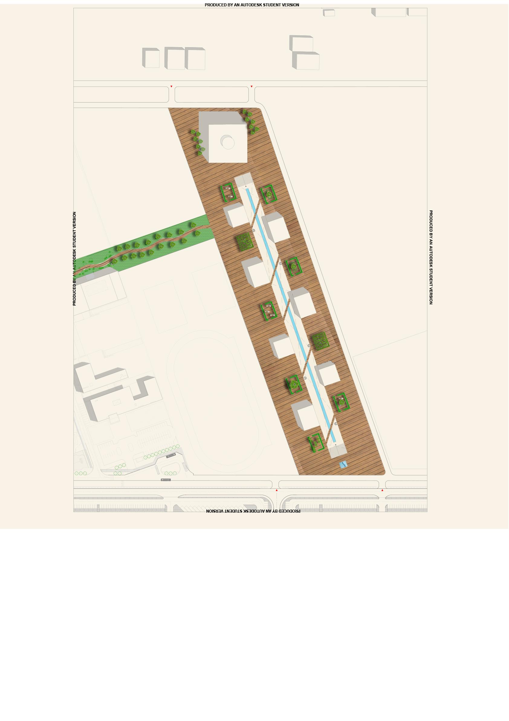
The picture shows the water fan that is provided in the commercial hub to calm the air and encourage outdoor activity during hot weather.
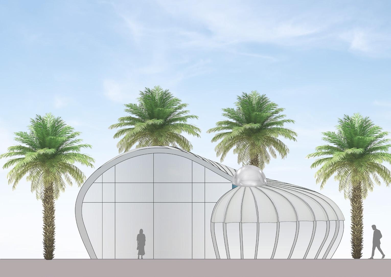
The name Sadaf came from the snail shell concept that is used in this proposed idea, the pavil ion has almost a round shape and a dome on the top middle which represents the sea pearls. The aim is to combine our history with the ocean and the new urbanism style in the current era.
I took the responsibility of doing the site map in the group work.
The roof of S A D A F
*The roof of the pavilion has a mobile shading system, made out of polycarbonate material; which allows the roof to open and close.
*The red arrows indicates the direction of the roof opening.
*Beneath the polycarbonate layer there is a glass with frames to protect the interior part of the pavilion.
*The roof contains two layers : The glass on bottom and the polycarbonate layer on top as a shading system (which opens and close)
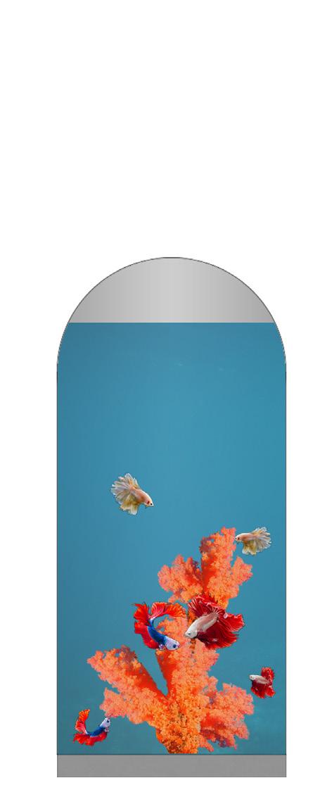
*The grey hatch indicates the Aquarium on the pavilion’s facade (The round pearl shape).
Bicycle Parking
Palm Trees & Greenery
Pathway


Legend: Entrance Bench

Fanja Movment Map
End point
Start point
The aim of this project was to explore old fanja by determining and solving the problems to develop the area into a lively place for locals and foreigners. We were a group of ten students each member was responsible for a certain category such as history & demographic, ownership & governance, agriculture & greenery, circulations & accessibility, uses & zones, open & public spaces, irrigation & falaj, preservation & conservation, typology, and material.
My responsibility was in Ownership & Governance category, which means that I need to search for a way to convince the houses owners to repair or renovate them to protect such beautiful traditional mud houses. I interviewed some people from Fanja and some of the traditional museum owners in Al Hamra, Nizwa who already renovate their houses to understand their different points of view and to come up with suitable solutions for the old Fanja
PRODUCED BY AN AUTODESK STUDENT VERSION


The box is an affordable apartment type, It is located in Al Khoud 6. The idea was accomplished with a combination of simple and organized designs. On the other hand, focusing on residents’ needs was a priority, to provide it in the plan, such as the services on the commercial level are either indoor or outdoor. Furthermore, greenery was added to have a peaceful view of the building.
PRODUCED BY AN AUTODESK STUDENT VERSION
PRODUCED BY AN AUTODESK STUDENT VERSION
PRODUCED BY AN AUTODESK STUDENT VERSION
PRODUCED BY AN AUTODESK STUDENT VERSION
PRODUCED BY AN AUTODESK STUDENT VERSION
PRODUCED BY AN AUTODESK STUDENT VERSION
PRODUCED BY AN AUTODESK STUDENT VERSION

PRODUCED BY AN AUTODESK STUDENT VERSION

PRODUCED BY AN AUTODESK STUDENT VERSION
PRODUCED BY AN AUTODESK STUDENT VERSION


PRODUCED BY AN AUTODESK STUDENT VERSION
PRODUCED BY AN AUTODESK STUDENT VERSION
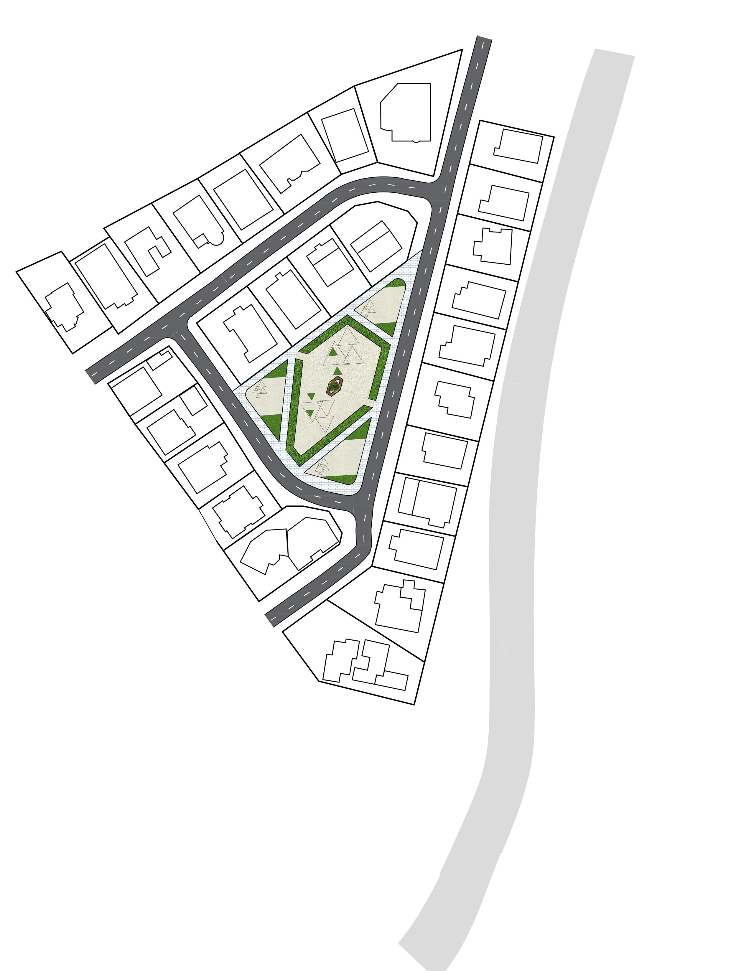
a garden design in an empty land in one of the al Hail south neighborhoods. To give a nice aspect to the place instead of having a mini desert among the houses. Site Plan

View
The aim of this project to analyze and redesign the existing neighborhoods by solving the problems that the area have. The location that I worked on was in Al Hail South and the region centered by Al Ghufran mosque.
The 10 maps illustraits information and different problems that the people face everyday specially the residents of the area.
3d Model that illustrates the redesign of Al Ghufran mosque neighborhood. The white color represents the new design that have been added to the region.