Chilly's Journal Volume7


 Author:ChillytheBunitt

Author:ChillytheBunitt
Year:2023
Origin: Minett Trail
The Minett Trail was at first just an idea. The "Minett UNESCO Biosphere" wanted a regional trail connecting it's cities, hubs, historical and natural sites.
Work for this trail started in 2017
Walk through former opencast mines and discover the industrial past! Witness how nature has reclaimed its former territory!
The Minett Trail is a 90km long trail that expands its wings all across the south of Luxembourg. Due to its enormous length the trail is split into 10 stages which can be explored individually.
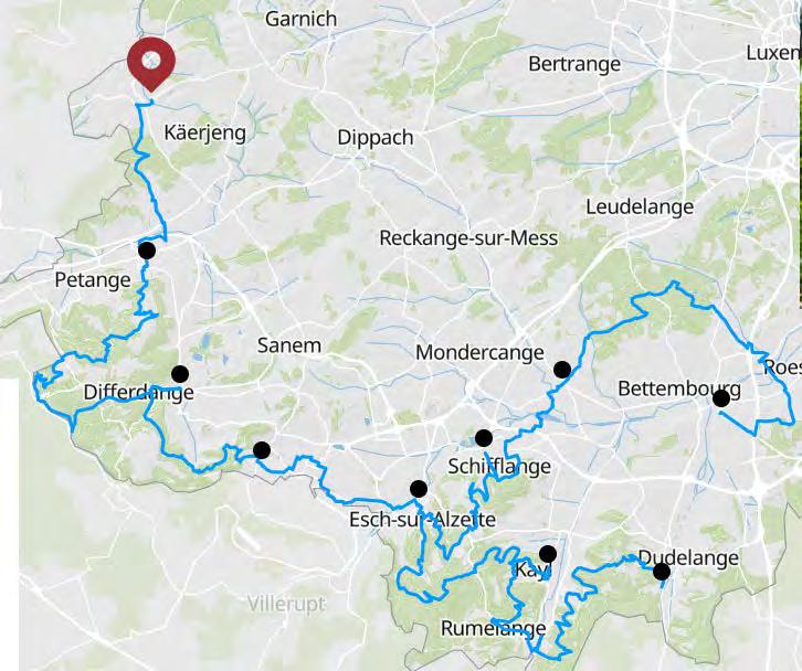
More info: https://www.minetttrail.lu/
The stages are rated with a difficulty. Are we in a video game now? If so GAME ON

Easy = great for beginners and families.
Medium = great for occasional hikers and it includes narrow pathways and stairs.
Hard = only sporty hikers or people with good physical fitness should tackle these routes.
Sidenote: Unfortunately, not all the stages are barrier-free.
POW Promotion and education of the southern region in Luxembourg.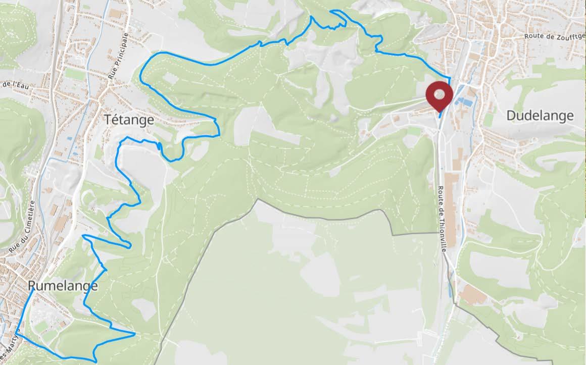
Distance: 10,93 km
Duration: 3:05h
Difficulty: medium
Highlights:
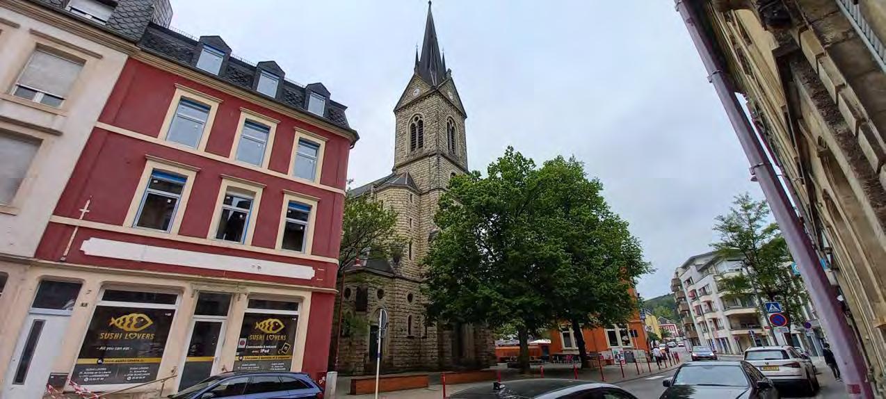
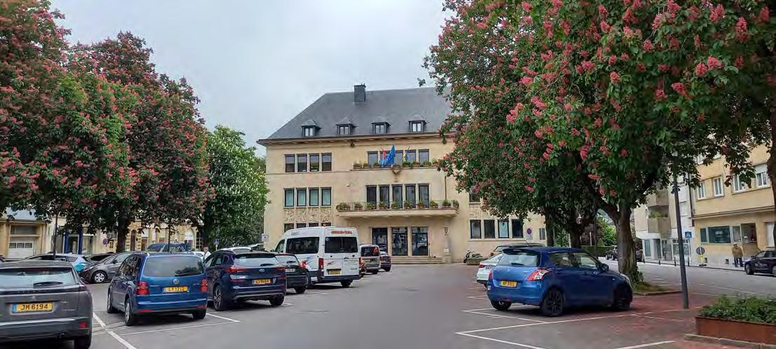
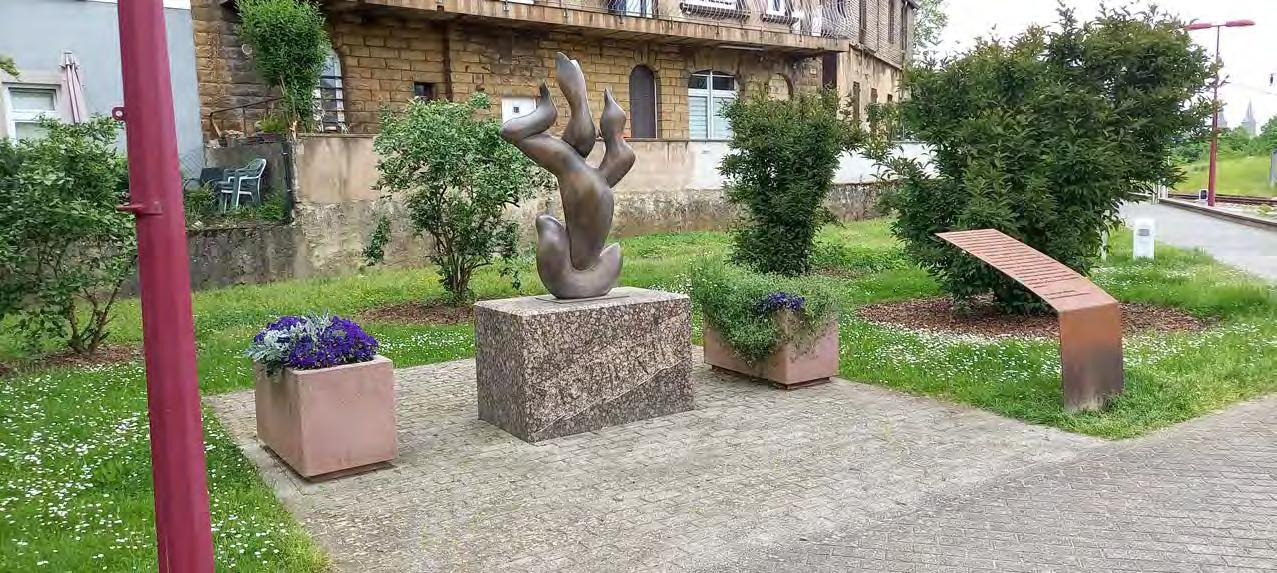
Dudelange is a city in southern Luxembourg.It's the fourth-biggest city in Luxembourg
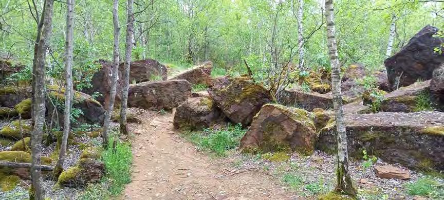
In this part of my journal you will follow me through the largest nature reserve in the entire Grand-Duchy.
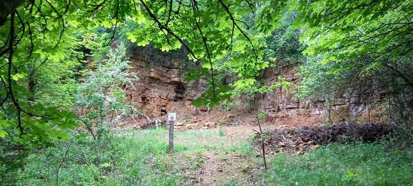
The "Haard - Hesselsbierg - Staebierg" nature reserve stretches over an area of 600 hectares and it paints its landscape with massive boulders, red rock faces and dense forests.
Chilly's note:
There are some points of interest like the "Documentation centre for human migration", the famous "Waassertuerm" and the Floater, a Kabaischen, which can be found in Dudelange.
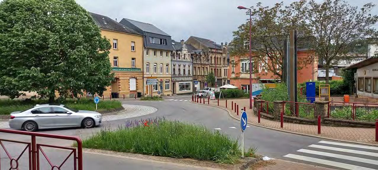
The starting point takes me back to Rumelange:
As mentioned in my last volume (6) Rumelange is a city that positively surprised me and so I want to honour it and take a little detour from the Minett Trail.
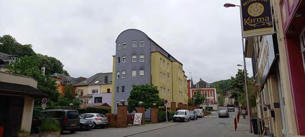
The funny thing I have noticed during my little detour is that there are a lot of food restaurants, particularly a lot of Asian restaurants.

Back on track: Minett Trail
I am excited to see what this stage has to offer has to offer.
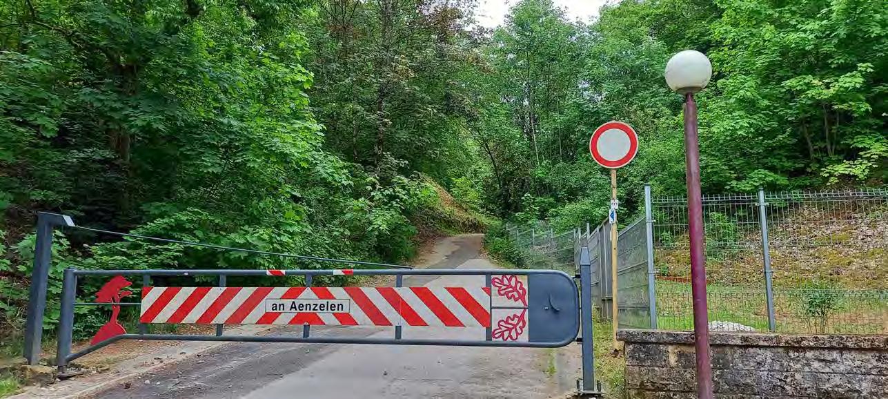
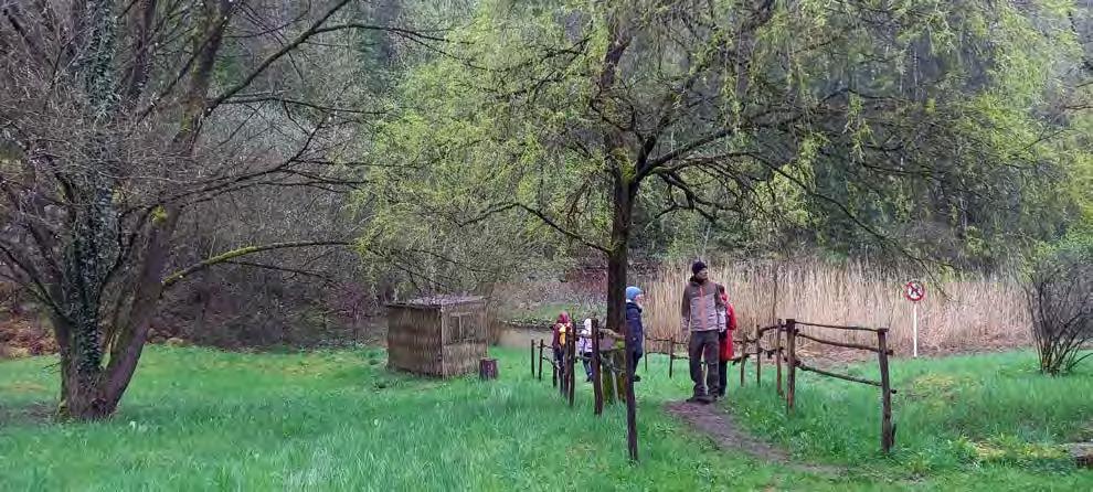
A barricade?
I am allowed to pass, right?
Yes I am allowed to pass. This is only meant to stop cars. Silly me.
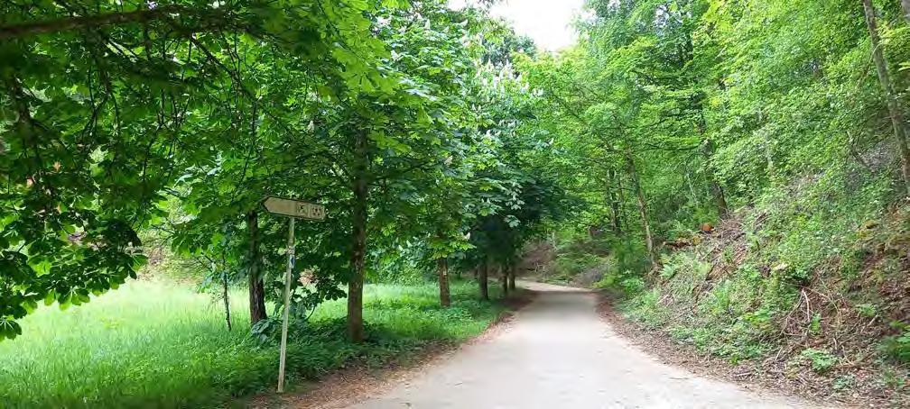
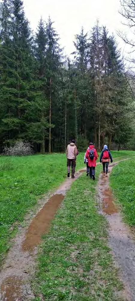
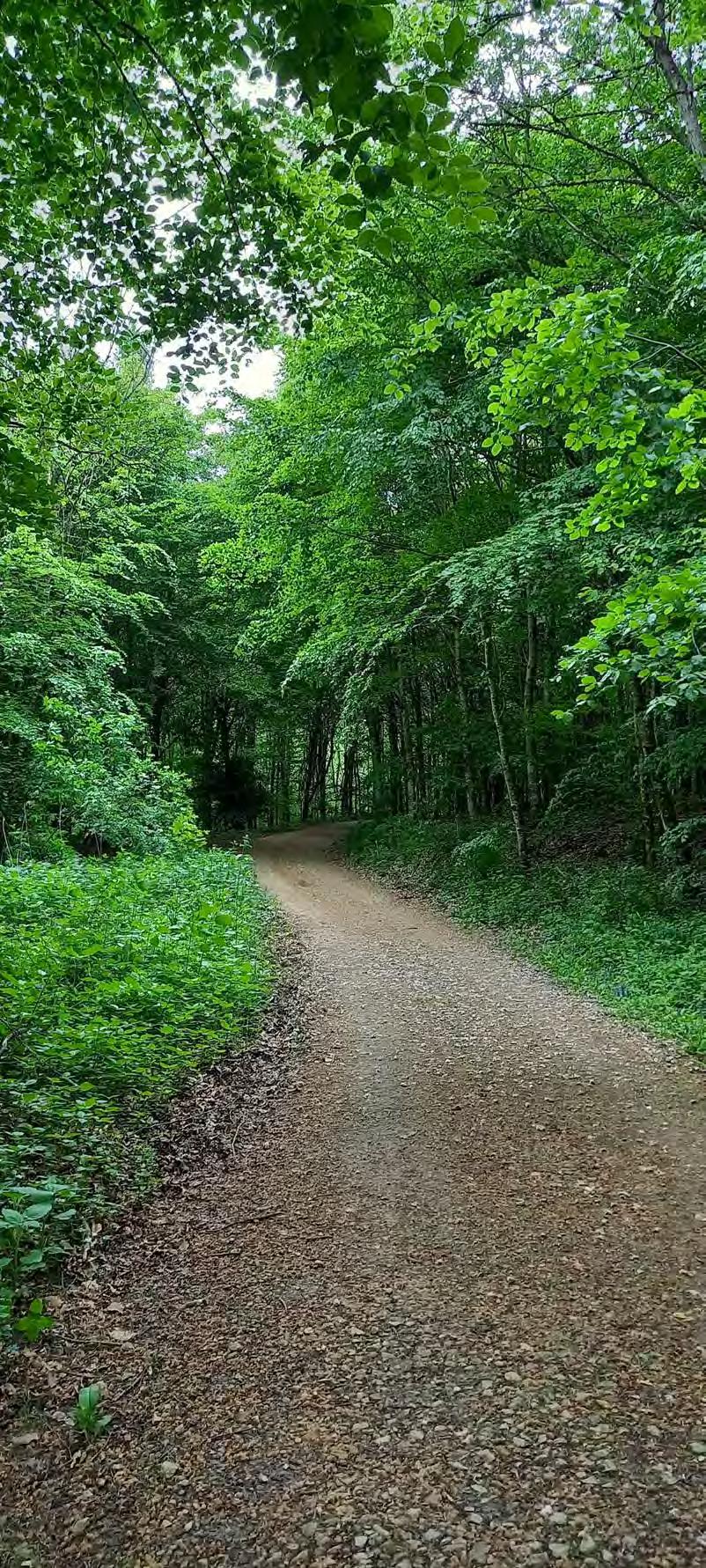
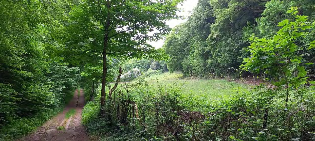
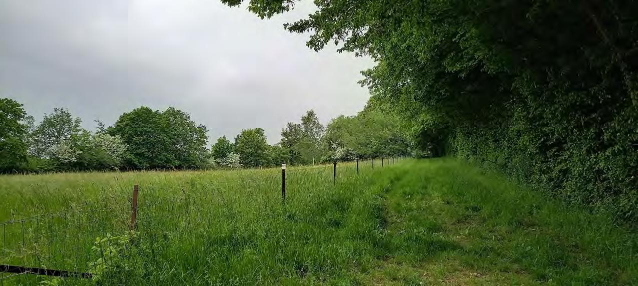
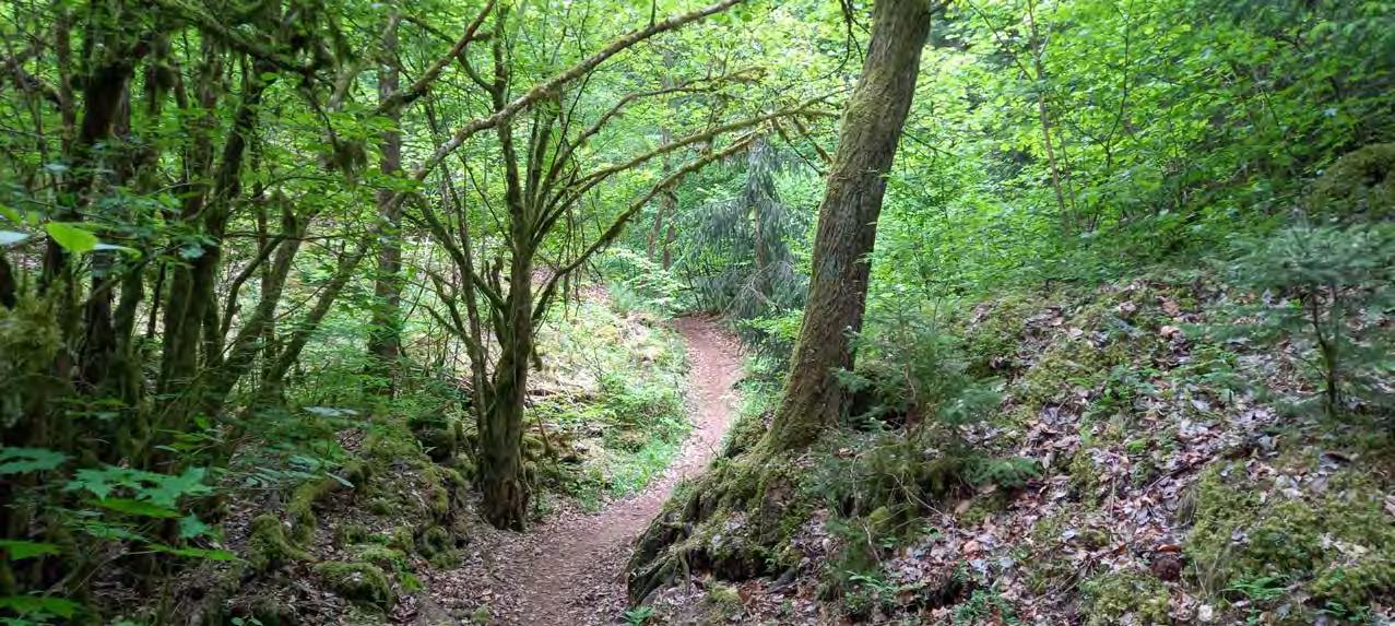
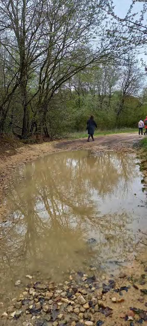
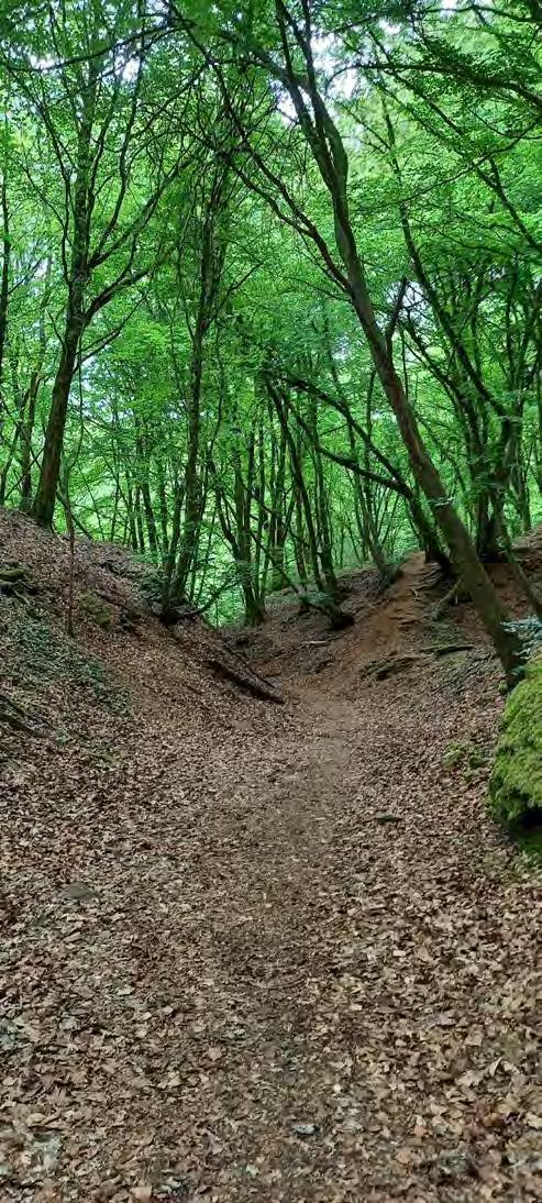
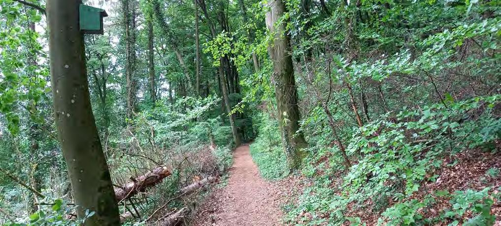
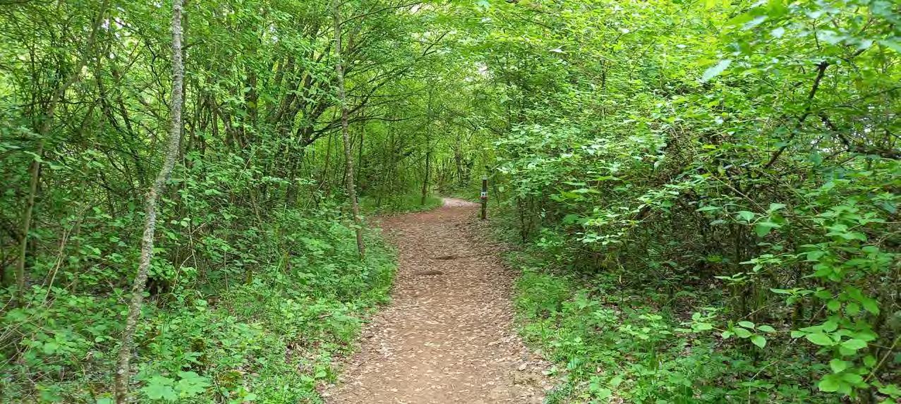
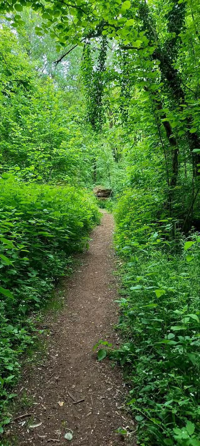
I like this passage. So far it looks so healthy and calming.
I am surprised that this is not a part of the nature reserve. Why, tough?
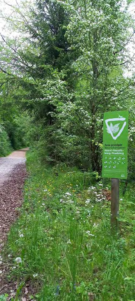
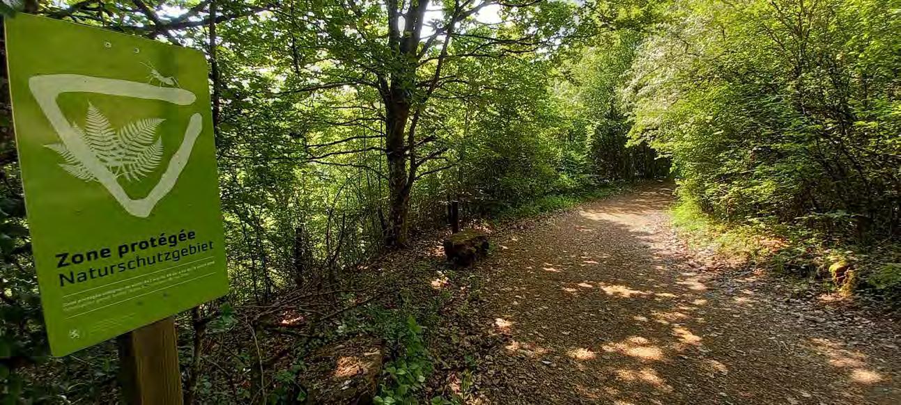
I can see some red walls again, and also the sign that we are in a sensible ecological area.
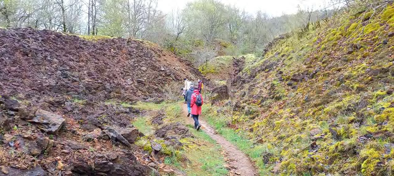
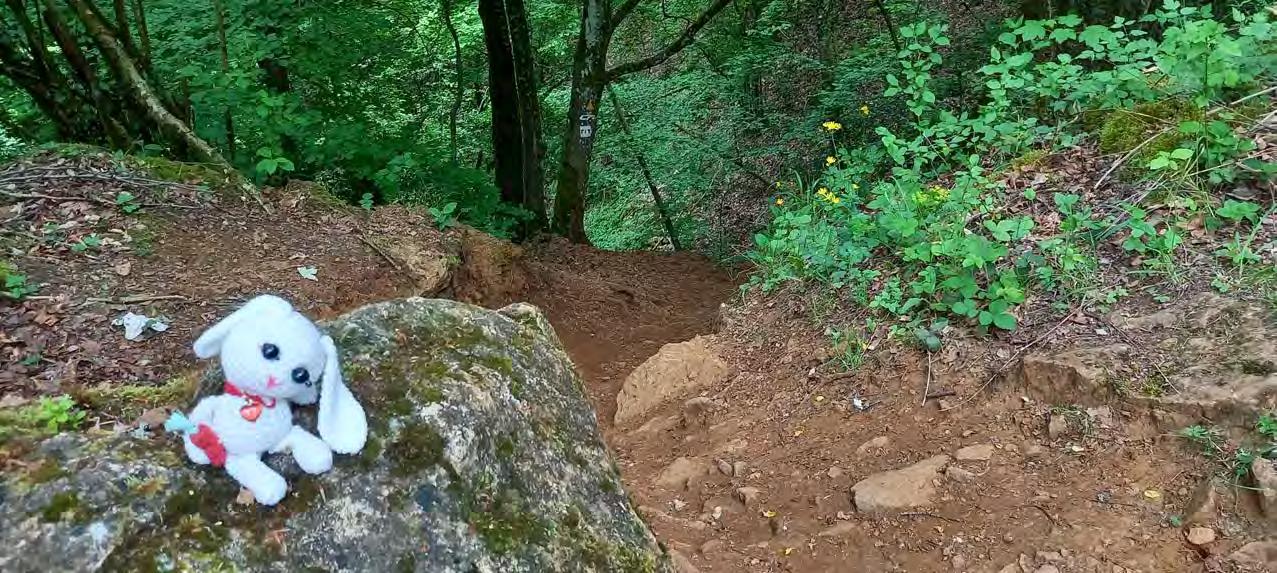
A few months ago I already visited this forest. We had a guide with us that who taught us a lot about the surrounding nature.
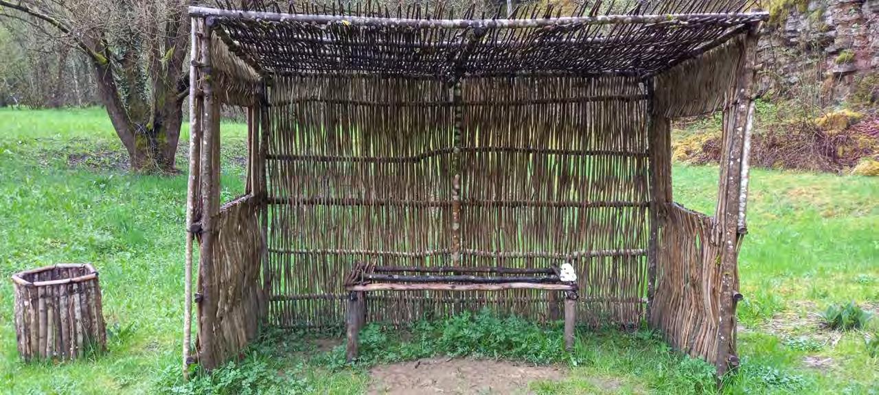
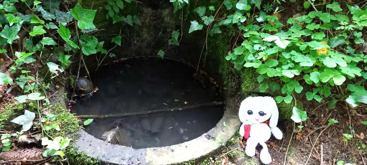
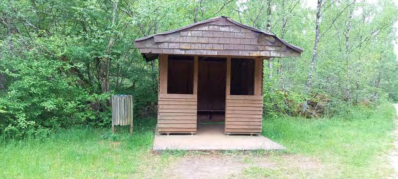
A shack and a pond. I'm getting in the mood for some fishing.
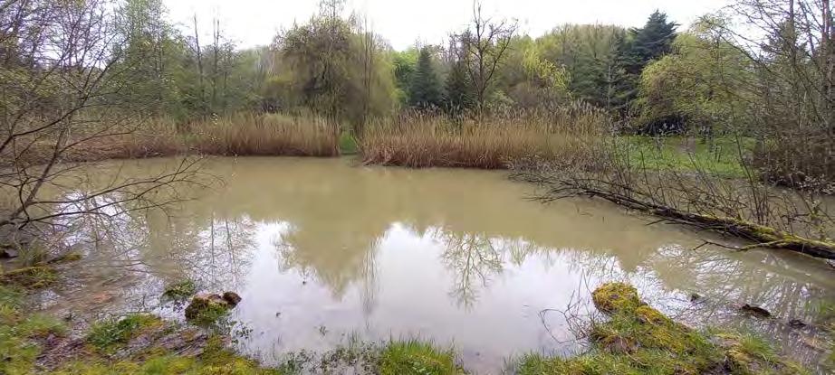
In this lake I've seen some fish and so me and snick decide to grab our fishing rods and start fishing.

(Note: fishing is not allowed)


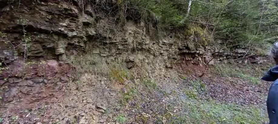
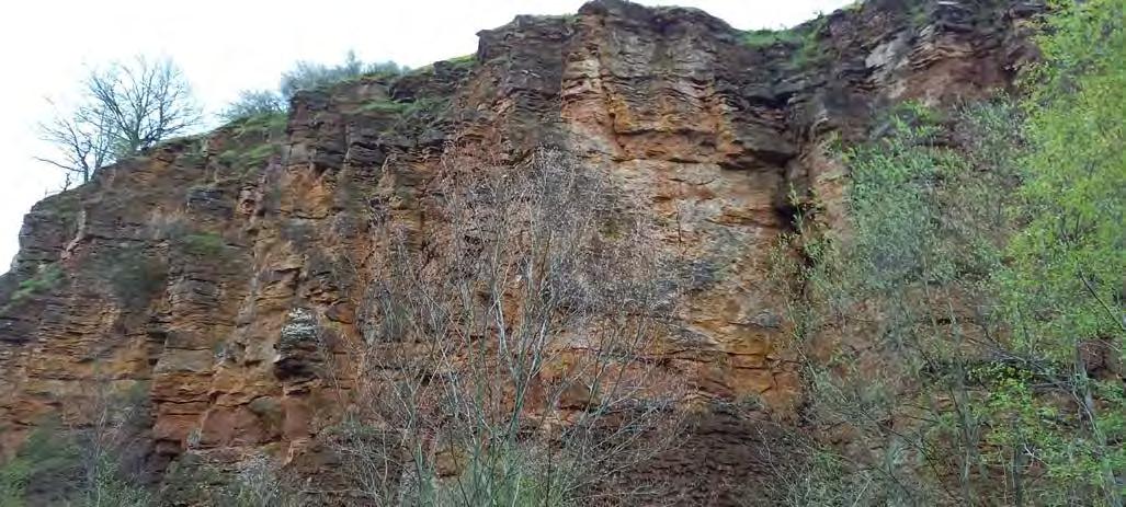
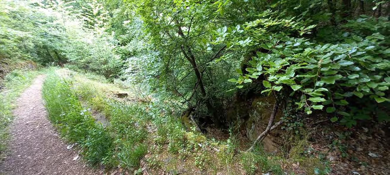
Water ran down there like a tiny waterfall. It is way more impressive in real life than in a picture, but the formations of the rock themselves fascinate me.
Fun Fact:
These formations that we see on walls are usually the result of weathering and erosion. Other erosions can occur to human hand or water.
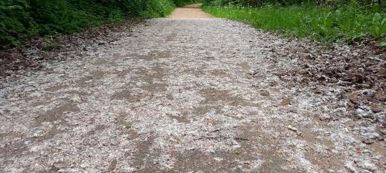
This is what I call a sea of pollen.
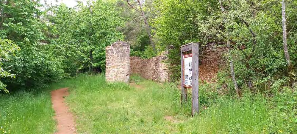
Nature reserve "HaardHesselsbierg - Staebierg"
I'm a bit upset that snick isn't able to come with me.
On the positive note
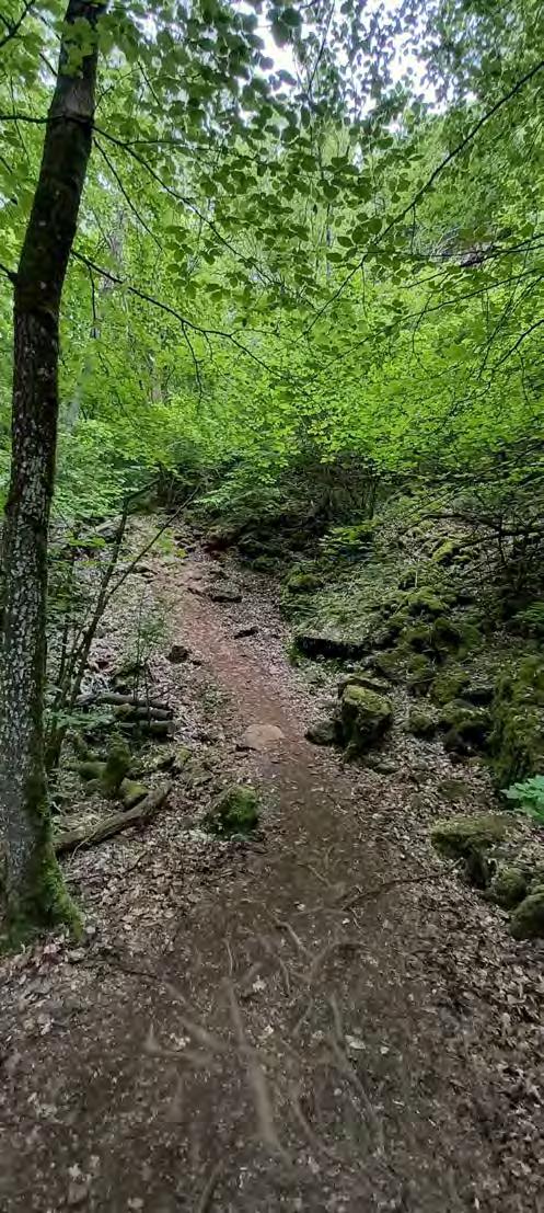
The forest emits a relaxing atmosphere, particularly with the birds accompanying me. I'm not entirely certain, but somehow the forest feels mysterious and magical.
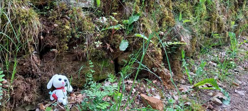
I found an adorable miniscule pond. The only downside is that there are a lot if tiny baby mosquitoes swirling around it.
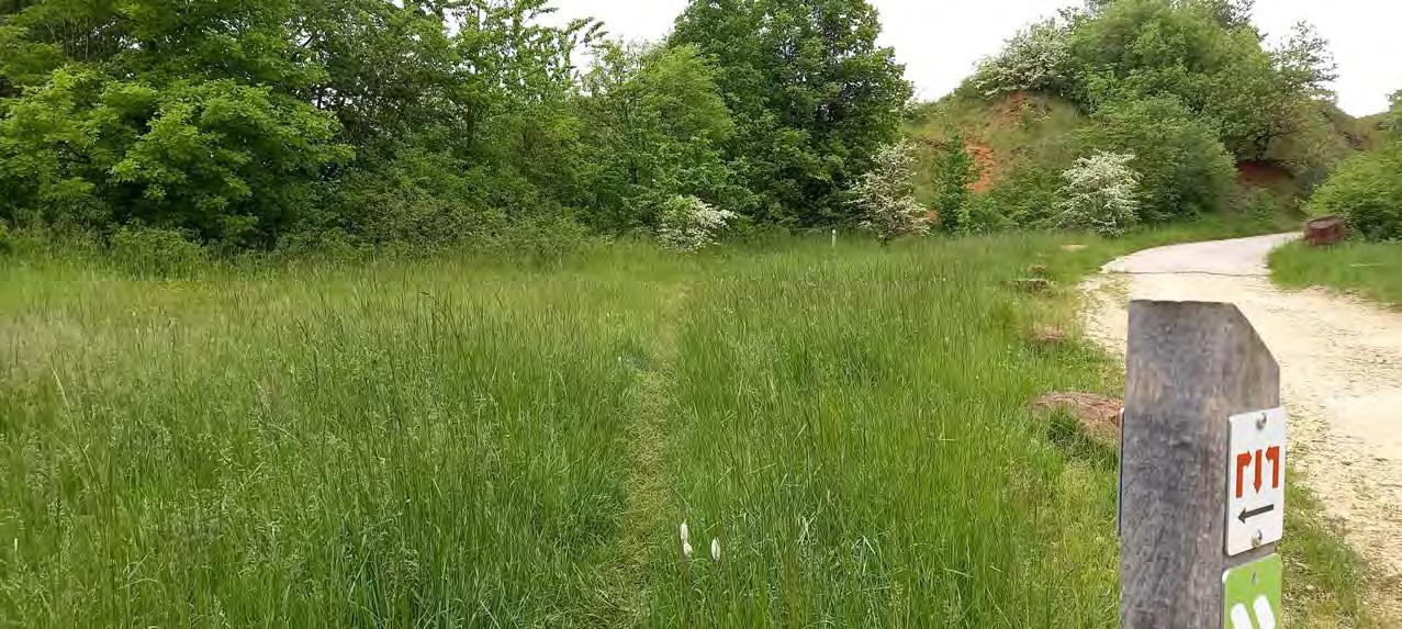
Wow! Who split the path in two?
Someone has a bad day, today.
Why is there another the sign of the nature reserve?

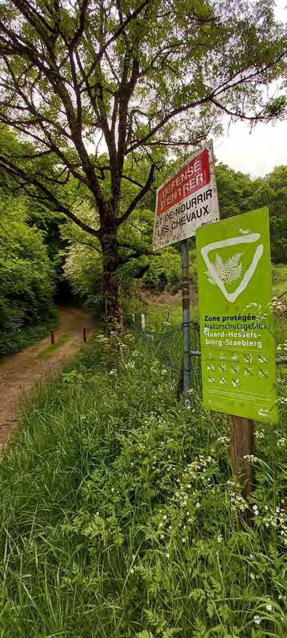
Is this a second entrance or just a reminder?
Chilly's note: The reason for having a second sign is to ensure that people are aware that this is a highly protected zone
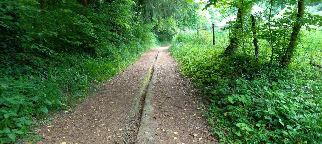
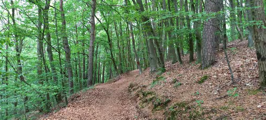
The good old mountain bike trail. I am more surprised that I have not yet come across a mountain biker.
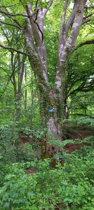
During my descent, I encounter two workers with chainsaws in hand. I must say the chainsaws look scary.
Hehe, I wanted to look a bit more dramatic. I think the pose suits me.
I want to draw these pictures so badly!!
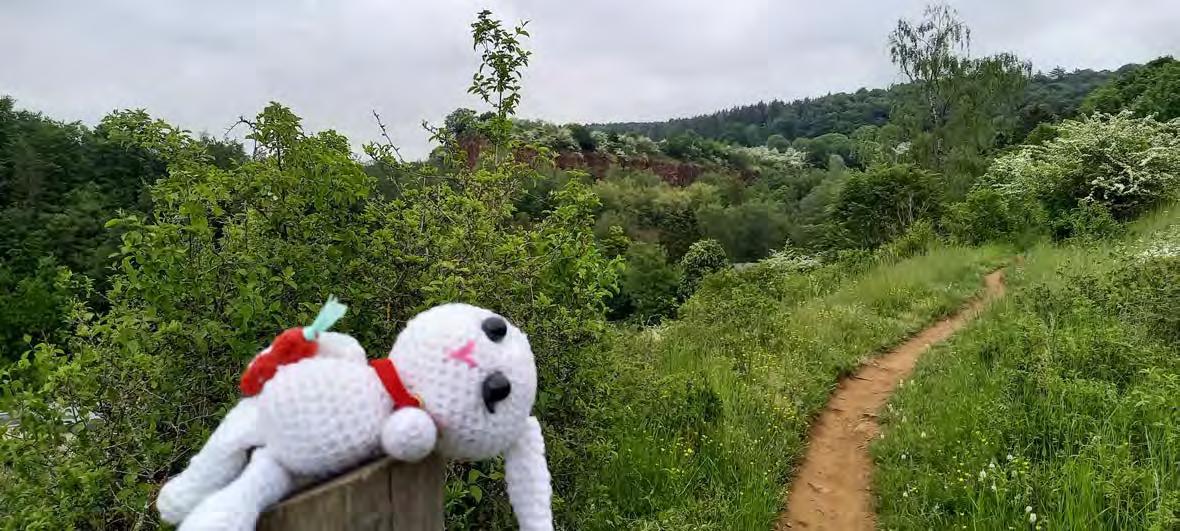
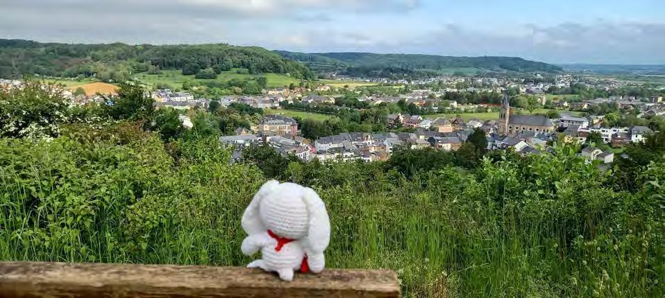
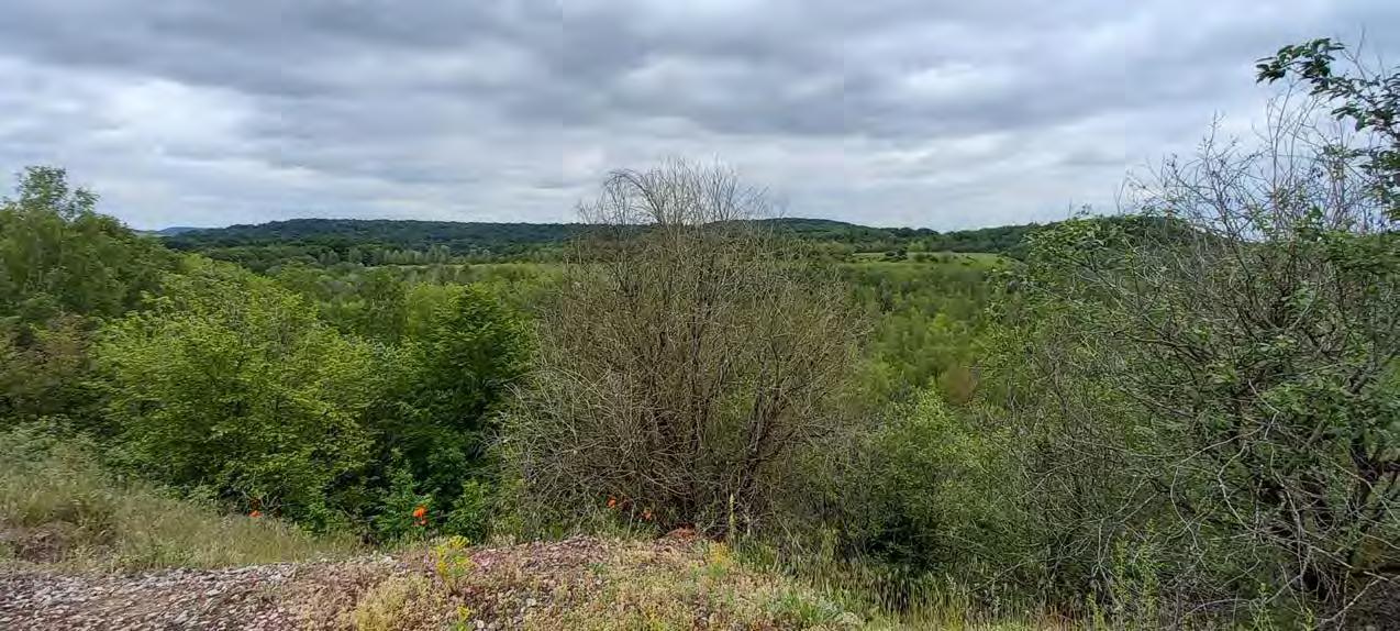
 I am rewarded with a beautiful view!
Chilly's note: I took the photo of my previous trip, cause when I was there alone I managed to ruin the photo. (Sorry)
I am rewarded with a beautiful view!
Chilly's note: I took the photo of my previous trip, cause when I was there alone I managed to ruin the photo. (Sorry)
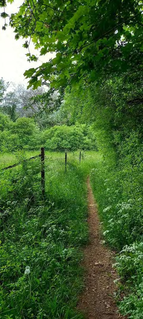
This path takes me to a passage so large that two opposing cars could drive on it. However, the guide informed us that not too long ago, big trucks used to pass through this picturesque scenery of rocks and green fields.
Chilly's note: I can hardly believe that trucks were actually using this path, affecting all those poor animals, constantly blown away and disturbed every hour.


Units hold the position, until this earthquake settles.
YES MA'AM
I need a boat for that!
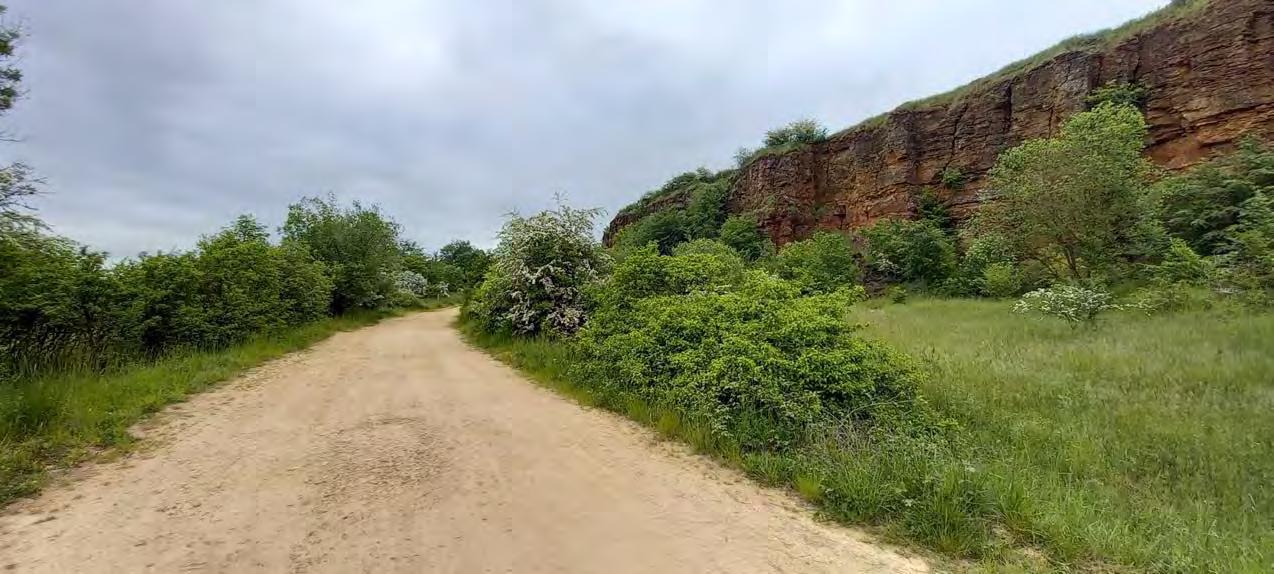
No matter how many times I see those wall formations. They are breath-taking.
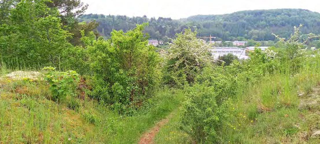
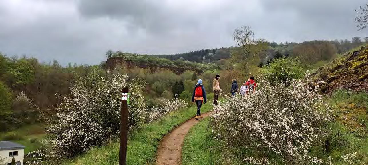
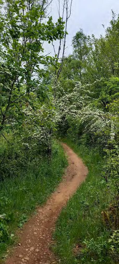
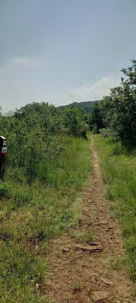
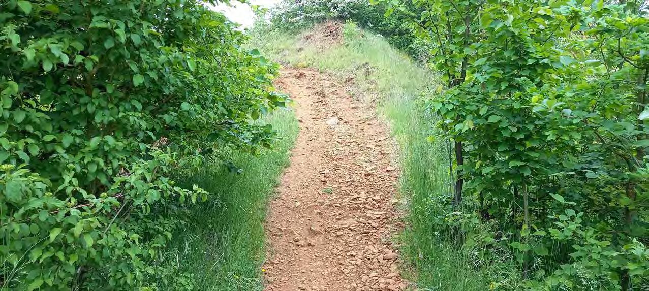
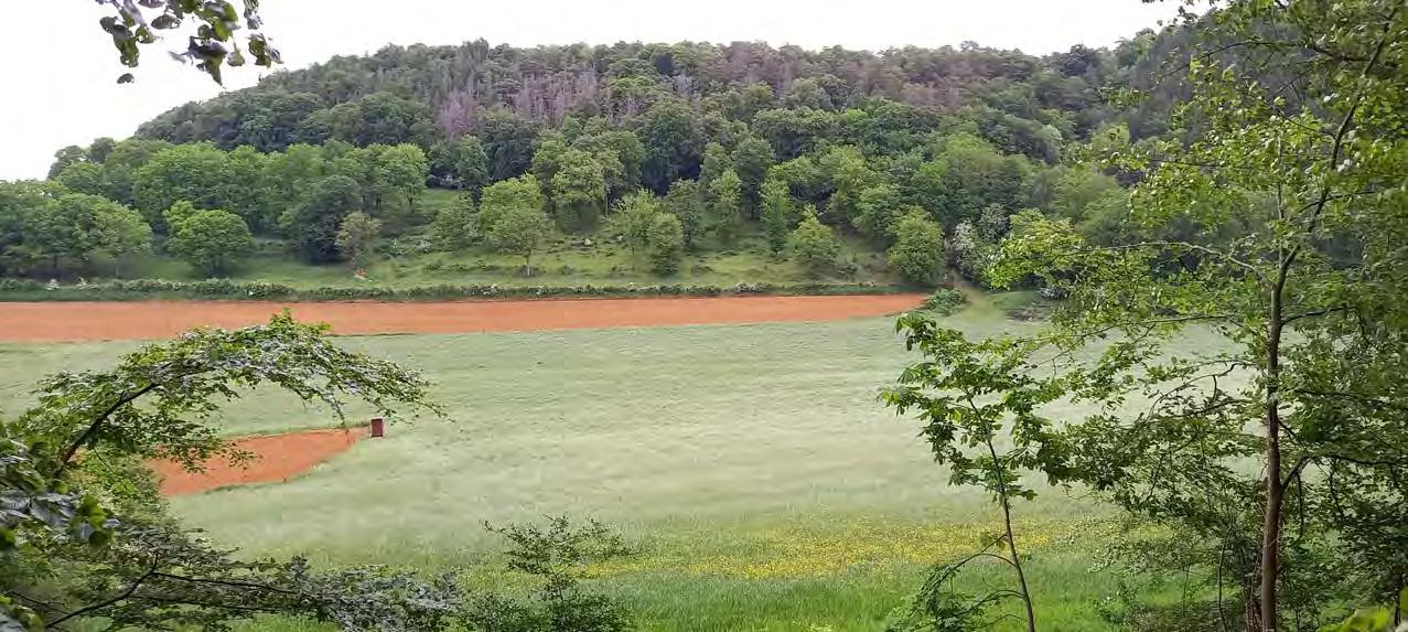
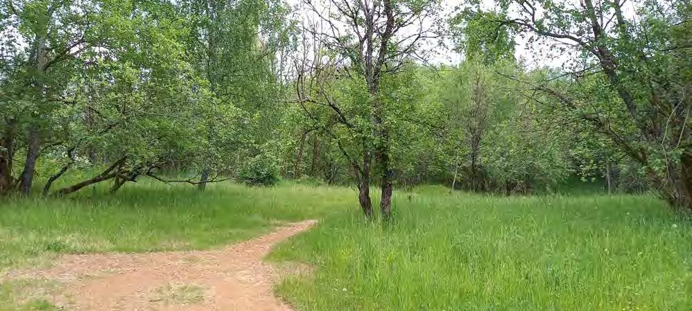
Yes, the path decides to be creative and in all honesty I like it. The closer I get to the hill the more I realize how steep it is not to mention rocky, but this is what the Minett is known for.
To my luck the sun decides to reveal itself a bit.

Seeing the city like this makes me realize how big cities actually are and not to mention how far they expand. It's in a weird sense a virus that spreads across the globe, stretching further and further.
Chilly's note: I like my philosophies. I feel so smart.
Nice view, ey!
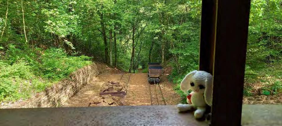
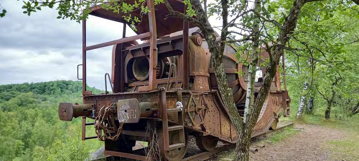
What is that?
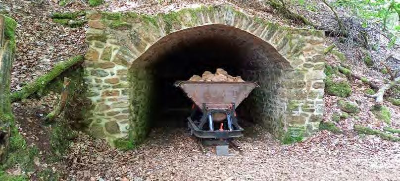
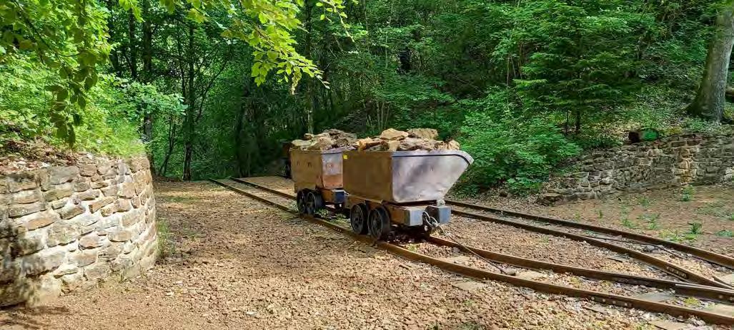
Chilly's note:
During the mining operation, the Plang Langenacker was used to transport the "Minett" down the valley and then to the smelter. The Plang Langenacker was a kind of cableway. The function was rather simple: a full cart was pulled down with the help of gravity, and the empty cart pulled back up again by the cableway.
Fun fact: A full mine cart would weight over two tonnes.

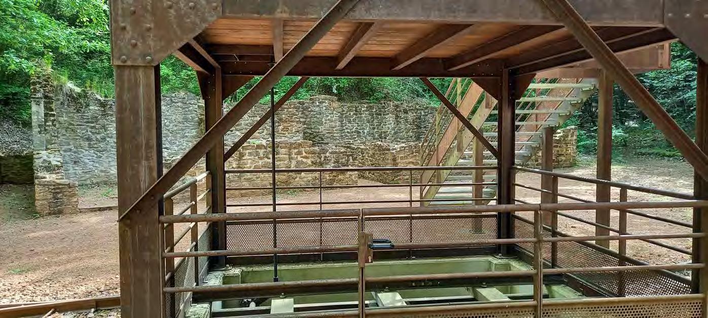
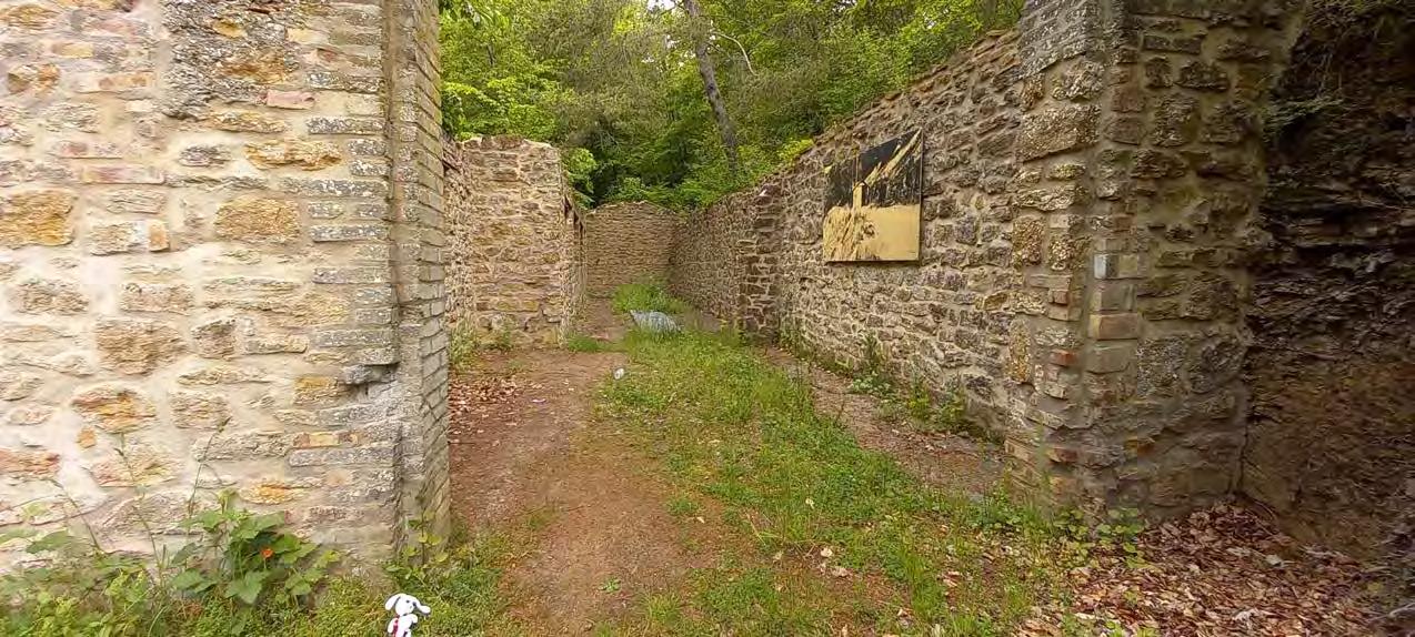
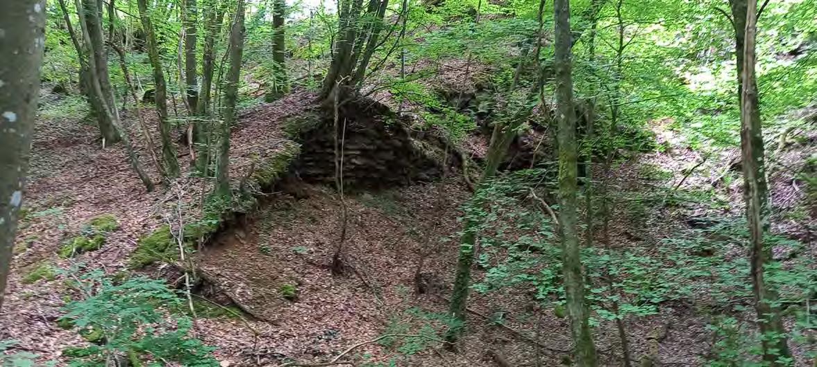
These ruins seem to be have been a storage room. I think...
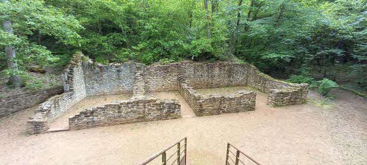
Chilly's note: I am not certain why, but this is one of my favourite shots.
Additionally, look at this. There is a second ruin waiting to be discovered by me, the grand Chilly!!

 Look how crazy it changes when the sunlight shines on the ruins. It looks like as if I would have taken this photo on another day.
AHHHHH YES! Here we are. This evil crossing is the most horrendous and dumbest thing I have ever come across the entire Minett Trail.
You see this! (Of course you do, you are a smart bunny after all)
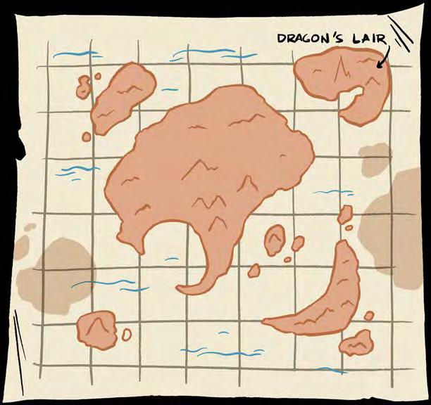
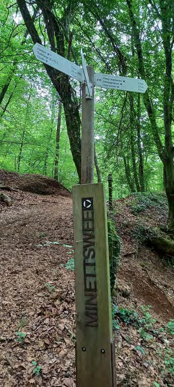
I've got a question for you...Wait! Let me give you a map.
This is you!
So now!!! Where do you think do I need to go 1, 2 or 3.
Info: I want to go to the floater 4,2 km away. (I advice you to zoom in otherwise you won't see all the hints)
Oh, no! I let you guess common. I can already imagine that you think about the not obvious answer, but what is the obvious answer at that moment.
Good luck!
The answer is:
(Sneaky)
I bet you're looking for an answer. Don't worry, not everyone likes solving problems. I'm just kidding! I'm disappointed in you. Now go back upstairs and do your homework.
And for those who have tried their luck. You can get a Chilly high five and my approval. Welcome to the Chilly Club. There is one rule only. "Don't forget your chilly"
(Honest)
Now you want to know which way I chose, am I right?
1, I picked 1
And let me tell you something while I cry in my corner...
1 leads to a gigantic downhill which means....
I had the privilege to go ALL the way UP again. This took me over 20 minutes!!!
AH! Throw my chilly already! On the top of the hill....
Back to square one I feel how drenched my fur is.
Chilly's note: I am just glad that I am able to find my way back to the right trail.
I'm still mad at what happened
Hm...What is that? Does anyone live there?
I like this abandoned house and the drawings in it.
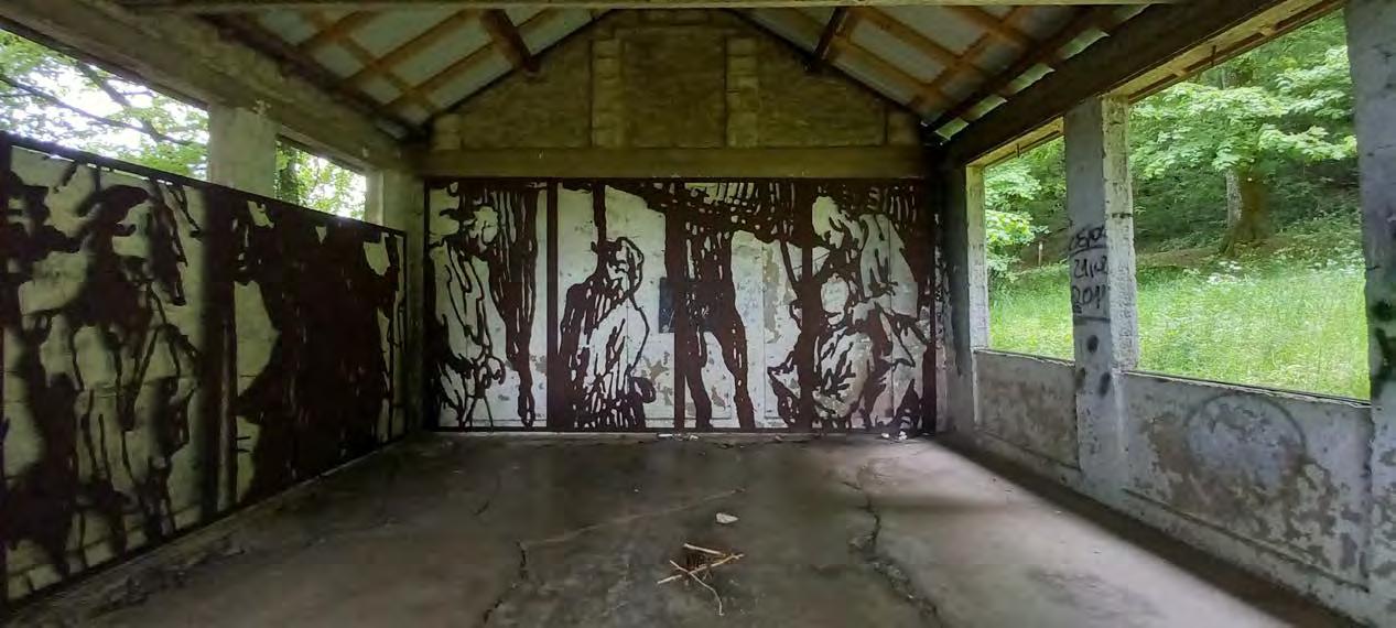
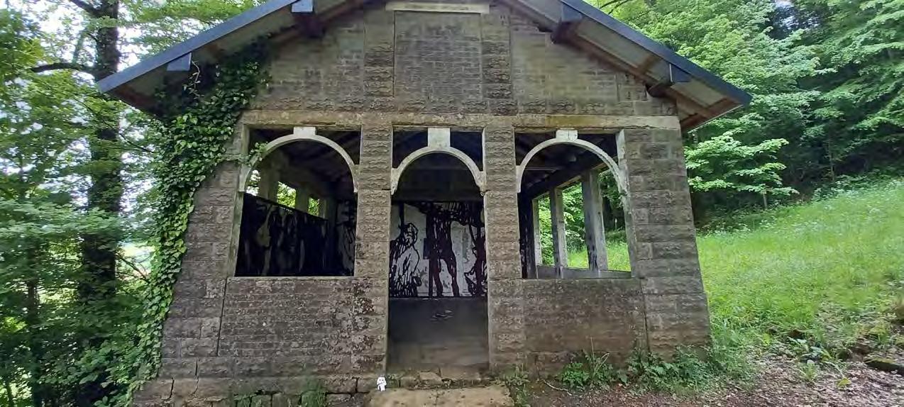
A person?
Chilly's note: The path is certainly versatile. We are between Tétange and Dudelange right now.

This is another hill I have climbed, as another problem crosses my path.
I chose the left path and it turns out to be the right one. A massive relief ran down my fur.
Like the difficult crossing isn't enough. Nope! Right here I have a second disaster.
However, this place is different, because there is no sign at all. Funny, right?
I have to guess the way and luckily I chose the right one!!
Stressful
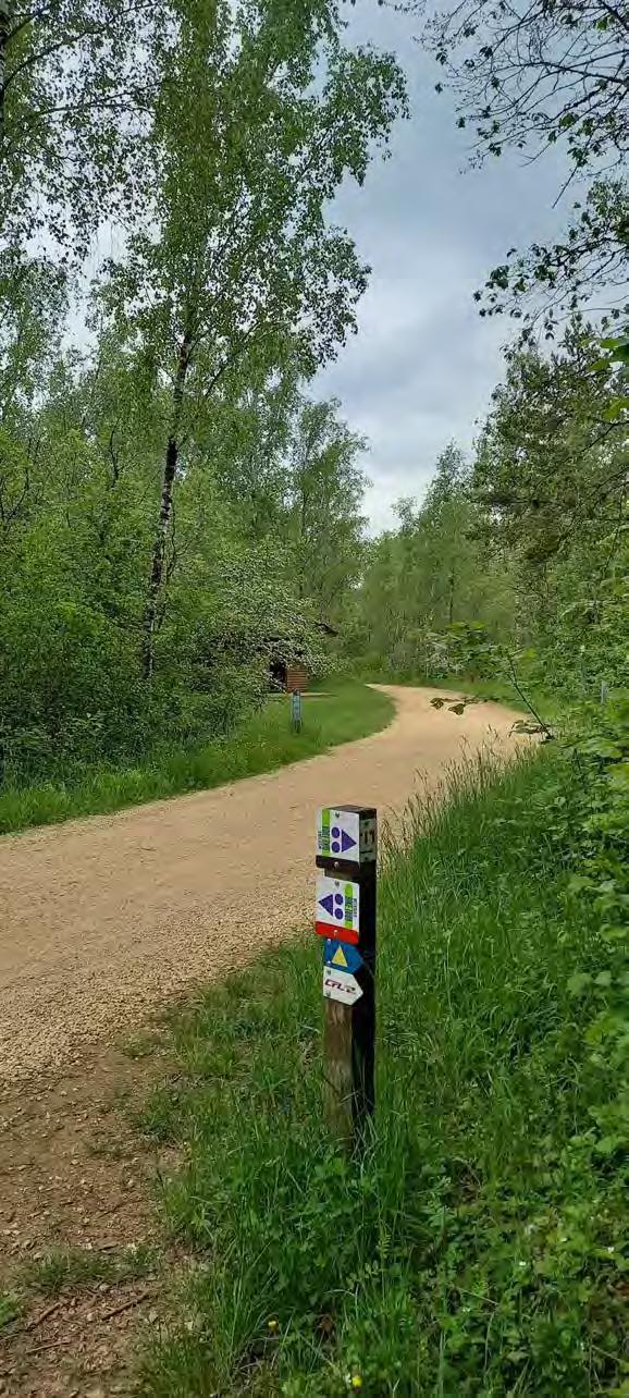
Chilly's note: The Minett Trail wants you to go straight until you spot a shack and then do a sharp left turn. There's a mountain bike trail that you can follow.
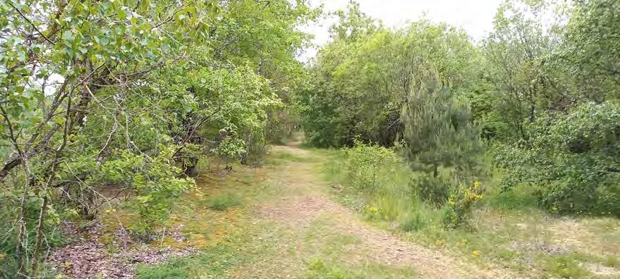
 This is the mountain bike trail
The mountain bike trail has nothing special to offer, but it calms my nerves down.
A mountain bike would have been great.
The mountain bike path is a real stretch, but it seems as if I am almost done. I quickly take a detour and get attacked by spider webs.
Hehe... Take this!
OHH! Baby! This is my new car!
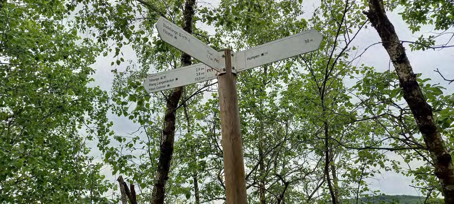
Chilly's note: A "Humpen" was a tipping tank filled with liquid slag and was used in steel production. Today, this one is used as a a refuge for animals and plants that need a lot of heat and sunlight.
"Humpen"
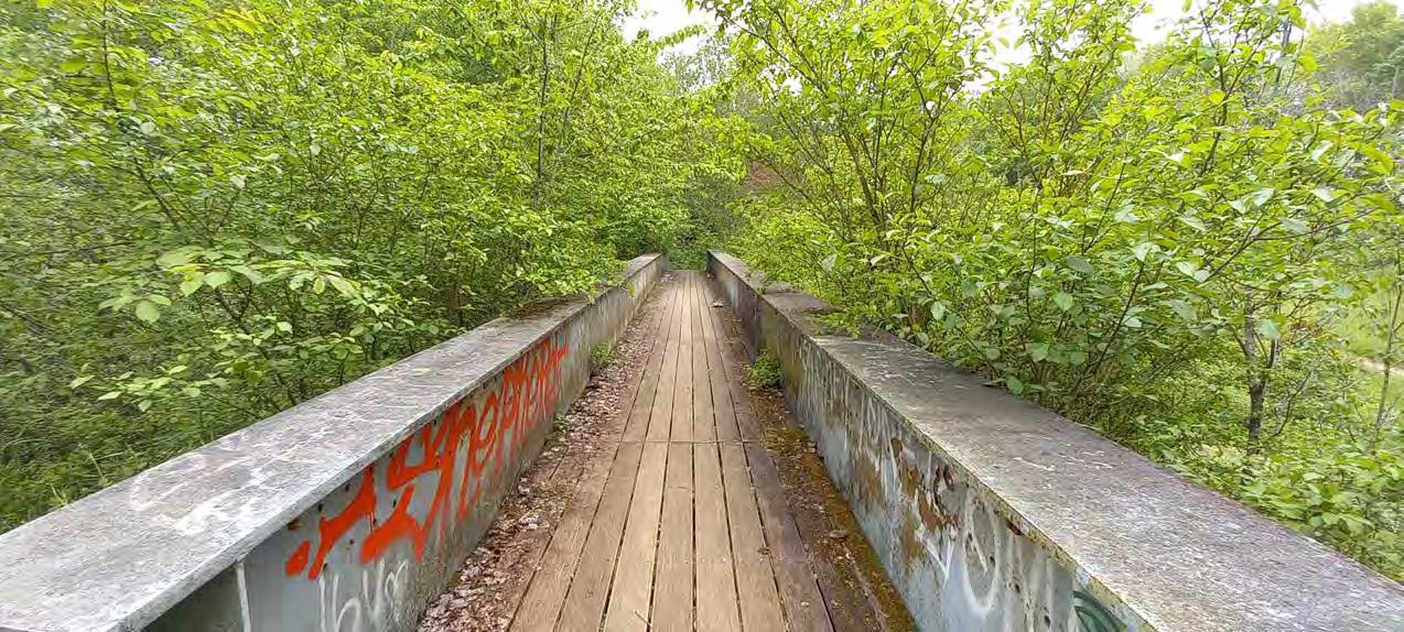
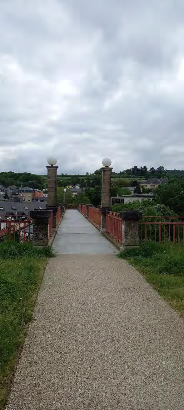
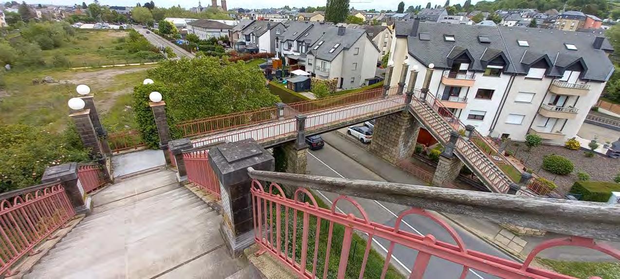
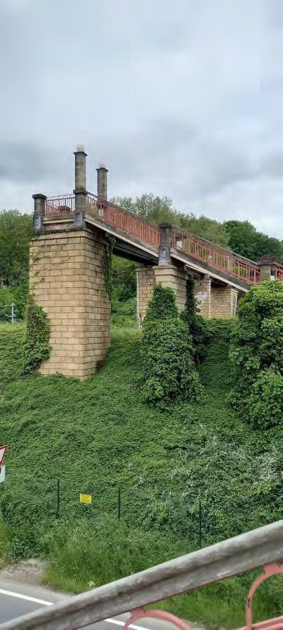
If you ask me, I think it's weird to find a bridge in the middle of the forest. In a city you can expect it, but not here. There is not even water, so I am not certain why it is here.
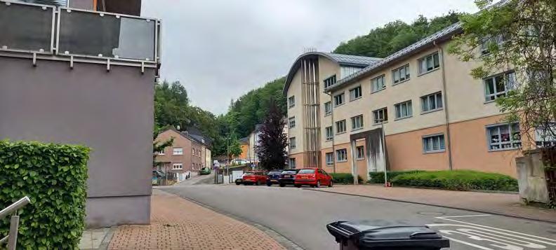
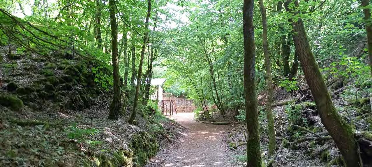
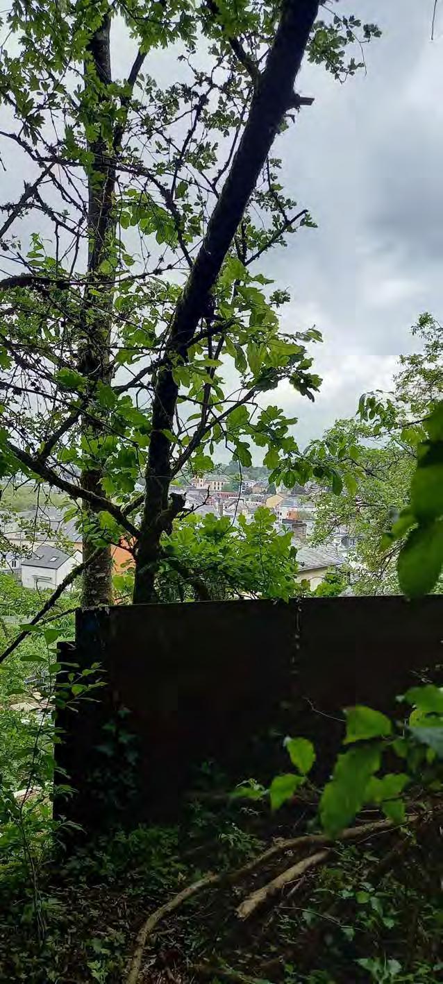
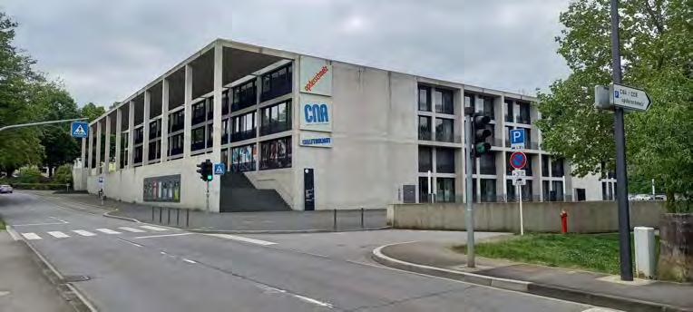
An outskirt! A city! Am I there now! This must be Dudelange!?
Chilly's secret: I know Dudelange well, because I have been here twice for the comic-cons.

This is the first view of Dudelange that you will get while walking the Minett Trail. I can't wait to show you more.
The way to the "floater"
A charming bridge shows me the way to the Kabhaischen
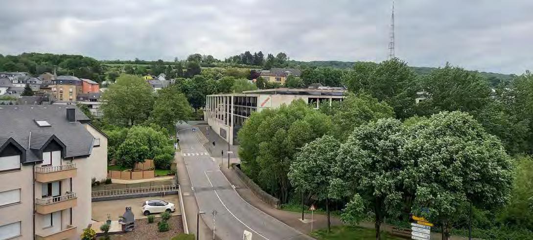
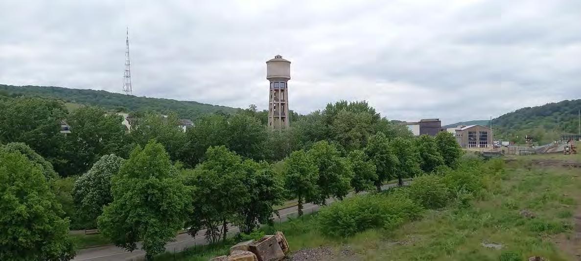
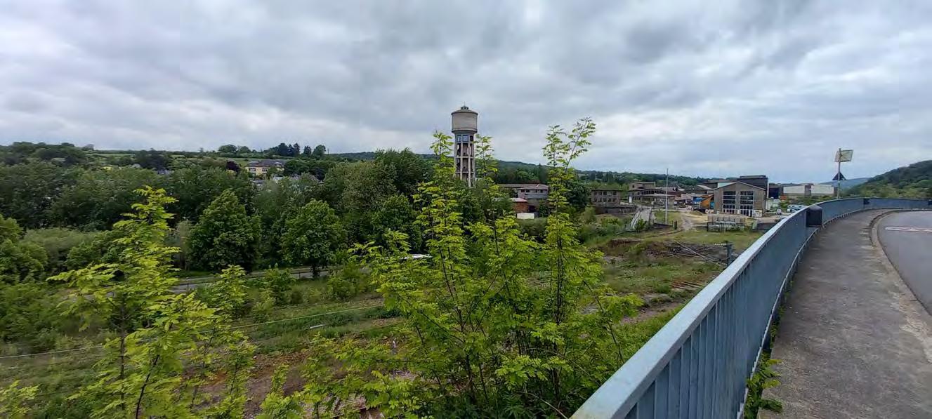
Even from this distance you can see the "Wassertuem"
There is the building in which the comic-con is held each year.
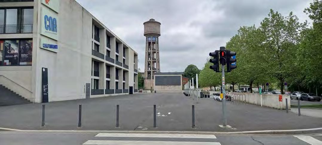
 Pomhouse
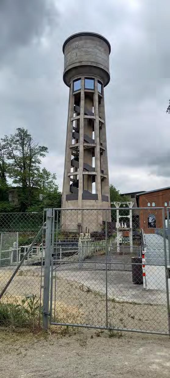
Not long ago the "Waassertuerm" and its neighbour the "Pomhouse" were both renovated.
It is now a museum that invites you to a real audio-visual arts journey.
When you climb up the tower, there will be a projector and a lot of history waiting for you.
Ps. The tower's opening days shift often, so a check on the main website is strongly recommended.
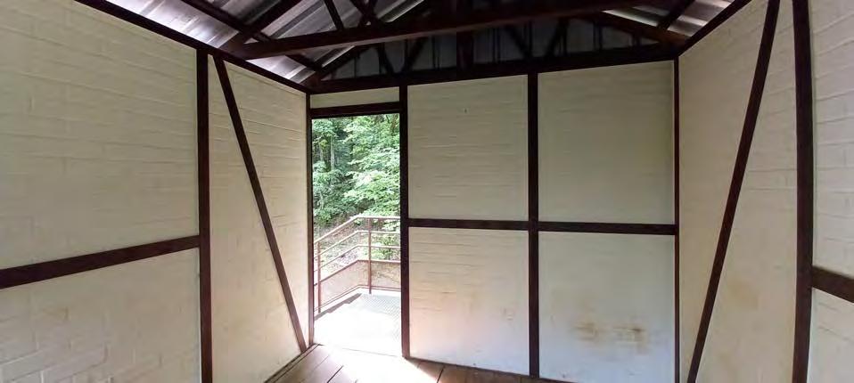
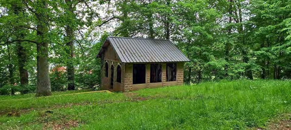
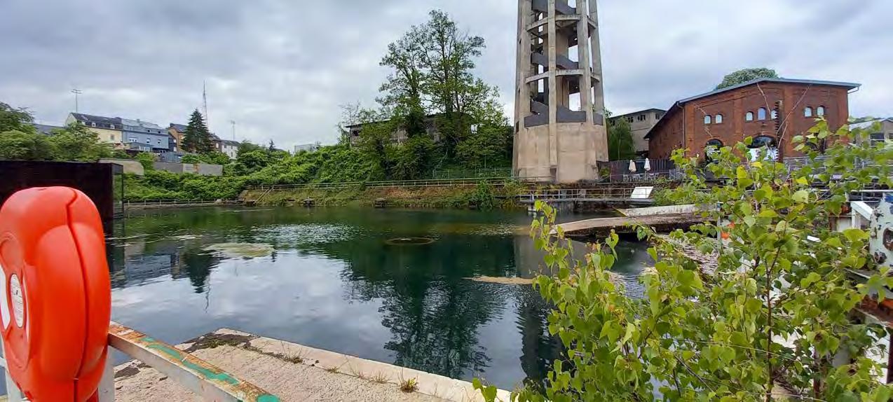
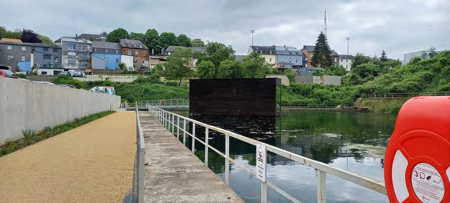
 This is the Kabhaischen, also known as the floater. Fitting name, am I right.? You can sleep in there and a big widow gives you a
The floater
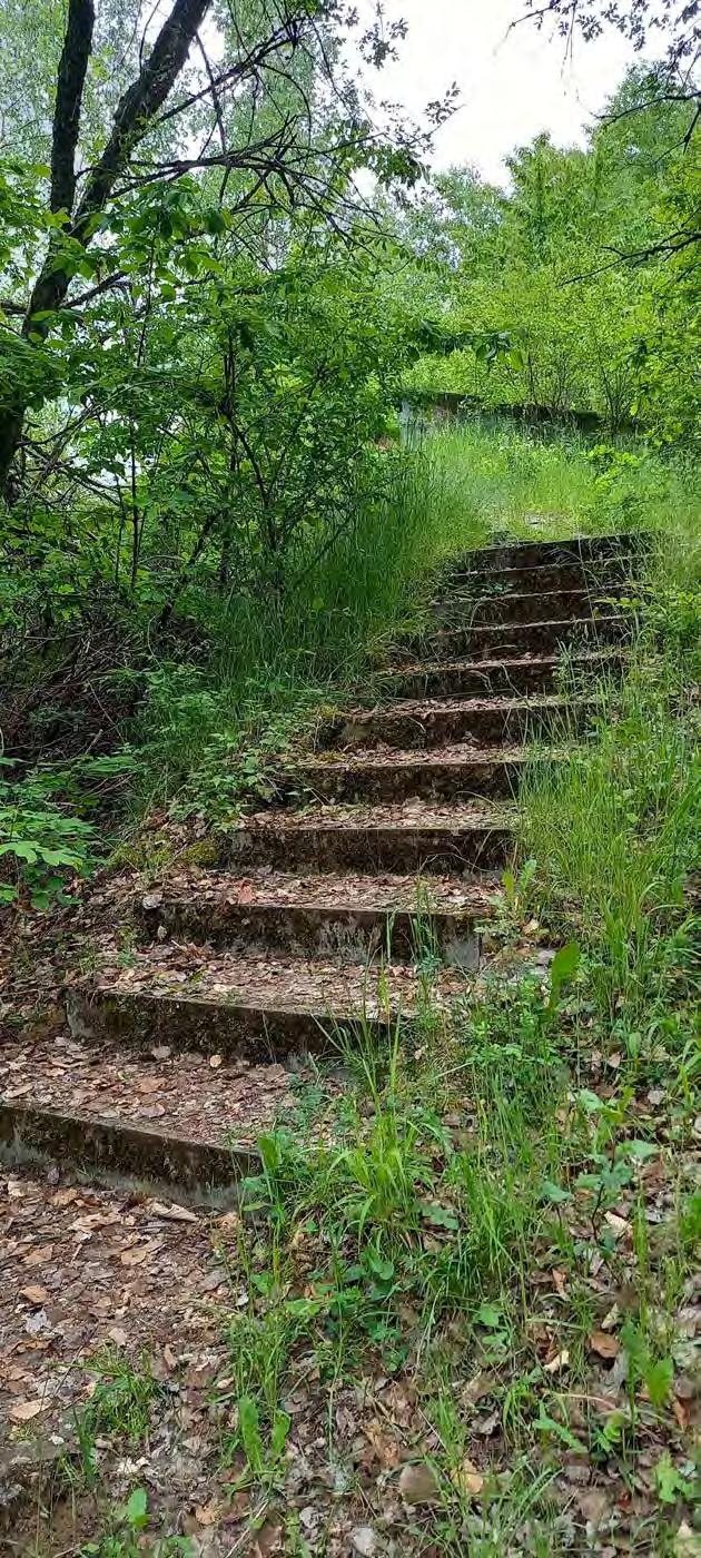
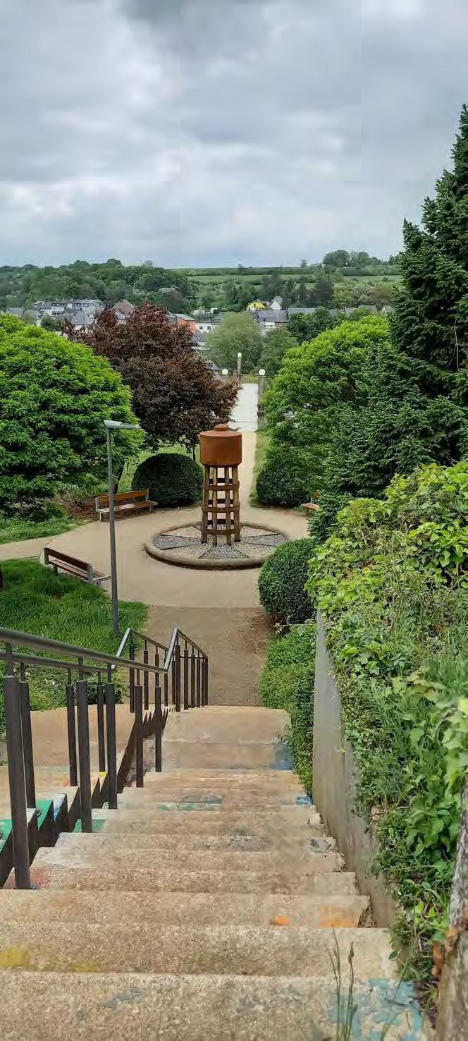
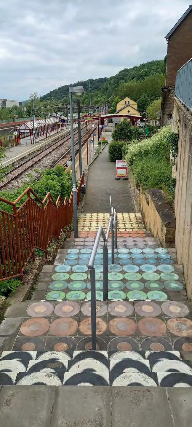
Oh! I like these colorful stairs.
This is the Kabhaischen, also known as the floater. Fitting name, am I right.? You can sleep in there and a big widow gives you a
The floater
Oh! I like these colorful stairs.
Conclusion: Minett Trail: Rumelange - Dudelange
This section is great for hobby hikers and sportive people. This stage has a lot to offer, since it is so versatile, but as an advice really look properly at the signs.

Additional Info:
Time: It took me around 4 hours to complete. My time deviates from the average 3 hour and 25 minutes, due to my photos and multiple breaks. (I always exclude my arrival and departure on public transport)
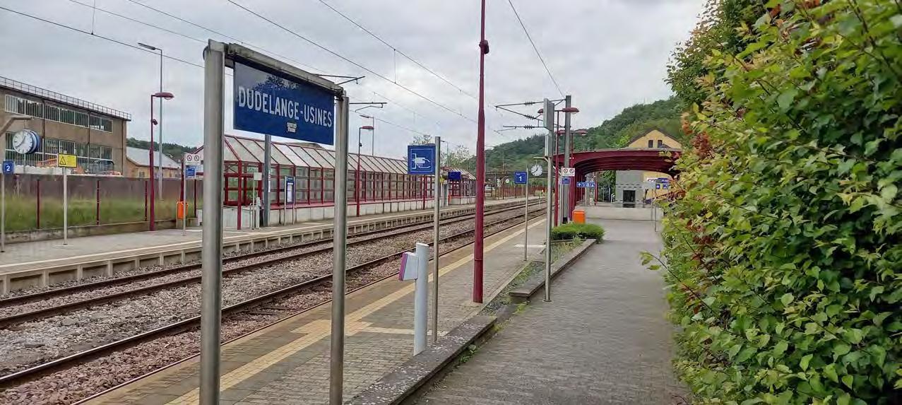
Travel with Public Transport: Bus (TICE lines 4, 5) and Train (Dudelange-Usines Gare)
Important app: https://www.mobiliteit.lu/en/ (Public transport)
Cultural: Satisfactory, this stage makes you discover the vast "Haard - Hesselsbierg - Staebierg" nature reserve. Although the cultural and historical aspects are minimal, their presence is clearly visible in the breathtaking views.
Path: Difficult, the trail is dotted with steep hills that even I had to work hard to get over, not to mention the abundance of rocks I tripped over. Sturdy shoes are essential for this route.
Accessibility:
Last note: Even though the path was filled with obstacles, I had a great joy exploring this massive nature reserve.