Chilly's Journal


Volume6
Author:ChillytheBunitt
Year:2023
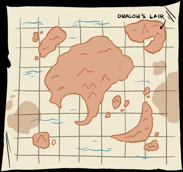
Origin: Minett Trail

The Minett Trail was at first just an idea. The "Minett UNESCO Biosphere" wanted a regional trail connecting it's cities, hubs, historical and natural sites.
Work for this trail started in 2017
Walk through former opencast mines and discover the industrial past! Witness how nature has reclaimed its former territory!
The Minett Trail is a 90km long trail that expands its wings all across the south of Luxembourg. Due to its enormous length the trail is split into 10 stages which can be explored individually.
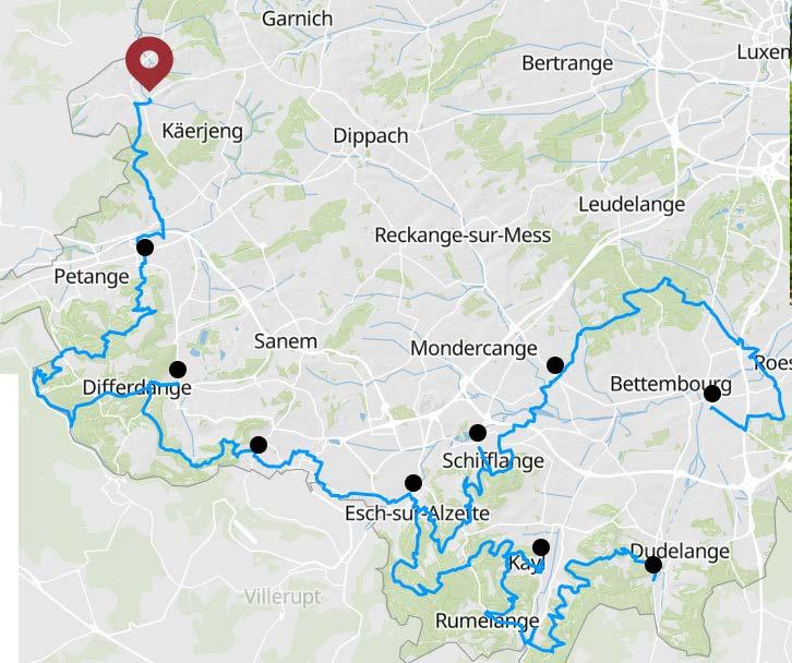
More info: https://www.minetttrail.lu/
The stages are rated with a difficulty. Are we in a video game now? If so GAME ON

Easy = great for beginners and families.
Medium = great for occasional hikers and it includes narrow pathways and stairs.
Hard = only sporty hikers or people with good physical fitness should tackle these routes.
Sidenote: Unfortunately, not all the stages are barrier-free.
POW Promotion and education of the southern region in Luxembourg.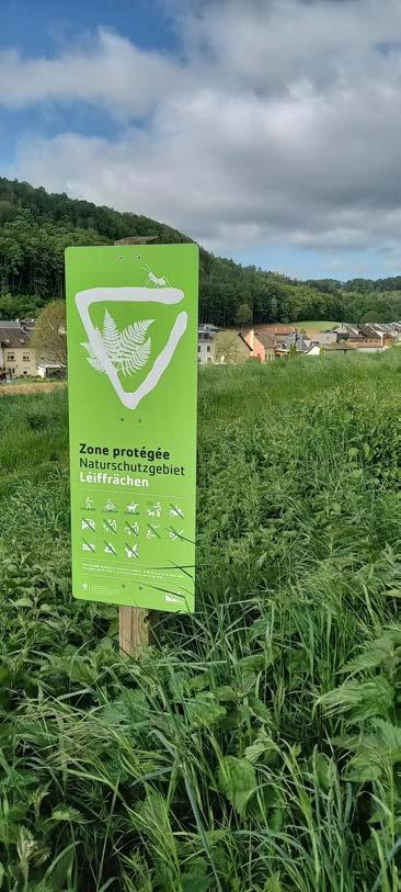
Distance: 7,73 km
Duration: 2h15
Difficulty: easy
Highlights:
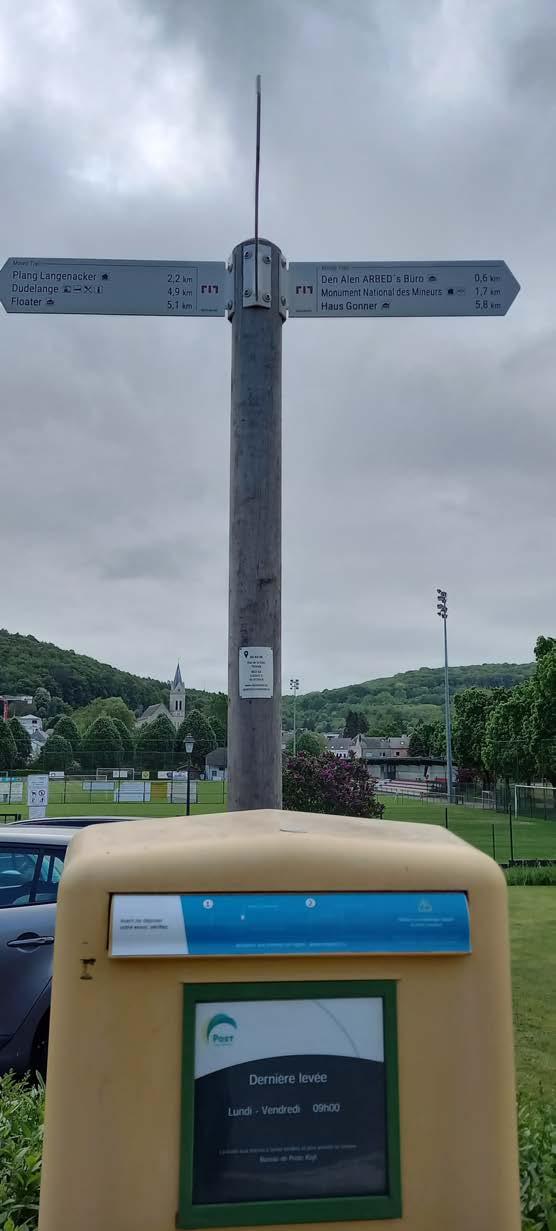
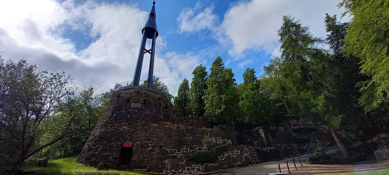
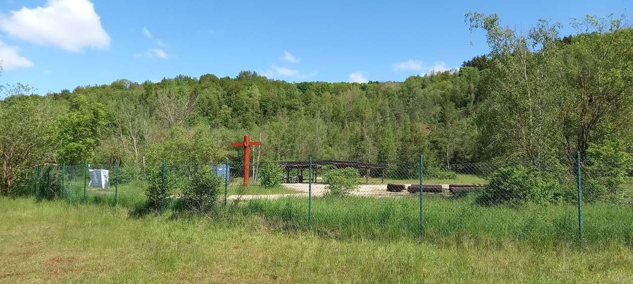
Monument National des Mineurs
Tétange is a town in the commune of Kayl, in southwestern Luxembourg
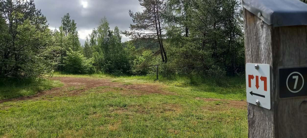
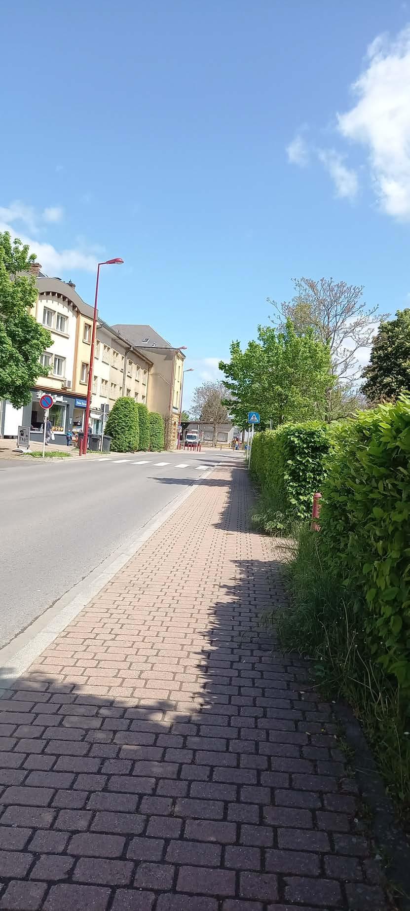
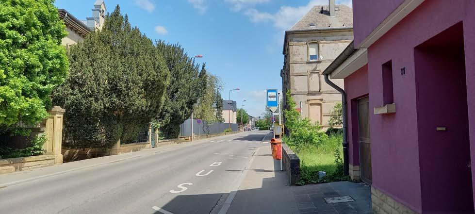
My journey begins at Tétange Gare.
Now, that I know Tétange a bit, navigating around it is much easier.
Warning!
This stage has the same mechanic as the stage from Differdange to Belval-Rédange. I need to follow the path backwards, until I reach the new section. In this case after the "Monument National des Mineurs".
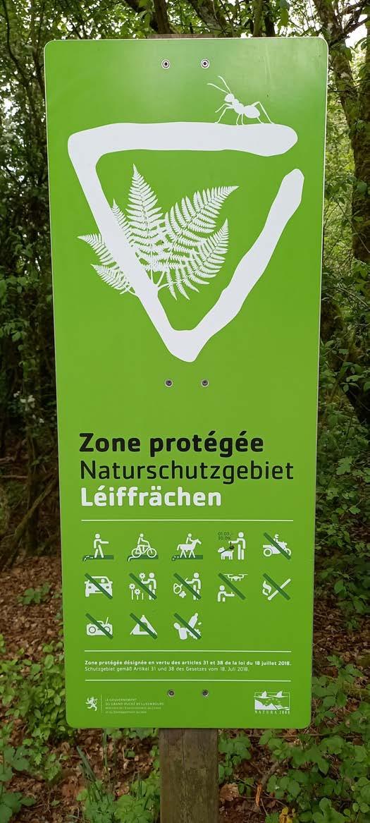
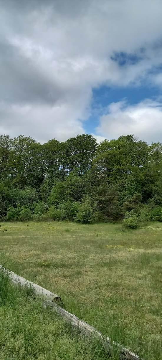
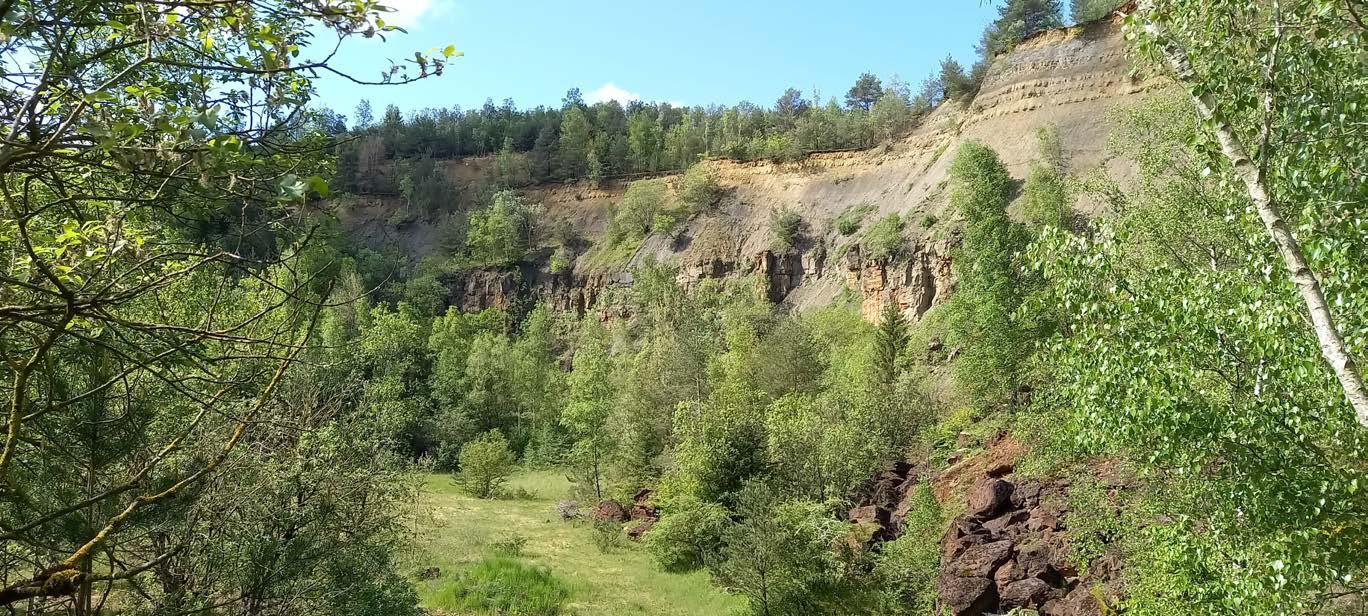
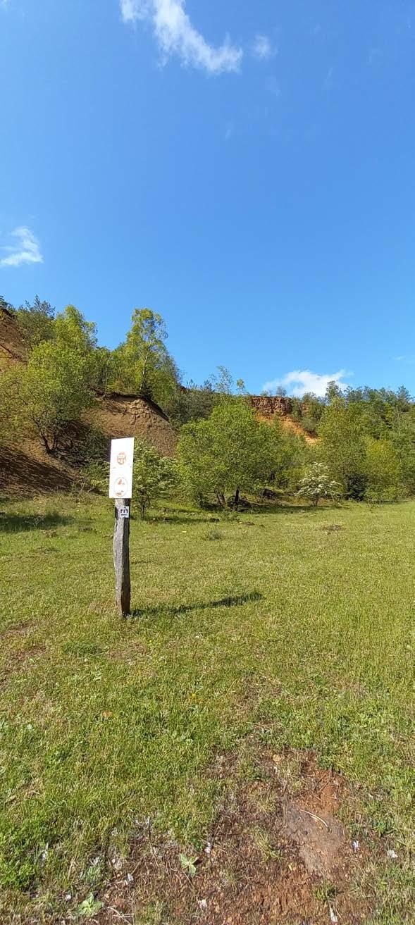
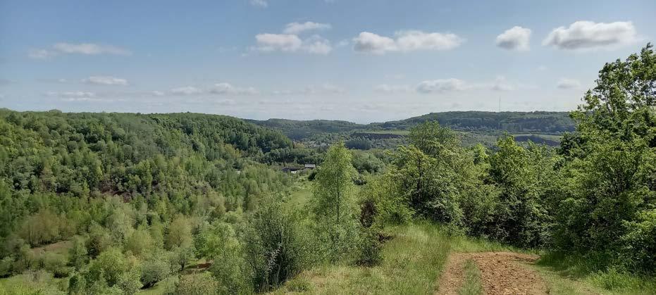
The Nature Reserve "Leiffrächen"
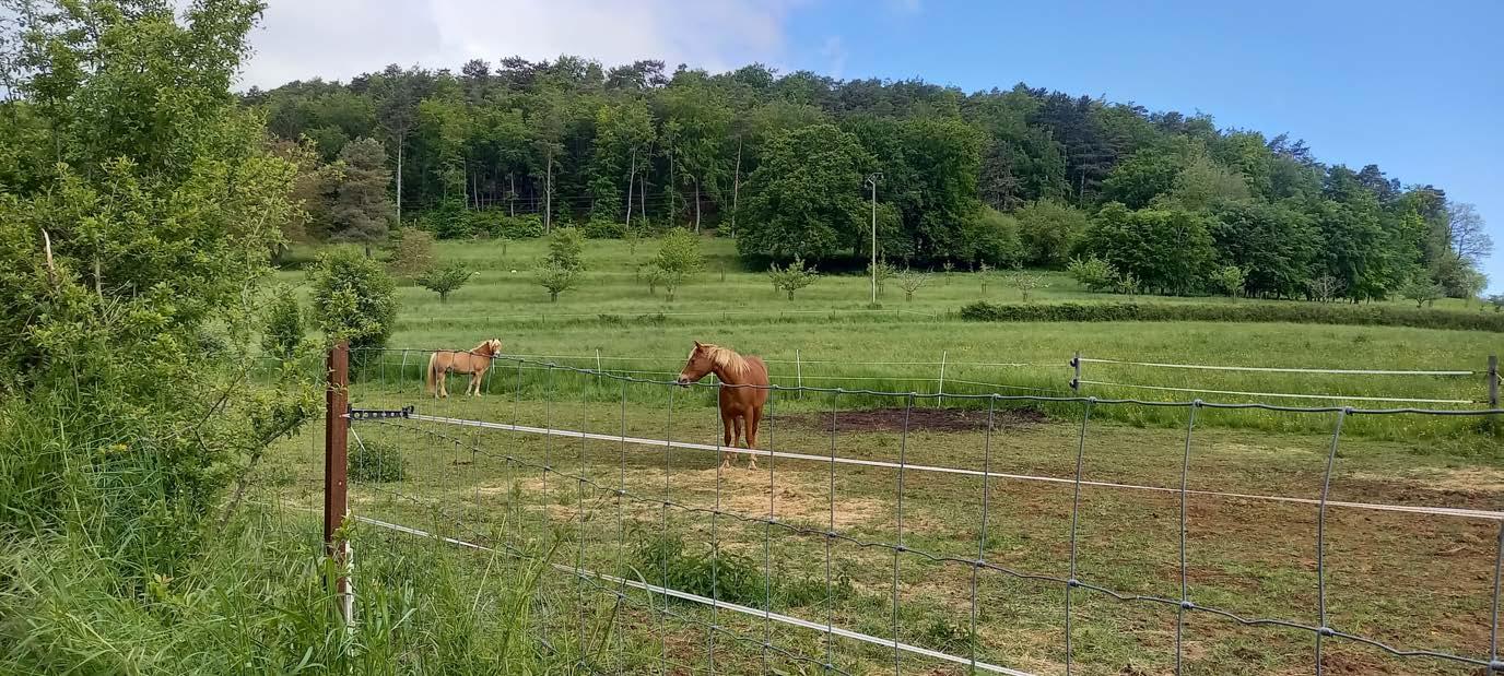
Hehe, I see some horses.
Luck is on my side today!
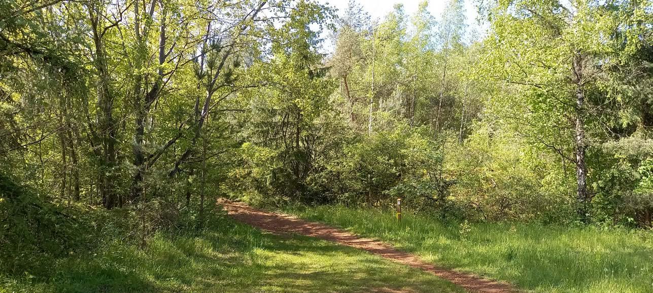
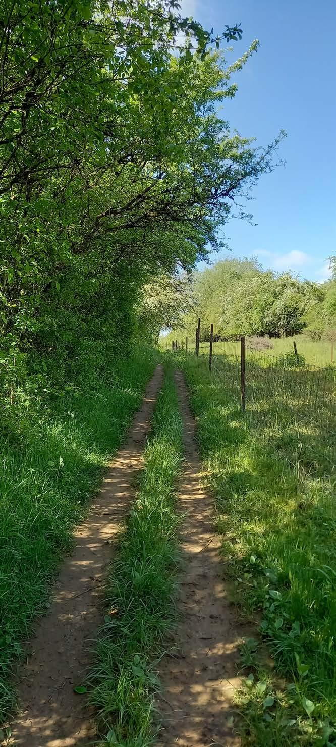
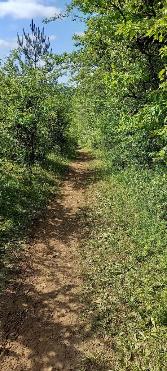
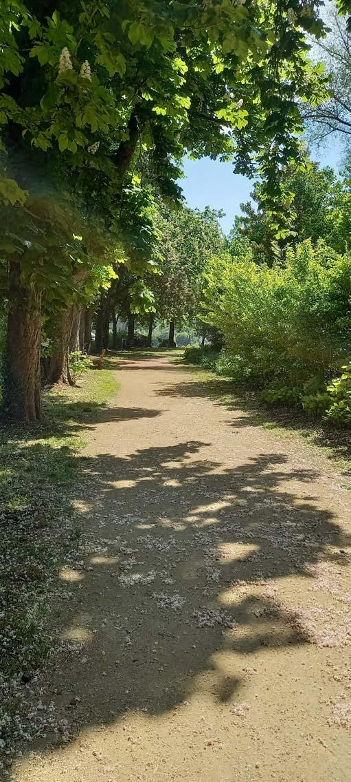
Navigation is simple so far.
Fun fact:
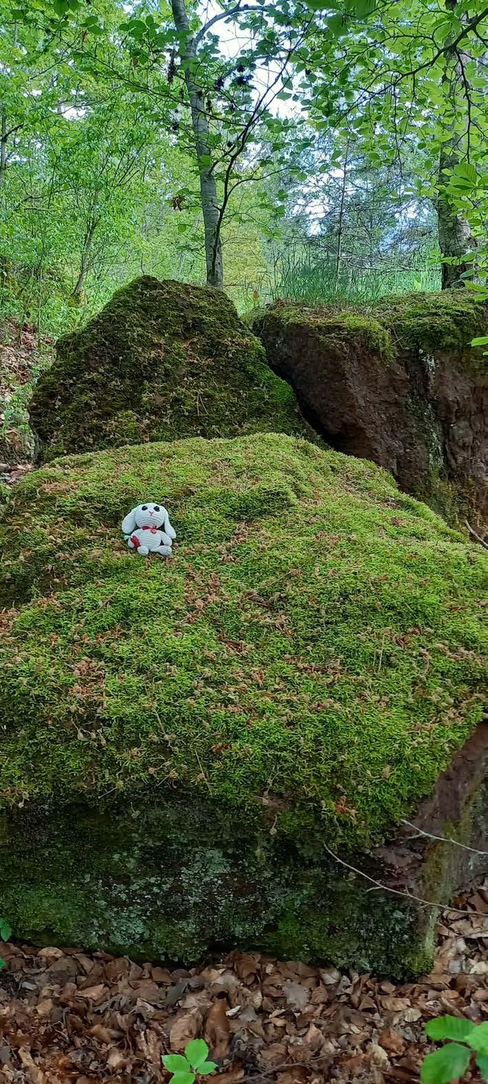
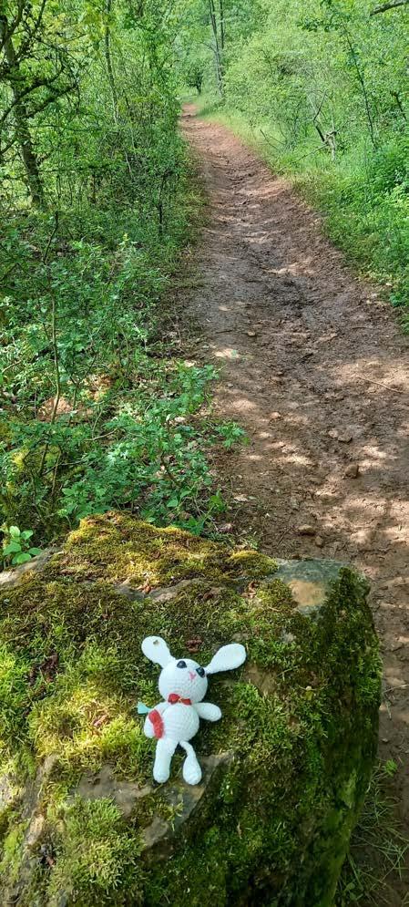
Green! I love the blue sky and the rock fully covered in moss is really comfortable to sit on.
The nature reserve shows me her colorful side today. (No storm interupts me today)
Did you know that mosses have no roots and that some mosses are luminous. More
Mosses use rhizoids in order to anchor themselves into rock, bark or soil
Mosses like the Schistostega pennata or simply called dragons gold is a moss that adapted to the lack of light in caves.
I'm not certain how these pile of rocks even appear. It looks to me like an ancient ruin collapst and the remains are just chilling there.
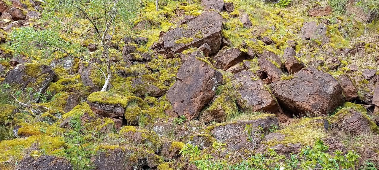
Funny enough how different it looks when the sun is out and about. The storm from last time really did a number on me.
In all honesty, though, I am kind of glad to experience the Monument for the second time.
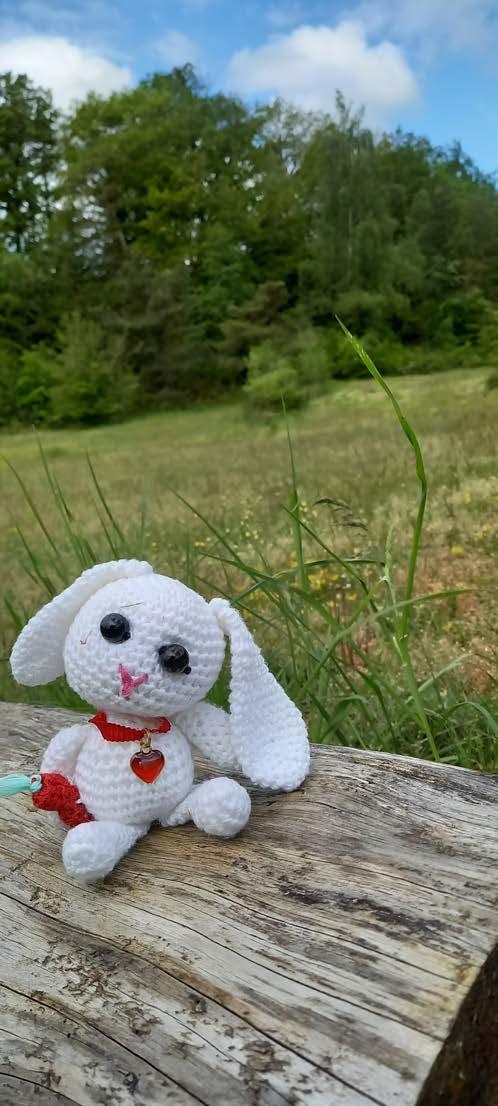
I am in such a good mood that I take a picture by the flowers. I give it my all with my new pose.
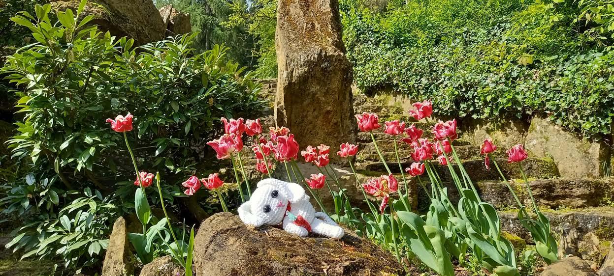
I call this pose "Chilly chilldeluxe"
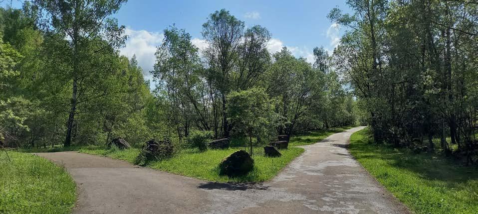
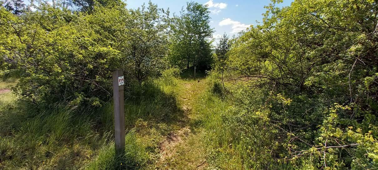
New path unlocked!
Quick, let's explore it!!!
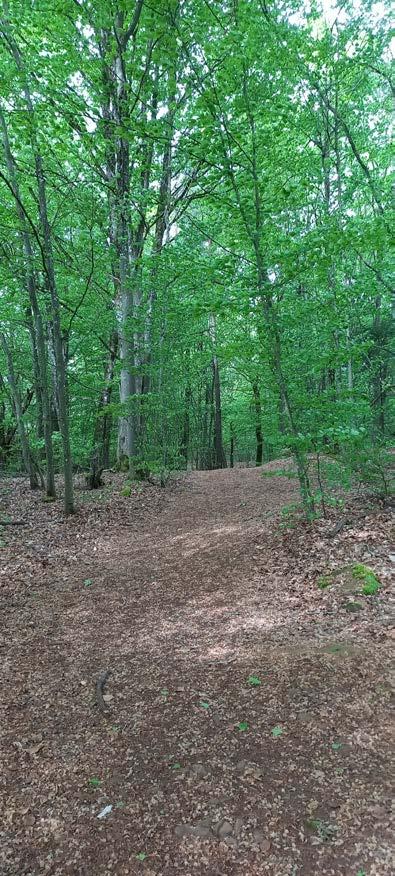
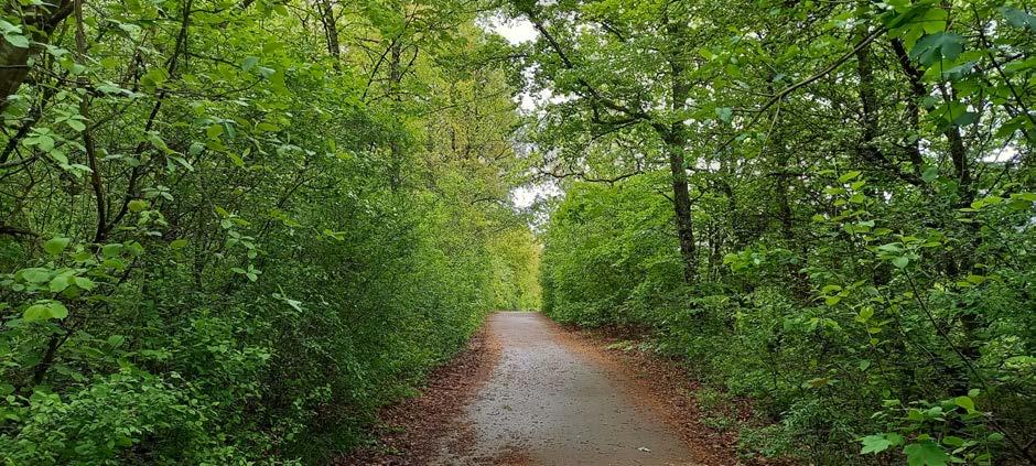
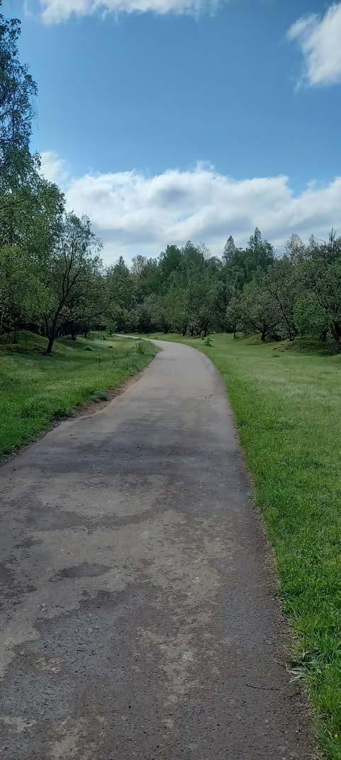
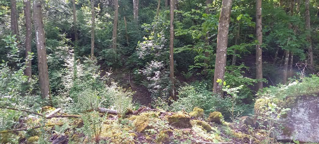
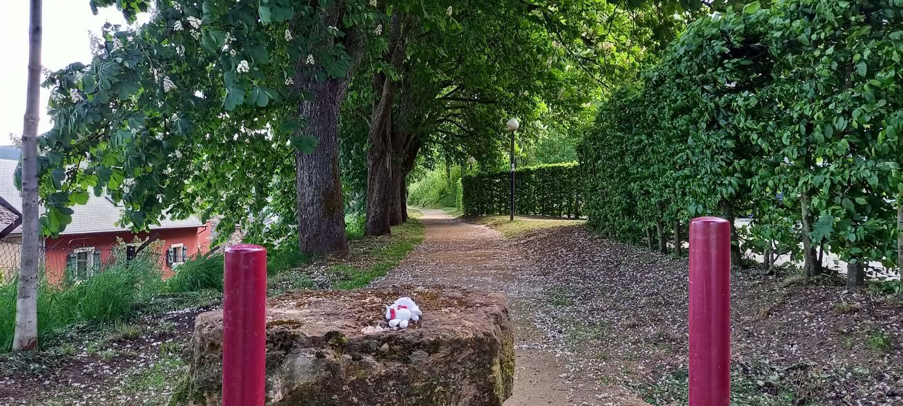
Honestly, I never realize at what point in time I exit a nature reserve. As long as I see some green trees my brain thinks this must be still part of the nature reserve.
No matter. Let's go over more green trees and... green landscapes?
Hold up my chilly for a moment!
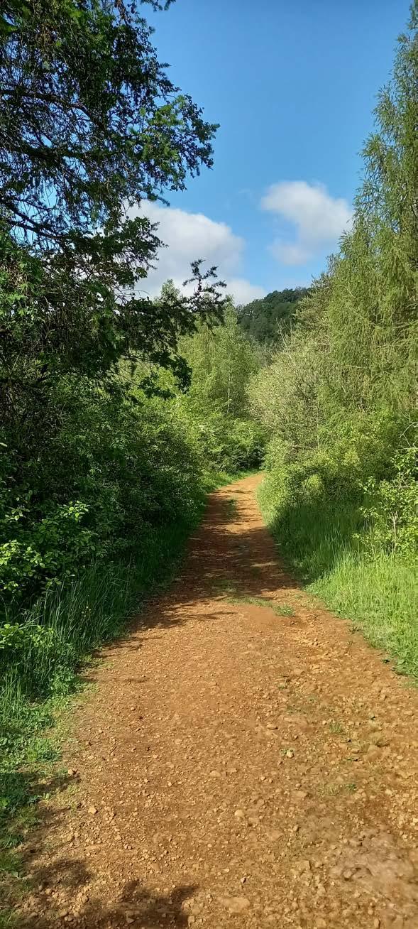
Ok, this is the right way. Turns out that the environment shifts a bit.
Perfect, some new things to discover.
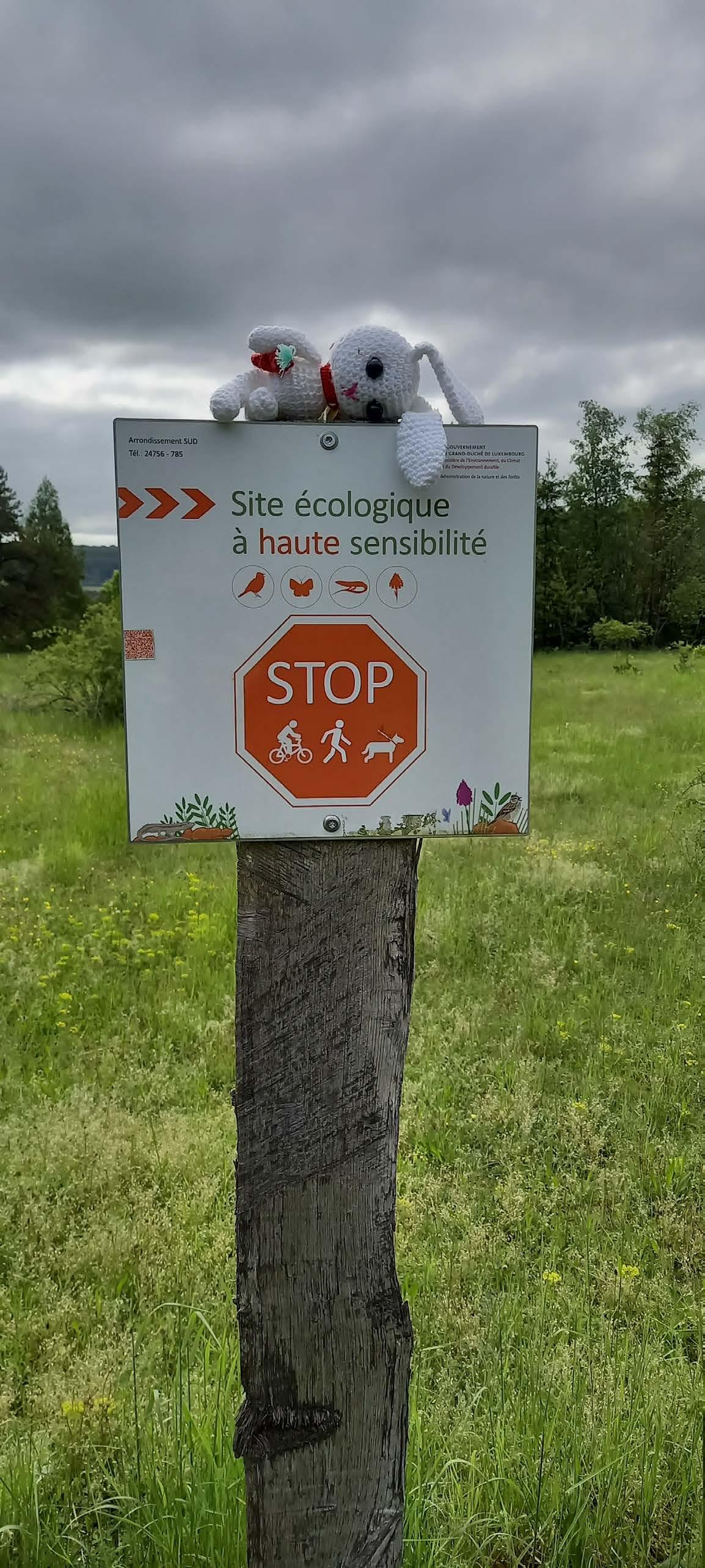
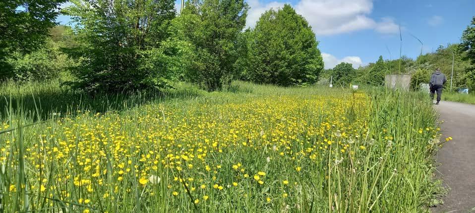
Passing the dry grass fields on a concrete path I notice some signs around me. It says "highly sensitive ecological site". Let's be respectful here.
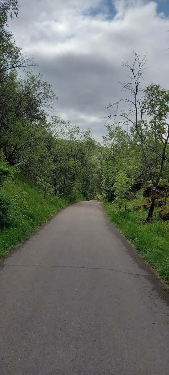
There is a lot of green here I must say.
Oh! It seems something is happening. The area changes a bit.
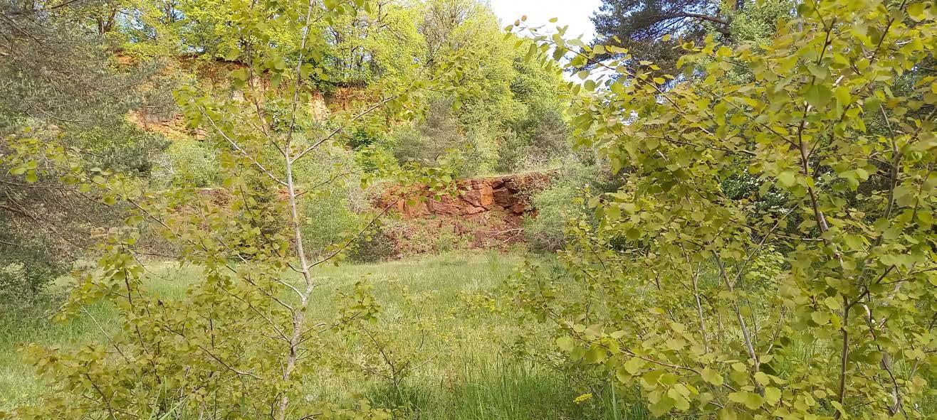
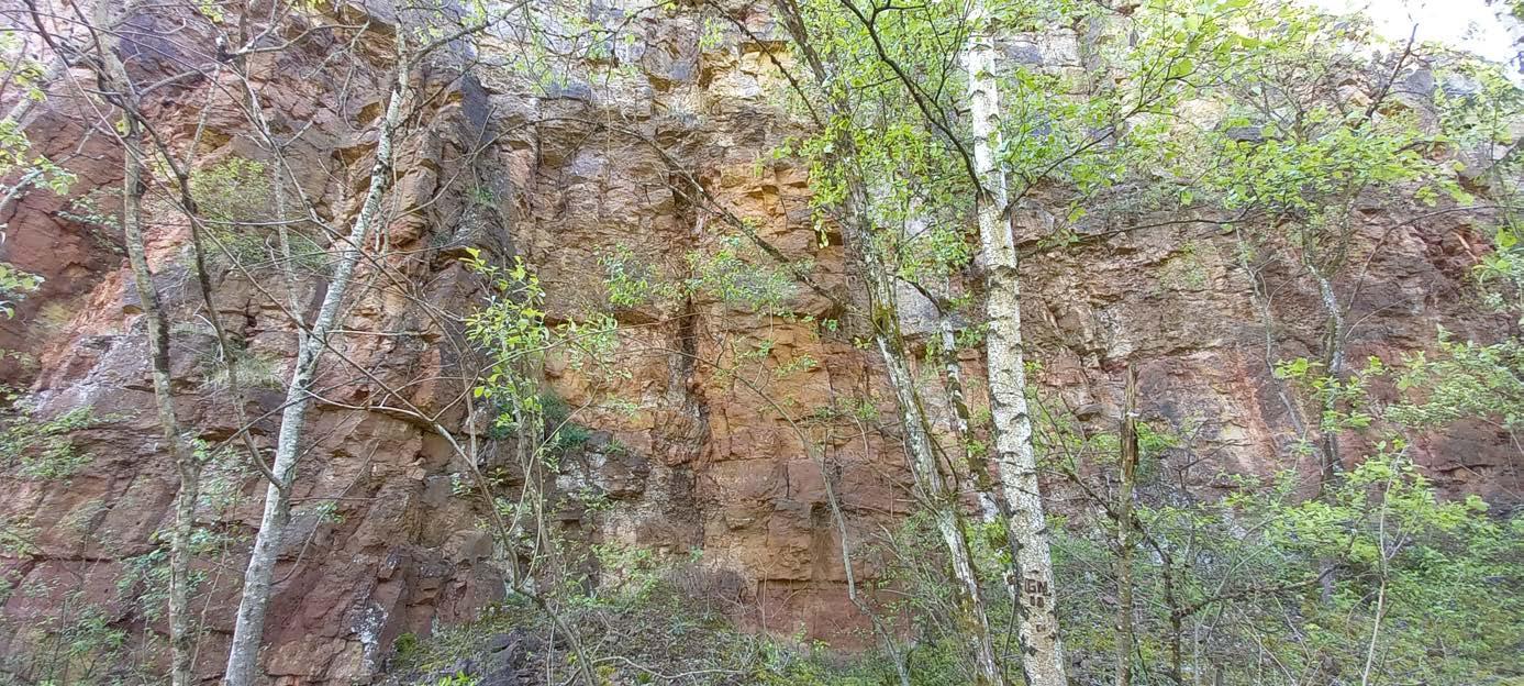
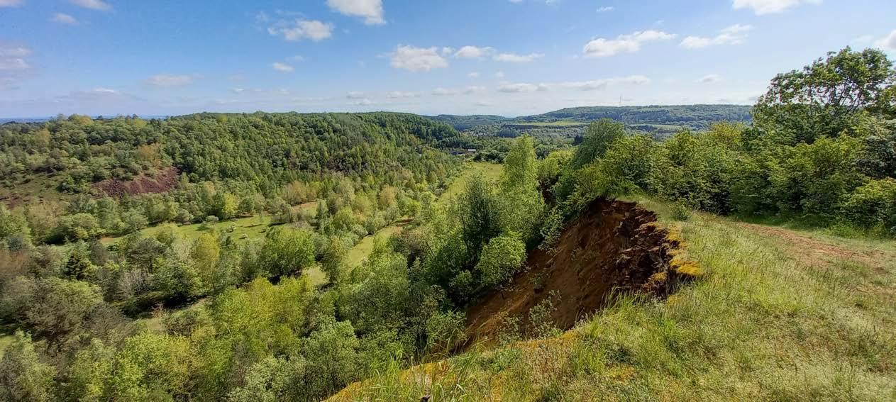
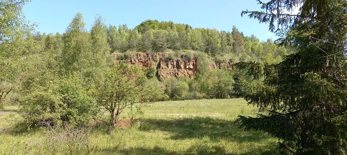
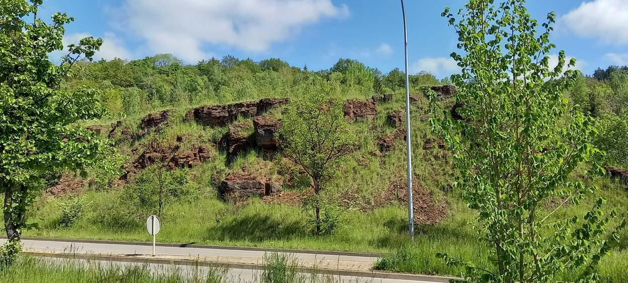
These red walls look more orange than anything, and the trees give me a hard time to see them properly.
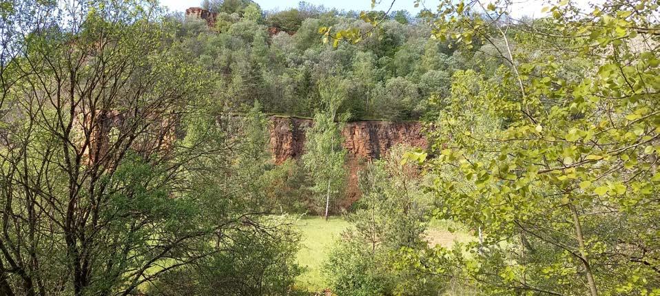
Wow! This is spectacular!!
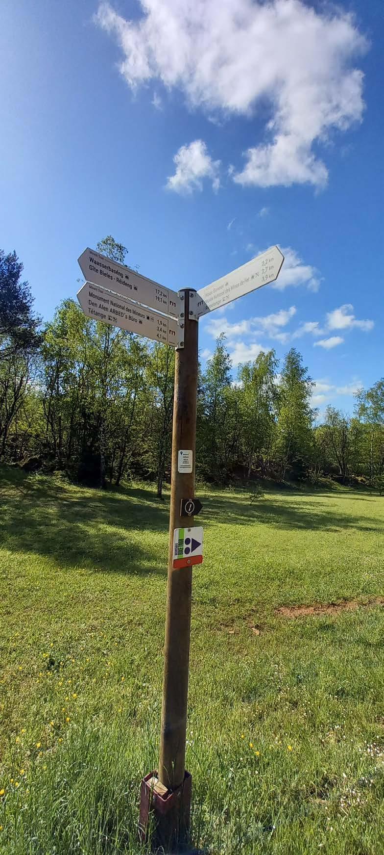
The sign at this spot isn't as clear as in other spots. So, in order to not get lost, I have created an own mind-map.
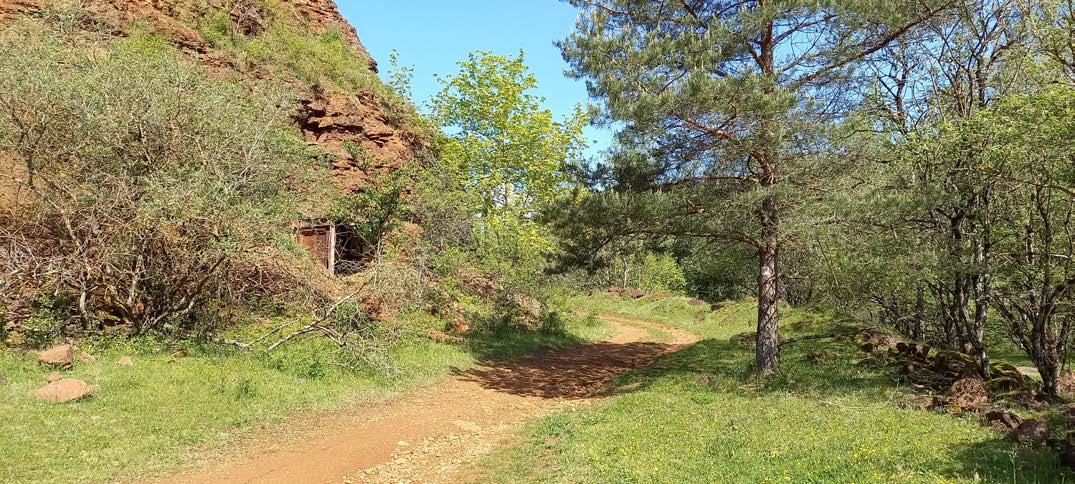
I find this on my way. I am not certain how it ended up there, but who knows maybe one day I will know it.
I think, this is an entrance to a mine that collapsed. At least it looks to me like that.
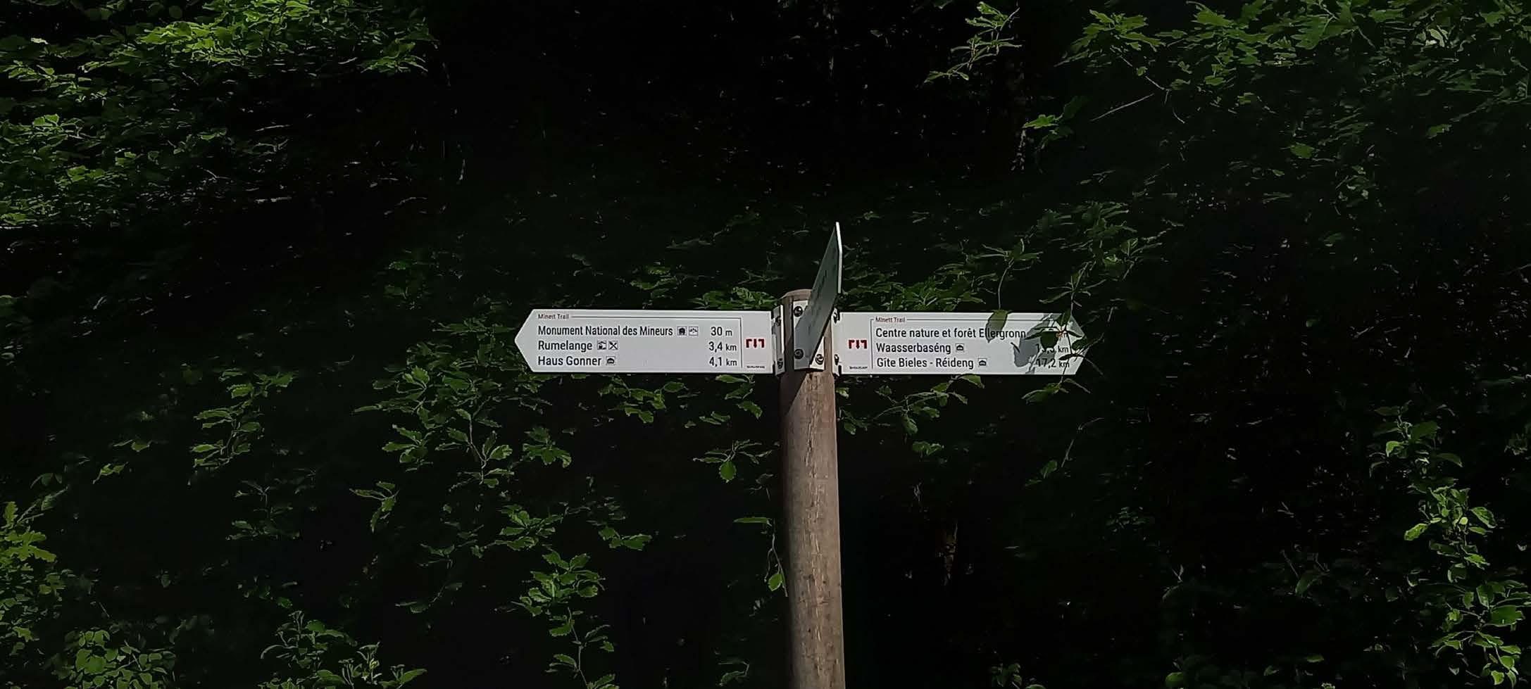
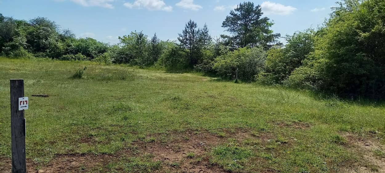
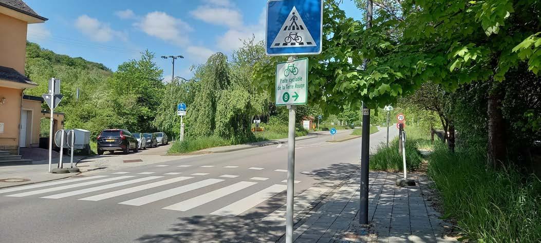
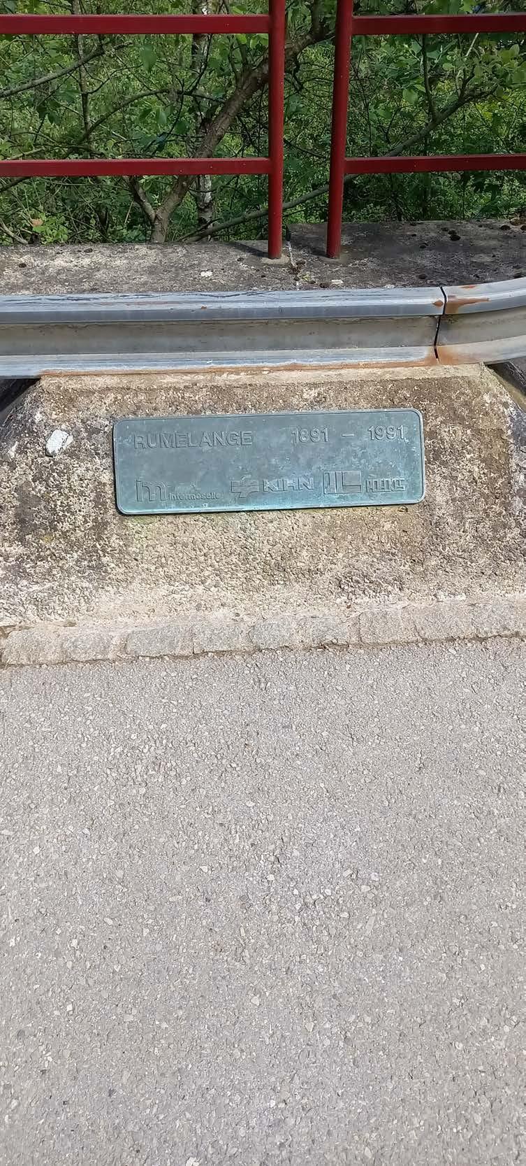
 3,9 km left to get to Rumelange. Let's get hopping.
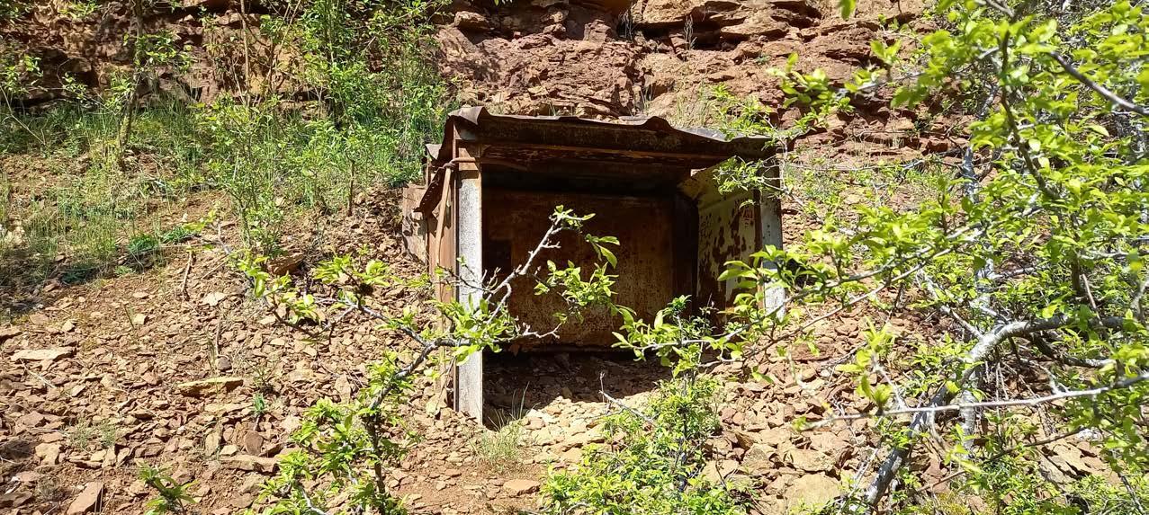
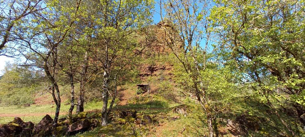
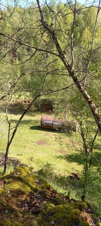
I find this odd construction that stands out badly. Every time I find something like this I feel like an archaeologist.
Let's see what awaits me!
I am not a suspicious chest...
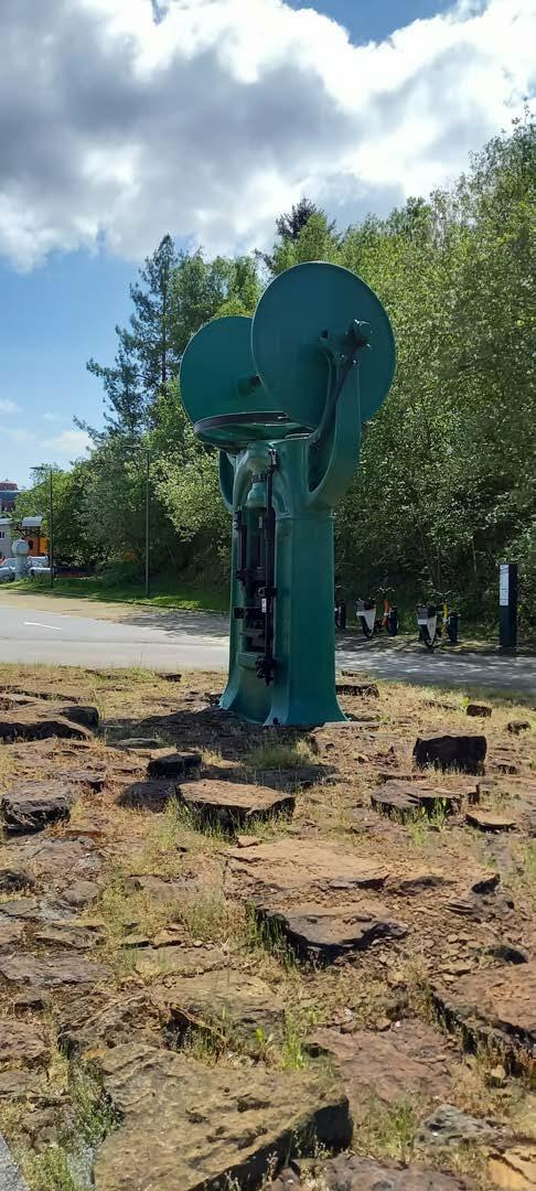
There are more of these things. Do they all belong to a mine?
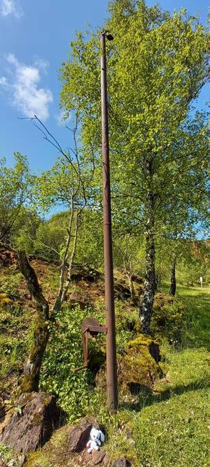
Chilly's note: I would have liked to investigate them, but the Minett Trail continues to the right.
a pond revealed itself.
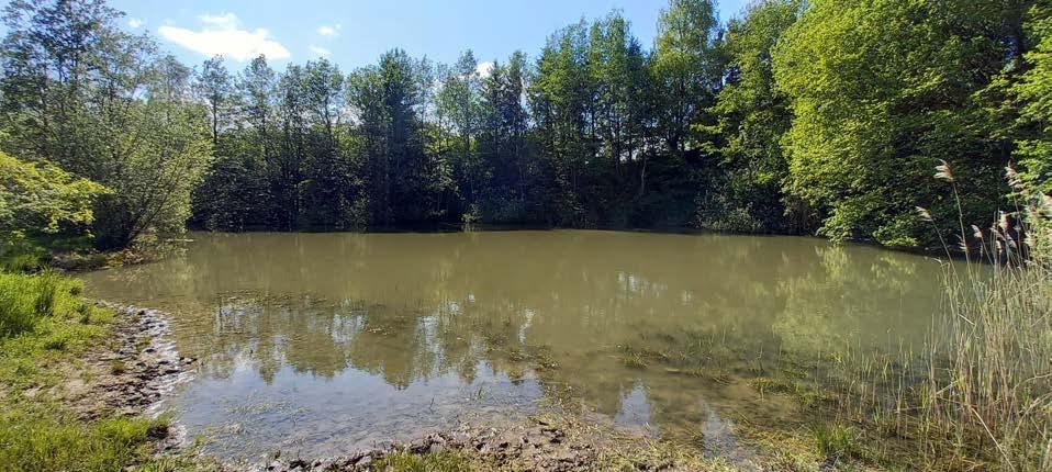
Would you look at that. No wonder the Minett Trail wants to guide me this way.
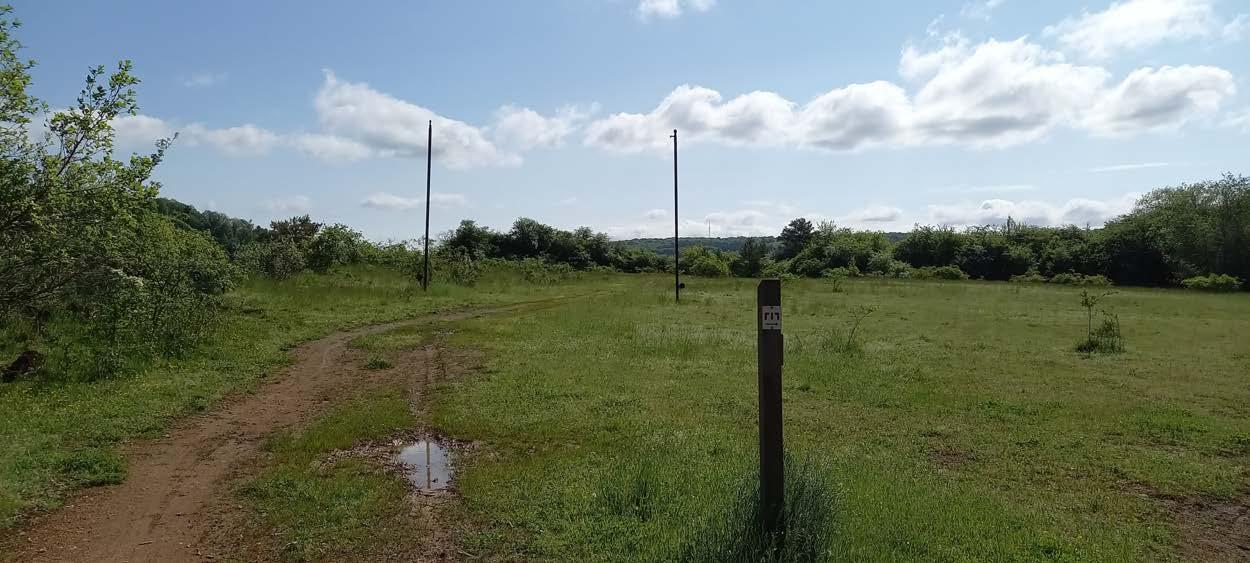
THIS section is the most frustrating part I have come across so far in my entire Minett Trail Journey. The arrow shows to the right, but be careful, you first have to move a bit further past the sign and then turn right.
Chilly's note: I call this section frustrating, because for newcomers like me this sign send me down the wrong way. Admittedly, it enables me to get a gorgeous view from the top of the mountain, but this doesn't redeem the fact that it scared me.
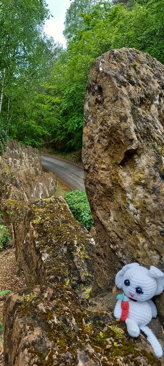
If you see this track turn back, because this is the wrong way.
With some clever thinking and with the help of google maps I manage to find the way back.
Chilly's note: I am so proud of myself that I managed to avert this crises with my own strength. EVERY PROBLEM CAN BE SOLVED with The right Mindset!
Chilling on the trail I suddenly get attacked Defensive position!
Hello there!
Enemy!

The arena is filled with rocks and the enemy attacks me , but I will win!!
Even though I won. I must say I am tired.
 POW
POW
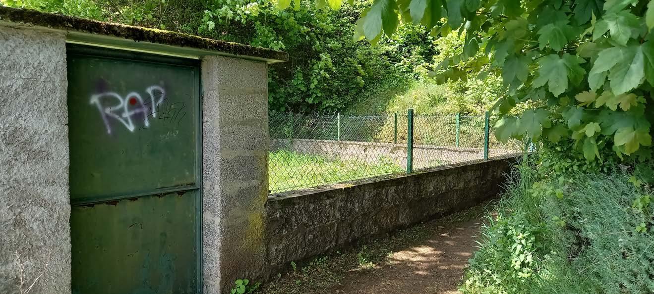
Someone is in there! I can feel it!


Suspicious shack for suspicious stuff.
 This is an archery practice place. The big red trunk is something to behold, but at least these people don't shoot at me
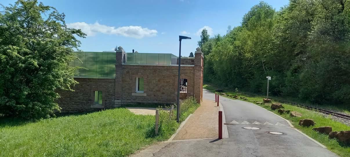
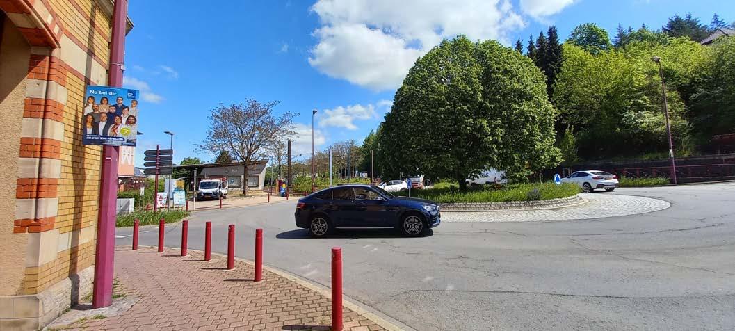
It is always a pleasure to see some houses and a street. From the map I have in my head I can say with certainty that I am in Rumelange.
I am the wind

Let's play something together
While observing those flowers I have a rundown with a dog. It is the sweetest dog I have ever encountered. This handsome fluffball jumps around like a kangaroo and smiles. Oh, it melts my heart!
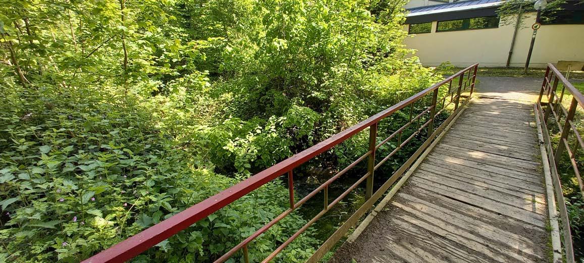
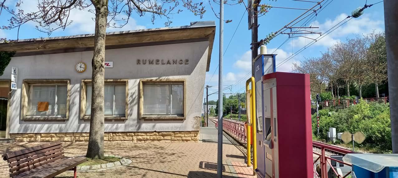
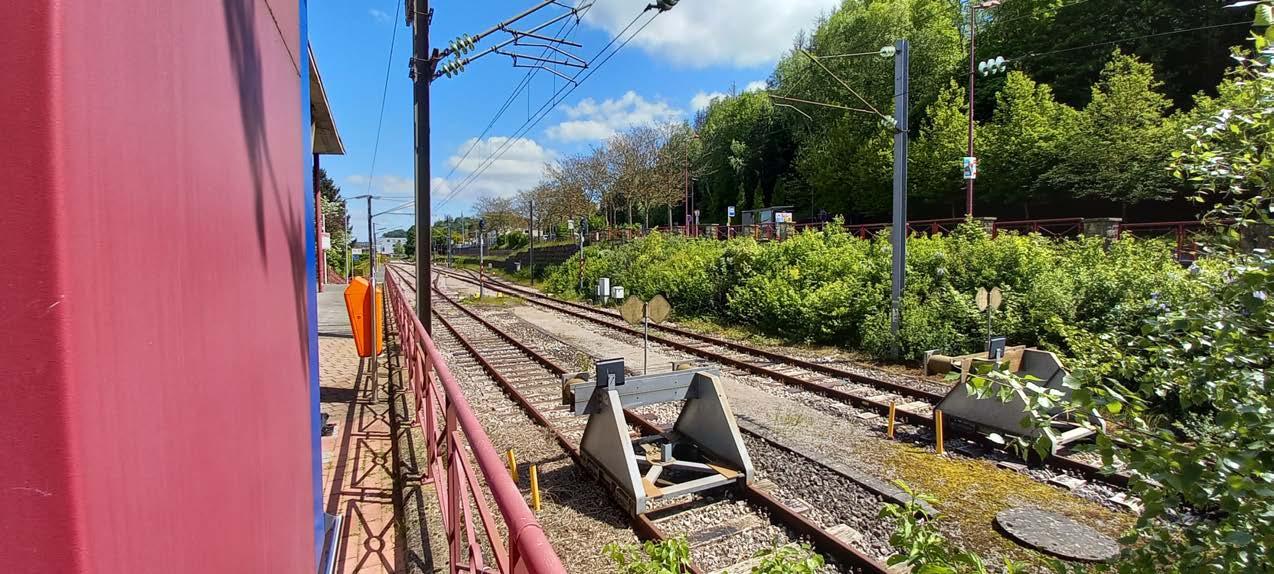
A bridge, ey? I love climbing these. Not to mention that I can see better this way. I've seen train tracks behind me this means Rumelange Gare cannot be that far.
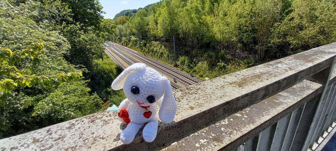
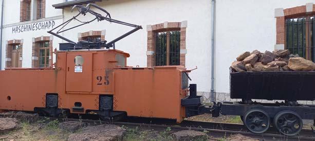
This is a weird way to station a train...But good that I know that these are not just mere trains. These look like worker trains that have been used in mines.
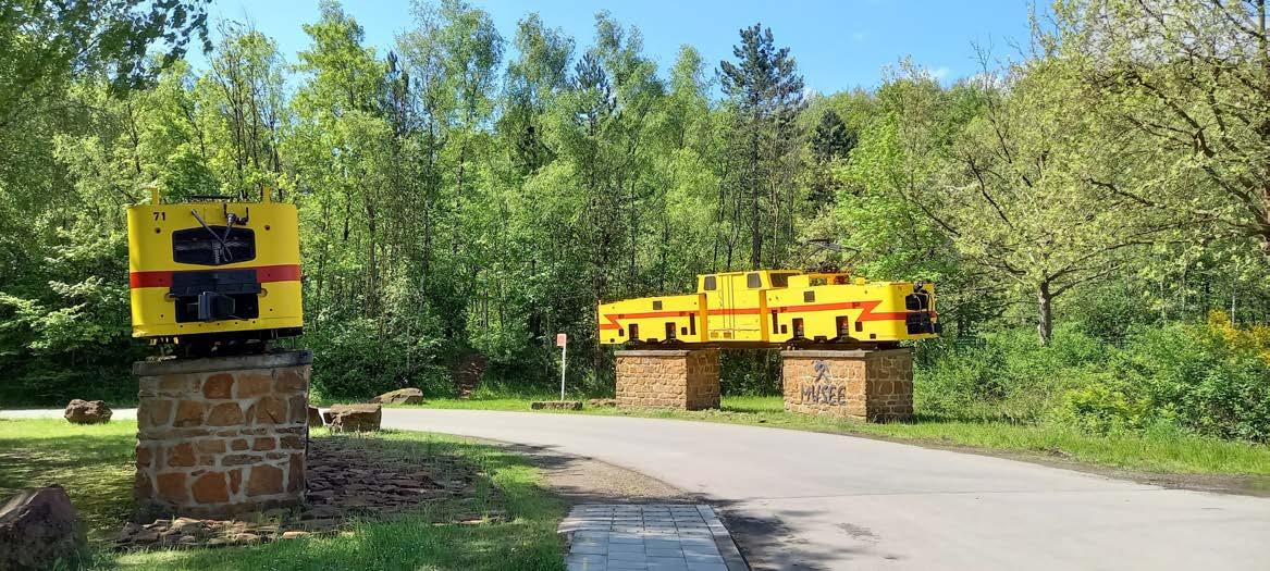
Chilly's note: I am so proud, that I know this. It may have helped that there's a sign that says Musée des Mines ahead.
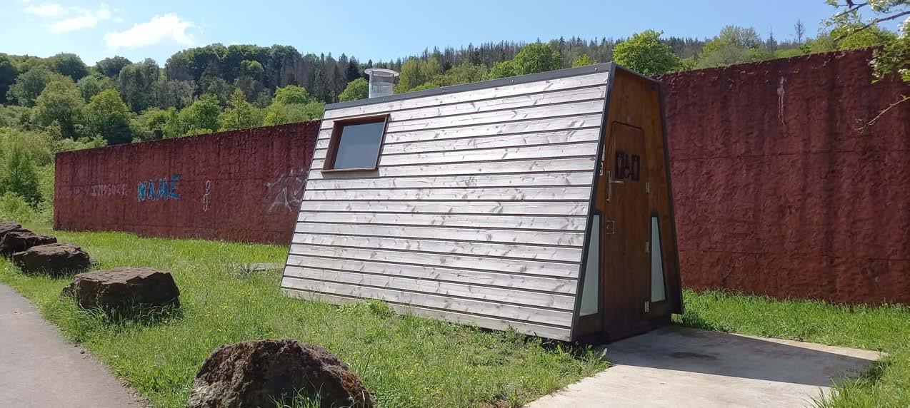
 By the way this is a toilet.
Fun fact:
Honestly, finding these Kabaisercher is difficult.
This is one of the Kabaisercher I am rarely talking about. But it is not my fault if there is no sign telling me: "Look at me I am one of many Kabaisercher"
The name "Maison Gonner" was used by the locals back in the day, and it has endured over time. Originally, it served as a mine's administrative office around the year 1900. Interestingly, during its renovation, the outer walls have been preserved, and only the interior of the building has been changed.(Maison Gonner site)
The artists involved in the project inserted handmade clay birdhouses for migratory birds in the cavities of the exterior wall.
 Maison Gonner (Kabaisercher)
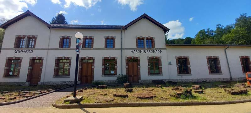
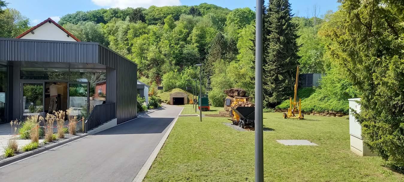
Musée Nationales des Mines
Maison Gonner (Kabaisercher)
Musée Nationales des Mines
For almost a century (1880s - 1963), iron ore was mined here in open pits and underground, and then it was transported by train to the steelworks in Rodange and Seraing (Belgium).
The museum was established in 1973, and its most spectacular feature is the guided tour that takes you through the underground mine. More info: Musée Nationale des Mines site
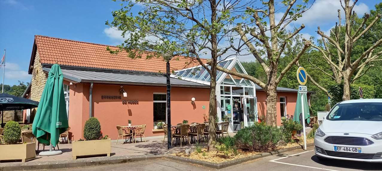
This former office for the mining operations has been transformed into a Brasserie, which means I can smell food, and it's making me hungry now.
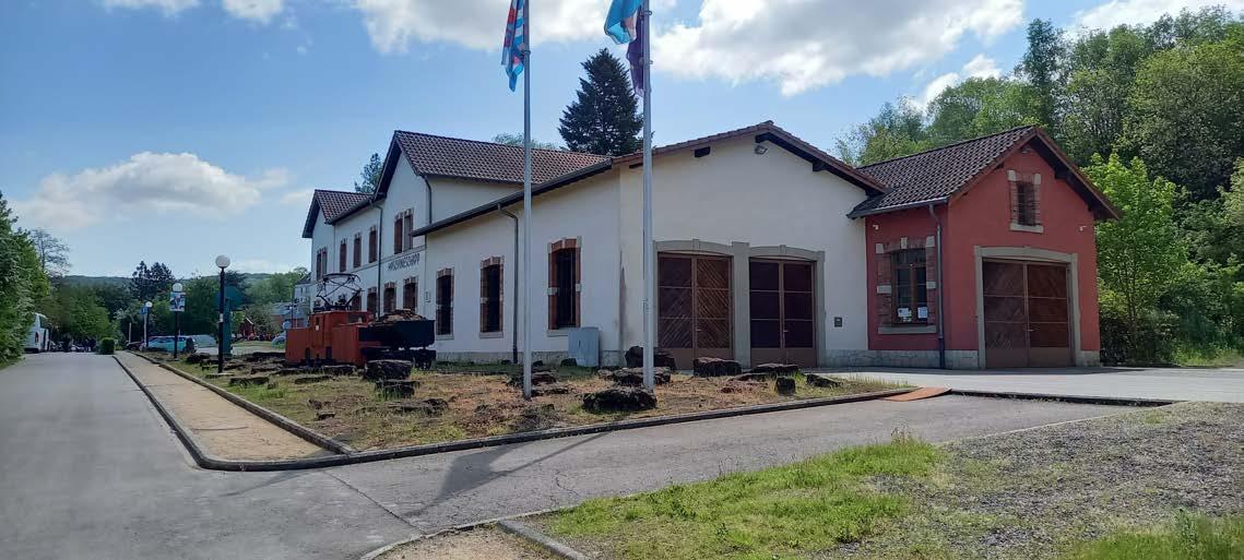
 This museum stands on the site of the "Walert" Mine.
This is the entrance to the mine "Walert". Entry is only permitted with the presence of a guide. Safety first.
This museum stands on the site of the "Walert" Mine.
This is the entrance to the mine "Walert". Entry is only permitted with the presence of a guide. Safety first.
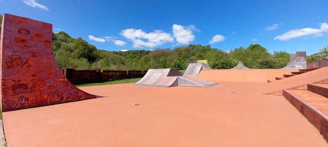
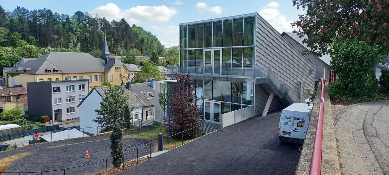
Next, we pass a building that will be a great asset in Rumelange's future.
Chilly's note: Spektrum is a fantastic facility that welcomes creative people. Moreover, visitors have the option to stay overnight and/or cook their own meals on-site. The building is equipped with everything needed, and all you need is imagination.
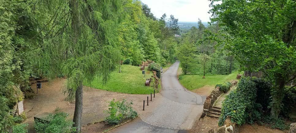
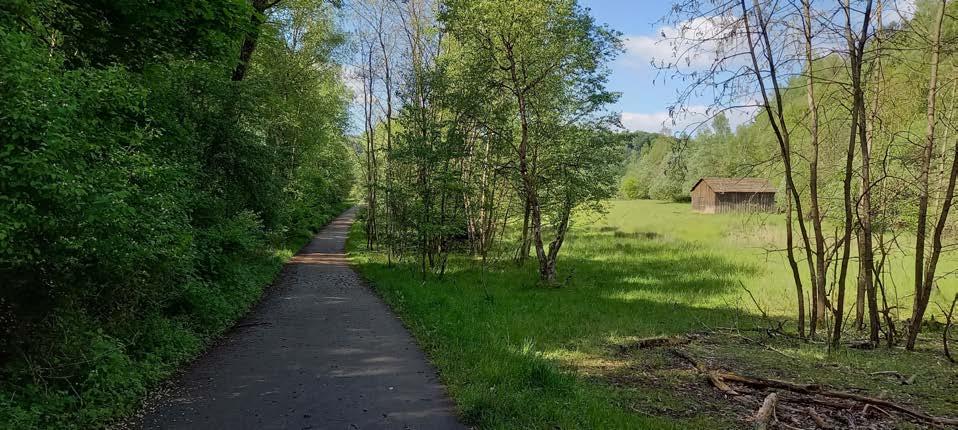
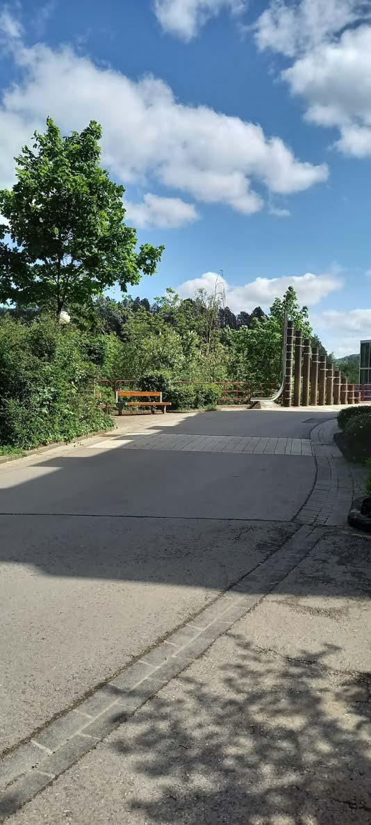
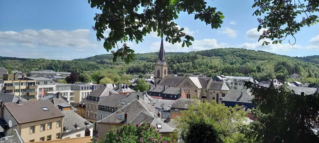
I must say this is one of the most beautiful walking ways I have encountered so far. It has a wonderful view across the entire City of Rumelange.
 Spektrum
I follow the path without falling down the stairs.
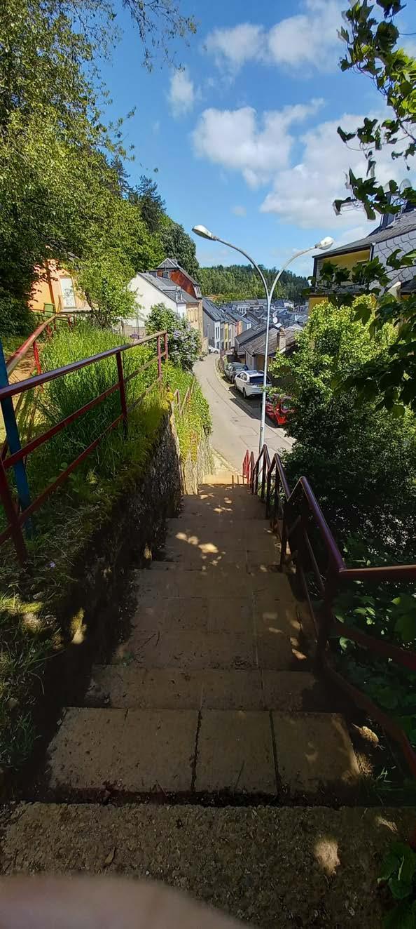

Chilly's note: I didn't expect much from Rumelange. I also couldn't picture the town well, but now that I had a chance to see it from a different view. I must say I like Rumelange now. The only downside is the transport.
I always wanted to create my own character.
Conclusion: Minett Trail: Tétange Gare - Rumelange Gare
This section has a difficult start. This stage is ideal for amateur hikers and families used to hiking. It's a magnificent trail that lets you discover the best aspects of Rumelange.
Additional Info:
Time: It took me around 3 hours to complete. My time deviates from the average 2 hour and 15 minutes, due to my photos and multiple breaks. (I always exclude my arrival and departure on public transport)
Travel with Public Transport: Train (Esch-sur-Alzette Gare) and bus (TICE lines 4, 5)
Important app: https://www.mobiliteit.lu/en/ (Public transport)
Cultural: Remarkable, it features the "Léiffrächen" nature reserve and, together with the National Mining Museum, offers a unique historical perspective on miners.
Path: Difficult, as mentioned, the start is marked by a massive climb that requires a lot of energy. This stage isn't one of the longest, but it offers rewarding views.
Accessibility:

Last note: I really enjoyed this stage. It's very varied, and the museum is not to be missed. It can be used as a tourist trail, but be warned that it's not necessarily suitable for beginners.