


By

Foothills Forum is an independent, communitysupported nonprofit tackling the need for in-depth research and reporting on Rappahannock County issues.
The group has an agreement with Rappahannock Media, owner of the Rappahannock News, to present this publication and other awardwinning reporting projects. More at foothillsforum.org.
EDITOR’S NOTE
• Jan Makela (p. 5) is a former Foothills Forum board member.
• Mary Ann Kuhn (p. 36) Is an editor for Foothills Forum and the Rappahannock News.
• Chuck Akre (p. 41) is a longtime donor to Foothills Forum.
Written by: Bob Hurley

Edited by: Paul McGeough
by: Luke Christopher
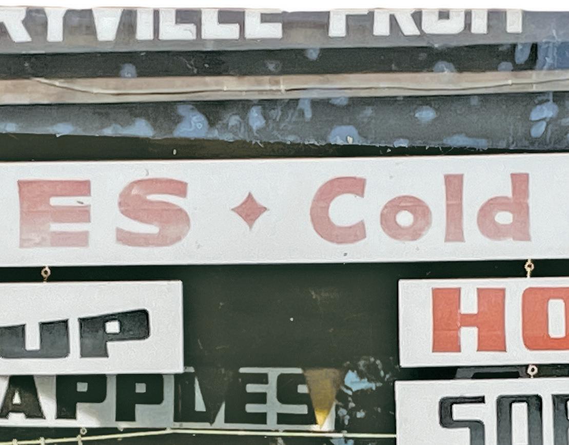
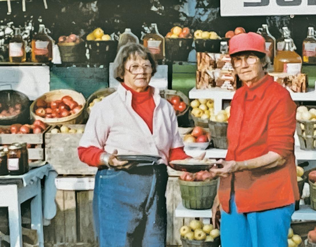
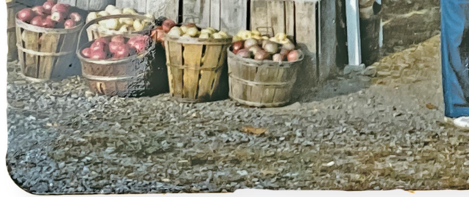
SPERRYVILLE REWIND: Emma Estes Swindler and Annabelle Estes Swindler at the Sperryville Fruit Stand, across the bridge near the Sperryville Rescue Squad. Circa 1980.
ADDITIONAL CREDITS
Above: Courtesy photo
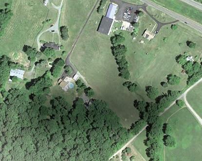
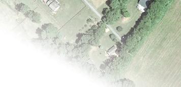
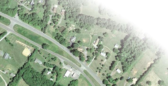
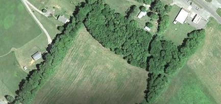
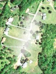
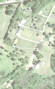
Pages 6, 36: Drone photos by Robert Stephens
Page 8: Courtesy Rapp-Culpeper Baseball
Pages 10, 21, 41: Library of Congress
Page 11: Hugh Kenny/Piedmont Environmental Council
Pages 22, 27: Rappahannock Historical Society
Page 46: Courtesy photo; Tom Pich/National Endowment for the Arts via Wikimedia
Page 47: Courtesy of Sharon Kilpatrick; NBC; U.S. Senate
© 2024 by Foothills Forum All rights reserved.


It’s often said that local news is the connective tissue that binds a community. We believe that. Through a unique partnership, the Rappahannock News and the nonprofit Foothills Forum work cooperatively to cover what’s happening each day in our community. But we also regularly step back and provide in-depth stories (with photos, video and informational graphics) that can take weeks or months to produce.
These stories might shine a spotlight on an important local issue, like the shortage of affordable housing or increased mental health struggles among area teens. They might examine inequities in local real estate taxes, or efforts to preserve our environment. Occasionally, they are moving remembrances, eulogizing those who had an impact on our community.
This publication – “The Villages of Rappahannock County” – is an example of how our journalism informs and
binds Rappahannock. It’s a compilation of in-depth stories that were produced by Foothills Forum and appeared intermittently in the Rappahannock News over the past several years. Through exhaustive reporting, Foothills’ journalist Bob Hurley captured the fascinating past – and previewed the future – of what Rappahannock County officially identifies as its villages: Sperryville, Amissville, Chester Gap, Woodville, Flint Hill and the Town of Washington.
The installments won awards from the Virginia Press Association for reporting, photography, videography and graphics. They also won praise from residents of the villages. For these reasons, we decided to compile them into this publication, which is being distributed free to the public.
We greatly appreciate the efforts of Bob, photographer Luke Christopher, veteran journalist Paul McGeough, graphic artist Laura Stanton and others for their initial work and then updating each installment
for this publication.
And special thanks to the Rappahannock Association for Arts and Community (RAAC), which helped underwrite “The Villages of Rappahannock County.”
We feel this provides a good example of how robust local journalism educates and instills civic pride. Sadly, this is no longer possible in much of America.
Across the nation, thousands of longestablished local newspapers have been shuttered over the past 20 years. Many others, facing daunting financial challenges in the Digital Age, have become “ghost newspapers” after gutting their news staffs. Small newspapers in rural areas are most at risk.
When local news outlets disappear, civic engagement declines. Voter participation drops. Misinformation spreads. Polarization grows. Without informed citizens, there’s less public discussion of governmental performance and proposals. The result: taxes, wasteful spending and corruption typically increase. And, studies show, community pride suffers.
The partnership between the Rappahannock News and Foothills Forum has helped to prevent that from happening in our community. Foothills Forum –marking its 10th anniversary in 2024 – is a nationally recognized news nonprofit that relies on donations to pay accomplished reporters, photographers and graphic artists who supplement the journalism of the short-staffed Rappahannock News. Together, their efforts have helped the Rappahannock News to be named by the Virginia Press Association as the best weekly of its size in the state for the past four years.
We hope you enjoy “The Villages of Rappahannock County.”
Andrew Alexander Foothills Forum Board Chair
Dennis Brack
Rappahannock News Publisher
FORWARD | By Janet Hackley Makela
Editor’s note: Like many residents with deep roots in the county, Janet Hackley Makela is a product of Rappahannock’s storied villages. Her family has been in Amissville for more than 150 years.
There’s something about growing up in a village in Rappahannock County that stays with you always, that pulls you back. It’s hard to explain, but it is something many of us have experienced.
In a nostalgic moment a few years ago, my older brother Larry said he felt as if we’d been raised in a Norman Rockwell painting. I had to agree. We’d had the joy of growing up in our family-owned Hackley’s Store in Amissville, where we’d gotten to know almost all our neighbors.
After college, longing for a little more fun and excitement than I thought Rappahannock had to offer my 21-year-old self, I moved to Virginia Beach. Though I loved my community there, my heart was always in Amissville. Why? The people, of course. The closeness. The way we all looked out for one another.
When our son was born in 1989, we wanted to raise him in the same “Rockwellian” world I had experienced as a child. Loving neighbors. Safe places. Open spaces. We moved home to run our family’s general store. True, some things were different, but the spirit of the place was the same. Some faces were missing, but other familiar ones were still around.
Like Sam Riley, who’d built Hackley’s with his dad in 1934. He’d given me nickels whenever we crossed paths at the store when I was a child. When I returned years later, he was still a fixture on the front porch of Hackley’s and would give my young son Joshua quarters! Different, but the same.
New faces soon became familiar friends, and we began to realize that most of these people had grown to love Rappahannock as much as those of us whose families had
lived here for generations. It was just a matter of them getting to know this special place, in this bucolic setting, to appreciate its magic. My family has been in Amissville for well over 150 years, and I’ve seen businesses and people come and go. Yet life goes on. And we adapt.
So much of what happens in Rappahannock still revolves around its precious villages. They provide many opportunities to volunteer for good causes, like our fire and rescue units, our food pantry and our churches. Many of our traditional gathering places of the past, where neighbors met to share and discuss the news of the day, have disappeared. But some new places have appeared. And volunteerism (critical to life in a village) continues to create community, as we meet new friends and join forces to make this an even better place to live. We are all essentially the same; we just want to belong, to do good, to be accepted. That is the joy of village life.
Yes, we’ve lost some population, our mills, most general stores and orchards. But life does go on. Change IS inevitable, but not to be feared — rather embraced with open eyes, good research and intelligent planning. We
are ONE RAPPAHANNOCK and yes, we are adaptable. We are at our best when we remember and honor our past as we look ahead.
Foothills Forum, an independent citizen-supported nonprofit, produces award-winning journalism about our community in partnership with the Rappahannock News. Over the past several years, the weekly newspaper has published a series of deeply researched stories by Foothills reporter Bob Hurley that have captured the rich histories of the county’s villages. They are reprinted here, along with current and historical photos and helpful explanatory graphics.
The series reinforces the importance of community and preserving our village life. And it underscores how quality journalism is a critical component of life in a rural community. True, every story may not interest us, and some may not seem particularly important in the moment. But when urgent issues arise locally, it is our local journalists who will keep us informed. They are part of us, and care about their community. As a daughter whose dad read multiple newspapers (leftleaning, right-leaning and in between) daily, call me grateful.
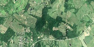
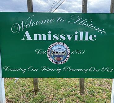
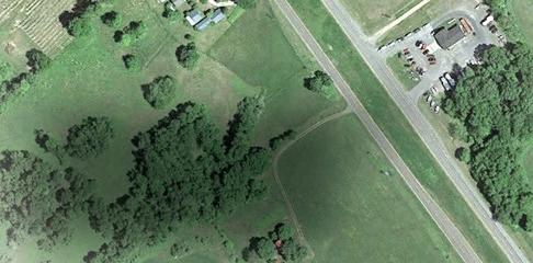
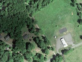
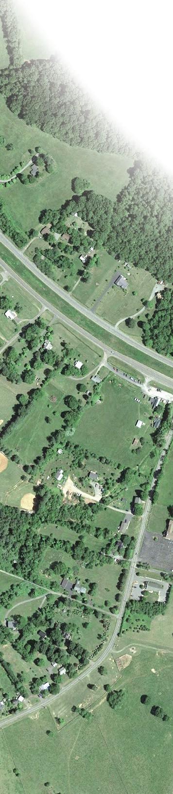
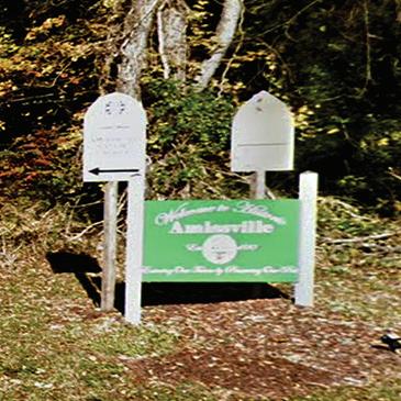
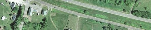
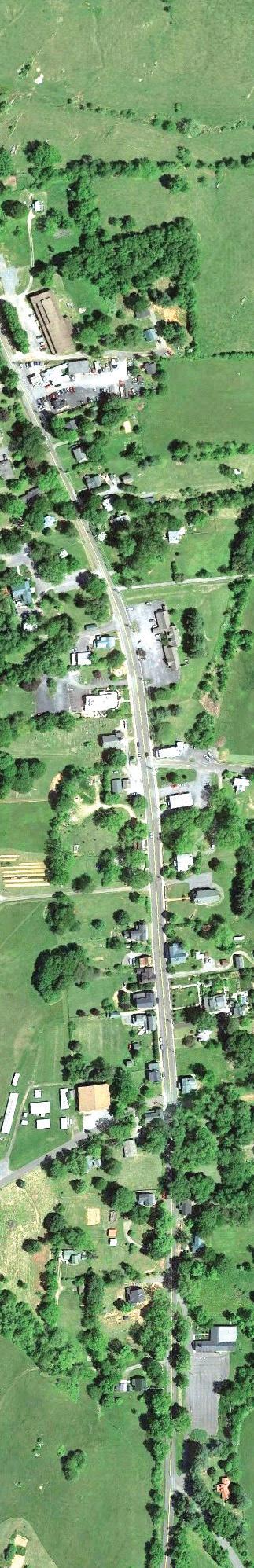
Fifty years ago, motorists traveled through Amissville on a twolane road dotted with historic homes, small hardware and grocery stores, restaurants, tourist cabins, garages and a post office. Today, most travelers on four-lane U.S. Route 211 buzz past the village, hardly noticing the village’s big green welcome signs that read, “Ensuring our Future by Preserving Our Past.”
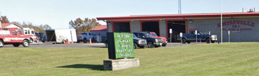
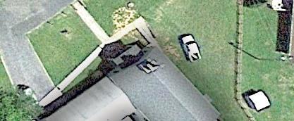
One of Rappahannock’s key villages, Amissville is the county’s eastern gateway. A handful of familiar landmarks remain along 211 – Hackley’s Store, Settle’s Cars & Trucks, Early’s Carpet, Mayhugh’s Store, the Gray Ghost and Narmada wineries and the Amissville Volunteer Fire and Rescue department.
But what lies beyond in a village that has no defined boundaries?
Just four miles east of a 1,443-acre housing and retail development being built at Clevengers Corner, Amissville residents will have to contend with increased traffic and the potential for new growth.
“With the expansion of U.S. Route 211 from two to four lanes in the 1970s, we lost what was considered our Main Street,” said Lorraine Early, a third-generation resident who, with her husband John, started Early’s Carpet in 1966. “Businesses, homes, even the fire department were lost or relocated. People used to congregate at places along the road, but now all that’s gone,” she said.
Lois Settle, a direct descendant of Joseph Amiss, of the family for which the village is named, is one of the residents who had her home moved across Route 211 to make way
for the new highway. “After they expanded (211) it was a whole lot different,” she said. “Before, there wasn’t nearly as much as traffic or as many houses.”
‘No village in the village’
Longtime resident Hal Hunter, who completed a project in 2000 to document Amissville through oral histories and photographs of historic buildings, recognizes the challenge of building a community where there is no central place to congregate. “The truth is there is no village in the village,” he said. “We need to continually look for ways to come together and talk with each other.”
In 1999, Hunter, along with Steve Miller, Jan Makela and others started an organization called the Amissville Area Community Association (AACA). Miller,
who is now a part-time Amissville resident and served as AACA’s president, said the organization’s goals were to better define the community, act as a forum to discuss local issues, and identify improvement projects.
“When Route 211 was expanded the village lost a lot of its identity and we were trying to help regain that,” he said.
In addition to sponsoring fall festivals, identifying historic structures and working on a community planning process, AACA was responsible for erecting the welcome signs now found along Route 211.
Less successful was a bid for funding for highway landscaping, historic markers, and a study of pedestrian access in the village area. In 2001, Miller presented the proposal to the Rappahannock County Board of Supervisors seeking support for state funding under the federal TEA-21 highway law. But it was dead on arrival — many in the village objected, citing safety and tax issues and worries about finding volunteers to sustain the proposed projects. Miller withdrew it and the AACA disbanded in 2002. “Perhaps we were a little ahead of our time,” said Miller.
Churches, fire and rescue, baseball
John Wesley Mills, is a technology consultant and Amissville resident who chairs the Rappahannock County School Board. An ordained minister, he is pastor of the Gathering Christian Church off Route 211.
‘When I think of what brings our community together, churches, the annual fireman’s carnival and parade, and baseball at Stuart Field immediately come to mind,” he said “Our village does not have a central gathering place, so these three things provide opportunities for residents to meet and enjoy each other’s fellowship,” he said.
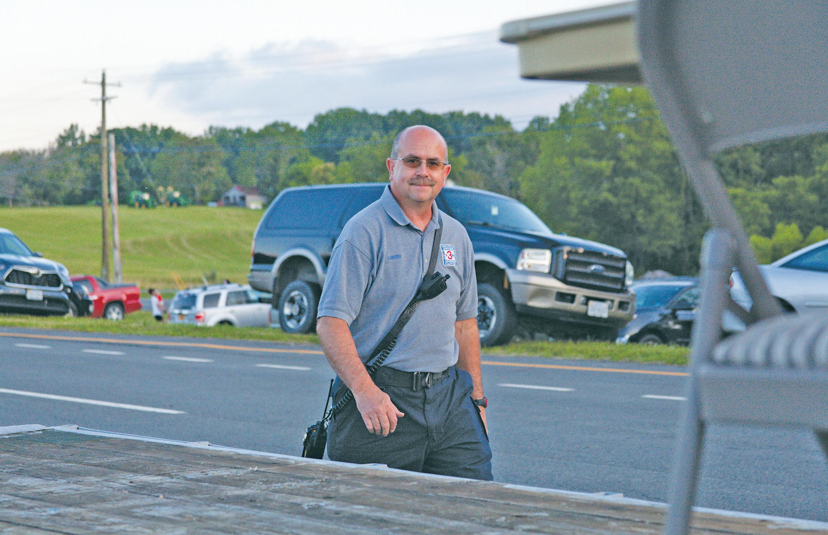
As a child, J.B. Carter remembers music drifting from the windows of the fire hall on summer nights. “Our house was across the street from the old fire hall and they would host dances there once a month,” he said. “Growing up, there wasn’t a whole lot to do, so the fire department supported a lot of activities for kids, like basketball and softball.”
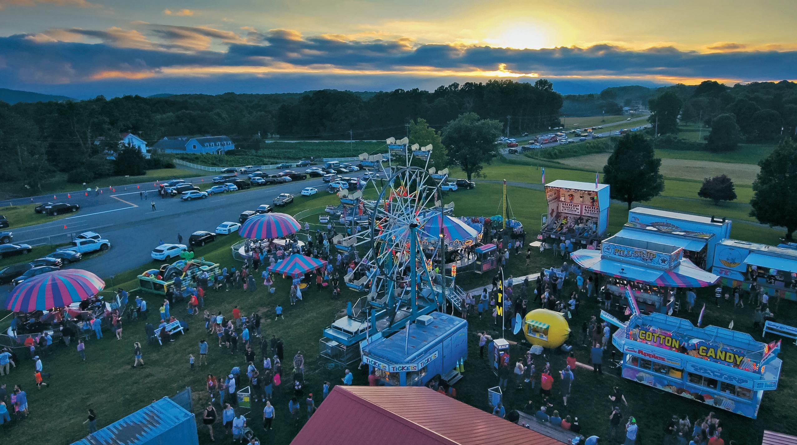
Now chief of the Amissville Volunteer Fire and Rescue company, Carter works to make sure the fire hall is a center of community life. “Covid suspended a lot of our activities like bingo, community dinners, and the big annual carnival,” he said, noting that the carnival and parade are held in June. “I know a lot of people enjoyed its return, as it is probably the village’s biggest annual event.”
Carter worries about the shrinking pool of young fire company volunteers. “I joined as a junior member when I was 14 years old,” he said. “Now the age has been upped to 16, just when kids are getting their driver’s license. Between that and the distractions of the internet, it is hard to recruit junior members who will eventually become full-fledged volunteers. Those that do join often go off to college and can’t return because it is so expensive to live here.”
Amissville has no shortage of churches — there are five in the village area. “There is a crossover among the churches for community and outreach projects,” said Frank Fishback, an ordained minister and president of the Amissville Community Foundation.
For more than 50 years, it has sponsored the Amissville Christmas Project which prepares food baskets and gifts for 100 local families each year. “This is a very successful
Peter Witkowski, pastor at the Baptist Church, also on Viewtown Rd., agreed, saying: “Since homes are spread out and somewhat secluded, people need places to enjoy fellowship and care for one another. Amissville’s churches provide those gathering places.”
Another large community event has been an annual Thanksgiving service. “Each Sunday before Thanksgiving, churches in the area would join together and host a community service of Thanksgiving,” said James Pittman, pastor of the Full Gospel Church, located on Viewtown Road. “We’ve had to postpone the service the past few years because of Covid, but hope to start it up again this fall.”
The community Thanksgiving service was restarted in November 2023.
Veterinarian Jana Froeling and spouse
Melissa Schooler operate Full Circle Equine Services in Amissville. “We have a business
“I joined as a junior member when I was 14 years old. Now, it’s harder to recruit young members. Those that do join go off to college and can’t return because it is so expensive to live here.”
J.B. CARTER
Amissville Volunteer Fire and Rescue chief event, held at the United Methodist Church, that is sponsored by many of our local churches with dozens of people from all walks of life participating,” said Fishback. “No doubt, churches in Amissville play an important role in bringing people together.”
here so it is much easier to meet and get to know people in the community,” Froeling said. Schooler, who also serves as treasurer of Businesses of Rappahannock, the nonprofit group that represents Rappahannock’s business community, added: “And of course, we’ve gotten to know people over the years through the Christmas project and fire hall activities.”
A few years back the two women were hauling a load of wood when their pickup truck broke down on Viewtown Road. “A sheriff’s deputy arrived on the scene. Shortly after that, volunteers from the fire
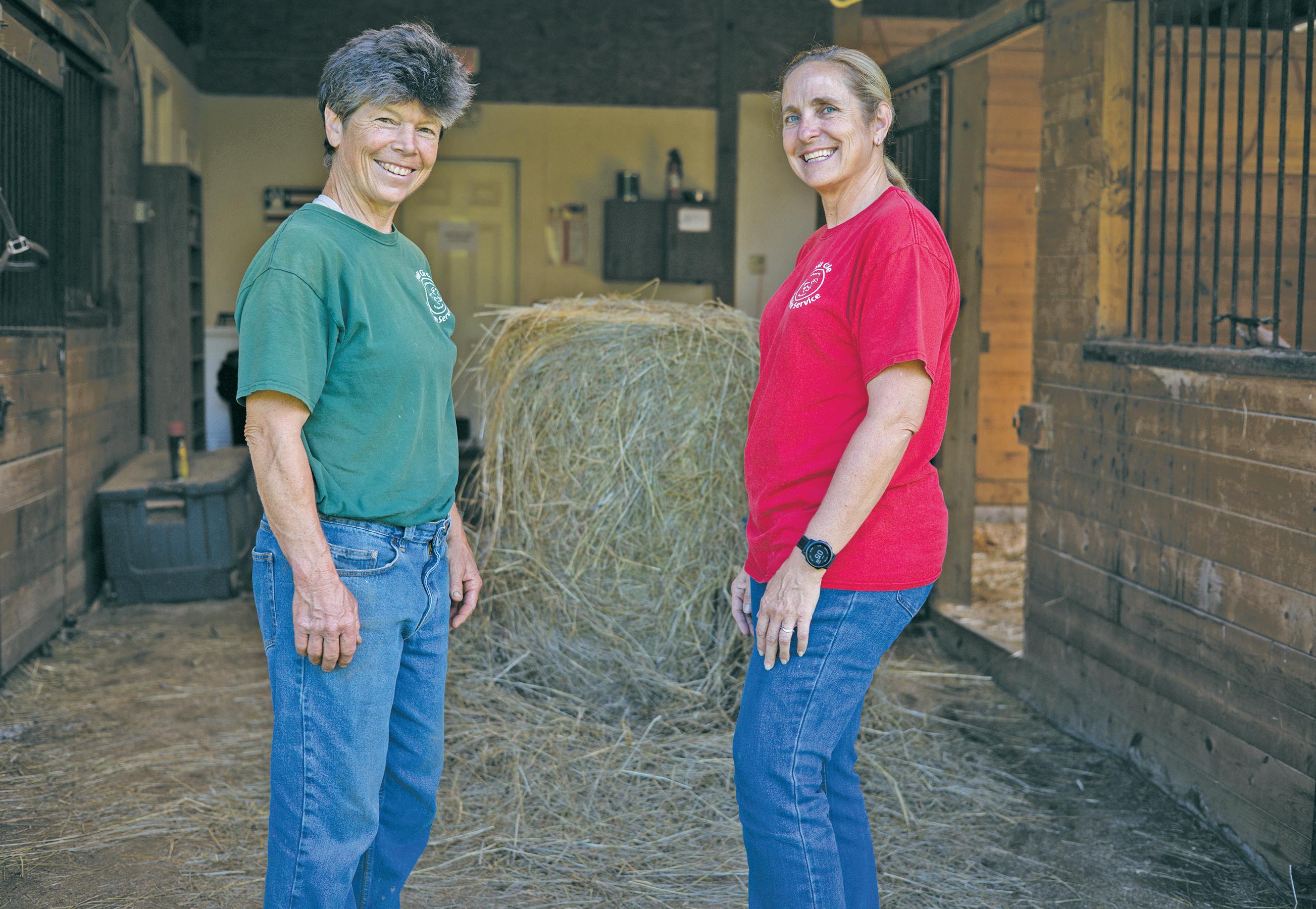
department were returning from a call and stopped to help us,” said Froeling. “They all pitched in to help us transfer the wood to another truck so we could have it towed. They couldn’t have been nicer or more helpful. It made us feel really good about the community here.”
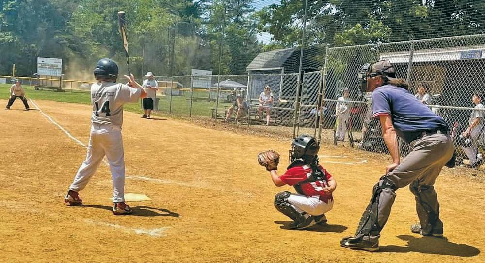
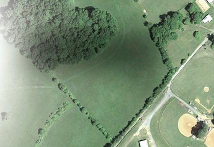
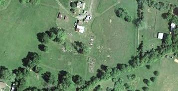
In 1975, John Early and Clarence “Boosie” Dodson asked retired U.S. Navy Capt. Luther B. “L.B.” Stuart if the Amissville Little League Baseball team could play on his land. Stuart agreed, paving the way for what has become a five-field complex off Carter Lane hosting youth teams from Rappahannock and Culpeper counties.
Stuart passed away in 1980. A few years
later his wife, Maybel, deeded the field complex to the Amissville Ruritan Club which transferred ownership to the county in 2008. The complex is managed and funded primarily by the Rappahannock Athletic Association (RAA), with some funding contributed by the county.
Wayne Dodson, son of Boosie, who serves as RAA president, explained: “We started with just one field and now we have five. I grew up playing ball there and never left. There isn’t a better place for kids of all ages, families and friends to congregate during the baseball season. This place is our local ‘field of dreams’ and it adds so much to community life here.”
Amissville resident Donna Comer, who represents the community on the Board
JANA
“They couldn’t have been nicer or more helpful. It made us feel really good about the community here,” Froeling recalls when strangers stopped and helped out after their truck broke down on a local road.
of Supervisors, has been going to games at Stuart Field since her son, Mason, was just five. “I challenge you to find another spot anywhere in the county, between mid-March through the end of October, where you might find more children and families gathered,” she said. “We’ve bonded with many families over the years watching their kids grow up playing ball. And stopping at Hackley’s Store for ice cream after a game is always a treat.”
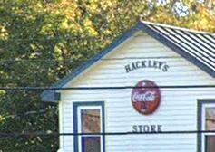
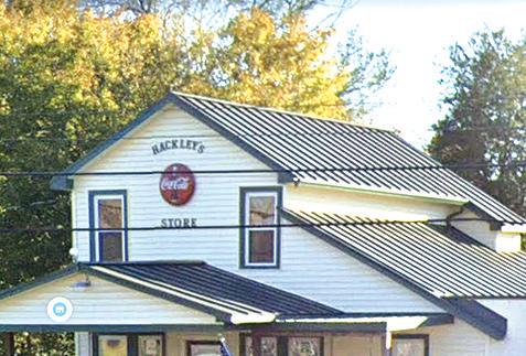
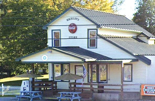
Perhaps the most familiar landmark in Amissville is the Hackley’s Store building, located at the intersection of Viewtown Road and Route 211.
“As a kid, I loved Hackley’s Store, especially the candy bins,” said Christina Loock, who lives nearby on Viewtown Road. “My sister and I would walk there to buy penny candy and Mrs. Hackley would scoop an eighth of a pound of spice drops and an eighth of a pound of jelly beans into little brown paper bags.”
Hackley’s sold more than penny candy. “It was once a full-fledged general store selling clothing, groceries, hardware, animal feed — just about anything anyone living in the country needed,” said Dorothy Hackley. Now deceased, she ran the store with her husband Graham for 57 years.
The original store was built in 1908 by Graham’s parents, L.E. and Rosalie Hackley, just across Viewtown Road from the current structure. It burned in the early 1930s and was rebuilt at its present location in 1934.
“It was a central meeting spot where members of the community could find items they needed, then sit around the old wood stove or on the porch and exchange news and gossip,” added Dorothy’s daughter, Jan Hackley Makela. “In later years, bluegrass bands and musicians would play on the porch and neighbors would come to listen or dance in the parking lot,” she said.
Bill Anderson, a former member of the Board of Zoning Appeals and an Amissville resident since 1965, said of the store’s founders: “Mr. and Mrs. Hackley were two of
Present-day Amissville was first settled in the mid-1700s on tracts of land granted by Lord omas Fairfax. Joseph Amiss and Edmond Bayse each purchased significant acreage from those tracts.
As the Amiss and Bayse families grew and acquired more land, and new settlers arrived in the area, a post o ce was needed. But there was no name for the new village. Legend has it, both the Amiss and Bayse families wanted to claim the name of the village. It was decided that landowners in the area should put it to a vote. e Amiss family won by one vote. Hence the name “Amissville.”


From 1889 until 1960. Tapp’s general store, located at the corner of Hinson’s Ford Road and Route 211, ran an undertaking business. Bodies were transported in a fringe-topped, horse-drawn hearse.


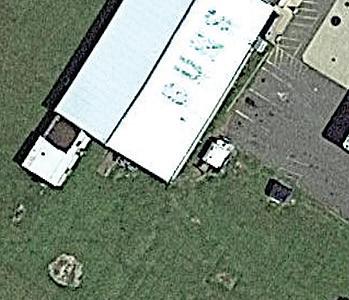
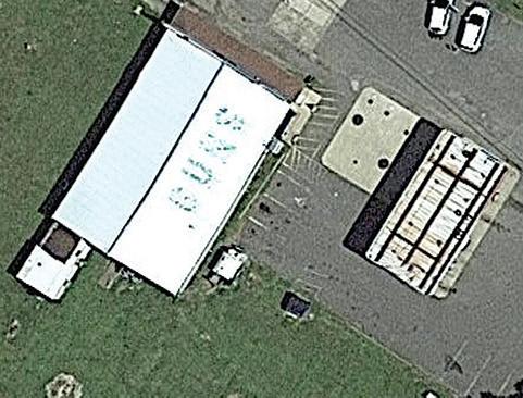
What is now Mayhugh’s store and gas station once housed the Bel-Air Restaurant, a popular bar and dance hall. It was also a general store and gun shop. e faint lettering “GUNS” is still visible on the roof.


Tapp’s


e two-room, one-story Amissville public school was built in the early 1900s. Ira Beatty, father of movie stars Warren Beatty and Shirley MacLaine, taught there around 1925. Amissville also had several “graded” schools” for African American students, built with financial assistance from the Rosenwald Foundation.


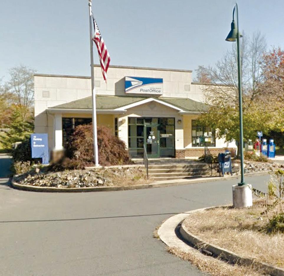
The Amissville post office on Viewtown Road serves portions of all three counties. Zip code 20106 stretches west from Clevengers Corner to Ben Venue, and north from Viewtown to Crest Hill Road.


Today, compared to other areas of the county, Amissville sends the most kids to Rappahannock public schools – some 25% of the student body. Some suggest housing in Amissville may be more a ordable, and working parents are able to live closer to their jobs in Warrenton, and areas in Northern Virginia.
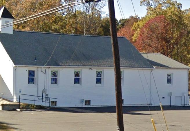
Organized in early 1870s, Bethel Baptist Church on Viewtown Road was likely the first African American church in the county.

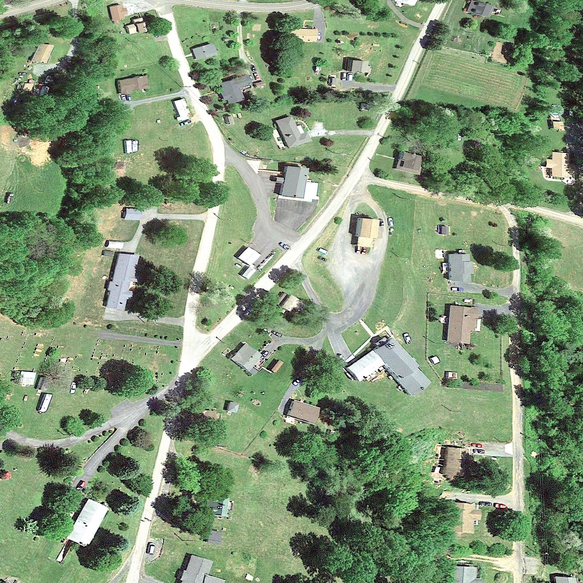
The heart of Amissville (Detailed below)


ree counties come together in the area. Many properties are split by county boundaries.


people think Battle Mountain is named for General George Custer’s attack on Confederate troops in 1863. Not so. e Batailles, a French Huguenot family that settled in Amissville, changed their name to “Battle” when they arrived in America.


and rescue station was


Present-day Amissville was first settled in the mid-1700s on tracts of land granted by Thomas Lord Fairfax. Joseph Amiss and Edmond Bayse each purchased significant acreage from those tracts.
As the Amiss and Bayse families grew and acquired more land, and new settlers arrived in the area, residents asked the government for a post office. But there was no name for the new village.
As the story goes, both the Amiss and Bayse families wanted to claim the name of the village. To settle the dispute, it was decided that landowners in the area should put it to a vote. The Amiss family won by one vote.
Thomas Amiss, one of four sons of Joseph Amiss, was appointed first postmaster of newly named Amissville in 1810.
Through the mid-1800s the village grew. The United Methodist Church on Route 211 was founded in 1829. Construction of the SperryvilleRappahannock Turnpike provided access for farmers to transport their goods by fourand six-horse wagons to canals on the Rappahannock River and roads to Warrenton and Falmouth near Fredericksburg.
Although Amissville did not see major action during the Civil War, two minor engagements are worth noting.
In November 1862, following the Battle of Antietam in Maryland, Confederate General J.E.B. Stuart and his cavalry units were in the vicinity of Amissville, traveling to Culpeper. At Corbin’s Crossroads (now the intersection of Seven Ponds Road and Viewtown
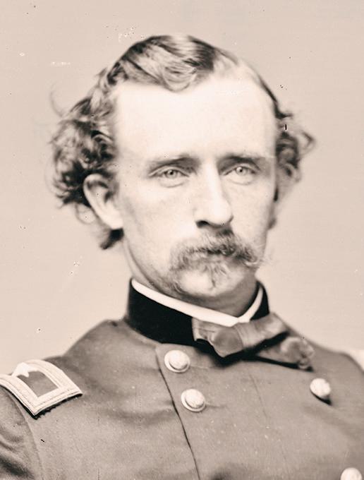
Road), about a mile south of Amissville, Stuart came upon Union cavalry forces. During the engagement he narrowly escaped death. Just as Stuart turned his head, a bullet whizzed past, clipping off half of his mustache.
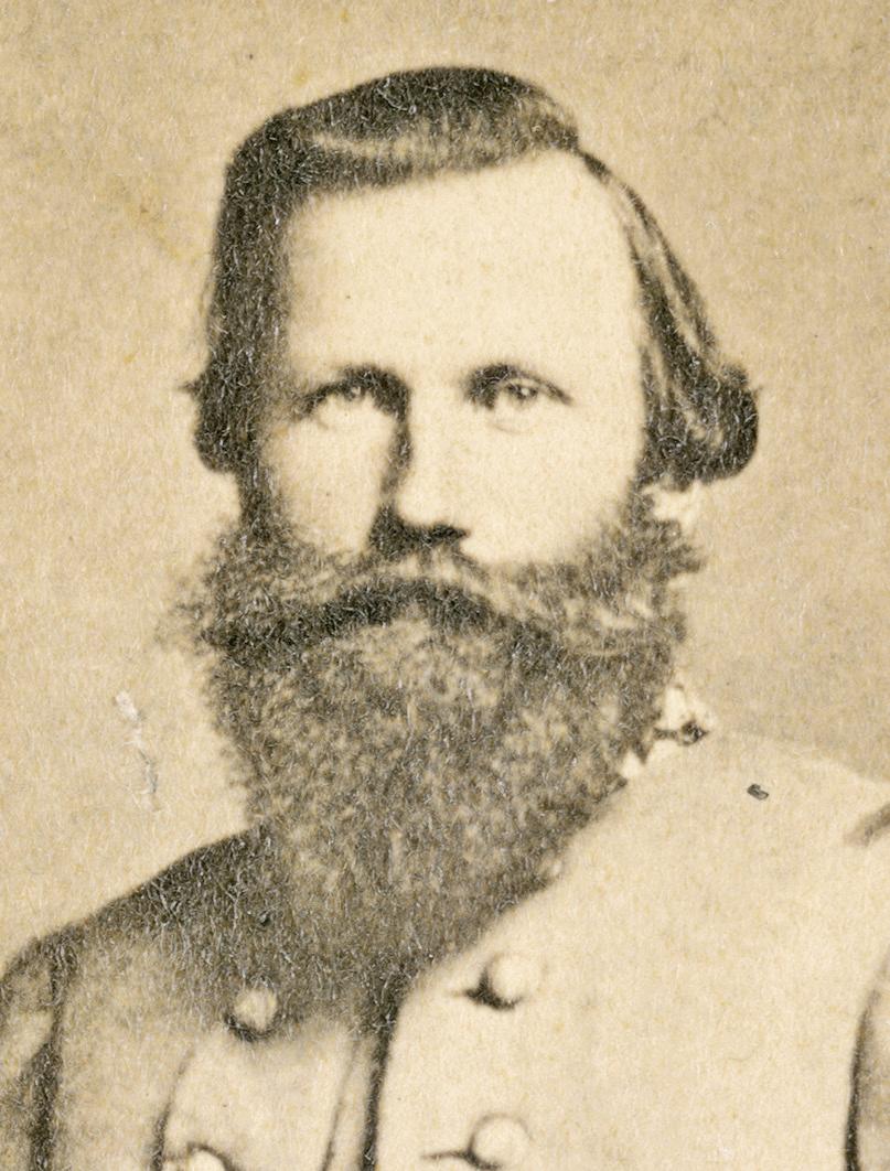
Following the Battle of Gettysburg in July 1863, thousands of Confederate troops were retreating through Chester Gap and south to Culpeper on Richmond Road.
Union Gen. George A. Custer and his Michigan cavalry and artillery battery were camped in Amissville. They scouted the Confederate forces not realizing about two-thirds of the Army of Northern Virginia was moving through the area. Custer stationed his troops on the southern shoulder of Battle Mountain about five miles west of Amissville. As his cavalry and artillery units engaged the Confederate forces, Custer realized he was vastly outnumbered and retreated to Amissville, bushwhacking his way back to camp.
After the Civil War the village continued to grow. It boasted merchandise stores, sawmills, grist mills, carriage makers, wheelwrights, tanners, a doctor and a dentist.
Around the turn of the century, churches, small oneand two-room schools, homes, stores, garages — even an undertaker — sprouted along Viewtown Road and the old turnpike, which would later become U.S. Route 211.
With the opening of Shenandoah National Park in 1935, Rappahannock County was a primary access point to the park. Amissville became a major tourist stop along the way. Tourist homes and restaurants such as Lom-BarDy Tourist Court and Lunch Room, Bel Air Tourist Cabins, and Mountain View Tea Room and Tourist Cabins did a brisk business. As visitations to the park increased, especially in the fall months, Sunday traffic returning to Washington, D.C., would often back up all the way to Warrenton.
In the mid-1970s, Lee Highway was widened to four lanes. Many homes, businesses, and other buildings on the northern side of the road, were torn down or relocated to make way for the expansion, including the fire house which was rebuilt on its present location in 1974.
the finest people you could ever meet. They always helped anyone who needed it.”
In 2023, the store began operating as the Corner Deli Market, but closed after almost 18 months. The business owner, Ernesto Elias, did not cite a reason for closing but, in a Facebook post, he thanked past customers for their support. The Hackley family, which still owns the store, is in discussions with potential lessees interested in providing food service. “We have a lot of interest and I hope we can find a tenant with a good business plan and strong marketing skills,” said Makela.
Across Viewtown, on the site of the first Hackley’s store, Pam and David Jenkins opened 211 Veggies and More in August 2020. “We used our savings to set up a small outdoor market selling vegetables and plants mainly on weekends,” said Pam Jenkins. “We felt a market like this was needed at this end of the county. With more people visiting the country during the pandemic, we’ve been able to make a go of it,” she said.
The Jenkinses, who report business is going well, are working to update the adjacent building and expect to sell handicrafts and specialty items inside by late summer 2024.
A third-generation resident of Amissville, Pam Jenkins, who retired from Rappahannock County Public Schools, doesn’t feel there is enough for kids to do in the village. “If I hit the lottery, I’d build a recreation center for them,” she said.
McKenna Torosian, who recently graduated from Rappahannock High County School and lives on Goldfinch Lane, suggested a sidewalk along Viewtown Road. “Having a sidewalk where kids could stroll to Hackley’s Store or other places would be nice,” she said. “It is dangerous walking along the road.”
Just four miles east of Amissville sits Clevengers Corner — the intersection of Route 211 and Rixeyville Road in Culpeper County. Rising there now is Stonehaven, a mixed-use development with up to 776 housing units which are selling briskly. According to Saadeh Partners, responsible for building and leasing retail space, an initial phase with shops, restaurants and other services is expected by fall of 2025. A planned second phase of the development is to include bigger commercial businesses, such as a grocery store and hotel. Amissville residents have mixed views about the project’s impact on the village. Most worry about increased traffic and commute times to Warrenton and Northern

Virginia. Of less concern is the potential of future development that would compromise the rural nature of Amissville. Many welcome the possibility of commercial services available closer to home.
Donald Brown, who lives on Battle Mountain Road and whose family roots in Amissville go back to the 1800s, shared concern about the possible increase in traffic but is pleased that restaurants and other services may be a little closer.
“Traffic is going to be a problem but most of us will end up shopping there,” he said. “The project might even spur some additional development in the Amissville village area. That would be great for the county’s tax base, but the people in Amissville have to be included in any decisions affecting future growth. That hasn’t always been the case.”
Real estate agent Kaye Kohler, who lives on Sam Riley Lane off of Hinson Ford Road, isn’t overly concerned about development pressure migrating from Stonehaven to Amissville. “We have strong zoning laws and as long as we continue to follow them, we should be protected,” she said.
“Amissville is physically positioned such that growth, while at a slow pace, is coming,” said Donna Comer. “We need now, more than ever, to be very intentional and strategic in community planning,” she said. “As more folks move into Culpeper and Fauquier and discover the beauty of the Shenandoah National Park, Amissville becomes the gateway to the mountains. What happens when this ‘sleeping giant’ awakens depends
in large part on what county leaders do now.”
Noel Laing’s family moved to Amissville in the early 1920s and he grew up in the area. “It’s anybody’s guess on how property values will be affected, but it might put pressure on this end of the county for rezoning with reduced acreage requirements, or some moves to concentrate housing around what might be a village in Amissville,” he said.
Ron Makela, Amissville’s representative on the Board of Zoning Appeals, knows of at least two 100 acre-plus parcels along Route 211 near the village area that could be developed. “Although they are zoned for agriculture, given their proximity to 211, a developer could apply, or even sue, for rezoning on the basis of satisfying a need for affordable housing,” he said. “The law requires we take steps to provide affordable housing. We know there is a shortage of it in the county, and other than the Rush River Commons, not much is being done to encourage it,” he said.
In 2022, the Planning Commission brought in a consulting firm, The Berkley Group, to analyze the county’s zoning ordinances and make recommendations for updating land use rules. The group’s report can be found on the county’s website. Although the commission and BOS have had numerous briefings, meetings and hearings on the report, no final action has been taken to update the zoning ordinance.
“Residents should pay close attention to this process,” said Makela. “It could have significant impacts on how we plan for future development, not just in Amissville, but the entire county.”
Jan Makela continues to think about how a village center might be created in Amissville. “It would be wonderful to define the boundaries of Amissville so we could have a small commercial center, a place for people to meet,” she said. “Maybe start with something small like a walking trail from Stuart Field over to Hackley’s, and up to the post office. I’d like to start a conversation about it.
“Before my brother Larry passed away last year, he was reflecting on growing up in Amissville. He said, ‘I feel like we grew up in a Norman Rockwell painting.’ I had to agree. We were surrounded by friends and family who loved us, watched out for us, and really cared about us, and we always tried to return the favor. That’s the joy of living in a small village like Amissville.”
Originally published June 30, 2022

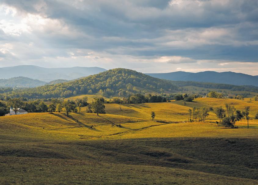
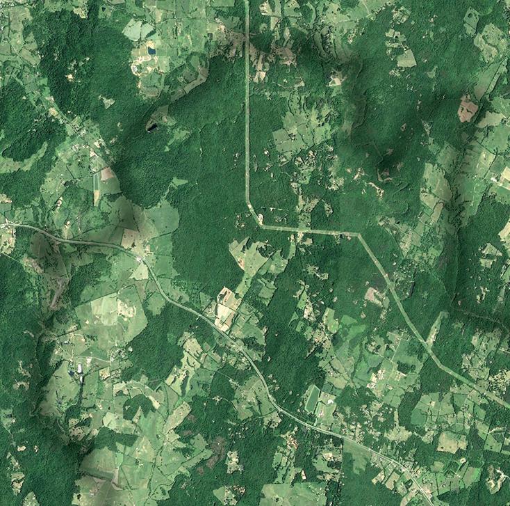
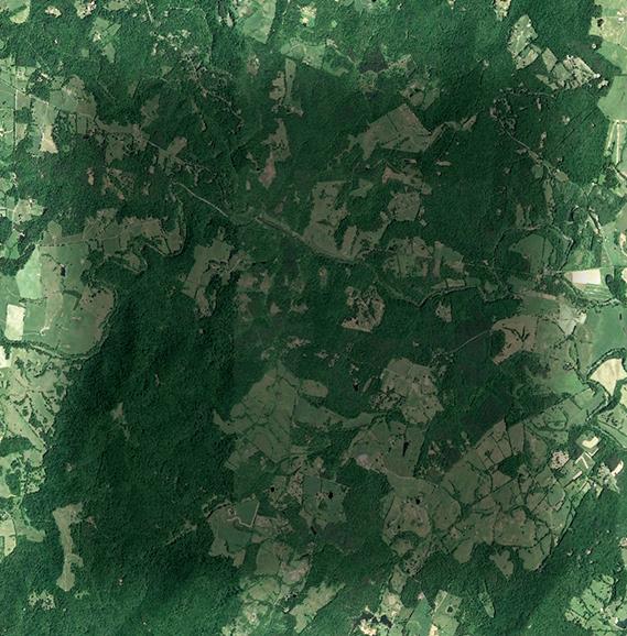
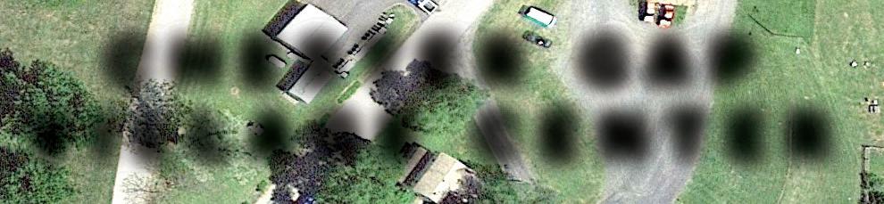
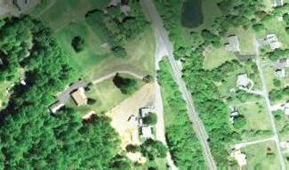
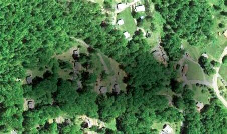
It is the most densely populated village in Rappahannock County. It has its own voting precinct. It adjoins Shenandoah National Park and is home to the headwaters of the Rappahannock River. At 1,670 feet it has the highest elevation of the county’s villages, thereby experiencing its own harsher weather.
It has more than 800 residents and about 300 homes. But with no shops or stores, and just one road in and out, chances are residents who live elsewhere haven't spent much time in this corner of the county.
Chester Gap – or “The Gap,” as many residents call it – snuggles up to the mountains where the boundaries of
Sisters Jesse Wines and Mattie Frazier, whose family has lived in Chester Gap for generations.
Rappahannock, Warren and Fauquier counties meet. Its main thoroughfare, Chester Gap Road, runs west from U.S. Route 522 to a dead end at a Shenandoah National Park (SNP) trailhead.
Newer residents and those whose families date back generations love the place. Housing is more affordable, they say; neighbors look out for each other; and access to services like groceries, medical care, restaurants and entertainment, including a movie theater and bowling alley,
are in Front Royal, just five miles down the north side of the mountain.
Trey Williams, with his wife Tiffany Matthews and two daughters, moved to a house on Skyway Lane in 2017. “We looked to purchase a place in the area for about three years,” he said. “We were looking for an area that we liked, had good schools, and a home we could afford. Finding that trifecta was difficult.”
Tiffany, who serves on Rappahannock’s nonprofit Family Futures board and advises the county’s Department of Social Services, added: “One of the benefits of living here is you have the option to go to close-by Front Royal for services, but also participate in school and social activities in Rappahannock.”
A key Civil War throughway to orchard powerhouse
Little has been written about the history of Chester Gap. Once inhabited by the Manahoacs, a Native American tribe, the village’s European settlement dates to the mid 1700s, when Thomas Chester purchased land on the western edge of what now is the village. Chester, who ran a ferry across the Shenandoah River near Riverton in the 1730s, was considered a founding father of Front Royal.
Over the years, a road was built from the ferry along current Route 522 to what was then known as “Chester’s Gap,” and eventually into Rappahannock County. An old highway toll house that stood along Route 522 near the top of the mountain was moved in 1995 to a private property in nearby Huntly.
During the Civil War, Union and Confederate armies fought for control of gaps in the Blue Ridge Mountains that led into and out of the strategically important Shenandoah Valley. Chester Gap was a key access point. During the war, soldiers from both sides camped in the area.
The first notable use of the pass was in July 1862, when Gen. Nathaniel Banks' corps of the Union Army of Virginia marched from Winchester through Chester Gap en route to its monthlong occupation of Rappahannock County.
At the time, Annie Gardner, who lived just below Chester Gap near Front Royal, observed in her diary:
July 5, 1862: “Cavalry went over toward Flint Hill this morning early, been coming back in small companies all the morning, have heard no news from Front Royal, suppose no fighting there as the Yankees look as consequential as ever.”
July 7, 1862: “Yesterday they (Union troops) drank up all the milk in the spring house, and took some of Pa's hay this morning, they have been all over the yard,
in the spring house, in the meadow, up the Cherrie trees, almost broke them to the ground…”
Almost a year later, in June of 1863, more than half of Gen. Robert E. Lee’s Army of Northern Virginia passed through on its way north to the Battle of Gettysburg. A few weeks later, after the Confederate forces lost that battle, Lee’s army retreated through the gap. Union forces tried to block Lee’s army on the Rappahannock County side of the pass, but were pushed back by Confederates in a 26-hour skirmish on July 21-22.
Longtime residents remember old family stories of subsistence farming, logging and blacksmithing. Two large families, the Williams, and the Wines, migrated to Chester Gap in the mid-1800s and many of their descendants still live in the village. At
one time, there were so many members of the Williams’ family living in the area, the community became two settlements: Chester Gap and Williamsburg.
Big apple orchards were planted in the early 1900s, most notably by the Wood and North families. The Wood orchard, near the end of Waterfall Road in the old Chester’s Gap, provided seasonal work for many locals. Covering almost 1,000 acres, it had its own store, private homes and numerous storage and processing facilities.
Ronnie Morris, whose Williams’ family lineage goes back five generations, said that those who didn’t work in the orchards found jobs in Front Royal. “A lot of folks worked in Front Royal, at the old American Viscose Corp. manufacturing plant or the horse breeding remount depot run by the U.S.
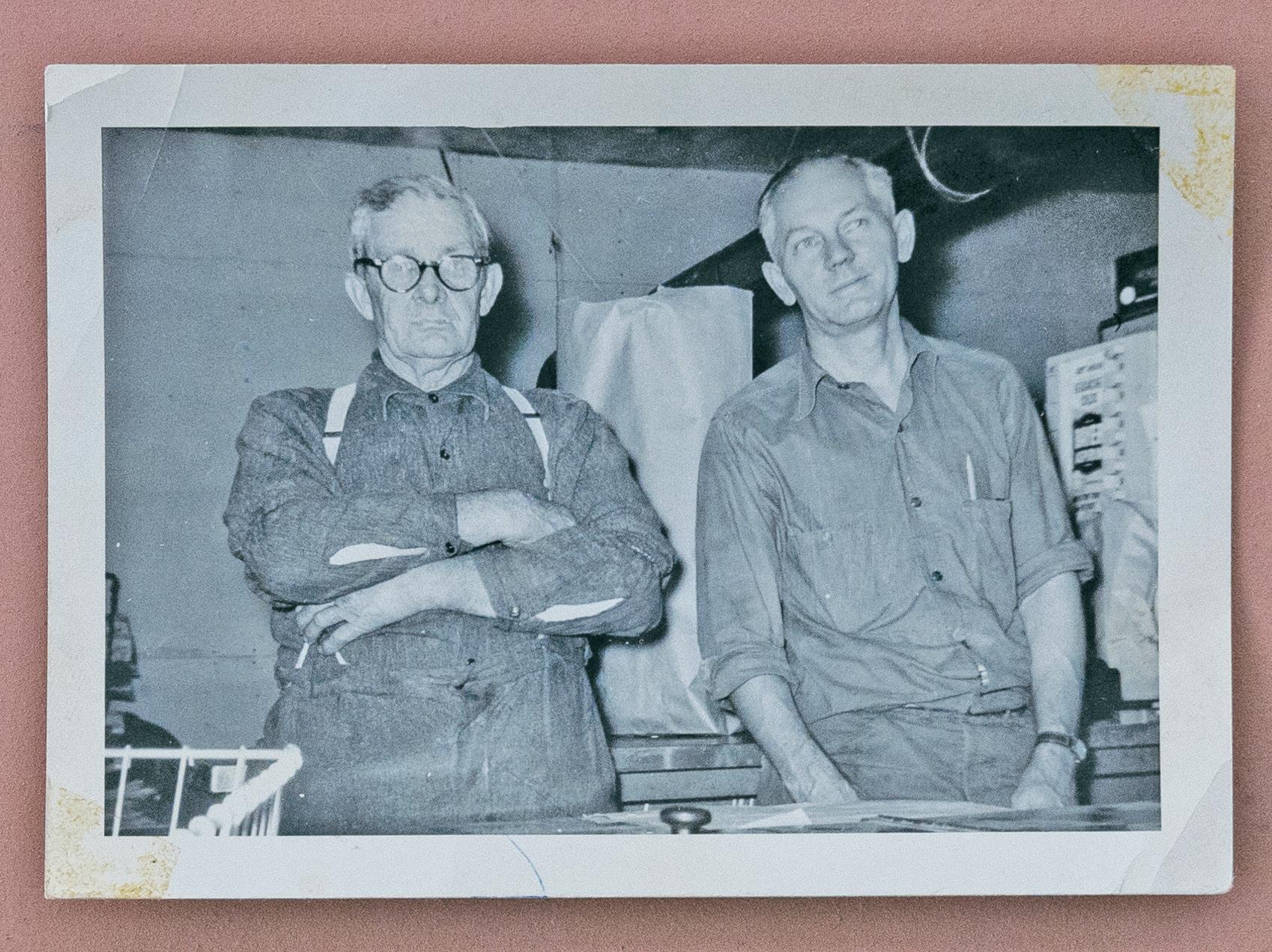
Merritt Greeley, pictured at right, served as the first postmaster. His general store, below, housed the post office. Greeley is standing with Kerry Williams, father of twins Mattie Frazier and Jesse Wines.
Ronnie Morris, whose Williams’ family lineage goes back five generations.


Army,” he said. “Most everybody had several acres for a garden and a few animals like hogs and cows.”
Chris Ubben, a descendant of the Wines’ family, represents the area on the Rappahannock County School Board and is a deputy sheriff. He recalled: “It was a little slice of Appalachia up there back in the day. It was a small, tight-knit community and folks made do with what little they had.”
A community leader from ‘The Gap’ paves way for county zoning laws
By the mid-20th century, Merritt Greeley, a resident of Front Royal, purchased land around what was then the Williamsburg area. Originally from Iowa, Greeley was a great, great grandson
postmaster and operated the post office out of his general store, where he kept a small room with a bed.
“In those days postmasters were required to live in the towns where they served,” recalled Morris. “But I’m not sure he stayed there very often. He’d let us kids sit in that little room and watch a small black-andwhite TV he kept there. It was the first TV I ever saw.”
Greeley also owned an apple orchard near his general store. In the mid-1950s he converted it into the village’s first residential subdivision, Skyverge Estates, which comprised about 70 lots.
As other open spaces were subdivided in the 1950s and 1960s, the village began its slow transformation into more of a
residential neighborhood.
of Horace Greeley, founder and editor of the New-York Tribune newspaper, an ardent abolitionist and a Republican Party organizer.
“He got the community together,” said Morris. “Mr. Greeley built a general store; got our first post office in 1954; helped form our first citizens’ association; organized the volunteer fire department in 1960; and donated land for both the fire department and the Chester Gap Baptist Church.”
When the post office was established, it was agreed to officially name the area Chester Gap. Greeley served as the first
A few years after the Skyverge subdivision, the Blue Ridge Mountains Estates, with about 400 lots at the top of the mountain, were carved from old orchards and woods bordering SNP. But these were little lots, some just 60 feet by 60 feet, and were marketed primarily to urban dwellers as campsites. Because they were so small, people seeking to build permanent homes needed to buy adjacent lots to have room for wells and septic fields.
Hubie Gilkey who represented Chester Gap on the county Board of Supervisors (BOS) from 1980 to 1998, recalls:
“Growth kept coming. First there were a few small seasonal places, then folks started
Ronnie Morris, retired, multi-generation Chester Gap resident: “Back in the day people who knew we were from Chester Gap asked us, ‘What are you, a Williams or Wines?’ Not so much anymore, though. There are so many names here now. I can sit on my back porch in the morning and nine out of 10 cars going by, I don't know who's in them.”
Morris recalled a favorite activity at the end of Waterfall Road. “We’d roll an old tire down the steep waterfalls of Foot of the Mountain stream and see how far it would go. Then we’d drag it all the way back to the top and do it again. It was a 10-second trip down and a 10-minute climb back up.”
Jesse Wines, retired, multi-generation Chester Gap resident: “Once school got out for the summer we couldn’t wait to go barefoot. We’d play in the mountains, swing on the vines, go to the waterfall. We’d stay out until dusk until we heard my mother call us home.”
Mattie Frazier, retired, multi-generation Chester Gap resident: “Growing up, there would be lawn parties on the open lot by the side of the church. Everybody would bring a dish and they would just sit and talk. Sit and talk for hours.”
Kevin Williams, multi-generation Chester Gap resident, firefighter and former county Emergency Management and Services coordinator: “As kids growing up, there wasn’t a whole lot to do, but we’d make our fun. We’d hang out at the fire department or walk up to the old Chester Gap Store. On the way we’d stop at the houses of people we knew and they’d invite us in and give us snacks. You might only see one or two cars on the road.”
Jim Vittitow, builder: “We moved here in 1998 and were warmly welcomed. People up here are ‘salt of the earth’. They don’t put on pretenses, are very accepting, look out for each other, and take a live-and-let-live attitude. To raise money during the winter months, the fire department would have shooting matches on Saturday nights. Winners would take home a quarter of beef, half a hog, turkeys, or bacon, all that good stuff.”


Settled in the early 1700s, Chester Gap, is located at the northern end of Rappahannock County. Farming and logging, and, later, apple orchards provided work. A section of the community was known as Williamsburg, named a er members of the Williams family who arrived in the 1850s.
A strategic pass into the Shenandoah Valley during the Civil War, it was traversed by both Union and Confederate troops. By the mid 20th century, the village grew to include a well-supplied general store, post o ce, fire department and Baptist church.
Development of the Skyverge and Blue Ridge Mountain Estates subdivisions was the impetus for Rappahannock County’s first zoning ordinance in the 1960s. Today, with over 800 residents, Chester Gap is the most densely populated village in the county.


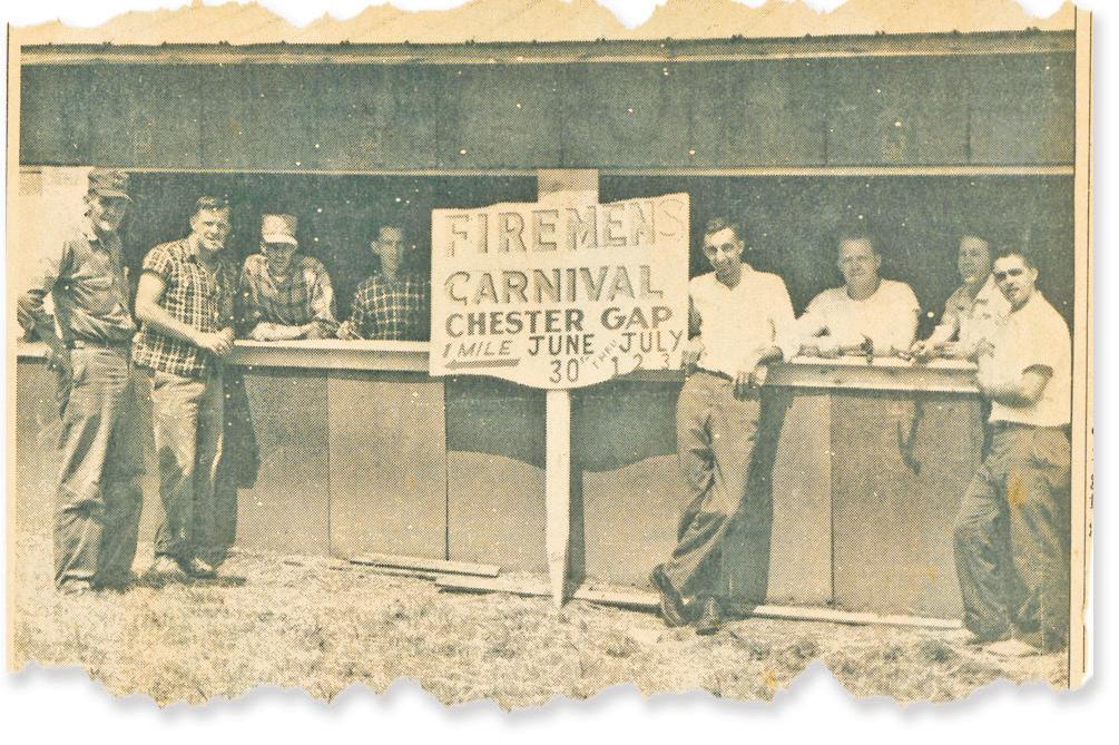
Sisters Mattie Frazier and Jesse Wines. Mattie was crowned the fireman’s carnival’s first queen 1962, and she still has her crown.
building permanent homes. All those lots were going to suck water out of the ground and then put sewage back in.
“All this potential growth was a cause for concern, since there was no subdivision or zoning ordinance in the county at the time. What was going on in Chester Gap was a big driver for the adoption of Rappahannock’s first zoning ordinance in 1966.”
A plane crash and a boundary change
Before 2002, the boundaries of Rappahannock, Warren and Fauquier counties cut through Chester Gap, splitting parcels and confusing residents. In 2001, the three counties filed a petition
in Rappahannock Circuit Court, stating that the uncertainty “resulted in real and personal property being taxed by a County other than the County where the property is located, in children attending school in a County other than the County in which they reside, and in confusion as to jurisdiction in the investigation and prosecution of criminal matters, the application of zoning and subdivision laws, and the proper place for the recordation of deeds.”
According to Peter Luke, Rappahannock County’s attorney at the time, government officials didn’t know for sure which property belonged in what county and which was the proper taxing authority. “The county revenue commissioners from the three counties would get together and decide who was going to tax what property," he said. “It worked, but in my view, wasn’t the best process.” Luke, who had to continually resolve
Jimmy Williams, retired, owner of apartments in the former Greeley general store, multi-generational Chester Gap resident: “It has changed a lot since I was a kid. The older members of the community are passing away.”
Tiffany Matthews, academic advisor, Laurel Ridge Community College, moved to Chester Gap in 2017: “Since there isn’t a general gathering place in Chester Gap, it would be nice to have a small park or playground where people could bring their kids and hang out. I think it would help people feel a little more connected.”
Helen Ordile, manager, Piedmont Nursery, lives in Skyverge Estates: “I grew up on a farm in Amissville and the closest house was my grandparents a mile up the road. Here families are closer, houses are closer. It makes for strong community bonds. My husband grew up here and his best friend lived just down the road. They still hang out together.”
Pastor Paul Strassner, Jr., Chester Gap Baptist Church: “Covid has taken a toll on attendance at a lot of churches. We hope to bring our membership back to 60, maybe 70 people. Our youth program is building, and there is a big desire to bring back adult Bible studies on Sunday mornings. We are here to build the Kingdom, and as we do, God will build the church.”
Dale Welch, owner of the Appalachian Inn, lives in Flint Hill: “It is a very interesting community. Growing up as a child in the 1960s, I remember if the older families liked you, they would do anything in the world for you. But if they didn’t, you’d better not go up there. It’s a much more diverse community today.”
Scott Schossler, retired teacher at Rappahannock County High School lives in Fox Pine subdivision across Route 522: “When we moved here in 1994, we weren’t sure if our home was in Fauquier County or Rappahannock County. We knew our water well was in Warren County. I was teaching at the high school and wanted to live in Rappahannock, so we were able to get the property lines adjusted.”
questions over voting locations, law enforcement jurisdiction, zoning and other local government issues, was the driver behind drawing a new boundary. “Although dealing with those issues was time consuming, the tipping point for me was a tragic plane crash that killed a whole family in Shenandoah National Park.
“No one knew for sure in which county the crash occurred and who had jurisdiction over it,” Luke said. “I figured it was high time we got the boundaries straightened out once and for all.”
The boundary adjustment process began in 1997 and ended with a proposal that virtually all of the Chester Gap village area be located in Rappahannock County. The Board of Supervisors adopted the changes in November 1999, and the new boundary line eventually was approved by the circuit court in 2002.
from where she grew up and was the fire department’s treasurer.
Working at the fireman’s carnival in July 1965 were Garfield Williams, Haywood Williams, John Williams, Albert Williams, Sherman Williams, Joe Williams, Ermand Morris and Hubie Gilkey.
‘You don't get connected now the way we used to’
For decades community life in Chester Gap centered around the fire hall, the general stores, the post office and the Baptist church.
“We started the fire department in 1960,” said Maybelle Gilkey, who served as the department’s treasurer for 20 years. “Back then, there weren’t any federal grants, so we
had to do a lot of fundraising to keep the operation running. That was a main focus of the community. The post office, the general store, and the Baptist church, of course, also provided lots of ways for folks to stay in touch.”
One of the big fundraising events was the annual fireman’s carnival. Jesse Wines, whose family lived in Chester Gap for generations, recalled: “Every summer, we’d have a carnival with rides, games, and good things to eat. It was a highlight of the summer. People came from all around.” Wines' sister, Mattie Frazier, was crowned the carnival’s first queen – and to this day she keeps her crown as a memento of the occasion.
Todd Brown, today’s fire chief, agrees the carnival was a big deal; he met his wife Sandra at the event in 1984. “Everybody in the community would help out baking pies, working in the kitchen, keeping the area clean,” he said. “It was a very communityoriented gathering.”
The fire department closed the carnival in 1995, around the time the county fire tax was levied. “Because of operating costs, insurance, and the fact that a lot of the older volunteers had passed on, it was becoming more and more difficult to run each year,” said Brown. “I would have preferred that we kept it running for a few more years. A lot of folks were upset they lost the carnival and, in its place, had to pay a new tax.”
More change came in the 1990s. The post office closed in 1996 and cluster mailboxes were erected around the village. Greeley's general store changed hands, finally closed in 1964, and later was converted into apartments. Other community stores opened and eventually closed – the last of them, Chester Gap Store, in 2014. New homes were constructed in the existing subdivisions, adding to the influx of new residents.
Residential growth has paused somewhat in the last two years. Of the 73 new construction permits issued in the county since the beginning of 2021, only four were for Chester Gap. An additional four new construction permits were issued since 2023. Still, as new homes go up, others are sold by old timers to new residents, and the village continues to see change.
“There are so many homes now you don't know who lives here. Folks wave or whatever, but you don't get connected now the way we used to,” said Wines.
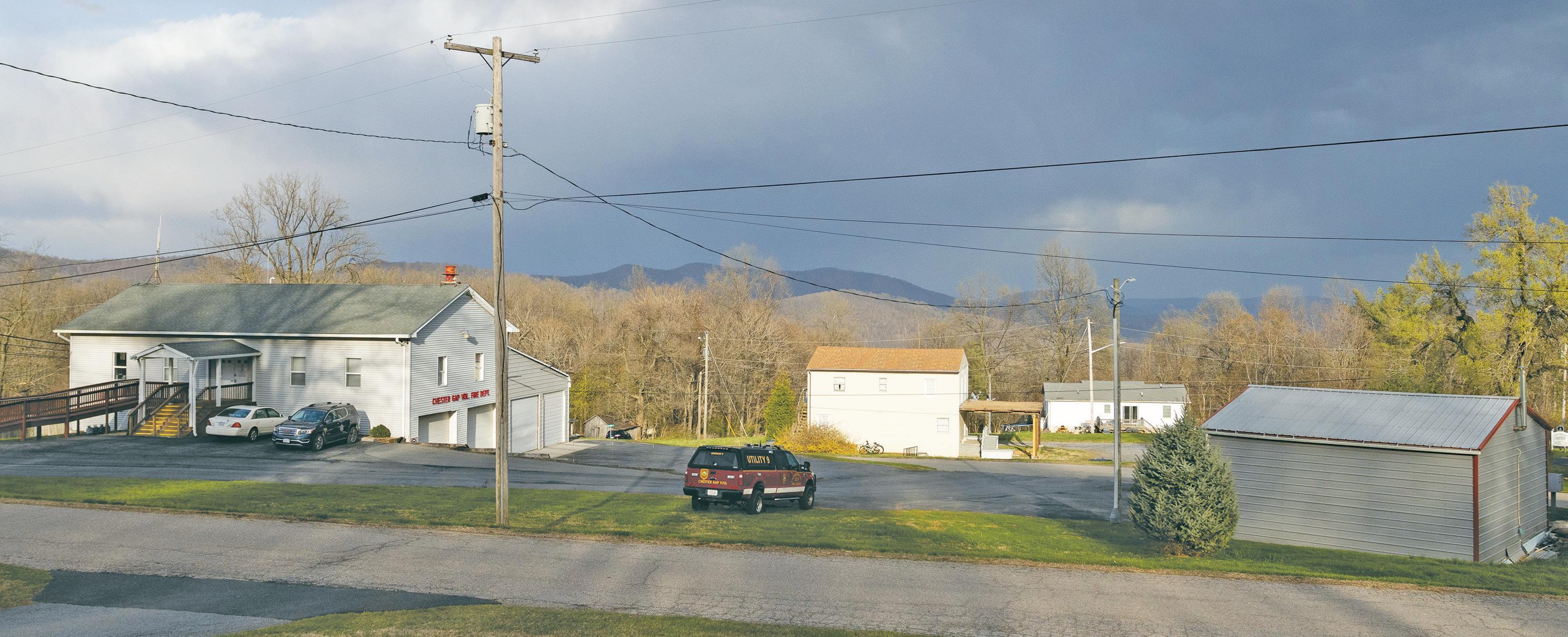
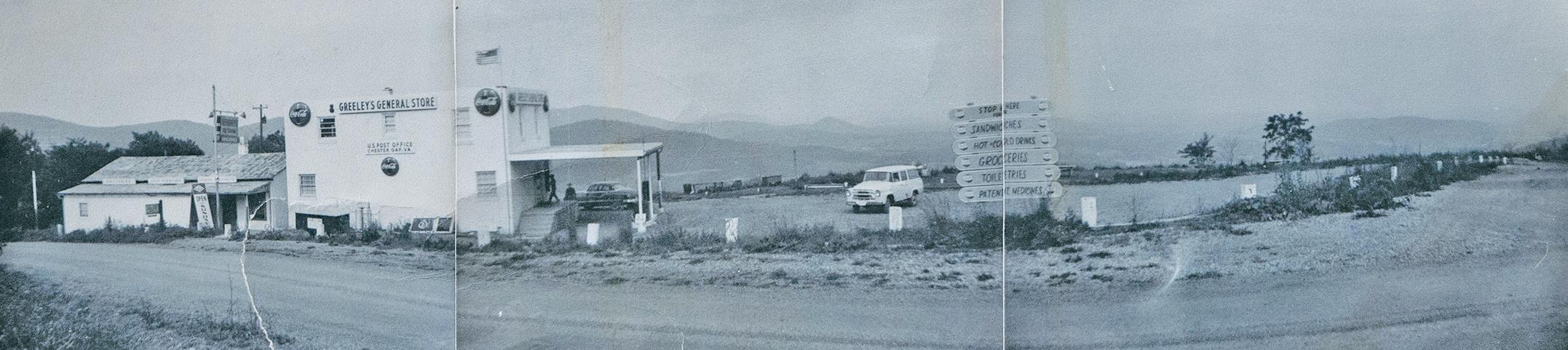
“THE GAP” TODAY: The fire station and old country store and post office.
Maybelle Gilkey observed the lack of a central meeting place for village residents. “People aren’t able to gather around potbellied stoves or on the porches at community stores,” she said. “You can’t meet at a post office, and the community room at the fire hall was closed a while back to accommodate full time EMT staff. We have the Baptist church and youth activities, but our membership has declined from an average of about 130 people to around 40.”
‘A forgotten part of the county’
Today, the village has become something of a bedroom community with its relatively dense population and homes clustered on a close-knit patchwork of roads and lanes.
“A lot of folks who live on the mountain sort of consider it a world unto itself,” said Ubben, the deputy sheriff. “Because of its location, sometimes residents feel they are a forgotten part of the county.
“We are not landed gentry. Folks up here work hard to pay the bills and keep to themselves. Although some of the old families are still a little clannish, there is an acceptance between the newer residents and those whose family history go back generations. As long as people are decent, there is no reason to differentiate between the been-heres and the come-heres.” he said.
“It is by far the most densely populated area of Rappahannock County,” said Brown, the fire chief. “This area up here on the mountain, which is a little over a square mile, has half the population of the Wakefield district, and we provide a huge tax base
for the county. We’ve had our own voting precinct for close to 50 years.”
Brown, like many village residents, worries about the condition of the roads in the subdivisions where lot owners are responsible for maintenance.
“Some of these roads are just horrible,” said Brown. “They are rutted, have deep ditches, and are a real hazard. Try taking one of these fire trucks down one of these roads. It is a real challenge,” he said.
A homeowner’s association for Blue Ridge Mountain Estates, long disbanded, was established in the 1960s to collect fees for road upkeep. But as Hubie Gilkey explained: “It didn't have any bylaw requirements to pay maintenance fees, so it was toothless. If you lived on the road and didn't want to pay your dues, you didn't have to.”
Gilkey was on the Board of Supervisors when an arrangement was reached with the Virginia Department of Transportation to begin paving the roads. “VDOT started to take them over, maybe did one or two roads, and then the funding played out so the project just stopped,” he said.
Today, the situation leaves homeowners to fend for themselves, with some going doorto-door, asking neighbors to chip in for road repairs.
“We have had conversations with our neighbors, but it is really difficult to get folks organized to take charge of road repairs, especially if they are absentee landlords or just own vacant lots,” said Sheila Lamb, who lives in Blue Ridge Mountain Estates. “On our road, two or three families pay thousands of dollars for maintenance but we aren’t the
only ones who use it. We are subsidizing others,” she said.
Lamb has reached out to the county for guidance on how to address the problem but with little success.
Wakefield Supervisor and Chair Debbie Donehey, who represents the village, has been trying to find a way to help. “It’s been extremely frustrating,” she said. “VDOT came up with me in 2021, to take a look at some of the roads and give a ballpark cost for repairs and maintenance. I was shocked when they said it would cost over $600,000 to just bring one short road in Skyverge Estates into conformance with VDOT standards.
“It’s not for a lack of trying, but even if we got grant money and shared the costs with VDOT, upgrading the roads would still be a huge cost for our county,” she said.
“I know folks up on the mountain don’t always feel they have easy access to county services. That is particularly true about having to drive all the way to Flatwood or Amissville to dump their trash. I’m exploring ways to see if it might be possible for Chester Gap residents to take their trash to closer facilities in Warren County.”
To many residents, the harsh weather of Chester Gap relative to elsewhere in the county helps to define the village’s identity.
“We have the worst, and most diverse weather in the county,” said Brown. “Ice storms, heavy snow, fog that sticks around for days, you name it. It could be snowing up here and sunny in Flint Hill.”
‘If you were looking for trouble, you’d find it there’
The Appalachian Inn sat on the loop of Chester Gap Road, just off of U.S. Route 522. During the 1950s and 60s, it was a favorite haunt for drinking, dancing and the occasional brawl.
“It was a pretty rough place,” said Jimmy Williams, who lives near the now shuttered building. “If you were looking for trouble, you’d find it there.”
Local lore has it that the old county boundary line ran right through the inn. Back in the day, you could drink beer in Warren County on Sunday’s but not in Rappahannock. On Sundays, patrons would sit on the Warren County side of the inn to enjoy their brew. Others say the inn was just inside Rappahannock County, but to serve customers on Sundays, a concrete block building was constructed a few feet away in Warren County. The block structure is still there, but unfinished.
Whether the stories are true or not, the place had
quite a reputation. The inn was patronized mostly by people from the village. Dale Welch, who lives in Flint Hill and now owns the property, remembers a story his father told him. “It was the territory of the local folks. If someone from Flint Hill wanted to visit, before they could enter, they had to throw a hat through the door,” he said. “If the hat came back out it was a signal they had to move down to Front Royal to do their drinking. If the hat didn’t come out, they could go on in and
have a good time.”
Maybelle Gilkey remembers going there after school. “There was a little store in there and we’d get permission from our parents to stop by and get a Coke or snack after school,” she said. “But we’d never be allowed to go near the place at night.”
Asked if she had ever gone into the inn, Mattie Frazier laughed and said, “What! And die!”
Ronnie Morris recalls peeking through the windows. “Coming home from getting
Conditions in Chester Gap often were the determining factor as to whether Rappahannock County schools would close in bad weather.
“It would be rainy or a wet snow down below, but up here it was heavy snow or ice, and they would close schools because of the weather in Chester Gap,” said Ubben, the deputy sheriff and member of the School Board. “Some parents in other parts of the county would complain about having their kids stay home because students who lived on the mountain couldn’t make it in.”
That changed last year when the school administration adopted a policy which now allows Chester Gap students
excused absences if weather conditions on the mountain warrant. “It is kind of the compromise that keeps the schools open, while making sure our kids stayed safe. Now we can have our kids, or some of our kids, excused while everybody else is still going to class,” said Ubben.
Despite so much change, Mattie Frazier said parts of the community have retained the atmosphere of past decades. “Life in the old core part of the village around the Williamsburg area is pretty much the same. It hasn’t changed that much.”
groceries on summer nights we’d hear the music and see couples dancing,” said Morris. “One time my daddy had to go inside and took me and my brother. I was seven years old and had never seen a woman drink beer before. We were shocked to see that. My mama scolded Daddy for taking us in.”
Mac McGrail, who lives in Huntly, said Warren County sheriff's deputies often were staked out near the inn. “It was too far away for Rappahannock deputies to cover, but Warren County often had a patrol car close by,” he said. “Other than Route 522, there wasn’t an easy way for the Front Royal patrons to get back to town. So, the Warren County deputies had a fine time stopping people coming out. I’m sure they had a lot of court cases.”
The building still stands but needs repairs. Welch said he didn’t have any immediate plans for its future.
Born and raised in Chester Gap, Jimmy Williams, 77, loves the peace and quiet. “Even though you don’t know people like you used to know them, it’s a good community to live in.”
Maybelle Gilkey, the former fire department treasurer, still lives across the street from her childhood home. She summed up her feelings about the village. “My kids always said they were glad they grew up in Chester Gap. You had memories, you had family, and you were a community. Everybody knew everybody, and it was a fun place. I hope we can continue to have that kind of community into the future.”
Originally published April 13, 2023
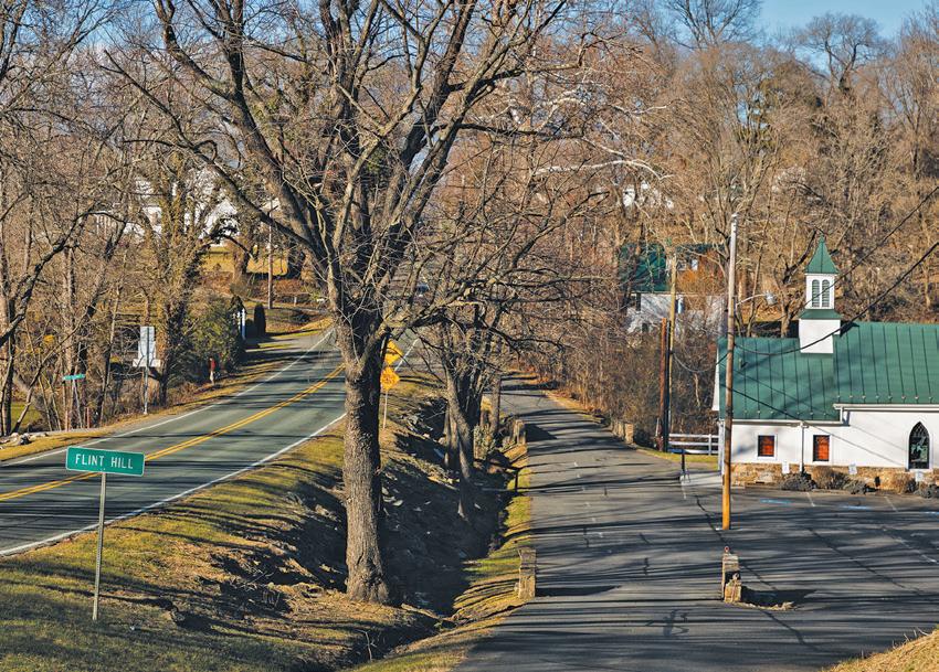
What’s to become of Flint Hill, a sleepy crossroads village, that now finds itself at a crossroads? Can new residents and businesses lead a village renaissance?
There was a time when Flint Hill's milelong historic district along Zachary Taylor Highway was one of Rappahannock County’s livelier economic hubs.
Hard to imagine now, but varied architectural styles – Greek Revival, Federal, Italianate and Craftsman – housed a bustling community of homes, schools, hotels, banks, shops, tea rooms, medical offices, and later,
Longtime resident Jean Lillard recalls village life in the mid-20th Century: “It was a great place to grow up.” She used to play on the merry-go-round at the Flint Hill School, now the Blue Door.
gas stations. Even a car dealership.
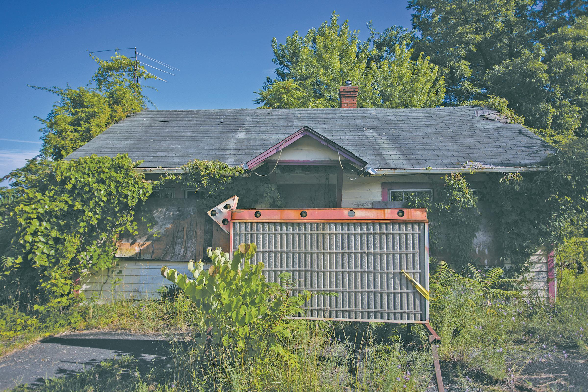
Today, with a population of about 360, Flint Hill is quiet. Many descendants of the old families have moved on. The general store closed years ago. The shuttered bank is up for sale – again. The Skyward Café closed recently. Ditto the Horse N Hound Saddlery. A short-lived Latin market also shut down..
Yet new residents and business owners are breathing energy and life into the village.
Will their spirit transform Flint Hill into a “destination” village, like Sperryville or Little Washington?
Flint Hill got its start in the mid-1700s near the intersection of two important routes: Chester’s Road (now U.S. 522/ Zachary Taylor Highway), connecting Front Royal and Culpeper, and Fodderstack Road, leading to the Town of Washington. Lore says the village actually was named “Flinn’s Hill,” after the local Flinn family. Others believe it was named for nearby deposits of flint rock. Through the first half of the 1800s, the hamlet grew to about 140 residents. A post office was established in 1823. Twenty years later the village was formally created by
an act of the Virginia General Assembly. During this period, the Baptist Church and the United Methodist Church were built, as were many homes and commercial buildings that still grace the historic district. Stores, millers, physicians, blacksmiths, wagon makers, saloon keepers and a deputy sheriff all thrived.
“...the beauty of the mountain scenery, of the mountain lassies, of the innumerable bouquets showered on us on all sides – of the waving of handkerchiefs, and the loud shouts of the soldiery…”
– Letter by a member of the 30th Regiment, North Carolina, marching through Flint Hill in June 1863.
Strategically located on the road north to Chester Gap and Front Royal, Flint Hill was a stop-off for tens of thousands of Union and Confederate troops during the Civil War. The village was spared any fighting, but citizens suffered looting and property destruction. Lore has it that residents hid their meat from Union soldiers upstairs in the Methodist Church, and at one point, the church served as a Confederate hospital.
Some residents joined the Flint Hill Rifles, part of the regular Confederate army. Others signed up with Colonel John Mosby’s Rangers who operated in the area.
As told by noted Civil War historian and Culpeper local, Clark Hall, Flint Hill in June 1863 witnessed the inauguration of the Gettysburg Campaign, considered by many a turning point of the Civil War.
Following the cavalry battle at Brandy Station near Culpeper, General Robert E. Lee ordered the Army of Northern Virginia to clear the northern Shenandoah of Union troops ahead of his planned invasion of Pennsylvania.
Hall explains: “The 2nd Corp of the Army of Northern Virginia left Culpeper and marched north on the Richmond Road, through Gaines Cross Roads (now the intersection of U.S. 211 and Ben Venue Road) into Flint Hill and over Chester Gap to Winchester, where they defeated a Union army garrison. Two weeks later, the corps arrived at Gettysburg, only to be routed by the Union army. Their retreat followed the same route back through Flint Hill.”
Another account from the period is noteworthy. In October 1864, Federal troops were in the area, seeking reprisal for the death of a Union soldier, reportedly at the
hands of Mosby’s men. The Union troops captured two of Mosby’s Rangers at the blacksmith’s shop at Gaines Cross Roads. One was Albert Gallatin Willis, who earlier had dined at Rose Cliff in Flint Hill and the other was a fellow fighter. Union officers ordered one of the two be put to death.
Willis’ companion, married with five children, was chosen, but pleaded for mercy. Willis, a Baptist lay minister who was single, offered himself instead. The next day, Willis was hung from a tree off U.S. 522 just below Chester Gap, near what is now Willis Chapel. His body was returned to Flint Hill and buried in the cemetery behind the Baptist Church.


Highway was widened, eliminating walking paths and leaving homes and shops close to the road. Filling stations and garages opened, as did the Russell Brothers’ Chrysler dealership, now occupied by Settles Grocery and Garage.
“This region was governed by people with common sense and experience,” said Bob Miloslavich, a local history buff who lives off Hillsborough Road, outside the village.
“There was a real sense of community in and around Flint Hill. Generation after generation, they took care of themselves

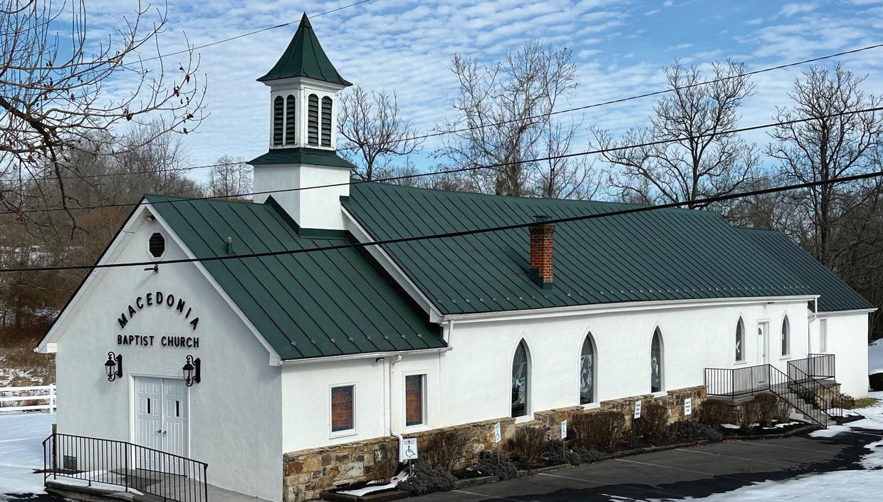
Flint Hill regained its footing and experienced a growth spurt after the Civil War. By the 1880s many new homes and commercial buildings were built, including two hotels, several general stores, an academy school (in what is now the Dark Horse Irish Pub) and a sawmill. The Macedonia Baptist Church was completed, bringing the number of churches to three.
The early 20th Century brought more growth, new businesses and more farming. A local bank, saddlery, barber and wheelwright served the village’s 350 residents.
As motorized transport became more common in the 1930s, Zachary Taylor

and had a wisdom that they earned the hard way. Many had been poor for generations. If anyone got a little ahead, they looked after the others.”
Jean Lillard, whose mother Mabel was Flint Hill’s postmaster for many years, recalls village life in the mid-20th Century. “It was a great place to grow up. There were so many kids and activities. We had Scouts, 4-H, youth groups, softball, roller skating and other activities. Every day, we walked to the school which is now the Blue Door restaurant.”
Lillard’s cousin, Richard Brady, a longtime resident, was raised near the village, off Aileen Road in the area then known as “Pullentown.”
“My mother raised 10 kids and had her hands full,” he said. “To make extra money she also raised and processed chickens and sold eggs. She ordered the baby chicks through mail. As a kid, I remember going to the tiny old village post office at the intersection of Fodderstack Road and U.S. 522 [and] hearing their ‘cheep, cheep’ coming from cardboard boxes.”
Just down the street from the post office was Bradford’s store, which sold groceries and home goods and had a small restaurant. Originally operated by the Carys in the late 1890s, the store’s potbelly stove was a place where locals gathered and shared conversation.
During the lead up to Christmas, Marvin “Boo” Bradford and his wife Francis would transform the upstairs level into “Toyland.”
“It was the biggest thing around,” said Brady. “All the kids would line up at the steps, then rush upstairs with their parents and see the toys. There was Santa in the corner handing out candy canes and oranges. It was a magical experience.” Parents would often return another day to make a purchase.
A popular hangout for the village men was the now vacant service station next to the Methodist Church. It had many operators over the years, including Clarence “Skindigger” Jones and Major Cowgill.
“The nice people congregated over at Bradford’s store and the rest of us hung out at Major’s station,” said Miloslavich. “Before TVs and air conditioning, all the men would go there in the evening. There’d be 40 or 50 guys sitting around spitting tobacco, telling lies to each other, and playing card games. Inside, that place was so smoky you couldn’t see a thing.”
Many families, including the Bradfords, Brownings, Reids, Easthams, Thorntons and Barksdales, contributed to the growth and livelihood of Flint Hill.
In the 1940s, 50s and 60s, the Foster brothers, Stanley and Herbert, farmed about 1,800 acres just north of Flint Hill, including cattle, orchard grass, corn as well as peach and apple orchards. Greg Foster, Stanley’s grandson, recalled: “To help run the operation, they employed a number of families who lived on the property, some


who moved down from the Shenandoah National Park. ”
For years, the brothers worked on construction projects in Washington, D.C., including the bomb shelter at the White House, returning to Flint Hill on weekends. “The farm wasn’t always profitable so their income from the city jobs kept folks employed and the operation running,” said Foster. “They were hard working and loyal to the people who worked for them.”
Herbert’s granddaughter, Sharon Dodson, remembers days on the farm as a child. “We worked 10-hour days and my grandfather would provide housing, transportation, and lunch for all of our farm workers,” she said. “Lunch consisted of a meal that today would be comparable to Thanksgiving or Christmas dinners, complete with at least three different pies for dessert.”
Firemen’s Parade and Carnival
The Flint Hill Volunteer Fire Department, organized in 1954, was another social hub. Like other
Richard Brady, raised off Aileen Road, remembers kids lining up for Christmas toys at Bradford’s store (left, in earlier days).
fire companies in the county, it sponsored an annual Firemen’s Parade and Carnival. Hubie Gilkey, who represented Flint Hill on the Board of Supervisors for several terms, reminisces: “It was a premier community event with people coming from miles around. Miss Virginia always participated. It was the biggest and best parade in the county.”
The carnival and parade, which ended in 2013, were an honored tradition for almost 50 years.
Dave Bailey, now president of Flint Hill Volunteer Fire & Rescue,, sees the company as a place where the community always could come together. “I feel a real responsibility to try to continue that tradition. There is a sense that people long for a place to gather, and in the future, we plan on hosting community events like dances,” he said.
Bailey was gratified by the attendance at a recent fish fry fundraiser at the fire hall where some 200 people from all over the county turned out. “Along with all that goodwill comes a sense of responsibility to make sure we are doing what’s right, not just in our ‘first due’ area, but also for the greater community.”
Originally published February 1, 2024
Once a bustling crossroads village, Flint Hill got its start in the mid-1700s near the intersection of Zachary Taylor Highway and Fodderstack Road. In its heyday, the designated Historic District of architecturally diverse buildings, housed a bustling community of homes, schools, hotels, banks, shops, tea rooms, medical of ces, and later, gas stations. Today the village is a quiet


Creel Toll House – Tolls were collected here to help pay to build the road from Ben Venue to Front Royal. It now houses ‘Raising Brain,’ a learning enrichment center Current owner Ann Pankow says a ghost cat once inhabited the building.


Dark Horse Irish Pub – Formerly the Grif n Tavern, it was built as an academy and later became the home of Marvin and Frances Bradford.


Flint Hill Methodist Church – Organized in 1832, the church was built in 1847. During the Civil War, it is said villagers hid their meat in the attic from Union soldiers. The church was reportedly used as a hospital for Confederate soldiers.


Wakefield Service Station – Once a blacksmith shop and later a garage with a movie theater upstairs, the original building was torn down and rebuilt into a service station in the 1930s. It had many renters including Clarence “Skindigger” Jones and Major Cowgill.


Maison Latouraudois – Built in 1837 as the home of James Latouraudois, a founding father of Flint Hill, his wife Elizabeth and seven children. It is now a private residence.


Bank/Post Office – Original home of the First National Bank of Flint Hill, it served as the post of ce from 1962 until 1967.


Althea Terrace – Originally a small log cabin built in 1742, the building has seen several renovations. A dependency building, now the Florence Room art gallery, once housed a blacksmith shop, dry goods store, Red Cross bandage rolling station, and a tack shop. Bradford’s store A general store since the 1890s, the popular gathering spot had a small restaurant. Upstairs the Bradfords staged “Toyland” during the holidays.


Grocery and Garage


from 1940 to 1972.


Flint Hill Square – Built in 1987, it houses the Flint Hill post of ce, four apartments, of ce space.


Skyward Café – Now shuttered, it was the site of 24 Crows Restaurant, Rector’s general store, a doctor’s of ce, and a beauty parlor.


Bank building – New branch o ce of Oak View National Bank, this building once housed branch of ces of a number of banks including, Truist Bank, BB&T Bank, and Farmers and Merchants National Bank.


Flint Hill Baptist Church – Built in 1854, its goes back to the beginnings of Baptist preaching in the county. Albert Willis is buried behind the church.


“Rose Cliff” – Part of the house dates to the late 1790s when it was used as a public meeting place. In the late 1800s, it was expanded on the south. It is said that Albert Willis had his last dinner at Rose Cliff before he was hanged for the killing of a Union soldier.

Rickett’s Hotel – Built around 1860, the hotel and rooming house fell into disrepair and burned down in the 1960s leaving only the foundation. Next door was Rickett’s Tavern which housed a saddlery and post of ce. It is now a private home.


Macedonia Church – Organized in 1865, it’s the oldest African American church in Rappahannock. Its rst pastor, the Rev. George Horner, founded several Baptist churches in the county. The 15 stained glass windows are by Sperryville artist, Patricia Brennan.


Michael Dennis
Over the last decade, Flint Hill has experienced an influx of residents bringing fresh ideas and new energy to the quiet community. Is renewal on the horizon for the village’s long and cherished history? Can residents overcome obstacles like pedestrian safety, speeding traffic and limited infrastructure?
Jean Lillard, whose family goes back several generations, has seen a big change since she grew up in Flint Hill. “I used to know everybody in every house,” she said. “Now a lot of new people have moved here. I think it is good to get a variety of residents with cultural differences, but the village is a much different place from my childhood.”
John Quido, a farrier who moved to the village 23 years ago, also notices changes. “I’d say adhere to country living, so we can stay like we are.”
Settle’s Grocery and Garage on the north end of the village has been a fixture in Flint Hill since Richard and Esther Settle started the business in 1972. Previously the store and garage had housed the Russell Brothers Chrysler dealership, which operated for 42 years.
“Thirty years ago, I knew 90% of the people who came in the store,” said Richard “Bubby” Settle, who took over the grocery and garage from his parents and started the used car and truck operation in the 1980s. “Today, I probably know about 10%. Still, we have a lot of loyal customers and great neighbors and we are grateful for that.”
Settle’s daughter, Kendra Hahn, now the general manager, remembers visitors sitting on the outside benches or inside around the wood stove. “A lot of that changed because of COVID,” she said. “We remodeled in 2020 and removed our gathering spaces so fewer people congregate in the store. Our breakfast business is still very brisk and a lot of the old regulars come in for that.”
Michael Dennis observes that the south end of the village, near Fodderstack Road, has several new residents who are renovating homes. Dennis, who lives in a bungalow-style home set back from the main road, said, “With new arrivals, you get the sense the village is moving into a new phase of its long and cherished history.”
Dennis, who moved to the village in 2010 with his spouse, Paul Smith, completed substantial remodeling of their home and constructed an art studio on the property.
Two years ago, they purchased the adjoining “Rose Cliff” parcel, and are renovating the main house and its outbuildings.
Across the street, Mark and Elena Kazmier purchased “Althea Terrace,” the origins of which date back to the 1740s. They are renovating the interior of the home, and Elena has opened a small art gallery, “The Florence Room,” in a building that has served many purposes, including a Red Cross center during World War I.
“We’ve been here three years and just love this place,” said Mark. “The quiet, stunning, rural environment is a great place to raise our children, but we are also excited about the enormous potential for it to become a more vibrant community for businesses, residents and visitors.”
The old post office where Richard Brady’s mother would pick up her mail-order chicks now is a private residence, recently purchased by Kristin Perper and Jeff Stiles. The home, once known as Rickett’s tavern and saddlery, sits next to the stone foundations of what was the Rickett’s Hotel. Built around 1860, the building fell into disrepair and burned down in the early 1960s.
“We were looking for a unique place to live and found this tiny house in Flint Hill,”


said Perper, who worked at the Freedom Museum in Manassas. “I love this community and the people who live here. It has a real ‘hometown’ feel.”
Perper is excavating the hotel’s foundation and wants to “showcase” its history. “People jokingly call us the Flint Hill archaeologists,” she said. “The old hotel is a lost treasure. We are finding lots of interesting artifacts and hope to incorporate them into an outdoor display recounting the hotel’s important history.
“I believe Flint Hill’s future is bright and shiny. There are a lot of new and creative folks here who want to make this more than a town people drive through to go somewhere else,” she said.
Milda Vaivada opened her store, HOME – Honoring Our Mother Earth – in 2022 in the old Bradford’s store building. The shop sells gifts and other items with nature-oriented themes.
“I have really great, loyal customers, but it isn’t always easy to get customers in the door,” she said. Vaivada blames the lack of sidewalks and vehicles often exceeding the 25-mph speed limit.
“It’s not safe to walk around the village. Cars and trucks speed through here at 50 or 60 mph. Motorists who might want to pull over are fearful. To make matters worse, the village doesn’t have a system of sidewalks, or crosswalks, and that creates serious safety issues for pedestrians,” she said.
In 2024 Vaivvada moved her store to the Sperryville Marketplace, where she reports there is better foot traffic.
Board of Supervisors chair Debbie Donehey, the former owner of Griffin Tavern, now the Dark Horse Irish Pub, represents Flint Hill. “Our problem as a village is that U.S. 522 runs right through it and the road is a major thoroughfare,” she said. “A lot of people speed through Flint Hill and don’t see what is available in the village.
“There have been studies about improving sidewalks and creating crosswalks but coordinating projects like that with VDOT always takes a lot of time. There is not much right-of-way to construct new sidewalks, so residents might be concerned about losing some of their front yards. In the meantime, we have been able to get illuminated speeding signs installed to slow down traffic and they are working.,” she said.
Kazmier, who operates the Florence Room gallery, envisions a burgeoning art scene with multiple galleries in the village connected by walkways.
“Since moving here, I’ve thought of coordinating monthly gatherings where people could gather at my gallery and visit Michael Dennis’ and Jason Goldman’s galleries, perhaps stop at one of our fine restaurants, and end up at the Mullany gallery on the north end of town,” she said.
“But for that to become a reality the village has to become safely walkable. With a unified vision, we could create a walking circuit that
spans the village. Imagine a trail meandering on the west side of the village that connects with sidewalks toward the east.”
On the north end of the village, Kerrie Mullany, and her husband Tom, opened their art studio and gallery in 2012 in the former apple packing shed built in the mid-1940s by orchardists Charles and Brue Wood.
“Flint Hill is different from Sperryville,” Kerrie said. “Sperryville has a main street off a major by-pass and is on the way to the park, so it is an attractive place for businesses, tourists and locals. Right now, Flint Hill is more of a drive-through village than a place to stop and poke around.
Besides our restaurants and Settle’s, we could do with a few more businesses here to change that dynamic.”
Ark Woodworking, also located in the packing shed, specializes in building custom cabinets. Owner Ben Clemmer is thinking of expanding his business to include specialty benches that could be sold on the premises. “There is a lot of traffic coming through the village and I think this could be a prime spot to sell those items,” he said. “We are also looking at renting out space for folks interested in woodworking, learning the craft and using our tools.”
The packing shed also houses RappCats and several other small businesses. It was purchased in 2023 by Doug Vierling. “The building was in my family for about 60 years and I decided to buy them out,” he said.
Vierling, a lighting designer who lives in New York City, grew up on the farm behind the shed. He hopes to renovate part
“From what I’ve seen, I’m optimistic the new folks moving into the area will contribute to the village the way locals have in the past.”
— Ben Clemmer, owner of Ark Woodworking
“This place just resonated with me. The quiet, the vistas and the surrounding countryside are spectacular. A key driver for moving here was Rappahannock’s commitment to protecting its rural environment. We make it a point to support the local businesses in the village.”
— Tim Barrett, homeowner
“We took a huge leap of faith in 2018 opening the Blue Door. Business is going well, thanks to our loyal customers, and recently we purchased a home in the village. I can’t think of a more welcoming community to plant our roots for this phase of our lives. That being said, we need some sidewalks so residents and business patrons feel safe walking around the village.”
— Reem Arbid, owner, Blue Door Kitchen
“I remember Flint Hill as a busier place with more stores and services. Today I think it’s harder to get a business going there. One way to get more growth would be to put in some adequate sidewalks, slow down traffic and build some moderateincome housing around the village as envisioned in the Comprehensive Plan.”
— Steph Ridder, who lives on North Poes Road
“Without sidewalks, walking can be a little challenging, but overall, I don’t see a big need for any changes. Why fix something that’s not broken.”
— Kendra Hahn, manager of Settle’s Grocery and Garage
“This is a beautiful community with fantastic neighbors. I bought the ‘Maison Latouraudois’ home a few years ago with the idea of turning it into a coffee shop. It would have been a perfect spot, but COVID hit and I
shelved the plans. I still own the old post office and bank building next door, which I hope to renovate and market as a tourist home.”
— Nancy Poe, lives in The Plains
“I was driving through the area a while back and the beautiful village reminded me of home back in Ireland. I ended up buying the Griffin Tavern. We have been working hard to get things up and running to serve our customers every day of the week. Our business has grown, but a few more stores and shops in the village would help draw more visitors to the pub.”
— Mark Kirwan, owner, Dark Horse Irish Pub
“I grew up here and still have a handful of old friends around, but most of the older generation have either moved or passed on. There are a lot of new faces around. The village is a beautiful, quiet place, but I think in the coming years more change will come.”
— Jean Chambers, clerk, Flint Hill post office
“I came up hard. We used to go to Bradford’s store on Saturdays but couldn’t afford to buy toys when they had Toyland during Christmas. Growing up I got to know everybody in the town. The people here respected each other. Now, everything has changed hands.”
— Howard Jones, lives off Fodderstack Road
“This area has changed so much. Many of my customers who fox-hunted or rode horses have left. They were replaced by weekenders who are not horse people. I thoroughly enjoyed every minute operating my store, but it was no longer sustainable.”
— Sheila Whaley, former owner, Horse N Hound Saddlery, which closed in October 2023.
of the building and make it a venue for weddings, parties and other group events. “It’s a wonderful old structure and I want to incorporate its history in the renovation,” he said.
After moving to Flint Hill during the COVID pandemic, David Mendez opened the Flint Hill Latin Market in 2022 at Flint Hill Square. “I wanted to differentiate myself from the other small stores in the area by offering one-stop shopping for locally sourced produce, meats, and products, as well as Latin and European products,” he said.
Mendez worked to create opportunities to increase foot traffic in the village. He set up a farmer’s market on Sundays outside his store, which hosted Sunnyside Farm’s produce. He also envisioned a “Flint Hill Festival” that would showcase products, crafts and artworks from local residents and businesses.
Despite all those efforts Mendez shuttered his store in June 2024. “I feel the village has a lot of opportunity to grow, but I just couldn’t get enough foot traffic to sustain the operation,” he said.
Lack of infrastructure.
Al Henry, a real estate appraiser and member of the Planning Commission, purchased the former Truist Bank branch after it closed in March 2023. “I had hoped it might be converted into an independent drugstore, but we didn’t get any takers,”, he said.
In May 2024, Oak View National Bank, headquartered in Warrenton, filed paperwork with the U.S. Office of Comptroller of the Currency to open its fourth branch office in the former Truist location. The new location opened in late August 2024.
Given the village's lack of water and sewer infrastructure, limited commercial zoning, and small lots, Henry sees few changes in the future. “I think Flint Hill is going to remain the sleepy village that it is for a long time. Perhaps there will be some additional residential development around the village if some of the two and five-acre lots are sold, but I can’t see much else.”
Greg Foster has a different take. “I see Flint Hill slowly evolving into a community with people who have the means to live away from the hustle and bustle of urban areas. Hopefully, with their resources and energy they can help maintain the history and rural beauty of the place, create new economic opportunities, and bring along some youth,” he said.
Time will tell. Originally published February 8, 2024
In the 1830s, the availability of cheap fertile land in the new Western United States’ territories likely is what fueled a group of Flint Hill residents to head for Missouri.
John Corder Sr. was the head of a big family in and around Flint Hill. Land records in the early 1800s indicate members of the family bought and sold a number of properties, perhaps a sign of their interest in land speculation.
Whatever their reasons for leaving, it was said that Corder Sr., gave each of his four sons wagons, horses, cows and $5,000 for the journey. Others in the area joined the wagon train which stretched for three miles along Fodderstack Road.
After traveling for three months and some 900 miles, the settlers stopped about 45 miles northwest of St. Louis, Mo. The area reminded them of their home in Virginia so much so it was named Flint Hill. A former tobaccoproducing community, Flint Hill, Mo., now is considered a suburb of St. Louis and has a population of about 1,000.
From 1915 to 1940, some 25 young women from Foxcroft School, a boarding and day school in Middleburg, would take an annual horseback ride from the school to Luray. The school’s founder and headmaster, Charlotte Noland, combined equestrian lessons with academics and the “Luray Trip” was a great way for the young riders to perfect their skills.
Their route would take them through Flint Hill – where they overnighted at the Rickett’s Hotel – much to the delight of village residents. And it just wasn’t boys who turned out to greet the young female riders; just about everybody welcomed them with open arms.
Teachers at the Flint Hill School gave up their boarding rooms at the hotel to accommodate the students. After supper the Foxcroft girls were treated to a play at the school or to a movie. As they walked around the village, young children would fix them lemonade.
Entries in Foxcroft’s 1916 yearbook,

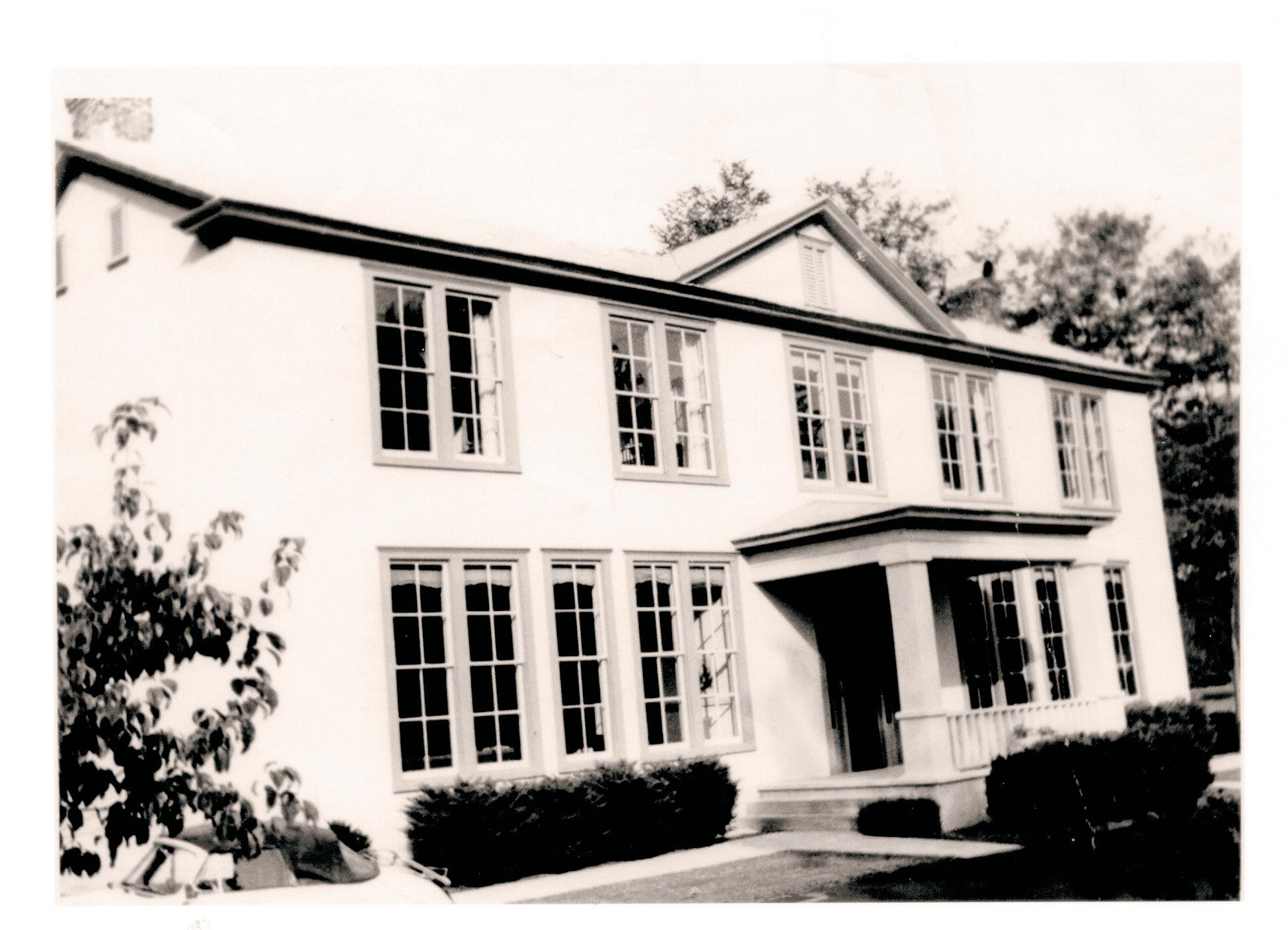

Teachers at old Flint Hill School, now the Blue Door Kitchen and Inn, gave up their boarding rooms at the nearby Rickett’s Hotel to accommodate visiting Foxcroft students.
“Tally-Ho!,” reveal the girls’ enjoyment when in the company of the village’s “best and bravest.”
“…we received some gentlemen callers, and we have reason to believe that several of our number left pleasant memories behind them,” wrote one of the girls. And from the 1920 yearbook: “Miss Charlotte had warned us in advance to behave very properly, and not to ‘wiggle-waggle’ or ‘cheek-to-cheek’ … And it is hoped that our hearts are still our own.”
There was, perhaps, more than a little mischief, too.
“They did a lot of foolish things like young girls do … they once brought a baby pig and put it in someone's bed,” according to an account of Roberta Spaulding, a former teacher at Flint Hill School.
A passage in a 1939 yearbook seems to confirm Spaulding’s assessment.
“Flint Hill spared nothing for entertainment … the Prevention of Cruelty to Rickett’s Hotel no doubt, for it is a debatable point how long that worthy institution would have stood up under the brutality of our treatment.”
The “Luray Trip” ended in 1940.
“Leaving familiar sights, their homes,

their burial plots, Most left begrudgingly for some low country spots…
The blue of the mountains is not due to the atmosphere, It is because there is a sadness which lingers there.”
— Excerpt from the poem “Why the Mountains Are Blue” By Wayne Baldwin
With the establishment of Shenandoah National Park in 1936, some 500 families were forced from their mountain homes in the park. For many, it was a dark chapter in the history of the park.
Families with economic means could relocate to nearby areas on their own. Others – about 170 families — with little or no money, were moved by the federal government to “resettlement” areas in several counties along the Blue Ridge Mountains. One of the areas was near Flint Hill.
The federal government purchased about 1,450 acres in the area which today is Resettlement Road and Dearing Road to accommodate 37 families. Small frame houses, varying in size from two to five rooms, were built on lots from two to 15 acres, with some parcels reportedly as large as 90 acres. The homes and land were owned by the federal government, but residents had the option of buying after five years.
Today, driving down Resettlement Road one can see one or two houses close to their original form, but most have been remodeled or torn down.
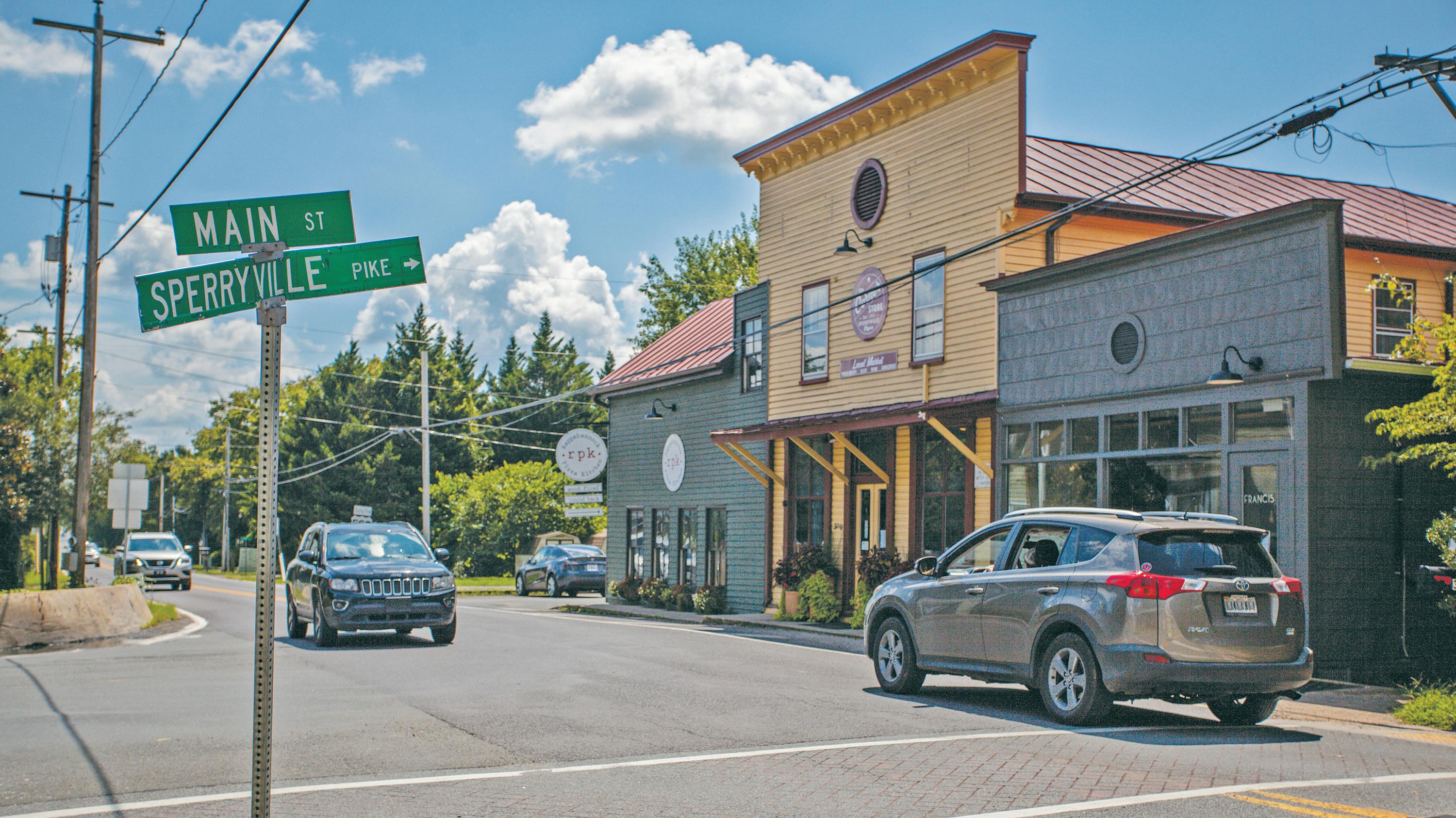
Crossroads:
• An intersection of two or more roads.
• A point at which a crucial decision must be made which will have far-reaching consequences.
– Oxford English Dictionary
Sperryville has always been a crossroads village. Founded in 1820, it was a place where newly arrived settlers built homes and shops, and travelers paused to refresh themselves.
Union and Confederate troops crisscrossed the area during the Civil War.
In the 19th and early 20th centuries, it prospered, boasting general stores, distilleries, hotels, eateries, apple processing operations, wheelwrights, blacksmiths, a doctor, and a dentist. When Shenandoah National Park (SNP) opened in 1936, the village experienced another spurt, responding to the rising number of tourists, with motels, restaurants, and the roadside stands that sprung up along the approach to the park, what now is U.S. Highway 211.
“When I first moved here 37 years ago there were a lot more local people living in the village,” said Tom Junk, a former Rappahannock County planning commissioner. “Folks could run a tab at
the grocery store and get items delivered. Sperryville used to be called ‘Little Apple,’ but today we are probably going through another chapter in the village’s history.”
Indeed, as other residents and visitors attest, Sperryville — population 342 — is evolving, but with a different vibe. The general stores, lunchrooms, gas stations and apple operations have been replaced with a boutique jewelry shop, art galleries, bed and breakfasts, breweries, upscale restaurants and bars, even a full-service gym.
Strong interest in the village’s future has been kindled by the Sperryville Community Association (SCA), a nonprofit formed in 2019 by local business owners and
community members. The SCA sponsored a survey and study released this summer, that asked residents and visitors about the village’s future. SCA president Kerry Sutten, proprietor of the coffee shop Before & After, and Firth River Coffee Company, noted key takeaways from the survey included the need for more business establishments, community-building social activities, and traffic and pedestrian safety.
Recent SCA sponsored community events include a summer concert series, the annual Sperryfest and Scaryville Halloween celebrations, that draw hundreds of longtime community residents and newcomers.
But major challenges — and opportunities — lie ahead as Sperryville and its residents seek to define its future.
Recent interest in expanding residential growth in the quaint village area has been stymied by local opposition and zoning ordinances. And in areas where zoning allows for housing or commercial development, new growth is hampered by a dearth of infrastructure, particularly the village’s aging sewage treatment facility, which is nearing capacity. As tantalizing as new development may be to some, others want to keep their rural village just the way it is.
The Covid pandemic drove demand for rural property close to the Washington, D.C., metro area. “With low housing inventory and interest rates, I see that strong demand continuing, even in a post-pandemic environment,” said Rick
Kohler, a local Realtor and former Planning Commission member. “Once we increase broadband coverage, I think interest in living here will only grow.”
If apparent demand for rural real estate continues, will an influx of new residents, or changes in zoning laws needed to accommodate growth, alter the character and culture of the community?
The latest such turn of events was a highprofile decision in July 2021 by the Board of Supervisors to deny rezoning of the Mt. Airy Field, LLC, a 35 acre parcel zoned for five acre lots.. Builder Tom Taylor and his wife Cheryl sought to rezone the property on Woodward Road into lots of two to five acres for up to 13 new single family homes. Taylor’s application, the first major proposal for the village since the county’s Comprehensive Plan was updated in 2020, sparked heated debate before it was halted by a 4-1 board vote.
“It would have been such a bad example for the BOS to approve the rezoning request without meaningful proffers,” said Sally Haynes, an organizer of Keep Rappahannock Rural. Instead of selling vacant lots, Taylor indicated he would build affordable housing on the property but never made an enforceable commitment through a proffer to do so. “Why wouldn’t everyone then come in and request rezoning based on their ‘vision’ instead of what the community benefit would be,” said Haynes.
In 2023 two five-acre lots on the Mt. Airy property were sold and Taylor sought to subdivide the remaining 25 acres into fiveacre lots. But to greenlight the subdivision
fourth-generation village resident and owner of Beech Spring Gift Shop who opposed the Mt. Airy rezoning request
he needed a critical make-over of the zoning ordinance. And so he requested that county zoning administrator, Michele Somers, interpret the ordinance’s right-ofway provision to allow access to the property off Woodard Rd. – a secondary road. The ordinance states such properties can be subdivided only if there is a 50-foot right-ofway from the subdivision to a primary road. Woodward Rd. did not meet that criteria.
Surprising many, Somers determined the right-of-way ordinance was unenforceable, thereby allowing access from Woodard Rd. and removing an obstacle to Taylor’s plan. Local residents challenged Somer’s decision before the Board of Zoning Appeals which decided in 2024 she did not have authority to determine a zoning ordinance as unenforceable.
“The Comprehensive Plan talks again and again about preserving the rural nature and open spaces of the county,” said Bobette Swindler, a fourth-generation village resident and owner of Beech Spring Gift Shop. “You take that away and we are Culpeper and Warrenton. We need some development here, but not a suburb,” she said.
Christine Smith, who represents the village on the county Board of Supervisors (BOS), and is chair of the Planning Committee foresees the village looking much the same as it does over the next five years. “It will continue to be a vibrant and thriving village, filled with many homes and diverse businesses and likely will look much like it does now,” she said. Smith acknowledged that possible changes to a handful of properties might impact the village greatly,
“We should absolutely revisit the subdivision zoning ordinance. Future growth isn’t just a Sperryville issue, it’s a countywide issue.” — Diane Bruce, former county and circuit court clerk and longtime Sperryville resident
including Glassworks Gallery, River District Arts and nearby Eldon Farms, as well as other properties on Main Street. But, she said, “I hope people are still sitting on their porches in the evening, waving at their neighbors.”
According to the Commissioner of Revenue’s office, some 50 lots in and around Sperryville of five acres or less have the potential to be developed for residential homes. Zoning rules would limit development to one home per parcel, but would not set restrictions for building size or height. Eighty-seven commercial parcels along U.S. 211 from the village to the national park boundary could accommodate businesses ranging from fast food outlets to gas stations to hotels.
The Mt. Airy rezoning request sparked strong interest in the county’s zoning ordinance and planning process. More than 400 county residents and visitors, including 151 from Sperryville, signed a petition opposing the rezoning. “When we circulated that petition,” said Haynes, “we found a lot of people were concerned about development. I feel we only scraped the surface, and if we worked harder, I’m sure we would have gotten more signatures.”
“There are a whole lot of [zoned] Rural Residential lots around the village area that could be developed for single-family homes,” said Diane Bruce, who served as county
and circuit court clerk for 33 years and was a leader in the effort to halt the Mt. Airy rezoning. “We should absolutely revisit the subdivision zoning ordinance. Future growth isn’t just a Sperryville issue, it’s a countywide issue.”
In an email sent to the BOS, Bruce wrote, “The future is at stake and the county needs to bring itself into the 21st Century by establishing a Planning Department with educated/trained staff that can write, create, prepare, review and make recommendations to our various boards, commissions and authorities so they can each make informed, defensible decisions.”
James Hoben, a Sperryville resident since 1977 and retired community planner, also wrote to the board stating that the Comprehensive Plan “provides general guidelines for scenic and agricultural lands and mentions general principles for our few urbanized areas. It is not particularly specific for unincorporated communities such as Flint Hill, Amissville or Sperryville.” He called for development of a “concept” plan for Sperryville that would “include goals for housing type, densities and possibly prices, plus other important community land uses.”
BOS member Keir Whitson, supports bringing on legal and planning experts to assist the planning board with revisions to the zoning ordinance, zoning maps and comprehensive plan. “We can do a better job from the long-term planning perspective, perhaps with the help of outside consultants
While Sperryville’s “village” is concentrated at the crossroads of highways 211 and 522, the larger Sperryville community stretches to the Shenandoah National Park boundary. e town’s past and future are tied to the park’s tourism, tra c and recreation.
who can help us articulate what exactly we are trying to do and [answer] what does growth in and around the villages really mean,” Whitson said.
“It doesn’t matter if you’ve lived in the county a long time or are a newcomer,” he continued. “We all know that our land use policy is what makes Rappahannock County a unique place. If you accept that, we shouldn’t be ‘B-teaming’ with our planning and zoning work. As lay people on the various boards and commissions, we do our best to figure things out, but we should have the best that we can afford to advise us on how we can protect what we have here.”
In 2022, the Planning Commission hired the Berkley Group, a private consulting firm, to make recommendations to update the zoning ordinance. Although a number of hearings and work sessions in 2023 and 2024 were devoted to zoning issues, no final action has been taken to modernize the ordinance.
The sewage pipe for the Sperryville wastewater system stretches from the national park boundary east to about a quarter mile past the village area. Collector pipes run up the hollows along U.S. 211. The treatment plant is located at its discharge point just above the confluence of the south and north branches of the Thornton River. As the main sewer pipe extends west and east of the treatment plant, it shrinks from four


Twenty-three years ago, a group of Sperryville and county residents assembled, according to the July 22, 1998, Rappahannock News, and “wrote a preliminary plan for growth in a way they want it — to make Sperryville a place where the quality of life is valued, protected and nurtured.”
The result was the “Sperryville Gateway Project.” Endorsed by the county Board of Supervisors the following year, the project focused on improving traffic and pedestrian safety and enhancing the village’s historic district as a “gateway” to Shenandoah National Park (SNP).
• Connect the village with the commercial area along U.S. Highway 211.
• Grow the local economy by enhancing tourism.
“Many of the project’s objectives, like pedestrian safety, trails and bike paths, and improving tourism are things that were mentioned in SCA’s recent survey,” said Kerry Sutten, SCA president. “We look forward to working on these issues in the future.”
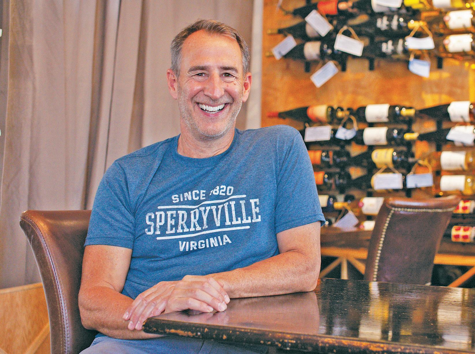
The project’s objectives were similar to those being discussed by today’s village residents, notably in the results of the survey conducted by the Sperryville Community Association (SCA):
• Maintain the rural character, scenic and historic values of Sperryville and the county.
• Preserve and enhance the village’s historic district.
• Provide a safe, pedestrian-friendly environment.
The project was planned in two phases. The first called for construction of a footbridge over the Thornton River connecting the village to the Old Schoolhouse commercial area; lowering and resurfacing Main Street; burying utility lines, installing new signs, lighting, and plantings; and laying the groundwork for exhibits on Sperryville’s history as a transport hub. The second phase envisioned a bicycle and pedestrian path connecting the village west to the commercial area along U.S. 211 and ending at the park.
The pedestrian bridge, sidewalks and road resurfacing were completed with state and local funds at a cost of $225,000, according to project chairman, Tom Junk. The bike path and other projects were left for another day.
Development is not limited to the village. Sperryville has many businesses in the River District and beyond, with a golf course, a distillery, shopping and a brewery.
inches in diameter to one-and-a-half inches. Built 36 years ago and designed to treat 55,000 gallons of liquid waste a day, the system has plenty of capacity to handle its current 200-plus customer base, according to Pamela Parker, the plant’s operator. “We treat on average about 25,000 gallons a day, but during heavy rain events that number goes up due to water infiltrating the system,” said Parker. “During really heavy rainfall events, the plant exceeds its capacity and wastewater is discharged directly into the (Thornton) river, but only a few times a year.”
“If the highway commercial district along U.S. 211 toward the park were heavily developed, it’s hard to see how the existing Sperryville sewer system could support it,” said Mary Katherine Ishee, a Sperryville resident, former member of the Planning Commission, and member of the citizens group, “Keep Rappahannock Rural”
The Rappahannock County Water and Sewer Authority, which oversees the plant’s operation, hired a contractor to study the sources of water infiltration, as well as costs associated with a major overhaul of the aging facility. According to a recently released report, the facility's equalization tank and related processing equipment needs to be replaced at an estimated cost of $1.4 million. The new equipment could result in increased user fees from the current $60 per month to $98.52 by 2029.
At a September 2024 meeting, the Board of Supervisors agreed to back a loan sought


by the sewer authority to pay for equipment upgrades.
Complicating the situation, the plant has reached 90% capacity, potentially limiting the number of new hook ups for new homes and businesses to about 25. Any major new development in Sperryville would likely require expansion of the treatment plant’s infrastructure.
“Expansion of the wastewater treatment system would be a major policy question that should require input from the entire community,” said Ishee.
The supply of drinking water is a worry too.
“There is definitely a water quantity problem in Sperryville,” said Junk. “When I was on the commission, we did water quantity studies in the area. We sit on bedrock and you have to drill deep, in some cases up to 1,000 feet, and fracture the rock to find water.” he said.
A 1996 groundwater evaluation study prepared for the Planning Commission confirmed: “Difficulties obtaining adequate well yields occur in areas where the bedrock contains minimal water-bearing fractures, such as near the center of Sperryville.” If groundwater withdrawals increase in the future, the study continued, especially at high withdrawal rates, limited groundwater storage and the “poorly developed fracture network” over much of the area “will increase the likelihood of widespread impacts to water levels in existing wells.”
And then there’s traffic, along the highways and on the village’s narrow historic Main Street.
Sperryville residents’ long-time concerns about traffic and pedestrian safety were reaffirmed by SCA’s community survey.
Based on Virginia Department of Transportation (VDOT) 2022 data, the average daily vehicle count along major highways in and around Sperryville can be estimated to total over 3.9 million vehicles annually. That breaks down to 1,745, 795 vehicles on U.S. 211 between the town of Washington and Sperryville; 1,357,435 vehicles on U.S. 522 between Route 231 and Sperryville, and 830,000 vehicles on U.S. 211 between Sperryville and the Page County line.
VDOT completed a traffic speed study in July 2021 along the U.S. 211 corridor from the intersection with Sperryville Pike (U.S. 522) 2.9 miles west toward the park. The study was requested by the BOS and looked at the possibility of reducing the current speed limit from 45 m.p.h. to 35 m.p.h. and evaluating removal of the passing zones near the park.
“For Sperryville, we are just more than good neighbors, we are ‘kissing cousins.’”
— Patti Peterson, board member of Shenandoah National Park Trust, and village resident, about the town’s relationship with the park
“There used to be men who would stand around the coffee pot at the Corner Store and talk every morning. That doesn’t happen anymore...”
— Barbara Adolfi, longtime Sperryville resident
Data was collected at three locations along the corridor. Although there were 27 crashes over a five-year period, speeding contributed to only five. The study concluded the speed limit should not be lowered to 35 m.p.h. because monitored vehicle speeds
did not exceed the threshold set by the Federal Highway Administration. Also recommended: Keeping the passing zones.
Supervisor Smith expressed concern about the VDOT report. “I think that there are going to be a lot of unhappy people. They want drivers to slow down through Sperryville up to the park. It’s a dangerous area,” she said.
In response to VDOT’s decision on speed limits, and a 2022 evaluation of pedestrian safety options, SCA convened a community meeting in February 2024. “We wanted to look at infrastructure options that would give residents, not tourists, control over our streets,” said Sutten.
Working groups were formed to study options like round-abouts, crosswalks, and sidewalks along 211 and 522 that would slow traffic and improve pedestrian safety. “We expect to have a report completed by summer of 2024, and later to apply for a VDOT grant to fund infrastructure changes that will make our streets a lot safer,” he said.
“At the end of the day, every village or town has its challenges. Being on U.S. 522, and U.S. 211 and a gateway to SNP creates some unique traffic challenges for Sperryville, and at the same time contributes to the busy and bustling community,” said Smith.
“Sperryville’s Main Street is very narrow so there is not a lot of wiggle room for additional pedestrian and traffic safety measures,” said Mark Nesbit, VDOT’s residency engineer in Warrenton.
Ishee is concerned that COVID has increased the number of visitors to the SNP and the county, and that such pressure will “threaten to strain our small, winding rural roads and could ruin the charm of our villages and rural areas. This should make us doubly cautious about any zoning changes that could put new pressures on our roads.”
In 2020, 1.666 million visitors came to Shenandoah National Park. Park authorities estimate about 30 percent, or 500,000 of them, arrived through the Thornton Gap entrance, just seven miles west of the village. Overall, the SNP estimates visitors spent $96.7 million and created 1,190 local jobs in communities near the park. In 2022, visits were down slightly to 1.5 million, but visitor spending was up to $104 million, and jobs created increasing to 1240.
"We gain huge economic and other benefits from our proximity to the SNP,” said Ishee. “Finding ways to maintain the rural
charm of the route from Sperryville to the Park should be a very high priority, as well as protecting all county viewsheds leading to, and from, the SNP.”
A 2010 study by the National Parks and Conservation Association on SNP gateway communities stated: “Shenandoah National Park and its neighboring communities share a landscape. The surrounding communities and countryside are as essential to the park and the ‘park experience’ as the park is to the character of this region.”
What does it mean to be the neighbor of a national park? “For Sperryville, we are just more than good neighbors, we are 'kissing cousins,’ said Patti Peterson, a village resident, former university president and board member of Shenandoah National Park Trust. “We share the same natural ecosystems, wildlife habitat, and forests, and have to think about almost everything we do. It doesn’t mean we don’t respect growth and change; the question is how we do it.” In the balance, she asked: “Do we want to remain an attractive, wellplanned environmental magnet as opposed to a helter-skelter development that will not honor the principles stated in the Comprehensive Plan?”
Among its 235 countywide members in 2024, the nonprofit Businesses of Rappahannock says 58 of them — 24 percent — are located in Sperryville. Many businesses, like Three Blacksmith’s restaurant, Dragonfly Gems, and Thornton River Arts, line Main Street. Others such as art gallery Cottage Curator and Flourish Roots florals cluster near the Old Schoolhouse. In the River District complex, visitors will find Wild Roots Apothecary, Veditz Brewery, and The Marketplace Sperryville which opened in 2024 and houses a restaurant, bakery, coffee shop, and retail stores To the east sits Pen Druid brewery along U.S. 522. To the west, park visitors pass such establishments as Off the Grid, Rugged Mountain Creations and Central Coffee Roasters.
The village’s future
“In the past five years a lot of new folks have moved into the village area,” said Aileen Johnson, 92, whose family roots go back several generations. “Now that everything seems to cater to weekenders and tourists, it’s just too expensive for the locals. I don’t want to be critical of anyone, but I would like to see an affordable restaurant where a family could take their kids for a hot dog and hamburger,” she said.
“Gentrification, that’s the word,” said Barbara Adolfi, a long-time resident and former Sperryville columnist for the Rappahannock News.
“There used to be men who would stand around the coffee pot at the Corner Store and talk every morning,” she recalled. “That doesn’t happen anymore because there is no place for a lot of old timers to go for an affordable lunch or a cup of coffee. It is sad to see this happening but the hard truth is that
in Troutville, Virginia. “Rappahannock is a fairly wealthy county, whether it’s money that has been there or money that has moved into the county,” he said.
Taylor, whose family goes back eight generations in the county, said he hoped that the increasing affluence in the county would not “squeeze out” longtime residents. “There are a lot of folks I went to school with and others who would love to live here but can’t afford it. I hope we can become a more
nobody is going to put a business on Main Street that isn’t highly profitable. Not only is the cost of property high, but any business must be able to survive the vicissitudes of seasonal income,” she said.
“I wouldn’t call it gentrification so much as it is change,” said Martin Woodard, owner of Thornton River Art gallery, who moved to Sperryville with his wife, Cheri, in 1976 to start Faith Mountain herb and antique shop. “When we first arrived, there was only one other business on Main Street. The village has grown and changed since then and that growth has accelerated in the last five years. This place has always attracted people with creative ideas and energy.”
As an indicator of growing affluence in Sperryville and the county, Compass Capital Investments of Fincastle, Virginia, operates a branch office in the village. “We opened … to provide an opportunity to make a positive impact on the community and help residents from all walks of life with financial planning and investing.” said Brian Taylor, who was raised in the Sperryville area, but now lives
“Now that everything seems to cater to weekenders and tourists, it’s just too expensive for the locals.”
— Aileen Johnson, mulit-generational Sperryville resident
diverse community by helping local folks who are just starting their careers, retirees and newcomers,” he said.
Robert “Archer” Chapman, a SCA leader and businessman, moved to Sperryville five years ago from Washington, D.C. and has redeveloped several properties in the village area. “A lot of people in D.C. are talking about Sperryville; it’s on the lips of a lot of Realtors and buyers,” he said.
“I wouldn’t want this place to be like Middleburg,” said Chapman. “It would be good to see a few more stores and activities for the local folks and tourists, but without destroying the culture and the existing structures ... here.”
Junk, who once ran an antiques business in the village, noted the importance of business owners who live in the community. “This place has thrived because many of the people who own businesses here live here. They have skin in the game and that is wonderful. That is how Sperryville started out,” he said.
Originally published August 26, 2021
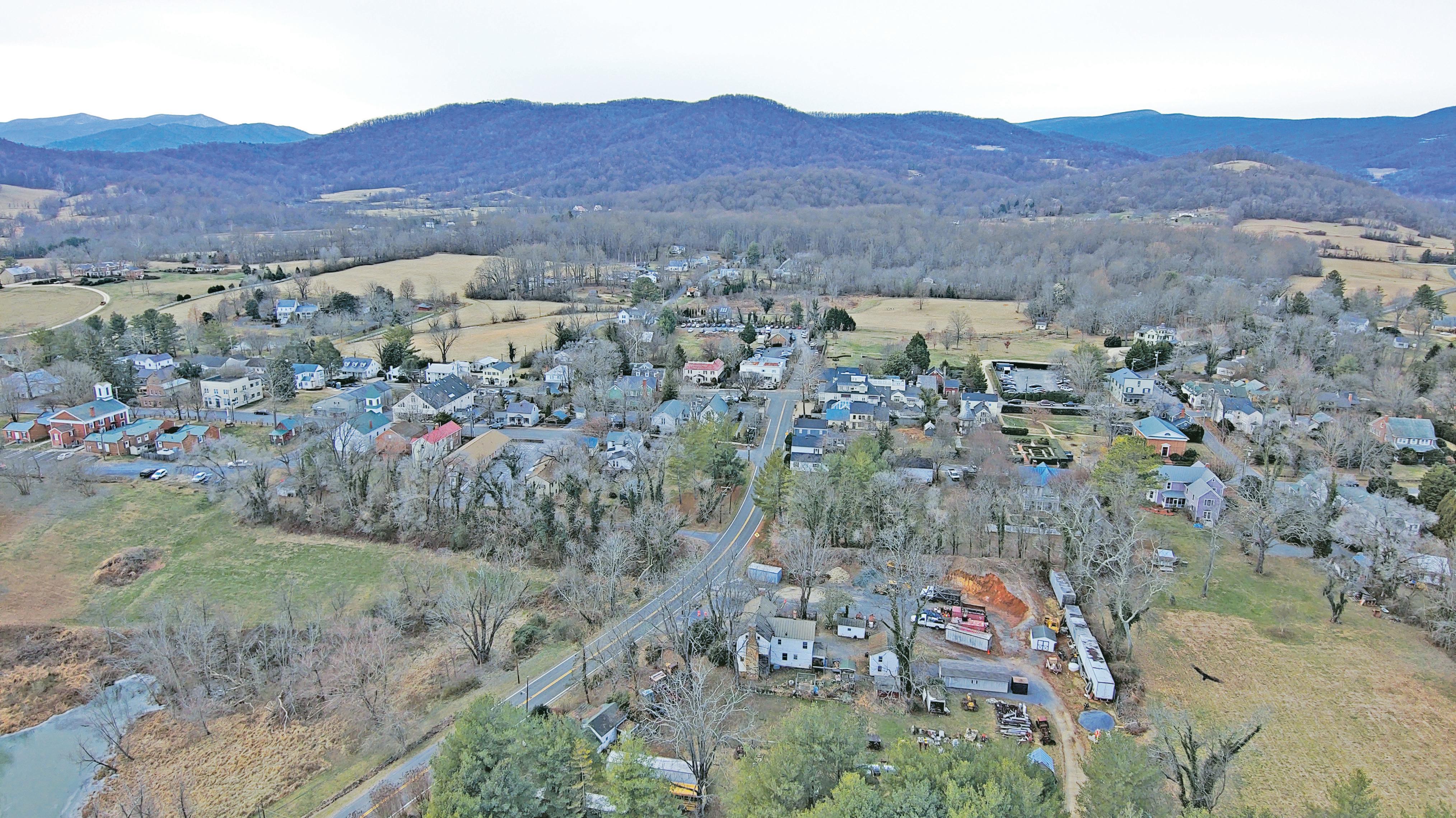
It’s venerated as one of the Piedmont’s most historic and beautiful villages, yet some disparage the Town of Washington as a movie set, even a ghost town. But whatever you think, the town now finds itself poised for a period of great change and challenge, sparking hoped-for renewal, maybe growth and, inevitably, a bit of friction.
Rush River Commons is in various stages of completion; they’re planning a new courthouse; and moves are afoot to breathe new life into many vacant and shuttered properties. It all dares town officials and some residents to believe a municipal renaissance is in the offing.
“I’d say the town is poised for a renaissance, not necessarily growth,” said Mayor Joe Whited. “I think folks who say it’s always been this relatively sleepy spot don’t look back at the 1950s and ‘60s when it was a busy, bustling town. A lot of long-term residents tell me they’d love to see a return to that kind of community, in some way. I feel we’re in a spot where that could happen.”
Nicknamed “Little Washington” for its close proximity to big Washington, the national capital, it’s population is at its lowest ever — just 86, according to the 2020 census. But Town Administrator Barbara Batson takes exception, estimating the real number to be as high as 150.
Named after the nation’s first president, George Washington, just weeks after he
announced his retirement, the town prefers to label itself “The First Washington of All.”
In the mid 1970s, it had almost 200 residents. The village had a gas station, auto garages, a car dealership, general store, theater, bank, museum, firehouse and furniture and antique stores. The Inn at Little Washington opened in 1978, in a building that once housed a garage and later a gift shop.
Town lore claims other “firsts” and “lasts.” Among them:
• In 1950, Dorothy Davis and an allwoman Town Council were elected. Remarkably, the all-woman slate defeated an all-male ticket. They made national news, including in Life magazine. Davis was the nation’s first woman mayor with an allwoman Town Council.
• Stuart’s, a merchandise store – which in later iterations became the Washington Cash Store, the county Health Department and now is owned by the Inn – was located on the corner of Main and Calvert Streets. William Stuart privately loaned money from a vault in the building. The federal government, which no longer recognized private banks, closed the operation in 1920. It was believed to have been the last private bank in the United States.
• Merrill Motor Company, on the site of today’s Patty O’s restaurant, was a Ford dealership with cars displayed in the front window. Merrill closed in 1979 after 50 years, receiving an award from Ford for a dealership under the same ownership for a half century.
In 1973 Jenks Hobson was appointed minister at Trinity Episcopal Church. “When I got here, there were homes and apartments that people were living in that now are owned by the Inn or other businesses,” said Hobson, who now lives in retirement in Amissville. He noted that several properties owned by outside investors sit vacant and are slowly
deteriorating. “As a result, a lot of the housing stock has vanished and what is available now is financially out of reach for many families,” he said.
Pat Giles, who lives on Gay Street, remembers lots of moms and children when she moved to town with her two babies in 1969. “We’d get together for play dates,” said Giles. Her husband, Skippy, owned the Washington Cash Store, a general store that closed in 1988. “There were about 30 kids in town. There were activities like block parties and caroling during the Christmas holidays. It was a really fun community for kids to grow up in.”
But, as Giles explained, when children graduated from high school they left, seldom returning. “There was little for them to come back to, in terms of jobs. Eventually their parents sold their homes. Now only one or maybe two people live in these homes, a lot of them retirees. It used to be that you’d walk through town and see your neighbors on their porches or gardening. Now you see no one.”
Mary Ann Kuhn came to Washington in 1994. A Town Council member for 17 years
– six as vice mayor – and a previous owner of Middleton Inn on Main Street, she said: “I’ve always been interested in the soul of the town. When we lost the Country Café and the Post Office on the corner of Main and Middle Street, I felt we lost the beating heart of the village. That’s where locals congregated. I fear a sense of community is slipping away and I don’t know what will bring it back.”
As a resident for 30 years, Fawn Evenson has seen a lot of change. “When I first moved here it was a very lively town always with something to do,” she said. “There was a group I called the ‘party of the month club,’ where a multi-generational gang of us would get together and have a party at someone’s house. Today, because there was no young group that came behind us, all that’s gone away.”
Evenson strongly supports Rush River Commons, the town’s first mixed-use development. “I’m very excited. I’m hopeful it’s going to bring people into town, but there has to be something for them to come visit,” she said. “This town is dead and we need more businesses and shops to attract visitors and new residents.”
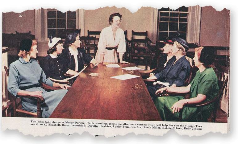
‘Something new’
After months of hearings, reviews and negotiations, and an especially contentious town-county boundary adjustment, Rush River Commons broke ground in 2022.
It sits on nine acres at the edge of town, about half of which is in the county. The developer, Chuck Ackre, sought to adjust the boundary to bring the entire project within the town’s jurisdiction — thereby increasing the town area to about 186 acres.
The approval process had been sometimes fractious, with some residents worried the development would detract from the area's rural setting and pave the way for additional development.
During the negotiations, former town Mayor Fred Catlin,currently a member of the Town Council, said, “I want to stress that the second phase (the boundary adjustment) would benefit the county with new services and tax revenue. It also gives the town control to make sure it meets our site and architectural guidelines. No one wants this to become an eyesore or unwanted development.”
Nancy Buntin, who was born and raised in the town, and whose father William served as county sheriff in the 1970s and 1980s, is another supporter of the project.
“Rush River is something new,” she said. “I can understand why some people are afraid the atmosphere of the town and county may be altered. But this project fits into the county’s and the town’s comprehensive plans and I don’t see it as a gateway to big developments like the one going on at
Hobson, the former Trinity Church minister, agreed. Arguing the development would breathe new life into the town and provide more affordable housing options, he said: “Let’s do it, let’s get it done, and let’s enjoy it.”
The first phase of the project is nearing completion. Commercial space, including offices for Rapp at Home and the county’s Department of Social Services, and a cafe or retail business will be finished by November 2024. Rappahannock Food Pantry, the project’s first tenant, moved in in July and now is open for business. Eighteen moderate income residential rental units are expected to be available early in 2025.
The new boundary adjustment was approved by the county Board of Supervisors and Washington Town Council in September 2024. Once it receives final approval by the Rappahannock County Circuit Court which is expected in early 2025, a second phase of the project that will include more offices and space for community and arts activities can move forward. However, a limitation insisted on by supervisors during haggling on the boundary adjustment, bars any new housing units in the expanded area.
In 1833, a year after the town became the county seat, work began on a series of public buildings — a courthouse, the clerk’s office (now housing the Commissioner of the Revenue) and the jail. Today, all are still in use, but in need of major renovations.
The county’s now disbanded Buildings Committee began discussing a 2020 report on badly needed repairs for Gay Street’s “courthouse row,” including the courthouse, court clerk’s office, old jailhouse, the offices of the Commissioner of the Revenue, Treasurer and Commonwealth’s Attorney, and the old county administration building. The report found multiple “issues of dire concern for life safety and/or security that are recommended for immediate review and remedy.”
At the time, the Buildings Committee decided it would be cheaper to build a new complex than to restore and expand the existing structures and add new office space.
A proposed design was unveiled in August 2022, depicting a two-story building about five times the size of the current courthouse. It was largely panned by residents who spoke at a Board of Supervisors meeting in September, saying it was too big and not in keeping with the architectural character of the town.
After months of wrangling over the design and scope of the project, the Board of Supervisors took control, voting in early 2024 to disband the Buildings Committee and to bring all related work under its own jurisdiction.
In May 2024 the BOS authorized County Administrator Garrey Curry to “begin negotiations with the firm this board believes to be most appropriate to the scale and historic nature of this project.”
In August, the BOS selected Richmondbased architectural and engineering firm Glave & Holmes to do the planning and design work. As a first step, the firm is
“I
reviewing all work that has been done to date.
“They are looking at space needs, number of courtrooms, and reviewing concept plans for different options, including a standalone building or addition to the existing building,” said Curry. “That process involves community input and a report to the BOS who would ultimately decide on a preferred concept plan."
“There is no question that a building that size is important to the town and the county,” said former Mayor John Fox Sullivan. “But it’s not a town versus county issue,” he said. “Everybody wants something that is attractive and in keeping with the village’s aesthetics.”
Sullivan underscored his near certainty that the existing historic courthouse and neighboring structures will remain intact, with some repairs to allow the space to be used for other purposes.
Plans also are under discussion to renovate other county buildings, including the old jail and the former Methodist Church on Gay Street, which more recently housed the Rappahannock Association for Arts and Community Theatre.
Village’s ‘special feel’
Whether it is the new courthouse complex, the second phase of the Rush River Commons, the Inn’s new building projects or the renovation or construction of other buildings, all exterior design plans must be approved by the town’s Architectural Review Board.
In 1975, the entire town was listed as an historical district by both the Virginia
Landmarks Register and the National Register of Historical Places. Those designations deemed the town’s buildings and structures worthy of preservation. Ten years later, the Town Council created the Architectural Review Board (ARB), charged with protecting the style and historic character of the town.
“Since about 90% of the town is already built, most of our time is spent on modifications to existing buildings,” said Drew Mitchell, former chair and current member of the ARB and owner of Avon Hall, a historic manor house in the town. “Our role is to follow historic guidelines set by the state government for things like roof or window replacements, or new construction. In making decisions, we take into consideration the very special feel of our small village. At the same time, we want the review process to be as user-friendly as possible,” he said.
The ARB played an important role in reviewing the Rush River project where it successfully sought changes to the first phase.
“Rush River is probably the village’s biggest private project of its kind. The original size and style of the project’s residential units crossed the line for what the ARB believed was compatible with the rest of the town. We worked with them very successfully to redesign a portion of the project, so now it comports with the village’s character,” Mitchell said.
The ARB also will have jurisdiction over the design of the new courthouse complex. “It is within the town’s historical district,” said Mitchell. “Even though the county owns the property and would be constructing it, the complex still falls under the ARB guidelines and is subject to our review and approval.”
Mitchell said he hopes the design for a new courthouse will be resolved in advance of it coming before the ARB. “Usually, the ARB’s review of designs comes at the end of the process, which makes it difficult for us to make changes.”
In 2023, Mayor Whited hosted meetings with businesses and commercial property owners in an effort to boost the town’s economic base. “I think those discussions have helped us identify possible options and incentives for utilizing commercial spaces that would attract new business and enhance the community," he said.
1796 – Three landowners – George Calvert, James Jett, Jr., and James Wheeler – petitioned the Virginia General Assembly to establish a town “by the name of Washington on land of your said petitioners.” An act was passed establishing the Town of Washington on a footprint of 25 acres.
1797 – A second act was passed by the General Assembly, adding to the town five acres of land then owned by William Porter.
1894 – The Virginia General Assembly passed an act to expand the town’s boundaries by 300 yards in each direction bringing the acreage to 226 acres. No historical records are available to document this boundary change.
1985 – Realizing no accurate survey existed for the town’s boundaries, then mayor Newbill Miller and the Board of Supervisors (BOS) agreed to review the town boundaries as set in 1796, 1797, and 1894. As a result, the town was rechartered by the Virginia General Assembly, bringing its acreage to just over 179 acres.
1999 – The town and BOS reviewed boundary adjustment applications from citizens whose property straddled the town-county lines. It was unanimously agreed that five lots be included within the town’s boundaries, bringing the area of the town to 182 acres.
2024 – Both the Washington Town Council and the Rappahannock County Board of Supervisors voted to approve a 3.94953-acre boundary adjustment that would bring all of the Rush River Commons project into the town limits.
Based on research by author Maureen Harris, who wrote a history of the Town of Washington and detailed the changing boundaries of the town, plus Foothills Forum and Rapp News reporting.
Whited also spearheaded the creation of an economic development authority which he chairs. “We set aside ten thousand dollars of town funds to provide grants for two types of businesses” he said. “The first provides assistance to someone who would turn over an existing building into a retail establishment, and the second would help cover the meals and lodging taxes for new food service establishments.”
One prominent property owner, Washington, D.C.-area developer Jim Abdo and proprietor of the White Moose Inn, has plans for several dormant properties he owns in the town. Most notable is the dilapidated Packing Shed on Gay Street, which he hopes to renovate into an off-site meeting center where business executives could gather for midweek retreats. The old Rappahannock News building on Main Street could be converted into “villas” or small housekeeping units. And the First Washington Museum, also on Main Street, would be transformed into studios and show rooms with artists working on site.
The Inn at Little Washington generates as much as $600,000 annually in meals and lodging taxes, making it by far the biggest contributor to the town’s economy. “Given the sheer amount of revenue and foot traffic
Nancy Buntin lived with her 107-year-old mother Betty on Main Street. Betty Buntin passed away in January 2024.
generated by the Inn, especially with Patty O’s, I think it is important to continue having them included in any conversation about the town’s future growth,” Whited said. “As the Inn continues to grow, foot traffic in the town will continue to grow, and that creates a market opportunity for new businesses.”
The Inn, now in its 46th year, has two new projects in the works – renovating the “Cook’s Cottage” to add new guest rooms; and expanding its main “campus,” with 10 additional guest rooms, a spa and pool, wine cellar and tasting hall, and a guest reception building.
Caroline Anstey, who chairs the town’s Planning Commission, is optimistic the town may be writing a new chapter in its history. “I think this is a very exciting time for Little Washington,” she said.
“Our finances are strong, our governing bodies are functioning well, and our residents are engaged. The first phase of Rush River Commons will be completed soon. The Inn has plans to expand, but within their footprint, thereby allowing for residential opportunities. And I’m confident that the new courthouse project will result in a design that respects the town’s historical character.”
Originally published January 5, 2023
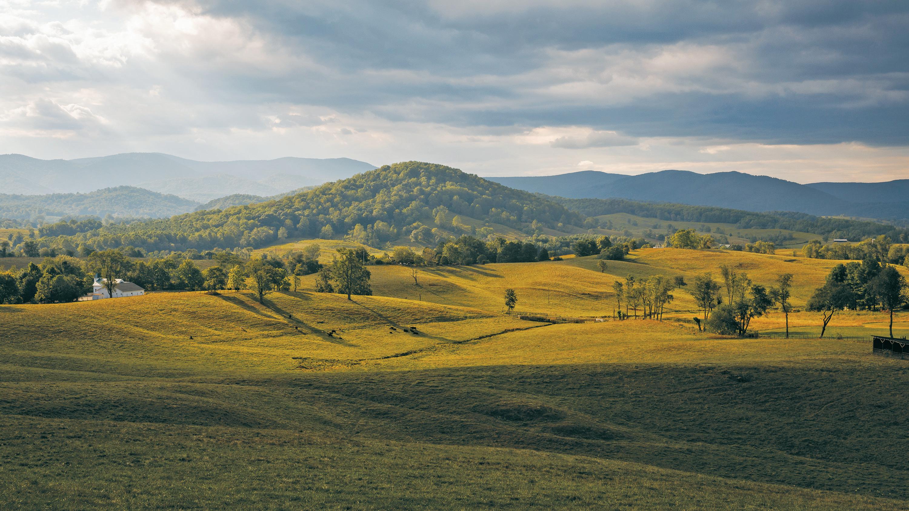
Woodville is a 60-second drive-through between Sperryville and Culpeper on U.S. Route 522. It may be the smallest village in Rappahannock County, butit has a rich, colorful history and now, evolving possibilities for its future.
The story of this blink of a hamlet is replicated in small towns across the Virginia Piedmont — prosperous 19th century growth followed by decades of declining commerce and population. But now, the beginnings of a new chapter for Woodville are tied to the slowly emerging fate of the sprawling Eldon Farms.
THE VIEW FROM RED OAK:
Shiloh Baptist Church seen from about one quarter up Red Oak Mountain. It was the only church not severely damaged by the 1929 tornado.
At 7100 acres, the property is one of the East Coast’s biggest, undivided landholdings. Stretching along the southwest side of Woodville, south toward Slate Mills and west to Sperryville, the farms make up about half of Woodville’s 22749 zip code.
“We recognize Eldon has an important influence on Woodville,” said Chuck Akre, who purchased the farms in 2021 and who also is developing the first mixed-use development in Little Washington, where he lives. “We don’t have anything planned for
the property, and should its use ever change to something other than cattle pasture, it would have to be completely compatible with the community.”
Akre has engaged a landscape architecture firm, Nelson Byrd Woltz, in Charlottesville, to develop a “massive” long range plan for the property, addressing conservation, community accessibility, nature trails, education programs, agriculture and a viable cattle operation. The plan is expected to be completed by the end of 2024. .
Woodville’s past
Today, Woodville is one of six villages identified in the county’s Comprehensive Plan. Its origins date to land grants issued by Lord Fairfax in the mid-1700s. In 1833, it was in the running
to be Rappahannock’s county seat. During the Civil War, thousands of Confederate and Union troops regularly occupied its fields and homes. In 1929 it was nearly destroyed by a powerful tornado. And the orchards on nearby Red Oak Mountain produced some of the finest apples in the county.
Local historian Misty Hitt Wright, whose family ties to the village date back to the 1840s, said: “Key events like the Civil War, population shifts to the cities in the early 1900s, the tornado in 1929, the decline of farming, and the creation of Eldon Farms in the 1960s all brought changes to the village.”
Once a bustling community of shops and taverns, tradesmen, and doctors, four churches and even a hotel, Woodville today is a quiet village. Residents, many whose families have lived there for generations, treasure its history and sense of community.
A small cluster of homes and just three lots zoned for commercial activity are the “core” of the village. Other than Burke’s Antiques and Consignments, formerly Burke’s Store, there are no retail businesses. The village’s last outlet, Mary’s Little Shop, closed in 2010.
After 195 years, the village post office closed in 1998. But its sprawling zip code remains, stretching from Scrabble to Sperryville and from Rock Mills to F. T. Valley Road.
It could have been the county seat
Following a local petition, Woodville was established in 1798 by an act of the Virginia General Assembly, two years after “Little” Washington. The town was laid off on half-acre lots, with streets named for trees like Poplar, Walnut and Maple. Although most have since disappeared, Cherry Street, once the town’s main street, now is part of U.S. Route 522.
There is some debate over how Woodville got its name. Some say it was for the surrounding forests. Others believe it was named for Rev. John Woodville, the rector of St. Mark’s parish in Culpeper, who often visited the village.
Farms’ owner Chuck
shakes hands during last year’s
Blues Festival, held on the sprawling property.
drunken and rowdy behavior on court days would corrupt the town.
In the end, Washington was chosen, likely because it was more centrally located.
“I am now camped in a beautiful rolling, hilly mountainous country. Large farms, mostly of clover and timothy, cattle being the chief business… All the [white] people are hot secessionists. … All the young men are in the rebel army…”
— Gen. Robert H. Milroy to Mary Milroy, July 14, 1862
Woodville expanded as an economic center with the approval, in 1848, of the New Market to Sperryville turnpike, connecting the village to Culpeper to make it an important thoroughfare in the coming Civil War.
fought, but you had thousands of soldiers on both sides marching through or camping there, using the same sites multiple times throughout the war.”
A Union brigade of 5,000 men commanded by Gen. Robert H. Milroy camped around Woodville in the summer of 1862. Milroy, a fervent Unionist who made his headquarters at the Clover Hill estate, now part of Eldon Farms, rounded up over 100 locals and forced them to pledge allegiance to the United States.
Milroy and fellow Union General Franz Sigel, who commanded 8,000 troops camped at Sperryville, trained in a mock battle in July 1862 near the intersection of U.S. Route 522 and Yancy Road. According to Tole, it was the biggest military action in the county during the Civil War.


When Rappahannock County split from Culpeper County in 1833, county leaders had to decide where to locate the county courthouse. By then, both Woodville and Washington were thriving communities and each vied to be the county seat. Some in Woodville opposed the move, including Captain William Walden, an influential landowner. He and others were said to worry that


Its hard surface was perfect for moving both Confederate and Union troops and artillery to battles in the Shenandoah Valley; and north, to places like Antietam and Gettysburg.


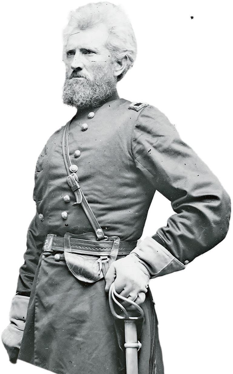
“Woodville was the site of a lot of activity during the Civil War,” said John Tole, president of the Rappahannock Historical Society. “No battles were County had
A year later, at the Second Battle of Winchester, Milroy was defeated by Confederate General Richard Ewell. Ironically, Ewell marched through Woodville on his way to the battle.
Generations on Red Oak
Known for its spectacular views, fertile fields, and once abundant apple orchards, Red Oak Mountain has always been considered integral to Woodville — and a draw for the rest of the county.
The Johnson family reportedly was first to settle “the Red Oak,” in the mid-1700s. Gen. Robert H. Milroy
The original cabin still stands and is owned by the family of Henry B. Wood III, a direct descendant of William Johnson who had purchased most of the mountain in 1764.
“I go back probably nine or 10 generations in the Johnson family line,” said Wood. “A lot of the old families around here have a genealogical connection to that family.”
Two of those connections, Kathy Grove and Tom Johnson had deep family ties in the area, but grew up away from Woodville — Kathy in Arlington, Va., and Tom in Lakeland, Fla. As youngsters, both made family visits during the summer.
“Woodville was my summer camp,” said Grove. “As a little girl I loved spending time up on the Red Oak, visiting my great uncle Raymond Johnson, great aunt Juluette and great-grandmother, Florence Johnson. When I was older, I’d drive out for the day with friends to show them around the mountain with its fabulous views and visit the old family cemetery up there where many of my relatives are buried.”
Over the years, Grove maintained her strong connection to the community and in 2004 permanently moved near the village, into a 1750s farmhouse, which she and her husband, Larry, renovated.
Tom Johnson now lives in his grandparents’ home, where he too spent summers in his youth. “I liked the country life,” he said. “I’d help around the house, feed the chickens and cows, weed the vegetable garden and go for long walks up the Red Oak to visit my uncle Raymond who lived in the house at the top. The Red Oak really reminds me of that 1970s TV show, ‘The Waltons.’ Back in the old days, it was mostly all Johnsons who lived on the mountain.”
After his uncle passed away, the family house was owned for 50 years by someone outside the county who rarely used it. “I ended up living there as a tenant when I moved here in 1994, and a couple of years ago, I had the opportunity to buy it. It’s nice to have the old homestead back in the family,” said Johnson.
Not every family who lived on the Red Oak were Johnsons.
William Jones Jr.’s great-great grandfather, Howard Jones bought a 90acre farm on the mountain from Hezekiah and Sarah Rudasill in 1882. Jones Jr., a former automobile industry executive and retired president of a nonprofit organization in Michigan, bought the property from relatives 10 years ago and retired there with
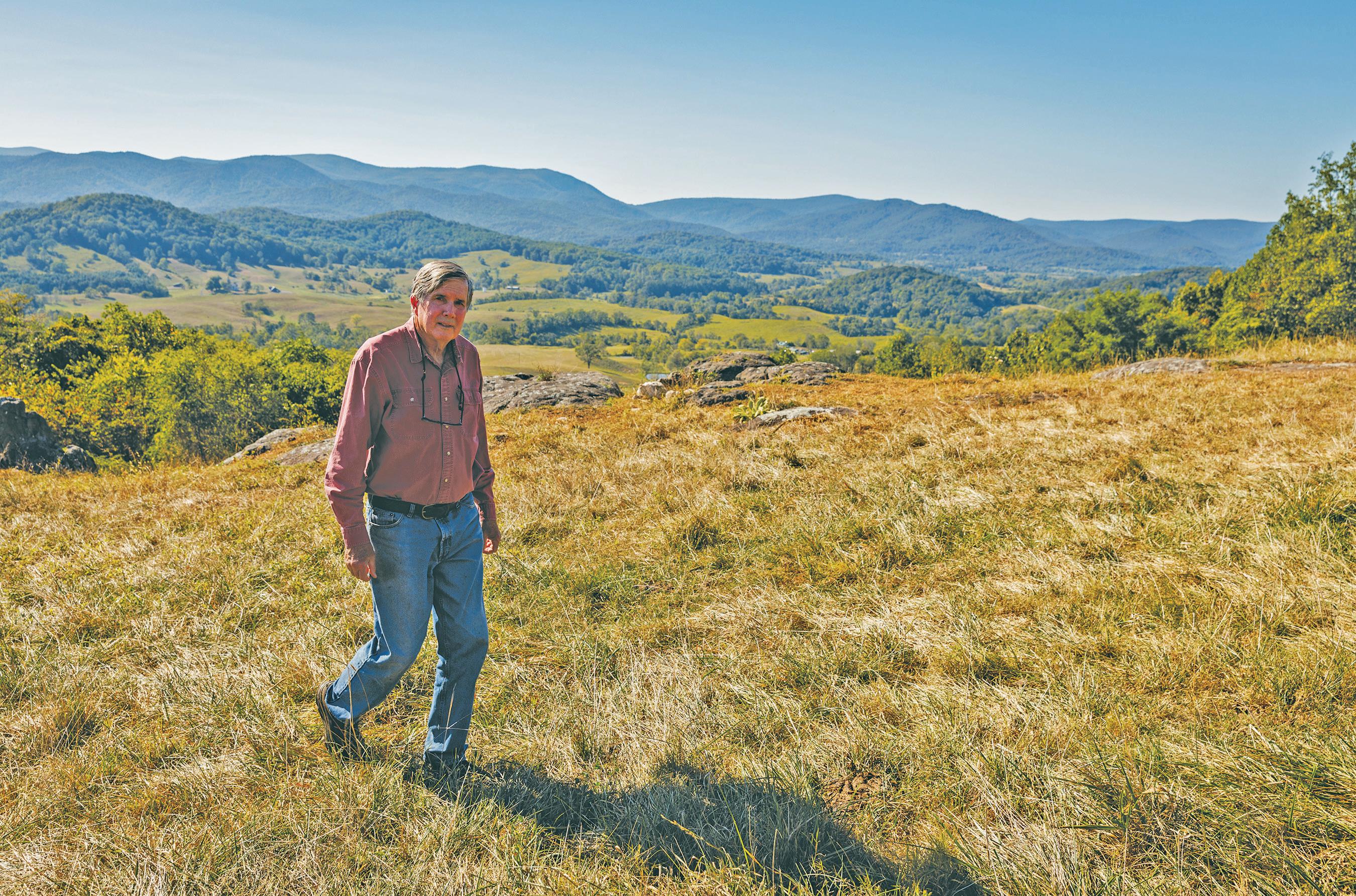
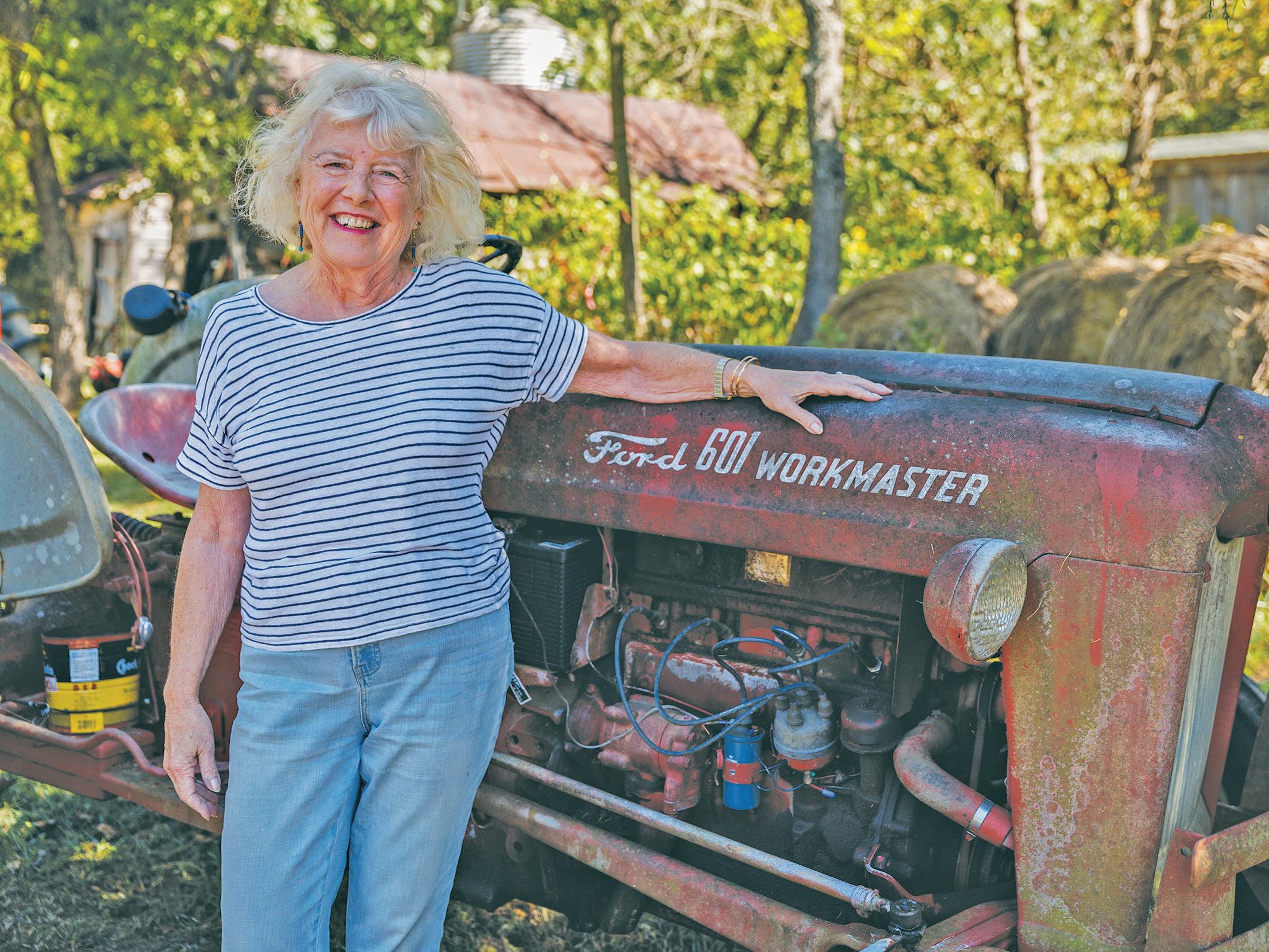
his wife, Marion, in 2021.
Like Kathy Grove and Tom Johnson, Jones did not grow up in Woodville. “My father lived off-and-on in Woodville. The schools were segregated then so he spent time in Culpeper because it was easier for him to attend what was then the Black George Washington Carver School,” he said.
Jones’ father, William Sr., later married and ended up living in Hampton, Va., and young William, who grew up there, would spend his summers in Woodville, helping his grandparents on the farm.
“Working with livestock, gardening, and helping to maintain the old family place was a far cry from living in the city, but I enjoyed it,” said Jones. “In later years, we’d always return for visits and holidays. Over time you fall in love with the mountains and country living and form roots and attachments to
FAMILY ON THE MOUNTAIN:
Cousins Kathy Grove, left, and Tom Johnson, above on the site of William Johnson’s original home about halfway up Red Oak. “The Red Oak really reminds me of that 1970s TV show, ‘The Waltons.’ Back in the old days, it was mostly all Johnsons who lived on the mountain,” Johnson said.
the place so that you can’t shake it. That is why we came back.”
Apples were big business on the Red Oak. “The mountain’s altitude allowed for temperature inversion so in the spring, when the trees were budding and a freeze came in the valley, the warm air would rise and protect the apple crop,” said Wood. “During cold spells, folks with orchards on the higher ground often did better than those who had orchards at lower elevations.”
“There was big money in apples,” recalled James Johnson, Tom’s father, a retired gastroenterologist in Lakeland, Fla. “When I was growing up in Woodville back in the 1940s, you could make up to $10 a day picking apples. That was a lot when compared to making a dollar a day for farm work,” he said.
Originally published September 21, 2023


Established in 1798, Woodville is Rappahannock County’s second oldest village, Washington being the oldest. It grew into a prosperous community in the early 19th century, endured occupation during the Civil War, survived a devastating tornado in 1929 and became a thriving apple growing center. Today, the tiny hamlet, nestled between Red Oak Mountain and the 7100-acre Eldon Farms, is home to residents with deep family roots, and newcomers alike, who cherish its rich history.


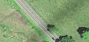


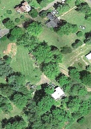


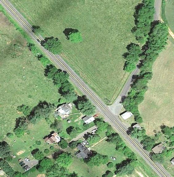


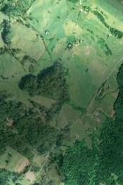


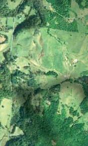


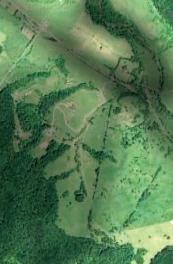


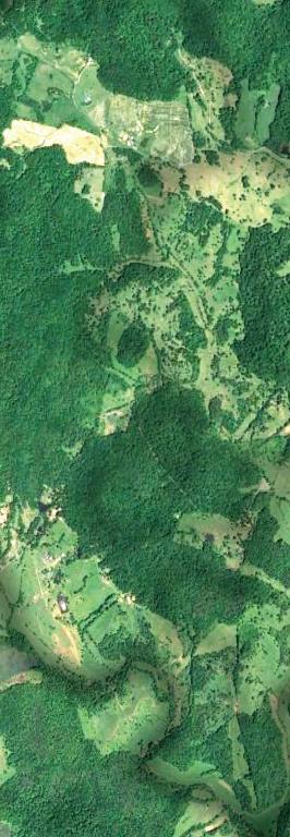


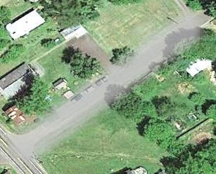
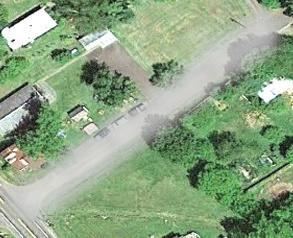
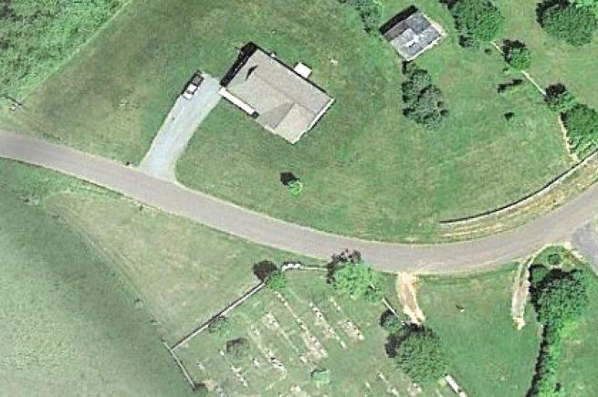


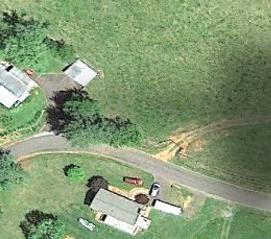


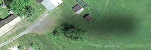
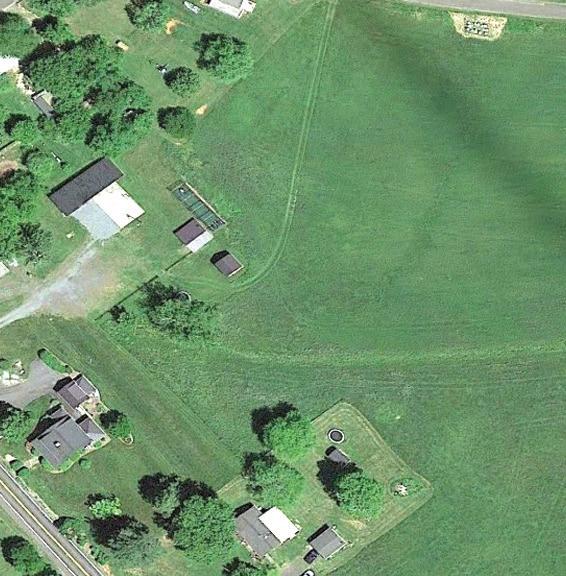


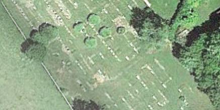


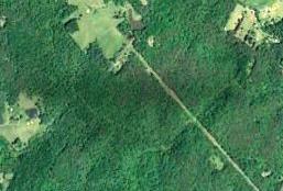


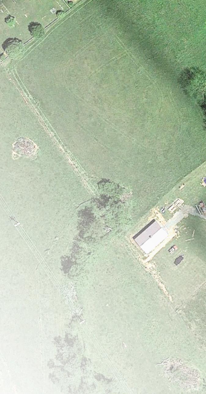


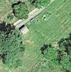


“Woodville’s history is a series of layers, and one of those layers was the 1960s and 70s when the hippies came to the community,” said local historian Misty Hitt Wright whose family ties to the village date back to the 1840s.
Beginning in the mid 1960s, William Lane of Chicago began buying up farms and estates in the area, including Little Eldon, Mountain Home and Clover Hill, and combined the properties into what he named Eldon Farms.
“It was a tough time in agriculture and the older generation weren’t farming as much back then,” said Henry B. Wood III, whose family line goes back nine or 10 generations. “They were ready to sell their property, so Mr. Lane was able to purchase thousands of acres of farmland and forest.”
Many of the farms had tenant houses for workers and their families. “When the farms were sold and owners and tenants left, Woodville lost a lot of its population and that affected what businesses were left in the community,” said Wood.
In the ‘back to the land’ movement in the 1960s and 70s, Eldon Farms became a popular destination for young people seeking alternative lifestyles.
“I remember the free-spirited types were scattered in those houses all around Eldon and would come down to our general store to buy groceries and supplies,” said Richie Burke, whose family owned Burke’s Store in Woodville.
Sam Cliffton, a retired builder who lives with his wife, Kate, off Whorton Hollow Road, moved to Woodville in 1973 and leased a large stone house – paying $125 a month rent, half of what he paid for a tiny apartment in New York. “It was heaven,” he said. “We had hot and cold running water which was a real plus. Most of the old tenant houses on Eldon where my friends lived didn’t have plumbing.”
On Thursdays, Cliffton would invite friends from the Spyder Mountain commune near Sperryville to come down for
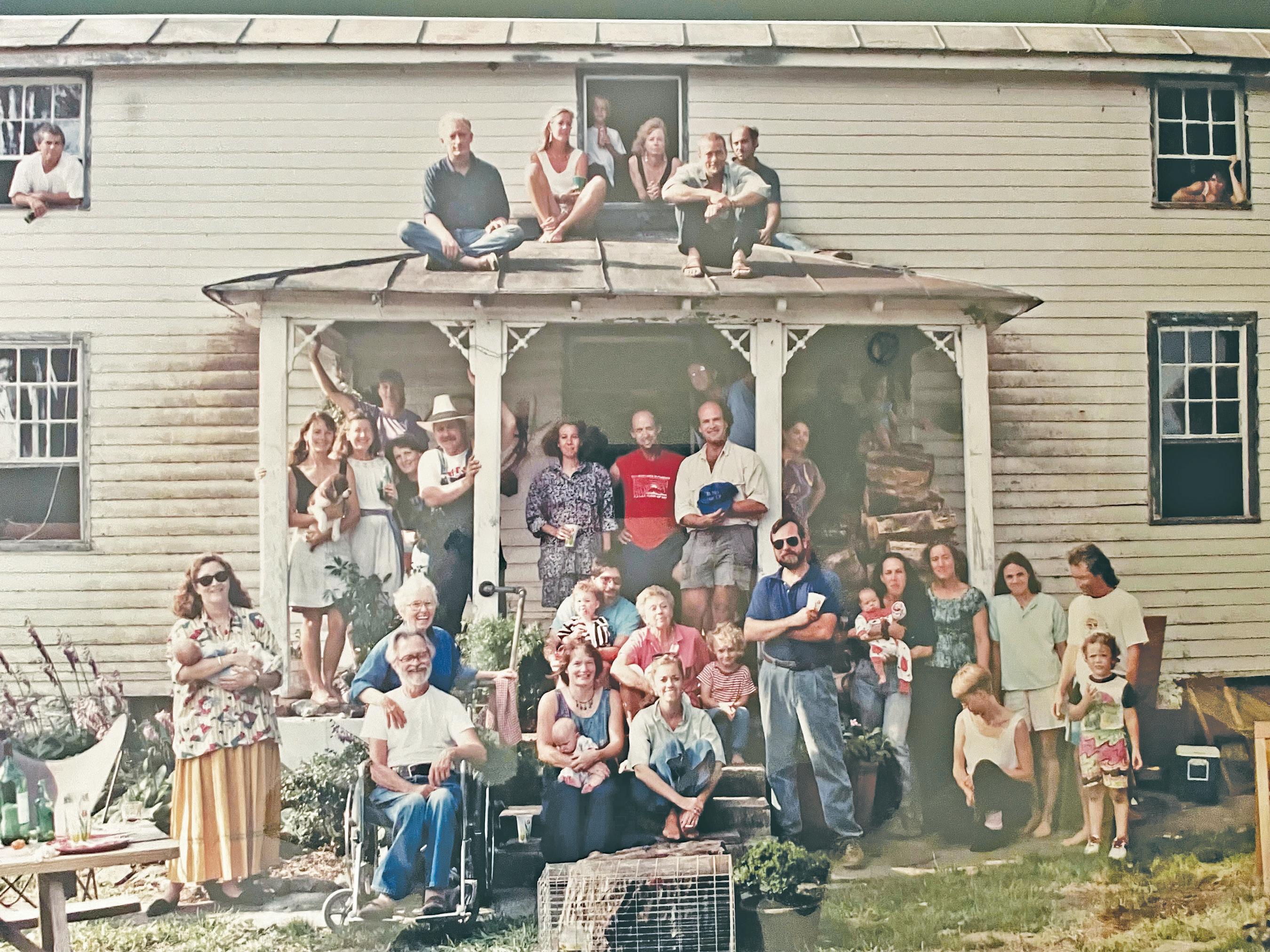
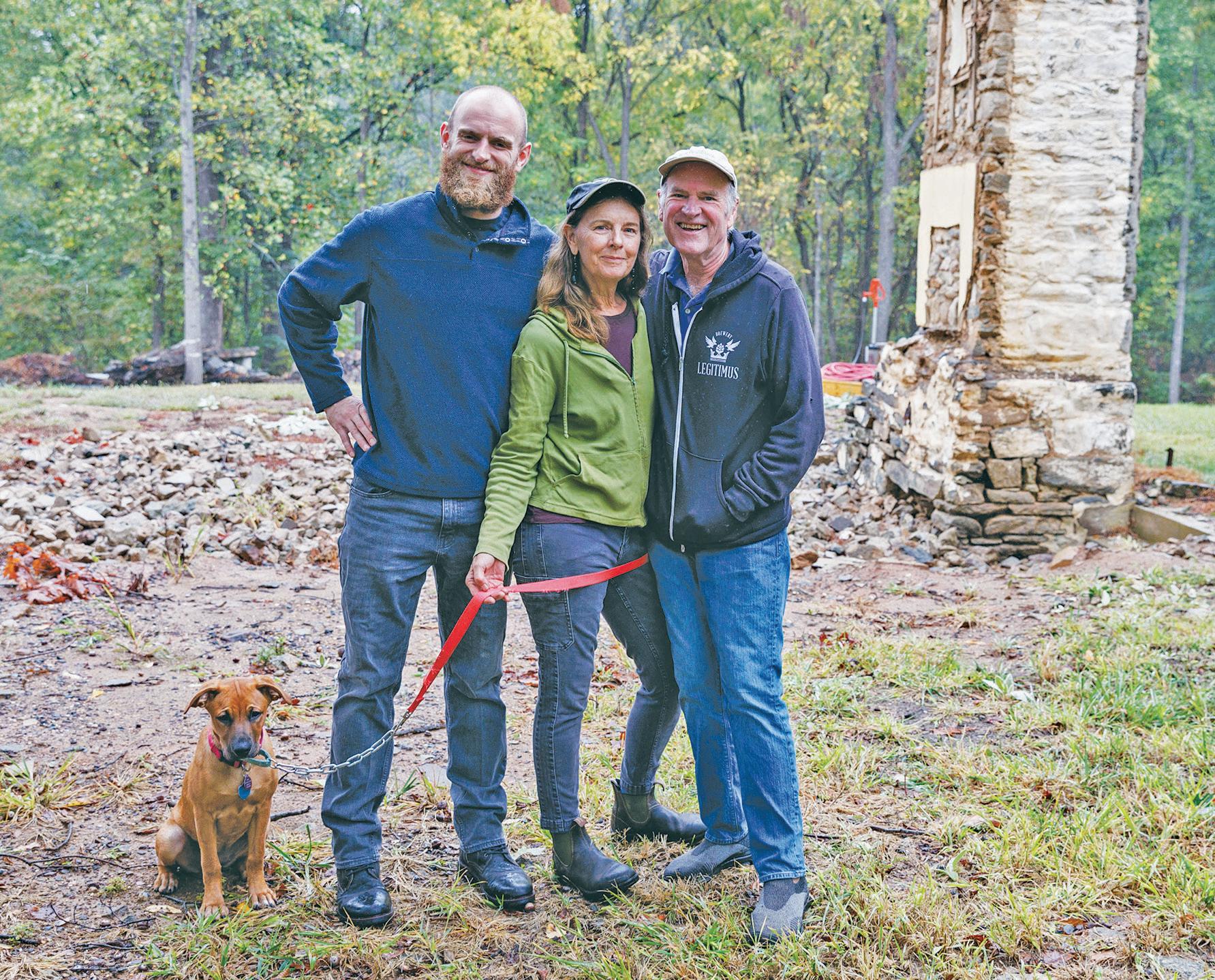
a hot bath. “Our place was a pretty popular hangout,” he said.
Later, Cliffton moved to a house on Red Oak Mountain where he lived for 14 years. “I never met the landlord, who lived in the D.C. area, or paid rent on that house, although we kept it up quite nicely. That’s just the way things were back then,” he said.
A HAVEN FOR FREE SPIRITS:
Sam Cliffton’s surprise 40th birthday party (circa 1994), at a home that dated to the eighteenth century.
The home now has been demolished, but the two chimneys are still standing.
Cliffton, with son Smith and wife Kate, at the property in 2023.
“The old-time village folks graciously accepted us newcomers,” said Cliffton. When their son, Smith, was born in the house on Red Oak Mountain, Betty Wood, the wife of long-time village resident and county supervisor H.B. Wood, gifted them a blanket she had knitted and a Bible. “She said our son was the first child born on the
mountain in 80 years. You can’t beat that for neighborliness.”
Burke, who now is the construction and property manager at Eldon Farms, said about 25 of the tenant houses, some of which fell into disrepair, were torn down or had burned down. “Back around 1980 the Sperryville Fire Department burned a lot of houses for training purposes,” he said.
Tornado and its aftermath
During the turn of the last century, Woodville’s community life revolved around its four churches: St. Paul’s Episcopal, Woodville Baptist Church, Shiloh Baptist Church and the Woodville Methodist Church; a Temperance Hall where town meetings, dances and concerts were held; the elementary and high school; and the post office and general stores, where area residents would gather to catch up on the local news. The “Woodville Academy and Tennis Club” also was a popular spot.
When a powerful tornado struck in May of 1929, it flattened the schoolhouse, killing one child and injuring four others. Many homes and other buildings were crushed or damaged. St. Paul’s Episcopal Church and the Woodville Baptist Church were completely destroyed. The Baptist church was rebuilt, but all that remains today of St. Paul’s is its cemetery. The Methodist church was knocked off its foundation and later was torn down. Only Shiloh Baptist Church escaped the storm’s fury.
“The town never really recovered from that tornado,” said John Tole, president of the Rappahannock Historical Society.
More recent efforts to revitalize the town’s community spirit picked-up when the village marked its 200-year anniversary in 1998.
“In 1997, we realized that the village was going to be 200 years old, so some of us came together and started the Woodville Community Organization (WCO) to plan for a bicentennial celebration,” said Jeff Light, a local resident and pastor of NOVUM Baptist Church in Reva, Va.
“We wanted to celebrate not just Woodville, but the entire county through a history parade and festival that showcased
would never be the same again
On Thursday, May 2, 1929, Woodville changed forever.
There was little warning. A powerful tornado touched down, destroying the school, churches, homes and other buildings. Lives were lost.

The four-room Woodville School was particularly hard hit. According to reports in the Madison Eagle, 40 students were at the school. As winds began to rock the building, teachers dismissed the students.

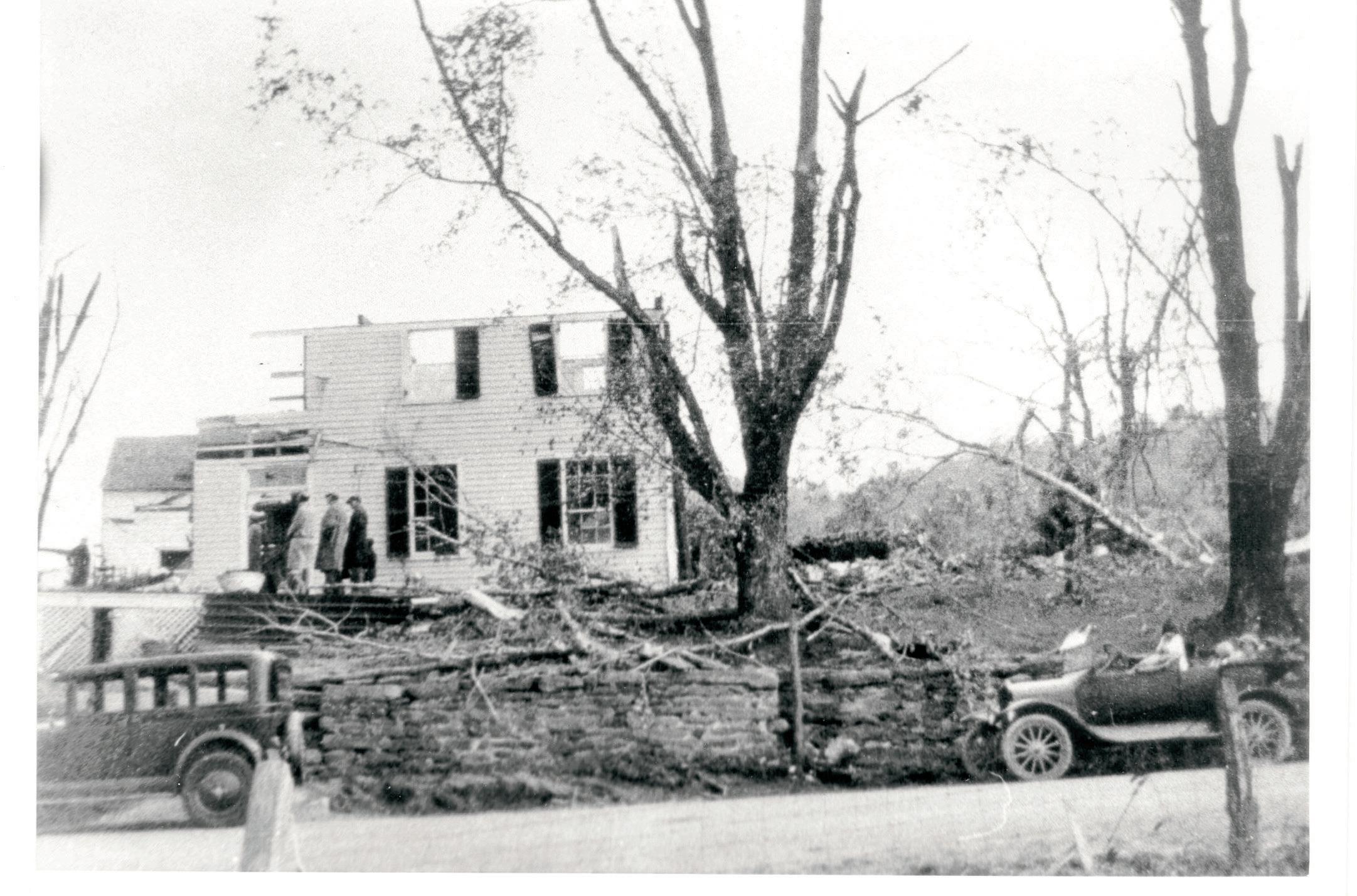


Many found refuge in nearby homes. Others weren’t as lucky.
As parents began searching for their children, Marshall Hawkins, 14, was found dead near the school, his neck broken by a flying door. Others were blown into nearby fields and sustained life-threatening injuries. Two teachers suffered cuts and bruises.
Had he lived, Marshall Hawkins would have been the uncle of Diane Bruce who lives in Sperryville. “My mother, Marshall’s sister, was at the high school in Sperryville when the tornado hit,” said Bruce. “They had no idea what happened, but when she returned to Woodville on the school bus, she said she saw destruction everywhere. People were just staggering around with mud all over them, clothes torn and had looks of bewilderment,” she said.
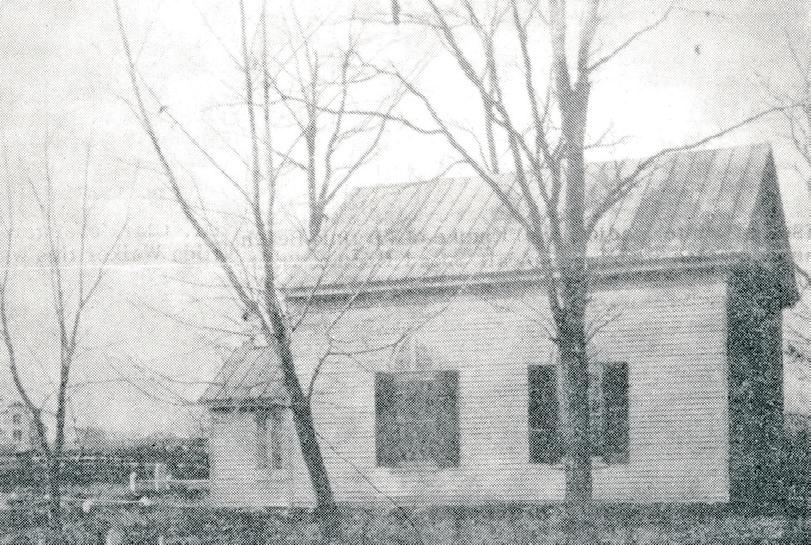
The tornado struck close to St. Paul’s Episcopal Church which was destroyed and never rebuilt.
The Woodville Baptist Church, which had just been remodeled, also was leveled, but later rebuilt. The Methodist Church was pushed off its foundation and later was torn down in the 1950s.
A number of homes were destroyed. The Botts’ house lay in ruins, except for the bedroom where Cora Botts lay in her

bed unharmed. According to legend, she was found singing a hymn and covered with sheets of the Virginia Baptist newspaper, The Religious Herald, which she said had protected her.
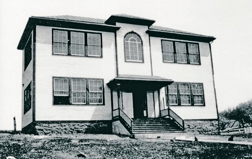

Part of the school’s roof ended up in a field 10 miles away near Ben Venue. The school’s piano was lifted over a hill and landed 100 yards away. A student’s schoolbook was found in Jefferson County, W.Va., some 50 miles away.
“The destruction here was complete as ever witnessed,” reported the Culpeper Star Exponent.
The path of the tornado continued up Red Oak Mountain in a northeasterly direction and into Fauquier County. Before it left Rappahannock, it claimed three more lives – a man near Rock Mills, and a woman and her child near Ben Venue.
A new two-room elementary school was built on the site later that year. Closed in 1954, it now is a private residence.
Woodville was one of many Virginia communities to be struck that day.
Five tornadoes, stretching from Scott County, in southwest Virginia, to Loudon County, in the north, caused widespread devastation, reportedly killing 22 people and injuring dozens more. So deadly was the tornado outbreak, that the weather service in Virginia designates the first week in May as Severe Storm Awareness Week.
“For such a small village, Woodville was a pretty diverse community,” said Henry B. Wood III, a Woodville native and 10th generation descendant of the Wood and Johnson families. “Over the years, the area had its share of famous and not so famous people.”
Dr. James Gideon Brown – Woodville physician Dr. James Gideon Brown graduated second in the class of 1889 at the University of Pennsylvania medical school. He served the village population for decades. “As a diagnostician, his opinions are sought and accepted by the profession, for in this he is a genius,” Mary Elizabeth Hite wrote in “My Rappahannock Story Book.” Dr. Brown passed away in 1950. He is buried with his wife at St. Paul’s Episcopal Cemetery.
Gerald Stanley Hawkins – British born American astronomer, Gerald Hawkins, worked in the field of archeoastronomy, a discipline focused on the practices of ancient cultures as they related to celestial objects or phenomena. He served as professor and chair of the astronomy department at Boston University in 1957,
and from 1969-71 as a dean at Dickinson College, in Carlisle, Pa. Hawkins is best known for his 1965 book Stonehenge Decoded. He believed the ancient monument, located in England, was arranged in a way to predict astronomical events. Although some experts were skeptical of his analysis, others have built upon his work. After working academia, Hawkins finished his career as a science advisor at the U.S. Information Agency, retiring in 1989. He died in 2003 and is buried at St. Paul’s Episcopal Cemetery.
mourned. She was the first of 32 victims who lost their lives that day. A freshman, Emily was majoring in animal and poultry sciences and had her sights set on becoming a veterinarian. Her obituary reads: “She was an animal lover, skilled horsewoman, and an enthusiastic cook. Her free and imaginative spirit and innate talents led to the creation of a variety of artistic treasures that she shared with those whom she loved.”
significant events in Rappahannock’s history. Our aim was to involve as many diverse groups as possible and revitalize our community along with neighboring villages and hamlets,” he said.
The parade had 126 entries - floats, marching groups, live bands, re-enactors and dozens of antique cars. “We even worked with the post office, with thanks to (architect, artist and active community member) Tom Tepper, to have a personalized cancellation stamp to be used at the celebration,” said Light.
Before it disbanded around 2000, the WCO was instrumental in reducing the speed limit in the village to 35 mph, constructing the village’s boundary signs and expanding the shoulder of U.S. Route 522 through the village for safer pedestrian movement.
An ‘idyllic’ place
What Woodville lacks in size and amenities it makes up for in its beauty.
Emily Jane Hilscher – Woodville resident and 2006 Rappahannock High School graduate, Emily Hilscher tragically died at the hands of a gunman during the Virginia Tech shootings in April 2007. Not only the county, but the nation
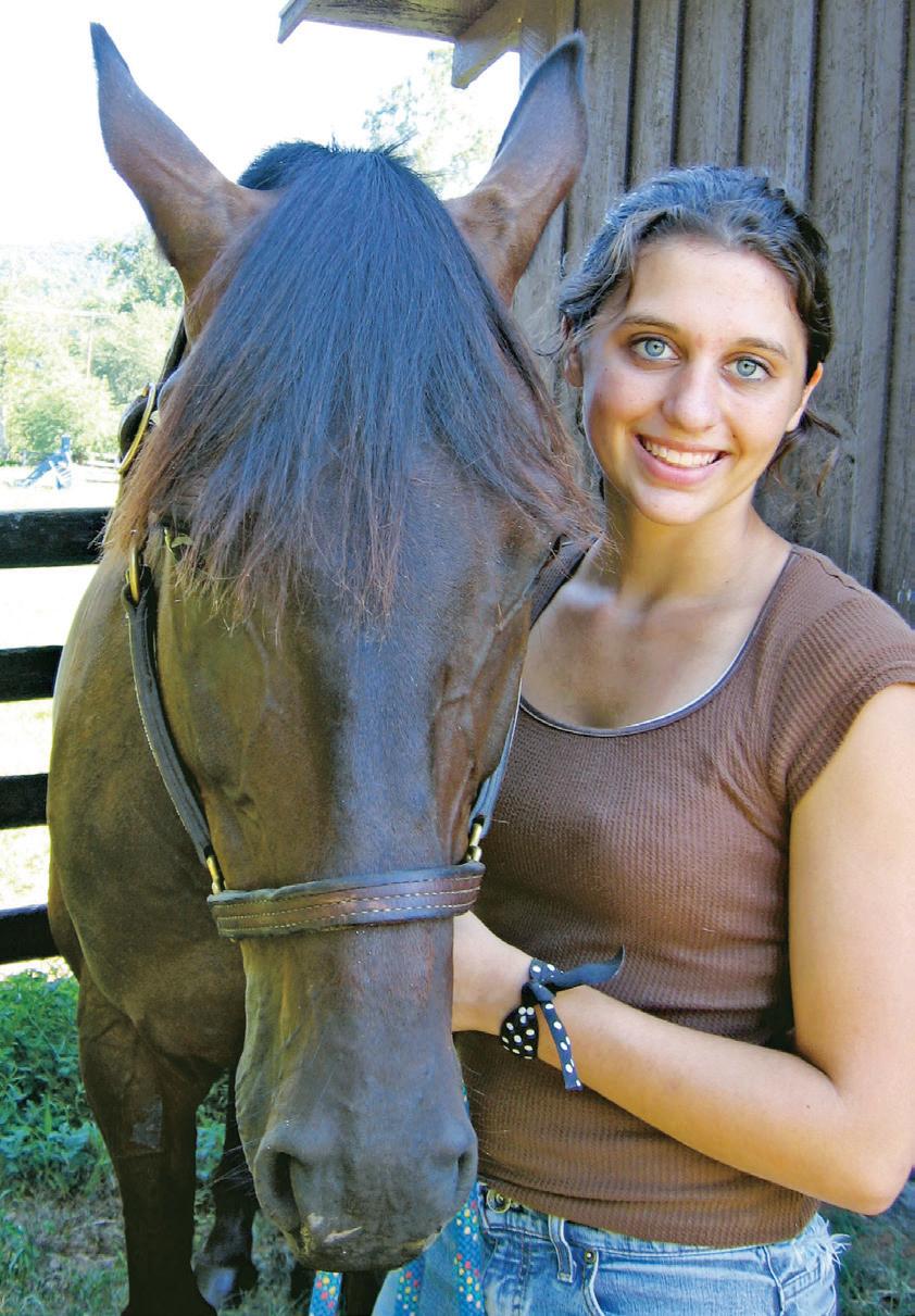
“Our little village is in a valley between two massive open tracts of land, with towering Red Oak Mountain on one side and Eldon Farms, on the other,” said Van Carney, Stonewall-Hawthorne district supervisor, who lives in the village with his wife, Julia, and their three sons. “The topology and natural resources around us provide an ecological oasis full of wildlife, night skies and peaceful solitude. It is a wonderful place to raise a family.”
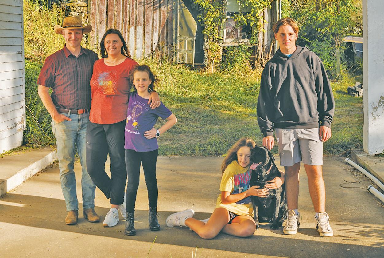
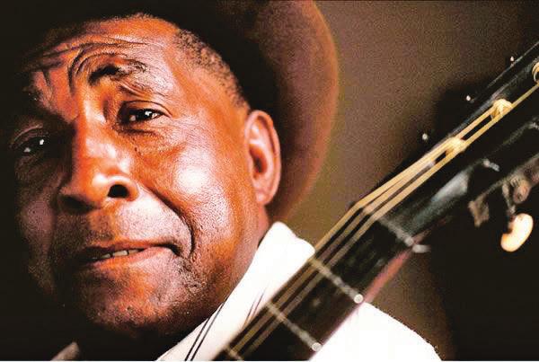
and
a Woodville native, grew up in the 1920s in a musical family with 13 siblings. His first songs were recorded in the early 1960s. Over the years he recorded 10 albums; toured the world, playing at concerts and festivals; and performed at the White House during President Jimmy Carter’s administration. In 1986, Jackson
Lynnie and John Genho agree. Both were in their mid-20s when they moved to Woodville from upstate New York in 2005. “We couldn’t believe our eyes when we arrived here,” said Lynnie. “It was so beautiful, it was like a place where you’d want to retire,” she said. John, who was hired as farm manager at Eldon Farms, remembers asking, “This place is idyllic, where do we go from here?”
“The village doesn’t have a fire department, post office, or stores where residents can congregate, but it’s the little things we do to keep the community spirit strong,” said Lynnie. “Lots of folks go for walks down Hawlin Road or up the Red Oak Mountain Road, so you are always meeting your neighbors and catching up on things.
“During the Covid years, when there was no Christmas parade in Little Washington, a group of neighbors got together and decorated the old store at Rudasill Mill Road and U.S. 522 with lights and ornaments. It was a wonderful community activity,” she said.
received the prestigious National Heritage Fellowship Award from the National Endowment for the Arts. He passed away in 2002.
James “Jack” Kilpatrick –Syndicated columnist and television commentator, “Jack” Kilpatrick moved to Woodville in the late 1960s yet he used the dateline “Scrabble” in his newspaper columns as he thought it would be more fetching. During the 1950s and early 1960s he was editor of the Richmond News Leader in Richmond, Va. Known for his conservative political views he appeared in the 1970s on the television news program, “60 Minutes”, opposite liberal commentators. An early booster of The Inn at Little Washington, Kilpatrick appeared in a photo on the cover of the 1987 Rappahannock County calendar along with Patrick O’Connell and the inn’s staff.
Sen. Eugene McCarthy – A Democratic presidential candidate in the 1968
election, Sen. Eugene McCarthy moved to Amissville and then Woodville in 1977 after he retired from politics.
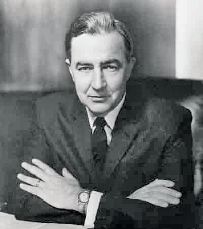
“He fully embraced the community and the rural way of life here,” said his daughter, Ellen. McCarthy often asked his Washington, D.C., friends for money so he could buy their postage stamps at Woodville’s post office. “He loved that little post office and wanted to do everything he could to keep it open,” daughter Ellen said. McCarthy passed away in 2005 and is buried with his daughter and significant other at St. Paul’s Episcopal Cemetery.

Frank McGee – NBC News journalist Frank McGee covered politics, moderated the second Richard NixonJohn F. Kennedy presidential debate in 1960 and later covered the assassination of President Kennedy in 1963. In the late 1960s, he hosted the
“Frank McGee Report,” an in-depth news program. He anchored the NBC Nightly News in 1970, after which he co-hosted the Today Show until 1974, the year he died. McGee and his wife are buried at St. Paul’s Episcopal Cemetery.
Dr. Dinwiddie Phillips – Physician in the Confederate States Navy, Dr. Dinwiddie Phillips served as surgeon on the Confederate ironclad warship the Merrimack. He wrote the first account of the famous naval battle in 1862 between the Merrimack and the Union ironclad warship, the Monitor. Dinwiddie is buried in St. Paul’s Episcopal Cemetery.
Florence “Flossie” Williamson –Known as the “Herb Lady of Woodville,” Florence “Flossie” Williamson inspired Rappahannock’s herb business which eventually led to the establishment of Faith Mountain Herbs and Antiques in the mid-1970s, and later Green Comfort School, Abracadabra Massage and Wellness and Wild Roots Apothecary. In the late 1950s Williamson came up with the idea of selling floral art at what would become the annual Trinity Episcopal Church House Tour, the proceeds of which went to local charities.
Lynnie hopes someday one or two acres of land along Hawlin Road could be set aside as a playground and gathering place for local kids and families. “You’d be surprised at the number of children that live in or near Woodville,” she said. “Having a place where they could congregate would be great for the community.”
A continuing concern for residents is motorists speeding through the village. The sheriff’s deputies regularly stakeout the village stretch of U.S. Route 522 for speeders, but problems persist.
“Some years back residents were able to get the speed limit through the village reduced from 55 mph to 35 mph,” said Carney. “But despite the lower speed limit, people still cruise through the village at high speeds. It is quite dangerous given how close many homes are to the road.”
In an effort to slow traffic, Carney worked to get a solar-powered speed sensor placed at the end of the village to warn drivers they are speeding. A sensor at the other end is
expected soon. “I’m very sensitive to this and will continue to do whatever we can with VDOT to slow traffic down,” he said.
As for the future, most people interviewed for this article expect things will stay just as they are in Woodville. Although they mentioned one caveat – the future use of Eldon Farms.
The property primarily is a cattle operation, although several rental homes are scattered around the estate. Clover Hill, one of the oldest homes on the property dating back to 1750, serves as a venue for functions, including the John Jackson Blues Festival, Headwater’s Harvest Festival and other community activities.
“With Rappahannock County only 70 miles from Washington, D.C., its greatest asset is also its greatest liability, and that is its beautiful open space,” Eldon Farms’ owner Chuck Akre said. “Our ultimate goal is to preserve that open space for the county, and its residents.”
Akre expects entertainment and community events like the John Jackson Piedmont Blues Festival will continue at the Clover Hill venue. Currently, fees are not collected for these types of events, but that might change.
“Outdoor entertainment events are a way of preserving open space but they do cost money to host,” said Akre. “At some point it would be nice if they would at least pay for themselves.”
Martha O’Bannon Hitt, who grew up at Clover Hill before it was sold to William Lane, fondly remembers her days on the farm. “We rode horses, helped drive cows, fed the hogs, all the fun things you do on a farm,” she said. “I couldn’t think of a better place to grow up.”
As for the future, Hitt believes change won’t come anytime soon. “I don’t think Woodville is going to change a lot, so long as it doesn’t get developed by the new owner of Eldon Farms, and I don't think he will anytime soon,” she said.
Originally published September 28, 2023
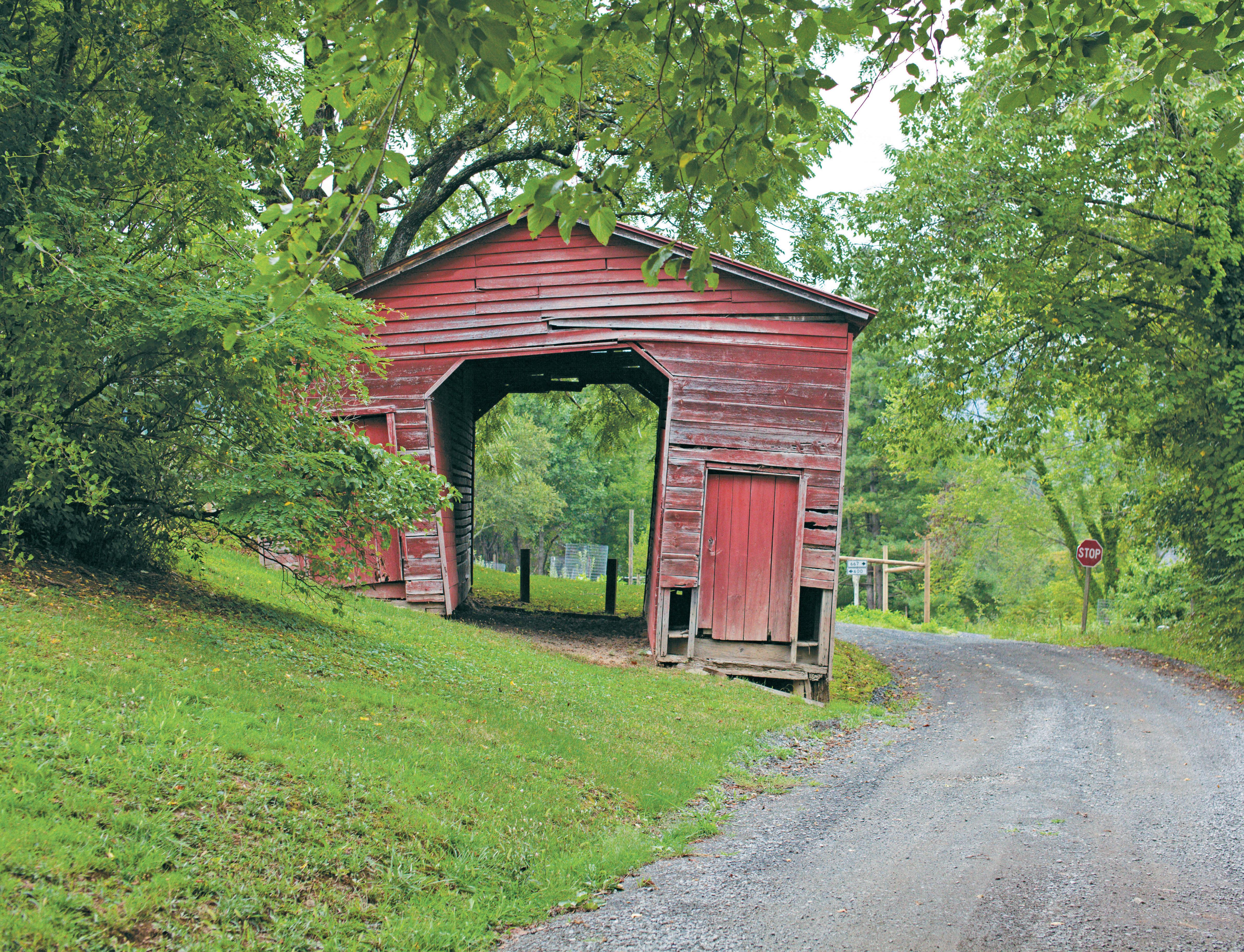
This special keepsake magazine is brought to you by: