
VARIANTE MODERATE ROUTE
GEMÜTLICHE VARIANTE EASY ROUTE
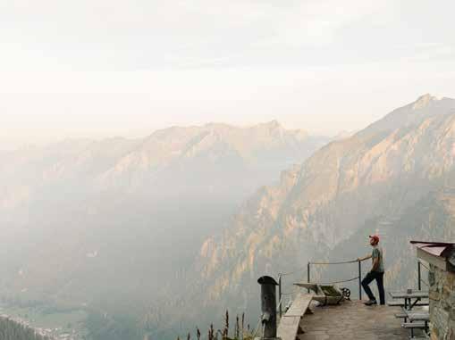
Der Arlberg Trail - Über alle Berge
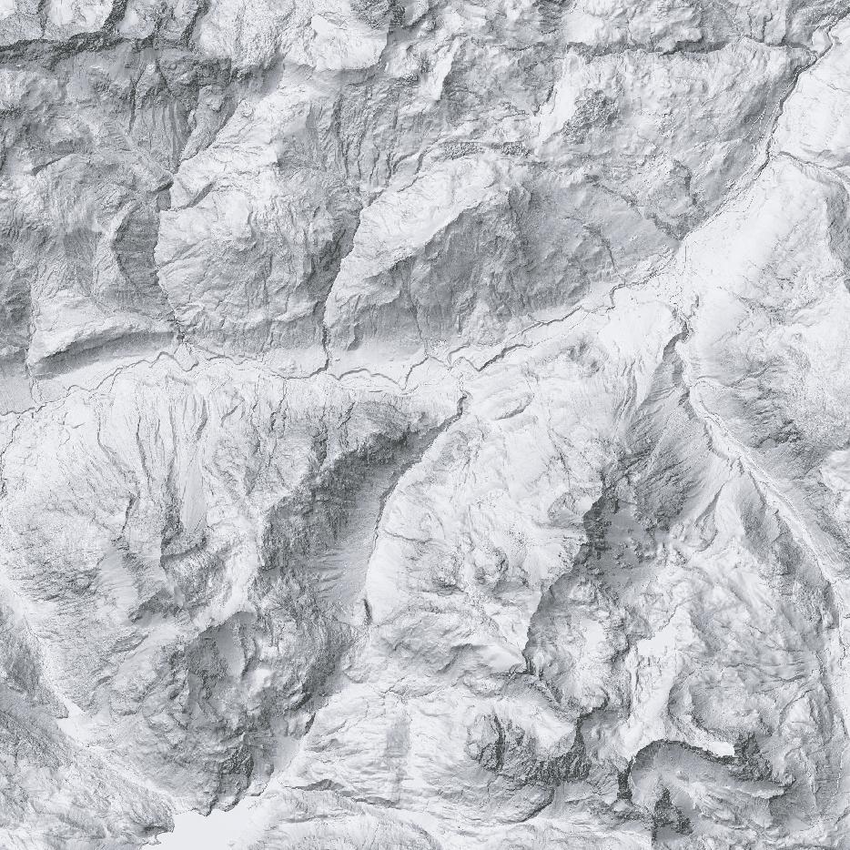
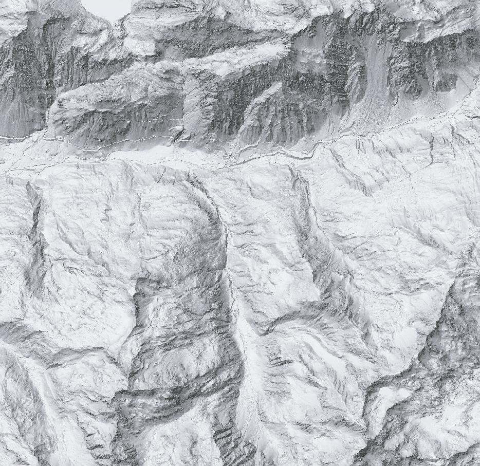
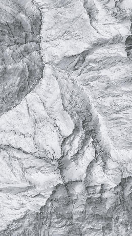
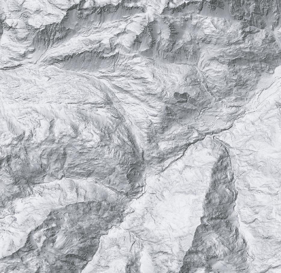
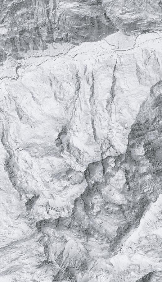
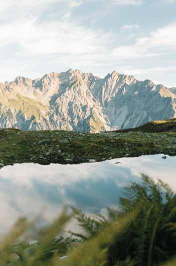
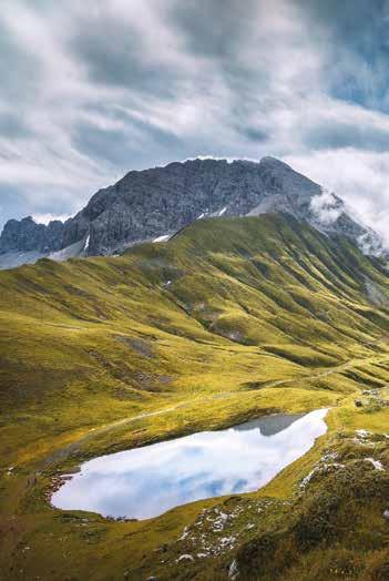
Als „Wiege des alpinen Skilaufs“ wurde der Arlberg weltbekannt. Im Sommer ist das Gebiet bisher ein Geheimtipp für Bergliebhaber. Es ist also an der Zeit, sich hier zu Fuß auf eine Entdeckungsreise zu begeben. Die Region, in der die Berge der Verwallgruppe, des Lechquellgebirges und ein Teil der Lechtaler Alpen markant ineinander übergehen, ist von beeindruckender Vielfalt an alpinen Landschaften. Saftig grüne Alpwiesen, Felsen in unterschiedlichsten Farbtönen und Strukturen, Seen und Bäche, Schnee- und Firnfelder in den schattigen Hochtälern – auf deinen Wanderungen wirst du das alles entdecken können. Der Arlberg Trail verbindet alle fünf Arlbergorte Lech, Zürs, Stuben, St. Anton und St. Christoph, deren unterschiedlicher Charakter dich begeistern wird, in einer Rundtour. In drei Etappen und mithilfe von Seilbahnen erlebst du insgesamt bis zu 43 km Wanderwege in spektakulärer alpiner Landschaft. Täglich kannst du zwischen der Originalroute und weniger anspruchsvollen Alternativen wählen.
The Arlberg Trail - the mountains are calling
The Arlberg became world-famous as the „cradle of alpine skiing.“ In summer, however, it remains an insider tip for mountain enthusiasts. It’s time to explore this region by hiking. The area, where the mountains of the Verwall Group, the Lechquellen Mountains, and part of the Lechtal Alps merge dramatically, offers an impressive variety of alpine landscapes. Lush green alpine meadows, rocks in various colors and textures, lakes and streams, as well as snow and firn fields in the shaded high valleys — on your hikes, you will experience all of this. The Arlberg Trail connects all five Arlberg villages Lech, Zürs, Stuben, St. Anton, and St. Christoph in a circular route, each offering its own unique charm. Over three stages, and with the assistance of cable cars, you will experience up to 43 km of hiking trails through spectacular alpine landscapes. Every day, you can choose between the original route and less demanding alternatives:
Unterkünfte & Gepäcktransport
Mit nur einer Buchung sicherst du dir alle Übernachtungen inklusive Gepäcktransport und Routenbeschreibungen. Bei unserem offiziellen Partner ASI Reisen stehen dir zwei Arlberg Trail Packages zur Auswahl.
Accomodation & luggage transport
With just one booking, you secure all overnight stays, including luggage transport and route descriptions. Our official partner, ASI Reisen, offers two Arlberg Trail packages for you to choose from.
Tipps für die Herausforderung Arlberg Trail
> Informiere dich vor deiner Wanderung über Wegsperrungen und die aktuellen Bedingungen. Auch im Sommer muss man mit Altschneefeldern rechnen.
> Der Arlberg Trail verläuft in hochalpinem Gelände. Bitte beachte stets die Wettervorhersage und wähle bei ungünstigen Wetterverhältnissen eine der Alternativrouten.
> Bitte beachte die Öffnungszeiten der Bergbahnen und plane deine Wanderung dementsprechend. Oftmals empfiehlt es sich die erste Bergfahrt zu nehmen.
> Die Tour kann ab St. Anton, Stuben oder Lech gestartet werden idealerweise im Uhrzeigersinn
Tipps for the Arlberg Trail Challenge
> Check for trail closures and current conditions before your hike. Even in summer, you may encounter old snowfields.
> The Arlberg Trail runs through high-alpine terrain. Always check the weather forecast and choose an alternative route in case of unfavorable conditions.
> Pay attention to the operating hours of the cable cars and plan your hike accordingly. It is often recommended to take the first ascent.
> The tour can be started from St. Anton, Stuben or Lech - ideally in a clockwise direction.
ETAPPE ST. ANTON - STUBEN
Nach der Bergfahrt auf den Galzig wanderst du mit Blick auf St. Christoph zum Berggeistweg, der dich in Serpentinen zum Maroijoch führt. Mit Ausblick ins Klostertal erreichst du die Kaltenberghütte, bevor der Abstieg über Wiesen und Moore, vorbei am Stubner See, nach Stuben führt.
After taking the „Galzigbahn“ cable car, you hike towards St. Christoph and follow the „Berggeistweg“ trail, which leads in switchbacks up to the „Maroijoch“ pass. With views into the Klostertal Valley, you reach the „Kaltenberghütte“ mountain hut, before descending past „Stubner See“ lake to Stuben.
Gehzeit Hiking time: ~ 7:00 h
Länge Distance: ~ 16,1 km
Aufstieg Ascent: ~ 730 hm
Abstieg Descent: ~ 1.390 hm
Galzigbahn
ETAPPE ST. ANTON STUBEN
Die Tour startet mit der Galzigbahn, die dich auf 2.082 m Höhe bringt. Von dort wanderst du entlang des Paul-Bantlin-Wegs vorbei an den Albonaseen zur Kaltenberghütte, bevor der Abstieg über Wiesen und Moore zum Stubner See und schließlich nach Stuben am Arlberg führt.
The tour begins with the „Galzigbahn“ cable car, taking you up to 2,082 m. From there, you hike along the „Paul-Bantlin-Weg“ trail, past the „Albonaseen“ lakes, to the „Kaltenberghütte“ mountain hut before descending through meadows and moors to „Stubner See“ lake and finally to Stuben am Arlberg.
Gehzeit Hiking time: ~ 4:30 h
Länge Distance: ~ 13,5 km
Aufstieg Ascent: ~ 482 hm Abstieg Descent: ~ 1.145 hm
1.200
ETAPPE ST. ANTON - STUBEN
Von St. Anton führt der Weg entlang der Rosanna ins Verwalltal und weiter ansteigend zum Maiensee. Mit Blick auf St. Christoph geht es in Richtung Passhöhe, von wo die Route entlang des Rauzbaches weiter nach Stuben verläuft.
From St. Anton, follow the Rosanna river into the Verwall Valley, then ascend towards „Maiensee“ lake. With views of St. Christoph, the trail leads to the pass, then along „Rauzbach“ creek and through the „Rauztobel“ gorge to Stuben.
Länge Distance: ~ 11,6 km Gehzeit Hiking time: ~ 4:00 h Aufstieg Ascent: ~ 610 hm Abstieg Descent: ~ 526 hm
ETAPPE STUBEN - LECH
Von Stuben führt der Franz-Josef-Weg zum Flexenpass und weiter nach Zürs, wo die Seekopfbahn auf 2.212 m hinaufgeht. Über den Zürsersee und eine Wollgrasebene erreichst du das Madlochjoch, bevor der Abstieg über die Gstüatalpe nach Lech führt.
From Stuben, follow the „Franz-Josef-Weg“ trail to the „Flexenpass“, then continue to Zürs, where the „Seekopfbahn“ cable car takes you to 2,212 m. After crossing „Zürsersee“ lake and a cotton grass plain, ascend to „Madlochjoch“ pass, before descending over the Gstüatalpe to Lech.
Gehzeit Hiking time: ~ 6:00 h
Länge Distance: ~ 13,5 km
Aufstieg Ascent: ~ 695 hm
Abstieg Descent: ~ 1.165 hm Seekop
ETAPPE STUBEN - LECH
Von Stuben führt die Tour über den Franz-Josef-Weg mit beeindruckenden Ausblicken auf die Flexengalerie zum Flexenpass. Die Seekopfbahn bringt dich zum Zürsersee auf 2.212 m, wo der Abstieg über das Wiesele nach Lech beginnt.
From Stuben, the trail follows the „Franz-Josef-Weg“ trail with breathtaking views of the „Flexengalerie“ to the „Flexenpass“. The „Seekopfbahn“ cable car takes you up to „Zürsersee“ lake (2,212 m), from where the descent via „Wiesele“ to Lech begins.
Gehzeit Hiking time: ~ 4:30 h
Länge Distance: ~ 12,5 km
Aufstieg Ascent: ~ 440 hm Abstieg Descent: ~ 920 hm
ETAPPE STUBEN - LECH
Vom Ortszentrum Stuben geht es auf dem Franz-Josef-Weg bis zu einem imposanten Wasserfall, bevor der Weg in Serpentinen zum Flexenpass ansteigt. Anschließend führt die Route sanft bergab durch Zürs und entlang des Zürsbachs nach Lech.
The route begins in Stuben, following the „Franz-Josef-Weg“ trail and passing an impressive waterfall, then ascending in switchbacks to the „Flexenpass“. From there, it descends gently through Zürs, following „Zürsbach“ creek to Lech.
Gehzeit Hiking time: ~ 3:55 h
Länge Distance: ~ 11,1 km
Aufstieg Ascent: ~ 492 hm Abstieg Descent: ~ 451 hm
ETAPPE LECH ST. ANTON
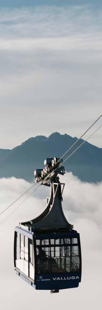
Auf dem Rüfikopf startet die anspruchsvollste Etappe des Arlberg Trails. Durch eine Hochmoorlandschaft und über die Rauhkopfscharte führt der Weg nach Tirol zur Stuttgarter Hütte. Nach dem Abstieg zur Erlachalpe geht es bergauf am Knoppenkarsee vorbei zur Vallugabahn I, die dich zusammen mit der Galzigbahn nach St.Anton bringt.
From Rüfikopf mountain, the most demanding stage begins, leading through high moorlands and over the „Rauhkopfscharte“ pass to „Stuttgarter Hütte“ mountain hut. After descending to Erlachalpe, the trail ascends past „Knoppenkarsee“ lake to „Valluga I“ cable car, which brings you back to St. Anton.
Gehzeit Hiking time: ~ 7:00 h
Länge Distance: ~ 13,4 km
Aufstieg Ascent: ~ 1.240 hm
Abstieg Descent: ~ 912 hm
Rüfikop ahn (unbedingt erste Gondel nehmen!)
Rüfikop ahn (necessarily to take first cable car!)
Valluga I und Galzigbahn (Achtung! Letzte Talfahrt beachten!)
Valluga I and Galzigbahn (Attention! Please note the last descent!)
ETAPPE LECH ST. ANTON
Von Lech bringt dich der Bus zur Trittkopfbahn in Zürs. Entlang des Zürsbachs folgst du dem Gafri-Weg Richtung Alpe Rauz. Nach dem Anstieg zur Ulmer Hütte führt der Weg über den Arlensattel Speichersee bergab zur Galzigbahn, die dich nach St. Anton bringt.
From Lech the bus takes you to „Trittkopfbahn“ cable car in Zürs. Following „Zürsbach“ creek, you take the „Gafri-Weg“ trail towards Alpe Rauz, then ascend to „Ulmerhütte“ mountain hut. From there, the trail descends past Arlensattel reservoir to the „Galzigbahn“ cable car, which takes you back to St. Anton.
Gehzeit Hiking time: ~ 5:00 h
Länge Distance: ~ 11,0 km
Aufstieg
ETAPPE LECH ST. ANTON
Von der Bergstation der Rüfikopf-Seilbahn führt der Weg bergab über den Monzabonsee, vorbei an der Monzabonalpe nach Zürs. Von hier gelangst du mit dem Linienbus 760 weiter bis nach St. Anton am Arlberg.
From the top station of the „Rüfikopfbahn“ cable car, the trail descends past „Monzabonsee“ lake and Monzabonalpe to Zürs. From there, you can take bus 760 to St. Anton am Arlberg.
