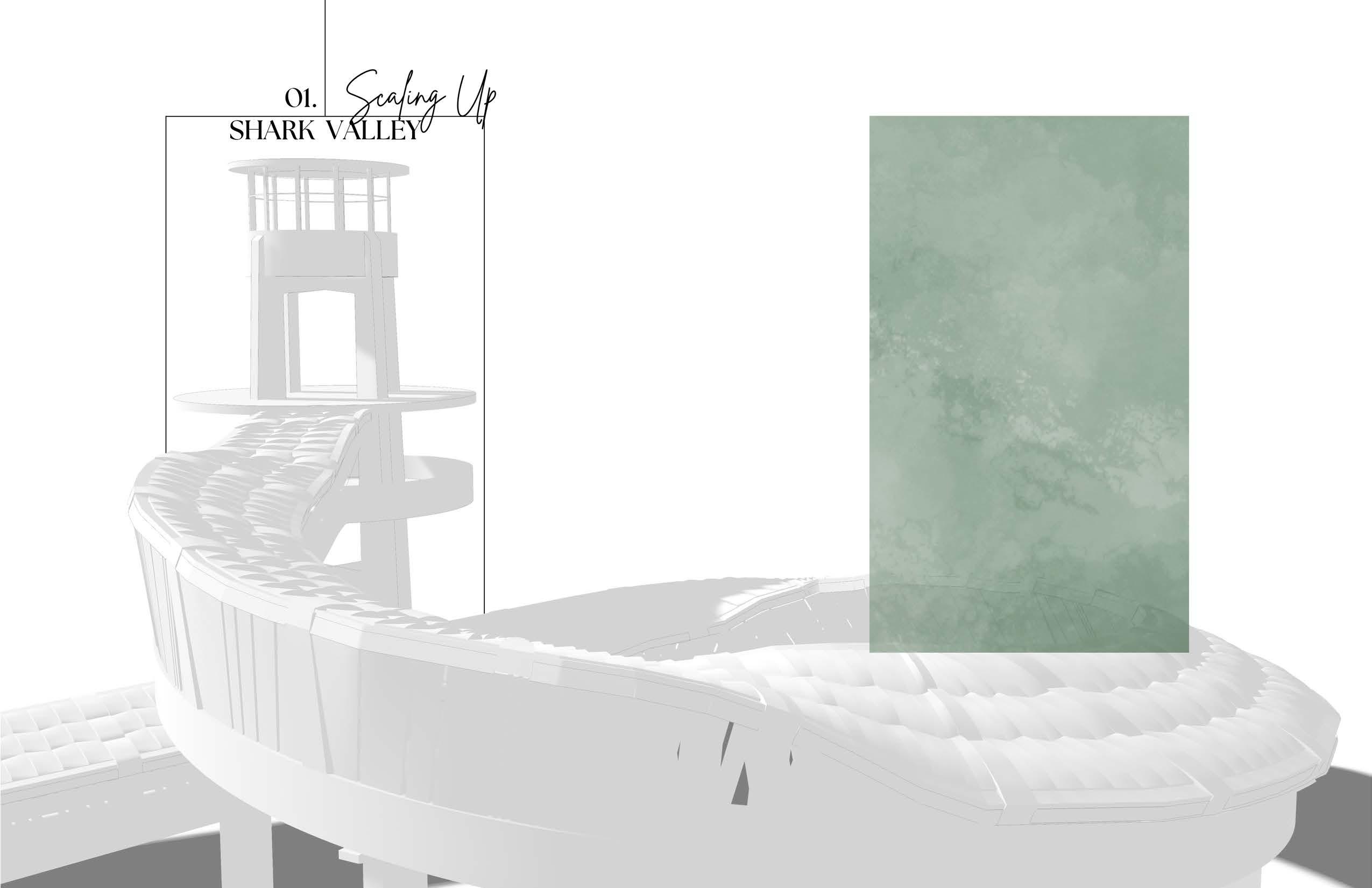
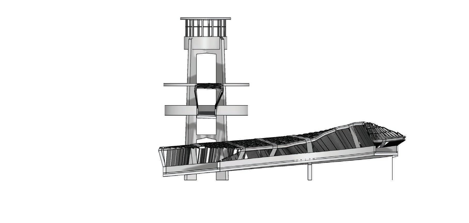
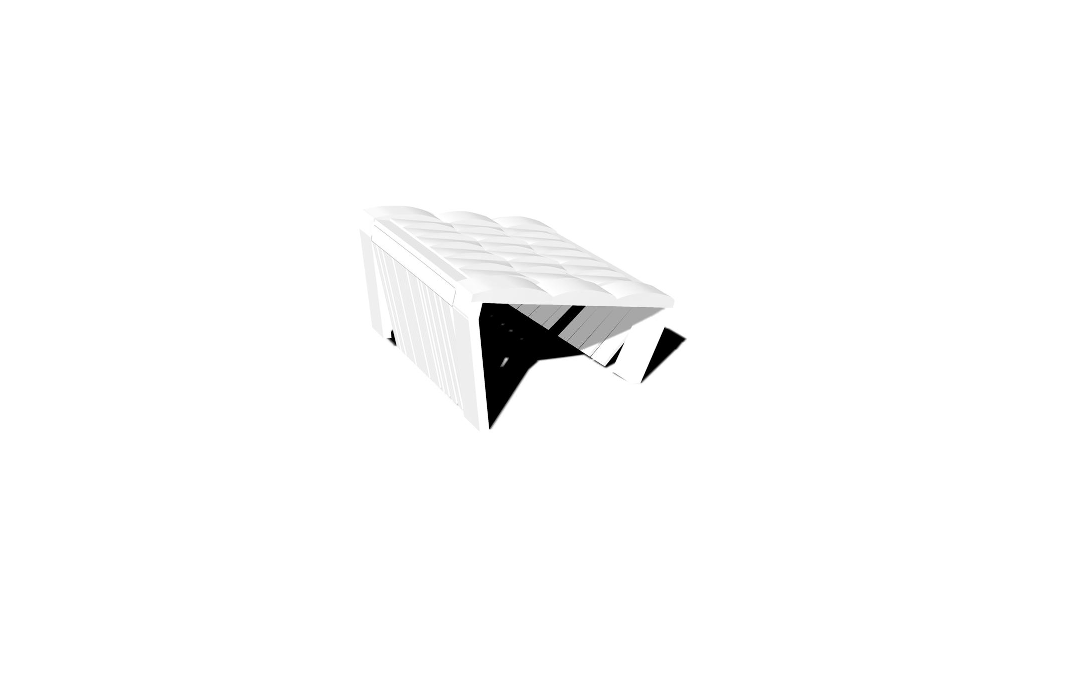
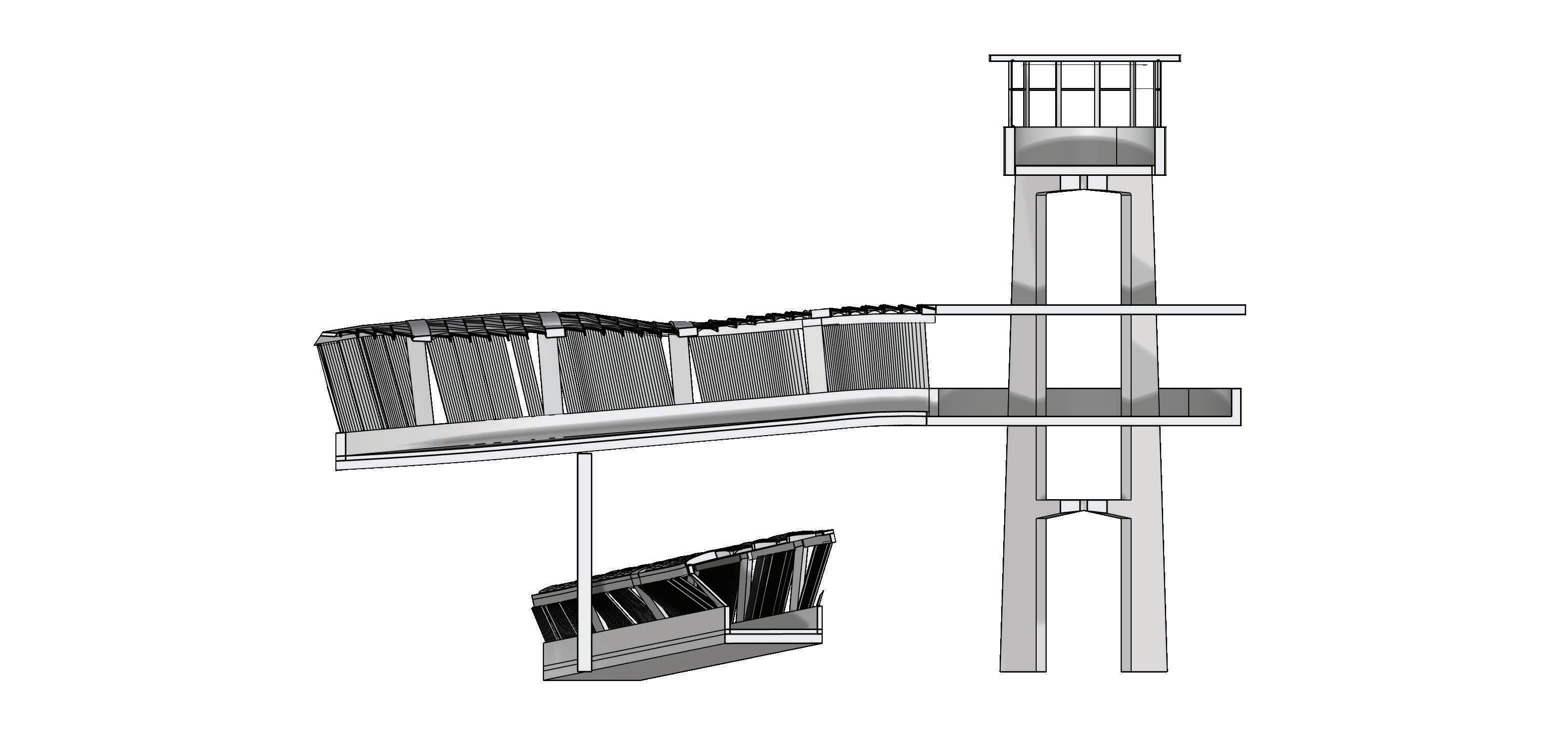
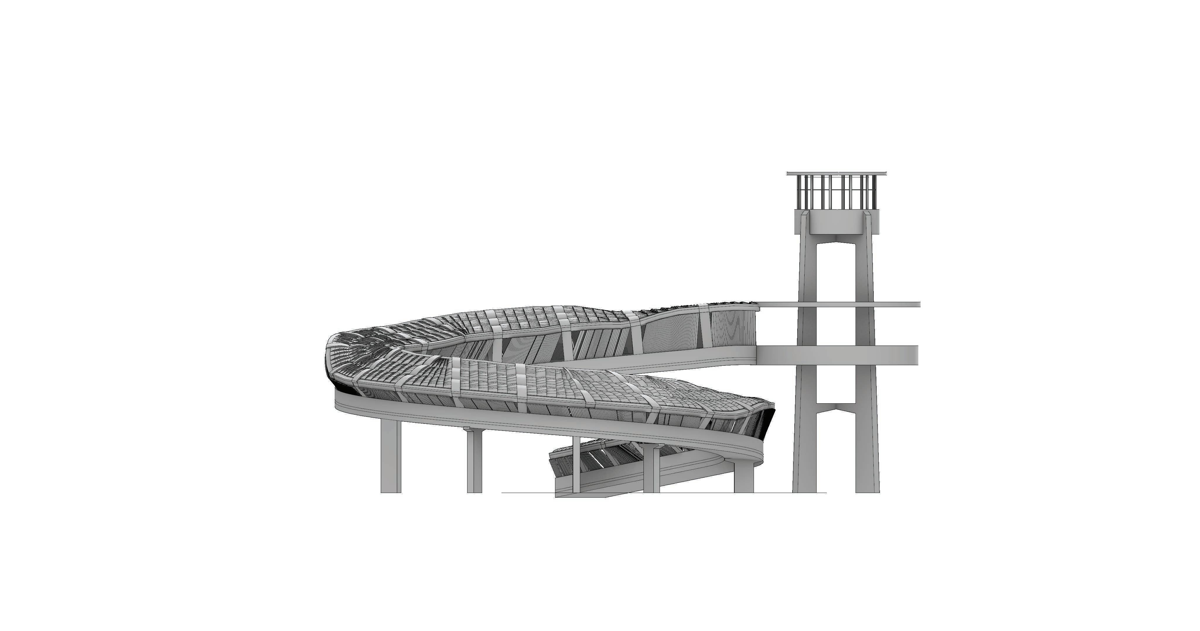
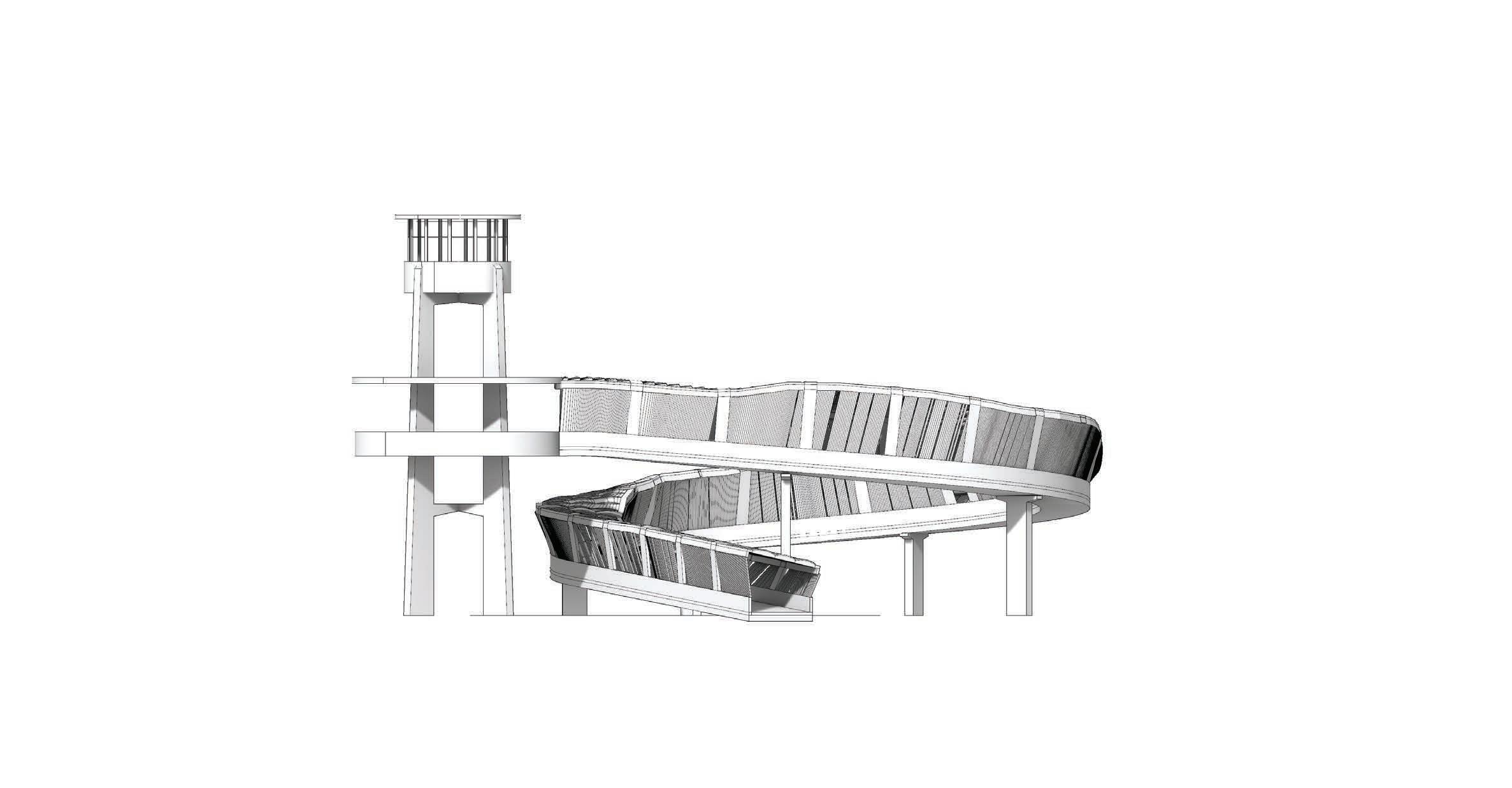
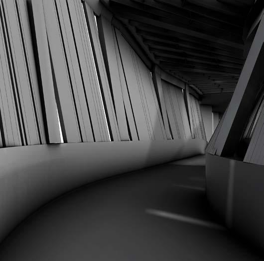
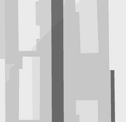
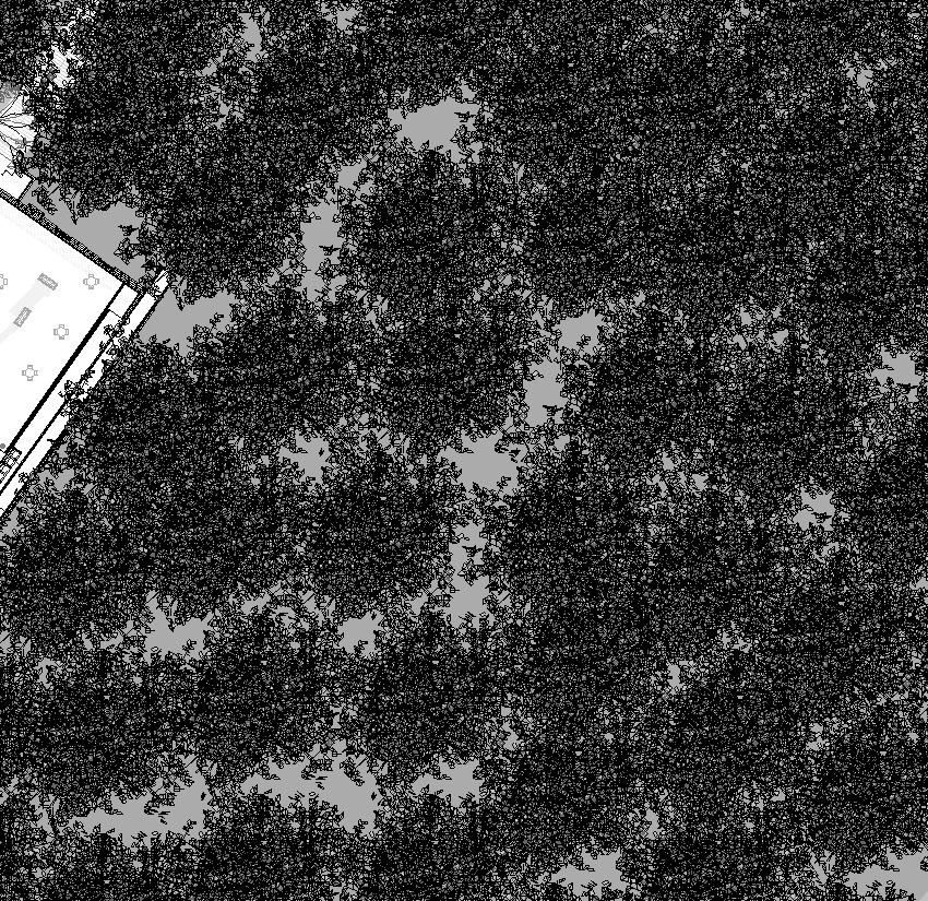
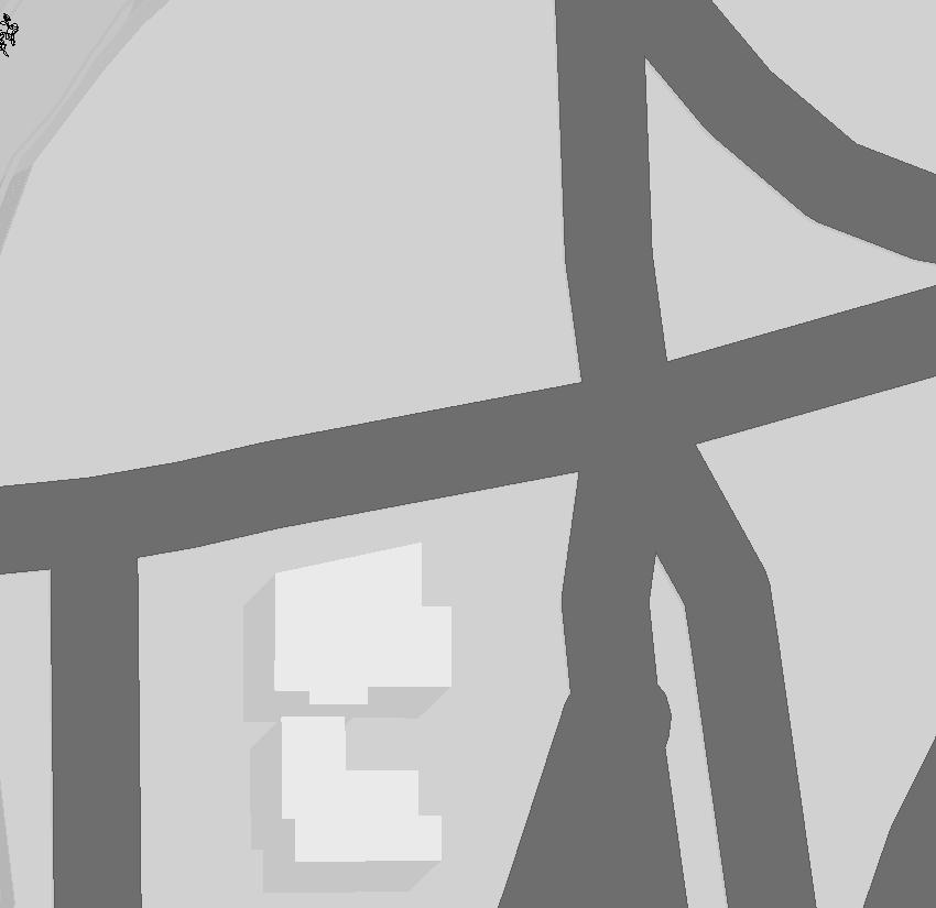
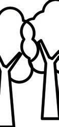
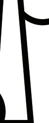
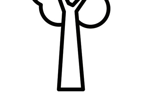
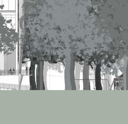
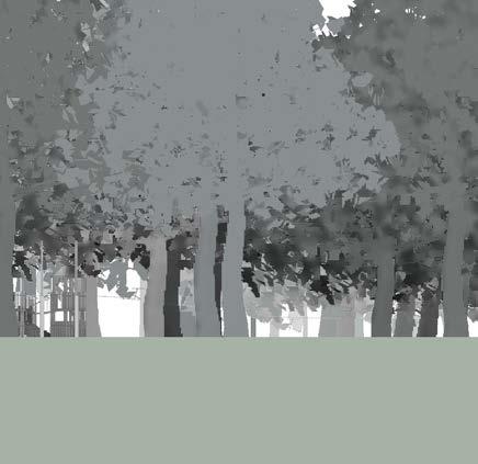
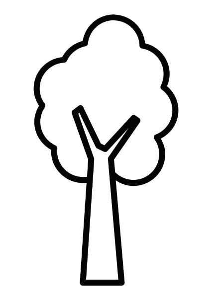
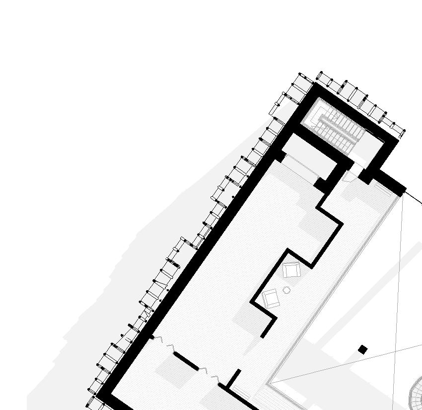
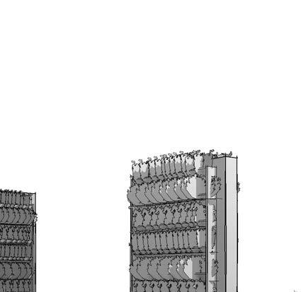
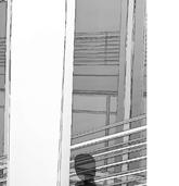
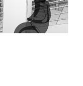
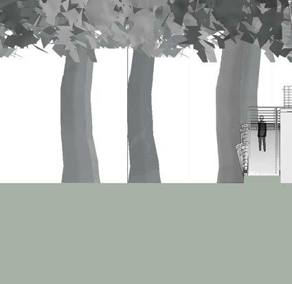
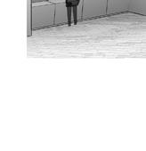
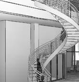
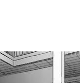
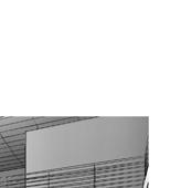
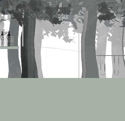
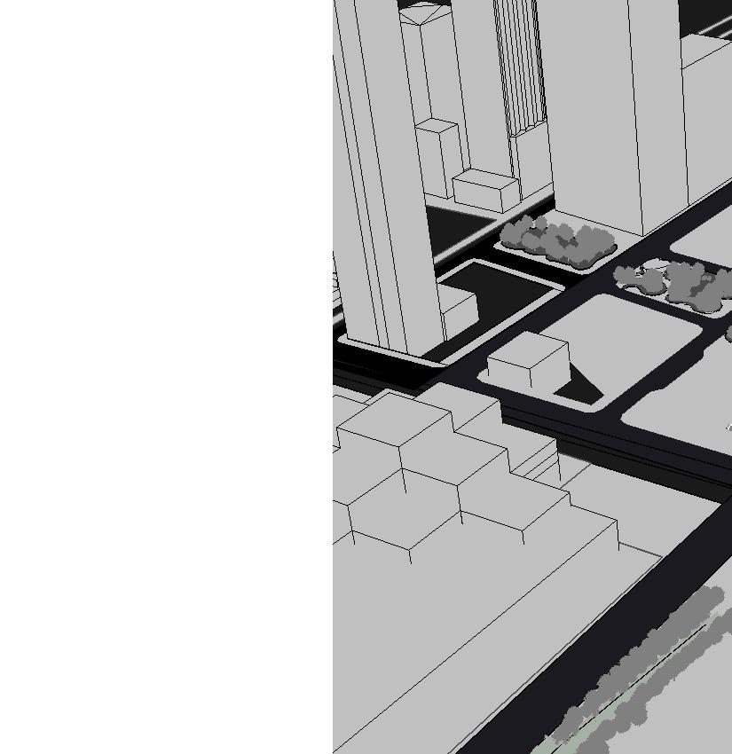
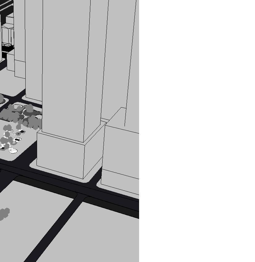
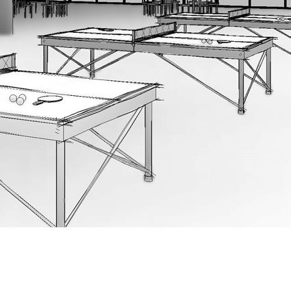
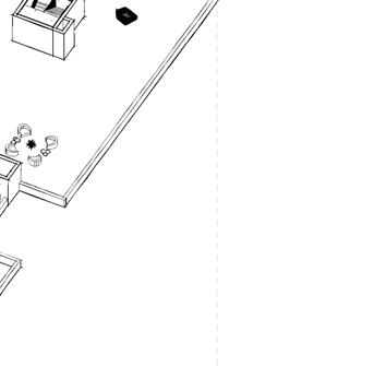
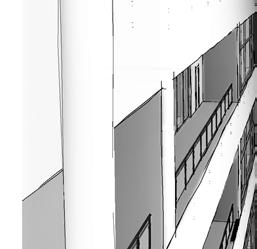
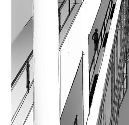
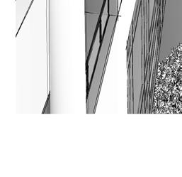
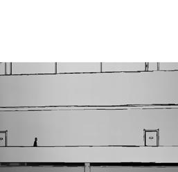
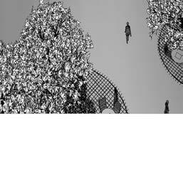
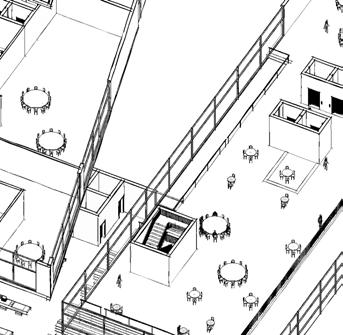
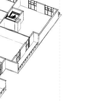
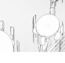
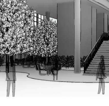
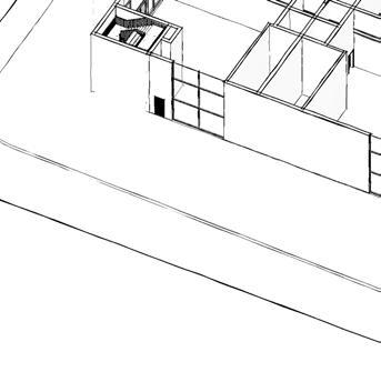
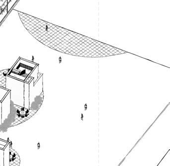
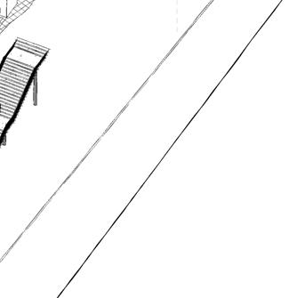
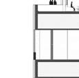
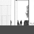
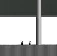
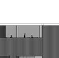
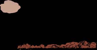
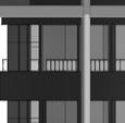
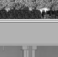
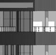
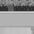
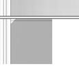
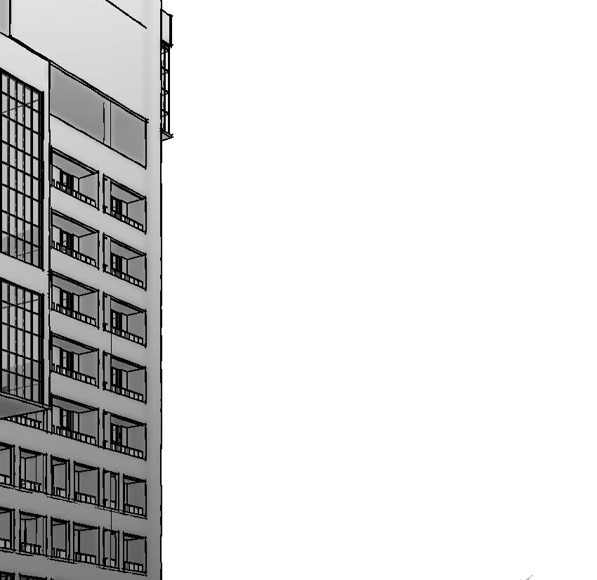
Reimagining the Shark Valley Observation Tower by adding a covering to the sun exposed structure.
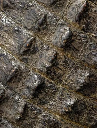
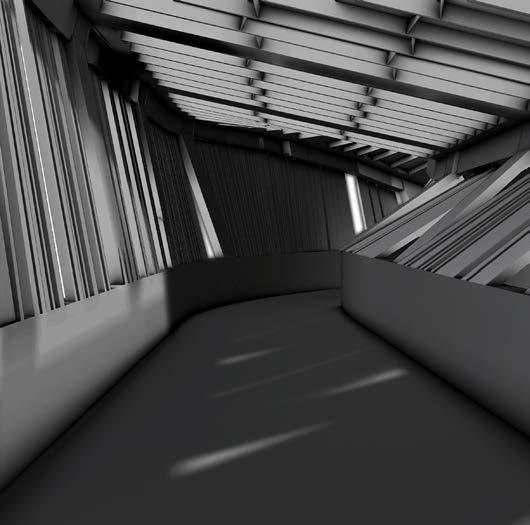
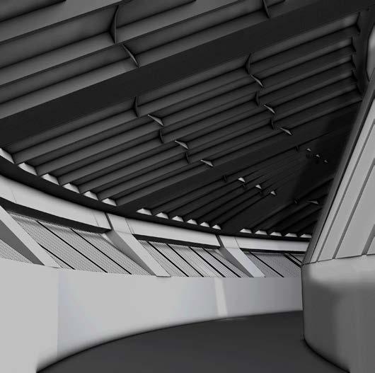
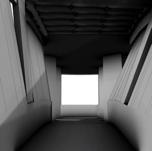
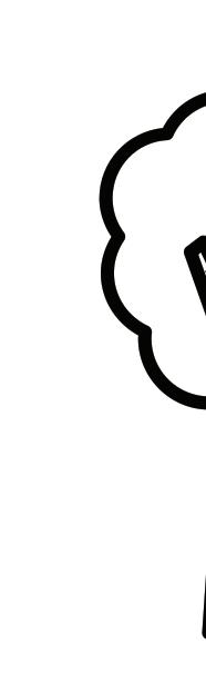
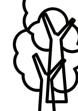
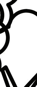
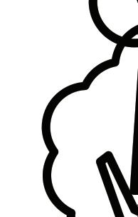
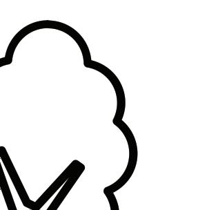
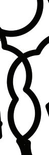
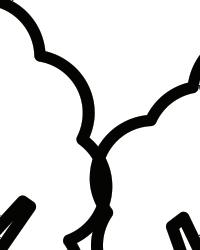
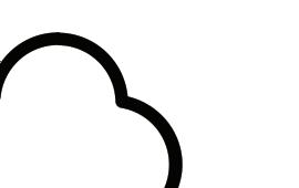
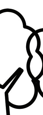
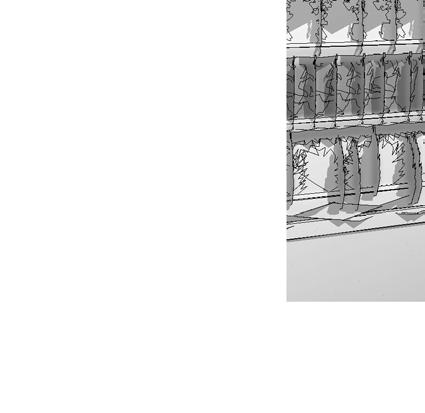
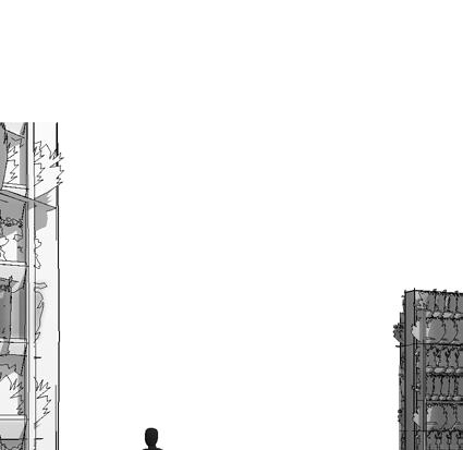
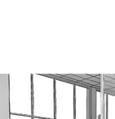
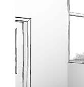
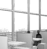
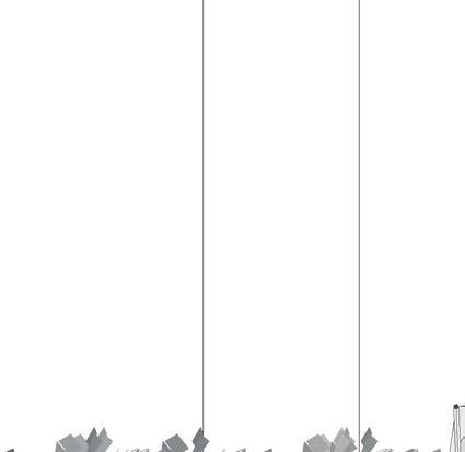
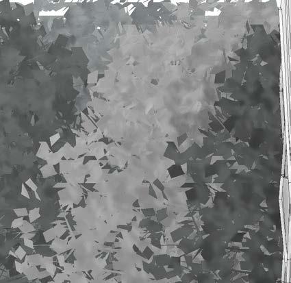
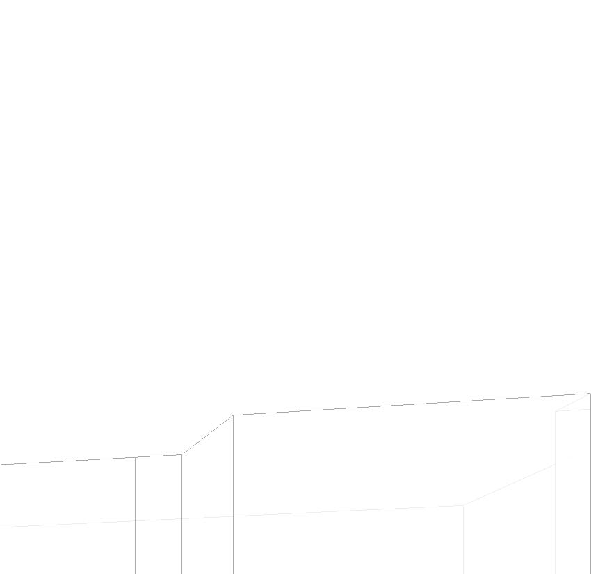
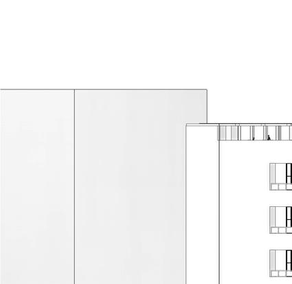
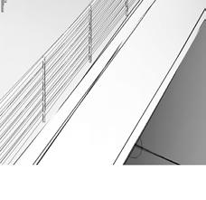
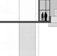
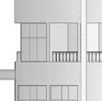
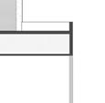
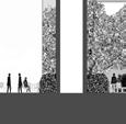
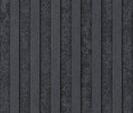
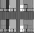
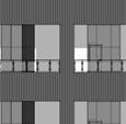
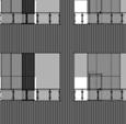
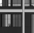
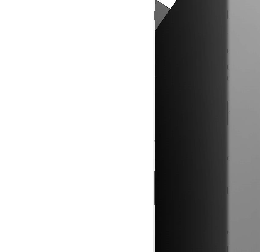
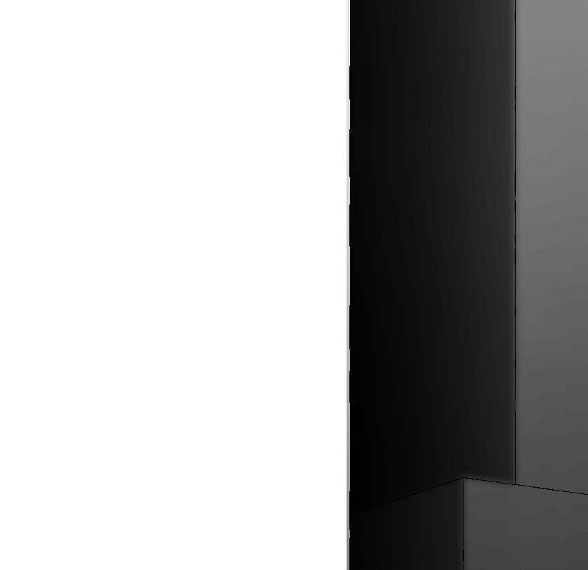
Designed to mimic the scales of the Everglade alligators, offering tourists with the point-of-view of an apex predator. Consisting of a series of apertures letting in just slivers of light to guide you to the view.
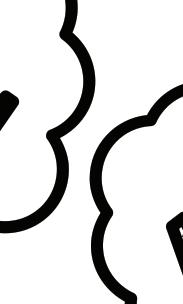
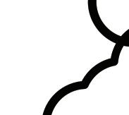
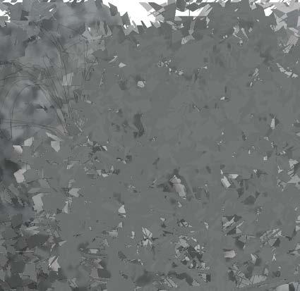
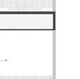
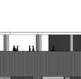
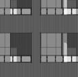
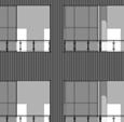
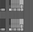
SCALING
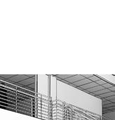
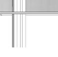
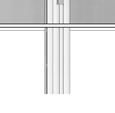
Designed to resemble the pattern of alligator skin
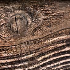
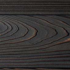
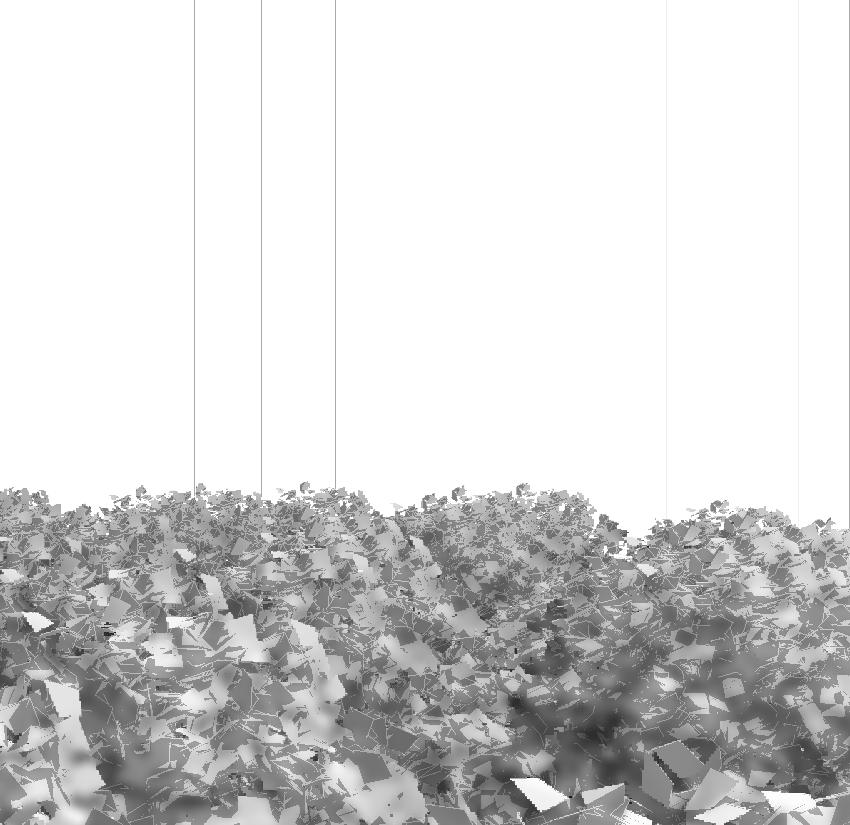
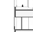
CEDAR WOOD
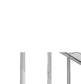
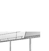
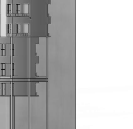
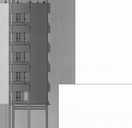
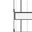
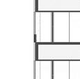
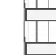
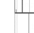
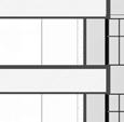
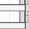
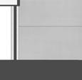
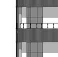
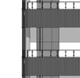
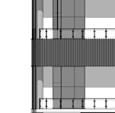
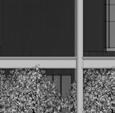
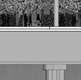
2x4 planks to mesh with the environment and be easy to transport on site. Spaced out in different variations to create illusions for the viewer inside, creating different lighting and shading
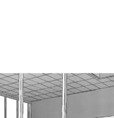
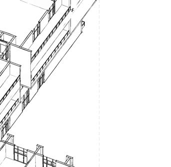
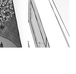
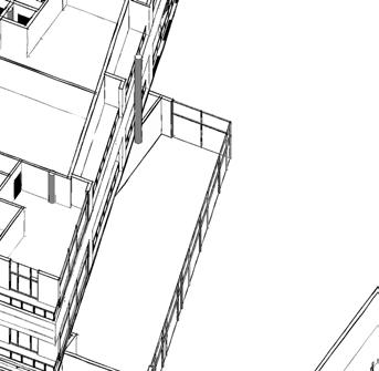
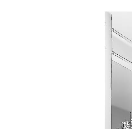
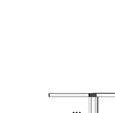
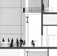
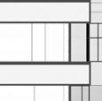
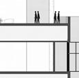
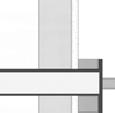
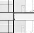
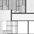
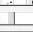
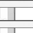
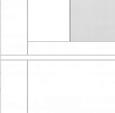
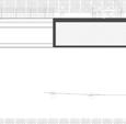
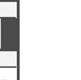
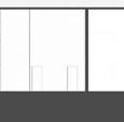
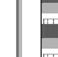
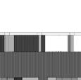
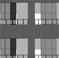
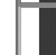
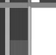
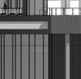
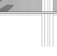
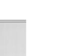
LONGITUDINAL SECTION
1/4”=1’
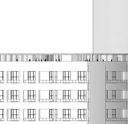
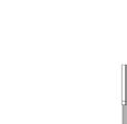
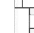
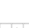
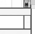
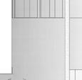
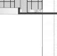
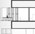
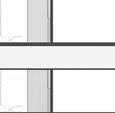
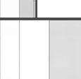
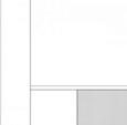
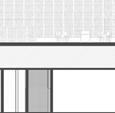
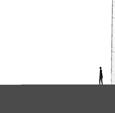
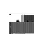
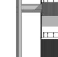
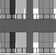
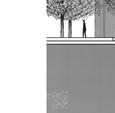
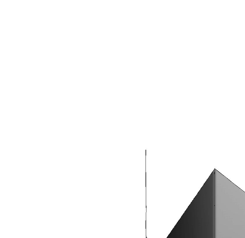
EAST ELEVATION
1/8”=1’
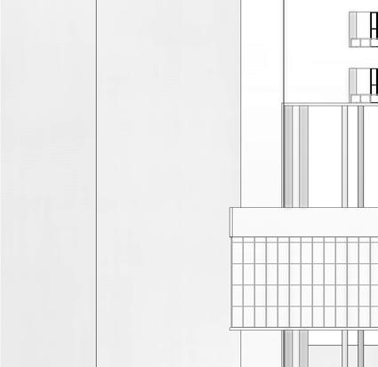
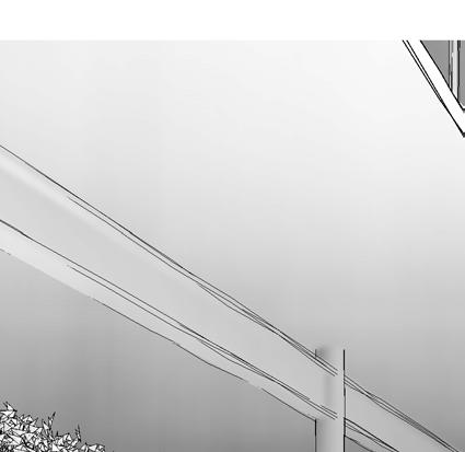
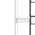
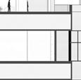
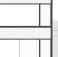
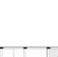
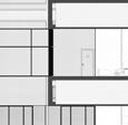
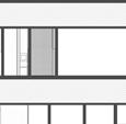
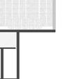
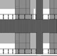
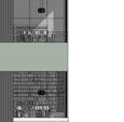
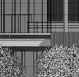
LATITUDINAL SECTION
1/8”=1’
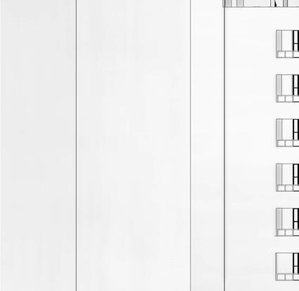
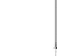
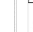
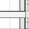
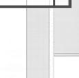
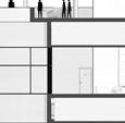
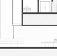
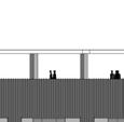
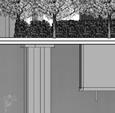
NORTH ELEVATION
1/4”=1’
Fall 2023
Design 6.1
Type: Eco-Hub
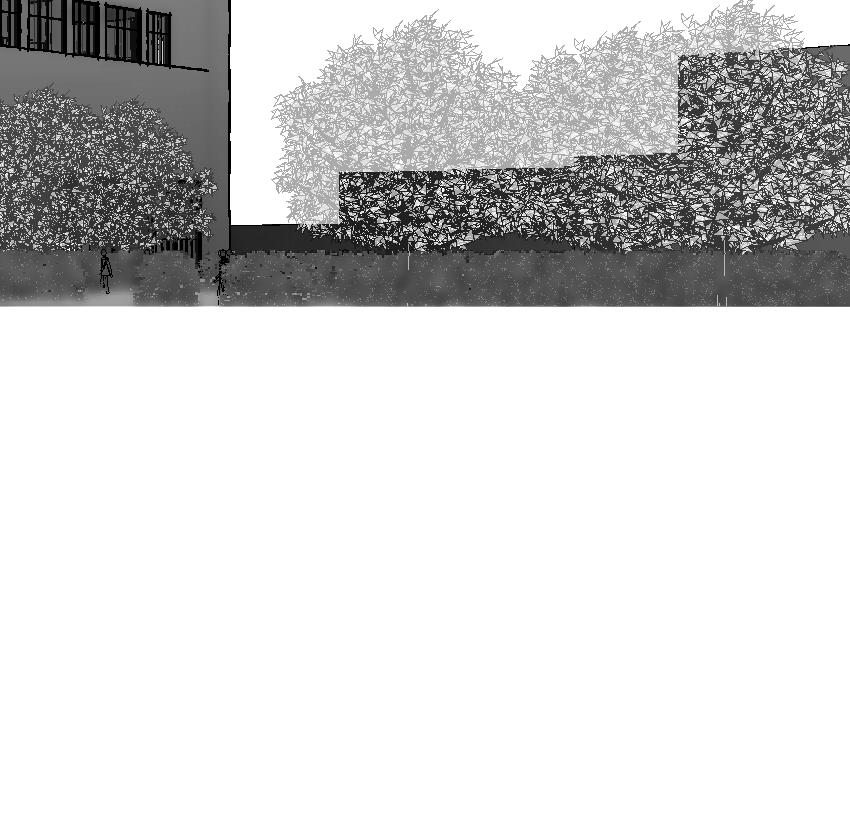
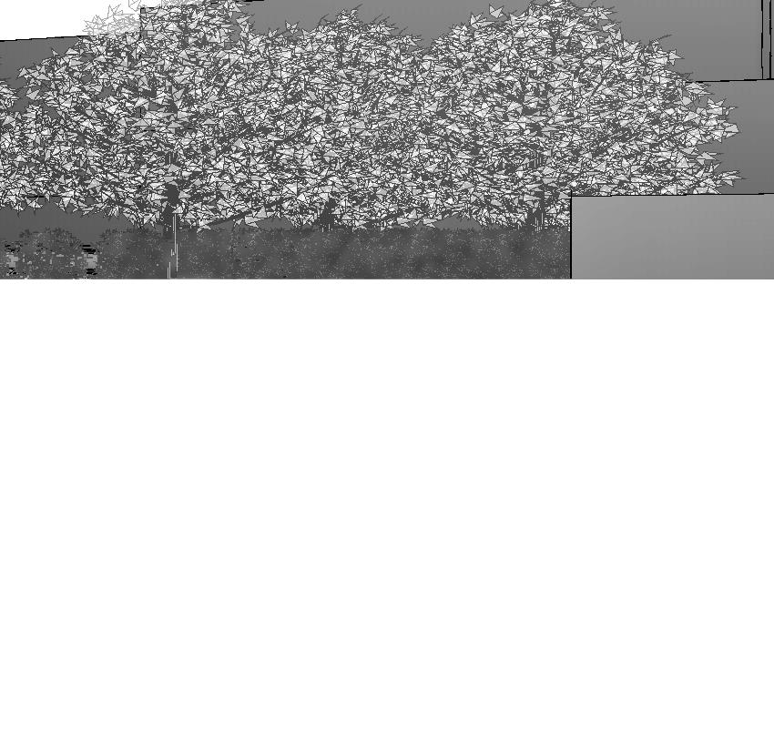
Location: Sewell Park, Miami, Florida
Programs: Revit, Rhino, and Grasshopper, InDesign, Illustrator, Photoshop, Fresco
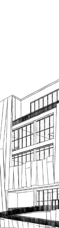
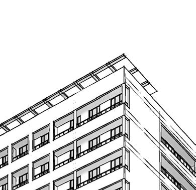
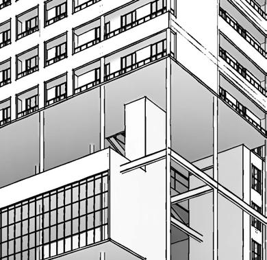
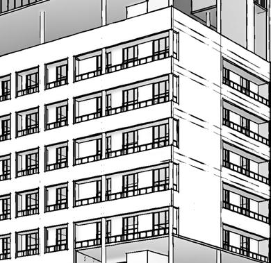
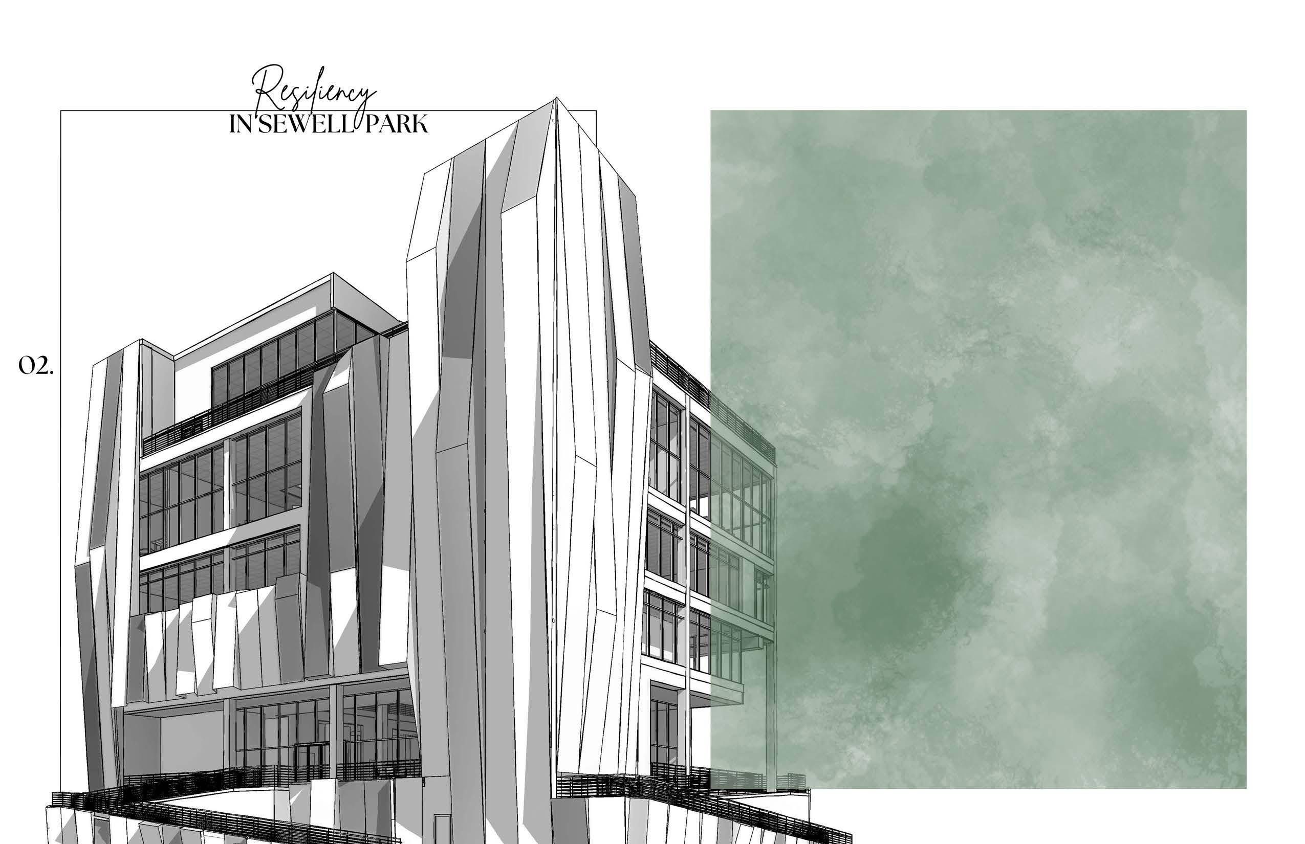
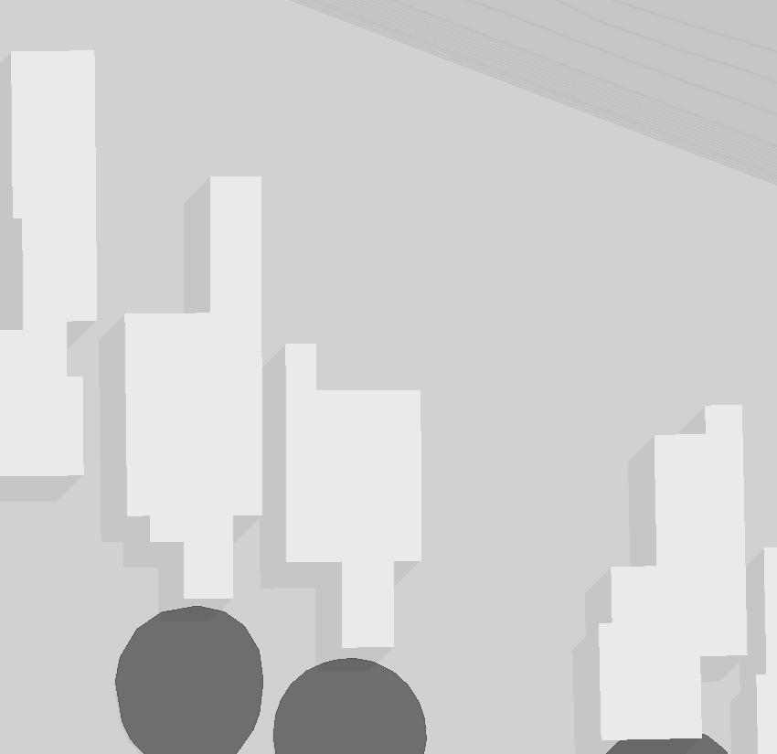
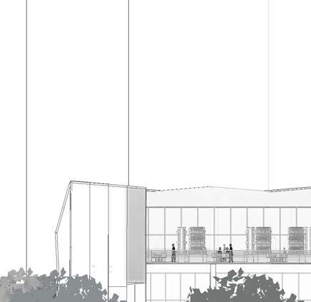
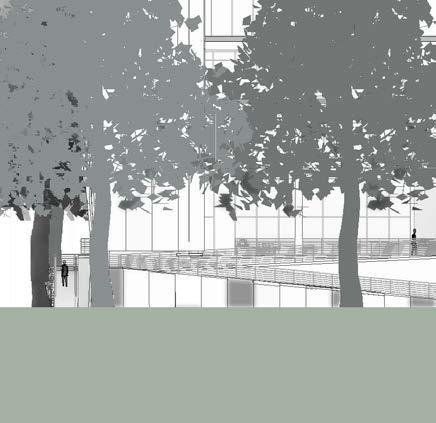
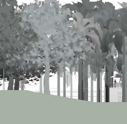
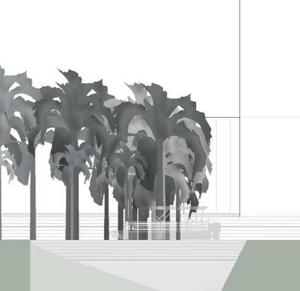
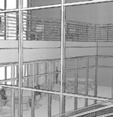
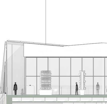
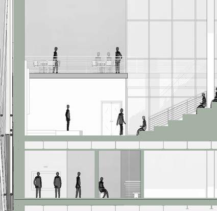
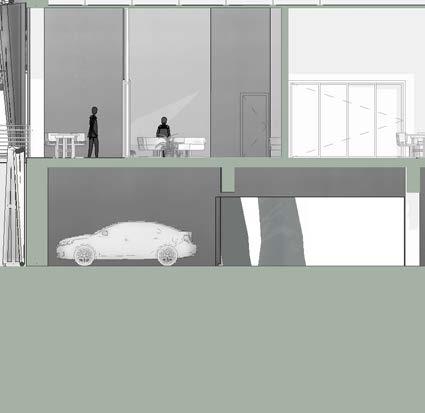
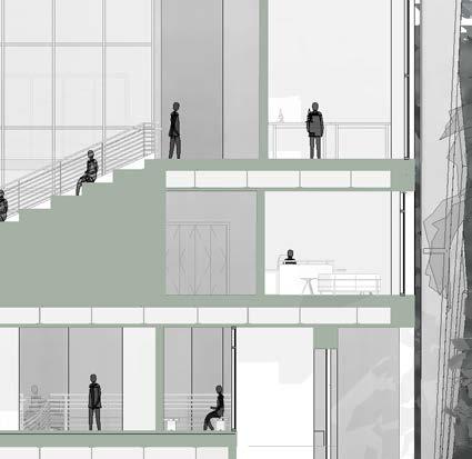
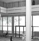
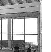
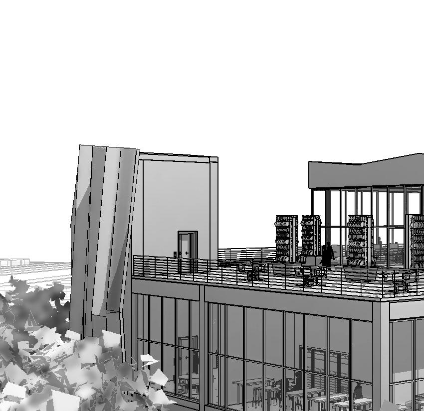
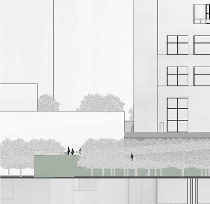
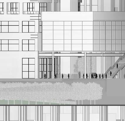
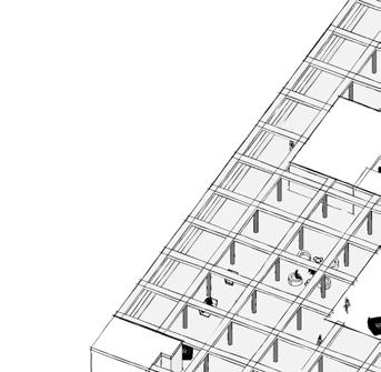
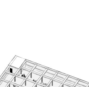
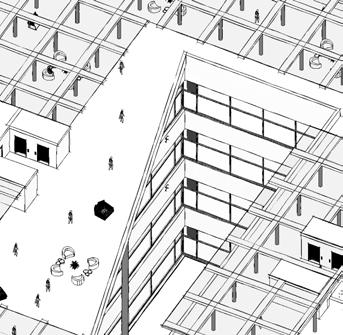
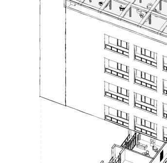
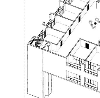
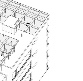
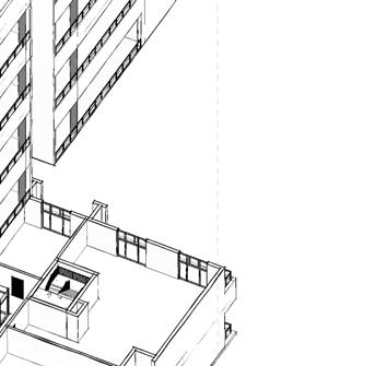
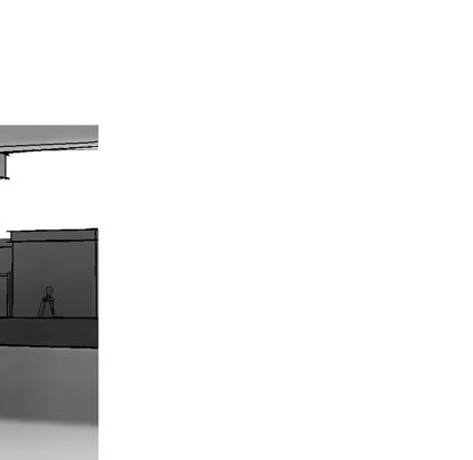
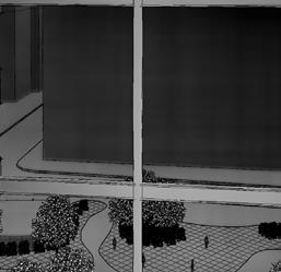
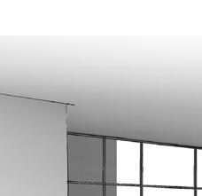
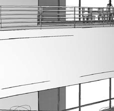
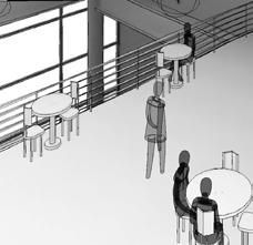
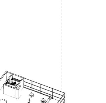
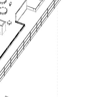
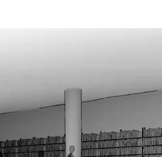
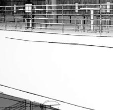
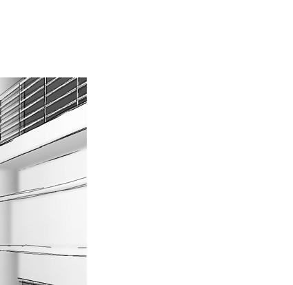
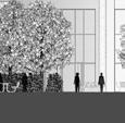
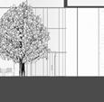
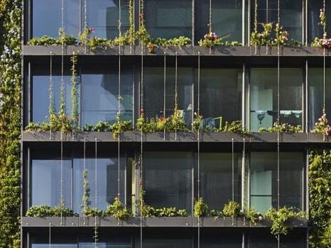
Faced with the increasing impact of flooding that continues to damage the site, The Resilience is designed to withstand these adversities. This six-story building aims to honor and preserve E.G. Sewell Park through community outreach, providing the surrounding neighborhood with the resources they need to understand what’s happening and what they can do to prepare and mitigate further trauma.
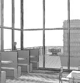
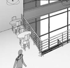
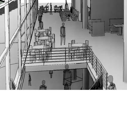
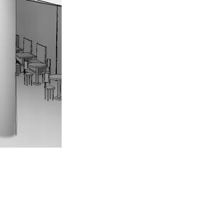
Resources include a museum of the park’s history, research labs and co-working spaces focused on flood prevention, as well as a lecture hall for productive conversations and spread of information. The building also features a zip-lining course and a buffet-style cafeteria that serves food made with ingredients from the in-house herb garden.
CONSTRAINTS AND OPPORTUNITIES
DEMOGRAPHIC
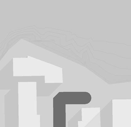
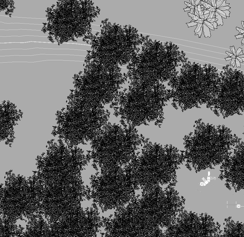
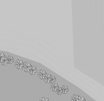
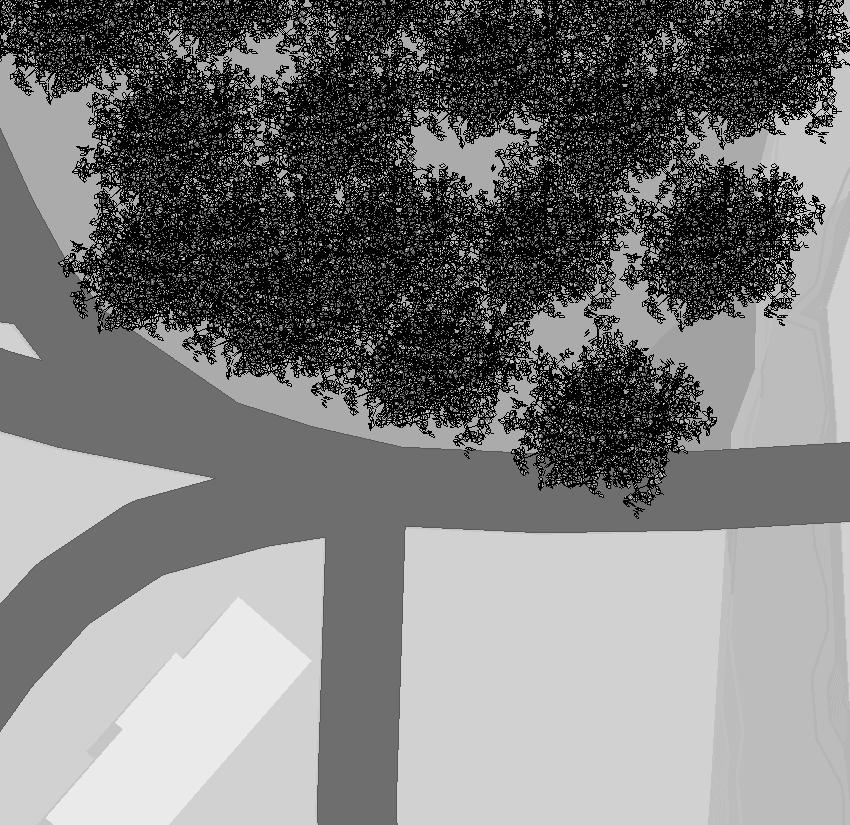
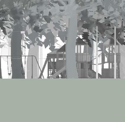
The 10.33 acre park is located in the Allapattah neighborhood, one of the lowest income neighborhoods in North America. The park offers the residents a place to get outside and be in nature. it consists of a playground, picnic seating, and green lawns to occupy space in
HISTORY
FLOOD ZONING
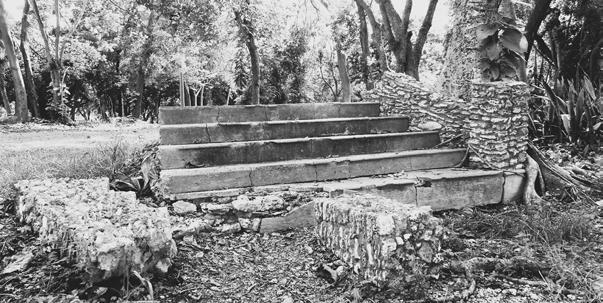
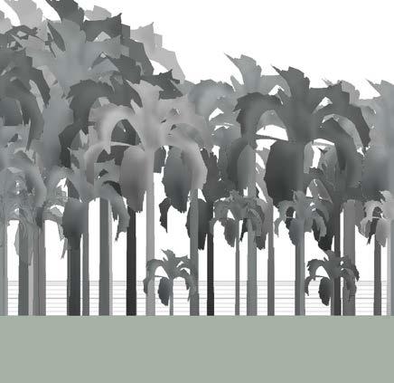
E. G. Sewell Park is a riverfront park in Miami, Florida, that was named after former Miami mayor E. G. Sewell, who served three consecutive years. The park was once the site of a tropical garden owned by General Samuel Crocker Lawrence, who bought the land in 1897 and planted royal palms as well as built a guest house and a boat slip on the property. The park still has the royal palms, the boat slip, and the ruins of the guest house
HIGH FLOOD RISK MODERATE FLOOD
FLOODING
High Flood Risk
Moderate Flood Risk
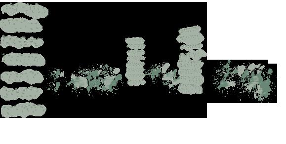
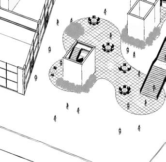
CONCEPTUAL SEQUENCE
PRESERVE
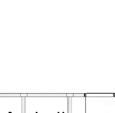
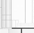
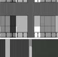
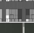
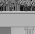
EAST ELEVATION
1/32”=1’
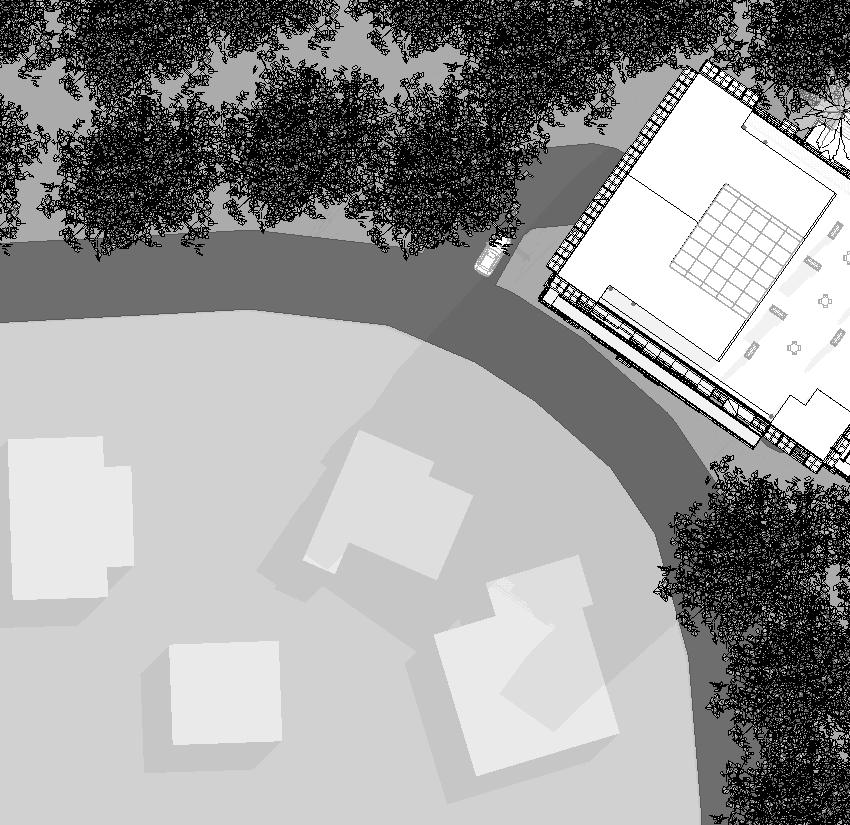
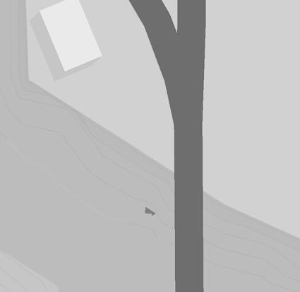
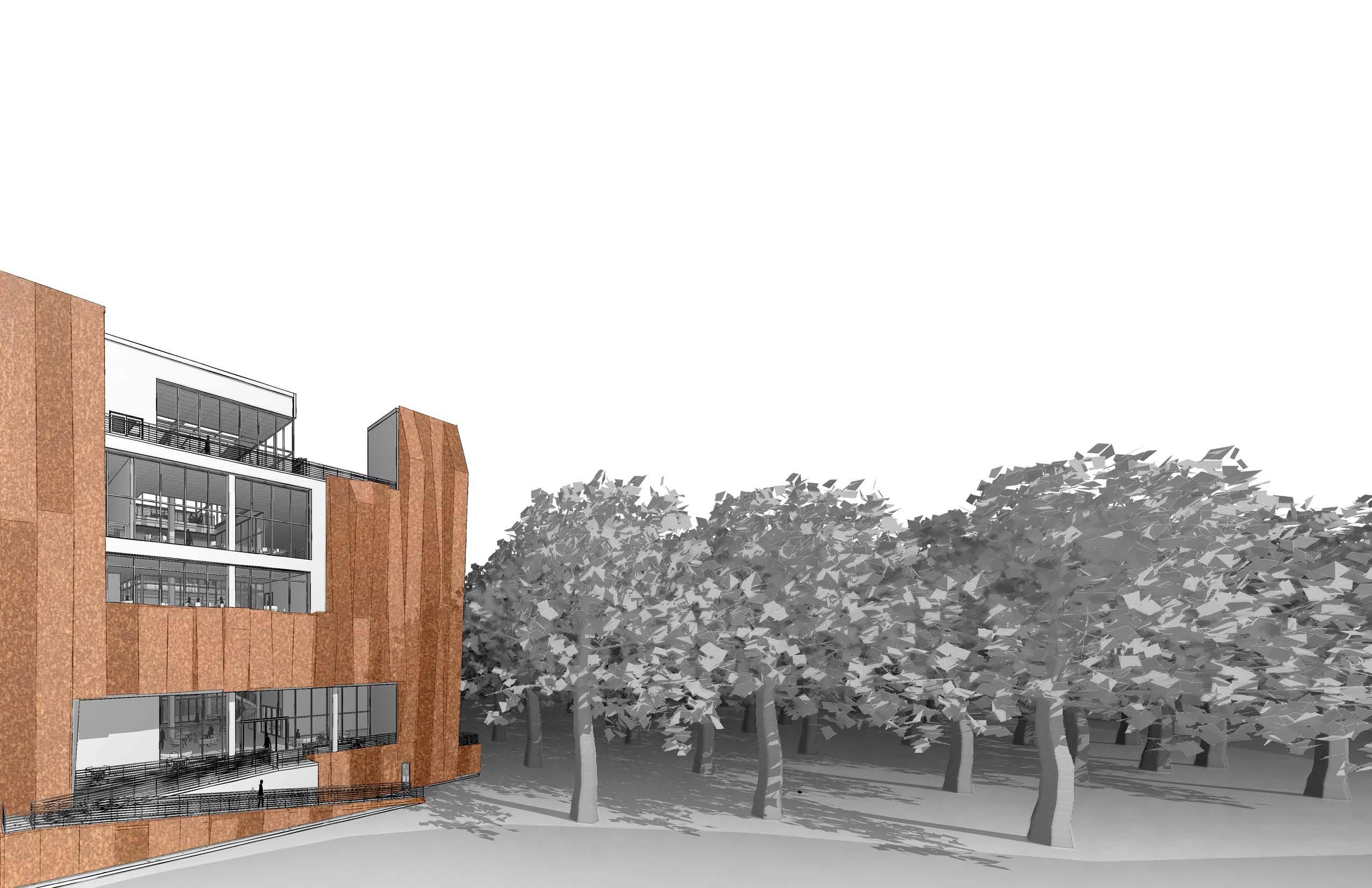
Choosing to place the building on the preexisting parking lot to eliminate removal of trees and be situated as far as possible from the high risk flood zone
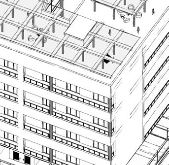
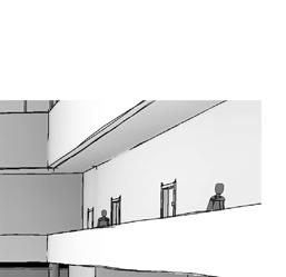
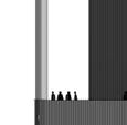
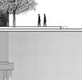
OBSERVE
Building up to the tree line within and above
OBSERVE
line to offer occupants views above the trees
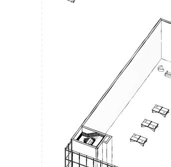
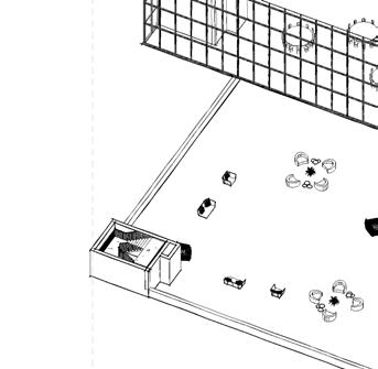
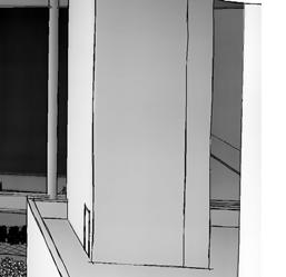
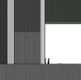
SUBMERGE
Carving out areas to play with being in and outside of the building. Letting occupants feel like they are outside even with they are not
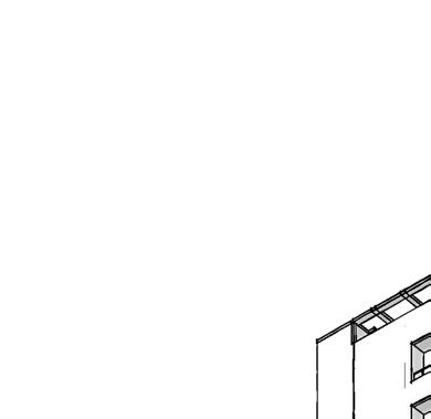
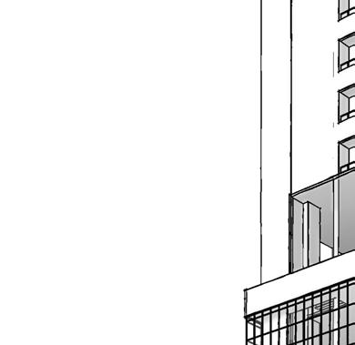
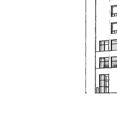
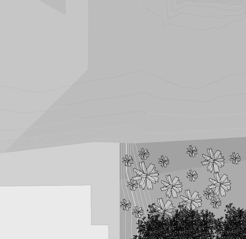
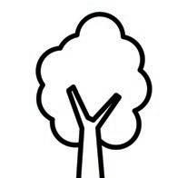
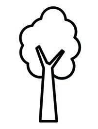
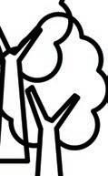
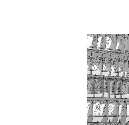
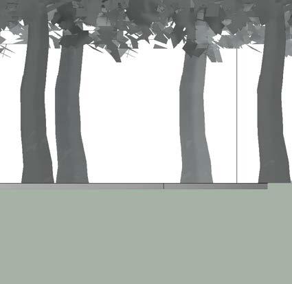
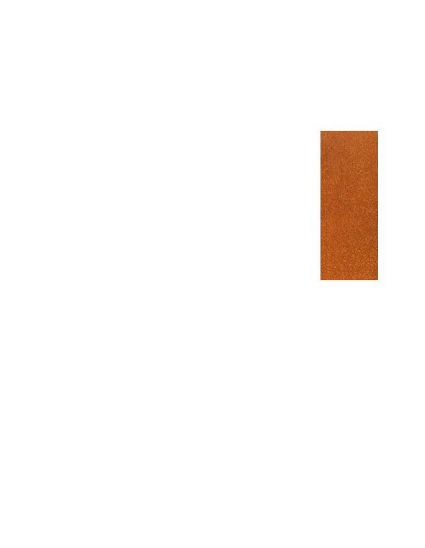
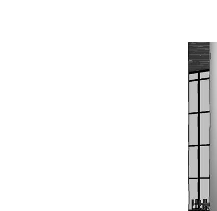
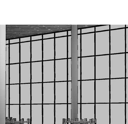
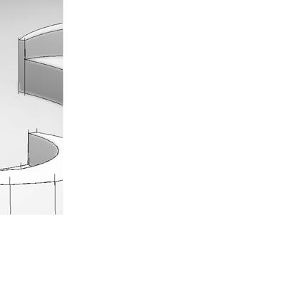
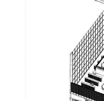
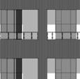
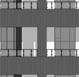
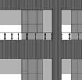
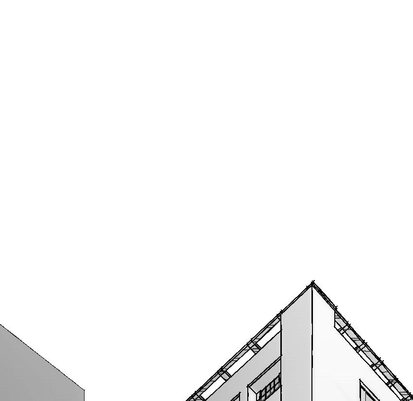
TREE BARK PATTERN
To symbolize growth and withstanding the test of time as well as pay homage to the existence and legacy of the park
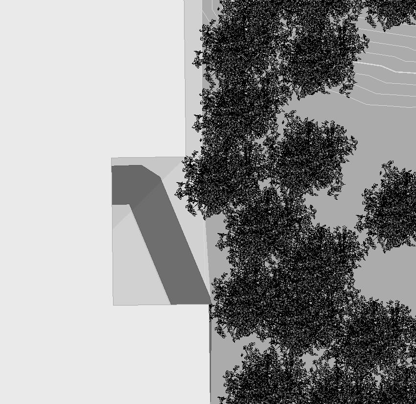
For the natural color and protective rust layer resists further corrosion, making it more water-resistant than regular steel
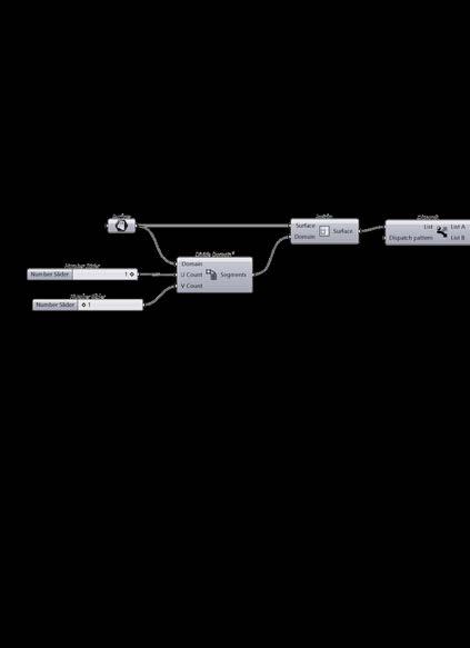
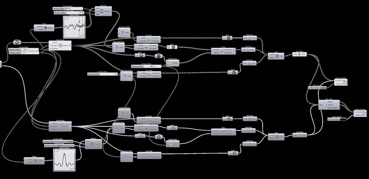
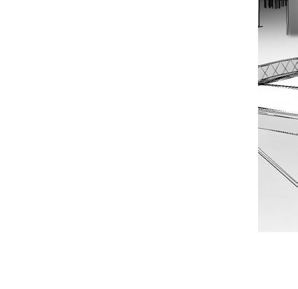
GRASSHOPPER
Used to create the change in variation of slants in the panels as well as the width and length
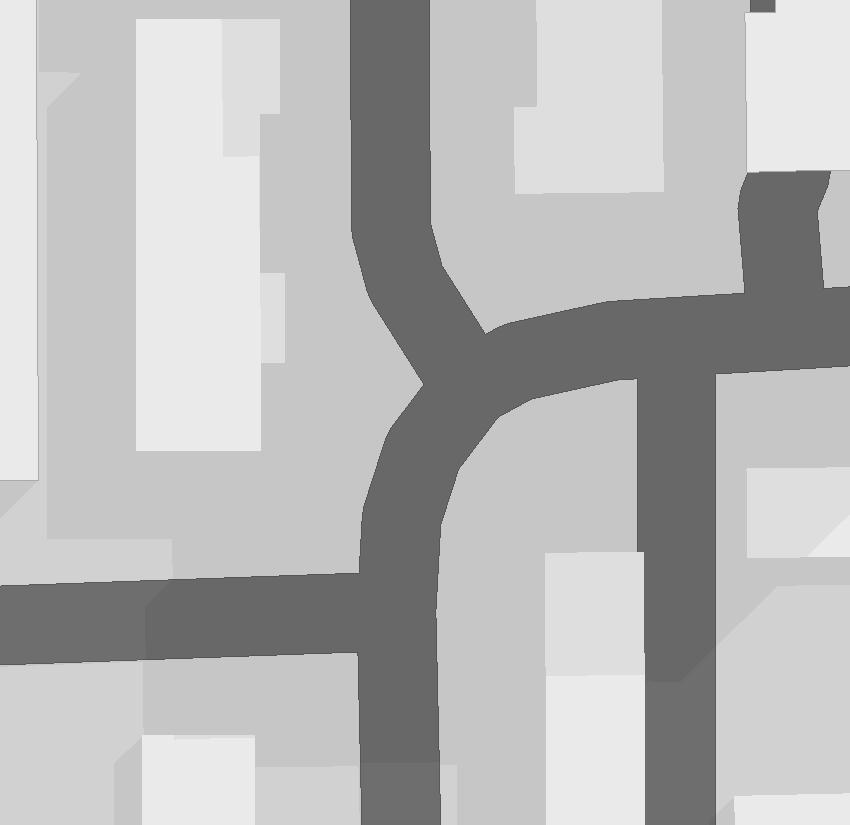
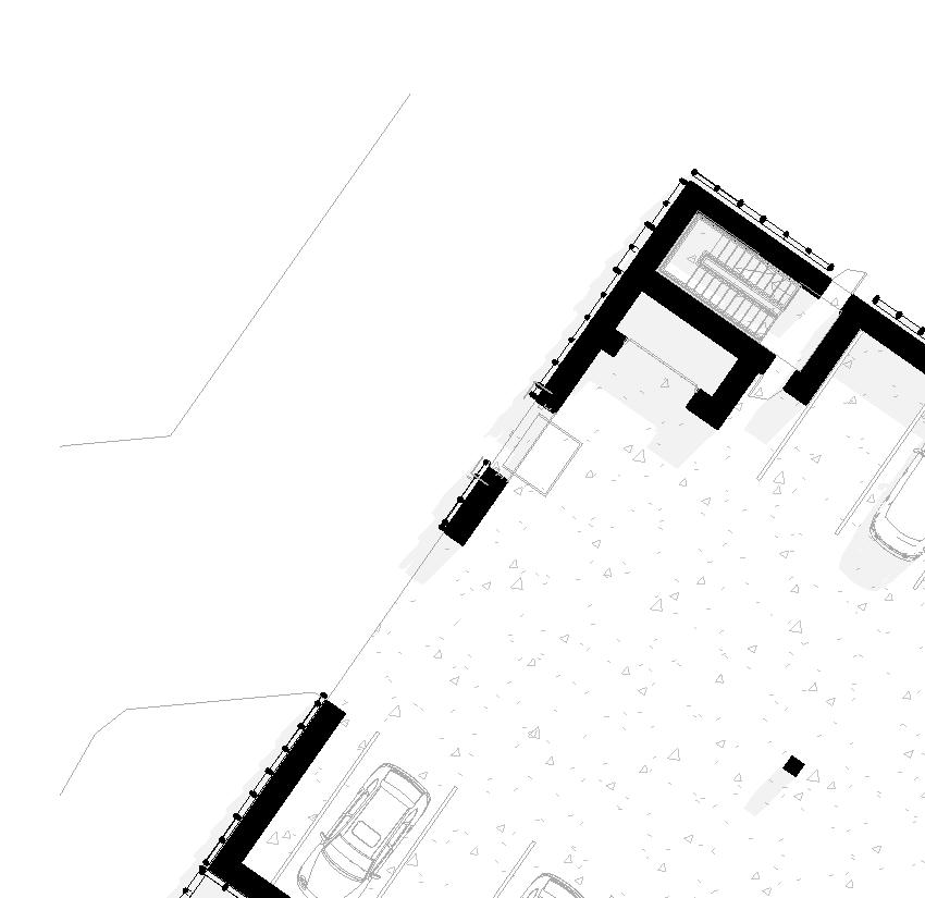
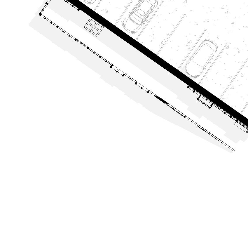
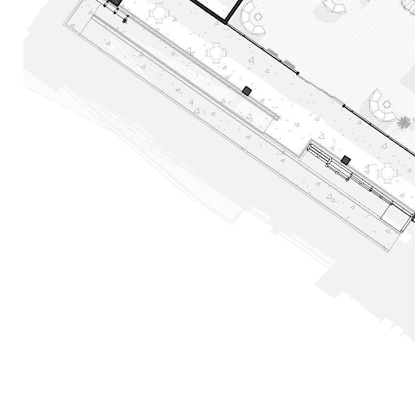
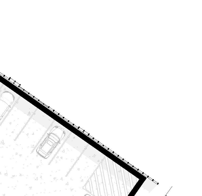
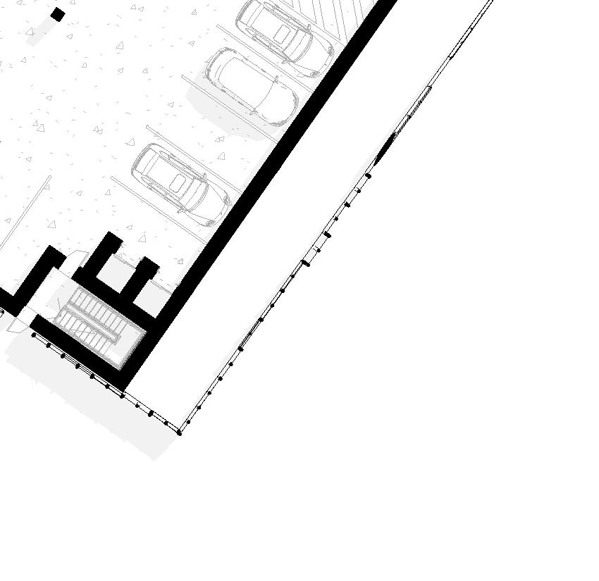
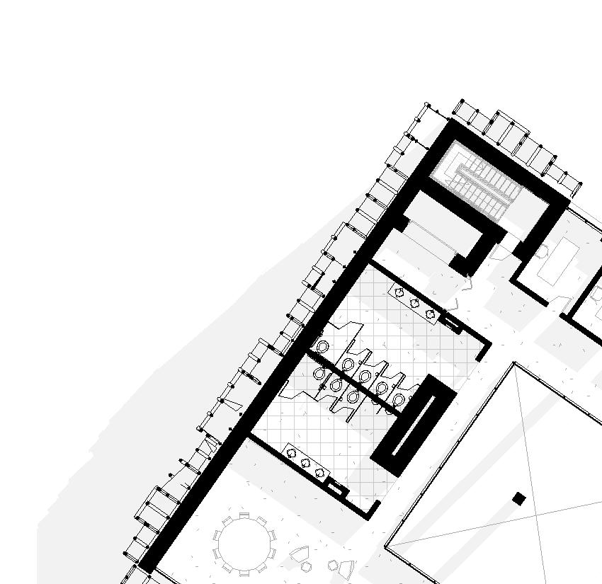
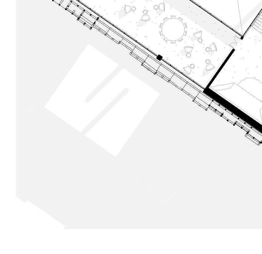
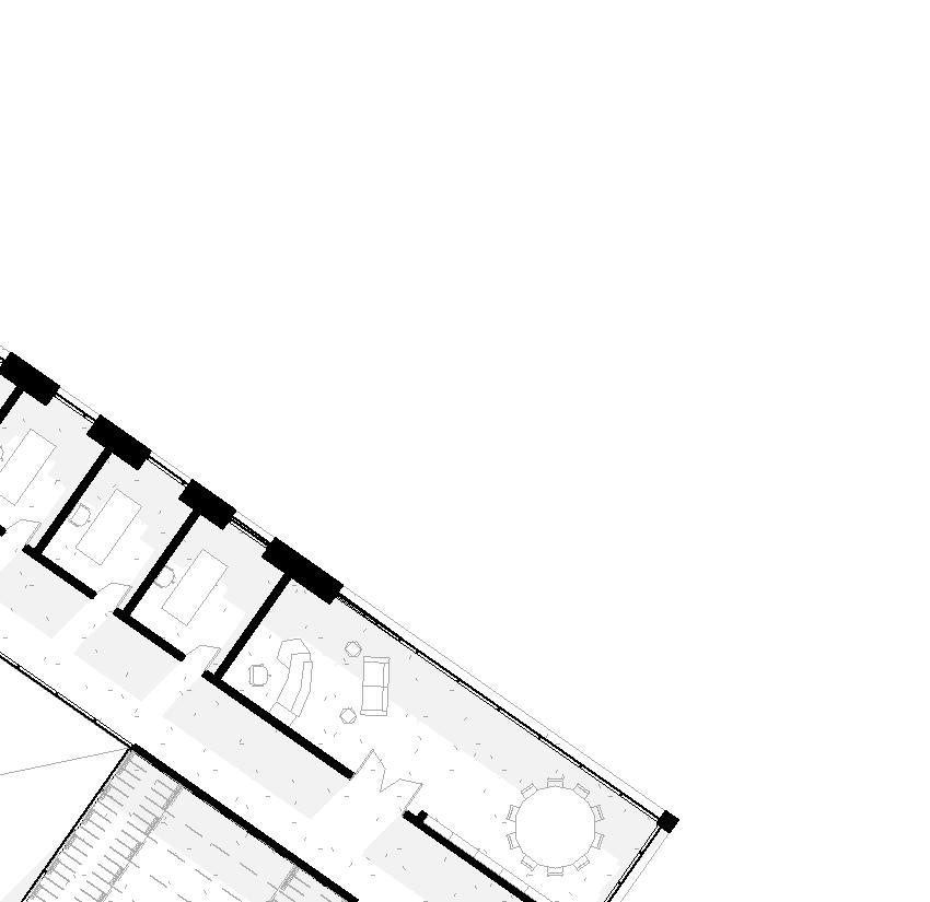
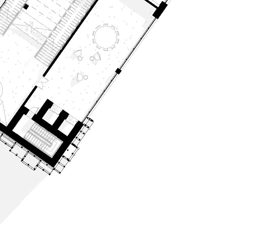
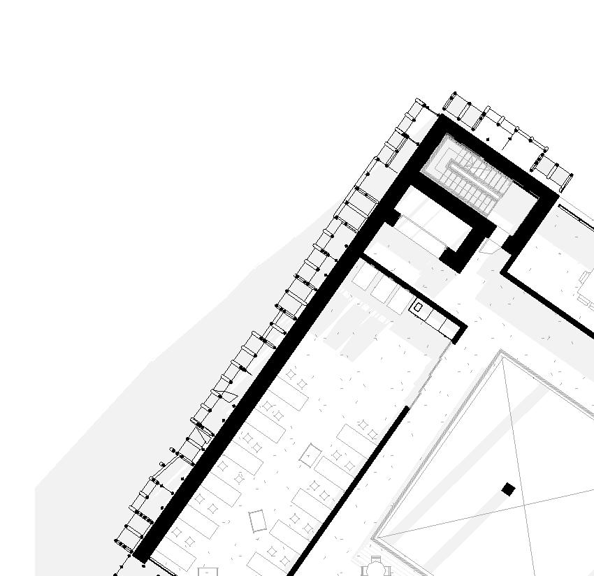
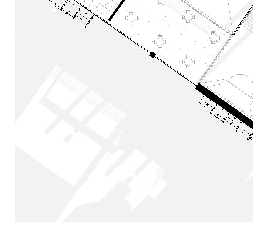
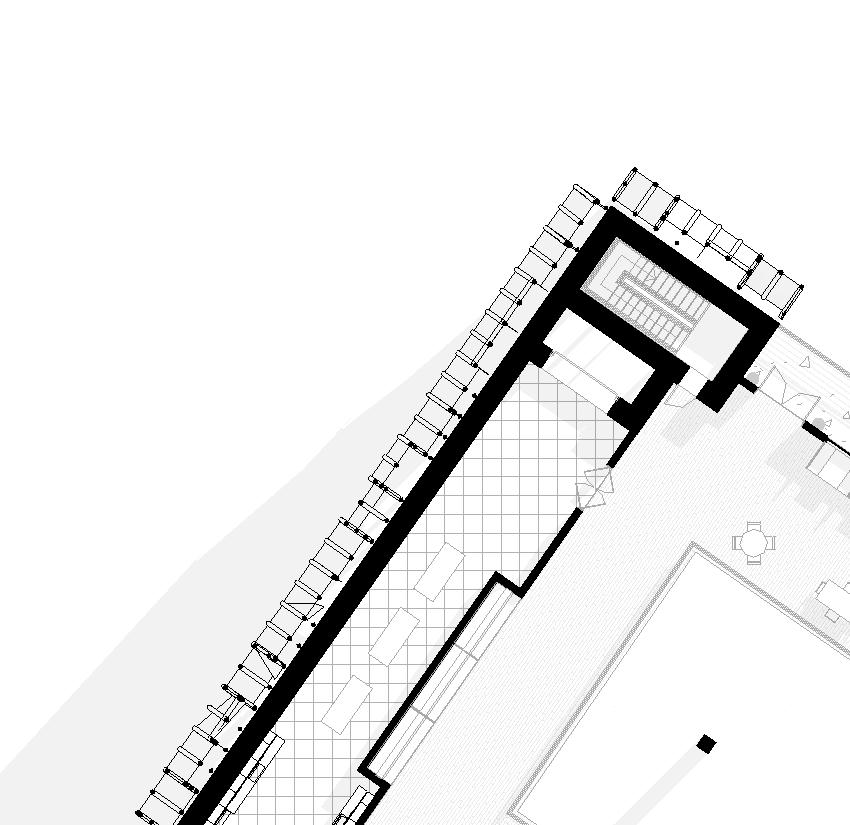
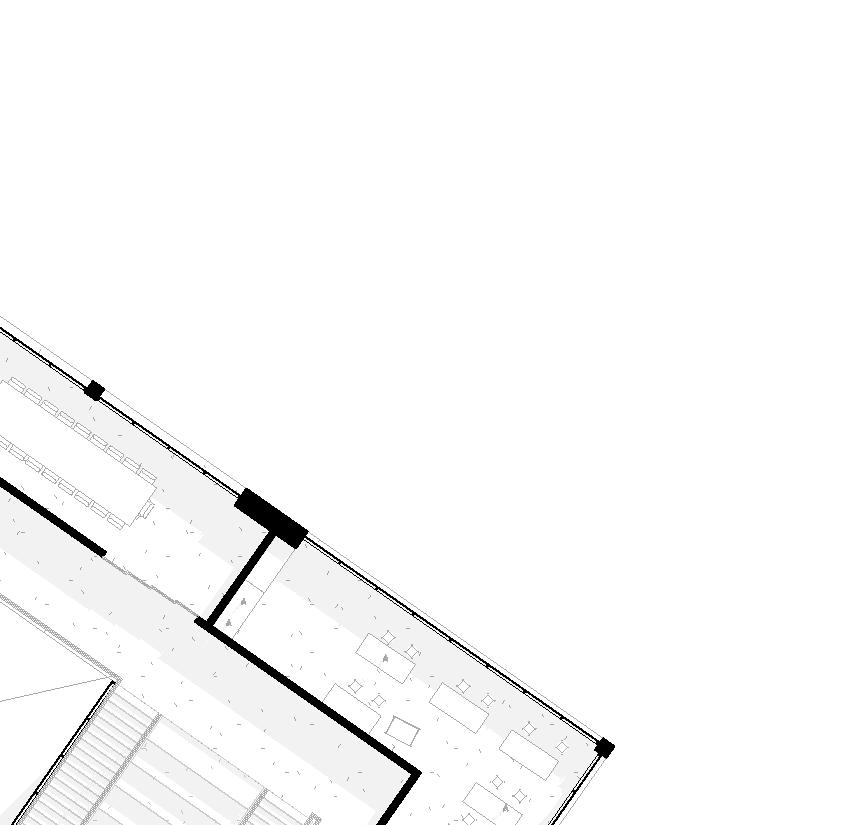
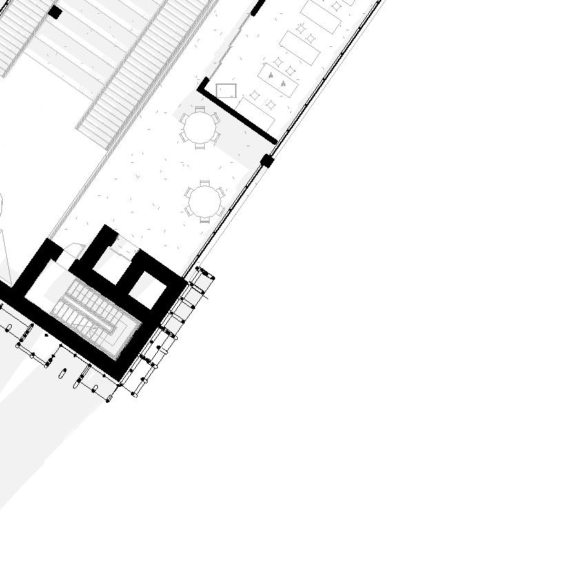
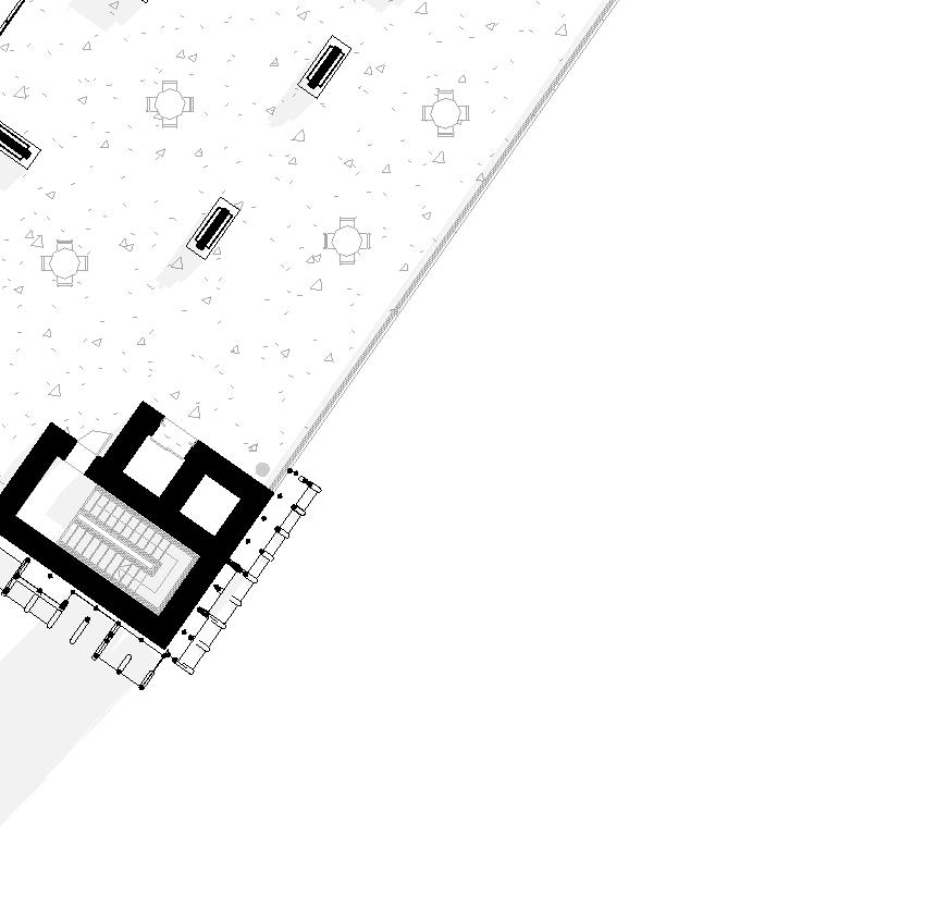
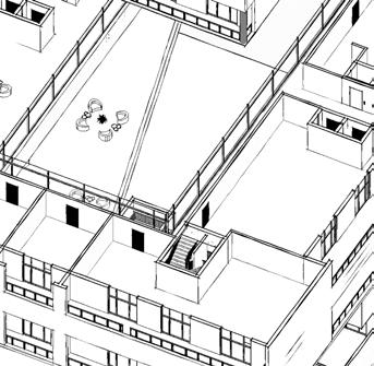
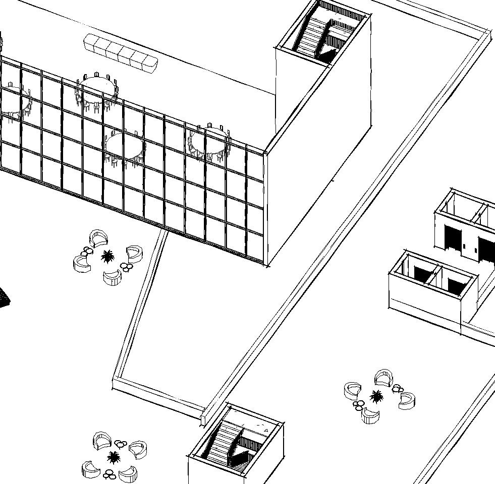
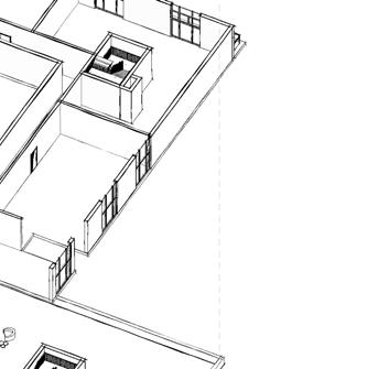
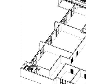
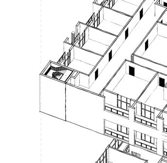
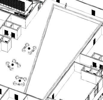
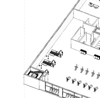
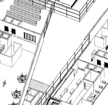
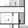
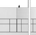
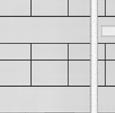
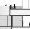
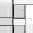
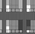
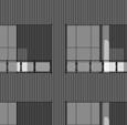
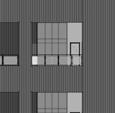
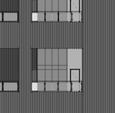
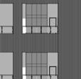
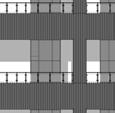
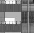
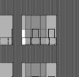
FLOOR PLANS
1. Elevators
2. Stairs
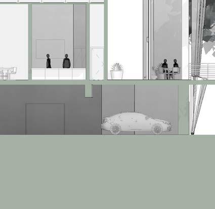
3. Parking Garage
4. Zip-Lining Start
5. Lobby Entrance
6. Multipurpose Room
7. Restrooms
8. Storage
9. Mechanical
10. Electrical
11. Museum
12. Lecture Hall
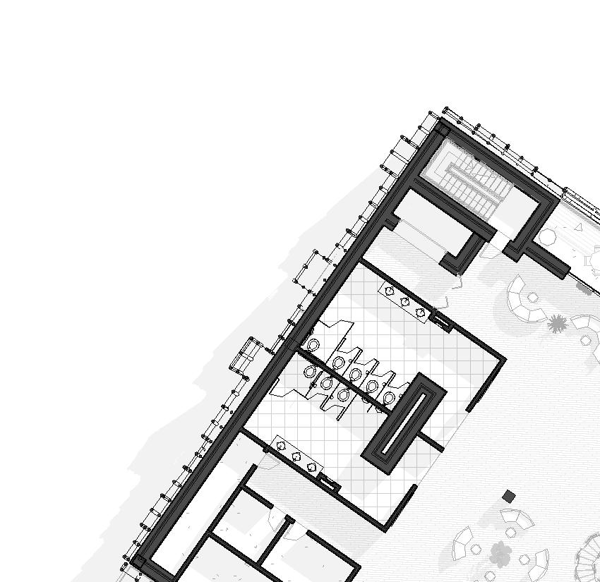
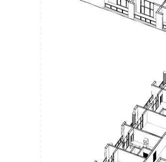
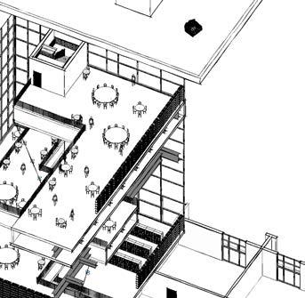
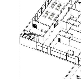
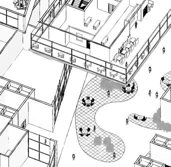
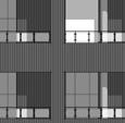
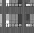
Multipurpose Room
Restrooms
Storage
Electrical
Museum 12. Lecture Hall
Co-Working Spaces 14. Small Offices
15. Curator’s Office
16. Research Labs
17. Conference Room
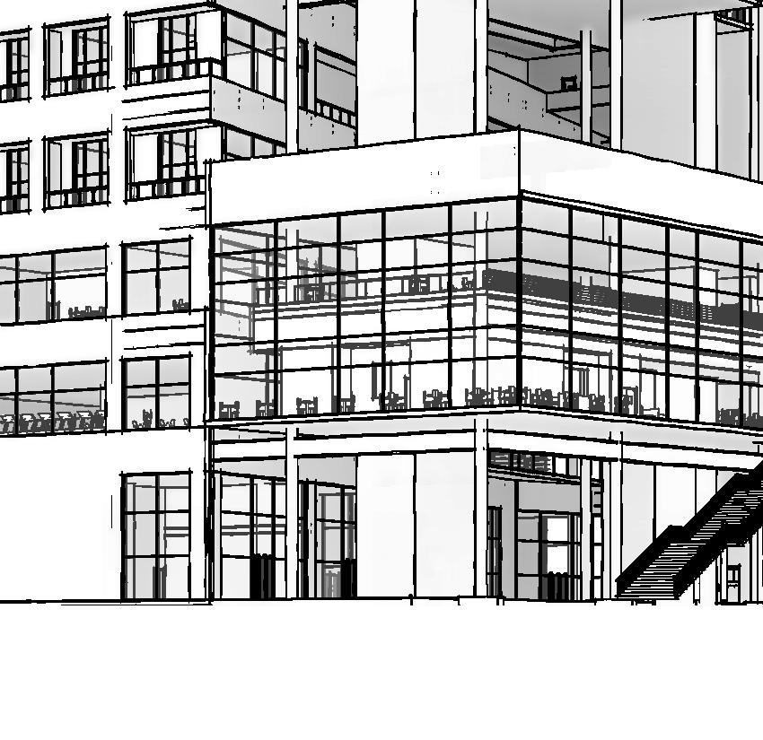
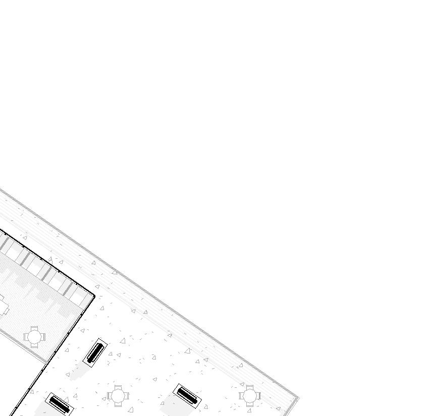
18. Cafeteria
19. Kitchen
20. Roof Terrace & Herb Garden
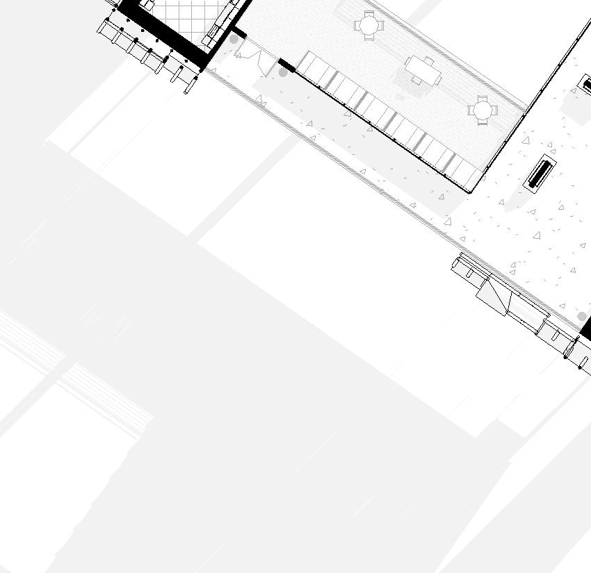
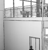
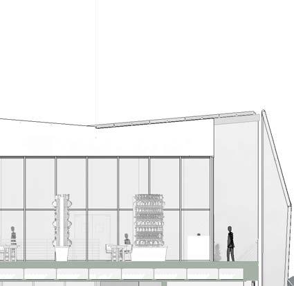
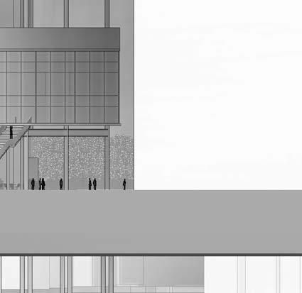
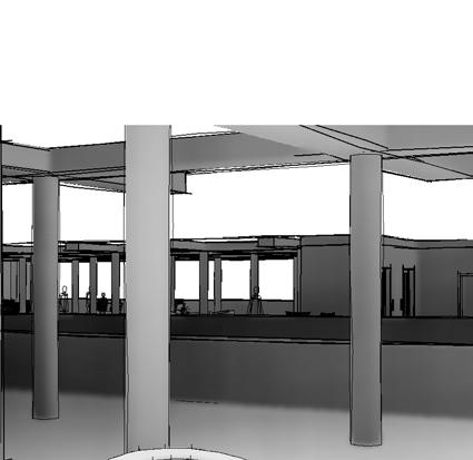
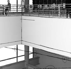
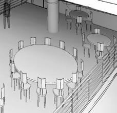
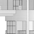
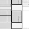
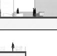
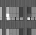
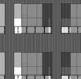
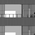
LECTURE HALL
LATITUDINAL SECTION
1/16”=1’
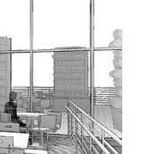
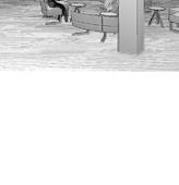
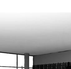
CAFETERIA
LOBBY ENTRANCE CAFETERIA
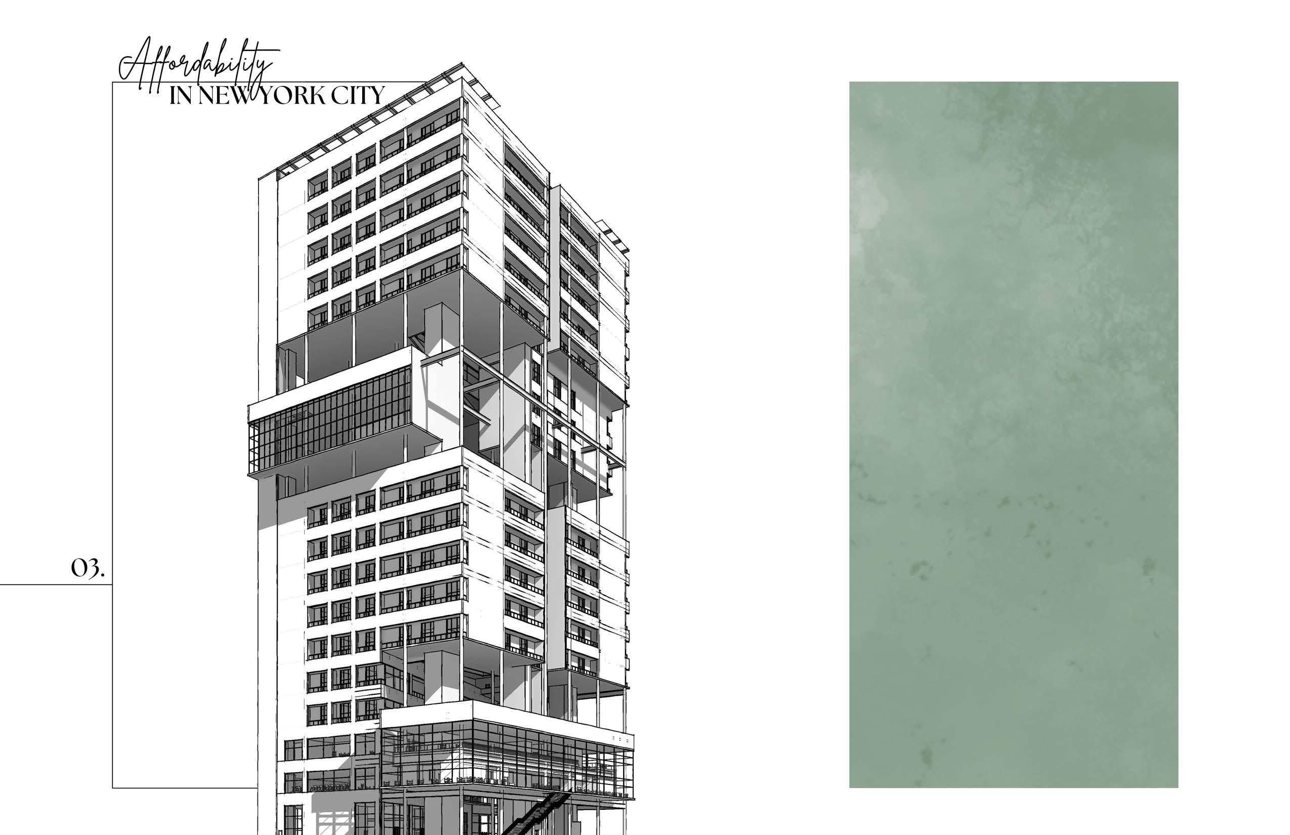
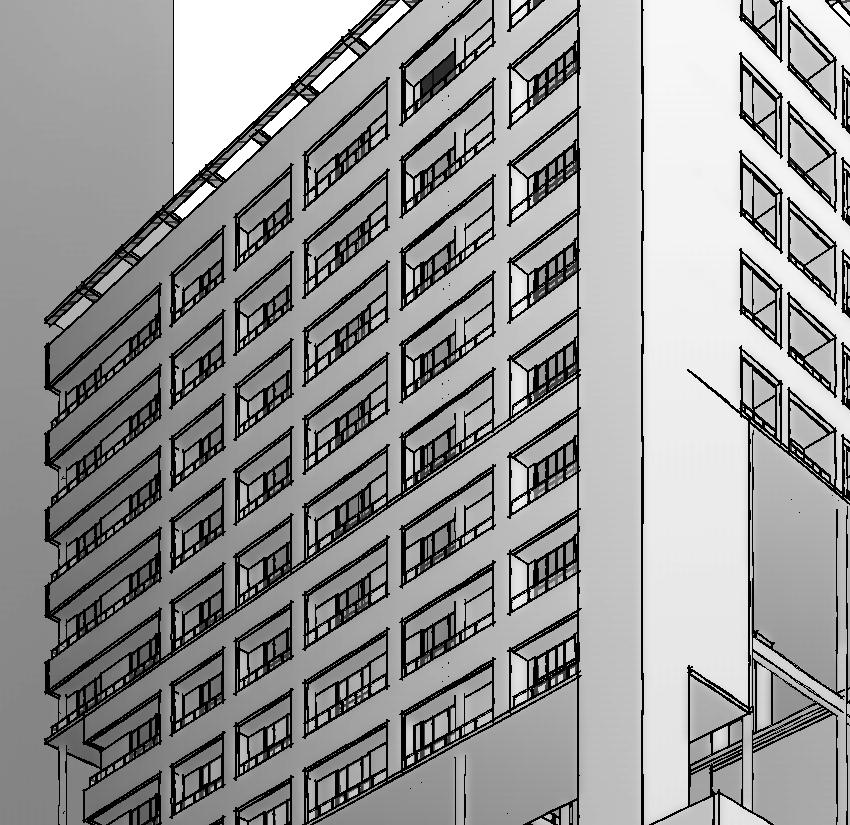
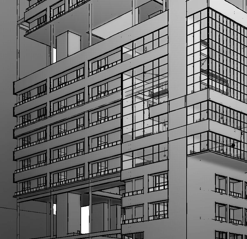
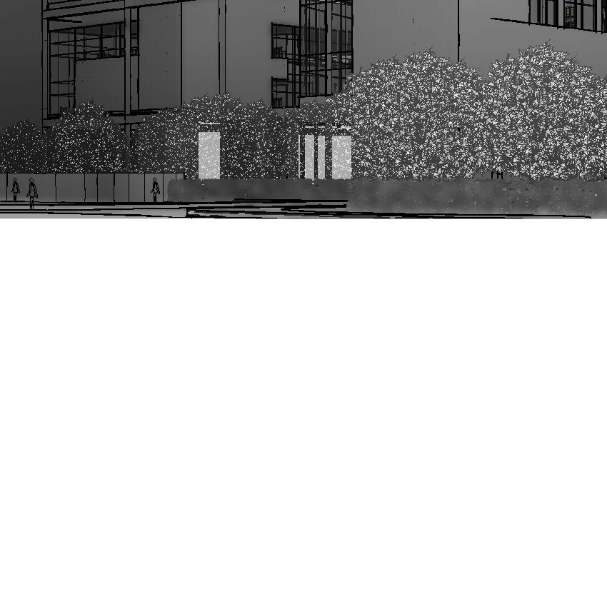
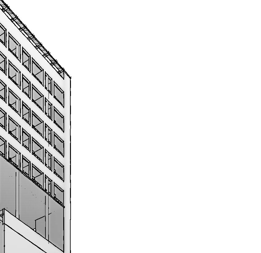
Spring 2024 Design 6.2
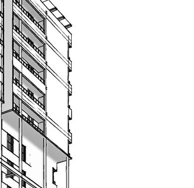
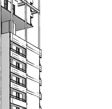
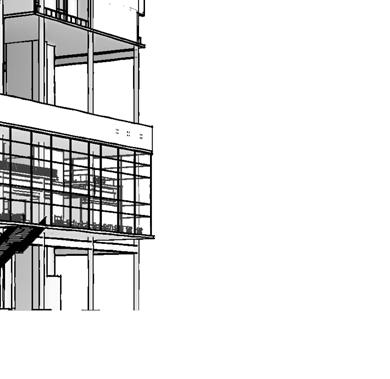
Type: Mixed-Use Affordable Housing
Location: 400 11th Avenue, New York, New York Programs: Revit, InDesign, Illustrator
What does the city of New York need?
New York City is facing a serious problem of poverty and housing affordability, especially for low-income households and people of color.
While The High Line is a remarkable project that has reshaped the urban landscape of New York City, it also poses some challenges and questions about how to balance economic development, environmental sustainability, cultural expression, and social justice in the city.
The project has raised some concerns about gentrification, displacement, and inequality in the city and has been criticized for catering to affluent tourists and residents, while excluding or displacing low-income and minority communities that live nearby. The park’s founders have acknowledged their failure to address these issues and have launched a network to help other cities create more inclusive and equitable public spaces.
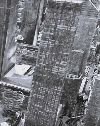
In support of this effort, a 20-story affordable housing apartment was built near the High Line to unite all city residents.
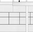
CONSTRAINTS AND OPPORTUNITIES
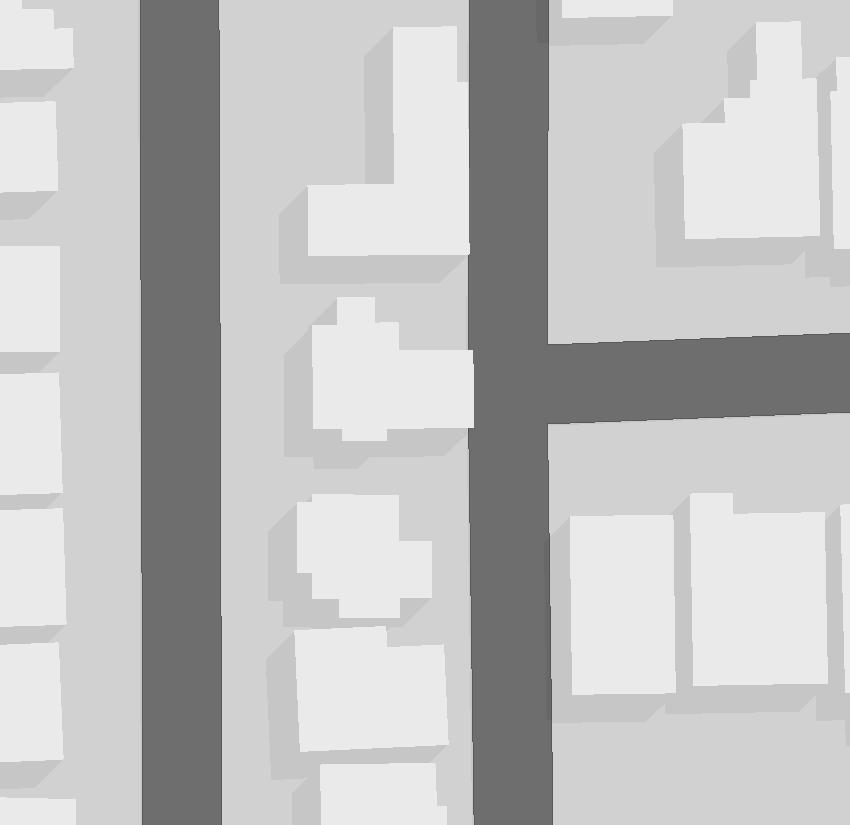
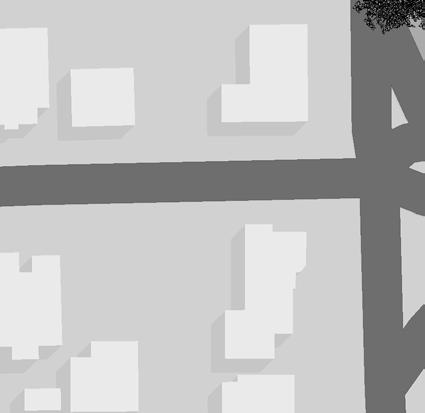
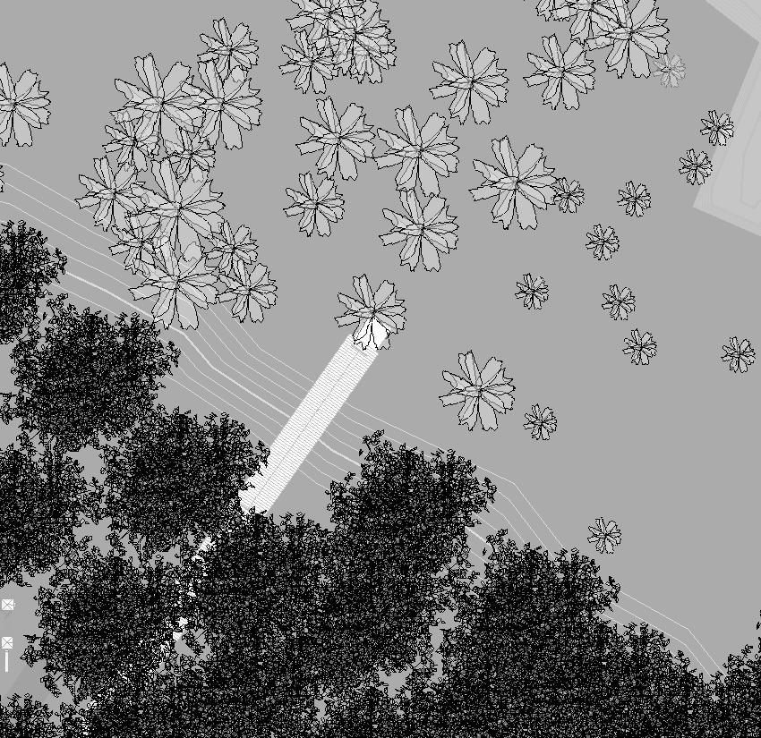
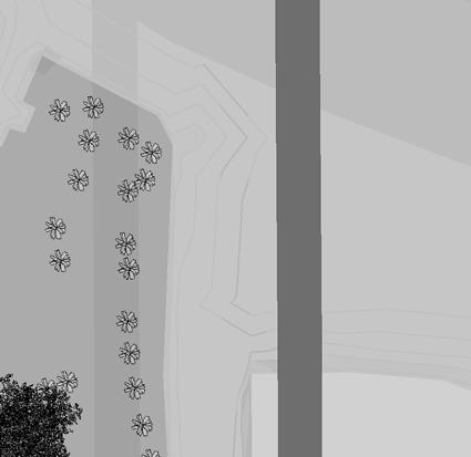
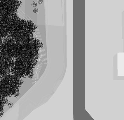
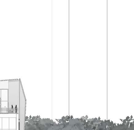
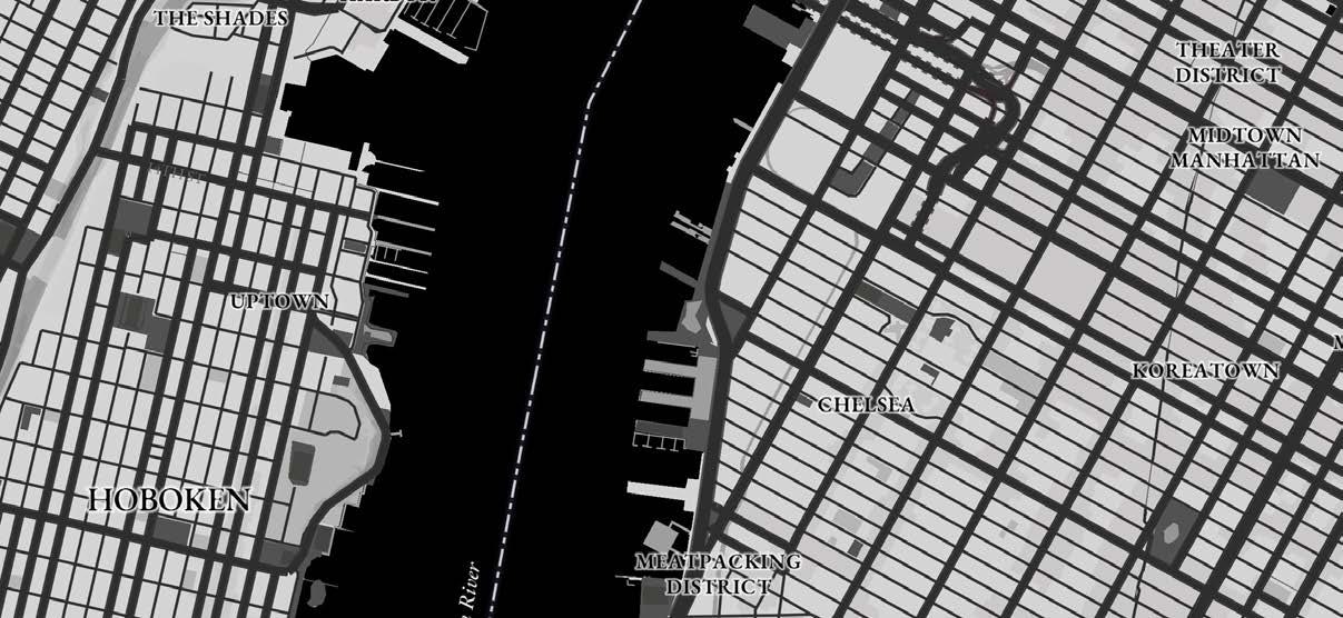
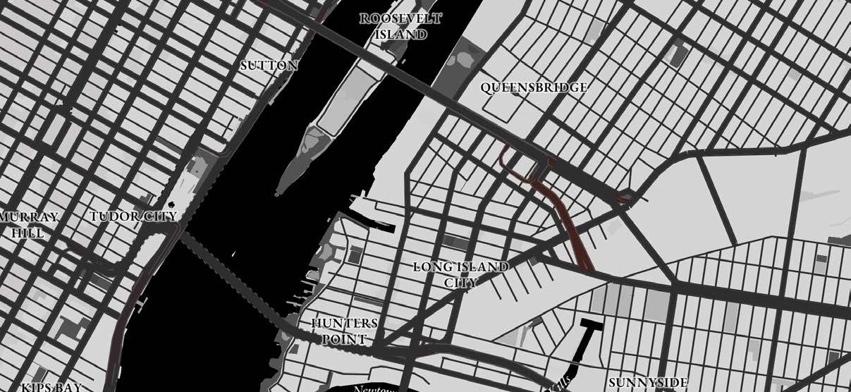
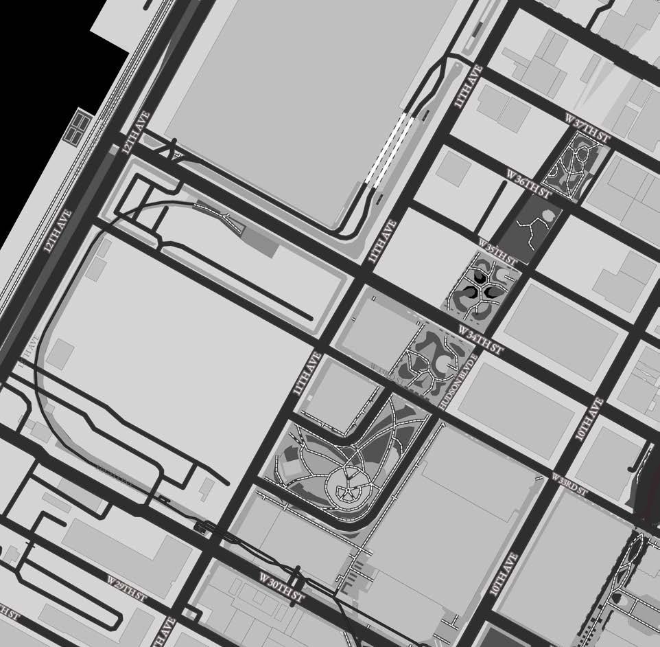
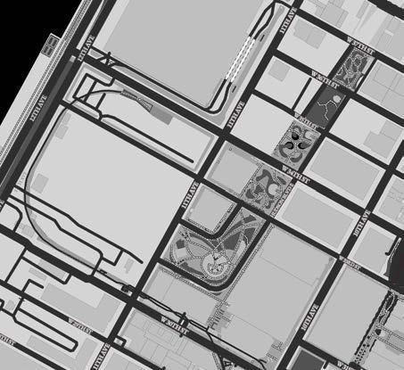
There are only five places of low-income housing near the High Line. As seen in the map above, all five are far from the High Line. This displacement of low-income citizens cuts off their resources to the park and can make them feel unwanted or out of place in their own city. Here is an analysis of a site that is located much closer to the High Line:
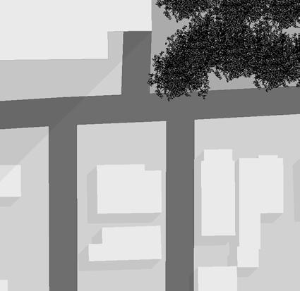
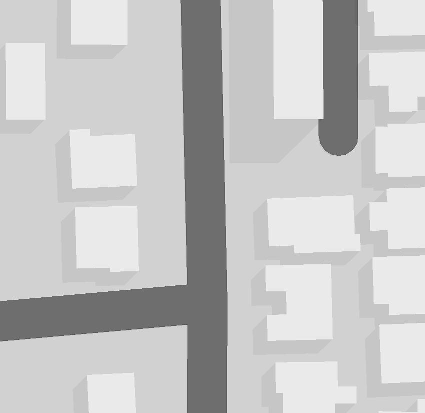
SITE AND HIGH LINE
VEHICULAR MOVEMENT
VEHICULAR MOVEMENT DIRECTION
Double way streets can slow down traffic and offer a safe environment for pedestrians to cross the road. The one way street can be used as the entry for service access of the building.
SIGNIFICANT/ PUBLIC SPACE
PUBLIC PARKING
GREEN SPACE
STREET BLOCK
EXISTING BUILDING
BUS STOP
SUBWAY STATION
PEDESTRIAN MOVEMENT
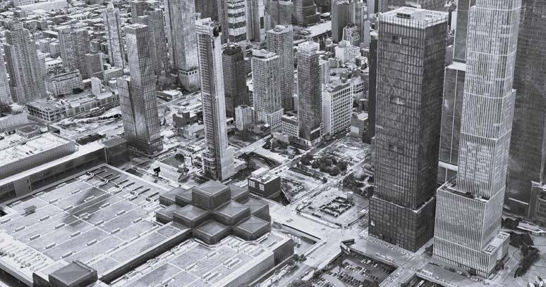
1. Jacob Javits Convention Center
2. The Vessel 3. The Shed 4. Hudson Yards Shopping Mall
1” = 200’
CONSTRAI
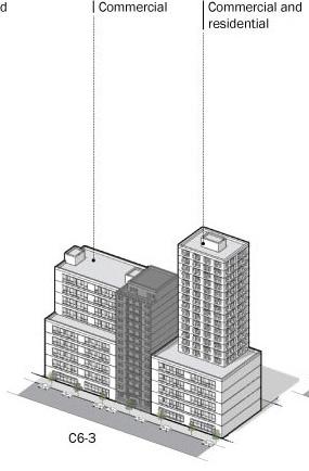
BUILDING CODE
1. Occupancy Classification
Assembly Group A-3, Mercantile Group M, and Residential Group R-2
2. Building Height & Size - Construction Type
Unlimited height and size - Type 1-A sprinkled
3. Construction Component Ratings
Following Type 1-A guidelines
4. Enclosure Ratings
UL v 471; 3 hour rating: 0-2ft. minimum fire separation