JEKYLL ISLAND




Thank you to everyone who supported this project with their knowledge and guidance. The insights and contributions provided were invaluable, and the time and dedication given are deeply appreciated. This work stands as a reflection of the many hands and minds that helped shape it.
JEKYLL ISLAND AUTHORITY
Yank Moore, Director of Conservation
Joseph Colbert, Wildlife Biologist
Dan Quinn, Natural Resources Manager
Morgan Pierce, Land Management Technician
Cliff Gawron, Director of Landscape and Planning
Noel Jenson, Deputy Executive Director
Mark Williams, Executive Director
Aaron Saunders, Golf Course Superintendent
Alexa Hawkins, Director of Marketing and Communications
Brad Ballard, Senior Director of Amenities
Brian Sheets, Landscape Operations Superintendent
David Zailo, Georgia Sea Turtle Center Research Manager
Lauren Gingerella, Doctoral Candidate
GEORGIA SOUTHERN UNIVERSITY
Dr. Christine Hladik, Associate Professor
BIRDS GEORGIA
Adam Betuel, Director of Conservation
Gabe Andrle, Habitat Program Manager
GEORGIA DEPARTMENT OF NATURAL RESOURCES
Jason Lee, Project Manager
Eamonn Leonard, Plant Biologist
GEORGIA ENVIRONMENTAL PROTECTION DIVISION
Alice Vick, Environmental Specialist
THE GEORGIA CONSERVANCY
Courtney Reich, Coastal Director
STATE BOTANICAL GARDEN OF GEORGIA
Jennifer Cruse-Sanders, Director
GEORGIA FORESTRY COMMISSION
Frank Allen, Chief Ranger
DUCKS UNLIMITED
Ellen Herbert, Senior Scientist
THE NATURE CONSERVANCY
Ashby Worley, Coastal Climate Adaptation Director
THE LONGLEAF ALLIANCE
Carol Denhof, President
THE ORIANNE SOCIETY
Ben Stegenga, Research Assistant
ATELIER MEY DESIGN WORKSHOP
Emily McCoy, Principal-in-Charge
Ellie Lerner, Project Manager
Jordan Metzler, Project Manager
Morgan Clutter, Designer
Craig Klomp, Designer
Kathleen Elliott, Designer
Marti Roca Busacker, Designer
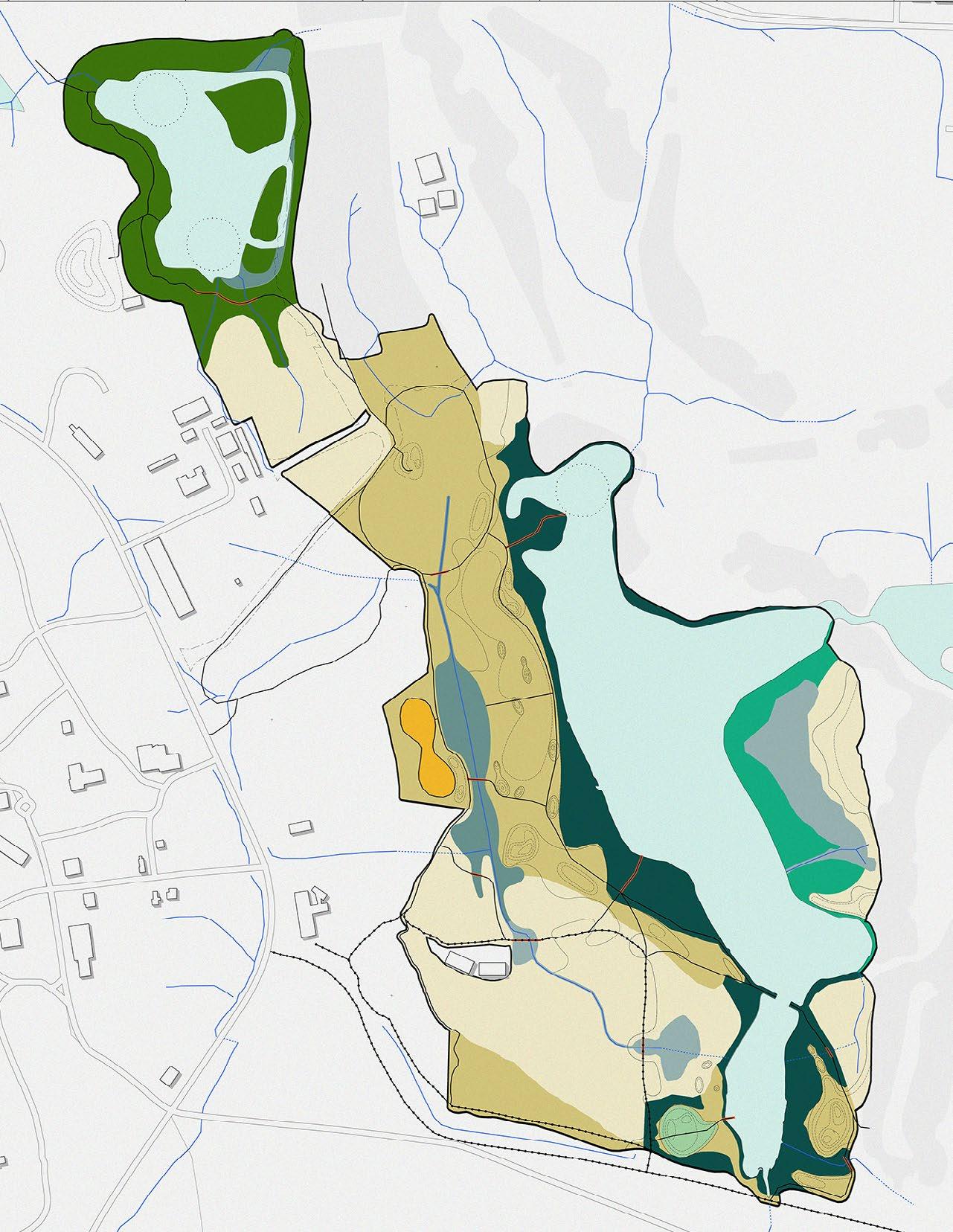
Amphitheater Pond and Environmental Education Hub
Amphitheater Entrance
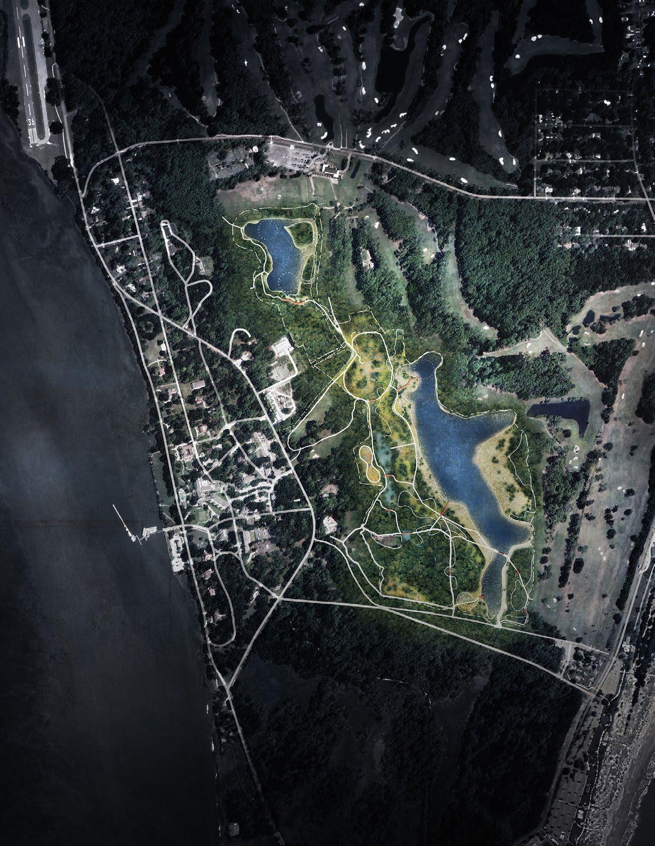
Longleaf Pine Wiregrass Savanna Wildlife Corridor
Observation Point
Wetland Restoration Maritime Forest
Oleander Pond
Pollinator Meadow Land Stewardship Hub and Nursery
Observation Point
Marsh Migration Wetland Restoration
Sweetgrass Meadow and Natural Play Area
Oleander Entrance

Stakeholder meetings, frequent consultations with the Jekyll Island Conservation Department, and the hard work of our team led to a comprehensive design plan that includes features about the environmental setting, and development of a design plan for grassland, wetland, and forest restoration on retired sections of a golf course on Jekyll Island State Park. The proposed project will enhance living conditions for many wildlife species, including priority species, while also integrating outdoor recreation features that allow for public access, like walking trails, wildlife viewing areas, and artistic environmental education pieces. The plan can be used as a reference guide for other projects wishing to accomplish similar goals, whether they’re considering restoration of retired golf course or open space, or planning to develop a habitat wildlife corridor.
The Jekyll Island Authority (JIA) is undertaking a transformative ecological restoration project to repurpose approximately 150 acres of the Oleander Golf Course into a coastal habitat corridor. This initiative responds to increasing efficiency in golf course operations on the island, and the broader ecological need to restore fragmented coastal ecosystems. The project serves as a national precedent for reimagining underutilized golf courses as resilient natural landscapes. The project aligns with the 2020 Jekyll Island Conservation Plan and the 2022 Golf Improvement Plan, both of which recommended reducing golf acreage and prioritizing ecological restoration
The restoration is guided by a vision to harmonize environmental preservation with community engagement, ensuring that Jekyll Island remains both ecologically resilient and publicly accessible. Five key goals anchor the project:
1. Restore a Coastal Golf Course into Native Habitat
» Remove invasive species, reestablish coastal grasslands and pine savannas, and enhance wetland systems.
» Create habitats for species of concern, including grassland birds, waterfowl, reptiles, amphibians, and at-risk species.
2. Provide Recreational Opportunities
» Integrate trails, observation points, and educational signage.
» Balance recreation with conservation, ensuring visitors can enjoy nature without compromising restoration.
3. Encourage Research Opportunities and Collaboration
» Position Jekyll Island as a “living laboratory” for universities, conservation groups, and agencies.
» Enable applied research in climate resilience, habitat restoration, and adaptive management.
4. Ensure Ecological Resiliency
» Strengthen the island’s natural defenses against sea-level rise, storms, and saltwater intrusion.
» Restore fragmented habitats into a north–south corridor linking Holocene and Pleistocene maritime forests.
5. Provide an Adaptive and Sustainable Management Strategy
» Implement long-term monitoring (e.g., trail cameras, vegetation surveys).
» Use prescribed fire and controlled burns to sustain grasslands and manage invasive species.
» Engage the community in stewardship and education.
PHASE 1: OLEANDER HABITAT RESTORATION
» Convert ~50 acres into a mosaic of grasslands and forest patches.
» Enhance a 6.25-acre freshwater pond into a rookery for wading birds and expand buffers.
» Improve hydrology and drainage systems to enhance ecosystem services.
» Add recreational trails, educational panels, and digital content (e.g., QR codes
PHASE 2: INDIAN MOUND WETLAND RESTORATION
» Restore a degraded red maple–loblolly bay wetland impacted by golf course drainage.
» Potential removal of additional golf holes depending on long-term golf demand.
» Recreate historic freshwater wetlands and integrate with recreation and education
The plan was developed through multi-agency collaboration, involving the University of Georgia, Birds Georgia, Ducks Unlimited, The Nature Conservancy, Georgia DNR, and others.
Key stakeholder insights include:
» Strong emphasis on native plants.
» Recognition of culturally significant plants (rivercane, muhly grass) tied to Indigenous and Gullah Geechee heritage.

LONG-LEAF PINE WIREGRASS SAVANNA
SOUTHERN ATLANTIC COASTAL MARITIME FOREST
BRACKISH TIDAL MARSH
Design Workshop
» Support for public education through tours, interpretive signage, and digital engagement.
» Consensus on balancing recreation with habitat preservation
» Ecological Benefits: Reconnected wildlife corridors, increased biodiversity, restored freshwater and brackish wetlands, and improved resilience to climate impacts.
» Community Benefits: Enhanced public access to natural areas, expanded research partnerships, educational programming, and tourism appeal.
» Financial Sustainability: Reduction of golf course maintenance costs while investing in long-term conservation value.
The Jekyll Island Golf Conversion Ecological Restoration project is a forward-looking initiative that balances ecological restoration, cultural recognition, and community recreation. By converting underutilized golf land into resilient habitats and research opportunities, the project positions Jekyll Island as a national model for coastal restoration in the face of climate change.
This effort exemplifies how adaptive land management, public engagement, and science-based design can create lasting ecological and social value for barrier islands and coastal communities.
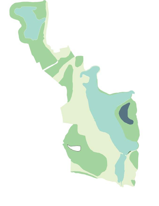
OPEN WATER
MARITIME SLASH PINE FLATWOODS
SOUTH ATLANTIC COASTAL POND/ WETLAND
GOLF TURF
OPEN WATER
PINE-WIREGRASS SAVANNA
SOUTH ATLANTIC COASTAL POND/ WETLAND
MARITIME FOREST
SWEETGRASS MEADOW
UPLAND MARITIME FOREST
FRESHWATER WETLAND
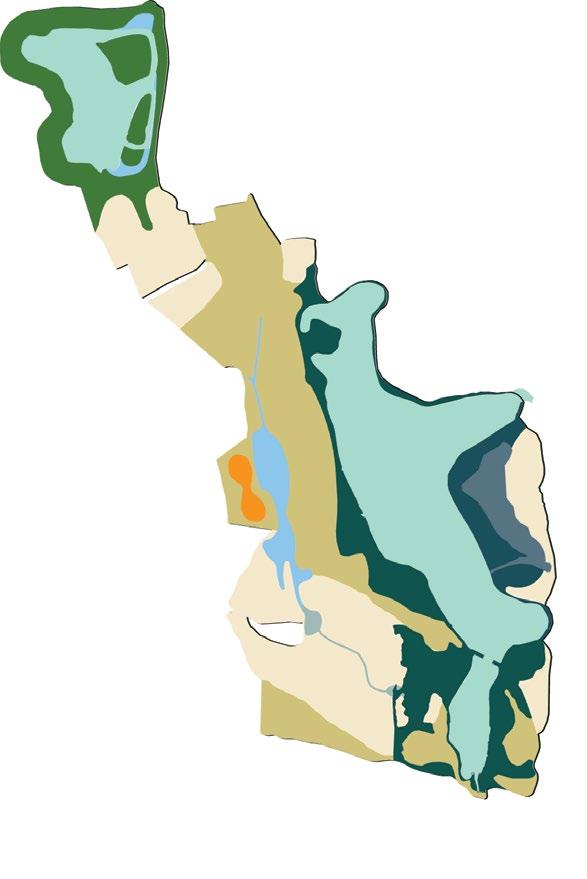
BRACKISH WATER WETLAND AND BUFFER
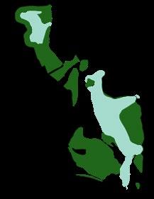


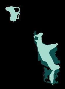
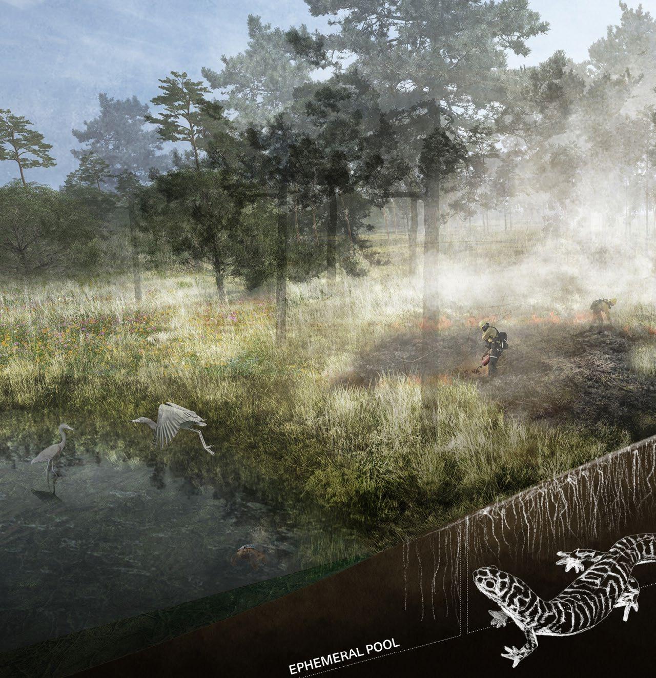
GOLF COURSE LEGACY SCULPTURE AND WATER LEVEL INDICATOR

SWEETGRASS PRAIRIE
SWEETGRASS SCULPTURE
BRUNSWICK

WOLF ISLAND NATIONAL WILDLIFE REFUGE
LITTLE ST.SIMONS ISLAND
ST.SIMONS ISLAND
JEKYLL ISLAND
BENEFITS OF BARRIER ISLANDS
CUMBERLAND ISLAND
RESPITE + RECREATION FOR PEOPLE CARBON CAPTURE
PROVIDE HABITAT FOR CRITICAL SPECIES

MITIGATE CLIMATE CHANGE & STORM SURGE
NURSERY FOR AQUATIC SPECIES
GROUNDWATER RECHARGE
1 Restore a Coastal Golf Course into Native Habitat
2 Provide Recreational Opportunities
3 Encourage Research Opportunities and Collaboration
4 Ensure Ecological Resiliency
5 Provide an Adaptive and Sustainable Management Strategy
Jekyll Island’s Golf Conversion Ecological Restoration project is a transformative 150-acre effort that seeks to revitalize an aging and frequently flooded golf course into a thriving coastal landscape at the frontlines of coastal change, setting a national precedent for re-purposing underutilized, coastal landscapes. Faced with widespread closures of golf courses across the U.S., this project demonstrates how degraded landscapes can be revived for lasting ecological and community benefits for years to come. By restoring native habitats, providing recreation and research opportunities, ensuring ecological resilience, and developing adaptive management strategies, this effort not only protects the island’s natural heritage, but also positions it as a model for coastal restoration nationwide.
The project site is centrally located on the island, bordered by Captain Wylly Road to the north and Shell Road to the south. South of Shell Road are the mid-island sloughs—a network of tidal marshes and sloughs connected to the Jekyll River to the west. Within the project site, there are several features, including golf course holes, natural areas, and ponds. Historical records, including an 1889 U.S. Coastal Survey map referenced by Schotelle, indicate that no ponds existed in the project area at that time. The ponds are believed to be borrow pits created during the construction of the golf course.
At its core, the project aims to harmonize environmental preservation with community engagement, creating a resilient, sustainable future for the island. By restoring native habitats, providing recreation and research opportunities, ensuring ecological resilience, and developing adaptive management strategies, this effort not only protects the island’s natural heritage but also positions it as a model for coastal restoration nationwide.
The primary goal is to reintroduce native plants and ecosystems, transforming the existing golf course into a thriving natural environment. This involves the removal of invasive species, re-establishing native coastal flora, and creating habitats for local wildlife. By doing so, we aim to support biodiversity and revitalize the ecological functions of this interior coastal landscape.
While the restoration prioritizes ecological health, it also ensures that Jekyll Island remains a place where people can enjoy nature responsibly. Trails, educational signage, and designated observation areas will allow visitors to experience the island’s natural beauty without disrupting wildlife or habitat restoration efforts. The goal is to balance recreation with conservation, making nature more accessible while safeguarding its delicate ecosystems.
Jekyll Island offers a unique living laboratory for scientists, students, and researchers. The restoration will foster collaboration between universities, environmental organizations, and local communities. This effort will provide real-world data for ecological research, such as studying habitat restoration techniques, climate change impacts, and coastal resilience strategies. Collaborative efforts are essential for developing innovative, science-based conservation solutions.
Building resilience in the landscape is key to ensuring long-term sustainability. Restoring native habitats will help the island adapt to environmental stressors such as sea-level rise, storms, and climate change.
Long-term sustainability requires an adaptable approach. The management plan for Jekyll Island will be based on continuous monitoring and data collection to allow for flexible responses to changing conditions. This ensures that management strategies remain relevant and effective as the ecosystem evolves. The plan will also integrate community involvement, ensuring that residents and visitors play an active role in the island’s stewardship.
The project can be traced back to 2017 when the Assessment and Recommendations for Jekyll Island Authority Golf Program noted a decline in golf activity contributing to a financial deficit. The report suggested operating “as-is” was not sustainable and actions should be taken to consolidate and improve the golf courses on the island. Then in 2020, The Conservation Plan sought to assess and make recommendations on restoration of the ecosystems on Jekyll Island to protect, preserve, and restore the flora and fauna of the island. These two reports formed the basis for the 2022 Golf Improvement Plan, which outlined an action plan to reorganize and consolidate the golf courses from three 18-hole courses and one 9-hole
JekyllIslandGolfClubAssessmentandRecommendations forJekyllIslandAuthorityGolf Program

PreparedFor:
JekyllIslandAuthority
100JamesRoad
JekyllIsland,GA31527
PreparedBy:





Club
course to three 18-hole golf courses and a restoration area. This resulted in two concurrent planning efforts.
The current land area actively utilized for golf on Jekyll is over 450 acres for 63 holes, which has been determined to be financially unsustainable at its current scale. The total acreage recommended by the Golf Improvement Plan to be made available for re-creating ecosystems and restoring habitats from land currently allocated to golf. The primary focus is the evaluation and planning of a terrestrial upland wildlife habitat corridor and secondarily a historic freshwater wetland restoration.
Terrestrial restoration opportunities up for consideration include creation of maritime grasslands, establishment of coastal pine savannah, or other grassland habitat types meant to be maintained with prescribed fire. Wildlife species that could be supported include grassland dependent bird species, waterfowl species, reptiles and amphibians, and mammals. Potential wetland restoration actions up for consideration include rebuilding historic freshwater wetland systems and salt marsh headwater systems that were disrupted and displaced by golf course construction. Along with restoration activities, opportunities for nature-based recreation and educational programming should be considered as well.
In 2022, the Jekyll Island Authority (JIA) Conservation staff initiated a restoration vision that offers a restored habitat as a mosaic of ecosystems, including grasslands, that will be managed with prescribed fire and periodic mowing. Forest patches within this landscape are currently managed and will continue to be managed with fire. This management strategy is in line with stakeholder feedback from previous planning efforts.
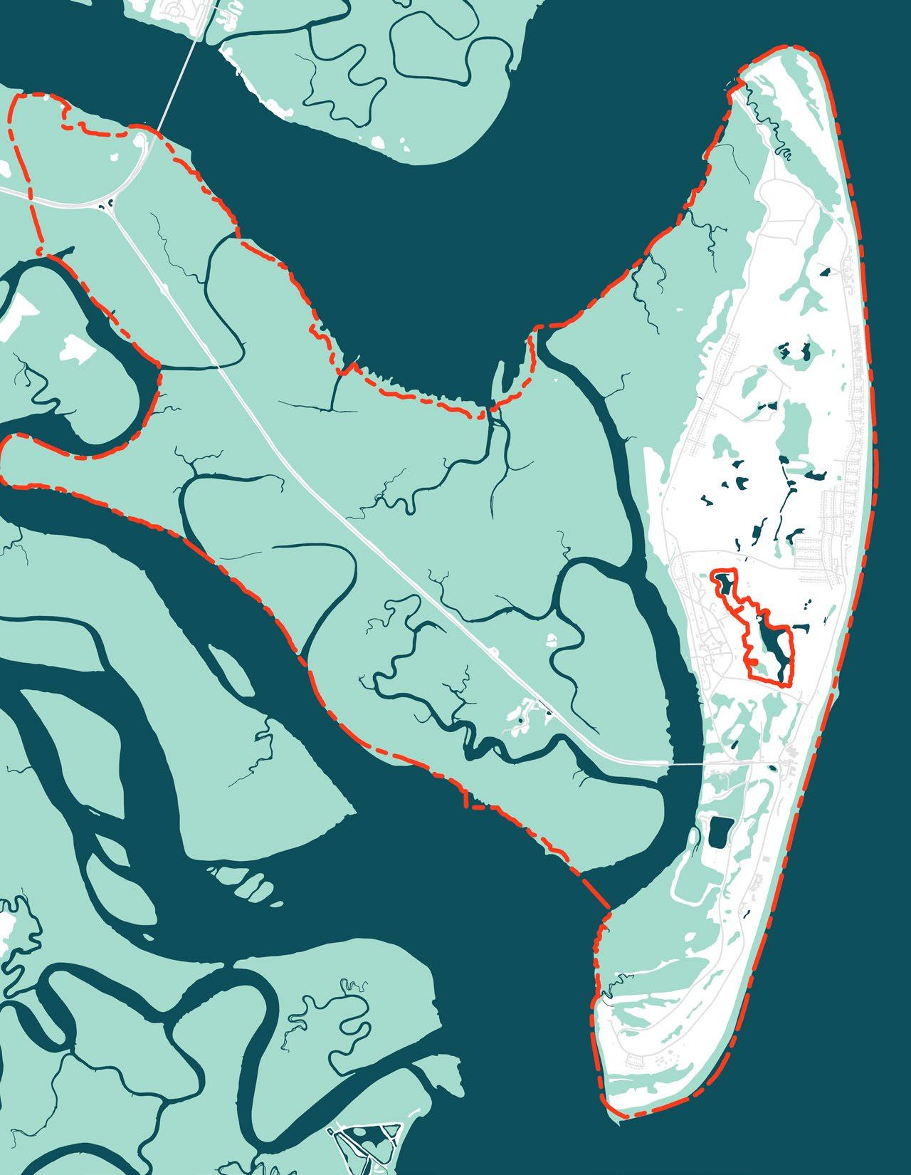
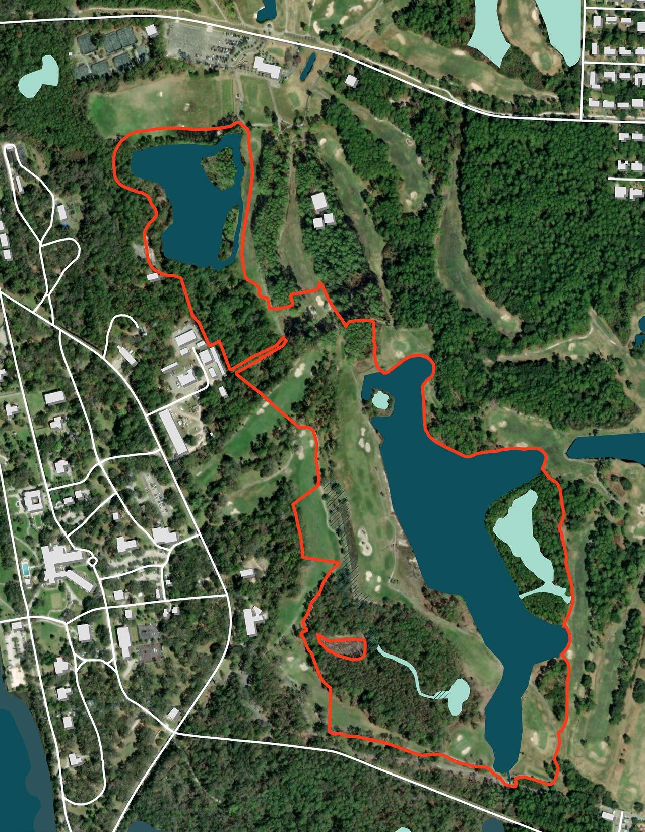
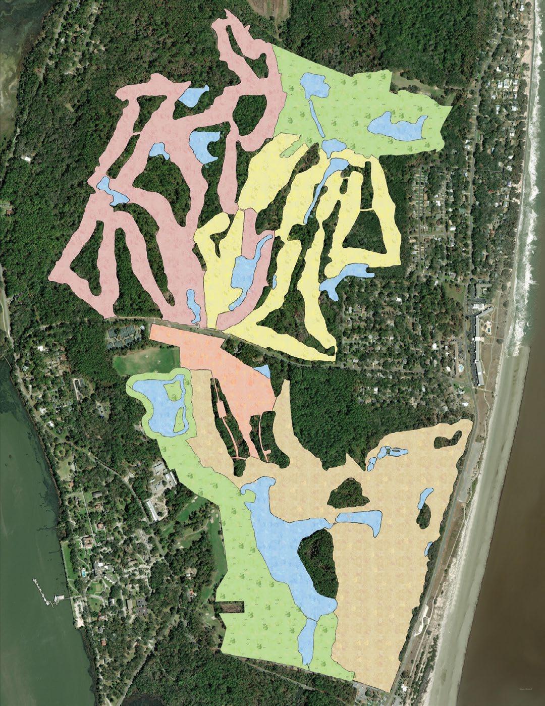
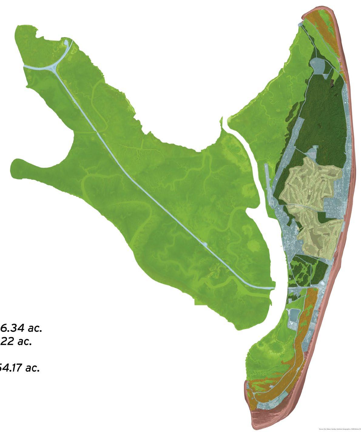
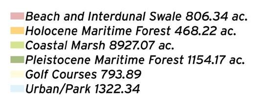
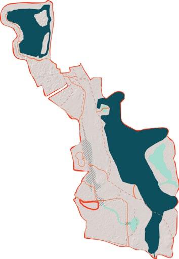
This project focus will be the collaborative planning and development of designs for the restoration and reuse of land currently occupied by portions of Oleander golf course (see project site outline on the opposite page). The project area encompasses a total of approximately 150 acres, including about 13 acres of existing embedded pine and oak forest. The primary motivating conservation opportunity for this project is the creation of a wildlife habitat corridor reconnecting large natural areas present on northern and southern portions of the island. As shown on the figure on the opposite page, the site was selected for the opportunity to provide continuous habitat north to south, connecting the Holocene Maritime and Pine Forest (orange) and Pleistocene Maritime and Pine Forest (dark green). Other than active sand dune systems along the beach to the east and a narrow marsh edge along the island’s western margin, no continuous natural habitat currently provides connectivity for populations of many wildlife species that are isolated from one another due to north/ south habitat fragmentation.
The project also includes opportunities to create and enhance wetland and riparian habitat areas, including modifying current, man-made drainage features to enhance
MANAGEMENT
ecological and ecosystem services. The widespread loss of freshwater wetlands and grasslands is evident not just on Jekyll Island itself, but beyond Jekyll Island. Creating or enhancing freshwater wetlands, especially herbaceous wetlands, and upland grassy areas, or “grasslands,” ecosystems within the corridor are critical and will provide habitats that were historically much more prevalent on the island. These habitats would in turn play host to many of the wildlife and plant priority species identified in the Conservation Plan, including several species of birds that are in decline.
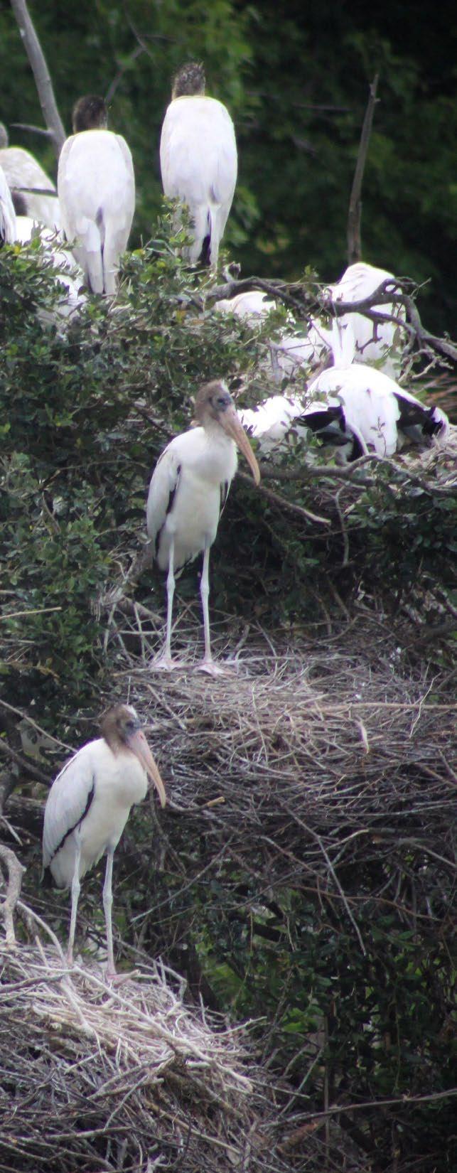
Included is enhancing an existing 6.25 acre freshwater pond at the north end of the project area that is currently utilized as a roosting site by large numbers of wading birds and is seasonally active as a nesting rookery. The site has hosted nesting wood storks in the past, but has not since 2013. There is potential to expand this pond, creating rookery islands, and bolstering a natural buffer around it.
Other design considerations include an approximately 30-acre tidal, brackish lake bounding the eastern side of the project area. Increasing tidal/saltwater influence is anticipated to occur around the margins of this lake due to sea level rise. Opportunities include enhancing the lake for birds and fish by creating areas of emergent and submerged aquatic vegetation. The lake also presents potential for recreational fishing opportunities that are considered. Designs accommodate naturebased recreational and educational access to the restored area, consider east/west connectivity across the Island for pedestrians and cyclists, and landscape viewshed preservation and beautification benefiting adjacent uses.
Community input underscores the importance of this project. In the 2021 Master Plan Update Survey, over 96% of respondents agreed or strongly agreed on the importance of tree protection, reforestation, and forest management, including controlled burns. Additionally, 94% supported the removal of dominant or invasive species to protect rare or threatened wildlife and plants. This project represents a significant opportunity to align conservation goals with community values while enhancing Jekyll Island’s ecological and recreational resources.
The scope of work for this project includes ecological restoration, landscape architectural design for park spaces and conservation areas, nature-based engineering, and collaborative planning. Including:
1. Engagement and coordination with key JIA staff, experts in natural resource agencies, NGO contributors, and key stakeholders within the community to inform concept design.
2. Data gathering, field surveys, and investigations may be required to support design development.
3. Development and presentation of consensus concept plan and preliminary design, including design drawings and conceptual renderings, implementation and phasing plan, identification of plant and material sources, development of monitoring plan and adaptive management framework, and estimates of probable construction costs.
4. Pre-application regulatory consultation, as may be required to provide confidence that preliminary designs will be compatible with regulatory expectations.
5. Assistance in identifying prospective mechanisms to fund restoration construction and initial management expenses, including grant identification and proposal preparation/submittal support.
6. Assessment of existing implementation and maintenance capabilities, including equipment and labor for JIA to manage and maintain restored areas

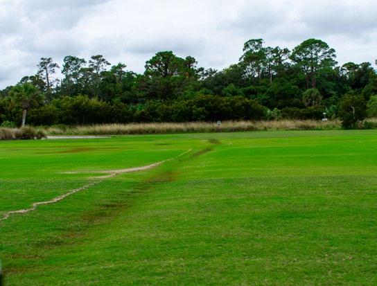
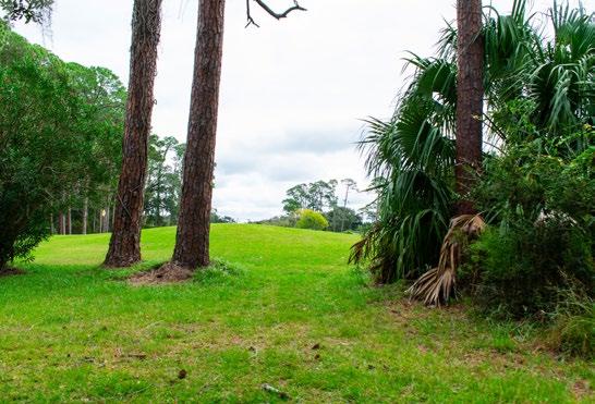

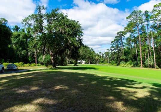
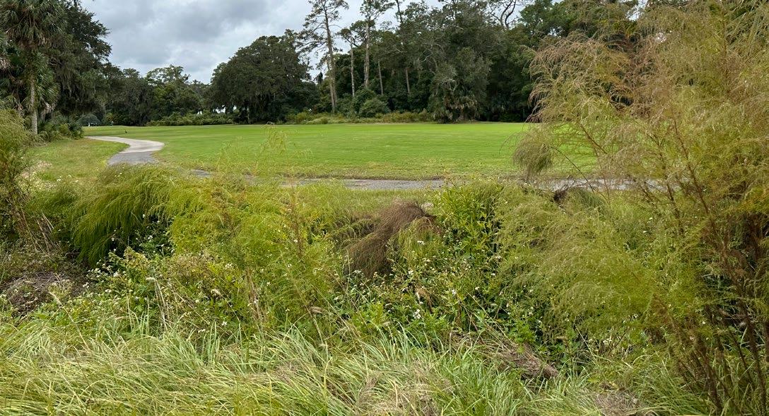


The process is designed to create a blueprint for ecological renewal while fostering a connection between the island’s natural resources and the community. By following a structured approach—establishing a baseline understanding, developing a vision for restoration, and crafting a detailed restoration and park design plan—this process ensures that every step is rooted in science, collaboration, and sustainability. These foundational elements guide the transformation of Jekyll Island into a model of ecological restoration and community engagement. Below is an outline of the key stages in this process.
Project Kickoff, Site Visit & Stakeholder Meeting
SLAMM Discussion
Site Visit & Stakeholder Meetings
Final Plan Presentation
Purchasing Materials for Restoration
Begin Construction
Jekyll Island Authority
University of Georgia
Georgia Southern University
Birds Georgia
Georgia Department of Natural Resources
Georgia Environmental Protection Division
The Georgia Conservancy
State Botanic Garden of Georgia
Georgia Forestry Commission
Ducks Unlimited
The Nature Conservancy
The Longleaf Alliance
The Orienne Society
The stakeholder meetings were instrumental in shaping the future of the ecological restoration project, featuring two in-person sessions that fostered direct engagement and comprehensive site evaluations. The first meeting centered on the strategic kick-off (SKO), establishing foundational goals and objectives for the project, while the second meeting focused on securing buy-in from key stakeholders and ensuring their support for the initiatives moving forward. Both meetings included site visits, allowing participants to observe existing conditions and discuss practical solutions on the ground.
During these discussions, several critical themes emerged, particularly concerning the restoration of the golf course and the surrounding ecosystems. A significant focus was placed on integrating native plant species into the restoration plan. The Paspallum grass (c. Platinum), developed by Tifton, was identified as a key species due to its brackish resistance, making it well-suited for the area’s unique hydrological conditions. Stakeholders discussed the importance of sourcing appropriate grass plugs and broadcasting flowering plants once the grasses were established, thereby enhancing the ecological diversity of the landscape.
In addition to grasses, the meetings highlighted the importance of managing invasive species through controlled burns. This technique not only helps in reducing invasive plant populations but also promotes the regeneration of native flora, fostering a healthier ecosystem. Participants recognized the need for public support in these efforts and discussed strategies for informing the community about the ecological benefits of prescribed burns.
Discussion surrounding key wildlife species also played a crucial role in the meetings. Stakeholders noted the presence of endangered species, including gopher tortoises, which require careful habitat management to ensure their survival. The idea of creating designated areas for these species, along with introducing other rare or endangered plants, was proposed as part of the restoration strategy. Participants emphasized the necessity of establishing a balance between recreation and ecological preservation, highlighting the need for engaging the public in educational initiatives to raise awareness about these vital species.
Another essential takeaway was the focus on public engagement and education. Plans for tours, including golf cart-accessible routes for participants from the Mosaic area, were proposed to raise awareness about the restoration efforts. The inclusion of interactive and digital content, such as QR codes for educational panels, was also discussed to ensure accessibility and engagement with diverse audiences.
Monitoring systems were highlighted as vital for tracking the success
of the restoration. The use of trail cameras was suggested to allow stakeholders to monitor wildlife activity and observe changes in the ecosystem over time. Ensuring transparency and accessibility to this data was deemed important for maintaining public interest and support.
Overall, the meetings provided valuable insights into operational strategies, the importance of specific plant and animal species, and the need for ongoing collaboration among stakeholders. The discussions emphasized the critical nature of sourcing native seeds and coordinating restoration efforts effectively. The collective input from these sessions formed a robust framework for future actions, highlighting the necessity of collaborative approaches to achieve successful restoration outcomes. These meetings served as a vital step in aligning efforts, sharing expertise, and building a strong foundation for the project’s implementation while ensuring that ecological integrity and community engagement remain at the forefront of the restoration process.

The Jekyll Island State Park Authority (JIA) has developed a Golf Improvement Plan to guide the future of golf on Jekyll Island, a state-owned barrier island managed by the JIA. Currently, over 450 acres are dedicated to 63 golf holes, which has been deemed financially unsustainable. The plan proposes reallocating some of this land to restore ecosystems and habitats, focusing on terrestrial upland wildlife corridors and historic freshwater wetland restoration.
This plan presents a significant opportunity to reconnect fragmented habitats, restore biodiversity, and showcase conservation success on a Georgia barrier island. Restored landscapes could support diverse wildlife, including grassland-dependent birds, waterfowl, reptiles, amphibians, and mammals. By integrating habitat restoration with recreational and educational access, Jekyll Island can serve as a model for sustainable land management and inspire similar efforts elsewhere.
The initial phase targets approximately 80 acres of the Oleander golf course, including 13 acres of embedded pine and oak forest patches. The goal is to create a wildlife corridor connecting fragmented natural areas on the island, primarily through the establishment of grasslands managed with prescribed fire. Restoration efforts will address invasive species, replace turf grass, and assess reintroduction of native wildlife.
Key Features
• A mosaic of grasslands and forest patches.
• Enhancements to a 6.25-acre freshwater pond, including rookery islands and natural buffers for bird habitat.
• Evaluation of hydrological drainage for improved ecosystem services.
• Opportunities for nature-based recreation and education.
The secondary phase involves restoring a red maple-loblolly bay wetland on the Indian Mound golf course. This area, currently transitioning into pine forest due to drainage alterations for golf course construction, will be rehabilitated to a functional freshwater wetland with diverse vegetation. The scope of this restoration will depend on the ongoing success of golf and may involve removing some golf holes.
Key Considerations
• Retention of critical freshwater resources.
• Integration with recreational and educational activities.
• Collaborative design with conservation professionals.
Open Water
Fresh Water Wetland
Brackish Wetland
Salt Water Marsh
Salt Water Riparian Edge
Longleaf Pine Wiregrass Savanna
Pollinator Garden
Upland Forest
Maritime Forest
Sweetgrass Prairie Path
Elevated Path
Bike Path Steam or Ditch
Culvert or Pipe

Urbanization has redefined the eastern coastline of the United States for centuries, replacing forests, wetlands and savannas in favor of cities, resort areas and farmland. Since European colonization, the coastal ecosystem of the southeast United States has become progressively more fragmented, if not entirely erased. One of the most significant losses is the longleaf pine savanna—a vast and diverse ecosystem that spanned from Texas to Virginia. Today, less than 5-6%, according to the U.S. Fish & Wildlife Service, of this ecosystem remains, the rest overtaken by agriculture, timber plantations, and coastal developments, including golf courses and resorts.
The term “barrier” refers to the protective role the islands and their marshes play in shielding the mainland from oceanic storms (Schoettle, 1996).
Barrier islands are long deposits of sand that run parallel to the mainland shore, but are separated from it by marshes and shallow sounds or lagoons. They play a vital role in protecting the mainland from excess forces of wind, waves, storms, tides and currents. In this way they serve as a “barrier.” Thirteen percent of the world’s coastlines and more than one-third (33%) of the coast of North America is bordered by barrier islands. Along the Atlantic coast alone there are more than 300 barrier islands and spits (a spit is similar to a barrier island but is smaller and attached to the mainland) extending along the coasts of 18 states from Maine to Texas. (Georgia Department of Natural Resources, 2024).
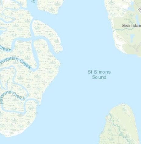
Barrier islands off the coast of Georgia form an extensive network of beaches, salt marshes and sounds that are some of the least developed barrier islands on the East Coast, offering relatively large areas of protected open space. Also, due to the position of Georgia’s barrier islands being some of the most western coastal landforms on the east coast of the United States, where the continental shelf is the widest (80 miles wide) and shallowest, the Georgia coast has a critical role in the biosphere for ocean productivity, provided habitat for endangered species such as the North Atlantic right whale (Eubalaena glacialis), loggerhead sea turtle (Caretta caretta) and white shark (Carcharodon carcharias) (Mission Blue, 2024), and protect the mainland from storms.
There have been several barrier island formations along the Georgia shoreline throughout geologic history since the Pleistocene Epoch. Jekyll Island was formed in the most recent grouping approximately 18,000 years ago. Multiple theories exist as to how the island was formed, but the most accepted is Jekyll Island from the result of submergence caused by sea level rise at the end of the last great “Ice Age.” As sea levels rose, existing dune formations were submerged, and sediments eroded from the continental shelf were deposited on top. The area between the mainland and the dunes was flooded, creating a lagoon, and the barrier island was formed.
Due to this geologic history, relative position on the continental shelf position, low wave energy and moderate tidal ranges, Georgia’s barrier islands are relatively short and with deep tidal inlets and are generally eroding on the north ends, and “growing” (accreting) on the south ends, with signature recurved spits as seen on the image on the opposite page on Jekyll Island’s south end.

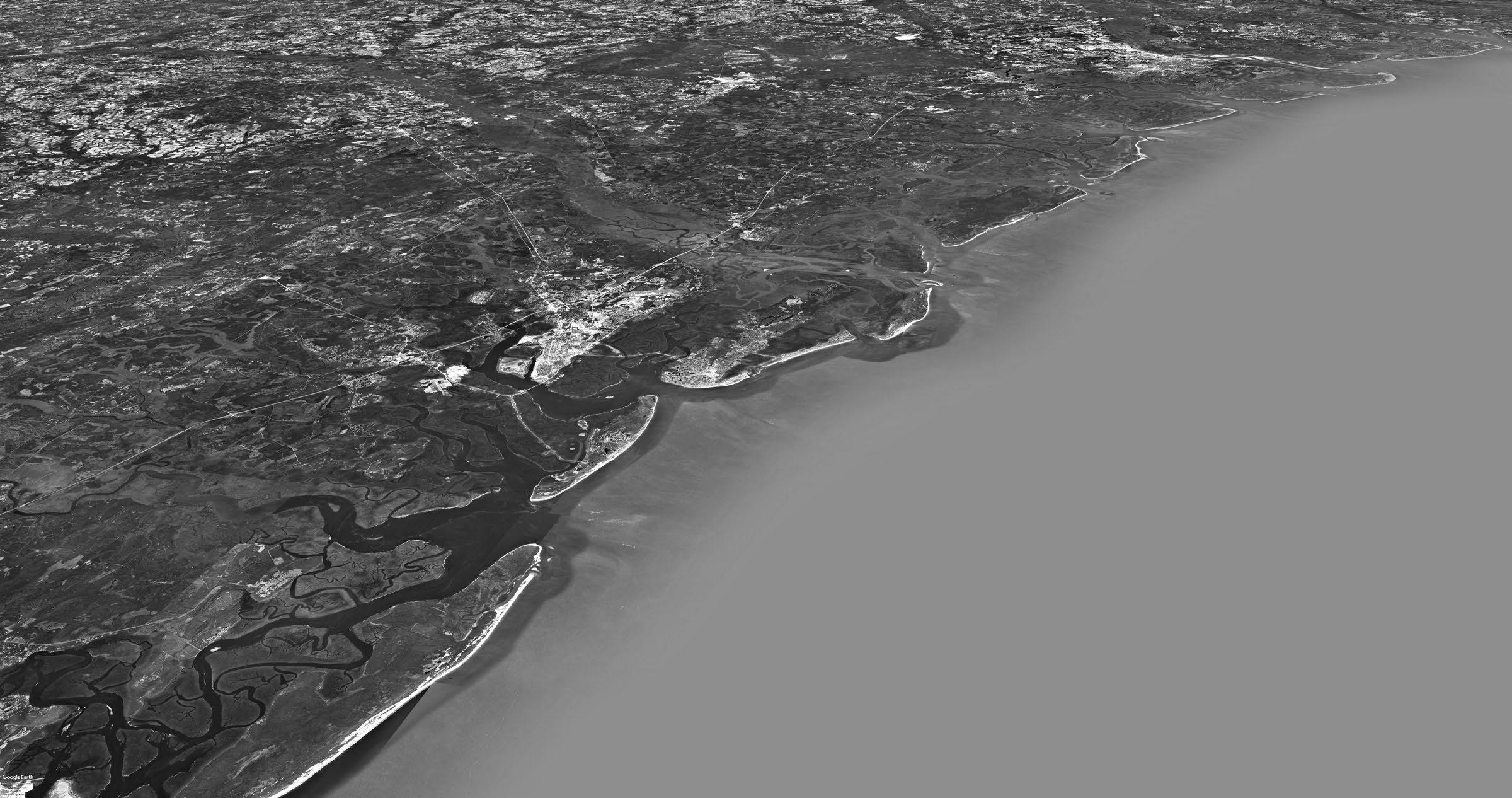
WOLF ISLAND NATIONAL WILDLIFE REFUGE

ST. CATHERINES ISLAND
SAPELO ISLAND
The barrier islands of Georgia have a rich and long history of human habitation, dating back to at least 5,800 years ago, which is the date of oldest relic of human activity, a shell ring or midden on Sapelo Island. Jekyll Island was occupied at various times by Native American groups known as the Timucua and the Guale, before it became a hunting ground for a Creek people known as the Yamacraw. The Yamacraw not only hunted and fished, but also grew corn, melons, squash, beans, tobacco and fruit.
In 1562, French Explorers first arrived in the area and made contact with the Native American inhabitants. The Spanish occupied the area beginning in 1565. Although Jekyll Island itself was not a mission site, the Spanish established a chain of missions along the coast. The Spanish named Jekyll Island “Isla de Ballenas,” meaning “Island of Whales.” At the time of European arrival, the Timucua lived in this vicinity. These coastal inhabitants spoke Mocama, meaning “of the sea.” According to John Worth, despite various sources that assert Jekyll Island was named Ospo by Native Americans, there is no actual record of an Indian name for the island.
For a full history of Jekyll Island, see the 2021 Master Plan Update, Jekyll Island’s Early Years and The Jekyll Island Club by June Hall McCash, and JIA’s website
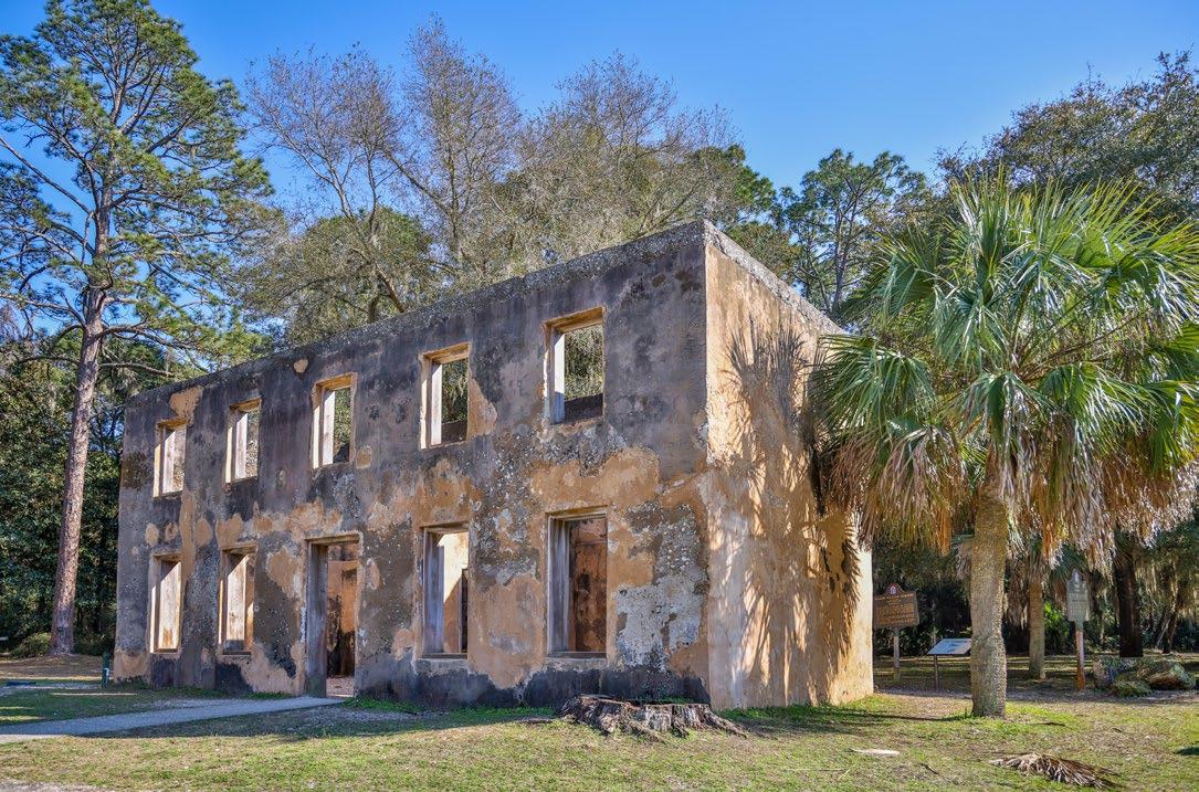
After defeat of the Spanish army, the British occupied many of the islands until the Revolutionary War in 1776. In 1735, Georgia’s founder, General James Edward Oglethorpe, gave Jekyll Island its present name in honor of Sir Joseph Jekyll, a financial supporter of the young English colony. Major William Horton built the first permanent home on the island, a homestead consisting of a house and outhouses. He grew the ingredients to brew beer on the island, establishing the first brewery in Georgia.
During the time of British occupation, many islands were used to harvest live oak lumber for ship building and cabbage palms for “cabbage”. After the Revolutionary War, plantations dominated the barrier islands, which mostly focused on cotton and indigo production, particularly on the Pleistocene soils that offered rich soil for highly productive Sea Island cotton. Generally the poorer quality soils on the south of Jekyll, were not logged or used for agriculture. After Horton’s death, the island went through a series of landowners before Christophe du Bignon purchased the island. For nearly 100 years, the du Bignon family operated a cotton plantation on Jekyll Island. Hundreds of people are thought to have been enslaved on the island plantation. The captives aboard the slave ship Wanderer, which landed on Jekyll Island in 1858, were one of the last known groups of enslaved Africans sold into captivity in America.
John Eugene duBignon originally conceived of Jekyll Island as being a retreat for wealthy individuals, mostly from the northeast. In 1886, the Island was purchased by the Jekyll Island Club, and, in 1887, Club members selected a landscape architect, Horace William Shaler Cleveland, to develop a landscape plan for the Club Grounds that emphasized the natural beauty of the Island. Many of the open spaces on the island were reserved for hunting and recreation. Jekyll Island operated as a retreat and club until the 1940s. In 1947, the State of Georgia purchased Jekyll Island and today the island is managed by the Jekyll Island Authority. Approximately 65% of the land is preserved as open space.
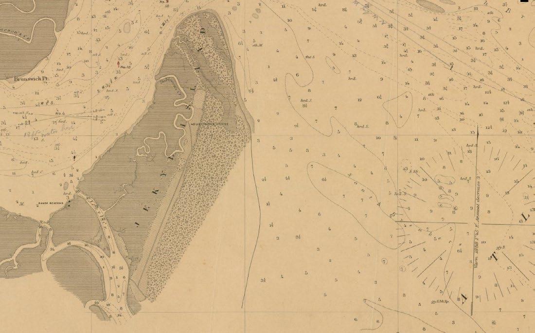
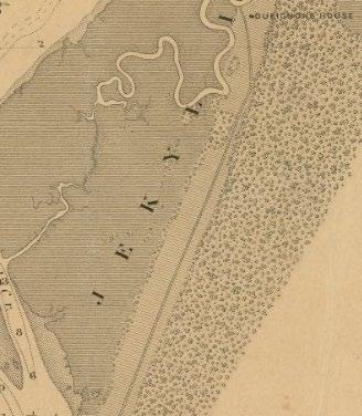

8,000 YEARS AGO - INDIGENOUS STEWARDSHIP
The Native American Guale people inhabit the sea islands and develop land stewardship practices for hunting, fishing and gathering.
1947 – JEKYLL ISLAND BECOMES PUBLIC LAND
The State of Georgia purchases Jekyll Island to create a state park for public recreation.
1886 - THE JEKYLL ISLAND CLUB ERA
America’s wealthiest elite establish an exclusive retreat, shaping Jekyll’s leisure legacy.
15th-17th CENTURYCOLONIAL ERA - BRITISH SETTLEMENTS & SEA ISLAND COTTON
European influence reshapes the island’s landscape and economy.
18th-19th CENTURY - GULLAH GEECHEE CULTURE + BASKET WEAVING
Enslaved West Africans on the Sea Islands preserve their cultural traditions, including sweetgrass basket weaving, a craft passed down through generations and still celebrated today.
1950 – JEKYLL ISLAND AUTHORITY (JIA) ESTABLISHED JIA is chartered to manage conservation and development, ensuring a balance between nature and access.

2020 – JEKYLL ISLAND CONSERVATION PLAN
1971 – DEVELOPMENT LIMITS ENACTED
The Georgia General Assembly designates only 35% of Jekyll Island for development, preserving its natural beauty.
PRESENT DAY – A MODEL FOR COASTAL CONSERVATION
Jekyll Island continues to lead in sustainable tourism, habitat restoration, and ecological stewardship, while honoring its cultural history
2022– JEKYLL ISLAND GOLF IMPROVEMENT PLAN
For more information about conservation on the island, see the 2020 Conservation Plan
There is little information on the island’s condition before development, but it’s likely that its interior once featured habitats similar to the longleaf pine savannas that once dominated the southeastern U.S. Over time, these natural areas were cleared, ultimately giving way to golf courses beginning in the 1980s, part of a broader trend in resort development along the East Coast.
As we confront the twin challenges of biodiversity loss and sea level rise, Jekyll Island presents an opportunity to reverse this degradation. Restoring its interior to a longleaf pine forest would not only honor the island’s ecological heritage but create a resilient and biodiverse landscape capable of withstanding the impacts of climate change and providing habitat for declining species. By replacing the aging golf course with native habitat, this project aims to restore a vital piece of the southeastern ecosystem and ensure that Jekyll Island thrives in a future where ecological resilience is paramount.
Established in 1950, the Jekyll Island Authority (JIA) was chartered by the State of Georgia to manage all of Jekyll Island. JIA was granted a lease from the State for all of Jekyll Island as well as the marshes and marsh islands adjacent and adjoining the Island (O.C.G.A. § 12-3-241). Beginning in 1971 and amended over time, the Georgia General Assembly established a limit to the land area of the Island that could be developed. Until 2014, this limitation was percentage based, and was commonly referred to as the “65:35” limitation, meaning that 65% of the Island must remained undeveloped. In 2014, following an update of the Jekyll Island Master Plan, Georgia Code was amended to change the land use limitation from a percentage basis to
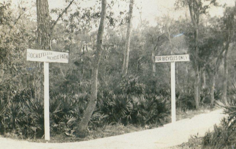
a fixed-acreage basis. Developed land on Jekyll Island is now limited to no more than 1,675 acres, which equates approximately to 35% of the land above Mean Higher High Water.
Jekyll Island’s unique governance framework and conservation initiatives underscore the importance of balancing sustainable development with environmental stewardship. The JIA continues to prioritize adaptive management and green space preservation to protect this barrier island for future generations. As such the 2020 Conservation Plan outlines a compelling and important vision for the future of conservation, ecological restoration and management on the island.
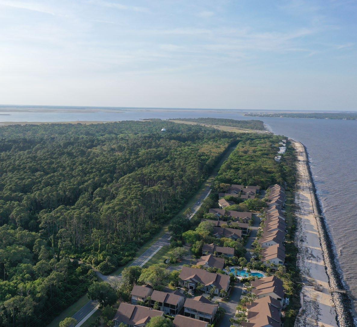
LOSS OF CULTURAL RESOURCES
STORM FREQUENCY AND INTENSITY
LAND MODIFICATIONS

OUTER BEACH
URBANIZATION AND PRIVATIZATION
PESTS AND DISEASE

SALT WATER INTRUSION
HABITAT FRAGMENTATION

FRESHWATER WITHDRAW
SEA-LEVEL RISE
Jekyll Island’s cultural resources span thousands of years, from evidence of Native American presence dating back 8,000 years, to British colonial settlements, Sea Island cotton production, and the era of the Jekyll Island Club, once a retreat for some of America’s wealthiest families. A total of 54 known archaeological sites were documented as of 2020 on property managed by the Jekyll Island Authority. A rigorous cultural resources survey was conducted to locate, verify, and assess whether various sites located on the golf courses meet the criteria for inclusion in the National Register of Historic Places. One site of unknown cultural importance was identified on the Oleander golf course, and two sites on golf courses adjacent to Oleander were identified as eligible for listing on the Georgia/ National Register of Historic Places (G/NRHP). One of these locations resulted in archaeological monitoring as part of golf course construction. Each of these sites will require additional consultation in advance of any further planned ground disturbing activities that will impact them. The Oleander Golf Course, itself, although significantly altered from its 1964 design, is currently considered of unknown eligibility to the G/NRHP and will need additional evaluation as part of planned changes to the landscape. With that understanding, sections of Oleander Golf Course lacking artifacts or historic resources were included in this project impact area for construction of the recreational park. We will continue to protect the locations of known historic significance that are adjacent to Oleander. Given significant areas located on other golf courses adjacent to Oleander with NRHP eligible locations, we found Oleander the best section to undergo a major transition to establish a wildlife corridor comprised of grasslands, wetlands, and recreational trails. Using signage, we intend to highlight historic land-use history of Oleander and adjacent golf courses along walkways using educational panels and other interactive elements.


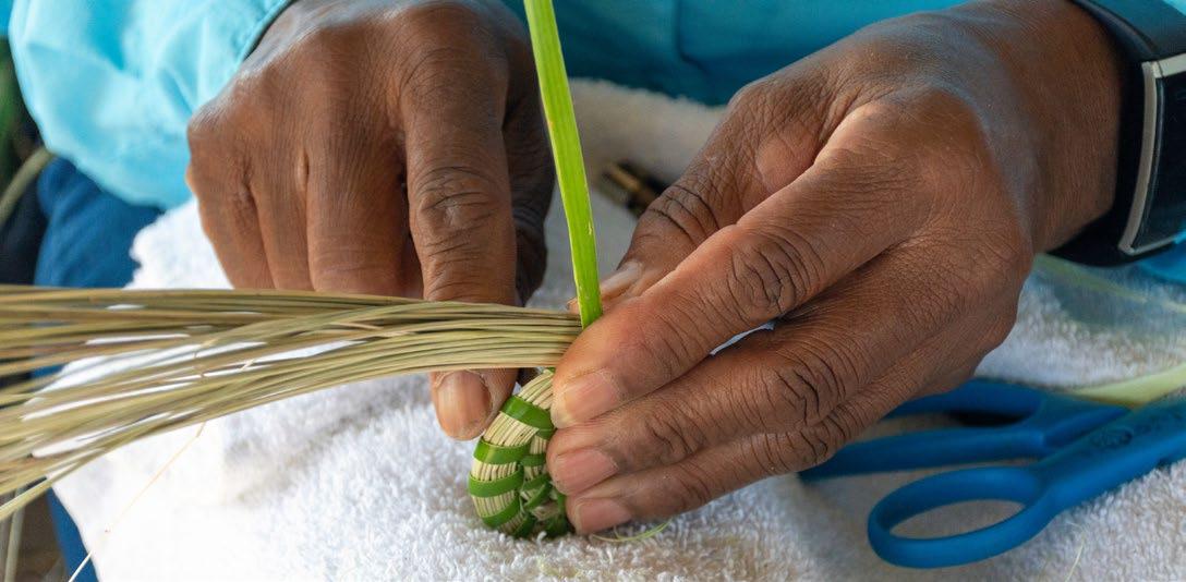
In addition to historic resources, Oleander has large densities of culturally significant plants. Multiple canebreaks, comprised of giant rivercane (A. gigantea) are found along the western boundary and southern section of the Oleander corridor. Giant rivercane was once used by Native Americans to craft straight lightweight arrows and variety of tools. These areas will be preserved for the project and we will evaluate the potential ability for them to expand their current footprint. Muhly grass (gulf hairawn muhly, M. sericea) will also be a species that is heavily planted for this restoration project. Muhly grasses are a key species used by Gullah and Geechee communities to craft traditional baskets. Coastal muhly grass has become rare in its natural habitat due to several threats, that ultimately limit the Gullah Geechee community’s access to basket-making plant materials. Signage along walkways will also be prominently displayed to increase public awareness about both culturally significant plants.



Mandarin Fine Sand
Rutledge Fine Sand
Mandarin-Urban Land
Site Boundary
Wetlands
Water bodies

Freshwater Pond
Brackish Water
Directional Flow
Site Boundary
Path
Raised Paths
Golf Cart Paths
Site Boundary
Wetlands
Water bodies
Figure 35: Existing conditions mapping. Source: Design Workshop

Oleander Golf Course
Hazard Area
Site Boundary
Wetlands
Water bodies


Pleistocene Maritime Pine Forest Forested Area
Grassland
Site Boundary
Wetlands


Water bodies Tropical Storm Category 1


Site Boundary
Water bodies


Path
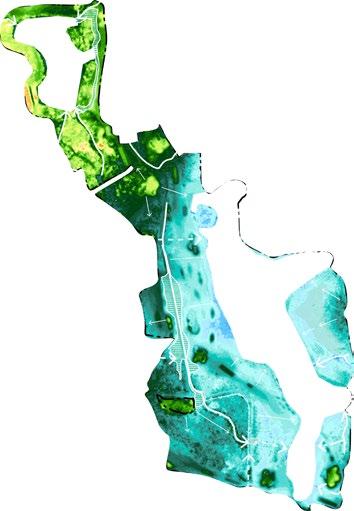
Site Boundary
Wetlands
Water bodies


Jekyll Island lies in the Sea Island/ Coastal Marsh (EPA Ecoregion IV) of the Southern Coastal Plain Ecoregion (EPA Ecoregion Level II). The Southern Coastal Plain spans from South Carolina and Georgia through central Florida and the Gulf Coast lowlands of Alabama and Mississippi. This heterogeneous region includes flat plains, barrier islands, lagoons, marshes, swampy lowlands, and highland lakes in Florida. Historically, it was covered by diverse forests dominated by pines, oaks, magnolias, and other species, but is now largely replaced by slash and loblolly pine plantations, urban areas, pastures, and citrus groves.
The biophysical conditions of the Sea Islands/Coastal Marsh ecoregion present a dynamic environment fueled by ocean, wind and river change. This ecoregion includes the Atlantic coast from Jacksonville, FL, to South Carolina and contain barrier islands, dunes, beaches, tidal marshes, and estuaries. The climate is mild, humid subtropical moderated by the ocean, with less frequent and severe hurricanes.
Mostly sandy soils occur on the barrier islands, while organic and clayey soils occur in the freshwater, brackish, and salt marshes. Maritime forests of live oak, red cedar, slash pine, and cabbage palmetto grow on parts of the sea islands, and various species of cordgrass, saltgrass, and rushes are dominant in the marshes. The coastal marshes, tidal creeks, and estuaries are important nursery areas for fish, crabs, shrimp, and other marine species. Vegetation includes evergreen maritime forests (dominated by live oak, slash pine, cabbage palmetto) and salt-tolerant marsh plants like cordgrass and saltgrass. (EPA, 2024)
Human disturbance and land development have occurred over a very long period of time, including agricultural production. Native Americans cultivated corn, melons, squash, and beans; a Spanish mission period during the 1500-1600’s included crops of citrus, figs, peaches, olives, artichokes, and onions; and a plantation agriculture economy in the late 1700’s through the 1800’s produced indigo, rice, sugar cane, and sea island cotton. (EPA, 2024). Today the development is mostly urbanization, which poses several conflicts in the face of global climate change and sea level rise.
Typical Ecosystems include (Griffith et al., 2001):
• Found in sandy soils with scattered longleaf pine and sparse oak understories.
• Fire plays a critical role in maintaining the ecosystem.
• Fire suppression leads to oak-dominated scrub communities.
• Vegetation includes grasses like wiregrass and specialized shrubs and herbs, with species diversity varying geographically.
• Fire-maintained pine woodlands on flat, poorly drained sandy soils.
• Vegetation dominated by longleaf pine or slash pine with understories of wiregrass, shrubs (e.g., Serenoa repens), and Vaccinium species.
• Variations exist depending on soil texture, moisture, and chemistry, from open grassy areas to oakdominated thickets.
Savannas, Seeps, and Prairies
• Open pine woodlands or treeless areas on seasonally saturated fine-textured soils.
• High biodiversity with grasses, orchids, carnivorous plants, and lilies.
• Wet prairies, unique to Florida and nearby regions, occur on sandy soils, dominated by species like Aristida and Sporobolus grasses.
Source: EPA
Jekyll Island is part of the Silver Bluff Islands, also known as the Pleistocene Barrier Islands, formed during the Pleistocene Epoch (2.6 million to 11,700 years ago). The island’s creation is attributed to rising sea levels at the end of the last Ice Age, submerging existing dunes and depositing sediments from the continental shelf. Over time, these processes formed barrier islands, which are elongated deposits of sand running parallel to the mainland, separated by marshes or lagoons.
Initially, Jekyll Island developed as a recurved spit, with wave action depositing sand and forming dune ridges. The southern end grew through sediment deposition, while the northern end experienced erosion due to wave and tidal currents. The island’s dynamic nature has shaped its landscape, with marshes forming on its western side and dune ridges expanding at its southern tip.
Barrier islands are long deposits of sand that run parallel to the mainland shore but are separated from it by marshes and shallow sounds or lagoons. They play a vital role in protecting the mainland from excess forces of wind, waves, storms, tides and currents. In this way they serve as a “barrier.”
As a consequence of low wave energy (mean height, < 1.0 m; Kuroda in Howard and others, 1972), and moderate tidal range (2-3m range at spring tide) Georgia’s barrier islands are relatively short and separated by deep tidal inlets. Because of wave approach, barrier islands are eroded at the north end and have well developed spits on the southern ends. Over the years, longshore transport and spit building should be expected to displace river estuaries further and further down the longshore transport system. However, although all the barrier islands on the Georgia coast demonstrate the same pattern of migration, surprisingly the estuaries show no sign of displacement; all follow the most direct course to the sea and intersect the modern shoreline close to a right angle.
SITE

Figure 38: Simplified geologic map of Jekyll Island showing the distribution of Pleistocene and Holocene deposits and location of vibracores and crosssections. Note the trend of recurved spits extending almost as far north as Captain Wylly Road. Source:: Chowns, Schultz, Griffin and Crook (2008)

To the west of the Pleistocene uplands and Jekyll spit, Jekyll Island is connected to the mainland by a broad swath of salt marsh. There have been several barrier island formations along the Georgia shoreline since the Pleistocene Epoch. Jekyll Island was formed in the most recent grouping approximately 18,000 years ago. Multiple theories exist as to how the island was formed, but the most accepted is Jekyll Island from the result of submergence caused by sea level rise at the end of the last great “Ice Age.” As sea levels rose, existing dune formations were submerged, and sediments eroded from the continental shelf were deposited on top. The area between the mainland and the dunes was flooded, creating a lagoon, and the barrier island was formed.
Jekyll Island was originally formed as a recurved split, where wave action deposited sand along the shallow areas of the island to create shoals and splits. The splits continue to grow into dune ridges, thus elongating the island, and curved inland. Waves were refracted to the west side of the island where currents were slowed, and more sediment was deposited to form marshes. As the southern end of the island grew, the northern end of the island experienced erosion from wave action and tidal currents flowing in and out of inlets.
The project site is a part of the Pleistocene Uplands. Jekyll Island is formed from a core of Pleistocene-era soils to which a Holocene island later accumulated sediments such as clay as sea-levels lowered during the Holocene, then later was inundated as sea levels rose once again. Erosion has carried much of the Holocene clay soils away, leaving a small amount on the northern and southern tips of the island, and exposing the Pleistocene soils along the eastern shore. Today, Jekyll Island accumulates and grows on the southern tip of the island through a pattern of landforms of dune ridges and marsh hammocks.

40: Like many Georgia barrier islands, Jekyll has a Pleistocene-era core and Holocene-era barrier island that became attached around 5,000 years ago and is now eroding away. Source: Geology of the Georgia Coast

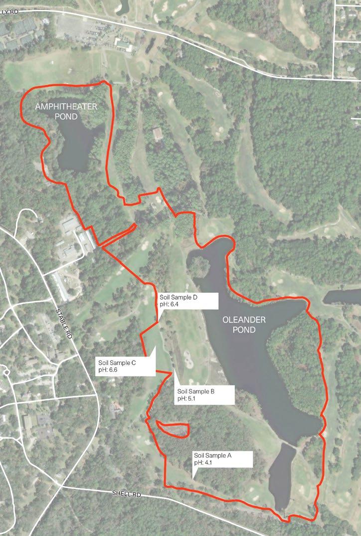
The lithology of the project site is defined by fine-coarse sand with shell molds. The structure is characterized by indurated sands, dark grey or brown due to humate and iron oxides. The native soils are rich in organic material and slightly acidic, making them prime locations for agricultural activities. The Pleistocene soils are older and have more accumulated organic matter, which is why many plantations were sited on these soils, such as the middle of Jekyll Island and the project site. Evidence suggests Native Americans utilized fire for hunting and pest removal and thus modified the soil pH. Additionally, through the accumulation of shells piles or middens from consuming shellfish such as oysters and clams, the soil pH was further altered overtime. The project site has three main soils types- Mandarin fine sand, Rutlege fine sand, and Cainhoy fine sand. These soils all have different order and family taxonomic classifications and thus offer different conditions and capabilities.
Order: Spodosols
Suborder: Orthods
Great Group: Oxyaquic Alorthods
Orthods are the relatively freely drained Spodosols that have a spodic (accumulation of translocated organic matter in complex with aluminum and also commonly iron) subsoil horizon. These soils have accumulations of aluminum that occur in relatively high amounts compared to accumulations of iron. Spodosols are acid soils with low fertility and accumulations of organic matter and iron and aluminum oxides in the subsoil. (USDA NRCS, 2015)
These soils are typically associated with hammocks, pines and flatwoods that are mesic, wet mesic or hydric (LaPierre, Medina Irizarry and Andreu, 2022).
Order: Inceptisols
Suborder: Aquepts
Great Group: Typic Humaquepts
Humaquepts have a thick, dark-colored, humus-rich surface layer. Aquepts are the wet Inceptisols, which are youthful soils with a weak, but noticeable, degree of profile development. (USDA NRCS, 2015)
These soils are typically associated with pines and freshwater wetlands. (LaPierre, Medina Irizarry and Andreu, 2022).
Order: Entisols
Suborder: Typic
Quartzipsamments
Great Group: Psamments
Quartzipsamments have a high content of quartz sand with virtually no minerals that can weather, typically on late-Pleistocene and younger surfaces. Psamments are sandy in all layers, generally to a depth of 100 cm or more. Some formed in poorly graded (well sorted) sands on shifting or stabilized sand dunes, in cover sands, or in sandy parent materials that were sorted in an earlier geologic cycle. (USDA NRCS, 2015)
These soils are typically associated with super xeric, xeric or subxeric sand barrens and sandy uplands. (LaPierre, Medina Irizarry and Andreu, 2022).
AMPHITHEATER POND
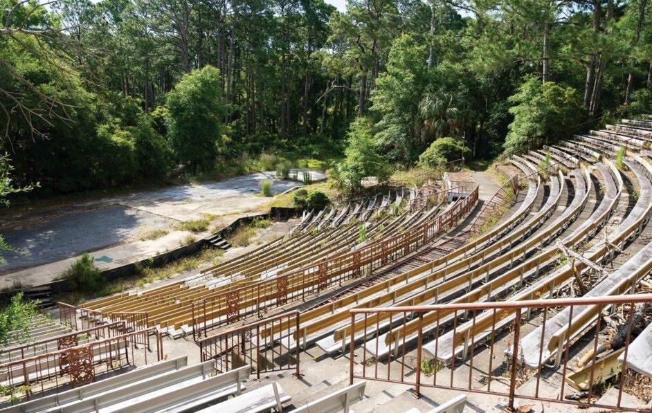
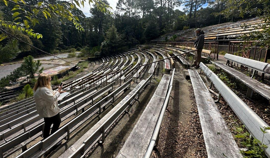
OLD AMPHITHEATER
SOIL SAMPLE H GREEN TO RIPARIAN FOREST
FIRE STATION MUSEUM
SOIL SAMPLE C PH: 6.6 POCKET PRAIRIE AREA
SOIL SAMPLE G FOREST TO GRASSLAND
Reference
Desired pH for Muhly / Longleaf Pine Savanna: 5 - 6.5
Desired pH for Live Oaks / Maritime Forest: 5.5 - 7.5
Desired pH for Pond Pine: 4.86.8

SHELL RD
SOIL SAMPLE D PH: 6.4 GREEN TO GRASSLAND
OLEANDER POND
SOIL SAMPLE F GREEN TO GRASSLAND
SOIL SAMPLE B PH: 5.1 WETLAND EXPANSION
SOIL SAMPLE A PH: 4.1 REFERENCE BURN SITE
SOIL SAMPLE E GREEN TO GRASSLAND
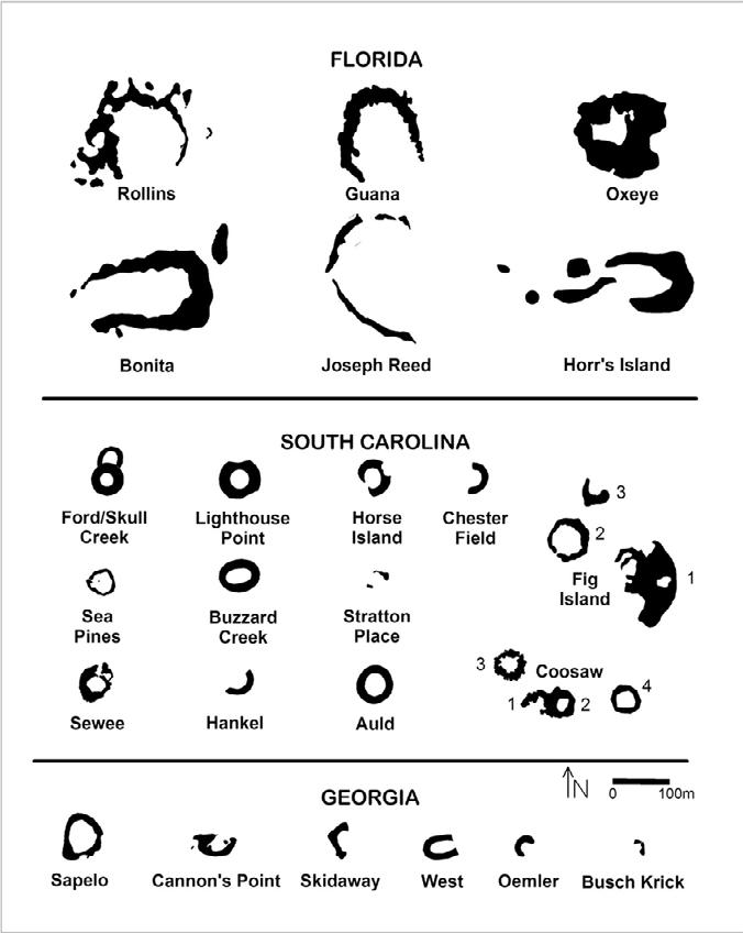
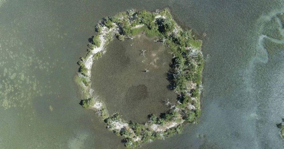
The following locations will be used to reference means and methods of establishing and sustaining successful maritime forest, tidally-influenced pond and riparian habitat, and/or pine - wiregrass savannas. The case studies will inform soil health targets, seed sourcing, and land management and monitoring, and provide a model for possible vegetation outcomes.
LOCAL CONTEXT
Site Boundary

Sample ID
Client Information
quinn dan
Brunswick, GA 31520
Sample: cma_1
Crop: Seashore Paspalum
Results
dquinn@jekyllisland.com 912-506-0807
Lab Information
Lab #42155
Received: Feb 16, 2024
Completed: Feb 19, 2024 Tests: S1
Soil, Plant, and Water Laboratory 2400 College Station Road Athens, Georgia 30602-9105
Website: http://aesl.ces.uga.edu
(CEC/CEA Signature)
County Information
30.953188, -81.629565
Glynn County 325 Old Jesup Road, Suite 110 Brunswick, GA 31520 phone: 912-554-7577 e-mail: uge3127@uga.edu
No phosphate (P), potash (K), or lime needed if shaded bars are above this line:
Recommendations
Can't find a specific grade of fertilizer? Try our Fertilizer Calculator: http://aesl.ces.uga.edu/soil/fertcalc/
Limestone: 60 pounds per 1000 square feet
Recommended pH: 5.5 to 6.5
Dolomitic limestone should be used to satisfy the lime recommendation and provide needed magnesium.
For establishment, incorporate 10 pounds of 10-10-10 per 1000 square feet into the top 4 to 6 inches of soil prior to seeding, sprigging, or sodding. Then apply 3 pounds of 34-0-0 or 2 pounds of 46-0-0 per 1000 square feet in mid-summer. Follow this fertilization program for the first year only, then use the maintenance fertilization program for the next 2 to 3 years. Retest 2 to 3 years after establishment.
For maintenance, apply 10 pounds of 16-4-8 per 1000 square feet after spring green-up and again in mid-summer. The last fertilizer application should be made prior to September 1.
See Seashore Paspalum Fact Sheet
Table 2: Soil data from reference sites. Source: University of Georgia
Jekyll Island has been noted for its freshwater resources throughout time. In a 1957 USGS map, seven artesian wells were noted. One near, Faith Chapel, has been mentioned as the source for water for a swimming pool at the now lost Chichota Cottage (Davis, 2024). Today, Jekyll Island’s potable water is sourced from five wells, each approximately 850 ft. deep, tapping into the Upper Floridan Aquifer (Jekyll Island Carrying Capacity and Infrastructure Assessment, 2018). The project area has one freshwater pond, the Amphitheater Pond.
The 2018 Jekyll Island Carrying Capacity and Infrastructure Assessment concluded that the Island’s public water system is operating at under half of its permitted withdrawal capacity with year over year trends in use holding steady through 2017. The raw groundwater is aerated to remove hydrogen sulfide (sulfur taste and odor) and chlorinated for disinfection before being pumped into each of the elevated storage tanks or into the system.
Jekyll Island, like most Georgia barrier island, experience less intense wave action, but large tidal changes (6-9 ft) due to the western position in relationship to the continental shelf. The project is tidally influenced from the south at Oleander Pond and has a tide gate, however the amphitheater pond is a freshwater refuge, fed by surface rainwater and a spring. Minor high tide flooding occurs when water levels reach 1.8 ft above average high tide.


Jekyll Island was acquired by the State of Georgia in 1947. A causeway was built to connect the Island to the mainland and many roads and other infrastructure were built to accommodate visitors. This included land modifications such as dune removal, modification of tidal flows, ditches, fragmentation of habitat, wetland modifications, and filling of low areas. The construction of Jekyll Island’s golf courses significantly reduced and altered the Island’s natural freshwater wetlands. Oleander golf course altered the original hydrology of both salt and freshwater systems, magnifying changes that were initiated by ditch building prior to the State’s ownership.
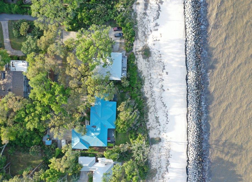
Barrier islands in this area such as Jekyll naturally erode on the north, and gain new sediment and sand on the south (accretion). Hurricanes and high tide flooding also cause shifts in land and water patterns, especially as the amount of these events has increased. On the north of the beach-side of the island, erosion is quite extensive. It has been documented that erosion in this area since the 1800’s has occurred at an average rate of 3 to 4 feet a year (Stillinger, 2016). Today, shoreline stabilization has been implemented since the 1960’s to provide coastal storm protection to eroding and threatened upland areas on the east side of the island. Recent stabilization projects include restoration of dune habitats, high tide beach fill areas, stone and geotextile revetment, access dune paths and crossovers, and beach habitat for turtle nesting.
AMPHITHEATER POND GOLF CLUB
GOLF COURSE

OLD AMPHITHEATER
Waterbody
Freshwater
Lower Salinity Brackish
Higher Salinity Brackish
Wetland
Hydrologic Improvement
Drainage
Culvert
Ditch
Surface
Tidal
Gate
High Tide Flood
Minor High Tide Flood
0 500 feet 250
SHELL RD
demonstrating existing hydrological conditions. Minor high tide flooding is when water levels reach 1.8 feet above average high tide. Source: Design Workshop
GOLF COURSE
GOLF COURSE


Although the project site is located in the middle of the island, it is still subject to storm surge. The Oleander Pond is more vulnerable to storm surge, where the SLOSH (Sea, Lake and Overland Surges from Hurricanes) model shows inundation around the pond during a tropical storm and all hurricane categories. The Amphitheater Pond area shows inundation during a category 1-5, but not a tropical



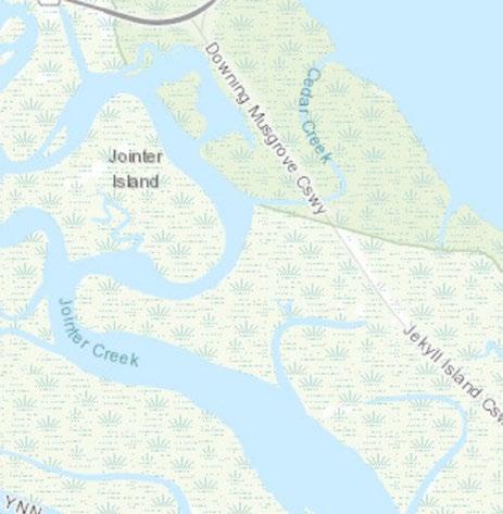


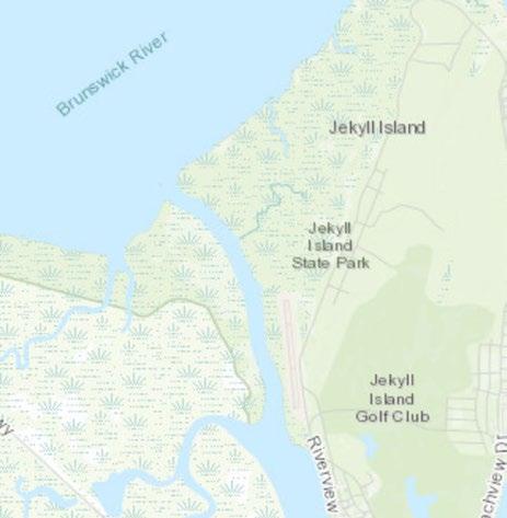




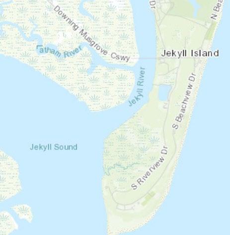


Within the project site, there is a freshwater pond (Amphitheater Pond), Freshwater Emergent Wetlands and Freshwater Forested/ Shrub Wetlands.
Tidal influence into Oleander Pond comes from the south. A tidal gate, Shell Rd., Shell Path, Riverview Dr. and Ben Fortson Parkway serve as partial barriers to tidal shifts. South of Shell Rd. are a series of wetlands that are Regularly Flooded Marsh/ Estuarine Wetlands with pockets of Freshwater Wetlands and Ponds.



National Wetland Inventory Class
Freshwater Pond
Freshwater Forested/ Shrub Wetland
Estuarine and Marine Wetland
Freshwater Emergent Wetland


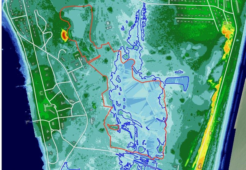
The ecological site boundary lies in a low lying tidal corridor. NOAA’s sea level rise model (often referred to as a bathtub style model) projects the site to be inundated by 2172. This model does not account for the tidal connection to Oleander Pond or groundwater. The NOAA process uses two source datasets to derive the final inundation rasters and polygons and accompanying low-lying polygons: the Digital Elevation Model (DEM) of the area and a tidal surface model that represents spatial tidal variability. The tidal model is created using the NOAA National Geodetic Survey’s VDATUM datum transformation software (http://vdatum.noaa.gov) in conjunction with spatial interpolation/extrapolation methods and represents the MHHW tidal datum in orthometric values (North American Vertical Datum of 19)
A more localized sea level rise and marsh migration model was created in 2016 and updated in 2024 using SLAMM (sea-level affecting marsh migration) software. This model predicts inundation by 2050, not from surface water, but rather from rising ground water. One meter of sea level rise is projected to impact on vertical accretion rates. In the model, Shell Road is forecasted to be impacted by sea level rise and the water, sanitary pipes south of the road. (Hladik, 2016 CIG interim final report)
Inputs in the SLAMM model include physical parameters: marsh elevation, tidal range, initial and 100-year SLR, suspended sediment concentrations (SSC), and sediment capture efficiency that includes both sediment trapping coefficients and settling velocities; and biological parameters: elevation distribution of plant biomass, below-ground: above-ground ratio, maximum rooting depth, turnover rate of belowground biomass, organic matter decay rate, and the refractory fraction of organic matter.

As sea level rises, ecological habitat conditions change as areas become more wet and higher in salinity. This is often referred to as marsh migration or upland change. SLAMM models project the potential change in habitat. In 2100 the low-lying portion of the restoration site is projected to be regularly or irregularly flooded or open water, however the northern part of the site remains higher and disconnected to tidal flows, suggesting freshwater resources could be protected in the future with minimal intervention and can continue to support upland habitat (opposite page).
2018 ELEVATION ABOVE SEA LEVEL
2100 PROJECTED ELEVATION ABOVE SEA LEVEL
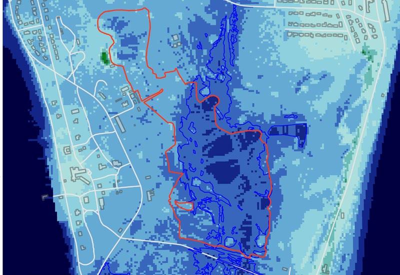
Figure 52: 2018 Elevation Above Sea Level. Note that bodies of water show the surface level. Source: Hladik, 2016 CIG interim final report
Figure 53: 2100 Projected Elevation Above Sea Level. Note that bodies of water show the surface level. Source: Hladik, 2016 CIG interim final report.
Globally, sea level rise is reshaping coastal landscapes by inundating low-lying areas and altering hydrological conditions. As saltwater intrudes further inland, vegetation communities are forced to adapt, migrate, or perish. This process often results in the gradual upland movement of vegetation zones, where salt-tolerant plants replace freshwater species in transitional areas. Over time, distinct ecological communities may compress or disappear entirely, leading to significant biodiversity losses and changes in ecosystem function.
On Jekyll Island, these dynamics are evident as the island’s low-lying areas face increasing exposure to saltwater. The gradual elevation changes on the island mean that vegetation communities must respond to rising water levels by shifting upland. Salt marshes may expand into areas currently occupied by freshwater wetlands, while upland forests face the dual pressures of encroaching saline environments and limited space for migration. This slow but persistent transformation reshapes the composition and distribution of plant species on the island, posing challenges for maintaining biodiversity and ecological stability. In looking at 2075 and 2100 SLAMM models (2 m rise by 2100) of upland conversion to wetland and projected changes in habitat, the Amphitheater Pond remarkably is projected to stay disconnected to tidal flows and remain upland until 2100, whereas the Oleander Pond transitions to marsh as soon as 2050 (1 m rise).
Site Boundary
Projected 2075 Habitat Changes
Swamp
Developed Dry Land
Undeveloped Dry Land
Tidal Fresh Marsh
Transitional Marsh
Regularly Flooded Marsh
Estuarine Beach
Inland Open Water
Irregularly Flooded Marsh
Tidal Flat

Ocean Water
Figure 54: Projected 2075 Habitat Changes Due to Sea Level Rise. Source: Hladik (2024)
Marshlands, like many coastal ecosystems, are shifting upland as sea levels rise and salinity increases. This migration is crucial for their survival, as they are highly vulnerable being an edge community between land and water. Without space to migrate, marshes may become compressed or lost entirely. Accommodating this shift in planning is essential to ensure that marsh communities can continue to provide their valuable ecosystem services, such as storm surge protection and wildlife habitat, while adapting to changing environmental conditions.
The following images illustrate the expected upland migration of marshlands on Jekyll Island based on changes in elevation and existing marsh communities.
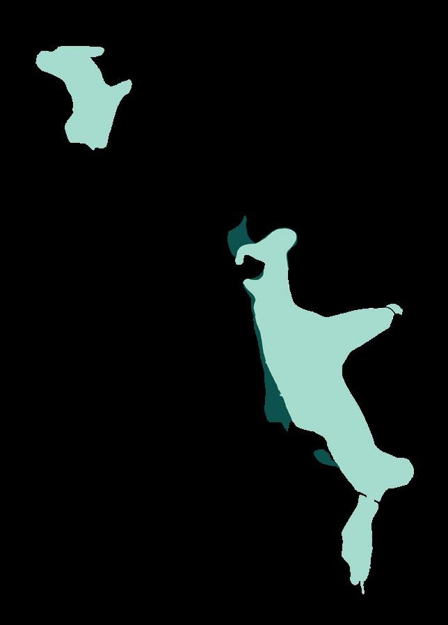
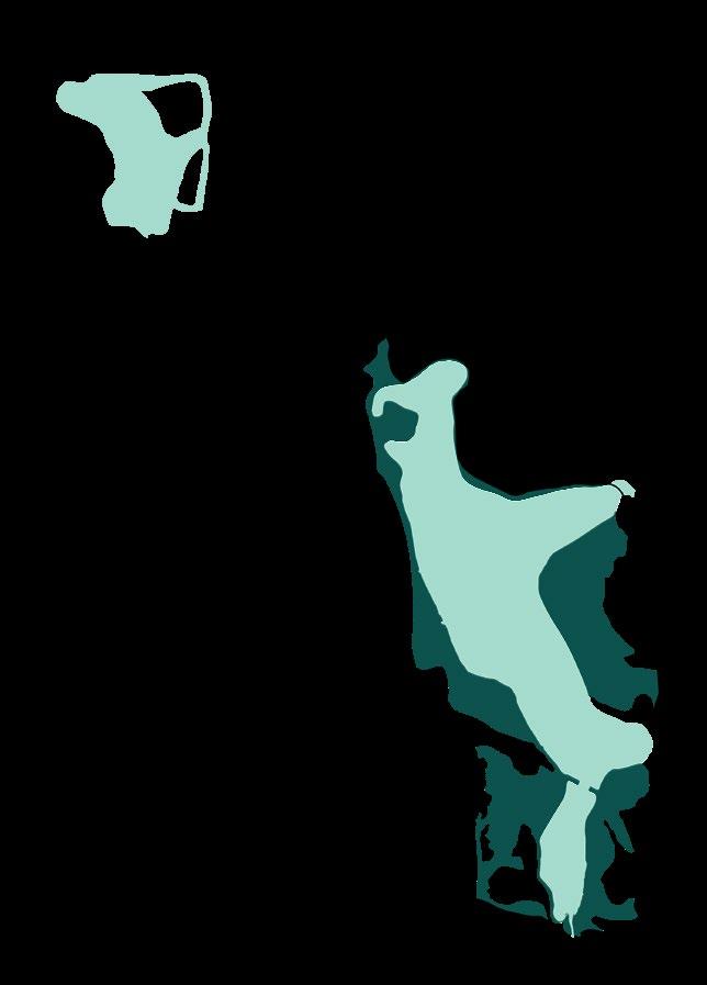
Figure 57: Existing salt water marsh habitat.
Source: Hladik, 2016
CIG interim final report

Figure 58: Projected 2050 salt water marsh
Source: Hladik, 2016 CIG interim final report

The ecological systems on Jekyll Island are diverse and critical to its restoration plan, each contributing unique functions and supporting the island’s overall resilience. The Pine Forest ecosystems include Mid to Late Successional Loblolly Pine - Sweetgum forests, which are dense and mature, playing key roles in wildlife habitat and carbon sequestration. The Maritime Slash Pine - Longleaf Pine Upland Flatwoods represent a fire-adapted ecosystem, fostering biodiversity in sandy, well-drained soils.
In the coastal ecology zone, the Southeastern Florida Maritime Hammock showcases a salt-tolerant hardwood community, vital for erosion control and habitat diversity. The South Atlantic Coastal Pond offers a crucial freshwater resource, enhancing biodiversity in the surrounding maritime environment. Meanwhile, the former quarry, transformed into a freshwater habitat, provides a unique ecological niche for aquatic and semi-aquatic species.
Together, these interconnected ecological systems have the potential to create a dynamic network that supports the island’s rich biodiversity and strengthens its ecological resilience in the future.
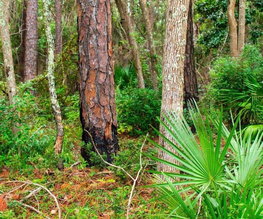

Converting a well-established golf course back into native habitat poses specific challenges in a coastal island environment. The first steps in restoration are restoring natural hydrological patterns and amending the soil, while also specifying a successional restoration plan that will thrive incrementally as the ecosystem is repaired. In parallel to establishing natural processes, active management must also include invasive and nuisance species control in order to restore more connected habitats.
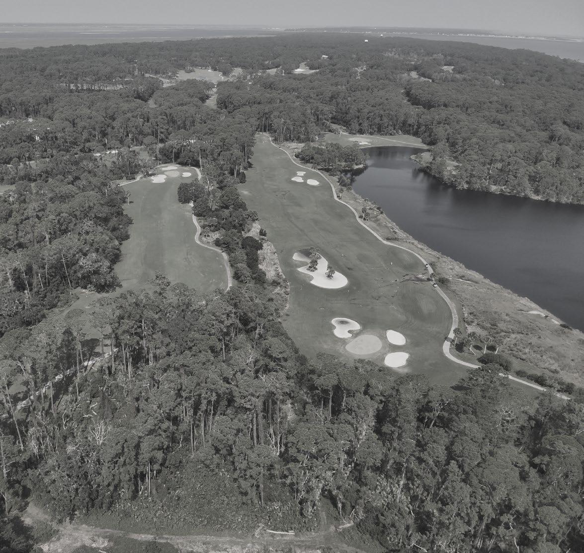
EXISTING LONG LEAF PINE
EXISTING MARITIME FOREST
LAUREL WILT
HISTORIC LAND FILL
EXISTING MARITIME FOREST
LACK OF RIPARIAN BUFFER
INTENSIVE TURF MANAGEMENT
EXCESSIVE DUFF IN THE UNDERSTORY
EXISTING PINE FOREST
BARRIER TO WILDLIFE MOVEMENT
BARRIERS TO MARSH MIGRATION
FRAGMENTED PATCHES OF LONG-LEAF PINE
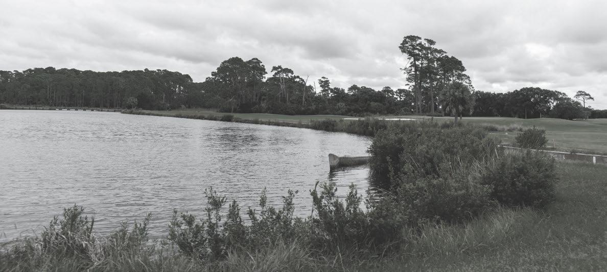
DEER BROWSE
INCREASED SALINITY
FIRE SUPPRESSION
POOR SOIL QUALITY
INVASIVE SPECIES
INTENSIVE TURF MANAGEMENT
INVASIVE SPECIES
LITTLE WILDLIFE HABITAT FEATURES
LACK OF RIPARIAN BUFFER

WILDLIFE BARRIERS
DRAINAGE DITCHES REDIRECT WATER FLOWS
Located in the upper area of the site, this freshwater pond benefits from its elevated position, making it less susceptible to inundation and saltwater intrusion. The pond has the potential to support key fauna such as the Eastern Newt and the Hummock Crawfish, while also serving as a nesting habitat for various bird species. However, the water quality has been impacted by years of land use as a golf course, leading to elevated levels of nitrogen, phosphorus, and pesticides. This presents an opportunity to implement restoration measures that can enhance the pond’s ecological value and biodiversity.



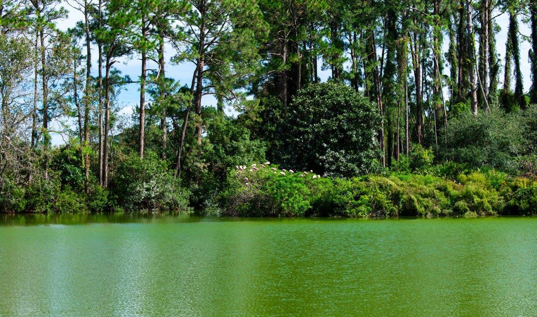
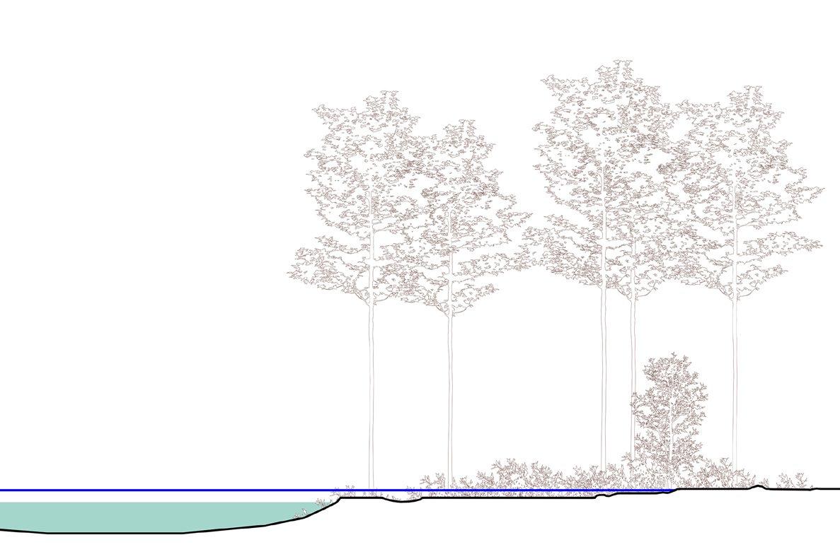
Situated in the lowest area of the site, Oleander Pond experiences periodic saltwater intrusion, particularly during flooding events. With rising sea levels, the pond’s salinity is expected to increase in the coming years, likely driving significant changes in the surrounding ecological communities. One anticipated shift is the expansion of salt marsh areas around the pond. The pond supports various species, including the Diamondback Terrapin, making it an important ecological feature. Future management efforts could focus on balancing these changes to protect and enhance the habitat for native wildlife.


*The vertical scale is exaggerated 5 times compared to the horizontal scale to highlight topographic conditions




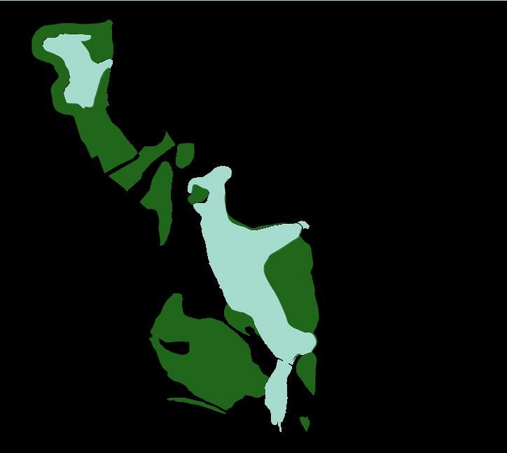
Jekyll Island’s urbanization has caused a significant divide between its eastern and western ecosystems, leading to limited interaction between species populations on either side. As a result, populations of the same species exhibit noticeable genetic differences depending on their location. This fragmentation is primarily due to urban development and the conversion of large areas into golf courses.
This site offers the potential to reconnect these fragmented habitats through the partial rewilding of these golf courses. By establishing ecological corridors, species from both sides of the island could interact once again, increasing genetic diversity and improving their ability to adapt to environmental changes. Partial rewilding would not only restore these connections but also support a more dynamic and interconnected ecological system, ensuring the long-term health of Jekyll Island’s biodiversity.
AMPHITHEATER POND
OLD AMPHITHEATER

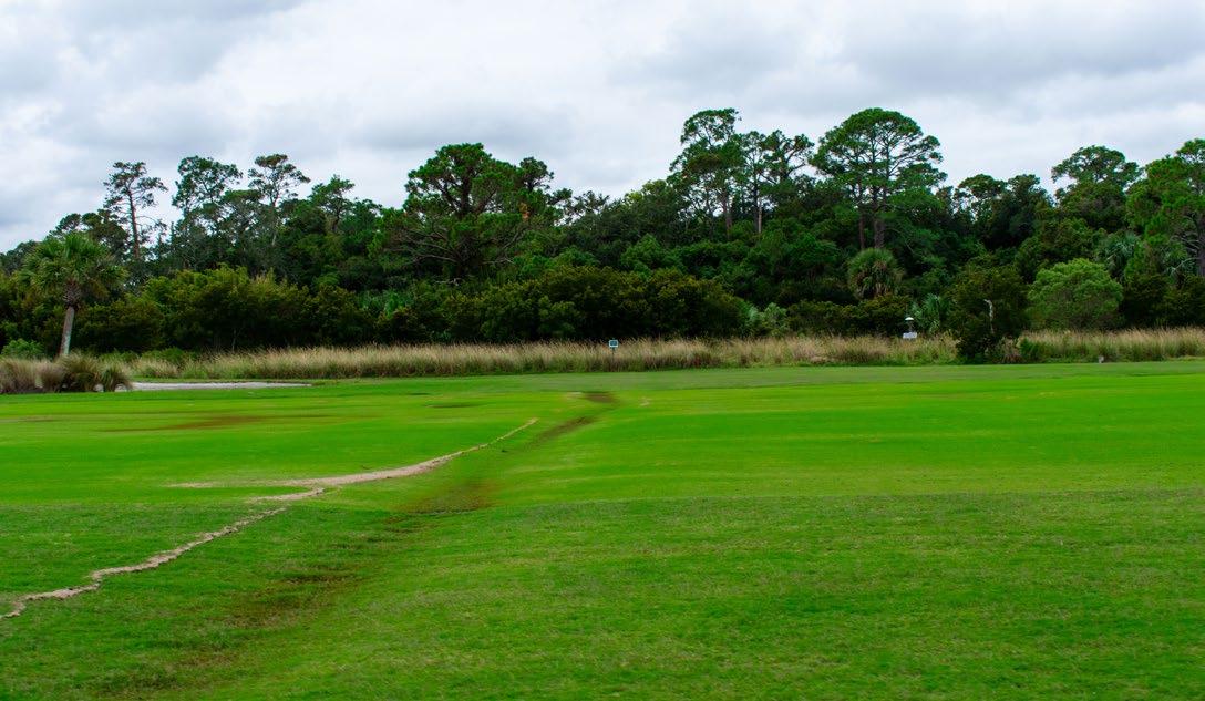
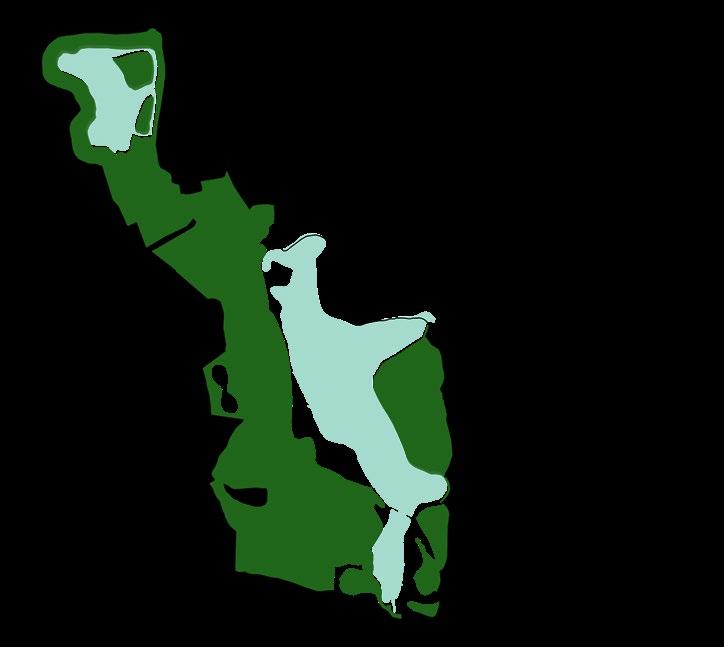
Figure 69: Diagram demonstrating the existing turf grass on the restoration site. The turf grass isolates ecologies and creates discontinuous habitat and edge conditions.
Source: Design Workshop
GOLF CLUB
POND

Mid to Late Successional Loblolly PineSweetgum Forest
Maritime Slash Pine - Longleaf Pine Upland Flatwoods
Southeastern Florida Maritime Hammock
South Atlantic Coastal Pond
Former Quarry (Freshwater)
Longleaf Pine-Grassland and Maritime Forests, Wet Pine Savannah
Brackish Marsh Canebrakes Pocket Prairie
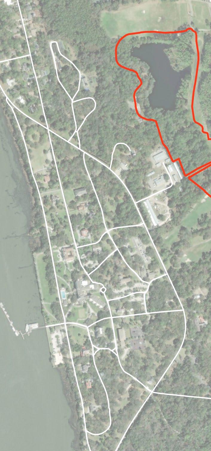
71: A map of existing habitats and viewshed identified during a site visit. Source: Design Workshop


1 Re-establish and Restore an Island-wide Wildlife Corridor
2 Serve as a National Model and Source of Information
3 Offer Low Impact Recreation, and Environmental and Cultural Landscape Education Experiences
4 Promote Efficient Resource Management
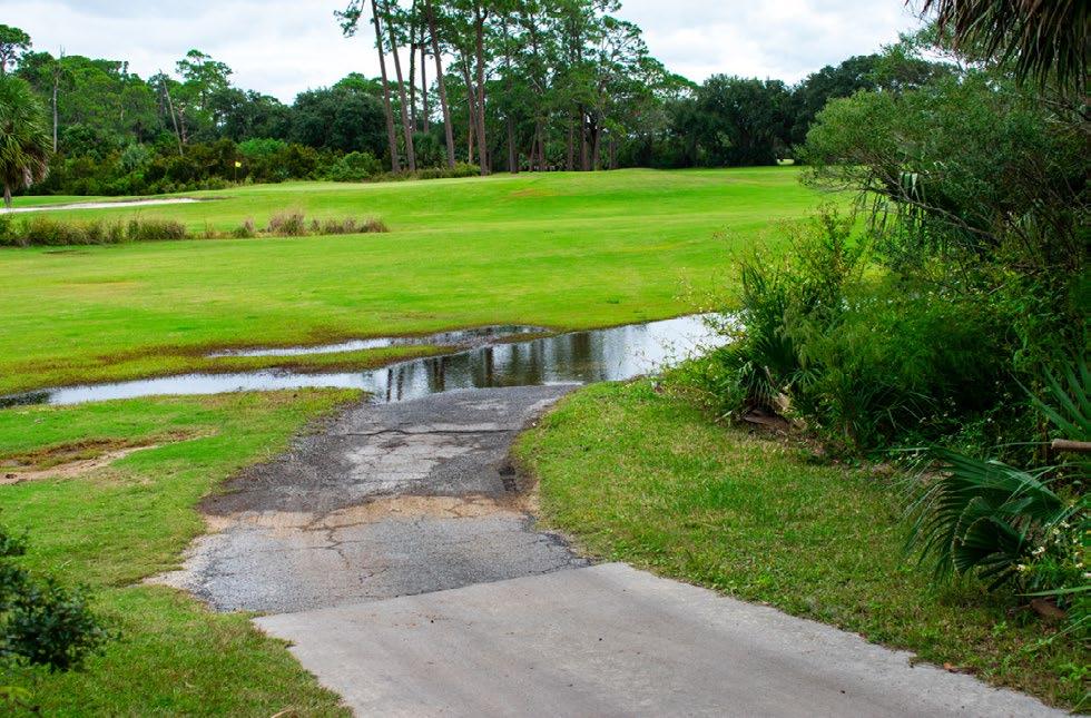
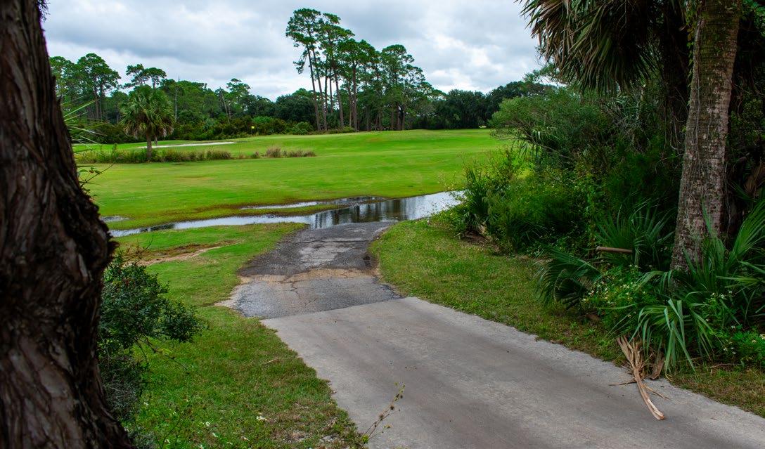
This project seeks to convert an existing golf course on Jekyll Island, a barrier island along the southern coast of Georgia, to a wildlife-focused, ecological corridor and nature park. The project area consists of an existing golf course with turfgrass, manmade ditches, a brackish pond that is connected to tidal flow, a freshwater pond, managed pine woodlands, and wetlands. The area to be converted historically has frequent closures due to standing water. Ecological restoration, enhancing habitat value for a variety of species and reestablishing ecological systems and processes, will provide a setting for both wildlife and low-impact recreational activities for people, where guests and visitors will be immersed in a diverse and rich setting with features that tell the story of Jekyll Island’s natural and cultural history.
Ecological restoration will include protection, enhancement, and creation of diverse habitats native to the ecoregion and includes an adaptive management plan for long term monitoring and research. Considerations include future changes to the landscape mostly due to climate change and urbanization, such as rising temperatures, more severe storms, changes in hydrology, groundwater salinization, sea level rise, tidal elevation changes and marsh migration, habitat range shifts, etc. High priority target species habitat restoration include reestablishing a connection between two genetically separate populations of eastern diamondback rattlesnakes on the island, currently separated by the golf course.
Low impact recreational and nature park enhancements will provide places for people to experience new and enhanced habitat areas with features that allow for activities such as wildlife viewing, walking, kayaking, and biking. The amenities will include educational signage, art, research hubs, gathering pavilions, seating, wildlife blinds, trails, nature play space, bike parking and a kayak dock.
Based on conversations with the Jekyll Island Authority, stakeholders, experts and after a review of existing plans, such as the Jekyll Island Conservation Plan and Golf Improvement Plan, the following project goals were established:
• Re-establish and Restore an Island-wide Wildlife CorridorRe-establish and restore a wildlife corridor between the north and south ends of the island by converting a former golf course to a resilient, future-focused landscape. The corridor will increase biodiversity, sustain critical ecosystem services such as mitigating climate change impacts, and support target species. RESTORATION AND PARK
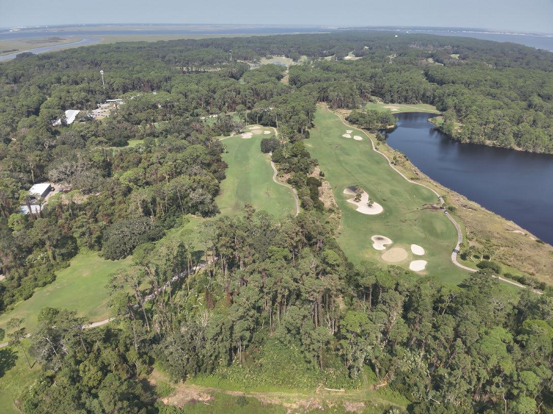
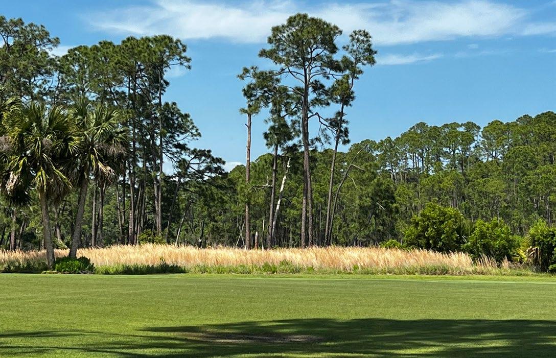
• Serve as a National Model and Source of Information- Across the southeast United States, coastal communities are embracing rapid change. This project aims to serve as a national model and research resource for other projects seeing ecological restoration on coastal barrier islands, particularly for other golf course conversion projects.
• Offer Low Impact Recreation, and Environmental and Cultural Landscape Education Experiences- Provide recreational public access and low impact amenities that balance ecological health and wildlife value in order to connect people with the island’s natural and cultural heritage.
• Promote Efficient Resource Management- Utilize strategies for implementation and long term management that balance efficient resource management and long term viability.
Ecological restoration of the site follows best practices according to the Society of Ecological Restoration’s (SER) International Restoration Standards (2019), where eight principles are guiding the overall approach:
1. Engage stakeholders
2. Draw on many types of knowledge, including traditional and local knowledge
3. Utilize native reference ecosystems while considering environmental change
4. Support ecosystem recovery processes
5. Use clear goals and objectives with measurable indicators
6. Seek the highest level of recovery possible
7. Gain cumulative value when applied at large scales
8. Implement strategies on a continuum of restorative activities
The current use of the project area is a golf course, which poses challenges for creating continuous, high-quality habitat on Jekyll Island, particularly north to south. With the closure of this section of the golf course, this restoration can provide much needed high-quality habitat for endemic and other important species across the island, and provide refuges for migrating animals and in future climate change scenarios. Target animal and plant species were selected for upland and wetland areas, which guided the restoration implementation and adaptive management plans.
• Minimize habitat fragmentation/loss and expand or create new high quality and connected landscapes
• Propose strategies that will help the corridor adapt to impacts of climate change and sea-level rise
• Protect and enhance habitat for priority species as outlined in the State Wildlife Action Plan (SWAP) and the Jekyll Island Conservation Plan (2020)
• Restore a variety of native plant communities and animal habitats to enhance the ecological value of the project area based on a reference model approach
• Implement an Adaptive Management Framework Plan, including a comprehensive fire management program, to ensure long-term success
• Manage invasive exotic plants and animals, and other undesirable species
• Restore natural hydrological patterns that support biodiversity and improve water quality, including protecting freshwater resources
• Manage and buffer any impacts from outdoor recreation and education activities
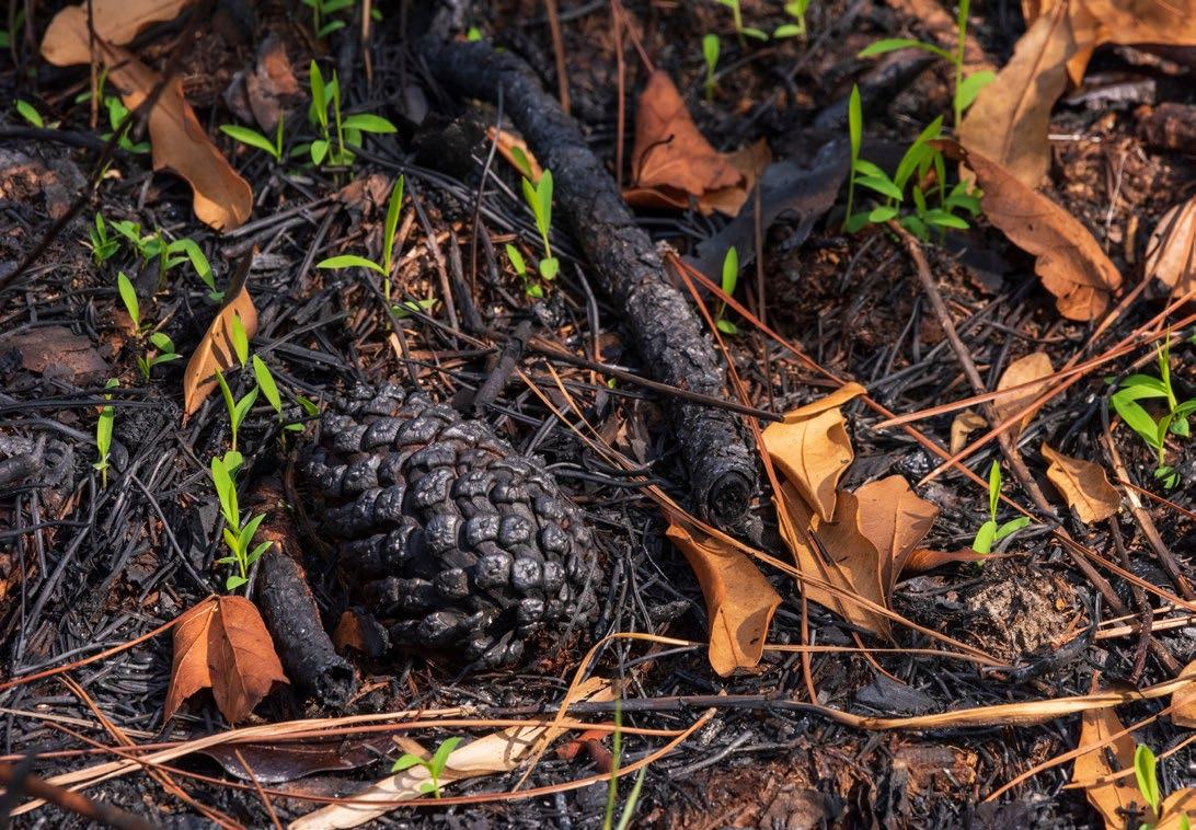
Existing, high value vegetative communities wil be preserved and enhanced, whereas golf course areas will serve as restoration areas for completely new vegetative communities. Existing vegetative communities prior to the implementation of this project in the project area or immediately adjacent to the project area identified in the 2020 Jekyll Island Conservation Plan include:
- 5/ Maritime Slash Pine – Longleaf Pine Upland Flatwoods
- 27/ Quarry/ Strip-mine/ Manmade pond
- 25/ Golf Course
- 6/ Mid to Late-Successional Loblolly Pine – Sweetgum Forest
- 1/ Maritime Live Oak Hammock
- 2/ Southeastern Florida Maritime Hammock
- 18/ South Atlantic Coastal Pond
- 21/ Southern Atlantic Coastal Plain Salt and Brackish Tidal Marsh
Future scenarios of sea-level rise, storm surge, salt water intrusion and other impacts related to climate change have to be planned for and were considered. As water tables rise with the sea, adaptive approaches must be considered to manage upland conversion to wetlands, allow space for marsh migration and protect freshwater resources when it makes economic and environmental sense. Deciding where to manage a gradual conversion from upland forest, woodland and grasslands to brackish wetlands and where d to protect freshwater resources was a critical decision making component of this project. In other words, which areas should we support increased salinity over time to support marsh migration and which areas should we help protect freshwater resources from freshwater intrusion?
Based on several models, cost and conservation priorities, it was determined that the freshwater pond should be protected with grading interventions immediately around the pond, in addition to a tide gate on Oleander Pond. On the southern pond, Oleander Pond, it was decided, based on future inundation levels, to convert the area to a marsh migration corridor and brackish wetland in conjunction with management of a tidal gate with grading interventions along the pond edge.
Other options considered, but not pursued due to cost included an option for creating an elevated land berm (elevation 7 ft) that runs north-south along the west side of Oleander Pond. The elevation was based on future predictions of inundation and the berm volume was calculated. 10-20% of the berm could be built from pond
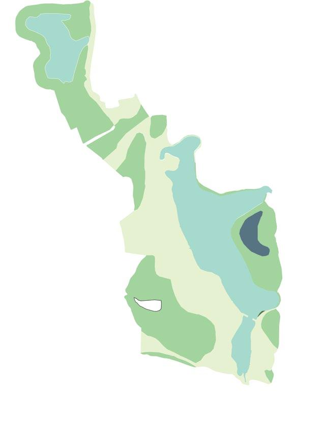
Open Water
Maritime Slash Pine Flatwoods
South Atlantic Coastal Pond/ Wetland
Golf Turf
Open Water
Pine-Wiregrass Savanna
South Atlantic Coastal Pond/ Wetland
Maritime Forest
Sweetgrass Meadow
Upland Maritime Forest
Freshwater Wetland
Brackish Water Wetland and Buffer
Existing Desired
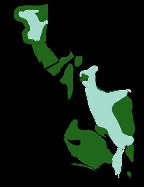
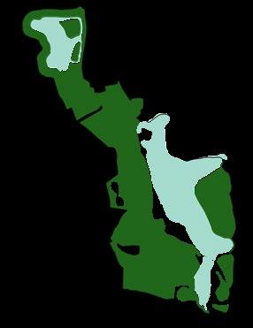

Existing Desired

75: Existing and proposed vegetative communities. Source: Design Workshop

and wetland restoration cut, but the remainder would have to be sourced off site. Future phases could include a wetland restoration north east of Oleander pond.
The golf course is a large area that consists mostly of very short turf grass and fragmented patches of dense pines that lack a distinctive plant community at the ground level. Turf grass is so widespread in the center of the island that it inhibits the movement and access of cover-dependent ground-dwelling species, justifying the need for quality grassland habitat that increases connection between the northern and southern portions of the island.
The first step in the restoration process involves the eradication of invasive turf grasses on retired golf fairways, in addition to under-brushing and removing duff through the forested understory. Next, we will plant a variety of native fire-dependent grass plugs on fairways, selecting species that match the soil conditions and elevation. Following grass planting, appropriate seed mixes of native flowering plant seeds will be broadcast in retired fairways and the forest understory. Seed mixes will include species that flower throughout different seasons to provide food for pollinators year-round, including priority species like monarch butterflies, increasing ground cover and grassland habitat across the entire site.
The restoration of native plants as ground cover will increase access to food, cover, and space for a multitude of wildlife species while also connecting the southern portion of the island to the north as a habitat corridor. The establishment of a corridor will increase connectivity of genetically separated populations of predators along with easier movement by a host of other species found on the island that are inhibited from moving in open areas such as mowed lawns.
Ground cover and grassland habitat are essential for many species of concern that are found on Jekyll. Such habitats are limited on barrier islands, given that they are generally restricted to accretional dunes and seasonally flooded marsh edge habitats. Increased ground cover has the potential to significantly boost densities of a variety of native wildlife species.
Wetlands will be improved in three distinct areas:
1. In marsh wetlands along the southern portion of the site, we will establish a 30-meter buffer and plant appropriate marsh wetland species where appropriate.
2. Earth will be moved to reconstruct a ditch into a larger gradient elevation ephemeral wetland with a small water control structure to allow for adaptive management of water levels. This will establish a dominant ecologically
functional feature in the center of the corridor, which would increase wildlife access to water and amphibian breeding habitat.
3. The northern wetland will be graded for maximum wetland diversity, and a 30-foot channel will be excavated to create two islands. These islands will have thirteen nesting roosts that specifically target wood stork nesting colonies, which have attempted to nest and failed along freshwater wetland edges on Jekyll as recently as 2022. Trees will also be planted for future wood stork and wading bird nesting habitat, but the built roosts will provide immediate effect.
A major feature of our proposed project involves wetlands. A 26.5-acre brackish marsh wetland will be surrounded by an enhanced, 30-m riparian buffer totaling three acres of appropriately selected high marsh species, such as Spartina bakerii, Spartina patens, sea oxeye daisy, etc. Protecting and enhancing this buffer will improve the resiliency of the habitat, should storm surge or flood events take place, and allow the natural elements of salt marsh migration to occur. The riparian buffer will be larger than what is legally required, with the final size depending on the functional adaptability of the habitat and elevation.
Under the proposed plan, the project site would have 4 acres of ephemeral wetland, 2.7 acres of which will be created by removing a ditch and replacing it with an ecologically functional wetland with an elevation gradient that will support a multitude of native plants, including trees and shrubs. The 2.7-acre wetland will increase the ability to retain freshwater within the project site with a more natural appearance and function. We plan to add a water control structure, placed at an appropriate location in order to allow for the adaptive management of the wetland. This could include periodically draining the area according to our ecological objectives, favoring species like wood ducks, breeding amphibians, and diverse wetland plant communities that respond well to disturbance.
The freshwater pond will be graded in the areas where a channel is installed for the bird islands so that it favors maximum vegetation diversity with varying levels of soil moisture along the gradient. The freshwater pond will also retain a natural riparian buffer with adjacent trails leading to observation platforms that will be raised in order to minimize disturbance in sensitive habitats and minimize human impacts to vegetation or soils in riparian areas.
All trails that are proposed to be added will be made with pervious materials unless ADA requirements cannot be achieved. The surface of the trail will depend on the purpose and area of the project in which it will be installed. Some trails will need to serve as firebreaks for prescribed fire operations but will be managed and maintained so as to not impede surface water flow or groundwater recharge.
This project seeks to restore longleaf pine savannas, freshwater wetlands, coastal saltmarshes, and sweetgrass prairie, creating interconnected habitats to enhance biodiversity and climate resilience. Soil rehabilitation, invasive species removal, and the reintroduction of fire-adapted native species help strengthen the island’s ability to manage stormwater, prevent erosion, and support wildlife. In order to create conditions for these native plant communities and habitats to thrive , many of the land modifications that occurred over decades to create and maintain the golf course have to be undone. This includes restoring more natural hydrological patterns by removing ditches and culverts to improve habitat connectivity and bolster ecological stability; establishing microbiota in the soil, adding new plant material and removing invasive and noxious species.
As a part of this project, restoration of the target ecosystems and habitats will include the following activities:
• Regrading
» To restore a more natural hydrological pattern that was previously channelized in ditches from construction and maintenance of the golf course
» Establish landforms for people and animals to be above anticipated increased mean high water levels due to sea-level rise
» To protect freshwater resources
• Water-level Manipulation- To achieve habitat goals and slow the progression of surface brackish water encroaching surface freshwater resources
• Plant Collection and Propagation
» Collect locally-sourced ecotype plant materials with the support of the Georgia State Botanical Garden
» Grow and propagate restoration plants on an on-site nursery
• Vegetation/ Fuel Removal
» Utilize fire, physical removal and chemical removal strategies to establish and maintain the habitat areas
» Utilize forest mulching to remove unwanted vegetation and establish the ground plane
• New Planting- Plant restoration areas with a combination of plugs, seeding and saplings
• Soil Amendments-
» Inoculate soil from native soil and add amendments, such as compost, to transition golf course soils with low organic carbon and low microbial activity and high pH, to soils with lower pH and more organic carbon and microbial activity
• Invasive Species Control and Integrated Pest Management
» Proactively prepare planting areas to discourage unwanted plant species in and around the restoration areas through at least one growing season and ideally two growing seasons
» Regularly monitor and treat immediately any areas with pest and disease
• Educational and Recreational Amenities
» Construct raised boardwalks and other structures for research, wildlife viewing and recreation
» Create hiking, walking and biking trails and associated amenities
» Install wayfinding and signage to highlight the restoration goals and help with navigating the site
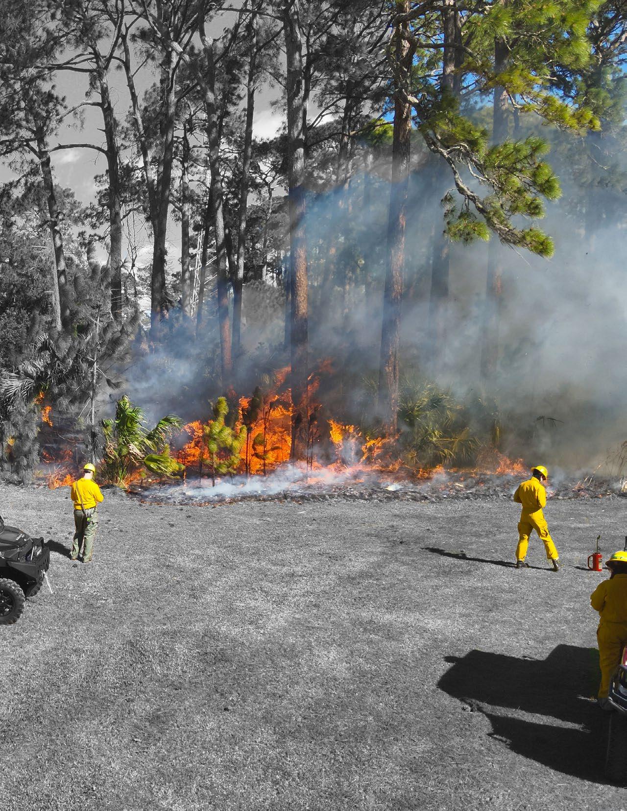

Mowed fire breaks double as walking paths
Golf Course is using brackish irrigated grass, plan to manage salinity
Prevent brackish intrusion on the north end of the pond
Remove bridge and create opposing overlooks for fishing and viewing
76: Considerations for Hydrologic Improvements on the Project Site. Source: Design Workshop
Projected 2050 Inundation Changes
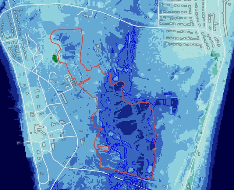
Projected 2075 Habitat Changes
Swamp
Developed Dry Land
Undeveloped Dry Land
Tidal Fresh Marsh
Transitional Marsh
Regularly Flooded Marsh
Estuarine Beach
Inland Open Water
Irregularly Flooded Marsh
Tidal Flat
Ocean Water
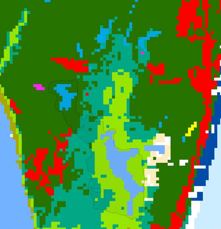
Tide gate or embankment outlet, berms and ditch channel capacity preservation/restoration for freshwater protection
Grassland Berms in low areas for protection of wetland expansion and prevention of inundation
Elevation of grassland corridor within inundation zone to 7’ (made from wetland cut, at least 10-20% on-site fill available from existing wetland expansion area shown)
Phase 2 hydrologic corridor restoration for freshwater balance of Oleander pond and support for historic wetlands to the North
Site Boundary
Ocean/Waterbodies/Wetland
Existing Forest
Inundation Extent
Tidal Gate
Potential Land Use
Hydrologic improvement
Grassland
Forested Area
Circulation
Improved and Existing Path
Raised Path
New Path
Point of Interest
Wood Stork Nesting
Observation Deck/Wildlife Blind
Grassland Berms
0 1,000
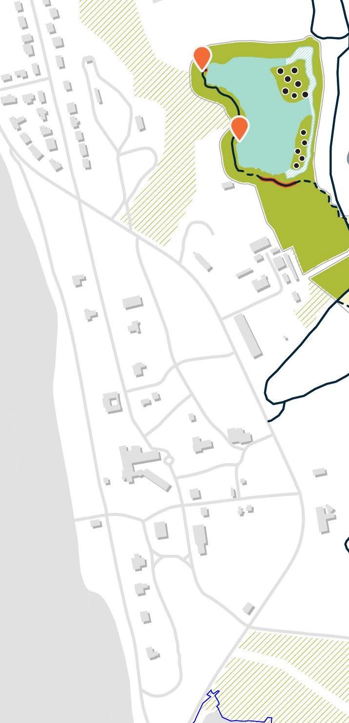

DRIVING RANGE

OLD AMPHITHEATER
Site Boundary
Waterbodies/Existing Wetland
Brackish Wetland Conversion
Adjacent Forest
Inundation Extent
Tidal Gate
Potential Land Use
Hydrologic Improvement
Grassland Forest
Circulation
Improved and Existing Path
Raised Path
New Path
Point of Interest
Wood Stork Nesting
Observation Deck/Wildlife
Blind
POTENTIAL DEVELOPMENT
Source:

Source: Design Workshop
MUSEUM
POTENTIAL DEVELOPMENT

82: An illustration showcasing how design elements like elevated boardwalks can maintain marsh migration upland. Source: Design Workshop
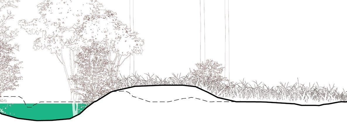
83: An illustration showcasing how manipulating land can deter marsh migration to protect freshwater bodies. Source: Design Workshop
allows for marsh migration

bridge protects low-lying from conversion


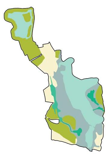
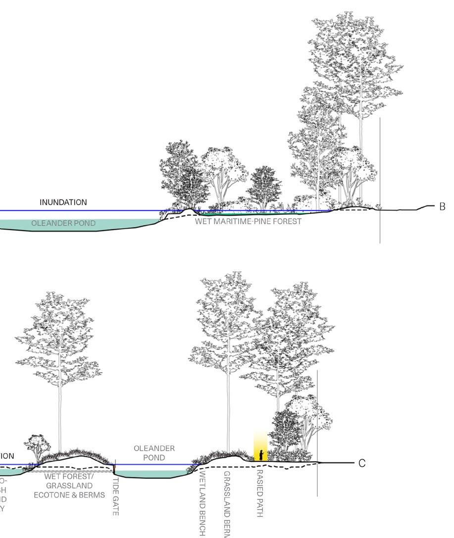
Figure 84: Illustration of restoration strategies of designed and engineered topographic interventions and tidal control to manage marsh and grasslands.
Source: Design Workshop

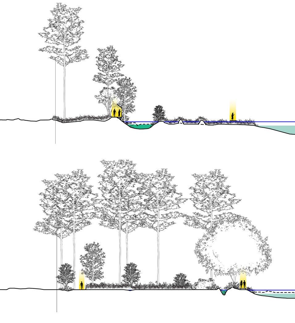


INUNDATION
OLEANDER POND
POND
BRACKISH WETLAND AND WET MARITIME SHRUBLAND/FOREST
Figure 85: Illustration of Apadptive Management of marsh and grasslands restoration through strategies that anticipate ecosystem response to and changes over time due to inundation from sea level rise, high tides, and storms.
Source: Design Workshop


Figure 86: Illustration of using dredged material to manipulate the topography to manage the gradual expansion of brackish wetlands.
Source: Design Workshop


Figure 87: Illustration of brackish wetland creation to manage the impact of saltwater intrusion on flora and fauna.
Source: Design Workshop

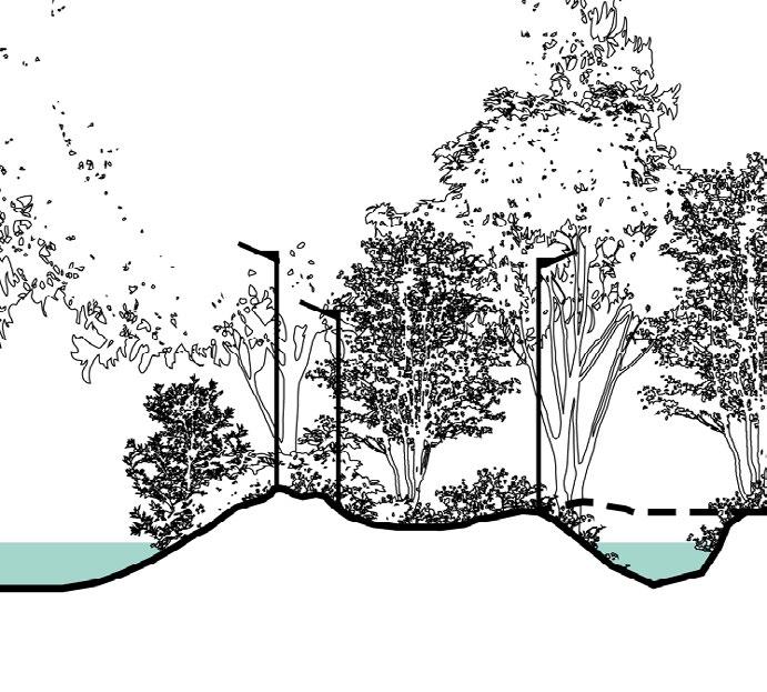


Creating Islands in Amphitheater
Creating Islands in Amphitheater
Pond will create a natural barrier for wildlife, specifically wood storks, from predators and people. This will increase the biodiversity in one of the few freshwater ponds on the island.
Pond will create a natural barrier for wildlife, specifically wood storks, from predators and people. This will increase the biodiversity in one of the few freshwater ponds on the island.
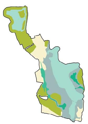
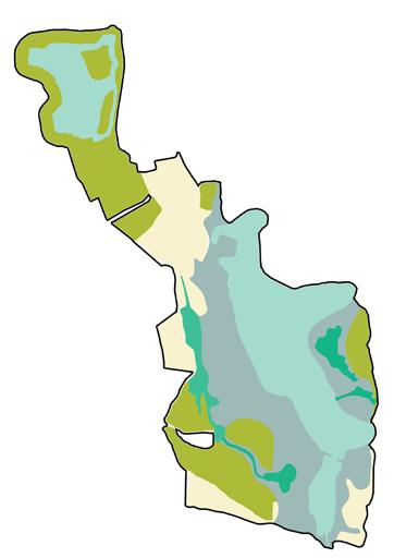


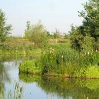
Figure 88: Proposed Adaptive improvements at the Amphitheater Pond. Source: Design Workshop
As sea level and marsh migration rises, measures are needed to ensure the site’s resiliency.
UPLAND CORRIDOR: In order to maintain an upland corridor, cut taken from the hydrologic improvement area will be used to fill the gaps to maintain a consistent elevation.
UPLAND CONVERSION: This area will be planted as upland corridor with the understanding these areas will naturally convert to wetland as sea level and marsh migration rises.
RIPARIAN VEGETATION: Riparian vegetation will mitigate tidal flooding and improve water quality.
WETLAND BENCH: The subsurface bench will function as shallow wetland, increasing detention, mitigating wave action and improving water quality.
Forest Overlay
Upland Corridor
Upland Conversion
Riparian Vegetation
Hydrologic Improvement
Path
Raised Path
Observation Platform
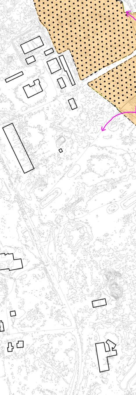
WILDLIFE CORRIDOR
OBSERVATION
HYDROLOGIC IMPROVEMENT
FLOATING WETLAND CULTIVATION
POND OBSERVATION
BENCH
SEA LEVEL RISE
TIDAL FLOODING
OLEANDER POND
WETLAND OBSERVATION POCKET PRAIRIE
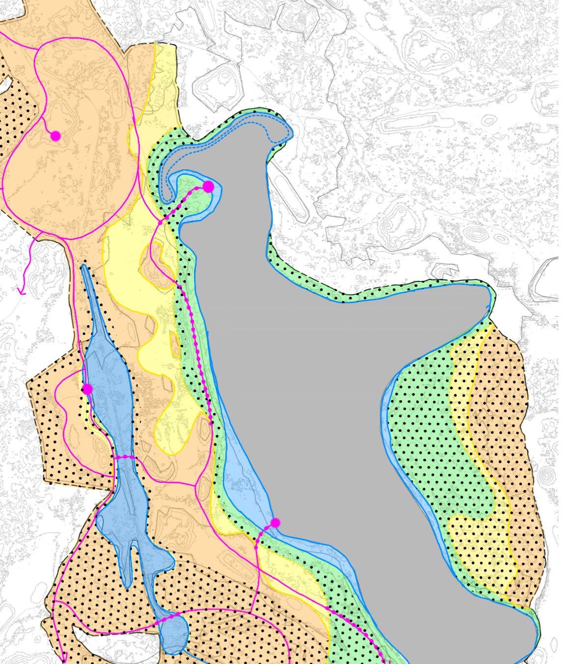
BENCH
BRACKISH WETLAND OBSERVATION
For each habitat zone, key attributes used to characterize a reference ecosystem were defined and utilized to establish baseline conditions, define measurable project goals and set thresholds for adaptive management activities in order to best assess at any point in time whether the restoration efforts are successful or need modification. Utilizing the Society of Ecological Restoration’s (SER) Fire-Star System and Ecological Recovery guidelines, each habitat zone measure progress towards recovery with the following attributes:
• Absence of threats
• Physical conditions
• Species composition
• Structural diversity
• Ecosystem function
• External exchanges
Target reference plant communities were selected based on stakeholder feedback, site inventory and analysis, animal habitat goals, project funding and case study projects on and off Jekyll Island. A reference model approach was used to develop the restoration target ecosystem characteristics and function. However, instead of only looking at historical references of what communities persisted before negative impacts to the environment and using intact reference sites located in the same ecoregion, future considerations for climate change, such as sea-level rise and salinization, and shifts in geographic ranges of species, were considered to “futureproof” the site and support northerly shift in ranges of vulnerable species.
The reference model approach resulted in guidance for plant composition; community structure and functional role; considerations for management of the abiotic, sustaining environment; recommendations for integrating into the larger landscape context; and restoring ecosystem function and processes. Each of these components were accompanied with measurable goals to track the trajectory and success of the restoration over time and guide adaptive management best practices.
Intact and highly-functional reference patches were selected and examined for baseline performance information. These reference models included sites that may be currently outside the immediate EPA level 4 ecoregion, but in the same EPA level 3 ecoregion and anticipated to shift due to climate change. Often the target plant communities are within similar macrogroups, groups, alliances or associations than native plant communities found in the EPA level 4 ecoregion as defined by the US National Vegetation Classification. Additionally, a literature review of other similar restoration projects was used to develop metrics for assessing restoration outcomes by developing measurable goals.
The ultimate goal for restoration of each habitat type is that each unit will eventually become self-organizing, resilient, self-sustaining and contribute significantly to supporting biosphere-level function (generating oxygen, absorbing carbon, facilitating thermal reflectance, and provides habitat for rare species, for example) without intense management. However, given the nature of island biogeography,
climate change and other significant impact humans have made in this ecosystem, it is assumed some level of human intervention will be required in the long term and a high-level of intervention during establishment in the short term.

The Five-star System Attributes Rating Table. Attribute ratings are used to measure progress along a trajectory of recovery. This 5-star scale represents a gradient from either no (zero) or very low to very high similarity to the reference model and is applicable to any level of recovery where a reference ecosystem is used. As it is a generic framework, users must develop indicators and monitoring metrics specific to the ecosystem and subattributes they identify. (Note: The starting point of an attribute can be zero or any star level, and examples in the table accumulate along the spectrum) (adapted from Gann et al. 2019, Standards Reference Group SERA 2021, Young et al. 2022.)
Required citation: Gann GD, McDonald T, Walder B, Young R, Dixon KW (2024) Updated Five-star System attributes rating table for SER's International principles and standards for the practice of ecological restoration; adapted from Gann et al. 2019, Standards Reference Group SERA 2021, Young et al. 2022. Society for Ecological Restoration. Washington, D.C. USA): https://www.ser.org/page/Standards-Tools Attributes Zero stars One star (★ ) Two stars
Absence of threats
High numbers and degrees of direct degradation drivers present (e.g., overharvesting, erosion, active contamination). Conservation status may not be secured.
Some direct degradation drivers absent and conservation status secured, but others remain high in number and degree.
Direct degradation drivers (including sources of invasive species, absence of appropriate natural disturbance regimes) intermediate in number and degree.
Number of direct degradation drivers low but some may remain intermediate in degree.
Direct degradation drivers, both external and on-site, low in number and degree.
Known threats from direct degradation drivers minimal or effectively absent.
Physical condition
Landforms and most physical and chemical properties of the site's substrates and hydrology (e.g., soil structure, nutrients, pH, salinity, depth to water table) are highly dissimilar to the reference.
Landforms and most physical and chemical properties of the site’s substrates and hydrology still highly dissimilar to reference but some showing improved similarity.
Landforms and physical and chemical properties of substrates and hydrology, remain at low similarity levels relative to reference but capable of supporting some biota of reference.
Landforms and physical and chemical properties of substrates and hydrology stabilized within intermediate range of reference and capable of supporting growth and development of many characteristic native biota.
Landforms very similar to the reference, and physical and chemical conditions of substrates and hydrology highly similar to reference and suitable for sustained growth and recruitment of most characteristic native biota.
Landforms very similar to reference, and physical and chemical conditions of substrates and hydrology very highly similar to that of the reference with evidence they can indefinitely sustain all characteristic species and processes.
Species composition
Structural diversity
Ecosystem function
Absence or very low presence of colonizing native species and genes (e.g., <5% of the reference). Extremely high abundance of nonnative invasive or undesirable species (e.g., >80% relative cover).
Some colonizing native species and genes present (e.g., >5% of the reference). Very high levels of nonnative invasive or undesirable species (e.g., <80% relative cover).
A small subset of characteristic native species and genes present (e.g., >25% of the reference) across site. High to intermediate levels of nonnative invasive or undesirable species (e.g., <60% relative cover).
A subset of key native species and genes present (e.g., >50% of the reference) over substantial proportions of the site. Intermediate to low levels of nonnative invasive or undesirable species (e.g., <25% relative cover).
Substantial diversity of characteristic native species and genes present (e.g., >75% of the reference) across the site and representing a wide diversity of functional groups. Low to very low levels of nonnative invasive or undesirable species (e.g., <10% relative cover).
High diversity of characteristic native species and genes present (e.g., >95% of the reference), with high similarity to the reference ecosystem and high potential for colonization of more native species over time. Very low to nil invasive or undesirable species (e.g., <2% relative cover).
No stratum of the reference present, and spatial patterning and community trophic complexity dissimilar or highly dissimilar to the reference.
At least one stratum of the reference present but spatial patterning and community trophic complexity still largely dissimilar to reference.
Multiple strata of the reference present but some similarity of spatial patterning and trophic complexity relative to reference.
Most strata of the reference present and intermediate similarity of spatial patterning and trophic complexity relative to reference.
All strata of the reference present and substantial similarity of spatial patterning and trophic complexity relative to reference.
All strata present and spatial patterning and trophic complexity high. Further complexity and spatial patterning able to self-organize to highly resemble the reference.
Processes and functions (e.g., water and nutrient cycling, habitat provision, natural disturbance regimes) absent or severely diminished compared to the reference.
Processes and functions at a very foundational stage only compared to the reference.
Low numbers and levels of physical and biological processes and functions relative to the reference are present (incl. plant growth, decomposition, soil processes).
Intermediate numbers and levels of physical and biological processes and functions relative to the reference are present.
Substantial levels of physical and biological processes and functions relative to the reference are present.
90: SER’s Six Key Ecosystem Attributes. Source: The Society of Ecological Restoration
All functions and processes (including natural disturbance regimes) are present and show evidence of being sustained.
As part of the ecological restoration efforts on Jekyll Island, a selection of species was made based on input from stakeholders, existing conservation plans, and research on native plant communities. These species play a crucial role in maintaining and restoring the island’s natural ecosystems. Additionally, the animal target species were selected based on a review of the SWAP plan for the state of Georgia for this ecoregion, species endemic to the island, species in decline, species that will be more at risk with climate change, consultation with experts including JIA staff, and those species that would both fulfill an important ecological niche and whose habitat could reasonably be restored based on existing and future conditions. The project does not include guidance on translocation or assisted migration of species like the gopher tortoise in response to future climate scenarios, although this topic is very important and should be discussed as a next step.
The Flatwoods Salamander ( Ambystoma cingulatum) is one such species selected, favoring breeding wetlands with open canopies and requiring specific conditions to thrive, though it is listed as State Imperiled due to its difficulty in re-establishment. Mini Carpenter Bees (Ceratina spp.) are also included for their vital role in pollination, enhancing the diversity of plant life across the island. The Northern Bobwhite (Colinus virginianus), a priority species in the State Wildlife Action Plan (SWAP), prefers open grasslands and woodlands but struggles in areas with dense
Another important species, the Eastern Diamondback Rattlesnake (Crotalus adamanteus), is a key predator that uses gopher tortoise burrows and thrives in longleaf pine savannas, contributing to the island’s natural predator-prey balance. Additionally, the Monarch Butterfly (Danaus plexippus), another SWAP priority species, relies on herbaceous wetlands and milkweed for survival, making habitat restoration for its migration an essential part of the plan. Each of these species plays a unique role in the health and resilience of Jekyll Island’s ecosystems, reflecting the importance of thoughtful restoration practices.
• Bobcat
• Mini Carpenter Bees
• Red-cockaded Woodpecker
• Tri-colored Bat
• Yellow-rumped Warbler

• American Alligator
• Gulf Fritillaries
• Cloudless Sulfurs
• Canebrake Rattlesnake
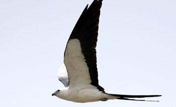


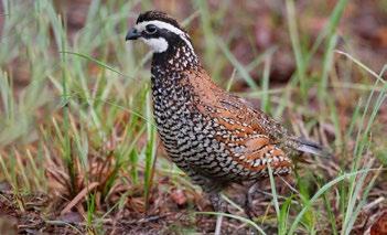
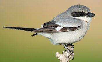
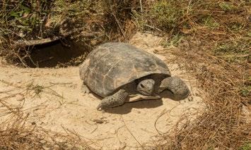
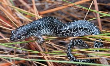


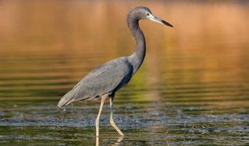
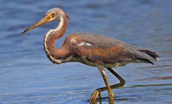
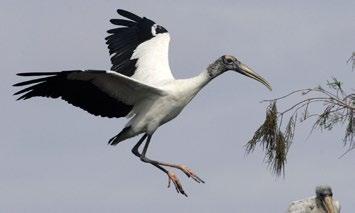


COMMON NAME
Kirtland’s Warbler Setophaga kirtlandii Avian Conservation Plan State Imperiled
Little Blue Heron Egretta caerulea Avian GOSP
Loggerhead Shrike Lanius ludovicianus Avian GOSP SWAP - Priority
Monarch Butterfly Danaus plexippus Terrestrial Invertebrate Focus Group Federally Threatened
Northern Bobwhite Colinus virginianus Avian Conservation Plan SWAP - Priority
Painted Bunting Passerina ciris Avian GOSP SWAP - Priority
Southeastern American Kestrel Falco sparverius paulus Avian GOSP
Swallow-tailed Kite Elanoides forficatus Avian GOSP
Tricolored Heron Egretta tricolor Avian GOSP
Wood Stork Mycteria americana Avian Focus Group SWAP - Priority

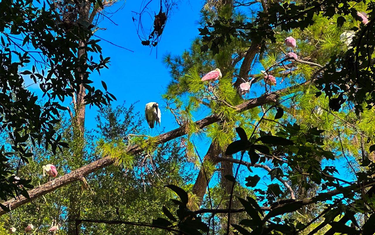
Convert a former golf course to a resilient, future-focused landscape offering a variety of native plant and animal habitats by enhancing the ecological value of the project area
Restore a Coastal Golf Course into Native Habitat
• Create habitat for priority species as outlined in the State Wildlife Action Plan (SWAP) and the Jekyll Island Conservation Plan (2020).
• Restore natural hydrological patterns that support biodiversity and improve water quality, including protecting freshwater resources.
• Re-establish a wildlife corridor between the north and south ends of the island.
•
• Provide Recreational Opportunities
• Provide recreational public access and low-impact amenities that balance ecological health and wildlife value.
• Encourage Research Opportunities and Collaboration
• Serve as a national model and research resource for restoration on coastal barrier islands and other golf course conversion projects.
• Ensure Ecological Resilience
• Implement an adaptive management plan to ensure the initial investment is protected and long-term success.
• Utilize strategies for implementation that balance efficient resource management and long-term viability.
• Provide an Adaptive, Sustainable Management Strategy
• Implement an adaptive management plan to ensure the initial investment is protected and long-term success. Restore natural hydrological patterns that support biodiversity and improve water quality, including protecting freshwater resources.
The current use of the project area is a golf course, which poses challenges for creating continuous, high-quality habitat north to south. With the closure of this part of the golf course, this restoration can provide much needed high-quality habitat for endemic and other important species across the island and provide refuges for migrating animals and in future climate change scenarios. In order to plan for restoration of the project area, target animal and plant species were selected for upland and wetland areas.
The golf course is a large area that consists mostly of very short turf grass and fragmented patches of dense pines that lack a distinctive plant community at the
ground level. Turf grass is so widespread in the center of the island that it inhibits the movement and access of cover-dependent ground-dwelling species, justifying the need for quality grassland habitat that increases connection between the northern and southern portions of the island.
The first step in the restoration process involves the eradication of invasive turf grasses on retired golf fairways, in addition to under-brushing and removing duff through the forested understory. Next, we will plant a variety of native fire-dependent grass plugs on fairways, selecting species that match the soil conditions and elevation. Following grass planting, appropriate seed mixes of native flowering plant seeds will be broadcast in retired fairways and the forest understory. Seed mixes will include species that flower throughout different seasons to provide food for pollinators year-round, including priority species like monarch butterflies, increasing ground cover and grassland habitat across the entire site.
The plant community targets broadly include:
• Upland Pine – Grassland / Longleaf Pine Wiregrass Savanna
• Brackish Marsh with Riparian Buffer
• Pocket Prairie / Sweetgrass Prairie
• Maritime Hammock Forest
• Freshwater Wetland, Pond and Buffer
Upland Pine-Grassland
The restoration will include converting 34 acres of turf fairways to longleaf pine and pond pine grasslands, and understory establishment of 38 acres of shortleaf pine.
Brackish Marsh with Riparian Buffer and Marsh Migration Enhancements
26.5 acres of brackish marsh wetland will include new restored buffer areas with high marsh species and be areas to support marsh migration as sea-level rises and help mitigate storm events.
Freshwater Wetland Restoration
2.7 acres of new wetland created by removing a ditch and replacing it with an ecologically functional wetland with an elevation gradient that will support a multitude of native plants and increase its ability to retain freshwater. A water control device will help maintain the freshwater to the greatest extent possible through adaptive management and support species such as wood ducks, breeding amphibians and diverse wetland plant communities, while managing invasive species.
Freshwater Pond
Islands for birds and other animals will be added, along with floating wetlands to help manage the nutrient levels in the pond. The buffer around the pond will be enhanced to minimize disturbance in sensitive habitats and minimize human impacts to vegetation or soils in riparian areas. Wildlife viewing platforms and a research station, housed with monitoring equipment, will be raised to minimize disturbance.
A sweetgrass pocket prairie will created as a cultural landscape and interpretive element. Sweetgrass is a clump-forming perennial grass that is native to the southern Atlantic and Gulf coasts. The leaves of this grass, along with longleaf pine needles, saw palmetto leaves and rush stems, are used by the Gullah-Geechee community, descendants of enslaved Africans in the South Carolina coastal area, as materials to practice the art and craft of basketweaving, a tradition carried from Africa. Originally these baskets were used in rice production, and now are an income source for those that practice the craft today. Sweetgrass populations have be dwindling along the Georgia and South Carolina coasts due to urbanization. The USDA NRCS’s Brooksville Plant Materials Center collects and propagates Sea Island germplasm of sweetgrass for restoration projects.
Several stands of giant rivercane ( A. gigantea) are found along the westnern boundary and southern section of the corridor. Giant rivercanse was once used by Native Americans to craft strong, lightweight arrows and a variety of other tools. These areas will be preserved and expanded where possible.
Additional habitat enhancements will include pond buffers, wildlife trail and road underpasses, snags and down logs, stump holes, fire, landscape corridors connecting patches, artificial hibernacula, and floating islands.
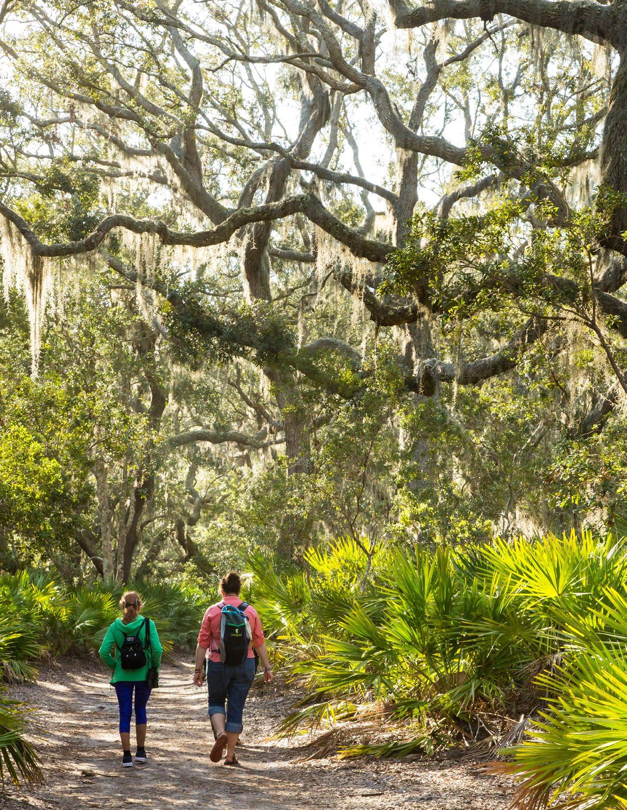
Open Water
Fresh Water Wetland
Brackish Wetland
Salt Water Marsh
Salt Water Riparian Edge
Longleaf Pine Wiregrass Savanna
Pollinator Garden
Upland Forest
Maritime Forest
Sweetgrass Prairie
Path
Elevated Path
Bike Path

Steam or Ditch
Culvert or Pipe

SWEETGRASS PRAIRIE
BRACKISH WETLAND

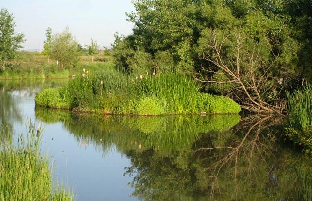

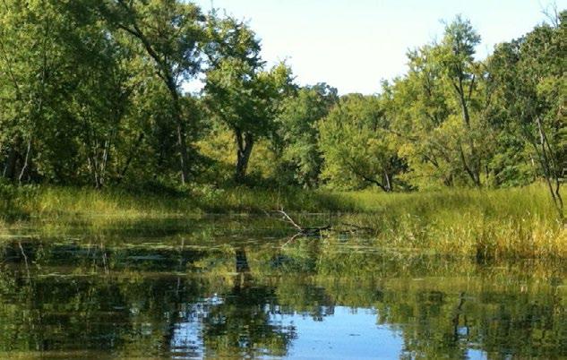
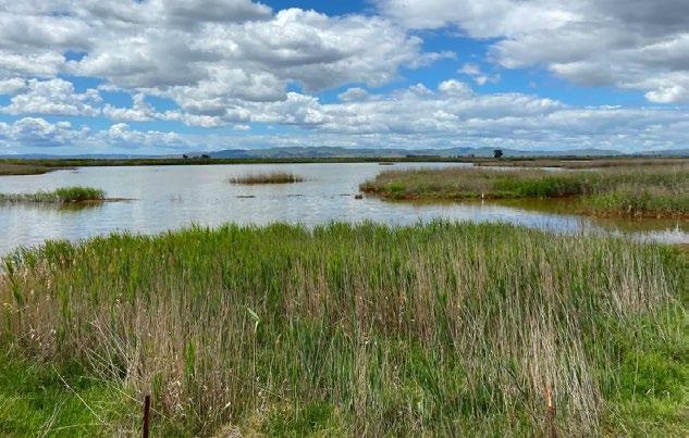
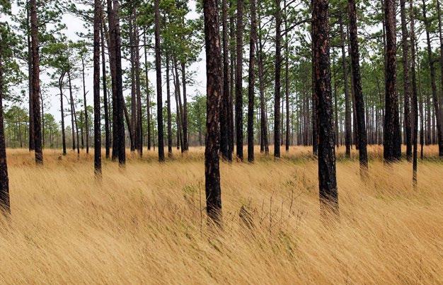

GENERAL NAME INTERNATIONAL TERRESTRIAL ECOLOGICAL SYSTEM
Upland Pine –Grassland
MACROGROUP AND GROUPS
Southern Atlantic Coastal Plain Wet Pine Savanna and Flatwoods
Brackish Marsh with Riparian Buffer
Southern Atlantic Coastal Plain Salt and Brackish Tidal Marsh
M007. Longleaf Pine Woodland / Pinus palustris / Aristida stricta Woodland
G190. Wet-Mesic Longleaf Pine Open Woodland
G154. Xeric Longleaf Pine Woodland
G009. Dry-Mesic Loamy Longleaf Pine Woodland
M079. North American Atlantic & Gulf Coastal Salt Marsh
G982. South Atlantic & Gulf Coast Salt Marsh
ALLIANCE AND OR ASSOCIATIONS
Pinus elliottii - (Pinus palustris) / Ilex vomitoria - Serenoa repens - Morella cerifera Woodland
Translated Name:
Slash Pine - (Longleaf Pine) / Yaupon - Saw PalmettoWax-myrtle Woodland
Common Name:
Maritime Slash Pine - Longleaf Pine Upland Flatwoods
Buffers
Sabal palmetto - Quercus virginiana Swamp Forest
Low Marsh
Smooth cordgrass/ Sporobolus alterniflorus, glasswort/ Salicornia, saltwort/ Batis, salt grass/ Distichlis, needle rush/ Juncus
A4497. Spartina alterniflora South Atlantic-Gulf Low Salt Marsh Alliance- Low Marsh
High Marsh
Sea oxeye/ Borrichia, eastern red cedar/ Juniperus, groundsel/ Senecio, marsh elder/ Iva, cabbage palm/ Sabal, fleabane/ Erigeron
A2344. Iva frutescens - Borrichia arborescensBaccharis halimifolia Salt Marsh Scrub Alliance
A2347. Spartina patens - Spartina bakeri - Juncus roemerianus Brackish Salt Marsh Alliance
A2346. Spartina spartinae - Juncus roemerianus High Salt Marsh Alliance
Salt Pannes
A2345. Batis maritima - Sarcocornia pacifica - Distichlis spicata Salt Panne Marsh Alliance
Table 4: Summary of targeted plant communities and their respected ecological system, macro group and groups and their alliances and/or associations. Source: Design Workshop
GENERAL NAME INTERNATIONAL TERRESTRIAL ECOLOGICAL SYSTEM
Pocket Prairie/ Sweet Grass Prairie
Atlantic Wet Prairie
MACROGROUP AND GROUPS
M067. Atlantic & Gulf
Coastal Plain Wet Prairie & Marsh
G777. Atlantic & Gulf Coastal Interdunal Swale
ALLIANCE AND OR ASSOCIATIONS
Pleistocene Maritime Forest/ Maritime Hammock
Southern Atlantic Coastal Plain Maritime Forest
M885. Southeastern Coastal Plain Evergreen
Oak Forest
G798. Coastal Live OakHickory - Palmetto Forest
Muhlenbergia filipes - Spartina patens - Rhynchospora colorata Marsh
Translated Name: Gulf Hairawn Muhly - Saltmeadow Cordgrass - Star-rush Whitetop Marsh
Common Name: Southern Atlantic Interdune Swale
Muhlenbergia filipes - Spartina patens Dune Grassland Alliance
Translated Name: Southern Hairgrass - Saltmeadow Cordgrass Dune Grassland Alliance
Common Name: Southeast Hairgrass - Saltmeadow Cordgrass Dune Grassland
Quercus virginiana - Sabal palmetto Coastal Evergreen Forest Alliance
Translated Name: Live Oak - Cabbage Palmetto Coastal Evergreen Forest Alliance
Common Name: Southeastern Maritime Live Oak Forest
Quercus virginiana - (Pinus elliottii, Sabal palmetto) / Persea borbonia - Callicarpa americana Forest
Translated Name: Live Oak - (Slash Pine, Cabbage Palmetto) / Redbay - American Beautyberry Forest
Common Name: Maritime Live Oak Hammock
Quercus virginiana - (Pinus elliottii, Sabal palmetto) / Persea borbonia - Callicarpa americana Forest | NatureServe Explorer
Quercus virginiana - Sabal palmetto Coastal Evergreen Forest Alliance | NatureServe Explorer
CEGL007813. Juniperus virginiana var. silicicola(Quercus virginiana, Sabal palmetto) Forest
CEGL003525. Juniperus virginiana var. silicicolaZanthoxylum clava-herculis - Quercus virginiana - (Sabal palmetto) / Sageretia minutiflora Woodland
CEGL004864. Pinus elliottii Ruderal Maritime Woodland
CEGL004936. Quercus alba / Sabal palmetto - Ilex vomitoria Forest
CEGL007540. Quercus falcata - Pinus taeda - (Fagus grandifolia, Quercus nigra) / Persea palustris Maritime Forest
GENERAL NAME INTERNATIONAL TERRESTRIAL ECOLOGICAL SYSTEM
Freshwater Wetland (herbaceous and forested) and Pond
Southern Atlantic Coastal Plain Fresh and Oligohaline Tidal Marsh
Southeastern Native Ruderal Flooded & Swamp Forest
MACROGROUP AND GROUPS
M067. Atlantic & Gulf
Coastal Plain Wet Prairie & Marsh
M885. Southeastern Coastal Plain Evergreen Oak Forest
M032. Coastal Plain
Evergreen HardwoodConifer Swamp
G777. Atlantic & Gulf
Coastal Interdunal Swale
G777. Atlantic & Gulf
Coastal Interdunal Swale
G798. Coastal Live OakHickory - Palmetto Forest
G037. Southern Coastal Plain Mixed Evergreen Swamp
ALLIANCE AND OR ASSOCIATIONS
Salix caroliniana / Hibiscus grandiflorus / Polygonum punctatum Swamp Woodland (CEGL004272)
Spartina bakeri - Kosteletzkya virginica Salt Marsh (CEGL004194)
Morella cerifera / Spartina patens Wet Shrubland (CEGL003839)
Spartina bakeri - Woodwardia virginica - Saccharum giganteum Marsh (CEGL007713)
Cladium mariscus - Woodwardia virginica Marsh (CEGL004949)
Magnolia virginiana - Persea palustris / Lyonia lucida Swamp Forest (CEGL007049)
Quercus virginiana - Quercus hemisphaerica - Pinus taeda - Quercus falcata / Persea palustris Forest (CEGL007026)
Gordonia lasianthus - Magnolia virginiana - Persea palustris / Sphagnum spp. Swamp Forest (CEGL007044)
Gordonia lasianthus / Woodwardia virginica - Osmunda regalis var. spectabilis Swamp Forest (CEGL004410)
Acer rubrum - Nyssa biflora - (Liquidambar styraciflua, Fraxinus sp.) Maritime Swamp Forest (CEGL004082)
The national effort to restore the native longleaf pine (Pinus palustris) (LLP) ecosystem in southeastern North America stands out as one of the world's most ambitious and extensive landscape restoration projects. In 2009, the first range-wide plan for this initiative set a 15-year goal to increase longleaf pine coverage from 1.37 million hectares to 3.24 million hectares. This goal focuses on creating new longleaf pine forests and prioritizing longleaf pine in mixed forest areas (America’s Longleaf Restoration Initiative 2009).
Currently the majority of the pine plant communities in and around the project site and on the island are the Maritime Slash Pine – Longleaf Pine Upland Flatwoods (approximately 20% of the island). Since longleaf pine is generally more resistant to fire, hurricane damage, and pine bark beetle attacks than other common commercial pine species in the region (Alavalapati et al., 2002) and provide key habitat to target species, longleaf pine will be expanded by planting, managing with prescribed burning and maintaining other management strategies. The longleaf pine- wiregrass savanna supports endemic and rare plants and animals naturally occurring on Jekyll Island and in the ecoregion. This community requires fine fuel to sustain the system.
Successful restoration of this community will require that the canopy structure provide conditions to support diverse groundcover, dominated by native grasses, legumes, composites and sedges, and eventually a naturally regenerating community over time with managed fire. Passive management without fire over the long term or fire alone in the beginning of the process will likely lead to the longleaf pine declining in population overtime (Walker and Silletti, 2006).
Key goals and objectives for Longleaf Pine – Wiregrass Savanna restoration include:
Maintain LLP density and canopy dominance
Density of longleaf pines that keeps LPP as the dominant canopy tree
Canopy gap
minimum sizes and densities to allow for regeneration
Seedling establishment
Variable age distribution
Density, Grass stage emergence length, Survivability rates, Growth rates, Hardwood densities, Presence of brownspot needle blight
Vegetation removal, Disease management, Fire management, New planting
Canopy gap size and density Vegetation removal, Fire management
Presence of brownspot needle blight, Drought, Herbivory
Disease and pest management, Temporary irrigation, Fire management
Density and age Vegetation removal/ thinning, Fire management
Goal Objective
Self-maintaining/ regenerating population
Foster a diverse understory
Warm-season grass and herb dominated understory.
Dominated by rhizomatous and bunch grasses, sedges and other small monocots, insectivorous species.
Support suitable soil
Natural regeneration, Germination rates, Survivability
Biodiversity, Diversity of nitrogenfixation species, Rates of litter decomposition, Presence of fine fuels, Presence of fuel ladders, Duff accumulation, Wiregrass density
Soil pH, Organic matter, CEC, Macro and micronutrients
Invasive species density Density
Support target wildlife Artificial and natural structures/ elements that provide shelter, hibernation, etc.
Plant species and communities that support feeding and predation
Underpasses to limit vehicle, bike, public conflicts
Species observations
Vegetation removal/ thinning, Fire management
Vegetation removal, New planting, Fire management
Soil amendments, Fire management
Vegetation removal
Additional artificial and natural features for habitation, feeding, hibernation, breeding, etc.
Biodiversity, Species presence New planting, Fire management
Species observations, Road fatalities
Species targeted for this plant community include:
• American Kestrel
• Kirtland’s Warbler
• Barn Owl
• Northern Bobwhite- Endemic
• Eastern Diamondback Rattlesnake- Endemic
• Eastern Indigo Snake- Endemic
• Flatwoods Salamander-
» Endemic, winter breeder
Additional features for safe passage
» Breed in small, fishless ponds in longleaf pine savannas that usually have a canopy


» Migrate to breeding ponds in October and November and then move out of ponds in late November and December (Palis and Means 2005)
» Range several hundreds meters to over one thousand meters from natal pods
• Various pollinators
Future species that could be considered are:
• Gopher Tortoise
» Endemic
» Keystone species- burrows are long-lasting microcaverns that are utilized by more than 300 species of other vertebrates and invertebrates
» Not currently known on the island
• Red-cockaded Woodpecker
» Endemic
» 90+ year old trees for nesting and roosting cavities
» Forages for ants on trunks
» Not currently known on the island
• Pollinators
Eastern Diamondback Rattlesnake
The eastern diamondback rattlesnake (EDR) is historically associated with the opencanopy savanna community structure of the southeastern United States. Since the golf course currently separates 2 genetically distinct populations of EDR’s, one leading objective of this project is to re-establish a connection between these populations by introducing plant communities and habitat features that will attract the EDR for breeding, hibernation and feeding. This species serves as a biological legacy of the historical southeastern savanna, providing spatial information that can guide conservation efforts. The presence of these snakes indicates areas with high restoration potential for the broader southeastern savanna community.
In 2020, Kelly Joyner and Hannah Royal from the Nicolas School of the Environment at Duke University conducted a study of EDR’s on Jekyll Island and made recommendations for their management and habitat restoration. From this study and additional case study research, this project includes considerations for EDR habitat such as artificial hibernacula, canopy coverage targets, road and trail underpasses and other plantings that attract animals that EDR’s are known predators of.
Summary of Duke Study
Diamondback Rattlesnakes (Crotalus adamanteus) on Jekyll Island:
• Snakes on Jekyll Island had a mean home range size of 15.3 hectares
• C. adamanteus exhibited a preference for 0-25% canopy cover with 76-100% cover density
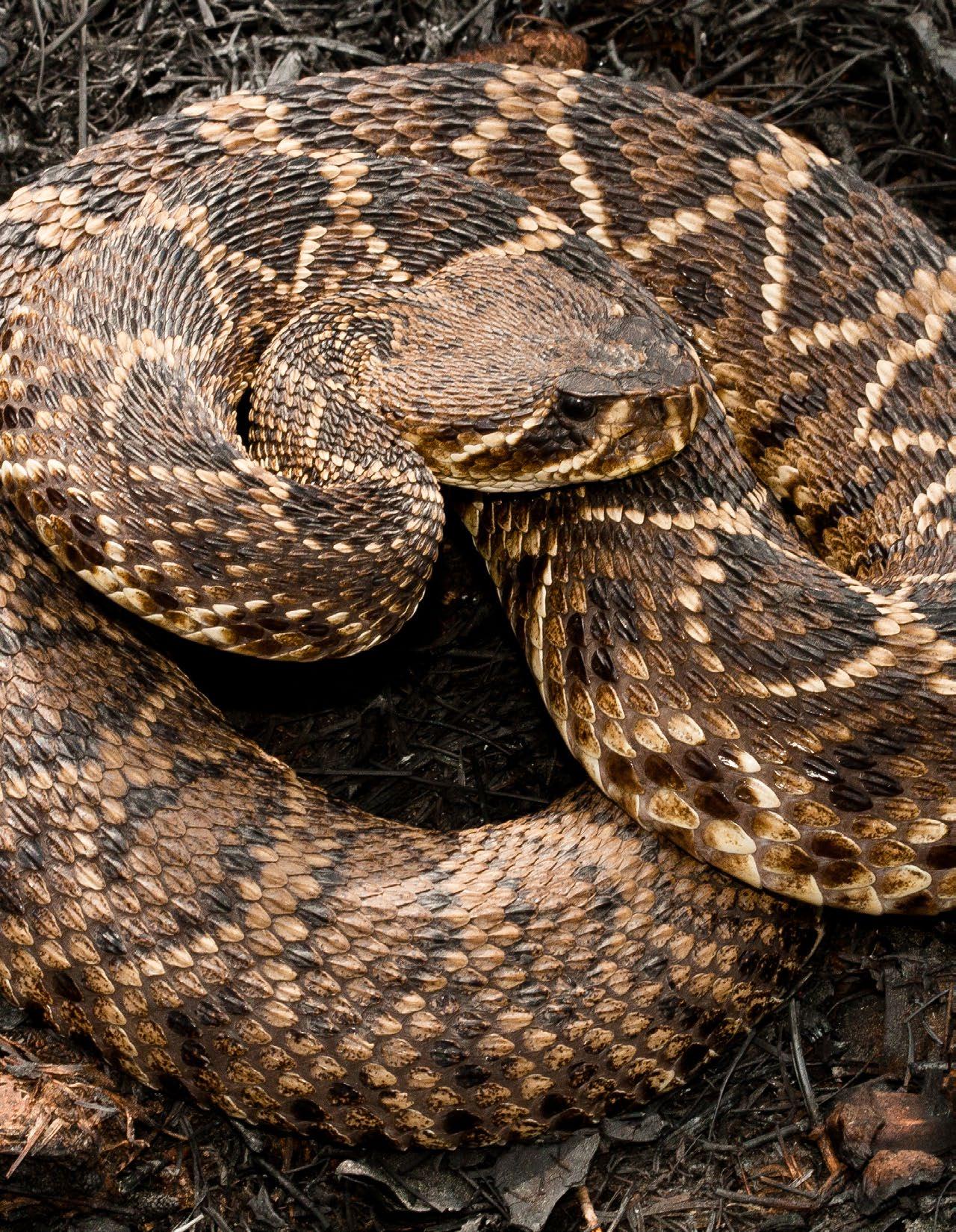
• The decline of the longleaf pine ecosystem (LLP) across the southeastern coastal plain has impacted reptile populations.
• Restoration efforts include prescribed burns, maintaining early successional habitats, and promoting herbaceous understories.
• Restoration phases on Jekyll Island include turfgrass removal, soil preparation, native plant establishment, and long-term monitoring.
• Keys to success include maintaining early successional habitat through prescribed burns, leaving dead trees and stumps for refugia, and promoting a diverse, herbaceous understory
• Availability of overwintering hibernacula in the form of subterranean refuge (stump holes, root systems, gopher tortoise burrows) is an important factor for local populations, especially in the northern portion of their range
• Maritime grassland plant species will ideally support prey populations of C. adamanteus, such as hispid cotton rats (Sigmodon hispidus), that are associated with high densities of monocot plant species (Sullivan, 1995) and marsh rabbits (Sylvagus palustris)
• With a lack of understory management and a high deer population on the island, palmetto has overtaken much of the understory space in forest habitats, limiting understory vegetational growth that would support C. adamanteus prey populations and a more complex habitat structure
• High deer populations and lack of understory management allow palmetto overgrowth, limiting vegetative diversity and prey availability.
• Wildlife corridors face pinch points at specific road locations, highlighting potential sites for underpasses to facilitate safe crossings.
• Snakes take about 11 minutes to cross roads when vehicles approach, often relying on camouflage and freezing behavior, increasing their vulnerability to mortality.

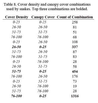
Figure 94: Cover density and canopy cover combinations used by snakes. Top three combinations are bolded. Source: Joyner and Royal (2020)
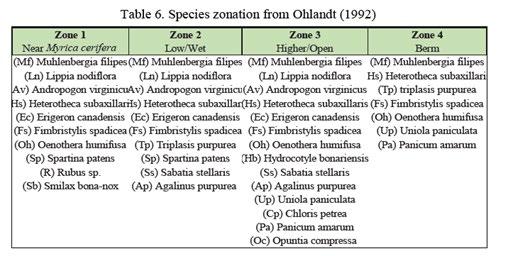
95: Species zonation. Source: Ohlandt (1992)

(Muhlenbergia filipes/ Muhlenbergia sericea)
Sweetgrass, also known as gulf hairawn muhly or coastal muhly grass, is an immensely culturally important plant to the Gullah Geechee communities for creation of African-coiled baskets. These communities that carry with them the tradition of basketweaving are descendants of enslaved Africans who brought the craft with them to the United States, along with skills in rice production, which the baskets were traditionally used. The coiled baskets are made of “threads” of sweetgrass, strips of palm (Sabal palmetto C. loddiges), needles of longleaf pine (Pinus palustris P. Miller), and cuttings of black rush ( Juncus roemerianus G. Scheele). Sweetgrass collectors seek various textures of sweetgrass depending on the application. Differences in sun exposure yield different textured grasses. Coastal muhly grass has become rare in its natural habitat due to urbanization and populations that do exist are inaccessible for many Gullah Geechee.
Sweetgrass is a clump-forming perennial grass found in southeastern coastal plant communities along the Atlantic and Gulf of Mexico with purple/pink flowers typically found in interdune swales of flats in sandy or sandy loam soils. These sites are subject to shallow flooding or seasonably high water tables and do not have a strong tolerance for salt and are not typically tidally influenced, but may be subject to salt water from storm events.
The goal for this project is to transform acres of turfgrass into a diverse native landscape dominated by sweetgrass. Once established, the revitalized habitat will stabilize soils, enhance the island’s resilience to flooding and storm surge, and provide food and shelter for various animals. Selection of the plant material should carefully ensure local ecotypes are used and if not available, the sea islands germplasm can be procured through the USDA’s Brooksville Plant Materials Center.
As a clump forming grass and cool season grass, Sweetgrass does best when it has low competition from weeds, is in soil with a pH between 6-8.5, has an average amount of organic matter in the soil and soil has consistent moisture. Plants can be cut back no more than 6” from the ground to help with plant health and dieback. Cover crops or native spreading plants can help keep weeds from outcompeting. Care should be given to make sure the species of planted sweetgrass is accurate and of a local ecotype, as other muhly grasses often mistaken for sweetgrass are not of high quality for baskets. Plugs should be planted in a 3-by 3¬ foot or 4-by 4-foot spacing.
A sweetgrass prairie allows for an extraordinary opportunity to engage with the community including Gullah Geechee basketweavers to support their craft and tell broader stories to the general public about this important lifeway and cultural feature. This connection can be enhanced through integrating art and sculpture, signage, community events, volunteer activities, and supplying local craftspeople.
Species targeted for this plant community include:
• Pollinators
• Small mammals like hispid cotton rats (Sigmodon hispidus) and marsh rabbits (Sylvagus palustris)
• Songbirds
Key goals and objectives for Sweetgrass prairie restoration include:
Goal Objective
Reduce competition
Promote ideal sweetgrass density, longevity, health
Promote long term survivability
High quality basketmaking material/ stems
Promote ideal sweetgrass density, longevity, health
Ensure population is self-maintaining/ regenerating
Create conditions for desired stem stiffness and a range of texture
Accurate species, Shade, Soil
Reduce the presence of dead stems for ease of processing
Considerations and Metrics Management Response
Weed and fire ant hill density
Soil, Shade, Salt, Herbivory, Disease
Natural regeneration, Germination rates, Survivability
Density and age
Vegetation and pest removal
Genetic testing, Soil amendments, Pest and disease management
Soil, Herbivory, Disease, Salt
Vegetation management, Soil amendments, Pest and disease management
Vegetation management, Soil amendments, Pest and disease management
Vegetation removal/ thinning, Fire management
Vegetation removal/ thinning, Fire management
Winter cut back
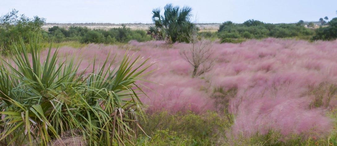
Maritime forests are incredibly important to the overall ecological health of the southeast United States-- they are one of the first lines of defense against storms, recharge groundwater, stabilize soil and provide critical habitat. 65% of the remaining 25,000 ha of remaining maritime forest in the United States are located in Georgia (Mathews et al. 1980; Lopazanski et al. 1988), where 400 ha are located on Jekyll Island (JIA, 2020) (Benson, 2022). Maritime forests have declined and continue to face threats due to urbanization, agriculture, competitive and/or invasive species, pests and disease, and climate change. Furthermore, fragmentation of these forests diminishes their ability to provide ecological value and ecosystem services, and increase the need for the forests to be actively managed to remain intact. On Jekyll Island, Maritime Live Oak Hammocks are identified as a Conservation Priority Area, based on its high global rarity rank (G2) (JIA Conservation Plan).
Southern maritime forests are dominated by Quercus virginiana (live oak), a semievergreen, keystone tree species. It is resilient to many abiotic stressors of the maritime ecoregion, including saltwater spray, hurricanes, and forest fires (Bourdeau and Oosting 1959; Bratton 1993; Conner et al. 2005). Spanish moss is an integral part of maritime forest structure and Q. virginiana is a symbiont of Spanish moss. In addition to wildlife habitat, varying abundance of Spanish moss modifies throughfall and stemfall patterns, which changes soil composition (Rosier et al. 2015) (Figure 1.4). Availability of nutrients and water content in the soil influences microbe activity and plant distribution, which in turn affects the functional diversity of the forests (Smith and McGrath 2011; Rosier et al. 2015). (Natureserve, 2025)
Vegetation of this alliance may be found on xeric to mesic sites, often occurring as linear strands behind frontal dunes. The seaward edge is generally found on the leeward side of dune complexes which provide shelter from excessive salt spray and overwash. This vegetation is also found on top of relict dune ridges and other areas with xeric to mesic hydrology. This alliance also includes upland palm savannas dominated by open to scattered canopy of Sabal palmetto. In some cases, these communities occupy narrow strips of upland adjacent to marsh. (Natureserve, 2025)
In maritime forests in the Sea Islands region (USFS 232Ce, EPA Ecoregion 75j) (Keys et al. 1995, EPA 2204), areas that typically transition to mature maritime forest are first colonized by Juniperus virginiana var. silicicola and Sabal palmetto (with salt shrub species as well). Mature and more protected examples of the maritime forest have relatively closed and diverse canopies and well-developed shrub strata; vines are often conspicuous and abundant, but the herbaceous stratum is typically sparse and low in diversity. South of South Carolina, Pinus elliottii var. elliottii and Sabal palmetto become more prominent. Some floristic elements of the Georgia islands, such as Lyonia ferruginea and Forestiera segregata, are completely absent from barrier islands in the Carolinas. (Natureserve, 2025)
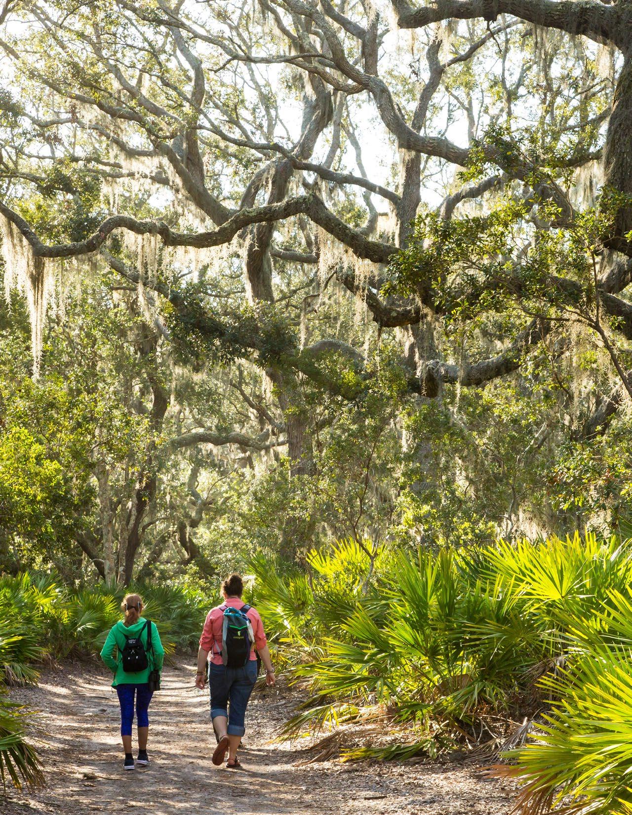
Live oak, as the dominant species, is a keystone species. Live oak, however, cannot keep pace with the myriad of threats the system faces due to its slower growth rate and increases in competition, pests and disease, deer herbivory, fire suppression and other threats to the native forest community on Jekyll Island. As such, wind dispersed trees such as loblolly pine, and invasive species, such as camphor (Cinnamomum camphora), are dominating places this plant community once thrived. Combined with deer herbivory on the island, the threat is even more challenging.
Pleistocene Maritime Forest on Jekyll Island occur over Pleistocene era geological features on the northern one-third of the island with pockets of freshwater wetlands, critical resources in coastal environments. These areas were used for agriculture during the 1700-1800’s. Laurel wilt, an invasive fungal species, has significantly impacted this forest, killing many red bays (Jekyll Conservation Plan).
Key goals and objectives for Pleistocene Maritime Forest restoration include
Establish and maintain southern live oak as the dominant canopy tree
Promote ideal live oak density, longevity, health, growth rate, biomass
Increase overall biodiversity
Height, diameter, % cover, nutrient concentration of leaves
Encourage regeneration Natural regeneration, Germination rates, Survivability
Reduce herbivory
Reduce competition
Manage pests and disease to promote healthy populations of native species
Vegetation and pest removal, Thinning, Fire management, Pest and disease management, New planting
Vegetation and pest removal, Thinning/ gap creation, Fire management, Pest and disease management
Seedling survival and growth Exclusion
Vegetation sampling, Shade, Size
Vegetation sampling, Shade, Size
Vegetation removal
Vegetation and pest removal, Thinning/ gap creation, Fire management, Pest and disease management
Species targeted for this plant community include:
• Wood stork
• Red-cockaded Woodpecker
• Painted bunting
• Northern yellow bat
• Gopher tortoise
• Flatwoods Salamander
• Eastern Diamondback Rattlesnake
• Eastern Indigo Snake
• Little Blue Heron
• Tri-colored Heron
• Monarch butterfly
• Eastern newt
• Hummock crawfish
• Box turtle
• White-tailed deer herbivory
• Hurricane and storm damage resulting in adult live oak crown damage and biomass loss
• Historic long-term fire exclusion, which has led to a thick shrub layer of saw palmetto (Seneroa repens) and a heavy accumulation of litter and duff
• Water availability for establishment
• Herbaceous plant competition, especially from invasive camphor Cinnamomum camphor and Chinese tallow Triadica sebifera
• Light availability and overstory canopy conditions
• Lack of live oak seedlings and saplings and regeneration, Persistence through maturity
• High live oak juvenile survival after planting
• Salt spray and dieback
• Cost-effectiveness

Freshwater wetlands can significantly support biodiverse landscapes, improve water quality, be significant carbon sinks, and provide habitat for a diverse array of native species. They are “hotspots” for birds, amphibians and invertebrates. Restored riparian wetlands can significantly reduce nutrient loads, such as nitrogen and phosphorus, through processes like denitrification, which is essential for improving water quality.
Managing hydrology and vegetation are key factors in restoring these communities. In the past, it is likely ditches were created to drain these wetland resources. Reestablishing hydrological connections with wetland areas is an essential first step in the restoration project. Once hydrological improvements are made, wetland restoration will likely require active restoration, including new planting in areas where the seed bank is not desirable. Given the long history of the project area as a golf course, passive revegetation may not be possible. Additionally, strategic species management and nutrient control will be required to sustain these systems over the long term. Nutrient control will be particularly important when large bird populations visit the site.
Once desired hydrological processes are established, adding a thin layer of sand or organic material to improve soil conditions and promote vegetation re-colonization on areas that do not have an existing vegetated area. Throughout Jekyll Island, herbaceous and forested wetlands are typically found on Rutledge fine sand soils. However, on this site, due to the long history of golf course uses, the soils in the project area have more than likely lost much of its original characteristics and may need amendments to speed up the restoration process.
Forested wetland communities include:
• Coastal Plain Evergreen Hardwood - Conifer Swamp/ Outer Coastal Plain Sweetbay Swamp Forest
• Red Maple – Tupelo Maritime Swamp Forest.
Herbaceous communities are dominated by cordgrass or sawgrass and include:
• Southern Atlantic Coastal Plain Carolina Willow Dune Swale
• Sand Cordgrass – Seashore Mallow
• Herbaceous Vegetation
• Southern Hairgrass – Saltmeadow Cordgrass – Dune Fingergrass Herbaceous Vegetation
• South Atlantic Coastal Pond
• Sawgrass Head
Riparian buffers protect water quality and aquatic habitat by reducing erosion, capturing pollutants, providing habitat corridors and shading nearby waterbodies. The State of Georgia have development regulations that protect riparian buffers, requiring a minimum 25-foot buffers along creeks, streams, rivers, saltwater marsh, and most lakes and ponds and a 50-foot buffer on trout streams (Coastal Riparian Buffer Guidance Manual, 2007). This projects seeks to expand and enhance these buffers in the project area by making them wider, planting with native species, prohibiting fertilizers and herbicides in and near the buffer, using trail materials that are permeable or porous.
Key goals and objectives for Freshwater Herbaceous and Forested Wetlands and Buffers Areas restoration include:
Goal Objective
Improve water quality
Enhance buffers
Provide refuge for target bird species
Foster a balanced water chemistry to support aquatic life
Maintain freshwater salinity levels
Establish naturalized channels and hydroperiods to improve runoff water quality
Establish roosting and nesting sites for target species
Considerations and Metrics
Macroinvertebrates, Water quality sampling
Water salinity
Water quality sampling
Management Response
Aeration, Liming, Add beneficial bacteria, Plant aquatic plants to absorb nitrogen, and consider using a specialized nitratereducing treatment
Pond liner, Convert species to more salt tolerant species, Supplement pond with freshwater from harvested rainwater
Widen buffer, Estalish microtopography in buffer zone, Add additional planting
Sightings, Acoustic monitoring, Wildlife cameras
Move paths away from roosting sites, Buffer sight lines from nesting and roosting sites with planting
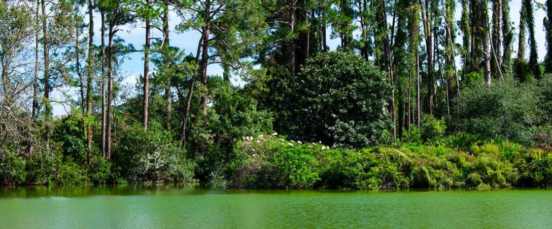
• Avoid winter burns for amphibians
• Increase buffers for amphibians, like flatwoods salamanders, and coverage of herbaceous species
• Retain stumps for amphibians and reptiles
• In pond, consider lowering water level for wood storks to avoid predation from alligators
• Protect rookeries from human disturbance
• Wildlife crossings
• Shallow slopes, no curbs
• Laurel wilt
• Visitor access should be limited to raised boardwalks and walkways
• Minimum 50’ buffer around drainage channels and waterbodies
• Excavate the edges of the inter-course ponds, forming a more gradual slope to encourage wetlands species establishment, banks are typically no steeper than a 3:1
• Pond islands and floating wetlands for animals
• Nesting boxes and platforms
• Wildlife blinds
• Research stations
• Water control structure and aeration devices
• Discourage alligator feeding and predation on other wildlife
Coastal Plain Evergreen Hardwood - Conifer Swamp Forests are dominated by evergreen trees and shrubs, with saturated organic soils and sandy wet mineral soils. Although tolerance of wet soil, the dominant vegetation are not tolerant of deep water flooding for long periods of time and are typically seepage-influenced. Fire is known to have an important role in some plant communities of this group, however some species such as Magnolia, are fire intolerant and there appears to be a wide variety of fire influence in historic communities, particularly those with more hardwood trees and broad-leaved evergreen shrubs. (Natureserve, 2024)
Atlantic & Gulf Coastal Plain Wet Prairie & Marsh are herbaceous or shrub wetlands occurring in depressions and basins, seepage slopes, interdunal swales and poorly drained wet flats. The vegetation ranges from floating-leaved aquatics in deeper basins, to emergent marsh in semipermanent water, to drawdown zones with diverse small graminoid and forb vegetation, to shrub swamp and shrub edges. Examples occupy low, flat plains on poorly drained soils, often saturated for 50-100 days per year. In addition to saturation or flooding, occasional to frequent fires, including during the early growing season, promote the maintenance of this vegetation. Large fluctuations in the water level cause both anaerobic and dry conditions, which promote herbaceous plants rather than trees. Fire may also be necessary to stimulate growth, flowering and seed production of many herbaceous species found in communities of this macrogroup. In the absence of fire, vegetation may become heavily wooded, resulting in the eventual elimination of the herbaceous vegetation (Folkerts 1982). (Natureserve, 2024)

About one third of salt marsh acreage on the east coast of the United States lie in the State of Georgia (Edwards et al, 2013). Tidal marshes exhibit a wide range of vegetation composition heterogeneity based on minor changes of elevation, sediment levels and tidal relationships. Production exceeds decomposition, which results in the increase in organic material over time. On Jekyll Island, the brackish marshes consist of high and low marsh, marsh islands, creek levees, needle rush and shrub borders, and ecotones, or transition zones, between upland and lowland that provide critical habitat and ecosystem support. Marshes are at risk from changes in sea-level, urbanization, pests and disease, poor water quality, and manmade influences on tidal flows, such as dikes and levees.
Southern Atlantic Coastal Plain salt and brackish tidal marshes on Jekyll Island generally have a salinity range of 0.5-18 ppt, are distinct into at least two vegetative groups (low marsh and high marsh), and the vegetation is subject to flooding from the twice-daily tides.
High marsh develop in areas above the mean high water line. High marsh on Jekyll typically contain sea oxeye, Borrichia, Eastern red cedar, groundsel/ Senecio, marsh elder/ Iva, cabbage palm/ Sabal, and fleabane/ Erigeron. Below are typical representative communities in the high marsh.
• A2347. Spartina patens - Spartina bakeri - Juncus roemerianus Brackish Salt Marsh Alliance
• A2346. Spartina spartinae - Juncus roemerianus High Salt Marsh Alliance
• A2344. Iva frutescens - Borrichia arborescens - Baccharis halimifolia Salt Marsh Scrub Alliance
Low marsh develops below the average mean high water line on sediments that are often redistributed after storm tides. Low marsh is dominated by Spartina alterniflora, which requires moderate salinity and high levels of iron. Other species on Jekyll typically include Smooth cordgrass/ Sporobolus alterniflorus, glasswort/ Salicornia, saltwort/ Batis, salt grass/ Distichlis, and needle rush/ Juncus. Typical representative communities in the low marsh include: A4497. Spartina alterniflora South AtlanticGulf Low Salt Marsh Alliance.
Pannes are shallow depressions in a salt marsh that occur in both high and low marsh and have limited vegetation due to the high salinity. Pannes that can occur on Jekyll Island include: A2345. Batis maritima - Sarcocornia pacifica - Distichlis spicata Salt Panne Marsh Alliance.
Saltmarsh islands and transitional ecotones on Jekyll typically contain Cabbage Palmetto – Live Oak Swamp Forests (Sabal palmetto - Quercus virginiana Swamp Forest). Islands can be found on middens and dredge material and typically found on Mandarin fine sands. Salt cedar can be an invasive, exotic species that dominates these areas and other marsh areas. These transitional zones commonly have tree death due to climate-induced changes to salinity or sea-levels.
In brackish marshes, sea-level rise rates in some instances are faster than the development of sediment, and therefore marshes may be unable to “migrate” to higher ground as sea levels rapidly increase. In coastal Georgia, sea levels are rising at a rate of 3.33 mm per year (JIA Conservation Plan, 2020). Projected marsh migration corridors were used in this study to identify areas that should be designed in such a way to promote marsh migration in the face of projected sea level rise.
NOAA’s sea level rise data and the SLAMM 6.3 (Sea Level Affecting Marsh) model were used after a discussion with Ellen Herbert (Ducks Unlimited) and Christine Hladik (Georgia Southern University) about model assumptions (new salinity model, new sediment transport model, finer resolution), model corrections (for example, they verified the model was corrected for vegetation bias in LiDAR data) and resolution of the data on March 7, 2024. An upland change dataset was used to make decisions about marsh migration corridors on the project, assuming a 1-meter projected sea level rise by the year 2100 based on the most current and accurate data available at this time. The model was not adjusted to compensate for the tidal gate at the south end of the site on Jekyll Creek and does not account from flooding due to ground table water rise.
Key goals and objectives for Brackish Marsh and Buffers Areas restoration include:
Goal Objective
Improve water quality
Foster a balanced water chemistry to support aquatic life
Enhance buffers
Provide refuge for target bird species
Establish naturalized channels and hydroperiods to improve runoff water quality
Establish roosting and nesting sites for target species
Provide a corridors for marsh to migrate upstream Remove barriers to marsh migration
Considerations and Metrics
Macroinvertebrates,
Water quality sampling
Water quality sampling
Sightings, Acoustic monitoring, Wildlife cameras
Tidal flows, Vegetation sampling
Management Response
Aeration, Liming, Add beneficial bacteria, Plant aquatic plants to absorb nitrogen, and consider using a specialized nitratereducing treatment
Widen buffer, Establish microtopography in buffer zone, Add additional planting
Move paths away from roosting sites, Buffer sight lines from nesting and roosting sites with planting
Regrade edges, Remove physical barriers, Integrate larger culverts
• Mangrove tree crabs and other species have been documented migrating north from Florida in response to climate change.
• Salt marsh elevations (referenced to zero for NAVD 88, which corresponds to 0.203 m above mean sea level), ranged from about –0.7 m (lower elevation range of tall Spartina habitat along creek banks) to 1.3 m (ecotonal transition to upland, occupied by Borrichia and Juncus; see Hladik, 2012; Hladik and Alber, 2012). Upland vegetation occurred at elevations above 1.5 m (Figure 1b). (Schalles et al., 2013)
• Mature S. alterniflorus will tolerate inundation from saltwater from one inch to 18 inch, declining in vigor as depth increases (Landin, 1991; Materne, 2000). Its optimal inundation level from a mean high-water level to 0.7 meters below sea level occurs
• Dredging and reusing dredge material, Thin layer cover placement
• Living shorelines and Atlantic Ribbed Mussel (G. demissa)- with S. alternifolioa to stimulate plant growth on high-energy sites
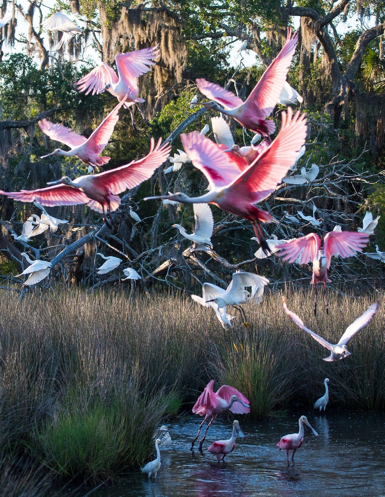
To guide the Jekyll Island restoration, several reference sites with similar ecological communities and management challenges were examined. Ceylon Wildlife Management Area, Little St. Simon’s Island, Cumberland Island and Sapelo Island Wildlife Management Area offer valuable insights into restoration practices, species management, and environmental resilience. Analyzing their approaches to habitat restoration, invasive species control, and coastal protection provides strategies to ensure Jekyll Island’s long-term ecological health and sustainability. When comparing these sites, the examination focuses on:
All sites have similar ecological communities, such as wiregrass savanna (Ceylon and Cumberland) and maritime forests (Little St. Simon’s, Sapelo Island).
Includes successful invasive species removal and habitat restoration efforts, particularly in coastal and forested areas.
Each site supports unique species and faces similar environmental pressures, such as coastal flooding and marsh migration.
Varying site elevations impact their susceptibility to environmental changes like sea-level rise.

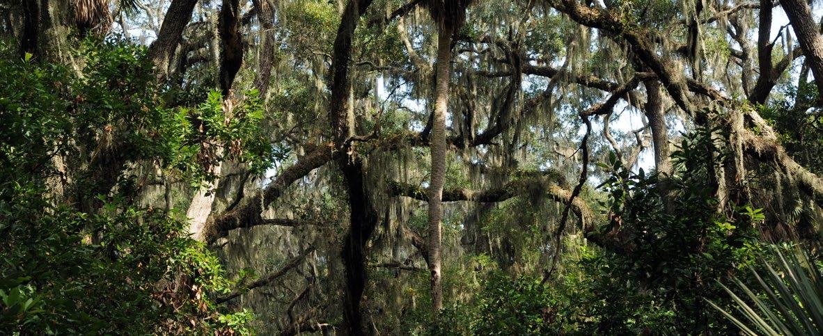
Source: Design Workshop
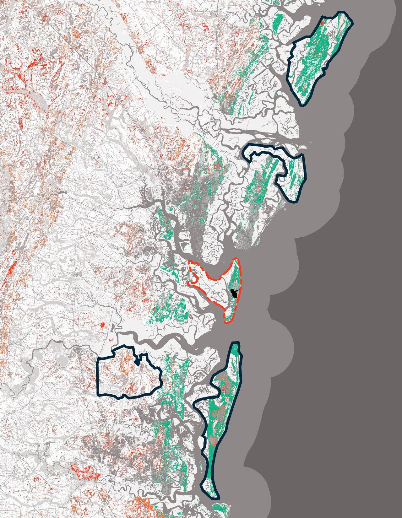
Jekyll
The Ceylon Wildlife Management Area is a protected region created through a military buffer partnership, ensuring long-term conservation and land re mediation. It offers special recreational programs for veterans and includes interpretive elements for education. Ecological restoration efforts focus on native wire grass seed reclamation and regeneration, supported by ongoing monitoring plots and prescribed burns to maintain habitat health. Key partners in this initiative include The Conservation Fund, Open Space Institute, U.S. Fish and Wildlife Service, and the Georgia Outdoor Stewardship Program, working together to safeguard this vital landscape.
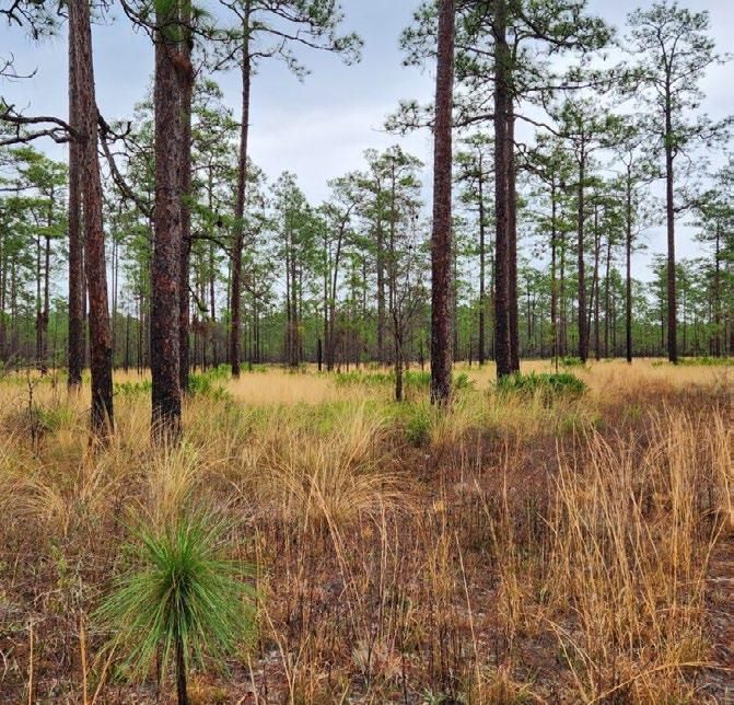
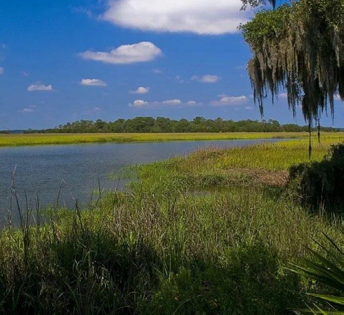
Little St. Simons Preserve is a protected area dedicated to conservation, education, and ecotourism. The Center for Coastal Conservation conducts research and public workshops, while a long-standing partnership with The Nature Conservancy has ensured its protection since the 1960s. The preserve offers luxury eco-tourism experiences alongside ongoing habitat management, including prescribed burns and intensive monitoring of bird populations, butterflies, and invasive species. It also focuses on the restoration of living shorelines to protect coastal ecosystems. The preserve benefits from a dedicated management team to ensure the area’s ecological integrity and sustainability.
Cumberland Island is managed through a comprehensive Fire Management Plan that spans the entire island, supporting both ecological health and fire safety. The National Park Service (NPS) provides extensive guidelines for environmental assessments and desired conditions, covering water resource management, habitat conservation, park operations, and cultural preservation. The island is also a focus of significant terrestrial vegetation monitoring, with a particular emphasis on tracking the impacts of storms and sea level rise. Vegetation mapping efforts contribute to the ongoing understanding and protection of the island’s unique ecosystems.


The Sapelo Wildlife Management Area is a collaborative conservation site, partnering with the UGA Marine Institute for research and education. A key focus is post-colonial reforestation efforts within the RJ Reynolds WMA, where longleaf and slash pine habitats undergo prescribed burns on a three-year cycle. Open areas, like King Savannah, are managed with mowing, burning, and planting of species like Bahia Grass. The long-term plan involves an 80-year rotation of pine growth, with 10-15% of the island as open field habitat, 60-65% as managed pine timber, and 20-30% left in its natural state. The area also honors Gullah Geechee cultural heritage through the preservation of water access, vegetation, and material traditions. Species management, ecological monitoring, and the Sapelo NERR Management Plan
guide the ongoing stewardship of this ecologically and culturally significant landscape. The following case studies will be used to reference means and methods of successful golf course conversion, programming, project phasing, and restoration techniques applicable to the Jekyll Island Ecological Restoration project.
Lemon Creek Wildflower Preserve, located on the Cape Haze Peninsula in Englewood, Florida, spans 80 acres of diverse upland habitats and freshwater ponds that flow into saltwater Lemon Creek. Managed by the Lemon Bay Conservancy (LBC) with the help of volunteers and community groups, the preserve utilizes innovative habitat restoration techniques, such as micro topography and repurposing features of a former golf course.
Partnerships with NOAA and the Southwest Florida Water Management District support conservation efforts. The preserve offers 2.3 miles of pedestrian trails with interpretive signage, pond and meadow overlooks, and points of interest themed around different habitats. Programming includes volunteerdriven planting, water quality monitoring, floating island pond projects, and photo contests, fostering community engagement in the preserve’s conservation.
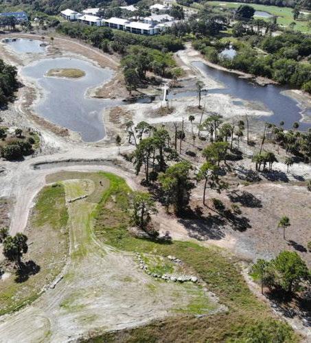
The Acacia Reservation is an ambitious ecological restoration project aimed at revitalizing a 155acre landscape, necessitating diverse financial support and collaboration. Cleveland Metroparks has secured funding from various groups whose initiatives align with the project’s goals, emphasizing the importance of a clear and welldocumented restoration plan. This plan outlines the multitude of ecological benefits that a restored site will provide, including groundwater recharge, flood
and erosion reduction, carbon sequestration, climate regulation, aquatic habitats, and improved air and water quality. Additionally, the restoration efforts will enhance seed dispersal, provide food sources for native wildlife, promote pollination and honey production, support pest control, and offer cultural, intellectual, and spiritual inspiration, as well as recreational opportunities.
Ecologically, the plan considers critical aspects such as watershed context, site drainage, subsurface drainage, geology, soils, current land use, habitat
availability, and the presence of invasive species. It identifies site constraints, including adjacent private developments, stormwater runoff, and noise from traffic, while also incorporating observations from the site to inform management strategies.
The restoration approach includes reference sites that are geographically and ecologically similar, allowing for effective management of phasing and expectations from benefactors and stakeholders. Programming will include recreational amenities, educational activities, and opportunities for fishing, with a focus on ecological restoration across various habitats. Specific quantifiable restoration targets and focal species will guide monitoring and research needs, supported by off-site stormwater partnership opportunities.
To facilitate implementation, the
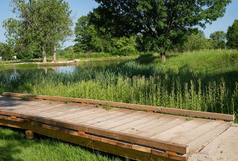
project classifies restoration activities into short-term (1-3 years), mid-term (4-6 years), and long-term (7+ years) categories. Early action opportunities will be prioritized based on
critical areas and timing, while a comprehensive matrix of strategies will outline tasks, costs, and information needs, ensuring a coordinated effort towards
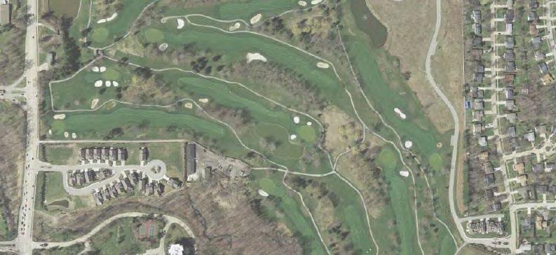
achieving the project’s ambitious ecological restoration goals.
Exploration Green! is an innovative environmental restoration project designed to enhance community resilience and flood management while providing recreational opportunities. Spanning 15 years, the project features 6 miles of hiking and biking trails, as well as engaging activities such as birdwatching tournaments that also serve as fundraising events. Its strategic location adjacent to residential areas, schools, and retail establishments fosters community involvement and accessibility.
Community support has been pivotal in the project’s success, with over 2,000 hours of volunteer labor dedicated to planting trees and wetland species. Volunteers continue to play an essential role in maintaining the landscaped grounds. The first phase of the project, which included the excavation of a detention pond capable of holding back 100 million gallons of water— demonstrated its effectiveness during Hurricane Harvey—was completed in just 3.5 years, primarily due to the lengthy permitting process with the Texas Commission on Environmental Quality. This initial phase also established a community education center and parking
areas, further enhancing the site’s utility.
Funding for Exploration Green! predominantly comes from local bond appropriations, with 95% of the total $40 million budget locally sourced. To minimize costs for the public, the Clear Lake City Water Authority (CLCWA) retains ownership of the land and infrastructure, while the Exploration Green! Conservancy oversees programming and amenities. Financial relationships and documentation of funding have been established to ensure transparency and accountability throughout the project’s development. Each phase is projected to cost between $3.9 million and $6.5 million,

with significant investments earmarked for trails and planting, highlighting the community’s commitment to environmental stewardship and resilience.
Bayshore Preserve is a dynamic ecological restoration project aimed at expanding existing salt marshes, improving water quality, and protecting vital salmon streams and diverse habitats. To ensure the success of the restoration, the team meticulously studied the hydrological flow of nearby salt marshes to replicate these conditions on-site effectively.
The restoration process began
with the cleanup of remnants from a former golf course, including the demolition of structures. This was followed by the construction of manufactured tidal channels and the planting of native species to establish a robust habitat. Volunteers played an integral role in the project, continuously monitoring the newly created salt marsh as it evolved. They employed nets to capture and identify aquatic species utilizing the restored landscape, focusing particularly on key indicators such as clams and salmon, which were crucial for assessing the project’s success.
Today, Bayshore Preserve encompasses a total of 74
acres, blending the former golf course with newly restored salt marshes, shorelines, and riparian habitats. The project not only enhances ecological health but also features programming that includes trails for public access and ongoing vegetation and habitat monitoring, fostering community engagement and education about the importance of preserving coastal ecosystems.


Amphitheater Pond and Environmental Education Hub
Amphitheater Entrance
Longleaf
Observation Point

Oleander
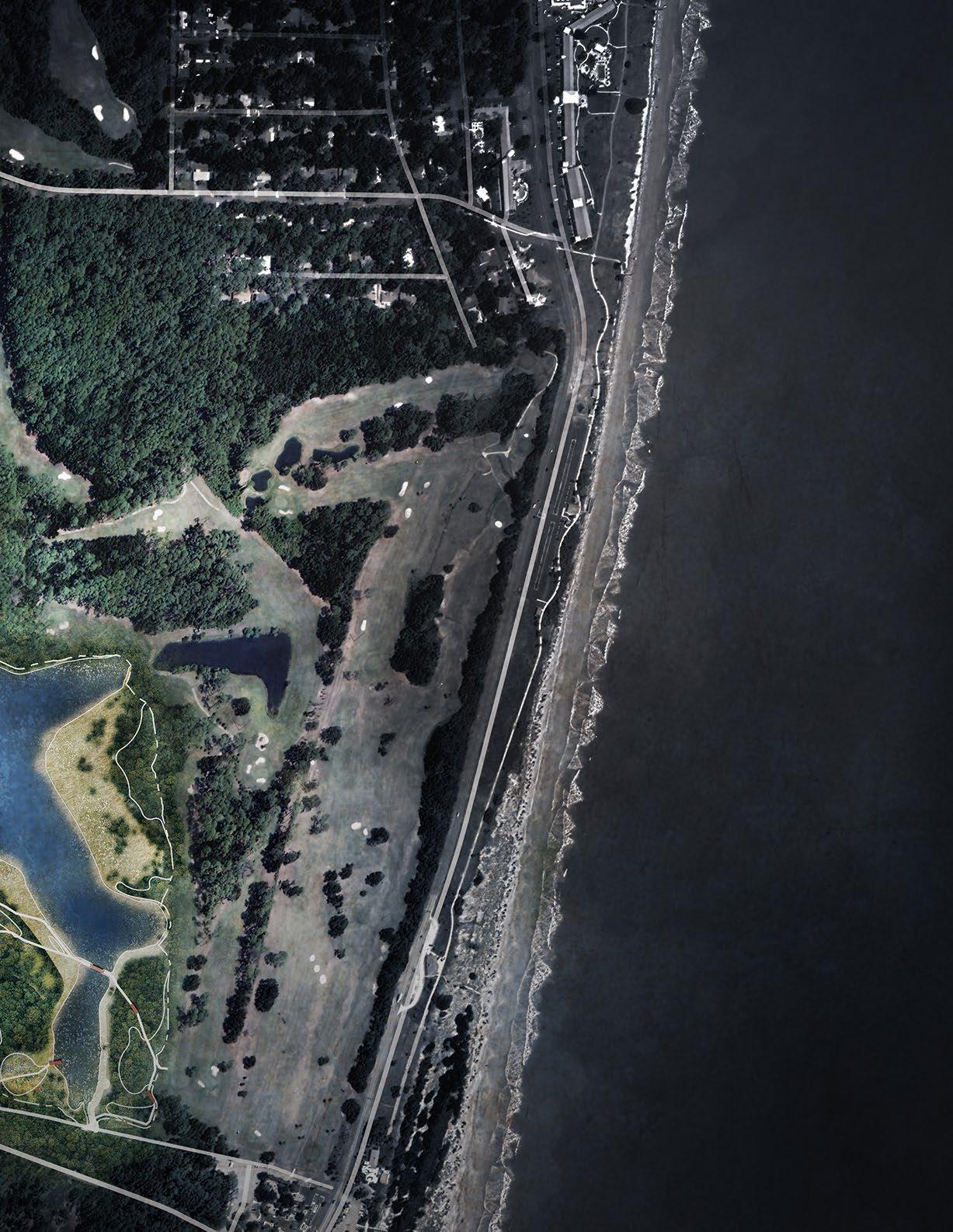
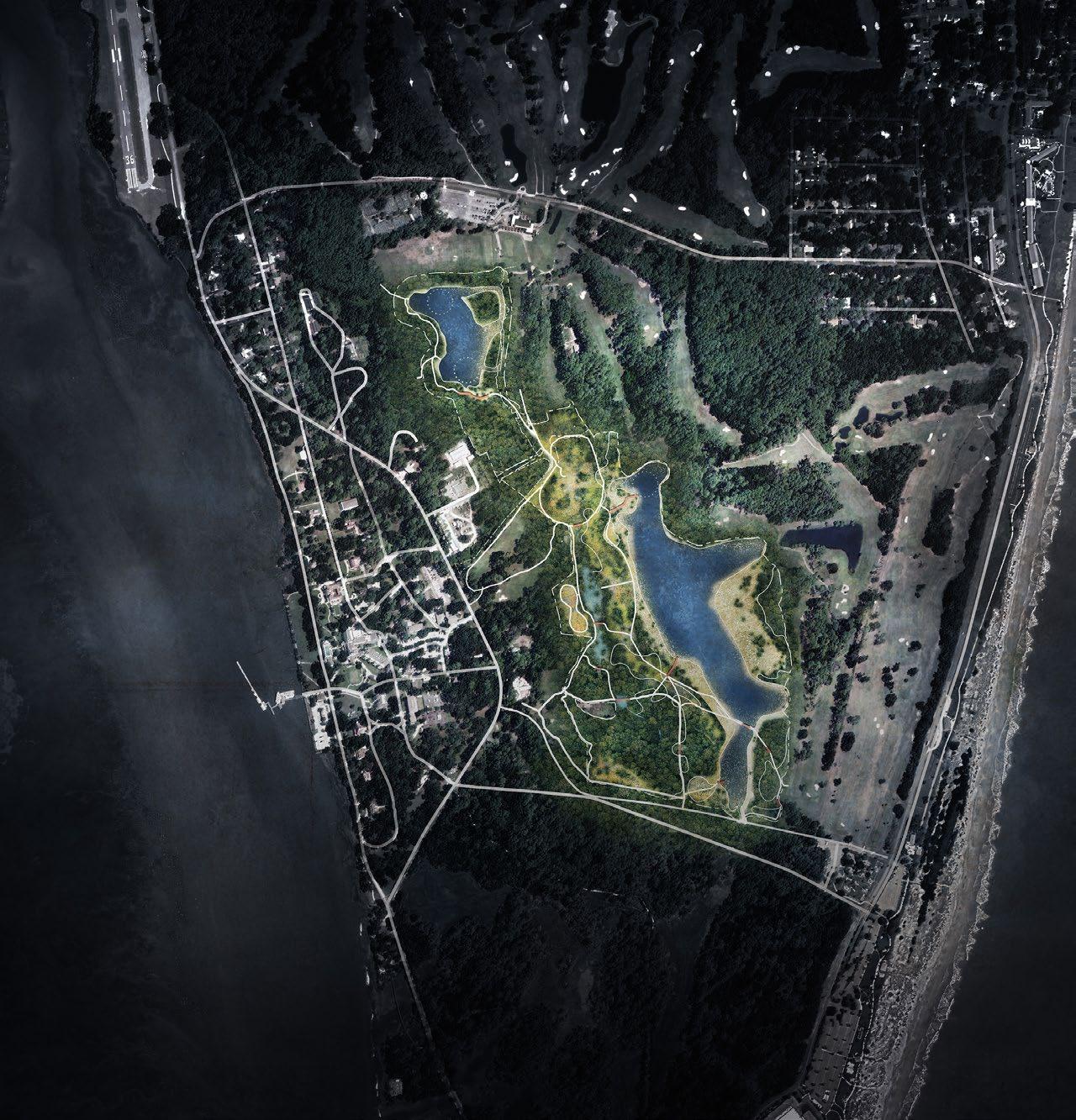
AMPHITHEATER POND
POND
BASALT SCULPTURE
GOLF HOLE FLAG SCULPTURE
RESILIENT RESEARCH LAB SITE SIGNAGE
SWEETGRASS MEMORIAL

RESTORATION
AERATOR
AMPHIBIAN CROSSINGS FLOATING WETLANDS HIBERNACULA
NESTING PLATFORMS
OBSERVATION PLATFORM / BLIND TIDE GATE
CIRCULATION
ELEVATED PATH BIKE PEDESTRIAN
PROPOSED HABITATS
ART + WAYFINDING OPEN WATER
PINE-WIREGRASS SAVANNA
SOUTH ATLANTIC COASTAL POND/ WETLAND MARITIME FOREST
SWEETGRASS MEADOW
UPLAND MARITIME FOREST
FRESHWATER WETLAND
BRACKISH WATER WETLAND AND BUFFER

Art and Wayfinding
Habitat Restoration Recreation
Environmental Education
This project will attract visitors and add a significant outdoor recreational attraction to Jekyll Island. Jekyll is an economically significant enterprise for regional tourism, local job availability, local businesses, and major tax revenues for Brunswick and Glynn County. The island hosts or is connected to 18% of all jobs available in Glynn County. As a sustainable-developed state park community, Jekyll attracts 3.5 million visitors annually, an increase from just over one million a decade ago. Jekyll is highly attractive to visitors who desire exposure to nature while maintaining access to modern amenities, particularly folks with disabilities or the elderly. Trail walking, wildlife viewing, and biking are very popular on Jekyll. Legal protections for roughly 65% of the island to remain undeveloped is what drives the tourism base, which hails predominantly from Georgia, followed by Florida, and South Carolina. Jekyll Island’s position as a highly visited state park provides us with a major opportunity to positively influence our many visitors through access to nature-based recreation opportunities and education.
The project will feature four main hubs of activity:
» The Amphitheater Pond and Environmental Education Hub
» Oleander Pond and Wetland Restoration Hub
» Longleaf Pine - Wiregrass Savanna Wildlife Corridor
» Land Stewardship and Nursery Hub
Compared to other coastal destinations, day and short-stay visits are more affordable on Jekyll, and attract guests of all backgrounds and walks of life. This project will offer recreational access to broad members of the public offering ADA access to open canopy grassland habitats that have become rare. Educational signage and programs will discuss the plight of longleaf pine savannahs, the importance of other rare habitats, the significance of fire management, and highlighting priority wildlife and plant species. Early successional habitats are rare on barrier islands, and restoration projects, like this one, offer the potential to educate a lot of citizens about the importance of such habitats and their restoration needs, which can build awareness and support for more restoration projects across the state.
Amphitheater Pond and Environmental Education Hub
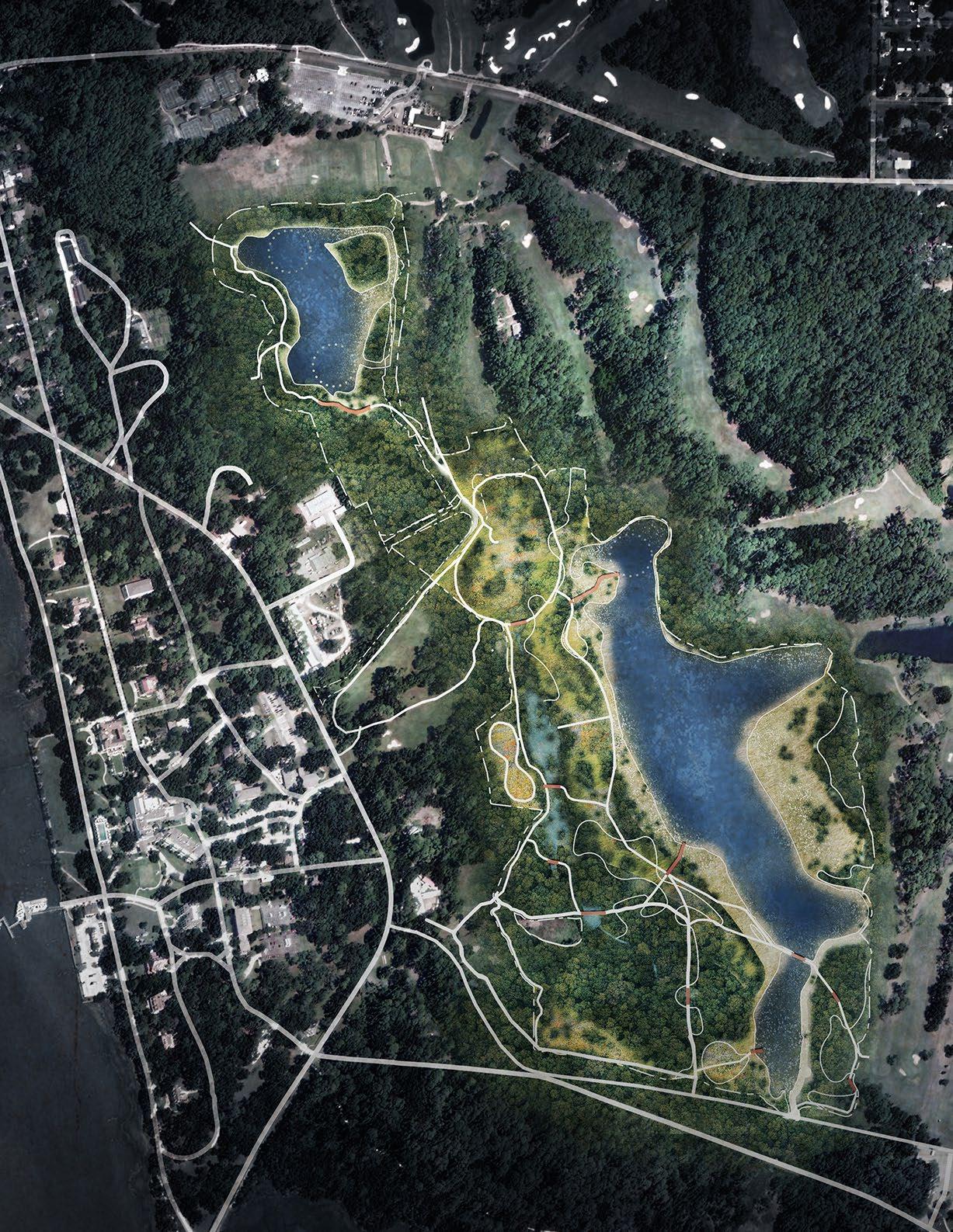
Longleaf Pine Wiregrass Savanna Wildlife Corridor
Land Stewardship and Nursery Hub
Oleander Pond and Wetland Restoration
Beyond the economy, community engagement, and broad regional access to naturebased recreation, this project provides opportunities for research professionals and land managers to learn. Jekyll Iland has dozens of island-wide research projects that inform the conditions prior to restoration (Drone, vegetation monitoring, wildlife telemetry, drift fence, wildlife cameras, etc.). Partners at GA Southern, UGA, UNF, CCGA, and other institutions are all involved in discrete projects to monitor various species pre-restoration.
Turning a section of golf course into a natural habitat is a once-in-a-generation opportunity for regional professionals to continue these projects during and post-restoration. More golf courses will become decommissioned as financial limitations increase, and younger demographics avoid the sport. Literature about golf restoration is extremely limited, and all projects we could find involved hydrological restoration rather than grassland restoration. We seek to describe how to achieve both and share our results with public works professionals, government officials, and land managers far and wide. We will share our results, and methods to encourage others to consider replacing golf courses with natural habitats rather than development. A regionally accessible recreational park that prominently features wildlife is a win-win for any community that wants to improve sustainability and quality of life.
Amenities for low impact recreation, environmental education and nature viewing were carefully considered in conjunction with restoration of native habitats for this project. Low impact recreational and nature park enhancements will provide places for people to experience new habitat areas through wildlife viewing, walking, kayaking, and biking.
The amenities will include:
• Environmental education and research facilities
• Bike and walking trails
• Educational and wayfinding signage
• Interpretive and interactive art
• Gathering pavilions
• Seating
• Wildlife viewing
• Nature play space
• Bike parking
• Kayak dock
• Habitat improvements
• Boardwalks and observation decks

The current program at the site on Jekyll Island is entirely focused on golf, with large stretches of intensively maintained turf dominating the landscape. A network of golf cart paths runs through the course, existing alongside the site’s ponds and wetlands to provide easy access for players. These features, while central to the golf experience, represent a highly specialized use of the land, limiting its accessibility and appeal to a broader audience.
Rising sea levels, however, are posing significant challenges to the sustainability of the site within Jekyll Island. In many areas, the cost of maintaining the course has increased due to flooding, soil salinization, and the constant need for upkeep of these vulnerable zones. These environmental pressures are making it difficult to justify the continuation of such a resource-intensive program, especially as climate conditions are expected to worsen over time.
In response to these challenges, there is now an effort to rethink the use of this space. The goal is to introduce alternative programming that balances ecological preservation with community engagement. By diversifying the activities available on-site, the space can transform into a dynamic public asset, offering recreational, educational, and cultural opportunities for a wider range of visitors. This shift would not only address the environmental realities but also create a more inclusive and resilient future for the site.


Restoration
Tide Gate
Nesting Platform
Greenhouse and Grow Area
Amphibian Crossing
Aerator
Hibernaculum
Floating Wetland Zone
Nature Park
Observation Platform/Blind
Gathering Area
Pocket Prairie
Grassland Walking Loop
Land Bridge
Sand Play Pit
Kayak Dock
Bike Parking
Trailhead
Golf Hold Flag Sculpture
Sweetgrass Memorial
Ballast Sculpture
Pavilion
Notes
Hydrologic improvement to create island in Amphitheater Pond
Hydrologic improvement to improve freshwater wetland
Use cut from hydrologic improvement to create berms to protect freshwater wetland
Habitat Restoration
Open Water
Freshwater Wetland
Brackish Wetland
Salt Water Marsh
Salt Water Riparian Edge
Longleaf Pine Wiregrass Savanna
Pollinator Garden
Upland Maritime Forest
Maritime Forest
Circulation
Sweetgrass Prairie Path
Elevated Path
Bike Path
Hydrology
Steam or Ditch
Culvert or Pipe
Topography

This concept plan thoughtfully integrates recreation, restoration, and interpretive elements across the site, creating a dynamic space where visitors can engage with the landscape while fostering an understanding of its ecological and cultural significance.
Recreational opportunities are abundant and diverse, encouraging exploration and connection with nature. Key features include observational platforms and blinds that offer views of wildlife while providing protection for wildlife , a grassland walking loop for immersive experiences, and a natural playground designed to inspire curiosity and creativity. The pollinator garden and sweet grass memorial serve as both contemplative spaces and vital ecological assets, supporting native species and honoring cultural narratives.
Throughout the site, circulation is seamlessly designed to enhance accessibility and minimize impact on the existing landscape, and both the restored and existing habitats. The trailhead connects to the broader greenway network on Jeykll Island, while boardwalks and a land bridge provide pathways through sensitive areas thru the site. The inclusion of bike parking and kayak docks ensures the site is accessible for various recreational activities, promoting active engagement.
Interpretive art elements, such as golf sculptures and interpretive nodes, weave cultural, climate awareness, and historical storytelling into the visitor experience. The amphitheater, future educational pavilion and gathering areas provide spaces for learning, community events, and relaxation, while ballast elements nod to the site’s maritime heritage.
Through these features, the site transforms into a vibrant hub where recreation, education, research, and ecological restoration converge, offering a model for golf course restoration into native habitat on the coast.
Major Path
Bike Friendly Path Minor Path Existing Trail Node
Restoration Tide Gate
Nesting Platform Greenhouse and Grow Area Tunnel
Aerators
Hybernaculum
Floating Wetlands
Site Feature
1 Observation Platform/Blind
2 Gathering Area
3 Pollinator Garden
4 Grassland Walking Loop
5 Land Bridge
Boardwalk
Balast
Sweetgrass Memorial
Natural Playground
T Trailhead
Interpretive Node
P Bike Parking
Golf Sculpture Pavilion
Kayak Dock Note
A Hydrologic improvement to create islands in Amphitheater Pond
B Hydrologic improvement to improve freshwater wetland
C Use cut from hydrologic improvement to create berms to protect savanna and freshwater wetland
D Improve water capacity and strategically permit marsh migration
118: A plan highlighting the proposed recreation, circulation, restoration efforts and interpretive art elements. Source: Design Workshop
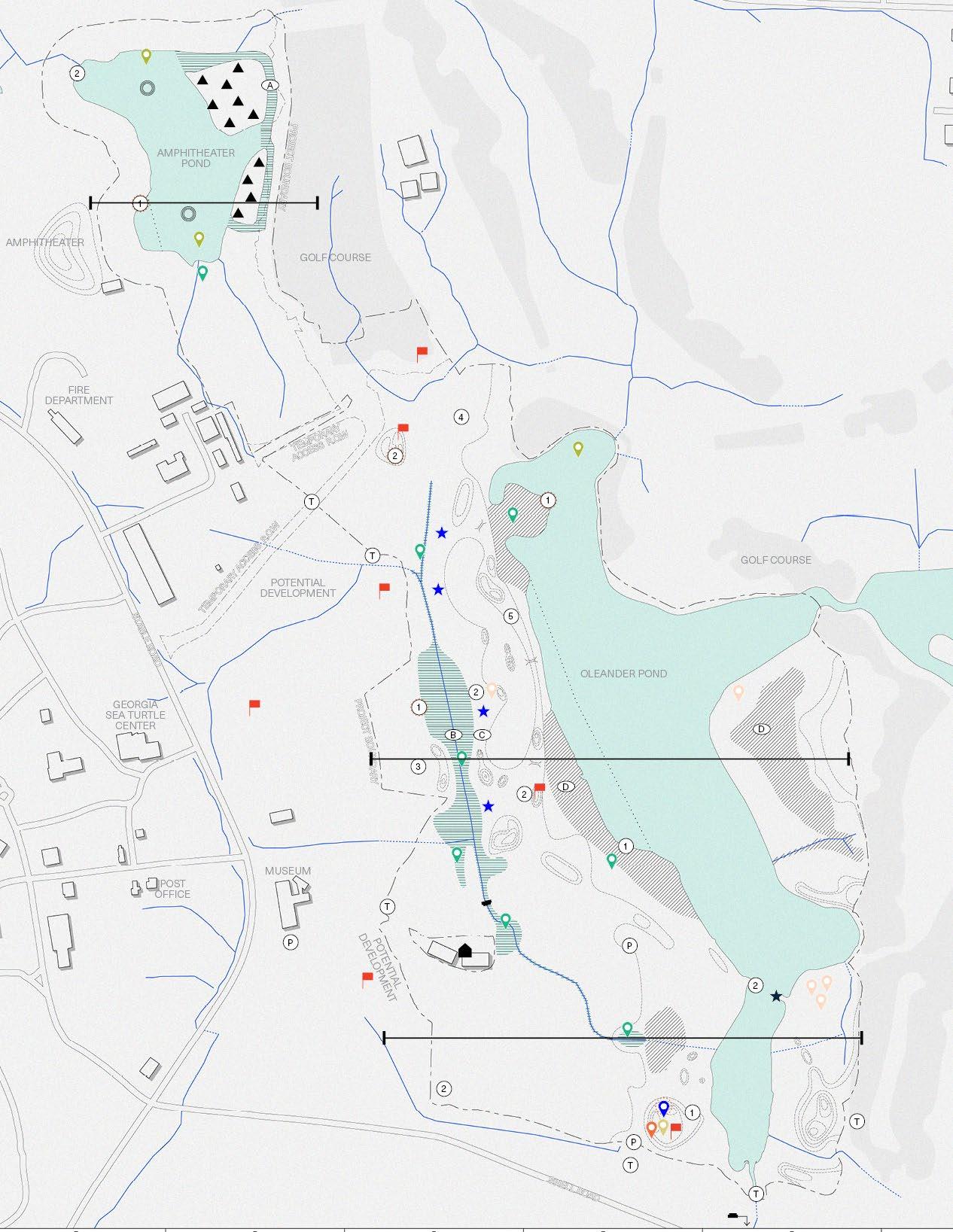

By restoring native ecosystems such as longleaf pine savannas, wetlands, and pollinator meadows, the project enhances biodiversity, strengthens climate resilience, and reconnects people with nature. Key efforts include removing turfgrass, controlling invasive species, improving soil health, and planting native vegetation. These habitats provide essential refuge for species like the gopher tortoise, barn owl, and eastern indigo snake while stabilizing the island against erosion, stormwater, and rising sea levels.
Innovative, climate-adaptive design integrates Jekyll’s topography and history to create interconnected, resilient ecosystems. Community engagement is central, with trails, boardwalks, and interpretive displays offering educational opportunities and fostering stewardship. This concept highlights the power of ecological restoration to support environmental health and community well-being, positioning Jekyll Island as a model for sustainable coastal restoration.
Habitat Restoration
Open Water
Freshwater Wetland
Brackish Wetland
Salt Water Marsh
Salt Water Riparian Edge
Longleaf Pine Wiregrass Savanna
Pollinator Garden
Upland Maritime Forest
Maritime Forest
Sweetgrass Prairie
Circulation
Path
Elevated Path
Bike Path
Hydrology
Steam or Ditch
Topography
Culvert or Pipe 0
AMPHITHEATER

CLUB RESORT
AMPHITHEATER POND
COTTAGES
FIRE DEPARTMENT
GOLF COURSE
POTENTIAL DEVELOPMENT
GEORGIA SEA TURTLE CENTER
MUSEUM

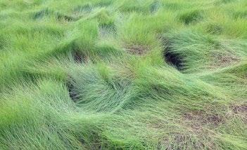
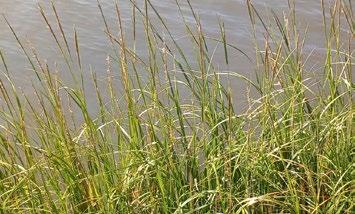

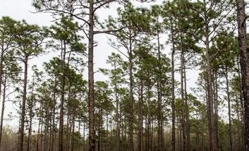


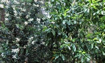
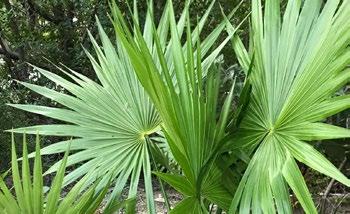
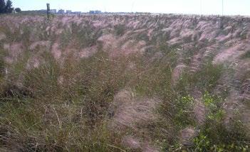
AMPHITHEATER
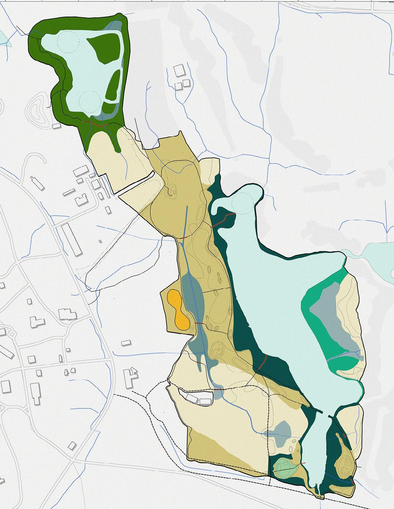
FIRE DEPARTMENT
GOLF COURSE
POTENTIAL DEVELOPMENT
Figure 120: (Left) A chart of key plant species found in the proposed restored habitats.
Figure 121: Map of the proposed restored habitats on site.
Source: Design Workshop
Habitat
Open Water
Fresh Water Wetland
Brackish Wetland
Salt Water Marsh
Salt Water Riparian Edge
Longleaf Pine Wiregrass Savanna
Pollinator Garden
Upland Maritime Forest
Maritime Forest
Sweetgrass Prairie
0 500 feet 250
The amphitheater and adjacent freshwater pond present amazing opportunities for environmental education, research and nature-based experiences. The existing infrastructure of the pond, amphitheater, parking lot and trails make this area most accessible by the public, by foot, car or bike. The plan imagines the amphitheater restored to provide a home for outdoor education programs and lectures. The pond will offer habitat features for roosting birds, floating wetlands for basking and improving water quality, and platforms to conduct research. Other features like wildlife blinds and a loop trail around the pond can make this a birder’s paradise
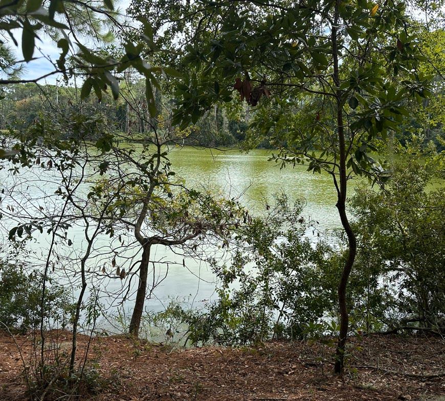
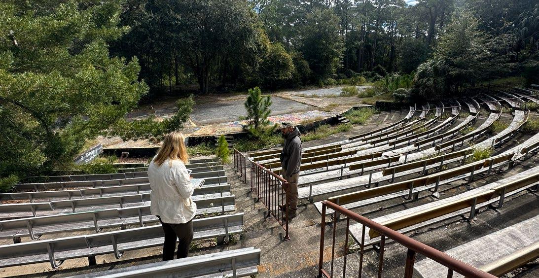


ENHANCED BUFFER
OBSERVATION BOARDWALK Low impact structure for the boardwalks
WILDLIFE BLIND
Source: Design Workshop

Floating wetlands performing water phyotremediation
Continuing throughout the site the integration of restored and existing habitats with thoughtfully designed spaces for exploration and learning. Trails, boardwalks, and wildlife underpasses provide seamless connections through diverse ecosystems, while an observational platform offers a vantage point to appreciate the site’s natural beauty and ecological significance.
The historic amphitheater serves as a dynamic activity hub, blending its cultural legacy with educational opportunities. This space allows visitors to learn about the site’s importance, from its rich habitats to its innovative restoration strategies. Together, these elements foster a deep connection between people, nature, and the site’s history.
Figure 126: Diagram highlighting the program uses near the existing amphitheater on the site, and its restored habitats. Source: Design Workshop

OBSERVATIONAL PLATFORM
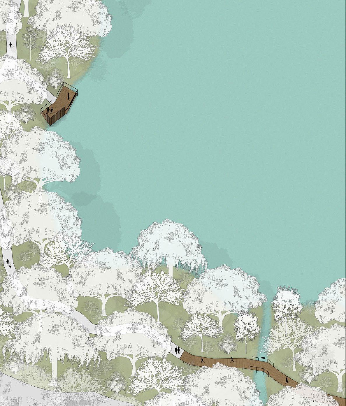
EASTERN NEWT
Notophthalmus viridscens
BOX TURTLE
Terrapene
EASTERN DIAMONDBACK RATTLESNAKE
Crotalus adamanteus
Creating islands in the Amphitheater Pond introduces essential natural barriers that protect nesting birds from predators and human disturbance. This approach is vital for enhancing biodiversity in one of Jekyll Island’s limited freshwater habitats. Located in the upper area of the site, this freshwater pond benefits from its elevated position, making it less susceptible to inundation and saltwater intrusion. The pond has the potential to support key fauna such as the Eastern Newt and the Hummock Crawfish, while also serving as a nesting habitat for various bird species. With the installation of nesting platforms it will further support the needs of these birds, encouraging them to establish nests in this critical area. The Amphitheater Pond’s upland location ensures its resilience against rising sea levels, making it a reliable refuge for wildlife as coastal habitats face increasing pressures. By integrating these protective measures, the project not only fosters a thriving avian population but also strengthens the ecological stability of the pond, creating a sustainable habitat that adapts to environmental challenges over time.

*The vertical scale is exaggerated 5 times compared to the horizontal scale to highlight topographic conditions

The Oleander Pond currently has little vegetation buffering its edge and presents opportunities to study various levels of salinity and marsh migration due to the ability to control the pond with a tidal gate. Former golf course areas will be restored with native habitat and the natural hydrology will be restored through naturalization of previously developed ditches and new wetland restoration areas. Overlooks and a boardwalk system will allow for people and animals to use the corridor with minimal conflict, and a kayak dock will allow for a new water access point.
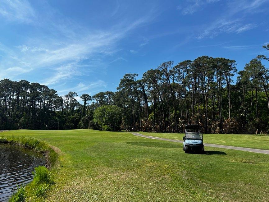
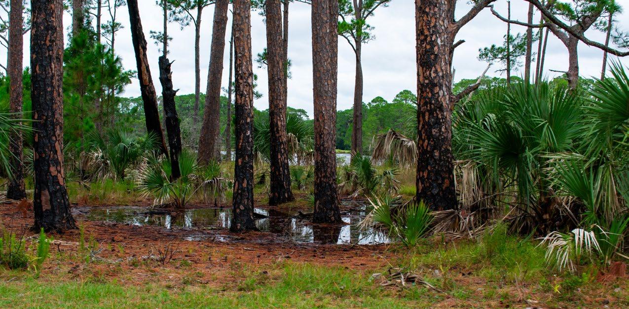
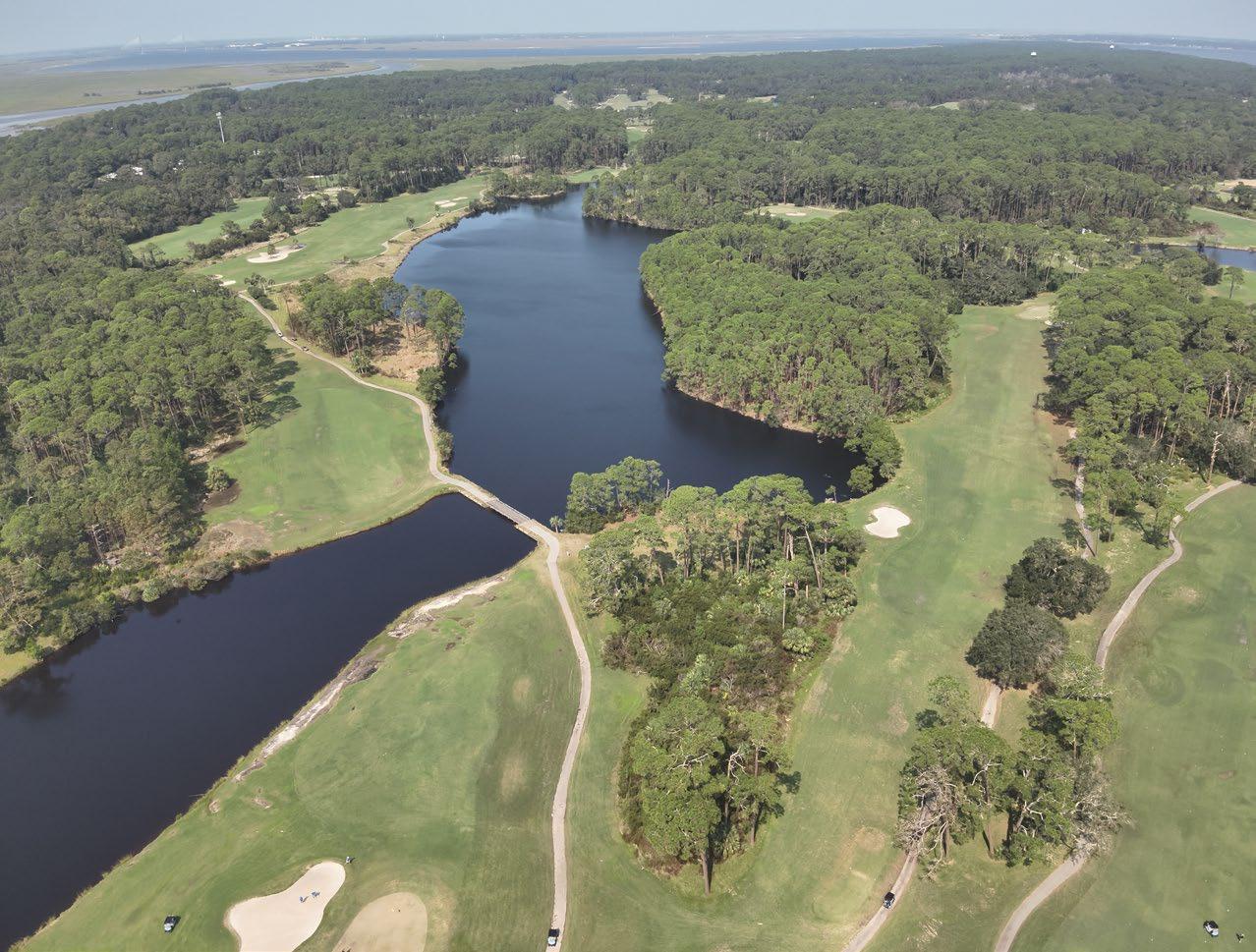
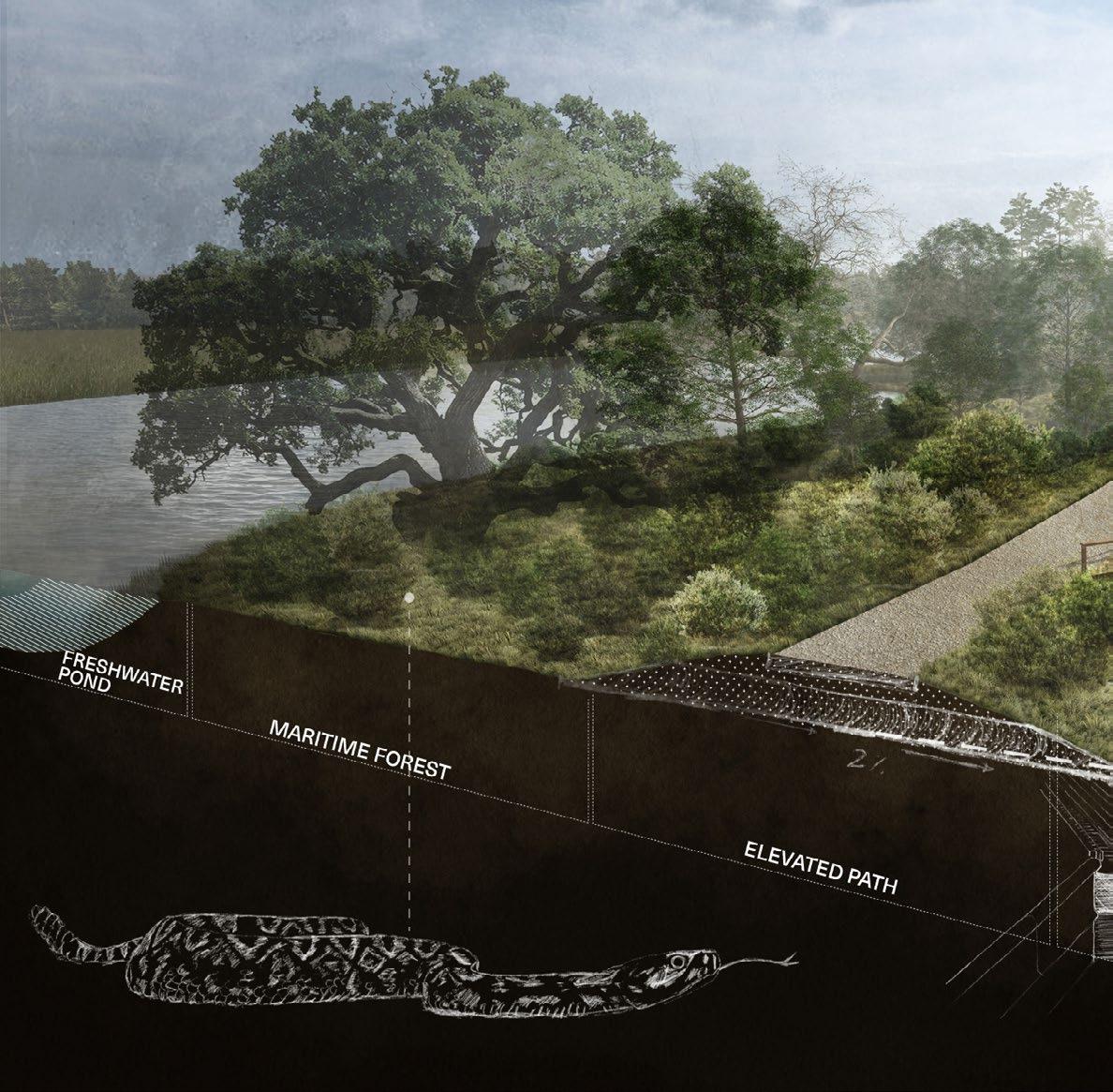
experience and wetland restoration are prioritized through integrated infrastructure and strategic restoration interventions that allows low-impact access into the recovering ecosystem. Source: Design Workshop
DEER EXCLUSION

RETAINED SNAGS
LOW IMPACT BOARDWALK
WILDLIFE OBSERVATION
WILDLIFE UNDERPASS
AQUATIC SHELF AND LIVING SHORELINE FOR MARSH MIGRATION
The design harmonious the integration of restored and existing habitats with thoughtfully designed spaces for human engagement. An observational platform, trails, and elevated boardwalks provide immersive experiences, inviting visitors to connect with the site’s ecological richness. Wildlife underpasses ensure habitat connectivity, prioritizing the needs of native species.
Strategically re-purposed golf cart paths blend seamlessly with the natural landscape, offering accessible pathways while minimizing environmental impact. Newly established habitats, combined with these features, create authentic spaces that celebrate the balance between conservation and recreation, emphasizing both ecological resilience and the meaningful human experience of the site.
Source: Design Workshop
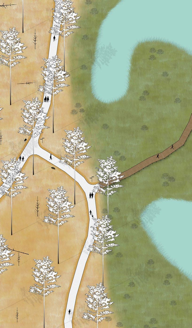
OBSERVATIONAL PLATFORM

PAINTED BUNTING
Passerina ciris
Located in the lowest area of the site, Oleander Pond faces periodic saltwater intrusion, especially during flooding events. As sea levels rise, increased salinity will transform the pond and its surroundings, likely leading to the expansion of salt marshes. These changes present both challenges and opportunities for ecological management. This is a vital habitat for species like the Diamondback Terrapin, underscoring its ecological significance. Future management efforts will prioritize balancing habitat preservation with the natural processes of marsh migration. Strategies include constructing berms and mounds to guide marsh expansion into brackish wetlands while safeguarding critical habitats and freshwater resources. Topographic modifications will mitigate tidal flooding in key areas, stabilize vegetative communities, and create wider habitat corridors over time. These actions will slow upland conversion rates, provide more management opportunities, and address regulatory considerations, ensuring the pond remains a resilient and thriving ecological asset in the face of climate change.
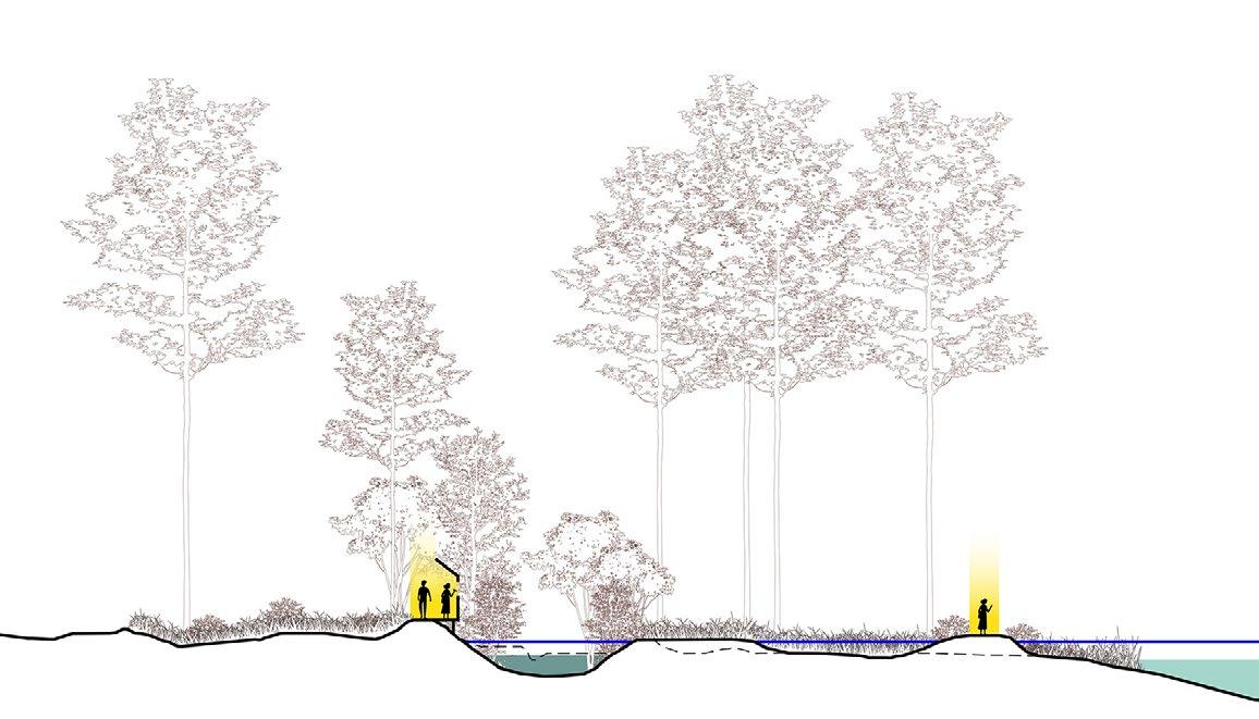

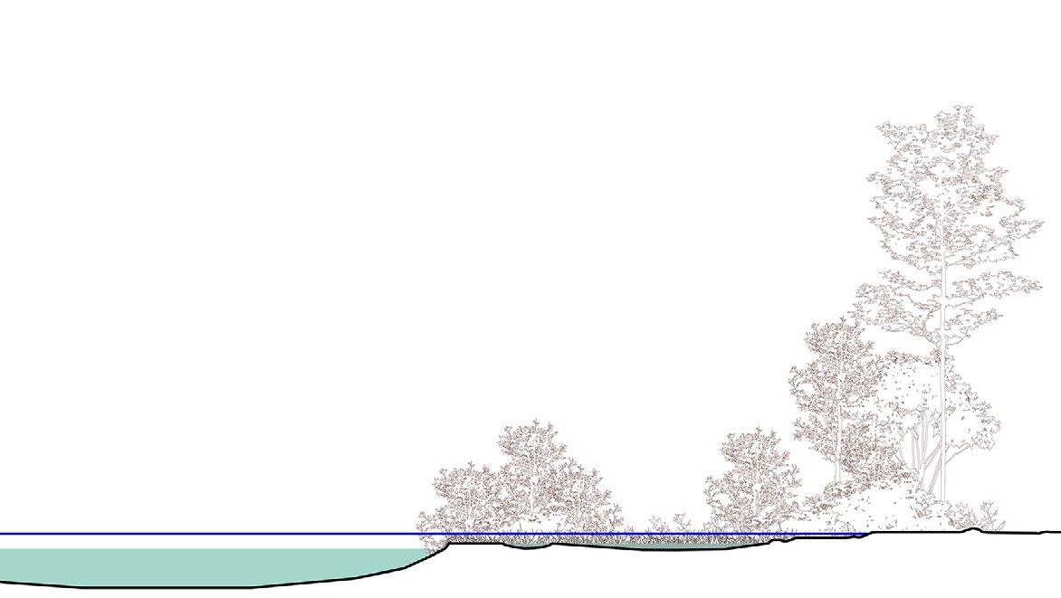
The freshwater corridor benefits from elevated topography, shielding it from most tidal flooding. However, its southern boundary remains vulnerable to high tides and extreme flood events. To address this, a tide gate has been installed to separate the pond from the freshwater wetland system, offering critical protection even during 100-year flood scenarios. Enhancing the depth of the adjacent brackish wetland further supports ecological adaptation. By facilitating controlled inundation, this strategy creates a gradient of habitats that accommodate a diverse array of plant and animal species. This gradient not only fosters biodiversity but also enhances the system’s resilience to changing salinity levels. Water control devices integrated into the system provide researchers with tools to monitor and manage salinity and water flow. These devices enable a deeper understanding of how salinity impacts ecosystems, guiding adaptive management practices. Together, these measures ensure the freshwater corridor remains a robust, dynamic, and research-driven ecological asset.
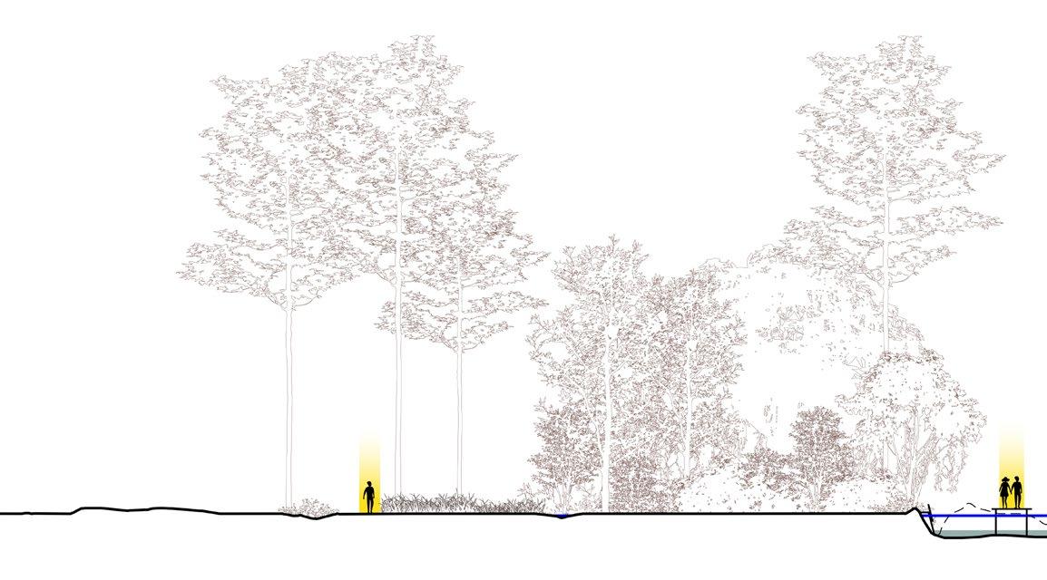
*The vertical scale is exaggerated 5 times compared to the horizontal scale to highlight topographic conditions

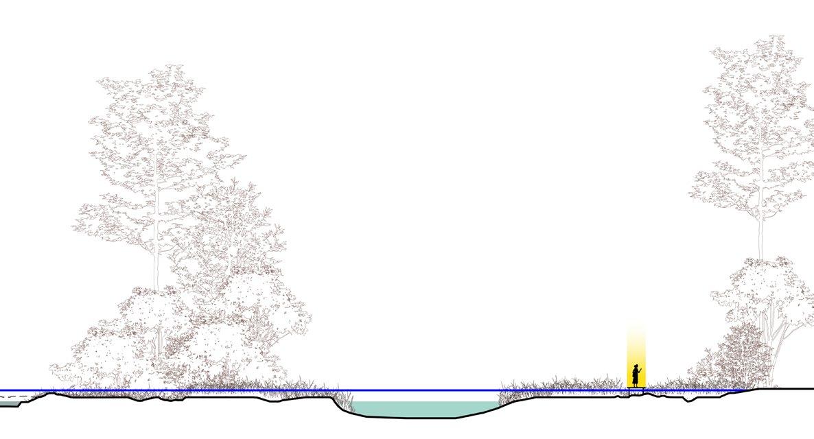
The new wildlife corridor, including a freshwater wetland restoration and pollinator meadow, will convert the fairways of the existing golf course to a biodiverse and rich landscape with amenities for a wide variety of user types. Interpretive art and social spaces will promote human use of the spaces in a way that does not compromise the habitat goals for the project.

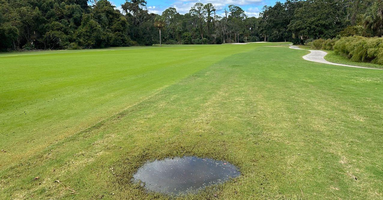

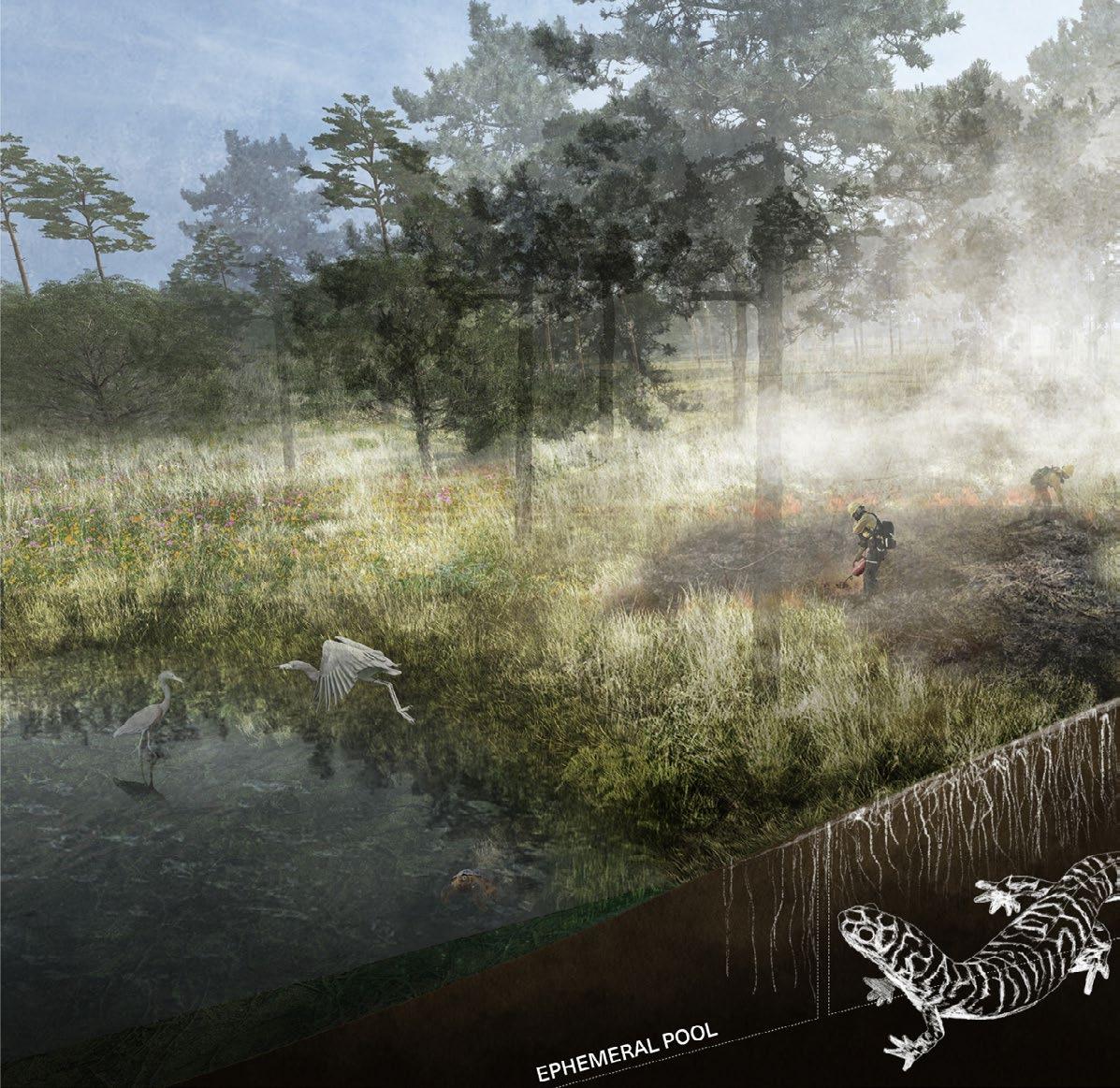
POLLINATOR MEADOW
CONTROLLED FIRE BURN
The concept plan celebrates the site through preserving its history in artistic installations while transforming it into a restored wildlife corridor for the benefit of ecological systems and target species.
Source: Design Workshop
GOLF COURSE LEGACY SCULPTURE AND WATER LEVEL INDICATOR

HIBERNACULUM
SWEET GRASS SCULPTURE
The site’s design integrates ecological restoration with spaces that enrich the human experience. Programs like the natural playground and sweet grass memorial invite visitors to engage with the landscape in a meaningful and reflective ways. The educational pavilion, boardwalk, and observational platform offer immersive opportunities to learn about the site’s restored habitats, fostering a deeper connection to its ecological and cultural significance.
The human experience through the site begins at the trailhead, seamlessly connecting to the existing greenway and inviting exploration. Re-purposed sand traps and mounds now serve as scenic overlooks and natureinspired play areas, offering moments of discovery and interaction with the surrounding environment. These features are carefully placed to harmonize with the restored and existing habitats, emphasizing the relationship between people and nature.


NATURAL PLAYGROUND
EDUCATION PAVILION
BOARDWALK + OBSERVATIONAL PLATFORM
LOGGERHEAD SHRIKE
Interpretive art installations invite reflection and provide insight into the site’s natural and cultural history. Trails, boardwalks, and wildlife underpasses weave through restored and existing habitats, ensuring accessibility while preserving ecological integrity.
The inclusion of hibernacula and wildlife underpasses enhances the habitats by offering vital shelter for wildlife, supporting key species. These elements together create a cohesive design that highlights the intricate relationship between people and the environment, blending education, conservation, and meaningful human engagement with nature.
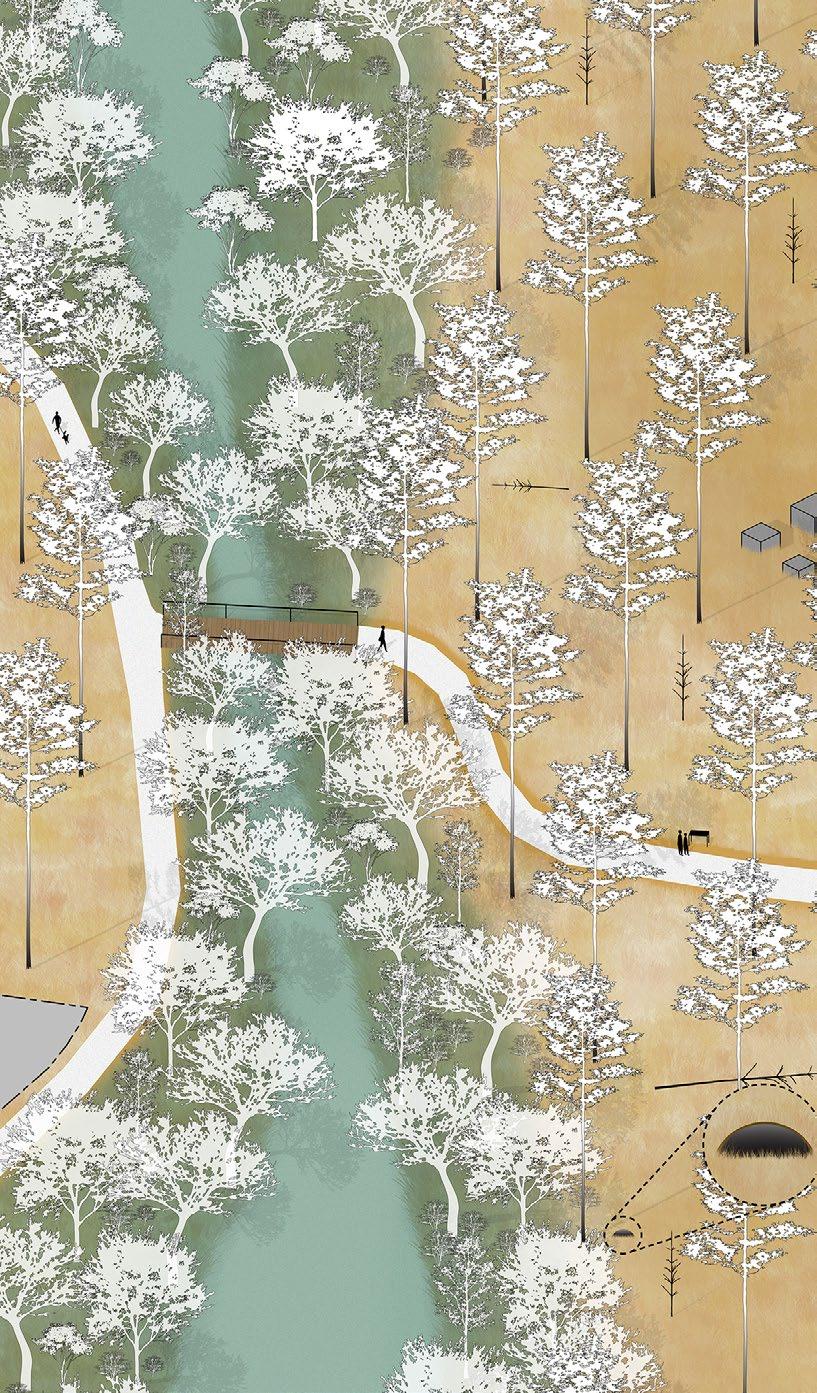
EASTERN NEWT Notophthalmus viridscens
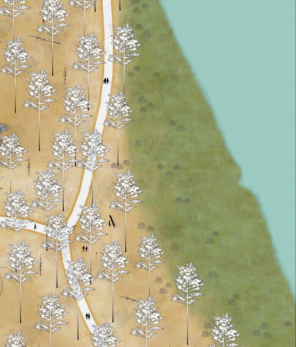
EASTERN DIAMONDBACK RATTLESNAKE
Crotalus adamanteus
INTERPRETIVE ART
BOX TURTLE
Terrapene
TRAIL
DIAMONDBACK TERRAPIN
Malaclemys terrapin
Recognizing that native plant material from nearby will be difficult to procure in the quantities and quality needed, JIA staff will manage the on-site growing and procurement of plant material (mostly seed, plugs and small trees) for the restoration effort. An area has been identified on-site for the facility, which can also provide an educational events to inform the community about the restoration activities.


The boardwalk at Jekyll Island is designed to provide visitors with an immersive way to explore the island’s unique ecosystem while minimizing disturbance to its delicate ecological processes. Elevated above the wetlands, it serves as both a pathway and an observation deck, allowing guests to experience the beauty of the environment, even during periods of mild flooding.
Visitors are invited to stroll along this carefully crafted structure, which offers panoramic views of the wetlands and an opportunity to observe the diverse wildlife that calls this habitat home. From wading birds to small amphibians, the boardwalk creates a window into the site’s nature.
Durability is a key feature of the design, as it must withstand constant exposure to moisture, salt, and the wear of foot traffic. Using resilient materials and sustainable construction methods, the boardwalk is not only built to last but also complements the natural surroundings, enhancing the visitor experience while preserving the integrity of the site.
The following details are for design intent only. All information should be verified by structural engineers.
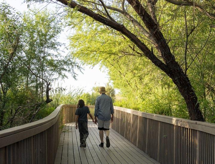

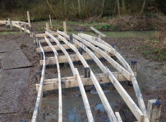
This detail shows a top-down view of the boardwalk constructed with marine-rated treated lumber with WEAR DECK 5/4” x 8” x 12’ composite decking essential for durability in high-moisture environments. The framing and structural support, typically made from treated joists and beams, are depicted beneath the decking, ensuring the boardwalk’s stability and load-bearing capacity. Note the spacing of the joists and beams (10’), and decking is supported every 2’ as they must align with structural guidelines for safe usage. Materials, fasteners, and spacing are often annotated, ensuring compliance with standards for strength and longevity. This detail is for design intent only. All information must be verified.
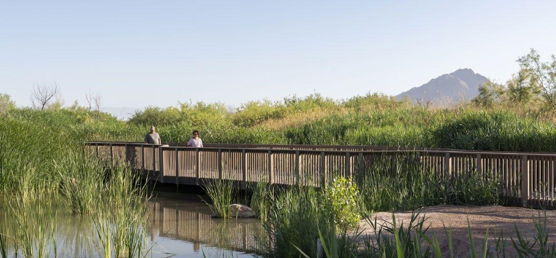
Figure 148 provides critical information on how boardwalks meet at angles. The connection details, including overlapping joints, diagonal bracing, and fastener placement, ensure strength and visual continuity. At a 45-degree angle, stability is a concern due to shifting loads, so the framing often includes additional support at the meeting points. This view ensures the decking alignment maintains consistent spacing and visual appeal while preventing gaps or misalignment. Understanding this connection is key to integrating angled pathways seamlessly into the overall design. This detail can also be used to understand all other angles and corners along the boardwalk. Figure 149, the edge detail focuses on the transition where the elevated boardwalk meets the on-grade path. This transition must ensure smooth movement for pedestrians while maintaining structural integrity, which requires a concrete
Figure 149: Construction detail of n grade path meeting pedestrian trail.
Source: Design Workshop
ON-GRADE PATH TO PEDESTRIAL BOARDWALK TRANSITION
abutment. The concrete is crucial to create an air gap between the wood and the surface. Materials like edging strips or transition plates might be used to prevent tripping hazards from one material to the next and ensure proper accessibility. The connection between the boardwalk and path is often designed to accommodate movement caused by temperature changes or settling, ensuring durability over time. This detail emphasizes safety, accessibility, and the aesthetic blending of different materials.
Figure 150 illustrates the vertical relationship between the boardwalk, its driven posts, and supporting structures including the handrail. It shows how posts are driven into the landscape, ensuring stability against lateral forces. The depth of the driven posts, often determined by soil conditions, terrain and water depth. Most common materials for this would include marine-treated lumber and galvanized fasteners to protect against the wet, salt heavy conditions. The handrail supports are also detailed from the same treated lumber, and metal cable, ensuring compliance with safety regulations. This view highlights the structural integrity and durability of the boardwalk. A critical element for consideration is the height of the deck above water, as the water conditions fluctuate. This detail is for design intent only. All information must be verified, including sizing of the members.
Floating wetlands are innovative green infrastructures designed to improve water quality by using plants on floating platforms to filter contaminants. These structures naturally degrade organic pollutants and remove nitrogen, phosphorus, and certain metals through plant uptake and microbial activity in their root zones. While they are not effective at removing salts, floating wetlands excel at mitigating contaminants commonly found in water near golf courses, such as pesticides and fertilizers.
These floating wetlands help address the nitrogen pollution from bird droppings and potential contaminants from pesticide use. The plants’ biomass can be harvested to remove accumulated pollutants and reused if non-toxic. They also create habitats for aquatic life and birds, enhancing biodiversity.
Plant selection is crucial and varies based on water salinity. Freshwater ponds can support diverse, blooming plants like swamp milkweed and cardinal flower, while brackish environments benefit from resilient grasses like cattails and saltgrass. Incorporating local materials, such as longleaf pine logs for frames, ensures sustainability, while added features like habitat tubes and ramps allow them to be used by the local fauna.
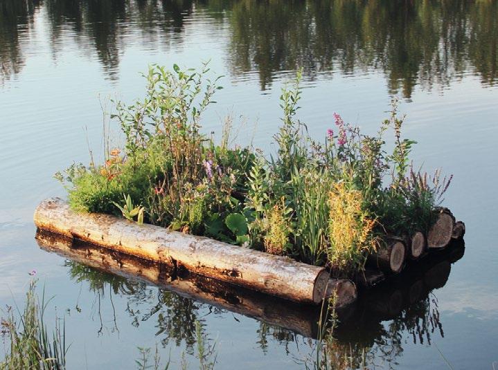

This detail illustrates a 4’ x 2’ floating wetland constructed with pine logs, each approximately 8 inches in diameter. A foam insert is incorporated into the interior to provide additional buoyancy as needed. The base features a steel mesh designed to secure the dolomite mat and soil while facilitating root penetration into the water. Beneath the structure, strategically placed tubes create an underwater habitat to enhance aquatic biodiversity. A ramp is included to enable access to the top of the wetland, ensuring functionality and interaction with the system.


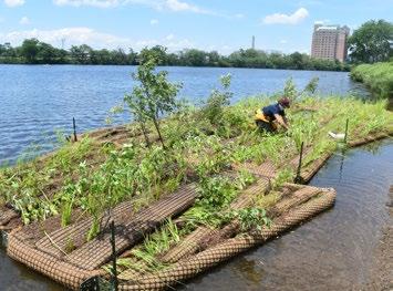
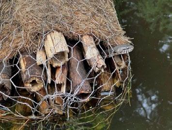


The hibernacula at Jekyll Island are designed to provide essential shelter for reptiles and amphibians during colder months while seamlessly integrating into the natural landscape. Built using sustainable materials sourced from the site, such as logs, rocks, and soil, the structure minimizes environmental impact and aligns with the island’s ecological values. Hibernacula chambers can also be made using 3d printed concrete, rammed earth, cobb or other sustainable construction methods. The geometry of the chambers should somewhat mimic naturally occurring rattlesnake hibernacula in coastal environments, such as gopher tortoise burrows, stumpholes and root systems, and generally follow the following guidelines:
Located below the frost line, but above the water table and typical high water levels
Maintain a high oxygen and relative humidity, ideal for the species target
Entry to the hibernacula should be south or southwest facing
Soil below the hibernacula should be fast draining
Successful hibernacula have been known to be about 118 inches wide, 177 inches long, and 70 inches deep in size.
By partially burying the hibernaculum and using native plants for camouflage, it blends harmoniously with its surroundings, enhancing habitat connectivity without disrupting the visual appeal of the landscape. Thoughtful design ensures that it offers a stable microclimate with adequate insulation and ventilation, promoting biodiversity and supporting the island’s native species year-round.


156: A section illustration of critical features of an articial hibernaculum.
Source: Design Workshop
157: An outside view of an artificial hibernaculum.


Figure 158: An alternative design for a snake hibernaculum using pipes.
Source: Choquette, Savi and Fournier (2024)
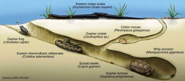
Fauna underpasses at Jekyll Island are designed to facilitate safe wildlife movement beneath pathways, reducing habitat fragmentation and minimizing conflicts between animals and visitors. Constructed using durable, sustainable materials available on-site, such as reclaimed timber, natural stone, and soil, these structures are both eco-friendly and resilient.
The underpasses are carefully integrated into the landscape, blending with the natural surroundings through thoughtful grading and native vegetation. Their design considers the needs of local species, providing adequate space, natural lighting, and secure entry points to encourage use. These underpasses support the island’s diverse wildlife by maintaining ecological corridors while promoting coexistence with human activity.
Example of manufactured precasted product: ACO Climate Tunnel Slotted.
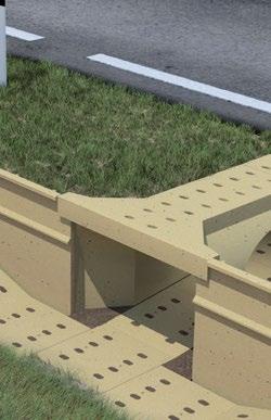
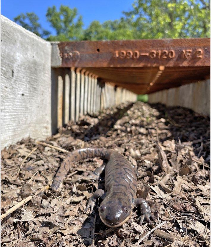


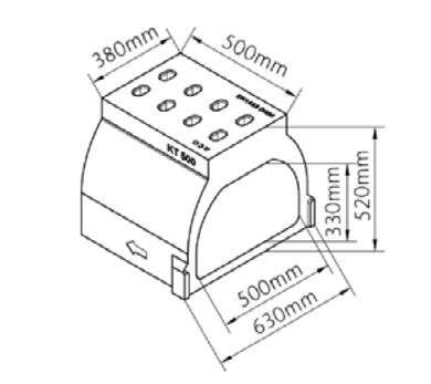
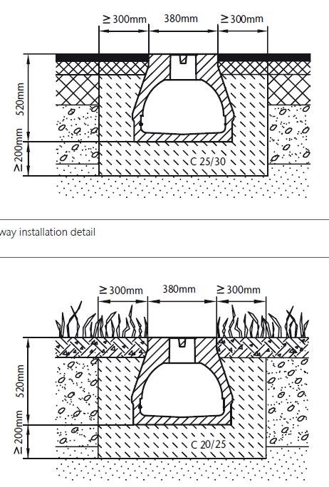
Figure 164: A detail of the proposed golf flag sculpture installation. Source: Design Workshop
1 GOLF SCULPTURE
The Golf Flag Sculpture is a conceptual design that aims to honor the site’s history as a former golf course. Envisioned as a low-tech, dynamic structure made of metal, the sculpture could feature a rebar frame supporting a wind-responsive metal flag, adding movement and potentially subtle sound to the environment. Its size might align with a standard 7-foot golf flag, but alternative dimensions could be explored to ensure it stands out as a focal point.
The base design remains flexible, with possibilities including a natural perforated rock for an organic feel or an invisible concrete footing for a minimalist aesthetic. Additional ideas, such as painting the sculpture to blend with or contrast the environment, or incorporating cultural patterns inspired by local traditions, could further enrich its significance. While still in the conceptual stage, the Golf Flag Sculpture presents an opportunity to create a meaningful and interactive piece of art tied to the site’s history and character.
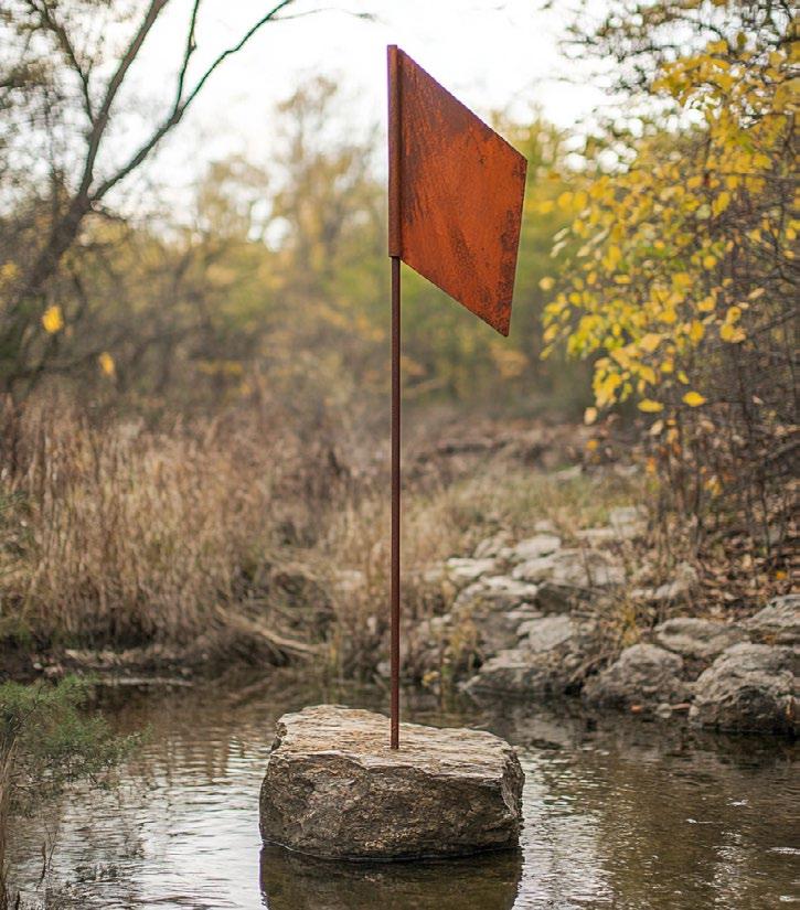

AI
The Golf Flag Sculpture commemorates the site’s history as a former golf course while celebrating its ecological restoration. Crafted from readily available materials such as metal, rebar, and concrete, the sculpture will stand approximately 7 feet tall, emerging organically from the restored landscape. Its simple, low-tech design reflects resilience and transformation, with a perforated or open structure that allows light and air to pass through, integrating seamlessly into its surroundings. The base will be stabilized using either a concrete footing or a perforated rock foundation to ensure longevity and minimal environmental disruption. Positioned thoughtfully within the site, this sculpture serves as both a nod to the past and a celebration of the site’s evolving identity. Flag elevations will correspond with projected sea-level rise and storm surge for various events.
The Sweetgrass Memorial is a metal sculpture that honors Jekyll Island’s historic ecology and cultural heritage, particularly its ties to the sweetgrass prairie. This memorial also offers an opportunity to collaborate with local artists, such as Ajene Cetwayo Williams from Alabama, or students from the Savannah College of Art and Design (SCAD), further connecting the design to regional artistry and storytelling.
Rising 6-7 feet tall, the sculpture will stand approximately 3-4 feet above the surrounding sweet grass, creating a striking focal point within the prairie. Potential materials include weathered steel or woven willow whips, which celebrate both industrial craftsmanship and natural materials. For durability and stability, the sculpture may require a concrete footing to anchor it securely in the landscape.

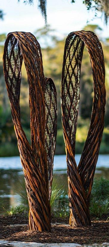
MASS Haptic portrays a story from forest to building connecting the act of building to the subsequent territorial implications. The story setting is the Southern Yellow Pine [SYP] forest that blankets the Southeastern U.S. A group of species that grow fast, in long spindly poles that range from very straight columns great for dimensional lumber to bent, twisted, and thin straws that are used for pulp for paper/ cardboard and pellets for combustion. MASS Haptic pulls from two ends of the wood spectrum: 1. The manufactured Cross Laminated Timber [CLT] panel and 2. the bent, twisted, and undersized logs. SYP-CLT panels made from traditional digital fabrication methods are used for the roof canopy. As a challenge to high-intensity materials processing and manufacturing, trees destined for pulp, pellet, and chip streams were up-cycled as structural columns. By up-cycling, these trees’ worth economically, environmentally, energetically, and through carbon contributions were advanced. The adjusted lens of the trees’ contribution to a structural scenario allowed this up-cycling.
The pavilion can be used to house research equipment, serve as a rain shelter or wildlife blind, and be a hub for signage and wayfinding elements such as trail maps and research updates.

Types of signage can include:
• Educational/ Interpretive/ Informational
• Mile markers
• Directional
Suggested materials include those that are fire-proof, such as power-coated steel, corten steel, heat coloring steel or thermocromic pigments that change color

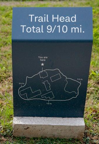
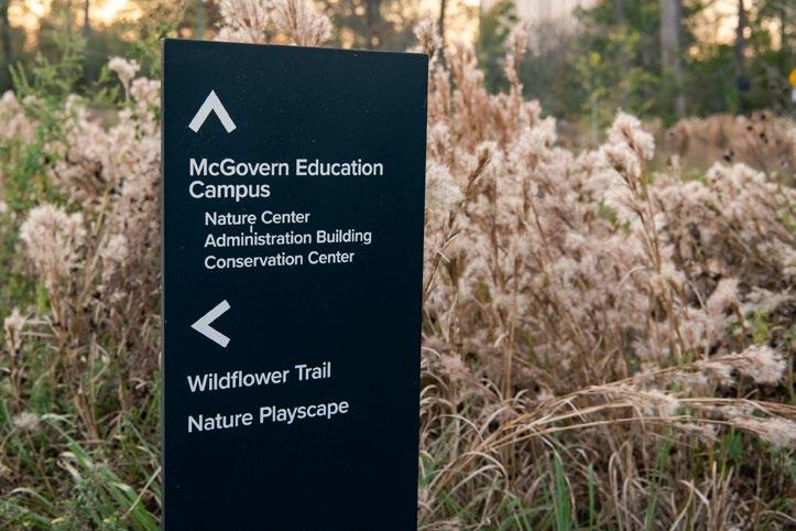


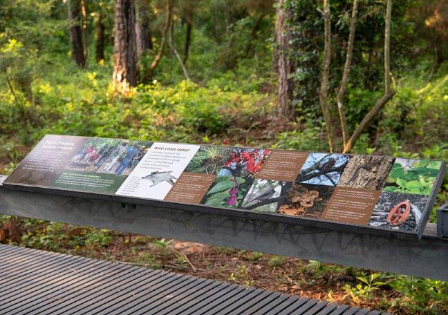

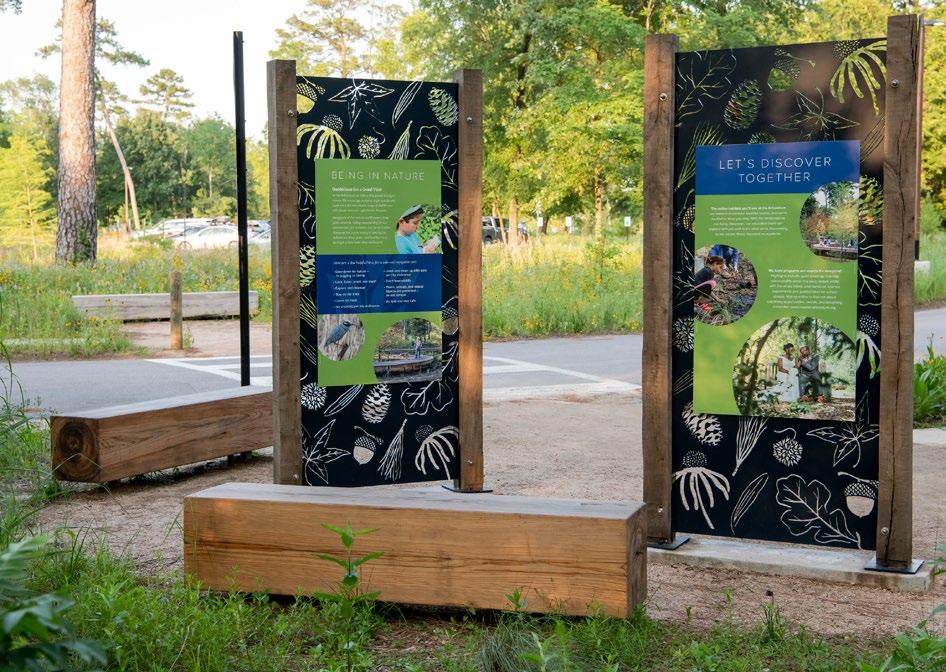
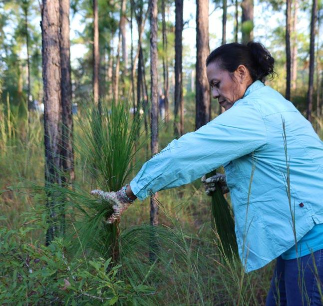
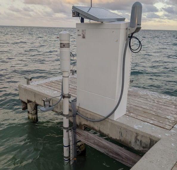

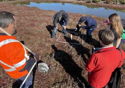


receding into the marsh over time
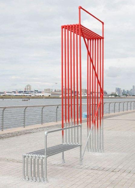


Sculpture receding into the marsh over time
Source: Kendrick Brinson/The New York Times
Incorporate salinity changes over time
Source: Anat Eshed Goldberg

Using light to demonstrate inundation
Source: Studio Roosegaarde
Highlight restorative planting and management with pattern
Source: Agnes Denes

Animal tracks in path
Source: Design Workshop


Etched artistic environmental

Etched artistic environmental

Etched interpretive maps
Source: Glenstone Museum


Accessible interpretive maps
Source: Studio Polylog
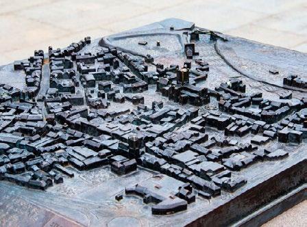
Accessible interpretive maps
Source: Creative Commons

Etched interpretive signage
Source: Creative Commons
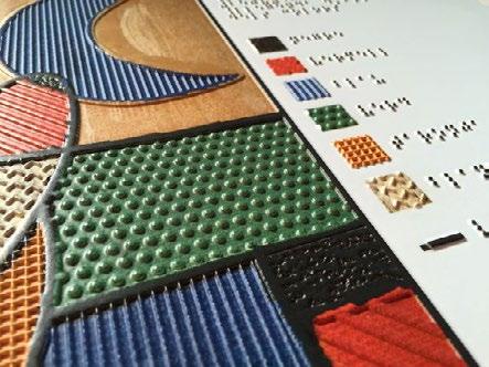
Braille and high-relief interpretation panels
Source: EKIPA systems

Use sand pit typology to create play elements
Source: Christian Wieland/Wieland Stadtgrue
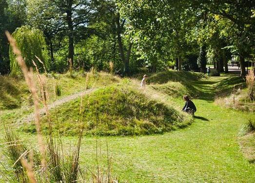
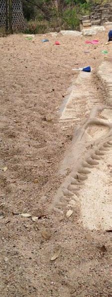
fuse play and education
Okla/Austin.com


Phase 1 of the concept plan initiates transformative efforts to restore native habitats and create dynamic spaces for ecological and human interaction, aligning with available GOSP funding. This foundational phase prioritizes habitat restoration, public access, and educational engagement.
Restoration efforts are focused on key native ecosystems, including the longleaf pine savanna, maritime forest, and sweetgrass prairie meadow. These efforts aim to reintroduce native vegetation, stabilize ecosystems, and enhance biodiversity, laying the groundwork for resilient ecological communities. Floating wetlands further support habitat diversity by creating aquatic refuges for wildlife while improving water quality.
Recreational and interpretive elements enrich the human experience of the site. Boardwalks provide accessible pathways through sensitive habitats, connecting visitors to the landscape without disturbing it. Nesting platforms and a hibernaculum offer critical support for species such as birds, reptiles, and amphibians. A land bridge ensures safe wildlife movement and habitat connectivity, while features like the sand play pit, sweetgrass memorial, and golf hole flag sculptures blend recreation with cultural storytelling.
The kayak dock invites exploration of aquatic habitats, fostering a deeper connection to the restored environment.
Collectively, these features balance ecological restoration with recreation, education, and cultural interpretation. Phase 1 establishes a solid foundation for the project’s long-term goals, demonstrating the transformative potential of sustainable design and restoration in action.
Tide Gate
Nesting Platform
Greenhouse and Grow Area
Amphibian Crossing
Aerator
Hibernaculum
Floating Wetland Zone
Observation Platform/Blind
Gathering Area
Pocket Prairie
Grassland Walking Loop
Land Bridge
Sand Play Pit
Kayak Dock
Bike Parking
Trailhead
Golf Hold Flag Sculpture
Sweetgrass Memorial
Balast Sculpture
Pavilion
Hydrologic
Open Water
Fresh Water Wetland
Brackish Wetland
Salt Water Marsh
Salt Water Riparian Edge
Longleaf Pine Wiregrass Savanna
Pollinator Garden
Upland Forest
Maritime Forest
Sweetgrass Prairie
Path
Elevated Path
Bike Path
Steam or Ditch
Culvert or Pipe 0

Building on the successes of Phase 1, Phase 2 focuses on extending access, deepening ecological understanding, and enhancing the site’s role as a hub for research and community engagement.
This phase includes the expansion of boardwalks, further connecting restored habitats and providing visitors with immersive pathways to experience the diverse landscapes. These extensions ensure a seamless integration of recreational opportunities while minimizing ecological disturbance.
Monitoring and research continues in Phase 2, with the implementation of comprehensive programs to study the restored habitats and their ecological functions. Data gathered will guide adaptive management strategies, ensuring the long-term resilience and success of the restoration efforts.
Educational elements will be amplified through partnerships with research institutions, local artists, interactive interpretive signage, and community initiatives. Visitors and researchers alike will have the opportunity to contribute to and learn from the evolving landscape.
Phase 2 also looks to refine habitat transitions, enhance wildlife corridors, and implement additional ecological features that support biodiversity. By building on the foundation of Phase 1, this phase reinforces the project’s commitment to ecological restoration, public engagement,
and sustainable design, moving the site closer to its vision as a model for coastal resilience and restoration.
Tide Gate
Nesting Platform
Greenhouse and Grow Area
Amphibian Crossing
Aerator
Hibernaculum
Floating Wetland Zone
Site Feature
Observation Platform/Blind
Gathering Area
Pocket Prairie
Grassland Walking Loop
Land Bridge
Sand Play Pit
Kayak Dock
Bike Parking
Trailhead
Golf Hold Flag Sculpture
Sweetgrass Memorial
Balast Sculpture
Pavilion
Notes
Hydrologic improvement to create island in Amphitheater Pond
Hydrologic improvement to improve freshwater wetland
Use cut from hydrologic improvement to create berms to protect freashwater wetland
Open Water
Fresh Water Wetland
Brackish Wetland
Salt Water Marsh
Salt Water Riparian Edge
Longleaf Pine Wiregrass Savanna
Pollinator Garden
Upland Forest
Maritime Forest
Sweetgrass Prairie Path
Elevated Path
Bike Path
Steam or Ditch
Culvert or Pipe

COTTAGES

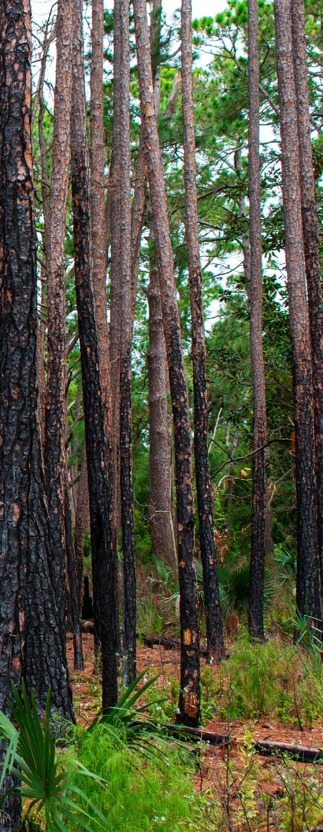
An adaptive framework is a strategic, iterative approach designed for managing complex systems, such as ecological restoration or conservation efforts, where uncertainty and change are inherent. This framework is grounded in the principles of adaptive management, which emphasizes flexibility, learning, and responsiveness. The core idea is that, rather than relying on a fixed set of actions or goals, management strategies should evolve in response to new information, shifting conditions, and the outcomes of implemented actions.
At its foundation, an adaptive framework involves setting clear objectives, followed by the development of a management plan based on current knowledge and best practices. However, unlike traditional frameworks that may follow a rigid pathway, an adaptive framework incorporates mechanisms for continuous monitoring, assessment, and feedback. This ensures that as new data emerges—whether from scientific research, monitoring efforts, or stakeholder input—management strategies can be adjusted accordingly to reflect changing realities. The adaptive approach is particularly valuable in the context of ecological restoration, where ecosystems are often influenced by a variety of unpredictable factors such

as climate change, species interactions, or human impacts. By regularly evaluating the effectiveness of interventions, the framework allows practitioners to make evidence-based adjustments, avoiding potential pitfalls and improving outcomes over time.
Furthermore, an adaptive framework fosters collaboration and stakeholder engagement. It encourages input from various groups, including scientists, land managers, local communities, and policymakers, ensuring that diverse perspectives are considered in decision-making. This inclusive approach not only enhances the relevance and acceptance of the strategies but also allows for social and ecological systems to adapt together.


178: Adaptive Management is a cyclical, evolving process.
Source: Design Workshop
The restoration and management efforts on Jekyll Island present a unique opportunity to implement adaptive management. The site’s dedicated staff possess the skills to conduct detailed monitoring, manipulate variables, and respond to ecological changes effectively. Additionally, access to GIS and advanced technological tools enables the tracking and evaluation of efforts, ensuring datadriven decision-making.
In recent years, passive and quasi-experimental adaptive management approaches have gained considerable attention. These strategies rely on systematic monitoring to generate credible evidence, supporting informed management decisions. For example, Galatowitsch and Bohnen (2021) highlight the critical role of monitoring as an early-warning system, particularly in invasive species management. Such monitoring provides actionable data, facilitating timely interventions.
Key methods employed in the adaptive management framework include:
• Prescribed Fire: Utilizing controlled burns to restore natural fire regimes and promote ecological balance.
• Underbrushing and Thinning: Reducing excessive vegetation to enhance habitat quality and reduce fire risk.
• Early Detection and Rapid Response (EDRR): Implementing prompt actions to control invasive species.
• Mowed Buffers and Fire Breaks: Maintaining cleared areas to manage fire spread and protect sensitive habitats.
• Water Level Management: Regulating hydrological conditions to support native species and ecosystem health.
TECHNOLOGICAL
To support adaptive management, a suite of monitoring tools and techniques is employed:
• Monitoring Monuments: Establishing 30-meter transects and 30-centimeter elevation markers for precise habitat tracking.
• Photo Points: Capturing consistent visual records of site changes over time.
• Drone Hyperspectral Monitoring: Leveraging advanced imaging to assess vegetation health and distribution.
• Water Chemistry Analysis: Measuring key parameters to evaluate aquatic ecosystem conditions.
• Water Level Monitoring: Tracking fluctuations to inform hydrological management.
• Weather Data: Incorporating climatic factors into management decisions.
• Birdsong and Bat Sound Monitoring: Using acoustic tools to assess species presence and diversity.
• Quadrat Cover Analysis: Measuring peak biomass, cover classes, biodiversity, and changes in indicator species over time.
• Groundwater Fluctuations and Salinity Wells: Monitoring subsurface water dynamics and salt intrusion.
• Invasive Species Treatment Records: Documenting control efforts and outcomes.
• Snake Transmitters: Tracking movement and habitat use of key reptile species.
• Wildlife Presence Surveys: Observing and documenting faunal diversity and activity.
• Soil Moisture Monitoring: Assessing soil conditions critical for plant growth and ecosystem resilience.
By integrating these methods and tools, the adaptive management framework provides a robust structure for ongoing restoration and conservation efforts. Continuous monitoring and flexible decision-making ensure the ecological integrity of Jekyll Island’s unique habitats, fostering resilience in the face of environmental change.

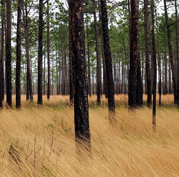
Longleaf Pine Wiregrass Savanna (also Southern Atlantic Coastal Plain Wet Pine Savanna and Flatwoods) is a pine dominant savanna that is seasonally saturated and has historic exposure to frequent low-intensity fires. Wiregrass is the dominant understory species, but there is a large diversity of herbs and shrubs that co-exist in this eco-zone.
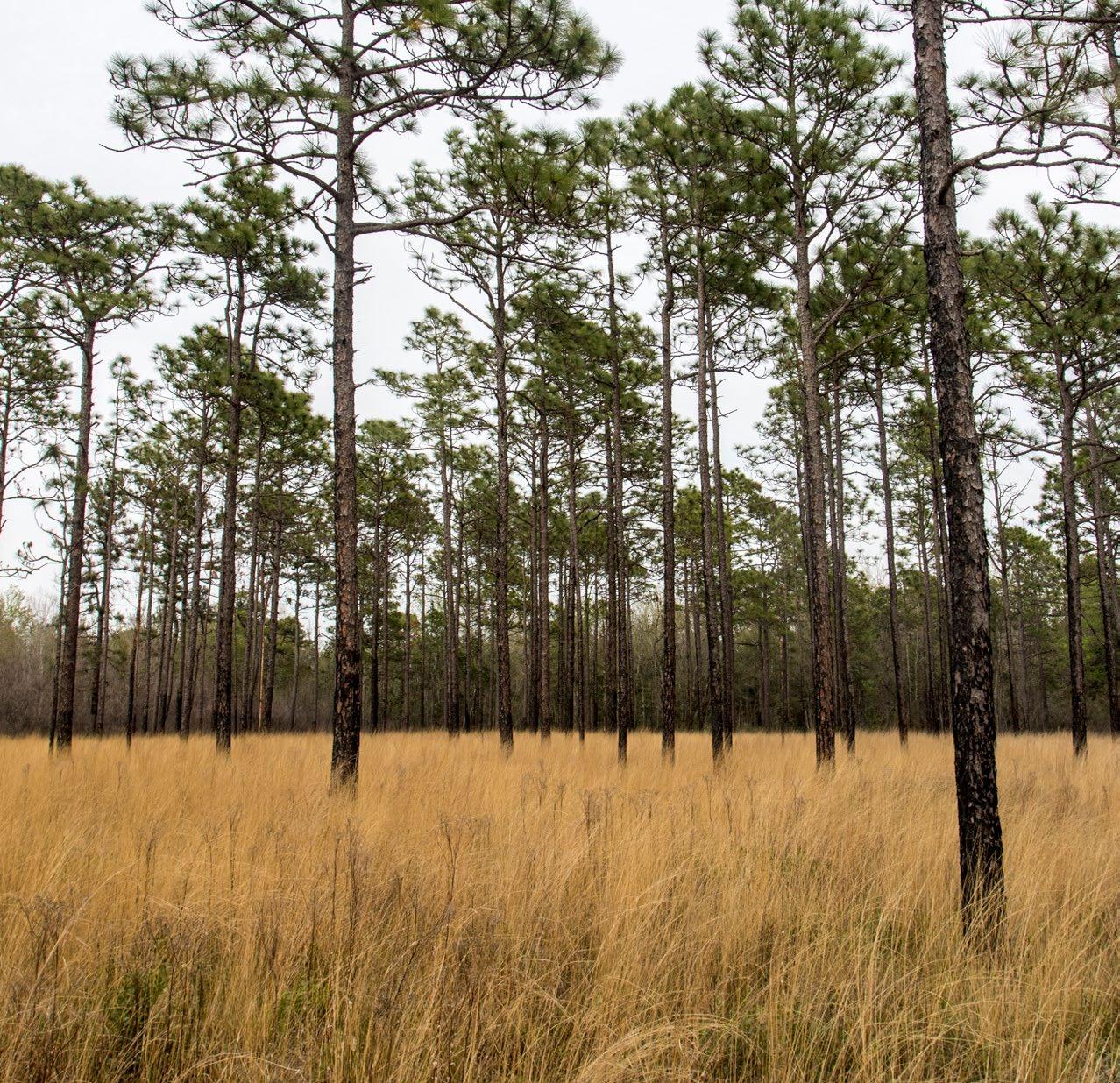
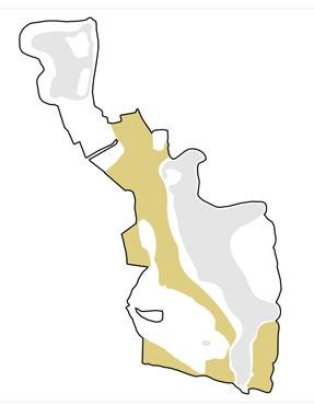

The original longleaf ecosystems of the southeastern United States were generally bi-layered communities with the physiognomy maintained by frequent, low-intensity surface fires that removed most small woody plants and thereby kept the canopy open. Pine dominant savanna is wet, seasonally saturated, and has historic exposure to frequent low-intensity fires. Wiregrass is the dominant understory, but there is a large diversity of other herbs and shrubs. Wet-mesic longleaf pine woodlands are typically found on recent geologic formations (Pliocene-Pleistocene) and xeric longleaf pine woodlands are found on deep coarse sands.
NATURE SERVE ELEMENT CODE
CES203.536
BIOPHYSICAL SETTING CODE
6450
EXISTING VEGETATION CODE
7450
SOILS
Wet, seasonally saturated, mineral soils. require bare minimal soil for seed germination, with long needles to protect the terminal bud from fire, avoid adding sand will enhance poor drainage
FIRE MANAGEMENT
Historically fires were ignited by lightening and indigenous cultural practices. Fire ideally occurs every 2-3 years, and is essential to the habitat’s success. Wiregrasses’s overlapping leaves encourages air circulation during fire and the burn prevents shrubs from out-competing grass species. Without fires, hardwood would outcompete the grass. Fires during the growing season of wiregrass simulate wiregrass flower and seeding. Fire suppression can be fatal to wiregrass due to high fuel loading when burned and does not readily reestablish once destroyed.
The national effort to restore the native longleaf pine (Pinus palustris) (LLP) ecosystem in southeastern North America stands out as one of the world's most ambitious and extensive landscape restoration projects. In 2009, the first range-wide plan for this initiative set a 15-year goal to increase longleaf pine coverage from 1.37 million hectares to 3.24 million hectares. This goal focuses on creating new longleaf pine forests and prioritizing longleaf pine in mixed forest areas (America’s Longleaf Restoration Initiative 2009).
Currently the majority of the pine plant communities in and around the project site and on the island are the Maritime Slash Pine – Longleaf Pine Upland Flatwoods (approximately 20% of the island). Since longleaf pine is generally more resistant to fire, hurricane damage, and pine bark beetle attacks than other common commercial pine species in the region (Alavalapati et al., 2002) and provide key habitat to target species, longleaf pine will be expanded by planting, managing with prescribed burning and maintaining other management strategies. The longleaf pine- wiregrass savanna supports endemic and rare plants and animals naturally occurring on Jekyll Island and in the ecoregion. This community requires fine fuel to sustain the system.
Successful restoration of this community will require that the canopy structure provide conditions to support diverse groundcover, dominated by native grasses, legumes, composites and sedges, and eventually a naturally regenerating community over time with managed fire. Passive management without fire over the long term or fire alone in the beginning of the process will likely lead to the longleaf pine declining in population overtime (Walker and Silletti, 2006).
Species targeted for this plant community include:
• American Kestrel
• Kirtland’s Warbler
• Barn Owl
• Northern Bobwhite- Endemic
• Eastern Diamondback Rattlesnake- Endemic
• Eastern Indigo Snake- Endemic
• Flatwoods Salamander-
• Various pollinators
Future species that could be considered are:
• Gopher Tortoise
• Red-cockaded Woodpecker
• Pollinators
Maintain Longleaf Pine Density
Balance Age Distribution
Foster A Diverse Understory
Support Suitable, Quality Soil
Operate An Appropriate Prescribed Fire Schedule
Support Target Wildlife
Control Invasive Species


GENERAL NAME INTERNATIONAL TERRESTRIAL ECOLOGICAL SYSTEM
Upland Pine –Grassland Southern Atlantic Coastal Plain Wet Pine Savanna and Flatwoods
MACROGROUP AND GROUPS ALLIANCE AND OR ASSOCIATIONS
M007. Longleaf Pine Woodland / Pinus palustris / Aristida stricta Woodland
G190. Wet-Mesic Longleaf Pine Open Woodland
G154. Xeric Longleaf Pine Woodland
G009. Dry-Mesic Loamy Longleaf Pine Woodland
Pinus elliottii - (Pinus palustris) / Ilex vomitoria - Serenoa repens - Morella cerifera Woodland
Translated Name:
Slash Pine - (Longleaf Pine) / Yaupon - Saw PalmettoWax-myrtle Woodland
Common Name:
Maritime Slash Pine - Longleaf Pine Upland Flatwoods
Goal Objective
Maintain LLP density and canopy dominance
Foster a diverse understory
Density of longleaf pines that keeps LPP as the dominant canopy tree
Canopy gap minimum sizes and densities to allow for regeneration
Seedling establishment
Variable age distribution
Self-maintaining/ regenerating population
Warm-season grass and herb dominated understory.
Dominated by rhizomatous and bunch grasses, sedges and other small monocots, insectivorous species.
Support suitable soil
Invasive species density
Support target wildlife
Artificial and natural structures/ elements that provide shelter, hibernation, etc.
Plant species and communities that support feeding and predation
Underpasses to limit vehicle, bike, public conflicts
Considerations and Metrics
Density, Grass stage emergence length, Survivability rates, Growth rates, Hardwood densities, Presence of brownspot needle blight
Canopy gap size and density
Presence of brown-spot needle blight, Drought, Herbivory
Density and age
Natural regeneration, Germination rates, Survivability
Biodiversity, Diversity of nitrogenfixation species, Rates of litter decomposition, Presence of fine fuels, Presence of fuel ladders, Duff accumulation, Wiregrass density
Management Response
Vegetation removal, Disease management, Fire management, New planting
Vegetation removal, Fire management
Disease and pest management, Temporary irrigation, Fire management
Vegetation removal/ thinning, Fire management
Vegetation removal/ thinning, Fire management
Vegetation removal, New planting, Fire management
Soil pH, Organic matter, CEC, Macro and micronutrients
Density
Species observations
Biodiversity, Species presence
Soil amendments, Fire management
Vegetation removal
Additional artificial and natural features for habitation, feeding, hibernation, breeding, etc.
New planting, Fire management
Species observations, Road fatalities
Additional features for safe passage
SITE PREPARATION
L1.1 Remove existing turf grass, trees, and other vegetation using mechanical or chemical methods.
L1.2 Conduct soil testing and amend the soil as needed to create conditions suitable for longleaf pine establishment.
L1.3 Grade the site to restore natural topography and drainage patterns.
LONGLEAF PINE ESTABLISHMENT
L2.1 Source and plant longleaf pine seedlings or seeds at the appropriate density for a savanna ecosystem (typically 40 trees per acre).
L2.2 Implement weed control measures, such as prescribed burning or selective herbicide application, to reduce competition and promote longleaf pine growth.
L2.3 Monitor the longleaf pine seedlings and provide supplemental irrigation or protection as needed during the establishment phase.
UNDERSTORY RESTORATION
L3.1 Introduce native grasses, forbs, and other understory species adapted to the longleaf pine ecosystem.
L3.2 Use a combination of seeding, planting, and natural regeneration to establish a diverse understory community.
L3.3 Implement prescribed burning on a 2-3 year cycle to maintain the open, park-like structure of the longleaf pine savanna.
WILDLIFE HABITAT ENHANCEMENT
L4.1 Provide nesting structures, cover, and food sources for native wildlife species, such as the gopher tortoise, red-cockaded woodpecker, and various pollinators.
L4.2 Monitor the site for the presence and abundance of target wildlife species and adjust management practices as needed.
ONGOING
LONG-TERM MANAGEMENT
L5.1 Maintain the longleaf pine savanna through regular prescribed burning, invasive species control, and other management activities.
L5.2 Continuously monitor the site and adapt management strategies as needed to ensure the long-term sustainability of the ecosystem.
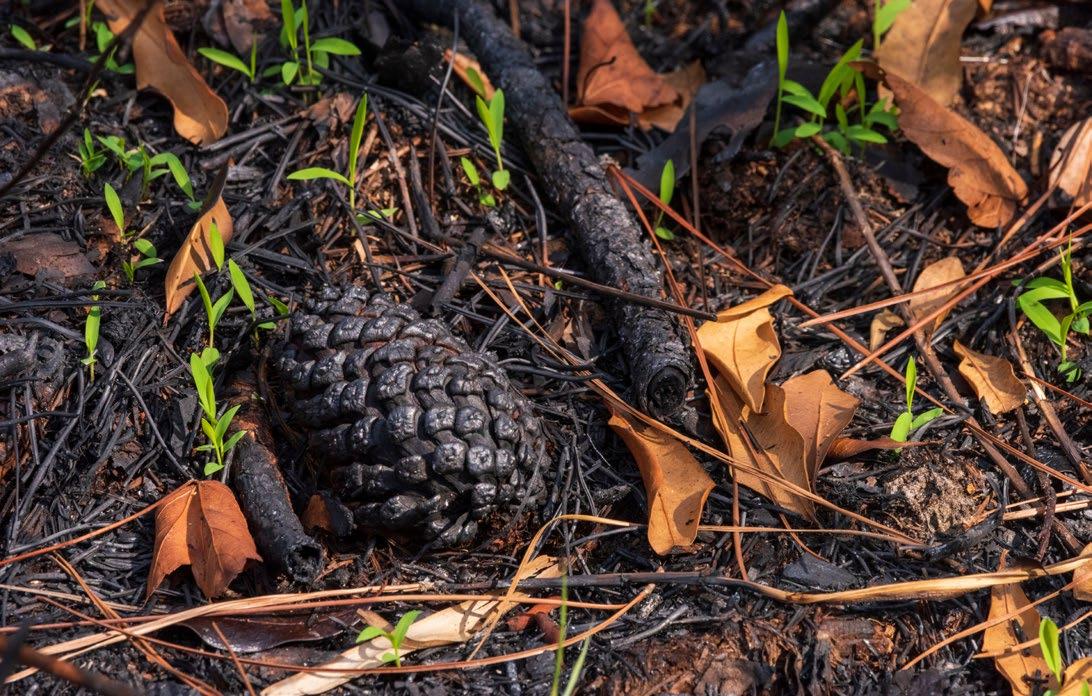


40 or less LLP/ acre
Reduce Duff Accumulation and Promote Fine Fuels
Maintain Minimum 60’ Canopy Natural Regeneration

Long-leaf Pine

Soil pH
3.1-7.8
Warm Season Grass and Herb
Dominated Groundcover
Lightning and Native Americans have shaped and sustained pine ecosystems in the southeast United States for eons. Native inhabitants practiced “Cultural Burning”; a term used to describe the intentional lighting of a controlled fire to provide a desired cultural service. This practice had the benefit of supporting forage production which attracted ground species, that attracted grazing animals, who prepare the ground for the cultivation of plants and encourage the growth of berries, nuts, and tubers. Fires also trigger plants to sprout in a formation ideal for handles, arrows and fibers for tools. Additionally, many medicinal plants are fire-dependent species.
When early European settlers first colonized pine savannas, they mimicked the native practice of fires but solely for grazing and crop production. A change came around 1890 to 1930, when early conservation and forestry organizations began discouraging fire, leading to a significant loss of this ecosystem. However, this restoration offers an opportunity to demonstrate the possibilities of bringing this habitat back to life on Jekyll Island. However, ensuring a strong and adaptive plan is critical to the success of this restoration practice. Additionally, executing effective and safe practices ensures the workers and the public are safe throughout the process. Luckily the Jekyll Island Authority is well-practiced in this effort, having done many prescribed fires near the golf course for years.
The JIA currently burns at many locations adjacent to the golf course to manage invasive species and understory growth. JIA staff with the Chief Ranger at the Georgia Forestry Commission, ensures safety by staffing appropriately, clearing fire breaks, and managing the fire intensity through environmental factors. Burning often occurs at night when the golf course is closed, but there have been plenty of fires while the golf course is active. Due to the crew’s diligent monitoring of weather, specifically wind, these fires rarely affect the adjacent course and do not negatively impact the surrounding air quality.
The suggested typical burn interval for longleaf pine is 2 years, with 3 being the maximum interval for any given year. Loblolly and Pond Pines sit in a more infrequent burn interval, between 7 and 8 years. As these pines are in more wet areas of the site, it is important to schedule fires every 7 to 8 years when the site is drier or warmer than typically suggested to include these portions of the site. This should only be done once the fuel load is well-managed and predictable. See the fire schedule for a detailed look at the intervals and timeline.
Most of these burns would occur in the dormant season (temperatures below 16° C), however once fuel loads become well managed there is an opportunity to burn during high temperatures. Fires in a well-managed savanna during the growing season can stimulate wiregrass flowering and seeding.
Wind encourages fire to spread throughout the site and disperse heat effectively. By ensuring the proper wind conditions, we can ensure each block is burned seamlessly and safely. General wind speeds between 10 and 22 km/h and speeds of between 2 and 5 km/h in the tree stand are essential. Another essential aspect of wind is atmospheric stability or vertical wind. This refers to how resistant the atmosphere is to vertical motion and mixing. An unstable atmosphere can make the fire unpredictable and a higher intensity, potentially leading to a canopy fire. It can also negatively affect smoke dispersion, leading to low air quality in the surrounding area. To mitigate these issues A dispersion index between 35 and 70 is acceptable, with anywhere between 40 and 60 being ideal.
Soil moisture is important to ensure roots are protected and smoldering does not occur during a fire event. This is measured by the Keetch–Byram Drought Index (KBDI), which exists from 1 to 800 (with 800 being extremely dry). A KBDI between 100 and 200 is ideal. Another approach is burn 3 days after a wetting event, such as rain.
Barriers are important to ensure a safe and controlled burn. Natural barriers like waterbodies and wetlands, topography and vegetation change to a less flammable character should all be leveraged to separate burn units as well as off the site. It is important to take special care when burning along wetlands. Hard fire lines along wetlands can alter the hydrology and interrupt sheet flow. This will also result in extensive shrub growth on the other side of the line chocking wetland species and reducing the length of the hydroperiod (the number of days per year that an area of land is wet or the length of time that there is standing water at a location). Some species, like the Flatwood salamander ( Ambystoma cingulatum), need to migrate from the wetland to the pine to complete their migratory pattern.
When planning for burning along wetlands, consider allowing the fire to move through the edge of the wetland. When performing this burn, ensure surface water is present to manage how deep the burn infiltrates the wetland. As load reduces, burning in drier seasons and allowing the fire to creep into the wetland deeper can benefit the system. As burning becomes established, alter wind direction in future burns to eliminate fire shadows.
There also many proposed and existing paths that should be leverage as fire barriers. When utilizing paths, ensure the path, including the mowed shoulder, is 1.5 times as wide as the surrounding vegetation or flame length. Additional techniques like a wet line and mechanical removal of flammable material to mineral soil can also be implemented to protect against fire jumping the line.


Maritime Forest (also Southern Atlantic Coastal Plain Maritime Forest) is a vital ecosystem on Jekyll Island, Georgia. Characterized by salt-tolerant vegetation, including live oaks (Quercus virginiana) and southern pines (Pinus spp.), these forests thrive in the challenging coastal environment shaped by salt spray and wind. They provide essential habitats for diverse wildlife, including deer, raccoons, and various bird species, and play a crucial role in stabilizing the island’s landscape.
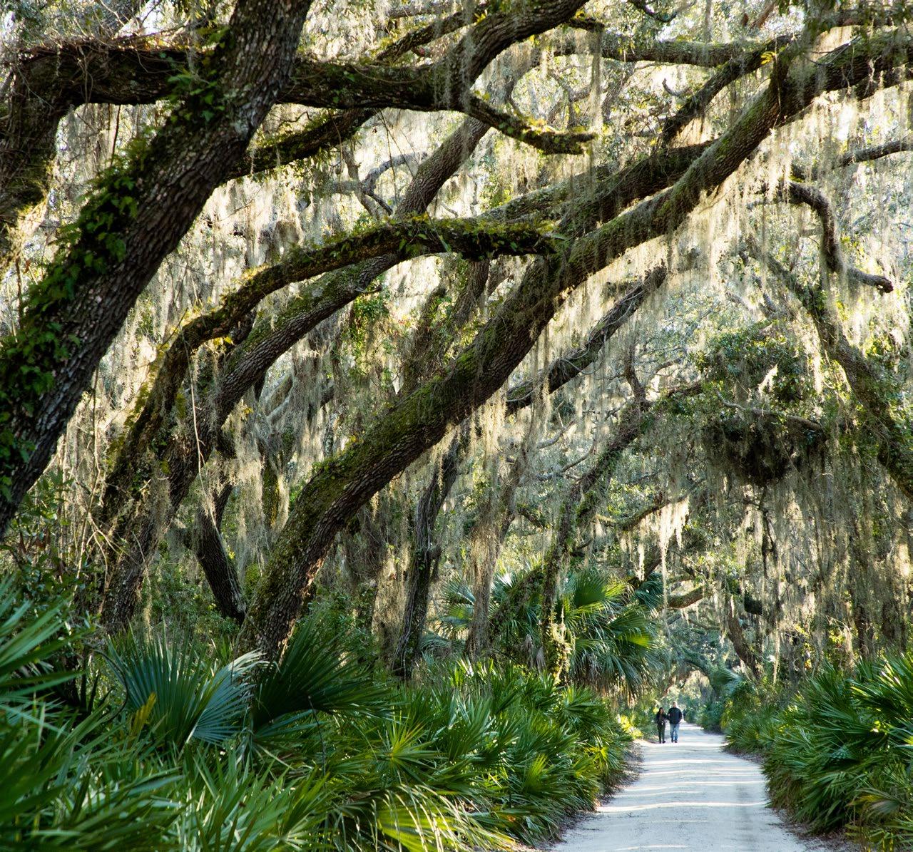
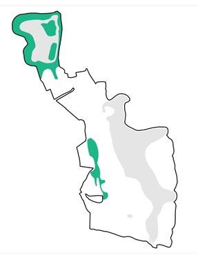

This macrogroup accommodates primarily evergreen broadleaf forests of the coastal plains of the southeastern United States from North Carolina south and west to Texas. Stands are dominated by Quercus virginiana and/or Quercus hemisphaerica, found from North Carolina south into Florida and west to Mississippi, as well as stands dominated by various combinations of Quercus fusiformis, Quercus geminata, Quercus hemisphaerica, and/or Quercus virginiana, the particular combinations varying with geography, found from North Carolina to Florida and along the Gulf of Mexico coast from Florida to Texas. The near-coastal maritime examples are affected by coastal processes, and are prone to salt spray effects and storm surge from major hurricanes. The inland examples tend to occur on upper to mid slopes, but occasionally on broader uplands with reduced fire frequency. NATURE
Sandy, well-drained, and nutrient-poor, characteristic of barrier island ecosystems. These soils support plant species adapted to such conditions. Coastal soils in such forests typically range from slightly acidic to neutral, influenced by factors like organic matter decomposition and proximity to saltwater.
Vegetation in the maritime forest exhibits varying degrees of salt tolerance due to exposure to salt spray and occasional storm surges. Species like live oak and cabbage palm are particularly resilient to saline conditions.
Maritime forests are incredibly important to the overall ecological health of the southeast United States-- they are one of the first lines of defense against storms, recharge groundwater, stabilize soil and provide critical habitat. 65% of the remaining 25,000 ha of remaining maritime forest in the United States are located in Georgia (Mathews et al. 1980; Lopazanski et al. 1988), where 400 ha are located on Jekyll Island (JIA, 2020) (Benson, 2022). Maritime forests have declined and continue to face threats due to urbanization, agriculture, competitive and/or invasive species, pests and disease, and climate change. Furthermore, fragmentation of these forests diminishes their ability to provide ecological value and ecosystem services, and increase the need for the forests to be actively managed to remain intact. On Jekyll Island, Maritime Live Oak Hammocks are identified as a Conservation Priority Area, based on its high global rarity rank (G2) (JIA Conservation Plan).
Southern maritime forests are dominated by Quercus virginiana (live oak), a semievergreen, keystone tree species. It is resilient to many abiotic stressors of the maritime ecoregion, including saltwater spray, hurricanes, and forest fires (Bourdeau and Oosting 1959; Bratton 1993; Conner et al. 2005). Spanish moss is an integral part of maritime forest structure and Q. virginiana is a symbiont of Spanish moss. In addition to wildlife habitat, varying abundance of Spanish moss modifies throughfall and stemfall patterns, which changes soil composition (Rosier et al. 2015) (Figure 1.4). Availability of nutrients and water content in the soil influences microbe activity and plant distribution, which in turn affects the functional diversity of the forests (Smith and McGrath 2011; Rosier et al. 2015). (Natureserve, 2025)
Vegetation of this alliance may be found on xeric to mesic sites, often occurring as linear strands behind frontal dunes. The seaward edge is generally found on the leeward side of dune complexes which provide shelter from excessive salt spray and overwash. This vegetation is also found on top of relict dune ridges and other areas with xeric to mesic hydrology. This alliance also includes upland palm savannas dominated by open to scattered canopy of Sabal palmetto. In some cases, these communities occupy narrow strips of upland adjacent to marsh. (Natureserve, 2025)
In maritime forests in the Sea Islands region (USFS 232Ce, EPA Ecoregion 75j) (Keys et al. 1995, EPA 2204), areas that typically transition to mature maritime forest are first colonized by Juniperus virginiana var. silicicola and Sabal palmetto (with salt shrub species as well). Mature and more protected examples of the maritime forest have relatively closed and diverse canopies and well-developed shrub strata; vines are often conspicuous and abundant, but the herbaceous stratum is typically sparse and low in diversity. South of South Carolina, Pinus elliottii var. elliottii and Sabal palmetto become more prominent. Some floristic elements of the Georgia islands, such as Lyonia ferruginea and Forestiera segregata, are completely absent from barrier islands in the Carolinas. (Natureserve, 2025)
Live oak, as the dominant species, is a keystone species. Live oak, however, cannot keep pace with the myriad of threats the system faces due to its slower growth rate and increases in competition, pests and disease, deer herbivory, fire suppression and other threats to the native forest community on Jekyll Island. As such, wind
dispersed trees such as loblolly pine, and invasive species, such as camphor (Cinnamomum camphora), are dominating places this plant community once thrived. Combined with deer herbivory on the island, the threat is even more challenging.
Pleistocene Maritime Forest on Jekyll Island occur over Pleistocene era geological features on the northern one-third of the island with pockets of freshwater wetlands, critical resources in coastal environments. These areas were used for agriculture during the 1700-1800’s. Laurel wilt, an invasive fungal species, has significantly impacted this forest, killing many red bays (Jekyll Conservation Plan).
Maintain Canopy Coverage and Structure
Support Habitat
Control Invasive Species
GENERAL NAME INTERNATIONAL TERRESTRIAL ECOLOGICAL SYSTEM
Pleistocene Maritime Forest/ Maritime Hammock
Southern Atlantic Coastal Plain Maritime Forest
MACROGROUP AND GROUPS
M885. Southeastern Coastal Plain Evergreen Oak Forest
G798. Coastal Live OakHickory - Palmetto Forest
ALLIANCE AND OR ASSOCIATIONS
Quercus virginiana - Sabal palmetto Coastal Evergreen Forest Alliance
Common Name: Southeastern Maritime Live Oak Forest
Quercus virginiana - (Pinus elliottii, Sabal palmetto) / Persea borbonia - Callicarpa americana Forest
Common Name: Maritime Live Oak Hammock
Quercus virginiana - (Pinus elliottii, Sabal palmetto) / Persea borbonia - Callicarpa americana Forest | NatureServe Explorer
Quercus virginiana - Sabal palmetto Coastal Evergreen Forest Alliance | NatureServe Explorer
CEGL007813. Juniperus virginiana var. silicicola(Quercus virginiana, Sabal palmetto) Forest
CEGL003525. Juniperus virginiana var. silicicola - Zanthoxylum clava-herculis - Quercus virginiana(Sabal palmetto) / Sageretia minutiflora Woodland
CEGL004864. Pinus elliottii Ruderal Maritime Woodland
CEGL004936. Quercus alba / Sabal palmetto - Ilex vomitoria Forest
CEGL007540. Quercus falcata - Pinus taeda - (Fagus grandifolia, Quercus nigra) / Persea palustris Maritime Forest


Goal Objective
Establish and maintain southern live oak as the dominant canopy tree
Promote ideal live oak density, longevity, health, growth rate, biomass
Encourage regeneration
Considerations and Metrics Management Response
Height, diameter, % cover, nutrient concentration of leaves
Natural regeneration, Germination rates, Survivability
Reduce herbivory
Reduce competition
Increase overall biodiversity and resilience
Manage pests and disease to promote healthy populations of native species
Ensure the restored maritime forest connects seamlessly with adjacent ecosystems l to enhance landscape-level resilience.
OTHER CONSIDERATIONS
• White-tailed deer herbivory
Vegetation and pest removal, Thinning, Fire management, Pest and disease management, New planting
Vegetation and pest removal, Thinning/ gap creation, Fire management, Pest and disease management
Seedling survival and growth Exclusion
Vegetation sampling, Shade, Size Vegetation removal
Vegetation sampling, Shade, Size Vegetation and pest removal, Thinning/ gap creation, Fire management, Pest and disease management
Geometry and size of continuous landscape types, Removal of barriers for wildlife movement, Reduce fragmentation
Vegetation and pest removal, Thinning/ gap creation, Fire management, Pest and disease management
• Hurricane and storm damage resulting in adult live oak crown damage and biomass loss
• Historic long-term fire exclusion, which has led to a thick shrub layer of saw palmetto (Seneroa repens) and a heavy accumulation of litter and duff
• Water availability for establishment
• Herbaceous plant competition, especially from invasive camphor Cinnamomum camphor and Chinese tallow Triadica sebifera
• Light availability and overstory canopy conditions
• Lack of live oak seedlings and saplings and regeneration, Persistence through maturity
• High live oak juvenile survival after planting
• Salt spray and dieback
• Cost-effectiveness
SITE PREPARATION
L1.1 Remove invasive species through mechanical or chemical methods while minimizing soil disturbance.
L1.2 Conduct soil tests to assess nutrient levels and pH. Amend as necessary to support maritime species.
L1.3 Regrade areas where topsoil has been lost to mimic natural dune or lowland formations typical of maritime forests and assess and restore natural drainage patterns.
L2.1
Introduce native canopy species, such as live oak (Quercus virginiana), Southern magnolia (Magnolia grandiflora), and pinus (Pinus spp.).
L2.2 Plant seedlings or saplings at densities appropriate for maritime forests (60–80 trees per acre).
L2.3 Protect young trees from deer and other herbivores using shelters or fencing if necessary.
L3.1 Introduce understory species, such as yaupon holly (Ilex vomitoria), American beautyberry (Callicarpa americana), and saw palmetto (Serenoa repens).
L3.2 Establish a mix of native groundcovers and grasses to stabilize the soil and provide habitat for wildlife.
L3.3 Begin implementing low-intensity prescribed burns on a 3–5-year cycle to control undergrowth and promote ecological balance.
WILDLIFE HABITAT
L4.1 Install nesting boxes, roosting platforms, and other structures for key species.
L4.2 Create brush piles, hibernaculum or other shelter for small mammals and reptiles.
L4.3 Track the presence of indicator species and adjust habitat features to better support their populations.
ONGOING
LONG-TERM MANAGEMENT
L5.1 Conduct selective thinning or pruning to maintain canopy structure and promote understory diversity.
L5.2 Continuously monitor for invasive plants and animals, implementing control measures as needed.
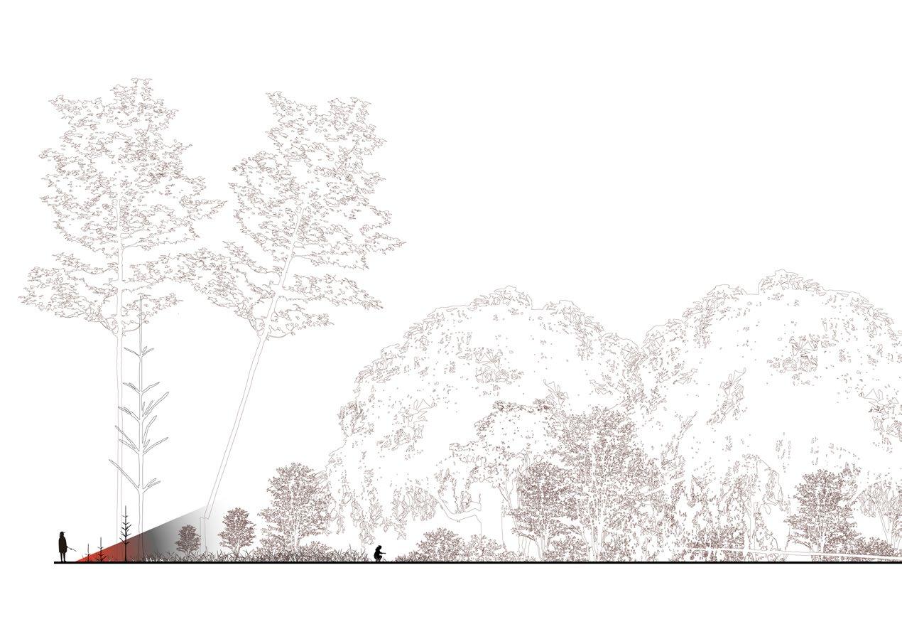
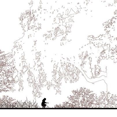
60-80 Trees/Acre

Selective Pruning + Thinning
Remove Duff From Under Story Planting

Eastern Newt Notophthalmus viridscens
Control And Remove Invasive Species

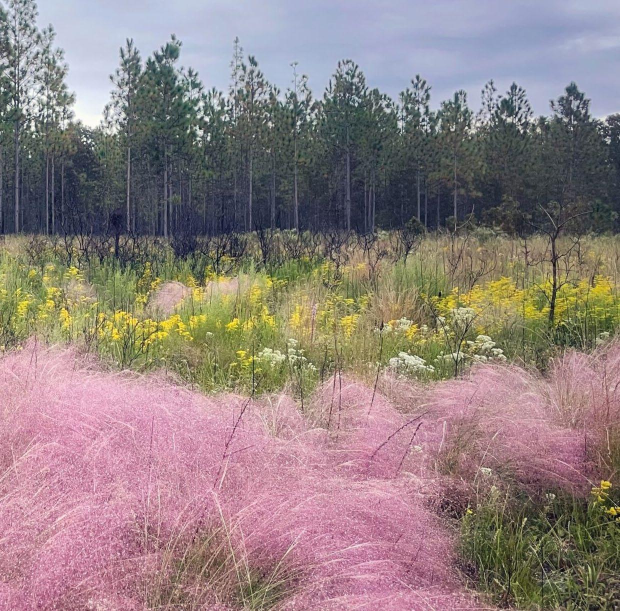
Prairie Sweetgrass habitat, also known as the Southern Atlantic Interdune Swale or Atlantic and Gulf Coastal Plain Wet Prairie and Marsh, thrives on barrier islands nestled behind dune systems. This unique ecosystem is not only vital for biodiversity but also holds significant cultural importance in the history of the southeastern coast


(Muhlenbergia filipes/ Muhlenbergia sericea)
Sweetgrass, also known as gulf hairawn muhly or coastal muhly grass, is an immensely culturally important plant to the Gullah Geechee communities for creation of African-coiled baskets. These communities that carry with them the tradition of basketweaving are descendants of enslaved Africans who brought the craft with them to the United States, along with skills in rice production, which the baskets were traditionally used. The coiled baskets are made of “threads” of sweetgrass, strips of palm (Sabal palmetto C. Loddiges), needles of longleaf pine (Pinus palustris P. Miller), and cuttings of black rush ( Juncus roemerianus G. Scheele). Sweetgrass collectors seek various textures of sweetgrass depending on the application. Differences in sun exposure yield different textured grasses. Coastal muhly grass has become rare in its natural habitat due to urbanization and populations that do exist are inaccessible for many Gullah Geechee.
NATURE SERVE ELEMENT CODE
CEGL004051
SOILS AND HYDROLOGY
This association represents moist interdune swales or flats dominated (or codominated) by Muhlenbergia filipes occurring on sandy or sandy loam soils on barrier islands or coastal strands along the Atlantic coast from North Carolina south to Florida. These sites are subject to saturation or shallow flooding by seasonal high water tables, and potentially to seawater overwash during major storms, but not to typical tidewater influence.
In North Carolina and Georgia, it may occupy broader grassy flats between the outer dunes and the salt marsh on the inland side of barrier islands, as well as narrow dune swales. Succession to woody vegetation is indicated by increasing cover of Morella cerifera or Salix caroliniana
Sweetgrass, also known as gulf hairawn muhly or coastal muhly grass, is an immensely culturally important plant to the Gullah Geechee communities for creation of African-coiled baskets. These communities that carry with them the tradition of basketweaving are descendants of enslaved Africans who brought the craft with them to the United States, along with skills in rice production, which the baskets were traditionally used. The coiled baskets are made of “threads” of sweetgrass, strips of palm (Sabal palmetto C. Loddiges), needles of longleaf pine (Pinus palustris P. Miller), and cuttings of black rush ( Juncus roemerianus G. Scheele). Sweetgrass collectors seek various textures of sweetgrass depending on the application. Differences in sun exposure yield different textured grasses. Coastal muhly grass has become rare in its natural habitat due to urbanization and populations that do exist are inaccessible for many Gullah Geechee.
Sweetgrass is a clump-forming perennial grass found in southeastern coastal plant communities along the Atlantic and Gulf of Mexico with purple/pink flowers typically found in interdune swales of flats in sandy or sandy loam soils. These sites are subject to shallow flooding or seasonably high water tables and do not have a strong tolerance for salt and are not typically tidally influenced, but may be subject to salt water from storm events.
The goal for this project is to transform acres of turfgrass into a diverse native landscape dominated by sweetgrass. Once established, the revitalized habitat will stabilize soils, enhance the island’s resilience to flooding and storm surge, and provide food and shelter for various animals. Selection of the plant material should carefully ensure local ecotypes are used and if not available, the sea islands germplasm can be procured through the USDA’s Brooksville Plant Materials Center.
As a clump forming grass and cool season grass, Sweetgrass does best when it has low competition from weeds, is in soil with a pH between 6-8.5, has an average amount of organic matter in the soil and soil has consistent moisture. Plants can be cut back no more than 6” from the ground to help with plant health and dieback. Cover crops or native spreading plants can help keep weeds from outcompeting. Care should be given to make sure the species of planted sweetgrass is accurate and of a local ecotype, as other muhly grasses often mistaken for sweetgrass are not of high quality for baskets. Plugs should be planted in a 3-by 3¬ foot or 4-by 4-foot spacing.
A sweetgrass prairie allows for an extraordinary opportunity to engage with the community including Gullah Geechee basketweavers to support their craft and tell broader stories to the general public about this important lifeway and cultural feature. This connection can be enhanced through integrating art and sculpture, signage, community events, volunteer activities, and supplying local craftspeople.
Species targeted for this plant community include:
• Pollinators
• Small mammals like hispid cotton rats (Sigmodon hispidus) and marsh rabbits (Sylvagus palustris)
• Songbirds
Maintain Vegetation Structure
Maintain Soil Composition
Support Habitat Development
Control Invasive Species
Involve Community and Stakeholders
GENERAL NAME INTERNATIONAL TERRESTRIAL ECOLOGICAL SYSTEM
Pocket Prairie/ Sweet Grass Prairie
Atlantic Wet Prairie
MACROGROUP AND GROUPS ALLIANCE AND OR ASSOCIATIONS
M067. Atlantic & Gulf
Coastal Plain Wet Prairie & Marsh
G777. Atlantic & Gulf
Coastal Interdunal Swale
Muhlenbergia filipes - Spartina patensRhynchospora colorata Marsh
Translated Name: Gulf Hairawn MuhlySaltmeadow Cordgrass - Star-rush Whitetop Marsh
Common Name: Southern Atlantic Interdune Swale
Muhlenbergia filipes - Spartina patens Dune Grassland Alliance
Translated Name: Southern HairgrassSaltmeadow Cordgrass Dune Grassland Alliance
Common Name: Southeast Hairgrass - Saltmeadow Cordgrass Dune Grassland
Goal Objective
Reduce competition
Promote ideal sweetgrass density, longevity, health
Promote long term survivability
High quality basketmaking material/ stems
Promote ideal sweetgrass density, longevity, health
Ensure population is self-maintaining/ regenerating
Create conditions for desired stem stiffness and a range of texture
Accurate species, Shade, Soil
Reduce the presence of dead stems for ease of processing
Considerations and Metrics
Weed and fire ant hill density
Soil, Shade, Salt, Herbivory, Disease
Natural regeneration, Germination rates, Survivability
Density and age
Management Response
Vegetation and pest removal
Genetic testing, Soil amendments, Pest and disease management
Soil, Herbivory, Disease, Salt
Vegetation management, Soil amendments, Pest and disease management
Vegetation management, Soil amendments, Pest and disease management
Vegetation removal/ thinning, Fire management
Vegetation removal/ thinning, Fire management
Winter cut back
YEARS 1-2
SITE PREPARATION
L1.1 Remove non-native vegetation through mechanical means.
L1.2 Conduct soil testing and amend soil for suitable hydrology and nutrient conditions.
L1.3 Regrade or reshape the swale to restore natural water flow and drainage patterns.
L1.4 Identify and mitigate any factors disrupting natural hydrology, such as ditching or water flow obstructions.
L1.5 Install water control structures if needed to maintain seasonal inundation and drainage cycles.
YEARS 2-5
SWEETGRASS ESTABLISHMENT
SITE PREPARATION
L2.1 Introduce Muhlenbergia filipes (sweetgrass) plugs or seeds at appropriate density for a prairie system, and supplement with other native grasses and sedges suited to the swale habitat.
L2.2 Use targeted manual removal to limit competition within planting and protect sweet grass during establishment with minimal disturbance practices.
UNDERSTORY
L3.1 Encourage natural regeneration from nearby healthy inter dune habitats, and add native wildflowers and forbs to increase species diversity and creating pollinator habitat.
L3.2 Begin prescribed burns or introduce controlled grazing on a 3-5 year cycle to maintain openness.
WILDLIFE HABITAT ENHANCEMENT
L4.1 Install natural elements that include artificial perches or nesting structures for bird species.
L4.2 Promote habitat for pollinators and other invertebrates by diversifying plant life.
L4.3 Survey wildlife presence and abundance, focusing on species like marsh wrens, pollinators, and amphibians.
ONGOING
LONG-TERM MANAGEMENT
L5.1 Regular monitor water levels, flow patterns and plant coverage on site.
L5.2 Control invasive species and adjust hydrology as needed.
L5.3 Maintain ecological health with periodic burns or mechanical clearing to mimic natural disturbances.


Brackish Wetland (also Southern Atlantic Coastal Plain Salt and Brackish Tidal Marsh) is where freshwater from rivers and streams mixes with seawater, resulting in lower salinity levels. This environment supports a different assemblage of plant species, including black needlerush ( Juncus roemerianus) and saltmeadow cordgrass (Spartina patens), and serves as critical nursery habitats for various estuarine species. The varying salinity gradients in brackish wetlands create unique ecological niches, fostering biodiversity distinct from that of saltwater marshes.


About one third of salt marsh acreage on the east coast of the United States lie in the State of Georgia (Edwards et al, 2013). Tidal marshes exhibit a wide range of vegetation composition heterogeneity based on minor changes of elevation, sediment levels and tidal relationships. Production exceeds decomposition, which results in the increase in organic material over time. On Jekyll Island, the brackish marshes consist of high and low marsh, marsh islands, creek levees, needle rush and shrub borders, and ecotones, or transition zones, between upland and lowland that provide critical habitat and ecosystem support. Marshes are at risk from changes in sea-level, urbanization, pests and disease, poor water quality, and manmade influences on tidal flows, such as dikes and levees.
Southern Atlantic Coastal Plain salt and brackish tidal marshes on Jekyll Island generally have a salinity range of 0.5-18 ppt, are distinct into at least two vegetative groups (low marsh and high marsh), and the vegetation is subject to flooding from the twice-daily tides.
NATURE SERVE ELEMENT CODE
CEGL004191
Vegetation in these marshes exhibits varying degrees of salt tolerance due to exposure to salt spray and occasional storm surges. Smooth cordgrass (Spartina alterniflora) is highly salt-tolerant and dominates areas with higher salinity.
Changes in sea levels can alter salinity gradients and inundation patterns, affecting plant zonation and overall marsh health.
Coastal development and activities such as armoring of creek banks can disrupt natural processes and degrade marsh habitats.
These marshes serve as critical habitats for various species, including birds, fish, and invertebrates, necessitating ongoing conservation efforts to protect biodiversity.
High marsh develop in areas above the mean high water line. High marsh on Jekyll typically contain sea oxeye, Borrichia, Eastern red cedar, groundsel/ Senecio, marsh elder/ Iva, cabbage palm/ Sabal, and fleabane/ Erigeron. Below are typical representative communities in the high marsh.
A2347. Spartina patens - Spartina bakeri - Juncus roemerianus Brackish Salt Marsh Alliance
A2346. Spartina spartinae - Juncus roemerianus High Salt Marsh Alliance
A2344. Iva frutescens - Borrichia arborescens - Baccharis halimifolia Salt Marsh Scrub Alliance
Low marsh develops below the average mean high water line on sediments that are often redistributed after storm tides. Low marsh is dominated by Spartina alterniflora, which requires moderate salinity and high levels of iron. Other species on Jekyll typically include Smooth cordgrass/ Sporobolus alterniflorus, glasswort/ Salicornia, saltwort/ Batis, salt grass/ Distichlis, and needle rush/ Juncus. Typical representative communities in the low marsh include: A4497. Spartina alterniflora South AtlanticGulf Low Salt Marsh Alliance.
Pannes are shallow depressions in a salt marsh that occur in both high and low marsh and have limited vegetation due to the high salinity. Pannes that can occur on Jekyll Island include: A2345. Batis maritima - Sarcocornia pacifica - Distichlis spicata Salt Panne Marsh Alliance.
Salt marsh islands and transitional ecotones on Jekyll typically contain Cabbage Palmetto – Live Oak Swamp Forests (Sabal palmetto - Quercus virginiana Swamp Forest). Islands can be found on middens and dredge material and typically found on Mandarin fine sands. Salt cedar can be an invasive, exotic species that dominates these areas and other marsh areas. These transitional zones commonly have tree death due to climate-induced changes to salinity or sea-levels.
In brackish marshes, sea-level rise rates in some instances are faster than the development of sediment, and therefore marshes may be unable to “migrate” to higher ground as sea levels rapidly increase. In coastal Georgia, sea levels are rising at a rate of 3.33 mm per year (JIA Conservation Plan, 2020). Projected marsh migration corridors were used in this study to identify areas that should be designed in such a way to promote marsh migration in the face of projected sea level rise.
NOAA’s sea level rise data and the SLAMM 6.3 (Sea Level Affecting Marsh) model were used after a discussion with Ellen Herbert (Ducks Unlimited) and Christine Hladik (Georgia Southern University) about model assumptions (new salinity model, new sediment transport model, finer resolution), model corrections (for example, they verified the model was corrected for vegetation bias in LiDAR data) and resolution of the data on March 7, 2024. An upland change dataset was used to make decisions about marsh migration corridors on the project, assuming a 1-meter projected sea
level rise by the year 2100 based on the most current and accurate data available at this time. The model was not adjusted to compensate for the tidal gate at the south end of the site on Jekyll Creek and does not account from flooding due to ground table water rise.
• Mangrove tree crabs and other species have been documented migrating north from Florida in response to climate change.
• Salt marsh elevations (referenced to zero for NAVD 88, which corresponds to 0.203 m above mean sea level), ranged from about –0.7 m (lower elevation range of tall Spartina habitat along creek banks) to 1.3 m (ecotonal transition to upland, occupied by Borrichia and Juncus; see Hladik, 2012; Hladik and Alber, 2012). Upland vegetation occurred at elevations above 1.5 m. (Schalles et al., 2013)
• Mature S. alterniflorus will tolerate inundation from saltwater from one inch to 18 inch, declining in vigor as depth increases (Landin, 1991; Materne, 2000). Its optimal inundation level from a mean high-water level to 0.7 meters below sea level occurs
• Dredging and reusing dredge material, Thin layer cover placement
• Living shorelines and Atlantic Ribbed Mussel (G. demissa)- with S. alternifolioa to stimulate plant growth on high-energy sites
Maintain Vegetation Diversity
Maintain Soil Composition
Support Habitat Development
Control Invasive Species
Involve Community and Stakeholders
GENERAL NAME INTERNATIONAL TERRESTRIAL ECOLOGICAL SYSTEM
Brackish Marsh with Riparian Buffer
MACROGROUP AND GROUPS
Southern Atlantic Coastal Plain Salt and Brackish Tidal Marsh
M079. North American Atlantic & Gulf Coastal Salt Marsh
G982. South Atlantic & Gulf Coast Salt Marsh
ALLIANCE AND OR ASSOCIATIONS
Buffers
Sabal palmetto - Quercus virginiana Swamp Forest
Low Marsh
Smooth cordgrass/ Sporobolus alterniflorus, glasswort/ Salicornia, saltwort/ Batis, salt grass/ Distichlis, needle rush/ Juncus
A4497. Spartina alterniflora South Atlantic-Gulf Low Salt Marsh Alliance- Low Marsh
High Marsh
Sea oxeye/ Borrichia, eastern red cedar/ Juniperus, groundsel/ Senecio, marsh elder/ Iva, cabbage palm/ Sabal, fleabane/ Erigeron
A2344. Iva frutescens - Borrichia arborescensBaccharis halimifolia Salt Marsh Scrub Alliance
A2347. Spartina patens - Spartina bakeri - Juncus roemerianus Brackish Salt Marsh Alliance
A2346. Spartina spartinae - Juncus roemerianus High Salt Marsh Alliance
Salt Pannes
A2345. Batis maritima - Sarcocornia pacificaDistichlis spicata Salt Panne Marsh Alliance

Painted Bunting Passerina ciris

Swallow-Tailed Kite Elanoides forficatus

Diamondback Terrapin Malaclemys terrapin
Goal Objective Considerations and Metrics Management Response
Improve water quality Foster a balanced water chemistry to support aquatic life
Enhance buffers
Provide refuge for target bird species
Provide a corridors for marsh to migrate upstream
Establish naturalized channels and hydroperiods to improve runoff water quality
Establish roosting and nesting sites for target species
Macroinvertebrates, Water quality sampling
Aeration, Liming, Add beneficial bacteria, Plant aquatic plants to absorb nitrogen, and consider using a specialized nitratereducing treatment
Water quality sampling Widen buffer, Establish microtopography in buffer zone, Add additional planting
Sightings, Acoustic monitoring, Wildlife cameras
Remove barriers to marsh migration Tidal flows, Vegetation sampling
Move paths away from roosting sites, Buffer sight lines from nesting and roosting sites with planting
Regrade edges, Remove physical barriers, Integrate larger culverts
SITE PREPARATION
L1.1 Remove invasive plant species through mechanical or chemical means.
L1.2 Conduct soil testing to assess salinity, pH, and nutrient levels. Amend soil as needed to promote native riparian vegetation growth.
L1.3 Stabilize eroded areas along the water’s edge with natural materials like coir logs or living shorelines.
L1.4 Identify disruptions to natural tidal flows or freshwater inputs (e.g., ditches, blockages).
L1.5 Restore natural water flow through regrading or installing water control structures.
TREE + SHRUB ESTABLISHMENT
L2.1 Plant native riparian tree species, such as bald cypress (Taxodium distichum) and black gum (Nyssa biflora), at appropriate densities.
L2.2 Introduce native shrubs like wax myrtle (Morella cerifera) and buttonbush (Cephalanthus occidentalis).
L2.3 Implement targeted weed control measures and monitor soil salinity to ensure conditions remain favorable for native species.
UNDERSTORY RESTORATION
L3.1 Introduce native grasses, forbs, and other understory species adapted to the longleaf pine ecosystem.
L3.2 Use a combination of seeding, planting, and natural regeneration to establish a diverse understory community.
L3.3 Implement prescribed burning on a 2-3 year cycle to maintain the open, park-like structure of the longleaf pine savanna.
WILDLIFE HABITAT ENHANCEMENT
L4.1 Provide nesting structures, cover, and food sources for native wildlife species, such as the gopher tortoise, red-cockaded woodpecker, and various pollinators.
L4.2 Monitor the site for the presence and abundance of target wildlife species and adjust management practices as needed.
SITE PREPARATION
ONGOING
LONG-TERM MANAGEMENT
L5.1 Maintain the longleaf pine savanna through regular prescribed burning, invasive species control, and other management activities.
L5.2 Continuously monitor the site and adapt management strategies as needed to ensure the long-term sustainability of the ecosystem.


Site Preparation and Establishment


Swallow-Tailed Kite
Elanoides forficatus
Removal of Dikes or Drainage
Structures that Prevent Tidal Inundation
Monitor
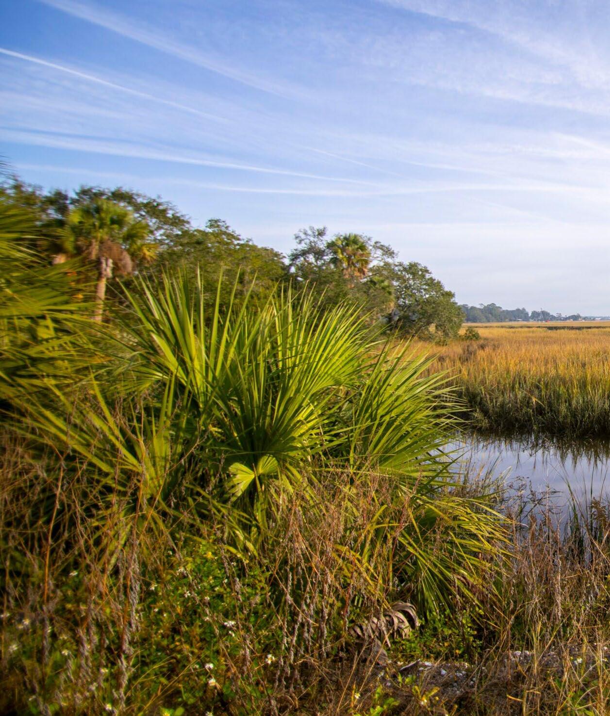
Control and
Salinity
Tolerance
and Remove Invasive Species
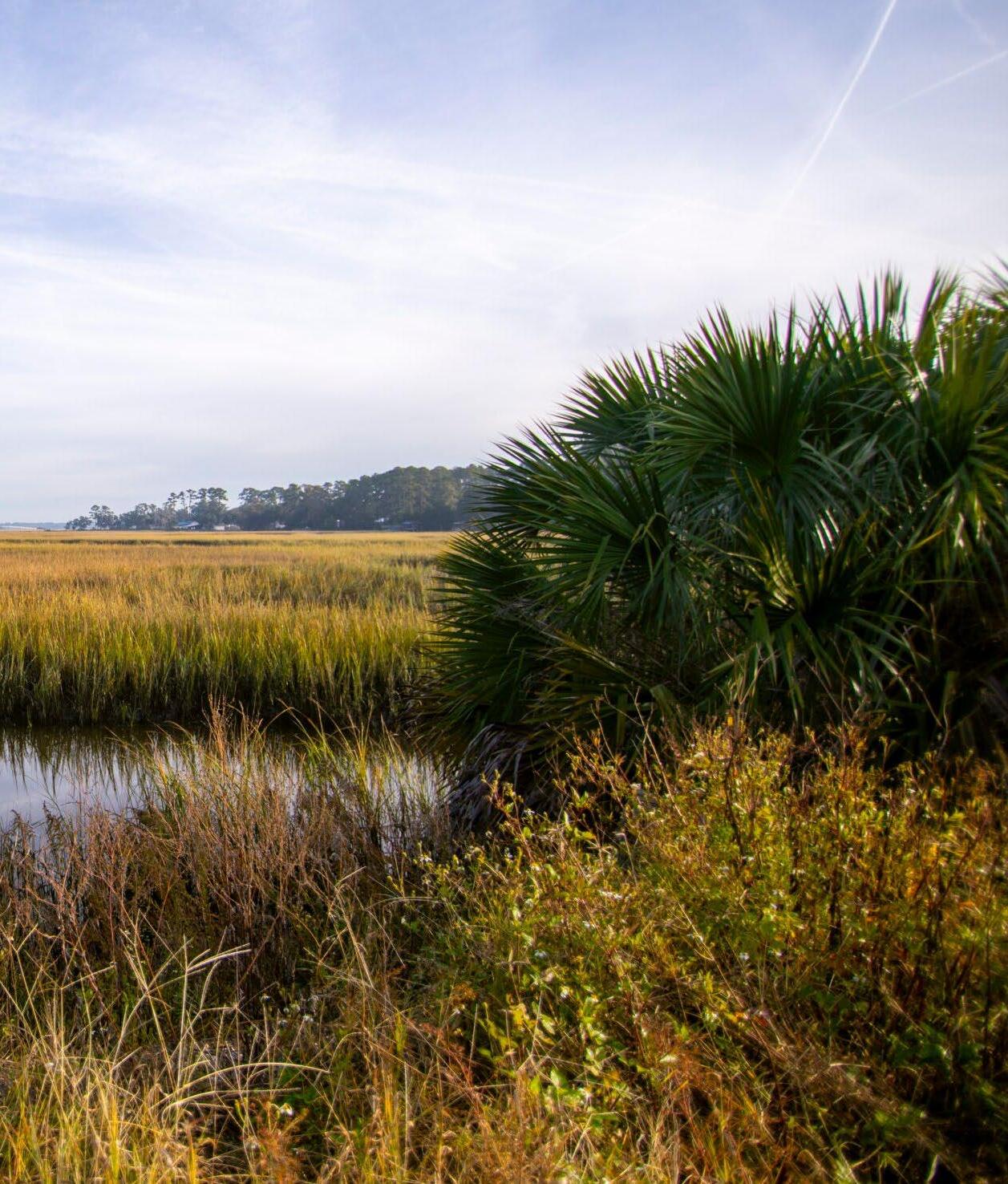

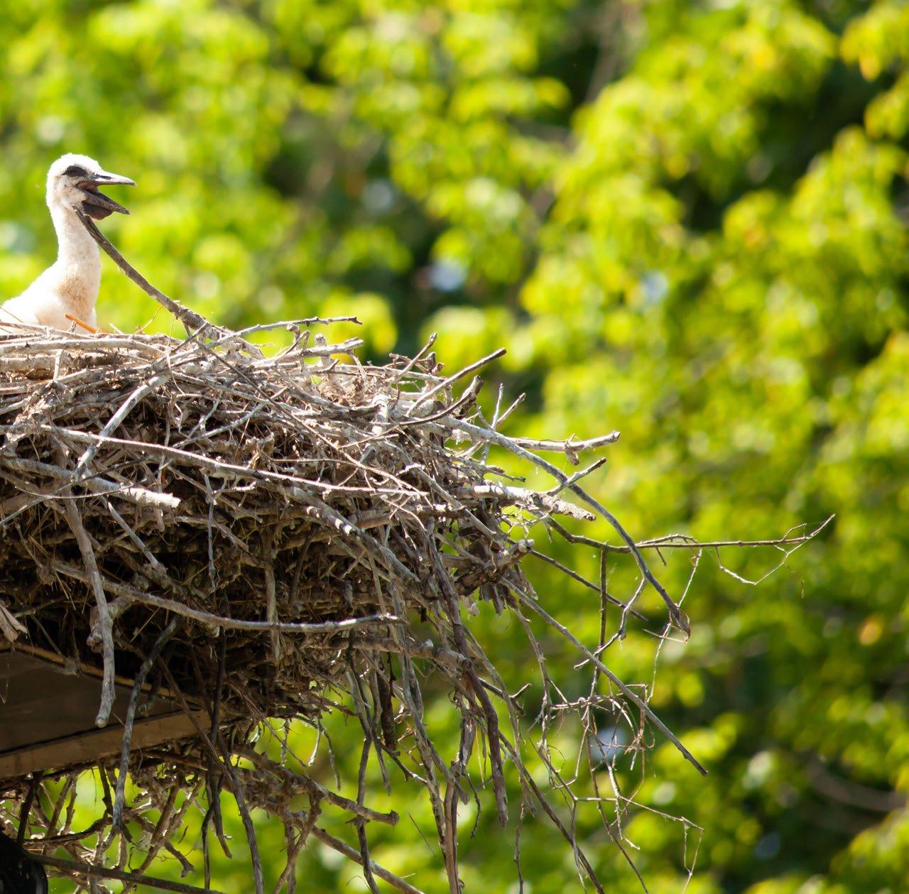
Fresh Water Wetland (also Southern Coastal Plain Interdunal Wetland) is a habitat found along Georgia’s coastal plain. Characterized by seasonal water levels, these wetlands support diverse plant and animal species, acting as critical stopovers for migratory birds and providing habitat for rare amphibians. Their natural hydrology and biodiversity make them vital for ecosystem health and resilience in the region.
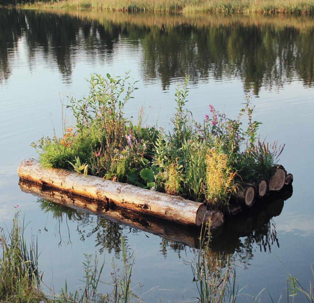


Freshwater wetlands can significantly support biodiverse landscapes, improve water quality, be significant carbon sinks, and provide habitat for a diverse array of native species. They are “hotspots” for birds, amphibians and invertebrates. Restored riparian wetlands can significantly reduce nutrient loads, such as nitrogen and phosphorus, through processes like denitrification, which is essential for improving water quality.
Riparian buffers protect water quality and aquatic habitat by reducing erosion, capturing pollutants, providing habitat corridors and shading nearby waterbodies. The State of Georgia have development regulations that protect riparian buffers, requiring a minimum 25-foot buffers along creeks, streams, rivers, saltwater marsh, and most lakes and ponds and a 50-foot buffer on trout streams (Coastal Riparian Buffer Guidance Manual, 2007). This projects seeks to expand and enhance these buffers in the project area by making them wider, planting with native species, prohibiting fertilizers and herbicides in and near the buffer, using trail materials that are permeable or porous.
Soils are sand, sometimes with a thin layer of muck accumulated in the pond. Dynamic nature of habitats as it balances between dry and wet soils - based on rainwater pooling, tidal influence and the proximity to the water table
Managing hydrology and vegetation are key factors in restoring these communities. In the past, it is likely ditches were created to drain these wetland resources. Reestablishing hydrological connections with wetland areas is an essential first step in the restoration project. Once hydrological improvements are made, wetland restoration will likely require active restoration, including new planting in areas where the seed bank is not desirable. Given the long history of the project area as a golf course, passive revegetation may not be possible. Additionally, strategic species management and nutrient control will be required to sustain these systems over the long term. Nutrient control will be particularly important when large bird populations visit the site.
Once desired hydrological processes are established, adding a thin layer of sand or organic material to improve soil conditions and promote vegetation re-colonization on areas that do not have an existing vegetated area. Throughout Jekyll Island, herbaceous and forested wetlands are typically found on Rutledge fine sand soils. However, on this site, due to the long history of golf course uses, the soils in the project area have more than likely lost much of its original characteristics and may need amendments to speed up the restoration process.
Forested wetland communities include:
• Coastal Plain Evergreen Hardwood - Conifer Swamp/ Outer Coastal Plain Sweetbay Swamp Forest
• Red Maple – Tupelo Maritime Swamp Forest.
Herbaceous communities are dominated by cordgrass or sawgrass and include:
• Southern Atlantic Coastal Plain Carolina Willow Dune Swale
• Sand Cordgrass – Seashore Mallow
• Herbaceous Vegetation
• Southern Hairgrass – Saltmeadow Cordgrass – Dune Fingergrass Herbaceous Vegetation
• South Atlantic Coastal Pond
• Sawgrass Head
• Avoid winter burns for amphibians
• Increase buffers for amphibians, like flatwoods salamanders, and coverage of herbaceous species
• Retain stumps for amphibians and reptiles
• In pond, consider lowering water level for wood storks to avoid predation from alligators
• Protect rookeries from human disturbance
• Wildlife crossings
• Shallow slopes, no curbs
• Laurel wilt
• Visitor access should be limited to raised boardwalks and walkways
• Minimum 50’ buffer around drainage channels and waterbodies
• Excavate the edges of the inter-course ponds, forming a more gradual slope to encourage wetlands species establishment, banks are typically no steeper than a 3:1
• Pond islands and floating wetlands for animals
• Nesting boxes and platforms
• Wildlife blinds
• Research stations
• Water control structure and aeration devices
• Discourage alligator feeding and predation on other wildlife
Coastal Plain Evergreen Hardwood - Conifer Swamp forests are dominated by evergreen trees and shrubs, with saturated organic soils and sandy wet mineral soils. Although tolerance of wet soil, the dominant vegetation are not tolerant of deep water flooding for long periods of time and are typically seepage-influenced. Fire is known to have an important role in some plant communities of this group, however some species such as Magnolia, are fire intolerant and there appears to be a wide variety of fire influence in historic communities, particularly those with more hardwood trees and broad-leaved evergreen shrubs. (Natureserve, 2024)
Atlantic & Gulf Coastal Plain Wet Prairie & Marsh are herbaceous or shrub wetlands occurring in depressions and basins, seepage slopes, interdunal swales and poorly drained wet flats. The vegetation ranges from floating-leaved aquatics in deeper basins, to emergent marsh in semipermanent water, to drawdown zones with diverse small graminoid and forb vegetation, to shrub swamp and shrub edges. Examples occupy low, flat plains on poorly drained soils, often saturated for 50-100 days per year. In addition to saturation or flooding, occasional to frequent fires, including during the early growing season, promote the maintenance of this vegetation. Large fluctuations in the water level cause both anaerobic and dry conditions, which promote herbaceous plants rather than trees. Fire may also be necessary to stimulate growth, flowering and seed production of many herbaceous species found in communities of this macrogroup. In the absence of fire, vegetation may become heavily wooded, resulting in the eventual elimination of the herbaceous vegetation (Folkerts 1982). (Natureserve, 2024)
Maintain Vegetation Diversity
Maintain Water Levels
Support Habitat Development
Control Invasive Species
GENERAL NAME INTERNATIONAL TERRESTRIAL ECOLOGICAL SYSTEM
Freshwater Wetland (herbaceous and forested) and Pond
Southern Atlantic Coastal Plain Fresh and Oligohaline Tidal Marsh
Southeastern Native Ruderal Flooded & Swamp Forest
MACROGROUP AND GROUPS
M067. Atlantic & Gulf
Coastal Plain Wet Prairie & Marsh
M885. Southeastern Coastal Plain Evergreen Oak Forest
M032. Coastal Plain
Evergreen HardwoodConifer Swamp
G777. Atlantic & Gulf
Coastal Interdunal Swale
G777. Atlantic & Gulf
Coastal Interdunal Swale
G798. Coastal Live OakHickory - Palmetto Forest
G037. Southern Coastal Plain Mixed Evergreen Swamp
ALLIANCE AND OR ASSOCIATIONS
Salix caroliniana / Hibiscus grandiflorus / Polygonum punctatum Swamp Woodland (CEGL004272)
Spartina bakeri - Kosteletzkya virginica Salt Marsh (CEGL004194)
Morella cerifera / Spartina patens Wet Shrubland (CEGL003839)
Spartina bakeri - Woodwardia virginica - Saccharum giganteum Marsh (CEGL007713)
Cladium mariscus - Woodwardia virginica Marsh (CEGL004949)
Magnolia virginiana - Persea palustris / Lyonia lucida Swamp Forest (CEGL007049)
Quercus virginiana - Quercus hemisphaerica - Pinus taeda - Quercus falcata / Persea palustris Forest (CEGL007026)
Gordonia lasianthus - Magnolia virginiana - Persea palustris / Sphagnum spp. Swamp Forest (CEGL007044)
Gordonia lasianthus / Woodwardia virginica - Osmunda regalis var. spectabilis Swamp Forest (CEGL004410)
Acer rubrum - Nyssa biflora - (Liquidambar styraciflua, Fraxinus sp.) Maritime Swamp Forest (CEGL004082)
Goal Objective
Improve water quality
Enhance buffers
Provide refuge for target bird species
Foster a balanced water chemistry to support aquatic life
Maintain freshwater salinity levels
Establish naturalized channels and hydroperiods to improve runoff water quality
Considerations and Metrics Management Response
Macroinvertebrates, Water quality sampling
Aeration, Liming, Add beneficial bacteria, Plant aquatic plants to absorb nitrogen, and consider using a specialized nitratereducing treatment
Water salinity Pond liner, Convert species to more salt tolerant species, Supplement pond with freshwater from harvested rainwater
Water quality sampling
Widen buffer, Estalish microtopography in buffer zone, Add additional planting
Establish roosting and nesting sites for target species
Sightings, Acoustic monitoring, Wildlife cameras
Move paths away from roosting sites, Buffer sight lines from nesting and roosting sites with planting

SITE PREPARATION
L1.1 Remove non-native vegetation through mechanical means.
L1.2 Conduct soil testing and amend soil for suitable hydrology and nutrient conditions.
L1.3 Regrade or reshape the swale to restore natural water flow and drainage patterns.
L1.4 Identify and mitigate any factors disrupting natural hydrology, such as ditching or water flow obstructions.
L1.5 Install water control structures if needed to maintain seasonal inundation and drainage cycles.
L1.6 Design topographic heterogeneity for tidal wetland restoration
FRESH WETLAND ESTABLISHMENT
L2.1 Introduce a mix of Southern cattail, spike rush, and common bulrush plugs or seeds at appropriate density for a fresh wetland system, and supplement with other native grasses and forbs suited to the habitat.
L2.2 Use targeted manual removal to limit competition within planting and protect marsh vegetation during establishment with minimal disturbance practices
YEARS 5-10
WILDLIFE HABITAT ENHANCEMENT
L3.1 Install natural elements that include artificial perches or nesting structures for bird species.
L3.2 Incorporate native blooming species in less water saturated ares.
L3.3 Promote habitat for pollinators and other invertebrates by diversifying plant life.
L3.4 Survey wildlife presence and abundance, focusing on species like marsh wrens, pollinators, and amphibians.
ONGOING LONG-TERM MANAGEMENT
L4.1 Regular monitor water levels, topography, flow patterns, pollution, and plant coverage on site.
L4.2 Control invasive species and adjust hydrology as needed.
L4.3 Maintain ecological health with periodic burns or mechanical clearing to mimic natural disturbances.