International Research Journal of Engineering and Technology (IRJET)
e-ISSN: 2395-0056
Volume: 08 Issue: 04 | Apr 2021
p-ISSN: 2395-0072
www.irjet.net
CFTL: CLUSTER BASED FAULT TOLERANT LOCALIZATION IN WIRELESS SENSOR NETWORKS C. Rajkumar1, D. Govindaraj2, K. Kannan3 1,2,3Assistant
Professor, Department of Computer Science, Kaamadhenu arts and science college, Sathyamangalam ------------------------------------------------------------------------***-----------------------------------------------------------------------
Abstract: Wireless Sensor Network (WSN) has long been regarded as an essential method for many applications. The position of sensor nodes is needed for the majority of WSN applications. The location knowledge of WSN nodes is critical for determining the source of incidents and acting on them. For this reason, several localization algorithms have been created. We suggested CFTL cluster-based faulttolerant localization in this paper, which is commonly used in WSN applications. These algorithms use a few reference nodes with position information to localize other nodes using these nodes as a reference. However, in practice, certain reference nodes can fail and report incorrect position details to other nodes. This limits the network's overall localization accuracy. As a result, it is critical to recognize and exclude defective reference nodes from the localization phase. However, since both defective nodes and heterogeneous nodes change hop distances in Wireless Sensor Networks (WSN), identifying just faulty nodes within a group of heterogeneous nodes becomes much more difficult. This paper presents a fault filtering approach for fault-tolerant localization that can be used with some of the current hop-based localization algorithms. Under defective conditions, the Fault Filtering algorithm exhibits improved localization accuracy and more robust efficiency.
feasible [4]. As a result, localization has become a significant issue in WSNs. It is being thoroughly researched for a broad variety of applications [5]. Since they do not need any extra hardware support for range measurements, range free localization algorithms are more common for large scale WSNs.
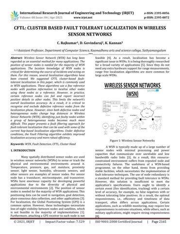
Figure 1: Wireless Sensor Networks
Keywords: WSN, Fault Detection, CFTL, Cluster Head
A WSN is typically made up of a large number of sensor nodes with minimal processing and power capacities that communicate over unreliable and low bandwidth radio links [3]. As a result, this resourceconstrained environment suffers from repeated node and connectivity failures. The usefulness of a WSN-based programme, on the other hand, stems from providing stable facilities, which necessitates the implementation of fault tolerance techniques. The use of node redundancy is a standard method for providing fault tolerance in WSNs. However, this solution is insufficient to meet the application's specifications. Users ought to identify a certain event (fire identification, tracking) with a certain level of accuracy, for example, no false negatives with or without tolerating false positives. As a result, the optimal responsiveness, i.e., efficiency and timeliness of data transport, often differs across applications. Certain applications, such as wildlife monitoring, may require low responsiveness in extreme situations, while others, such as military applications, might require strong responsiveness [8].
1. INTRODUCTION Many spatially distributed sensor nodes are used in wireless sensor networks (WSNs) to sense or track the physical and environmental environments around it. Temperature, pressure, gas, soil moisture, proximity sensor, light sensor, humidity, ultrasonic sensors, and other sensors are examples of sensor nodes. Per sensor node has a transducer, microcomputer, and transceiver. WSNs have enormous capacity for developing powerful applications due to the diversity of physical and environmental environments [2]. The position of sensor nodes is needed for the majority of WSN applications. This positioning data can be used in navigation, goal detection, place-conscious data collection, and other applications [3]. For localization, the Global Positioning System (GPS) is a common option. However, these technologies necessitate line-of-sight visibility between nodes and satellites, which is not feasible in the majority of implementations [1]. Furthermore, attaching a GPS receiver to each node is not
© 2021, IRJET
|
Impact Factor value: 7.529
|
ISO 9001:2008 Certified Journal
|
Page 2165