Briefing Book
LOWER GREEN RIVER CORRIDOR VISION
KING COUNTY FLOOD
CONTROL DISTRICT
Workshop June 28, 2024
Agenda
Meeting Purpose: Review our progress so far and seek guidance for next steps. Develop a draft pathway forward that is integrated, compelling, and durable.
12:30 Introductions
12:40 Overview of Meeting Purpose and Process
12:45 Review and Discuss Briefing Book Managing Complexity Challenges Shared Values Toolkit Example Sites Posters
1:00 Questions & Discussion
1:30 Elements of a Vision: Ideation
2:45 Report Out
3:00 Discussion and Next Steps
3:30 Adjourn
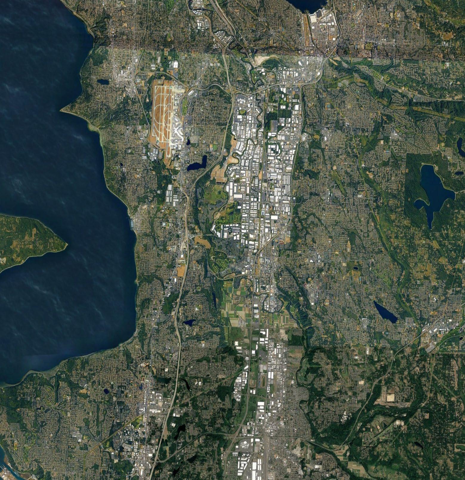
Flooding in the Lower Green River Valley is not new. It is as old as the Green River. Escaping high waters, harvesting resources in the years between flooding and fires – these are as old as the Green River, too.
Every generation attempts to figure out how to thrive despite the flooding. The Tribes had thousands of generations of practice. Non-Indian settlers and farmers had a different strategy. They built ditches to drain the wetlands and dikes to hold the river flooding at bay. More ditches, development, diversions, dams, levees, dikes, stormwater, and diking districts followed. Over the last century we have plumbed, piped, farmed, roofed, and paved the valley floors. In so doing we built four cities and fed many more, created a home for thousands of diverse families, and developed into a key strategic asset in the nation’s supply chain. In exchange we have lost miles of habitat for a formerly vast fishery. With climate change we have supercharged the challenges. Groundwater and floodwaters rise, rainstorms increase intensity, dry spells turn into droughts, wildfires become more common, and river peak flows shift seasons as mountain snowfields and glaciers melt and pour out sediment loaded runoff. Our decisions, often made with the best of intentions, continue to impact all of us and increase the complexity we face.
Over the last generation and more, local elected officials and staff have been working non-stop to address these challenges.
Some of the staff members we met with have spent much of their professional careers developing, designing, building, and implementing solutions to these challenges. Every bit of this work is important and sets the stage for the next 20 years. Many of the concepts that have been floated had merit but were unable to move forward because the context for decision-making was not ripe. Whether inadequate funding, low levels of collaboration, competing regulatory drivers or lack of a unifying vision, creating the conditions for aligned effort and multi-benefit impact in the Lower Green has been elusive.
In the Green River Corridor, the challenges are complex. If only they were simple, we’d solve them right away. But the challenges are not simple. We’d even love for the challenges to be complicated, because if something is complicated there IS a correct answer. The truth is that these challenges are complex because they are a constellation of self-directed systems of species, governance, economics, culture, shifting climate, geology, and nature. Whatever we do, we won’t know if it’s a great solution until the future unfolds.
A 20-Year Vision
Given this complexity, what kind of 20-year vision could we create for the Lower Green River Corridor? We know from our study of managing complexity that it must be incremental and flexible. It must be strategic with specific interventions that demonstrate how we’d like things to change. It must embrace uncertainty and keep our eye on helping our communities to avoid loss, and if some loss occurs, to recover quickly.
And it must solve multiple challenges because in real life, everything is more connected than we expect. Disregarding the connectedness is what got us into this mess!
Our team has facilitated more than a dozen value planning workshops across the state. In every case, the existing condition is that people are tired of being at loggerheads and making insufficient progress. They have real challenges and propose what seems to be a good solution only to have it brushed away by others who must be on board. Proposals and counter-proposals jockey for attention, funding, and permission. Tables are set with key community interests left out. Trust is often in short supply and folks can talk past each other.
In a pre-workshop with staff from Tukwila, Renton, Kent, and King County, we were able to review elements of this briefing book. We discussed shared challenges and some of the multi-benefit tools that our team is suggesting be considered. We asked the staff, “What are your values?” It is a short quiet written exercise, but when those values were posted and clustered on the wall, they told an important story. To our team, they indicate that there is room for smart integrated solutions if we use these values to create solutions together.
We recommend a “string of pearls” concept where we look for projects that serve these values by providing multiple benefits, including increased revenues for the cities, improved public safety, better flood protection and fish habitat, new jobs and housing, agriculture and food security, equity, and recreation.
These individual “pearls” can be strategic interventions and a catalyst for securing many of these benefits together.
To prepare for this workshop, we approached Segale Properties about a portion of their property that they call the Central Prato District. We asked if we could use this property as an example of integrated thinking for our workshop? And also asked, how might we co-create multiple benefits for everyone by thinking across the challenges and across the values? Their answer was “absolutely, yes.” They welcomed the idea of becoming a catalyst and example for a more integrated approach to living in the Green River valley.
During our elected leadership workshop on Friday, we will be reviewing our progress so far and seeking guidance for plausible next steps. The hope is that we move from admiring the challenges to solving them together. By the end of the day, we hope to find a pathway where the senior leaders of each city and the county agree to be keepers of an integrated, compelling, and durable vision for the Lower Green River corridor.
In a follow-up workshop in July with city and county staff, we will work together to create example “pearls” that best meet the broadest range of shared values and demonstrate how some of the tools in the toolkit can begin to demonstrate and pilot a new pattern for meeting multiple needs at once in the Lower Green River Corridor.
SHARED CHALLENGES
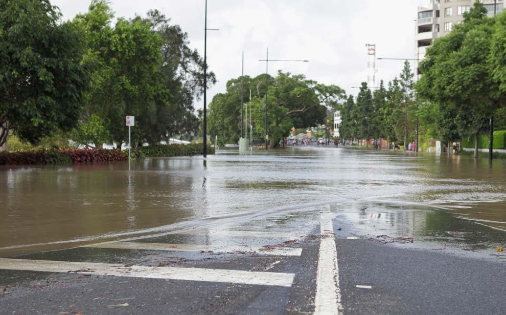
Flooding
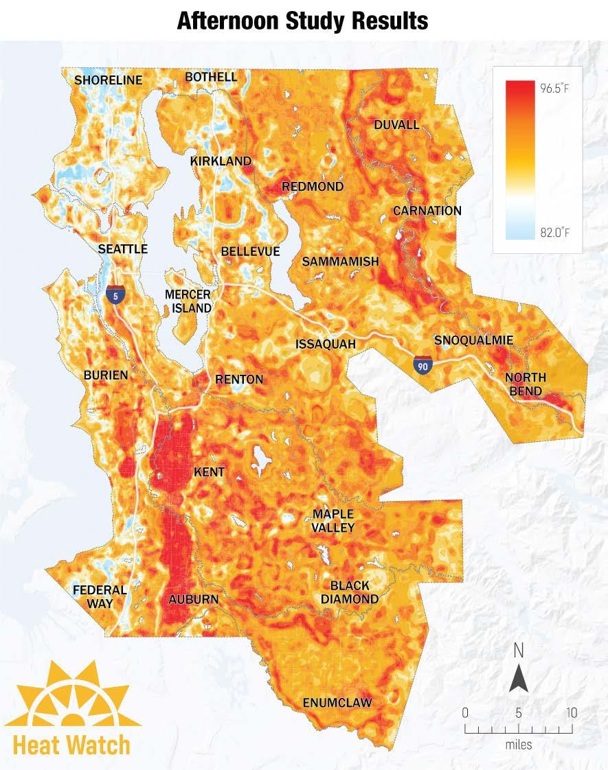
Flooding in the Green River can threaten lives and thousands of homes, businesses, roads, and other important regional assets. The flood district’s Programmatic Environmental Impact Statement for the regional flood plan is moving forward with a final report and preferred option in 2024.
Disasters & Hazards
Flooding is not the only risk in South King County, and by anticipating other potential disasters, the cities and county can plan for resilience. Some of the hazards that are very plausible in the Lower Green River Corridor are earthquakes, air quality, extreme temperatures and pandemics.
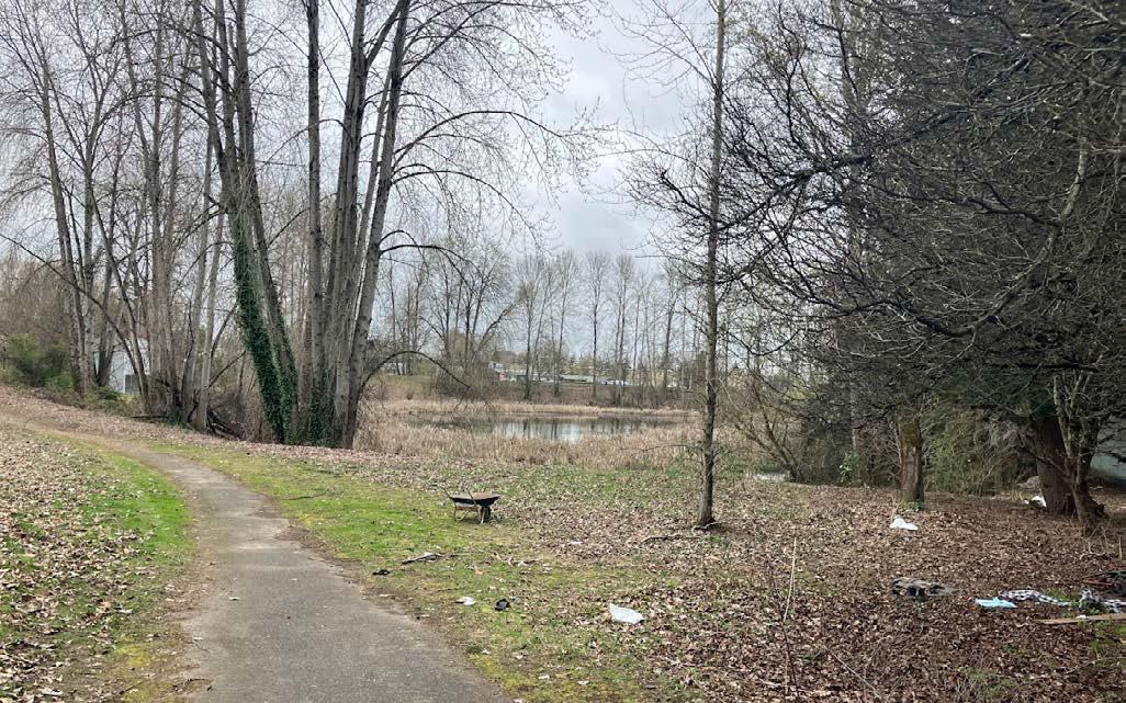
Habitat Restoration
One of the strong commitments from KCFD and other stakeholders along the river is to markedly improve the ecosystems that support Chinook salmon and other wildlife species that depend on the Green River. In some locations, restoration is complicated due to the presence of homeless encampments.
Mobility and Walkability
In most locations, the urban fabric of the Green River Corridor does not promote pedestrian activity. The uses along the river are frequently private-facing, such as industrial, residential and agricultural. Due to the high banks, the river is not frequently visible, even from the Green River Trail, which is also absent on the south end.

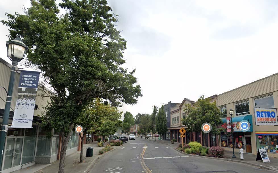

Recreation Space
The cities are interested in expanding their local recreation opportunities, through new facilities or a revitalization of existing vegetated spaces. The Green River is a regional amenity that should also serve multi-purpose, multibenefit projects along its trail system that promote engagement of the river.
Housing and Job Mandates
New growth targets for increased housing are substantial for the four cities. While many incentives and regulations mandate a focus on below-market rate development, attracting investment in workforce and market rate housing is also important to create a diverse and balanced community.
Local Revenue Generation
The valley is an industrial engine for the country and manufacturing has been and is currently important. Warehousing can be an insufficient generator of local tax revenues and the cities would benefit from additional revenue generating land uses. The space industry is growing in the region.
Sense of Safety
The Lower Green has a population of people who are temporarily or chronically unhoused, and encampments are contributing to the perception that the Green River Trail is not a safe amenity. There has been progress with transitional housing projects and other services, as well as activating spaces to prevent new encampments.
In a workshop on June 6th, we asked the city and county staff to write their values for the Green River Corridor onto post-its. We then sorted the values into similar ideas and some categories emerged.
Protect and Enhance Environmental Quality
• Environmental Cleanliness
• Sustainability
• Open Space Preservation
Protect Communities from Flooding
• 500 year flood protection is accomplished for the urban cores
• Disproportional Flood Risk Exposure
• Flood Plain connections + off channel habitat
• Flood Control improvements
Increase Recreational Opportunities
• Recreation
• Nature
• Access to Nature
• Open Space Preservation
Improve Fish Habitat
• Sustainable, harvestable salmon populations
• Rearing and refuge habitat
• Salmon/fish habitat protection/restoration
• Habitat enhancements that improve quality and functionality
• Avoiding bad water for fish
Drive Economic Growth
• Economic development (x2)
• Quality jobs
• Envisioning 50 years of economic development
• Economic development growth
Protect Agriculture & Food Systems
• Sustainable Agriculture
• Enhanced access to culturally relevant food
• Clean Water
• Expansion of urban agriculture community
• Water Quality is vastly improved – sections of the river are off the 303 list
• Flood protection for local community
• Flood Risk Reduction
• Flood Rick Management
• Safe Communities
• Avoiding and recovering from flooding
• Public Access to the river – universal design principles
• Passive and active recreation opportunities
• Trails exist, but are not shade free and do not exist on the majority of river banks
• Salmon habitat is recovered
• Education on river habitat for all
• Salmon habitat
• Biodiversity and diversity
• Maintaining the economic engine for the region
• Generate economic development and revitalization
• Enhanced access to farmland by underserved communities (especially immigrants and refugees)
Grow Community Resilience
• Climate change resilience
• Emergency management
Protect Health and Safety
• Public Safety
• Public Health
Protect Tribal Treaty-Reserved Rights
• Tribal treaty rights
Serve People Equitably
• Equitable Opportunities
• Equity
• Diversity
Conduct an Effective Planning Process
• Universal vision for river
• Ongoing maintenance
• Meeting regulatory requirements CWA, ESA, GMA
• Learning
Satisfy Multiple Community Needs
• Place making space for the greater community
• People
• Community gathering
• Multi-cultural space
• Family
• Sense of place for everyone
• Minimize unauthorized structures and encampments
Develop Integrated Solutions
• Multi-benefit outcomes
• Balancing fish access with people/community needs
• Maximize benefits within funding
• Climate resiliency
• Safety
• Public Safety
• Reorganizing needs/interests of communication
• Efficient Transportation
• Public participation
• Financially feasible
• Planning for future change
• Getting something done soon/now
• Vibrant communities with access to jobs, housing, open space and recreation
• Protecting critical infrastructure
• Addressing unhoused
• There are enough homes for people so encampments don’t displace stream habitats
• Quality housing
• Integration between built and natural environment
• Increased focus on multiple benefit projects
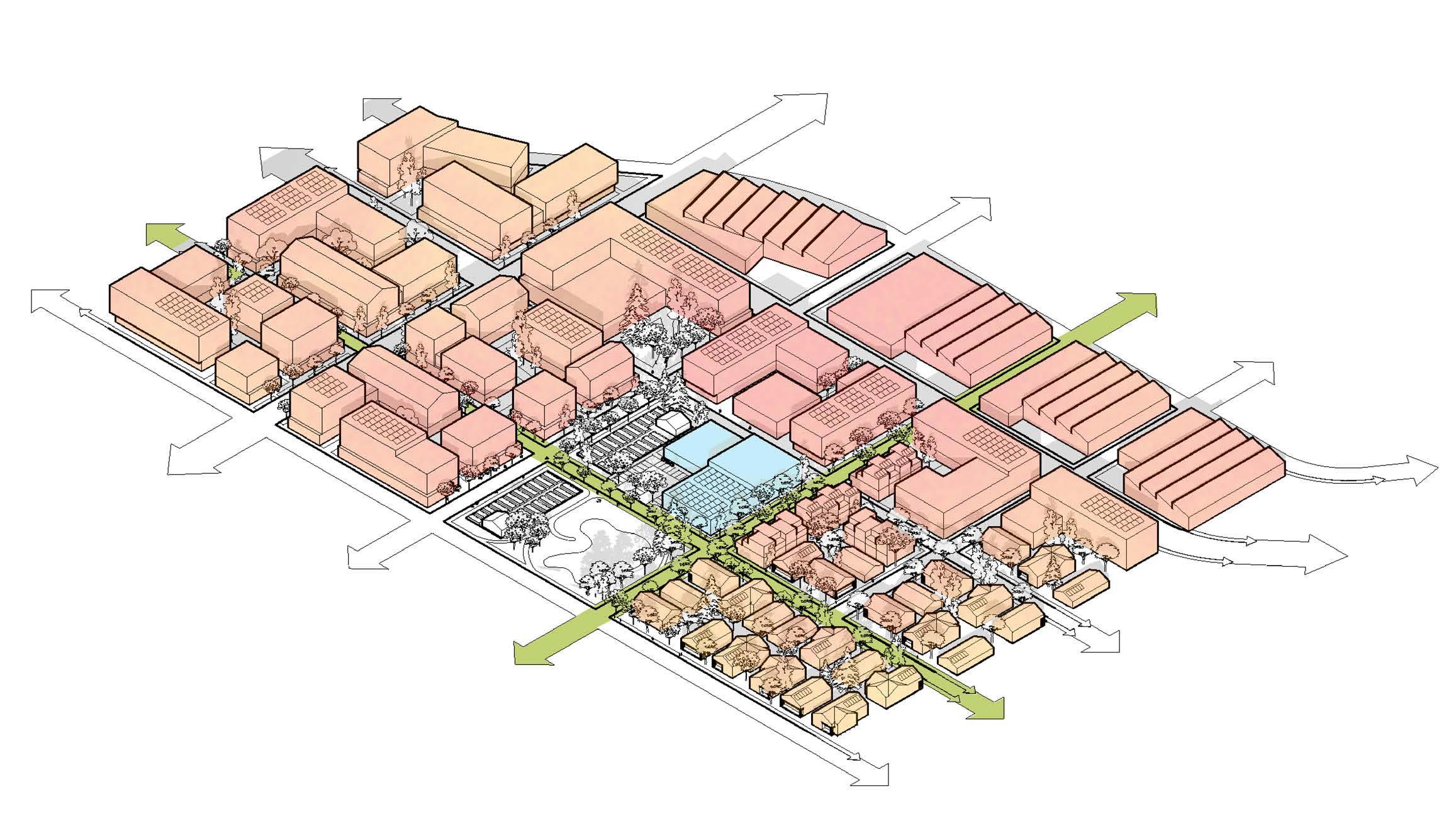
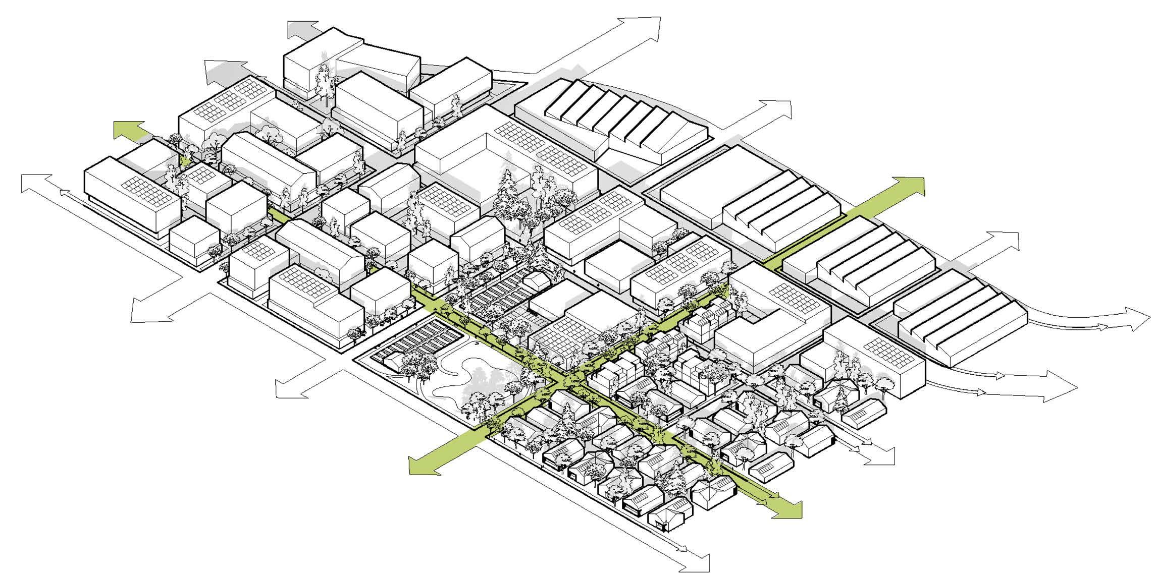
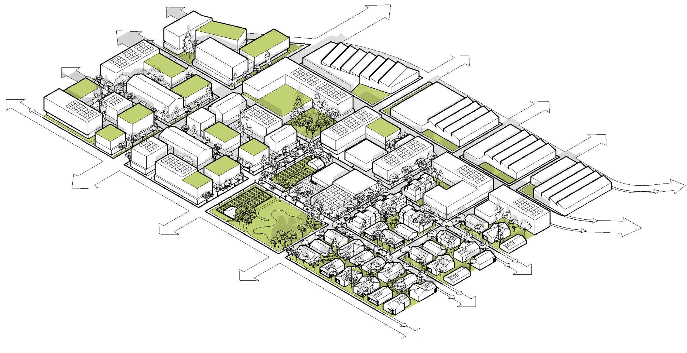
PROTECT AND ENHANCE ENVIRONMENTAL QUALITY
Toolkit
LEVEE SETBACKS
SALMON HABITAT RESTORATION
MIXED-USE DEVELOPMENT
FOOD HUBS
PATH & NODES
MAKER’S DISTRICT
INDUSTRIAL SYMBIOSIS
COOLING SHELTER
COOL STREETS
COOL CORE
CLOUDBURST STRATEGIES
GREEN FACTOR RESILIENCE HUB
ENGAGEMENT
Shared Values
INCREASE RECREATIONAL OPPORTUNITIES
PROTECT COMMUNITIES FROM FLOODING
IMPROVE FISH HABITAT
DRIVE ECONOMIC GROWTH
PROTECT AGRICULTURE & FOOD SYSTEMS
GROW COMMUNITY RESILIENCE
SERVE PEOPLE EQUITABLY
PROTECT HEALTH AND SAFETY
INTEGRATED
Shared Values
SATISFY MULTIPLE COMMUNITY NEEDS DEVELOP INTEGRATED SOLUTIONS
CONDUCT AN EFFECTIVE PLANNING PROCESS
PROTECT TRIBAL TREATY-RESERVED RIGHTS
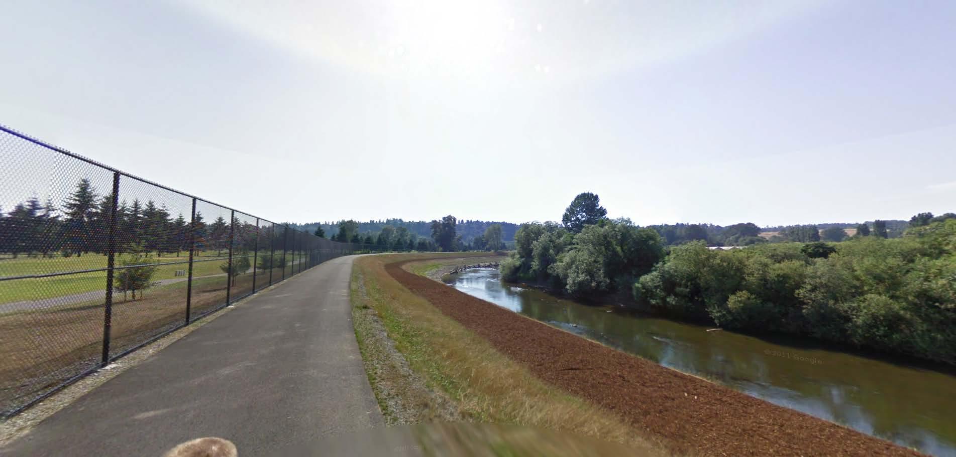
Levee Setbacks
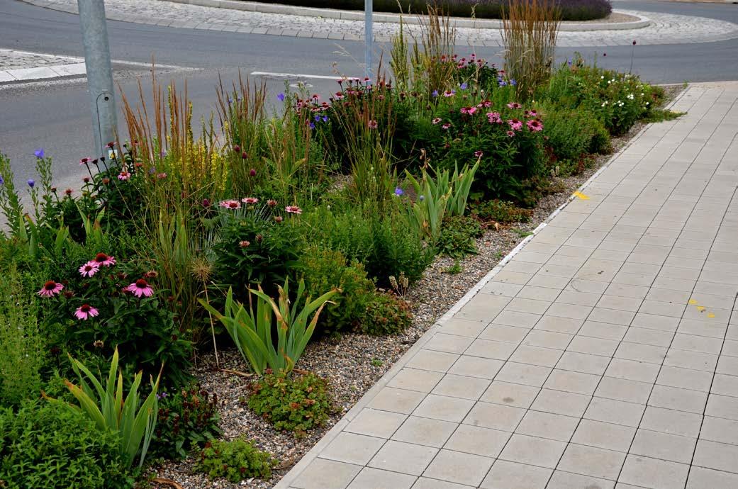
Levee setbacks are a strategic approach to mitigating the impacts of flooding within floodplains. By intentionally moving levees further back from the riverbanks, these setbacks allow rivers to naturally expand during floods, reducing the intensity of water pressure against the levees and lowering flood risk for nearby communities. Setback areas can be transformed into valuable outdoor amenities for local communities, as these amenities not only enhance the quality of life for residents but also encourage community engagement with and appreciation for their natural surroundings.
Levee setbacks serve as a multifaceted solution, simultaneously bolstering flood resilience, restoring ecosystems, and enriching community life through sustainable development along riversides.
BOARDWALK CONCRETE FLOOD WALL
APPROXIMATE
LEVEE
LOWER RUSSELL LEVEE SETBACK
GREEN RIVER NATURAL RESOURCE AREA
Salmon Habitat Restoration
Restoring salmon habitat within the Lower Green River Corridor is a priority for the Federal government, Washington State, Northwest Treaty Tribes including the Muckleshoot Indian Tribe, and many members of the public.
By reclaiming and restoring natural stream channels, removing non-native invasive species, and returning native plantings for shade and insects to riparian zones, these projects help to expand critical habitat for the many life stages of salmon. When teamed with flood control projects, new habitat can provide additional flood capacity to the system, a home for various native plants and animals, and richer passive recreation opportunities.
In addition to in- and near-channel habitat, there are broader upland needs to clean and cool stormwater before it flows into the natural river. Project such as Cool Streets can clean and cool flows from streets, parking lots, and roofs while providing better habitat for fish and humans.
RIVERSIDE PARK
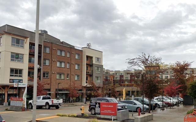
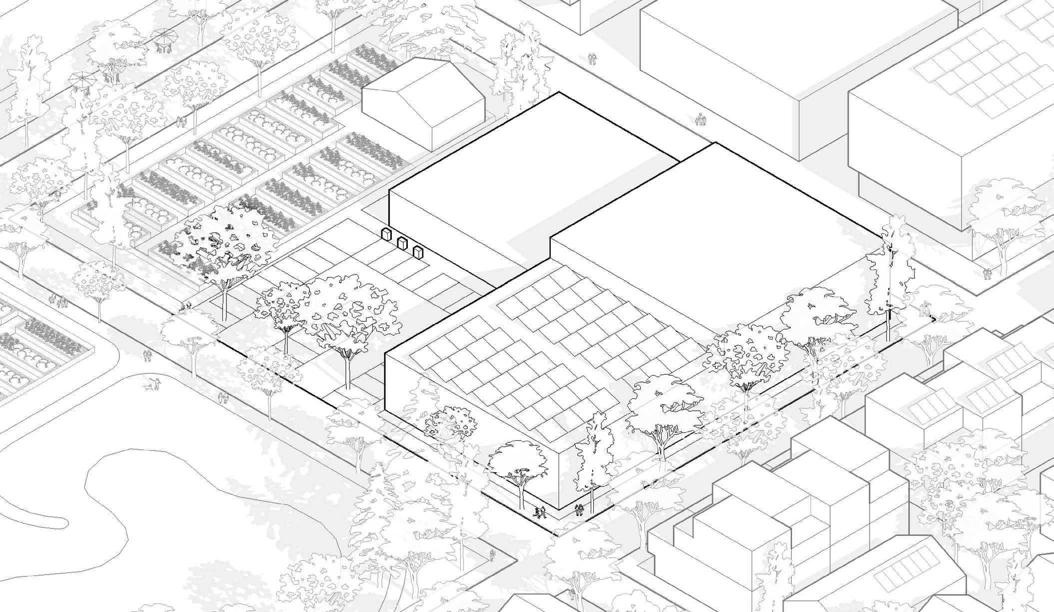
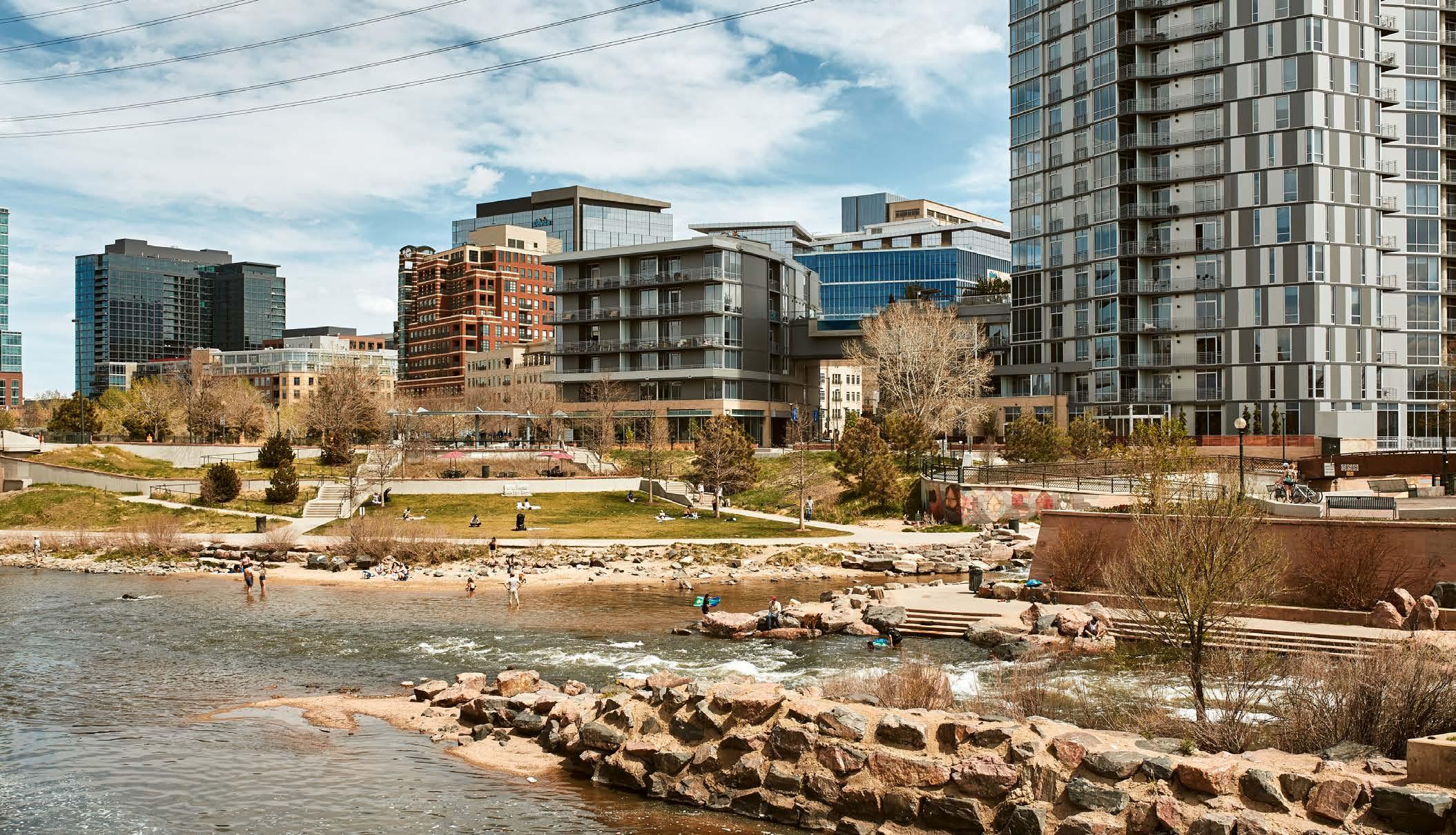
Mixed Use Development
Providing districts with greater density, diversity and a mix of incomes has many benefits. These districts can provide a strong sense of place and a central location for community civic uses and celebrations. Co-locating housing and commercial uses can increase visitors to local retailers and restaurants.
Higher density neighborhoods provide opportunities for a higher variety of housing types and income levels.Mixed use development also generates a steadier and higher revenue for local governments, as the chart below shows.

QUASI-PUBLIC
Comparative Average Tax Revenue by Land Use
Source: Mixing Expectations: Examining the Fiscal Impacts of Mixed Use Development in Bloomington, Minnesota Resilient Communities Project at the University of Minnesota
LOCAL MARKET
RESTAURANTS DISTRICTS
Food Hubs
Honoring and celebrating the cuisine of diverse cultures strengthens resilient communities and adds to our sense of our shared home. For many cultures, food is a strong element of identity.
A Food Hub includes clusters of indoor restaurants, outdoor dining options, food trucks, street vendors, and pop-up food fairs. Food Hubs can grow around the edges of parking, and as density increases, the parking itself shifts more and more to pop up vendors and food trucks.
A Food Hub can also have small producer food processing capabilities, food growing systems or community gardens. Urban farming can provide food in areas that might otherwise be food deserts.

URBAN FOOD GARDEN

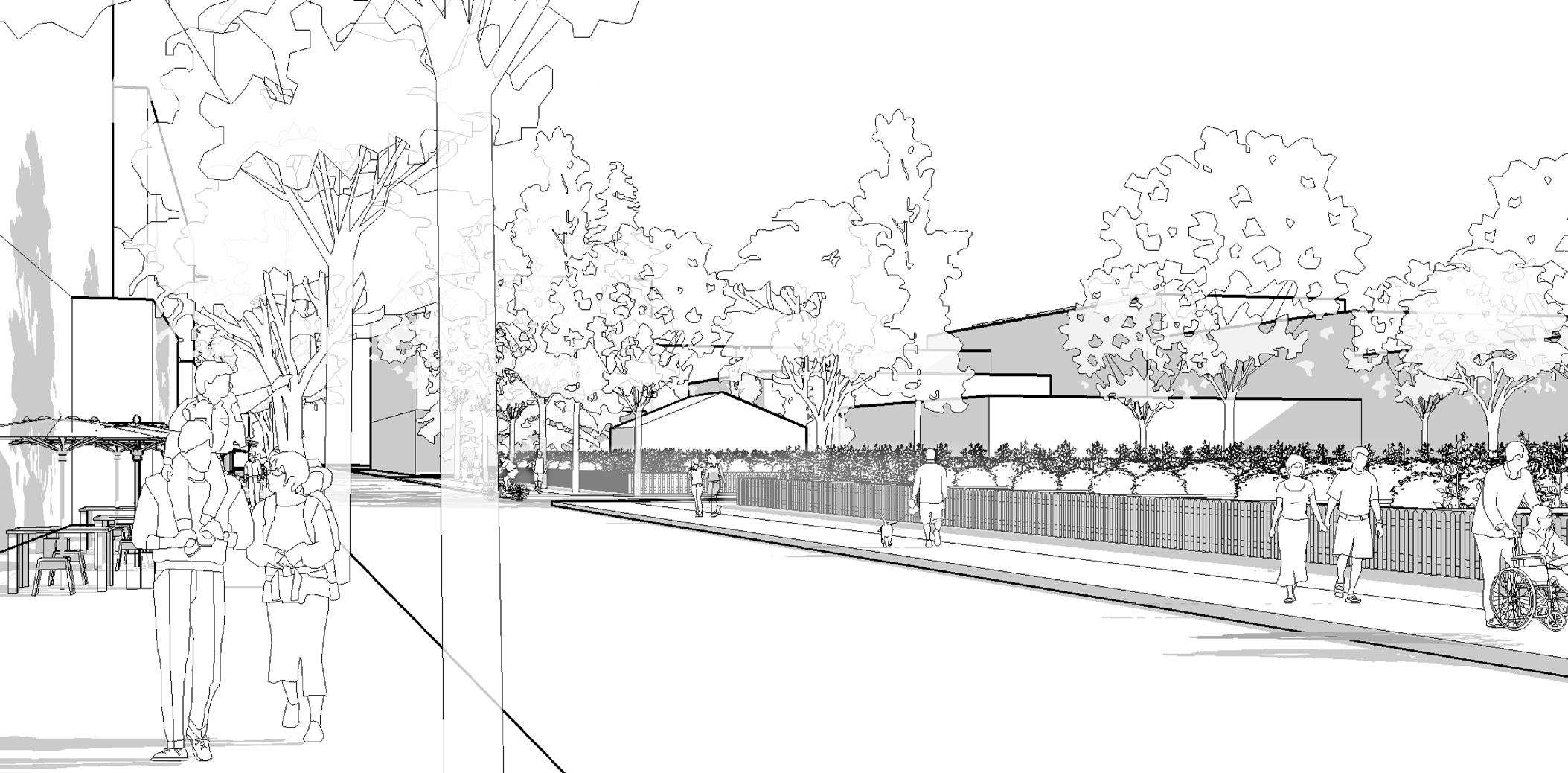
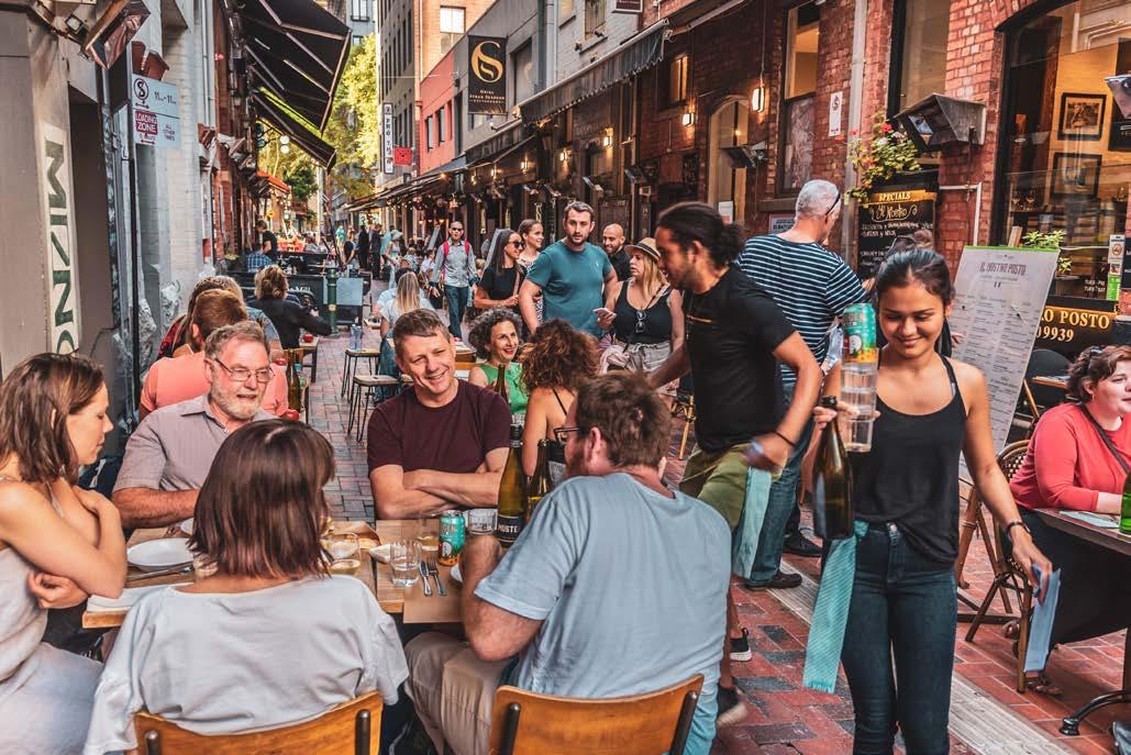
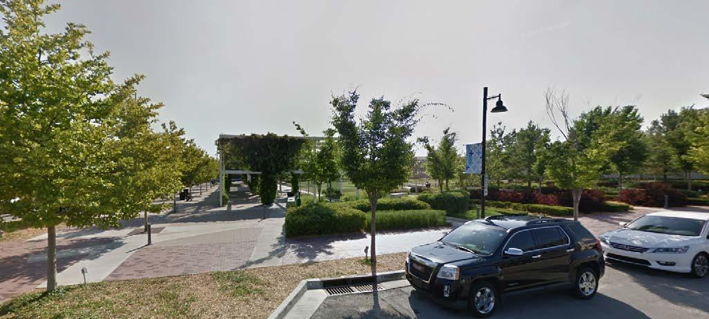
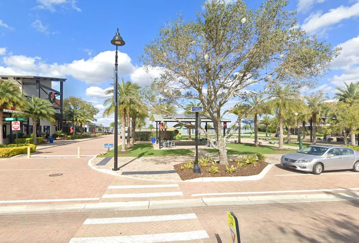
Walkable Web of Paths & Nodes
More than merely a sidewalk or a trail system, a Connective Web of Paths and Nodes is a tool to create connections between two or three block areas where makers, buyers, growers, performers, shop owners, tourists, and locals have a highly connected web of paths that move between visually stimulating environments. These areas are treasured worldwide and are the most compelling and satisfying urban environments for pedestrians navigating the narrow spaces between shops and events. These types of paths and nodes become natural connections that weave together Food Hubs, Resilience Hubs, Cool Streets, Cooling Shelters and Makers Districts.
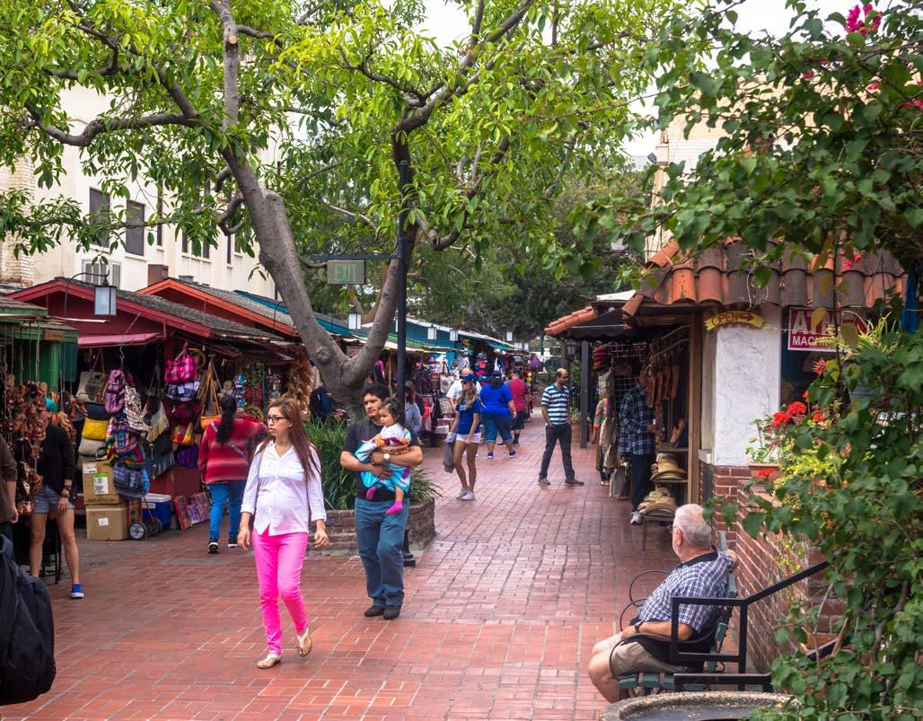
Olvera St in Los Angelos is pedestrianonly and is lined with food and markets.
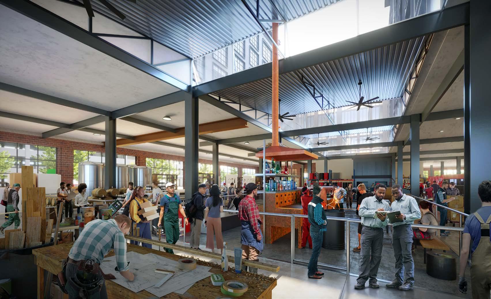
Makers Districts
A Makers District is a reemerging urban architecture that merges places for people to make and sell things with housing above. Ground floors of 15 feet to 25 feet in height underpin multiple floors above designed for residential development. Makers Districts are most successful when tenants on the street level are different than those residing above. The economics for Makers Districts can be attractive where demand for housing is high or growing. Makers Districts are authentic, create jobs, and are 24/7 nodes of activity as residential activities fill the evening and late night hours. Creating city policy, zoning, and incentives for a Makers District can accelerate redevelopment, create unique experience-based neighborhoods and demonstrate a full range of employment opportunities as part of everyday life for families.
WAREHOUSE
MAKER’S DISTRICT waste heating & cooling
skilled workers
COMMUNITY
Industrial Symbiosis
Industrial symbiosis is when one industry’s byproducts become feedstock for another industry. When manufacturing and industry is occurring in the same district, there is potential to share byproducts and resources. Skilled employees, materials and tools can be used by multiple facilities, and the waste from one operation can be recycled in another. This symbiotic exchange increases efficiency and minimizes waste.
work training
scrap materials
non-potable water
non-potable water greywater products
FACTORY
waste heating & cooling
A factory often has waste heat, that can be used to heat a nearby warehouse. The warehouse may have waste packaging that can become feedstock for other products. A nearby Maker’s District may use flows of byproducts to create small wholesale products. Workers and training programs can flow from the district to the jobs.
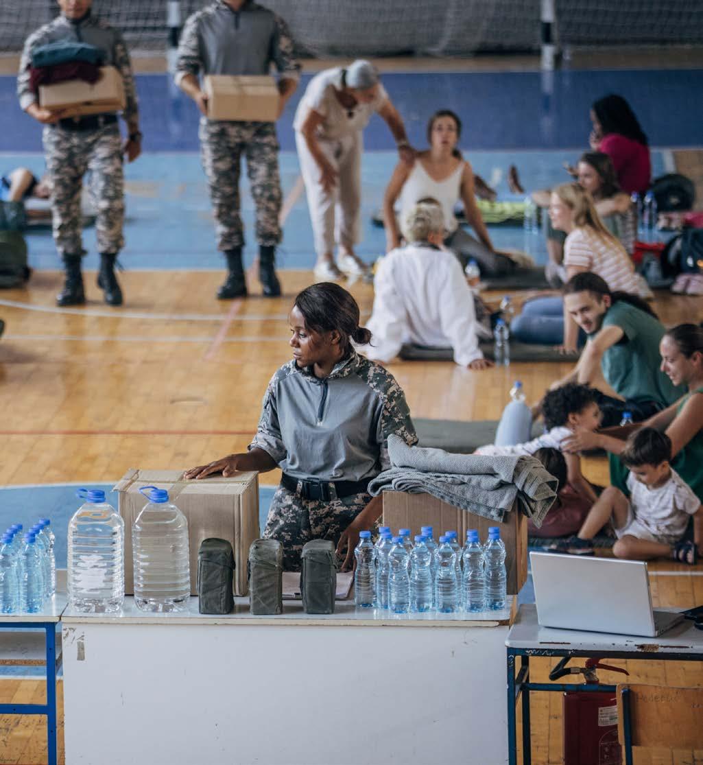
Cooling Shelters
The record-setting heat wave of 2021 killed over 30 people in King County alone. Every 1/2 mile, we recommend identifying a Cooling Shelter. This can be an existing structure or purpose built facility. Cooling Shelters are supplemented with backup power, can be semi-autonomous and can use ground source heat pumps where soils allow for cost-effective and reliable sources of cooling and heating. Neighborhoods can utilitize spaces that are already designed to be cool, like grocery stores and movie theaters.
Cool Streets
Across the world, cities are realizing that cooling shelters are needed, but not sufficient. Many, particularly the elderly, dare not risk a 10-minute walk in life-threatening temperatures. It is imperative to integrate Cooling Shelters within a network of Cool Streets employing shade, ample vegetation, seating, drinking water, and natural ventilation. Often ignored in urban design, natural ventilation of streetscapes occurs when a tree that is actively evaporating through its leaves creates cooler air that falls as the warmer air around them rises. Thoughtful design of seating and trees can provide relief as they create cooling air movement. This is essential for cooling human skin and cooler paving and buildings, even on extremely hot days.
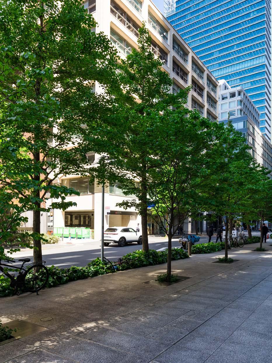

Cool Core
In addition to Cool Streets and Cooling Shelters, buildings play a huge role in providing natural relief during excessively hot weather. Smart design of the landscape around the building can employ the same physics that keep a tree cool. Limiting and shading parking lots and paved areas also keeps temperatures lower.
Buildings can also use passive ventilation to cool. Hot courtyards cause upward movement of air. As that air rises, it pulls in air from surrounding areas. Smart Cool Core design of buildings saves energy and creates strategic natural ventilation dynamics between paving, evaporation-rich trees and vegetation.

SHADY COURTYARD
SHADY TREES
HOT HOT COOL COOL

Cloudburst Streets
A Cool Street can also be a Cloudburst Street. As our regional climate shifts to more intense rainfall events, stormwater systems designed for gentle rains of past are now undersized, and this shift in urban non-river flooding is only expected to get worse.
City planners in Phoenix, Copenhagen, and New York are adopting Cloudburst Streets. In Copenhagen, for example, the existing stormwater network periodically was overwhelmed. Working with Atelier Dreiseitl, Copenhagen’s innovative solution was to designate a network of Cloudburst streets that can accommodate surface flow of stormwater, vastly increasing the city’s capacity to manage these severe events. Cloudburst Streets, which can also double as Cool Streets, are designed to carry about 3.5 inches of surface flow without damaging buildings. Stormwater courtyards, designed to be public amenity spaces year-round, temporarily store extra water during extreme events until the pipe networks can catch up.
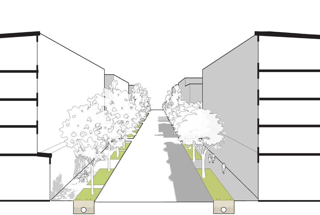
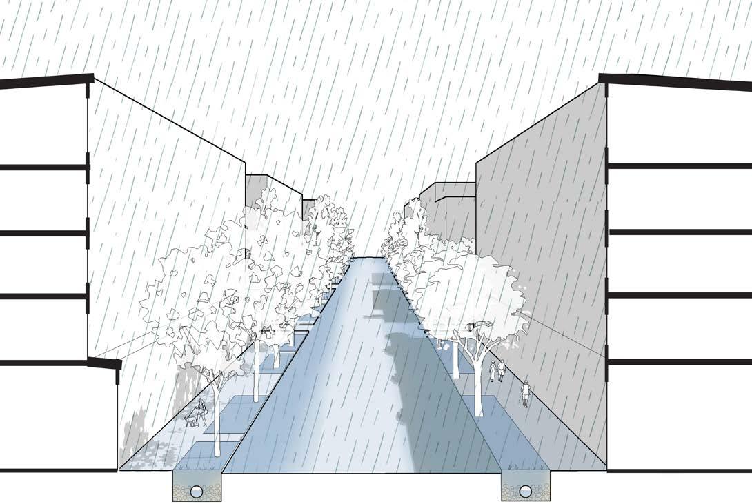
Dry Street
Wet Street
Green Factor
Adopted by Seattle in 2007, “Green Factor” is a planning tool that requires a minimum percentage of a parcel to be living vegetation or porous paving. It has led to the significant greening of thousands of new buildings and dozens of neighborhoods in the city. Planners and city officials have continued to extend the Green Factor to additional areas of the city while incentivizing the adoption of green stormwater strategies for developers.
Developers get double credit if they employ vegetated green stormwater solutions that clean and store stormwater with plants and soil to meet their storm drainage requirement. Green roofs, vegetated walls and landscaping designed in the public right of way also count toward the Green Factor requirement. Designing permeable vegetation along the sidewalk allows
developers to maximize rentable square footage while creating a more desirable neighborhood for humans and nature. Green Factor requirements extend the capacity and functionality of Cool Core, Cool Streets, and Cloudburst Streets onto private property where the systems mutually support each other in creating cooler, more livable, and ecologically functional districts.
OPTIONAL: GARDEN WITH FRESH FOOD
KITCHEN ON GENERATOR
TEMPORARY SHELTER
DIVERSE MEANS OF SITE ACCESS
SOLAR & BATTERIES
Resilience Hubs
A Resilience Hub is like a superhero - it has a day job performing a community function, and then in case of emergency, it has the power to provide shelter, food, resources, and information during an extreme event. Some are reinforced community centers, schools or churches while others integrate these capabilities into new facilities. All typically have a commercial kitchen, renewable backup power, potable water and treatment, satellite phone connectivity, extra cots, childcare, recreation, and spare supplies. Resilience Hubs can be the catalysts for new and ongoing neighborhood activities, cultural events, and the development of local and cultural Food Hubs. These centers extend public health and safety broadly throughout the community.
STORED FOOD & CLEAN WATER
EMERGENCY COMMUNICATION, SUPPLIES & FIRST AID
Engagement
Engagement based on local shared values is an essential tool in the toolkit because no one knows a city better than its community members and leaders. Engaging residents, employees and local businesses to be a part of flooding, habitat and resiliency plans empowers the community to create an inclusive vision. When locals generate and validate decisions about their city and neighborhood, they will feel more ownership of the resulting actions and projects. Even the best interventions will not be implemented without broad community support.
The River Mile
DENVER, COLORADO
Mixed Use Development
The River Mile is being redeveloped to include residential, office, retail and recreation spaces in a dense, walkable, and economically-empowered community that follows the South Platte River.
The vegetation lining each of the neighborhoods streets not only serves as a bioretention technique, but also provides a shaded pedestrian path.
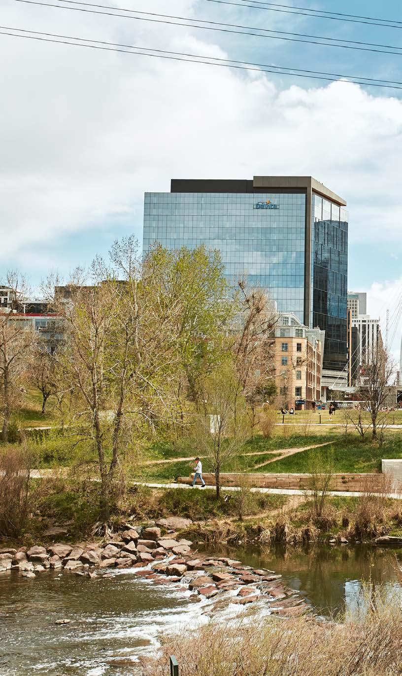
Restaurants and groceries in the neighborhood provide for the surrounding residential and office spaces, not only ensuring walkable access to vital amenities but also fostering a surrounding sense of community.
The district is focused on easy transportation, by foot, bike, shuttle or lightrail. Plazas and outdoor gathering spaces, as well as indoor attractions, are connected by trails and paths.


Guthrie Green Park
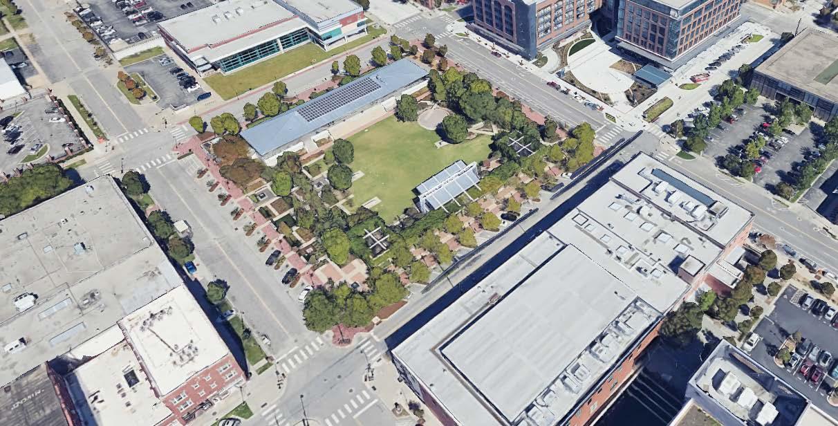
The park, serving as a performance venue, gathering space, and green oasis, is built on the site of a former truck loading facility. Under the grass is a solar powered geo-exchange system which provides heating and cooling for nearby buildings.


The transformation from an asphalt runoff dump site to a bioretentive and active park contributes to the City’s water management.
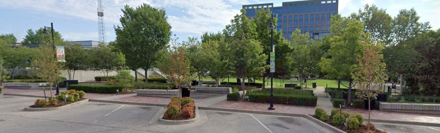

Not only does the park provide outdoor shade with trees and shelter, it also has interactive fountains that children can cool down during hot summer days.

The park is a central node in the neighborhood, especially since it hosts so many community events around art, music, food and holidays.
Cloudburst strategies have been implemented throughout the community, using native foliage that is flood and drought resistant, restricting irrigation, and using underground pipes to connect ponds and best absorb excess water.
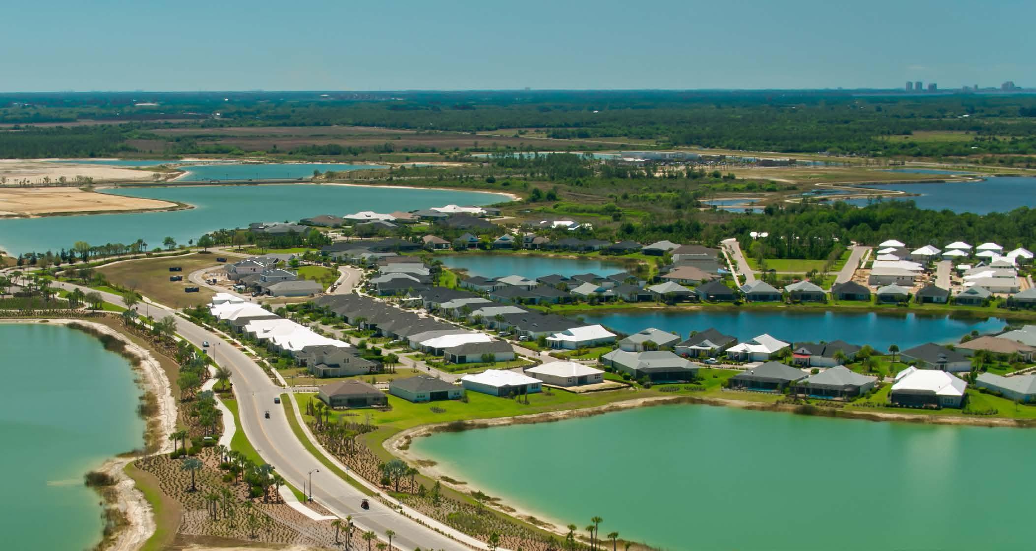
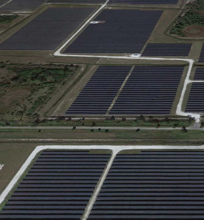
Homes built in excess of green home standards are able to withstand 160 mph winds. The use of off-grid power from the ranch’s solar farm make this community well equipped for disasters like the areas hurricanes. Through hurricane Ian, the community’s power micro grid held strong, not failing once during the storm.

Babcock Ranch
Started on land once a part of a ranch, the plan for the development, includes residential, office, retail, and recreation. Final development will create as its own city independent of amenities provided by surrounding communities.
Spice Bridge
Mixed Use Development
Spice Bridge is a food hub located in a development that also contains retail, housing, a library and a community center with a cafe. By co-locating these spaces, all are more likely to be used by the community.
Engagement
The food businesses that rotate serving customers in this restaurant incubator are women of color, immigrants and refugees. They offer a training program that includes lessons on permitting, marketing, menu planning and finances.
Horseneck Farms
KENT, OWNED BY KING COUNTY

Green Factor
This land has been agricultural for a long part of the Kent Valley’s history, and was bought by the county 40 years ago to preserve farmland. While much of the valley has developed, these 30 acres are still agricultural.
Engagement
The farm is a part of a learning program for immigrants who want to learn how tro farm in a new context and provide access for their community to the produce found in their native homelands.
Heartfoods
BELLINGHAM

Food
Hub
HeartFoods is a food technology company that contracts with farms to use their BioLoop Technology. HeartFoods can grow culturally relevant vegetables and customize their approach to different locations.
Industrial Symbiosis
Heartfoods product is a prefabricated, closed-loop circular greenhouse system that uses anaerobic digesters to turn food waste to energy and fertilizer that can provide food for a thousand or more people in a facility no larger than a grocery store.
Bay Area Maker Farm
ALAMEDA, CALIFORNIA
Maker’s District
This unique community is home to many “maker farmers.” They each participate in food cultivation as well as sustainable initiatives and art and craft production, creating a mix of different and supportive uses on the farm.
Resilience Hub
Do-it-yourself and zero waste initiatives have made this community more autonomous, resilient, sustainable, and even able to provide beyond their own community.
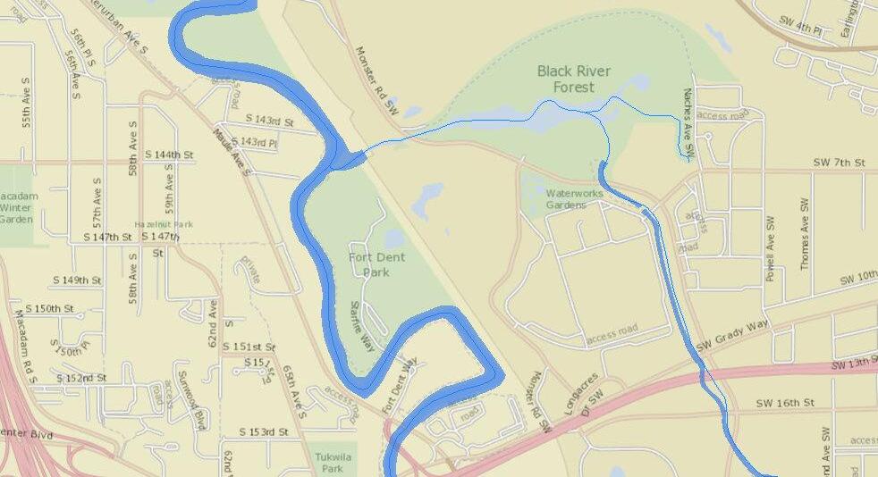
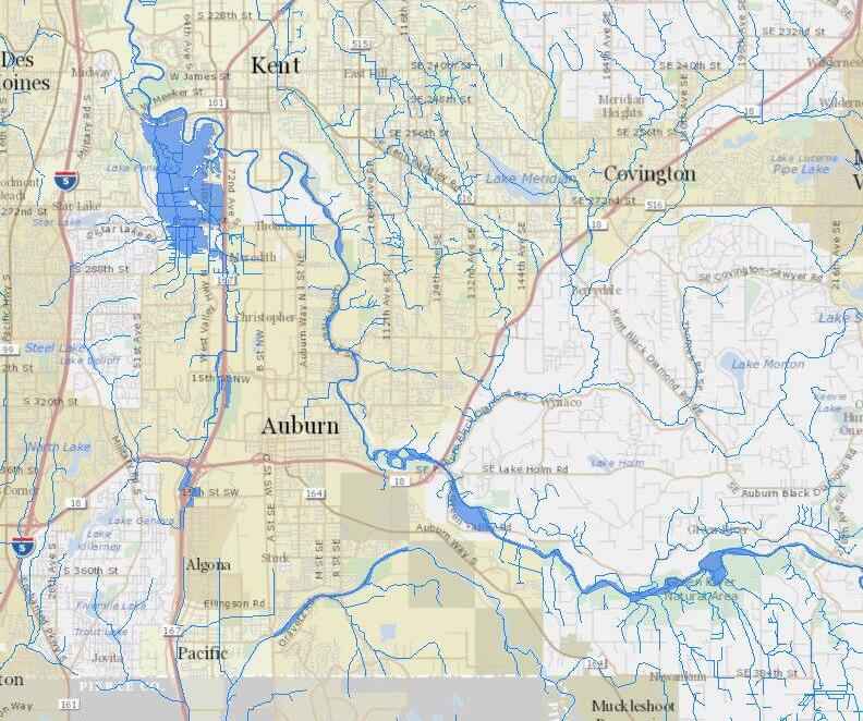
Flooding Map
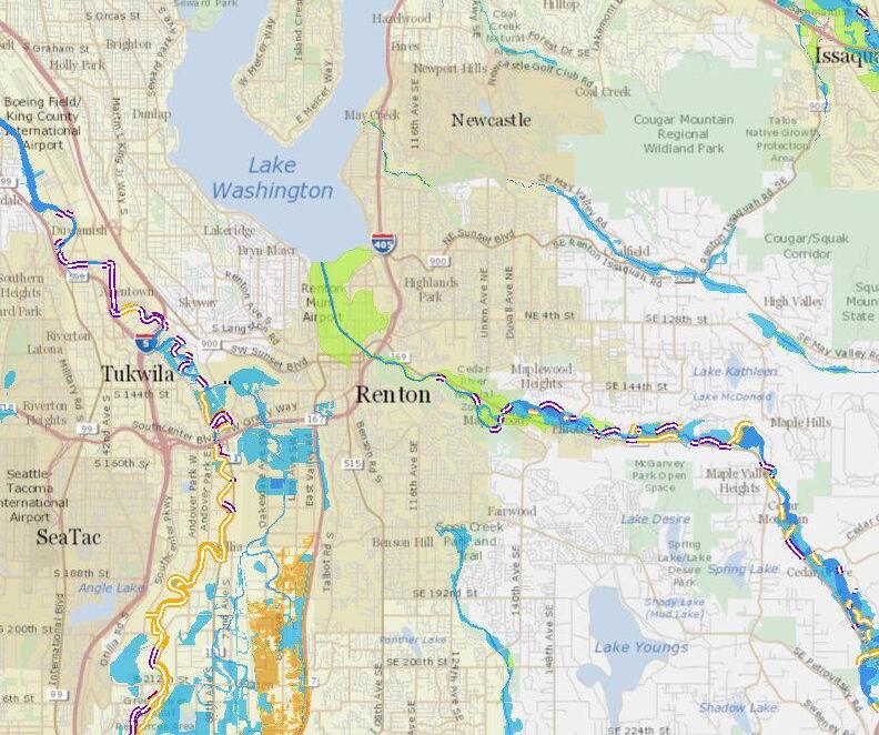
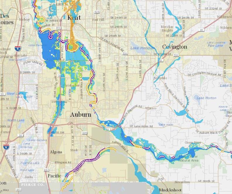
Kin g C ou nty iMa p
Leg end
Ri ve r fac i li ti e s le v ee pump st at ion rev et me nt
co ns tr uc t ed c ha nne l
FE MA flo odw ay
FE MA 100 y e ar flo odp lain
FE MA 500 y e ar flo odp lain
FE MA are a w it h red uc ed r isk du e to le v ee
https://gismaps.kingcounty.gov/iMap/


Toolkit for Reference
LEVEE SETBACKS
SALMON HABITAT RESTORATION
MIXED-USE DEVELOPMENT
FOOD HUBS
PATH & NODES
MAKER’S DISTRICT
COOLING SHELTER
COOL STREETS
COOL CORE
INDUSTRIAL SYMBIOSIS
CLOUDBURST STRATEGIES GREEN FACTOR RESILIENCE HUB ENGAGEMENT
Image capture: Sep 2022 © 2024 Google
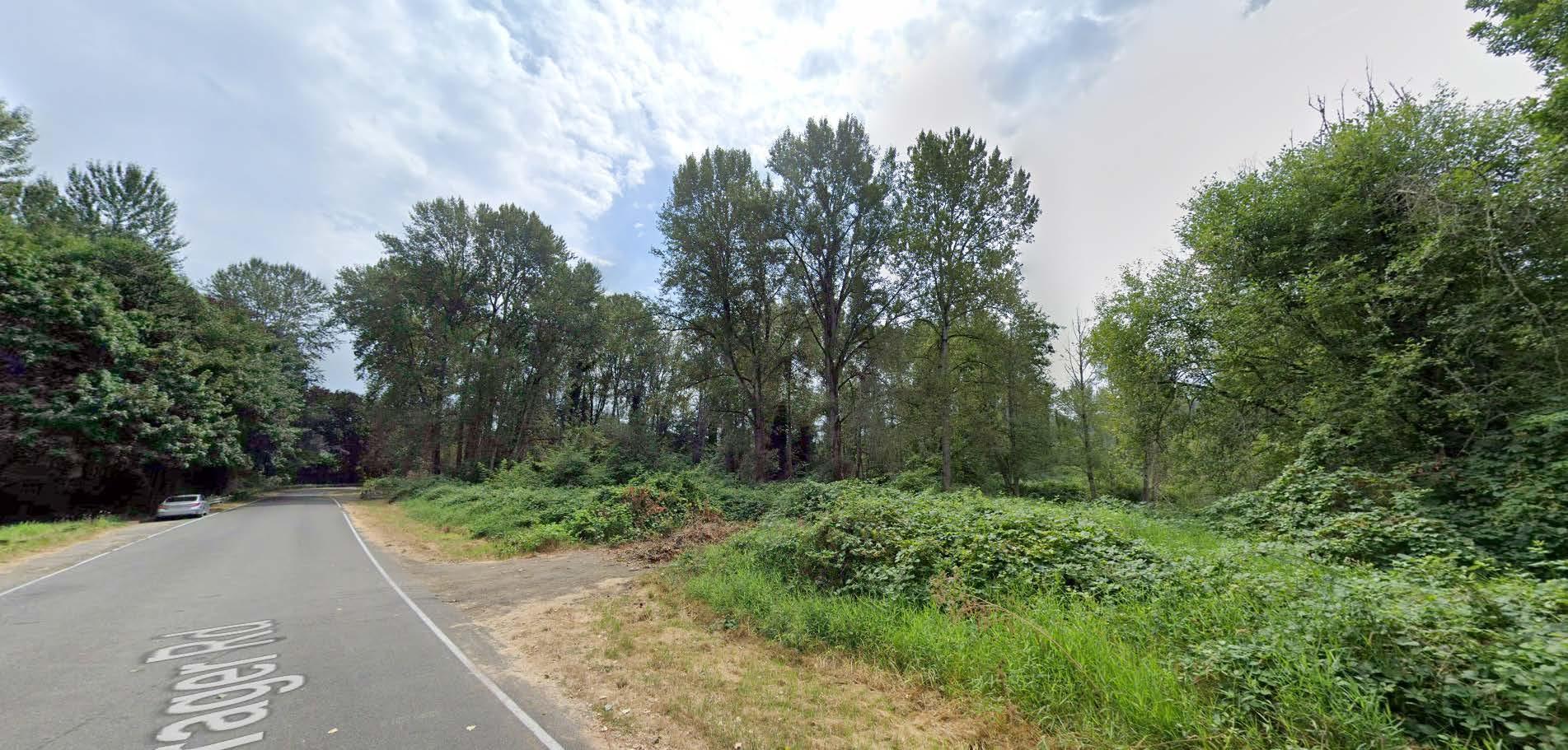
Sean
Photo - Aug 2023
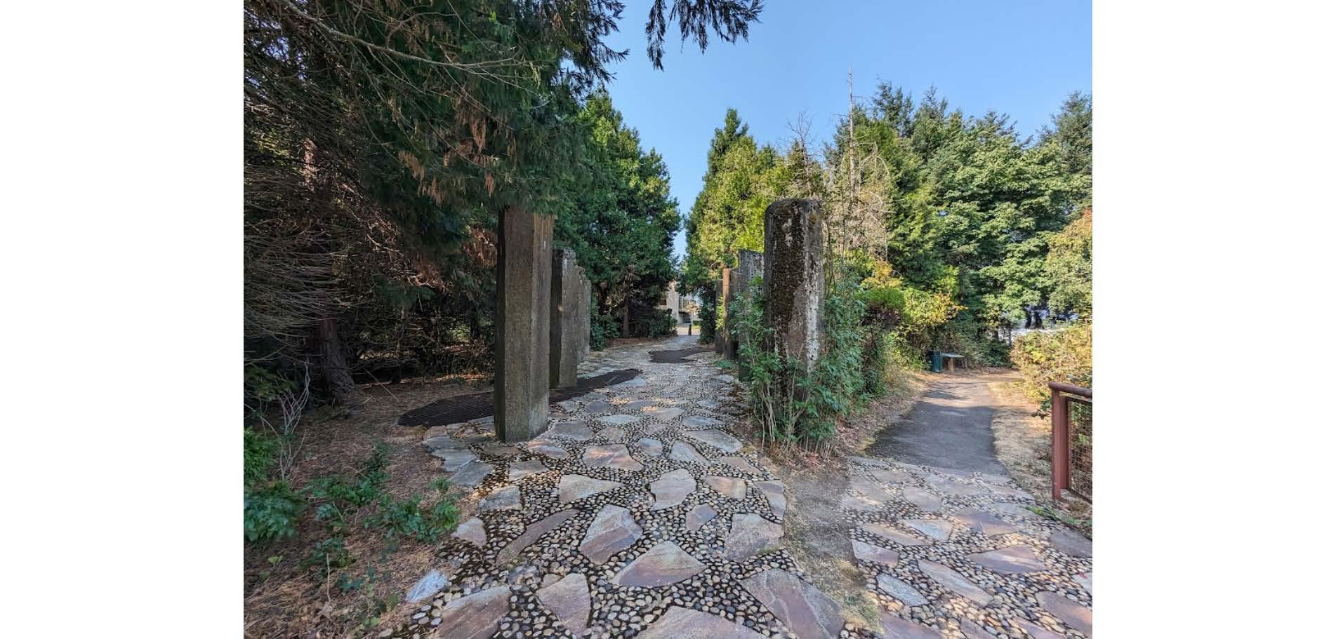
Gardens Waterworks Gardens - Google Maps
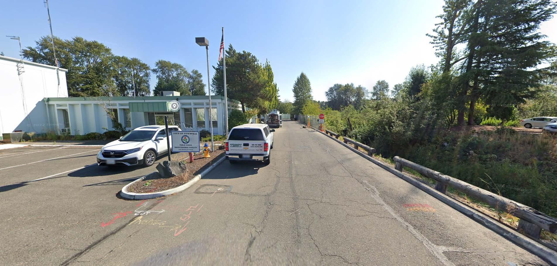
Minkler
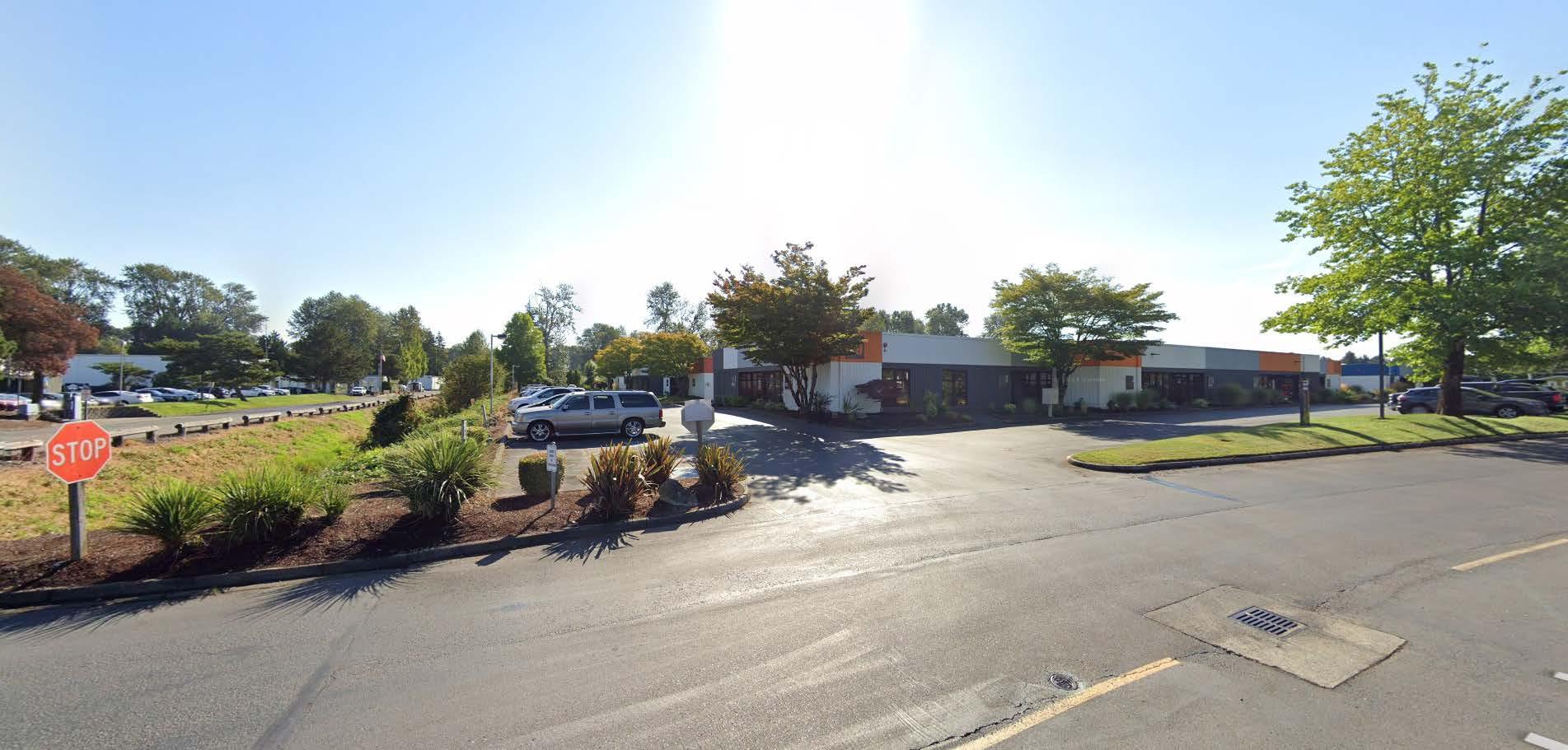
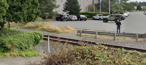
UNUSED TRACKS
PRIVATELY OWNED
GREENRIVERTRAIL
PRIVATELY OWNED
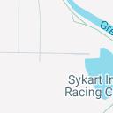
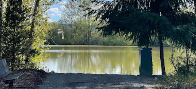
TUKWILA POND PARK CITY OWNED
PUBLIC WORKS YARD MINKLER POND
LEVEE SETBACKS
SALMON HABITAT RESTORATION
MAKER’S
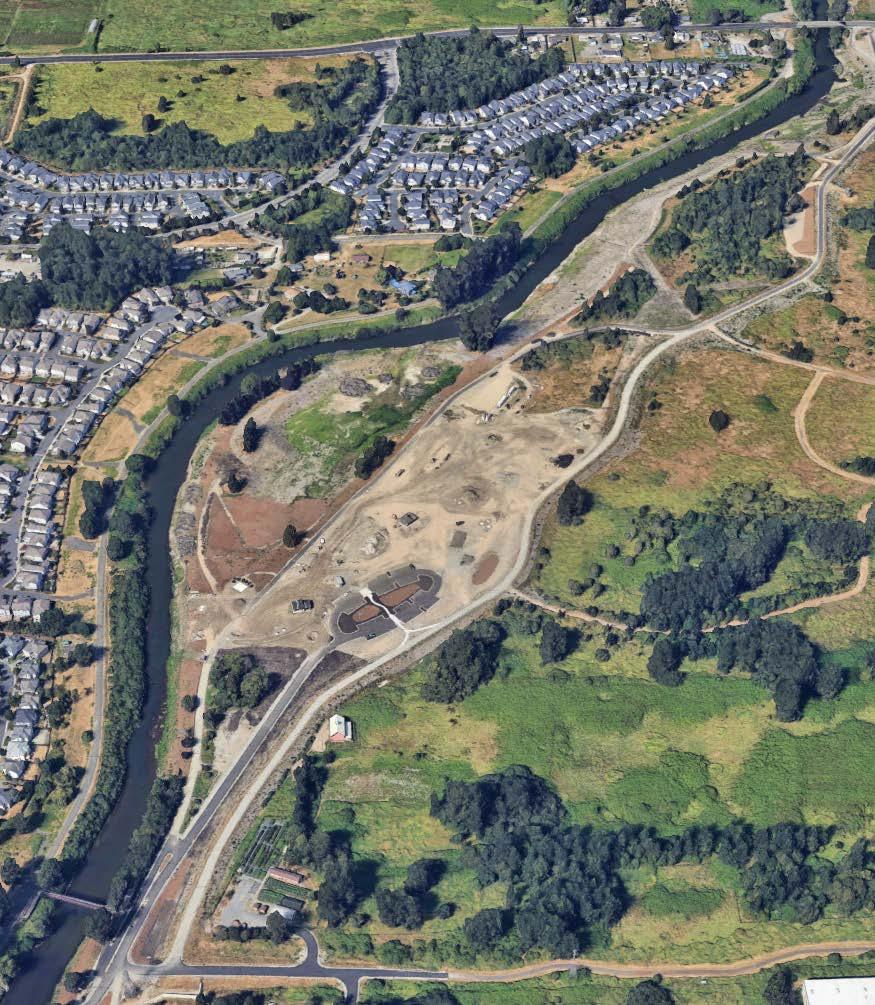
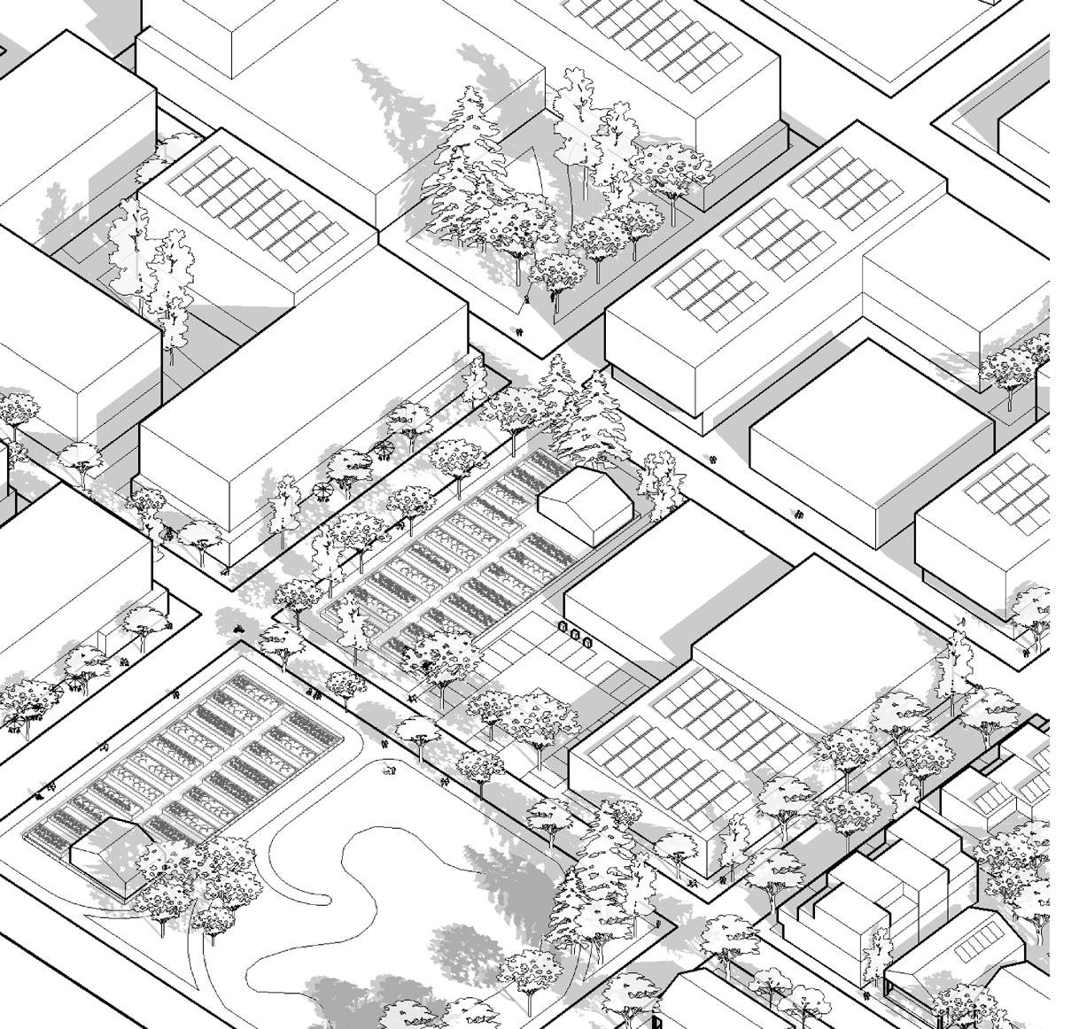
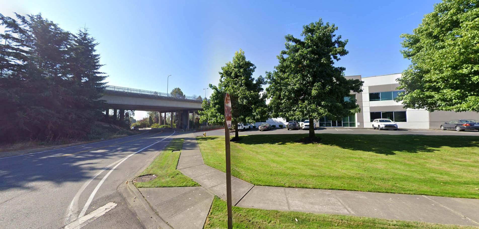
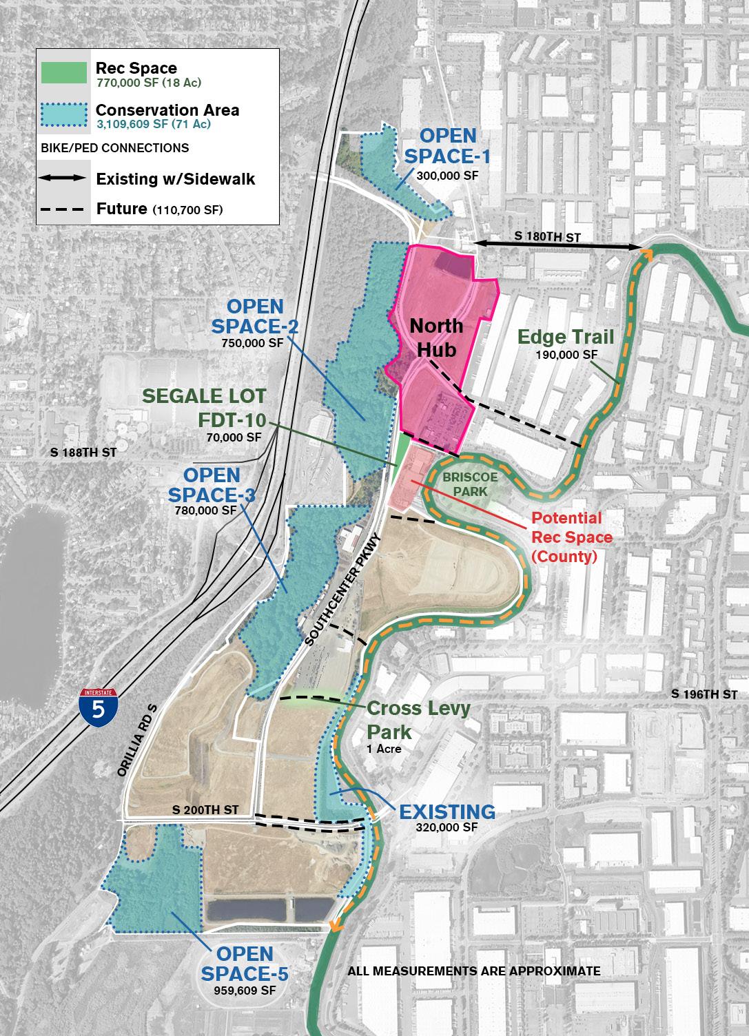
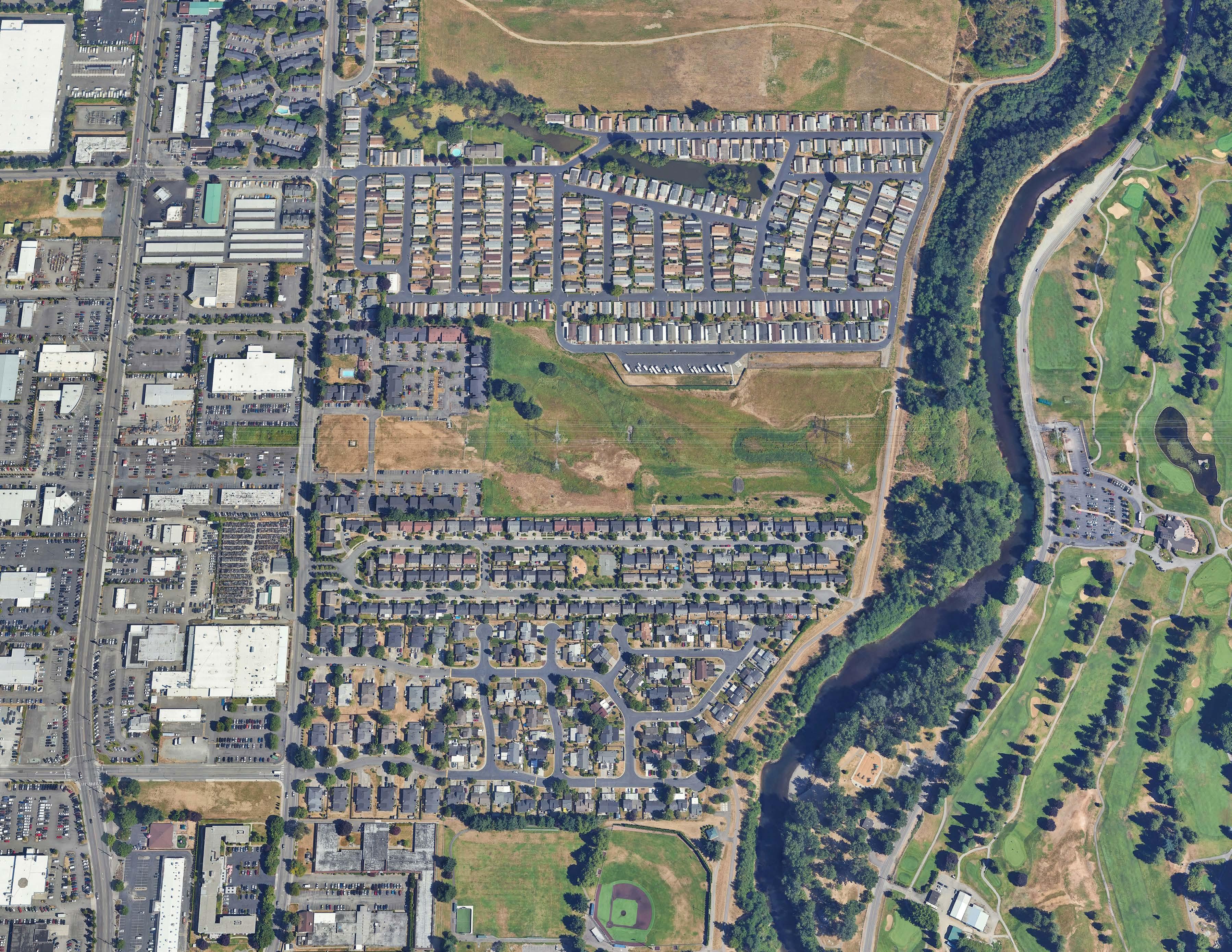
EXAMPLE SITES
ed M ap
e a des c ription for your m ap
S 200TH ST


BRISCOE PARK
PRATO DISTRICT GREEN RIVER
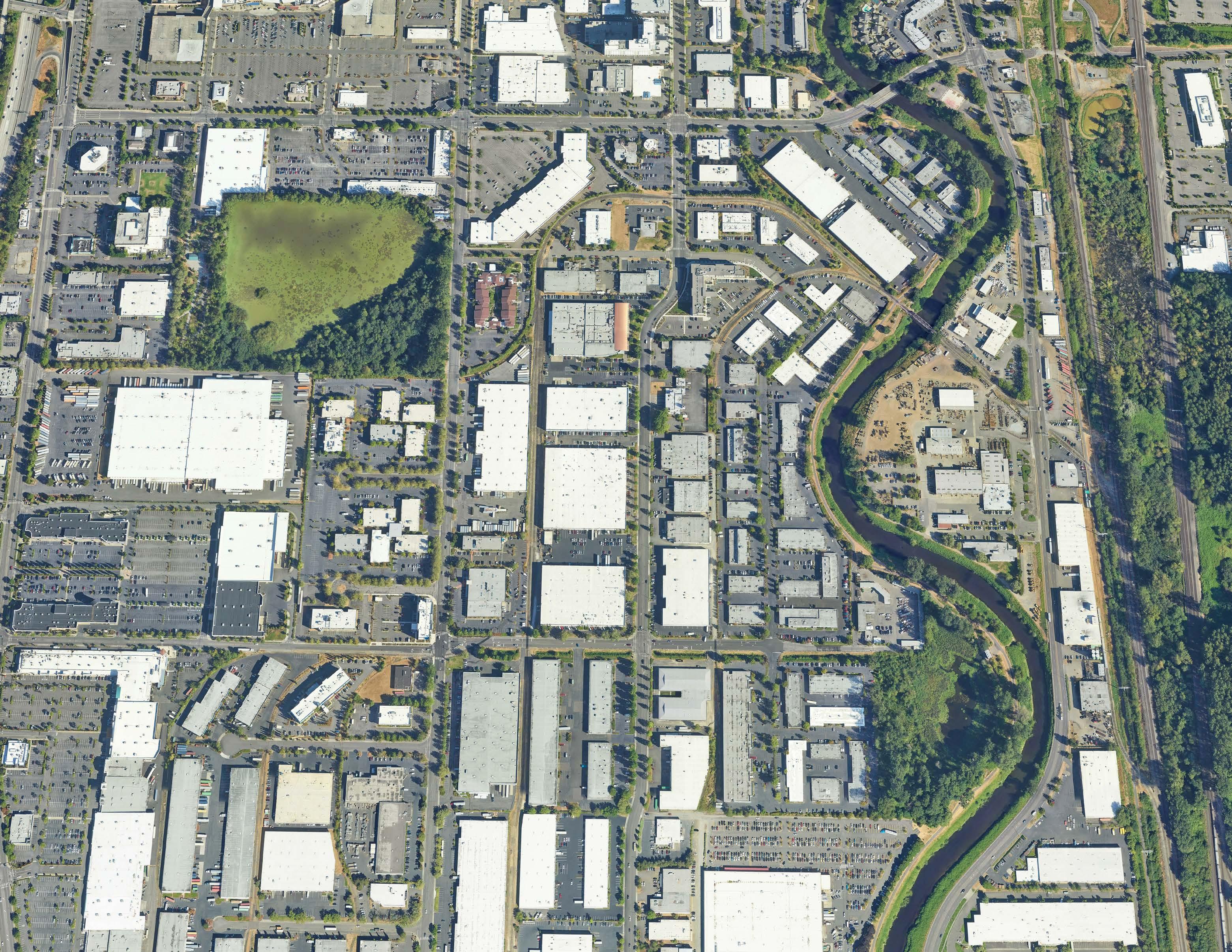
Prato District
immediate access to I-5 and I-405, a light and heavy rail stations, shopping Sea-Tac airport, making it an accessible indoor and outdoor enthusiasts.
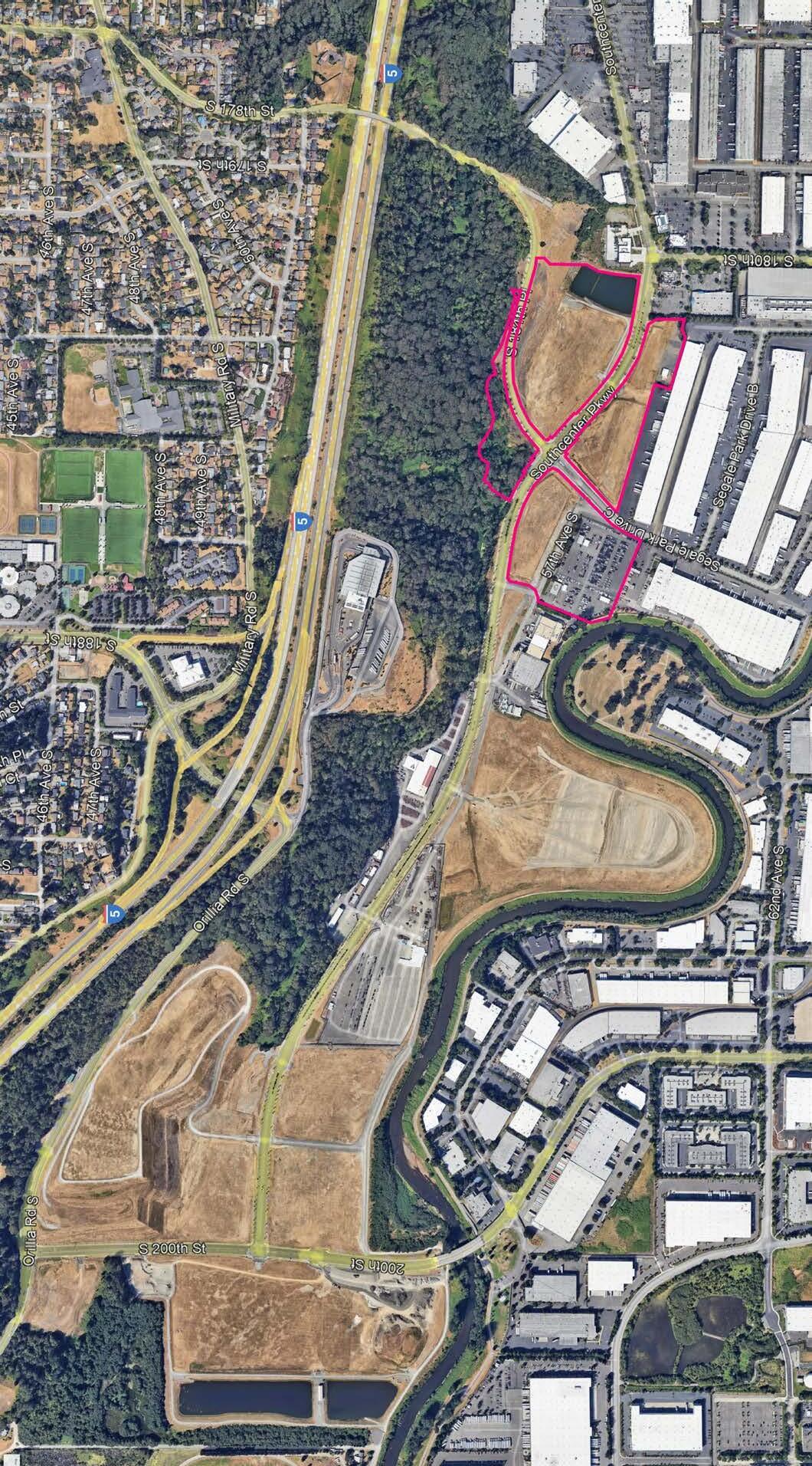
River Trail - Principal Element
Thread - Principal Element
Fibers - Secondary Element
PROPERTIES • PRATO DISTRICT
Strings - Tertiary Pathways
Open Space/Recreation
Toolkit for Reference
LEVEE SETBACKS
SALMON HABITAT RESTORATION
MIXED-USE DEVELOPMENT
FOOD HUBS
PATH & NODES
MAKER’S DISTRICT
INDUSTRIAL SYMBIOSIS
COOLING SHELTER
COOL STREETS
COOL CORE
CLOUDBURST STRATEGIES
GREEN FACTOR RESILIENCE HUB ENGAGEMENT
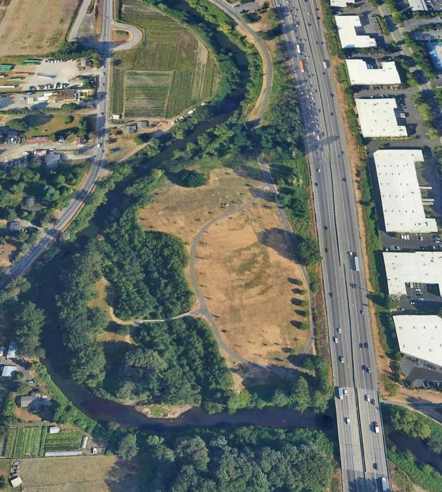
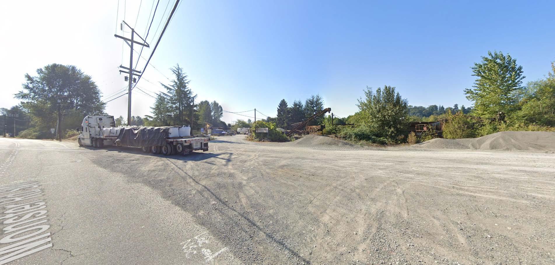
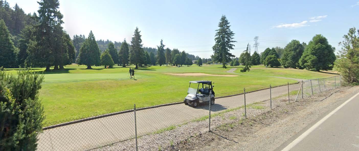
Kent Highlands & Teufel Nursery
KING COUNTY, KENT, SEATTLE, & PRIVATE PROPERTY IN KENT
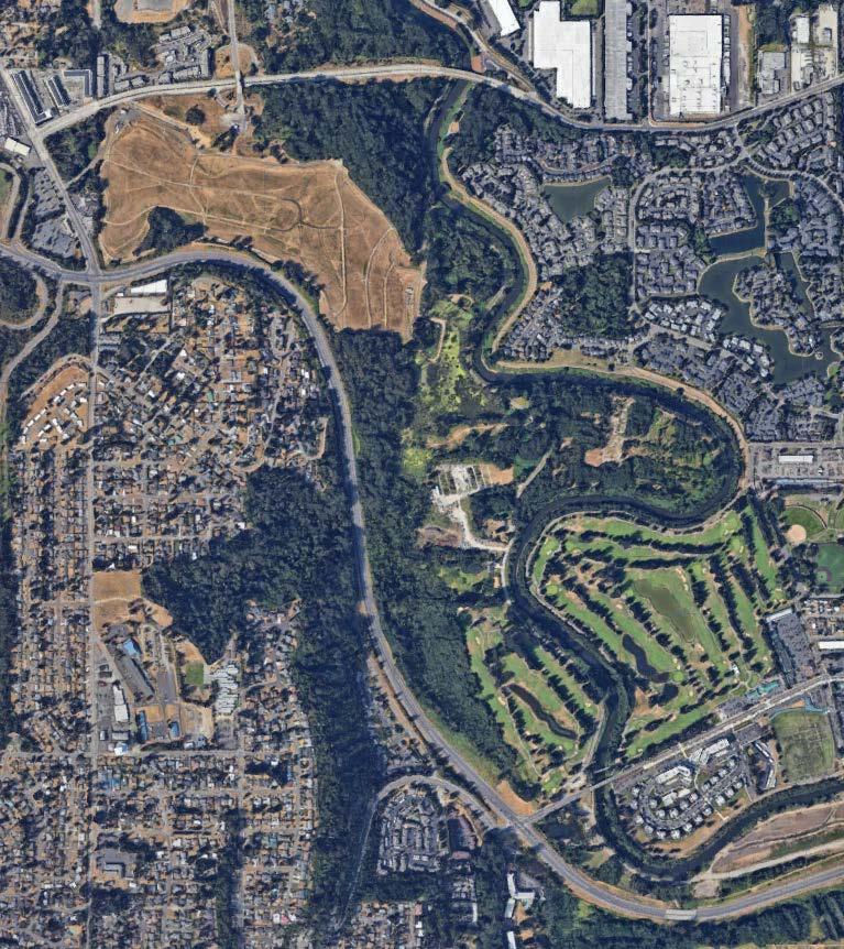

OVERHEAD POWER LINES
RESIDENTIAL COMMUNITY
CITY OWNED
GOLF COURSE
RIVERPOINT PARK
NORTH GREEN RIVER PARK
MOBILE HOME PARK
CITY PROPERTY
Toolkit for Reference
LEVEE SETBACKS
SALMON HABITAT RESTORATION
MIXED-USE DEVELOPMENT
FOOD HUBS
PATH & NODES
MAKER’S DISTRICT
INDUSTRIAL SYMBIOSIS
GOLF COURSE
COOLING SHELTER
COOL STREETS
COOL CORE
CLOUDBURST STRATEGIES
GREEN FACTOR RESILIENCE HUB ENGAGEMENT
Next
Steps
Morning July 24, 2024 EXAMPLE SITE TOURS
Afternoon July 24, 2024 EXAMPLE SITE WORKSHOP WITH STAFF
Mid-September, 2024
IMPLEMENTATION WORKSHOP WITH SENIOR LEADERSHIP AND INVITED STAFF - 2 HOURS
Acknowledgments
KING COUNTY FLOOD CONTROL DISTRICT
Michelle Clark KCFCD Executive Director
Russell Pethel KCFCD Clerk
Dave Upthegrove Supervisor - District 5
CITY
OF
RENTON
Armondo Pavone Mayor
Ron Straka Utilities Director
Joe Farah Surface Water Engineer
CITY
OF
KENT
KING COUNTY
Shannon Braddock Deputy Executive
Richard Martin Environmental Programs Managing Supervisor
Kollin Higgins Senior Ecologist
Patty Robinson Project/Program Manager
Matt Goehring Planning & Technical Coordinator
Dana Ralph Mayor
Chad Bieren Public Works Director
Mike Mactutis Environmental Engineer Manager
Nicole Williams Administration
CITY
OF
AUBURN
Nancy Backus Mayor
CITY OF TUKWILA
Thomas McLeod Mayor
Derek Speck Economic Facilitator
Hari Ponnekanti Public Works Director
Pete Mayer Parks & Recreation Director
Mike Perfetti Surface Water Sr. Program Manager
Sherry Edquid Levee Project Manager
Jeff Tate Department of Community Development
OTHERS
Molly Lawrence Van Ness Feldman
Brandon Parsons American Rivers
Phil Combs Segale Properties