
CONSTRUCTION TECHNOLOGY


MONTHLY HIGHLIGHT: GEOLOCATING SCANS FOR AIR TRAFFIC CONTROL
NAME OF PROJECT HERE
This month, our team successfully completed a complex geolocation project involving two scans over a mile apart. The primary objectives were to ensure visibility from the top of an air traffic control tower and to determine if a new building would obstruct the view of the taxiway’s end.
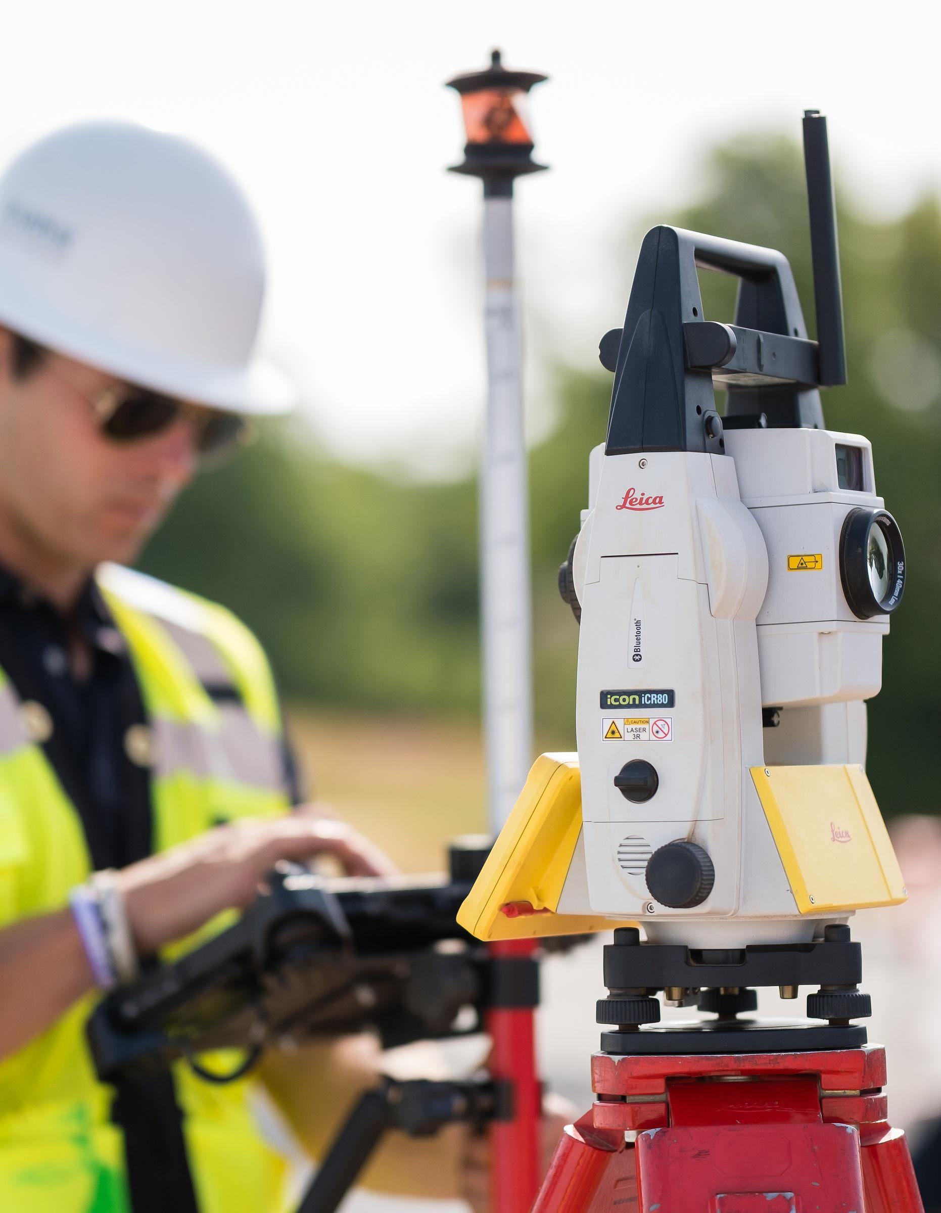
To achieve this, we utilized the Leica RTC360 3D laser scanner to collect as-built data on the air traffic control tower. We gathered crucial information such as the tower’s center, window heights, and its position relative to the taxiway. We used a GPS rover to geolocate targets within the scan, ensuring precise alignment of the data.
Given our limited time frame of 8 AM to 12 PM to capture all necessary data, the Leica RTC360 was the ideal choice. The scanner’s ability to quickly capture detailed 3D point clouds allowed us to efficiently gather comprehensive data within the tight schedule. Additionally, the scanner’s capability to capture complex geometries and hard-to-reach areas provided a complete and accurate representation of the structure, which would have been more time-consuming with a total station.
We repeated this process at the taxiway’s end, capturing all necessary details. Back in the office, we compiled all the data in Civil 3D, integrating the 3D point clouds and GPS data to create a comprehensive file. This file provided the civil engineer with all the necessary information to assess the potential impact of the new building on the tower’s visibility of the taxiway. This project not only showcased our technical skills but also demonstrated our ability to solve complex problems efficiently using advanced technology.


ASHEVILLE | CHARLESTON | CHARLOTTE
CONWAY | GREENVILLE | ROANOKE | SPARTANBURG