
Charlottesville, Virginia
Ecology and Mobility Infrastructure

Over the course of 12 weeks, Friendship Court served as the focus of my study through the use of two lenes—ecology and mobility infrastructure. I used digital drawings that included site plans, cross sections, 3D transects, and diagrams in order to analyze this urban space and its environment in the city of Charlottesville. As I dove deeper into my research, observed that Friendship Court, a historically low-income neighborhood, lacks green infrastructure compared to its surrounding neighborhoods that house residence of higher socioeconomic status, such as Belmont. The neighborhood is surrounded by larger infrustructures like the Legacy building, standing at approximately 65ft tall, overshadowing Friendship Court Apartments that are approximately 18ft tall. In hopes to de-stigmatize these lasting effects of poverty born out of generations of racist government policy and neglect, the city of Charlottesville is working on redeveloping the area as it has been known for residence displacement.
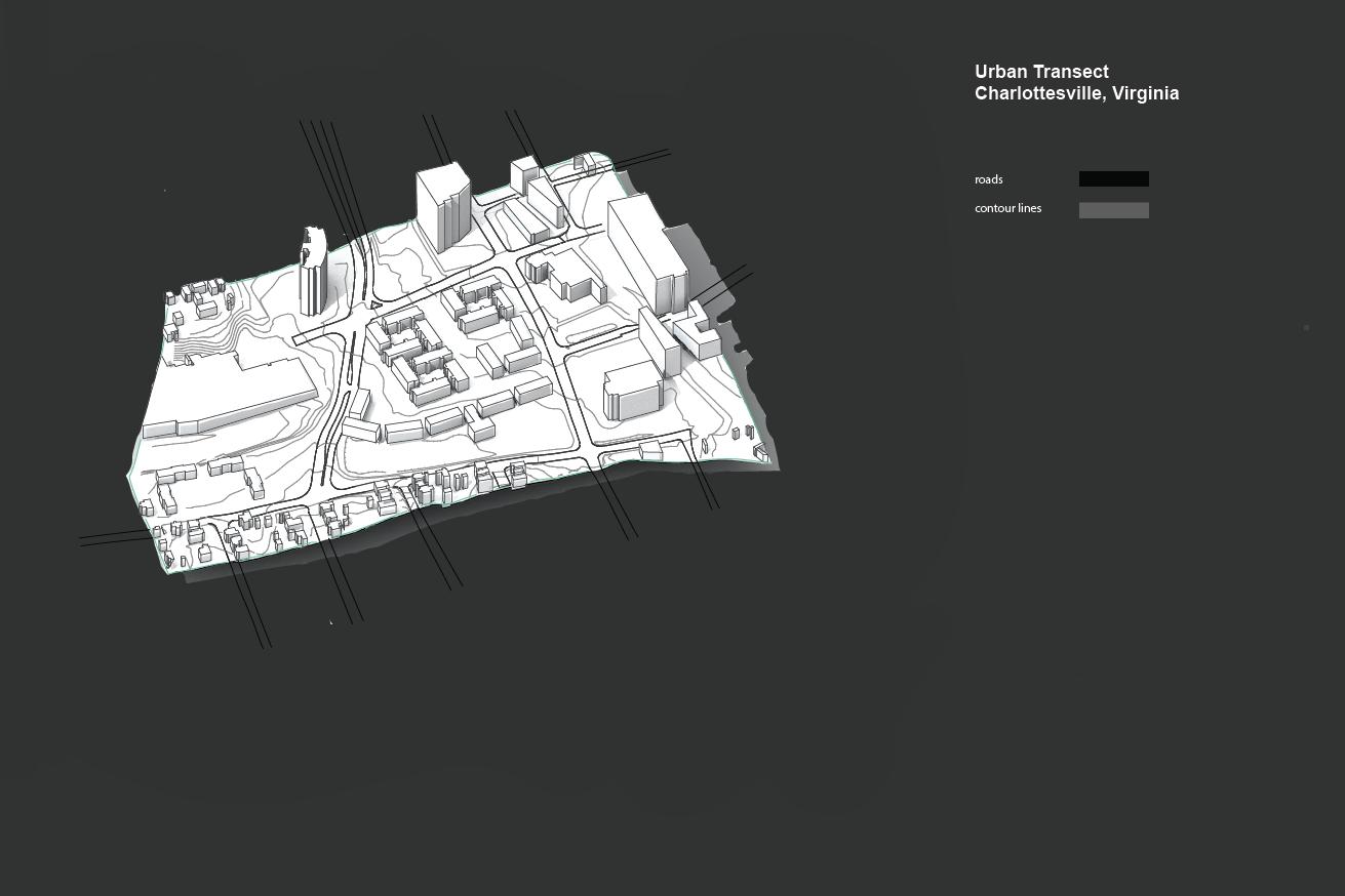


City Section
Charlottesville, Virginia
1”=1/4 mile meadow
lady