Slí an Atlantaigh Fiáin 2023 EDITION Ruins at
THE WILD ATLANTIC WAY
Killonecaha, Kerry © Stephen Butler,

YEARS BACK IN TIME
UNDERGROUND INCREDIBLE DESTINATION Doolin, Co. Clare, V95R299 Book Online: Www.Doolin cave.ie europe’s largest stalactite
MILLION
STEPS
IRELAND'S WILD ATLANTIC WAY
Welcome to the longest defined coastal drive in the world which showcases the rugged beauty of the West Coast of Ireland.
Covering 2,500 Km and stretching through nine counties, Ireland’s Wild Atlantic Way is a journey that was millions of years in the making and showcases the best of both ancient and modern Ireland. From Cork to Donegal and back again, visitors to this region will be captivated by not just the visual beauty, but also by the food, the history, the culture and most importantly, the people.
We only hope that our guide can in some way help you appreciate this natural wonder of the world.
Ireland is known as the land of “A hundred thousand welcomes”, this translates as Céad Míle Fáilte in our native tongue, so let me be the first to welcome to you Ireland’s Wild Atlantic Way.
DISCLAIMER:
While every effort is made to ensure the accuracy of information provided herein, Guerin Media is not responsible for any loss or injury that result of same. The views expressed are those of the contributors and do not in any way represent that of our advertisers or of Guerin Media.
“There are no strangers here; only friends you haven’t yet met.”
William Butler Yeats
Araon Eustace
ARAON EUSTACE, EDITOR
Céad Mile Failte,
Wild Atlantic WAY

Slí an Atlantaigh Fhiáin
Ordnance Survey Ireland Permit No 8944 © Ordnance Survey reland/Government of Ireland
Travel along
Set your sights on somewhere special
Brú na Bóinne Visitor Centre – Newgrange
FREE ADMISSION TO OPW SITES FOR THE FOLLOWING
ALL CHILDREN UNDER 12 PRIMARY AND SECONDARY SCHOOL VISITS
ALL PERSONS WITH A PHYSICAL OR INTELLECTUAL DISABILTY AND THEIR CARERS
FULL DETAILS AT heritageireland.ie
INTRO DISCOVER KERRY CORK 3 10 16 36 Tourist offices Safety Considerations Signature Discovery Points Taste the Atlantic Cork City The English Market From Feast to Famine Spike Island The Kingdom Dark Sky Reserve Reeks District Dingle LIMERICK 56 Lough Gur Adare Village The Milk Market Irish Coffee CLARE 72 Cliffs of Moher Burren Smokehouse Doolin 6
GALWAY 88 Galway City Derrigimlagh Bog Aran Islands Connemara MAYO 106 Westport The Sands of Time The Pirate Queen The Famine SLIGO 122 Voya Seaweed Baths The Spanish Armada The Queens Grave Sligo Food Trail LEITRIM 136 Lovely Leitrim Glencar Waterfall Ireland’s Organic Centre Angler’s Paradise DONEGAL 146 The Forgotten County Lighting the Way Our Native Tongue The Banshee ALONG THE WAY 188 Tee Off Shipwrecked On the Big Screen Surfers Paradise 7 166
Tourist Offices along the Wild Atlantic Way
Addressses emails and telephone number by region
Time to make a change
Cork Kinsale Tourist Office
3 Pearse St, Sleveen, Kinsale, Co. Cork Phone + 353 (021) 4772234
Bantry Tourist Office The Old Courthouse, The Square, Bantry, Co. Cork Phone + (027) 50229
Skibbereen Tourist Office North Street, Gortnaclohy, Skibbereen, Co. Cork Phone + 353 (028) 21766
Clonakilty Discover Ireland Office 25 Ashe St, Scartagh, Clonakilty Co. Cork Phone + 353 (023) 8833226
Castletown Beara Tourist Office Cametringane, Castletown Beara, Co. Cork Phone + 353 (027) 70054
Cork City Tourist Information Centre 125 St. Patrick’s St, Cork City, Co. Cork Phone 1850 230330
Kerry Valentia Island Tourist Office No 2 Watch House Cottages, Valentia, Co. Kerry Phone + 353 (066) 947 6985 Mid Kerry Tourist Office Library Place, Iveagh Rd, Castleconway, Killorgan, Co. Kerry Phone + 353 (066) 9761451 Dingle Tourist Office Dingle Road, Dingle, Co. Kerry Phone + 353 (066) 9151188
Tralee Tourist Office Ash Memorial Hall, 18 Denny Street, Tralee, Co. Kerry Phone + 353 (066) 712 1288
Killarney Discover Ireland Centre
Beech Road, Monearmore, Killarney, Co. Kerry
Phone + 353 (064) 6631633
Tarbert Bridewell Tourist Centre
N67, Tieraclea Lower, Co. Kerry
Phone + 353 (068) 36500
Limerick
Limerick City Tourist Information Centre
Limerick Tourist Information Office, 20
O’ Connell Street, Limerick
Phone + 353 (061) 317522
Adare Tourist Centre
Main Street. Adare, Co. Limerick
Phone + 353 (061) 396255
Foynes Visitor Information Point
Foynes Flying Boat & Maritime Museum, Foynes, Co. Limerick
Phone + 353 (069) 65416
Clare Cliffs of Moher Tourist Office
Lislorkan North, Liscannor, Co. Clare
Phone + 353 (065) 708117
Burren National Park Information Centre
Heritage Centre, Corofin, Co.
Clare
Phone + 353 (065) 6827693
Ennis Tourist Office
Arthur’s Row, Ennis, Co. Clare
Phone + 353 (065) 6828366
8
Galway
Galway Tourist Office
Forster St, Galway City, Co. Galway
Phone + 353 (091) 537700
Aran Islands Tourist Office
Inis Mor Fire Station, Inis Mor, Aran Islands, Co. Galway
Phone + 353 (099) 61263
Mayo
Cong Tourist Information Centre
Old Courthouse, Abbey St, Cong
North, Cong, Co. Mayo
Phone + 353 (094) 9546542
Croagh Patrick Visitor Centre
Meermihil, Murrisk, Co. Mayo
Phone + 353 (098) 64114
Westport Tourist Office
Bridge St, Cahernamart, Westport, Co. Mayo
Phone + 353 (098) 25711
Castlebar Tourist Information Office
Linenhall St, Gorteendrunagh, Castlebar, Co. Mayo
Phone + 353 (094) 9021207
Mulranny Tourist Office
Main Street, Mulranny, Co. Mayo
Phone + 353 (087) 3838550
Achill Island Tourist Office
Davitt Quarter, Achill Sound, Achill, Co. Mayo
Phone + 353 (098) 20400
Deirbhile Blacksod Visitor Centre
Cartron, Blacksod, Co. Mayo
Phone + 353 (097) 85728
Iorras Domhnann (Belmullet Tourist Office)
The Docks, Belmullet, Co. Mayo
Phone + 353 (097) 81500
Ballina Tourist Office
41 Pearse St, Abbeyhalfquarter, Ballina, Co. Mayo
Phone + (096) 72800
Sligo
Sligo Tourist Office
O’Connell Street, Abbeyquarter
North, Sligo, Co. Sligo
Phone + 353 (071) 9161201
Donegal
Bundoran Tourist Information Office
The Bridge, Bundoran, Co. Donegal
Phone + 353 (071) 9841350
Falcarragh Visitors Centre
Falcarragh, Letterkenny, Co.
Donegal
Phone + 353 (074) 9180888
Inishowen Tourism Office
Railway Rd, Ballymacarry Lower, Buncrana, Co.Donegal
Phone + 353 (074) 9362600
9
LEAVE NO TRACE
For many of us, walking and climbing is about enjoyment, recreation, and freedom from structures and regulations. These activities bring us to very special places, but our enjoyment of these areas brings with it a responsibility. The Wild Atlantic Way has been formed over millions of years and we must take care and protect it for future generations, we can do this by “leaving no trace”.
Plan Ahead and Prepare
Before you go, check where possible if access is allowed and your activity is permitted in the area you wish to visit. Respect any signs, regulations, policies and special concerns for the area that you wish to visit. Permits may sometimes be needed for activities on public lands. Where possible travel by public transport or share cars; consider the availability of parking. Ensure you have the skills and equipment needed for your activity and to cope with emergencies that could arise. Check the weather forecast and always be prepared for changing weather conditions. For environmental and safety reasons, and to minimise your impact on other users, keep group numbers small; split larger parties into smaller groups.
Be Considerate of Others
Respect the people who live and work in the countryside. Park appropriately - avoid blocking gateways, forest entrances or narrow roads. Remember that farm machinery, local residents and the emergency services may need access at all times. Take care not to damage property, especially walls, fences and crops. Respect other visitors and protect the quality of their experience. Let nature’s sounds prevail. Keep noise to a minimum.
Respect Farm Animals and Wildlife
Dogs should be kept under close control and should only be brought onto hills or farmland with the landowner’s permission. Some public areas stipulate that dogs must be kept on a lead at all times, please adhere to local guidelines. Observe wild animals and birds from a distance. Avoid disturbing them, particularly at sensitive times: mating, nesting and raising young (mostly between spring and early summer). Keep wildlife wild, don’t feed wild animals or birds - our foods damage their health and leaves them vulnerable to predators. Farm animals are not pets; remain at a safe distance.
Travel and Camp on Durable Ground
Durable ground includes established tracks and campsites, rock, gravel, dry grasses or snow. In popular areas: Concentrate use on existing tracks and campsites. To
avoid further erosion, travel in single file in the middle of the track even when wet or muddy. In more remote areas disperse, this will prevent the creation of new tracks and campsites. Avoid places where impacts are just beginning to show. If camping: Protect water quality by camping at least 30m from lakes and streams. Keep campsites small and discreet and aim to leave your campsite as you found it, or better.
Leave What You Find
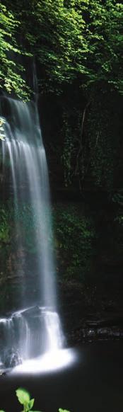
Respect property. For example, farming or forestry machinery, fences, stone walls etc. Leave gates as you find them (open or closed). Preserve the past: examinewithout damaging - archaeological structures, old walls and heritage artefacts e.g. holy wells, mine workings, monuments. Conserve the present: leave rocks, flowers, plants, animals and all natural habitats as you find them. Fallen trees are a valuable wildlife habitat; do not remove or use for firewood. Avoid introducing non-native plants and animals e.g. zebra mussels in rivers and lakes. Do not build rock cairns, structures or shelters
Dispose of Waste Properly
“If You Bring It In, Take It Out” - take home all litter and leftover food (including tea bags, fruit peels and other biodegradable foods). To dispose of solid human waste, dig a hole 15-20cms deep and at least 30m from water, campsites and tracks. Cover and disguise the hole when finished. Bring home toilet paper and hygiene products. Wash yourself or your dishes 30m away from streams or lakes and if necessary, use small amounts of biodegradable soap. Bring home any solids and scatter strained dishwater.
Minimise the Effects of Fire
Fires can cause lasting impacts and be devastating to forests, natural habitats and farmland. Therefore, when camping use a lightweight stove for cooking. Where fires are permitted: Use established fire rings, barbecues or create a mound fire. Keep fires small. Only use sticks from the ground that can be broken by hand. Do not use growing vegetation for use as firewood. Avoid burning plastics or other substances: which emit toxic fumes. Burn all fires to ash, put out fires completely, and then scatter cool ashes.
By adhering to these seven principles we can ensure that future generations have the same experience that you will/ have enjoyed on your journey.
For more information on how to “Leave no Trace” while on The Wild Atlantic Way visit www.leavenotraceireland.org
SAFETY CONSIDERATIONS
Every year there are casualties on Ireland’s mountains. Often it is those who decide on a whim to go out hikingoften without adequate essentials such as extra clothing, food and water- who get into trouble. Please be aware of the following cautions and ensure that you are adequately prepared.
Be Prepared
The first step to a safe day in the hills is to do some planning. The level of planning required depends on lots of factors, including; weather forecast, experience, the intended route, etc. Plan for the best; taking the right kit, food, and know your limits. You need to think about these factors whether you’re doing a short walk up some hills or scaling the loftiest of heights.
Think also for a situation whereby something may not go to plan, and in the worst case you need to be rescued from the mountain. That may sound excessive, but some basic information left with someone, containing basic details of your route and fellow walkers, can reduce the time taken for emergency services to deal with a situation, should one arise. No one goes out for a day’s walking with the intention of being rescued, but it happens. Be prepared.
Considerations for the Day
Experience & Limits- Recognise that everyone has their limits and plan a route that’s appropriate for the experience, fitness and skills of the whole group. Planning a hill walking route that’s too demanding for the group can put people’s safety at risk.
The route- Plan your route and write it down. Check whether it is appropriate for you and all members of the group, given weather forecast, distance, fitness etc. Also take account of any access restrictions, and whether you are allowed there in the first place.
Weather- The weather can play a huge part in the day’s success and your safety on the mountain. Check the forecast and be realistic about whether the intended route is appropriate given the forecast. Temperature drops as you get higher, it rains more, and winds become much stronger, leading to wind chill. Poor weather conditions are a major contributing factor to mountain rescues, as those conditions catch out those who have not planned for their mountain & hill walking safely.
Clothing- Your clothing on the hill needs to keep you warm and dry. Carry enough, but not too much that it will slow you down.
Essential kit- Aside from clothing there are some other items of kit that you must not be without, which include: map & compass, survival bag and a torch - even in summer. These items are of primary importance when planning your day and safety considerations for the mountain.
Food & Drink- Depending on the route, you will expend a lot of energy on your journey, thus you need to take food appropriate to the route and energy requirements and carry sufficient water for the day. You should also pack extra water and food in case of emergency.
Navigation- Once you leave the comfort of the car park, there will most likely be no sign posts in the hills & mountains. This means that you have to be competent at navigating to your destination and back to safety off the mountain.
First aid- Always have a first aid kit within the group, which will allow you to deal with small situations. Consider a first aid course, specifically one that deals with mountain & hill situations, so that you are prepared to deal with common medical conditions together with life threatening situations that you may encounter.
Hazards- Your safety on the hill can be put at risk if you’ve not properly considered the likely hazards that could be encountered on your intended route, including: bogs, steep ground, screes, river crossings, mountain ridges and winter conditions.
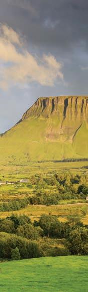
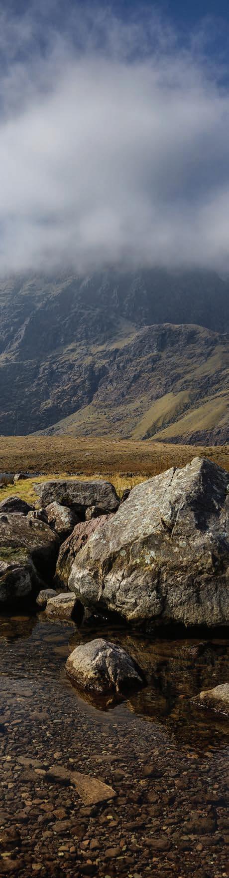
SIGNATURE DISCOVERY POINTS

DISCOVER

“Showcasing the best that The Wild Atlantic Way has to offer”
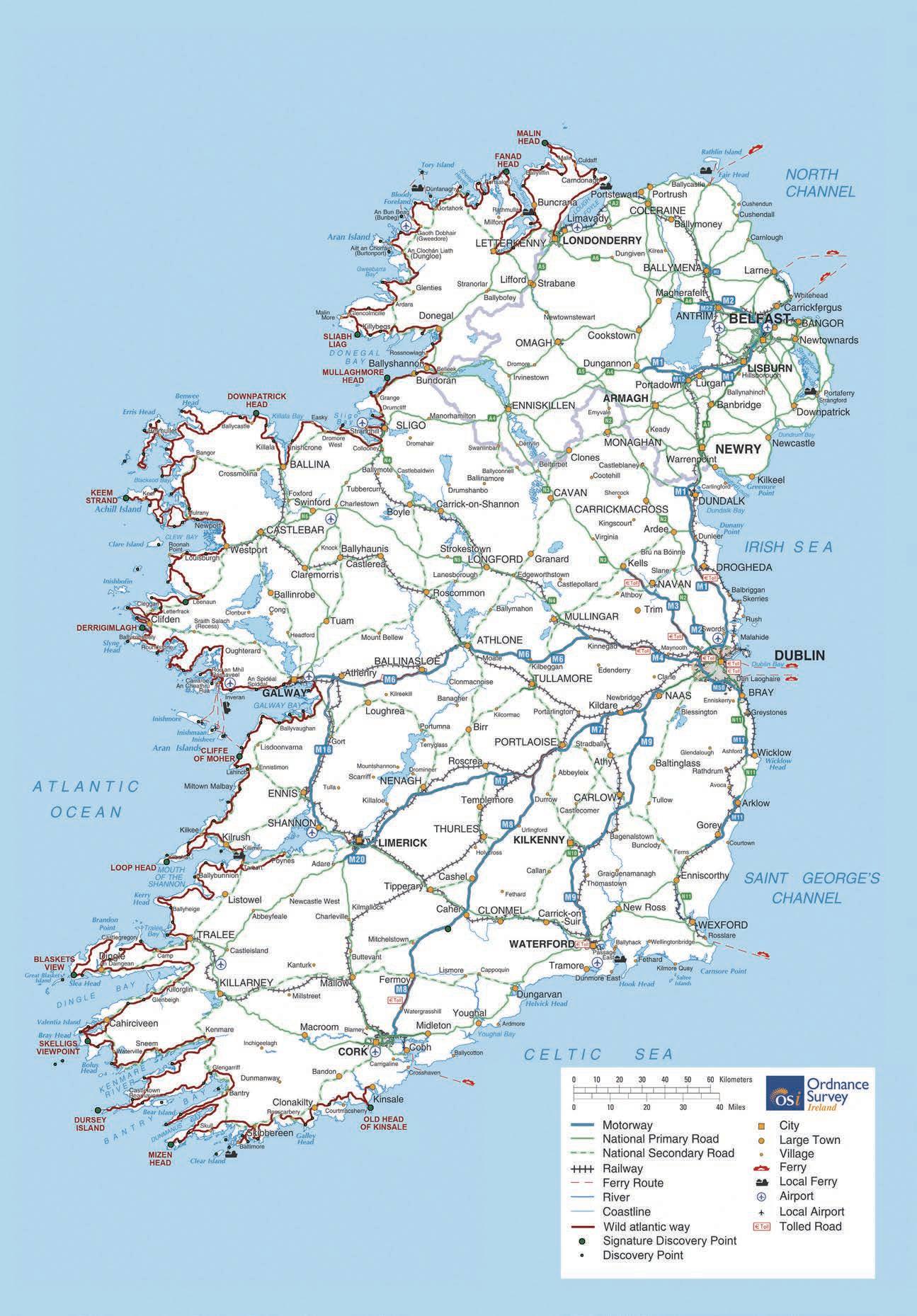
The Wild Atlantic Way Covers 2,500 Km, goes through six regions, nine counties, three provinces and consists of more than 180 discovery points. That is an awful lot of sites to visit and things to see while you travel along the worlds longest defined coastal drive. There are however, 15 signature discovery points along the way that have been chosen as they showcase all aspects of the way and because of their undoubted beauty and ruggedness.
Mullaghmore Head
Visitors to Mullaghmore Head in county Donegal can take in panoramic views of Sliabh Liag or watch the waves crash under Classiebawn Castle. This area is known to have some of Europe’s best waves and surfers are common on the sandy beach.
Malin Head
Malin Head lies on the Inishowen Peninsula in County Donegal, at the most northerly tip of the island of Ireland. It is the start or the end (depending on direction) of the Wild Atlantic Way. Visitors can investigate some of the largest sand dunes in Europe at the famous Five Finger Strand from Knockamany Bens and at low tide, you may be able to spot the wreck of the Twilight, which sank in 1889 on its voyage to Derry. You can also ask the locals about the time when Chewbacca and the millennium falcon parked in the area.
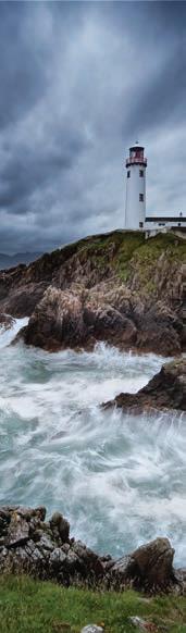
Fanad Head
Fanad Head lies on the north coast of County Donegal between Lough Swilly and Mulroy Bay. Its claims to fame include one of the world’s most beautiful lighthouses and the famous Flight of the Earls, which took place here in 1607. Fanad Head lighthouse sits on the western shore of the Peninsula and was voted the world's 2nd most beautiful lighthouse 2013. From the lighthouse carpark you can stroll along the headland in awe of the high waves and the Wild Atlantic Way's most rugged stretch of coastline. With the backdrop of the lighthouse it’s an ideal photo opportunity for the holiday album.
Sliabh Liag
Sliabh Liag is situated on the south west coast of County Donegal, the cliffs in this area are the highest and finest marine cliffs in Europe. To fully enjoy the spectacle of Sliabh Liag it is best to leave your car at the car park and walk the few miles to the cliffs so as not to miss the exciting scenery of the area. There are terrific views of the Atlantic Ocean, the Sligo Mountains and Donegal Bay as you walk towards the terrifyingly high top of Sliabh Liag, where the cliff face of Bunglas rises over 600m above the raging ocean. Although less famous than the Cliffs of Moher in County Clare, Slieve League's cliffs reach almost three times higher.
Downpatrick Head
Downpatrick Head is located 3 miles north of Ballycastle village in County Mayo, standing 126ft above the sea with fantastic views of the Atlantic, the Staggs of Broadhaven and high cliffs along the shore. Living 50 metres off the north Mayo coast at Downpatrick Head sits the 45-metre-high flat-topped sea stack Dún Briste (the Broken Fort). This is a relatively new sea stack as it was only separated off mainland Ireland in 1393 when monster seas severed it from County Mayo in an overnight storm.
Keem Bay
Keem Bay is a rural and sheltered beach surrounded by cliffs on Ireland's largest island - Achill Island in county Mayo. It can be found at the head of a valley between the cliffs of Benmore to the west and Croaghaun Mountain on the east on Achill Island. This is one of the most westerly points in Europe - Keem Bay is more than worth the journey over a breath-taking clifftop road. It features a perfect horseshoe bay, with a beautiful sandy beach flanked by dramatic cliffs and at the head of a spectacular valley.
Killary Harbour
Killary Harbour forms a natural border between counties Galway and Mayo and provides Ireland with one of its three fjords. The 16-kilometre fjord formed about 20,000 years ago when a massive natural fault line that reaches all the way from Scotland caused the westward movement of mile-deep ice. The view of Killary from the shore is certainly a spectacular one, but taking to the water here gives you a whole new perspective.
Derrigimlagh Bog
Derrigimlagh Bog is a spectacular blanket bog near Clifden in county Galway. It is a mosaic of tiny lakes and peat rich in flora and fauna. The Derrigimlagh/Marconi walking loop provides visitors with a fivekilometre trail through an area of outstanding natural beauty within the Derrigimlagh bog complex. Visitors can discover the stories of this famous site and its past history. The walk is made all the more interesting by a number of engaging and attractive features along the route, which are designed to engage visitors and encourage them to interact with the history of the location.
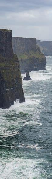
Cliffs of Moher
One of the jewels in The Wild Atlantic way crown, the cliffs of Moher in County Clare are one of Irelands most visited tourist sites. The cliffs have been moulded over 320 million years and rise at their highest 702ft out of the Atlantic Ocean. Visitors can peer over these perilous cliffs and enjoy one of the best views that the world has to offer.
Loop
Head
Loop Head is a slender finger of land pointing out to sea from the most westerly point of County Clare. Cinched between the ocean on one side and the Shannon Estuary on the other, this tiny peninsula would be an island but for a meagre mile of land connecting it to the rest of Co. Clare. Loop Head epitomises what the Wild Atlantic Way is about: panoramic cliff views, abundant local seafood, your choice of aquatic activities, and plenty of quiet beauty spots where you can pause and wonder at this unforgettable part of the world.
The Blasket Islands
The Blasket Islands are a group of islands off the coast of Kerry. The islands, in particular, the Great Blasket, are renowned for their wild ruggedness and beauty. The Great Blasket was inhabited by islanders until 1953, but a decline in their population and turf, their only source of fuel became scarce and caused their departure. The people of the island left behind an impressive legacy of critically acclaimed literature, some of the islanders dictated or wrote their stories down, and from these came great works. The views of the islands from the mainland are hauntingly beautiful due to the barren nature of the islands.
Skellig Michael
In a galaxy far far away, or 11 kms of the coast of county Kerry lies Skellig Michael. This picturesque crag has recently been the homeplace of Luke Skywalker on the big screen. Rising majestically from the sea, Skellig Michael towers 714ft. (218 metres) above sea level. On the summit of this awe-inspiring rock you will find a remarkably well preserved sixth century monastic settlement and on the cliffsides you can view the beautiful puffins during the summer months.
Dursey Island
Dursey Island is one of the few inhabited islands that lie off the southwest coast of Ireland. It is situated at the western tip of the Beara Peninsula in the west of County Cork. The island is separated from the mainland by a narrow stretch of water called the Dursey Sound which has a very strong tidal race, with a reef of rocks in the centre of the channel which is submerged at high tides. This peaceful island, with only a handful of semi-permanent residents, is connected to the mainland by Ireland's only cable car.
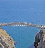
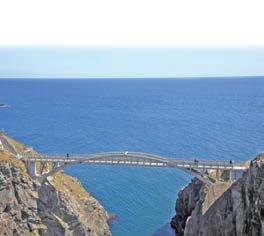
Mizen Head
Located at Ireland’s most southernly point in county cork is Mizen Head. Mizen Head stretches out dramatically into the swirling Atlantic Ocean, amidst sea cliffs and crashing waves. But in testament to man’s determination, the Mizen Head Signal Station has stood strong against the forces of nature for over 100 years. To get to the signal station you must trek down the famous 99 steps and some of Ireland’s most dramatic coastal paths. Then you must embrace the elements as you cross the arched bridge that links the station to the mainland.
Old Head of Kinsale
The Old Head of Kinsale in County Cork is one of Ireland’s most spectacular coastal areas. This large promontory juts out into The Atlantic Ocean, rising hundreds of feet above the water with towering sea cliffs. On this stretch of coastal bliss, it feels like you’ve left the world behind. It’s just you and the ocean.
14
“The Wild Atlantic Way Covers 2,500km goes through six regions, nine counties, three provinces and consists of more than 180 discovery points.”

15
TASTE THE ATLANTIC
DISCOVER
The Wild Atlantic Way’s greatest treasures, however, may be found underneath the Atlantic’s rolling waves and on the shores of the many regions that make up this astonishing route.
The freshly caught bounty that was given up by this ocean has nurtured and nourished locals and visitors alike for generations. The clean waters of the Atlantic offer some of the freshest and most nutritious seafood that the world has to offer.
From Haven Shellfish in Cork to Crocknagee Oysters in Donegal, The Wild Atlantic Way is littered with all types of seafood that is freshly caught and sustainably sourced from the local area. The locals are immensely proud of their produce and as you travel along the coast you can sample a variety of seafood that has in some cases been enhanced by recipes and techniques that have been handed down for generations or has new twists and flavours that blend both the old and new delivering exciting new flavours to old favourites.
It can almost be guaranteed that a festival or food trail celebrating local produce will not be far from you while travelling the west coast, The Galway Oyster Festival, Sligo food Trail, Burren Food Trail are just a small selection of these. There is one route that stretches along the entire Wild Atlantic Way and offers visitors an alternative way to experience the journey. Taste the Atlantic – a Seafood Journey is exactly that. Stretching south from Donegal to Connemara, Galway Bay to Dingle and on to Cork, passing some of Ireland’s most breath-taking seascapes and landmarks, it’s a whole new way to experience the Wild Atlantic Way and to learn more about how Irish seafood is caught and farmed.Dotted among the natural wonders are 21 renowned seafood producers including the Connemara Smokehouse, Croagh Patrick Seafoods, Killary Fjord Shellfish, Keem Bay Fish, Kelly’s Oysters and The Burren Smokehouse to name but a few. These people not only serve incredible food, but they also illuminate those who visit their outlets on how they source, flavour and prepare their products.
The Atlantic is brimming with fresh flavourful fish as well as oysters, mussels, salmon, lobster, crab and sensationally good seaweed. It is essential that while on this route you embrace the local cuisine and sample the bounty’s that this ocean offers each and every day to anybody why who is willing to Taste the Atlantic.
17
As you travel along this colossal coastal route you will be astounded by the sights that have been formed over many millennia.
TRIVIA
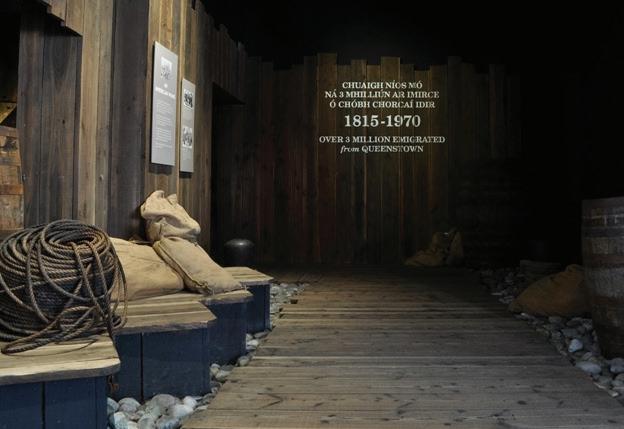
Cork is the largest and southernmost county in Ireland. It is known as “The Rebel County” due to a history of independence from the Viking invasions to the Irish War of Independence when it was the scene of a considerable amount of fighting. The Gaelic word for Cork means “Marshy Place”, this is because the city’s main thoroughfares are built on covered up river channels. Cobh is located in cork and its port is known as “The Teardrop of Ireland” due to the large history of emigration from this location, it was also the last port of call for the ill-fated Titanic in 1912.

Courtmacsherry Tragumna Garryvoe Front Strand Claycastle KINSALE The Start of the Wild Atlantic Way!
OLD HEAD OF KINSALE INCHYDONEY ISLAND GALLEY HEAD LOUGH HYNE CLEAR ISLAND HORSE, HAIR & SHERKIN ISLAND MIZEN HEAD TOORMORE BAY SHEEPS HEAD SEEFIN VIEWPOINT GARNISH ISLAND WHIDDY ISLAND VIEW BEAR ISLAND FAIRHEAD VIEWPOINT DURSEY ISLAND KENMARE RIVER VIEW BALLYDONEGH VIEWPOINT CORK CITY Bantry Skibbereen Dunmanway Bandon Macroom Blarney Carrigaline Mallow Mitchelstown Youghal Kanturk Charleville Fermoy Ballyvourney Newmarket Crosshaven Garrylucus Inchydoney Barleycove 1 2 3 4 5 6 7 8 9 10 15 16 14 13 12 11 Clonakility Rosscarbery Baltimore Schull Glengarrif Adrigole Allihies Castletown Bere CORK
To Kerry
18

19
COUNTY CORK

Rich in history and stunning scenery, it is an energetic county that will delight and surprise you at every turn. The county’s landscape is incredibly diverse, with golden beaches, rocky coastlines and islands, to peaceful lakes, vast mountains, quiet roaming countryside, and amazing walking and cycling routes. Cork is the best place to stimulate all of your senses – with fresh local produce straight from the lush green land and the Wild Atlantic waters; exhilarating music around every corner; and friendly locals, eager to talk and share stories with any traveller.
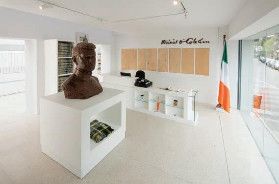
Cork is Irelands largest county and Corkonians call it “The Real Capital of Ireland”, it is also known in Ireland as “The Rebel County” due to the rebellions that occurred in this region throughout the centuries and for its role in attaining Ireland’s independence. One of its most famous sons was Michael Collins, a man who played a pivotal role in Ireland gaining its freedom in the early 20th century and died in the process.
With Cork being so large and having so much to see and do you may have to choose wisely the activities and locales that you frequent while in the county. Here are but a small few places and attractions that may pique your
Loic Jourdain
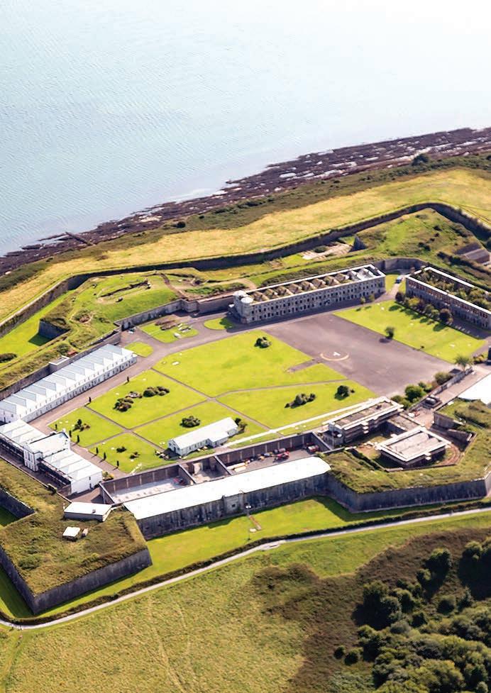
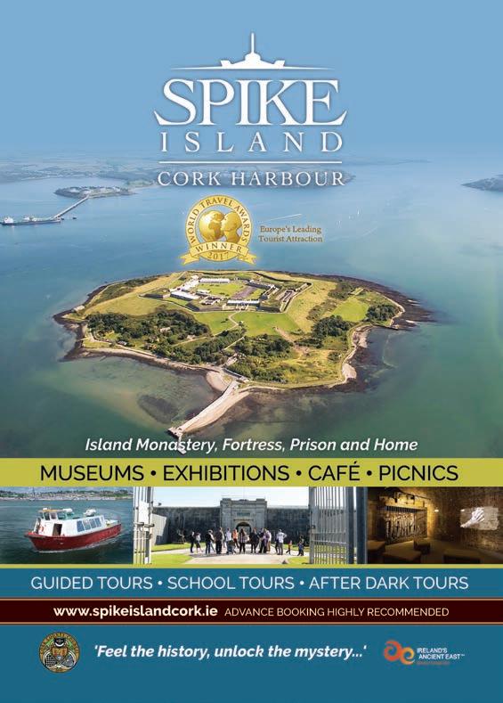
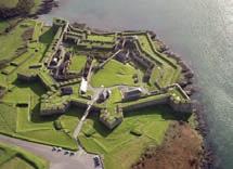
interest while in the Rebel County. Cobh is a beautiful harbour town located south of Cork City and was the departure point for 2.5 million of the six million Irish people who emigrated to North America between 1848 and 1950. It was also the last port of call for the ill-fated cruise liner the Titanic before it sank on its way to New York during its maiden voyage in 1912. The Titanic Experience in Cobh is based in the former offices of the Titanic’s owners, the White Star Lines. You can learn the story of the last 123 passengers who boarded the ship in Cobh as well as experiencing life on the ship for all classes of people. Situated in Cork Harbour off Cobh is Spike Island, over the last 1300 years Spike Island has been home to heroes and villains, captains and convicts, red coats and rioters, sinners and saints.
The island’s impressive 104 acres have at one time or another hosted an Island monastery, an Island prison, an Island fortress and an Island home. Spike Island, dubbed ‘Ireland’s Alcatraz’, in recent years has become one of Ireland’s most successful visitor attractions. In 2017 it was named Europe’s leading tourist attraction at the World Travel Awards.
Heading south from Cobh along Cork’s incredible coastline will lead you to the historic
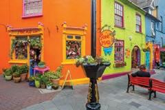
town of Kinsale. Originally a medieval fishing port, historic Kinsale (from the Irish, Ceann tSaile – ‘Head of the Sea’) is one of the most picturesque, popular and historic towns on the south west coast of Ireland. Visitors to Kinsale are captivated by its beautiful setting; its long waterfront, yacht-filled harbour, narrow winding streets and brightly painted galleries, shops and houses. The impressive fortifications of Charles Fort and James Fort guard the narrow entrance from the sea – giving clues to its rich history. There are a number of guided walking tours available and plenty of information at the Kinsale Tourist Office in the centre of the town. Not only does Kinsale claim to be one of the most picturesque and oldest towns in Ireland, it is also internationally renowned for the number and quality of its restaurants. It has been hailed as ‘The Gourmet Capital of Ireland’, with no shortage of cafés, pubs and restaurants to suit every taste and budget
The Old Head of Kinsale Golf Links has become a world class golf destination and the lighthouse at the head overlooks the watery grave of what was once the worlds largest ocean liner. The Lusitania was sunk off Kinsale’s coast in 1915 by a German submarine, this is seen as one of the main reasons that America entered the
20
CORK
first world war due to American citizens being aboard the stricken vessel. Leaving Kinsale and sticking to the coast will bring you to one of West Cork’s most beautiful towns. Clonakilty was voted as “the best place to live in Europe “as well as “The best place to visit in Europe” in 2017. A vibrant town, Clonakilty is famous for numerous reasons, it is the birthplace of Michael Collins, the famous Irish rebel leader. It is said that Collins father on his deathbed turned to the family and told them to take care of Michael because one day he’ll be a great man and he will do great work for Ireland.
You can visit the very room were this statement was made in Collins homestead and learn about a figure who Irish people admire and see as a father figure of the Irish state. A small distance outside the town is its famed model railway which is a real treat for both young and old. Also, outside the town are the golden sands of the stunningly beautiful Inchydoney Beach, where you can walk for miles as the waves crash against your feet, it is also an excellent place for kitesurfing and pony riding on the sand. You could then retire to the gorgeous Inchydoney Island hotel and have a cup of tea while watching the tide come in.
In the bustling market town of Skibbereen, you
can visit the wonderfully informative Heritage Centre where you can learn about the Famine commemoration exhibition as well as many other wonderful attractions in this area. The rather unusual “Sky Garden” should be a point of interest here. For those with an appreciation of nature the beautiful Lough Hyne is a saltwater lake situated just 5km from Skibbereen town. There is a long history of marine research at Lough Hyne which makes it one of the most-studied sites in the world. It has a wide variety of marine habitats and species and was designated as Europe’s first Marine Nature Reserve in 1981. This spectacular lake is best appreciated from the top of Knockomagh Hill which overlooks the lough.
Leaving west Cork, the scenic and tranquil town of Glengariff is a gateway to the Beara Peninsula, the harbour Queen Ferry leaves to the unique garnish Island every 30 minutes during summer months. West of Glengariff the road winds out the epic scenery of Bury where you can discover Europe’s tallest Ogham Stone a Ballycrovane which stands at 17 feet high. Close by is Castletownbere, a busy fishing port town that is Ireland’s premier whitefish port, you are guaranteed the freshest of fish in the many bars and restaurants in and around the town. Berehaven, being the second largest
natural harbour, only to Sydney, Australia, is the safest natural harbour in the world, it is a safe anchorage for yachts and is ideal for water sports, from sea angling to windsurfing. This area is also home to a multitude of artists, writers, artisan food producers, and craft makers. From pottery to cheese and wood turners to handmade soap, you name it, they make it here.
When leaving the Cork coastline and heading inland there are a multitude of things to do and see while traversing this diverse landscape. Not far from Cork City one can visit Blarney Castle and kiss the famous Blarney Stone that purportedly gives “The gift of the Gab”. And on the subject of speech, the Cork accent is unique and sometimes perplexing to those who have not been exposed to its unusual tones. Fear not however, even Irish residents sometimes struggle with this accent. Even when you do get the hang of it, you will then move further west through the county and it will have a different tone at each major town or village along the way.
Ireland’s largest county is one of its most beautiful, whether this is the beginning or the end of your trip along the wild Atlantic Way, it will be a perfect start or a triumphant finish.
21
Cork is a place filled with adventures of all sorts; discover for yourself the many captivating experiences that await in the county’s vibrant and cosmopolitan city, the wild and rugged landscapes of West Cork, and the endless stretches of sand and rock of Ireland’s longest coastline.
CORK
CORK CITY
With 206 places to stay, 253 places to eat, 326 things to do
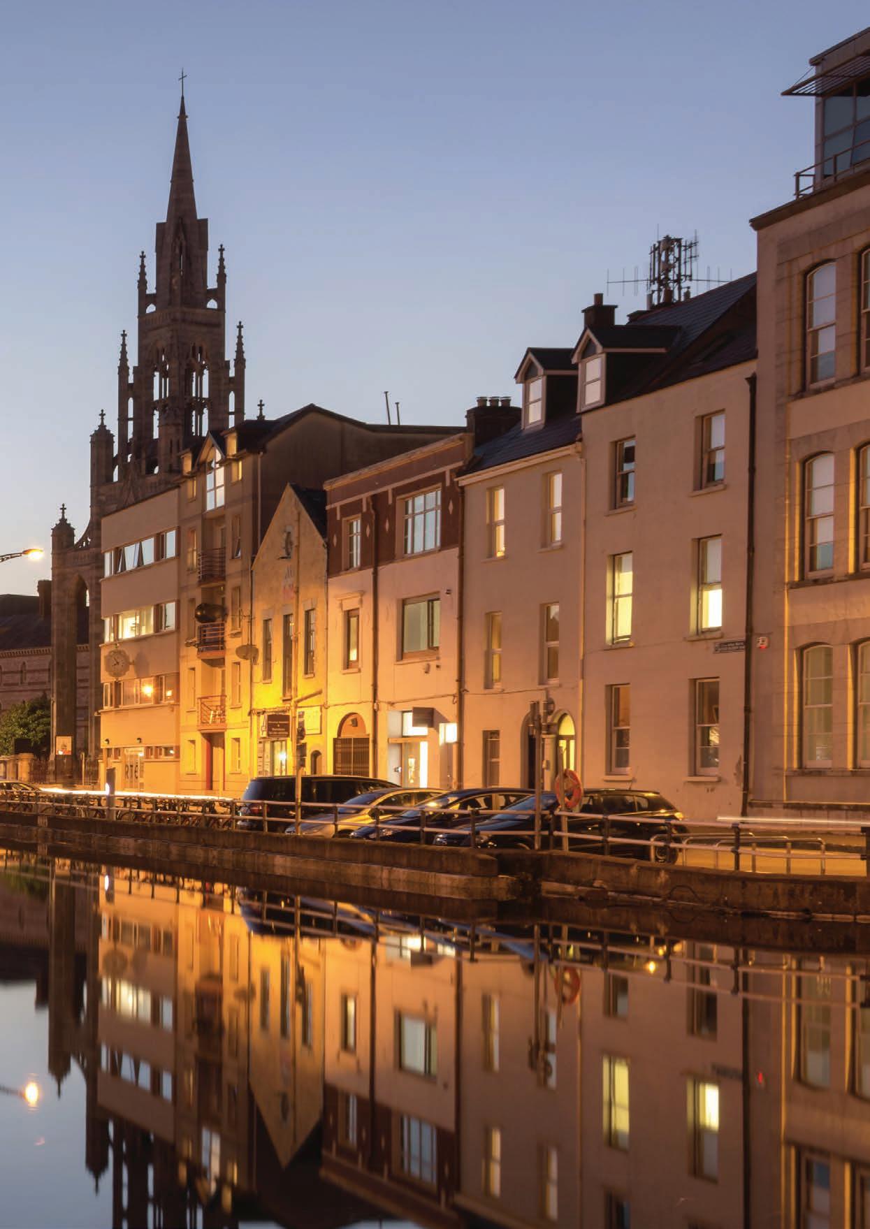
Cork has always been an Atlantic City –orientated to the sea, born out of trading with the continent in the late medieval period and built and enriched by arrivals and settlers from Britain and all over Europe’s Atlantic coasts. Cork city centre is built in the embrace of two arms of the River Lee and linked by a series of bridges leading it to having the nickname “The Venice of the North”. The town itself is built upon a marsh hence the name Cork, (in Irish Corcaigh means marsh) the lazily flowing Waters of the River Lee lend to a sultry relaxed atmosphere. from the Narrow Streets on the north side of the river to the elevated views from the south, cork is a city of contrasts, history and magic.
Although not much remains of its medieval or early modern past, the streetscape is a testament to the waves of Irish, Vikings, Anglo-Normans, Huguenots, Quakers, and New English that made the city their home. The origins of Cork lie in a large 7th century monastic settlement. In the 21st century St Patricks street is the main thoroughfare in Cork City, affectionately called ‘Pana’ by older Corkonians, it is the main shopping street in Cork and the heart of the city. Since its redevelopment in 2004, it has twice won the award as Ireland’s best shopping street.
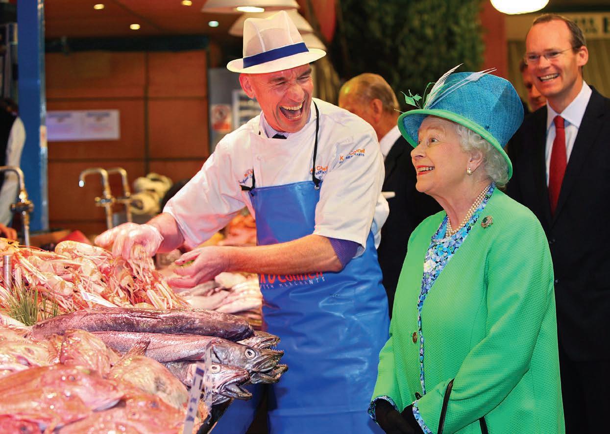
Heading away from “Pana”, Cork has a variety of offerings to visitors with some of the best food in the country being available to buy and eat in the city. Cork’s famous English Market had a royal visitor recently when Queen Elizabeth and Prince Philip toured the market while visiting the city. Mornings are the perfect time to enjoy what TV-chef Rick Stein rates as the “best covered market in the UK and Ireland”. As the city comes to life, it’s not so busy as it can get in the afternoon rush. Many of the food and deli stalls are still laying out their produce and you can pause to enjoy a coffee and a sweet treat as you wander the aisles and arcades. Leesiders have loved the English Market for two centuries and more. It’s a place to shop, meet and chat, at the heart of the city. Make sure to take your time, talk to the stall-holder, ask them about their produce and get a few samples!
To get an elevated view of Cork, from the English Market cross over the pedestrian bridge on the river and climb the short (but steep!) hill to Elizabeth Fort on Barrack Street. It’s a perfectly preserved 17th Century Star Fort, commanding views over the entire city. Walk the walls, see the great cannons and enjoy the panoramic views from the bastions. There’s a little lane beneath the walls of the Fort leading down to the river. It is Keyser’s Hill, believed to have been the first “street” in Cork, named by the Viking raiders who pulled their longboats up the Lee and settled there in the 9th century.
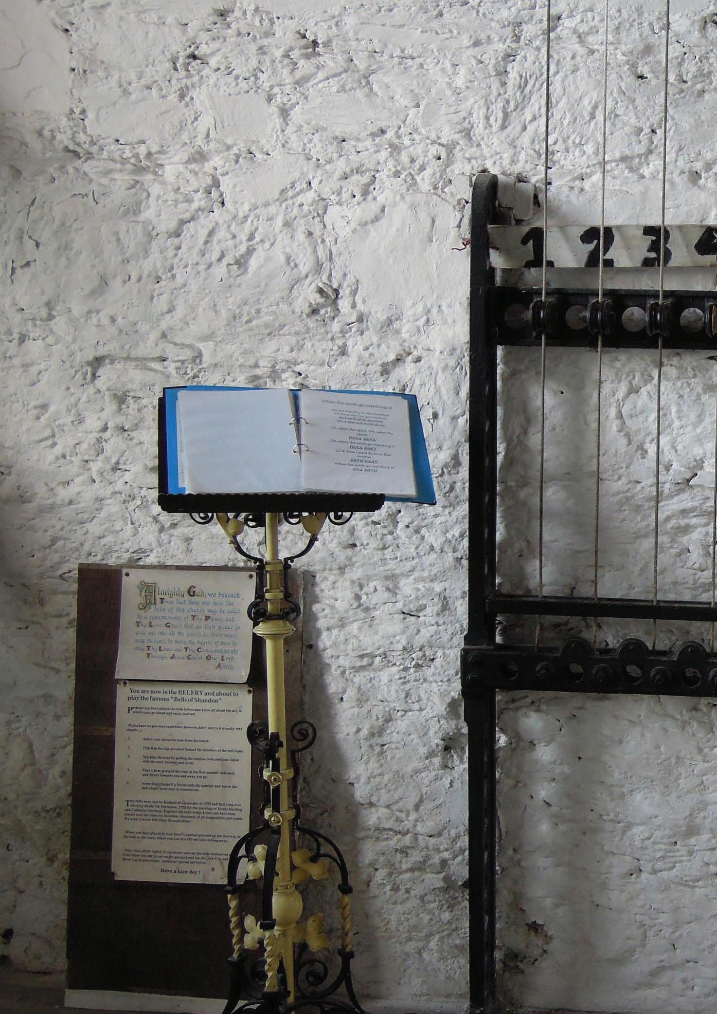
The bells of Shandon are a part of the skyline and are also an iconic symbol of Cork City. Once across the bridge walk back towards the city along Sunday’s Well. You might want to stop off at the historic, castellated Old Cork City Gaol for a tour, or continue straight on to the Shandon Bells in the tower at St Anne’s Church, an iconic part of city’s skyline since 1722. You can climb the tower to play pop songs on the bells and go higher for great views over the city. The celebrated Bells of Shandon are the soundtrack of Cork City and you can add your name to its playlist and let the whole city hear it when in this famous church.
Crossing the river when leaving the Shandon Bells will lead to the beautiful Fitzgerald park which is home to the Cork Public Museum. This park was named after a previous Lord Mayor of Cork in 1901, Edward Fitzgerald, it offers a quiet retreat from the hustle and bustle of the city, with its beautiful tree lined avenues, brimming flower beds and rose garden to its many statues and sculptures and the large central fountain, this 18-acre park is a wonderful treat. Crossing the road will lead to University College Cork, its campus is full of many interesting buildings and features. From the Lewis Glucksman Gallery in the Lower Grounds to the Stone Corridor of the Main Quadrangle to the Crawford Observatory, UCC is a great place to spend a few hours.
Heading back towards the city at Shandon you can drop into the butter museum, it may not sound too intriguing but this
museum is full of history and has stories from right throughout the world. The Butter Exchange became the largest butter market in the world from the 1700’s onwards, and with cargo ships calling into Cork butter was exchanged for spices, tea, brandy, wine and other foreign commodities. The English and Dutch favoured lightly salted butter with the West Indies and tropics favouring heavily salted butter. The butter was then duly shipped in timber crates and firkins and shipped from Cork Harbour.
Heading slightly out of the city you can visit the Blackrock Castle Observatory, this is a stunning building that dates to the 1500’s. Today it blends both technology and history together, which makes for a compelling visit. Cosmos at the Castle is an award-winning interactive astronomy exhibition which highlights recent scientific discoveries and their implications for life in outer space. While at the Castle you can enjoy daily planetarium shows to learn about the wonders of the night sky, send a Message to Space at the Pan Galactic Station and play The Comet Chaser to save the Earth. At Blackrock Castle, you will find a working professional astronomical observatory, staffed by researchers from Cork Institute of Technology (CIT) engaged in searching for new planets around distant stars using telescopes at the castle and abroad. The integration of the public exhibition and the astronomical observatory makes this place a unique national research and education centre. Further afield on Fota Island to the north of the city centre you can see lions and cheetahs roaming the grounds of Fota Wildlife Park. This is a marvellous wildlife park that has a variety of animals and exhibitions from which you can see and learn while in the park.
A short trip back to the city centre allows you to grab a meal in any of the wonderful restaurants on offer and then visit many of the local pubs to sample Cork’s nightlife as well as having the craic with many of the local Corkonians. Cork City is vibrant, charming and you may even want to delay your journey of the Wild Atlantic Way for a day or two just to spend more time here.
23
and 500,000 Corkonian’s to meet, cosmopolitan Cork City is vibrant, unique, rich with heritage and invites you to explore.
FROM FAMINE TO FEAST
BY JAMIE MOANS
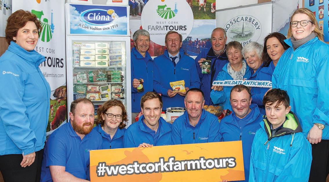
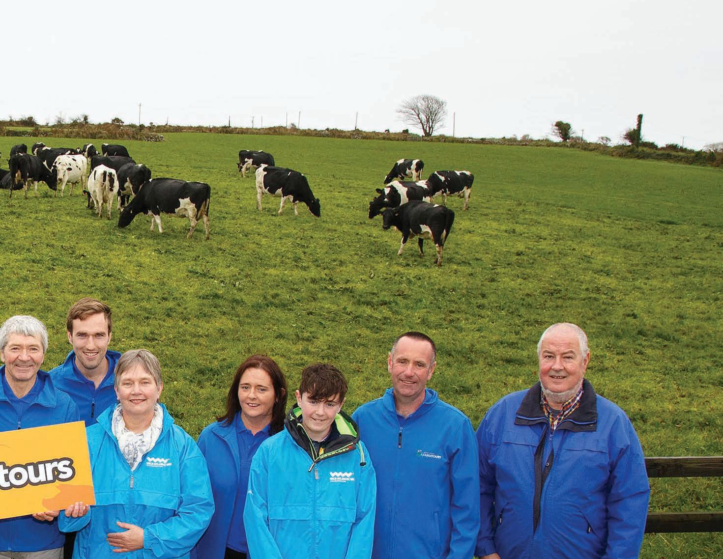
A visit to the Wild Atlantic Way need not be entirely focussed on the ocean. Turning your attention ever so slightly inland can reveal a litany of treasures to tempt any sea lovers ashore. One of these treasures comes in the form of a West Cork farm tour where food production has flourished in a veritable micro-climate that has been shaped by the surrounding Atlantic Ocean.
In recent years West Cork has garnered a reputation as quite the foodie destination. In 2017 the Taste of West Cork Food Festival won the title of Foodie Destination of the Year by the Restaurants Association of Ireland. The festival runs from September 6th to the 15th in 2019 with over 250 events running across 36 towns and villages.
In 2019, A Taste of West Cork Food Festival is partnering with West Cork Farm Tours to create a new collaborative tour. The tour will look at West Cork food history and is entitled From Famine to Feast.
Winners of the Tourism Innovation Award 2018 at the Cork Convention Bureau Awards West Cork Farm Tours offer tourists the chance to see the origin of the regions renowned food produce. Five local family farms (three dairy, one pig and one suckler) open their gates providing visitors with an authentic rural experience like no other. Farmers share their way of life to visitors in an effort to improve relationships and connect Irish and international visitors with the land. The farms are located along the Wild Atlantic Way from Rosscarbery to Clonakilty just one hour’s drive from Cork city.
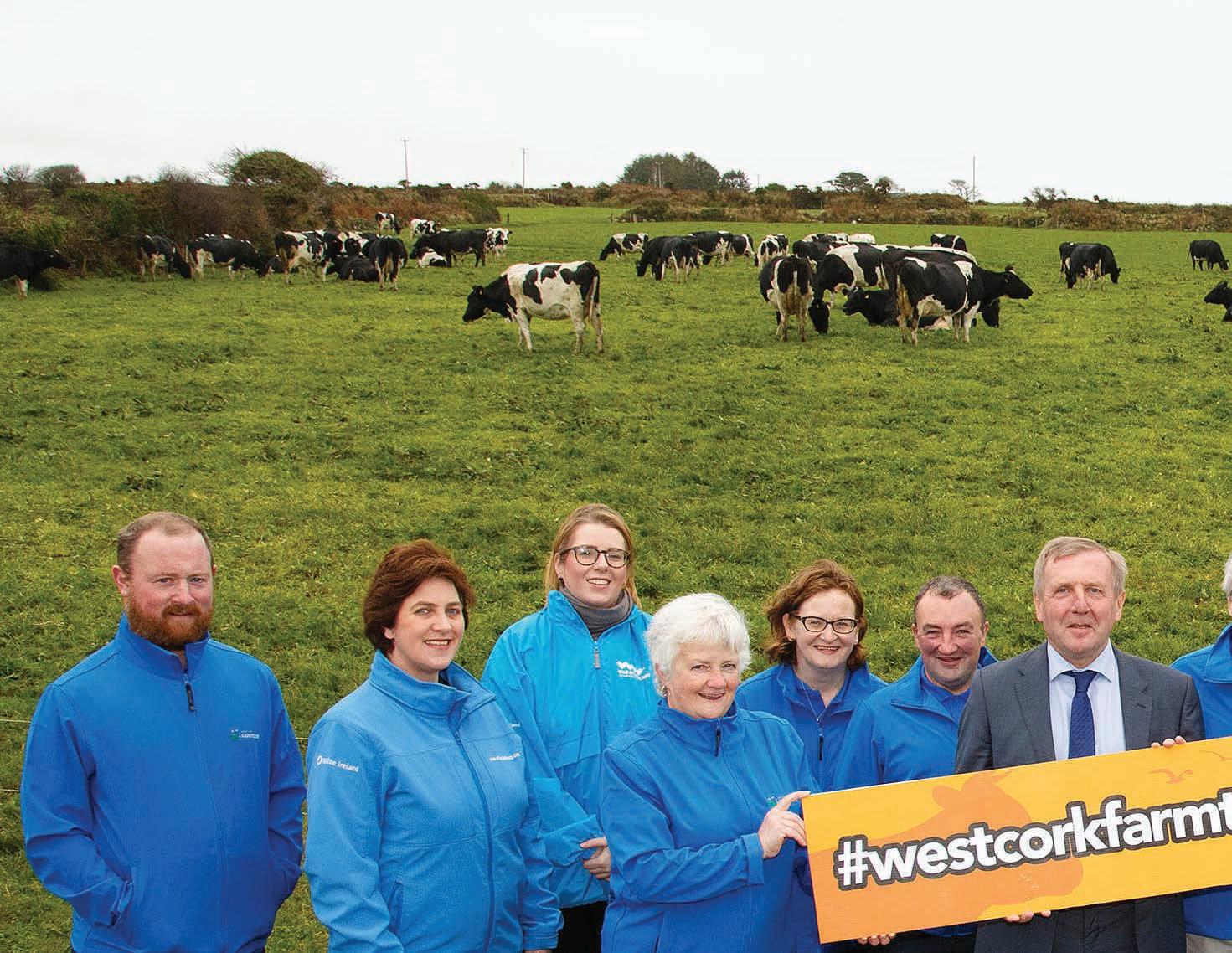
One of the current tours is the three day The Making of Pure Cork Dairy tour. The tour aims to educate on dairy farm practices and industry insights, sustainable farm management and what it takes to go from farm to plate.
Visitors will get the chance to walk the land with the farmers to gain an understanding of rural Irish life in addition to how they strike the fine balance between improving business practices and reducing their environmental impact. The latest agricultural science research into dairy
farming will be presented to the group. The dairy farms are Origin Green certified and provide produce for world renowned brands such as Kerrygold and Dubliner cheese that are produced in West Cork.
Visitors also get the opportunity to sample the warm hospitality from their hosts with artisan local products and refreshments provided alongside the necessary raincoats and wellies should the weather require them.
Tours run every Thursday morning from 11am to 1pm from March to October of each year and cost from €19.50 per person. Customised, bespoke tours can also be arranged for larger groups.
West Cork Farm Tours are also partnered with three local hotels to offer additional refreshments and/or accommodation packages. These are the Celtic Ross Hotel (Rosscarbery), The Emmet Hotel (Clonakilty) and Fernhill House Hotel (Clonakilty).
For more information see westcorkfarmtours.com
CORK
FOR WHOM THE BELL TOLLS
CORK
Well, it turns out that the bells can toll for you in Cork City during your trek on The Wild Atlantic Way. These bells are the soundtrack for this wonderful city, and you can add your name to the playlist by ringing out a tune on The Bells of Shandon.
The Shandon Bells are located in the tower at St Anne’s Church which is an iconic part of the city’s skyline. Built in 1722 as a chapel of ease to the former St. Mary’s Church Shandon, which was originally situated on this site but was destroyed in the Siege of Cork in 1690. The site where St Anne’s stands and St Mary’s stood, has been a site of worship since before medieval times. The Tower forms a striking landmark, visible from many parts of the city, with its red sandstone (North & East) and white ashlar limestone (South & West). It is believed that the colours of the tower gave rise to the sporting colours of Cork.
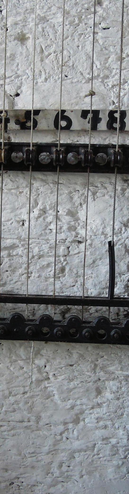
Standing 50 metres high above the surrounding Shandon neighbourhood, visitors can climb the narrow stone steps to the bell tower which is topped by a 3-metre gold fish weathervane, if you are struggling to find this tower just look for the giant gold fish in the sky and you should be okay.
There are eight bells in total weighing six tonnes, and they do not ring in the usual fashion. They are rung on a fixed bells system called an ‘Ellacombe’ system. The bell remains static and when you pull the rope, the clapper hits the bell. The eight bells pulleys are numbered, and a playbook is sat beside them allowing you to play songs such as Amazing Grace, Kumbaya and Raindrops keep falling on my head among others. As the inscription on the bells state, “When us you ring, we’ll sweetly sing.” Would-be campanologists (bell-ringers) may be able to figure out the tones and then play a more eclectic mix of music that will be heard throughout the city.
After you have serenaded the city you can climb to the top of the tower to view the bells and also see “The Four Faced Liar”. Built in 1847, this was the first four faced clock until the construction of Big Ben. It was given its unusual name by the city locals who noticed that the four clocks were not always in agreement of the exact time. The top of the bell tower offers a 360° view of city and is quite the area to fully capture the beauty of Cork City.
These famous bells and the tower that houses them provide visitors with the chance to get the best views of Cork and the rather unique opportunity to serenade a whole city with your musical talents.
27
This rather unusual setting is a stage for budding musicians, although this audition will be heard by a whole city


28 Loic Jourdain C: +353 (0) 51 317000 E: houseofwaterfordcrystal@ skars.com W: www.waterfordvisitorcentre.com manufactured before your eyes Guided Factory Tours Daily See Exquisite Pieces of Crystal CORK
THE ENGLISH MARKET
Located in the heart of Cork’s city centre this market has artisan food from all over the world as well as traditional Cork and Irish food. It isn’t just the food that draws people to this beautiful indoor market, the people who run the 46 over the counter stalls warmly welcome each visitor and their knowledge of the products (in some cases handed down through generations) has been known to bring a smile to even the sternest of faces.
The origins of the market can be traced back to James 1st in 1610, but the present building located on Princes Street in the heart of Cork’s city centre dates from 1786. Over the last two centuries this building has survived The Famine, numerous wars and a number of fires which has led it to be one of the oldest municipal markets of its kind in the world.
Those familiar with Cork’s tradition of rebellion might wonder why the city’s most famous market may take its name from “the auld enemy”. When the market was created by the Protestant or “English” corporation that controlled the city at that time. It was a new flagship municipal market located at the heart of the new commercial city centre. The local government was reformed in 1840, and the representatives of the city’s Catholic, “Irish” majority took over, they established another covered food market, St. Peter’s Market (now the Bodega Bar on Cornmarket Street), which became known as the “Irish Market” to distinguish it from its older counterpart which remained associated with its English creators.
There is quite the variety of produce on offer in this multicultural market. Products that are available includes Meat, fish, breads, organic fruit & vegetables, spices, clothes & gift ideas, you’ll also find eggs, speciality cheeses, olives, crubeens (pigs’ feet), and the Cork favourite Tripe & Drisheen to list but a few. You can also take time out in any number of the Markets Cafe Restaurants
and enjoy some wonderful traditional Irish foods, or just have a quick snack or a cup of coffee or tea and watch the world go by.
One of the more well-known stalls in the market is Kay O’Connell Fish Merchants, they have been residents in the market since 1962 and have earned a great reputation for their produce, not only in Cork but across the Island. Their fishmonger Pat O’ Connell made headlines around the world when Queen Elizabeth and Prince Philip made their historic visit to Ireland in 2011. When strolling through the market, the royal couple stopped to have a look at Pat’s produce, he then cracked a joke about an ugly monkfish which he said was nicknamed “the mother-in-law fish”, prompting the queen to erupt in laughter. The Queen must have told Prince Charles of her time in The English Market as he and Camilla have recently visited and had a chat with the famous fishmonger (perhaps he asked how on earth he got his mother to smile!).
When not entertaining royals the market is a bustling building brimming with all sorts that have come to sample the beautiful produce. The current mix of traders in the English Market represents a diversity as broad as at any time over the centuries of its existence. Small stalls sit alongside larger businesses. Fledgling traders beside long-established family businesses passed down from one generation to the next. Having experienced the sights, sounds and smells of the Market, customers can unwind and sample it’s tastes and enjoy the banter from the various café’s, deli’s and food plates while watching the world pass by. One thing you can guarantee while visiting English Market is that you’ll find food worthy of a Queen and be treated like royalty while you pass through this busy bazaar.
The English Market is located on Princes Street and is open to the public from 8.00 a.m. to 6.00 p.m., Monday to Saturday.
29
This market has been serving the people of Cork for more than 230 years, it is universally loved by all who visit including current Queens to future Kings and is a unique mixture of product, people and place that combine for an exceptional experience.
CORK
SPIKE ISLAND
Over the last 1300 years Spike Island has been home to heroes and villains, captains and convicts, red coats and rioters, sinners and saints.
Over the last 1300 years Spike Island has been home to heroes and villains, captains and convicts, red coats and rioters, sinners and saints. The island’s impressive 104 acres have at one time or another hosted an Island monastery, an Island prison, an Island fortress and an Island home.
Spike Island, dubbed ‘Ireland’s Alcatraz’, in recent years has become one of Ireland’s most successful visitor attractions. In 2017 it was named Europe’s leading tourist attraction at the World Travel Awards. The former prison was up against some of the world’s most well-known attractions including the Eiffel Tower, Roman Colosseum and Buckingham Palace. Today the island is dominated by the 200-year-old Fort Mitchel, the star shaped Fortress which became a prison holding over 2500 prisoners at one time and while it’s a relatively small island lying at the entrance to Cork Harbour, it has a big history that you can explore when visiting this historic and intriguing island.
The earliest evidence of occupation of the island dates back to the 7th century when a monastery was founded by Saint Mochuada. In the 1640s, during Cromwell’s campaigns, the island was briefly used as a holding centre for the transportation of thousands of dispossessed Irish people to the West Indies. From Spike they were “transplanted” to Barbados where they lived out their lives as indentured servants or slaves. The Spike Island prison was founded at the height of Ireland’s Great Famine in 1847. In those days, it was known as a convict depot, which was a temporary prison detaining those who were sentenced to be transported to one of the few far-flung corners of the British Empire, until a ship was procured for their journey. It was at this time that the famous star fort
that remains standing today was built, and it dominates much of the island leading this site to be known as “Ireland’s Alcatraz”. For many years it was thought that the high mortality rate at the prison was down to the potato famine that was causing over a million people to die from starvation all over Ireland. But new evidence uncovered by the discovery of a graveyard on the island has revealed that the prison was “a public health catastrophe”, with over 2,000 men packed into overcrowded dormitories.
Spike was closed as a prison in 1883 and was then used as a British military complex. The facility was used as a prison again in 1916 when the captured crew of the ‘Aud’ a disguised German ship holding guns to be used in the Rising, were held there prior to being transferred to a camp in England.
It yet again became a prison and internment camp during the Irish War of Independence and held members of the Irish Volunteers. On April 29th, 1921 three men made a daring escape. Seán MacSwiney, Tom Malone and Con Twomey escaped the island and were picked up in a boat by members of a Cork branch of the IRA based in Cobh. After the establishment of the Irish Free State the Royal Navy retained control of the territory until 11th of July 1938 when it was handed over to Ireland.
The island would remain a military base and prison under Irish rule. And not one with an unblemished record. Perhaps the most well-known incident to occur under this incarnation of the island was the riot of 1st September 1985. Trouble broke out when the few officers on duty were quickly overpowered as Block A, one of the accommodation blocks, caught fire and was destroyed. Rioting prisoners armed themselves with slash-hooks and knives and took control of the pier. The Gardaí eventually were able to land in force and
end the riot. The prison would finally close its doors in 2004. But Spike Island, with all its history and ideal location in Cork Harbour, would inevitably go through one final reinvention. This location has been made accessible to visitors so they can explore its rich history and lore that spans almost 1500 years. Departing from Cobh a ferry will bring you to the island where you can visit the star shaped fort and learn of the cruel conditions people faced and some of the sordid individuals that called this place home. you’ll hear the stories of murders that took place such as nationalist Patrick White who was killed in a spiteful act of revenge by his keepers and learn of the brutal murder of a prison warder in the 1800’s. Hear how many dangerous characters who were imprisoned on Spike, often sat chained to the walls in their cells, covered head to toe in black cloth, except 2 slits for eyeholes.
There are a variety of tours that can be taken while on Spike, these occur during both day and night allowing to you experience the haunting cells under the moonlight. The after dark tour will take you to areas no day tour can go as you walk through mysterious underground tunnels and cells that are sure to chill as much as they excite. This tour also leads to the large mass grave site at the east of the Island that is now the resting place for more than 2000 prisoners.
Other highlights while on “Irelands
Alcatraz” include aging guns, the shocking feel of the ‘punishment cell’, the children’s prison and the chance to walk the Mitchel Fortress star-shaped walls which provide stunning views of Cork Harbour and Cobh. This is an essential stop while in Cork and as stated previously it beat, Buckingham Palace, The Eiffel Tower and The Colosseum to be named Europe’s best attraction in 2017.
31
WHALE AND DOLPHIN WATCHING
West Cork has always had a reputation for great whale & dolphin watching. In fact, Youghal was the location for the film classic, Moby Dick. In 2001 a pod of killer whales thought it would be nice to visit Cork City and navigated 12 miles up the River Lee to make an appearance.
Ireland’s government declared the coastal waters of the country a whale and dolphin sanctuary during the early 90’s. The first of its kind in Europe, this paved the way for whale watching in Ireland to become a prime activity for our many visitors. Add here
Coastal waters off the southwest of Ireland are a summer feeding ground for a number of whale species and a year-round home for several resident dolphin species, including the harbour porpoise. Baleen whales commonly seen off the south coast include Fin whales and Minke whales. This makes for some of the best whale watching in Europe. Humpback whales are also seen off the southwest coast. These large marine mammals feed in Irish waters for over seven months of the year on a variety of small shoaling fish and may be seen just a few kilometres offshore.
To date, 25 species of the world’s whales and dolphins have been recorded in Irish waters. In recent years over 12 cetacean species have been seen in the clear, unpolluted west Cork waters making this one of the richest areas for whale and dolphin watching in Ireland. Irish whale watching has definitely taken off in west Cork due to the sheer volume of species that can be seen in these waters for more than half of the year. Minke whales arrive off the coast in March, while Fin whales traditionally make
an appearance in late summer. Both species stay and populate these waters right through to the early winter months. The less predictable Humpback whales have traditionally arrived during the autumn months.
Other species that appear throughout the year are Risso’s dolphin, they show up between March and May, from April to July Basking sharks are present. The Atlantic Sunfish arrives between the months of July and August, while common dolphins can be seen off the coast from August to December.
The highpoint of any whale watching experience in Cork would be to view the frequently sighted Baleen whale but even if this does not happen you can feast your eyes on the resident species of dolphins that call these waters home right throughout the year. Common dolphins and harbour porpoises even come closer to shore during the summer months.
Sightings have also been recorded of Killer whales (Orca), longfinned Pilot whales, White beaked dolphins and Atlantic White sided dolphins. It is also not uncommon when out at sea to meet some of Irelands resident seals, The Atlantic grey seal and the Common seal.
The Irish Whale & Dolphin Group is dedicated to the conservation and better understanding of whales, dolphins and porpoise in Irish waters. Their site is worth visiting to find out about planned events in the area. www.iwdg.ie
32
In West Cork, you are in one of Ireland’s prime locations for whale and dolphin watching. This part of Ireland is celebrated by whale and dolphin enthusiasts the world over.
CORK
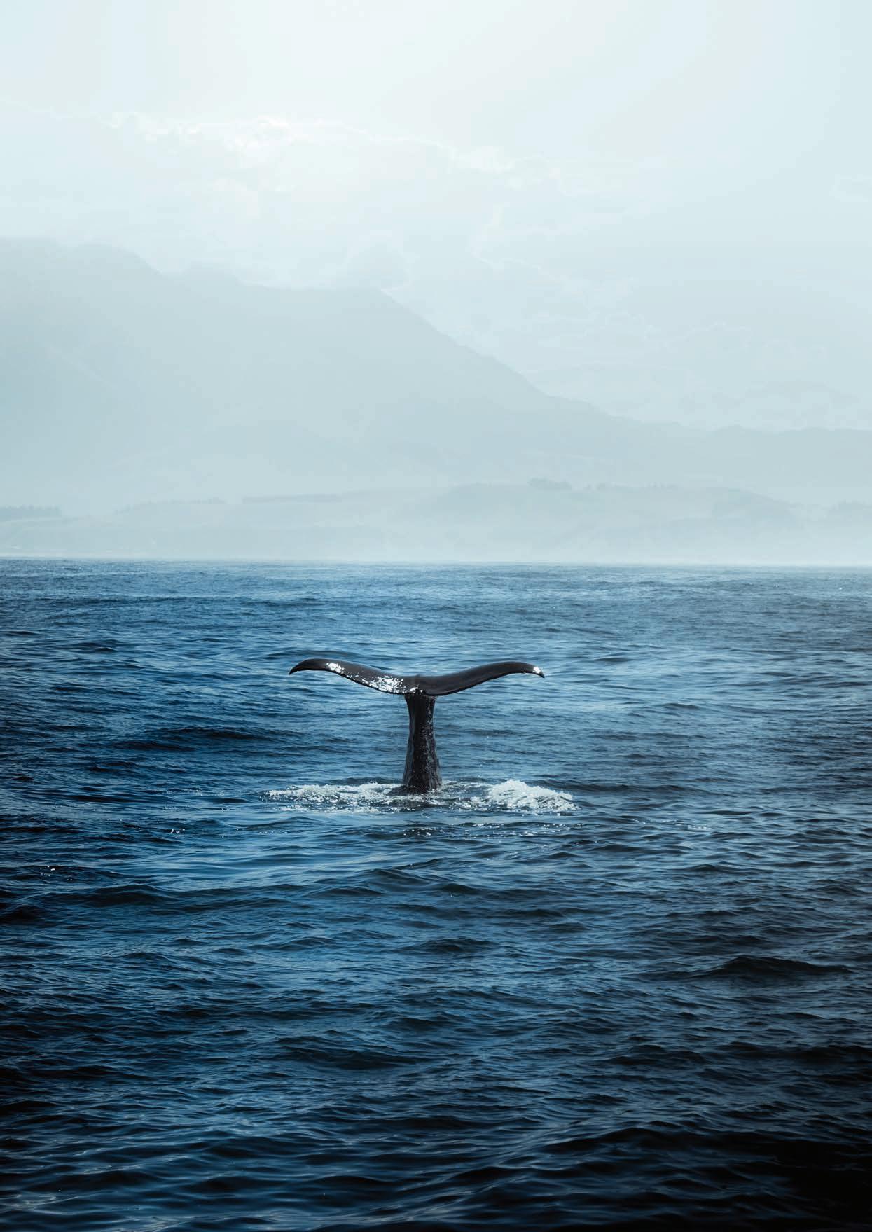
“Ireland’s coastal waters are a designated sanctuary for whales and dolphins, in this sanctuary you can potentially see 25 species of whales and dolphins throughout the year”
See Exquisite Pieces of Crystal manufactured before your eyes
“It’s crystal clear”
A factory tour where you can almost rub shoulders with the artisans as they produce beautiful objects.
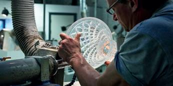
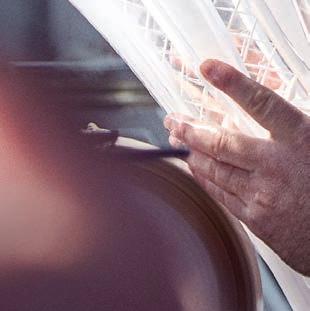
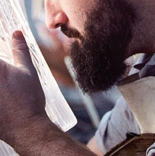
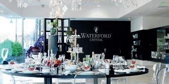
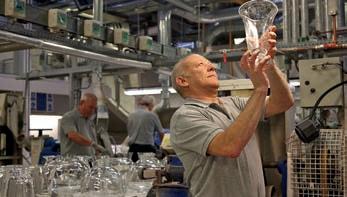
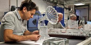
Why not visit the factory located in the centre of Waterford city which welcomes over 180,000 visitors a year, and take the opportunity to witness the manufacture of these and many other Waterford crystal products. The factory tour is a unique and captivating experience that enthrals visitors of all ages, both national and international. The guided factory tour – which takes approximately one hour – allows visitors to understand each stage of production.
“Great Tour of Waterford Crystal”
Great history, very close to the process and really beautiful items.
They witness how Waterford Crystal pieces are crafted from initial design right up to the final engraving of the piece. Every year the House of Waterford Crystal melts more than 750 tonnes of crystal, using traditional and cutting-edge manufacturing techniques. On completion of the tour, visitors can experience over 12,000 sq. ft. of crystal heaven in the largest retail and brand showcase of Waterford Crystal in the world.
For further details on the tours visit www.waterfordvisitorcentre.com
No.1 of 53 attractions in Waterford
+353 (0) 51 317000 houseofwaterfordcrystal@fiskars.com www.waterfordvisitorcentre.com
34
WHERE ART AND IDEAS MEET ACROSS THE CENTURIES...

Crawford Art Gallery is an Irish national cultural institution, dedicated to contemporary and historic visual art, located in a significant heritage building in the heart of Cork city. Offering a vibrant and dynamic programme of temporary exhibitions, it is also houses a collection of national importance which tells a compelling story of Cork and Ireland over the last three centuries. Originally built in 1724 as the city’s Customs House, the Gallery is home to the famous Canova Casts, gifted to Cork two centuries ago. Featured in the gallery’s collection of over 3,000 objects are contemporary artists Aideen Barry, Gerard Byrne, Maud Cotter, Dorothy Cross, Tacita Dean, and Sean Scully as well as much-loved works by Irish artists James Barry, Harry Clarke, Mainie Jellett, Seán Keating, Daniel Maclise, Norah McGuinness, Edith Somerville, and Jack B. Yeats.
An oasis of calm and tranquillity, Cork’s most visited cultural attraction, open seven days a week, free to enter, and a must-see for locals and tourists alike. Welcoming over 265,000 visitors annually.
The Green House at Crawford serves quality local produce with the very best quality food and drinks. The café is located on the ground floor of Crawford Art Gallery.
Opening Hours
- Monday–Saturday 10.00am–5.00pm*
- Thursday until 8:00pm
- Sundays and Bank Holidays 11 am–4 pm
Free Tours
- Sundays and Bank Holiday Mondays 2:00 pm
- Thursday 6.30 pm

This project is in support of the Night-Time Economy and funded by The Department of Tourism, Culture, Arts, Gaeltacht, Sport and Media.
Cobh, The Queenstown Story An informative and emotive story of Irish emigration. Learn about Cobh’s connection with Titanic and the Lusitania. Cobh Heritage Cen tre, Cobh, Co. Cork, Ireland. Open 7 days 9.30 – 5.30 (Sundays 11am) Tel 353 (21) 4 813591 Find Cobh the Queenstown Story on Facebook An Unmis sable Experience! Email: info@cobhheritage.com Web: www.cobhheritage.com 237664_Cobh Heritage_AC_SCIT.indd 1 01/12/2015 14:08
1 17/11/2022 10:36:02 Untitled-1 1 11/10/2017 13:20:49
Crawford Art Gallery - Quarter Page A4 and Qtr Editorial - WAW2023.indd
Fota Abroretum and Gardens- Cork


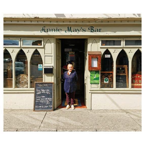


37 Ilen Street, Skibbereen, Co.Cork | Tel: 028 21277 info @westcorkhotel.com | www.westcorkhotel.com stay relax explore ThreecenturiesofArt intheHeartofCorkCity OpenDaily|FreeEntry Tours EveryThursday6.30pm Sunday&BankHoliday2.00pm Free|Nobooking Monday–Saturday:10.00am–5.00pm Thursday:until8.00pm SundaysandBankHolidays:11.00am–4.00pm Installationviewof RecastingCanova .Photo:JedNiezgoda. ThisprojectisinsupportoftheNight-TimeEconomyandfundedby TheDepartmentofTourism,Culture,Arts,Gaeltacht,SportandMedia Crawford contemporary the heart exhibitions, compelling in 1724 as Casts, gifted 3,000 objects Dorothy artists James Norah McGuinness, An oasis seven days Welcoming The Green quality food Gallery. Opening - Monday–Saturday - Thursday - Sundays WHERE IDEAS THE This project Tourism, Crawford Art Gallery - Quarter Page A4 and Qtr Editorial - WAW2023.indd 1 DOWNLOAD THE EXPLORE CORK APP Ki CHARLESFO ‘A Cork County Council Initiative’ Comhairle Contae Chorcaí Cork Count y Council ANNIE MAYS Bar | Resturant | B&B 11 Bridge St, Marsh, Skibbereen, Co. Cork, P81 RV07 www.anniemays.ie | Email: info@anniemays.ie Phone: (028) 22930
KERRY
38
Kerry is known as “The Kingdom” in Ireland, when the O’ Connor clan took Control of the area in 65 AD the chieftain’s name was “Ciar” and his descendants became known as “Ciar-Raigh” (Pronounced “Keer-ree”), which translates to “Ciars people” or “Ciars Kingdom”. In Kerry you can walk in the oldest footprints in the world. More than 385 million years ago a large amphibian animal walked on soft sediment on the shoreline of Valentia Island in Co. Kerry. The footprints are preserved in the rock as shallow impressions. This large amphibian was known as a Tetrapod and the footprints are the oldest known fossilized footprints in the world.
Listowel Tarbert Killarney Ballyheigue Tralee Castleisland Golf Club Camp Killorglin Cahirsiveen Sneem Kenmare Caherdaniel Waterville Valencia Island Derrynane Beach Ballinskelligs Beach Inch Beach Ventry Beach Dunquin Rossbeigh Beach Kells Beach Castlegregory White Strand Banna Beach Ballyheigue Beach Ballybunion To Clare To Cork BLASKET ISLANDS SKELLIG ISLANDS LAMBS HEAD KILMAKILLOGE VIEWPOINT COOMAKESTA PASS SKELLIGS VIEWPOINT GEOKAUN VIEWPOINT MOUNTAIN STAGE Slea Head 4 8 7 6 5 9 10 11 12 16 15 14 13 17 18 1 2 3 Glenbeigh Castlemaine Inch Annascaul Dingle CONOR PASS Brandon Cloghane e Maherees Blue Flag Beaches On The Wild Atlantic Way Guerin Media’s Road Trip Towns Wild Atlantic Way Route Wild Atlantic Way Viewpoints 39
TRIVIA
THE KINGDOM
Kerry has a force that will awaken in you when you cross into its territory, your wildside will awaken as you go from mountain high to valley low and Atlantic Islands to beautiful bays. The locals are the same as the pubs, welcoming and always have a story to tell and you will be treated like royalty as you traverse across The Kingdom
Kerry is a regal county, adorned with forests, crowned by majestic mountains – it is no wonder that it is known simply as “The Kingdom”. Kerry’s 350 km long Atlantic coastline is truly spectacular and the county’s two major peninsulas of Iveragh and Dingle are true strongholds of Irelands native language and rich culture along The Wild Atlantic route. Take in the scenic views along the Ring of Kerry and onwards toward Ireland’s most westerly point on Dingle Peninsulas unforgettable Slea Head Drive, or head to a galaxy far far away on The Skellig Islands.
The origin of the expression “The Kingdom” means Ciar’s Kingdom or Kingdom of Ciar. Ciar was the progenitor of the O’Connor Kerry Clan (A famous name around these parts). Sometime Around 65 AD Ciar took possession of an area of land stretching from the river Maine in the south and the Shannon estuary in the north and included the peninsula of Corca Duibhne or Dingle Peninsula. The name later evolved into what we know now as simply, Kerry.
Kerry’s first heritage town, Kenmare, is a picturesque historic town just north of Cork’s Ring of Beara. From here you can access the 10,000 hectares of woodland and magical mountains
in Killarney National Park and take in the spectacular views of the Killarney Lakes. Elegant Muckross House on the Kenmare road is a perfect destination to while away a summers afternoon with stunning gardens, traditional farm and craft workshops to explore. Killarney is a bustling tourist town brimming with atmosphere and the best of Irish traditional music and wholesome food. Take a pony ride out to the beautiful Ross Castle, the last Gaelic stronghold in Munster to hold out Cromwell’s forces.
Ireland’s highest mountain Carrauntoohill looms large over the Killarney skyline in the embrace of the impressive mountain range of The MacGillycuddy’s Reeks. This area is known as Reeks District and Rough Guides has named it as “One of the best places to visit on the planet in 2019”. Wrapped in some of Ireland’s most breath-taking scenery, Reeks District has some of Irelands’ most beautiful countryside where you can go from Blue flag beaches to towering peaks in less than an hour. The literal highlight is Ireland’s tallest mountain, Carrauntoohil. At 1,038.6 metres (3,407 ft), reaching the peak is an achievable day trek for anyone of reasonable fitness. Reeks district implores visitors to
40
KERRY
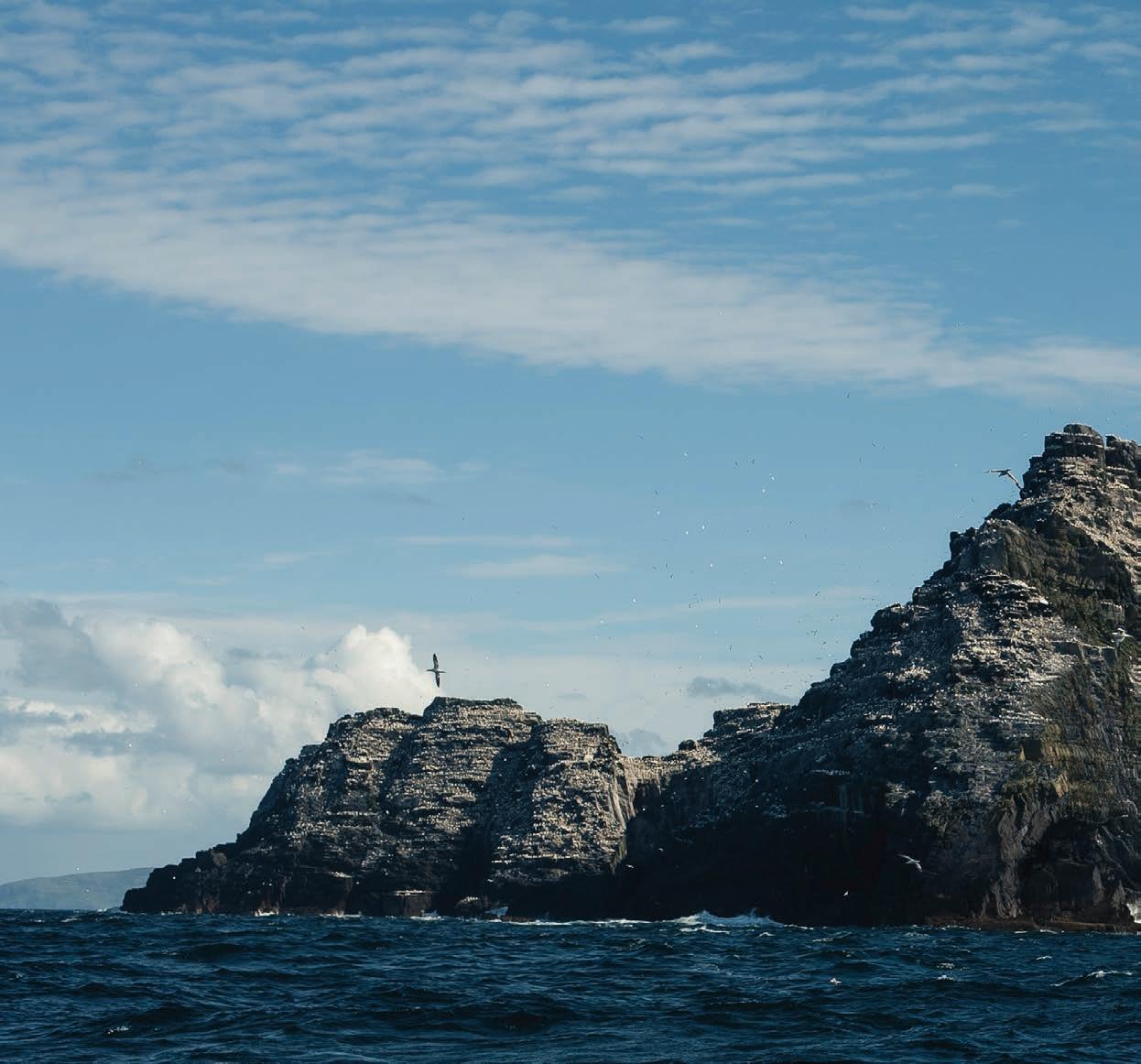
explore using boots, boats, bikes and boards while in the area. Off the shores of The Iveragh Peninsula, you can travel by boat to visit the now world famous Skellig Islands. Skellig Michael is a rock that sits some 12 miles off the coast of Kerry in the Atlantic Ocean and is the site of an old Irish monastery. It is one of the most famous and impressive sites from the ancient Christian world which can still be seen today in its original and true form. This rock in the middle of the Atlantic has captivated movie goers throughout the world as it has featured as the home of Luke Skywalker in the last two Star Wars movies.
Speaking of Galaxies far away, Kerry’s sky is the best in the northern hemisphere for gazing into the cosmos. The Kerry international Dark Sky Reserve is the only Gold Tier Dark Sky Reserve in the Northern Hemisphere, and one of only three in the world. This 700 square km of territory on The Iveragh peninsula stretches from Kells Bay to Caherdaniel and is a rare area of exceptional quality. The reserves nocturnal environment is a protecte place of natural darkness which aims to exclude light pollution.
At the gateway to the Dingle Peninsula, the town of Castlemaine
opens to the exciting drive west past Boolteens with its famous pubs and then on to Inch with its world-famous beach. Inland, the busy market town of Castleisland is a great place to peruse the local shops while nearby Cragg caves allow you to delve under Kerry’s soil and investigate a mysterious underground world that lay hidden for thousands of years. Delightful Dingle will be your next stop on the Peninsula and was described by National Geographic as “the most beautiful place on earth”. Dingle and the peninsula on which it sits is home to a host of activities, it has some of Ireland’s most beautiful beaches, driving routes, food, folklore and is also home to Irelands most well-known and beloved sea creature. You can also take an ecomarine tour that will allow you to see Basking sharks and other local sea life. It is a countryside cosmopolitan that is universally loved and admired throughout the world. Dingle is simply, delightful.
This county has a whole lot more to offer visitors, as you travel through this beautifully picturesque county, you will discover why it has featured in a galaxy far far away, Kerry is truly, out of this world.
41
REEKS DISTRICT
KERRY
The literal highlight is Ireland’s tallest mountain, Carrauntoohil. At 1,038.6 metres (3,407 ft), reaching the peak is an achievable day trek for anyone of reasonable fitness. Less strenuous walks take in sheep-dotted moorland or a deserted Atlantic beach. Two Blue Flag beaches at Inch and Rossbeigh tempt family picnickers, while surfers hit the waves rolling in off the Atlantic. Or you might enjoy taking a kayak or canoe around vast Caragh Lake to explore its beaches and scenic coves. The district takes its name from MacGillycuddy’s Reeks mountain range which features the aforementioned highest peak in Ireland. Reeks district implores visitors to explore using boots, boats, bikes and boards while in the area.
Boots
The Reeks are the very backbone of the Kingdom of Kerry, a 19km range of Devonian sandstone, carved by glaciers to leave valleys, serrated ridges and towering peaks. On a clear day, the panoramic vistas from the 1,039m summit take the breath away as they stretch to the Dingle Peninsula and Kenmare Bay and even as far as the mountains of North Cork. The views are so good, you could even say unless you’ve reached the top, you’ve not really seen Reeks District- its only from the summit that you get to see the whole region in all its glory.
Boats
Visitors to the district can kayak on the picturesque Caragh Lake, with routes totalling 10km you can take in the wonderful wildlife that calls this scenic spot home. The River Laune links the Lakes of Killarney to the ocean just beyond the town of Killorglin. It offers 20km of pleasant paddling through woodlands and farmland with spectacular views of the MacGillycuddy Reeks to the south. Kayak surfing on Inch Beach allows you to surf the Atlantic waves while you can also go white water kayaking in the lower Caragh river.
Bikes
Reeks District has one of the great Irish cycling routes, The Ring of the Reeks. Starting in Killorglin, this 90km circular journey takes place under the gaze of Ireland’s three highest peaks, Carrauntoohill, Beenkeragh and Caher and takes on three incredible, lung busting climbs: the Ballaghbeama Gap, Moll’s Gap and The Gap of Dunloe. Along the way, you’ll curse their incline but sing their beauty as the route climbs between walls of rock and past babbling streams.
Board
The famous saying goes “Kerry, where an inch is a mile”, Inch Beach is actually three miles long and is one of the Reeks District Blue flag beaches, a wide expanse that seems to stretch on, and with excellent surf conditions for most of the year. There are waves that you can get minute long rides on while being surrounded by a breath-taking landscape of vivid colours. Rossbeigh Beach is another blue flag beach in the area that has excellent conditions for kitesurfing. On good days it is possible to kitesurf almost 8km between both Inch and Rossbeigh Beaches.
Coming down from the adrenaline inducing activities that Reeks District offers, visitors can unwind in the many restaurants and bars, as well as exploring and learning about the culture and heritage that makes this district one of the best places on the planet to visit in 2019.
43
Wrapped in some of Ireland’s most breath-taking scenery, Reeks District on the south-west coast has some of Ireland’s most beautiful countryside where you can go from Blue flag beaches to towering peaks in less than an hour.
THE CITY OF CORK
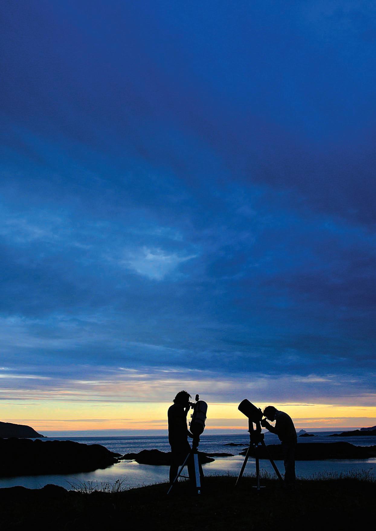
The Wild Atlantic Way is best usually best explored by day, However, an area in Kerry that is unique in the northern hemisphere offers unparalleled views of the Aurora, the Milky Way and meteors.
The Kerry international Dark Sky Reserve is the only Gold Tier Dark Sky Reserve in the Northern Hemisphere, and one of only three in the world, the others being a nature reserve in Namibia and Aoraki Mackenzie in New Zealand. While Kerry and The Wild Atlantic Way have been featuring in a Galaxy far far away in recent times, this 700 square km of territory allows nocturnal visitors the best view on the planet to look into the cosmos.
Backed by mountains and corralled by the crashing sea, Kerry’s Dark Sky Reserve stretches from Kells Bay to Caherdaniel, a rare area of exceptional quality, starry nights and nocturnal environment the reserve is a protected place of natural darkness which aims to exclude light pollution.
Kerry International Dark Sky Reserve sits on the Iveragh Peninsula and is home to nearly 4,000 residents, there are various viewing points that will further illuminate your visit while in the area, Bray head on Valentia Island offers stunning views of the night sky while the best spot has been deemed to be the Coomanasic viewing point. This is one of Ireland’s highest passes and will bring you even closer to the stars while in The Dark Sky Reserve.
The Reserve holds many natural assets including The Skellig Islands UNESCO World Heritage site, tracks of 350 million year old creatures, towering cliffs, sandy blue-flag beaches, windswept hills, rare flora and fauna and traditional wildlife such as foxes, badgers, hares, rabbits as well as endangered species like bats, frogs, toads etc.
The Atlantic Ocean bordering one side of the Reserve is also the protected home to many sea creatures and plants. Many island bird sanctuaries surround the reserve with no visitors allowed except under strict guidance and permission. It is not unusual to see Dolphins playing out in the Derrynane, Kells, Ballinskelligs or Waterville Bay area, so keep a sharp eye out for them.
This area of The Wild Atlantic Way offers visitors the best of both night and day, visitors can explore the rich history and abundant wildlife in the area by day, while relaxing and looking into the best view in the northern hemisphere by night. It truly is out of this world!
44 Artisan Cheese
KERRY
The Wild Atlantic Way is usually best explored by day, However, an area in Kerry that is unique in the northern hemisphere offers unparalleled views of the Aurora, the Milky Way and meteors.
KERRY INTERNATIONAL DARK SKY RESERVE
“Out of this world”
SKELLIG MICHAEL
In a Galaxy Far Far Away...
The Skellig’s are two small rocky islands situated off the coast of Kerry and are made up of Skellig Michael and Little Skellig. Little Skellig is the smaller of the two islands and is home to over 25,000 sea birds, while the larger Skellig Michael is a UNESCO World Heritage Site designated as a result of its well-preserved monastic outpost of the early Christian period. The island has also featured prominently in the latest instalment of the Star Wars series and is now known throughout the galaxy as the home of Luke Skywalker.
Skellig Michael is a rock that sits some 12 miles off the coast of Kerry in the Atlantic Ocean and is the site of an old Irish monastery. It is one of the most famous and impressive sites from the ancient Christian world which can still be seen today in its original and true form. The date of the foundation of the monastery on this island is not known. It was dedicated to St Michael somewhere between 950 and 1050. All the physical components of the ideal small monastery exist on Skellig:
isolation, difficulty in accessing the site, living spaces, buildings for worship and plots for food production. Here, amongst dramatic and unique settings, the indigenous stone architecture of a past millennium is intact and in a relatively stable condition. The monastery and associated buildings the monks founded on Skellig were occupied for over 600 years after its initial establishment. There is no documentary evidence available to define exactly who or when the site was founded but tradition affords its creation to St. Fionan and it was most probably built around the sixth century.
It was abandoned by the thirteenth century but still seems to have been used by the monks (who settled in nearby Ballinskelligs on the mainland) as a place of pilgrimage for centuries to follow. During this period, it seems likely from the evidence available that they continued to maintain the structures on the island. It is most probable that they left Skellig for the winter months and returned to the mainland only
46
KERRY
occupying the monastery for pilgrimage during the summer months. Today’s most well-known inhabitants of Skellig rock are puffins who come here to breed at the beginning of April and leave by the beginning of August, they are also the inspiration for Porgs who featured in Star Wars The Force Awakens.
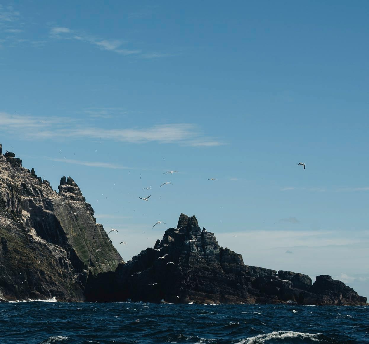
Weather permitting, Skellig Michael is open from May to September and is accessible by boat from Valentia, Portmagee, Ballinskelligs and Catherdaniel. Boat trips are weather-dependent, with decisions made based on sea conditions on the morning of travel. Even when trips go ahead, the crossings can be rough. It is essential to book in advance as the Island only permits 180 visitors each day. And as you can see hiking gear is essential if you are to scale the 618 stone steps to the top of Skellig Michael.
I will leave you with the words of literary great George Bernard Shaw when writing about his visit to Skellig Michael to a friend in 1910.
47
“I tell you the thing does not belong to any world that you and I have lived and worked in: it is part of our dream world”
ECO MARINE TOURS
Blasket Islands, Co. Kerry
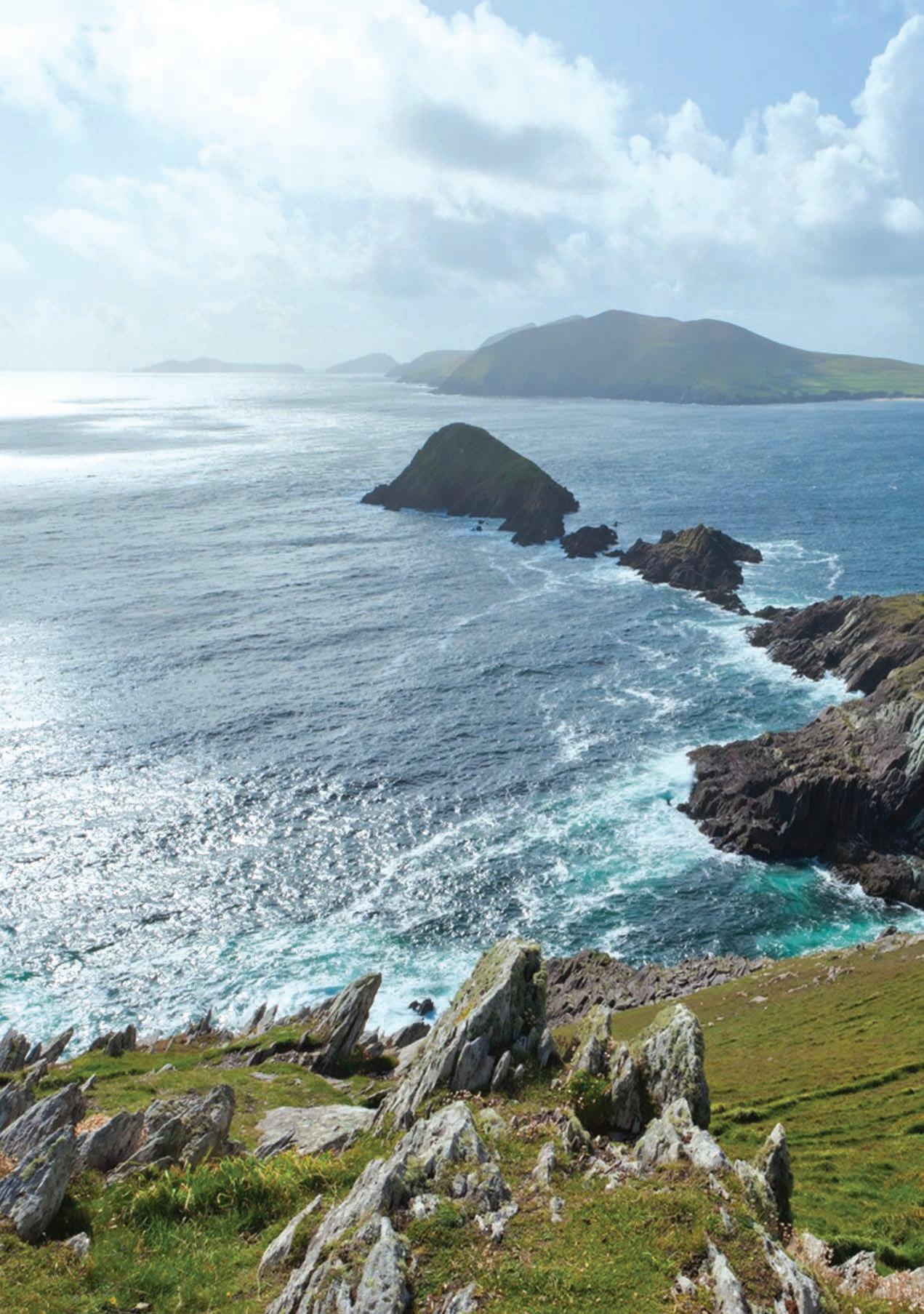 by James Moans
KERRY
Company founder and skipper of the tour boat cruises Michael (Mick) Sheehan believes in the ethos “One ocean, one life, one planet”. With this in mind, Sheehan aims to take visitors on cruises that will both entertain and educate while leaving as small a footprint as possible. Those on board will learn about a variety of issues from dwindling fish stocks to the incredible biodiversity of the marine ecosystem surrounding Dingle Bay and the Blasket Islands.
Departing from Ventry Pier each day is The Blasket Princess, a 43 foot Aquastar vessel with a twin John Deere engine that is serviced regularly to ensure fuel efficiency and emission control. In an effort to further reduce carbon footprints Sheehan has also arranged pick up by bus for those travelling from Dingle and encourages those travelling from Ventry village to walk to and from the pier or bike hire is available from Paddy’s Bike Shop in Dingle and the costs of hire will be reimbursed.
On board the Blasket Princess visitors will be greeted by wildlife guide Britta Wilkens and Zoologist Richard Creagh. An array of wildlife can be seen on each tour including the extensive bird life such as the puffins that surround and inhabit the Blasket Islands in addition to the sightings of grey seal habitats and occasionally even dolphins, whales and basking sharks.
The Basking Sharks are a real draw for visitors and on some days when they are lucky enough to catch sight of the sharks, the delight upon seeing one breach the surface with mouth agape to filter the plankton is shared by both children and adults alike. Basking sharks are the largest fish known in Irish waters and can measure up to 12 metres in length. Sightings are most likely to take place in the summer months when the waters reach a suitably warm 12 degrees Celsius. There are an estimated worldwide population of 40,000 basking sharks and a sizable number of this population can be found in and around the Blaskets.
Visitors on board can learn of conservation efforts to ensure that species such as the Basking Shark are not further decimated. The Basking Shark was once hunted to near extinction and is still hunted now for the oil contained within its liver.
Blasket Islands Eco Marine Tours publish a Wildlife log on their website of their tours where those wishing to visit during a particular season can see which wildlife are most likely to be spotted.
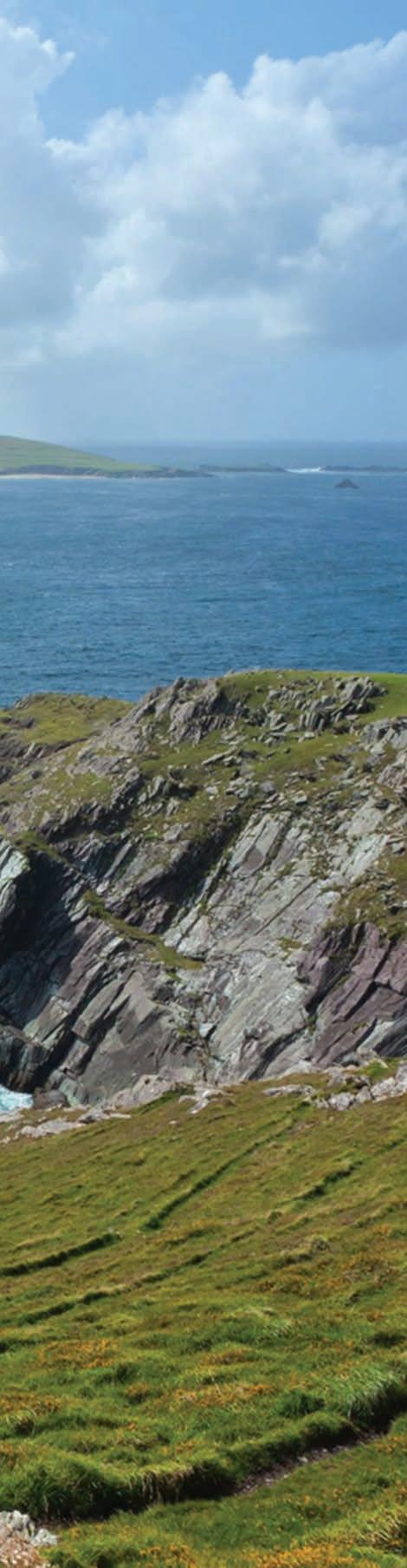
In addition to the tours, there are also a number of research projects conducted including harbour porpoise population density surveys in the Blasket Islands, Marine Special Area of Conservation for the National Parks and Wildlife Service as well as inshore cetacean (whales, dolphins and porpoises) density surveys ranging from Mizen Head in Co. Cork to the Aran Islands in Co. Galway.
The three-hour morning cruise costs €40, a four-hour afternoon tour for €55 and a three-hour evening cruise costing €40. There is also an all-day tour available from 10am to 5pm available for €70.
For more information on the tours and to make a booking see marinetours.ie.
49
Helping to ensure the preservation of the beautiful Kerry coastline and the betterment of the area for local residents and those in the future, The Blasket Islands Eco Marine Tours are setting an example for eco tourism with their sustainable model.
DELIGHTFUL DINGLE
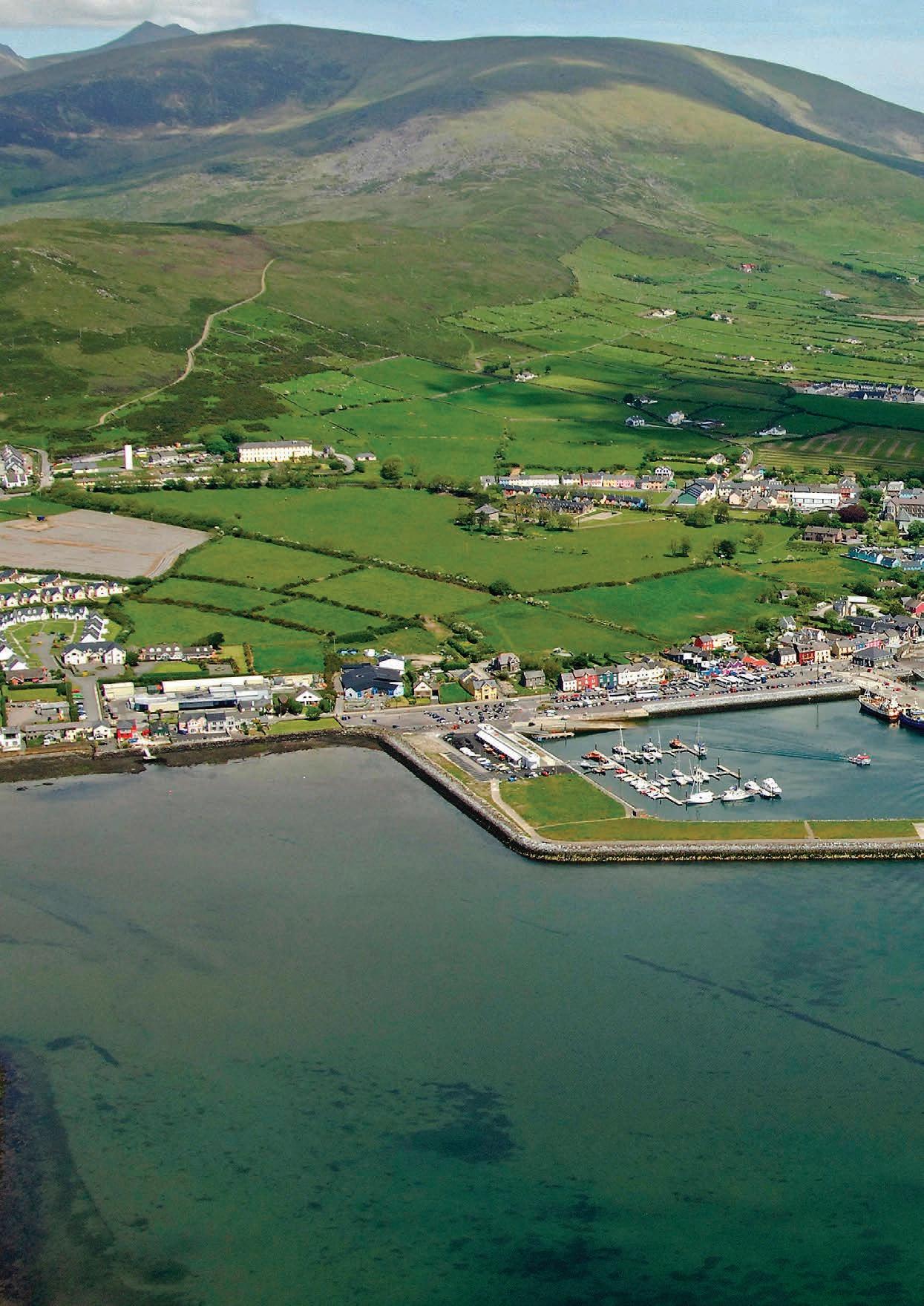
KERRY
are photo opportunities around every corner.”
The Dingle Peninsula stretches 48 kilometres into the Atlantic Ocean from Ireland's south-west coast. The peninsula is dominated by the range of mountains that form its spine, running from the Slieve Mish range to Mount Brandon, Ireland's second highest peak. The coastline consists of steep sea-cliffs, broken by sandy beaches, with two large sand spits at Inch in the south and the Maharees to the north. The Blasket Islands lie to the west of the peninsula with the its “capital” lying roughly half way on route.
This beautiful, modern, and charming village sits on Dingle Bay looking out to the Blasket Islands and has been called “one of the most beautiful places on Earth” by National Geographic. The Dingle peninsula reaches out from mainland Ireland into the Atlantic Ocean and is truly, the edge of Europe. This leads locals to say that the next parish over is Boston.
Dingle, or An Daingean in our native tongue is home to 1,500 people, however, this number swells in the summer time as visitors flock to the area to enjoy its many offerings. Many people who have visited this area over the years have never left and this has led to a countryside cosmopolitan on the shores of the Atlantic Ocean. This cultural blend can be seen in a wide variety of food, drink, art and events that can be sampled while in the vicinity.In other ways, Dingle is quintessentially Irish, it has no less than 52 pubs. Some of these double as hardware shops, ice cream outlets and sweet shops, so it may be possible to have a pint of “the black stuff” while looking at nuts and bolts. Dingle’s pubs are legendary in Ireland, every establishment has a story to tell, and many storytellers to tell them, traditional Irish music sessions are aplenty and when in Dingle it is a given that after perusing the peninsula, you must retire to one of the many pubs and immerse yourself in Irish culture and heritage told via the medium of song.
With the Mountains at its back, Dingle faces comfortably onto a sheltered harbour. From level ground at Strand Street on the harbour's edge and at the Mall beside the Dingle River, three main streets rise: Green Street, John Street and Main Street. While traversing these streets you will find various craft shops, pubs, museums and can also sample Ireland’s best Ice Cream in Murphy’s Ice Cream store. On returning to the harbour after you have explored these streets you will see a statue that celebrates Dingles most famous inhabitant.
Dingles most famous resident is called Fungie, he is a Bottlenose dolphin that has been a member of this community for more than three decades. In 1984, Paddy Ferriter, the Dingle Harbour lighthouse keeper, first began watching a lone wild dolphin escort the town's fishing boats to and from port. By August of that year, local Ministry of Marine manager Kevin Flannery was able to officially record the dolphin as a "permanent" resident of the entrance channel and self-appointed "pilot" of the fleet. Fungie was originally a timid but inquisitive observer of human visitors, but over the years he has turned into a playful, though mischievous companion. Now each and every person receives the same special preferential treatment, be they swimmers, divers, canoeists, windsurfers, or children paddling from the small adjacent beach. The working vessels that regularly cross the dolphin's chosen territory, however, remain his main priority, and it is a rare and special privilege when he remains with a vessel during their seaward or homeward passages. During the summer months Fungie is often seen taking fish in the harbour mouth. It seems that Fungie, like his land-dwelling neighbours, visited the area and decided that he never wanted to leave. If you can’t see Ireland’s favourite animal near the harbour, boats leave the pier every hour taking visitors to see Fungie in his natural habitat.
The surrounding area of Dingle has some of the most beautiful sights on The Wild Atlantic Way and has something for everyone, sandy beaches safe for swimming, walking routes for all abilities and a thriving Irish language community that can all be visited by driving along the peninsulas roads. One of these routes is called the Slea Head Drive and starts and ends in Dingle.
One thing you’ll discover during your drive around Slea Head Drive is that there are photo opportunities around every corner. On leaving Dingle, it is best heading anticlockwise around the peninsula, with the first port of call just outside of Ventry. Dunbeg Fort will now be in your sights, as you pass there will be a sheer cliff on one side and the Atlantic Ocean other. The Drive now reaches Slea Head itself, marked by a stone crucifixion scene, with dramatic views to South Kerry and the Blasket Islands. The Drive now follows the coast north, past Coumenoole Strand, where some of the filming of Ryan's Daughter took place. It is possible to board a passenger ferry to the Great Blasket / An Blascaod Mór from Dún Chaoin pier. This is but a
small sample of a short section on the route. It is recommended that you allow at least half a day to fully enjoy all that the Slea Head drive has to offer.
Another route that can be taken on the Peninsula is known as Conor Pass, this is the highest mountain pass in Ireland and provides the most dramatic and scenic way of entering or leaving Dingle. This narrow, twisting road runs between the town of Dingle and Kilmore Cross on the north side of the peninsula, where roads fork to Cloghane/Brandon or Castlegregory. The views from the road are breath-taking, as the glaciated landscape of mountains and corrie lake comes into view. From the scenic carpark at the summit there are views as far as the Aran Islands off County Galway.
Festivals are common place in Dingle and its food festival is said to be the best time of year to visit. The Dingle Food Festival takes place on the first weekend in October every year and is organised by a group of local people on a non-profit making basis. The town comes alive with locals and tourists alike. Everyone comes home for the Dingle Food Festival and tourists come from far and wide for the festival.
Highlights of the festival include cookery demonstrations, over 50 market stalls, workshops, street entertainment, children’s events, wine tastings, whiskey tastings and much much more. Far and away the most popular part of the festival is ‘The Taste Trail‘. Festival goers purchase a book of taste trail tickets and can then visit over 70 venues around the town offering tastings of the best food and drink the Peninsula has to offer. At the end of November, Dingle becomes a hotspot for music. Other Voices, the seminal music TV series is recorded here each year in the hallowed, humble, crumbling walls of the 200-yearold St. James Church in Dingle. Over the years, Other Voices has welcomed some of the world’s most eclectic music-makers and captured on film scores of unique, one-off live performances.
Household names and raw new talent journey from across the globe and over a few wintery days and nights mesmerise those who are in attendance. Dingle is located in “The Kingdom” and is a jewel in the crown of Co. Kerry. Its vibrant atmosphere and rural surroundings intrigue and involve those who visit this delightful area and It is essential that while on The Wild Atlantic Way you head for the edge of Europe and enjoy all it has to offer.
51
Dingle, and the peninsula on which it sits is home to a host of activities, it has some of Ireland’s most beautiful beaches, driving routes, food, folklore and is also home to Ireland’s most well known and beloved sea creature. It is a countryside cosmopolitan that is universally loved and admired throughout the world. Dingle is simply, delightful.
“There
THE SKELLIG EXPERIENCE VISITOR CENTRE
The Skellig Experience Visitor Centre is superbly located on the beautiful Valentia Island in County Kerry.
Bringing the story of Skelligs to life, the Visitor Centre offers a truly unique experience for all.
Our Skellig Sea cruises depart daily from April to October and allow you to witness the sheer beauty of these islands and the wildlife that exists out in the Atlantic. For
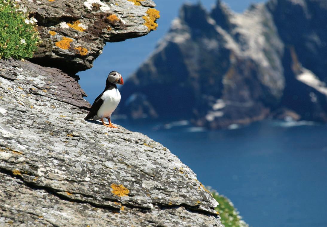
those who want to take a closer look then why not book a Skellig Michael Landing Tour?! This includes climbing the 618 steps to the top of the island where you can explore the monastery that sits on the peak of Sceilig Mhicíl. All boat tours booked with us include free entrance to our Visitor Centre and Film Show as well as free onsite parking.
Sit and enjoy a relaxing meal in our restaurant which boasts a spacious indoor and outdoor dining area that overlooks the stunning
Portmagee Harbour.
The gift shop includes an extensive range of products including clothing, jewellery, books, toys and much more. Private boat trips are also available. Make 2023 the year you experience the magical Skellig Islands!
10% discount off admission available to WAW readers. Please present this brochure to avail of discount.
52
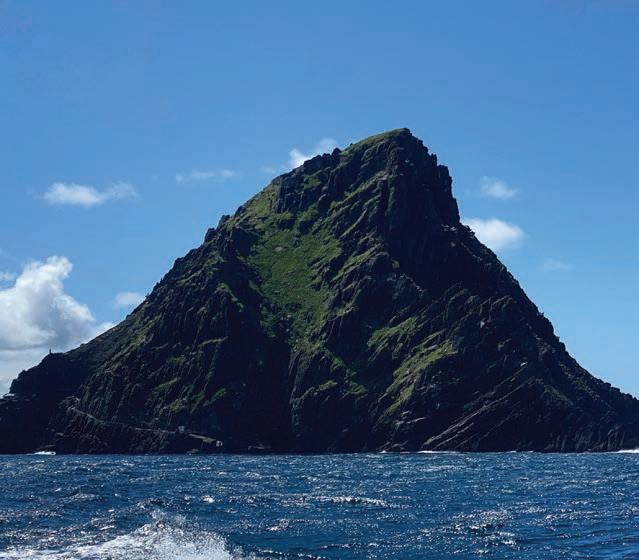
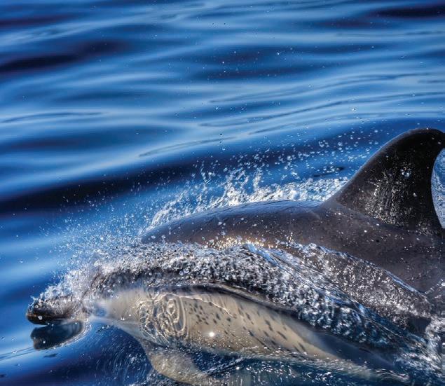
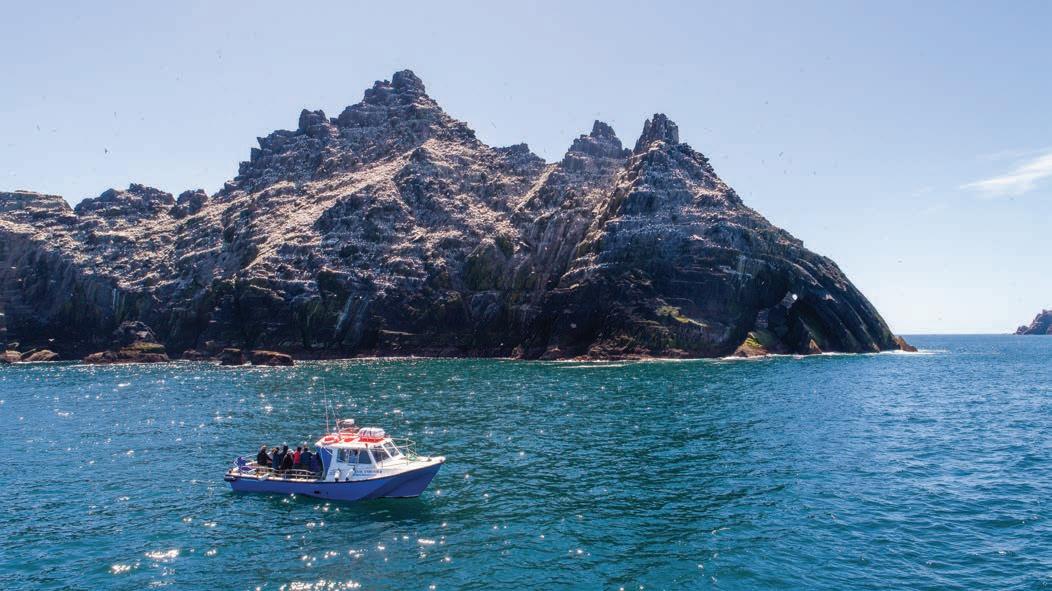
53 SKELLIGEXPERIENCE V isitor Centre | Film Show | Res taurant Gi Shop |Skellig Mic hael Sea Cruises + Skellig Mic hael Landing Tours | Free Parking Phone: +353 (0)66 9476306 Email: skelligexperience@live.com C oarha More, Valentia Island, C o. Kerr y. V23YD52 THE
GREAT BLASKET ISLAND
The fabled Great Blasket Island (An Blascaod Mór, in Irish) lies off the western edge of the Dingle Peninsula in Co. Kerry, abandoned by its inhabitants in 1953, was home to an extraordinary community that produced classics of Irish literature of world significance in their native tongue, documenting their emergence into the modern world.
The OPW Blasket Centre (Ionad an Bhlascaoid) on the mainland overlooking the island, opened in 1994, is a striking piece of modern architecture built to celebrate and share the heritage, culture and achievements of that community. With its thoughtful interactive exhibition spaces, amazing art installations, audiovisual presentations and professional
guide staff, the Blasket Centre provides a stimulating and accessible window into both the Blasket story and the unique Irish-speaking culture which still exists in this Gaeltacht area. It provides a wonderful vista in any weather from its main spine, oriented towards the Blasket Village and from its comfortable restaurant facing the wild Blasket Sound.
The rugged Blasket Island – best visited after a visit to the Blasket Centre - is accessible by privately operated passenger ferries in suitable weather, where you can visit the house of the principal island author, Tomás Ó Criomhthain (‘The Islandman”) faithfully restored in 2017. You can wander through the deserted island village and trek the length of the
island taking in the spectacular scenery. Professional guides with a wealth of knowledge of the physical, literary and social heritage of the Blaskets are on hand to conduct tours of the island village and to answer all your questions about this magical lonely island.
The attention to authenticity, the excellence of the restorations, the quality of guide staff, the spectacular, remote location of both Island and the mainland Blasket Centre are key to the rave reviews that the Blasket Experience achieves from those that visit. Stop by for an unforgettable experience!

THE GREAT BLASKET CENTRE
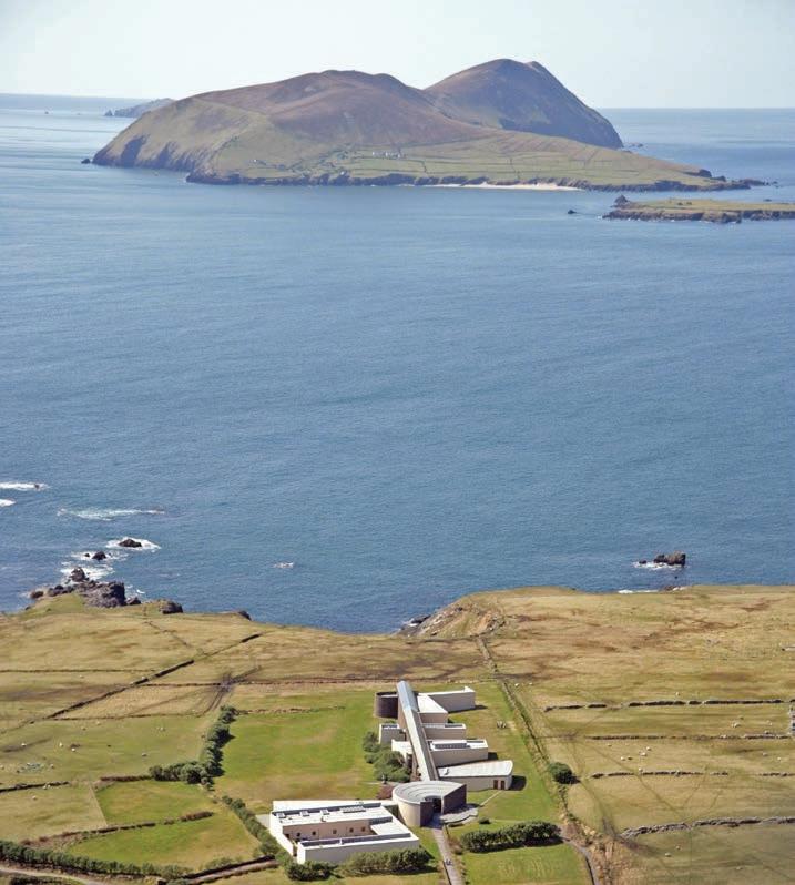
A signature Discovery Point on the Wild Atlantic Way with stunning views of the wild Atlantic coast and islands. the Blasket Centre is a fascinating heritage & cultural center / museum honouring the unique community who lived on the remote Blasket Island until their evacuation in 1953.
Take the opportunity to enjoy the scenic panoramas of the most westerly point of Ireland from the comfort of the Centre and learn about the unique culture & community.
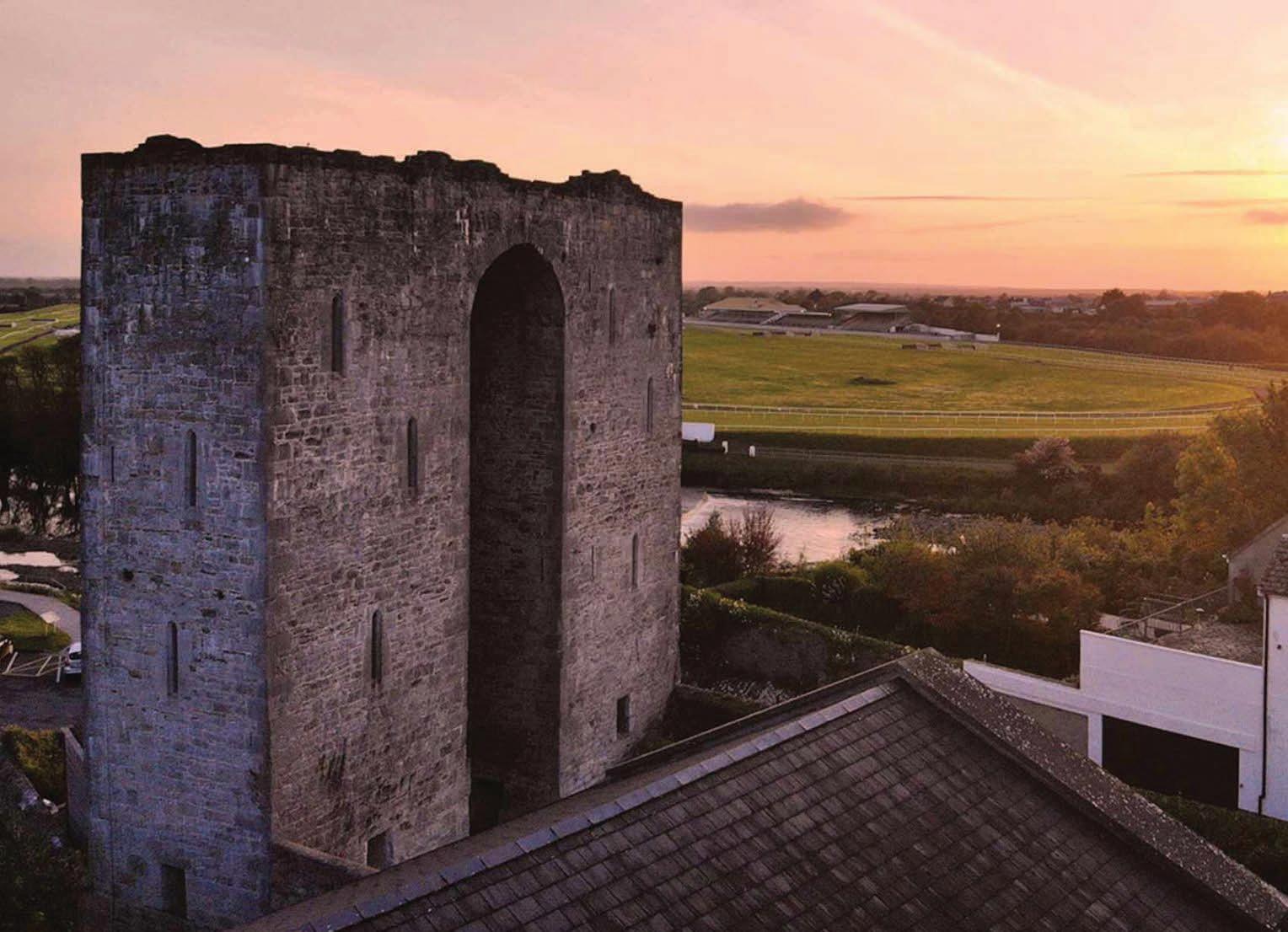

Free parking, Rest facilities, Bookshop & Restaurant are also available at the Centre.
CONTACT:
Dun Chaoin, Dingle Peninsula, Co. Kerry. Phone: +353 (0)669 156 444 blascaod@opw.ie | www.blasket.ie
THE GREAT BLASKET CENTRE Ionad an Bhlascaoid Mhóir
Listowel Castle - Co Kerry
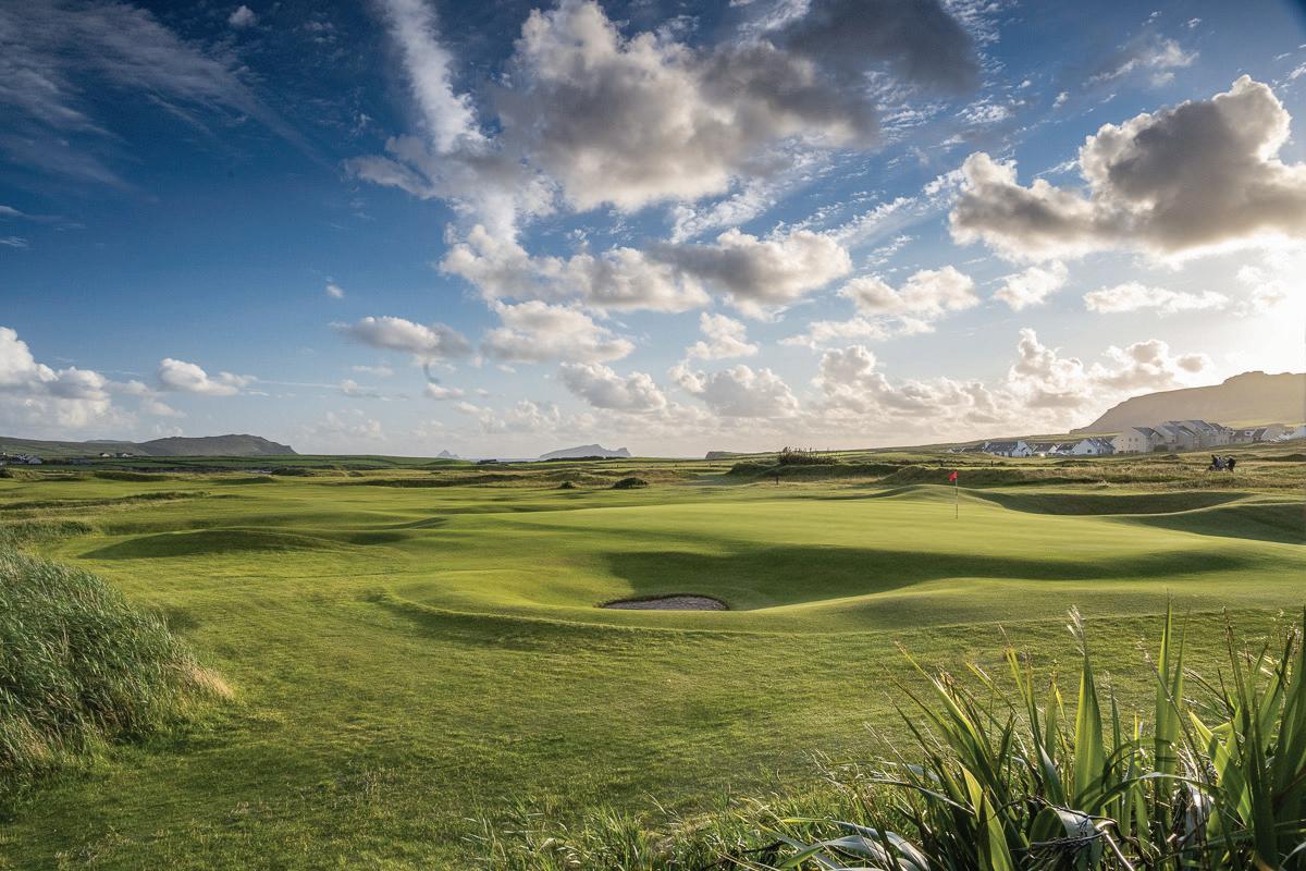

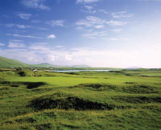

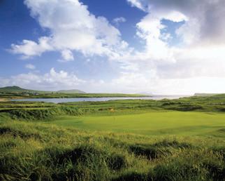
56 Ceann Sibeal Golf Club, Ballyferriter, Dingle, County Kerry. Tel +353 669156255 Email info@dinglelinks.com www.dinglelinks.com “Top 50 Golf Course in Ireland 2022” “Play the most westerly golf course on the Wild Atlantic Way. Located only 15 minutes from the bustling tourist town of Dingle, Ceann Sibeal is a must play for any golfer visiting the area. Our traditional and testing layout offers everything you would expect from a world class links course. Golf at its finest and unrivalled scenic views in every direction. Fully stocked proshop, rental sets available, and one of the best bar/restaurants in Irish Golf”.
Say hello to Milly, the only complete
Woolly
Mammoth skull and tusks in Ireland and largest in the world!
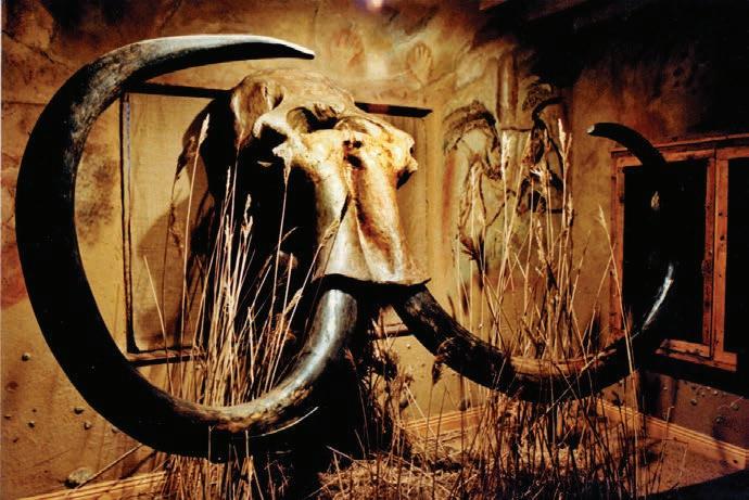
Raining AGAIN ???!!!
...yet another perfect day to check out the


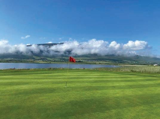
than 700 stunning examples of ancient jewelry, tools, weapons, and sculpture from Ireland, Britain, the continent. the only genuine Dinosaur Skeleton, fossil Dinosaur Egg and Cave Bear skeleton in the country.
Celtic & Prehistoric
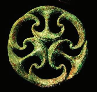
Museum
Browse our "Scones and Bones" museum-shop for antiques, jewelry, holograms, local crafts, and even coprolites (fossil dinosaur shite) for that special someone.
Celtic & Prehistoric Museum
are located 10 minutes West of Dingle the Slea Head Drive. 087-7703280 just another boring museum.

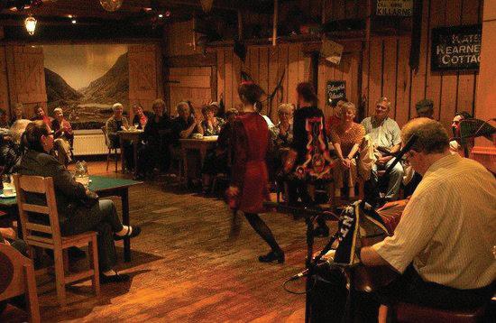
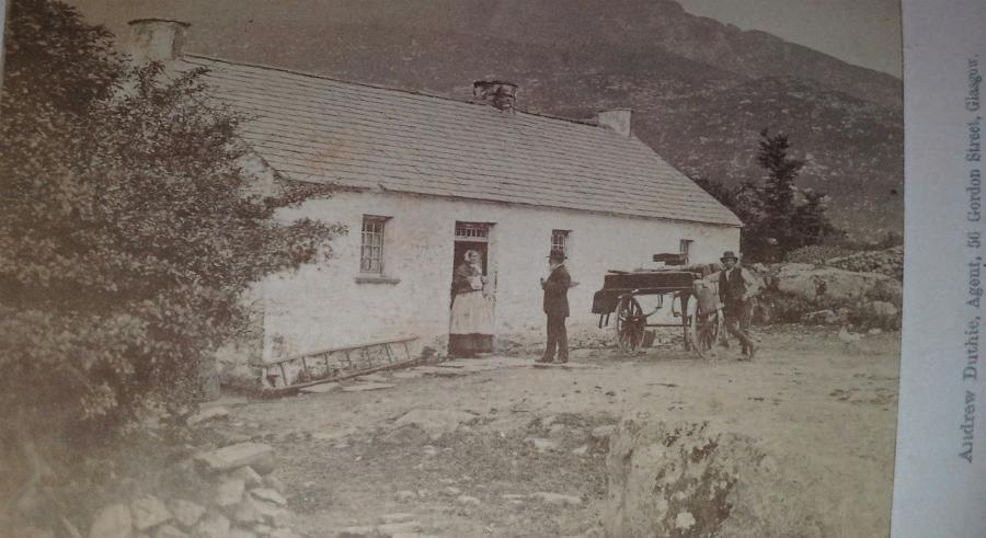
Milly, complete Mammoth in largest
More than 700 stunning examples of ancient jewelry, tools, weapons, and sculpture from Ireland, Britain, and the continent • See the only genuine the only genuine and complete woolly mammoth skull and tusks, fossil Dinosaur Egg Nest and Cave Bear skeleton in the country • Browse our “Scones and Bones” museum-shop for antiques, jewelry, holograms, local crafts, and even coprolites (fossil dinosaur shite) for that special someone.
WE ARE LOCATED 12 KILOMETRES (7.3 MILES) WEST OF DINGLE ON THE SLEA HEAD DRIVE. 087-7703280

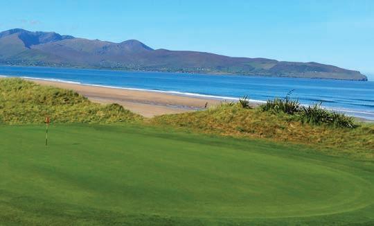
...not just another boring museum
weapons, and sculpture from Ireland, Britain, and the continent.
• See the only genuine Dinosaur Skeleton, fossil Dinosaur Egg Nest and Cave Bear skeleton in the country.
For pure links golf on the Wild Atlantic Way It is a gem of course, come and try it There could not be a more scenic course in the country than the beautiful par 68 links course in Castlegregory. Val Dorgan, Irish Examiner ENQUIRIES: The Clubhouse, Stradbally, Castlegregory, Co Kerry Telephone: 066 7139444 Email: info@castlegregorygolflinks.com www.castlegregorygolflinks.com @castlegregory castlegregorygolflinks Celebrating 30 YEARS 1991 - 2021 Castlegregory Golf Club Kate Kearney's Cottage Nestled at the entrance to the world famous Gap of Dunloe lies Kate Kearney's Cottage, a 170 year old family-run establishment. At ‘Kate's’ you will enjoy the tradition of hospitality made famous by the legendary Kate herself. Kate Kearneys Cottage, Gap of Dunloe, Beaufort, Killarney, Co. Kerry eMail: katekearneyscottage@gmail.com | Phone: +353-64-6644146 www.katekearneyscottage.com @katekearneys C M Y CM MY CY CMY K Kate Kearneys Cottage - WAW - QP 2023.pdf 1 08/02/2023 21:53:57 Ireland's finest private collection of authentic Stone Age, Bronze Age, Celtic and Viking artefacts. • More than 700 stunning examples of ancient jewelry, tools,
LIMERICK
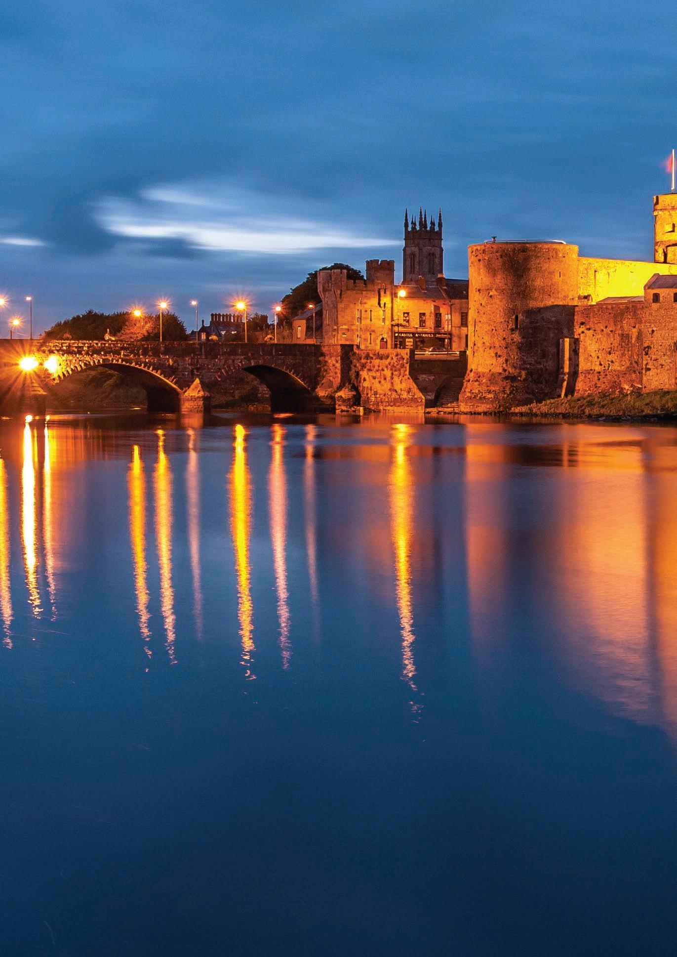
TRIVIA
Limerick is known as “The Treaty County”, this is due to the treaty that was signed in the city on 3 October 1691. It is believed that it was signed on a rock known as the Treaty Stone. The Treaty Stone is displayed on a pedestal in Limerick city. Limerick city is the third largest city in the country and was founded by the Vikings in 812. Limerick is one of Ireland’s oldest cities, with a Charter of Incorporation older than that of London’s, dating back to 1197.
Charles Dickens stated that “This is the oddest place” when he visited Limerick In 1858. It is still uncertain whether there is a link between the form of poetry known as a Limerick and the city/county. It’s generally taken to be a reference to the Irish place name but it’s first usage is documented in England.
58
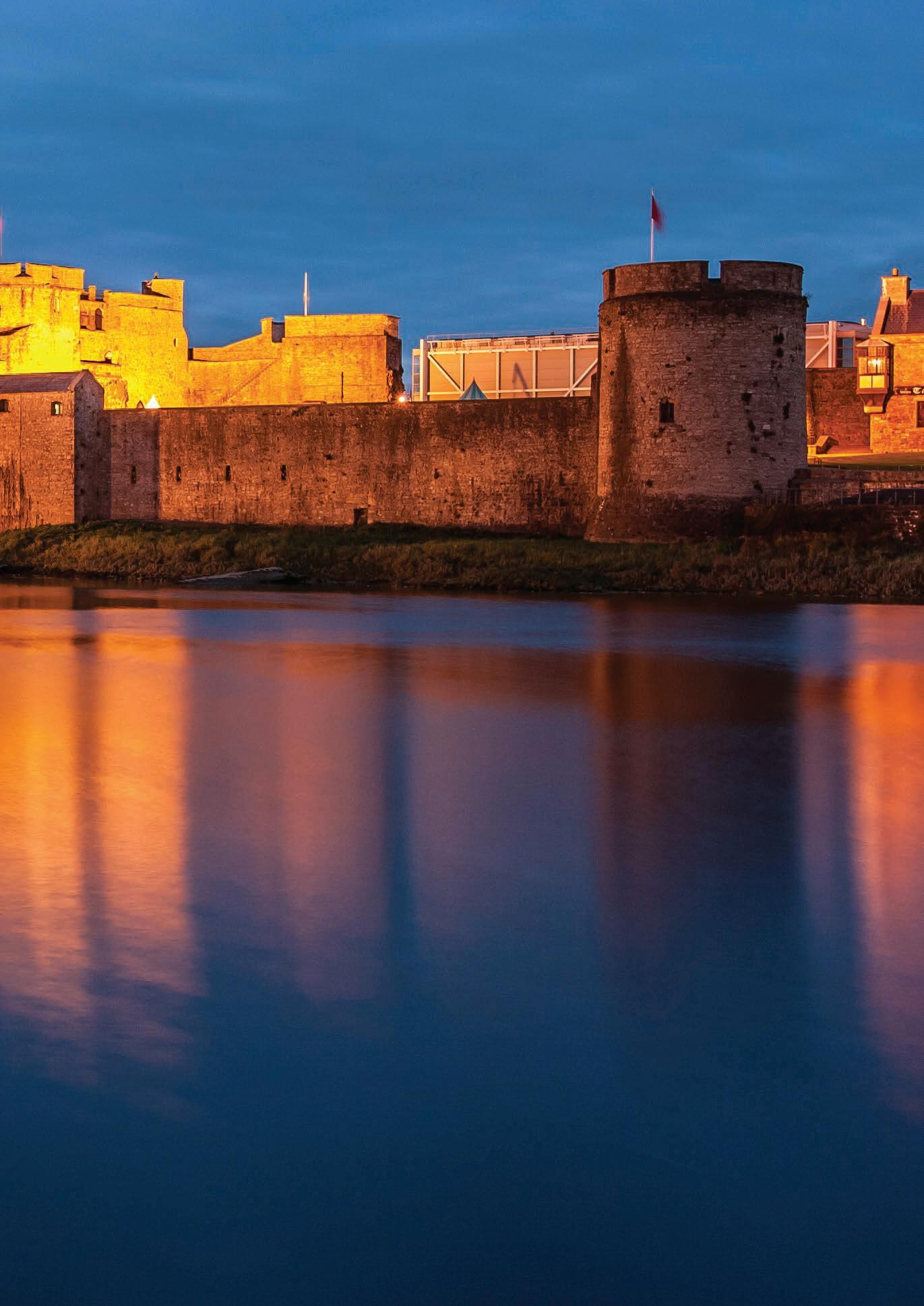
59 Blue Flag Beaches on the Wild Atlantic Way Towns Wild Atlantic Way Route Kil nane Kilmallock Galbally Bru Bruree Dromcolliher Abbeyfeale Newcastle West Glin Foynes Ballingarry Croom Pallasgreen Ballyneety Patrickswell Castleconnell Rathkeale Adare Limerick Mungret Askeaton To Kerry To Clare To Limerick City FOYNES VIEWPOINT Blue Flag Beaches on the Wild Atlantic Way Towns Wild Atlantic Way Route WILD ATLANTIC WAY VIEWPOINTS Kil nane Kilmallock Galbally Bru Bruree Dromcolliher Abbeyfeale Newcastle West Glin Foynes Ballingarry Croom Pallasgreen Ballyneety Patrickswell Castleconnell Rathkeale Adare Limerick Mungret Askeaton To Kerry To Clare To Limerick City FOYNES VIEWPOINT
COUNTY LIMERICK
County Limerick is a very historic and ancient place, with evidence of human settlement dating back 5,000 years. Lough Gur is one of the most important archaeological sites in Ireland, containing the country’s largest stone circle, a dolmen, and other prehistoric remains.
Known as the treaty county in Ireland due to a treaty that was signed in the city to end the Williamite war. Limerick City is almost 1,100 years old. It has been a Viking settlement, a medieval walled town, a Georgian city and is now a modern, vibrant metropolitan area with a rich and historic hinterland.
You will know that you have entered County Limerick when leaving the dramatic mountains of Kerry, the landscape begins to even out and an atmosphere of cool restraint displaces that
Loic Jourdain
of the riotous Kerry carnival of contrasts, Crossing into the county of Limerick along this great Atlantic route you will travel alongside the great Shannon estuary looking westwards towards County Clare across the water.
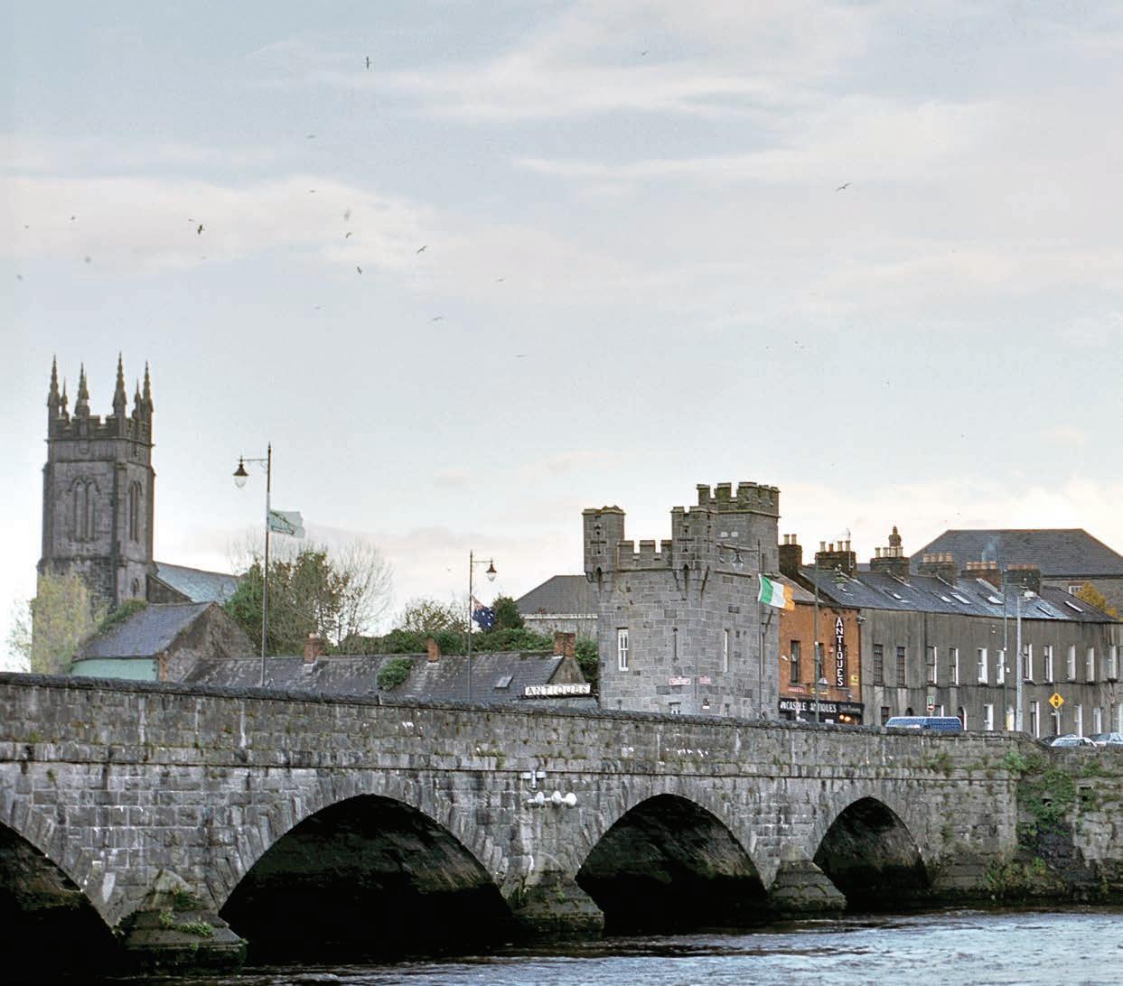
Limerick has long been an economic stronghold of the west of Ireland and the trace of wealth, prestige and power remains in the many Medieval buildings, castles and fortresses that can be seen throughout the county. Limerick is a county that has for millennia been a hub of commerce and cultural exchange. Dominated as it is by the Shannon river, this region has long had one eye to the lands beyond the sea to whom the mighty river brings access and wealth. Having its metropolis in the city of culture and history, limerick has been a place of great power and a seat of the Irish elite for generations.
The
coastline links Ireland’s southern and western regions offering scenic drives along the Shannon estuary looking out to the Clare coast across the waters. Framed by the Galtee mountains to the south east, Limerick is primarily an agricultural county with low, undulating countryside.
As you follow the road from Listowel to Limerick, you will pass through the fabulous town of Glin with its quiet charm and many beauty spots. The town also features Glin Castle, home tome to Ireland’s romantically named “Knights of Glin”. The castle is owned by the Fitzgerald family who have lived in the area for 700 years. The castle itself is said to have a window for every day of the year and inside a beautiful and very rare double flying staircase. There have been very interesting characters among these fabled knights, including “The Cracked Knight” and “Knight of Women”.
60
Limerick
LIMERICK
The town of Foynes was a popular haunt for American socialites during the early days of aviation which is remembered today in the unique Flying Boat Museum, also the home of the famous “Irish Coffee” which is another treat on offer here. Venture further inland and you can delve into the past at the ancient Neolithic archaeological site at Lough Gur.
Limerick made headlines worldwide in 1919 with the declaration of an “Independent Soviet Republic of Limerick”. This was founded along with its own currency and newspaper by workers objecting to British rule. It is said that they applied to join the Soviet Union, but their form was never returned. The fledgling state was discontinued after just two weeks, but not before its would-be commissioners achieved worldwide publicity. Ireland’s longest serving president Eamonn De Valera (1882-1975) was brought up and went to school in the Limerick
city village of Bruree. Although sentenced to death for his role in the 1916 rising, De Valera was released because, being born in New York he could have been considered an American. His boyhood cottage at Bruree is a now a National Monument.
Limericks Ballyhoura Mountain Bike Park has 98km of scenic trails taking in forest road climbs, tight twisty single track, and technical rocky paths that allow visitors to unleash their inner adventurer. Families can enjoy the scenic countryside on The Great Southern Trail Greenway, a unique 96km (60 miles) stretch of countryside which follows the route of the former Limerick to Tralee/Fenit railway line and includes a 40km long cycling/walking trail between the towns of Rathkeale and Abbyfeale.
Just 18 Kilometres south west of Limerick City you can visit the pretty town of Adare
(Áth Dara “Place of the oak”) “Irelands prettiest town” with its 12th century Castle and impressive Abbey, touted as the friendliest town in Ireland, it’s quaint shops, gaily painted thatched houses, Adare is a great place to visit for all the family. Nearby Matrix Castle built in 1400, is one of several places in Ireland where Walter Raleigh is said to have planted the first potato in Ireland.
Heritage enthusiasts will not want to miss the acclaimed 15th century Bunratty Castle and 19th century Bunratty Folk park where you will be transported to an Ireland of times past. The castle is an impressive setting for the unique Medieval Banquets which are held hear all year round. At the charming town of Bruff you can visit the homeland of the Fitzgerald Kennedy dynasty whose sons have made such an impact on the history of the USA.
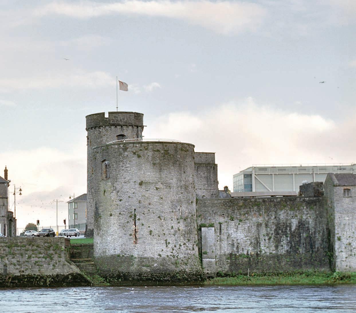
61
THE IRISH COFFEE
THE ORIGINAL JOE SHERIDAN IRISH COFFEE RECIPE:
INGREDIENTS
• Cream- Rich as an Irish Brogue
• Coffee - Strong as a Friendly Hand
• Sugar - Sweet as the tongue of a Rogue
• Whiskey - Smooth as the Wit of the Land.
METHOD
• Pre-heat a clear stemmed glass with very hot water.
• Empty the water and add 2 teaspoons of brown sugar.
• Now add some freshly brewed rich coffee and stir. As soon as the sugar is melted, add a generous measure of Irish Whiskey (about 2.5cl). Stir again, then wait for the brew to still.
• Now take a hot teaspoon and pour gently whipped fresh cream slowly over the back of the spoon. The cream should be "half whipped" i.e. not too stiff and not too liquid.
• A perfect Irish Coffee should look pretty much like that other famous Irish drink - Guinness!
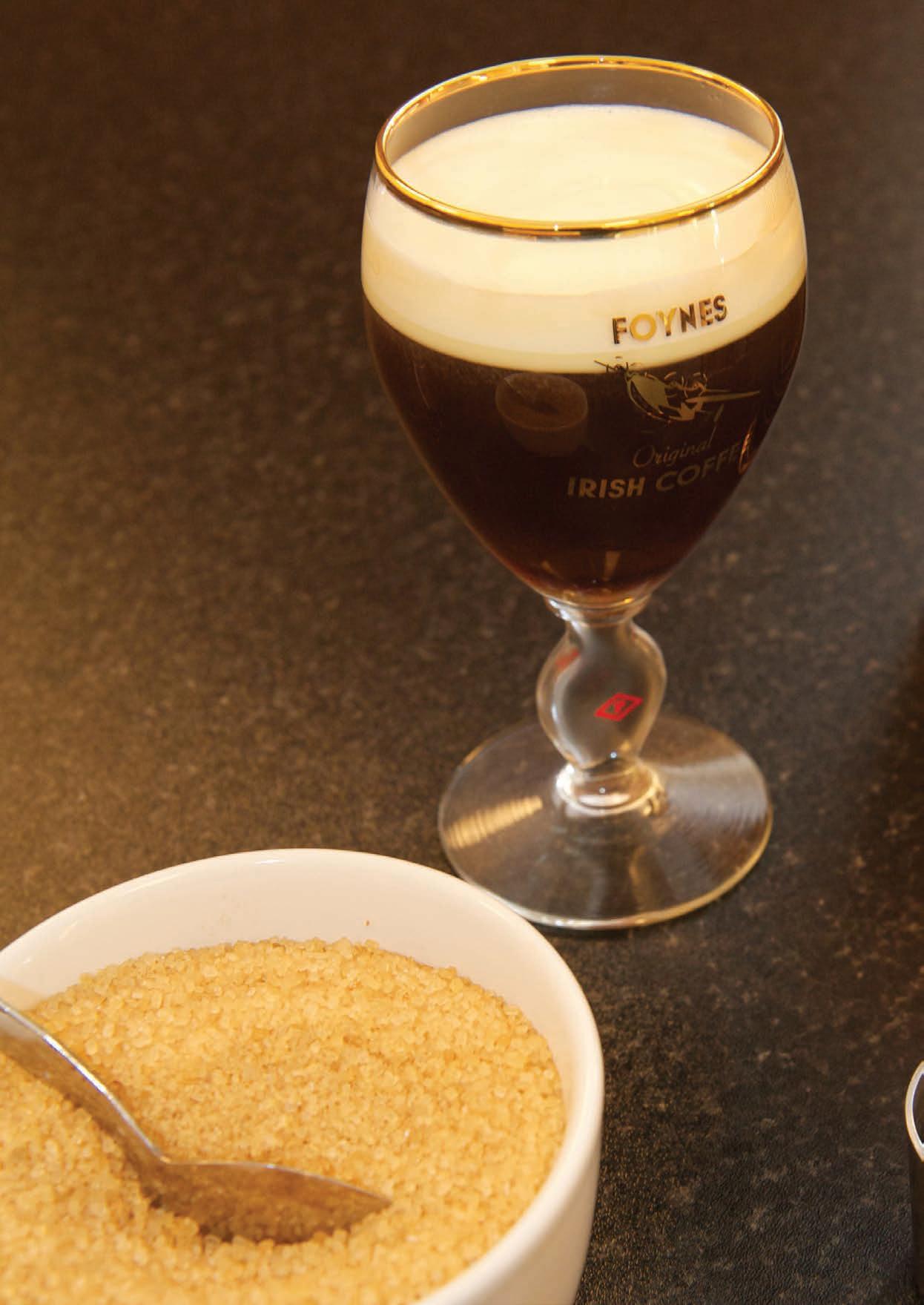
LIMERICK
The Irish Coffee is known throughout the world and has its roots in Foynes in Co. Limerick. This beverage is a relatively recent creation and was concocted in order to appease numerous travellers who had their flight delayed when returning to the United States in the early 1940’s.
In 1943, Clare native Brendan O’Regan opened a restaurant and coffee shop in the terminal building at Foynes flying boat base. O’Regan is also a famous figure in these parts as he is credited with inventing the concept of duty-free shopping at Shannon Airport, a perk that we all avail of these days while travelling abroad. He also played a large role in the peace process, former president of Ireland Mary McAleese said that O’Regan was “a true visionary” and “leaves a legacy that permeates throughout all levels of economic, social and cultural life in Ireland.
O’Regan was looking for a new chef to run his restaurant in the flying base when he received an application from Joe Sheridan, it was just one line long: “Dear Sir, I’m the man for the job. Yours sincerely, Joe Sheridan”. This confident application received O’Regan’s approval and Sheridan was appointed as chef at the base.
Late one night in the winter of 1943, a flight left Foynes for New York. After flying for several hours in bad weather, the captain decided to return to Foynes to wait for safer conditions. A Morse code message was sent to the control tower to inform them of their return, and staff were called back inincluding Sheridan.
The passengers gathered at the Foynes restaurant weary and disappointed from the wasted trip. When asked to prepare something to warm them, Sheridan decided (you’d imagine with some degree of devilment) to put Irish whiskey in their coffee.
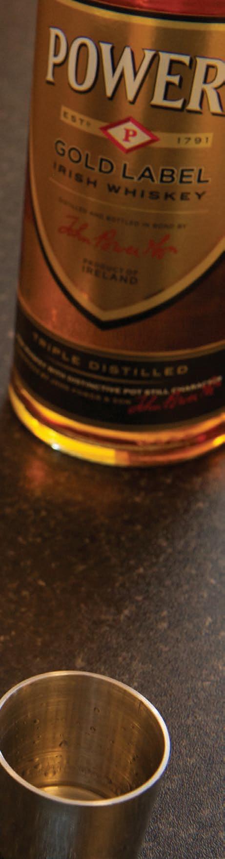
Afterwards, a passenger thanked him for the coffee and hazarded a guess if it was Brazilian beans he had used. Joe jokingly answered, “No, it was Irish coffee!”. And that is how the beverage became known as an Irish Coffee, and due to it being served at the flying base that served as a hub for visitors from the United States it was transported across the pond and further afield throughout the last 80 years.
If you would like to know more about this story or the flying base at Foynes you can visit The Foynes Maritime Museum in Co. Limerick. Visitors are transported back to the 1940’s when Foynes played a pivotal role in establishing commercial transatlantic passenger flights. You can learn the history of flying boats and the diverse range of people who arrived and departed from the terminal. Exhibits include many gems of museums aviation collection and showcase how Foynes was at one time the epicentre of commercial aviation. Pan American Airways, British Overseas Airways Corporation and American Export Airlines were the three main commercial airlines flying into Foynes and you can see many artefacts that highlight these flying boats capabilities and the people who flew them in the museum. Visitors can also enter the Irish Coffee Cafe and experience an Irish Coffee in its home.
63
The Wild Atlantic Way is famous for its ancient architecture and illustrious history that has been formed over millennia. While the origins of The Irish Coffee are not as ancient as its location, it is just as interesting.
ADARE VILLAGE
Adare Village on the banks of the River Maigue lies to the south of Limerick City. This picturesque country village has it all. Three ancient monasteries, a world-class golf course, a noble 19th-century manor house, now a luxury five-star hotel but once the home of the Earl of Dunraven and the uniqueness of this charming village’s architecture make Adare well worthy of a visit while travelling The Wild Atlantic Way.
Adare was founded in the 13th century and is adorned with a rich history and a strong heritage, which remain ever present in its monuments, its thatched cottages, its streets and its people. Adare’s main street — in actuality its only street — is dotted with Architectural gems. Influenced by the Normans and improved on by the Dunraven family, a stroll along the street will excite the senses. From the Desmond Castle built during the 12th century and the ruins of an Augustinian monastery dating as far back as 1316 to the tiny thatched cottages once inhabited by the Manor’s workers, now beautifully restored as gift shops, galleries and restaurants, a fifteen-minute walk will reveal the beauty of Ireland’s prettiest village.
The stunning Adare manor sits at the heart of the beautiful
village, where the traditional thatched cottages and ancient stone walls preserve the spirit of an unspoiled Ireland. The very definition of postcard perfection, Adare is a picturesque oasis. We encourage you to take an afternoon to explore the mysterious ruins and churches which surround the village and whisper of its rich history.
Your first stop should be at the Adare Village Heritage Centre which is located on Main street, this venue will provide you a closer look at exactly what happened over the centuries. Their excellent exhibition and audio-visual show transport you back to share the excitement and colour of the town’s rich and varied history. Open daily from 9:30am to 4:30pm, it also features a tourist information office, restaurant, woollen mills outlet and craft shop. A visit to this centre will provide you with local knowledge and lore that can only add to your excursions in the surrounding area.
The Desmond Castle is one of Ireland’s most interesting examples of feudal architecture, comprising of a square keep, curtain walls, two great halls, a kitchen, bakery and even a stable, all located nearby a main gateway. Desmond Castle is a uniquely
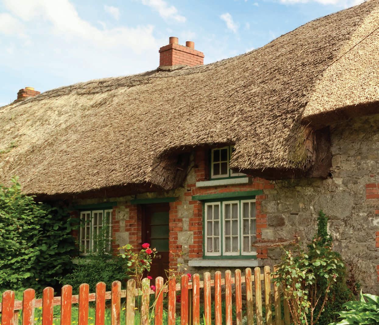
64
LIMERICK
Irish experience and one you must see before you leave. The Franciscan friary of Adare lies in the demesne of Adare Manor on the east bank of the river Maigue opposite the medieval castle of the earls of Desmond. It was founded in 1464 by Thomas, Earl of Kildare, and his wife, while now in ruins, it is, in fact, one of the most structurally complete Franciscan foundations in Ireland. Adare was the first house founded specifically as a reformed or Observant Franciscan house in Ireland, with most other foundations adopting new Franciscan reform in the 1460s. it was attacked and burned in 1646 by parliamentary forces. Today, however, the only thing attacking this ruin is Golfers who are trying to land a ball on the near by green.
The Trinitarian Abbey was Founded by the Fitzgerald’s around the year 1230 for the Trinitarian Canons of the Order of the Redemption of Captives, this was the only house of the Order in Ireland. It was suppressed in 1535 and gradually fell into ruin in 1811. Part of the building, consisting of the tower, nave and choir, was restored by the First Earl of Dunraven and given to the Catholics of Adare as their parish church, which it remains as to this day. The last stop on this route is yet again rooted in the
catholic tradition, The Augustinian Priory was also founded by one of the Fitzgerald’s in 1315. John Fitzgerald, son of the Earl of Kildare laid the foundations for this priory and it was restored in 1807 by the first Earl of Dunraven, this monastery has since been used as the Church of Ireland.
After admiring all that this wonderful area has to offer, you can then retire to its many establishments to unwind. You can mosey down Main Street were Antique shops, galleries, restaurants and cafes, sit side by side. Pause in a cosy pub for a well-earned pint and taste the locally sourced food that this area is renowned for. You could even wander up to the 5-star Adare Manor Hotel and Golf club. This is one of Ireland’s and the world’s best hotels. Both it and the golf course have recently been refurbished at a massive cost and this area is vying to host the prestigious Ryder Cup in future years.
Adare is a charming place that elicits the Ireland of old, its Main Street with thatched cottages and cosy pubs is almost a stereotype of Ireland. This leads it to being known as Ireland’s prettiest Village.
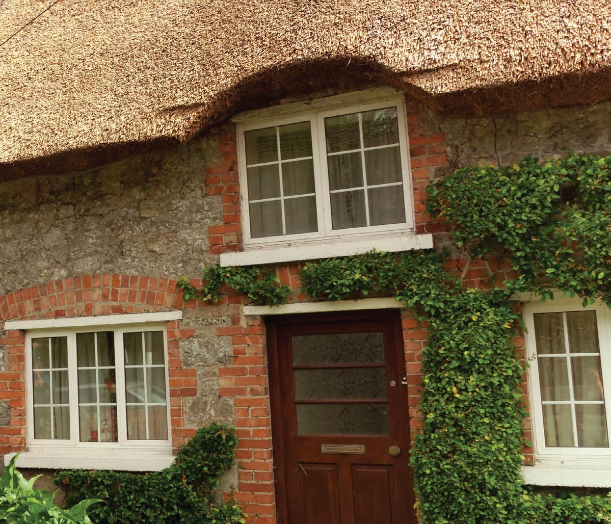
65
THE LIMERICK
LIMERICK
The Limerick is known throughout the world as a rhyming poem that is often mischievous in nature and is used by teachers of the English language to highlight the subtleties within it. Limerick is the only place in Ireland to give its name to a form of poetry or indeed any other literary form. The county and the poem both share the same name but does the poem takes it’s title from the treaty county or is there another tale behind the origins of the Limerick.
In the 18th century poets in the Maigue valley would meet and hold festivals at Croom on the river Maigue in County Limerick. Here they customarily amused themselves and their friends by concocting light, funny and often bawdy verses, which eventually became known as “Poems from Limerick” or “Limericks”!
Limericks are “closed form” poems that adhere to a strict template. Want to write your own? Follow these guidelines:
The last word in lines 1, 2, and 5 must rhyme and contain 8-9 syllables each. The last word in lines 3 and 4 must rhyme and contain 5-6 syllables each.
Of course, what fun are rules unless they’re broken — or at least bent — every once in a while? Consider this limerick which coherently flows both backward and forward:
Although the origins of the limerick is unknown, the form is thought to have originated in France during the Middle Ages, after which it crossed the English Channel. An 11th century manuscript demonstrates the limerick’s cadence:
“This limerick goes in reverse Unless I’m remiss
The neat thing is this: If you start from the bottom-most verse This limerick’s not any worse.”
“A wonderful bird is the pelican, His bill can hold more than his beli-can. He can take in his beak Food enough for a week But I’m damned if I see how the heli-can.”
The form contains five lines with three-beat measures in the first, second, and fifth lines and two-beat measures in the second and fourth. While this rhyme scheme differs from an Irish limerick, the similarity is unmistakable. Five centuries later, William Shakespeare used the limerick’s rhythm in Stephano’s drinking song in The Tempest, as well as in Othello and King Lear, other literary greats who have used the form are Lewis Carroll and James Joyce.
So how did a form of poetry that can trace it roots to France in the middle ages become to be known as a county on the west coast of Ireland?
“There was an Old Man with a beard Who said, ‘It is just as I feared! Two Owls and a Hen, Four Larks and a Wren, Have all built their nests in my beard!’”
“Little Miss Muffet Sat on a tuffet, Eating her curds and whey; Along came a spider, Who sat down beside her And frightened Miss Muffet away.
67
“The Limerick is furtive and mean; You must keep her in close quarantine, Or she sneaks up to the slums And promptly becomes Disorderly drunk and obscene”
“The lion is wondrous strong And full of the wiles of wo; And whether he pleye Or take his preye He cannot do but slo (slay)”
“Although the origins of the limerick is unknown, the form is thought to have originated in France during the Middle Ages.”
LOUGH GUR
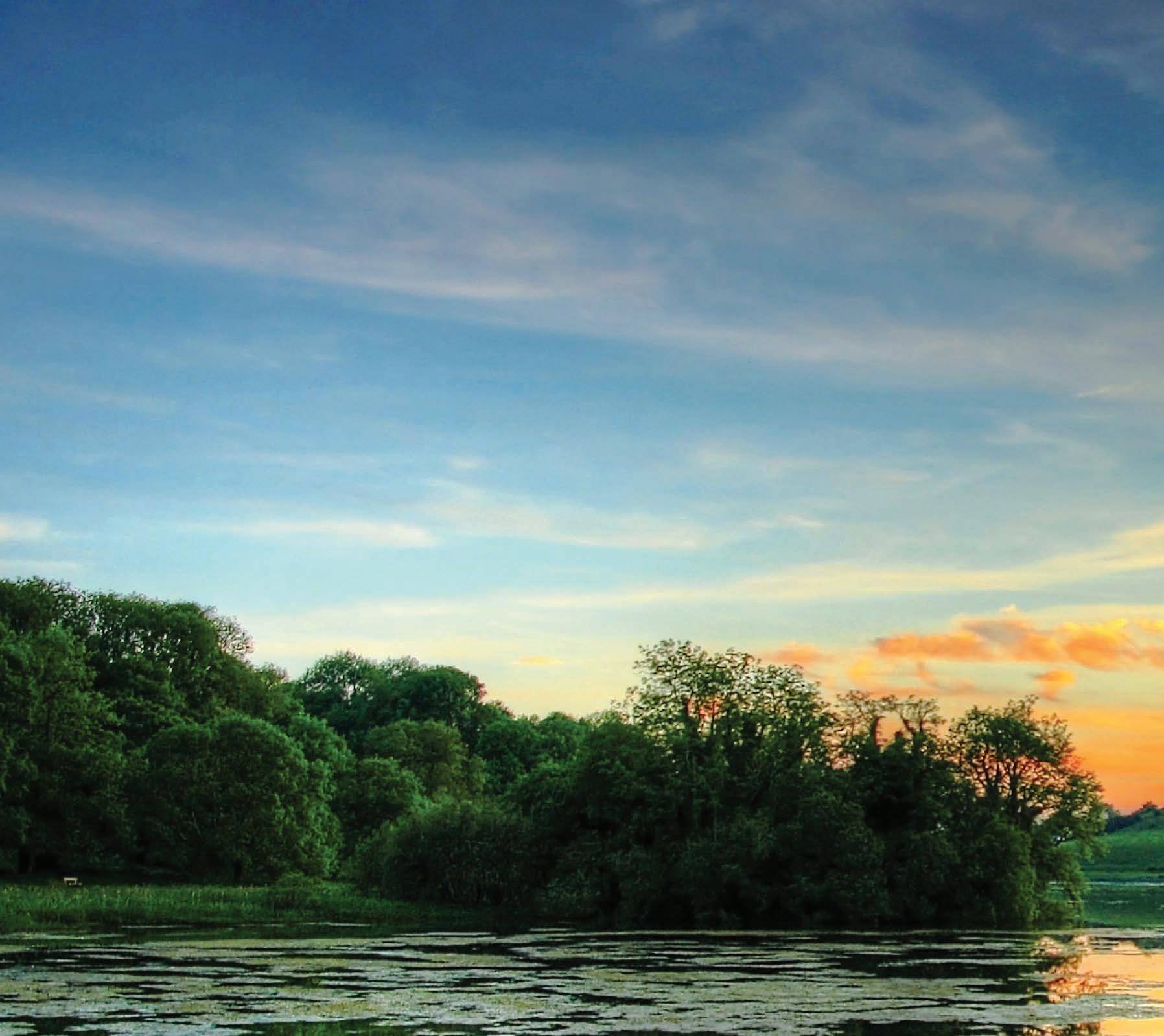
Nestled in County Limerick between the towns of Herbertstown and Bruff lies Lough Gur, on this site sits a stone circle that is older than Stonehenge, in fact, it is the oldest stone circle in Western Europe. It is also the home of a beautiful bronze age shield as well as a stunning lake that legend says is home to a man who emerges from its depths every seven years.
The stone circle comprises a ring of continuous uprights up to 2.8m high, with a diameter of 45m and backed by an earthen bank 9m wide and about 1.2m tall. The entrance on the eastern side is paved and flanked by uprights. Clay has been packed down to a depth of 60 cm across the whole area of the enclosure. On excavation, it was found to be littered with late Neolithic Beaker pottery. Its near perfect shape and the discovery of a posthole in the very centre of the enclosure, indicates that the circle was measured out from a central stake with a rope. Twelve large orthostats have been placed at intervals around the stone ring, each standing directly opposite one of the other ‘axial’ stones. The stones are contiguous rather than free-standing, and the surrounding bank makes it look more like a form of henge
monument than a conventional stone circle. This embankment and the precise arrangement of orthostats suggest that this site had a ritual purpose.
It is the largest standing stone circle in Western Europe, 150 feet in diameter and enclosed by 113 standing stones. The largest stone is Rannach Chruim Duibh (Crom Dubh’s Division) and is over 13 feet high and weighs 40 tons. The entrance stones are matched by a pair of equally impressive slabs on the southwest side, whose tops slope down towards each other to form a v-shape. A short distance to the north east of the main stone circle is a second smaller circle, also constructed of large stones. To the north of this is a large leaning standing stone.
The Lough Gur shield is a Yetholm-type shield. It is a distinctive type of shield dating from 1200-800 BC (Bronze Age). Found by Charles and Nicholas Hayes the Lough Gur Shield was sold for just two pounds. Just enough to by a one-way ticket to the States for Charles Hayes. Local legend tells us that the two boys were working by Teampall Nua with their sickles and scythes when a loud din was heard from the ground. With another swing of the sickle, the loud din was heard again. The boys quickly
68
LIMERICK
unearthed the Bronze Shield with great joy. The lucky man who bought it was a well know historian called Maurice Lenihan who later sold it for sixty pounds. The original shield is on display in the National Museum of Ireland located in Dublin. The one on display at the Lough Gur Heritage Centre is a replica that was created by the Kilkenny Design Centre over 30 years ago.
The yetholm shields come from Britain and Ireland in general. Their modern name comes from Yetholm in southern Scotland where a peat bog yielded three examples. Twenty-two examples are known, although some of these are fragmentary, and a further seven or eight are known from written sources but are lost today. The shields vary significantly in size, but in detail are similar.
The lake forms a horseshoe shape at the base of Knockadoon Hill and some rugged elevated countryside. Lough Gur is a shallow lake measuring 3.5 meters at its deepest level. The lake is fed from underground springs and is not free flowing. The lake and the surrounding area are known to be one of Ireland’s most important archaeological sites. Humans have lived in Lough Gur since Neolithic times. The site of Lough Gur is the only area in
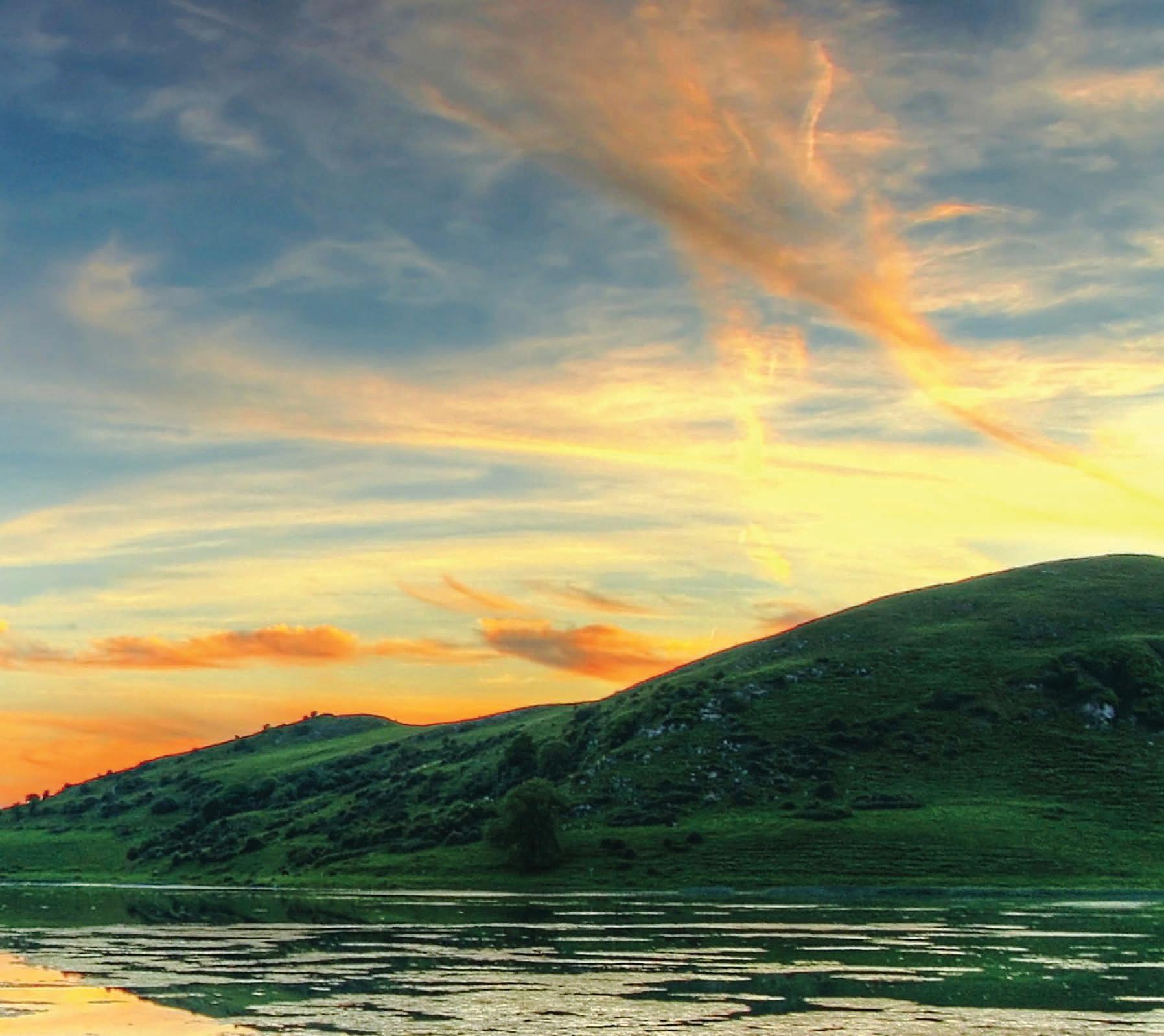
all of Ireland where you will see visible remains of every age of mankind throughout the centuries. The great folk tale that comes from the lough deals with Gearoid Iarla, 3rd Earl of Desmond who was Chief Justice for Ireland in 1367 following the Statutes of Kilkenny. He lived from 1338 to 1398 and as well as dabbling in magic, he composed verse in both Irish and French. As a punishment for his involvement in magic, he did not die but lives beneath the waters of the lake. Every seven years he rides around the lake margin on his white horse, shod with silver shoes. When the shoes are finally worn, he will regain his mortal form and restore the glory of the Desmonds
The Heritage Centre located on the lake front was officially opened in 1981 and was taken over by the local community in 2011. The buildings are inspired by the Neolithic houses on Knockadoon. A gradual shore-line is present at the visitor area, with a shallow section of lake reaching up to the maintained lawn. As a result, the area is often used for water sports, though motorised craft and fishing are not permitted on the lake. There is also a nature trail that will bring you around the sites and also showcase the fantastic wildlife that call the Lough home.
69
THE MILK MARKET
Limerick’s Milk Market is a haven for all who care about the provenance and quality of the food they eat. From passionate amateur cooks to people on the look-out for variety and value or to those who just love finer foods, this market has it all.
Here you’ll discover the very best of fresh, natural produce from great farmhouse cheeses and chutneys, just-caught fish and artisan meats, organic fruit & vegetables, to delicious healthy breads and fresh pressed juices. You’ll also be able to snack on gourmet sandwiches, wraps, pastries, chocolates, delicious crepes, soups and freshly brewed teas & coffees or buy fresh flowers and vibrant plants. But it’s not just the variety and quality of food and horticultural produce on offer that makes the Market so special – it is also about the people and the place.
At one stage Limerick had numerous markets, The Butter Market, the Pig Market, Hay Market, Potato Market and the Corn Market (latterly known as the Milk Market) were located around the city. Over the years these markets gradually faded from view except for The Milk Market which has seen numerous redevelopments in its city centre location throughout the last few decades. It is also an area to escape from the rain due it being housed under the cover of Ireland’s largest single column support canopy.
This market hosts a community of remarkable individuals from throughout the county, most of the stallholders are themselves producers who grow, rear or bake the food they sell. Others are importers with an intimate knowledge of the product they source from far and wide. They come together every Friday, Saturday and Sunday to showcase their incredible artisan produce under the markets canopy.
Lunchtime on Fridays is full of people getting a quick snack while listening to traditional Irish music before heading back to resume their duties. Saturday sees the prestigious Farmers Market take centre stage under The Milk Markets canopy. Visitors can sample The Sunflower Bakery’s delicious handmade, additive-free breads, cakes
and savouries as well as the award winning Ballyhoura Mountain Mushrooms.
You can warm yourself up by stopping at the brilliantly named Soupermarket stall. The soup stall at the Milk Market only uses Limerick suppliers for its soups, and primarily uses ingredients from other traders in the market.
The Green Apron stall offers a fabulous range of awardwinning jams, marmalades, chutneys, ketchups, sauces, herb mixes, butters, mustards and pickles, all made using secret family recipes. They even sell traditional or herbal tea, grown from 400 tea bushes on the family farm located in West Limerick.
Sunday is family relaxation day at the Milk Market-coffee, cheese, crêpes, chocolates, occasional crafts and yoga are all on offer to family’s and individuals seeking an artisan breakfast or lunch.
Leaving the comfort of the canopy you can explore the old market buildings which surround the market proper, a wider selection of goods are available, including clothing and books. These outlets are generally open six days a week so there is always a reason to visit.
At certain points during the year you may be able to see the best of international and Irish musicians playing under the canopy. When the stall holders finish their days work, the Milk Market is transformed into a venue that is known as “The Big Top” and musicians such as George Ezra, Nile Rodgers and Chic, The Waterboys and Rodrigo y Gabriela have graced this market.
Throughout 2019, The Stunning, The Game, Aslan and Gavin James will play sets under “The Big Top” at The Milk Market.
Ireland has recently had a revolution in Farmers Markets and a lot of this can be traced back to success of The Milk Market. This is a place to explore, to ask questions, to discover new flavours and savour the unique atmosphere in the heart of Limerick City.
70 The City of Cork
LIMERICK
In the heart of both the city and its people, this market has been running for more than 150 years.
Friday: 10am - 3pm

Saturday: 8am - 3pm
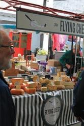
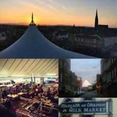

Sunday: 11am - 3pm
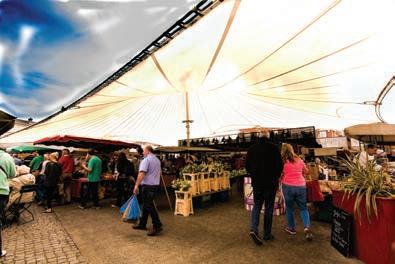
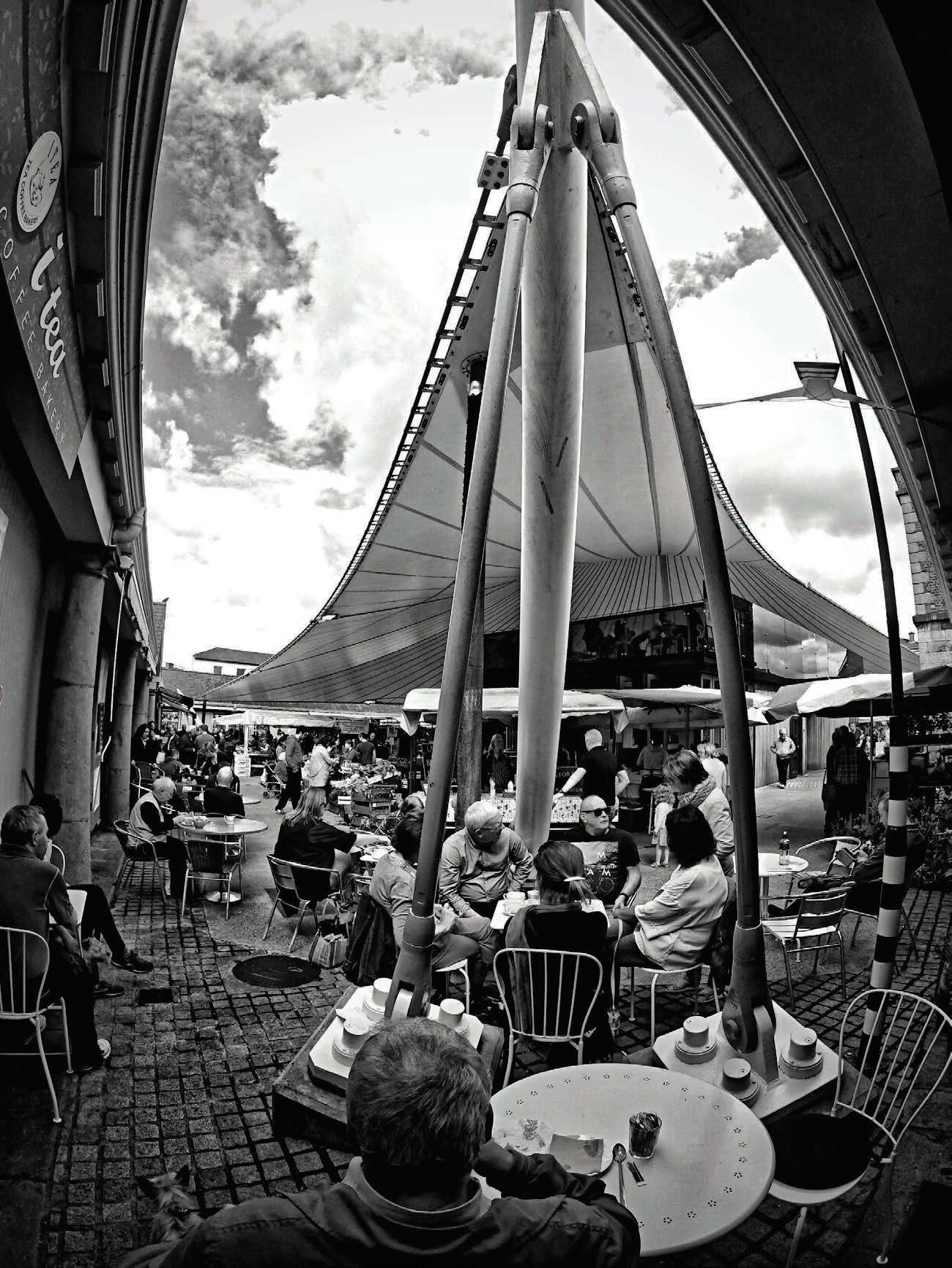
71 The Milk Market, Mungret Street, Limerick City Tel: (061) 214 782 www.milkmarketlimerick.ie
Saint Mary’s Cathedral was founded in 1168 AD and stands majestically over the City of Limerick on the banks of the River Shannon. It is one of the most important medieval buildings to survive intact in Ireland, which is still performing its original function.
It is believed to have been built on the site of a Viking thingmote (meeting place), and later the palace of the O’Brien kings of Thomond. It is an extraordinary building that has been ever-present during invasions, sieges, battles, wars, famines and times of peace. It is also a treasure of Irish religious art.
We encourage you to visit us, whether for worship, re ection, for a self-guided tour, or for a concert or special event.
Visitor Opening Times
Monday to Saturday: 11.00 to 16.00h (last admission 15.30h)
Sunday: Closed Bank Holidays: 11.00 to 15.00h (last admission 14.30h)
Admission Fees
Adults: €5.00
Students (with valid ID): €3.50
Children (aged 0 – 10): Free
E-Mail: info@SaintMarysCathedral.ie | Phone: (061) 310 293 Saint Mary's Cathedral, Bridge Street, Limerick, V94 E068 www.saintmaryscathedral.ie
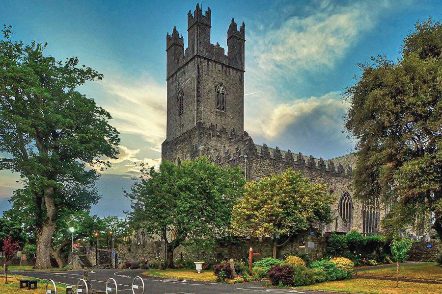
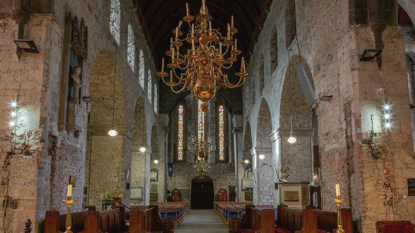
Lough Gur Heritage Centre & Lakeshore Parklands
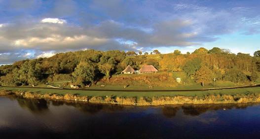
LOUGH GUR DEVELOPMENT
The scenic lakeshore Heritage Centre and Parklands of Lough Gur is a short drive from Limerick city. The on-site visitor centre overlooks the tranquil water and hosts a modern interactive exhibition that captures the story of the unique archaeological treasures that can be found within the sprawling grounds. Home to Ireland’s oldest and largest stone circle and only expansive lake in Limerick, Lough Gur offers an ideal location for a brisk nature walk throughout the year and a picnic during the summer time.
The past & the present: Lough Gur Development is a non profit community organisation that was founded in 1969 and officially inaugurated in 1993 to promote, preserve and protect the history, archaeology, folklore and environment of the surrounding area. The company structure includes a voluntary Chairperson and board members. They are supported by a manager and a team of staff.
The group operate Lough Gur Heritage Centre, Honey Fitz Theatre, festivals & events. Sub groups including the Lough Gur Science Group include a number of voluntary members and associated organisations.
www.loughgur.com

72
Bruff, Co.Limerick
Admission Rates Adult €5, Child €3 Senior/Student €4, Family €15 Information Guided tours available. Tea/Coffee light refreshments available ●Fairy Trail and Tree Trail ●Coach PARKING and Car parking available Contact Lough Gur Heritage Centre & Lakeshore Parklands Lough Gur, Bruff Co. Limerick, V35 ED96 Tel: 061-385 186 info@loughgur.com
C M Y CM MY CY CMY K Saint Marys Cathedral - QP and QP Editorial - WAW 2023.pdf 1 06/03/2023 20:36:09
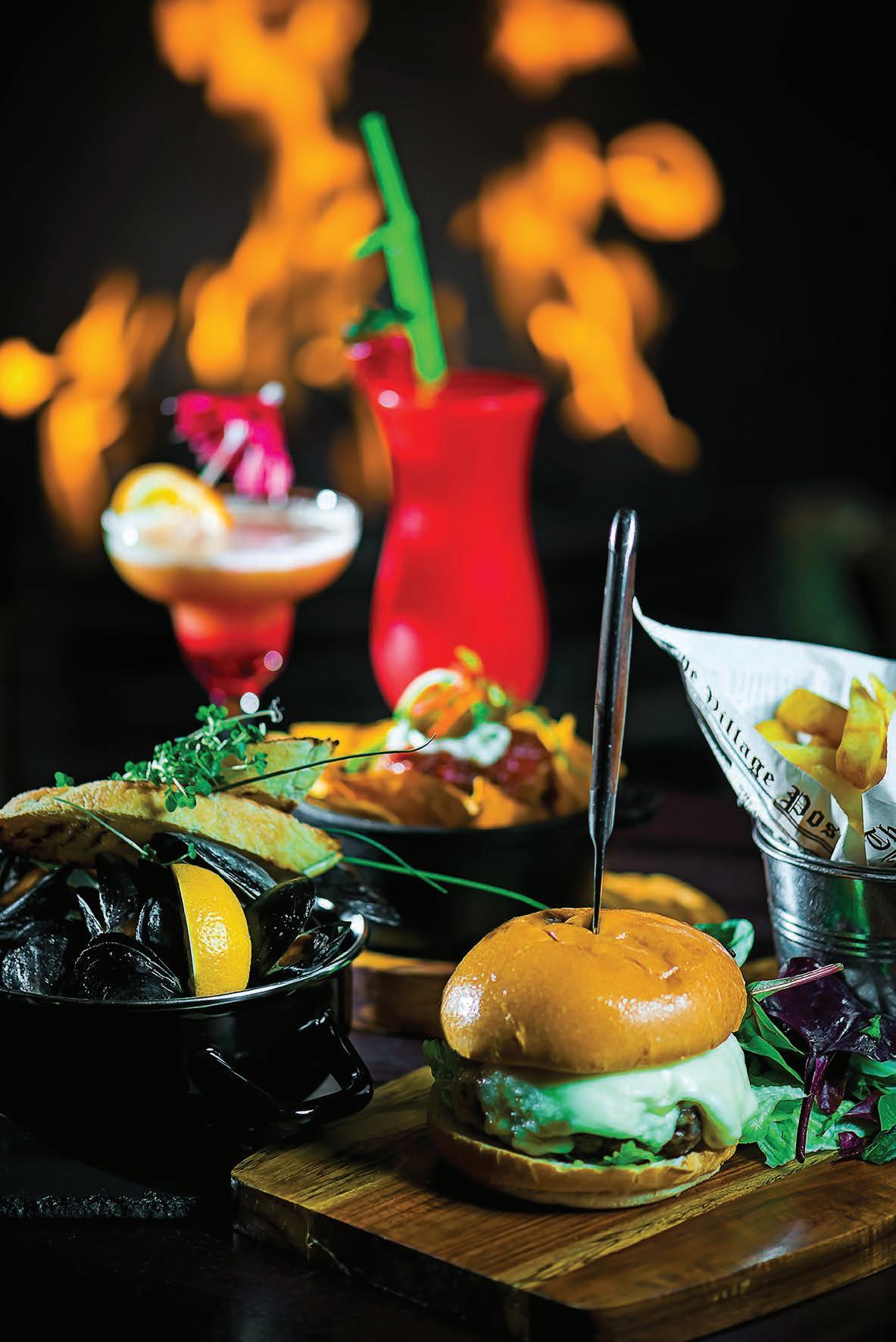
Since 1989 www.texassteakout.ie Online Bookings | Gift Cards 116 O Connell Street Limerick
CLARE
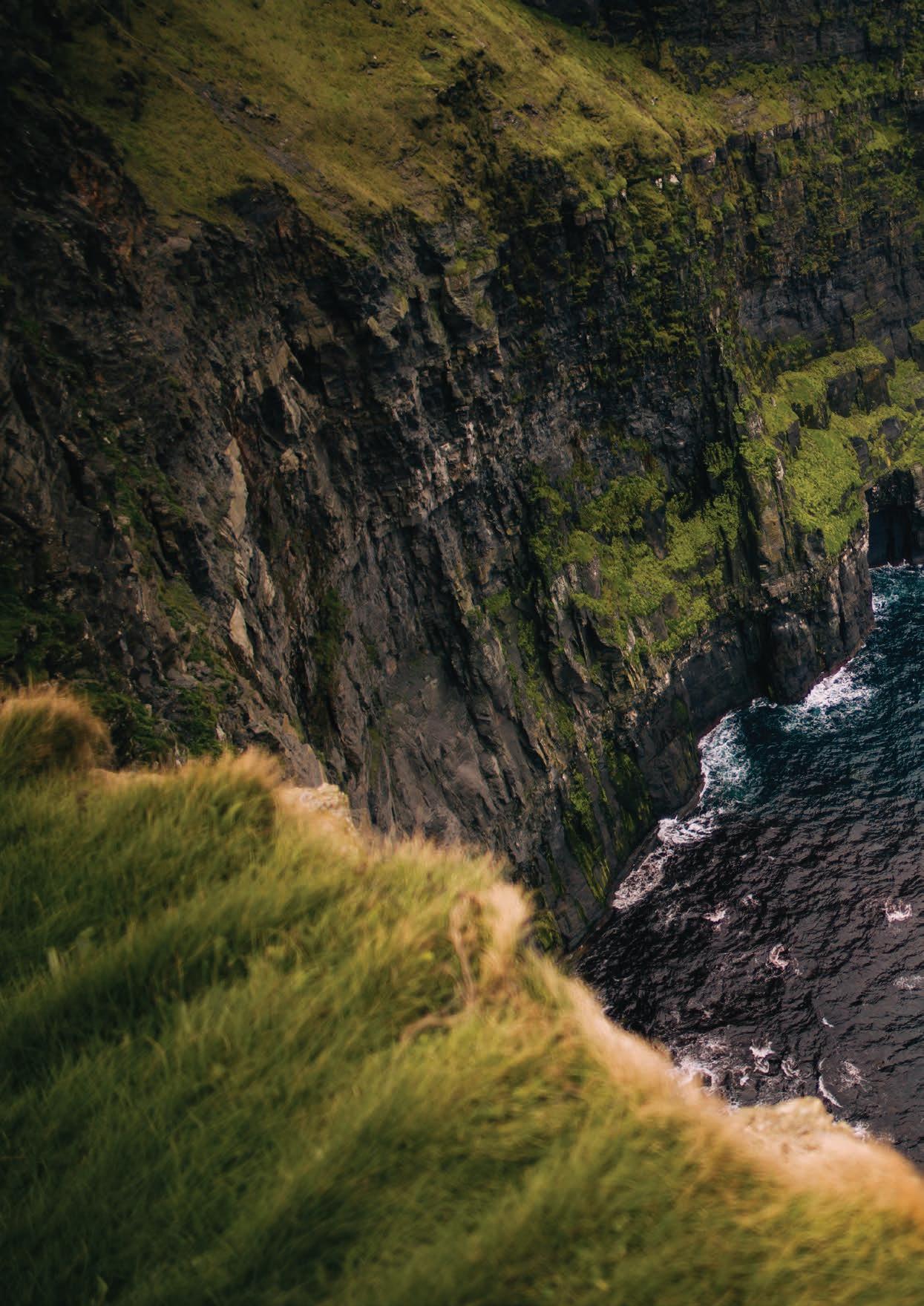
74
TRIVIA

Clare’s name comes from the Irish word “Clár.” which Translates to “board” or “plank.” According to lore, a board was placed across the river Fergus outside Ennis, as a bridge, at a place which was to become known as Clare. The county colours are blue and saffron yellow, these are the colours believed to have been carried by one of Clare’s most famous heroes, the former high king of Ireland Brian Boru, as he went into the Battle of Clontarf in 1014. Clare is home to the most western airport in Europe – Shannon and it was a local Clare man Brendan O’Reagan who invented duty-free shopping in 1947.
To Galway

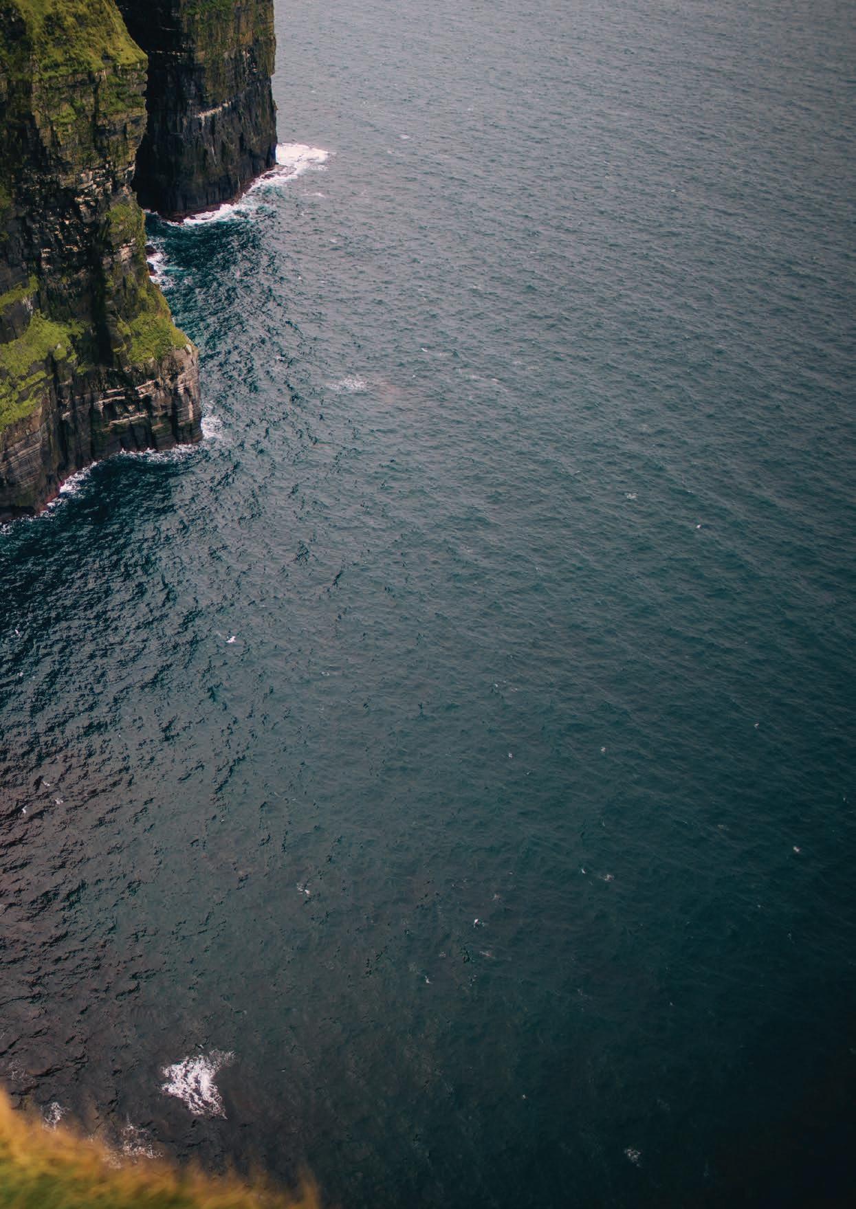
75
Blue Flag Beaches on the Wild Atlantic Way Towns Wild Atlantic Way Route WILD ATLANTIC WAY VIEWPOINTS Kilkee Kilrush Kildysart Kilmihil Shannon Lisdoonvarna Coro n Ennistymon Ennis Tulla Scarrif Sixmilebridge Killaloe Miltown Malby Kilkee Beach Cappa Pier Doonbeg White Strand Miltown Malby White Strand Lahinch Fanore Beach To Galway To Kerry LOOP HEAD KILLIMER BRIDGES OF ROSS CARRIGAHOLT BAY SCATTERY ISLAND KILKEE CLIFFS MUTTON ISLAND VIEW SPANISH POINT LISCANNOR BAY CLIFFS OF MOHAR DOOLIN PIER INS MEAIN ARAINN MHOR BLACK HEAD BALLYVAUGHAN PIER FLAGGY SHORE INIS OIRR
Killarney Kilkee Ennis Gort Aran Islands Limerick Shannon Listowel Lahinch Ballybunion N67
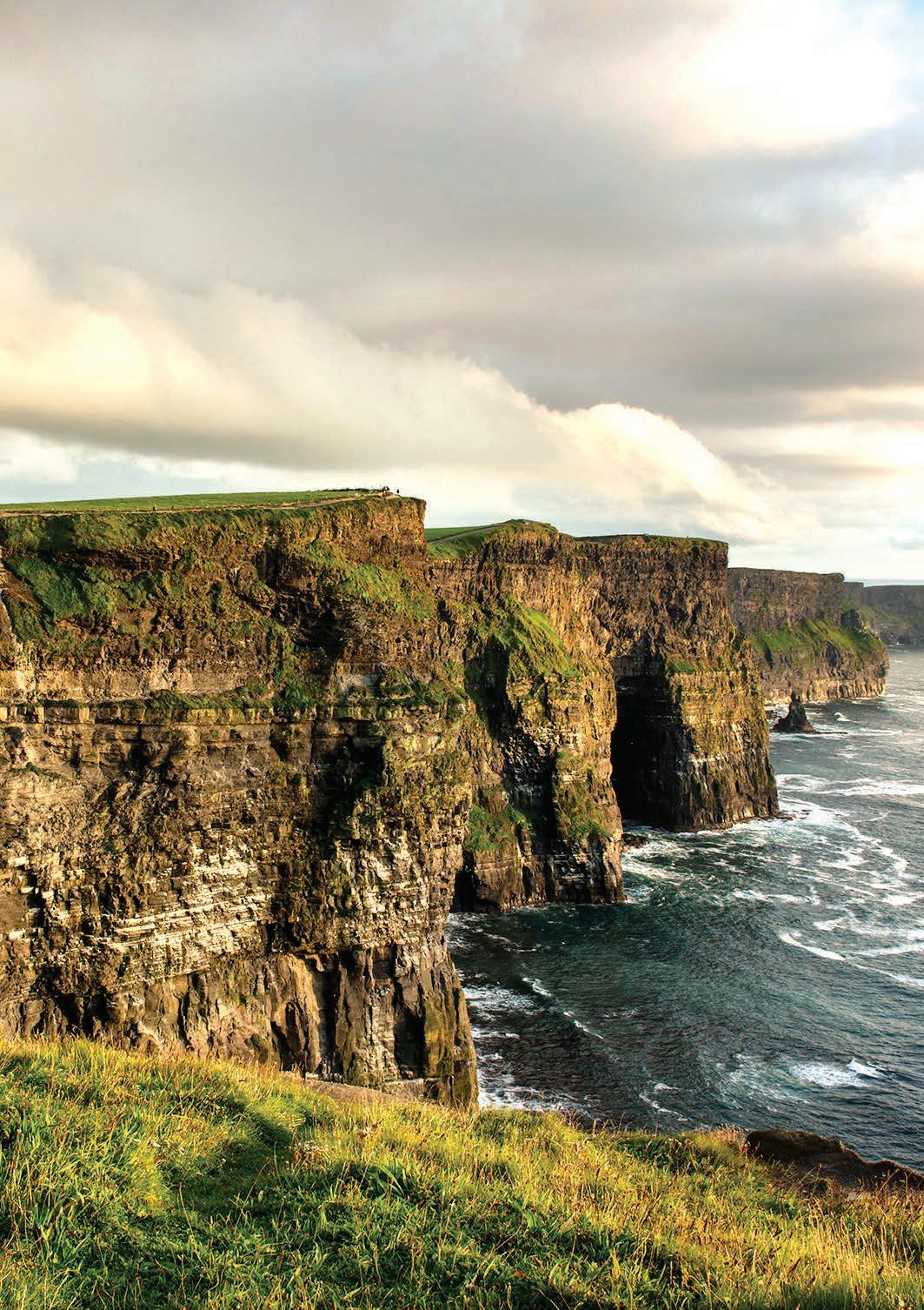
CLARE
THE CLIFFS OF MOHER
“350 million years in the making”
This is an area of extreme beauty, it is where tales as tall as the cliffs are told and where both young and old can behold a natural wonder of the world. The Cliffs of Moher are truly magnificent.
The Cliffs of Moher are as synonymous with Ireland as the shamrock, leprechauns or Guinness. They are iconic throughout the world as a must-see site while in The Emerald Isle and that is why Millions flock to the Clare coastline each year to feast their eyes on these natural wonders.
The Cliffs of Moher offer spectacular views of the Atlantic Ocean, the cliffs stretch 8 kilometres along the coast of County Clare, and at their highest point reach 214 metres (700ft). On a clear day, you have a wonderful view of the Aran Islands, Twelve Pins Mountain Range and Loop Head. The Cliffs of Moher have 600 metres of pathways and three stunning viewing platforms for you to explore.
From the main viewing area, you can see the south cliffs and also look out towards the mighty Hag’s Head. From the South Platform you’re perfectly placed to see the puffin colony that makes its home on Goat Island. These birds are constantly fighting against the wind and sea spray which leads to some acrobatics on the cliff side. You may also see many other seabirds as well as the sea stack below O’Brien’s Tower. From here, you can walk 4km to Hags Head and its own incredible views of the Cliffs. The North Platform is Located near the highest point of the Cliffs, Knockardakin stands at 214m or 700 feet above sea level – this platform is also located close to O’Brien’s Tower and from here you have marvellous views, north, south, east and west from an elevated point.
O’Brien’s Tower stands on a headland at the Cliffs of Moher offering up magnificent views south towards Hags Head and north towards Doolin. The Tower was built in 1835 by Cornelius O’Brien, a descendant of Brian Boru, the first High King of Ireland. A local landowner, Cornelius was ahead of his time and believed that the development of tourism would benefit the local economy and help bring local people out of poverty. However, there is also a rumour that Cornelius built his tower for the sole purposes of impressing his lady friends.
As the sea spray fills the air with the invigorating freshness of the Wild Atlantic Way, it’s hard not to feel as though you’re braving the ocean from the prow of a magnificent ship. To make the most of the magic, nothing quite beats a wind-whipped trek across the clifftop, the edges peaking slightly upwards like the crests of the waves that roll endlessly below. Try the Doolin Cliff Walk: it leads you down the full length of the well-worn trail to the hugely informative Visitor Centre, set into the hillside like a hobbit house.
On an island of storytellers, it’s no surprise that one of the most dramatic landscapes comes with its fair share of folklore and fantasy. There’s the story of the fisherman who fell in love with a mermaid, only for her to leave him to return to the sea; the doomed Leap of
the Foals, where the mythical Tuatha Dé Danann plunged over the cliffs’ edge; and even the lost, underwater city of Kilstiffen. These cliffs are full of folklore, you can explore the myths and legends that have risen around cliffs at the visitor centre. The Cliffs Exhibition is the exciting interpretive centre at the Cliffs of Moher Visitor Experience.
A huge domed cave at the centre of the building contains a wealth of fascinating information and displays to delight, inform and fascinate visitors of all ages. There is also a Café, shop and crafts showcase at the visitor centre. The cliffs of Moher are constantly changing due to the sheer ferocity of which the Atlantic crashes against it, and just like Ireland it is as rugged as it is beautiful, and you must visit it at least once in your life.
6,000 YEARS OF HISTORY EXCITINGLY CAPTURED!
e Riches of Clare exhibition at Clare Museum tells the history of the county over a period of 6,000 years using authentic artefacts, colourful text panels and audio-visual presentations.
e exhibition is divided into the themes of Earth, Power, Faith, Water and Energy and includes a large collection of objects on loan from the National Museum of Ireland making a visit to Clare Museum an essential introduction whole county.
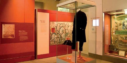
Admission is free with ample car parking and free coach parking beside the museum. Large groups should book in advance.
CALL 065-6823382 or EMAIL claremuseum@clarecoco.ie FREE


Clare Museum, Arthur's Row, Ennis, County Clare.

77
ADMISSION
THE BURREN SMOKEHOUSE
The Burren Smokehouse in Co. Clare is run by husband and wife Birgitta and Peter Curtin who are renowned for their premium and award-winning Irish Organic salmon and mackerel products among many others. Located in lovely Lisdoonvarna, this dynamic duo have been creating artisan products for thirty years allowing visitors the chance to not only experience but taste the landscape that they are passing through.
Its owner Birgitta first came to Lisdoonvarna in 1981 at 18 years of age. ‘I wanted to see the Atlantic; to see the Burren, see the landscape, meet the people, hear the music.’ In 1989 her now husband and the area won her over from her native Sweden and she settled in Lisdoonvarna. Having studied marine biology, and having an interest in food, she and Peter opened the Burren Smokehouse. “Peter & I wanted to financially sustain ourselves in our little village - Lisdoonvarna (in the middle of nowhere but centre of the universe as we are en route to the Cliffs of Moher)”.
They wanted to make artisan Burren Smoked Salmon, Trout, Mackerel & Eel for the passing trade of visitors and for local residents giving them an opportunity to taste The Atlantic. From the humblest of beginnings, they have continually grown in the past three decades and what started with just the two of them has blossomed into a team of 20 employees. Their organic products are
celebrated right throughout the globe, leading Birgitta to be one of Ireland’s most awarded artisan food producers. The vast majority of their exquisite products are sourced from the Atlantic Ocean. The Wild Salmon is caught in draft nets in Co Mayo and Co Cork. Their Irish Organic Salmon comes from Clare Island on the west coast and the Mackerel is caught off Killybegs in Donegal, while the trout comes from the east coast. With their location being so close to the Atlantic Ocean, this ensures that they receive the freshest produce available. The fish’s flavour is then only enhanced by their smoking process.
“We believe that Smoking is an Art and a Craft. We use a real smouldering fire with oak shavings and add some turf to the hot smoking. Here at the Burren Smokehouse we cold smoke at 30 degrees Celsius for 16 hours and Hot Smoke at 85 degrees Celsius for 8 hours. We use various marinades of Honey, lemon, dill, pepper, fennel - all natural and
78
CLARE
fresh ingredients to produce a range of diverse and interesting products.”
DON’T JUST VISIT THE BURREN TASTE IT!
UNCOVER THE MYSTERY OF SALMON SMOKING!
Discover our first kiln and our unique salmon mosaics. Taste our freshly Smoked Organic Salmon from the clean, wild waters of Atlantic coast and enjoy more culinary delights.
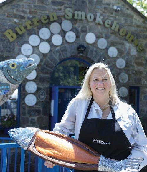
Open every day between 10am and 5pm.
charcoal grilled foods. All ingredients are seasonal and as locally sourced as possible.
The Burren Food Trail is more than a listing of quality food establishments in the area – it aims to uncover for you the path that your food takes from field to plate. You have the choice between restaurants, cafés or artisan food producers.
They are also part of “Taste the Atlantic”, a Seafood Journey that stretches from Erris Co. Mayo to Connemara and on to Galway Bay, passing some of Ireland’s most breath-taking seascapes and landmarks, it’s a whole new way to experience the Wild Atlantic Way and to learn more about how Irish seafood is caught and farmed.
The food businesses among the Burren Ecotourism Network members have created a very special trail, the Burren Food Trail, and the Burren Smokehouse is of course part of it. The Trail was honoured as the Irish winner of the 2015 EDEN (European Destination of Excellence) Award for developing a tourism offering based on their culinary offer. The Burren area was also awarded The Foodie Towns Awards 2015.
The Visitor centre at the Burren Smokehouse allows you to sample their delicious Salmon and see the smoking process in action. “We greet our visitors with a tasting of hot and cold smoked salmon. You can see our small oven, look into it and smell and touch our oak shavings. We offer a 7 min DVD in English, French, German, Spanish, Italian and Swedish that gives an insight into how we smoked our Salmon. We also have deeper knowledge guided tours and a range of offerings. You can even book and pick up your picnic at our Visitor Centre if you are travelling throughout the area.”
They are also in the process of opening up a new exhibition with the theme being “The Story of Irish Salmon”, this will be an interactive self-guided tour that will also include a retail craft shop. Visitors can then relax and enjoy the local seafood and other locally sourced food served on site as well as our their very own Burren Brewery Beers that are served in the adjacent Roadside Tavern Pub and the local area.
All the Food Trail members are passionate about food, growing and producing it locally for you to enjoy. In Lisdoonvarna alone there is a great food offering starting with the Burren Smokehouse visitor centre, and the 150 year old Roadside Tavern next door in which Kieran’s Kitchen delights with well-known dishes that are cooked and presented with a modern, Irish twist.
The Burren Smokehouse is part of “The Burren Food Trail” which features 22 establishments and producers in the area, each of which has achieved defined food quality standards.
In a wonderful and complementing contrast, another venue right next to the Roadside Tavern opened recently, called the Burren Storehouse. Since it’s opening, it has already become a favourite with locals and visitors to the region alike. The food offering spans from mouth-watering pizzas to
They are also associated with Slow Food Ireland and help organise the annual Burren Slow Food Festival which takes place every May in Lisdoonvarna. This year’s festival happens between 10th – 12th May and is using the “Taste the Atlantic” theme, there will be cookery demonstrations, talks and an artisan food and farmers’ market that will allow you the chance to not only taste their beautiful salmon but sample other food from around the region.
Lisdoonvarna is known as the matchmaking capital of Ireland, every year people flock to this area looking for a partner and while Birgitta came to experience Ireland’s rich culture and beauty she found her partner and they have created a wonderful company along the Wild Atlantic Way that truly deserves to be visited. The Burren Smokehouse is located in Lisdoonvarna Co. Clare, a mere 20-minute drive from The Cliffs of Moher, to enquire about visiting or to purchase their award-winning products visit.
Members of the Burren Ecotourism Network create interesting events and rare looks behind the scenes, all to do with the Burren and food. Each week in summer, something else takes place in a different venue in the Burren: the Burren Food Trail Mondays
The Burren Smokehouse, Lisdoonvarna, Co. Clare, Ireland +353 65 7074432 | www.burrensmokehouse.ie
@BurrenFoodTrail

79
Lisdoonvarna, Co Clare V95 HD70 ph +353 (0)65 7074 432 www burrensmokehouse ie Curious about how we smoke our salmon? Discover our first kiln and our unique salmon mosaics. Taste our freshly Smoked Organic Salmon from Irish waters and enjoy more culinary delights. We are open every daycore opening times 10am
5pm
-
“Don’t just visit the Burren - taste it!”
DOOLIN
Doolin boasts some of the most breath-taking scenery in Ireland and with a colourful and welcoming village ready to host you on your stay, Doolin has something for everyone. Located on the edge of the historic Burren in northwest County Clare, and within easy reach of the majestic Cliffs of Moher and the unique Aran Islands. Doolin’s dramatic landscape cannot easily be forgotten.
Doolin is the home of traditional Irish music, with plenty of song and craic to be had every night. You can take a clifftop walk breathing in the crisp, salty Atlantic air while appreciating the beautiful wildflowers, explore the rugged landscape or go on an Atlantic cruise to appreciate the unique coastline from a different perspective. It is a vibrant place full of characters, stories and experiences.
Doolin is renowned for traditional Irish Music; music sessions encompassing a mix of slow airs, lively jigs & insightful songs take place nightly across all of the bars; O’Connor’s, Fitzpatricks, McGanns & McDermotts. Most sessions start from 9.30pm, although some bars may have earlier afternoon & evening sessions in the months of June-September. These sessions are legendary throughout Ireland and people travel from far and wide to experience them. These sessions usually go deep into the night and lead to many sore heads the next morning, and no one wants a sore head or sick tummy when jumping on a ferry to the Aran Islands first thing in the morning.
Located not far from the village is Doolin’s famed cave. Doolin Cave is home to “the great stalactite”, which is a natural wonder, and is becoming one of the most important eco-tourism
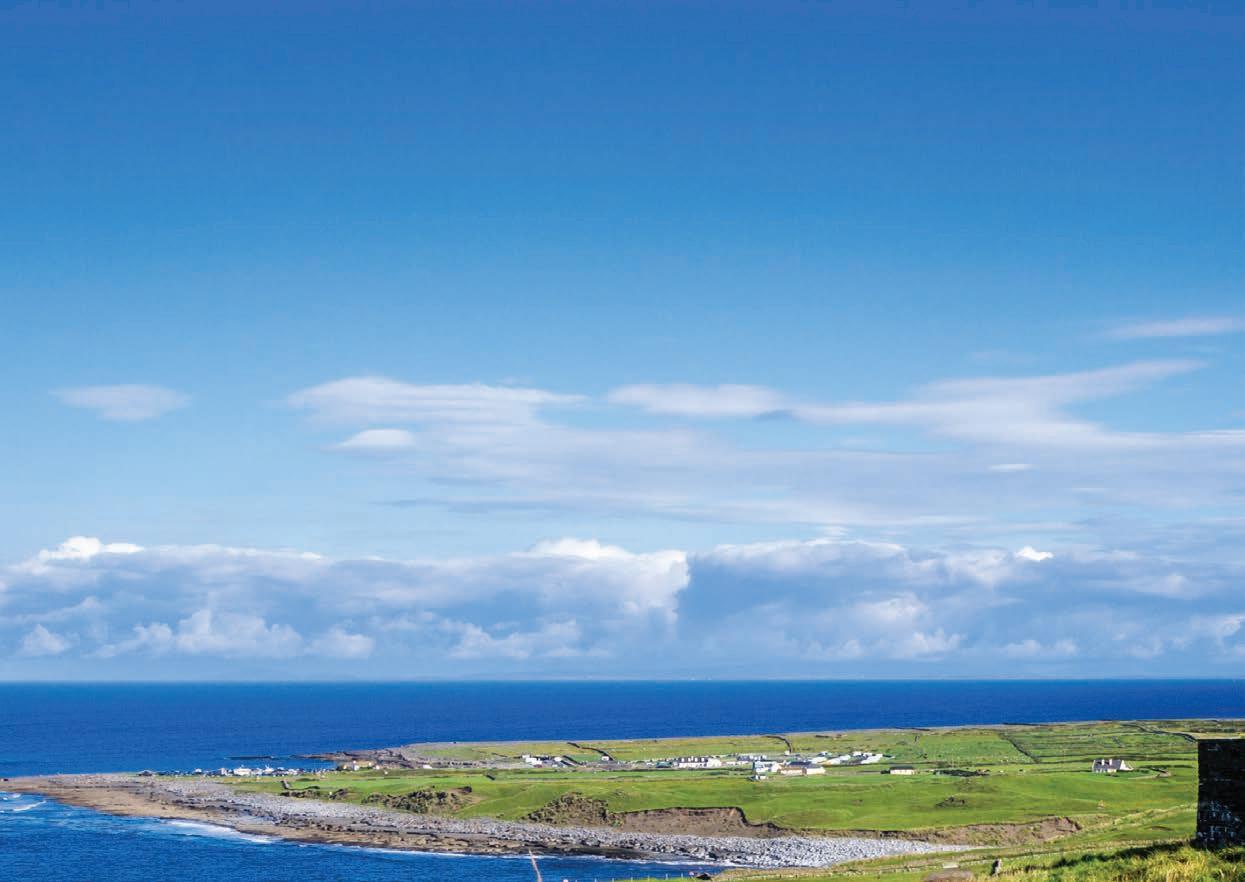
attractions in Ireland. Measuring 7.3 metres (23 feet) in length, it is recognised as being the longest stalactite in the Northern hemisphere. From the moment you descend over 80ft into the first tunnel, with your guide, you will enter a world carved by water. Donning your hardhat, you will follow the rough-hewn route of the early explorers who first discovered the cave. When you enter the stunning, cathedral-like dome that houses the huge stalactite, you will be briefly plunged into a world of primitive darkness. Then, in a flash, you will be awed as the subtly-lit stalactite appears before you. And, far below, a magical stream carries to the hills outside, the water that carved the primeval world around you.
A rather unique (and one that is certainly off the beaten track) way to enjoy The Cliffs of Moher is to join local historian Pat Sweeney on a guided walk along the sea cliffs from Doolin to the Cliffs of Moher Visitor Centre. With the green fields of the local farmers on one side and the pounding waves of the Atlantic Ocean on the other, this spectacular walk, led by one of these local farmers is a must if you have the cliffs on your itinerary. Pat is a local historian and walking enthusiast, an expert on local history and folklore and is passionate about the preservation of a rural lifestyle enjoyed by five generations of his family who have farmed in this area.
The walk takes approximately 3 hours along a gravel path and finishes at the Cliffs of Moher Visitor Centre where public transport is available for your return to Doolin. The walk is easy, always with the sound of the ocean in your ears, for approximately 8km along the coast and also crosses two sections of Pat’s farm along the way. Visitors will have the
80
CLARE
“The gateway to the best that The Wild Atlantic Way has to offer.”
privilege of seeing the natural beauty of the area and hearing an interpretation of past and present life from the perspective of a guide who has an enthusiasm and passion for the locality.
Slightly further afield lies The Burren, from the Gaelic word “Boireann” which means “stony place”, is an area of limestone rock covering imposing majestic mountains, and tranquil valleys with gently meandering streams. With its innate sense of spiritual peace, extraordinary array of flora and wildlife, megalithic tombs and monuments older than Egypt’s pyramids, the Burren creates a tapestry of colour and a seductively magical aura which few people leave without wanting to experience again.
There are many sites to visit in the Burren, including the iconic Mulloughmore mountain and Poulnabrone dolmen, but there are also many other parts of the Geopark which are worth exploring. Often referred to as “the fertile rock”, the Burren is home to an incredible mix of wildflowers that grow within the cracks of the limstone pavement, attracting visitors from all over the world. There is evidence of human occupation in the Burren going back more than six thousand years. Archaeological evidence of the earliest inhabitants includes many megalithic structures such as the instantly recognisable Poulnabrone Dolmen, which is probably the most photographed structure in The Burren Region. The remains of the people inside the tomb were excavated and dated to 3800 BC.
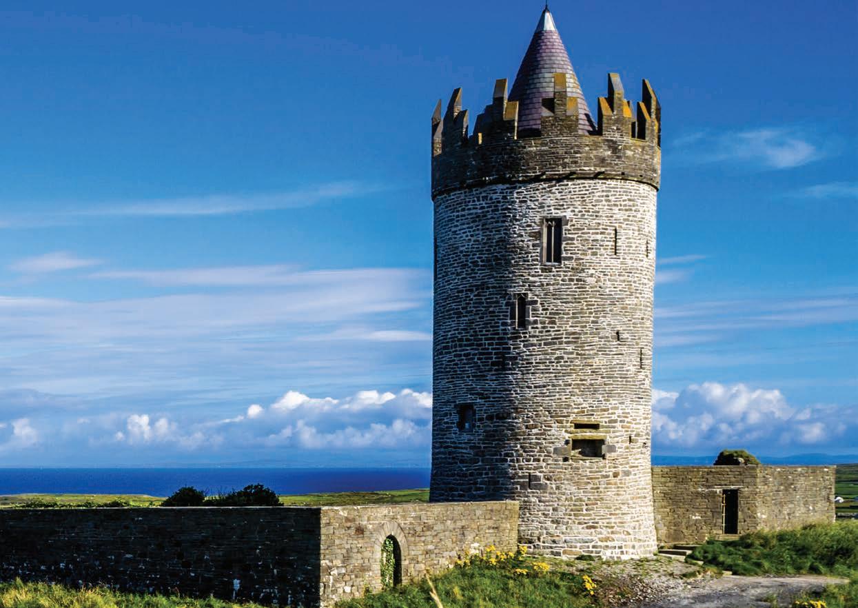
There is also evidence from the Neolithic Era of widespread deforestation for pasture-grazing, which has helped create the
stark, windswept beauty for which the Burren is renowned. This livestock farming has also left behind 4,000-year-old field boundaries.
This area really needs to be visited to understand its beauty and uniqueness, it has an aura that has drawn humans to this place for more than 6,000 years and when you are standing in the middle of The Burren you’ll understand why.
A day of activities throughout this area will make you weary and there is no better place to sit and enjoy the sunset than Doolin’s Pier. Watching the Sun descend over the Atlantic Ocean should be on everyone’s bucket list, and there is no better spot than Doolin pier to see it.
There is a variety of accommodation in the area, Hotels & Guest Houses, Inns, B&Bs, Hostels, Welcome Standard Speciality Lodging, as well as holiday homes and caravans. Campsites are also available in the area.
From experience, it is best when camping to pitch your tent behind one of the many stone walls in the campsite. You certainly don’t want to be awoken in the middle of the night by the roaring winds coming in from the Atlantic and collapsing your tent while you are trying to get some rest (I won’t make that mistake again).
While Doolin is a gateway to some of the best that the Wild Atlantic Way has to offer, this small village offers an awful lot to those who visit it while on the Wild Atlantic Way. Its beauty and quintessential Irishness is known throughout not only Ireland but the world, and those who visit will always remember the moments that they spent in this beautiful part of County Clare.
81
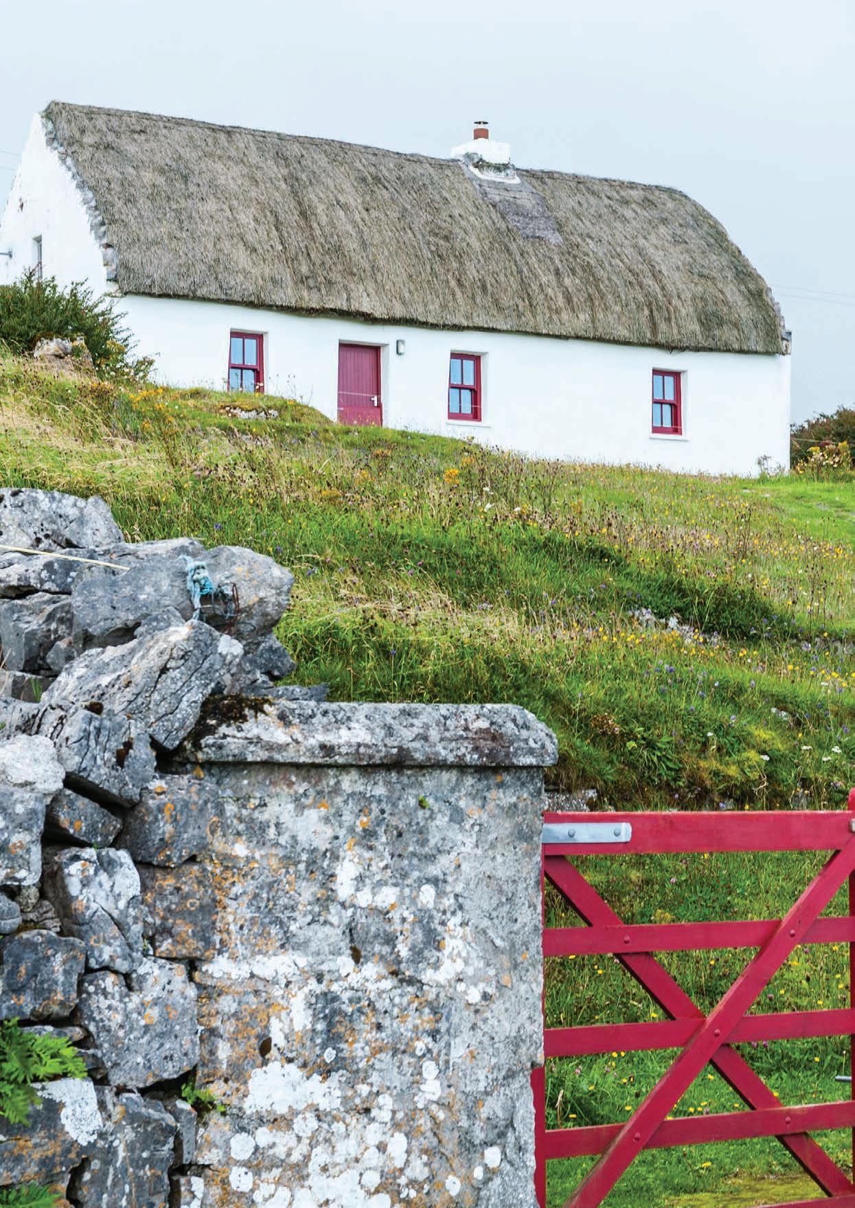
CLARE 82
IRISH THATCHED COTTAGES
with Liam Broderick
There is an inexplicable joy in encountering an Irish thatched cottage. Indeed, no other symbol of Ireland so conjures a sense of Irish welcome: a turf fire burning, freshly baked bread, the old lady waiting at the half door.
At one time, Ireland was dotted with such picturesque dwellings, built of stone and sometimes earth and capped with straw or reed. Thatched cottages were homes for the ordinary farming people. As such, it was once considered a poor man’s option to thatch the house. Richer folk would have used slate on their stately homes as it was not part of the fashion to include thatch. On a practical level, however, a thatched roof offers superior insulation to slate and across the hills and valleys of Ireland, a cosy retreat during the storms of winter.
The nature of rural life saw to it that the raw material of thatching, mostly straw, was readily available in plentiful supply. Reeds came to be more widely used, and today the use of reeds has completely superseded the use of straw by thatcher’s in Ireland. Reed, of course, is more water resistant, being a plant grown in the marshes. The knowledge of reed harvesting was passed down from father to son for generations and continues to this day, particularly along the River Shannon basin in Limerick.
I spoke to Liam Broderick who offered some insights into the life of an Irish thatcher today. Liam has completed work for the OPW, the Irish Georgian Society and the Heritage Council in all parts of Ireland. He describes himself as the youngest thatcher
working in Ireland today, and while demand is high, he is concerned for the future of thatching in Ireland. Thatching is big business in England and there is a demand in Ireland for experienced thatches here as one cannot train here to a high standard, an opportunity is being lost.
Liam spoke of how he bought a cottage and decided to do it up. “An old man of 76 did the thatching and I decided to train in it myself”. A person could be paying €2000 each year for a thatched house whereas it would be €300.00 for an average house, however, there are numerous benefits to having a thatched roof.
Apart from the obvious beauty of the traditional thatched roof there is the practical advantage of the warmth and natural insulation such a roof provides. Heat rises, and the thatch really keeps that heat inside the building. Thatching is not your normal job today, its very weather dependant and you could be working 12-14 hours each day, working straight for 10-12 weeks.
A hundred years ago, thatching would have been undertaken through a Meitheal, whereby the locals would come together and enjoy the process helping one another. A farmer would also maintain his own thatched roof and thus such were no specialist thatcher’s.
You can still see these picturesque cottages right throughout our little island. Many thanks to Liam Broderick and if you would like to know more please visit www.irishthatchedcottages.com
83
A HIDDEN GEM IN EAST CLARE
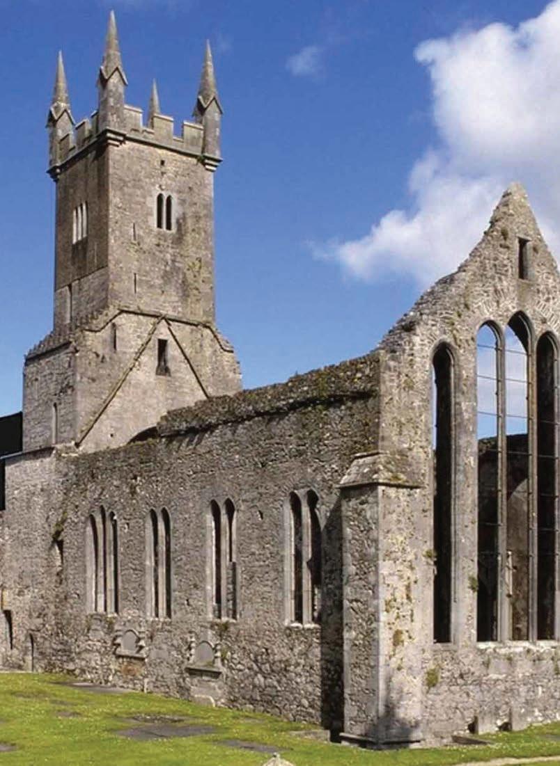
Irish Seed Savers Association, winner of the Heritage Council’s Hidden Heritage award in 2018, is one of Ireland’s leading environmental charities. Based in Scariff, County Clare, their twenty acre farm is filled with organic seed gardens, heritage orchards, woodlands and the country’s purpose built living seed bank, making it a must visit destination when in Clare county. This working organic farm is a hidden gem existing as a living testimony to the richness and wealth of Ireland’s food crop heritage and culture.

Situated in the east of the county, within a short drive from Galway, Tipperary and Limerick, their farm is close to the waterways of Lough Derg. Their mission is to research, protect and conserve rare varieties of Irish heritage apple trees and heirloom vegetable seeds, many dating as far back as the 1700s. These varieties are then grown, for view in their
heritage orchards and seed gardens, surrounded by the breathtaking views east Clare has to offer. Their seeds and trees are available to customers in their on-farm garden shop and through their website www. irishseedsavers.ie
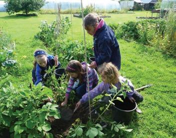
Attracting visitors from all over the world who can either explore these gardens and orchards on a self-guided tour or if you are part of a larger tour group then pre-booked guided tours are available.
These Hidden Heritage tours promote Ireland’s agricultural biodiversity while focusing on topics such as food security, farming traditions and best organic practices. Whether you have a horticultural background or not, you will leave Irish Seed Savers with a knowledge of their vital conservation work, an insight into the traditions of heirloom and heritage varieties and an invigorated sense that we can all play our part in protecting our environments Hidden Heritage.
84 PROMOTION
SEED SAVERS Protecting Ireland's food heritage for future generations All Welcome Visit and explore our 20 acre heritage gardens and orchards and Ireland’s living seed bank Buy your own heritage seeds and apple trees at our on-farm shop. Capparoe, Scariff, Co. Clare info@irishseedsavers.ie www.irishseedsavers.ie
IRISH
Ennis Friary - Ennis Clare
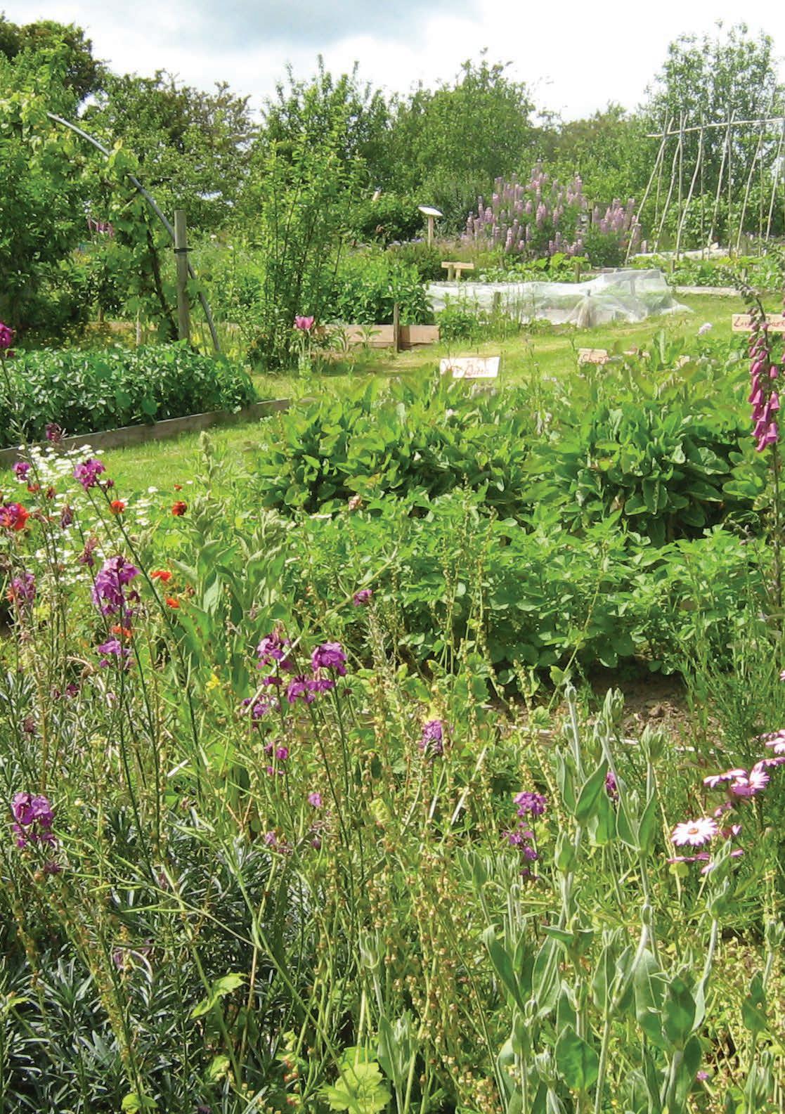
LAHINCH COAST HOTEL & SUITES
John and Bríd O’Meara took the reins of the four-star Lahinch Coast Hotel in 2019 with the excitement of nearby Lahinch Golf Club about to host the Dubai Duty Free. The couple became Co-Owners and have since run the property with a superb team around them. After the stylish redesign of the ground floor in reception, drawing room, Aberdeen Bar and Restaurant the hotel has become a perfect base for exploring Co. Clare for families, couples, and keen golfers. The Hotel which also boasts a Leisure Centre and Swimming Pool has an ideal location in the seaside town of Lahinch.
The Aberdeen Bar and Restaurant is stylish and comfortable with excellent “Gastro-Style” bar and restaurant food. John and Bríd are always busy making improvements working with a dynamic team that are constantly looking to improve standards and look after their guests. The Hotel has had a modern refurbishment and enhancement of many of the hotels guest bedrooms.
• Nominated as Best Four-Star Hotel, Family Friendly Hotel and Best Customer Service in Gold Medal Awards 2022.
• Finalists in “Irelands Guest Experience” 2023
• Listed in Georgina Campbells “Best of the Best” 2023
GETAWAY TO LAHINCH CO. CLARE
Four Star Hotel on the Wild Atlantic Way with Leisure Centre and Swimming Pool
Enjoy walks on Lahinch Beach and Golf at Lahinch Championship Golf Club
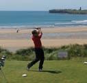
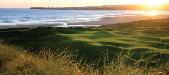
Just ten minutes from the world famous Cliffs of Moher
Explore Co. Clare’s wonderful gems including The Burren Region Enjoy the atmosphere of the Coastal town of Lahinch
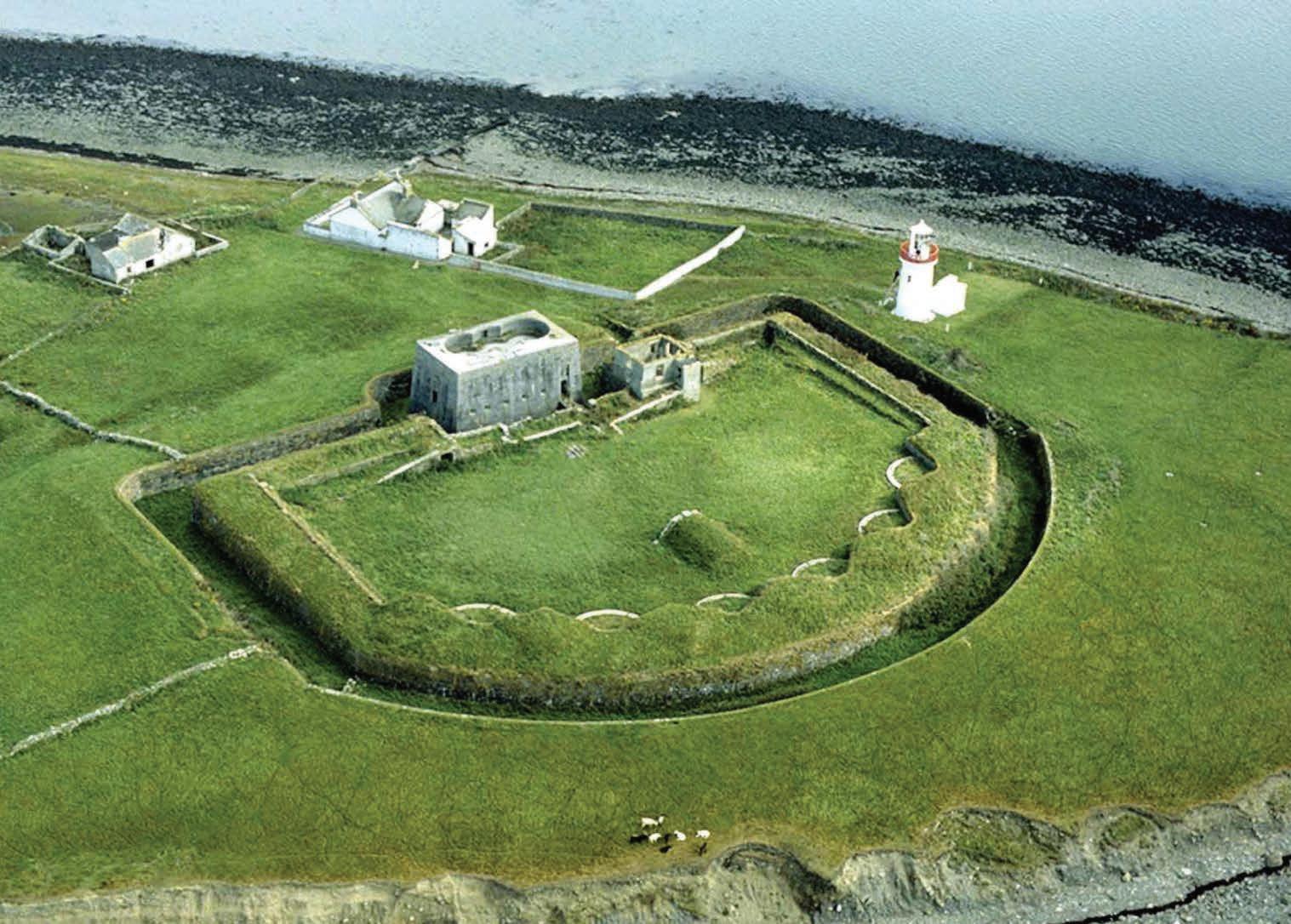
LAHINCH CO.CLARE
Telephone +353 (0) 65 7081 100 info@lahinchcoasthotel.ie
www.lahinchcoasthotel.ie
86
It’s a perfect base to explore the Wild Atlantic Way
Scattery Island Center - Kilrush, Co Clare
‘A gateway between the South and Mid-West’, Shannon Ferries offer a ferry service between counties Kerry and Clare, saving travellers a huge 137 kilometres of driving! Offering an unrivalled service to tourists and locals alike, allowing them to take in more of Ireland’s beautiful scenery and tourist hotspots with ease, Shannon Ferries links the picturesque Tralee and Dingle regions to the untamed beauty of the Burren and the Cliffs of Moher.
Established in 1969 in response to the demand for a route across the Shannon Estuary from Kerry to Clare, the Shannon Ferries service now operates two ferries, the Shannon Breeze and the Shannon Dolphin, which depart from Tarbert in Co Kerry to Killimer in Co Clare.


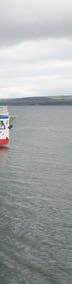
Ideally located on the Wild Atlantic Way, Shannon Ferries offers travellers a break from the road with their 20 minute passage across the Shannon. Aiming to promote tourism in Kerry and Clare, as well as surrounding regions, Shannon Ferries facilitate laid back, enjoyable travel

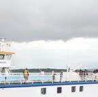
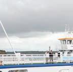

Choose from the mixture of majestic mountains and ever changing coastlines, lakelands, woodlands and bustling towns in Kerry, or the equally majestic Atlantic coastline in Clare. Loop Head is one of the most remote and wonderful places in Ireland. The Loop Head Drive will take you to numerous scenic locations as well as to cliff angling spots The County of Limerick is a place of rural charm and great beauty, with a gently undulating landscape that varies from the mountains of Ballyhoura in the Golden Vale to the Shannon Estuary With Shannon Ferries, the possibilities are endless and there is something to suit everyone!
The service accommodates pedestrian passengers, cyclists, cars, coaches, mini-buses, and commercial vehicles, with ticket prices starting at €5.40 throughout the summer months, the ferries run from 7 00am to 9.30pm. Visit www.Shannonferries com


87
Dingle Killarney
Bantry
Kilkee Ennis
Kenmare Cork
Skibbereen
Doolin Ballybunion N67 www.shannonferries.com tel: (065) 9053124 Shorter Crossing...Longer Memories! CLARE KERRY Daily sailings between Killimer and Tarbert. Save money and miles with this 20 minute trip! Your gateway to the www.shannonferries.com tel: (065) 9053124
Clonakilty Kinsale Gort Galway Bay Aran Islands Limerick Shannon Listowel Lahinch
DOOLIN CAVE
EUROPE’S LARGEST STALACTITE

350 MILLION YEARS BACK IN TIME
125 STEPS UNDERGROUND
1 INCREDIBLE DESTINATION
Discover the power of ONE at Doolin Cave and see for yourself how a single continuous drop of water formed the largest stalactite in Europe, the only one of its kind in Ireland, and a force of nature that will take your breath away.
Prepare for a true underground experience. Deep in the heart of the earth, 200 feet down, Doolin Cave is a fantasy-like world created from water, time and the hand of nature. Take a journey down through an intricate system of passages and pathways that will lead you into the majestic cathedral-like dome of the cave and the awe-inspiring wonder that is the Great Stalactite. 7.3 metres long and weighing
around 10 tonnes, this vast structure reaches down from the roof of the Cave, catching the light, reflecting colours and detail like a massive, ornate glass chandelier. It is a sight like no other and one that will stay with you forever.
At the same time, Doolin Caves gives you a wealth of different experiences – and you’ll go from underground adventure to fabulous above-the-ground attractions…
You can take home a memory – with beautiful Doolin Cave Pottery created by resident artist Caireann Browne and available to buy in our Gift Shop and online. You’ll love how its rich
textures and glazing beautifully echo the flow, drip and layering of the Cave’s stalactites.
You can embrace nature – follow the Doolin Cave Eco Trail – a fascinating 1 km looped path around the Cave where nature runs free, and the natural wildness is rich with meadow flowers, indigenous plants and trees and local grasses.
You can taste the Burren – take a rest and enjoy the best of the Burren local produce at our ‘Wild at the Cave Café’ - real, good, wholesome deliciousness made from the freshest local produce.
KENNY’S ART GALLERY, LAHINCH
by Peg Quinlan, Artist-in-residence (Summer 2019)
‘when the wind and the light are working off each other,So that the ocean on one side is wild with foam and glitter’…
…words the inimitable Seamus Heaney used to describe a sliver of the beauty of Co. Clare’s west coast. With its jagged coastline, golden sands and bleached Burren moonscapes, this most beguiling of Irish counties has also inspired impressionist Peg Quinlan to capture something of its essence.
Based in her studio in Liscannor, Quinlan employs pure, intense colour to illustrate those magical momentary effects of light. Painting primarily with oil on canvas, her work aims to represent our experiences of the Clare landscape — rather than merely reproducing what the eye sees.
Those wind-whipped whitethorns and lime-green fields; Derelict dwellings rattling with ghosts; The curious heads of mottled cattle staring over lichen-splashed stone walls. Renowned for her skill with the pallet knife, Peg has also rendered the most famous views of and from McKenzie’s Championship golf course framed by the rugged ruins of O’Brien’s castle and the shimmering waters of Lahinch bay.
The coastline’s more mysterious, hidden wonders have also caught the artist’s eye. Delicate exotic flowers nestling in the Burren’s grikes or drystone walls hosting spring mosses and primroses are frequent subject matter. In 2017 Quinlan introduced a collection of abstract paintings at the RHA based on the lacy patterns in Liscannor’s famous flagstone and Kenny’s Art Gallery have commissioned a capsule selection of these.
Lahinch ART GALLERY
KENNY LAHINCH
GALLERY AT KENNY WOOLLEN MILLS newly renovated art space
ART
Open 7 days - 2019 - Home of art by Irish Artists. Exciting new works and introducing new exhibitions this summer season
Easter 2019 - "Day trip Memories" - June 2019 - Westward - July 2019 - special art pieces for the Dubai Duty Free Irish Open in Lahinch. featuring Lahinch Art Gallery resident Artist , Peg Quinlan RHA,, Kate Beagan, Philip Gray, Marie Noonan McDermot, Liam Jones, Henry Morgan, Marie Fallon, Dominique Beyens. www.lahinchartgallery.com
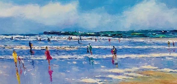
89
PROMOTION
GALWAY
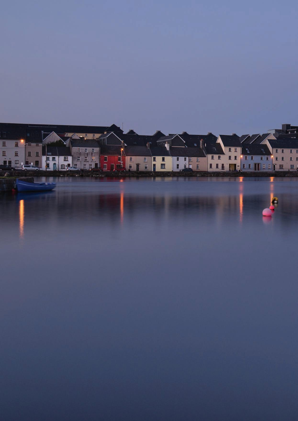
90
TRIVIA
Galway is famous for being the cultural and festival capital of Ireland, hosting on average 122 festivals and events per year and will be the European capital of Culture in 2020.
689 kilometres of Galway’s coastline is part of Ireland’s Wild Atlantic Way. Galway City is nicknamed “The City of Tribes” after the fourteen merchant families who led the city during the Hiberno-Norman period, there are Fourteen roundabouts throughout the city named after each family. Galway is also home to the longest place name in Ireland, Muckanaghederdauhaulia, which means “piggery between two briny places”.
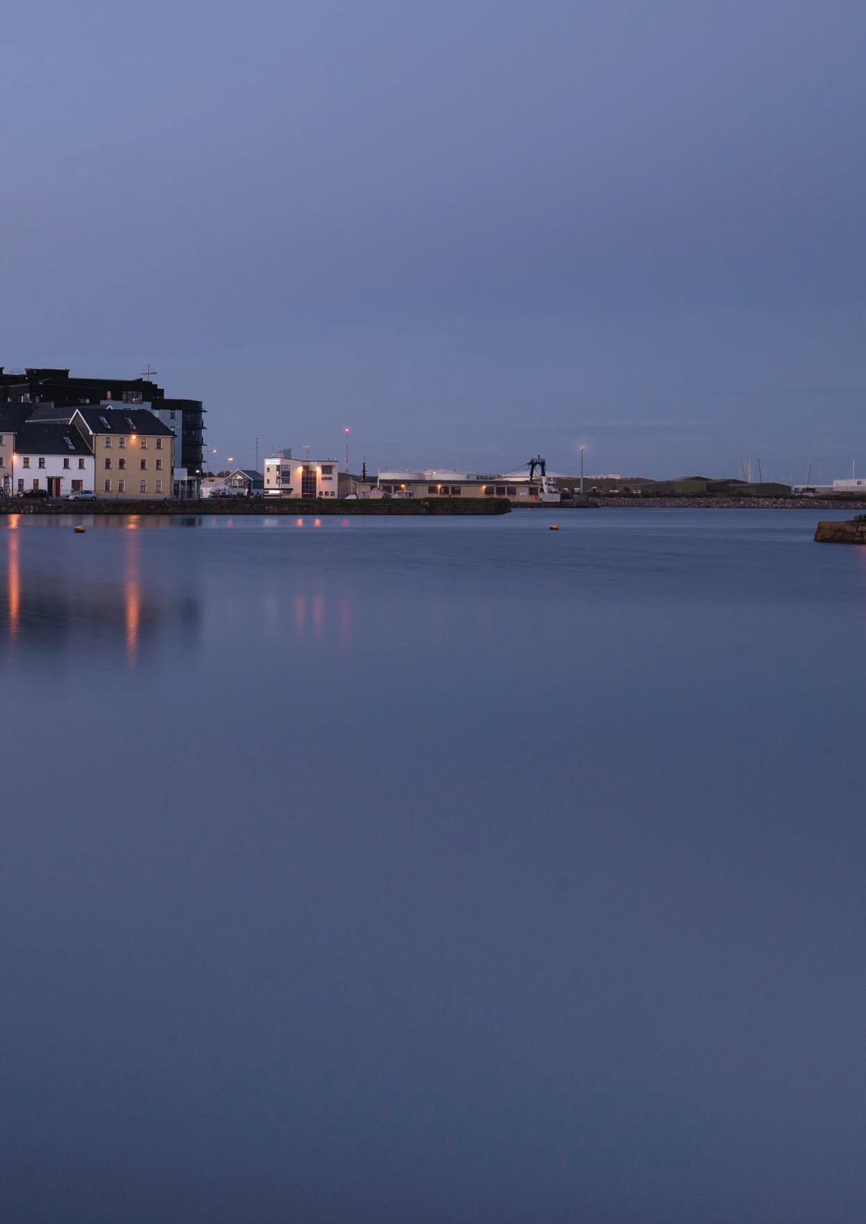
To
91
Blue Flag
Atlantic
Towns Wild Atlantic Way Route WILD ATLANTIC WAY VIEWPOINTS To Clare
Beaches
on the Wild
Way
RINVILLE PARK AN SPIDEAL LIEITIR MOIR CAUSEWAY OILEAIN FINIS GORT MOR GORTEEN BAY BUNOWEN BAY DERRIGIMAGH SKY ROAD OMEY ISLAND INISBOFIN ISLAND CRUMP ISLAND VIEW KILLARY HARBOUR SOUTH Gort Portumna Ballinasloe Loughrea Kinvara Athenry GALWAY CITY Tuam Oughterard Clonbur Carraroe Cliften Kylemore INS MEAIN INIS OIRR ARAINN MHOR Traught Beach Salthill Silver Strand Cill Mhuirbhigh Trá an Dóilin Trá Mhór, Coill Rua CEIBA AN TSRUTHAN
Mayo

GALWAY
GALWAY CITY
The cultural capital of Ireland.
The city’s hub is 18th-century Eyre Square, a popular meeting spot surrounded by shops and traditional pubs that often offer live Irish folk music. Nearby, stone-clad cafes, boutiques and art galleries line the winding lanes of the Latin Quarter, which retains portions of the medieval city walls.
Galway is famous for being the cultural and festival capital of Ireland, hosting on average 122 festivals and events per year and will be the European capital of Culture in 2020. 689 kilometres of Galway’s coastline is part of Ireland’s Wild Atlantic Way. Galway City is nicknamed “The City of Tribes” after the fourteen merchant families who led the city during the Hiberno-Norman period, there are Fourteen roundabouts throughout the city named after each family.
Arty and bohemian, Galway is one of Ireland’s most engaging cities. Brightly painted pubs heave with live music, while restaurants and cafes offer front-row seats for observing buskers and street theatre. Remnants of the medieval town walls lie between shops selling handcrafted Claddagh rings, books and musical instruments, bridges arch over the salmonstuffed River Corrib, and a long promenade leads to the seaside suburb of Salthill, on Galway Bay, the source of the area’s famous oysters.
Galway is famed far and wide for its pubs, most of which are just a crawl from the next. Join the friendly locals as they bounce from place to place, never knowing what fun lies ahead but certain of the possibility. A brilliant starting point is Tigh Neáchtain (or just Neáchtain’s – pronounced ‘nocktans’ – aka Naughtons), a bright-bluepainted 19th-century treasure that attracts all walks of life beneath its low ceilings and on its tree-shaded terrace. Old-school O’Connell’s, with stained glass, pressed-tin ceilings and a partially covered beer garden, is another enduring gem. Galway’s brightly painted pubs heave with live music. You’ll hear high-spirited trad tunes featuring any combination of instruments – fiddle, tin whistle, bodhrán, guitar, banjo, squeezebox and more – pouring out from inside. It’s possible to catch a traditional music session
every night of the week. Nightlife options are not just limited to pubs, whether its drama, traditional music, or simply soaking up the vibe on the bustling city streets, you’ll find plenty to do at night in Galway. The Town Hall Theatre is the best option for seeing a visiting production company’s latest dramatic performance. At sunset, take an evening stroll along the promenade and watch the sunset over Galway Bay or watch the salmon fishermen in the River Corrib from the perfect vantage point of the Salmon Weir Bridge. Some of the city’s fine museums are often open at night as well as poetry readings, walking tours and no doubt some sort of festival occurring, those who are suited to pubs will always be kept busy in the moonlight.
Shop Street is easily one of Ireland’s most picturesque streets, Galway’s main shopping spot is a pedestrianized stroll invariably crammed with buskers and street performers. The pubs call you in, the shops have bright, enchanting fronts and beautiful window displays, while Lynch’s Castle and its ugly gargoyle stand proudly overlooking it all. This cobbled pathway is constantly heaving with excitement, market stalls stir the senses and invite to slightly depart from Shop Street to taste the artisan products that are located nearby. As Shop St nears its conclusion the famed Spanish Arch is just a short walk away.
Positioned on the left bank of the Corrib River, The Spanish Arch is one of Galway’s historical gems, dating back to pre-medieval times. Built in 1584 it is an extension of the 12th century Norman -built town wall, which stretched from Martin’s Tower to the riverbank. it was first known as Ceann an Bhalla (‘the head of the wall’) but later became known as the Spanish Arch. This misnomer is thought to be a reference to the former merchant trade with Spain and Spanish galleons, which often docked here. In medieval times, European ships carrying cargo of wine and spices sold their goods at the docks. In fact, Christopher Columbus visited in 1477. In 1755, The Spanish Arch was partially destroyed by a tsunami. In the 1800s, the Eyre family (For which Galway’s main square is named after) added the Long Walk extension. Today, visitors can hang their legs over the banks of the River Corrib
and relax as the flowing waters race by. This city will be the European capital of culture in 2020 and its not hard to see why it was chosen. Galway is rich in culture and they celebrate this through a variety of festivals each year. Standouts include late March’s Galway Food Festival, with markets, food trails and family activities; late April’s poetry- and prose-filled Cúirt International Festival of Literature; mid-July’s Galway Arts Festival and Ireland’s leading film festival, the Galway Film Fleadh; horse racing and high fashion at the uproarious Galway Race Week, starting on the last Monday in July; and late September’s longrunning Galway International Oyster & Seafood Festival.
If the hustle and bustle of Galway city is too much you can escape across the bridge and “Take a whirl round the Salthill Prom” as famous Galway Girl song says. The beautiful Salthill promenade allows you to walk alongside the Atlantic and watch as its waves crash against the Galway coast. Its famous diving board may even entice to you dive into the Atlantics icy waters.
The city can also be used as a hub to further explore the Wild Atlantic Way. With Connemara on your doorstep a visit to Kylemore Abbey or Ashford Castle while taking in the magnificent mountains and lakes of Connemara National Park on your way is also highly recommended. The unspoilt Burren region across Galway Bay in Clare is also worth a visit. The weathered limestone landscape holds traces of the past with megalithic tombs, ringforts, cairns, holy wells, souterrains and stone walls scattered throughout the area to explore. The Famed Aran Islands are just a ferry away, these islands allow you to experience an Ireland of times past and their beauty are unmatched.
Irelands cultural capital is fondly remembered by all who visit it, its compact size and charm never get old and when in this city you get a sense of its unique feeling. This city will stay with you and just like the tide, you will constantly be drawn back to it when leaving.
93
GALWAY’S NATIVE OYSTERS
The native oyster is nurtured by the Atlantic in the harbours and bays of Ireland. Otherwise known as the European Flat oyster, they are best eaten in months that have an “R” in them and are celebrated each year in Galway city with the longest running oyster festival on the planet. Oysters not only benefit the environment but also have health benefits as well as being known as an aphrodisiac. Oysters are certainly good for your health being rich in zinc, this leads to higher energy levels and maybe the reason why oysters are known throughout the world as an aphrodisiac. It has other benefits too, it enhances your immune system, helps cure acne, eases rashes and even makes your bones stronger.
While there are over a hundred acknowledged varieties of oyster, these originate from just 5
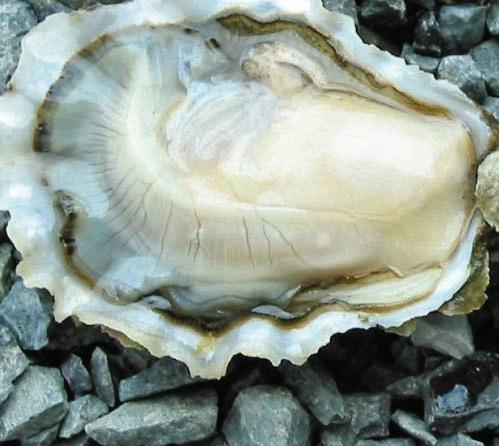
species: Pacific Oysters (or Japanese Oyster), Kumamoto Oysters, European Flat Oysters, Atlantic Oysters and Olympia Oysters. Of these, it is the Atlantic species that which is celebrated in Galway. It is a little-known fact that oysters filter between 30 and 50 gallons of water each day, making them not only clean and delicious but integral to the environment.
An old saying is that you are not meant to eat oysters in months that don’t have an “R” (May, June, July and August). This stems from a time before refrigeration and only came about as it was too difficult to keep them fresh and delicious during these months. Another reason is that in the summer months the bivalves are spawning, and this gives them a weak and watery flavour. During the winter months, when the water is cooler, these molluscs really thrive and that is when you can really experience the exemplary taste of the oyster.
In Galway, the care of the oysters continues as it has done for hundreds if not thousands of years by The Kelly family. They ensure a sustainable supply of oysters through careful stewardship of their beds without the need for intensive farming. With a lineage that can be traced back over a millennium to the first kings of Connacht, the Kelly’s long and proud connection to the sea is perhaps why they have a complete understanding and affinity with this part of Ireland and the fine oysters that grow so well here.
The Native Oyster is the gourmet’s favourite, also known as the European Flat oyster, this is the oyster which is native to Irish shores. Native oysters are considered to be a great luxury due to their wonderful flavour and the scarcity of them. The Atlantic gushes into the harbour twice a day leaves a natural bounty of oysters, that then mixes with the waters of
94
GALWAY
Clarinbridge and Killorgan to provide fabulous flavour to the mollusc. The Oysters will then filter up to 11 litres of water every hour during their four or five year stay in the harbour, before picked from the water when they reach edible maturity.
Each year the city heralds the arrival of the native oyster with a festival. When September comes around, and its “R”, The International Oyster & Seafood Festival celebrates these creatures for a 4-day period at the end of September. This is a highlight of Ireland’s festival calendar and it is the longest running oyster festival in the world.
The 2019 event takes place from Friday, September 27th to Sunday, September 29th, 2019 at the Nimmos Pier Marquee. During this popular food festival, you can expect to experience a wide variety of tantalising events to enjoy from seafood trails, oyster hot spots,
oyster opening (shucking) championships including the Oyster ‘Olympics’ or World Oyster Opening Championship, foodie talks & tasting events in some of Galway’s finest restaurants, food provenance tours, sample delights at the intimate food village at The Festival Marquee, a Mardi Gras style Gala Event through the streets of Galway, Best Dressed Lady competition, the Tribal Oyster Feast Off oyster eating competition along with family activities, live music, cooking demonstrations, ‘Hot Oyster Awards’ cooking challenge and more.
Over the three days, the festival hosts the World Oyster Opening Championship, an annual beauty contest to select the Festival Pearl, a Mardi Gras Party with Champagne, Guinness and Oyster reception and an electrifying line up of top class artists, an afternoon Marquee Reception (with more Guinness and Oysters)
and the grand finale, the Gala Ball. Running annually since 1954, The Galway International Oyster & Seafood Festival has welcomed over half a million visitors, consumed more than 3 million oysters and all washed down with champagne and stout whilst listening to some of the best musicians in Ireland. A Seafood Trail is a new addition to the festival which includes a selection of Galway’s best restaurants serving locally sourced ingredients & seafood; each restaurant will have Galway Oysters available from Thursday 26th to Sunday 29th so all visitors can try the famed delicacy.
Although you may not be in Galway during this festival, or a month with an “R” in it you can still sample the very best quality oysters while walking throughout the city. Pacific oysters are available right throughout the year, while you may be lucky enough to sample the illustrious native oyster, if the stocks haven’t run out!
95
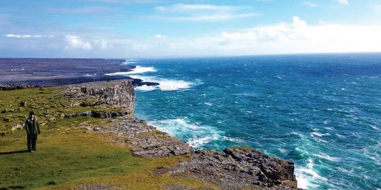
GALWAY
A WILD RIDE
by Araon Eustace
Adventures await for those who seek them on The Wild Atlantic Way
Perched atop a 300ft high cliff on an island in the Atlantic Ocean lies an ancient fort that has been battling the crashing waves of The Wild Atlantic Way for generations. Travelling by train, boat and bicycle I ventured Into The Wild to explore this island and go behind the ancient fort’s stone walls.
Euston Station was the beginning of my journey to Inis Mor, A lunchtime train to Galway dropped me at Ceannt station in the famous Eyre Square. Saturday evening in Galway is a sight to behold (especially if it’s not raining), Eyre Square and Shop St are teeming with people who are there to sample the shops, sights and smells that percolate around this quaint city. Markets are aplenty on Saturday afternoons and these gave me the opportunity to sample the freshly baked artisan breads and stock up on carbs for the journey that lay ahead.
Leaving Shop St, I stopped to watch the kayakers that were traversing the heavily flowing waters of the River Corrib. Salthill was the next port of call as I would be staying the night in the beautiful Nest boutique hostel. Checking the weather forecast on my phone before bedding for the night it said that there was a 50% chance of rain in the morning, I closed my eyes and hoped that when they opened a sun filled sky would greet me. This being the west of Ireland, it was wishful thinking, I was awoken by the howling wind and rain battering the windows of the hostel. Oh well, I fled the nest and headed to Rossaveal to catch the first ferry to Inis Mor.
As I made my way down to the dock a rather peculiar sight awaited me, a group of individuals dressed as priests, nuns, milkmen and housekeepers were also waiting for the ferry. TedFest was taking place on the island this weekend, an annual celebration of the Irish sitcom Father Ted that sees Inis Mor morph into the fictional Craggy Island that was home to Father Ted and his fellow clergyman. I boarded the ferry and as we left Galway Bay heading into the Atlantic Ocean, I should have asked one of the priests to bless me as it was so choppy that I immediately felt sea sick. A relatively short while later I landed at “The Big Island” and my wild ride began.
At the end of the pier, you will find Aran Islands Bike Hire, a mountain bike costs €10.00 for a day and you will also get a map of the island that highlights the best sights that can be visited during your cycle. As I hopped on my bike and began to pedal the wind was blowing right into my face and I struggled to rotate the chain it was coming at such a force. Anyways, no time to waste the first stop along my journey to Dun Aonghasa would be the islands seal colony. Heading out of Kilronan it only takes literally a minute before you are surrounded by the famous stone walls and fields that are littered throughout this picturesque area. Turning a corner, I could now see a glimpse of sunshine peering through the clouds and my day would get even brighter by viewing the seals as they lounged on the rocks.
Throwing the bike behind a wall (be careful to remember which wall, they all look the same!), I wandered through a field so I could get a better look at these animals. They weren’t their jovial selves and I put this down to harsh weather that was
just about to clear. Meandering my way back up to the road, I eventually found my bike and surveyed the map for my next stop, Kilmurvey Beach.
This wonderful beach comes into view as you cycle around the road leading down to it, and what a view it is! The sun had now come out and was glistening on the white sands and pictureperfect blue waters that would make this beach not look out of place if it was located near Bondi or Coogee beach. The bike was yet again thrown behind a wall and I sat on the sand and watched a volleyball competition that was part of the TedFest celebrations, four Nuns V four Priests made for some highly entertaining viewing.
Looking west from the beach the island begins to rise and you can now see the ancient walls that surround Dun Aonghasa. Following the road uphill you will be greeted by Paudy’s Ice Cream Shop (try the Guinness Chocolate Cake) and as you swing a left you will arrive at the visitor centre for the fort. The bike will need to be parked here, as you go through the visitor centre a hike of about a kilometre uphill awaits you. The higher you climb the better the view you get, on your left side the cliffs rise and Atlantic descends to reveal the splendour of the island and as you pause to get your breath from walking, it will only be taken away again by the genuinely stunning view.
Dun Aonghasa is perched spectacularly on the edge of 300ft cliffs overlooking the Atlantic Ocean, It is enclosed by three massive dry-stone walls that you pass through as you enter this ancient fort. Those of a nervous disposition with heights should not get to close to the edge, the 300ft drop into the roaring Atlantic Ocean below is quite a view. As I sat on the edge in the sun-drenched fort I could see the whole island beneath and also look back towards the mainland and Connemara. The violent waves crashing against the cliffs is almost hypnotic and allows you to zone out and embrace the ocean as it sprays its contents high into the air.
A walk along the cliffs will bring you to the weirdly fascinating “Worm Hole”. This rectangular pool is naturally formed and as I looked at it, I couldn’t believe that it was not carved out by the locals as a place to safely swim. It is truly unique and has in previous years hosted the prestigious Red Bull Diving series.
As I hopped back into the saddle, I thought, its all downhill from here. I freewheeled almost the entire way back to Kilronan passing by the Islands most well known pub, Joe Watty’s Bar. A session was currently underway and yet again it was the clergy that was in attendance. I stopped briefly in the Aran Sweater market to have a look at the famous cardigans that feature in almost all my baby pictures.
It was now dinner time and I stopped in the gorgeous Bayview Restaurant to have the delicious fresh fish and chips. Looking out the window I could see the ferry coming into Kilronan Harbour and knew that my time on the island was drawing near its end. The bike shop was now closed, so for the final time I hid the bike behind a wall and followed a few fleeing priests onto the ferry and headed back to the mainland to relax after my venture into the wild.
97
HERE IS WHERE YOU EXPLORE OUR CAMPUS
NUI Galway is the oldest and largest university in the West of Ireland and is located in the heart of Galway city. Visit our riverside campus during your time in Galway and discover a place steeped in history.
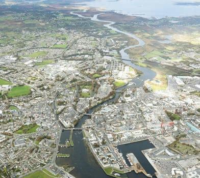
Take the University trail and explore some of Ireland’s favourite buildings, old and new. Discover fossils, gems, exotic creatures and ground-breaking computers in our campus museums. We are also Ireland’s most biodiverse university campus, and our Biodiversity Trail will introduce you to nine special habitats and the fascinating plants, birds, insects and animals that live there.These include:
• College Park in front of the Quadrangle - sycamore and horse chestnut trees, and pipistrelle bats at sunset in the summer.
• Eglinton Canal running underneath the O’Shaughnessy Bridge that links to Fisheries Field - trout, kingfishers and otters.
• Herb Garden outside Moffetts Restaurant at the Orbsen Buildingbees and other pollinators visiting flowers in summer.
• River Corrib along the campus river path - yellow iris and common spotted orchids in summer, mute swans and grey heron year round.
• Engineering Lawn in front of the Alice Perry Engineering Buildingblackbirds and goldfinches, and clover and buttercups in summer.
• Deciduous Woodland along the river path between the Alice Perry Engineering Building and Corrib Village - woodmouse, pygmy shrew, bluebells and wild garlic in spring.
• Alluvial Woodland along the river path past the Dangan Park and Ride facility - alder trees, ivy, fox and stoat and haws in autumn.
• Reed beds between the river path and the river - common reed, meadowsweet, willow warbler and reed bunting.
• Menlo Castle and Sports Campus on the opposite bank of the river from the sports pitches - barn owl, peregrine falcon and lesser horseshoe bat at dusk.
• All of Ireland’s nine bat species have been recorded patrolling the night skies above the campus.
Pick up a copy of the trails at the university Reception, underneath the archway into the beautiful Quadrangle building. Find out more at www. nuigalway.ie/visitors and www.nuigalway.ie/biodiversitytrail
98
DERRIGIMLAGH BOG
Derrigimlagh Bog is one of the Signature Discovery Points on The Wild Atlantic Way. There are over 180 Discovery Points along the way, but 15 of these have been chosen for their uniqueness, they have been designated as signature points and Derrigimlagh Bog truly fits this description.
This bog near Clifden in Galway holds international significance for not one but two reasons. In 1907 the world’s first trans-Atlantic radio station was opened by Italian inventor Guglielmo Marconi on the bog. Twelve years later in 1919, aviators John Alcock and Arthur Brown placed Derrigimlagh in aviation history by completing the first ever nonstop transAtlantic flight by crash landing in Derrigimlagh Bog. Today, the looped walk around the bog allows visitors to immerse themselves in the history and heritage of this walk by utilising techniques that allows visitors to use their
senses while walking along the loop.
Guglielmo Marconi is forever linked with Derrigimlagh, he set forth a communication renaissance when he transmitted the world’s first wireless message on 12th December 1901. The message–simply the Morsecode signal for the letter “s”–travelled more than 2,000 miles from Poldhu in Cornwall, England, to Newfoundland, Canada. Having received a grant of $80,000 from the Canadian Government to build a station at Glace Bay in Nova Scotia, he commenced the task of perfecting wireless communication with Poldhu from late 1902. He experienced extreme difficulty in providing commercially viable communications and decided to move his easterly station as far west as possible and after making tests at a number of sites he chose Derrigimlagh.
The station was not officially opened until 17th October 1907, when commercial signalling
commenced between Clifden and Glace Bay. It was a sight to behold, with the huge condenser house building, the power house with its 6 boilers, and the massive aerial system consisting of 8 wooden masts, each 210 feet high extending eastwards over the hill for a distance of 0.5 kilometres. The aerials gave off sparks which could be heard in the distance, indicative of the huge power and voltages involved.
As time moved on, advances were made in the technology and a more powerful station was built at Caernarfon in North Wales. The Derrigimlagh station was attacked by
The second event that gives international significance to this area is credited to British aviators John Alcock and Arthur Brown who made the first non-stop transatlantic flight in June 1919. There was also a small amount of mail carried on the flight, making it the first transatlantic airmail flight.
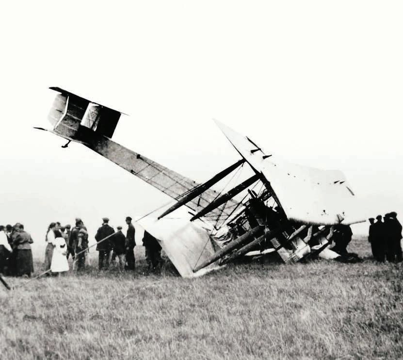
100
GALWAY
Alcock and Brown had taken off from Newfoundland just over 16 hours earlier, flying some 1,890 nautical miles through fog, darkness and a series of technical malfunctions before reaching landfall in Ireland. “At times the two voyagers found themselves flying upside down, only 10 feet above water,” the New York Times reported.
Crossing the Irish coast, Alcock and Brown spotted the tall masts of the Marconi wireless station. Recognizing their location, Alcock decided not to go any further. Switching off his engines, he glided towards what he thought to be a level stretch of ground behind the station. The wheels touched down and ran on a short distance, before coming to a stop as they sank into the bog. The nose dipped, and the tail lifted, and fuel began leaking into the cockpit. The airmen scrambled to safety, stepping onto Irish soil. “Yesterday I was in America,” Alcock announced after clambering from the wreck. “I am the first man in Europe to say that.”. A
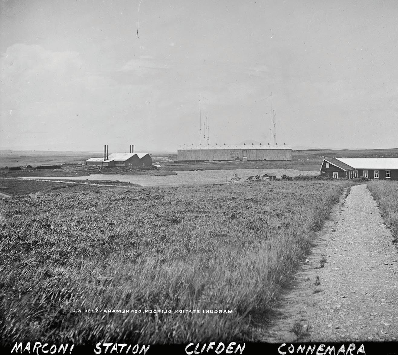
monument in the form of a planes wing now stands at the site where the pair landed and can be viewed while walking in the bog.
These sites can be viewed while on The Derrigimlagh Loop Walk, A 5km walk that brings visitors to points of significance and allows them to view over 4000 years of history. You can literally step back in time by visiting a set of ‘hides’ along the route which not only offer shelter but house old fashioned crystal radio sets which allow visitors to listen to recordings from the age of the Marconi station as well as recreated sound effects, there is also Tuning fork ‘organ’ which allows visitors to interact and experiment with different sound frequencies. One of the “hides” houses a wind reed installation which generates different sounds according to local wind conditions and emphasises the exposed and remote nature of the site. A number of ‘historioscopes’ allow viewers to view key points at the site and see how they would have looked in the early 20th
Century – including the old Marconi buildings and images from the Alcock and Brown crash site. A parabolic mirror – a specially designed sculpture which plays on acoustics, reflections and light encourages the visitor to engage with the landscape and appreciate the significance of sound to the location’s history. There are also a number of artistic interpretative panels along the route which further tell the story of the site. The walk itself is outstanding. This site has been very well thought out and created sympathetically to the landscape that surrounds it. Most of the walk is completed on raised wooden walkways and wide gravel tracks.
The tale of Derrigimlagh is a compelling story of 20th century technological achievement. which not only tells a story but actually immerses the visitor, it blends technology and environment in a unique way and all set against the background of the beautiful and remote landscape of Connemara.
101
“Yesterday I was in America, I am the first man in Europe to say that.”
John Alcock, 1919
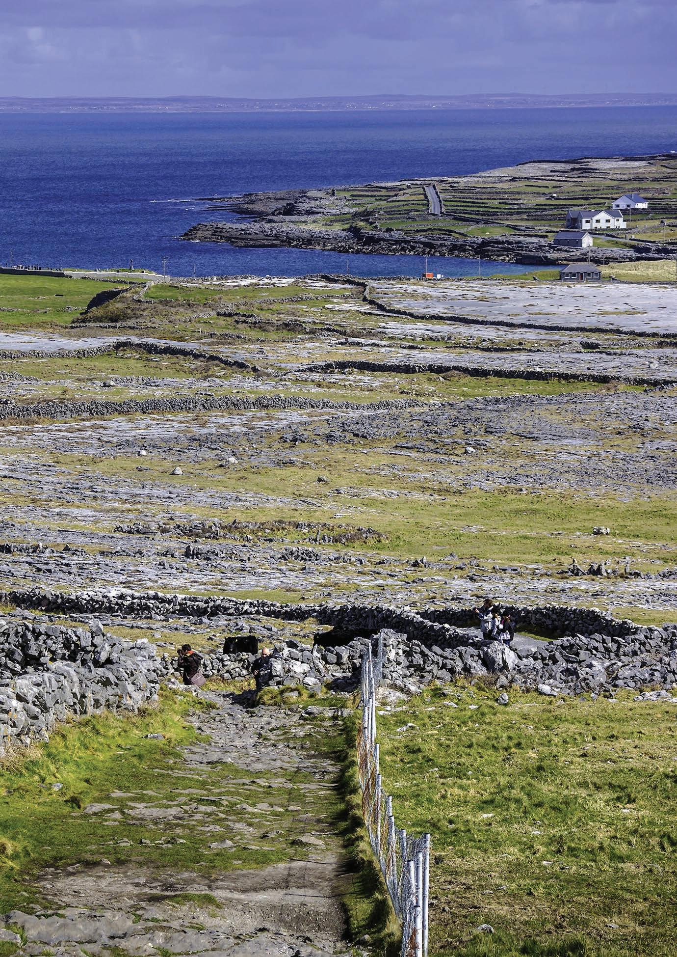
GALWAY
THE ARAN ISLANDS
The Aran Islands are a group of three islands situated in Galway Bay. These islands are very special places as they have remained one of the last remaining parts of the country, which still bear a very strong sense of Irish culture and language. The islands are ‘Gaeltachts’ (Irishspeaking areas) and their location has helped them to preserve and protect these traditions against foreign influences on the mainland down through the years.
INIS MÓR (INISHMORE)
The largest of The Aran Islands is called Inis Mór meaning “the big island”. That being said the island is only 12km by 3km in size. A windswept home to over 50 different monuments of Christian, pre- Christian and Celtic mythological heritage, and untouched by industrialisation, the island experience offers a unique glimpse into a bygone Ireland. Nowhere is this more tangible than at the spectacular pre-historic fort of Dún Aengus. The island is littered with similar sites that highlights this Islands importance to Irish culture. The island has unspoilt sandy beaches with clear blue waters, green fields with stone walls, beautiful cliff walks and spectacular views of the Atlantic Ocean – it’s really no wonder that it has been the setting for a movie and the inspiration for many writers and artists who frequent the island regularly. The best way to see to the island is on two wheels, you can hire a bike from the pier when visiting and you can then explore the whole island in your own time, taking in the many magnificent views that this island offers as well as visiting the seal colony that is located not too far from the pier.
INIS MEÁIN (INISHMAAN)
Inis Meáin Island is where you’ll find a more authentic escape from the modern world. With a population of just 200 people it is the least visited of the three islands. As the least developed of the three Aran Islands, its landscape, culture, and history can be explored in peace and at the visitor’s own pace. This combination of elemental beauty
and personal space has long attracted independent thinkers and artists and has been the inspiration for many well-known works including JM Synge’s The Aran Islands and Martin McDonagh’s more recent, The Cripple of Inishmaan. It has superb views of the Cliffs of Moher and has become a popular destination for diving due to its clear unpolluted waters. It has a share of historical attractions and an unusual flora and fauna similar to that of the Burren. The people of this island depend largely on fishing and sheep rearing which is important for making the famous woolly Aran jumpers.
INIS OÍRR (INISHEER)
The smallest of the islands is characterised by its distinctive charm. The island is 3km wide and nearly as long and has small hills and intricate little valleys and is easily covered by foot or by bike. This island has a character similar to The Burren with its unusual eclectic mix of colour and the Cliffs of Moher clearly visible in all its panoramic splendour. From the pier you are greeted with a pristine carpeted white sandy beach that faces crystal clear turquoise water. The local folk on the island still very much live a traditional Irish way of life. The little village on the island has a popular Irish pub, which is a great spot to enjoy a traditional Irish music session at its best!
GETTING TO THE ISLANDS
Getting to these offshore islands is a pleasant experience. Aran Island Ferries operates a year-round ferry to Inis Mór from Rossaveal. The crossing takes about 35 minutes. Rossaveal is 40 kms west of Galway City. A direct bus service is available from Queen Street in Galway City Centre to the Rossaveal ferryport 1.5 hours prior to sailings. From May-September Aran Island Ferries also operates from Inis Mór to Inis Oírr and Inis Meáin.
For more information see the Aran Island Ferries website www.aranislandferries.com
103
If you want to get a glimpse of the real Gaelic Ireland, then a visit to the Aran Islands is a must. They sit on the very edge of western Europe, just off the coast of Galway and draw visitors from far and wide to see their unique beauty, culture, history and heritage.
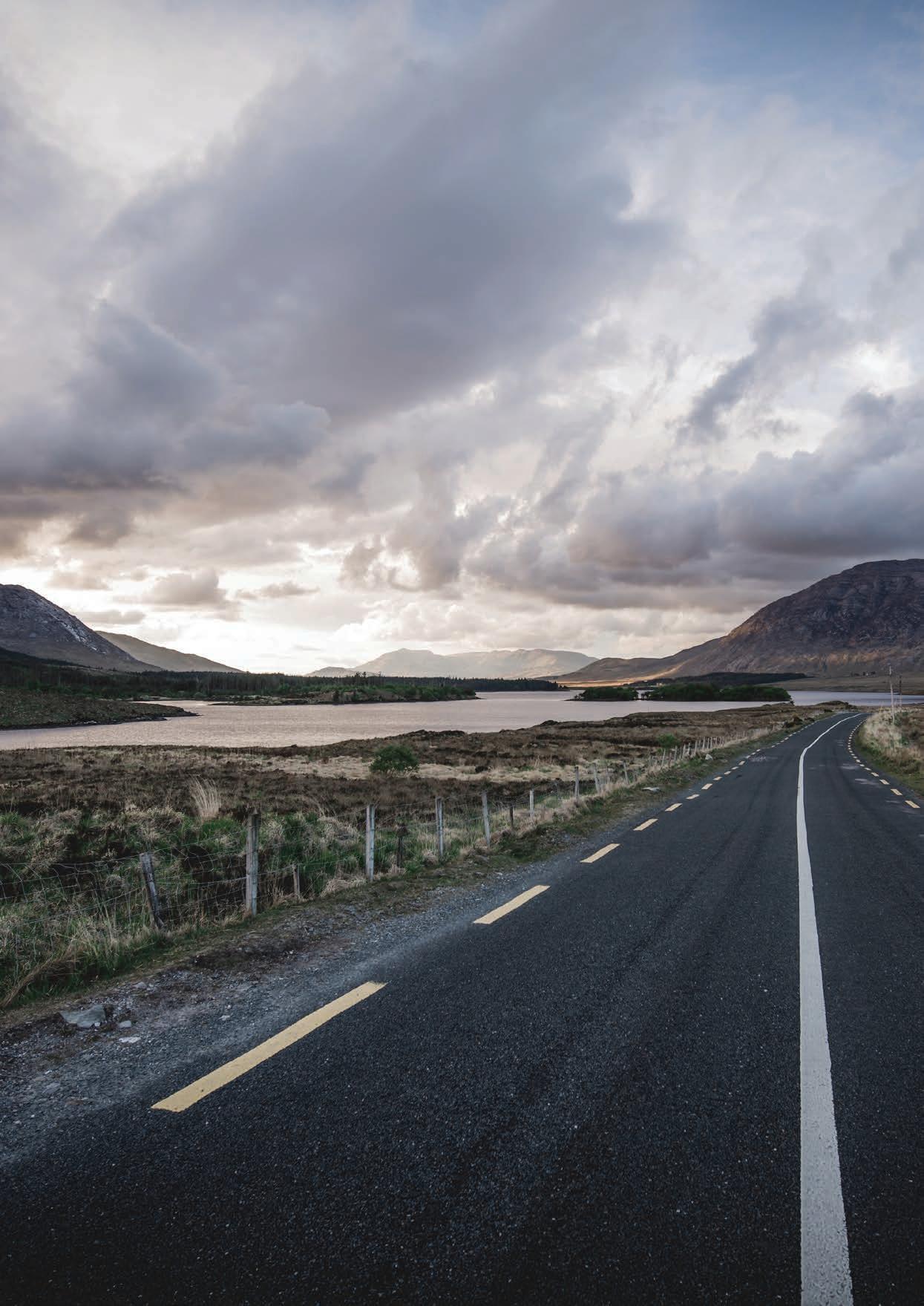
104 GALWAY
“CONNEMARA’S RICH COASTLINE INVITES ADVENTURE- THE MANY INLETS, PENINSULAS, BAYS AND BEACHES ARE YOURS TO EXPLORE.”
CONNEMARA
It is said that when you visit Connemara you “experience the real beauty of Ireland”. It’s located in the north west corner of County Galway and is an area of desolate beauty, incredible scenery and some interesting attractions, which combine to make Connemara a really beautiful place where Irish folklore is alive.
In County Galway, west of Lough Corrib is referred to as Connemara, and is divided into North Connemara and South Connemara. However, there remains some mystery as to where it truly begins and ends. This is a paradoxical landscape of geological jumble where masses of sandstone, limestone, granite and quartzite overlap and mushroom into marvellous creations of nature. Prior to the construction of Victorian roads, this area was out of bounds to the mainlandaccessible only by the sea and even then, nearly impossible to cross. It’s rocky moonlands and moorlands have given it a startling cultural resilience.
The defiant structures of Dún Aengus fort on the Aran Island of Inishmore speaks volumes of the ferocious opponents the people of this region once had to face. The local traditional boat, the currach, is still built and used in this region and has been the preferred choice of transport among both farmers and fisherman for generations.
The mountains of the Twelve Bens and the Owenglin River flowing into the sea at An Clochán Clifden, mark the boundary between both north and south Connemara. The raging Atlantic Ocean frames the region on the north, south
and east. Known as the largest Irish speaking region or Gaeltacht in Ireland, Connemara’s people exhibit a brisk rural charm and a rugged independent spirit.
Today’s Connemara is accessed by road, but this was not the case less than a century ago. Connemara is a far cry from Ireland’s citadels of power and in the early 1900’s it would have taken up to six days to make the trip from Ireland’s capital to the region. While Ireland has changed drastically over this period of time, Connemara holds onto the best parts of our Language and culture that has been forgotten in the intervening period.
Mannin is the widest of Connemara’s west facing bays. Here, about three miles of water separate its northern shore Errislannan from Errismore, a peninsula at its southerly end. A number of beaches line the head of the bay and the silvery Coral Strand is one worth seeking out. Not strictly a coral that crunches underfoot, but rather fragments of a coralline alga, a seaweed that draws on calcium carbonate dissolved in seawater. An Trá Choireálach near An Ceathrú is another fin coral beach of Connemara. The coralline seaweeds are collectively known as maerl and offer an abundance of hide outs for the great variety of sea creatures found here.
Of course, Connemara’s rich coastline invites adventure- the many inlets, peninsulas, bays and beaches are yours to explore. Alongside the rich sea life of Connemara, there is a bewildering array of onshore and offshore geographical phenomena. From cosy pubs to relaxing restaurants where local sea food is served in ultimate freshness- you will find many places to relax and unwind in Connemara, To the east rises the Mamturk Mountains and beyond them lies Joyce country, which is divided by the two lakes, Lough Corrib and Lough Mask, both excellent fishing destinations.
Take a walk out to Slyne head from Ballyconneely or take a boat out to explore the Islands. There is a regular tour from Cleggan to the Island of Inishboffin with its monastic remains. The Twelve Pins mountains rise to the east, hillwalkers are advised to purchase a local map to assist in navigating the wilds of these mountain treks
Oscar Wilde described Connemara as a “Savage beauty”, this region is rugged and charming, relentless and relaxing, it inspires and invites its visitors to explore the area and steep themselves in the culture and heritage that cannot be seen anywhere else in the country.
105
Cashel House Hotel Cashel, Connemara, Co. Galway
PH: 353 95 31001
Cashel House Hotel is a luxurious 4-star property
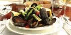

A perfect romantic hideaway - Cashel House formerly one of Connemara’s most gracious homes, set in 50 acres of magni cent gardens on the beautiful coastline of Cashel Bay with Cashel hill rising behind.
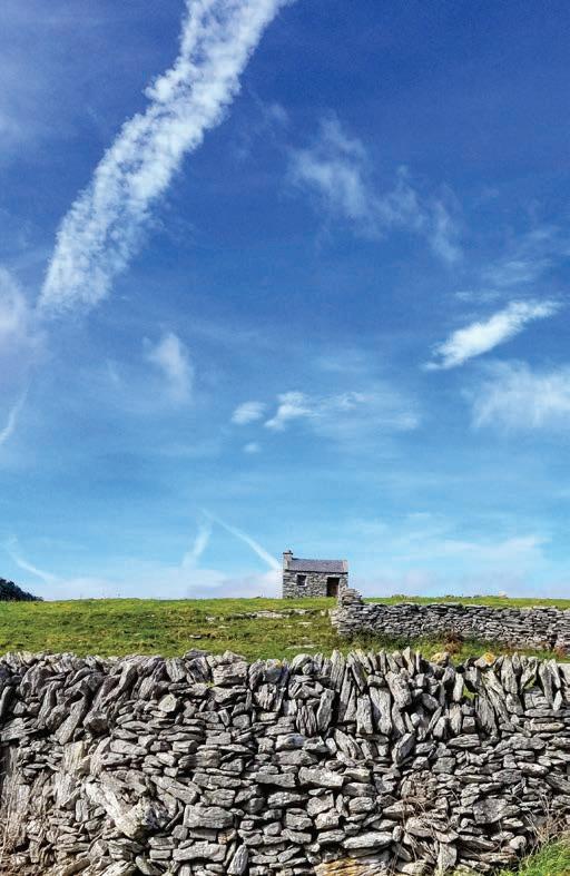
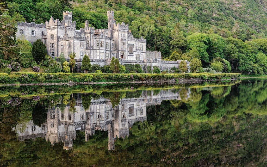
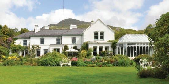
Owned by the McEvilly family for over 50 years, where a warm welcome awaits you. Relax in our drawing rooms with open log res, antiques and ne arts. Retire to comfortable bedrooms all individually decorated and newly renovated or dine in our award winning restaurant overlooking the garden which specialises in the nest fresh seafood dishes.
Enjoy walking, hiking, sea and lake shing, golf and horse riding. Visit Kylemore Abbey & Gardens, travel to Aran and Inis Bo n islands or take a boat trip o Killary Fjord
106
● 6 Acre Victorian Walled Garden ● Restored Rooms in the Abbey ● Gothic Church ● History Talks and Guided Tours ● Woodland & Lakeshore Walks ● Café & Tea House, Craft &Design Shop NEW FOR 2019: FROM GENERATION TO GENERATION… THE STORY OF KYLEMORE ABBEY; A VISITOR EXPERIENCE T:+353 (0) 95 52001 E: bookings@kylemoreabbey.com W:www.kylemoreabbey.com Visit our beautiful 1,000 acre estate In the heart of Connemara
THE ARAN ISLANDS, GALWAY
Delphi Resort, Leenane, Connemara, is located along Ireland’s Wild Atlantic Way, a region richly steeped in local history and culture. A mountainous region of unspoilt natural beauty, there is a wide range of nearby places to explore whether walking, cycling or driving.
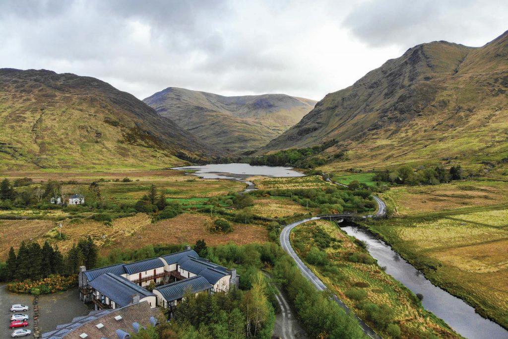
Delphi Resort is a popular Irish leisure break destination, boasting a 4* Hotel, Award Winning Spa with Yoga/Wellness Studio, Restaurant & Bar, Ireland leading Adventure Centre and budget Hostel Accommodation.
Leenane, Connemara, Co. Galway, Ireland
Phone: +353 (0)95 42208 | Email: info@delphiresort.com
www.delphiresort.com

C M Y CM MY CY CMY K Delphi Resort - HP - WAW 2023.pdf 1 16/02/2023 11:48:03
TRIVIA
Mayo comes from the Irish Mhaigh Eo, meaning ‘Plain of the yews, and is the third largest county in Ireland. The term “boycott” originated in Co. Mayo. The word derives from Captain Charles C. Boycott, a 19th-century British land agent for an absentee landlord, Lord Erne.
Boycott was frozen out by his local community in Ballinrobe, during the Irish Land War as a part of the Irish Land League’s campaign of ostracism. Newspapers as far away as the New York Tribune reported on the story, and The Times in London became the first newspaper to use the name in relation to the kind of organised isolation we associate it with today.
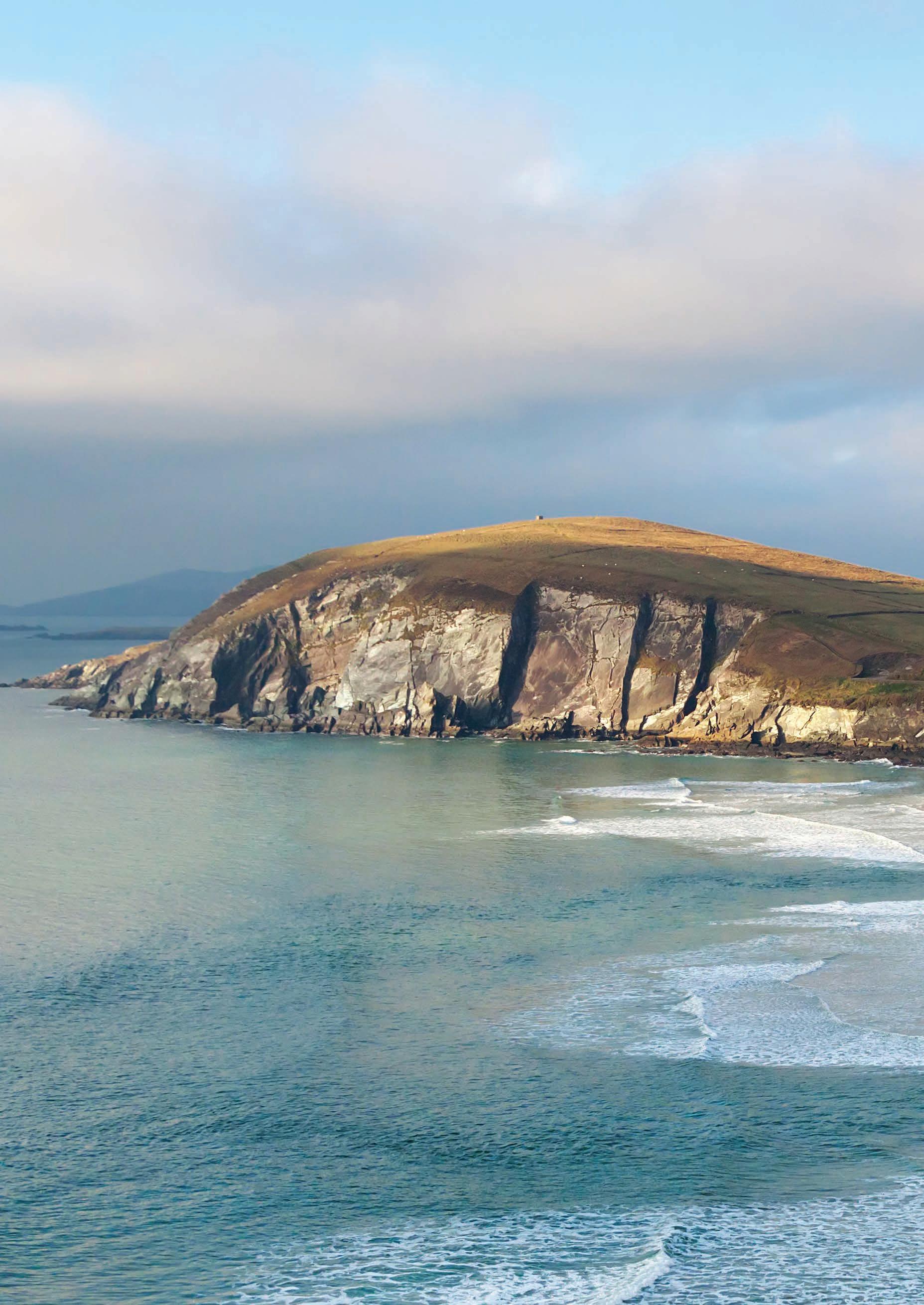
MAYO
108
Blue Flag Beaches on the Wild Atlantic Way Towns
Wild
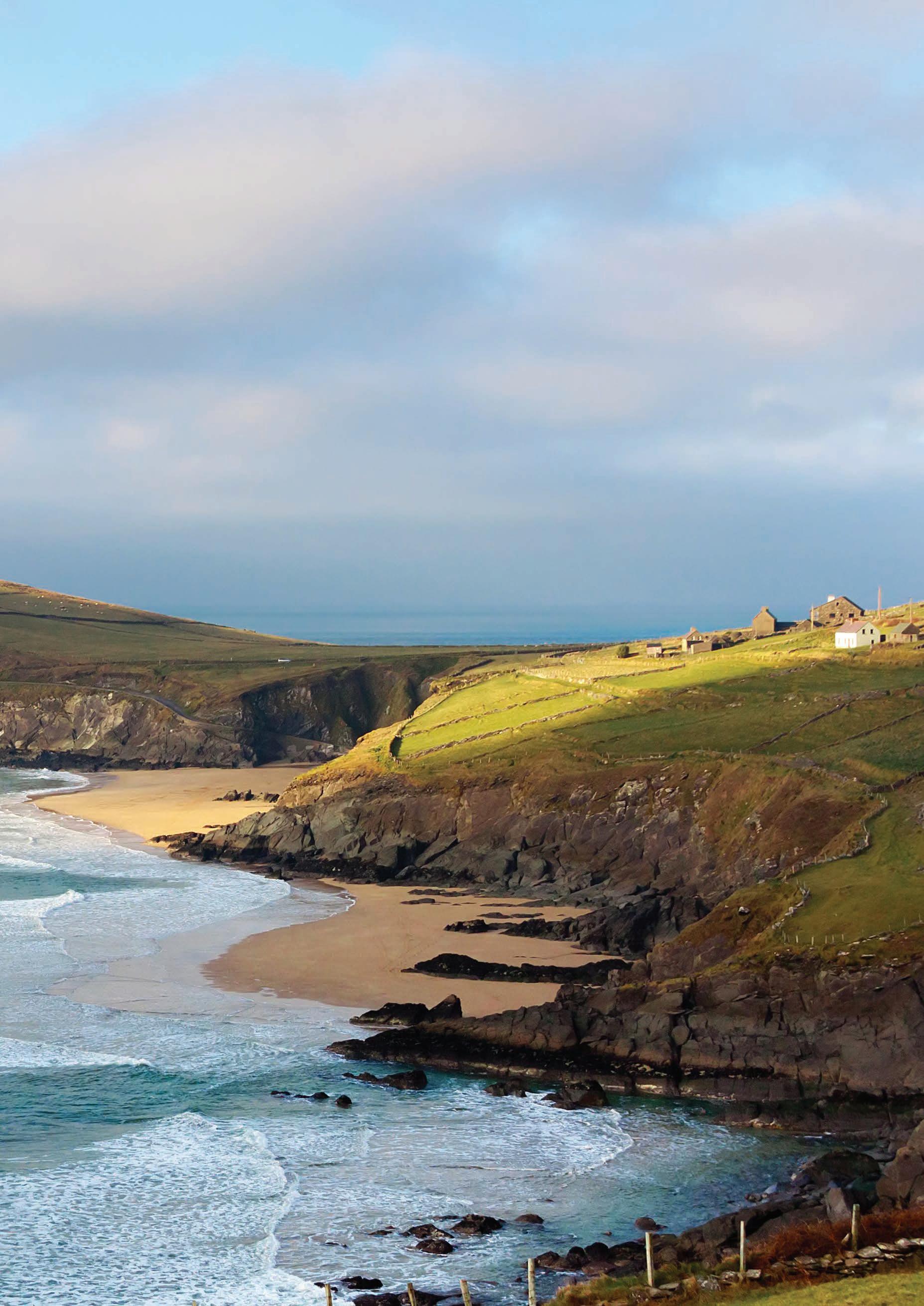
Atlantic Way Route WILD ATLANTIC WAY VIEWPOINTS
Flag Beaches on the Wild Atlantic Way
Atlantic Way Route WILD ATLANTIC WAY VIEWPOINTS Bertra Dooega Keel Dugort Strand Elly Bay Westport Castlebar Knock Ballina Foxford Charlestown HILLARY HARBOUR DOO LOUGH FAMINE MEMORIAL WHITE STRAND CARROWINSKY STRAND INISTURK ISLAND Newport CLEW BAY VIEW SPANISH ARMADA VIEWPOINT INIS BIGIL FAL MOR Belmullet CLAGGAN ISLAND CEANN EANACH CEANN DHUN MODHA BARR NA BINNE BUI MINNAN DOWNPATRICK HEAD LACKAN STRAND KILLAHA QUAY To Sligo Carrowmore Clare Island Old Head Golden Strand Mullaghroe Bangor Erris Ross To Galway Mulranny Keem Doohoma Ceann Ramhar 109
Blue
Towns Wild
MAYO
As Ireland’s third largest county, Mayo is extensive in its range of scenery, and breath-taking landscapes, as well as immense in its warm, welcoming hospitality to all visitors. This remote corner of Ireland with its Atlantic coastline, majestic mountains and meandering rivers has an unparalleled splendour and natural beauty all its own. A choice of outdoor activities and recreation abounds, ranging from a plethora of water sports as well as walking, cycling, horse riding, golf, fishing and sea angling. Mayo is steeped in history and every small village has its own tale to tell. Combined with all of this Mayo has awardwinning Blue Flag beaches, festivals, family fun activities, a number of unique old-fashioned pubs, fabulous restaurants, friendly local people and all the components for an unforgettable visit while travelling The Wild Atlantic Way.
Westport is perhaps Mayo’s most loved town; this area sits in the foothills of Ireland’s holiest mountain Croagh Patrick and is a beautiful area. This town is a charming piece of the land that is rich with history and heritage. Westport house sits on the shores of Clew Bay and is an excellent site for children and adults. The O’Malley family live in this residence and they can trace their roots back the Grainne O’Malley who was known as “The Pirate Queen” centuries ago.
Croagh Patrick is a mountain that dares you to climb it. This peak is reasonably tough and can be easily done in under four hours. Atop this mountain is a church and also a site that was said to be where our patron saint Patrick rested when summiting the mountain that is now named for him. The views from the top are just majestic, you look over Clew Bay and its 365 islands and on further towards North Mayo. Trust me, it may not seem worth it when you are crawling up the last part of the mountain
but the view that it provides is a worthy reward.
Close by is the National Famine Monument which takes the form of a “Coffin Ship”. The Great Famine of the 1840’s hit this area very hard with a group of 600 people dying close by in Louisburgh while trying to find food. Over 1 million died during this time with almost double that emigrating on the perilous “Coffin Ships” that were rife with disease. Mayo’s population has not recovered since and this is the reason that millions of people around the world can trace their roots back to the west coast of Ireland.
Another major spot in Mayo is Ballina, best known for the River Moy, its salmon fishing and the annual Salmon Festival. History lovers will also be drawn to Mayo’s ancient treasures, like Kilalla, with its famous round tower, is another lovely spot. Killala is a friendly and welcoming tourist destination with many amenities and a host of activities to occupy visitors of all ages. A strong tradition of fishing prevails in the area and the village harbour is a focal point for many visiting fishermen. Other locations for fishing include river, shore and offshore fishing. There are beautiful, unspoilt beaches in the region, including nearby Rossa Blue Flag beach, excellent for swimming and other watersports. If bird-watching or seal-spotting is your fascination, a medley of waterside birds can be spotted, such as cormorants, gulls, brent geese, ducks and more. Seals can often be seen in Killala Bay or nearby Bartra Island. The village itself is a quaint reminder of a bygone time and it is located close to the 5,500-year-old Neolithic landscape at the Céide Fields.
The Céide Fields are the oldest known field systems in the world, over five and a half millennia old. It is a unique Neolithic landscape of world importance, which has changed our
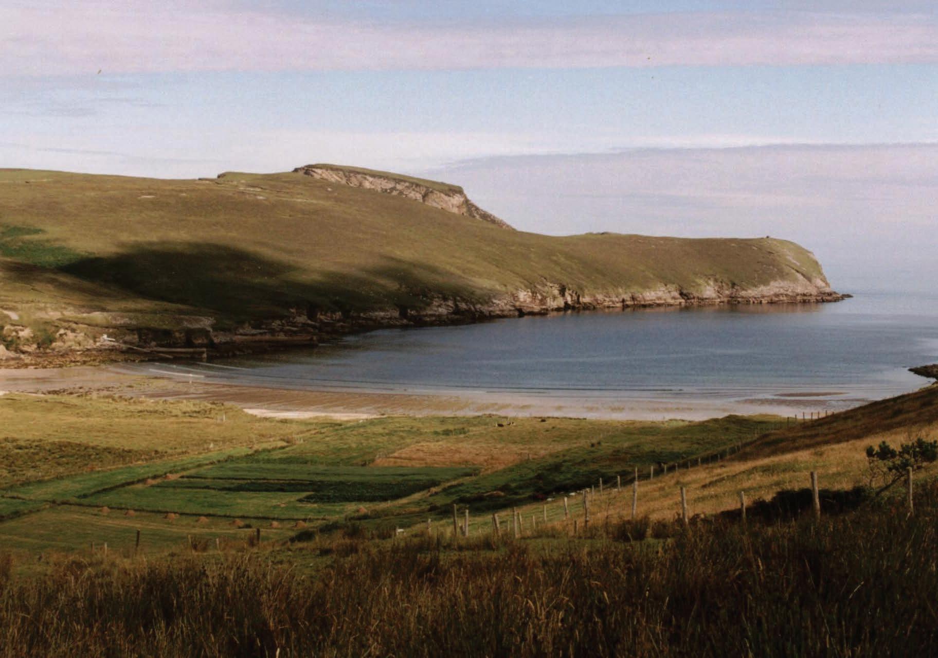
110
MAYO
No matter how long you spend in Mayo while on your travels, it will never be enough, this county is brimming with unique locations that stretch from sea shore right to the top of Croagh Patrick.
perception of our Stone Age ancestors. The remains of stone field walls, houses and megalithic tombs are preserved beneath a blanket of peat over several square miles. They tell a story of the everyday lives of a farming people, their organized society, their highly developed spiritual beliefs, and their struggle against a changing environment beyond their control.
Visit the multi-award-winning Centre, which has exhibitions, audiovisual show and tearooms and take a guided tour with professional guides and discover a buried wall for yourself using a centuries old method of probing. Experience the unique ecology of the bogland, with its colourful mosses, sedges, lichens, heathers, flowers and insecteating sundews while listening to the larks. Find out the fascinating story of an ever-changing landscape, such as why bogs grow and the huge influence a subtle change in climate can bring about.
Just a few miles north of Ballycastle village, County Mayo, is the windswept outcrop of Downpatrick Head. This is the perfect place to park up and stretch your legs with an invigorating coastal walk.
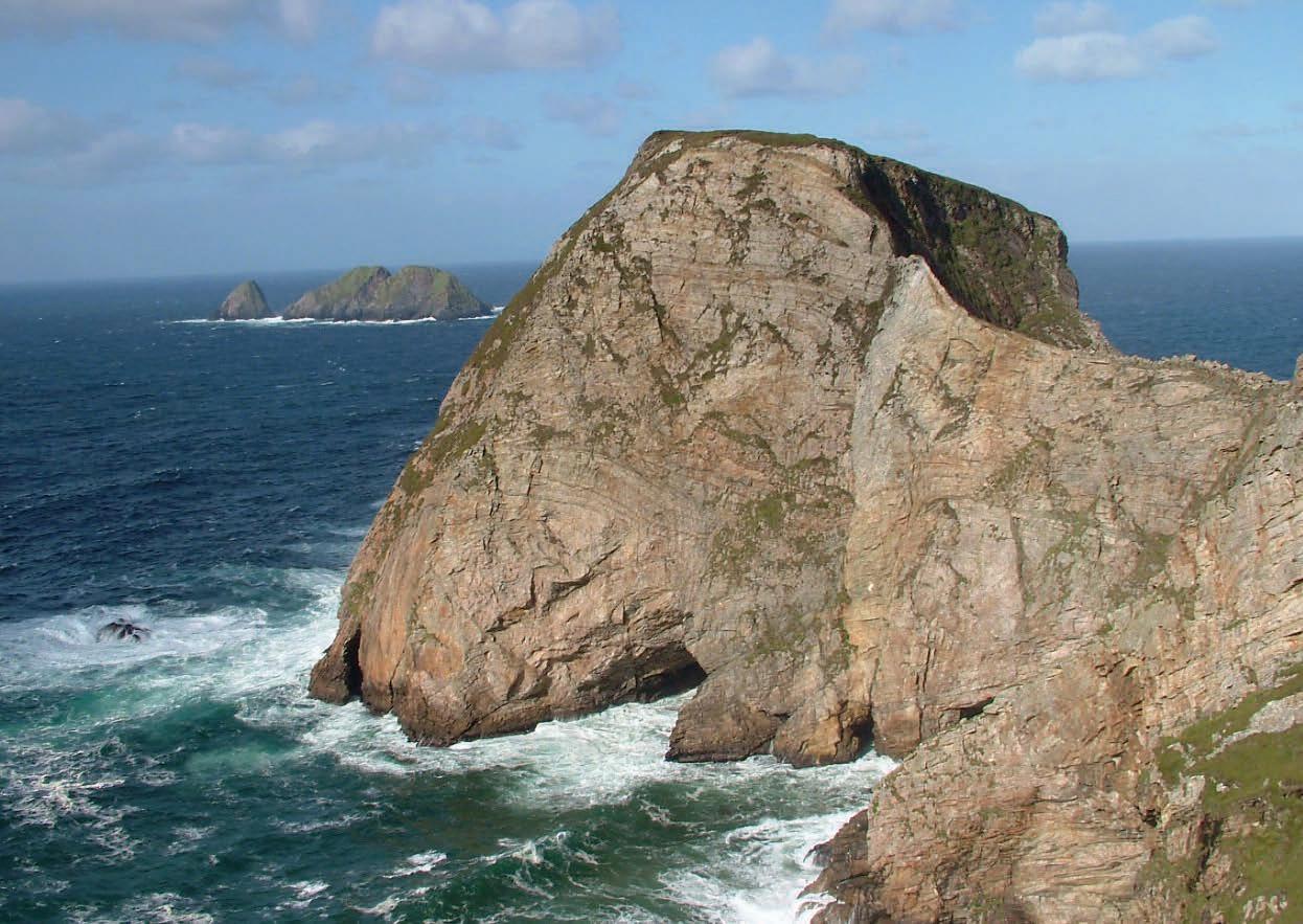
The name Downpatrick is derived from a time when St Patrick himself founded a church here. You can still see the ruins of the church building, a stone cross and holy well here today. This was once a popular pilgrim destination, and today the crowds still gather here on the last Sunday of July – known as Garland Sunday – to hear mass at this sacred site.
The St Patrick connections don’t end there though. Gazing out to sea, you’ll no doubt spot the small collection of islands called the Staggs of Broadhaven, but you’ll also see a lone sea-stack standing close to the edge of the cliffs. This sea-stack is called Dún Briste (broken fort). Local legend says that when a pagan chieftain refused to convert to Christianity, St Patrick struck the ground with his crozier, splitting a chunk of the headland off into the ocean, with the chieftain on top! The sea stack is beautiful to behold because you can see the layers upon layers of multi-coloured rock strata.
No trip to Mayo would be complete without visiting Achill Island. This is Ireland’s largest island and is undoubtedly its most beautiful. This island has stunning cliffs, beautiful beaches, deserted villages and is quintessentially Irish. If there was only one place you can visit while in this area Achill is surely the perfect spot to spend a day. The great Western Greenway goes through this Island and hiring a bike along the way can only enhance your visit.
Heading inland you can visit the capital town of Mayo, Castlebar is home to the National Museum of Country Life. This museum will give you an insight to not just the people of Mayo, but the whole west coast and how they have lived and farmed on these lands throughout
Clare Island Fer ry Co O'Grady's

SERVICING
AND INISTURK ISLAND ALL YEAR


Connecting Ferry Service for the Clew Bay Bike Trail
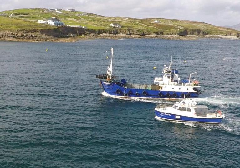
the ages. lands throughout the ages. Further into the county will lead to a small village called Knock. This village is purportedly the site where the Virgin Mary appeared to locals. Since she showed herself this village has been inundated with pilgrims coming to pray. A large basilica has been built as well as an airport to provide access to the holy site.
Mayo is a county that has an immense history that spans more than 5000 years, this county has seen turbulent times and lost many generations to famine and poverty. These factors could be the only reason that could make someone leave this area as Its beauty is only matched by its rich heritage.
111
Contact Tel. No.: 098 23737 Mobile: 086 8515003 / 087 9004115 Clare Island, Westpor t, Co Mayo Email: bookings@clareislandferr y com Clare
SERVICING CLARE ISLAND ALL YEAR Contact Tel. No.: 098 23737 Mobile: 086 8515003 / 087 9004115 Clare Island, Westpor t, Co Mayo Email: bookings@clareislandferr y com Comhlacht Farantóir Oileáin Chliara
“Clare Island’s largest and fastest ferries” “Clare Island’s largest and fastest ferries”
Island Ferry O’Gradys
Clare Island Ferry O’Gradys
CLARE
ISLAND
C M Y CM MY CY CMY K Clare Island QP - WAW 2023.pdf 1 30/01/2023 22:16:35
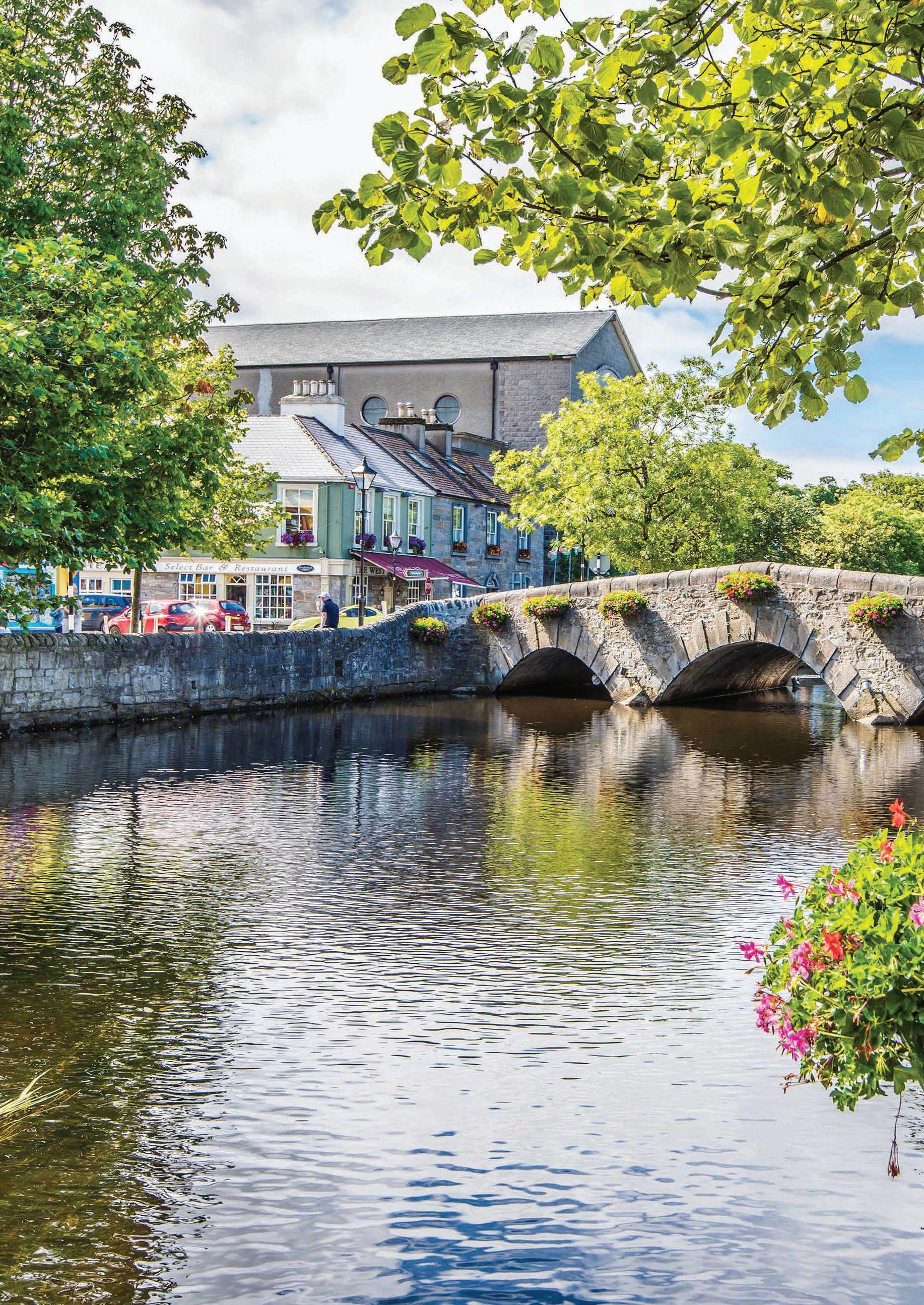
MAYO
WESTPORT
Overlooking Clew Bay in the shadow of Croagh Patrick lies the town of Westport.
Frequently voted the best place to live in Ireland, it is certainly a must visit while on The Wild Atlantic Way. Westport is a town full of charm and charisma that invites you to wander, enchants you to explore and captures your heart to stay.
Westport is a heritage town and has an abundance of activities and places to see while you are in the area. The town is built on the banks of the Carrowbeg River and the town is relatively unique in Ireland as the area was designed by an architect Westport was laid out as an estate town by the Georgian architect, James Wyatt, and it retains its elegance today - making for some lovely ambling along the river and out along the spoke-like shopping streets emanating from the Octagon. The Monument on the Octagon in Westport was erected in the memory of George Clendining in 1843. George was born in Westport in 1770 and was a banker who became very wealthy, his wealth and entrepreneurial expertise allowed Westport to rapidly develop in the 1800’s and a statue was erected to honour his memory. Although if you were to look at the statue today you may notice that it looks like a famous saint that lends his name to the nearby peak that towers over the town. That is because during the Irish Civil War Irish Free State Troops were housed in the area and they used the statue for target practice. This led to the head of the statue being shot off and the monument being left in disarray, in 1990 Mr. Clendining was replaced by St Patrick who sits there to this day.
Westport gets its name in Irish Gaelic from a 16th Century castle, Cathair na Mart, meaning The Stone Fort of the Beeves. This Castle was owned by the powerful sea-faring O’Malley family, who controlled the Clew Bay area. The most famous of the O’Malley clan was Granuaile or Grace O’Malley known as the infamous “Pirate Queen” who marauded vessels entering the area in the 16th century in search of plunder. Her castle forms the foundations of Westport House, and a portion of it is still visible in the Dungeons area there.
Westport House is one of Ireland’s most beautiful historic homes and is full of original artefacts and artworks, with a different treasure around every corner. Take a paddle boat out on the water to fully appreciate the views and make time for some Afternoon Tea.
Westport House and Pirate Adventure Park has welcomed over 5 million visitors with its range of heritage, family-fun, camping and adventure activity offerings. It truly offers something for everyone in the family - from grand-parents, to mum & dad, teens, young ones and even toddlers. 18th Century Westport House is privately owned and operated by Jeremy Browne (The 11th Marquess of Sligo) and his family, who are direct descendants of the “Pirate Queen” Grace O’ Malley. From small beginnings of 2,700 visitors in 1960, it has become one of Ireland’s best loved attractions and was been voted one of the Best Family Visitor Attractions in Ireland.
The mystical mountain of Croagh Patrick looms large over the town of Westport and visitors are inevitably drawn to the area by its sheer beauty and ruggedness. Croagh Patrick, known locally as ‘The Reek’ is about 10km west out of the town and is known as Irelands holiest mountain. Every year on the last Sunday in July, known as “Reek Sunday” pilgrims climb the mountain, some in their bare feet, to attend a mass at the church that sits on the top of Croagh Patrick. It is said that on the summit of the mountain Saint Patrick fasted for forty days in 441 AD and the custom has been faithfully handed down from generation to generation. To climb to the top takes roughly 3 hours and can be intense at points. However, when you scale the lofty peak you are awarded with stunning views of Clew Bay and the surrounding areas.
Clew bay according to tradition has 365 islands, one for every day of the year. It’s probably the most beautiful bay in Ireland, and the views of it from all around Westport are spectacular. The biggest, Clare Island, guards the entrance to the sheltered bay and is home to more than 100 people. With its Blue Flag beach and many
historical and archaeological sites, Clare is a must-see island for the visitor willing to take a short ferry ride. Most of the others in the bay are uninhabited, although a few brave souls cling to the age-old tradition of living on a small island all year round. The islands in Clew Bay are partly drowned drumlins, which are elongated, steep-sided hills, sometimes described as whalebacked, that were formed when glaciers reshaped the landscape in the last ice age. Many of the hills on land around the bay are similar drumlins. The bay is surrounded by some of the best Blue Flag beaches in Ireland perfect for many water sports.
Collanmore Island is the largest Island in the inner bay and can be reached via Rosmoney pier, about 10 minutes’ drive from the centre of Westport. There is the only one resident on the island and there are no roads, no cars – even the postman arrives by boat. The island is the home of The Adventure Islands which offers dinghy sailing, sea kayaking, stand-up paddle boarding, wake boarding, water skiing, and Sea Safari boat trips. The waters around the island are a safe haven for beginners, and more experienced sea sport adventurers will be completely at home with plenty of secure but challenging open spaces and great winds.
For those of you who prefer to stay on dry land there is The Great Western Greenway. The Greenway traverses Ireland’s Atlantic coast between Westport town and Achill Island and visits the picturesque villages of Newport and Mulranny. It passes by some of the West of Ireland’s most dramatic mountains and offers magnificent views of Clew Bay and its many islands. This 42km cycling trail linking Westport and Achill along the route of an old railway route is the longest off-road trail in Ireland. Accompanying the route is the Gourmet Greenway, this trail consists of eighteen local food producers who have banded together to showcase the area’s delicious artisan foods.
Westport truly has something for everyone and should be a port of call when passing through Mayo on the Wild Atlantic Way.
113
SANDS OF TIME
THE CITY OF CORK
Strange occurrences have been happening in recent times on Ireland’s largest Island.
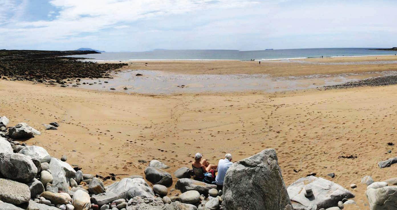
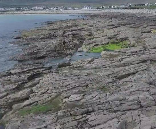
114
The City of Cork MAYO
Dooagh Beach, a 200-metre sliver wedged between beaches at Keel and Keem, was last seen in the Winter of 1984. For 34 years this mass of sand was unseen and almost forgotten. As spring arrived in 2017, so did the beach, for more than three decades it had vacated the Wild Atlantic Way and with its return brought news crews from throughout the globe looking to capture the elusive beach. However, Dooagh Beach would not be staying for long and in January of this year it retreated to the sea. There is no telling when the worlds most “Free-Spirited” beach will reappear. This is not the only beach in the area with commitment problems. The golden strand has returned to Ashleam Bay on the southern coast of the island after vanishing 12 years ago. This new beach is nestled below picturesque white cliffs that now keep a close eye on the beach, just in case it attempts to flee like its namesake in Dooagh.
The reality is that these beaches have been the recipients of freak weather events that have seen The Atlantic Ocean drag the beach back into its murky depths, and then, possibly after decades, release the sand from its cold hands and deposit the sand back on shore. There is no guarantee that Dooagh Beach might ever return, or for how long the Golden Strand will evade the Atlantics grip.
There is a famous Irish saying, “What’s seldom is wonderful” and this is certainly true in some cases, but these beaches, be they have or have not sand, deserve to be seen if you are in the area.
I am writing this in early January 2019, as it stands, Dooagh Beach is still unaccounted for, while the Golden Strand is still under the gaze of the picturesque white cliffs. As you travel The Wild Atlantic Way be sure to check in on these mysterious shores. The sands of time may be on your side and you can be the first to walk on virgin sands, or the first to report that Achill Island has yet again another missing beach.
On Achill Island, strange things have been occurring, beaches are going missing, yes, beaches! In recent years, residents of the island have been walking up to discover that beaches have not only disappeared, but in another location, a new beach has appeared. While on the face of it, it looks like the beach may have decided to “up sand” and move to a better location, there is more to this story, one that has received worldwide media coverage over the last few years.
FIONN AND THE FIANNA
The Fianna was a mighty group of warriors that guarded Ireland for the high king Ireland who lived at Tara. A man named Cumhall was leader of the Fianna. He was killed in battle by Goll mac Morna, who then became the new leader. Cumhall had a son named Fionn. Fionn’s mother feared that Goll might kill him also, so she sent him to live with a wise woman who lived in the woods at the foot of the Sliabh Bloom Mountains. As Fionn grew older the woman taught him how to use a sword and spear and how to track wild animals in the forest. Goll found out where Fionn was living and he sent a group of warriors to kill him. Fionn left before the warriors arrived and went to live with the poet Finegas on the bank of the river Boyne.
In the river Boyne, there was a magic fish called the Salmon of Knowledge. It was said that the first person to taste its flesh would be wiser than all other men. Finegas was one of the wisest men in Ireland and had tried for seven years to catch the fish but he had no luck. When Fionn asked Finegas why he spends his days fishing, Finegas just smiled and gave no answer.
Then one morning in springtime, Fionn heard a shout and a mighty splash. Finegas had caught a salmon. It was a beautiful fish and its body shone like silver. Finegas immediately knew he had caught the salmon of knowledge. Finegas was tired after his struggle to catch the fish so he told Fionn to cook it. He warned Fionn not to eat the fish, not even a mouthful. Fionn built a fire and cooked the salmon very carefully, but when he was turning it, the hot skin burned his thumb. He quickly put his thumb into his mouth to take away the pain.
When Fionn brought the fish to Finegas. The wise poet noticed there was something different about Fionn. There was a new wisdom in Fionn’s eyes. “Have you eaten any of the salmon?” Finegas asked. Fionn told Finegas he hadn’t, but then he remembered he had burnt his thumb and put it in his mouth. Finegas knew at once that Fionn now had the wisdom of the salmon of knowledge. Finegas was very
sad, he knew he would never be the wisest man in Ireland, but he was happy for Fionn. After Fionn had tasted the Salmon of Knowledge he was no longer afraid of Goll. He left Finegas and made his way to Tara, where the high king of Ireland Cormac mac Airt lived. Fionn arrived at Tara on Halloween night. The king and his nobles were holding the great feast of Samhain. When Fionn entered the great hall, everyone stared at him. “I am Fionn, the son of Cumhall and I have come to join the Fianna”. King Cormac then stood up “As a son of Cumhall who was a true friend of mine you are welcome indeed.” Goll Mac Morna who was at the feast would of killed Fionn there and then but he did not dare. Fighting and quarrelling was forbidden in the King’s fort.
Every Halloween night a Goblin came to Tara and set fire to buildings and did a lot of evil things. No one could stop him because he played music on a magic harp as he neared the palace and anyone who heard it fell into a deep sleep. “Who will save us from this evil goblin?” asked Cormac. All the heroes in the great hall stayed silent and hung their head. Fionn stood up, “I will kill the Goblin if you make me leader of the Fianna”. The King agreed. A friend of Fionn’s father handed Fionn a magic spear. “Press this against your forehead as you hear the magic fairy music, it will help you to stay awake”.
Fionn took the spear and went outside to face the Goblin. As night fell Fionn started the hear fairy music coming from the distance. He held the spear to his forehead. As the Goblin got near, Fionn hurled the spear. The spear hit the Goblin in the heart and the Goblin vanished into a cloud of mist. The Goblin had been killed. Fionn when back into the King’s fort. The King called the Fianna together. Turning to Goll Mac Morna the king said, “Will you shake hands with Fionn and accept him as your leader or will you leave Ireland?” Goll turned to Fionn and shook his hand.
Fionn was now the leader of the Fianna just like his father. From his fort on the Hill of Allen in County Kildare, Fionn had many adventures with the Fianna. He became its greatest leader and famous throughout Ireland.
116
MICHAEL DAVITT MUSEUM
The Michael Davitt Museum is situated in the picturesque village of Straide Co. Mayo. Straide is the birth and burial place of Michael Davitt – Ireland’s Greatest Patriot and the most influential International Irishman of the 19th Century.
Adjacent to the museum lies the ruins of Straide Abbey, one time home to the Dominican Friars. The stunning architecture of this 13th Century Norman Abbey is an aesthetic feast for the eye, and it features some of the finest medieval sculptures found in Ireland.
Not only is this attraction in close proximity to the Wild Atlantic Way, it is also an integral part of Route Millennia Mayo. This trail encompasses 6 visitor attractions with cumulative attendance figures of over 300,000. Route Millennia Mayo bisects the Wild Atlantic Way a few miles north of the Museum, allowing easy access between both routes.
• Rated among the top 10 visitor attractions in Ireland by Trip Advisor 2017 and 2018
• Guided tours for individual and groups of Museum and Abbey
• Audio visual subtitling and labelling in a multitude of languages
• Ample parking
• Large site and picnic area
Opening times: 9.30am – 5pm Monday to Sunday Entrance Fees:
€5.00 per adult
€3.00 per child
Special Group rates available
All entrants who pay into the Michael Davitt Museum are issued with a complimentary pass which allows free admittance into the Céide Fields Visitor Centre which is on the Wild Atlantic Way.
117 PROMOTION
“Voted in the Top 10 museums of Ireland 2017/2018.”
THE PIRATE QUEEN
MAYO
Westport gets its name from the castle that Grace was born in, Cathair na Mart, meaning The Stone Fort of the Beeves. Their castle formed the foundations of the now famous Westport House, her descendants still live In the premises and a portion of the old castle is still visible in the Dungeons.
When Owen O’Malley died, Grace became the queen of her clan. At the time, women were often used as a tool to create alliances through marriage that would make the men involved more powerful. But O’Malley’s story turns this notion on its head. Twice she married, but each time it was her power that increased. Upon the death of her first husband in 1554, she inherited his fighting ships and castle at the age of just 23. At this time the English had a stranglehold on power in the east of the country and were extending their power westward. Grace married Richard-in-Iron Bourke, whose castle, Rockfleet, was less exposed than her keep on Clare Island. She then moved her ships and army into Richard’s castle and divorced him after one year of marriage, she did, however, keep his loyalty and he continued to be her ally in the fight against the English.
From Rockfleet castle and her keep on Clare Island, Grace would launch her galleys and board any ships that passed through the mouth of Clew Bay and demand levies in return for safe passage to Galway Town in the south. However, Grace met her match in Sir Richard Bingham after he was appointed the new governor of the area in 1584. He sets out to destroy Grace and her family and she leads the rebellion to repel the invaders encroachment on the west coast. Bingham’s brother killed O’Malley’s oldest son, while Bingham imprisoned her youngest. Then he took control of her stronghold Rockfleet castle and confiscated her lands, cattle, and fleet. He had brought O’Malley to her knees.
In 1587 Grace fled to Ulster to consult with chieftain Hugh O’Neill who is plotting to unite the Irish for the first time and with help from the King of Spain, they hoped to drive the English out of Ireland. The following year however the Spanish Armada is driven by bad weather to its doom and Bingham exacts a terrible revenge on Grace and her family for helping the Spanish, O’Malley retaliates, and all-out war ensues between the pair.
Over the next three years Bingham and O’Malley went toe to toe and ship to ship against each other, Bingham adopted “Scorched earth” tactics and eventually destroyed her fleet of ships and rendered her powerless. Seemingly with no way out, O’Malley did something remarkable. In spring 1593, she swapped seafaring tactics for her skill in diplomacy by seeking an audience with The Queen of England, Elizabeth I. Against Bingham’s advice Elizabeth granted Grace an audience at her glittering Court in Greenwich. Showing a shrewd negotiating ability and daring, Grace outmanoeuvred the Queen, secured her son’s release. Bingham was recalled to England and The Pirate Queen was now free to return to the ways of the past.
Grace O’Malley thus proved herself a notable rival to Elizabeth in
both her military and political abilities and was one of the few rivals to earn the English queen’s respect. Grace continued to plunder into her later years and was recorded at the age of 67 actively leading her men in a retaliatory attack of the Scottish coast. At the age of 76 Grace died in her castle at Rockfleet, the same year Queen Elizabeth died.
The Pirate Queen is a unique character in Irish history, she used men to further her power and led wars in a time when women where sheltered. She earned the respect of her foes and rose from the ashes of defeat to live a long and prosperous life. In recent times O’Malley is thought to be the inspiration behind Yara Greyjoy from Game of Thrones, and that character’s meeting with Queen Daenerys in Season 6 takes its cues from this real-life meeting of queens.
Her story and the locations within it can all be visited on The wild Atlantic way, her descendants still live in the same castle, although it has been rebuilt and is now known as Westport House. The place of her death, Rockfleet, is just 8kms away from Westport and can be accessed by taking a detour on the Great Western Greenway.
Boutique hotel in Westport Town Centre
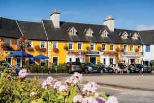
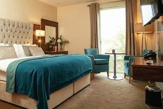
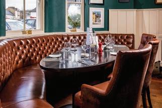
3 eateries to choose from;
- JW's Brasserie
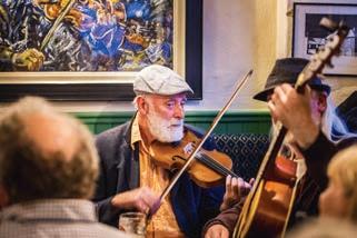
- Park Terrace and Orangery
- Cobbler's Bar
Free access to the 4 Westport Leisure Park
Free Parking
Just a stone’s throw away from many of Mayo’s top attractions, such as
-Croagh Patrick
-The Great Western Greenway
-An array of beautiful blue ag beaches.
Book direct for the best available rates!
119
Granuaile or Grace O’Malley was born around 1530 to Owen O’Malley, the chieftain of a clan that ruled the area around Clew Bay and what is now known as Westport for more than 300 years. During that time, they built wealth from both piracy and legitimate trade with France and Spain.
The Wyatt Hotel
In the Heart of Westport.
Email: reservations@wyatthotel.com | Phone: +353 98 25027 www.wyatthotel.com C M Y CM MY CY CMY K Wyatt Hotel - QP WAW 2023.pdf 1 16/02/2023 11:40:49
THE GREAT HUNGER
The Great Famine also referred to as “The Great Hunger”, that lasted between 1845 and 1849 was arguably the single greatest disaster that occurred on these shores. Ireland had a population at the time of 8 million people, it is estimated that more than 1 million died from starvation while 2 million left to far distant harbours across the sea to escape their plight. The Wild Atlantic way and specifically Mayo was drastically affected by this disaster and while travelling through this region you will see many monuments, workhouses, mass gravesites and hear the harrowing stories of these individuals that perished during The Great Famine.
The famine was caused by the potato blight (fungus) that was inadvertently brought over initially from North America to mainland Europe and had eventually made its way to Ireland during the summer of 1845. It was not unusual to have crops that failed, and people thought that it was just an isolated event. What the eight million people who lived in Ireland at the time did not realise was that the potato crops would fail for the next four years and that the disaster would lead to the deaths and the emigration of millions of its peoples to strange, foreign and distant lands.
The first reports of blight appeared in September 1845. For one third of the country’s population, the potato was the sole article of diet. In County Mayo it was estimated that nine tenths of the population depended on it. Any other crops or farm animals a smallholder had, went to pay rent to mainly landlord’s based in England. However, the damage to the crop in 1845 was only partial and most had enough to get through that winter. Government relief measures and local charity also helped. 1846 brought disaster. Most of the crop was destroyed by the blight, particularly in the west. In August, The Telegraph newspaper in Castlebar reported:
‘The dreadful reality is beyond yea or nay in this county. From one end to the other the weal has gone forth that the rot is increasing with fearful rapidity. We regret to say no description of potatoes have escaped. One thing is certain, the staple food of the people is gone: and the Government cannot too soon exert themselves to make provision to provide against certain famine’.
As the death toll mounted, the countryside was seized with panic and despair. There were mass gatherings throughout the county where lamentations went out to landlord and government. One such public
demonstration was held in Westport in August 1846. The Telegraph reported: ‘About mid-day some thousands of the rural population marched into town to have an interview with the Most Noble the Marquis of Sligo: he talked with them: deplored the visitation with which God had afflicted the land: told them he would instantly state their condition to the Government, in order to obtain them relief; and that as to himself, he would go as far as any landlord in the country to redress the grievances of his tenantry. The Noble Marquis assured them that no exertions of his should be spared to obtain for them, from Her Majesty’s Government immediate employment’.
As a relief measure, the government imported large quantities of maize from America which became known as ‘Peel’s brimstone’ because of the ill effects it had on the digestive system. Local relief committees were established. Under the Poor Law Act of 1838, Mayo was divided into five areas or unions which administered relief: Ballina, Ballinrobe, Castlebar, Swinford and Westport. Each union was required to maintain a workhouse where local paupers could be fed and housed.
Workhouses soon became overwhelmed by numbers seeking admittance and many starving people were turned away. Relief schemes introduced in 1846 included giving employment on public works such as road making, breaking stones, drainage works, pier and bridge building. The Corrib to Mask canal was one such scheme. Men were paid 8 to 10 pennies a day, while women and children got 6 pennies. Some unscrupulous overseers favoured relatives in granting employment, often at the expense of the most needy. Gaining employment did not guarantee security. In February 1847 the Tyrawly Herald reported an inquest at Coolcran:
‘The deceased was employed at the public works, and on Saturday morning he went to the hill of Gurteens to meet the pay clerk where, in company of other labourers, he remained until night, but no clerk making his appearance, the others went off and he remained behind. Having got quite weak, he requested a girl who was passing to tell his wife to come and meet him, and upon the wife’s arriving at the place, she found him dead. A verdict of “death from starvation” was returned’.
Such reports were common. Great work in helping the poor came from many organisations and individuals at home and abroad.
120
MAYO
Mayo was greatly affected by The Irish Famine; its roads and fields are full of harrowing tales that tell the story of how millions of Irish people died of starvation or emigrated in the mid 1800’s.
Clergy of all denominations were prominent in relief measures. The Society of Friends (Quakers) opened soup kitchens in many areas, distributed seed and also clothing, as many people were in rags, having pawned whatever clothing they had. At Christmas in 1846, the rector of Crossmolina received a donation with the following note:
Rev. Sir - We the children belonging to the Moulton National School, in the Parish of Davenharm, (Cheshire) having heard from our beloved patroness, Mrs Harper, of the distress that is so prevalent in our sister Island, have given up our annual treat to the relief of our suffering sisters in Ireland; We humbly trust that our offering, (small as it may appear) will be accepted by those who have kindly undertaken to alleviate the sufferings of our brethren. In the spring of 1847, The Mayo Constitution reported:
The preparations for the tillage of the Iand has been completely overlooked. There has not been 100 acres prepared for seed in this county by ‘the poor farmers’.
After two successive years of blight, many people chose to eat whatever seed they had rather than risk planting. Ironically in 1847, there was no blight, but there was no crop either. ‘Black 47’ saw the advent of fevers such as typhus which rapidly spread through the weakened population. Workhouses were crammed with fever patients. Auxilary workhouses were opened and fever sheds erected. Dr Daly reported from Newport in May 1847:
‘Fever, dysentery and diarrhoea are greatly on the increase, beginning with vomiting, pains, headache very intense; coming to a crisis in about seven days, relapsing again once or twice, from which death occurred through mere debility or diarrhoea, caused and kept up by bad food, principally Indian meal, supplied to them in small quantities, and which they invariably swallow after only a few minutes boiling and sometimes cold and raw. The greatest mortality is among the labourers, men and women, on public roads, in cold, wet, boggy hills’.
In March 1847, a large body of starving people gathered in Louisburgh seeking assistance from the relieving officer. He informed them that they would have to apply to the Board of Guardians who were to meet the next day at Delphi Lodge, ten miles away. Having
spent the night in the open, they proceeded on foot to Delphi. When they reached Delphi, the Board were at lunch and could not be disturbed.When they finally did meet with them, assistance was refused. That day it rained and snowed and there was piercing wind. On the return journey to Lousiburgh, many perished. Numbers vary but is estimated that between 600 and 1000 individuals died on their journey home, every year in May, Locals and people from throughout the world gather and take the same journey to commemorate these people, stopping on the way at a monument that was erected in their memory. Just outside of Westport in the foothills of Croagh Patrick at Murrisk lies the National Famine Monument. On approach it looks like an average ship, but when you get closer you can see that this haunting sculpture has depicted the Irish people as skeletons, and they adorn this vessel which is known as a Coffin Ship. Hundreds of thousands of Irish people boarded these vessels to escape starvation during the middle of famine, some say that they were merely escaping one form of death for another while travelling the Atlantic. Black 47 had left typhus among other diseases rampant and this virus spread like wildfire throughout the ships killing on average 30% of those on board. Some were forced onto the boats by their landlords as it was deemed cheaper to pay for their passage rather than their food or shelter in the workhouse. These ships first went to America, the powers that be however seen the wretches and diseases that were disembarking the coffin ships and enacted laws that made it to dear for landlords to send their tenants to America. The next port of call was Canada and hundreds of coffin ships departed their starving passengers in this land.
By 1851, it is estimated that more one million Irish people had died and almost two million emigrated, many leaving from Mayo ports for England, America and Australia. The ‘Elizabeth and Sarah’ sailed from Killala in July 1846 for Quebec with 276 passengers. By the end of the voyage, 8 weeks later, 42 persons had died due to overcrowding, lack of food and water and unsanitary conditions.
Over the period 1841-1851, the population of County Mayo fell by 29% from 388,887 to 274,499. Emigration became a long-term legacy of the famine with each successive census showing a steady decline in the population of County Mayo to a low of 109,525 in 1971. Irelands population still hasn’t recovered The Great Hunger, 8 million souls wandered this isle in 1840, in 2019 that figure is 5 million.
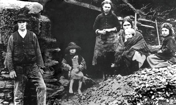
121
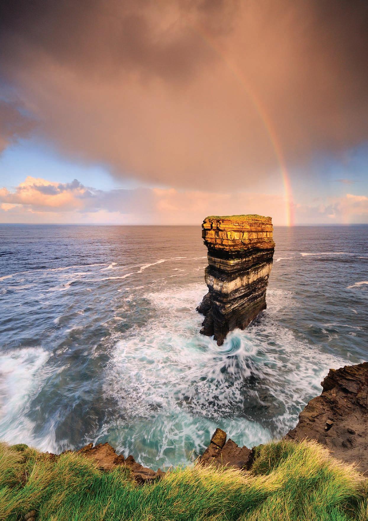 Seastack, Downpatrick Hd., Co. Mayo.
◦ Come and explore an ancient timeline in the "Abbey that refused to die."

◦ Learn about the most notorious priest hunter in Ireland, a Mayo native.
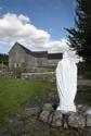
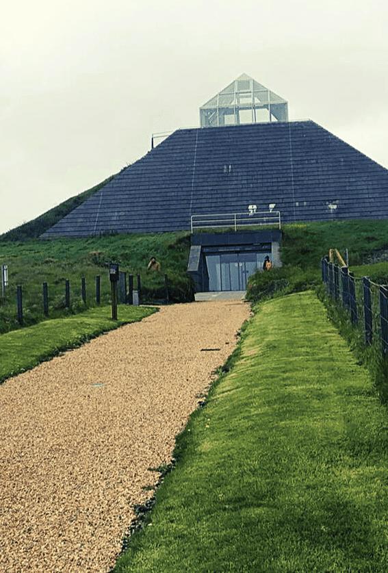
◦ How and why the Abbey came into existence.

◦ Learn about St Patrick and his impact on society.
◦ Why it's called a Royal Abbey.
◦ Visit the final resting place of Theobald Bourke, son of Grace O’Malley “Granuaile”.
◦ Learn of the attempts to burn the Abbey and its restoration Guided Tours, Visitor Centre & Gift Shop
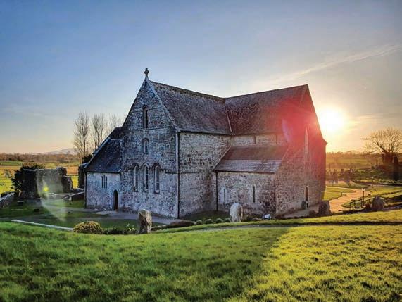
Admission Free | Guided Tours available €8pp | Under 16's Free Free Parking Ballintubber Abbey, Ballintubber,
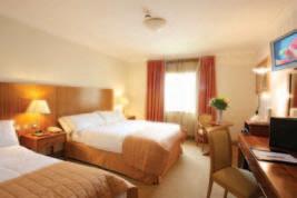
The luxurious family owned Broadhaven Bay Hotel is located only minutes walk from the centre of bustling town of Belmullet in the heart of the spectacular Erris region Our hotel is ideally located to discover the breathtaking scenery of the unspoilt Atlantic Coast and the truly captivating Erris Peninsula We offer the perfect destination for those seeking rejuvenation or those looking for adventure. Carne Golf Links ten minutes, Enniscrone & Mulranney an hour away
123
Claremorris. Co.
eMail: info@ballintubberabbey.ie
Phone: +353 90 30934
1216 @ballintubberabbey Follow us C M Y CM MY CY CMY K Ballintubber Abbey - WAW - QP 2023.pdf 1 19/02/2023 22:08:42 Check out our website for the latest offers at www broadhavenbay com ✯ Luxury Hotel ✯ Superb Conference Centre ✯ Excellent Restaurant ✯ Leisure Club ✯ Golf & Fishing nearby ✯ Family owned
Mayo. F12 W584
|
www.ballintubberabbey.ie One of Irelands Oldest Abbey's Established in
Belmullet, Co Mayo T : +353 (0)97 20600 F: +353 (0)97 20610 E: info@broadhavenbay.com W: www.broadhavenbay.com Belmullet, Co. Mayo T : +353 (0)97 20600 F : +353 (0)97 20610 E: info@broadhavenbay.com W: www.broadhavenbay.com
Céide Fields, Ballycastle - Co Mayo
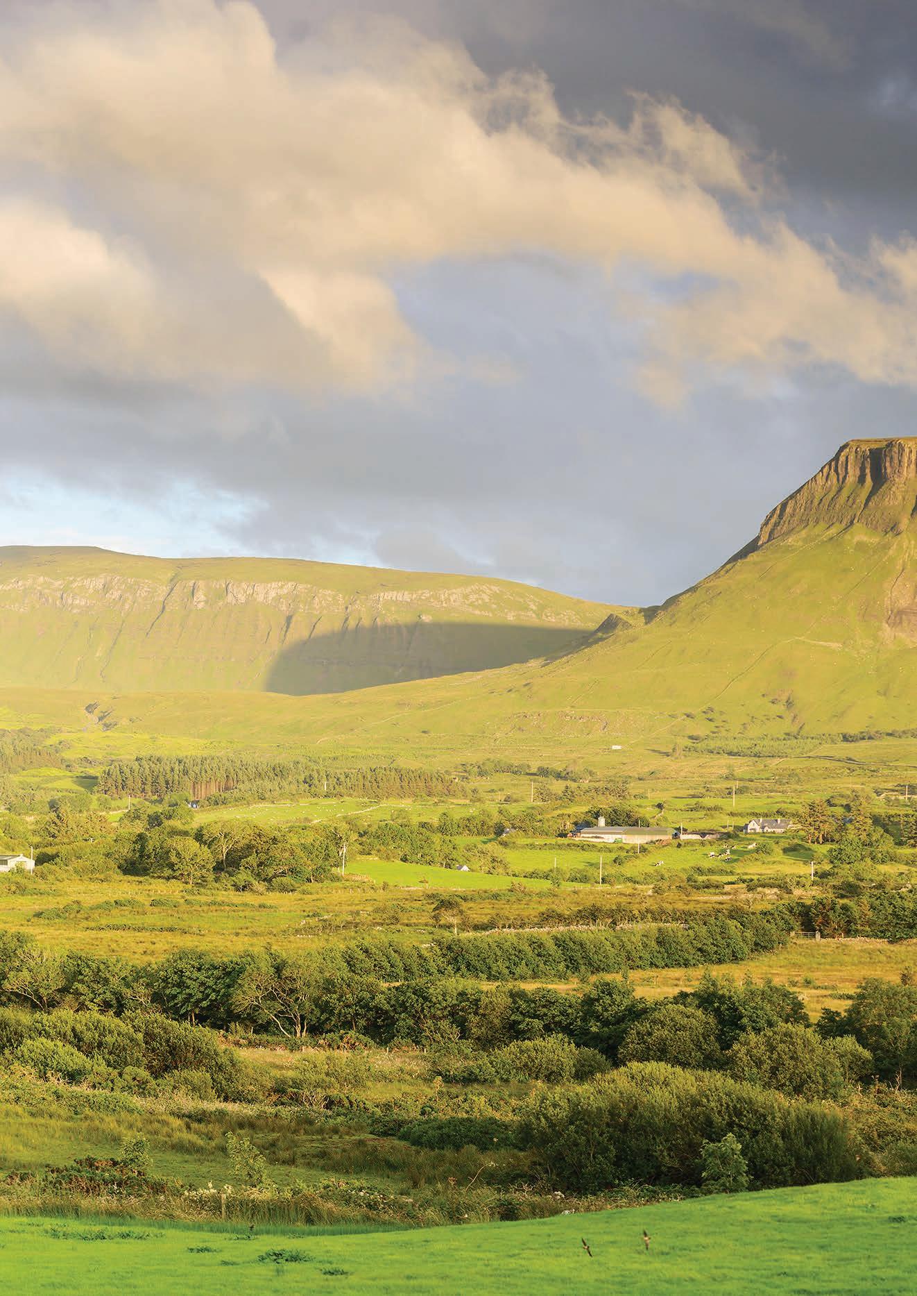
124
Blue Flag Beaches on the Wild Atlantic Way Towns Wild Atlantic Way Route WILD ATLANTIC WAY VIEWPOINTS EASKEY BEACH STRANDHILL STREEDAGH POINT MULLAGHMORE HEAD To Leitrim Rosses Point Enniscrone Beach Ballymote Tubbercurry Enniscrone Sligo Grange Ballysodare Collooney AUGHRIS & DUNMORAN STRAND Blue Flag Beaches on the Wild Atlantic Way Towns Wild Atlantic Way Route WILD ATLANTIC WAY VIEWPOINTS STRANDHILL Point Enniscrone Beach Ballymote Tubbercurry Enniscrone Sligo Ballysodare Collooney
SLIGO
TRIVIA
Sligo is known in the native tongue as Sligeach, meaning “abounding in shells” or “shelly place”. It refers to the abundance of shellfish found in its rivers and its estuary, and from the extensive shell middens in the vicinity. Sligo is a hotspot of ancient megalithic sites, Knocknarea, Carrowkeel and Carrowmore are even older than the pyramids. It was also the inspiration for Ireland’s national poet, William Butler Yeats. W.B won the Nobel Prize for literature in 1923 and due to its undoubted beauty, Sligo and its surrounding areas predominantly featured and inspired the world-renowned poets work.
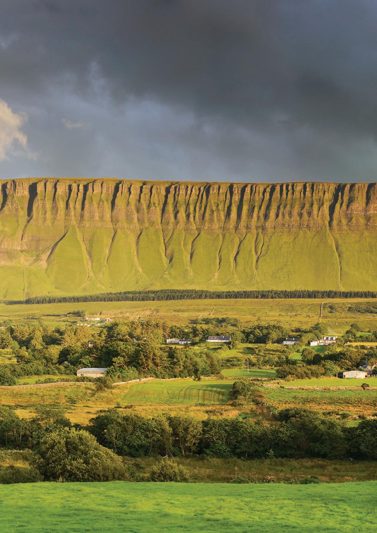
125
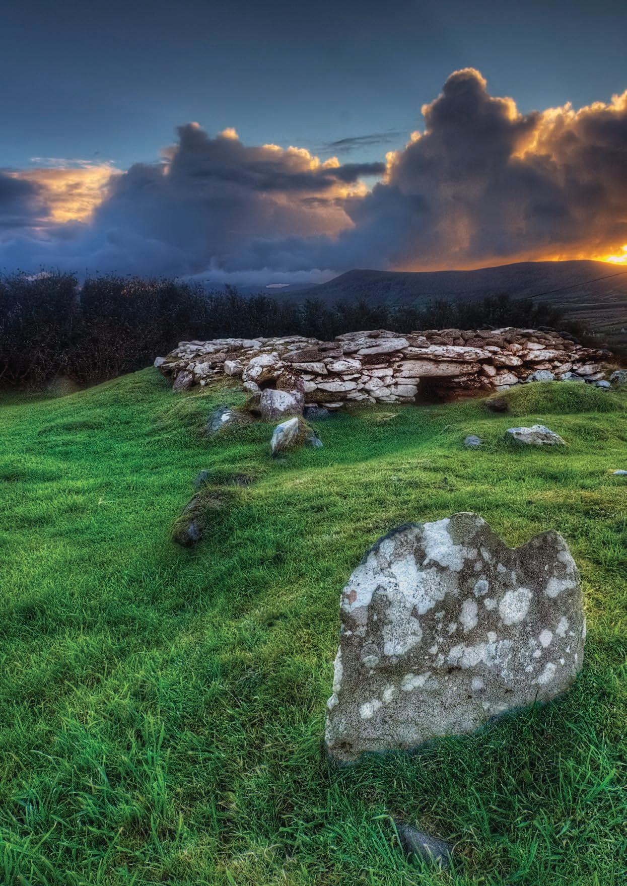
126 SLIGO
SLIGO
The Land Of Heart’s Desire.
Sligo is affectionately known as “Yeats County”, William Butler Yeats is Ireland’s National poet and is beloved throughout the world for his literary work. Some of Yeats best work was inspired by Sligo and its beautiful landscapes that stretch from sea shore to mountain high. While travelling throughout this remarkable county you will be following in the foot steps of the Nobel prize winning literate laureate, and who knows, it just might inspire you to greatness as it did him.
This is a beautiful countryside rich in history, folklore and mythology- many local people have a strong relationship with the figures of the past. The Iron-Age Queen of Connacht, Queen Maebh is said to be buried in the 5,000-year-old cairn that sits on top of Knocknarae mountain overlooking Sligo town. It has long been a tradition that if you climb the mountain you must bring a stone with you to add to the cairn at the top. Legend has it that this warrior queen was interred standing up –so she could still command her armies.
Sligo was the spiritual home of Ireland’s national poet William Butler Yeats. Yeats called Sligo “The Land of Heart’s Desire” and it’s the beauty of the county that filled his early poetry. He mythologised the special places in this with poems such as “bare Benbulbens head” speak of the mountain which towers over the Sligo countryside. “The Lake Isle of Innishfree” celebrates the wonderful lake that he spent parts of his childhood at, while “The Stolen Child” speaks of fairies luring a child away at the majestic Glencar Waterfall. In the foothills of Benbulben at Drumcliffe Churchyard the poet himself now lies at rest in the Sligo soil that inspired much
of his work. While Sligo at its heart is a rural area its capital town is a modern area that celebrates both old and new. Sligo town has a relaxed atmosphere with plenty of culture and heritage to explore. The Model Niland gallery, Sligo Abbey, the Sligo county heritage and genealogy centre or the Sligo County Museum all foster a deeper appreciation for this special part of Ireland. Its pedestrian streets are lined with inviting shopfronts, stone bridges spanning the River Garavogue, and ceilidh sessions spilling from pubs contrast with contemporary art and glass towers rising from prominent corners of compact Sligo. It makes a fantastic, low-key and easily manageable base for exploring Yeats country, and the countryside out of town is gorgeous.
Heading North from Sligo town will lead you to Lissadell House and Gardens. Sitting on the shore of Sligo Bay this elegant estate was built in 1830 and was the childhood home of one of Ireland’s greatest ever women, Constance Markievicz. Born Constance Georgine Gore Booth, she was a politician, revolutionary, tireless worker with the poor and dispossessed and was a remarkable woman. Born into great wealth and privilege in Lissadell, she is most famous for her leadership role in the Irish Easter Rebellion of 1916 and the subsequent revolutionary struggle for freedom in Ireland, for which she risked her life.
This year marks the centennial of the first time Irelands Parliament or Dail in our native tongue sat and Constance was to be seated at this meeting, however, she was imprisoned in England at the time on conscription charges. She was a woman of
firsts, she was the first woman ever elected to the House of Parliament in The United Kingdom, the first woman ever elected to Dáil Éireann and was the first woman in the world to hold a cabinet position in government, serving as minister for labour from 1919 to 1922. In Lissadell House you can discover more about Ireland’s “First Woman”. Yeats was a frequent visitor to the house and wrote a poem in memory of Constance and her sister.
Looking towards the coast, Sligo is also a surfer’s paradise, some even call it “The Cold Hawaii”. Surfers flock to Strandhill, and for good reason – this beach has an easy paddle-out and delivers a reliable stream of waves in both summer and winter. The beach offers unrivalled views of Knocknarea and Benbulben which loom above it. There is also Enniscrone beach which is 5km long and has golden shores where you can surf or run head first into the Atlantic Ocean. Another beach in Sligo has an infamous past, Streedagh Beach in Grange was the area where over a thousand Spanish sailors drowned during their attempted invasion of England which became known as The Spanish Armada.
Throughout Sligo, food producers, restaurants, cafés, gastro pubs, brewers, and farmers’ markets have combined their talents to give you one of the most sensational food experiences in Ireland: the Sligo Food Trail. You can weave your own path, select your favourite delicacies, taste a locally-produced beverage and make your own special memories while travelling through the county.
127
“SLIGO WAS THE SPIRITUAL HOME OF IRELAND’S NATIONAL POET WILLIAM BUTLER YEATS.”
VOYA SEAWEED BATHS
By James Moans
Those seeking adventure flock to the area on the Wild Atlantic Way to take advantage of the optimal maritime climate conditions for surfing, wakeboarding, kitesurfing and an abundance of other water and land sports.
With all that exertion it stands to reason that there will be some tired and aching bodies after a day by the sea. The place to go to soothe those weary muscles is the Voya Seaweed baths where they can offer the required relief.
The Voya story began with the Walton family in Co. Sligo where founder Neil discovered the benefits of seaweed baths while training for triathlons. Neil opened the Voya bath house in 1996. Ireland has a long standing history with seaweed baths. At the turn of the 20th Century there were an estimated 300 seaweed bath houses. The tradition saw an unfortunate decline as the years went on. The tradition has seen a resurgence in popularity in recent years with the Voya baths welcoming 40,000 visitors annually.
In 2006, Neil’s brother Mark, along with his wife Kira created the Voya product range of seaweed-based cosmetics. Seaweed may not be the first thing that springs to mind when looking for a relaxing treatment. For those unsure or feeling particularly squeamish about seaweed Voya can ensure a myriad of health benefits.
A seaweed bath can open up your pores and expose bathers to beneficial nutrients. The seaweed used is organic, hand harvested locally and sustainably sourced. All treatments are Soil Association and USDA certified. Here comes the science
bit: Seaweed has long been known for its healing and renewing properties with a particular effect on burns, wounds, bruising and swelling. The iodine contained within can even help regulate symptoms associated with an underactive thyroid. The marine plant is detoxifying, anti-inflammatory, a natural emollient and contains ceramides, alpha-hydroxy acids, vitamins, A, C, D, E and K, Folic acid to nourish the skin and hair; contains antiaging and anti-cellulite properties that enhance skin elasticity; antioxidants such as algal polyphenols and caroteinods that protect against skin damage. Skin complaints such as psoriasis, eczema, dermatitis and acne have seen improvements after a seaweed bath.
In addition to the seaweed baths Voya also have a range of treatments in spas nationwide.
Their latest venture is in keeping with the Voya mission to provide the therapeutic power of nature. The team at Voya have partnered with Christine Clinton Cancer Care to provide a range of spa treatments that are safe for people undertaking chemotherapy and radiotherapy.
The Tender Tides treatment menu includes wellbeing facials and massages. The treatments are available at The Chill Spa at the Ice House, Co. Mayo, the Connemara Sands, Co. Galway and at the Escape Spa at the Imperial Hotel, Co. Cork.
In addition to the baths there are a wide variety of treatments available including facials, massages, seaweed sugar scrubs and body wraps. 50-minute treatments start from €28.
More information can be found at voya.ie
128
Between the imposing monolithic peak of Benbulben and the barbarous onslaught of the Atlantic waves lies Strandhill in Co. Sligo.
SLIGO
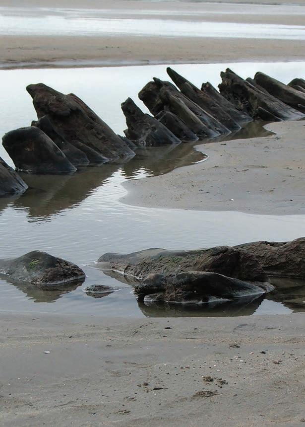
SLIGO
THE SPANISH ARMADA
Sligo and The Spanish Armada are forever linked by the Atlantic Ocean, it was off the coast off Sligo that the Atlantic showed its power by sending over a thousand sailors to their watery graves in one night.
The Spanish Armada was an enormous 130-ship naval fleet dispatched by Spain in 1588 as part of a planned invasion of England. Following years of hostilities between Spain and England, King Philip II of Spain assembled the flotilla in the hope of removing Protestant Queen Elizabeth from the throne and restoring the Roman Catholic faith in England. Throughout many battles the English forced the Spanish to retreat and three stranded ships ended up anchored off the coast of Streedagh in Co. Sligo. It was here where The Wild Atlantic Way showed its teeth by brewing a storm that sent the three ships towards the Sligo coast, causing the deaths of more than 1100 sailors on Streedagh Beach.
Queen Elizabeth’s spies and military advisors first knew an invasion was in the works when they discovered that Spain was preparing a fleet like no other, the fleet was so large that word travelled fast to English shores and the Queen discovered the plot in April 1587. The Queen authorized Francis Drake to make a pre-emptive strike against the Spanish. After sailing from Plymouth with a small fleet, Drake launched a surprise raid on the Spanish port of Cadiz and destroyed several dozen of the Armada’s ships and over 10,000 tons of supplies. This event became known as the “singeing of the king of Spain’s beard,” and was later credited with delaying the launch of the Armada by several months.
In May 1588, after several years of preparation and delays, Spain’s “Invincible Armada” set sail from Lisbon under the command of the Duke of Medina-Sidonia. When the 130-ship fleet was sighted off the English coast later that July, Howard and Drake raced to confront it with a force of 100 English vessels. The English fleet and the Spanish Armada met for the first time on July 31, 1588, off the coast of Plymouth. Relying on the skill of their gunners, Howard and Drake kept their distance and tried to bombard the Spanish flotilla with their heavy naval cannons. While they succeeded in damaging some of the Spanish ships, they were unable to penetrate the Armada’s half-moon defensive formation.
Over the next several days, the English continued to harass the Spanish Armada as it charged toward the English Channel. The two sides squared off in a pair of naval duels near the coasts of Portland Bill and the Isle of Wight, but both battles ended in stalemates. By August 6, the Armada had successfully dropped anchor at Calais Roads on the coast of France, where Medina-Sidonia hoped to rendezvous with the Duke of Parma’s invasion army.
Desperate to prevent the Spanish from uniting their forces, Howard and Drake devised a last-ditch plan to scatter the Armada. At midnight on August 8, the English set eight empty vessels ablaze and allowed the wind and tide to carry them toward the Spanish fleet hunkered at Calais Roads. The sudden arrival of the fireships caused a wave of panic to descend over the Armada. Several vessels cut their anchors to avoid catching fire, and the entire fleet was forced to flee to the open sea. With the Armada out of formation, the English initiated a naval offensive at dawn on August 8. In what became known as the Battle of Gravelines, the Royal Navy inched perilously close to the Spanish fleet and unleashed repeated salvos of cannon fire.
Several of the Armada’s ships were damaged and at least four were
destroyed during the nine-hour engagement, but despite having the upper hand, Howard and Drake were forced to prematurely call off the attack due to dwindling supplies of shot and powder. Shortly after the Battle of Gravelines, a strong wind carried the Armada into the North Sea, dashing the Spaniards’ hopes of linking up with the Duke of Parma’s army. With supplies running low and disease beginning to spread through his fleet, the Duke of Medina-Sidonia resolved to abandon the invasion mission and return to Spain by rounding Scotland and Ireland.
The Spanish Armada had lost over 2,000 men during its naval engagements with the English, but its journey home proved to be far deadlier. Driven into Donegal Bay by the storms of September 21st 1588, three ships of the Spanish Armada, La Lavia, La Juliana and the Santa Maria de Vision, anchored off Streedagh Strand, Co. Sligo. During a further heavy storm on September 25th all three ships were driven ashore and wrecked. Up to 1,100 aboard these ships died cruelly on Streedagh beach.
One survivor Capt. Francisco de Cuellar wrote an account of his adventures in Sligo, his journey to MacClancy’s Castle in Leitrim and his eventual departure from the Causeway Coast of North Antrim. “being more than two hundred, not five survived; because some of them were drowned, and those who reached the shore by swimming were cut in pieces by the English, whom the Queen keeps quartered in the Kingdom of Ireland.” Captain Francisco de Cuellar wrote. Francisco de Cuellar was aboard the last group of Armada ships wrecked in Ireland, on 25 September 1588. He came ashore at Streedagh strand, north of Sligo Bay, territory controlled by the O’Conors. Moving on into Leitrim he met with Brian O’Rourke of Breffni, before staying at the McClancy castle at Rossclogher for three months. By the time the “Great and Most Fortunate Navy” finally reached Spain two months later, it had lost as many as 60 of its 130 ships and suffered some 15,000 deaths.
Ever since the tragic loss of three great ships of the Spanish Armada and over 1,100 men; soldiers and sailors, noblemen and commoners; on the beach at Streedagh on that fateful day, 21st September 1588, the people of North Sligo have commemorated in folk memory the plight of all those poor lost fellow souls.
Despite the risk of persecution from the forces of Queen Elizabeth the first of England some Irish chieftains like O’Rourke of Briefne and McClancy of Dartry offered sanctuary to the few survivors that struggled ashore. The real heroes were, perhaps, the ordinary peasant people who, for no other reason than empathy for those in distress, gave shelter, food, and succour to strangers from a foreign land.
Each year the people of Sligo commemorate The Spanish Armada and those who lost their lives in the Atlantic during its doomed voyage. The Grange and Armada centre organise this event and they also offer tours and events that are centred around the occurrences of The Spanish Armada. You can find their centre not far from Streedagh Beach in Grange Co. Sligo. You may also meet the descendants of those people who for no other reason than empathy for those in distress, gave shelter, food, and succour to strangers from a foreign land.
131
COLEMAN MUSIC VISITOR CENTRE
Ceoláras Coleman, Gurteen, Co. Sligo
AUTHENTIC TRADITIONAL MUSIC AND CULTURAL EXPERIENCE!
The Coleman Music Centre, situated in Gurteen, Co. Sligo, is a community based, state of the art traditional music and cultural centre. The main aims of the Centre are to preserve, promote and foster Irish traditional music and culture. It is also the Comhaltas Regional Resource Centre for the five counties, Sligo, Mayo, Roscommon, Leitrim and Fermanagh.
Visitor Centre
The visitors’ experience is informal, welcoming and friendly providing a tailor-made first-hand experience of Sligo style traditional Irish music. There is a permanent exhibition and information area comprising of touch screens and a 12 minute audio-visual presentation on the history of traditional Irish music which provides the visitor with a unique insight into traditional music. For the music enthusiast we also provide a screening of prerecorded masterclasses on a selection of traditional instruments in our theatre and pre-recorded concerts from our resident group Ceoltoiri Coleman. The visitor can also book a guided tour of the centre.
Coleman School of Music
Music tuition is provided in fiddle, concertina, flute, banjo, accordion, bodhrán, whistle, guitar, harp, cello, uilleann pipes, sean nós dancing, step dancing and singing. The teachers, all from the locality, have a keen insight and knowledge of the Sligo repertoire
and technique of playing. Special one to one and group tuition is available all year round by advance booking.
The Coleman Theatre
Many top class national and international traditional music artists perform concerts and shows throughout the year in the 130 tier seated theatre. A programme of music, song and dance can be provided to suit the needs of individual groups and can include a music lesson or a lecture on any aspect of the history of traditional music. Over the months of July & August our residential group Ceoltoiri Coleman perform live Summer Sessions on every Wednesday evening.
The Music/Gift Shop
The shop stocks a vast selection of traditional music CDs, including many of an archival type, DVDs, music books, musical instruments and accessories, gift ideas and lots more. Online shop at www.colemanirishmusic.com. Delivers worldwide.
The Coleman Cottage
A visit to this farmhouse cottage gives a unique insight into how people lived during the early twentieth century in Ireland. The building has three rooms, is constructed of red sandstone and is roofed in traditional thatch. The cottage contains everyday cooking utensils, furniture, crockery and other artefacts, which date back to the 1920s.
132 SLIGO
Coleman Irish Music Centre Ceoláras
Coleman Gurteen, Co. Sligo
AUTHENTIC CULTURAL EXPERIENCE
Tel. 071 9182599
Tel. 071 9182599
www.colemanirishmusic.com
www.colemanirishmusic.com
Open all year round - Mon-Sat Eircode F56 TF88
Open all year round - Mon-Sat Eircode F56 TF88

* Traditional Music School * Large Music Shop
* 130 Tier Seated Theatre * State of the art Visitors Centre
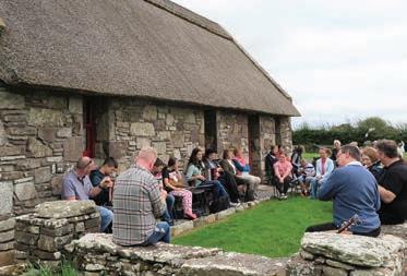
The Coleman Music Centre, situated in Gurteen, Co. Sligo, is a community based, state of the art traditional music and cultural centre. The main aims of the Centre are to preserve, promote and foster Irish traditional music and culture. It is also the Comhaltas Regional Resource Centre for the five counties, Sligo, Mayo, Roscommon, Leitrim and Fermanagh.
The Coleman Music Centre, situated in Gurteen, Co. Sligo, is a community based, state of the art traditional music and cultural centre. The main aims of the Centre are to preserve, promote and foster Irish traditional music and culture. It is also the Comhaltas Regional Resource Centre for the five counties, Sligo, Mayo, Roscommon, Leitrim and Fermanagh.
Visitor Centre
Visitor Centre
Coleman School of Music
Coleman School of Music
Tel. 071 9182599
Music tuition is provided in all traditional instruments by teachers with a keen insight and knowledge of the Sligo repertoire and technique of playing. One to one and group tuition is available all year round.
Music tuition is provided in all traditional instruments by teachers with a keen insight and knowledge of the Sligo repertoire and technique of playing. One to one and group tuition is available all year round.
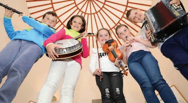
www.colemanirishmusic.com
Open all year round | Eircode F56 TF88


The Coleman TheatreProvides traditional music concerts and shows throughout the year. A programme of music, song and dance can be provided to suit the needs of individual groups.
The Coleman TheatreProvides traditional music concerts and shows throughout the year. A programme of music, song and dance can be provided to suit the needs of individual groups.

OPENING HOURS: MON-SAT 10AM TO 5.30 AM
The visitors’ experience is informal, welcoming and friendly they can view a permanent exhibition and information area comprising of touch screens and an audio visual presentation on the history of traditional music.
The visitors’ experience is informal, welcoming and friendly they can view a permanent exhibition and information area comprising of touch screens and an audio visual presentation on the history of traditional music.
Visit us on Facebook: Michael Coleman Centre


The Music/Gift Shop
The Music/Gift Shop
The shop stocks a vast selection of traditional music CDs, DVDs, music books, musical instruments and accessories, with the launch of our extensive online shop and are now available on our website at www.colemanirishmusic.com delivered worldwide.
The shop stocks a vast selection of traditional music CDs, DVDs, music books, musical instruments and accessories, with the launch of our extensive online shop and are now available on our website at www.colemanirishmusic.com delivered worldwide.
THE SLIGO FOOD TRAIL
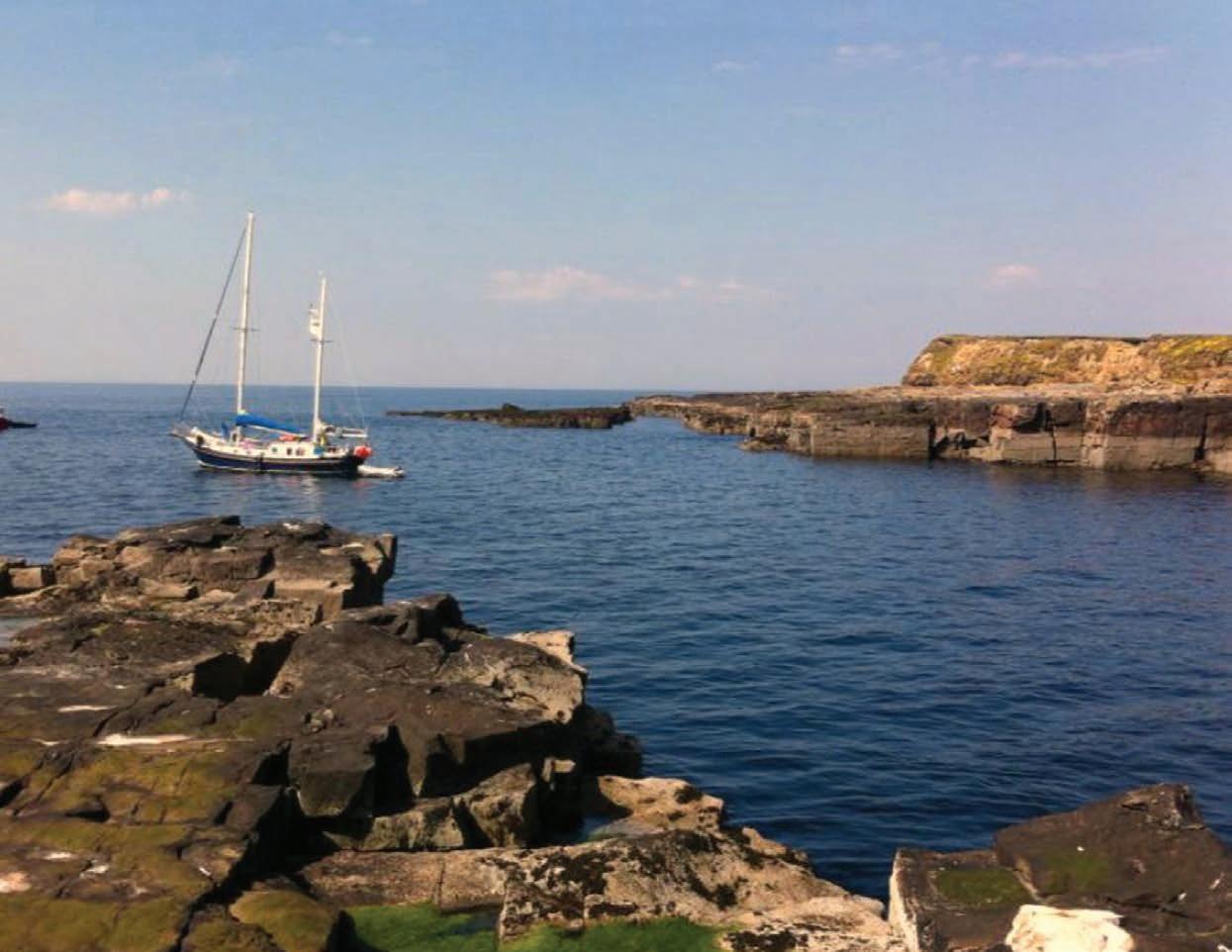
A rich mix! A taste triumph! A food lovers’ paradise! Welcome to The Sligo Food Trail!
What makes Sligo such a fantastic foodie destination is the culture that goes hand in hand with your food experience! Food Trail members take pride in giving you fresh, local, healthy, and (where possible) organic food that nourishes your body while the scenery nurtures your soul. Artisan foods–such as cheeses, chutneys and honey–are plentiful at farmers’ markets and festivals, so you can enjoy a picnic with your loved ones while immersing yourself in the countryside.
Sligo Food Trail treats your palate to an abundance of culinary treasures. You can map your own route
to choose the cuisine that you love best. Welcome to foodie heaven!
As you drive through Sligo, you’ll witness the outstanding landscape which yields the fresh ingredients that create its exceptional cuisine: the lush green fields, the majestic mountains, the charming farms, the salmon rivers, and the mighty Atlantic Ocean! Sligo’s premier location on the Wild Atlantic Way means you can enjoy freshly-caught fish in any local restaurant. Alternatively, indulge your taste buds on Knocknarea honey, wild Mullaghmore lobster, Lissadell oysters, and fresh eggs from the foot of Benbulben Mountain. These are just your appetisers!
Throughout Sligo, food producers, restaurants, cafés,
134
SLIGO
gastro pubs, brewers, and farmers’ markets have combined their talents to give you one of the most sensational food experiences in Ireland: the Sligo Food Trail. You can weave your own path, select your favourite delicacies, taste a locally-produced beverage and make your own special memories.
The real magic behind Sligo Food Trail is the passion of the people, who are quick to share a smile, a bit of craic and wonderful insights into the food they serve. So, for the freshest food, the finest service and a magnificent mix, treat yourself to Sligo Food Trail Experience!
Sligo Tasting Tours are also available. As you enjoy the food, you will also learn a little about the culture and history of Sligo. How it was always important in terms of international trade with its ships laden with fish, sailing for Billingsgate Market in London during the war years. You will learn about the Butter Markets, the tea trade and Lisadell Oysters which were exported to Harrods throughout the nineteenth century. The guides available are all local and are as enthusiastic about Sligo as they are about the food.
While travelling this route, you can discover the secrets and magic of the brewing process at The White Hag Brewery. Make your own pizza dough, roll it, throw it, top it with your favourite ingredients and cook it in the wood burning oven at Bistro Bianconi. Herbalist and chef Gaby Wieland and husband Hans will teach you the secrets to finding and identifying many wild foods that grow right on your doorstep and are commonly used for culinary purposes. Dr. Prannie Rhatigan leads walks and talks along the seashore introducing the fascinating world of edible seaweed and how to identify and harvest them.
You can also sample the most amazing seafood platters, home baking or locally sourced organic produce at Eithna’s by the Sea at Mullaghmore. Farm to Fork dinners at Coopershill House, a stunning Georgian mansion set in 500 acres of farm and woodland. Sea Trails with diver/archaeologist Auriel Robinson are matched with a lunch of freshly harvested mussels cooked on the rocks by one of Trá Bán Restaurant’s expert chefs. Marc from Seashore Veg leads fun and informative seaweed identification walks where you’ll also enjoy a practical demonstration on how to cook and use sea vegetables. Try your hand at surfing with Strandhill Surf School, enjoy a delicious brunch at Shell’s Café and indulge in a seaweed bath at Voya Seaweed Baths followed by delicious ice cream at Mammy Johnston’s.
You can then relax and watch the swans glide down the Garavogue river while enjoying a beautifully presented, wide choice of sweet and savoury afternoon tea delights at Eala Bhán. Join up with Irish speakers of all levels in an informal conversation group every Friday evening in Ósta Café and there’s so much more!
Whatever your food preference, Sligo Food Trail surpasses your expectations!
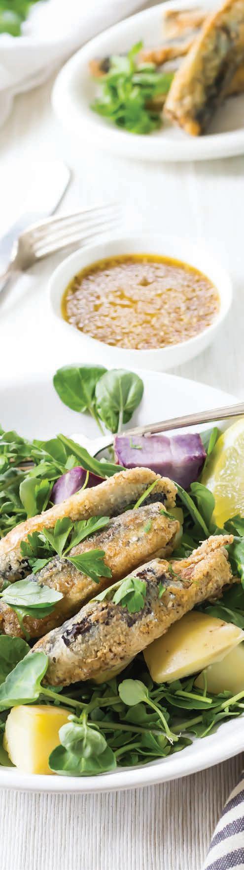

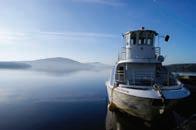
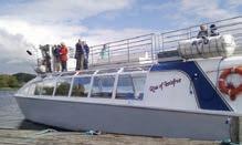

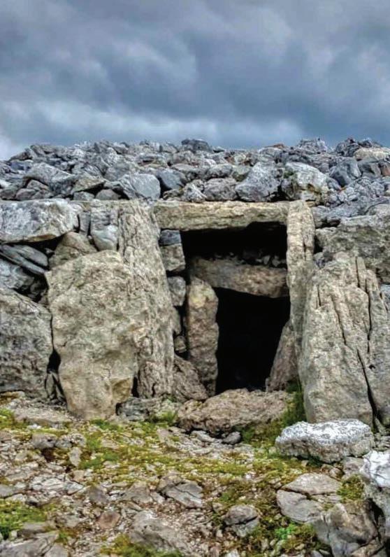
136 FIND US ON GOOGLE MAPS @roseofinnisfree Take in the scenery Visit the area of outstanding natural beauty that inspired W.B. Yeats to put pen to paper... BOAT TOURS & PRIVATE HIRE OPTIONS Explore Lough Gill Yeats Country Ireland’s Hidden Heartlands other places ALL-WEATHER ROSE OF INNISFREE TOURBOAT Contact us Today Phone: 071 91 64266 | eMail: info@roseo nnisfree.com www.roseo nnisfree.com C M Y CM MY CY CMY K Rose of Innisfree - WAW - QP 2023.pdf 1 09/02/2023 19:43:48 Carrowkeel - Co Sligo
CASTLE DARGAN
ESCAPE TO CASTLE DARGAN
Set on 170 acres of rolling parkland in a stunning country setting, the 4-star Castle Dargan Estate, complete with a Darren Clarke designed golf course and Icon Spa, is the ideal venue for a relaxing break. Located just a short ten minute drive from Sligo town, the Estate’s centrepiece is the opulent Castle Dargan House, built in the 18th century and lovingly restored to modern standards.
Castle Dargan Estate’s championship golf course, offers visitors 18 spectacular holes with a short game putting facility, a putting green, driving range, golf shop and The Middleton Bar & Terrace, which overlooks the spectacular course.

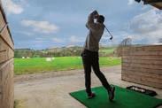
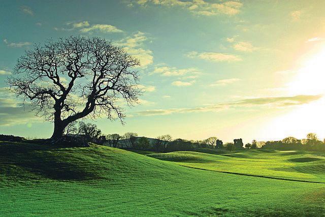
Castle Dargan Estate’s Icon Spa is an ideal destination for rest, relaxation and rejuvenation in Sligo. Complete with panoramic views over the Darren Clarke designed golf course
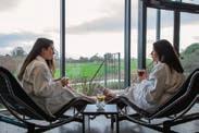
Accommodation at Castle Dargan Estate offers guests a range of luxury 4 star hotel accommodation with other options including luxury suites in the 18th century Castle Dargan House
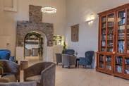
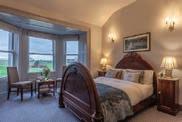
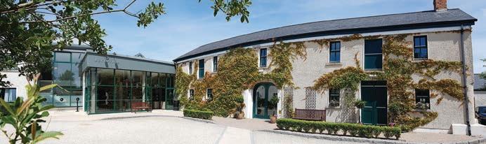
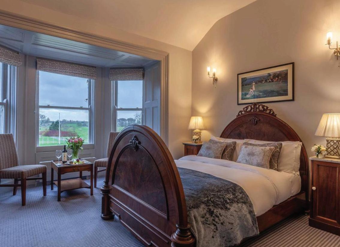
137
E xp lore, E xperience & E njoy S ligo 4 Star Luxury Accommodation t on 170 Acre Historical Site ampionship Golf Course stination Spa urmet Food Sourced from Local Suppliers B&B from ONLY € 129 00 Castle Dargan Estate, Ballygawley, Co Sligo T: +353 (0) 71 911 8080 E: info@castledargan com W: www castledargan com C M Y CM MY CY CMY K Castle Dargan QP 2023.pdf 1 28/11/2022 09:35:03
LEITRIM
Blue Flag Beaches on the Wild Atlantic Way
Atlantic Way Route

138
Kiltyclogher
Drumahaire Drumkeeran Glenfam
Ballinagleragh Dowra Leitrim Carrick
on
Shannon Jamestown Roosky Drumod Famaght Aghamore Mohill Cloone Carrigallen Killygar Newtown Gore Fenagh Drumshambo Ballinamore Rossinver Glenade Manor Hamilton Lurganboy Askill Kinlough Tullaghan To Donegal To Sligo
WILD ATLANTIC WAY VIEWPOINTS
Kiltyclogher
Towns Wild
Drumahaire Drumkeeran Glenfam
Ballinagleragh Dowra Leitrim Carrick on Shannon Jamestown Roosky Drumod Aghamore Drumshambo Ballinamore Rossinver Glenade Manor Hamilton Lurganboy Askill Kinlough Tullaghan To Donegal To Sligo
TRIVIA
Leitrim is Irelands least populous county and is divided into two parts by Lough Allen with the mountains in the north and wet lowlands in the south. Leitrim only has four miles of coastline, this is double the amount of traffic lights in the county however, Leitrim only has two sets of traffic lights in the whole county and had none prior to 2003.
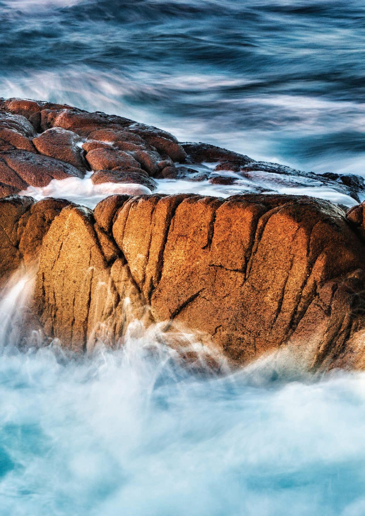
139
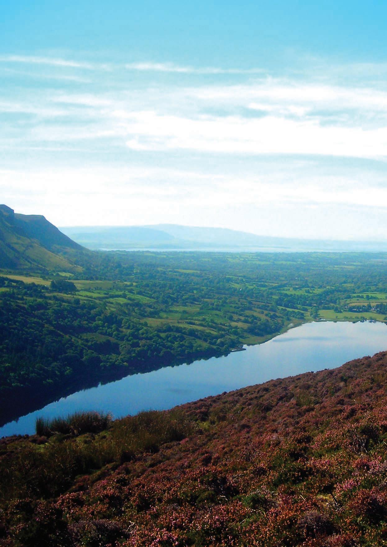
LEITRIM
The Wild Atlantic Way has a coastline that is 2600km long, the Leitrim coast provides just 4km to this total. Nestled between Sligo and Donegal it is Irelands least populous county. Leitrim’s 32,000 inhabitants have access to some of the cleanest air in Europe and over 140 lakes. This rural retreat provides visitors a chance to relax while travelling along the way. You will not find large towns or tour buses in this county; however, you will find more than 140 lakes, open fields and secluded trails that will allow you to lose yourself in lovely Leitrim.
With its lush landscape, grassy trails, tranquil waterways and scenic shores, Leitrim is waiting to be explored. Take in the majesty of Lough Allen and the rugged mountain Sliabh an Iarainn or discover the wild and wonderful uplands of Sliabh an Iarainn, enjoying the county’s idyllic scenery from an unrivalled vantage point. But the mountains aren’t where all the treasures lie. Leitrim’s small but picturesque coastline at Tullaghan boasts some of the best waves along the Wild Atlantic Way. Along the lakeside, Lough Rynn Castle’s exquisite gardens and nature trail make for a scenic wander. Nature and poetry-lovers alike will revel at Glencar Waterfall, this 50-foot-high rushing waters inspired the work of WB Yeats’ The Stolen Child.
History and heritage buffs will enjoy a visit to Kinlough Folk Museum which is dedicated to keeping the memory alive
LOVELY LEITRIM
Lose Yourself in Lovely Leitrim.
of the quaint rural lifestyle of an Irish village. This traditional old country house contains an original public bar (pub), authentic kitchen with displays that contain farming tools, kitchen implements and other historic items. Go even further back in time at Cooracloona Megalithic Tomb, commonly known as Prince Connell’s grave, this fascinating bronze age monument is located close to Kiltyclocher. For a wonderful family experience, you can visit the Arigna Mines, this location and the tours they provide transport you to a by gone era of mining that occurred in the Arigna valley for almost three centuries.
Sliabh an Iarainn Mountain is the wild and rugged mountain in County Leitrim, which rises to 585 metres above sea level and is located on the eastern shore of Lough Allen. Walkers will stand in awe at the breath-taking panoramic views over the west and midlands of Ireland or wonder at the amount and variety of flora and fauna encountered and foxes, hares, rabbits, badgers, ravens and peregrine falcons. Back at ground level The Shannon Blueway follows Irelands largest River and you can experience the route from the water with canoeing, kayaking and stand-up paddleboarding; while walkers and cyclists can follow the Blueway’s trails and take in the scenery on land. Travelling along the Shannon Blueway, you paddle under the bridges, alongside the riverbanks
and through sunlit tree arches as it winds its way from Drumshanbo to Carrickon-Shannon. Leitrim is also an anglers’ paradise supporting a huge population of wild fish, Coarse fish species include bream, roach, rudd, hybrids, tench, pike and perch. Game fish species include wild atlantic salmon, sea trout and brown trout. This county has more than 140 lakes and while its coastline may be small, it provides a gateway to the wonderful fishing that the Atlantic Ocean provides.
This county also has some of the freshest produce in all of Ireland and The Organic Centre at Rossinver promote and educate healthy living and eating. sitting on 19 acres this site operates from an ecologically designed building with a grass roof. Their gardens are a real treat and you can also learn a great deal while in their company.
Leitrim makes an asset of its peacefulness, it beguiles its visitors with tranquil landscapes and a slower pace of life that should provide respite to the potential weary visitor who has been travelling The Wild Atlantic Way, as the famous song titled “Lovely Leitrim” says
“I’ve travelled far from this great land from the east and to the west but of all the islands I have seen I love my own the best and if ever I return again there’s one place, I will go. it will be my lovely Leitrim where the Shannon water’s flow.”
141
“WITH ITS LUSH LANDSCAPE, GRASSY TRAILS, TRANQUIL WATERWAYS AND SCENIC SHORES, LEITRIM IS WAITING TO BE EXPLORED.”
GLENCAR WATERFALL
Glencar Waterfall straddles the boundary lines of both Sligo and Leitrim. The waterfall is 50ft high and is situated at Glencar Lough. To get to see this scenic spot visitors take a 1km walk along a paved path that is suitable for all types of users. It provides a wonderful vantage point from which to view the waterfall which is particularly spectacular during wet conditions, and if you’ve learned one thing while visiting the Wild Atlantic Way, it is that rain is never far away from making an appearance.
This Stunning waterfall provided inspiration to Irelands national poet, William Butler Yeats, more commonly known as W.B Yeats. In 1923 he became the first Irish recipient of the Nobel Prize in Literature, paving the way for later Irish laureates including George Bernard Shaw, Samuel Beckett, and Seamus Heaney. Today, he is remembered as Ireland’s national poet (though he never wrote in the Irish language) and regarded as one of the foremost figures of English language literature in the early 20th century.
Born a Dubliner in 1865, Yeats spent a large portion of his childhood in Sligo, these youthful years spent on the Wild Atlantic Way inspired much of his writing. Glencar Waterfall features in his poem “The
Stolen Child”, “Where the wandering water gushes, From the hills above Glen-Car, In pools among the rushes, That scarce could bathe a star”. The Stolen Child is one of Yeats’ most popular early poems. Like much of his early work it is based on the myths and legends he heard from local people while growing up in Sligo. There were many stories about fairies taking children away and although no took such tales to seriously, they could still create unease and fear in the subconscious of rural people right into the early 20th century. This poem tells of the fairies trying to lure away a human child “Come away, O human child! To the waters and the wild, With a faery, hand in hand”. It is also said that Yeats utilizes these myths to illustrate his desire for a return of innocence to society and to a time when Ireland was unified. A time when Ireland was primarily a pagan nation, before Catholicism and Protestantism. The image of a child, who has not yet come to realize the pains of the world, is “stolen” and brought to a world where freedom and innocence reign.
Glencar Waterfall might well look like something out of a fairy tale, but you can visit this wonderful waterfall and follow in the footsteps of Irelands National poet while on the Wild Atlantic Way. It just might inspire you, as it did him.
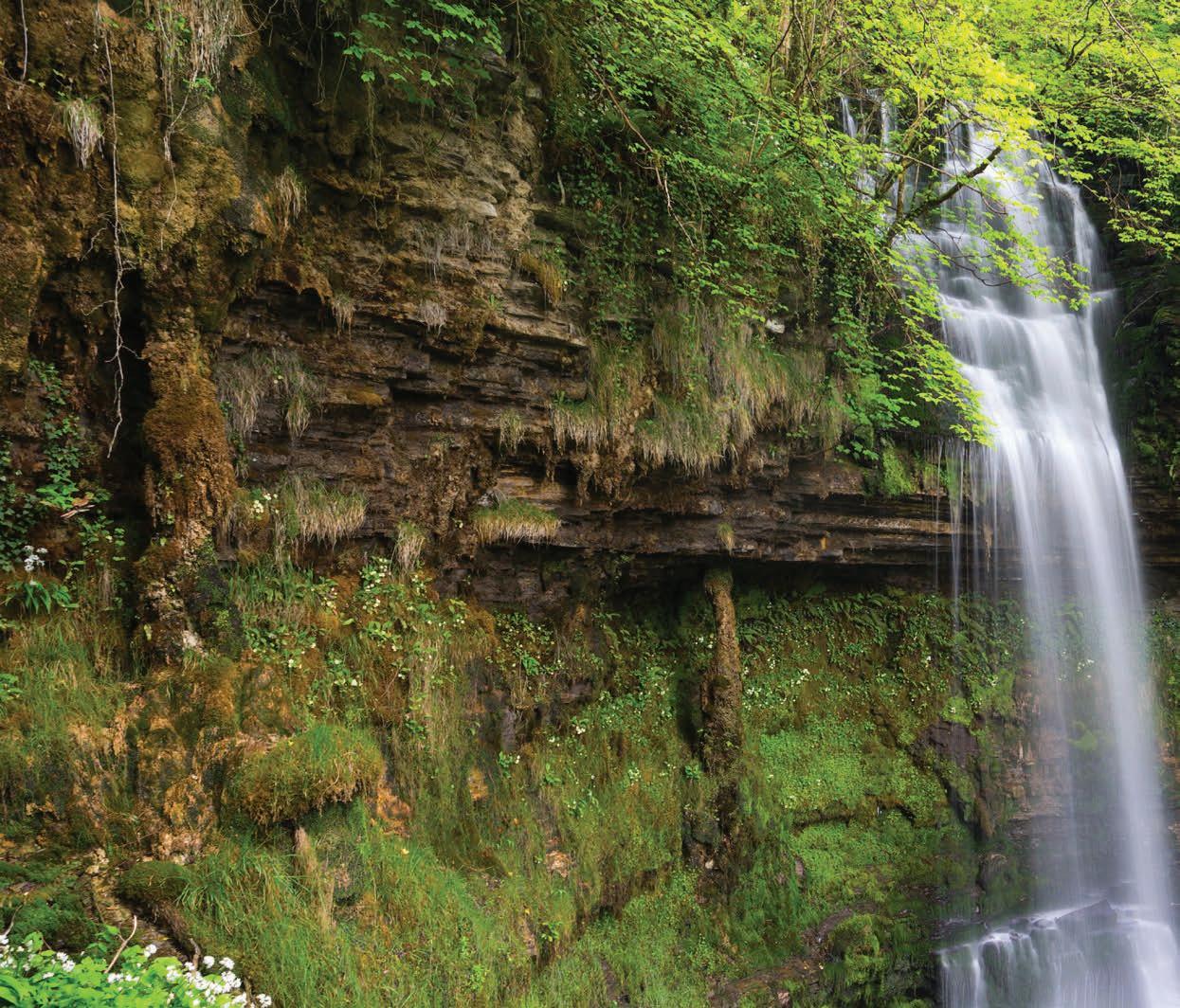
142
LEITRIM
The Stolen Child
WHERE dips the rocky highland Of Sleuth Wood in the lake, There lies a leafy island Where flapping herons wake The drowsy water rats; There we've hid our faery vats, Full of berrys And of reddest stolen cherries. Come away, O human child! To the waters and the wild With a faery, hand in hand, For the world's more full of weeping than you can understand.
Where the wave of moonlight glosses
The dim gray sands with light, Far off by furthest Rosses We foot it all the night, Weaving olden dances Mingling hands and mingling glances Till the moon has taken flight; To and fro we leap And chase the frothy bubbles, While the world is full of troubles And anxious in its sleep. Come away, O human child! To the waters and the wild With a faery, hand in hand, For the world's more full of weeping than you can understand.
Where the wandering water gushes
From the hills above Glen-Car, In pools among the rushes That scarce could bathe a star, We seek for slumbering trout And whispering in their ears Give them unquiet dreams; Leaning softly out From ferns that drop their tears Over the young streams. Come away, O human child! To the waters and the wild With a faery, hand in hand, For the world's more full of weeping than you can understand.
Away with us he's going, The solemn-eyed: He'll hear no more the lowing Of the calves on the warm hillside Or the kettle on the hob Or see the brown mice bob Round and round the oatmeal chest. For he comes, the human child, To the waters and the wild With a faery, hand in hand, For the world's more full of weeping than he can understand.
143
“Where the wandering water gushes, From the hills above Glen-Car, In pools among the rushes, That scarce could bathe a star.”
W.B Yeats
IRELAND’S ORGANIC CENTRE
Departing slightly from The Wild Atlantic Way one can drive inland along one of Ireland’s most scenic routes by the shores of spectacular Lough Melvin. Along this route in Rossinver Co. Leitrim is one of Ireland’s best environmental education centres.
The Organic Centre was established in 1995 as a non-profit making company with charitable status. The centre is located on a 19-acre site and operates from an ecologically designed building with a grass roof that has won awards for being “most appropriate building located in the countryside”.
The Organic Centre is where Ireland’s organic growers come to learn their trade. The aim of the centre is to provide training and education, information and demonstration of organic gardening, growing and sustainable living. The word Organic refers to a holistic approach to farming and food production. Organic growing encourages biodiversity on farms and in their surroundings. There is also an emphasis on maintaining the longterm fertility and biological activity of the soil and minimising pollution and waste. Through their working gardens and other areas of demonstration, the organic centre provides an invaluable resource for education and training for both the public and specialist visitors.
Each year since it opened, the centre has
seen significant development, it is certainly an inspiring example of nature’s abundance and cutting-edge technology of how to work in harmony with the environment. Among their many awards, they have received the Euro-Toques Award 2012 for “Outstanding contribution to Irish food through training & education” and have also been recognised by the Bridgestone and McKenna’s “Best in Ireland” awards for many years.
Visitors to the centre can explore two unique demonstration gardens, the Kitchen garden and the Robin’s garden which show a productive small-scale family garden and a community garden run by a group of locals. In addition to this, there are nine polytunnels showing protected cropping on both a domestic and commercial scale. So, whether you are an avid gardener, a lover of nature, Rossinver offers plenty of insight and opportunity to gather practical knowledge. For the eco-conscious there are also compost display areas showing different methods of composting and recycling as well as the pioneering wetland sewage disposal system.
Families will enjoy the exciting willow sculpture area which is growing every year and has new features added. In the orchard there are 50 varieties of apples that are suited to the Irish climate and a soft fruit area where hardy varieties are being tested.
There is also a native woodland to explore. The Organic Centre provides over 100 short courses, these range from gardening, food production and healthy cooking to crafts and renewable energy. Major events that occur throughout the year are the Annual Potato Day in March, The Garden Party in July and the Harvest Festival and Apple Day in September.
The Organic Centre also has an Eco Shop which stocks organic garden seeds, tools, books, herb plants, seasonal vegetables and a range of fair-trade wholefoods. If you would like to visit The Organic Centre for an educational tour, pre-booking is advised. Participants can choose workshops about composting, propagation, protected cropping and organic food production. On site there is also at the popular Grass Roots Café which is open at weekends for course participants and the public. It can also cater for groups by arrangement and can be hired for outside catering.
Just a short walk from The Organic Centre is Fowley’s falls, this stunning waterfall is accessed via a scenic and magical river walk.
The Organic Centre is open to the public 10am to 5pm from Tuesday to Sunday between the months of March and October. For further information visit www. theorganiccentre.ie
144 LEITRIM
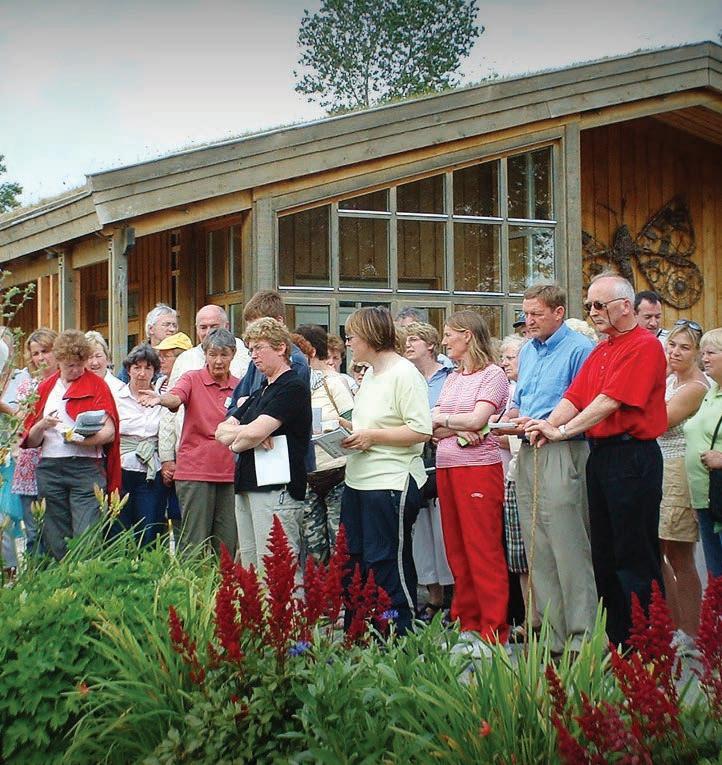
145
“THE ORGANIC CENTRE IS WHERE IRELAND’S ORGANIC GROWERS COME TO LEARN THEIR TRADE. ”
ANGLERS PARADISE
Irish coarse species are amongst the best and healthiest that you can fish for. They are always in excellent condition and using the correct methods you can ensure that a plentiful catch is only a few casts away. Anglers visiting this part of Ireland will find a rich variety of waters offering unlimited opportunities to pursue a variety of coarse fish species.
There is water here to suit all tastes. The pleasure angler seeking large open waters with promise of outstanding bags of Bream or Roach can choose from the wider stretches of The River Shannon or large lakes such as Garadice, Lough Allen, Gulladoo or Lough McNean. Those in search of somewhere more secluded will find many smaller lakes and stretches of rivers throughout the county which have plenty of fish to keep them occupied. With more than 100 locations to take to the water (and the entire Atlantic Ocean) in Leitrim it is impossible to mention all locations, here are just a few spots that highlight what Leitrim has to offer.
Ballinamore is widely acknowledged as an angler’s paradise, surrounded by 28 lakes within a 5-mile radius. This area is a very well-developed coarse angling centre and has hosted numerous
all-Ireland championships. It has very good general coarse fishing and some excellent competition stretches on many shores around Lough Garadice and Lough Scur. Specimen Tench and occasional Bream can be found in the small developed lakes in the area e.g. Drumlonan, Corgar and Bolganard Lakes, stretches along the Shannon Erne waterway are recommended. Most of the waters can be fished from the shore, however for those who wish to explore further boats can be hired from Ballyduff Boat Hire. For the angler who likes canal fishing, there is the restored canal, with healthy stocks of bream, roach, perch and pike. Bait can be acquired in the locality from The Forge Tackle Shop on Main St Ballinamore. A number of these lakes are also wheelchair friendly.
Between the villages of Kiltyclogher in North Leitrim and Blacklion in West Cavan lies the 644-hectare Lough McNean Upper. Fishing on the Leitrim side is mainly accessed from the Blacklion to Manorhamilton road (N16) and further along through Glenfarne Forest and Kiltyclogher. There is parking, boat launch facilities and a number of fishing stands available. There is an abundance of coarse fish in this lightly fished water
146
LEITRIM
County Leitrim has a great variety of waterways from the wild Atlantic Ocean in the north of the county to its many streams, rivers, canals and lakes. Angling has long been associated with the county and there are waters to suit everyone.
including good quality bream and good catches of roach are regularly taken. There are extensive areas of shoreline that may be fished from the bank and up to 20 pegs are available for match angling.
Hidden away between the rolling hills of picturesque South Leitrim lies Lough Rowan a 100-acre put and take fishery. This location attracts anglers of all ages, Lough Rowan has impressive stocks of hard fighting triploid rainbow trout reaching weights of up to 4lbs. Most angling methods are catered to at the fishery (no maggots) which has excellent facilities and ample shoreline for wading and boats are also available to hire by members and visitors.
In Ireland, anglers may fish for pike all year round. Leitrim and its surrounding hinterlands are a mecca for pike angling which takes place mainly during the spring and autumn but summer pike fishing using fly and tackle and surface lures has become an increasingly popular form of the sport. Likewise, the use of float tubes “Belly Boats” is on the increase and allows access to areas of the water that are difficult to reach. Pike Anglers visiting
Leitrim can find excellent spots right throughout the county, superior spots that come to mind are Roosky, Carrick-onShannon and Drumshanbo.
County Leitrim has the shortest coastline of any county in Ireland, but its coastal boundaries are marked by two important Salmon rivers. Salmon Fishing opens on 1st of January in a handful rivers and the remaining rivers open up throughout the preceding months. The majority of rivers close on 30th of September but some rivers remain open for sea trout fishing until October 12th.
Specialised fishing maps, bait and tackle with “Local knowledge” are available in the local towns and villages. It can also be good to hire a local guide, they can advise you on all aspects of fishing within Leitrim and can ensure that you get the most out of your time in water.
Leitrim is a location that lures fisherman to its banks and shores, it baits its visitors with an abundance of waterways and is the quintessential Anglers Paradise.
147
“BALLINAMORE IS WIDELY ACKNOWLEDGED AS AN ANGLER’S PARADISE, SURROUNDED BY 28 LAKES WITHIN A 5-MILE RADIUS.”
DONEGAL
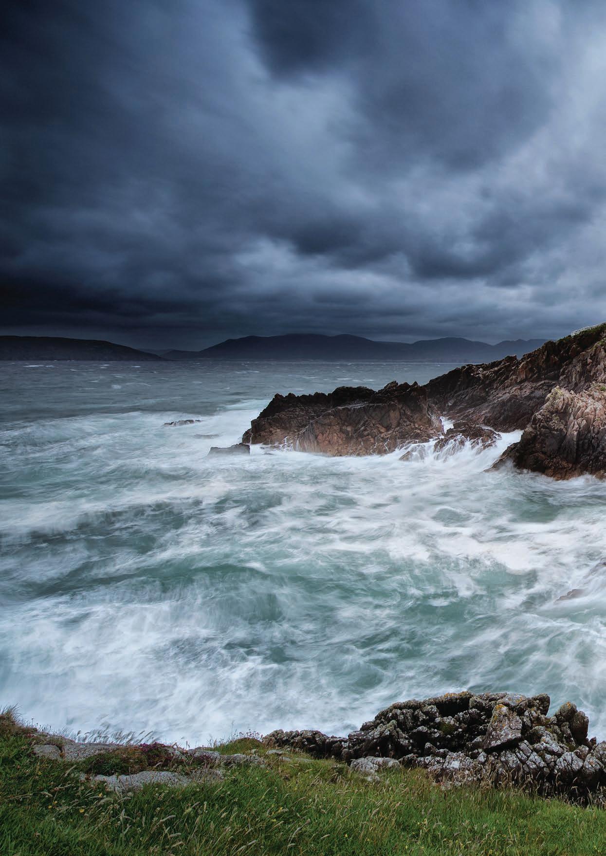
148
To Leitrim
TRIVIA
Often called “The Forgotten County”, Donegal is Ireland’s most northerly county. The name Donegal comes from the Irish ‘Dun na nGall’ meaning fort of the foreigner. It is also referred to as “Amazing Grace Country”, John Newton was a slave trader who was travelling from Africa back to England when a storm hit his ship off Donegal’s coast. Newton prayed to god for mercy and safety from the storm, this came in the form of Lough Swilly, a calm sea inlet. Due to his salvation from the storm, Newton was a new man. He went on to write the popular song and renounce slavery.
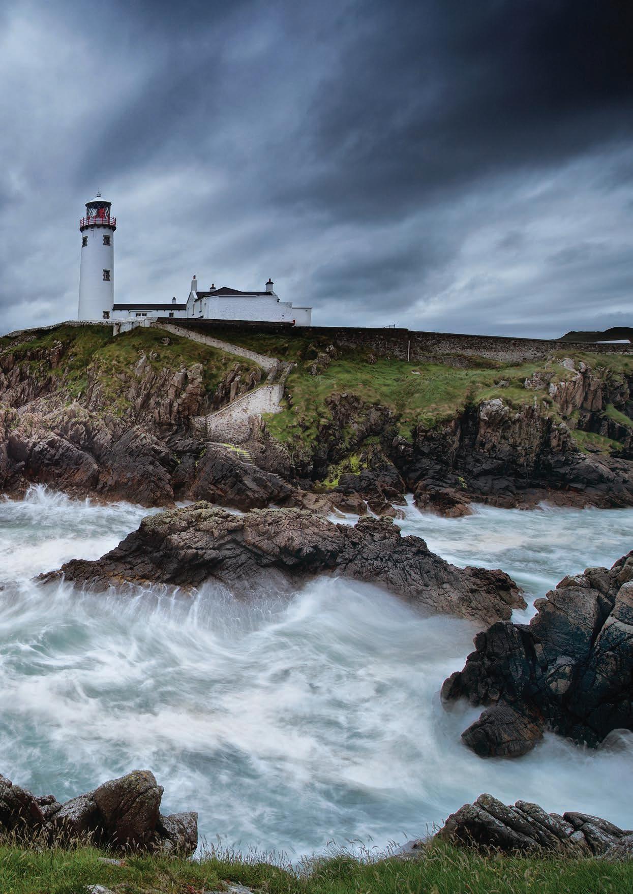
149 Blue Flag Beaches on the Wild Atlantic Way Towns Wild Atlantic Way Route WILD ATLANTIC WAY VIEWPOINTS Ballyshannon Donegal Ballybofey Glenties Ardara Letterkenny White Castle Buncrana Gleneely Malin Milford Kilmacrenan Ballyli n Portnablagh Bunbeg Burtonport Dunglow Killybegs Bundoran Rossknowlagh Murvagh MOUNT CHARLES PIER Fintra CIONN MHUCROIS IONAD SLIABH LIAG MALIN BEAG MALAIDH GHLEANN GHEIS Narin-Portnoo Strand INISFREE ARAN MHOIR GABHLA CNOC FOLA TORAIGH INIS BO FINNE HORN HEAD Marble Hill DOECASTLE VIEWPOINT ROSSGUILL PENINSULA ISLAND ROY BALLYHIERNAM BAY FANAD HEAD Fanad Bay MALIN HEAD BALLYMASTOCKER STRAND DUNREE HEAD Lisfanon Beach INCH ISLAND KINNAGOE BAY INISOWEN HEAD MAGILLIGAN VIEWPOINT
To Derry
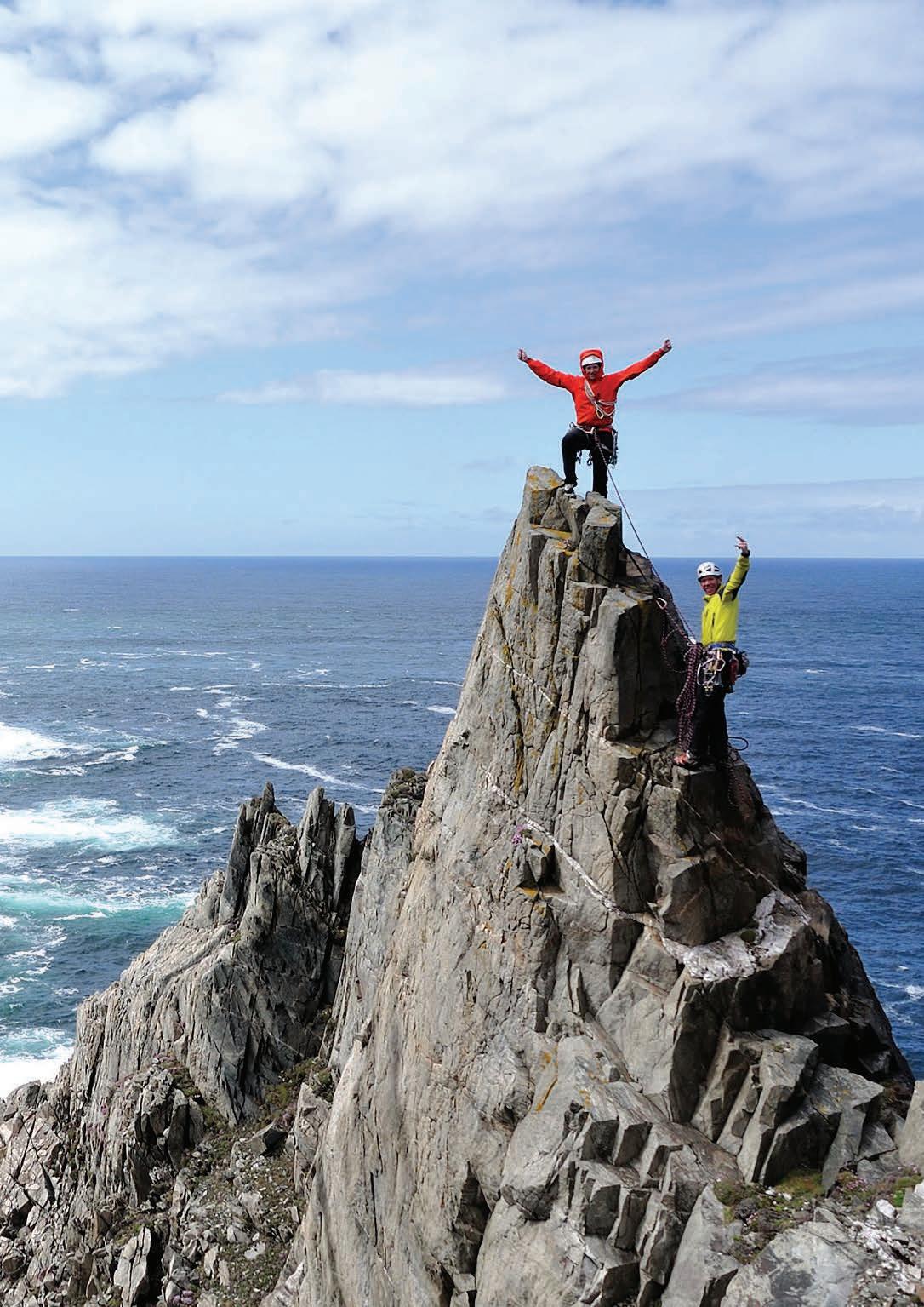
DONEGAL
DONEGAL The Forgotten County
Donegal is one of Ireland’s best kept secrets, nestled at the far north west of the country it provides post card perfect scenery, mighty mountains, sandy beaches and even glimpses of the Northern Lights. While it is known as “The Forgotten County” this cant be applied to its beauty, when in this colourful county you will be enthralled by the beauty of rural Ireland and will revel in the stories that both its locals and locales have to tell visitors. Put simply, it is unforgettable.
Outdoor enthusiasts will have a ball in this unspoilt haven, from surfing beaches in Magheroarty and Ballyhiernan Bay to the famous Mount Errigal, Muckish and Blusestack Mountains. Donegal has 11 lighthouses that light your way while traversing the county. Horn Head Peninsula boasts a driving, walking or cycling loop that squeezes the best of Ireland’s coastline into a 4.5-mile journey. The Sliabh Liag cliffs are noted as the highest sea cliffs in all of Europe standing at 1972ft above sea level. A walk to these towering cliffs also allows ample opportunity to experience the unique wonders of the natural biodiversity of marine flora and fauna that is found here. You can also sight exceptional views of Donegal bay which will take your breath
away! The scenic area of Glencolmcille is also one of those special enclaves of Ireland where the native Irish language continues to be spoken daily. This Gaeltacht region is also a hive of cultural activity from set-dancing and traditional music to guided tours and educational packages tailored for those who like to converse in our native tongue.
Off Donegal’s northern coast you will see the island of Inishbofin and then the silhouette of Tory Island beyond. Travel by boat to Tory from Bunbeg or Magheroarty and experience this outpost of Gaelic Ireland where language and culture has been passed on through unbroken generations. This is a magical place that is alive with legends and history, from the tower of Balor with a one eyed king to gentle Saint Columba who once had a settlement here. Tory Island is famed for its monarchy, its king has since passed on, but he was charged with regaling the history and culture of this land which is home to 100 islanders.
In Donegal’s heartland you can explore Glenveagh National Park where woodlands, wildlife and rugged countryside invite you to experience the magic of nature. Glenveagh castle in
Letterkenny is another favourite attraction in the region, where a guided tour brings you a fascinating view into the daily life of those who lived here many hundreds of years ago. The Glencolmcille Folk village and Doagh Famine Village in Inishowen offer vivid stories of Ireland’s past. Back at the coast, highlights include Malin Head, Ireland’s northernmost tip- and the breath-taking views at Fanad head lighthouse in Portsalon where you can even book a room and experience the isolation that keepers have faced for generations. Whether it is farmers markets, food fairs or just good quality locally sourced food, Donegal has a growing number of suppliers who source the finest locally produced ingredients from the surrounding area and The Atlantic Ocean. Like the people, Donegal Food is first-class.
Donegal is a landscape that offers so much to so many. A landscape that is proud and imposing, yet warm and gentle. It has retained much of rural Ireland that has been forgotten by other regions. Here is a place where you can travel through scenic towns and villages where the pace of life is slow and relaxed, the air is pure, and the beaches are seemingly endless. Yet again, it must be said that Donegal is unforgettable.
151
“THE SLIABH LIAG CLIFFS ARE NOTED AS THE HIGHEST SEA CLIFFS IN ALL OF EUROPE STANDING AT 1972FT ABOVE SEA LEVEL.”
The image of the lighthouse as either a warning of danger or guiding you into a safe harbour is a very strong one. Yet strangely, just like insects with light we are drawn to these beacons, perhaps this is because they are never in mundane or ordinary places these structures are specifically placed to warn people of danger and are often very isolated.
They may be redundant in this digital age, but they are a sign of safety and a shining light in the darkness is a welcome sight to anybody who is travelling on the Atlantic Ocean. They have adapted and can now be dwellings for the summer. Allowing the visitor to experience the isolation and harsh conditions that keepers of these great structures faced for generations. Eleven of these fortresses of solitude are dotted along Donegal’s Atlantic coast and the stories that emanate from them may just outshine their sheer beauty.
Arranmore Island, or Árainn Mhór is situated off the coast of County Donegal on the magnificent Wild and untamed, the island has a rich and vibrant heritage and culture and has been inhabited since prehistoric times. The Gaelic traditions are still thriving on Arranmore Island and if you are looking for a real taste of island life, then this is definitely not to be missed on your Donegal adventure. Arranmore Island is still home to the promontory fort at Uilinn, which dates from about 800BC, still stands on its cliff top perch. The Arranmore lighthouse was built in 1798 and is still operational. Conversion of the Lighthouse to automatic operation took place in 1976 and the Keepers were withdrawn on 1st August 1976. This allows visitors to now stay in the keeper’s lodges and experience how they felt throughout long stormy nights.
Ballagh Rock or Carraig an Bealach, The Road Rock, is at the northern end of the channel of water between Aranmore Island
and the Co Donegal mainland at Burtonport. The stretch of water is also known as the Aranmore Roads. Ballagh Rock is the largest of a group of rocks collectively called Blackrocks which are very exposed to seas especially from the north and north west. The lighthouse that warns of these Blackrocks is known as Ballagh Rock Lighthouse and was built in 1867 at a cost of £450.00. This striped structure is more of a beacon than a traditional lighthouse, but its location on jagged rocks in the Atlantic is a beautiful sight. When on the topic of beautiful sights, Buncrana Lighthouse is a little lighthouse was first established on Buncrana Pier in 1876, not far from its present location. It went electric in 1951 and was decommissioned in 2009. The restoration and refurbishment was undertaken by the local historical society, and erected on its current site by Buncrana Town Council.
Dunree Lighthouse is located nearly 150-feet above sea level on Dunree Head. It has spectacular views over Lough Swilly across to the Fanad peninsula and out to the wild north Atlantic. It was built in 1876 after the Duke of Abercorn requested better lighting for the Swilly and suggested converting the two Martello towers located at Macamish and Dunree. The government had no intention of disposing of their Martello towers and so, after a survey, chose this position above Dunree Fort for a new lighthouse. It was also decided that the building should not be more than one story high and so the lighthouse was designed with the lantern attached at ground level to the front of the dwelling. In 1927 the light was converted to unwatched acetylene which meant that John Murphy, the keeper at the time, no longer had to keep a night watch.
Fanad Head is seen as the jewel in the crown of Donegal’s lighthouses and can be found at the top of a rocky headland on the Fanad peninsula. That narrow road will lead you up to
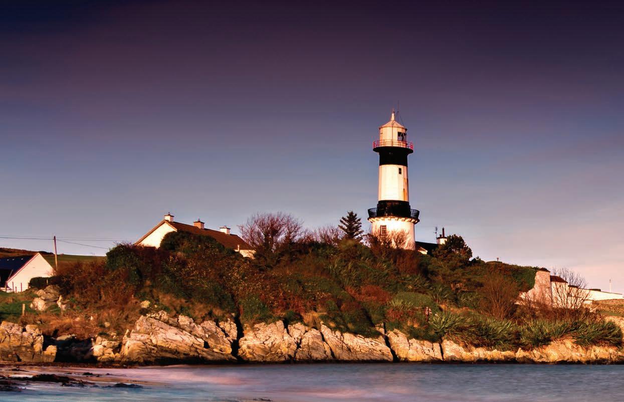
152
DONEGAL
LIGHTING THE WAY
Fanad Lighthouse, or as it’s called in Irish, Teach Solais Fhanada, the last stop before the north Atlantic. Built as a result of HMS Saldanha’s tragic wreckage (according to reports, only the ship’s parrot survived) in 1811, Fanad Lighthouse has saved countless lives since. This lighthouse is still operational, and you can stay here to experience the beauty of the surrounding area and to gaze into the Atlantic as Fanad’s light shines out to warn of its dangers.
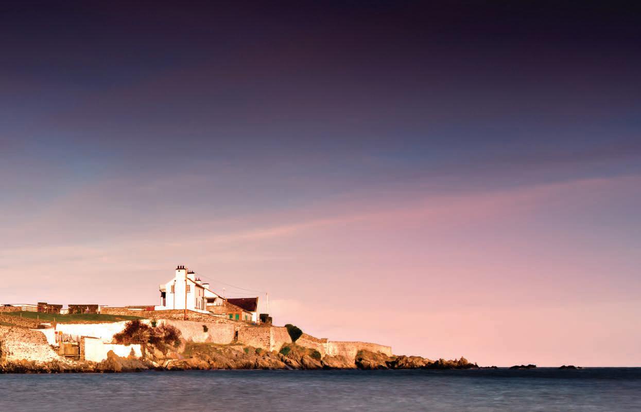
Inishowen is the largest peninsula on the island of Ireland. The Inishowen peninsula includes Ireland’s most northerly point, Malin Head. There were originally two towers on either side of Lough Foyle, these guided the boats into safe harbour, today there is only one and it is known as Inishowen lighthouse. This structure used to be known for the bellowing sound its fog horn made, this sound allowed sea dwellers to know danger was close when fog blanketed the area and visibility was low. The fog horn was retired in 2007 and there is still a keeper living in the lighthouse.
Inishtrahull Lighthouse is the northerly most lighthouse in Ireland located on Inishtrahull Island off the coast. Coupled with the lighthouse on Tory Island they form the two main landfall lights for shipping from the Atlantic rounding the north coast of Ireland. Work on the first lighthouse, situated at the east end of the island began in 1812, primarily due to Royal Navy ships using Lough Foyle. The station became unmanned in 1987 and it also ceased to use its foghorn at the same time. In 2000 the lighthouse was converted to solar power and know uses that power to disperse its gaze on the surrounding sea.
Rathlin O’Birne lighthouse was built in 1856. There are 8-foothigh walls surrounding the lighthouse and these are a work of art as they extend on both sides of the path from the lighthouse buildings right down to the beach on the west coast of the island.
They must have provided excellent shelter for the lighthouse keepers journeys to and from the raised shingle landing beach on the east side of the island. In 1974 this became Ireland’s first ever nuclear-powered lighthouse and for this reason it was said to be the most powerful lighthouse in the land. Its beam is now radiated by solar power and it is an unmanned lighthouse. Rotten Island lighthouse is a harbour light to light the passage from St. John’s Point to inner channel and past the rocks to the anchorage within Killybegs Harbour. It was built in 1838 and this sliver of land certainly does not live up to its name, it is a small island that provides brilliant views of Donegal’s coast.
Sitting on one of Ireland’s longest peninsulas; the majestic St John’s Point Lighthouse has been a guiding light for Donegal Bay, Killybegs Harbour and Rotten Island since 1833. Nestled on a striking stretch of coastline, its pristine white tower stands 14m tall and on a stay in one of its two lightkeepers’ cottages, you can drink in views of Inishmurray Island and Europe’s highest sea cliffs at Sliabh Liag. Last but by no means least is Tory Island Lighthouse, Tory Island is more famed for its monarchy in Ireland but its lighthouse which was built in 1832 is a hidden treasure that has ancient foundations. The wall around the lighthouse includes stones which were taken from an ancient tomb which at one stage lay on the island.
These beacons will light your path along the way and can illuminate you with knowledge when you delve inside these beautiful structures. The Wild Atlantic Way does live up to its name and these buildings have been erected to protect those who are perilously traversing its waves. Ireland has an abundance of lighthouses, including the oldest operational lighthouse in the world. Hook head sits on the east coast and is 800 years old. Donegal’s lighthouses will lead you on a journey along its coastline and islands and shines a light on the best that Donegal has to offer its visitors.
153
Donegal’s lighthouses shine a light on the best that this county has to offer its visitors.
OUR NATIVE TONGUE
Conversing with locals along the way
by Oisín Ó Cuilleanáin
While travelling on the Wild Atlantic Way, you might come across a sign that reads ‘An Gaeltacht’, (Pronounced “On GaleTucked”), this means you are approaching into an area where Irish (Gaeilge) is the main daily spoken language, but do not be alarmed and put away Google translate, the vast majority of the residents in the Gaeltacht also speak English and some even a third language.
All along the west coast of Ireland, from Donegal to Kerry you can come across these areas, they are the last strongholds of a language which before the Great Famine or as it is known in Irish ‘An Gorta Mór’ (meaning ‘The Great Hunger) in the 1840s claimed more speakers than the Finnish Language and decimated the Irish speaking population, relegating one of the oldest languages in Europe to a minority status.
If travelling northwards on Donegal’s Wild Atlantic Way, along the southwest of the county, you will drive past a ‘An Gaeltacht’ sign just as you are leaving the port town of Killybegs. The road signs will direct you to the towns Cill Charthaigh (Kilcar), An Charraig (Carrick) and Gleann Cholm Cille (Glencolmcille). This part of Co. Donegal is home to the Slieve League cliffs, which are some of the highest in Europe.
Leaving Glencolmcille, going through the town of Ardara and just past Dungloe, you will enter one of the most rurally populated places in Europe, the parish of Gaoth Dobhair (Gweedore). This remote area is where the king of the Donegal’s hills resides, An Earagail (Errigal). Standing at 751 meters tall it gives the mountain a royal-worthy vantage point over its domain. While the landscape is rocky and harsh, the people of the Gaeltacht are softly spoken. Like any language, each region has its dialects, with the Donegal blas (accent or taste pronounced “Blaw-ss”) being distinct from the other dialects. Irish-American comedian Des Bishop when making his documentary series, In The Name Of The Fada, about his journey learning Irish, said
when Donegal-Irish speakers spoke to him for the first time, he felt like they were verbally petting him, due to the subdued accent.
A basic example between the differences of the dialects is saying ‘How are you?’, as ‘Conas a tá tú?’ is the standardised ‘How are you?’ Irish pupils are taught in school, pronounced Cun-as Ah Taw-Too, while in the Donegal-Irish, you would say ‘Go dté mar atá tú?’ pronounced Gugh Jay Mar Ah-Taw Too.
The positive response to the question, ‘I am good’ or in Irish ‘Tá mé go maith’ (Taw May Guh M-Ah) is the same on paper but the pronunciation illustrates the soft inflexions of the Donegal blas, in standardised Irish ‘maith’ is pronounced M-Ah while a Donegal speaker would say maith like ‘My’ (Taw May Guh My).
Even the name of the Irish Language itself is different in the Donegal blas. Donegal speakers say Gaelic rather than Gaeilge, this means when in a Gaeltacht area in Donegal and you want to ask if someone speaks Irish, you would say ‘An bhfuil Gaelic agat?’ rather than ‘An bhfuil Gaeilge agat?’.
Some Irish names are also pronounced differently in Irish, such as my own, I would pronounce Oisín, ‘Ush-een’, while Donegal speakers would say ‘Ah-sheen’ and the girls name Caoimhe outside of Donegal and Ulster is ‘Quee-Va’ in Donegal the C is more like a K and is pronounced ‘Key-Va’.
If you want to learn Irish, downloading Duolingo is a good way to get a grasp of the language but unfortunately it does not teach you the Donegal blas. However, Oideas Gael in Glencolmcille offer one week and weekend language courses. The classes range from Beginner, Intermediate and Advanced. Each night after classes there is an activity, such as a Celí dance, poetry readings and singing classes which allows visitors to immerse themselves in Irish culture.
154
DONEGAL
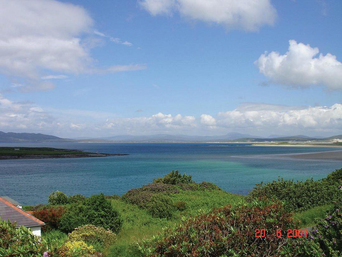

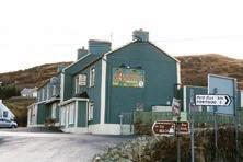
ANNORA Pub & Accommodation Narin, Portnoo, Co. Donegal +353 (0)74 954 5455
Wild Atlantic Way
beautiful Portnoo Blue Flag Beach
an 18-hole scenic golf course
Located
on the
overlooking the
and beside
COLMCILLE HERITAGE CENTRE
The Colmcille Heritage Centre sits on the shore of Gartan Lough on the edge of Glenveagh National Park. Displays in the centre tell the story of Colmcille’s early years in the Gartan area and describe the spread of early Christianity in Ireland and Scotland, giving details of monastic and religious life.
There is a replica of the 6th-8th century Bell of St Columba which was kept in the Gartan area and passed down through successive generations of one family. It was said that water drunk from the bell would cure any illness.
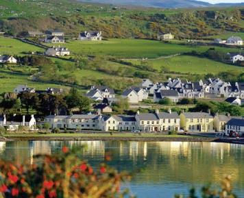
The Centre is open from the first Sunday in May until the last Sunday in October. Mondays-Saturdays 10.30-17.00 and Sundays 13.30-17.00.
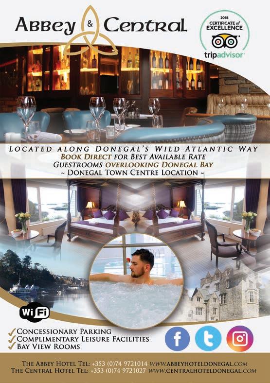
156
VISIT DUNFANAGHY ON DONEGAL’S WILD ATLANTIC WAY! CELEBRATED 100 YEARS IN 2022 OVERLOOKING THE MAGNIFICENT SHEEPHAVEN BAY ON DONEGAL’S WILD ATLANTIC WAY CALL AND BOOK DIRECT FOR THE BEST RATE GUARANTEED! Main Street, Dunfanaghy, Co. Donegal +353 (0) 74 9136208 enquiries@arnoldshotel.com - www.arnoldshotel.com
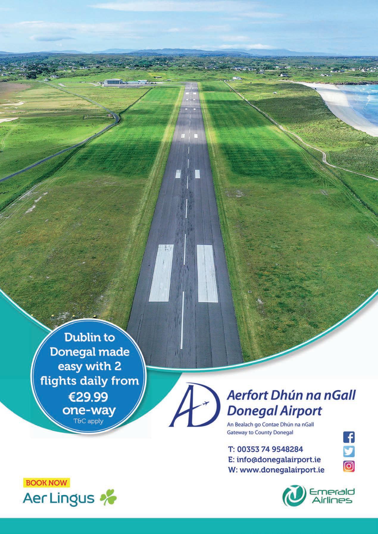
SLIABH LIAG CLIFFS
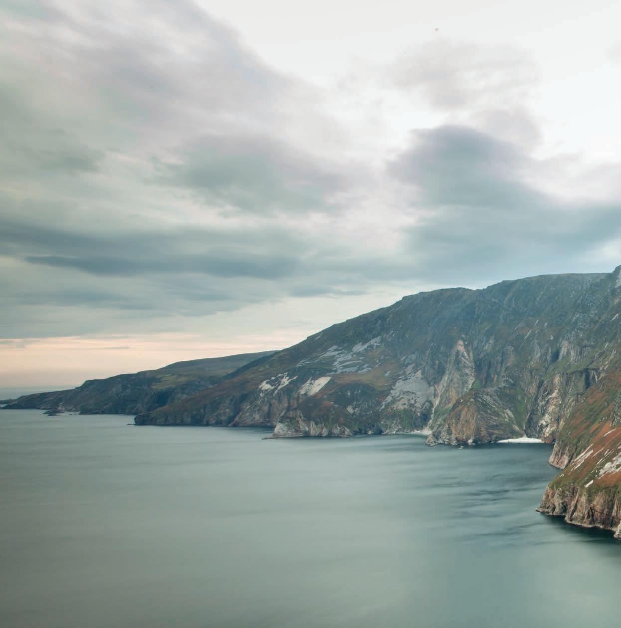
The Sliabh Liag Cliffs on the south west of Donegal are the highest sea cliffs in all of Europe. Standing 601 metres (1972ft), they are twice as tall as The Eiffel Tower in Paris. Sliabh Liag offers a unique experience to view an untouched landscape, boasting many forms of wildlife, including sea birds big and small, and if you are lucky you may see some dolphins or whales passing by. The cliffs are made up mainly of quartzite and schist, with sheer faces of rock standing above the roaring ocean, and many sea stacks scattered along the rugged shore below.
When cliffs are mentioned in Ireland Moher springs to mind, however, Sliabh’s Cliffs are three times the size of them and they aren’t quite as congested as the Clare attraction can be at times. By summiting the highest point of the Wild Atlantic Way climbers can take in views of Donegal Bay, Rathlin O’Beirne
Island, Sligo, and if the weather is good you can see Mayo in the distance. The high slopes of Slieve League hold both ancient and modern history, there are remains of an early Christian monastic site, with chapel and beehive huts. There are also ancient stone remains that suggest that the mountain was a site of pilgrimage before the arrival of Christianity. At Carrigan Head, on the way to the main viewing area, you can see a Signal Tower built in the early years of the 19th century to watch for a possible French invasion. Close to the viewing area you can see stones, which marked out the word “Éire” as a navigation aid for aircraft during World War II.
The best way to explore all these cliffs has to offer is by hiking its steep slopes. There are a few paths that you can take in the area with the most well-known path called “The Pilgrims Path”. The
158
DONEGAL
Pilgrim’s Path is about 3km in length and will take you roughly 2-3 hours out and back. The trail’s name comes from the era of Ireland’s Penal laws in the 18th and 19th centuries, a series of laws imposed on the local Irish population to force Irish Roman Catholic dissenters to convert to the “true faith” of the English Anglican Church. This meant that official Catholic worship was outlawed, but many Irish refused to convert, so they met in secret in remote, rural places, such as Sliabh Liag, where they said mass from allotted “mass rocks.” Along the Pilgrim’s Path, you’ll find the remains of a Mass Rock, a makeshift “church.” Today it’s in ruin, but the name stuck. The Pilgrim’s Path is narrow and steep – in some places, it’s rocky underfoot, and in other places, boggy. Therefore, make sure you’re dressed appropriately with waterproof jacket and trousers, as well as sturdy hiking boots with ankle support.
Experienced hikers can then continue to the infamous “One man’s pass”, a narrow, 400m knife-like craggy edge, the land drops dramatically on each side. Less experienced hikers or those with vertigo, can take the path on the right, a longer way that avoids the pass. This is a stunning yet dangerous hike that rewards the brave with spectacular views and picturesque moments.
Before you get to the cliffs themselves, you’ll come across the Slieve League Cliffs Centre. With a friendly local atmosphere, this family-run and award-winning spot is packed full of local history and culture. The craft shop stocks locally made knitwear and artworks and in summertime, you can even catch a traditional Irish music session.
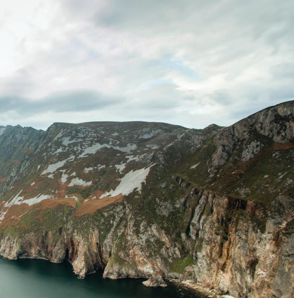
159
Europe’s highest sea cliffs have perilous paths and stunning scenery, they leave the cliffs of Moher in their shade and are truly in a league of their own.
DONEGAL
THE BANSHEE IN DONEGAL
One of the largest folklore collections in the world is housed in the National folklore Archives at University College Dublin. The “school’s collection” was compiled by Irish school children in the 1930s.
Approximately 740,000 pages (288,000 pages in the pupil’s original exercise books and 451,000 pages in Bound volumes) of folklore and local tradition were compiled by pupils from 5,000 primary schools in the Irish free state between 1937 and 1939. This compilation has been recently given World Heritage status by UNESCO due to its impact on not only Irish, but world heritage.
More than 50,000 school children from 5,000 schools in the 26 counties of the free state where enlisted to collect folklore in their home Districts. This included oral history, topographical information, folktales and legends, riddles and Proverbs, games and pastimes, trades and crafts. The children recorded this material from their parents, grandparents and neighbours.
The scheme resulted in the creation of
over half a million manuscript pages, generally referred to as “Bailliuchan na Scol or The Schools Collection”. There are 1,128 volumes, numbered and bound in the collection. A title page prefaces each school, giving the name of the school, the parish, the barony, the county and the teacher. A further collection of approximately 40,000 of the children’s original copybooks are stored at the NFC
Donegal is rich with folklore, tales of Fairies, Leprechauns, ghosts, and stories of the Banshee are ingrained within the Irish youth and have been passed down through the generations. The Banshee is a female spirit in Irish mythology who heralds the death of a family member, usually by wailing or shrieking. she has long streaming hair and wears a grey cloak over a green dress, and her eyes are red from continual weeping. She is also described sometimes as being unnaturally tall.
One of the stories in the collection regards a Banshee and was written by a schoolgirl from St Johnstone in 1938 who was told the tale by her neighbour.
THE BANSHEE
There is a woman living near us called Maggie Mc Cready, who saw a banshee. This is how she told me the story.
“We were leevin’ in St Johnston at the time this happened. Wan night just as darkness was falling, my father said he’d go oot and put in the cow. Before lang he came in again and told my mother and us that he wanted us oot tae see a thing. Out we went and what did we spy bit a wee woman sitting on our roof. She was wearing a wee red cloak and tammy-shanter.
We stood looking up at her. She kept on saying “Och-och in a nee o.” After a while she told us tal go intae the house and not tae be afraid. We went oot again tae see her bit she was awa’. We heard her crooning down at the fit of our garden. My fether told us not to be going down near her again because she was a ban-shee and might blow bad luck on us for following her.”
Today you can explore this fascinating material from the 26 counties of Ireland in the online archive of the school’s collection. To explore the collection visit www.duchas.ie
161
“DONEGAL IS RICH WITH FOLKLORE, TALES OF FAIRIES, LEPRECHAUNS, AND MORE. ”
TÍR NA NÓG
Long ago, people in Ireland believed that there was a beautiful land in the western sea called Tír na nÓg - The land of the young. It was a place where the trees were always green, the flowers were always in bloom and men and women never grew old. This is the story of how Oisín, the son of Fionn MacCumhail leader of the Fianna, went to go to Tír na n-óg.
One morning the Fianna were hunting deer on the shores of Lough Leane in County Kerry. As they rested on a hilltop, a beautiful girl came riding towards them on a snow-white horse. She was dressed like a princess and her long golden hair hung to her waist.
As she drew near, Fionn called out “What is your name and what land have you come from?” – “I am Niamh of the Golden Hair and my father is King of Tír na nÓg. I have heard of a great warrior named Oisín. I have come to find him and ask him to return with me to the Land of the Young.”
Fionn was sad, for he feared that if Oisín went with Niamh, he would never see him again. But it was too late, Oisín was already in love with the princess. He accepted Niamh’s invitation and waving goodbye to Fionn and his friends, he jumped onto the horse behind Niamh. Away they galloped into the morning mist.
Over the land and the sea, the fairy horse ran, moving as swiftly as a shadow. At last they reached the golden shores of Tír na nÓg. The king and queen welcomed Oisín and held a great feast in his honour. It was a magical land. Oisín
hunted and feasted and at night he told stories of Fionn and the Fianna and of their lives in Ireland. Oisín had never felt as happy as he did with Niamh and before long, they were married.
Oisín lived in Tír na nÓg for three hundred years, but being so happy, it only seemed like three. Then a great longing came on him to go back to Ireland. Niamh did not want him to go but at last she agreed and gave him the white horse. Niamh warned him “set foot, even once, on the soil of Ireland and you will never return to Tír na nÓg.”
When Oisín reached Ireland, he found that everything had changed. There was no trace of his father or the fianna. As he passed through Gleann na Smol, the valley of the thrushes, he saw a group of men trying to move a large stone. “I will help you” he said. The mighty Oisín stooped down in his saddle, and with one hand, lifted the stone. But as he did so, the saddle strap broke and he tumbled to the ground. Immediately the fairy horse galloped away, and a great change came over Oisín. In the blink of an eye the great hero of the Fianna became a withered old man.
Unsure of what to do, legend has it that the men brought Oisín to Saint Patrick. Saint Patrick tried to comfort Oisín in his old age. When Oisín learned that the Fianna and his father were long since dead, his heart was filled with sadness. Oisín spoke of the old days of the fianna and the many great deeds of Fionn, when they hunted and feasted and listened to great stories. He spoke of his time in Tír na nÓg and his beautiful wife Niamh. Although Oisín died soon after, the wonderful stories of Niamh and Oisín have lived on.
162
Horn Head Discovery Point
HORN HEAD DISCOVERY POINT
of Horn Head Eastwards to the coastal promontory fort of Duncap Isle, rival the Cliffs of Moher not just in height but definitely in variety of dramatic views and accessibility. In days of very good visibility the mountain range “The Paps of Jura” on the Island of Jura off the West coast of Scotland can be observed.
Horn Head
am off on holiday to Dunfanaghy ..., to the wildest, loneliest and loveliest country I know, a country of hills, and hollows, of lakes and woods, of cliffs, mountain rivers, inlets of sea, sands, ruined castles and memories from the beginning of the world.” George Russell (-AE,c.1905)
orn Head is a magnificent peninsula jutting out into the wild Atlantic Ocean, giving shelter to village of Dunfanaghy and Sheephaven Bay. It has designated as a Natural Heritage Area. New Lake Dunfanaghy was formerly part of the inlet with water marsh but alterations to local sand dunes meant the marsh filled with fresh water and became lake. Over time New Lake became a haven for seabirds and is now a Special Protection Area.
Horn Head which can be visited via the picturesque seaside village of Dunfanaghy has been described by noted early 20th century Naturalist and Botanist, Robert Lloyd Praeger, as “perhaps the finest headland Ireland”. This is probably the most dramatic of the beautiful Donegal peninsulas. Visitors get a real sense the power of the Atlantic while standing at these viewpoint on Coastguard Hill at approx 700ft (213m) shows Atlantic Ireland at its best. The vista in the South-West with Aranmore Island and Bloody Foreland, Tory Island and the three inner isles. the North the viewer has a bird’s eye view of the
point, Malin Head and Tor Beg rock - but none can match the drama of Horn Head’s cli s, their tops carpeted in a covering of purple heather. e cli s, from the point of Horn Head Eastwards to the coastal promontory fort of Duncap Isle, rival the Cli s of Moher not just in height but de nitely in variety of dramatic views and accessibility. In days of very good visibility the mountain range “ e Paps of Jura” on the Island of Jura o the West coast of Scotland can be observed.
There are two splendid viewing points on Horn Head one on the North side where the cliffs dominate the scenery and the other on the South side, overlooks
Horn Head Discovery Point
of Horn Head Eastwards to the coastal promontory fort of Duncap Isle, rival the Cliffs of Moher not just in height but definitely in variety of dramatic views and accessibility. In days of very good visibility the mountain range “The Paps of Jura” on the Island of Jura off the West coast of Scotland can be observed.
There are two splendid viewing points on Horn Head one on the North side where the cliffs dominate the scenery and the other on the South side, overlooks
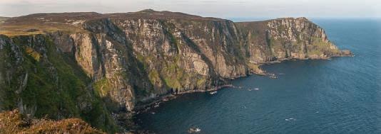
“I am off on holiday to Dunfanaghy ..., to the wildest, loneliest and loveliest country I know, a country of hills, and hollows, of lakes and woods, of cliffs, mountain rivers, inlets of sea, sands, ruined castles and memories from the beginning of the world.” George Russell (-AE,c.1905)
Horn Head is a magni cent peninsula jutting out into the wild Atlantic Ocean, giving shelter to the village of Dunfanaghy and Sheephaven Bay. It has been designated as a Natural Heritage Area. New Lake near Dunfanaghy was formerly part of the inlet with salt water marsh but alterations to local sand dunes meant the marsh lled with fresh water and became a lake. Over time New Lake became a haven for seabirds and is now a Special Protection Area. Horn Head which can be visited via the picturesque seaside village of Dunfanaghy has been described by the noted early 20th century Naturalist and Botanist, Robert Lloyd Praeger, as “perhaps the nest headland in Ireland”. is is probably the most dramatic of the beautiful Donegal peninsulas. Visitors get a real sense of the power of the Atlantic while standing at these cli s.
ere are two splendid viewing points on Horn Head one on the North side where the cli s dominate the scenery and the other on the South side, overlooks Dunfanaghy village and Killahoey Blue Flag Beach. During the nesting season the almost 660 (200m) rock face scored by ledges comes alive with nesting seabirds. It has been designated as an Irish Natural Heritage Area and a Refuge for Fauna (speci cally sea birds).
Dunfanaghy village and Killahoey Blue Flag Beach. During the nesting season the almost 660ft (200m) rock face scored by ledges comes alive with nesting sea-birds. It has been designated as an Irish Natural Heritage Area and a Refuge for Fauna (specifically sea birds).
Horn Head is packed with reminders of our early ancestors. ere are dolmens and court cairns dating back to Neolithic times, a stone circle, cashels and ring forts. e latter are evidence of Iron Age forti ed homes. A discovery last century of a hoard of ne golden torcs on the slopes of Largatraney gives a glimpse of a level of prosperity we would not have otherwise imagined. is collection can be seen in the National Museum in Dublin. (Most of the monuments can be found on the Discovery Series Ordnance Survey Maps).
Horn Head is a magnificent peninsula jutting out into the wild Atlantic Ocean, giving shelter to the village of Dunfanaghy and Sheephaven Bay. It has been designated as a Natural Heritage Area. New Lake near Dunfanaghy was formerly part of the inlet with salt water marsh but alterations to local sand dunes meant the marsh filled with fresh water and became a lake. Over time New Lake became a haven for seabirds and is now a Special Protection Area.
e viewpoint on Coastguard Hill at approx 700 (213m) shows Atlantic Ireland at its best. e vista starts in the South-West with Aranmore Island and Bloody Foreland, Tory Island and the three inner isles. To the North the viewer has a bird’s eye view of the restless North Atlantic and the opportunity to spot Basking Sharks, Sperm Whale and pods of Dolphins, frequently seen quite close to shore. Looking North -East one sees Melmore Point, Fanad Head with its lighthouse and Ireland’s most Northerly
Horn Head which can be visited via the picturesque
e 5km Lurgabrack Nature Walk will take visitors out through the dunes with their unique ora and fauna, onto the magical Tramore Beach, and back through the low, ancient forest. is magni cent sandy beach with breath-taking views of the islands of Tory and Innisbo n is also accessible directly from Horn Head bridge. Horn Head discovery point o ers an unforgettable experience.
Horn Head is packed with reminders of our early ancestors. There are dolmens and court cairns dating back to Neolithic times, a stone circle, cashels and ring forts. The latter are evidence of Iron Age fortified homes. A discovery last century of a hoard of fine golden torcs on the slopes of Largatraney gives a glimpse of a level of prosperity we would not have otherwise imagined. This collection can be seen in the National Museum in Dublin. (Most of the monuments can be found on the Discovery Series Ordnance Survey Maps).
Killahoey Blue Flag Beach
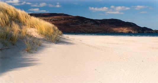
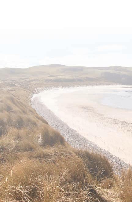

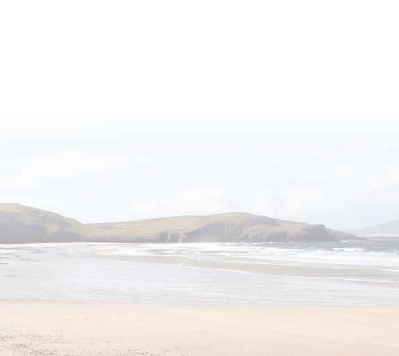
Dunfanaghy village and Killahoey Blue Flag Beach. During the nesting season the almost 660ft (200m) rock face scored by ledges comes alive with nesting sea-birds. It has been designated as an Irish Natural Heritage Area and a Refuge for Fauna (specifically birds).
Two new way-marked walks are almost ready for opening. The longer one will enable visitors to walk
Horn Head is packed with reminders of our early ancestors. There are dolmens and court cairns dating
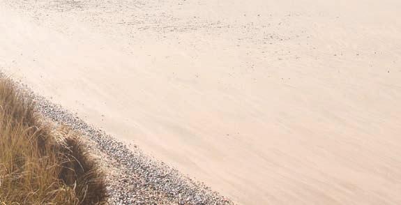
HORN HEAD DISCOVERY POINT
“I am o on holiday to Dunfanaghy ..., to the wildest, loneliest and loveliest country I know, a country of hills, and hollows, of lakes and woods, of cli s, mountain rivers, inlets of sea, sands, ruined castles and memories from the beginning of the world.”
George Russell (-AE,c.1905)
THE WILD ATLANTIC WAY
seaside village of Dunfanaghy has been described by
Horn Head
restless North Atlantic and the opportunity to spot
out to the horn itself and enjoy the spectacular views
C M Y CM MY CY CMY K
Killahoey Blue Flag Beach
Horn Head
Tramore Beach.
Images: Martin Fleming Photography
Killahoey Blue Flag Beach
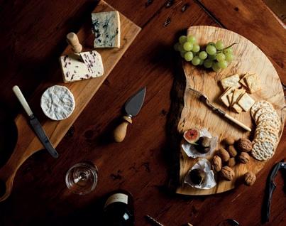

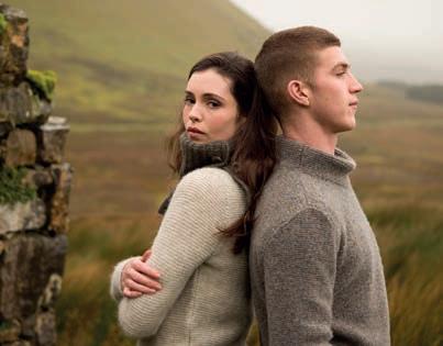
165 CELEBRATING IRISH DESIGN FASHION - KNITWEAR - HANDCRAFTS - GIFTS TAX FREE SHOPPING • INTERNATIONAL DELIVERY McAuli es Cra Shop, Dunfanaghy, Co. Donegal. T: +353 (0)74 913 6135 info@mcauli escra shop.com • www.mcauli escra shop.com
DONEGAL AIRPORT THE GATEWAY TO THE NORTHWEST
The county and northern part of the Wild Atlantic Way is made more accessible by its airport. Situated on the north-western coast, in a Gaeltacht area, Donegal Airport is the gateway to the northwest. Considering the size of Donegal, it would hardly be worth the flight without a vehicle on arrival, which makes the service provided by Enterprise Car Rental and Kelly’s Toyota Dealer Rental in the airport all the better. Whether traveling to or from Donegal or Dublin or traveling from the 14 through-fare destinations in North America, Donegal Airport is most definitely the quicker, easier option. With a duration of approximately 55 minutes flying time from Dublin, it makes the visitor’s journeys faster.
Donegal Airport’s approach is unique in its stunning aerial views, providing a beautiful mix of scenery from the islands off the coast, the mountain ranges to the south-east, to the beautiful beaches all along the coast. This breath-taking scenery earned Donegal Airport the title
of ‘Most Scenic Airport Approach’ by PrivateFly three years in a row (20182020) with beautiful sandy beaches on either side of the runway bordering the clear blue ocean and Errigal Mountain in its background, this gives Donegal Airport a unique appeal.

The airport isn’t just unique for its views; Donegal Airport was one of the first in Europe and the first in Ireland to use Smiths Detection HI-SCAN 6040 CTiX security system. The security process at airports is a tedious drawn-out process for people as it is, but this top-of-therange system not only eliminates the need for limits to liquid, but its 3D imagery also provides a much quicker and even a safer security experience for passengers, setting Donegal Airport apart from domestic and international competition.
Emerald Airlines was selected as the exclusive operator of the Public Service Obligation (PSO) air route between Donegal and Dublin, providing an essential air link between the northwest
Emerald Airlines offers up to 4 flights daily, linking Donegal and Dublin with convenient flight timings and seamless connections on the Aer Lingus network from Dublin. This provides a huge boost for travel between Donegal and Dublin and also re-establishes vital tourism connections to Donegal on the wider Aer Lingus network. Emerald Airlines operates the Donegal-Dublin route using Aer Lingus’ flight numbers and the Aer Lingus brand franchise using the 72-seater ATR 72-600.
With Donegal Airport’s friendly, bilingual staff dedicated to customer satisfaction, offering the best service and food one could ask for in an airport, paired with the fact that it sits in a Gaeltacht region makes it unique for more than its amazing scenery. Truly the gateway to the Northwest, Donegal Airport is one of a kind.
166 189
and Dublin in the absence of a motorway or rail network in the region.

167 Exhibition Centres-Audio Visual Facilities-Scenic Walks Majestic Views of Lough Swilly-Car and Coach Parks Kayaking, Snorkeling and Coasteering available. The most scenic Coffee Shop in Ireland! To book an advertisement, Contact: Robert O'Connor Mobile 087 6653371 Telephone: +353 1 427 3010 (Direct Line). Email: robert@guerinmedia.ie www.seniorscard.ie Clanree Hotel Enjoy some delicious snacks, unwind with a drink or enjoy dinner served using locally sourced ingredients. Hotel guests can avail of complimentary access to our leisure centre • Carvery & Coffee Dock • McGettigans Bar & Restaurant • Swimming Pool & Leisure Centre • Serene Wellness Health & Beauty C M Y CM MY CY CMY K Clanree Hotel - WAW - HP 2023.pdf 1 07/02/2023 22:17:14
ALONG THE WAY
The Wild Atlantic Way is the longest defined coastal drive in the world and showcases the rugged beauty of the West Coast of Ireland. Covering 2,500 Km and stretching through nine counties, Ireland’s Wild Atlantic Way is a journey that was millions of years in the making and showcases the best of both ancient and modern Ireland.
From Cork to Donegal and back again, there are thousands of things to do on this route, while it is impossible to mention these, we have selected what we feel are some of the best points, attractions and things to do and see along the way.
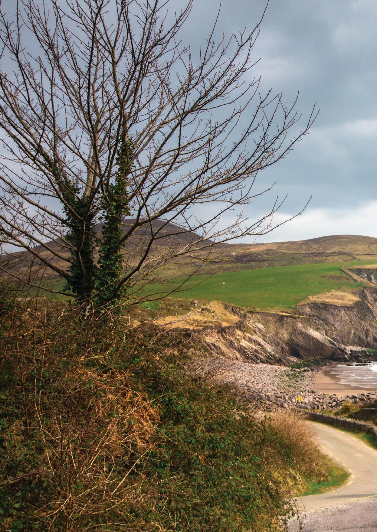
168
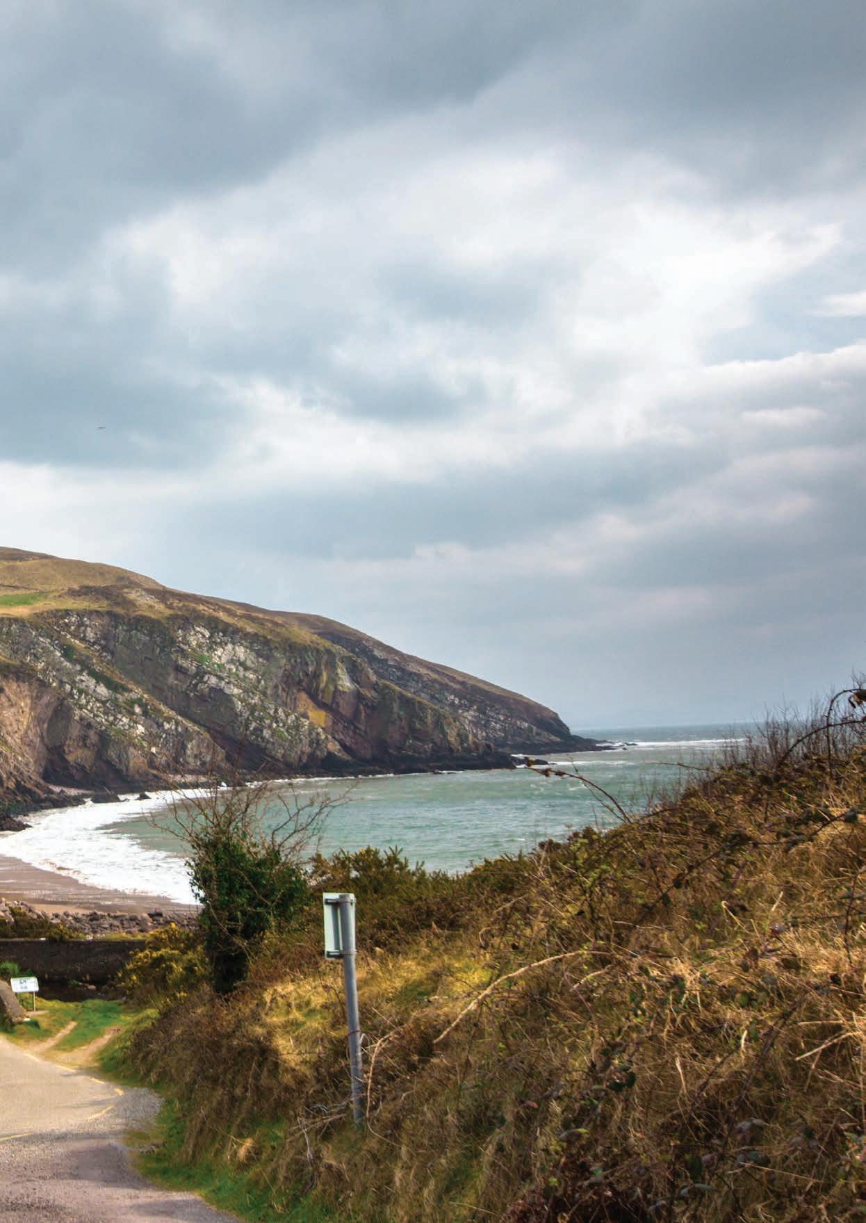
169
TEE OFF ON THE WILD ATLANTIC WAY
Ireland has a rich history in the sport of golf, we have given the world numerous major winners and played integral roles in the winning of Ryder cups throughout the years. So how can such a small nation have such a big impact on the game of golf?
Ireland is home to some of the best golf courses in the world, these courses have been moulded over to the last century or more to provide golfers with stern tests while also delivering breath-taking views that showcase not only the course but the best of Irelands ancient rugged landscape. The many fairways that are dotted throughout the emerald isle have been paced on by legends of the game such as Tiger Woods, Phil Mickleson, Padraig Harrington, Rory Mcilroy and Tom Watson to name but a few. The Wild Atlantic Way is home to many of these courses and here are a just a few of the courses that you will drive by on the route.
BALLYBUNION GOLF CLUB CO. KERRY
Located on the north west coast of County Kerry, on a beautiful stretch of sand dunes overlooking the Atlantic Ocean, you’ll find two wonderfully challenging and unique links golf courses at Ballybunion - the Old Course and the Trent Jones Cashen Course. The Old Course exudes a majestic feel that simply cannot be compared to any other course on earth. With beautifully contoured fairways that tumble down through a blanket of grassy dunes, it’s no wonder these challenging holes have been consistently rated among the top courses in the world. Former president Bill Clinton has played here a few times and stated “I love Ballybunion. It’s perfectly Irish: beautiful, rough, and a lot like life — you get breaks you don’t deserve, both ways. You just have to keep swinging and know it will all even out.”
OLD HEAD GOLF LINKS, KINSALE, CO CORK
Occupying a stunning and unique headland reaching out over two miles into the Atlantic Ocean, the Old Head of Kinsale is home to the most spectacular world-class golf course. Located in County Cork on the South West Coast the Club has developed into one of the most recognised and sought-after golf experiences anywhere on earth.
The promontory is almost an island with numerous caves running beneath your feet as you play the course. The links and practice area occupy 180 acres and the remaining 40 acres of unspoilt cliff frames the course. It is a piece of golf real estate like no other, that causes many a golfer and visitor to pinch themselves as they drive through the ancient gateway with the crashing waves of the Atlantic Ocean some 300 feet below.The sensory overload does not stop there with the journey along the fragrant Hydrangea and Rosa Rugosa lining the Old Head driveway providing stunning vistas across the superbly manicured golf course, with the powerful ocean on both sides and beyond the famous lighthouse that lies in front. Former masters champion Mark O’ Meara stated that “Anyone who has a love of golf and scenic beauty should make a point of playing here, it’s as simple as that.”
TRUMP DOONBEG GOLF COURSE, CO. CLARE
Spanning 1.5 miles of crescent shaped beach and sand dunes in County Clare, the Dr Martin Hawtree newly re-designed course at Trump International Golf Links Ireland is a stunning sight to behold and offers views of the Atlantic from 16 of 18 holes. The average time taken for a round of golf is four hours and thirty minutes. The par-72 layout features a single loop of nine holes out and nine back, playing 7,026 yards from the back tees. In line with Norman’s philosophy of ‘least disturbance’, the most natural route was taken in laying the
170
There are fewer than 200 true links golf courses in the world, Ireland has 58 of them
ALONG THE WAY
course out through the sand dunes. As a result, the course has a unique combination of five par 3s and five par 5s. 16 of the 18 holes offers sumptuous views of The Atlantic and every hole has a unique identity that will both reward and challenge each golfer.
ENNISCRONE GOLF CLUB CO. SLIGO
Enniscrone Golf Club is located on the scenic West Coast of Ireland in County Sligo. Known for having some of the largest dunes in Ireland, the club is situated on a promontory that juts into Killala Bay at the mouth of the River Moy Estuary. This provides Enniscrone with one of the most beautiful settings for the uncompromised playing characteristics of Irish links golf. Their featured course, The Dunes, is a 7,033-yard, par 73, championship links course. Each golf hole follows the natural contours of the land. It challenges the imaginations of golfers of all abilities, demanding the use of every club in the bag. At Enniscrone, the wind, true links lies and firm elevated greens reward those who can hold a line, hit fairways and execute ‘bump and run’ shots. The scenery of The Dunes is second to none. Twelve of the Dunes eighteen holes wind through the tall shaggy dunes on the coast. A sense of isolation and tranquillity surrounds you, along with tall marram grass roughs. The last four finishing holes are exhilarating and lets the golfer hug the Atlantic coast while trying to get home under par.
LAHINCH GOLF CLUB CO. CLARE
It has been described as “The St Andrews of Ireland” and many other complimentary titles. Those who know and love the place firmly believe that Lahinch Golf Club doesn’t need comparison with any of the game’s other world class venues. Lahinch Golf Club is renowned for the way the links has retained all of its old virtues. It has benefitted from the willingness, over the decades, to move with
the times and is now regarded as one of the best and most enjoyable challenges to be found anywhere in the golfing world. The fivetime major winner Phil Mickleson said that “Some of my fondest memories of great golfing holes in the world include the number four and five holes at Lahinch”. This year the course will host the 2019 Irish Open between the 4th and 7th of July. Rory Mcilroy will be joined by stars of the golfing world for a week on the Wild Atlantic way and this is an event that every golf fan should attend if they are in the vicinity.
WATERVILLE GOLF CLUB CO. KERRY
Waterville Golf Links is located in West Kerry and is a gem of a course located in one of Ireland’s many inlets on the banks of the Atlantic Ocean. This course has gone through a variety of changes over the last century and each new addition has brought something new to the course while still retaining the rugged charm of the area.
Over Forty of the worlds greatest champions from Sam Snead onwards have challenged the links over the years, Snead when talking about the course said, “The beautiful monster – one of the golfing wonders of the world.” While Tom Watson said that “Waterville possesses the best par-three holes I have ever encountered on the same golf course.” Prior to the 1998 open world-renowned golfers such as O’Meara, Appleby, Duval, Stewart and Tiger Woods played the course, and all became members of the club. Later that year at a ceremony during the now infamous Ryder Cup in Brookline, USA team member Payne Stewart accepted the captaincy of Waterville. This would be the last honour he received before his tragic death. A life-sized statue at the club pays tribute to his captaincy and his special relationship with Waterville.
171
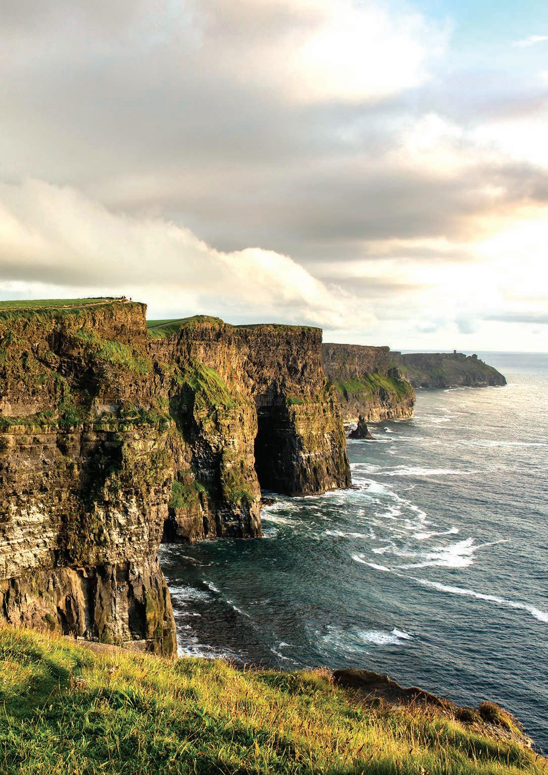
ALONG THE
WAY
ON THE BIG SCREEN
The Wild Atlantic Way has been appearing on the big screen for decades, it’s diverse landscape and beauty can in one instance represent the Ireland of days past, while also representing a galaxy far far away. This has led to numerous blockbusters being filmed on this small Island that sits on the edge of Europe.
With our lush green landscapes and picturesque coastlines, it’s no wonder Ireland has always been an attractive destination for some of the world’s biggest movie location scouts. If it’s striking natural scenery and positive energy they’re after, they need look no further. There have been countless movies and TV shows filmed on our shores with the first being the Oscar winning Quiet Man in 1954. This gave the world a chance to see Ireland’s beauty and since then this land has become a hotbed for international productions. As you travel along The Wild Atlantic Way you might even recognise some areas from movies that you have seen. Here is but a few of the films and their locations that have captured the wild Atlantic Ways beauty and broadcast it to the world. And don’t worry, we’ll keep the spoilers to a minimum.
THE QUIET MAN - CONG CO. MAYO
The 1952 classic featuring John Wayne and Maureen O’Hara gave many worldwide audiences a first glimpse at Ireland’s beauty. Among the wild and green countryside, it portrays one of the most quintessential screen romances of all time between Wayne’s Irish-born American character, who travels to Ireland to reclaim his family’s farm in Inisfree, and O’Hara’s feisty Irish cailín.
Scooping an Oscar for Best Director, John Ford’s depiction of County Mayo’s resplendent scenery and rolling hills have drawn movie lovers to this part of the Bay Coast since its 1952 release. There is a museum that has a replica cottage and also memorabilia in Cong. A beautiful statue of the two stars of the movie sits outside and is worth visiting just for the chance to get a picture with Maureen O’Hara and the “King of Cong”, John Wayne.
RYAN’S DAUGHTERDINGLE CO. KERRY
Winner of two academy awards, this David Lean-directed epic romantic drama starred Robert Mitchum and was filmed along the striking Dingle Peninsula,
including the famous opening scene on Inch Strand. The film, set in August 1917 - January 1918, tells the story of a married Irish woman who has an affair with a British officer during World War I, despite moral and political opposition from her nationalist neighbours.
Locals from the town of Dunquin were happily hired as film extras and visitors have flocked to this corner of County Kerry ever since to see just where so many scenes were shot. The same idyllic locations were also used over 30 years later for the Tom Cruise/Nicole Kidman film “Far and Away”. This is a beautiful part of the world and following the films route will only enhance your trip around the Dingle Peninsula.
MOBY DICK- YOUGHAL CO. CORK
Director John Huston chose Youghal to stand in for the whaling town of New Bedford in Massachusetts for his film adaption of Herman Melville’s classic 19th century novel, and he had lined up an impressive cast headed by Hollywood heartthrob Gregory Peck. Filming began in 1954 and caused huge excitement, with thousands flocking by car, train and bicycle to the seaside town to catch a glimpse of Peck, who played the obsessive Captain Ahab, and the rest of the cast that included Richard Basehart, Orson Welles and Harry Andrews. Huston and his film crew based themselves at Paddy Linehan’s pub and butcher’s shop on Market Square, since renamed the Moby Dick in honour of the movie. Corks waters are renowned for whale sightings and you might see captain Ahab’s foe while on board a boat in the Atlantic Ocean.
CALVARY - CO. SLIGO
While not internationally known, this critically acclaimed movie showcases the stunning scenery that is in store when you visit Sligo. Calvary released in 2014 starring the Irish acting legend Brendan Gleeson with Chris O’Dowd, Kelly Reilly and Aidan Gillen also among the cast. It is about a good-natured priest who must battle the dark forces closing in around him. The film is enhanced by the beautifully wild backdrop that Yeats Country provides. Visitors can take a day trip to visit some of the filming locations around Sligo including Streedagh Beach, Benbulben Mountain, Lissadell, Rockwood Parade, Easkey, Ballisodare and Strandhill.
HARRY POTTER AND THE HALF BLOOD PRINCE, CLIFFS OF MOHER CO. CLARE
Running five miles long, the towering Cliffs of Moher in County Clare are Ireland’s most visited natural attraction, and for good reason. They’re impressive scale and size were used for a pivotal scene featuring the boy wizard and Professor Dumbledore in the penultimate “Harry Potter” film. While hunting a horcrux Harry and Dumbledore appear standing on a rock which is moving towards a sea cave in the face of a towering cliff. Through the miracle of modern technology, the rock in the sequence is actually Lemon Rock, off the Iveragh Peninsula in County Kerry over 150 to the south of the Cliffs of Moher.
STAR WARS THE FORCE AWAKENS/ THE LAST JEDI – SKELLIG MICHAEL CO. KERRY
Everyone in the galaxy knows that Star Wars filmed in Ireland for its most recent iterations. It was a real stamp of approval that one of cinemas greatest ever franchises would seek out Skellig Michael Island off the County Kerry coast as a key location. The strange, isolated landscape lends itself perfectly to the iconic Star Wars series, becoming a temple for the Jedi and the location for Luke Skywalker to train the mysterious Rey in the ways of the Force. Both movie production sets spent significant time filming in Ireland once Lucasfilm realized that the emerald isle was the perfect setting for a long time ago in a galaxy far, far away. Malin Head in County Donegal, Irelands most northerly point features in the second instalment to represent the planet Ahch-to.
Other movies that have used the west coast for filming are, Excalibur, The Princess Bride, Marley and me, Lassie, The Wind that shakes the Barley and The Field. When leaving the Wild Atlantic Way to the north you can visit Kings Landing and Winterfell in the surrounding areas of Belfast.
On the east coast, you can drive the Braveheart Route in the Wicklow Mountains or visit various areas that appeared in P.S I Love You. In Wexford you can visit the beach that was used to film the D-Day landings of WW2 in Saving Private Ryan among many others.
173
SURFER’S PARADISE
Happiness comes in waves.
With over 3000km of coastline in Ireland there’s no shortage of beaches to go surfing, with long stretches of golden sand, rolling waves and spectacular sceneryIreland is surfer’s paradise.
Ireland has gained a reputation as a “cold Hawaii” with wave consistency and swell frequency now being mentioned along with the world’s top surfing locations. Although Irish waters are cooler than those in tropical climates, with the right wetsuit you are ensured to have excellent surfing conditions on pristine beaches without crowds of other surfers competing for the same waves.
If you are looking to try a new sport on The Wild Atlantic Way that will provide you with endless entertainment, buckets of fresh air and beautiful scenery to feast your eyes on, then we cannot recommend surfing enough. Offering everything from epic big waves to long rolling beach breaks there really is something for every level of surfer. Beginners are especially wellcatered for with surf schools dotted all over the country offering equipment hire and lessons.
Here are a few locations dotted along the way that cater to all grades of surfers.
TULLAN STRAND, BUNDORAN, CO DONEGAL
Tullan Strand is one of Irelands more famous surfing spots and offers excellent waves to both novice and experienced surfers. With golden sands stretching as far as the eye can see and a reliable beach break, this beach never feels too busy, even at the height of summer.
At low tide, the cliffs at the end of the beach can produce fast hollow waves which definitely draw the majority of the crowd, however the waves mellow out as you head further down the beach. Bundoran itself is awash with surf schools, all of which are of a really high standard.
One of the most popular is Surfworld which is owned by big wave surfing legend Richie Fitzgerald. Surfworld is located in the centre of town and offers single classes for beginners as well as surf bootcamps which take place over the course of a weekend and include three surf lessons, yoga, beach runs and accommodation. Lessons cost €35 per adult.
STRANDHILL, CO SLIGO
Surfers flock to Strandhill, and for good reason – this beach break has an easy paddle-out and delivers a reliable stream of waves in both summer and winter. Southern, offshore winds give clean conditions, but the beach is usually surfable even when the wind isn’t playing ball. In addition to its top-notch surfing conditions, the beach offers unrivalled views of Knocknarea and Benbulben which loom above it. iSurf Ireland, located at Strandhill offers beginner-friendly lessons from fully qualified instructors.
ENNISCRONE, CO SLIGO
Offering 5km of glorious sandy beach with rolling waves to boot, Enniscrone is a true gem. Due to its impressive size, Enniscrone never seems to get crowded, ensuring you have plenty of space in the water to hone those surf skills of yours. The relatively shallow waters make it perfect for beginners, especially those who might not be the most comfortable in the water.
North West Surf School offers a range of beginner lessons, from private lessons to single group lessons and camps. Group lessons cost €30 per adult.
FANORE, CO CLARE
North of Lahinch, in the heart of the Burren lies a small, moon-shaped stretch of sand which goes by the name of Fanore Beach. Tucked away, almost out of sight, it is not the most well-known beach in Ireland, but it does offer spectacular views of the surrounding area, reliable surf and
even has its own resident dolphin. Fanore often delivers small, rolling waves which are perfect for beginners. The surf here can be a little more unpredictable than Lahinch or Strandhill, so it is best to check the surf forecast before making your way to the beach (although you can always take a stroll and a swim when the swell isn’t playing ball). Aloha Surf School located in the beach carpark offers board rental and lessons.
INCH STRAND, CO KERRY
Famous for being the place where an inch is actually three miles, Inch is home to a long sand spit reaching into the Dingle Peninsula which has long been a favourite amongst surfers. With a reef break far out to sea, this beach hosts one of the longest waves in Europe for those who have the experience and the fitness to ride it all the way to shore. Those with a little less experience are also well catered for along the long stretch of sandy beach.
Perfect for surfers of all levels, there are lifeguards on duty throughout the summer, but they leave in winter, so beginners should take note. Kingdom Waves located on Inch beach offers single group lessons, private lessons and weekend courses for those wishing to try their hand in the surf.
INCHYDONEY, WEST CORK
The small island of Inchydoney is connected to the mainland by two causeways and is undoubtedly one of the most picturesque beaches that West Cork has to offer. With a cast expanse of sand, dunes and spectacular views, the beach is also ideal for novice surfers. The only downside is that it does tend to get quite busy during the summer holidays.
Inchydoney Surf School is well regarded and offers a wide range of lessons and surf camps throughout the year.
174
ALONG THE WAY
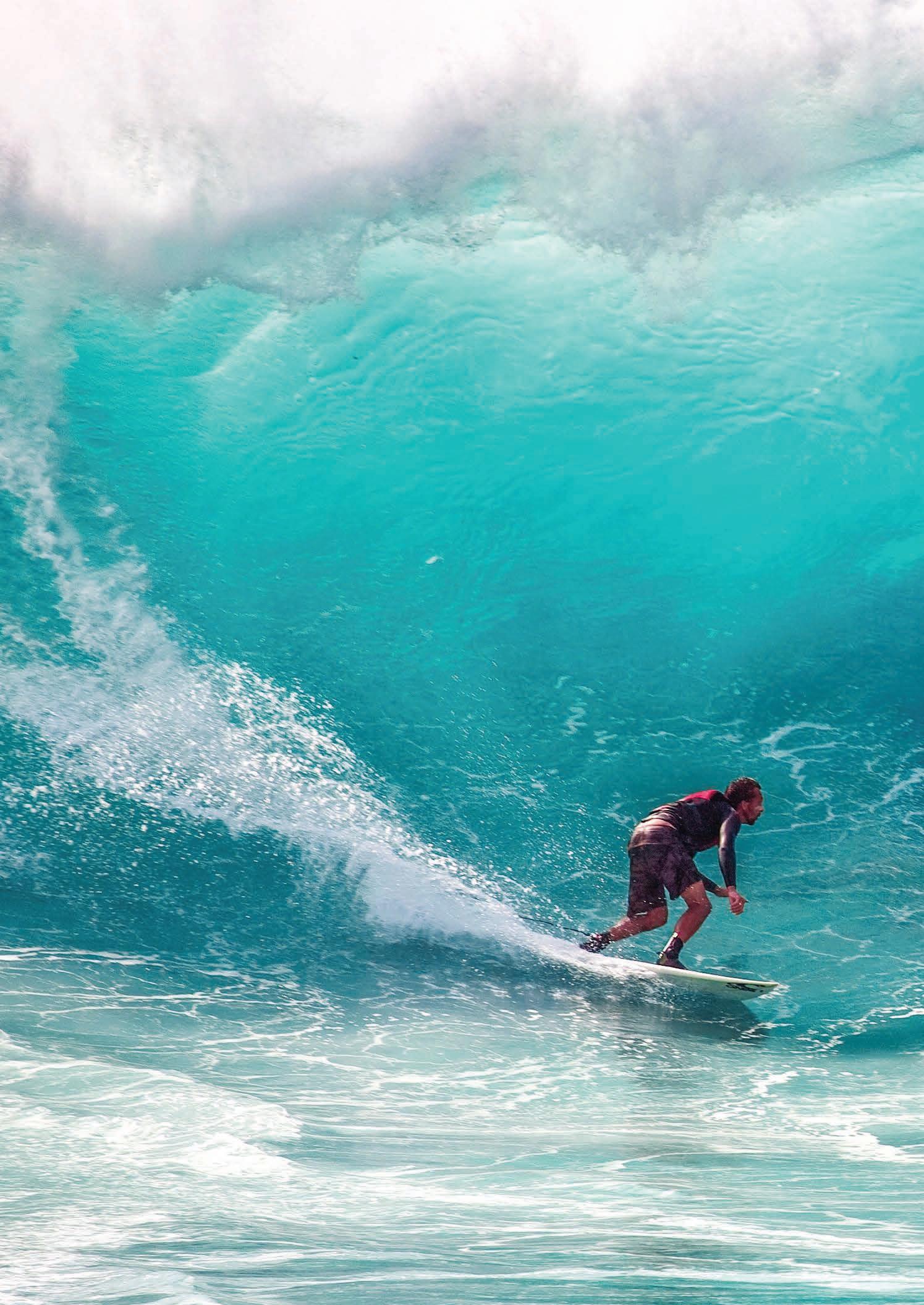
“IRELAND HAS GAINED A REPUTATION AS A “COLD HAWAII.”
FESTIVALS ALONG THE WAY
At any time on this little island, there are numerous festivals that celebrate all types and things. The Wild Atlantic Way has a feast of festivals that occur right throughout the year, whether it be Tedfest on the Aran Islands, a festival that sees hundreds of people dress as characters such as priests and milkmen from the iconic Irish TV show Father Ted, to the streets of Killarney where the Rose of Tralee is crowned each year, and everything in between. Take a look at a small sample of festivals that are occurring on The Wild Atlantic Way.
CORK INTERNATIONAL CHORAL FESTIVAL- MAY
Founded in 1954 to be a dynamic force in developing choral music in Ireland, the Cork International Choral Festival is held annually over the five days preceding the first Monday in May in venues across the city, centring around the City Hall, one of the most attractive and acoustically superb venues in Ireland. It is one of Europe’s premier international choral festivals and is noted for its highly competitive standards, excellent organisation, and the friendliness of its welcome. Each year some of the finest amateur international choirs are selected to compete for the prestigious Fleischmann International Trophy. The selected choirs also have an opportunity to perform non-competitively in a range of Festival activities presented over the weekend, including Fringe concerts, church and informal performances. Their presence gives audiences and Irish choirs the unique opportunity of attending a diverse range of concerts and competitive sessions while in Cork. As well as foreign choirs, the Festival annually features up to 100 Adult, Youth and School choirs who participate in National Competitions.
PUCK FAIR- AUGUST
Puck Fair, running from 10th - 12th August, is an annual three-day, family-friendly street festival that is like no other! Held in Killorgan, Co Kerry each year, a wild mountain goat is crowned king of the town by the Queen of Puck, who is traditionally a young local schoolgirl. The goat’s coronation is only the beginning of what Puck Fair has to offer its visitors. There is something for everyone to enjoy, from horse and cattle fairs, to trade stalls and family events. There is never a dull moment over the three days as the festival is packed full of all types of entertainment. You can expect music and circus workshops, traditional Irish music and dancing, night-time concerts and pipe bands, just to name a few!
LISDOONVARNA MATCHMAKING FESTIVAL– SEPTEMBER
The Lisdoonvarna Matchmaking festival holds a special place in Irish people’s hearts, it is where those who desire companionship and “The Craic” go to quench these needs. While the Festival has very much come of age over the years, moving with the times to appeal to people of all ages, it’s essence as a place to “meet and make a life” remains
true. The streets ring out with music and song, buzzing with dance, the craic and love for life. Bars and pubs headline some of the top names in country music, and from dance floor to cosy table, the little town of Lisdoonvarna is full of the promise of meeting your match. More than 40,000 people will attend the festival over six weekends in what is the biggest event of its kind in Europe.
TUBBERCURRY OLD FAIR FESTIVAL- AUGUST
The Tubbercurry Old Fair Festival allows visitors to experience the Ireland of yesteryear and has grown into a five-day celebration with something for both young and old. The Tubbercurry Old Fair Day Festival’s highlight is the Old Fair Day, which is always held on the second Wednesday in August. This gives you the chance to relive yesteryear on the Fair Day in The Heritage Village where you can experience the sights and sounds, and Smells of Fair Days gone by with live animals, live demonstrations of thatching, weaving, Buttermaking, trashing, pottery making, rush work and much, much more.
DINGLE FOOD FESTIVAL- OCTOBER
The Dingle Food Festival takes place on the first weekend in October every year in the beautiful fishing town of Dingle on the Dingle Peninsula on the Wild Atlantic Way. It is organised by a group of local people on a non-profit making basis. Locals call it ‘The Best Weekend of the Year’. The town comes alive with locals and tourists alike. Everyone comes home for the Dingle Food Festival and tourists come from far and wide across the globe that weekend just for the festival.
Highlights of the festival include cookery demonstrations, over 50 market stalls, workshops, street entertainment, children’s events, wine tastings, whiskey tastings and much much more. Far and away the most popular part of the festival is ‘The Taste Trail‘. Festival goers purchase a book of taste trail tickets and can then visit over 70 venues around the town offering tastings of the best food and drink the Peninsula has to offer.
THE GALWAY INTERNATIONAL OYSTER- SEPTEMBER
The Galway International Oyster & Seafood Festival is an annual four-day event held each year on the last weekend of September in the centre of Galway City. A highlight in the west of Ireland’s festival calendar, it is the world’s longest running Oyster Festival and one of the most internationally recognised Irish events. During this popular food festival, you can expect to experience a wide variety of tantalising events to enjoy from seafood trails, oyster hot spots, oyster opening (shucking) championships including the Oyster ‘Olympics’ or World Oyster Opening Championship, foodie talks & tasting events in some of Galway’s finest restaurants, food provenance tours, sample delights at the intimate food village at The Festival Marquee, a Mardi Gras style Gala Event through the streets of Galway, Best Dressed Lady competition, the Tribal Oyster Feast Off oyster
176
ALONG THE
WAY
VENTURE a feast of festivals on The Wild Atlantic Way
eating competition along with family activities, live music, cooking demonstrations, ‘Hot Oyster Awards’ cooking challenge and more..
Rory Gallagher International Tribute Festival 30th May – 2nd June 2019. When Jimmie Hendrix was asked how it felt to be the greatest guitarist in the world, after he replied “Ask Rory Gallagher”. The Rory Gallagher International Tribute Festival 2019 takes place in the town where the world’s greatest Guitarist was born – Ballyshannon, Ireland. Since 2002 the Rory Gallagher International Tribute Festival has celebrated the Music & Life of Rory Gallagher in Ballyshannon, with over 10,000 fans now attending the Festival annually in Ballyshannon from all over the world. Rory would be very proud. The world-renowned musician was born at the appropriately named Rock Hospital in Ballyshannon in 1948 and later became one of the world’s great rock ‘n blues guitarist. Over 10,000 fans from over 20 different countries will converge on Ballyshannon for the Festival in Rory’s honour with 30 acts performing on 15 stages over the 4 days.
TEDFEST- FEBRUARY
INISHMORE ISLAND, THE ARAN ISLANDS
One of the more unique festivals in Ireland, Tedfest celebrates the iconic Irish TV show, Father Ted. The fictional home of these characters was Craggy Island, an isolated place that sat off the coast of Galway. Well, each year in February people religiously travel to Inishmore (an island off the coast of Galway) to celebrate everything Father Ted. There is “The lovely Girls Competition”, “Hide a Nun & Seek” and “The Picnic spot swear off” among various others occurring throughout the weekend. People are usually praying in order to attain tickets to this festival, however, “Craggy Island” is still open to visitors and you can sample some of the events while also exploring the beauty that Inishmore has to offer visitors.
THE ROSE OF TRALEE INTERNATIONAL FESTIVALAUGUST
The Rose of Tralee International Festival marks 60 years in 2019 and is a celebration of Irish culture and heritage held every year during the month of August. This five-day festival culminates in the crowing of The Rose of Tralee. The Roses are women from throughout the world who have Irish heritage and they all descend on Killarney for this week-long event. The Roses participate in festival events, rose parades and appear on national television for two nights where they are interviewed by the host of the festival. The festival also includes five days and nights of entertainment, much of which is free to the public. This includes live music, familytown for kids and young adults, Rose parades, two huge firework displays, historical exhibitions, talks and day trips. The winning rose will then take on an ambassadorial role for the year and will return to Killarney the following year to pass the crown onto the next Rose.
CORK JAZZ FESTIVAL- OCTOBER
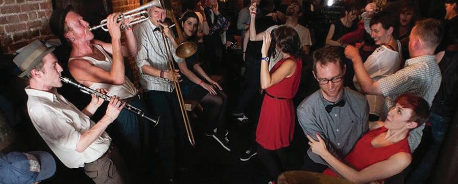
Running since 1978, this is Ireland’s largest Jazz festival, over 1,000 musicians take over the city in an extraordinary blend of sounds across the entire jazz spectrum. With loads of free events, heaps of legendary headliners and over 50 venues taking part in the action including City Hall, the Opera House, Nano Nagle’s, the Everyman theatre, and the festival club at the Metropole Hotel, and plenty more amazing places - there’s something for everyone for the whole long weekend!
GALWAY INTERNATIONAL ARTS FESTIVAL- JULY
Probably the largest and most varied arts festival in the country, Galway started back in 1978 and has just grown and grown in the meantime. With almost 200 performances spread over some 25+ venues, ranging from world-class theatre, art and music to spectacular performances on the cities narrow winding streets, it is impossible to escape the festival if you are in Galway in July – not that you’d want to! As befits a festival in the home city of the worldfamous Druid Theatre, the drama strand at Galway is always strong, with both new plays premiering and new productions of well-known plays on the programme. Galway is also well known for its street performances, and each year international performers join the many local artists who have honed their acts in previous years and at the many other Galway festivals. The music strand tends to traditional, folk and world music, with some rock thrown in, though classical music and opera get a look in also. Galway really lights up during the festival – it seems that everyone and everywhere is involved and the place is buzzing with life. If you are lucky enough to be around surrender yourself to it – you’ll have the time of your life!
BATTLE FOR THE LAKE ACHILL ISLAND
MAYO- SEPTEMBER
The annual Battle for the Lake water sports and music festival is back bigger and better than ever before on Achill Island in September. Considered one of the best locations in the world for kite surfing, Achill Island’s Keel Lake will be transformed into a veritable water wonderland when the best kite surfers from around the globe descend to showcase their spectacular skills, skimming the surface of Keel Lake with their gravity defying moves as they compete for the coveted crown of “King/Queen of the Lake”. Battle for the Lake is a weekend of entertainment for all the family, young and old. Not alone will audiences be enthralled, entertained and captivated by the kitesurfing, SUP and windsurfing action, there will be plenty of activity out of the water as well. There will be live music on the lakeshore, a Kids Zone, funfair, Food Village & restaurant tent.
177
SHIPWRECKS OF IRELAND
Ireland might be a small country, but its offshore area certainly isn’t. This massive area encapsulates 850,00 square km and reaches out towards Iceland, North America and the Iberian Peninsula. This area has been setting for hundreds of wrecks over the last half millennia. Ships from the Spanish Armada met their watery end, while during both world wars battles occurred throughout this region leading to the loss of thousands of lives. The Lusitania was torpedoed by a German U-boat in 1915 leading to the loss of almost 1200 souls and was a catalyst that led to America’s inclusion in WW1.
While the majority of these ships lie on the seabed off the coast, a small few still cling to the rocks and beaches of the Wild Atlantic Way, each of these vessels has a story to tell. From Sherman Tanks lying on the seabed in Donegal to gold bars missing off the Sligo coast. These tales will pique your interest and may intrigue you to dive deep and delve into the shipwrecks of Ireland.
One of most recognisable visible shipwrecks to inhabitants of Ireland is the MV Plassey which is located on the shores of Inisheer, the smaller of the three Aran Islands. The trawler got caught in a fierce storm in 1960, but all the crew survived as they were rescued by the cleverly named Inisheer Rocket Crew. The crew then headed to the local pub on the island and had quite a few drinks to calm the nerves. The reason most Irish people know this ship is because it features in the opening credits of the cult classic Fr. Ted Tv show.
The Sunbeam was shipwrecked on Rossbeigh beach in Kerry 116 years ago, it was driven aground in January 1903 by a storm, but fortunately, there were no fatalities. The shipwreck had been hidden under the sand for over a century, but the storms of early 2014 raised it above ground. Wooden pegs used to hold the timbers of the ship together can be clearly seen and it is hoped that the ship will be preserved rather than face the elements.
The MV Ranga was a Spanish ship that was wrecked in 1982 at the Dingle Peninsula in Kerry after losing power in a storm on her maiden voyage from Spain to Iceland. Part of the wreck was removed for the filming of the Tom Cruise film Far & Away, but you can still visit the ship’s bow peering over the cliffs on the peninsula.
Turning our thoughts to the depths of the Atlantic Ocean, we have to start with one of the most famous vessels that sits off the Old head of Kinsale. The RMS Lusitania was torpedoed and sunk off the coast of Cork, by a German U-boat in 1915. An enormous tragedy, this shipwreck resulted in 1,198 deaths; like in the Titanic, there weren’t enough lifeboats. Many victims of this wreck are buried in a mass grave in the Old Church Cemetery in Cobh, Co. Cork, and there’s a memorial in town in remembrance.
One of the oldest shipwrecks on the Irish sea floor is the San Marcos de Portugale. This ship set sail in 1588 as part of the Spanish Armada.” An invincible fleet” that had intentions of conquering England. The ship was damaged in battle and turned to go back home. On its
way, it was broken upon on a reef off of Co. Clare, and all but four survived. The four survivors were later hanged by the English and buried in a mass grave known as Tuama na Spaineach, which translates from Gaelic into The Spaniards’ Tomb. The site of the wreck was discovered in the 1970s, and various teams have made the trip down to the depths of the sea to explore it. “Spanish Point” in Co. Clare is named for this period in Ireland’s history. If you visit Spanish Point you can easily see the reef that caused the shipwreck.
The SS Heritage Empire was torpedoed in September 1944 while carrying war supplies from New York to Liverpool, these included Sherman tanks, half-tracks, trucks and aid. By the 8th September, she was 15 miles northwest of Malin Head in Donegal and it was here her journey would end. She was torpedoed by the German sub U-482; two torpedoes struck, and she went down fast with her cargo and a loss of 113 lives. An escort ship, Pinto, attempted to rescue the survivors but was also hit and sank in the same attack. Divers to the area can still sea these vehicles including the Sherman tank sitting on the sea floor off the Donegal coast.
Treasure hunters take note, there is an abundance of loot on the seafloor just waiting to be found. The SS Gairsoppa was a British merchant ship that was on its way to Galway when it was torpedoed in 1941. This resulted in the deaths of 85 crewmembers with just one survivor.). The wreck is inaccessible to divers, lying 3,000 feet deeper than the Titanic and 300 miles offshore. However, in 2012, a mission was undertaken to recover its massive cargo of silver (17 million ounces, worth $245 million), which was the “deepest, largest precious metal recovery in history.”
Efforts are underway to catalogue all of the known shipwrecks that lie in Irish waters, and these efforts, using the latest surveying technologies, have yielded a rich harvest of previously unknown wreck sites. Some wrecks have also been left on the shores of The Wild Atlantic Way and these monuments to the destructive power of the Atlantic can be viewed as you travel along Ireland’s coast.
This watery realm has devoured many vessels and seafarers and until recently, much of the hard data on shipwrecks lying in Irish waters was fragmented and very confused. However, a project to survey shipwrecks in Irish waters by combining all the known information and generating new data has proven extremely successful. The shipwreck project supported by the geological survey of Ireland (GSI) and the National Monuments Service (NMS) was completed at the end of 2006. Using the latest in seafloor imaging technology, spectacular 3-D images have been made of famous wrecks such as The Lusitania. The project managed to increase the number of shipwreck records from 140 when it began, to 246 when it was completed. Due to these findings, divers and robotic submersibles are occasionally visiting these doomed boats to explore their demise and perhaps find some loot.
To learn more about the sea wrecks around Ireland and to view a comprehensive database that consists of over 14,000 vessels
178
ALONG THE WAY
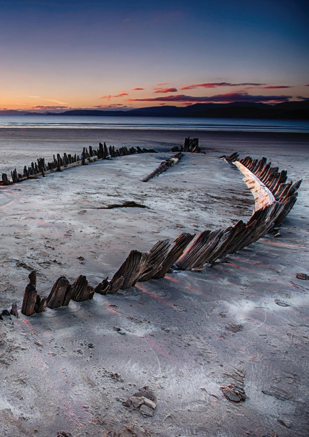
TRADITIONAL BOATS OF IRELAND
By Donal Mac Polin
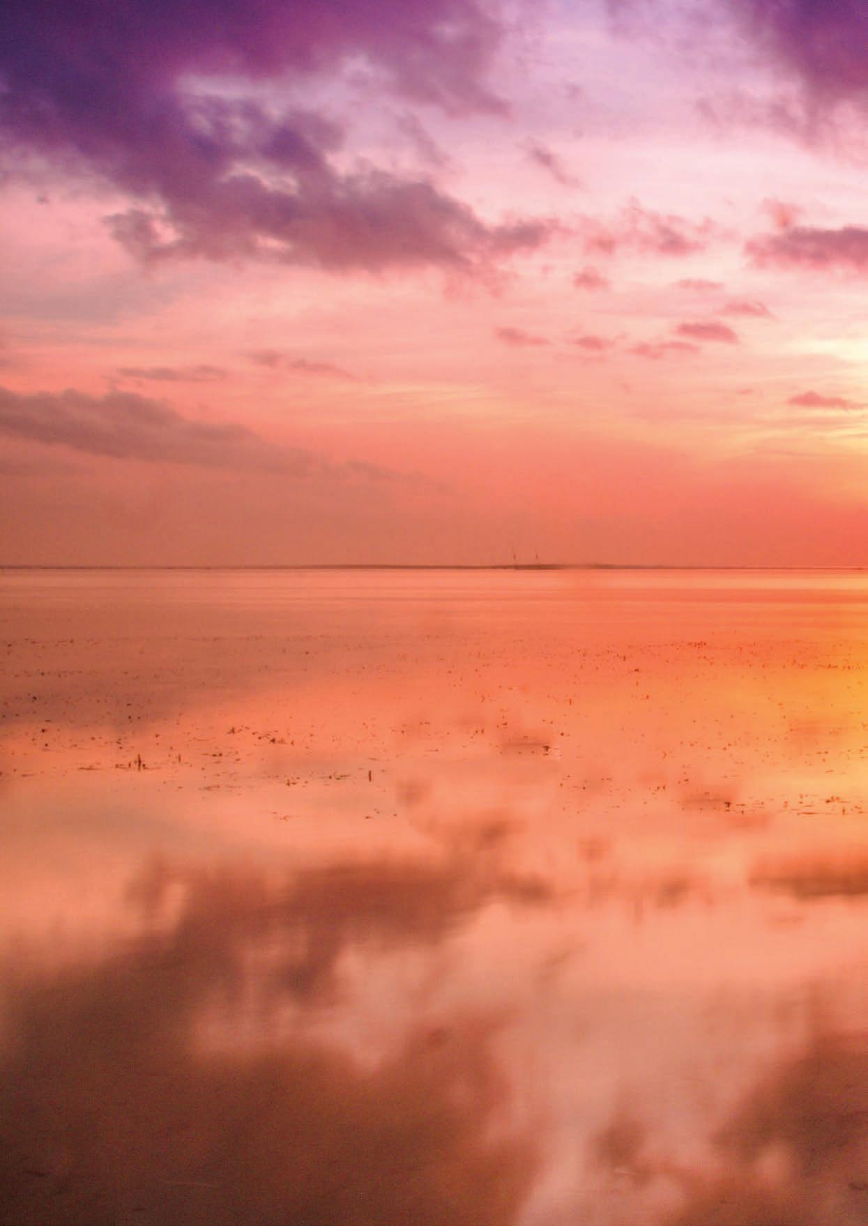
All around our coast, for generations, Irish people have shared a bitter-sweet relationship with the sea. Not alone is the sea a source of food from both ocean and shore, but water also marks a boundary. Where land ends and ocean begins, marks the start of a connecting route to every conceivable elsewhere, from Africa to Nova Scotia. In high seas, shipwrecks could bring inconceivable bounty, or claim the lives of neighbours. In the west of Ireland, it was uncommon for sailors or fisherman to learn how to swim- their deep respect for the sea dictated that this was not a realm of leisure. Here, Donegal author, artist and boat-builder Donal Mac Polin invites us to explore the fascinating world of Ireland’s traditional boats. Today, much of Ireland’s traditional boats survive as pleasure craft- and but for a few exceptions, they’re out of daily use. When Robert ‘O Flaherty filmed “Man of Arran” in 1934, it was the iconic black currach’s that sealed an image of rural Ireland and its hardy sailors. Today only a couple of currach’s continue to serve local fisherman. Restrictions from central command in Europe seek to curb overfishing, unfortunately, these restrictions would appear to be taking these functional vessels off the water. Ironically, it was never these smaller craft that caused such pressure on fish stocks. Two award winning films have been made in recent years, Loic Jordain’s “Turning tide in the life of man” and Risteard ‘O Domhall’s “Atlantic”- both highlighted
the tension of fisherman who are no longer being allowed to fish in the old ways- and super boats prevail. It would seem to be more appropriate today to foster and support the culture of the local and small-scale fishing industry, and the respect and values that went with it. These boats are a reminder.
Ireland’s west coast remains the last repository for some of Ireland’s most iconic and traditional boats. Although most are now used for recreation, they were once the main mode of transport and essential to the livelihood for many hundreds of years in Ireland. The iconic image of the currach, battling through rough waves, is one that evokes the resilience of Ireland herself.
BOAT TYPES
Ireland has three distinct boat types: “Carvel”, “Clinker” and “Skin”. A “carvel” boat is one with a smooth rounded hull, while the sides of a “Clinker” in comparison, is formed of thin overlapping boards. A “Skin” boat (or Currach) is one which has a very light internal skeleton of narrow laths covered with a “Skin” of canvas and tar. Today, of course, animal hides are no longer used, and these boats are now covered with a black nylon or fibreglass covering
CURRACH’S
Perhaps the most distinctive craft to be seen along the west coast today are the “Skin” boats or Currach’s, known as Naomhóg in Kerry. Currach’s once reflected the poverty and isolation of the west coast and were made famous by Robert ‘O Flaherty’s 1936 documentary “Man of Aran” (Visitors to Inishmore in the Aran Islands can still see this film each evening in the local hall at
Kilronan). In early medieval manuscripts, Irish monks are described as making journeys far out into the Atlantic, apparently as far as Iceland, perhaps even to America. Their ancestry goes back at least to the Iron Age, an exquisite gold model of a Currach known as “The Broighter Boat” dating from the 1st century AD, can be seen at the National Museum in Dublin. Currach’s have disappeared from the rest of Europe, with the distinction of England and Wales, yet Caesar crossed the Rhine and invaded England in “Skin” boats. Descendants of these skincovered boats can still be seen on Ireland’s west coast today, both fishing and racing at the many maritime festivals held throughout the summer, rowed by children of the old men who once worked them at sea.
In Donegal, amazingly five different Currach styles still exist along its rocky coastline. Unique among these is a Currach called a” Paddling Currach” which is a propelled by a single person kneeling in the bow. This Currach was the first to evolve from the ancient river “Coracle” first recorded by Giraldul Cambrensis when he came to Ireland with his fellow Normans in 1170. Other Currach’s here include an example unique to Tory Island, another (and Ireland’s most primitive Currach) known as the Dunganaghy Currach, has its ribs cut from rough hazel. The remaining three types- the Fanad, Rossguill, and Bunbeg Currachs survive, but only just.
Along the Mayo and Galway coasts, heavy, fibreglass-covered versions of the older “Skin” boats have evolved and are still fishing and transporting people, seaweed
180
ALONG THE WAY
“TODAY, MUCH OF IRELAND’S TRADITIONAL BOATS SURVIVE AS PLEASURE CRAFT- AND BUT FOR A FEW EXCEPTIONS, THEY’RE OUT OF DAILY USE.”
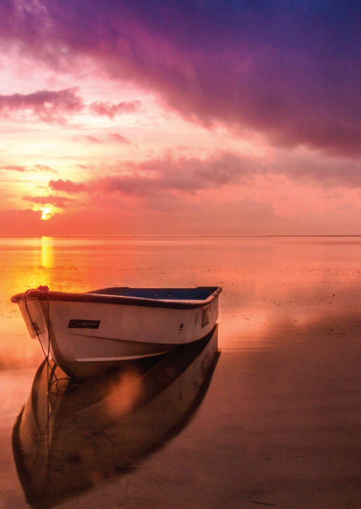
181
and animals, in fact anything that needs to be moved along the coast or in and out of the islands. Fine examples can be seen on Achill Island. Here also, sails the mighty Achill Yawl, a heavy work boat now brightly coloured and carrying large dipping lug sails once as ubiquitous as the Galway Hooker but nowadays locally built and raced at regattas here all summer by dedicated local crews. Working Currachs abound all along the Mayo coast and south as far as Connemara. Here the working Currach is still king, but for how long more as fishing declines and ready-made boats inexorably advance.
THE DRONTHEIM
In Donegal and elsewhere on the north coast, there is a unique boat type, called variously a “Drontheim Skiff” or “Yawl”. It owes its origins to a boat type introduced from Norway in the 18th century. For two centuries, it was the most common small fishing boat on the whole north coast. Like their forbearers, these are sharpened “Clinker” sailing and rowing boats. Thousands were built here once, modelled on examples shipped from Trondheim Fjord in Norway. Today, only a few are left, but replicas are slowly reappearing and can be seen racing at regattas in Inishowen and along the north coast as far as Rathlin Island.
WEST CLARE CURRACH
On the Clare coast and in along the Shannon Estuary there is an attractive Currach design, known as the West Clare Currach (or Canoe). Which was at one point on the edge of disappearing, having recently been revived with great success. Colour has now enlivened the once drab brown and black working Currach of this area, and local clubs have sprung up under the banner of the West Clare Currach Club. They are reviving the skills that were passed on by fine local builders and are ensuring that these Currachs will not disappear from our shores and rivers.
The Racing Currach
Of late, the traditional “Working” Currach has evolved into a sleek racing model which is raced enthusiastically each summer in traditional regattas along the coast.
Crews train all winter and races are keenly contested, with the skills of their fathers still in evidence among the crews. Once exclusively a male preserve, Women have taken their place here to compete as strongly as the men. So popular has the racing currach become that it can now be seen on America’s great Lakes and anywhere Irish emigrants have settled.
GALWAY HOOKERS
The glorious Galway Hooker is probably Irelands most iconic craft. The Hooker’s origins and curious name are lost in history, but they were once the work horses of Connemara, traditionally carrying turf for fuel out to the Aran Islands off Galway’s coast. Once almost extinct they have been spectacularly revived and can be seen racing with their great black sails and bulbous hull throughout Connemara each summer. Hooker’s have crossed the Atlantic and raced with Arab dhows in Dubai. The principal hooker festival is “Crinniú na mBád” or “Gathering of boats” and happened every August in Kinvara near Galway City.
WOODEN CURRACH
Along the coast of Galway, you can find the beautiful little “Currach Adhmaid” or “Wooden Currach”. Built in carvel style like the hookers, but in the shape of a skin-covered currach being punctured by sharp stones! Originally tarred black like the hookers, many are now painted bright colours. Truly a work boat, they remain beloved of the fishing folk of Connemara and its islands who still prefer them to the increasingly popular fibreglass boat. Though still mainly working boats they can also be raced.
THE KERRY NAOMHÓG
The high point of Currach design is the Kerry Naomhóg or canoe. This craft reached the high-point of its long evolution from the 19th century among the people of West Kerry, including the Blasket Islands, featuring in the many famous biographical accounts of the island’s residents. No other Currach has attained such a peak of design
perfection: narrow and sleek, with a great up-turned bow and stern, it evolved over generations, perfectly suited to the needs of fisherman in the wild Atlantic.
THE BOATS TODAY
Few of the old builders and fisherman who worked these unique Irish boats remain. A few of their words are recorded in books and archives, where their ferociously dangerous yet exhilarating history still comes through us.
Much has been lost, unfortunately, as our maritime history and traditions have never held the same importance in the national psyche as our music or literature. Small local communities work alone to preserve or revive maritime traditions which will otherwise be lost. Perhaps it is too strong a reminder of poorer times, or perhaps that more of our history has been written by farmers and urban dwellers than by people of the sea.
However, along the Atlantic way the sons and daughters of the old fisherman and some of our newer incomers are keeping the old traditions alive. You will not see many traditional boats among the fibreglass dream machines of Kinsale (although a celebrated cousin of the Galway Hooker once worked out of here) but look out on The River Lee in Cork City for the Currachs of “Meitheal Mara”. Search out the Naomhóg builders around Dingle, the Currach men of West Clare, the hooker men of the Galway Hooker and Bódóiri an Chladaigh in Galway City. Look in the little coves and harbouring’s of Galway, Mayo, and up to Donegal’s rocky coast. All along the Wild Atlantic Way you will still find the traditional boat festivals and people of the sea still keeping faith with their tradition against all odds.
To learn more about Ireland’s boating culture
Look out for “Traditional boats of Ireland” compiled by Donegal man Donal Mac Polin, and Chriostóir mac Chartaigh of UCD in Dublin. Charting the great variety of boats that are found along the Irish coast, this is a comprehensive and highly engaging publication.
182
ALONG THE WAY
183
“MUCH HAS BEEN LOST, UNFORTUNATELY, AS OUR MARITIME HISTORY AND TRADITIONS HAVE NEVER HELD THE SAME IMPORTANCE IN THE NATIONAL PSYCHE AS OUR MUSIC OR LITERATURE.”
WALKING AMONG GIANTS
The Wild Atlantic Way is followed by the Causeway Coastal Route which extends from Derry City to the Giant’s Causeway in Co. Antrim. Breath-taking scenery will greet you as you make this exciting journey along the picturesque coast of Northern Ireland.
The Giant’s Causeway is made up of over 40,000 basalt columns. Geological studies of these formations over the last 300 years have greatly contributed to the development of the earth sciences and show that this striking landscape was caused by volcanic activity some 50-60 million years ago.
Naturalist David Bellamy has described the Giant’s Causeway as the jewel in the crown of the fabulous coast of Antrim. This site of World Heritage is ranked alongside Mount Everest and the giant redwoods of California for its importance. Today it is the habitat of rare plants and animals, visitors to the site are asked to treat their home with the pride and care it deserves. For centuries, countless visitors have marvelled at the majesty and mystery of Giant’s Causeway. At the heart of one of Europe’s most magnificent coastlines its rock formations have, for millions of years, stood as a natural rampart against the unbridled ferocity of Atlantic storms. The rugged symmetry of the columns never fails to intrigue and inspire. To stroll on the Giant’s Causeway is to voyage back in time, your imagination will travel along stepping stones that lead to either the creative turbulence of a bygone age or into the myths and legends of the past. According to legend, the 40,000 or more basalt columns that can be seen here, are the remains of the causeway built by a giant. The story goes that the Irish giant
Finn MacCool was challenged to a fight by the Scottish giant Benandonner. Finn accepted the challenge and built the causeway across the North Channel so that the two giants could meet. There are two versions of how this epic battle ended, one tale simply states that Finn Beat Benandonner. In the more commonly told version of the story, Finn is enraged that Benandonner is threatening Ireland, he picks up a piece of land and throws it into the ocean, this creates a causeway between Ireland and Scotland, and one where the two giants can meet for their showdown.
When Finn sees Benandonner coming across the causeway he is terrified by the size of the Scottish giant. Finn hastily retreats to Ireland and had wife Oonagh disguise him as a baby in a crib. When Benandonner reaches Ireland and sees the size of the “baby” in the crib he reckons that its father, Finn, must be a giant among giants and he fled back to Scotland, destroying the causeway so as Finn could not follow him. Across the sea in Scotland there are identical basalt columns, which leads one to think about the validity of this legend.
In reality, The Giant’s Causeway is the aftermath of volcanic lava crashing, burning and cooling over the course of 60 million years. The Irish name of the Giant’s Causeway translates as “the stepping stones of the Fomhóraigh”.
The Fomhóraigh are a race of supernatural beings in Irish mythology who were sometimes described as giants. As you leave the Wild Atlantic Way and head to the Coastal Causeway you can marvel at the wonderful landscape the North of Ireland has to offer and walk among giants at the world-renowned, Giants Causeway.
184 ALONG THE WAY
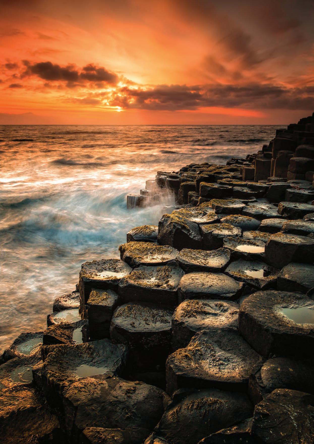
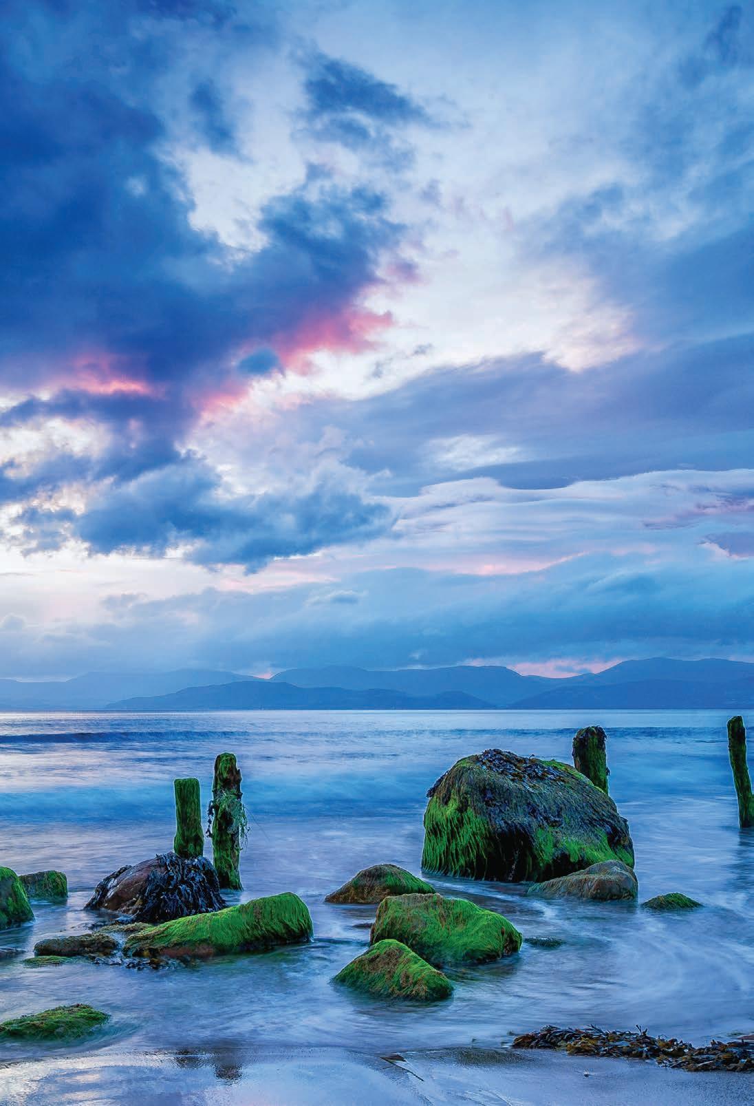
186
ROSSBEIGH BEACH, KERRY
WELCOME TO KNOCK S h rine

Knock Shrine in Co. Mayo is one of the most unique places on the island of Ireland. It is a beautiful place of pilgrimage with a rich and fascinating history, where culture and faith align in a most profound way.
Situated on extensive, scenic gardens, visitors can take time to enjoy the peaceful atmosphere and stunning grounds and reflect in a place that is truly special. Knock is a reminder of the faith that has been passed down through generations. Some come searching for answers and consolation, others to reflect and find peace.
187
FORT MEAGHER
Internationally recognised as being "one of the finest remaining examples of a Coastal Artillery Fort in the world" Camden Fort Meagher is the ideal day out.
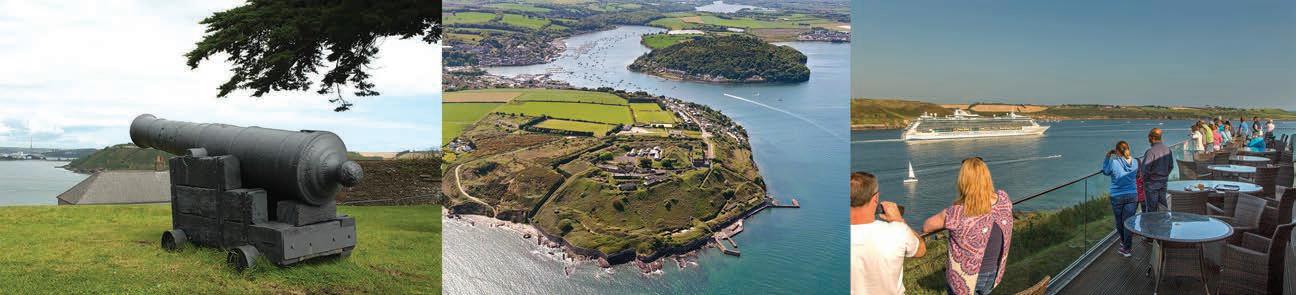
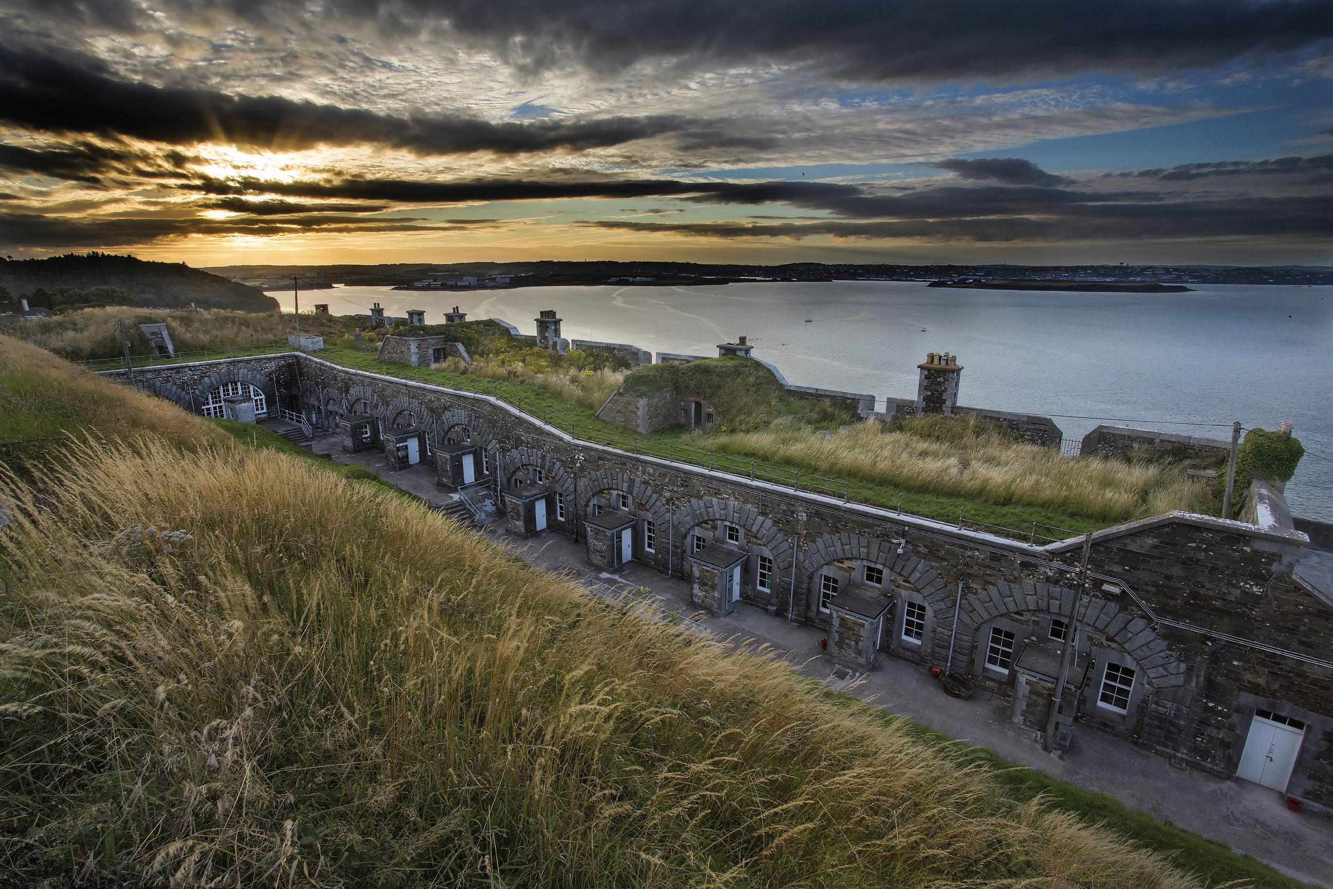
65% of the Fort is located underground in a labyrinth of tunnels and chambers which are just waiting to be explored. �e Fort is a prime location to watch ships passing through Cork Harbour, especially from our harbour view tearooms!
�e Fort has limited opening times and operates a seasonal schedule. For times and further information, please visit:
www.camdenfortmeagher.ie
follow us on facebook and twi�er