Hydro International Trail
Guiding you through Oi24’s essentials
Powered by:


Powered by:
The true power of live gatherings lies in the mutual inspiration and enthusiasm they generate. Some events in our sector serve as benchmarks, offering insights into industry trends, current developments and avenues for exploration. Oceanology International undoubtedly belongs to this esteemed category. Anticipation for this event builds for weeks, if not months, as exhibitors eagerly anticipate the unique opportunities it offers. With clear goals in mind, each participant brings their own perspective to the table. Beyond being a platform for showcasing corporate offerings, I would say it serves as a beacon for industry engagement and collaboration.
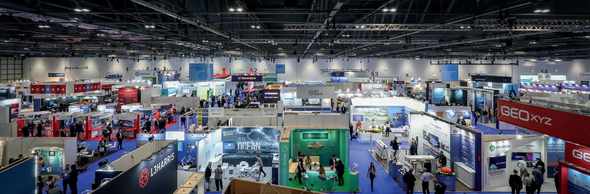
Oi24 visitors can immerse themselves for one or more days in the latest trends and developments in the ocean industry, within the broad framework of exploring, monitoring, developing or protecting the world’s oceans, from seabed to surface and beyond. At Oi24, hundreds of exhibitors will unveil new products and showcase the latest developments in the dynamic fields of ocean technology, science and engineering. In a treasure trove of interconnected fields alongside the hydrographic sector, enthusiasts of all stripes will find plenty to captivate them.
I am delighted to present the Hydro International Trail, your guide to navigating the essentials of Oi24. This brand-new brochure leads you through a curated route of must-visit exhibitors, ensuring that you don’t miss out on key highlights of the show. Additionally, don’t miss the ‘Must-see products during Oi24’ section, where your product can take centre stage. This isn’t merely a guide – it’s a booklet designed to
be the go-to resource for event attendees, offering seamless routing and spotlighting select exhibitors.
Step into the world of marine science and ocean technology at Oi24! As we go aboard this three-day journey, expect nothing short of an immersive experience. Dive into a global marketplace buzzing with innovation, an agenda packed with insights, and networking opportunities tailored to those passionate about exploring, safeguarding and sustainably navigating our planet’s vast oceans and waterways. On behalf of both Hydro International and Geo-matching, I hope the Hydro International Trail can be your guide. From my own extensive experience in trade fair visits, I am sure that a little guidance at such an event with its many new impressions is quite useful. So, enjoy your visit to Oceanology International, I wish you an ocean of inspiration!
With kind regards,
Wim van Wegen Head of content, Hydro International


Ready to expand your maritime capabilities?

Since the beginning of time, humanity has sought to understand and master the oceans. Numerous tools have been developed for this purpose, keeping pace with technological advancements. Today, a revolution is brewing at Exail. Want to know more? Imagine a true game-changer that pushes the limits of technology to offer enhanced capabilities. A versatile and agnostic maritime asset that opens up new fields of applications in very deep waters, redefining autonomous operations at sea. Imagine the future available today. Stay tuned for the next evolution of maritime operations, coming on 12 March.

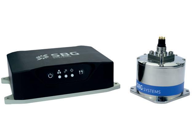
Navsight Ekinox Marine is a motion and navigation solution designed to ease the hydrographer’s tasks. Compact and cost-effective, Navsight Ekinox is light and easy to set for portable sonar systems, making it ideal for shallow-water applications. Highly versatile, Navsight Ekinox comes as a motion reference unit (MRU), providing roll, pitch and heave, or as a full navigation solution with embedded tri-frequency receiver or making use of an external GNSS receiver. The IMU enclosure could be water resistant (IP68) or waterproof (to 100m depth). Configuration with 3D view helps you to check your mechanical installation, sensor position, alignments and lever arms.
• 0.015° roll & pitch (RTK)
• 0.02° GNSS heading (4m baseline)
• 1cm + 0.5ppm position in GNSS RTK mode
• Post-processing with Qinertia PPK
• 5cm heave, 2cm delayed heave
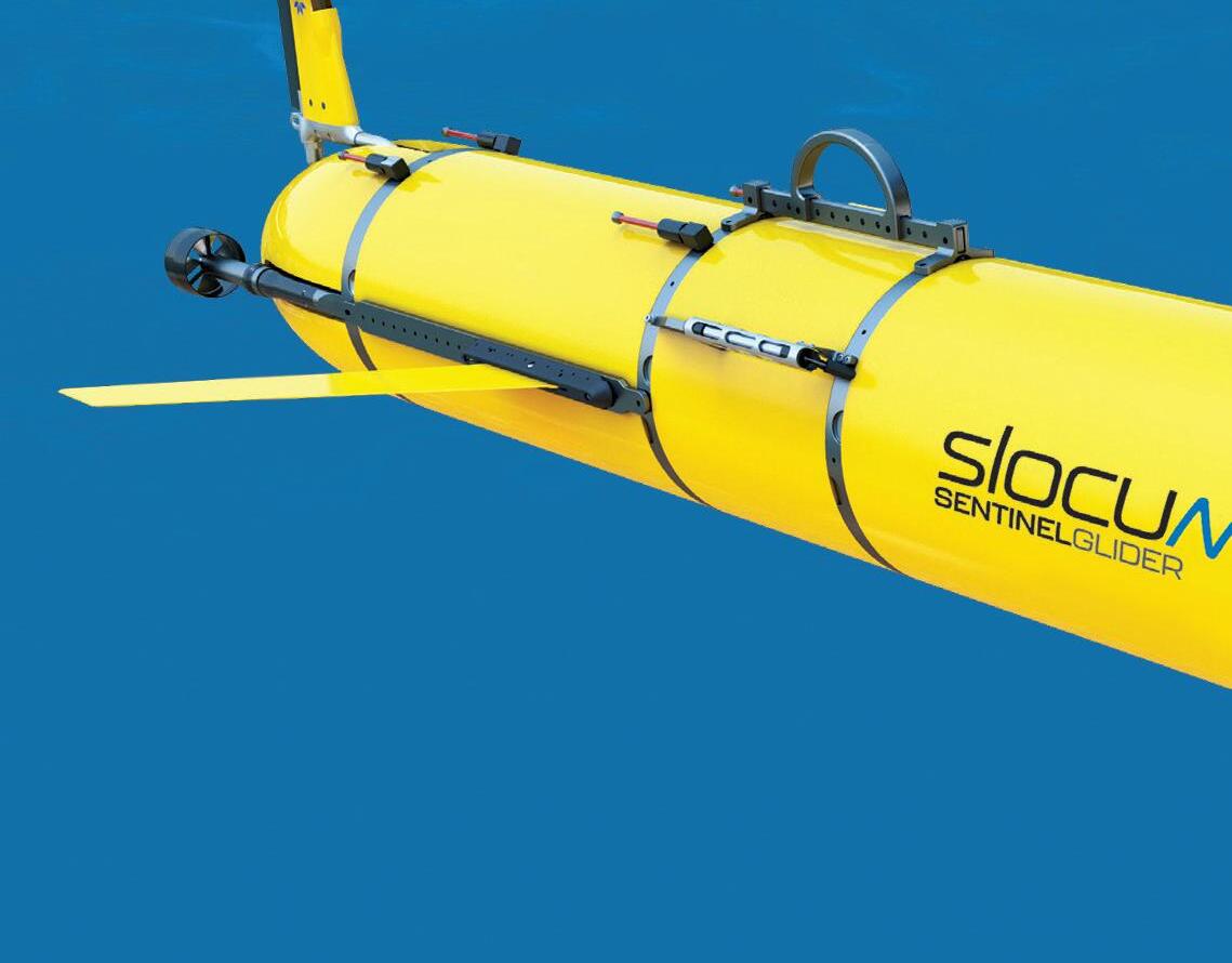
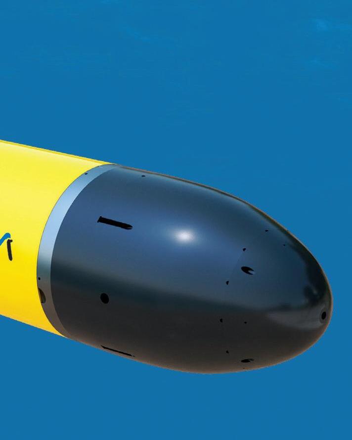
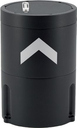
The Exail Phins 9 Compact is a groundbreaking subsea inertial navigation system (INS). Relying on a highperformance fibre-optic gyroscope-based inertial measurement unit with advanced accelerometers, it delivers enhanced dynamics. Standing out as the market’s most compact high-performance INS, it achieves an exceptional blend of size, weight and power efficiency without compromising performance. The Phins 9 Compact ensures unparalleled reliability and navigation precision for all types of autonomous underwater vehicles across demanding applications, including survey-grade coastal and offshore seabed mapping, inspection repair and maintenance, defence and more.
Key characteristics:
Dimensions: Ø 88.9mm x H 130mm
Weight: 1.5kg
Heading accuracy: 0.07°
Pitch & roll accuracy: 0.01°
Position DVL-aided: 0.1% TD
Power consumption: < 7W
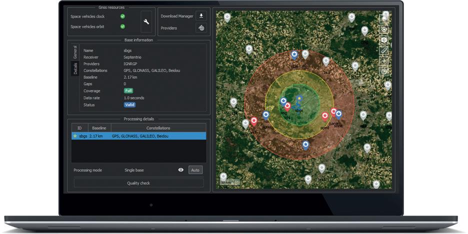
Want to improve your navigation data, access further analysis or fix outages in your trajectory? Qinertia is SBG Systems’ cutting-edge GNSS & inertial post-processing software. Qinertia gives you access to data post-processing for all SBG sensors (with third-party IMUs supported) in all applications/ environments. Qinertia is the fastest inertial + GNSS PPK solution and has a modern and friendly interface.
Post-mission, Qinertia gives access to offline GNSS data from more than 10,000 base stations located in 164 countries. And when you are far from a GNSS base station, Qinertia can automatically generate a virtual base station. The advanced tight coupling algorithm has been designed by SBG Systems to deliver the highest accuracy (centimetric position) and maximize RTK availability.
BOOTH: D300
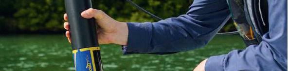
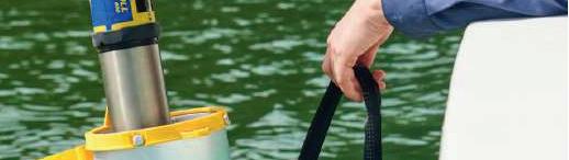
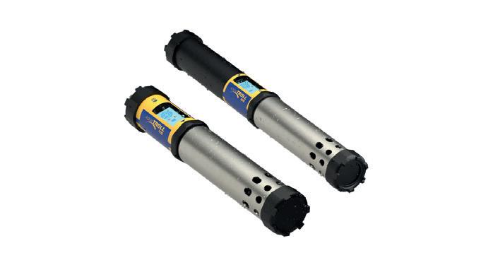
The Aqua TROLL 700 and 800 are fully customizable, seven-port multiparameter instruments capable of housing up to six water-quality sensors. The water-quality sensors are interchangeable to promote flexibility across projects, and an antifouling wiper keeps sensor faces clear to reduce maintenance trips to the field. Both models are available in vented and non-vented options and support short-term and long-term deployments as well as spot-check readings. An onboard LCD displays battery life, sensor status and overall instrument readiness for easy setup and deployment. The VuSitu mobile app enables simplified calibration, a panoramic data view and report creation. For extra security on battery-powered deployments, the Aqua TROLL 800 offers internal logging and a microSD card for backup data storage.
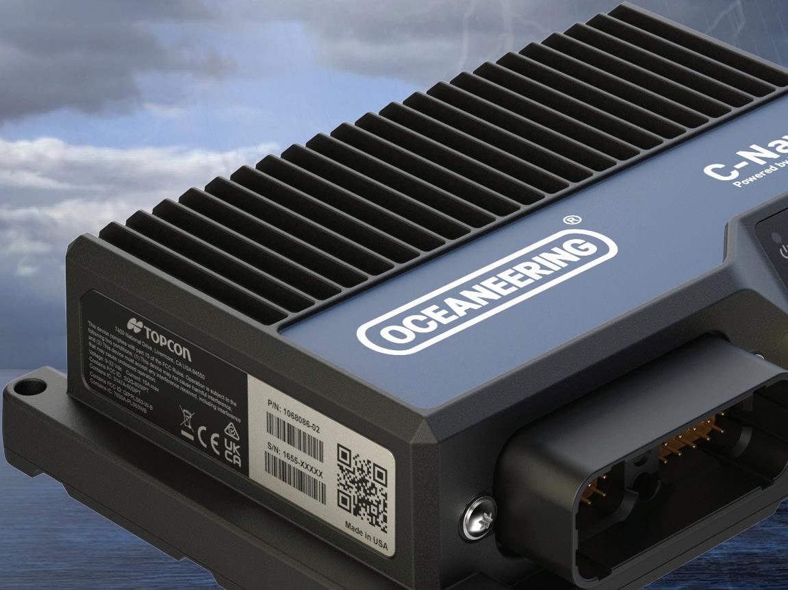
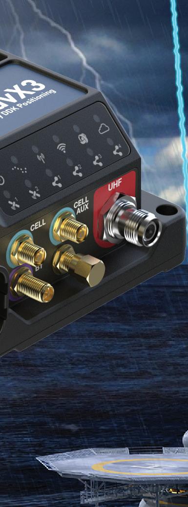
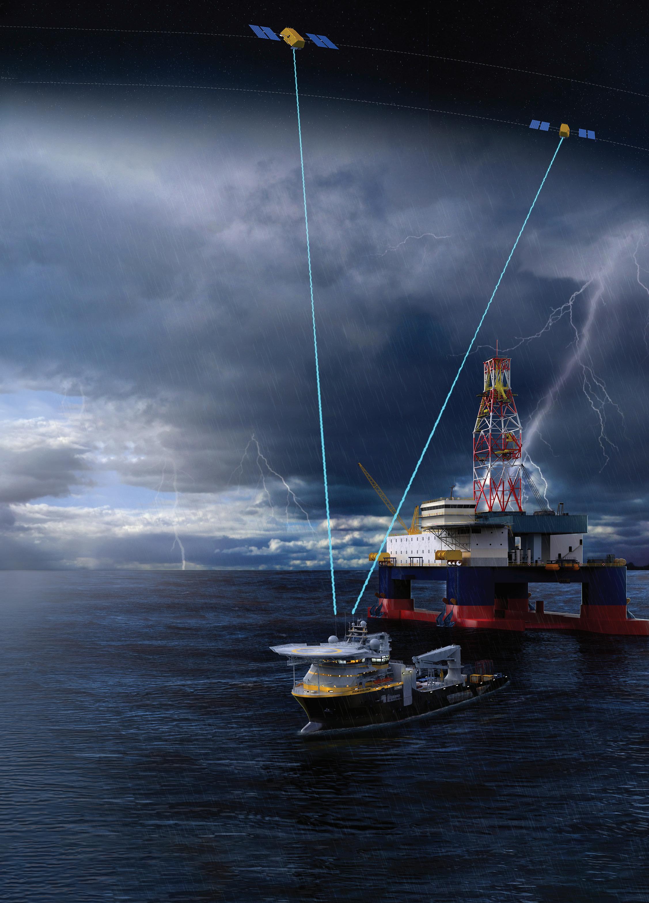
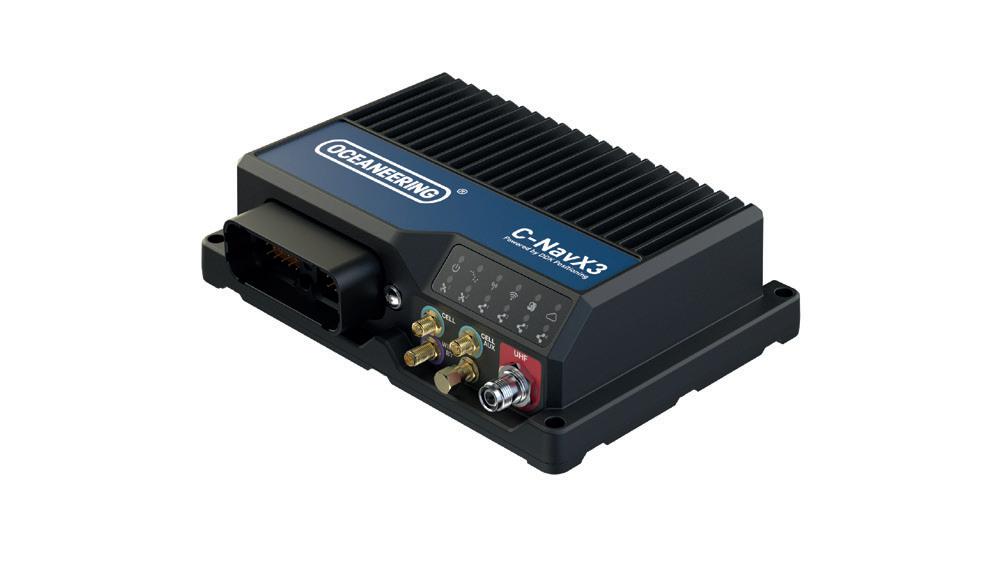
Launching at Oceanology, the new compact, marine-certified C-NavX3 GNSS receiver supports multi-GNSS constellation precise position and heading for all marine applications.
Iridium L-band signal support provides access to the C-Nav LEO corrections service from C-NAV® Positioning Solutions to offer the completeness of coverage necessary to ensure end-to-end redundancy with L-band correction service for a truly global and groundbreaking GNSS positioning solution. Visit Oceaneering on stand E301 to Ensure Accuracy Everywhere.
BOOTH: F498
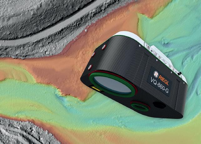
RIEGL recently expanded its airborne Lidar bathymetry (ALB) portfolio with the new topobathymetric laser scanner VQ860-G, providing enhanced depth penetration. The compact system offers a large operational envelope with typical flight altitudes from 75m to 600m above the water surface, while providing high spatial resolution resulting from measurement rates of up to 100kHz and a high scanning speed of up to 100 scans/sec. Together with the already proven VQ-840-GL and the new, more lightweight VQ-840-GE, users now have a broad portfolio of bathymetric Lidar systems at their disposal suitable for UAV, helicopter and fixed wing aircraft platforms. Visit booth D710 at Oi 2024 for more insights and to discuss your special requirements with the RIEGL team.
BOOTH: D710
BOOTH: E301
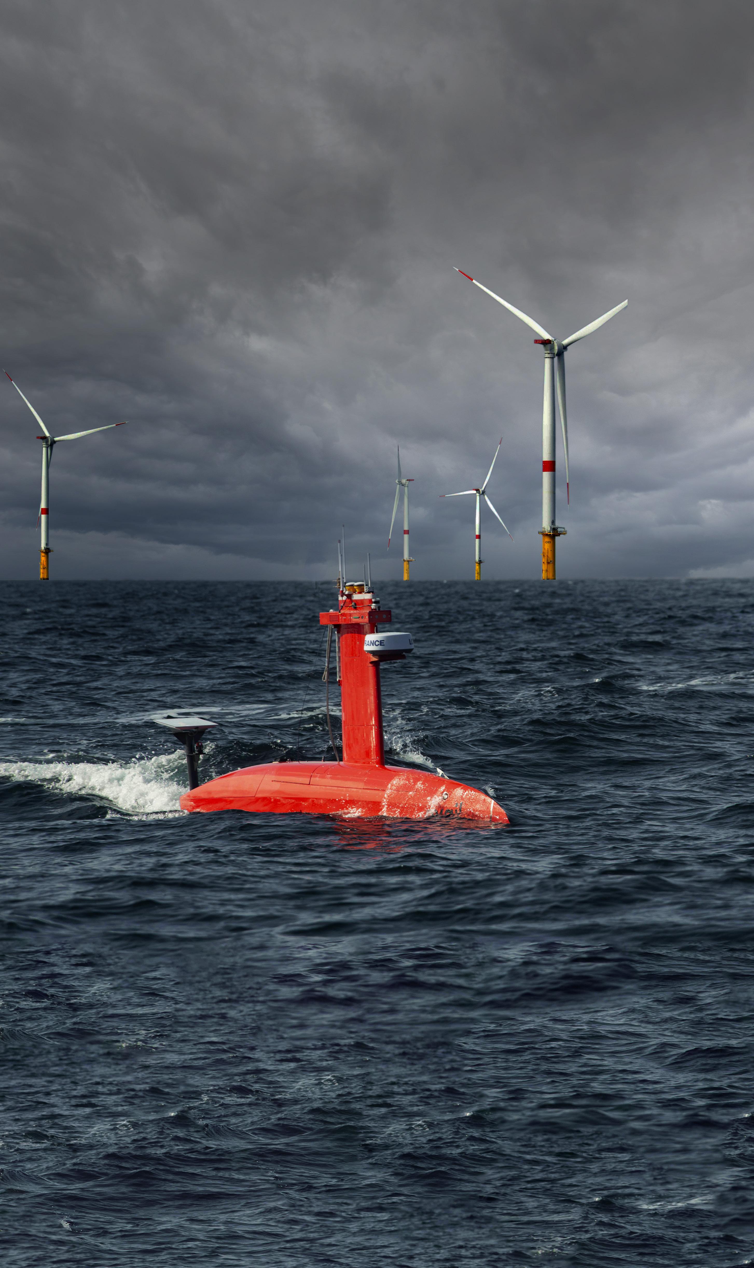
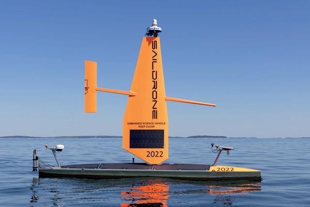
Saildrone provides comprehensive solutions for seafloor mapping, scientific research and maritime security, enabling real-time access to critical data from any ocean on Earth. Saildrone’s fleet of uncrewed surface vehicles (USVs), powered by renewable wind and solar power, carry the same cutting-edge sonar equipment as survey ships to deliver high-resolution data to the global community – at a fraction of the cost and carbon footprint. Saildrone offers a fully managed mission service, and data is delivered by a secure web application or API. Customers can remotely monitor operations and data quality from anywhere in the world via the Saildrone Mission Portal, providing real-time data access 24/7 with tools including overlays of swath coverage, bathymetry data, nautical charts and collaboration tools.
BOOTH: D720

Ahead of another inspiring and powerful Oceanology International event, Hydro International spoke to Mike Enser, Oceanology International marketing manager, about trends and highlights at Oi24.
What kind of trends do you see at Oi24?
“Oceanology International always has innovation and cutting-edge technologies at its heart. Trending this year are more products and services targeted at the challenges surrounding climate change, pollution and biodiversity loss. Key themes such as the energy transition, the blue economy, sustainability, climate risk and ocean health will stand out throughout Oi24. New applications of autonomous systems, unmanned vessels, AI and machine learning will also feature strongly, allied to the latest technology in acoustics, bathymetry, cameras, robotics and navigation, with the use of new materials and more interchangeable, versatile platforms also prevalent.
Oi reflects and predicts critical themes, tools and technologies, such as AI. Through live demos, engagement with experts and networking with a global community, Oi provides a unique frame of reference for the industry. We’ll discuss and learn about the different applications of the most advanced technologies as they rise to the fore once again at Oi24 in London this March.”
Which hydrographic survey developments are important to follow at Oi24?
“Hydrographic developments feature throughout the exhibition and conference. The topic will arise during several technical sessions, particularly in Site Investigation,

where three sessions focus on the latest developments in hydrographic, geophysical and geotechnical data collection. The crucial role and benefits of hydrographic surveys in creating wind farms, especially offshore, is a key theme, as these surveys are essential for building safe, efficient and environmentally responsible offshore wind farms that contribute to the transition towards clean and renewable energy sources. It is also important to follow the role of hydrographic surveys as an indispensable tool for developing responsible and sustainable ocean mining projects. In the light of concerns about potential ecological damage and ethical considerations, hydrographic innovations can help ensure efficient resource extraction while minimizing environmental impact and promoting responsible development practices.
Many of our exhibitors will showcase key advancements in the field, so expect to learn about their pioneering solutions and range of hydrographic applications and benefits such as reduced costs, increased safety, environmental protection, efficient operation, regulations compliance and the public engagement and transparency achieved with survey data.”
What is noteworthy and new at Oi24?
“With a reputation as the must-attend event on the ocean professionals calendar, Oi is carefully planned to showcase informative and inspiring content. At Oi24 and its co-located event OceanICT, we are introducing a host of new features and enhancements. One of the highlights is our new Skills and Careers Trail, which will benefit the next generation of graduates. This new initiative will dovetail into our Careers Panel and offer participants the opportunity to drill
into apprenticeships, funding for further education, first jobs and next roles. Our reimagined Catch the Next Wave event has a stellar line-up of speakers and will deliver some new insights into the climate and biodiversity crisis.
The future comes to life at the exhibition show floor, international pavilions and dockside demonstrations, where over 400 new and returning exhibitors will showcase groundbreaking solutions, from next-generation autonomous vehicles and underwater drones to cutting-edge sensors. Working together with GeoMatching, we’re highlighting about 100 companies that are launching new products and services. The Future Tech Hub will highlight the start-up and tech accelerators who are building transformative new technological ecosystems, while at OceanICT, the focus is on advanced data management solutions, connecting AI, communications, satellite, IT and IoT providers with end users.
Oi is renowned as a premium networking opportunity, enhanced by the free brokered meetings we organize with Innovate UK Edge and the OceanSocial activities, which are many and varied this year. This year, we host the EOOS Technology Forum 2024, and other associated events include Ocean Enterprise Dialogues, UXO in the Marine Environment and countless onstand activities and demos.”
What are the main topics of the conference programme?
“Once again, the Ocean Futures Theatre will host the brightest minds in ocean science, technology and engineering, discussing subjects that include uncrewed vehicles, offshore renewables, Seabed 2030, ocean
innovation, blue finance and careers. The keynote will be given by Dr Rick Spinrad, Under Secretary of Commerce for Oceans and Atmosphere and NOAA Administrator, and will also feature the Don Walsh Award for Ocean Exploration. We’ve also engaged with specialists who use similar technologies in climate-centric, not ocean-focused, projects. For Catch the Next Wave, we’ve paired ‘surf and turf’ thought leaders to discuss ‘Solutions at the Ocean-Climate Nexus’. It’s a stunning line-up of speakers, including Professor Sir David King (Emeritus Professor of Chemistry, University of Cambridge, a former chief scientific adviser to the UK government and founder and chair of the Climate Crisis Advisory Group), Brad Ack (chief executive officer, Ocean Visions), Benj Sykes, the newly installed president of the SUT, Elizabeth White (executive producer, BBC Studios Natural History Unit), Jyotika Virmani from Schmidt Ocean Institute, Professor Mike Wooldridge (Oxford University) and Kelly Wanser (executive director, SilverLining). This special edition of Catch the Next Wave will focus on the climate and biodiversity crisis, taking a futuristic view of how key areas of rapidly evolving
science and technology might contribute to innovative solutions at the ocean-climate nexus, helping to take us to net zero and beyond while supporting restoration of the Earth’s essential biodiversity and ecosystem services. The technical sessions take a deep dive into subjects that include ocean observation, navigation and positioning, data interpretation, AI, bathymetry and asset imaging, integrity monitoring and metrology.”
What can people expect and experience at the dockside demo?
“The extensive Oi dockside location sets it apart from other events. Live demonstrations deliver a first-hand, up-close experience of the latest technology. Specialist vessels and groundbreaking vehicle, imaging, sonar and instrumentation equipment will be on view on the quayside.
To mention a few highlights, Blueye Robotics will run live demonstrations of the Blueye X3 ROV, a powerful vehicle for underwater operations weighing only 9kg. Hydrographic sonar systems company R3Vox will introduce the revolutionary
Voxometer®, the only MA3® multi-aspect hydrospatial survey system. Key Oi exhibitor Teledyne Marine is partnering with GeoSight to provide on-water demonstrations of the SeaBat T51-R multibeam echosounder on survey vessel Brunel, and Kongsberg Discovery will demonstrate the new EM 2042 multibeam echosounder system and the Seapath 385 heading, attitude and positioning system with the vessel Xplorer. Klein Marine Systems is partnering with Applied Acoustic Engineering and Briggs Marine to demonstrate the new Klein 4K-MAX together with AAE’s Easytrak Pyxis INS and USBL positioning system. CHCNAV will demonstrate the APACHE 4 USV with HQ-400 portable multibeam system and River Star series ADCP. Jaia Robotics will showcase the JaiaBot-HYDRO pod, an autonomous, micro-sized multi-vehicle system that rapidly collects synoptic data in coastal and surf zones, estuaries, rivers and lakes. Another regular visitor to Oi is Kommandoren, a 130-yearold trading vessel fitted with sails.”
OI22