FUTURE PERSPECTIVE
by CRAIG HILL
Five Trends Affecting Surveying, Bringing About the Next Generation Surveyor
The Evolution of the Smart Surveyor Surveyors are a versatile and flexible bunch. As the current COVID-19 situation has proven, this group, like others, has had to find new ways of operating. Even this article is an adjustment. Originally planned as a presentation, Sensor Fusion for the Smart Surveyor, for the International Federation of Surveyors (FIG) Working Week 2020, adapting to a new platform for information sharing is becoming the new normal.
In FIG Commission 5 – Positioning and Measurement and FIG Commission 6 – Engineering Surveys, the focus is an everevolving adoption of new technologies and integrating methods with various instruments and sensors to help surveyors, engineers and other measurement professionals to do their job most effectively, whatever the application. As surveyors continue to navigate in these new confines, surveyors will do what they’ve always had to do – adapt, overcome and evolve. As surveyors progress, they become smarter and more efficient. As necessity is the mother of invention, there are driving factors
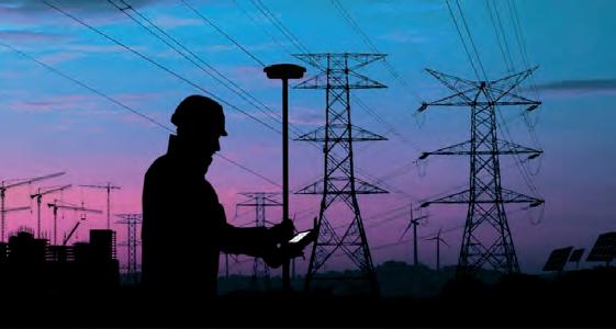
pushing surveyors along the path of evolution. At Leica Geosystems, we are consistently steering and tracking these changes to make our customers more productive while maintaining survey-grade quality and accuracy standards. These are the five most recent trends in the surveying industry, bringing about the next-generation Smart Surveyor. 1. SURVEYORS DO ‘MORE WITH LESS’ While there is plenty of work for surveyors, the average age of surveyors is rapidly increasing. The average age of the professional surveyor in the US, for example, is currently 59 years old. It has
Surveyors are now required to do more with less.
become increasingly important to do more surveying with fewer surveyors, and that’s where technology comes in. With a focus on sensor fusion, bringing several sensors into one instrument, more work can be completed with less time and personnel. The Leica Pegasus:Two Ultimate is one such example of sensor fusion technology. With a combination of LiDAR, laser scanning and imagery, the mobile mapping platform increases a working day, enabling surveyors and other measurement professionals to capture reality in a variety of lighting conditions and vehicle speeds. Only with constantly evolving technology are we able to
Surveyors have become data managers.
32 Winter 2020
32-33_hill.indd 32
02-12-20 16:43