G
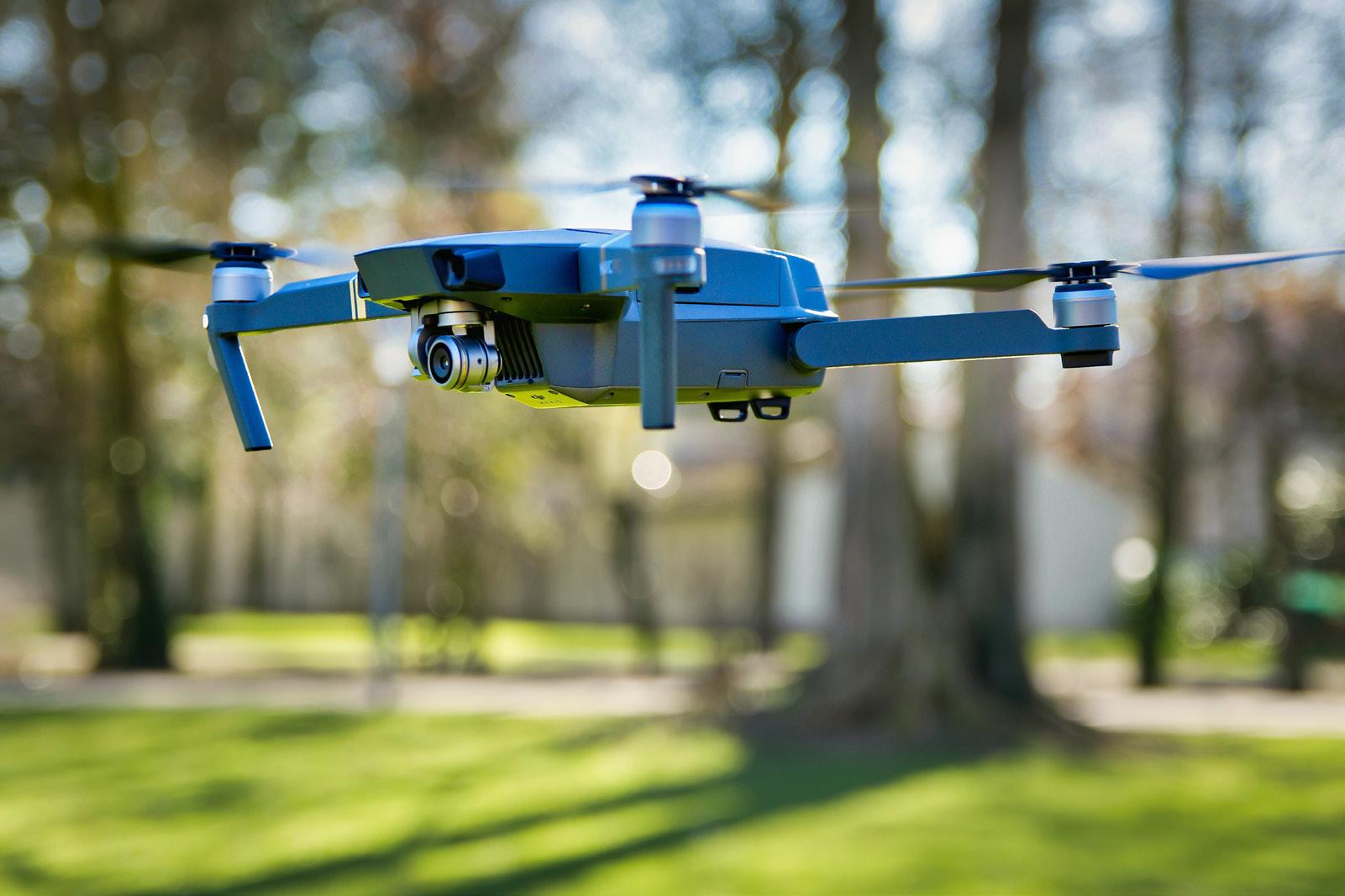
one are the days when you need to spend so much just to take an aerial picture of a property. Back in the days, if you desire to capture the breathtaking view of a property, you may have to hire a helicopter with a professional photographer. Today, the world has progressed, and real estate investors and agents don’t have to spend on helicopter rental just for aerial view pictures. With a Drone, you can capture aerial pictures and videos of any property without stress. This latest technology has contributed immensely to the real estate industry. Investors and property buyers now don’t have to be physically present at the property site before they have a clear view of the property on sale. Below is a look at how Drone Mapping is reshaping the real estate industry:
BUDGET-FRIENDLY AERIAL PHOTOGRAPHY
Before introducing Drone Mapping, estate investors often depend on satellite images to capture an aerial photograph of their property. Some who have enough money to spend often hire helicopters or airplanes to capture the picture. This can be very expensive. Chartering a plane or helicopter for such a picture can cost hundreds or thousands of dollars. However, Drone has come to change that narrative. Drone Mapping is more affordable, and as such, aerial photography of properties is now popular among estate agents. More so, since property owners and agents won’t have to spend much before they get the aerial pictures and videos of their property, their profit will also increase. Therefore, with a Budget-friendly Aerial Photography comes a better yield for property owners. 28
l
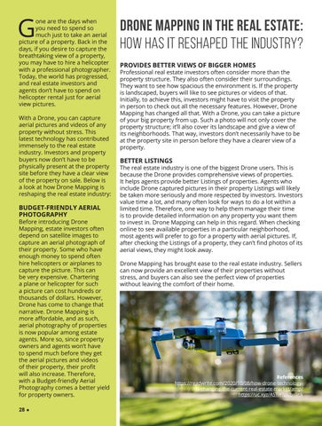
DRONE MAPPING IN THE REAL ESTATE: HOW HAS IT RESHAPED THE INDUSTRY? PROVIDES BETTER VIEWS OF BIGGER HOMES
Professional real estate investors often consider more than the property structure. They also often consider their surroundings. They want to see how spacious the environment is. If the property is landscaped, buyers will like to see pictures or videos of that. Initially, to achieve this, investors might have to visit the property in person to check out all the necessary features. However, Drone Mapping has changed all that. With a Drone, you can take a picture of your big property from up. Such a photo will not only cover the property structure; it’ll also cover its landscape and give a view of its neighborhoods. That way, investors don’t necessarily have to be at the property site in person before they have a clearer view of a property.
BETTER LISTINGS
The real estate industry is one of the biggest Drone users. This is because the Drone provides comprehensive views of properties. It helps agents provide better Listings of properties. Agents who include Drone captured pictures in their property Listings will likely be taken more seriously and more respected by investors. Investors value time a lot, and many often look for ways to do a lot within a limited time. Therefore, one way to help them manage their time is to provide detailed information on any property you want them to invest in. Drone Mapping can help in this regard. When checking online to see available properties in a particular neighborhood, most agents will prefer to go for a property with aerial pictures. If, after checking the Listings of a property, they can’t find photos of its aerial views, they might look away. Drone Mapping has brought ease to the real estate industry. Sellers can now provide an excellent view of their properties without stress, and buyers can also see the perfect view of properties without leaving the comfort of their home.
References https://readwrite.com/2020/10/08/how-drone-technologyis-changing-the-current-real-estate-market/amp/ https://uc.xyz/ASTiY?pub=link