FONDAMENTI E APPLICAZIONI DI TOPOGRAFIA E CARTOGRAFIA FOUDATIONS AND APPLICATIONS OF SURVEYING AND MAPPING
docente | professor
DIDA DIPARTIMENTO DI ARCHITETTURA FIRENZE
Renzo Maseroli cfu:9
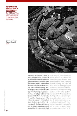
Il corso di Fondamenti e applicazioni di topografia e cartografia si propone di fornire informazioni generali sui principali metodi per il rilevamento metrico di edifici e del territorio. Vengono illustrati i principi di funzionamento degli strumenti per le misure terrestri e dei sistemi satellitari per il posizionamento; i metodi per la definizione dei sistemi di riferimento terrestri; le tecniche di elaborazione delle misure per ricavare informazioni sulla struttura geometrica tridimensionale degli oggetti rilevati, con particolare riguardo ai metodi statistici per il trattamento degli • 32
The course of Foundations and Applications of Surveying and Cartography deals with the main methods for the metric surveying of both buildings and land. The main topics are: working principles of the instruments for land measurement and satellite positioning systems; methods for establishing terrestrial reference systems; techniques for measurement processing to extract information on the 3D geometric structure of surveyed objects, particularly in connection to statistic methods for the treatment of random measurement errors; methods for de-