
1. Problem Identification
2. Site & Context
3. Precedent
4. Program & Proposal
5. References


1. Problem Identification
2. Site & Context
3. Precedent
4. Program & Proposal
5. References
“Affordability” is a broad term that is influenced by so many factors. Primarily, Costs and Expenditure pattern. Thus, aim of this research was to understand what makes living affordable and not just housing by focusing upon demographics, living costs statistics, sustainability impact and role of architecture in it.

Raleigh Population are cost burdened

Of Gross Income towards Housing

Of Gross Income towards Transportation

Of Residents are living in Rental Apartment

Population Growth of last 2 decades

Of total Global Co2 Emissions


Of total Global Co2 Emissions

Of Gross Income towards Transportation in Curitiba


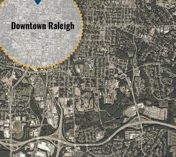
It is evident through all the maps that Raleigh kept expanding horizontally primarily because of two reasons - dependency on car and isolated zoning map.


Combining all data, as designers we can attempt to make “living” affordable by focusing on transportation and housing both together through exploring better correlation of architecture, urban planning and transportation.


To design a fabric that acts as an urban catalyst by reimagining urban cores with dead strip malls and parking areas, making the city more walkable, healthier, affordable, and people-centric.
This can be achieved by making the fabric more dense, compact, mixed-use, and permeable. It should also be well-connected with an efficient, affordable, frequent, and faster public transport system.
Retrofitting the Tower Shopping Center at the Trawick Node BRT station to create a walkable, healthy, people-centric urban village centered on affordable housing.


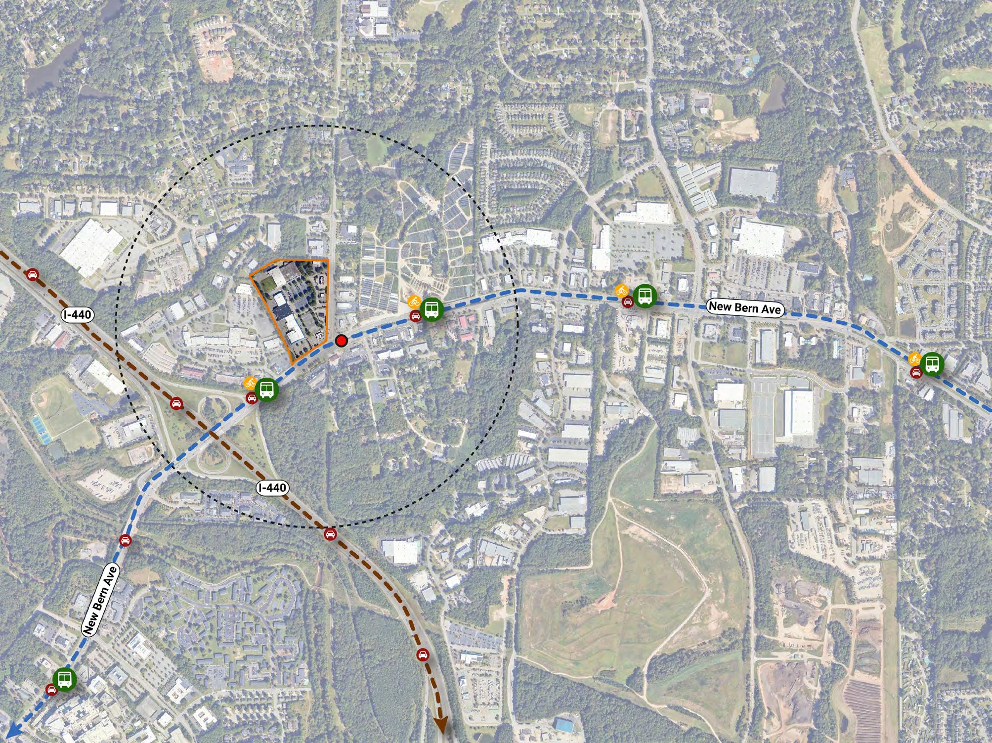


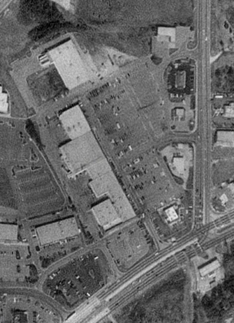
Existing site contains single story malls and drive-through retail shops. It is all covered by asphalt-paved parking areas which is already being underutilized atlease since last 30 -35 years as per the images derived from the Google Earth. This further leads to poor utilization of limited land resource.
Image also highlights that in last 35 years no significant development has been done into existing fabric and rather fabric has expanded horizontally increasing city boundary limits.
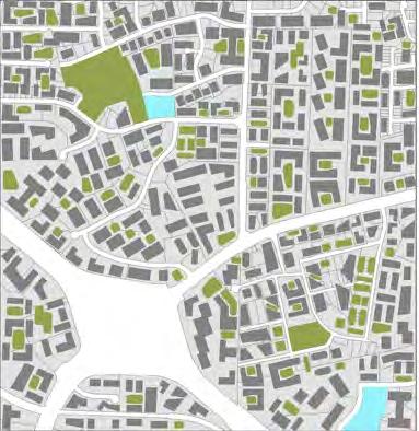
Boulevard Mall in Amherst, New York
Lakewood At Belmar, Colorado
Lakewood At Belmar, Colorado
York Lakewood At Belmar, Colorado
York Lakewood At Belmar, Colorado


5 + 2 (100’) CX
Site Area


Height increase based on TOD Zoning Transit Overlay District (Additional Height)
Targetted Number of Units Residential + Retail + Labs Micro, 1B, 2B


Communal Spaces along the Pedestrian spine Residential with Thin Footprints


Affordable:
Sustainable:

Cheaper Commute

Incentives & Credits

Shared Amenities
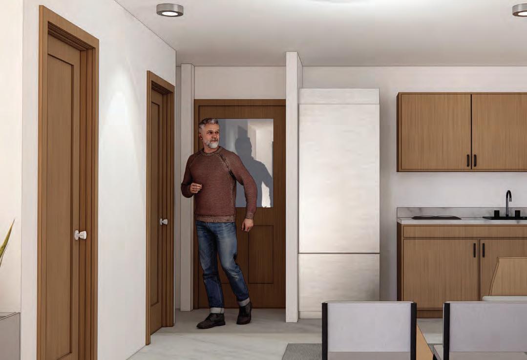
Compact Unit (More Density)
Thin Footprints (Daylight Exposure)


Lower PowerbillsIncreased Accesibility through Mixed-Use
Shared/Public Transport

Reduction in Co2

Shared Amenities (Effective use of Land)

Regeneration on site (Solar Panels)

Rain Water Harvesting
Increased Walkability through Mixed-Use
Thin Footprints (Daylight Exposure)


