


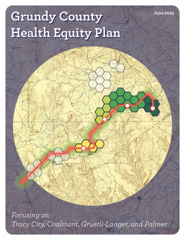
Grundy County Health Equity Plan Grundy County Health Equity Plan


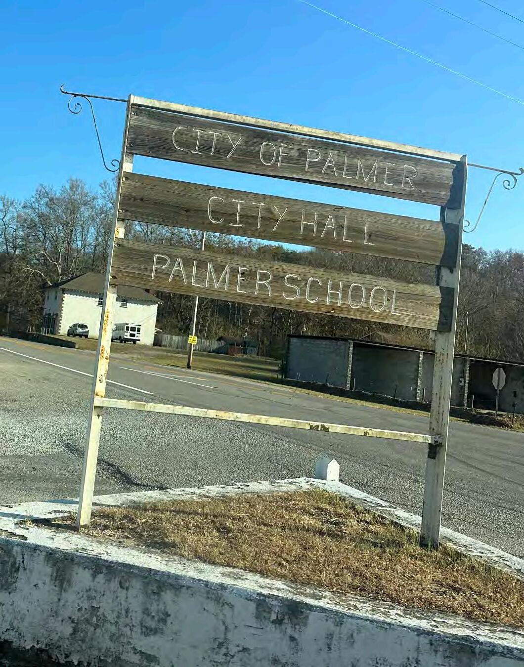
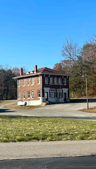
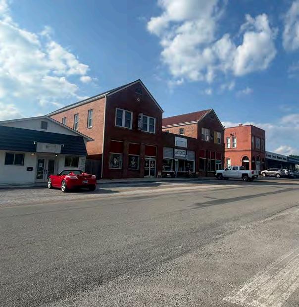
Focusing on: Tracy City, Coalmont, Gruetli-Laager, and Palmer


Community
Listening
Youth Engagement
Conclusion
Project
Grundy County Health Equity Plan Grundy County Health Equity Plan
Focusing on: Tracy City, Coalmont, Gruetli-Laager, and Palmer
Community
Listening
Youth Engagement
Conclusion
Project
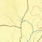
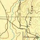
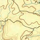
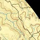
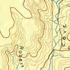
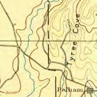
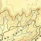
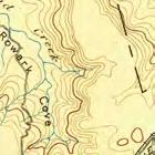
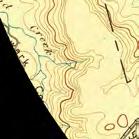
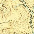
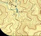
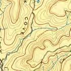
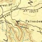
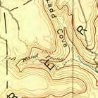
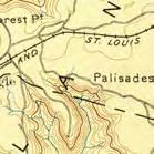
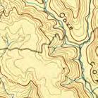
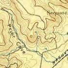
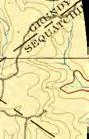
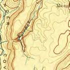
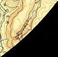
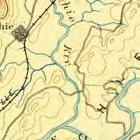
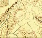
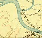
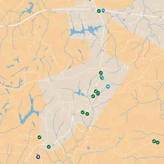
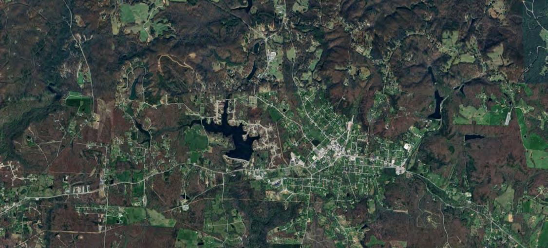
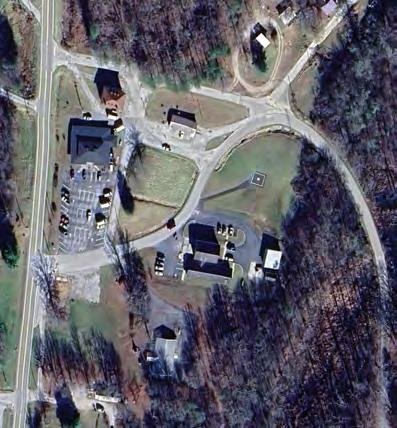
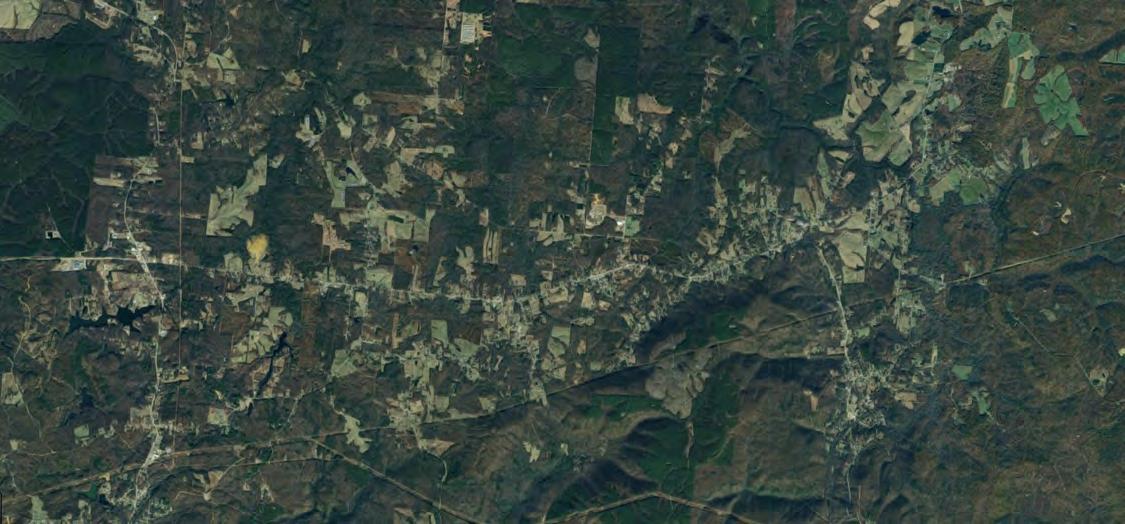
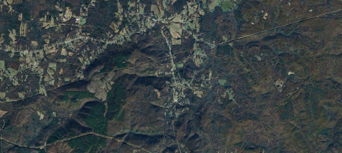
The Healthy Built Environment Grant was awarded to the South Cumberland Community Fund (SCCF) to address health disparities in Grundy County by leveraging the potential of the Mountain Goat Trail and other community assets. Grundy County, with its rich natural resources, is home to two of Tennessee’s largest state parks—South Cumberland and Savage Gulf—and the Mountain Goat Trail, a multi-use rails-to-trails project that connects several towns in the region. Despite these assets, health disparities persist, with limited access to recreational spaces, healthcare, and healthy food options impacting residents' quality of life. This grant focused on identifying and addressing these disparities through a collaborative, community-driven approach. Key components of the project included a detailed demographic profile of Grundy County to understand the population makeup, health-related challenges, and priority areas for intervention. An overall context map was developed to visually represent the county, pinpointing key locations, communities served, and the Mountain Goat Trail’s potential for promoting health equity and accessibility.
The grant’s health equity approach emphasized core focus areas, including improved access to healthcare, safe pedestrian and cycling infrastructure, increased availability of healthy foods, and community spaces designed to foster social cohesion and wellness. Community engagement played a central role throughout the process, ensuring that residents were active participants in shaping the Health Equity Plan. Surveys, workshops, and participatory planning sessions provided valuable insights, which are visualized in this report through infographics that highlight common concerns and desired improvements. Using research and technical analysis, the project examined how the trail could help reduce health disparities by promoting active transportation and recreation. Results from the community engagement process were combined with data on health infrastructure to inform actionable recommendations. Graphics of the findings and youth perspectives, gathered through a pilot Dream Town workshop facilitated with Grundy County High School students, further enriched the plan. These perspectives reflected the unique needs and aspirations of residents of all ages.
The recommendations resulting from this work include enhanced transportation access, expanded health resources, and the development of physical activity spaces along the Mountain Goat Trail. Community-generated designs envision trail-side improvements such as green spaces, accessible recreational facilities, and gathering points that encourage social interaction and wellness. Additionally, youth-centered designs provide creative, forwardlooking ideas for how the trail could serve future generations. Other recommendations address critical needs such as improved transportation options and access to healthcare services. Implementation strategies outlined in the report focus on phased approaches, starting with immediate, low-cost tactical urbanism solutions to improve trail accessibility and safety. Longer-term strategies include securing additional funding through identified grant opportunities to ensure the sustainability of these initiatives. This report marks the culmination of a multi-step process, documenting the demographic analysis, community engagement, community-engaged research findings, and collaborative designs that have shaped the Health Equity Plan for Grundy County. The final section outlines next steps, setting a clear path forward to bring these recommendations to life. By addressing systemic barriers and leveraging community strengths, this grant has laid the groundwork for a healthier, more equitable future for all residents of Grundy County.
Goal 1
Conduct engagement in Grundy County based on healthy built environment interventions related to active transportation.
Goal 2
Produce visions based on community input to promote communal ideas.
Goal 3
Make recommendations for long term improvements at community hubs.
Goal 4
Find opportunities to fund future projects.
As Grundy County is a mostly rural community, the Civic Design Center focused on strategies and design elements identified in the Shaping the Healthy Community: The Nashville Plan. This publication identified strategies in rural areas as the following:
Neighborhood Design and Development – Strengthen the civic heart of rural communities.
Transportation – Encourage transportation alternatives to single occupancy automobile trips.
Walkability and Pedestrian Safety – Create a safe network of pedestrian and bicycle paths connecting community resources.
Food Resources – Preserve and promote rural areas as sources for local food.
Housing – Incorporate a diversity of housing options while conserving rural areas and existing open space.
Open Space and Park – Create additional opportunities to connect regional parks and open spaces to surrounding communities. Encourage conservation easements on privately owned open space. Increase forestation in rural open space.
To support health in rural areas, planners, developers, and residents should aim to preserve the open, rural character of these communities while addressing local needs. Development efforts-such as improving access to food, creating senior housing, or expanding economic opportunities-should be carefully scaled and thoughtfully located to avoid triggering overdevelopment. These strategies should also align with the fiscal realities of providing public services in low - population areas.
One approach to balancing development with rural health and character is the creation of and establishing a community as a “Rural Hamlet”.
Land use policies encourage compact, small-scale mixed-use neighborhood centers in rural communities. These should serve basic needs—a bottle of milk, a tube of toothpaste—and thus provide a destination to walk or bike to, increasing activity levels and reducing drive time for shopping outside the community.
The center’s residential component could house young people unable to afford larger properties and elderly residents ready for downsizing and a more walkable environment. Commercial elements could provide jobs within the community.
Neighborhood centers could also contain social space for community interaction. A place for residents to gather for meetings, meals, and celebrations need not necessarily be sited directly in the community’s center, however. An adjacent location on more expansive grounds could offer space for playgrounds, picnics, and playing fields.
There is no one-size-fits-all model for the rural hamlet. Each should reflect the particular community’s character and, to be successful, serve its specific needs and interests. Instead of generic chain store centers, the development of a rural hamlet should focus on incubating independently owned businesses, with features such as shared hazardous waste drop offs for mechanics and beauty parlors, for example.
Vacant properties located in the immediate vicinity of a rural community’s center should be redeveloped to strengthen the center’s economic and social viability. The form of the redevelopment, however, should reinforce rather than erode rural character.
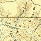
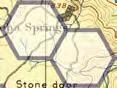
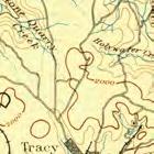
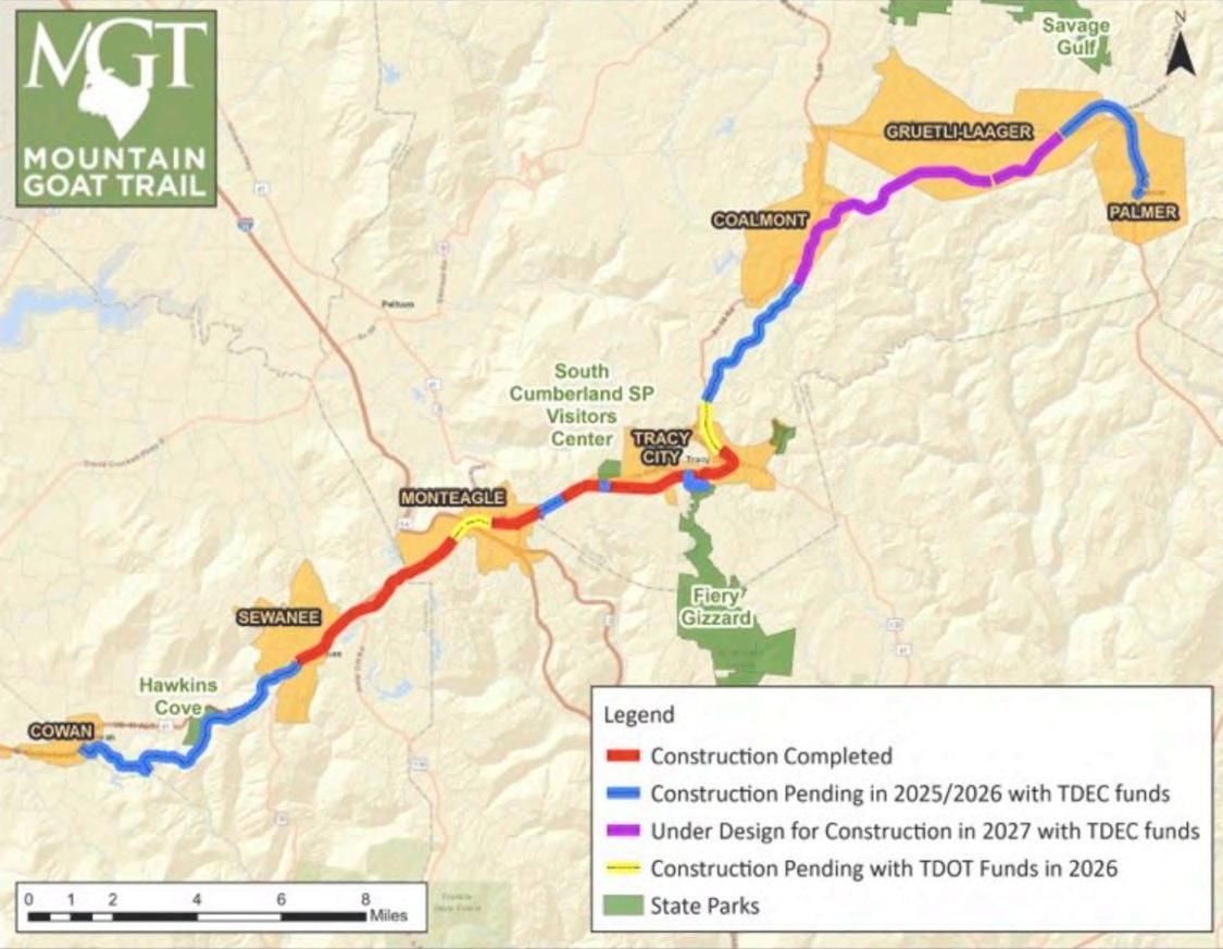
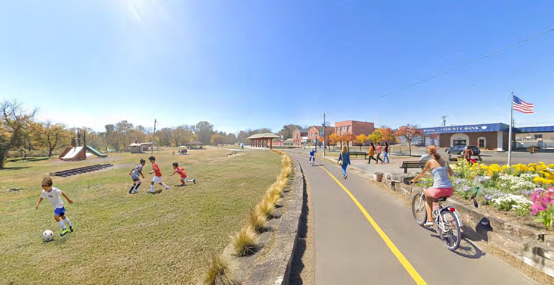
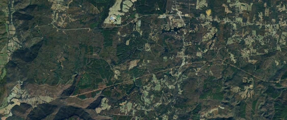
A public resource spanning seven towns and three counties
The Mountain Goat Trail is a multiuse, multimodal walking and cycling trail connecting the communities along the path of the historic Mountain Goat Railroad.
The Trail offers safe, healthy outdoor activity, cultural opportunities, and economic development potential to both residents and visitors to the South Cumberland Plateau.
A Rail-to-Trail program is a community-driven initiative that transforms abandoned or unused railroad corridors into multi-use trails for walking, biking, e-biking, running, and other forms of transportation. These converted railways often serve as the backbone of a larger greenways system, offering safe, scenic, and accessible pathways that connect neighborhoods, parks, schools, and local businesses.
Rail-to-Trail projects are ideal for greenway development because railroad corridors typically feature gentle grades, durable surfaces, and direct routes through towns and rural areas. By repurposing these corridors, communities can preserve open space, promote active lifestyles, support local tourism, and enhance transportation equity. In addition to their recreational value, these trails often serve as green infrastructure, supporting stormwater management, habitat connectivity, and climate resilience.
When integrated into a broader greenways system, Rail-to-Trail paths can help link regional destinations, support economic revitalization, and create lasting public health benefits. They represent a sustainable reuse of historic infrastructure, turning yesterday’s transportation system into a healthier, more connected future.
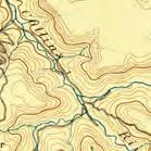
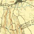
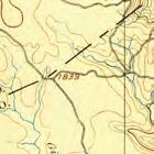
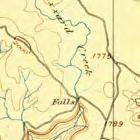
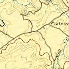
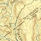
Spanning more than a century of service, the Mountain Goat Railroad once served as a critical lifeline between Palmer and Cowan, carrying coal and passengers across the rugged terrain of the Cumberland Plateau from 1856 to 1985. Aptly named the "Mountain Goat" for its steep climb—one of the most dramatic railroad ascents in the world—this rail line symbolized the industrial heritage and physical resilience of Grundy and Franklin Counties.
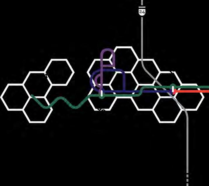
Today, that legacy is being reimagined through the work of the Mountain Goat Trail Alliance. In partnership with local governments and community organizations, the Alliance is transforming the former rail corridor into a 35-plus-mile multi-use trail that links seven towns across two counties. What once served as a commercial conduit now offers the promise of sustainable, multimodal transportation, supporting walkers, runners, cyclists, and e-bike users while promoting a healthier, more connected built environment.
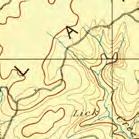
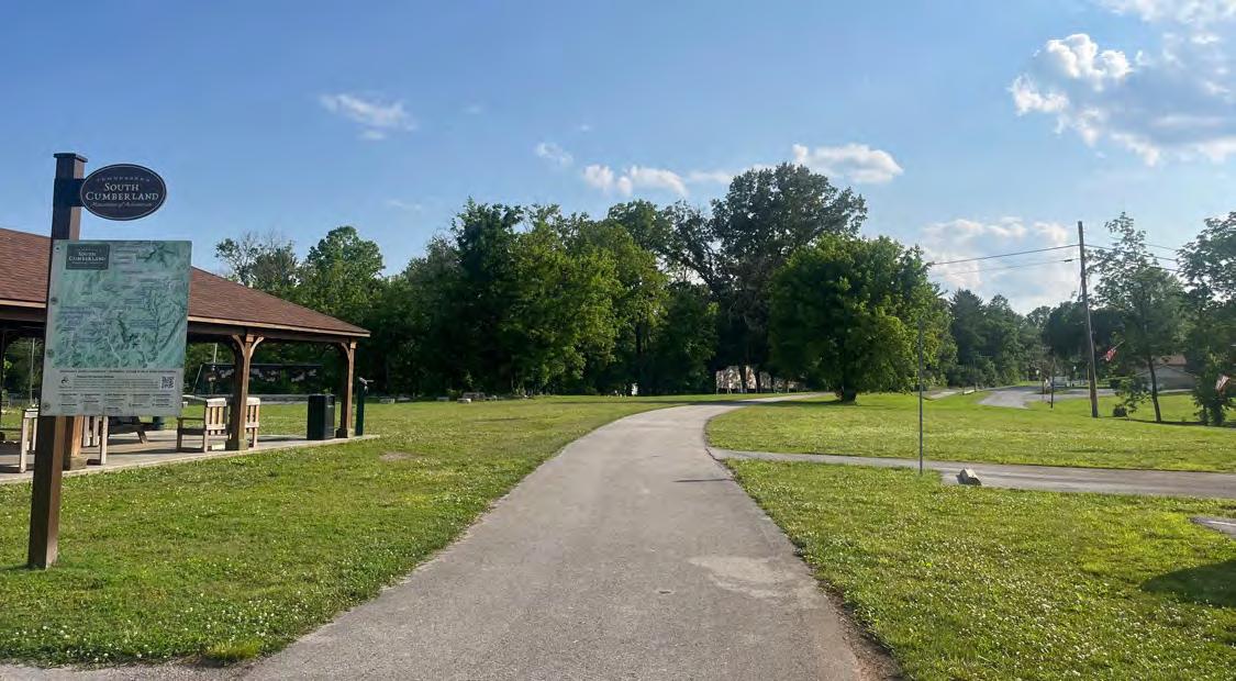
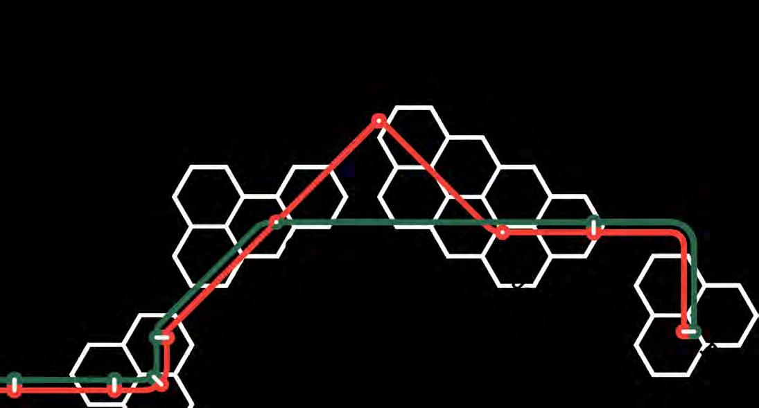
As of now, two significant sections of the trail are fully open and accessible. The nearly five-mile paved stretch between Sewanee and Monteagle sees regular use by residents and visitors alike, while an additional six miles between the DuBose Conference Center in Monteagle and downtown Tracy City are also active. These segments not only provide opportunities for recreation but also help weave together the social and physical fabric of these Appalachian communities.
Access points have been established in downtown Sewanee, near Mountain Outfitters in Monteagle, at Monteagle City Hall, and in downtown Tracy City, including at Tracy City Elementary School. These trailheads serve as gateways to a growing network of active transportation that emphasizes health equity, environmental stewardship, and rural mobility.
The next chapter of the trail's transformation is already underway. Construction of new segments in Monteagle and Tracy City is scheduled to begin soon, with a major infrastructure milestone on the horizon: the replacement of the bridge across Interstate 24, which will include a multimodal trail connection. This investment signals a strong commitment to a future where historic infrastructure serves modern health and mobility goals, creating a sustainable corridor that honors the past while advancing the well-being of generations to come.
Conversations
The Civic Design Center met with key stakeholders and leadership in the communities.
Site Visit & Analysis
The Civic Design Center’s team toured Grundy County with the Scott County Community Fund to learn about the current landscape and context of how the current/future trail is planned to link communities throughout the County
Community Charrettes
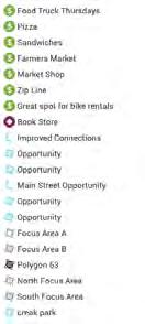
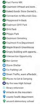
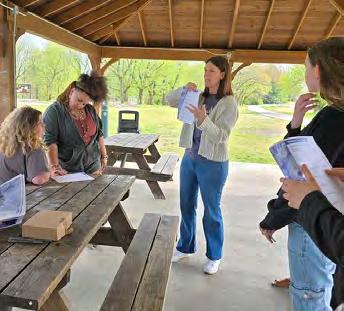
Community leaders were trained by the Civic Design Center how to conduct community charrettes, and conducted 4 sessions in each focus area of the study. These sessions asked community members about the assets and opportunities in their communities, and allowed for communities to identify places they would like to see improved, as well as amenities that their communities are currently lacking.
Community Survey
In addition to the community meetings, residents had the opportunity to complete an online survey to provide their thoughts on various ideas and concepts for trailside and trail-adjacent improvements.
Feedback Analysis
The Design Center gathered the data from the community meetings and mapped the comments from stakeholders. The design team read through all of the comments by community members and identified key areas for designs interventions and community health strategies.
Design concepts
Based on the community charrettes and survey, initial concepts of health promoting designs were created at locations identified as areas of opportunities.
Nashville Visit
Civic Design Center Hosted Sewanee students and had a workshop on the design concepts.
Student Survey
After the initial designs, students asked a variety of community groups for their thoughts on the improvements to see if there were any major concerns and find out what the community liked.
Youth Engagement
Dream Town Workshops
The Design Center gathered the data from the community meetings and mapped the comments from stakeholders. The design team read through all of the comments by community members and identified key areas for designs interventions and community health strategies.
SPARK Design Workshops
Based on the community charrettes and survey, initial concepts of health promoting designs were created at locations identified as areas of opportunities.
SPARK Presentation
Civic Design Center Hosted Sewanee students and had a workshop on the design concepts.
Review All Data
Look over the new youth based research and drawings and add them to the report.
Final Draft
Finalize the report and provide it to the community to utilize.
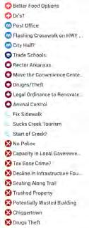
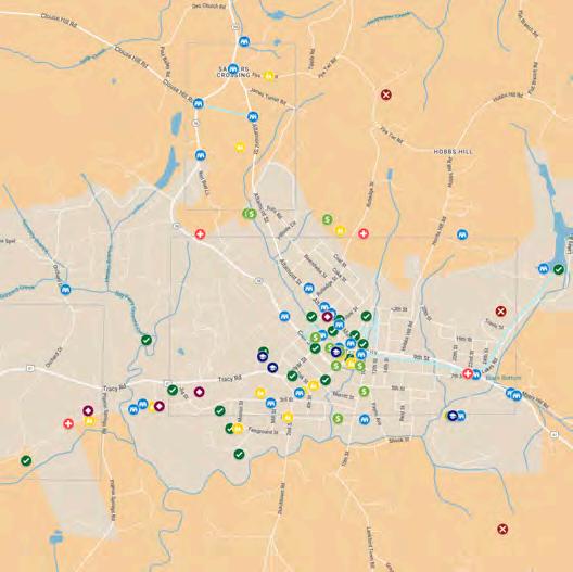
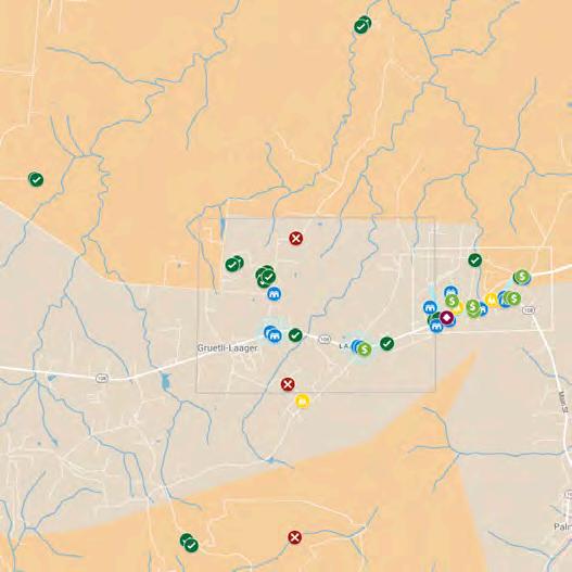
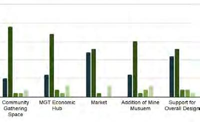
As a key component of the Health Equity Plan, the community engagement process was a lengthy and community-led process. The process included a variety of strategies to gather feedback and reached 1,200 residents and stakeholders throughout the process. The process included the following:
Building on the engagement strategies outlined above, the following section highlights key themes and insights that emerged from community-led design sessions with adults in each community. The team collaborated with members of the Grundy County community-supported by the South Cumberland Community Fund staff and local advocates—to lead engagement efforts in key focus areas. Community members were trained to serve as facilitators for design charrettes, a collaborative process that uses group dialogue and mapping to visualize desired outcomes. Workshops were hosted in each of the focus areas: Tracy City, Coalmont, Gruetli-Laager, Palmer, and Monteagle. Through these sessions, participants shared their perceptions of existing conditions and their aspirations for the future of their neighborhoods.
Ideas for the trail’s development included a wide range of community-oriented features designed to reflect local values and enhance daily life. Suggestions included adopt-a-trail programs and better connections to nearby parks and natural areas, as well as interpretive signage that celebrates the region’s rich heritage—including its Swiss roots and coal mining history. Residents expressed a strong desire for more infrastructure that supports walkability and safety, such as clearly marked
pedestrian crossings and trail access points near schools, churches, and other community landmarks.
There was also enthusiasm for creative placemaking opportunities, such as integrating public art along the trail and developing more community gathering spaces—like skate parks, picnic areas, and fitness trails—that would serve as positive outlets for youth and families. Small-scale amenities like coffee shops, bookstores, and seasonal farmers markets were seen as opportunities to build community, support local entrepreneurs, and provide gathering spots without disrupting the rural feel of the area.
Access to nearby state parks and natural resources was frequently mentioned as a major asset that could be better leveraged through thoughtful trail connections. Many community members expressed that increased access to these natural areas could help foster healthier lifestyles and provide more things for young people to do—without requiring major commercial development.
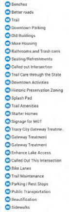
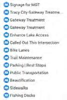
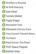
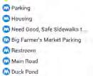
To better understand and act on this wide range of feedback, over 300 comments from community members were organized using the Social Determinants of Health framework. This approach allowed the planning team to categorize insights across key themes like neighborhood infrastructure, social connection, access to economic opportunity, and physical and mental health—making it easier to identify community priorities and shape a vision for the Mountain Goat Trail that truly aligns with Grundy County’s needs and values.
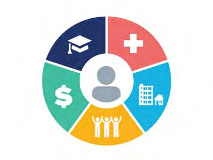
According to the US Department of Health and Human Services, the Social determinants of health (SDOH) are the conditions in the environments where people are born, live, learn, work, play, worship, and age that affect a wide range of health, functioning, and quality-of-life outcomes and risks.
These are grouped into 5 domains: Economic Stability, Education Access and Quality, Neighborhood and Built Environment, and Social and Community Context. For this plan, the main analysis and focus was on the “Neighborhood and Built Environment” domain, however, design strategies and recommendations considered all of the Social Determinants of Health.


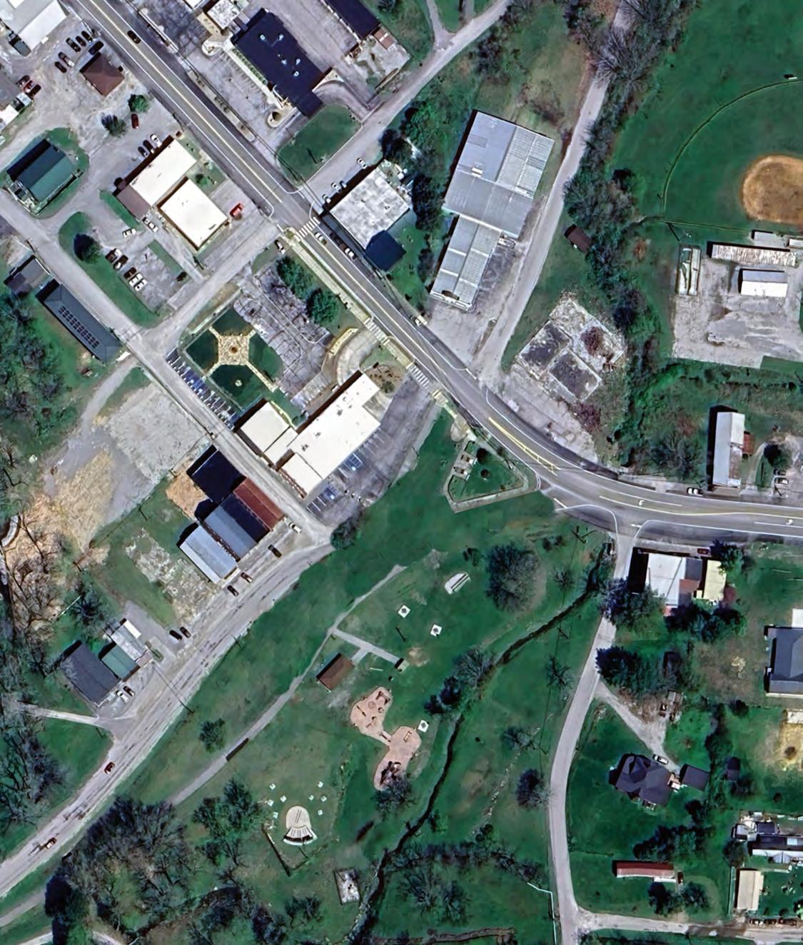

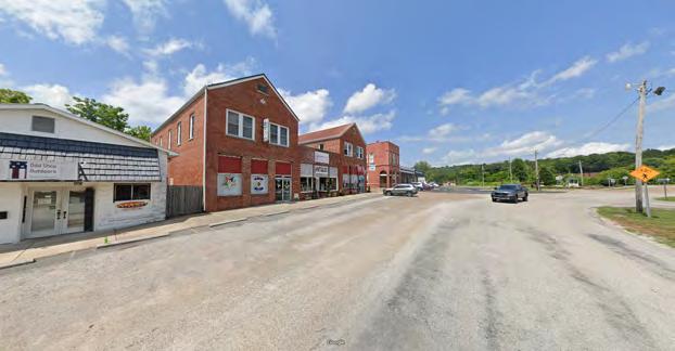
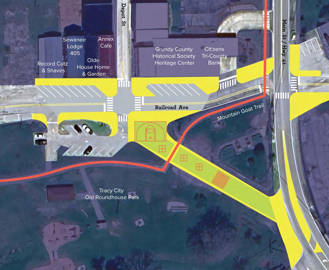
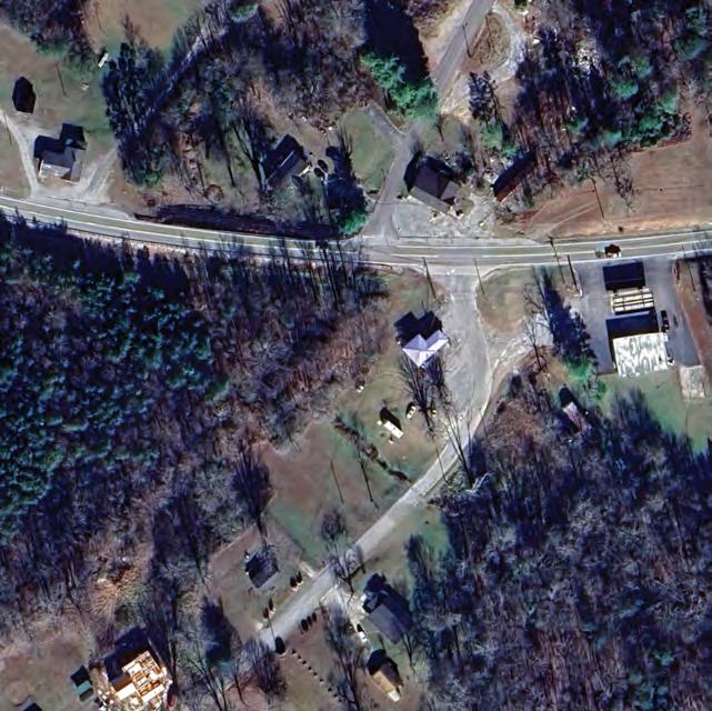
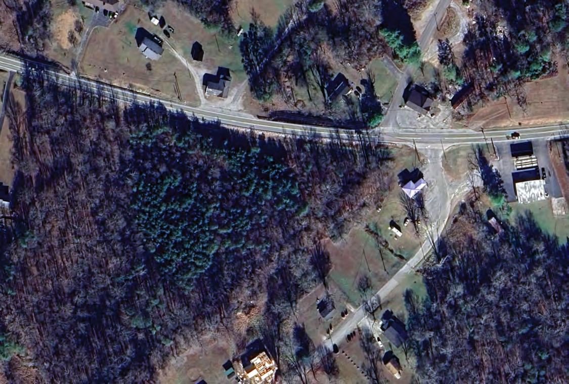
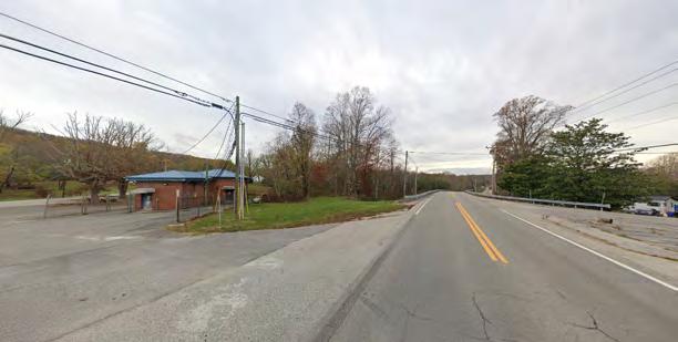
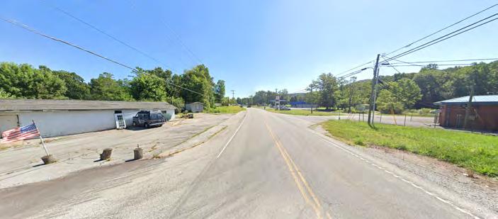
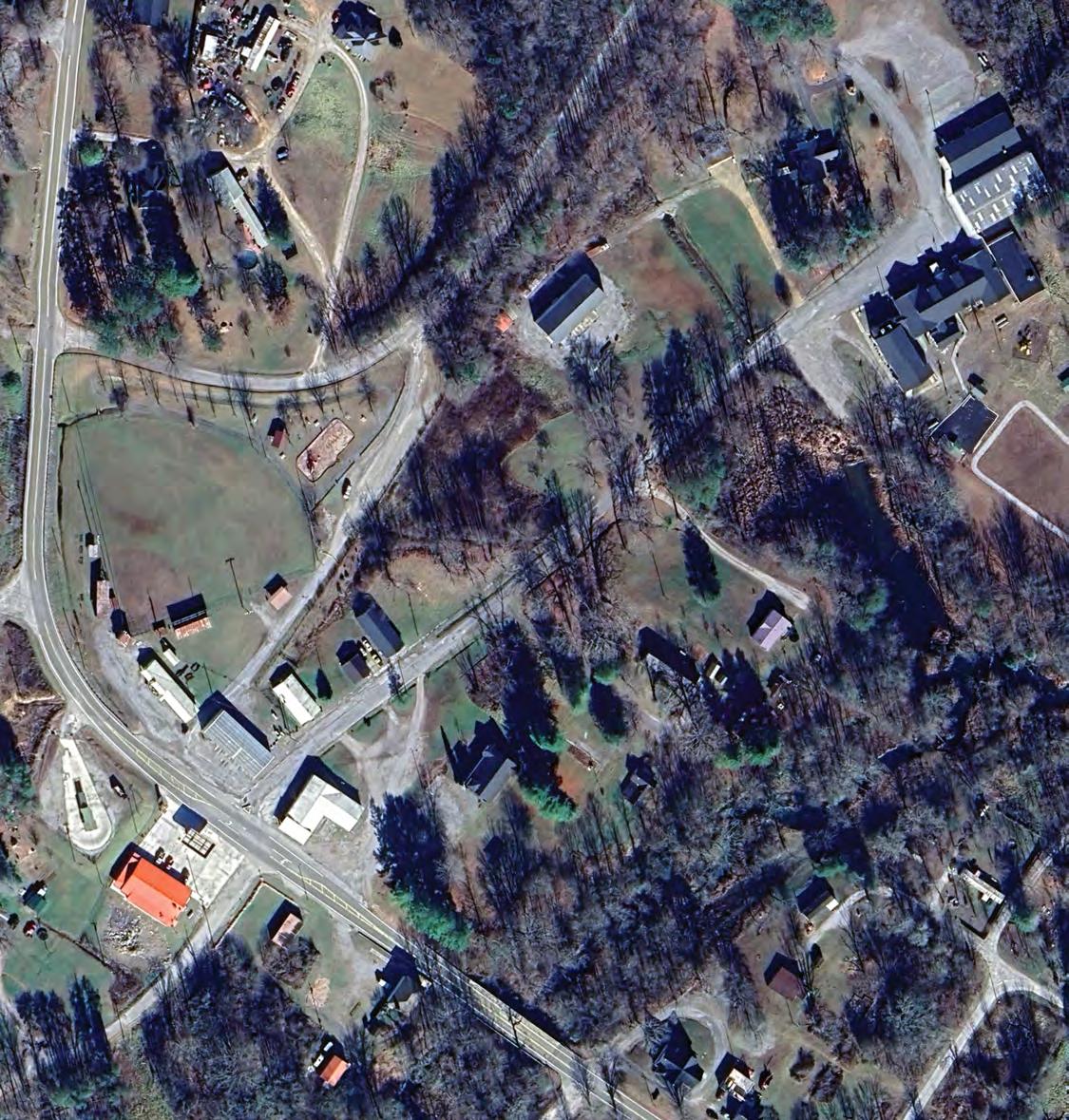
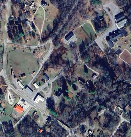
Railroad Ave has a lot of asphalt in its current state. There are limited lines painted to give direction to vehicles making it hard to know where cars should be driving and parking, and that also applies to where pedestrians should be too. There is a lot of space here to work with to activate this area to give the buildings a larger focus and provide more better amenities for both cars and pedestrians.
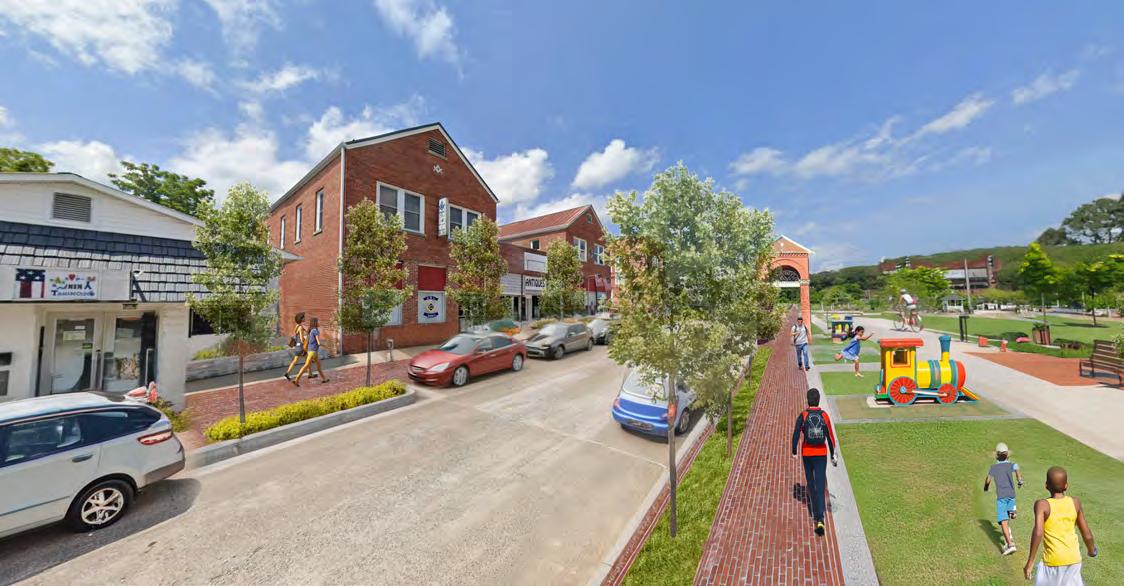
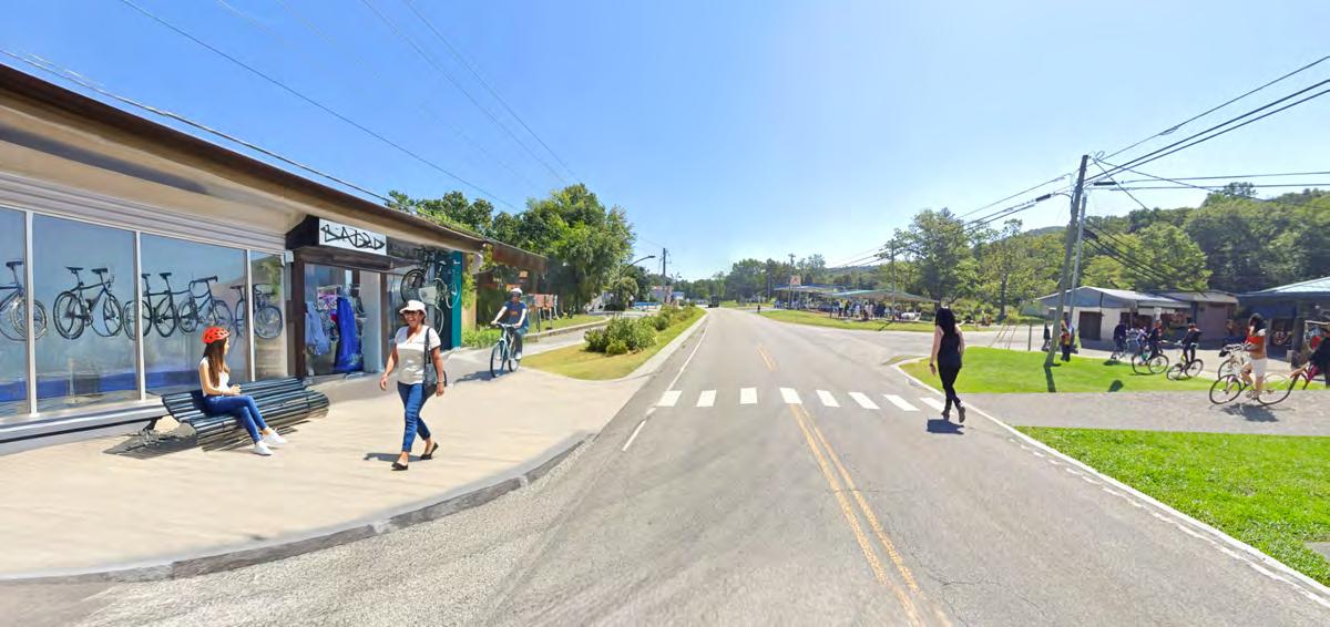
Now Railroad Ave has a complete street makeover. Thanks to the large amount of open space in its current state there is plenty of room to rededicate to both cars and pedestrians. By defining the space for cars we are able to provide driving lanes as well as parking on both sides of the street. With that driving space being defined the sidewalks and planted buffers are able to take shape and help establish this as a complete street.
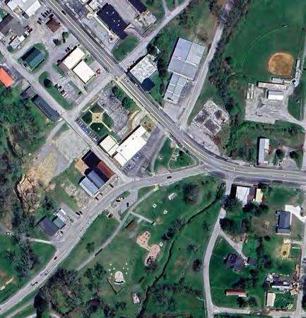
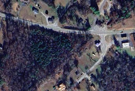
Railroad Ave currently cuts through the cuts through a large portion of the park space and then meets up with Main St. This layout cuts the current path of the Mountain Goat Trail and makes it so people have to cross the street to enter into the park.
By removing the street from this portion of the park we are able to give that space back to the pedestrians. Railroad Ave now continues on its natural route and opens this space up for new opportunities. An option could be to use a portion of that road an convert it to a new route for the Mountain Goat Trail. This helps give better flow to the trail and open up more opportunity for park space.
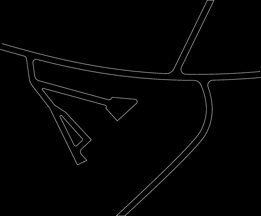
Intersection Intervention
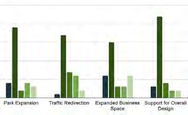
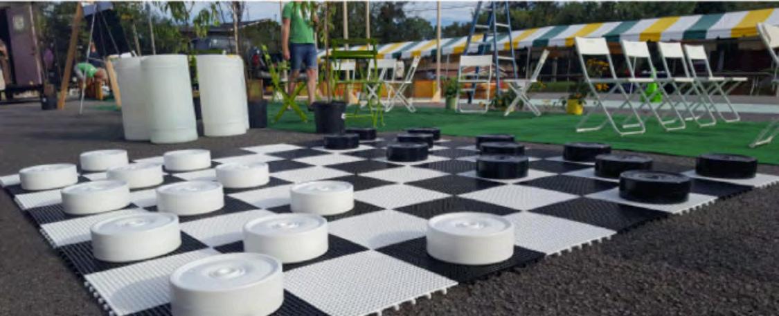
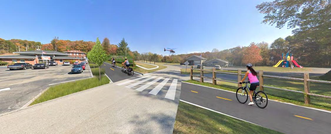
Tactical Urbanism (TURBO) uses low-cost, temporary design solutions to demonstrate potential long-term improvements in public space. This proposal recommends an intersection intervention at Depot Street and Railroad Avenue in Downtown Tracy City. By adding curb bulb-outs, we can reduce pedestrian crossing distances, calm traffic by tightening turning radii, and even create additional space for parking. Additionally, a pop-up activation that temporarily closes the angled portion of Railroad Avenue and transforms it into sport courts—featuring basketball, four square, and giant checkers—would provide an opportunity to test different uses for Old Roundhouse Park while improving safety for park users. This intervention would also reduce potential conflicts between vehicles and users of the Mountain Goat Trail. Furthermore, the reclaimed roadway space presents opportunities for public art, including community-designed murals, which can help foster local identity and enhance the vibrancy of the area.
Tactical Urbanism Strategies In Practice
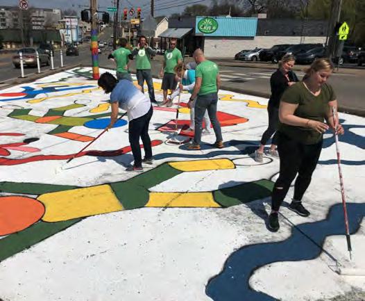
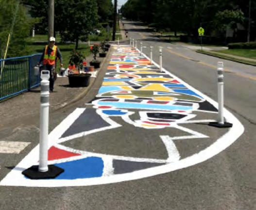
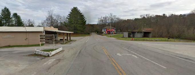
Tactical Urbanism Proposal In Downtown Tracy City


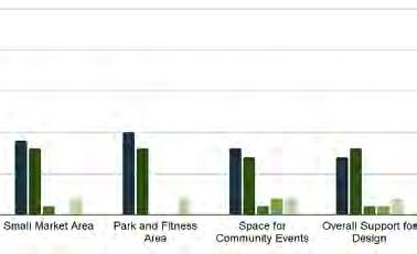
Design 1: In this design we look at the core or Coalmont and see great potential for it to become a community hub. It already has a community center, a post office, Univ extension, a former market site and a building with a great presence. To work with these features we looked at how the Mountain Goat Trail could integrate into the site, and by bringing it in we are able to cut convert Bank Road into a pedestrian path that utilizes the trail and tighten up the hardscape around the post office. That helps make the buildings feel like they are connected on a quad by giving the park space in the middle walking trails and places to sit. For the community center there is space to incorporate a playground that has close access to the trail.
Design 2: Different options on how to engage with the city hall and library. Exploring ways to provide access to both sites away from the fire department.
Design 3:Utilizing Coalmont City Park to create a new connection point along the Mountain Goat trail as well as making a stronger connection to Coke Oven Rd and to the lakes.


This area has a lot of activity going on in a small footprint. There is a community center, ambulance service, post office, university branch and vacant building. Connecting all these places are a series of streets that are redundant in where they go and lack pedestrian connections.
The concept transitions the Bank Road into a pedestrian path that incorporates the mountain goat trail. Removing this street helps make cars flow with the main roads and gives space to pedestrians. Surrounding the post office there are multiple paths for local workers to utilize during breaks and it can become a nice resting place along the mountain goat trail. With the open space around the community center there is the opportunity to incorporate a playground for the youth.


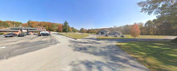
Current use and layout for the library shares its space with the fire department. Both utilize the same entry point and the library visitors don’t have their own dedicated spaces for parking. If there’s an interest for the library to expand into the adjacent property where the City Hall could go, there’s a great opportunity to create a public gathering space with the library at its core.
2 Vision 1
This layout focuses more on providing parking lots for the community spaces while also providing public spaces. Each building gets a lot of 20 spaces and play/plaza space to enjoy. A big part of this design is removing all pedestrian traffic from the fire department entry and moving it to the new entry that is shared by the library and city hall.
This layout focuses more on providing parallel parking on a one way street that enters from the fire department side and exits through the city hall side. This design opens up more public space to the pedestrians, and especially for the library. It gives it a space that isn’t divided by vehicles.


The park now has the opportunity to host a few uses. There are open lawn spaces for people to self program, a pavilion/ gazebo for people gather in, tables for people to relax at, street parking and the Black Creek runs right through the middle of it. All of these give users options when they visit the park and has the foundation for a great public space. There are residents within walking distance, a church next door and the lake right down the road.
Being able to provide greater access to the park and create a stronger connection to the lake, as well as establishing a connection to the future Mountain Goat Trail, makes this public space an amazing amenity for the people that live close by and for those who will be able to stop by on a trip to the lake or a walk/ride on the trail.

The park vision works off of the foundation of the current conditions. One simple move would be to refine the street parking strip to be more defined and by doing so providing more spaces for people to park. A major move would be to add pathways for people to use so they can walk around the park and have a variety of options in ways they would like to go, and provide more seating options along those paths. Utilizing the great resource of the Black Creek there would be the bridge that connects both halves of the park, and along the creak there could be a native planting pallet to bring new life to the creek edges.
The connections to the lake and the Mountain Goat Trail can really bring more people to park. There can be a path that unites the trail to the park giving people more options on how they can get to the park itself. As for the lake connection point, the intersection of 56 and Coke Oven Rd is being tightened up so that the vehicles have a more dedicated place to drive as well as opening up that corner to create a crossing from the park to get to the new trail.
This area has a large piece of property owned by the Mountain Goat Trail, and it provides a great opportunity for trail oriented development. Working with the scale of the surrounding area, we wanted to design a mixed use area that didn’t feel out of place. The current site has a large tree canopy and we wanted to preserve as much of that as we could, so we utilized an older drive on the site for the main access into both the housing and business portions. The housing units are a smaller quad of apartment buildings that share a common drive, an open lawn and trail access. Then the commercial section takes the street corner to help activate and the trail as it goes through it. These shops can be accessed by pedestrians from the street and it helps open up the corner to be a pedestrian refuge.


This intersection has the future path of the Mountain Goat Trail and empty corners adjacent to that. This would be a major road for the trail to cross so establishing a crossing and activating this corner can help create a hub for the surrounding community.
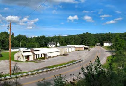
Current Day Conditions
The corner building has great potential to be something for the community. The lack of crosswalks or sidewalks makes it hard for people to get around this area especially when the market is just down the road. Being able to have these places connected to one aonther and be along the Mountain Goat Trail can be a great way to promote Gruetli-Laager.

A
The Mountain Goat Trail now comes through the corner lot and creates a crosswalk that leads to the continued path of the trail. Adjacent to the trail would be commercial opportunities and behind that housing units. Establishing sidewalks and crossings here helps to connect people to the current market just down the road making the whole area feel as one hub.
Vision B
The other corner at this intersection has the space to become a local shop and connect itself to the development across the street. The same crosswalk helps connect the two and move people from one to the other.


The current layout of the downtown has a focus on cars with all of the open asphalt and absence of sidewalks. There is limited definition of how cars and people should be separated.
When looking at the downtown now there are many opportunities to make it an active hub for the community. Some big factors that are limiting them now are the lack of pedestrian space at places that are made for them (library and city hall). Similar to condition A the lack of sidewalks make it difficult for pedestrians to walk around downtown, and limits the connections that link the community to its park space.
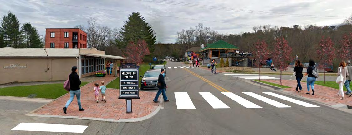
Looking at the main intersection of downtown there are opportunities to make it more pedestrian scale. By defining sidewalks, curbs, plantings and buffers the street gets noticeably narrower and more comfortable for people. Crosswalks now give people options for getting around and the sidewalks provide space for pedestrians to activate the streets. With just street organization and the addition of sidewalks the space becomes munch more comfortable as a downtown for pedestrians. Building development would also add to this, and a main highlight could be the pump track on the downtown corner. This would be a great hub for the youth as well as families to come together and be downtown.
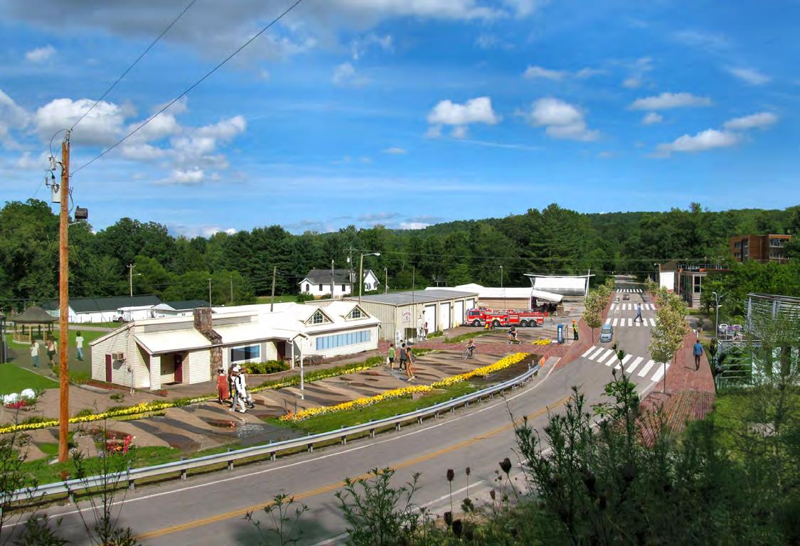
Having the library become a main focus for the downtown can add life to the current parking lot. By making it a mixed use space it helps make it a place that the community can activate for certain events or activities. By having a direct connection from the library to the park it makes these public spaces feel like one cohesive space for the community. In addition to the library enhancements, the overall streetscape becomes more pedestrian friendly too. New sidewalks and street trees create a comfortable space to walk downtown, and street parking provides defined space for the cars, and that helps maintain order between pedestrians and vehicles. For development there are multiple lots downtown that could be built up.
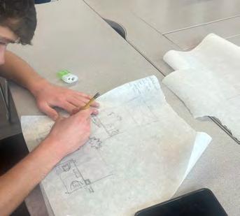
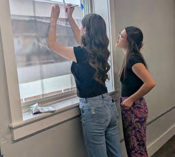
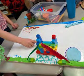
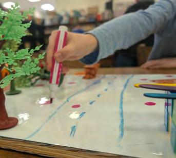
The youth in Grundy County explored the connections between the built environment and health that resulted in meaningful design interventions. All youth in Grundy County Schools participated in a Dream Town workshop, held in Pre-K through 8th grade art classes across the county. In these one-hour sessions, students imagined and created fictional towns designed entirely for youth, incorporating healthy community spaces for socializing, getting healthy food, getting energy out, being creative, learning, healing, living, and getting around. Students also reflected on what makes a community a great place to live—such as safe places to play, access to healthy food, and spaces to gather—which helped surface the values and priorities young people hold for their communities. Under the guidance of Dr. Katy Morgan, students at the University of the South analyzed the Dream Town designs and identified themes.
Through a collaboration with the University of the South and SPARK (Students Preventing Addiction and Raising Knowledge), a youth initiative of Grundy Safe Communities Coalition, the Design Center facilitated a weekend workshop with the SPARK youth where the Dream Town themes were used to guide design interventions to make Grundy County more supportive of youth wellbeing.
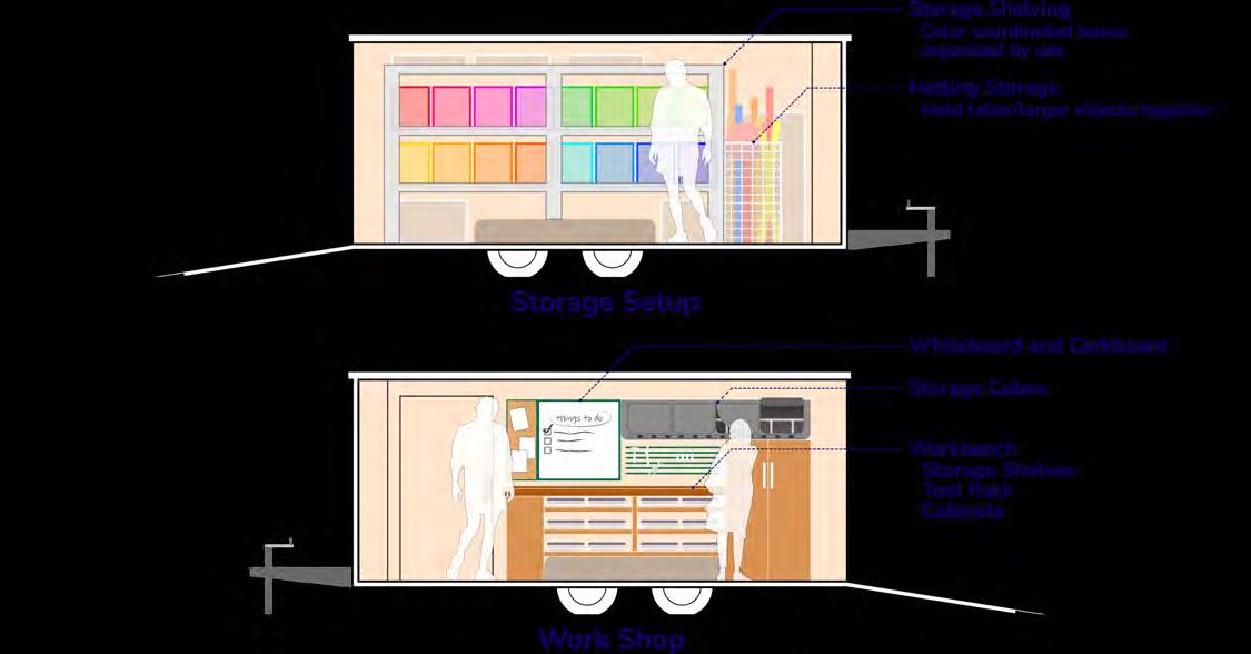
The SPARK youths’ designs included a Teen Recreation Center and a mobile, traveling community center trailer. The Teen Recreation Center is located next to the Grundy County High School so it will be easily accessible and provide positive activities for teens to do after school. The mobile, traveling community center trailer is an affordable way to provide activities for youth at the existing community centers in the county.
The concept behind the traveling community center is bring activities to places that might have a harder time accessing them. So the trailer would be able to travel to a location that is looking for a type of program and setup that activity for the community. Those activities can range from tabletop activities, to workshops, sporting equipment, field day games and many more. Regardless of what the activity is, the goal is to provide an opportunity for community members of all ages to have fun and be involved with their community.
The destination for the trailer also comes with variety. Initially the concept was to bring the trailer to community centers around the county and help give them more activities to do, but why stop there when more opportunities are available? The trailer can go to markets, schools, parties, parks, festivals and other community based events to add more fun. It would be an asset for the community, so letting it be part of all sorts of events gives it the biggest impact.

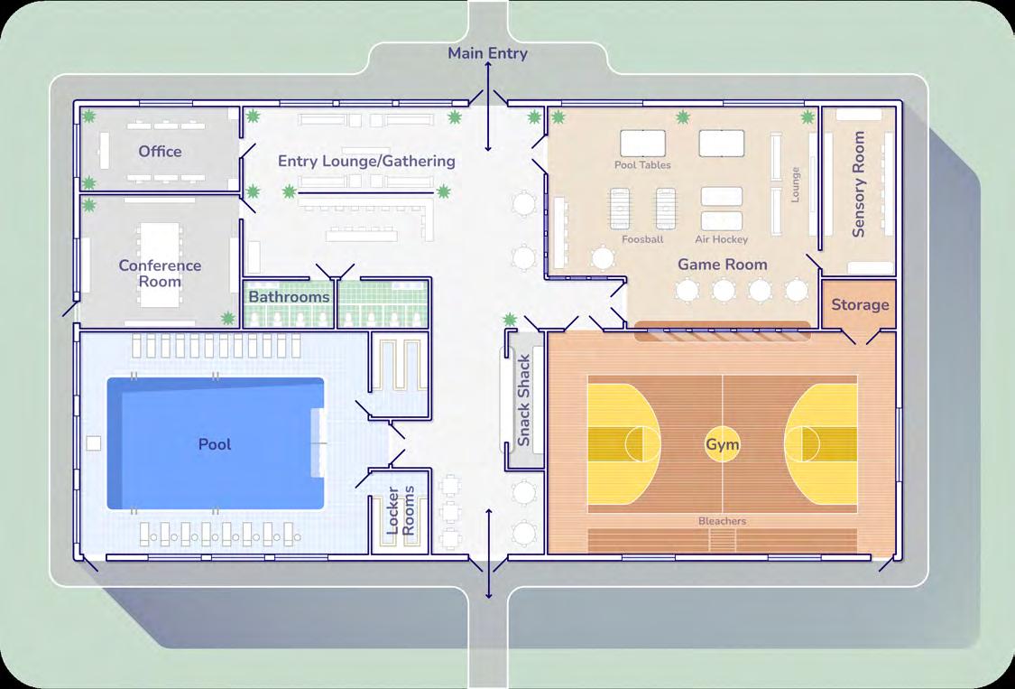
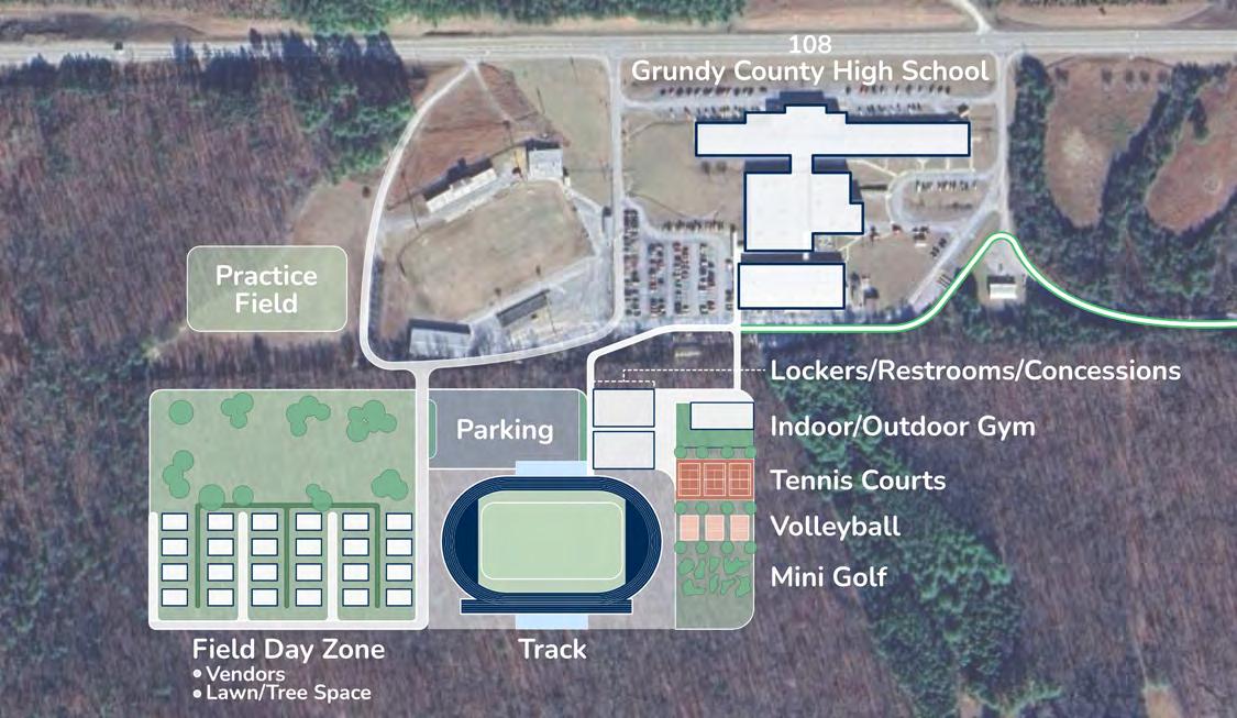
Master Plan and Rec Center
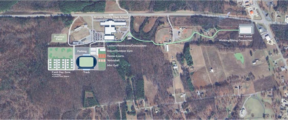
The master plan team focused on finding and creating a space that would have a large impact on the youth of Grundy County. Seeing as the high schools from the communities have come together to create one Grundy County High School, the team wanted to provide all those students things to do outside of school time
The scope of the concept ranges from dedicated spaces for school athletics to spaces set aside for community events to take place. One of the main spaces to come together as a community would be the Rec Center. This is a place that gives many options and opportunities for not just the youth, but members of the community to come together to hold events, learn and have fun.
For the activities around the school there are sports fields like a new track and some smaller sports zones for those outside of the sports teams to have fun with. The field day zone is a great space that can host larger events, both un-programmed and programmed with space for booths. Connecting all these uses is a dedicated walking and biking trail to get students to and from the rec center to the school.

While the specific idea of a fixed-route transit system did not emerge directly from community or youth workshops, this recommendation responds to broader themes identified throughout the engagement process, such as the need for equitable access to services, safe and connected infrastructure, and opportunities for youth, seniors, and low-income residents to move easily between towns. Grounded in existing assets like the Mountain Goat Trail and SETHRA’s transportation network, this proposed multimodal system represents a strategic, scalable solution that supports the Health Equity Plan’s long-term goals around mobility, regional connection, and environmental sustainability. A fixed-route transit system connecting Monteagle to Palmer presents an opportunity to strengthen mobility, equity, and regional connectivity in Grundy County. By linking key communities such as Tracy City, Coalmont, and Gruetli-Laager, this system would build on existing assets like SETHRA’s public transportation services, the Sewanee shuttle, and the Mountain Goat Trail. It would serve both daily transportation needs, such as access to school, work, and shopping, and could also support recreation and tourism through improved trail access and active transportation connections.


SETHRA’s dual role in the community makes it uniquely equipped to lead this initiative, leveraging its operational infrastructure, regional partnerships, and mission to promote self-sufficiency. The proposed route would enhance access for this population, integrating scheduled fixed-route service and incorporating SETHRA’s on-demand options. Stops at Sewanee’s shuttle hub and major trailheads along the Mountain Goat Trail would create a multimodal network, while features like bike racks, ADA-accessible buses, and low-cost fares for students, seniors, and low-income riders would ensure inclusivity and ease of use
This recommendation builds on a recently awarded $2 million grant from the Tennessee Department of Health to establish the Grundy Health Mobility Network, a county-wide initiative designed to improve transportation access to health-promoting resources. Led by the South Cumberland Community Fund, the network will combine fixed-route and on-demand transportation, volunteer ride programs, and community health worker support to connect residents to clinics, grocery stores, parks, recovery services, and more. This investment aims to address one of Grundy County’s most persistent barriers to health: the lack of reliable, affordable transportation. especially for low-income, rural, and underserved populations. The fixed-route transit concept presented here reflects the long-term vision of this initiative and complements community-driven efforts to create healthier, more connected communities across the Plateau.
Beyond transportation, this system could represent a broader investment in community development. A transit-trail-town model can drive economic activity in local business areas, reduce transportation barriers for residents, and connect people to the region’s natural and cultural assets. With strategic phasing, community input, and funding support from federal, state, and local sources, this initiative can become a sustainable, high-impact solution that aligns with Grundy County’s long-term goals for equity, health, and regional resilience.

This report was created as a tool for communities across Grundy County to advance their own visions for health equity. Grounded in local knowledge and lived experience, it brings together insights of youth, families, and community leaders to offer a roadmap for building a healthier, more connected places to live, work, and gather. This project provided a transformative opportunity for Grundy County. By centering the work around the Mountain Goat Trail, a unifying thread connecting the communities of Tracy City, Coalmont, Gruetli-Laager, and Palmer, we not only built on a historical legacy but also helped chart a healthier, more connected future for residents. The South Cumberland Community Fund, in partnership with the Civic Design Center, local governments, schools, and nonprofits, committed to creating a community-led plan that directly addressed the heath disparities in access to recreational infrastructure
Through participatory design, student engagement, and strategic collaboration, the project elevated the voices of local residents, especially youth, and integrated their vision into actionable infrastructure strategies that promoted walking, biking, placemaking, and access to nature. By grounding the plan in measurable outcomes, community participation, and feasible funding pathways, we laid the foundation for future investments in health-promoting infrastructure.
Rails-to-Trails Conservancy
Eligible Applicants: Nonprofits, local trail groups, community foundations.
Funding: $5,000–$30,000
Covers: Trail planning, design, engineering, land acquisition, and advocacy. Notes: Highly competitive and tailored to rail-trail development. https://www.railstotrails.or
PeopleForBikes
Eligible Applicants: Nonprofits and public agencies.
Funding: Up to $10,000 (must match at least 50% of project cost). Covers: Bike trails, trailheads, bike parking, and supportive infrastructure. Notes: Supports projects that build safe, connected routes for biking. https://www.peopleforbikes.org/grants
National Trails Fund
Eligible Applicants: 501(c)(3) organizations involved in trail work. Funding: $500–$3,000
Covers: Trail construction tools, bridges, signage, materials, and volunteer support. https://americanhiking.org/national-trails-fund/
National Forest Foundation
Eligible Applicants: Nonprofits working on or adjacent to National Forest lands. Funding: 1:1 match grants typically $25,000–$50,000 Covers: Trail construction, ecological restoration, and interpretation. https://www.nationalforests.org/grant-programs/map
Active Transportation Infrastructure Investment Program (ATIIP)
Eligible Applicants: Nonprofits can be co-applicants/partners with local agencies. Funding: $100K to multi-million for infrastructure like trails and bike networks. Notes: Priority given to disadvantaged or underserved communities. https://www.transportation.gov/grants/ATIIP
RAISE Grants (Rebuilding American Infrastructure with Sustainability & Equity)
Eligible Applicants: While nonprofits can't be lead applicants, they can partner with eligible entities like cities or counties. Funding: Large-scale ($1M–$25M) capital project grants
Covers: Construction and land acquisition for transportation alternatives, including trails. https://www.transportation.gov/RAISEgrants

The mission of South Cumberland Community Fund is to improve the quality of life across the Plateau by increasing philanthropic giving and providing community leadership to:
- Build on the strength of the area’s people, communities, and natural setting.
- Enhance community capacity and collaboration.
- Support innovative ways to solve community problems.

The mission of the Tennessee Department of Health is to protect, promote, and improve the health and prosperity of people in Tennessee.
The Civic Design Center’s mission is to advocate for civic design visions and actionable change in communities to improve quality of life for all.
The Mountain Goat Trail Alliance is committed to building a multiuse, multimodal walking and cycling trail connecting the communities along the path of the historic Mountain Goat Railroad.
The Mountain Goat Trail offers safe, healthy outdoor activity, cultural opportunities, and economic development potential to both residents and visitors to the South Cumberland Plateau.
Civic Action Lab is an actionoriented community research and advocacy lab at The University of the South. We create, implement, and evaluate interventions to address social problems. We also seek to understand how civic engagement impacts people across the lifespan. Through our advocacy work, we aim to bring greater awareness to interventions that are supporting civic power for individuals, communities, and societies.
Grundy County Department of Education is driven by our unwavering commitment to excellence, equity, and the holistic development of its students. Together, we forge a path of educational success, inspiring a love for learning and empowering our students to shape a bright and promising future for themselves and our community.
The mission of the Grundy Safe Communities Coalition is to be united together to establish a safe, caring, drugfree community that supports youth and families.

Located on a 13,000-acre Domain on the Cumberland Plateau in Tennessee, the University of the South is a premier liberal arts college and seminary of the Episcopal Church that cultivates academic excellence, community values, and environmental stewardship and produces informed, self-aware, and participatory citizens for our democracy and servant-leaders for the world.
June 2025
This project is funded under a grant contract with the State of Tennessee.