A Transportation System Plan, also called a TSP, is a document that describes the:
• Transportation conditions in Dayton today
• Any gaps in transportation infrastructure or services
• Goals that that City should stive for when considering new transportation projects
The TSP helps the City understand current transportation issues, plan for future growth, and identify strategies to improve access, connectivity, and safety on our roadways.
WHAT QUESTIONS ARE WE ASKING DURING THIS PROCESS?
KEY ELEMENTS OF A TRANSPORTATION SYSTEM PLAN
WHAT DO WE WANT?
WHAT DO WE HAVE NOW?
WHAT WILL WE NEED IN THE FUTURE?
WHY UPDATE THE CURRENT TSP?
HOW WILL WE FUND OUR PROJECT? WHAT SHOULD WE DO FIRST?
• The current TSP was adopted in 1999! The city's population has grown since then, resulting in new challenges for getting around smoothly in 2025.
• The majority of the recommended transportation projects in the 1999 TSP have been completed; the City needs direction on what to improve next.
• This is an opportunity for Dayton residents to protect their quality of life by shaping the future of their transportation system.
• Having a current TSP will allow the City to qualify for grants and transportation funding.
• TSPs are required by Oregon land use laws, which are intended to encourage thoughtful growth.
• Improve safety for all ages and abilities (people with disabilities, children, etc.)
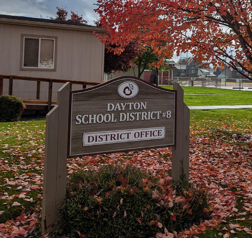
• Improve safe walking and biking routes to and from schools
MOBILITY, ACCESSIBILITY, AND CONNECTIVITY
• Improve mobility and access to the downtown
• Increase transportation mode choices
• Encourage regional transit use
• Improve street network connectivity
LIVABILITY AND OPPORTUNITY
• Promote opportunities for recreation and provide healthy lifestyle opportunities
• Promote a pedestrian-friendly downtown
• Better access and connectivity between residential areas and activity centers
• Improve access to local and regional employment centers
• Improve Level of Traffic Stress (bike and pedestrian comfort)
COORDINATION
• Improve congestion and delay on regional facilities/highways
• Align with other local and regional policies and plans
EQUITY AND SUSTAINABILITY
• Prioritize projects that serve Underserved Communities
• Engage with the community through public involvement
• Provide a social benefit, including impact and benefit for Underserved Populations
• Reduce greenhouse gas emissions
WHAT DOES OUR SYSTEM LOOK LIKE, TODAY?
STRENGTHS OF DAYTON'S TRANSPORTATION SYSTEM
✓ Motor vehicle traffic generally flows smoothly through key intersections, with minimal delay for drivers.
✓ From 2018 to 2022, there were no fatal crashes, nor were there any crashes involving pedestrians or cyclists. This highlights the relatively high level of road safety in Dayton.
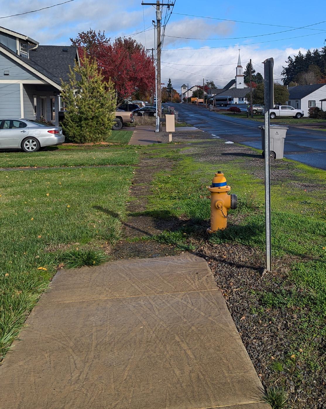
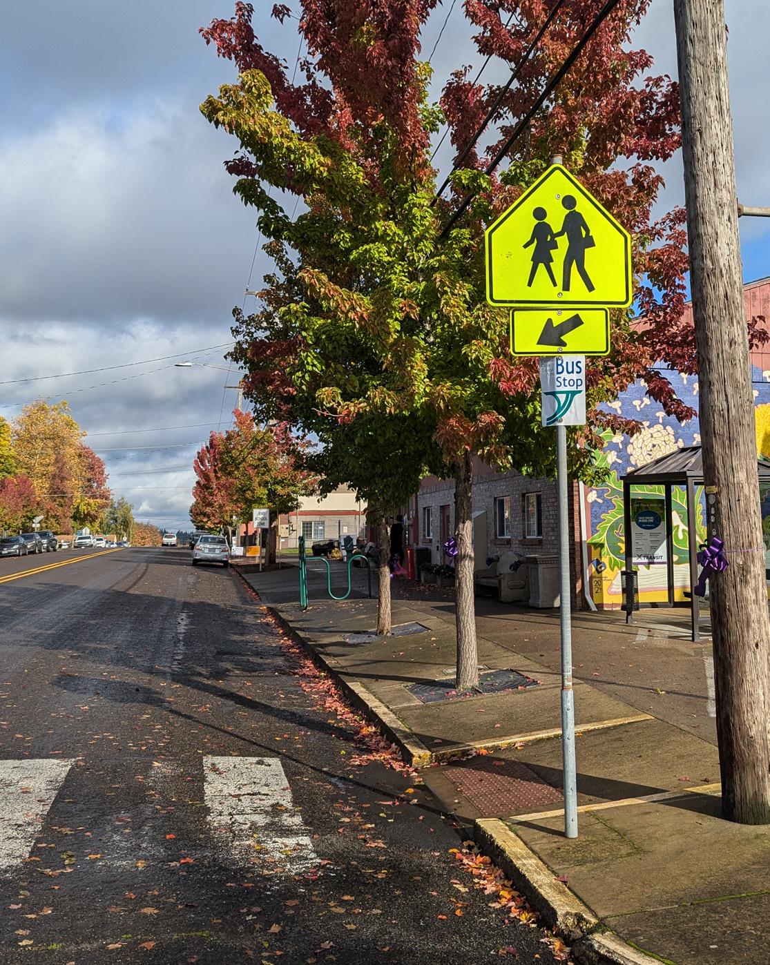
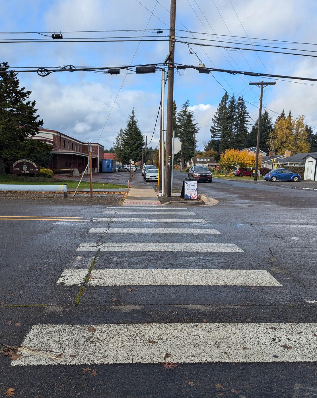
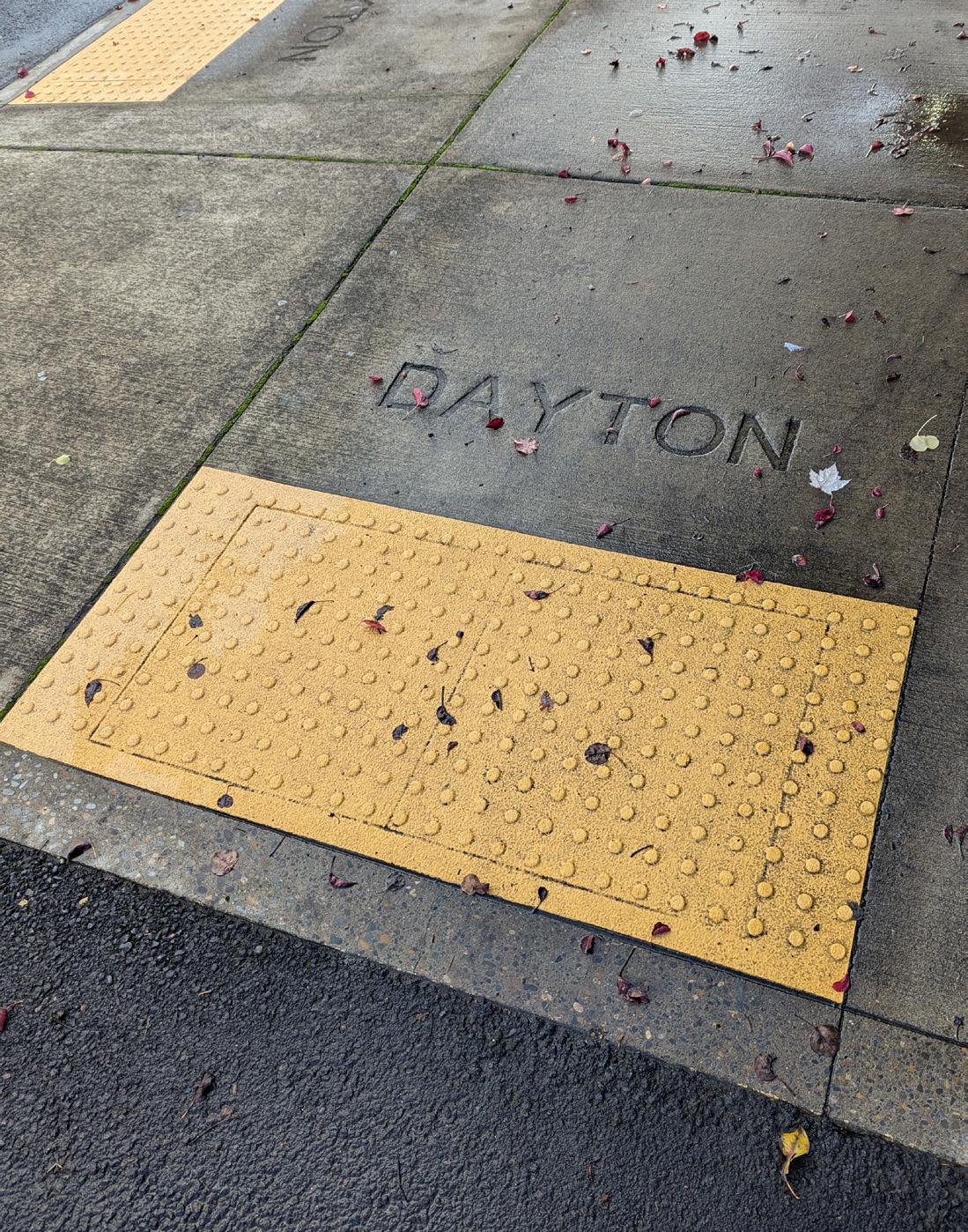
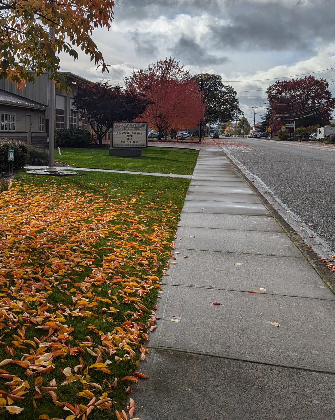
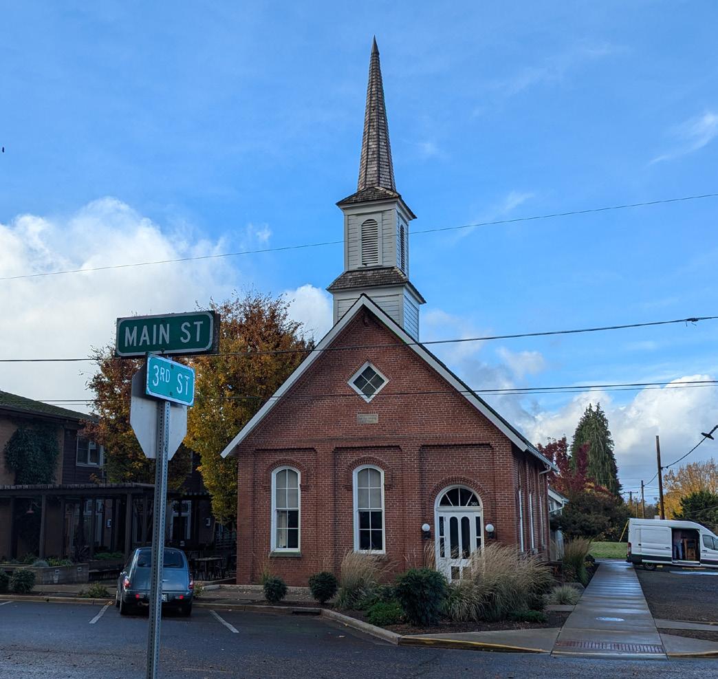
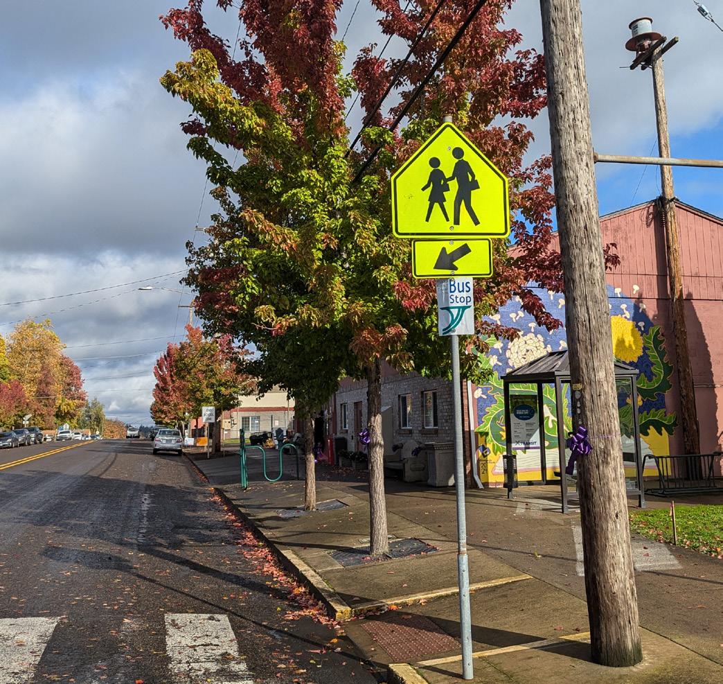
✓ Sidewalks are well-maintained in areas near schools, churches, and downtown.
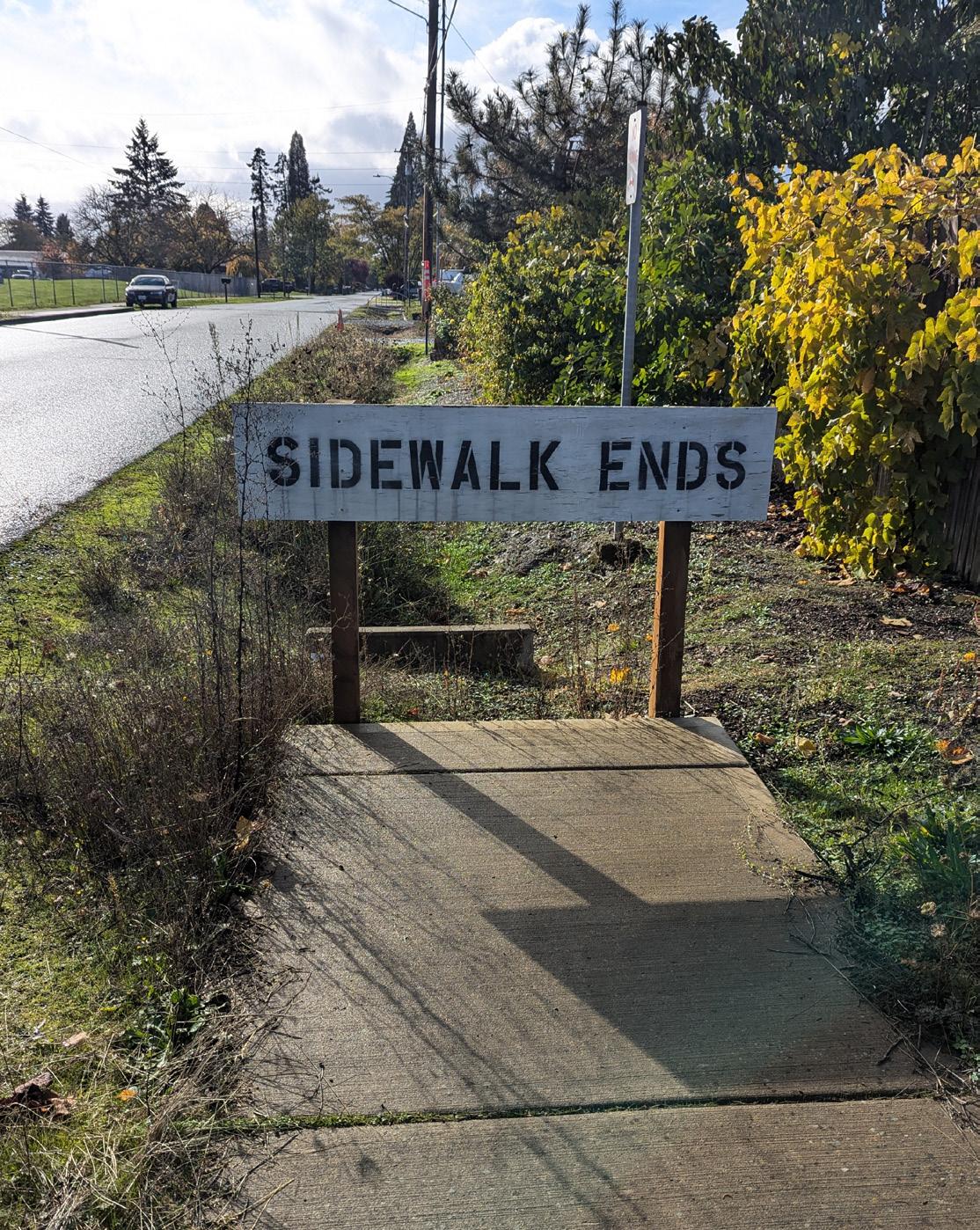
WHAT IS NOT WORKING AS WELL?
To meet the goals of the TSP and the travel needs of all community members, enhancements are needed to make things more comfortable, safe, and appealing to those who walk, bike, or take public transportation.
The map to the left shows some of the keys challenges we've identified in our existing transportation system. Most of these reflect unmet needs for pedestrians, bicycle travel, public transit, and some safety upgrades.
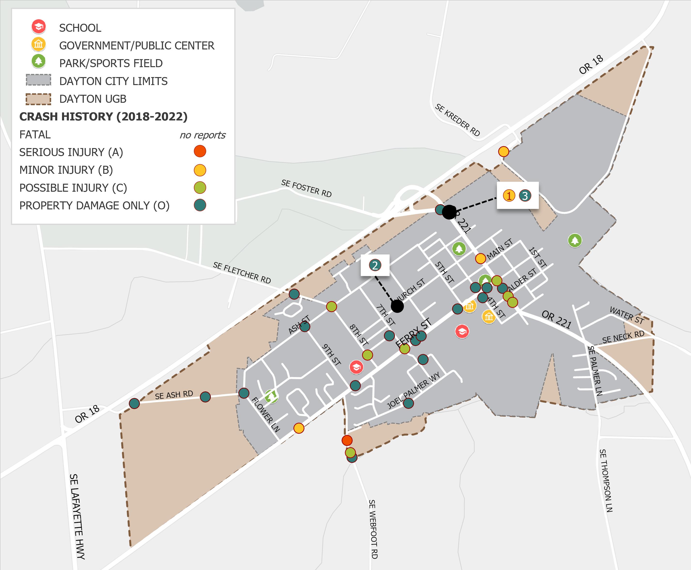
HIGH-CRASH LOCATIONS
This map shows the location of crashes in Dayton between 2018-2022.
Out of 35 total crashes, one resulted in serious injury, and no crashes involved bicyclists or pedestrians.
Many crashes happened along 3rd Street (OR 221) and Ferry Street (OR 155).
WHAT DOES OUR SYSTEM LOOK LIKE, TODAY?
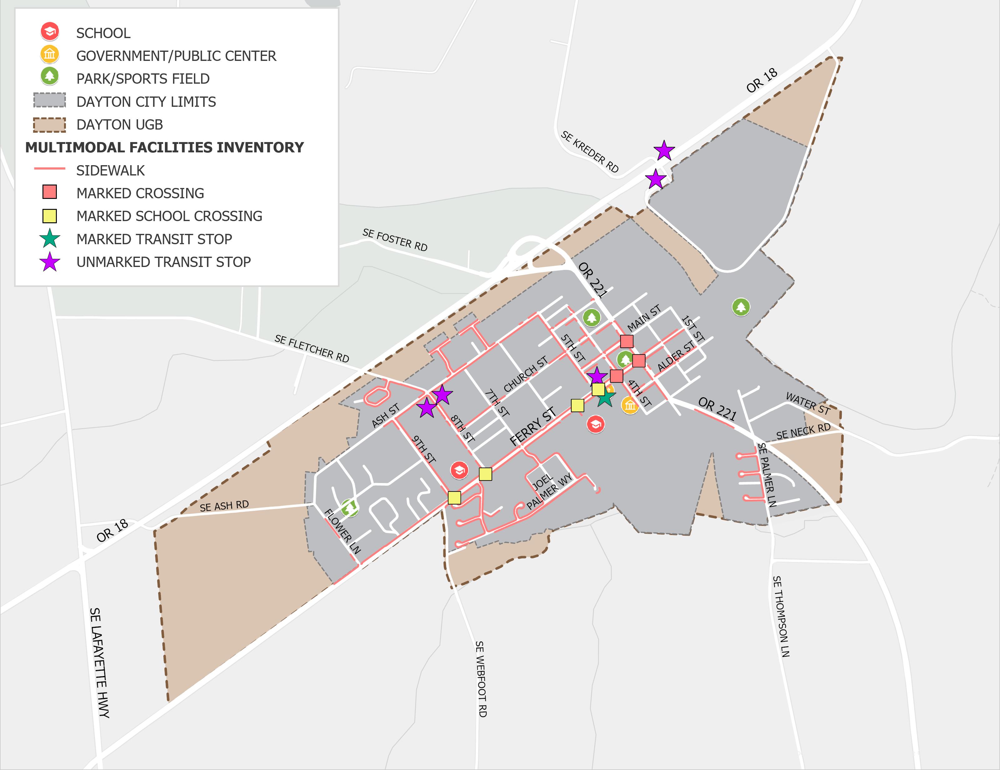
MULTIMODAL FACILITIES
The map below shows the location and quality of existing sidewalks, crosswalks, and transit stops (multimodal facilities). Some of these are in good condition, while others are in need of repair. There are currently no bike lanes or places for people to safely bike on the road in Dayton.
Outside of the downtown area, about one-third of the existing sidewalks are in poor condition.
There are seven marked crossings in Dayton, and all are in good or fair condition with appropriate signage.
Yamhill County Transit Area (YCTA) Route 44 links Dayton to regional destinations like McMinnville, Newberg, and Tigard.
This service is vital for residents who need to commute for work, school, or other essential services, but there is currently no weekend service.
IMPROVEMENTS FOR A BETTER TOMORROW
THE FUTURE OF DAYTON
Since the City's founding in 1850, Dayton has grown from less than 400 people to just over 2,700 people today. According to the Portland State University Population Research Center, the population is expected to grow by another 470 people by 2045.
The 100 acre tract at the southwest end of town will be the primary area to accommodate future growth.
YOUR TURN! TELL US WHAT YOU THINK
We want to hear from you, the experts of living and travling in Dayton. Please share your thoughts, questions, and ideas for improving our transportation system. Some questions to consider include:
ARE THERE SPECIFIC STREETS OR INTERSECTIONS IN DAYTON THAT YOU THINK NEED IMPROVEMENT? ?
WHAT ARE SOME CHALLENGES OR BARRIERS TO WALKING, BIKING, OR TAKING TRANSIT IN DAYTON?
Please come talk with City staff or other team members if you have thoughts or questions! You can also provide feedback by completing the online survey. Just scan the QR code below.
SHARE YOUR THOUGHTS!
Scan this QR code with your phone camera to fill out a survey and provide your thoughts on Dayton's transportation system. ¡COMPARTA
SU OPNION!
Escanee este código QR con la cámara de su teléfono para completar una encuesta y brindar su opinión sobre el sistema de transporte de Dayton.