Draft Active Transport Plan


City of Coffs Harbour acknowledges the traditional custodians of the land, the Gumbaynggirr people, who have cared for this land since time immemorial. We pay our respects to their elder’s past, present and emerging, and commit ourselves to a future with reconciliation and renewal at its heart.
Garlambirla-gundi-yu City Junyirrigam-bu junga-ngarraynggi yaanga gungangulam wajaarrgundi yilangandi ngiyaa gawbarri: yaam Gumbaynggirr girrwaa yaamangandi yaam wajaarr jalumbawnyarr ngarraynggang.
Ngiyalagay garla-ngarraynggi yanggidamgundi Guuyunga, Jurruya jalumbawnyarr, giili, waybunyjigam. Baya ngiyalagay yilaana minggiiya gunganbuwa ngayinggirra Girrwaanbiya; garra-buugili.

Translation provided by Muurrbay Aboriginal Language and Culture
Artwork: Reece Flanders, ‘Beach Camps’

The City of Coffs Harbour (City) has developed this Active Transport Plan (Plan) to assist in the prioritisation and delivery of better pedestrian and bike riding experiences for the Coffs Harbour Local Government Area.
This Plan sets out the City’s commitment to the delivery of active transport infrastructure (footpaths, shared paths, bike paths and associated infrastructure such as road crossings) over the next 10 years.
This Plan builds on and replaces previous initiatives outlined in the City’s Pedestrian Access and Mobility Plan and Bike Plan 2014-2019.
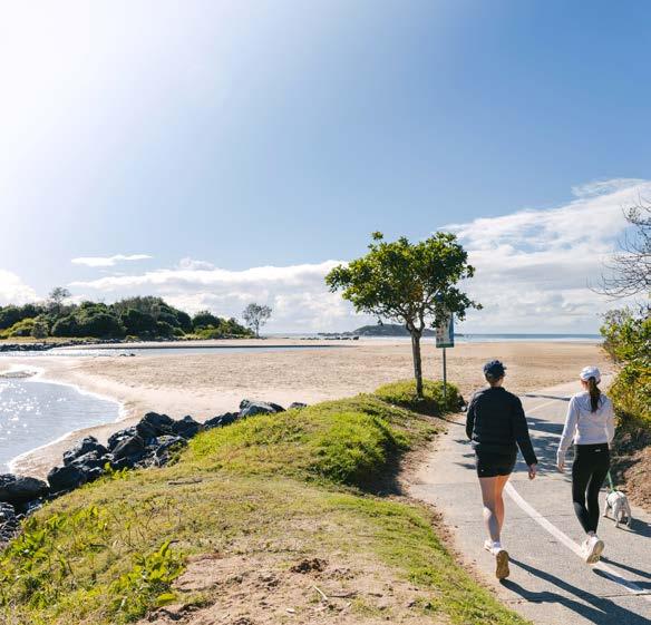
Our goal is to get more people walking and bike riding by making it safer, pleasant, and more convenient for all ages and abilities. We will do this by making it safer and easier to walk or ride to school, and work by building connected and continuous active transport networks, safe crossings, and creating inviting street and path environments to increase people’s desire to walk and ride.
To achieve this goal, the City will be increasing its investment in active transport infrastructure. In combination with grant funding, development contributions, and alignment with other projects. The City will aim to invest between $600,000 to $1.5 million per annum, which equates to $6 million to $15 million over the next 10 years on improved active transport infrastructure.
This Plan identifies three focus areas for our investment in active transport infrastructure:
1. Schools,
2. Strategic paths, and
3. Missing links.
The Plan also includes key design principles and criteria to guide the City in its prioritisation and delivery of active transport infrastructure for our community.
‘Active transport’ or ‘active travel’ means walking, bike riding, scootering, or using other active ways of getting from A to B.
This could involve getting to or from school, work, shops, parks, the beach, or just down the street to a friend’s place.
Electric mobility devices like e-bikes, e-scooters and mobility scooters are considered to be active transport in this Plan, as they have the potential to be safe, sustainable and accessible transport options for our community and can provide people with more personal freedom and mobility to access essential services or just engage more with community living.


Active transport offers many health, environmental and economic benefits. It promotes a healthier lifestyle, reduces pollution and improves community wellbeing and connectivity.
People will walk and bike ride when it is appealing and when they have the confidence to do so. This means that active transport infrastructure must be convenient, direct and preferable to other ways of getting around. It also means having the right infrastructure and reducing perceptions of risk and actual danger.
Our community has identified that being healthy and active is a high priority, as is the need to improve existing active transport infrastructure and deliver new active transport opportunities.
Improving the appeal of walking and bike riding through an integrated network of bike paths and footpaths is a key outcome of the MyCoffs Community Strategic Plan 2035, which sets out our community’s long-term aspirations for the Coffs Harbour Local Government Area. During a recent check-in with our community on the priorities within this Plan, active transport was identified as the second highest priority.
A2. An active, safe and healthy community
A2.1 We support our community to lead healthy active lives
• We have facilities that support affordable options for people to be active through a wide range of sport and recreation activities.
• Our community is supported to make healthy lifestyle choices.
• Active transport is encouraged through an integrated network of cycle ways and footpaths that connect our key spaces.
The Coffs Harbour Movement and Place Strategy 2023 supports our community’s strong desire to lead healthy active lives, with the most important initiative: Big Move No.1: Improving our walking and cycling networks.
In delivering on this initiative, the City will identify funding opportunities to improve active transport networks and facilities, guided by the priorities within
this Plan. This initiative requires the City to work collaboratively with schools and the NSW Government to make it easier, safer and more enjoyable for our community to use active transport links in their everyday lives.
The vision of the Coffs Harbour Public Realm Strategy is to “Create a Connected Network of Public Open Space –that is clean, green and safe” – with an ultimate aim that everyone in our community will have access to clean, green and safe open space within a 5-minute walk from their home. A key consideration of this Strategy is to prepare an Active Transport Plan for the Coffs Harbour Local Government Area to connect the City’s public open space network.
The NSW Government’s Active Transport Strategy aims to double walking and bike riding trips in the next 20 years. The NSW Government’s objective is to make walking and bike riding the community’s preferred option for short trips, and a viable, safe and efficient option for longer trips. This Strategy seeks to do this by improving the appeal of walking and bike riding through the provision of more opportunities for people to live within walkable and rideable distances to work, shops, essential services and other important destinations. The City’s Active Transport Plan will support the achievement of this Strategy’s aims and objectives.
There are many benefits of active transport for our community, ranging from improved mental and environmental well-being, economic cost savings and social connection.
Active transport offers significant economic benefits by reducing healthcare costs, lowering transport expenses, boosting local economies, and increasing property values.
Improved accessibility due to active transport infrastructure can increase foot traffic to local businesses, boosting retail sales, and potentially attracting new businesses.
In 2020, the Australian Automobile Association calculated that a typical regional household spent $14,988 per year on transport. By choosing active transport over motorised vehicles, individuals can reduce their spending on fuel and maintenance, or the need for a second car, freeing up funds for other essential needs or discretionary spending.
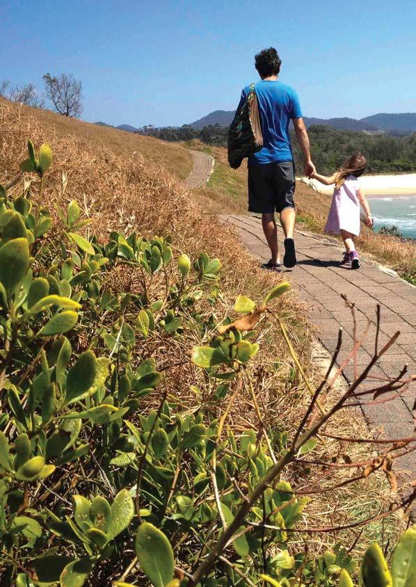
With improved walkability and connected bike paths, it is easier to be more active within your local area.
Only about 40% of adults are getting the physical activity they need. This can increase the risk of heart disease, stroke and other health issues. 75% of school-age children do not get enough physical activity.
Increasing walking, bike riding and public transport use (which involves walking to and from the bus stop) within the Coffs Harbour Local Government Area could result in health benefits in the order of $1.1 billion over a 30year period, such as fewer cases of depression, heart disease, heart stroke, and significant reductions in colorectal cancer, diabetes, and anxiety disorders.
Active transport enables equity in our community. It allows people of all abilities the means to be free to choose where they want to go.
Transport is the most frequently reported barrier for older people accessing health and aged care services in our region. There are also disadvantaged groups in our community that suffer from a lack of easy or affordable transport to key services such as childcare, education, health care, and to employment, sport or simply participating in community life.
Active transport provides more options for our newly arrived culturally and linguistically diverse community. Amongst this group, transport is reported as the third highest barrier to education, and in the top ten barriers to employment.
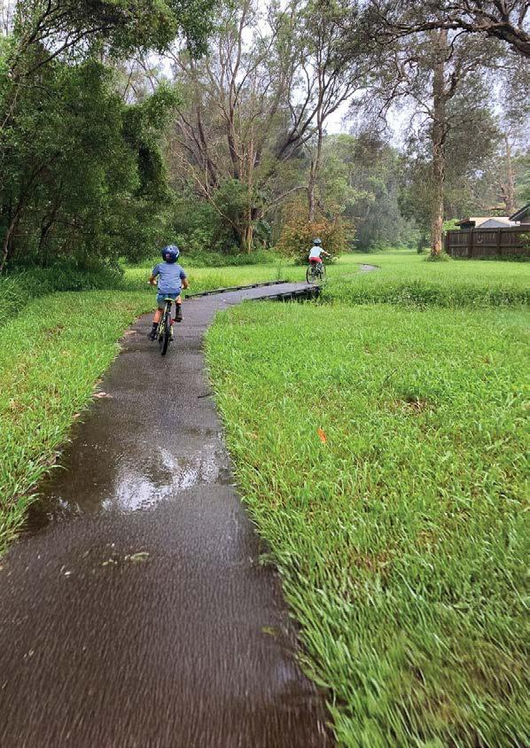
Moving more and spending time outdoors helps growing kids to stay happy, healthy and focused at school. Active travel to school can help kids achieve recommended physical activity levels, improve their concentration at school, and encourage them to adopt other healthy behaviours for life.
Encouraging active transport as a safe and attractive alternative for some trips will assist in moving our community towards more sustainable ways of getting around. This will contribute to the NSW Government’s goal of net-zero emissions by 2050, as well as reducing noise pollution, air pollution and indirect social, environmental and economic impacts.
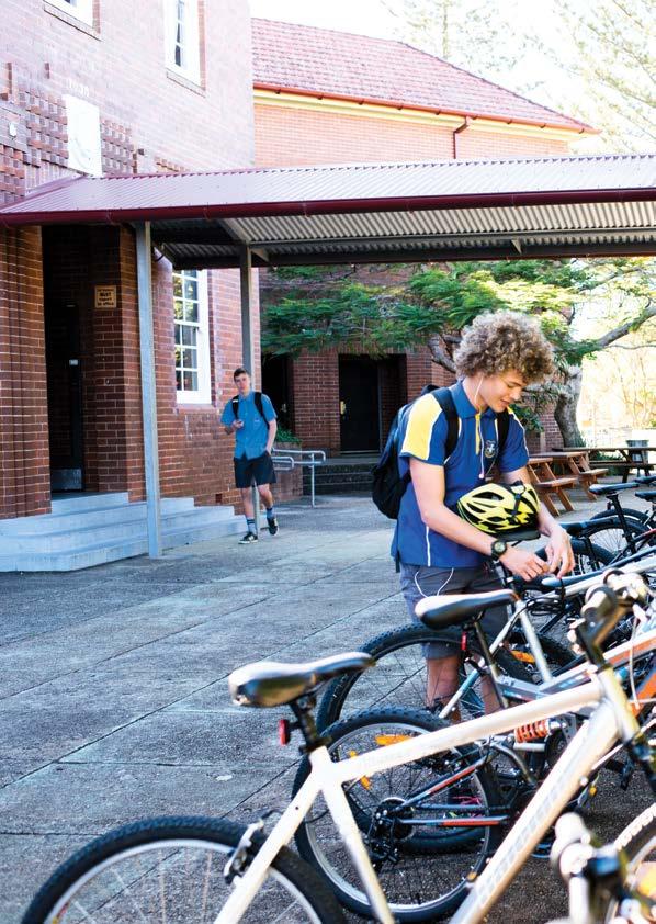
About 70% of streets within the Coffs Harbour Local Government Area have either no active transport links or disconnected sections of active transport links, as many of them were constructed when they were not required or were not a community priority at the time.
Over time, expectations have changed, and standards have been updated to provide for the safety and comfort of all road users. The City is addressing this with more contemporary standards for active transport infrastructure as part of new development. In existing urban areas, there is still a long way to go to achieve a connected active transport network. To achieve a safe comfortable and connected active transport network, there are a number of opportunities that can be leveraged by the City.
The Coffs Harbour Local Government Area has many opportunities to help support our community’s desire to walk and ride:
• Our Green Grid – the network of open spaces, parks and reserves that can provide great off-road walking and bike riding corridors,
• Residential areas that are a bike-ride distance from work and school,
• A subtropical climate that offers warm summers and mild winters, and
• The potential for the use of e-bikes and other forms of electric micromobility.
Coffs Harbour’s Green Grid offers the potential to create an exceptional connected active transport network with committed infrastructure funding.
West Coffs, Woolgoolga, Boambee East, Toormina and Sawtell are examples of active transport networks where opportunities exist to capitalise on the use of our Green Grid (creek corridors, reserves and open space), which provide a more pleasant, safe and connected off-road walking and bike riding experience.
The Coffs Harbour bypass project at the northern end of Korora provides an opportunity to complete missing links in the Solitary Islands Way shared path corridor between Coffs Harbour, and the northern coastal villages and towns. Refer to Section 5.2 of this Plan for further details on this initiative.
E-bikes and e-scooters can provide a more viable option to replace car trips compared to conventional bicycles and scooters, especially for those not wanting to exert significant effort with longer distances or in hilly areas.
The latest data in NSW shows that:
• There are around 1.35 million e-micromobility devices in NSW homes*
• 47% of people use them to connect to public transport
• 45% of trips replace car trips in Regional NSW, and
• The highest usage is among those aged 18-29, followed by 11-17, followed by 30-49 including working parents.
The term ‘micromobility’ refers to small, lightweight devices which can operate at low speeds. Collectively, micromobility. devices can include electric bicycles (e-bikes), scooters, wheelchairs, skateboards, cargo bikes, electric scooters (e-scooters), mobility carts and other electric personal mobility devices (PMD). In the future, micromobility devices may include autonomous delivery devices and vehicles.**
* Source: https://www.nsw.gov.au/ministerial-releases/a-safer-pathway-for-future-of-e-bikes-and-e-scooters
** Source: Transport For NSW Regional and Outer Metropolitan Cycling and Micromobility Plan May 2025
30% No way, no how
19% Enthusiastic and confident
“Interested but Concerned” are people who want to cycle but feel unsafe or vulnerable sharing the road with cars. This group represents a large segment of our population who would like to ride more but are held back by a lack of safe and connected bike riding infrastructure. By improving our active transport network, we can increase the number of people bike riding in our city.
3% Strong and fearless
48% Interested but concerned
14.5% of students travel to school by active transport
Only 1% of trips to work are on bicycle
Opportunities for active travel in Coffs Harbour
In 2016* 24,000 residents travelled to work on a typical day
On that day only 1% of trips were on a bicycle and 3% were by walking
15% of primary school students travel to school by active transport 14% of secondary school students travel to school by active transport
49% of all trips to work are under 10km
Around 400,000 car trips could be walked or cycled
64% of the trips were under 10km
15% of the trips were under 2.5km
37% of the trips were under 5km
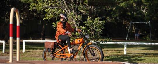
Recycled materials are increasingly used in active transport infrastructure to promote sustainability and reduce environmental impact. Active transport projects can incorporate recycled asphalt, reclaimed rubber, recycled plastic, and recycled glass in paving and surfaces. There is an opportunity for the City to investigate the use of alternative and recycled materials for active transport infrastructure, where it would not introduce unreasonable asset lifecycle costs or compromise the efficiency of the active transport infrastructure.
A NSW Parliamentary Inquiry was undertaken in 2024 which found e-bike, e-scooter and e-mobility device regulations are in urgent need of reform.
The NSW Government is moving forward with a safety-focused framework for e-scooters and e-bikes that includes rules and speed limits for e-scooters on shared paths, a review of road rules to ensure e-bikes are not modified and to reduce battery fires.
The NSW Government recognises that e-bikes and e-scooters can bring many benefits to help people move around in a healthy and affordable way, reduce congestion, demand for parking, and boost our economy and environmental outcomes.

This Plan builds on the vision of the Coffs Harbour Movement and Place Strategy 2023: “emerging and on the move, towards a connected and compact city”
The goal of this Plan is to deliver on the highest priority initiative within the Coffs Harbour Movement and Place Strategy 2023, Big Move No. 1: improve our active transport (walking and bike riding) networks and facilities over the next 10 years.
The following guiding principles will be used to inform active transport projects delivered within the Coffs Harbour Local Government Area. These guiding principles are based on best-practice active transport planning and will ensure that we are creating active transport environments that encourage people to walk or ride for everyday travel and exercise.
1. Delivering connected active transport links
The City will deliver well-connected and continuous active transport links to a broad range of destinations ( i.e., local parks, shops, sporting fields, schools, and work).
2. Making walking and bike riding safer
Our active transport links will be designed to prioritise safety, particularly for children, the elderly, and the more vulnerable members of our community.
To make our active transport links safer, the City will consider appropriate speeds and Crime Prevention Through Environmental Design Guidelines, and deliver continuous footpaths, off-road active transport links and safer crossings at key points.
3. Making our active transport links inclusive and accessible
Our active transport links will provide for continuous accessible paths of travel so that people with a range of abilities can use them without encountering barriers. They will be designed so that they are inclusive and welcoming of all genders, ages, and backgrounds.
4. Making active transport links comfortable
The City will ensure that its active transport links are comfortable by including trees for shade, integration with public spaces, lighting to feel safe, wayfinding for visual cues, seating, water bubblers, and end-of-trip facilities for security and convenience.
5. Making our active transport links adaptable
The City will provide an adaptable active transport network to cater for emerging technologies and micromobility devices such as e-scooters, e-bikes, wheelchairs, cargo bikes and mobility scooters.
Whilst the Disability Discrimination Act 1992 does not contain mandatory minimum standards for footpaths, the City will aim to achieve the minimum standards set by this legislation, such as maximum slopes wherever possible. Local conditions such as topography, historic road alignments together with existing driveway crossovers, or other site constraints, may however, prevent or make it impractical to achieve the standards. In these situations, the City will investigate alternative options and allow for flexibility in meeting acceptable thresholds.
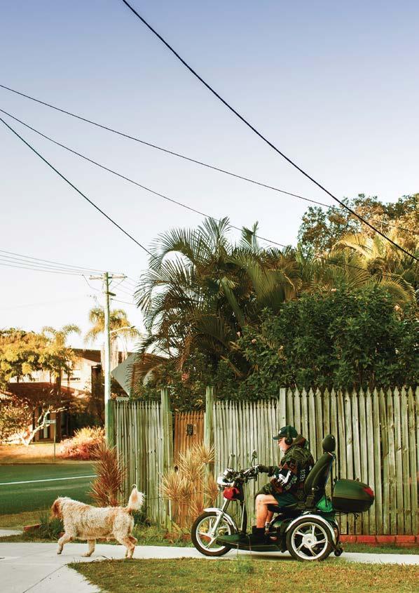

To support our community’s desire to lead active and healthy lives, this Plan focuses on three areas over the next 10 years.
Making it easier, safer and fun for kids to walk and ride to school with new active transport links and associated infrastructure (i.e. safer crossings).
Delivering connected and continuous strategic paths to link our centres, precincts and places.
Addressing missing sections in our active transport network.
The City will focus on primary schools to promote healthier habits in our children. This aligns with the NSW Government’s Get Kids Active program, which has the ambition of doubling the number of children walking or riding to school in all major centres across NSW.
This will allow more people to safely ride their bikes or walk as part of their everyday travel, whether it’s to get somewhere or simply for recreation.
The City’s initial focus will be on addressing missing active transport links for key walking corridors and bike paths located along busy roads with high speeds.

The school run can be an adventure - a chance to leave the car at home and enjoy a relaxing walk or bike ride, with time to talk or allow kids to just burn up some energy.
Coffs Harbour has in the order of 40 educational institutions and 13,000 school age children – 7,000 in primary schools and 6,000 in secondary schools. This is expected to grow to about 19,000 school age children by 2045, as Coffs Harbour continues to attract young families.
For children, walking or riding a bike to school (or to the bus stop) provides an array of benefits. It broadens their horizons within and beyond their neighbourhood. It improves their self-confidence, their focus at school, and it can provide the foundation for children to travel independently and more sustainably.
Across NSW, only 1 out of 7 children walk or ride to school today compared to 3 out of 4 children four decades ago. About 50 per cent of students are driven to school, despite the majority of school students living within a 20-minute bike ride to school.
One of the best ways the City can help increase the number of kids walking and riding to school is by making it safer. Safe crossing facilities over busy roads can provide a great benefit, which is particularly important for young children, as their cognitive skills and situational awareness are still developing. Footpaths are also important; in NSW children under 16 years of age and supervising adults can legally ride on footpaths.
The City will collaborate with public and private schools, the NSW Department of Education, and School Infrastructure NSW to implement active transport improvements that consider school priorities and student/parent experience.
To inform this process, the City will develop school safe access plans in collaboration with each school to help identify and align active transport links. An illustrative example of this process is included in Appendix 1 of this Plan.
Key outcomes of a school safe access plan will be the identification of key actions and priorities for active transport links and associated infrastructure improvements along key routes to a school.
The key actions will inform the City’s prioritisation process, described in Section 7 of this Plan.
The City will prioritise schools that have:
• larger student numbers,
• greater proportion of students residing within a 2km area,
• higher socio-economic disadvantage,
• eligibility for grant funding,
• higher traffic volumes,
• minimal site constraints (topography, road alignments, existing driveway crossovers or other site constraints),
• minimal requirements for other supporting infrastructure (pedestrian crossings/ refuges/ pram ramps), and a lack of existing active transport links and connectivity,
• speeds or other high-risk safety issues.

• Develop school safe access plans in collaboration with schools, education stakeholders, and the City’s traffic management/community safety program to inform the City’s prioritisation of active transport links to schools.
• Utilise the criteria described in Section 7 of this Plan to prioritise active transport links and supporting infrastructure (i.e., safer crossing facilities) for schools.
• Deliver active transport links in accordance with best practice guidelines such as the Transport for NSW Cycleway Design Toolbox and Transport for NSW Design of Roads and Street Manual
• Encourage schools and their communities to organise ‘walking buses’ or ‘bike buses’ to promote walk and ride to school day and similar initiatives.
The City’s strategic path program will establish safe and convenient connections to link centres, precincts and places such as schools, parks, sporting facilities, playgrounds, community facilities and other key attractions.
The City will focus on strategic paths to align with a priority in the NSW Government’s Active Transport Strategy to deliver more than 100 kilometres of new strategic paths across NSW that contribute towards a connected bike path network by 2028.
The City’s strategic paths will generally be off-road shared paths - wide enough to comfortably provide for a mix of people bike riding, walking or using other forms of micromobility. Dedicated on-road bike paths that are protected from traffic will also be provided in appropriate locations, where they can achieve valuable commuting links for bike riders.
The strategic path program is a long-term plan. The significant scale of the projects will require delivery well beyond 2035 and is largely dependent on external funding.
The City has identified high-priority strategic paths using the process identified in Section 7 of this Plan (see Appendix 1).
• Prioritise the strategic paths identified in Appendix 1 of this Plan.
• Utilise the criteria described in Section 7 of this Plan to prioritise future strategic paths and supporting infrastructure (i.e., shade planting, seating, pram ramps, water refill stations, signage and lighting).
• Deliver active transport links in accordance with best practice guidelines such as the Transport for NSW Cycleway Design Toolbox and Transport for NSW Design of Roads and Street Manual.
• Investigate alternative project delivery models for active transport links to achieve greater economies of scale.
• Monitor the effectiveness of significant projects with the collection of ‘before and after’ usage data.
• Identify funding opportunities to provide lighting for existing strategic paths.
• Deliver active transport links within the City’s Green Grid where opportunities are available.
• Deliver safe crossings as part of public realm projects to improve the safety of the City’s active transport network.
• Investigate funding opportunities for complementary works as part of the Coffs Harbour bypass project to extend the bike path network from Charlesworth Bay Road to Coffs Harbour and Park Beach.

The strategic paths program will leverage off the opportunities provided by the City’s Green Grid – our network of creek corridors, parks and reserves. The City will utilise the Green Grid as an option instead of road reserves, where it can provide a more desirable and convenient corridor for connecting centres, precincts and places.
Green active transport links are unique walking and bike riding experiences with outstanding
scenic qualities that are difficult to replicate. They can encourage locals and visitors to walk and ride by virtue of these characteristics and help build people’s confidence to ride for transport.
The Coffs Creek Walk and Cycleway is an example of a green active transport link. West Coffs Harbour, Woolgoolga, Boambee East, Toormina and Sawtell offer opportunities to create green links along creek corridors, reserves and open space to provide convenient, pleasant, and continuous and connected strategic path corridors.
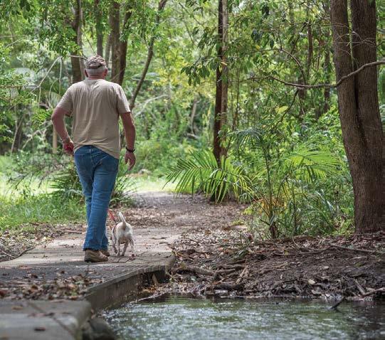
Many strategic cycleway corridors will cater to both active travel and recreation. Bike paths and other facilities not considered to cater for active travel, such as mountain bike trails, parks and pump tracks, will be investigated as part of future open space and recreational planning.
The Coffs Harbour Bypass Project at the northern end of Korora provides an opportunity to complete missing links in the Solitary Islands Way shared path corridor between Coffs Harbour, and the northern coastal villages and towns.
The Coffs Harbour bypass project will construct a new shared path from Sapphire Beach south to Korora and through to Charlesworth Bay Road near Pacific Bay Resort. The City will investigate funding opportunities
for complementary works, in collaboration with Transport for NSW to extend the path network from Charlesworth Bay Road:
• to Coffs Harbour via extension south along the existing highway alignment to the path opposite the Big Banana; and
• to Park Beach via Diggers Beach.
A connected and continuous network can then be achieved from Coffs Harbour to Corindi with further works proposed north of Sandy Beach and within Woolgoolga.
Existing paths
Currently programmed for construction
Missing links
We want every street to ultimately have an active transport link, but the start of this journey will be an initial focus on missing links along key active transport routes, particularly on busy roads and at intersections. This program includes providing safe crossings over roads and filling in missing sections of active transport links (footpaths, bike paths and shared paths).
The City’s high priority missing active transport links and associated infrastructure include, but are not limited to:
• Arthur Street, Park Beach
• Linden Avenue, Toormina / Boambee East
• Shephards Lane, West Coffs Harbour
• Lyons Road, Sawtell
• Crossings on Toormina Road, Toormina
• Crossings on Albany Street, Coffs Harbour
Addressing missing links will include other supporting infrastructure where relevant, such as street trees for shading and pram ramps for street crossings. required standards.

• Safer crossings for the Hogbin Drive bike path at the northern end near Harbour Drive and the southern end at Sawtell Road.
Where footpaths are recommended for both sides of a street, delivery of an active transport link on one side of the street will generally be prioritised. The priorisation process for missing links is outlined in Section 7 of this Plan.
• Utilise the criteria described in Section 7 of this Plan to prioritise additional missing active transport links and supporting infrastructure (i.e., shade planting, seating, pram ramps, water refill stations, signage, and lighting).
• Deliver missing active transport links in accordance with best practice guidelines such as the Transport for NSW Cycleway Design Toolbox and Transport for NSW Design of Roads and Street Manual.
• Investigate the use of alternative design standards in existing urban areas where local conditions and site constraints prevent or make it impractical to achieve the
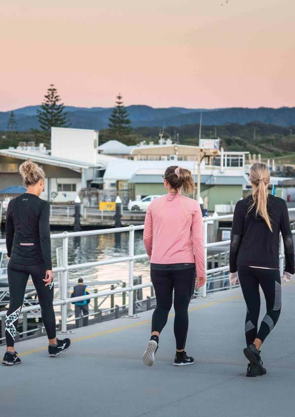
Encouraging walking and bike riding requires building the required infrastructure.
Encouraging walking and bike riding requires building the required infrastructure. Broad targets around Australia and internationally indicate that the City should be spending in the order of $20 to $35 per person per year on active transport infrastructure.
As a benchmark, Copenhagen – regarded as the world’s best city for bike riding – has spent AUD$30 per person per year for the past decade.
The City is aiming to invest between $600,000 to $1.5 million per annum, which equates to $6 million to $15 million over the next 10 years on improved walking and cycling infrastructure. This represents about $17 per person per year over the next 10 years.
The City’s investment in active transport infrastructure will come from the following sources:
• The City’s capital works budget.
• Contributions – paid by developers towards the cost of providing local public infrastructure and facilities as a part of new development.
• NSW Government targeted grant funding opportunities or similar funding sources. The City will actively monitor grants projects such as the annual TfNSW Get NSW Active program and relevant Federal government funding streams as they become available.
• Complementary capital projects such as road reconstructions and sporting field upgrades (eg, the shared path network and footbridge at the Wiigulga Sports Complex).

To support its delivery of active transport links, the City will investigate the introduction of a policy that allows communities to directly fund active transport infrastructure in their neighbourhood.
This can only be achieved if the majority of property owners who directly benefit from a path are supportive of contributing to funding the infrastructure. The City’s contribution would be determined by how much the broader community would benefit.
For example, property owners wishing to fund a footpath in a cul-de-sac with no through-route would be required to pay the majority or the full cost of constructing the path, as there is no direct benefit to the broader community.
Design and delivery of the active transport infrastructure would remain the responsibility of the City and would be delivered based on City resources
The right materials and design for the right application
For significant projects, the City will investigate the use of alternative path materials that ensure a safe, comfortable, and accessible experience for intended users without introducing unreasonable asset lifecycle costs. This means we will balance construction costs with costs associated with maintenance over the expected life of an asset.
For dedicated on-road bike paths, the City will investigate the use of easily implemented, economical separators to provide a greater sense of safety to users (i.e, spikedown islands and asphalt treatments), such as along Solitary Islands Way to improve the sense of safety along sections of higher safety risk.

Lower-cost trials and place-making ‘pop-ups’ of active transport links are a great way for the community to experience the proposal, provide feedback, and build trust. Trials also help to reduce the risk associated with investment in active transport links or trial various locations for a particular active transport link and associated infrastructure (i.e., a safer crossing). They also allow for improvements to be made to the design of active transport links before a more permanent solution is implemented.
The City will refer to best practice guidelines such as the Transport for NSW Design of Roads and Street Manual for temporary trials and work with the NSW Government to identify solutions that align with long-term plans.
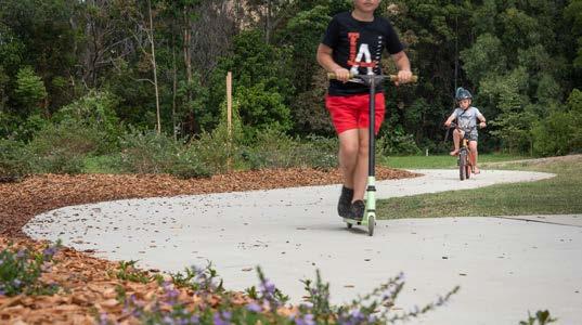
The City can improve the safety of cyclists under the City’s technical specifications, Australian standards, and NSW guidance by:
• Providing wider shoulders and delineating edge lines when reconstructing roads where space permits,
• Implementing an edge line marking program on existing collector and arterial roads that currently provide popular cycling routes, and
• Using the road network by line marking the outer edge of vehicle travel lanes to encourage drivers to keep to the middle of the road.
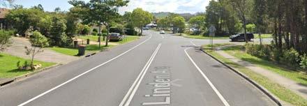
of line marking outer edge of vehicle travel lanes

The City uses a prioritisation process to inform its delivery of active transport links and associated infrastructure.
A high-level analysis is undertaken to identify active transport routes by considering:
• engineering challenges and site constraints,
• land ownership,
• environmental, cultural, and heritage matters,
• active transport guiding principles (Section 4 of this Plan) to ensure the links are connected, safe, accessible, comfortable, adaptable, and for everyone.
The active transport links are then scored using a multicriteria analysis (MCA) based on the following:
• safety – will the path provide significant safety improvements for users, particularly alongside or crossing busy or high-speed roads.
• demand – does the active transport link cater for a significant population, including consideration of the potential population served by the link.
• network enhancement – the level of improvement that the active transport link will provide to the broader network.
• number of attractions – number of attractors or destinations served by the active transport link such as employment centres, schools, shops, playgrounds, parks and community facilities.
• transport need - does the route provide connection to areas or communities most in need of transport options and improved accessibility.
The City will identify the delivery of active transport links as part of its four-year Delivery Program and annual Operational Plans in line with the criteria provided in this Plan.
The City will ensure that the delivery of active transport links is equitable across the Coffs Harbour Local Government Area.
To inform this, the City will consider:
• other capital works, such as road reconstruction, park or sporting facility upgrades and public domain works, and
• objectives of grant programs – to provide an alternative funding sources such as the annual TfNSW Get NSW Active program.
These priorities are publicly exhibited for comment before being adopted by Council. In addition, customer requests are considered together with the criteria listed in this Plan as part of this process. When the four year Delivery Program and annual Operational
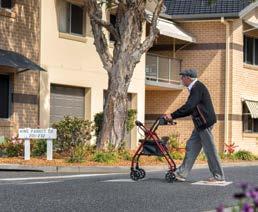
Plans are adopted, resources are committed so that the community knows what the City is investigating, designing or building each year.
Projects are subject to further investigation before detailed design and construction. Route alignment, design options and detailed costs are also considered during investigation and design stages.
An accelerated design program will be initiated to ensure the City has a bank of high-priority path projects that are shovel-ready. This will enable efficient delivery and help the City benefit from grant funding programs or other implementation or development opportunities as they emerge.
The City will investigate the ‘packaging’ of repetitive, non-complex active transport projects for competitive pricing and to enable economies of scale and efficient delivery under one contract. This process will enable the delivery of similar facilities such as raised pedestrian crossings, or straight-forward footpath projects.
The use of design and construct packages will also be considered for projects where this provides for greater efficiencies.
The City will continue to look for opportunities to fast-track delivery of active transport links by leveraging off Voluntary Planning Agreements (VPA’s) or Works in Kind agreements (WIKA’s) with developers.
A VPA is a legal agreement between a developer and a local council that can be used to offset the cost of developer contributions. It’s a way for developers to provide certain public benefits via infrastructure

or services that are required as a result of new developments, but that may not be directly related to the development. This can include active transport links among other forms of infrastructure or community amenities.
A works in kind agreement allows a developer to provide infrastructure such as active transport links instead of paying a monetary development contribution required under a Contributions Plan. This is an alternative way for developers to contribute to local infrastructure.
• Develop a policy detailing the process for community funding of local footpath projects.
• Implement an accelerated pathway design program to develop a bank of shovel-ready, high-priority projects.
• Deliver active transport links as complementary infrastructure as part of capital projects such as sports facilities and major upgrades to public reserves and parks (eg. the shared path network and footbridge at the Wiigulga Sports Complex).
• Investigate quick wins for safer on-road bike riding eg. an edge line marking program on existing collector and arterial roads that currently provide popular bike routes.
• Investigate use of alternative and recycled materials for active transport links that ensure a safe, comfortable and accessible experience for intended users without introducing unreasonable asset lifecycle costs.
• Utilise lower-cost trials and place-making ‘pop-ups’ of active transport links as appropriate to investigate alternative solutions that align with long-term plans.
Map 1 - Strategic Path Program Overview
Key centres
Unconnected segments
Strategic pathsindicative desired routes Road
Refer to maps in the adopted Woolgoolga Movement and Place Plan on the City’s website
Education
Community/Transport
Strategic
Strategic paths - indicative desired routes
Key footpath networks
Key employment area
Education
Community/Transport
Sports & recreation Road
Map 7 - Sandy Beach to Woolgoolga Map 6 - Sapphire Beach to Moonee
The City will develop School Safe Access Plans together with schools to ultimately promote and encourage more walking, bike riding and scootering to school. Collaboration will include the NSW Department of Education and School Infrastructure NSW.
These plans will include a map identifying key actions and priorities for active transport links and road crossing improvements along key routes to a school. Improvements will generally focus on an area within 500 metres of primary schools to align with requirements of key funding programs.
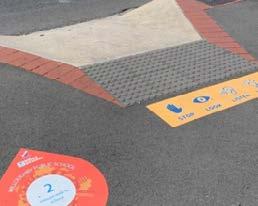
The City will target primary schools in the initial development of these plans and will prioritise schools on the basis of student numbers, known safety issues, and socio-economic disadvantage. This will include initial engagement with schools to understand the need and commitment to improving active travel infrastructure.
To develop a Plan, the City will engage a consultant to undertake the following indicative scope of works which involves 5 steps:
• consider the school catchment with a focus on key routes and access in and out of the school grounds,
• identify key hazards/risks, constraints/barriers for access, and
• prepare a summary plan.
• meet school community: staff, student parent groups and student representative groups,
• liaise with NSW government stakeholders,
• develop a summary of findings.


3. Draft plan:
• develop preliminary plans for school precinct and catchment area (focus on 500m area from school grounds).
• draft action plan, priorities and costs.
4. Feedback:
• meet school community: staff, student parent groups and student representative groups,
• liaise with NSW government stakeholders,
• develop a summary of findings.
5. Develop final plan
• modify plan to incorporate feedback.
• finalise action plan, priorities and costs (including an illustrated map identifying proposed improvement works)
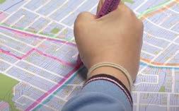
• priorities will be fed into the City’s four-year Delivery Program and annual Operational Plans.
• high priority actions will be considered for accelerated pathway design program to enable shovel-ready projects for grant funding opportunities.
An illustrative example of action plan for a School Safe Access Plan is shown in the next page.

Template - illustrative only
Additional ‘Kiss and ride” drop-off/pick-up zones
PRIORITY: X COST: $XX,XXX
New footpaths
PRIORITY: X COST: $XX,XXX
New footpath
PRIORITY: X COST: $XX,XXX
New refuge crossing PRIORITY: X COST: $XX,XXX
Raised pedestrian crossing for safer pedestrian access and to slow vehicles entering City Centre 40km/h zone
PRIORITY: X COST: $XX,XXX
New footpath
PRIORITY: X COST: $XX,XXX
Improved safety at existing refuge crossing PRIORITY: X COST: $XX,XXX
New refuge crossing
PRIORITY: X COST: $XX,XXX
School Catchment Area
Improved pedestrian safety/intersection upgrade as part of City-wide program
PRIORITY: X COST: $XX,XXX
City of Coffs Harbour
02 6648 4000
coffs.council@chcc.nsw.gov.au www.coffsharbour.nsw.gov.au