
of
Cave Central Park Master Plan
City
Bee
INTENTIONALLY LEFT BLANK
01
FOREWORD
The following Bee Cave Central Park Master Plan was put together over a period of twenty-seven months as a collaboration among Bee Cave City Council, City staff, MWM Design Group, the Bee Cave Economic Development Board, and citizens and park users alike, all of whom offered feedback and insight to how the park is used today and how they wish to see it used in the future It sets forth the goals and vision for the Park, the underpinnings of which were the framework for the Parks system as envisioned in the City’s Comprehensive Plan. And it proposes a framework for implementation, filtered through the lens of the City’s FY 21-22 to FY 25-26 Capital Improvements Plan
This Plan was adopted by Bee Cave City Council on September 12,2023.
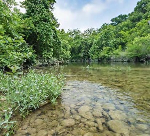
02 SourceofPictures: ScottPayton,CityofBeeCaveParksandRecreationDepartment
03
SourceofPictures: ScottPayton,CityofBeeCaveParksandRecreationDepartment
PART 1: PLAN CONTEXT
Introduction …………………………………………………………………………………………………………………………………………
Comprehensive Plan Guiding Principles ………………………………………………………………………………………………………………………
PART 4: PARK AMENITIES & OPERATIONAL
SPACES
Overview of Amenities ………………………………………………………………………………………………………………………………………………………………..
Comprehensive Plan Goals and Strategies for Parks & Recreation ………………………………………………………………………………………………………………………
PART 2: PARK CONTEXT
Park History ………………………………………………………………………………………………………………………………………………………………
Play Areas ………………………………………………………………………………………………………………………………………………………………………………
Inclusive Play …………………………………………………………………………………………………………………………………………………………………………
Recreational Fields and Courts …………………………………………………………………………………………………………………………………….
Fitness Opportunities ……………………………………………………………………………………………………………………………………………..
Gathering Spaces …………………………………………………………………………………………………………………………………………………………………………
Community Stage …………………………………………………………………………………………………………………………………………………………
Surrounding Context ……………………………………………………………………………………………………………………………………………………………………………………………………………………………………………………………………………………………………….. ……………
Transition Space …………………………………………………………………………………………………………………………………………………………………
Local Parks & Recreation ……………………………………………………………………………………………………………………………………………………………………………………………………………………………………………………………………………
Regional Parks & Recreation ………………………………………………………………………………………………
Dog Park …………………………………………………………………………………………………………………………………………………………………………….……
Flexible Spaces …………………………………………………………………………………………………………………………………………………………………..……
Bee Cave Demographics & Metrics …………………………………………………………………………………………………………………………………………………………………………………………………………………………………………………
Nature Based Features …………………………………………………………………………………………………………………………………………………………
Benchmarks: Facilities ……………………………………………………………………………………………………………………………………………………………………………………………………………………………………………………………………………… …….. …………
Maintenance Facilities …………………………………………………………………………………………………………………
Benchmarks: Programming …………………………………………………………………………………...………………………………………………………………………………………………………………………………………………………………….. ………..
Support Amenities & Placemaking Elements …………………………………………………………………………………………………………………
Benchmarks: Expenditures ……………………………………………………………………………………………………………………………………………………………………………………………………………….. ………..
Principles in Design ………………………………………………………………………………………………………….
Master Plan Process ……………………………………………………………………………………………………………………………………………………………………………………………………………………………………….. ………
Public Engagement ………………………………………………………………………………………………………………………
Staff Observations ………………………………………………………………………………………………………………………………………………………….. ………
PART 3: PHYSICAL FRAMEWORK
PART 5: IMPLEMENTATION
Prioritization of Resources …………………………………………………………………………………………
Funding: Capital Improvements …………………………………………………………………………………
Approach to Design , Project Management , and Construction …………………………………………………………………………………
Site Character …………………………………………………………………………………………………………………………………………………………………………………………………………………………………
Funding: Use Areas …………………………………….………………………………………………………………
Vehicular Access & Circulation …………………………………………………………………………………………………………………………………………………………………………………………………………………………………………………………………………….. ………………
Resources for Ongoing: Operations , Maintenance & Programming .. ………………………………………………………
Parking ………………………………………………………………………………………………………………………………………………………………………………………………………………………………………………………………………………………………………………………
Governing Policy ………………………………………………………………………………………………………………
Vehicular Circulation Analysis ………………………………………………………………………………………………………………………………………………………………………………………………………………………………………………
Recommended Park Policy Updates …………………………………………………………………………………
Pedestrian Access & Circulation ……………………………………………………………………………………………………………………………………………………………………………………………………………………………………………………
Recommended Gift Deed Clarifications …………………………………………………………………………………
Utilities …………………………………………………………………………………………………………………………………………………………………………..…………………………………………………………………………………………………………………………
Natural Vegetation …………………………………………………………………………………………………………………………………………………………………. ……………………………………………………………………………………………………
Landscaping ………………………………………………………………………………………………………………………………………………………………………………………………………………………………………………………………………………………………
Stormwater ………………………………………………………………………………………………………………………………………………………………
Low Impact Development …………………….………………………………………………………………………………………………………………………….
APPENDIX
Central Park Gift Deed …………………………………………………………………………………………………………..
Article 16.06 Use of City Park and Park Facility Policy ………………………………
Capital Improvements Plan ………………………………………………………………………………….…..
TABLE OF CONTENTS
x x 07 09 11 15 17 19 21 23 25 27 29 31 32 33 37 39 40 41 43 47 49 51 53 55
59 61 63 67 69 71 73 75 77 79 81 83 85 87 91 92 93 94 95 97 98 99 103 105 109 04
INTENTIONALLY LEFT BLANK
05
06 Introduction |
|
&
and Strategies
PLAN Context
Comprehensive Plan Guiding Principles
Parks
Recreation Goals

Bee Cave Central Park, located west of RR 620 and Bee Cave Parkway, was introduced as the City’s first public park in 2009. Originally fifty acres in size, it was donated to the City to offset the impacts created by the Hill Country Galleria development. At the time, the City’s population was hovering around 3,900. As of 2023, the population within Incorporated limits has ballooned to just under 10,000 and the surrounding area has grown at an even faster rate Over that same time period, the community’s expectations for park amenities have also evolved and increased. Due in part to its central location, proximity to town center, natural features, and relative pliability compared to other City-owned properties and parks, Central Park has become the natural candidate to fulfill those demands and transition from a predominantly passive open space to a more intentional, and programmed park
The purpose of this plan is to articulate the vision and set forth a path for implementing it.
Introduction
07
SourceofPictures: ScottPayton,CityofBeeCaveParksandRecreationDepartment 08
A comprehensive plan
Vision Statement is:
• An “image” or detailed description of what the community wants to become
• An expression of the community’s collective values and aspirations
• A guide for the plan’s policies and actions
Comprehensive Plan
OUR BEE CAVE 2037, THE CITY’S COMPREHENSIVE PLAN
The City’s Comprehensive Plan, Our Bee Cave 2037, is a community guide to manage growth, promote investment and reinvestment, and sustain the exceptional quality of life that attracts residents, businesses, and investment to Bee Cave. It was adopted in 2016 with the intent of “solidifying a vision for Bee Cave that is focused on the character of the City; our people, institutions, and government; our economy; and our form and function.” Our Bee Cave 2037 serves as the overarching policy for land use, development, and infrastructure decisions for City staff, the Planning and Zoning (P&Z) Commission, and City Council. Other future special area plans (e.g., parks and open space plan or for the central business district) should be consistent with the Comprehensive Plan.
The plan provides policy direction for a range of topics relevant to the day-to-day aspects of living in Bee Cave as well as long-range plans for the City that impact transportation, land use, recreation, and housing decisions.
VISION STATEMENT
The Comprehensive Plan opens with a vision statement, which is “an expression of the community’s collective values and aspirations and a description of what the community wants to become in the future—it answers the question “where do we want to be in 20 years from now?” Ultimately, the Comprehensive Plan defines “how we get there.” The Vision guides the development of each element of the plan, including action steps to make the plan a reality. The following page contains excerpts relevant to the master planning process for Central Park.

Guiding Principles
09

The Character of Bee Cave
Bee Cave is connected; with our town center acting as a hub of commercial and civic activity and with a developing network of local roads, trails and sidewalks linking all community landmarks and neighborhoods
Bee Cave is green and healthy, with an expanded network of parks, trails, recreational and sports facilities, and open spaces.
Bee Cave is safe and livable, a hospitable hometown community of friends and neighbors.


Our People, Institutions and Government Sound Growth: Strengthening Our Form and Function
Bee Cave is a family-oriented community worthy of investment in education, recreation and sports, and opportunities for engagement in civic affairs.
Priority is given to infrastructure systems that have undergone wellplanned, staged expansion to serve and guide the City’s growth.
Parks, greenways, healthy water resources, stream corridors, a tree canopy and other natural resources protected and integrated into the fabric of the community and contributing to the community’s health.
10
vision statement goals & strategies
permanent and rotating activities
full lifecycle active recreation family-friendly programming new and improved parks and recreational opportunities helping children learn
things to do
food options within the City’s park and open spaces.
PARKS & RECREATION (“PR”) GOALS AND STRATEGIES
Within the Comprehensive Plan, there is a section dedicated to Parks & Recreation It interweaves goals and objectives for the parks and trails systems as a whole; in addition to the Vision statement, offers some particularly inspirational directive words, and phrases; and has a wide array of facility, staffing, budgetary, and programmatic implications.
Goal PR-1: Provide a comprehensive system of greenbelts with multi-use trails and parks that is compatible with the environment, provides green infrastructure benefits, and improves non-motorized connectivity throughout Bee Cave The City developed a Hike and Bike Trail Connectivity Plan in 2015 with the objective of creating a trail system plan to provide: “a safe, convenient, and functional transportation link across the City for pedestrians and bicyclists who seek to utilize nonmotorized modes of transportation to meet their regular travel needs as well as for recreational purposes all while maintaining the natural beauty of the City of Bee Cave.” The Connectivity Plan builds on the 2006 Parks, Trails and Open Space Master Plan which found that residents strongly supported new trails and linear parks Improving connectivity by creating multi-use trails for walking, biking, and running has been one of the priorities expressed by residents The original goal of the Connectivity Plan was to create a complete off-street trail network; however, given the existing constraints of topography and road network, the plan recommends a combination of off-street and on-street facilities.
Construction of the first phase of Bee Cave’s “Connectivity Trail” is slated to begin near the Falconhead subdivision at the intersection of Falconhead Boulevard and RR 620. The trail will ultimately provide a safe and convenient link for non-motorized travel and recreation through the City, and greatly improve the overall ease of walking and biking throughout the City
• 3.1 Implement the Hike and Bike Trail Connectivity Plan priorities for an off- and on-street trail network (e.g., Inner Loop Trail) through public private partnerships, development agreements, and phasing strategies (See also FLU 1.7, M 2.7). Work with developers and property owners to create new trails consistent with the plan and increase sidewalk widths to accommodate overlap with trails
• 3.2 As areas of the City develop or redevelop, require property owners to work to obtain easement agreements to complete gaps in the planned multi-modal network and encourage greenbelt / parks space dedication through the development review process. (See also FLU 1.7, M 2.7). Work with developers and property owners through the development review process to ensure that dedicated parkland includes active recreational uses that fill the needs of Bee Cave residents.
• 3.3 Continue to require land set aside for water quality treatment areas to add to the regional stormwater treatment and green infrastructure network, and look for opportunities to create usable open space (e.g., with walking trails) within these areas. (See also PFS 6.6).
• 3.4 Require the provision of pedestrian, equestrian and/or bicycle pathways within and between private developments
• 3.5 Utilize utility and powerline easements, as well as floodplain easements to set aside open space and develop greenway corridors with multiuse trails. Consider lowimpact trails within floodplain corridors and in required open space buffers, where feasible.
• 3.6 Provide safe and convenient routes to connect to and from the City’s trail system, schools, community buildings, and Central Business District. (See also ECE 8.10). Potential interventions include billing in gaps in the sidewalk network, adding share the road signage / sharrows and working with LTISD to identify and support Safe Routes to Schools
• 3.7 Improve public enjoyment of Bee Cave’s open spaces, including the large conservation areas within the City’s ETJ. (See also ERP 7.3). Consider approaching conservation area land owners to explore opportunities for primitive hiking trails, environmental education, and volunteer opportunities
• 3.8 Encourage conservation development (clustered small lot residential subdivisions with permanently protected open space) with linkages to both public and private parks and trails

Comprehensive Plan for Parks and Recreation
GOALS & STRATEGIES
11
Goal PR-2: Operate and maintain parks, plazas, and recreational facilities through new and existing partnerships to allow opportunities for all Bee Cave residents and visitors to experience and enjoy the City’s open space and recreation Through the planning process, including the 2014 Preparatory Survey, the community expressed strong support for new and improved open space, parks and recreational opportunities, and multi-use trail connections in Bee Cave The EDB and the City have been successful at developing parks and services through innovative public-private partnerships As the population continues to grow, Bee Cave should consider adding capacity to meet the growing demand for parks and recreation services, while continuing to develop innovative partnerships Parks and open space provide residents interaction with nature, which generates a multitude of social and health benefits.
• 3.9 Update the 2006 Parks, Trails, and Open Space Master Plan to reflect the population growth, current resident priorities and needs, and changes to the park and open space network that have occurred since the plan was developed The plan was recommended for a 5-10 year period and Texas state guidelines recommend updates at least every 10 years. An update should include a survey of residents’ preferences and needs for parks and recreational activities and programming
• 3.10 Strengthen the City’s capacity to develop partnerships supporting the development of parks and provide opportunities for full lifecycle active recreation, for all ages, in Bee Cave Bee Cave should consider adding a Parks and Recreation Department or staff position to plan, manage, and coordinate the City’s efforts related to parks, trails, and open space While the City of Bee Cave will continue to maintain its legacy of creating strong public-private partnerships and limited (cost-efficient) government services, parks and recreation is an area that is strongly desired by residents and will benefit from the City’s Financial resources and commitment to planning for future services as the population grows As this growth occurs, the City will need to anticipate and plan for new parks and facilities, at the same rate as the growth is occurring, that are appropriate for all ages
Goal PR-3: Expand the role of parks and recreation in providing overall opportunities for improved community health, community events, including family-friendly programming and “things to do” in Bee Cave Parks serve many different purposes including providing opportunities for physical and social interaction, helping children learn, and providing economic benefits through enhancing property values and serving as community attractions Through the planning process, many residents commented that they would like to have more options for recreation and activities in Bee Cave The Bee Cave Sculpture Park is a great example of a park that serves several purposes and provides a way for residents to enjoy arts and culture in an outdoor setting Bee Cave should continue to explore options for educational programming, events and festivals, and permanent / rotating activities and food options within the City’s park and open spaces
• 3.11 Consider adding rotating family-friendly events (e.g., concerts, festivals) and new programs to Bee Cave parks. Consider parking capacity, options for shared parking, and access needs to support events.
• 3.12 Promote Bee Cave’s parks and recreational opportunities and activities for community use. The City should consider the use of the hotel tax to help fund events and activities that support local businesses, provide opportunities for recreation, and support the local tourism industry. Other potential efforts include a promotional / educational campaign to increase awareness of parks and recreational activities, such as organized trail hikes or bicycle rides, or the creation of a “Friends of” Parks group to support Bee Cave’s parks and recreational resources.
• 3.13 Encourage the continued recreational and community use of the “Field of Dreams” site.
economic benefits through enhancing property values
community attractions physical and social interaction innovative public-private partnerships educational programming events and festivals
As of the production of this Plan, the goals are in various states of completion, some of which will inherently always be ‘on-going’: a Parks and Recreation Department was established in 2018 and has continued to add staff, establish internal protocols and policies, and develop an operational framework. The Hike & Bike Connectivity Plan, adopted in 2016, is in its third phase of implementation and is slated to be substantially complete within the next five years. The City has begun offering limited event programming such as a 2021 and 2022 haunted trail, both to be responsive to community interest, but also to beta test future demands on the Department.
12
INTENTIONALLY LEFT BLANK
13
14 Park History |Surrounding Context | Local Parks & Recreation | Regional Parks & Recreation | Bee Cave Demographics & Metrics | Benchmarks: Facilities | Benchmarks: Programming| Benchmarks: Expenditures | Master Plan Process | Public Engagement | Staff Observations
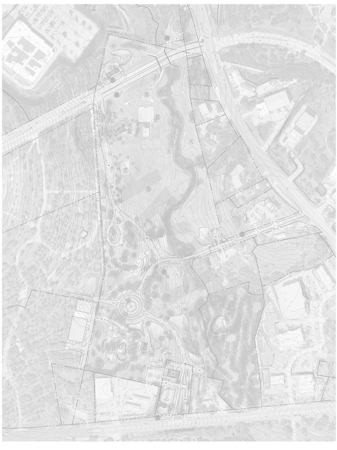
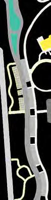
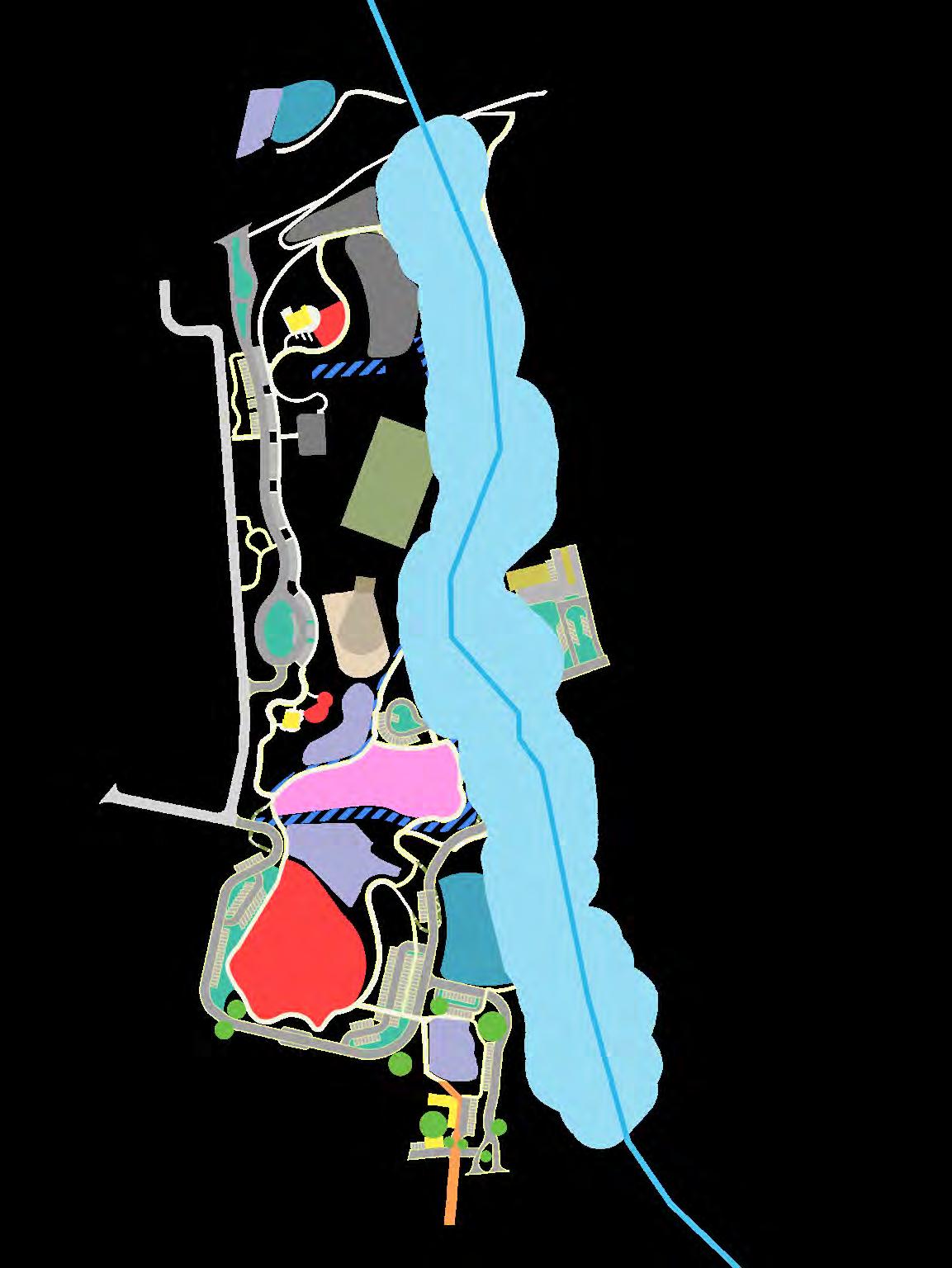
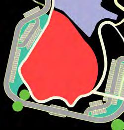
Park Context
Central Park is composed of four distinct parcels that, in total, equate to approximately 60 contiguous acres. The primary 50 acres were donated to the City in 2005 by the Baldwin family in conjunction with an offset to impervious cover for the Hill Country Galleria development. Unlike the other three tracts, the Baldwin Tract carries with it deed restrictions 1 that limit the property’s use to “public purposes,” such as public open space, park or recreational uses, governmental offices, recreation centers, hike and bike trails, swimming pools, playgrounds, and sports fields; the property is prohibited from being used for commercial purposes. Although an impervious cover restriction on the Baldwin Tract was not quantified in any known legal instrument, it is qualitatively presumed that impervious cover on it is limited and a transfer of impervious cover from another property may be necessary.
The Burton Tract, which is marked by a portion of Freitag Creek and corresponding drainage easements and floodplain, was effectively donated to the City in 2006 by the Burton family2 The Mollison Tract is a property remnant also acquired by the City in 2006 in conjunction with the construction of Bee Cave Parkway3
Currently, the sole access to and from the Park is via an entrance off Bee Cave Parkway at the northwest corner. The Park is indirectly connected to RR 620 via an unnamed road dedicated to the public (specifically Travis County Commissioners Court4) in 1976. Most recently, the City acquired 2.3 acres for “general municipal purposes” directly adjacent to SH 71, thereby giving the Park the opportunity for direct access to and from SH 71
In 2006, the City (Village at the time) prepared a Parks Open Space and Trails Plan to project the Citywide parks and open space needs over the subsequent ten to fifteen years, which coincided with projected City build out Although the Plan was not ultimately adopted by City Council, it did contain certain elements that have since come to fruition, including the Central Park and the Primitive Park, and “industry” standards that can provide benchmarks for successful park and park system design.
1 Document#2005236017OfficialPublic ofRecordsTravisCountyTexas(OPRTCT)
2 Document#2006223002OPRTCT
3 Document#2006241885OPRTCT
4 Document#sVol5647Pg872and Vol4997Pg313OPRTCT

Park HISTORY


15
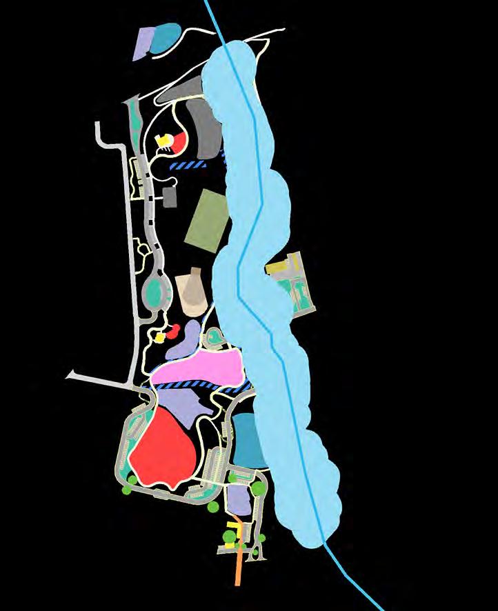
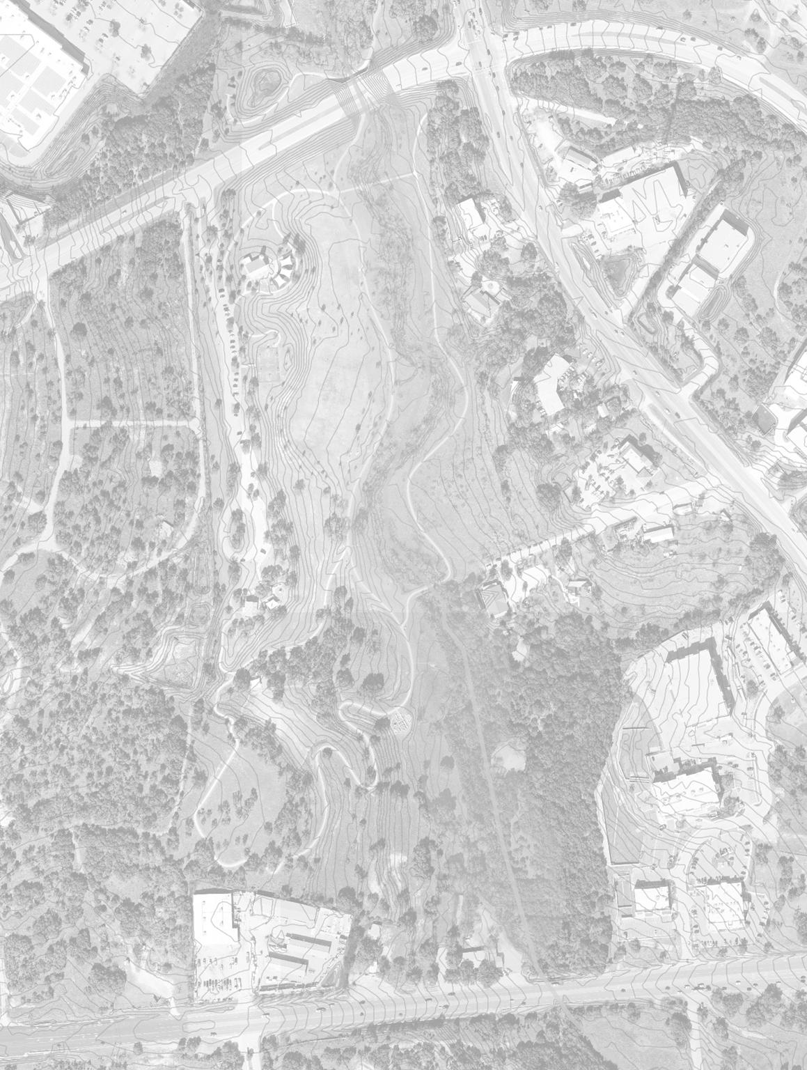
BALDWIN TRACT MOLLISON TRACT BURTON RACT REVIVAL RACT ROW TO RR 620 50 acres 2.3 acres 0.8 acres 8 acres 620 71 20 05 20 06 20 06 20 20
19 76
TIMELINE OF CITY ACQUISITION OF PROPERTY:

16
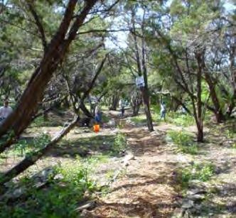
SourceofPictures AnnaJensen,CityofBeeCaveParksandRecreationDepartment


RECREATION & ENTERTAINMENT DISTRICT


620


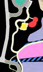
Bee Cave Central Park is located in the center of the City of Bee Cave, west of RR 620, south of Bee Cave Parkway, and north of SH 71 and is a prominent component of the Recreation and Entertainment District identified in the City’s Comprehensive Plan, “OurBeeCave2037.” Central Park plays a pivotal role in fulfilling several City goals and objectives, for example:
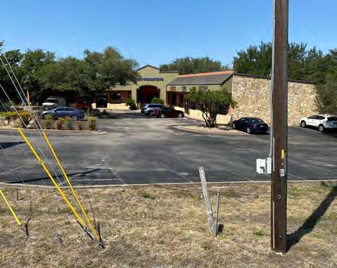
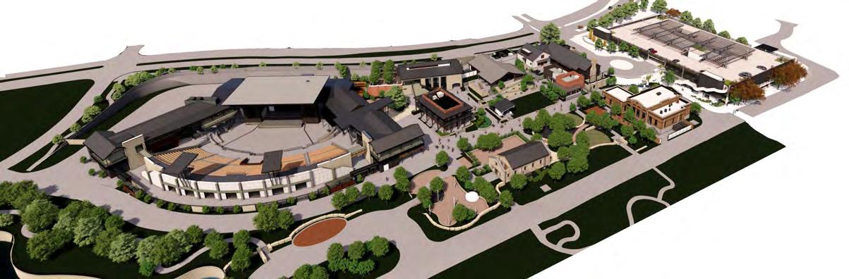
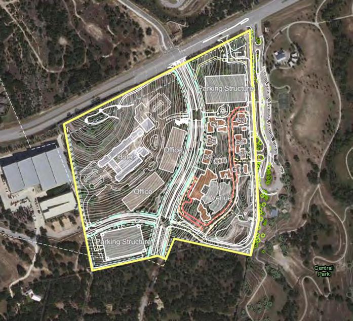
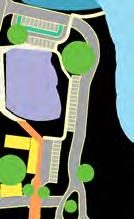
Central Park is bordered to its south and east by existing retail and service-based businesses and a pre-school. Generally speaking, these developments are oriented away from the Park and toward RR 620 or SH 71, with no direct vehicular or pedestrian connectivity The property abutting the north side of the park is composed of undeveloped portions of commercial tracts; it contains dense vegetation and a creek that provide a visual buffer and a physical barrier between the park and the buildings beyond The properties to the west of the Park are undeveloped the northernmost of the two properties has been approved for a mixed-use development containing an outdoor amphitheater, a mix of restaurants and retail, office, and a hotel (“the Backyard”). The development plan for the southernmost property is to be determined, but anticipated to be mixed use and support the intent for this portion of the City to function as a ‘recreation and entertainment district.’
GOAL PR-3: “ Expand the role of parks and recreation in providing overall opportunitiesforimprovedcommunityhealth, community events, including family-friendly programmingand“thingstodo”inBeeCave.”
VISION STATEMENT: “BeeCaveisgreenandhealthy,with anexpandednetworkofparks,trails, recreationalandsportsfacilities,and openspaces.”
VISION STATEMENT: “Parks,greenways,healthywaterresources,streamcorridors, atreecanopyandothernaturalresourcesprotectedandintegratedintothefabricofthe communityandcontributingtothecommunity’shealth.”
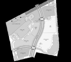
SURROUNDING CONTEXT
17
pre
future
future mixed use existing retail/service existing retail/service vegetation/creek
school
mixed use future mixed use “Backyard”
71
existing retail/service/ medical office

18
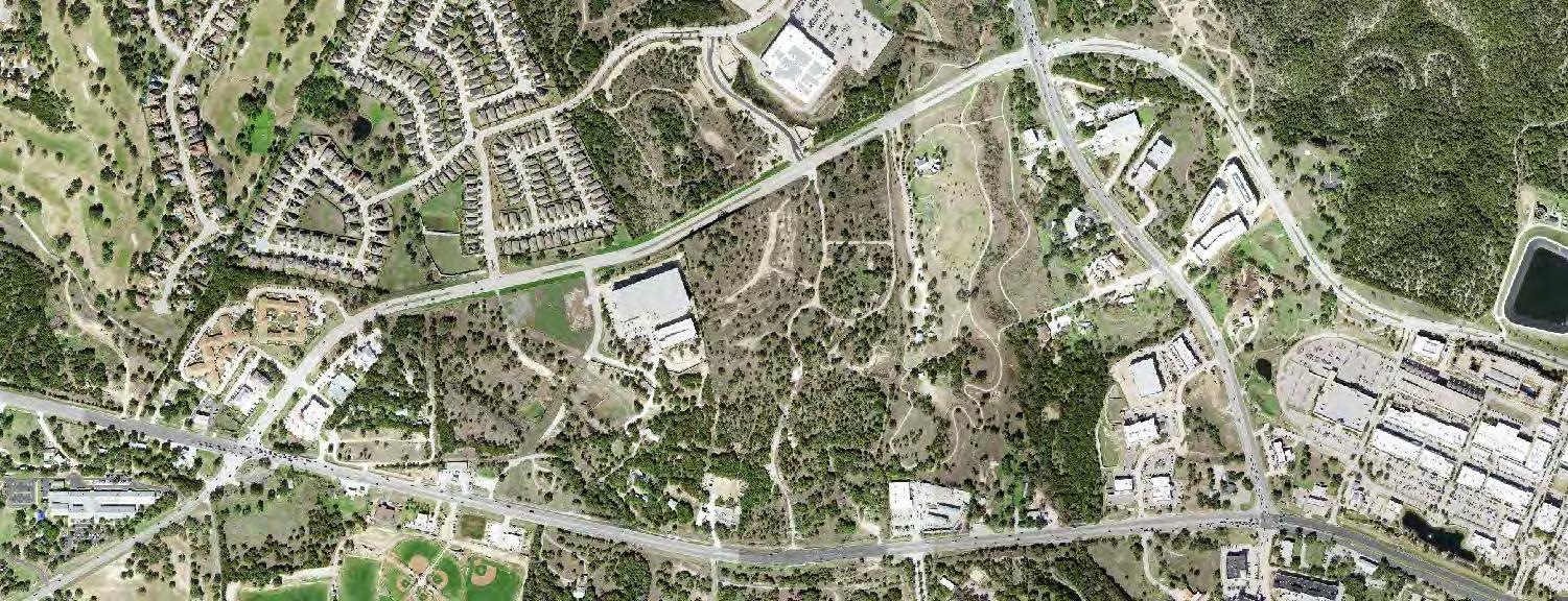
E E
Sherwin Williams Paint Store
S E
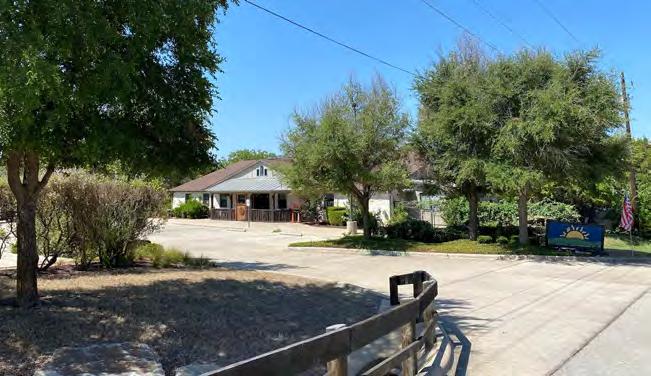
Lake Hills Montessori
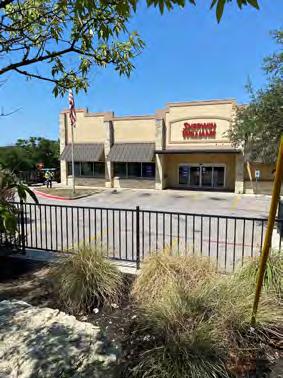
Discount Tire
E
Bee Cave Veterinary Clinic, Culture ATX Salon, Lake Pointe Nails and Spa, Dalia Jeweler
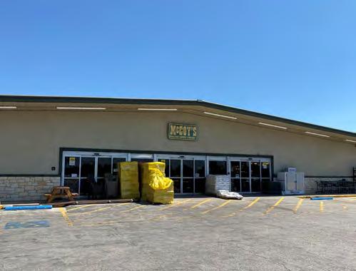
McCoy’s Building Supply
E
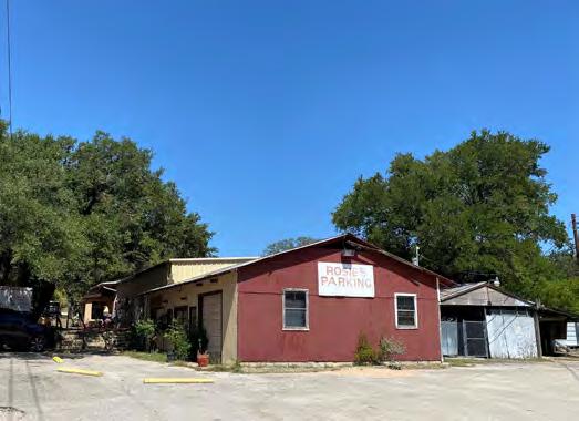
Rosie’s Restaurant Animal Kennel
The Backyard Music Venue and Food and Beverage Village
SourceofPictures: CityofBeeCave SourceofBackyardRenderings StudioSteinbomer
PUBLIC
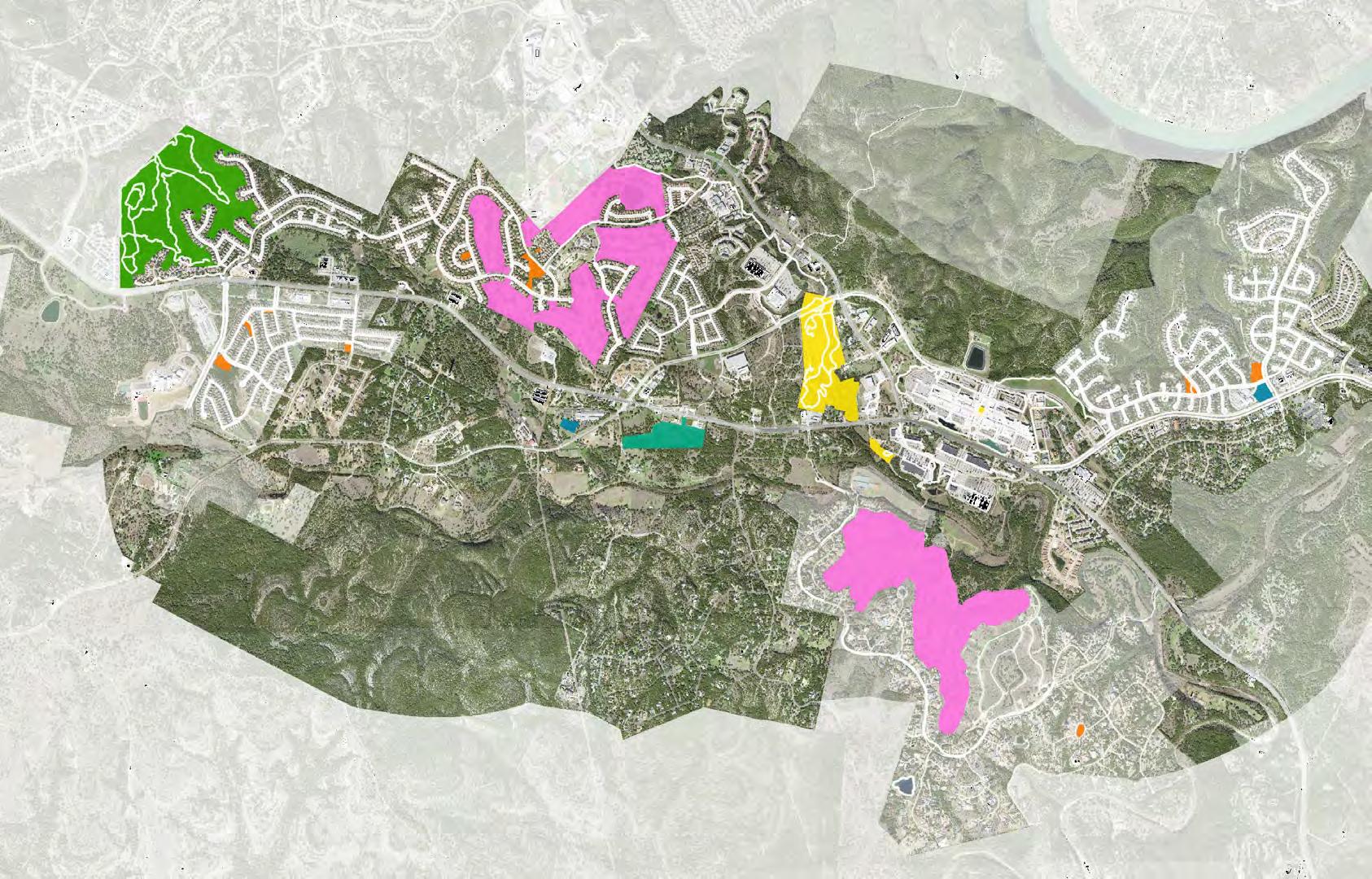
Each park in the City system has been and is being curated to serve different purposes and needs within the community, as described below.
Community Park
3
Bee Cave Central Park
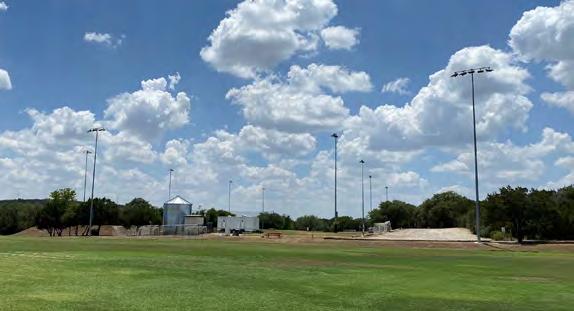
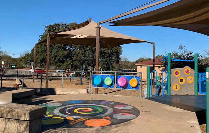
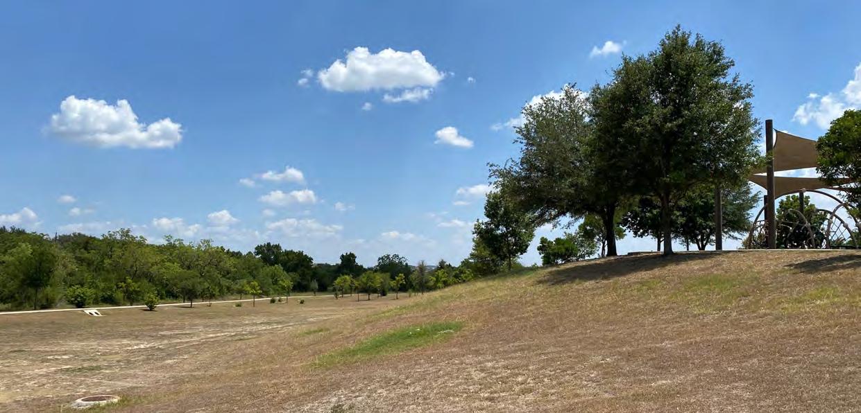
ROLE: Presently and in the future this park is envisioned to be the City’s most active recreational and open space., with programming and amenities to match It currently contains two playgrounds, a dog park, two pavilions, a basketball court, a mixed-sport field, miles of walking/jogging trails, and ample opportunities for bird watching
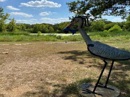
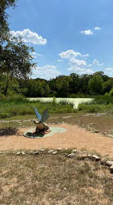
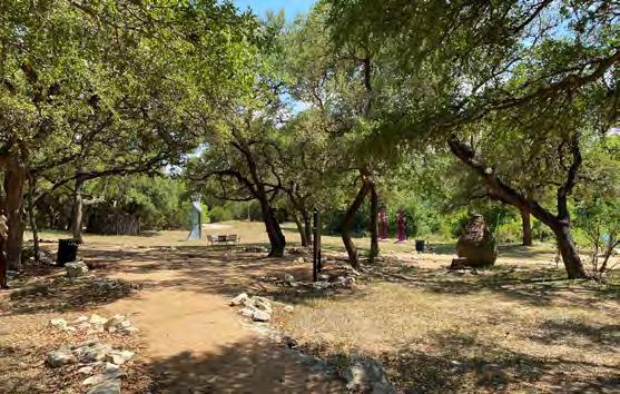
4 Bee Cave Sculpture Park
ROLE: This contemplative space is adjacent to the Bee Cave Police Department and represents a partnership between the City and Bee Cave Arts Foundation to offer art in public places
Adjacent to a small pond, this park offers a serene place to sit or wander. Like Central Park, it, too, will ultimately be integrated into the City’s city-wide trail system
Primitive Park
1 Bee Cave Primitive Park
ROLE: As its name suggests, the Primitive Park offers 3.8 miles of rugged walking and mountain biking trails Adjacent to residential, limited in parking, and purposely lacking in additional amenities, this park is envisioned to offer a more secluded, quiet, and nature-based option compared to Central Park’s trail network This park is a partnership among the Falconhead West Homeowners Association, which owns the property, the Bee Cave Economic Development Corporation (EDC), which leases the property, and the City, which maintains the property on the EDC’s behalf The property also serves as water quality and drainage facility
60 acres


6 acres
149 acres
A
J


Neighborhood Park
Bella Colinas Community Pool, Playground & Pocket Parks
Terra Colinas Community Pool
Falconhead Pocket Parks & Playground
Grove Community Pool
K Lake Pointe Community Pool, Playground & Pocket Parks
G Lake Travis Youth Association Field of Dreams Golf Course
L
Sports Fields School Facility Community Gathering Space
F Bee Cave Elementary Playground
LOCAL PARKS & RECREATION
PRIVATE
B D E
C Falconhead Golf Course
Spanish Oaks Golf Course H
I Hill Country Galleria Central Green
Spanish Oaks Community Pool & Pocket Park
Lake Pointe Elementary Playground
3
A 620 71 1 B D C C C C E 3 F G H K L I J sidewalk, trail,
19
and path network

20
Lake Travis Youth Assn Field of Dreams
PRIMITIVE PARK Sculpture Park
SourceofPictures: CityofBeeCave
Because Bee Cave is located at the confluence of several major state and regional roads, the City has developed as a regional hub for retail and services, including public services. With that in mind, this Plan also considers
DRIPPING SPRINGS

BRIARCLIFF
Population: 2,062 | Median Age 45.4
Briarcliff park
SourceofPictures ChristinaLawrenceviabusinessyabcom

boating disc golf dog park golf trails/walking path tennis
OAK HILL NEIGHBORHOOD
grilling/pavilions /picnic area
REGIONAL PARKS & RECREATION
21
CAVE Dripping Springs Briarcliff Lakeway Rollingwood Oak Hill
BEE
Population: 19,300 Median Age 38.4
CHARRO RANCH PARK Founders
Ranch
baseball basketball camping equestrian grilling/pavilions / picnic area performance/event venue Park Amenities pool sports/multi-purpose field trails/walking track nature space/meadows
memorial park
park Sports & rec park Veterans memorial park
basketball biking trails hiking
nature space/wildlife watching playscape pool/swimming sports/multi-purpose field volleyball
Park Amenities
19,300 | Median Age: 49.6
Population:
Lakeway baseball basketball volleyball butterfly garden boating dog park grilling/pavilions /picnic area playscape performance/event venue pool/swimming rock climbing skate park sports/multi-purpose field tennis/pickle ball trails/walking track nature space/meadows
22 Zip Code: 78735 | Population: 29,432 | Median Age 40.8
Creek Habitat Preserve
TheNatureConservancy SourceofPicture NatureRocksAustinorg
Familytriptipsorg
Hill Quarry Park Dick Nichols District Park
Population: 1,331 Median Age: 45.4
playscape
Barton
SourceofPicture:
SourceofPicture
Convict
ROLLINGWOOD
sports/multi-purpose field
grilling/pavilions /picnic area nature space/meadows trails/walking track Park Amenities ROLLINGWOOD PARK SourceofPicture:TripAdvisor
Source: 2019https://onthemap.ces.census.gov/
2019 job* counts by distance/ direction from home to workplace located in Bee Cave.
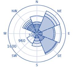
2019 job* counts by distance/ direction from home located in Bee Cave to workplace
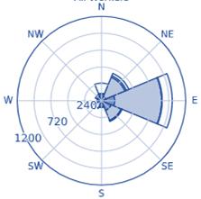

*Includesallpublicandprivatesectorjobs


By nearly every metric the City—and western Travis County, in general—have undergone dramatic change in the last two decades. In many ways, the snapshot of change within City Limits is a microcosm of the change occurring in the City’s larger “catchment area.” As open space diminishes, population increases, and demographics shift, so, too, do the demands on and expectations of the City’s park system.
In addition to playing an integral role in the quality of life for Bee Cave residents, the City’s parks system plays an important, albeit more indirect, role in the City’s financial model With 74 percent of its annual revenue composed of sales tax and only 4 percent composed of property tax, the City decision matrix on how it invests in capital projects at times places weight on whether a project will fulfill a regional need that attracts people into town and ultimately prompts them to spend money at local businesses. The objective is not only to perpetuate a sustainable financial model for the City, but also the businesses within it, so they can continue to provide the amenities, services, and conveniences Bee Cave residents have come to enjoy.
RESIDENTS

74 *
157 SHOPS *
Source: TradeAreas, BeeCaveCityLimits, 2018CensusDataviaDataAxleInc.

$11,897,500
PARKS & FACILITIES Budget
* Figure includes expenditures on parks and facilities/ buildings
BEE CAVE DEMOGRAPHICS & Metrics
23
73.6% 0.9% 4.2% 3.6% 2.0% 0.8% 0.3% 2.8% 4.3% 3.3% Sales Tax Mixed Drink Tax Franchise Fees Building Fees Library Interest Miscellaneous Municipal Court Property Tax Hotel Occupancy Tax
FY 21-22 PROJECTED REVENUE:
approximate RESTAURANTS
Source: CityofBeeCaveFY21-22AmendedBudget *
Educational
health care
social assistance 714 Finance and insurance, and real estate
rental
leasing 710 Professional, scientific, and
and administrative and waste management services 676 Retail trade 374 Arts, entertainment, and recreation, and accommodation and food services 279
services, and
and
and
and
management,
DP03 SelectedEconomicCharacteristics
– 2019 Jobs* in Bee Cave 7,271 - Employed in and commuting in to Bee Cave 2,187 – Living in Bee Cave and commuting out 184 – Living in and employed in Bee Cave
Source: 2020 American Community Survey 5-Year Estimates Data Profiles
7,455
Count Share Count Share 2019 Total Jobs* 7,455 100% 2,371 100% Less than 10 miles 2,678 35.9% 649 27.4% 10 to 24 miles 2,667 35.8% 1,166 49.2% 25 to 50 miles 531 7.1% 86 3.6% Greater than 50 miles 1,579 21.2% 470 19.8%


Source: 2020AmericanCommunitySurveySO101AgeandSex5YearEstimates


$100,179

Source: 2021 , 2020 and2010AmericanCommunitySurvey5yearEstimatesS1901 INCOMEINTHEPAST12MONTHS(IN2020INFLATIONADJUSTEDDOLLARS) | 2000 DecennialCensusDP3 ProfileofSelectedEconomicCharacteristics:2000SummaryFile3DemographicProfile
2020: $87,688 | 2010: $89,391 | 2000: $120,871


Sources: 2000DecennialCensusH001HousingUnitsDECSummaryFile1 | 2010AmericanCommunitySurveyB250015YearEstimates | 2020AmericanCommunitySurveyB250015YearEstimates


Source: CityofBeeCave,Planning&Development Department
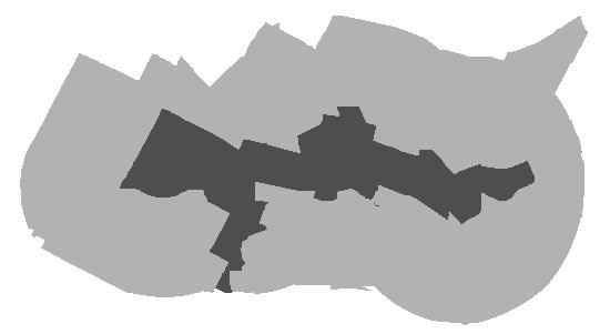
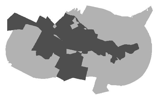
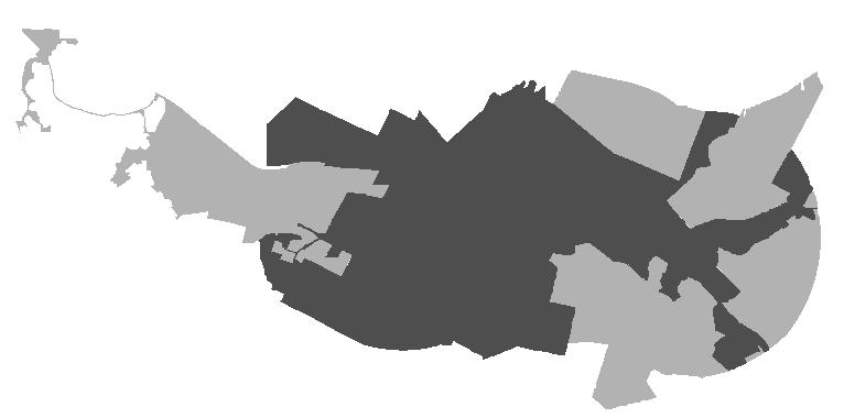
24 CITY LIMITS: 1,605 acres ETJ: 6,947 acres 2000 CITY LIMITS: 5,487 acres ETJ: 4,263 acres 2010 CITY LIMITS: 5,537 acres ETJ: 4,263 acres
& ETJ Limits OVER TIME
2020 City
656 3,925 9,144 3,393 244 1,436 37.1 2020 MEDIAN AGE under 5: 3.1% 5 to 9: 8.3% 70+: 5.0% 50 to 69: 21.6% 30 to 49: 38.6% 20 to 29: 7.5% 10 to 19: 14.9% POPULATION BY AGE
land per square foot
of undeveloped & underdeveloped land within City limits:* Avg $ per Acre for Undeveloped Land with frontage on a major road $785,000
Cost of
%
2021 MEDIAN HOUSEHOLD INCOME 17% 2000 2010 2020 2000 2010 2020
Established in 1965, the National Recreation and Park Association (NRPA) is the leading not-for-profit organization dedicated to “building strong, vibrant and resilient communities through the power of parks and recreation.” One of NRPA’s core functions is to solicit, compile, and disseminate data on parks and recreation programs.
The 2022 NRPA Agency Performance Review presents data from more than 1,000 unique park and recreation agencies across the United States as reported between 2019 and 2021 and highlights 27 of the most critical park and recreation metrics collected from the NRPA Park Metrics database on topics spanning from budgets to staffing, facilities, programming, and more.
Most of the data presented in the 2022 NRPA Agency Performance Review feature medians and data responses at the lower quartile (lowest 25 percent) and upper quartile (highest 25 percent). Furthermore, the data can be cross-tabulated and filtered by population, agency type, size, and geographic region
The data allow for insights into where an agency stands compared to “typical” agencies (i.e., those at the median values), as well as the full spectrum of agencies at both the high and low quartiles, which then provides places, such as Bee Cave an opportunity set customized, but informed performance measures appropriate to their particular locale The data provided over the next few pages was filtered through the following lenses so as to best match Bee Cave:
• Jurisdictions Population:< 20,000
• Population Per Square Mile: 500-1,500
• Budget Size: < $500,000

Bee Cave
2022 POPULATION: 9,720
• Number of Full Time Equivalents (FTEs): <10
• Number of Parks Maintained: <10
• Region: Southern
POPULATION Density: 1,117 people/sq mile
# of parks/Open Space maintained: 3 (CentralPark,Primitivepark,SculpturePark)
Parks Annual Budget: ~$631,000
Full time Equivalent positions: 7

This table on the opposing page conveys how common it is for an agency, when filtered by a characteristic similar to Bee Cave (e.g. population less than 20,000, fewer than ten parks staff, or agencies with <$500,000 budget) to have one or more of a particular facility (i.e. “prevalence) and, if present, the number of people served per instance of said facility (“Population per Facility”). The facilities in orange denote those already present at Central Park.
BENCHMARKS: FACILITIES
25
5.2 12.9 21.7 0 5 10 15 20 25 1 : 21.2 acres/1000 if counting City-owned Parks and Open Space, only (i.e. Central Park, Primitive Park, Sculpture Park) If counting City-owned parks and rec facilities plus privately owned parks and rec facilities (i.e. golf courses, Lake Travis Youth Association TYA, HOA managed parks and open space) ratio is 62.6 acres/1,000 population. Bee Cave 21.21 Lowest Quartile Median Highest Quartile Acres of Park LAND 1,000 residents


26 Prevalence Per Facility PopulationPerFacility Prevalence Per Facility PopulationPerFacility Prevalence Per Facility PopulationPerFacility Playground 96% 1,986 95% 2,900 98% 2,950 Dog Park 44% 11,100 43% 15,553 29% 11,500 Multi-use courts – basketball, volleyball 46% 5,400 40% 6,601 33% 3,348 Basketball court 86% 3,750 81% 4,320 80% 3,224 Rectangular fields- multipurpose 60% 4,362 64% 5,079 64% 3,348 Multi-purpose Synthetic Field 3% 12,962 4% 271,177 2% N/A Rectangular Fields: football field 26% 8,004 27% 10,500 29% 11,000 Rectangular fields – soccer field- adult 35% 8,017 29% 9,167 36% 10,059 Rectangular Fields: soccer field – youth 52% 3,504 46% 4,150 40% 3,524 Rectangular Fields: lacrosse field 4% 7,102 2% N/A 0% N/A Rectangular Fields: field hockey field 2% N/A 3% N/A 0% N/A Rectangular Fields: Cricket Field 1% N/A 1% N/A 0% N/A Overlay field 6% 8,707 4% 5,000 0% N/A Diamond Fields: baseball-youth 78% 3,107 73% 3,344 71% 3,928 Diamond fields: softball fields-youth 62% 5,339 60% 5,692 56% 5,500 Diamond fields: baseball – adult 45% 7,954 38% 7,800 31% 10,044 Diamond fields: softball fields – adult 51% 5,667 47% 7,869 40% 5,342 Ice Rink (outdoor only) 21% 7,997 16% 7,400 16% 3, 871 Community Garden 40% 8,773 41% 10,213 33% 7,400 Driving Range Station 9% 5,055 3% N/A 2% N/A Population <20,000 FTEs ≤ 10 Budget <$500,000
BENCHMARKS: PROGRAMMING
27
Programming Offered by Parks
POPULATION <20,000 POPULATION DENSITY 500-1,000/sqmile REGION Southern Full Time Equivalents <10 ACRES OF PARKS MAINTAINED <250orless BUDGET <$500,000 Themed Special Events 83% 88% 86% 76% 87% 69% Social Recreation Events 83% 87% 79% 77% 88% 79% Team Sports 85% 85% 94% 80% 89% 64% Fitness Enhancement Classes 67% 78% 81% 59% 79% 54% Health and Wellness Education 67% 74% 80% 57% 76% 62% Individual Sports 64% 72% 73% 54% 72% 49% Safety Training 62% 70% 74% 55% 69% 51% Racquet Sports 60% 68% 61% 45% 65% 44% Aquatics 55% 68% 81% 37% 61% 31% Performing Arts 40% 59% 60% 37% 51% 31% Visual Arts 43% 58% 57% 32% 52% 38% Natural & Cultural History Activities 37% 54% 63% 28% 43% 28% Cultural Crafts 40% 54% 55% 31% 53% 26% Trips & Tours 43% 57% 58% 33% 54% 36% Martial Arts 39% 47% 60% 28% 57% 31% Running/Cycling Races 41% 46% 49% 38% 39% 49% Golf 22% 39% 52% 20% 28% 21% eSports/eGaming 7% 10% 14% 6% 7% 3% TARGETED PROGRAMS POPULATION <20,000 Summer Camp 61% Specific Senior Programs 65% Specific Teen Programs 46% Programs for People with Disabilities 36% STEM Programs 40% After School Programs 47% Preschool 25% Before School Programs 16% Full Daycare 4%
& Rec Departments


28 2 3 10 0 2 4 6 8 10 12 Bee Cave 9.8 miles Miles of Pedestrian paths Lowest Quartile Median Highest Quartile 620 71 2244 Existing paths, sidewalks, and bike paths Proposed paths, sidewalks, and bike paths EXISTING AND PROPOSED PEDESTRIAN NETWORK IN BEE CAVE’S ADOPTED CONNECTIVITY PLAN
$3,950 $8,188 $24,015 $$5,000 $10,000 $15,000 $20,000 $25,000 $30,000 Bee Cave $1,930 Operating Expenditures Per Acres of Park & Non-Park Sites $68 $117 $226 $$50 $100 $150 $200 $250 Bee Cave $50 Operating Expenditures Per Capita 29
Lowest Quartile Median Highest Quartile Lowest Quartile Median Highest Quartile $551,925 $1,200,000 $2,443,647 $$500,000 $1,000,000 $1,500,000 $2,000,000 $2,500,000 $3,000,000 Bee Cave $500,000 Annual operating expenditures Lowest Quartile Median Highest Quartile
BENCHMARKS: EXPENDITURES
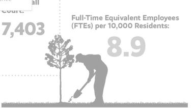

30 6.4 11.3 21.1 0 5 10 15 20 25 Bee Cave 7.5 fteS Parks & Rec Staffing: FTEs*/10,000 residents Lowest Quartile Median Highest Quartile 50% 42% 6% 2% Personnel Services Operating Expenses Capital Expenses Not in CIP Other Distribution of Operating Expenditures Staffing 42% 27% 22% 4% 5% Parks & Rec Staffing: Distribution of Responsibilities of Parks and Recreation Workers Operations/Maintenance Programmers Administration Capital Development Other * FTE: Full Time Equivalent


MWM Design Group performs due diligence and prepares initial Concept Plan alternatives
Public workshop held to share initial Concept Plan alternatives with City Council and the public.

Mar 9 2021

Concepts refined based on feedback from March 21 workshop
Mar 2020


World presses pause

Feb 2020

City hires MWM Design Group with preparation of a Concept Plan for Bee Cave Central Park
City issues open-ended Facebook prompt soliciting public input on desirable future amenities at Central Park.


City holds two public meetings to receive feedback from City Council and the public on the refined Concept Plan City Council adopts Concept Plan, affirming general configuration of park drives, uses, and amenities
City adopts first Capital Improvements Plan (CIP), effective from FY 21-22 to FY 25-26 Over the five year period covered by the CIP, the Bee Cave Economic Development Corporation and the City earmark approximately $4.7 million toward infrastructure and parking improvements to Central Park
City opens online public survey regarding current and potential Central Park park amenities.

Mar 2022


Oct 2022

PUBLIC ENGAGEMENT
In addition to the daily opportunities the park staff has had to engage with and observe park patrons and develop timetested understandings of users’ preferences and patterns, (enumerated on the following page “staff observations”), the City also engaged in a more formal effort to solicit feedback on what people would like to see in and for Central Park. This call for public input kicked off at a series of City Council meetings in the spring of 2021, during which time several preliminary Concept Plans laying out potential “use areas” and internal circulation networks were presented for discussion (See Early Iteration image on page 42 for one such example) During the initial meeting in March, a lotof the discussion focused on the latter, specifically the importance of not inadvertently dividing the park into quadrants as a result of the layout of internal drives. These comments had an appreciable impact and resulted in the
substantially revised Concept Plan that was ultimately adopted by City Council in June 2021.
In August 2021, the City continued its quest for public feedback, this time with emphasis on the potential park uses In addition to staff and Council members spending a few Saturdays in the Park informally querying users, the City also published a survey via Survey Monkey, the results of which are to the right. Additional informal efforts to gather feedback ensued until March 2022, when the City put out another call for structured feedback via its Facebook page, the results of which are also provided to the right.
See page 32, regarding plans for public engagement post-adoption of this Plan.

May 25 2021


Jun 8 2021

August 2021

Master Plan PROCESS
31
Sep 2023 Sept 2020
On August 13, 2021, the City posted a survey on Survey Monkey soliciting feedback about Bee Cave Central Park. The results, gathered over the course of about two months, are reflected below.
Are you a Bee Cave resident?

How often do you visit Central Park?
responses from residents shown in green


For what do you mainly use the park? (morethanoneresponsewasallowed)


What new park feature would be most useful? (morethanoneresponsewasallowed)


Would you travel more than 10 miles or more to visit a park amenity? (% of “Yes” responses)


Would you pay a fee to cover maintenance


On March 23, 2022, the City posted a prompt on its Facebook Page: Ifwecouldaddoneamenityorfeature toCentralPark,itshouldbe . The following represent the responses, a compilation of discrete mentions, “likes,” and “loves.” The post did not isolate responses based on residency.

responses from nonresidents shown in blue


32
Public Engagement Online survey
YES 79% 649totalresponses NO 21%
weekly a few times a year rarely/never weekly a few times a year rarely/never 526totalresponses 42% 46% 12% 48% 45% 7%
Facebook ENGAGEMENT
PLAYGROUND 55% 76% WALKING TRAILS 77% 71% DOG PARK 21% 11% SPORTS AMENITIES 15% 10% OPEN SPACE 29% 31% BICYCLING 17% 14% WORK OUTS 10% 7% 41% 63% INCLUSIVE PLAYGROUND 40% 13% PICKBALL &/ OR TENNIS SHADE 66% 76% SPLASH PAD 57% 81% 16% 11% PUBLIC ART DISC GOLF 9% 9%
YES MAYBE NEVER 40% 33% 28% 37% 33% 31%
of special amenities?
EVENT/PERFORMANCE CENTER NATURE CENTER 64% 55% 46% 56% 46% 76% 27% 45% 28% 13% SPLASH PAD 102 COURTS INCLUSIVE PLAYGROUND 15 14 PLAY FOR OLDER/YOUNGER CHILDREN 32 BETTER FIELDS SKATE PARK 23 MORE PARKING 25 24 REMOVE RUBBER MULCH ON PLAYGROUND 14 IMPROVE SECURITY FENCING 10 11 POOL/ WATER SLIDE 9 FOOD TRUCKS/CAFE 9 GARDEN/ ZEN GARDEN/ MEMORIAL TREES 7 CAROUSEL WALKING TRAILS 6 5 DISC GOLF 4 BIKE PATHS MORE SHADE 4 CLIMBING WALL 4
The City established the Parks and Facilities Department in 2018 to support the anticipated growth of the trail network and parks system The Department, in the normal course of performing its core functions these last five years, has amassed a wealth of institutional knowledge about Central Park patrons’ patterns of behavior, preferences, tolerances, and opinions
• The large pavilion is more popular to reserve due to its size and proximity to the larger playground.
• The majority of reservations are for birthday parties. Nearly all are on the weekends and during the summer, but relatively early in the day before it gets especially hot; the average number of reservations slows down once school starts.
• There is a contingent of repeat users that bring their dogs to the park with the intent of running them off-leash outside of the dog park usually in the big field This is against policy and staff spends a portion of its time requesting people abide by the policy.
• Doggy waste stations are provided along the trail and in the dog park; they are generally effective Parks staff considers the amount of unpicked up pet waste to be in line with what you’d expect at a park.
• Routinely, patrons, even when parking spots are available, park in the grass in order to 1) be in the shade and/or 2) park closer—even nominally so—to their intended destination
• As is often the case in pedestrian-heavy settings, the grass provides a lot of clues regarding the path people are choosing to get between points Central Park is no different; there are several locations where footpaths have been worn in lieu of taking the provided sidewalk between the same two points, direct evidence that certain segments of the existing trail network are too circuitous for many
• A majority of walkers walk solo or in pairs. There are a lot of habitual walkers who tend to walk early in the morning and if the gate is not open when they arrive, they park outside the gate in order to use the trails on their schedule The age of walkers is mixed, but it is mostly adults There are few strollers on the trail—through talking to people and by inference, staff has concluded the length of the loop combined with the distance from the parking lot combined with the distance from bathrooms dissuades those with young children from using it recreationally
STAFF observations
33
• Patrons are generally respectful about either properly disposing of or carrying out the waste they produce With a level of effort expected for a park of this size, staff is able to keep up with trash produced and gathering of errant litter.
• Vandalism, such as graffiti, exists within the park, but it is not rampant and could be characterized as (relatively) “minor mischief.” Examples include breaking of the changing table in the bathroom, smashing of a doggy waste station with a rock, and breaking of mirrors hung at either end of the pedestrian tunnel. Vandalism tends to occur more frequently in the summer and during school breaks It will remain important to allocate budget and staff time to unplanned repairs.
• It remains a goal of the Parks staff to continue to be approachable and a welcomed presence to park patrons. The staff is on a first name basis with many of the regular park users. Oftentimes, the commentary and feedback revolve around appreciating that the park is manicured and provides well-maintained amenities. These discrete, but steady comments over the course of many years contributed to the City’s recognition that the role and expectations of Central Park in the City-wide parks system had, in users’ mindsets, evolved over the years. Whereas at its inception the park was intended as more passive, open space with limited formality, over almost twenty years of use, patrons now expect the park to fulfill the community’s need for active and intentional amenities.
• Due to deed restrictions, it is against park policy to run a commercial operation out of Central Park; this includes private group fitness class instruction. Staff routinely has to inform instructors—typically cross-fit and yoga — that they are not permitted Most groups are between 5-10 participants. Instructors typically bring their own equipment and attempt to set up in the pavilion because they are attracted to the shade
• All playground equipment is heavily used. There are regular requests for more equipment, especially swings The shade sails are reported to provide sufficient coverage.
• Parks maintenance staff recommends replacing the rubber mulch with a solid surface option It is consistently “redistributed” beyond the borders of the playground area onto the sidewalks and grass by the littlest park users, which make it very difficult for the playground to maintain a neat appearance
• Parks patrons have expressed concern about the toxicity of the rubber mulch While this plan recommends to replace the mulch with another material, if mulch were used in the future, it would, like the mulch out there presently, not be made from tires, but from a non-toxic source
34
INTENTIONALLY LEFT BLANK
35
36 Site Character | Vehicular Access & Circulation | Parking | Vehicular Circulation Analysis | Pedestrian Access & Circulation | Utilities | Natural Vegetation | Landscaping | Stormwater | Low Impact Development
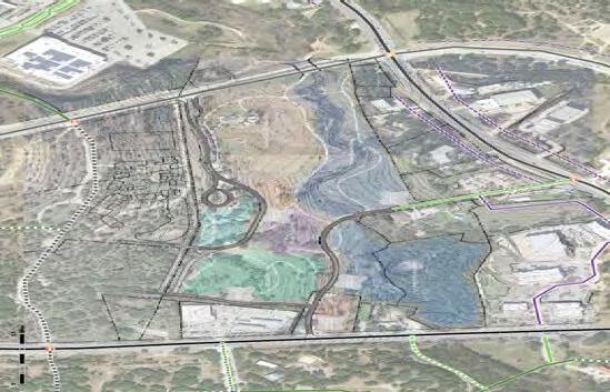
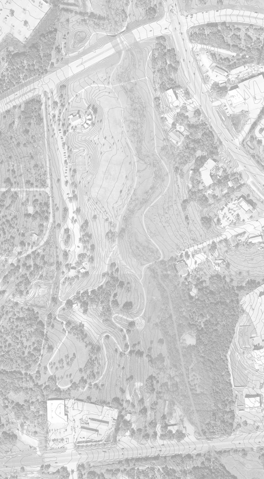
Physical Framework
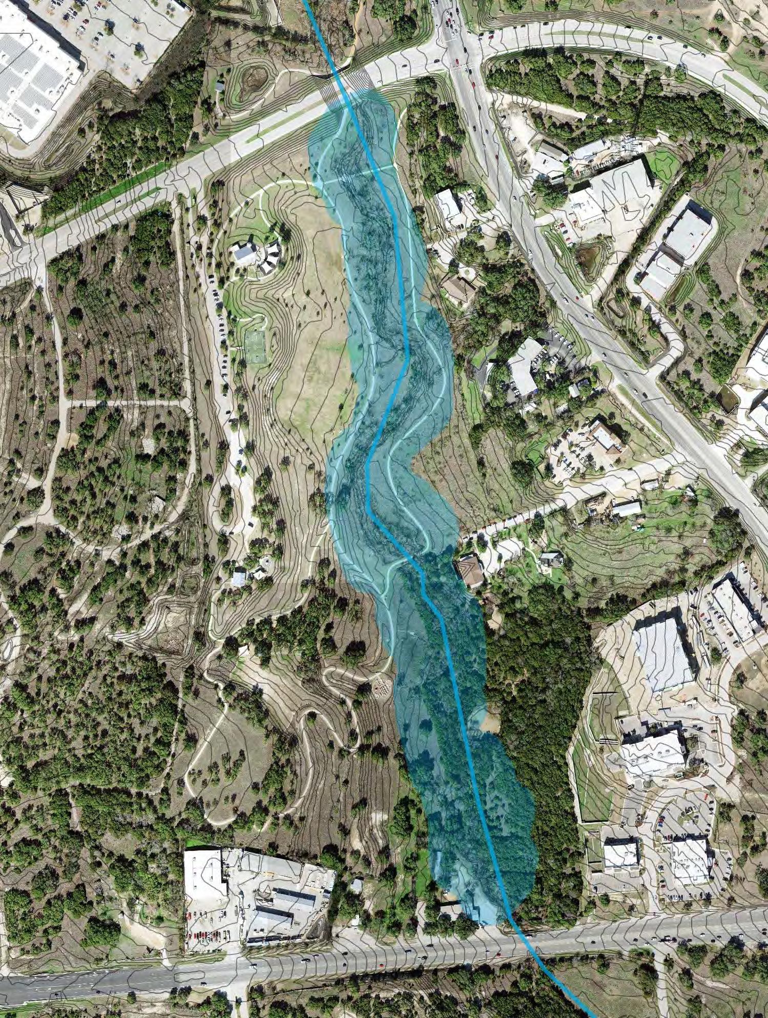
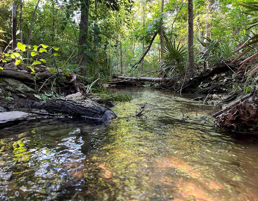
The Park is characterized by hilly terrain, including some space-defining changes in elevation The topography generally slopes eastward toward Freitag Creek, which runs north/south through the entirety of the eastern portion of the Park The presence of the creek begets the regulatory presence of an 85-foot wide water quality buffer zone (WQBZ) on either side of the creek’s two-year floodplain. In this WQBZ, only minimal (e.g. trails) and/or critical (site access/circulation) soil disturbance is permitted.
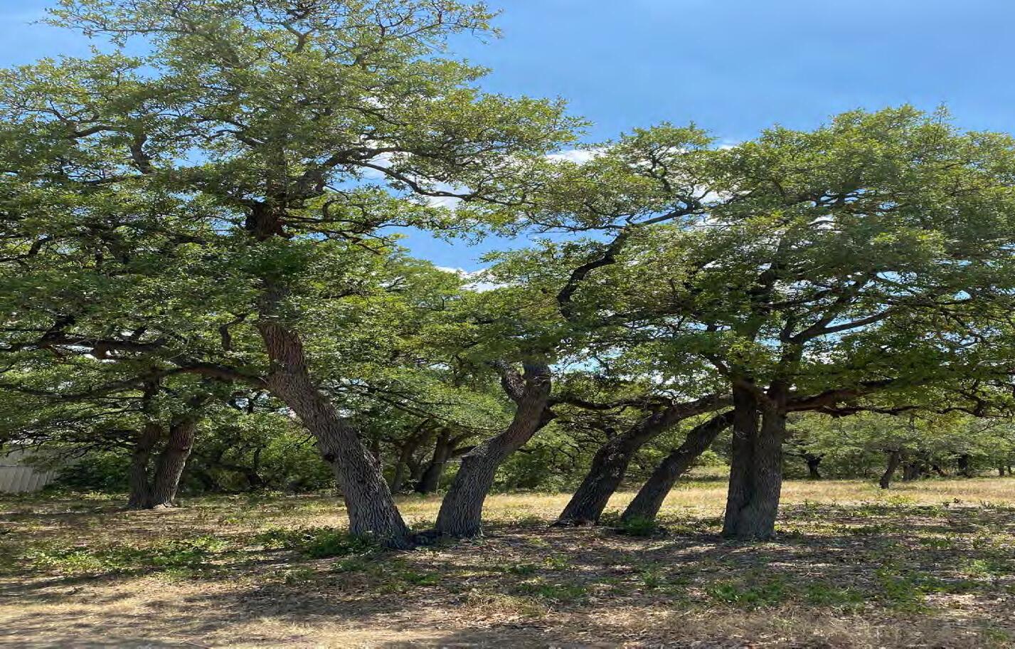
While the property contains many stately, old hardwoods, tree coverage is inconsistently distributed and especially robust along the creek and in the southeast portion of the site. There are also many attractive and shade-providing trees in the center of the park and toward the south The trees in the north-central part of the park, which appear to have been planted subsequent to City acquisition of the property, have struggled to thrive, potentially due to the inconsistency of the irrigation system
With the exception of the Revival tract, the Park is Zoned Public. As such, a 50’ front yard and 25’ side yard building setback is imposed The Revival Tract is zoned Neighborhood Mixed Use The front setback/landscape buffer is 75’; the side and rear setbacks are 10’ . A previous zoning of this property had reduced the landscape buffer along SH 71 from 75’ to 50’, with consideration given to the site’s size, configuration, and existing structures and paved areas.


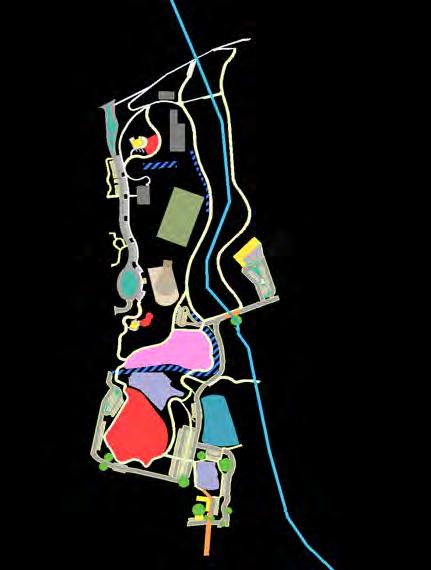
SITE Character


37
OTHER PROPERTY BOUNDARIES STEEP SLOPES 2 FOOT CONTOURS PARK ENTRANCE NOTEWORTHY CANOPY TREE CLUSTERS 620 71 REAR & SIDE BUILDING SETBACK FRONT LANDSCAPE SETBACK
38 SourceofPictures: CityofBeeCaveParks&FacilitiesDepartment
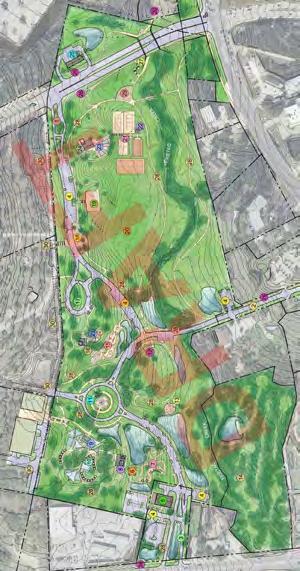
ACCESS
The Master Plan increases the number of vehicular access points from one to four. In addition to maintaining the current entry off of Bee Cave Parkway on the north side of the park, the new design will also offer access options to/from RR 620 from the east, SH 71 to the south, and a currently unnamed road from the west that intersects with Willie Way. As well as improving emergency response times, these new distributed points of entry/exit will provide users more direct and efficient routes to the portions of the park on which their visit is focused This is especially true for users coming from/going to SH 71 and to/from the western portion of the “Recreation and Entertainment District”
CIRCULATION
While some users will choose to move about the 60-acre park on foot, feedback gathered during preparation of this plan, and years of data on the usage patterns of the current parking lot support that a significant subset of Central Park visitors wish to park as close as possible to their destination, including but not limited to those using child-oriented amenities.
In response, and in order to connect the aforementioned four points of access, the park proposes a predominantly internal ‘ring road’ around the perimeter of the property. The location is laid out in an intentional manner that positions all uses and amenities on the interior such that, upon parking, no user is required to cross the drive to reach/return from their destination. Furthermore, the two-lane drive is designed to integrate multiple traffic calming measures, such as curvature ; narrow lane widths between 24’ and 26’ ; t-intersections that prompt the need for stop signs ; on-street parking ; use of vegetation to create the illusion of additional lane narrowing, which has the dual purpose of slowing traffic and preserving and highlighting existing, mature trees ; and occasional divisions of the lanes with vegetated medians In combination, these will reinforce the design and posted speed of 15 mph or fewer and discourage “cut-through” traffic, a consideration analyzed not only in the preparation of this Plan, but also in concert with the City’s Thoroughfare Plan and Capital Improvements Plan, as highlighted on the following page


ACCESS & CIRCULATION
Full turning movements presumed to remain. Divided entry presumed to remain.
TXDOT’s RR 620 widening project (timeframe still TBD) includes adding a signal at the intersection of RR 620 and the unnamed road.
To be designed with a main entry feature, such as a vegetated median. Presumed to be right-in right-out only. Has potential to serve not only the park, but property to the east for safer access to/from SH 71
Connections required as per Backyard zoning ordinance. May have limited public use during events at Backyard.


39
6
3
2 4
Vehicular 5
7 7
6
1 2 3 4
future signal 3 1 5 7 6
Preliminary design notes


PARKING
Currently, the park has 72 parking spots, all of which are located in the northwest corner along the eastern side of the access drive off of Bee Cave Parkway.
“The lack of parking” is the number one complaint the City receives about Central Park currently. Observation of parking patterns would suggest that while there is a definitive shortage at peak times—early morning, early evening, Saturdays, Sundays, school breaks the issue is not only related to quantity, but also parking distribution and lack of proximity to heavily used areas Furthermore, although the size of the existing spaces is standard, 9’x18,’ it is also routinely observed that cars park over the lines in some cases seemingly due to the size and types of vehicles(trucks, vans, and large SUVs) which effectively reduces supply.
With that in mind, the Master Plan placed significant priority on distributing future spots throughout the park, in close proximity to future uses. It also utilizes a slightly enlarged 10’x20’ dimension per space as the new standard, recognizing the expectation that the park will offer many attractions for families
The following amounts are approximate; however, the graphic to the left shows parking to scale and with consideration made to topographic changes, water quality buffers zones, and drainage ways
EXISTING PROPOSED TOTAL USE PROXIMITY
72 18 90 Existing pavilions & playgrounds, sport courts, field, trails
0 116 116 Play-for all abilities playground flex space 1, trails
0 45 45 Restaurant/cafe, flex space 2, primitive trails in SE
0 21 21 Trails, bird watching, creek
0 17 17 Dog park, theater, trails
217 289


WALK TIME
Drawing a 400 buffer around the anticipated location of the future parking spaces (as shown in dark grey, left) demonstrates that over 70% of the park and the overwhelming majority of amenities are within a 90 second walk of parking

PARKING
40
A B C D E 71 620 A D E B C
During the preparation of this Plan several separate, but related efforts were underway (see “Influential Plans & Projects”): 1) the adoption of the City’s first Capital Improvements Plan, which broadly addresses construction and improvement of roads, pedestrian facilities, and City parks, buildings, and facilities (adopted circa October 2021); 2) update to the City’s Thoroughfare Plan (adopted circa December 2020) 3) update to the City’s Hike & Bike Connectivity Plan (adopted circa April 2021; since updated again in April 2023) 4) TXDOT’s preparation of a schematic design of the RR 620 expansion; 5) approval of the
Influential Plans & projects
Backyard Subdivision Construction Plan (circa August 2021); and 6) acquisition of the Revival Tract, which provided a viable access point to SH 71 (acquired circa December 2020). The confluence of these events prompted a fresh look at the Park’s internal circulation, access, and relationship to surrounding properties, as it was readily apparent there was opportunity and, in some cases, need for improvement of all three.
One such opportunity was an arrangement that allowed park patrons to access the park from all sides and, upon entry, move among uses and parking areas on an internal driveway/“road” network instead of getting back onto the state highway system to utilize one of the other three proposed entrances and portions of the park The improved efficiency of such an arrangement to park users may be intuitive and is certainly quantifiable (see “Efficiency Analysis”), but, on a broader level, such an arrangement is also supported by many goals and policies in the Comprehensive Plan, which recognizes the importance of providing alternative routes for local trips rather than forcing them to co-mingle with regional trips using the state highway system—in other words, every trip that can be “internally captured” is one fewer trip contributing to delays at the major intersections, the most common and fundamental point of failure in any road network.
Early iterations of the Master Plan included a driveway network that divided the Park into quadrants and included a roundabout at the western edge (see “Early Plan Iteration”). Though there was support for the notion that improvements to access and connectivity had value, there was consensus among Council and the citizens that provided feedback that this particular arrangement overly prioritized movement of cars over pedestrian safety and movement; and for some, it raised concern about potential “cut-through” traffic by nonpark users and the negative implications that it could have on the Park experience. The discussions prompted a directive to re-imagine a solution, provide further analysis on the pros/cons of such layout, and identify any external factors that would be inherent to the Plan’s success
EFFICIENCY ANALYSIS
CIRCULATION ANALYSIS Vehicular
The analysis factored in length of trip, speed limit, and average delay traffic controls such as stop signs and signals A trip on the State highway network is estimated to take between 1.5 to 5 times longer than an internal trip
41
1 2 3 4 5
Routing of Trips between Parking Areas Route Length of Travel (ft) Travel Time (min.) External Routing of Trips A 4800 2.75 B 3650 3.25 C 5000 3.5 D 3400 1.4 Internal Routing of Trips A 2500 1.7 B 3700 2 C 1250 0.7 D 1050 0.7 A B C D
EARLY Iteration
Park Road imagery
PLANNED Surrounding road network


These critiques and queries were a direct influence on the infrastructure layout that is ultimately adopted as part of this Master Plan-a “ring road” that, except under atypical circumstances, will 1) be both shorter for internal trips and longer and less appealing for through-trips (i.e. “cut throughs”) and 2) avoid direct interaction between cars and pedestrians nearly 100% of the time
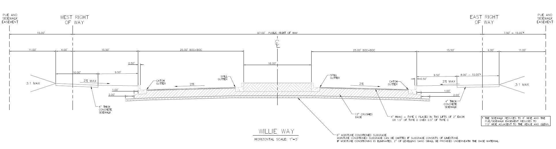
The key to the success of the former is the construction of Willie Way from Bee Cave Parkway to SH 71 (see Planned Surrounding Road Network), a project identified as PR RE.4 in the aforementioned Bee Cave FY 2021-22- FY 2025-26 Capital Improvements Plan. Located to the west of Central Park and ultimately connecting from Ladera Blvd to Village at Spanish Oaks, Willie Way is proposed as a four-lane, Minor Arterial (in the vein of Bee Cave Parkway) with a design speed of 45 mph that will prove more efficient As part of the analysis, trip patterns with existing and anticipated origins and destinations from all directions were tested In all cases, Willie Way prevailed over the park road as the faster, more direct route.
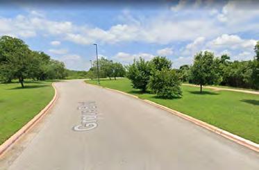
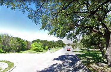
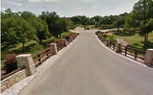
As previously mentioned, the key to the success of the latter is in both the layout and the design Although the road was always presupposed to be of a low speed and of a character that functioned more like a meandering park drive than a public thoroughfare, the feedback gave way to more intentionality in the early stages of thinking about how and where such traffic calming measures were to be integrated. While certainly not exhaustive nor comprehensive in thought, the images to the left (see “Park Road Imagery”) provide some sense of scale to the road that is envisioned.
42
Walnut Creek Park Road Roy Guerrero State Park Road
Old Settlers Park
Built Planned CONSTRUCTION STATUS Minor Arterial Primary Collector ROAD TYPE Park Road 71 620
AT PANISH OAKS HE ACKYARD
VILLAGE
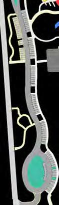
PATH NETWORK
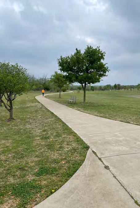
The existing trail system, which is approximately 9,150’ (approx. 1 ¾ miles) long, is one of the most popular and widely used amenities in the park. The paths are concrete, primarily 6’ wide, and, with the exception of the southeast corner, interconnect the majority of the 60 acres. In addition to being used for basic access throughout the park, they are used for a variety of activities, including strolling, walking, jogging, rollerblading, and bicycling.
In soliciting feedback for this Plan, the recurring comment themes regarding the paths were:
- Ensure the trail system remains largely intact;
- The paths are used by people of all ages;
- The current paths are too narrow;
- Ensure vehicles circulating through the park don’t pose a safety concern for pedestrians using the paths; and
- The paths have a lot of direct sun exposure
With those considerations in mind:
- With limited exception, the current path alignment is to remain.
- The path is proposed to be widened to 12’, a more appropriate width for multi-purpose usage For example, this allows 3-4 people to walk side by side; pairs of people walking in opposing direction to pass with ease; or a cyclist to easily circumnavigate a person pushing a stroller.
- As previously mentioned, the internal driveway configuration is proposed to be on the outside of the paths so there is no conflict between pedestrians and cars
- With consideration given to the availability of and overall demand for irrigation, more natural shade should be added along the path system
The Plan proposes to add new paths in two sections of the Park: the northwest corner to create interconnectivity with the Backyard, and in particular, the parking garage that will provide supplemental public park parking, the southeast corner in “the Burton tract,” and through the Revival Tract, including a pedestrian Bridge across SH 71 Regarding , the exact alignment is unknown, but the character of these paths is anticipated to be more primitive than the rest of the park and instead echo the existing conditions circuitous and meandering around the dense stand of mature trees; of a natural material such as crushed granite, mulch, or compacted soil; and 5’-8’ in width (See Burton Tract Trails Prototype Imagery inset on page 46). Regarding , this will serve as the City’s primary connection between the north and south sides of the SH 71 corridor (See Pedestrian Bridge inset on page 45) .


ACCESS & CIRCULATION


43
A B C B C 71 620 B A C
Pedestrian
City - Wide Connectivity Plan & Park POINTS OF ACCESS
Central Park plays, quite literally, a central role in Bee Cave’s city-wide Hike and Bike Connectivity Plan (excerpt shown below), which is loosely based on a hub-and-spoke system that provides functional and recreational mobility between and among residential neighborhoods throughout the City into a highly interconnected town center. Implementation of the Connectivity Plan, including those segments within the “Recreation and Entertainment District” of which Central Park is a part, is proposed to be completed over the next ~ five years, through the City’s FY 2021-22 to FY 2025-26 Capital Improvements Plan
This broader Connectivity Plan provides the opportunity for the Master Plan proposed seven, distinct points of safe and genuinely functional pedestrian access to/from the Park to/from the surrounding area. Further information is available on access points 1,2, and 4, the pedestrian tunnel and bridge, respectively, on the next page.
LEGEND
Improved Recreational Path
Primitive Recreational Trail
Shared Use Path

TXDOT Shared Use Path
Sidewalk


Shared


44
Bike Lane
Shoulder 1 Recreation & ENTERTAINMENT DISTRICT 3 4 5 6 7 8 pedestrian tunnel pedestrian bridge at grade at grade at grade at grade at grade 71 620 * Pedestrian Bridge (at-grade) * Pedestrian Bridge (above-grade) *
Park Boundary
& Entertainment District
Central
Recreation
pedestrian bridge 2
SourceofPictures: Anna Jensen,CityofBeeCaveParks&FacilitiesDepartment
PEDESTRIAN TUNNEL
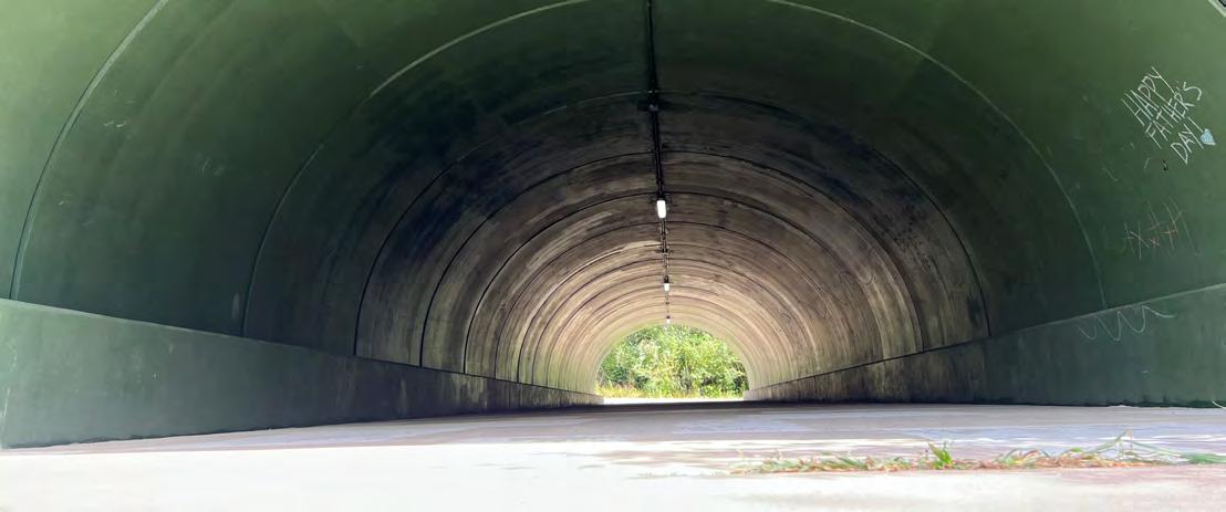
The 100 foot long pedestrian tunnel was constructed in approximately 2006 with the construction of the original Park infrastructure as a safe means for pedestrians to cross the road, at a point when the dog park was located north of Bee Cave Parkway and the RR 620 trail and Bee Cave Parkway trails did not exist In the ensuing years, the tunnel continues to play an important connective role to the north, east, and west, but has also taken on the dynamics of being home to a robust Mexican Free-Tailed Bat Colony.
In addition, the tunnel has organically morphed into a natural place for public art It currently provides an opportunity for amateur murals and drawings, providing chalk to budding artists. The City may also consider commissioning a professional mural through all or part of the tunnel. This mural could serve as means to convey local history, education about the region, and/or as a wayfinding for the City’s regional trail system

Source: MarvinPfeiffer,SanAntonioExpressNews
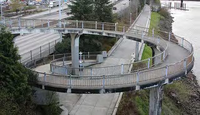
PEDESTRIAN BRIDGES
The Bee Cave Hike and Bike Connectivity Plan proposes pedestrian bridges across SH 71 between the forthcoming Willie Way/Village Oaks Dr and the eastern border of Central Park and across RR 620 north of the intersection with Bee Cave Parkway In addition to the purposes of these bridges being a functional element of the City-wide pedestrian path network and, quite literally, connections between the north and south sides of the City and portions of “Town Center,” they are also intended to convey the City’s identity and, in turn, to be designed as an iconic, “place-making” structures
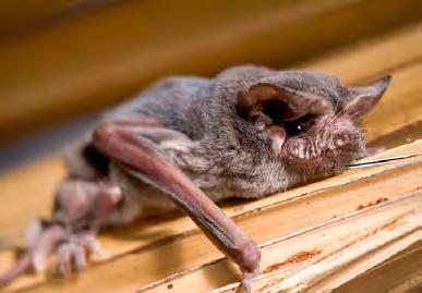
Ideal Mexican Free-Tailed Bat Habitats Are: Quiet Dark Humid Warm AdaptedfromtheTexasDepartmentofParks&Wildlife
Source: SariveraRiverAuthority.org
Pedestrian
After evaluating topographic, hydrologic, projected land use, and other considerations along this corridor, the most (and perhaps sole) feasible location for the SH 71 bridge is in the vicinity of the Revival Tract At 914’, the elevation south of SH 71 is approximately 12’ taller than the elevation on the north side of SH 71, which is approximately 902.’ Because the minimum vertical clearance required by TXDOT on a State-designated “freight route,” such as SH 71, is 19’, this differential creates an opportunity to avoid needing cumbersome ramps, switchbacks, and/or “spirals” to get from the bridge deck back down to grade on at least one side of the bridge in accordance with ADA requirements (see page 46 for ADA parameters) See page 75 for further discussion on bridge design..
Study Area


RAMP Example Spiral Example ELEVATION (FT)


Source: HartfordCourant
ACCESS & CIRCULATION
Source: brx0 on flickr
45
901’ 71
942’ 860’
Spanish
Willie Way future)
Oaks Club Blvd McCoys Bedrock Stone
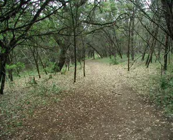
BURTON TRACT TRAIL PROTOTYPE IMAGERY
Source:Austin Explorer
Source: Austin Explorer
Source: https://www.protectadks.org/
Source: River Place Limited District
TECHNICAL DESIGN CONSIDERATIONS
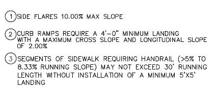
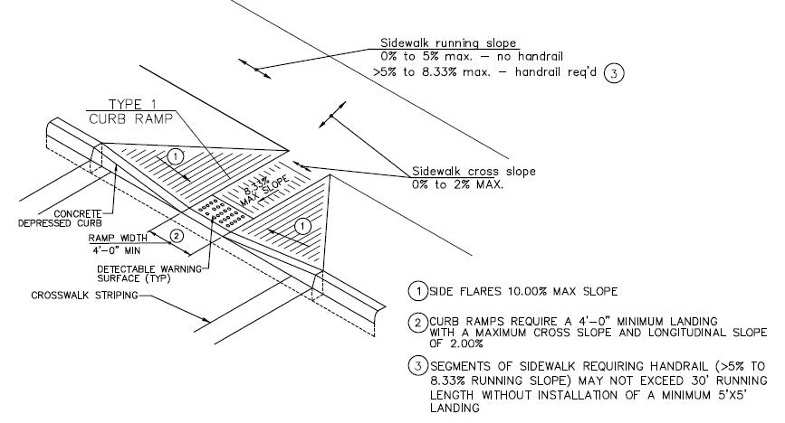
The Americans with Disabilities Act and the Texas Department of Licensing & Regulation prescribe parameters for design of facilities to ensure safe access and use for and by all In the case of paths and trails, these regulations generally impact 1) width 2) cross-slope and 3) running slope
Source: KevinSawtelle,P.E.,CityofBeeCavePlanning&Development Department
RAILING PROTOTYPE
Depending on the slope of the path, railings will be required on both sides. When this occurs, the selected railing should either mimic or complement the railing design in the picture below, which is intended to evokes the following.
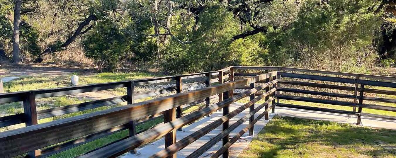
• Natural
• Rustic
• Modern
• Evocative of split-rail
46


ELECTRICITY
Currently, electric service enters the Park at the northwest corner of the property, in the vicinity of the Park entrance. A buried electric line located roughly parallel to and west of the driveway supplies parking lot lighting Off-shoots of this line also supply the 1) large and small pavilions; 2) a light in the approximate center of the Park; and, though unused, 3) the basketball court and 4) multi-purpose field At a minimum, additional electricity will be needed to illuminate the future parking lots, the bathrooms, the maintenance building, and the future buildings on the Revival Tract adjacent to SH 71. Electricity is anticipated to be preferred and potentially required for optimal function at certain use areas, including the Inclusive Play Area; Dog Park (e.g. electricity is required to provide a pressure-regulated water source for dogs and people); the Sport Courts (e.g. the United States Tennis Association requires tennis courts to be lit to be eligible for grant money for construction and to host tournaments), Community Stage, Flex Spaces 2, 3, and 4; the Memorial Walk; and the pedestrian bridge. Currently, the paths are unlit If a policy decision were made to extend the hours of the park beyond dawn to dusk, consideration will need to be made for illuminating the pathways and potentially the park drives. For low-load fixtures and/or remote portions of the Park, a cost and feasibility analysis should be performed to determine if solar powered fixtures are more suitable than hard wired fixtures All illumination should be Dark Sky Compliant in keeping with the City’s designation as a DarkSky Community.

WATER


Potable water at Central Park is currently supplied by the West Travis County Public Utility Agency (WTC-PUA) via a 12” waterline on the south side of Bee Cave Parkway The Park’s 6” fire service line and 2” domestic water service line connect to the 12” waterline on the west side of the park entrance and run north/south along the western property boundary to the southernmost pavilion at the end of the park drive Based on the diameters of the existing service lines and the distance to the proposed facilities, additional water modeling will need to be conducted to determine if the Master Plan infrastructure plan will need to contemplate replacement/enlargement of the line(s) so that they can maintain sufficient pressure when they are extended to serve other areas of the Park, such as the Inclusive Play Area and the Sport Courts. Water will also be needed at the Revival Tract, but it may prove more efficient to pull it from a line on SH 71.

Irrigation: The area shown in red to the left is a very approximate representation of where irrigation infrastructure—functional and non-functional is believed to be based on as-builts and a field assessment Irrigation water for the Park is supplied by a well located in the vicinity of the existing big pavilion However, the well is not meeting current irrigation needs, the potential reasons for which are still being ascertained (e.g. tap depth; lack of storage capacity) In addition to the shortcomings of the well itself, the existing irrigation pipes need to be mapped so that they can be more efficiently fixed when there is a presumed break It will be critical for the shortage of irrigation water to be remedied, possibly through modification to the well system. Another potential option that the City is evaluating is a partnership with the WTC-PUA for use of treated effluent and/or indirect use of their plans for a beneficial re-use groundwater injection well Potable water is not recommended as a primary source for water, but may be explored as a back-up source in the absence other options for areas with high intensity landscaping Irrespective of the ultimate water source, an upgrade to the operating system is recommended to allow for functions such as remote operation, malfunction alerts, customized programming, smart sensors, and reporting.
WASTEWATER

UTILITIES
The Park currently has sewer service from the WTC-PUA via a manhole located at the northeast corner of the park near the bridge structure over Freitag Creek. The existing park facilities drain to a lift station near this manhole, which ultimately pumps the Park’s wastewater to the WTC-PUA system. Due to

47
71 620 Existing utilities
gravity and capacity, it is not feasible to extend this line to the southern half of the Park The City is evaluating an opportunity to partner with the Backyard to run a gravity line from the southeast corner of their project along the southwestern borders of the Park , through the Revival Tract, and through the Burton Tract to ultimately tie into a line on the north side of SH 71 to address this gap. No septic is proposed so sewer will be required in all locations where bathrooms are proposed
INTERNET
Provision of internet within the Park has been an ongoing point of discussion If budget permits this to be integrated into the first phase of construction, it is recommended that fiber be brought to the park and wi-fi extenders be installed at the pavilions and active use area. If it is not part of the first phase of constructions, it is presumed that, with time, the options for how to deliver this service will evolve


48 Electricity POTABLE WATER IRRIGATION wastewater Proposed Backyard wastewater gravity line Flex Area 3 Inclusive Play Area P P P P P P P Flex Area 4 P Flex Area 2 Dog Park P Smal l Pavilion Water Quality Pond
Community Stage Small Playground Future building P P P Pedestrian Bridge Future building Maintenance Building Multi Purpose Field Basketball Court Large Playground Large Pavilion Sports Courts P P P P P P P P P P Sports Courts Flex Area 1 Water Quality Pond Has existing service Needs service Does not need service Has existing service Needs service Does not need service Has existing service Needs service Does not need service currently on well water
TREES, SHRUBS, AND GRASSES
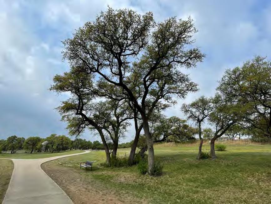
Particularly toward the southern half, Central Park contains several large stands of live oaks, worthy of highlight not just for their aesthetic value, but also their functional value in providing shade Care has been taken in the Master Plan to intentionally situate certain uses that benefit from natural shade among these (e.g. dog park, play for all park, flex area 4, Burton nature trails) and other uses for which trees are more disruptive in areas of the Park where limited or struggling tree stock exists (e.g. sport courts, multi-purpose fields, community theater).
In addition to the continuous canopies, there are also several stately and mature oaks and other hardwoods that are worthy of highlighting and, certainly, preservation, some examples of which are highlighted to the right.
To date, limited resources have been put toward shrubs and grasses. While much of the park should remain naturally vegetated, the portions that have formal planting plans should emphasize native and drought tolerant species. The field may require more intensive care and intervention in order to adequately serve its intended function
RIPARIAN ZONE
Riparian zones, or areas, arelands that occur along the edges of rivers, streams, lakes, and other water bodies. Examples include streambanks, riverbanks, and floodplains. They're different from the surrounding uplands because their soils and vegetation are shaped by the presence of water. This environmentally sensitive area serves not only as a habitat for unique flora and fauna, but also as a buffer for pollutants such as fertilizers, chemicals, and roadway runoff that could potentially enter waterways Because of riparian zones’ composition and proximity to water, they are naturally prone to erosion, but especially vulnerable if overexposed to human presence and manipulation
The area to the right approximates the riparian zone around Freitag Creek, which is part of the especially environmentally sensitive Edwards Aquifer contributing zone While creek access is recognized to be a desirable asset and amenity to Central Park, it needs to be carefully considered so as not to become disturbed and “over-loved.”
Natural Vegetation


MULTI PURPOSE FIELD


APPROXIMATE RIPARIAN ZONE


NOTEWORTHY CANOPY TREE CLUSTERS

49
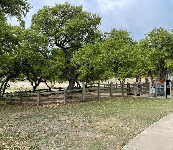
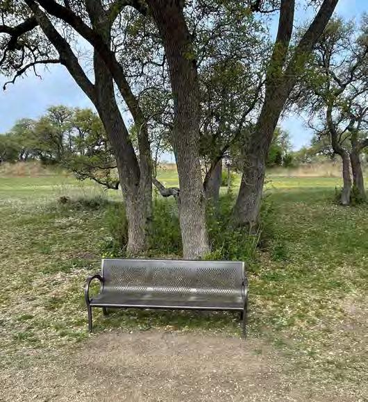
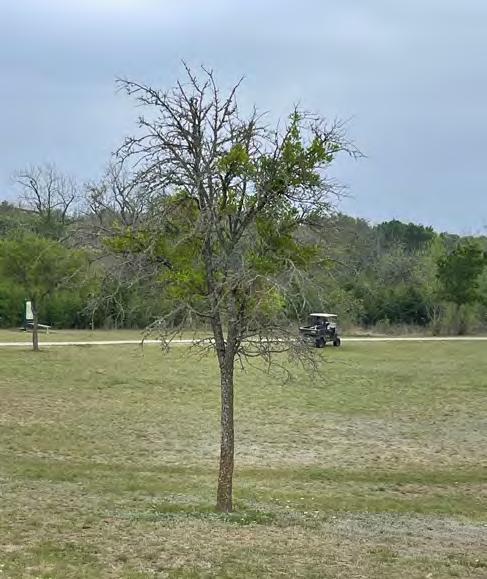
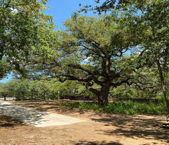
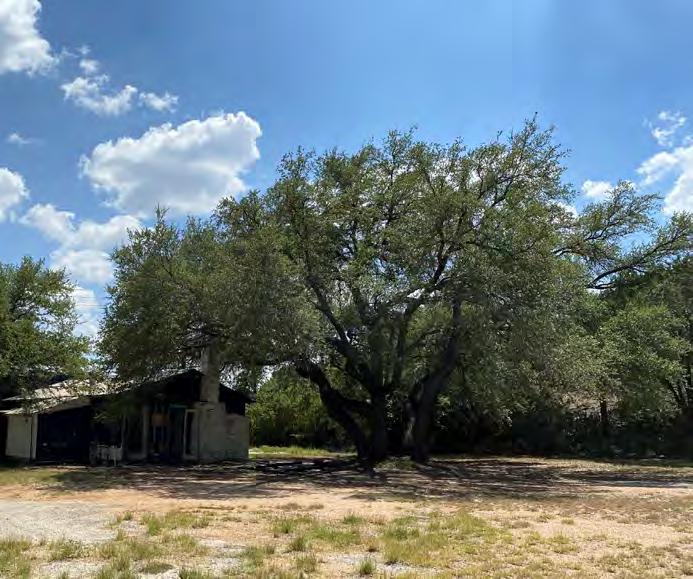
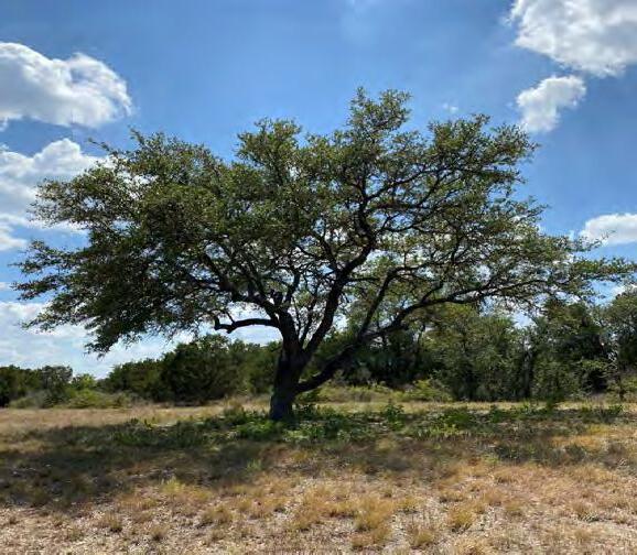 Example of Tree Canopy in Dog Park
Example of Tree Canopy by Bench
Example of Tree Struggling to Thrive
SourceofPictures: CityofBeeCave
Example of Tree Canopy in Dog Park
Example of Tree Canopy by Bench
Example of Tree Struggling to Thrive
SourceofPictures: CityofBeeCave
50
Examples of Heritage Trees
NATIVE LANDSCAPING
Future decisions about plant selection should continue to foster a diversity of native species that support the overall ecological health of the property, a philosophy in concert with the City’s designation as a Bee City USA affiliate and siting of an official Monarch Way Station within the Park.
Irrespective of the aforementioned potential partnership with the WTC-PUA for use of treated effluent, or injected groundwater for irrigation purposes within Central Park, when selecting plant species, strong preference should be given toward native and drought tolerant species.
The Texas Agrilife Extension, City of Austin, and Lady Bird Johnson Wildflower Center produce a guide for selecting regionally adapted trees, shrubs, flowers, grasses, and other plants named Native and Adapted Landscaped Plants
This guide, which is referenced in the Bee Cave’s Code of Ordinances and associated environmental technical manual, should also be consulted in the selection of trees and plants for Central Park in cases where new landscaping is being installed, as well as in cases assessing removal of invasive species.
CONFORMANCE WITH CODE


Landscaping Standards are contained within Section 5.1.1. of the City’s Unified Development Code The Master Plan recommends meeting or exceeding these requirements, including but not limited to parking lot shading, vegetation of landscape islands, and site landscaping

Landscaping
51
NOTEWORTHY CANOPY TREE CLUSTERS 1 2 3 POTENTIAL MEMORIAL TREE PROMENADE LOCATIONS
Source: https://www.austintexas.gov/watershed_protection/publications/document.cfm?id=198301
Memorial Tree Promenade
The City receives periodic inquiries about opportunities for family and friends to make a dedication in memory of a loved one in Central Park The City does not currently have such a program, but in coordination with other identified priorities for this Park, the Master Plan recommends a memorial tree walk lining a portion of the path network. As of the preparation of this Plan, the preference is to locate it along both sides of the path in Area 1 (noted on the map to the left)—though based on site constraints and/or interest in such a program, Areas 2 and 3 may be suitable locations, as well.
In order to improve the odds of the trees thriving, it is recommended the selected location(s) be irrigated and the utility layout take this into consideration.
Specific details of the design and operational components are to be determined, but generally speaking, the promenade is envisioned to have a formality to its structure, limited to one or two species, with trees equally spaced from one another and located at a similar distance from the path. The species chosen should be native and drought tolerant and have a trunk structure that lends itself to symmetry It is also preferred that the species have a visually impactful presence— in stature, height at maturity, and/or seasonal variety in coloration. It would also be preferable for the tree species to have fewer annual episodes of foliage loss to reduce maintenance on the path and for adjacent uses 1
Source: https://wanderingwheatleys.com
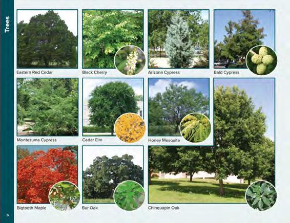
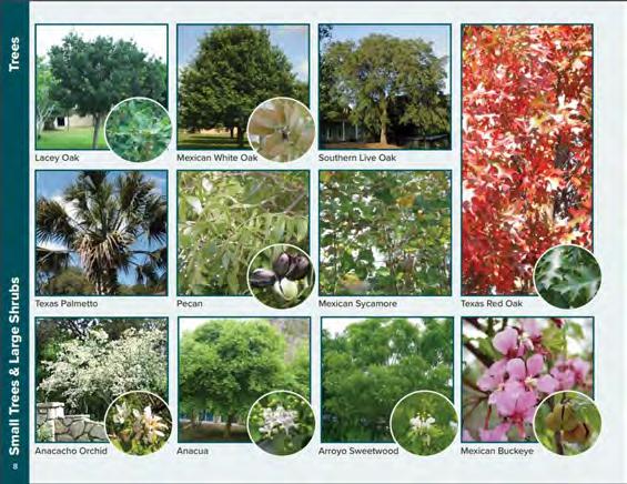
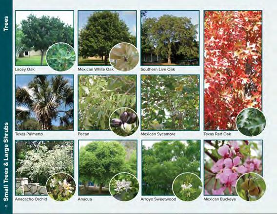
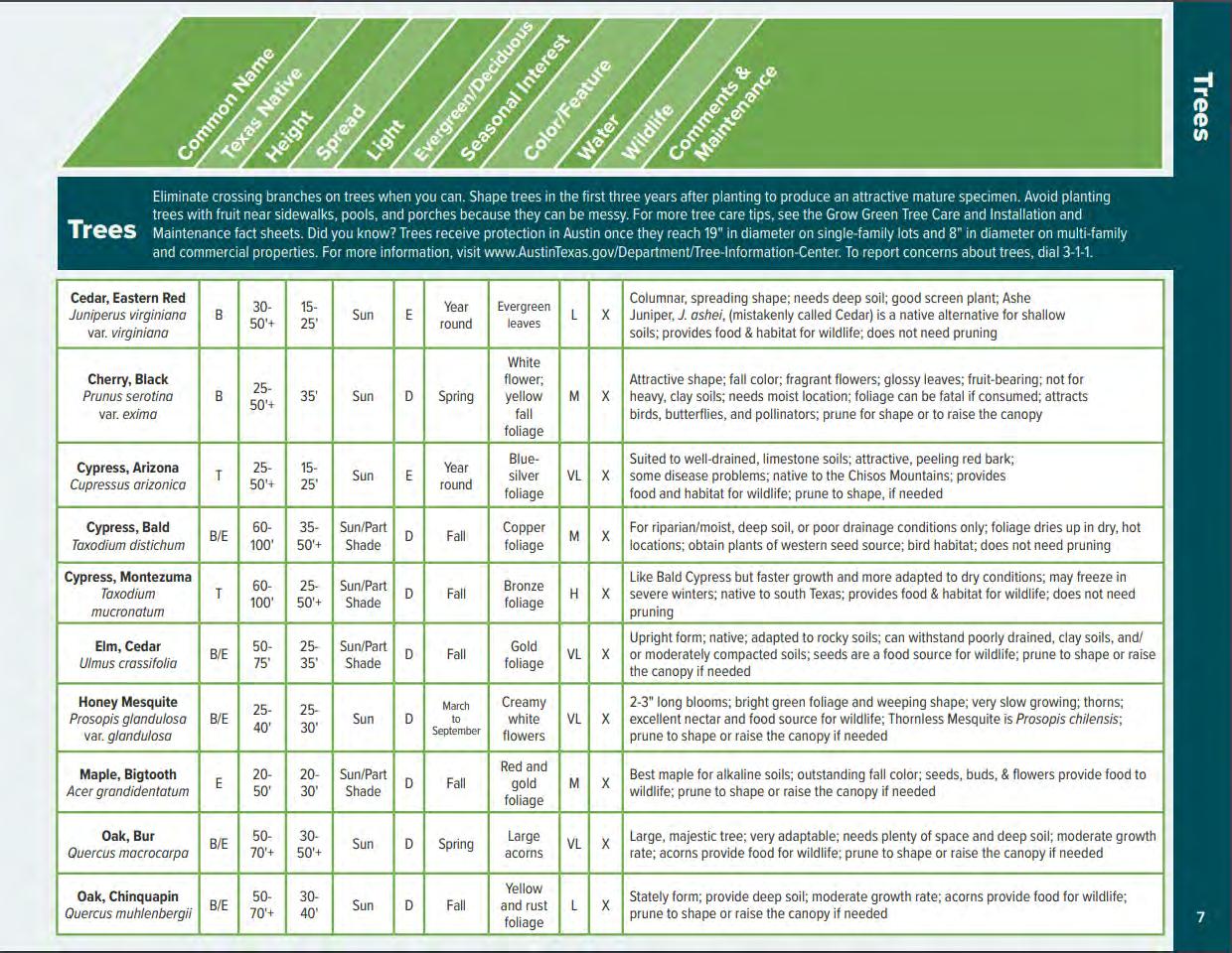
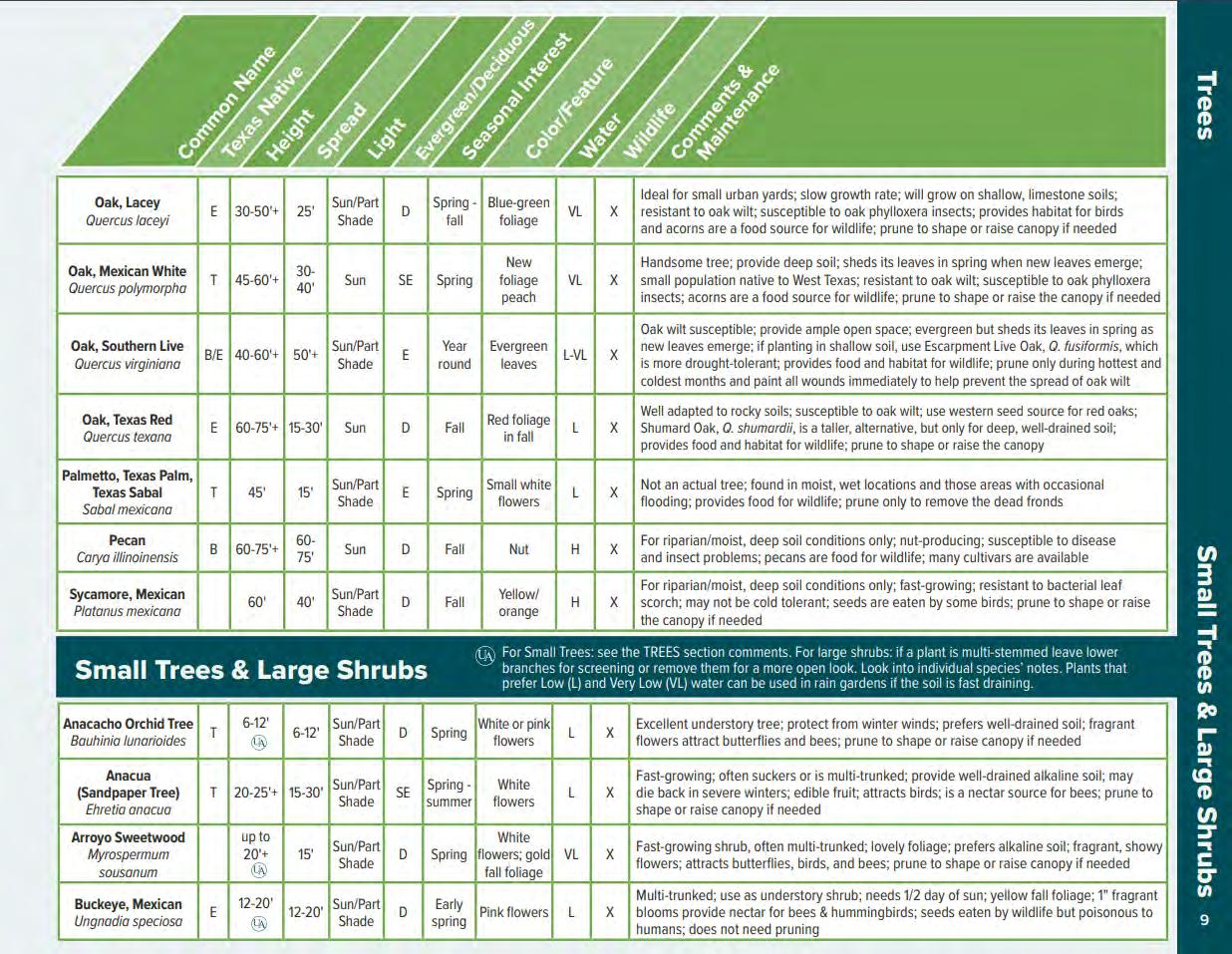
Source: https://www.austintexas.gov/watershed_protection/publications/document.cfm?id=198301
52
2
Central Park contains one water quality and detention pond Bee Cave Parkway The primary purpose of this pond is to impervious cover associated with Bee Cave Parkway itself. the slope of topography, it is not practical for this pond enlarged to treat much, if any, of the impervious cover anticipated south of Bee Cave Parkway
STORMWATER
City of Bee Cave code requires stormwater detention and, in cases where impervious cover exceeds 20% of the net site area, structured “Best Management Practices”(BMPs). Projected new impervious cover is anticipated to equal between approximately 21- 22%; combined with existing impervious cover, total impervious cover is projected to be about 27%1 Due to the history of the property, it is anticipated that, in addition to needing to incorporate BMPs, a transfer of impervious cover will be required to offset the new impervious cover generated as a result of this plan
In Bee Cave, BMPs have historically taken the form of a water quality pond. If this option is pursued for Central Park, it is proposed be located toward the southeast portion of the Park, west of Freitag Creek and outside of the Water Quality Buffer Zone 2 Although this basic location is the most logical because Central Park generally slopes from northwest to southeast, it is not without challenges due to an extreme change in elevation of its own “Existing Cross-Section” (below, left) depicts a cross-section that, from west to east, roughly bisects the location in a which a pond might be sited and the corresponding existing elevations, color coded anticipated use There is an approximate 30’ change in elevation in the vicinity of where the pond would go
Should a pond be constructed, a substantial retaining wall would be required. “Basic Development Profile” (below, center) is a crude, non-engineered diagram intended to provide a basic sense of spatial arrangement necessitated by existing conditions While there are recognized to be undesirable aspects to this circumstance, it does provide opportunity, as well For instance, a cantilevered overlook structure located above the pond would not only offer a unique and pleasant view of the pond and the heavily vegetated portion of the Park, but also a noteworthy vantage point beyond the Park, toward the rolling hills south of SH 71
Barring further analysis during the engineering design phase that dictates otherwise, it is recommended that the pond be a wet pond with robust native vegetation that doubly serves as a year-round park amenity. See “Inspiration Imagery” (far right). From the east has the potential opportunity to be accessed from the proposed nature trails on the Burton tract.
In the absence of being able to cost-effectively make the stormwater pond an aesthetic and functional park amenity, it recommended instead to utilize a distributed Low Impact Development (LID) stormwater treatment system, such as a series of rain gardens, bio filtration, and vegetated filter strips.
Regardless of the stormwater treatment model pursued, in certain parking areas and for certain portions of trail it may be appropriate to utilize permeable surfaces, such as permeable pavers, permeable concrete, and/or permeable grid systems, with consideration given to installation, replacement, and maintenance costs and resources. If utilized, it is recommended to incorporate this feature a public educational opportunity on stormwater treatment and LID.
ThiscalculationexcludespedestrianpathsbecauseBeeCavecodeexemptsthemfromtheimperviouscover calculation

2 Thereisprecedentforportionsofpondstructures, suchas an earthenembankment,toencroachwaterqualitybufferzones
stormwater


EXISTING POND TREATING IMPERVOUS COVER FROM BEE CAVE PARKWAY
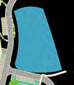


STORMWATER POND LOCATION

53


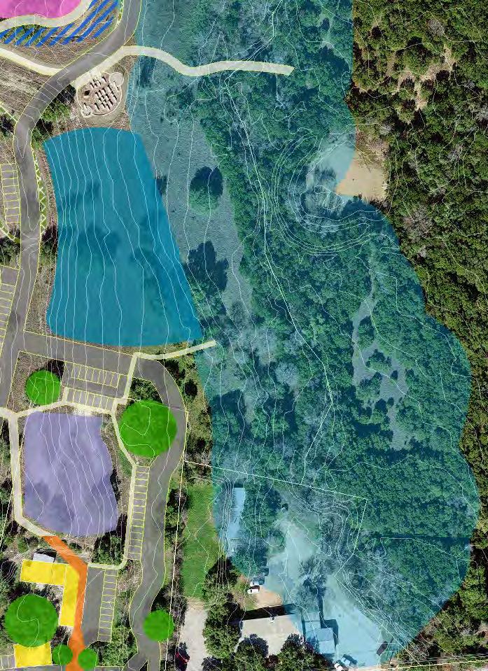

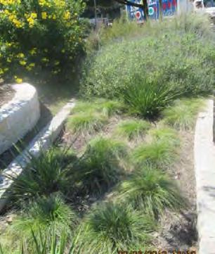
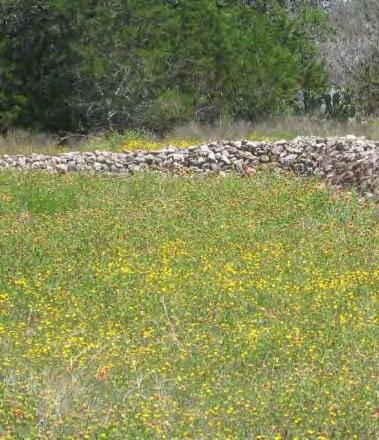
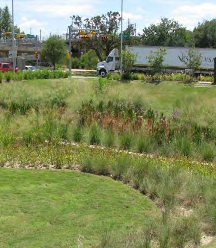
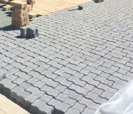


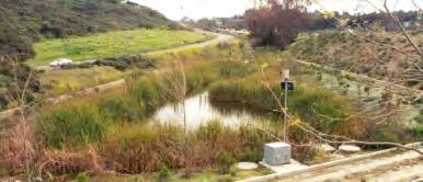

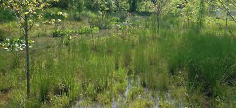
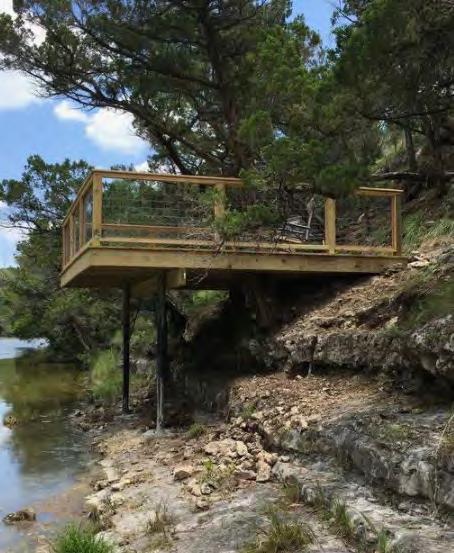
918 918 916 914 912 884 886 888 890 892 894 896 898 902 900 904910908906 882 880 880 882 884 886 888 888 886 884884 886 888 54 Source: CaliforniaStormwaterQualityAssociationTC-20 Source: Rivanna-stormwater.org. Source: WimberleyRestorationCo. 920 918 916 914 912 910 908 906 904 902 900 898 896 894 892 890 888 886 884 882 880 920 918 916 914 912 910 908 906 904 902 900 898 896 894 892 890 888 886 884 882 880 elevation in feet BASIC DEVELOPED PROFILE INSPIRATIONAL POND IMAGERY open space pond location road Freitag Creek elevation in feet overlook retaining wall stormwater pond EXISTING CROSS-SECTION Stormwater pond Water quality Buffer zone INSPIRATIONAL LOW IMPACT Development IMAGERY Source: CityofAustinGreenStormwaterInfrastructureMaintenanceManual Rain Garden Vegetative Filter Strip Bio Filtration INSPIRATIONAL PERMEABLE PAVED SURFACES Source: USGS Permeable Pavers Source: USGS Permeable Concrete Source: ABGGeosynthetics.com Permeable Paving Grid System
A PRIMER ON LOW IMPACT DEVELOPMENT AND GREEN INFRASTRUCTURE
Low Impact Development (LID) is a collection of management practices used to prevent stormwater runoff and pollution from adversely affecting the community To be effective it needs to be incorporated starting at site design so that it can be seamlessly carried through at the onset site operation and maintenance With proper integration, LID can enhance aesthetics; reduce site costs for water treatment, energy, and infrastructure; mitigate flood damage; and increase property values
Also referred to as green infrastructure, LIDs are constructed to infiltrate, evaporate, filter, capture, and facilitate the beneficial use of stormwater. These practices can enhance the aesthetic value of a site and reduce capacity needs in costly underground conveyance systems and treatment systems. Ultimately, green infrastructure aims to provide a developed site with the same hydrologic conveyance and as it naturally would have in an undisturbed setting.
Common LID practices include green roofs, rain gardens, sidewalk planters, vegetated filter strips, permeable pavements, among a bevy of other ecological implements These practices often feature native and adapted plants that are interwoven with walking paths, public buildings, and parking lots to create an aesthetic addition proven to improve local biodiversity as well as mental health among the native community
Traditional “grey” infrastructure such as culverts, pipes, and pumps are often constraints to site development due to their rigid design, bottlenecking site development to meet code regulations. However, LID considers a holistic approach, combining ecological preservation with functionality to positively benefit the health, social capability, environment, and economics of the local community
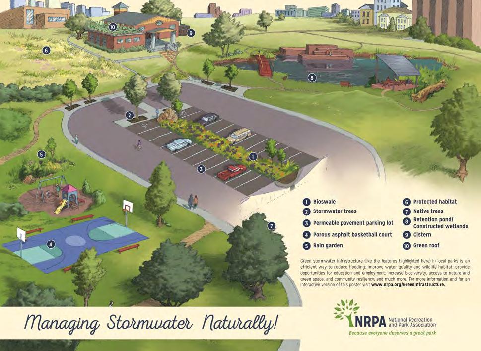
Source: NRPA Green Infrastructure Details Story Map
LOW IMPACT Development
55
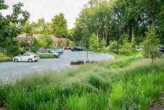
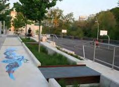
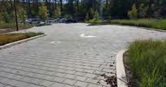
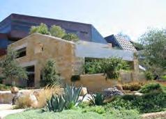
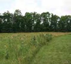
Bioswale: Vegetated, shallow, landscaped depressions designed to capture, treat, and infiltrate stormwater runoff as it moves downstream They typically sized to treat the water quality event, also known as the “first flush,” which the first and often most polluted volume of water resulting from a storm event
Bioswales are particularly well suited to being placed along streets, sidewalks, parking lots
Stormwater trench & Tree Planter:
A stormwater tree trench system of trees connected by an underground stone bed used for infiltration Similarly, stormwater planters sit below the sidewalk and are filled with soil, stone and plants soak up stormwater runoff They collect and filter stormwater runoff during small events and allow it to infiltrate into the ground Their flexible design features relatively small footprint allow them to easily fit into park landscapes
PERMEABLE Pavement:
Through a porous surface, infiltrates, treats, and/or stores rainwater where it falls Permeable pavement can be used in a variety of settings and is good for walking, biking, parking areas, and low-trafficked roads without heavy truck use Asphalt and concrete common materials in paver or continuous surface configurations
RAIN Garden: Depressed area, planted with grasses and flowering perennials, that collects and filters stormwater runoff during small storm events and allows it to infiltrate into the ground Their flexible design features and relatively small footprint allow them to easily fit into park landscapes gardens also provide habitat for wildlife and are great educational tools
CONSTRUCTED WETLANDS and RETENTION AREAS:
Mimics the functions of natural areas to capture runoff, improve water quality provide wildlife habitat These features filter stormwater by slowing down water and trapping sediments and other pollutants Plants unique to wetland habitats take pollutants and foster the growth of water-cleaning microorganisms
Green Roof: Use soil and plants in place of traditional roof material to enable rainfall infiltration and the evapotranspiration of stored water
There are two common types of green roofs extensive and intensive Extensive green roofs typically have a growing medium of 3 to 4 inches and intensive green roofs have up to 12 inches of growing medium and can support shrubs and trees
Green roofs are easily accommodated during building design while retrofitting existing roof is more involved
VEGETATION MANAGEMENT:
The comprehensive landscape design practices like proper plant selection and arrangement; the use of plants for weed control and surface stabilization and good construction practices can help minimize maintenance costs and improve water quality For example, selecting native plants that are water-efficient minimizes irrigation while pest-resistant plants and turf grasses minimize the use of pesticides
Converting under-utilized turf areas to less maintenance-intensive forms landscape can yield significant environmental and cost benefits while still providing attractive settings
Sources:Austin,TXCityHall

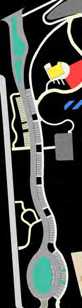


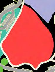


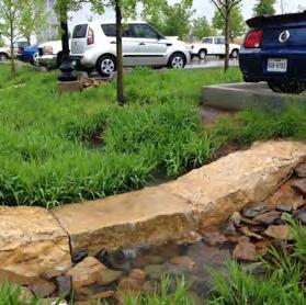
Vegetation Management
bioswale adjacent to the Backyard
Creek and Promenade B C B C C D
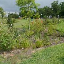
Gardens low-traffic
and the area
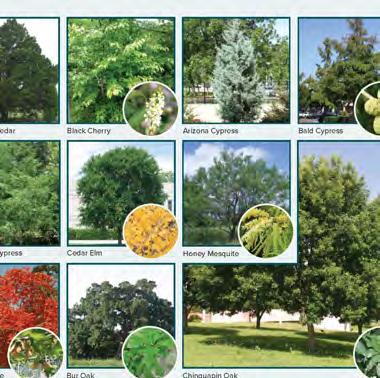
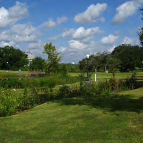
Green roof on top of the building on Flex Area 4, the Revival tract
Texas A&M University ; George Bush Presidential Center sustainability.utexas.edu/ Native and Adapted Landscape Plants: An Earthwise Guide for Central Texas HydrotechUSA.com; www.nrpa.org/siteassets/gupc-resource-guide.pdf; watersmart.tamu.edu/rain-garden/
56
IN CENTRAL PARK
PPORTUNITIES
L.I.D. Glossary
POTENTIAL MEMORIAL TREE PROMENADE LOCATIONS
A
INTENTIONALLY LEFT BLANK
57
58 Overview of Amenities | Play Areas | Inclusive Play |Recreational Fields & Courts | Fitness Opportunities | Gathering Spaces | Community Stage | Transition Space | Dog Park | Flexible Spaces | Nature-Based Elements | Maintenance Facilities | Support Amenities & Placemaking Elements | Principles in Design
Park Amenities & operational Spaces


OVERVIEW OF AMENITIES
59
X X X X X X X X Proposed Sport Court Existing Building - Pavilion Existing Sport Court - Basketball Proposed Community Outdoor Stage Existing Building - Pavilion Proposed Flex Area 3 Proposed Playground – Play for All Park Proposed Building – Restaurant/Cafe X Proposed Flex Area 1 X Proposed Flex Area 2


Pedestrian Tunnel Existing
Playground – Large Existing
Multi-Purpose Field Existing
Building – Maintenance Proposed
Playground – Small Existing
Dog Park Relocated
Amenity Pond & Overlook Proposed
Flex Area 4 Proposed
Pedestrian Bridge Proposed
60
X X X X X X X X X
EXISTING PLAYGROUNDS
Central Park currently has two existing playgrounds, both of which are proposed to remain at their basic sizes, configurations, and locations, which are adjacent to pavilions that are also proposed to remain The “Big Playground,” , is approximately 6,500 square feet and contains two play structures geared toward different age groups and a set of swings The “Small Playground,” , is approximately 3,500 square feet and contains one traditional play structure and one climbing rock The play areas, which were installed circa 2006 when the Park was first opened, are predominantly covered by sail-like shade structures. Despite their relatively high maintenance/replacement costs, the shade structures are recognized as a necessity in this climate and are proposed to remain, though it is recognized that, with time, there may be a wider array of options that fulfill the need for shade in an equal or superior, yet more cost-effective manner when the current ones reach end-of-life. Both playgrounds’ surfaces are composed of rubber mulch chips. For both access and maintenance purposes, alternatives surfaces, as solid, poured-in-place rubber, are recommended to be considered as part of the Park’s renovations.
These playgrounds are envisioned to become secondary play areas to a larger Inclusive Play Area proposed in the southwest corner of the site, described in greater detail starting on page 63
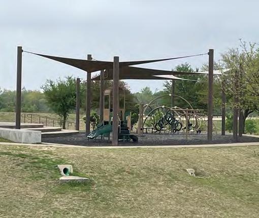
SourceofPictures: ScottPayton,CityofBeeCaveParks&FacilitiesDepartmnt


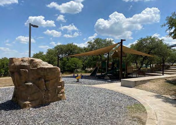
Play Areas

61
B B A A
B A
COMMON PLAYGROUND SURFACES
In addition to considering obvious factors, such as location, safety, longevity, and up front cost when selecting a surface, the City should also prioritize maintenance efforts/costs and solutions that support efforts toward Low Impact Development (See page 55).


Source: https://www.totturf.com/resources/comparing-surface-types/
SHADE STRUCTURES
There are various traditional approaches to providing shade including, but not limited, to natural tree cover, combinations of steel posts with fabric canopies, and steel post and canopy After an evaluation that includes cost, maintenance, and durability, it may be possible for the shade structures to emphasize the identity of the Park or become a functional landmark
Traditional Structures
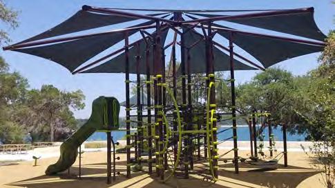
Source:whirlix
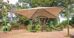
Source: www.playlsi.com
Unconventional Structures
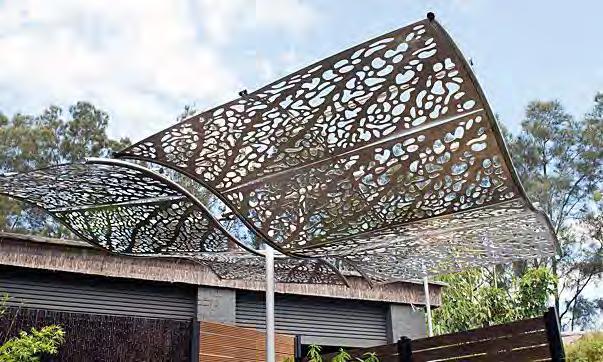
Source: Outdoordesign.com.au
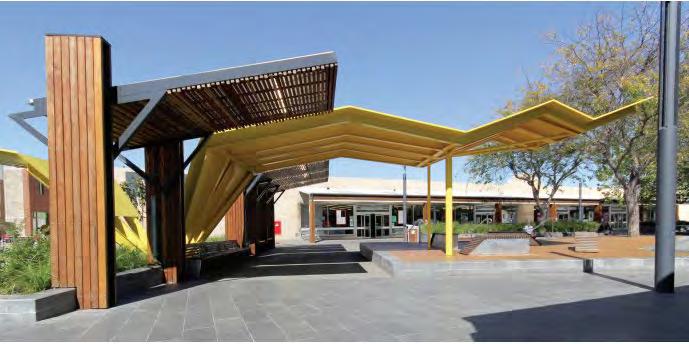
Source: MunicipalAssociationofVictoria. Shade: AResourceforLocalGovernment
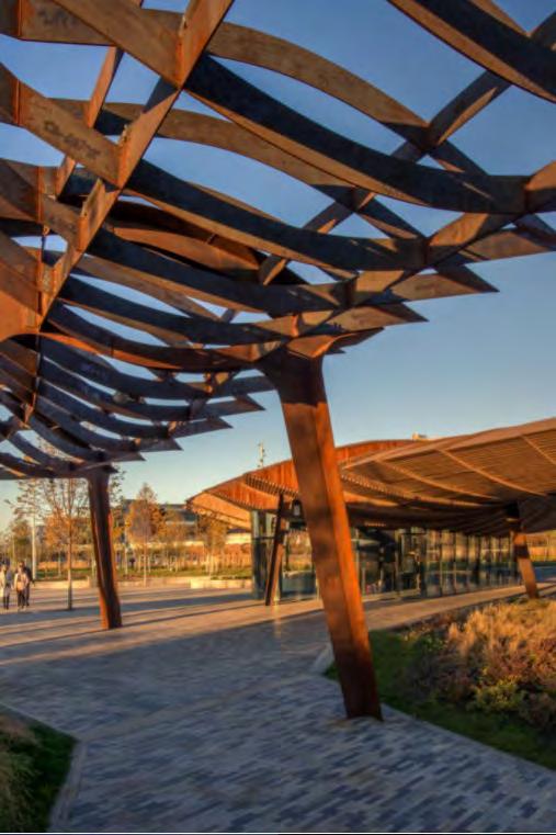
Source: https://landscape.coac.net
62
UNIVERSAL DESIGN
2010 AMERICANS WITH DISABILITIES ACT
In 2010, the Department of Justice revised the 1990 Americans with Disabilities Act, changing the accessibility standards for playgrounds The new rules mandate that compliant playgrounds need to be accessible via ramps and barrier-free travel routes, include a range of accessible play options, and provide an appropriate surface beneath all accessible equipment
CURRENT APPLICATIONS
In the decade since this went into effect, there has been an evolution of thought on how to not only comply with the law, but how to create inclusive play spaces that embody the needs and desires of those anticipated to use them One such example, Harpers Playground in Portland Oregon, based its “radically inclusive” design on posing and answering the following questions:
Physically inviting
Socially inviting
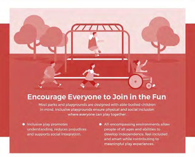
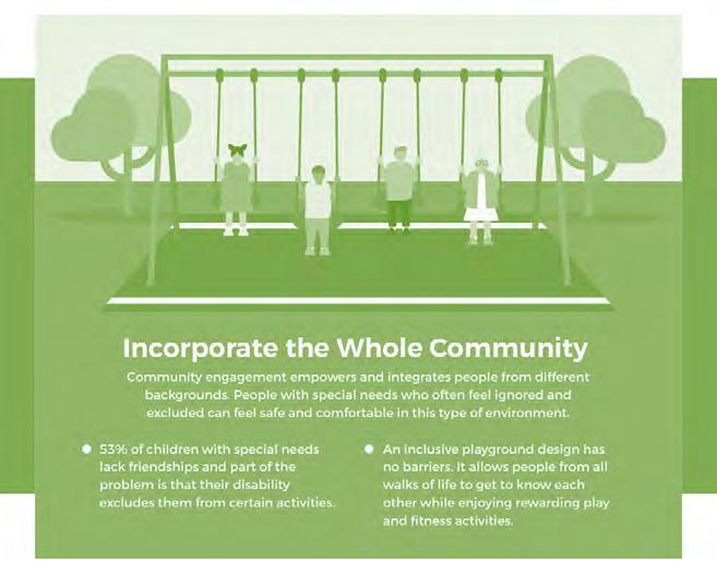
As described by the National Disability Authority and the Centre for Excellence in Universal Design, “Universal Design is the design and composition of an environment so that it can be accessed, understood and used to the greatest extent possible by all people regardless of their age, size, ability or disability By considering the diverse needs and abilities of all throughout the design process, universal design creates products, services and environments that meet peoples' needs.” Sourcecunninghamrec.com
Is it accessible? And is it adaptive?
Is it natural? Is it communal?
Emotionally inviting Is it thoughtful? Is it beautiful?
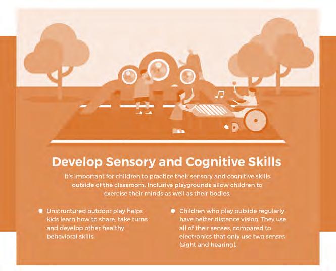
INCLUSIVE PLAY

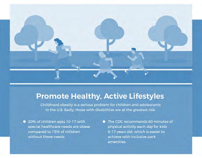
63

OBJECTIVES
As demonstrated on the page to the right, there are relatively limited inclusive play areas in the Austin metro area, and even fewer within the vicinity of Bee Cave. It is the objective of this space to help fill that void and, additionally, become a regional destination that gives people a reason to make a day of being in Bee Cave—whether it be a paired trip to the library, local business, or another amenity.
PROPOSED LOCATION
The inclusive play area is proposed to be located in the southwest corner of the Park on approximately on approximately 2.3 acres. This area was determined to be especially suitable for several reasons:
• Natural shade via a multitude of mature live oaks
• Relatively even terrain
• View over the park
• Good access
• Concentration of proposed parking
• Potential proximity to future library site
CONSIDERATIONS
Among the features this area will need are shade; ample parking, including accessible parking, a dropoff, and a place for busses; bathrooms; fencing; and pavilions. If space and budget (construction AND operational budgets) permit, this may be a logical place for an interactive water feature.
INCLUSIVE PLAY
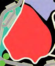

Library Location

65
Distance from Bee Cave: 41 min/31 miles
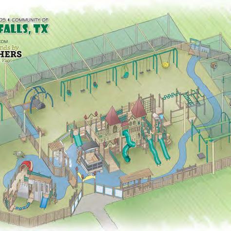
Distance from Bee Cave: 42 minutes/32miles

1003 N. Austin Ave. Georgetown, TX 78626

Distance from Bee Cave: 1 hour 15 minutes/39.4 miles


The Marble Falls Inclusive Playground is, as of summer 2022 in the stages of conceptual design and fundraising.
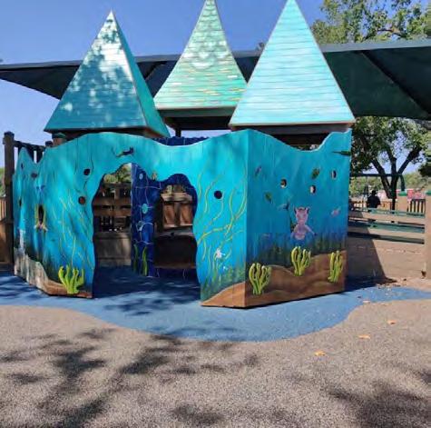

205
Distance from Bee Cave: 49 minutes/39 miles


The six acre Children's Park Playscape is an accessible and inclusive space for children to play and exercise It features a poured rubber safety surface, wide ramps throughout, a roller slide, 4 seat We-saw, Expression Swing, Liberty Swing, Omni Spinner, Team Swing, and a therapeutic seat on the Zip Krooze


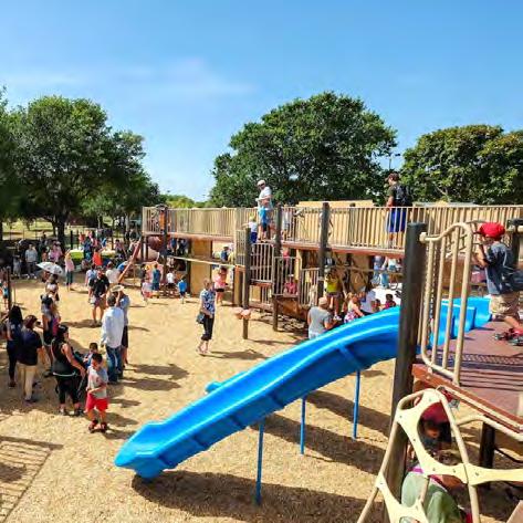
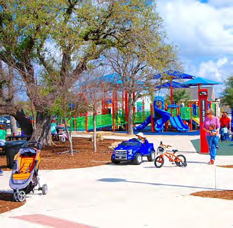


This 51,000 square foot, gated park includes a variety of play opportunities designed to stimulate and encourage the development of several skill sets such as gross and fine motor skills, social interaction, sense of discovery, creativity and strengthening exercises. The park includes several pods each intended to develop specific skills for all children including:
Retreat Pod Sensory Pod-Sand Box Rock Band Pod
Rolling Hill/Performance Lawn


Distance from Bee Cave: 16 minutes/9.4 miles
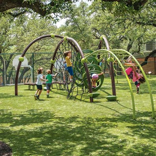
Sensory Pod All Abilities Playscape All Ability Swings Brushy Creek Village life skills area
The Park also features a speedway, a “train pod,” an Adventure Hill, a tree House, a zip line, a Nature Free Play Area, and a Village Pod.


The Eanes Elementary School Evos® playsystem and several “freestanding events” encourage cooperative play and outdoor learning. Additionally, there is a large, inclusive “PlayBooster®” playground that features accessible and sensory-rich play components. The playstructures and freestanding events also offer opportunity for climbing and cooperative play
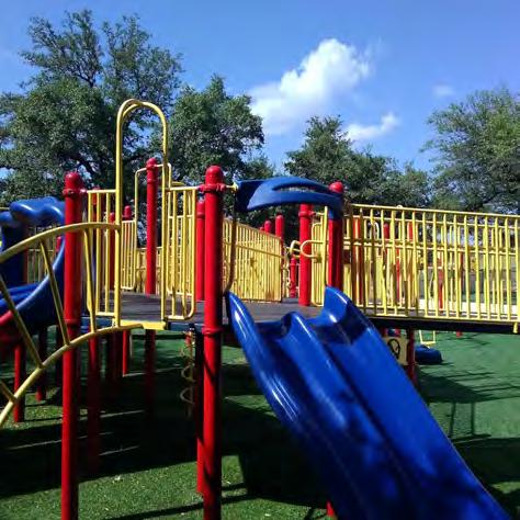
6401 Cedar St, Austin, TX 78746

Distance from Bee Cave: 20 minutes/12 miles
10984 Boulder Ln, Austin, TX 78726


Distance from Bee Cave: 29 minutes/16.7 miles


Children’s Park
In 2013 this elementary school playground got a face lift to make the site more ADA compliant. During the build, the school put in padded Astroturf, wide ramps, and expanded the grounds in general to make more room They also installed interactive games throughout the playground including an American Sign Language guide.
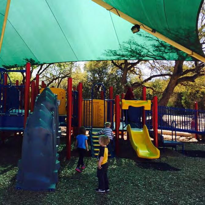
This neighborhood park in Canyon Creek includes a playground with a fully shaded, wheelchair accessible main playscape The
Play for All Abilities Park
Eanes Elementary School Marble Falls Inclusive Playground Bridge Point Elementary Creative Playscape Trailhead Park
once wooden park of
and towers to build a much more ADA
66
city of Georgetown revamped its
tunnels
accessible playground. The new build incorporated the unique history of Georgetown in the new playground site, such as a triple slide to represent the water falls along the San Gabriel River.
BEE CAVE
S CM Allen Pkwy, San Marcos, TX 78666
4101 Bee Caves Rd, West Lake Hills, TX 78746
Central Park currently has one basketball court and one multi-purpose field, both of which are proposed to remain in their present location and continue to serve in their current functions, as locations for informal practices and ‘pick-up’ games, spaces for occasional park events, places for games of tag, and the like
The Master Plan allocates two new spaces to the north of these amenities for additional sport courts. The size of the spaces are constrained by several existing conditions that will remain defining considerations in the quantity, composition, and configuration of future courts: steep slopes to the west and north, path network, drainage patterns, and the water quality buffer zone (See Existing Conditions Considerations” inset.) Furthermore, in addition to preferred and minimum court dimensions factoring into the design, so too does the nearly universal requirement that courts be oriented north/south to provide as balanced exposure to sun glare as possible
For spatial reference, the next page shows various court types in scale with one another. For illustrative purposes, there is also a layout showing how pickle and tennis ball courts fit relative to the space available Like with other uses, as part of the programming and design process, additional, public input will be sought from those that have an interest in using this type of amenity to ensure the courts’ composition and design meets the functional and aesthetic needs and standards of future users.


Recreational Fields & Courts


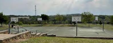
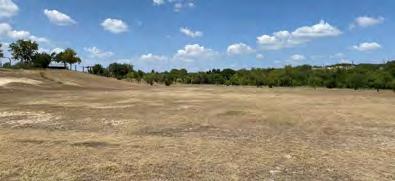


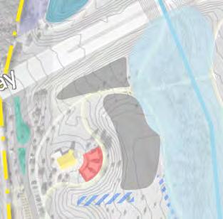
67
A B
71 620 200’ 100’ 320’ 185’ Total Size: 9,112 sf .21 acs Total Size: 32,826 sf | .75 acs Existing
Although the slope limits the location of courts, it also provides potential for interesting hillside lawn seating for spectators. A B steep slopes drainage way pathway water quality buffer zone A Existing Basketball Court Source:CityofBeeCave Existing Multi-Purpose Field Source:CityofBeeCave B
conditions considerations


five approximately 30’ x 60 ‘ spaces appropriate for racquetball, pickleball or youth tennis


straightening & widening of existing pathway


Existing pavilion has nearby drinking fountains and bathrooms


Notes on Amenities
The following diagrams of sport courts are scaled to one another. They show the standard dimensions in black
Notes on dimensions are shown in blue
TENNIS COURT
min 10’


creation of multi purpose “gathering plaza” area for potential pre and postmatch seating sport court areas situated outside of water quality buffer zone


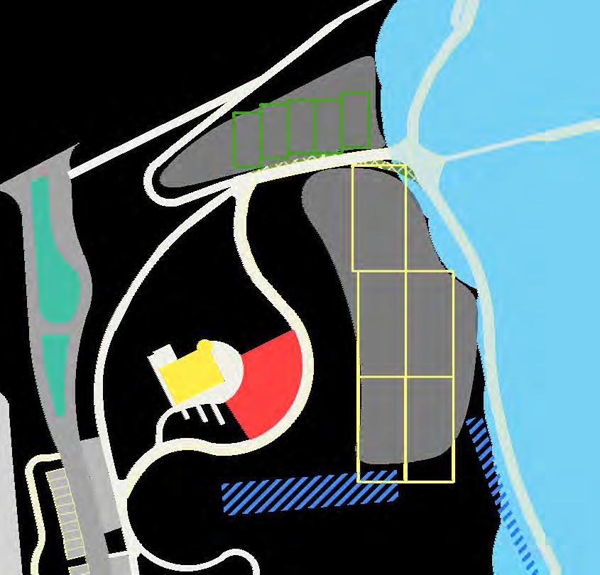
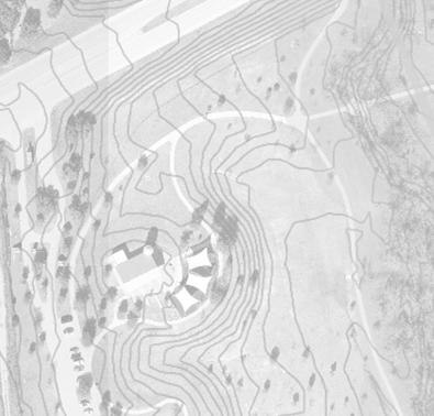


five approximately 36’ x 78 ‘ spaces appropriate for standard tennis courts
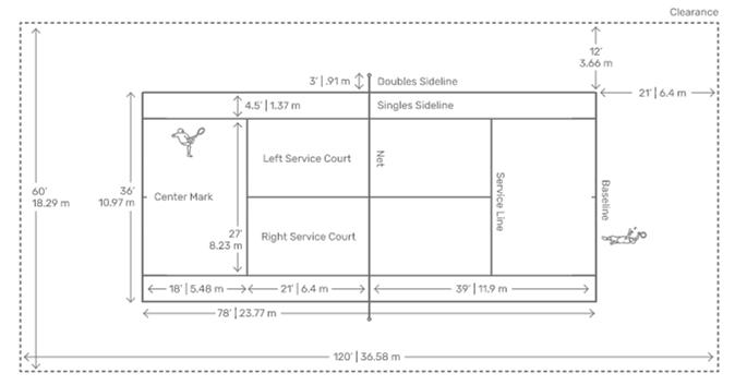

piping of and potential minor rerouting of stormwater recognized as likely to be necessary
While not required, the following are amenities commonly associated with sport courts:
- Player seating (mid-game benches and off-court pre- and post- match seating)
- Spectator seating
- Water fountains
-Bathrooms
- Lights - Court Shading
- Shade shelters
- Equipment organizers/holders
Notes on Pickleball Courts
- Courts can be constructed of an asphalt or concrete base and are recommended to have a 100% acrylic coating.
- While there is no official court color, lighter colors will result in a cooler playing surface. Surface colors have an effect on ball visibility.
Source: USAPickleball
Notes on Tennis Courts
Courts can be constructed of asphalt or post-tension concrete.
min 18’ recommended 12’ between adjacent courts (i.e. 6’ per court on shared side)
This is a configuration for a standard size tennis court. There are also 60’ and 36’ courts, the use of which is dependent upon age and skill level.
*OF NOTE* a 36’ tennis court can be co-located with a pickleball court and/or badminton court. potential hillside spectator lawn seating area
Basketball COURT
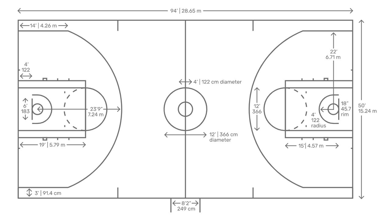
Existing Tennis Court
Source: CityofBeeCave
* Lights are approximately an additional $30-35k/court
Source: UnitedStatesTennisAssociation
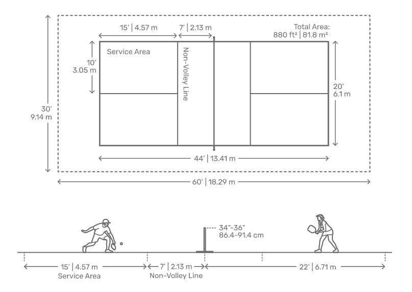

Pickleball COURT Badminton COURT
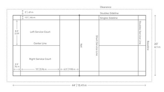

DiagramSource: Dimensions.com
68
Construction Type Typical Lifespan Typical Cost (unlit*) Asphalt 25-30 yrs $70k/court Post-tension 50+ yrs $125-130k/court
34’ ideal 64’
ideal
CIRCUIT TRAINING
Central Park currently has circuit training equipment composed of 5 stations distributed throughout the Park, generally located adjacent to the existing path system. As the Park usage evolves, it may be worthwhile to survey users to ascertain if this arrangement best suits their needs, including a more compact arrangement, such as the Fitness Court (see “Fitness Court” inset).
Flex Area 1, ( ) north of Bee Cave Parkway, is more accessible to the broader regional path network and contains a pavilion With the addition of concrete pads, it may be appealing to congregate the equipment in a space that’s accessible for this purpose, but otherwise, in many ways, functionally disconnected from the rest of the Park and therefore challenging to program. Flex Area 2, ( ) which is centrally located within the Park, but too space constrained for most uses, may be another logical location to congregate equipment
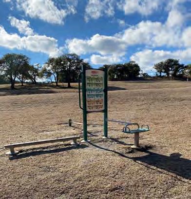
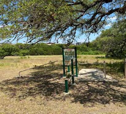
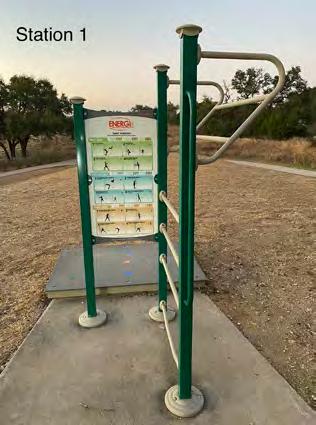
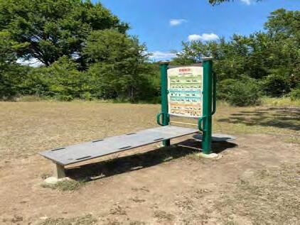
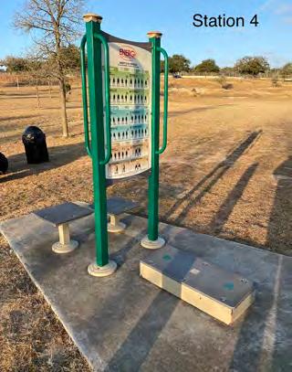


FITNESS OPPORTUNITIES
69
A
Squat and Jump Exercises Agility Bar Exercises Agility Step Exercises Core & Torso Stretches Static Stretches 2 5 4 1 3 SourceofPictures: CityofBeeCave 3 4 5 B A 2
B
OUTDOOR FUNCTIONAL TRAINING STATIONS
Functional training stations are solid surface, collections of fitness equipment designed to be durable against the elements The combination of pieces can be customized to be focused on a variety of workout types, ranging from circuit training, to calisthenics, cross-training, parkour, and obstacle courses. Such a station would pair well in proximity with other proposed Park amenities, such as tennis and pickleball courts, or on its own, adjacent to the trail network.
Increasingly, these types of amenities are integrated with an online component; as such a piece of equipment is pursued, consideration should be given as to how it fits into the broader mechanism for community engagement with Park events and Park offerings.
GOAL PR-3: “ Expand the role of parks and recreation inproviding overallopportunitiesforimproved community health, community events, including familyfriendlyprogrammingand“thingstodo”inBeeCave.”
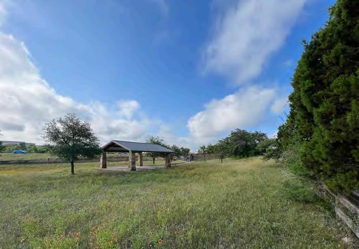
Source:ScottPayton,CityofBeeCaveParksandRecreationDepartment
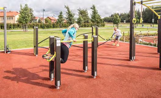
Sourcelappset.com
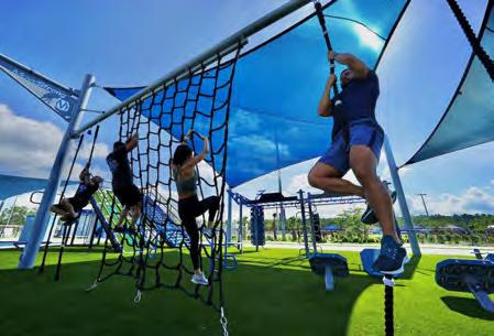
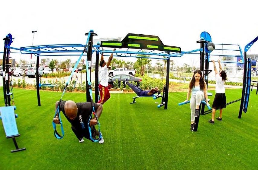
Sourcemovestrongfit.com/outdoor
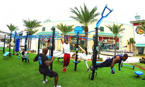
Sourcemovestrongfit.com/outdoor
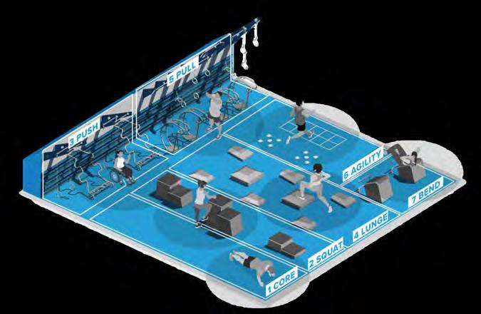
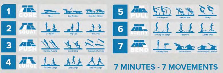
Source:nationalfitnesscampaign.com/app
GROUP FITNESS PROGRAMMING
Based on the frequency and volume of inquiries the Parks and Recreation Department receives regarding group fitness classes, it is clear there is interest for such programming. However, because of restrictions within the gift deed that granted the City ownership of the Central Park property, the City can not allow private instructors to conduct for-profit group fitness classes at the Park However, alternately, this plan recommends exploring a hybrid approach in which the City partners with private instructors to provide classes on its behalf, which would be permitted through the gift deed It is anticipated to require acquisition of a software that manages scheduling, permitting, fees, and other related logistics. Such software is likely to also be needed for other park amenities, such as the sport courts, and pavilions
One area that may be suitable for such classes is Area A on the map to the left (and pictured to the left) because it already has a pavilion that would provide a solid, stable surface, as well as shade One con of this location is that there is no immediate adjacent parking or practical means to add parking
70


PAVILIONS
Central Park currently has two pavilions with attached bathrooms and tables, all of which are proposed to remain. The large pavilion is located near the entrance of the park adjacent to the aforementioned “large playground.” It accommodates parties up to approximately 50 people. The small pavilion is located to the south of the existing Bee Cave Parkway entrance driveway adjacent to the aforementioned “small playground.” It accommodates parties up to approximately 25 people
Currently, they are available for rental to Bee Cave residents (only), but are not permitted to be rented simultaneously to ensure that, of the limited parking available today, an adequate amount remains available for users of other portions of the park. With the proposed additional parking, it may be possible to revisit this policy It may also be possible to revisit the policy of limiting rental to Bee Cave residents, potentially as a new revenue stream.
The pavilions particularly the bathrooms are approaching the point in time when a near-term renovation is necessary. While replacing fixtures, there may also be opportunities for improvement of the layout to better serve users. For example, “family bathrooms” are convenient for patrons with small children, which make up a sizeable proportion of park users. Additionally, there has been a movement in park bathroom design to provide unisex stalls that have dividers that extend to the floor; these stalls are accessed via a corridor that is shrouded by a wall from the front, but ‘open air’ from the sides to provide a straight line in an effort to balance privacy with efficiency and safety. These types of bathrooms tend to be served by a central, communal sink that is visible from a distance
Lastly, it is recommended that group gathering space be incorporated into the new Inclusive Play Area Further analysis is needed to determine how to best program and size such spaces In the City’s experience with the existing pavilions, requiring reservations for exclusive use aids in the management, upkeep, and equitable access of these spaces and is a recommended continued practice B A C


GATHERING Spaces
71
A B C

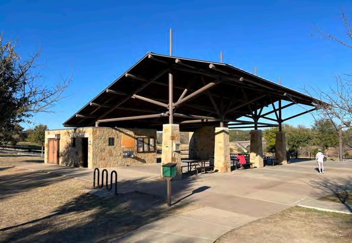
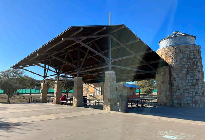
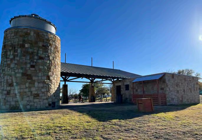


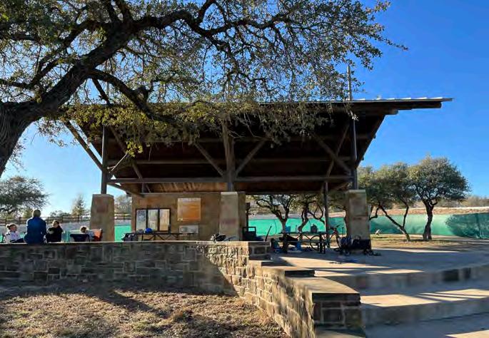


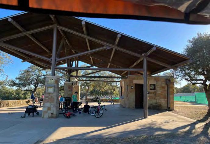


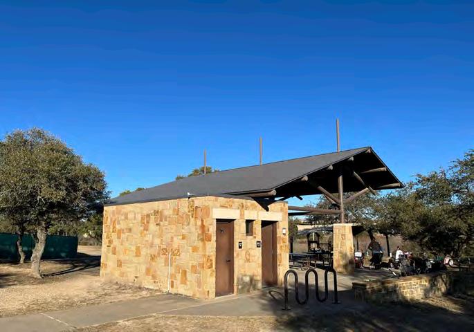

Small Pavilion B LARGE PAVILION A 72
GOAL 8-7: “” Continue to partner with Bee Cave ArtsFoundation, businesses, and other organizations to support exposure to a variety of arts and culturalprograms and education in Bee Cave Potential projects include a series of festivals or arts-related events to celebratethehistory and culture of BeeCave.”
GOAL ECE-2: : “…Arts and cultural strategies can play a significantrolein thephysicalandsocialidentityofaplace,particularlyin a city likeBeeCavethatplacesgreat valuein its characterandidentity Bee Cavecouldenhanceits resources in a numberofdifferentways, including artsandculturaleducationandprogramming.”
COMMUNITY STAGE
In Winter 2020/21, the Zilker Theater Group approached the City about a potential partnership to locate their Summer 2021 theater production at Bee Cave Central Park Due in large part to insufficient parking, it was deemed at the time to be premature for the location However, the coordination and communication between the two entities continued and the production ultimately went on to an extremely well-received and well-attended run at the Hill Country Galleria The experience illuminated this area’s readiness to add these sorts of events and opportunities to the community fabric and grounded in reality timeliness of several of the Comprehensive Plan’s goals between now and 2037. After a hiatus in summer 2022, in Summer 2023 Magnolia Theater Productions assumed management of the production and experienced a similarly successful run.
GOAL 8-8: “Promotegrowthofcommunity-based entertainment businesses and“things to do” in Bee Cave thatstrengthen theCity’s arts andculturalresources.”

Community STAGE
The community stage is envisioned at a scale appropriate for free theater productions, such as the event described above, but also an alternative location for school concerts and recitals, library programming, a summer movie series, and the like It should be designed with support amenities (e.g. storage, bathroom/changing area) and utilities (i.e. electricity, water, wastewater) to accommodate such uses An air-conditioned dressing room and climate controlled pit for bands and orchestras would also make it a more appealing and functional venue for professional and semi-professional performances To minimize glare, in keeping with best practices, the stage must be oriented generally north-south. To keep flexibility of the space high, construction costs low, and the spirit of the space in keeping with the intended uses, lawn seating with easily removable chairs is recommended. For the stage to be able to accommodate theater and dance performances, the stage material can not be concrete, but rather must be something that has some give In addition to the relatively flat, approximately 22,000 square foot area to the south of the stage, the 8,500 hillside to the west, which has an approximate 2.4% slope, also offers a good vantage point toward the stage, as does the flatter approximately 8,500 square foot area to the west of the hillside, which contains a large stand of space-defining, shadeproviding, mature live oaks
The Dog Park Parking Area proposed to the south is proposed to contain approximately 17 parking spots and a loading zone that can accommodate larger vehicles, such as parks maintenance trucks and trailers. As the crow flies, it is 300’ from the stage, with minimal change in elevation between the two As such, this parking area should be designed with loading/unloading needs for the community stage in mind, as well.
73


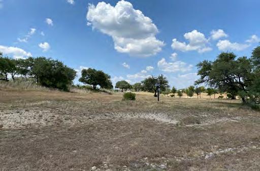


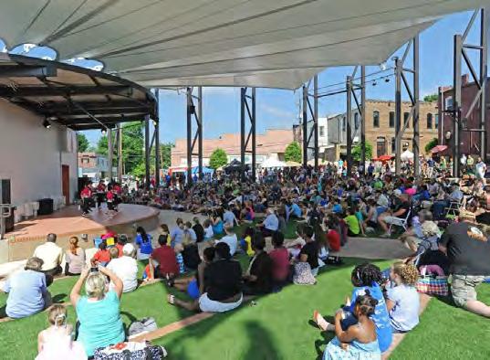


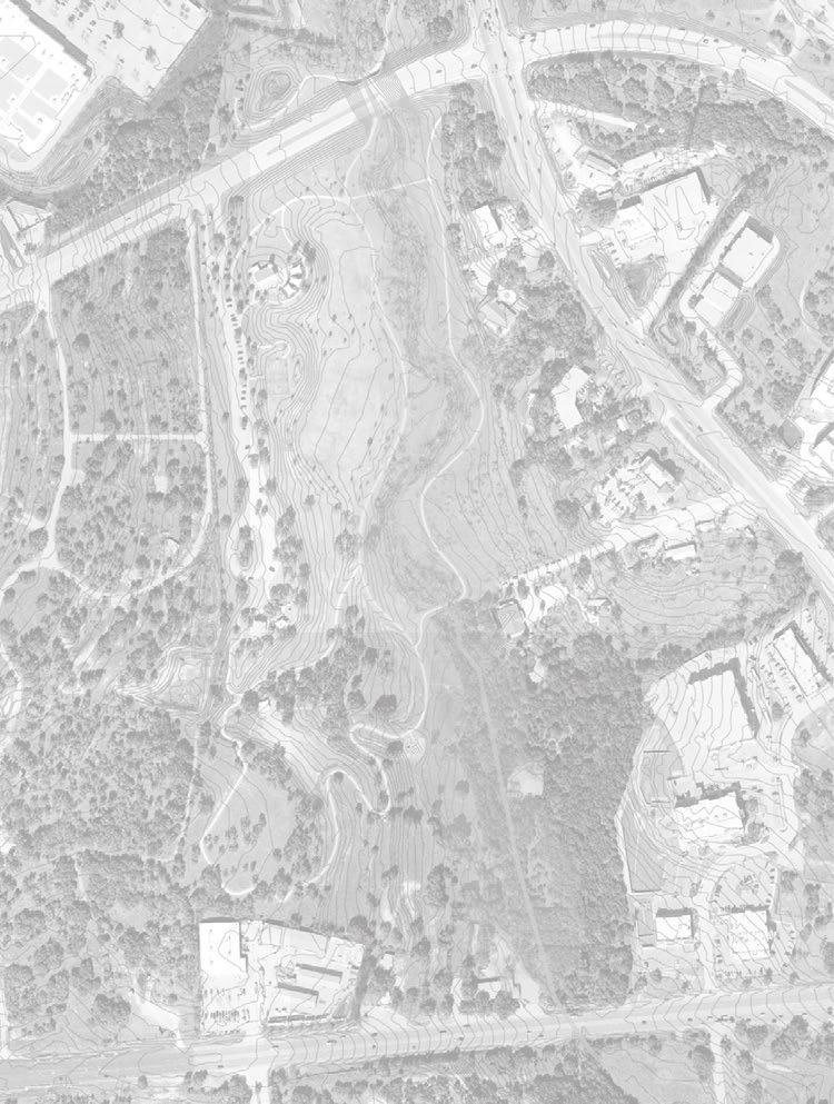
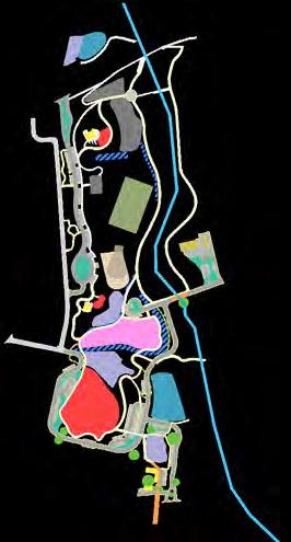


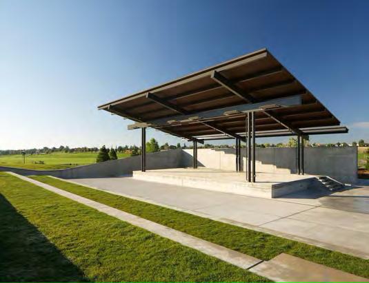
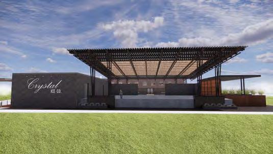
74 STAGE PRIMARY SEATING AREA SECONDARY SEATING AREA Dog Park Parking Area HILLSIDE SEATING NATURAL SHADE
Sourceparkerrec.com Sourcemunster.org Parker, CO: Discovery park MUNSTER, IN: Centennial park Carrolton, GA: The AMP Amphitheater Source. Exploregoergia.org Brownwood, TX: ICE House Stage KEY WORDS multi-purpose flexible intimate in scale community
INSPIRATIONAL IMAGERY EXISTING CONDITIONS
The City purchased a 2.3 acre tract adjacent to Bee Cave Central Park in 2020. Although it is not officially designated as part of the Park, nor does it carry any of the gift deed restrictions associated with the core 50 acres, the tract was purchased with several objectives:
1) it would provide for southern access to the Park to/from SH 71;
2) the ultimate use of the property—whatever it may be would be complimentary to the Park uses; and
3) it would serve as a landing spot for the northern end of the SH 71 signature pedestrian bridge identified in the City’s Hike and Bike Connectivity Plan and Capital Improvements Plan
The Property includes several defining physical features most noteworthy, a collection of stately oak trees, and one in particular toward the front of the property that could be characterized as a landmark, and an approximately ~ 8 foot tall rock ledge that bifurcates much of the northern and southern halves of the property. These features should and inevitably will inform the layout of the site, as well as provide opportunities for memorable design of indoor and outdoor spaces.


During the preparation of this Plan, the site was selected as the location for the new Bee Cave library, which is anticipated to be two stories and contain approximately 24,000 square feet of interior space, as well as programmed outdoor space It will be designed to meet the objectives outlined above, and in appearance and function, seamlessly flow into the Park The ability for a pedestrian bridge to integrate into the building will be incorporated into the design
Should, for some unforeseen reason, the library not ultimately be located on this site, other potentially compatible uses include a café or coffee shop with ample outdoor seating. A potential layout for such a scenario is depicted in the diagram to the right, which shows two buildings in yellow surrounding the iconic live oak In this scenario, the “L” shaped building is a tall one-story space with generous natural light that includes an activated, accessible roof with seating that also serves as the landing for the pedestrian bridge (orange) proposed to span SH 71. The transitions in grade represent an acknowledgement of elevations, TXDOT clearance heights on a freight highway, and permissible slopes pursuant to the Americans with Disabilities Act

Transition space


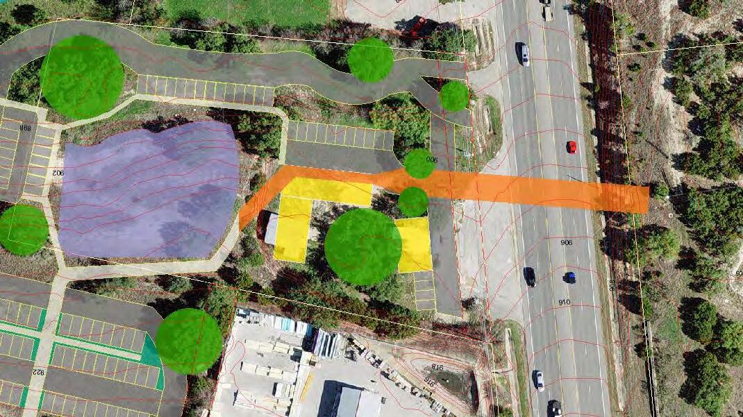


75
920 918 916 914 912 910 908 906 904 902 900 928 926 924 922 Roadway width 95.5 LF 1 2 3 1 2 3 4 71 4 BUILDING BUILDING
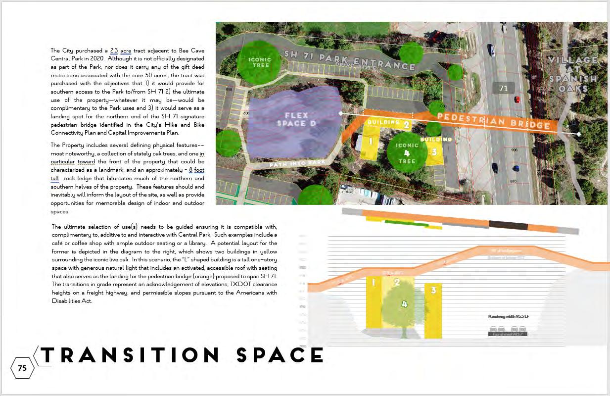
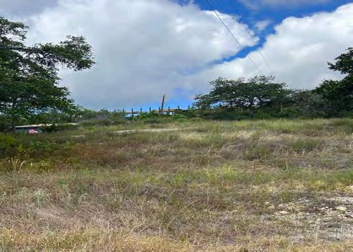
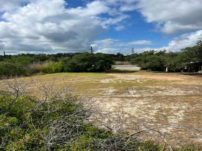
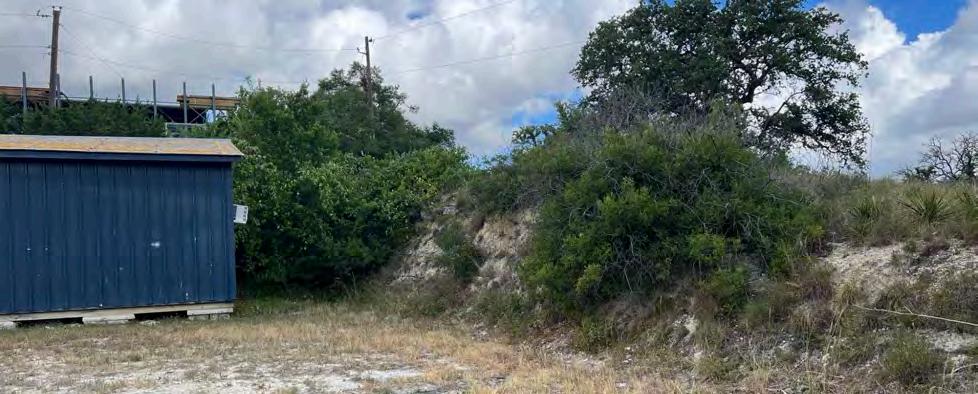
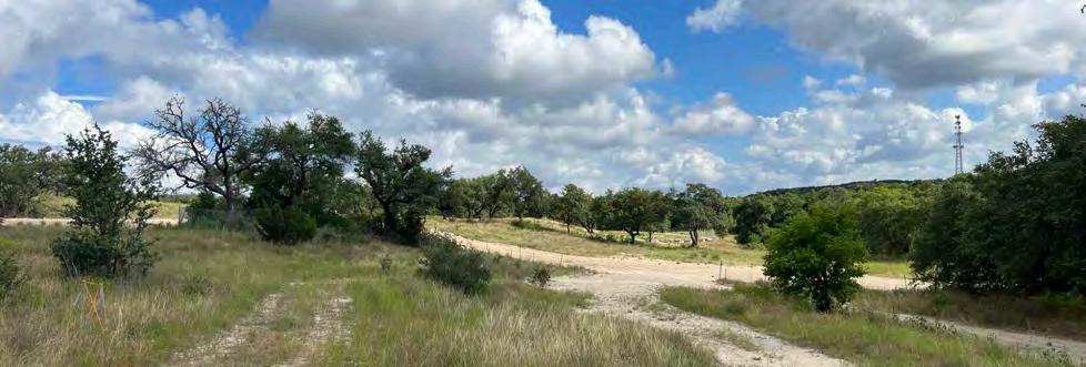
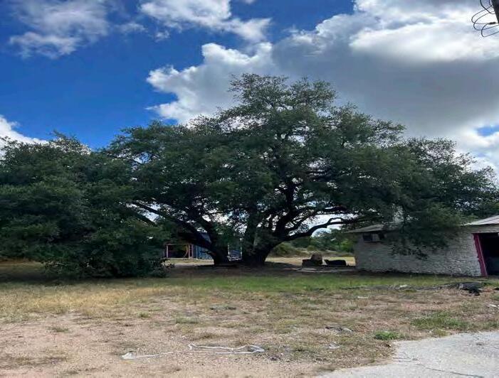
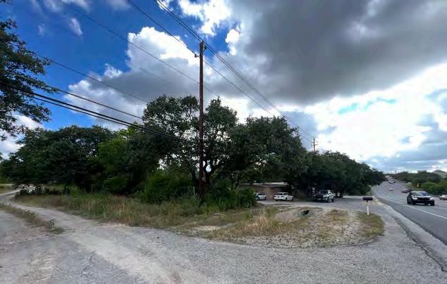
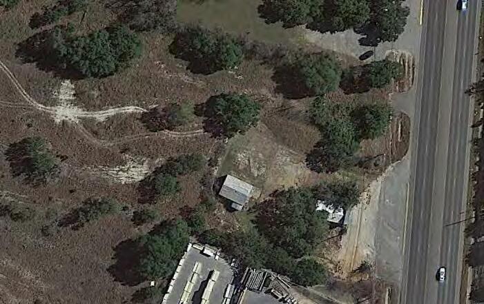


76 1 2 3 4 5 8 6 7 7 2 1 3 4 6 5 8 71
EXISTING DOG PARK
The existing dog park was constructed in 2014 It is an approximately 60,000 square foot/1.4 acre area surrounded by a split rail fence and divided into two areas: an approximately 5,000 sf “small dog” park and an approximately 55,000 sf “large dog” park The large dog area contains a seating with benches covered by shade sails, a water filling station, and a doggie waste station Each part of the park is single-entry and double gated.
The existing park provides direct opportunity to identify successful and unsuccessful components for the design of the future dog park:
- The park should not contain a drainage swale. Not only does the intermittent stormwater exacerbate mud and erosion issues already common to dog parks, the rocks lining the channel that are intended to slow erosion simultaneously pose a potential tripping hazard for humans and dogs and are generally harder to maintain and keep free of weeds and debris.
- The current watering station is on the same system as the irrigation water, thereby making its functionality vulnerable to breakage in the irrigation system Additionally, it has insufficient pressure.
- If available, natural shade such as tree canopy, is preferable to shade sails Not only is it more in keeping with the aesthetic aspirations for Central Park, it is less costly and labor intensive than options such as shade sails, which need to be replaced every few years.
- The small dog park is underutilized by park patrons. It may not be necessary to retain in the future park design.
- Due to the intensive nature of the intended use, it is very difficult to maintain grass. It is recommended that the park be designed such that portions can be cordoned off on a scheduled basis to allow the grass to be reestablished
- Dog owners often congregate with one another while their dogs play with one another. A place for people to be social with one another should remain a part of the design However, when dog owners’ attention is focused on their dogs, it is more often to play fetch than to use the space to train or practice technical agility skills When considering “equipment” for the dog park, more simplistic, natural amenities such as boulders and large logs (in contrast to dog training equipment that bears resemblance to a children’s playground) not only better fits the overall proposed aesthetic of Central Park, but is likely to meet the needs and expectations of the majority of users.
-A policy will need to be drafted about private dog trainers’ use of the dog park and/or other portions of Central Park for private lessons.
-There is a subset of park users that brings their dogs to Central Park with the intent to play with their dogs offleash outside of the dog park, which is against Park policy With all of the other proposed uses in the park competing for space, this policy will not change and it is recognized that staff will need to continue to enforce this policy as part of their duties.
DOG PARK


77
A 620 71
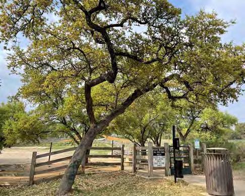
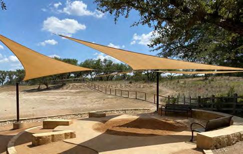
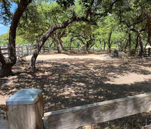

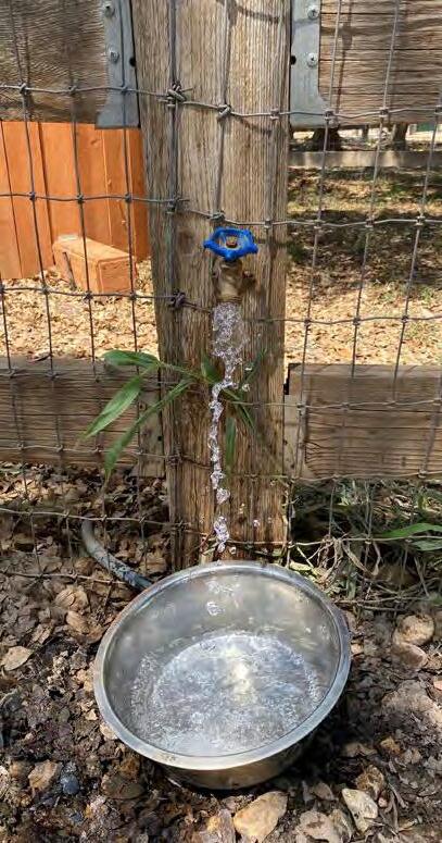
FUTURE DOG PARK INSPIRATIONAL IMAGERY
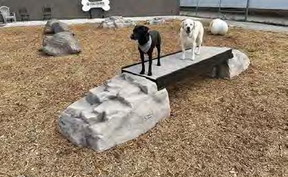
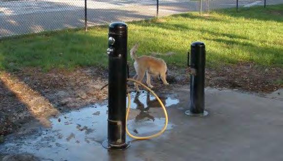
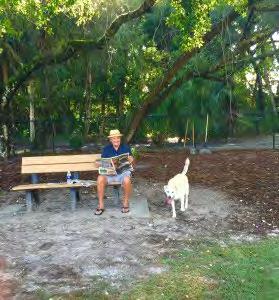
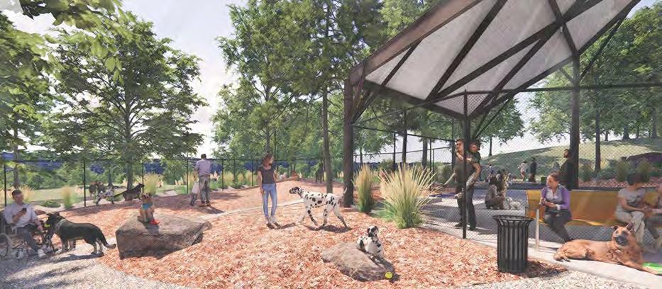
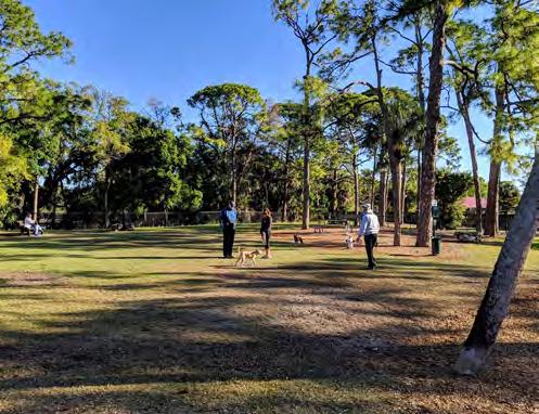
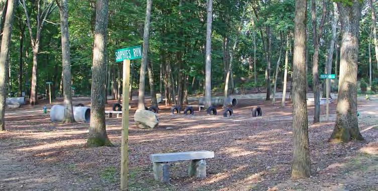
78
Island Dog Park
Riverfront Dog Park
Springs Bark n Play Dog Park
for Dogs Dog Park
Springs Bark n Play Dog Park
Dog Park at the Stables
Dog Park
Orcas
Sourcehttps://www.visitsanjuans.com Spokane
Source: https://static.spokanecity.org Bonita
Source: https://www.bonitaspringsparks.org Gyms
Source: https://www.dogparkoutfitters.com/ Bonita
Source: https://www.bonitaspringsparks.org/ Saefern's
Source: https://saefern.org/dogpark.php Braintree
Source: https://www.braintreedogpark.org/locations-under-consideration Source: https://www.pinterest.com/
LOCATIONS
There are four areas identified in the Concept Plan as “Flexible Spaces:”
North of Bee Cave Parkway; west of and including an existing pavilion; in the vicinity of the original dog park
Downhill from the existing small pavilion; adjacent to an existing path
South of the existing dog park and north of proposed all abilities play area
Northern half of “Transition Space” near the proposed SH 71 Central Park entrance.
PURPOSES & CONSIDERATIONS
The areas identified as “flexible spaces” are intended to be, as their label suggests, adaptable In the near term, this may mean a variety of things, such as, that they:
• Are entirely unprogrammed, passive spaces, composed simply of natural vegetation and grass all or a majority of the time;
• Are generally passive spaces as described above, but have temporary and/or intermittent purposes or occasional programming, such as a portable toilets or a first aid station, during special events or periodic use by a “roaming” activities such as a City-sanctioned group fitness class or a library-sponsored guest speaker;
• May have non-permanent, non-fixed amenities such as corn-hole boards and moveable chairs and furniture that can be easily removed to, without much cost or effort, restore the space to entirely passive or to accommodate for a different need.
• Accommodate future needs and uses that are not yet known. These spaces may be a betatesting ground for a pop-up version of potentially more permanent park uses
In most cases, it is recommended electricity and potable water area are extended to these spaces. This will assist ensuring the flex areas are not only adaptable near term, but also, in the event a space is converted to a more permanent, full-time use in the future, the pre-existing utilities will help defray construction costs and minimize invasiveness and inconvenience to park users during construction.
The degree of maintenance will vary and be determined by the Parks and Facilities Department according to policy, which will allow for heavy influence by the near-term projected purposes. These areas will be periodically maintained, but not necessarily expected to be manicured for frequent use.


Flexible spaces


79
C 620 71 D A B A B C D
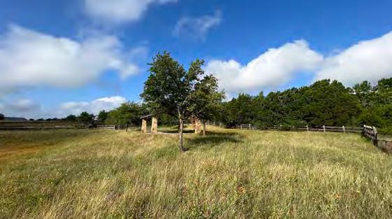
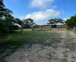
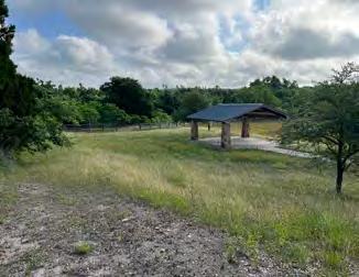
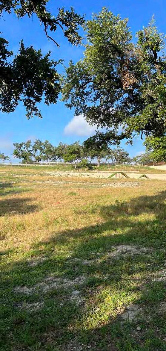
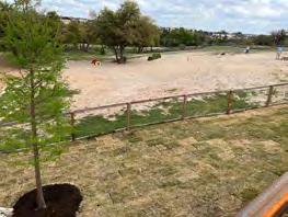
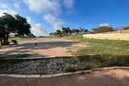
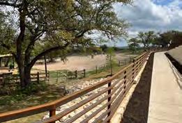
Characteristics
Size: .3 acres
Topography: generally flat, sloping toward water quality pond
Existing State: native grasses, groundcover
Noteworthy Features
• Includes a 600sf pavilion over concrete pad
• Adjacent to existing special use path
• Physically separated from majority of park
• Enclosed by a fence
• Adjacent to a water quality pond
• No nearby parking
• No existing utilities
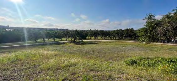
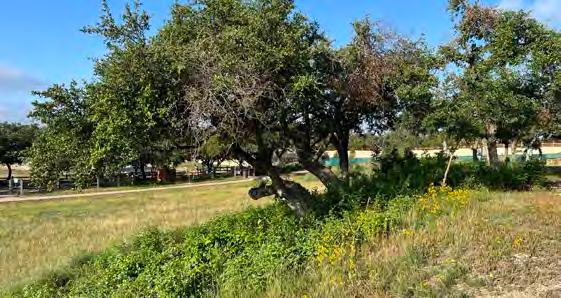
Characteristics
Size: .45 acres
Topography: intermittently flat and sloping, bordered by an overland drainage swale
Existing State: native vegetation, rocky
Noteworthy Features
• Adjacent to existing special use path, but technically separated by or inclusive of an intervening drainage swale
• Relatively central location in relation to remainder of park
• Will be in close proximity to future southern end of outdoor stage seating area
• Relatively close to proposed parking area
• Not formally enclosed, but has defining features around boundary such as special use path and hill
• Configuration is relatively long compared to depth
• No existing utilities
Characteristics
Size: .8 acres
Topography: sloping northward
Existing State: scraped caliche
Noteworthy Features
• Good, multi-directional access, visibility. Because of centrality and visibility, may make sense as a teen-oriented area
• Relatively lower than adjacent spaces and as a result may naturally make sense to have low impact development treatment features
• Adjacent to existing special use paths, current and future dog parks (in uture will be separated by drainage swale), and future all-abilities play area
• Path on west side and future all abilities area are substantially above grade to this space; both have a good overlook on this space
• Relatively central location in relation to remainder of park
• Not formally enclosed, but has defining features around boundary such as special use path and topographic changes
• No existing utilities
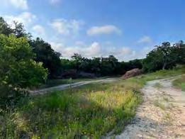
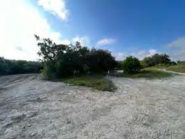
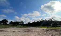
PhotosSource:ScottPayton,CityofBeeCaveParksandRecreationDepartment
Characteristics
Size: .43 acres
Topography: noteworthy, impactful slope downward west to east
Existing State: native vegetation, disturbed, rocky
Noteworthy Features
• Will be adjacent to vehicular entrance to SH 71
• Relatively distant from most existing and proposed park use areas
• Not anticipated to be fenced
• Will be adjacent to future parking area
• In proximity to wastewater line.
• Is unencumbered by gift deed restrictions to which the core fifty acres is beholden.
• Should complement future use to the south
80
C
D
A
B
 Source: HarumiTsuruokac/oappvoices.org
Adaptedfrom MonarchWatch.org
Each fall, hundreds of millions of monarch butterflies migrate from the United States and Canada to mountains in central Mexico where they wait out the winter until conditions favor a return flight in the spring Monarch Waystations are places that provide resources necessary for monarchs to produce successive generations and sustain their migration. Without milkweeds throughout their spring and summer breeding areas in North America, monarchs would not be able to produce the successive generations that culminate in the migration each fall Similarly, without nectar from flowers these fall migratory monarch butterflies would be unable to make their long journey to overwintering grounds in Mexico

AdaptedfromtheTravisAudubon2018PurpleMartinGuide


Purple Martins are the largest swallow in North America. They spend our winter in South America and their spring and summer in North America where they breed Austin is located along one of three different flyways they use to travel to and from South America. For thousands of years, Martins have nested in natural cavities and dead trees However, over time, Native Americans learned to hang gourds with holes cut in their sides so the Martins would nest near their villages Martins are very social After babies fledge, the birds move from the nesting colony to large, communal roosts They sleep at the roosts during migration. Austin has a major roost site where hundreds of thousands of birds gather each summer beginning in mid to late June through late August or early September Once established, Martins use a roost for many years
In June 2021, with a donation of 50 milkweed plants from MonarchWatch org and assistance with installation by the Bee Cave Friends of the Parks Foundation, a registered Monarch Way Station was installed east of Freitag Creek in the northwest quadrant of the park The Way Station is maintained by the Parks & Facilities Department
There is a Purple Martin Roosting site in the center of Bee Cave Central Park It was installed as part of an Eagle Scout Project and is now maintained by the City Parks & Facilities Department Maintenance entails strategically timing the placement and removal of clothespins to prevent other species from occupying the nests and clean out at the end of the nesting period
Naturebased FEATURES


 Source: JoelSartorewithColeSartore,NatGeoImageCollection
Source: KarstenMoranforTheNewYorkTimes
Source: JoelSartorewithColeSartore,NatGeoImageCollection
Source: KarstenMoranforTheNewYorkTimes
81
Freitag Creek
Freitag Creek is a perennial (continuous flow) stream that is tree lined with well vegetated banks. The Creek is a tributary to Little Barton Creek and has an overall watershed of approximately 725 acres. This area generally encompasses land to the west of RR 620 and south of Lake Travis High School, including Central Park, the Backyard, the Home Depot tract, the Estates and Falconhead Apartments, and Falconhead east of Spillman Ranch Loop. In Central Park this creek informally demarcates the more active areas of the Park to the west, and the quieter and more passive areas of the Park to the east.
 Source:ScottPayton,CityofBeeCaveParksandRecreationDepartment
Bird-Watching
AdaptedfromTexasDepartmentofParks&Wildlife
Mexican free-tailed bats (also known as Brazilian free-tailed bats) are the most common bat found throughout Texas. In most parts of the state, Mexican freetailed bats are migratory and spend the winters in caves in Mexico. They begin their migration to Texas in February and by early spring female bats form large maternity colonies, for which there are only a small number of suitable sites because the bats require high humidity and temperature levels. In June, mother bats give birth to one pup each. Male bats do not help in raising the young and form smaller “bachelor” colonies away from females.
Bat pups are ready to fly within four to five weeks of birth. It is estimated that baby Mexican free-tailed bats roost in densities of up to 500 pups per square foot. Mother bats are able to find their own baby amongst thousands of pups by using their sense of smell and by knowing the sound of their pup’s call.
By early August, most pups are flying and foraging on their own It is at this time of the summer when the most spectacular bat emergences often occur as the colony size might easily double. When the first cold fronts start pushing through in late October to mid-November, the Mexican free-tailed bats begin their migration to Mexico for the winter.
Central Park’s colony is located within the pedestrian and creek tunnel underneath Bee Cave Parkway.
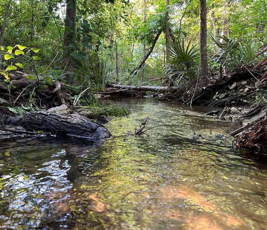
AdaptedfromBeeCityUSA.org
Bee City USA® and Bee Campus USA work to galvanize communities to sustain pollinators, in particular the more than 3, 600 species of native bees in this country, by increasing the abundance of native plants, providing nest sites, and reducing the use of pesticides. Bee City USA and Bee Campus USA are initiatives of the Xerces Society for Invertebrate Conservation
The City became designated in September 2021 Bee City affiliates work as advocates for pollinators; create and enhance pollinator habitat by increasing the abundance of native plants and providing nesting sites; reduce the use of pesticides; and act as a conduit for education on pollinator conservation by displaying informational signage, hosting events, and maintaining an online presence related to pollinator conservation
Freitag Creek provides appealing habitat for a variety of native birds Cooper's Hawk, Great Egret, Gadwall, and Vermilion Flycatcher are among the species that have been spotted and made Central Park an attractive destination for several birdwatching groups.
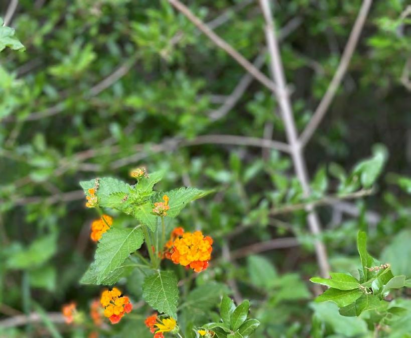

Source: ZacharyHuangforFingerLakesLandTrust
Source: LaurieFoss
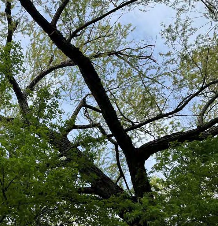
82
PROPOSED LOCATION
In order to properly maintain Central Park and the existing and proposed amenities, it will be necessary and most operationally efficient to have an on-site maintenance facility Currently, Central Park lacks any such space and, consequently, all equipment, such as mowers and tractors, must be transported by trailer from another City property each time it is needed.
The proposed location for the maintenance facility is near the mid-point of the eastern border of the Park at the end of the “Discount Tire Road,” off of RR 620 This location was selected because of its access, but general visual and physical separation from most of the areas proposed for public use For security and safety, it is proposed to be fenced and screened Due to the estimated extent of the Water Quality Buffer Zone, it is anticipated that some of the enclosed area will need to encroach the 25’ building setback.
ESTIMATED DEMAND
The purpose of this area is to house the majority of the City’s landscaping equipment as most, if not all, will have a primary role in maintaining Central Park With that in mind, the Parks and Facilities Department inventoried existing equipment and projected future needs for the purpose of roughly calculating building square footage In addition to equipment storage it is anticipated this building and fenced area also allow for light vehicle maintenance (e.g. tire rotation, cleaning) to be performed on the Parks fleet; a workshop for assembly and repair; storage of materials and supplies; and office space for Parks Department staff
Needs
Vehicles & Heavy Equipment
• 4 F-150 to F-250 trucks
• 3 60” mowers
• 1 72” mower
• 1 tractor/front loader
• 3 equipment trailers
• 1 UTV
Supplies & Materials
• Power tools (e.g. leaf blowers, weed eaters, saws)
• Hand tools (e.g., shovels, rakes, workshop tools)
• Limited store of landscaping materials (e.g. gravel, soil, mulch)
• Signage & Poles
• Wood supply General Storage
• Performance stage equipment (e.g. 300 sf biljax)
• Flexible Spaces (e.g. movable furniture, lawn games)
• Special Event supplies (e.g. temporary lighting, pop-up tents)
• Bathroom, cleaning, and vehicle supplies
MAINTENANCE FACILITIES

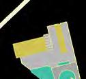
83
EXPANDED INSET OF MAINTENANCE AND PUBLIC PARKING AREAS

Water quality buffer zone Property boundary


Pedestrian path


Freitag Creek

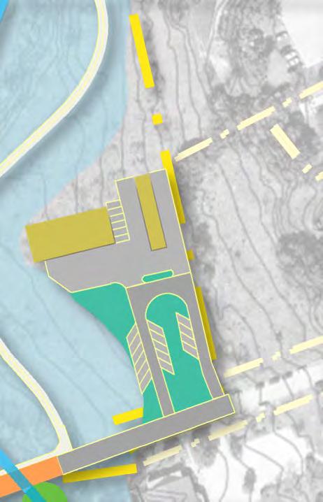
DESIGN CONSIDERATIONS
Based on the projected needs, the building is recommended to have no less than a 5,000 sf footprint, with some second story loft space for storage and staff offices The remainder of the building should have high ceilings, roll-up style garage doors, and an open floor plan to maximize maneuverability and adaptability. Consideration needs to be given to the structural design so storage capacity on the upper floor is not constrained. It is not likely possible to overestimate space dedicated to storage; the City is anticipated to be on the precipice of providing an uptick in programming and events. The building should have an elevated exterior materials palette (e.g. masonry, powder coated metal) , in keeping with the architectural requirements contained within City Code
MAINTENANCE BUILDING PROTOTYPE IMAGERY


fleet parking open air structure; cover for equipment and materials enclosed maintenance building solid surface maintenance yard gates


landscape area/rain gardens


angled public parking


Vehicle and pedestrian bridge one way traffic


Source:https://www.lesterbuildings.com/Photos/ag-storage-shop/eden-ny/313712/
Prompts for Building Design
• Adaptable
• Scalable
• Space & Energy Efficient
• Durable
• Spacious
• Happy and bright
• Open
• Multi-functional
84
Because the various use areas of the Park are anticipated to develop over time, in order to ensure visual continuity and clear Park identity, it is especially important to establish early in the design process an aesthetic pattern book that provides guidance on design decisions related to support amenities and placemaking elements. In addition to such elements being internally consistent with one another, they also need to reflect the outcome of the City’s marketing and branding process, which kicked off in Fall 2022 and is ongoing as of the preparation of this document
With that in mind, a broad goal of this Master Plan is to ensure Central Park’s natural assets and positioning at the edge of the hill country act as primary sources of inspiration for the design of the built environment and, specifically site amenities and placemaking elements.
Support Amenities
Support Amenities are items or features that add functional value and benefits to recreational spaces Examples include benches, lighting, bike racks, bollards, recycling and waste stations, drinking fountains, and entry and wayfinding signage While these elements serve a functional value, they also, perhaps more subtly, project a place’s sense of identity and design aesthetic. They are essential to creating well-designed and attractive park and recreation areas
Placemaking Elements
In the context of this Master Plan, “placemaking elements” refer to items or features that are more overtly intended to project a place’s sense of identity, such as public art (e.g. murals, sculptures), water features, decorative hardscaping, and landscaping. The City’s Comprehensive Plan, through goals such as Economic Development, Culture, and Education (ECE) Goals 2, 8.3, and 8.9 espouses, a City-wide desire to integrate art in public places and open spaces
GOAL ECE-2: “Promote and enhancearts,cultural, and historic resources in Bee Cave TheCity has anumberofhistoricand culturalresources thatcouldbecomeagreaterpart ofBeeCave’sidentity Publicartisplayingan increasing rolein outdoorspaces in the“Benches”at theHillCountryGalleriaand in theBeeCaveSculpturePark.Artsandculturalstrategies can playa significantrolein thephysicaland socialidentity of aplace,particularly in acity like Bee Cave thatplacesgreat value in its character and identity.TheCity’scurrentlandscape,thescaleofbuildings,naturalmaterials,andlocalart andartists or specialplacesandviews are allpartoftheidentityofBeeCave BeeCavecouldenhanceitsresources in a number of differentways, includingpublicart, thedesign ofpublicinfrastructure, and arts and cultural educationandprogramming.”
GOAL ECE-8.3: “Promote the attractiveness andstabilityofcommercialand employment areas through improved development standards and by addressing obsolescenceandredevelopment (SeealsoFLU 1.10). The City should continue to foster public-privatepartnershipsthatbothenhance local quality of life and strengthen the economy Investments in public space and facilities,includingtrails,plazas andlandscape areas, signage, andpublic art help to create placeswherepeoplewant tospendtime and ultimatelysupportlocalbusinesses.”
SUPPORT Amenities & Placemaking elements
GOAL ECE-8.9 : “Support the integration of public art within community buildings,streetscapes,parks,andopenspaces.”
85
Drinking Fountains
Restrooms
Picnic Tables
Bollards
Bike Racks
Benches & Seats
Waste and Recycling Stations
Shade Covers
Art
Fencing & Walls
Signage – Entry
- Wayfinding
Lighting
Water Features
Hardscape
Landscaping
Public Art
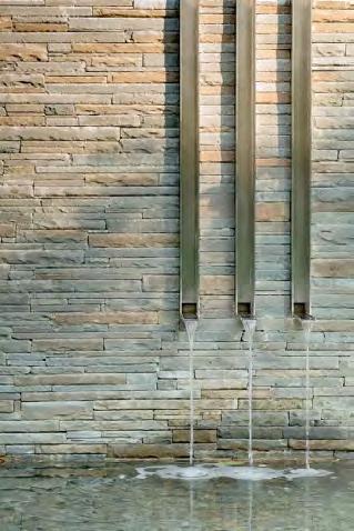
Source:courampionhruby.
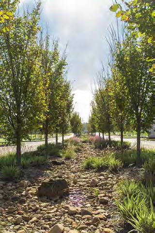
Source:danabrownassociates.com

Source:boredart.com
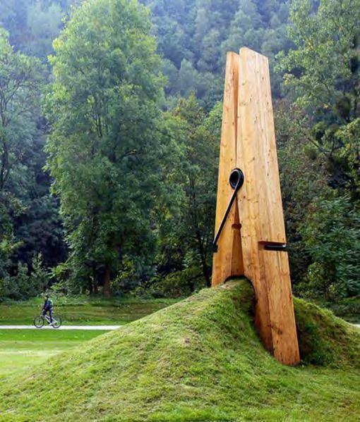
Source:moco-choco.com
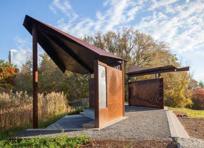
Sourcewww.dezeen.com
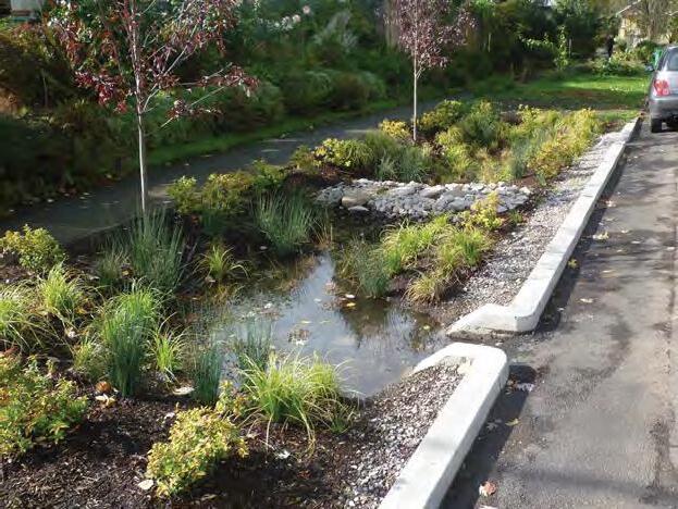
Source: drive.subaru.com/Articles/2017/Spring/spr17-biophilic-design-architecture
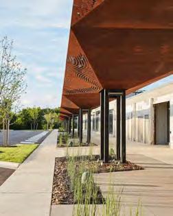
Source: archinect.com
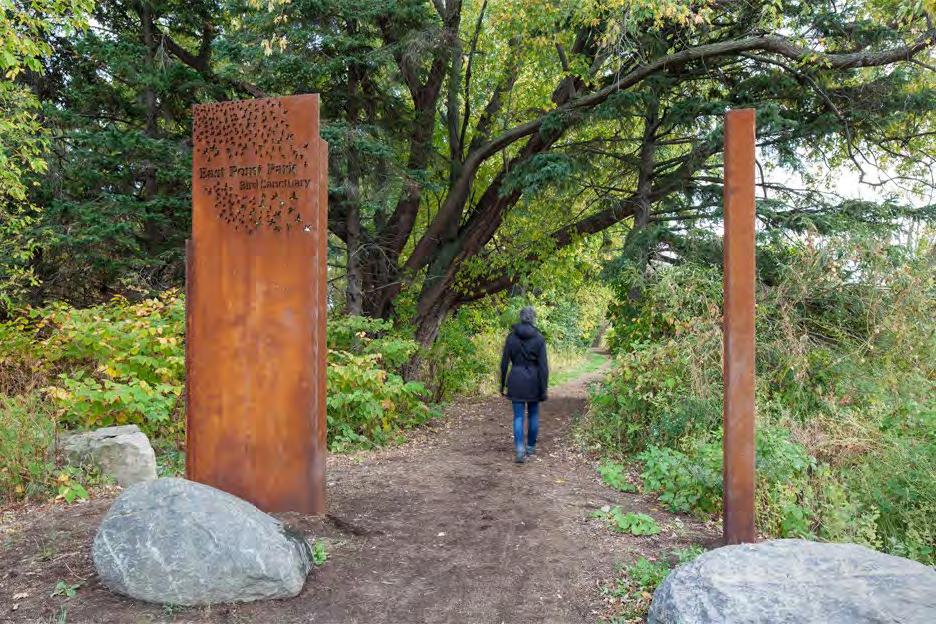
Source: https://www.dezeen.com
86
Support AMENITIES
ELEMENTS
& Placemaking
Accessibility
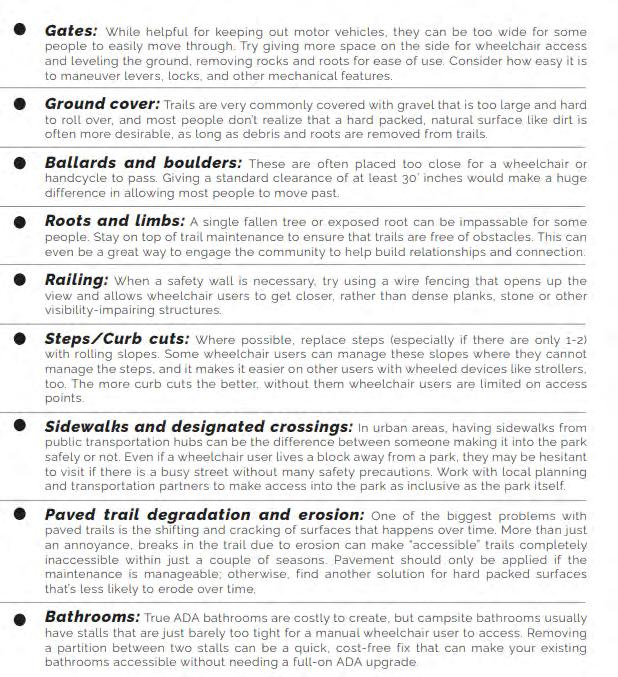
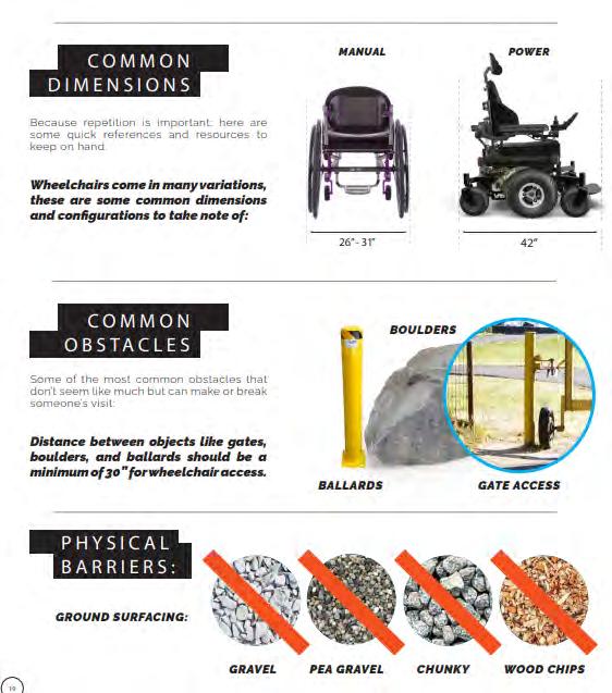
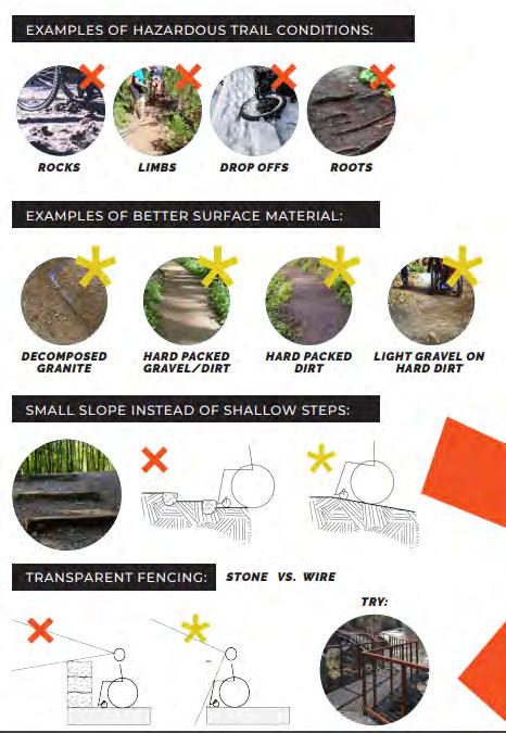
Source: Willamettepartnership.orgAccessibilityToolkit
Principles in design
87
88
SourceofPictures: ScottPayton,CityofBeeCaveParksandRecreationDepartment
INTENTIONALLY LEFT BLANK
89
Prioritization of Resources | Funding: Capital Improvements | Approach to Design, Project Management,& Construction | Funding: Use Areas | Resources for Ongoing: Operations , Maintenance & Programming | Governing Policy | Recommended Park Policy Updates | Recommended Gift Deed Clarifications
90
IMPLEMENTATION
SETTING EXPECTATIONS FOR PRIORITIES, FUNDING, TIMING
While the Park will retain so many of its charming and beloved features—a walking/running trail, a dog park, bird and bat-watching opportunities, beautiful views, intimately sized and shaded playgrounds and pavilions—the recommendations within this Master Plan are ambitious and transformative. They will shift the Park from a predominantly passive space into a blend of opportunities for passive and active recreation In order to effect this change successfully and sustain its quality over time, it is necessary to acknowledge there to be a near-term and long-term surge in demand for City resources relative to expenditures on the Park at the time of and preceding the adoption of this Plan The City, Bee Cave Economic Development Board, and community will need embrace this Plan as an on-going investment that not only requires an infusion of capital to construct the Major Capital Improvements (i.e. Infrastructure and Use Areas), but also adequate funding through the annual budgeting process for ongoing operations, maintenance, and programming in perpetuity.
Prioritization of Resources
91
FUNDING AND TIMING OF CONSTRUCTION FOR MAJOR CAPITAL IMPROVEMENTS
The City’s adopted FY 21-22 to FY 25-26 Capital Improvements Plan (CIP) identifies a multi-prong approach to funding of Major Capital Improvements, namely: issuance of one or more bonds in partnership with the Bee Cave Economic Development Corporation; a limited use of general funds; establishment of a mechanism to receive donations; and pursuit of grants. See excerpts from the CIP on the following page.
Infrastructure is the underpinning of a functional park With that in mind, it is imperative that, in the event resources—staff time and finances chief among them—need to be allocated sequentially rather than simultaneously, investment in infrastructure take top priority over construction of the Use Areas. The exception to this is relocation of the dog park, which, as an existing amenity, should be relocated as part of or prior to infrastructure construction In 2021, estimates for infrastructure costs were approximately $5,000,000 With the subsequent rise in interest rates and swelling of construction costs, combined with some interim shifts in staffing that result in a need to rely more heavily on third party assistance for design and project management services, the total cost for design and construction is anticipated to be higher than originally projected. Updating the construction estimate will be a core component of scope for the design team.
Bonds remain the proposed primary funding source for design and construction of infrastructure However, while the City monitors interest rates to time the issuance of bonds to its advantage in order to make prudent financial decisions, this Plan recommends temporarily funding design through use of the City’s and/or Economic Development Corporation’s General Fund, both of which can ultimately be reimbursed with subsequently issued bond money by passage of a “reimbursement resolution” ahead of the expenditures.
Design of the Use Areas is proposed to be funded through either the City and/or Economic Development Corporation’s General Fund under the direction of the same design team preparing the infrastructure plans (See page 93 for more detail). However, construction is proposed to be funded entirely through private donation and grants. Designing use areas coincident with infrastructure will have the benefit of ensuring continuity in functionality and aesthetics, even if construction timelines are offset It will also serve the critical purposes of preparing reliable cost estimates, which will inform fundraising goals, and the illustrations , design content, and
Major Capital Improvements
Design/Construction/Installation of: Infrastructure
• Circulation drives
• parking
• paths and trails
• utilities (e.g. potable water, irrigation wastewater, electricity)
• support elements (e.g. landscaping, signage, fencing, benches
• maintenance building

Municipal Bonds Economic Development Corporation Bonds
Secondary Funding Source

City General Fund
Bee Cave Economic Development Corporation General Fund
Use Areas
• dog park
• pavilions
• sport courts
• community stage
• inclusive playground
• splash pad


City General Fund Bee Cave Economic Development Corporation General Fund
detailed vision so often required for fundraising marketing materials and grant applications Because this will be the City’s first substantial foray into pursuit of grants and acceptance of donations, establishing the structure and strategy of how to do this is also a near term priority for Plan implementation. (See page 94 for more detail).
While it is hard to pinpoint a precise timeline for total buildout of Major Capital Improvements, it is recommended design of all Improvements be underway within six months of Plan adoption It is further recommended that construction of infrastructure is underway within eighteen to twenty-four months of Plan adoption, assuming favorable interest rates. The goal for construction of Use Areas is between three to ten years, but is entirely driven by success of fundraising and grant procurement If funds are available to construct a particular Use Area(s) sooner particularly coincident with infrastructure—that is recommended It will not only consolidate disruption of the Park to patrons and neighbors, it will also create cost efficiencies related to staging, material procurement, labor, and project management If the City is unable to raise sufficient funds for a particular Use Area within five to seven years of Plan adoption despite effort, it is recommended to prompt a reevaluation of whether that particular use is still in sufficient demand by the community to warrant the exclusive dedication of space within the Park
The one type of Use Area that this Plan specifically recommends delay in infilling with any permanent uses are the Flex Areas Those should remain the “relief valves” for the Park so that as it matures and new needs emerge, there are physical spaces available to accommodate and provide spillover.
Funding: Capital Improvements
92
Primary Funding Sources
Primary Funding Sources
Secondary Funding Sources Donations Grants
PROJECT MANAGEMENT
Much like the City has elected to do for construction of other major facilities within the CIP (namely, the new Police/Public Safety Building and the new Library), this Plan recommends hiring a Project Manager to oversee design, construction, and procurement of funding It will help ensure adherence to schedule, budget, and design continuity.
DESIGN
To ensure that Central Park has aesthetic and programmatic cohesion, design of all infrastructure (park drives, parking, paths, stormwater, utilities), use areas, the plant palette, support features (e.g. bathrooms, benches, signage, trash cans, bollards, fencing), entryways, and buildings/structures (e.g. maintenance facility, new pavilions) is proposed to be done simultaneously and by a design team working under the same, coordinated umbrella. With that in mind, the design team is anticipated to cover many disciplines and specialties, many of which are identified to the left
Because this Park is intended to have a regional draw, it should be distinct and memorable relative to other Park options within the Austin metro area—enough so that it not only serves the needs of residents, but also compels people to make the drive to Bee Cave and plan for an extended visit that is paired with other activities, such as shopping and dining. Similarly, the design team should have a portfolio of a caliber that pushes the envelope beyond what’s familiar
CONSTRUCTION
Much like the City has elected to do for construction of other major facilities within the CIP (namely, the new Police/Public Safety Building and the new Library), this Plan recommends pursuing a Construction Manager at Risk (CMAR) approach to construction of infrastructure. Similar to the Design Build (DB) construction method, the CMAR approach selects and involves the contractor at or near the onset of design, which helps to ensure designs are practical and remain within budget


Approach to Design, Project Management,& Construction
93
CONSTRUCTION, CONTINUED
However, between the two, because of the high level of involvement and control the City historically prefers to exercise in its projects, CMAR is presumed to be a better fit for Bee Cave than DB, which defers more decision making to the architect. Because the timing of funding of each of the use areas is unknown, this may need to be characterized in the selection process as optional additional scope at the election of the City.
The Competitive Sealed Proposal (CSP) Method is not recommended for several reasons. Due to the volatility of the construction environment in recent years, it is easier to keep within timeline and budget if materials procurement is initiated during the latter stages of the design phase, which is an option in both CMAR and DB. CSP does not allow this because the contractor selection process does not start until design is 100% complete Efficiencies are also lost with regard to site preparation Whereas CMAR and DB both allow for site prep work during the latter stages of design because the contractor is on-board and those macro components of design are typically finalized well before micro decisions (e.g. selection of finishes) are complete, the site is dormant during the selection, permitting, and permitting phases of CSP.
FUNDRAISING, GRANTS, & OTHER SOURCES OF FUNDING FOR USE AREAS
As previously mentioned, the City will be pursuing fundraising and grants as primary sources of construction funding for the “Use Areas.” However, it is simultaneously recognized that this approach creates great uncertainty regarding timeframe for construction and, as such, may be misaligned with expectations from Park users about the speed of delivery. It is a reality with funding any project over a ten year time horizon some assumptions made won’t come to fruition and new opportunities will arise. Nimbleness will be a key to success.. As such, the City will continuously scan for alternate and/or additional creative options for funding beyond the adoption of this Plan.
As a non-profit entity, the Bee Cave Economic Development Corporation (EDC) is well-suited to partner with the City as a repository for donations for Use Areas. As discussed during the Capital Improvements Plan adoption process, it is anticipated that the EDC, in coordination with the City, will establish a formal Central Park implementation committee, whose role it is to solicit and oversee donations during construction. From this umbrella group, it may be prudent to establish focused sub-committees by Use Area that can capitalize on disparate passions e.g. an avid tennis player may be well suited to fundraise for sport courts, but less interested in fundraising for a community stage and vice versa. As far the cross-section of committee and subcommittee participation, they should be predominantly composed of citizens willing to fundraise and technical experts that can supplement the design team (e.g. an occupational therapist for the inclusive play area), all acting in the capacity of advisorsrather than decision-makers. Because active fundraising of this scale is outside of the City’s or the EDC’s expertise, it is recommended that the City bring on a consultant to set up the initial framework. This person will help set realistic expectations for the pace and scale of fundraising ; establish protocol for seeking corporate donations, large private donations, and smaller, and individual donations; and guide the preparation of “marketing” material, alongside the design team.
The Plan also recommends exploring grants are another source of funding
Because the City does not have a lot of experience in this arena, it may be necessary to supplement without outside assistance. Grants applications often require submission of preliminary design and budget, which contributes to this Plan’s recommendation to complete schematic design within the next twelve to eighteen months. Furthermore, grants often require a local match, which can come in the form of donations hence the recommendation to establish a mechanism to receive such funds as soon as possible.
FUNDING: Use Areas
94
A core component of implementation of this Plan is for the Parks & Facilities Department to thoroughly evaluate and update staffing plans and budget forecasting for the near term, mid-term, and longterm time frames. There is a general recognition that the additional uses in the Park will require substantially more resources than needed today In advance of overhauling the entire operations plan and protocols for Central Park in much greater and more comprehensive detail, the following considerations, in no specific order, are examples of anticipated increased demand on resources.
• More bathrooms: equates to an increased supply budget, more daily janitorial needs, more routine maintenance needs, more spaces to perform routine ‘security checks,’ more spaces subject to vandalism The current bathrooms are known to be in need of remodeling It is recommended that they be updated during the infrastructure construction
• More irrigation demand: the current irrigation system needs to be mapped, scoped for breaks, repaired, and re-evaluated to make sure 1) zone are getting the appropriate amount of water and 2) supply from the well matches exiting and forecasted demand; if not an additional water source will need to be identified or adjustments will need to be made to the landscape plan It is also imperative that that a more sophisticated controller be installed to allow for remote and granular scheduling; this update does not need to wait until the design is done because it affords such easy re-programming. Furthermore, it is anticipated that additional zones will need to be added for coverage in areas of the park that currently have no irrigation The well is in the process of being evaluated for current and potential supply, including whether additional storage is needed or practical given maximum draw capacity
• More manicured landscaping: requires mowing, edging, mulching requires more supplies, equipment, and staffing The Department needs to development its first land management plan to tactically address annual maintenance needs with greater intervals such as aeration and application of top dressing
• Community Theater: More schedule management, need for software More information technology/audio visual/lighting equipment to maintain. More storage space needed.
Potential fee management
• Memorial Tree Promenade: More water, more maintenance, staff to set up and manage a donation program, staff to assist with planting, additional need for arborist,
• Sport Courts: More schedule management, need for software. Potential fee management. Potential programming impact if tournament demand
• Art in the Park: Submission process. Increased insurance requirements. Increased vandalism risk
• Splash pad: huge maintenance implications, comparable to operating a pool facility. More demands on communication to general public about status of planned and unforeseen closures. Increased water demands
• Change to hours: If hours expanded to allow access after dark, more patrol. Potentially more repairs needed due to vandalism Might need additional safety lighting
• Increase in visitors: more trash cans, more events to coordinate, more questions to answer, more directional signage needed
• Utilities: increase in monthly costs water, electricity
• Maintenance of Hard Surfaces: more pavement to resurface, sweep More trails from which to cut brush away
• More playground equipment: More inspections, more schedule management (e.g. field trips, birthday parties), more equipment replacement and repair, more mulch. Management of ongoing donations
Resources needed For Ongoing:
95
Due to the proposed investment in infrastructure, the Park is poised to become an even more hospitable hub of community events and activity. While being mindful of City resources, this is envisioned to include occasional annual, larger scale events such as a Halloween Haunted Trail Walk, an outdoor summer theater performances to potential coordinated festival partnerships with the Backyard and adjacent neighbors On a more frequent basis, this may take the form of small scale gatherings– classes, volunteer clean-ups, interest group meet-ups, etc The roll-out of these offerings may need to be measured and always take into account growth of budget and staff.
Ongoing Operations, Maintenance, and Programming Encompasses:
contracts
Operations | maintenance | programming
96
Staff
Third party
Supplies Ongoing Maintenance, Repairs, and Improvements Utilities Equipment/Fleet Special Projects Event Programming Software
GOVERNING DOCUMENTS
There are two primary documents that govern the rules of and permitted activities within Central Park: 1) the Central Park Gift Deed, which executed in 2005 as a core component of the conveyance of the original fifty acres to the City (see page 15), and 2) the Central Park Use Policy, adopted shortly thereafter and enumerated in Chapter 16 of the City’s Code. Both of these documents, which are provided in the Appendix, were reviewed for consistency with the recommendations and objectives of this Plan. Each document contains certain provisions, identified in the following pages, that are either ambiguous or potentially misaligned with the directions of this Plan and, as such, an important aspect of implementation will be to pursue amendments to these documents
As the City is updating its policies, it should also wish to consider its objective to become CAPRAcertified by the National Parks and Recreation Association (NRPA) To assist with setting benchmarks, The 2022 NRPA Agency Performance Review and associated NRPA Park Metrics database provides insight into norms for park policy The table to the right reflects the results for agencies with similar characteristics as to Bee Cave regarding the use of tobacco, consumption and sales of alcohol, consumption and sales of healthy foods, and application of an admission fee..

Governing Policy
97
Population <20,0,000 Population Density 500-1,500/sqfmi Jurisdiction Type City Agency has policy barring the use of all tobacco products in its parks and at ALL facilities and grounds 53% 53% 55% Agency has a policy barring the use of all tobacco products in its parks and at SELECT facilities and grounds 25% 27% 30% Agency DOES NOT have a policy barring the use of all tobacco products 22% 20% 15% Agency has a policy that allows the consumption of alcohol by legal-aged adults on ALL premises 20% 19% 13% Agency has a policy that allows the consumption of alcohol by legal-aged adults on SELECT premises 41% 47% 63% Agency DOES NOT have a policy that allows the consumption of alcohol by legal-aged adults on premises 39% 34% 24% Agency sells alcoholic beverages to legal-aged adults on ALL its premises (by agency or authorized concessionaire) 5% 4% 3% Agency DOES NOT sell alcoholic beverages to legal-aged adults on its premises (by agency or authorized concessionaire) 65% 59% 48% Agency provides healthy food options in ALL its vending machines 20% 22% 25% Agency provides healthy food options in SELECT vending machines 30% 40% 40% Agency DOES NOT provide healthy food options in its vending machines. 50% 38% 35% Agency provides healthy food options at ALL its concession stands 25% 25% 26% Agency provides healthy food options at SELECT concession stands 34% 43% 50% Agency DOES NOT provide healthy food options at its concession stands 41% 32% 25% Agency charges a parking fee at ALL its parks or facilities 93% 87% 83% Agency charges a parking fee at SELECT parks or facilities 0% 0% 1% Agency DOES NOT charge a parking fee at its parks or facilities 7% 13% 16% Agency charges an admission fee to enter ALL its parks 0% 1% 0% Agency charges an admission fee to enter SELECT parks 7% 13% 16% Agency DOES NOT charge an admission fee to enter its parks 93% 86% 83%
CENTRAL PARK USE POLICY
The City’s Parks Use Policy is currently applicable across its Parks With the introduction of more specialized uses, it may be prudent to create a tailored policy Further, CAPRA certification may require this With that in mind, a more extensive update of the policy is anticipated, but at present, at least the following terms are known to need focused consideration Nearly all of these policies require discussion across several Departments—Parks and Facilities; Police; Administration; Finance; and Planning & Development
Current Code Commentary
Sec 16 04 003 Park hours
Allcityparksare opentothepubliceachdayfromsunrise to sunset;however,themain entrance gatetoCentralParkisopen onlybetween8:00am tothirtyminutesbeforesunset.Thegatemay beclosedatany timeasdeterminedbytheCityManagerortheirdesignee.Parkfacilitiesandpark buildingsdesignedforspecificpurposes,includingathleticfields, are open as designatedbycity policy or rules adopted by the City Council. Notice of the rule or policy will be posted at the applicablelocationtogivenoticeofthehoursthefacilityisopenforpublicuse.
In recent years, there have been several indicators that the mentality toward the Park’s borders has evolved from one in which the priority is limiting Park access to one in which Park access is encouraged. Specific examples of the prior policy approach include a former Code requirement for property owners abutting a City Park to erect a fence/wall at the shared property boundary; the limiting of Park hours established in the current Code; and installing a gated park entrance. Specific examples of the transition in thinking include requiring within the Backyard development Planned Development District zoning construction of multiple points of vehicular and pedestrian interconnectivity and not requiring a fence be installed between the two properties; and the City’s construction of two-prong pedestrian access at the north end of the Park
There is long-standing, existing demand for access prior to sunrise by current park users (mostly walkers/joggers) and there is anticipated desire for access after sunset upon opening of the library, the backyard, and other forthcoming adjacent developments that will have restaurant and retail uses. Park hours merit a broader discussion, including what additional demand broader access places on the police department.
Sec. 16.04.004 Prohibited activities
Itisunlawfulforapersontodoanyofthefollowinginapark:(23)Consumeorpossessanalcoholic beverageinanopencontainer,unlessallowedunderaspecialusepermit;
Sec. 16.04.005 Reservation Policy for Pavilions
(f)Allresidentswhoreserveapavilionmayapplyfortheuseofsaidpavilionbetween8:00 a.m.and5:00p.m.,MondaythroughFridayatCityHalloronline.Theapplicantmaynotmakeany charges,norsolicitformoneyofanykindorcharacterfromanypersonfortheuseofthepavilion.
Sec. 16.04.007 Special uses
(a)Permitrequired.Itisunlawfulforanypersontosponsor,hold,orconductaspecialuseinapark withoutfirstreceivingapermitfromthecity.
Sec. 16.04.008 Persons excluded from parks
(a)TheChiefofPoliceordesigneemayexcludeanypersonfromtheuseofaparkorparks iftheperson:
(1)Engagesinconductthatisdeterminesposesacontinuingthreattothesafetyofparkusers;
(2)Intentionallydamagesparkproperty;
(3)Continuallyviolatesparkrulesorregulations.
This policy may merit reconsideration as the City contemplates hosting additional special events and operating a community stage. In addition to contemplating simply whether alcohol should be permitted on the property, it also can be parsed by having a carry-in policy, only, or also considering whether on-site sales is permitted. A discussion of the latter needs to evaluate against the parameters in the Gift Deed.
As the City offers more programming and operational and maintenance cost increase, the City may need to evaluate additional sources of revenue, including reservation of pavilions. Anecdotally, non-residents, who are disallowed in current policy from reserving pavilions, have expressed a willingness to pay a fee for the privilege.
There may be an opportunity to streamline interdepartmental efforts by enfolding this into the Special Event Permitting Process already administered by the Planning & Development Department.
Particularly if the Park hours are expanded or abolished, this policy may need to be enhanced to give the police more articulated authority in the event the Park faces an increase in mischief.
Park Use Policy Updates Recommended
98
CENTRAL PARK GIFT DEED
The Gift Deed governs the permitted activities and uses of the core fifty acres of the Park, identified to the right in green. Pursuit of formal clarification is recommended on the following terms because the consequence of violation is severe– reversion of the property back to the original owner:
Provision Purpose for/ Intent of Clarification
In no event shall the propertybeusedas
Vehicle storage/ material storage
Ensure the Parks and Facility’s Department maintenance facility may be located within the Park in a location that is easily accessed yet separated from the primary use areas to the extent practical. This facility, which is expected to include an enclosed building, an open-air structure, and a fenced/walled yard, is envisioned be the centralized repository for equipment, supplies, and materials essential to maintaining Central Park and necessary for hosting on-site events and programming. It is also envisioned to be the home base for the Parks fleet. Because the Maintenance Facility’s dedicated purpose is serving and maintaining Central Park, it is not believed to pose any conflict to the intent of the language in the Gift Deed. Nevertheless, because it will technically include vehicle and materials storage, pursuit of affirmation of conformance within the Gift Deed is advised.
Potential Sample Amendment/Clarification Language
As to the following Restrictions language: “… provided, in no event, shall the Property be used as… vehicle storage facility, material storage or disposal site…”, Grantor hereby agrees that the City may do the following with the subject conditions:
• Store vehicles, equipment, and supplies associated with maintenance and upkeep of the park.
• Utilize an enclosed building for said storage. No exterior storage allowed.
• Limit the footprint of said building to a size TBD that allows City to keep what is necessary for this park’s maintenance and upkeep. Said building not to be used for general city-wide storage or maintenance.
• The building is built of masonry and has locally-relevant architectural features (e.g. a standing seam metal, powder coated pitched roof), articulation, and a materials palette that results in a high-quality look, i.e. no pole barn, metal shed. Grantor shall have the right to approve any architectural plans for the building which approval will not be unreasonably withheld.
• Orient the building such that access is not visible from the road, what is visible from public spaces will be designed with the quality and features that will be aesthetically appropriate for the locale.
In no event shall the propertybeusedas water treatment plant, wastewater treatment or disposal plant…
The City has been in long-standing discussions with the West Travis Public Utility Agency about the possibilities of partnering on irrigation of Central Park. This has included potential use of treated effluent, as well as a beneficial re-use groundwater injection well. While it is believed that neither of these solutions is in conflict with the literal terms, nor the intent of the Gift Deed, it would be prudent clarify this.
As to the following Restrictions language: “…provided, in no event shall the Property be used as… water treatment plant, wastewater treatment or disposal plant…”, Grantor hereby agrees that the City may provide for the irrigation of the land with treated effluent water and/or may use the land for the purposes of storing, in an underground facility, any treated effluent water for future re-use of said water. Recommended
Gift Deed Clarifications
99
In no event shall the propertybeusedas
In any manner that results in the production of income from the Property except as such income may be derived as an incidental part of public use. A use of the Property whose primary purpose of the generation of income for a private purpose shall not be considered as a public use.
Clarification of the language regarding production of income is critical on several fronts, based not only on the Vision presented in this Plan, but also inquiries the City has received since the Park opened. While the City has absolutely no intent or plans to repurpose the Park into any overtly commercial or residential operation identified in the gift deed (e.g. retail or commercial shopping center; multi family, single family, or any other residential use; commercial office use), there are some substantially more subtle ambiguities about income generation within the umbrella of a Parks use. For instance:
• Can the City allow rental of sport courts by private instructors who are receiving a fee for service by their students?
• Are privately operated youth sports leagues allowed to use the Park for practices?
• Are private instructors (e.g. yoga classes, bird watching) allowed to conduct classes in the Park?
• Can food and/or alcohol be sold in the Park, by the City or a third party operating on behalf of or with the permission of the City? Ongoing? During a special event?
As to the following Restrictions language: “…provided, in no event shall the Property be used… in any manner that results in the production of income from the Property except as such income may be derived as an incidental part of the public use. “, Grantor hereby agrees that the City may allow the following with the subject conditions:
a) Organized Sports (e.g. dedicated, striped, and/or illuminated fields/sport courts rented/leased to a youth organization)
• Open area, multi-purpose, multi-use fields and sports courts (e.g. basketball, tennis, volleyball) are allowed so long as they are freely open to the general public.
• Occasional, informal use by a sports team (e.g. a little league team practice) is allowed so long as it is not routinely exclusionary to other users and the fields and sports courts are generally available on a first-come, firstserve basis.
• A reservation of open area, multi-purpose, multi-use fields and sports courts is required to provide for more predictable availability to users. Such reservations shall be freely open to the general public and not routinely limited all or part of the time to a particular organization, unless that organization is the City or sanctioned to operate as an agent of the City.
b) Classes (e.g. fitness classes, dog trainers, bird watching classes, musicians)
• Any group or class that does not fall under Organized Sports as identified by the City.
c) Food/Alcohol Consumption and Sales
• Carry-in food and alcohol consumption allowed.
o City will create a parks policy that allows park patrons to bring their own alcohol on site so long as it does not interfere with the park being family-friendly, first and foremost.
• On-site sale of food allowed in association with special events.
o Temporary food trucks associated with special events (e.g. a farmers market, kite festival, a birthday party) or occasional use (e.g. an ice cream vendor on Saturday afternoons) are allowed.
PROHIBITED: Bricks and mortar restaurant facilities and food truck parks or dedicated food truck locations intended for continuous occupancy.
100
Provision Purpose for/ Intent of Clarification Potential Sample Amendment/Clarification Language
INTENTIONALLY LEFT BLANK
101
Appendix 102 Central Park Gift Deed | Article 16.06 Use of City Park and Park Facility Policy | Capital Improvements Plan


103
Central Park Gift Deed

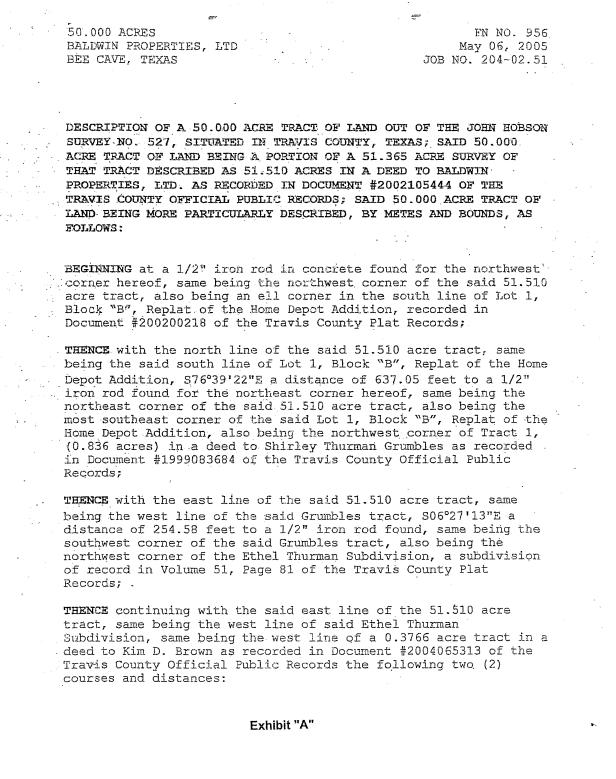


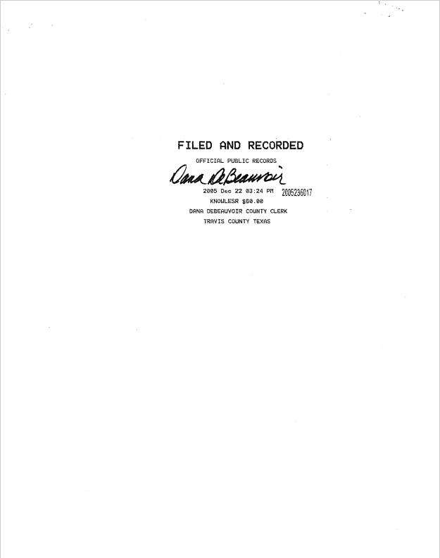

104 Gift Deed Exhibit A
Article 16.04 Use of City Park and Park Facility Policy
105
106
Current PARK USE POLICY, con’t

107
INTENTIONALLY LEFT BLANK
108
EXCERPTS FROM THE CAPITAL IMPROVEMENTS PLAN
The City’s adopted FY 21-22 to FY 25-26 Capital Improvements Plan was adopted in October 2021 A full copy of the Plan, as adopted, is available here The excerpts contained in this spread pertain to implementation of Central Park improvements.
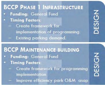
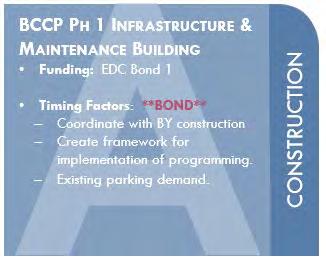
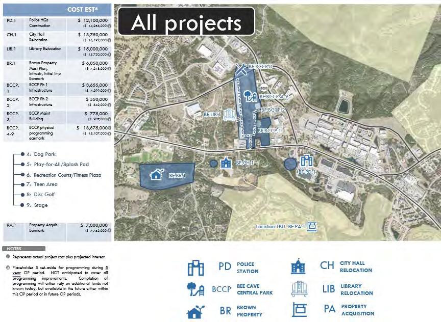
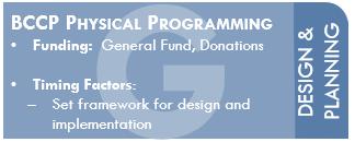

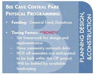
Capital Improvements Plan
109

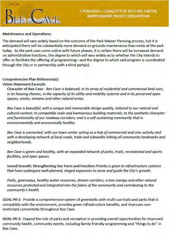
110 Capital Improvements Plan: Phase 1
Improvements Plan: Phase 2
Capital
