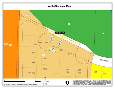
North Okanagan Map
This drawing has been produced by the City of Vernon’s and the Regional District of North Okanagan’s Geographic Information Systems. The data provided is derived from a variety of sources with varying levels of accuracy. The City of Vernon and the Regional District of North Okanagan make no warranty or representation, expressed or implied, with the regard to the correctness, accuracy and/or reliability of the information contained herein. 707 0 1: Miles 0 0 0 © Corporation of the City of Vernon & Regional District of North Okanagan