Gull’s Eye - Scilly Isles
Scilly rightly has a fearsome reputation for navigation. There are rocks and shoals aplenty, so bad weather makes closing the islands or even moving between them a ticklish job. Fortunately, the worst of the hazards lie to the southwest of the islands, from where few cruisers approach. “There’s a fear factor,” says Clark. “You have to leave Land’s End behind before you pick up Scilly. It’s a bit of a jump for cautious sailors.” That said, the islands have been surveyed again in detail since 2012, and are well lit and marked, so access is possible day and night. And in the settled weather that most visiting yachts will choose for the passage from the mainland, getting in is very straightforward. St Mary’s will often be the first port of call, and you can reach the harbour by going south about or north about the island. The southerly route is strongly recommended, as it is deeper and clearer of hazards. “Though fairly narrow, it’s well-marked and it’s deep,” says local sailor Jeremy Phillips.
72
Beware of the drying Gilstone a few cables east of the Peninnis Head light – coming from the mainland keep the light on a clearing bearing of at least 275 degrees. Pick up the easterly cardinal marking the Spanish Ledge and turn onto 307 degrees to slide up St Mary’s Sound between the Woolpack southerly cardinal and the Bartholemew Ledges, marked with a Q.R. 12m buoy. As the N Bartholemew red mark (Fl.R.5s) comes abeam, swing to the northeast onto no more than 27 degrees to run close inshore along Garrison Hill. Leading lights will take you in to The Pool on 97 degrees. Northabout St Mary’s is a tricky route best done with some local knowledge. You must stick to a series of good transits to avoid offlying rocks and the Crow Bar off the top of the island, whose southernmost tip is awash at chart datum. You’ll have to cross sand with a least depth of 1m of water at lowest astronomical tide. “You need to pay attention to the tidal heights,” confirms Clark. Tidal ranges are moderate – 0.8-5.6m
FEBRUARY 2022 Sailing Today with Yachts & Yachting
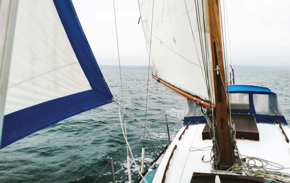
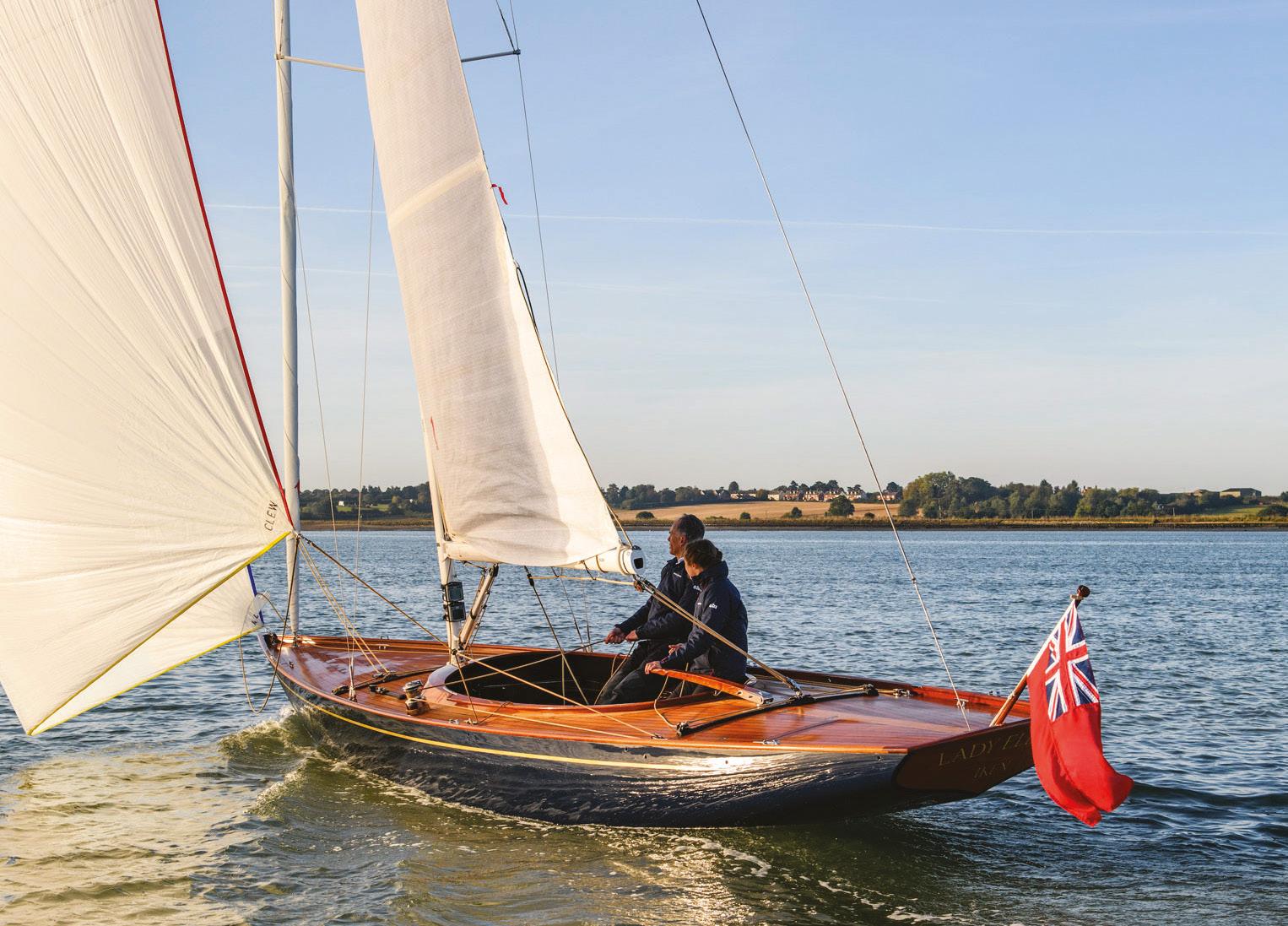
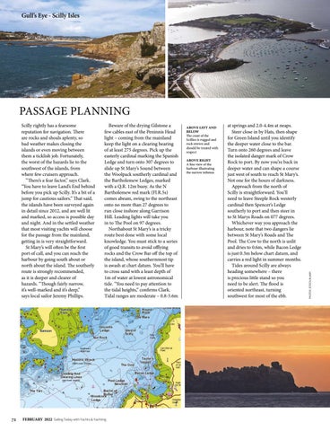
ABOVE LEFT AND BELOW The coast of the Scillies is rugged and rock strewn and should be treated with respect ABOVE RIGHT A fine view of the harbour illustrating the narrow isthmus
at springs and 2.0-4.4m at neaps. Steer close in by Hats, then shape for Green Island until you identify the deeper water close to the bar. Turn onto 260 degrees and leave the isolated danger mark of Crow Rock to port. By now you’re back in deeper water and can shape a course just west of south to reach St Mary’s. Not one for the hours of darkness. Approach from the north of Scilly is straightforward. You’ll need to leave Steeple Rock westerly cardinal then Spencer’s Ledge southerly to port and then steer in to St Marys Roads on 077 degrees. Whichever way you approach the harbour, note that two dangers lie between St Mary’s Roads and The Pool. The Cow to the north is unlit and dries to 0.6m, while Bacon Ledge is just 0.3m below chart datum, and carries a red light in summer months. Tides around Scilly are always heading somewhere – there is precious little stand so you need to be alert. The flood is oriented northeast, turning southwest for most of the ebb.
PHOTOS ISTOCK/ALAMY
PASSAGE PLANNING